Frog Lake Loop
Distance
45 Mi.
(72 KM)Days
2
% Unpaved
82%
% Singletrack
13%
% Rideable (time)
99%
Total Ascent
2,998'
(914 M)High Point
4,161'
(1,268 M)Difficulty (1-10)
4?
- 4Climbing Scale Fair67 FT/MI (13 M/KM)
- -Technical Difficulty
- -Physical Demand
- -Resupply & Logistics
Contributed By

Molly Sugar
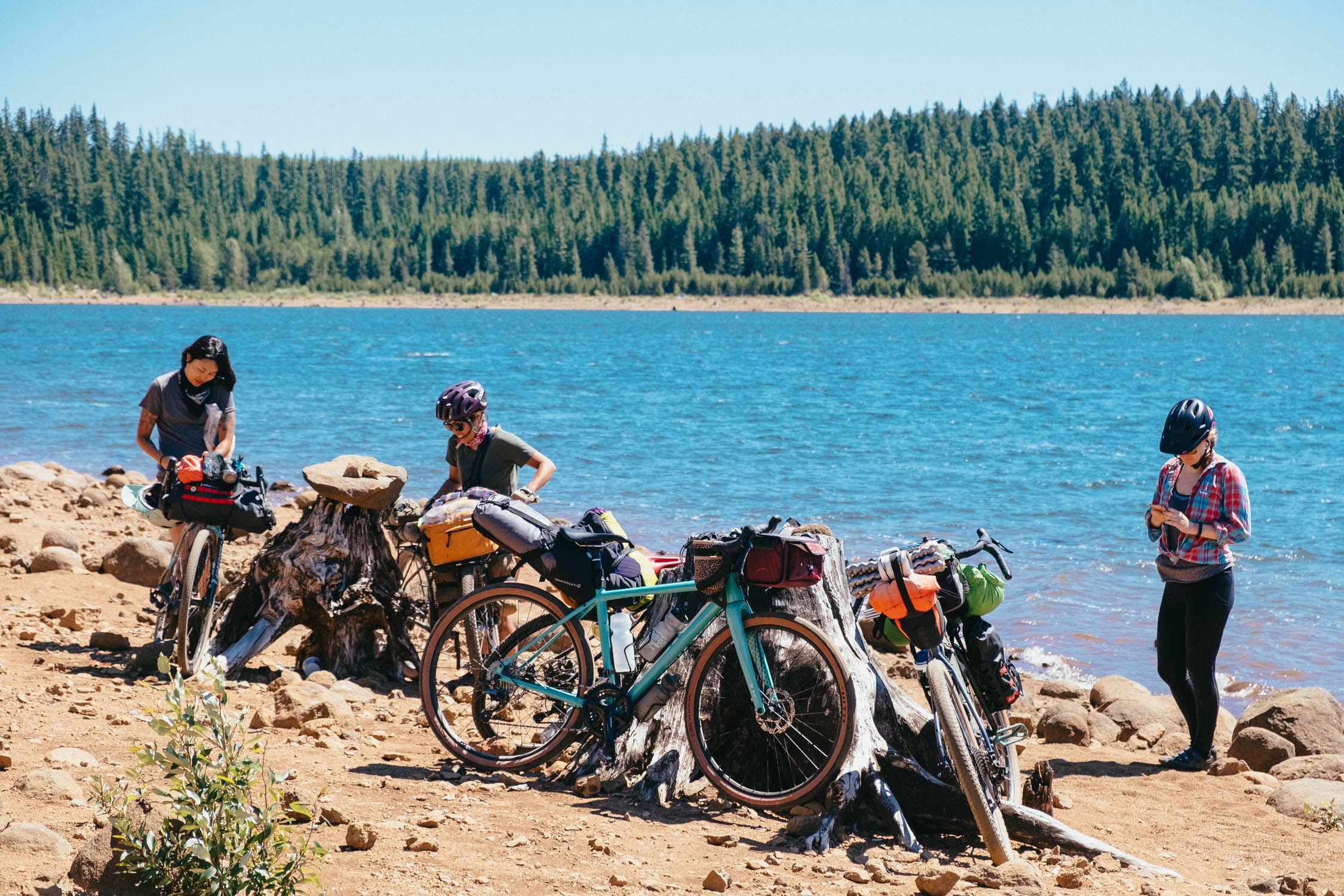
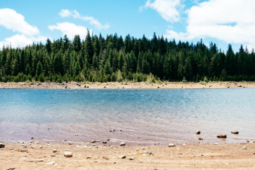
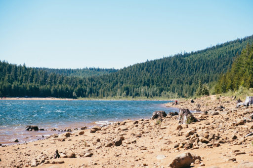
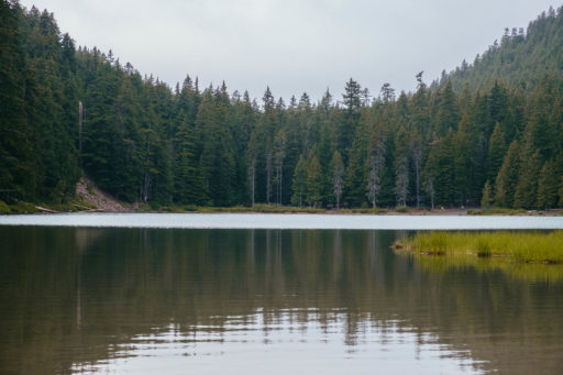
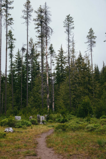
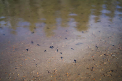
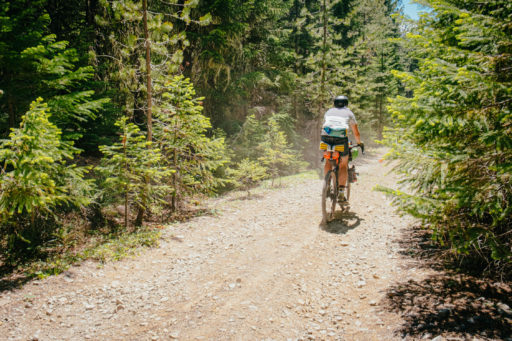
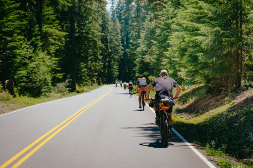
Mt. Hood National Forest is known for its network of forest roads and expansive mountain views. The Frog Lake Loop takes full advantage of both, but also incorporates an important third element: lakes. This short overnighter includes four lake stops at Frog Lake, Clear Lake, Little Crater Lake, and Timothy Lake. Whether you want a refreshing swim, scenic camp spot, or beginner-friendly singletrack, this overnighter has something for everyone.
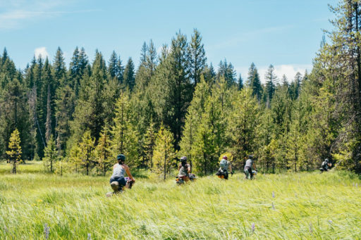
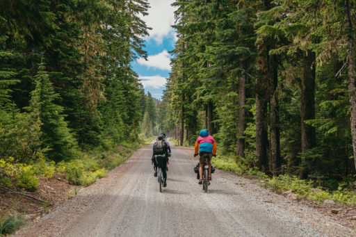
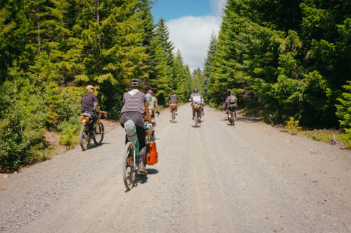
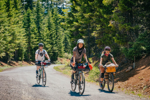
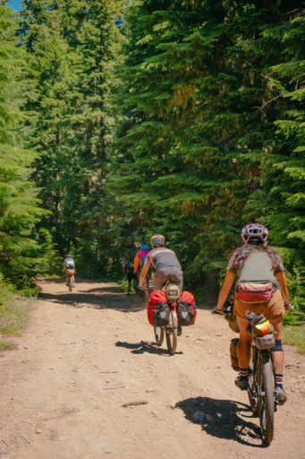
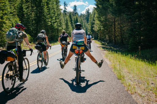
The Frog Lake Loop is an overnight bikepacking route designed to begin and end at Frog Lake with overnight camping at or near Timothy Lake. The route starts on mellow, gravel forest roads that link to Clear Lake, a 560-acre lake with abundant wild mushrooms in late summer and early fall. Click “Trail Notes” for the full description.
Route Development
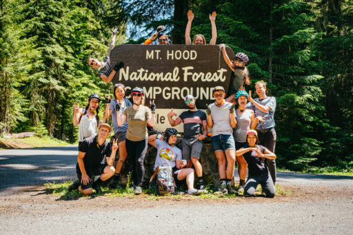
Thanks to Gritchelle Fallesgon for the photos and initial route research for a Friends on Bikes bikepacking trip. Thanks to Rie Sawada for photo support and Skyler Elzy for the illustration. Special shoutout to the Super Chill Campout Crew for being a rad crew to bikepack with and test out routes I have created.
 This route is part of the Local Overnighter Project, which was created to expand our growing list of worldwide bikepacking routes—the first and largest of its kind—and create an independent map and catalog of great bikepacking overnighters, curated by you, from your own backyard. Our goal is to have accessible routes from every town and city in the world. Learn More
Submit Route Alert
As the leading creator and publisher of bikepacking routes, BIKEPACKING.com endeavors to maintain, improve, and advocate for our growing network of bikepacking routes all over the world. As such, our editorial team, route creators, and Route Stewards serve as mediators for route improvements and opportunities for connectivity, conservation, and community growth around these routes. To facilitate these efforts, we rely on our Bikepacking Collective and the greater bikepacking community to call attention to critical issues and opportunities that are discovered while riding these routes. If you have a vital issue or opportunity regarding this route that pertains to one of the subjects below, please let us know:
Highlights
Must Know
Camping
Food/H2O
Trail Notes
Resources
- Four lakes along the route. Perfect for hanging out and swimming in the summer.
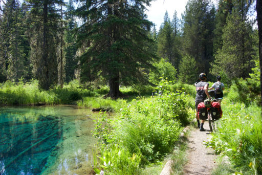
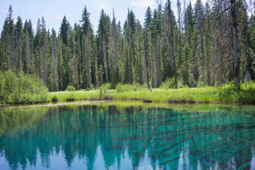
- Little Crater Lake is a geological oddity and the beautiful, turquoise water is a wonder to see.
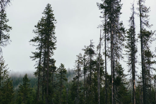
- Several mountain views of Mount Hood and Mount Jefferson.
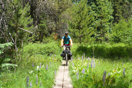
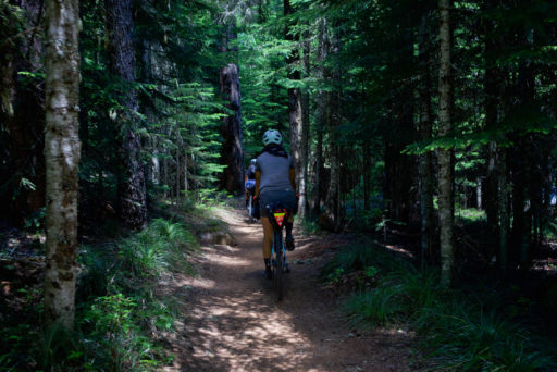
- Smooth singletrack around Timothy Lake, perfect for beginners.
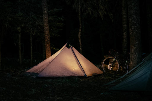
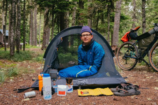
- Lots of camping options. Designated campgrounds at each lake and dispersed camping spots are available.
- Route can be ridden in either direction, depending on camping preferences.
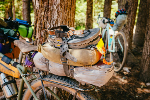
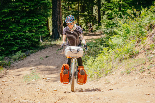
- Ideal bike: Gravel bike with 34mm tires at minimum. Mountain bikes can also be ridden depending on your preference for the singletrack sections.
- When to go: Late spring, summer, and early fall are the best times to ride in the Mt. Hood region to avoid snow.
- Parking: Overnight parking is available for $5 at Frog Lake and at Timothy Lake, if route is ridden in reverse.
- Check trail and snow conditions if you’re riding in early spring or late fall. Mt. Hood can see significant snowfall in the winter, which can make riding difficult if it’s slow to melt.
- The route crosses U.S. Highway 26, so please be safe when crossing!
- There are plenty of fishing, hiking, and boating activities at each lake. Mt. Hood Outfitters offer kayak rentals at Frog Lake and Timothy Lake. Call 503-715-2175 or email info@mthoodoutfitters.com to make arrangements.
- This route can be easily combined and extended with Oregon Timber Trail, Cascade Skyline and Gunsight Ridge routes if you’re looking for more mileage.
- Timothy Lake offers six designated campgrounds surrounding the lake.
- Meditation Point campground is hike-in, first-come-first-served only and the most secluded campsite at Timothy Lake.
- Dispersed camping is available on forest road NF-4280 on the east side of Timothy Lake.
- Frog Lake tends to be less busy and offers reservation camping. Ride the route in reverse to ensure a campsite!
- Clear Lake and Little Crater Lake also offers reservation camp spots.
- Be sure to reserve a camp spot early (especially at Timothy Lake), since spots tend to fill up quickly.
- Water is available at Frog Lake, Clear Lake, and Timothy Lake during open season, typically late May until late September.
- No food resupply available.
Once you leave Clear Lake, a hidden dirt road links to road NF 42, allowing you to bypass the busy U.S. 26 Highway. The route turns to smooth pavement for about four miles until you reach Abbot Pass and turn onto forest roads that lead into Little Crater Lake.
Little Crater Lake is considered an oddity by geologists, and believed to be created by artesian water forcing its way through soft volcanic rock. The lake was named after Crater Lake, also in Oregon, due to their shared bright blue waters.
Leaving Crater Lake, a trail links to the Pacific Crest Trail where you will have to walk your bike for a quick half a mile. Afterward, you will turn onto an easy singletrack trail that will shortly lead into gravel around the east side of Timothy Lake. There are plenty of dispersed camping options available in this area, but if you need to filter water you will have to hike down to the lake.
The route continues to meander around Timothy Lake, where you jump back onto more flowy singletrack that skirts along the water. On a clear day, you can see breathtaking views of Mt. Hood and Mt. Jefferson in the background. From Timothy Lake, the singletrack eventually leads into a gradual, long gravel climb back to Frog Lake.
Terms of Use: As with each bikepacking route guide published on BIKEPACKING.com, should you choose to cycle this route, do so at your own risk. Prior to setting out check current local weather, conditions, and land/road closures. While riding, obey all public and private land use restrictions and rules, carry proper safety and navigational equipment, and of course, follow the #leavenotrace guidelines. The information found herein is simply a planning resource to be used as a point of inspiration in conjunction with your own due-diligence. In spite of the fact that this route, associated GPS track (GPX and maps), and all route guidelines were prepared under diligent research by the specified contributor and/or contributors, the accuracy of such and judgement of the author is not guaranteed. BIKEPACKING.com LLC, its partners, associates, and contributors are in no way liable for personal injury, damage to personal property, or any other such situation that might happen to individual riders cycling or following this route.
Please keep the conversation civil, constructive, and inclusive, or your comment will be removed.


