


GAWR Segment 5 (Maize)
Distance
794 Mi.
(1,278 KM)Days
10
% Unpaved
50%
% Singletrack
1%
% Rideable (time)
100%
Total Ascent
15,400'
(4,694 M)High Point
1,214'
(370 M)Difficulty (1-10)
2?
- 1Climbing Scale Easy19 FT/MI (4 M/KM)
- 2Technical Difficulty Easy
- 2Physical Demand Easy
- 2Resupply & Logistics Easy
Contributed By

Dana McKnight
Guest Contributor
Dana is retired and passionate about bikepacking and multi-day touring adventures. He spends much of his time developing and exploring routes in West Virginia, where he grew up, and Virginia, where he now lives. In 2024 and 2025, Dana completed the Great American Wheel Route, one of his bucket-list goals, over the course of two years. You can find more recaps of Dana’s adventures at Gravel Ride Recaps on Ohio Gravel Grinders.
B/W photos by Cody Johnson; Color photos by Cody Johnson, Dana McKnight, Mike Miller, Luke Kocher, Jen Kelly, Mike Miller, Evan Deutsch, and Evan Finton
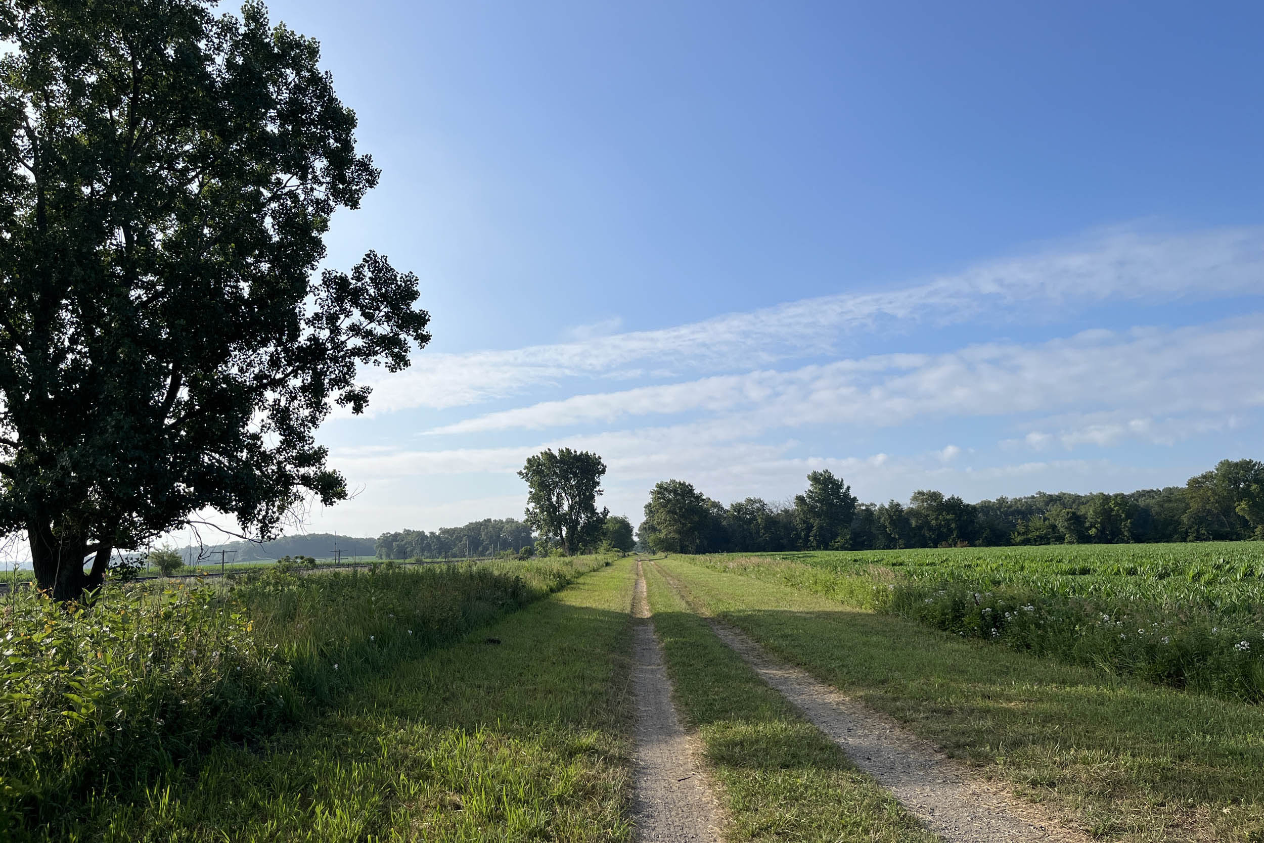
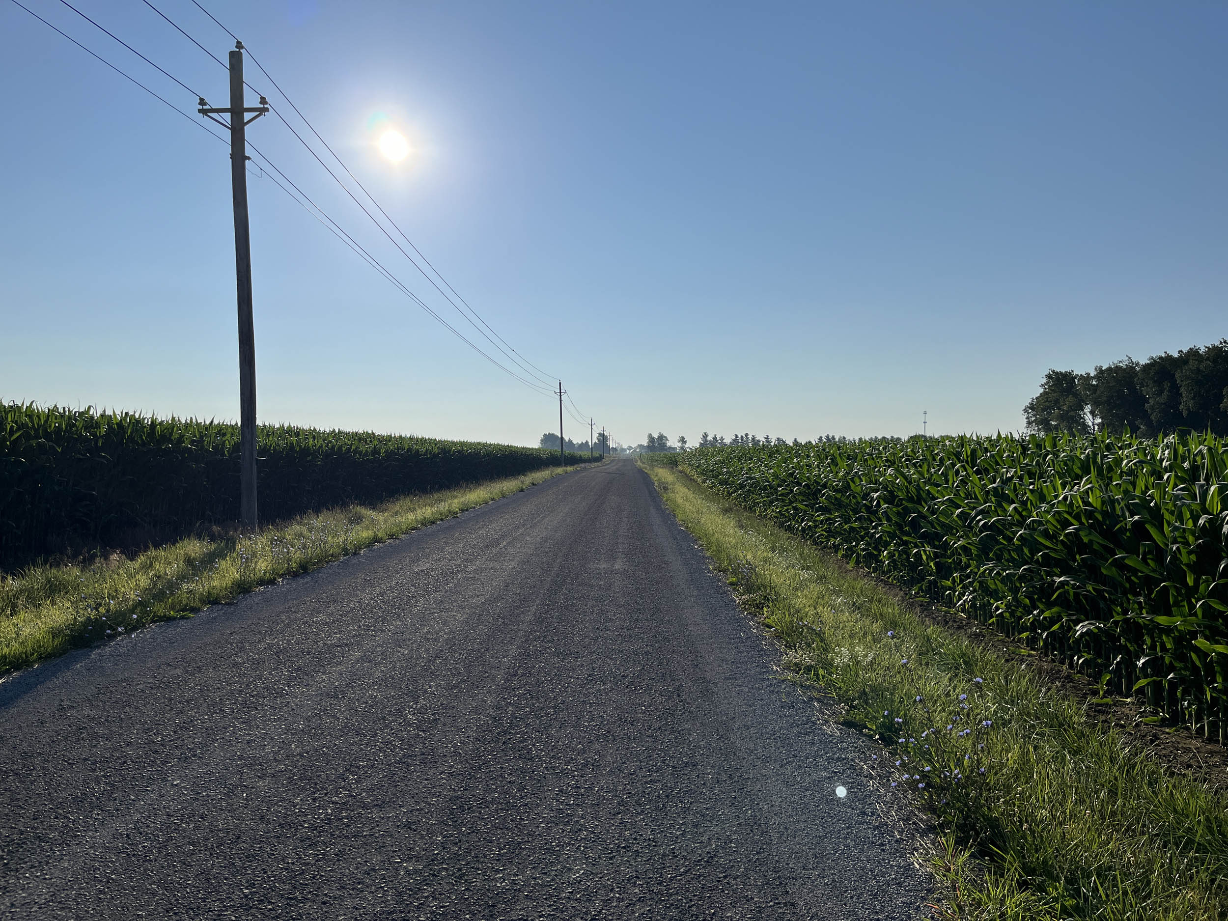
Segment 5 of the Great American Wheel Route is named Maize after the international word for corn. The route crosses the flat farmland of the Midwest, dotted with a patchwork of corn and beans. It is a surprisingly fascinating place with many charming towns, but riders will cross thousands of corn and bean fields as they transit between towns.
These flat plains of the United States were formed primarily by the Laurentide Ice Sheet, which advanced and retreated across the North American continent multiple times, scraping the bedrock to form a flat plain and leaving behind an abundance of rich, fertile soil. They extend across much of Iowa, Illinois, Indiana, and Ohio and have laid the foundation for the Midwest’s agricultural prominence, earning this region the nickname “Corn Belt” of the United States.
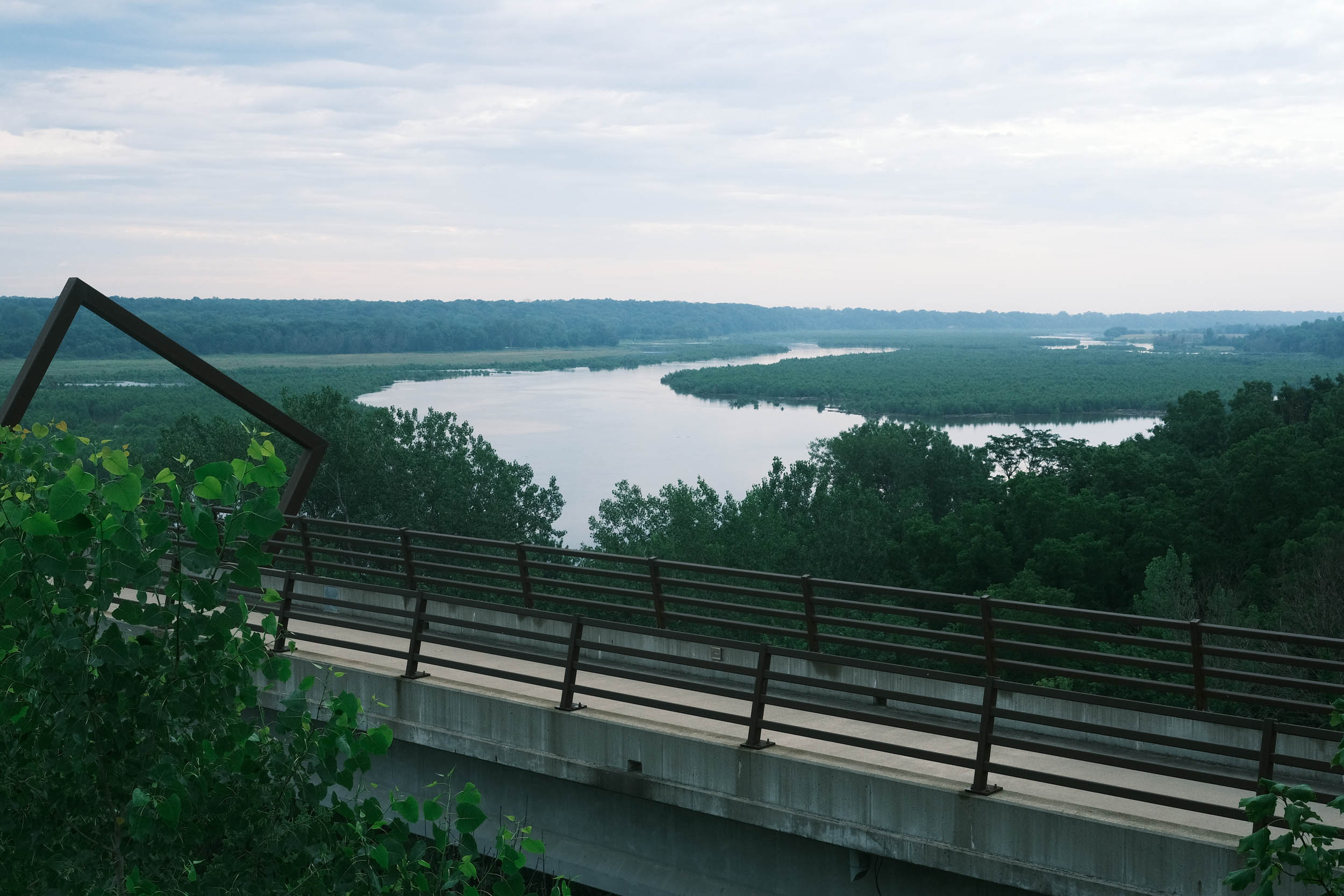
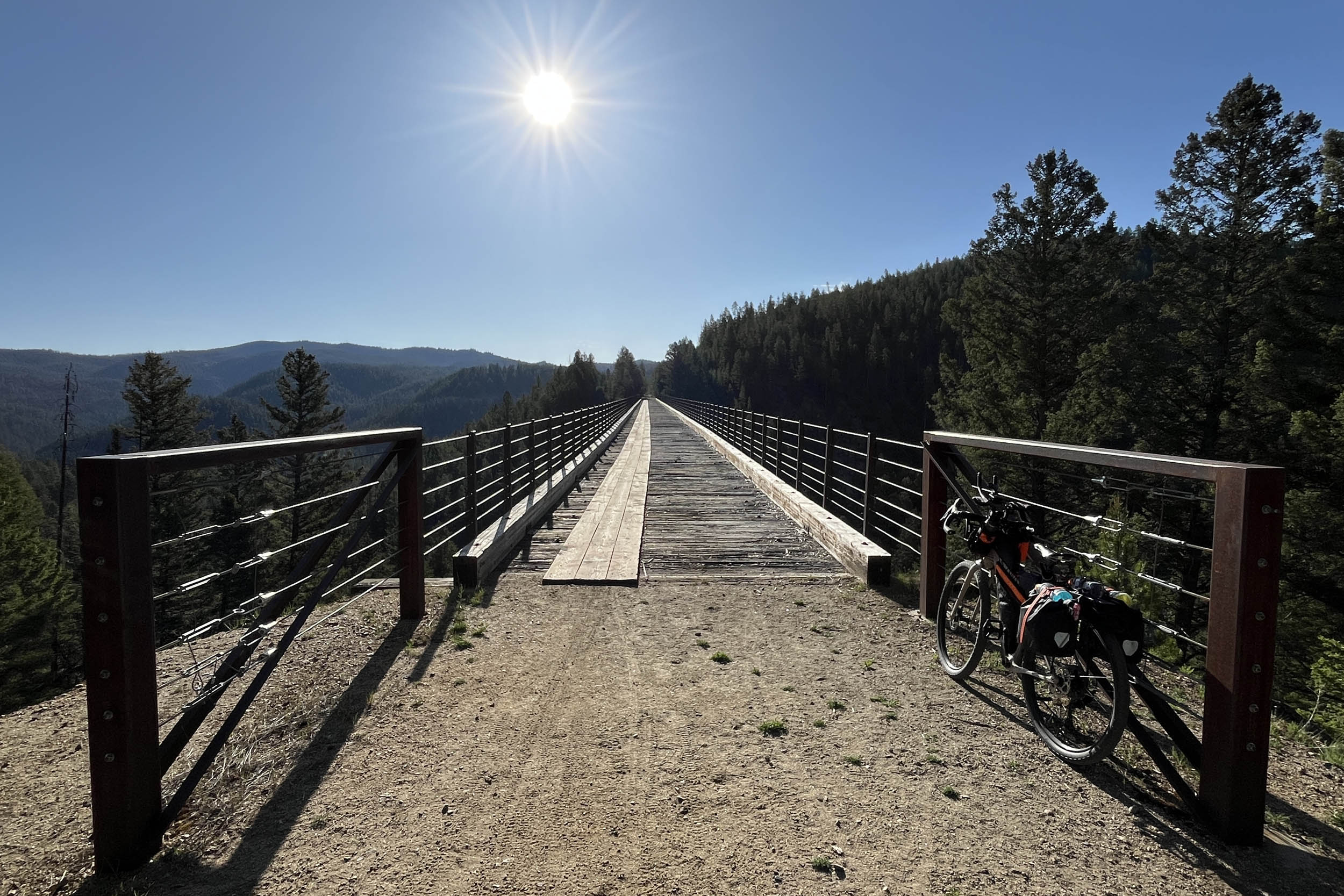
East of Perry, Iowa, arrive at the High Trestle Trail Bridge before the sun comes up and experience a magical scene where the new sunlight washes over the enormous bridge and its creative artwork. Spend some time reflecting on your journey as the beautiful landscape of the bridge and river far below becomes illuminated, showing you the path forward on your adventure of a lifetime.
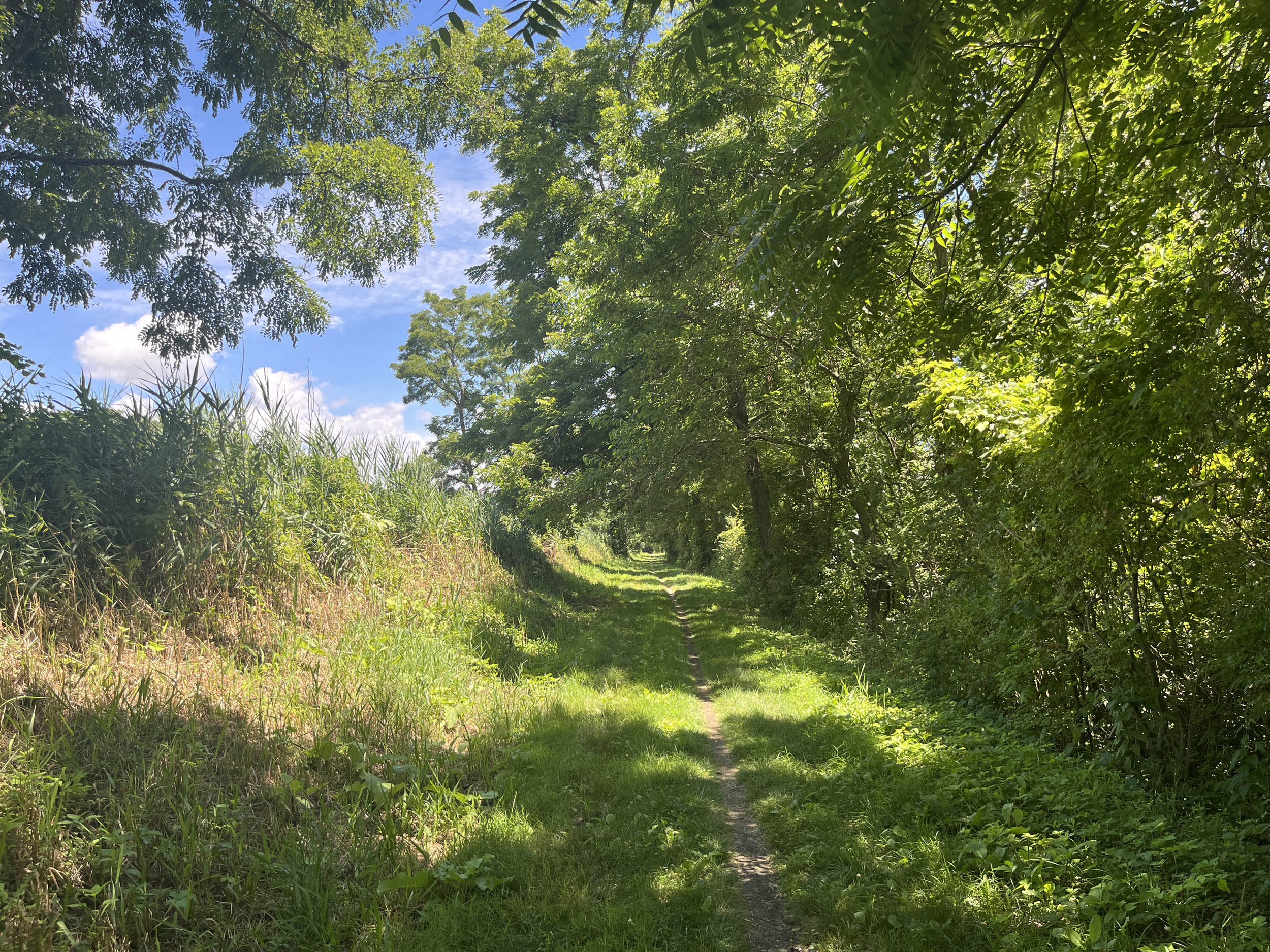
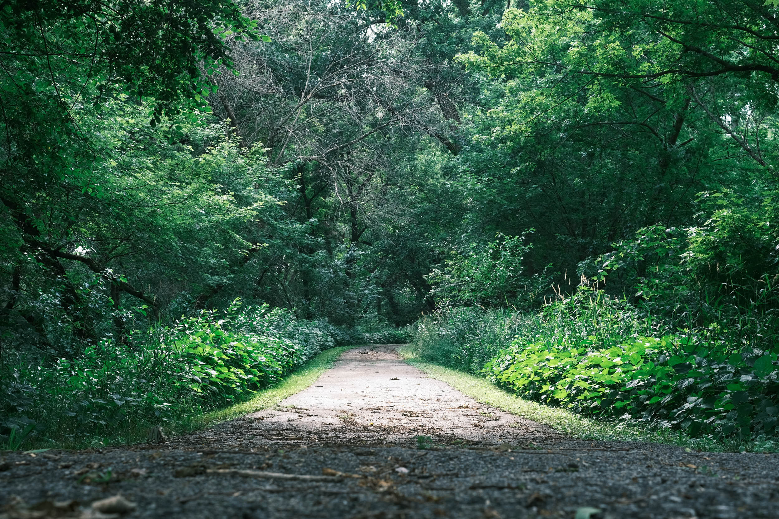
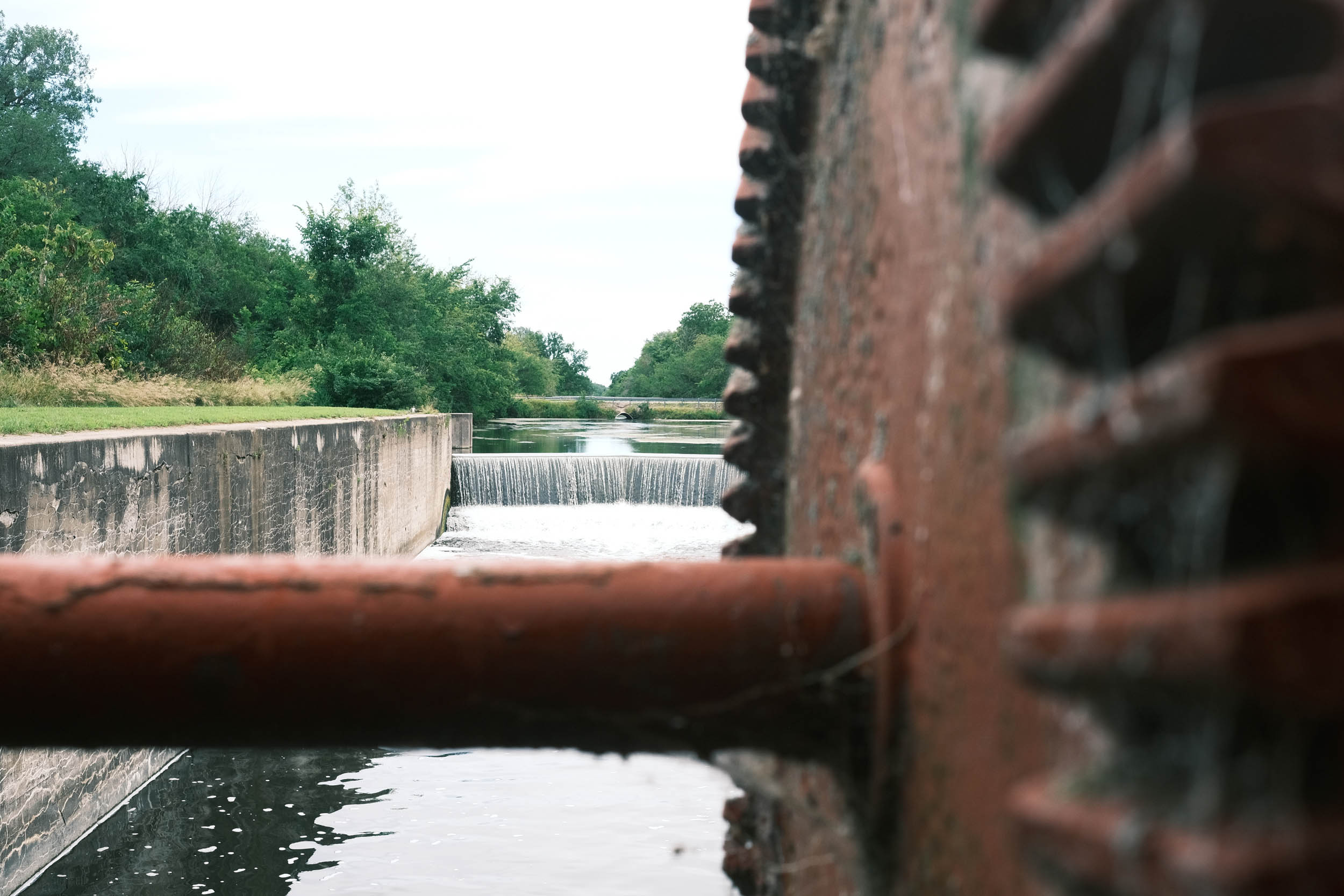
The route in Western Illinois is dominated by the Hennepin and Illinois & Michigan (I&M) canals combined, providing over 120 miles of dedicated off-road riding and camping opportunities. The canals were built to complete an all-water route from the East Coast to the Gulf of Mexico via the Great Lakes and the Mississippi River.
In northern Illinois, the fields give way to the suburbs of the greater Chicago area, eventually finding the shores of Lake Michigan at Indiana Dunes National Park, where you can dip tired feet in the clear water of the lake. Leaving the lake and heading south rejoins the process of intersecting with corn and beans while riding along well-maintained rail trails and crossing many rivers, such as the Tippecanoe and Wabash, on the way to Dayton, Ohio.
In Dayton, find the statues of two of the greatest bicycle mechanics who lived. Orville and Wilbur Wright changed transportation forever. If you have time, stop at the Wright-Patterson Air Force Base Museum to see the results of their inventions.
Route Difficulty
We are assigning an overall difficulty of 2 to this segment due to its sheer length, but it is the easiest part of the entire Great American Wheel Route, thanks to mostly flat terrain, canals, and many paved bike paths. Overall, this segment is not technical, but there are some rough spots on the Hennepin Canal and singletrack on the I&M Canal, though both are flat. There are a few chunky gravel sections, but again, they are relatively short and mostly flat. This is the flattest segment of the entire route. There are a few very moderate hills to climb, but nothing major, especially compared to the rest of the route.
The route is given a 2 due to its length and the large number of days required to complete it. By this point of the route, fitness should be at a maximum, and physical demand should be minimal, with the exception of routine wear and tear on the body from the extended adventure.
Resupply and logistics are mostly straightforward. Transport to and from Perry, IA, and Dayton, OH, is easily provided by airlines, buses, or rental cars. And, the route routinely goes through small towns, suburbs, and resupply points. One of the challenges is the ability to reroute due to weather, flooding, fire, construction, etc. Due to the length of the route, predicting these issues is nearly impossible, so having the skill to safely reroute yourself when the route is blocked is paramount. In 2024, flooding on the Missouri and Mississippi rivers required major reroutes.
The Great American Wheel Route (GAWR) is an expansive 3,700-mile mixed-terrain bicycle route traversing the United States. Beginning at the Space Needle in Seattle and concluding at the Washington Monument in Washington, D.C., the GAWR guides riders across the country via an elaborate network of gravel roads and paths, paved trails, and low-traffic backroads, prioritizing separation from motorized vehicles. Find the full GAWR route here.
Route Development: The GAWR was finalized in 2024, with many people contributing to its creation and maintenance. It was inspired by and incorporates multiple segments of Rails to Trails Conservancy’s Great American Rail Trail (GART) route, linking them with dirt to create a more gravel-focused experience across the country. Find details at the main route page here.


Submit Route Alert
As the leading creator and publisher of bikepacking routes, BIKEPACKING.com endeavors to maintain, improve, and advocate for our growing network of bikepacking routes all over the world. As such, our editorial team, route creators, and Route Stewards serve as mediators for route improvements and opportunities for connectivity, conservation, and community growth around these routes. To facilitate these efforts, we rely on our Bikepacking Collective and the greater bikepacking community to call attention to critical issues and opportunities that are discovered while riding these routes. If you have a vital issue or opportunity regarding this route that pertains to one of the subjects below, please let us know:
Highlights
Must Know
Camping
Food/H2O
Trail Notes
Resources
- Riding across the High Trestle Trail Bridge in Iowa. A dedicated bike path bridge that is 13 stories high and a half-mile long, making it one of the tallest in the world. The bridge features decorative lighting and interpretive panels that highlight the area’s cultural and natural history.
- Taking advantage of a free visit to the John Deere Tractor and Engine Museum in Waterloo, Iowa. The museum chronicles the history of John Deere from the simple plow that enabled the farming boom in the Midwest to today’s modern working machines.
- Visit the Cedar Rapids Museum of Art established in 1905 providing an immersive experience in the benefits of American Art and Roman antiquities.
- Spend some time in the National Czech & Slovak Museum and Czech Village in Cedar Rapids, Iowa. It is a premier institution dedicated to collecting, preserving, and interpreting the history and culture of Czech and Slovak people in the United States and their ancestral lands.
- Riding and camping along the Hennepin Canal, a significant and historical waterway that played a significant role in developing trade between Chicago and the Mississippi River. Of the 33 locks on the canal, 32 remain visible.
- Riding and camping along the Illinois and Michigan (I&M) Canal National Heritage Area. The I&M Canal is a historic waterway that connects the Great Lakes to the Mississippi River.
- Climbing the sand dunes and dipping your toes in Lake Michigan at Indiana Dunes National Park, Indiana. The park was established in 1915 and includes a variety of ecosystems such as sand dunes, wetlands, forests, and beaches.
- Visit the Hoosier Valley Railroad Museum in North Judson, IN. Speed up your pace of travel, compared to biking, and take a ride on one of their train excursions.
- Visit the Circus Hall of Fame and Clown Museum in Peru, Indiana. The museum includes rare surviving circus buildings and artifacts from the late 19th and early 20th centuries and is designated a National Historic Landmark.
- Take a break at the Wright Brothers statue in Dayton, Ohio where you can ponder how two bicycle mechanics changed the path of transportation.
- Visit the Wright Patterson Air Force Museum, Dayton Ohio. A world class aeronautical museum that houses some of the most important airplanes in the history of flight including the Memphis Belle, Bockscar, an SR-71, Air Force One and the only surviving XB-70 Valkyrie.
When to go
- Late spring to early fall
Logistics
- Primary information about the Grand Depart and race can be found at The Unsupported Cycling.
- Some trails require a fee – some bike paths around Perry, Iowa require a fee
Dangers and Annoyances
- Dogs – dogs may be encountered anywhere along the route especially in rural areas where owners don’t properly contain them. It is recommended that you carry pepper spray, an air horn, etc. to help deter them. Dogs have been encountered in rural Washington, Montana, Ohio and West Virginia but can be found anywhere.
- Ad-hoc route deviations – The ability and skill to reroute due to flooding, fires, weather, construction, etc. will enhance your ride and improve your odds of completing the adventure.
Travel basics
- Des Moines, Iowa Airport and Dayton, Ohio Airport
- U.S. Visa requirements – U.S. Tourism & Visit Visa
What bike?
- Any comfortable endurance, gravel, adventure, touring type bike that can carry your gear and is durable. You will most likely experience mechanicals due to the length and gravel conditions of the route. Know basic skills and be able to find a bike shop when necessary. You may have to rig a solution until you get to the shop.
- Tire size – 40 mm to 2.2 inches with durable compounds and less aggressive tread patterns are recommended.
- Gearing – at least a 1:1 gear ratio between the crank and cassette for the lowest gear. Lower is better.
- Suspension – many riders have completed the route without any suspension components. Stem and seat suspensions may provide additional comfort depending on riders’ preferences. Knowing how to and when to adjust your tire pressure for different riding conditions is probably more important than having suspension components.
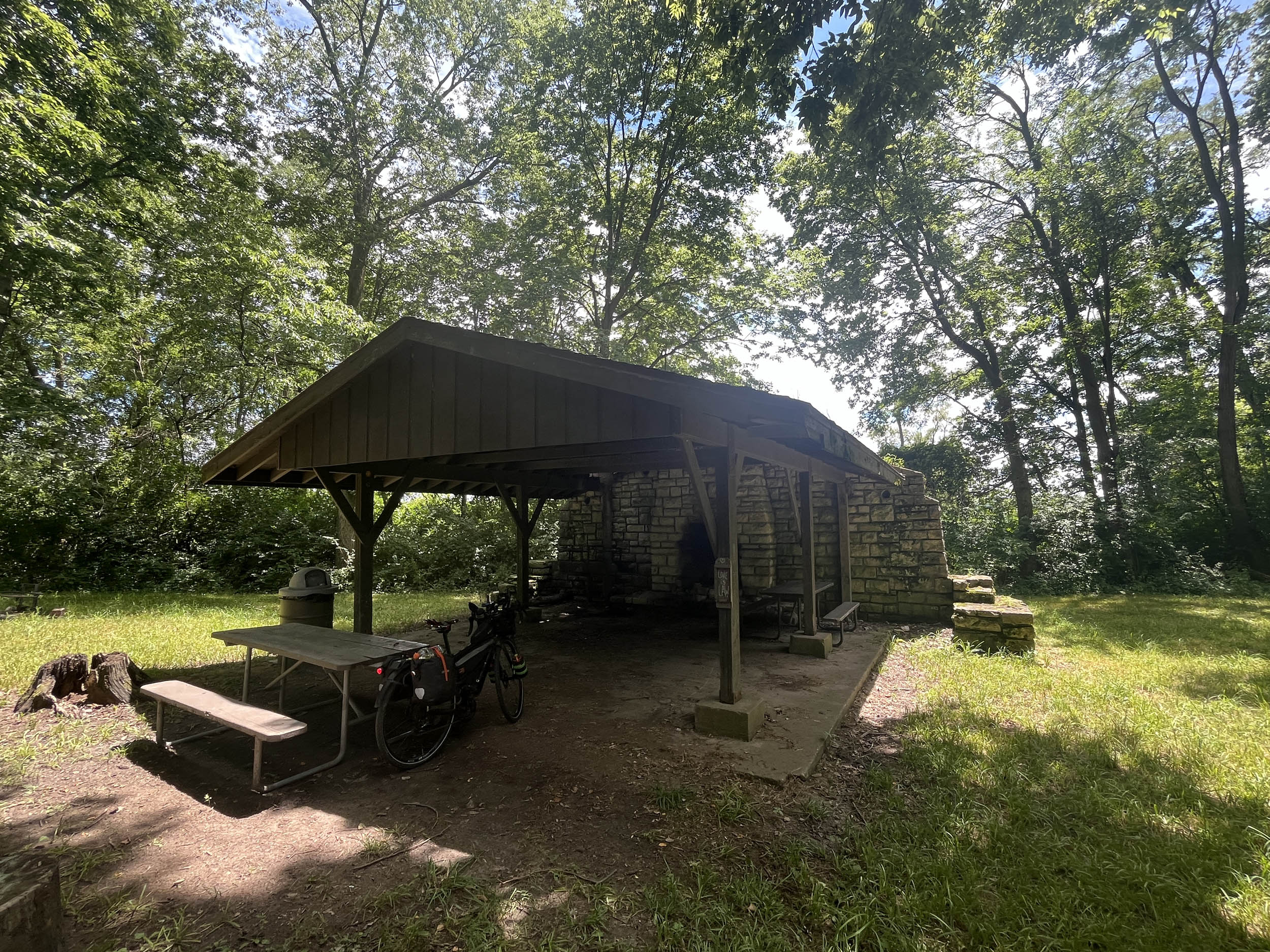
- Campgrounds and established campsites are readily available along this segment of the route especially along the canals in Illinois. Many prominent options are noted in the downloadable GPX file and the available services spreadsheet, but there are more.
- Due to the limited amount of public lands in this segment, dispersed camping and National Forest Campgrounds are non-existent.
- If wild camping is a must, we recommend setting up after dusk and leaving at dawn. Churches, parks, and other public places are usually safe options, but use your own judgment and leave no trace.
- Camping is a challenge in the approximately 70 miles between Rockdale, Illinois and Indiana Dunes National Park as the route weaves its way through the extended suburbs of the Chicago area.
- There are hotels/motels/lodging in Marshalltown, Hiawatha, Cedar Rapids, Davenport IA, Annawan, Peru, Morris, Joliet, Matteson, IL, Chesterton, Rochester, Peru, Marion, Muncie, Richmond, IN Brookville, Dayton, OH
- Filtering water is not necessary on this segment of the route due to the abundant towns and cities along the route. Water is available in most towns and riders have also asked local residents for water and most are more than happy to accommodate. Ask before using private water sources.
- There are a significant number of resupply options on this route, as noted in the POIs of the downloadable GPX file and the available services spreadsheet.
- Churches are a good source of drinking water as there are usually spigots available. Make sure to ask if there is someone on site.
- The main resupply points with significant options are Marshalltown, Hiawatha, Cedar Rapids, Davenport IA, Annawan, Peru, Morris, Joliet, Matteson, IL, Chesterton, Rochester, Peru, Marion, Muncie, Richmond, IN Brookville, Dayton, OH and the many small towns along the route.
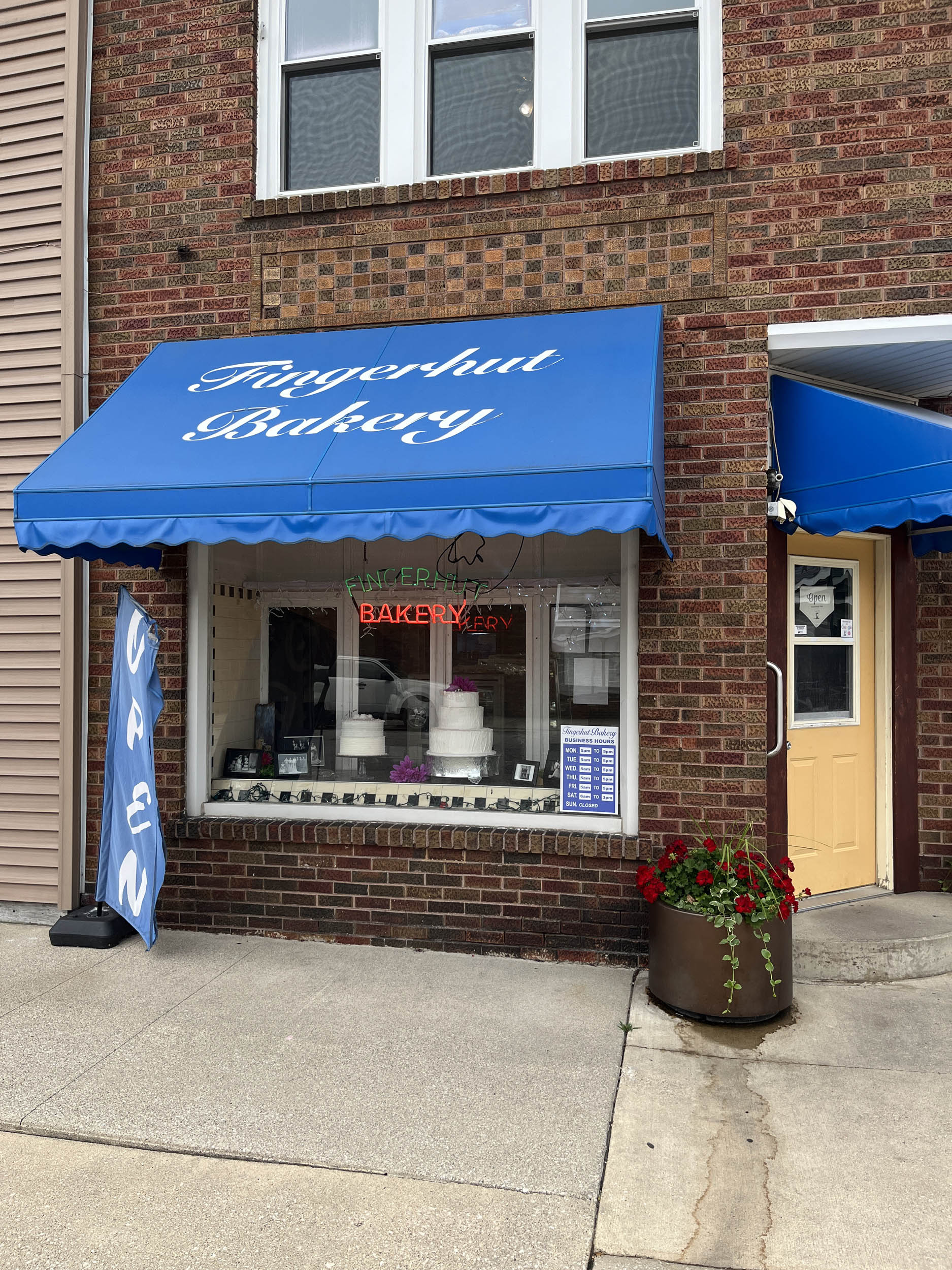
- There are a few recommended places for food and drink. West to East include: Try The Pedaler’s Fork in Cedar Rapids, IA where brew and sandwiches are enhanced by the bicycle themed decor, Have an excellent ice cream at Dan and Debbies Creamery, Ely, IA, Enjoy a hearty Midwest meal at the Tipton Family Restaurant, Tipton, IA, Enjoy the riverfront view and exciting vibe of the Riverfront Bar & Grill, Peru, IL, Make sure to have an engaging conversation with the owner and enjoy a hearty meal at Peggy Sue’s Diner, Chesterton, IN, Enjoy amazing baked goods at Fingerhut Bakery, North Judson, IN.
Here’s an example itinerary based on 60–100 mile days. Some riders may prefer shorter days, while others might average longer distances, but this serves as a solid baseline for a thru-rider planning a reasonable bikepacking pace. This itinerary assumes you’re a fairly seasoned rider carrying a medium load.
location Perry, IA to Grundy Center, IA
Day 1 (109 mi +3,200 ft)
Leaving Perry on a bike trail, the route passes through the small town of Bouton, where the High Trestle Trail begins. Soon after, it reaches the extremely impressive, artful, half-mile-long High Trestle Bridge, offering striking views of the Des Moines River 130 feet below. Leave Perry early enough to catch the morning sun on the horizon as it illuminates the bridge in shades of red, orange and yellow. This is definitely the highlight of the day—and one of the highlights of the entire ride across the United States.
The day continues on a series of bike trails en route to Marshalltown, where services are robust. Heading north on gravel roads leads to the small and picturesque farming town of Grundy Center. Stop at The Landmark Bistro and order their award-winning, generously sized pork tenderloin sandwich.
location Grundy Center, IA to Cedar Rapids, IA
Day 2 (100 mi +2,000 ft)
Another long but relatively easy day unfolds on many of Iowa’s excellent bike paths. The Pioneer Trail starts just outside of Grundy Center, followed by more high-quality Iowa gravel before encircling the large metro area of Waterloo. Stop at the John Deere Tractor and Engine Museum to learn about the machinery and equipment that transformed this region into the vast farmland it is today.
Pick up the Cedar Valley Trail outside of Waterloo and ride it all the way toward the Cedar Rapids area, where services abound.
location Cedar Rapids, IA to Davenport, IA
Day 3 (75 mi +2,300 ft)
Continue along the Cedar Valley Trail out of Cedar Rapids as the route reenters Iowa’s farmland. Take a break in the small, charming town of Ely and enjoy ice cream at Dan and Debbie’s Creamery. Bike trails account for roughly half the distance to Davenport, after which the route spills into the countryside. Rolling hills and gravel roads take over, requiring some steady climbing.
Davenport is a decently sized city, and most services are easy to access.
location Davenport, IA to Annawan, IL
Day 4 (59 mi +1,100 ft)
Leaving Davenport, the route crosses the mighty Mississippi River on the I-74 bridge, which features an excellent, well-isolated pedestrian and bike lane that makes the crossing enjoyable. Take a moment to admire the massive flow of water that drains 41% of the United States into the Gulf. This crossing also marks entry into another state as the route rolls into Illinois.
The route then joins the Hennepin Canal, completed in the early 1900s to help connect Chicago to the Mississippi River. Riding along the canal is mostly flat, though the surface can be rough in places. Several small towns provide resupply opportunities, and free camping is abundant along the canal. The canal is filled with large, beautiful lily pads, often giving the illusion that one could walk across the water.
location Annawan, IL to Morris, IL
Day 5 (92 mi +1,300 ft)
Another long day continues along the Hennepin Canal. Eventually, the canal ends, requiring a short stretch of road riding before reconnecting with the Illinois & Michigan (I&M) Canal National Heritage Area. Opened in 1848, the I&M Canal also played a crucial role in Chicago’s development as a hub of trade.
Riding is mostly level on fine gravel and dirt, with a bit of easy singletrack mixed in for variety. Numerous towns and cities along the canal provide reliable services. Camping is available but less common than it is along the Hennepin Canal.
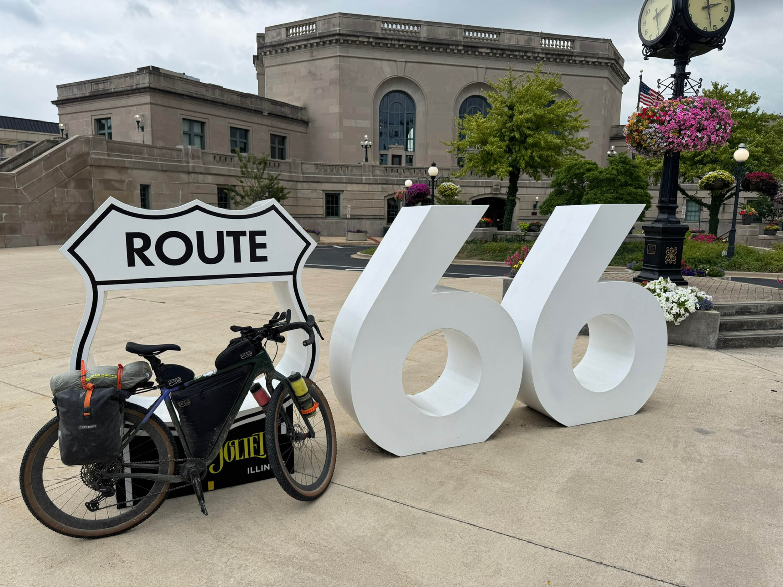
location Morris, IL to Matteson, IL
Day 6 (59 mi +700 ft)
Leaving Morris, the route continues on the I&M Canal as it enters the outer edges of the greater Chicago area. Bike paths become increasingly frequent as the route weaves through the suburbs. Services are easy to find throughout the day, but camping can be challenging in this section.
location Matteson, IL to Indiana Dunes, IN
Day 7 (55 mi +1,000 ft)
Bike paths continue through the suburbs as the route crosses into Indiana. The landscape begins to shift, with periodic stretches through what appear to be nature reserves, before finally reaching the Indiana Dunes National Park area along the shores of Lake Michigan.
Along the way, stop in downtown Chesterton for a meal at Peggy Sue’s Diner. If you’re lucky, you may meet the namesake herself and enjoy a memorable conversation—she’s quite the character. Camping and lodging are both available in the Indiana Dunes area, along with ample services.
location Indiana Dunes, IN to Peru, IN
Day 8 (100 mi +1,300 ft)
Another long day unfolds as the terrain flattens and the route becomes surrounded by maize—the cornfields that give this segment its name. The route uses many very low-traffic back roads and bike trails, passing through small towns that make resupply straightforward. It follows the Tippecanoe River for a stretch before reaching North Judson, where a stop at Fingerhut Bakery is mandatory. Sample the baked goods and pick up extras to enjoy later in the day.
Peru has an interesting history and is known as the Circus Capital of the World. Numerous circus companies were based here in the late 1800s and early 1900s, and while the circuses are long gone, their legacy remains visible throughout town.
location Peru, IN to Muncie, IN
Day 9 (85 mi +1,400 ft)
Long riding days continue thanks to flat terrain and easy surfaces on backcountry roads and dedicated bike lanes, including the Cardinal Greenway—a 60+ mile dedicated path. Riding past farms with uniform crop rows highlights the immense scale of food production in the “Breadbasket” of America.
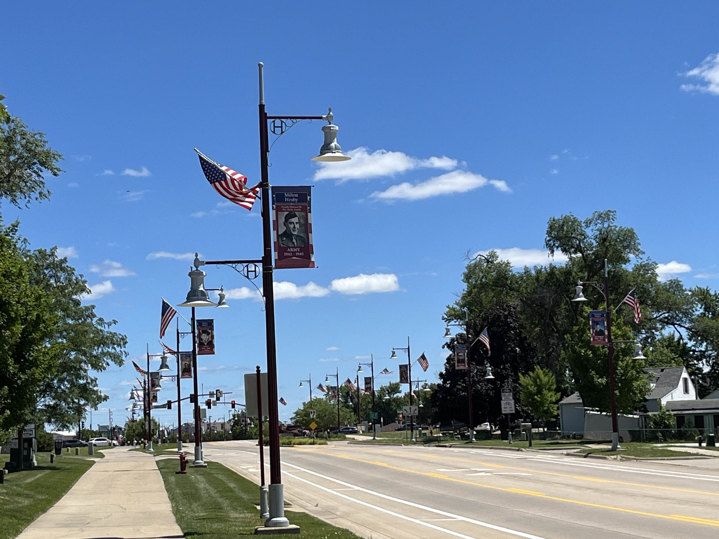
Muncie is a larger town, and services are plentiful.
location Muncie, IN to Brooksville, OH (near Dayton)
Day 10 (73 mi +1,700 ft)
Leaving Muncie on the Cardinal Greenway, the route passes Greenway 500, a bike shop located roughly seven miles outside of town. Mike, the owner, has earned a reputation as a “bike god” for going above and beyond to help several GAWR riders keep their bikes running and finish the route. Stop in, say hello, and have him give your bike a once-over.
The route continues directly through the town of Richmond, a great place to stop for a break with many restaurant options downtown. Afterward, the route heads back into farmland, traversing quiet country roads before crossing into yet another state en route to Brooksville, Ohio, near Dayton.
- Here is a comprehensive list of lodging and resupply locations along the entire route. There is also a tab for specific information on individual rail trail segments.
- Visit the Great American Wheel Adventure Facebook page to connect to other riders and racers.


Terms of Use: As with each bikepacking route guide published on BIKEPACKING.com, should you choose to cycle this route, do so at your own risk. Prior to setting out check current local weather, conditions, and land/road closures. While riding, obey all public and private land use restrictions and rules, carry proper safety and navigational equipment, and of course, follow the #leavenotrace guidelines. The information found herein is simply a planning resource to be used as a point of inspiration in conjunction with your own due-diligence. In spite of the fact that this route, associated GPS track (GPX and maps), and all route guidelines were prepared under diligent research by the specified contributor and/or contributors, the accuracy of such and judgement of the author is not guaranteed. BIKEPACKING.com LLC, its partners, associates, and contributors are in no way liable for personal injury, damage to personal property, or any other such situation that might happen to individual riders cycling or following this route.
Further Riding and Reading
Here are some connected/nearby routes and related reports...


Please keep the conversation civil, constructive, and inclusive, or your comment will be removed.