Golden Jackrabbit Loop
Distance
80 Mi.
(129 KM)Days
2-3
% Unpaved
80%
% Singletrack
0%
% Rideable (time)
90%
Total Ascent
4,282'
(1,305 M)High Point
2,515'
(767 M)Difficulty (1-10)
6?
- 3Climbing Scale Fair54 FT/MI (10 M/KM)
- 5Technical Difficulty Moderate
- 6Physical Demand Moderate
- 8Resupply & Logistics Strenuous
Contributed By

Brendan Collier
Guest Contributor
Brendan is a longtime veteran of the bike industry and the Stagecoach 400 bikepacking route creator. He is developing a new series of interconnected bikepacking routes called the Desert Collective. Follow Brendan on Instagram (@brendan_at_the_hub).
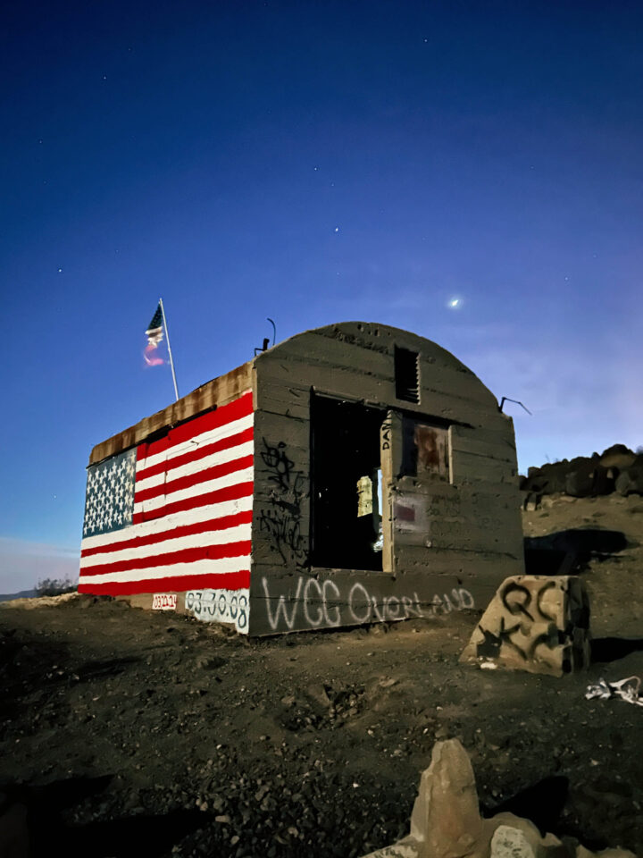
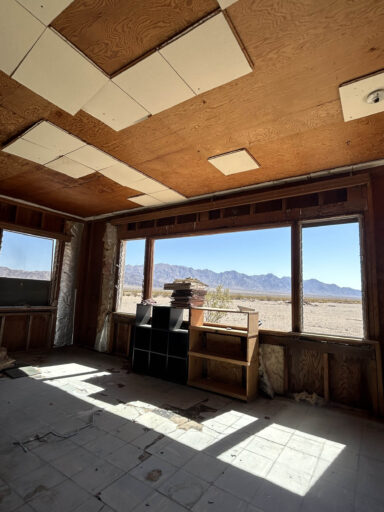
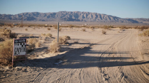
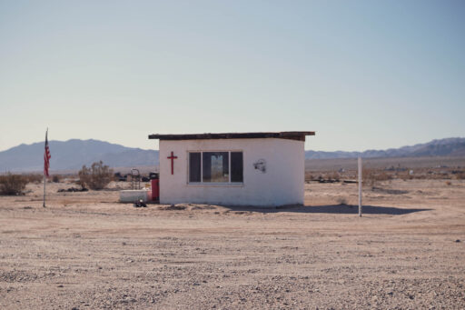
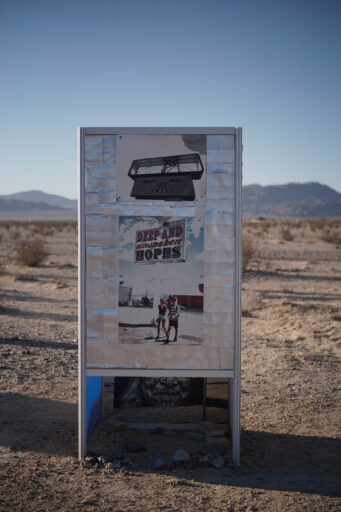
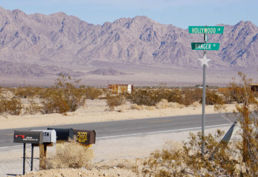
The Golden Jackrabbit Loop begins at a low-key designated camp spot on BLM public land, adjacent to The Palms restaurant and entertainment venue in Wonder Valley. The ride begins on fairly flat, moderately sandy terrain past several site-specific art installations and passes by Jackrabbit Homesteads (recreational cabins) built in the 1950s as a product of the Small Tract Act of 1938. Many of these cabins are in terrible shape, waiting to be reclaimed, and others are in the process of being restored or already have been. Some are active short-term rentals, and a few have geothermal hot springs on site.
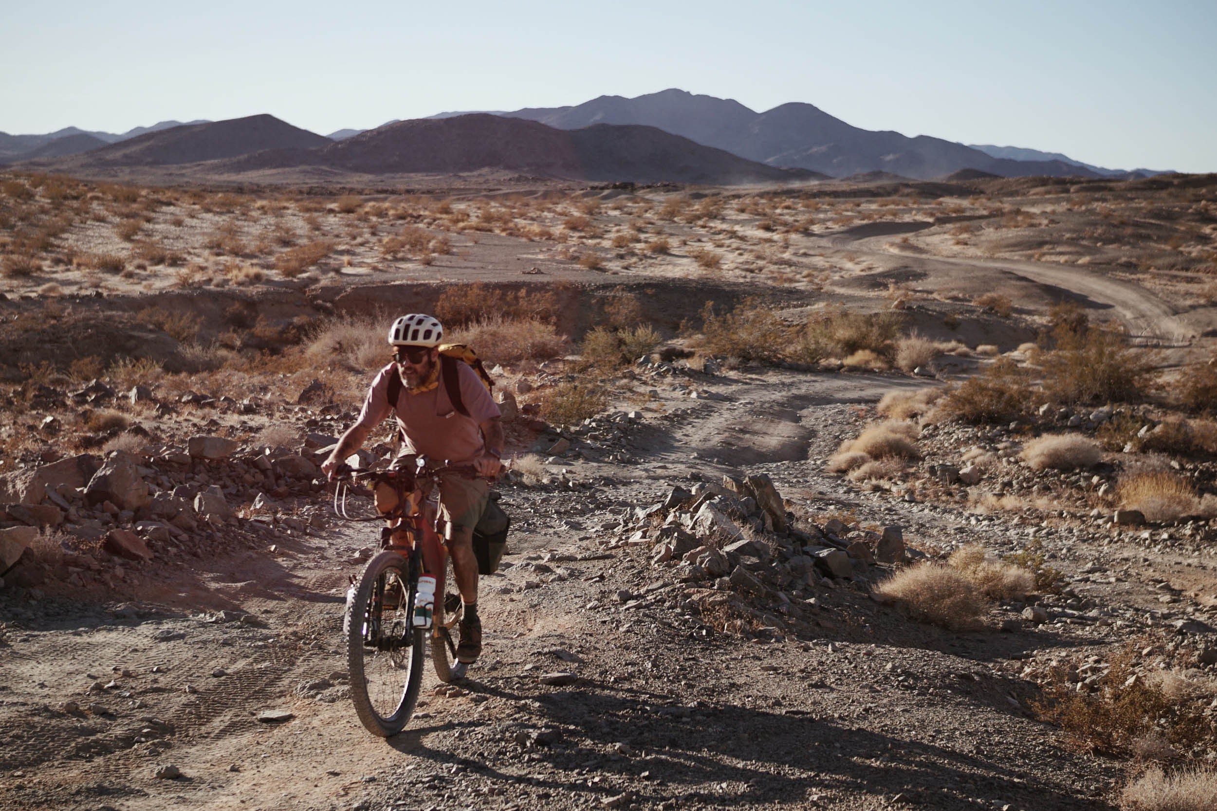
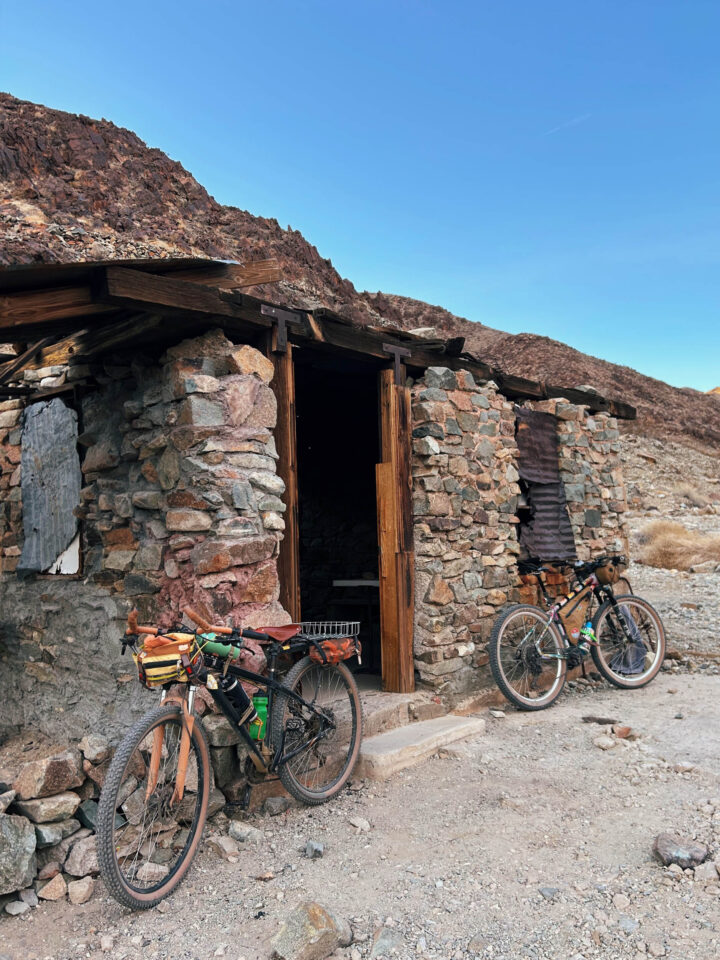
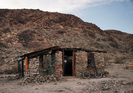
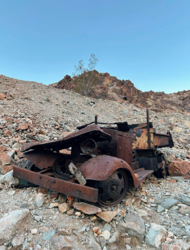
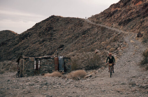
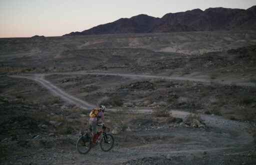
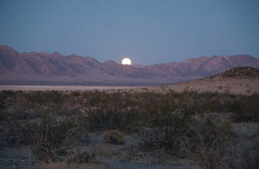
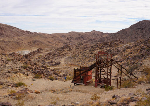
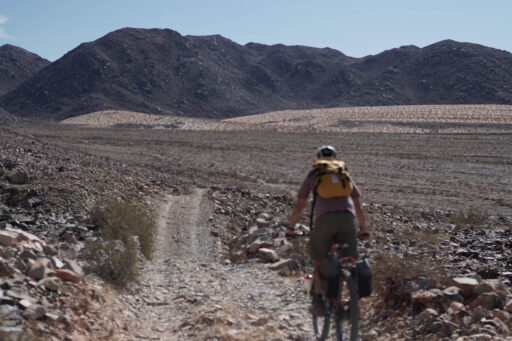
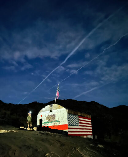
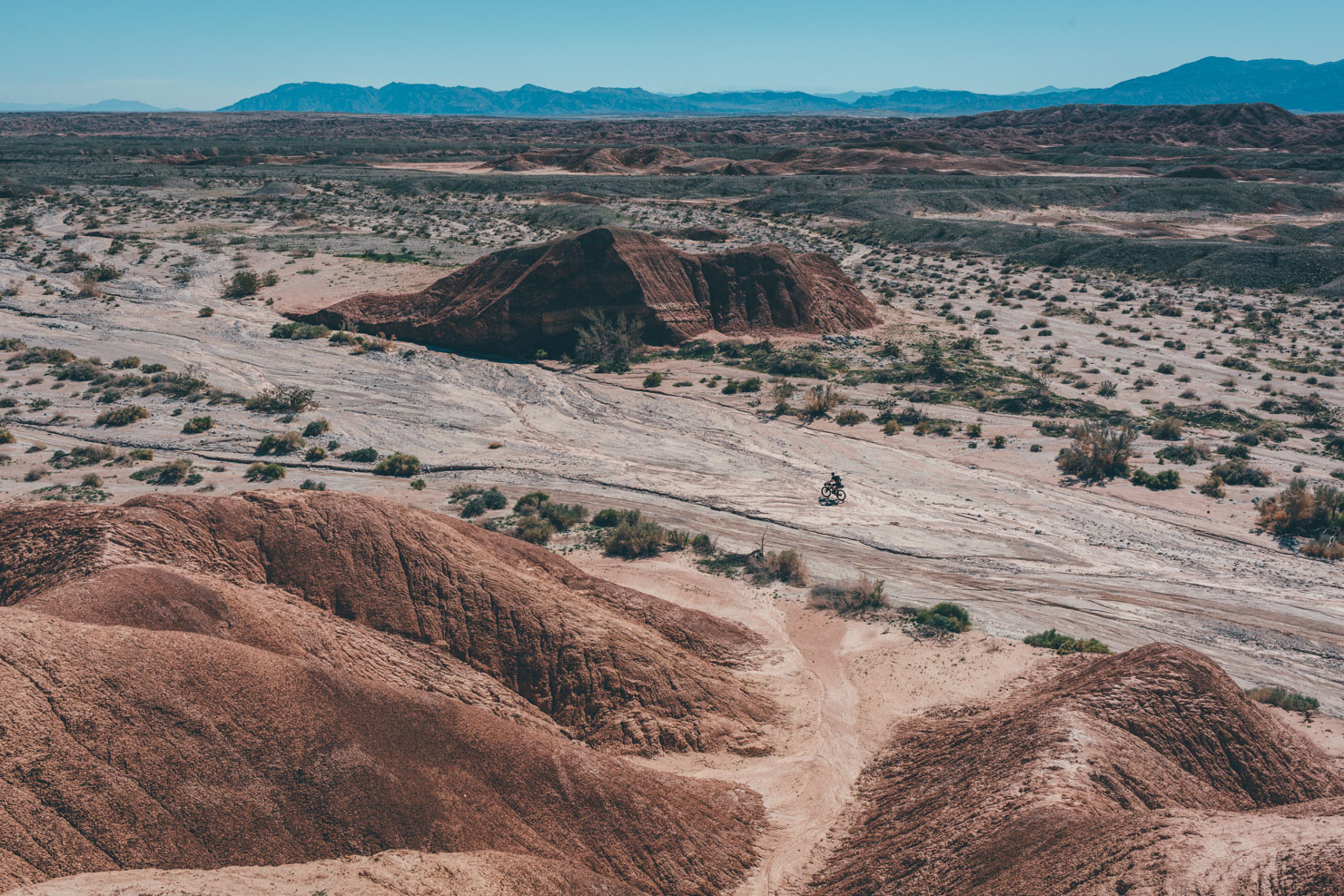
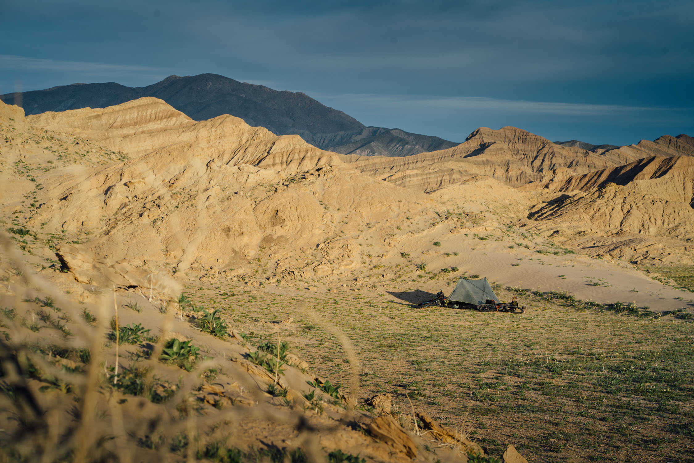
The route then leaves Wonder Valley and begins climbing into the mountainous Dale Mines area, where the terrain will initially become quite sandy and then rocky. You will climb through many valleys painted in naturally contrasting colors of deep chocolate-brown rock and tan sand. The route threads a few canyons and visits gold mines dating back to the 1880s, including a well-preserved miners’ cabin with a visitors’ logbook and abandoned cars from the 1930s and 1940s. This area is rich in artifacts and encourages riders to take their time and explore off the bike as much as time allows. From here, the route spills out into the vast Pinto Basin and into Joshua Tree National Park. Riding in this portion of the route is fast, and the miles tick away quickly. The basin offers sublime solitude and breathtaking sunrise and sunset views set against a rugged mountain backdrop.
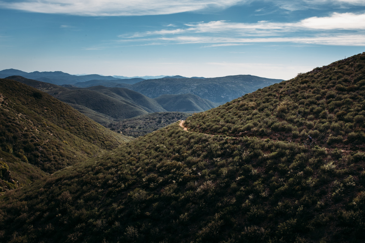
Leaving Joshua Tree, the route climbs again into Dale Mines area, this time taking a westerly route to the north. The terrain is at first steep but then yields to faster-rolling desert doubletrack, visiting a few more mines, each unique in its own way, with ample camping opportunities in the final leg near Humbug Mountain before returning to Wonder Valley in the Northwest corner of the loop. Lastly, the route takes a paved stretch that will likely be welcome for most riders ready for faster, smoother riding.
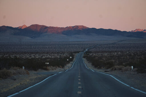
Highway 62 can be dangerous, as vehicles are known to drive very fast in this area, and it can be especially dangerous at night. Highlights on this paved section include quirky roadside attractions and art galleries before arriving in the town of Twentynine Palms, which is a cultural mashup of a Marine Corps town and a post-pandemic tourist hotspot. Picture pawn shops and microbreweries. The final leg of the route is a fairly short and fast ride through the westernmost end of the Jackrabbit Homesteads area of Wonder Valley before returning to the start location at The Palms.
Route Difficulty
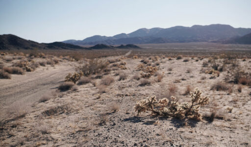
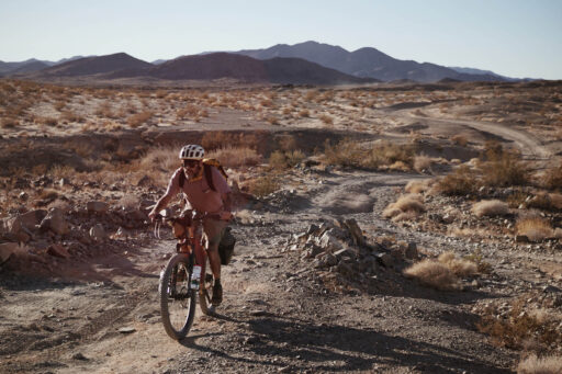
The route offers a diverse riding experience, with a landscape ranging from smooth gravel roads to rugged, rocky terrain. The best time to ride is from fall to spring when the weather is more manageable, avoiding the intense summer heat. The route begins in Wonder Valley, where the roads pass by newly renovated and decrepit older Jackrabbit Homesteads. As the route turns south toward the Dale Mines District, the terrain becomes more challenging, with rough, rocky sections throughout the southern two-thirds of the loop. After exploring this area, the route loops north and returns to Wonder Valley.
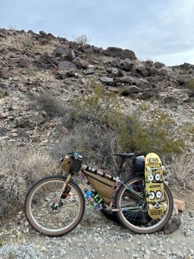
A mountain bike is highly recommended due to the rugged terrain, though experienced riders may opt for a gravel bike with a tire size of 2.2″ or larger. The route takes you through remote desert landscapes, so be prepared for limited services and minimal cellular reception. The only services along the way are in Twentynine Palms, located about 18 miles from the end of the route. Be sure to bring all the water you’ll need, as no natural water sources are available. Camping opportunities are plentiful throughout the route, with many suitable spots near gold mines and other desert locations. The camping options are nearly endless, and most offer outstanding stargazing opportunities. Just be prepared for the isolation and plan your supplies accordingly.
Route Development: Brendan Collier, creator and founder the Stagecoach 400, designed the Golden Jackrabbit. It is a product of endless research and many exploratory trips over several years, talking with locals about area history and possible rideable terrain.
 This route is part of the Local Overnighter Project, which was created to expand our growing list of worldwide bikepacking routes—the first and largest of its kind—and create an independent map and catalog of great bikepacking overnighters, curated by you, from your own backyard. Our goal is to have accessible routes from every town and city in the world. Learn More
Submit Route Alert
As the leading creator and publisher of bikepacking routes, BIKEPACKING.com endeavors to maintain, improve, and advocate for our growing network of bikepacking routes all over the world. As such, our editorial team, route creators, and Route Stewards serve as mediators for route improvements and opportunities for connectivity, conservation, and community growth around these routes. To facilitate these efforts, we rely on our Bikepacking Collective and the greater bikepacking community to call attention to critical issues and opportunities that are discovered while riding these routes. If you have a vital issue or opportunity regarding this route that pertains to one of the subjects below, please let us know:
Highlights
Must Know
Camping
Food/H2O
Trail Notes
Resources
- Exploring Wonder Valley and learning the history of the Small Tract Act of 1938 and the Jackrabbit Homesteads
- Pre or post-ride festivities at The Palms of Wonder Valley
- Visiting the site-specific art installations in Wonder Valley
- Stay a night at Wonder Valley Hot Springs, a short term rental with on-site geothermal soaking tubs
- Art galleries in Twentynine Palms, dining at Kitchen in the Desert, beers at Grnd Sqrl in Twentynine Palms
- Explore an untold number of gold mines in the Dale Mining district
- Stellar camping at gold mines
- Abandoned cars from the 1930s and ’40s in the mines district
- Abandoned mining cabins, abundant mining artifacts
- Breathtaking sunsets and sunrises
- Sublime beauty riding through the vast Pinto Basin
- Unparalleled dark skies and stargazing
- The best time to ride is from fall to spring when the weather is more manageable, avoiding the intense summer heat. Check the forecast for temperatures and wind conditions.
- No permits are required unless staying a night within Joshua Tree National Park. Four miles of the route are within the park boundary; recommend camping outside the park on BLM land.
- Potential dangers include falling in uncovered vertical mine shafts, possible cave-ins inside horizontal shafts, and debris inside Jackrabbit Homesteads.
- While the route avoids as much pavement as possible, there are some stretches on Hwy 62 and Rte 66. Riders should take extra caution on these roadways, especially at night, as drivers are known to go well over the posted speed limit and are not accustomed to seeing bicycles.
- Good cell service on the north-facing slopes of the Dale Mines district for the first three miles. Almost no service for the rest of the route.
- Follow LNT guidelines throughout this route. Leave all artifacts where you find them.
- Wonder Valley Hot Springs is an excellent short-term rental within a short distance of the route start/end. There are several other short-term options in the area as well.
- Outstanding backcountry camping is available throughout most of the route south of Hwy 62 in the Dale Mines area. Keep in mind this area is also used by overlanders and off-roaders. While not particularly busy with this user group, some of the more spectacular mines may already be occupied for campsites on occasion. Be prepared to select alternate campsites if your primary choice is already taken.
- Please be mindful of private property and area residents when observing the Jackrabbit Homesteads in Wonder Valley.
- There is no food or water available on the route other than in Twentynine Palms, approximately 65 miles into the 80-mile loop.
- Visit Kitchen in the Desert for elevated dining in Twentynine Palms, Grnd Sqrl for beers, and The Cactus Bar for low-key dining
- The route can be easily shortened, or lengthened. Two-wheel-drive car camping in the open desert is accessible for the first ~2.5 miles of Gold Crown road. We have hosted 2WD accessible group campouts at a spot approximately 2.1 miles south of the highway on the east side of Gold Crown Road.
- Four-wheel-drive “overland” camping is available throughout most of the route south of Hwy 62 in the mining district.
- Extended bikepacking is available throughout the mines area with a solid two days available in the mines area alone. Other mines and highlights are listed as POIs on the RWGPS route.
- The Jackrabbit Homesteads area is doable on a gravel bike from any of the short-term rentals in Wonder Valley.
- The entire route is legal for e-bikes, though charging infrastructure is unknown.
Wonder Valley
Wonder Valley is one of the most prolific examples of where you can see Jackrabbit Homesteads. These structures are remnants of the Small Tract Act of 1938, a government program that offered five-acre parcels of public land to citizens for homesteading. An aspiring homesteader could claim a plot of land to call their own in exchange for “improving” it by building a cabin, drilling a well, etc., within three years. Once verified, the homesteader would receive a deed, and the land would enter San Bernardino County’s private property tax rolls. A win-win.
The small tract program was popular among postwar veterans and Los Angelinos seeking peace, affordable housing, and clean, dry air. Some folks saved their money to embark on occasional trips to build their cabin; others hired local companies that sprouted up specifically for the task of building cabins that would satisfy the minimum governmental requirements for the deal. By the 1960s, Wonder Valley had grown into a bona fide community, with some of the original homesteaders still in place and others having abandoned their efforts, perhaps not up to the challenges of desert living.
By the 1990s, some of the abandoned cabins had been reclaimed by San Bernardino County, seized for back taxes owed. Others were leveled by local residents in the name of cleaning up what they’d deemed to be eyesores after doing their due diligence to reach out to nonresponsive owners. Today’s community of Wonder Valley residents is a mix of longtime locals, weekend homeowners, and upscale retreat getaways, the latter of which seem to be gaining popularity as the Joshua Tree culture region continues to grow since the pandemic. Be sure to check out Kim Stringfellow’s seminal work on the topic at Jackrabbit Homestead
The Dale Mining District
The Dale Mining District was most active from the late 1880s until 1917, when the mines started drying out. Operations had significantly diminished by the start of WWII when all gold mines in the USA were ordered closed to focus resources on the war effort. At its peak, the Dale district was said to house about 3,000 miners. The deepest mineshaft in the western USA is out here, and there are still several active gold mining claims in the area. Many structures and artifacts from the small outposts of Old Dale to the north and New Dale to the south remain remarkably intact.
Additional Resources
- Download and listen to Kim Stringfellow’s audio tour of the Jackrabbit Homesteads
- The Desert Collective Instagram page)
- Brendan’s Instagram page (@brendan_at_the_hub)
Terms of Use: As with each bikepacking route guide published on BIKEPACKING.com, should you choose to cycle this route, do so at your own risk. Prior to setting out check current local weather, conditions, and land/road closures. While riding, obey all public and private land use restrictions and rules, carry proper safety and navigational equipment, and of course, follow the #leavenotrace guidelines. The information found herein is simply a planning resource to be used as a point of inspiration in conjunction with your own due-diligence. In spite of the fact that this route, associated GPS track (GPX and maps), and all route guidelines were prepared under diligent research by the specified contributor and/or contributors, the accuracy of such and judgement of the author is not guaranteed. BIKEPACKING.com LLC, its partners, associates, and contributors are in no way liable for personal injury, damage to personal property, or any other such situation that might happen to individual riders cycling or following this route.
Further Riding and Reading
Here are some connected/nearby routes and related reports...
Please keep the conversation civil, constructive, and inclusive, or your comment will be removed.


