


Grand Tour Catalunya Gravel
Distance
1,553 Mi.
(2,499 KM)Days
42
% Unpaved
60%
% Singletrack
1%
% Rideable (time)
99%
Total Ascent
144,589'
(44,071 M)High Point
7,789'
(2,374 M)Difficulty (1-10)
6?
- 6Climbing Scale Moderate93 FT/MI (18 M/KM)
- 3Technical Difficulty Fair
- 5Physical Demand Moderate
- 1Resupply & Logistics Easy
Contributed By

Pol Tarres Martrat
Guest Contributor
Pol Tarrés is a former professional bike trials rider who now loves any kind of bike adventure, from one-day races to long-distance bikepacking to experience new countries and cultures. While he has traveled from the deserts of Jordan to the islands of Thailand, he always returns to his home tracks in Catalonia. Explore his full journey at PolTarres.com.
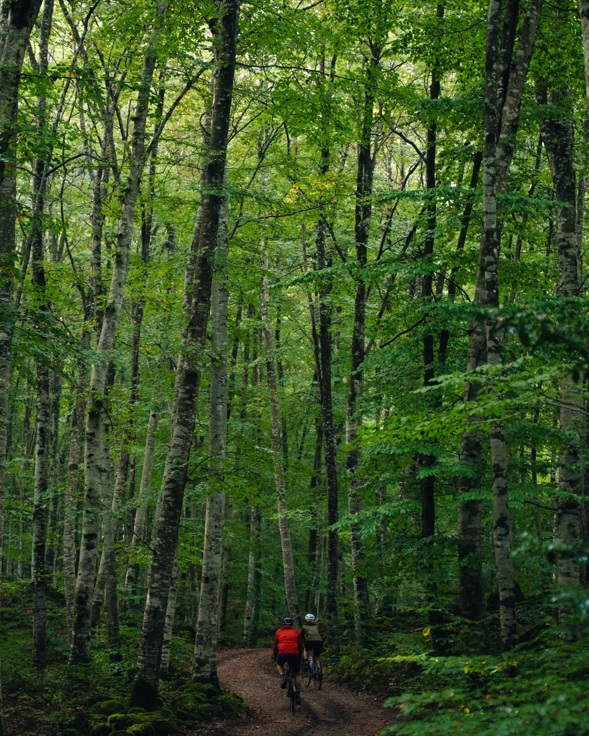
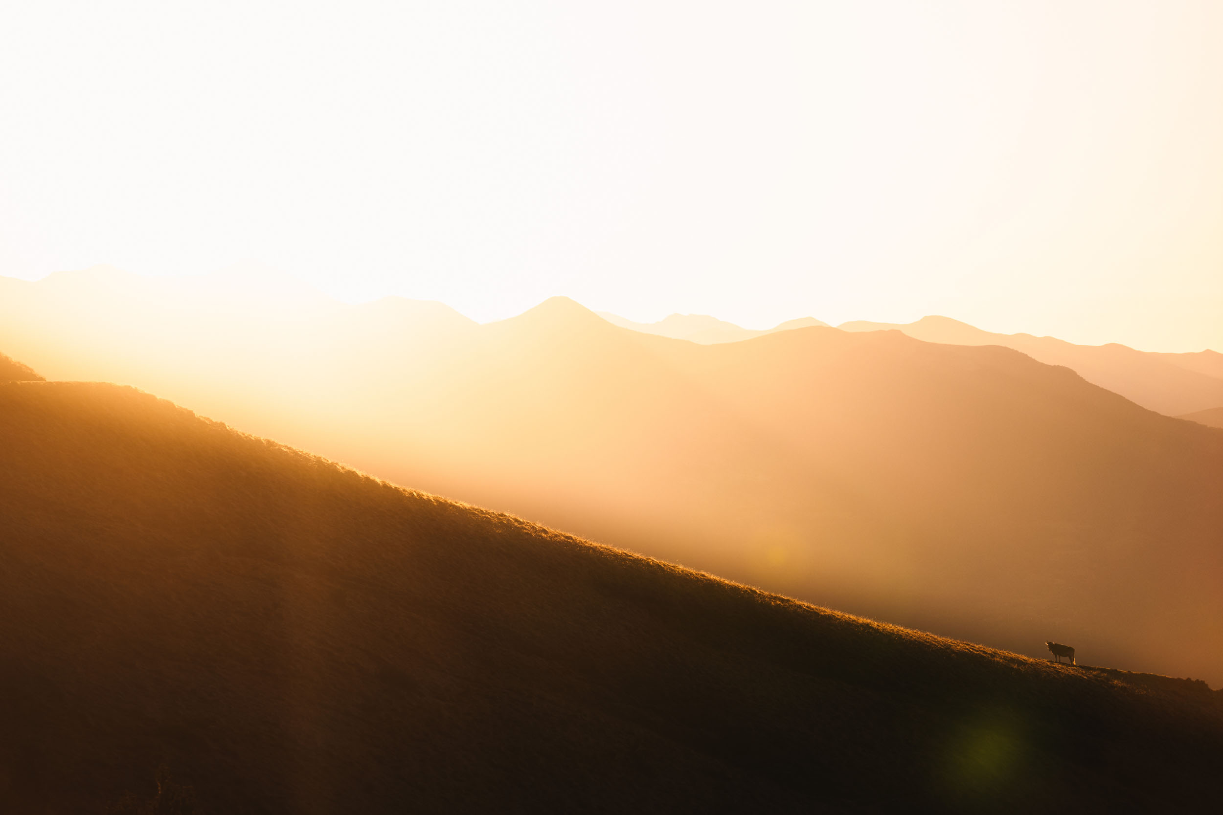
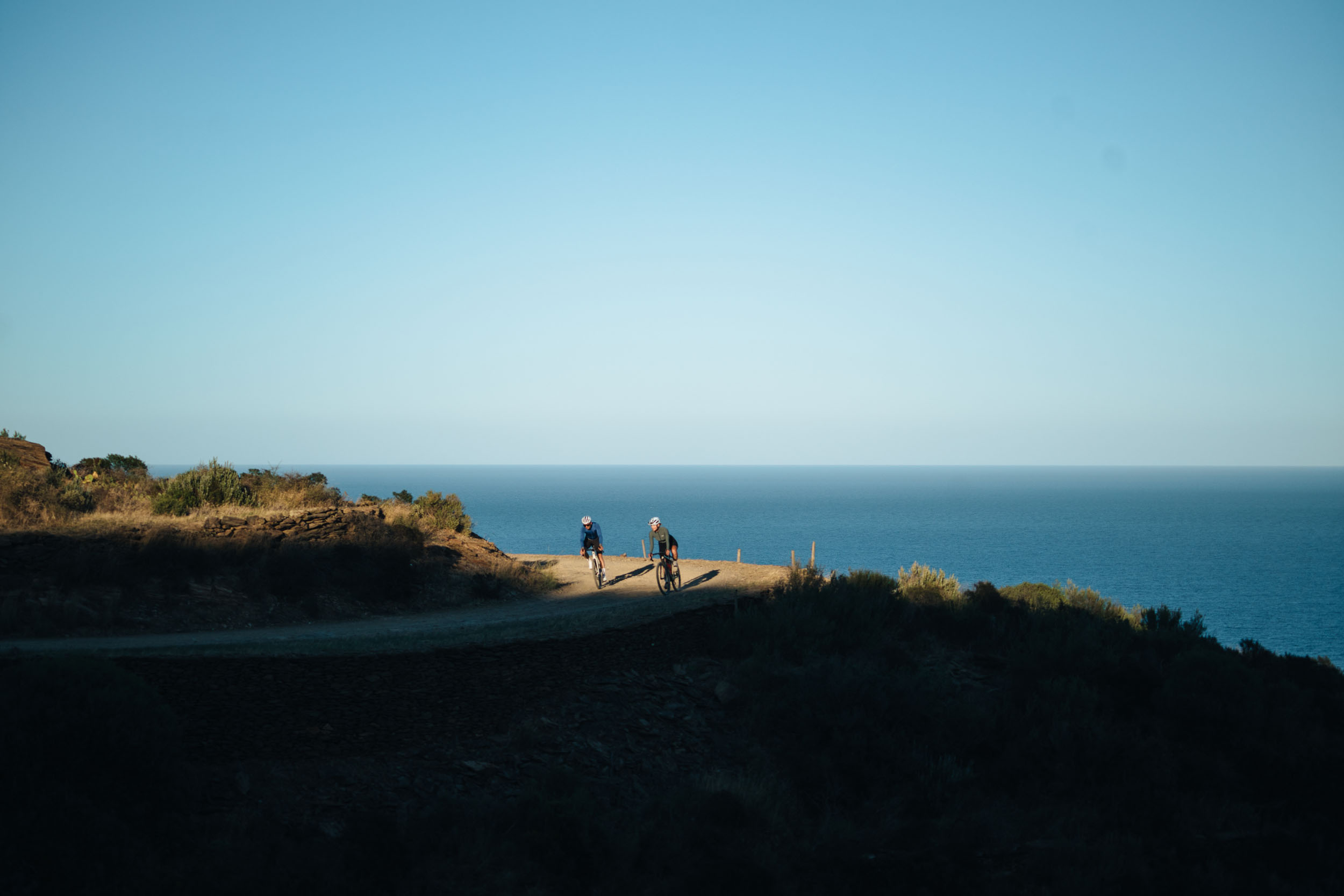
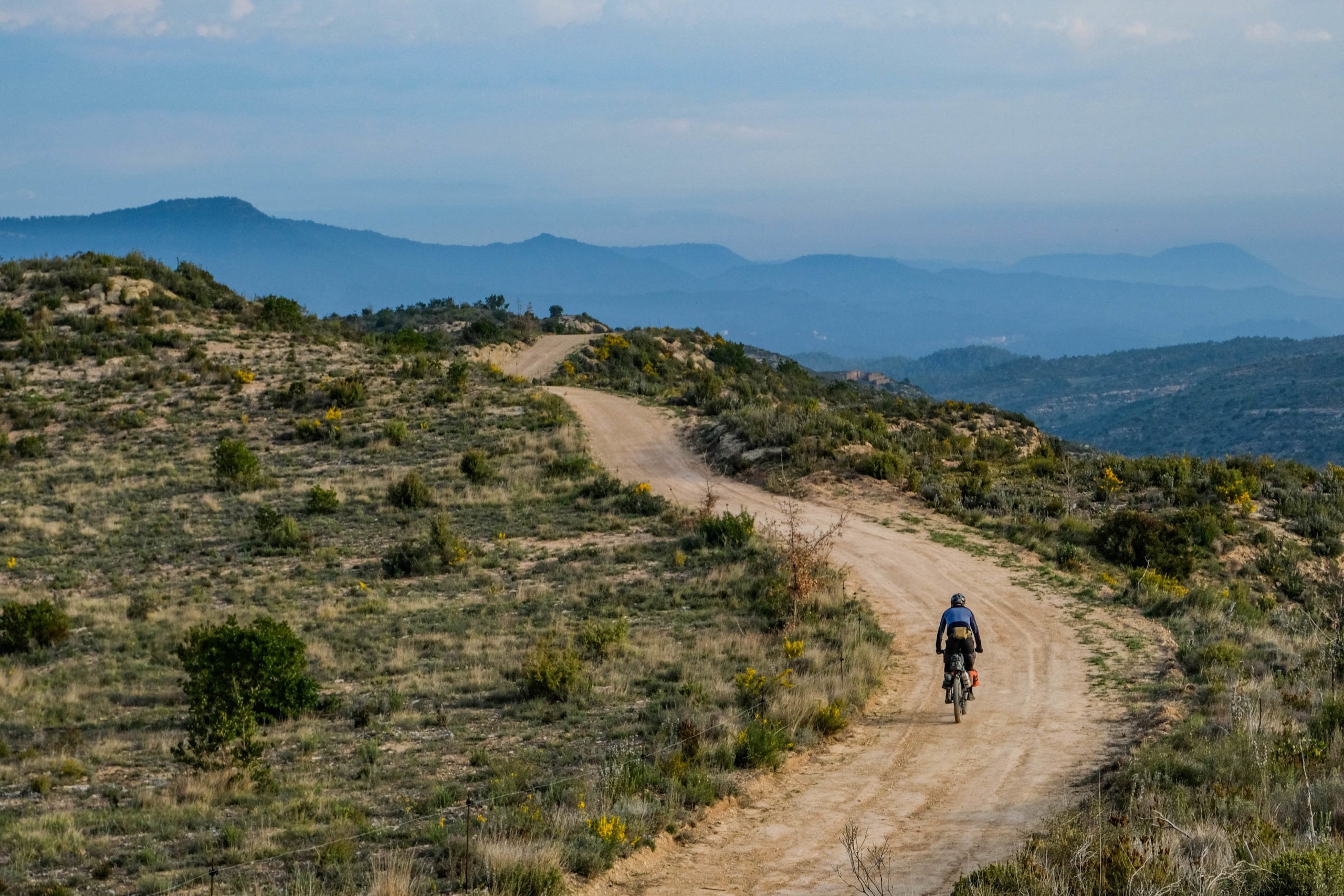
The Grand Tour Catalunya Gravel is more than just a route; it’s an infinite catalog of landscapes compressed into a single nation. Catalonia offers a geographical diversity almost impossible to find elsewhere in such a short distance. This 2,500-kilometer circular route was designed around the concept of “one journey, many paths”, allowing cyclists to experience a total immersion in Catalan nature and culture.
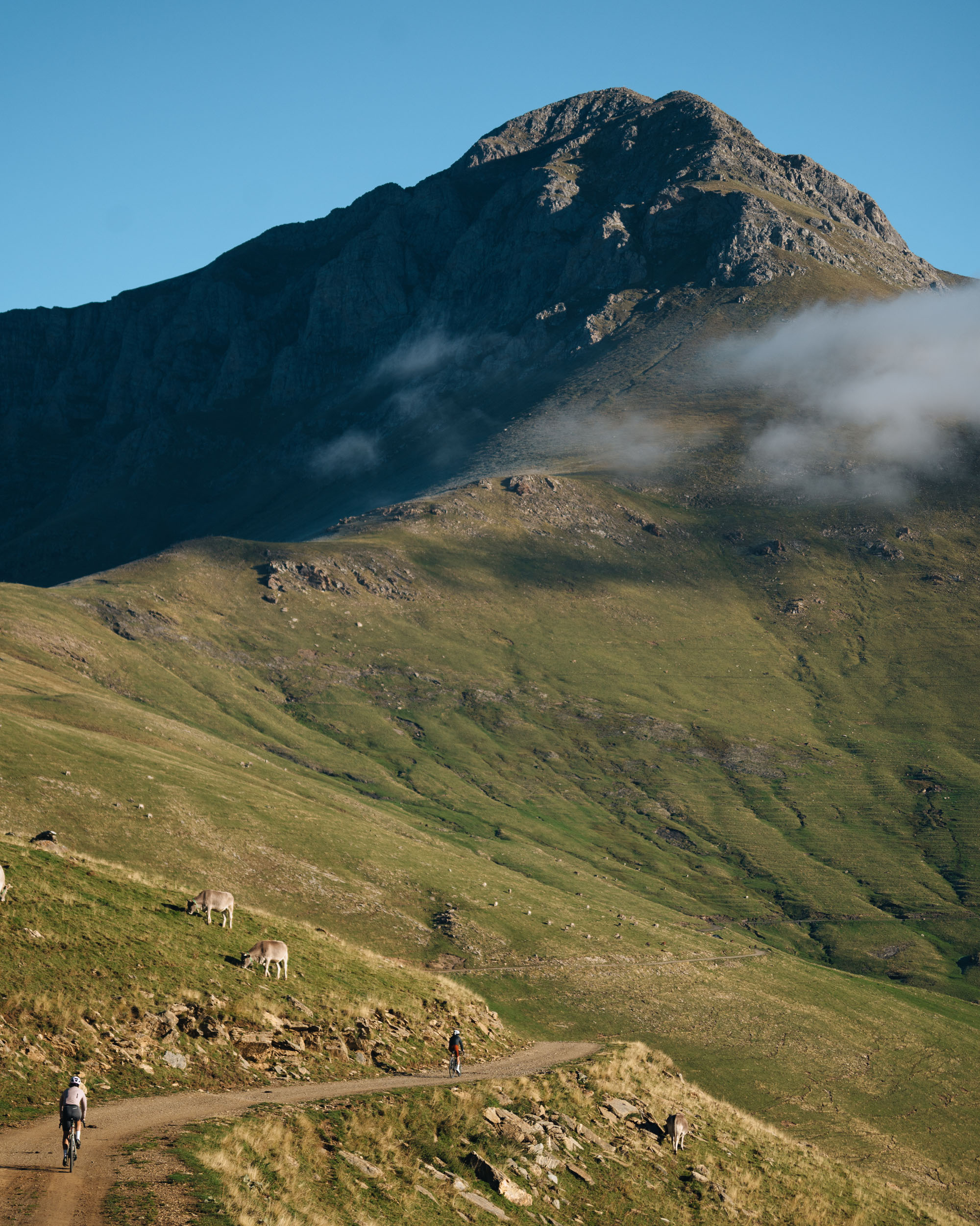
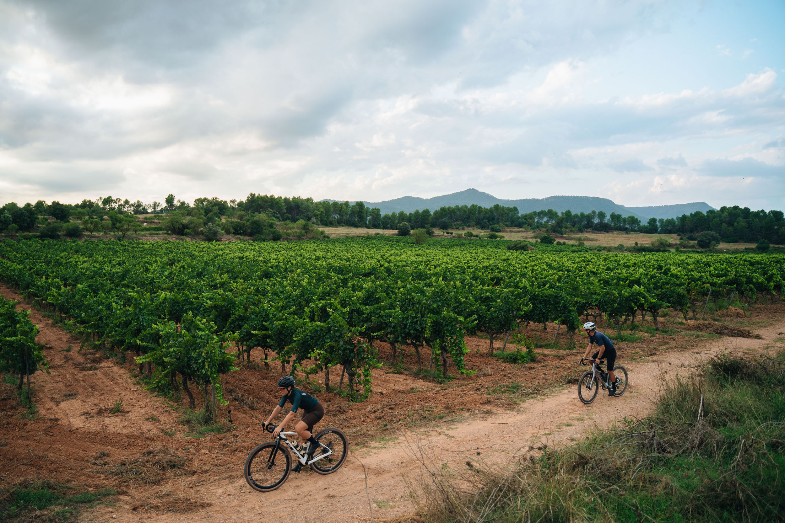
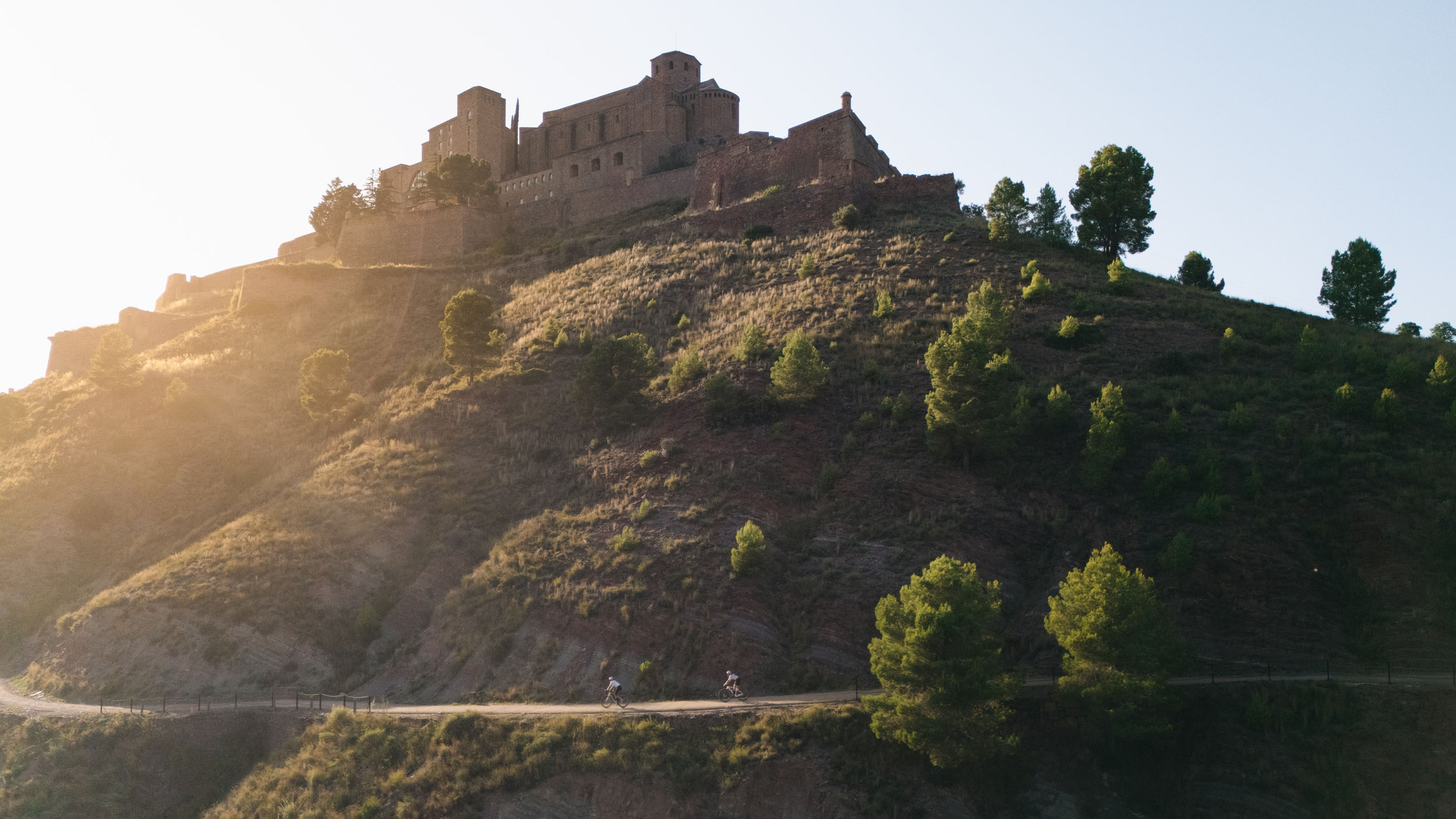
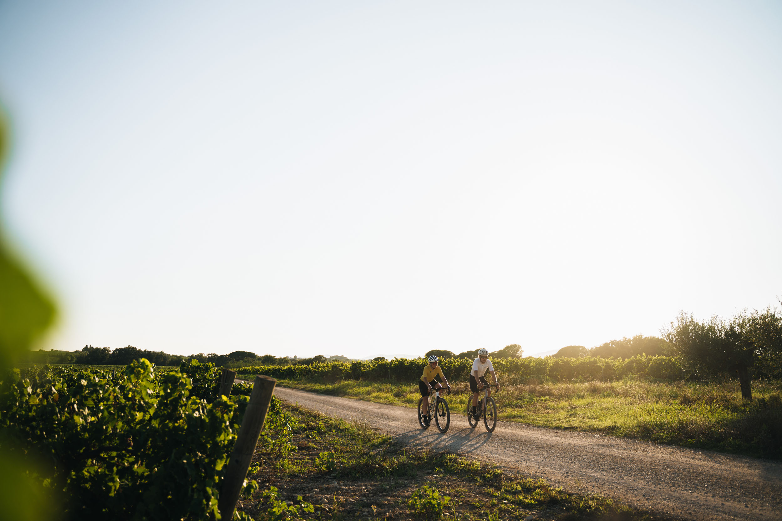
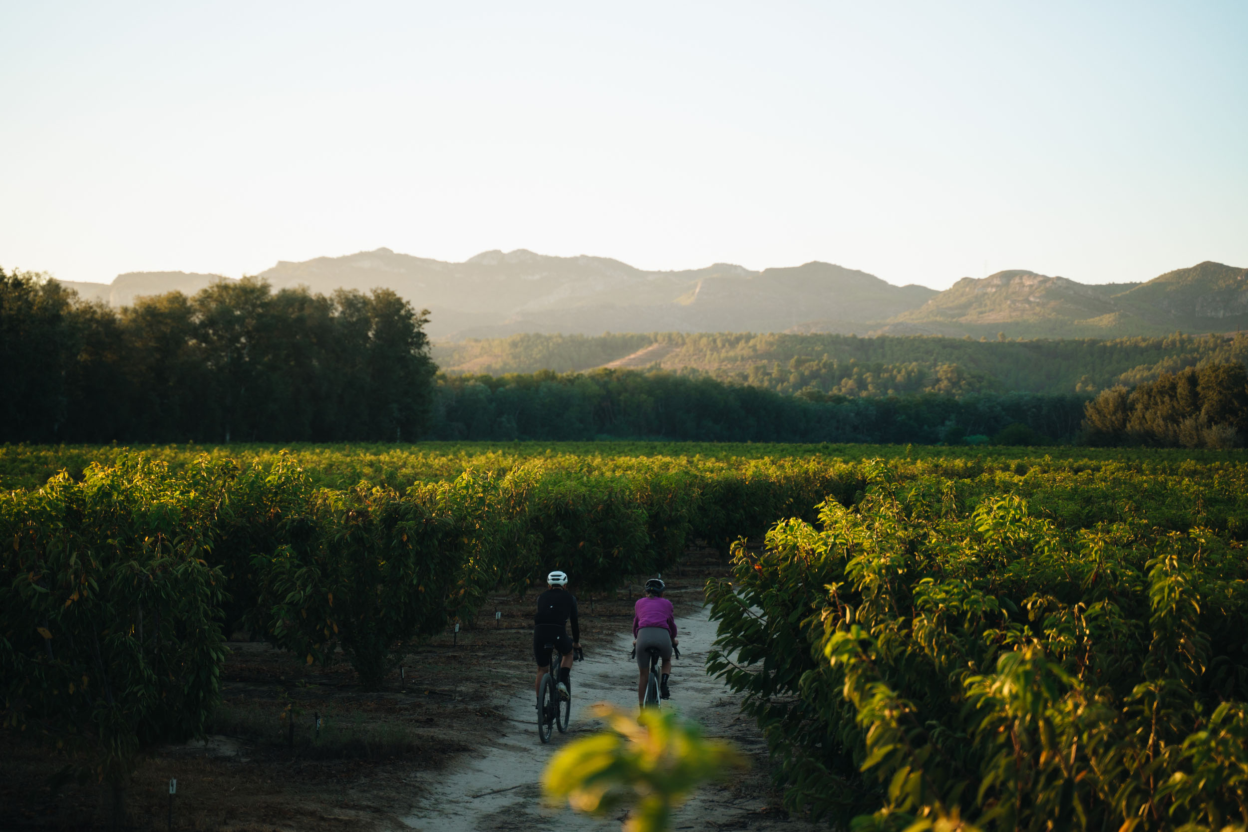
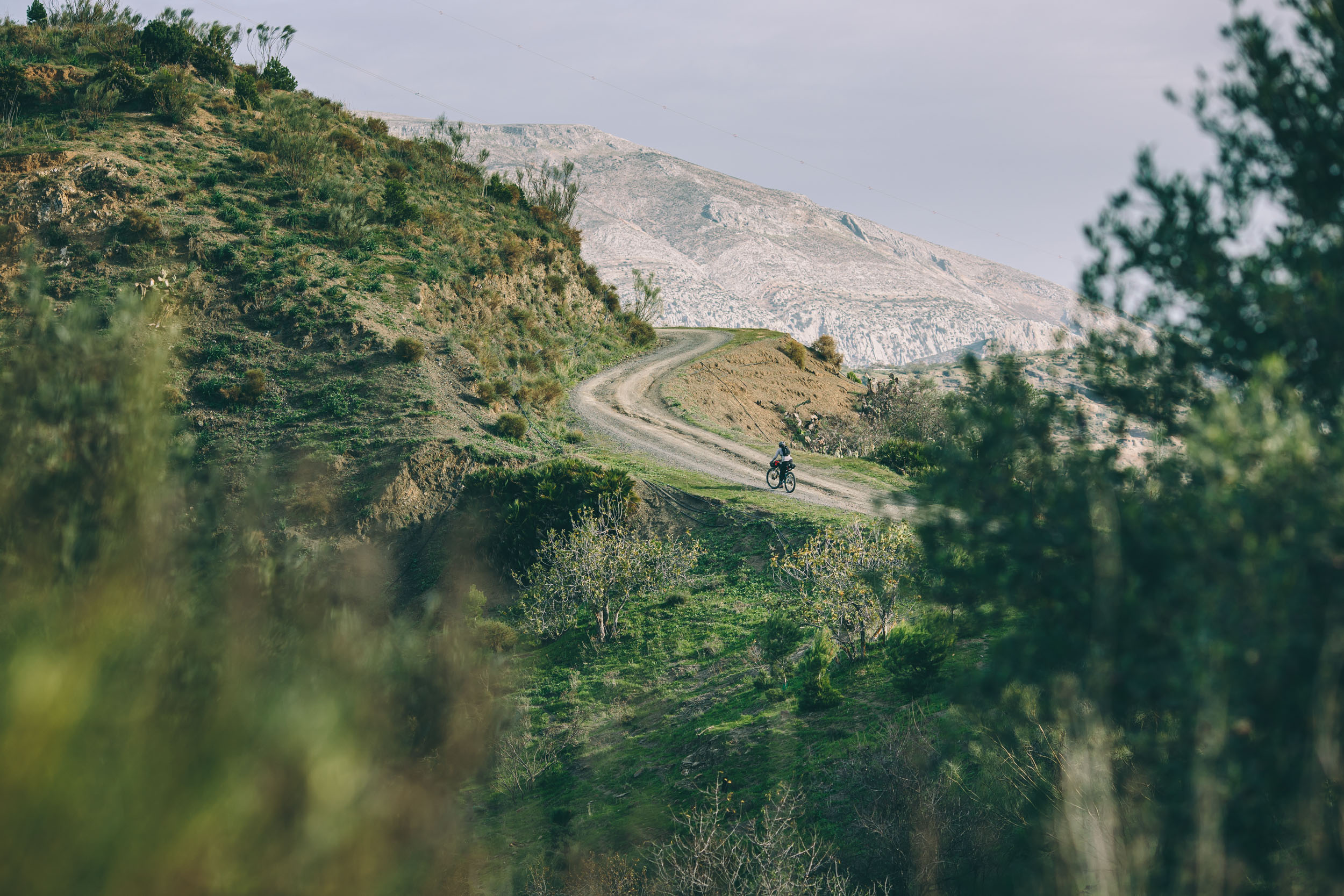
The itinerary is a constant mosaic. Starting and ending in vibrant Barcelona, it quickly escapes into silence. In the north, the Pyrenees offer the wildest challenge: pedaling beneath the walls of Pedraforca or crossing the Alt Pirineu Natural Park on alpine tracks. Crossing volcanic zones in La Garrotxa, millennial vineyards in Penedès and Priorat, and medieval monasteries that seem frozen in time. To the south, the terrain softens in the Terres de l’Ebre, where the peninsula’s largest river creates a unique ecosystem of rice fields and lagoons.

The route was traced with a pure gravel mindset: seeking the best forest tracks and secondary scenic roads forgotten by traffic. The geography is demanding (45,000 meters of climbing), but the reward is a constant change of scenery that keeps motivation high with every pedal stroke.
Route Difficulty
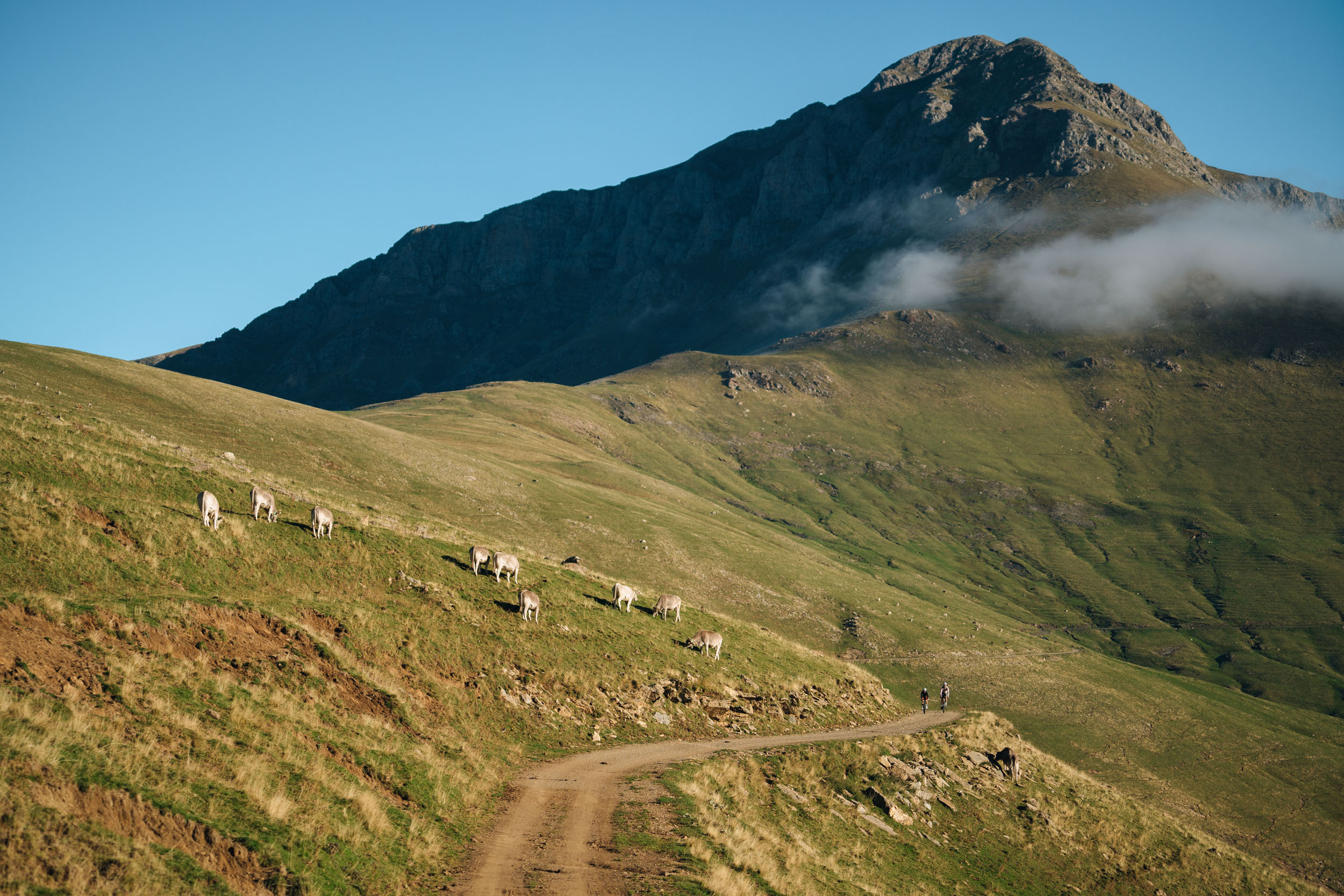
The route is mostly rideable on compacted gravel tracks and rural roads. Some specific sections in the Pyrenees and Cap de Creus feature rockier and more technical terrain, but there are no long hike-a-bike sections. Accumulating over 45,000 meters requires good physical preparation, especially in sections 3 and 4 (Pyrenees), where climbs are long and sustained. Overall, the route can be cycled by anyone with some training. Logistically, it has an excellent infrastructure. It is difficult to pedal more than 40 kilometers without finding a village with services, water fountains, or accommodation, and there are many transportation options.
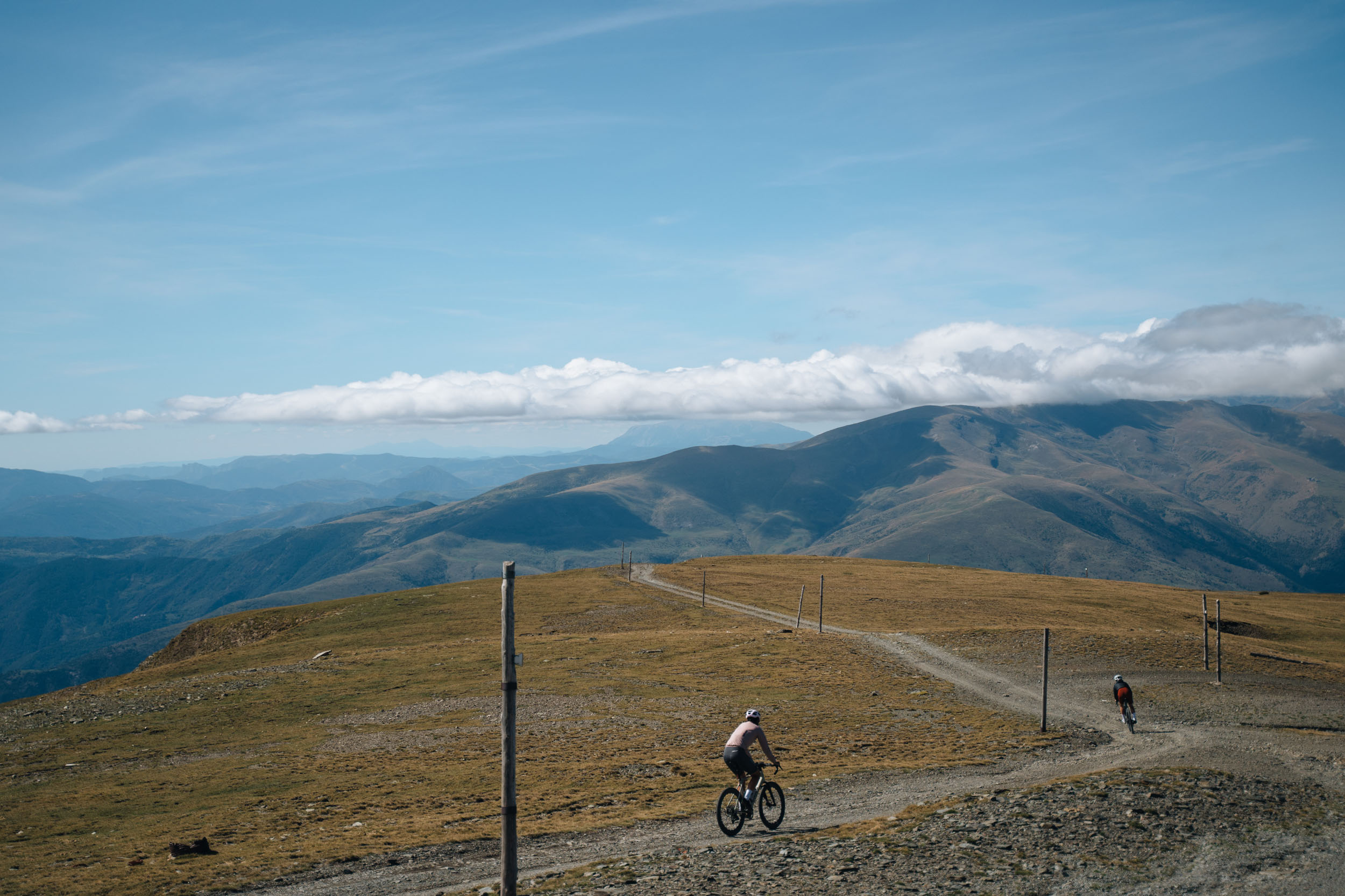
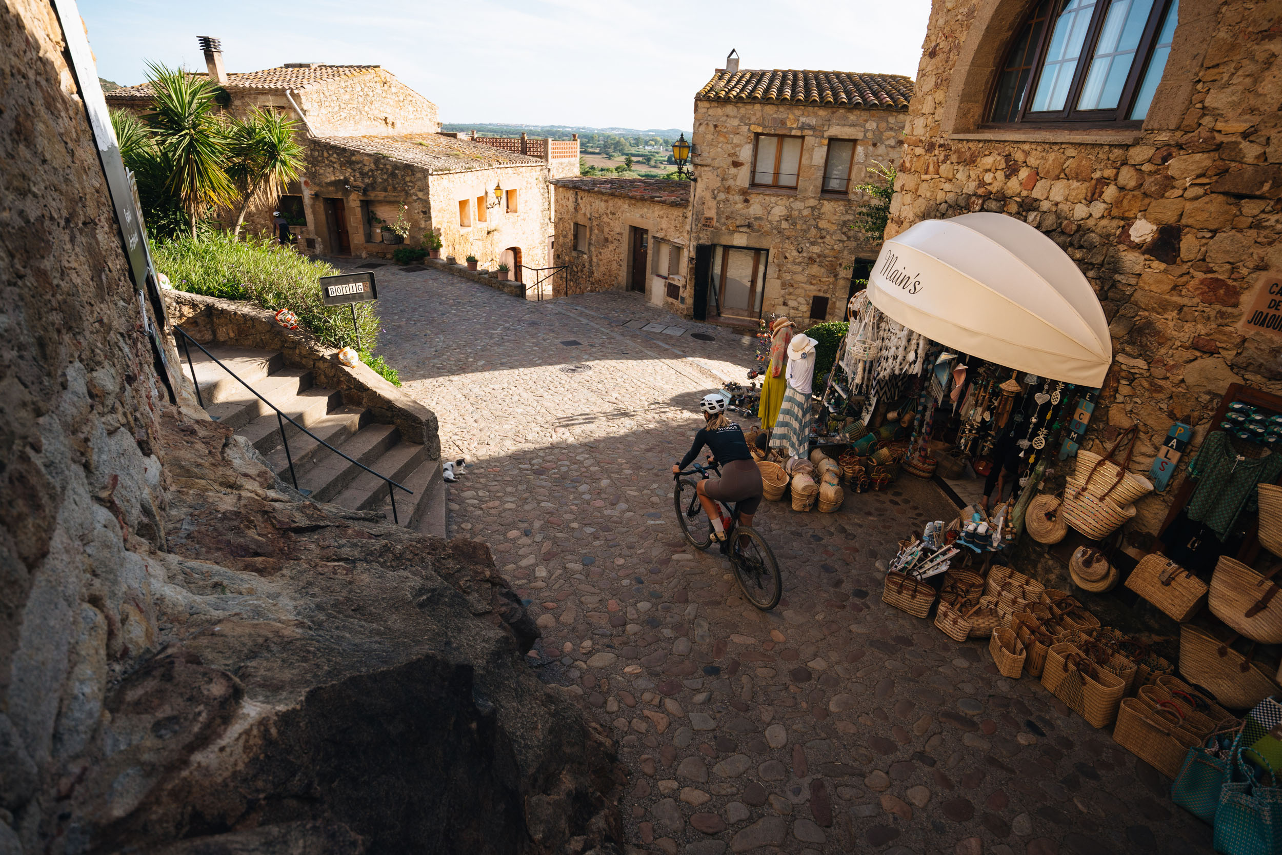
Route Development: This route was developed by the ApperStudio team. The process involved adapting the original “Grand Tour of Catalonia” layout (originally designed for motor vehicles) into a 100% cycling experience. Intensive fieldwork and digitalization were conducted to prioritize safety, scenic value, and amenities such as food points and accommodation, ensuring each of the 42 stages has a start and finish with guaranteed services. The route creators specifically chose not to use bikes with bikepacking bags in their photo documentation to illustrate how accessible this route is, even if riders ride only one or two stages in a single day.


Submit Route Alert
As the leading creator and publisher of bikepacking routes, BIKEPACKING.com endeavors to maintain, improve, and advocate for our growing network of bikepacking routes all over the world. As such, our editorial team, route creators, and Route Stewards serve as mediators for route improvements and opportunities for connectivity, conservation, and community growth around these routes. To facilitate these efforts, we rely on our Bikepacking Collective and the greater bikepacking community to call attention to critical issues and opportunities that are discovered while riding these routes. If you have a vital issue or opportunity regarding this route that pertains to one of the subjects below, please let us know:
Highlights
Must Know
Camping
Food/H2O
Trail Notes
Resources
- Montserrat: The serrated “magic mountain,” a spiritual heart and a geological marvel.
- Penedès Vineyards: Rolling gravel tracks through the iconic Cava and wine region.
- Roman Tarraco: Entering the UNESCO World Heritage city of Tarragona through its ancient walls.
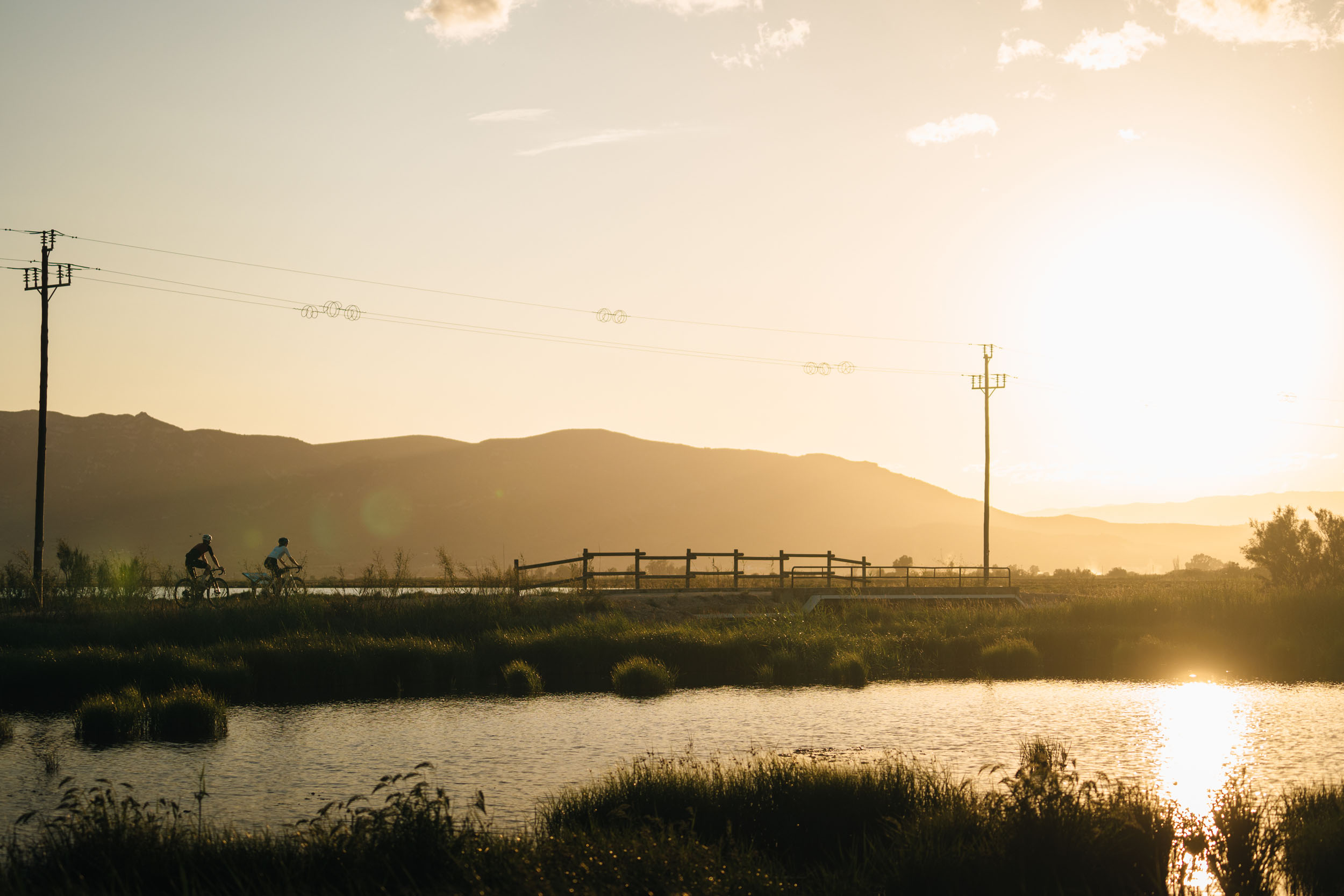
- Ebro Delta: A birdwatcher’s paradise with flat gravel ribbons surrounded by water and rice fields.
- Priorat Terraces: Challenging climbs through world-class vineyards and rugged slate hills.
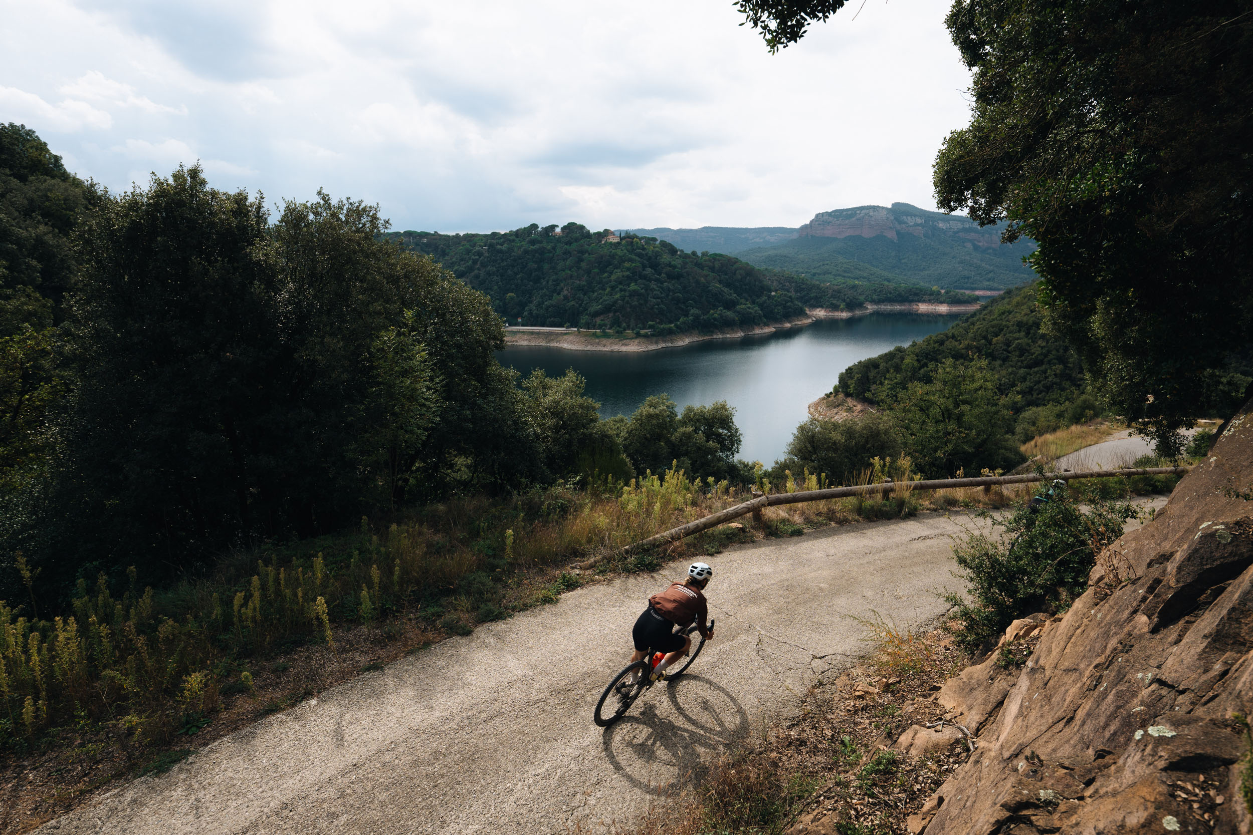
- Ruta dels Llacs: Pedaling along turquoise reservoirs in the foothills of the Pyrenees.
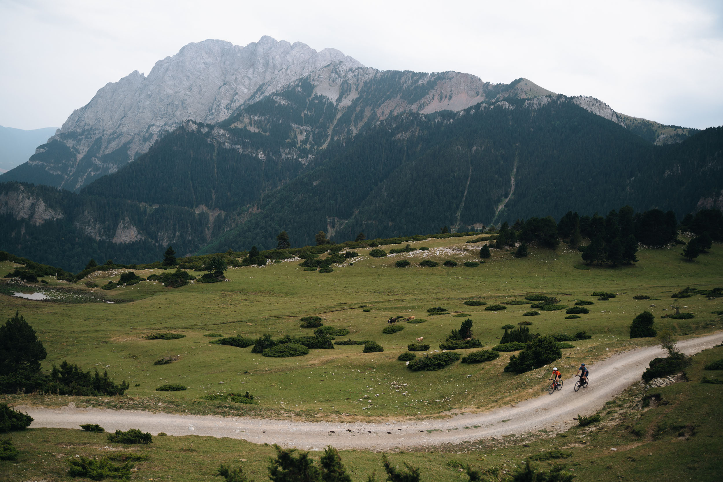
- Serra del Cadí & Pedraforca: Massive limestone walls providing the most dramatic alpine scenery.
- La Cerdanya Valley: One of Europe’s widest and sunniest high-altitude valleys.
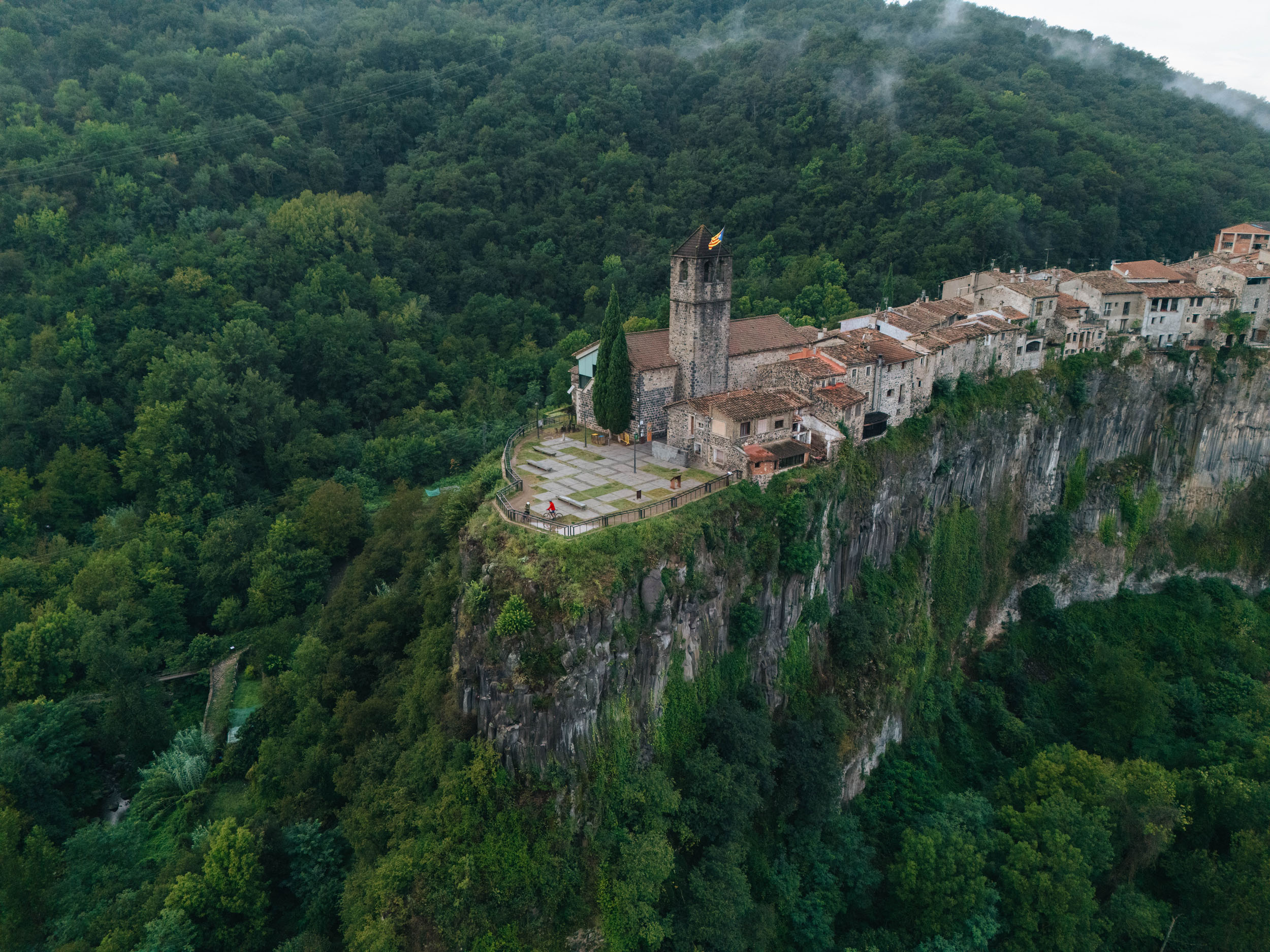
- Garrotxa Volcanic Zone: Unique riding over volcanic soil through ancient beech forests.
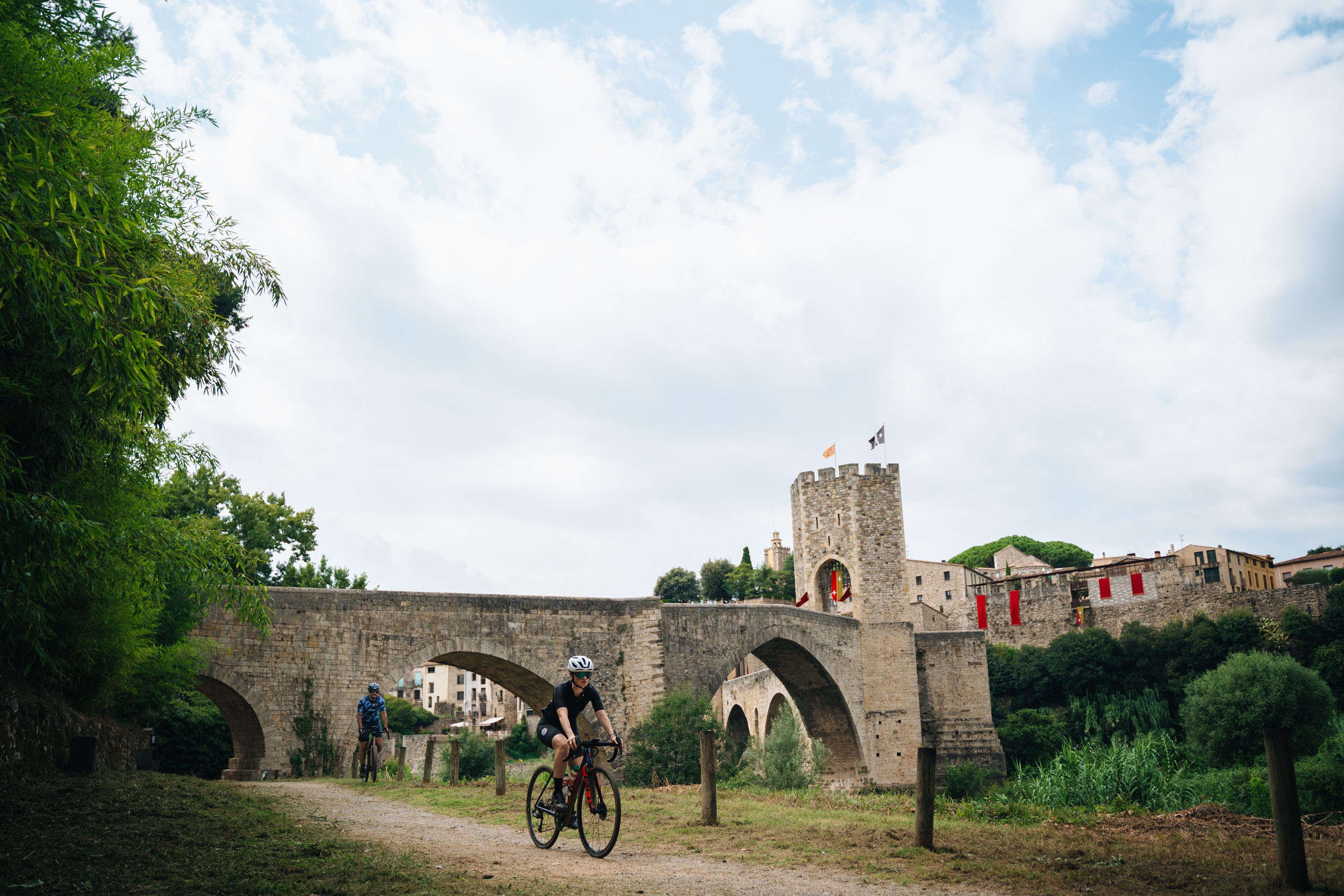
- Besalú: Entering this medieval gem via its famous 11th-century fortified bridge.
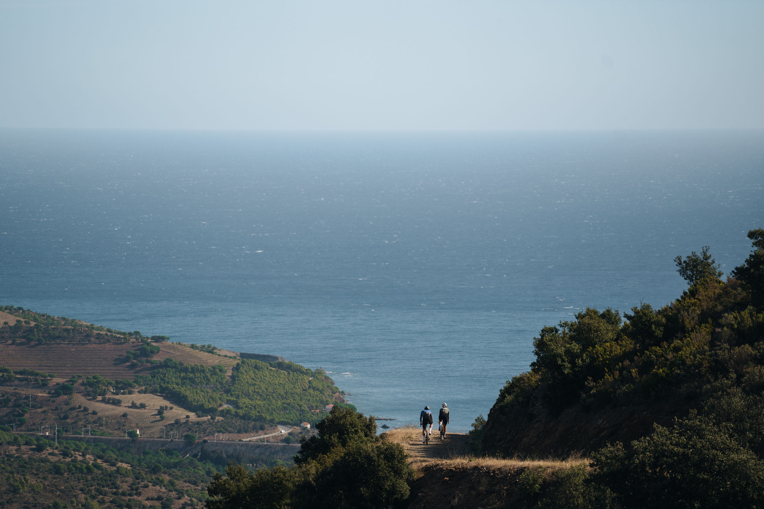
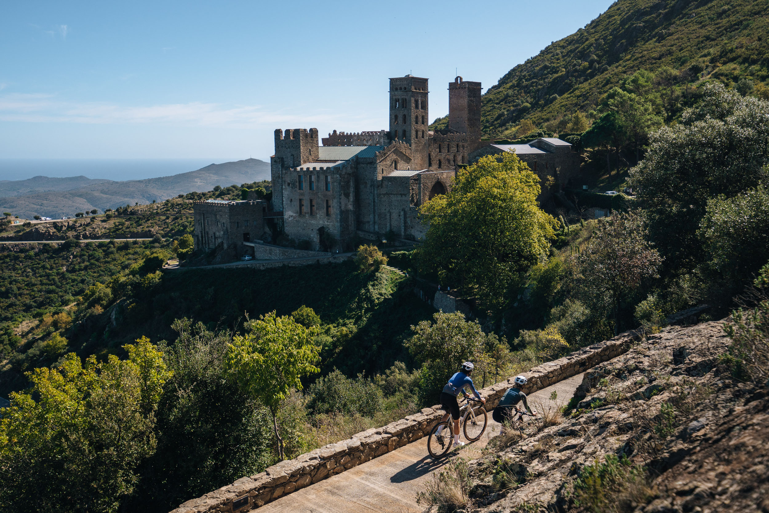
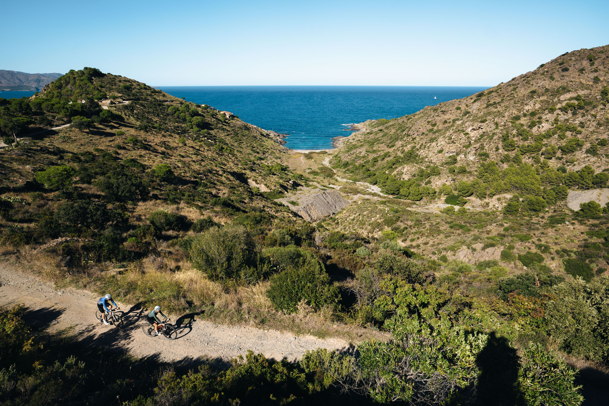
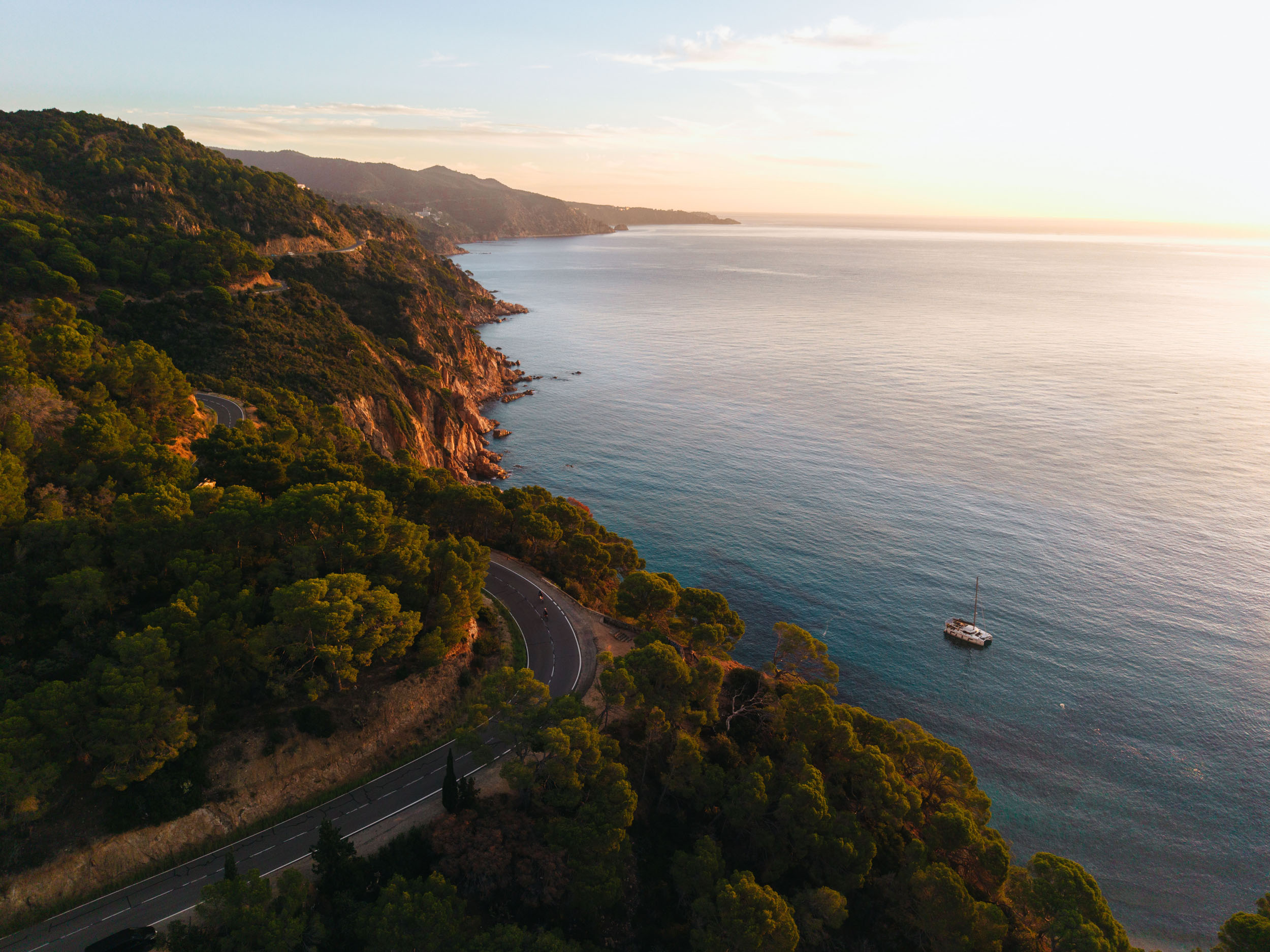
- Cap de Creus: A lunar landscape where the Pyrenees finally dive into the Mediterranean.
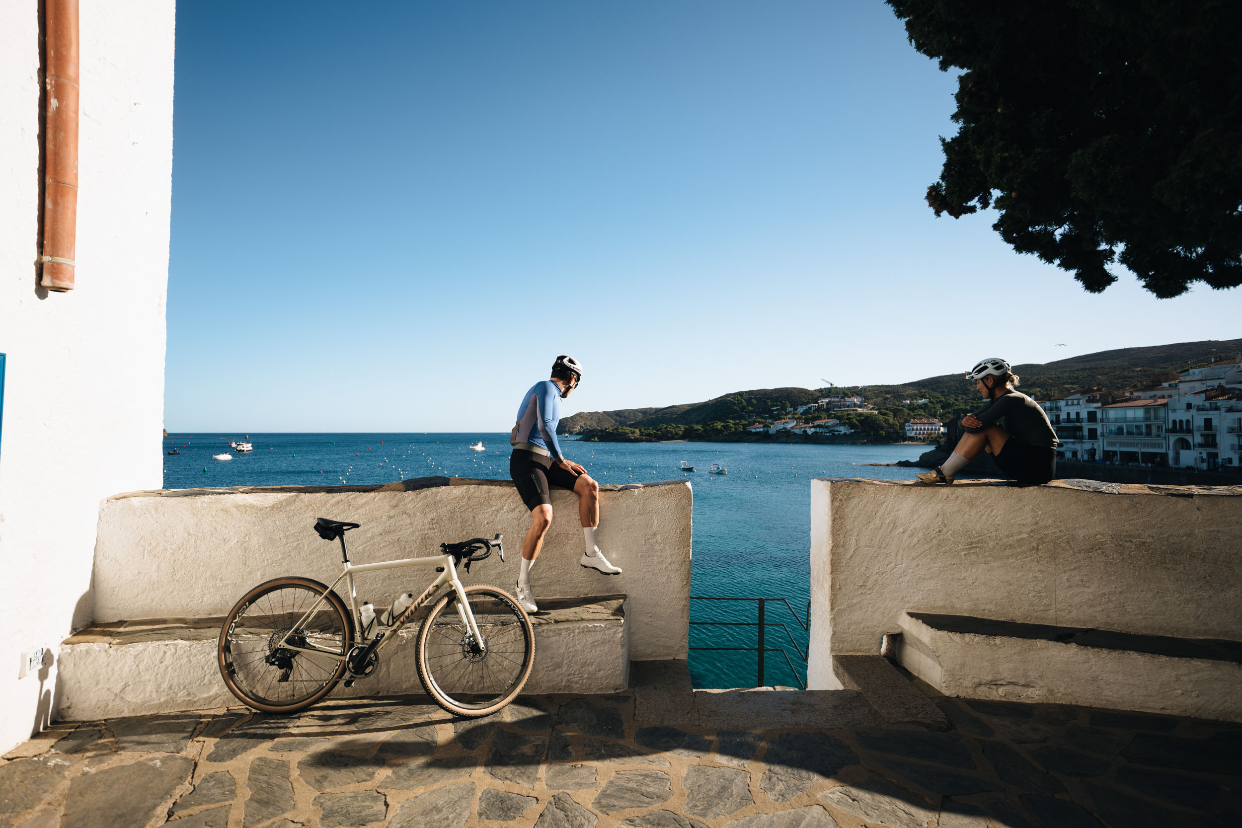
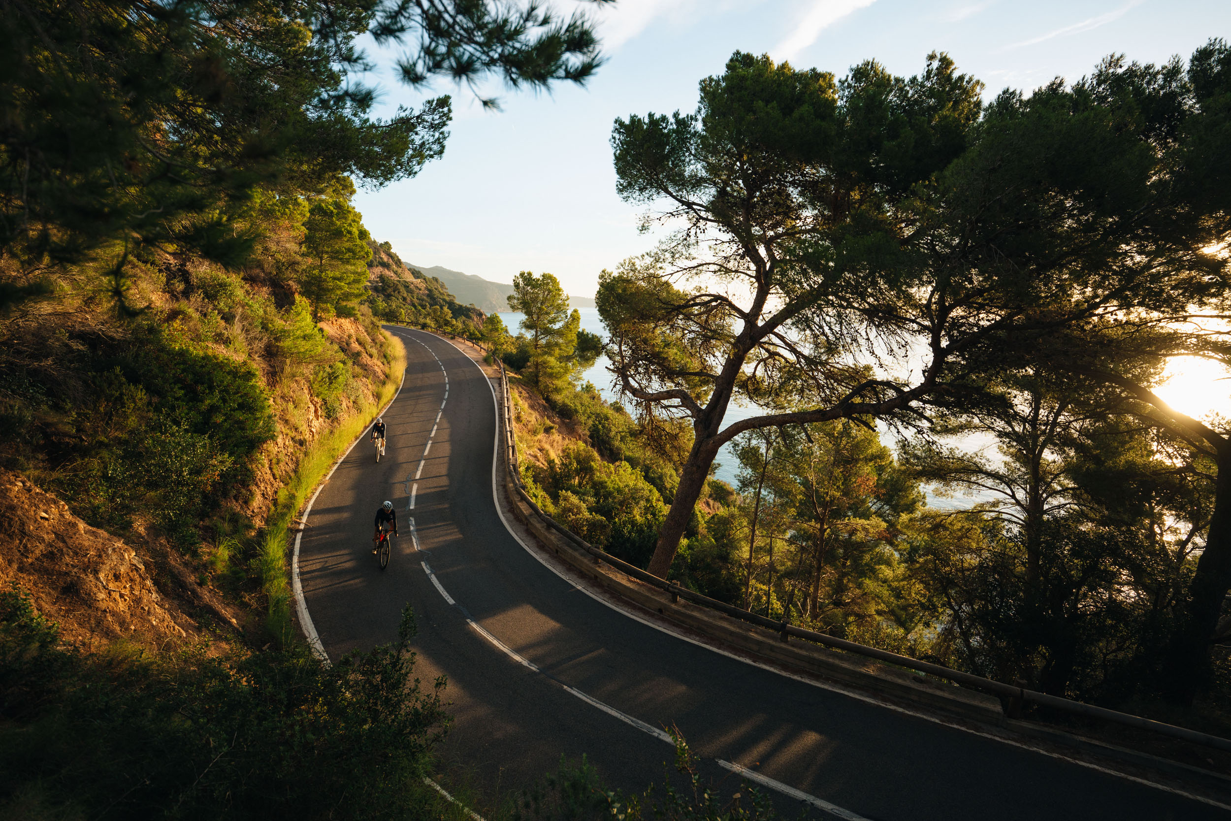
- Costa Brava Coves: Hidden beaches and turquoise water along the coast.
- Girona: Passing through the global mecca of professional cycling.
- Montseny Natural Park: Cool, lush forests offering a final mountain ascent before the city.
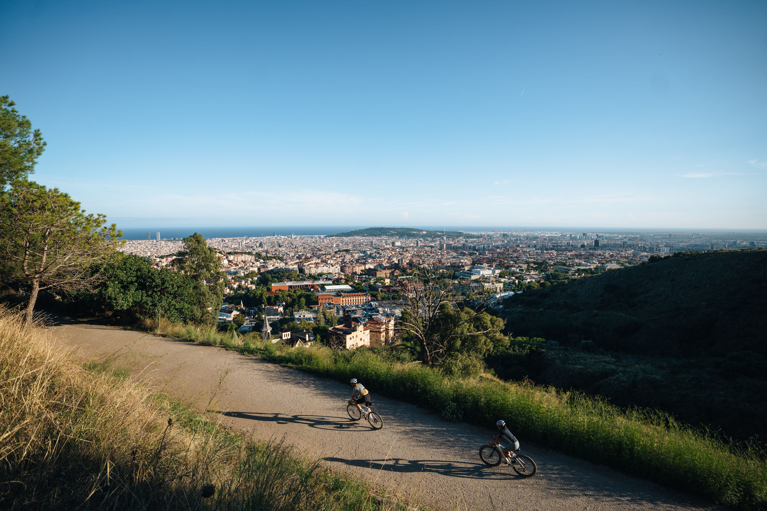
- Barcelona Skyline: The ultimate view of the city and sea from the Collserola ridge.
When to go
- Catalonia is a year-round destination, but for the full 2,500-kilometer loop, Spring and Autumn are ideal. Keep in mind that summer heat can be intense in the southern plains (exceeding 35°C), while winter snow typically blocks the high Pyrenean passes from December to March.
Logistics
- Barcelona is the main international hub, but since the route is circular and passes through Girona, Lleida, and Tarragona, you can easily start at any of these cities. All of them are connected by high-speed trains (AVE) and regional lines that are generally very bike-friendly.
- Note that the high-speed trains often require bikes to be checked and inside at least a flimsy bag that can be purchased locally.
- There are no significant technical dangers. However, mountain weather is unpredictable; always carry layers for the high passes. In the south, sun exposure is the main factor to manage. Also, be mindful of occasional farm vehicles on rural tracks during harvest seasons.
- A gravel bike with 40mm to 45mm tires is ideal. Given that the 45,000 meters of total climbing are mostly concentrated in the Pyrenees, a wide gear range is highly recommended.
Dangers & Annoyances
What bike?
- Strategic Planning: Every one of the 42 stages is designed to start and end in a town with at least three accommodation options. This makes the route incredibly accessible, allowing you to choose between luxury, budget, or anything in between.
- Campsite Network: Catalonia has one of the best campsite networks in Europe. Many are located right on the route and are “Bikefriendly” certified, meaning they offer secure bike storage and basic tools.
- Wild Camping: Please note that wild camping is strictly regulated in Catalonia, especially inside Natural Parks (like Cadí-Moixeró or Cap de Creus). It is highly recommended to use official campsites or established lodgings to avoid fines and respect the environment.
- Rural Houses (Turisme Rural): For a more authentic experience, look for restored farmhouses converted into small hotels. They are often run by locals who know the best hidden paths and offer the best regional breakfast.
- Water Accessibility: Tap water in Catalonia is safe to drink and of high quality. You will find public fountains (fonts) in almost every village square. It is rare to pedal more than 40 kilometers without a water source, but always carry at least 1.5L, especially in the arid sections of the Ebro, inland Lleida or the Pyreness.
- Resupply: The route strikes a perfect balance between remote nature and rural life. You’ll often feel alone in the wild, yet the track conveniently passes through villages with small supermarkets (supermercats) and local bakeries.
- The “Siesta” Factor: Important! Many small village shops and pharmacies close between 14:00 and 17:00. Plan your food resupply for the morning or late afternoon. Restaurants usually serve lunch from 13:00 to 15:30 and dinner from 20:30 onwards.
The route is divided into five major blocks. Each section has recommended stages that can serve as a fairly relaxed day-by-day itinerary for riders who want to take their time. You can read more about each stage here.
locationBarcelona – Tarragona
Section 1 (481km, 8,454m)
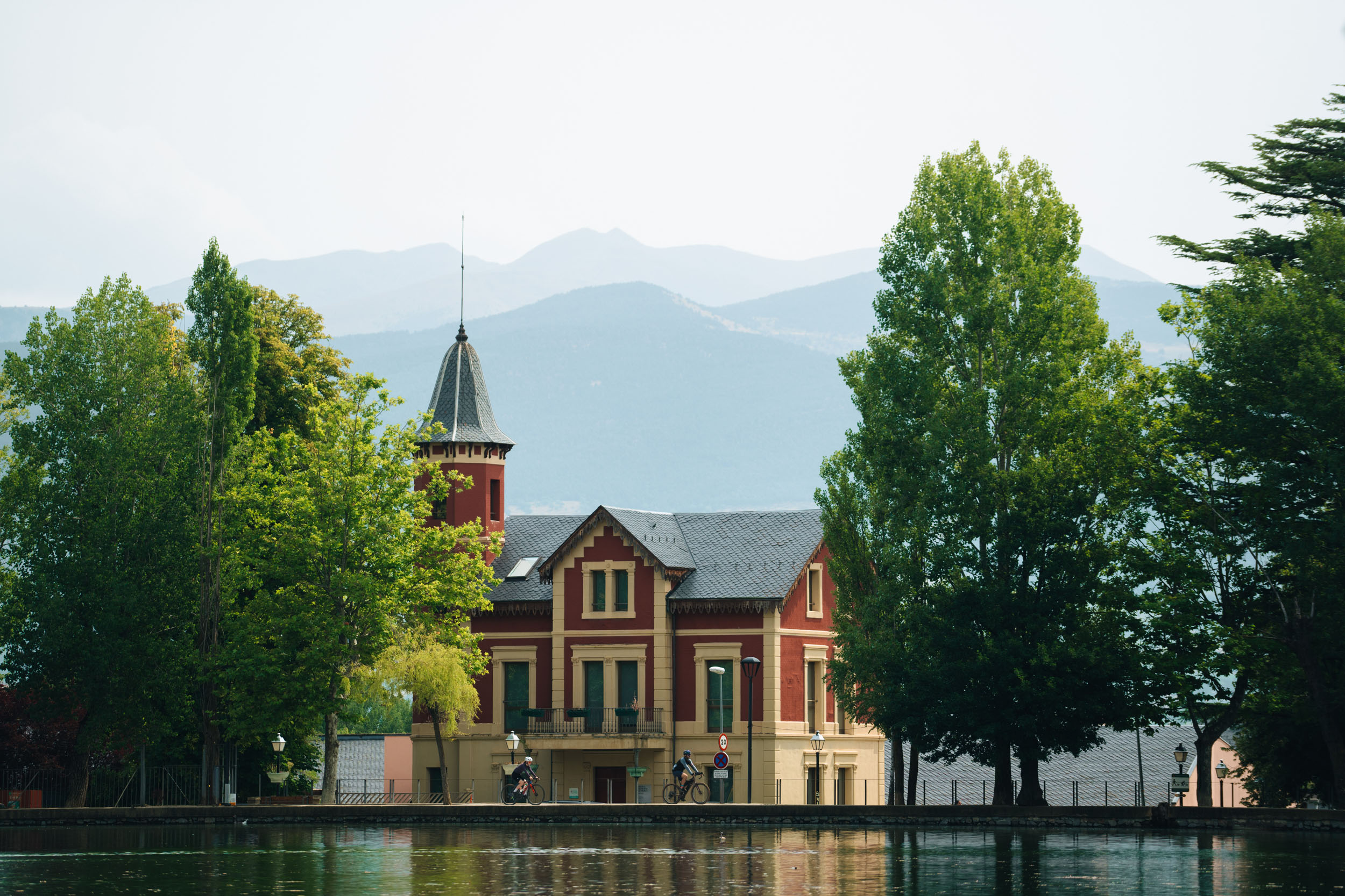
Barcelona, a vibrant Mediterranean city, is the starting point of the route that transforms the urban landscape into nature in just a few kilometers. The terrain rises gently towards Collserola, then recedes into progressive climbs towards Sant Llorenç del Munt. Montserrat emerges like a mineral temple and guides the entrance into the Penedès, where vineyards stretch out like geometric gardens. The sea feels distant yet always present, just like the legacy of Pau Casals as we approach the Costa Daurada. Divided into eight stages, this segment blends gentle mountains, culture, and unmistakably Mediterranean sunlight until reaching Tarragona.
location Tarragona – Lleida
Section 2 (460km, 6,092m)
Section two also has eight unique stages. Continue alongside the coastline, where the sea draws a soft horizon, and the route moves towards the Ebre Delta, one of the flattest and most expansive territories in the country, where elevation barely changes, and the horizon seems endless. The route then climbs towards the Natural Park of Els Ports, with rugged landscapes, forests, and wide panoramic viewpoints, before flowing along the Val de Zafán greenway. The Priorat introduces terraced vineyards and steep mountains before reaching the silence of Cistercian monasteries and the inland plains of Lleida, surrounded by orchards, cereal fields, and infinite light.
location Lleida – La Seu d’Urgell
Section 3 (491km, 11,390m)
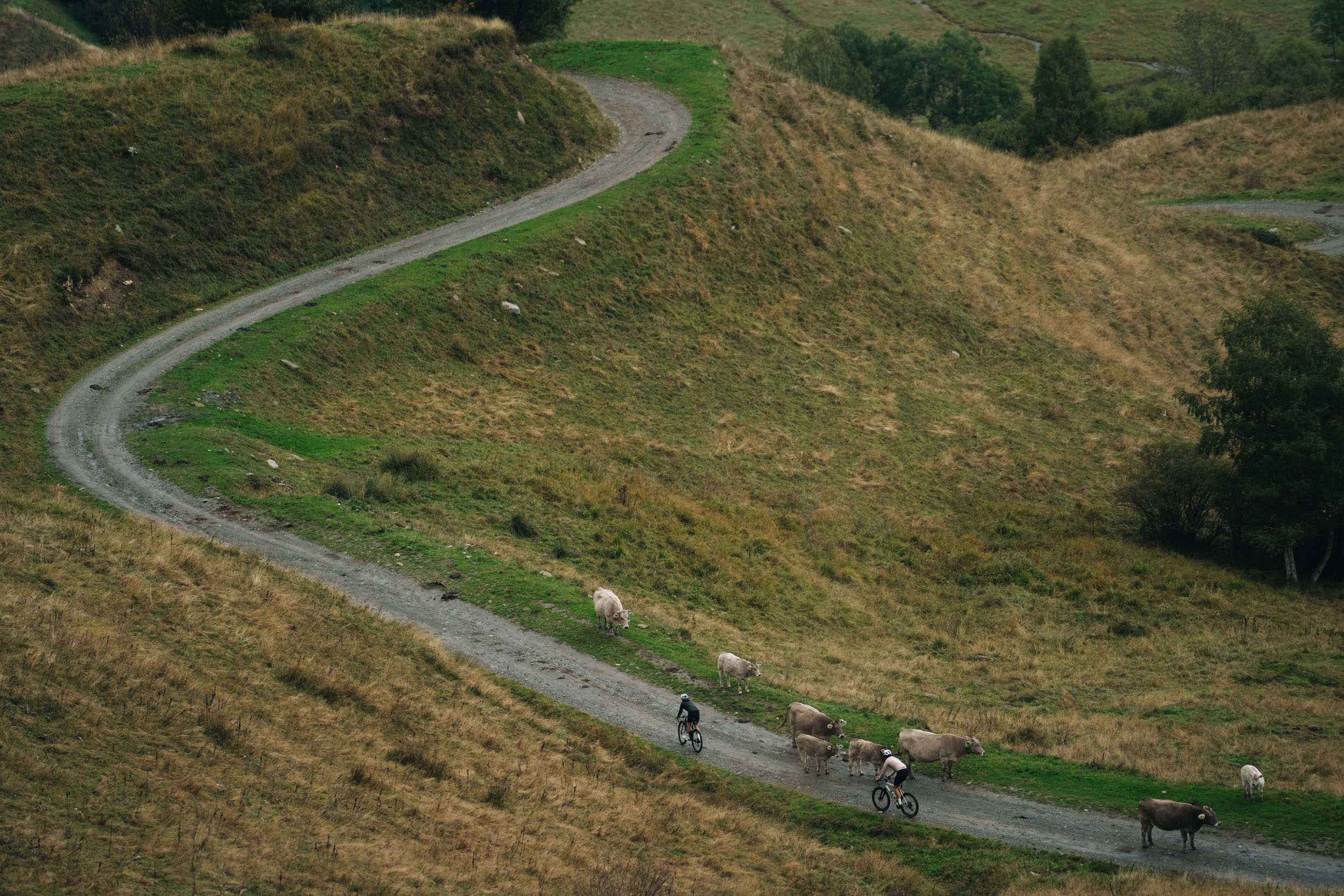
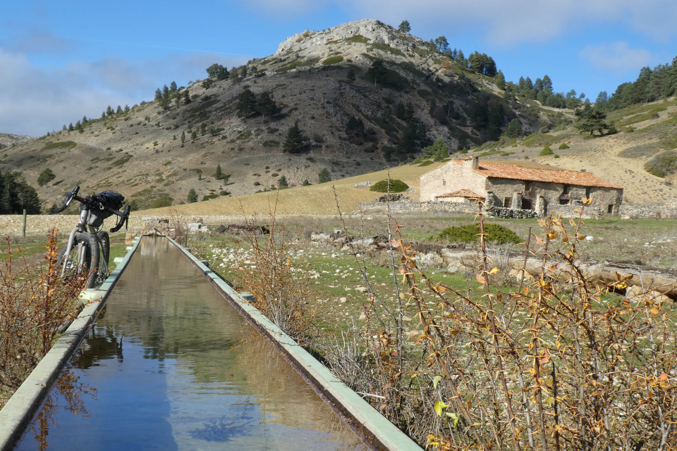
Split into eight stages as well, this section begins entering the higher mountains. From the plains of Lleida, dominated by fields and minimal slopes, the route follows the Segre River and the Ruta dels Llacs before entering the Montsec, with panoramic climbs and reservoirs nestled between cliffs. The terrain becomes more vertical as we reach the Pyrenees: demanding mountain passes, deep valleys, and peaks rising above 3,000 meters. The Val d’Aran, the Àneu valleys, and the Alt Pirineu Natural Park offer the most alpine sections of the entire journey, before culminating in sweeping, endless views from the Pic de l’Orri.
location La Seu d’Urgell – Figueres
Section 4 (404km, 8,398m)
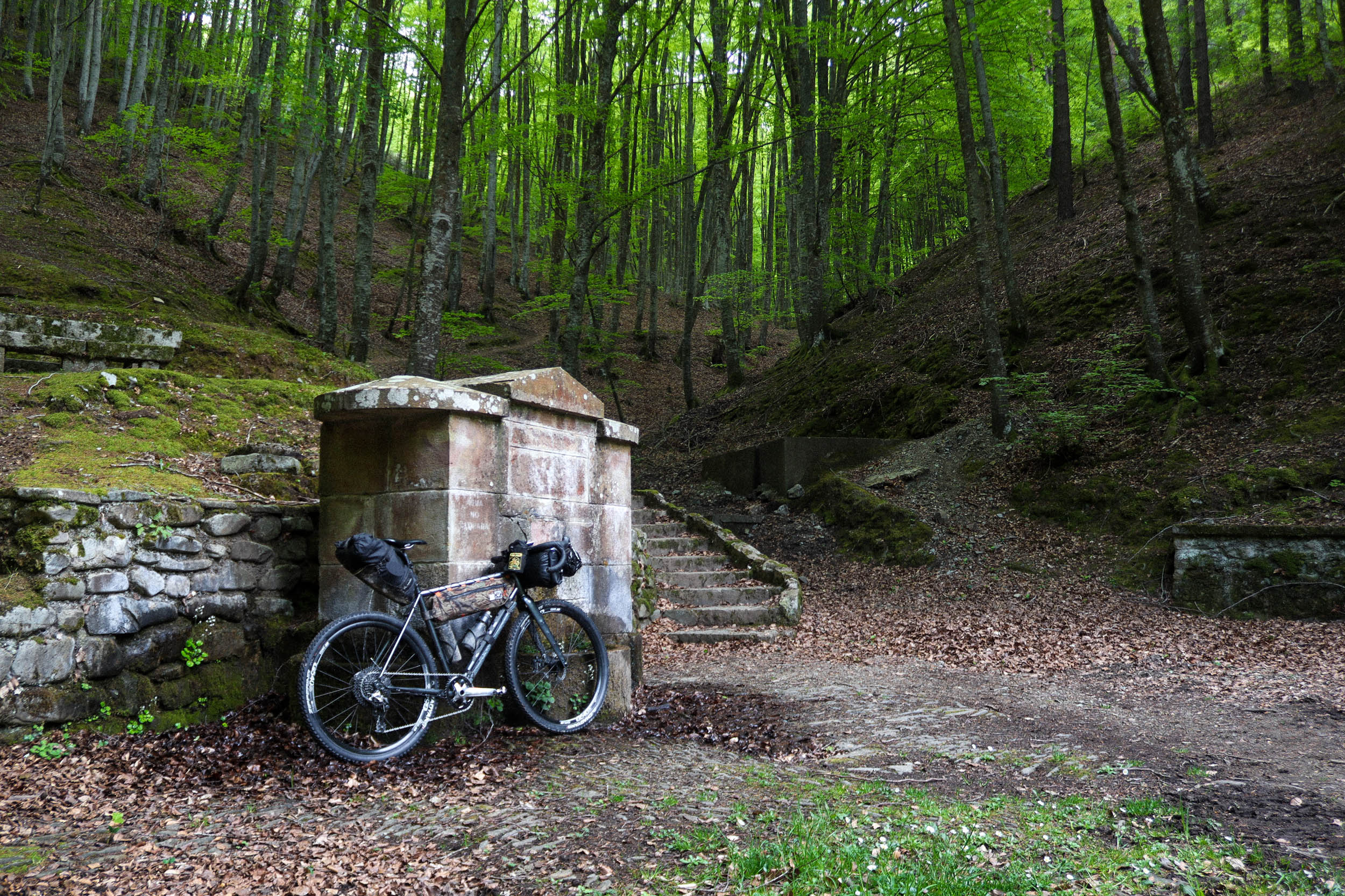
Connecting Alt Urgell with the Empordà, from the rugged landscapes of the Cadí and the Pedraforca, with long climbs and passes over 2,000 meters, the route heads northeast across the Cerdanya, one of the widest and brightest valleys in the Pyrenees. Between medieval villages, forested valleys, volcanic landscapes, and basalt cliffs, the route flows naturally towards Banyoles. The final stages advance among farmhouses, fields, and Romanesque bridges until reaching Figueres, the cultural gateway to the Empordà.
location Figueres – Barcelona
Section 4 (652km, 10,781m)
With 10 stages, the final segment begins in the Cap de Creus Natural Park, where wind and rock create a landscape as surreal as the shapes Dalí once imagined. From here, the route enters the Empordà and the Costa Brava, a land where hidden coves, whitewashed villages, coastal trails, and a mosaic of fields coexist, telling centuries of Mediterranean history. Girona welcomes us with its walls, bridges, and a creative energy that permeates the entire city. Further on, the Vic plain and the forests of the Montseny Natural Park bring silence, freshness, and lively climbs. And finally, the Vallès plain, open and agricultural, once again announces the approach to Collserola, offering one last balcony over the city before descending into Barcelona, where this adventure ends exactly where it began.
Check out this video previewing the route!


Terms of Use: As with each bikepacking route guide published on BIKEPACKING.com, should you choose to cycle this route, do so at your own risk. Prior to setting out check current local weather, conditions, and land/road closures. While riding, obey all public and private land use restrictions and rules, carry proper safety and navigational equipment, and of course, follow the #leavenotrace guidelines. The information found herein is simply a planning resource to be used as a point of inspiration in conjunction with your own due-diligence. In spite of the fact that this route, associated GPS track (GPX and maps), and all route guidelines were prepared under diligent research by the specified contributor and/or contributors, the accuracy of such and judgement of the author is not guaranteed. BIKEPACKING.com LLC, its partners, associates, and contributors are in no way liable for personal injury, damage to personal property, or any other such situation that might happen to individual riders cycling or following this route.
Further Riding and Reading
Here are some connected/nearby routes and related reports...
Please keep the conversation civil, constructive, and inclusive, or your comment will be removed.