


The Great San Diego Triathlon
Distance
121 Mi.
(195 KM)Days
2-3
% Unpaved
65%
% Singletrack
30%
% Rideable (time)
95%
Total Ascent
8,729'
(2,661 M)High Point
6,026'
(1,837 M)Difficulty (1-10)
5?
- 5Climbing Scale Moderate72 FT/MI (14 M/KM)
- 6Technical Difficulty Moderate
- 5Physical Demand Moderate
- 3Resupply & Logistics Fair
Contributed By
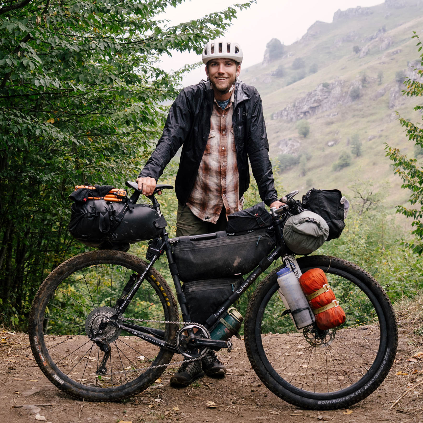
Evan Christenson
Contributing Editor
NOTE (August 21, 2023): parts of the area that this route passes through were just hit by a tropical storm; we expect that folks won’t be riding this in the near future and will post any updates as we have them.
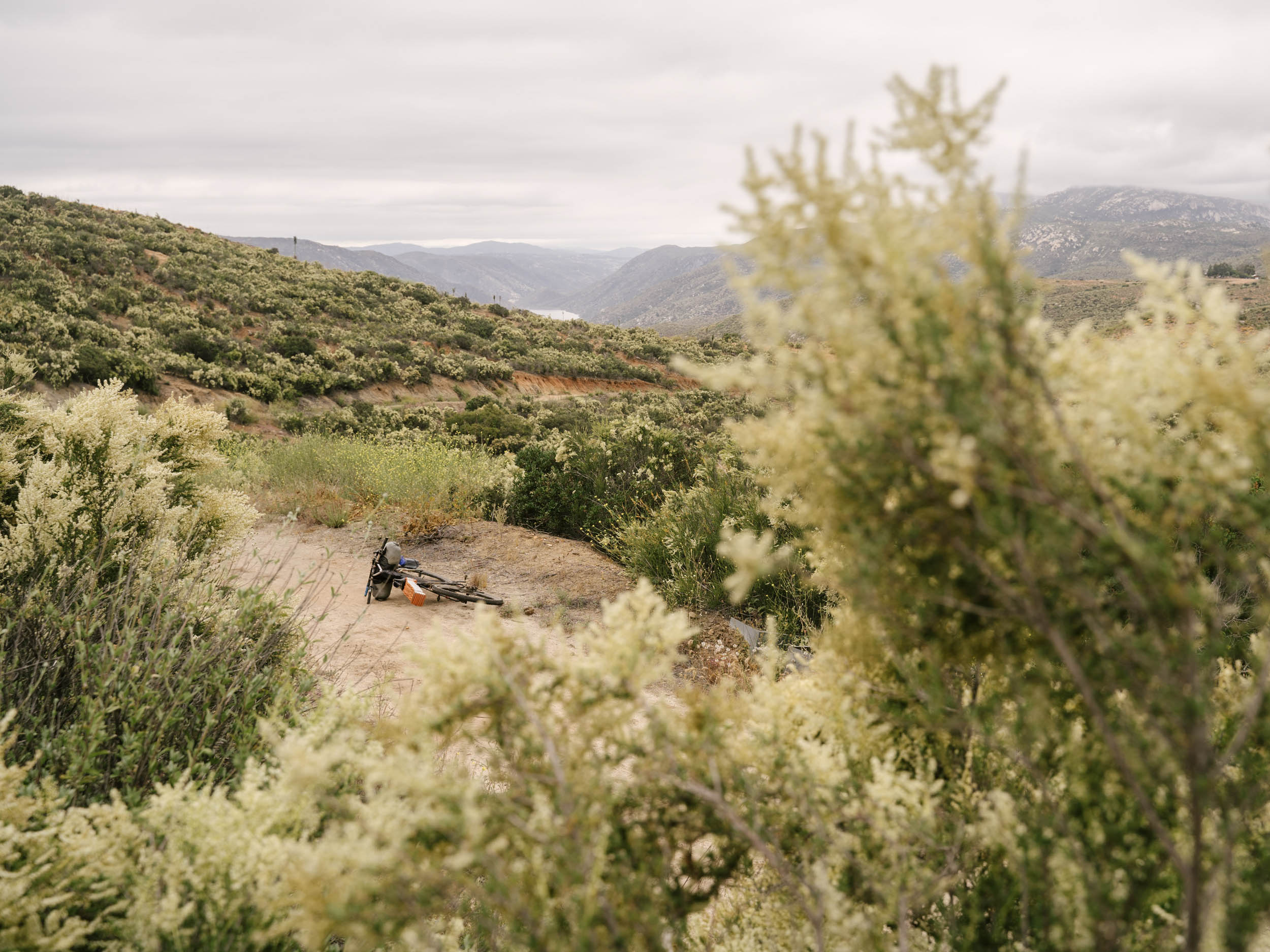
San Diego is a metropolitan hub and tourist magnet known mostly for its sandy beaches, great surfing, amazing Mexican food, and perfect weather. It’s even developed a reputation for having chill people, nice parks, and a world famous zoo. So, maybe it makes sense that the Laguna Mountain range to the east of San Diego is overshadowed, and the mountain biking through the interior is often overlooked. The Great San Diego Triathlon is designed to take advantage of all of that, with a quick dip in some waterfalls in between.
The Great San Diego Triathlon is a three-sport, three-day, rippin’ and roarin ‘quickie of a route built with dirt roads and good swimming in mind. Ride off the mountain peaks and down sweeping, chunky backcountry singletrack, then drop the bikes for a quick hike into Three Sisters falls, where you can jump, swim, and slide at the sweet little hangout spot. Another hike the next day takes you to Cedar Creek Falls, an even nicer hangout spot, with a deep freshwater pool for swimming. Hike out and ride on through the city and out toward the beach on singletrack and bike paths (and the occasional road) with a final swim in the Pacific at Del Mar Beach, a premier San Diego destination. Two lovely riverside campsites make this a relatively easy route to accomplish in three days with plenty of distraction in the meantime. Find the detailed day-by-day itinerary in the Trail Notes tab.
Route Difficulty
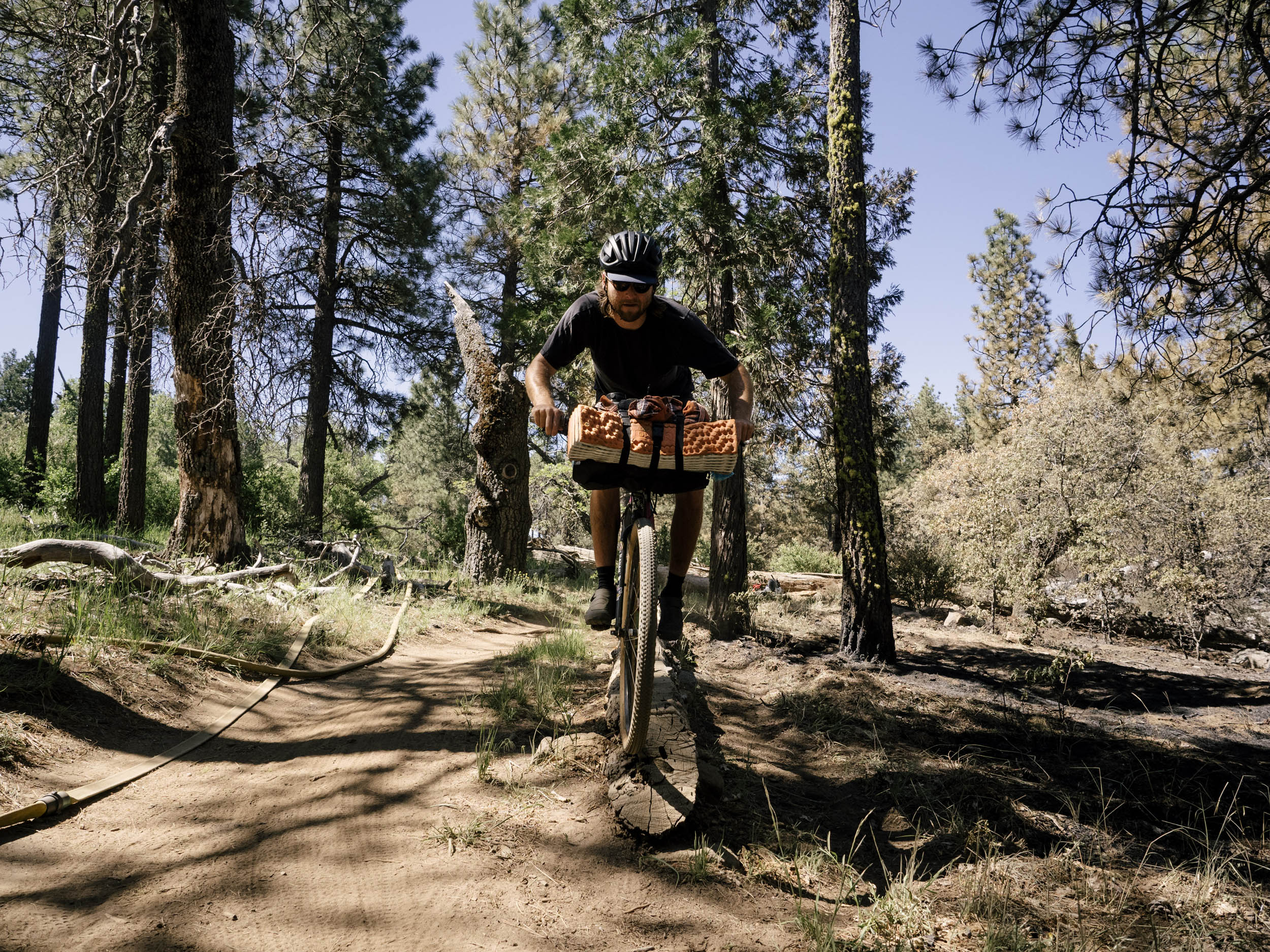
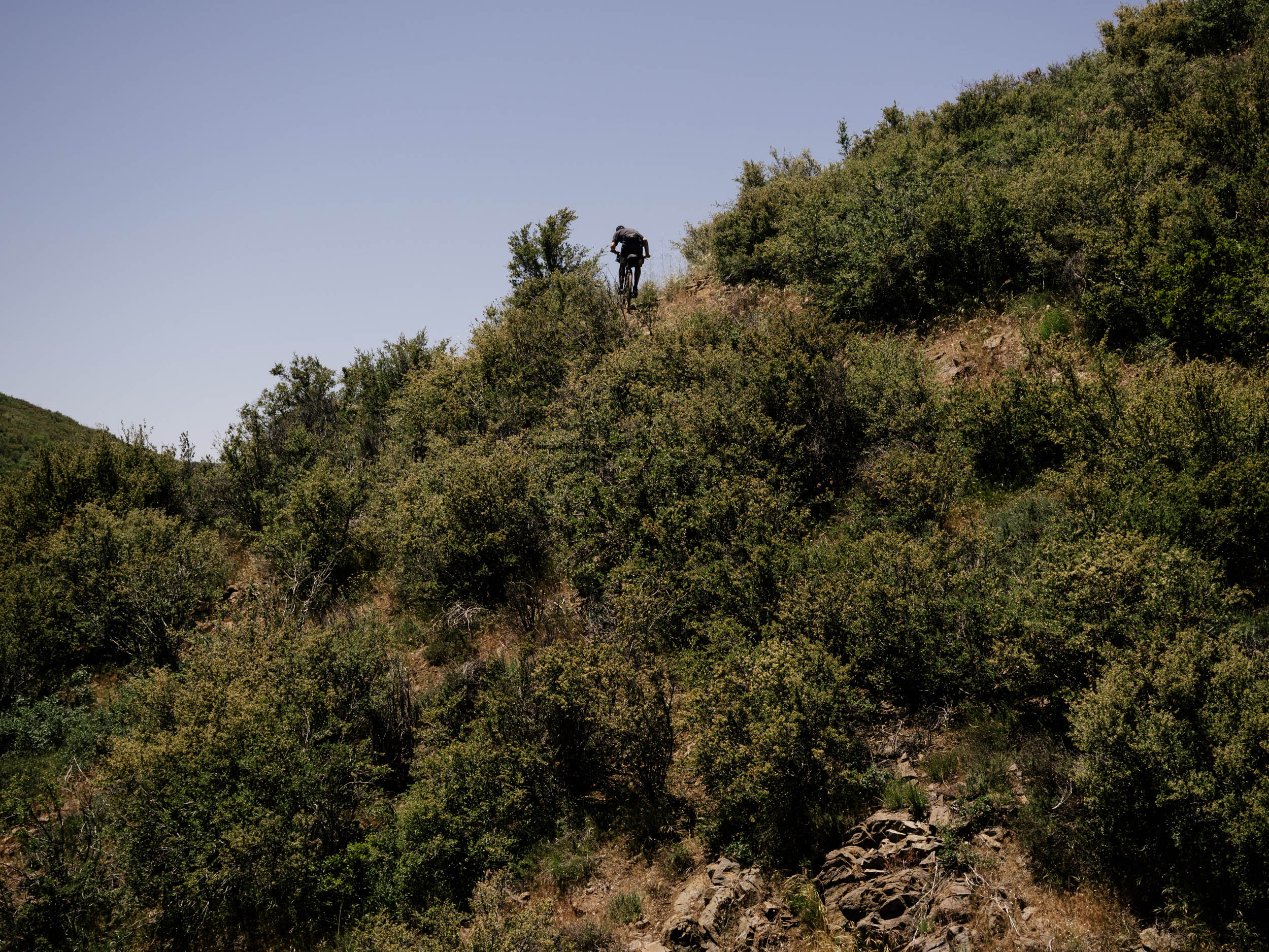
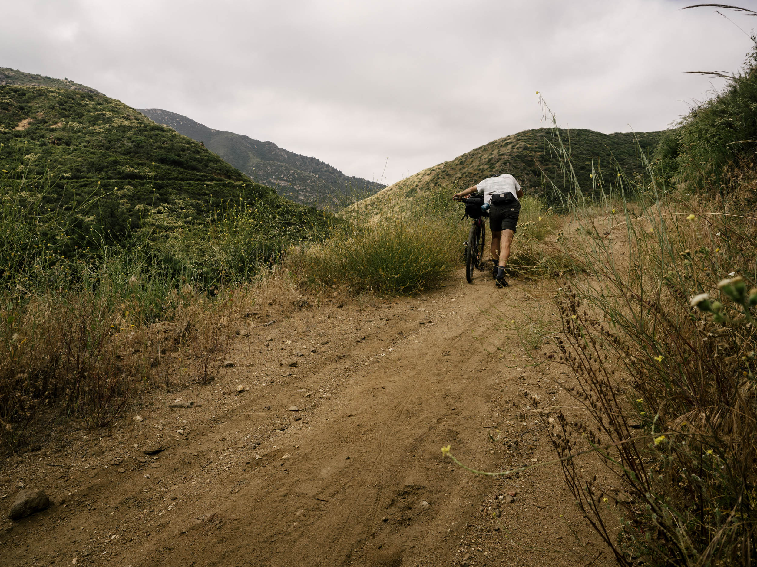
This route is a very approachable entry into bikepacking for any San Diego locals looking to try it out. If you take three days and ride a mountain bike, it’s a fun ride with good trails and pretty straightforward connections. There’s plenty of resupply, and water flows reliably in the springtime. In two days, it’s a much longer second day and is therefore more challenging, although it’s still doable. Some of these trails are a little chunky, and we have always ridden them on mountain bikes. If you’re comfortable riding singletrack on a gravel bike, go for it. If not, take a hardtail mountain bike. And although this route primarily descends, there are still a couple of climbs that add up over time.
Route Development: This route was created by my buddy Quinten Kirby and me after years of riding around San Diego and trying to connect anything we could. It overlaps a couple of times with the Stagecoach 400 route developed by Brendan Collier.


Submit Route Alert
As the leading creator and publisher of bikepacking routes, BIKEPACKING.com endeavors to maintain, improve, and advocate for our growing network of bikepacking routes all over the world. As such, our editorial team, route creators, and Route Stewards serve as mediators for route improvements and opportunities for connectivity, conservation, and community growth around these routes. To facilitate these efforts, we rely on our Bikepacking Collective and the greater bikepacking community to call attention to critical issues and opportunities that are discovered while riding these routes. If you have a vital issue or opportunity regarding this route that pertains to one of the subjects below, please let us know:
Highlights
Must Know
Camping
Food/H2O
Trail Notes
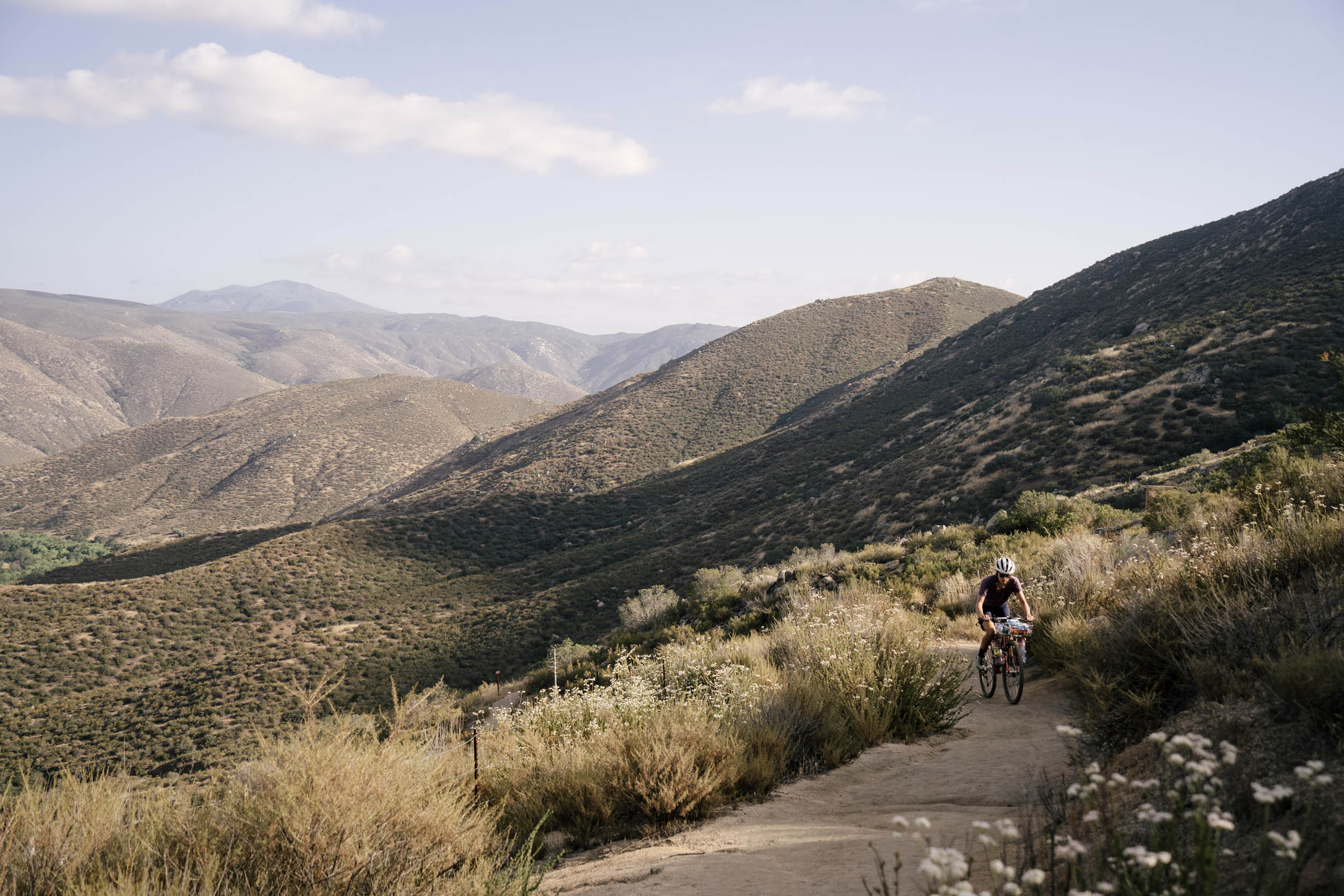
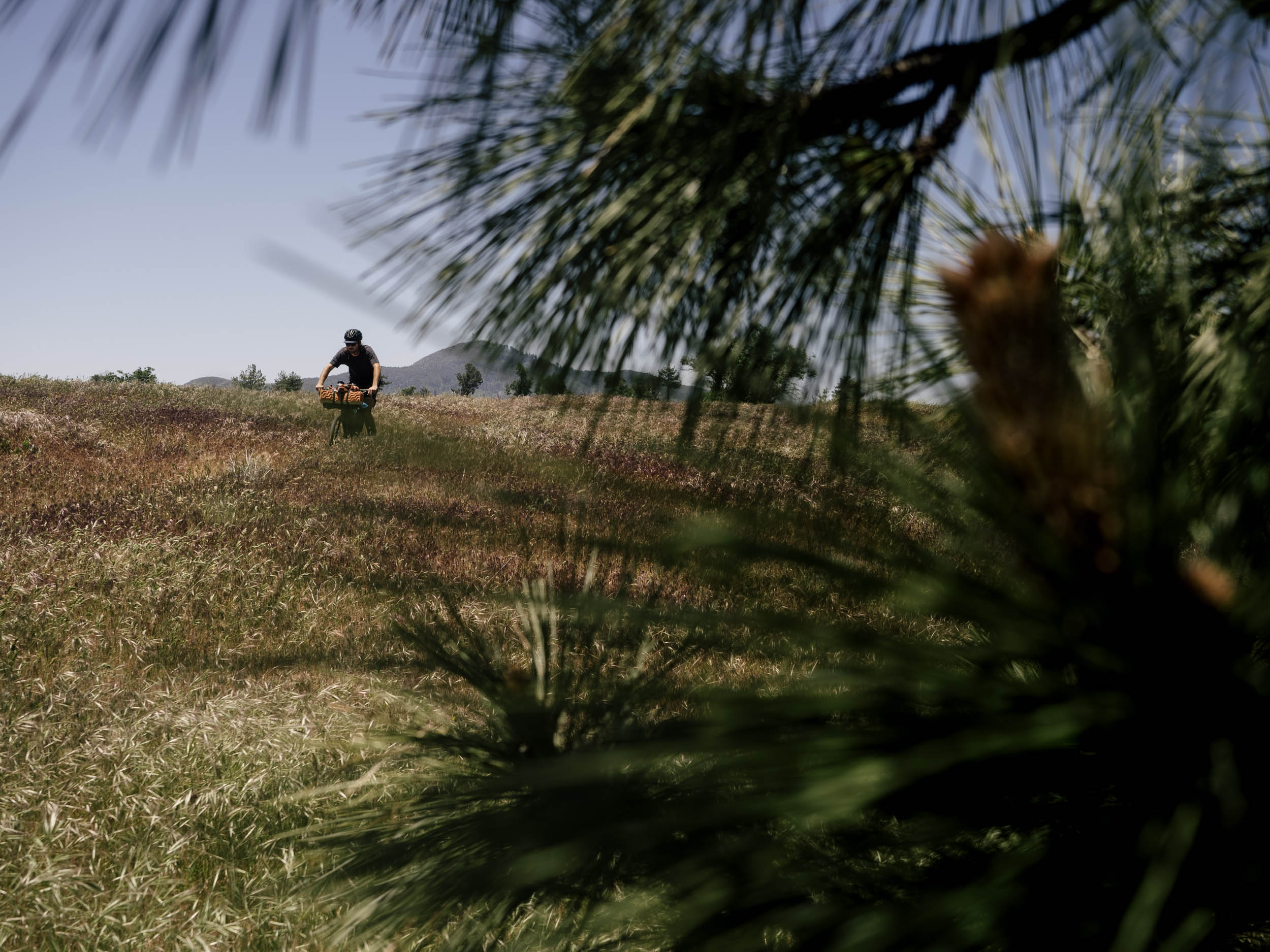
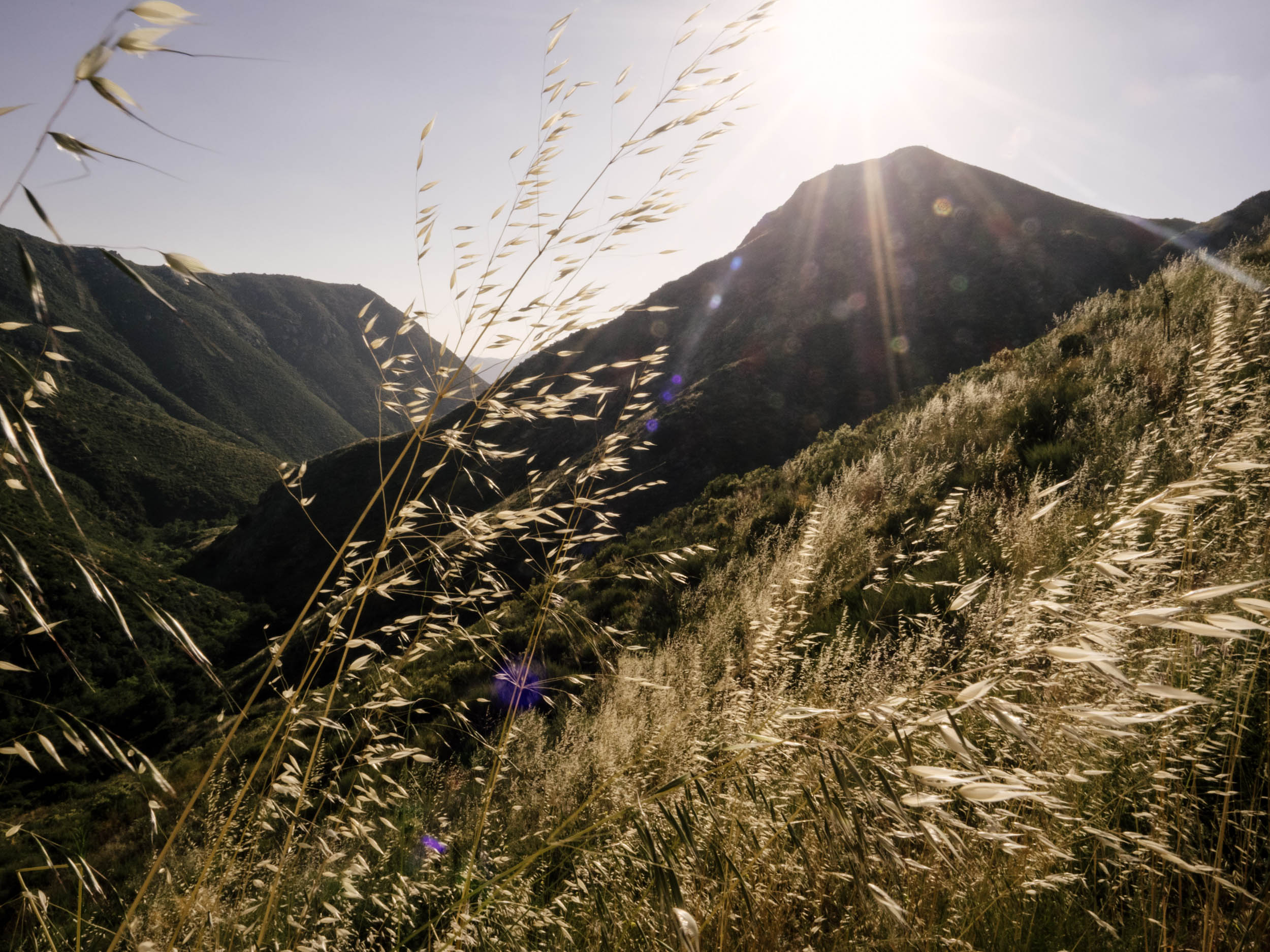
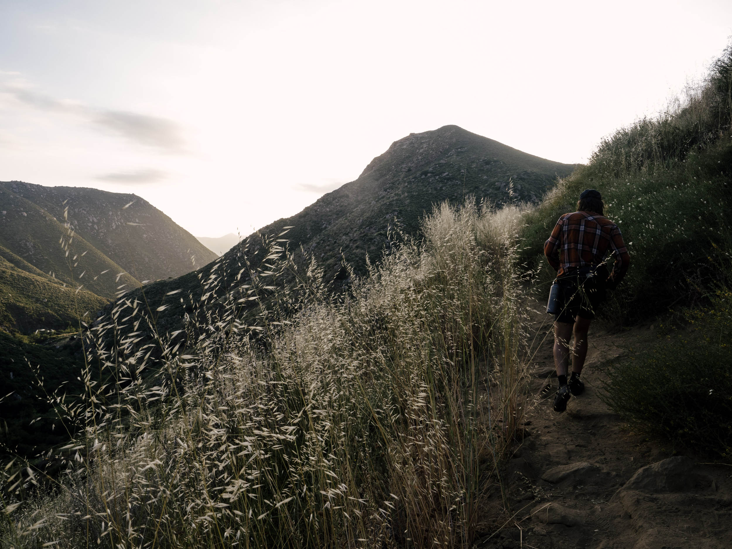
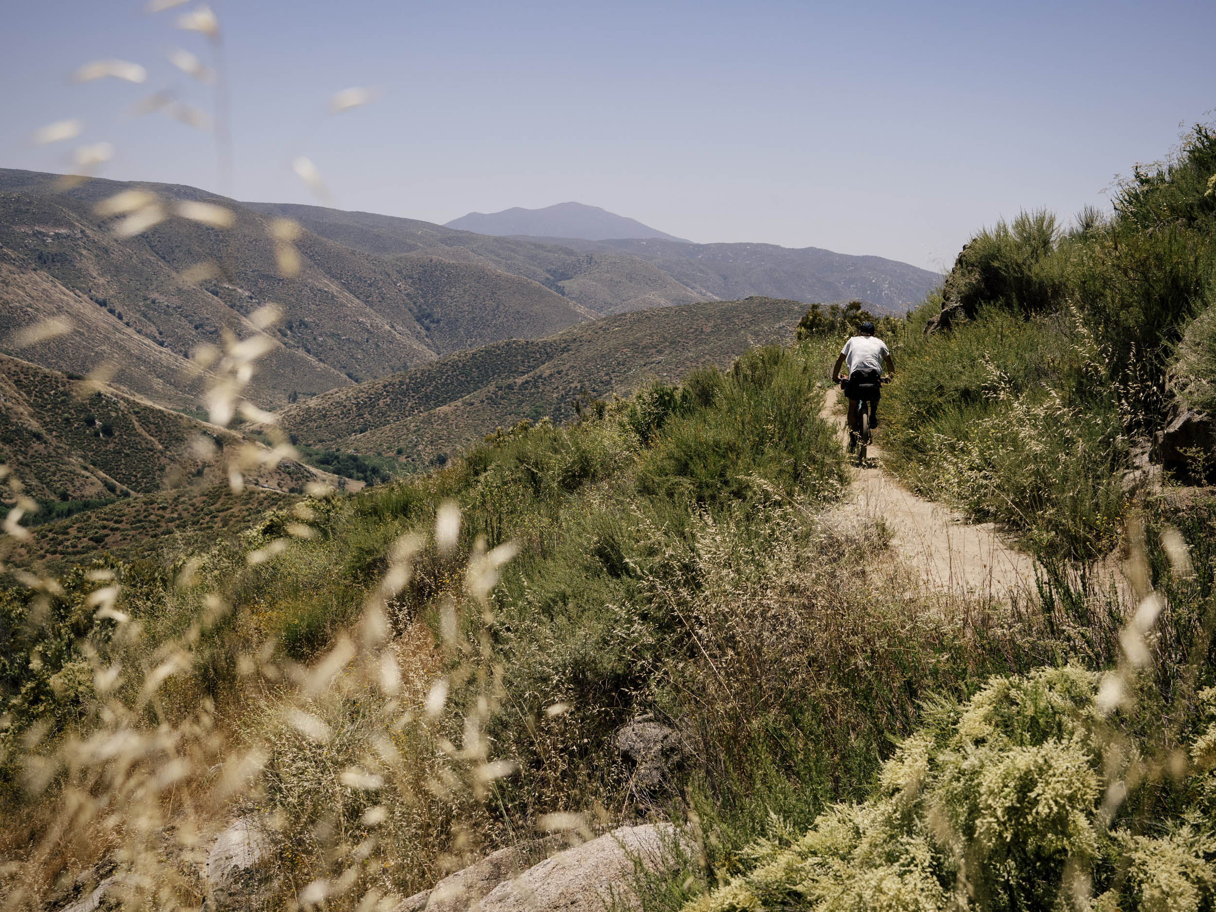
- Flowing singletrack leaving Mount Laguna with the ocean in the distance, red tailed hawks soaring on currents above, wildflowers at your feet, and big pine trees and oaks always overhead.
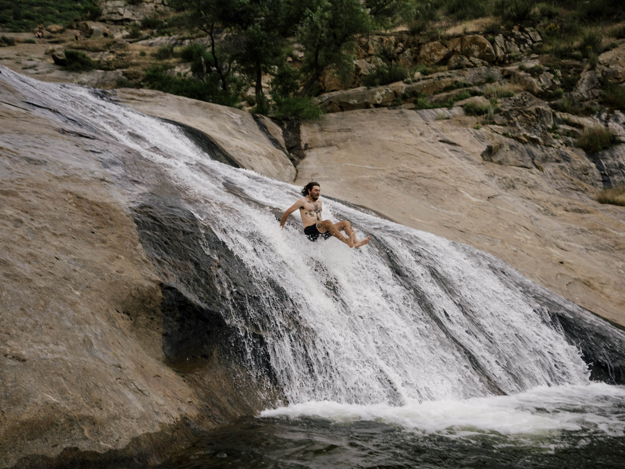
- Hiking into the canyon and then jumping into Three Sisters Falls. Also, sliding down the rock and into the pools.
- Quiet, desolate camping in San Diego County.
- Chill gravel miles leaving Ramona.
- Good vibes swimming at Cedar Creek falls.
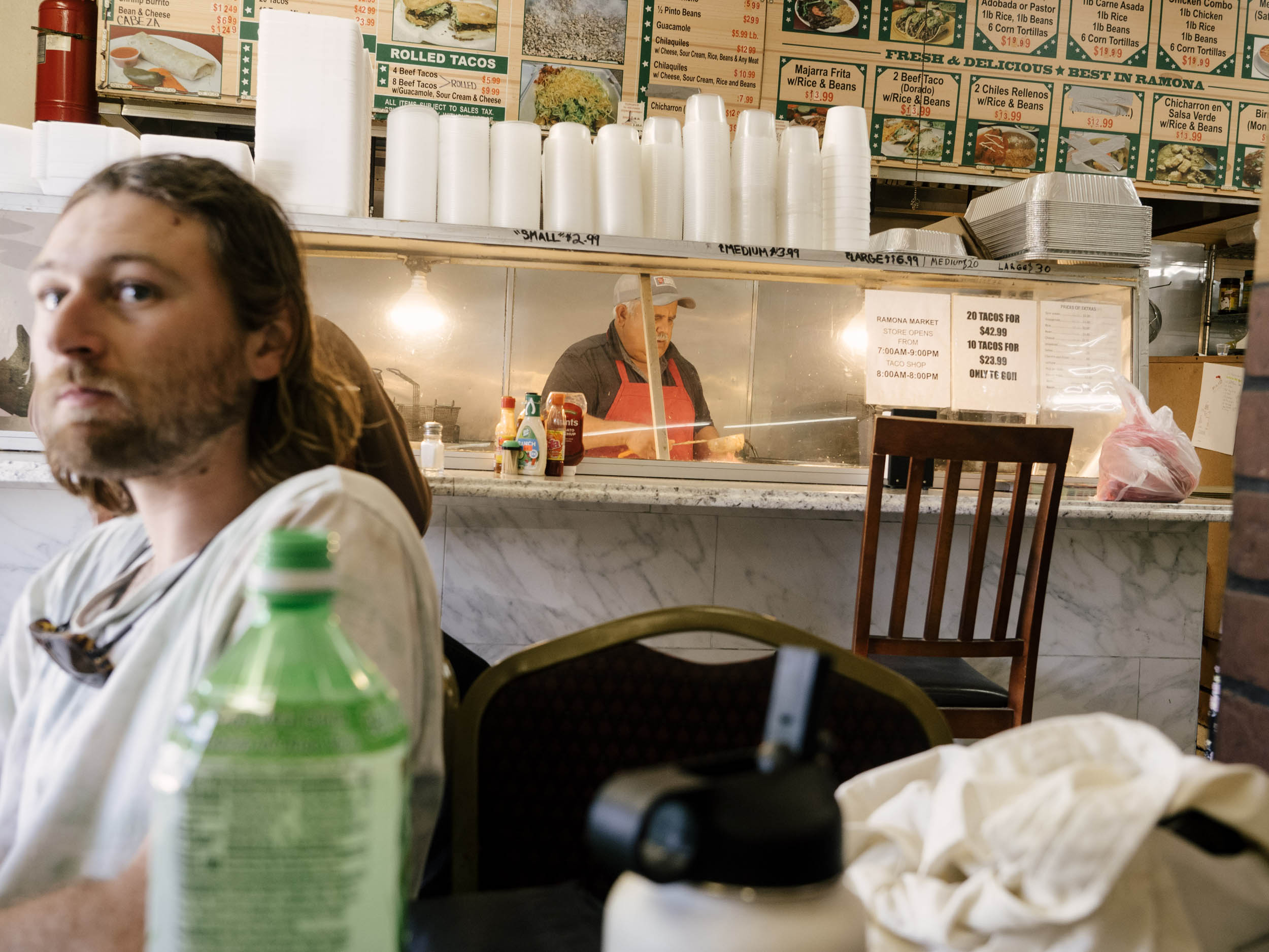
- Awesome Mexican food in Ramona.
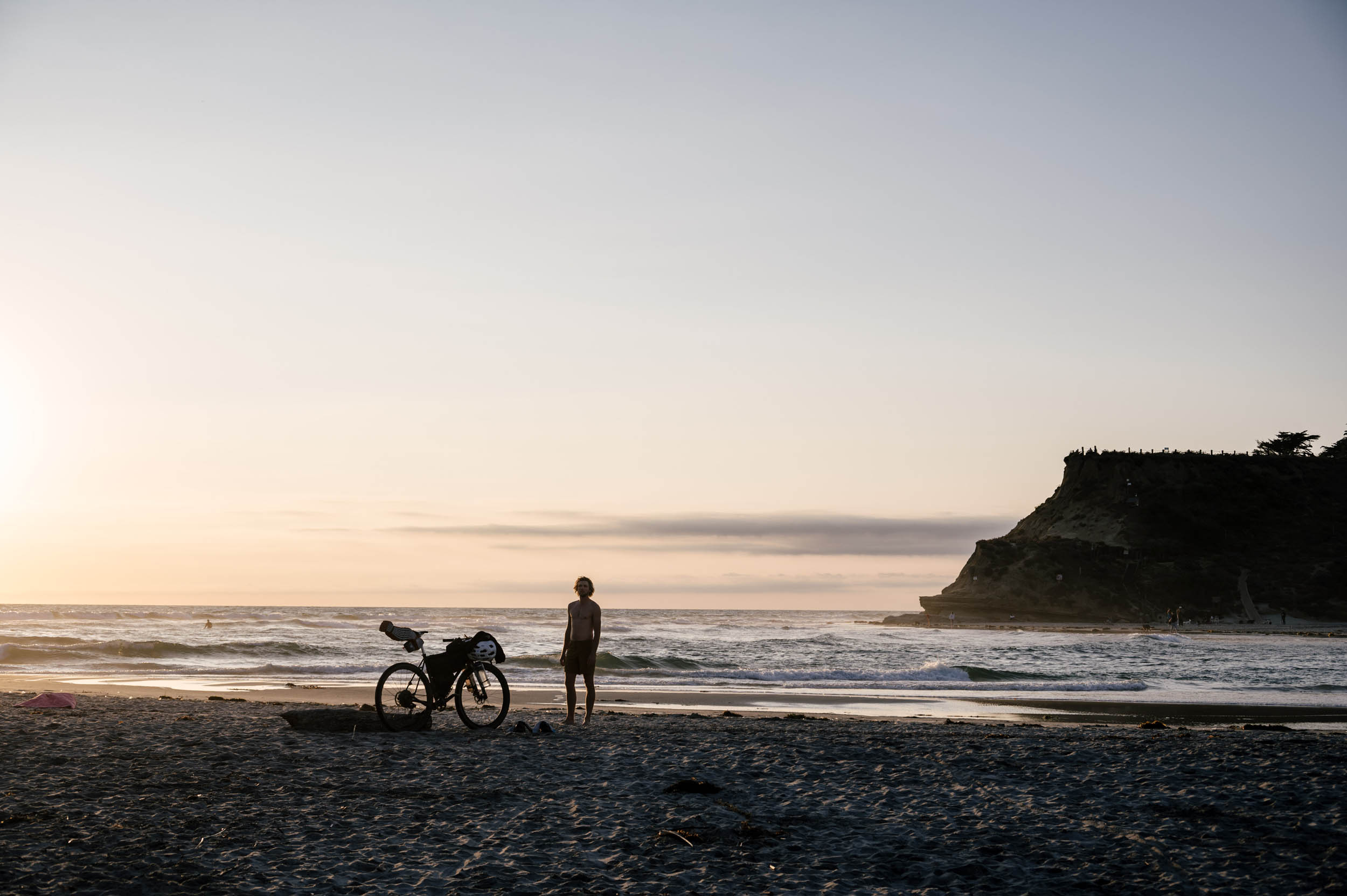
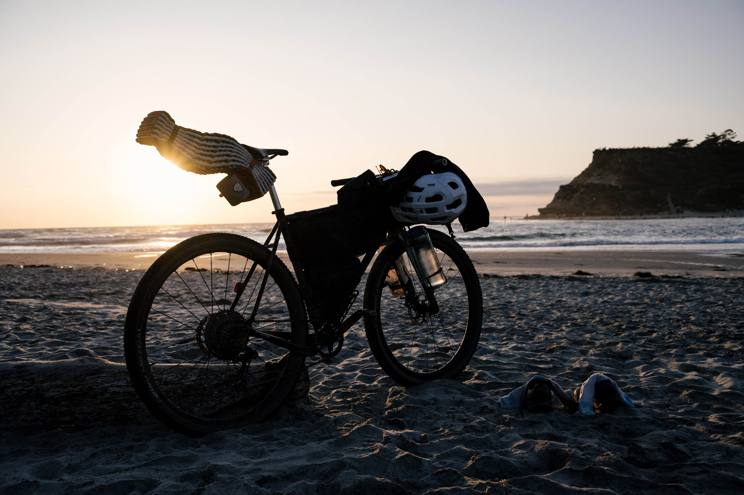
- Swimming in the ocean to mark the end of a fantastic journey.
- The route is theoretically possible all year long, depending on the weather that weekend. San Diego has mild summers and winters, so just be prepared for the exposed climbs and moderately high camping. If riding in the summer or fall, don’t expect a lot of ground water, but there are plenty of places to fill up along the way.
- You will need a backcountry camping permit to legally camp in the spots designated. They’re free, just fill out this PDF and email it here.
- You also need a permit to swim in the falls. Check these ahead of time as they run out most days (75 are allowed a day). Find out more here.
- The hike out of Three Sisters is pretty tough. It’s all uphill and hard after a long day on the bike. Keep that in mind. The San Diego search and rescue says this is their busiest rescue for people battling dehydration. And recently someone fell off a cliff and died. Please be careful.
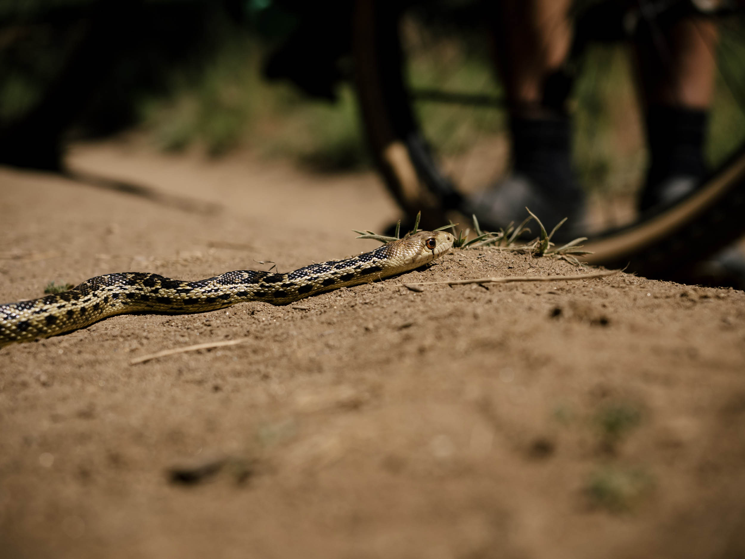
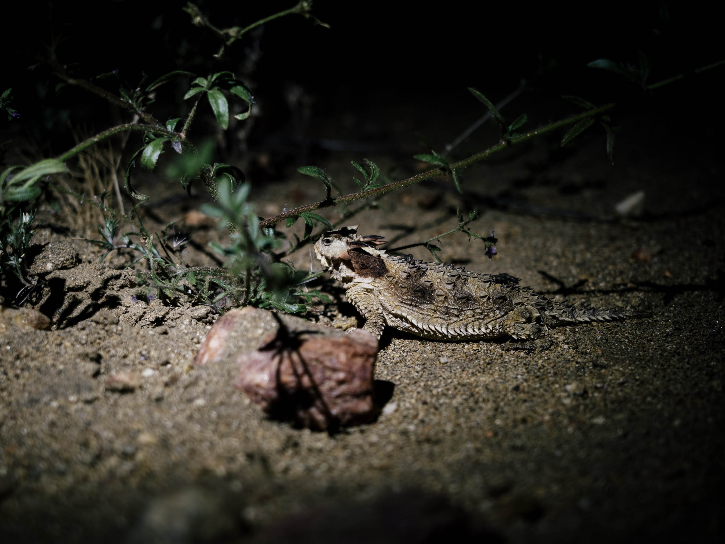
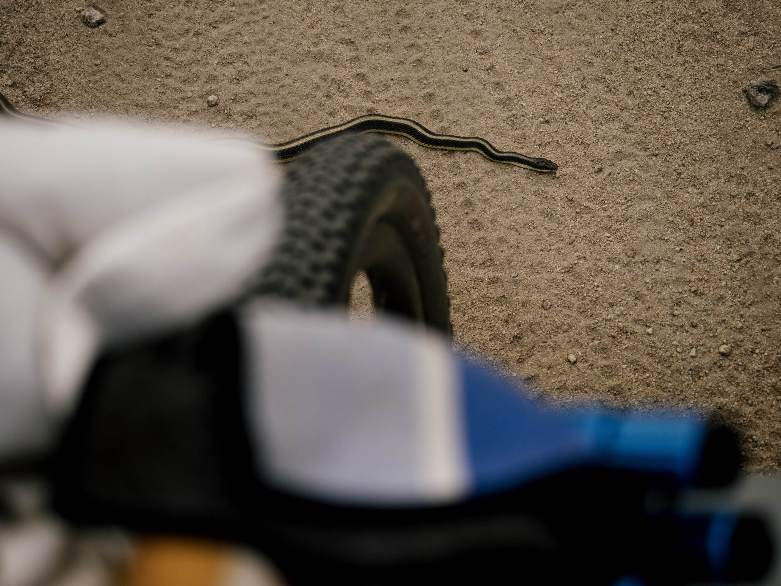
- Be aware of rattlesnakes, especially in the spring and summer months.
- The route begins at the Agua Dulce Trailhead, and you can leave a car there if you’re shuttling.
- There’s also plenty of free street parking near the end. Someone could leave a car there for 2-3 days without a problem.
- You can make this route even longer by starting at Golden Acorn Casino and riding up Kitchen Creek or up Thing Valley Road.
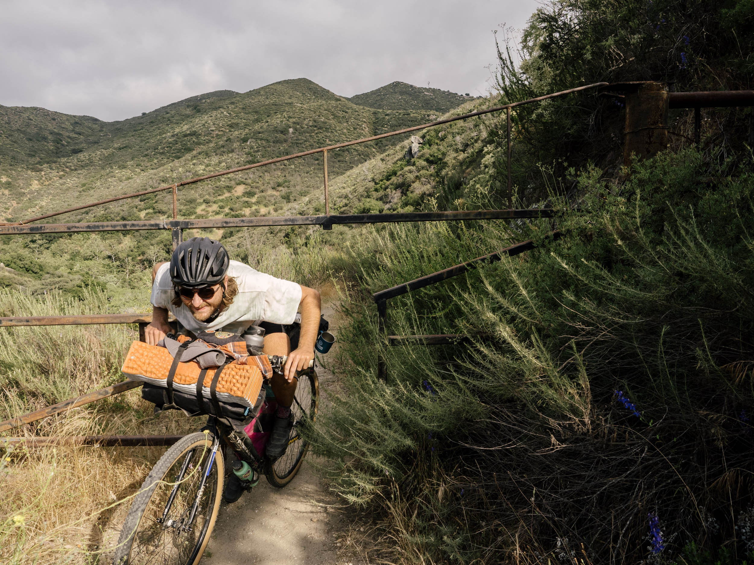
- In the spring, there are quite a few creek crossings, including a small stream you have to ride through for a while, so bring chain lube.
- There are only two sections too hard to ride on a gravel bike. The rest is possible, but just rough. I think the perfect bike is a hardtail mountain bike with faster-rolling tires.
- The two spots marked on the map are the best camp spots. The first is to not be missed if possible.
- Camping before Three Sisters but after Descanso would be hard. There are a couple of Airbnbs in Descanso and a campground just off route. This could lengthen the route by a day, however.
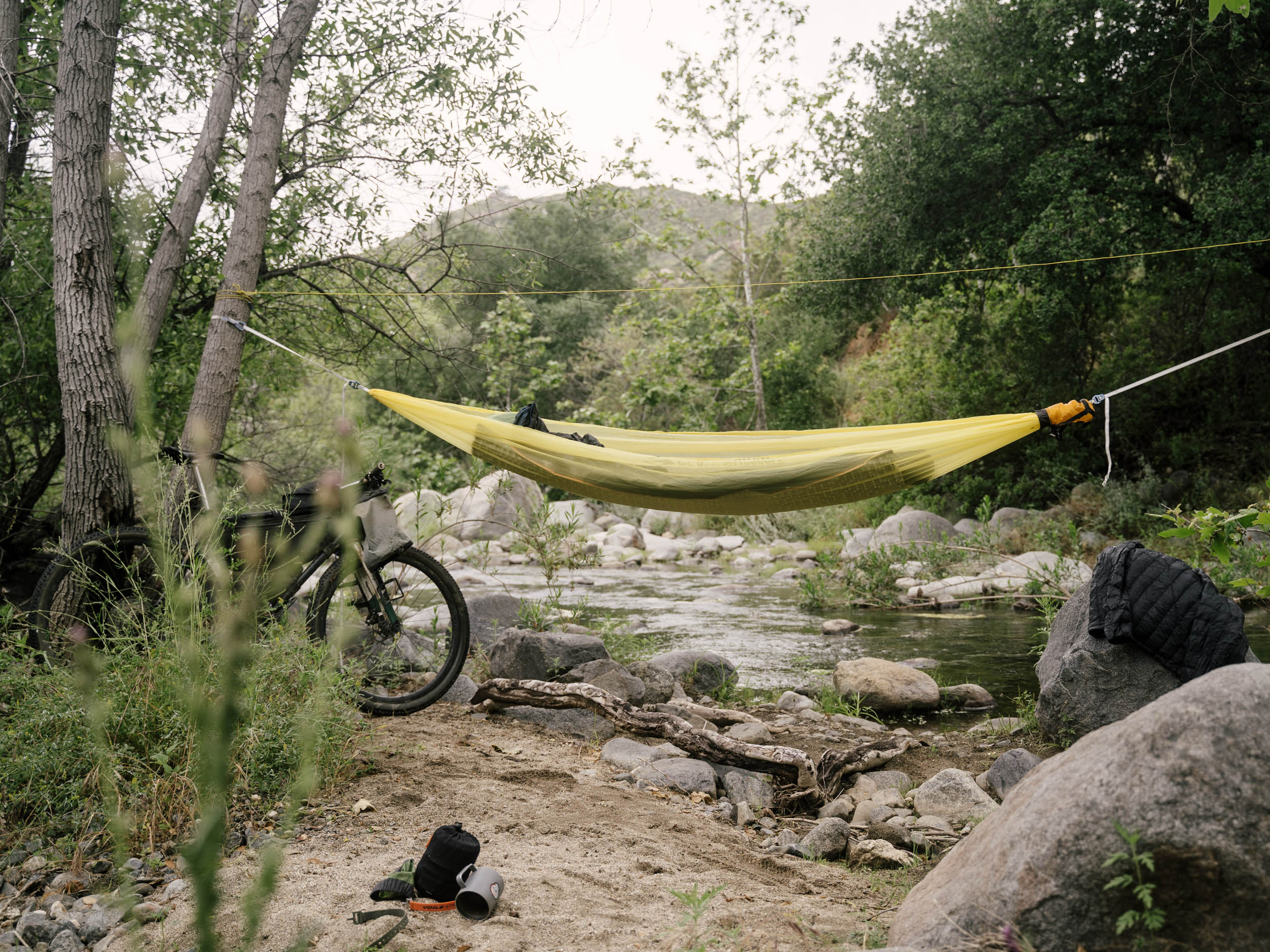
- We have hammocked in the trees on our passes through these trails, but a small tent would be fine too in the noted spots.
- At that first space, there’s not much room for catholes, so consider bringing a bag/jar to pack out your human waste.
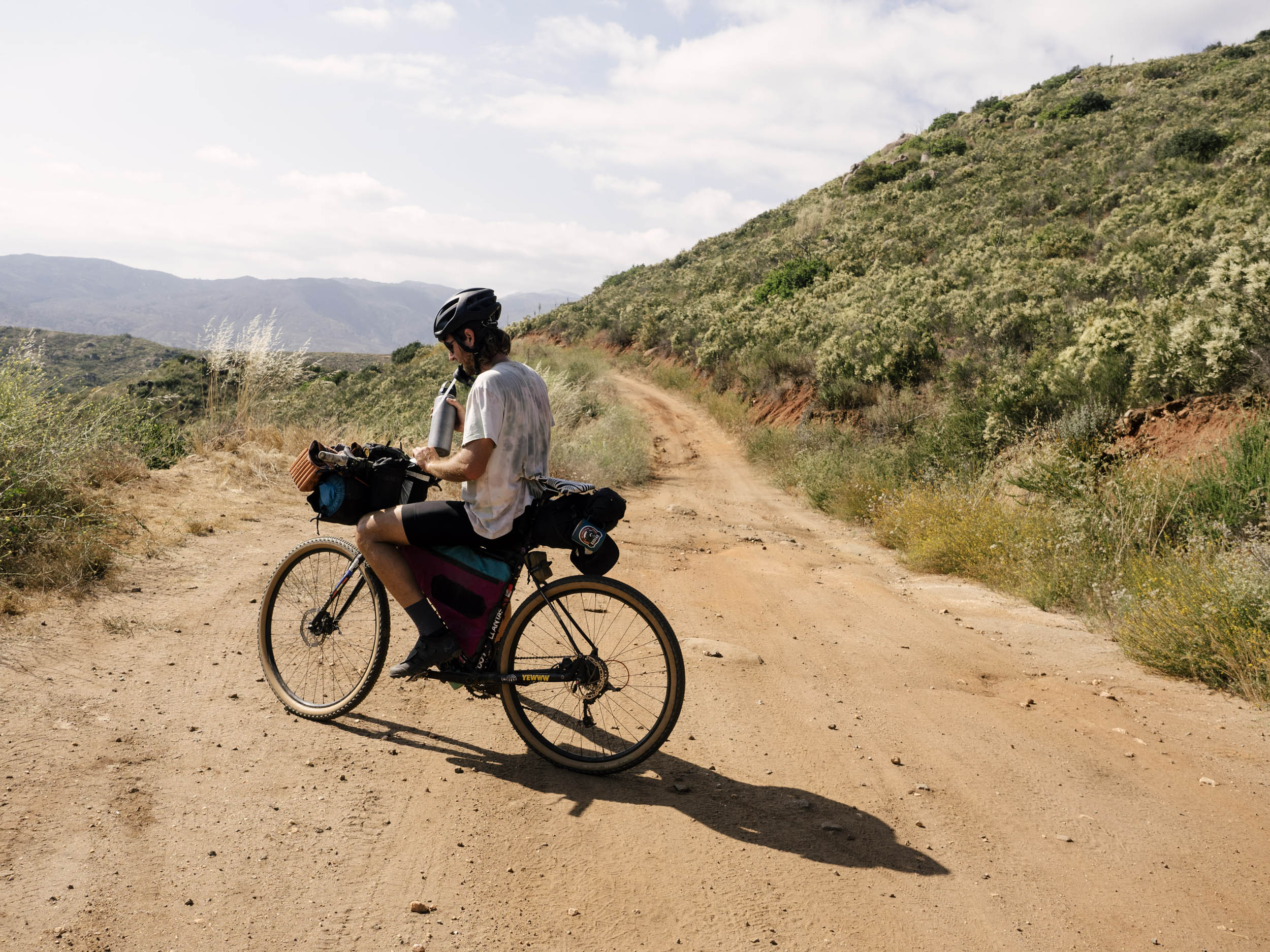
- There is plenty of water to filter along the route in the springtime. In the summer and fall, it will be a little more dry, but still doable. Try to have space for 3-4 liters.
- The falls stop running in the summer, but you can still swim in the pools. They keep cool all year around.
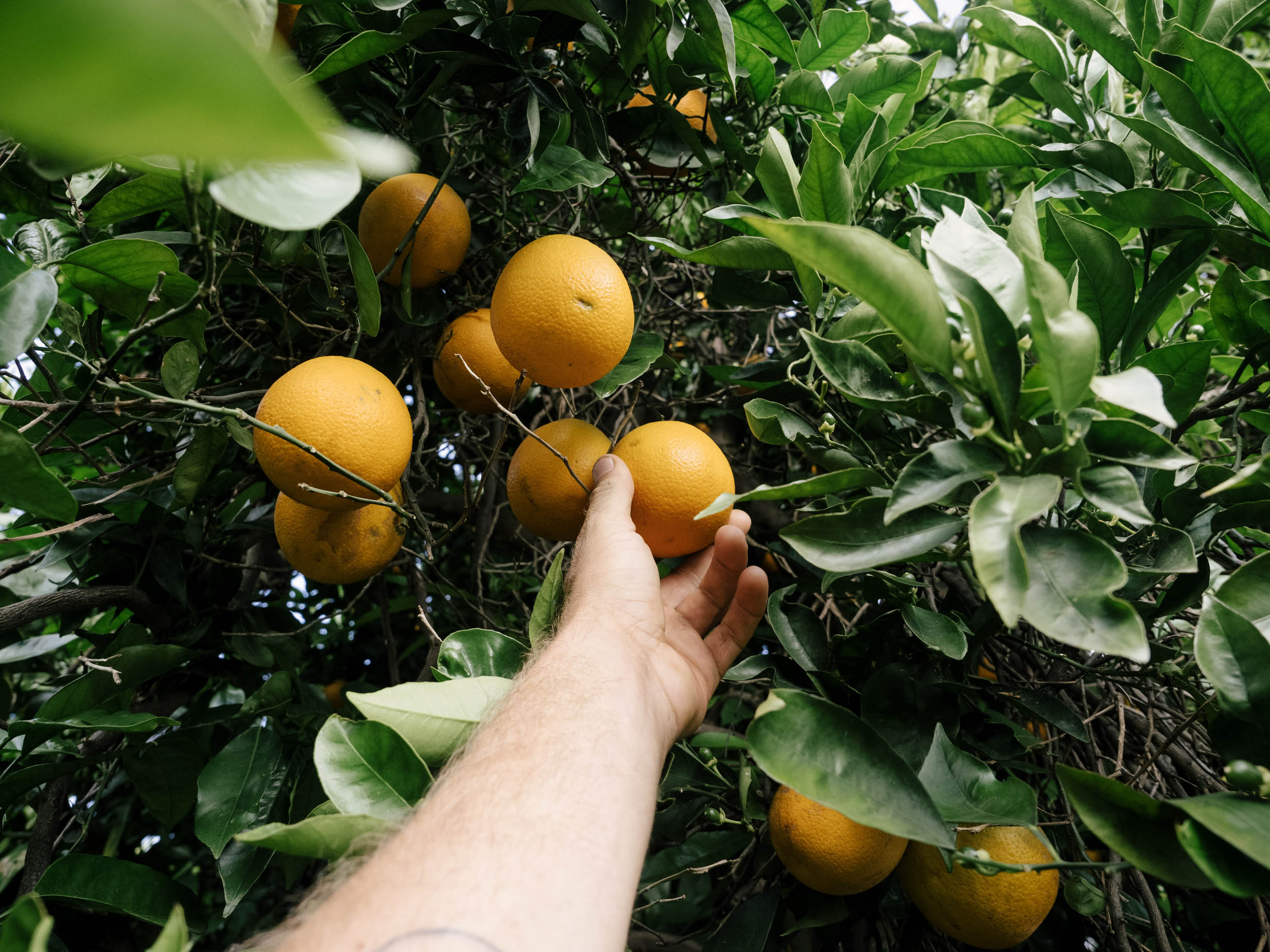
- Food resupply is Descanso and Ramona before you get closer to the city. Just before you finish in the ocean, there’s a McDonalds and plenty of other places to eat and drink nearby.
- There are other places to eat in Ramona but the Ramona Market is the best.
- The Perkins Market also has anything you could need.
Day 1
44 miles +3,350 ft Riding / 3 miles +800 ft Hiking
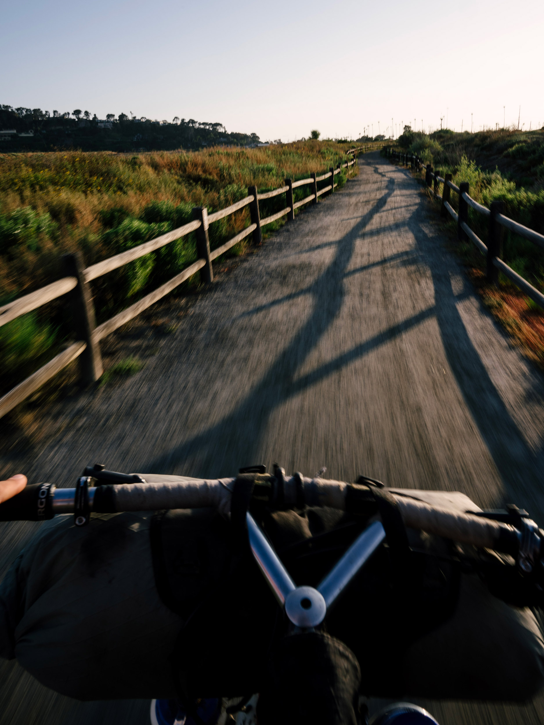
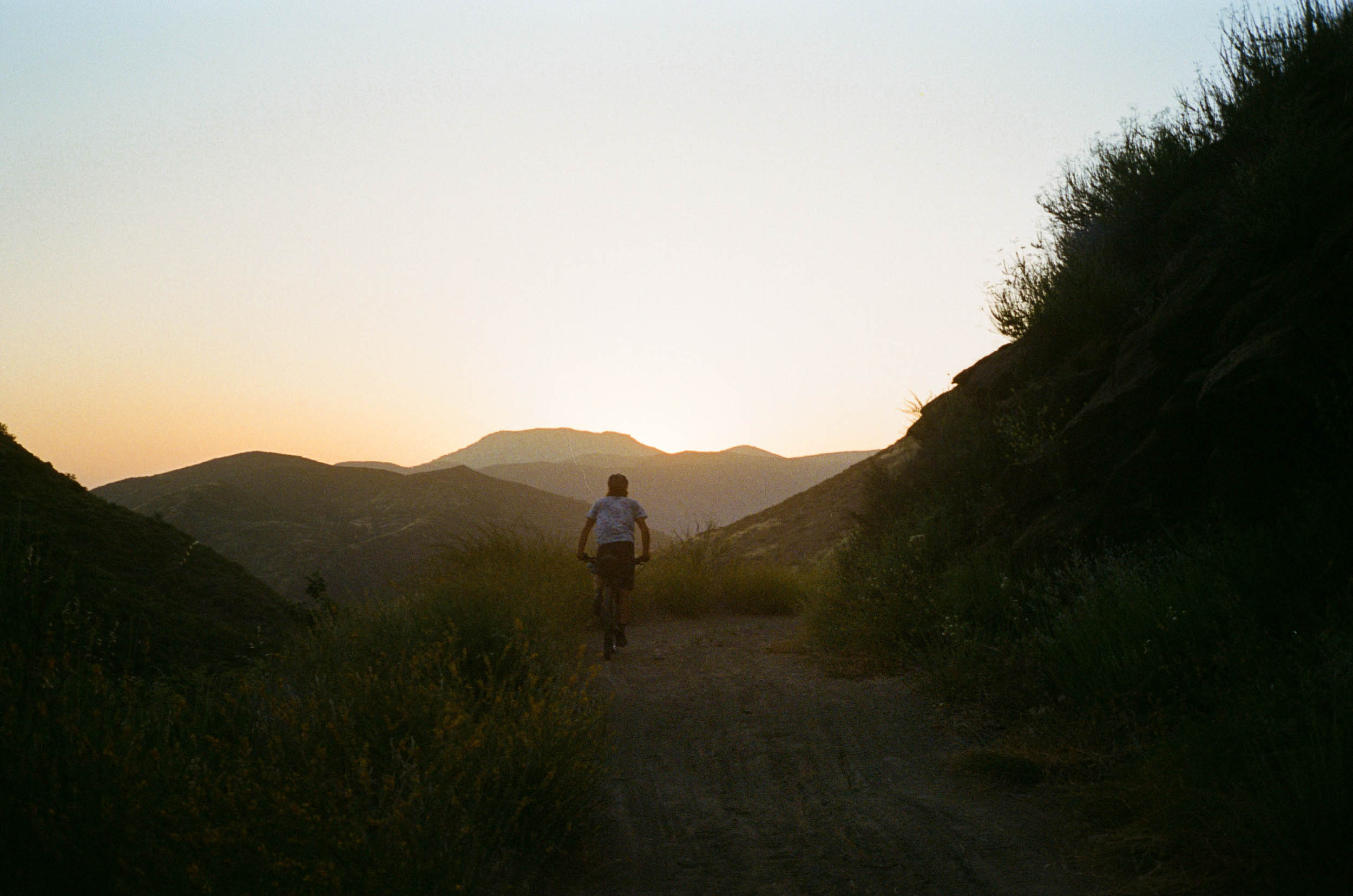
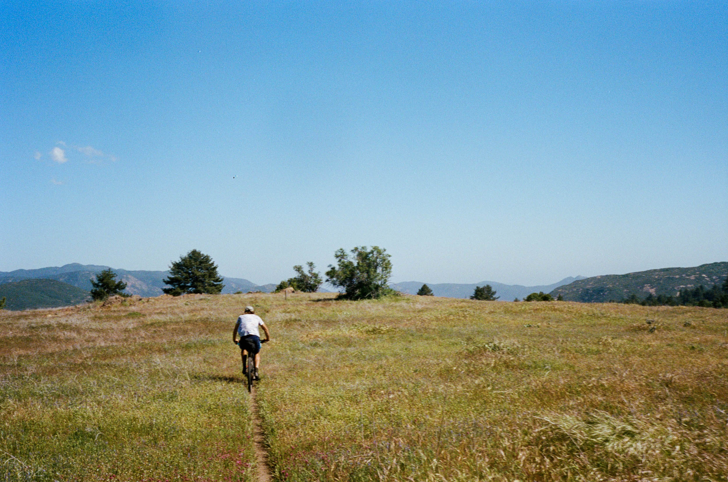
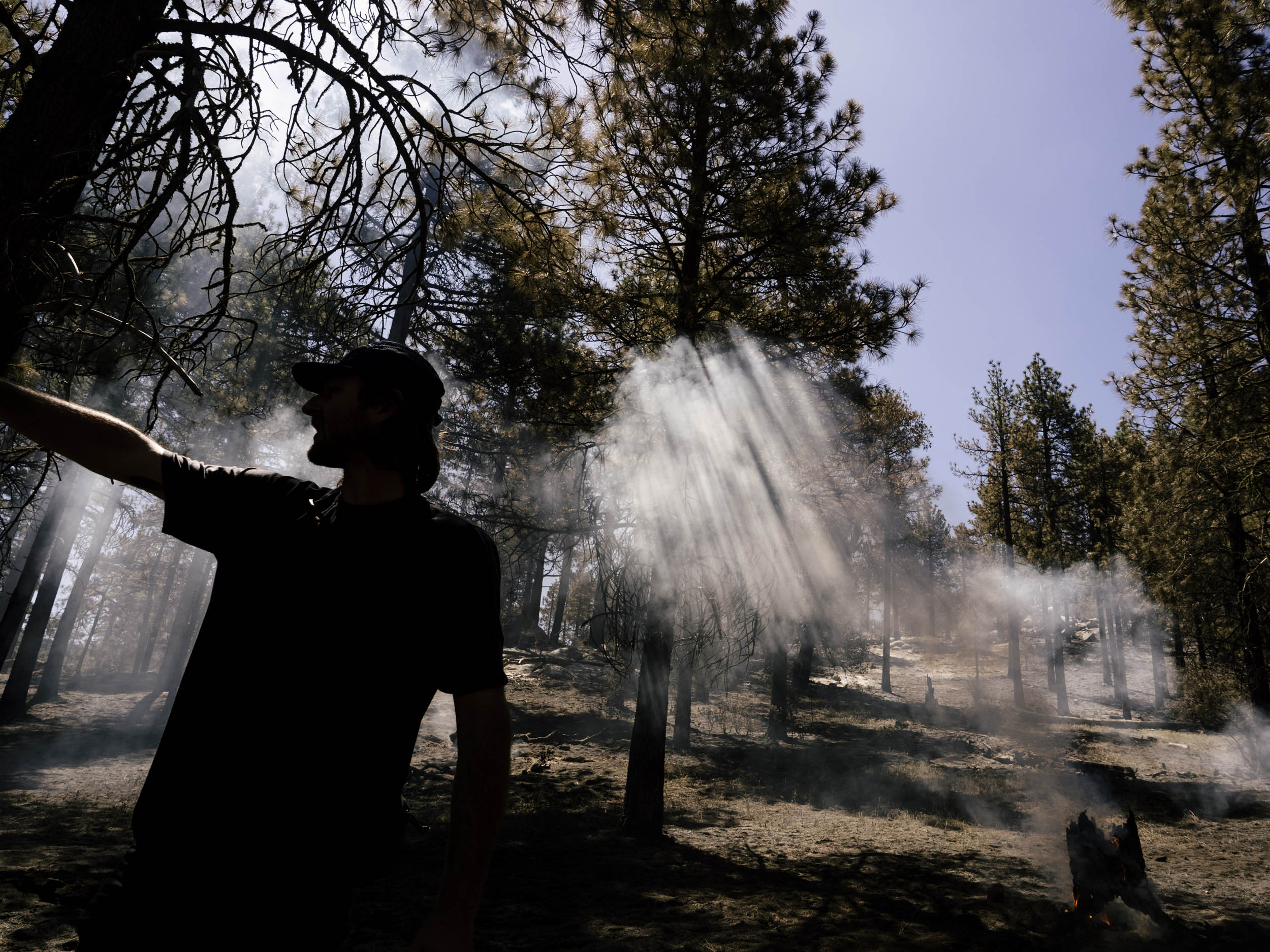
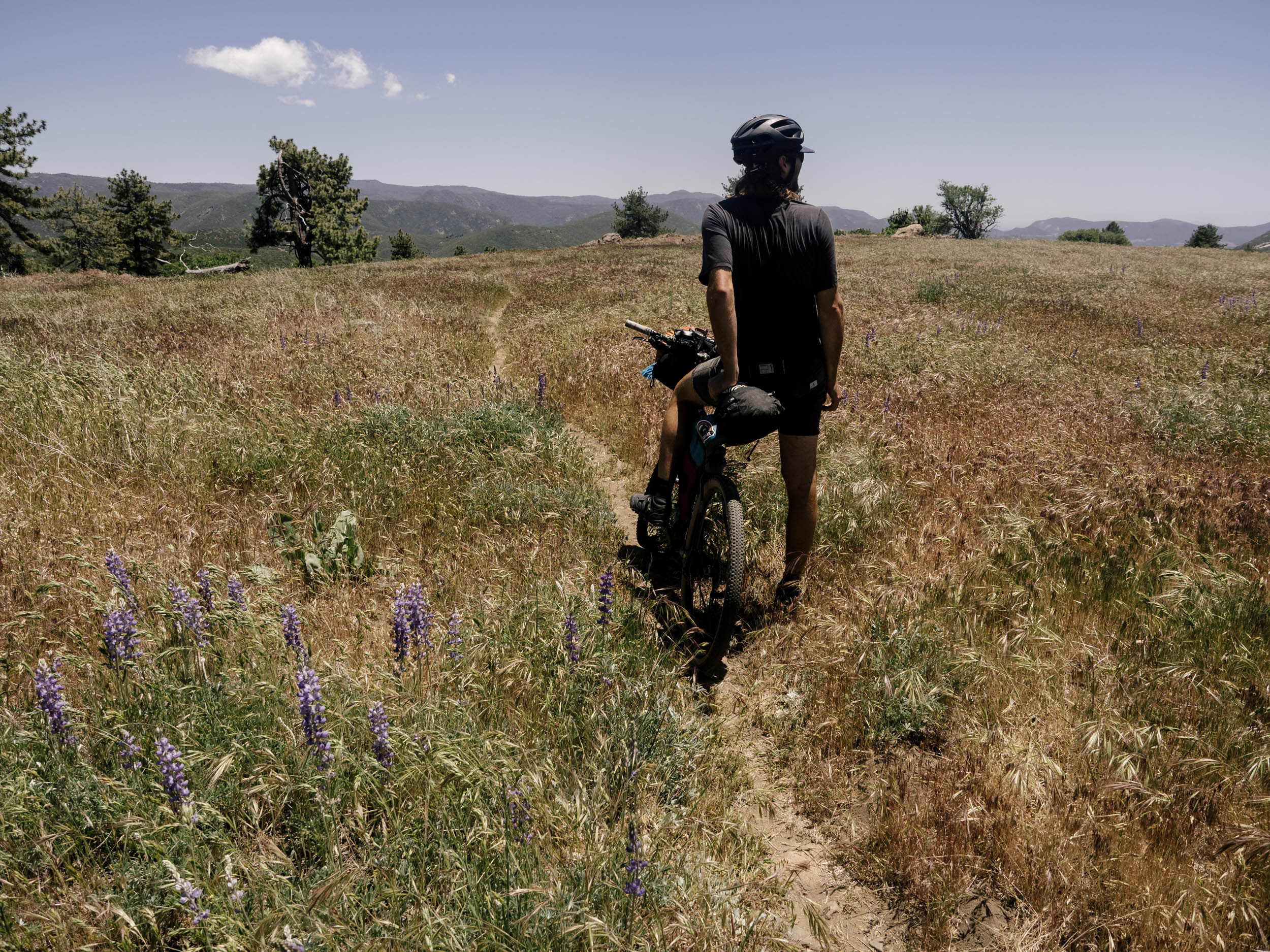
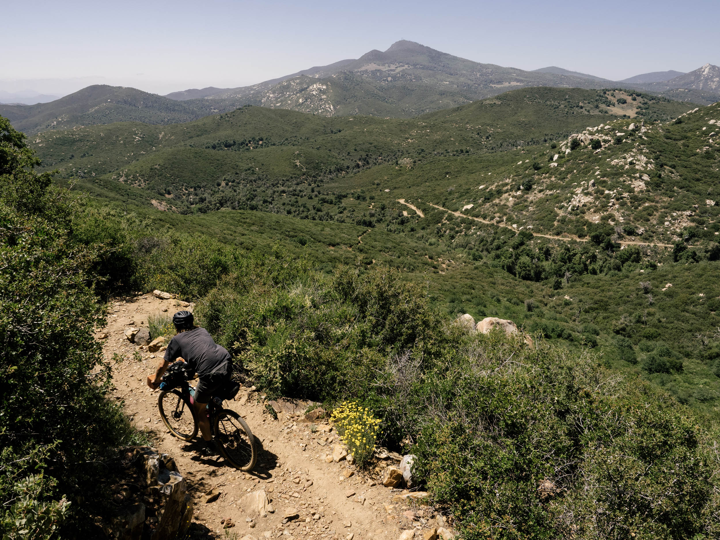
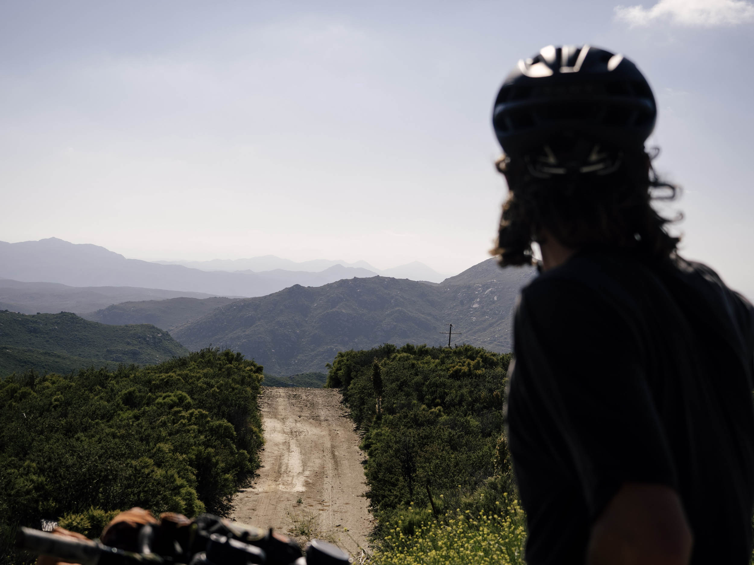
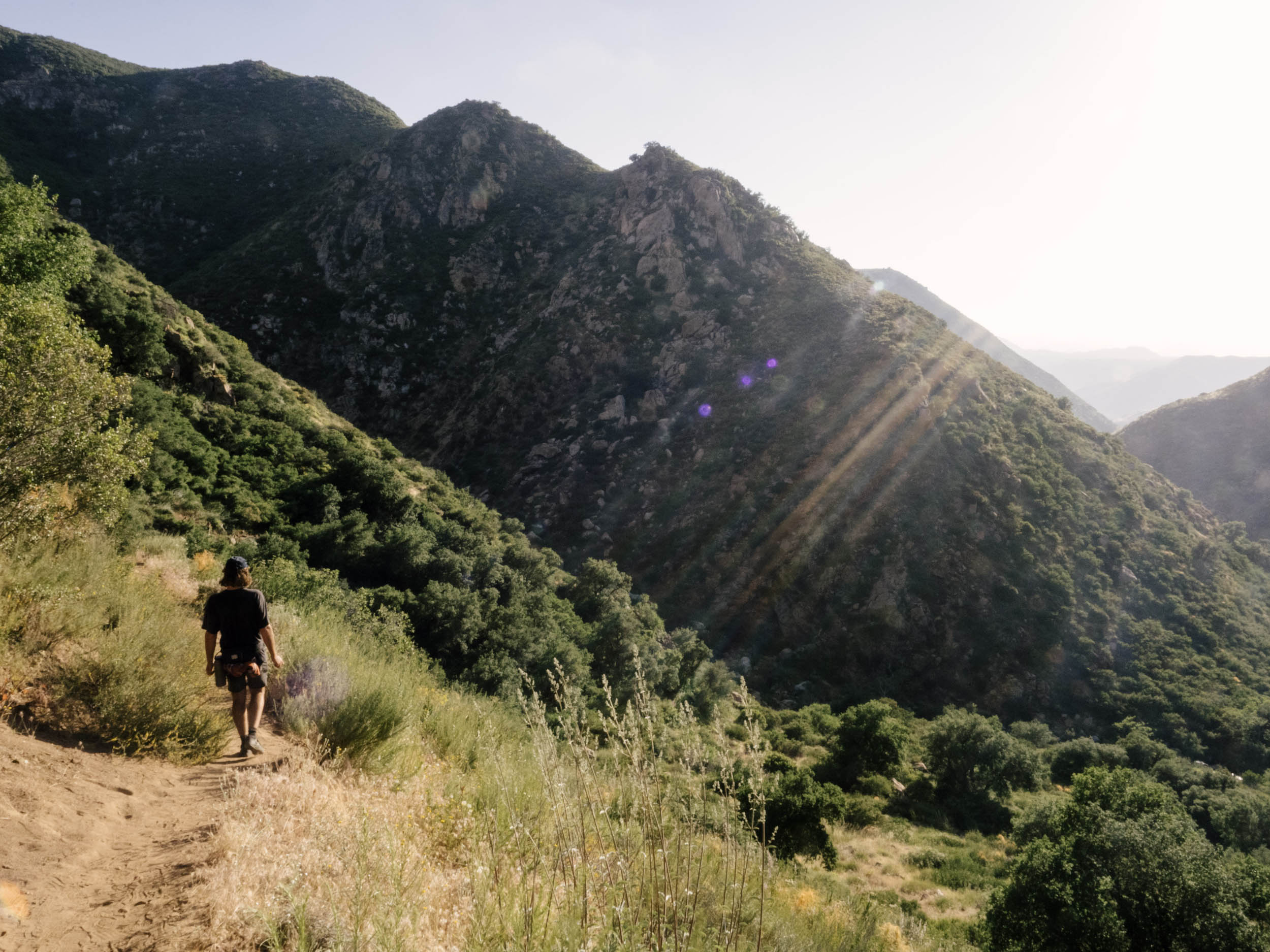
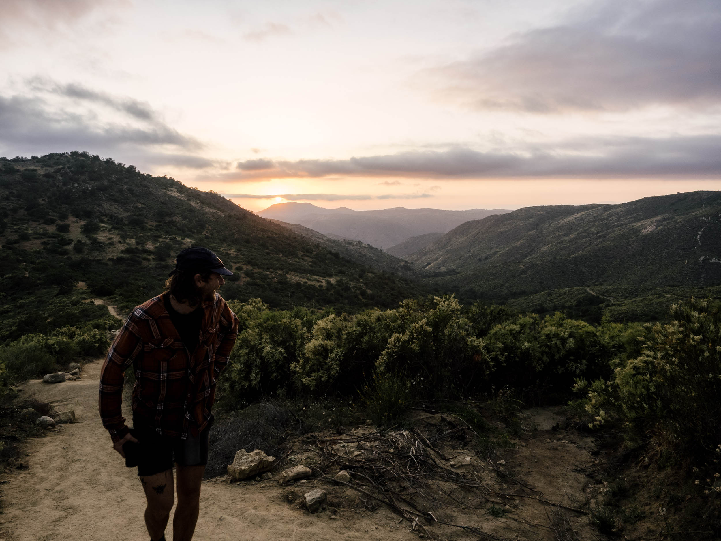
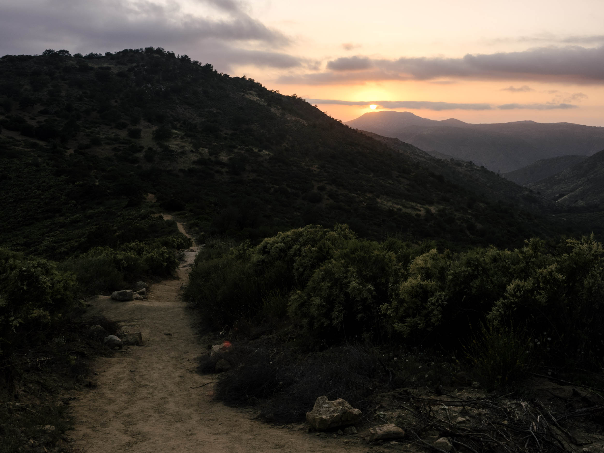
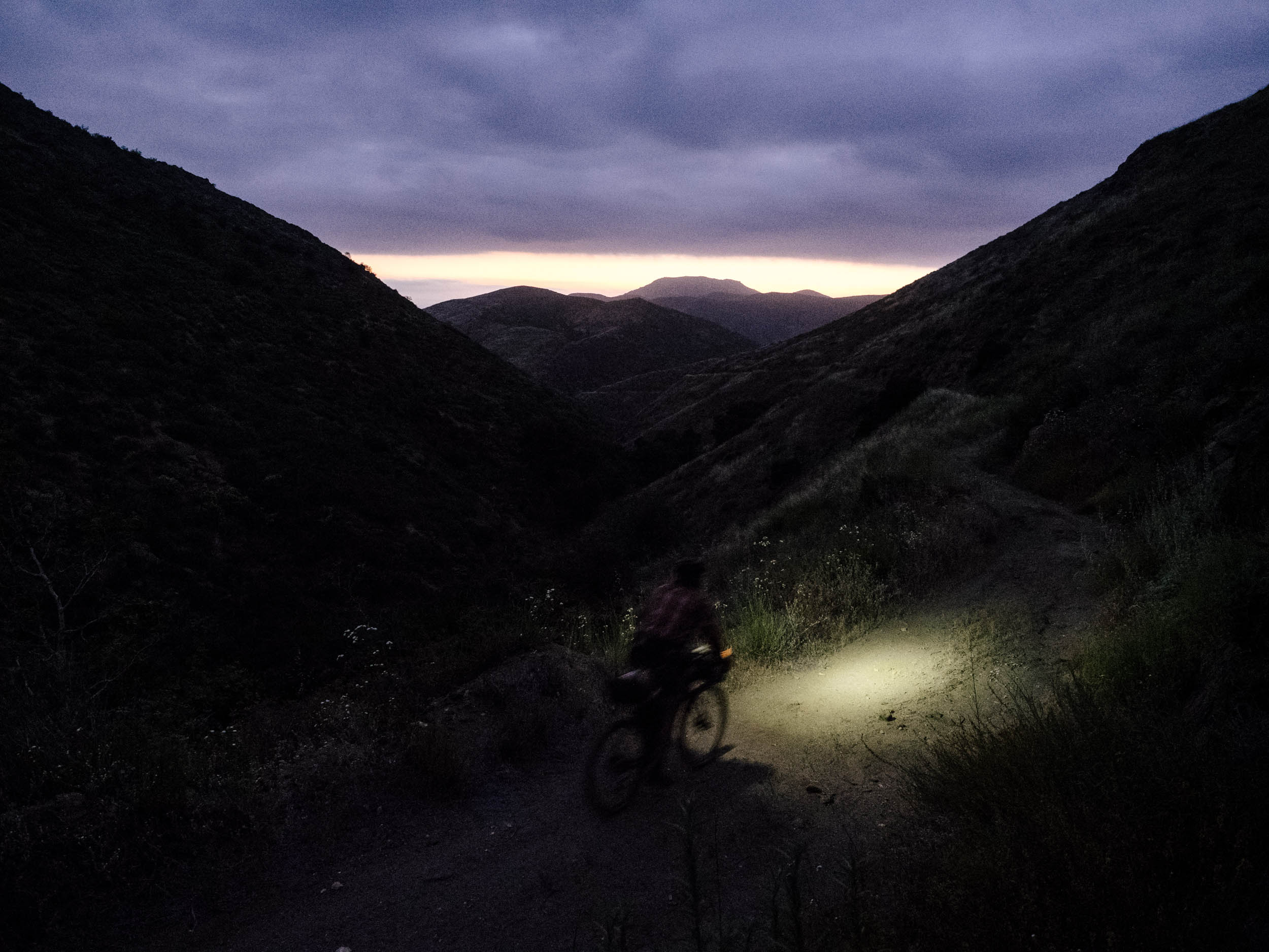
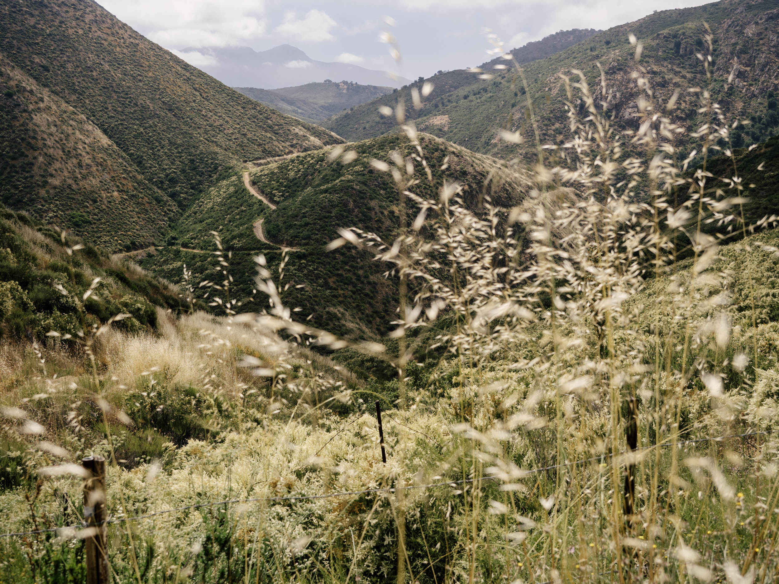
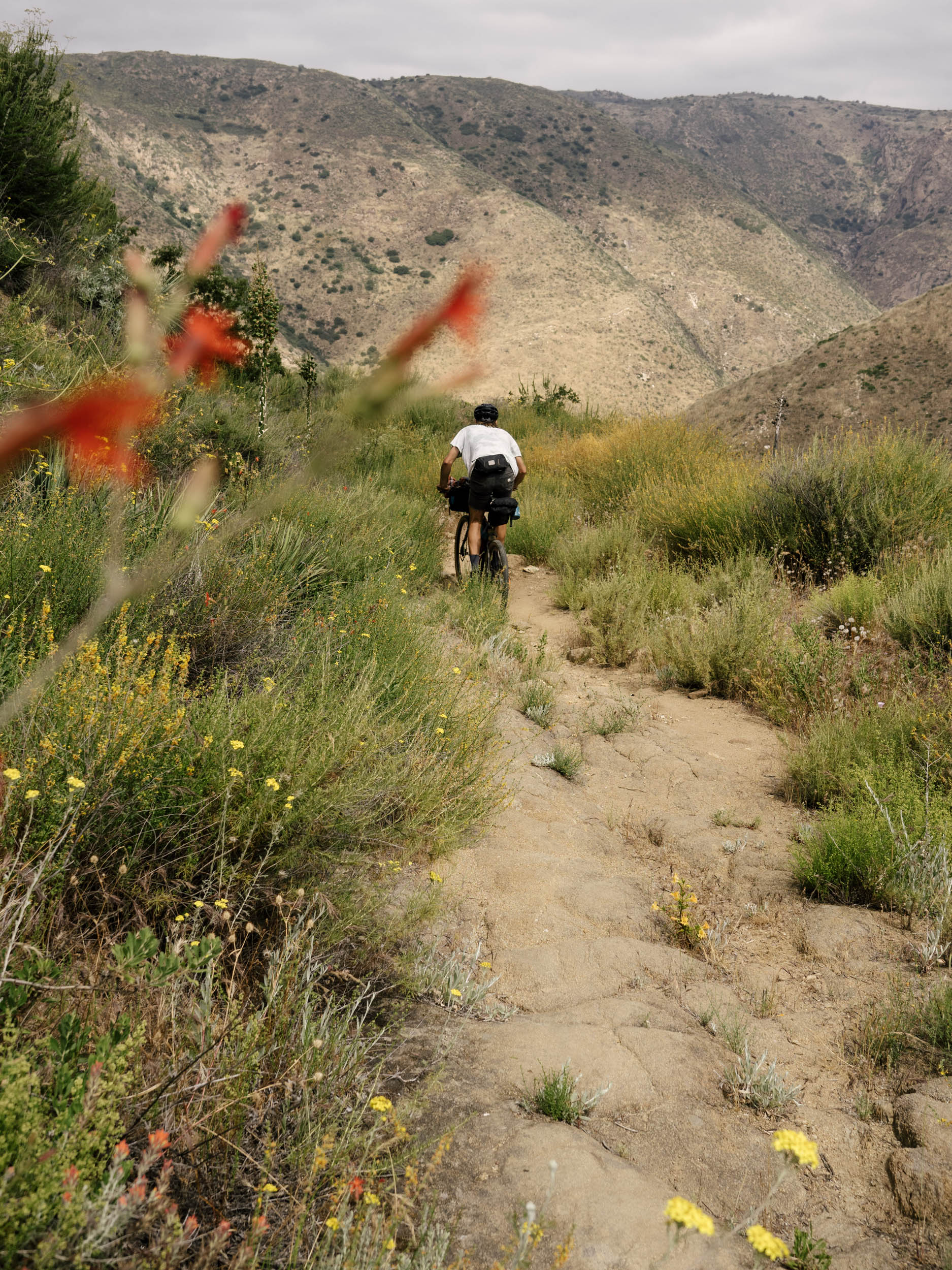
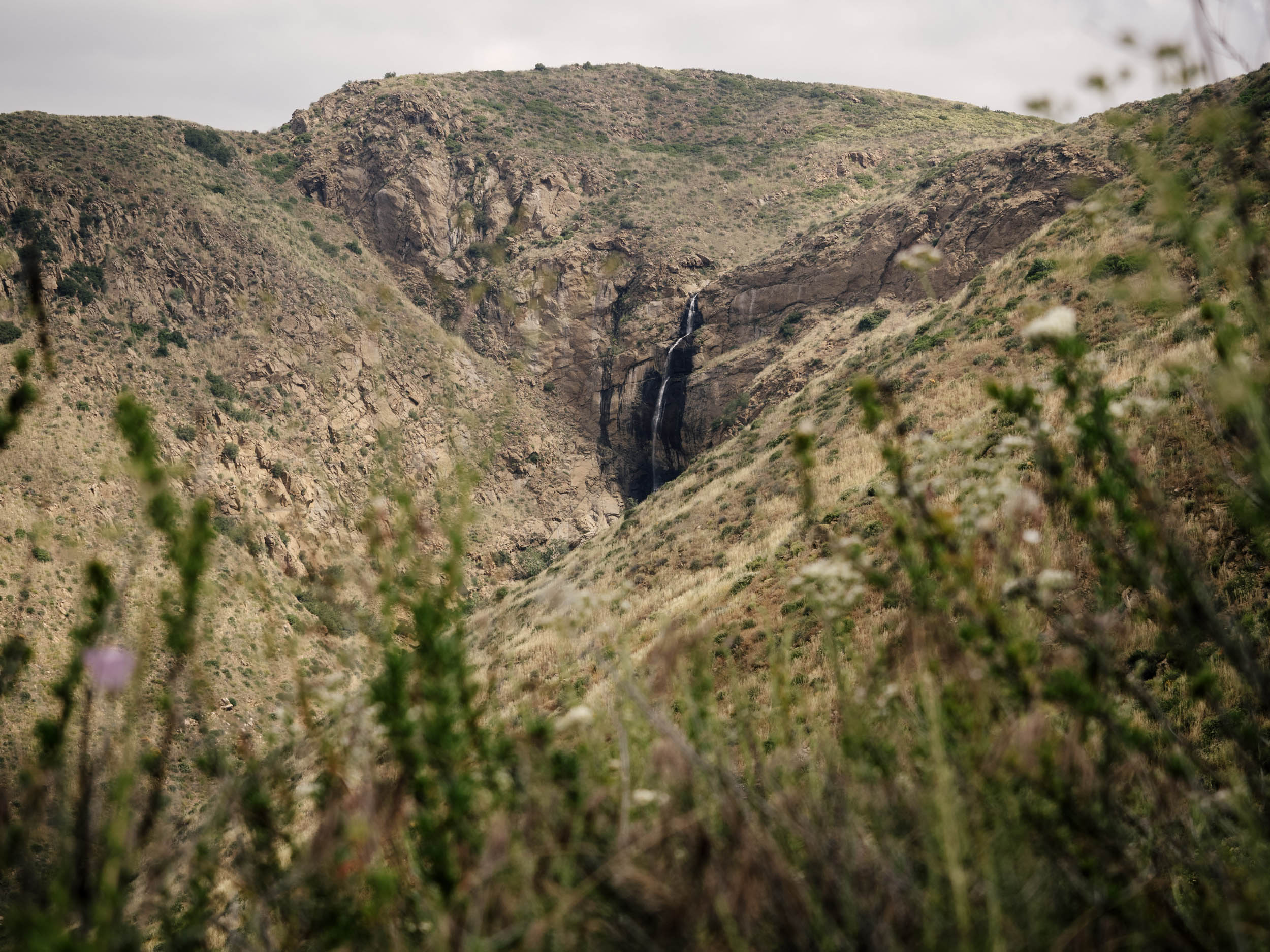
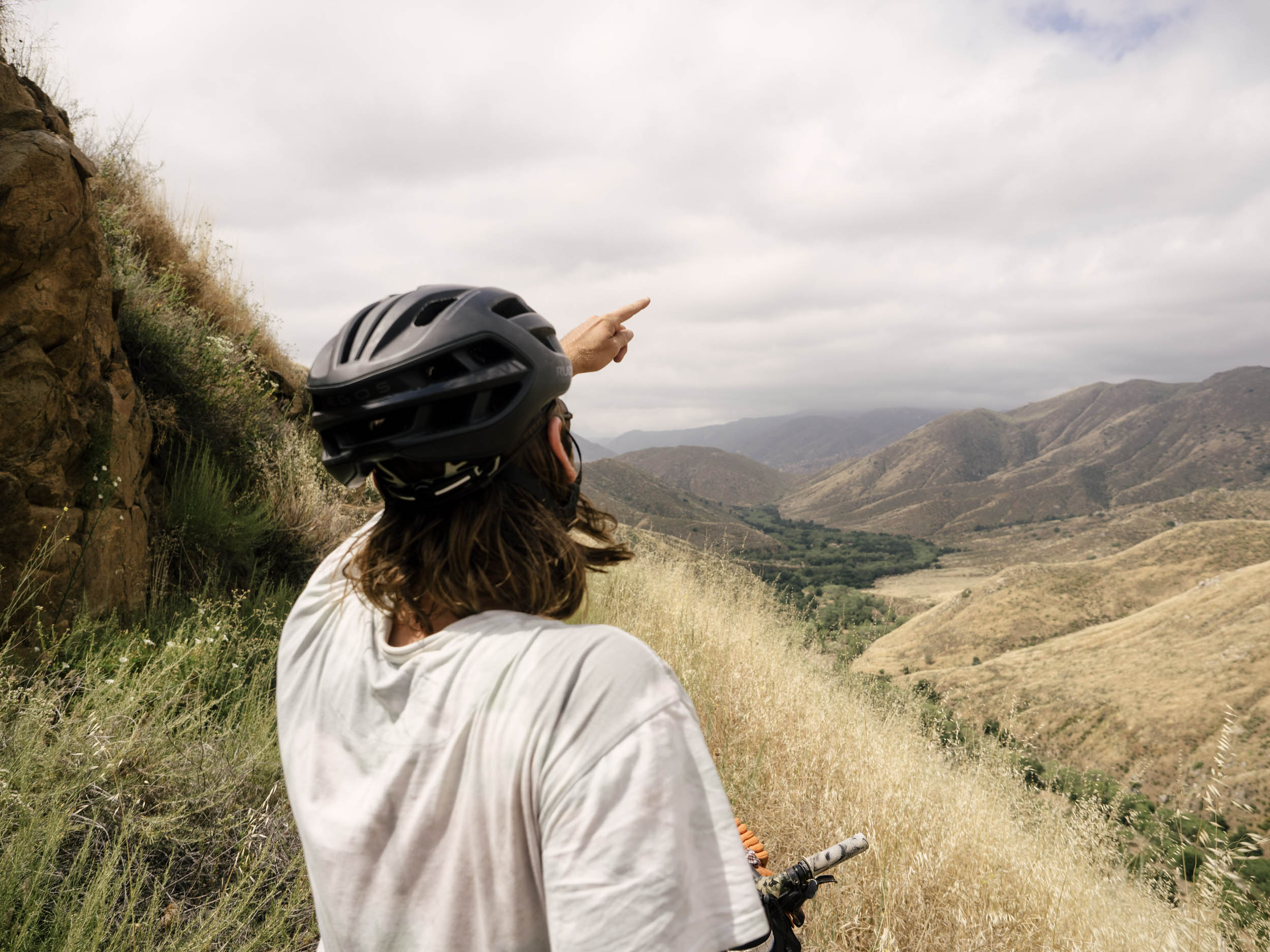
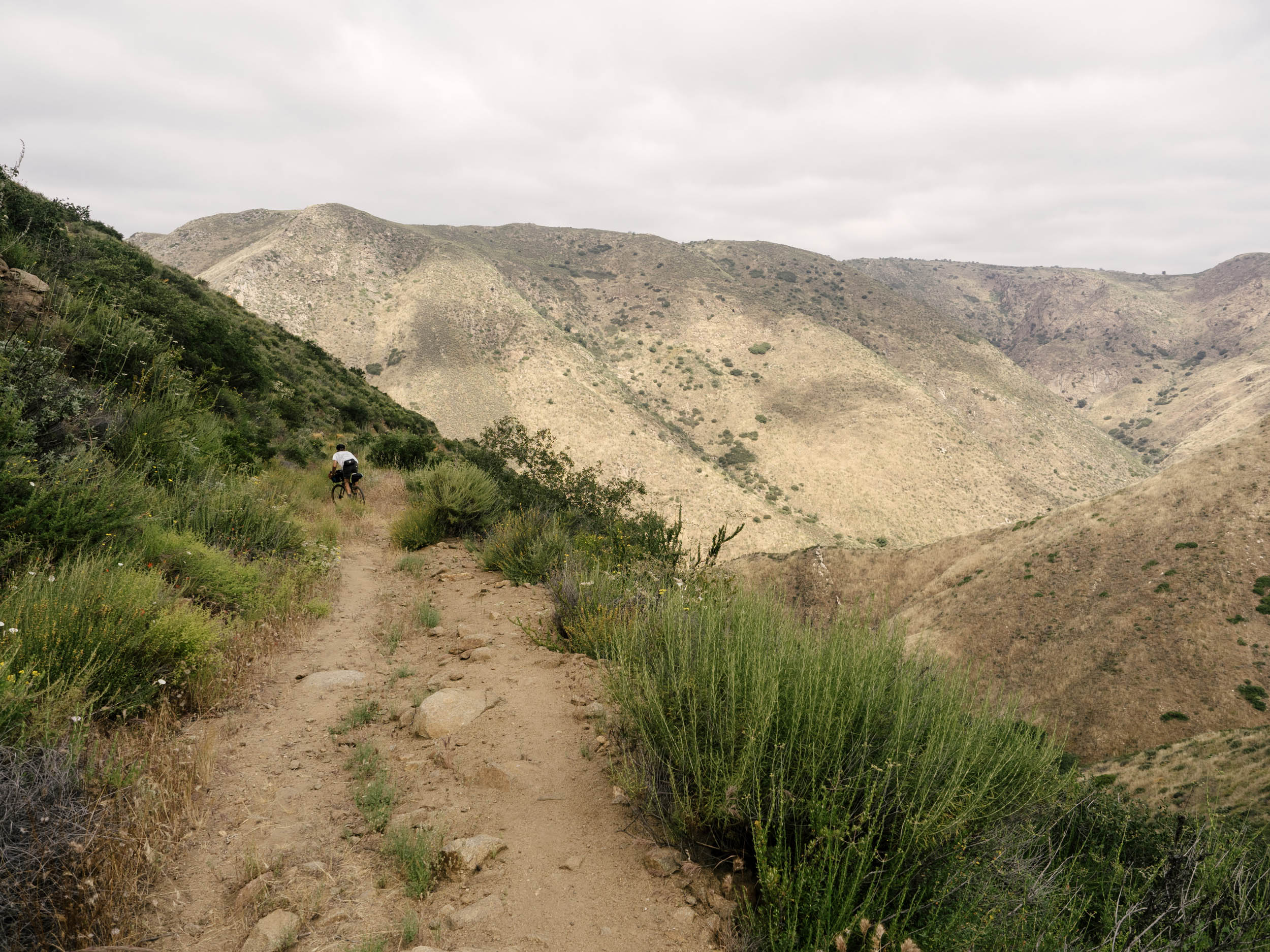
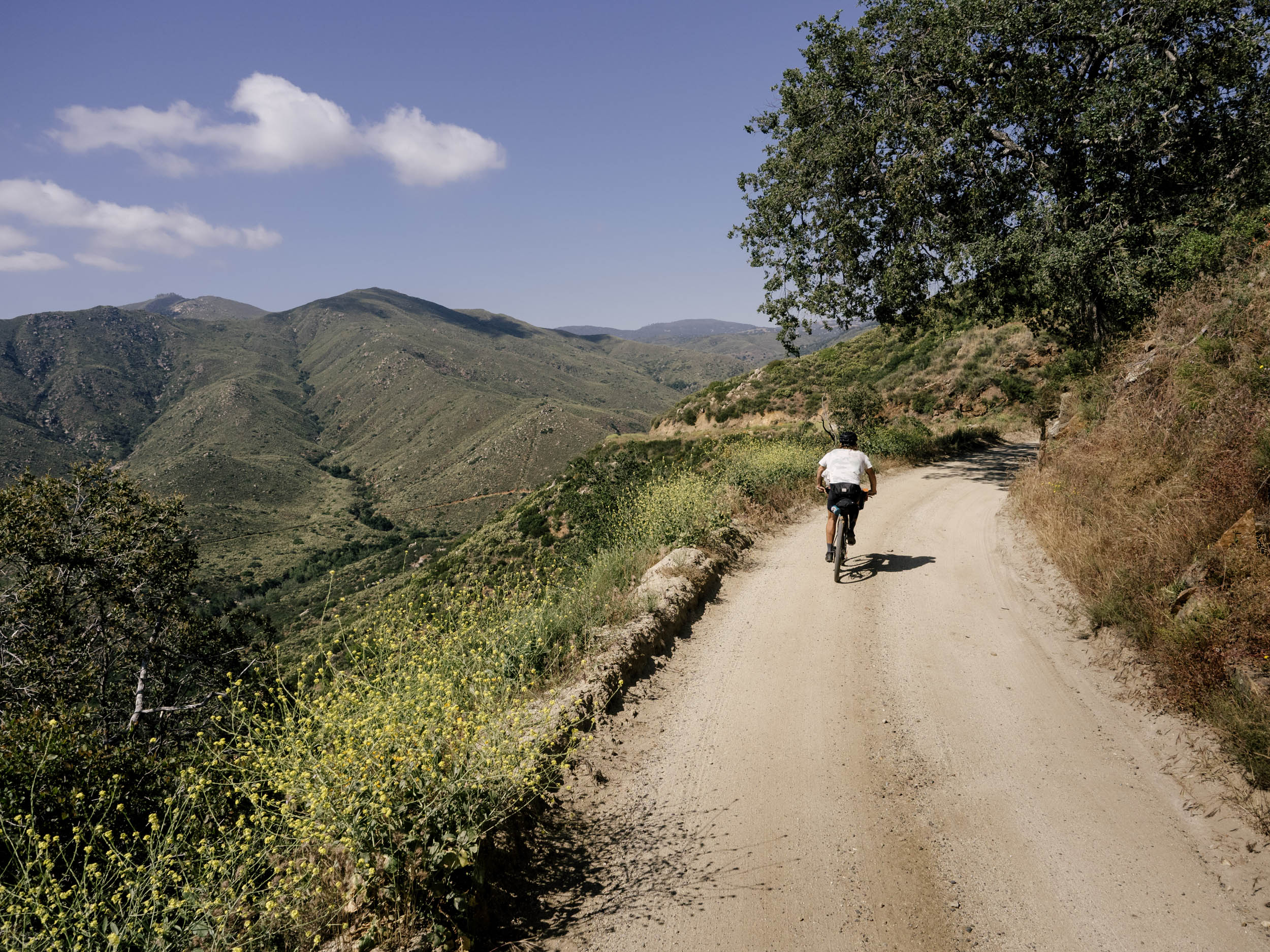
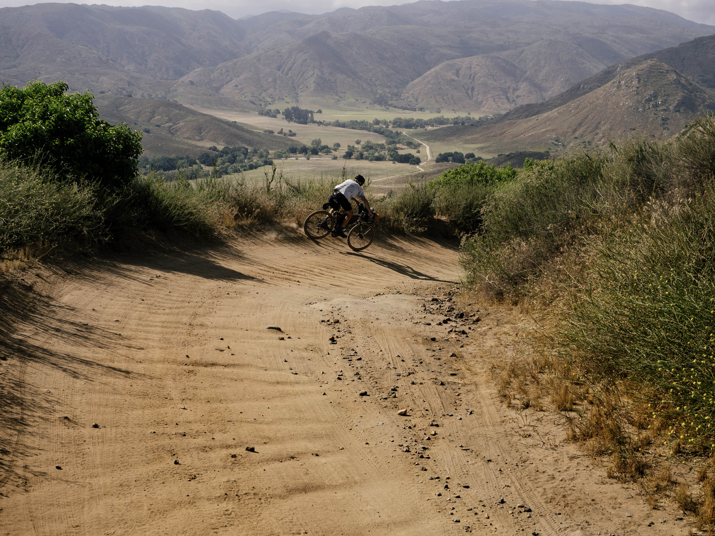
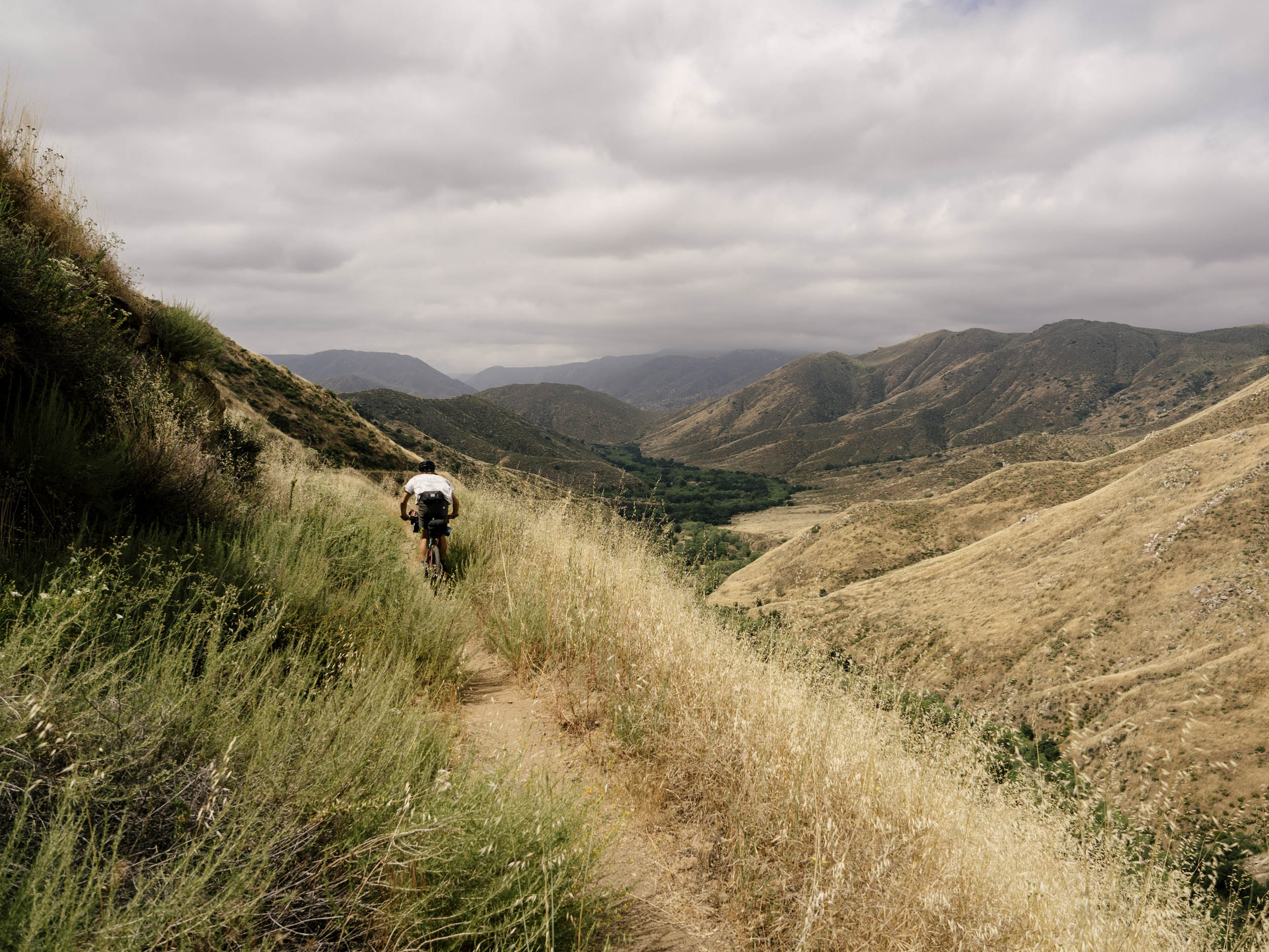
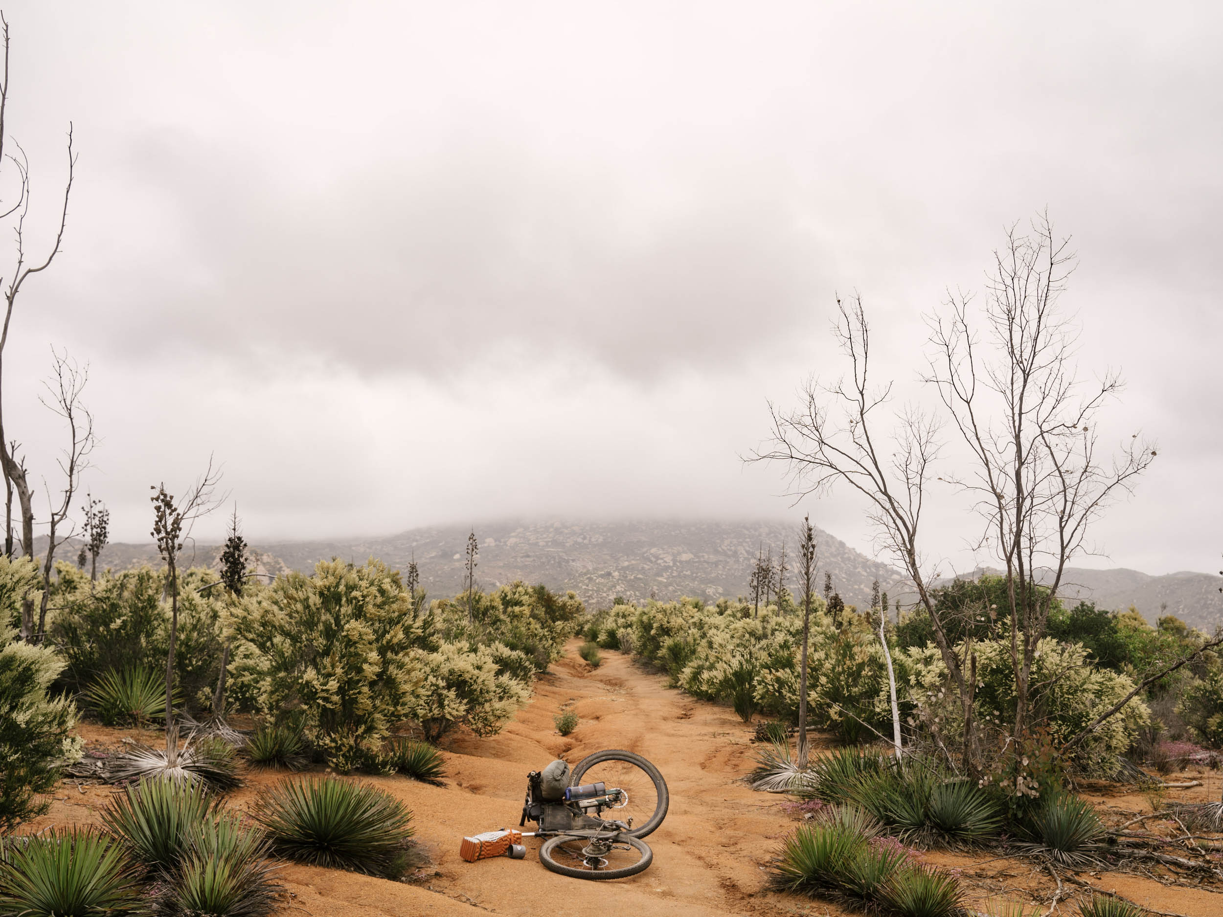
Mount Laguna stretches a cool 6,400 feet above the ocean that, on clear days, is still in view. This route starts from just down the road and begins by dropping into the Gatos singletrack, complete with natural skinnies and flowing berms, and then trundles around the meadows on the Big Laguna Trail. You begin the ride through blooming wildflowers and traverse over to Cuyamaca using the Indian Creek singletrack, which is a rugged and wild piece of backcountry trail that sees less use the further you go. Expect to see little traffic after a couple of hours on the first day.
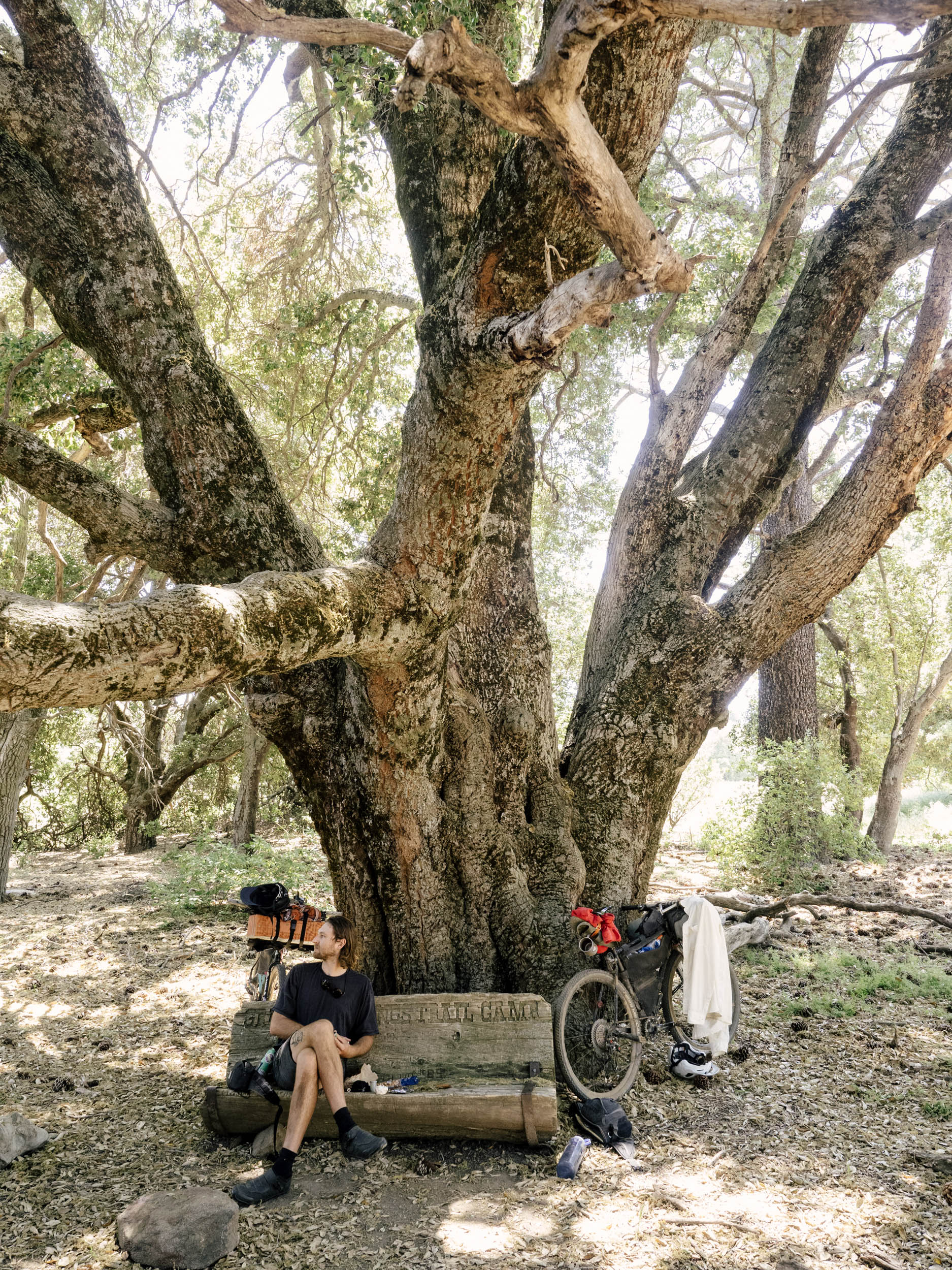
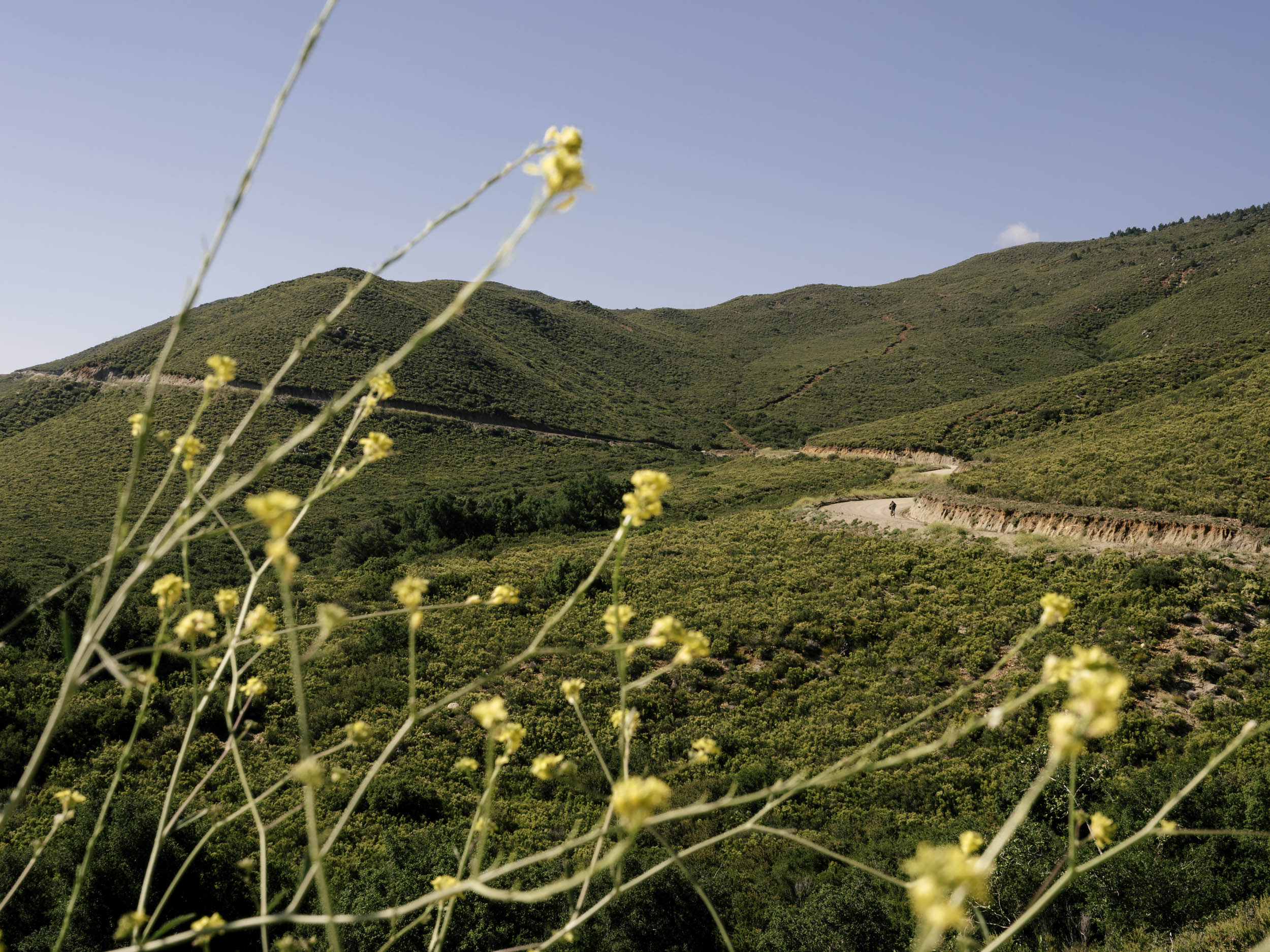
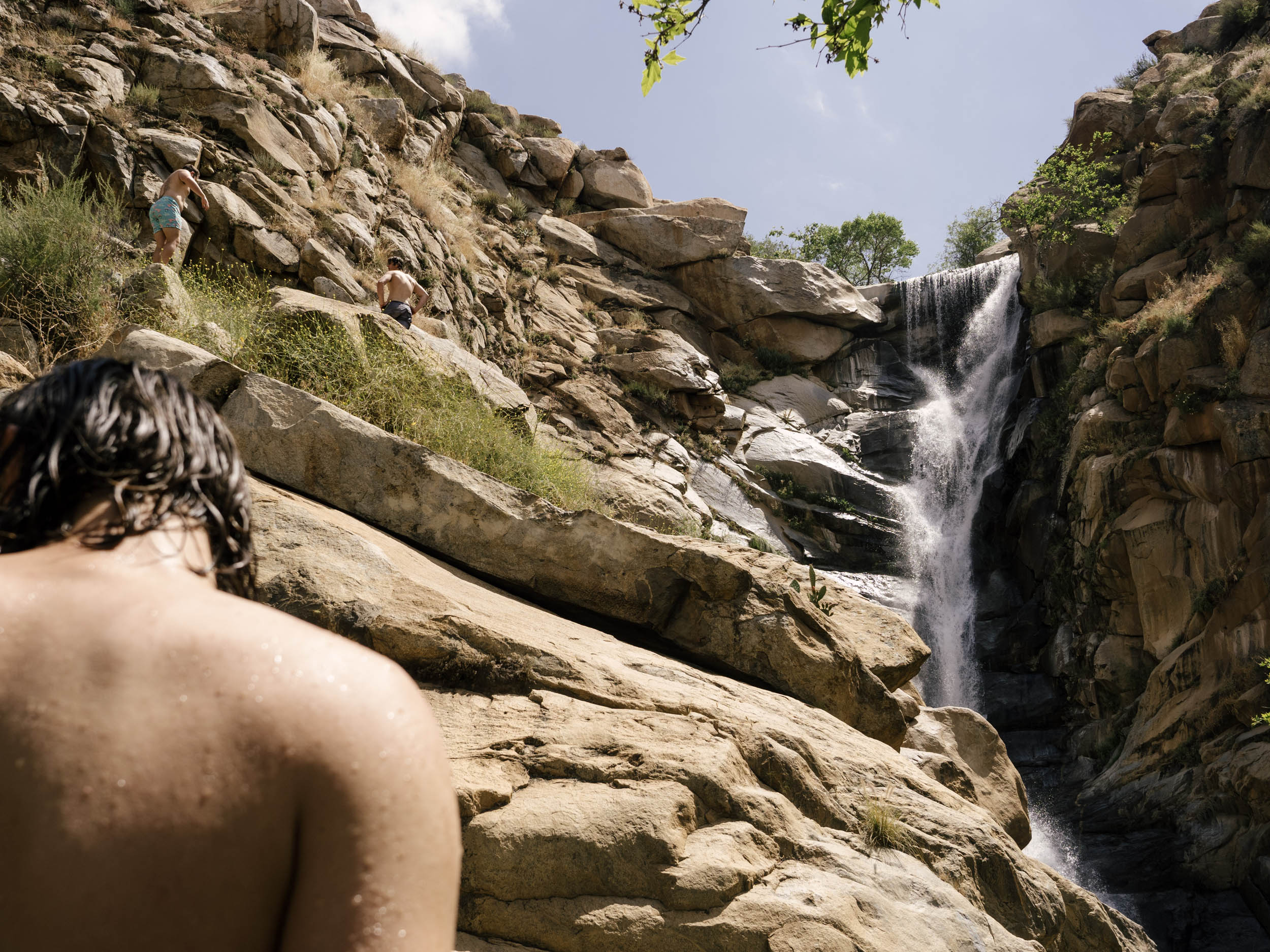
After traversing to Cuyamaca, you will descend into Descanso, where you can resupply at the Perkins Market. Load up for the long and exposed climb up Boulder Creek! But keep your head on a swivel for the expansive views off to East County and further to the ocean. After a couple of hours on the road, you arrive at Three Sisters Falls, an iconic San Diego destination for weekender hikers. Lock the bikes, grab a towel, and enjoy the hour hike in and the hundred-foot rock slide or the thirty-foot jump into the upper pool. The water is flowing really well right now, and it’s a refreshing end to a nice first day dunking in the water. Hike back out, and after a 20-minute descent is one of the most peaceful campsites I have ever found, situated in a small valley next to a trundling creek. We often hammock here, but there is also space for a tent, and I’ve never seen anyone else back in this valley.
Day 2
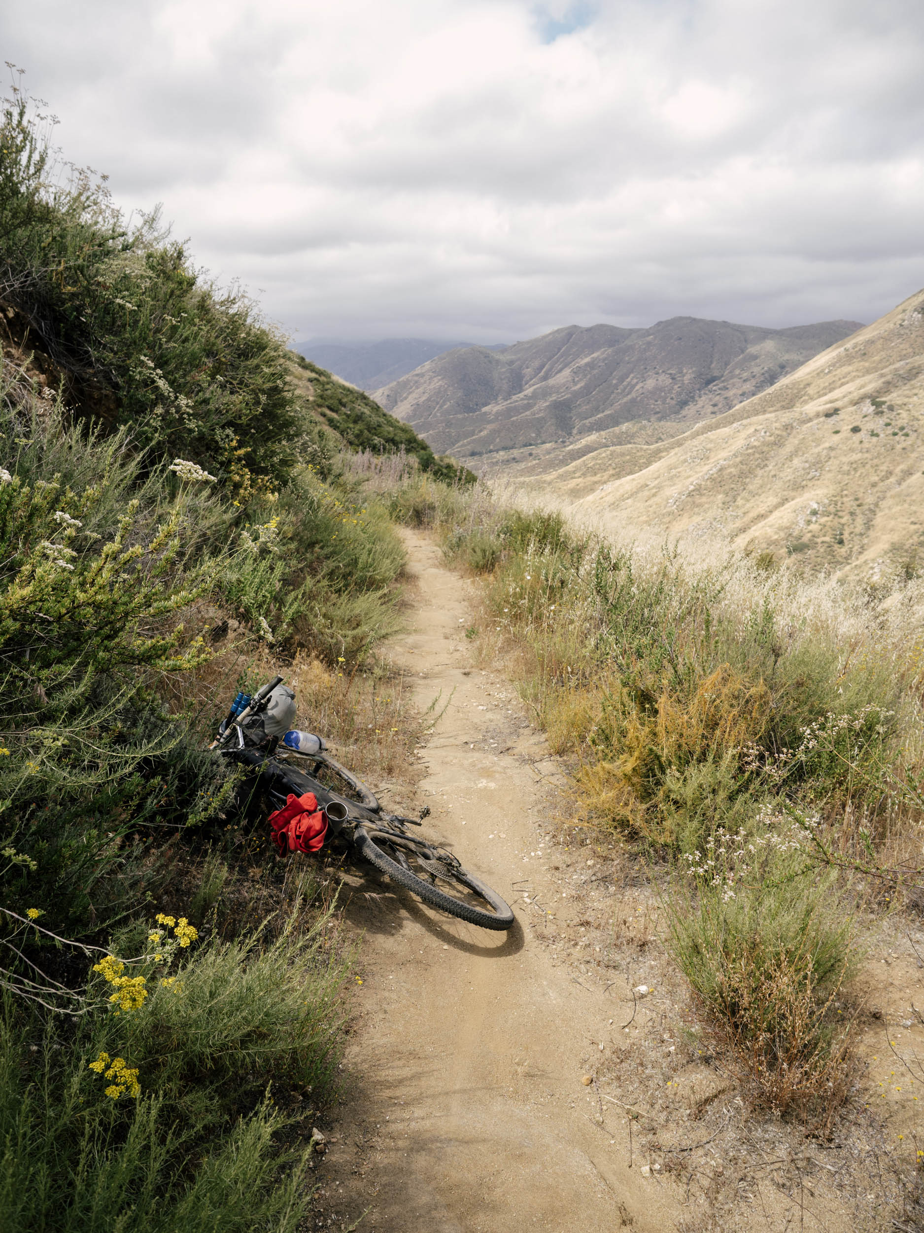
25 miles +2,500 ft Riding / 1 mile +80 ft Hiking
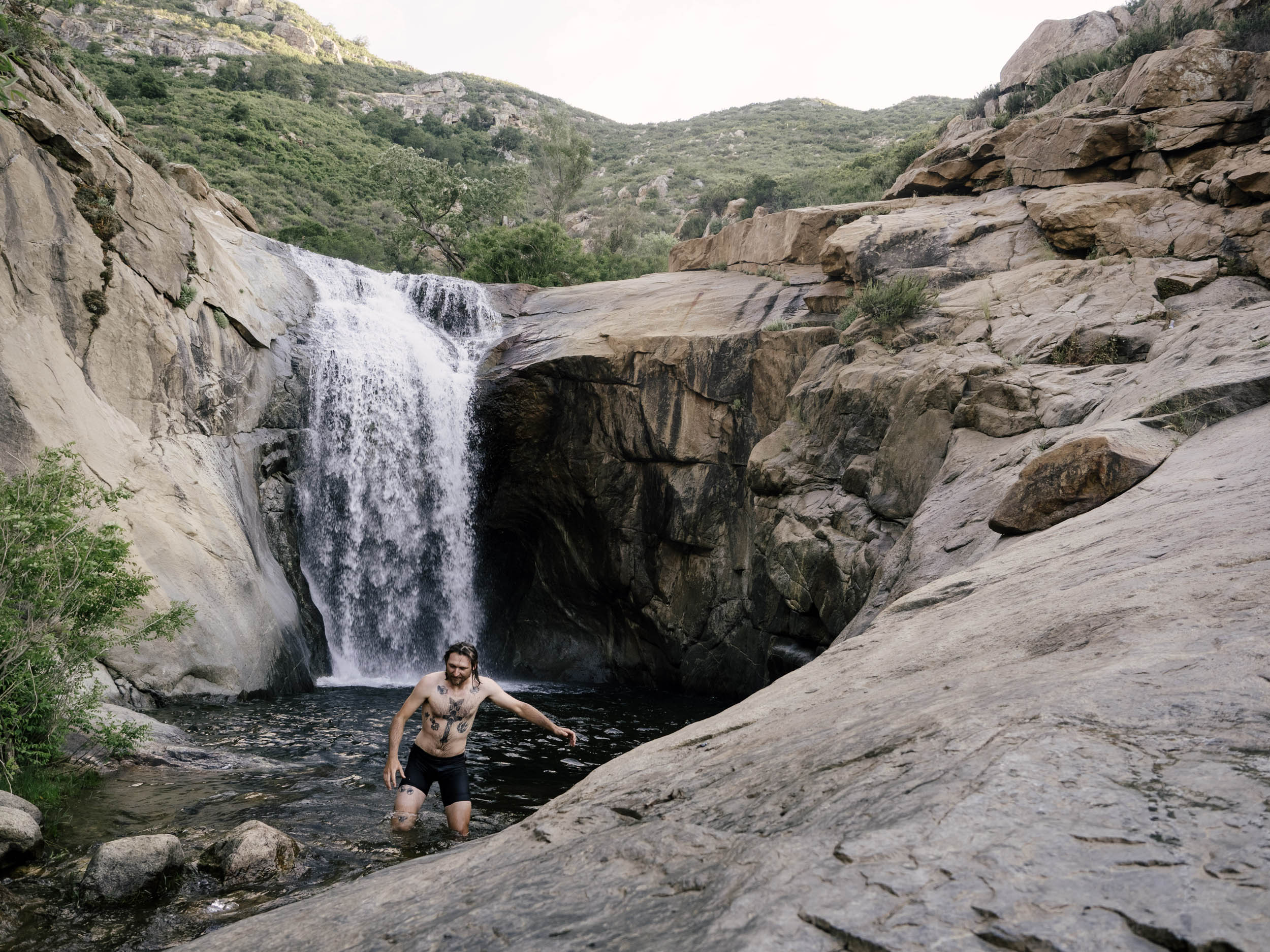
On day two, you ride out of the valley, over the ridge to Eagle Peak, and drop into Cedar Creek from the back way. This seldom-used trail offers a view of the San Diego River as it begins, and at the bottom, you can lock your bike again and hike into Cedar Creek Falls, the other iconic swimming destination for weekend hikers (make sure to get a permit before you go!) This hike is only 40 minutes in total, and the falls there are worth spending some time at. Cool water, shade, a beautiful waterfall, good vibes, and a fun jump make it a lovely place to soak for a few hours.
You climb out of Cedar Creek and into Ramona, where you can stop and resupply for the evening. The Ramona Market has fantastic food for good prices. From there, you load up with a heavy stomach and push on for Black Canyon, the infamous stretch of gravel that defines the Belgian Waffle Ride. We turned off at the bottom for the truck trail, and just after that intersection, there’s another fantastic campsite next to the river in an oak grove. You can stay here and have a short 25-mile third day on the bike if you’re making it a weekend trip, or skip the loop and push all the way to the coast for a long 60ish mile second day. Be aware that camping is harder to find after this spot, although not impossible.
Day 3
48 mi +2,400 ft Riding
After Black Canyon, the route follows trails through the East County, toward Poma Valley, and into Bandy Canyon, where it connects to the singletrack network in Lake Hodges. This follows out toward the coast, where it rides the infamous Switchbacks Trail and the Coast to Crest Trail, where it ends at Torrey Pines State Beach. After about 120 miles, you can touch your tires in the sand and rinse it all off.


Terms of Use: As with each bikepacking route guide published on BIKEPACKING.com, should you choose to cycle this route, do so at your own risk. Prior to setting out check current local weather, conditions, and land/road closures. While riding, obey all public and private land use restrictions and rules, carry proper safety and navigational equipment, and of course, follow the #leavenotrace guidelines. The information found herein is simply a planning resource to be used as a point of inspiration in conjunction with your own due-diligence. In spite of the fact that this route, associated GPS track (GPX and maps), and all route guidelines were prepared under diligent research by the specified contributor and/or contributors, the accuracy of such and judgement of the author is not guaranteed. BIKEPACKING.com LLC, its partners, associates, and contributors are in no way liable for personal injury, damage to personal property, or any other such situation that might happen to individual riders cycling or following this route.
Please keep the conversation civil, constructive, and inclusive, or your comment will be removed.