


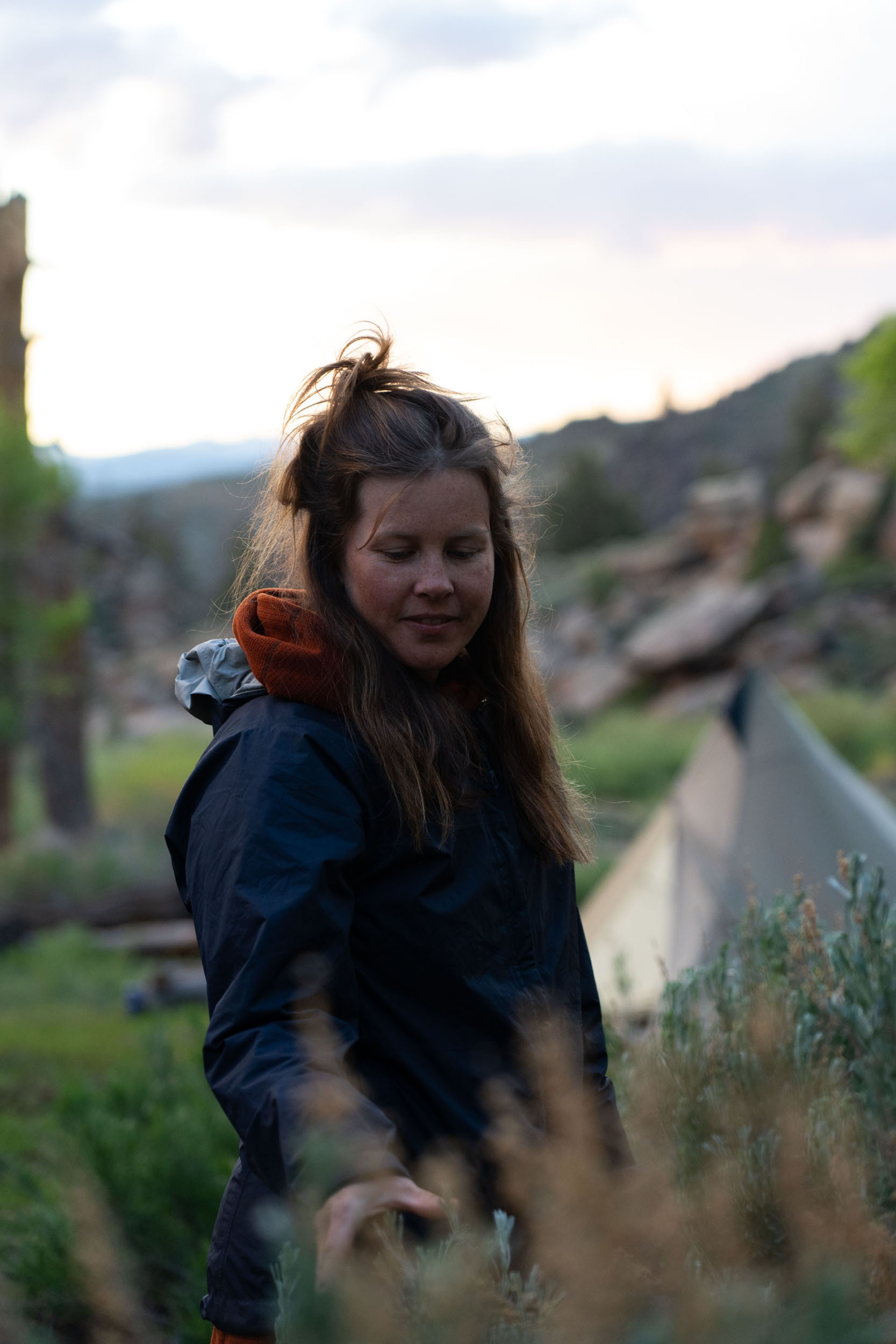
Hartman Rocks Overnighter
Distance
30 Mi.
(48 KM)Days
2
% Unpaved
64%
% Singletrack
2%
% Rideable (time)
100%
Total Ascent
2,304'
(702 M)High Point
8,680'
(2,646 M)Difficulty (1-10)
3?
- 5Climbing Scale Moderate77 FT/MI (15 M/KM)
- 3Technical Difficulty Fair
- 3Physical Demand Fair
- 2Resupply & Logistics Easy
Contributed By
Neil Beltchenko
Associate Editor & YouTube Host
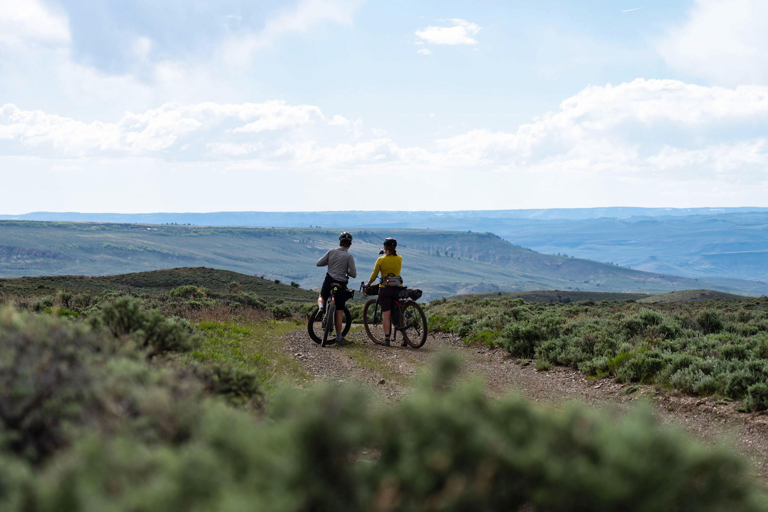
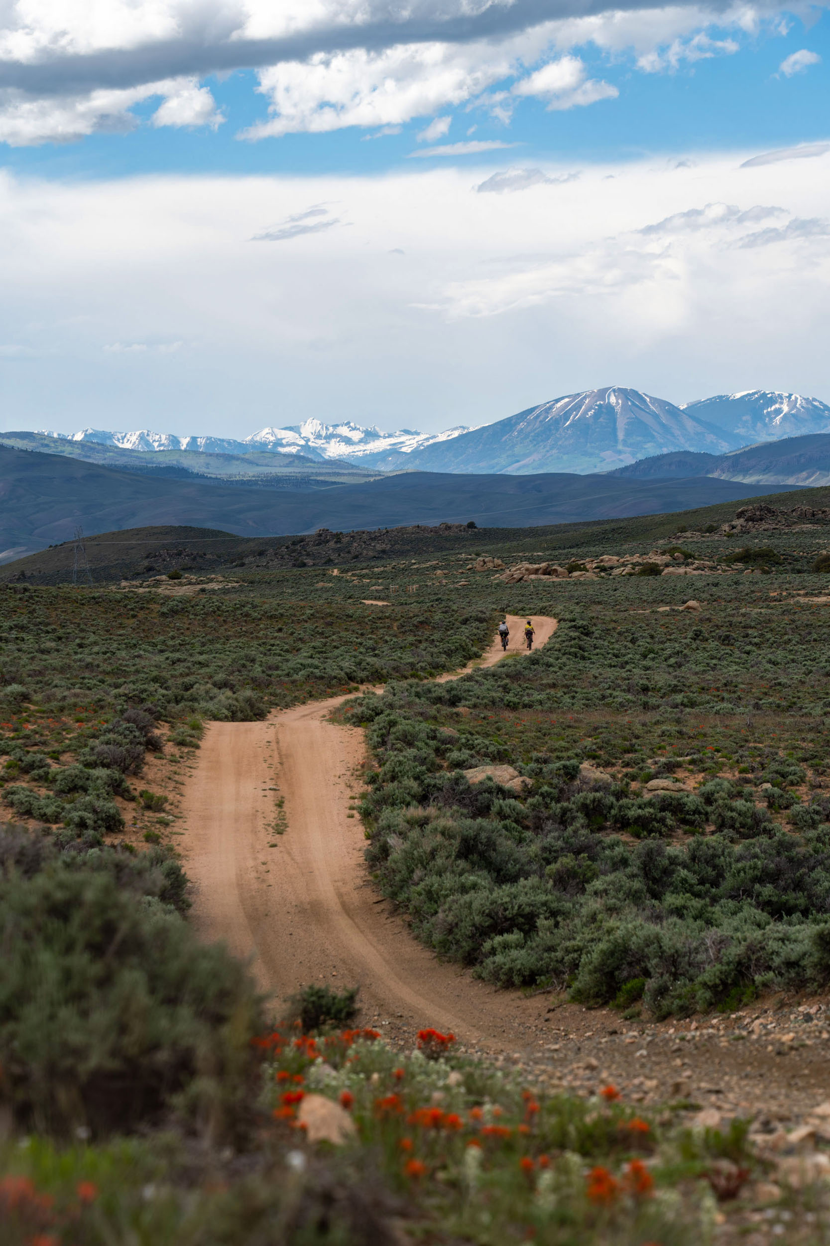
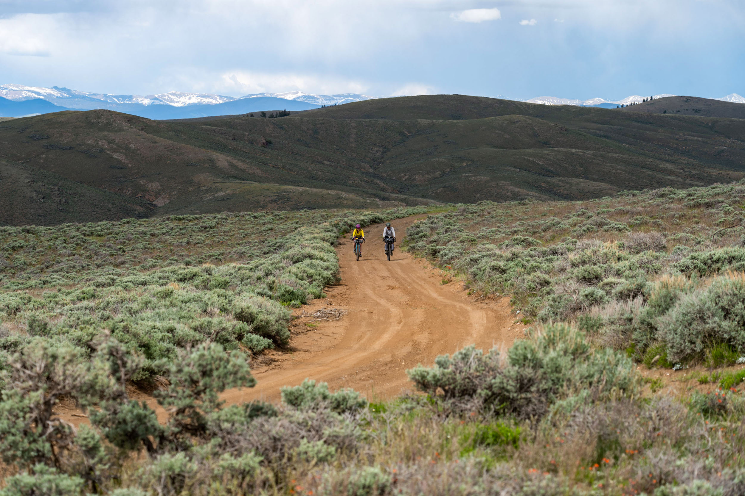
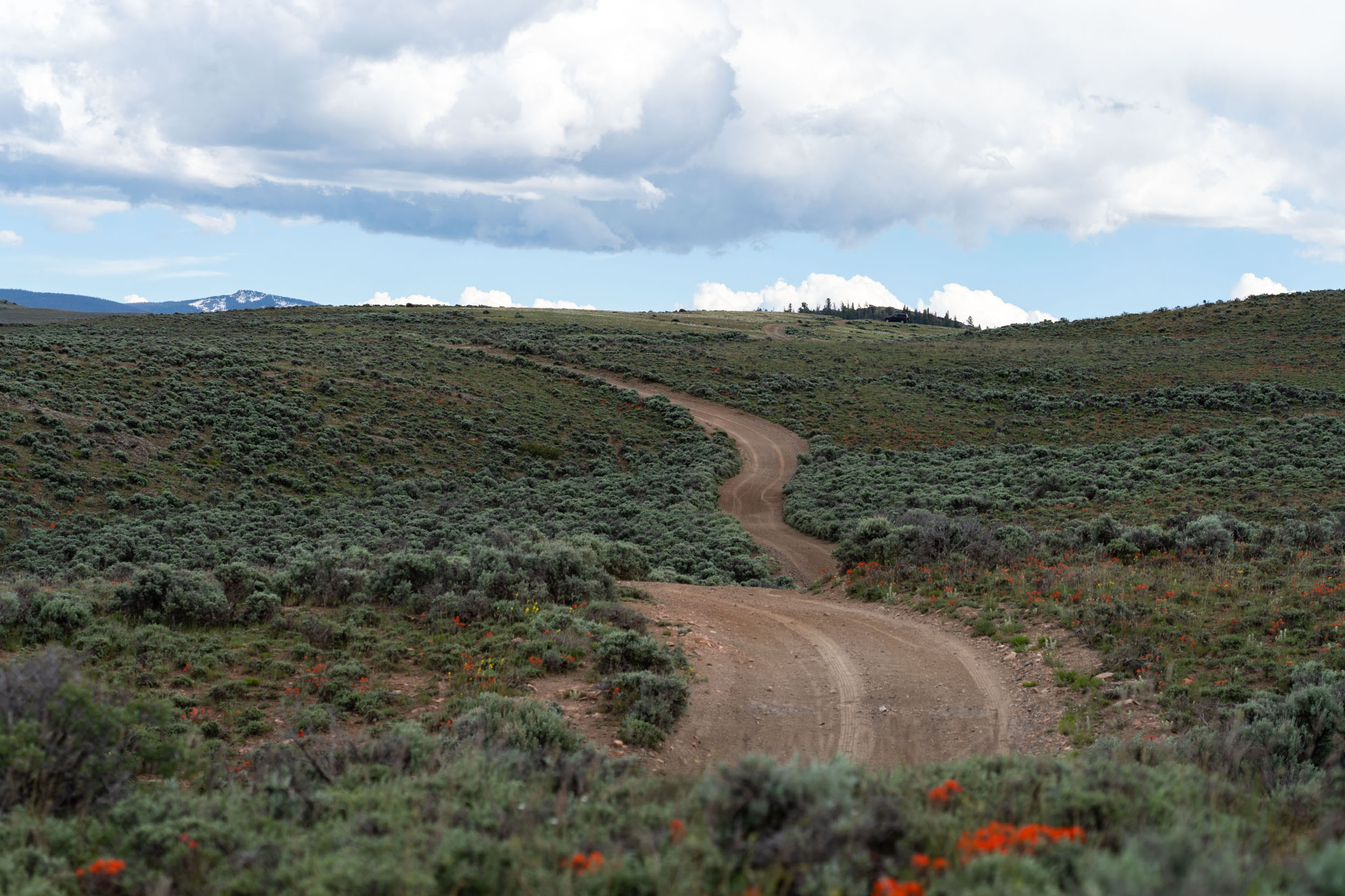
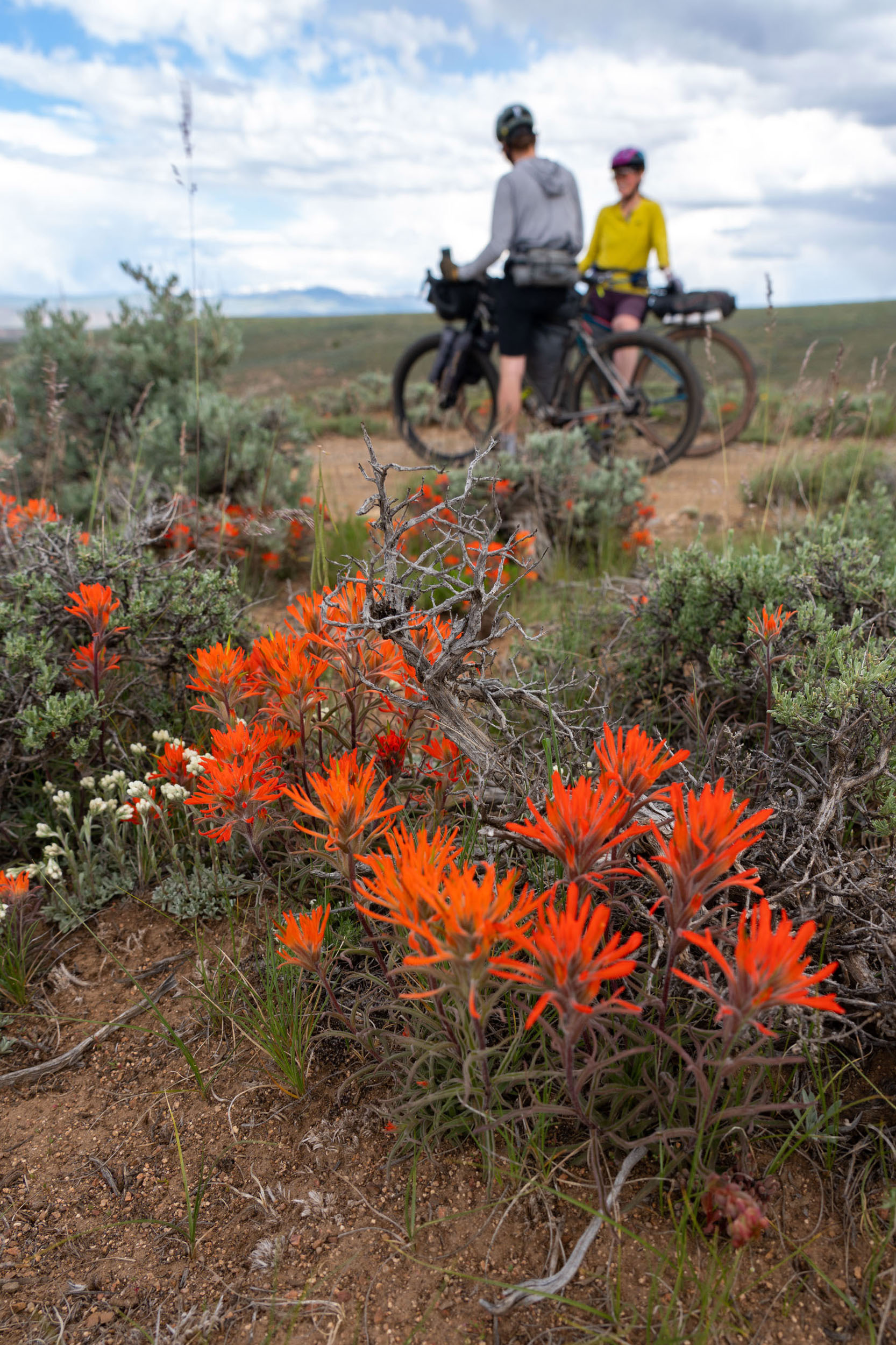
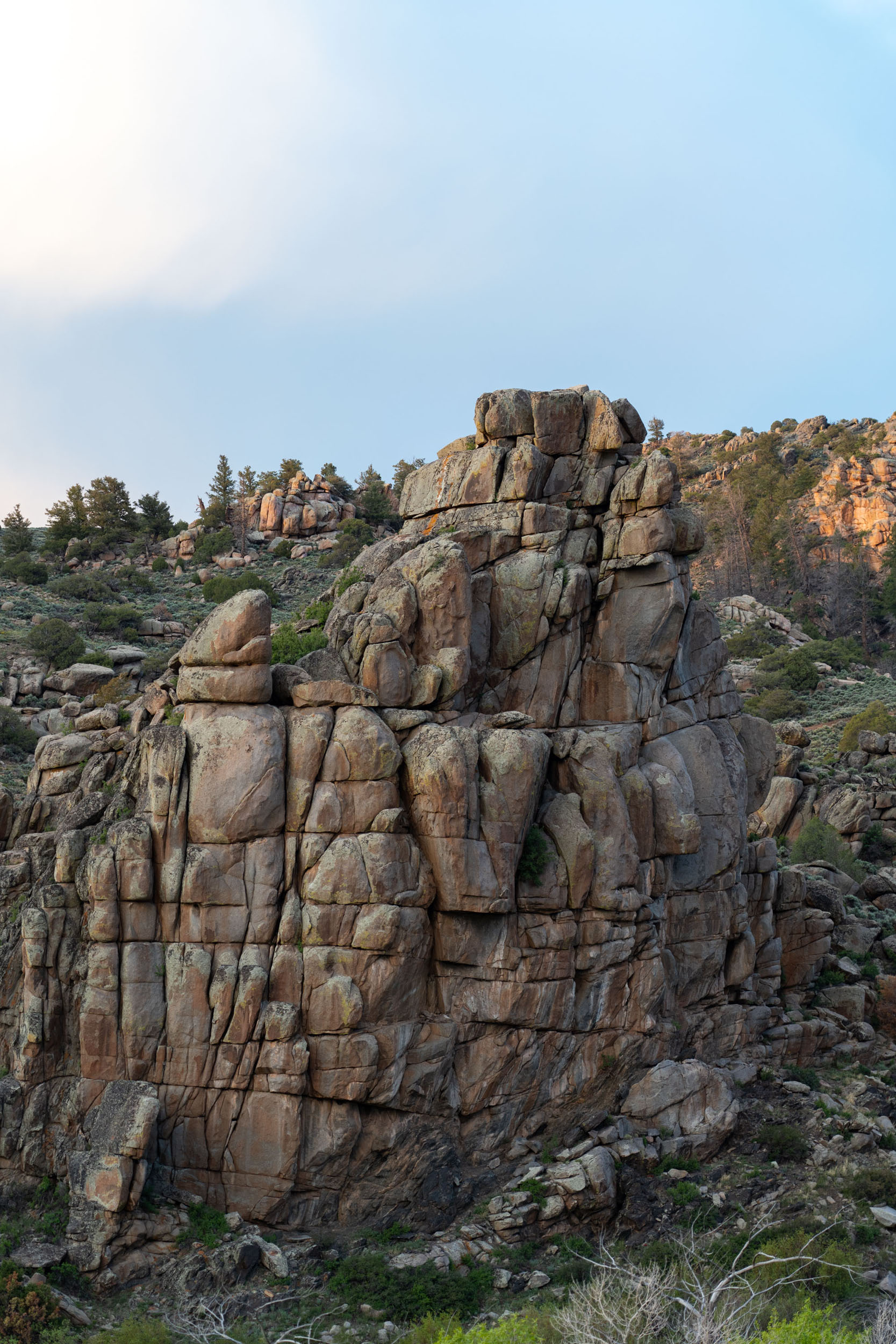
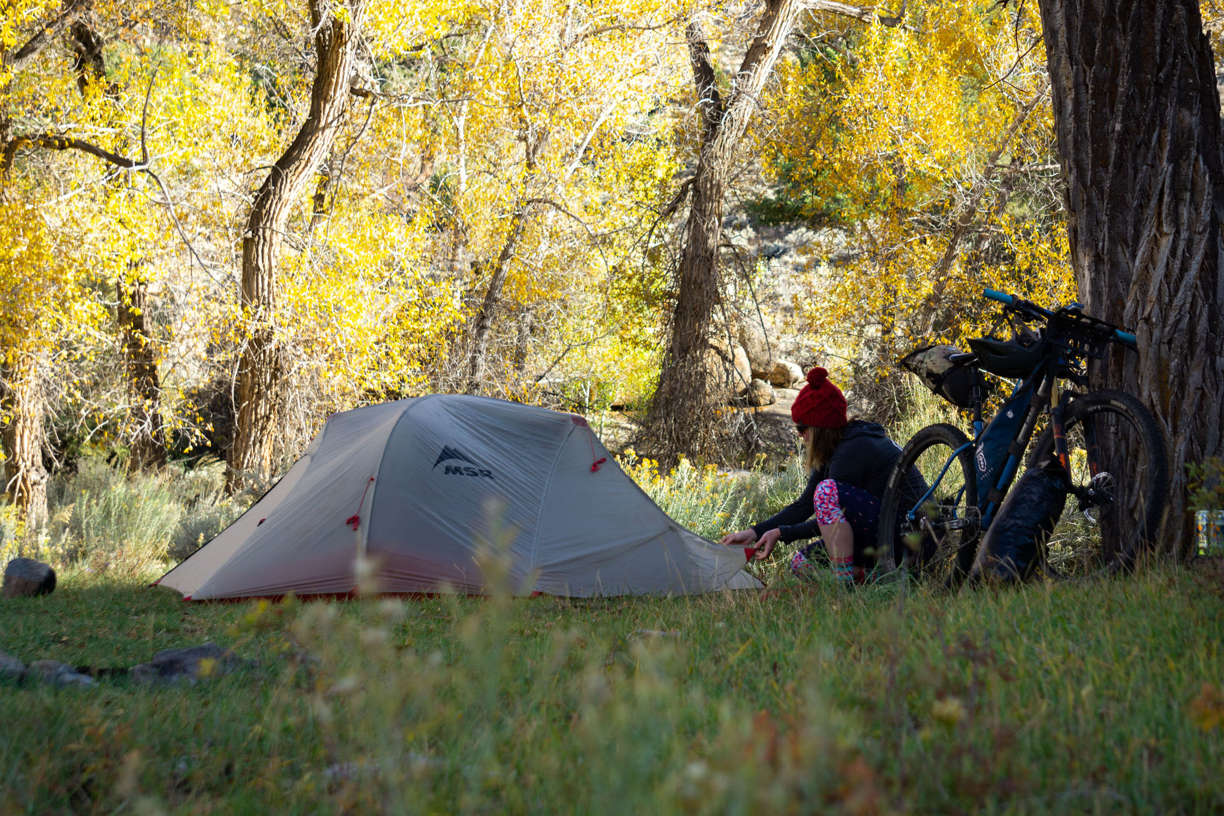
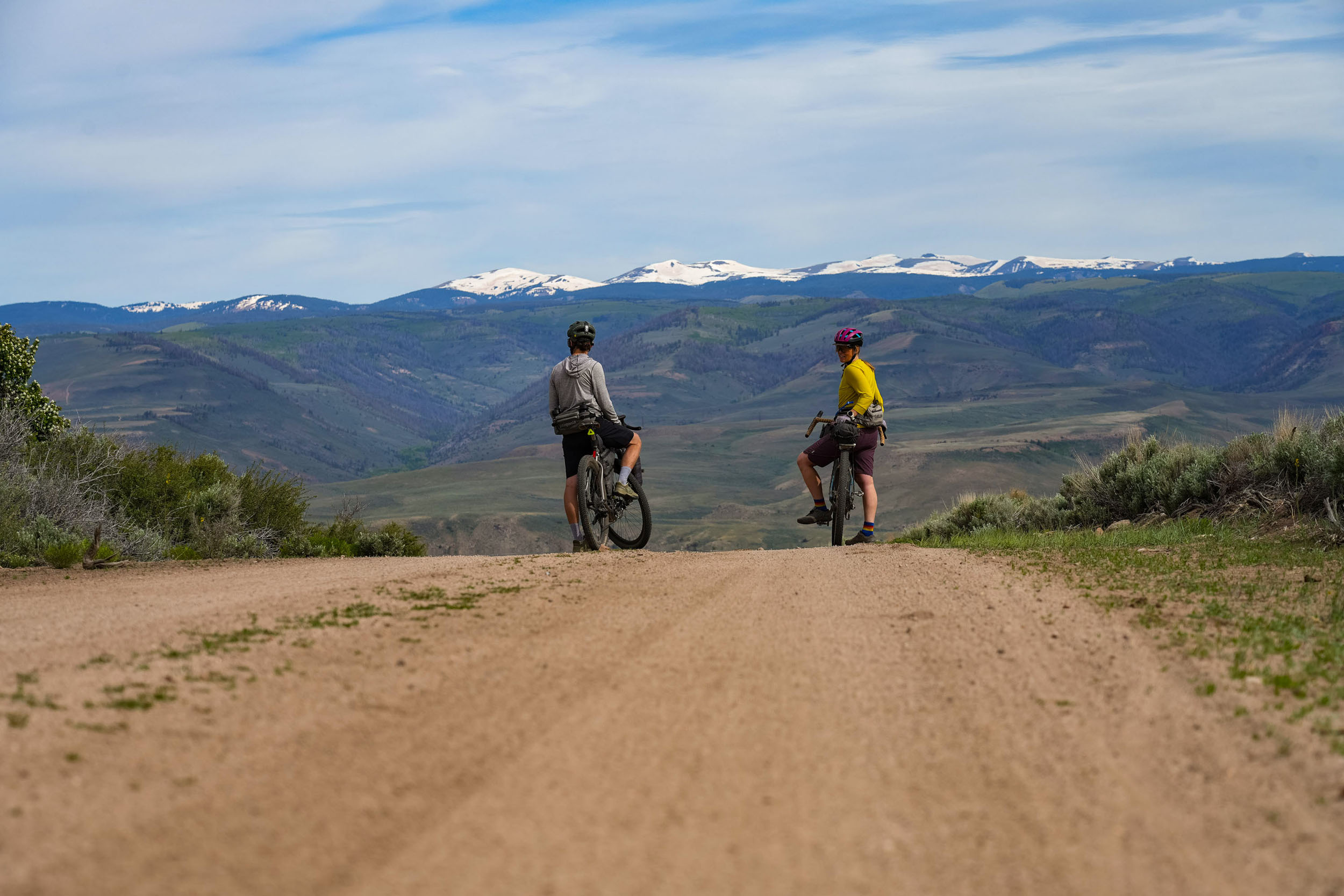
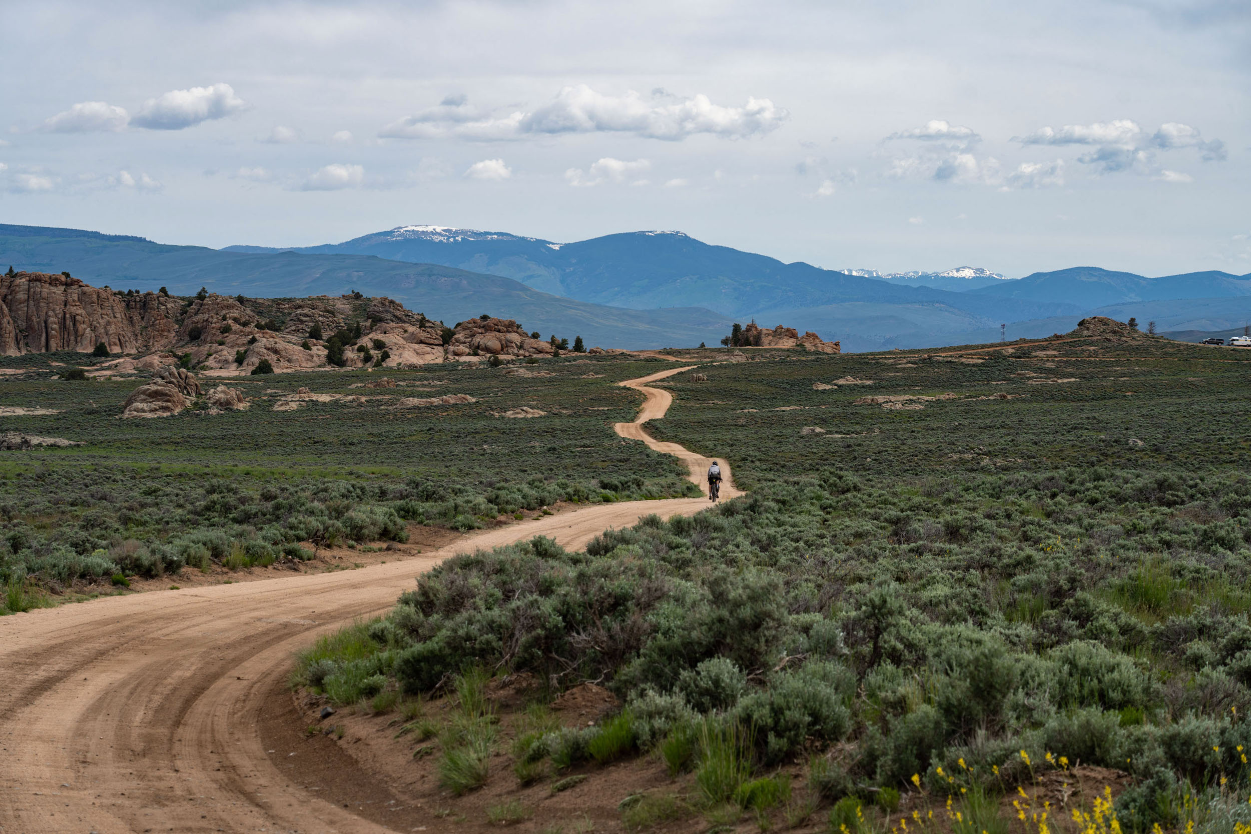
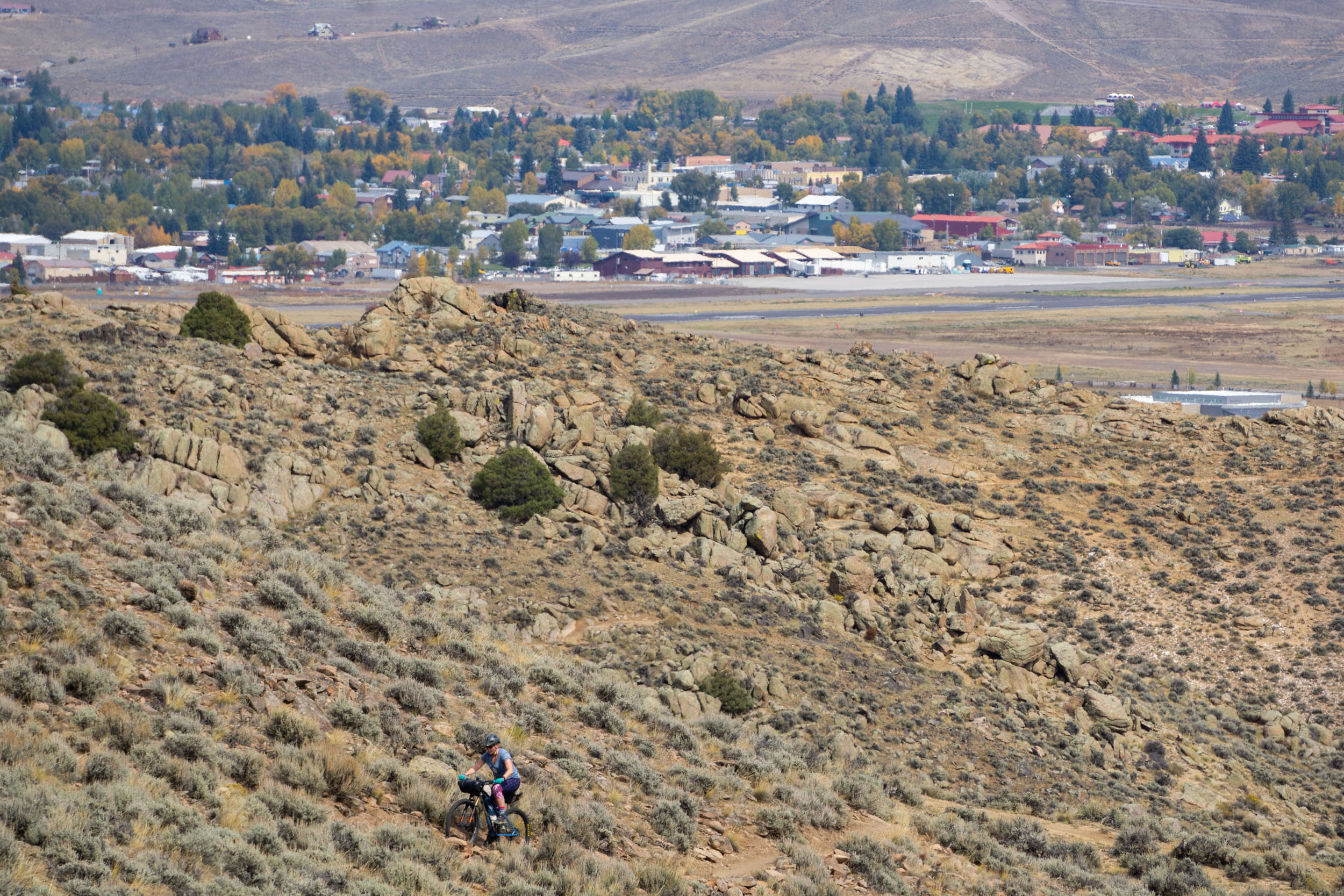
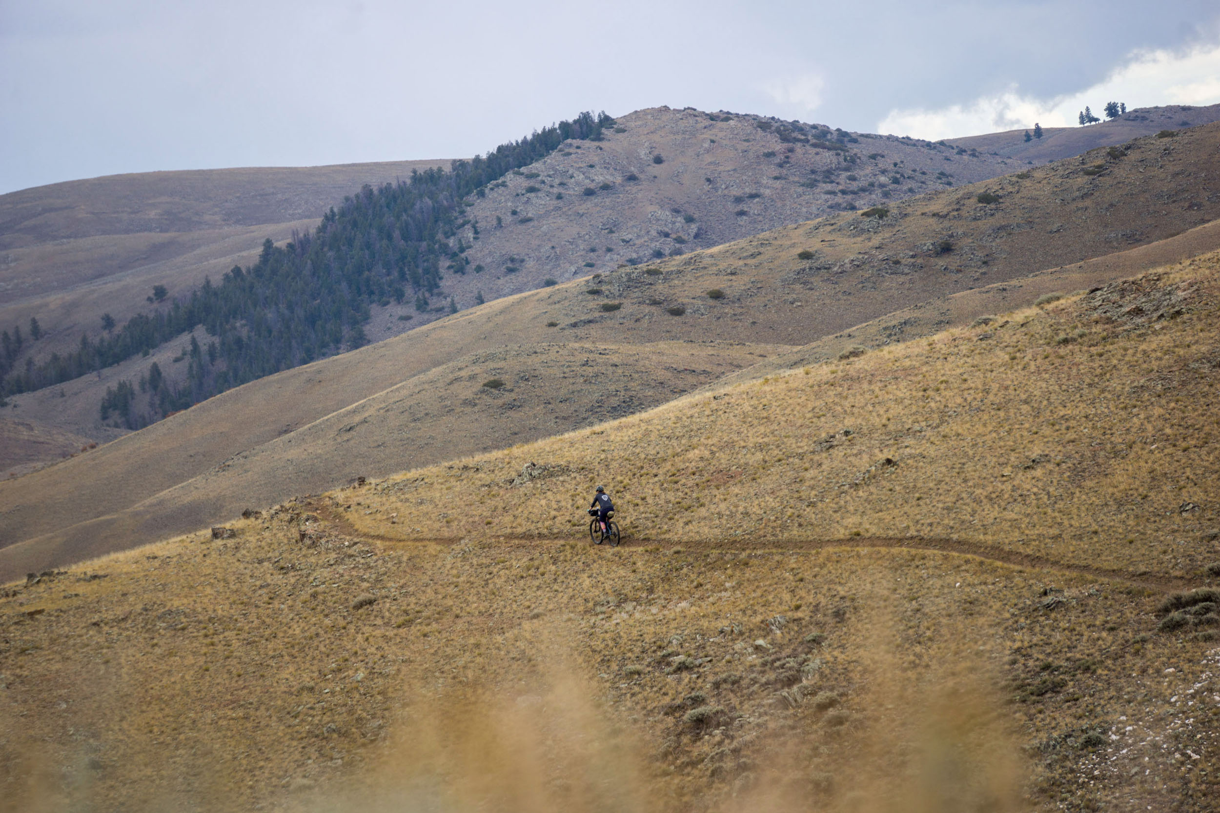
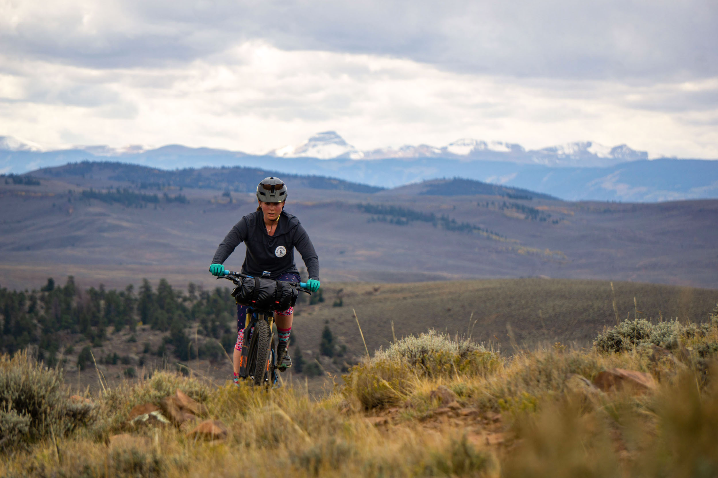
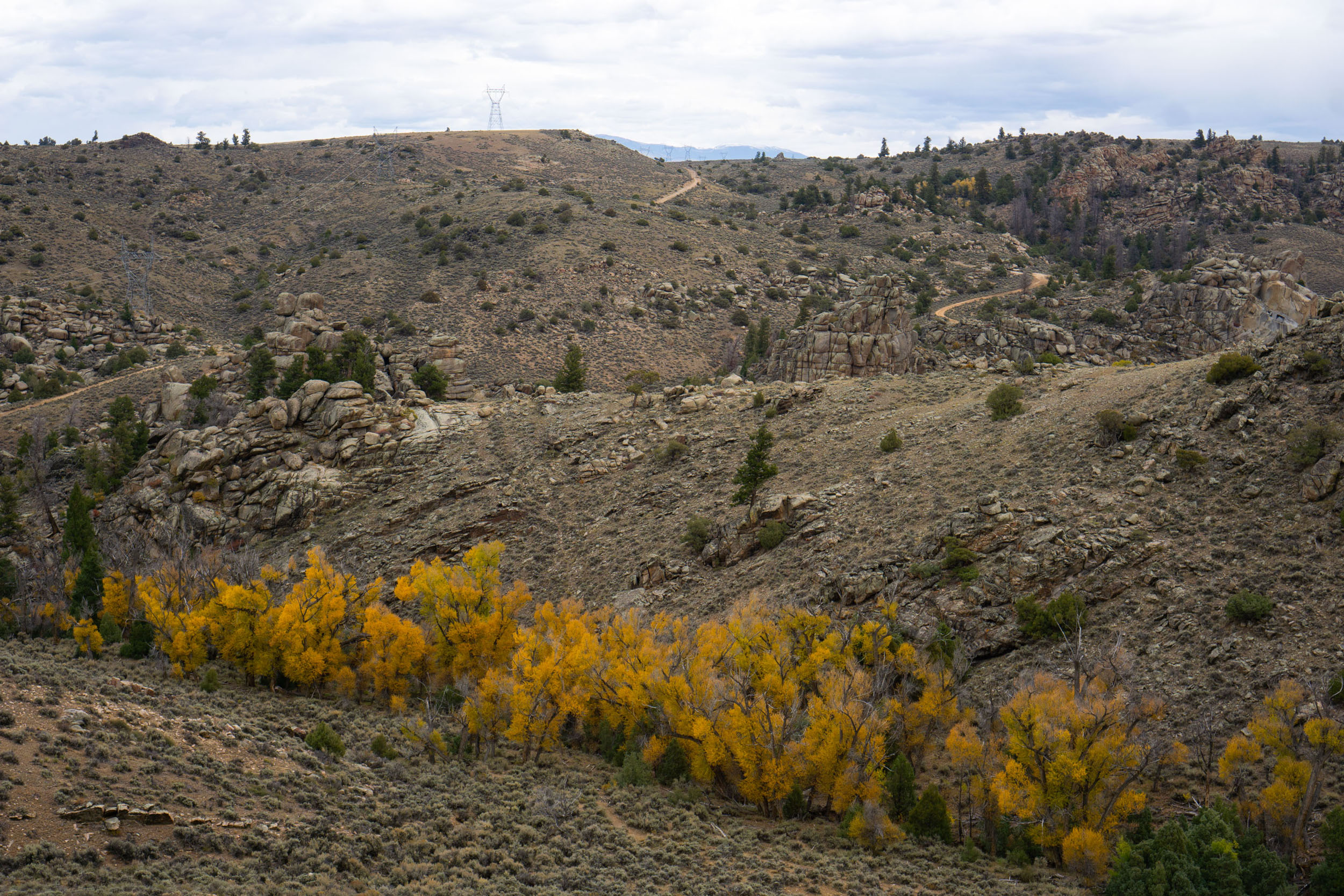
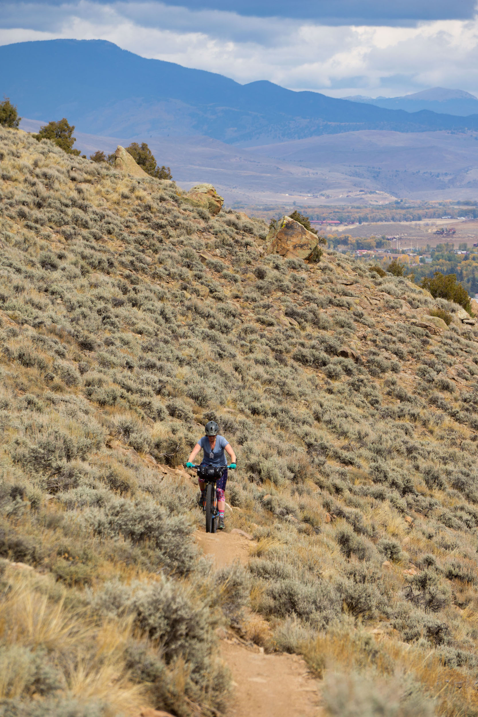
Just a stone’s throw south of Gunnison lies Hartman Rocks, a cycling destination that offers an excellent high desert atmosphere for a night beneath the stars. This particular loop is merely one of countless road and trail combinations in the area, each traversing winding roads or singletrack through granite rock formations, seas of sage, and seasonal wildflowers.
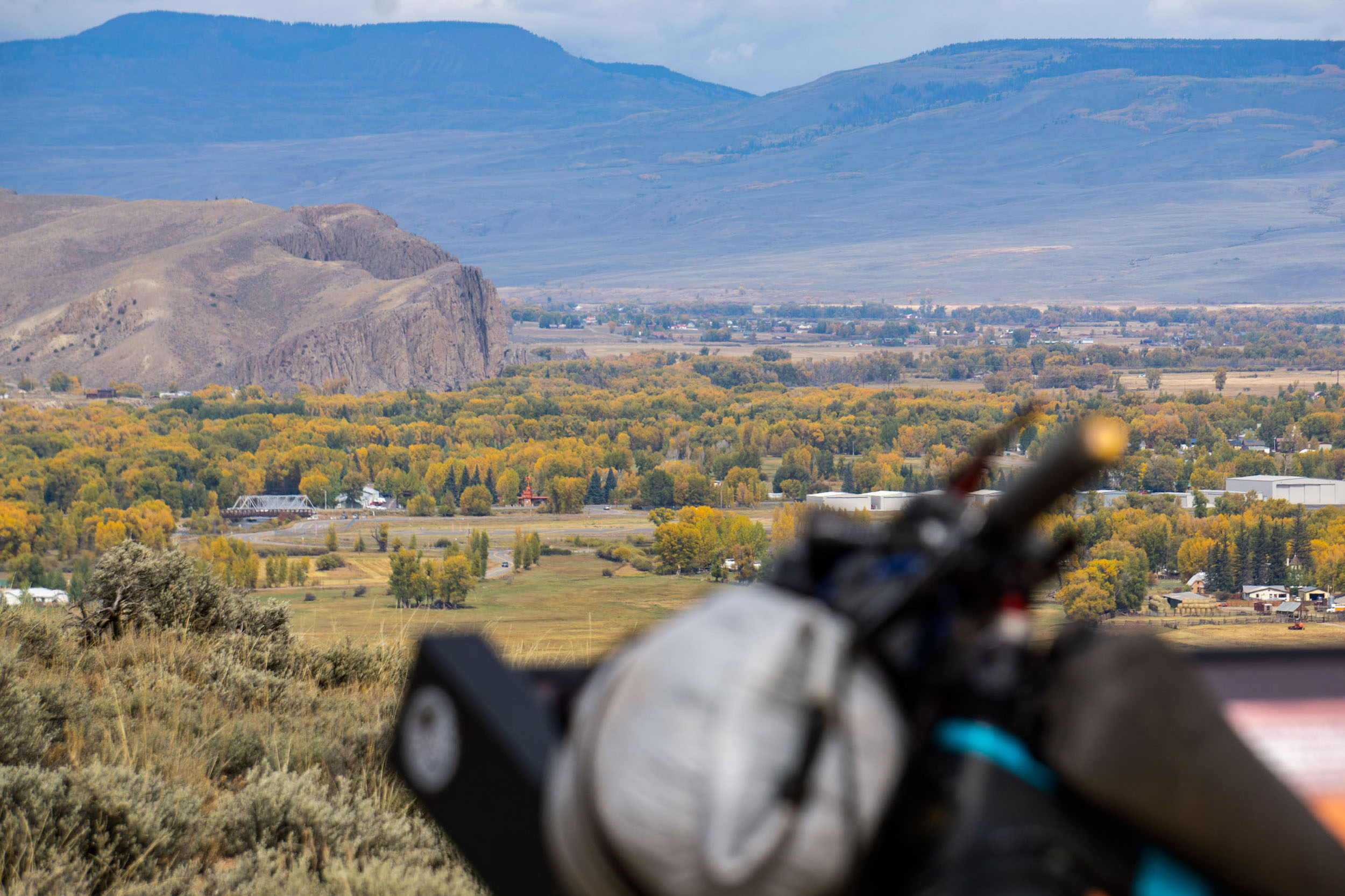
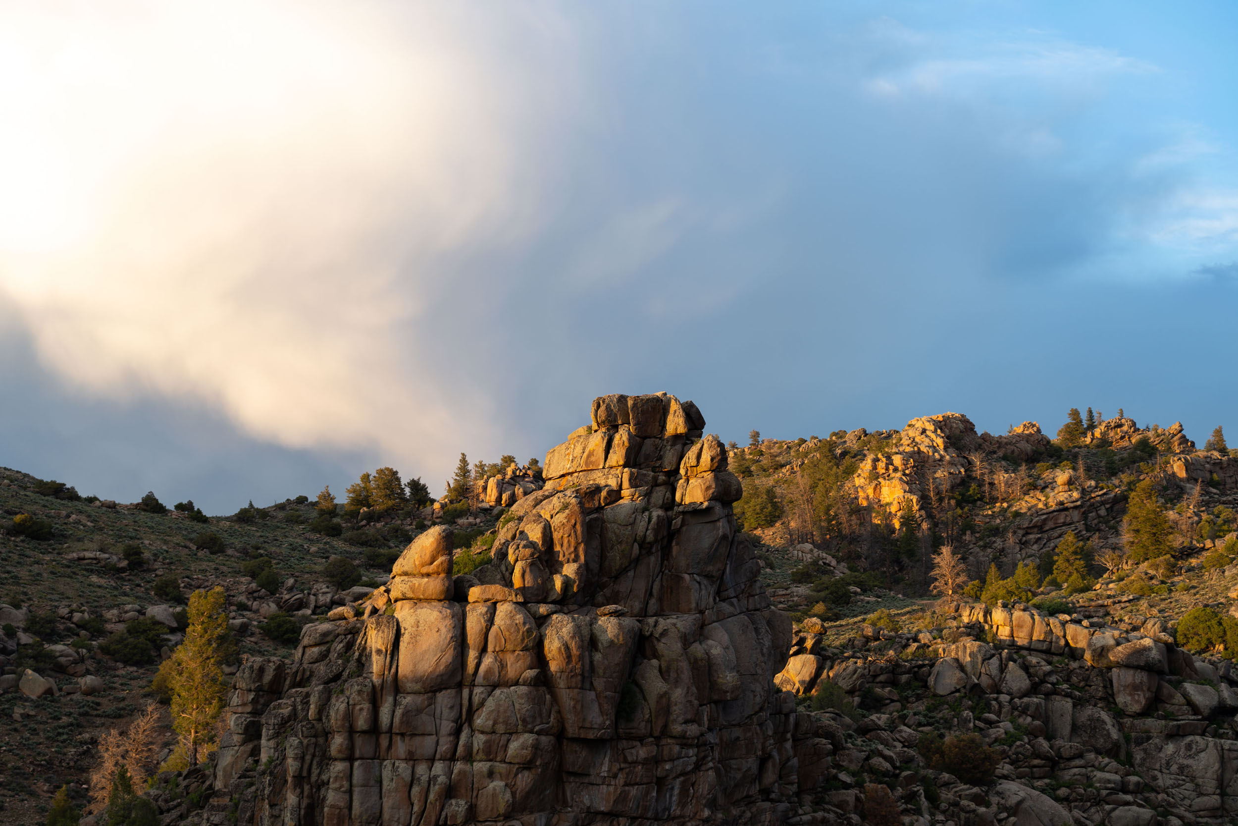
Situated within the expansive Hartman Rocks Recreation Area, which spans 14,000 acres, this playground for outdoor enthusiasts sits in the Gunnison River Basin, showcasing views of many of the surrounding mountain ranges, including the San Juans, West Elks, and Sawatch Range. Hartman Rocks boasts 45 miles of singletrack trails and an additional 45 miles of dirt roads. Plus, there are 50 designated campsites and other dispersed camping options within the recreation area.
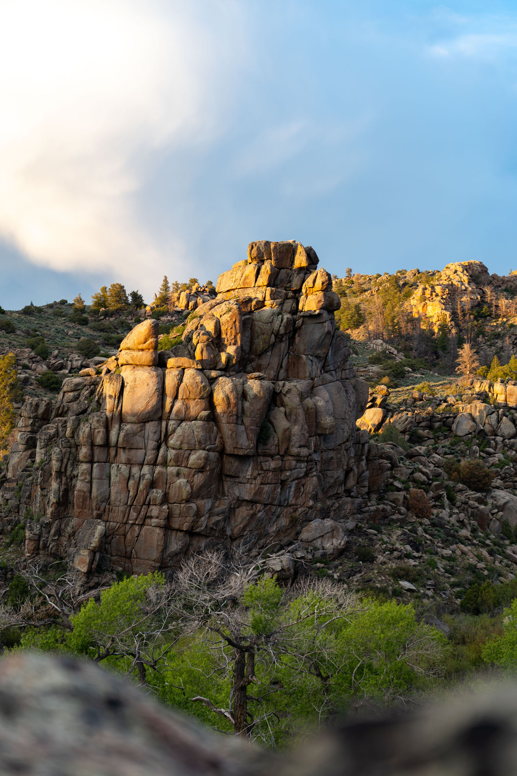
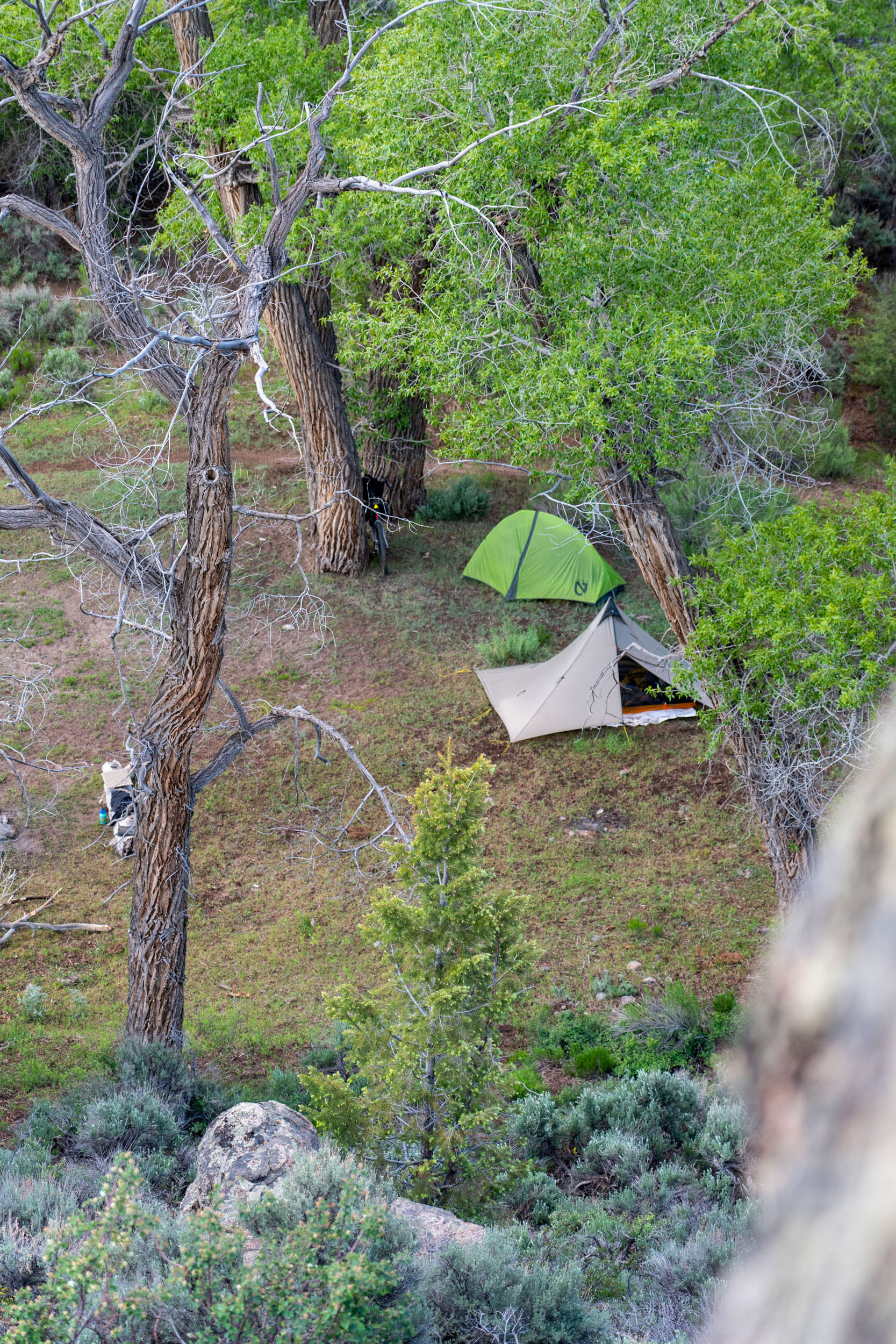
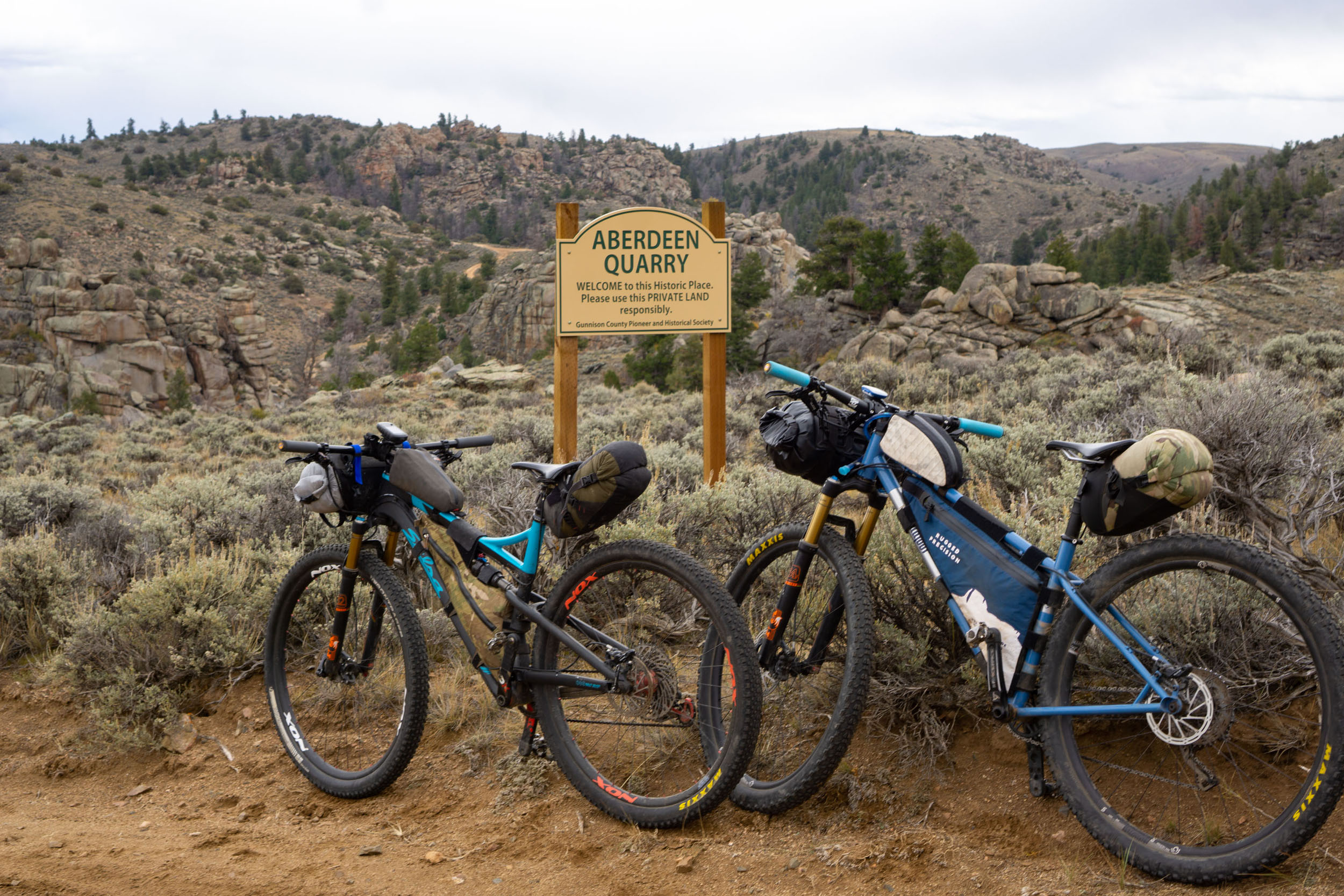
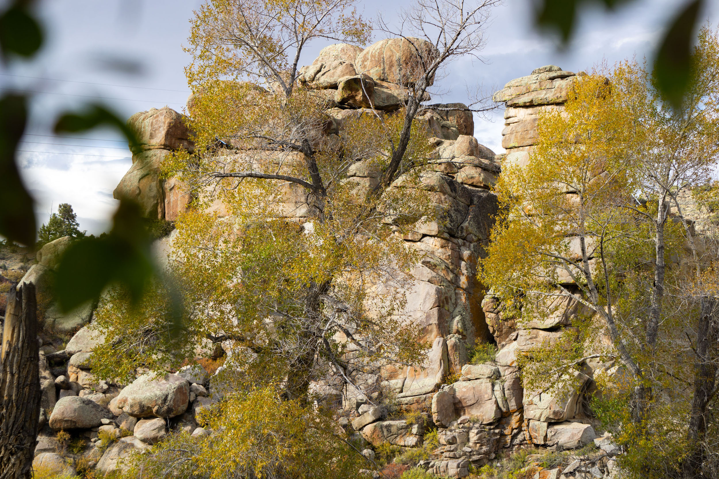
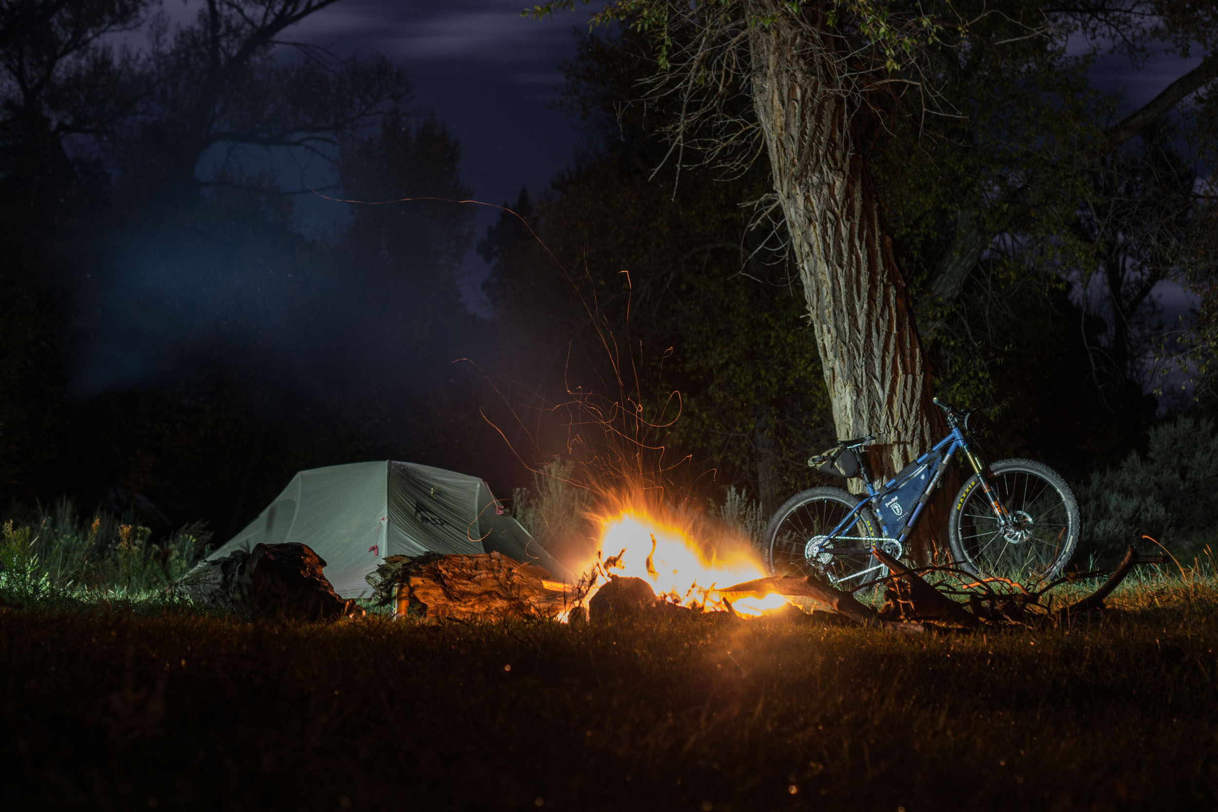
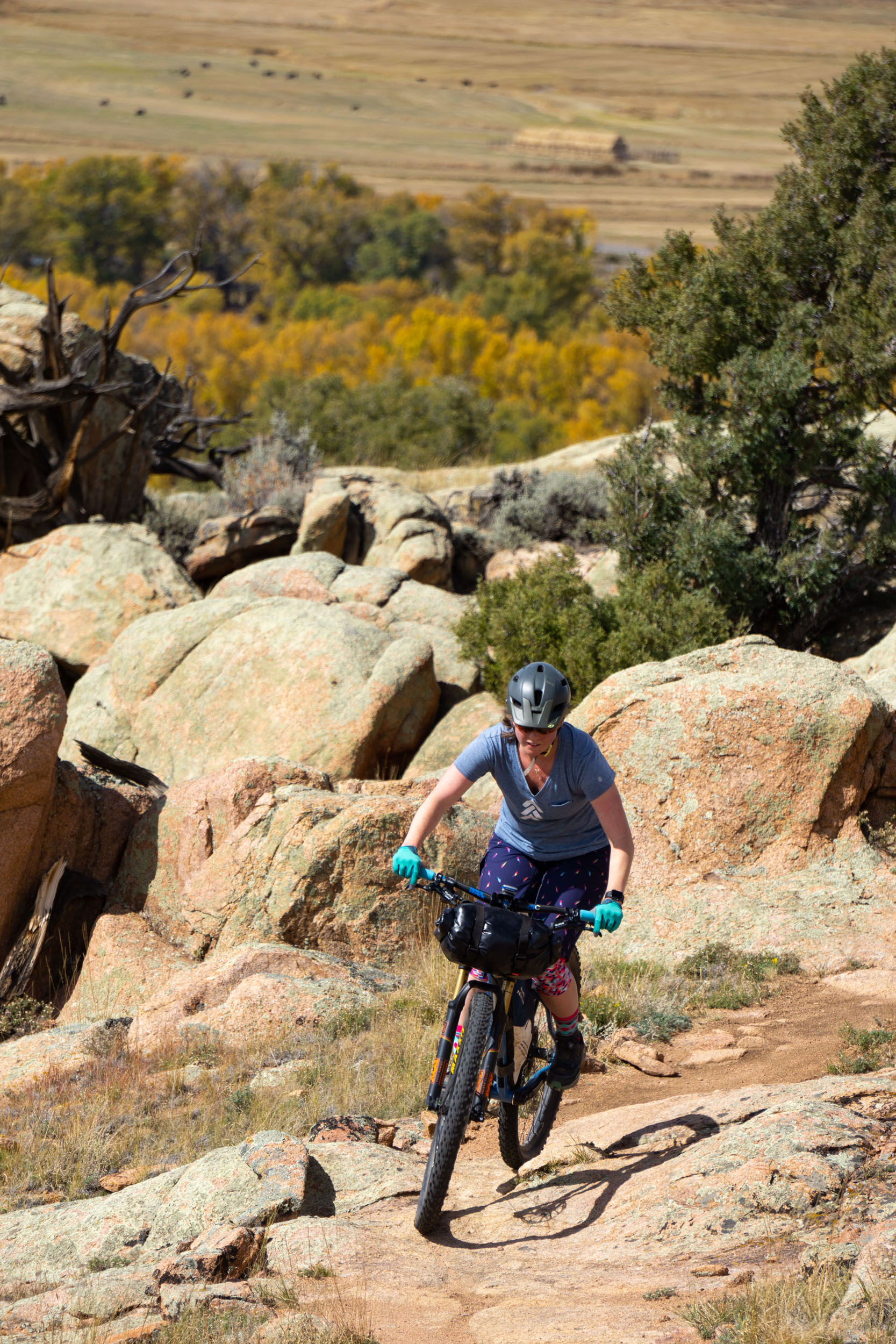
For those seeking a unique geological and historical sight, the Aberdeen Quarry awaits and acts as a great camp spot. Once hauled from the town of Aberdeen, the gray granite contributed to the construction of notable buildings, including the Colorado State Capitol Building in Denver. The Quarry sits along the South Beaver Creek, providing a refreshing oasis within an otherwise arid and dry landscape, offering a welcomed respite after a few hours in the saddle.
Route Difficulty
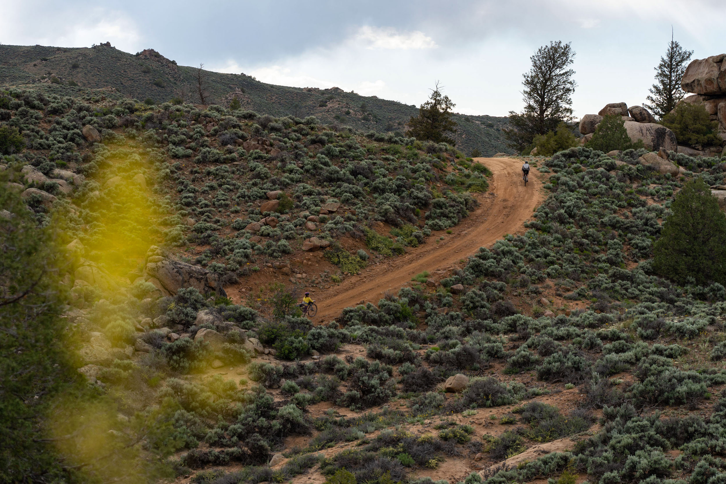
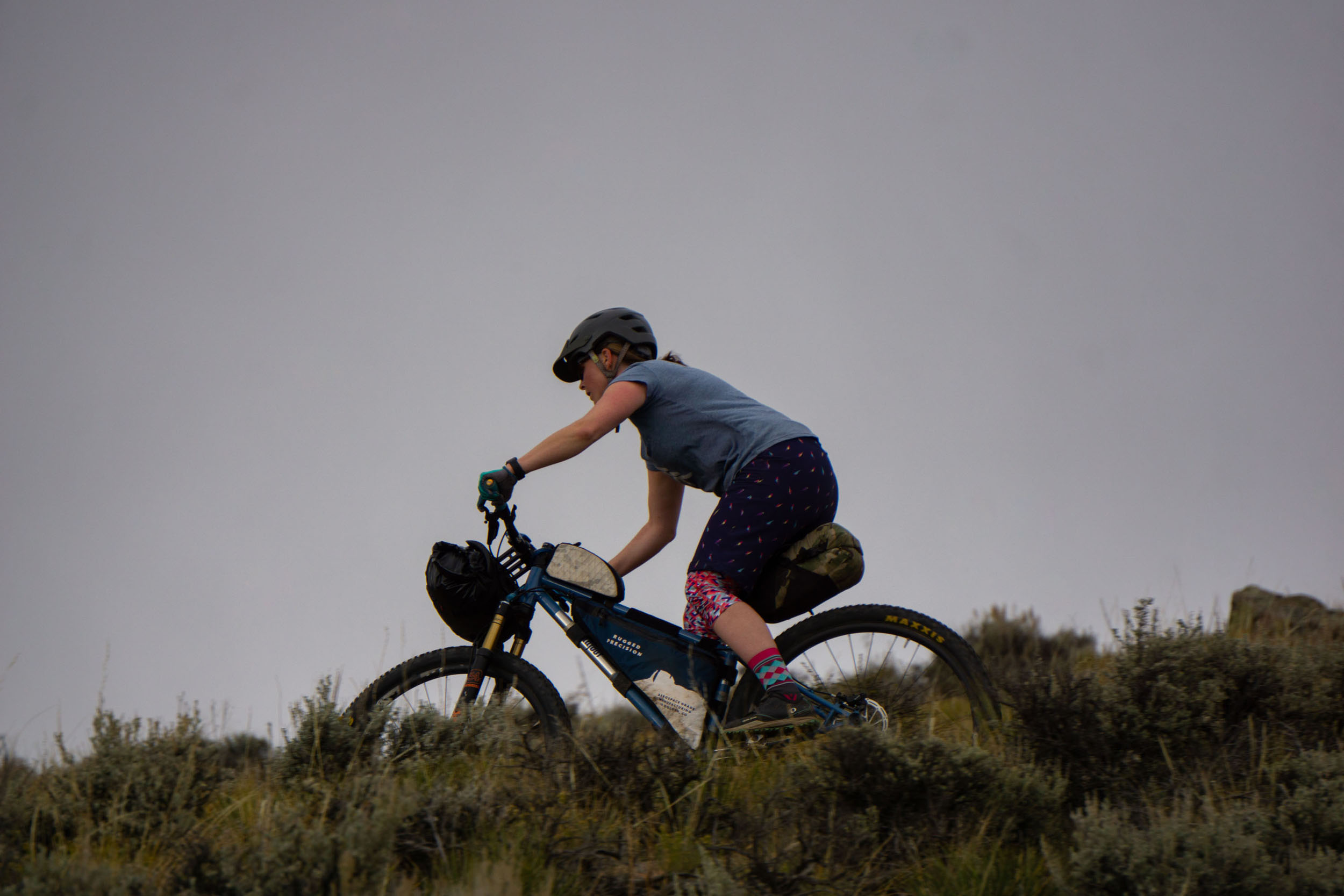
This loop is pretty straightforward and offers a nice paved road warm-up followed by some very manageable dirt roads and two-tracks. Only occasionally will you stumble across some technical bits, but they’re nearly always avoidable. The one exception is descending and climbing out of South Beaver Creek, where it’s particularly rocky and steep but relatively short-lived. South Beaver Creek offers water, making sure you don’t need to bring all the water for your trip. That said, if you decided against dropping into the steep valley, you could dry camp in an established campground in the area. There are no resupply points on the route. Between the 15 miles per day, 2,000 feet of vert for the trip, ride surfaces, and elevation, this route has a difficulty rating of 3 out of 10.
If you decide on the singletrack version (see Trail Notes tab below), you will undoubtedly be in for more challenging terrain with technical singletrack trails that add up, which makes for about the same daily mileage with more vertical. Give yourself more time if you select the singletrack route. The singletrack route has a difficulty of 6 out of 10.
Route Development: I have been going to camp out at the Quarry ever since I went to school at Western State Colorado University. It’s a great spot with several different camping options that are difficult to get to in a car. My first time bikepacking out here was on the singletrack version. It’s about the same mileage but certainly more challenging mile per mile. Hartman Rocks is a great place to camp. Whether it’s on the north side of the recreation area near the trail heads or all the way down to South Beaver Creek, you’ll enjoy varied views and perspectives with every turn.
If you want to tack on more singletrack, you can drop your bags and make the Aberdeen Loop, a fantastic nine-mile loop that starts and ends at South Beaver Creek.

Submit Route Alert
As the leading creator and publisher of bikepacking routes, BIKEPACKING.com endeavors to maintain, improve, and advocate for our growing network of bikepacking routes all over the world. As such, our editorial team, route creators, and Route Stewards serve as mediators for route improvements and opportunities for connectivity, conservation, and community growth around these routes. To facilitate these efforts, we rely on our Bikepacking Collective and the greater bikepacking community to call attention to critical issues and opportunities that are discovered while riding these routes. If you have a vital issue or opportunity regarding this route that pertains to one of the subjects below, please let us know:
Highlights
Must Know
Camping
Food/H2O
Trail Notes
- Experience the fantastic Hartman Rocks Recreation Area
- The high desert melts out sooner than surrounding mountains, making it a great spring riding location—or extended fall location after the first snow falls.
- The Gunnison Basin offers views of three major mountain ranges, the San Jans, Sawatch Range, and Elk Range.
- The Town of Gunnison has it all: bike and outdoor shops, restaurants, and grocery stores, an excellent basecamp for adventure.
- Granite rock formations and rolling hills of sage make for a unique riding experience.
- Hartman Rocks has loads of camping options, both dispersed and established campgrounds.
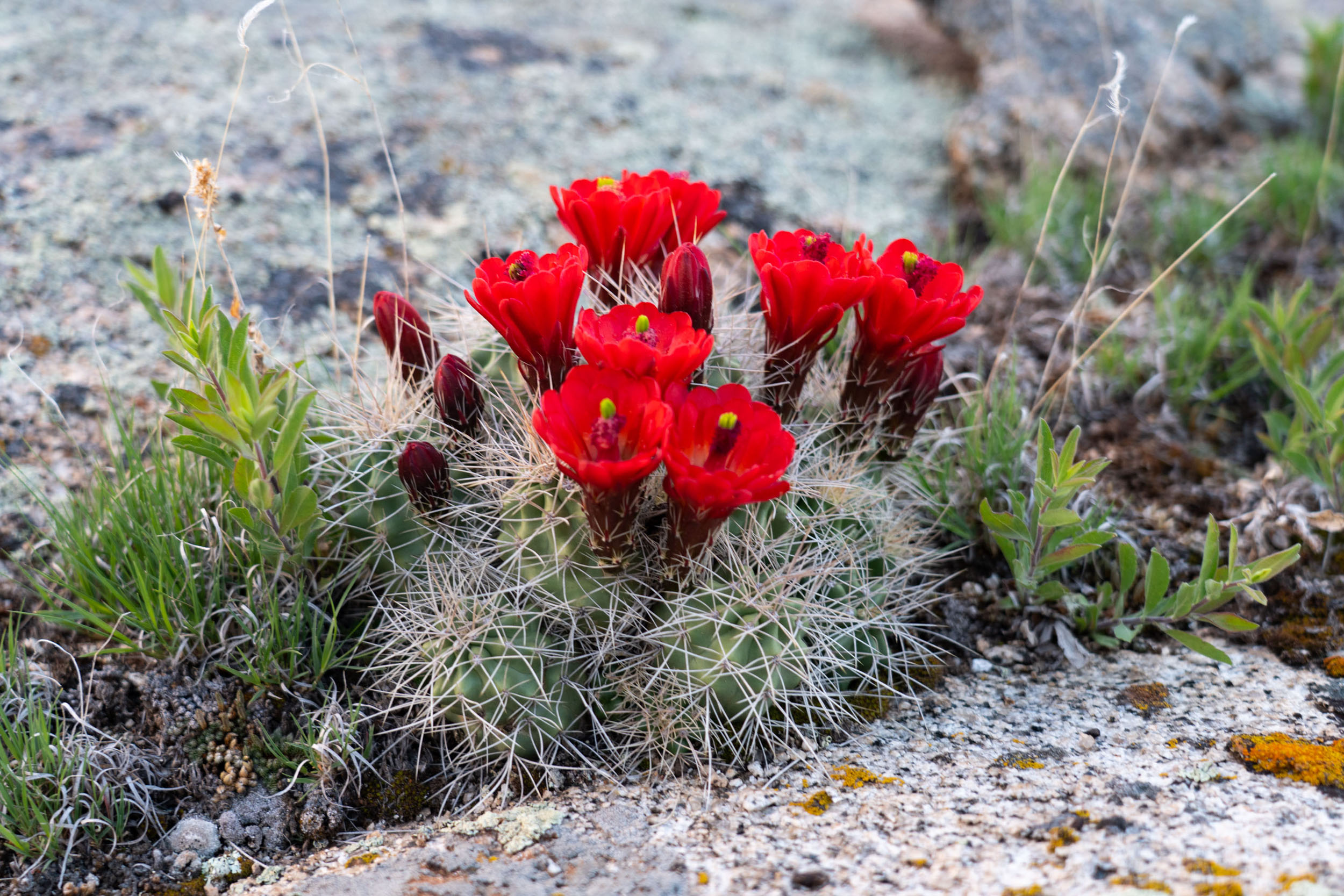
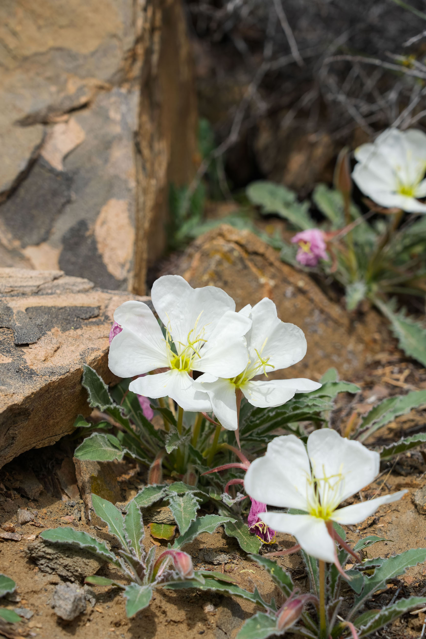
- Spring wildflowers are abundant, including paintbrush, primrose, kingcup cactus, and more.
- The town of Aberdeen once sat on the banks of South Beaver Creek, housing nearly 200 people at one point.
- The quarry produced an estimated 280,000 cubic feet or 24,000 tons of granite from 1889-1892.
- Spring and fall are the best times to ride this loop. Summer can be pretty hot, so check out the other routes in Gunnison County to cool off.
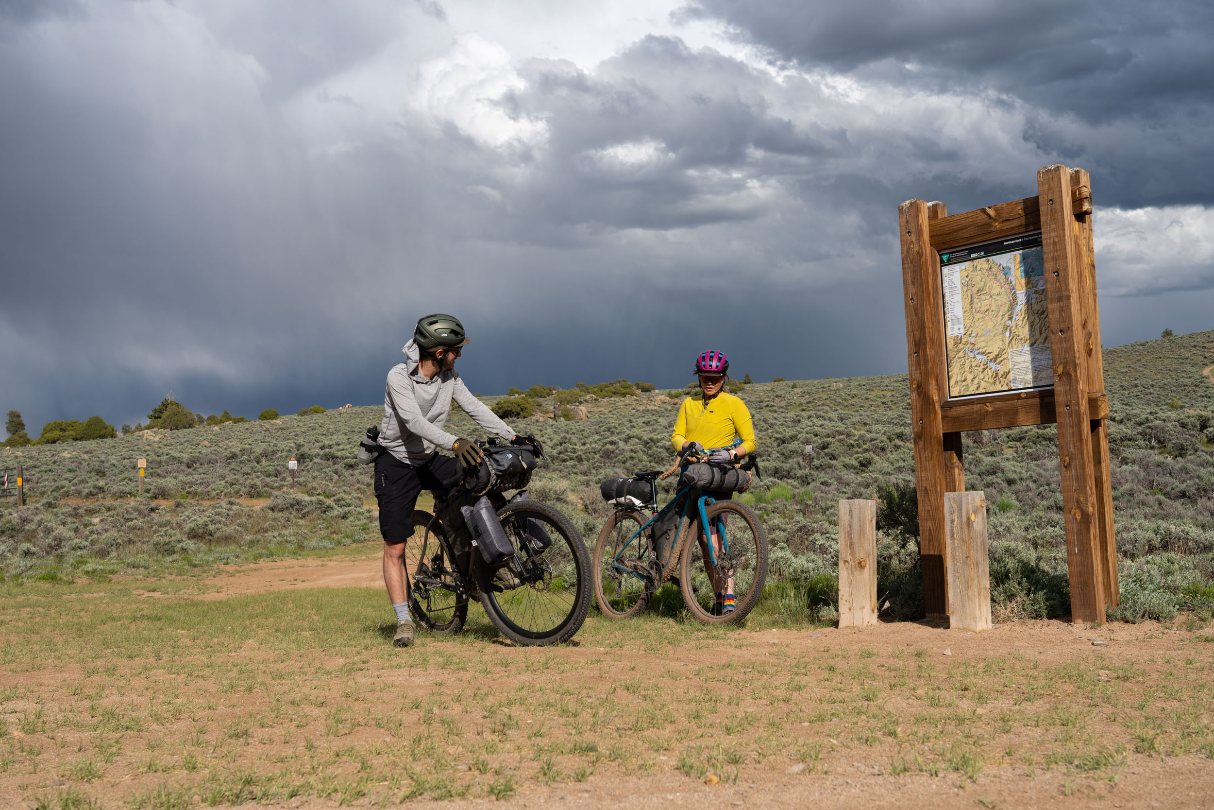
- That said, monsoon season helps take the edge off, but this means afternoon rain showers and thunderstorms. Monsoon season can start anytime in June and last through September. The Hartman Rocks area rides well when saturated.
- This is technically in bear country; plan accordingly, I tend to either hang or move my food away from camp each night.
- Other wildlife is abundant such as mountain lions, deer, antelope, rabbits, and chipmunks.
- Follow LNT principles, including using a trowel and digging a cat hole 6” deep to bury your human waste. Must be at least 200 feet away from any trails or water sources.
- Parking is allowed on all city streets in Gunnison for 48 hours, but make sure you are not blocking mailboxes.
- A bus from Denver connects a few small mountain communities like Buena Vista, Salida, and Gunnison. They have a bike rack. More details can be found here.
- There is also a local bus that travels to and from Gunnison and Crested Butte. Details here.
- Hartman Rocks BLM website
- Camping north of the power lines in Hartman requires staying in established campgrounds, which are first come, first served. This also means you will not have access to water, but if you plan ahead, these sites offer some really unique camping experiences.
- The established camping spots can be popular on weekends during spring and fall, so plan ahead and have a backup plan.
- South of the power lines is open to dispersed camping. However, make sure you camp on BLM land. If you want to camp near the quarry, this requires you to camp south of Beaver Creek.
- Cows graze in this area, so filter your water in South Beaver Creek. Cow Pies are around; watch your step and your steering!
- There are plenty of lodging options in Gunnison; find details here.
- South Beaver Creek is the only water resupply on the route.
- Gunnison has a population of around 6,500 people and is also home to Western State Colorado University. There is no shortage of places to eat, with restaurants spread all over town offering something for just about anyone. You can find a list of recommended restaurants here.
- The are also five bike/outdoor shops in town, three grocery stores, and a great farmers’ market every Saturday in the summer at IOOF Park. Finally, the Pioneer Museum is certainly worth a visit when you are in town, it showcases the rich history of the people and places of the Gunnison area.
Singletrack Version
The singletrack version adds a whopping 70% singletrack to the route and ups the difficulty level to 6 out of 10.


Terms of Use: As with each bikepacking route guide published on BIKEPACKING.com, should you choose to cycle this route, do so at your own risk. Prior to setting out check current local weather, conditions, and land/road closures. While riding, obey all public and private land use restrictions and rules, carry proper safety and navigational equipment, and of course, follow the #leavenotrace guidelines. The information found herein is simply a planning resource to be used as a point of inspiration in conjunction with your own due-diligence. In spite of the fact that this route, associated GPS track (GPX and maps), and all route guidelines were prepared under diligent research by the specified contributor and/or contributors, the accuracy of such and judgement of the author is not guaranteed. BIKEPACKING.com LLC, its partners, associates, and contributors are in no way liable for personal injury, damage to personal property, or any other such situation that might happen to individual riders cycling or following this route.
Please keep the conversation civil, constructive, and inclusive, or your comment will be removed.