


Highlands Traverse Overnighter
Distance
73 Mi.
(117 KM)Days
2-3
% Unpaved
75%
% Singletrack
40%
% Rideable (time)
95%
Total Ascent
7,922'
(2,415 M)High Point
5,437'
(1,657 M)Difficulty (1-10)
6?
- 7Climbing Scale Strenuous109 FT/MI (21 M/KM)
- 5Technical Difficulty Moderate
- 7Physical Demand Difficult
- 4Resupply & Logistics Fair
Contributed By

Sean Wiggins
Guest Contributor
Sean Wiggins has been bikepacking for 14 years. Highlight trips have been in Iceland and a chunk of the Continental Divide Trail in New Mexico. Currently, Sean is planning on riding the Arizona Trail next year. When he’s not riding, he’s poring over maps looking to create great routes.
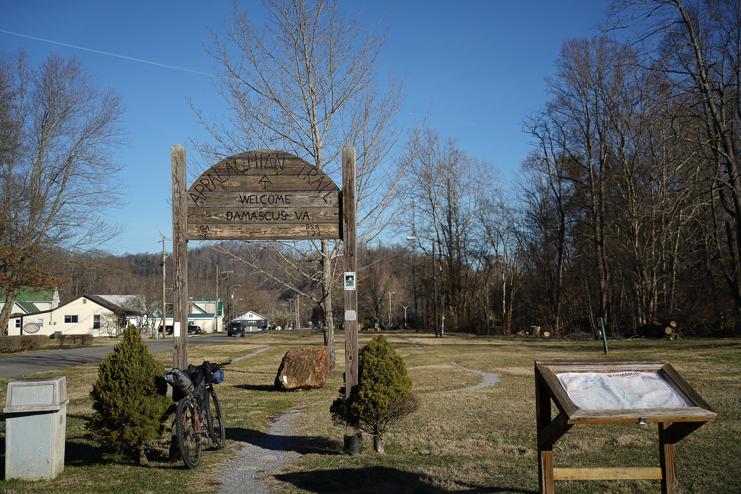
Highlands Traverse Overnighter captures three distinct riding zones Virginia mountains are known for: riverside greenways, high country balds, and ridge line riding. Starting with a cruise along Laurel Creek, you’ll enjoy the low grade and rolling terrain of the Creeper Trail. This rail-to-trail greenway showcases the small-town feel of Damascus and surrounding areas. You’ll likely see lots of local trail users and can enjoy local cafes along the route in the summer.
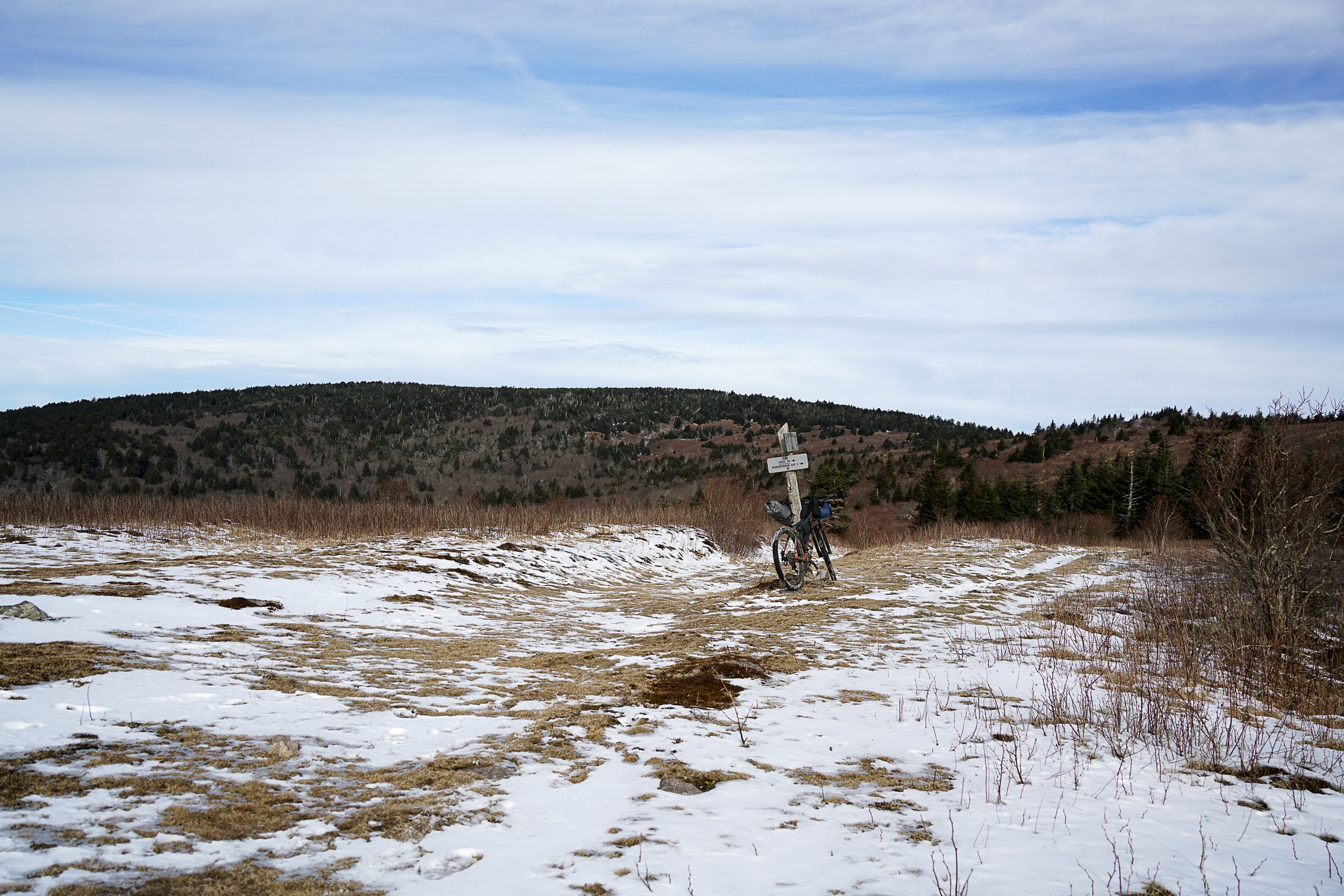
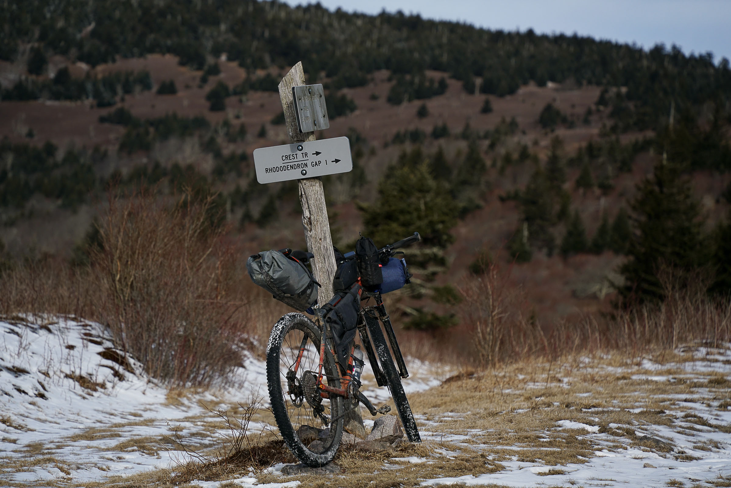
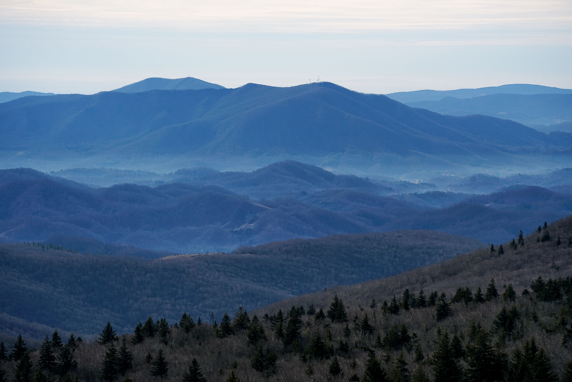
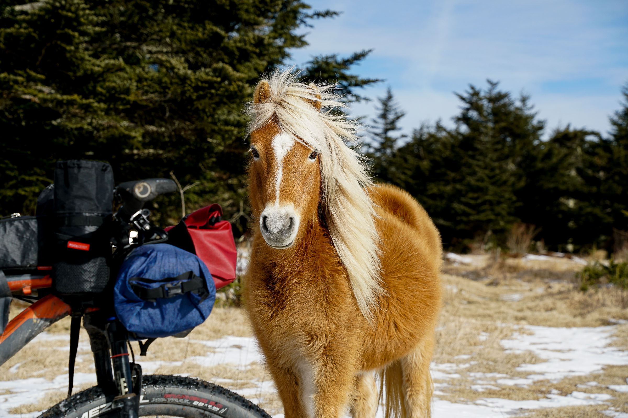
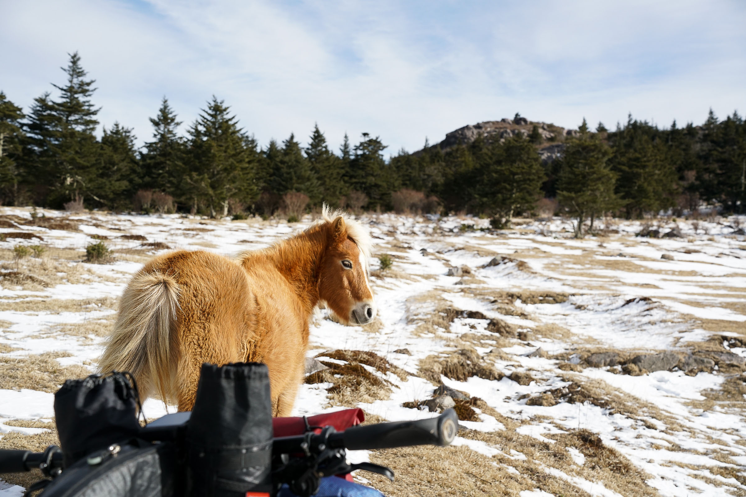
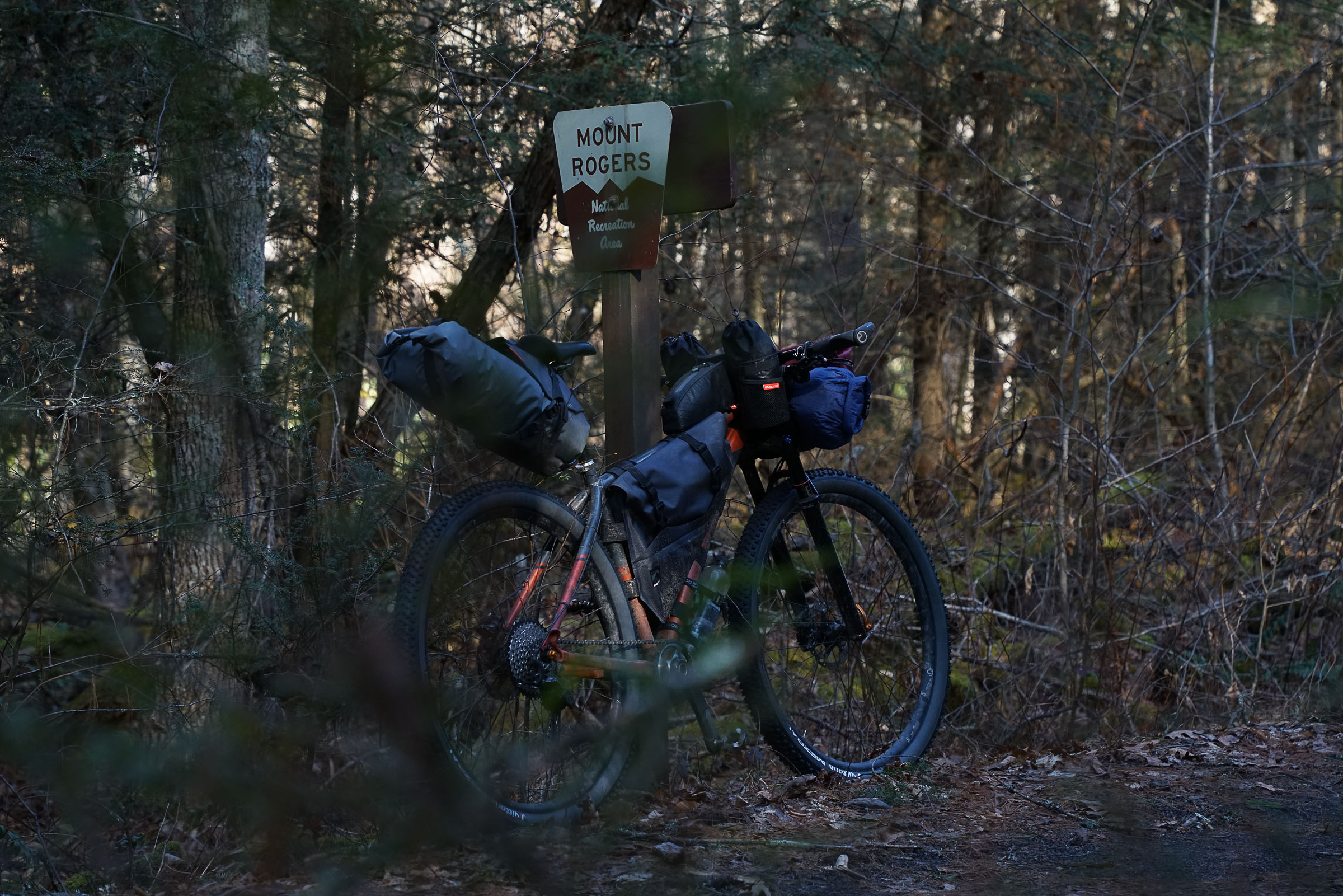
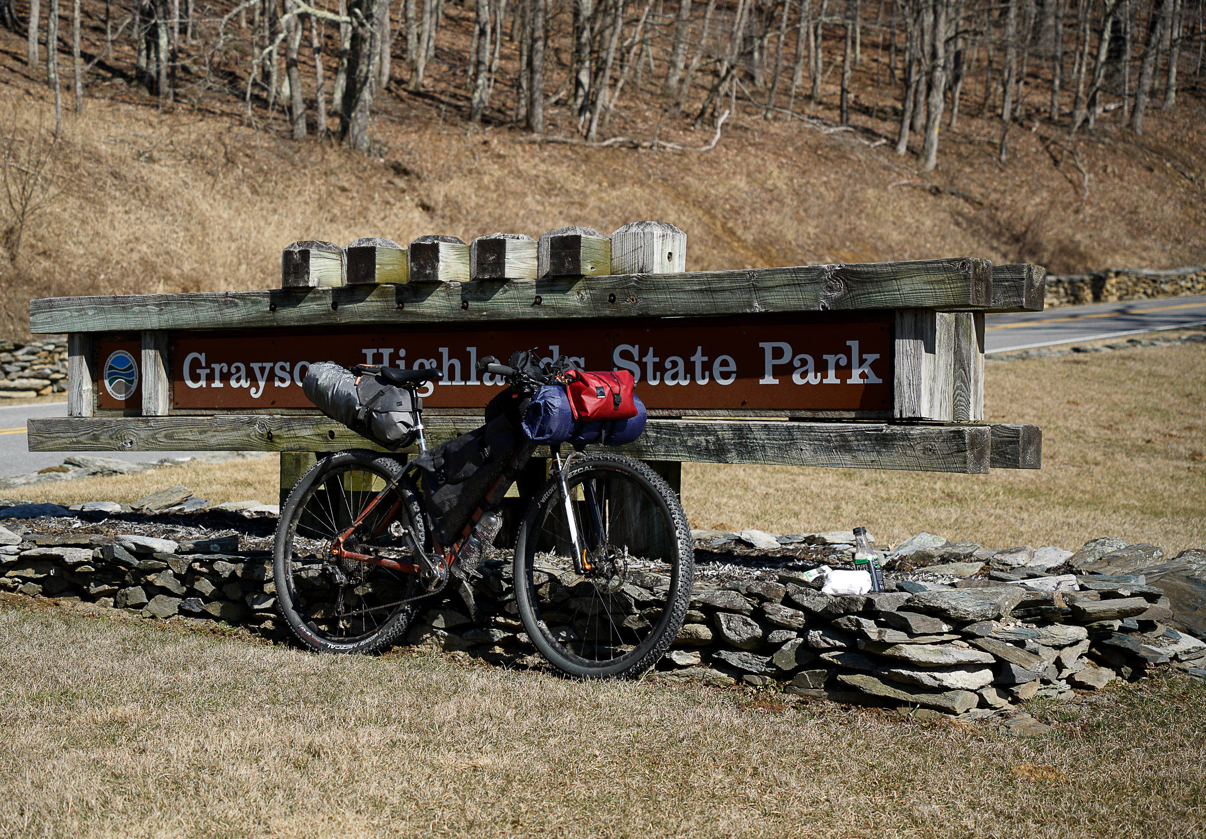
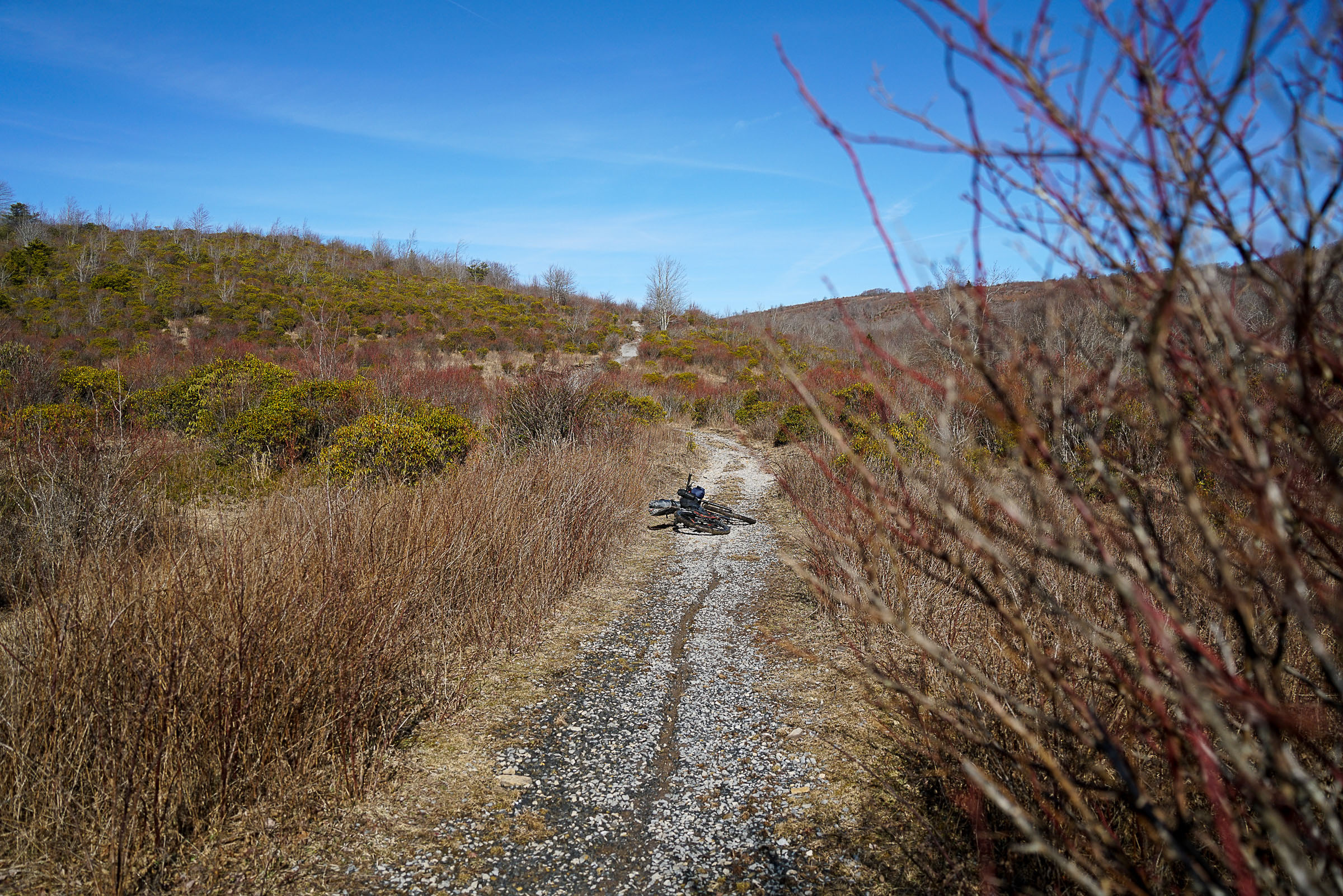
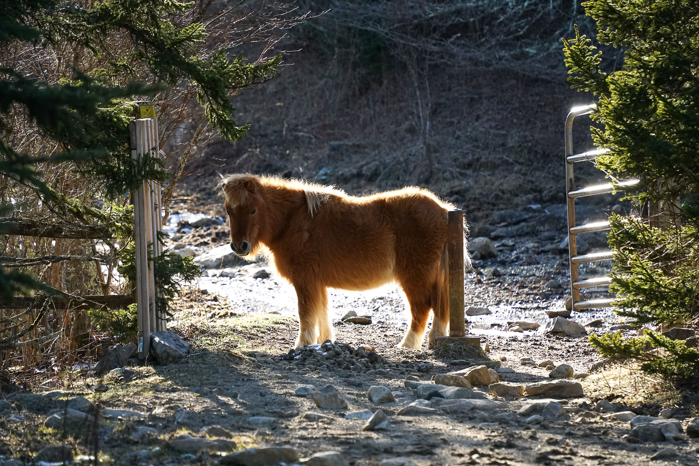
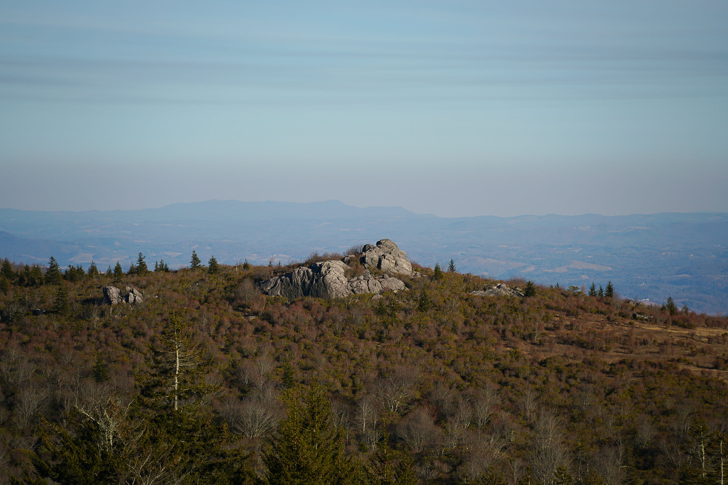
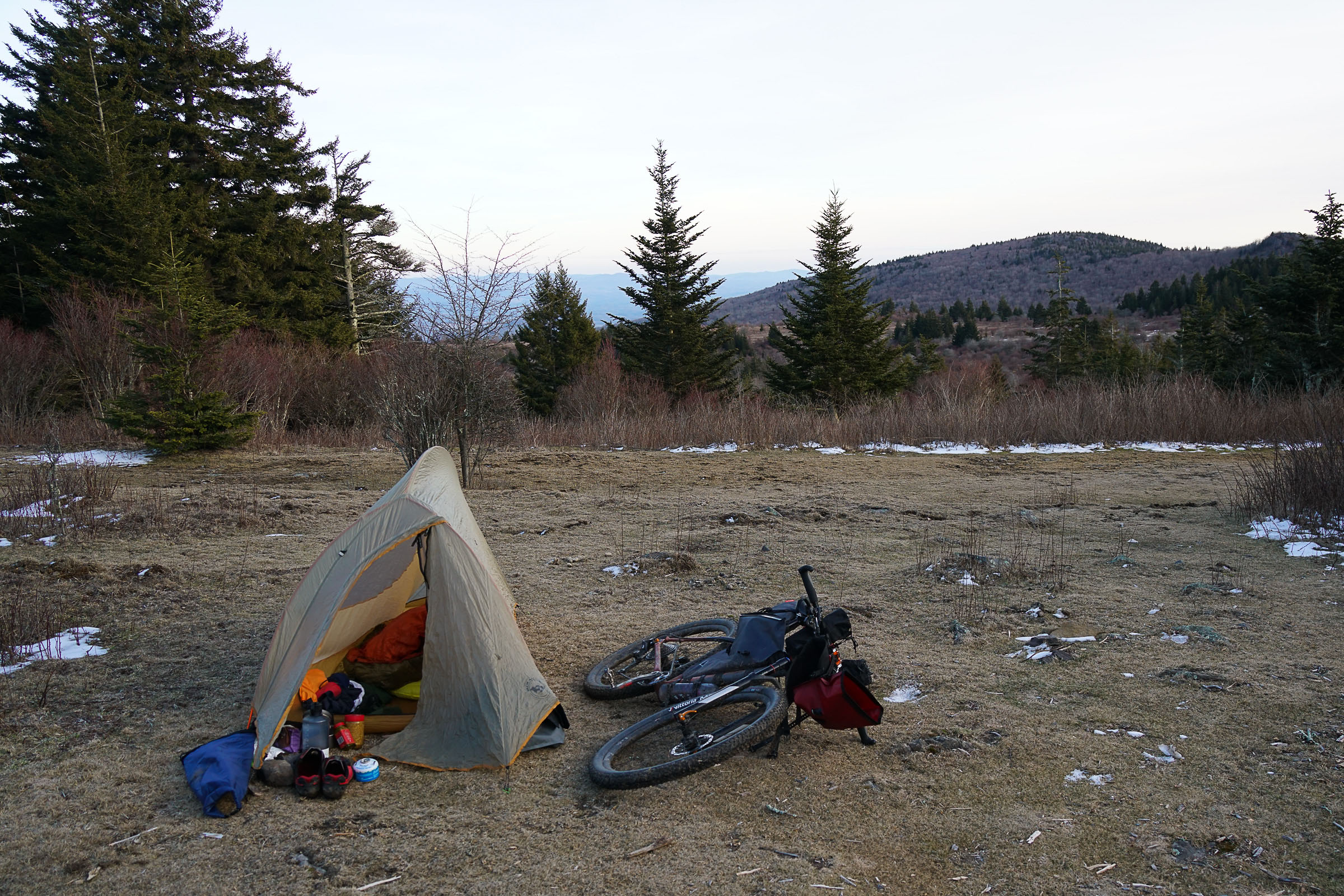
As you make your way up the Grayson Highlands State Park, the terrain gets a little steeper, and the reward is Virginia’s high country. Inside the state park, you’ll begin to see the mountain balds, thick with native grasses, boulders, and small trees. This unique landscape draws attention from hikers, rock climbers, and of course the native ponies. The ponies roam free throughout the hills near Mt. Rogers and are welcome campsite visitors. Combined with the views, in our opinion, the Highlands are easily one of the best places to camp on the East Coast. Camping up by the Appalachian Trail near Mt. Rogers gives the sense that you’re on a much bigger ride, and it’s reminiscent of some big routes out West.
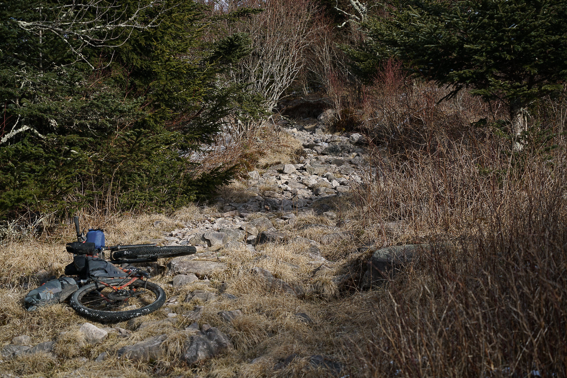
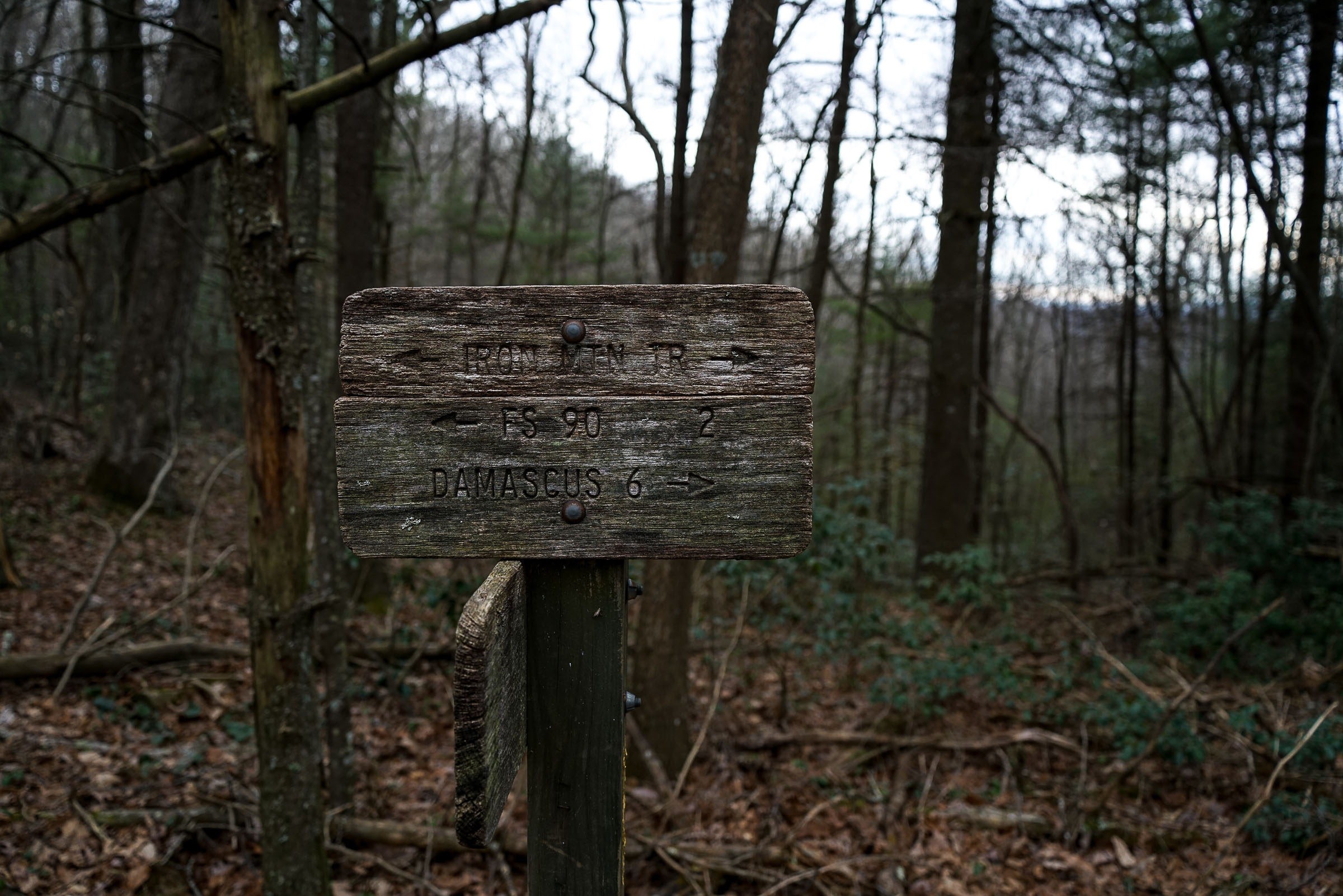
The next morning starts with a welcome descent off the Highlands and toward the Iron Mountain Trail. This trail finds the ridge line, giving you steep climbs and fast descents as you bounce along back toward Damascus. It’s hard riding for the first half, but the trail gives a little more flow as you go, and the final descent to the Creeper Trail is well worth it. This route is the perfect example of how even a single night out can give you a feeling of fulfillment and adventure.
Route Difficulty
Overall difficulty a 6 out of 10 for a one-night trip due to distance, sections of hike-a-bike, remote trail, and chance of extreme weather. Difficulty decreases if ridden in two nights. However, there are no great resupply options after the first night. Technical difficulty estimated to be a 5 on a rigid MTB or hardtail (it is not recommended to ride a gravel bike). Physical demand estimated to be 7 due to the distance and elevation gain. Resupply and Logistics estimated to be a 4 with plenty of options at the start/finish and on day one with plenty of water to filter on the way.
Route Development: Route developed by Sean Wiggins and documented by Rockgeist. Sean’s been bikepacking for 14 years. Highlight trips have been in Iceland and a chunk of the Continental Divide Trail in New Mexico. Currently, Sean is planning on riding the Arizona Trail next year. When he’s not riding, he’s poring over maps looking to create great routes. Rockgeist is a bikepacking gear manufacturer out of Asheville, North Carolina, with a focus on custom, ultralight, and waterproof bikepacking bags.
Submit Route Alert
As the leading creator and publisher of bikepacking routes, BIKEPACKING.com endeavors to maintain, improve, and advocate for our growing network of bikepacking routes all over the world. As such, our editorial team, route creators, and Route Stewards serve as mediators for route improvements and opportunities for connectivity, conservation, and community growth around these routes. To facilitate these efforts, we rely on our Bikepacking Collective and the greater bikepacking community to call attention to critical issues and opportunities that are discovered while riding these routes. If you have a vital issue or opportunity regarding this route that pertains to one of the subjects below, please let us know:
Highlights
Must Know
Camping
Food/H2O
Trail Notes
Resources
- Beautiful riverside riding on the Virginia Creeper Trail
- Big views and wild ponies in the Highlands
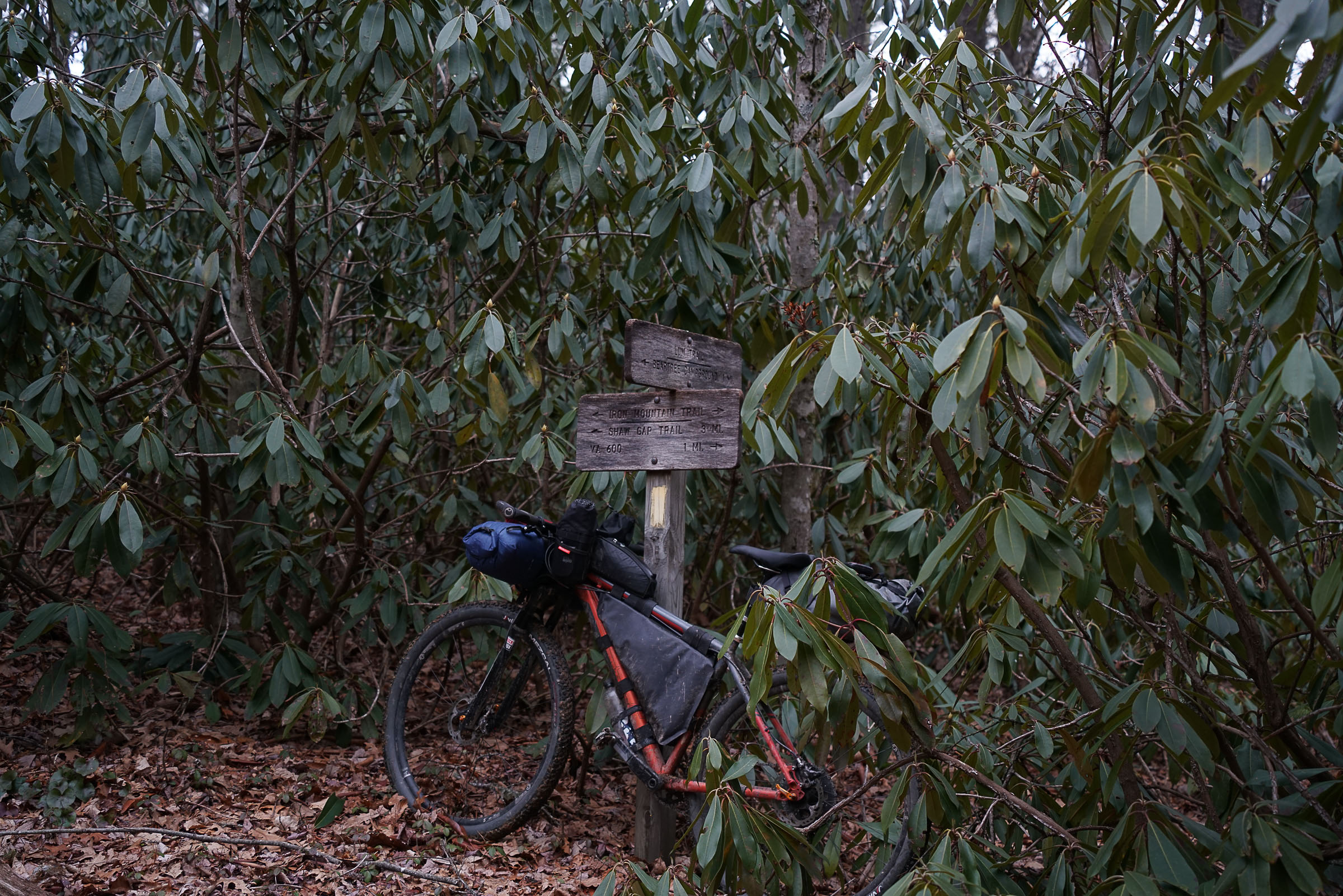
- Techy ridge top singletrack on Iron Mountain Trail
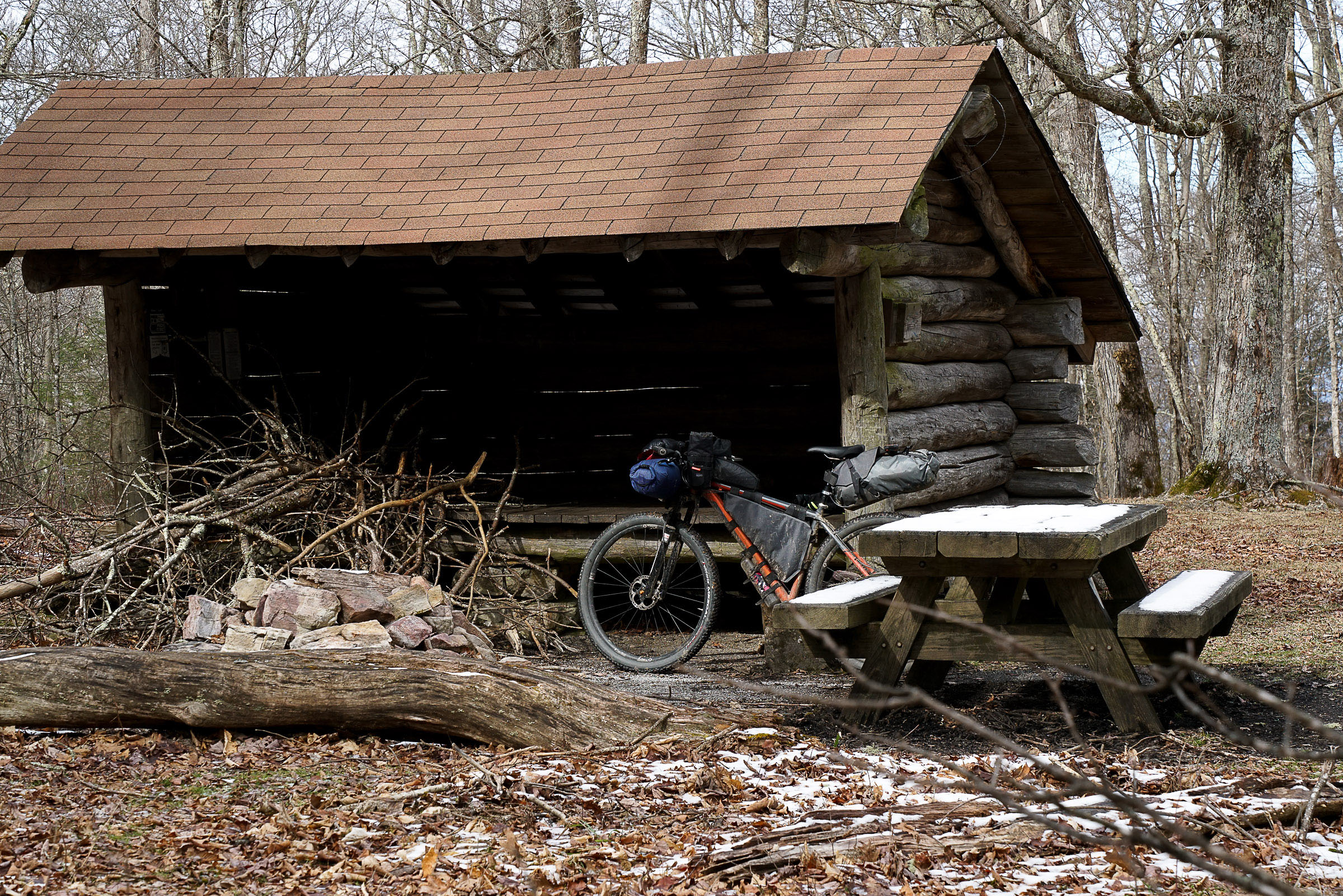
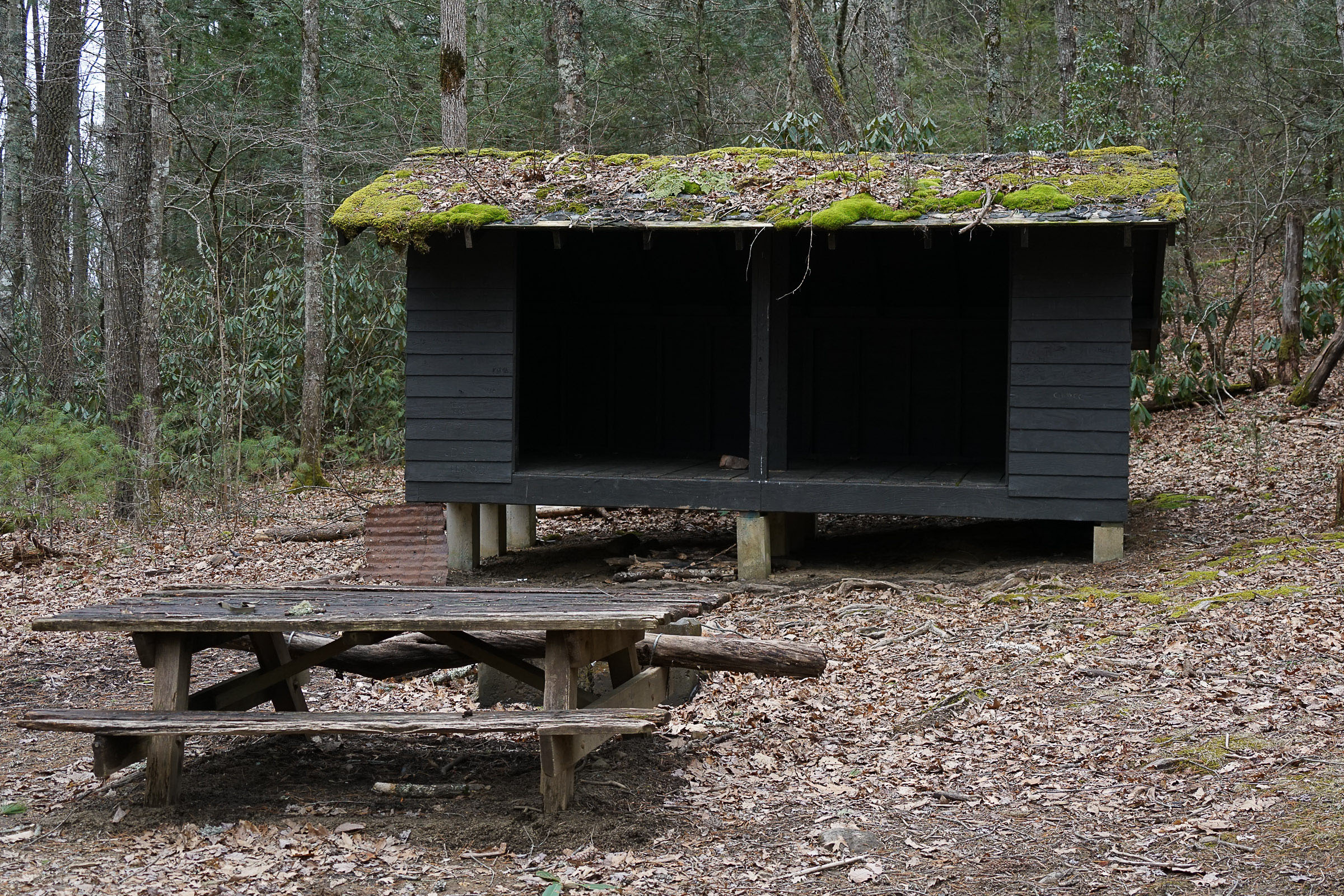
- Cherry Tree Shelter, which is a old Appalachian Trail shelter
- Highest legal mountain biking on the East Coast
- Bouldering opportunities in the Grayson Highlands State Park
- Brewery in Damascus, the start and finish
- The best times to ride are April to November, although there can be cold and snow in April/May and October/November at higher elevations. Fall is ideal as the colorful leaf shows can be spectacular in October and early November.
- The route is rideable nearly all year with the right preparation. It’s best avoided from mid-January to mid-March as that can be the depths of winter with snow, ice, and bitter cold, especially in the higher elevations. Mid-July to August can be hot and muggy with frequent afternoon thunderstorms.
- Sections of this route are remote. Make sure to bring a water filter and the necessary tools to repair common bike problems.
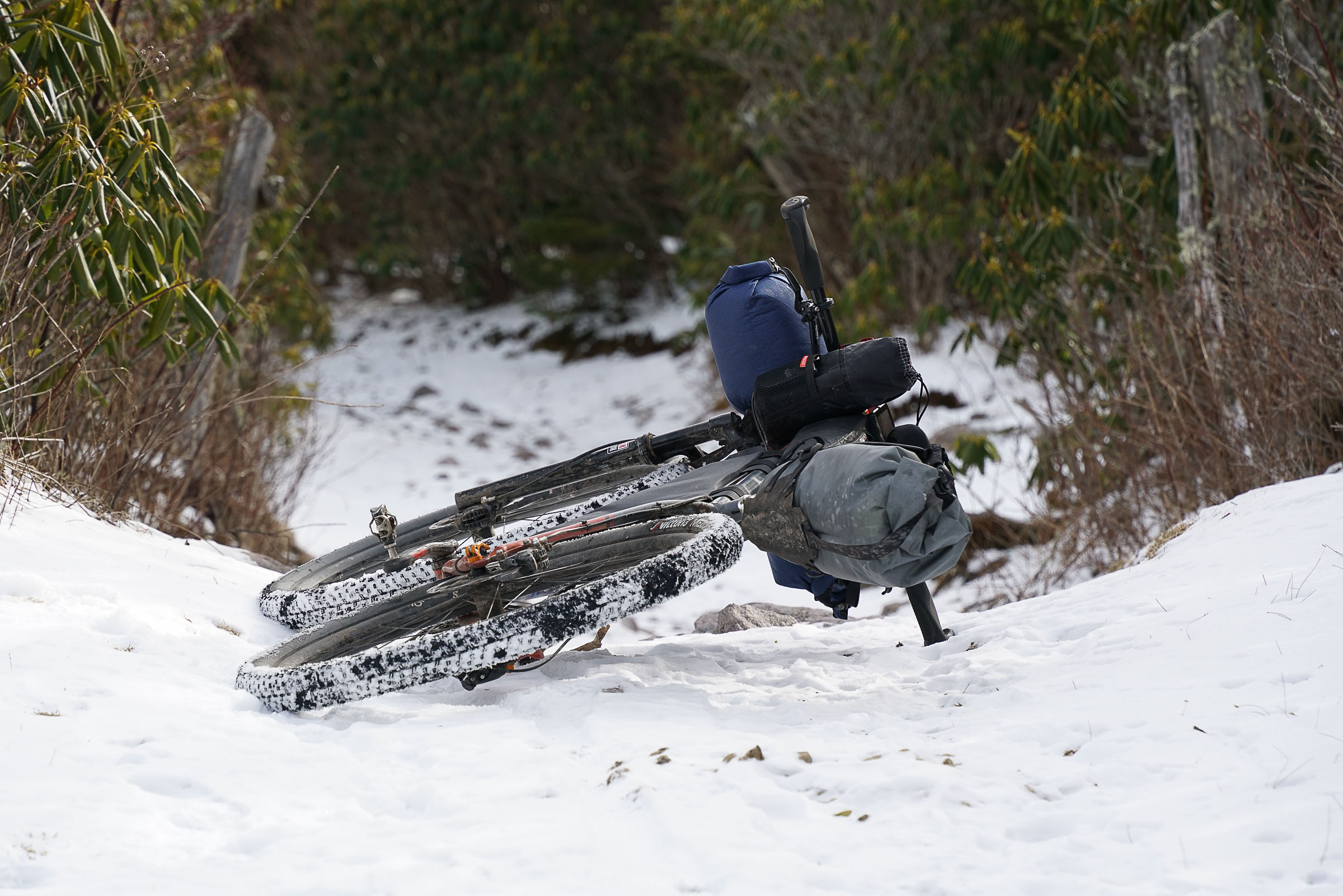
- While some sections are gravel and paved, this is no doubt a mountain bike route, and the terrain will require short sections of hike-a-bike.
- Make sure to only park at the backpackers lot in front of the Damascus Library. This is the only legal overnight parking in town, and you will be towed otherwise. Please register your vehicle with the town prior to parking. Note that this was temporarily moved the town swimming pool and you must register on the website provided at signage in the parking lot.
- Almost all the trails on this route are horse legal, and depending on the amount of rain or the number of horses, the trails can be torn up in places. Motos are also legal on sections of the Iron Mountain Trail.
- It’s advisable to start this route on a weekday during the high season due to the high volume of cyclists using the Virginia Creeper Trail. During the summer, shuttles bring people to the start in White Top to ride down the trail, so it can get pretty hectic. Otherwise, start very early in the morning avoid traffic.
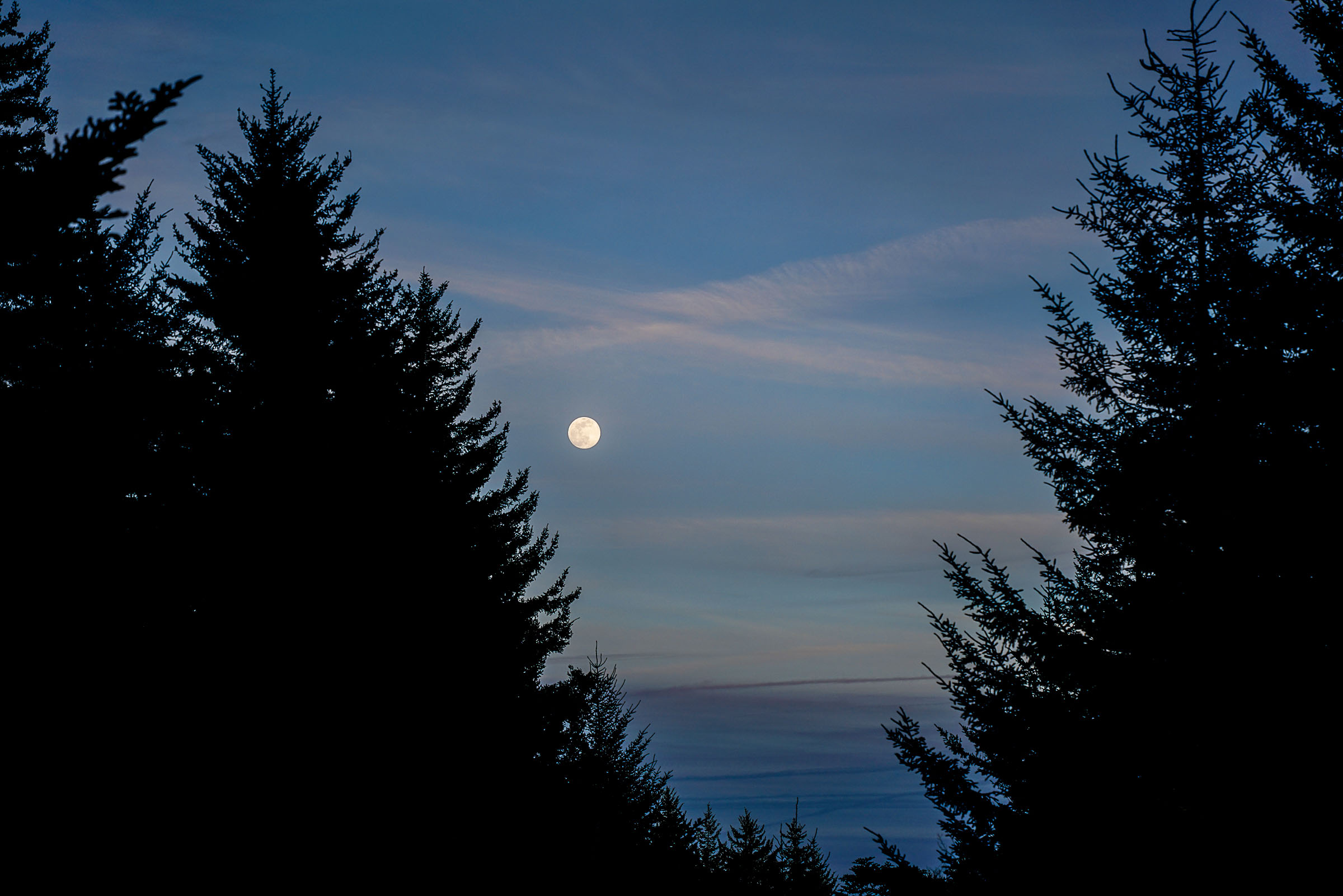
- The Virginia high country can have cold temps and unpredictable weather, even in the summertime. It is not uncommon for the temperatures to be in the low 40s up high during summer. Please pack accordingly for possible low temperatures.
- Primitive backcountry camping (no reservations needed) just outside the boundary of Grayson Highlands State Park.
- Camping opportunities just off the Appalachian Trail with long-range views and wild ponies.
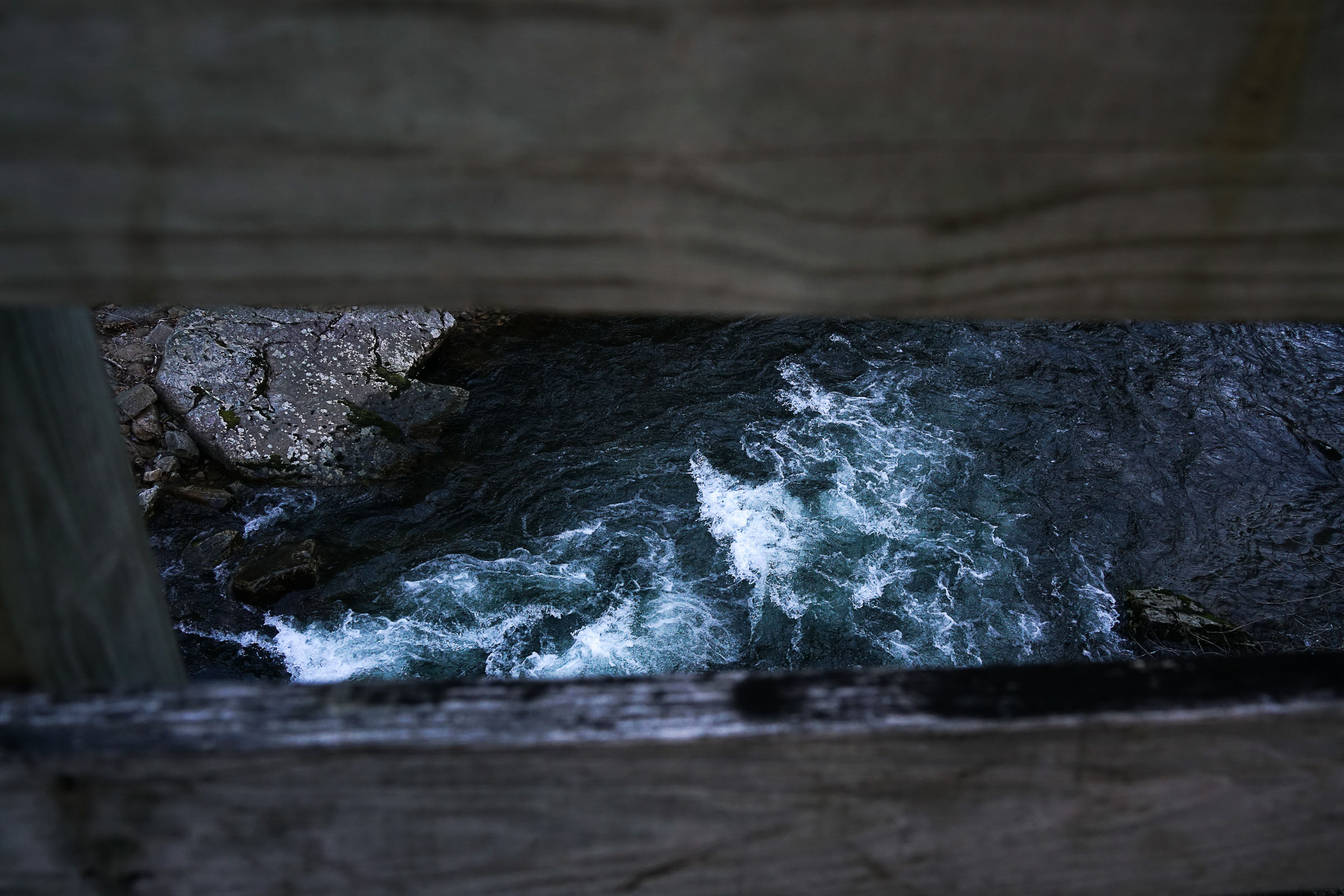
- There is plenty of water to filter on day one and at lower elevations on day two.
- Sections that may not have water include camping at the highest elevations outside Grayson Highlands State Park and the ridge line of the Iron Mountain Trail.
- Food options include eateries along the Virginia Creeper Trail (in season only) and convenience store in Whitetop.
- It is recommended to pack in dinner, breakfast, and lunch before entering the State Park.
location Damascus, VA-Rhododendron Gap
Day 1 (38 miles, +4,840 feet)
Hop onto the Creeper heading toward Whitetop. Depending on the days of the week and season, there are several eateries along the trail. Once reaching Whitetop, you’ll take a paved road to the entrance of Grayson Highlands State Park. No need to pay an entrance fee, as you’ll be passing through and camping beyond the park boundary. Continue through the park until reaching the campground. There is a bathroom with water located just behind it. Also, there is a small seasonal camp store. Across from the store, the route jumps back on dirt. Follow Seed Orchard to the Virginia Highlands Horse Trail. You’ll encounter some rocky terrain and short sections of hike-a-bike until you reach your first camping options where the AT crosses your path. Continuing on, you’ll then hit the Crest Trail and will require hike-a-bike to the high point of the route (over 5,400 feet). The payoff is reaching a beautiful camp spot near Rhododendron Gap.
location Rhododendron Gap-Damascus, VA
Day 2 (35 miles, +3,230 feet)
The next morning, continue descending along the Crest Trail until reaching the Scales and eventually making your way to Iron Mountain Trail (IMT). The route will soon pass Cherry Tree Shelter, which is an old Appalachian Trail shelter. This is a great spot to camp if looking to make the route multiple days. From the shelter, the IMT alternates between doubletrack and singletrack all the way toward Damascus. Follow the IMT up and down ridge lines with a little hike-a-bike sprinkled in until reaching the steep descent on Beech Grove Trail. Enjoy your well-earned cruise down the Creeper Trail back into Damascus. There’s a small brewery in Damascus as well as several trailside restaurants with decent food and drink options.
Additional Resources


Terms of Use: As with each bikepacking route guide published on BIKEPACKING.com, should you choose to cycle this route, do so at your own risk. Prior to setting out check current local weather, conditions, and land/road closures. While riding, obey all public and private land use restrictions and rules, carry proper safety and navigational equipment, and of course, follow the #leavenotrace guidelines. The information found herein is simply a planning resource to be used as a point of inspiration in conjunction with your own due-diligence. In spite of the fact that this route, associated GPS track (GPX and maps), and all route guidelines were prepared under diligent research by the specified contributor and/or contributors, the accuracy of such and judgement of the author is not guaranteed. BIKEPACKING.com LLC, its partners, associates, and contributors are in no way liable for personal injury, damage to personal property, or any other such situation that might happen to individual riders cycling or following this route.
Please keep the conversation civil, constructive, and inclusive, or your comment will be removed.