Hin und Hunsruck
Distance
122 Mi.
(196 KM)Days
3
% Unpaved
85%
% Singletrack
10%
% Rideable (time)
97%
Total Ascent
13,203'
(4,024 M)High Point
1,804'
(550 M)Difficulty (1-10)
7?
- 7Climbing Scale Strenuous108 FT/MI (20 M/KM)
- -Technical Difficulty
- -Physical Demand
- -Resupply & Logistics
Contributed By

Lothar Linse
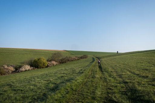
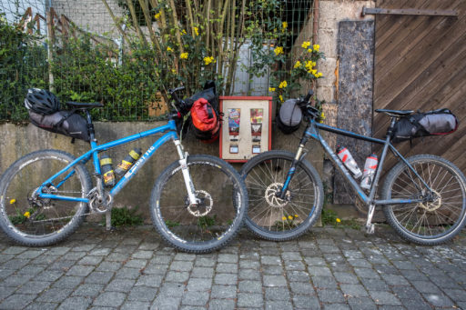
Hin und Hunsrück is a new weekend bikepacking loop that was created as a sister route to Whine, Rhine and Romans, a route published here in 2017. Whine, Rhine and Romans is a three-day ride that starts and ends in Bonn with its turning point in Koblenz. For Hin und Hunsrück, we designed a loop from Koblenz, so you can ride either route on its own, or combine these two trips for a wonderful one-week ride. The name of the route comes from ”Hunsrück,” the region that the route passes through, and a play on words based on the German saying “hin und zurück,” which means something like “back and forth.”
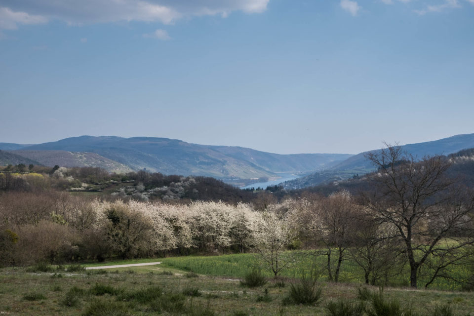
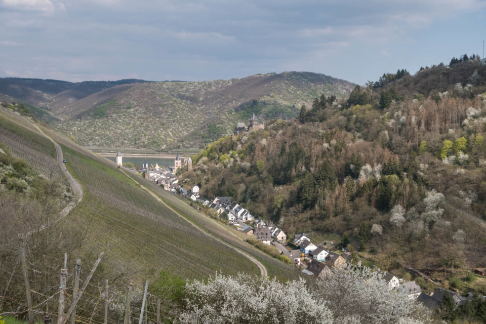
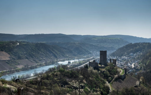
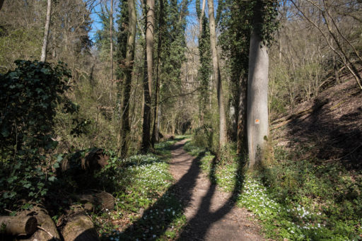
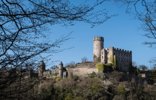
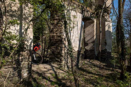
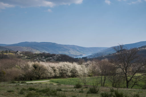
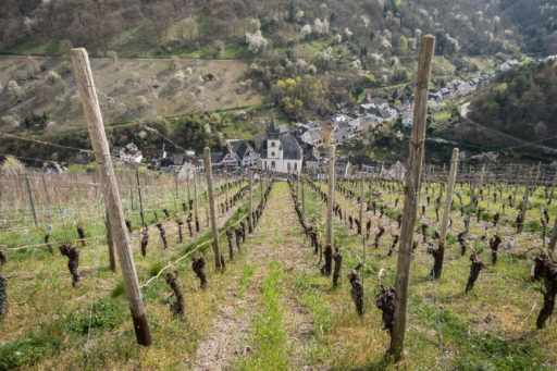
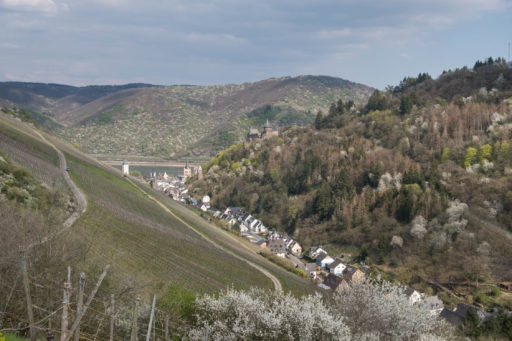
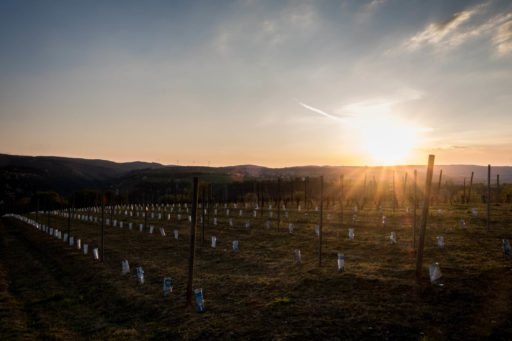
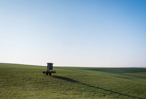
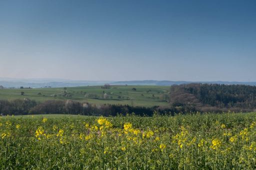
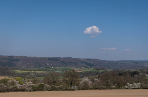
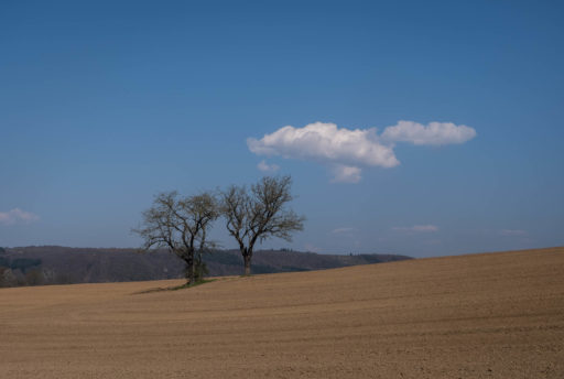
By itself, the route is a very diverse weekend bikepacking loop starting and ending in the city of Koblenz. The route combines several established hiking trails following the famous rivers Rhine and Mosel. Along the way, you’ll find quiet and remote landscapes, a variety of beautiful scenery, and historic ruins and ancient castles. The route travels through the upper middle Rhine valley, a world cultural heritage site and a famous wine region.
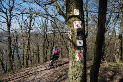
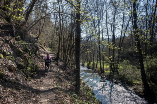
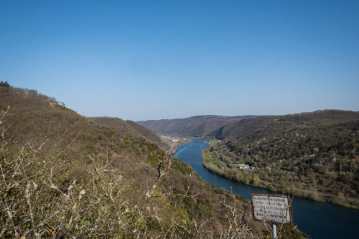
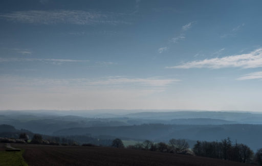
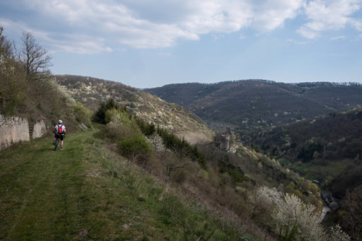
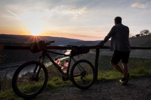
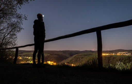
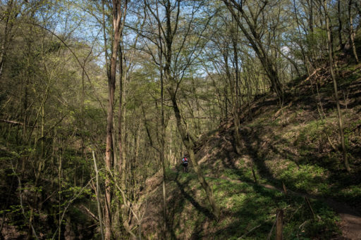
Parts of the Hin und Hunsrück belong to several well known hiking trails, such as the Jakobs trail, the Moselsteig, the Saar-Hunsrück Steig, and the Rheinsteig. The region is known for its expansive forests and never-ending hills. So similar to Wine, Rhine, and Romans, it’s a steady up and down with many scenic points to offer views over the famous Rheintal.
Route Difficulty
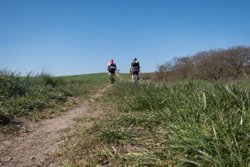
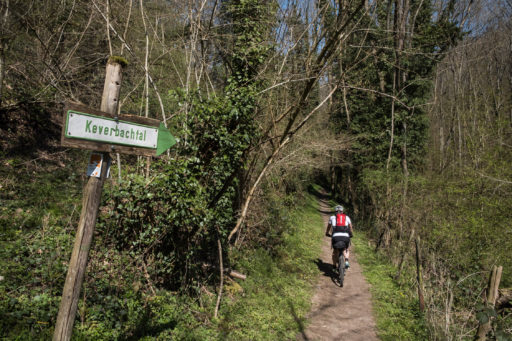
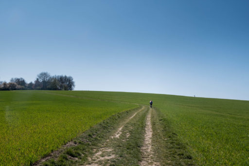
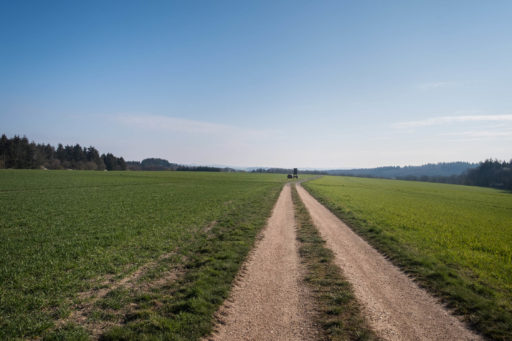
The route is rated 7 of 10. There are no relevant logistical difficulties, and civilization is almost always nearby. But, you’ll need good physical fitness and technical skills as the route is a steady up and down. The rideability depends on both of those factors. I recommend a mountain bike for this route due to a steady dose of rough farmland tracks, steep ascents, singletrack trails, and rocky downhills.
Submit Route Alert
As the leading creator and publisher of bikepacking routes, BIKEPACKING.com endeavors to maintain, improve, and advocate for our growing network of bikepacking routes all over the world. As such, our editorial team, route creators, and Route Stewards serve as mediators for route improvements and opportunities for connectivity, conservation, and community growth around these routes. To facilitate these efforts, we rely on our Bikepacking Collective and the greater bikepacking community to call attention to critical issues and opportunities that are discovered while riding these routes. If you have a vital issue or opportunity regarding this route that pertains to one of the subjects below, please let us know:
Highlights
Must Know
Camping
Food/H2O
Trail Notes
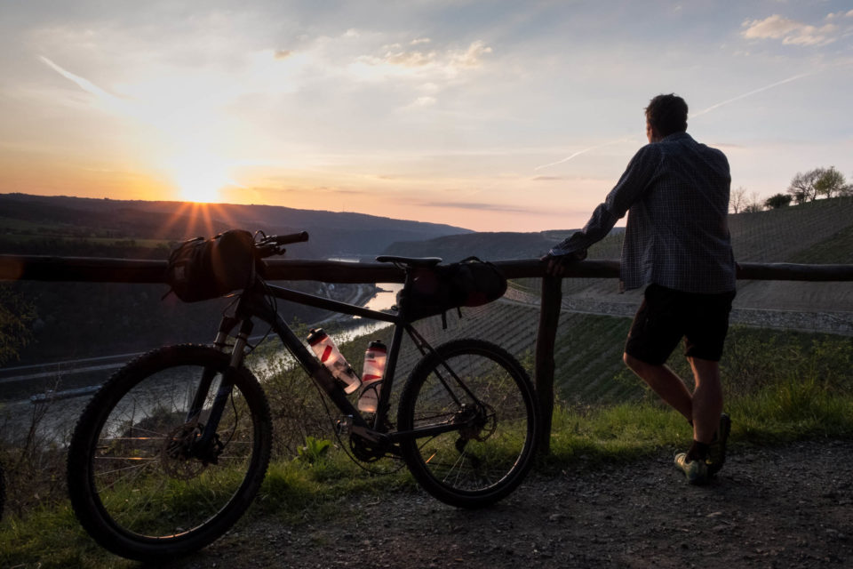
- Many scenic viewpoints over the Rhine and Mosel valleys
- Passing countless castles and ruins
- Castle Pyrmont
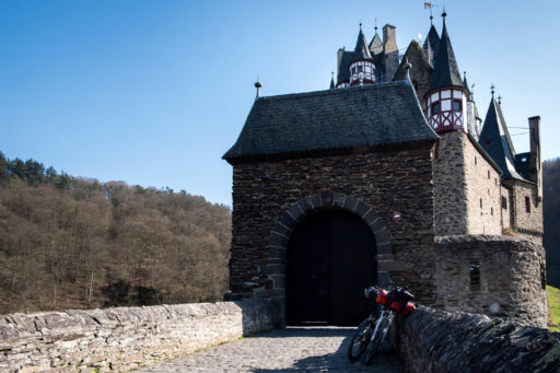
- Castle Burg Elz
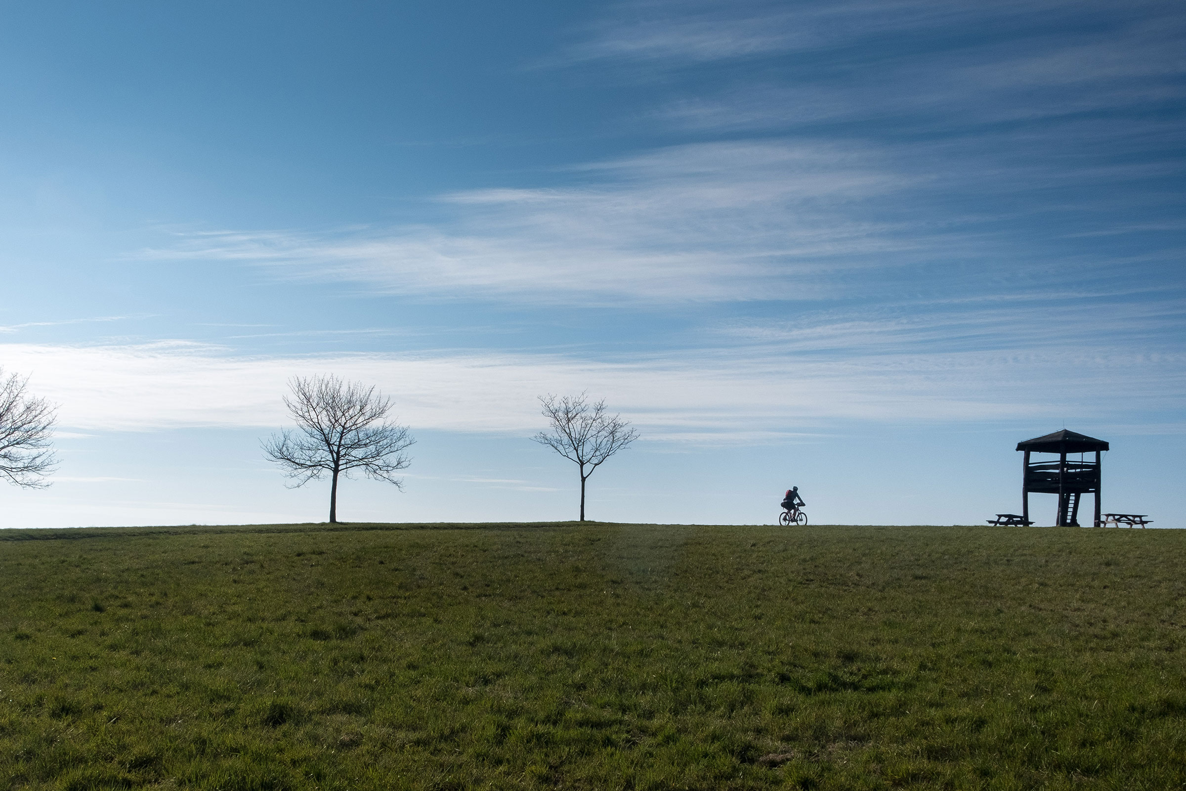
- Otto Andreas Scenic Tower
- Wineries next to the rivers Rhine and Mosel
- The ancient village of Barachach
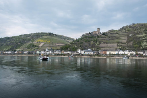
- The ancient village of Kaub
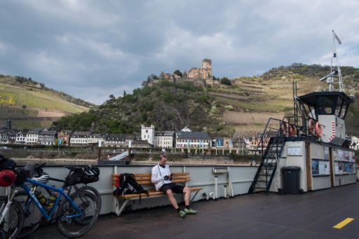
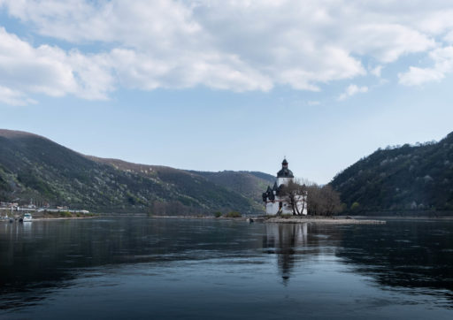
- Crossing the Rhine by ferry and passing the castle Burg Pfalzgrafenstein on the island in the river.
- The best time to ride this route is between May and October when it’s not too cold or wet.
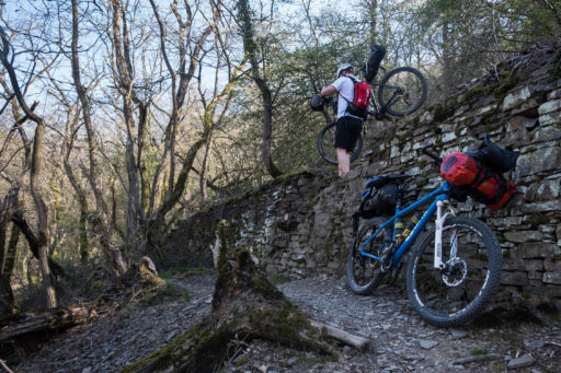
- The route consists mostly of unpaved forest roads. The ascents and descents that lead to the multiple scenic viewpoints are quite steep. I recommend a hardtail MTB with a low gear ratio, especially when carrying luggage.
- The route starts and ends in the city Koblenz, which is easy to reach by train from many destinations.
- We did this trip counterclockwise during the mid-week in early spring. So we met only a few people during the whole trip. But be mindful of hikers, especially on a sunny weekend.
- The hiking trail between the castles Pyrmont and Burg Elz can be crowded on weekends. So behave respectfully and take precaution.
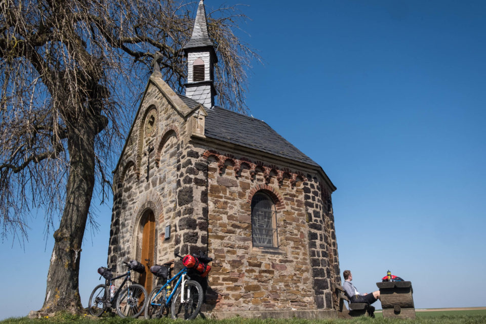
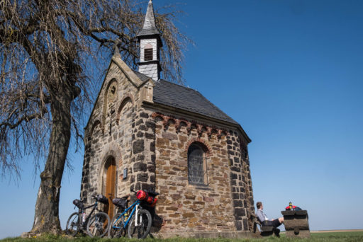
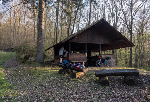
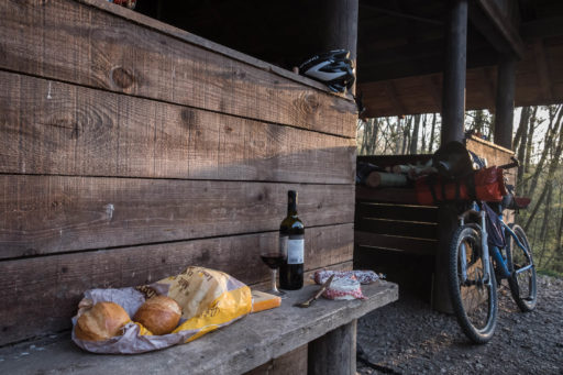
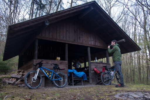
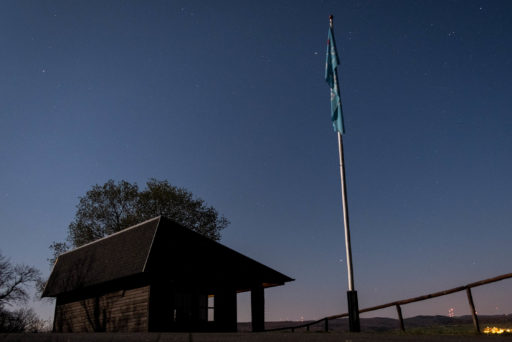
- Wild camping is not allowed in Germany, but you will find several camping places and shelters on your way for a break . We spent the first night somewhere behind the village Lütz and the second close to the village Nochern. When you plan a break, arrive late, and leave early.
- You will find accommodation options in almost every village.
- The route passes plenty villages and farmhouses, so water is accessible almost everywhere.
- The only time where water is somewhat of an issue is on the third day between the villages St Goarshausen and Frücht. During this stretch, you only pass one farmhouse. So plan your water reserves well.
- There are many small rivers and creeks around. Filtering is recommended because of nearby cattle grazing.
- Well-stocked supermarkets are only in the larger towns.
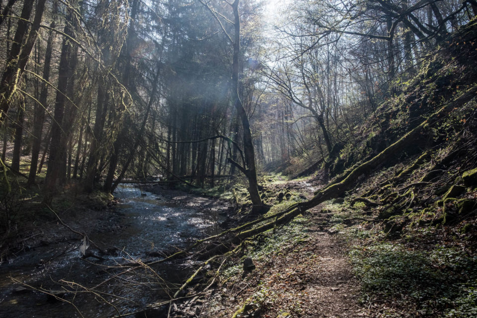
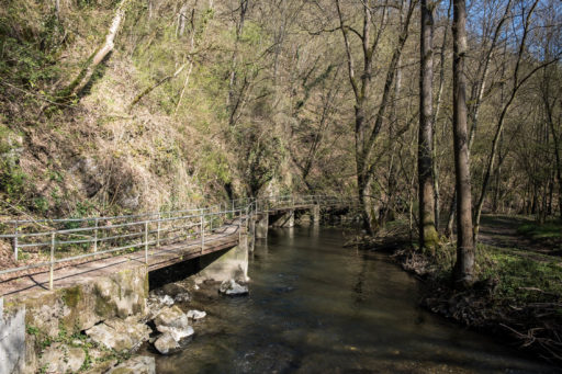
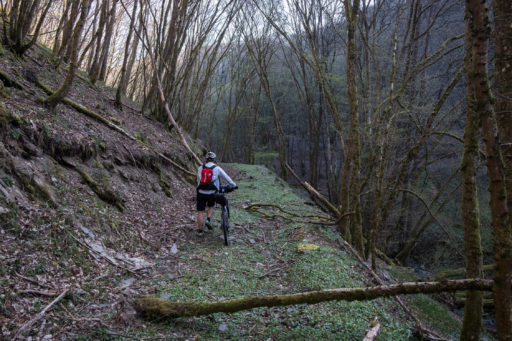
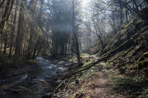
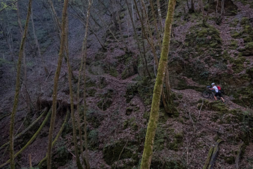
- On the second day you pass the wonderful valley Baybachtal below the villages Dorweiler and Heyweiler. It is a singletrack trail and you have to carry your bike at least twice over rocky sections with a cable. At the second section we decided to ride a detour through the villages. When you are highly motivated you can try to follow the hiking trail through the “Baybachklamm” completely. You will meet the original route again before the village Birkenbach automatically. If you do so, please leave a comment later on the website, if it was possible and worth riding this section small section (3 km) we left out.
- The hiking trail up from St. Goashausen to the shelter “Schutzhütte Nochern” is very steep and you have to push your bike. Alternatively can ride a detour on the road to the village Nochern which is above the hut.
- To cross the Rhine on your second day you have to take the ferry over to the village Kaub. Beware of the working times of the ferry. You will find further information under the link below: faehre-kaub.de
- Shortly before the village St. Goarshausen you can make a 1 km detour to visit the famous scenic point “Loreley”. You will automatically pass the sign to the spot during your route.
Terms of Use: As with each bikepacking route guide published on BIKEPACKING.com, should you choose to cycle this route, do so at your own risk. Prior to setting out check current local weather, conditions, and land/road closures. While riding, obey all public and private land use restrictions and rules, carry proper safety and navigational equipment, and of course, follow the #leavenotrace guidelines. The information found herein is simply a planning resource to be used as a point of inspiration in conjunction with your own due-diligence. In spite of the fact that this route, associated GPS track (GPX and maps), and all route guidelines were prepared under diligent research by the specified contributor and/or contributors, the accuracy of such and judgement of the author is not guaranteed. BIKEPACKING.com LLC, its partners, associates, and contributors are in no way liable for personal injury, damage to personal property, or any other such situation that might happen to individual riders cycling or following this route.
Please keep the conversation civil, constructive, and inclusive, or your comment will be removed.


