


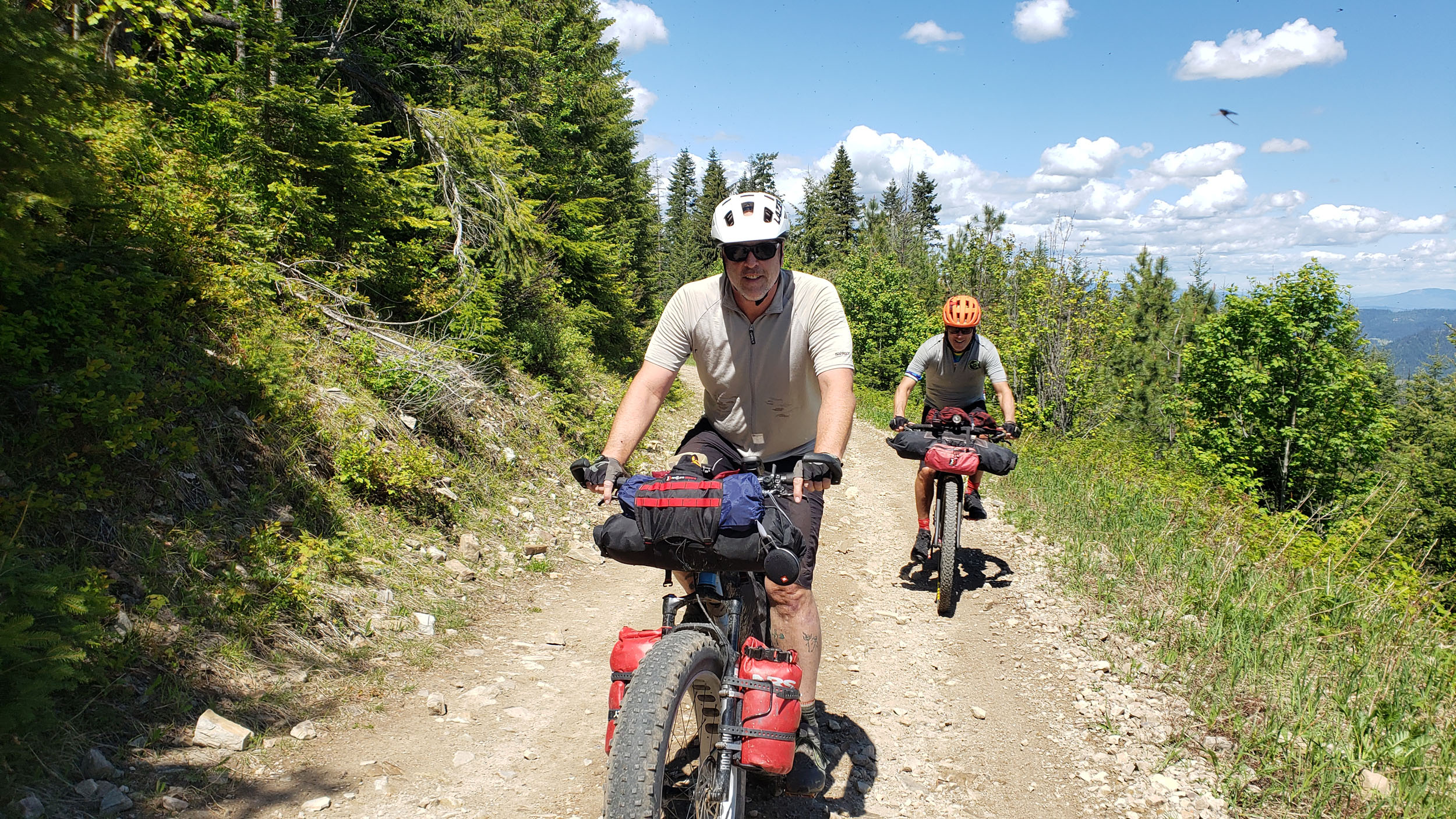
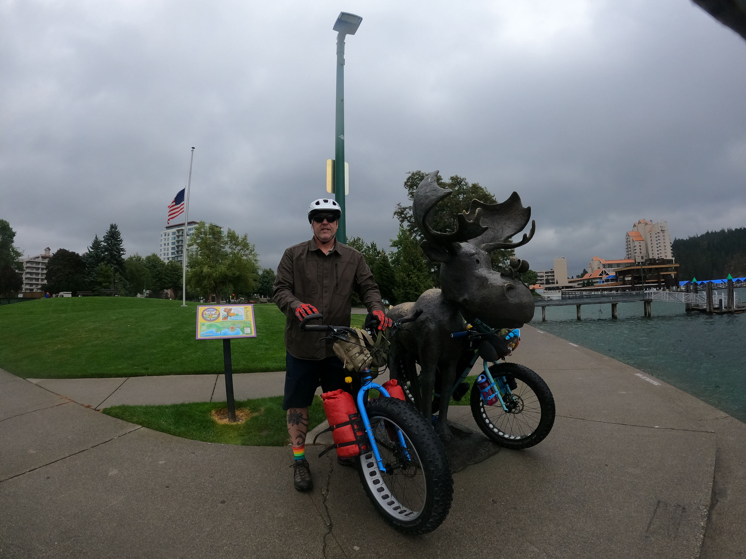
Idaho Panhandle Ramble (PanRam)
Distance
320 Mi.
(515 KM)Days
6
% Unpaved
85%
% Singletrack
5%
% Rideable (time)
95%
Total Ascent
30,365'
(9,255 M)High Point
6,340'
(1,932 M)Difficulty (1-10)
6.5?
- 6Climbing Scale Moderate95 FT/MI (18 M/KM)
- 5.5Technical Difficulty Moderate
- 8Physical Demand Difficult
- 5Resupply & Logistics Moderate
Contributed By
Eric Deady
Guest Contributor
Eric lives and works in Coeur D’Alene, Idaho, and has been riding the trails and backroads of North Idaho looking for areas that showcase what the region has on display. He has been touring and bikepacking for 30 years in the US, Europe, Central America, Canada, and Mexico.
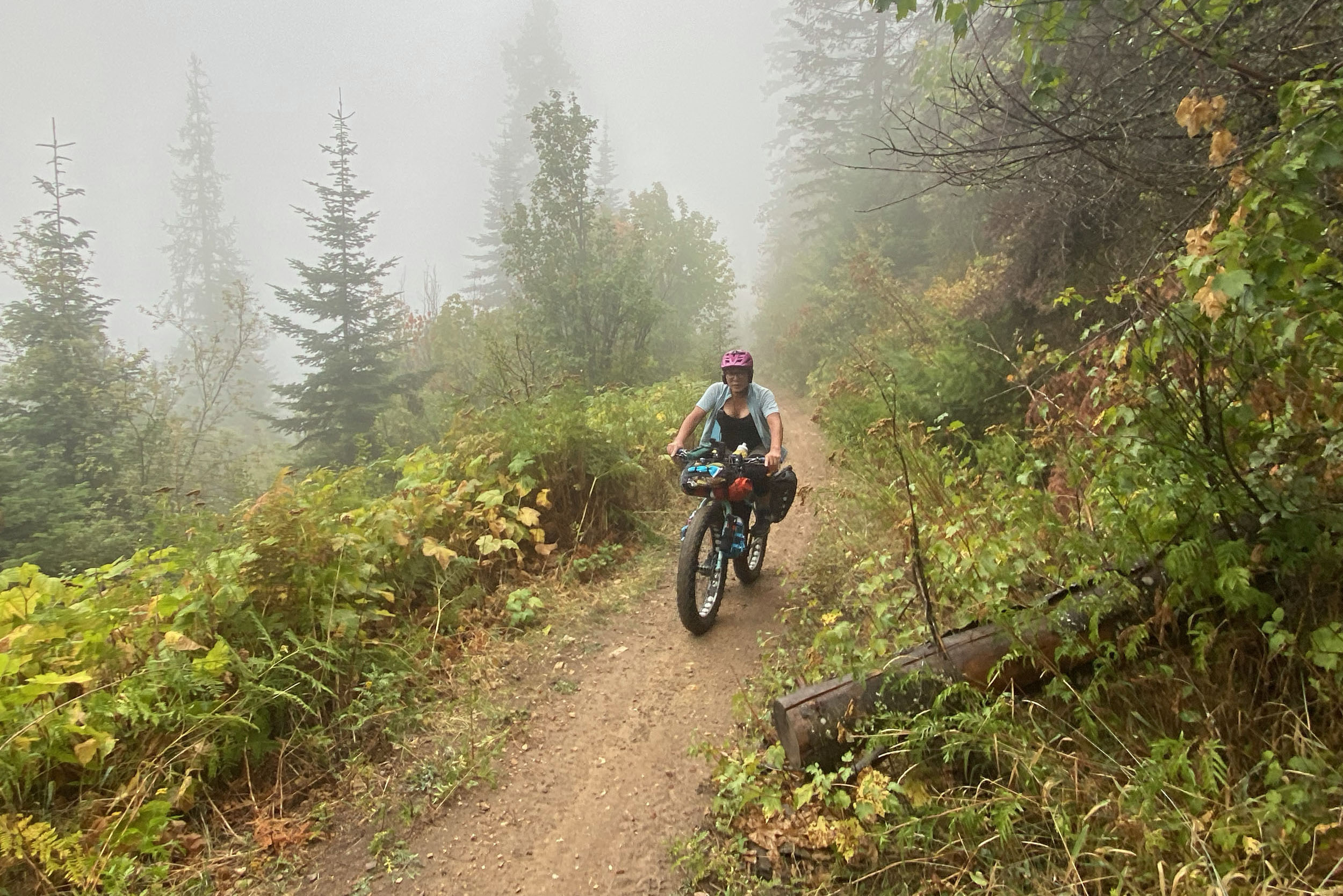
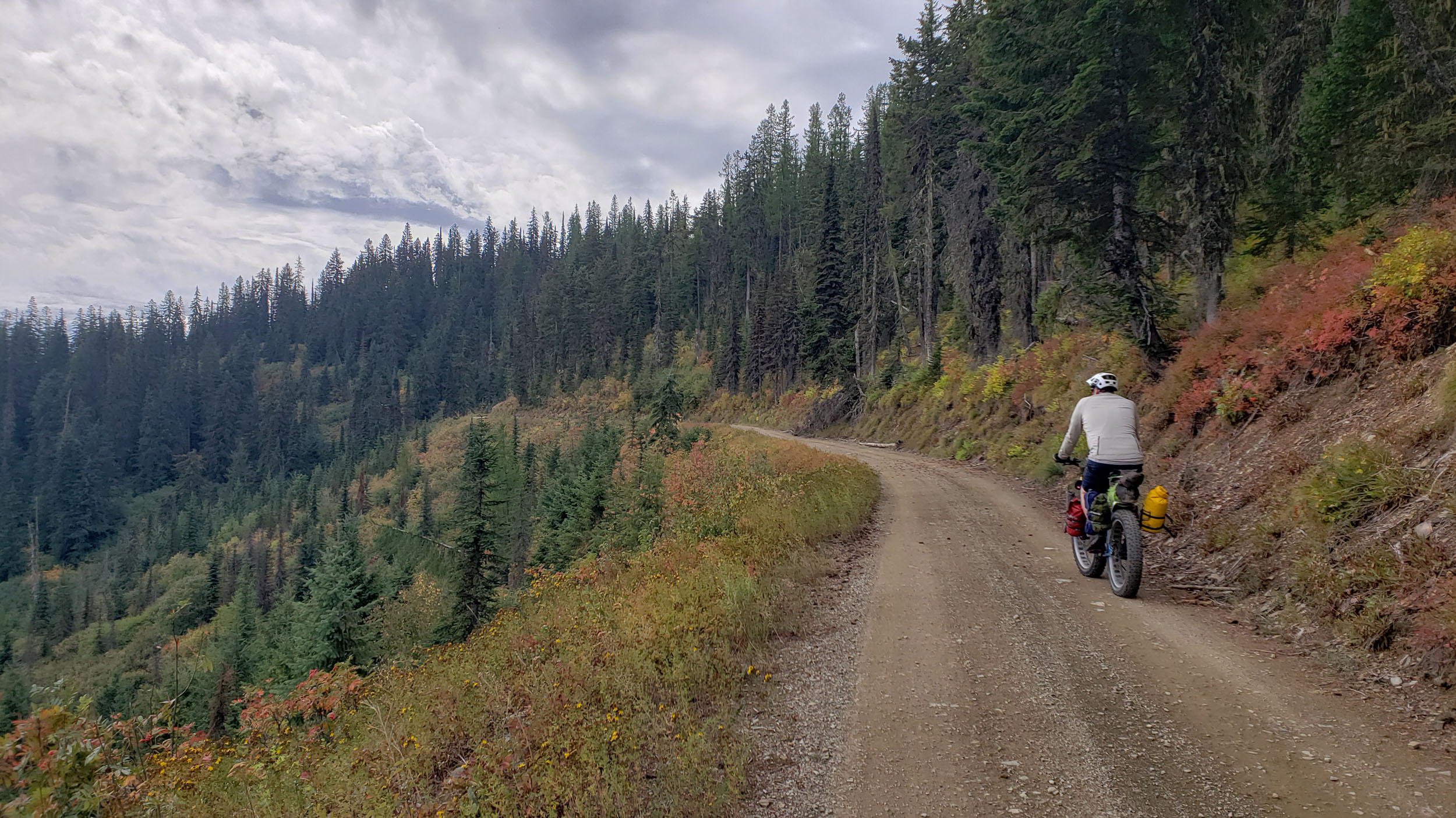
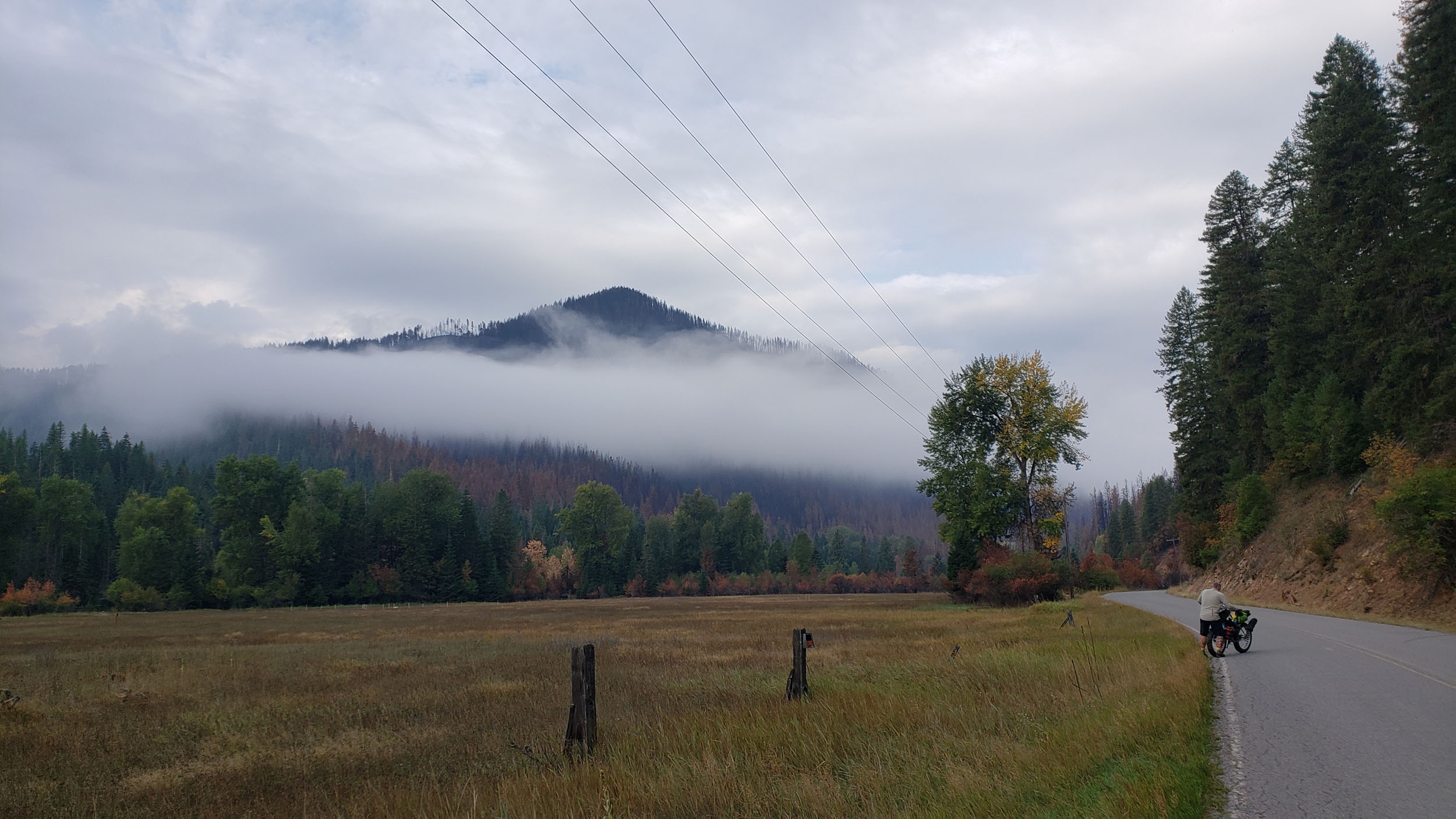
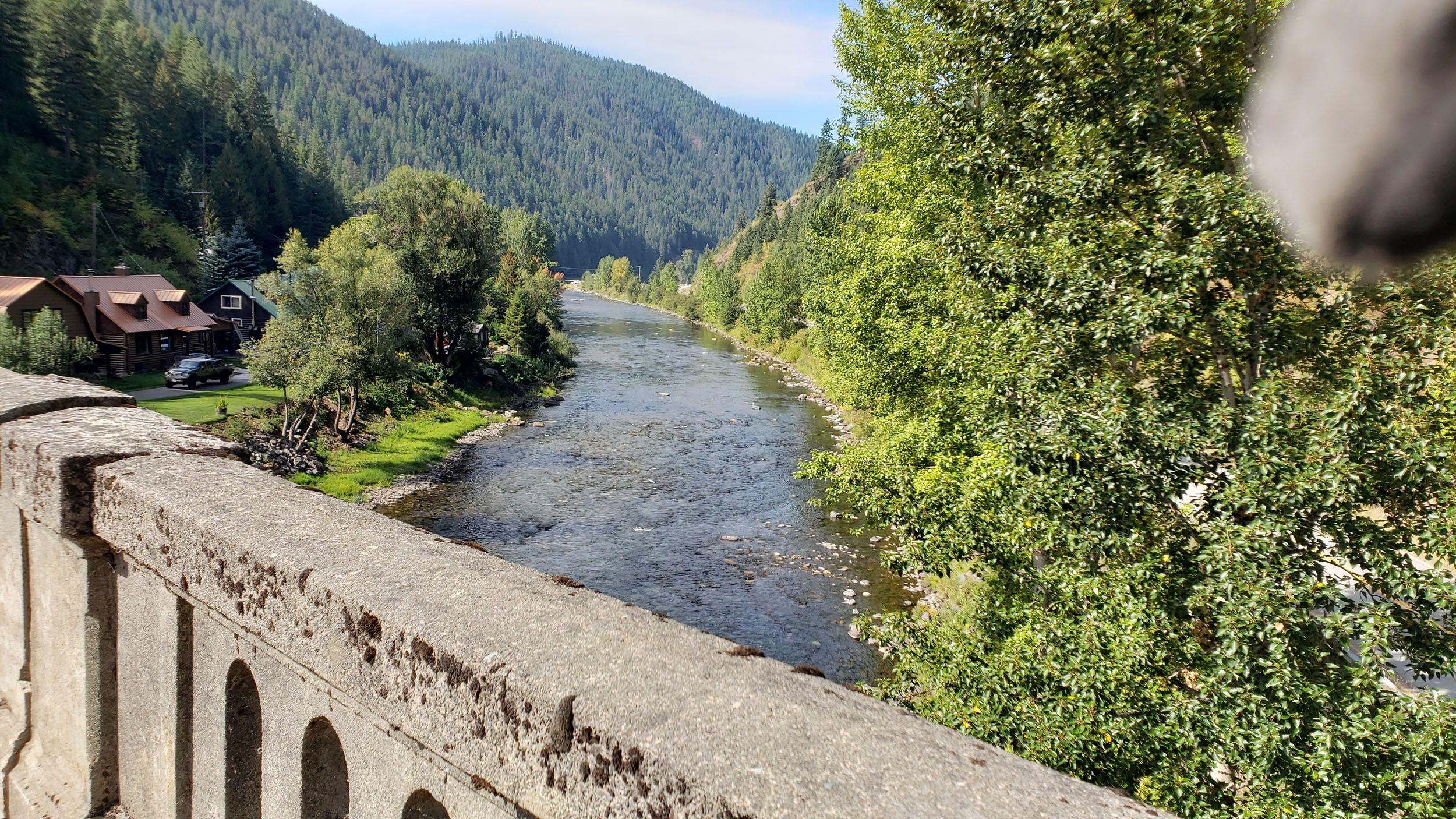
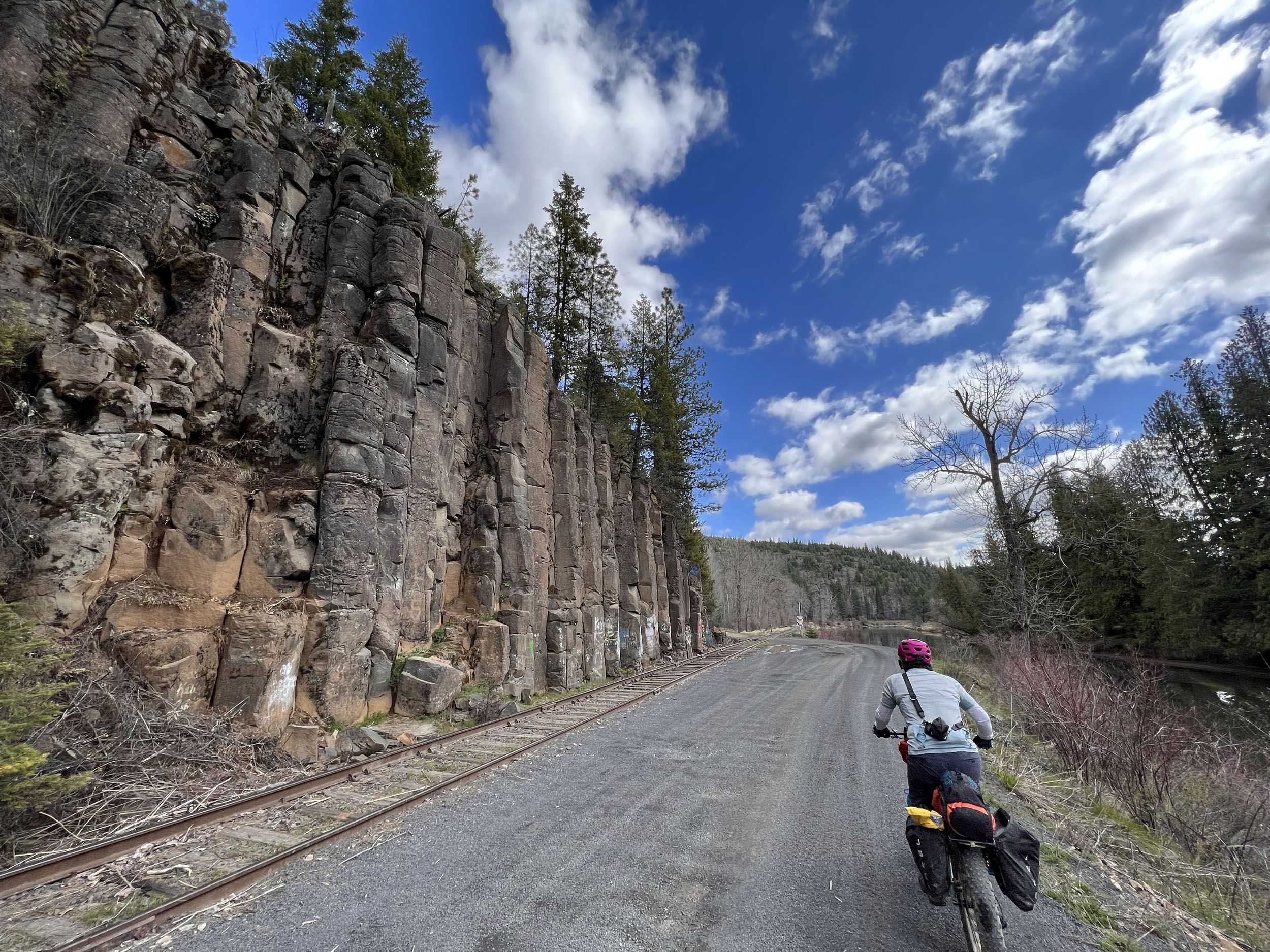
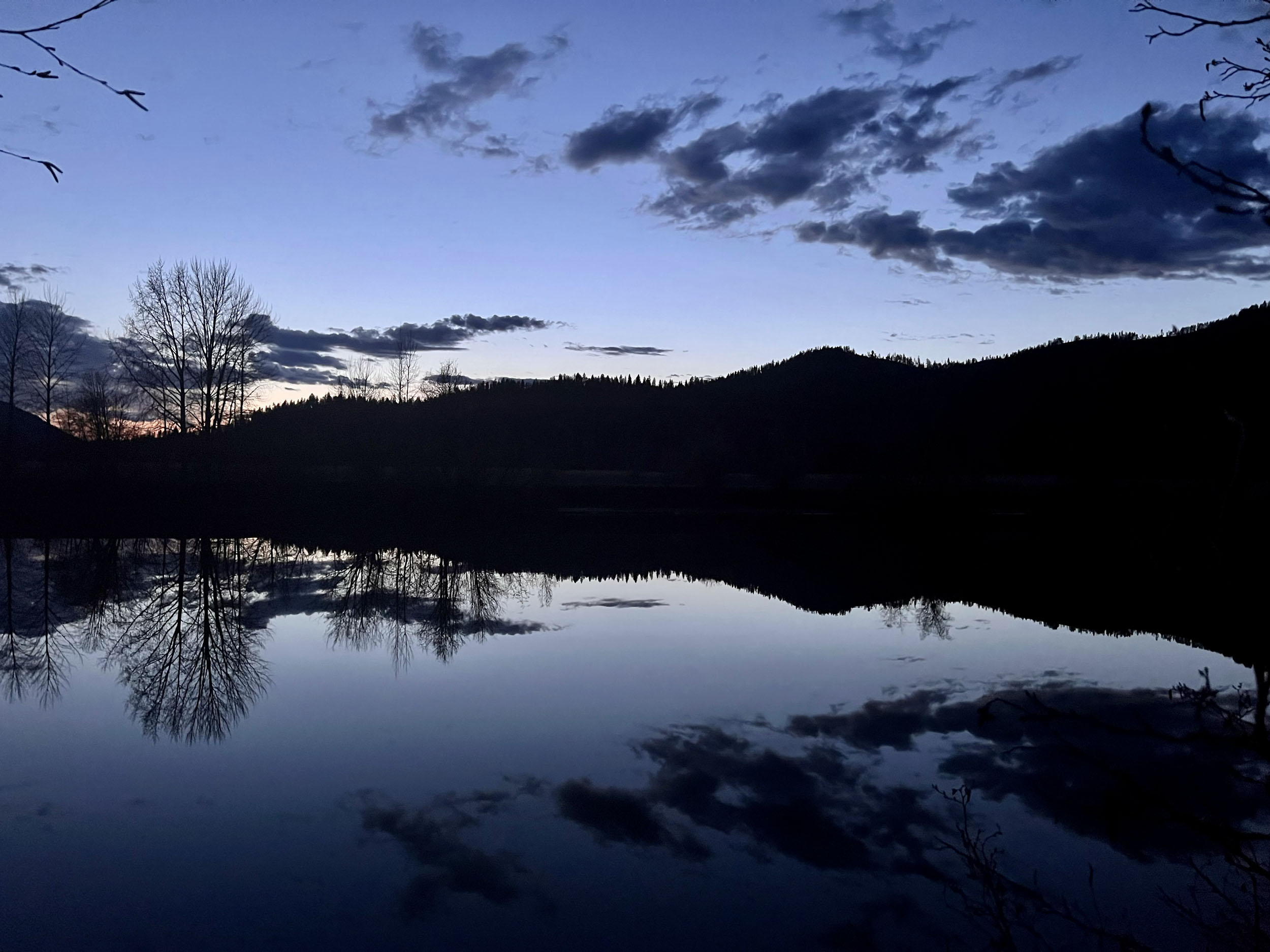
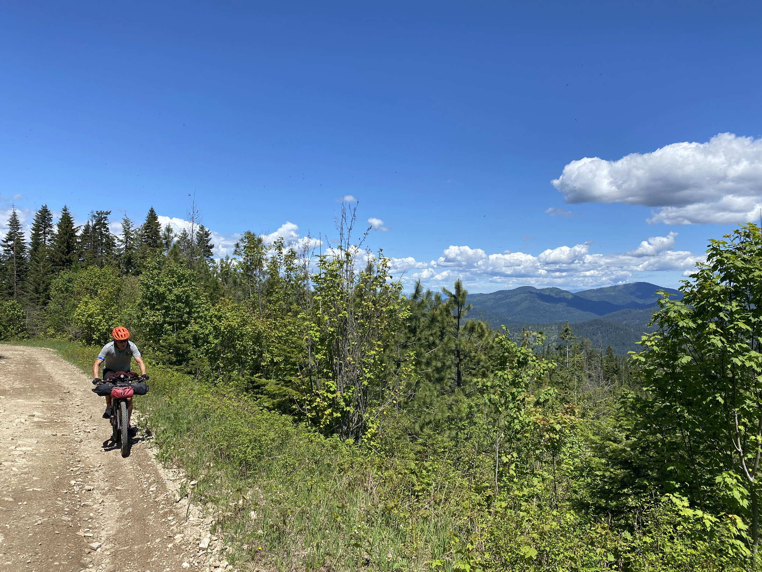
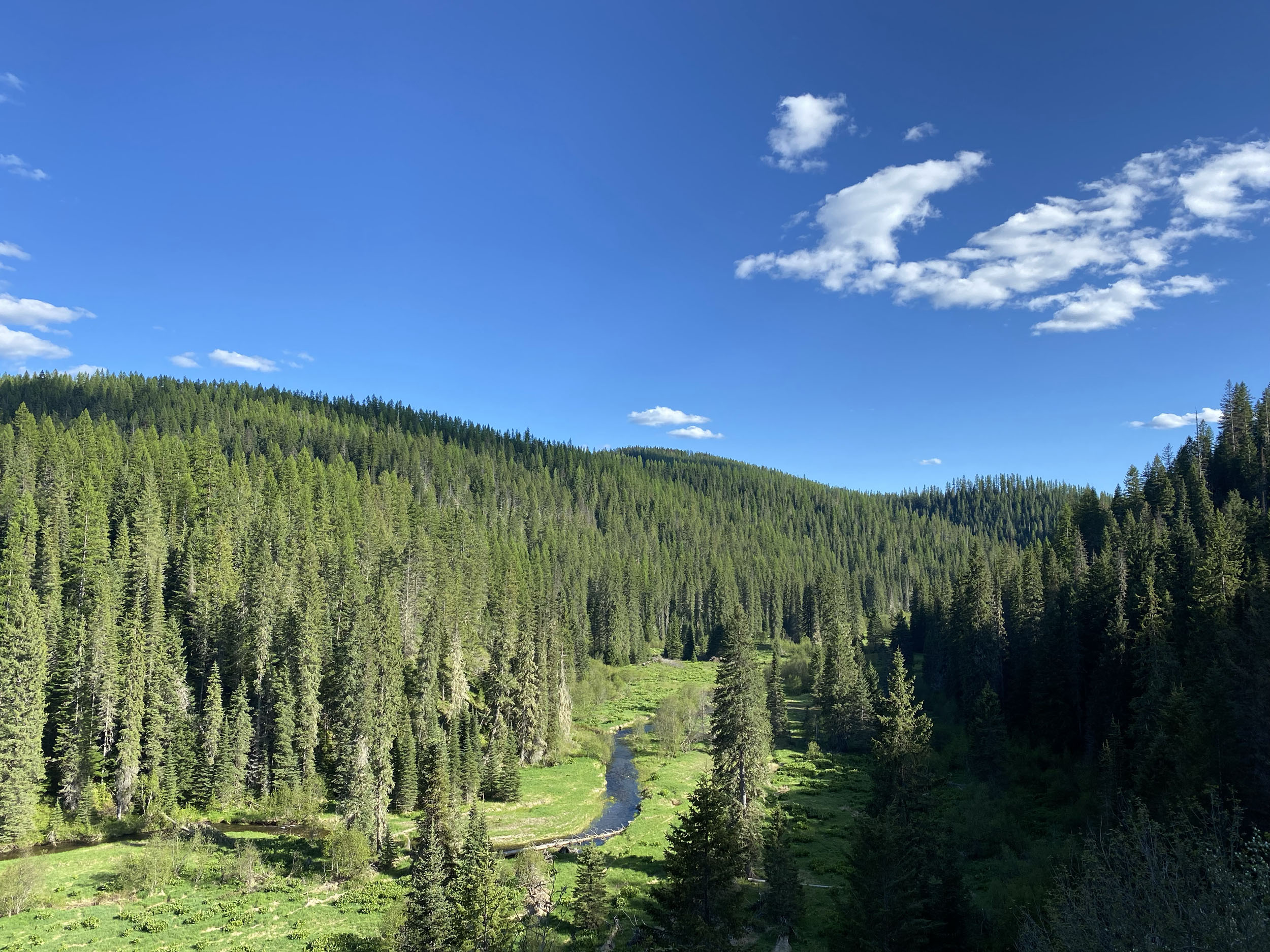
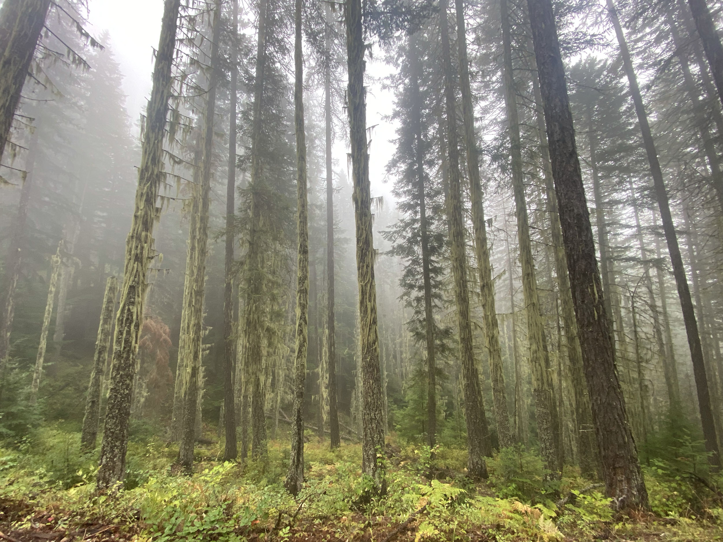
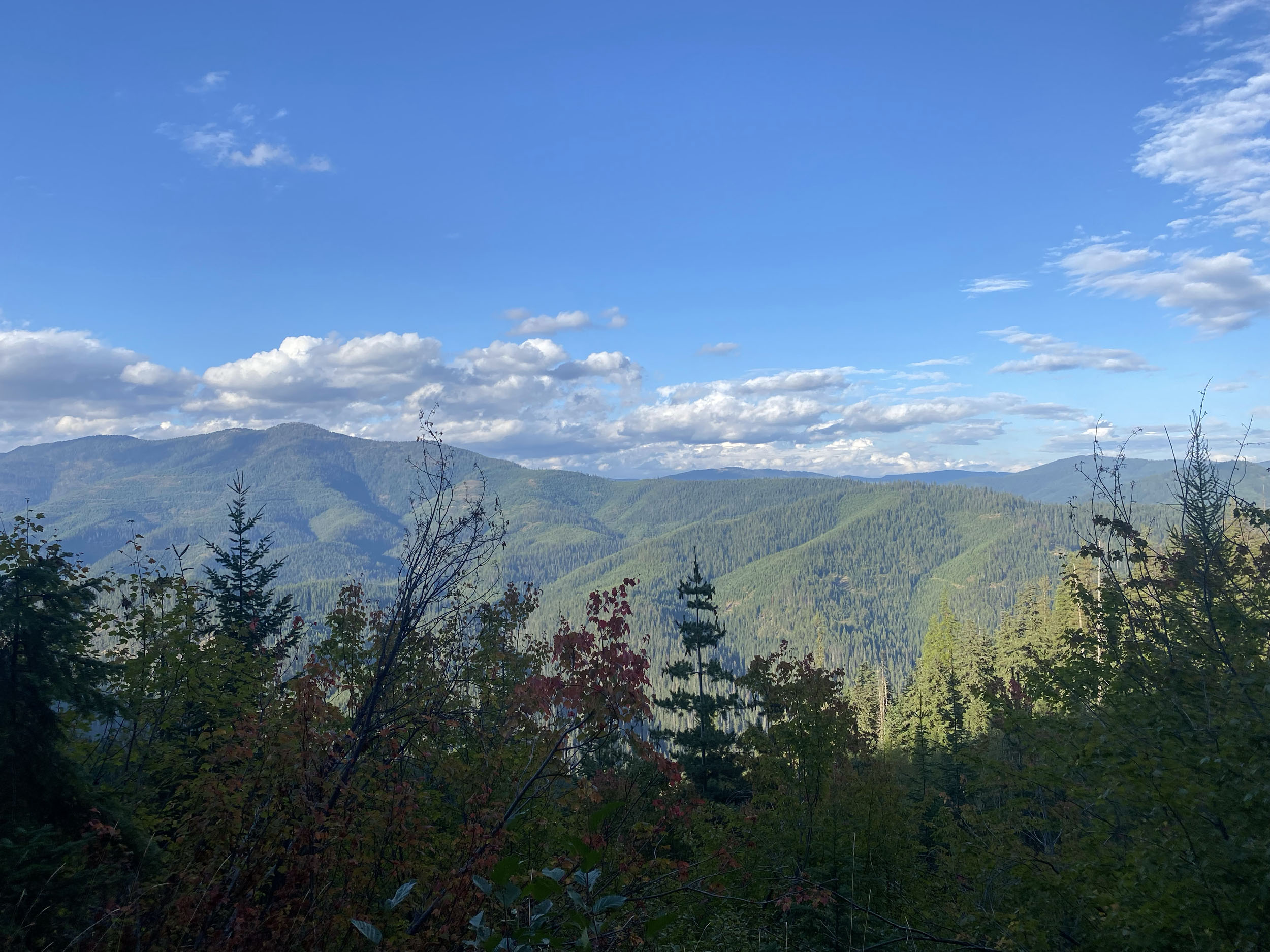
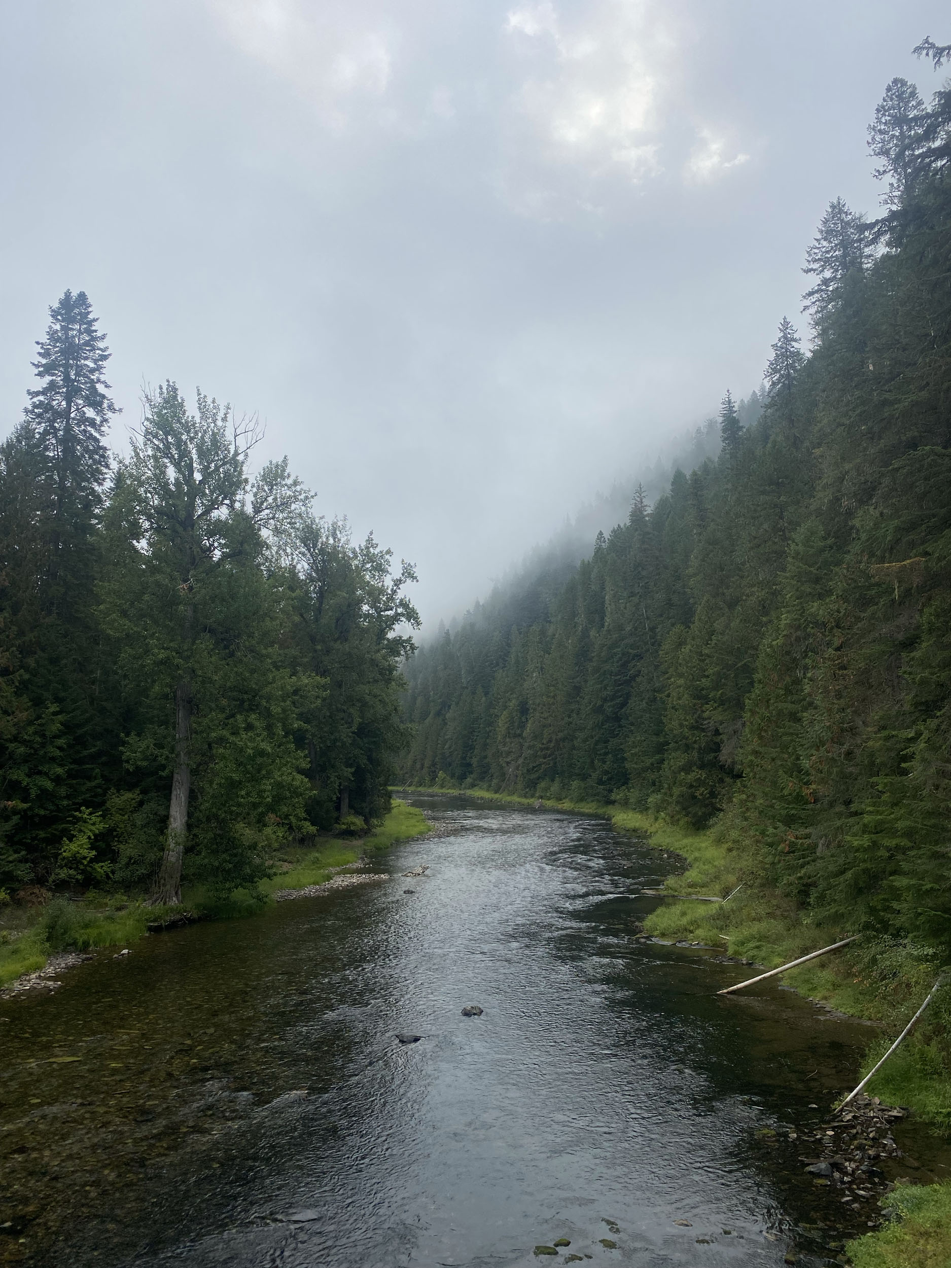
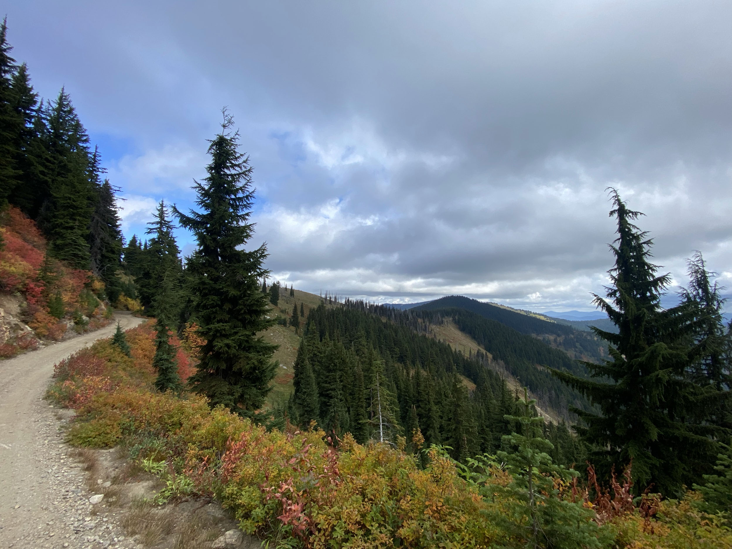
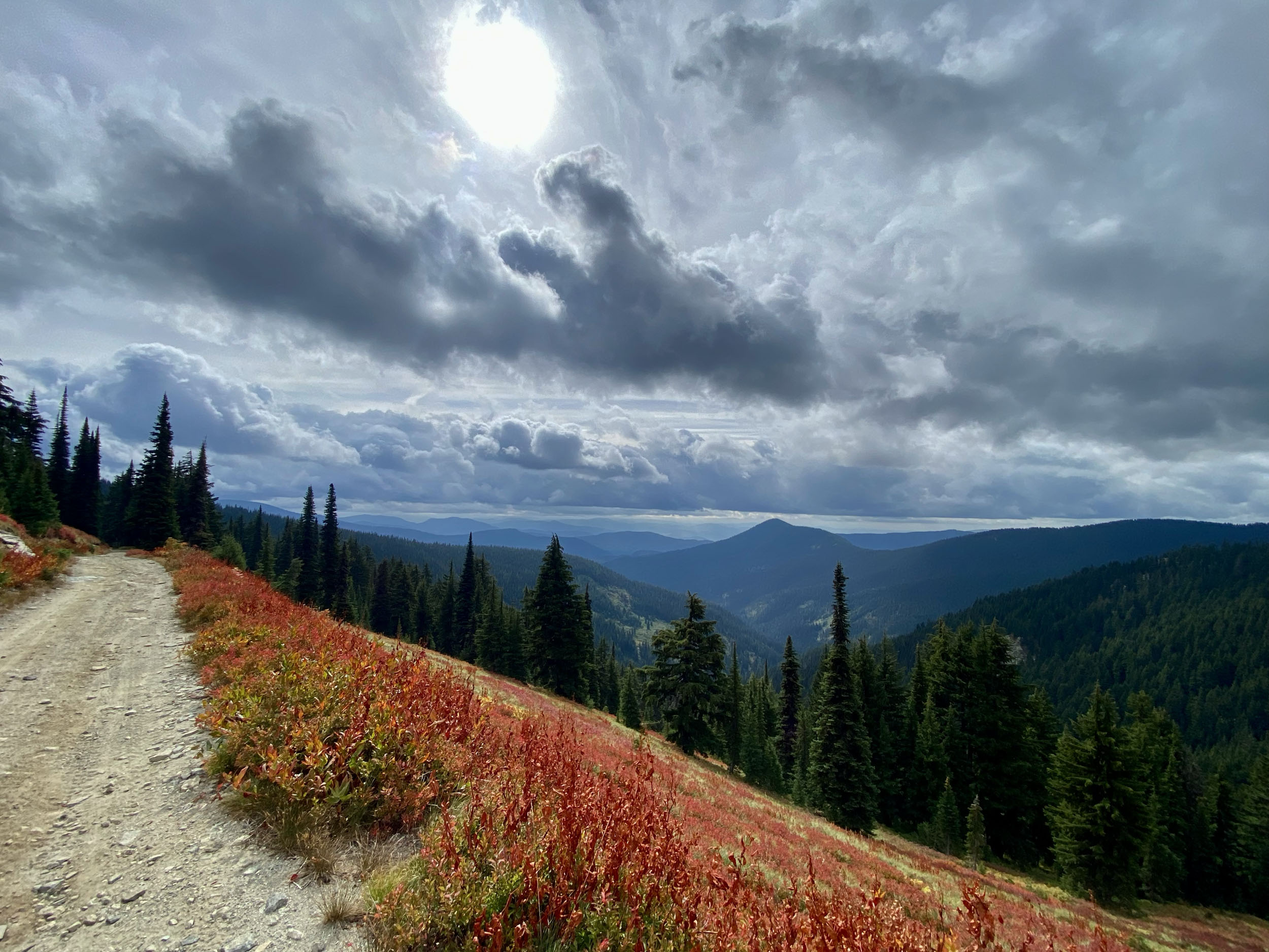
The Panhandle Ramble takes in a grand chunk of the spectacular Idaho Panhandle—a swath of rugged, geologically and culturally rich land sandwiched between Canada to the north, Washington to the west, and Montana to the east. This area has been known mostly for its abundant natural resources in the past, but it has since become a relatively undiscovered outdoor playground, filled with crystal clear rivers and lakes, unspoiled carpets of forest, wildlife, and friendly small towns, making riders feel like they’ve taken a trip back in time. This region is relatively unpopulated after leaving the town of Coeur D’Alene (pronounced Core-Duh-Lane), so its easy to lose yourself in the silence, scale, and remoteness of the route.
There are frequent opportunities for interesting activities along the way, like mine tours, fishing, hiking, and garnet hunting to name just a few; although this route can be tackled quickly as an FKT, I prefer to linger and dip my feet into the cold streams, perch upon its rocky outcroppings, and savor the warmth of a mid-summer night next to a campfire, listening to the coyotes yip and watching the Milky Way slip silently overhead.


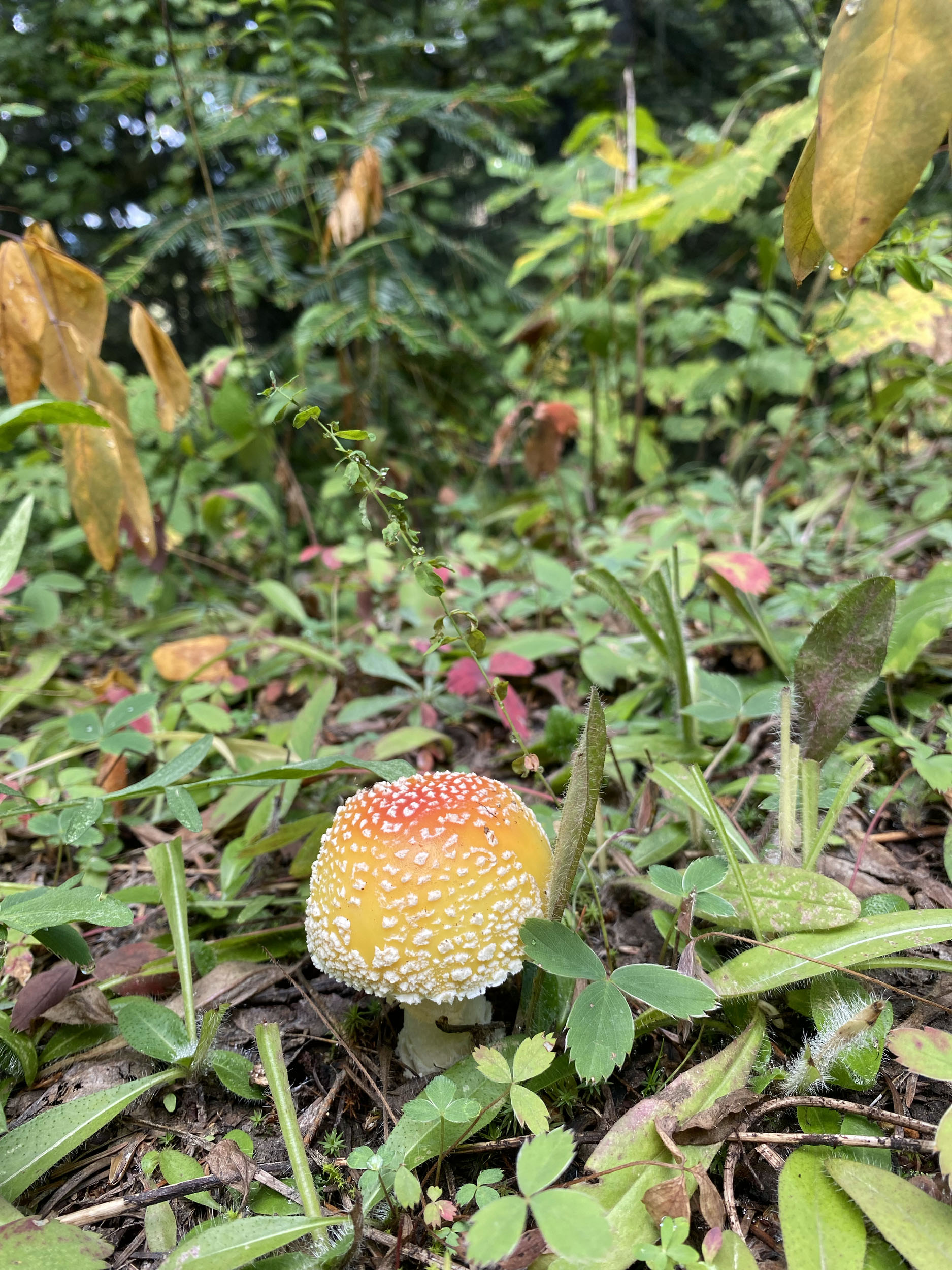
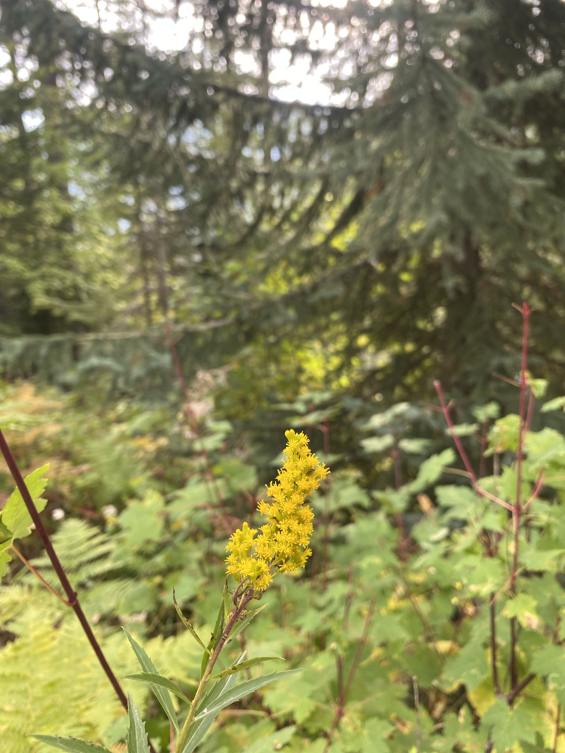
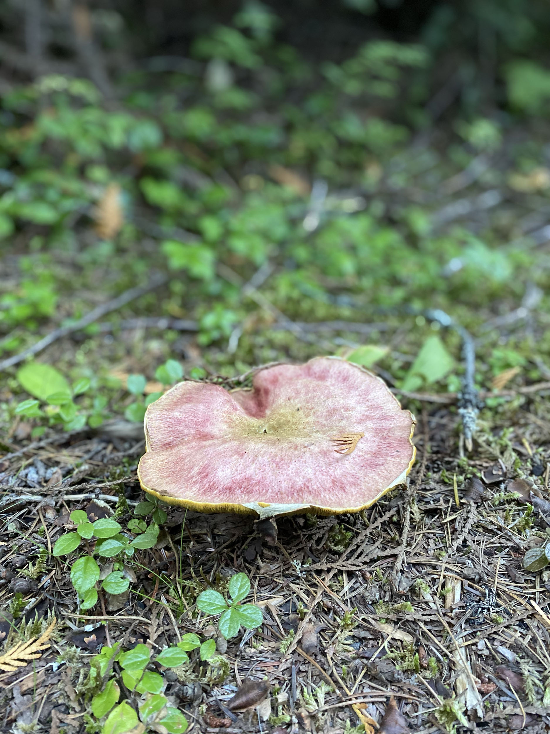
North Idaho is also famous for its prolific huckleberries, and you’ll be guaranteed as many hucks as you desire throughout the route, making your morning breakfast that much more satisfying for you (and the many bears sharing the purple berries). Thimble-berries, blackberries, wild strawberries, and edible mushrooms can also be found along the way if you know what to look for, making for some delicious additions to your standard dehydrated meals.
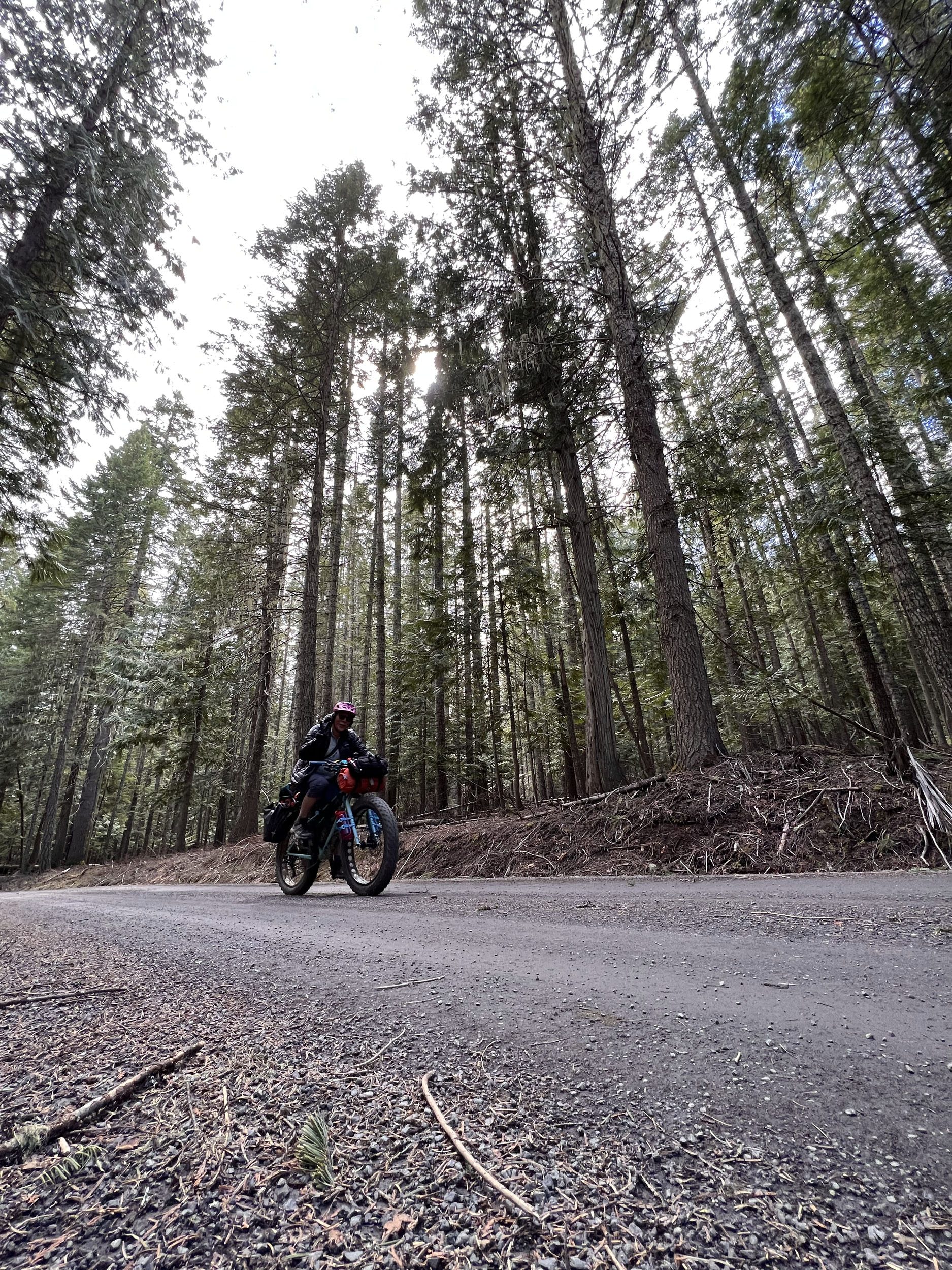
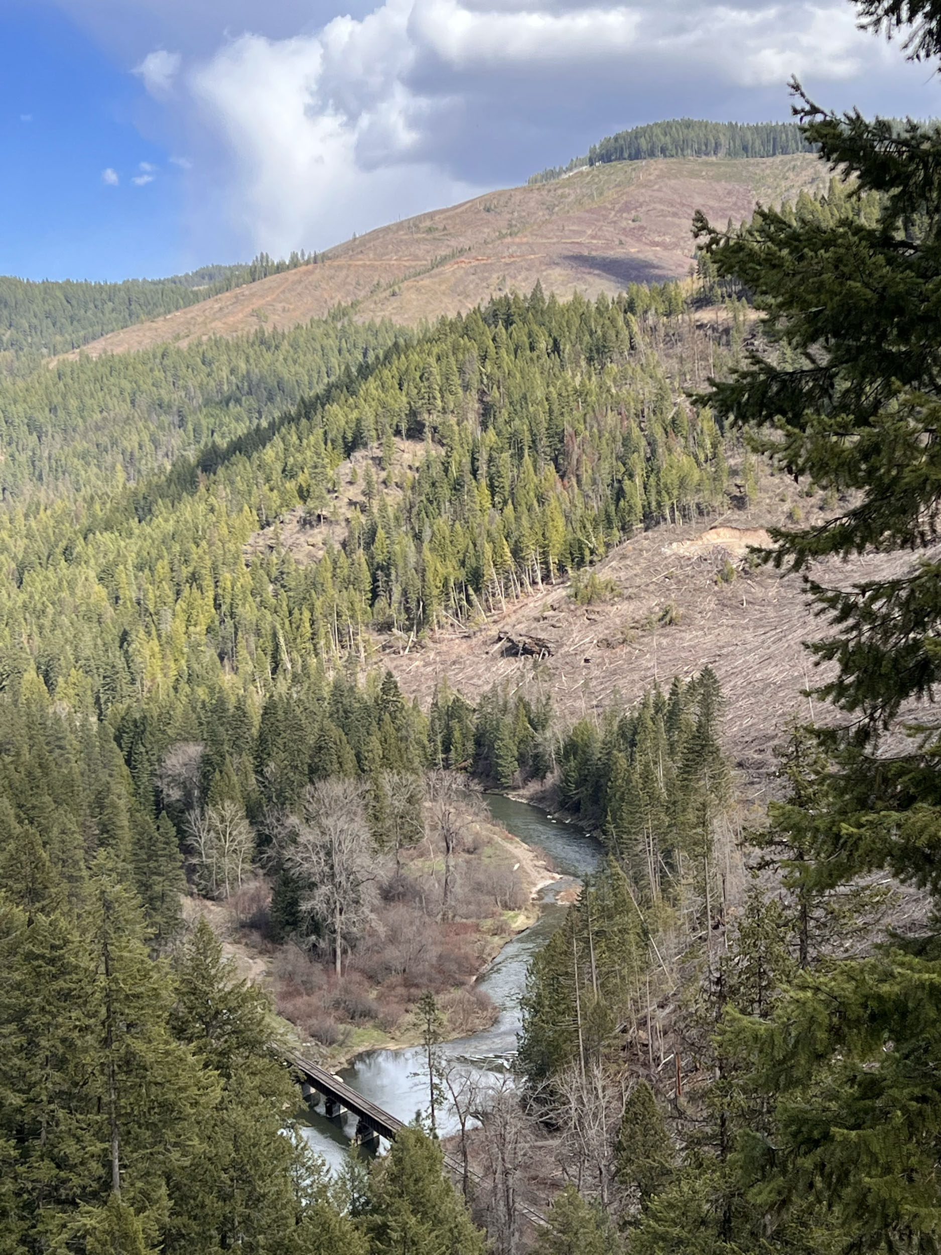
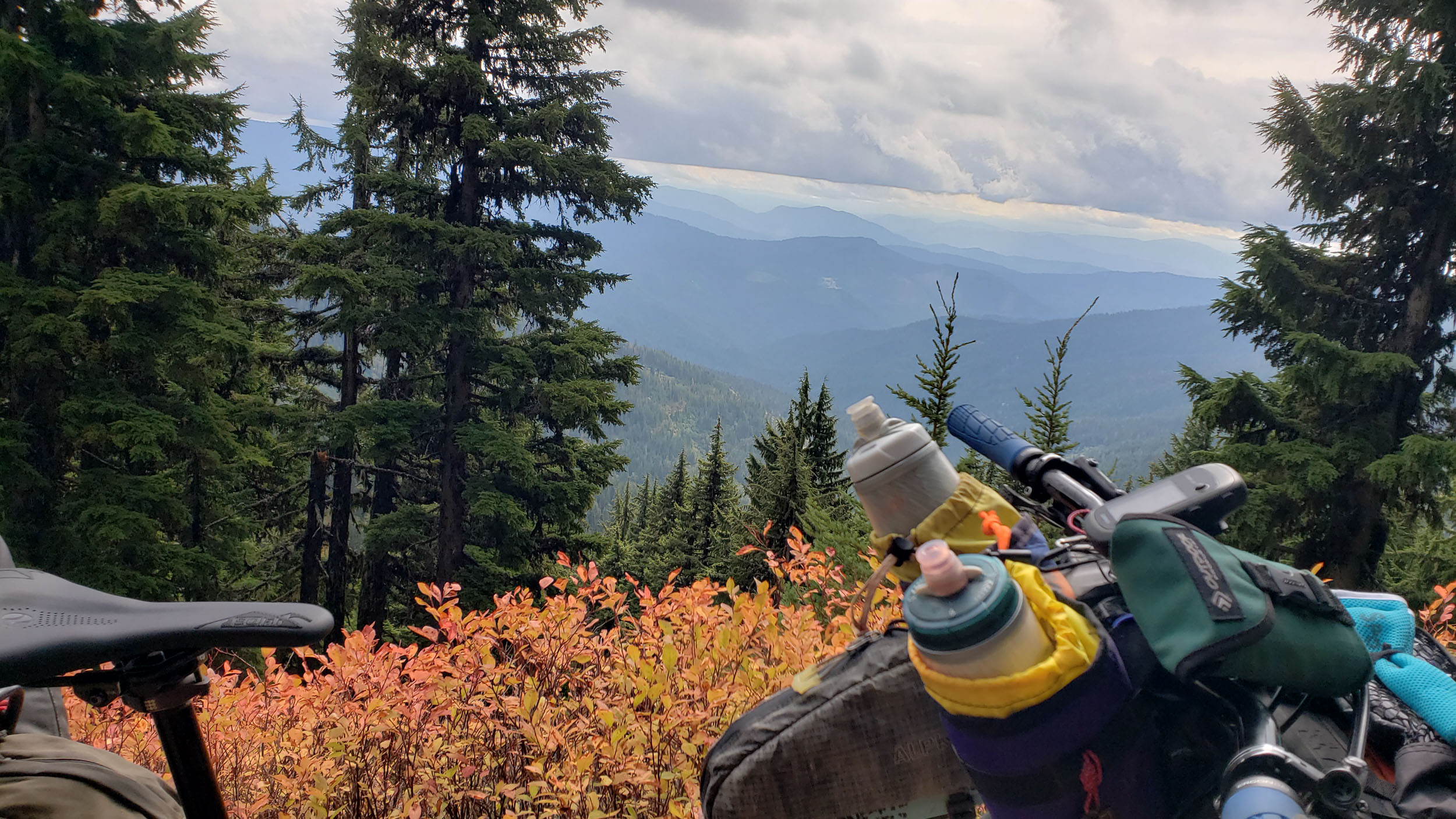
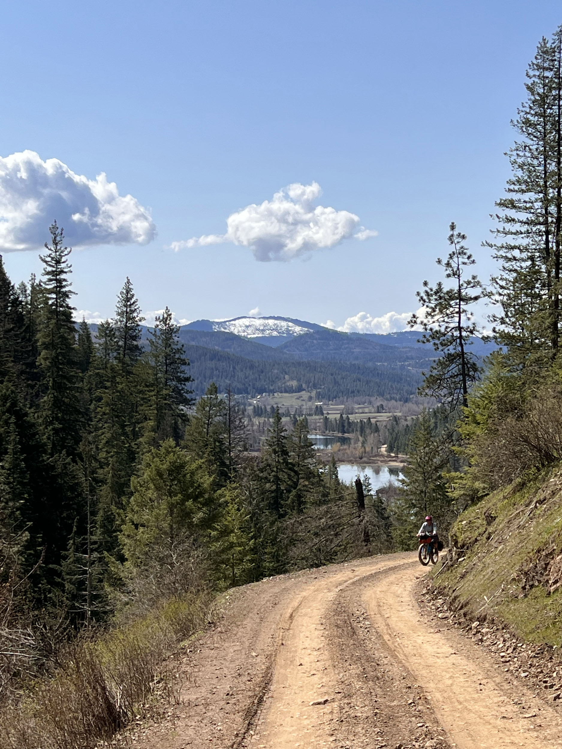
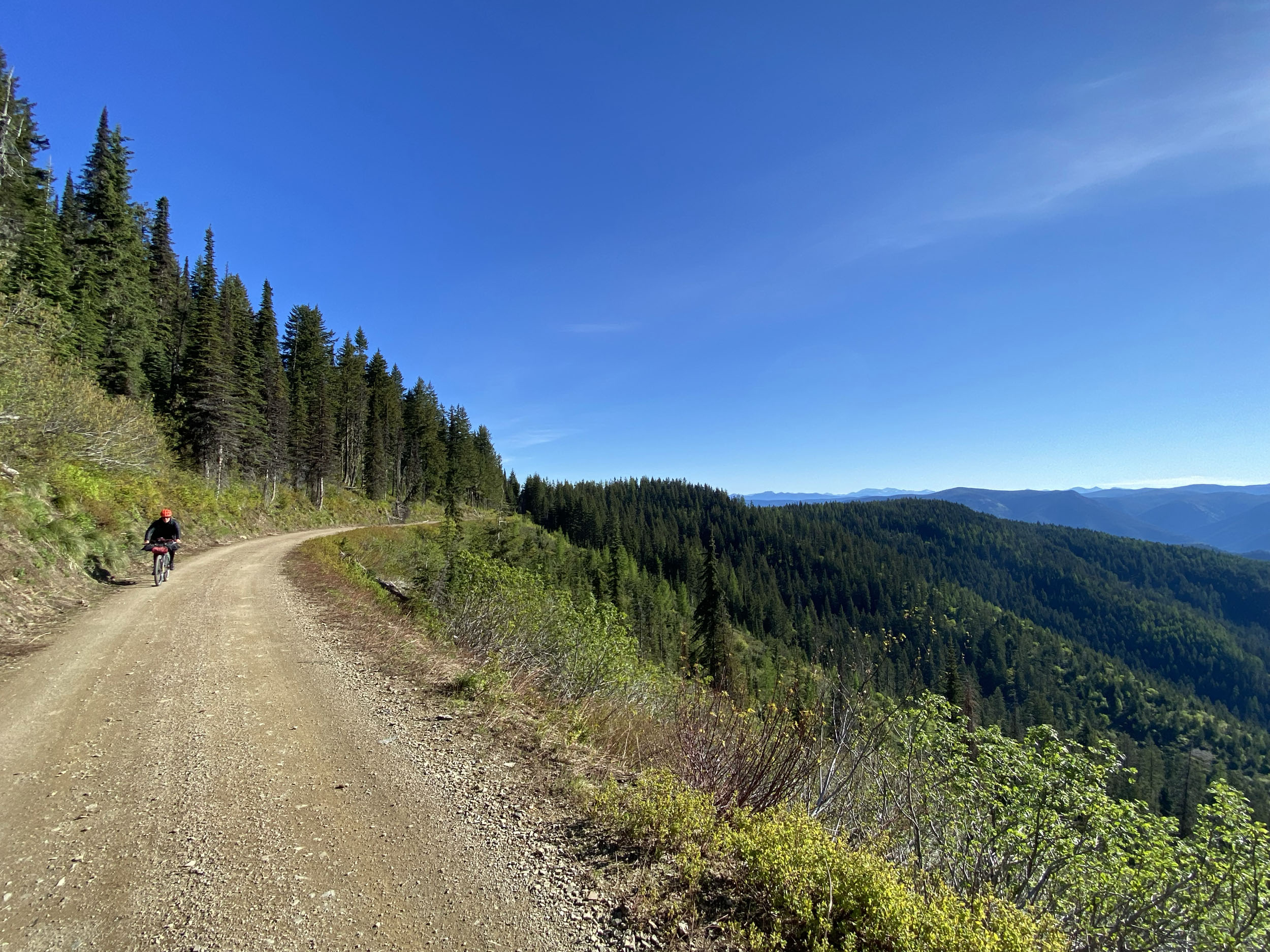
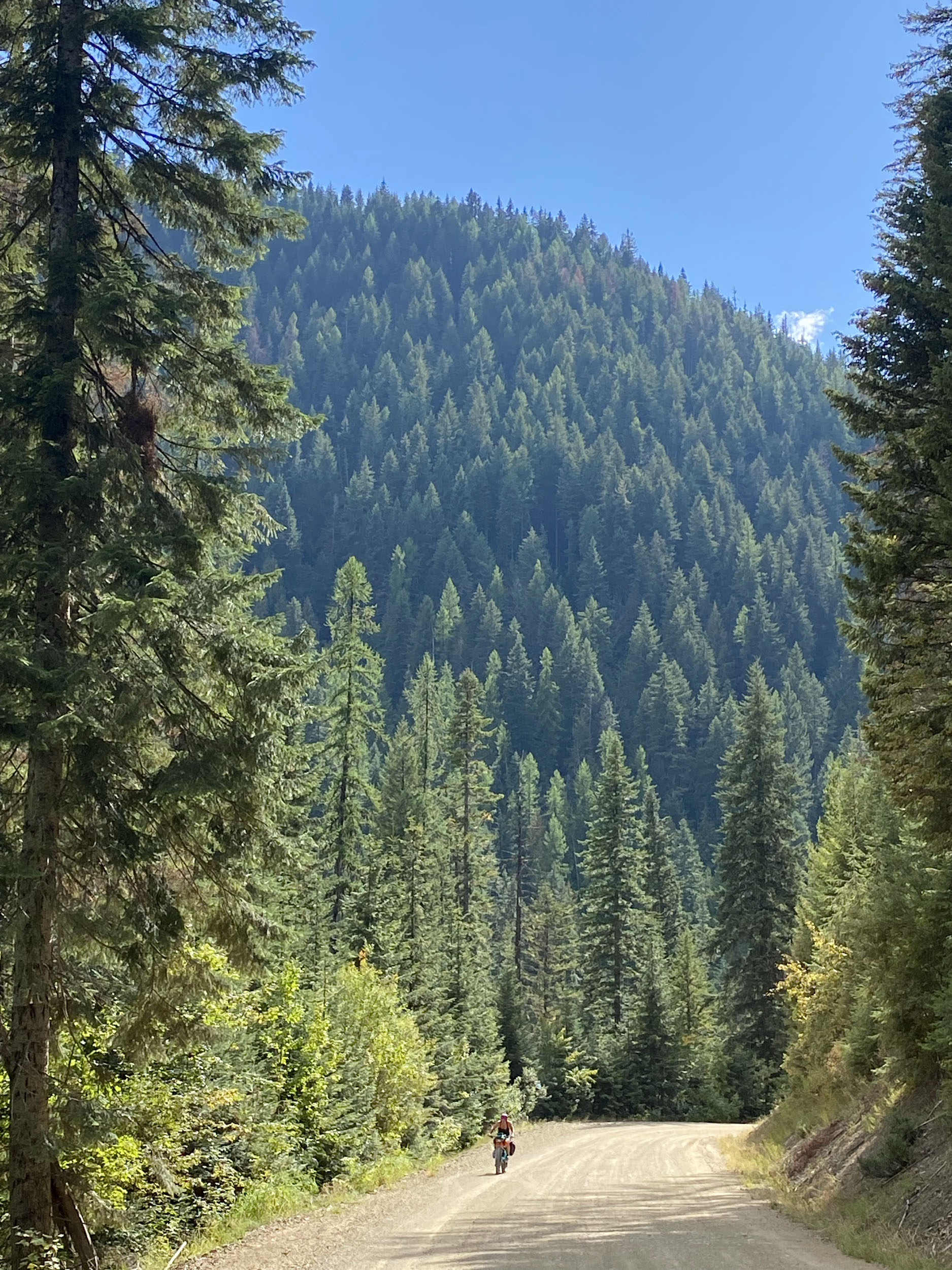
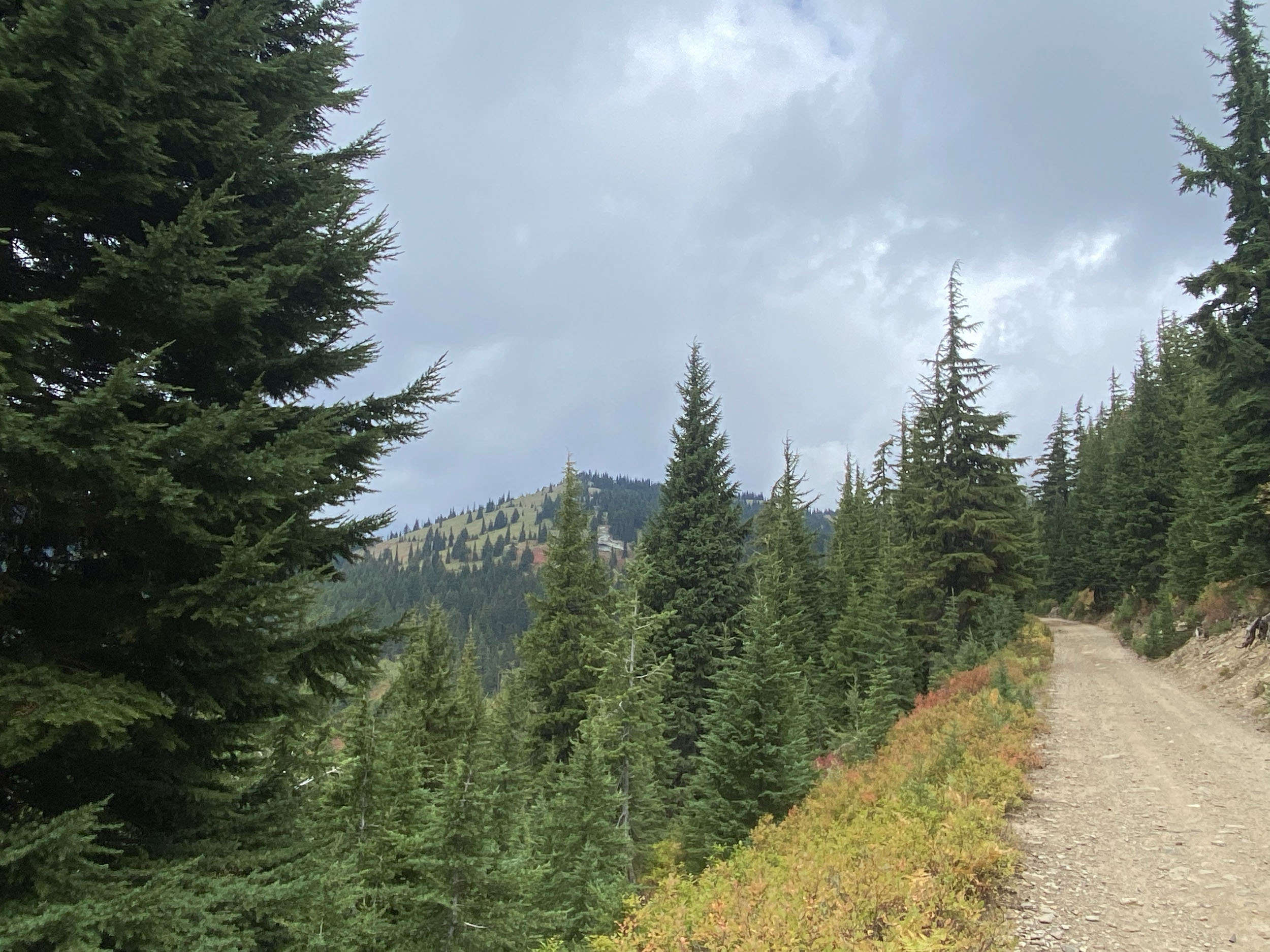
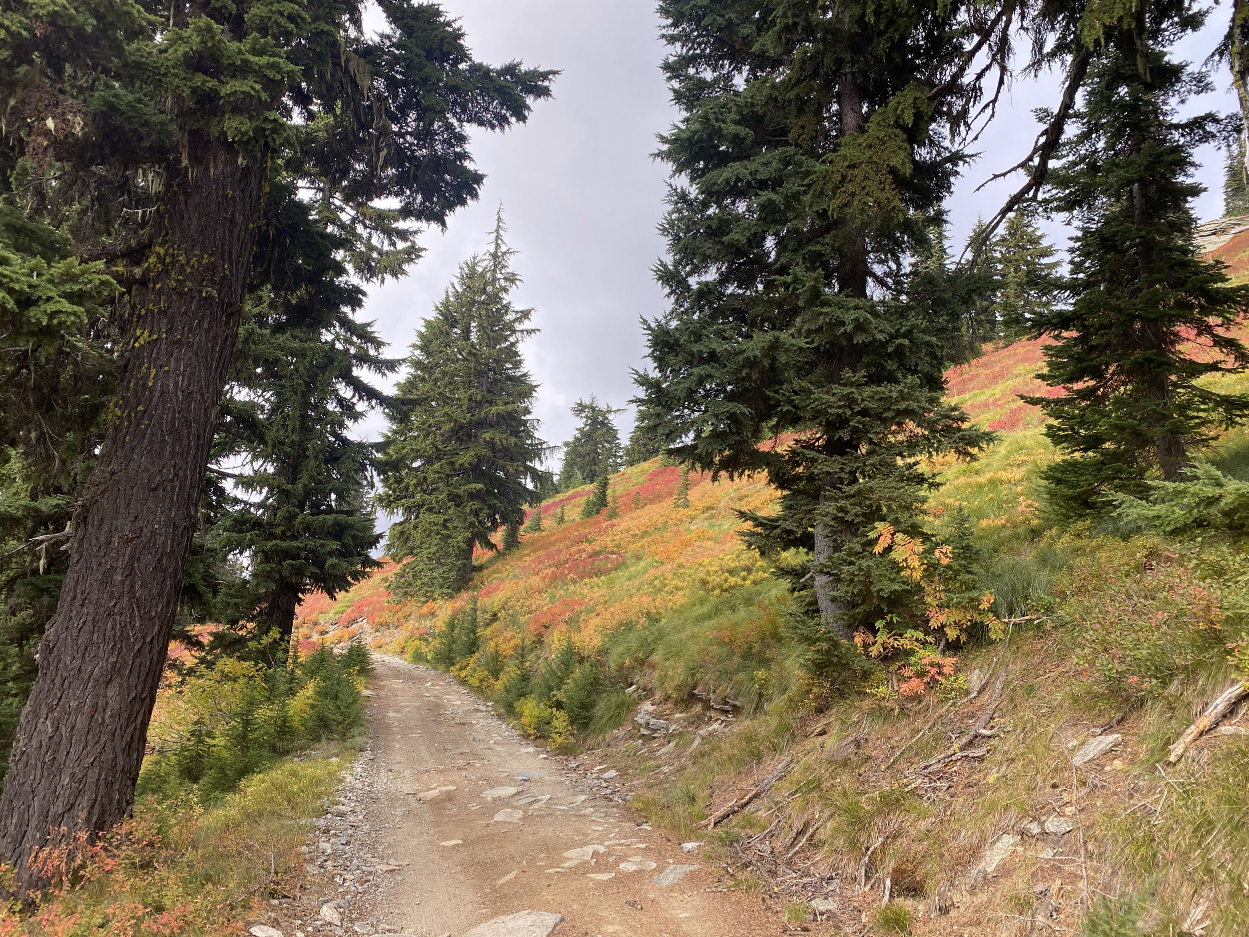
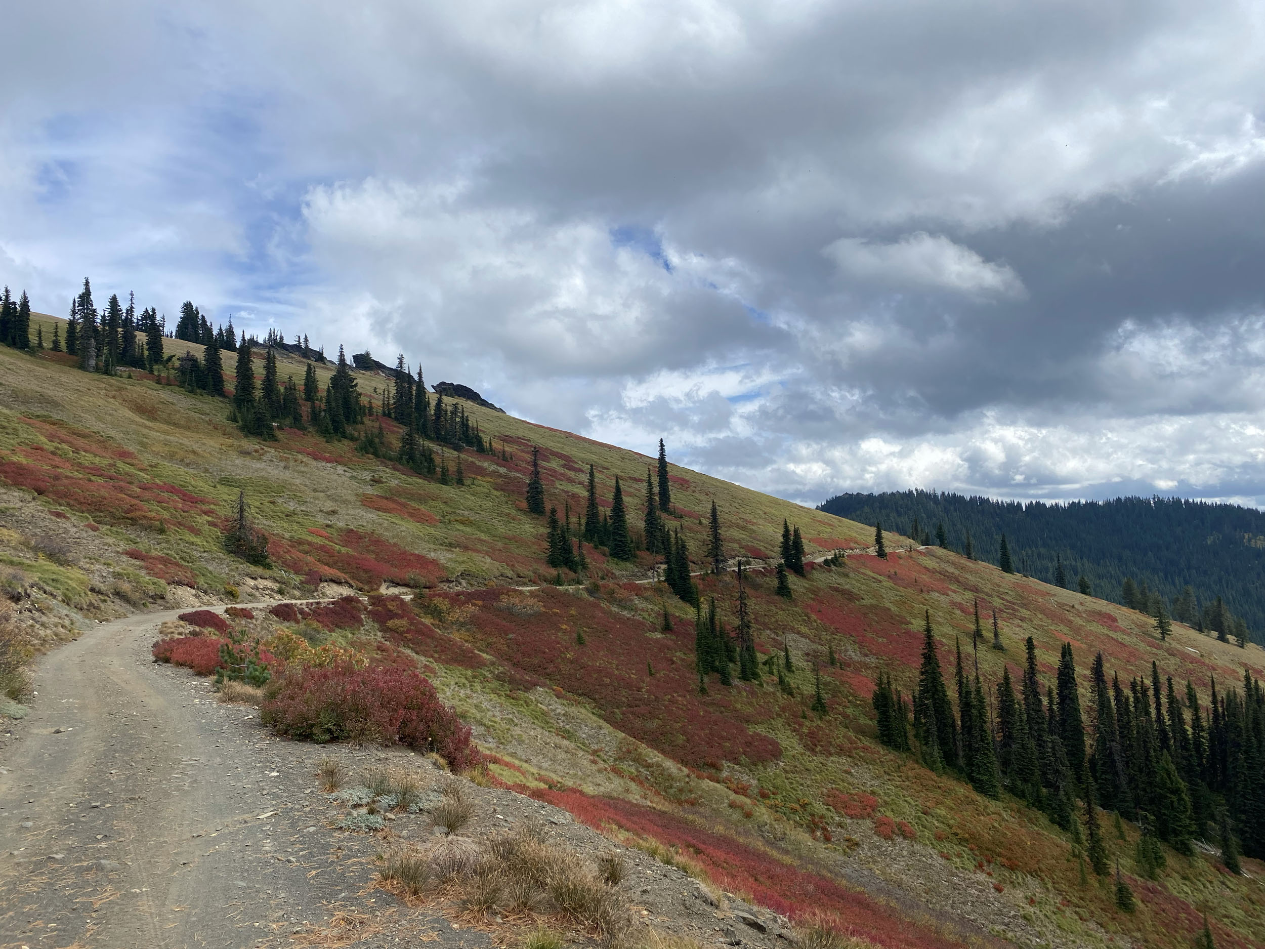
If you’re familiar with the mountains of the Pacific Northwest, you’ll know that the climbs here can be long and frequent, with very little time spent not going up or down. Although the climbs can be long, the rewards are well worth the effort, and the generally good road surfaces make the time spent climbing almost enjoyable.
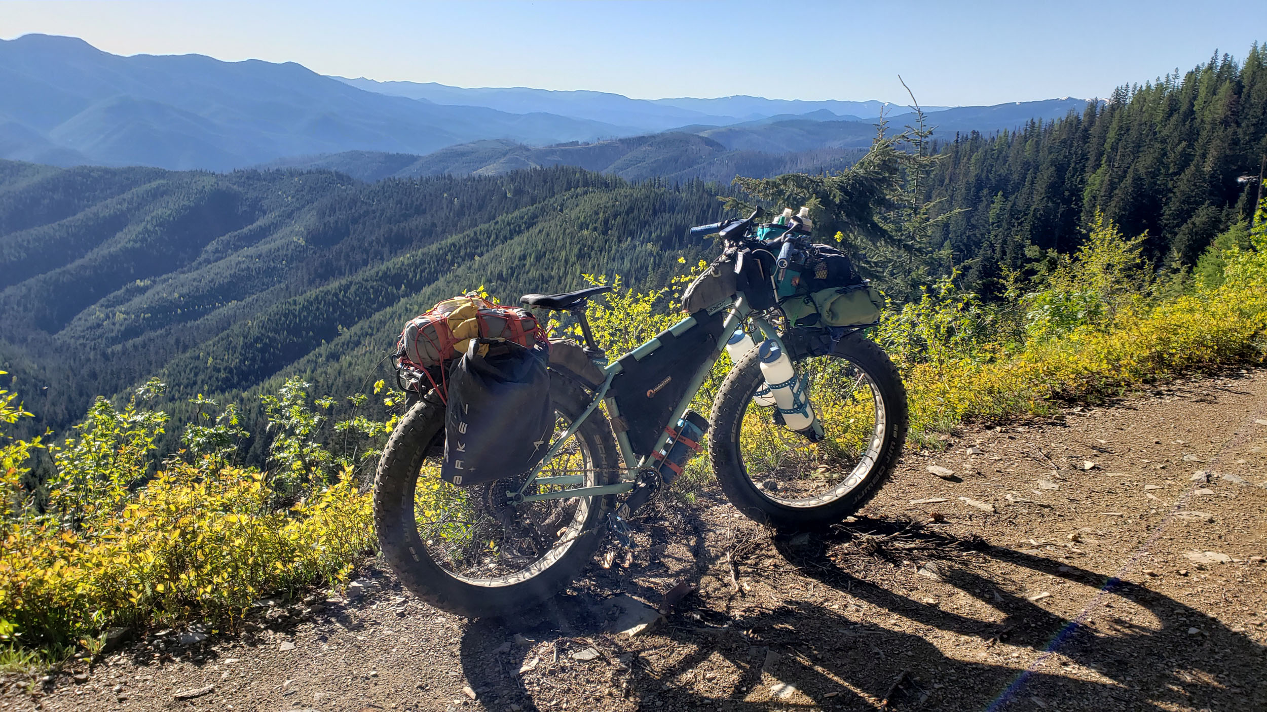
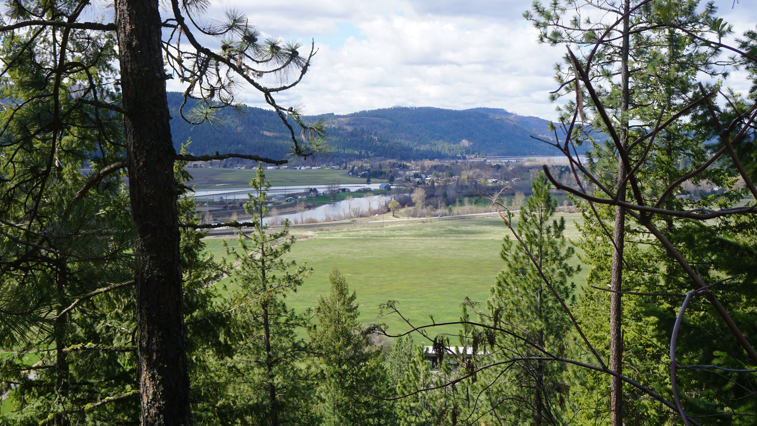
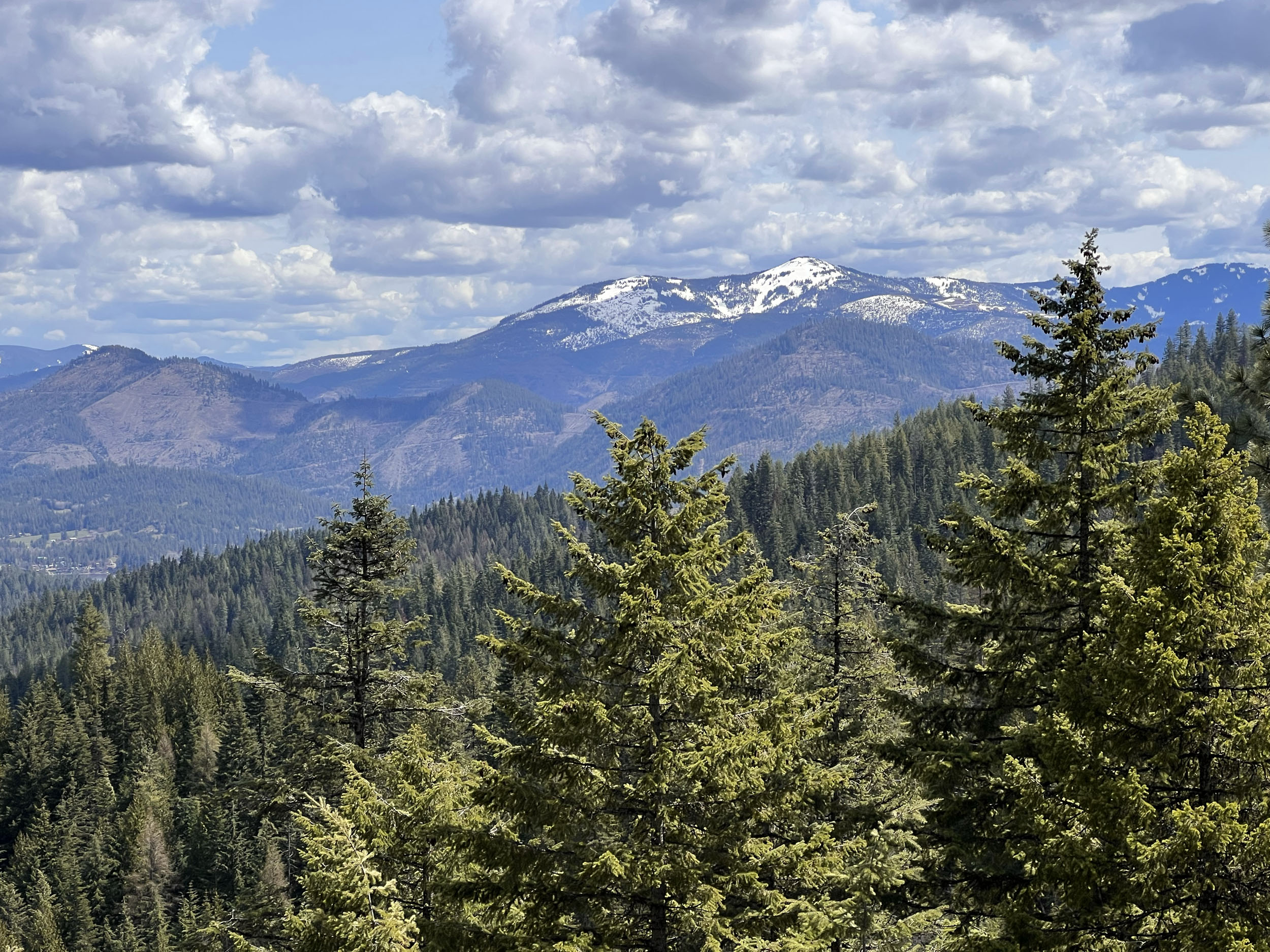
Lake Coeur d’Alene sits at just over 2,100 feet in elevation, and the route tops out at just over 6,300 feet, traversing multiple climate zones and a vast array of different botanical landscapes, from ponderosa pine cathedral forests to deep river valleys and alpine meadows. The geology, as indicated by its rich silver, lead, and gemstone mining history, is fascinating, and a person could easily get distracted in towns like Wallace, where mine tours are offered right from downtown. Garnets can also be found on route along Emerald Creek.
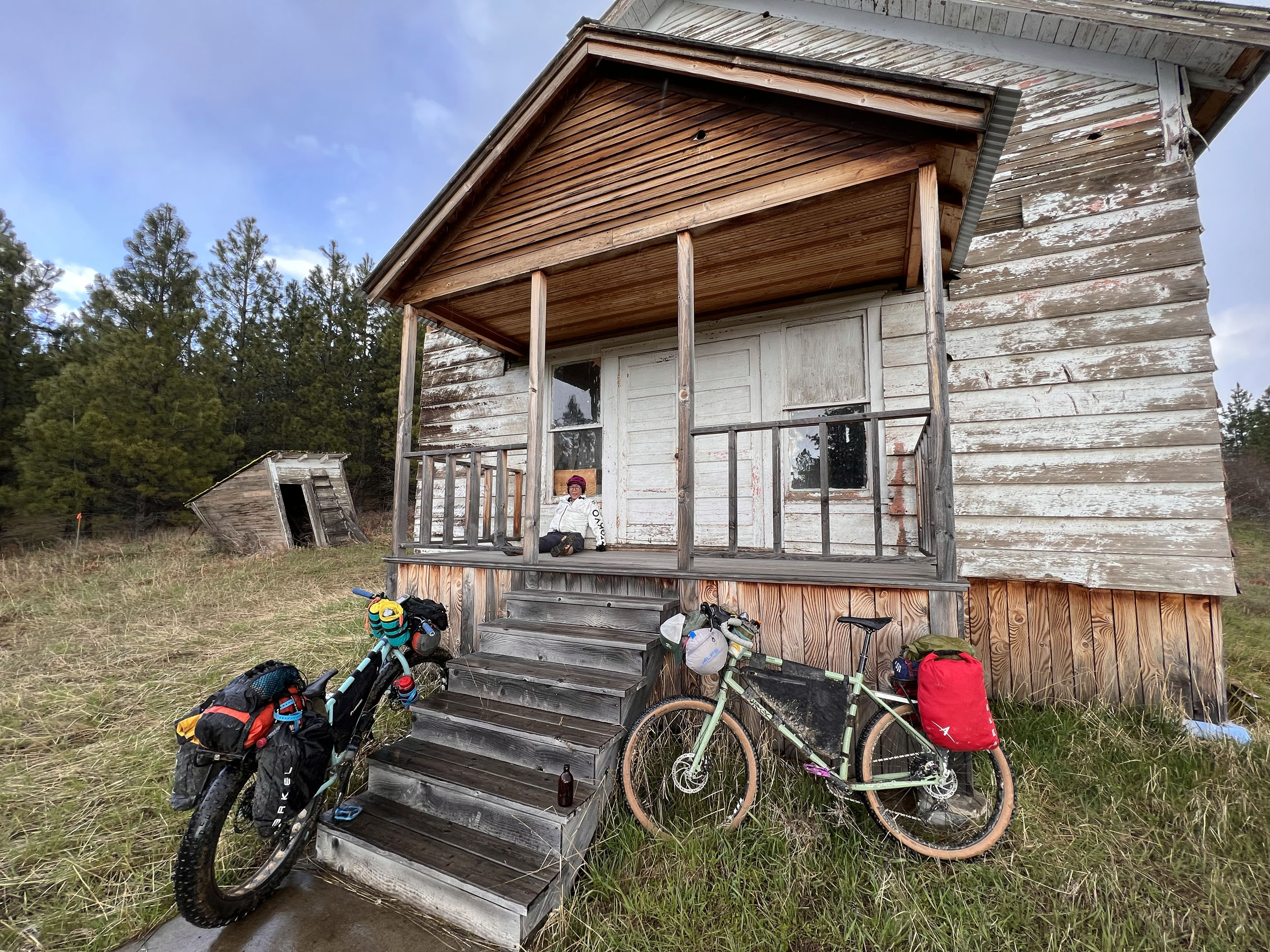
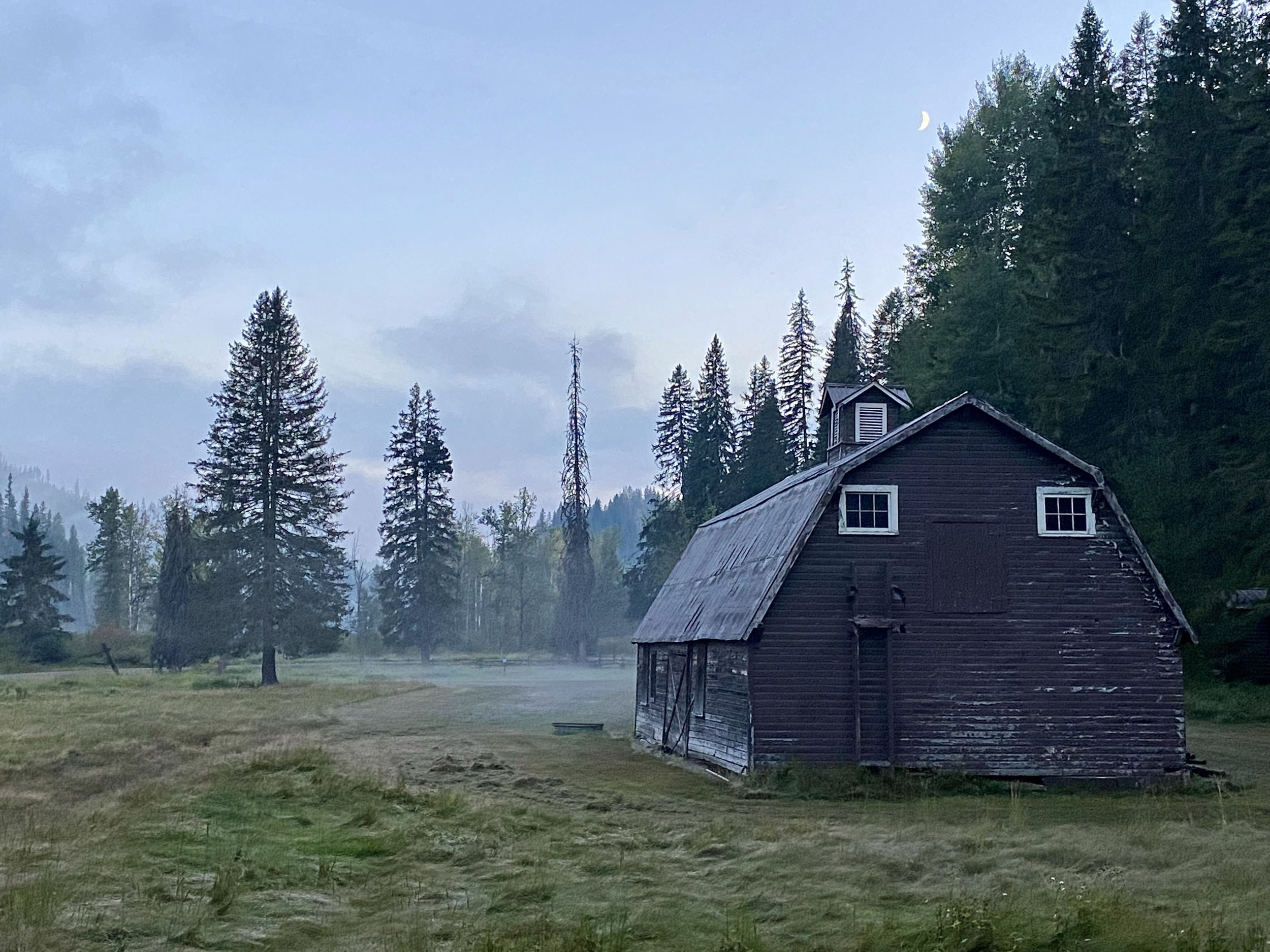
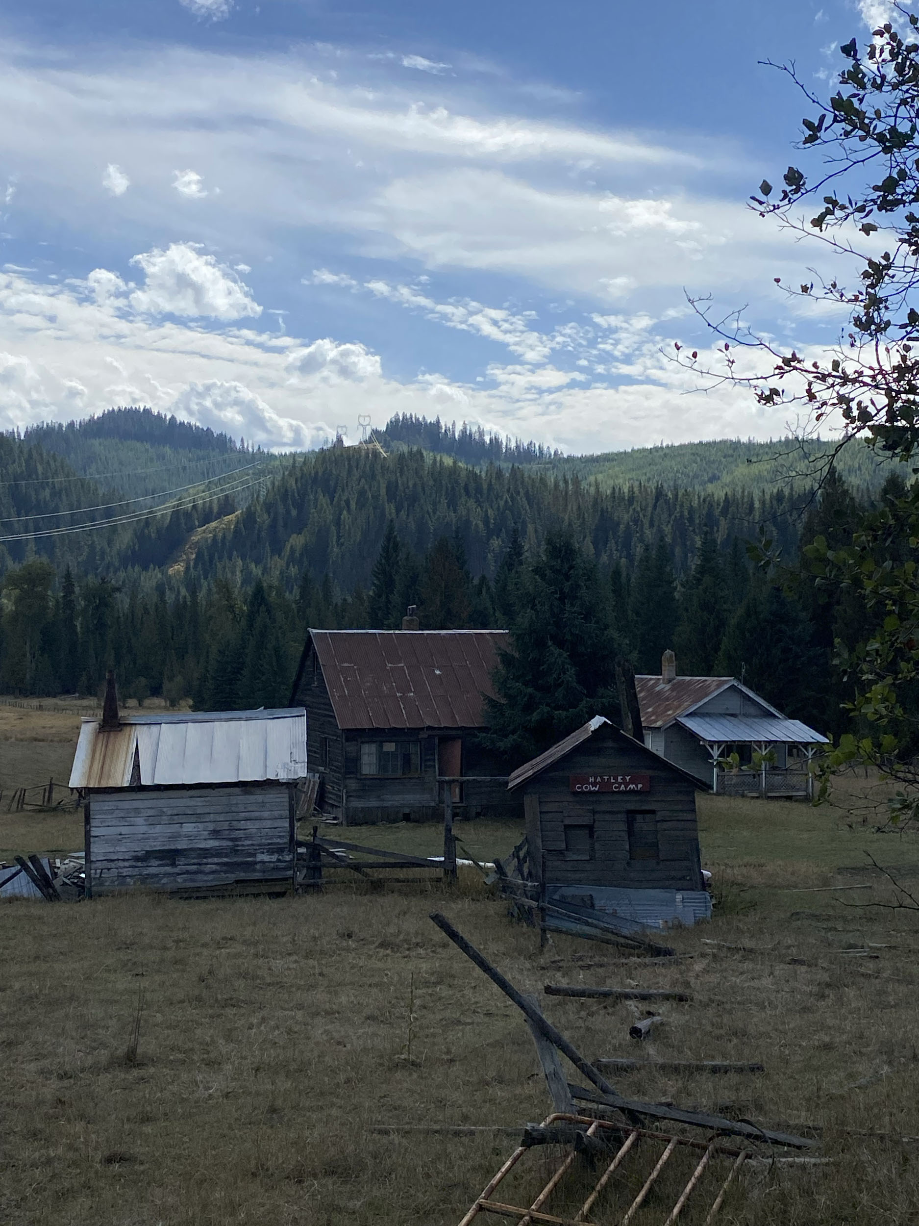
Although mostly swallowed up by the forests, some remnants of the early inhabitants and later miners can be seen along the way, inspiring curiosity about the lives of the native Kutenai, Coeur D’Alene, and Nez Perce peoples who first inhabited these rugged mountains and of the men and women who followed in search of its wealth of resources.
The route comes within sight of the Montana border, making this region a perfect spot to explore the endless forest landscapes that have become famous for their large populations of wolves, bear, elk, beaver, and moose. Riders are nearly guaranteed to see moose and bald eagles along the way, especially along the short section of the Trail of the Coeur d’Alene, where riders will pass a string of chain lakes and marshy lowlands populated by many of these spectacular animals. Despite their gentle appearance, Moose can be extremely dangerous and unpredictable, so use caution when encountering these animals along the trail, especially when calves are present and protective parents are known to stomp an impatient cyclist into Bullwinkle purée.
Route Difficulty
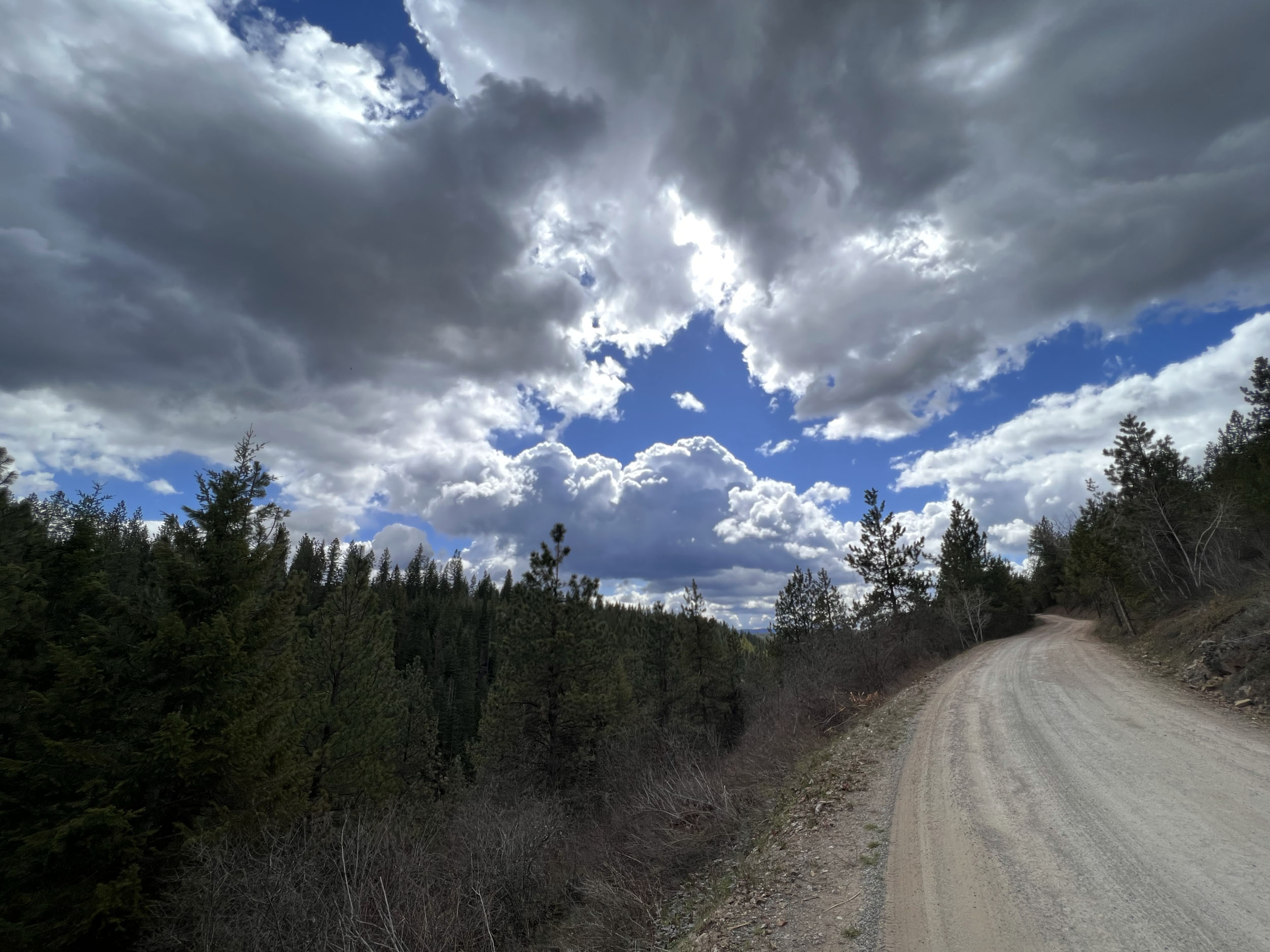
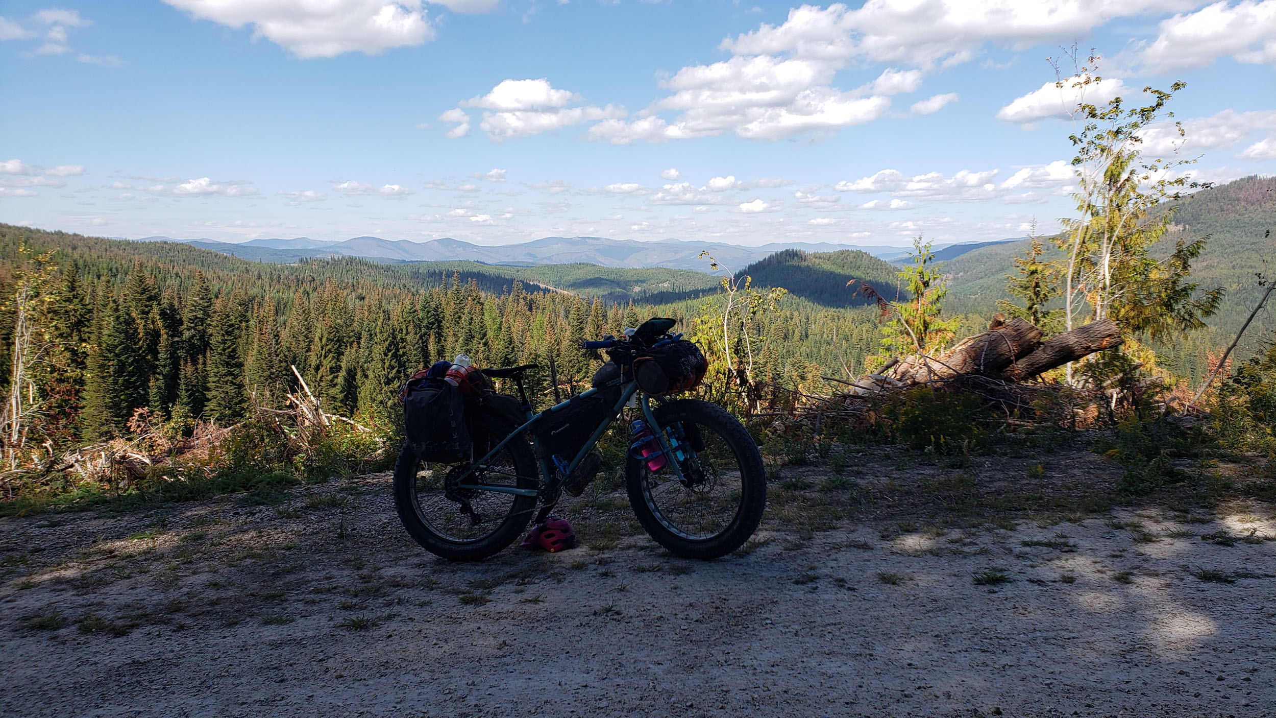
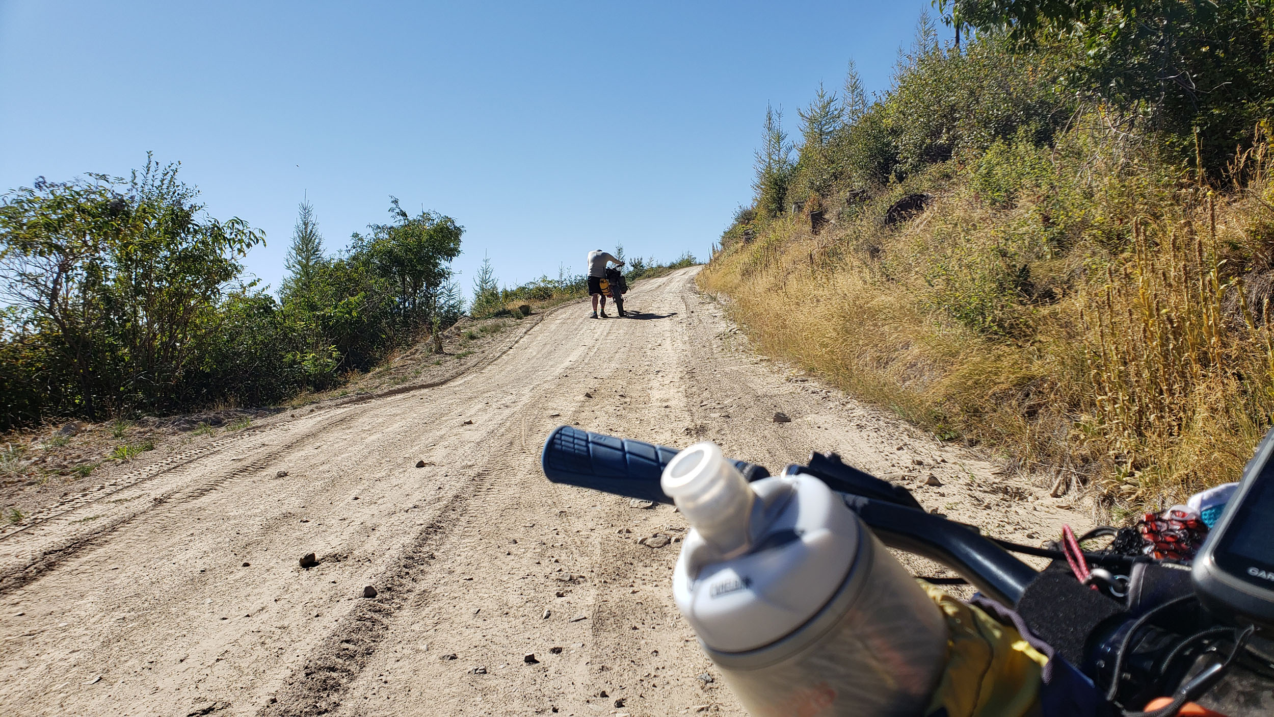
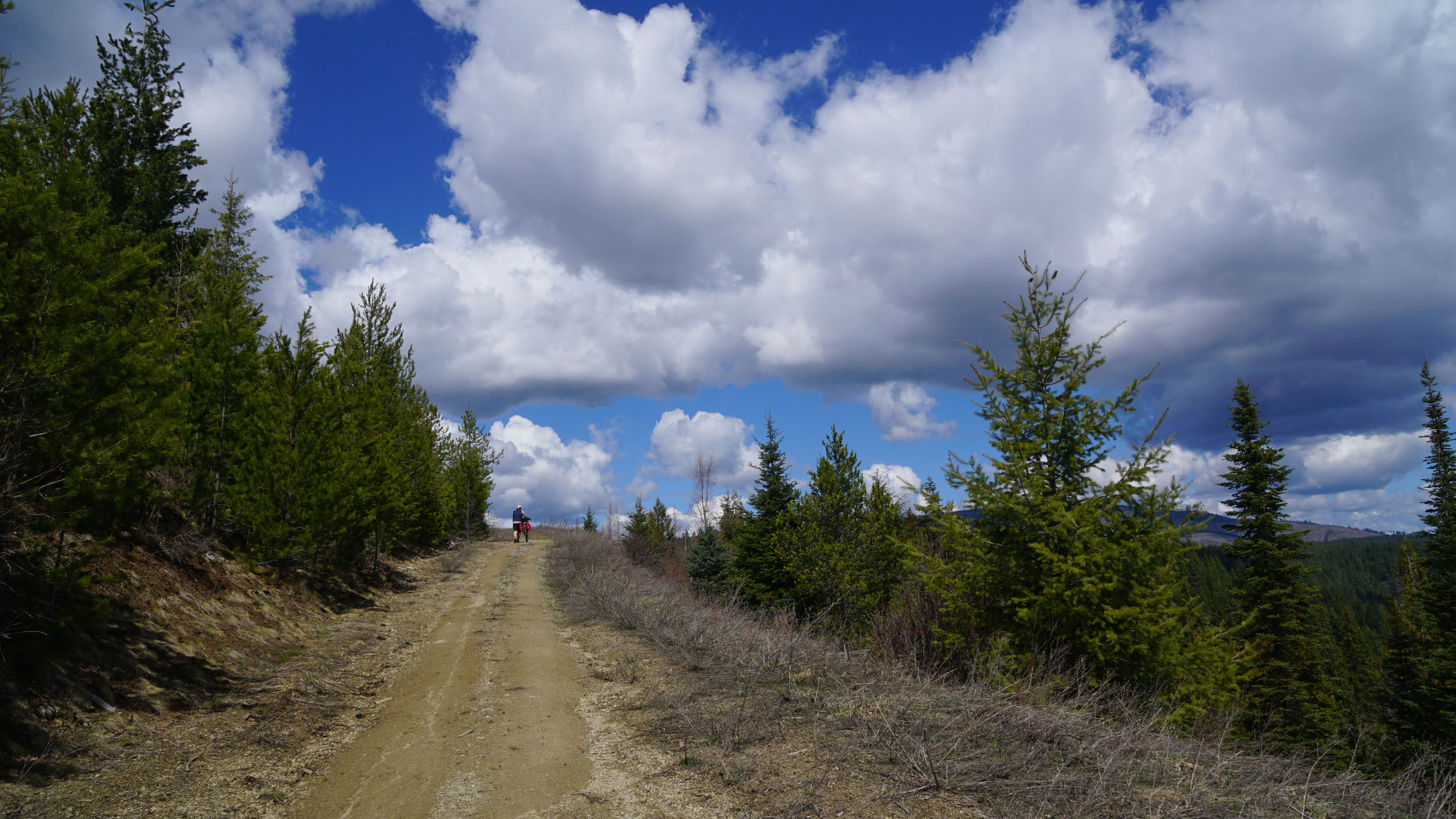
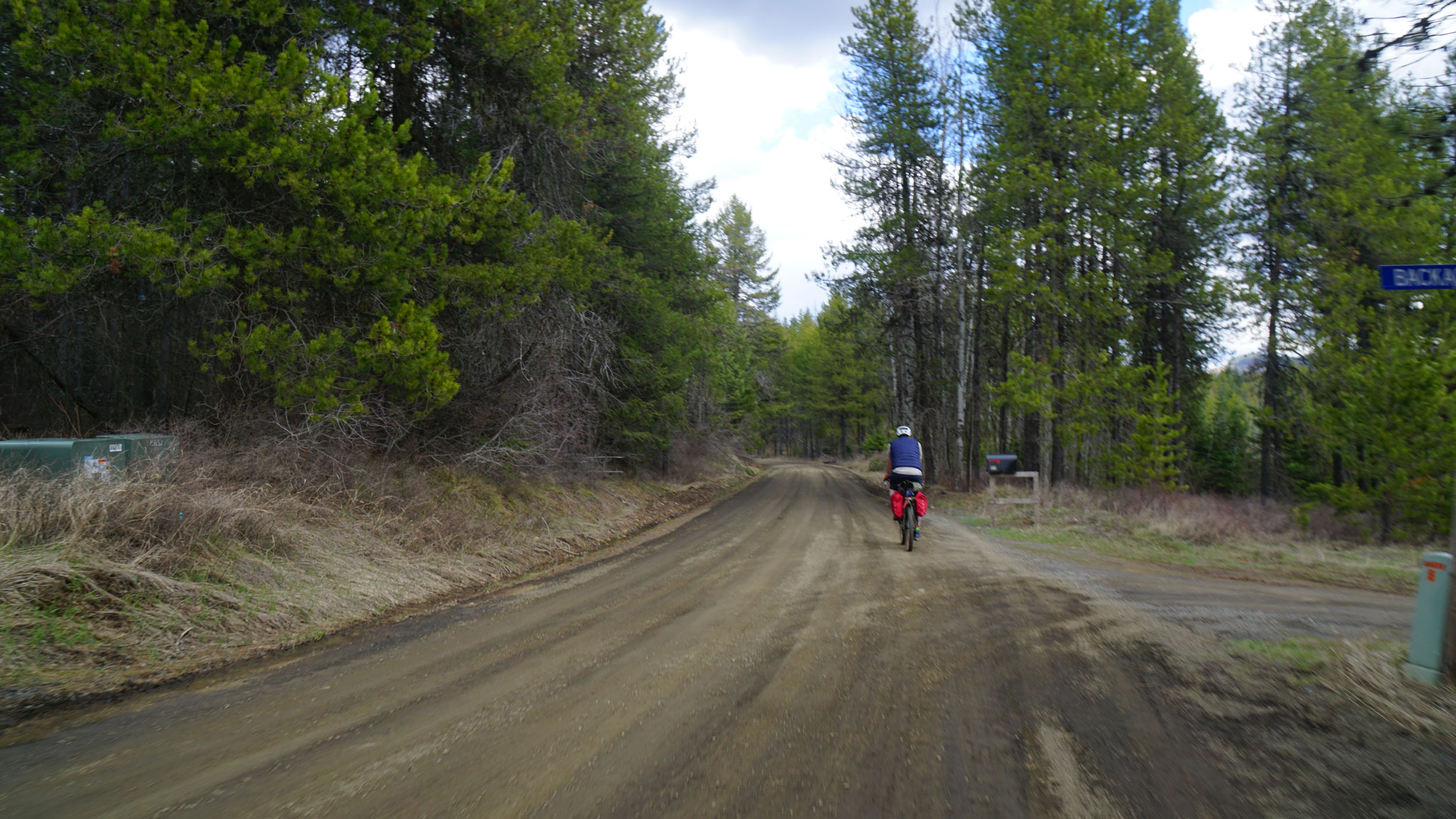
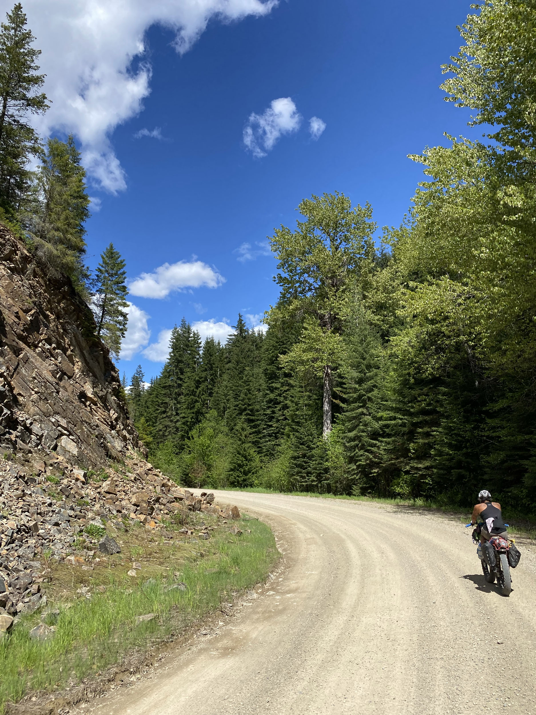
Most of the roads along this route are well-maintained and graded, making for straightforward non-technical riding on about 80% of the route. The other 20% is a mixture of rock gardens, steep grades, and some bikewhacking.
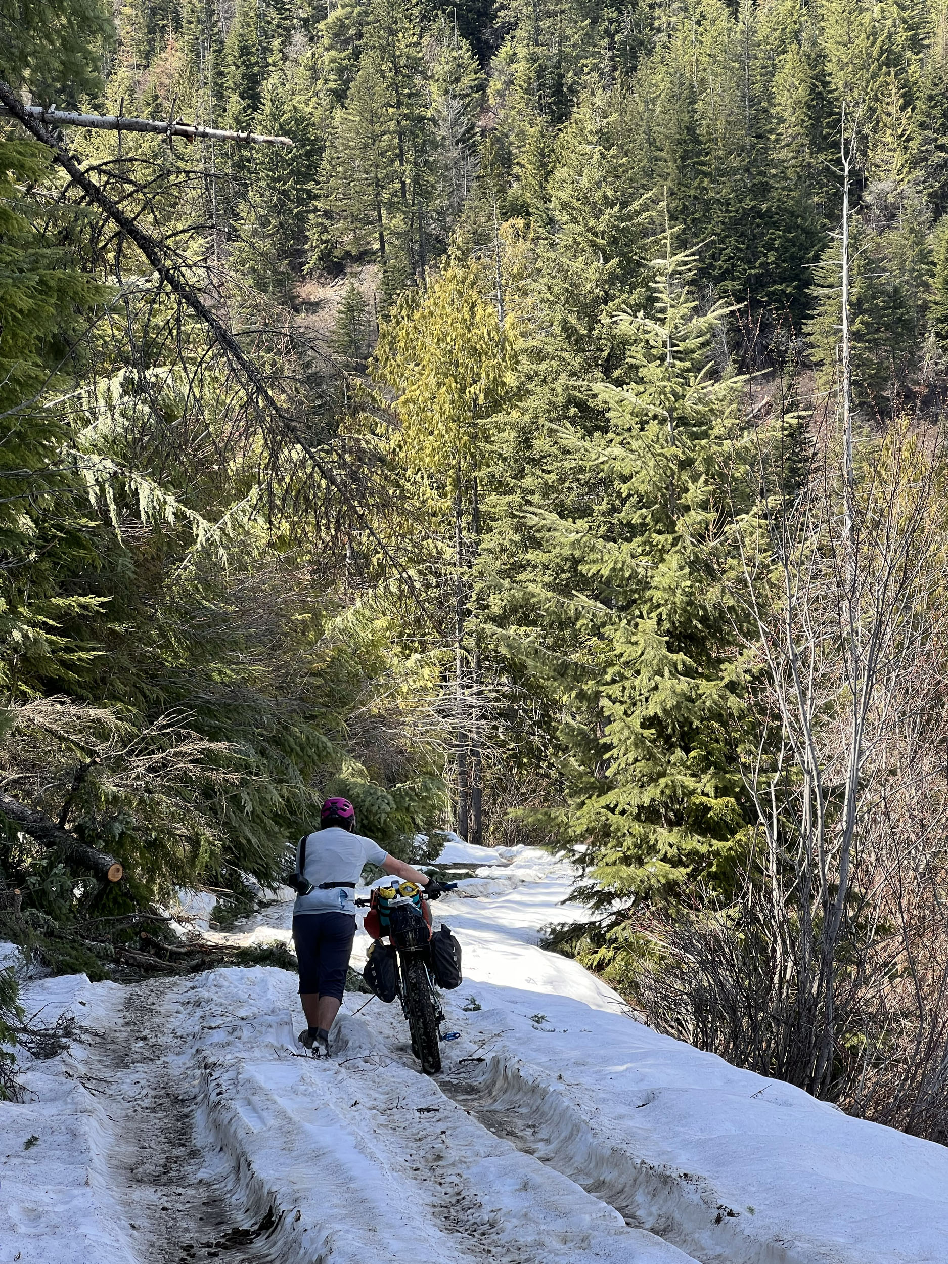
There is 30,000 feet of climbing over 300 miles, making an almost perfect ratio of 1,000 feet per 10 miles. I give this metric an 8 out of 10 on the difficulty scale due to the frequency and length of the climbs. The climbs can be steep and sometimes quite long but rarely require dismounting, making 95% of this route rideable. The other 5% is either too steep for some, or overgrown with vegetation. I added a half point for the possibility of heat and smoke. It can be wickedly hot here during the height of the summer, and I have seen wildfire smoke make the entire region unrideable for weeks at a time.
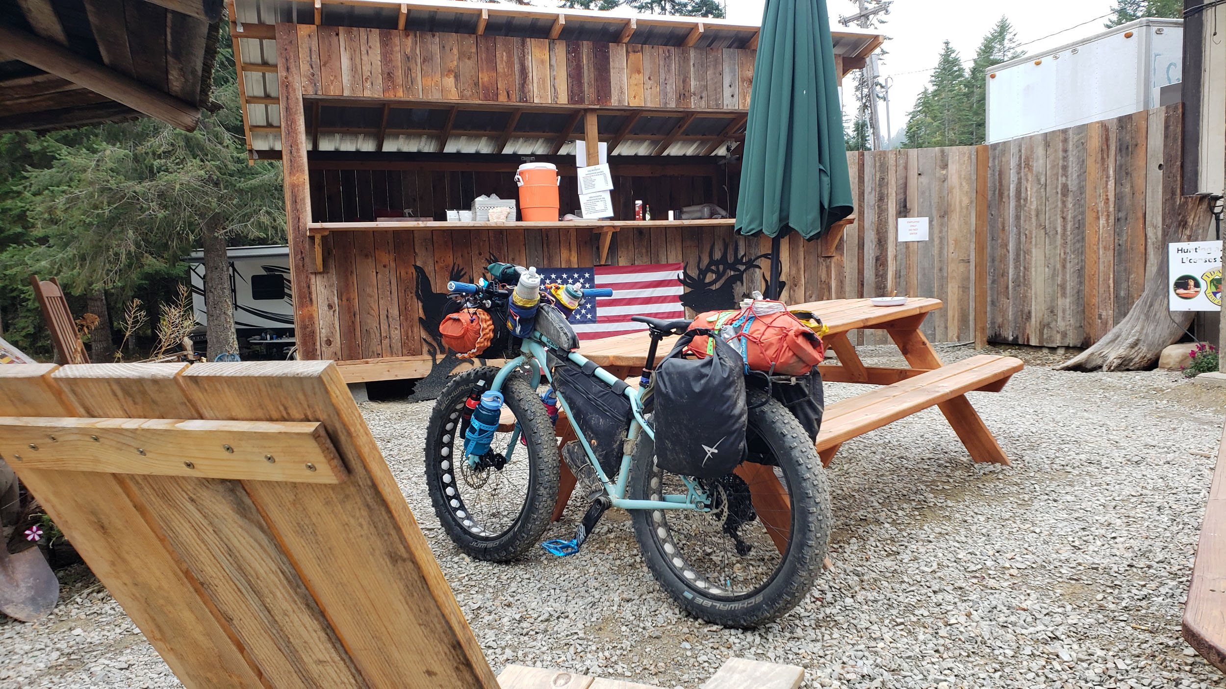
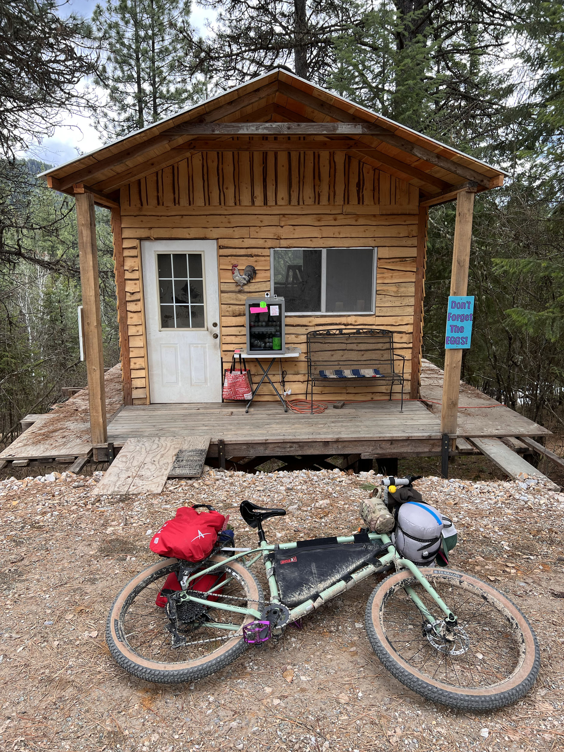
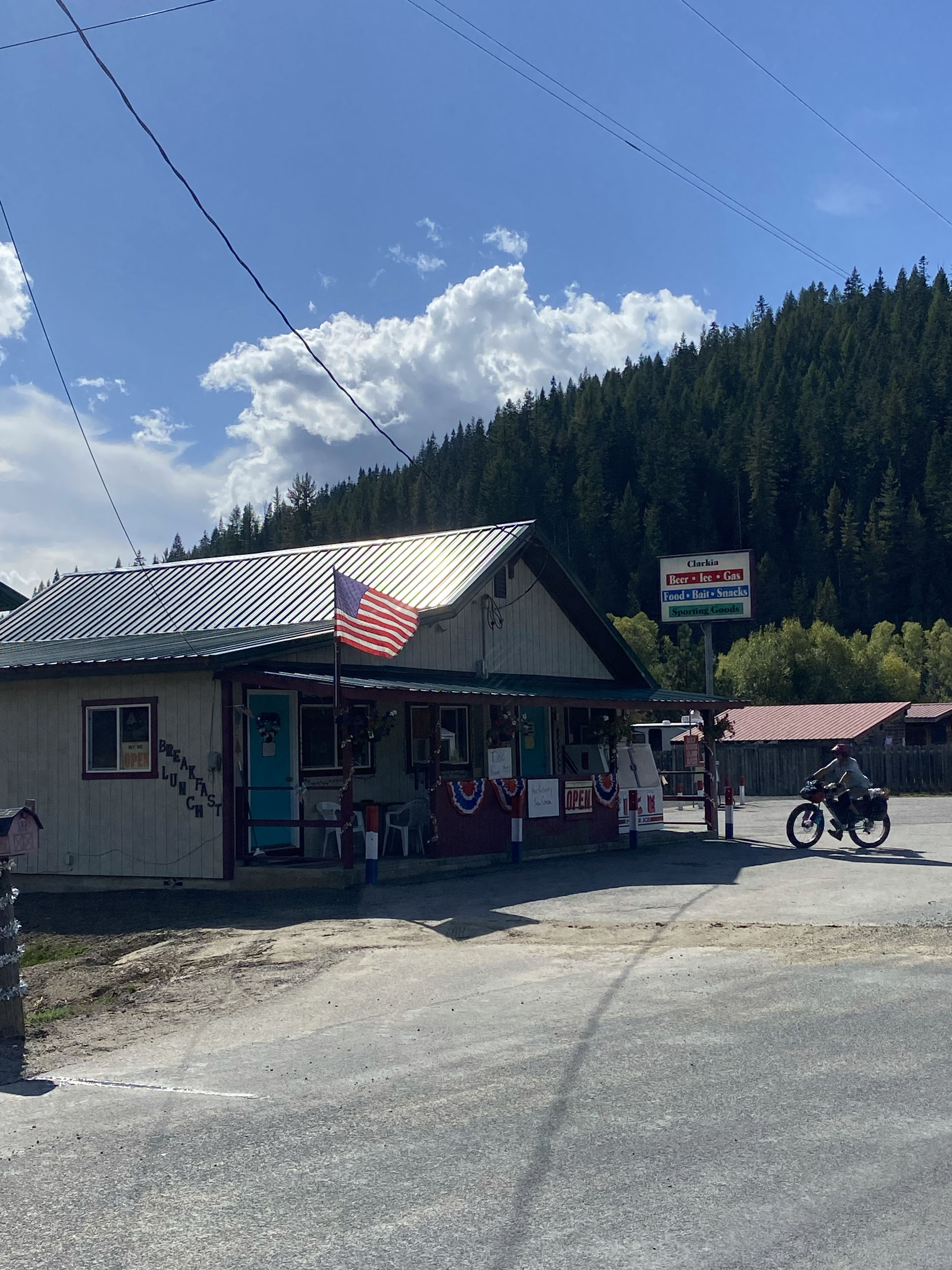
Resupply is straightforward along this route, where a town, or small restaurant will be encountered at an almost perfect frequency. There are two largish towns (Wallace and St. Maries) for full grocery store style resupply missions, and several tiny communities (Avery, Clarkia, Emida) which each have a restaurant that would have some very basic supplies (bags of chips, candy bars, etc.). Avery has the largest “store” with refrigerated drinks, a fine selection of whisky, and some of the best hot dogs in the universe.
The route starts and ends in downtown Coeur D’Alene, where you will find all necessary supplies, bike shops, gear, and last-minute preparations, and whose breweries, warm lake for swimming, and bustling downtown are a welcome sight after rolling around in the dirt.
ROUTE DEVELOPMENT
I wanted to create a route that showcases the special place that is North Idaho. It was important to me to highlight some of the towns that help make this region such a unique place, while keeping it remote enough to satisfy even the staunchest of misanthropes. I believe this route is truly special in that regard. It’s remote enough to make you feel small, and close enough to make you feel connected.
The PanRam developed as an idea many years ago while riding through the Idaho Panhandle and realizing that the region is almost entirely made up of Public Lands. Land set aside and managed for public use on such a large scale is unique in the world, and we are truly fortunate in the Interior Northwest to have these areas in their greatest abundance literally right outside our doorsteps. The PanRam is a direct link to these unique landscapes, and the route takes in the maximum juicy flavor of these areas that remain wild and tickle our primordial urge to connect with our natural landscapes, heritage, and history.
The route developed into what it is today thanks to the adventurous spirits of the two best riding partners that a person could ever have. Paula Funatake, who never says no to a bike adventure and who has paid for this route with blood, tears, and broken bones, and Tom Karren, whose strength, determination, and infectious optimism are truly inspirational.


Submit Route Alert
As the leading creator and publisher of bikepacking routes, BIKEPACKING.com endeavors to maintain, improve, and advocate for our growing network of bikepacking routes all over the world. As such, our editorial team, route creators, and Route Stewards serve as mediators for route improvements and opportunities for connectivity, conservation, and community growth around these routes. To facilitate these efforts, we rely on our Bikepacking Collective and the greater bikepacking community to call attention to critical issues and opportunities that are discovered while riding these routes. If you have a vital issue or opportunity regarding this route that pertains to one of the subjects below, please let us know:
Highlights
Must Know
Camping
Food/H2O
Trail Notes
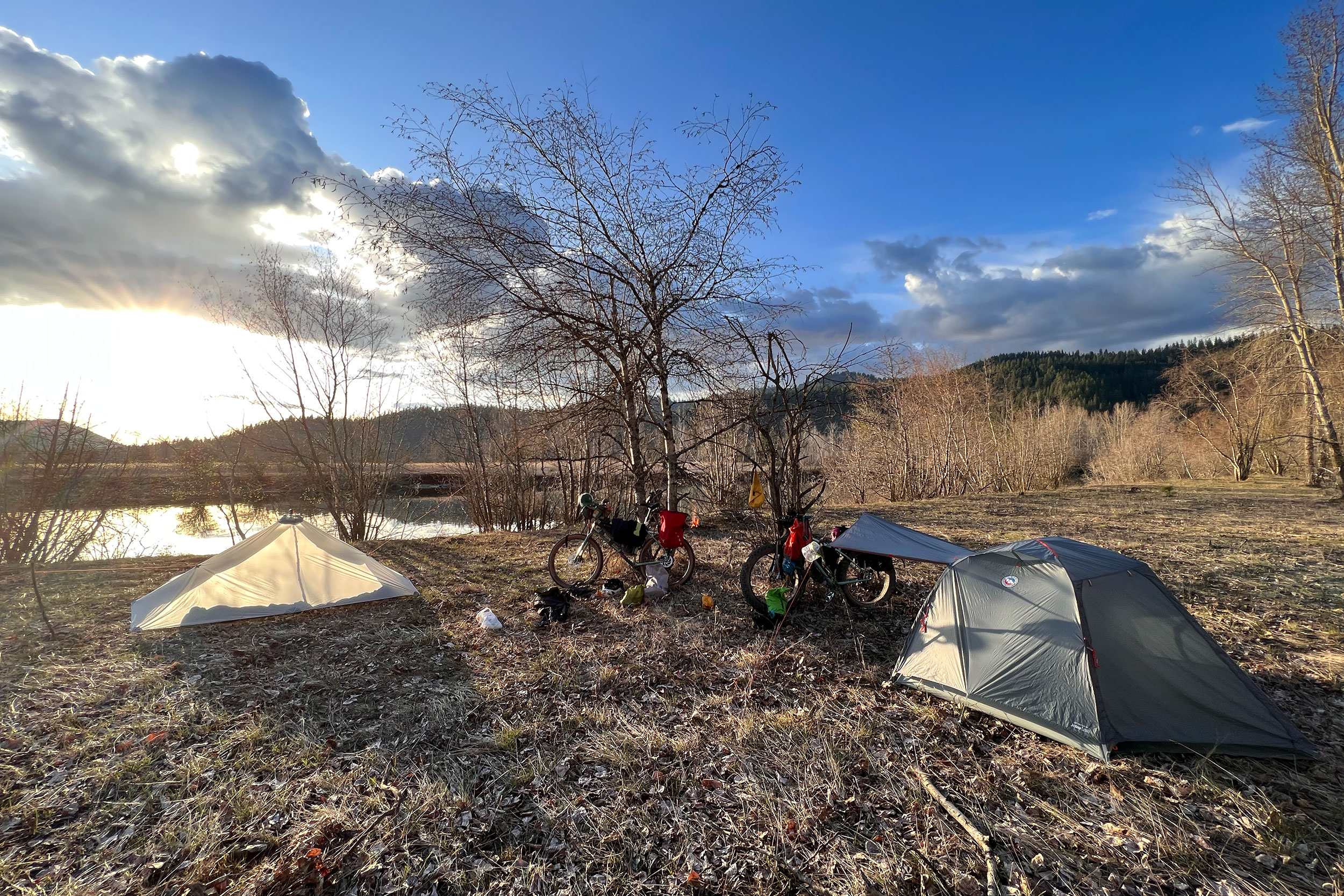
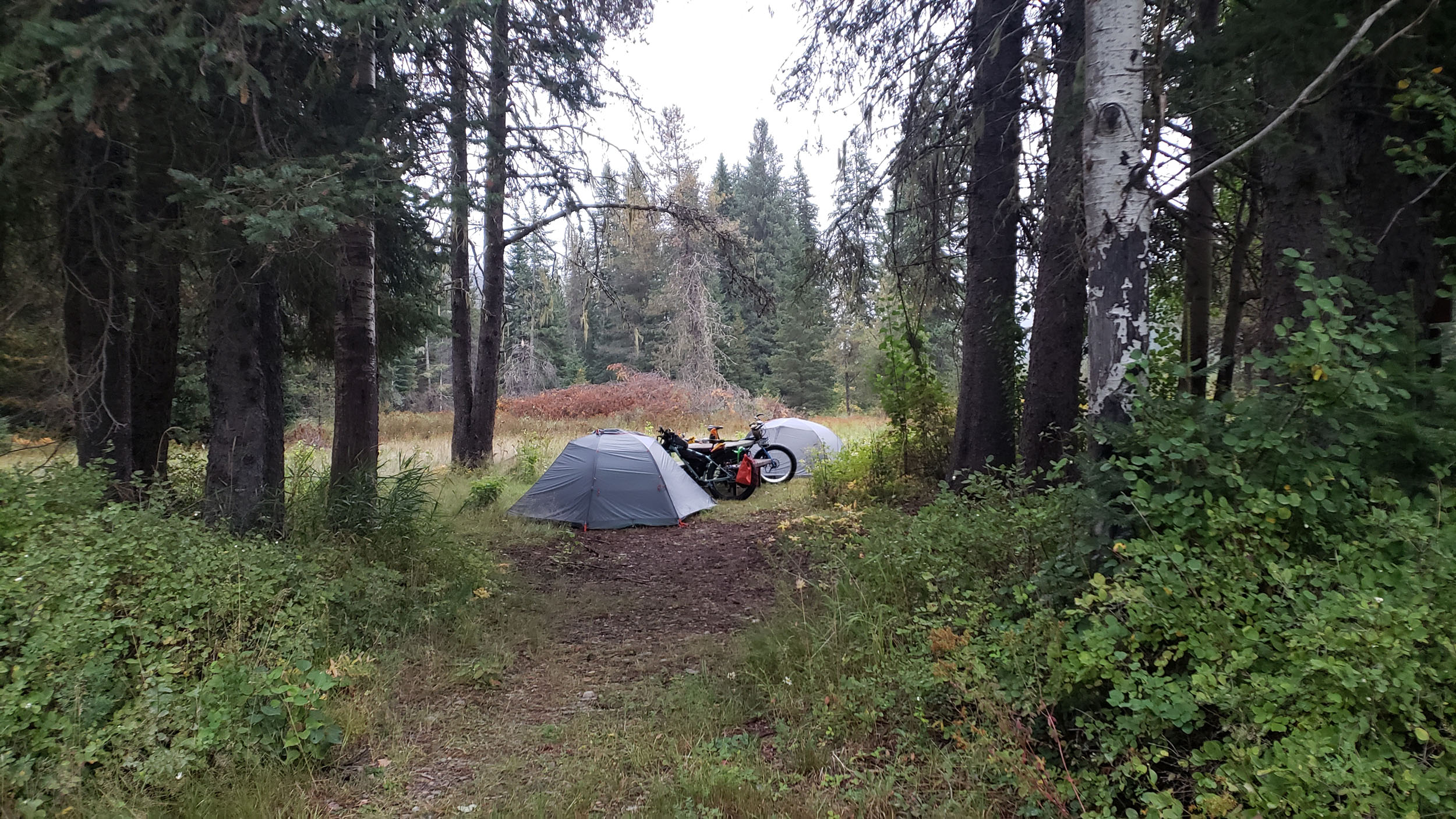
- Wild camping is available almost anywhere along the route.
- The historic mining town of Wallace, the self-proclaimed center of the universe.
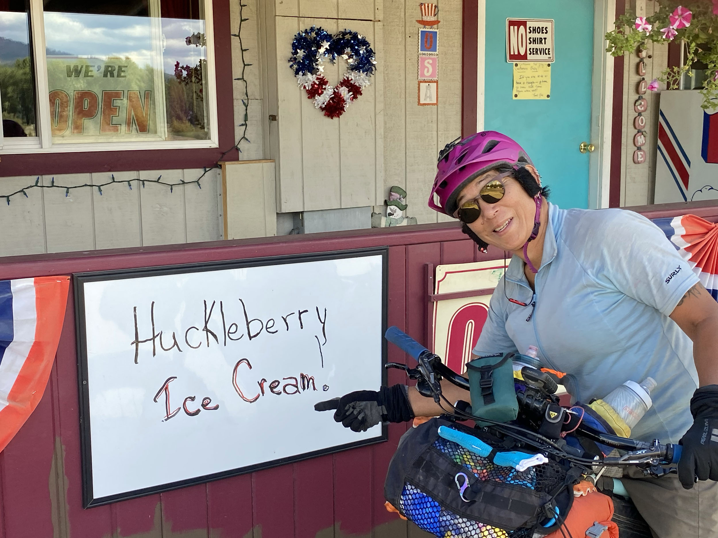
- Huckleberry picking along the route above 3000 ft during the summer.
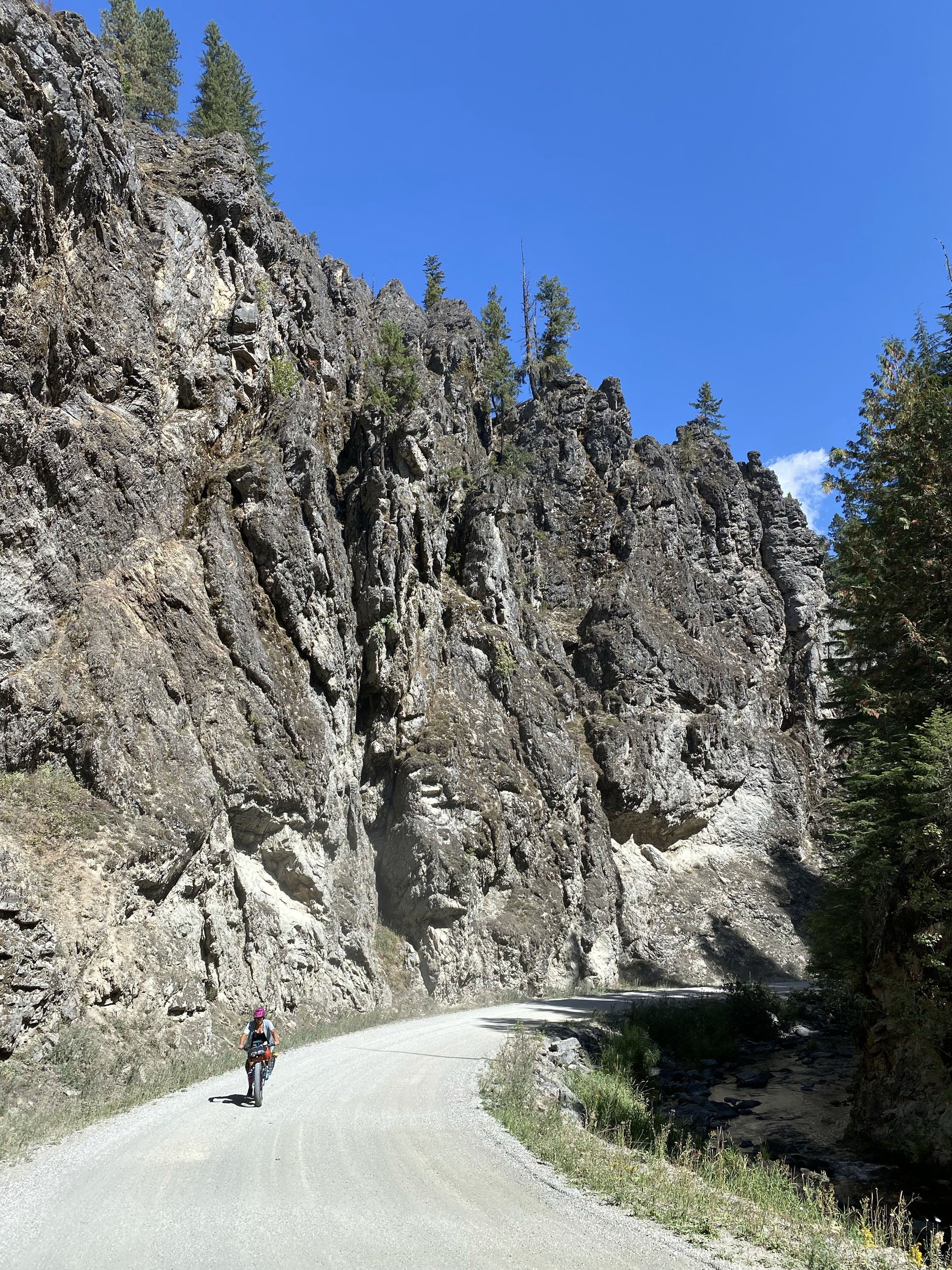
- Fish Hook Creek Canyon, with its breathtaking rock formations and mossy ravines after leaving the town of Avery.
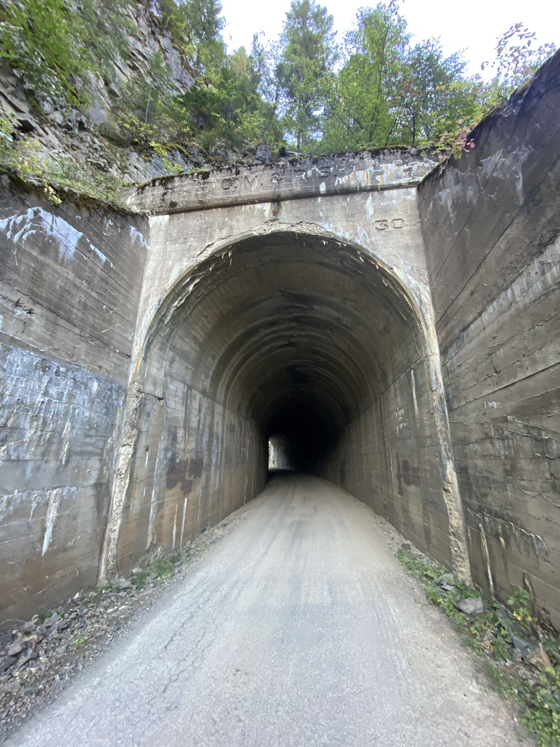
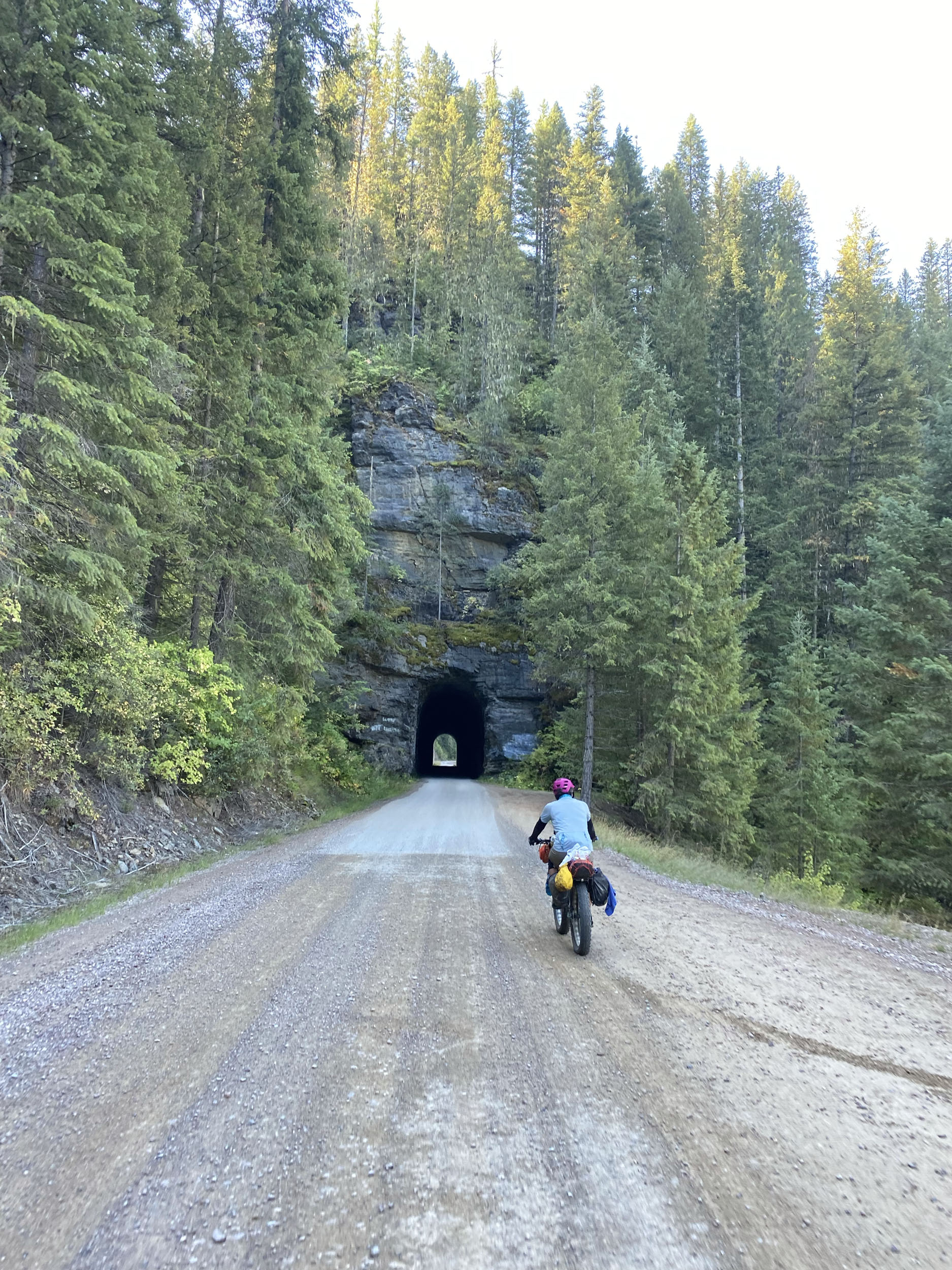
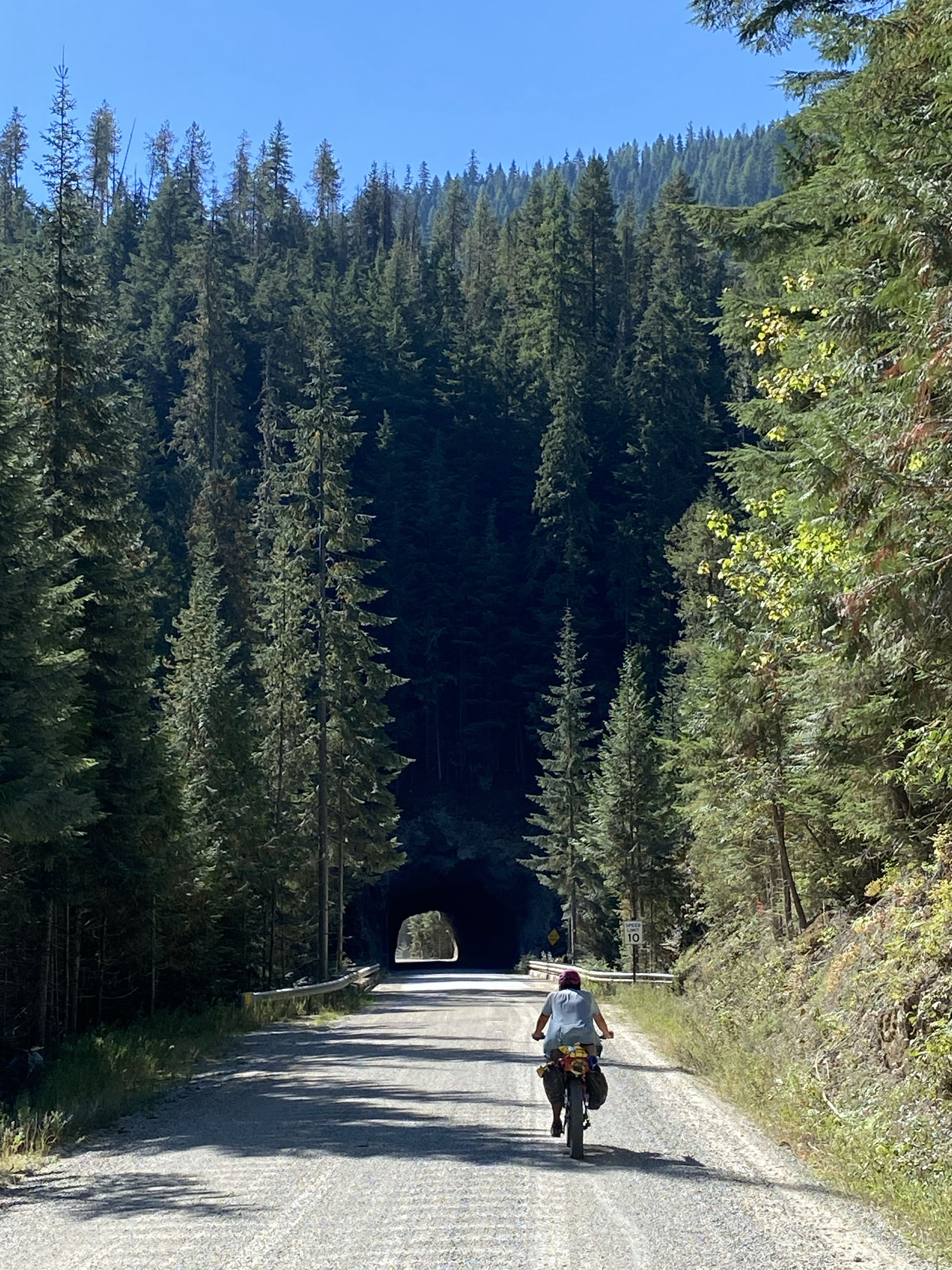
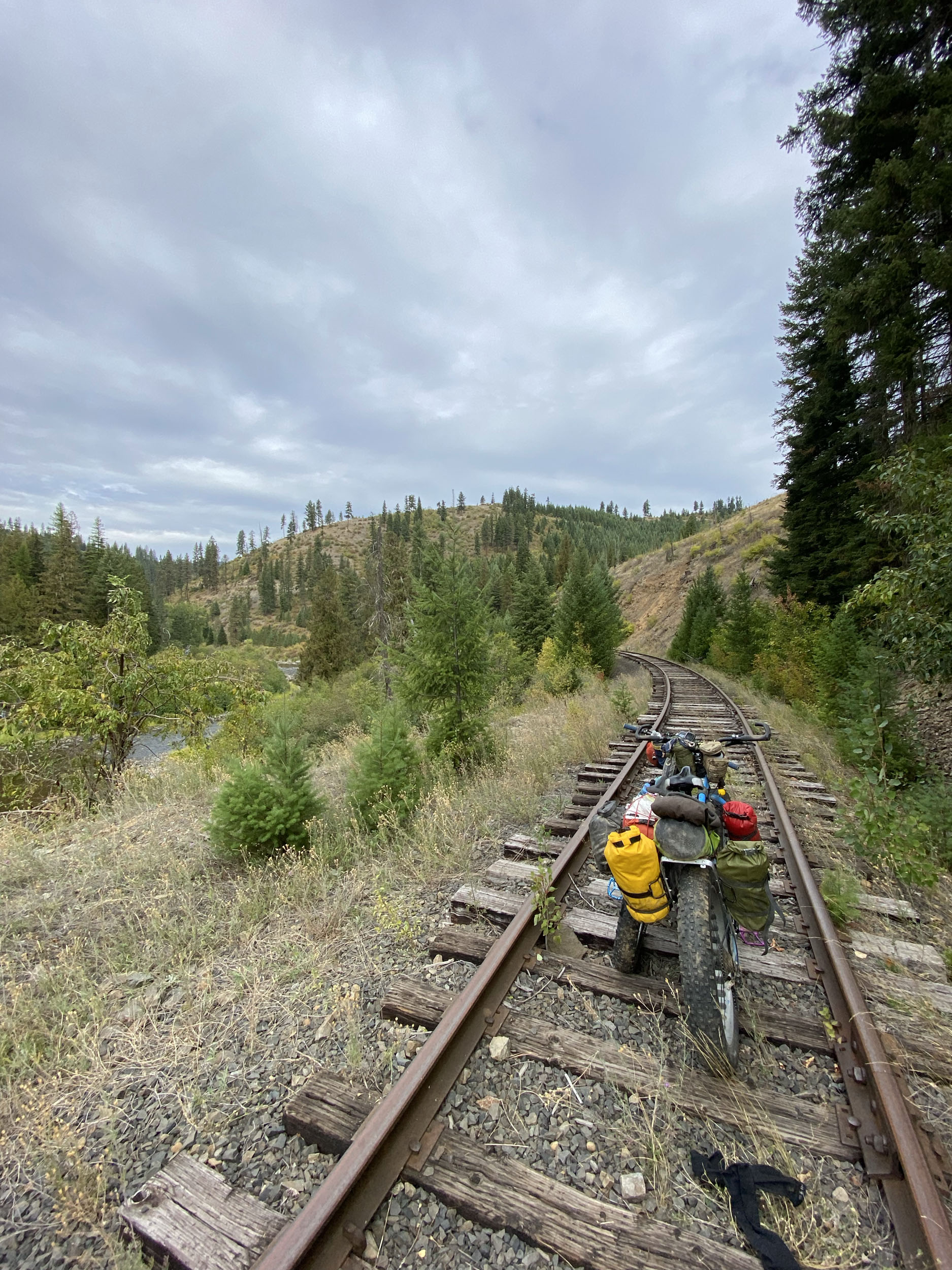
- Riding through rail tunnels and over towering trestles along the Route of the Hiawatha after descending Moon Pass.
- Abundant wildlife like wolves, bears, cougars, beavers, moose, elk, deer, eagles, osprey, and many other species, and their obvious presence along the way.
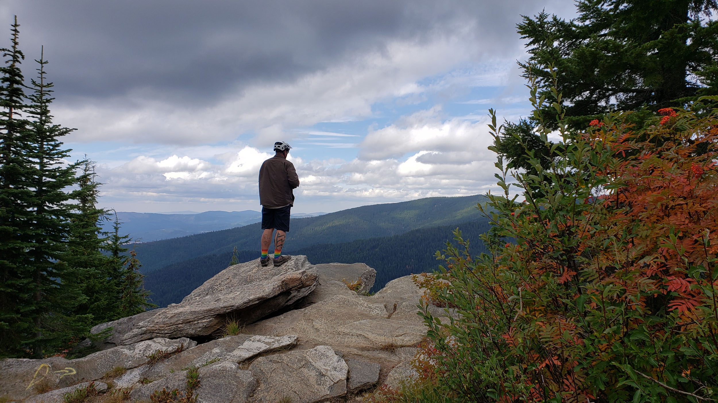
- High elevation climb up to Orphan Saddle, and Crater Peak, with their spectacular views of Montana to the East.
- Endless opportunities for diversion and side-trips: swimming, fishing, gathering, mine tours, birdwatching, star-gazing, etc.
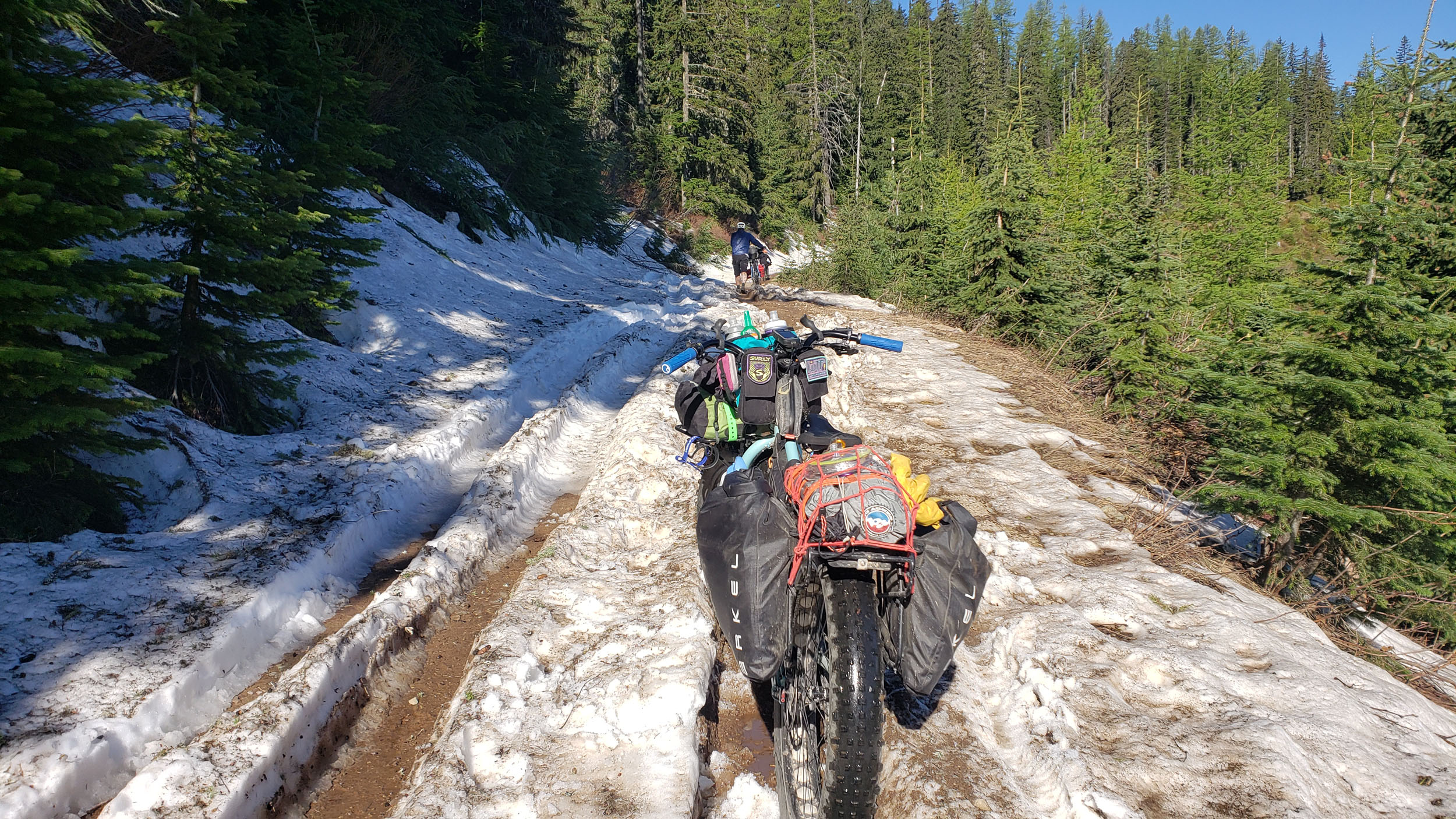
- The higher points of the route can see snow as early as September, and much of the higher elevations may have snow until early June, making mid-June through mid-September the best time to ride this route.
- Coeur D’Alene Idaho (CDA) serves as the launching pad and goal-line for the PanRam and is full of hotels, stores, bike shops, and anything else one might need to haul into the woods on a bike. Spokane, WA, with its International Airport, is a quick drive, or bike ride along maintained and paved multi-use trails.
- Bring bear spray, and be animal aware. Practice bear safety around camp.
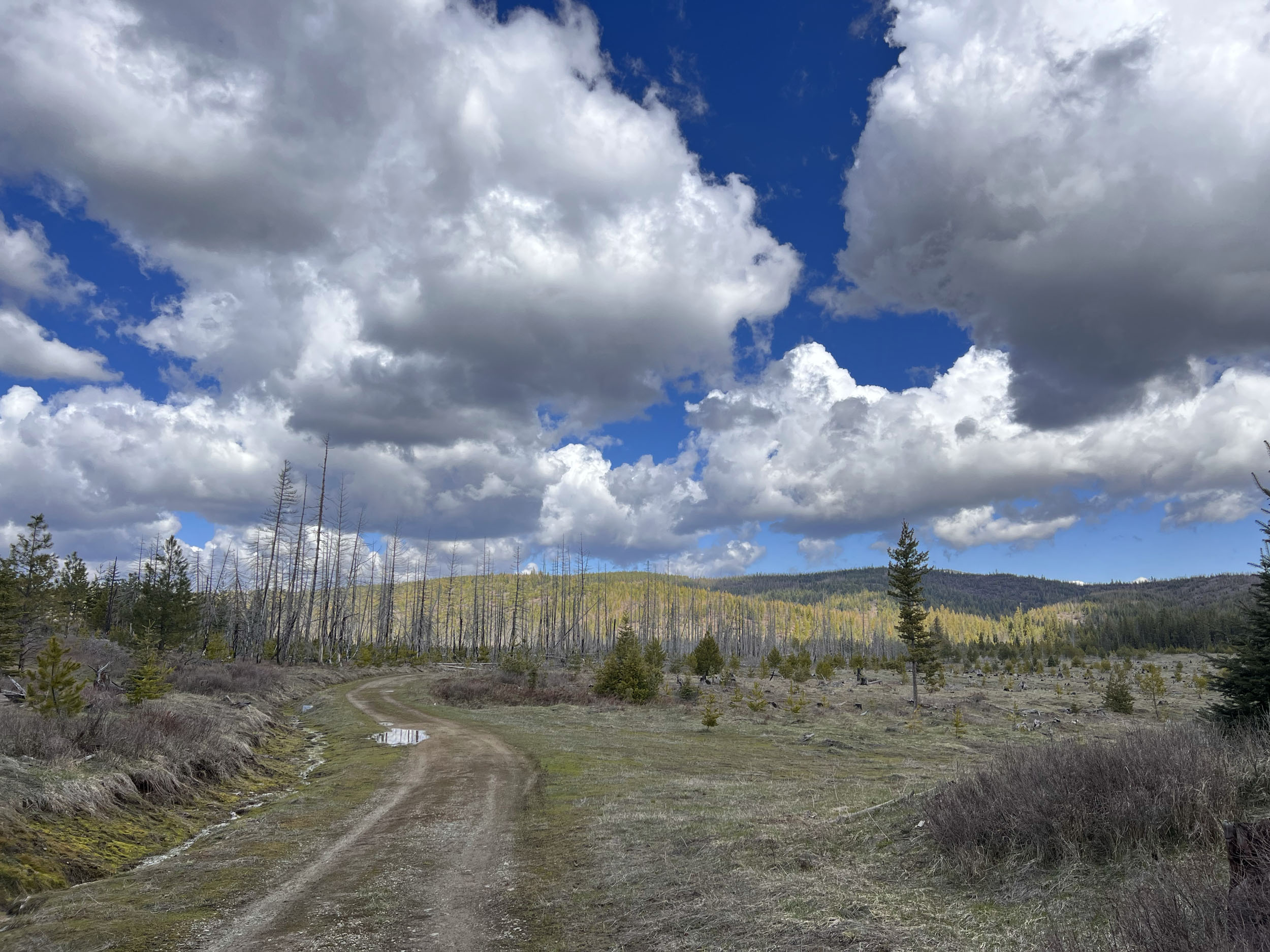
- There are several tricky sections that may require some patience and a good GPS, downloaded route maps, and knowledge to reroute if necessary. Just past Emida is one spot to pay close attention, since this is private timber land, open to the public. As with any timber lands, the roads can be opened or closed without notice. Be ready to be creative, and be comfortable with short reroutes.
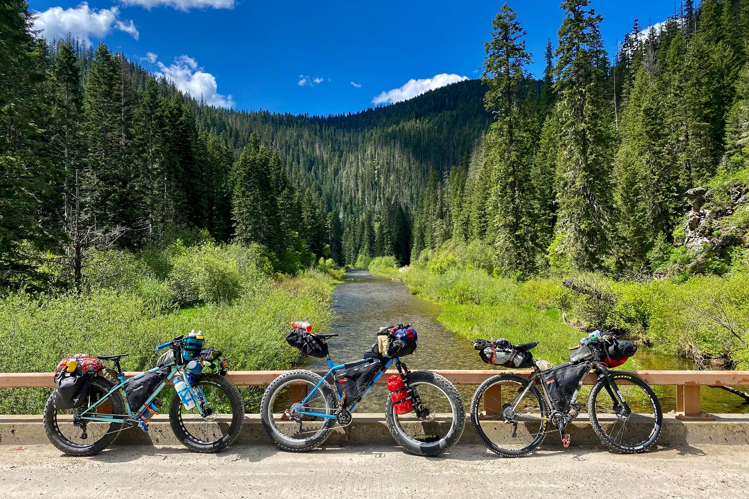
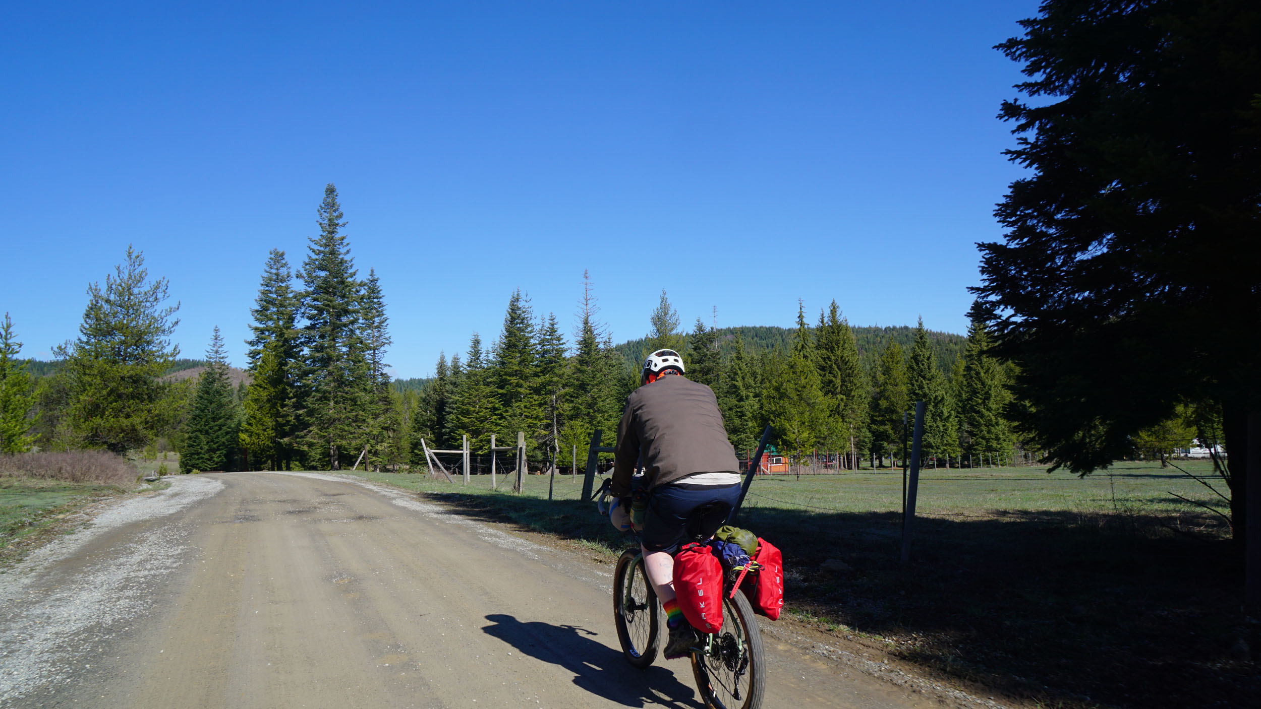
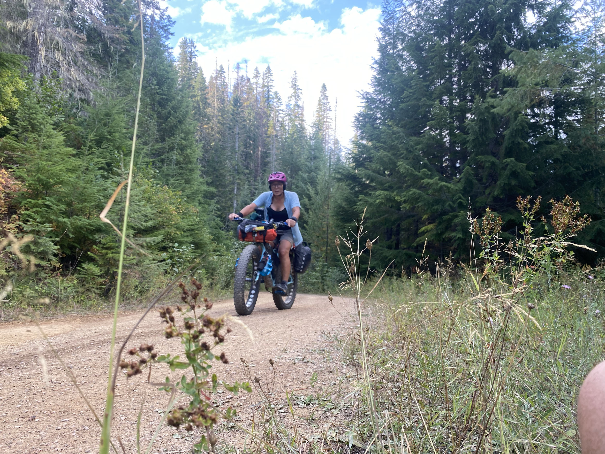
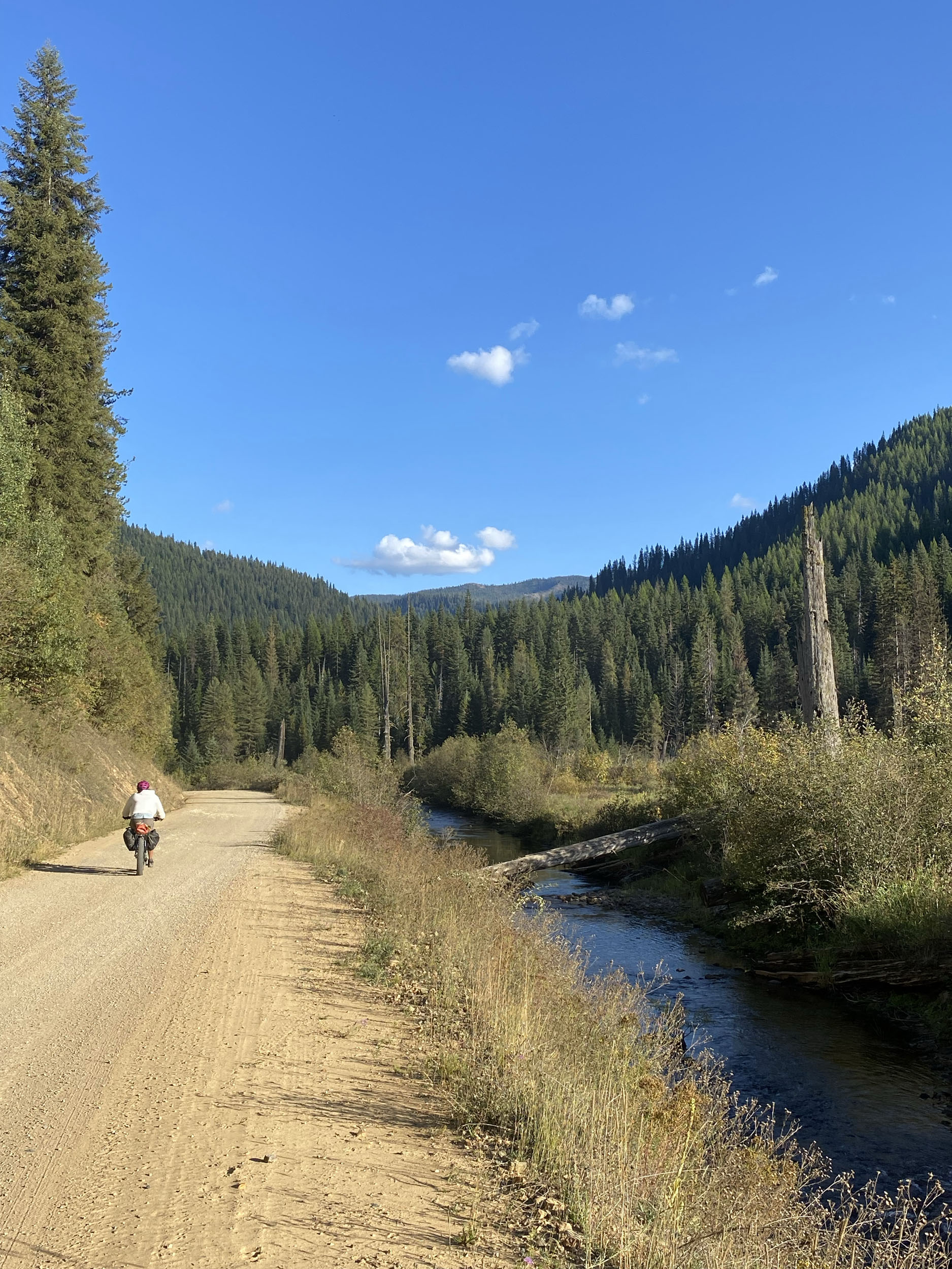
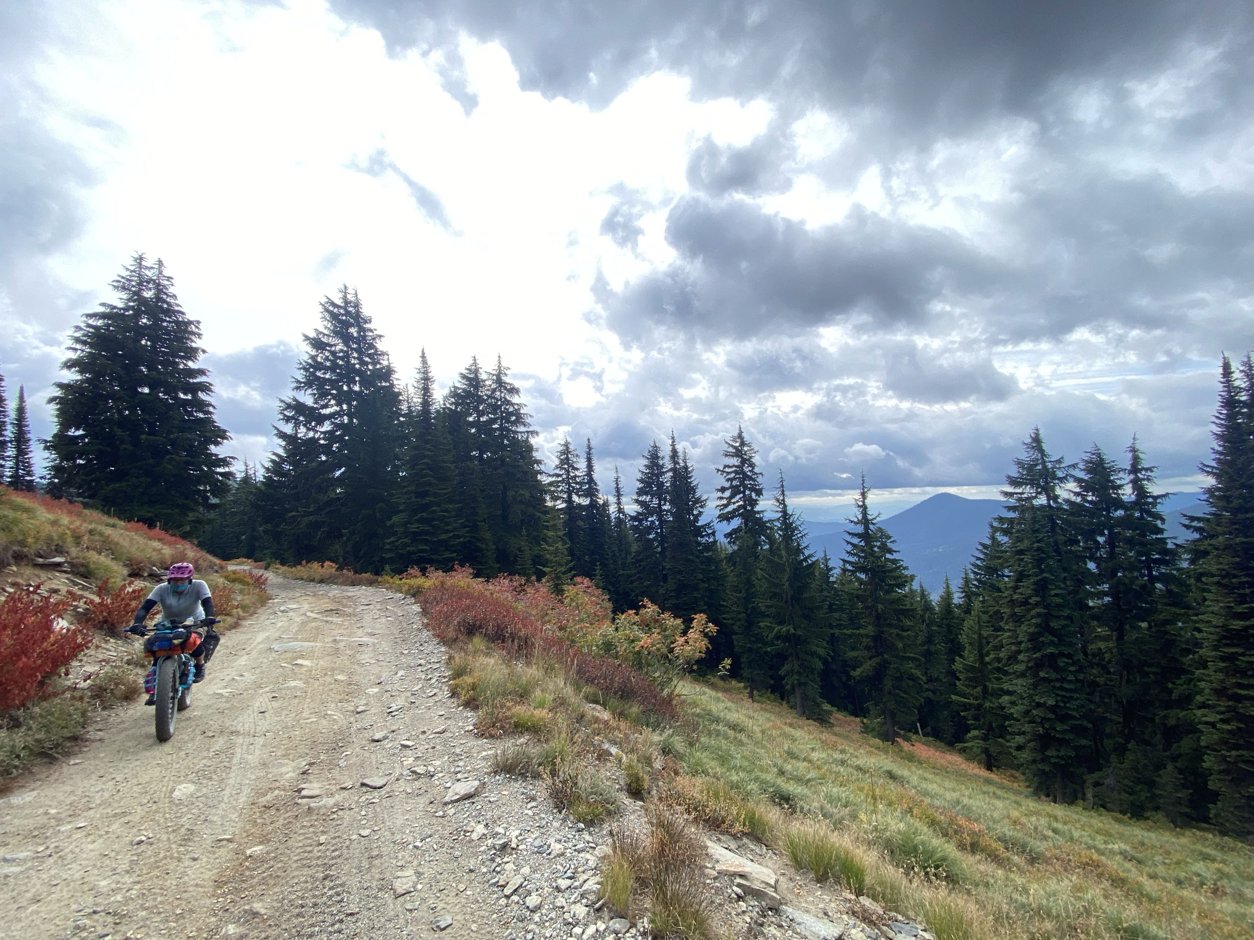
- The ideal bike for this route will be comfortable on long climbs and have tires with large enough volume to handle rocks, roots, water channels, mud, and possibly early or late season snow depending on when it is ridden. Suspension isn’t necessary, but wouldn’t be a hindrance either. The terrain can be steep in places, and some sections can be rocky and overgrown, but generally, this route can be completed on bikes with decent knobby tires through the summer and shoulder seasons.
- There are several ways to extend this route or cut it short, if necessary. The towns of Wallace and Saint Maries are obvious spots to bail out if needed.
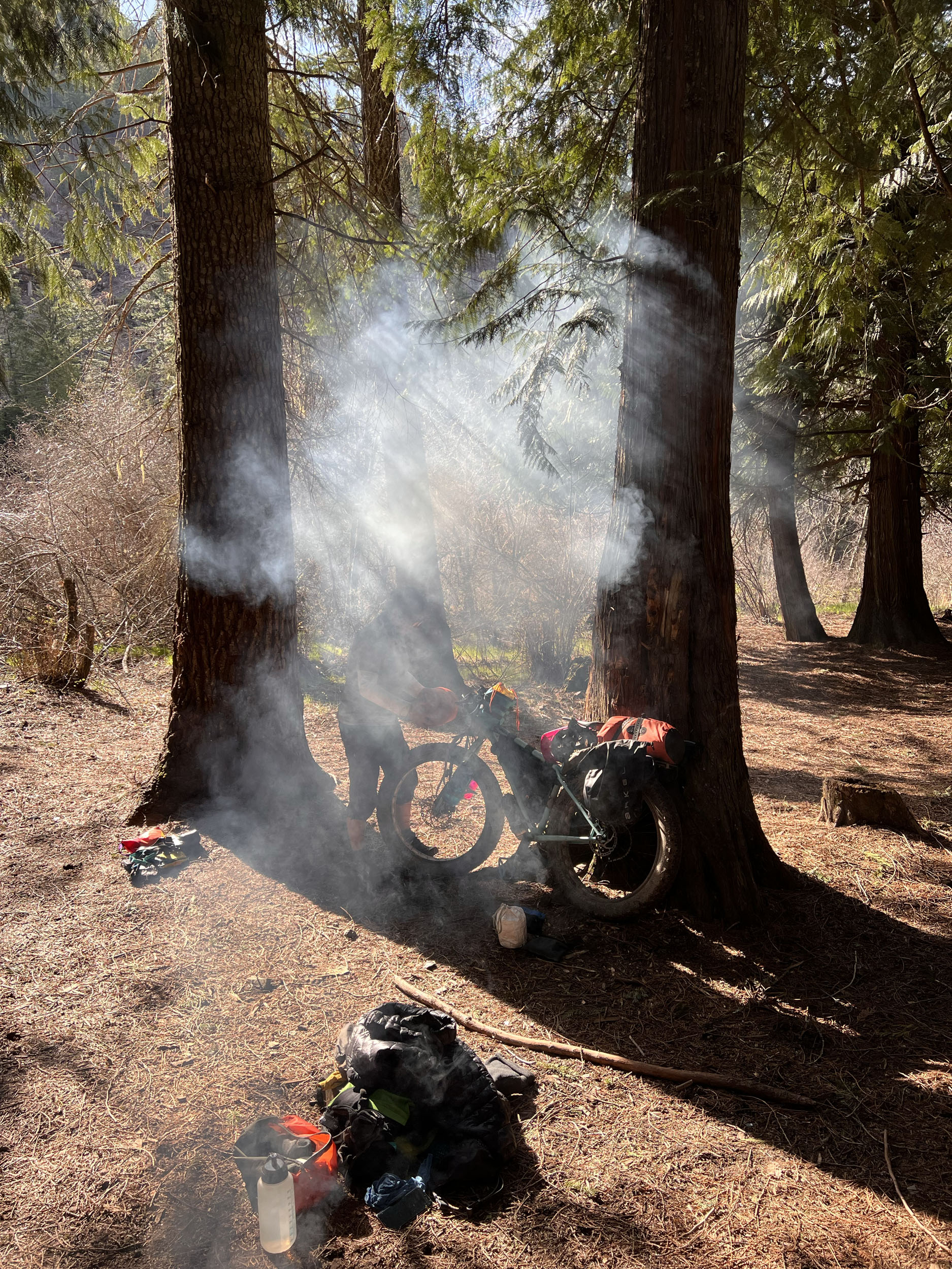
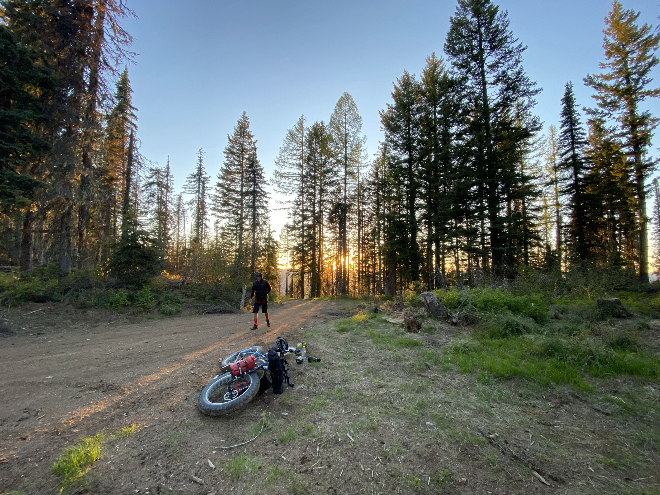
- Camping along the route is easy, and seven million perfect campsites await you on the public lands that make up this route. Practice leave-no-trace ethics in these forests, use standard fire precautions, and keep your wits about you regarding wildlife encounters.
- If you prefer official campgrounds, there are also many of those along the route, which will usually have space available, even in the heart of summer.
- Camping is abundant and available by following standard NFS regulations.
- Several FS and private campgrounds exist along the route, but part of the appeal of the PanRam is the opportunity to find just the perfect spot to camp.
Water
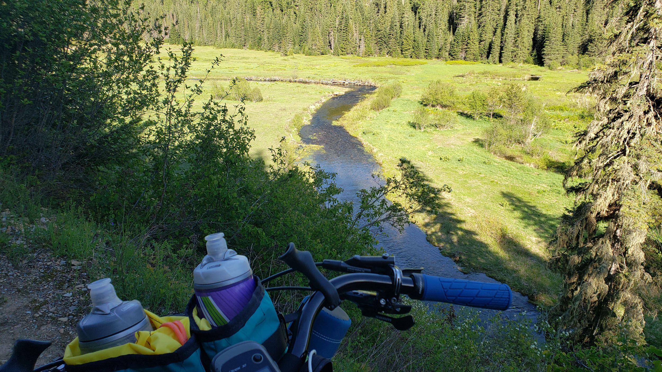
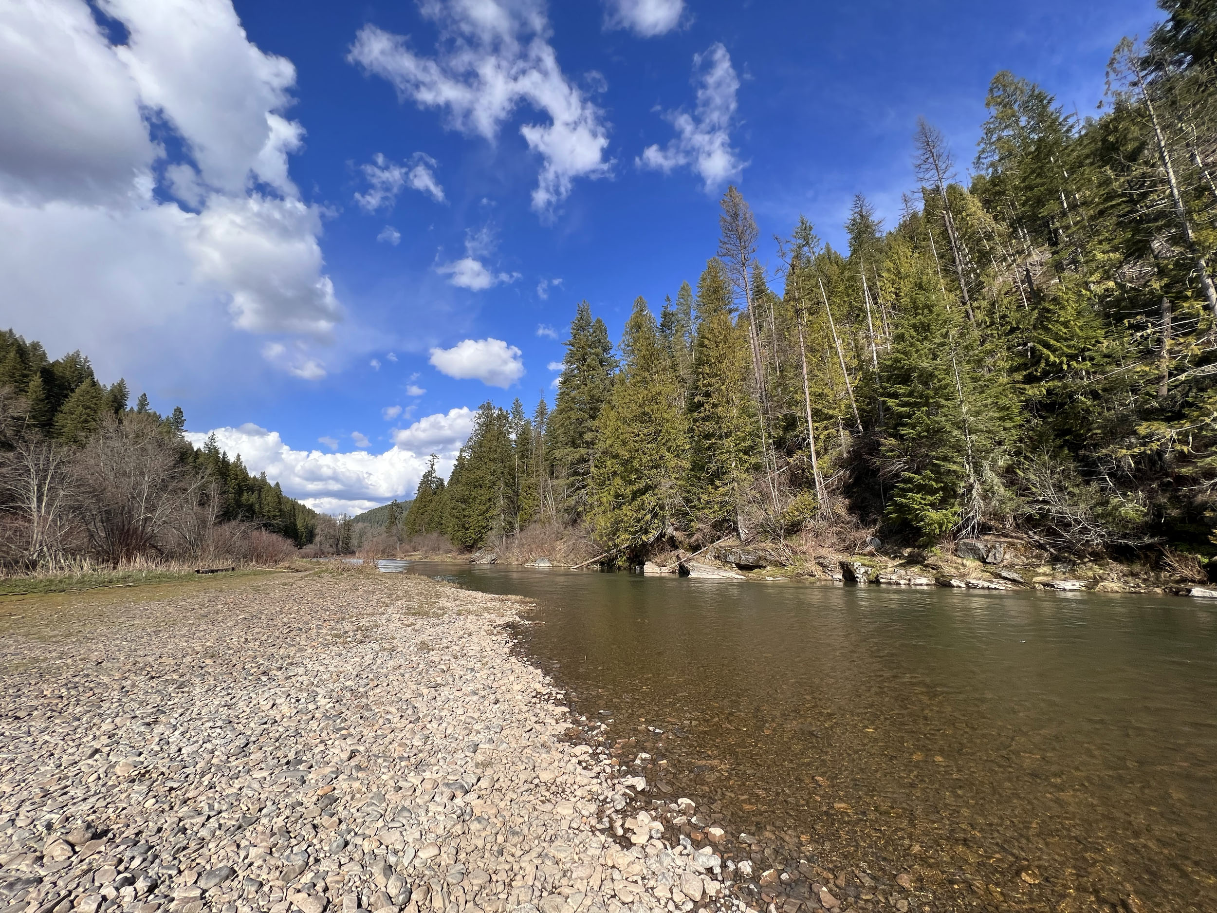
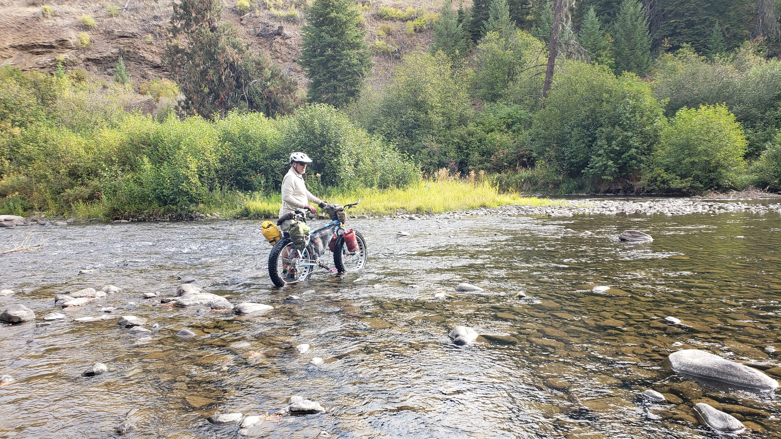
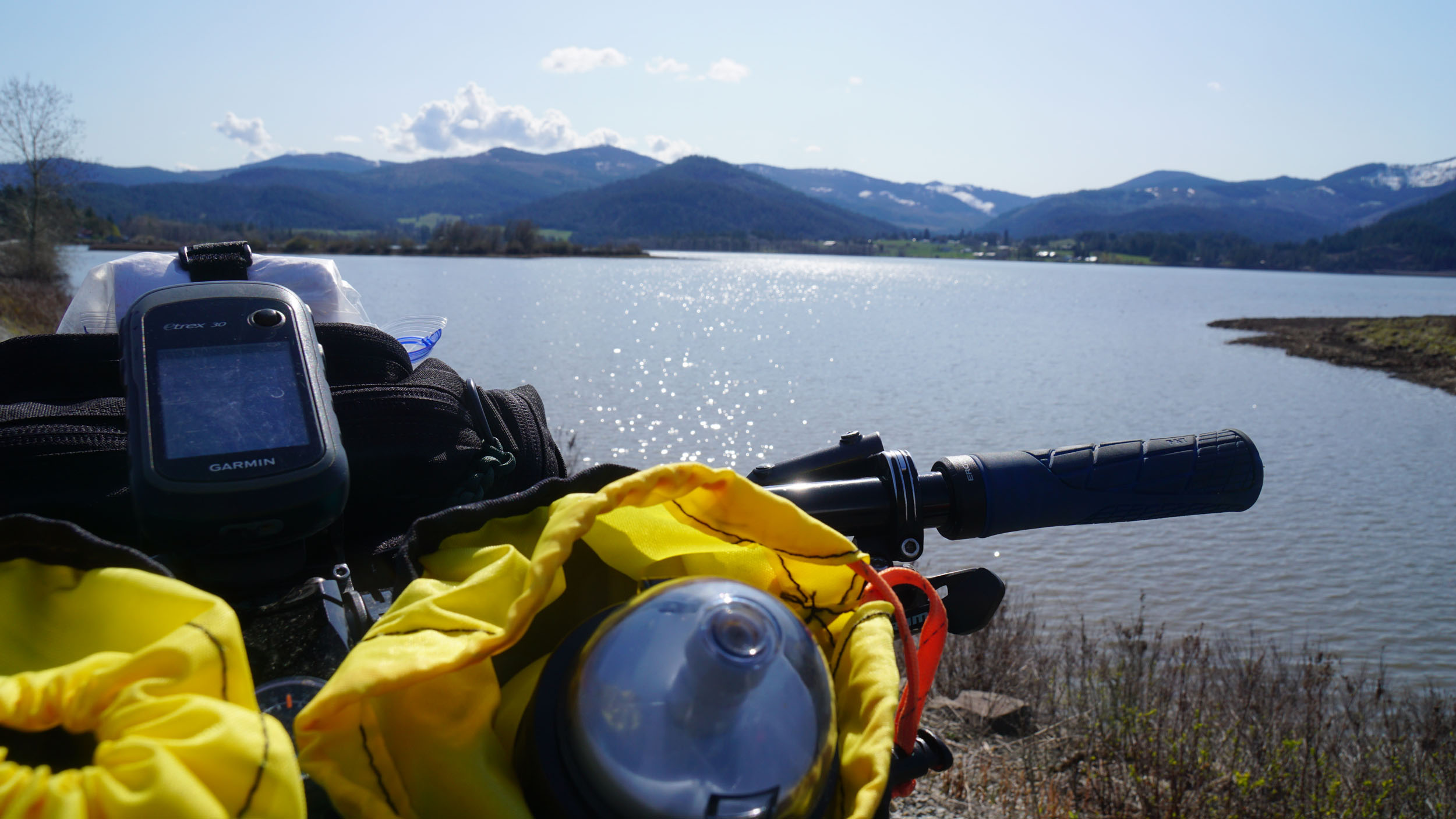
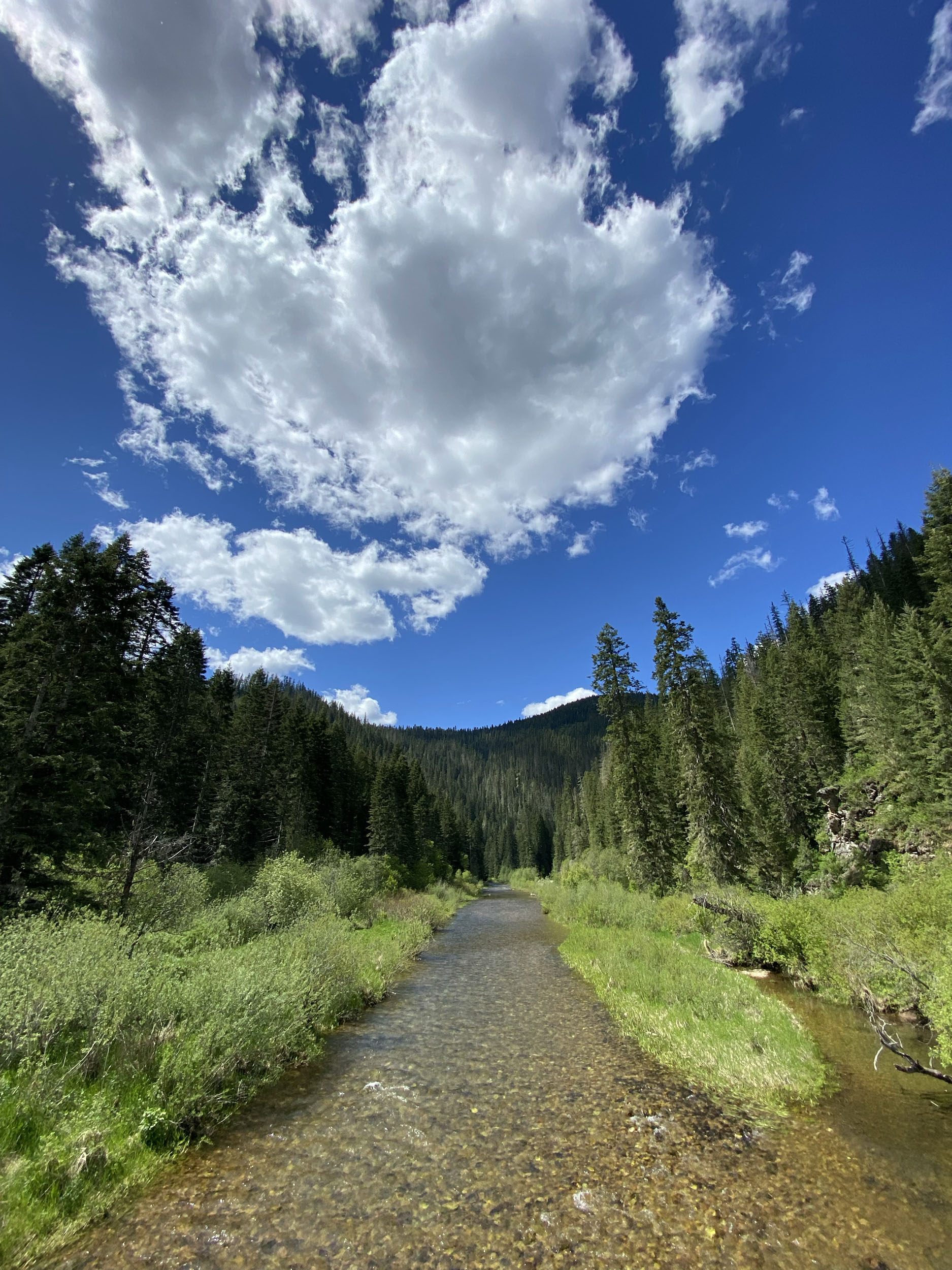
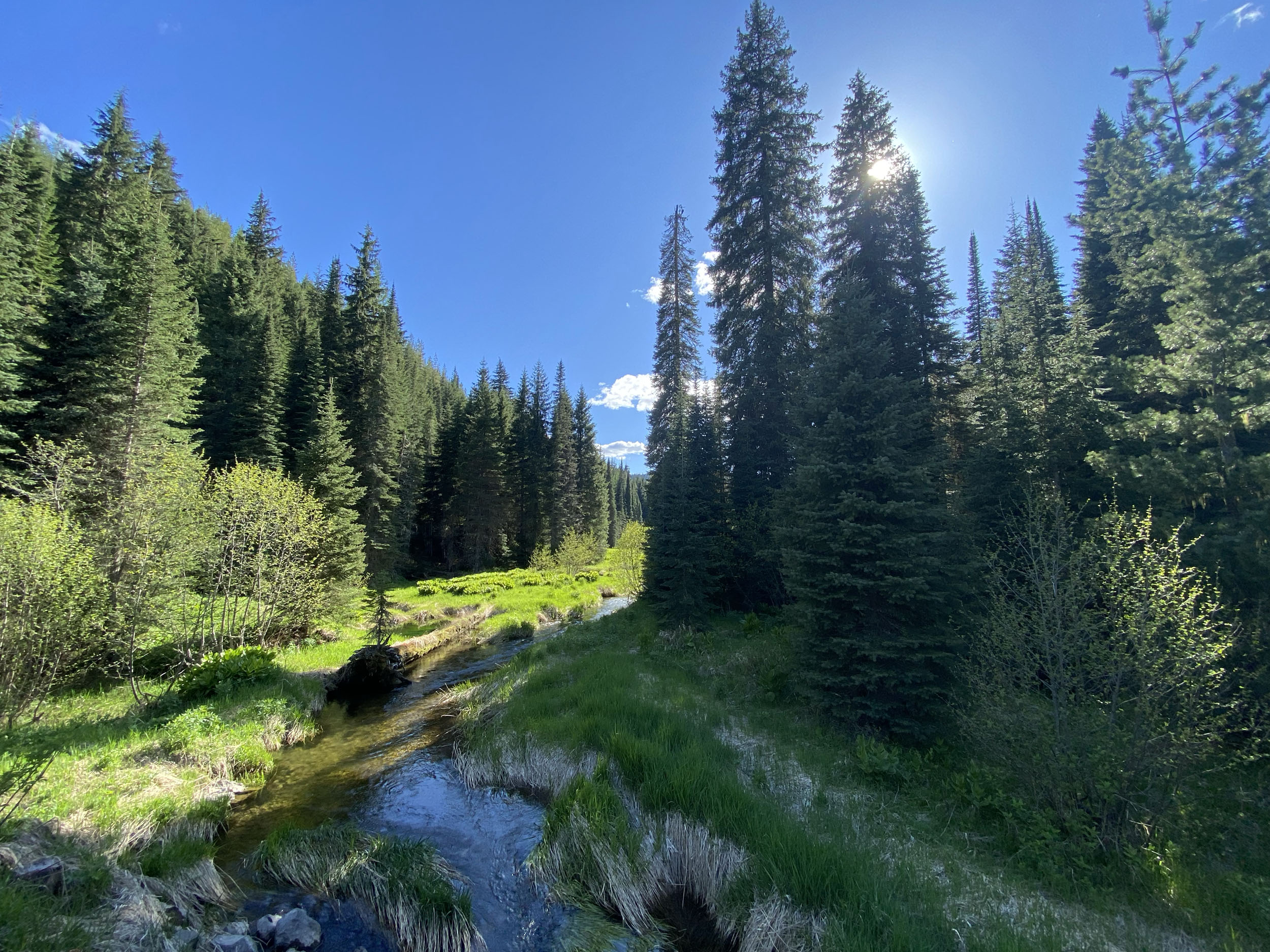
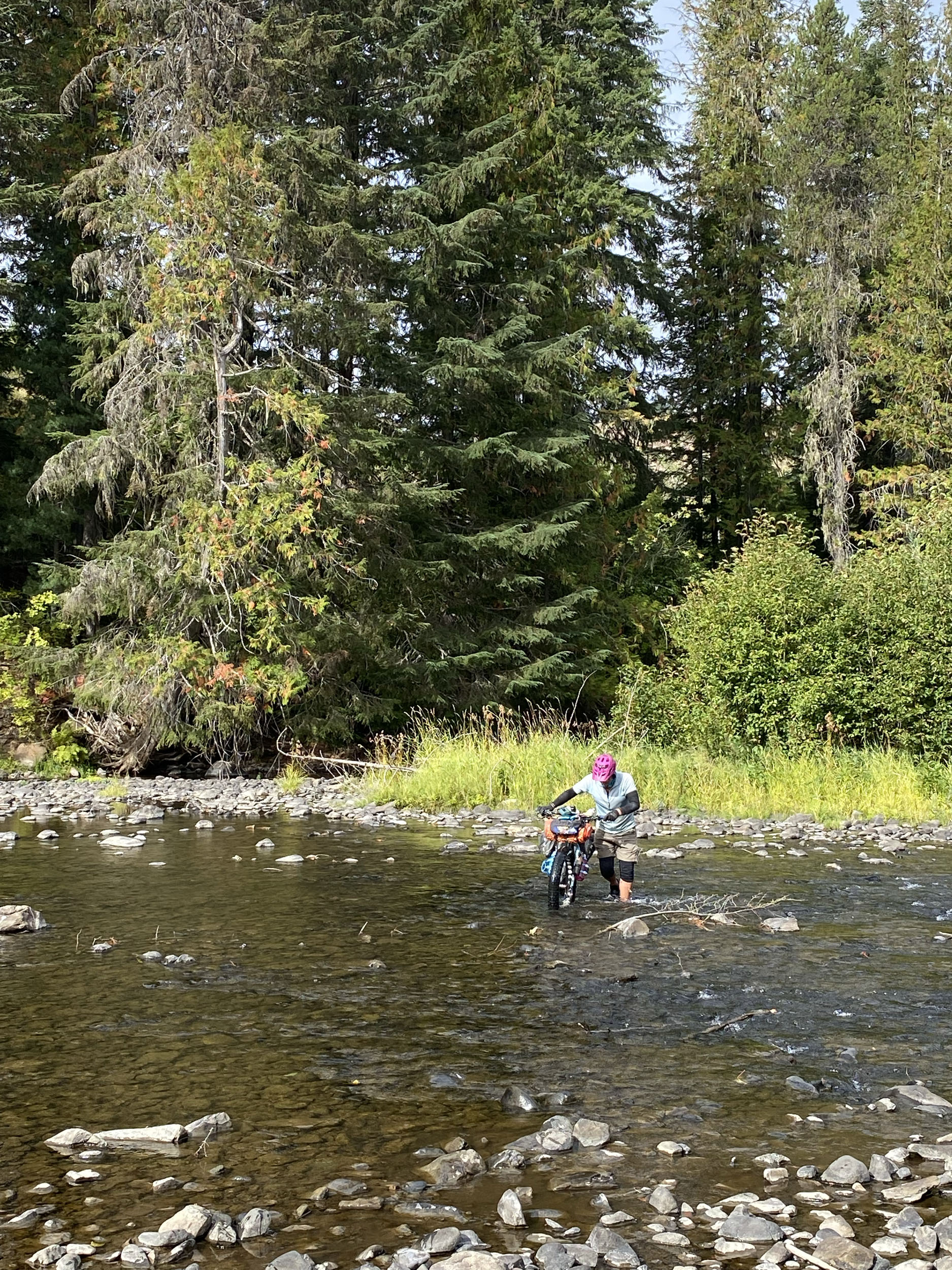
- Water is plentiful along the route, and can be seen pouring forth from underground springs filled with the most delicious water you have ever tasted, but also in the abundant creeks and rivers for filtering.
- Water is abundant at lower elevations, and you will be riding next to creeks and rivers for a large part of the route. Higher elevations can dry out during the heat of summer. Resupply is frequent, and with some careful planning, food and water are available almost every day.
- Small springs and seeps may dry up in the heat of summer, making your resupply in towns more important.
Small stores and restaurants
- The G & G store and gas station is located just before the big climb into Wallace, and will be the first available resupply along the route at route mile 90.
- Avery has a small but well stocked store, where if you ask nicely, they will make you some delicious gourmet hot dogs.
- Clarkia has one restaurant, with intermittent hours, run by two of the nicest people you will meet. Cold drinks, and some snacks are available to go.
- Emida has one restaurant, open during standard business hours. Excellent food, friendly staff, and cold drinks and snacks to go. These folks are always happy to fill a water bottle or give directions.
Larger towns and resupply
- Wallace likes to close down early, so be there during business hours. Wallace is beautiful, and should be seen during the day anyway. It is the center of the universe according to locals, and their huckleberry festival in August has become world famous. Grocery store available on the north end of Main Street.
- Saint Maries. Busy crossroads town, and your return back to the valley, where you can find any supplies you may need. Several grocery stores, hotels, and restaurants are available here.
6-day Sample itinerary
This is a suggested trip. Modify as necessary for daily distance, or camping preferences. This itinerary is a good option for those wanting to travel light, as you will have frequent resupply options if your timing is right.
location CDA to Spyglass Peak
Day 1 (51 mi +5,525 ft)
Depart Coeur d Alene, and climb through the spectacular Canfield complex, and the gateway to all the delicious treats that await you. You will climb for 13 miles before reaching Fernan saddle, where you will ride a short section of pavement before embarking on one of the most fun downhill sections of the entire route. Long, smooth, well graded, with spectacular views. Once at the bottom, you will be at Honeysuckle campground at around mile 25, which sits next to the North Fork of the Coeur D Alene river, and your first chance to catch a fish dinner, soak in the clear water, or filter some water before the next climb up to Leiberg Saddle. The second of three big climbs for the day. After cresting Leiberg Saddle, enjoy the quick downhill into the Magee valley, and one of the most scenic spots on the route, where you are likely to spot moose lounging next to Tepee creek below you. Use this chance to fill water bottles from the creek before heading up the last climb of the day to Spyglass Peak at just over 5000 ft, and mile 51. Huckleberry bushes drape the Spyglass peak area, so if they are in season, fill up a bottle with Hucks for your breakfast. If you’re lucky, and plan well, you can reserve the fire lookout at spyglass peak for a special treat!
location Spyglass Peak to Dobson Pass or Wallace
Day 2 (44-50 mi +3,215 ft)
After leaving Spyglass peak, you will traverse the ridgeline for several miles before beginning the long downhill back to the CDA river. This is a favorite Huckleberry zone for locals, and are some of the most scenic areas of the route. Devils Elbow campground, and The CDA river sits at the bottom of the descent after 20 ish miles, where you will immediately start another climb, so fill your bottles when you get to the river. You will climb up,and over another ridge before descending once again to the CDA river, where you will meet a short paved section on your way to the World Famous G&G Riverstop, and your first opportunity to resupply, or find a meal at route mile 87. Be sure to get a Huckleberry soft serve, and a burger from the food truck in back! After leaving the G&G, you will remain on a seldom used paved road for the brutal climb up to Dobson Pass, where you can Bivy after a day ride of 44 miles, or you can continue down the mountain another 6 miles to the town of Wallace. I like to reach Wallace with enough time to explore, resupply, eat breakfast, and relax for a bit, so I like to wait until morning to arrive. Whenever you get to Wallace, make sure to resupply at the grocery store at the north end of Main Street.
location Wallace to Little North Fork Clearwater River
Day 3 (50 mi +4,866 ft)
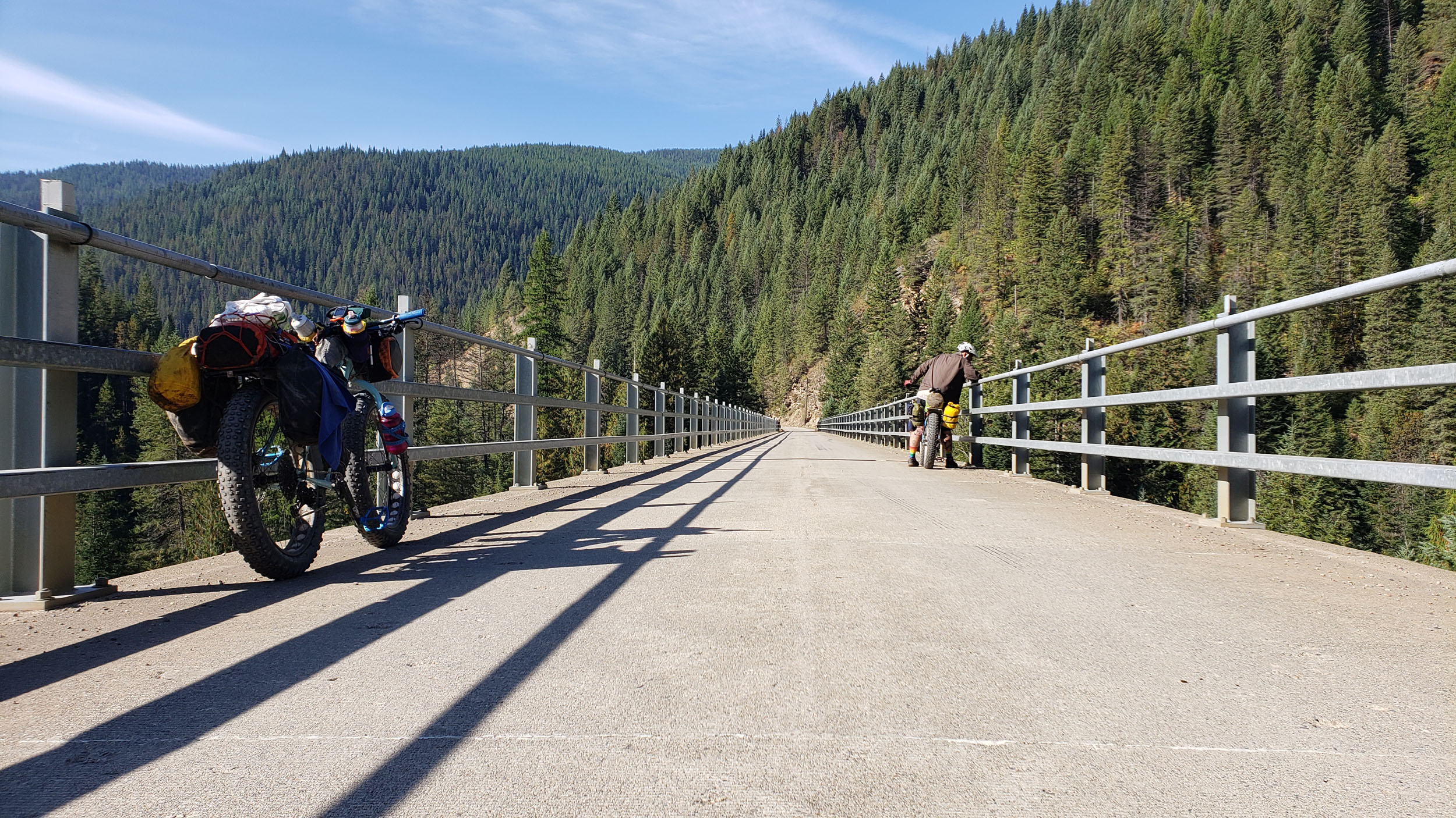
Leaving Wallace, you will climb up to Moon Pass, and descend down the back side, where you will join the North Fork of the St Joe River, and the beginning of a beautiful section of the famous Hiawatha trail. You will pass through many tunnels along this section, so be sure to have a light handy. There is an alternate road next to the river if tunnels aren’t your jam, or you want to be closer to water. There is a great campground along this section before reaching Avery. 20 miles after leaving Wallace, you will reach the town of Avery, and the best Hot Dogs in the world if you ask real nice. Resupply here, and begin the spectacular climb through Fish Hook Creek Canyon, up to Breezy Saddle. Descend down the mountain again to the Little North Fork of the Clearwater River, where you will find dispersed camping along this beautiful river. From where you meet the river, backtrack upstream along FS road 760 for a few miles to find some word-class camp spots along the river, where you can swim and fish.
location Little North Fork Clearwater River to Bald Mountain Saddle
Day 4 (63 mi +6,240 ft)
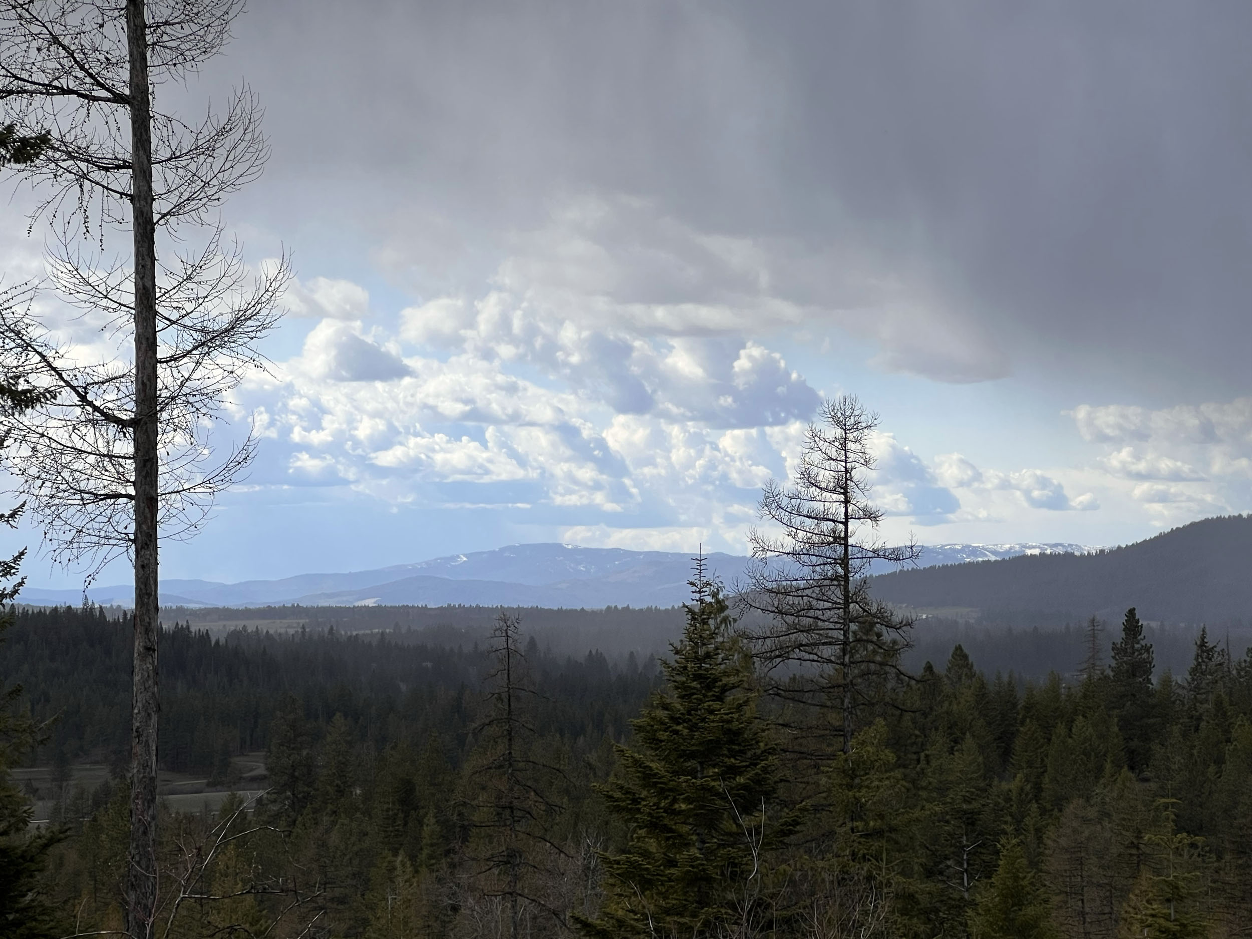
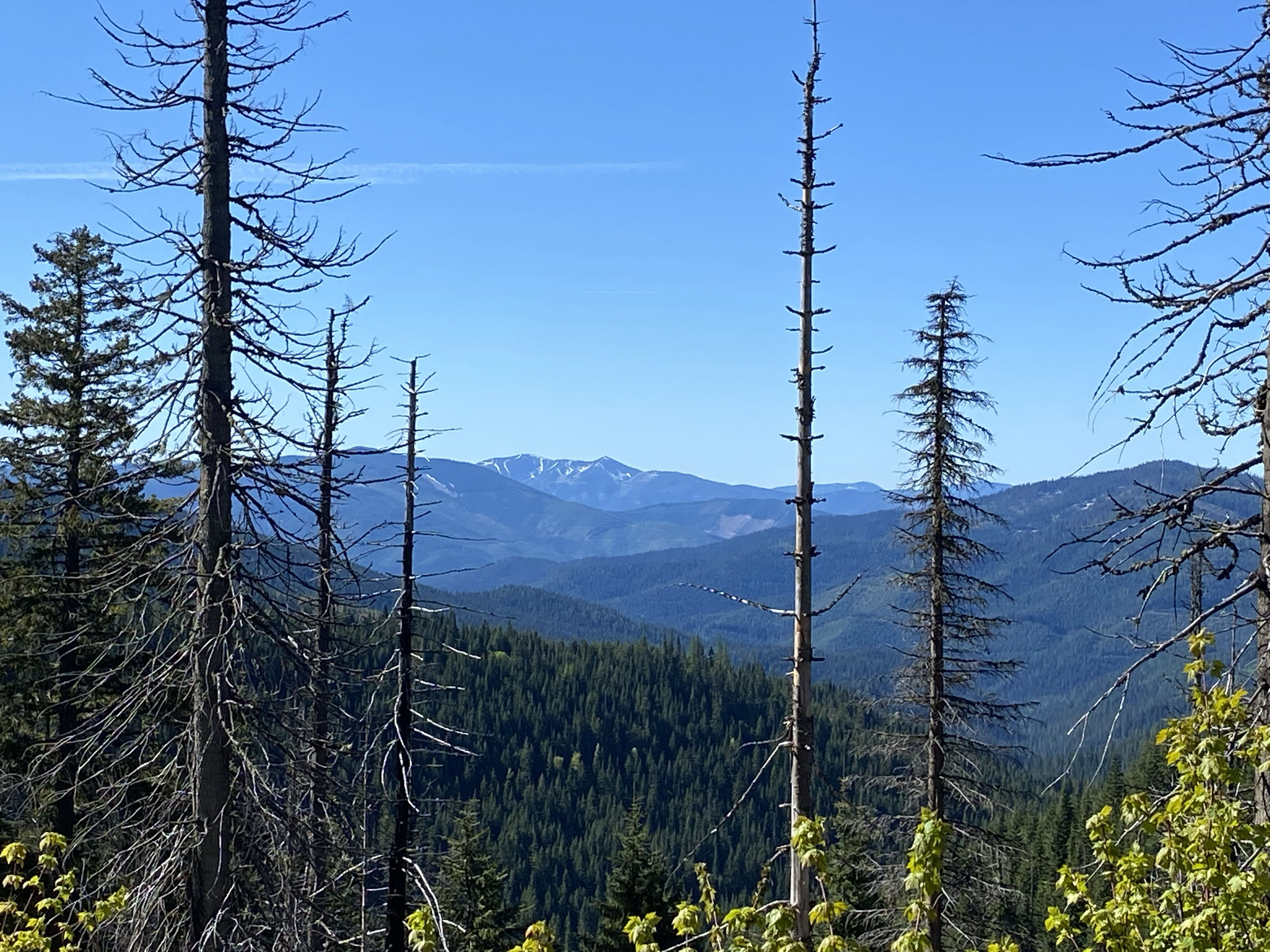
Take your time and enjoy the sublime climb after leaving the river, where you will reach the high point of the route at just over 6300 ft. The views from the high point are spectacular, where you can look to the east into Montana. 32 miles after leaving the river, you will reach the tiny town of Clarkia. A logging town with a small population, and only one restaurant that serves as a store of sorts also. If you catch them when they are open, you can resupply your junk food stash, fill water bottles, and eat a burger made with love by the friendliest folks around at the Clarkia Outpost. You can’t miss it. It’s the only game in town! After leaving Clarkia, you will cross over to Emerald creek, where you can hunt for Garnets along the creek, or just stay at the Emerald Creek campground if you wish. Climbing out of the Emerald Creek drainage, and back down the other side, you will reach the Palouse River, where you can cool off in the creek, and fill your bottles for the next long climb up to Bald Mountain Saddle. This region is rich with mining history, and you can still see the piles of mine tailings lining this section of trail next to the North Fork of the Palouse River. To make the day a little shorter, a good place to camp would be next the North Fork of the Palouse before you start the climb up to Bald Mountain Saddle, which is a real doozie!
location Bald Mountain Saddle to St. Maries River Camp
Day 5 (37 mi +2,846 ft)
From Bald Mountain Saddle, keep your GPS handy for the rest of the day, as there will be some turns that could easily be missed, some Bikewhacking later in the day, and some remote sections. 8 miles after leaving the saddle, you will make a turn onto a paved section of ID-6. A steep, winding, fast 6 mile descent into the town of Emida, where you can fill your bottles, and grab a bite to eat at Drifters restaurant. After leaving Emida, you will enter “The Maze” after a few miles, which is a section of land owned by a logging company, and is criss-crossed by an ever changing maze of roads, trails, overgrown paths, as well as bears, moose, and cougars in large numbers. Use your common sense here, keep your bear spray handy, and follow your GPS. This is one of my favorite sections of the entire route, that always inspires me, and keeps me on my toes. You WILL eventually be spit out of “The Maze”, and into a short section within the Coeur D Alene tribal lands, which you will be on until you reach camp for the night. We are fortunate guests here on this land, so take a moment to reflect on how special this land is, and how lucky we are to get to see it while cycling through. A long steep descent awaits you before reaching camp, with a few steep climbs thrown in to keep you busy. Savor the views of the St Maries river below you as you descend down the mountain.
location St. Maries river camp to CDA
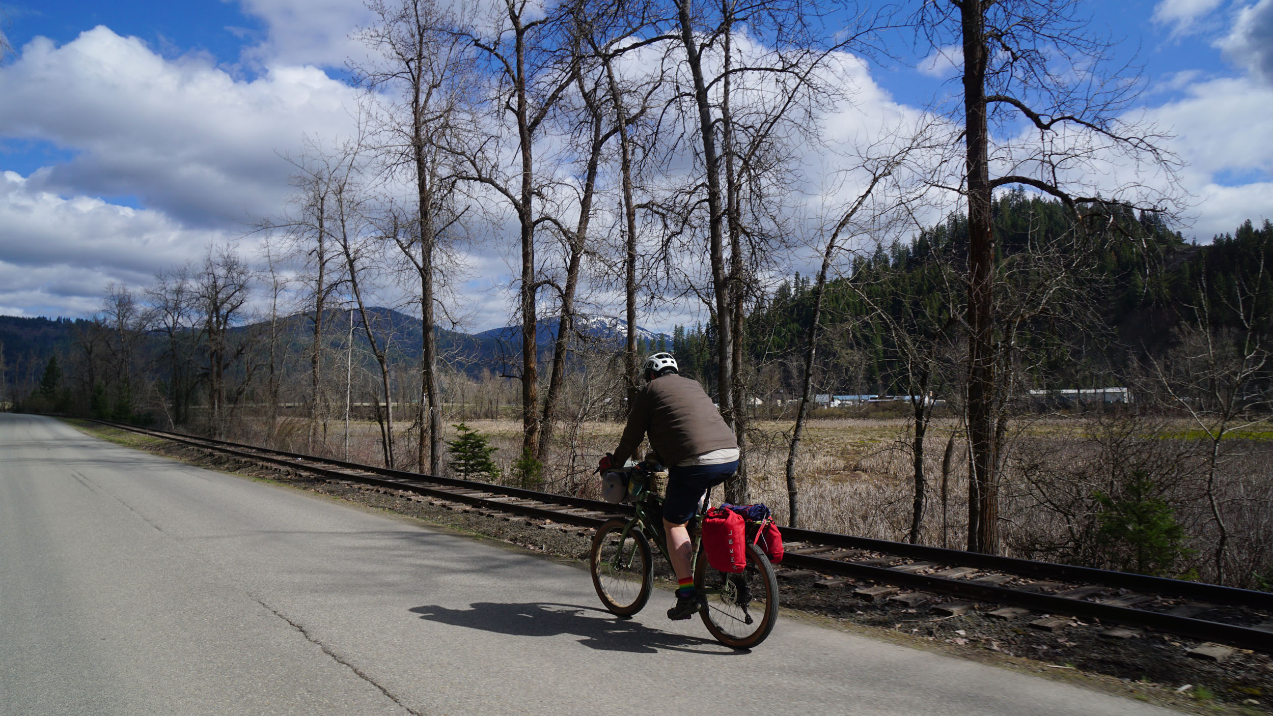
Day 6 (68 mi +6,022 ft)
Hopefully you are well rested and full of fresh fish from the St Maries river as you leave camp for the last time before reaching CDA at the end of your journey. 6 miles after leaving the river camp is the town of St. Maries. One of the first buildings you will pass will be the Archie’s IGA grocery store on the right as you come into town. St. Maries is a busy town with a selection of shops, restaurants, hotels, and resupply options, and will be your last chance to stock up for the final push to Coeur D Alene. A short but narrow paved section brings you to the first climb of the day, and will take you into some farmlands, and back again onto Tribal lands before dropping you onto a three mile section of Highway 3. After a left turn off the highway, you will descend down to the marshes of the Chain Lakes, and the gorgeous 8 mile section of the Trail Of The Coeur D Alene’s. Arguably to finest stretch of multi-use path anywhere on earth. You will pass by lakes, marshes, and the Coeur D Alene river, which are all full of life. Beaver, moose, and various waterfowl are a common sight along this stretch of the trail. Keep your eyes open for moose. They are the kings of the castle along this stretch, and will charge you if you get too close. If you encounter them on the trail, you will just have to wait until they are good and ready to move on before you can continue. I have waited over an hour along here for a stubborn moose to clear the path. Another short section of highway brings you back to National Forest land, and their delicious dirt roads for another climb out of the river valley, and an undulating traverse along the mountain which leads you back once again to Coeur D Alene lake. Beauty Bay campground sits lakeside, at the bottom of the descent off the mountain, and will be the last camping opportunity before reaching town. Another 12 miles of mixed surfaces awaits you before reaching town, and the end of your journey. Stop off at the Vantage Point Brewing Company for a celebratory beverage, and savor your accomplishment. 320 miles. 30,000 feet of climbing, and hopefully many lasting memories.


Terms of Use: As with each bikepacking route guide published on BIKEPACKING.com, should you choose to cycle this route, do so at your own risk. Prior to setting out check current local weather, conditions, and land/road closures. While riding, obey all public and private land use restrictions and rules, carry proper safety and navigational equipment, and of course, follow the #leavenotrace guidelines. The information found herein is simply a planning resource to be used as a point of inspiration in conjunction with your own due-diligence. In spite of the fact that this route, associated GPS track (GPX and maps), and all route guidelines were prepared under diligent research by the specified contributor and/or contributors, the accuracy of such and judgement of the author is not guaranteed. BIKEPACKING.com LLC, its partners, associates, and contributors are in no way liable for personal injury, damage to personal property, or any other such situation that might happen to individual riders cycling or following this route.
Please keep the conversation civil, constructive, and inclusive, or your comment will be removed.