


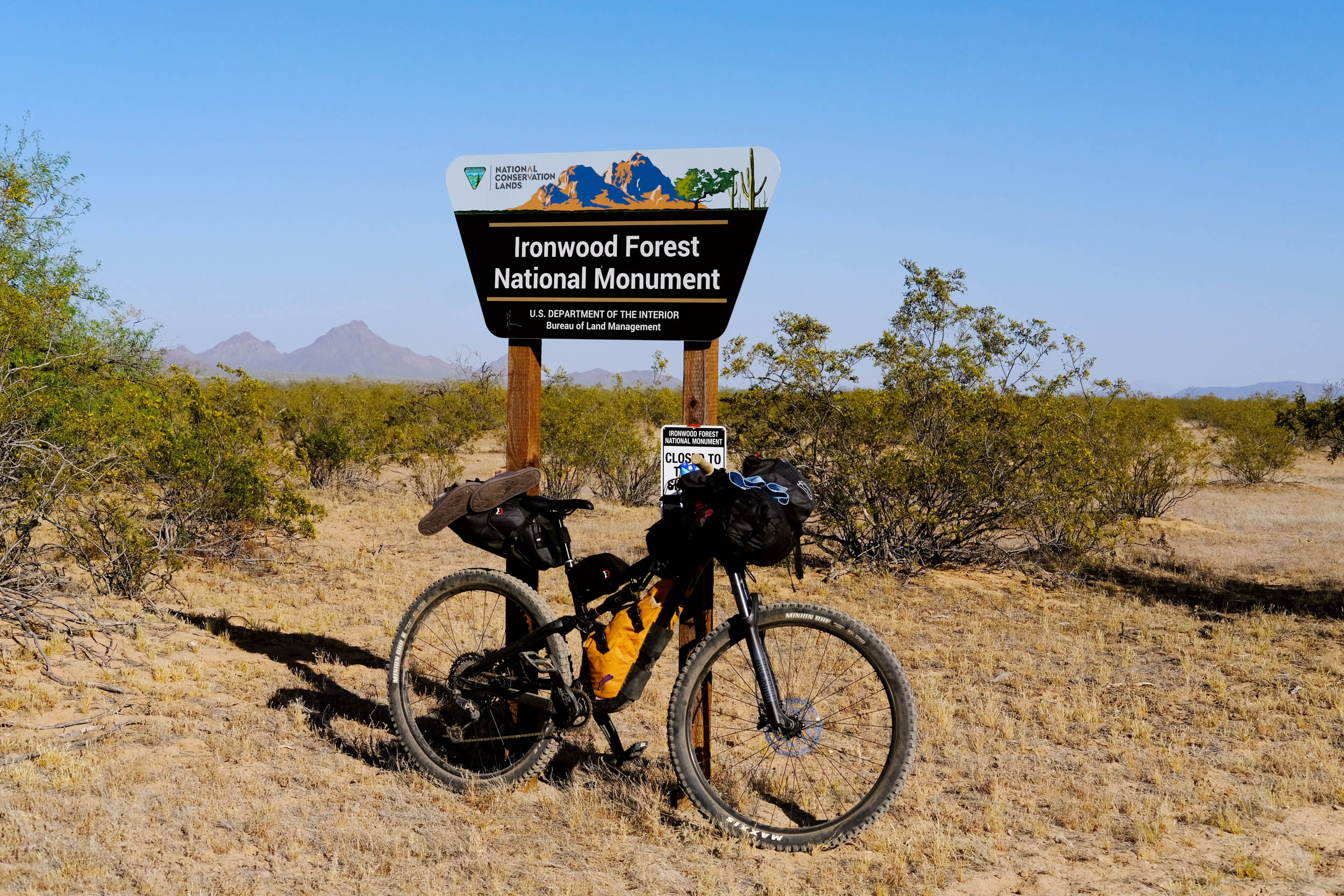
Ironwood Overnighter
Distance
48 Mi.
(77 KM)Days
2
% Unpaved
93%
% Singletrack
0%
% Rideable (time)
98%
Total Ascent
1,601'
(488 M)High Point
2,684'
(818 M)Difficulty (1-10)
5?
- 2Climbing Scale Easy33 FT/MI (6 M/KM)
- 5Technical Difficulty Moderate
- 4Physical Demand Fair
- 6Resupply & Logistics Moderate

Contributed By

Molly Sugar
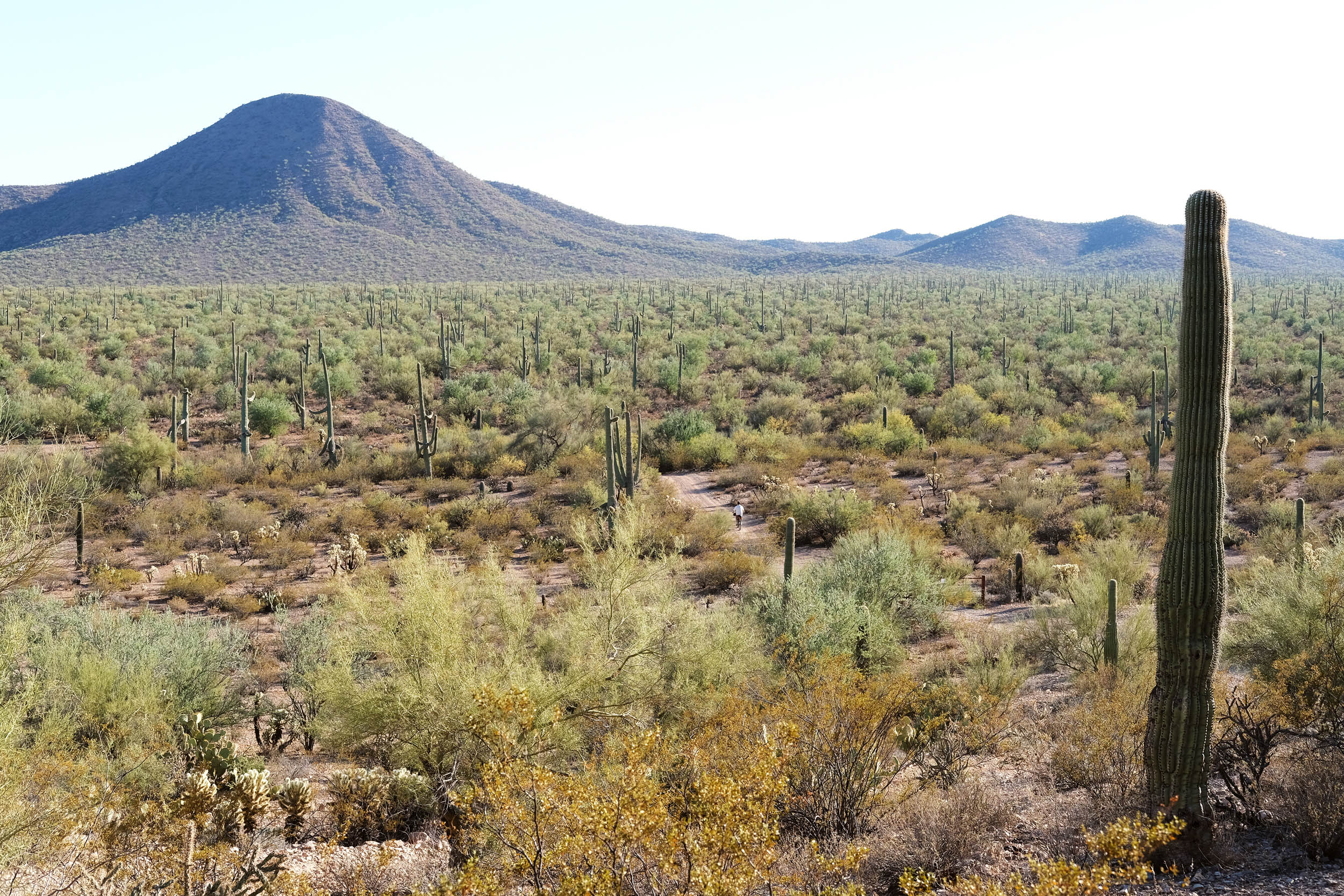
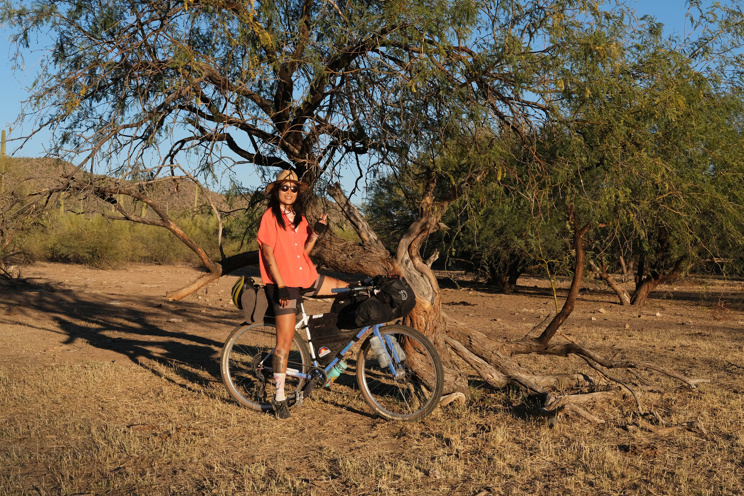
Ironwood National Monument is known for its largest and richest stand of Ironwood trees. The Ironwood Overnighter highlights the region’s unique biodiversity while connecting two historical sites: the Titan II Missile Silo and Cocoraque Butte. Whether you want beautiful scenery, a secluded camping spot, or to learn more about the region’s history, this overnighter has much to offer everyone.
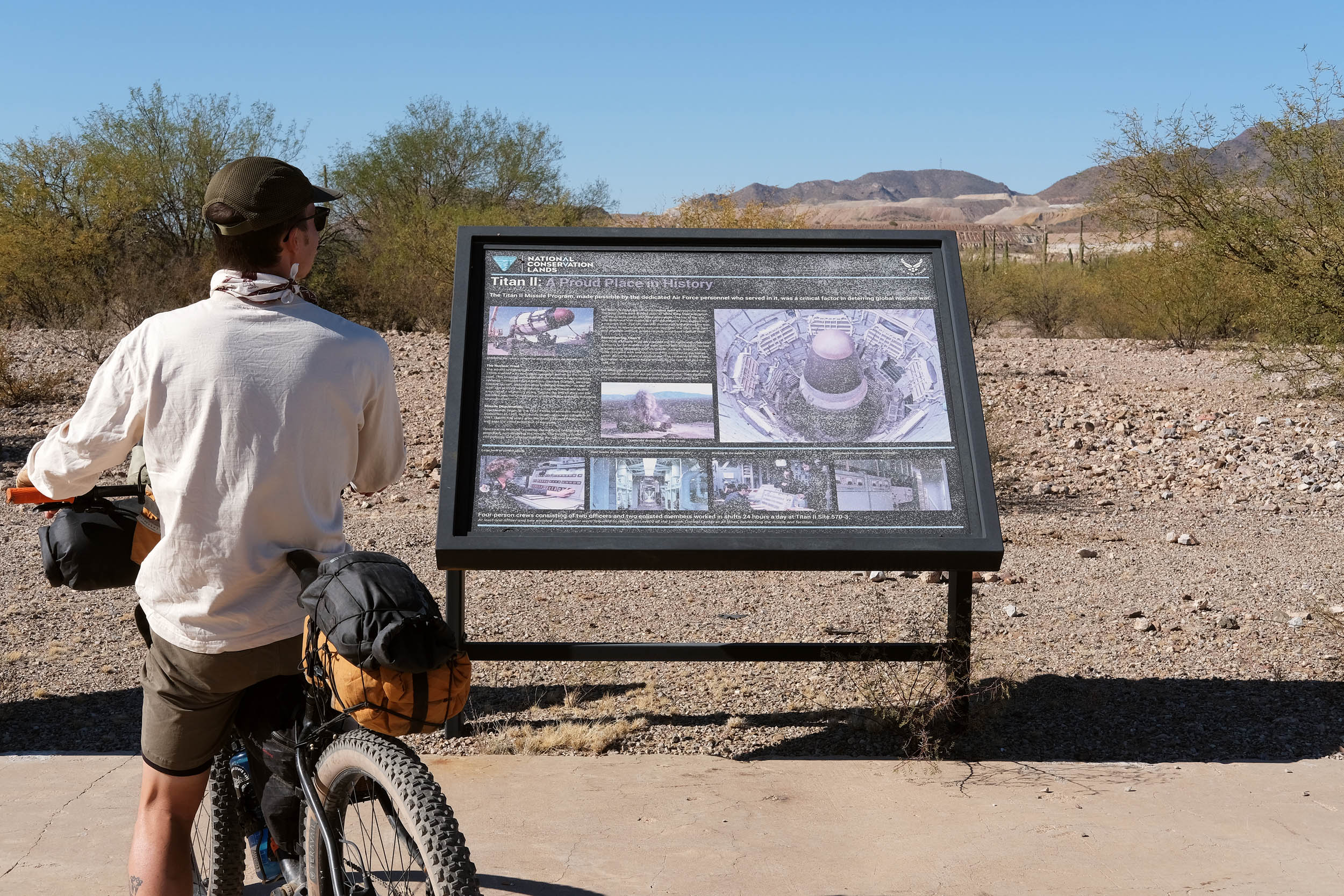
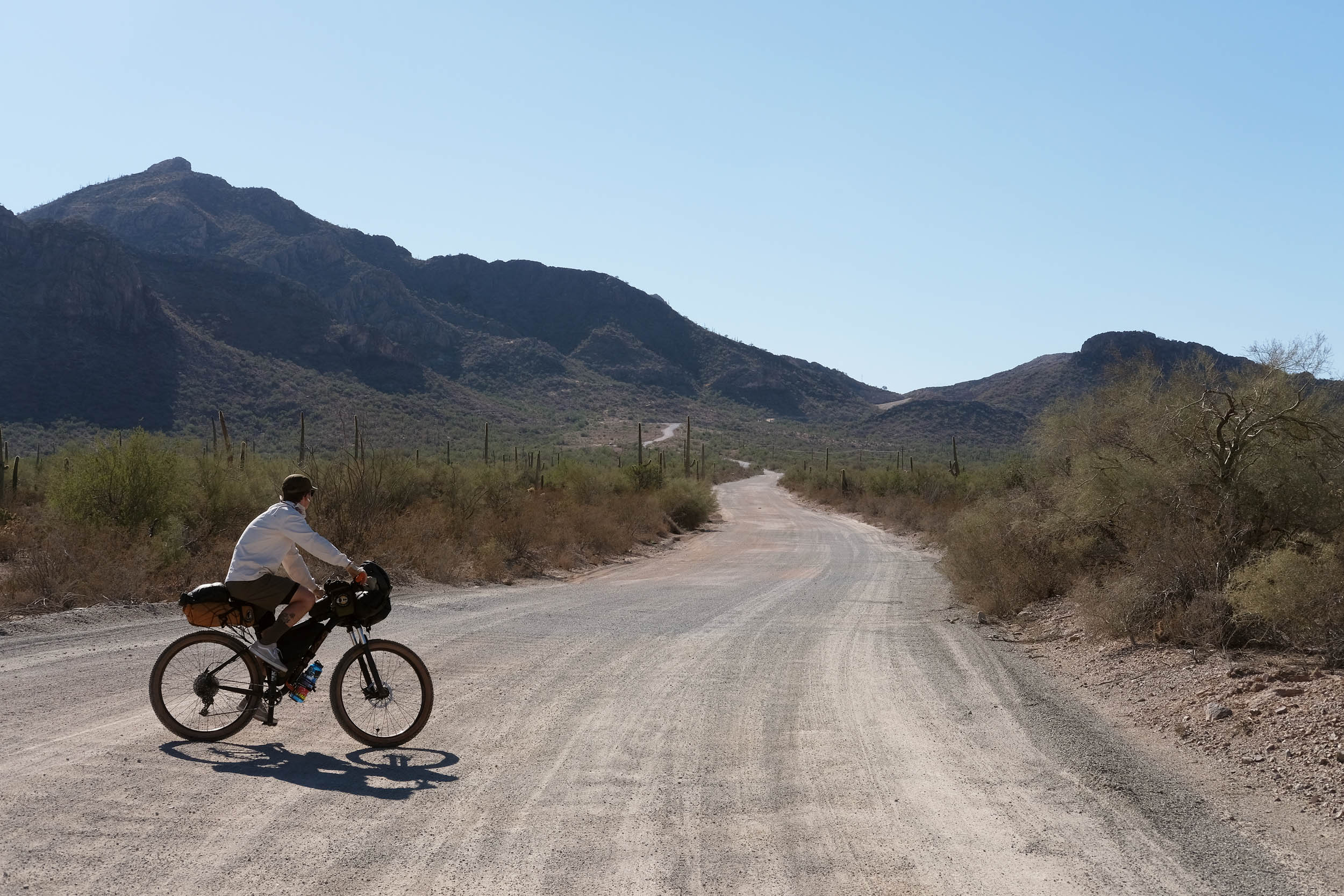
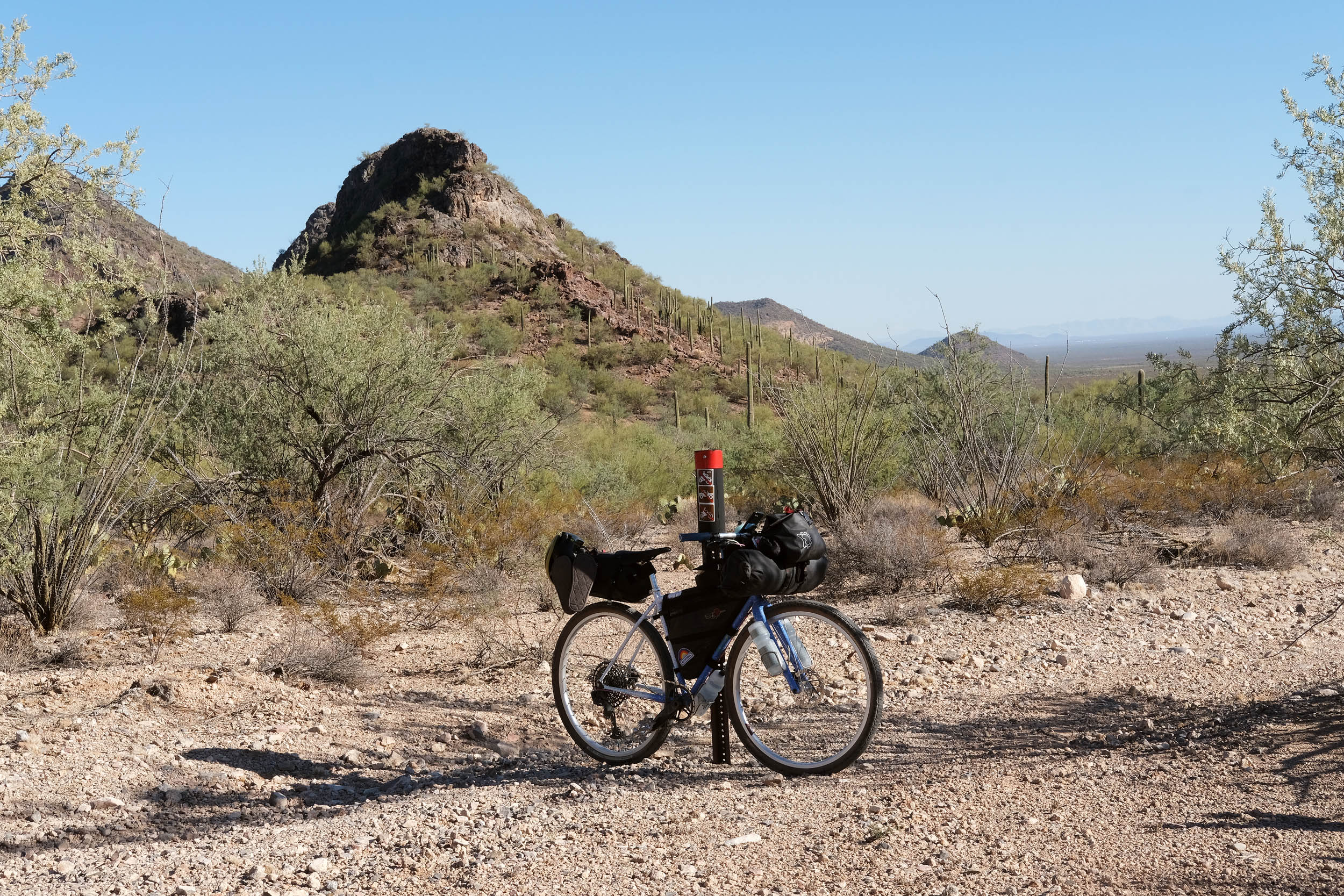
The Ironwood Overnighter is a bikepacking route designed to begin and end at the Titan II Missile Silo Interpretive Site, which is only a 40-minute drive from downtown Tucson, Arizona. This missile site was on alert during the Cold War period and manned around the clock for 24 years, from 1963 to 1987. From the interpretive site, the route goes on a smooth gravel road to a chunky power line descent that connects to a rugged climb.
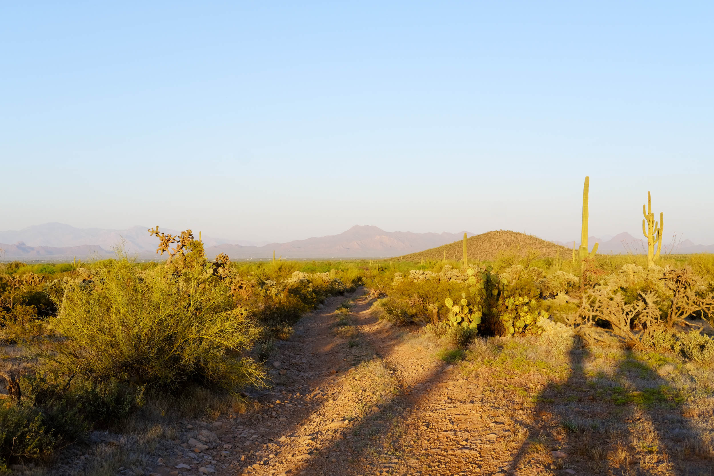
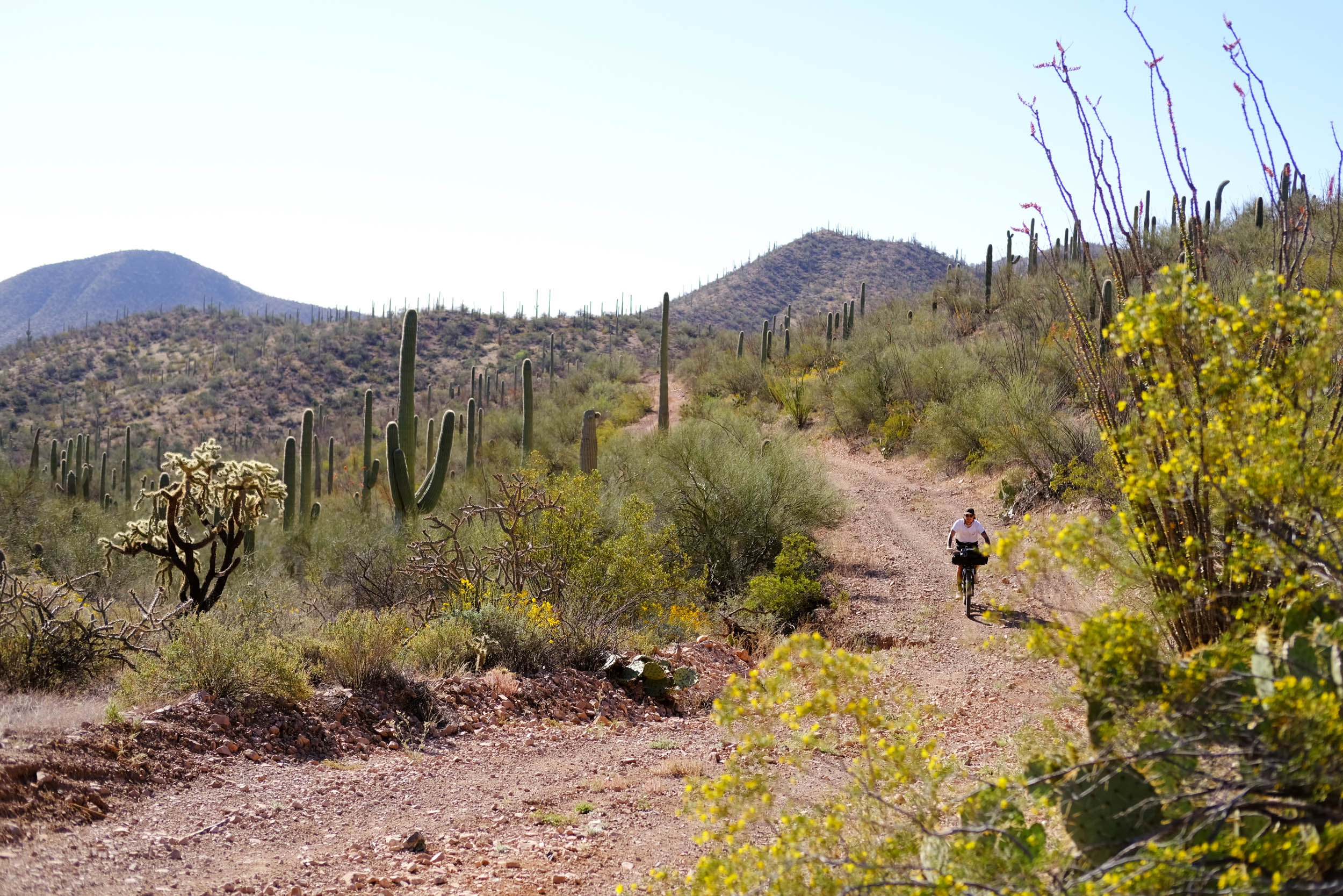
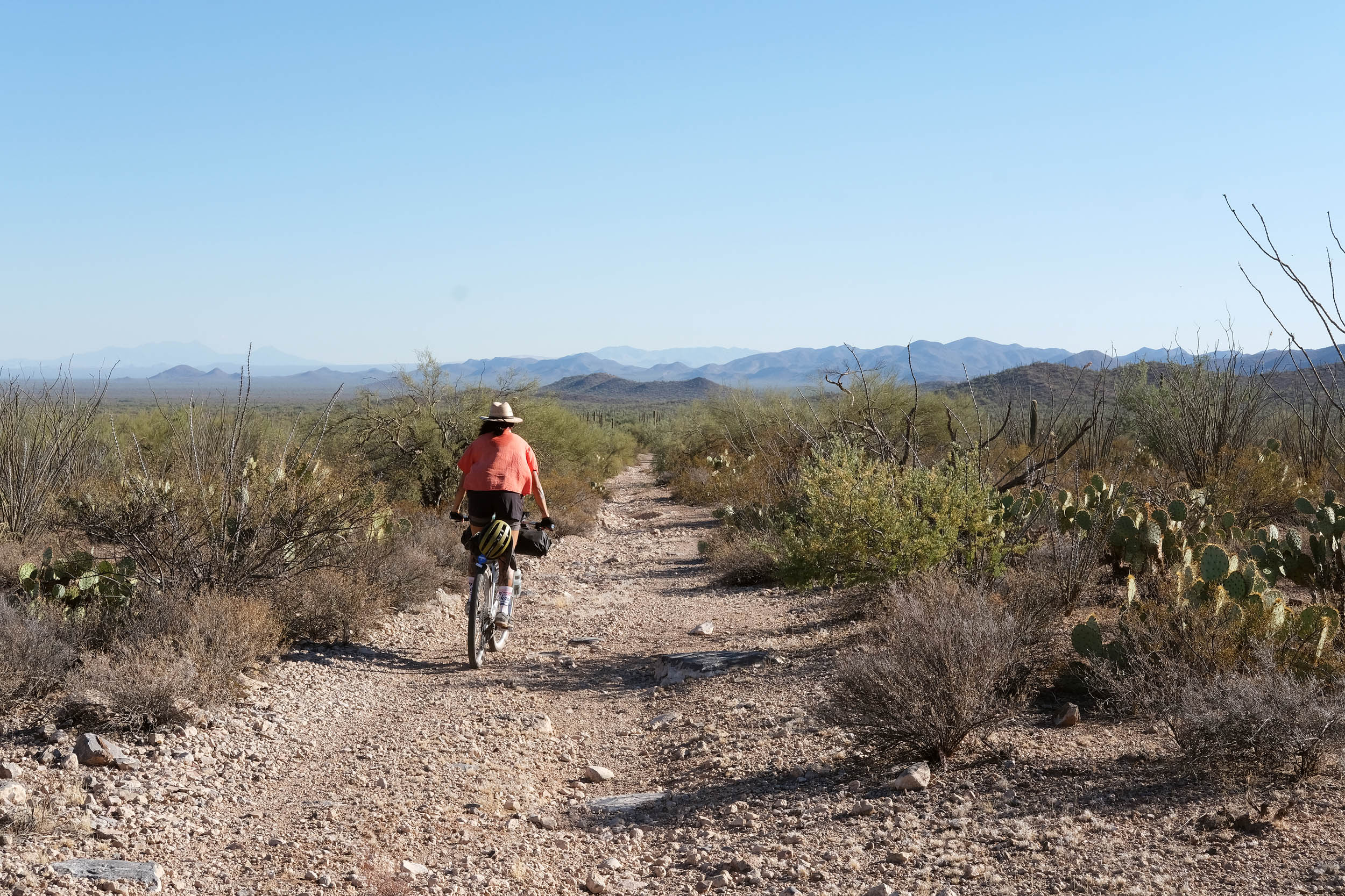
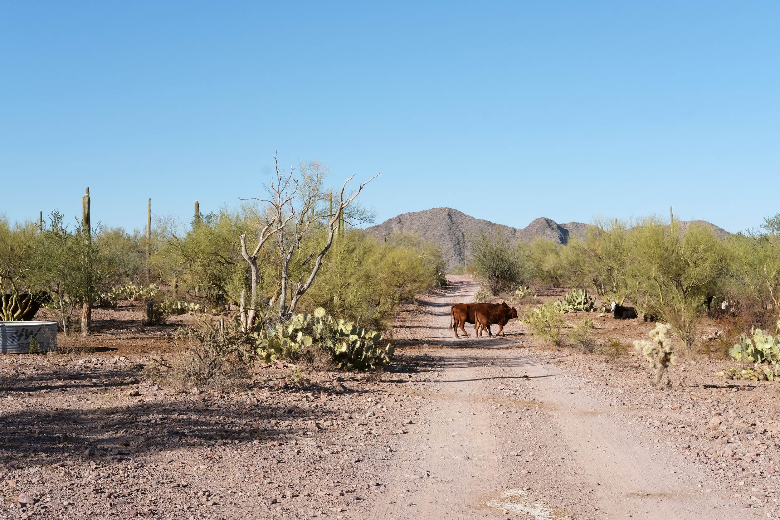
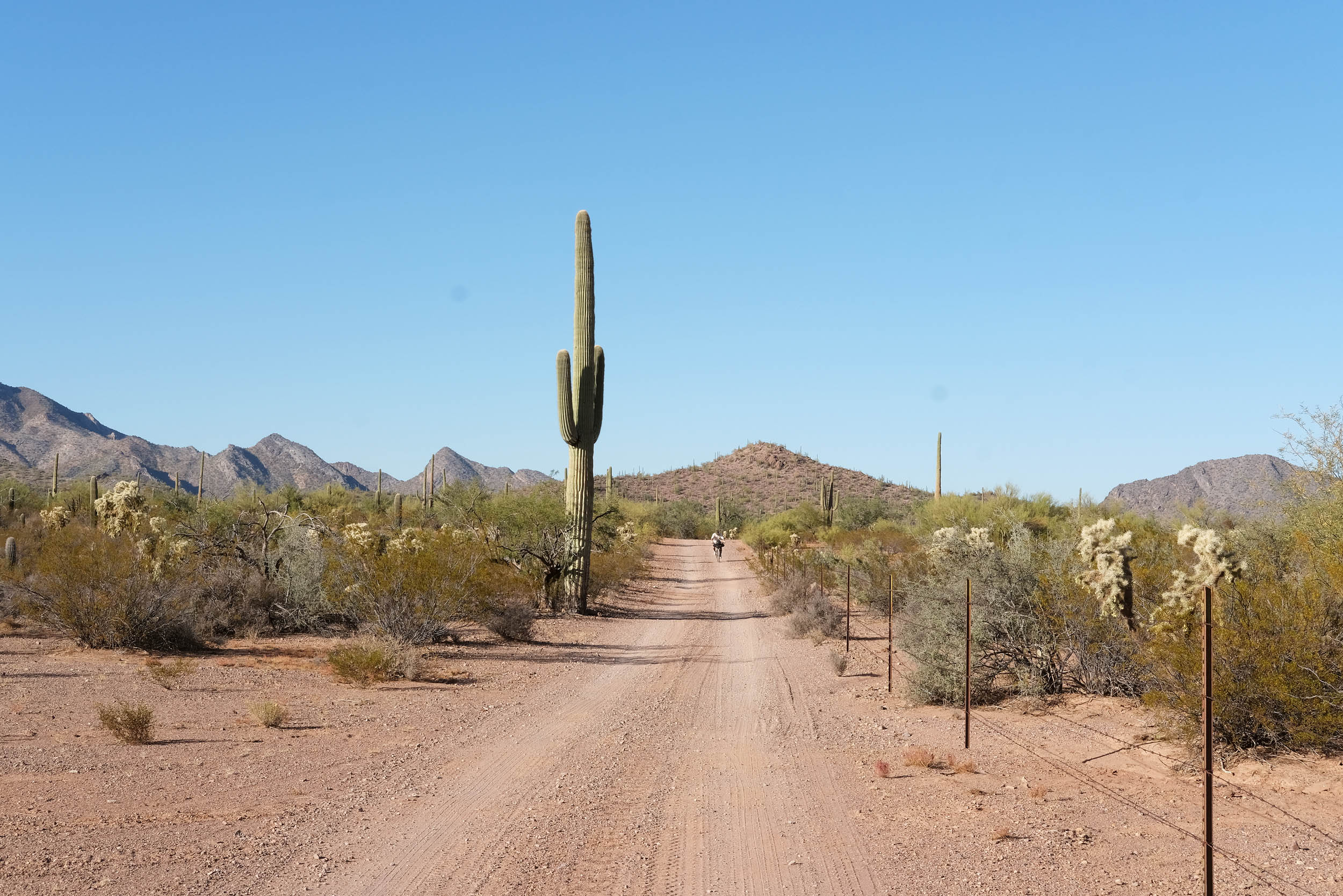
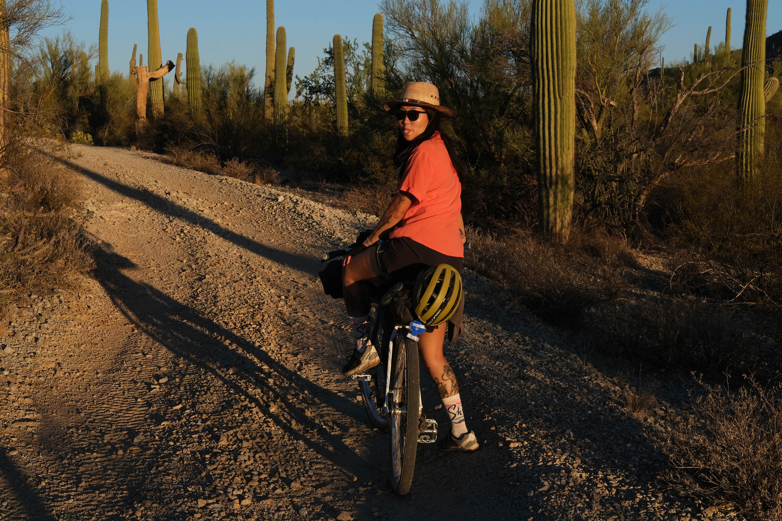
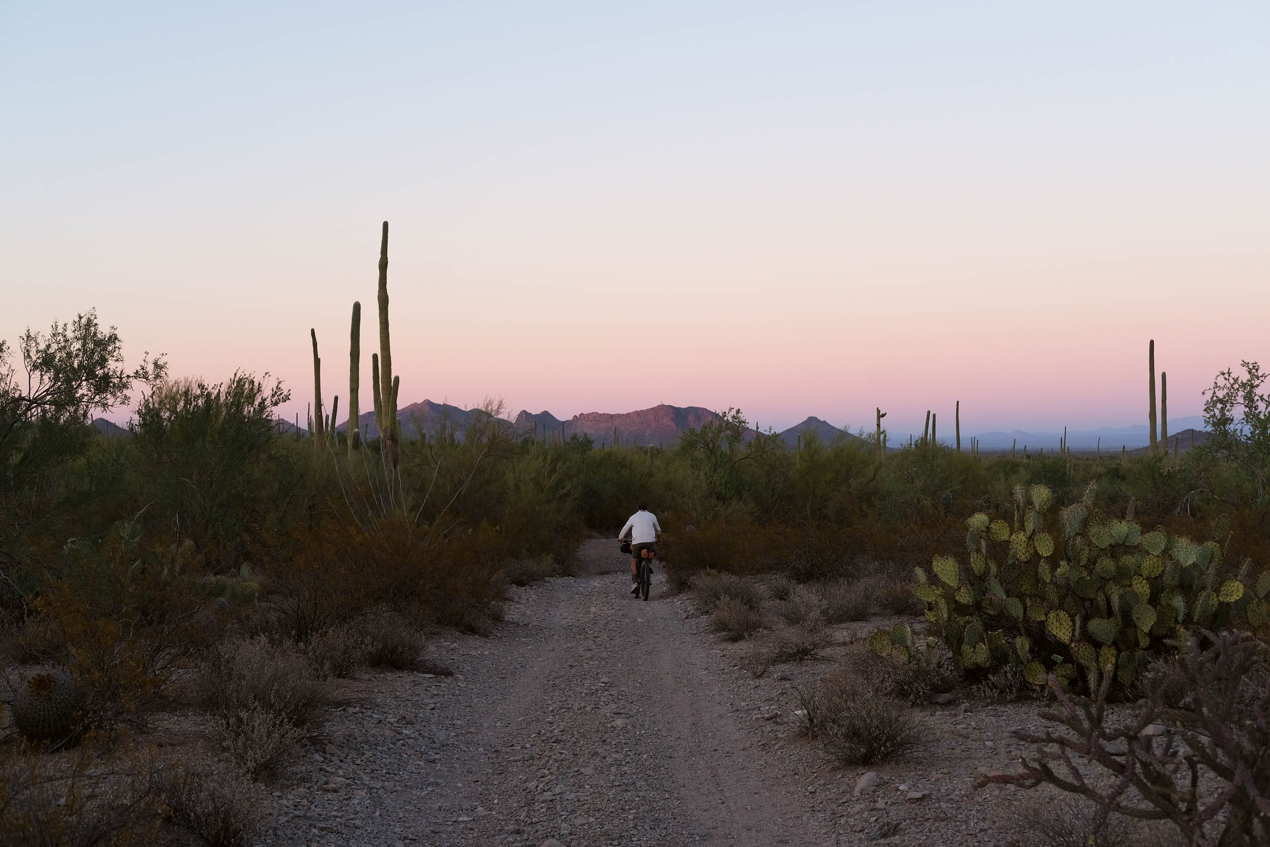
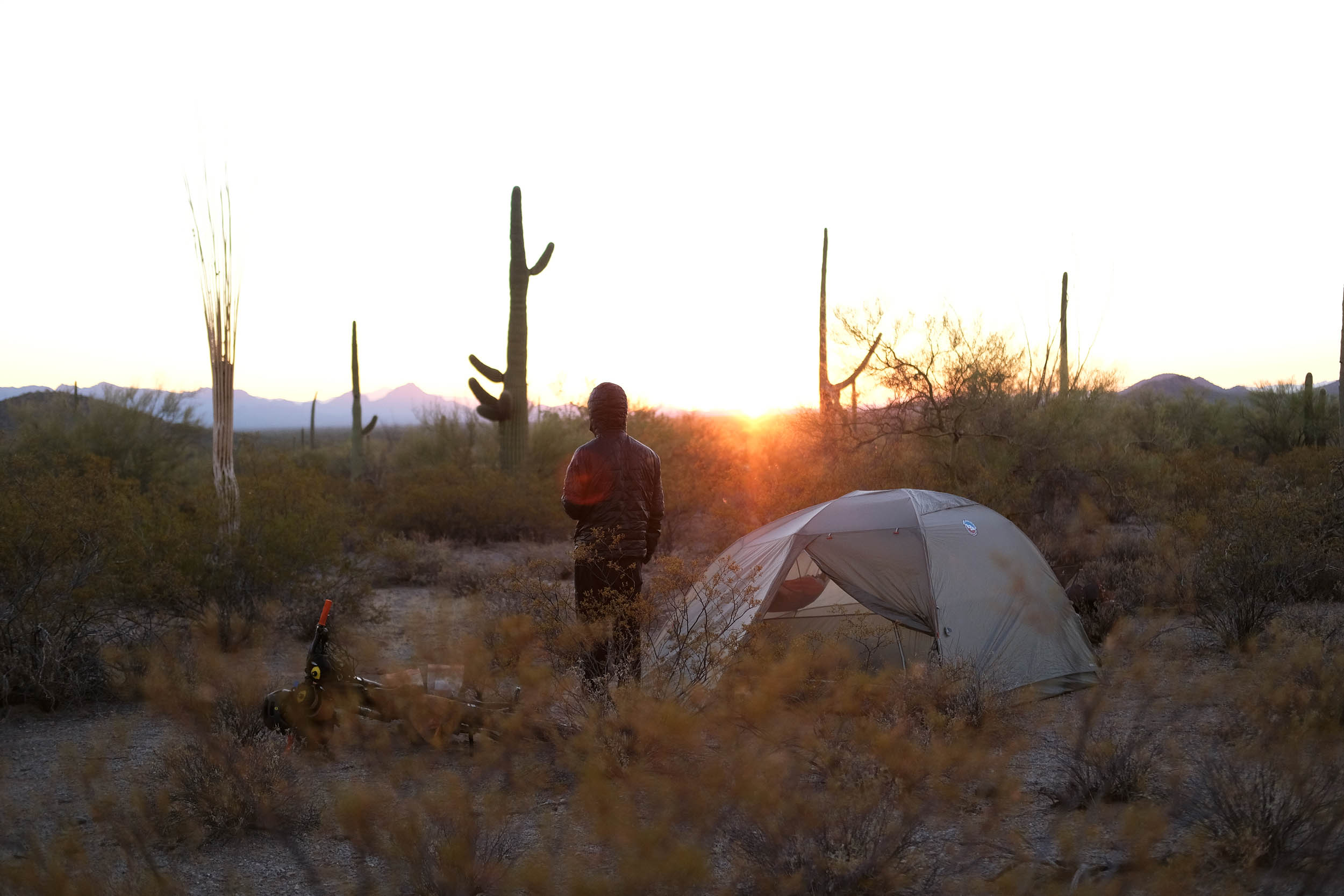
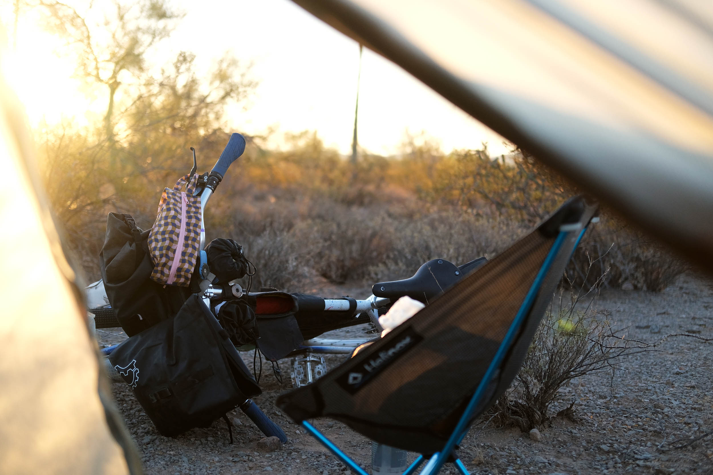
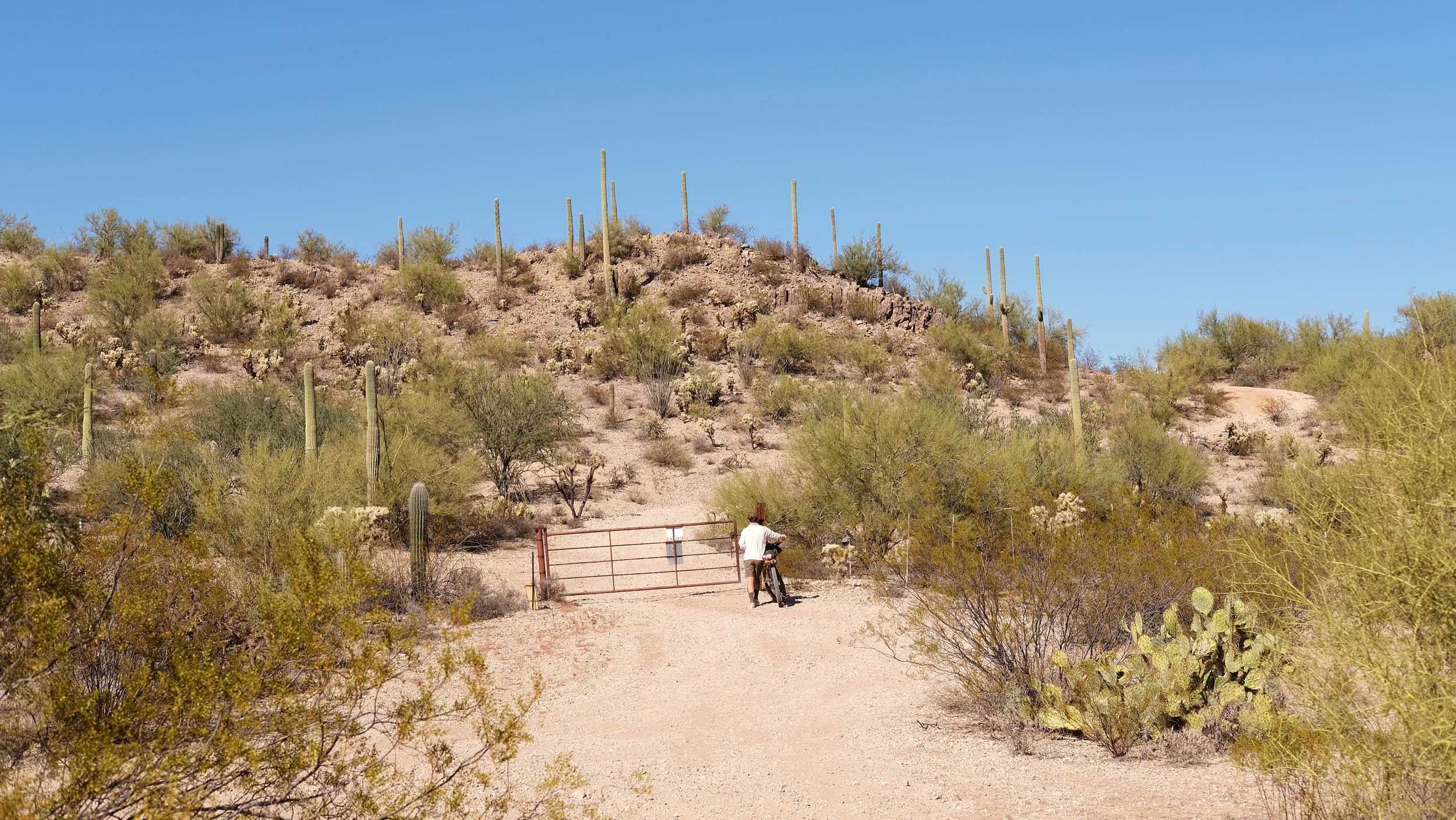
Afterward, cow friends and large saguaros start to appear alongside the road. This is a sign to prepare your legs for the route’s hardest climb. After reaching the peak and taking in all the sights, a fun descent follows. Continuing on the rolling, rugged roads, watch for dispersed camping starting around the 15-mile marker. The 360-degree views of the desert ranges make it an ideal camping spot.
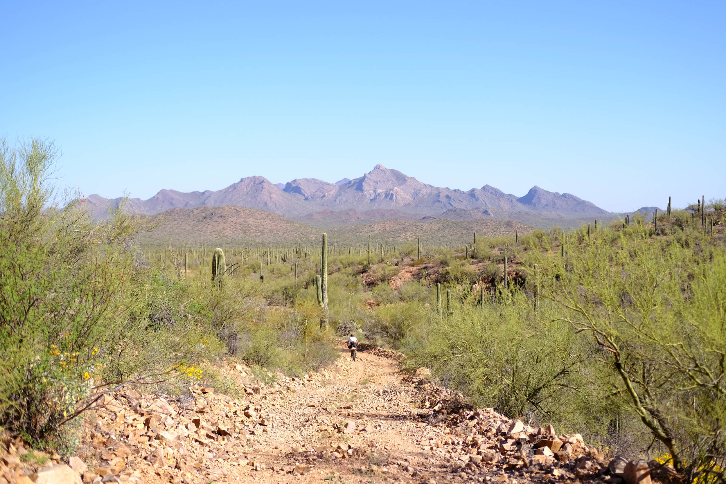
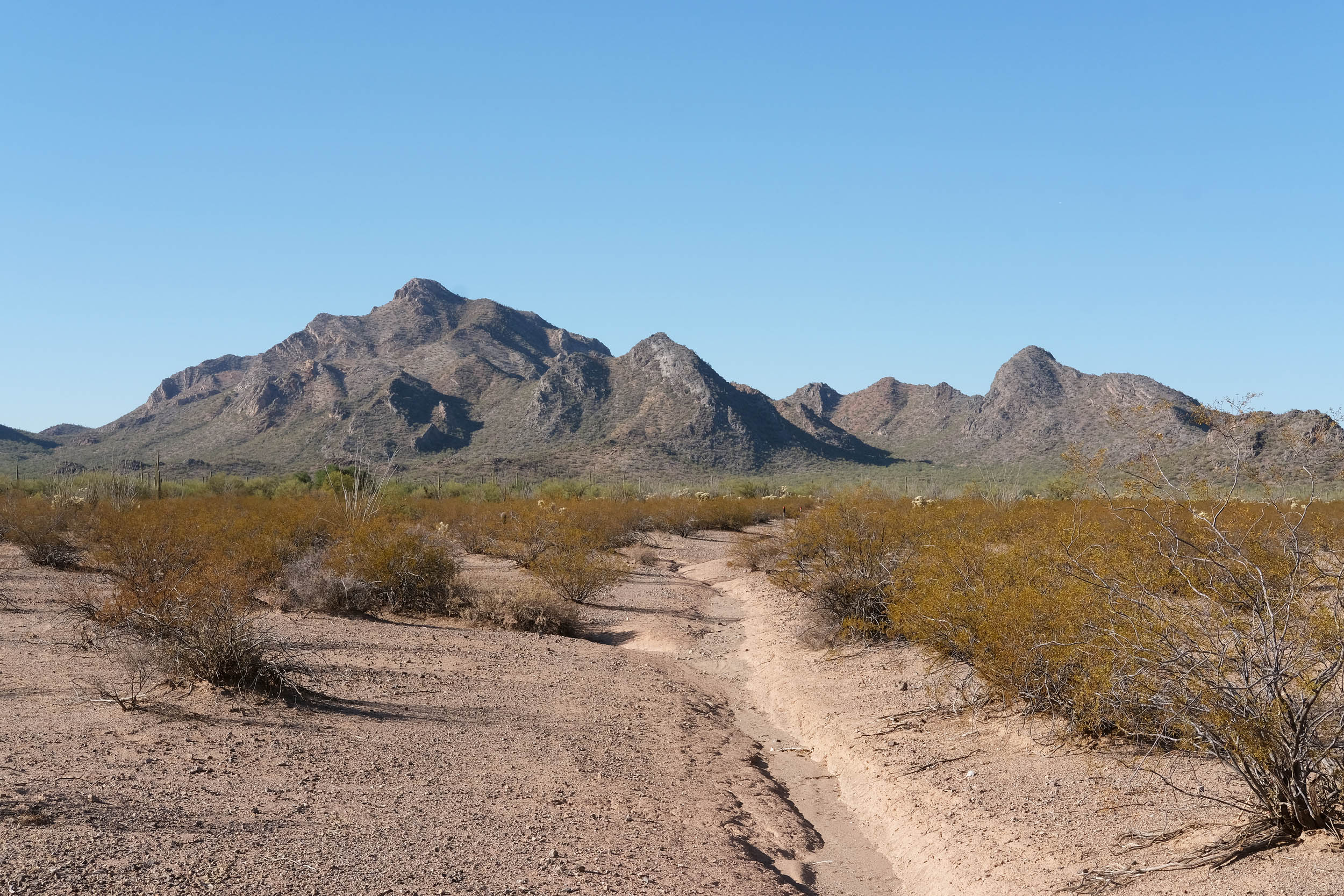
Rolling descents continue as you move away from the mountain ranges. Around the 22.5-mile marker, there is a turn-off to Cocoraque Butte (the O’odham name is Shontok). This historical site includes ancient Hohokam ruins, hundreds of well-preserved petroglyphs, and the historic Cocoraque Ranch. The age of the petroglyphs ranges from 1,150 to 2,000 years old. The hiking trail is about one mile out and back from the route.
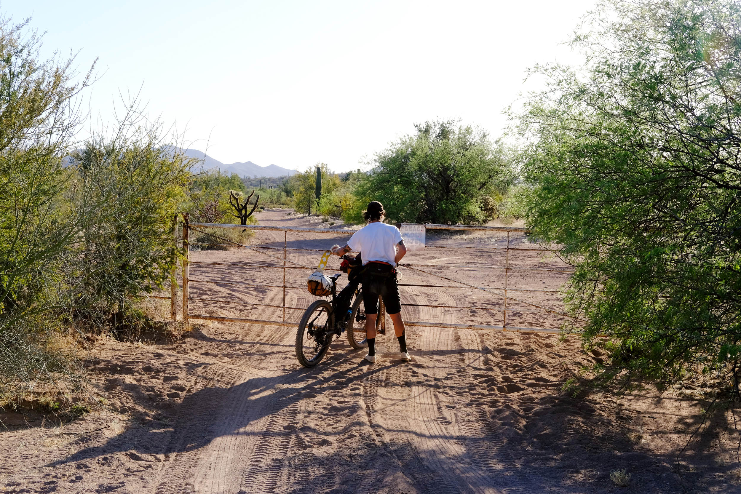
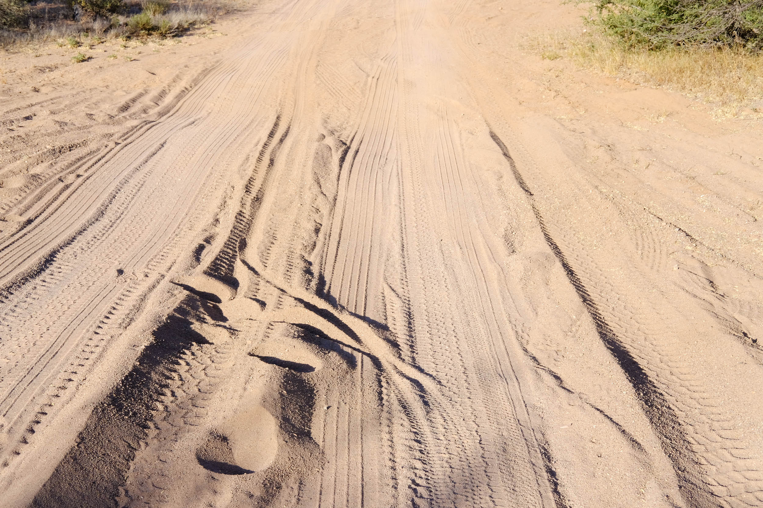
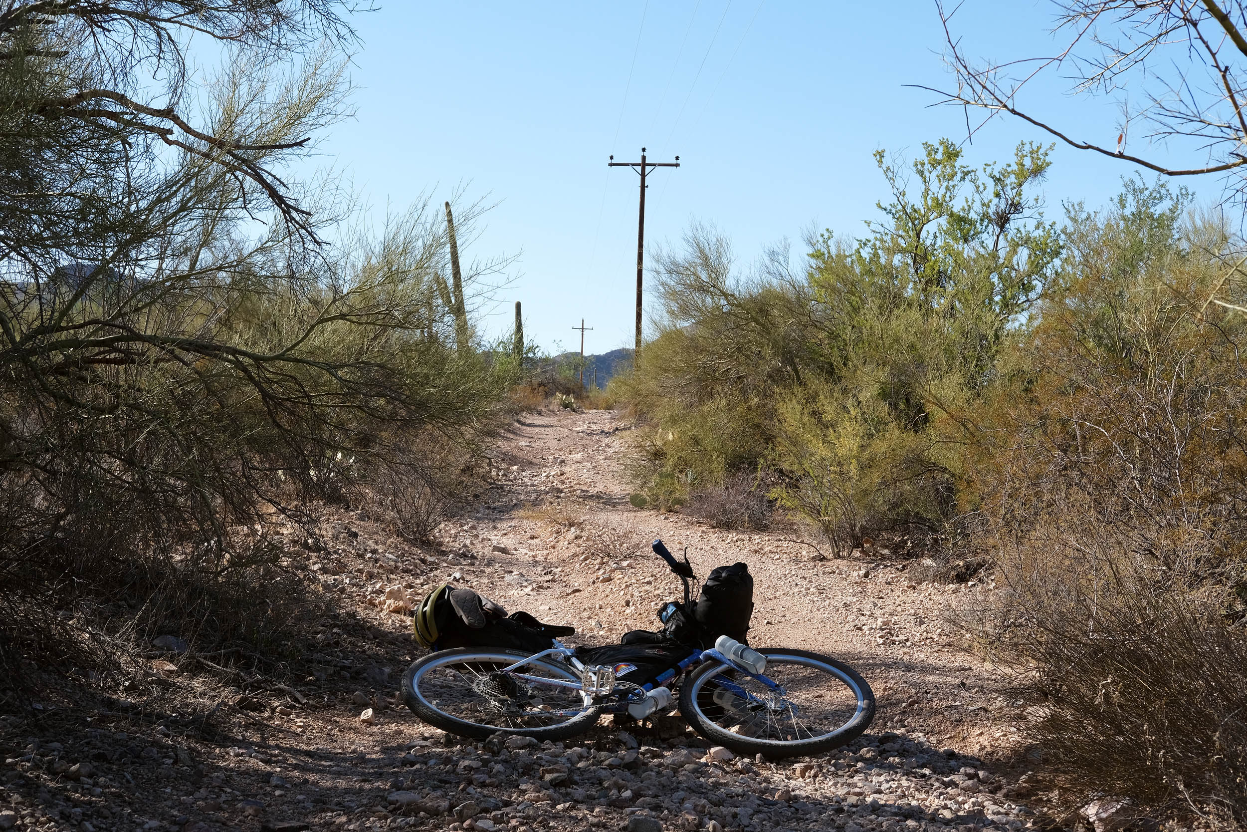
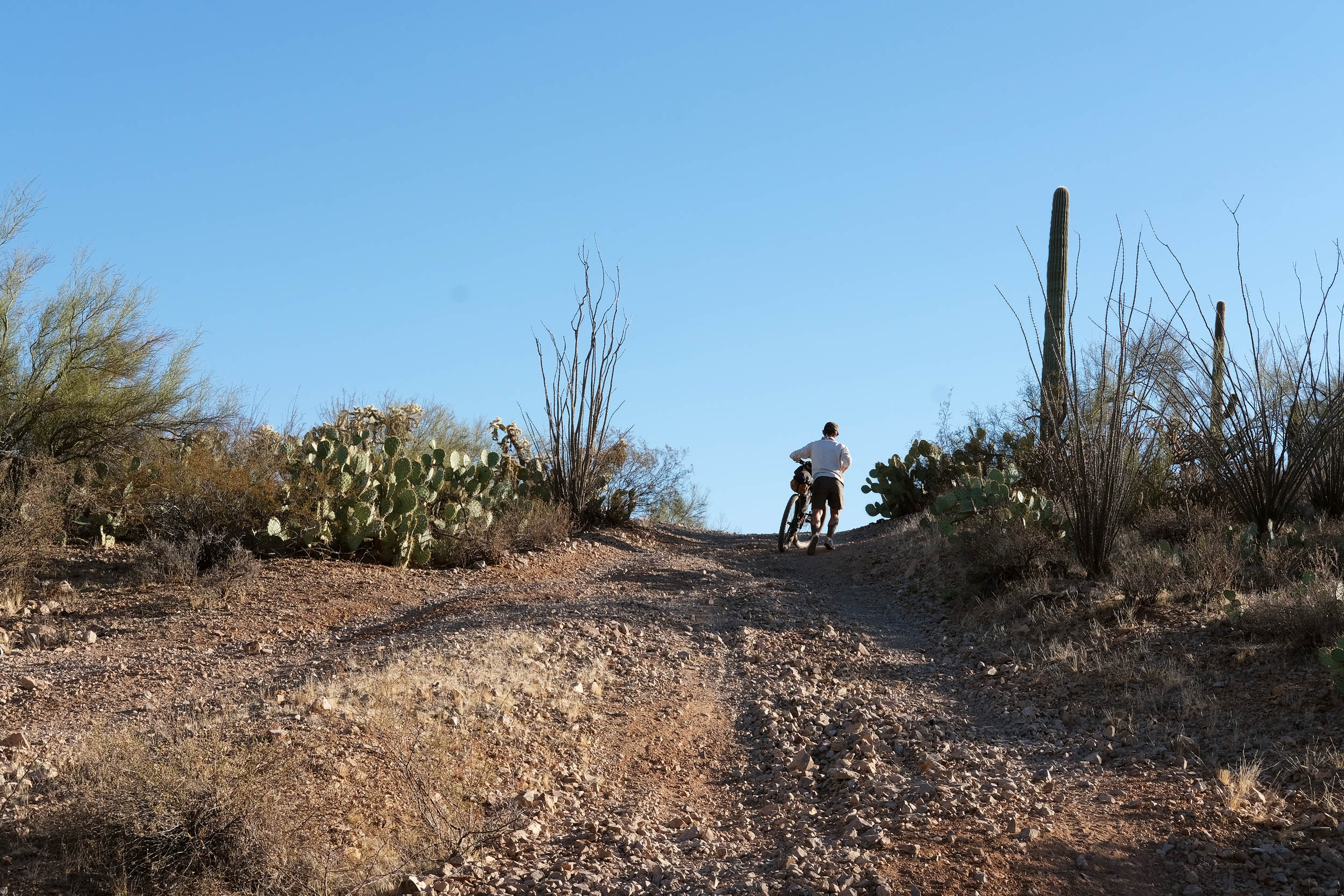
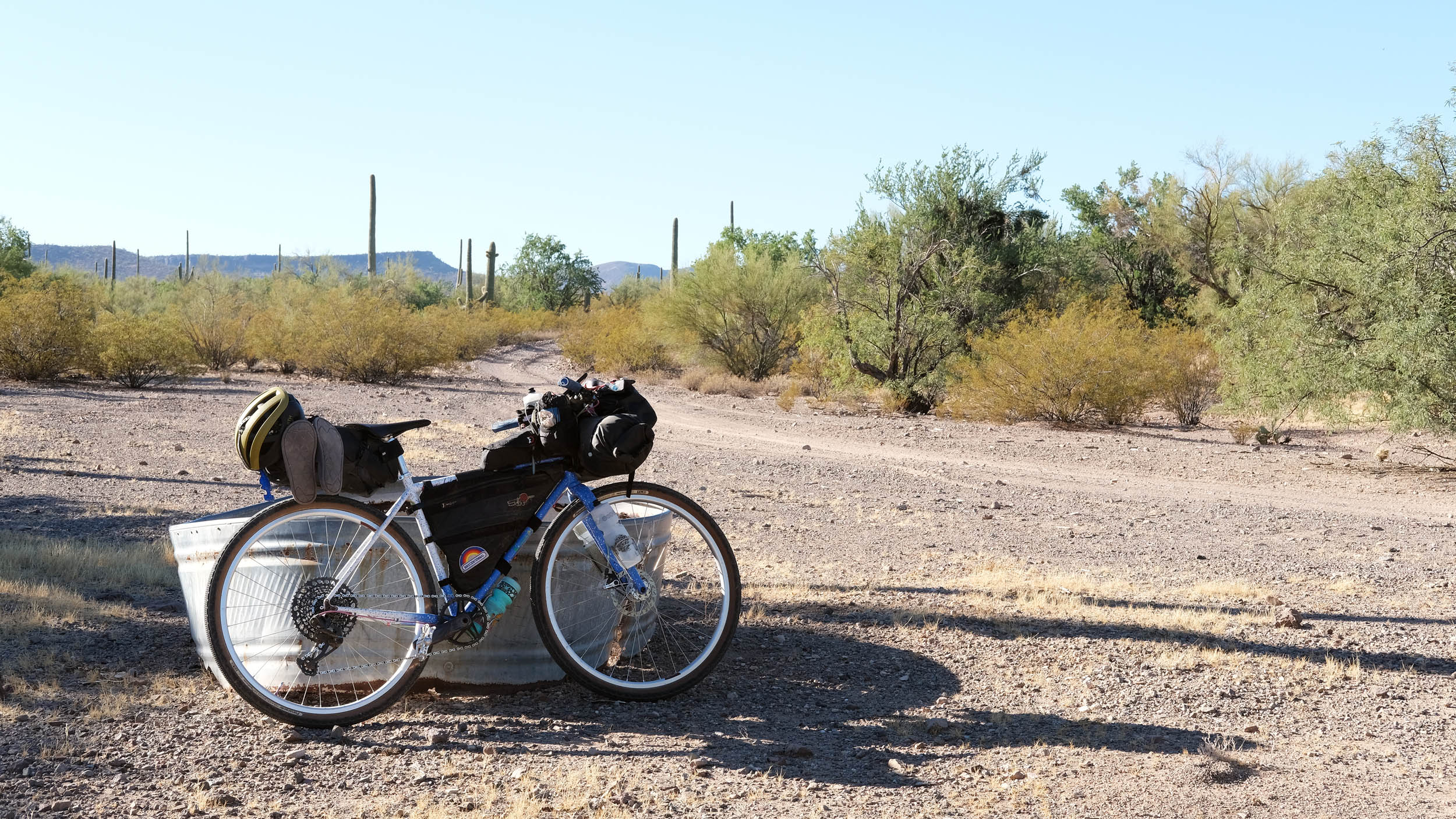
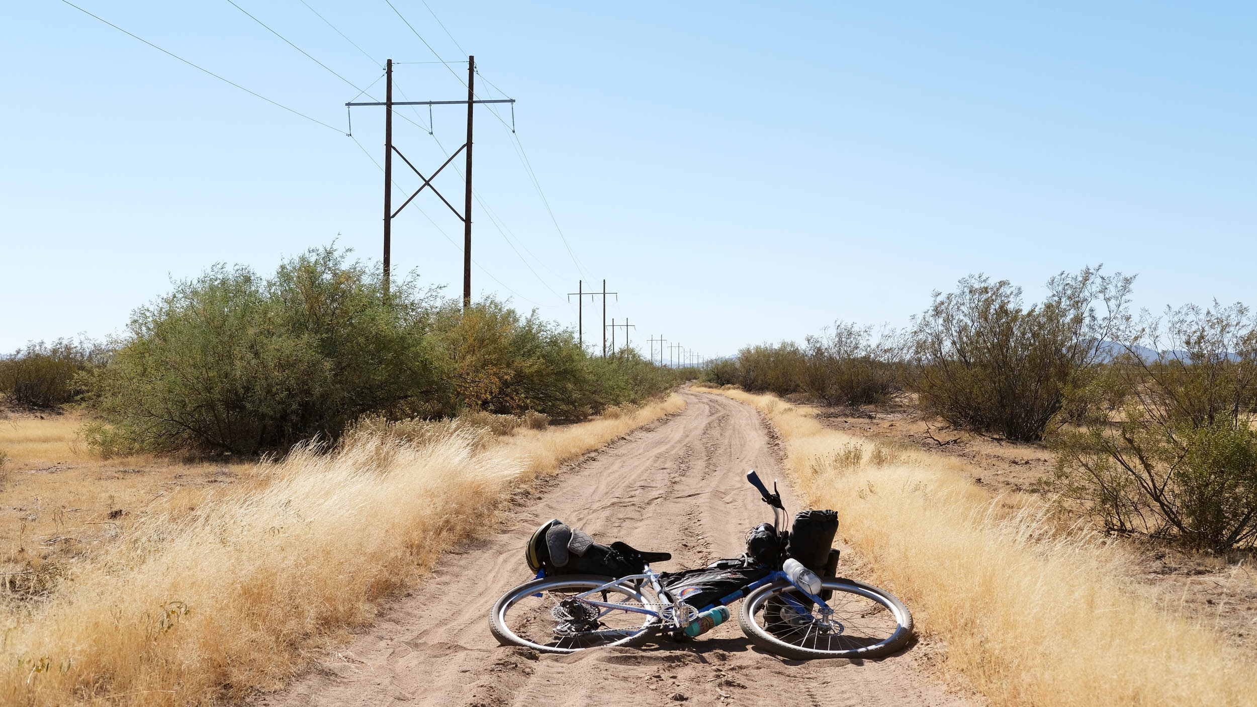
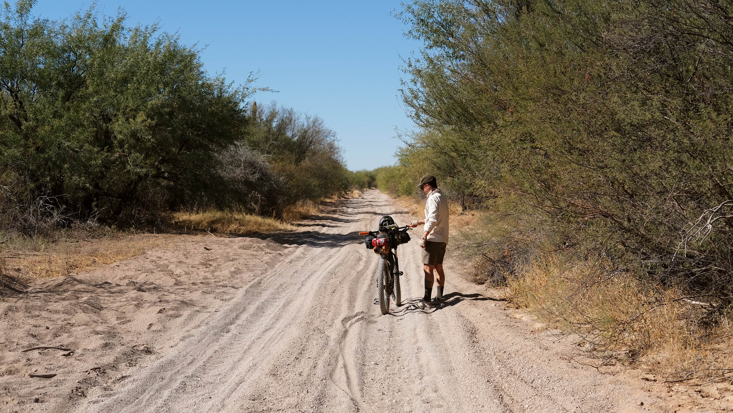
Continuing along the route, the first sandy section begins for about a quarter mile. This is where larger tires and patience come in handy. After the sandy section, the route leaves Ironwood National Monument for a few miles through residential neighborhoods until you return to the monument trailhead. The Ironwood National Monument trailhead parking lot is a good spot for a water cache. Once you’re back in the monument, the second sandy section lasts about a half mile. Afterward, the route continues with meandering rugged dirt roads to fast, smooth gravel to a smooth pavement finish back to the Titan II Missile Silo parking lot.
Route Difficulty
Overall, the rating is 5 out of 10. Most of the difficulty is the need to carry water in a desert climate. There are a few cow troughs along the first half of the route, but they can be unreliable. I suggest carrying all your water and/or water caching along the route.
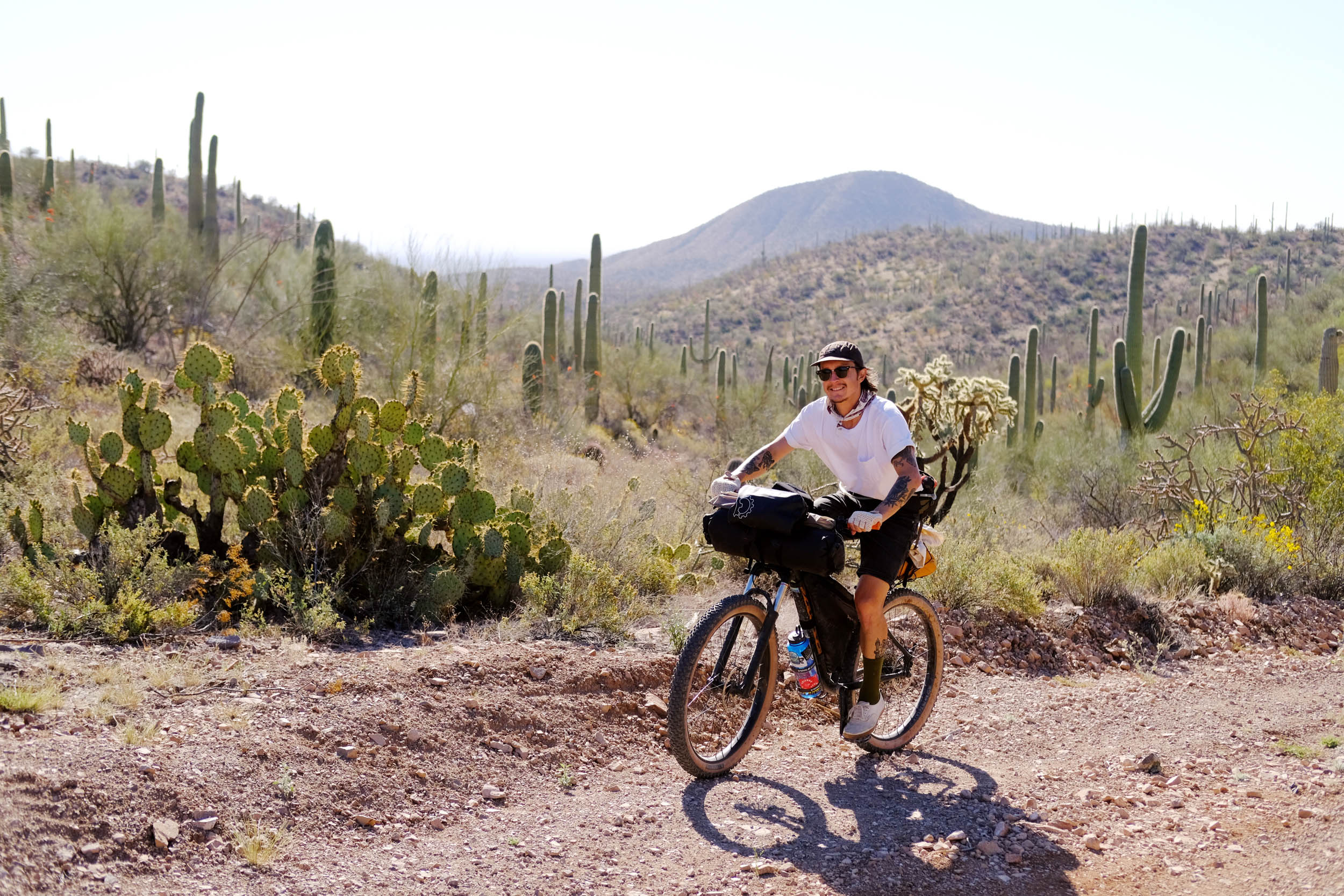
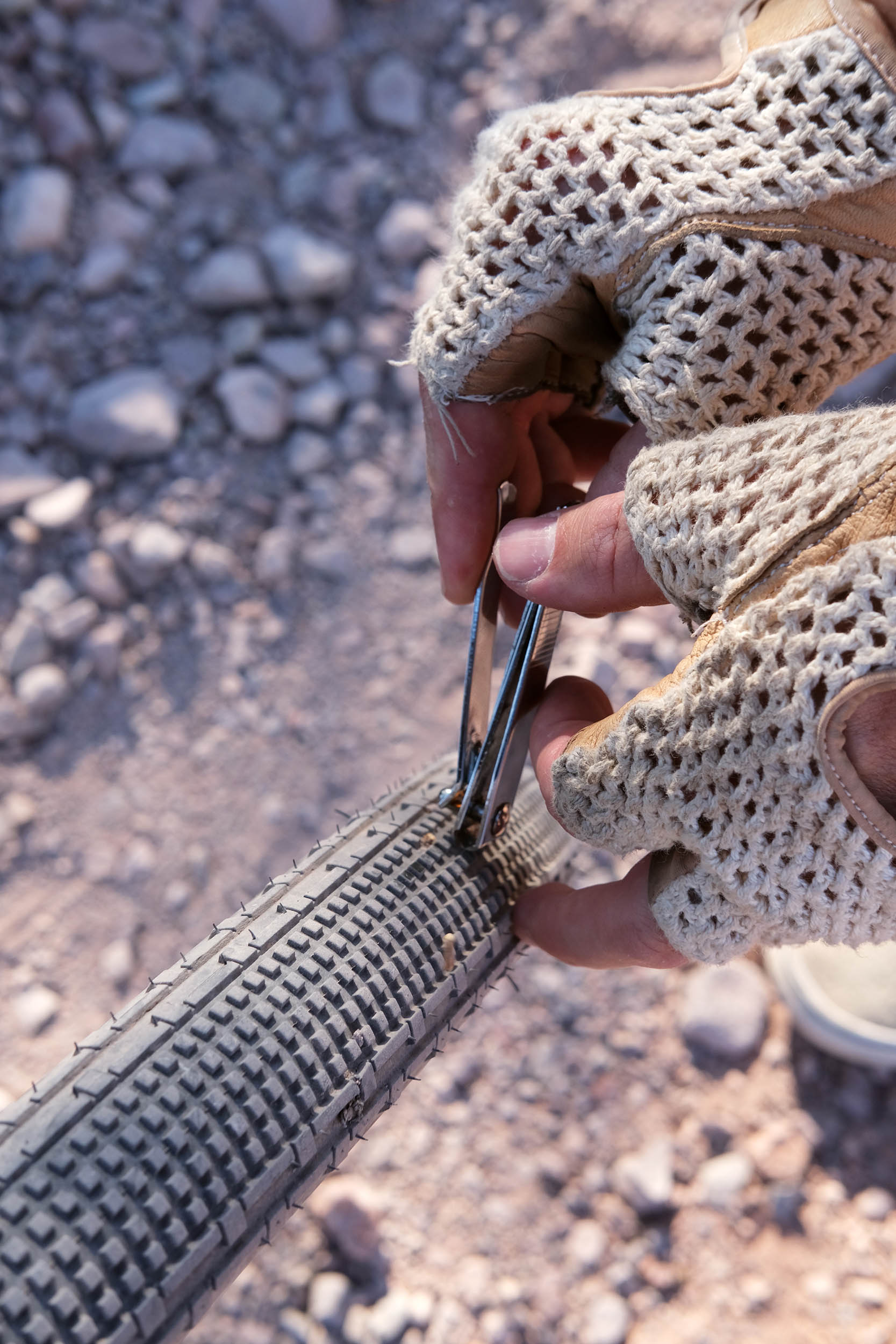
The climbing is relatively easy compared to the mileage, but don’t underestimate the terrain. In many sections, the roads are very chunky and rocky, so larger tires and front suspension would be ideal. Also, two sandy sections require a short hike-a-bike.
In terms of weather, the wind can get stronger as you move further away from the mountains. Limited shady spots and shoulder seasons can still have hot temperatures, so please be aware. Cell coverage with AT&T and T-Mobile were available on most of the route. The start and end at the Titan II Missile Silo parking lot makes it logistically easier.
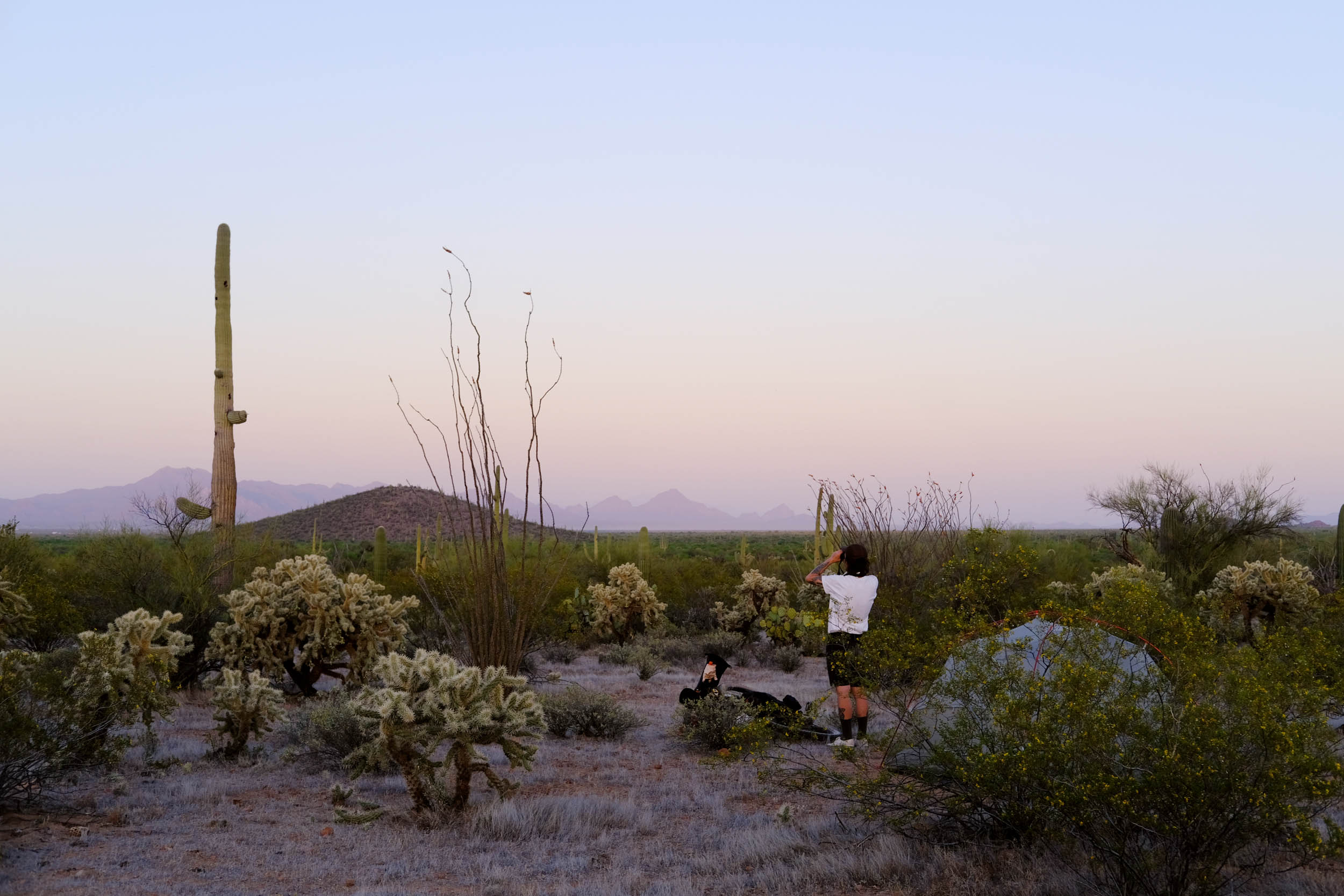
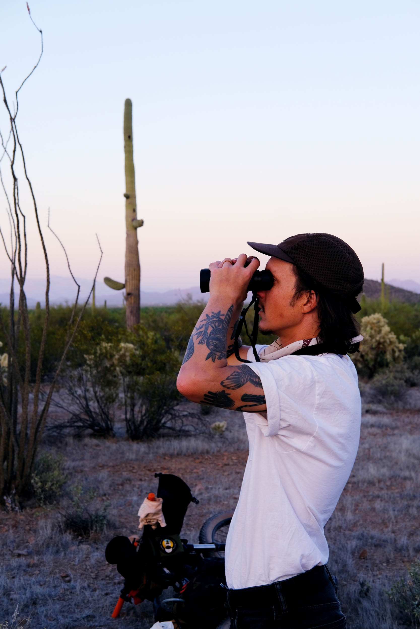
Thanks to my partner Skyler Elzy for pre-riding the route twice and helping take photos. Thanks to Spencer J Harding for the original route recommendation and encouragement to visit the area.

Submit Route Alert
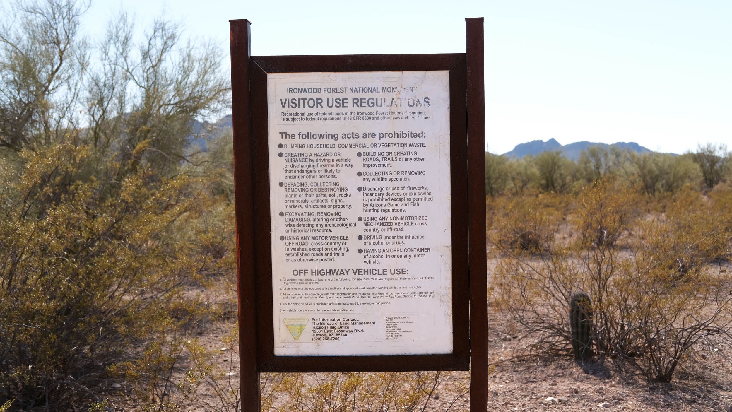
As the leading creator and publisher of bikepacking routes, BIKEPACKING.com endeavors to maintain, improve, and advocate for our growing network of bikepacking routes all over the world. As such, our editorial team, route creators, and Route Stewards serve as mediators for route improvements and opportunities for connectivity, conservation, and community growth around these routes. To facilitate these efforts, we rely on our Bikepacking Collective and the greater bikepacking community to call attention to critical issues and opportunities that are discovered while riding these routes. If you have a vital issue or opportunity regarding this route that pertains to one of the subjects below, please let us know:
Highlights
Must Know
Camping
Food/H2O
Resources
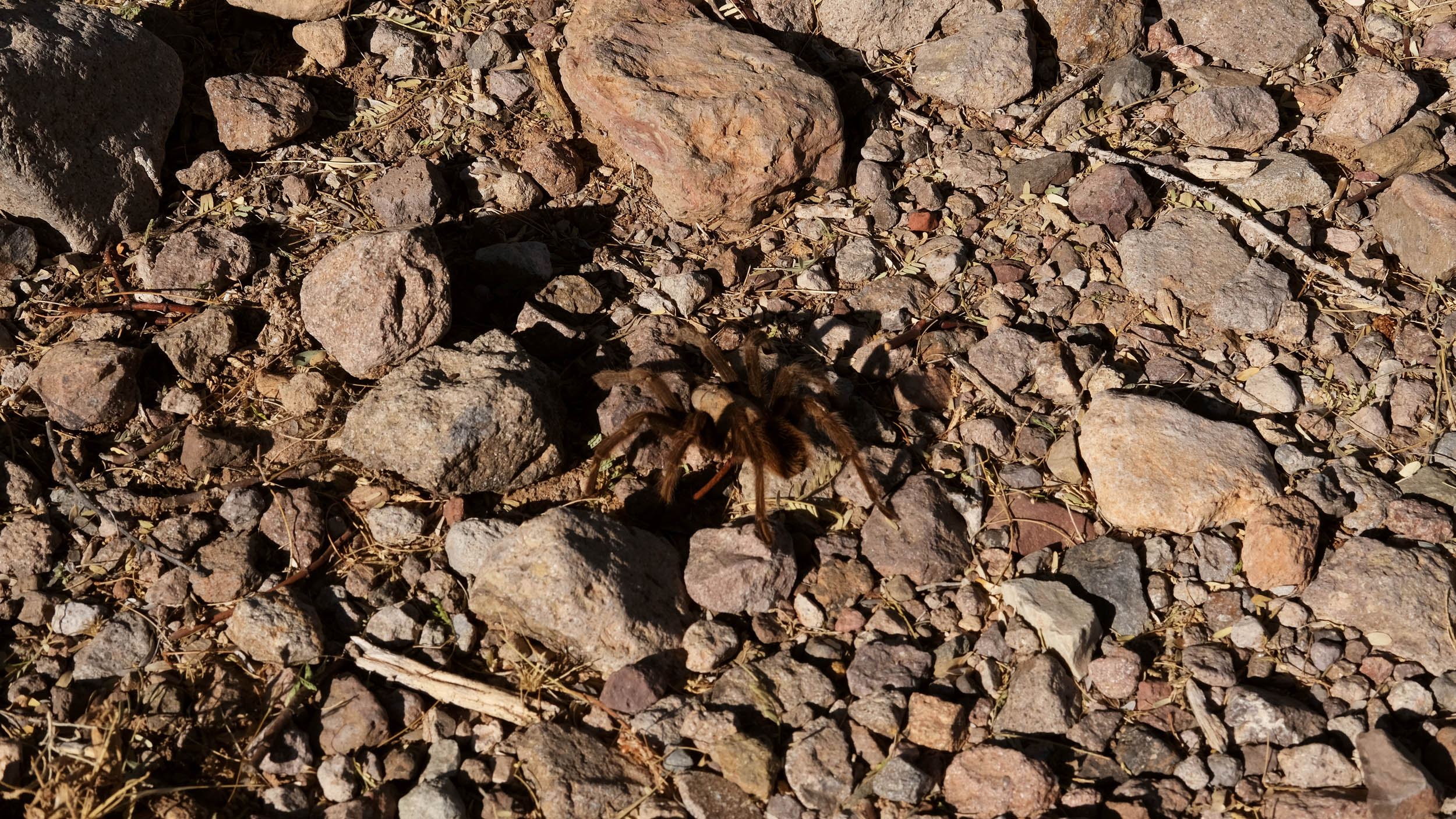
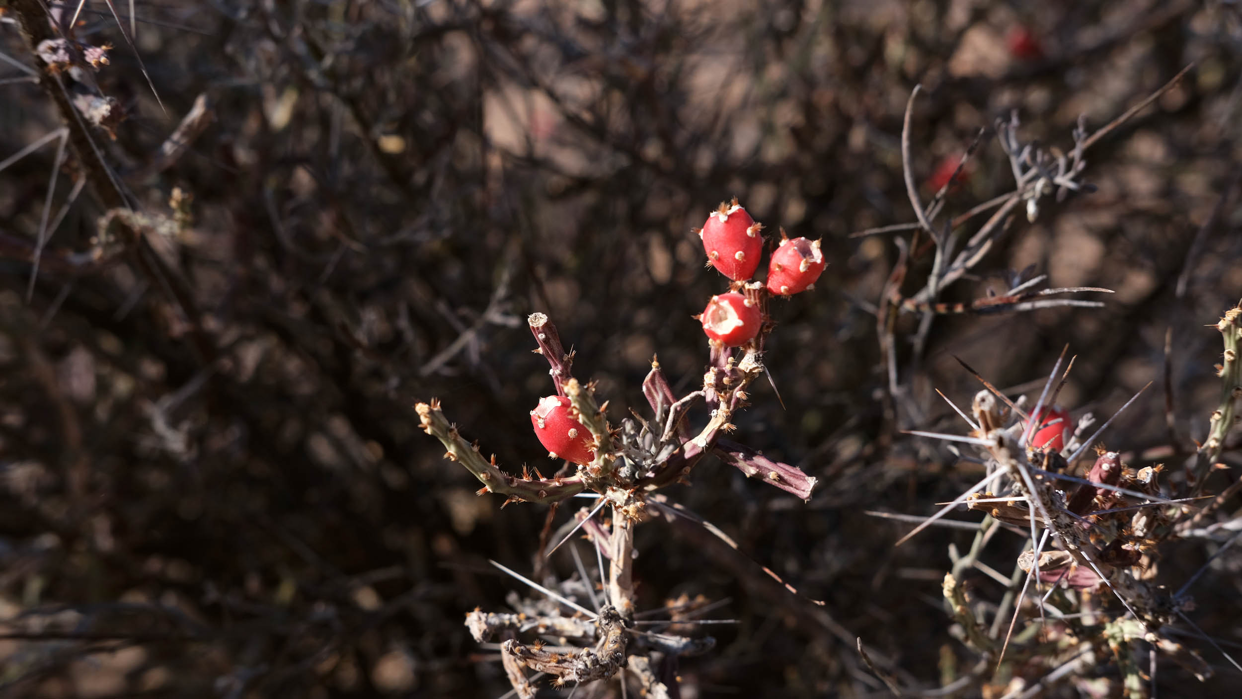
- Ironwood National Monument is 129,000 acres and includes one of the richest stands of ironwood in the Sonoran Desert.
- Home to threatened and endangered species, including Nichols Turk’s head cactus, lesser long-nosed bat, and desert tortoise.
- Cultural places in the monument represent approximately 8,000 years of human history, including campsites used by Archaic hunter-gatherers about 6,000 B.C.
- Several desert mountain ranges, including the Silver Bell, Waterman, and Sawtooth, with desert valleys in between.
- Titan II Missile Silo is a historical interpretive site and is one of 18 across Arizona. The Titan II Missile sites were located in three places in the U.S. as a deterrent to nuclear war during the Cold War period–Arkansas, Kansas, and Arizona—and they were manned 24/7 from 1963 to 1987.
- Cocoraque Butte has ancient Hohokam ruins, hundreds of well-preserved petroglyphs, and the historic Cocoraque Ranch. The age of the petroglyphs ranges from 1,150 to 2,000 years old. The hiking trail to Cororaque Butte is about one mile out and back from the route.
- Many secluded dispersed camping options in Ironwood National Monument.
- Counterclockwise is recommended due to the sandy sections and wind.
- Ideal bike: Hardtail, rigid, full-suspension, or gravel bike with 50mm tires at minimum. Larger tires are recommended for the chunky, sandy roads.
- When to go: Winter, late fall, and early spring are the best times to ride in the Ironwood National Monument since it can be extremely hot in the summer.
- Parking: Available at Titan II Missile Silo Interpretive Site parking lot.
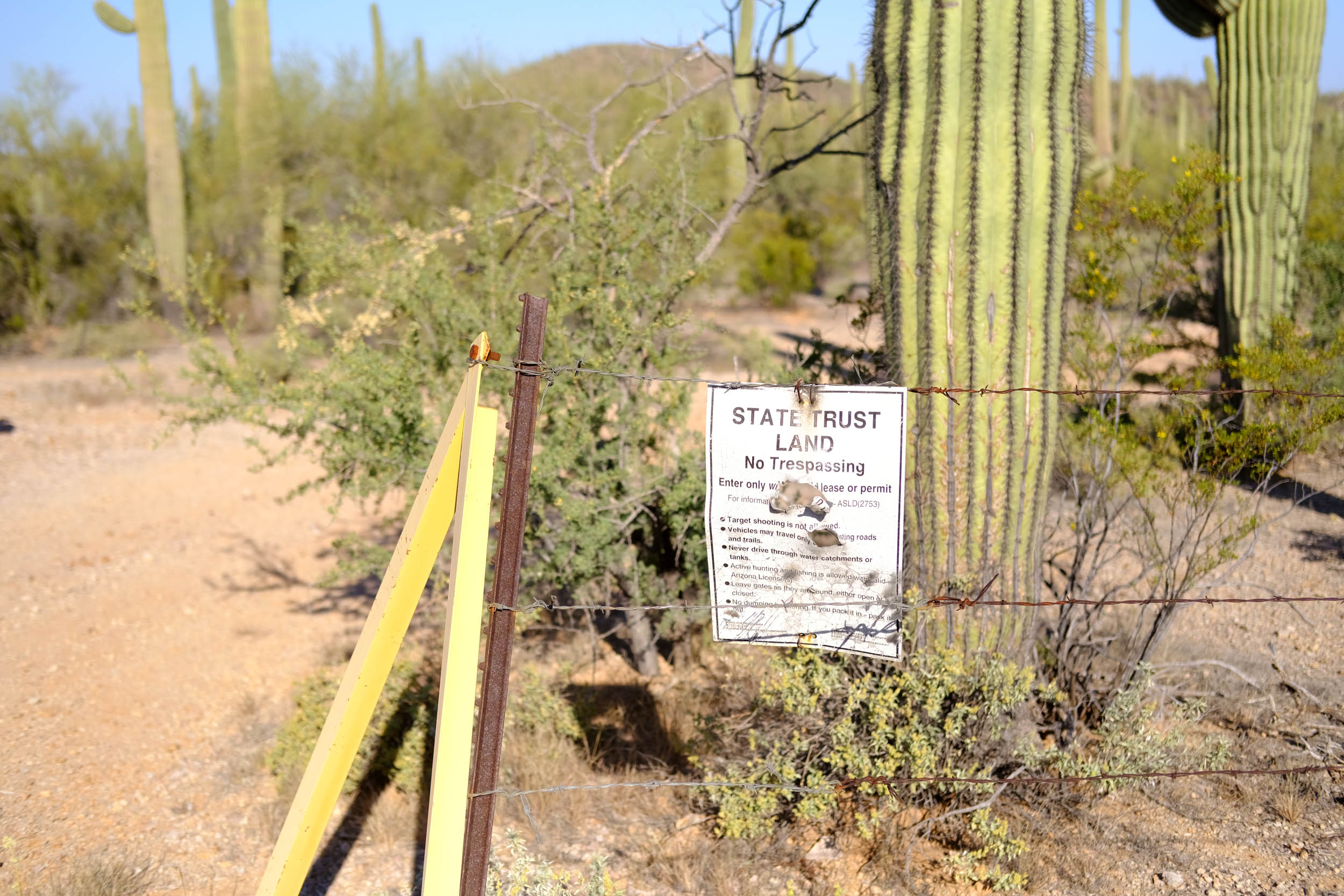
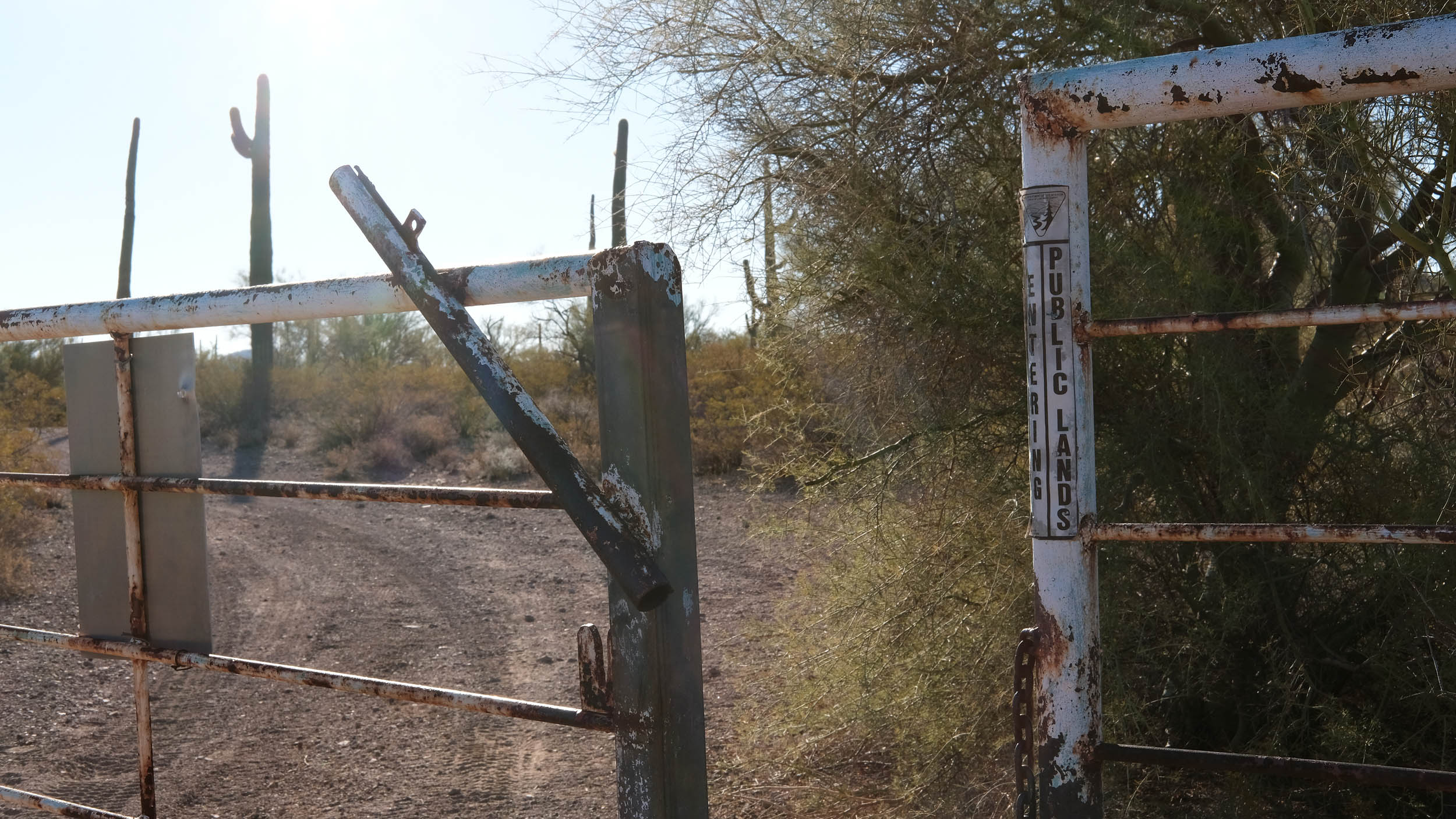
- This route travels through State Land Trust land, which requires an annual $15 permit for individuals or a five-day $15 permit for groups of 19 people. Purchase a permit at land.az.gov.
- Check hot weather and wind conditions; this remote route has little shade coverage and can be windy.
- This route can be shortened to 30 miles by starting and ending at the Ironwood National Monument trailhead and bypassing the Titan Missile Silo northern section.
- This route can be extended to 70 miles by going north around the Silver Bell Mine to Pump Station Rd if you want more mileage. Please be mindful that there is no water or food resupply on this extension.
- Free dispersed camping is available anywhere on BLM land in Ironwood National Monument.
- Permitted dispersed camping is available on State Land Trust land (see trail notes).
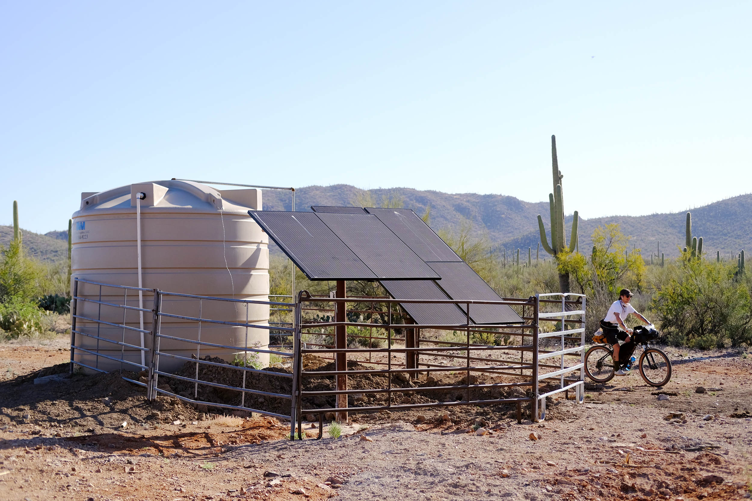
- Recommend carrying all your water or water cache at the Ironwood National Monument trailheads at the 26-mile or 30.5-mile marker.
- A few cow troughs appear along the first half of the route if you have a filter and chemical treatment.
- No food resupply is available.


Terms of Use: As with each bikepacking route guide published on BIKEPACKING.com, should you choose to cycle this route, do so at your own risk. Prior to setting out check current local weather, conditions, and land/road closures. While riding, obey all public and private land use restrictions and rules, carry proper safety and navigational equipment, and of course, follow the #leavenotrace guidelines. The information found herein is simply a planning resource to be used as a point of inspiration in conjunction with your own due-diligence. In spite of the fact that this route, associated GPS track (GPX and maps), and all route guidelines were prepared under diligent research by the specified contributor and/or contributors, the accuracy of such and judgement of the author is not guaranteed. BIKEPACKING.com LLC, its partners, associates, and contributors are in no way liable for personal injury, damage to personal property, or any other such situation that might happen to individual riders cycling or following this route.
Please keep the conversation civil, constructive, and inclusive, or your comment will be removed.