


The Jura Traverse
Distance
261 Mi.
(420 KM)Days
6-8
% Unpaved
70%
% Singletrack
25%
% Rideable (time)
90%
Total Ascent
34,750'
(10,592 M)High Point
4,655'
(1,419 M)Difficulty (1-10)
5?
- 9Climbing Scale Very Strenuous133 FT/MI (25 M/KM)
- -Technical Difficulty
- -Physical Demand
- -Resupply & Logistics
Contributed By
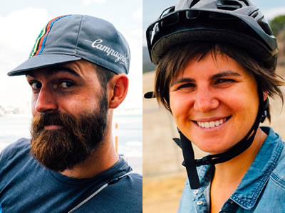
Maxime Boulinguez
Guest Contributor
When they are not traveling or on a bicycle, Marine and Maxime are respectively architect and green building engineer on Reunion Island. They build housing for others but if you give them the choice, they’ll sleep most of their nights in a tent. Follow them on Flickr. Also, see two other routes they’ve contributed: The Tasmanian Trail and Vavanguer.
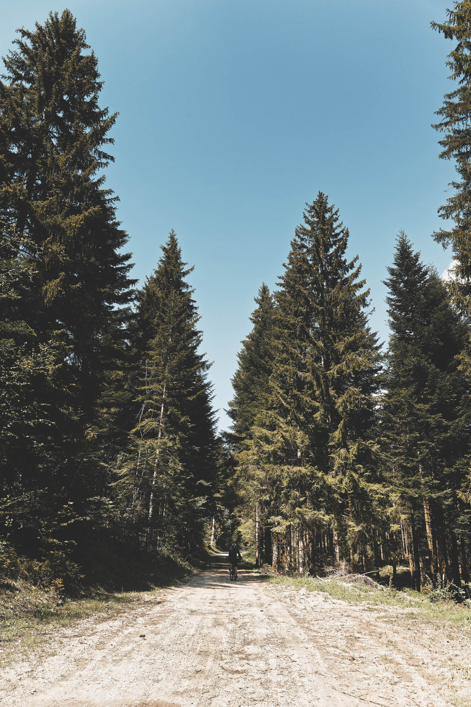
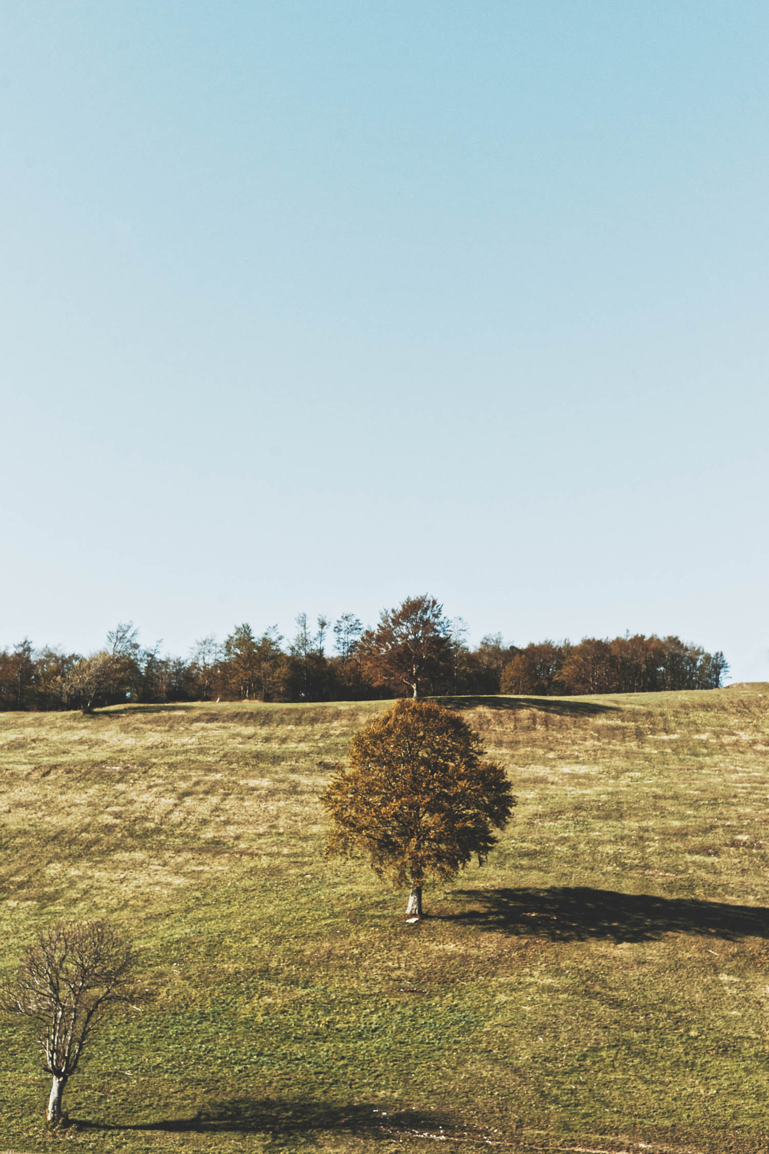
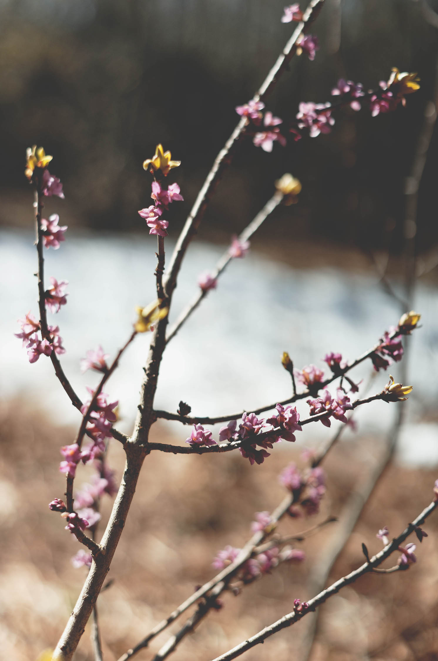
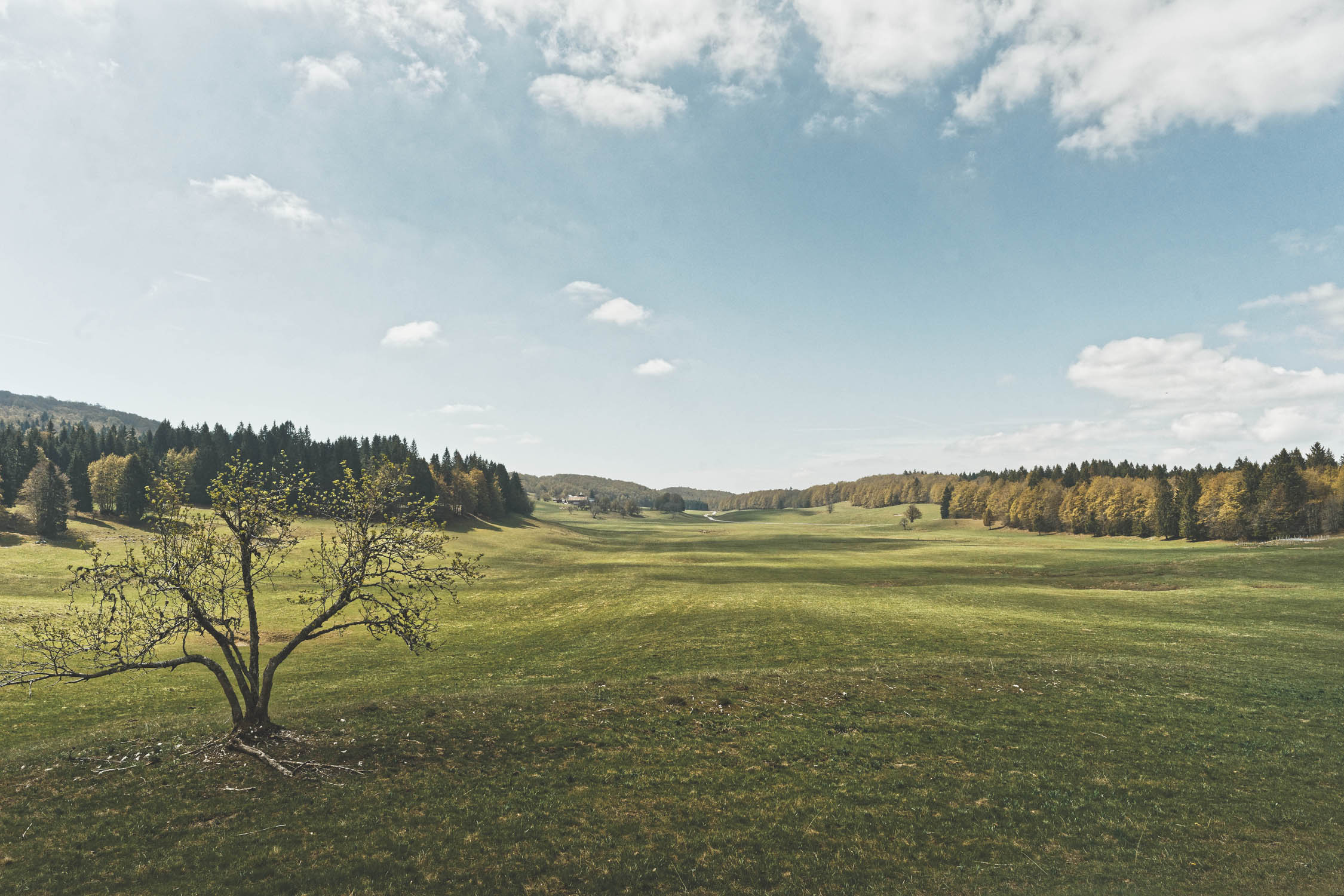
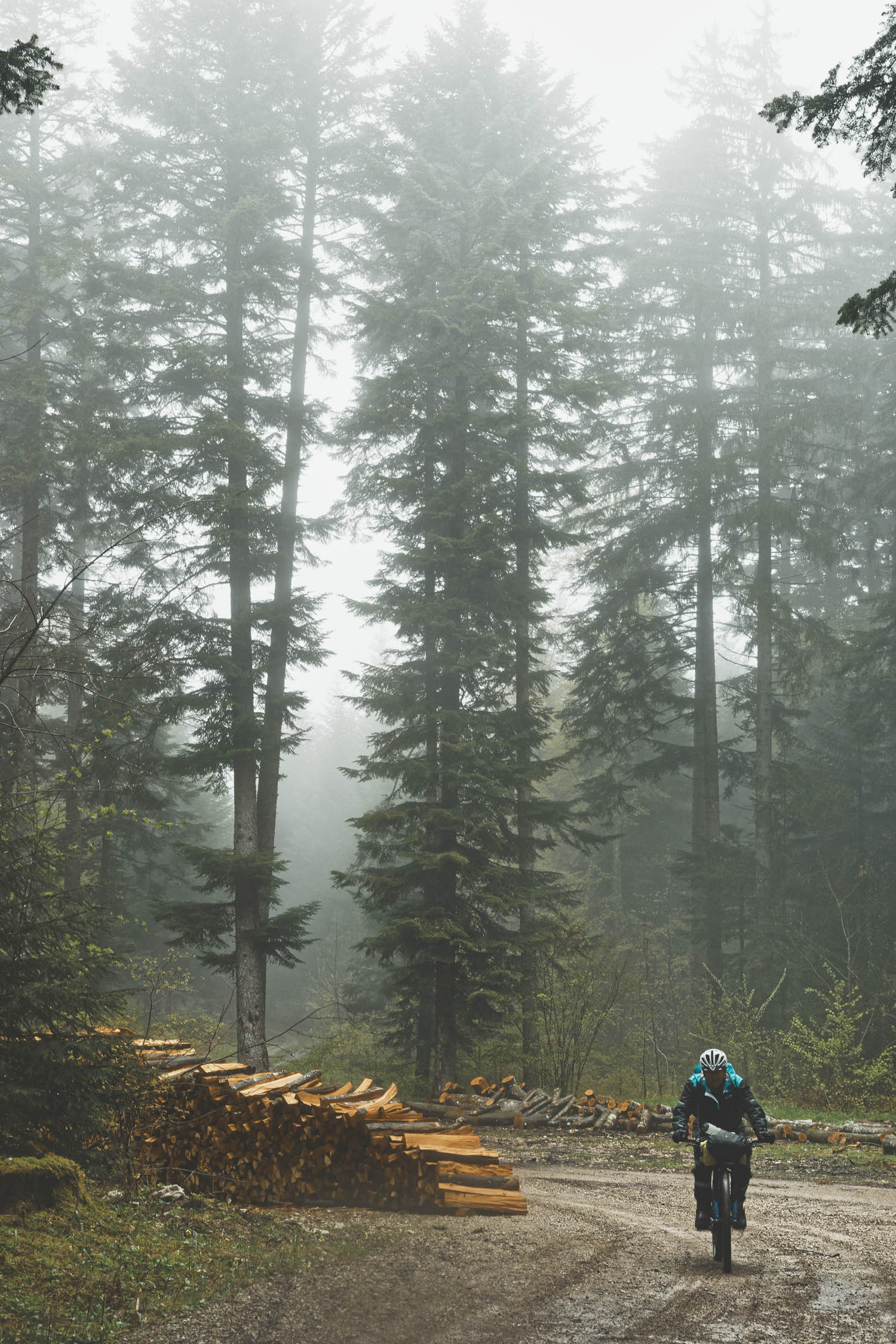
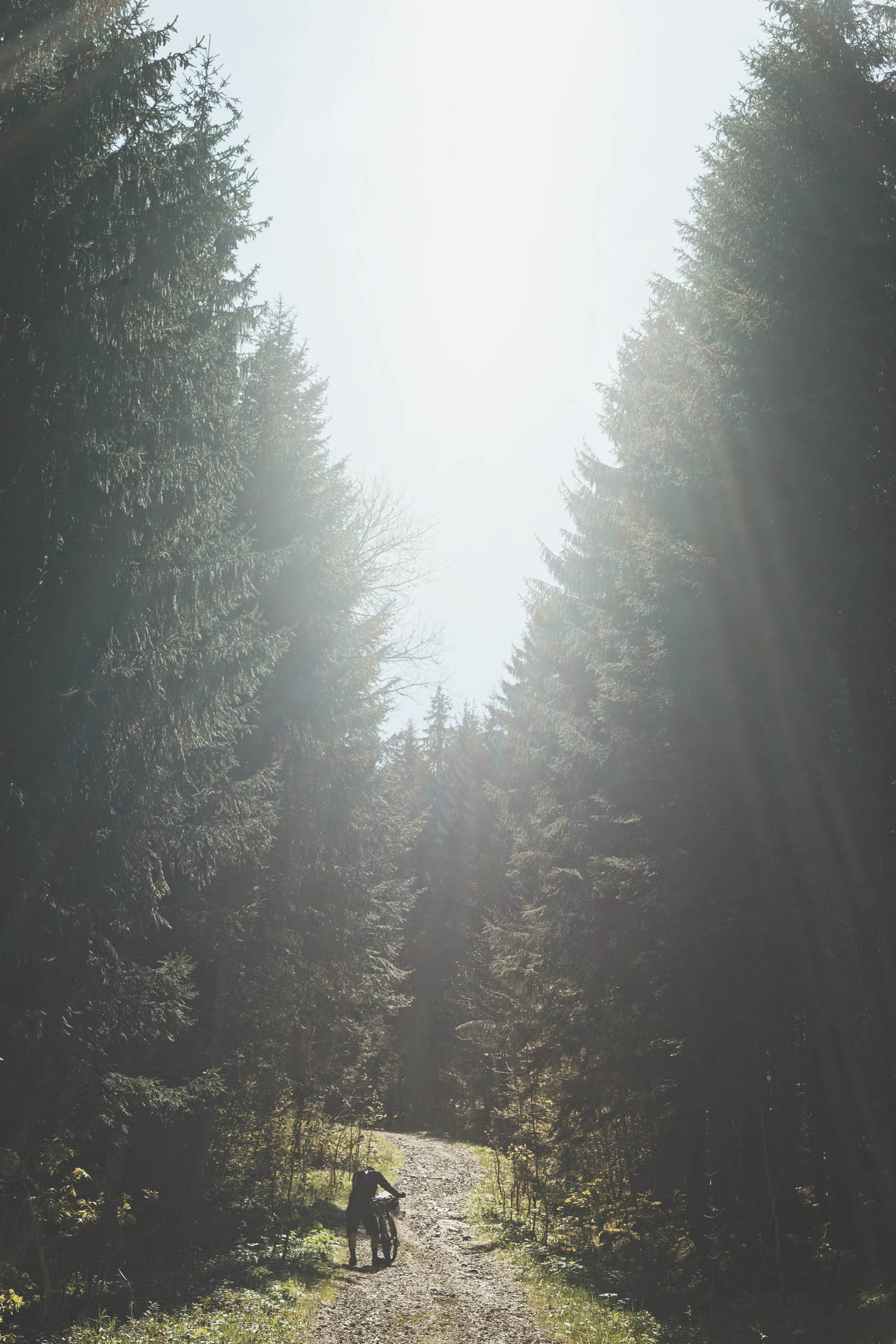
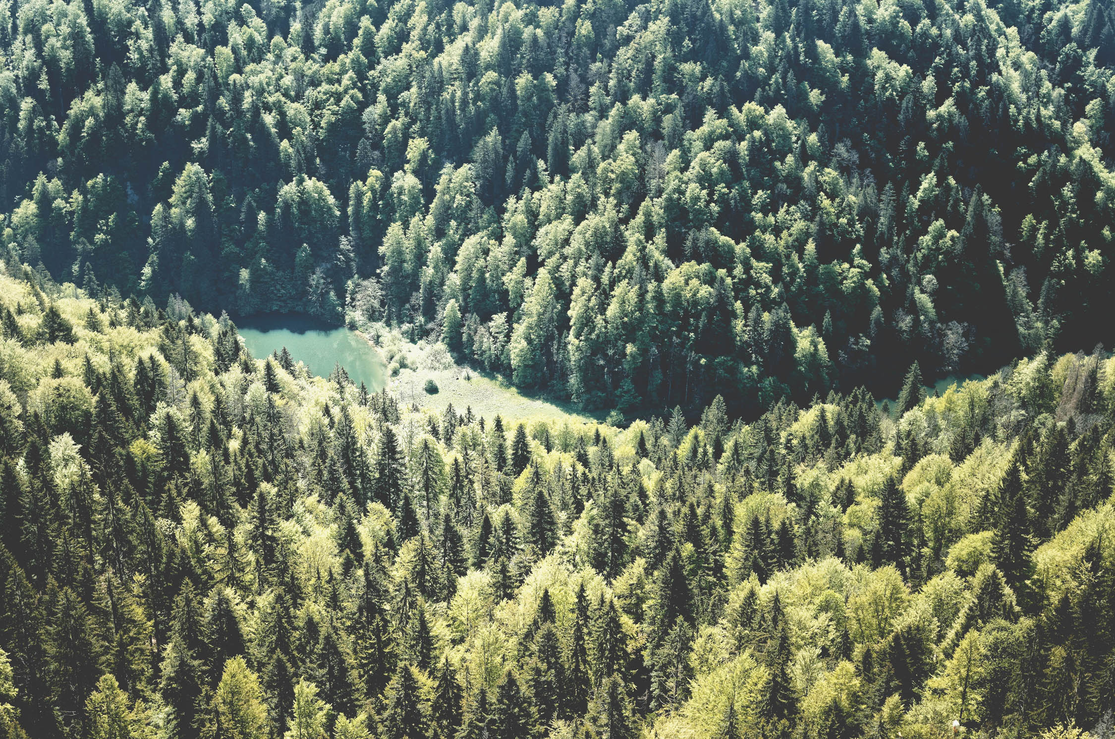
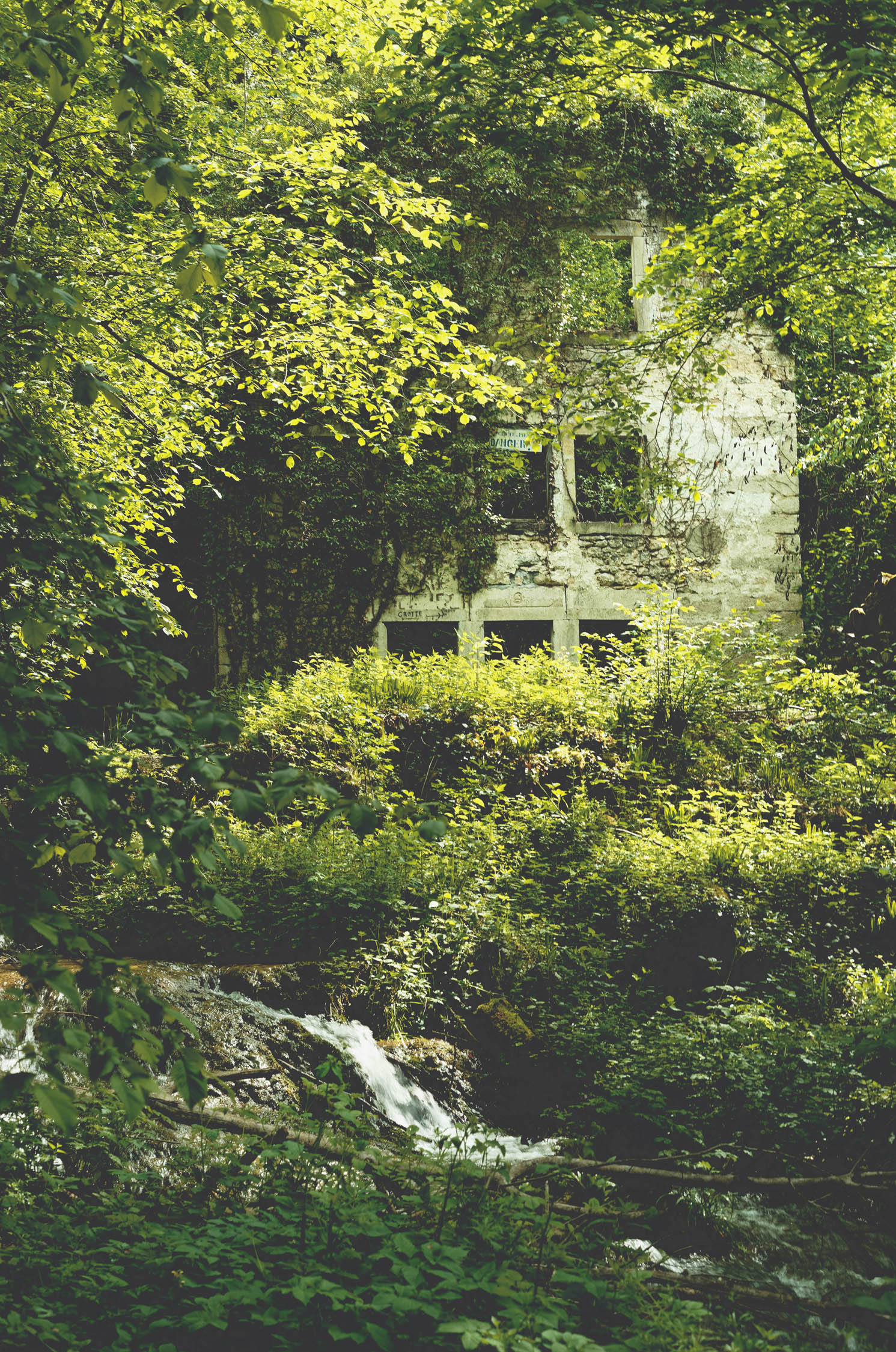
Straddling the border of France and Switzerland, the Jura Mountains (Massif du Jura) are a sub-alpine mountain range located north of the Western Alps. The Jura separates the Rhine and Rhône basins, forming part of the watershed of each. The name “Jura” is derived from the Celtic word “jor,” meaning forest, of which there are aplenty in the region, and just one of the many breathtaking characteristics that this route has to offer. The Jura are also famous for its hearty cheeses, isolated villages, and friendly locals, who are arguably among France’s most hospitable.
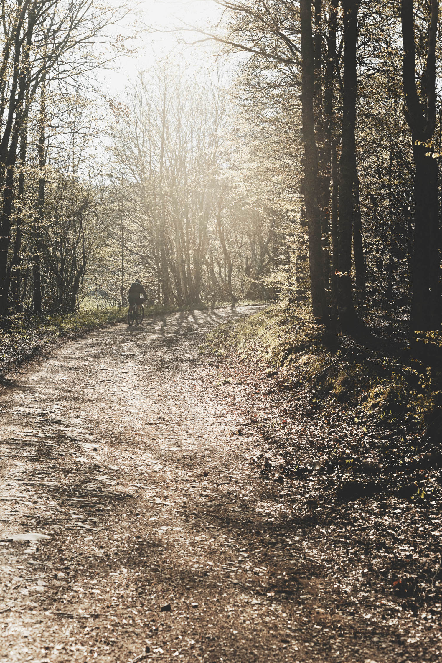
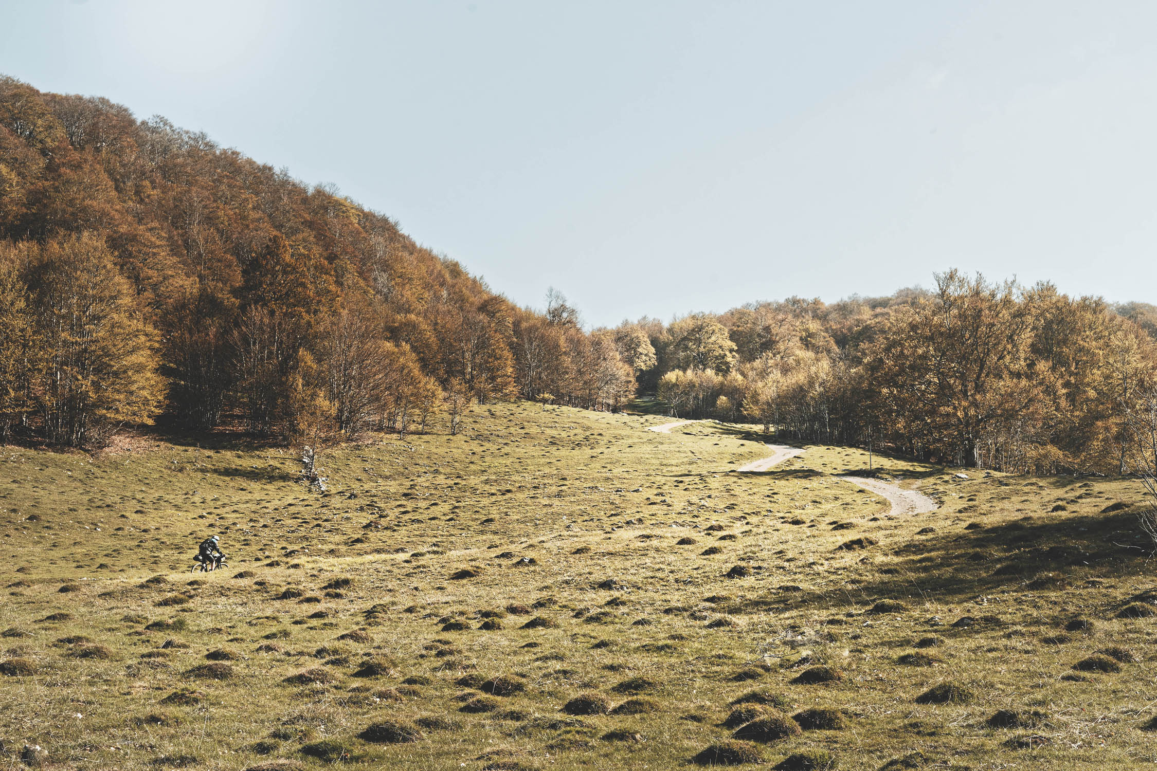
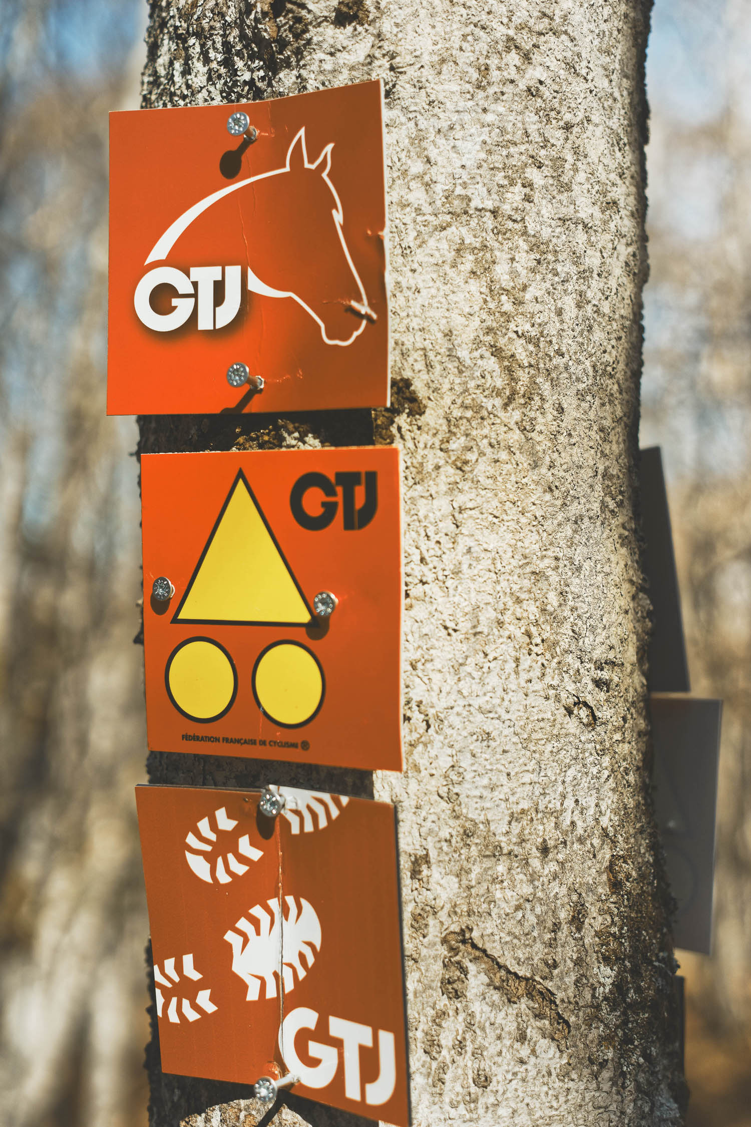
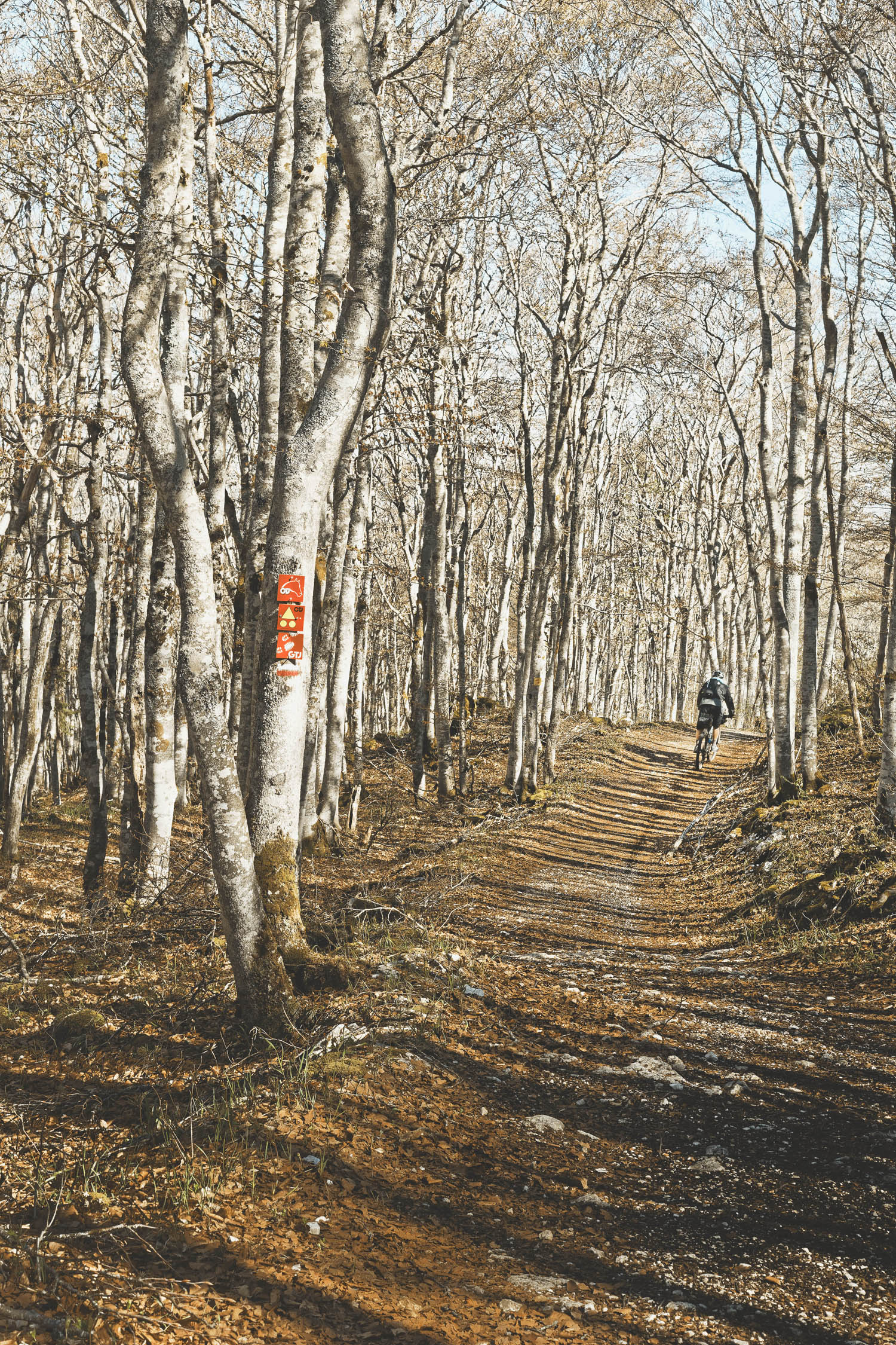
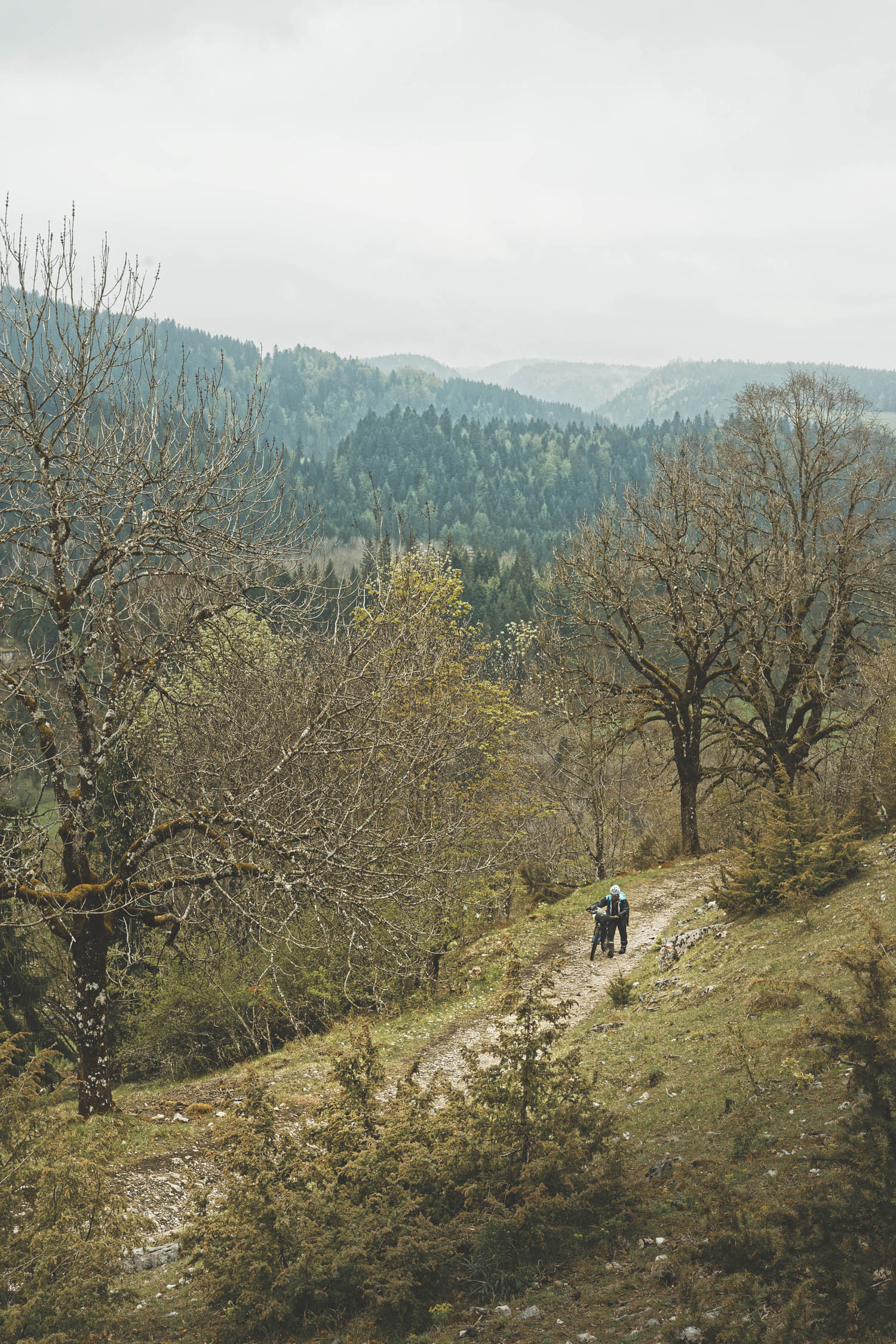
The artery that runs through the Jura is a trail is called the Grande Traversée du Jura, which was the first official MTB traverse designated in France by the GTJ association. The bikepacking route of the same name promises a peaceful, scenic ride across the Jura avoiding all major roads and getting lost in giant spruce forests and pasture lands. Traversing small isolated villages provides the opportunity to refuel and taste amazing local cheese and smoked sausages.
Difficulty
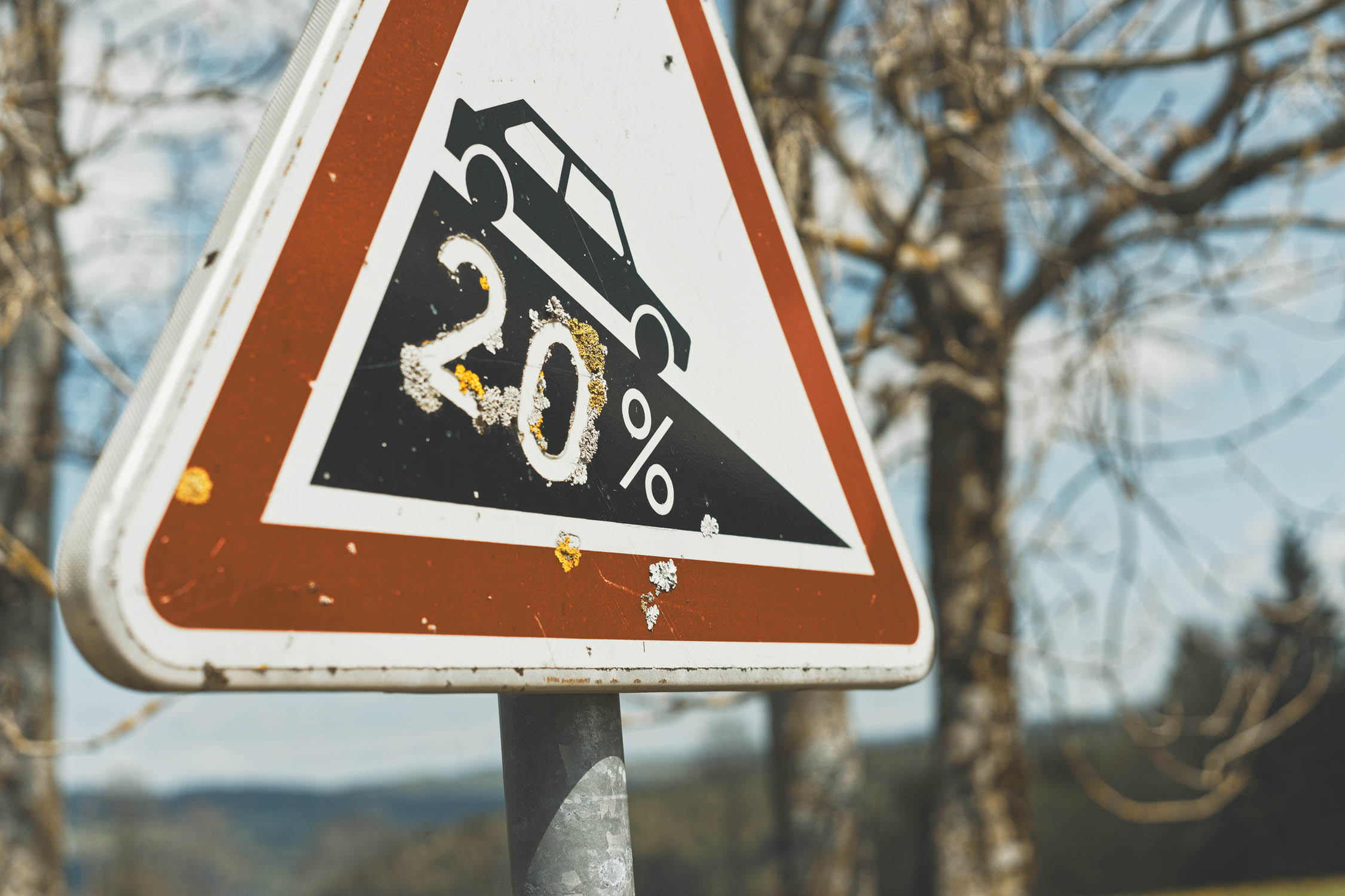
The route is based strictly on the GTJ and is very well marked along its 400+ kilometers. You could probably leave your smartphone, map, and GPS at home, and tackle the route without and issues finding you way. When the terrain gets rough—lots of hike a bike, rocky singletracks and step grades—or, if the weather turns very wet leading to an impracticable track, you will most of the time have the chance to switch to road mode for a short section (5-10-15km) using the “GTJ Light” route.
There are also zero difficulties finding food or water along the route. Bike shops and all facilities are easily reachable. With that, we gave it a 5 out of 10 as far as difficulty is concerned. (Technical / Physical difficulty: 7 / Logistic and navigation: 3)


Submit Route Alert
As the leading creator and publisher of bikepacking routes, BIKEPACKING.com endeavors to maintain, improve, and advocate for our growing network of bikepacking routes all over the world. As such, our editorial team, route creators, and Route Stewards serve as mediators for route improvements and opportunities for connectivity, conservation, and community growth around these routes. To facilitate these efforts, we rely on our Bikepacking Collective and the greater bikepacking community to call attention to critical issues and opportunities that are discovered while riding these routes. If you have a vital issue or opportunity regarding this route that pertains to one of the subjects below, please let us know:
Highlights
Must Know
Camping
Food/H2O
Trail Notes
Resources
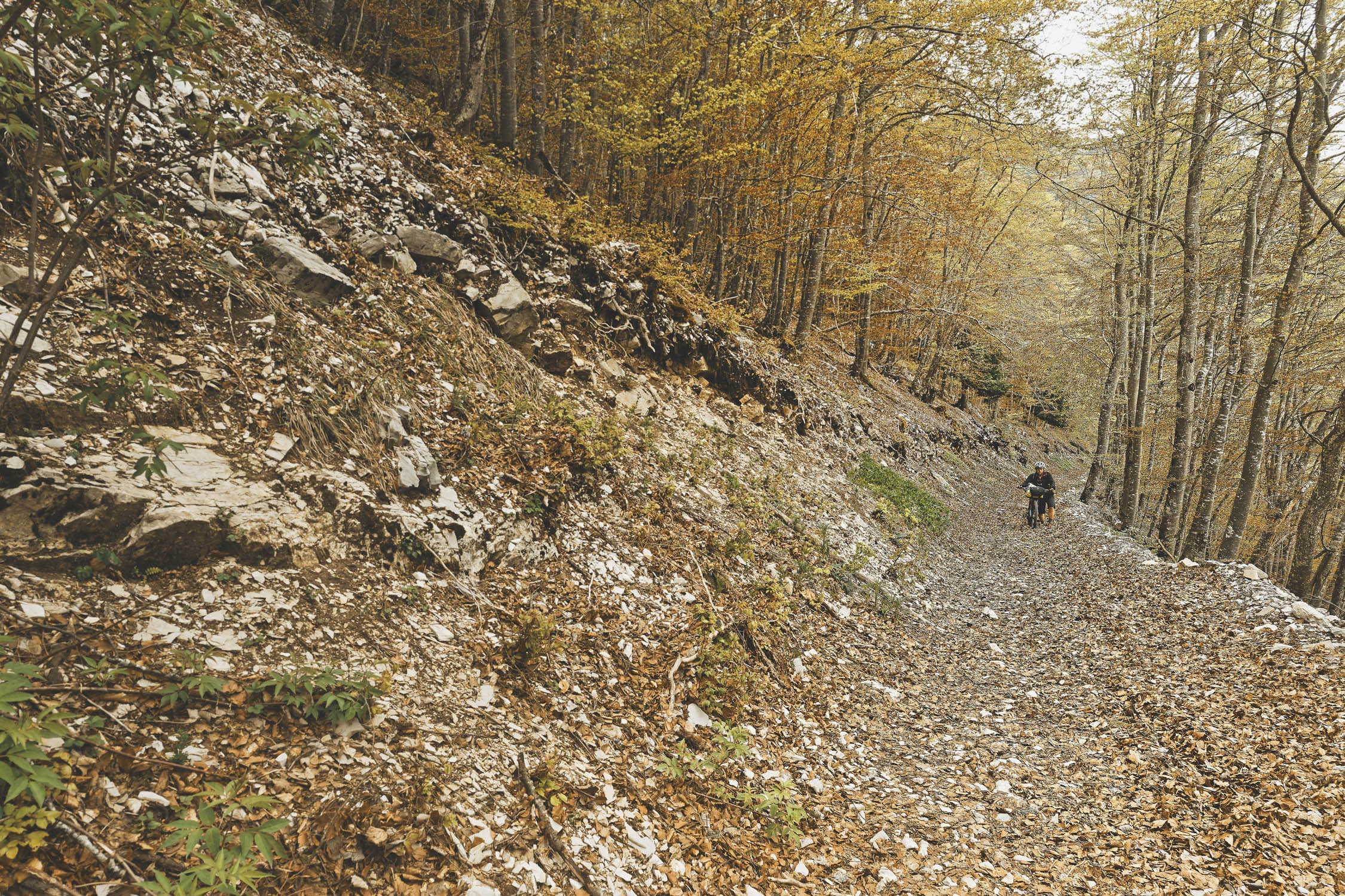
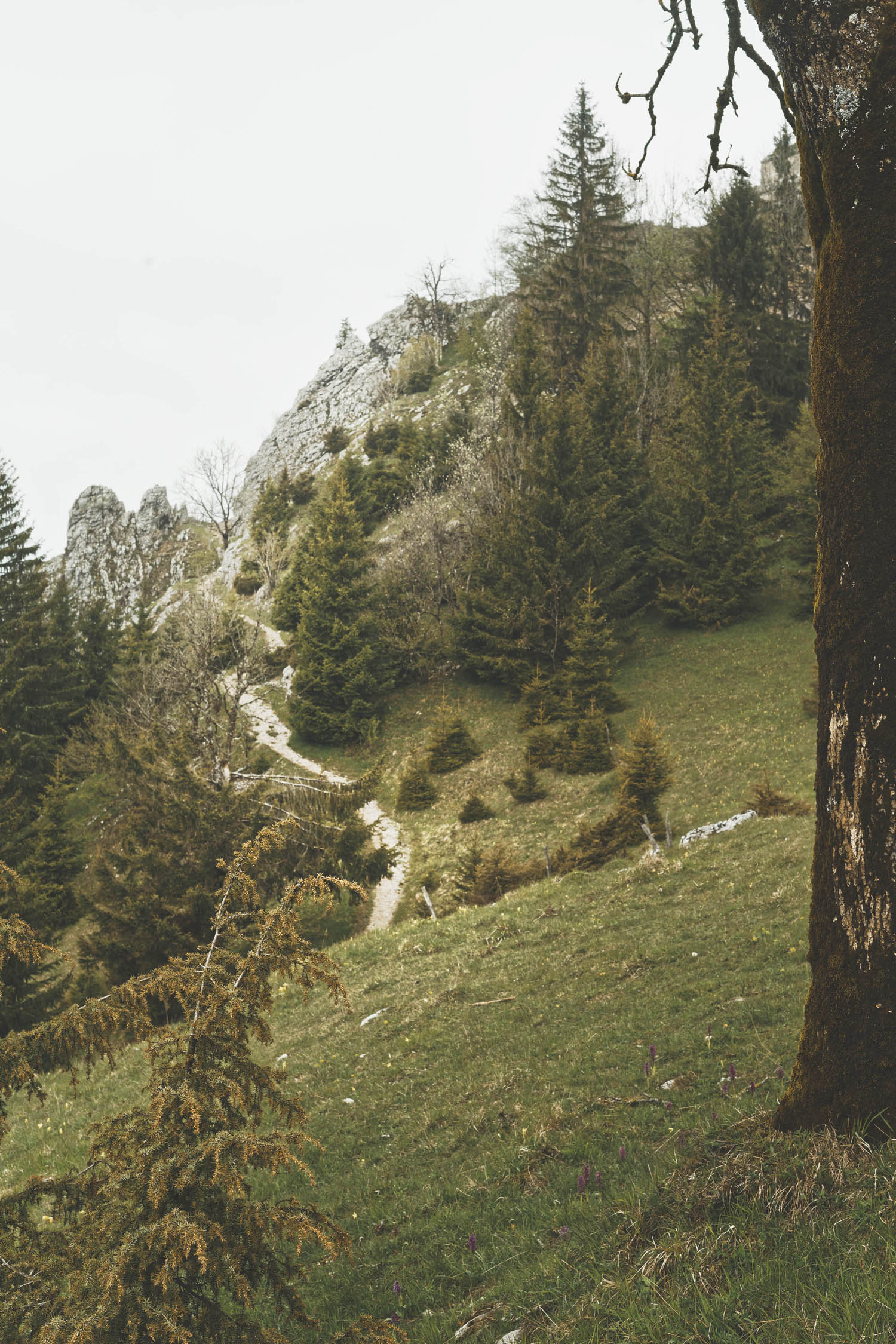
- Do not expect flats and plateaus; the Jura range is full of real mountains.
- Enjoy plenty of singletrack and rocky descents.
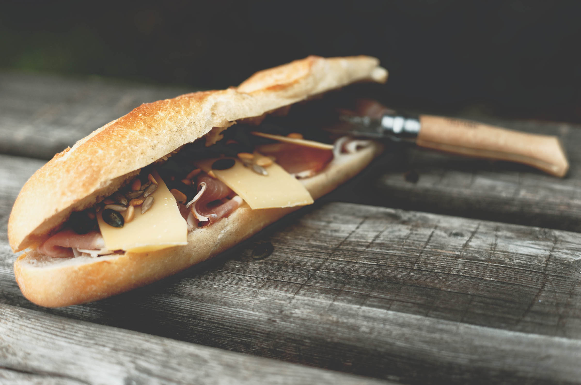
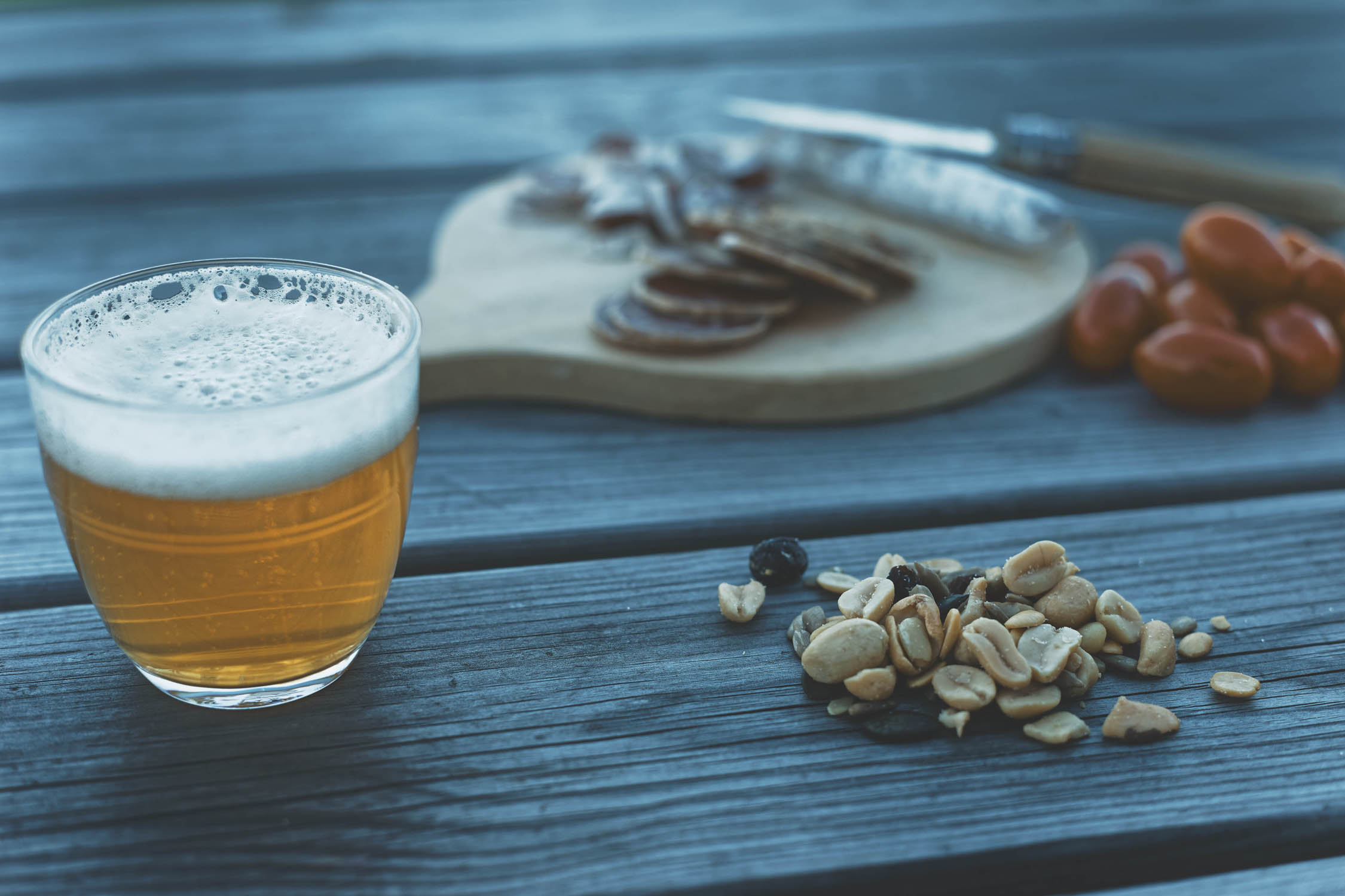
- Do not leave Jura without tasting all local cheese made from one of the 160 “fruitières.” Jura is famous for its cheese but also for the way they maintain their economy around locally made products. They used to be the first form of agricultural cooperatives that still resist the milk and cheese industry.
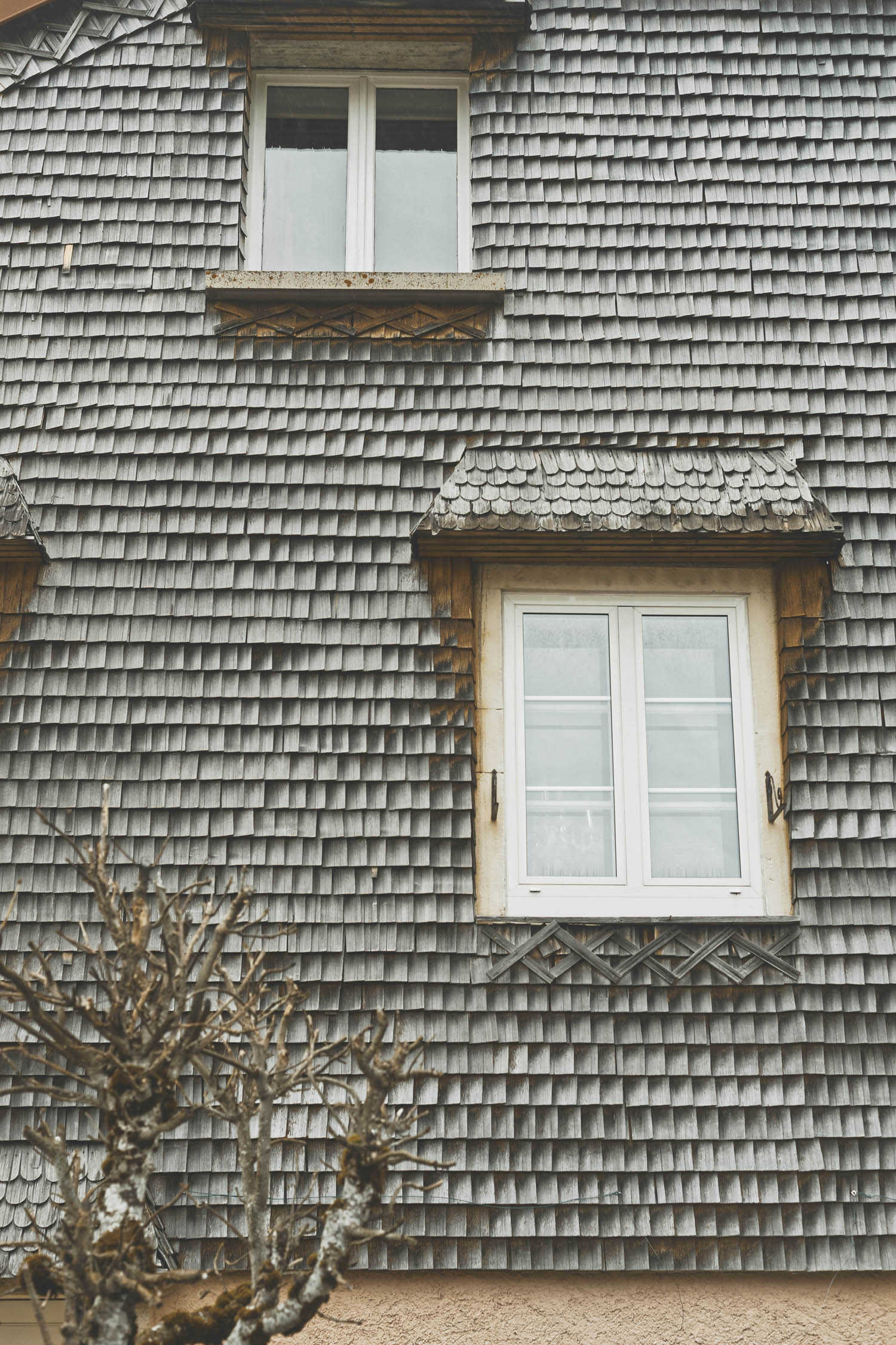
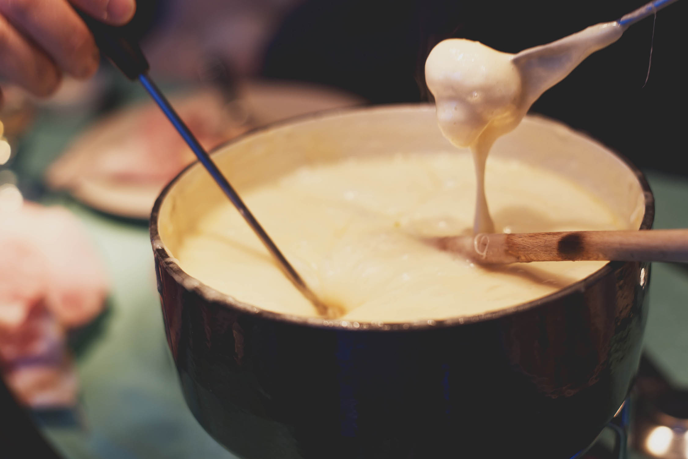
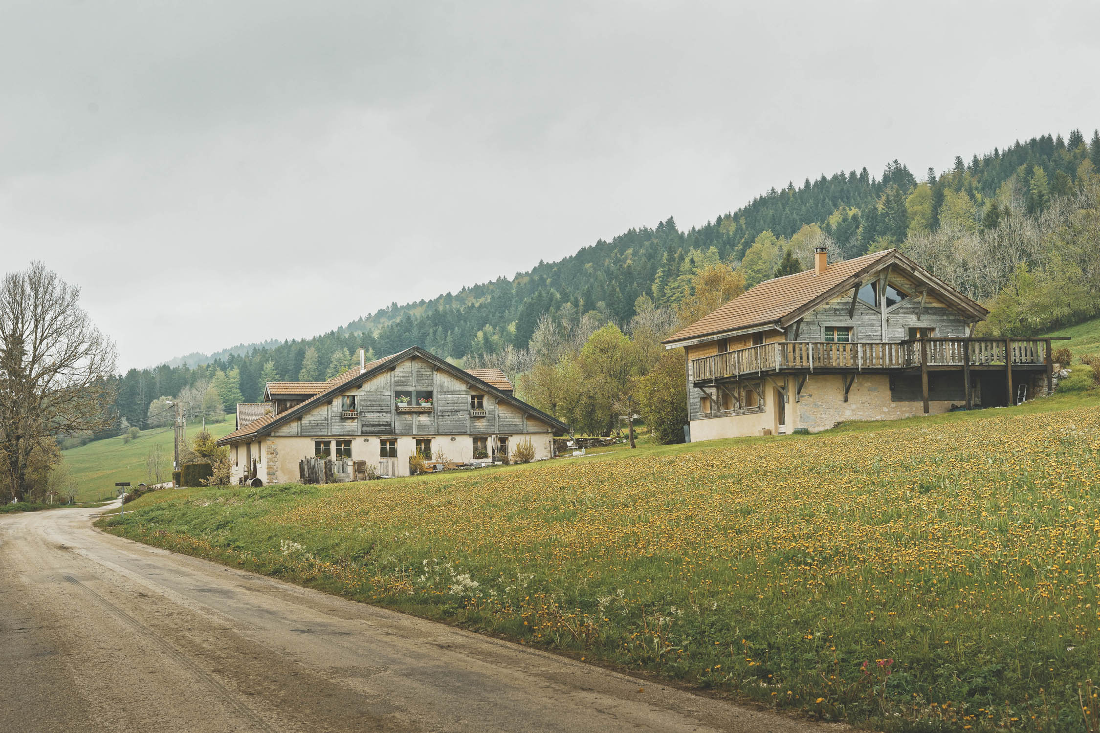
- Local ski resort hotel room or guest houses are available to experience the warmth of wood chalet and tartiflette, croziflette, or Fondue after a long day in the saddle.
- Stop at Morteau city for tasting the locally smoked sausage at the “tué” (a smoking wood chimney you can’t miss at the city exit). Traditionally served with melted cheese and fried potatoes.
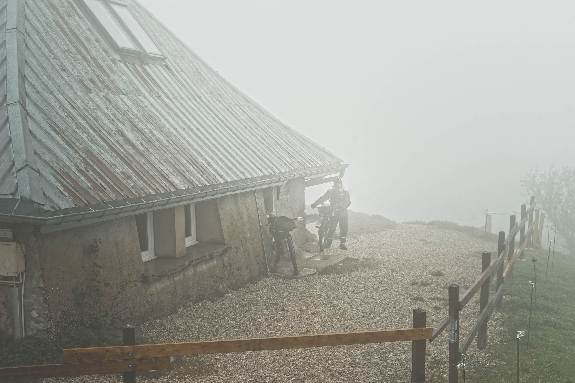
- The scenic view of the Mont d’or, toward Switzerland and enjoy a warm night at the Gros Morond refuge.
- Relax on the Doubs River for a French/Suisse atmosphere in Le Saut du Doubs.
- Stop a few days at Les Rousses for visiting the comté cheese maturing cellar and the museum of polar world of Paul Emile Victor.
- The route starts either on Mandeure (north) or Culoz (south). After not seeing anyone riding in the same direction as us, we were told that the north to south version is easier and would provide more fun descents.
- There are two options in the south, both of which are described in GTJ association’s Topoguide.
- The closest train stations are in Montbelliard (north, 12km from Mandeure) and Culoz (south) so no need to worry about getting back to the starting point.
- There are always backup options if the weather gets bad and the terrain too muddy. This alternative is marked as GTJ Light on the TopoGuide but is not signposted.
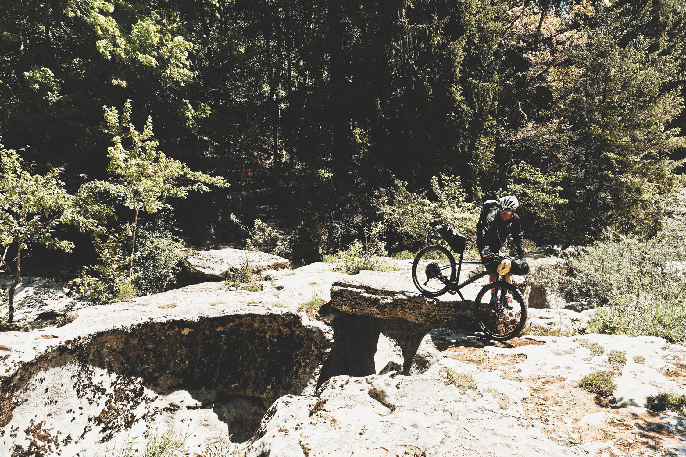
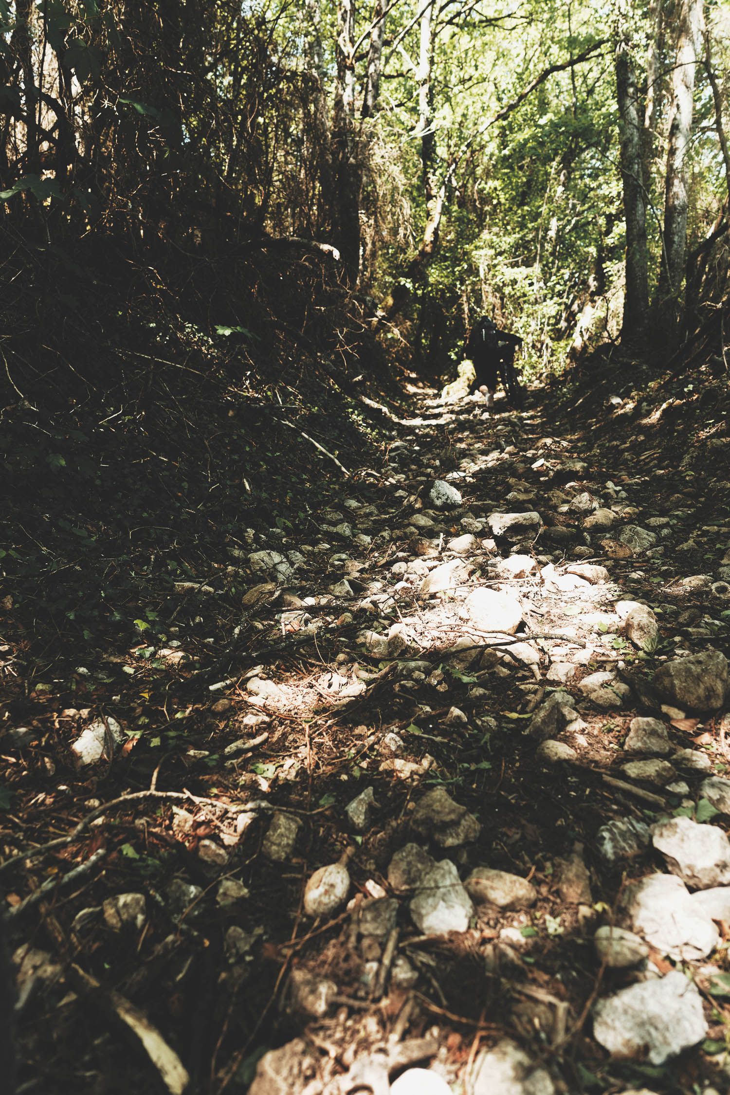
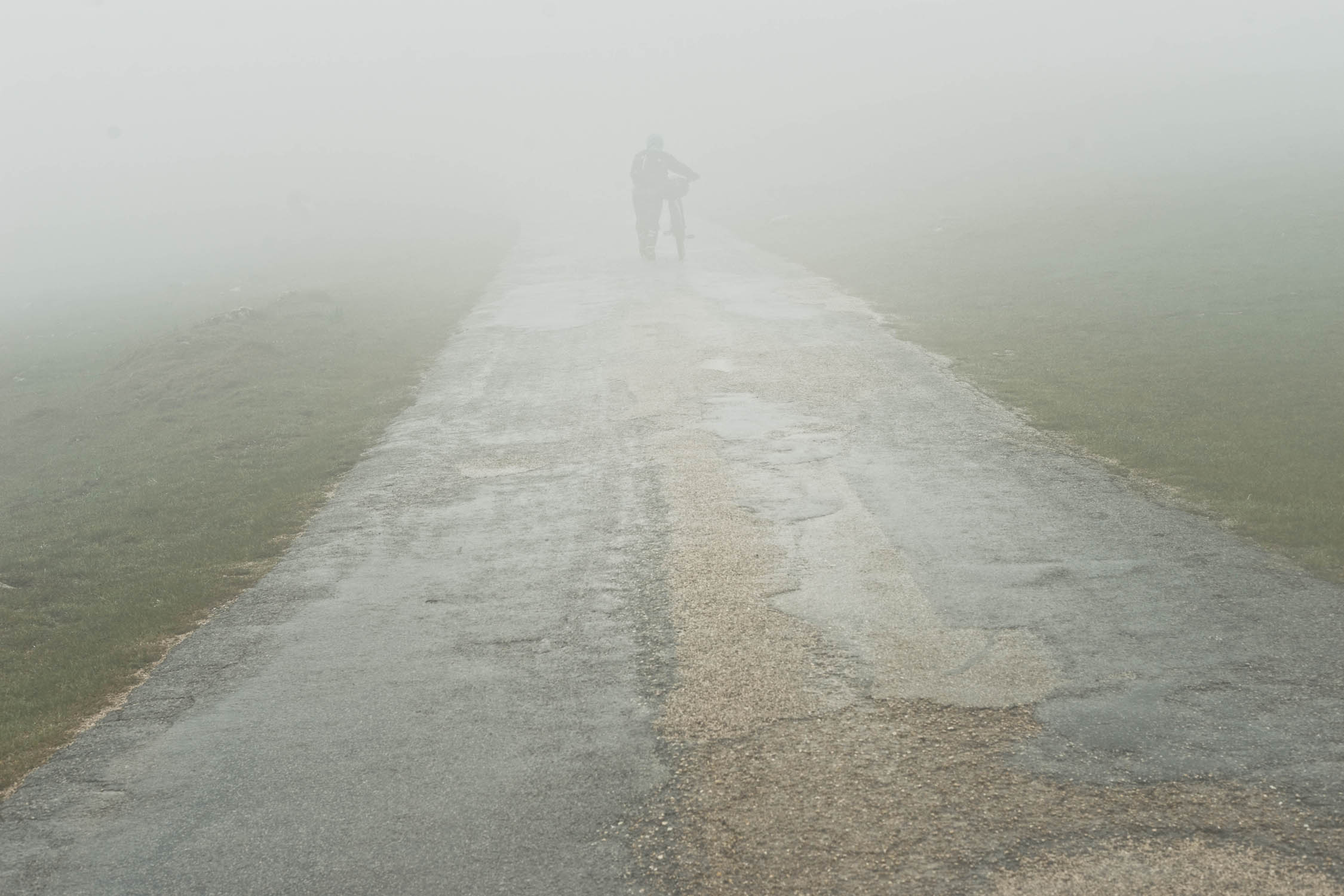
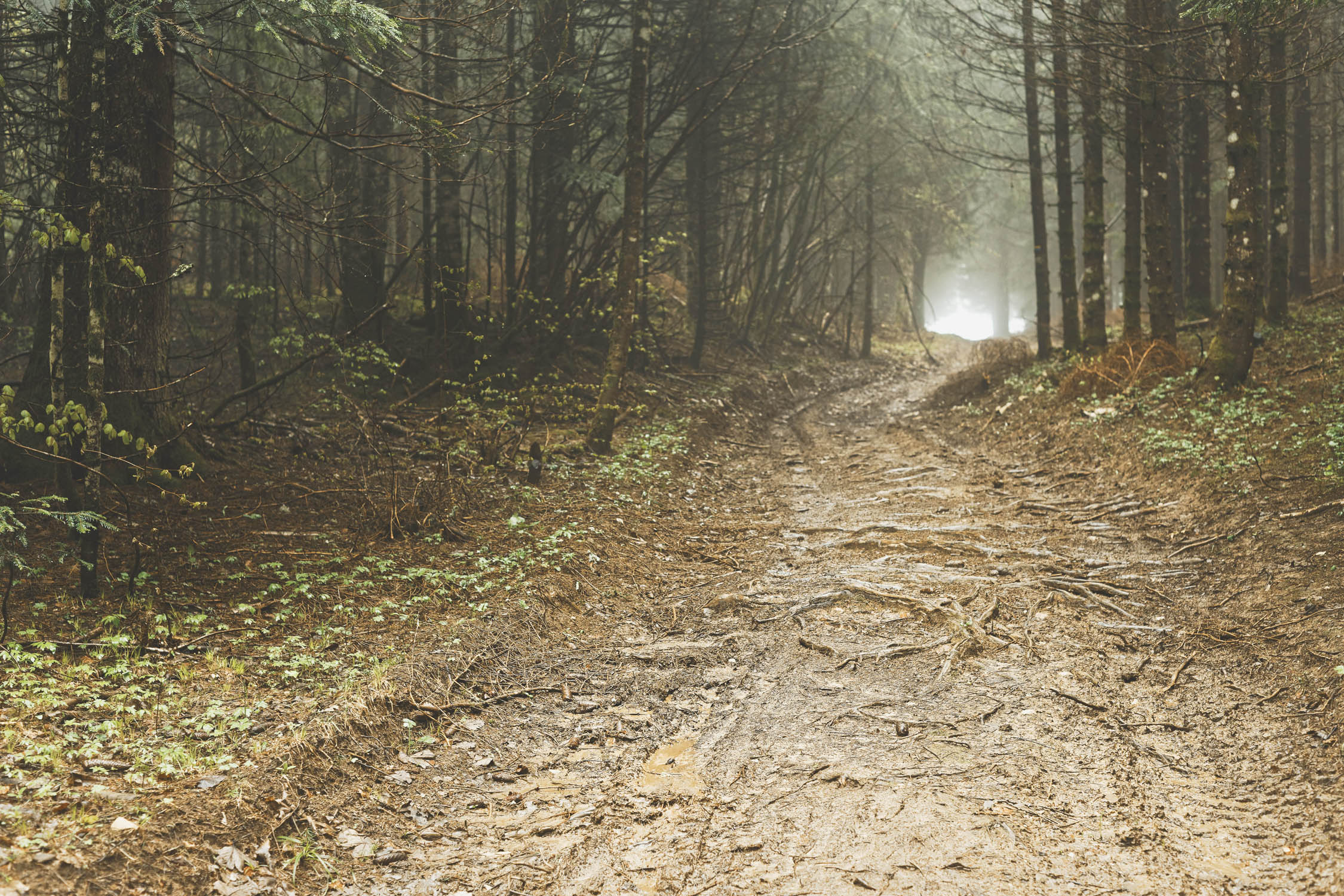
- The route follows mostly dirt roads with no major difficulties. However, there are daily steep ascents and some rocky terrain, and daily hike-a-bike sections that can be overcome if you travel very light. During rainy times, some parts of the trail might be very muddy.
- The best time to go would be June to September. Remember, Jura People tend to say there are only two seasons (pictures are from May 2019).
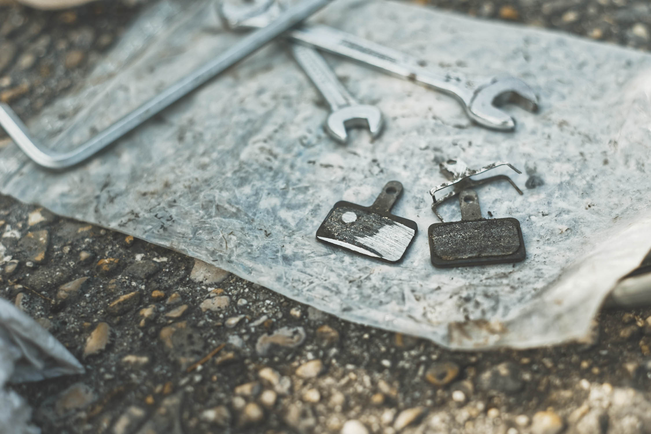
- There are a few bike shops on the trail which are all marked on the GTJ topoguide; either way, you should pack a full repair kit.
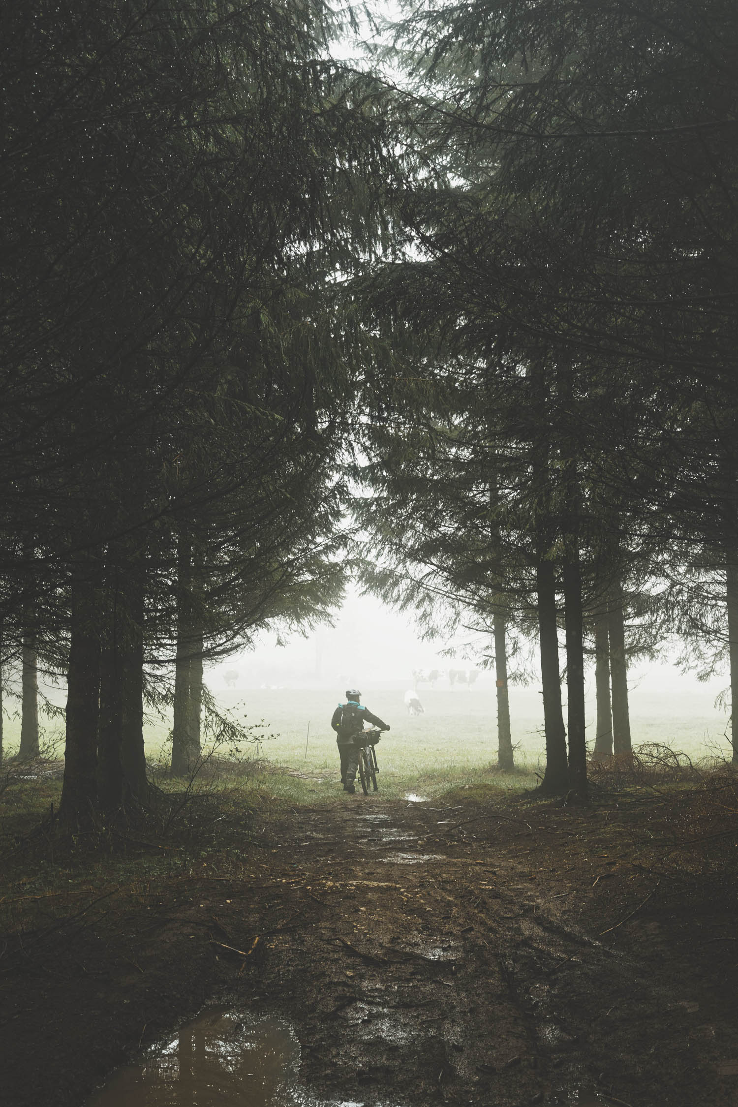
- The trail passes a lot of private lands and cow pasture land. Most gates may be passed without a key, but be sure to close gates back.
- The GTJ association edits a guidebook with all the direction from Mandeure to Culoz (IGN Topoguide) which we highly recommend. It also offers a website with all refuges, campsites, guesthouses, and hotels along the way.
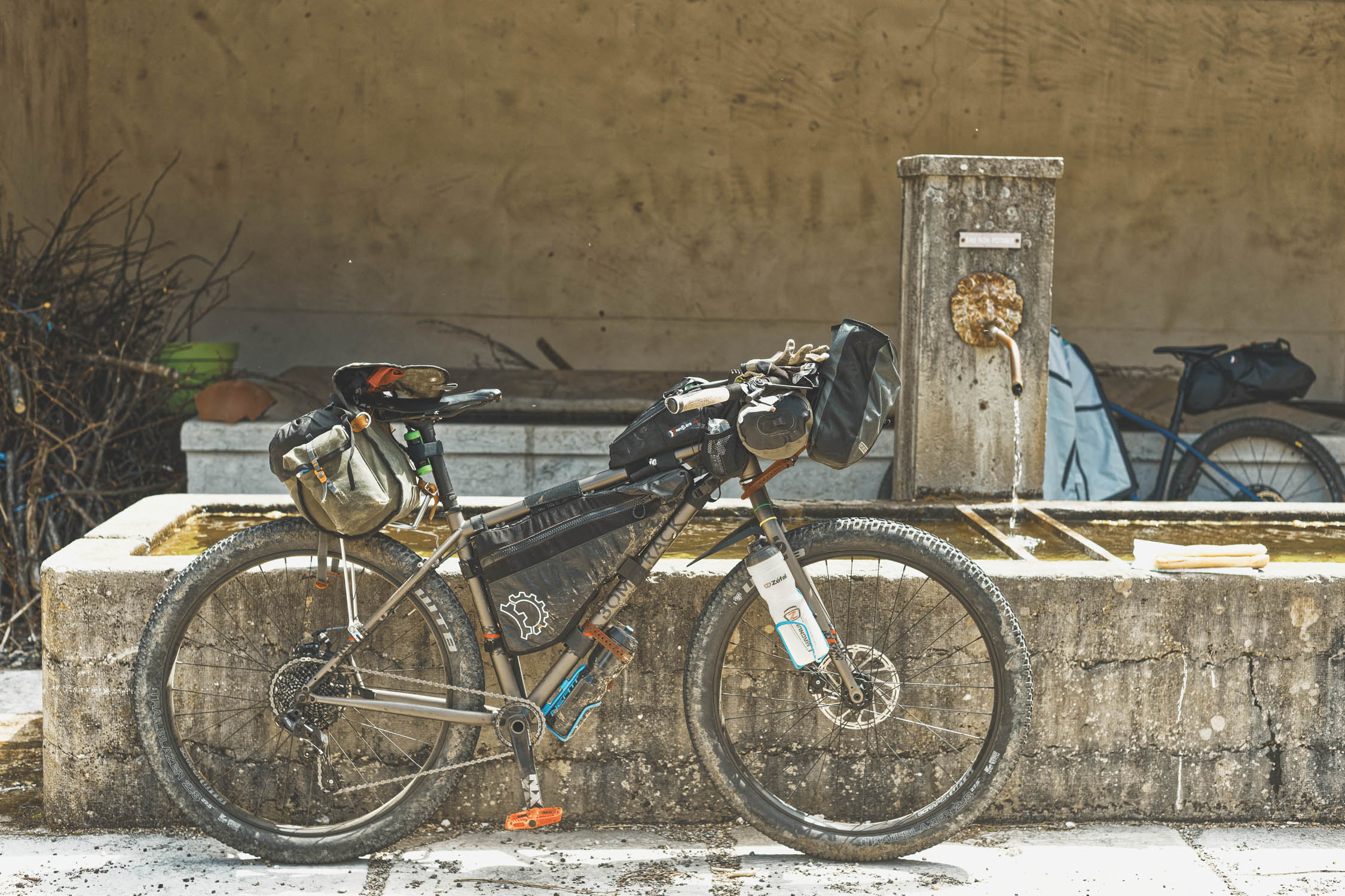
- We recommend to ride a proper mountain bike for this route (29er hardtail or Plus bike) unless you want to challenge your gravel bike technical skills and walk a lot.
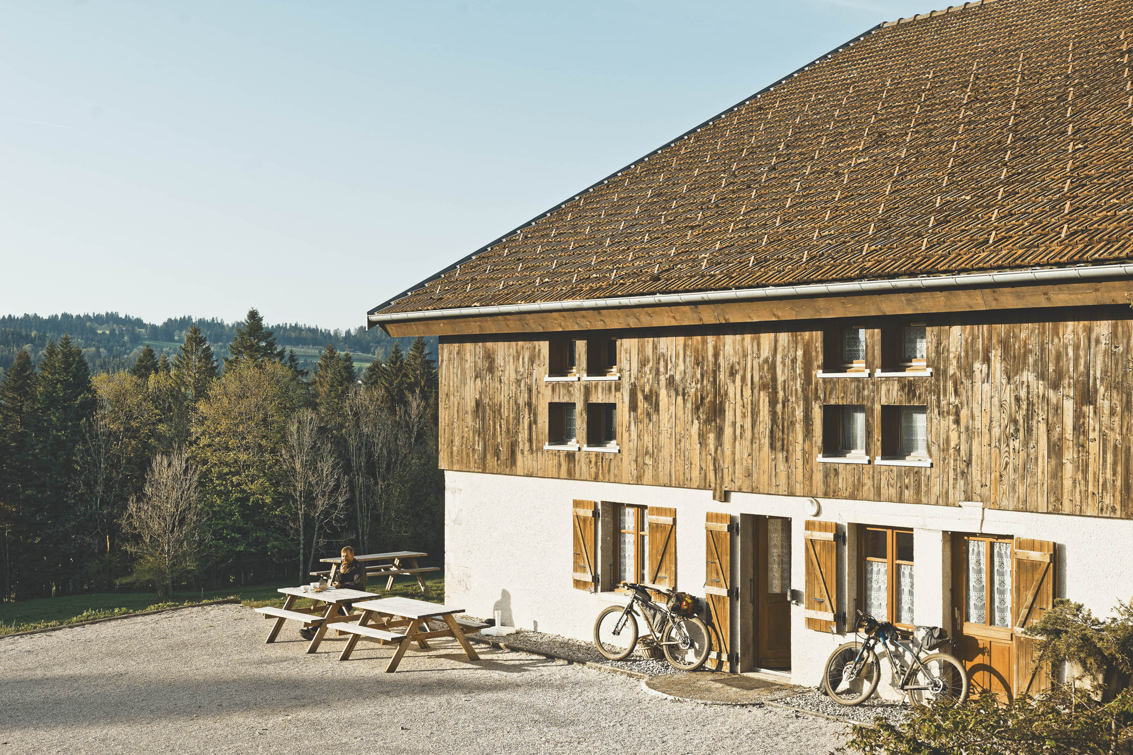
- The official trail has been designed for 6 to 11 days – accommodation can be found on this basis. Village owned “gite d’étape” are quite cheap and offer the backup for a warm night if the weather turns bad (9-15€)
- Few guest houses also offer refuge type accommodation.
- The are various high altitude refuges owned by CAF (Club Alpin Français)
- Camping is tolerated along the track even if wild camping is not permitted in France — please leave no trace. There are plenty of nice spots every 2-4km. Some guest houses offer camping in their garden for a few bucks if you eat at the restaurant.
- There are resupply points every 30-40km. The southern part of the trail is far less populated, so bring enough food for at least 1.5 days as resupply points are open only a few hours in the daytime.
- All shops are closed on Sunday.
- They are plenty of food options in small towns for a warm meal on the road.
- Water can be found everywhere (village fountains, cemeteries, streams, etc.). A water filter could be useful at times.
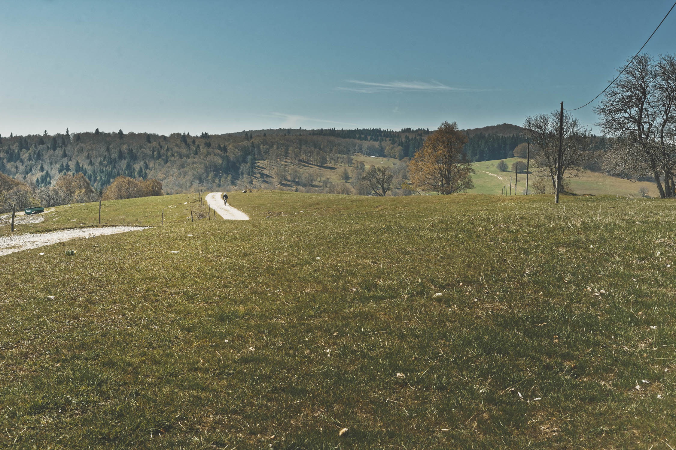
From North to South
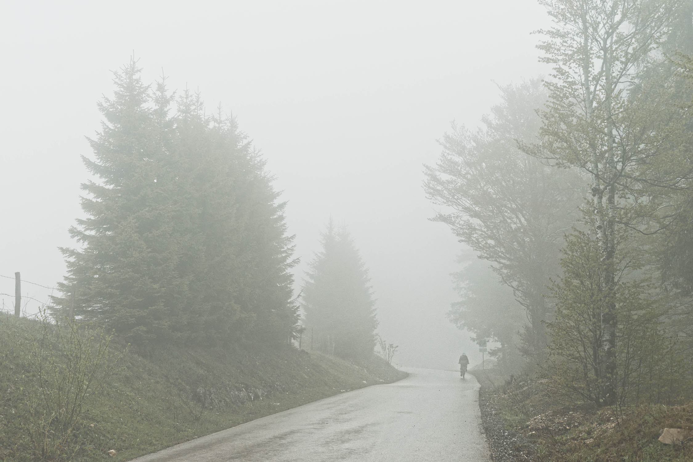
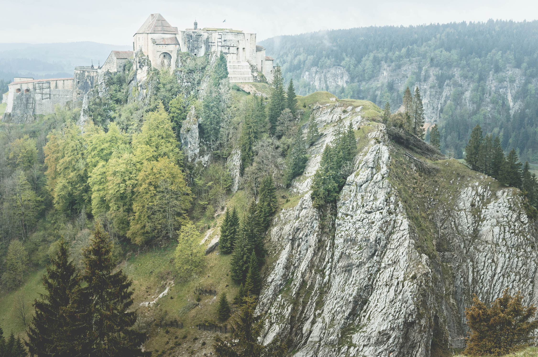
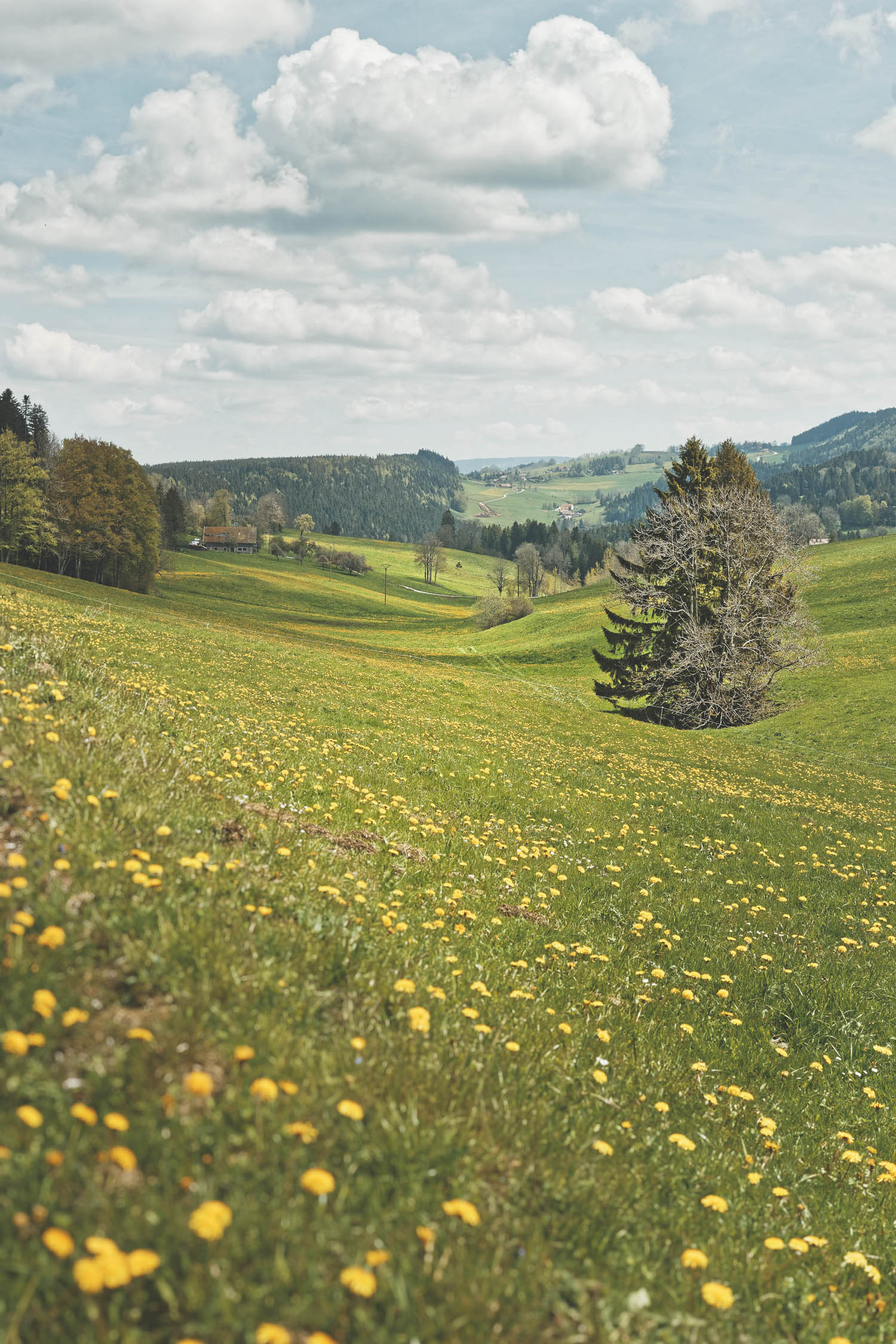
The official trail departs from Mandeure (Doubs) to reach Culoz (Ain). It offers a wonderful perspective on the Jura Mountain diversity and green space. The Ascent to the Maiche plateau sets the pace for the rest of the journey and quickly leads you to the banks of the Doubs river. From Pontarlier, you’ll enter various country landscapes and isolated farmhouses. Then, on your way to the Mont d’or, you will pass by the Joux Fortress, the gateway to a kingdom of fir and spruce which stretches over the expansive forested ranges.
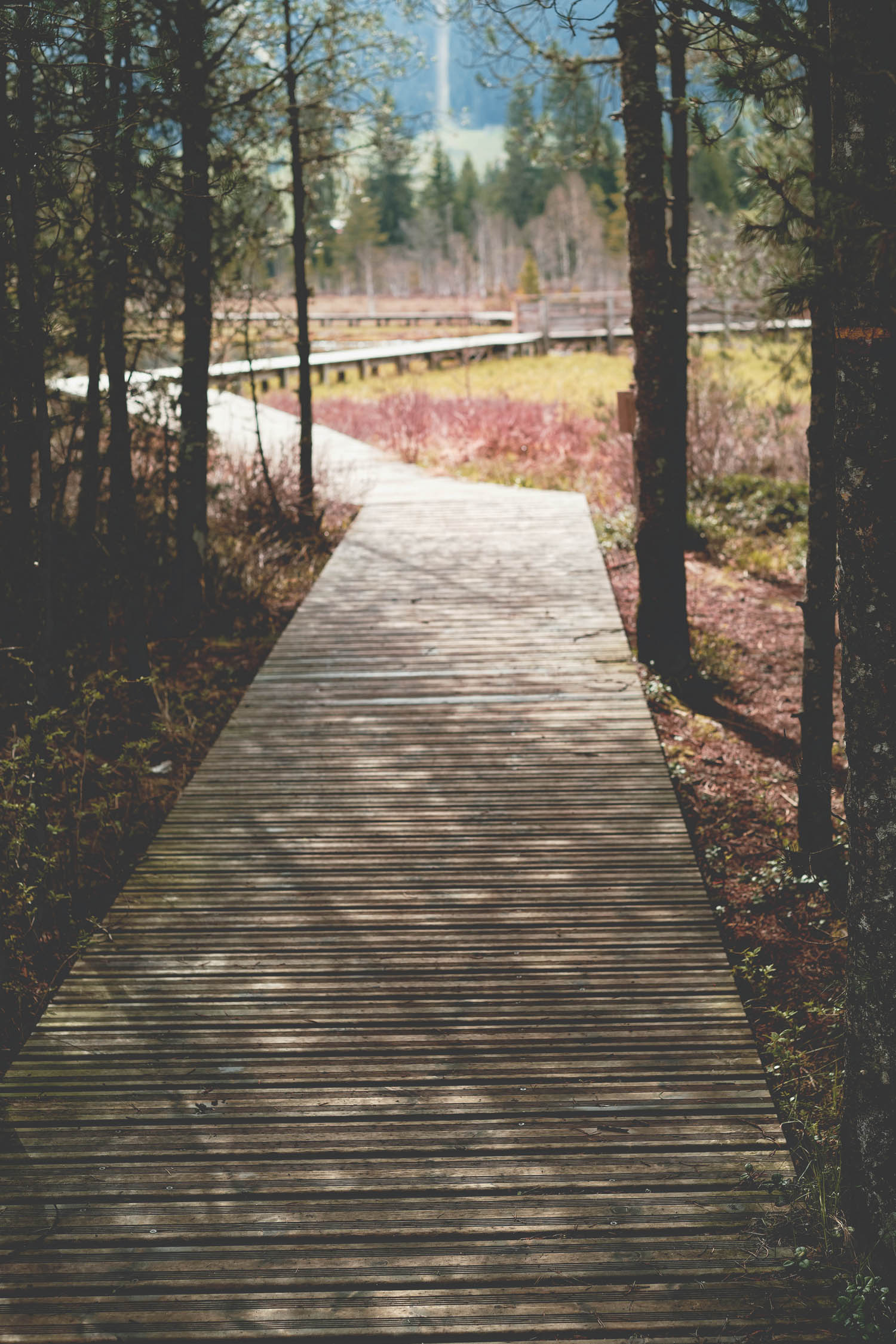
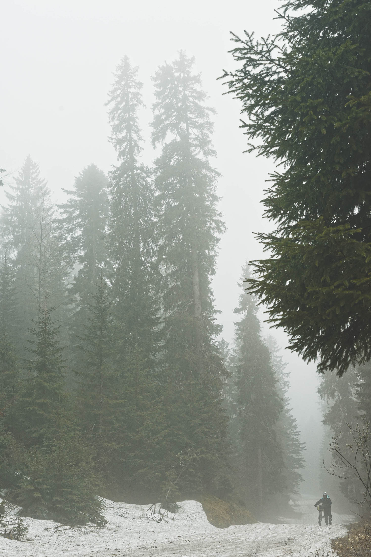
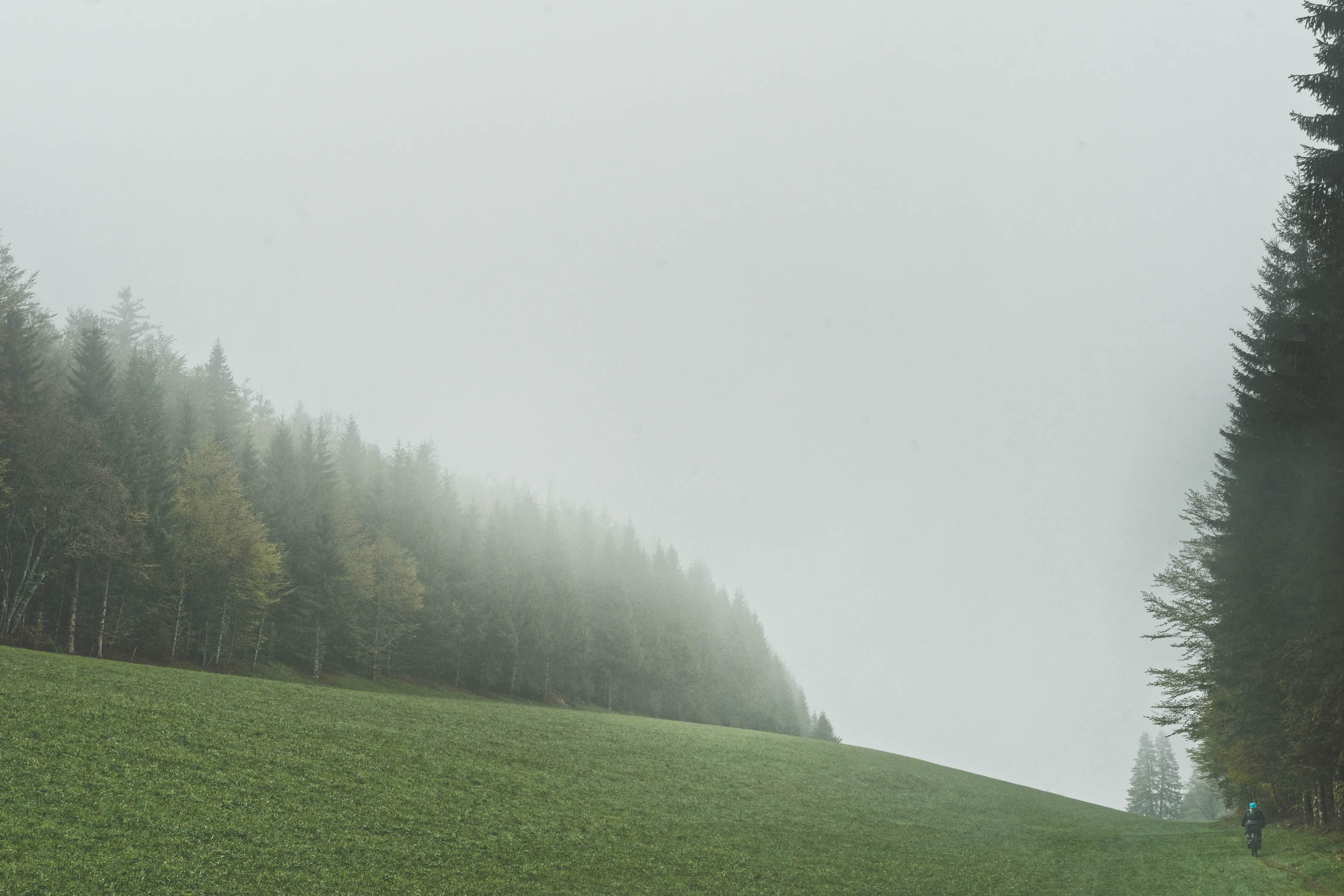
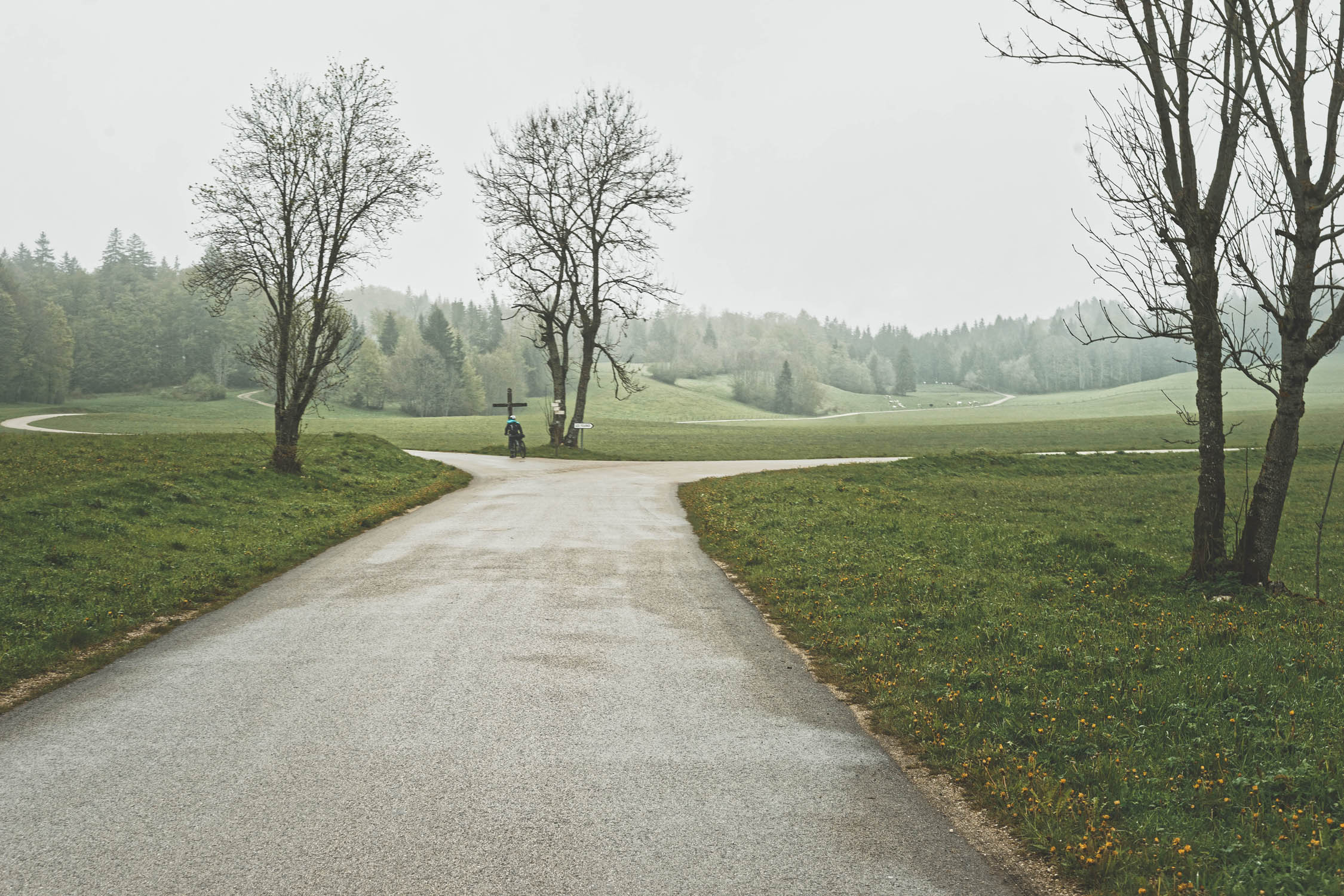
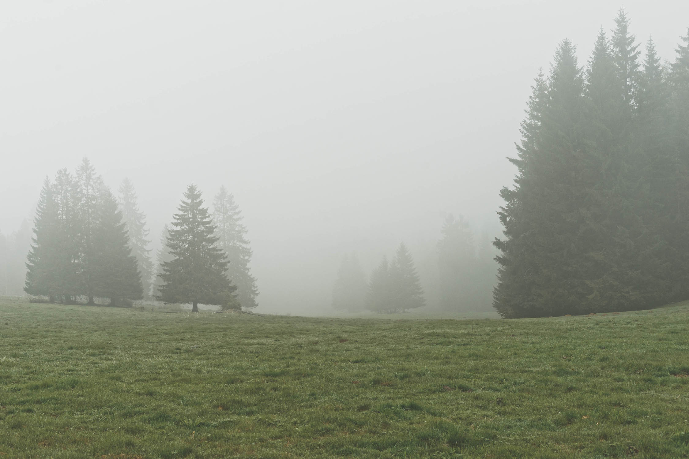
Those forests will remain a big part of the scenery as you pass by Mont d’or, its Alps view, and enter the High Jura National Park. Not far from the Alps, you’ll ride on a contrasted reliefs oscillating between 600 and 1700 m of altitude which allow the cohabitation of a fauna and typical flora. Chapelle des Bois marks the southern end of the Doubs Department.
The department of Jura starts from Les Rousses and continues to offer wonderful density of forest to protect you from prevailing winds. Most of the route from Morteau uses Transjurassienne cross country skiing trails and shares paths in pastures with dairy cows.
Arriving in Bugey, back to higher summits and the plateau of Retord with large open spaces and silence. At this stage, two options are available to reach Culoz from Plans d’Hotonnes (the one presented here or the one passing by the Grand Colombier).
Additional Resources
- GTJ association – www.gtj.asso.fr/itineraires-et-activites/gtj-a-vtt/
- GTJ lodging and restaurants – www.gtj.asso.fr/hebergements-et-restauration/
- Topo guide and Topo maps – www.gtj.asso.fr/boutique/
- Fort des rousses visit booking – www.fort-des-rousses.com/fr


Terms of Use: As with each bikepacking route guide published on BIKEPACKING.com, should you choose to cycle this route, do so at your own risk. Prior to setting out check current local weather, conditions, and land/road closures. While riding, obey all public and private land use restrictions and rules, carry proper safety and navigational equipment, and of course, follow the #leavenotrace guidelines. The information found herein is simply a planning resource to be used as a point of inspiration in conjunction with your own due-diligence. In spite of the fact that this route, associated GPS track (GPX and maps), and all route guidelines were prepared under diligent research by the specified contributor and/or contributors, the accuracy of such and judgement of the author is not guaranteed. BIKEPACKING.com LLC, its partners, associates, and contributors are in no way liable for personal injury, damage to personal property, or any other such situation that might happen to individual riders cycling or following this route.
Please keep the conversation civil, constructive, and inclusive, or your comment will be removed.