


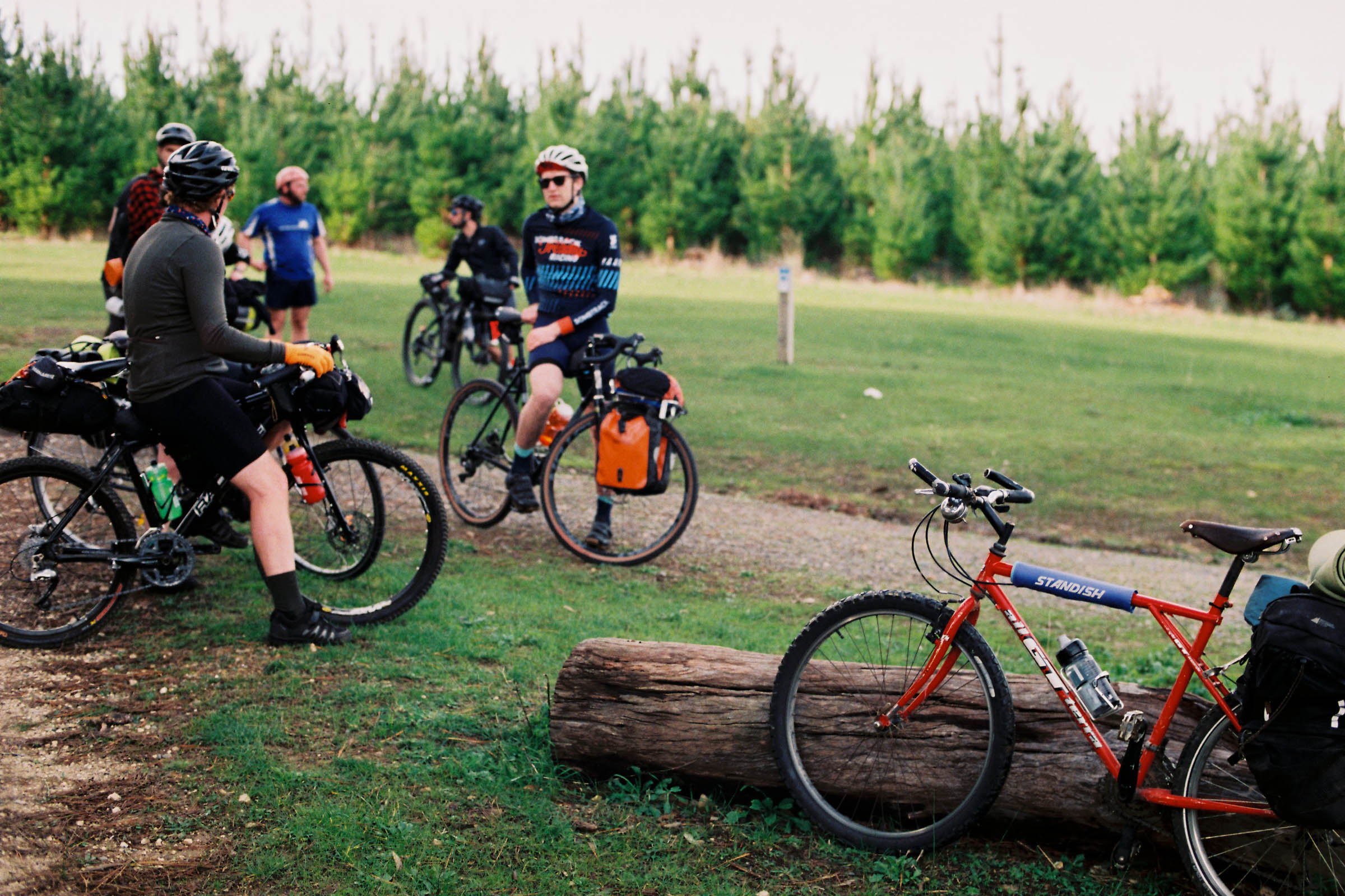
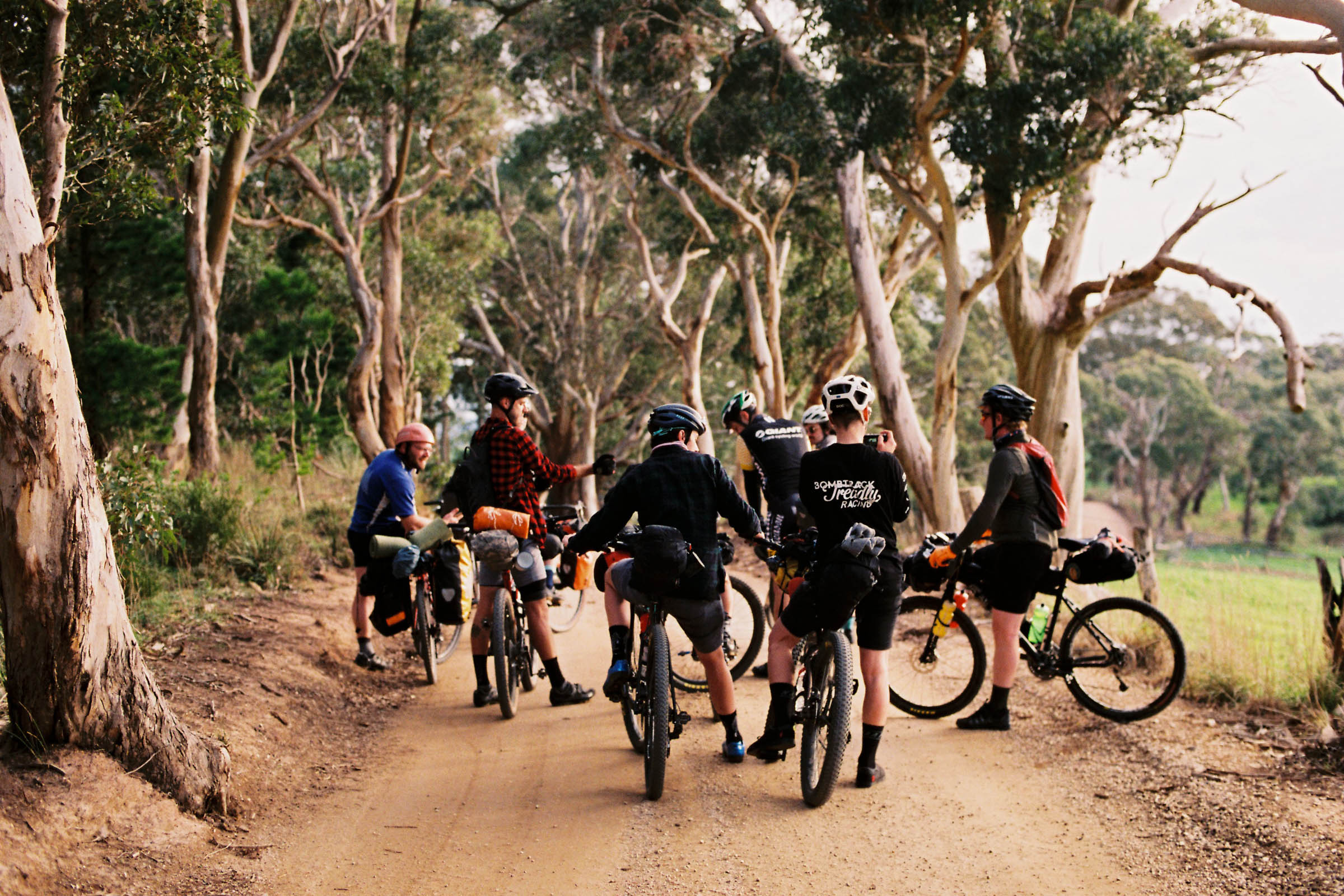
Kuitpo Forest Overnighter
Distance
76 Mi.
(122 KM)Days
2
% Unpaved
80%
% Singletrack
20%
% Rideable (time)
98%
Total Ascent
5,884'
(1,793 M)High Point
2,328'
(710 M)Difficulty (1-10)
5?
- 5Climbing Scale Moderate77 FT/MI (15 M/KM)
- -Technical Difficulty
- -Physical Demand
- -Resupply & Logistics
Contributed By

Caz Whitehead
Guest Contributor
Caz is a Tasmanian by birth, currently residing in Adelaide. She finds too many types of riding interesting, leading to an accumulation of bikes. She used to be a photographer, loves dogs, travelling, has a heavy interest in science-related topics, rides bikes for the fun and thrill of being outside, and loves dragging others into adventuring. Instagram: @caztheturtle.
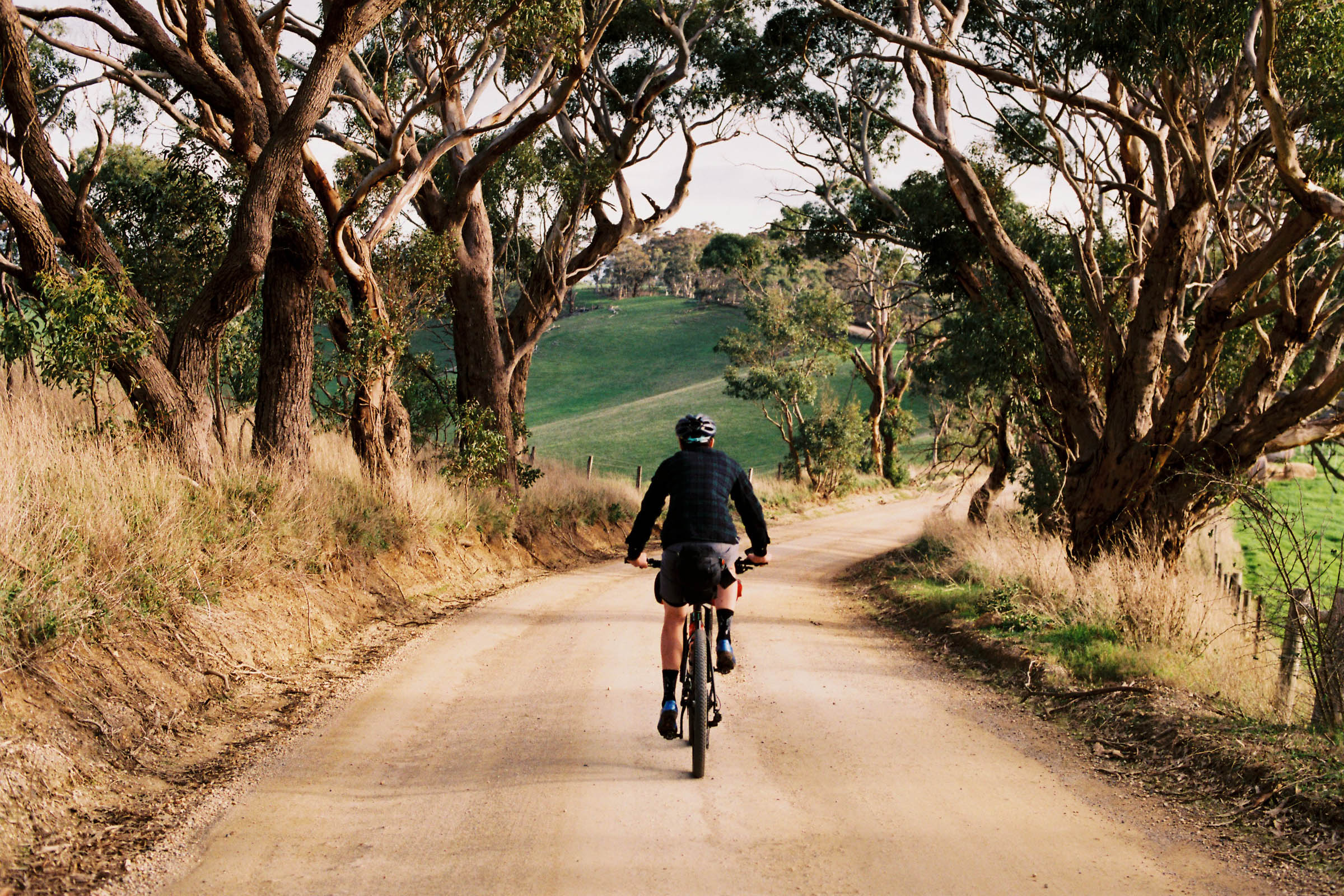
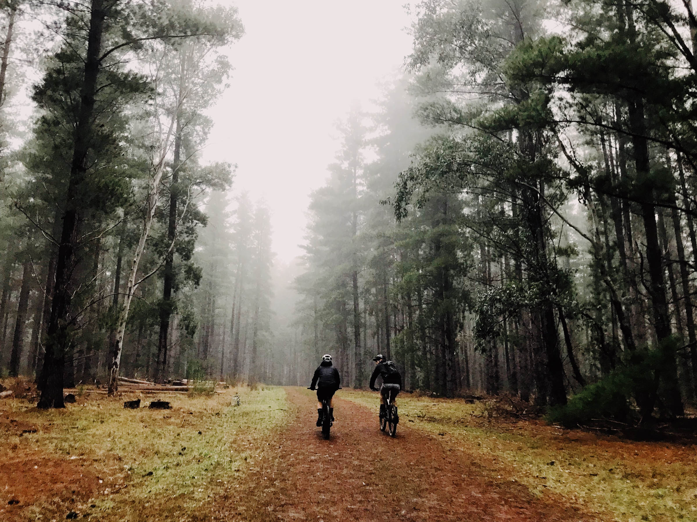
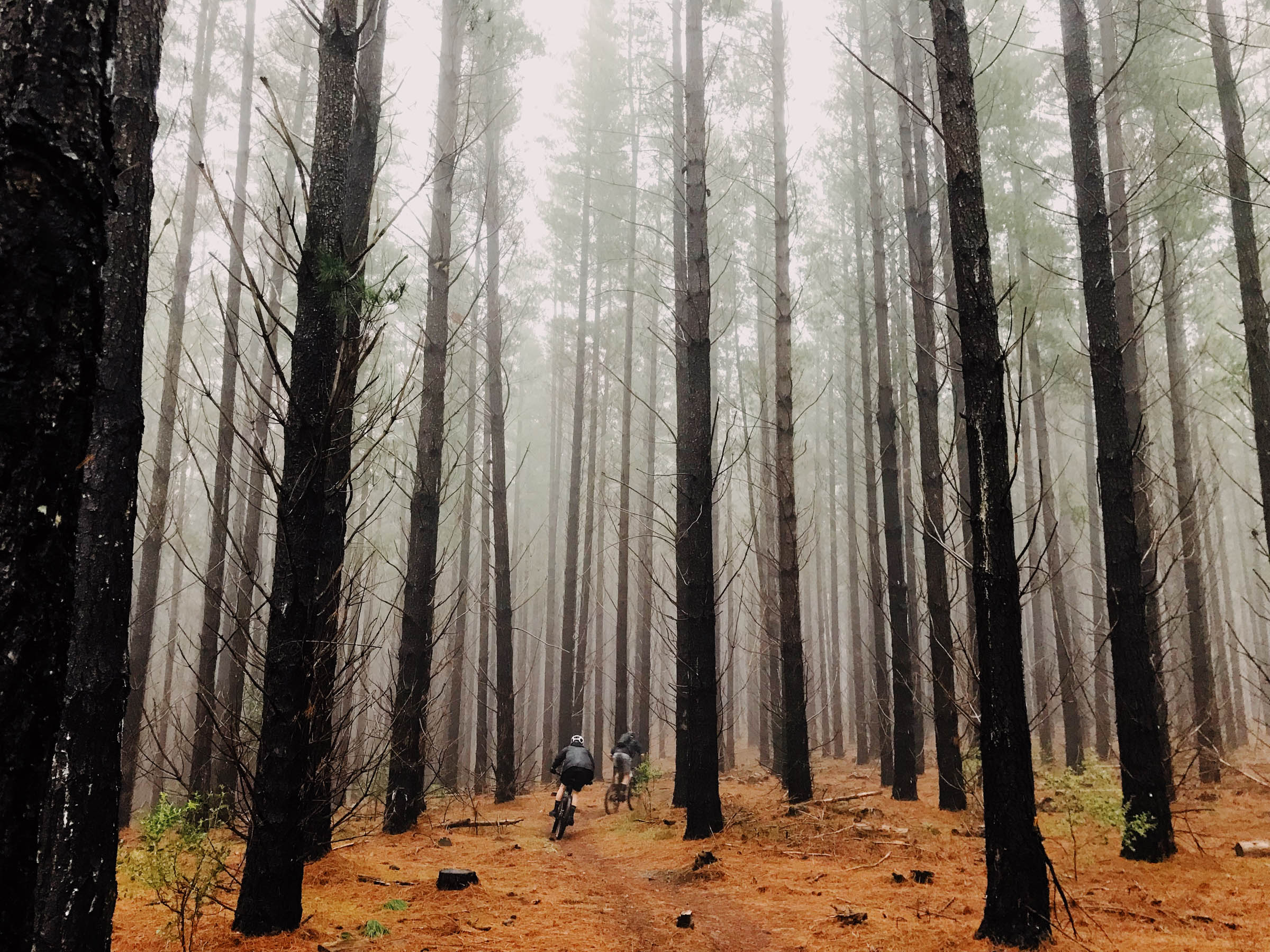
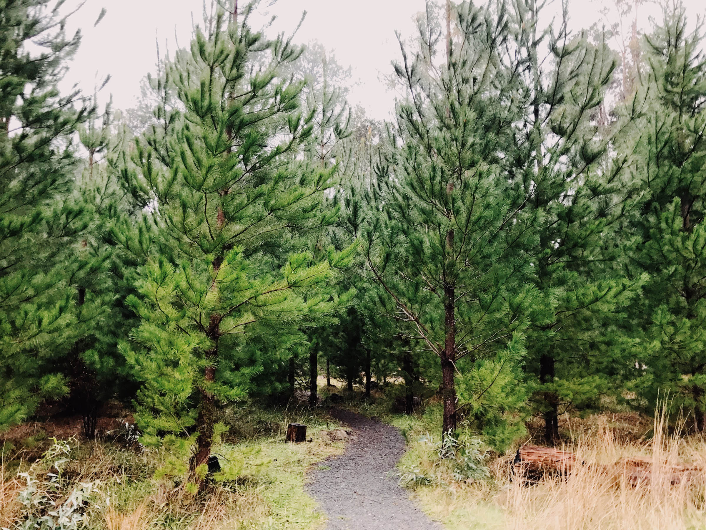
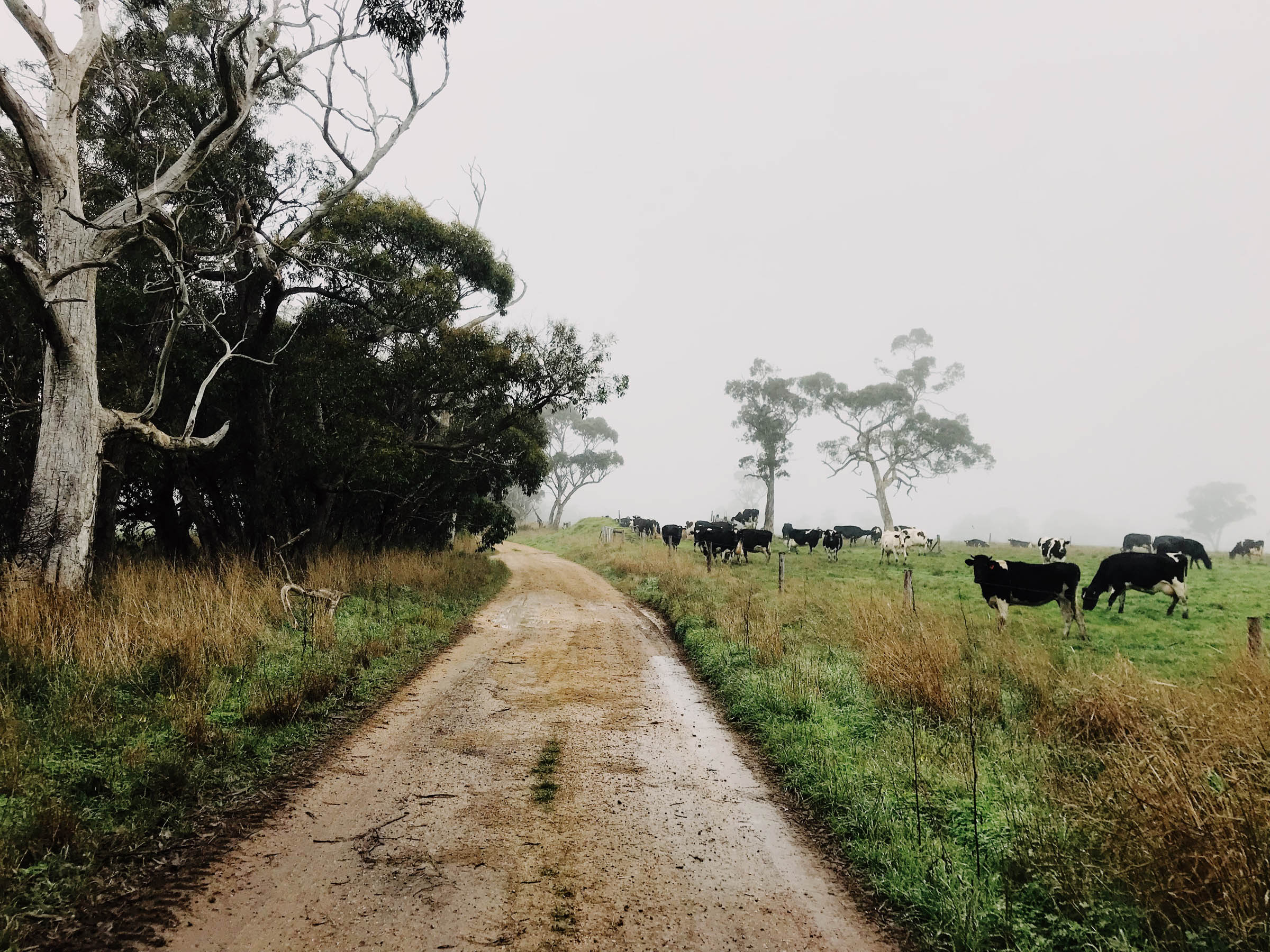
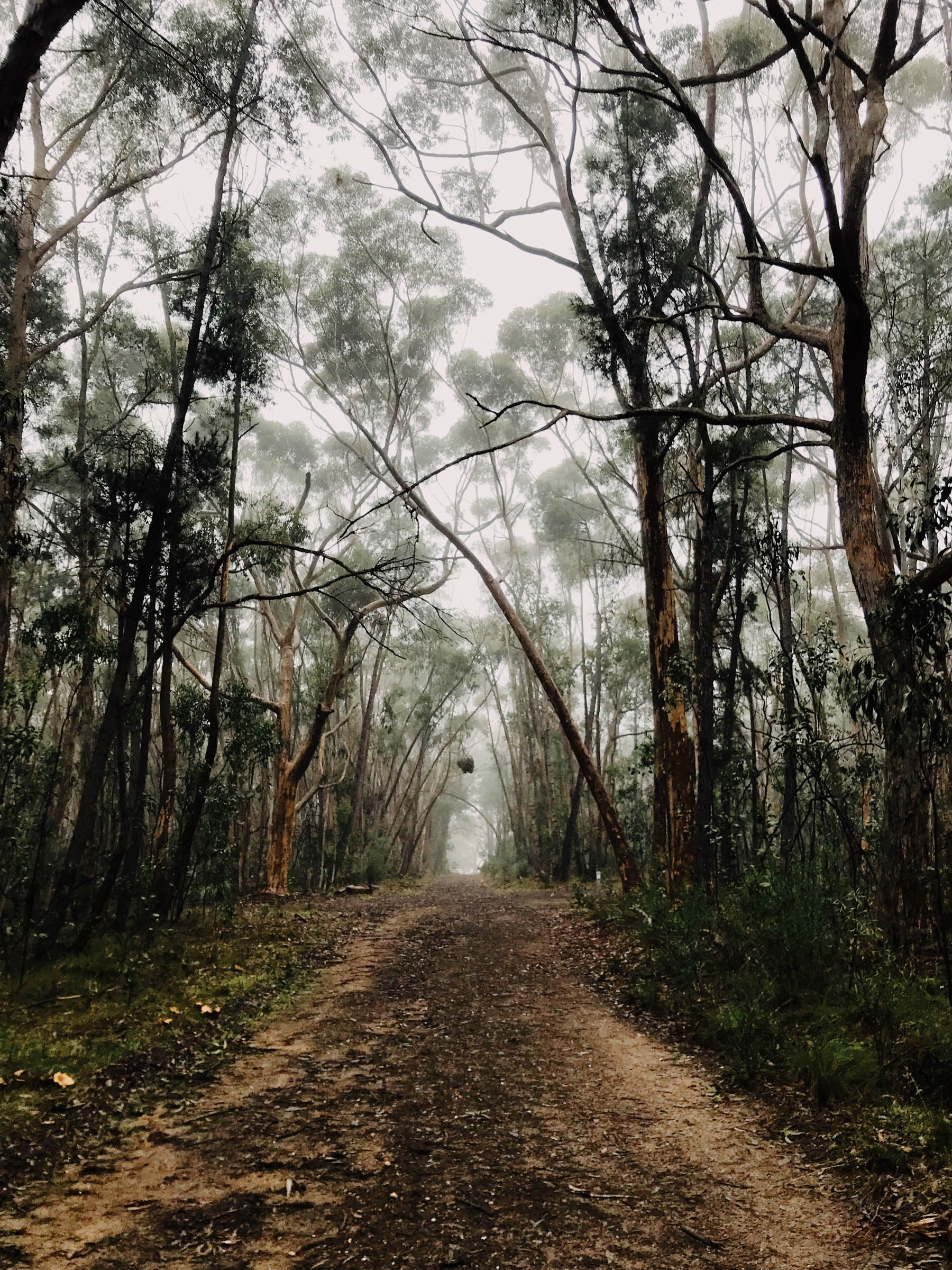
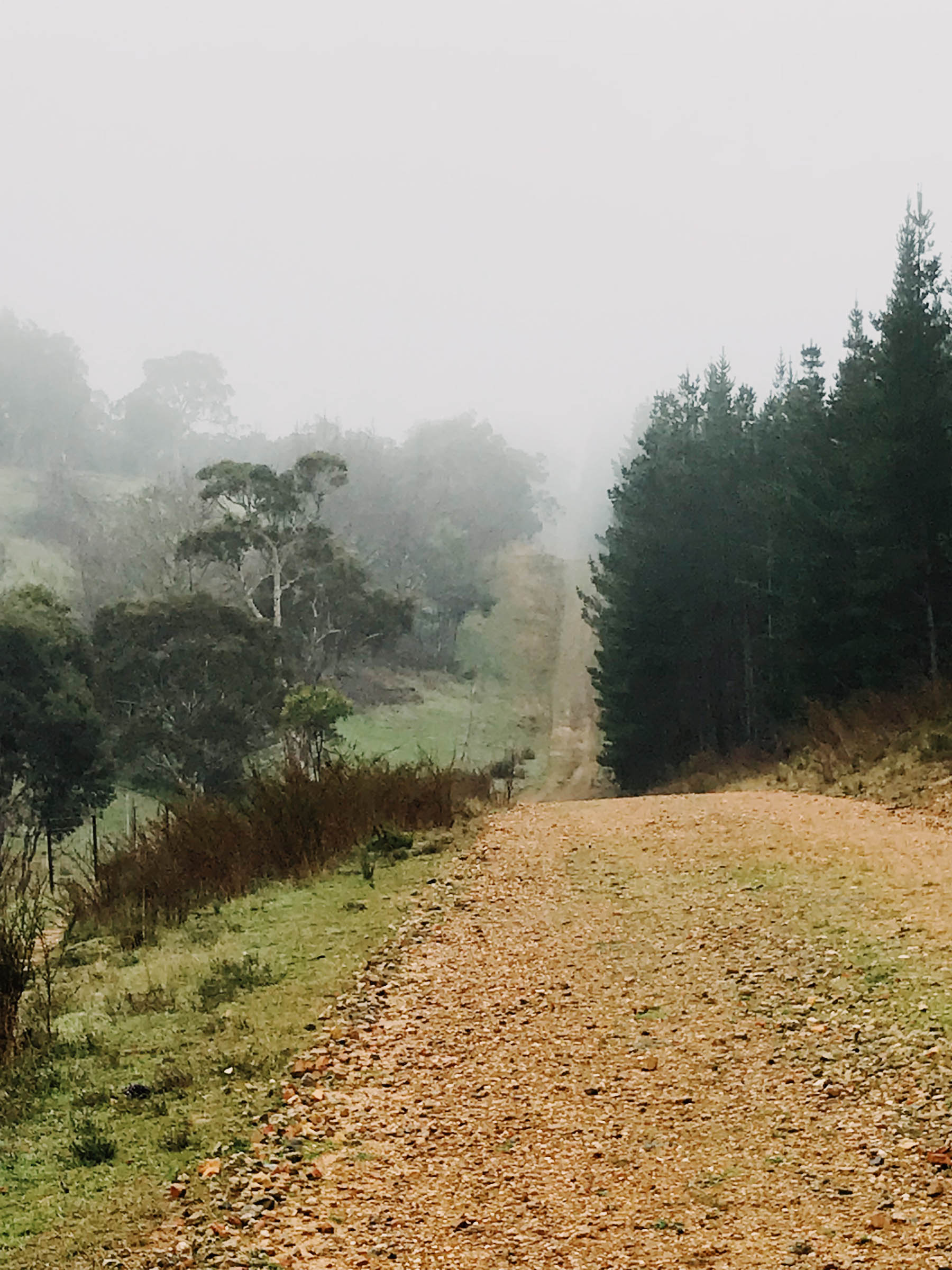
Adelaide is a dry city. The rain is rare, but Australia’s plants thrive when there is damp weather. Doing this route in the colder months means the soil is lush and plump, filled with sprouts and little brightly-coloured flowers which line the edges of the trails. Gravel roads are aplenty here. This entire route rarely touches sealed roads, and when it does, it’s only for a nice descent or to visit a nearby bakery in a small town.
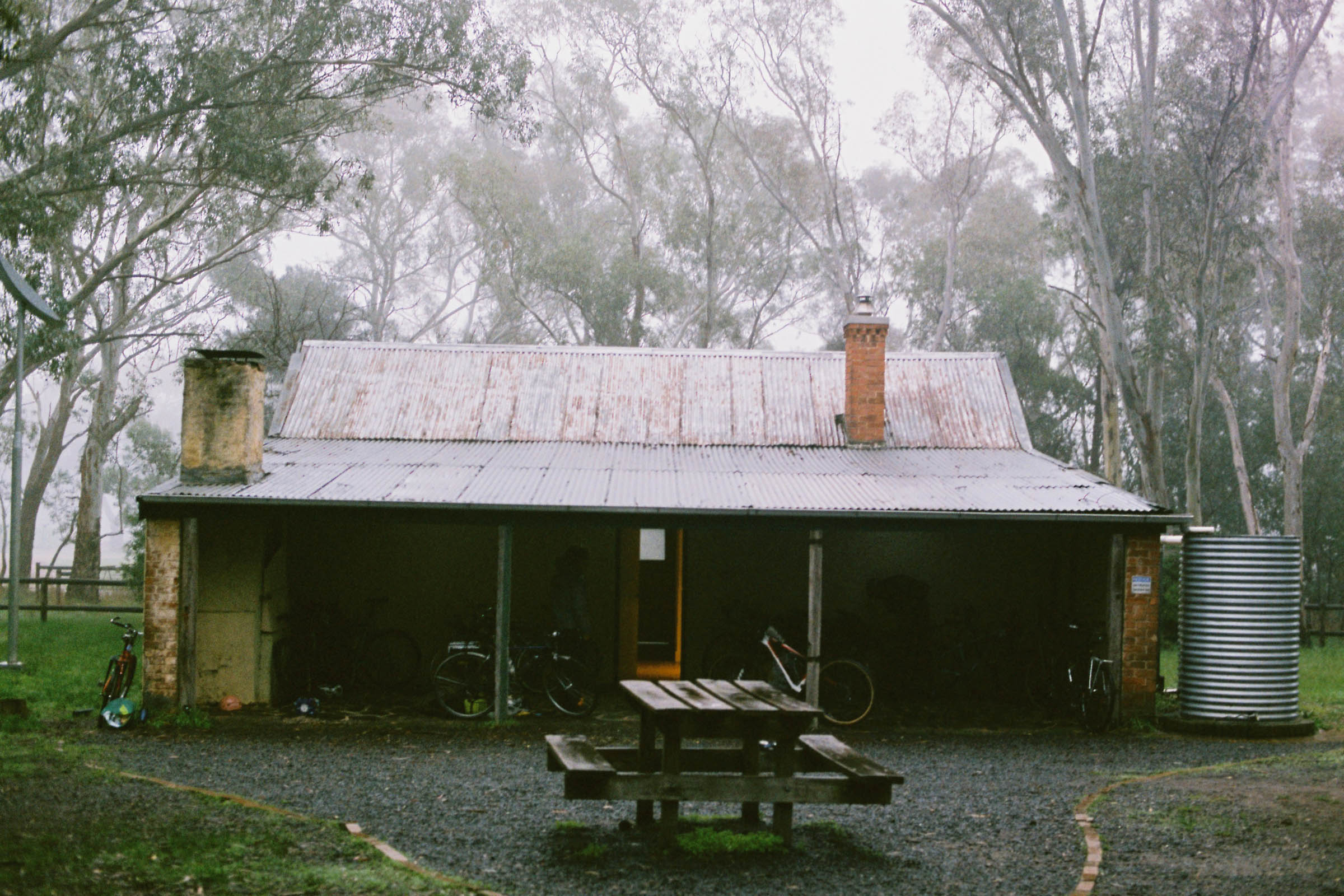
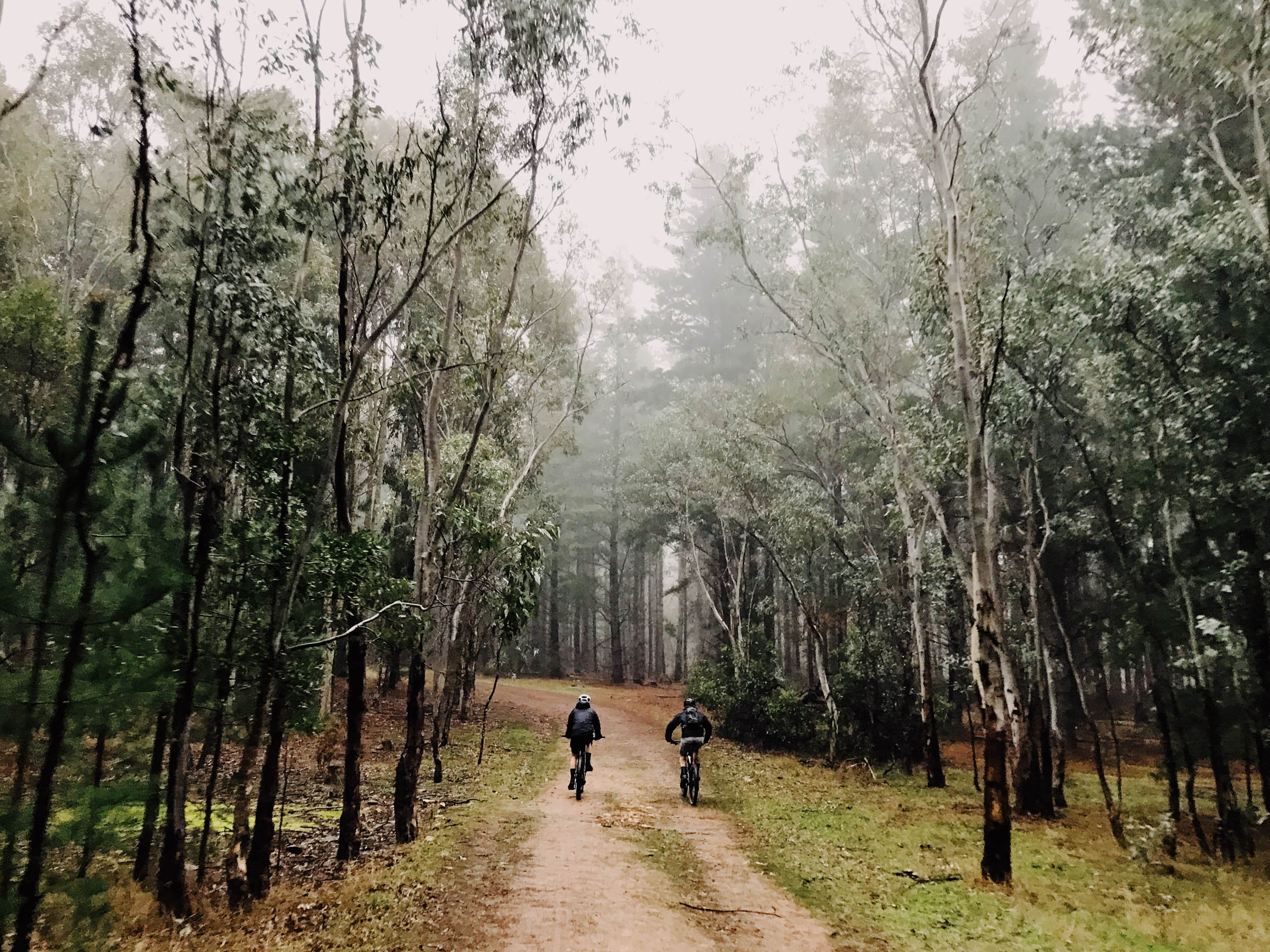
The hut in Kuitpo even features bunk beds and a fireplace, so planning this trip in the middle of winter doesn’t mean freezing to death. The hut is within short biking distance to mountain bike trails, so those early risers can get in a shred before joining the return trip back to the “big” city.
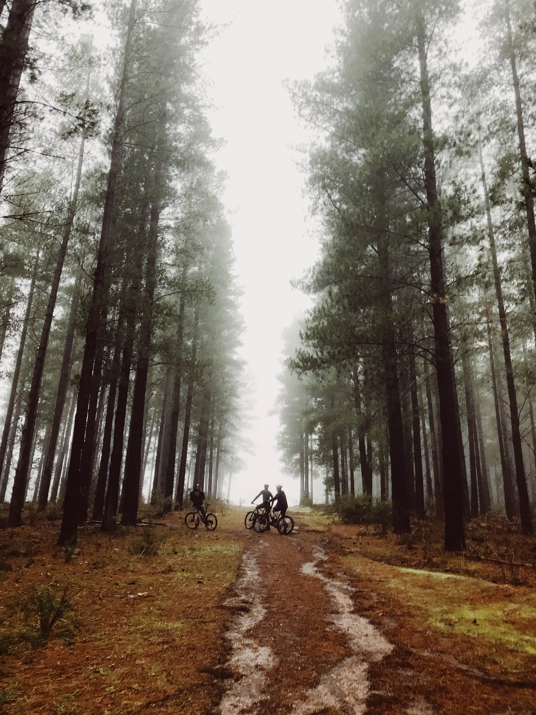
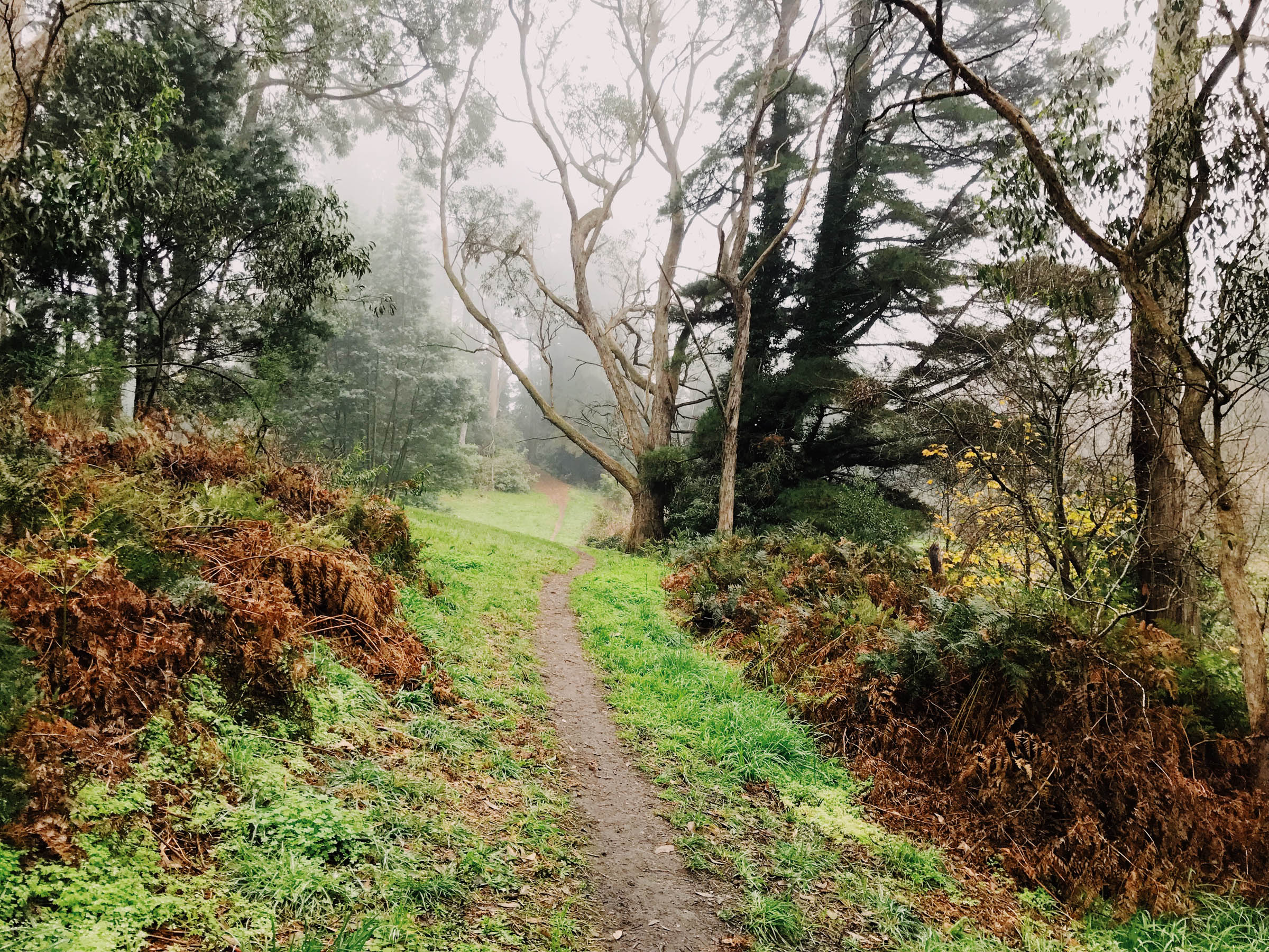
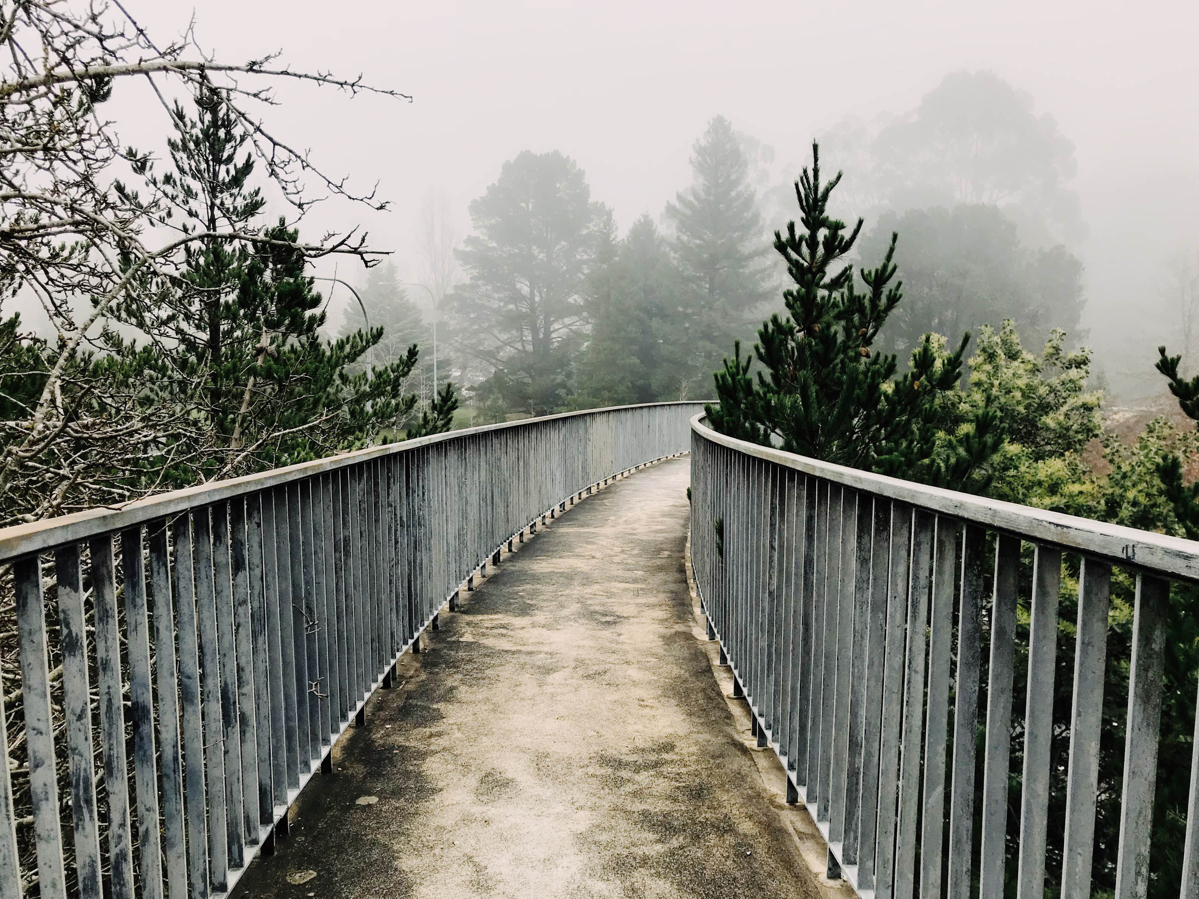
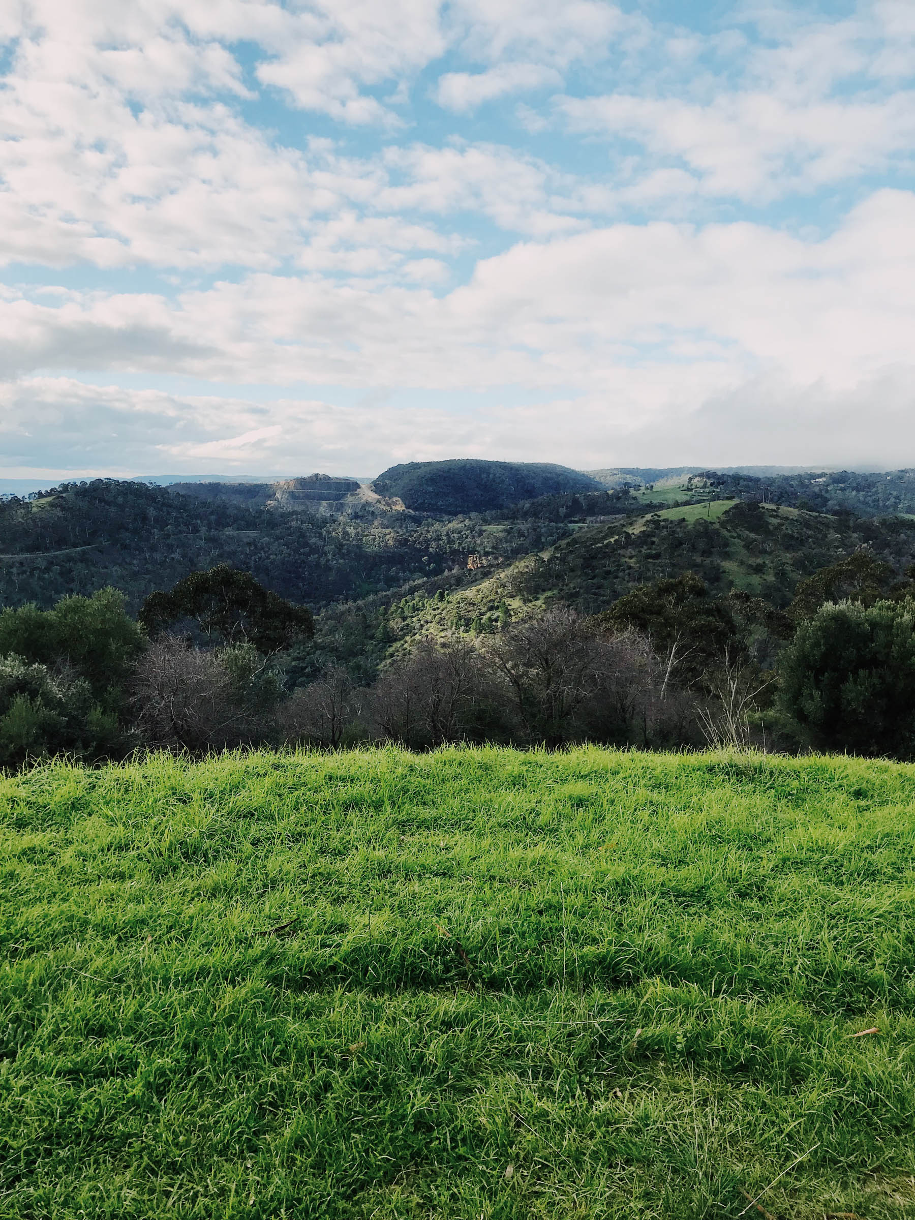
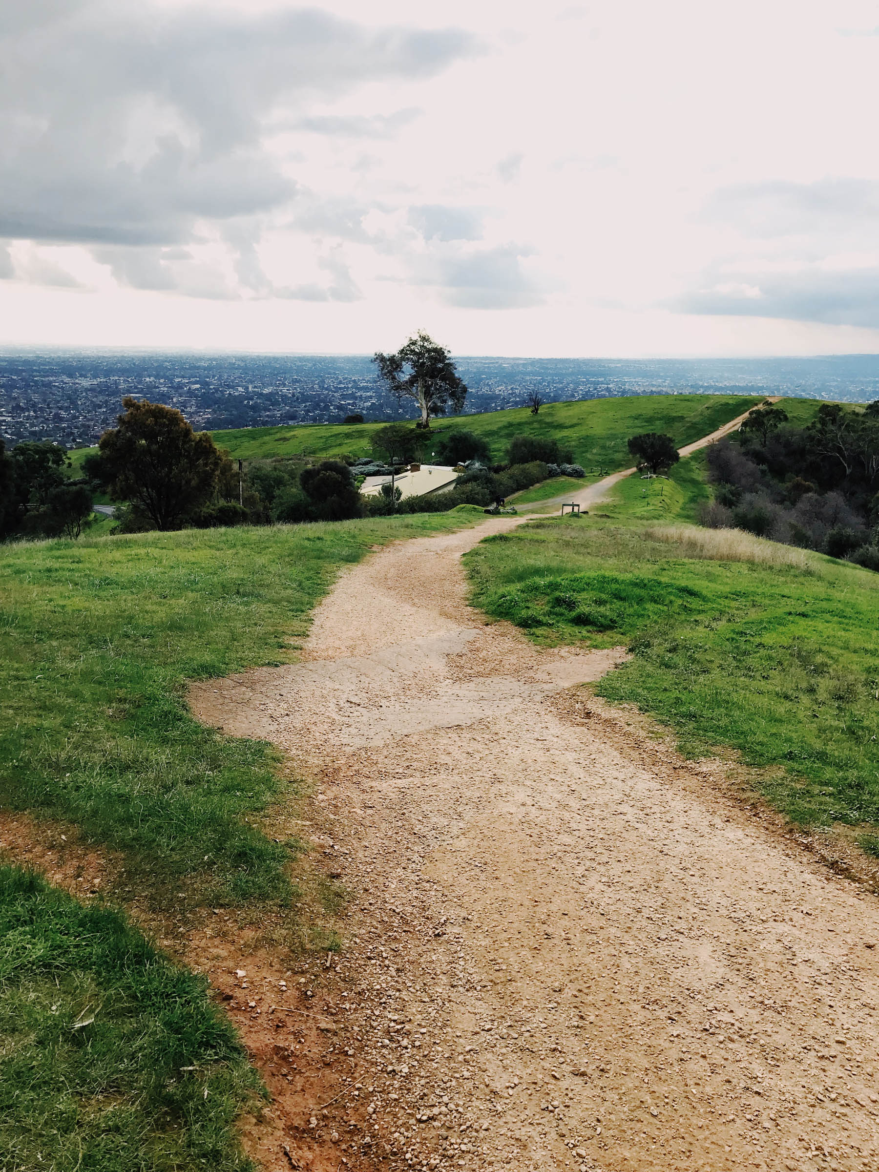
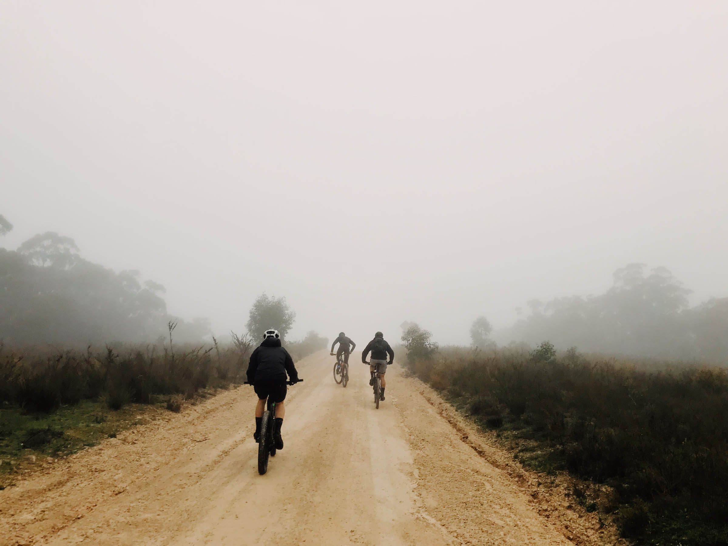
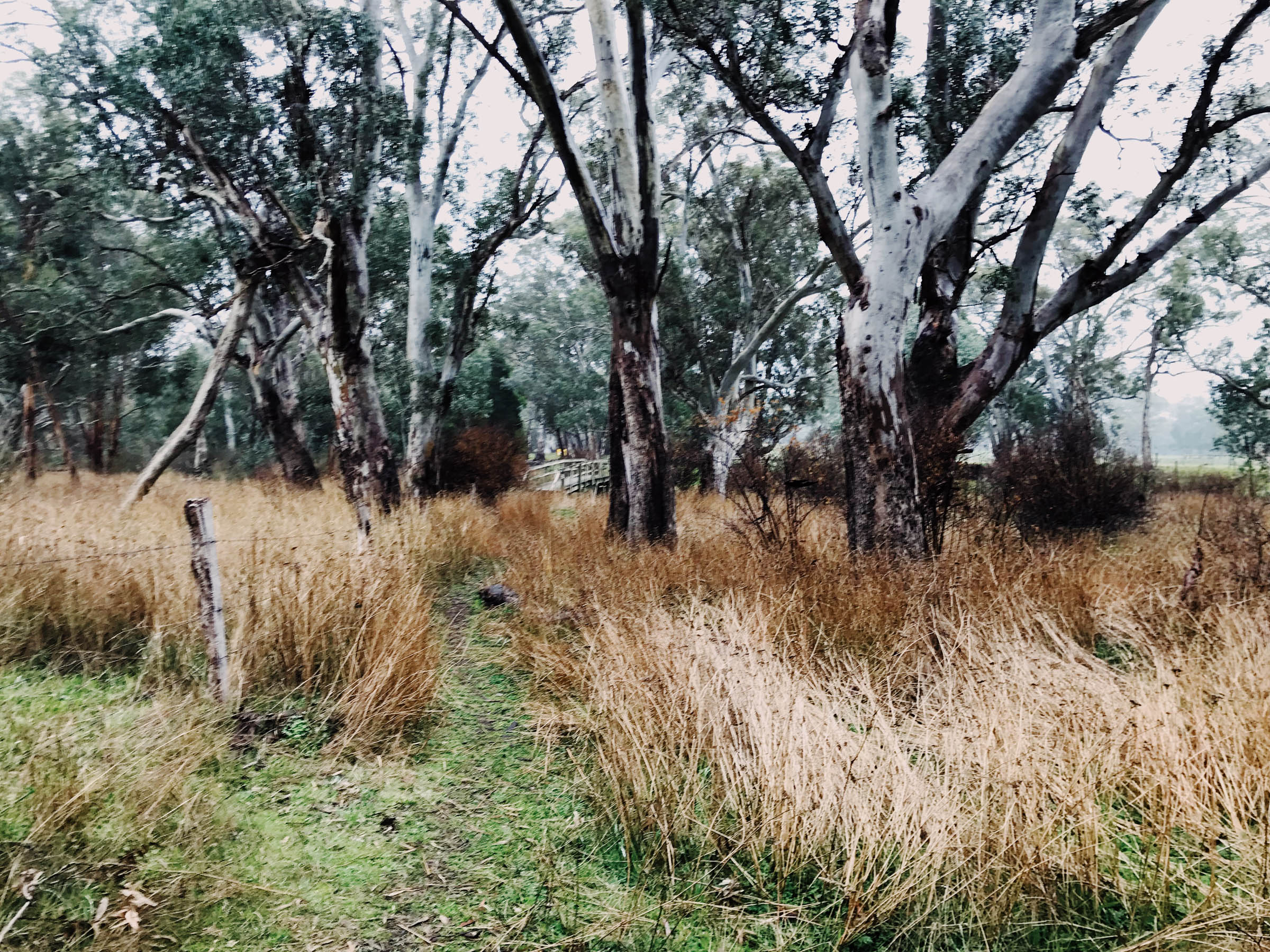
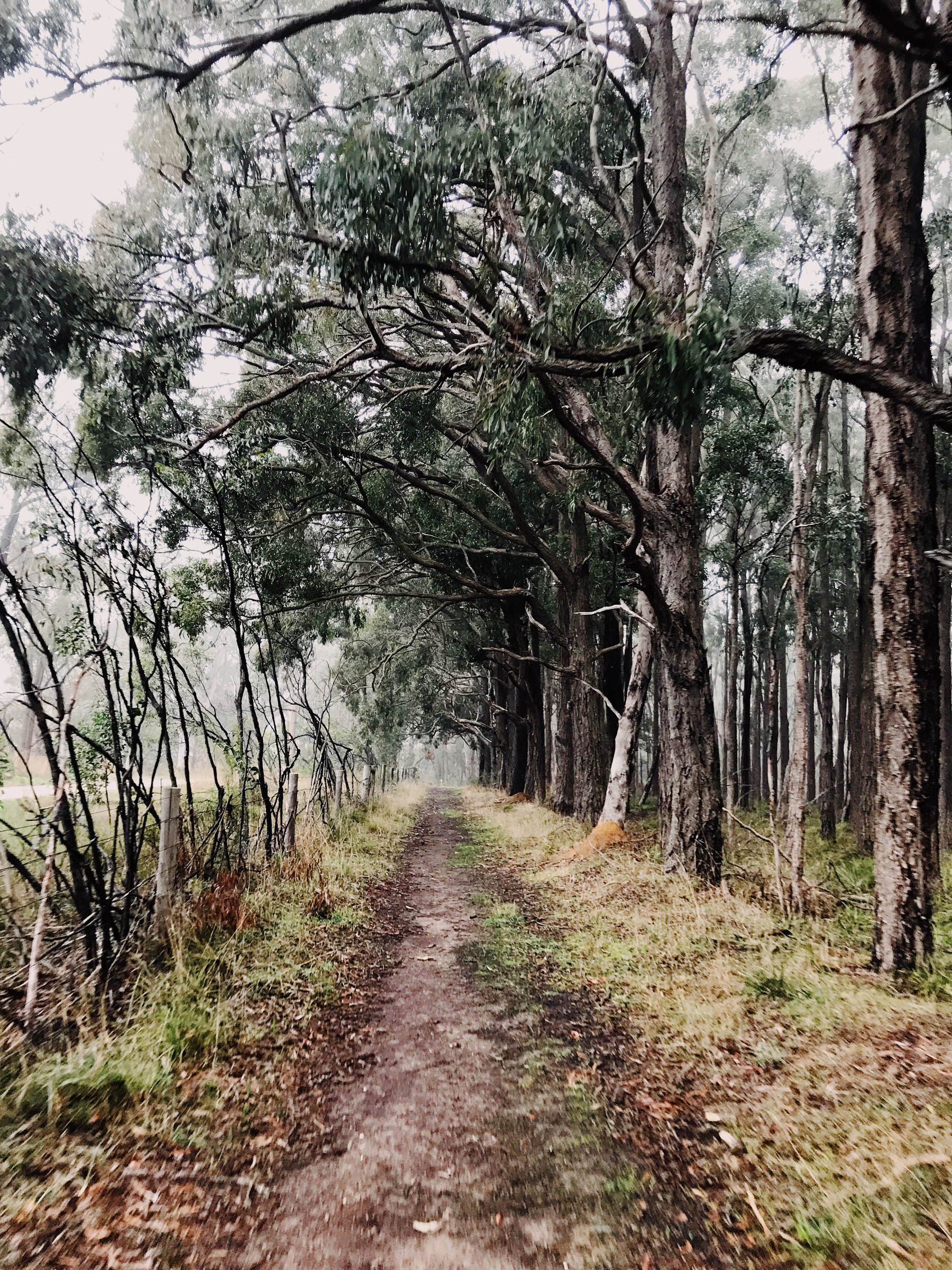
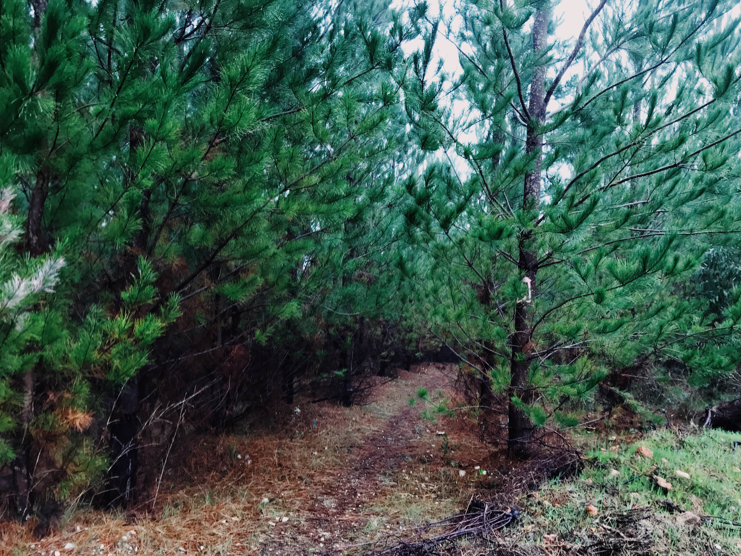
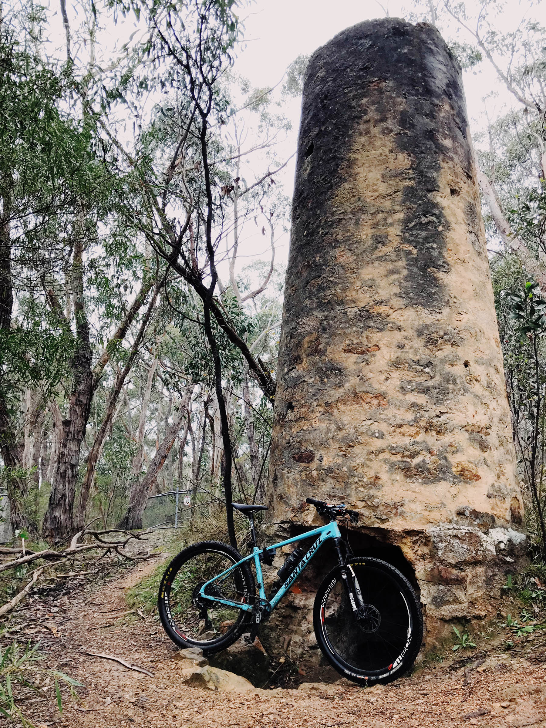
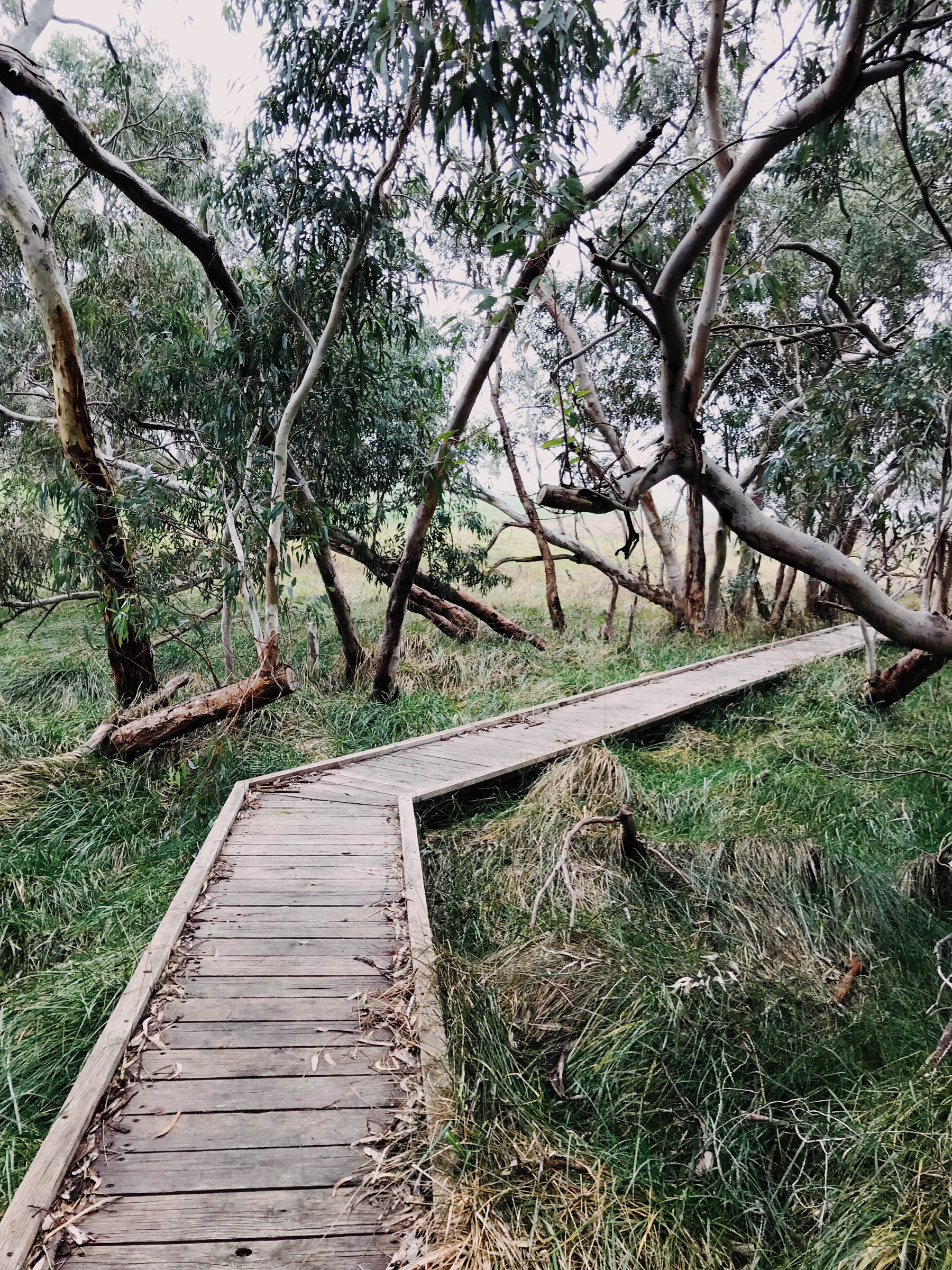
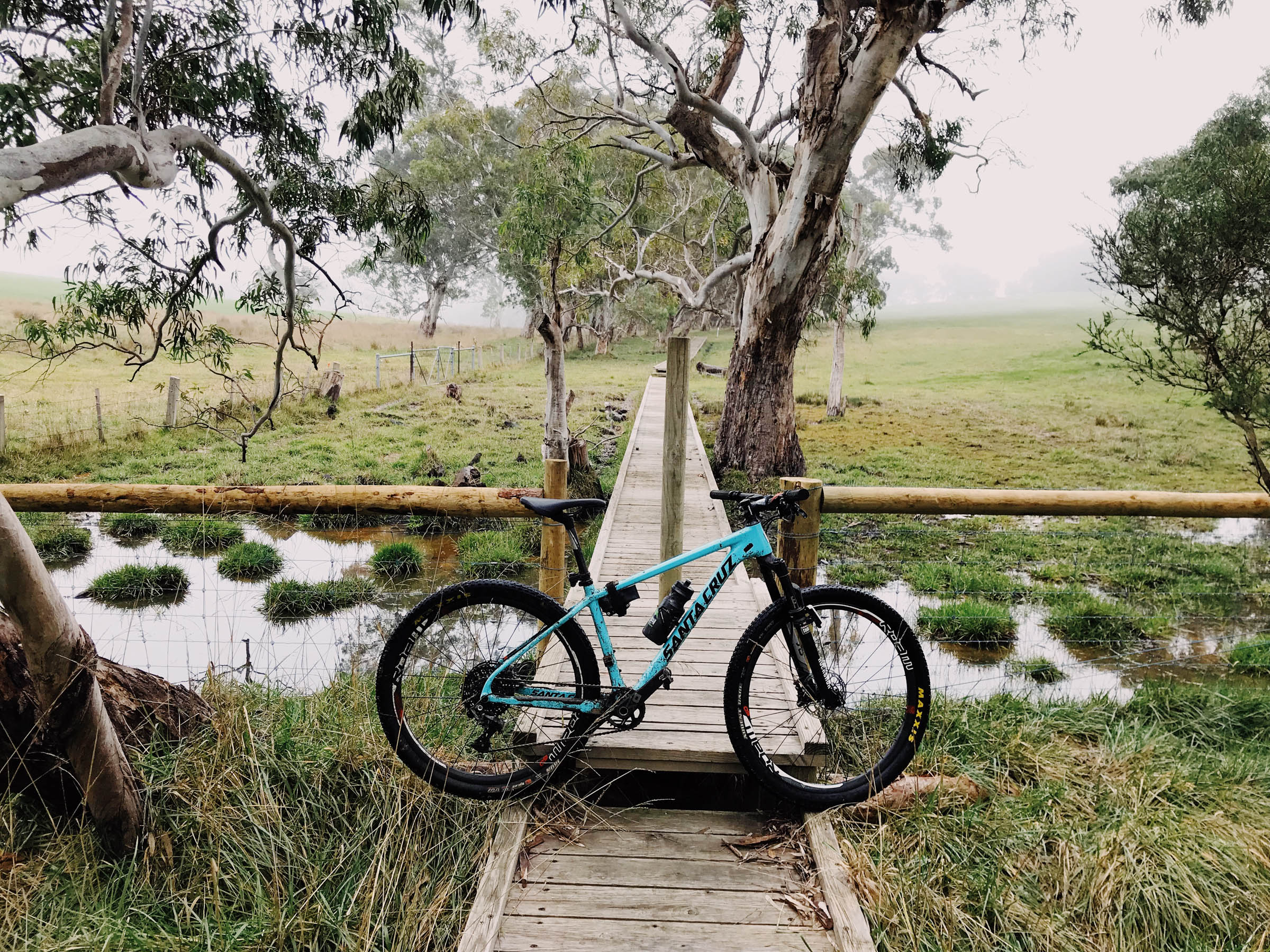
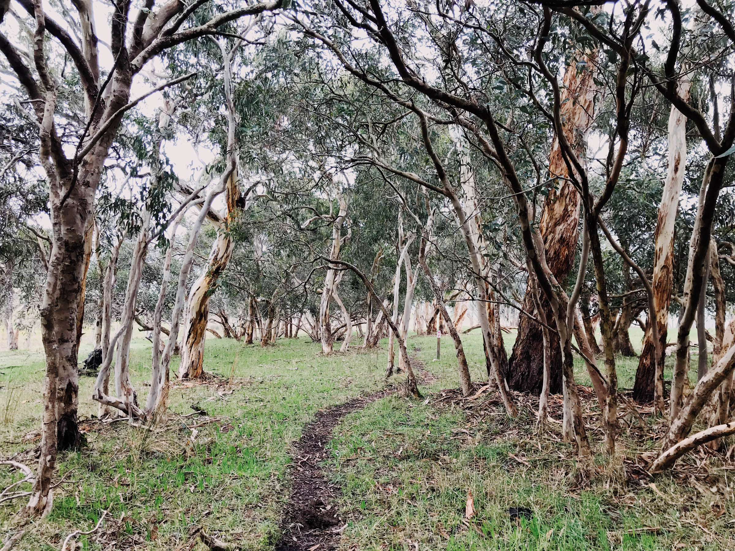
The return trip utilises a hiking trail which cuts through quiet farmland and pine plantations, where many kangaroos, koalas and black cockatoos can be spotted, if the group remains fairly quiet. The trail winds through an abandoned mining area on the return, and back into smaller towns where coffee and snacks can be consumed. Then it’s along through a park and down a trail which overlooks the entire city, and back down the hill toward the busier civilisation.
Difficulty
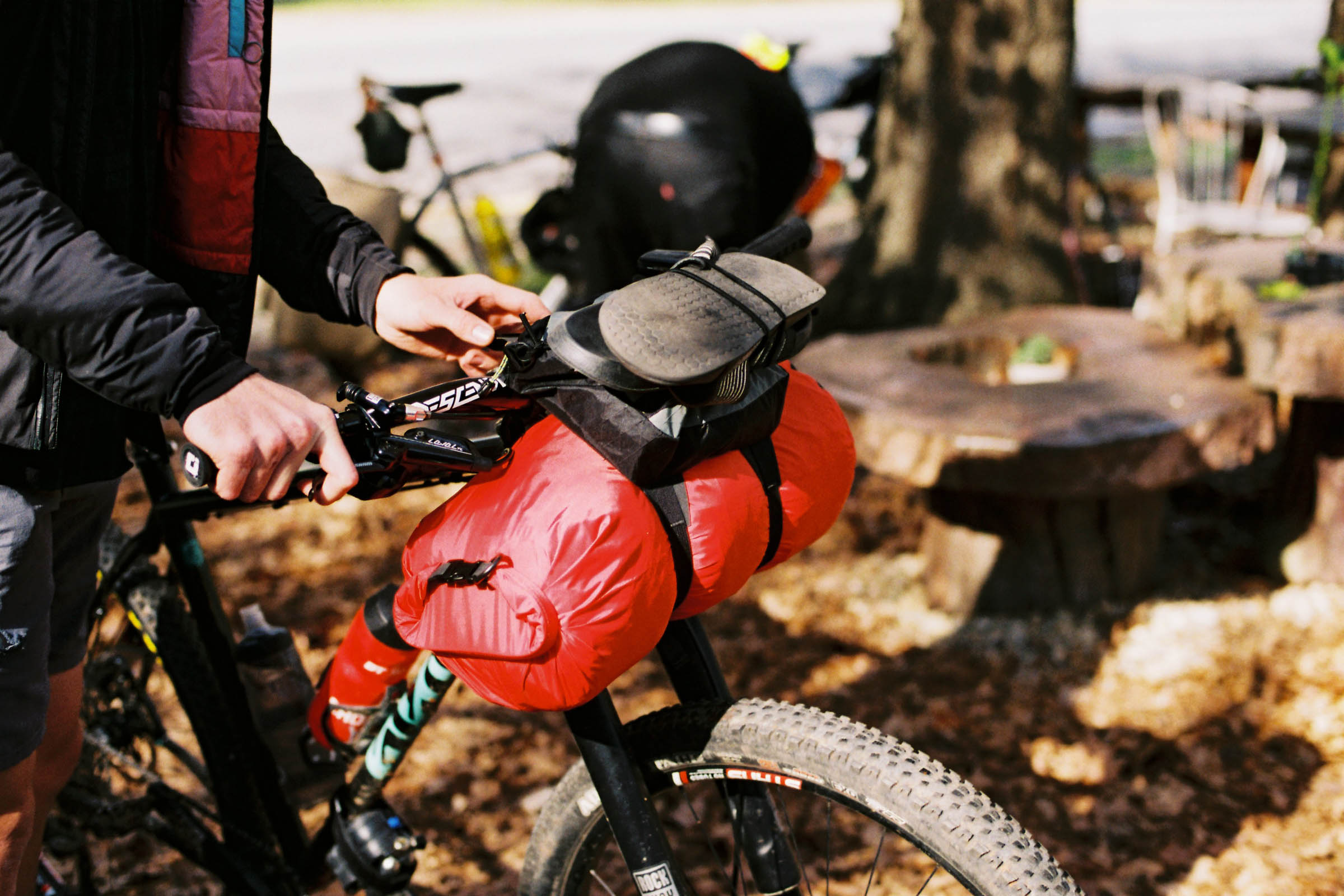
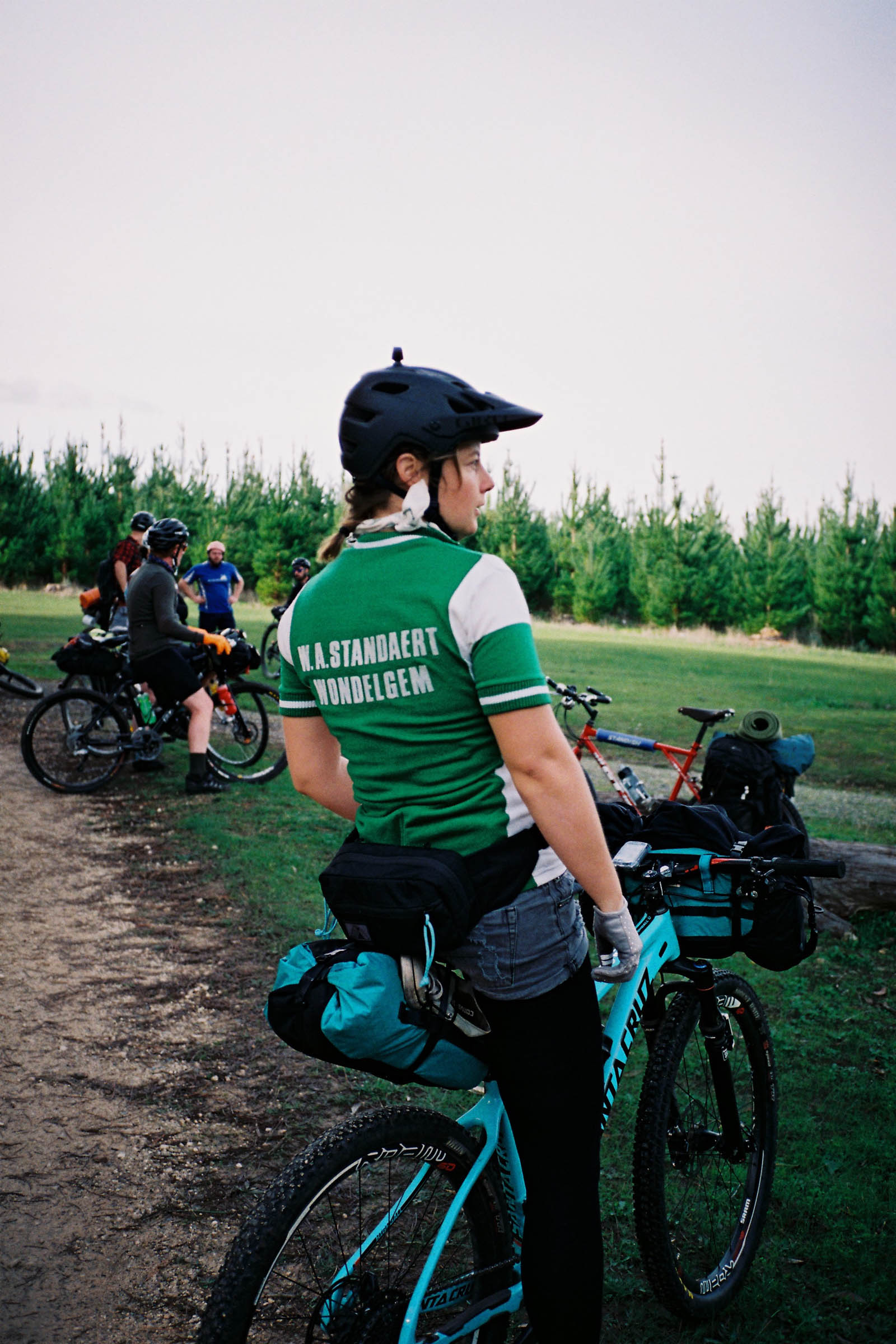
While this route is certainly not entirely singletrack, it does require both some fitness and some bicycle skill. The trip out to the hut is mostly fire-roads, but the return takes smaller, windier hiking trails, so can be labelled a 5 overall (Technical difficulty: 4; Physical demand: 6; Resupply and Logistics: 2). Water and food stops are directly possible along the route, and are never too far away at any point throughout the journey. A mountain-bike descent finishes the ride, but an option for the road descent—which runs next to the trail—is also possible.
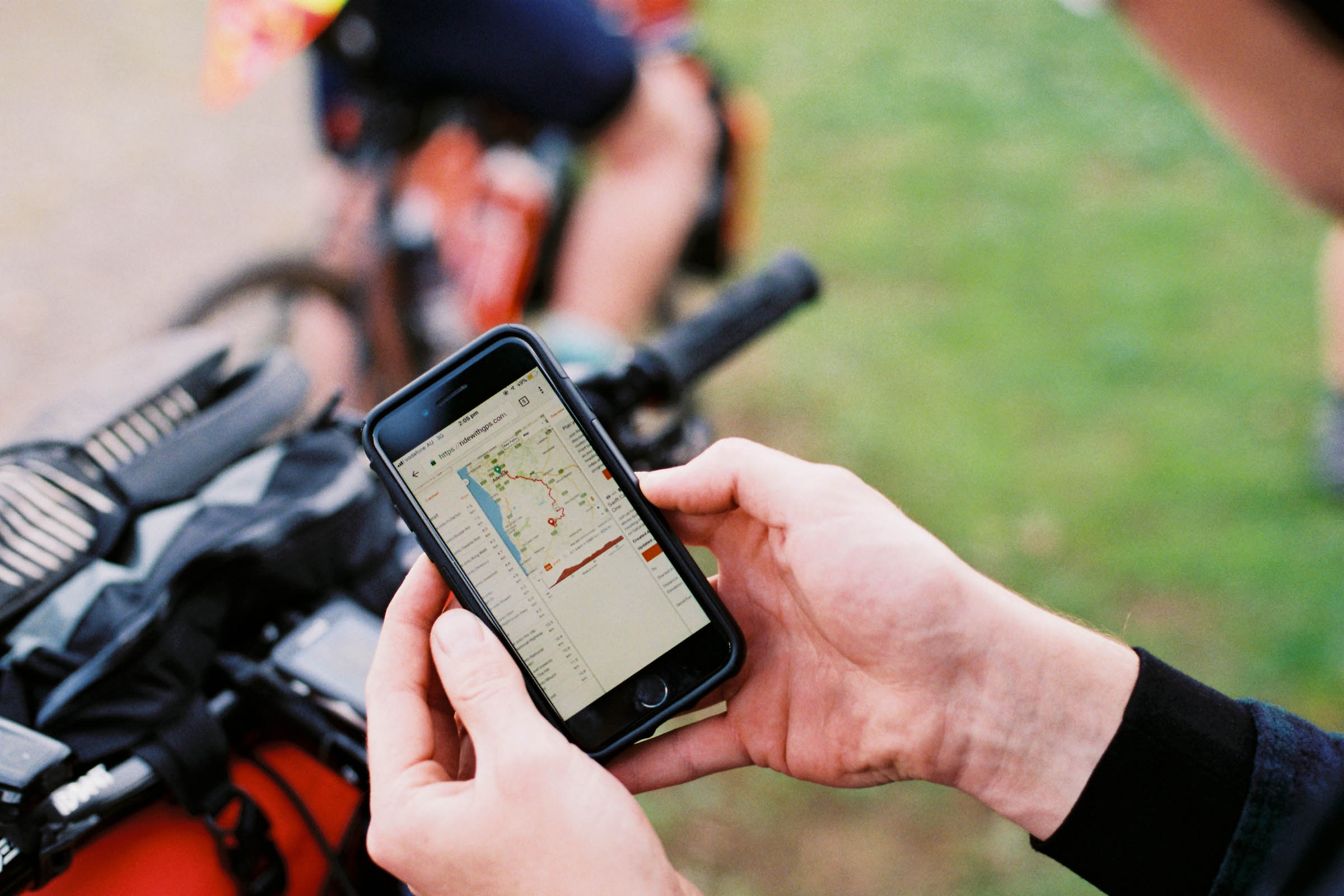
Route Development: A shout-out must be sent to the owners and employees of Treadly Bike Shop for designing the way out to the hut, which I have entirely “borrowed,” with their prior consent. Forestry SA own and operate the hut, and booking for an overnighter is easy through their website. The walking trail has been around for what seems like forever, and that’s also probably a large thanks to the Forestry service, and the owners of the farms and plantations. Most importantly though, this route runs on Kaurna and Peramangk land, and riding in these places is a privilege we don’t entirely deserve, so full respect goes to the custodians of this land.


Submit Route Alert
As the leading creator and publisher of bikepacking routes, BIKEPACKING.com endeavors to maintain, improve, and advocate for our growing network of bikepacking routes all over the world. As such, our editorial team, route creators, and Route Stewards serve as mediators for route improvements and opportunities for connectivity, conservation, and community growth around these routes. To facilitate these efforts, we rely on our Bikepacking Collective and the greater bikepacking community to call attention to critical issues and opportunities that are discovered while riding these routes. If you have a vital issue or opportunity regarding this route that pertains to one of the subjects below, please let us know:
Highlights
Must Know
Camping
Food/H2O
Trail Notes
Resources
- Koala-spotting game on Chambers Gully Track
- Views from Mt Lofty Lookout
- Brunch at Harvest Mylor Cafe
- Bread and dinner stock-up at Meadows Bakery
- Mountain biking in the pine forest trails near the campsite
- Riding with / beneath a flock of squawking black cockatoos on the Heysen Trail
- Photos of your bike against the plank bridges along Heysen Trail
- Checking out the abandoned mine site at Jupiter Creek
- The Pioneer Women’s Trail descent, overlooking the city
- Summer is dry and waterless, and also brown and hot. Choose late autumn / winter / early spring.
- Don’t go after lots of rain. Areas of this route will flood.
- There is parking at the beginning of this route, which doesn’t require a ticket.
- For those wishing to skip the hilliest sections at the beginning, start the route in Stirling.
- There can be horses and dogs on the walking trails. Ride slowly and gently past people, and animals.
- Lots of native wildlife exists along these routes, don’t interfere with or feed them.
- If booking the Woodcutter’s Cottage, all you need to carry is a sleeping bag, clothes, and food. Book here.
- The thick bunk mattresses are fairly comfortable.
- The hut sleeps ten people, but must be booked for two nights over the weekend. Cost: $99AUD/night.
- Other huts are available in the Kuitpo forest area, but require sleeping mats and do not offer as much protection against the elements.
- Many towns are passed through or almost passed through along this route.
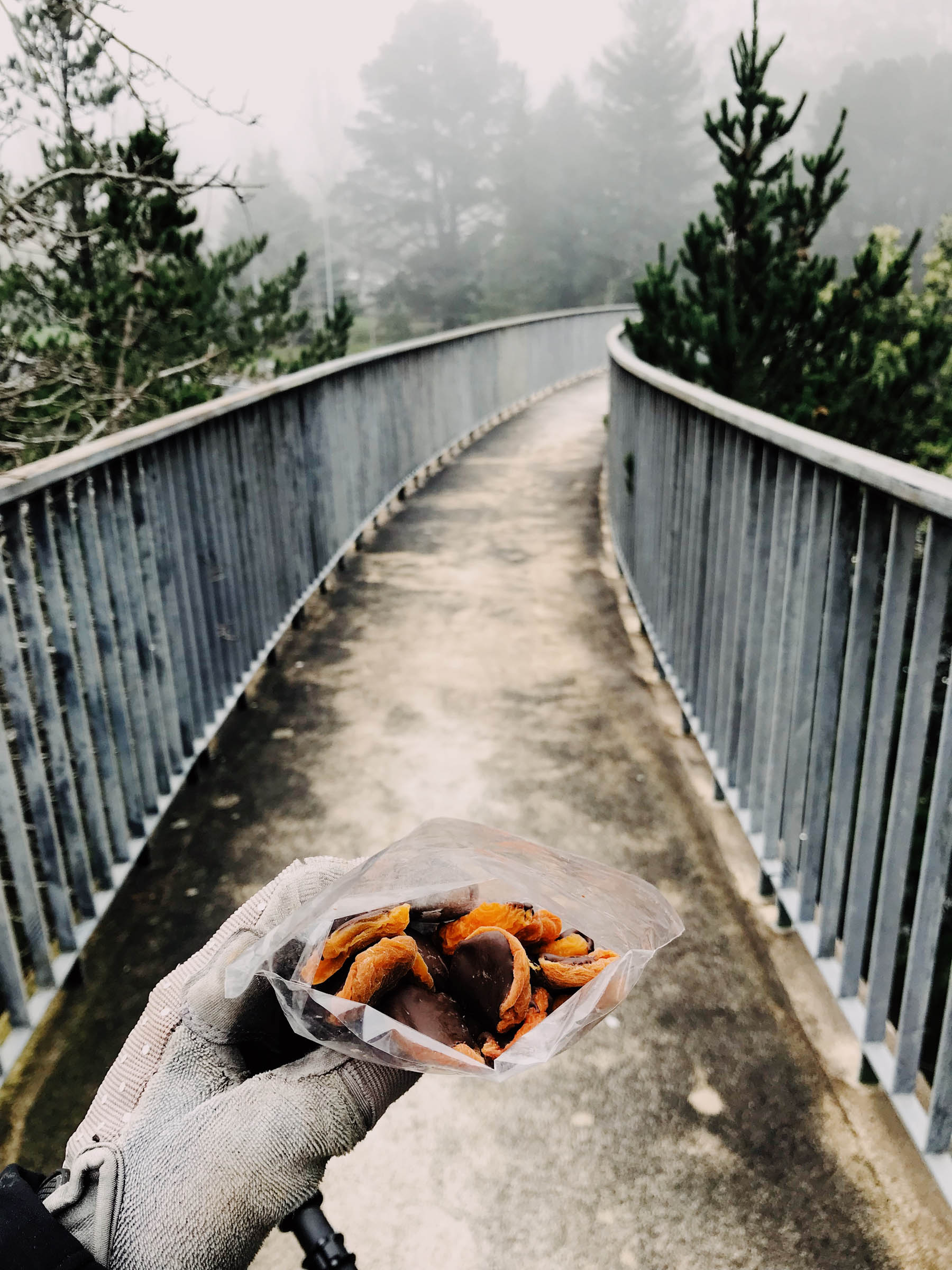
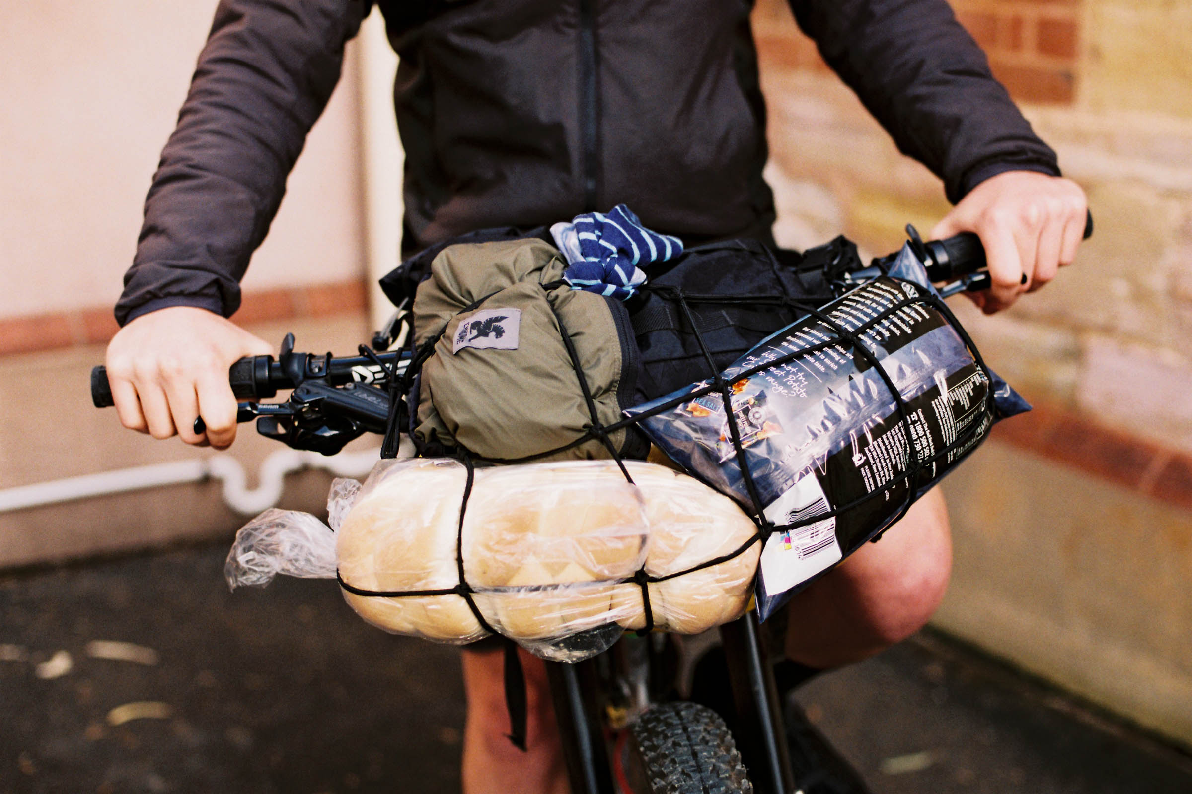
- Bakeries and cafes are aplenty.
- Woodcutter’s Cottage contains a basic kitchen, but food reheating still will require access to one’s own portable stove.
- At least two competing bakeries are in Meadows. Both are great.
- A small, yet amazing cafe called Dawn Patrol is nearby the return route, but requires a detour.
- Harvest Cafe in Mylor is very bicycle-friendly and directly along the route. A must-see.
- If travelling back on a Sunday, markets are usually running in Stirling. Various food items will be on offer.
- In the case of no markets, Organic Cafe Stirling is a must-visit. Do both if time permits.
- Water lines are almost everywhere, if in trouble, knock on a local’s door, who will very likely happily give you access to their water taps.
A summary of the route (in order of appearance):
- Begin in the unpaved car park off Waterfall Gully Road.
- Make a left along WFGR onto Chambers Gully Track.
- At the top, turn left toward the wildlife park, to Steub Trail which runs from the car park.
- Continue until Mt Lofty Lookout.
- Descend from the lookout, turning right onto Reynolds Drive.
- Take these trails through until popping out onto the small road near the top of the freeway.
- Cross a walking bridge and descend a small, dirt walking trail into Stirling.
- Descend Mt Barker Road until turning right at Aldgate Valley Road.
- Once at Mylor, take brunch at Harvest Cafe.
- Once filled with coffee and cake, take the road until turning right onto gravel Glen Bold Road.
- Continue along this, which winds onto Diggings Rd and Berry Road, and onto Razorback.
- A stop at a Meadows bakery happens around here.
- Follow the back roads until into Kuitpo Forest, follow trails to the hut.
- From the hut, find the marked Heysen Trail (some portions of the Heysen are unrideable, but few).
- Follow Heysen until Mylor (stop at the cafe again for refill).
- Find the Mylor Trail, which runs next to the main road, and follow this until it ends. (This is almost unrideable after rain. If wet, either fight with hiking the bike, or begrudgingly take the road.)
- Take a tiny bit of main road until turning off onto thick gravel alongside the train line.
- Once on Madurta Avenue, follow around and through Woorabinda Bushland Reserve.
- Ethel Trail will guide you into Stirling, enjoy the markets and Organic Cafe muffins.
- Take the same walking shortcut back toward the freeway bypass.
- Descend the freeway bike path until turning right onto Bollocks Track.
- Choose the mountain bike trail or the main fire road to (mostly) descend until PWT.
- Take Pioneer Women’s Trail to the base, return through the backstreets to the original park.
- Go home and sleep off the adventure, tell your friends.


Terms of Use: As with each bikepacking route guide published on BIKEPACKING.com, should you choose to cycle this route, do so at your own risk. Prior to setting out check current local weather, conditions, and land/road closures. While riding, obey all public and private land use restrictions and rules, carry proper safety and navigational equipment, and of course, follow the #leavenotrace guidelines. The information found herein is simply a planning resource to be used as a point of inspiration in conjunction with your own due-diligence. In spite of the fact that this route, associated GPS track (GPX and maps), and all route guidelines were prepared under diligent research by the specified contributor and/or contributors, the accuracy of such and judgement of the author is not guaranteed. BIKEPACKING.com LLC, its partners, associates, and contributors are in no way liable for personal injury, damage to personal property, or any other such situation that might happen to individual riders cycling or following this route.
Please keep the conversation civil, constructive, and inclusive, or your comment will be removed.