


Little Egypt River to River
Distance
120 Mi.
(193 KM)Days
2-3
% Unpaved
65%
% Singletrack
0%
% Rideable (time)
100%
Total Ascent
2,988'
(911 M)High Point
783'
(239 M)Difficulty (1-10)
5?
- 2Climbing Scale Easy25 FT/MI (5 M/KM)
- -Technical Difficulty
- -Physical Demand
- -Resupply & Logistics
Contributed By

Grant Miller
Guest Contributor
A native Kansan, Grant now calls beautiful southern Illinois home. His work as a teacher educator at Southern Illinois University includes developing local history curriculum with area teachers. These projects, supported in part by the Library of Congress, range from local African American communities and the Underground Railroad to the 1937 flood and can be found at educatingwithevidence.siu.edu.
Photos by Antonio Martinez
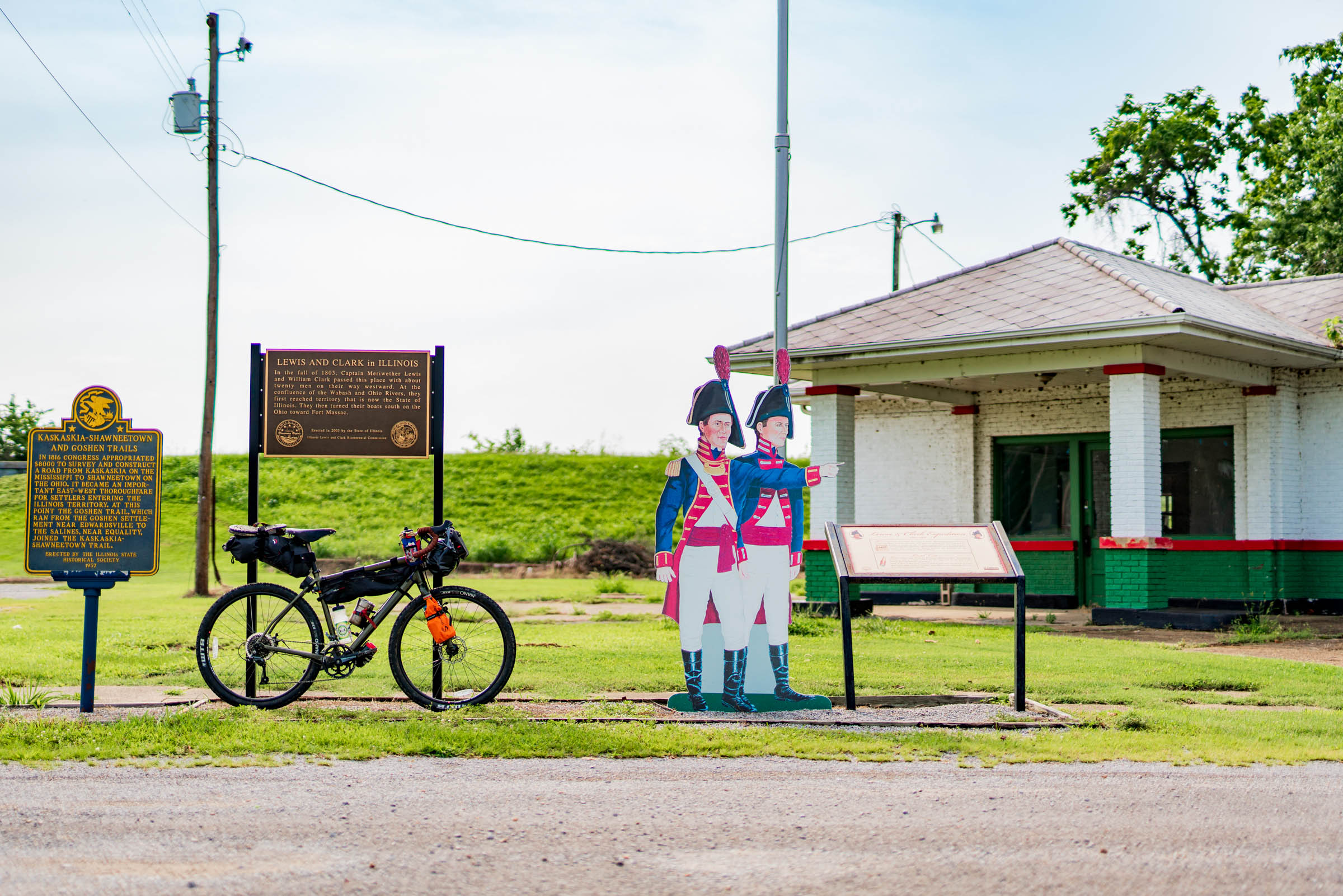
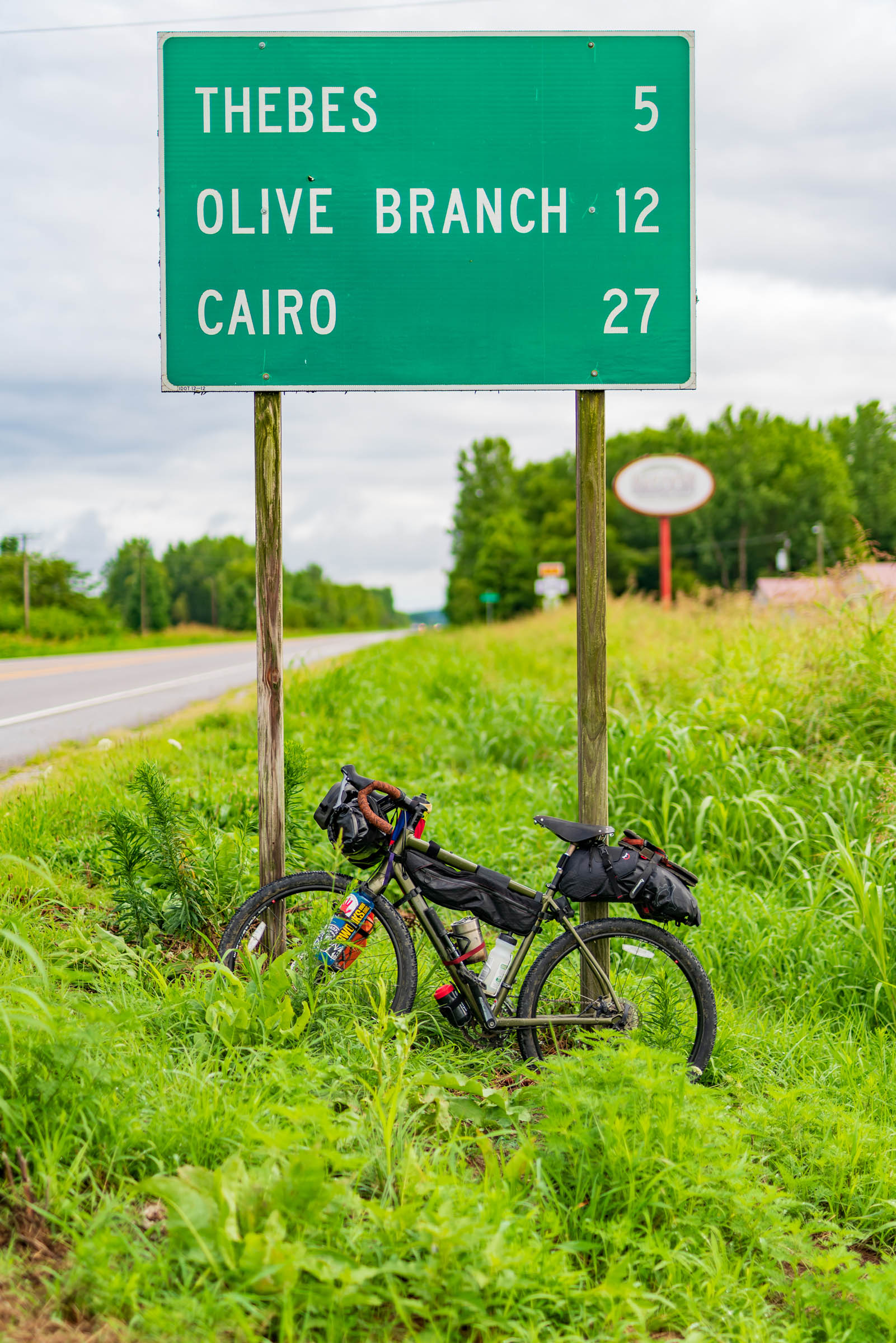
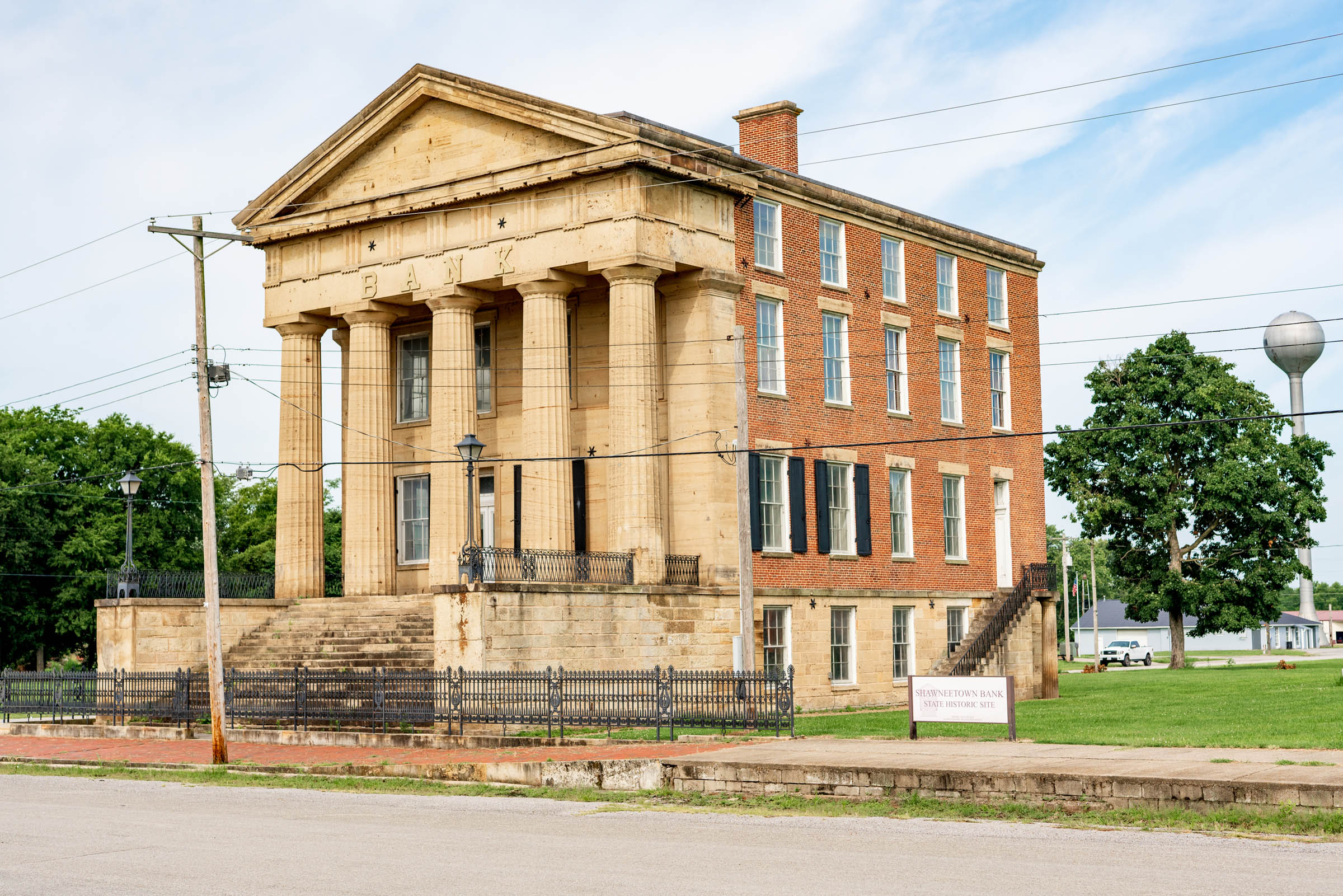
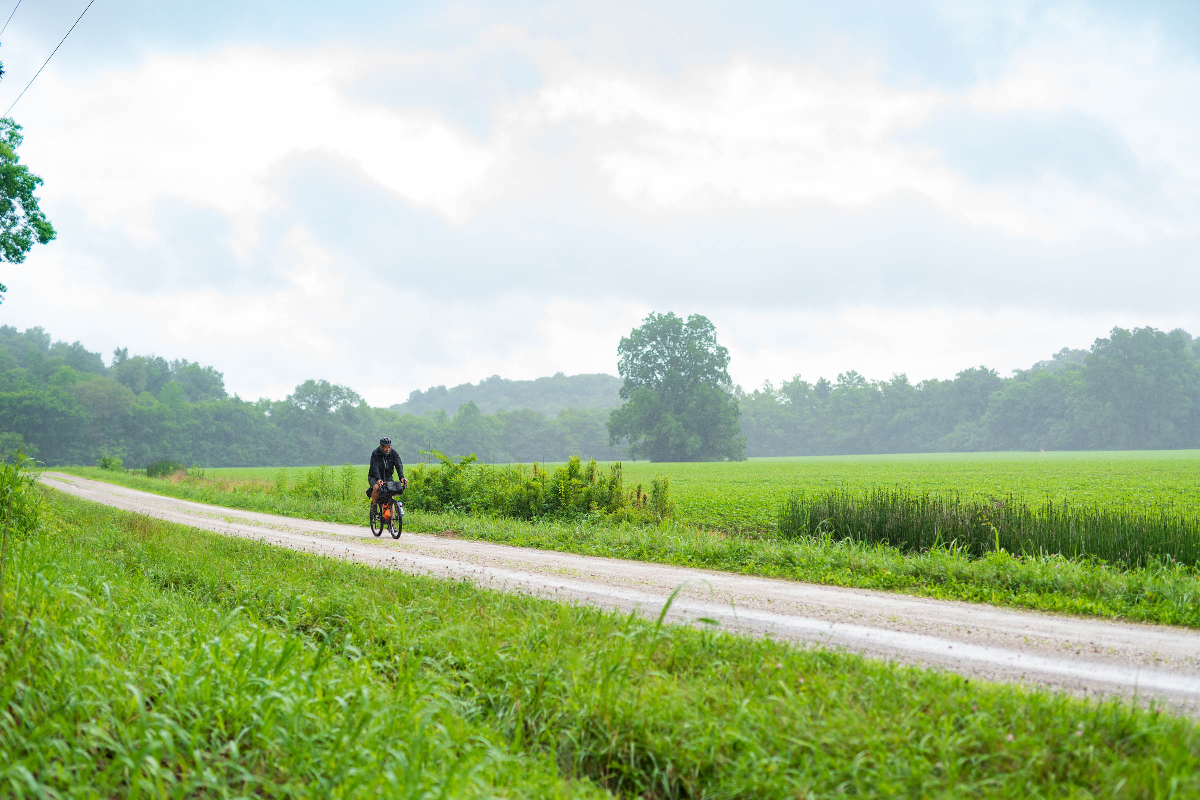
The region of southernmost Illinois known as “Little Egypt” has several unique features highlighted on this river-to-river route. Historically, it’s where the state’s European settlements began. Cairo (pronounced locally as “care-oh”) was a thriving Illinois river port at the confluence of the Ohio and Mississippi Rivers. Farther up the Ohio River where this route begins is Old Shawneetown, the oldest European town in Illinois and the location of the bank that denied boosters from Chicago a loan because it was “too far away” and unlikely to be a successful settlement. Time would tell a different story.
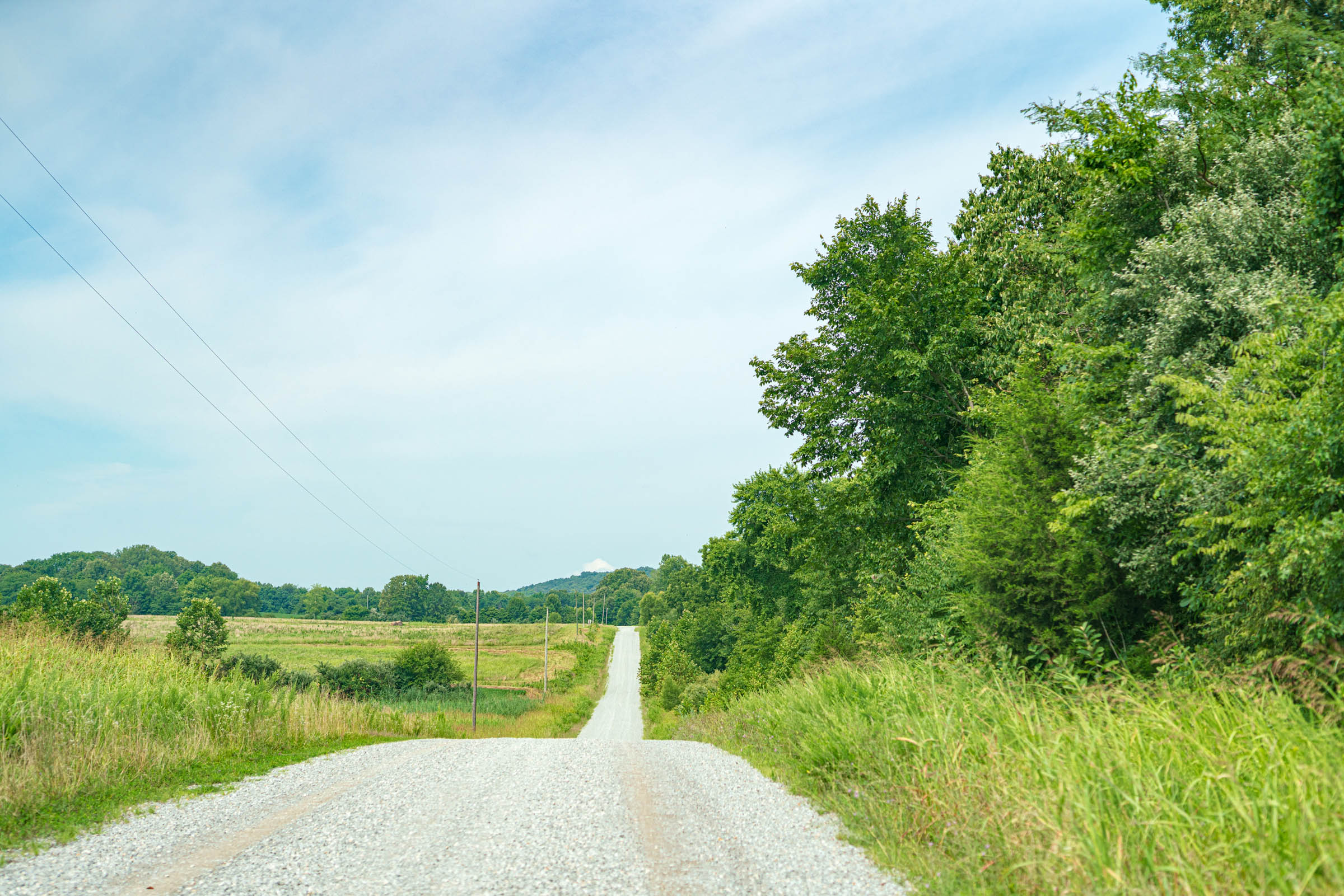
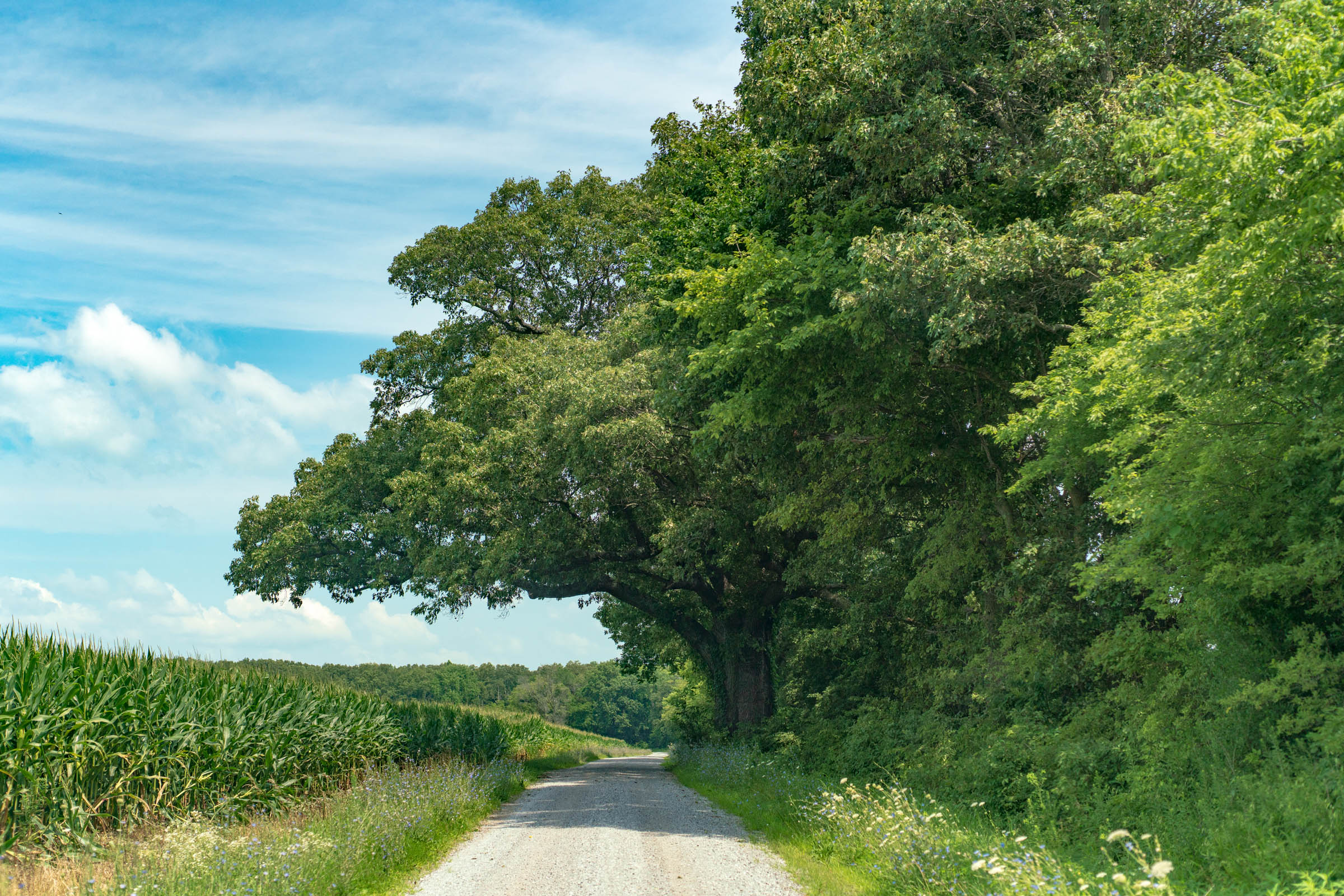
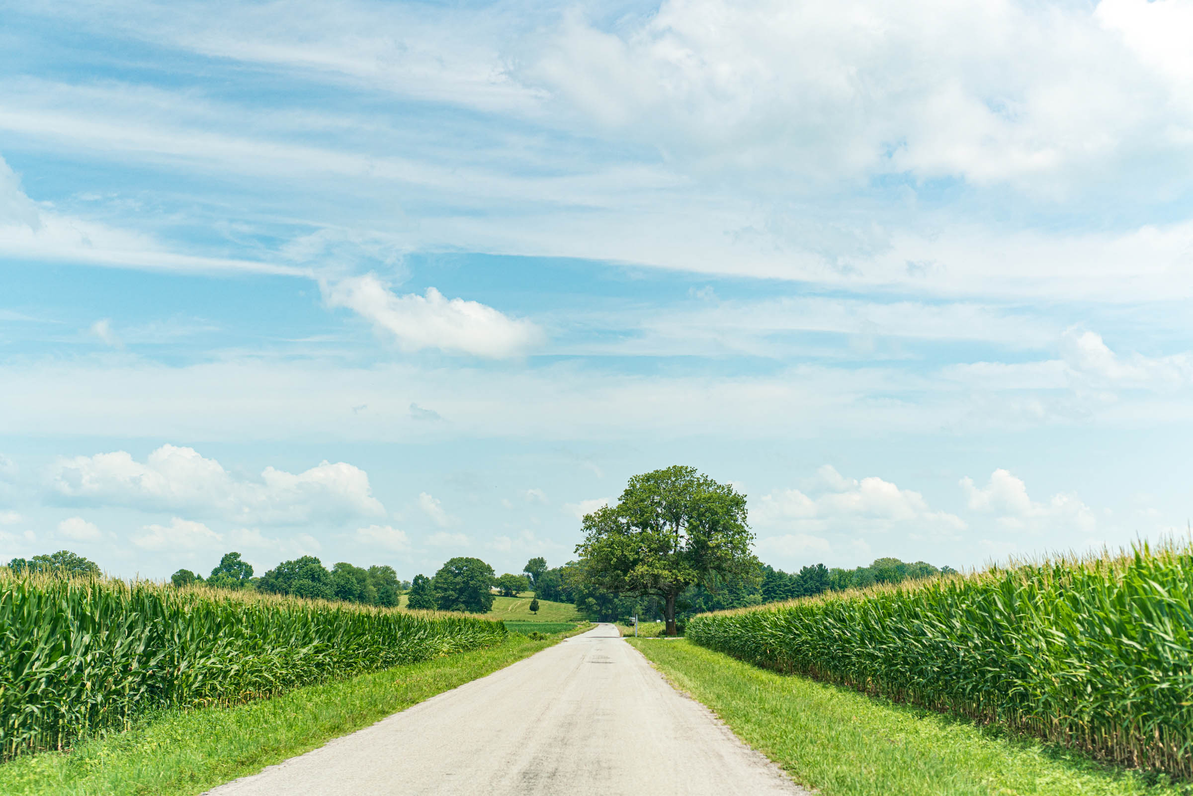
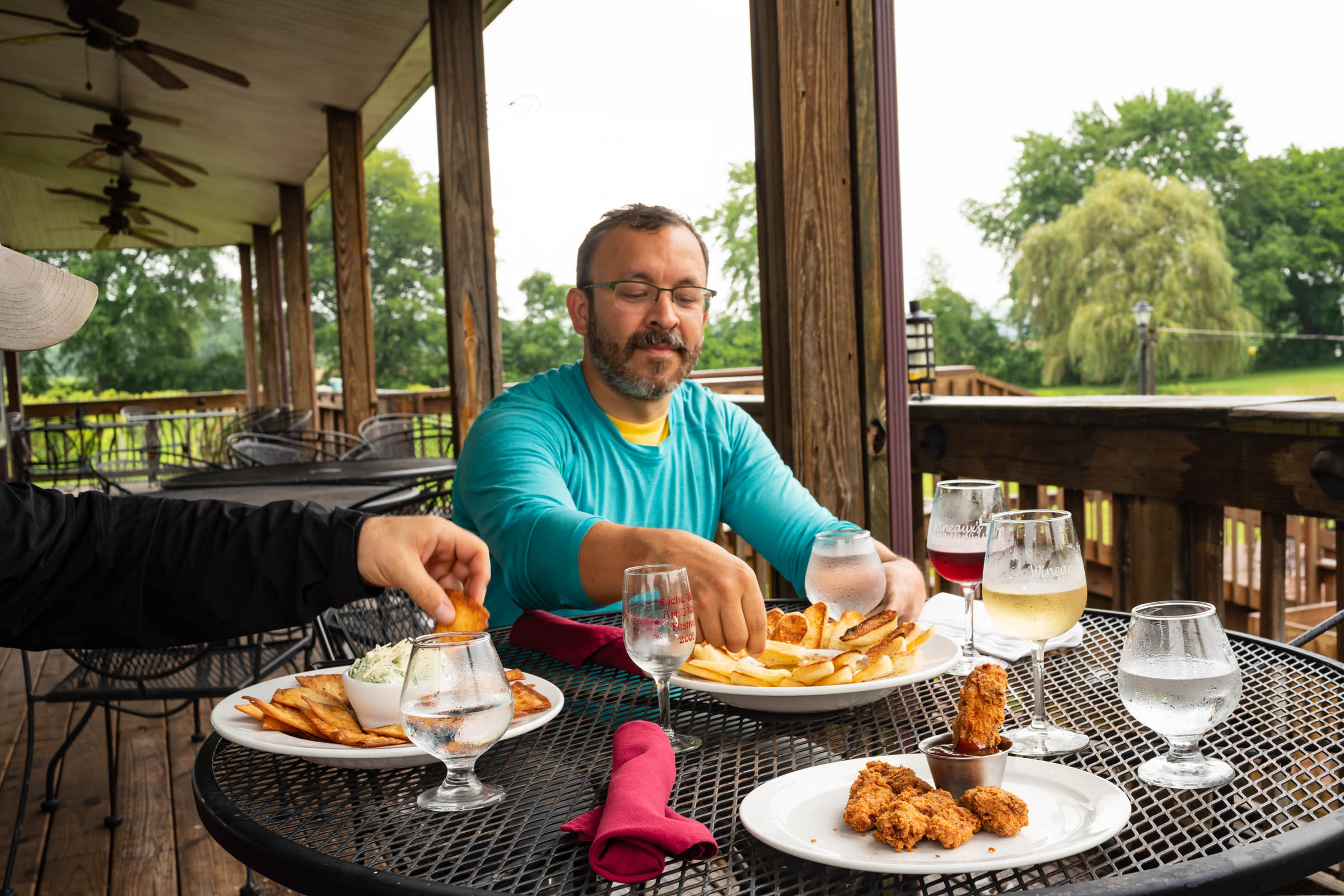
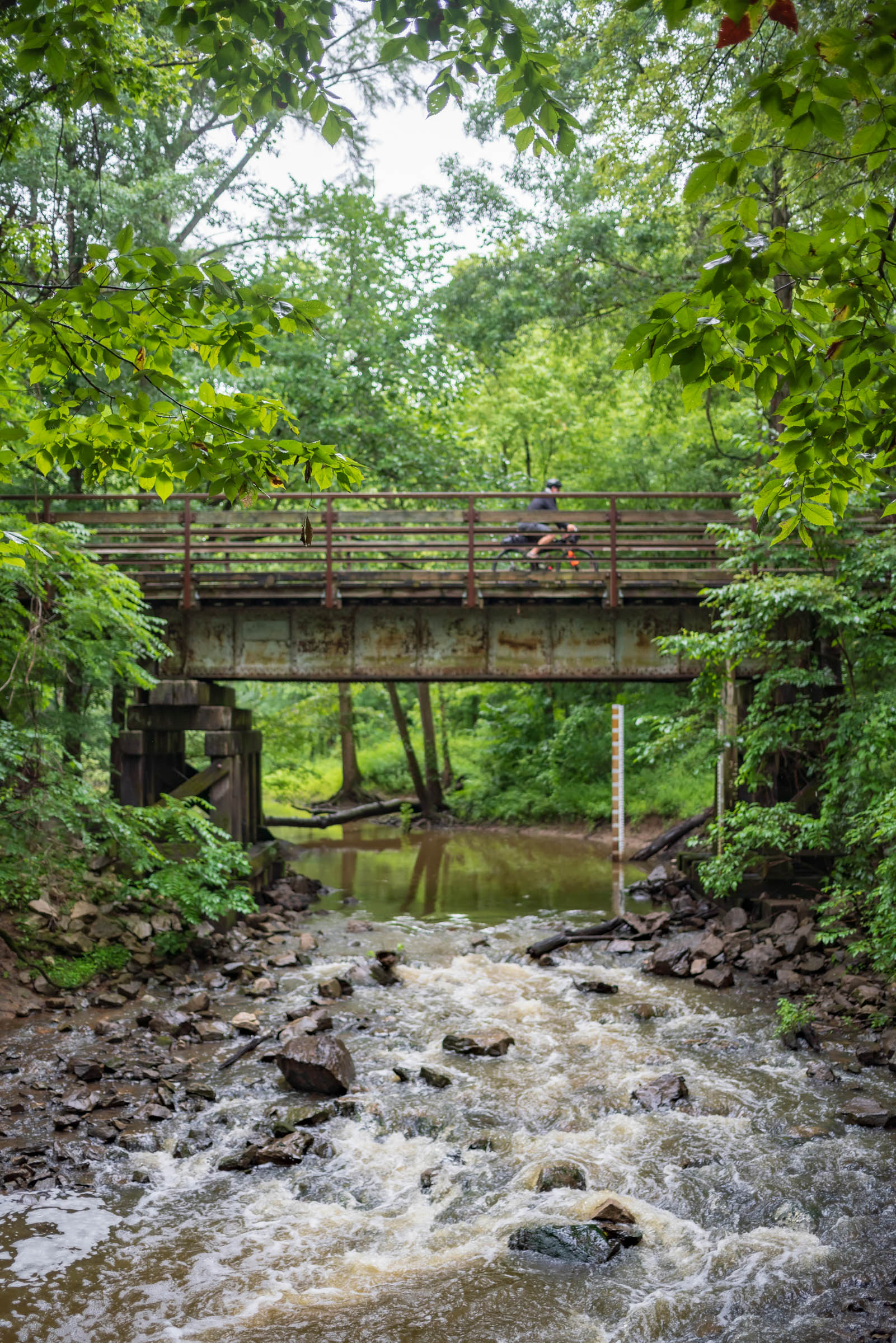
A majority of the route’s surface is gravel along US Forest Service fire roads and county levee roads, including 43 miles along the rails-to-trails gravel path of Tunnel Hill State Park. Most of the route’s remaining surface is tar and seal or “chip seal” along low-traffic rural roads. There are several opportunities for stops to sample local wines and beers, shop at local markets, or experience unique features of the region’s natural and cultural history.
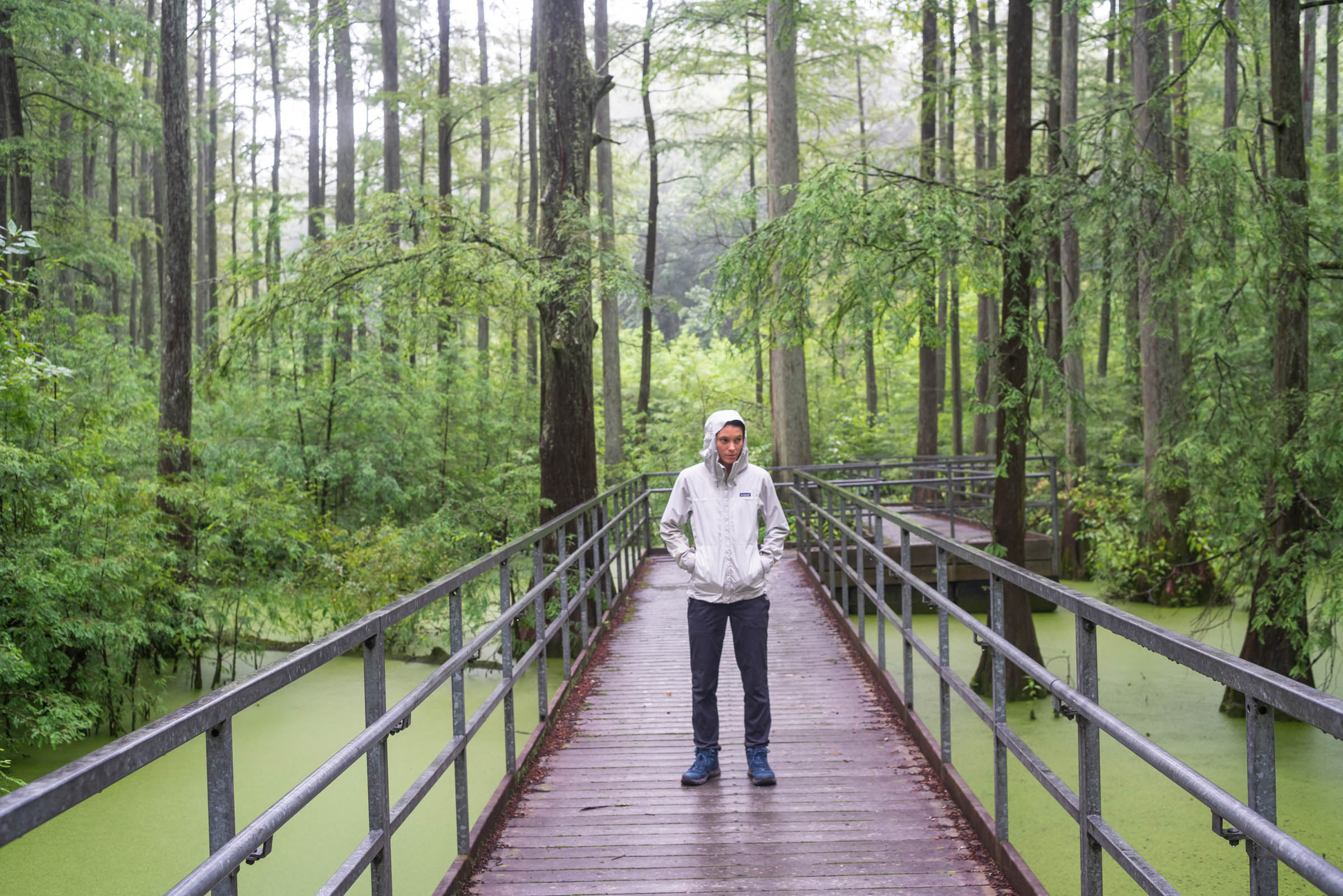
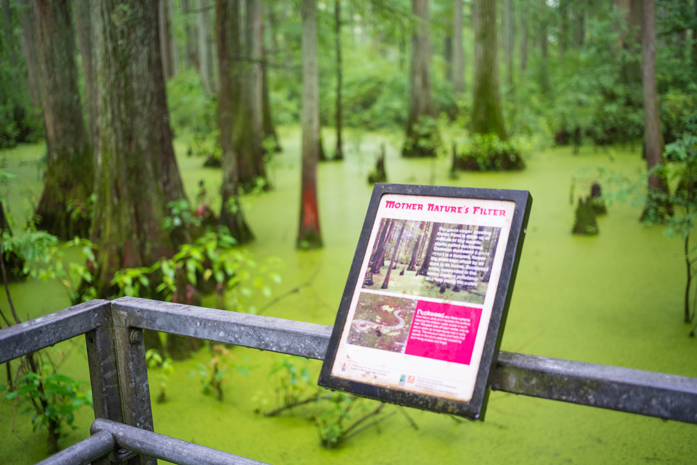
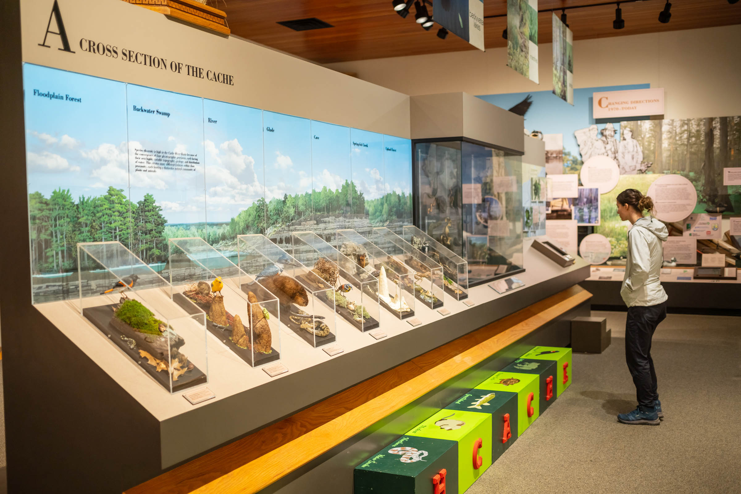
The cypress swamp at Heron Pond and educational displays at the Barkhausen Cache River Wetlands Center highlight ongoing preservation efforts along this route. More than 200,000 acres of wetlands once existed in this region. To date, a joint venture project that includes the Illinois Department of Natural Resources, The Cypress Creek National Wildlife Refuge, and The Nature Conservancy has reforested and restored about 35,000 wetland acres and hopes to reclaim an additional 30,000 acres.
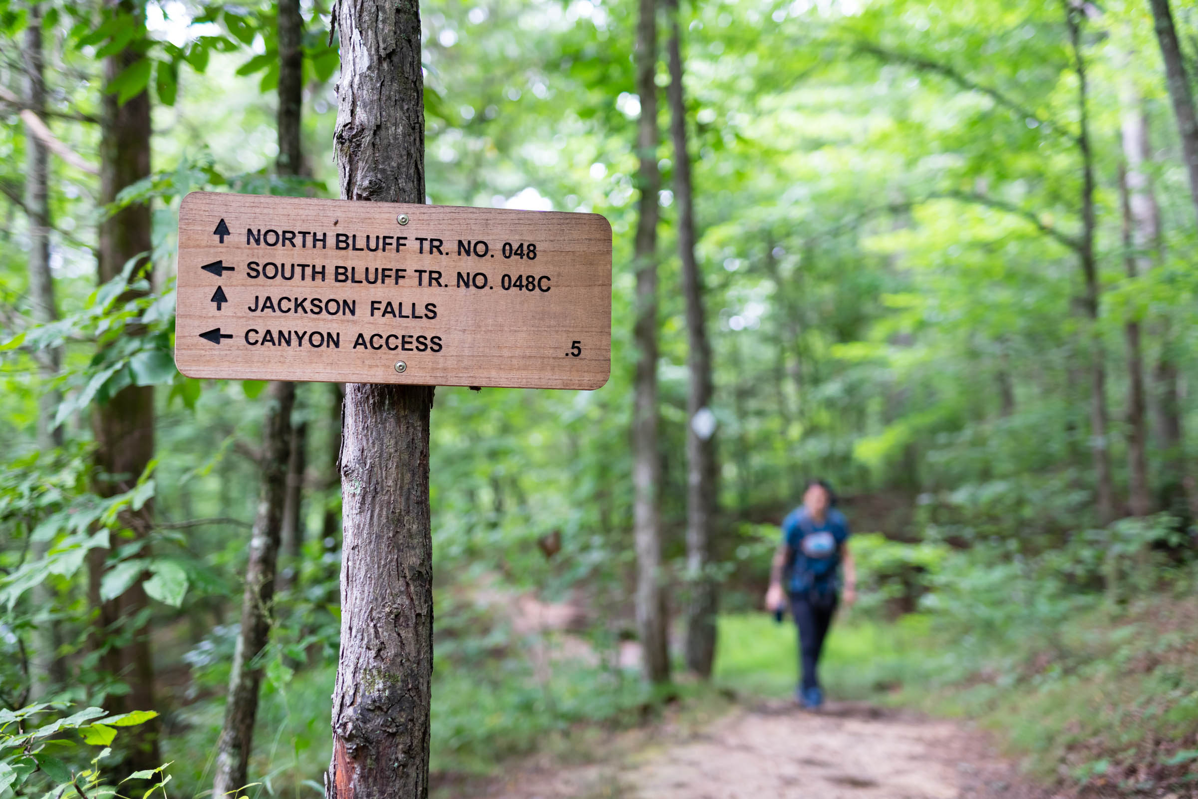
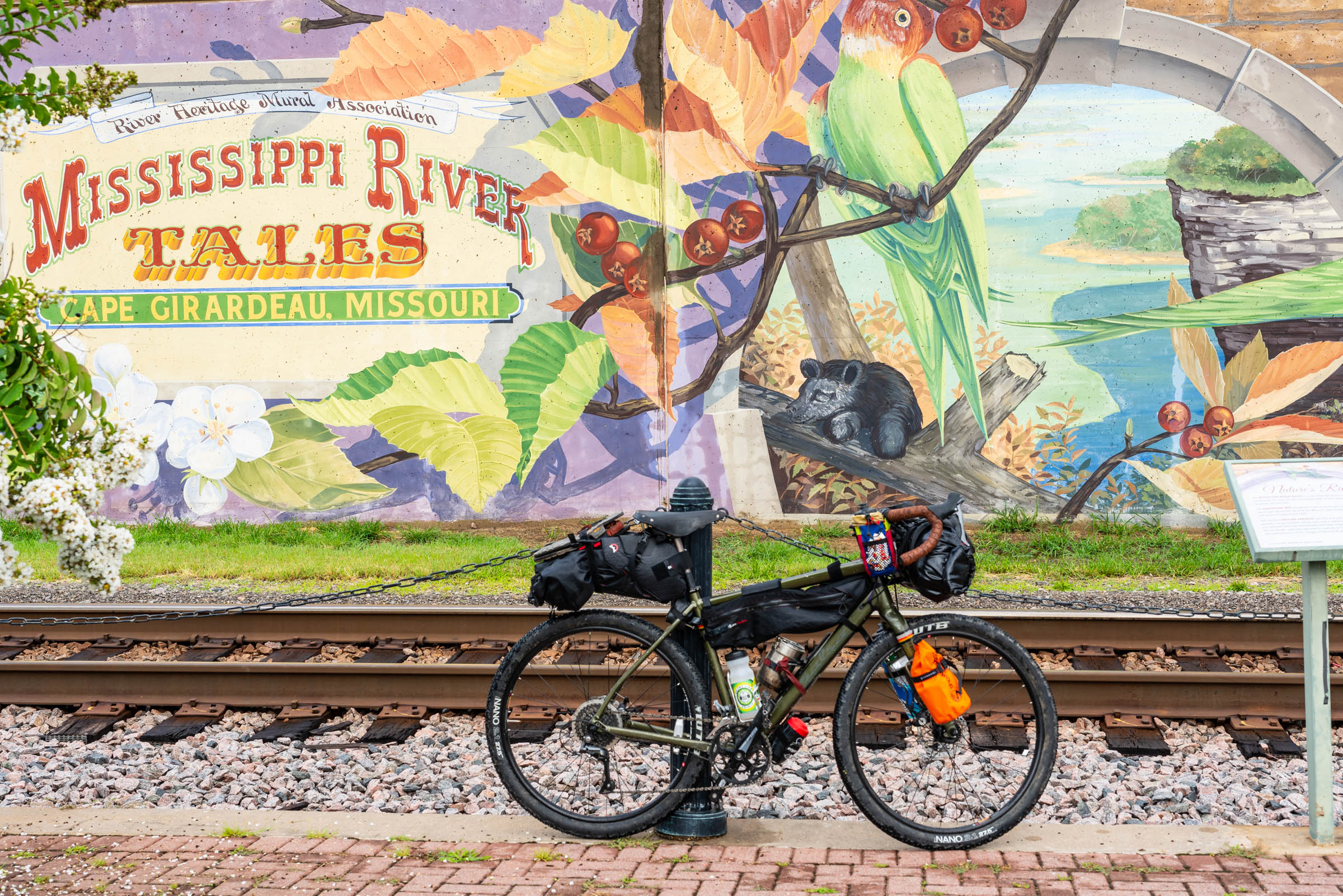
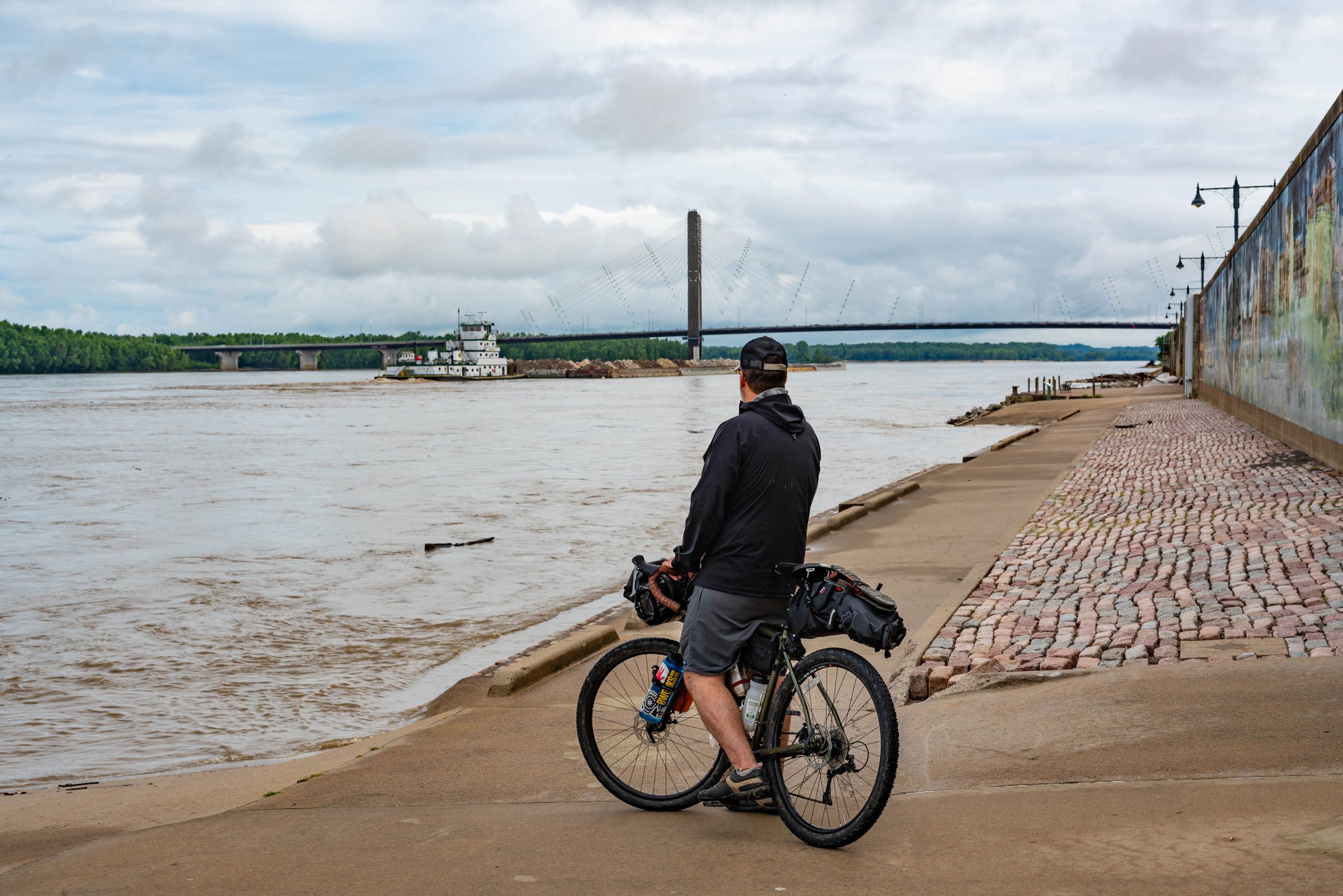
The route ends at the Mississippi River in Cape Girardeau, Missouri. An additional spur option (see Trail Notes tab below) creates an opportunity for a loop in the middle of the route. This spur travels past additional camping options in the Shawnee National Forest and creates a “lollypop” route that can start and return at either end or split the trip in half by starting at the loop’s northern or southern trailheads in Harrisburg or Vienna, respectively. Riders taking this spur pass through Jackson Falls, Burden Falls, and Bell Smith Springs, a popular swimming hole. This additional loop option diversifies the ways riders can approach this route and explore this unique region of the U.S.
Route Difficulty
Overall Difficulty (5/10): The route is straightforward, provides several stops for food and water, and has a fairly even terrain. The Forest Service fire road past Gape Hallow Road is a bit rough and makes for a tougher climb. Otherwise, most of the route is fairly even and takes advantage of over 40 miles across a rails-to-trails gravel path.
Technical (4/10): The central core of this route utilizes the bulk of a rails-to-trails project, Tunnel Hill State Park. This converted railroad bed offers a wide, fairly easy (and car-free) trek that varies no more than 3% in grade. Though Ride with GPS currently marks this portion as “paved,” it is a gravel path that covers an old railroad bed. Other parts of the trail include gravel and low-traffic paved rural roads.
Physical (6/10): The route includes a nice mix of fairly flat terrain and a few steep climbs in the Shawnee National Forest. This route’s physical demand depends on how it’s divided. A two-day overnighter means 60-mile days. A three-day trip offers a more leisure experience, providing extra opportunities to enjoy the many cultural, historical, and scenic stops along the way.
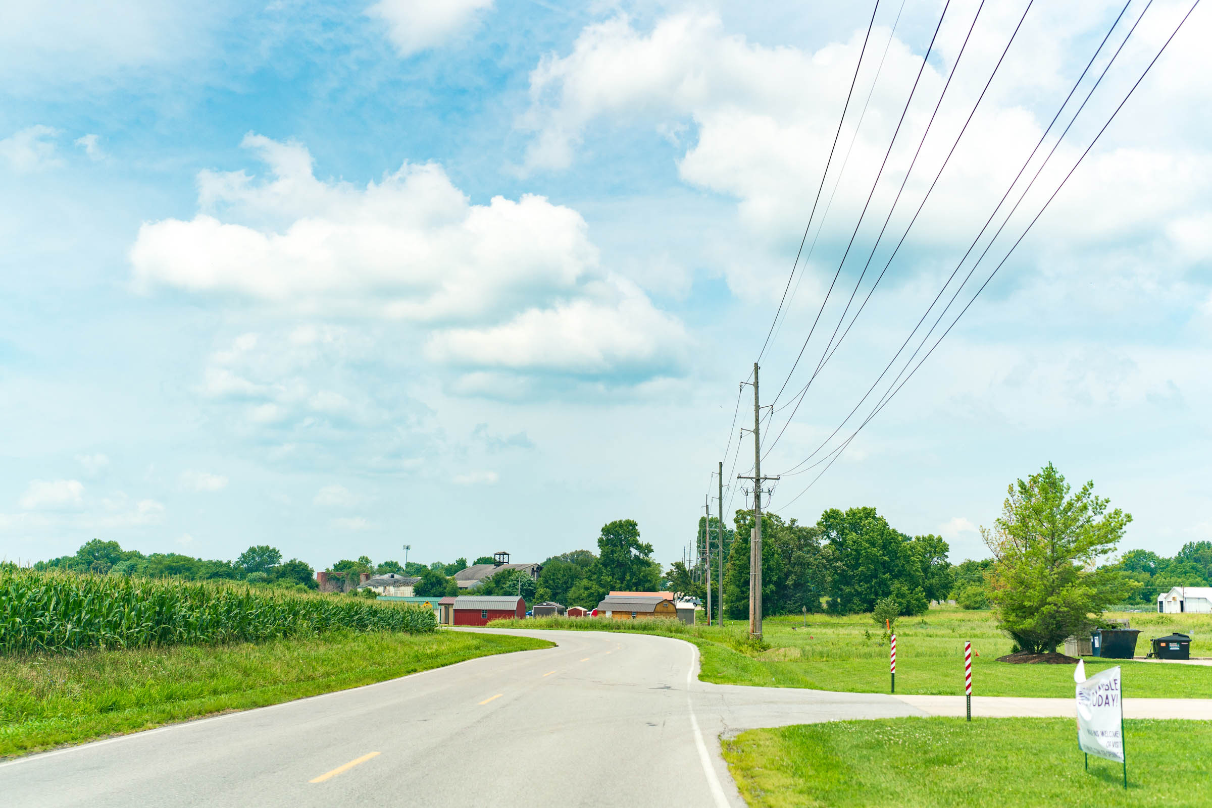
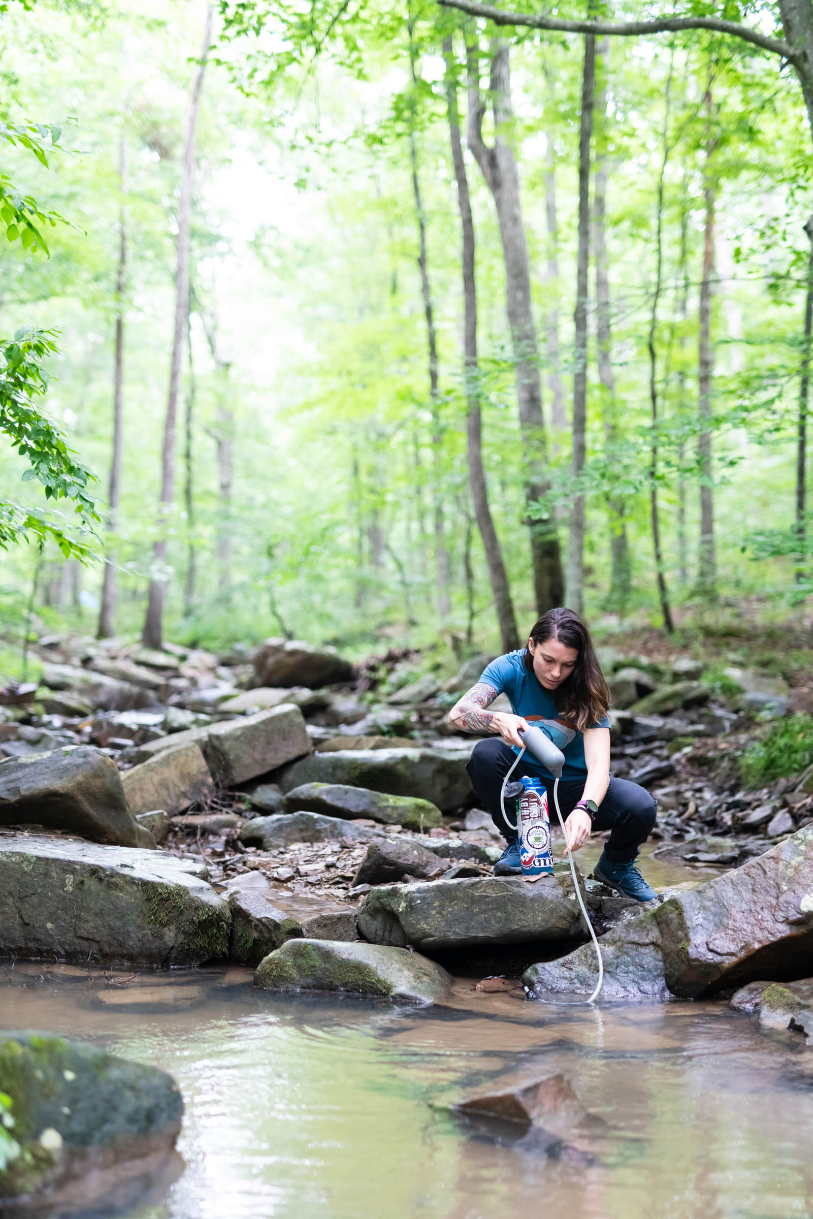
Logistics (5/10): In terms of food and water, the route includes several options for stops at rural convenience stores, grocery stores, restaurants, creeks in the Shawnee National Forest, and even a winery and a brewery. The largest logistical concern on the eastern portion of the route is the time during which these amenities are available. Some establishments are only open on the weekends, which is noted in the map’s waypoints. On the western portion of the route, there are fewer options to purchase water and food, but there are several creek crossings where you can fill up.
Route Development: The Illinois Department of Natural Resources and U.S. Forest Service are responsible for many portions of this route’s management and care. The area also benefits from the many volunteers who support Tunnel Hill State Park trail and the Shawnee National Forest. A special thank you goes to Antonio Martinez, whose photographs capture the beauty of this route.


Submit Route Alert
As the leading creator and publisher of bikepacking routes, BIKEPACKING.com endeavors to maintain, improve, and advocate for our growing network of bikepacking routes all over the world. As such, our editorial team, route creators, and Route Stewards serve as mediators for route improvements and opportunities for connectivity, conservation, and community growth around these routes. To facilitate these efforts, we rely on our Bikepacking Collective and the greater bikepacking community to call attention to critical issues and opportunities that are discovered while riding these routes. If you have a vital issue or opportunity regarding this route that pertains to one of the subjects below, please let us know:
Highlights
Must Know
Camping
Food/H2O
Trail Notes
- The historical Old Shawneetown Bank at the eastern trailhead is where lenders refused to issue a loan to boosters of a then-fledgling Chicago township. On the building’s northernmost column, look for the high-water mark from the 1937 Ohio River flood.
- The Shawnee National Forest begins about 20 miles past the eastern starting point where a steep, but scenic, fire service road climbs across several small creeks that are dry throughout most of the year. At its peak is a clearing for a dispersed camping site for those opting for a three-day journey. Dispersed camping in the National Forest is free.
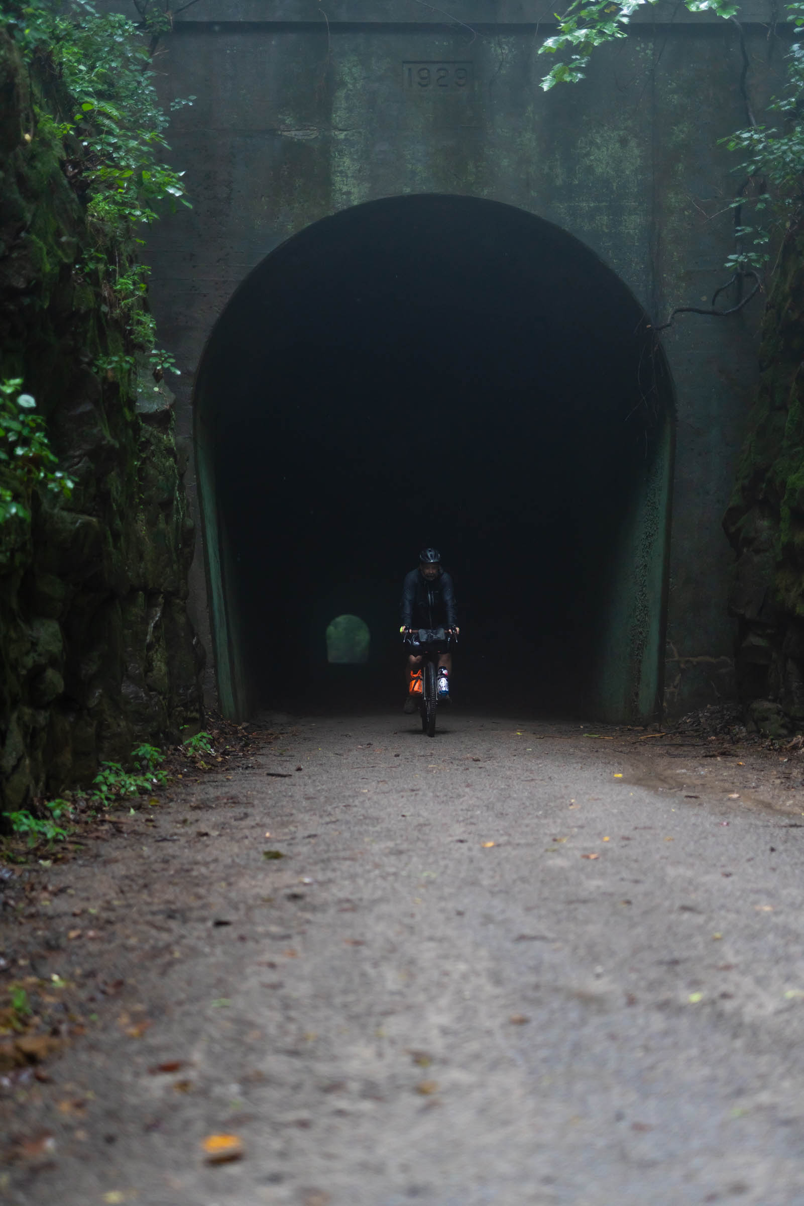
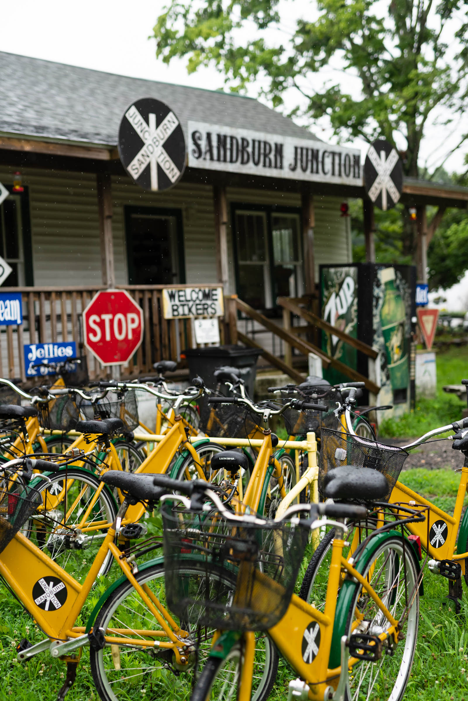
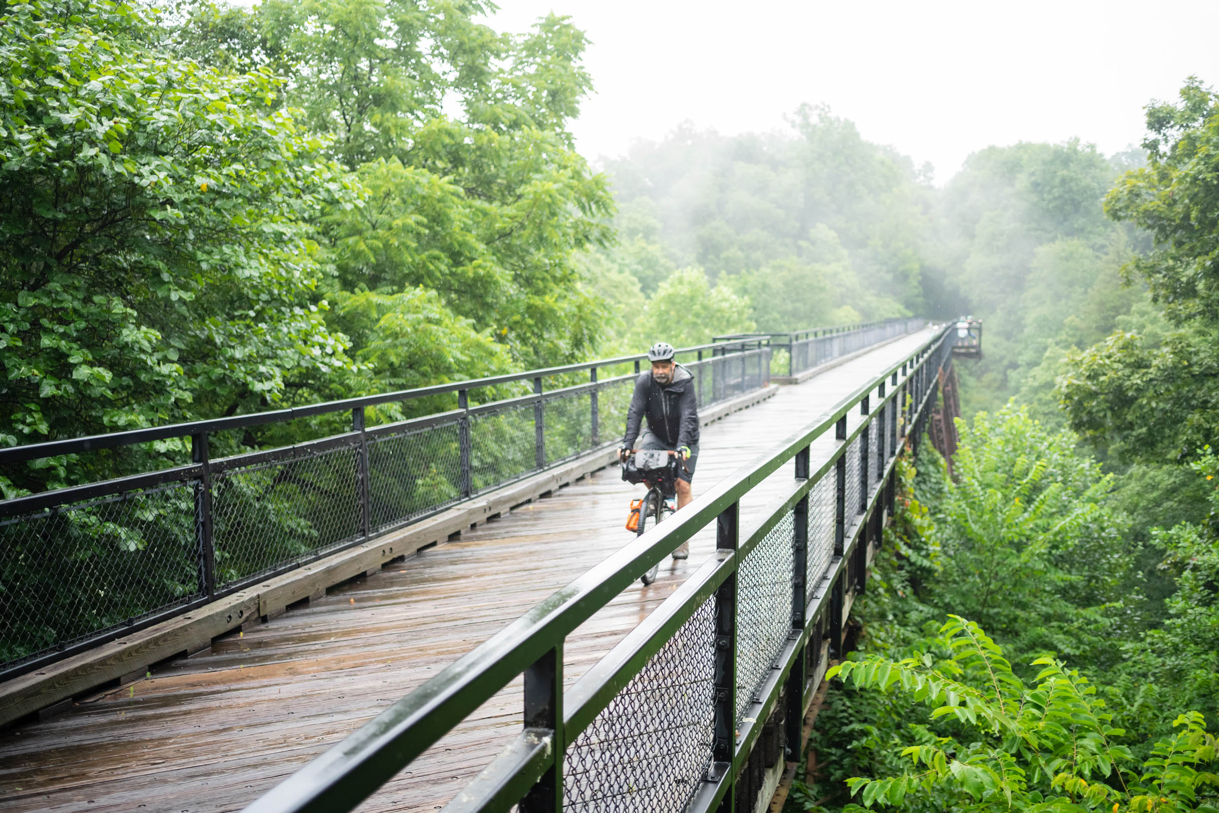
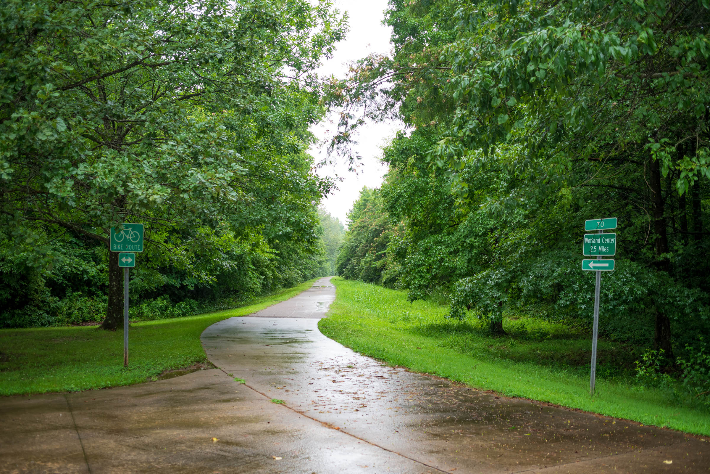
- Several trestle bridges and a railroad tunnel on the trail through Tunnel Hill State Park provide scenic stops along the old railroad line converted to a bike trail that connects several small towns.
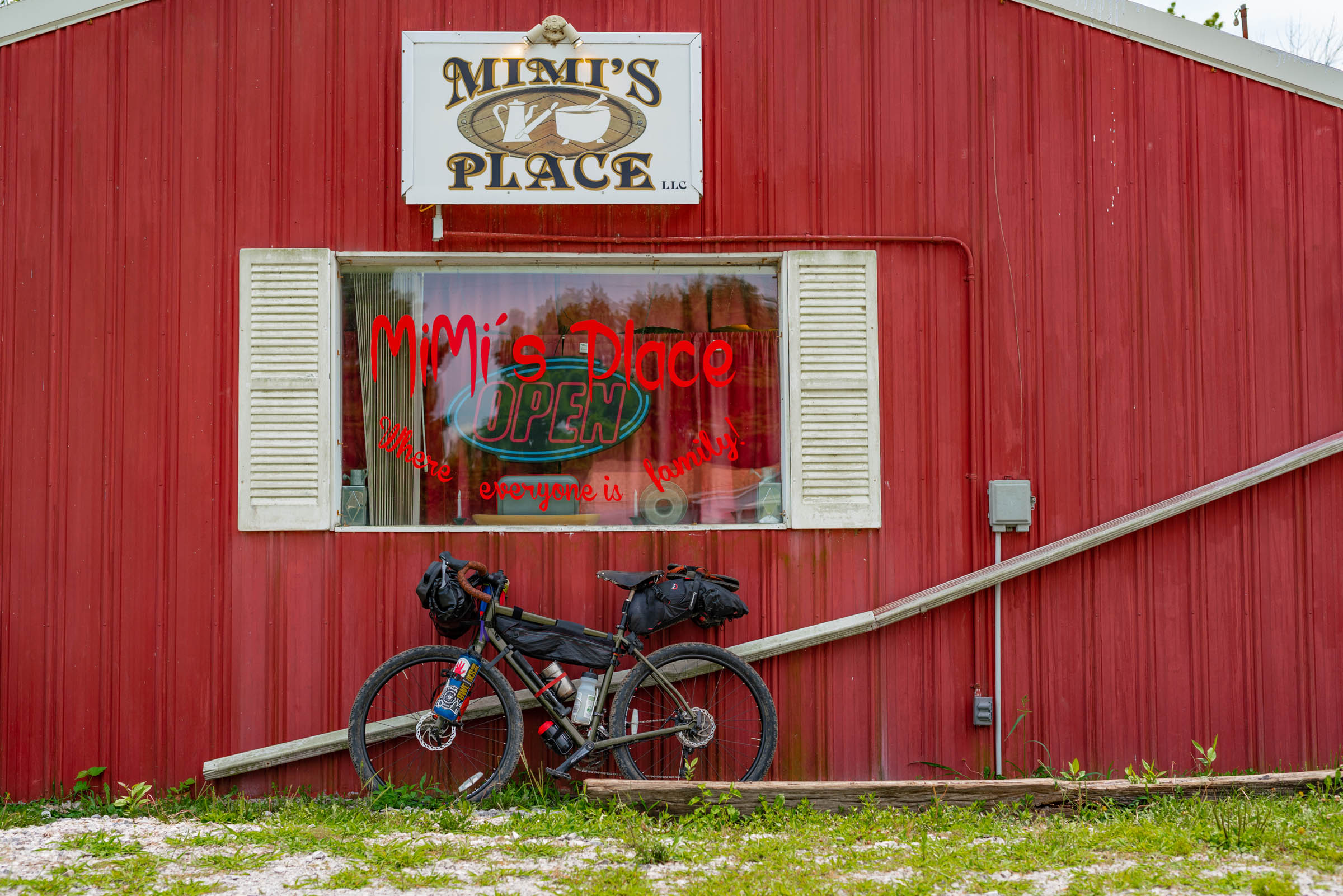
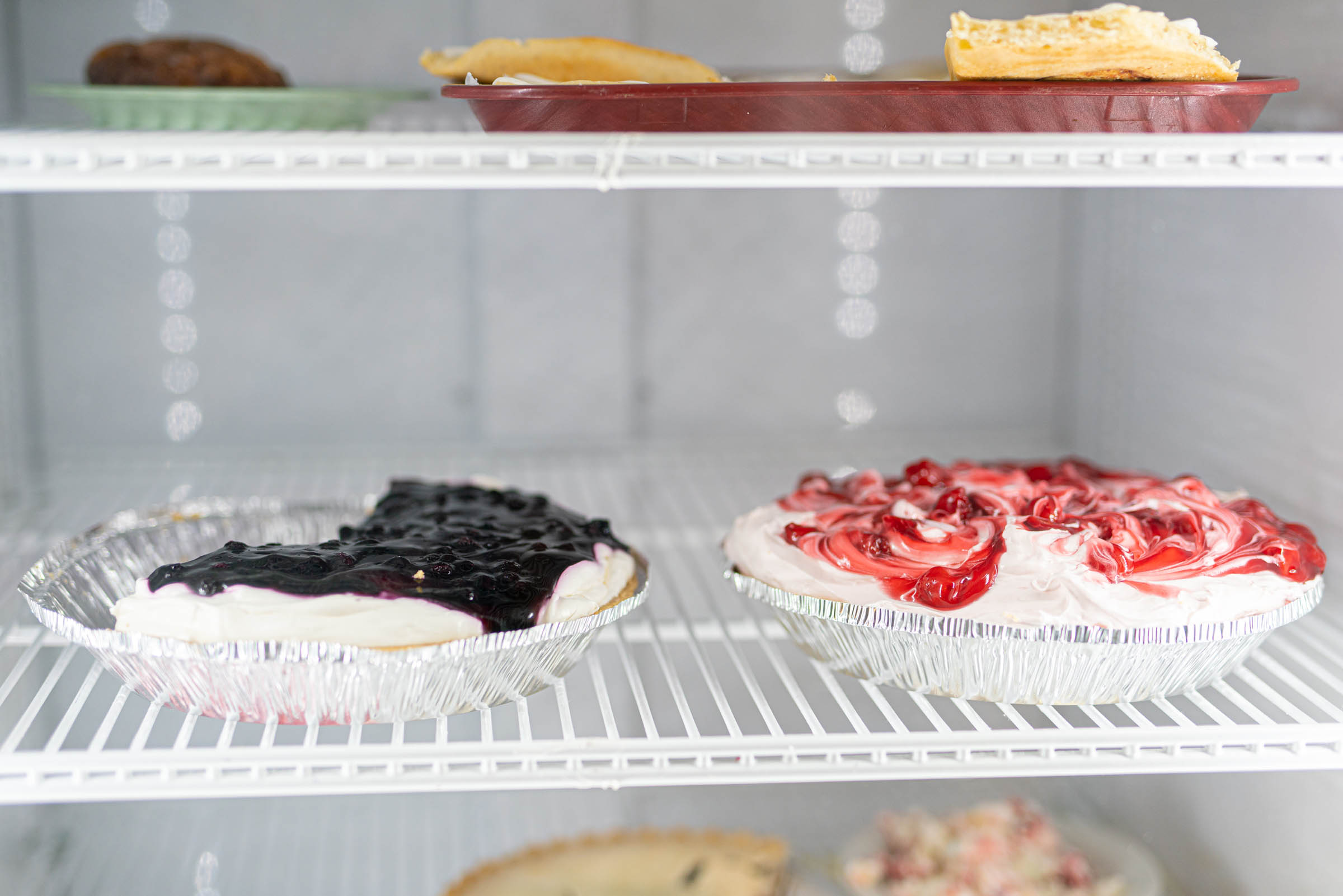
- A slice of homemade pie is one of the several rewards that await riders at Mimi’s Restaurant in Carrier Mills.
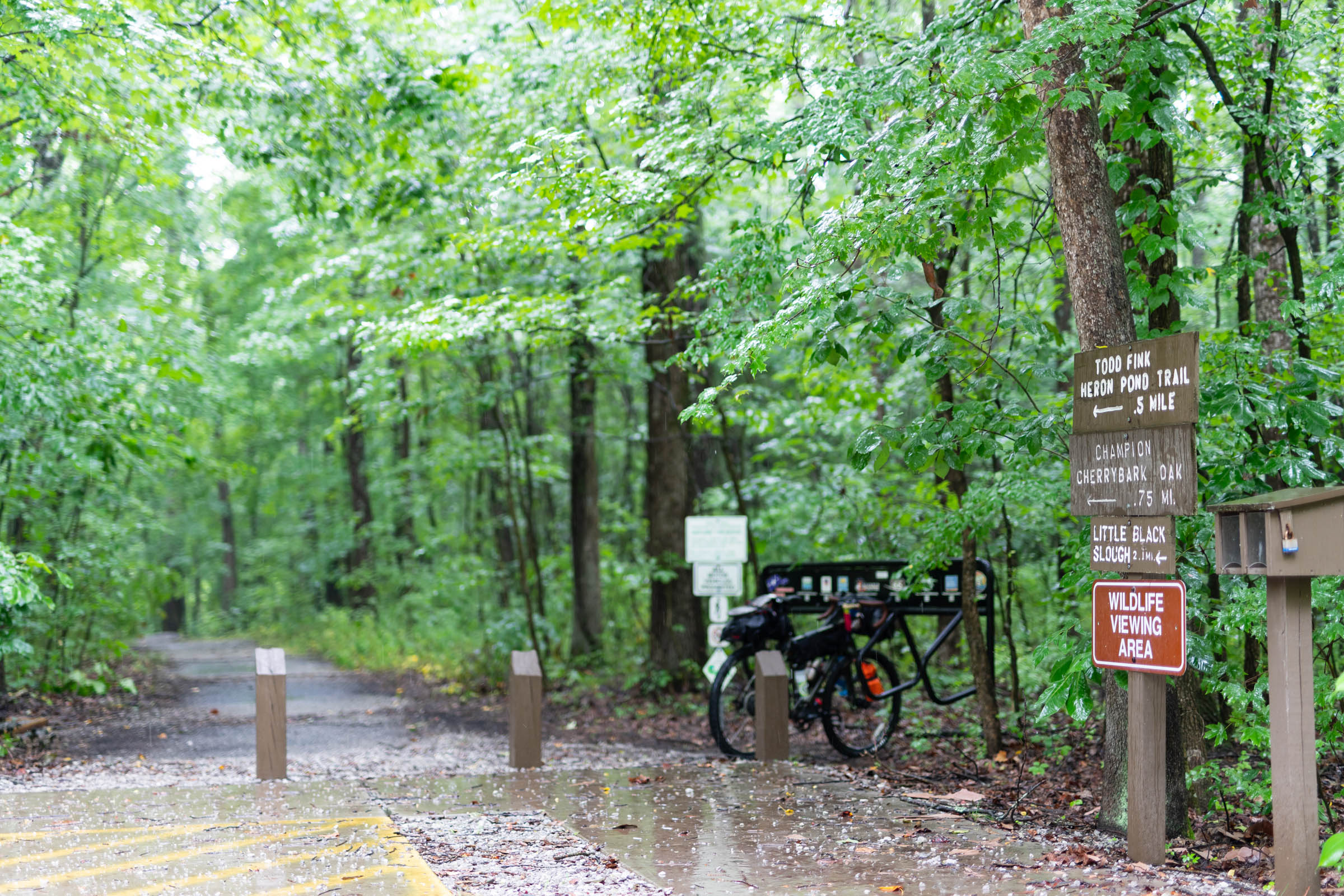
- Heron Pond provides a unique stop at the northernmost cypress swamp in the U.S.
- Barkhausen Cache River Wetlands Center includes several educational displays about the natural and cultural history of the region, including local efforts to restore thousands of acres of wetlands.
- Downtown Cape Girardeau is an old Mississippi River port town at the route’s western edge and provides several amenities, including local breweries, to celebrate the route’s completion.
- The climate in southernmost Illinois is somewhat mild, but there can be a few weeks of sub-zero weather during the winter. Late summer months can be muggy and hot with humidity pushing the heat index over 100 degrees Fahrenheit. The best time to enjoy this route is mid-to-late fall, but trips during the winter and spring can be enjoyable, too. Stay up to date with forecasts for severe thunderstorm or tornado watches that can occur during spring months.
- Free parking is available near the eastern trailhead at the township park in Old Shawneetown; however, it is recommended that travelers alert the county sheriff’s office for Gallitin County or contact city hall at (618) 269-3415. City officials may recommend parking overnight at a nearby municipal storage shed, but permission is required.
- Free overnight parking is also available in Harrisburg at the Tunnel Hill State Park trailhead or a nearby 24-hour national chain supermarket. Parking here does eliminate 34 miles of the route’s eastern portion, though.
- Free overnight parking is also on the route’s western trailhead at the John Boardman Pavilion in Cape Girardeau’s downtown. For supplies in Cape Girardeau, visit Cyclewerx Bicycle Shop about three miles from the trailhead.
- The only potential dangers along this trail are storms and flooding. Keep up to date with severe weather warnings along the trail, especially during spring months.
- The entire route is open to the public. Ride with GPS shows cautions along a fire service road between mile markers 20 and 25 and the river levee road between mile markers 113 and 118; however, both portions of these gravels roads are open to bicycle traffic.
- Dispersed camping is an option in the Shawnee National Forest, but recommended spots are on the fire service road between mile markers 20 and 25 and near mile marker 60 where the River to River hiking trail intersects the riding path along Tunnel Hill State Park near mile 60. Be sure to walk your bike a few hundred feet to the west on this hiking trail for spots near Little Cache Creek.
- There are a few established campsites on or nearby this route, but some are recommended more than others. Main Brothers Campsite is near mile marker 77 and adjoins a Tunnel Hill State Park parking lot. This self-serve campsite includes sites with picnic tables and fire rings.
- The route’s midpoint also includes several options for lodging, ranging from cabins to bed and breakfasts to hotels. Perkins House Inn is a B&B just west of the route in Vienna, Illinois. There are also hotel options near mile marker 66, but these are a mile east of the route toward the interstate highway. Farther to the southwest is Boondocks Cabins that adjoins Wineaux’s Restaurant and Vineyard near mile 71. This intersection is also near Heron Pond. Rooms are limited, so advance reservations are recommended. Finally, the route’s western trailhead has several options for downtown lodging, including a national chain hotel at the corner of Broadway and North Fountain.
- Harrisburg has several convenience store and grocery store options at mile 33.
- Mimi’s Restaurant has homemade pie at mile 39 in Carrier Mills. Need I say more?
- Millstone Market is a great local grocery store for fresh produce in Carrier Mills.
- Buckethead’s offers local favorites such as fried catfish and BBQ on the weekends in Stonefort.
- Ned’s Shed in Vienna is a great stop if you crave a greasy burger.
- Honey’s Gas Station and Market at mile 89 is one of the last major grocery options on the route’s western half.
- Minglewood Brewery is a great stop for a celebratory beer at the route’s western end in Cape Girardeau.
Tunnel Hill/Bell Smith Springs Loop option
This option creates an opportunity for a loop in the middle of the route. This spur travels past additional camping options in the Shawnee National Forest and creates a “lollypop” route that can start and return at either end or split the trip in half by starting at the loop’s northern or southern trailheads in Harrisburg or Vienna, respectively. Riders taking this spur pass through Jackson Falls, Burden Falls, and Bell Smith Springs, a popular swimming hole. This additional loop option diversifies ways riders can approach this route and explore this unique region of the U.S.


Terms of Use: As with each bikepacking route guide published on BIKEPACKING.com, should you choose to cycle this route, do so at your own risk. Prior to setting out check current local weather, conditions, and land/road closures. While riding, obey all public and private land use restrictions and rules, carry proper safety and navigational equipment, and of course, follow the #leavenotrace guidelines. The information found herein is simply a planning resource to be used as a point of inspiration in conjunction with your own due-diligence. In spite of the fact that this route, associated GPS track (GPX and maps), and all route guidelines were prepared under diligent research by the specified contributor and/or contributors, the accuracy of such and judgement of the author is not guaranteed. BIKEPACKING.com LLC, its partners, associates, and contributors are in no way liable for personal injury, damage to personal property, or any other such situation that might happen to individual riders cycling or following this route.
Please keep the conversation civil, constructive, and inclusive, or your comment will be removed.