


Lower Deschutes Roller Overnighter
Distance
119 Mi.
(192 KM)Days
2
% Unpaved
52%
% Singletrack
0%
% Rideable (time)
100%
Total Ascent
9,737'
(2,968 M)High Point
2,836'
(864 M)Difficulty (1-10)
6?
- 5Climbing Scale Moderate82 FT/MI (15 M/KM)
- 2Technical Difficulty Easy
- 6Physical Demand Moderate
- 7Resupply & Logistics Strenuous
Contributed By

Machiko Threlkeld
Guest Contributor
Machiko fell in love with the seeing the world from two wheels the first time she joined a local group ride. After several years of road cycling, she found a true sense of adventure in bikepacking and gravel riding. Now she rides with her friends and son in Washington whenever the time allows and always daydreams about future explorations. Follow her on Instragram @jarikozo.
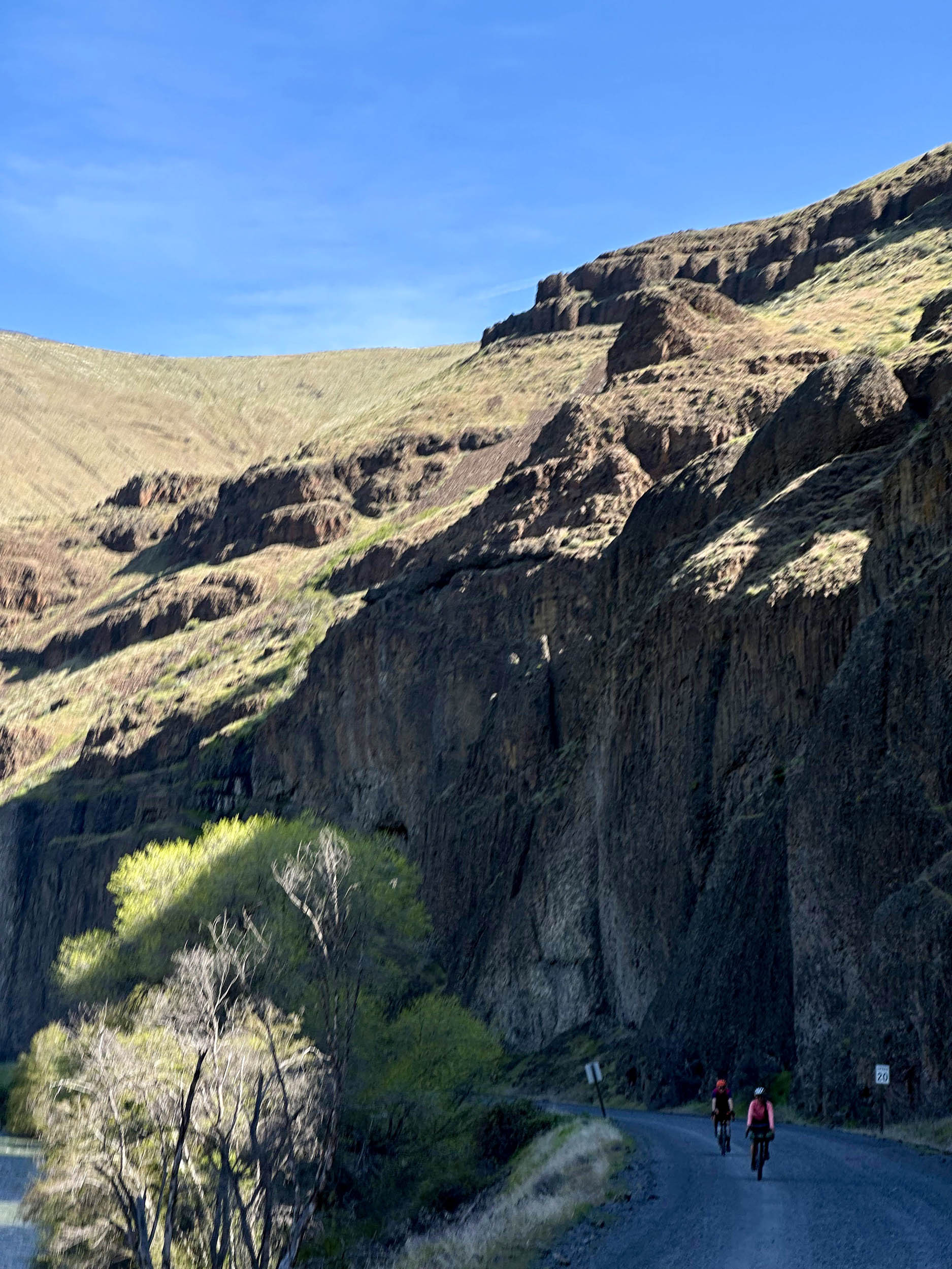
When you hear the term “Pacific Northwest,” you might think of national forests with evergreen trees. However, this area of Oregon—part of Columbia Plateau east of Cascade Mountains and just south of Columbia River—showcases the beautiful basalt columns forming coulees and acres of soft rolling grassland fields. Hawks flew with us as we rode a straight line of gravel road to horizon and a herd of elks stampeded to erase our tire tracks.
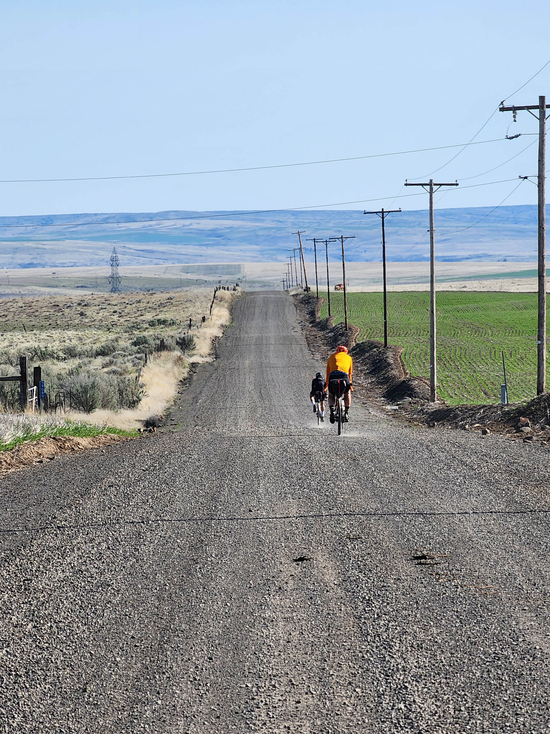
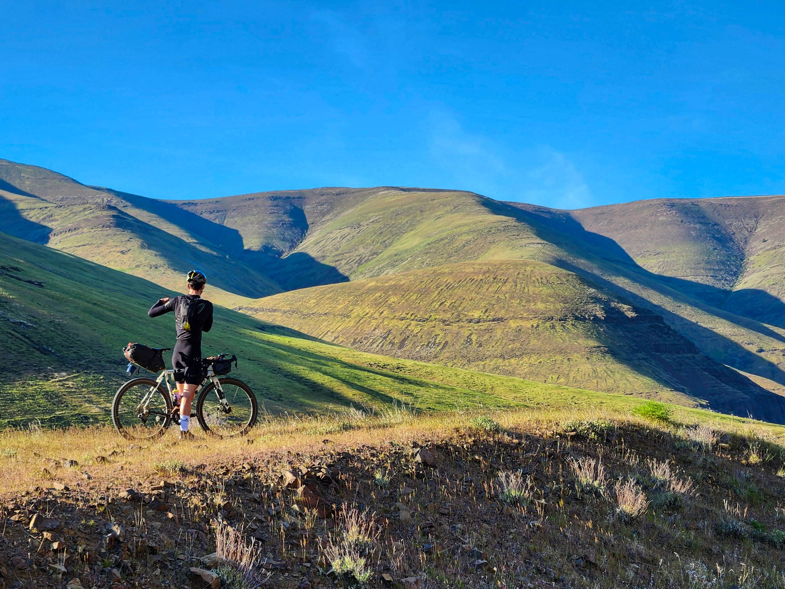
The Lower Deschutes Roller Overnighter starts from the Deschutes River State Recreation Area Campground. Instead of taking the Old Railbed Trail, it heads toward the eastbound Highway 206 to Fulton Canyon Road and Biggs Rufus Highway. As you climb onto the east side plateau due south, you start seeing Mt. Hood in front of you, then Mt. Adams. Those are two major mountains on view throughout the route, but depending on the elevation and locations/directions, Rainier, Jefferson, and St. Helens join in the scenery. As you climb and go further south, the lush green fields nourished by the Columbia River are soon replaced by brown and tan. Northeasterly wind that moves wind turbines may help push you through. It is surprising how hilly it is on the “plateau.” You would think you’d be on a flat plane, but that’s not the case. Stopping at a local grocery store with hot food in the middle of the first day is a welcome break.


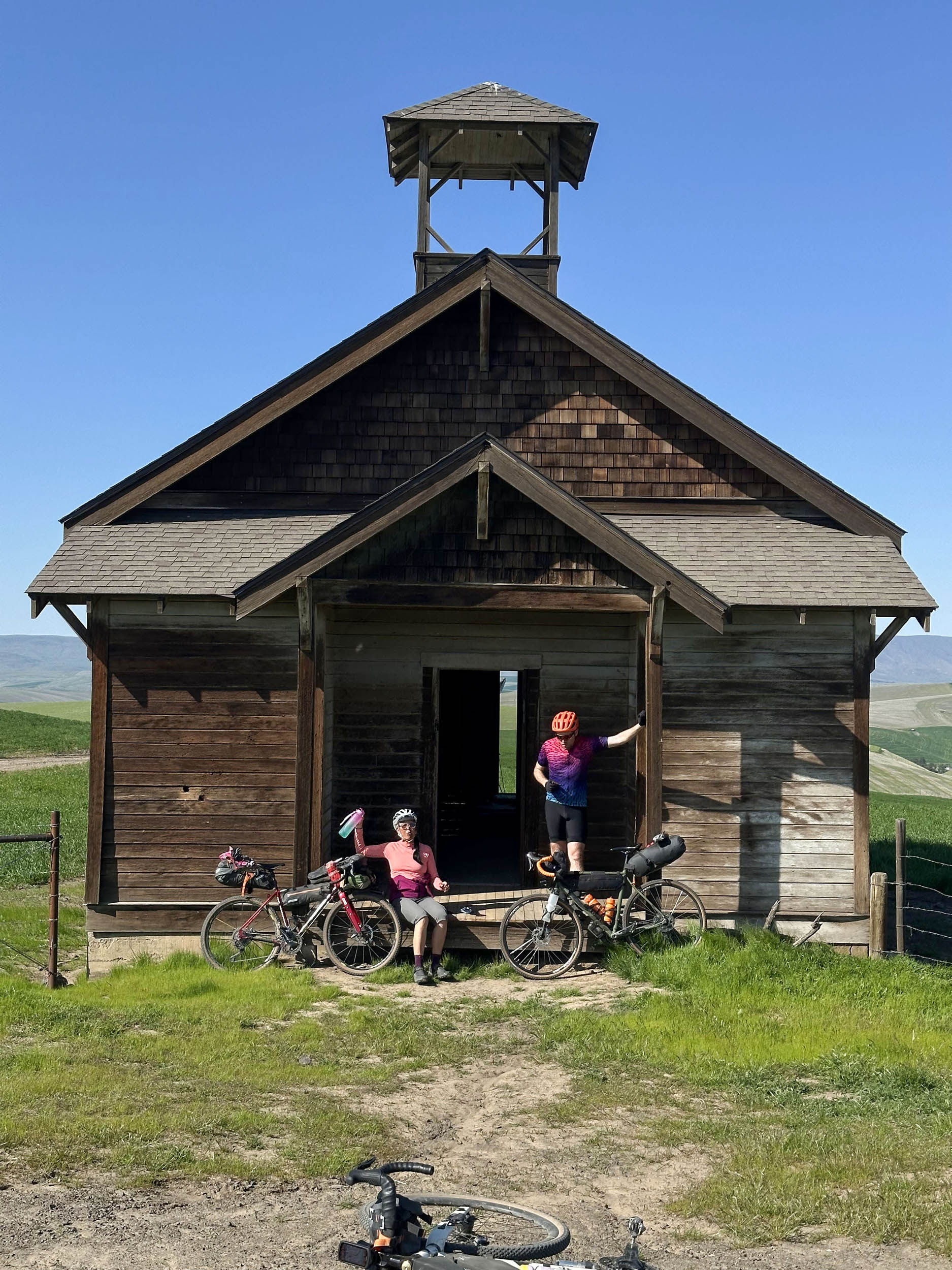
On the second day, more mountain views entice you to continue. The route takes you along desolate roads with historic schoolhouses and a dance hall on the horizon. If you are lucky, you’ll spot a herd of elk in the fields. The sight of wind turbines and glimpse of Columbia River let you know that you’re nearing the adventurous section of the route.
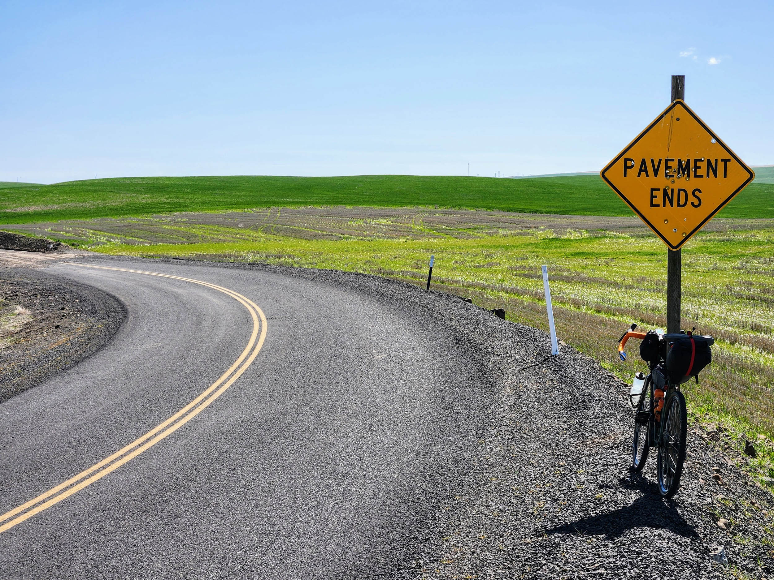
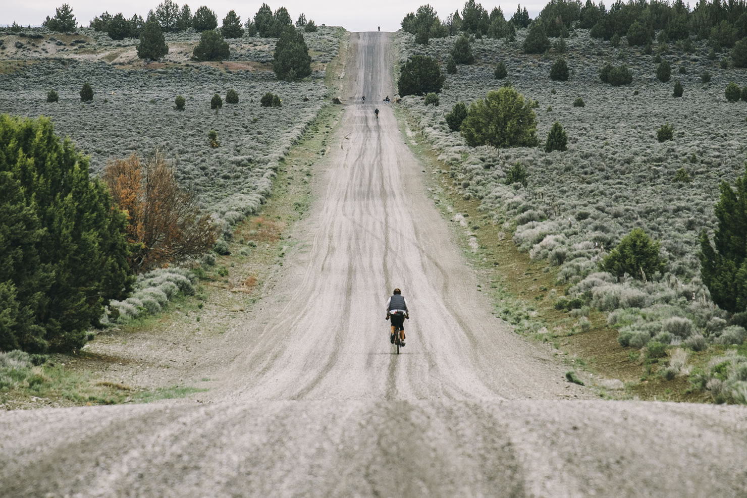
The Lower Deschutes Roller Overnighter is both challenging and rewarding. The climbing profile seems like there are only two major ascents at the beginning of each day and that’s all, but there’s no shortage of rolling hills once up on the plateau. As matter of fact, there may not be a single stretch of a road that is flat. The two climbs make up only half of the overall elevation gain. Combine this with stiff headwinds that Central Oregon (and Washington) is famous for, you are in for a good challenge. Except for the obligatory highway miles (on 206, Celilo-Wasco, and 197), we saw more wild animals than cars. After many stretches of beautiful gravel roads, you are treated with pristine pavement only gravel riders can reach every so often.
Route Difficulty
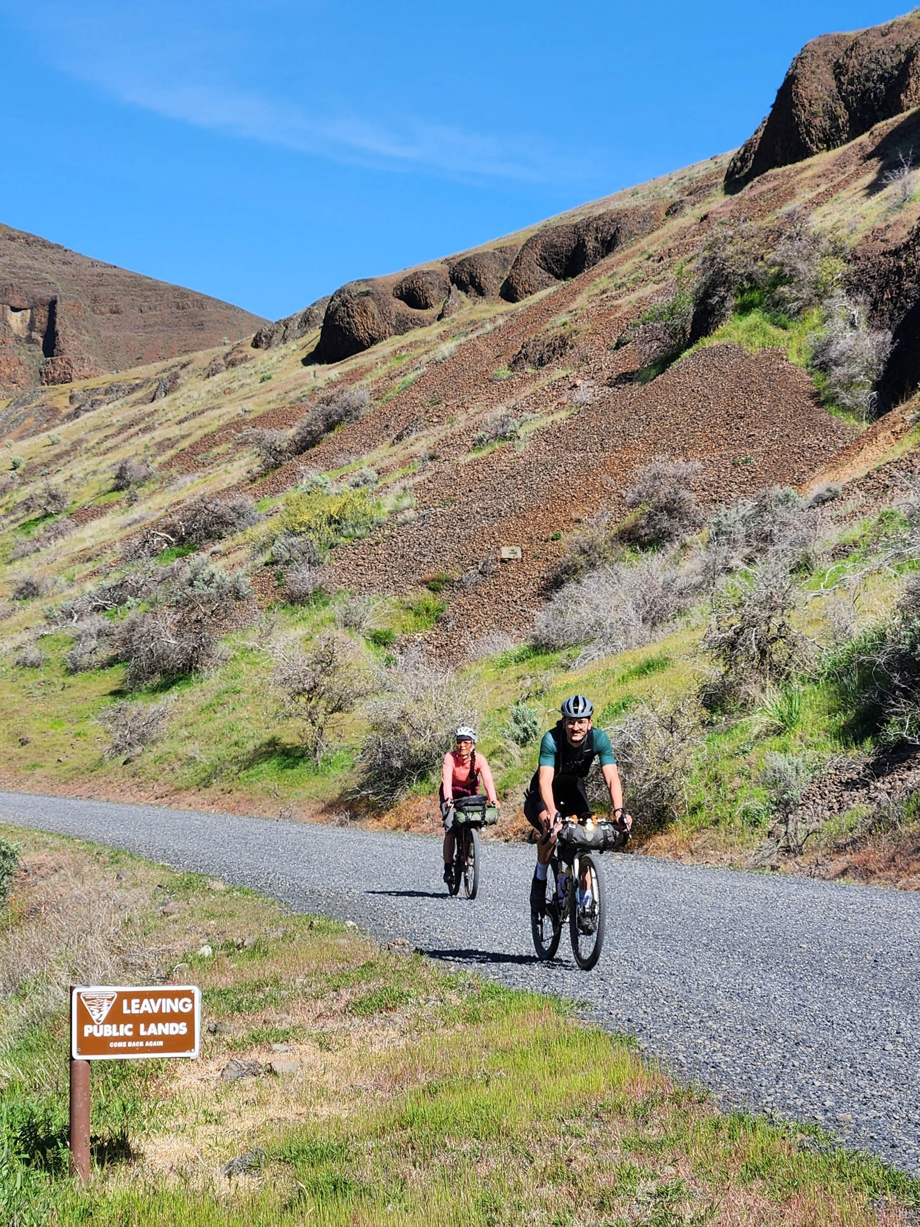
The route is not technical and it is entirely rideable. I don’t think I’ve ever ridden this much washboard-free gravel (until you get to Lower Deschutes River/BLM Access Road, that is). While this route is a tad longer than usual overnighter routes found in the BIKEPACKING.com archive, a good portion of pavement helps with overall rolling time. What makes it challenging is the lack of shade and supply stops. On the first day, the route goes through a small town of Grass Valley and you can get very good food. I could not find any resupply/watering once on the plateau on the west side on the second day. Lack of camping areas until Deschutes River also adds to the challenge. That said, the camping itself is easy with plenty of access to water (to filter) and well-stocked toilets and trash cans.
Route Development: I love history and have been wanting to check out the historical artifacts along the river. I was bikepacking on the trail earlier in the season, but it ended abruptly where the major washout (old trestle site) was, so I was set out to create a route that goes further south. Coincidentally, Donnie Kolb—from Velodirt, the original Oregon bikepacking site, which is responsible for several O.G. bikepacking routes we have archived—had a similar route called Oregon Stampede (which you can also find archived here. I can say great minds think alike and understand the name of the route because we saw elk stampede! This route goes counter-clockwise without a major Highway 197 section. Both west and east sides of the route have a shop stop that might come in handy if you are okay with riding a little longer (10 miles extra).


Submit Route Alert
As the leading creator and publisher of bikepacking routes, BIKEPACKING.com endeavors to maintain, improve, and advocate for our growing network of bikepacking routes all over the world. As such, our editorial team, route creators, and Route Stewards serve as mediators for route improvements and opportunities for connectivity, conservation, and community growth around these routes. To facilitate these efforts, we rely on our Bikepacking Collective and the greater bikepacking community to call attention to critical issues and opportunities that are discovered while riding these routes. If you have a vital issue or opportunity regarding this route that pertains to one of the subjects below, please let us know:
Highlights
Must Know
Camping
Food/H2O
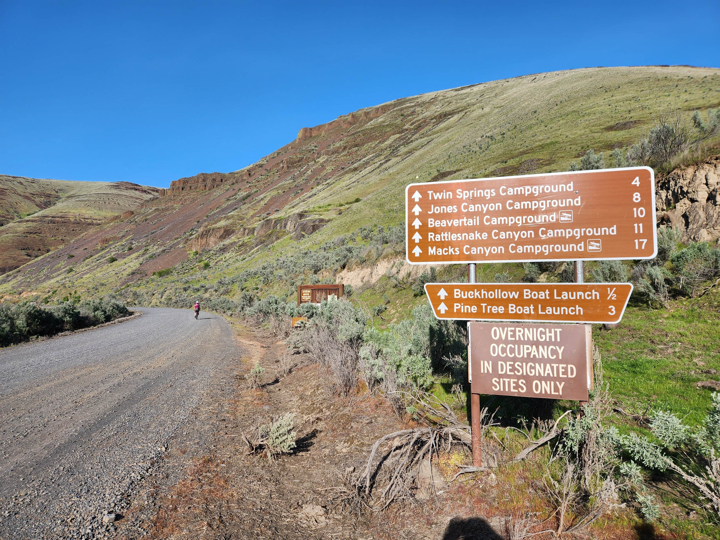
- Twin Springs Campground is the closest campsite on BLM access road, but there are a few more you can try.
- Don’t forget to look back every so often because a new mountain might peek out!
- Stopping at the Grass Valley Country Market is a must. Service and food were good and chatting with locals and tourists was fun.
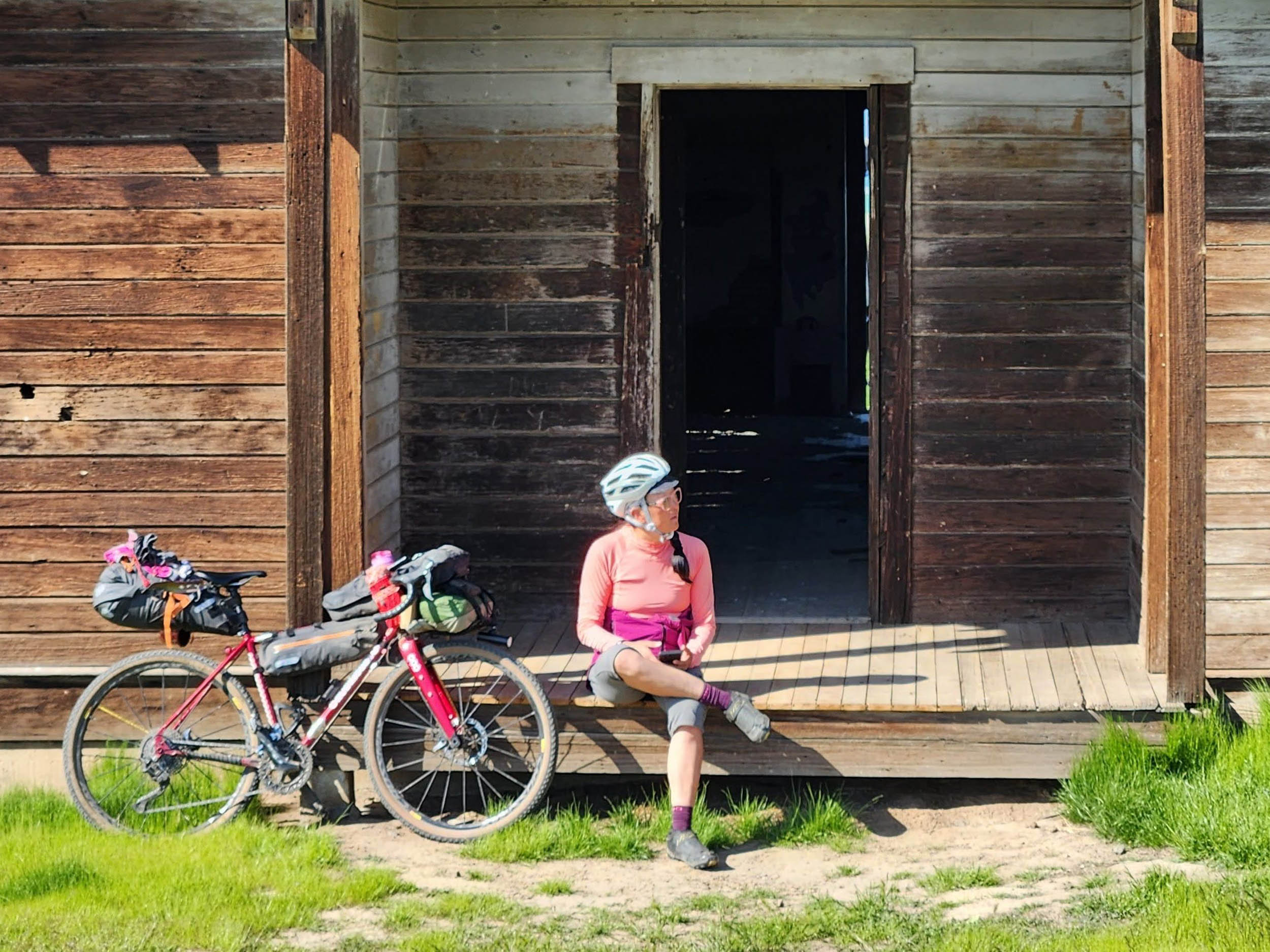
- Seeing abandoned historic schoolhouses and the old dance hall in the landscape.
- Spotting wildlife, such as elk herds along the way.
- The best time to do this route is in spring or fall to avoid the height of snake and wildfire seasons.
- You will be riding on Cadillac gravel and equally beautiful paved surfaces, where 42mm+ tires should do fine (though this team had 38mm, 44mm, and 48mm).
- Stay updated on any wildfires in the area. You will be camping in the canyon, and there is no way out other than one road that connects it. You can check the Central Oregon Fire information site here and the NFS website.
- For the obligatory highway miles (to minimize the overall distance), please have a good tail light.
- Credit cards work to pay for parking at the start and campsite, but it’s always a good idea to carry some cash.
- Cell phone signals can be spotty, but all of the routes are drivable in case you need to be picked up.
- In Central Oregon, snake season typically runs from spring (late March/early April) to late fall (late September/early October), with the peak of activity in the summer months. Western rattlesnakes are the primary concern, emerging from their dens in the spring and becoming more active as temperatures warm. Other snakes, such as the Northwestern garter snake and North American racer, may also be seen during this period.
- Poison oaks are along the river. When you access the river for filtering water, watch out where your hands and legs are.
- There are many campsites along Deschutes River on BLM Access Road. This route goes north, but you can find more in the south of the turn-off.
- Due to the lack of shade and water refilling spots, avoid this route when in the middle of summer and fire season. Carry more water than you think you need.
- The Deschutes River provides all the water you need while camping and for day two, but you will need to filter.
- After crossing the river in the southern part of the route, you can go farther south to find resupply in Maupin. You can take Hwy 197 at mile 68 to ride through the Tygh Valley or backroads, such as the BLM access road.


Terms of Use: As with each bikepacking route guide published on BIKEPACKING.com, should you choose to cycle this route, do so at your own risk. Prior to setting out check current local weather, conditions, and land/road closures. While riding, obey all public and private land use restrictions and rules, carry proper safety and navigational equipment, and of course, follow the #leavenotrace guidelines. The information found herein is simply a planning resource to be used as a point of inspiration in conjunction with your own due-diligence. In spite of the fact that this route, associated GPS track (GPX and maps), and all route guidelines were prepared under diligent research by the specified contributor and/or contributors, the accuracy of such and judgement of the author is not guaranteed. BIKEPACKING.com LLC, its partners, associates, and contributors are in no way liable for personal injury, damage to personal property, or any other such situation that might happen to individual riders cycling or following this route.
Further Riding and Reading
Here are some connected/nearby routes and related reports...

Please keep the conversation civil, constructive, and inclusive, or your comment will be removed.