


Malecoste Overnighter
Distance
36 Mi.
(58 KM)Days
2
% Unpaved
99%
% Singletrack
28%
% Rideable (time)
80%
Total Ascent
6,922'
(2,110 M)High Point
7,313'
(2,229 M)Difficulty (1-10)
8?
- 10Climbing Scale Very Strenuous192 FT/MI (36 M/KM)
- -Technical Difficulty
- -Physical Demand
- -Resupply & Logistics
Contributed By
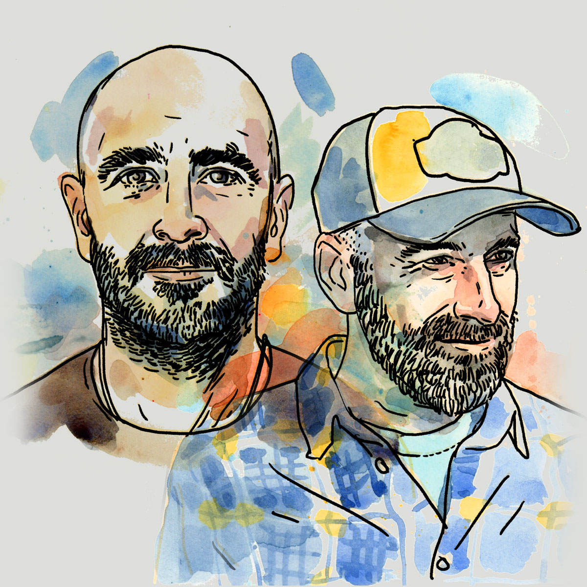
Montanus
The Wild Side
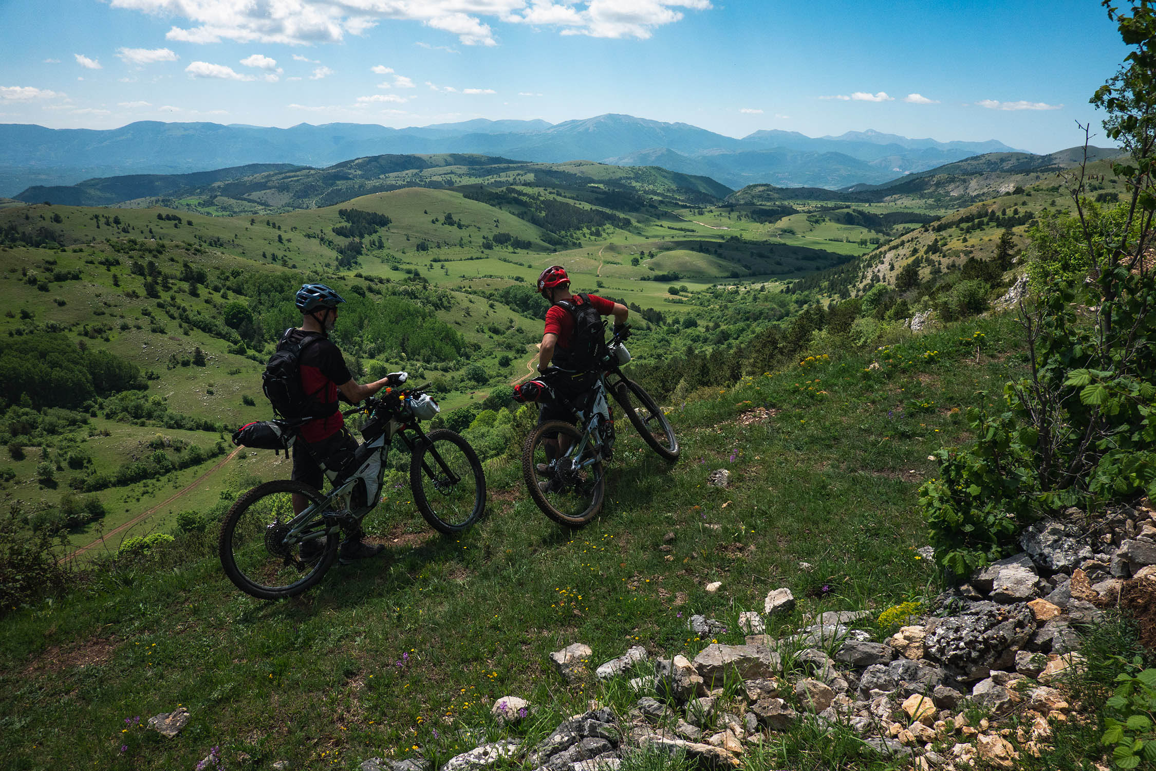
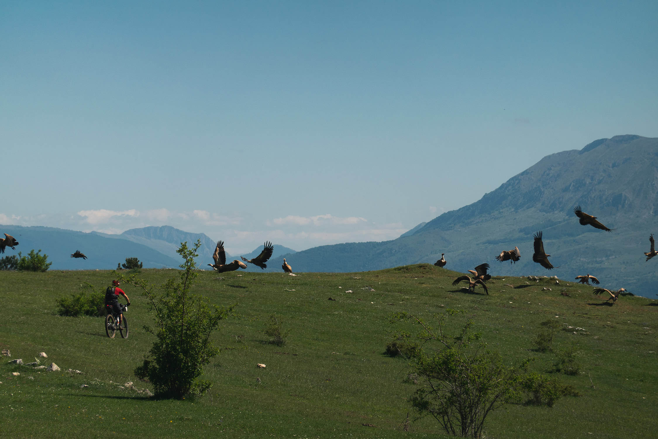
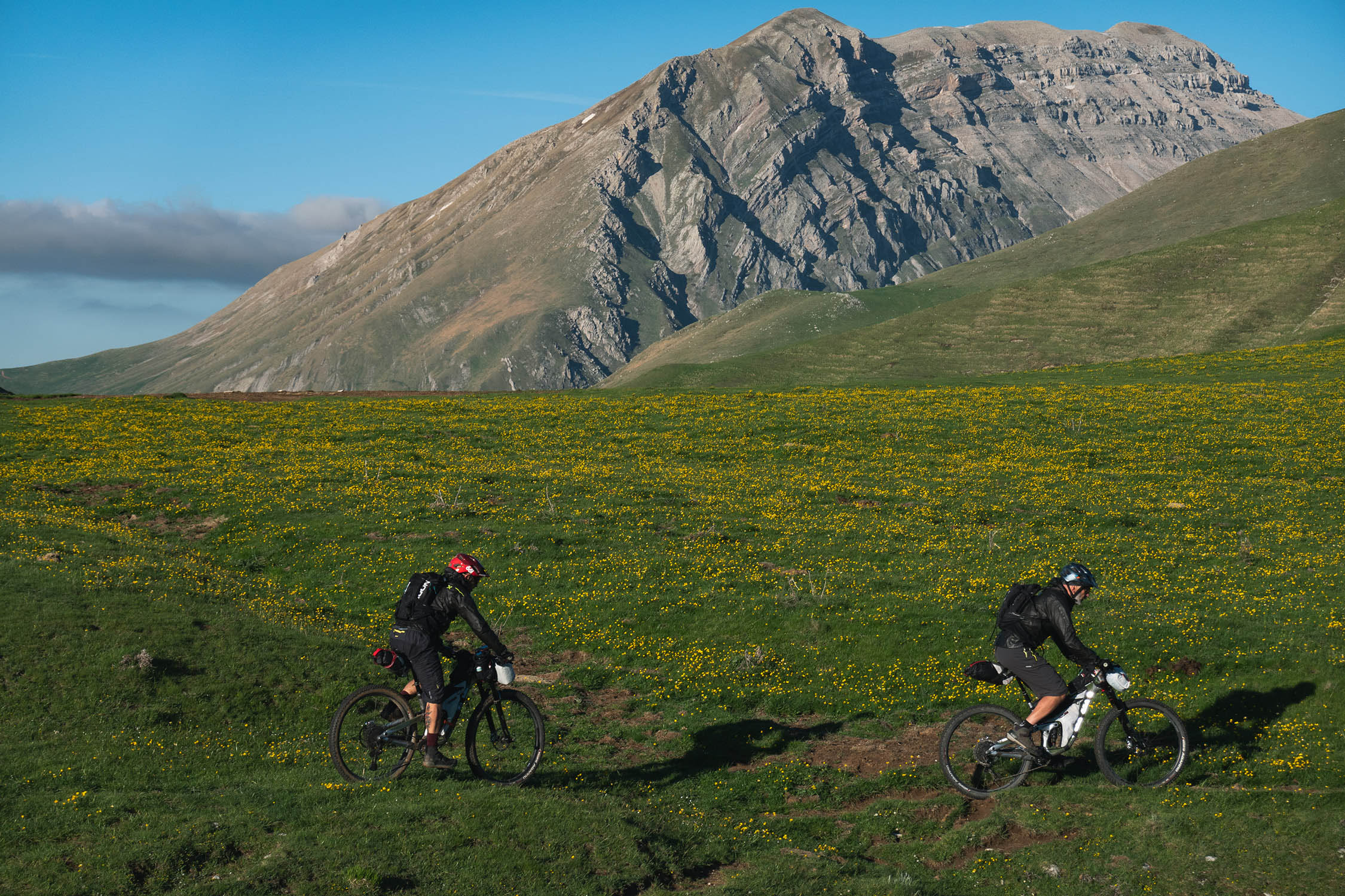
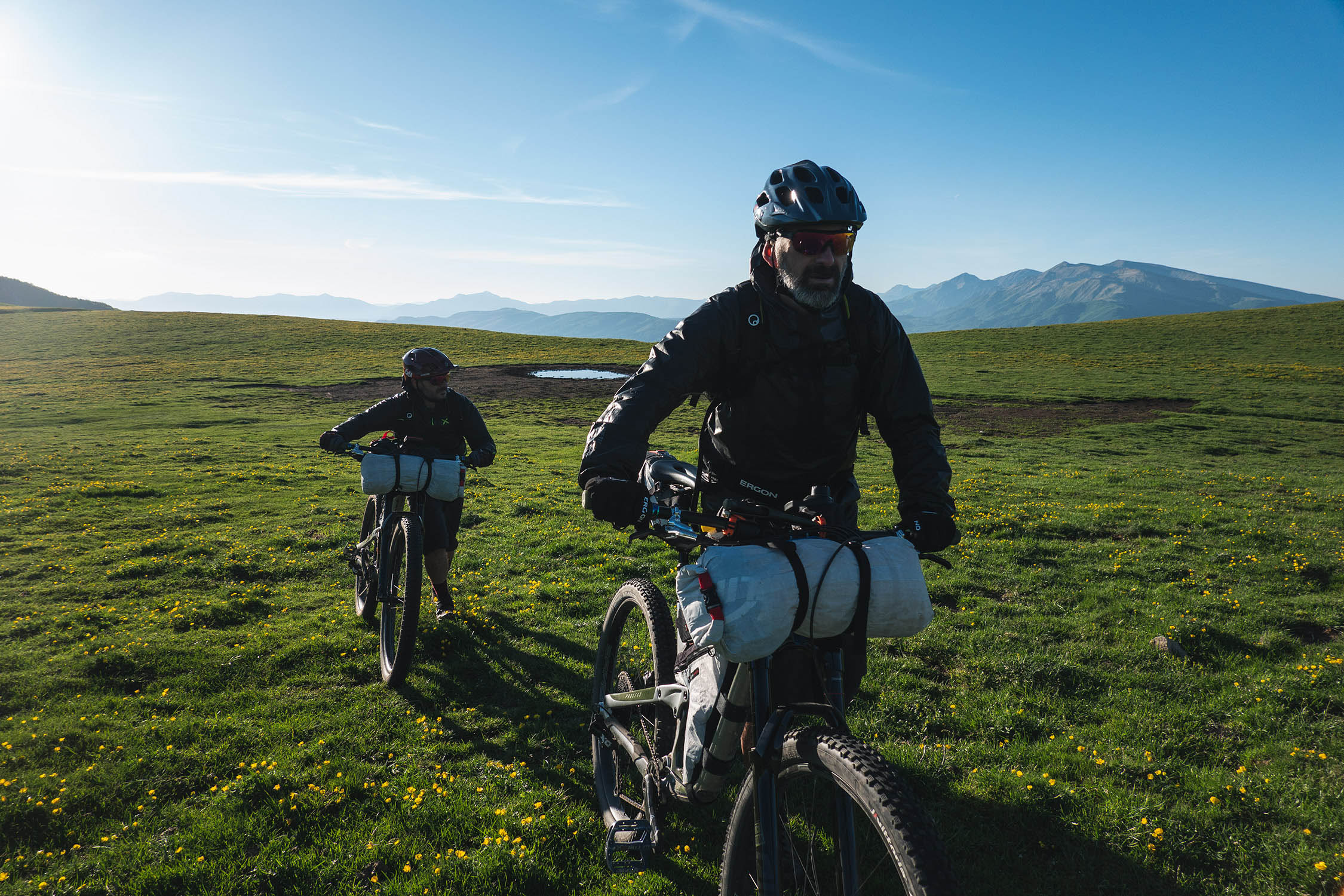
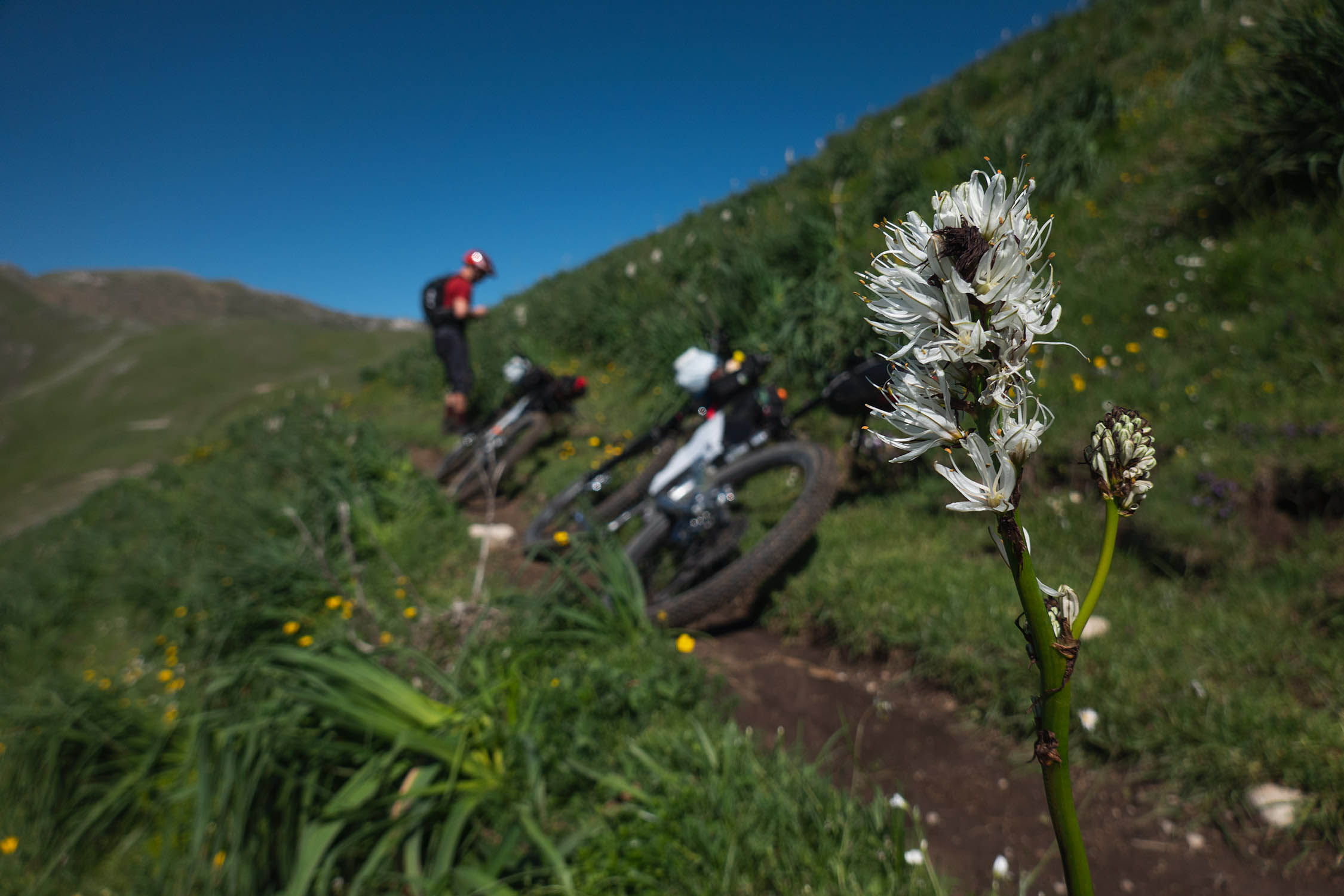
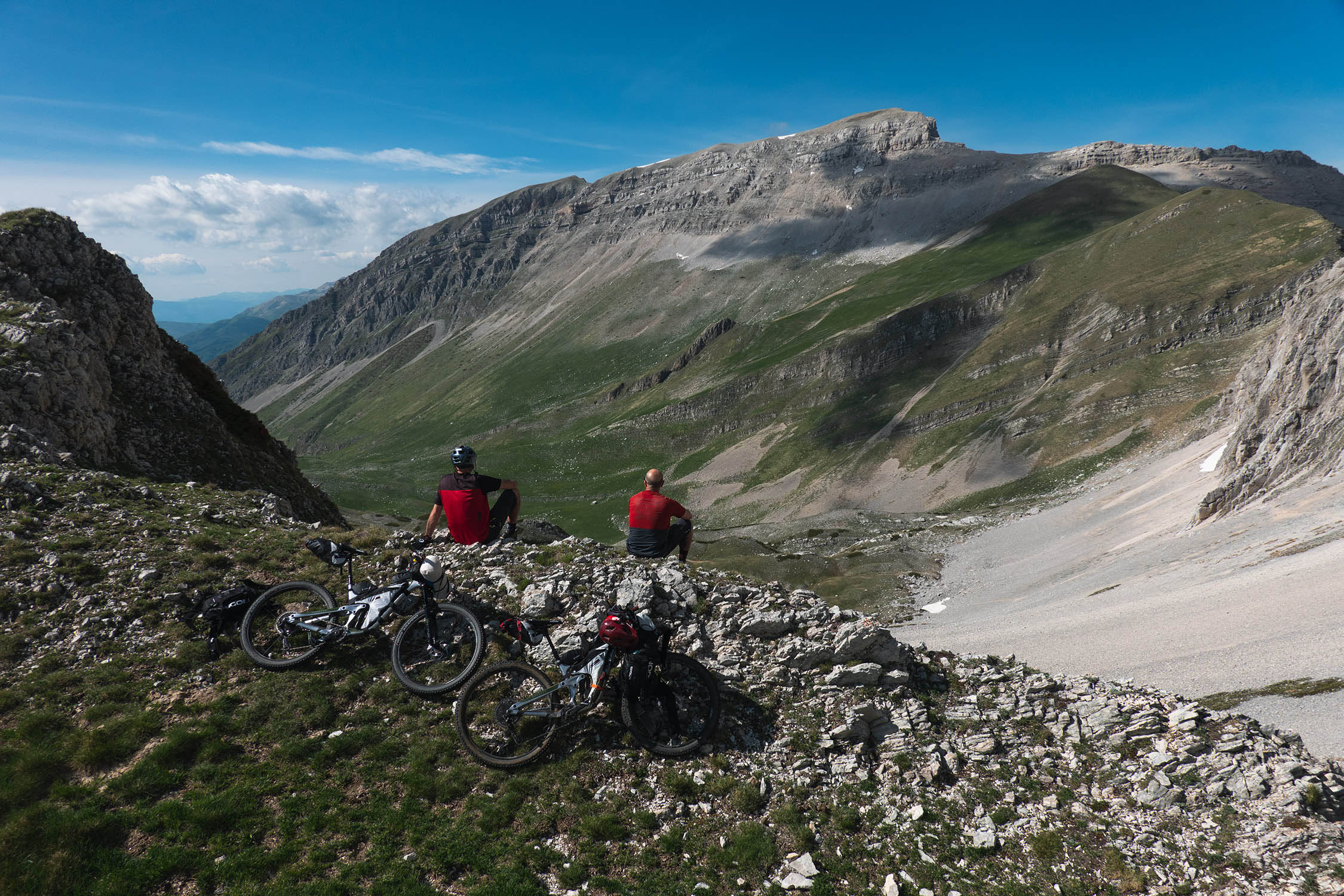
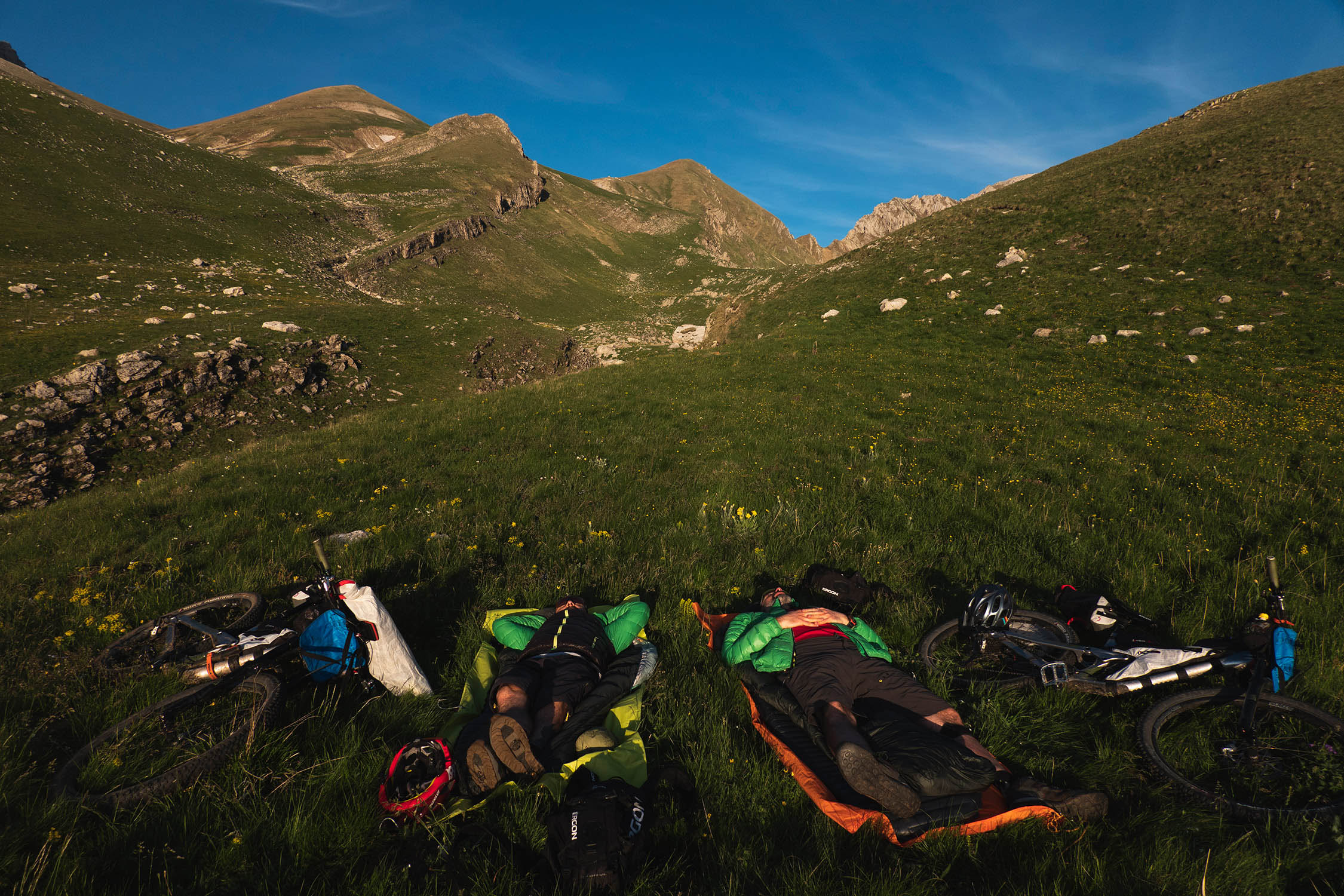
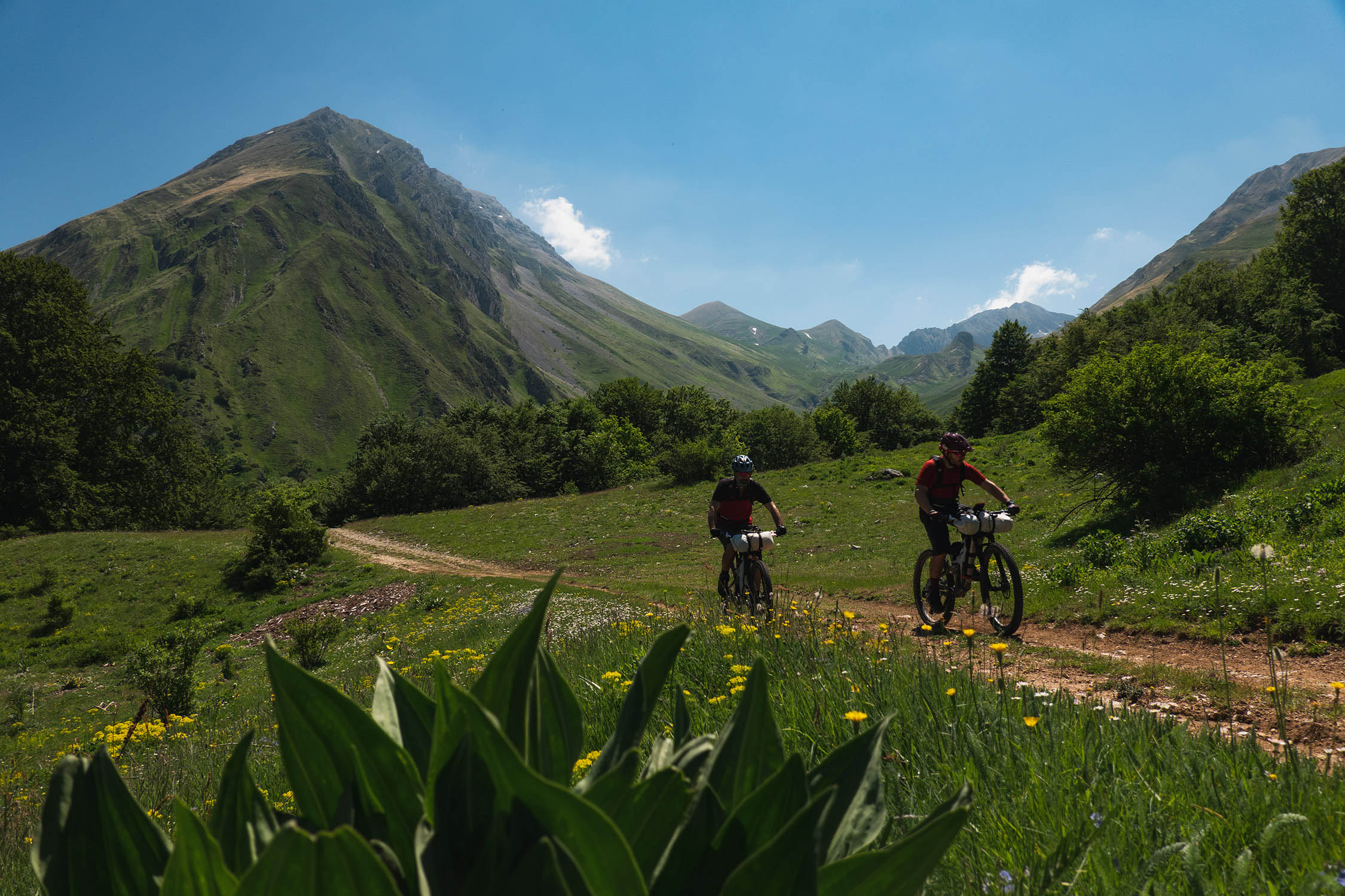
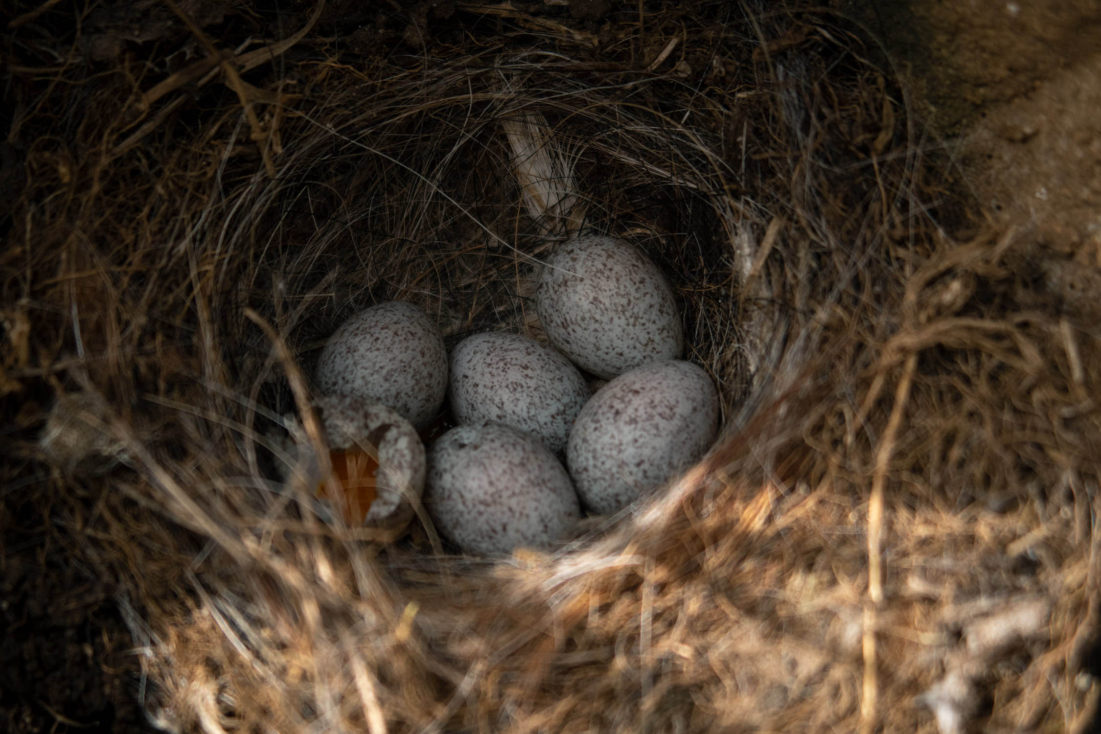
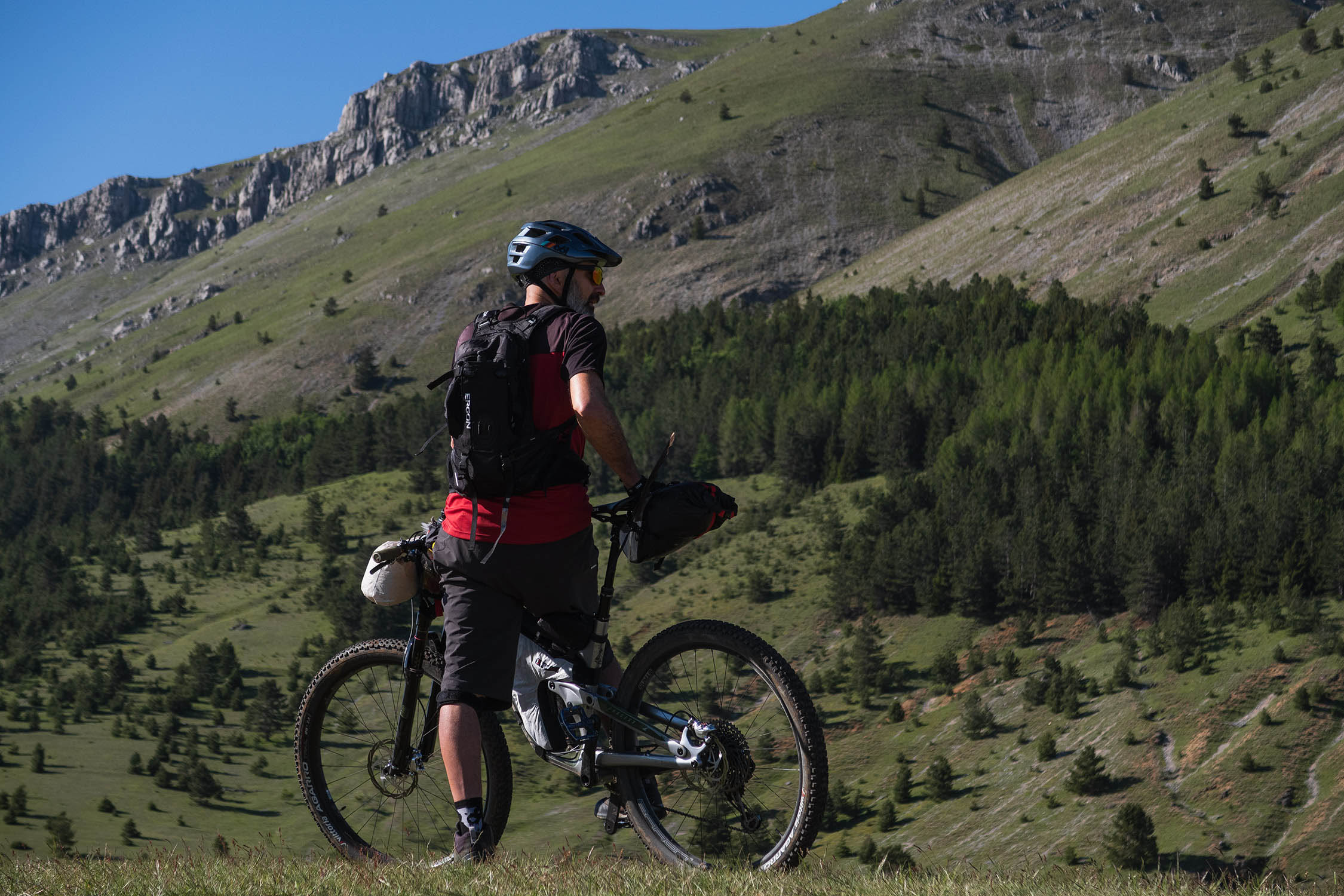
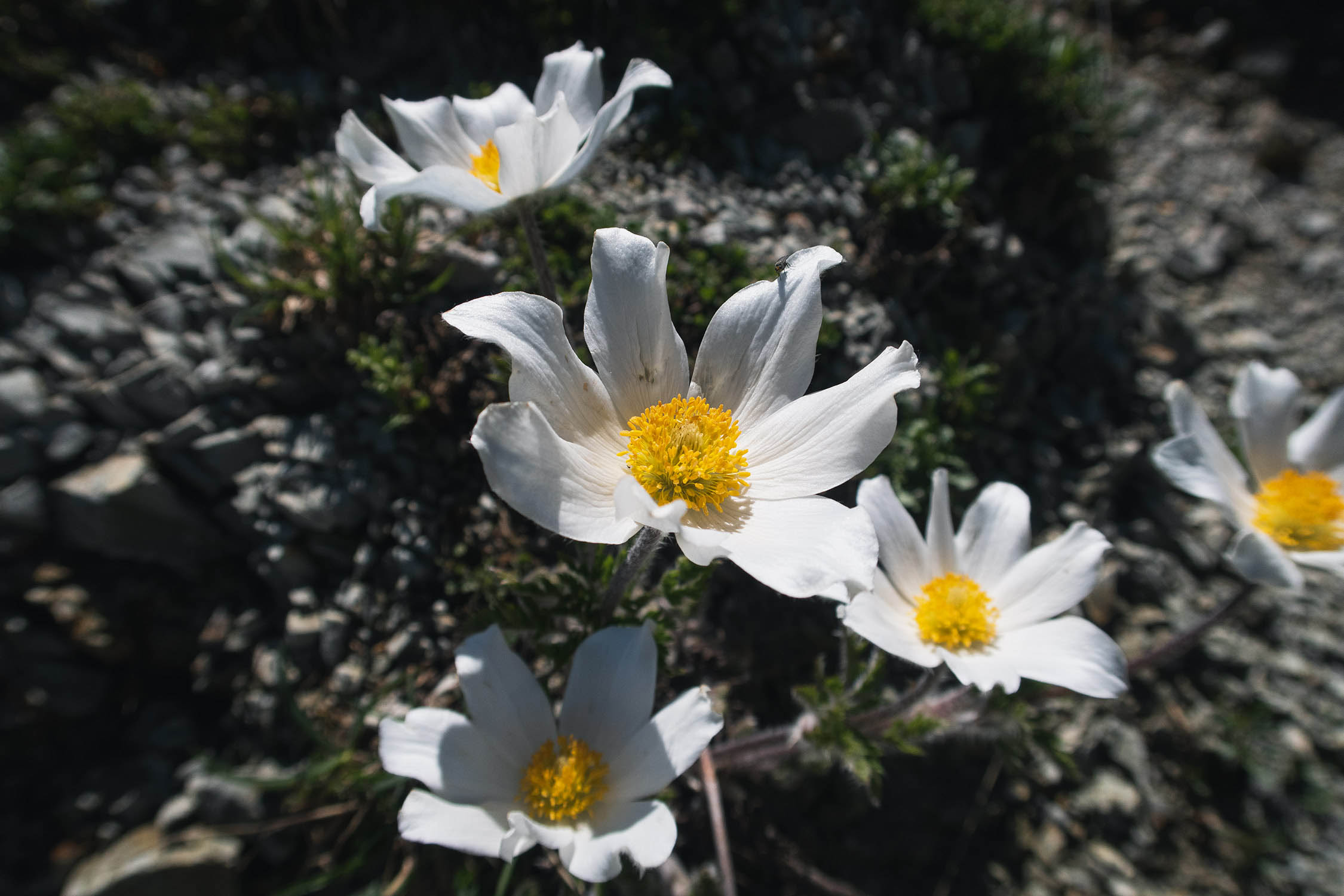
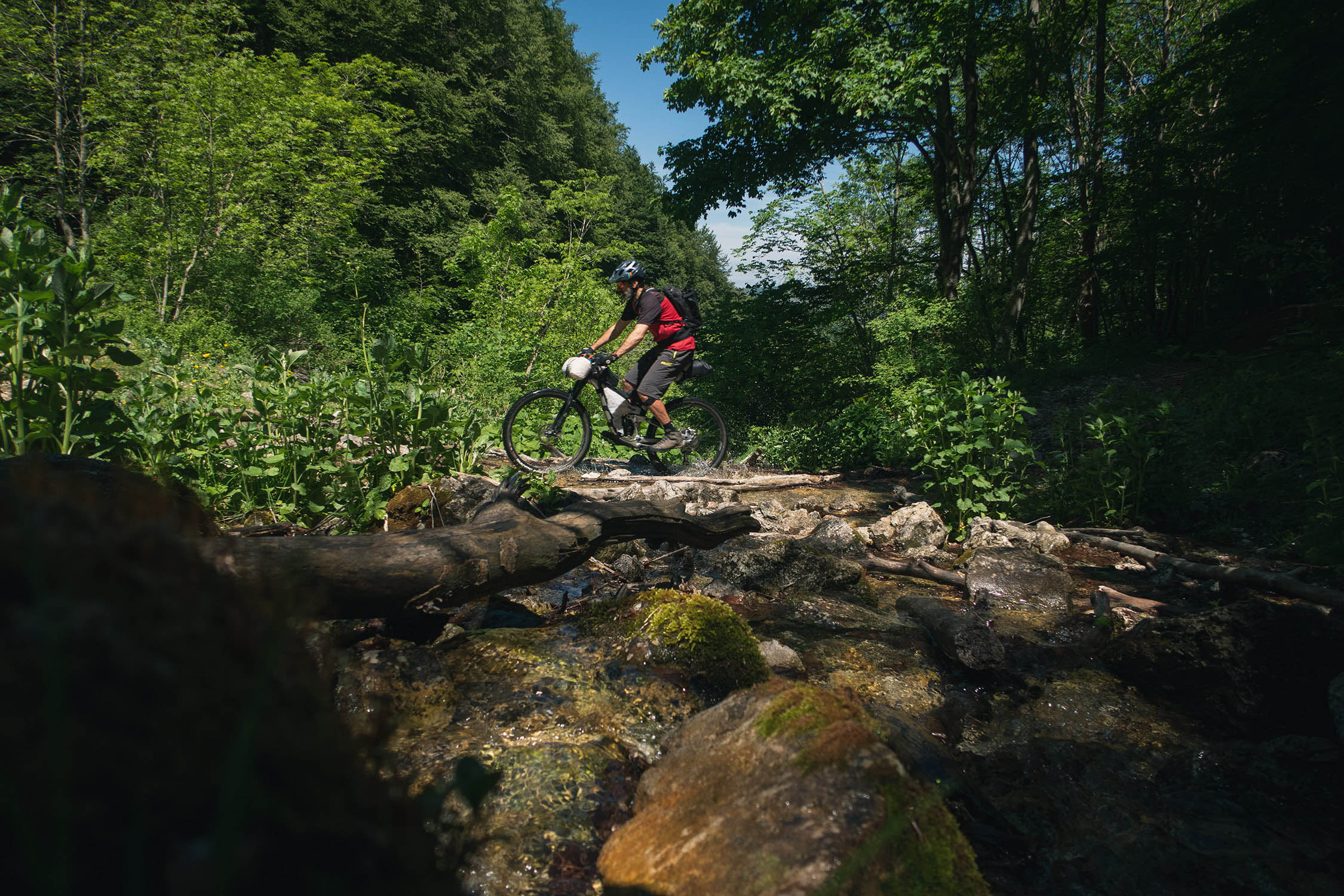
This loop was conceived to pay tribute to the place where Montanus was born. In the summer of 2014, we took our first overnighter in the Chiarino valley, riding full-suspension bikes with massive backpacks. Six years later we returned there to create a loop to remember the old days and celebrate our origins. The Malecoste overnighter follows a mix of singletrack and two-track roads across plateaus, forests, streams, and valleys to reach the majestic Apenninic peaks. It’s kind of a microcosm of incredible biodiversity. The area is full of wild animals, such as horses, wolves, fox, eagles, and griffon vultures, as well as an incredible variety of plants and wild flowers. It’s amazing what it’s possible to see within a route that’s only 60 kilometers in length.
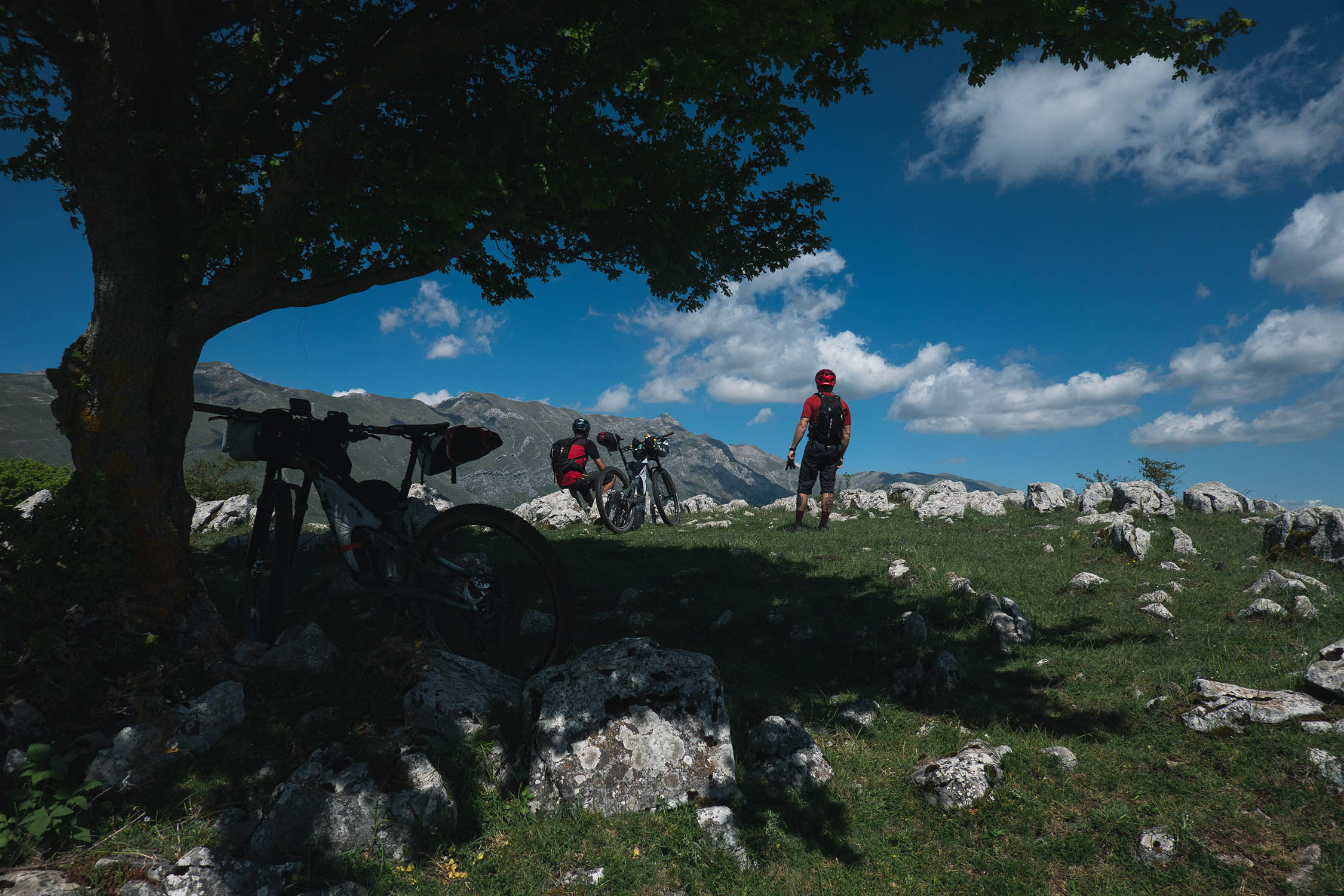
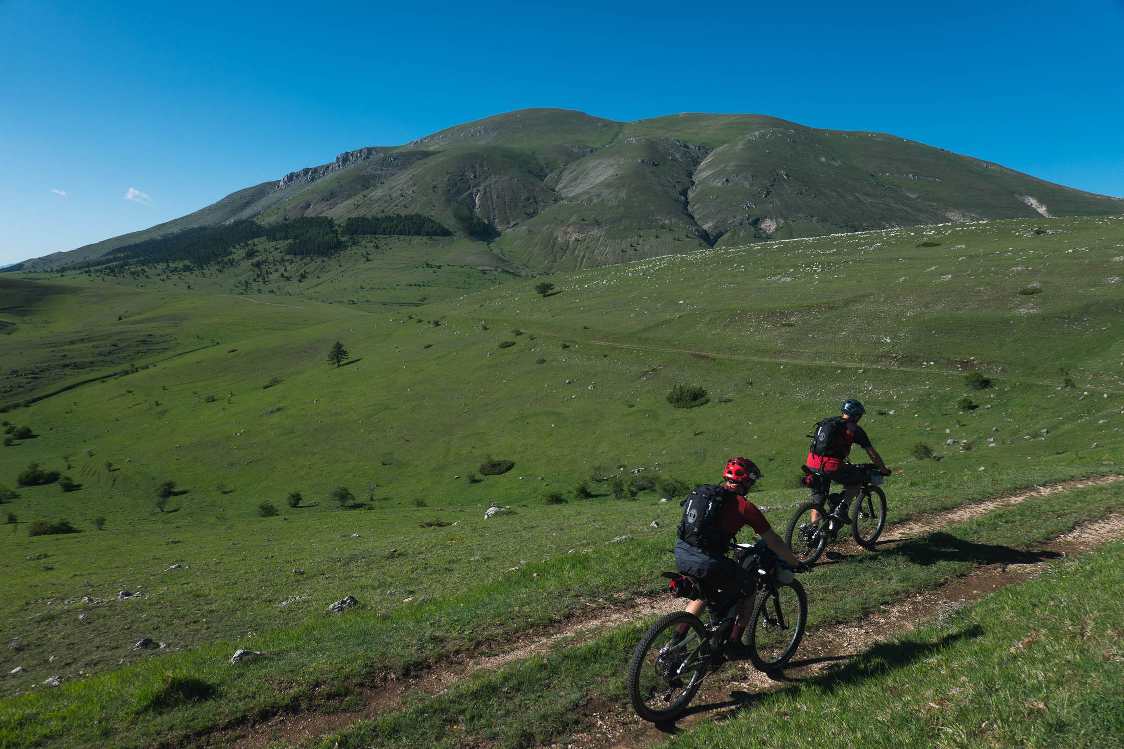
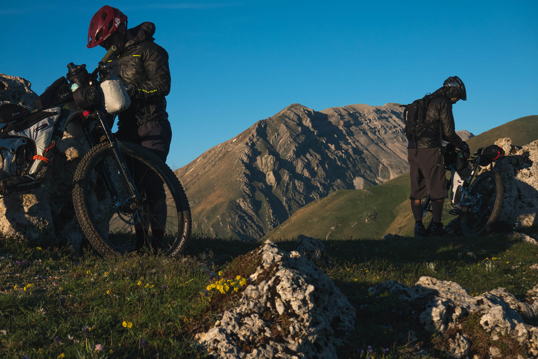
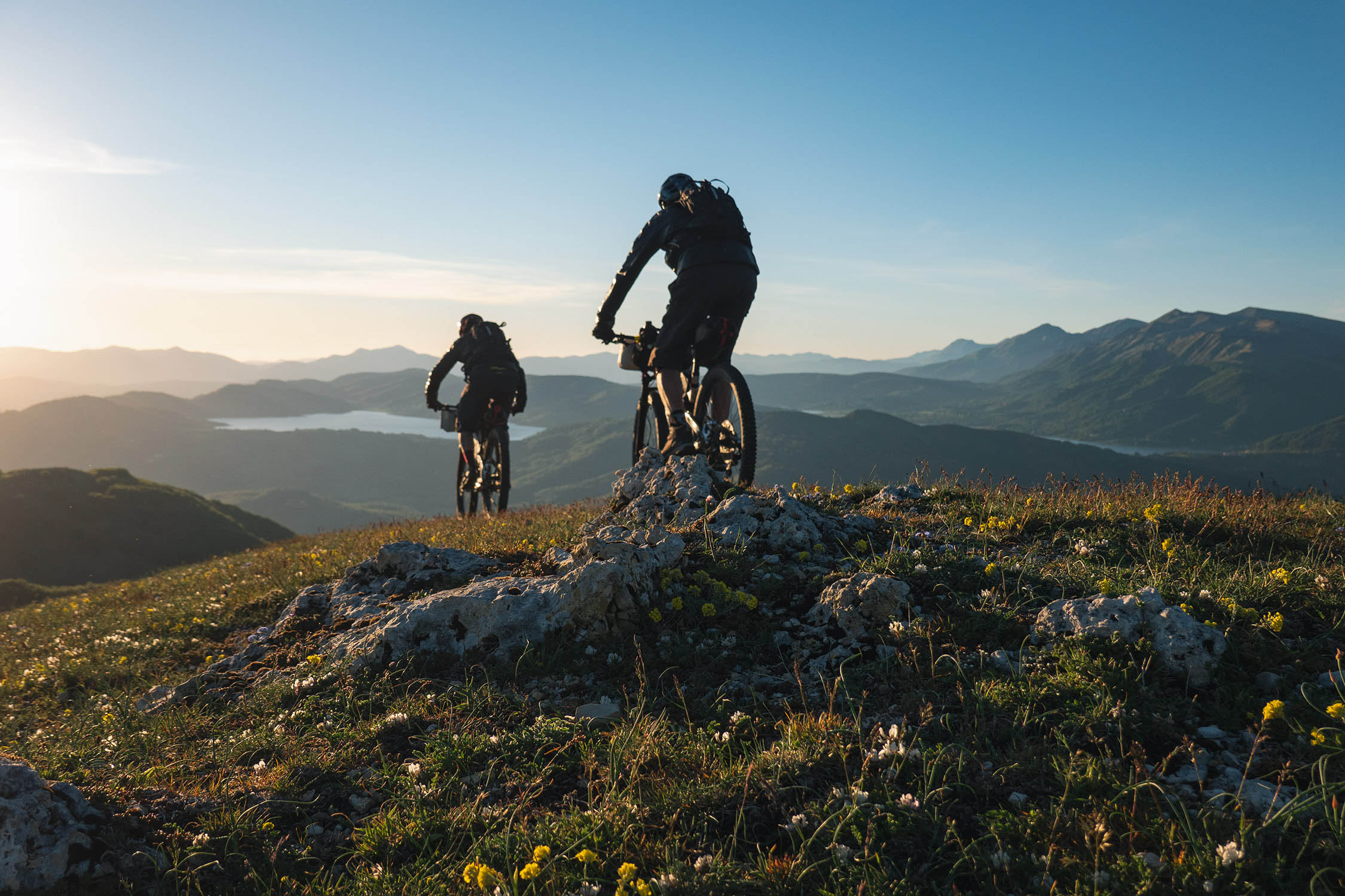
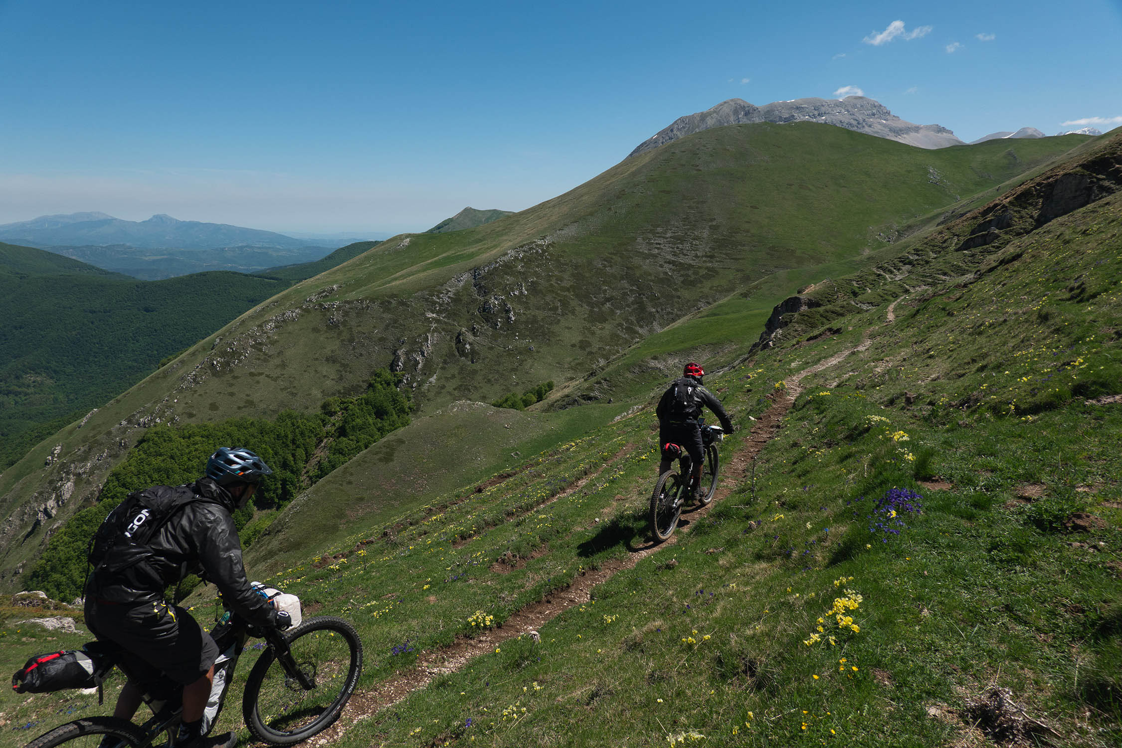
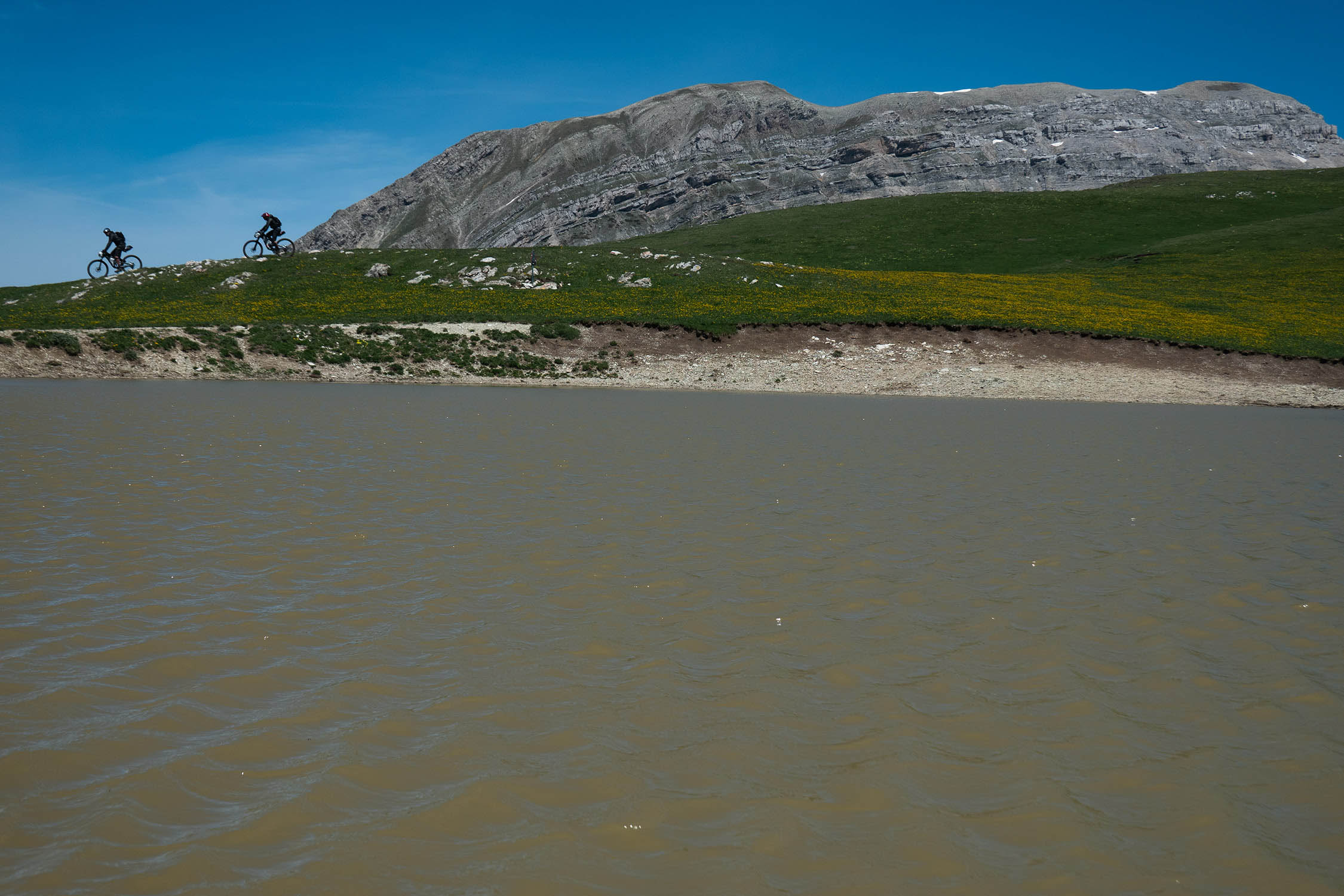
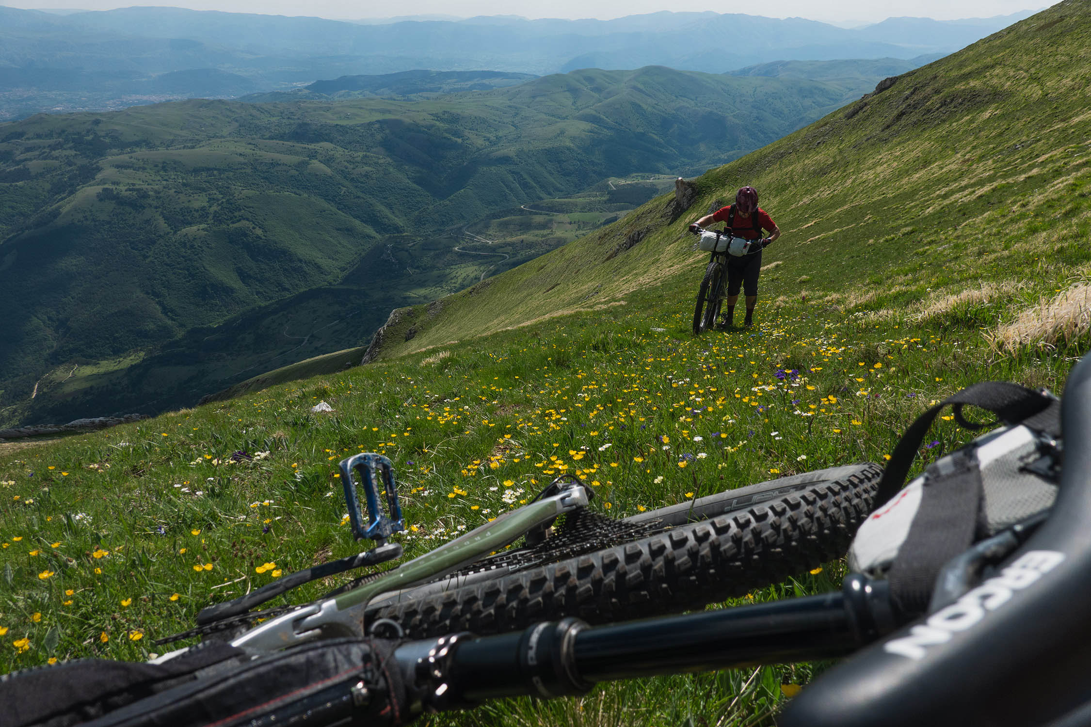
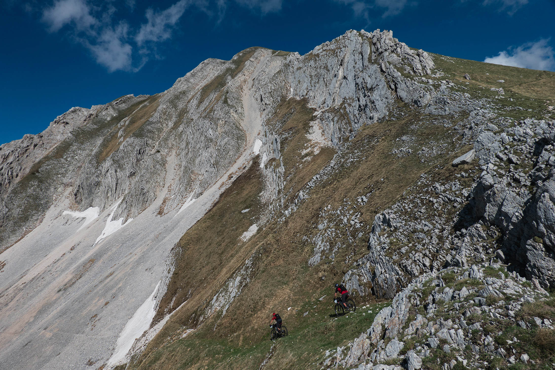
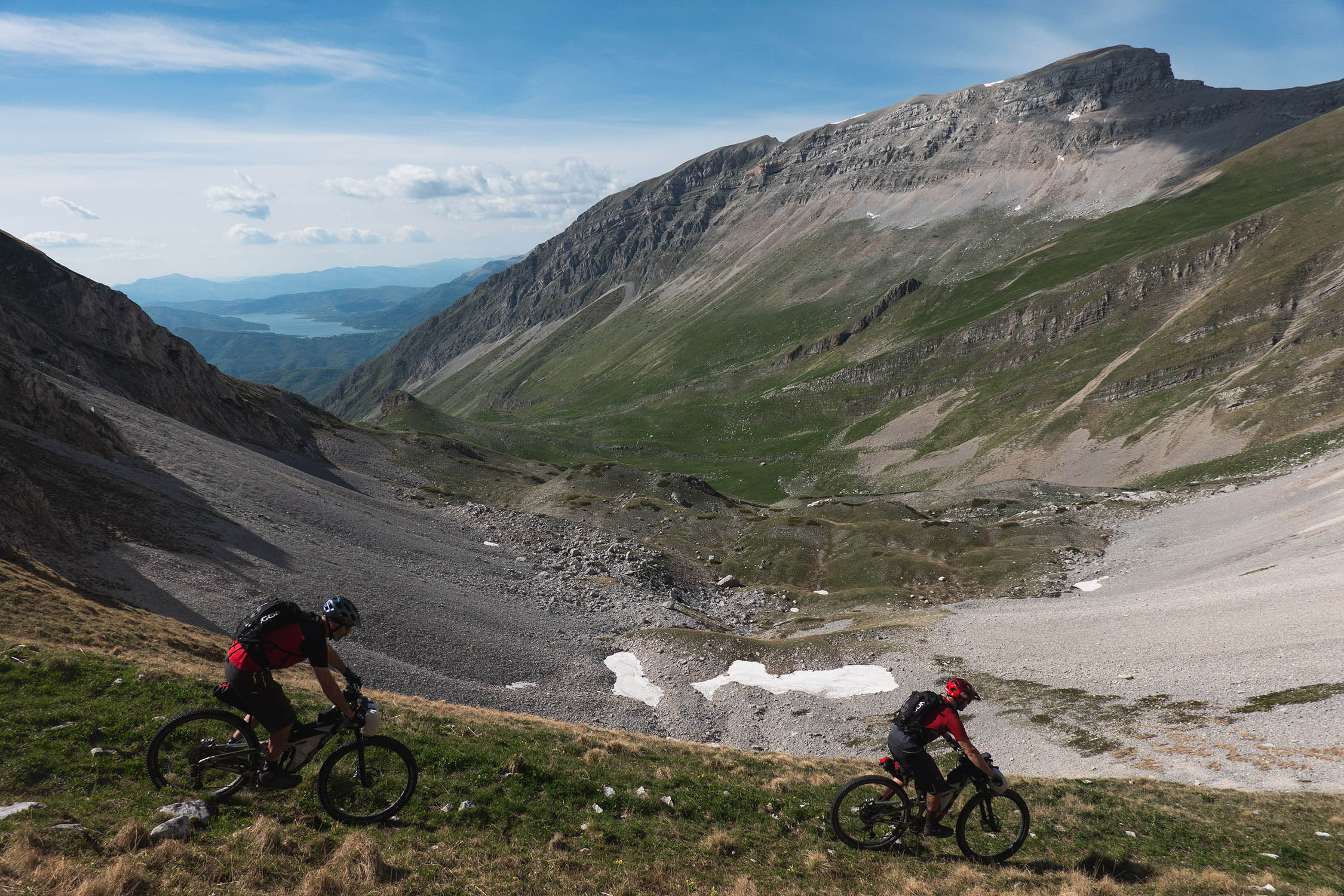
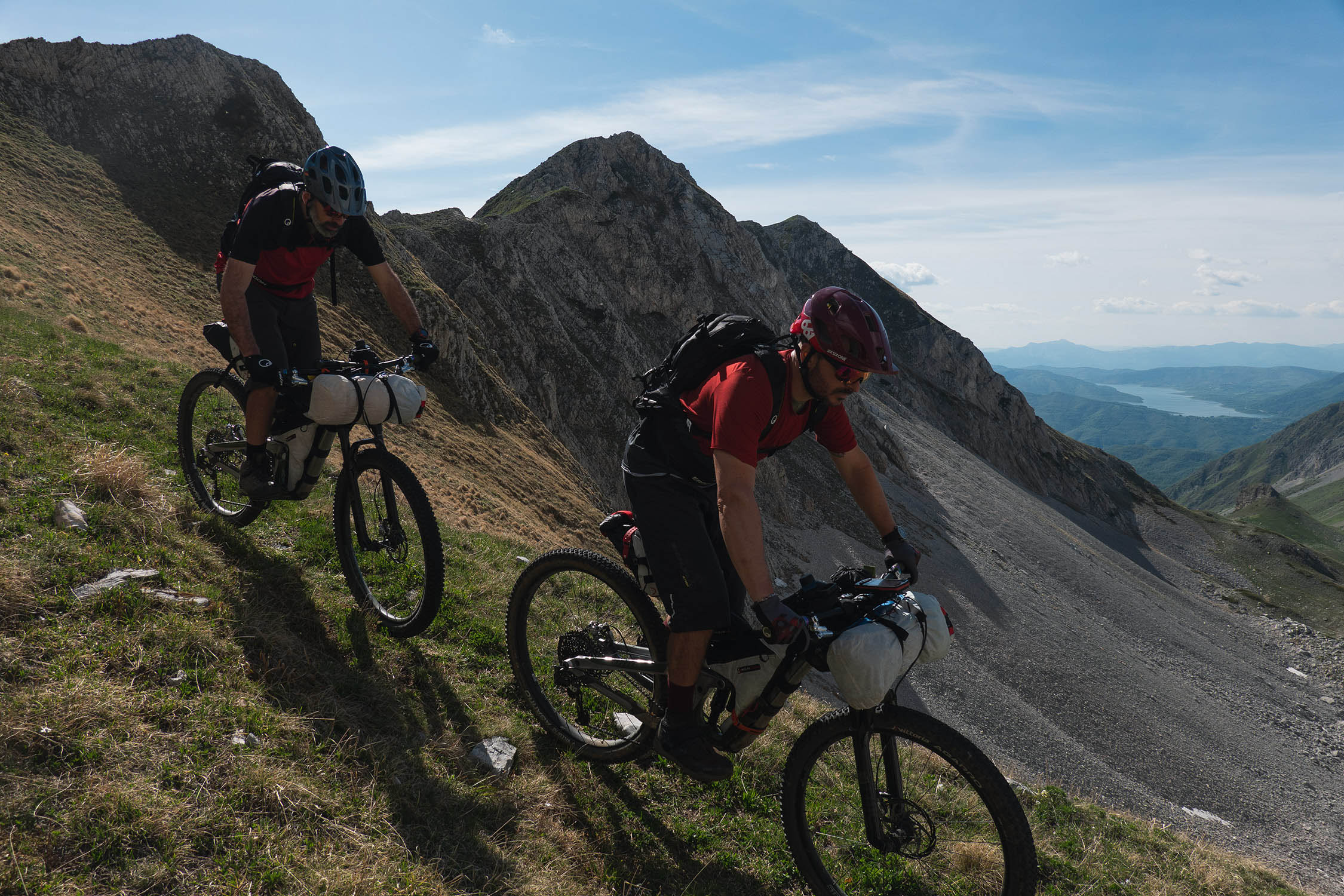
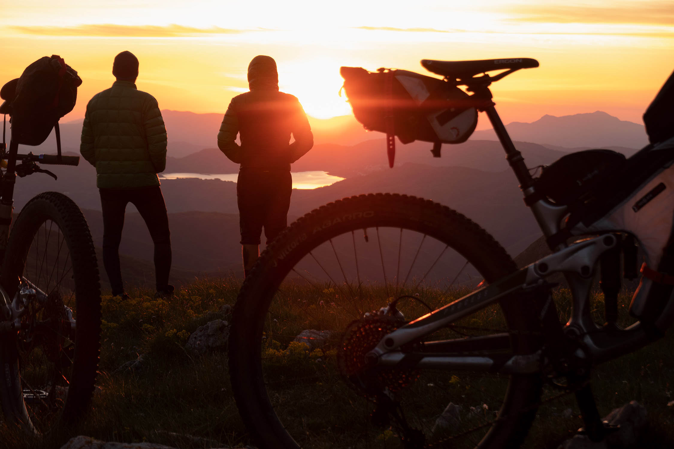
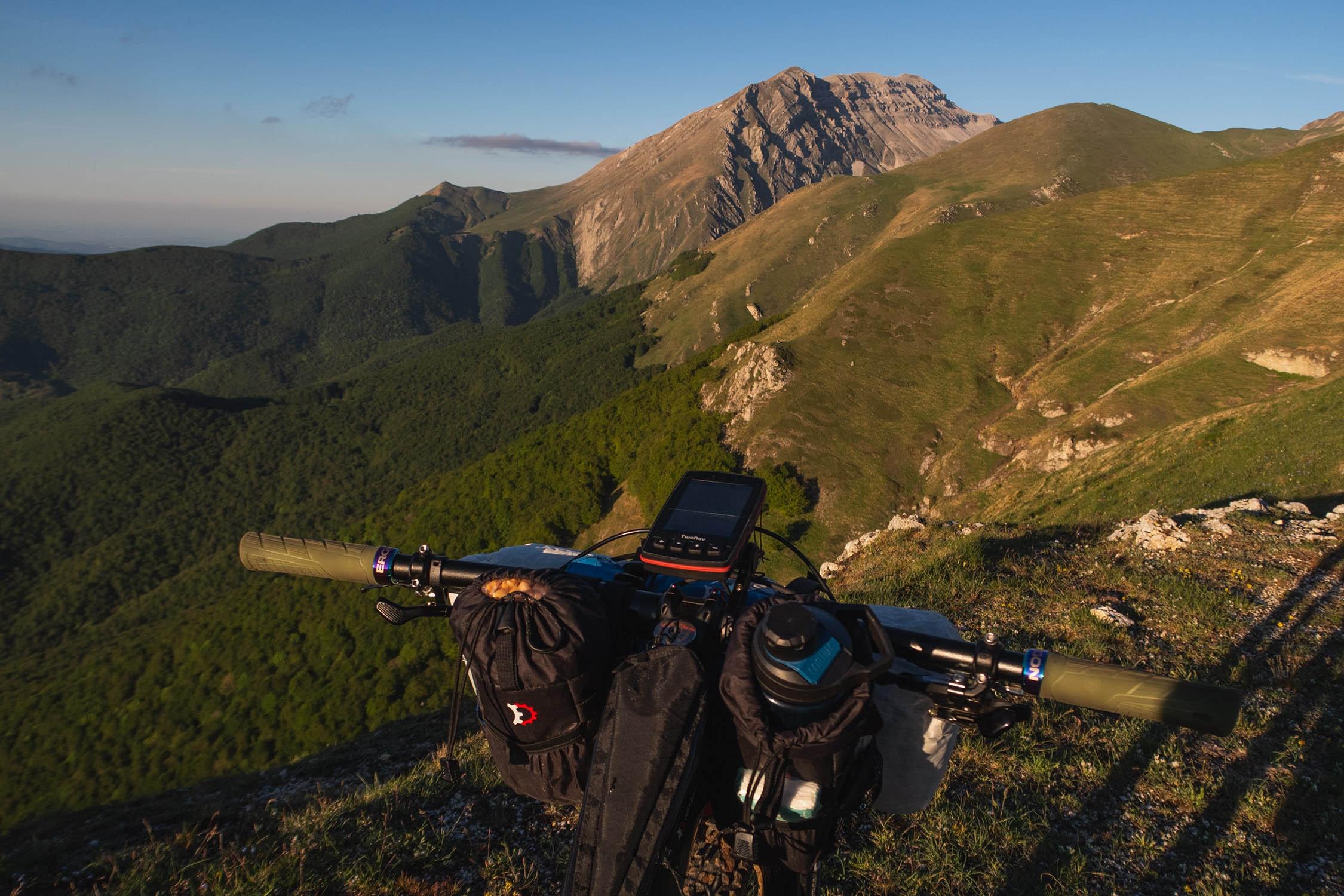
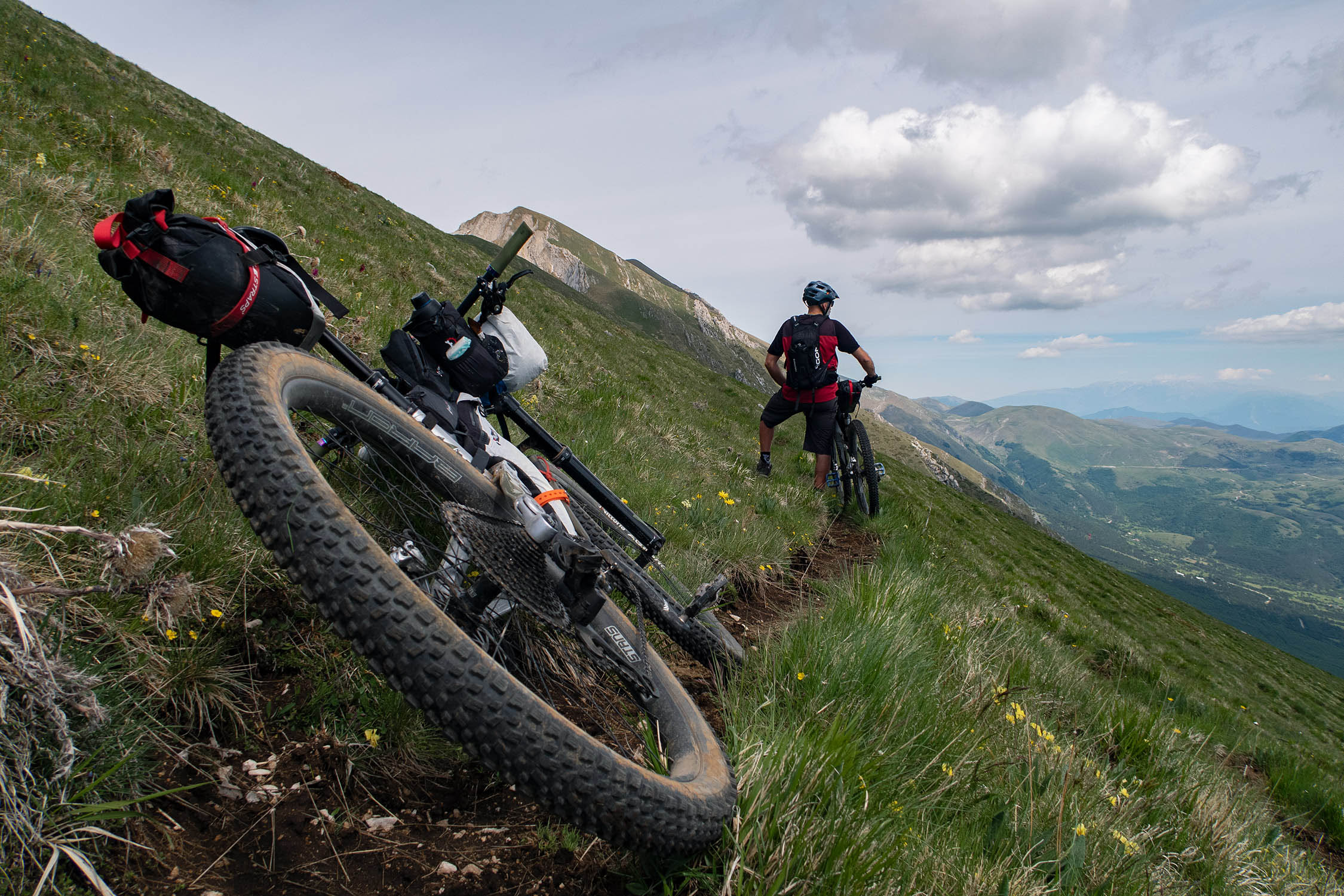
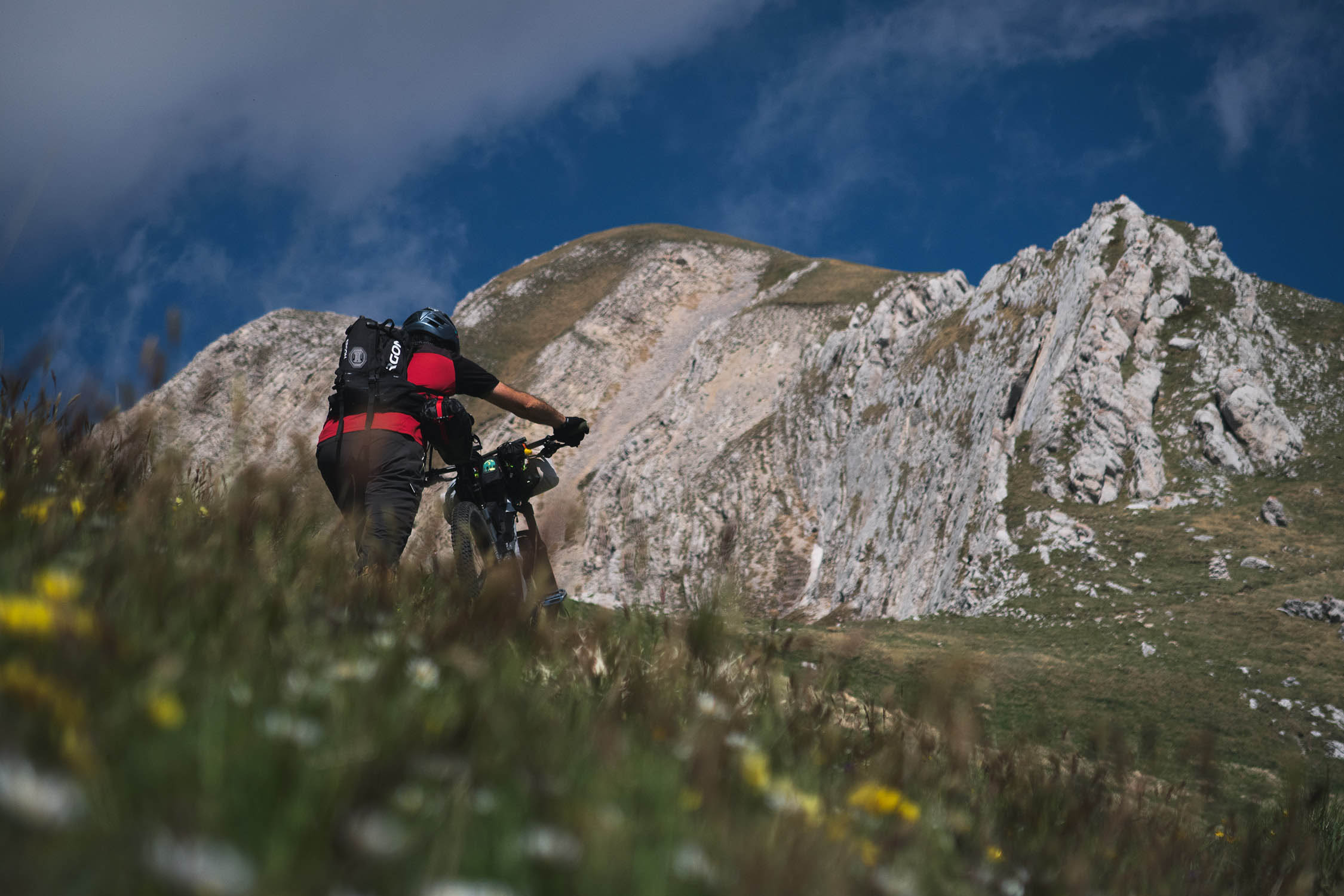
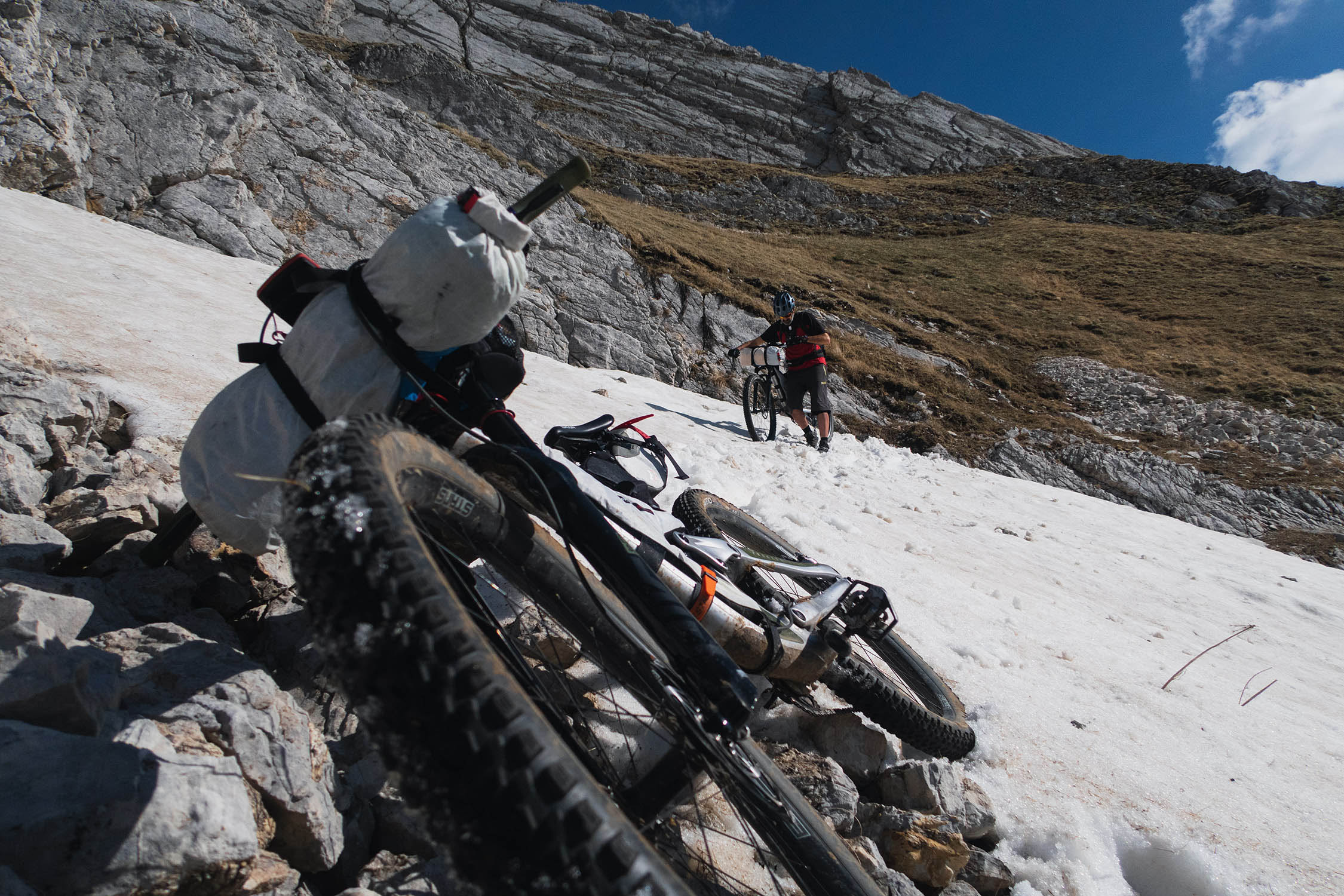
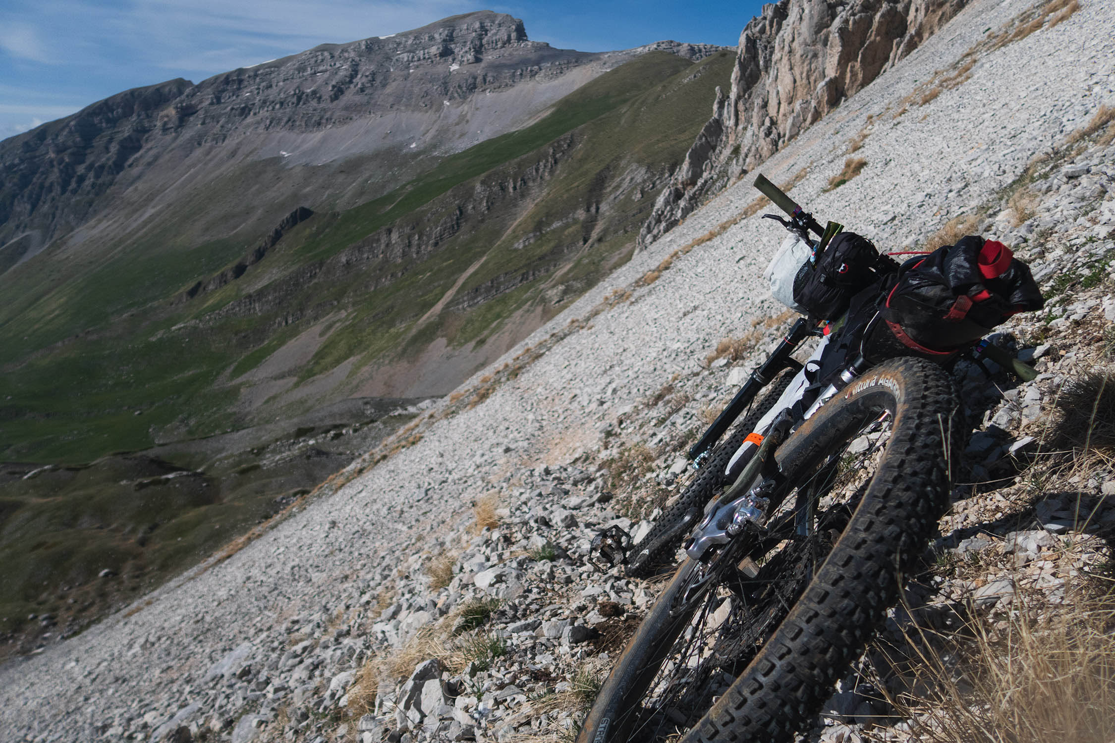
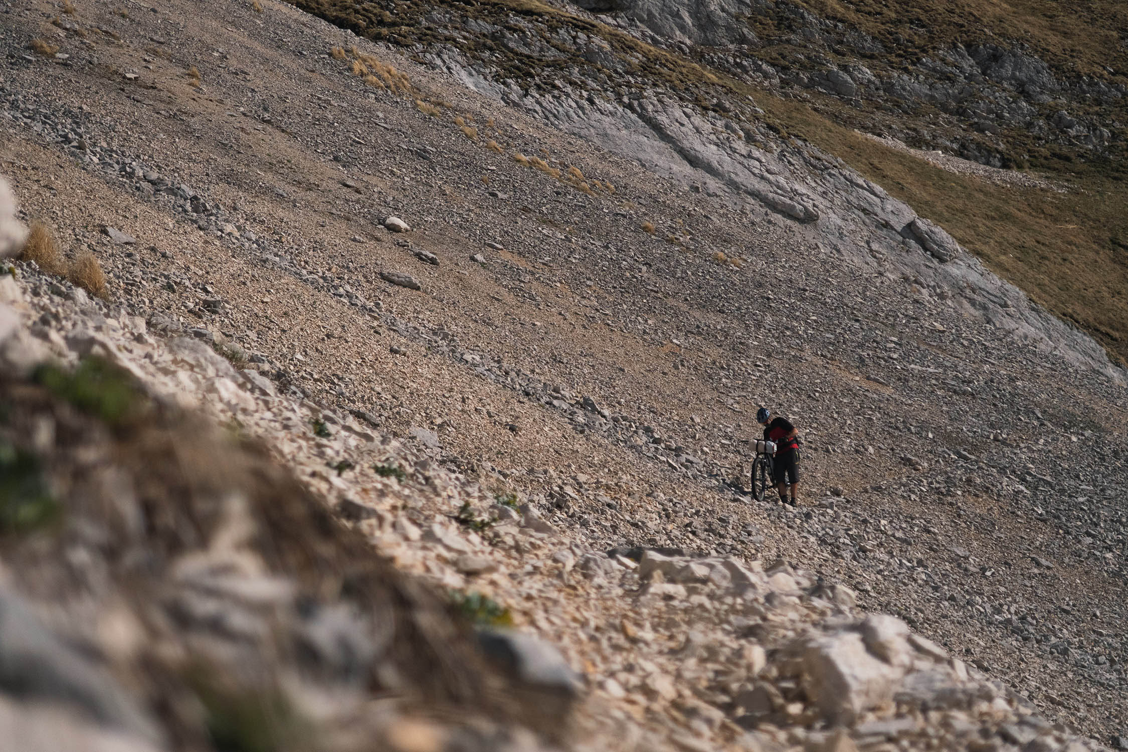
Passing Monte Jenca and Pizzo Camarda, steep but rideable uphills take you in the “high mountain” section of the route where you’ll need to walk your bike along faint tracks to reach Passo Malecoste, the highest point of the route 7,313 feet (2,229 meters). This is the most spectacular part of this overnighter, an incredible natural amphitheater made up of rock walls, scree, loose rocks, and boulders. Malecoste is sort of wall of petrified flames at the top of a valley. Monte Corvo and the north face of Pizzo Camarda leave you breathless as much as the amazing view on the Chiarino valley and the Campotosto Lake across the horizon.
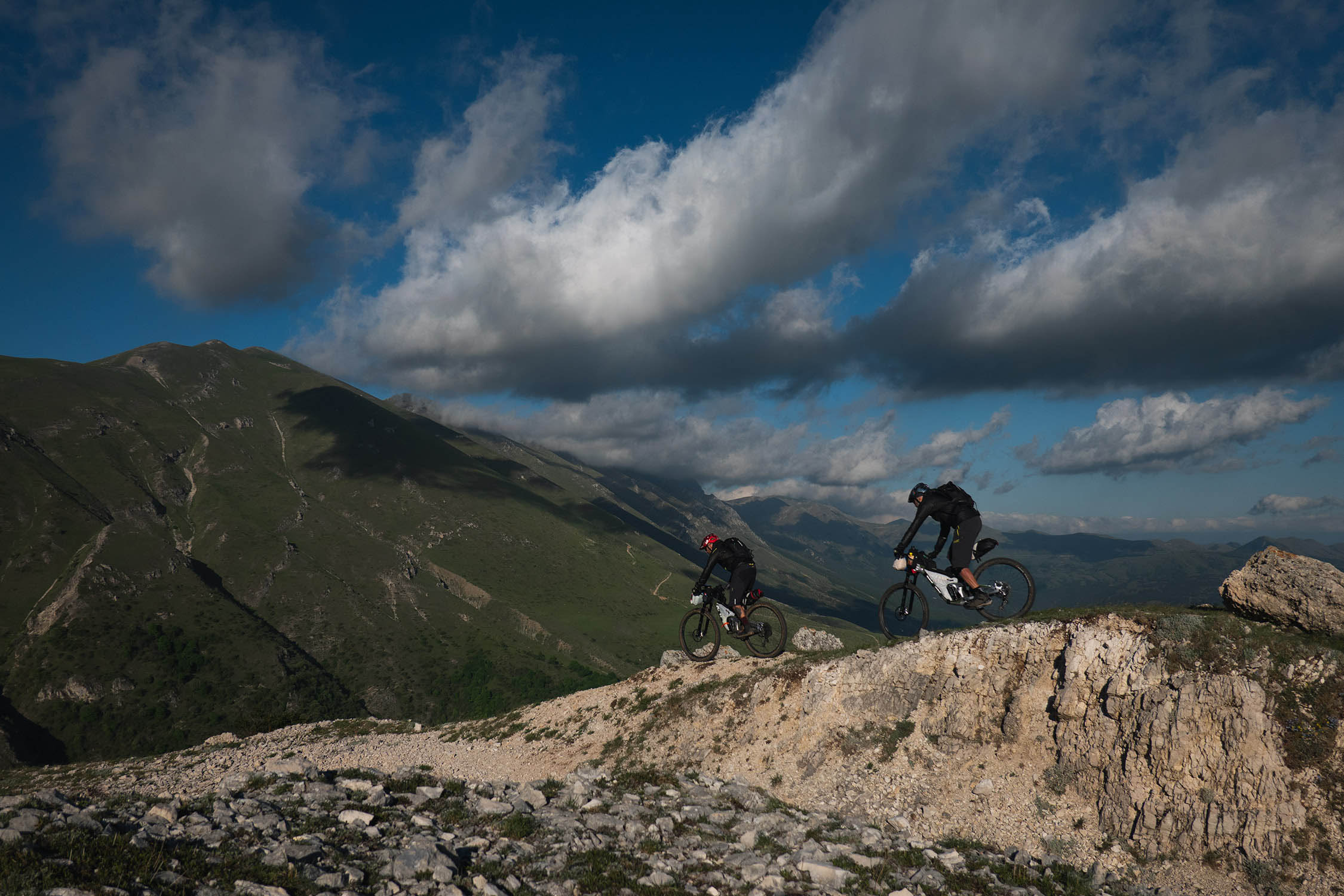
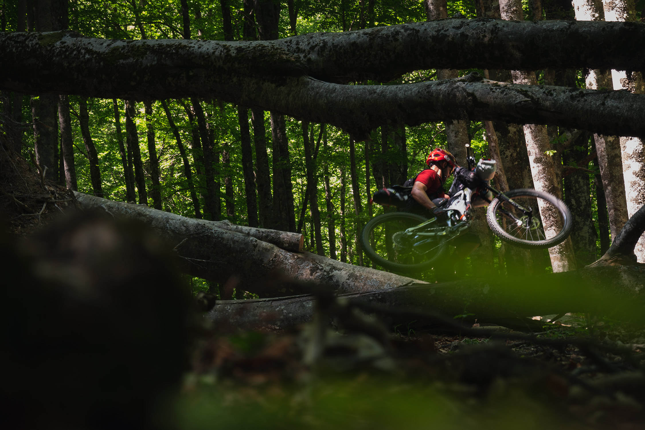
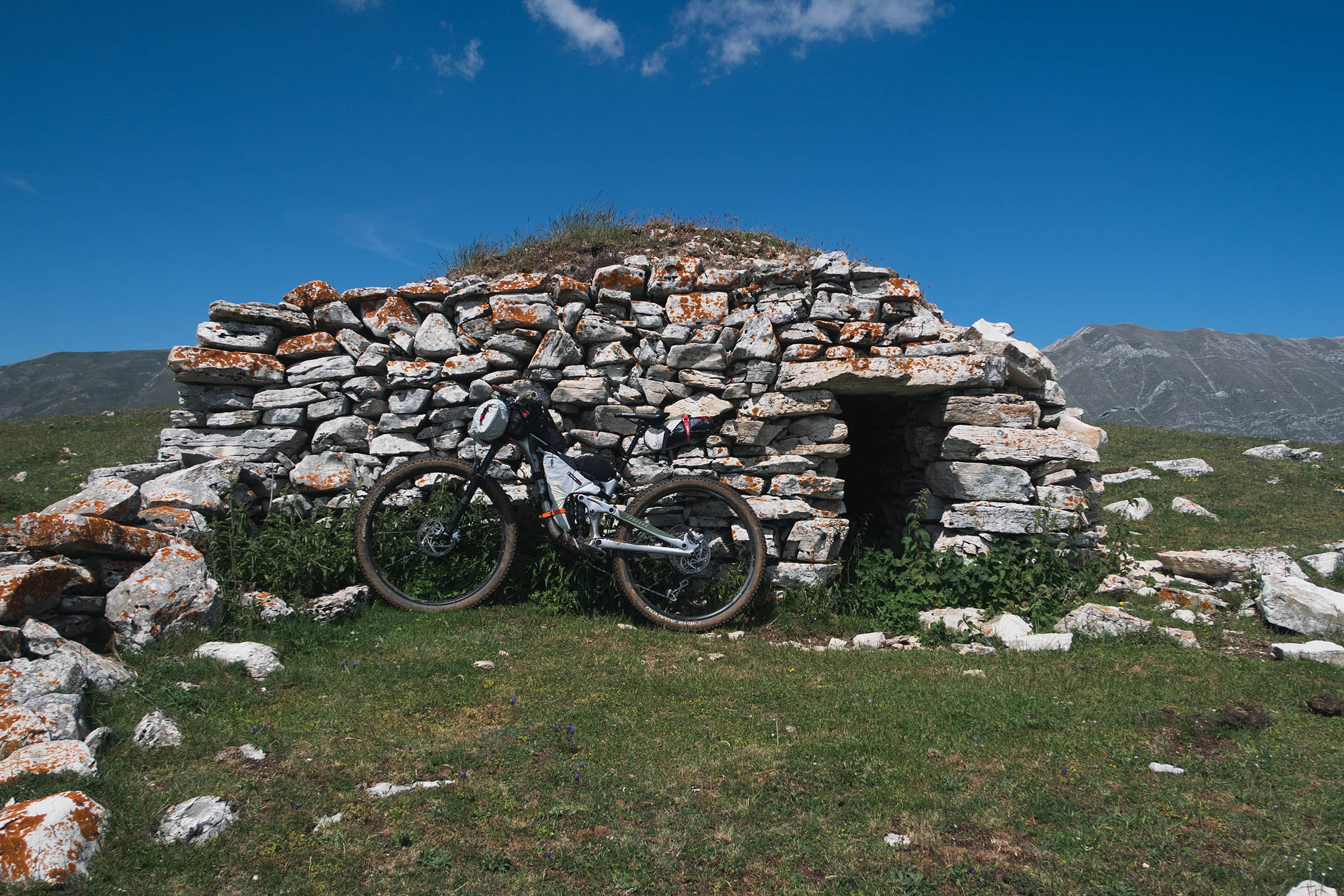
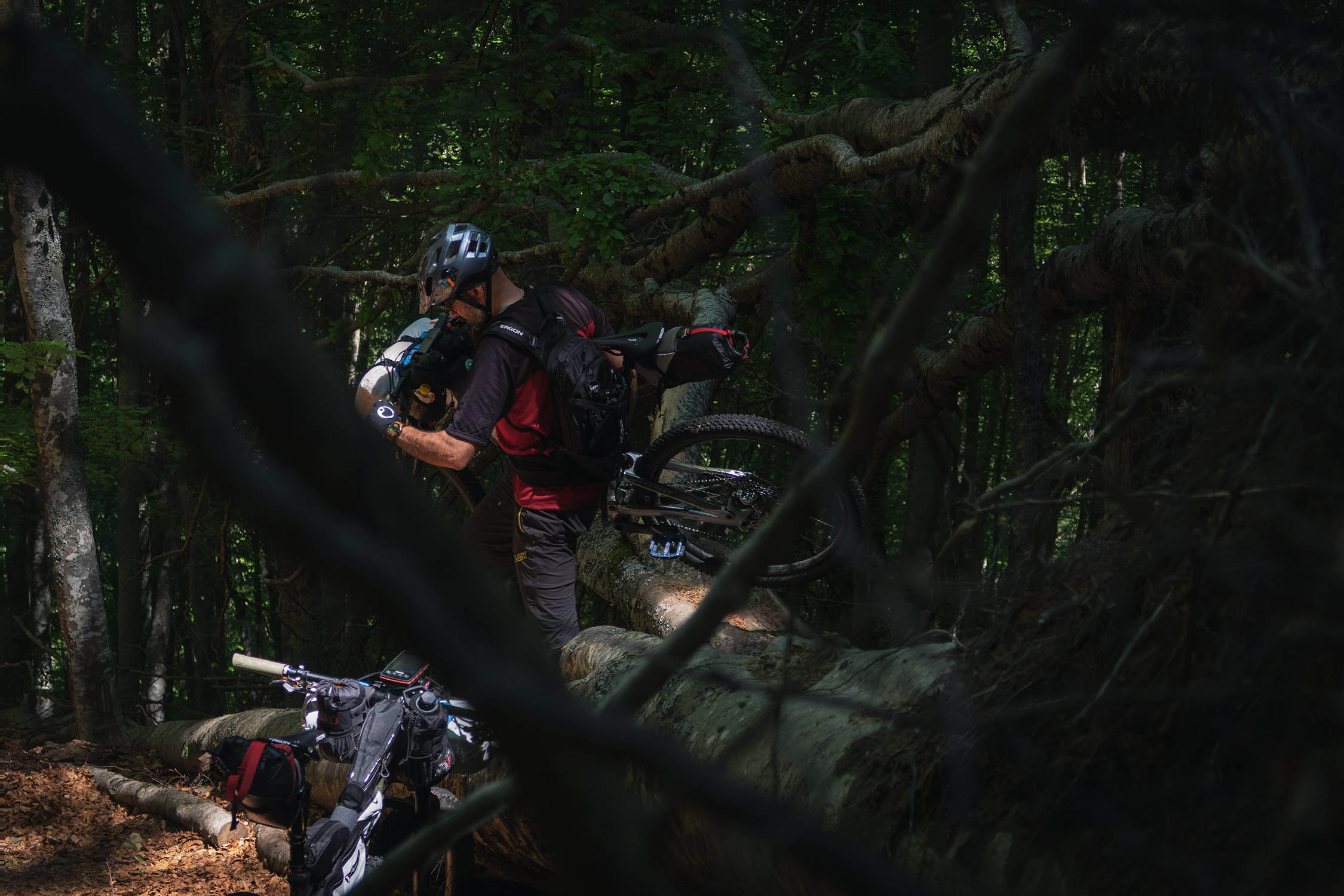
Difficulty: Just to be clear, this is not an overnighter for beginners. It can be described as an “alpine route” with all that it implies in terms of beauty and difficulty. Bikepackers need to be prepared for steep uphills, hike-a-bikes, some techy downhills and potential snowfield crossings in the spring. This route is physically challenging with a lot of elevation in just a few miles, so we chose to give it 8/10 in difficulty. See “Must Know” section for details about what type of bike works best.


Submit Route Alert
As the leading creator and publisher of bikepacking routes, BIKEPACKING.com endeavors to maintain, improve, and advocate for our growing network of bikepacking routes all over the world. As such, our editorial team, route creators, and Route Stewards serve as mediators for route improvements and opportunities for connectivity, conservation, and community growth around these routes. To facilitate these efforts, we rely on our Bikepacking Collective and the greater bikepacking community to call attention to critical issues and opportunities that are discovered while riding these routes. If you have a vital issue or opportunity regarding this route that pertains to one of the subjects below, please let us know:
Highlights
Must Know
Camping
Food/H2O
Resources
- View of the western side of Gran Sasso d’Italia and Corno Grande (2914 m), the highest peak of the mountain range.
- Views of Mount Malecoste and its unique shape that’s reminiscent of a wall of petrified flames.
- The massive Monte Corvo (2623m), one of the most beautiful and remote mountains of the Gran Sasso range.
- Views of Val Chiarino and the rocky peaks at the top of the valley (Monte Corvo and Pizzo Camarda).
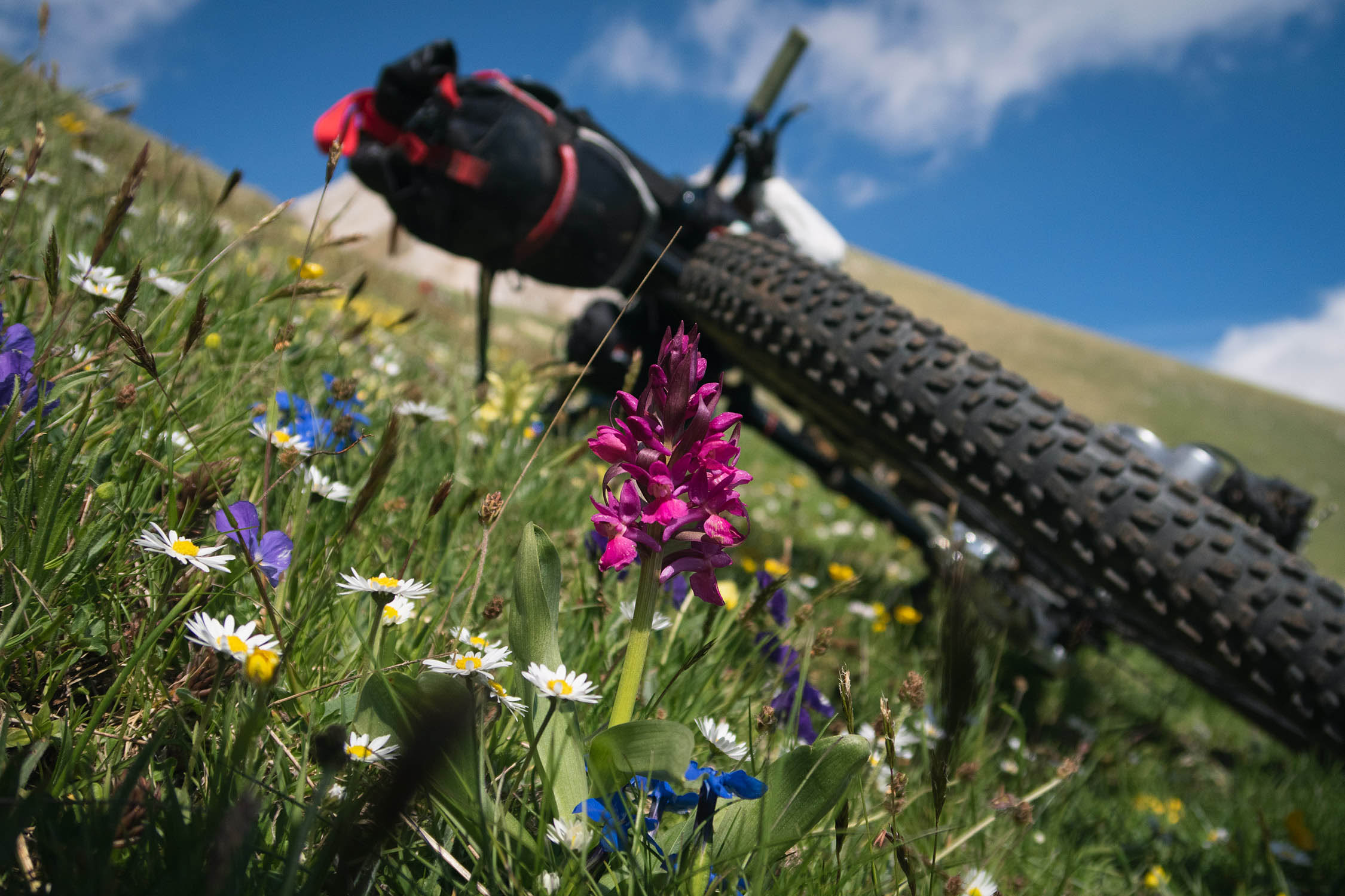
- Orapi (Chenopodium bonus-henricus) are wild spinach that grows over 2000m. They is an endemic species of this in the Gran Sasso mountains. You can find orapi in the Chiarino Valley during the spring, and they’re perfect to prepare a tasty wild food mixture with leaves of Ursino garlic (Allium ursinum), that grows in the same valley.
- Passo del Belvedere (1789 m) and the views over Monti della Laga mountain range and Campotosto Lake.
- A post-ride wood fired pizza at “Il Vecchio Forno” is a must. The pizzeria is located at the end of the route in the small village of Arischia.
- Amazing artisanal gelato at “Bar Centrale” in Arischia.
- A pic-nic area and a butchery at the end of the route are strategically located just in case of a post-ride BBQ. You can’t miss the super tasty local “arrosticini”.
- Take high mountain clothing with you, even in the summer. Weather and temperatures can suddenly change, especially over in highest part of the route.
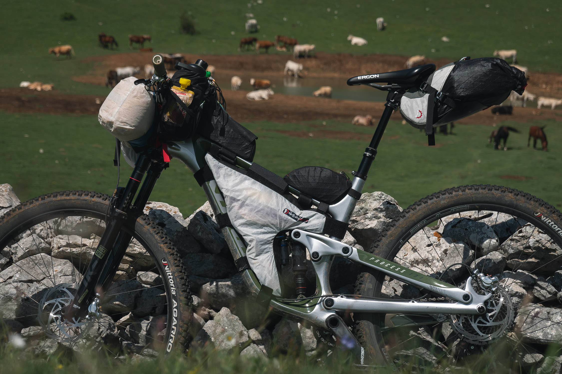
- Best bike: a front suspended or full-suspension bike are recommended for this mountain route. It’s not a route for gravel bikes.
- When to go: the ideal riding season is between mid-May and mid-October. Consider that you may have to cross some snowfields in May/June. It’s depends on the amount of snow has fallen in the winter.
- This overnighter was designed with two options to camp, both close to a water source (spring). The first one is at Passo del Belvedere and the second one is in the Chiarino valley, where the route meets a stream. The choice depends on your speed and fitness.
- Rifugio Fioretti (1503 m) at km 38 can be the third option. It’s located at the bottom of Chiarino Valley, but you’d need to move at a quick pace to reach it. The refugio features a small room that’s always open with a fireplace and enough space for 2-3 people. It’s also a nice option in the event of bad weather.
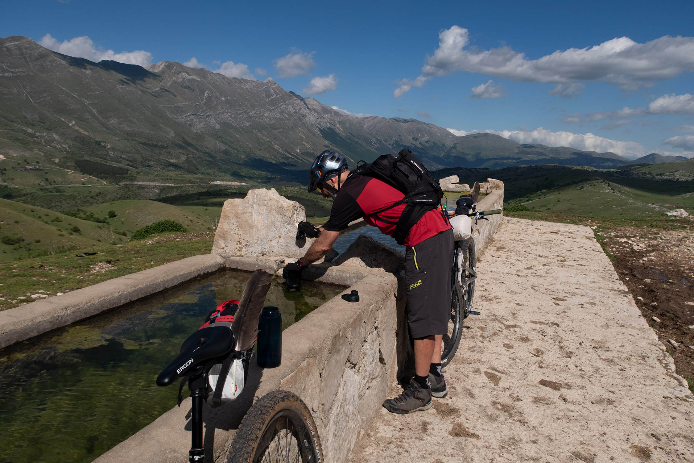
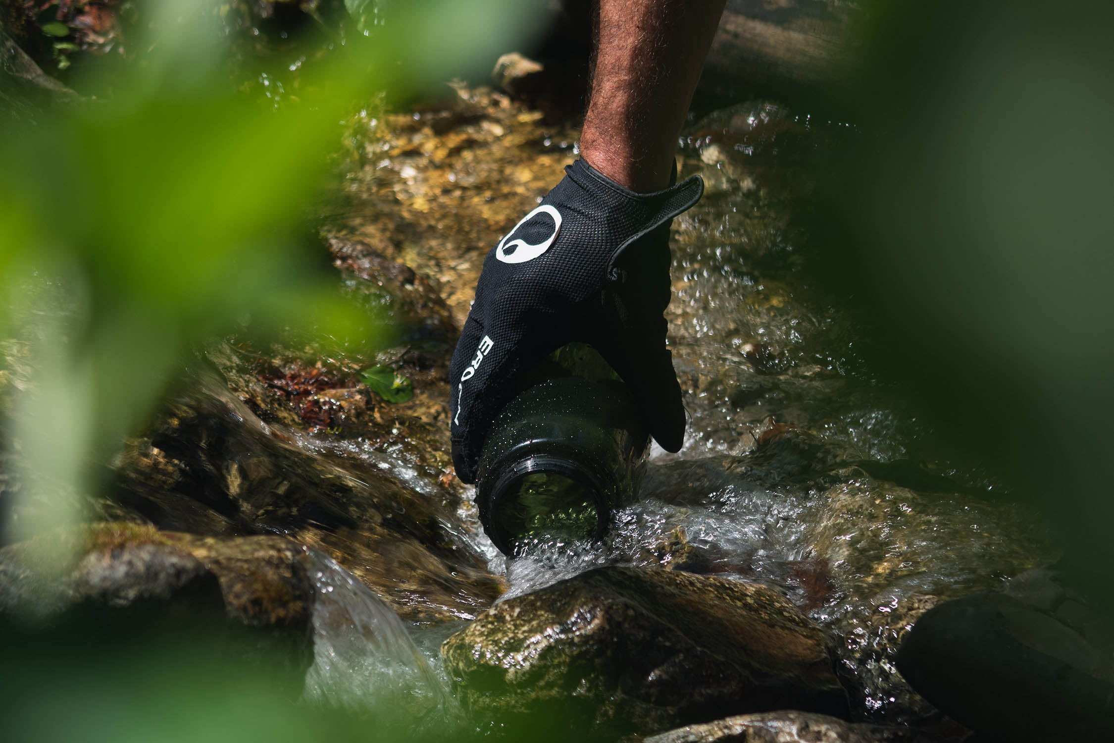
- Drinking water is never an issue on the route, thanks to water fountains and streams along the way. Note that the fountain in Passo del Belvedere (KM 25.8) is located at the end of a singletrack that leaves the route for about 1km. The singletrack is flat and all rideable.
- Food can be bought from two grocery stores (noted on the GPX) in the small village of Arischia, close to the start of the route. There is no food resupply along the route.
Additional Resources
- MontanusWild.com for the full set of photos from this trip.


Terms of Use: As with each bikepacking route guide published on BIKEPACKING.com, should you choose to cycle this route, do so at your own risk. Prior to setting out check current local weather, conditions, and land/road closures. While riding, obey all public and private land use restrictions and rules, carry proper safety and navigational equipment, and of course, follow the #leavenotrace guidelines. The information found herein is simply a planning resource to be used as a point of inspiration in conjunction with your own due-diligence. In spite of the fact that this route, associated GPS track (GPX and maps), and all route guidelines were prepared under diligent research by the specified contributor and/or contributors, the accuracy of such and judgement of the author is not guaranteed. BIKEPACKING.com LLC, its partners, associates, and contributors are in no way liable for personal injury, damage to personal property, or any other such situation that might happen to individual riders cycling or following this route.
Please keep the conversation civil, constructive, and inclusive, or your comment will be removed.