


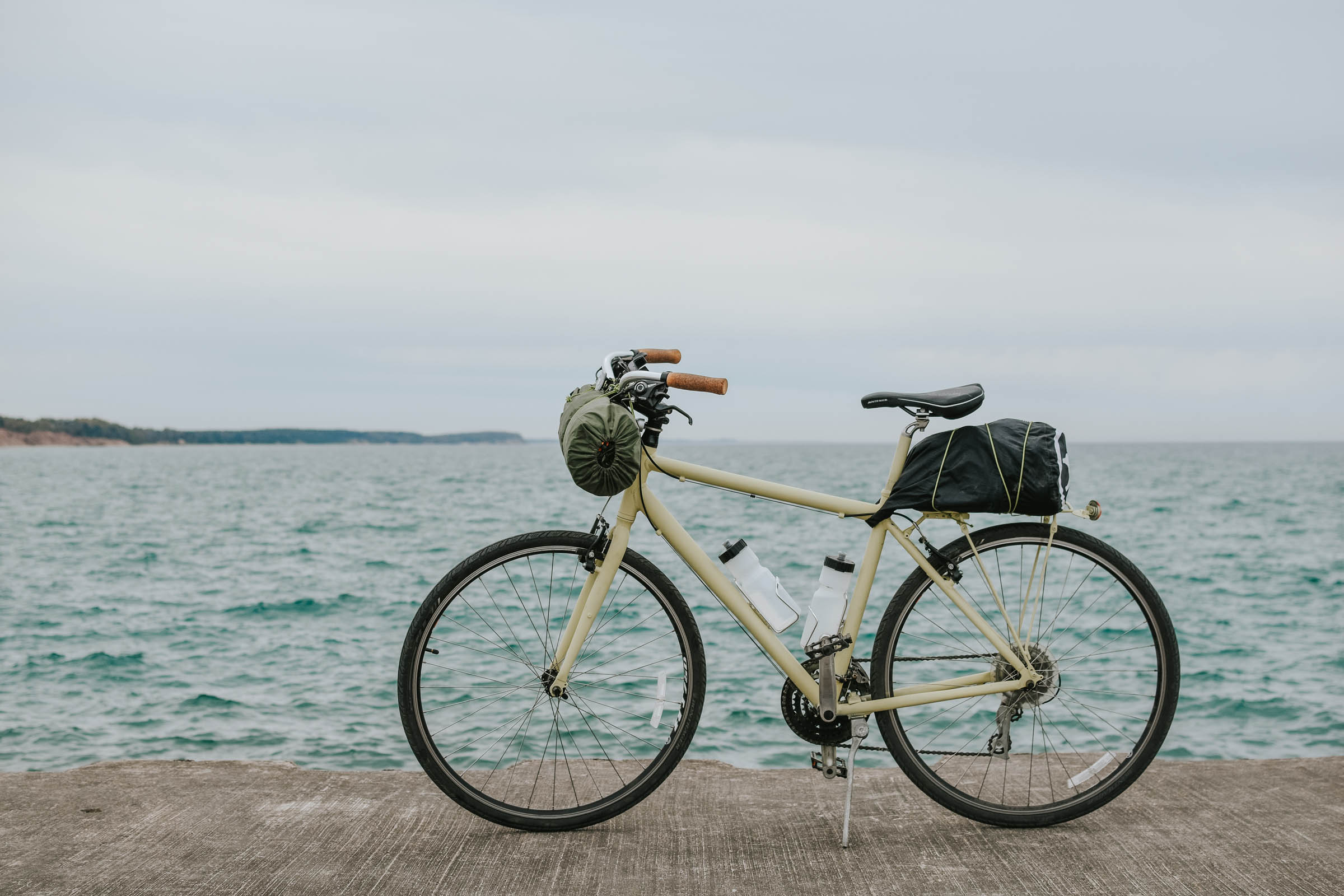
Manistee Overnighter
Distance
66 Mi.
(106 KM)Days
2
% Unpaved
70%
% Singletrack
4%
% Rideable (time)
97%
Total Ascent
1,050'
(320 M)High Point
756'
(230 M)Difficulty (1-10)
2?
- 1Climbing Scale Easy16 FT/MI (3 M/KM)
- -Technical Difficulty
- -Physical Demand
- -Resupply & Logistics
Contributed By
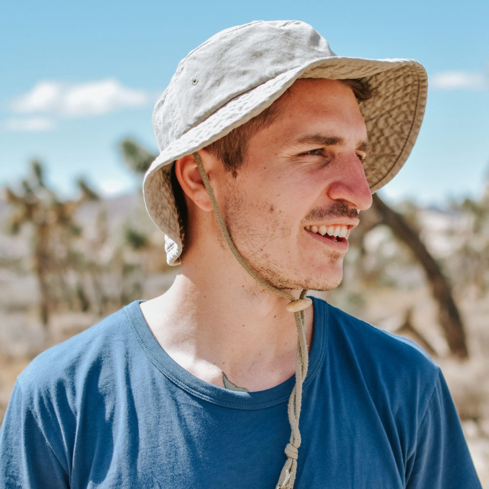
Justin Jaeger
Guest Contributor
Justin grew up in Southern California before living in Connecticut, Hawaii, Michigan, and now Florida. Working as a freelance writer, he now spends most of his days barefoot, trying (often unsuccessfully) to find the balance between adventuring, parenting, and working. See how that’s going on Instagram @thejustinjaeger
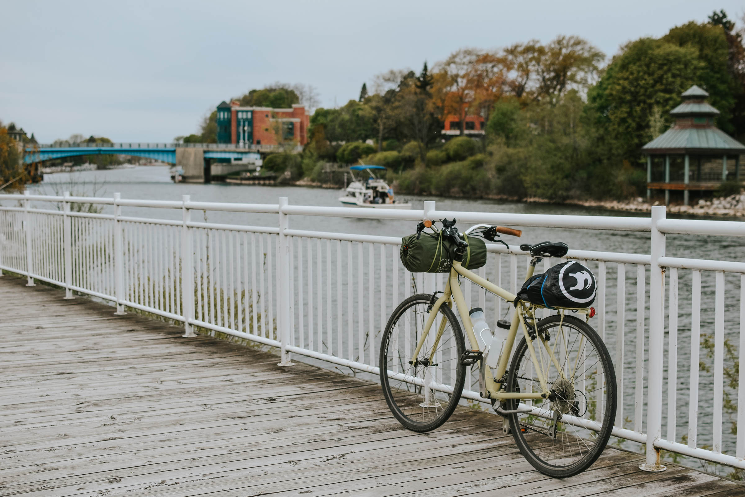
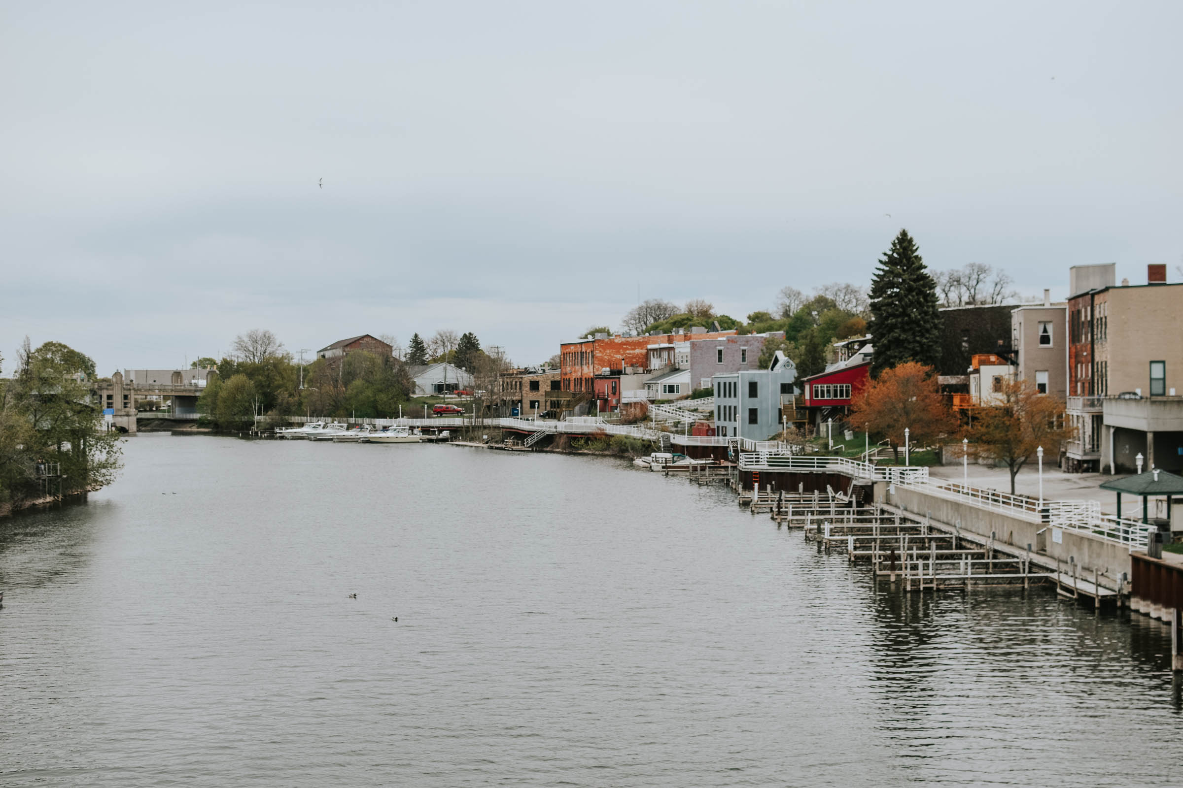
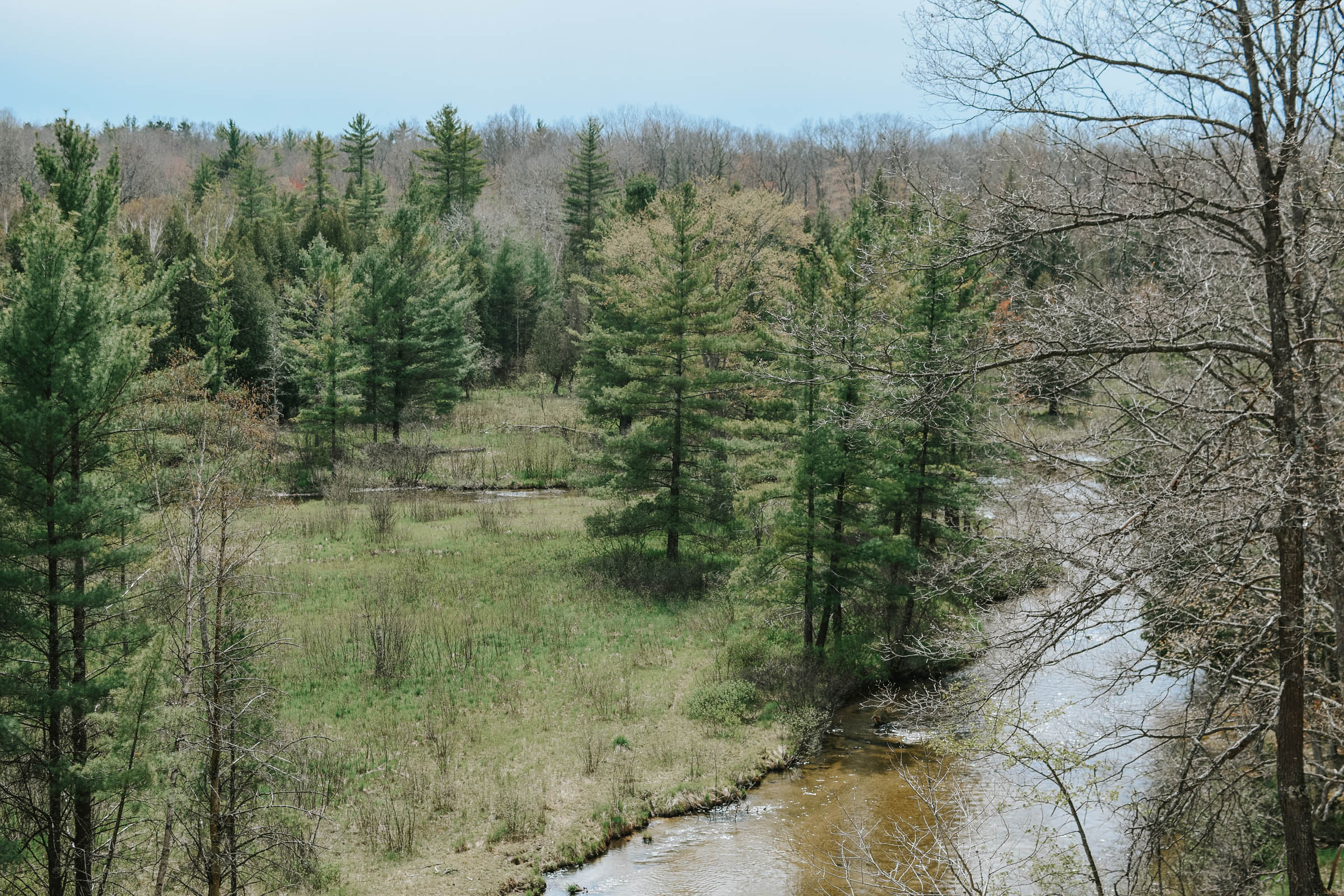
The Manistee Overnighter is a two-day bikepacking loop that traverses the northwest corner of Manistee National Forest in Michigan’s Lower Peninsula. Along the way, it passes through the coastal town of Manistee (full of boutique shops, eateries, and a brewery) before following the Little Manistee River, where you can fall asleep to the sound of flowing water and the splashing of surface-feeding trout.
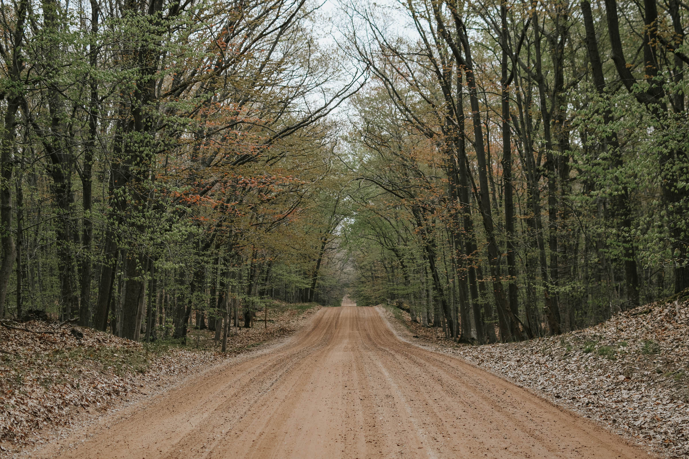
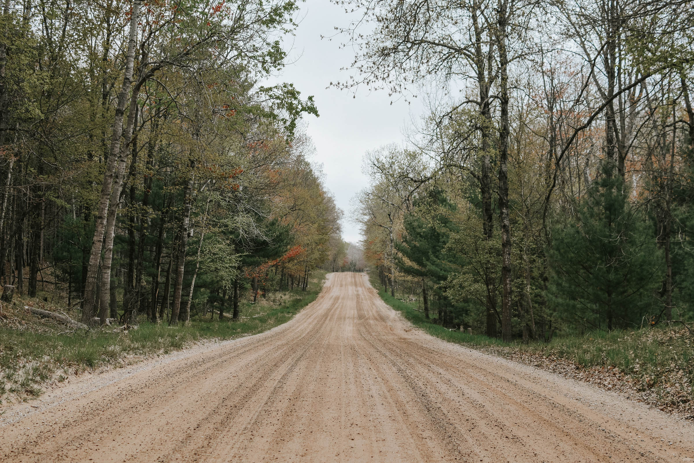
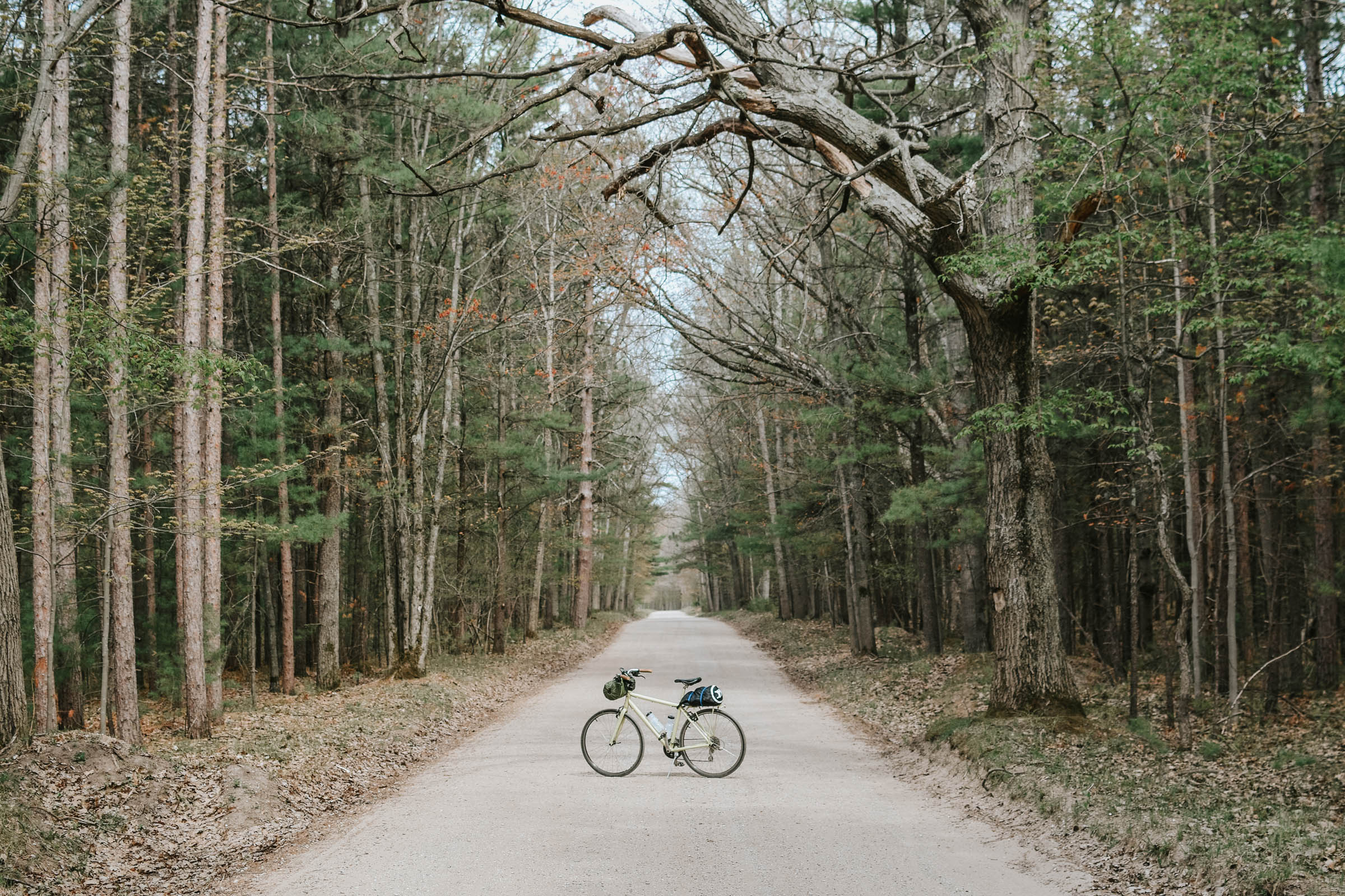
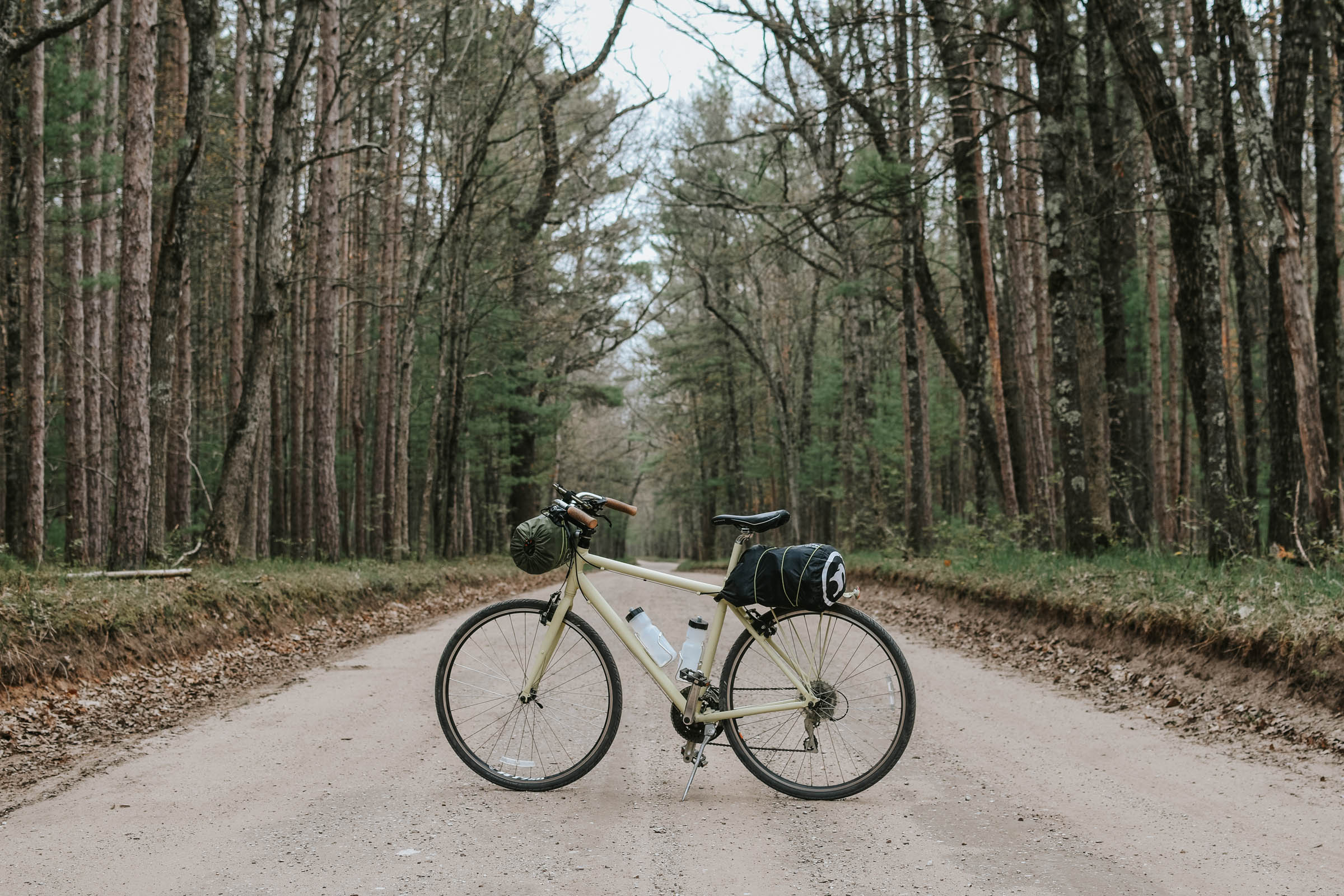
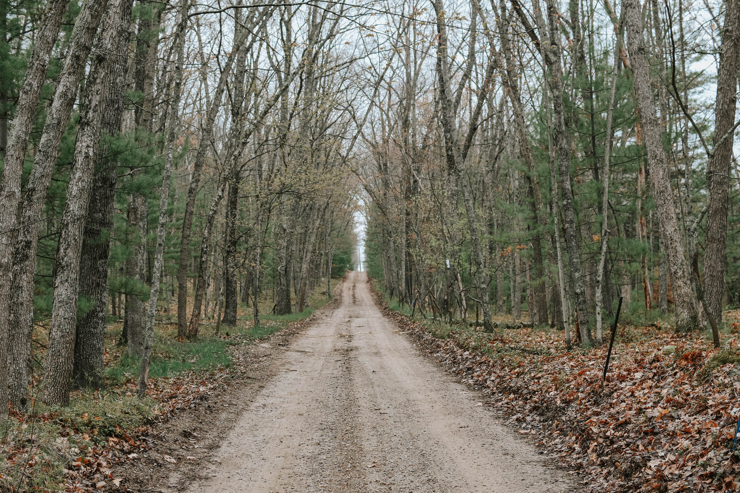
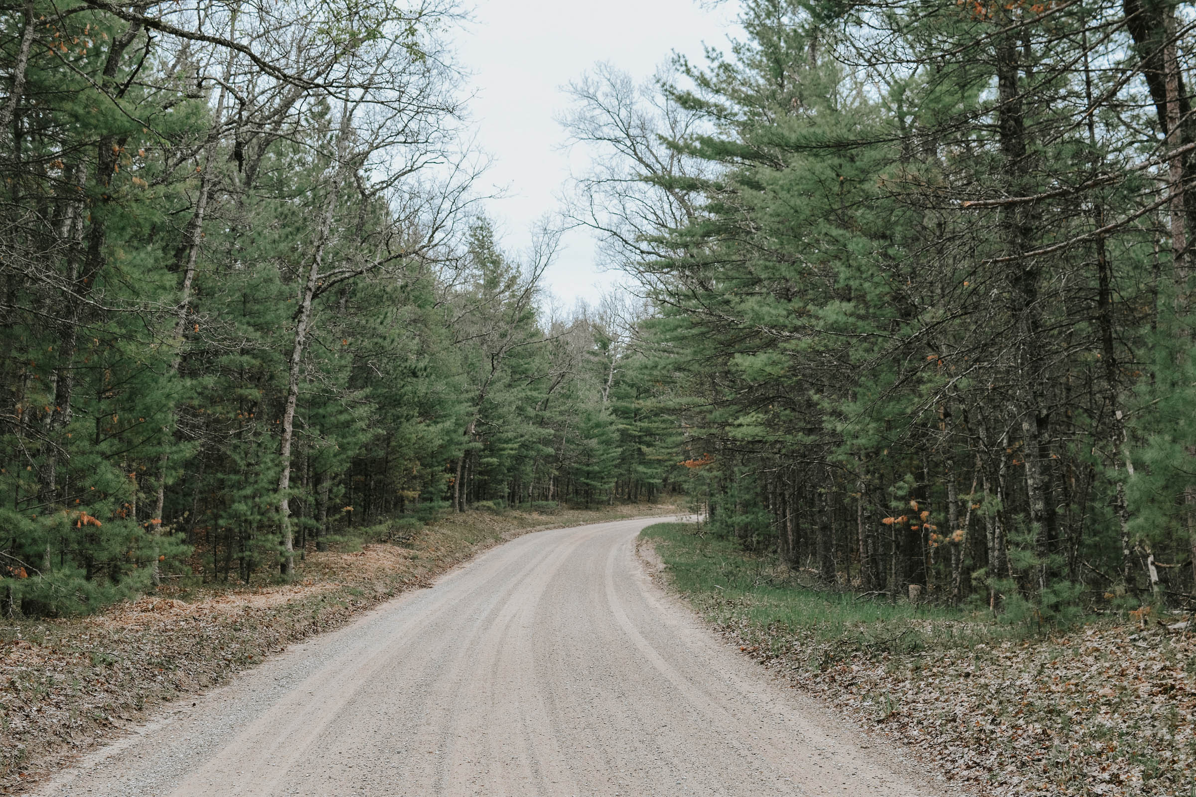
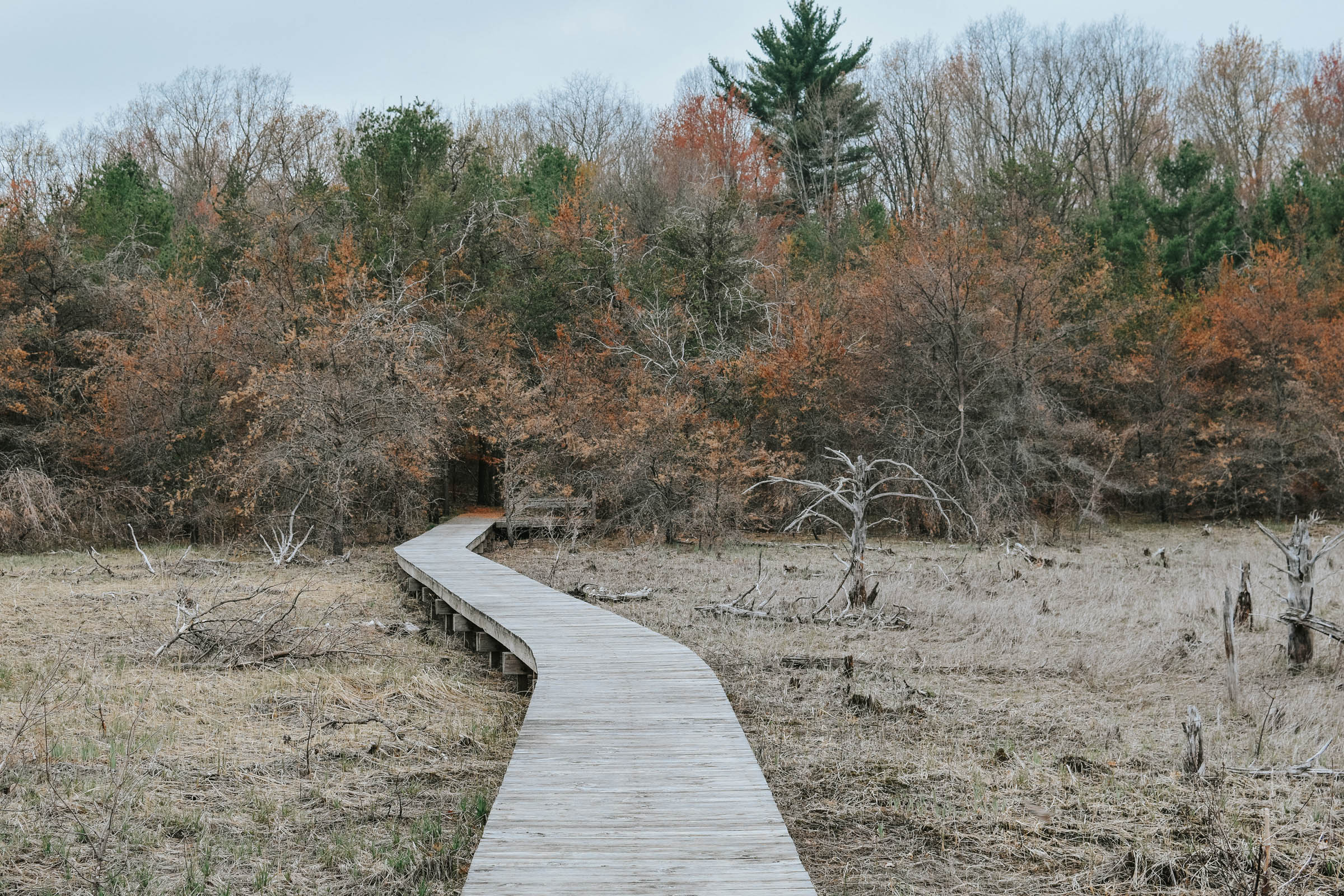
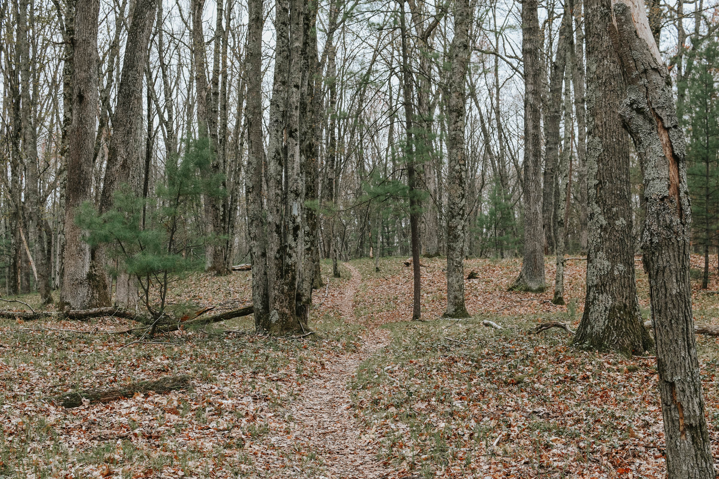
Over the course of 66 miles, you’ll follow secluded, gravel service roads through many different types of forests. The most enjoyable stretch follows the river for 13 miles on easy-going gravel, providing numerous scenic overlooks. And you’ll also be treated to three miles of scenic single-track on the North Country National Scenic Trail. Since Michigan is relatively flat, this route only has mild elevation changes. It’s simple enough for first-time bikepackers, yet offers the more experienced rider a chance to see a corner of Michigan that they’ve probably overlooked.
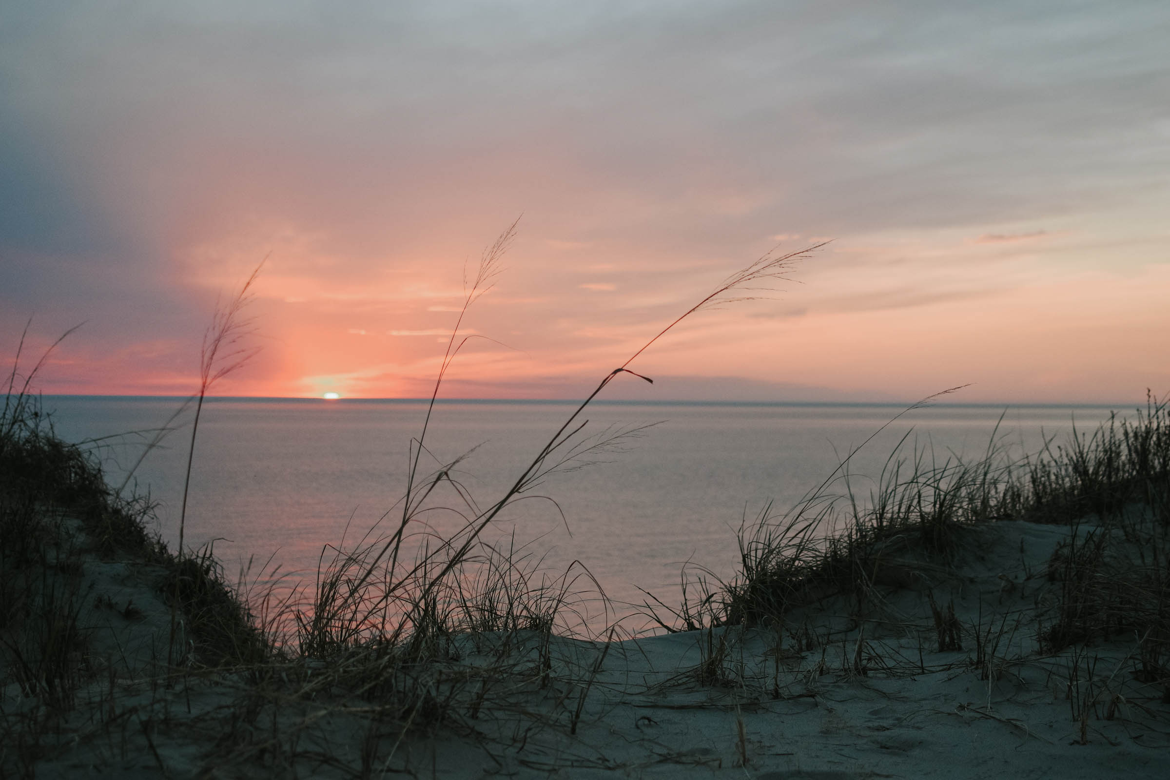
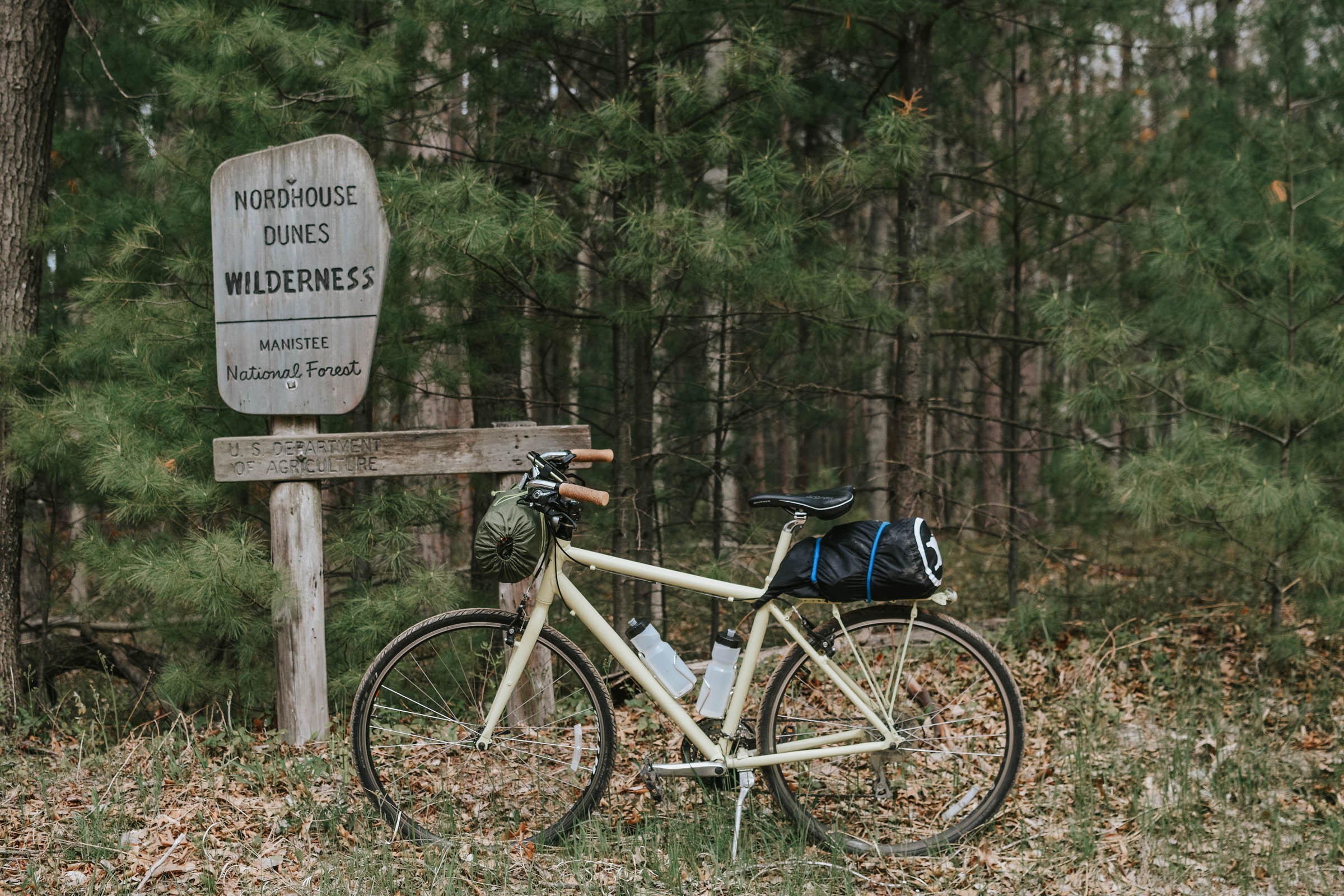
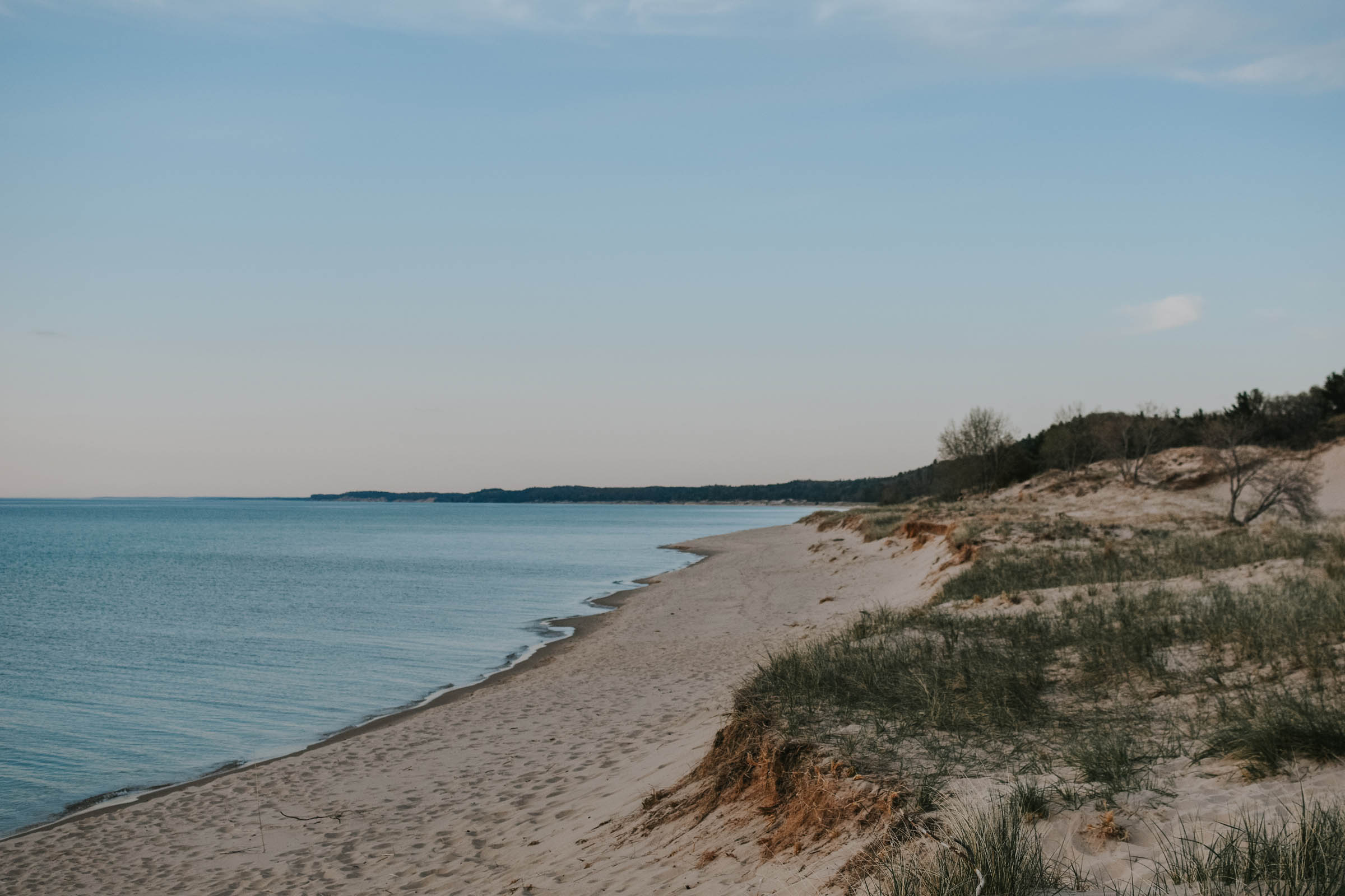
As a bonus, the route starts and ends at Michigan’s worst kept secret; Nordhouse Dunes Wilderness Area. Nordhouse Dunes, less than two hours from Grand Rapids, offers primitive coastal camping along the shore of Lake Michigan. You can easily add a night of camping before or after the route. One of only two designated wilderness areas in Michigan, Nordhouse Dunes boasts over four miles of undeveloped shoreline, with sand dunes over 3,000 years old that stretch as high as 140 feet above Lake Michigan. It’s also home to the federally endangered Piping Plover, a shoreline-loving bird.
Route Difficulty
The Manistee Overnighter is an easy, enjoyable loop that offers the chance for novice bikepackers to get out for their first or second trip. With Michigan being relatively flat, there are only minor elevation changes. The gravel roads make for easy pedaling, save for a few spots that can get quite sandy. And the three mile section of single track is flowy without being technical. Water access abounds along the river and resupply in Manistee and at rural gas stations allow you to pack light. As a result, the technical difficulty, resupply and logistics, are all rated as a 2/10. Physical demand is a 3/10, making this route ideal for beginner to intermediate riders.
Route Development: While the start and end point are about two hours from Grand Rapids (Michigan’s second largest city), it starts at Nordhouse Dunes, which is a popular primitive camping area that has developed quite the cult following. Since so many Michiganders visit this area to camp, this bikepacking route gives locals and visitors alike another way of exploring the area next time they venture up to this wild, coastal paradise.
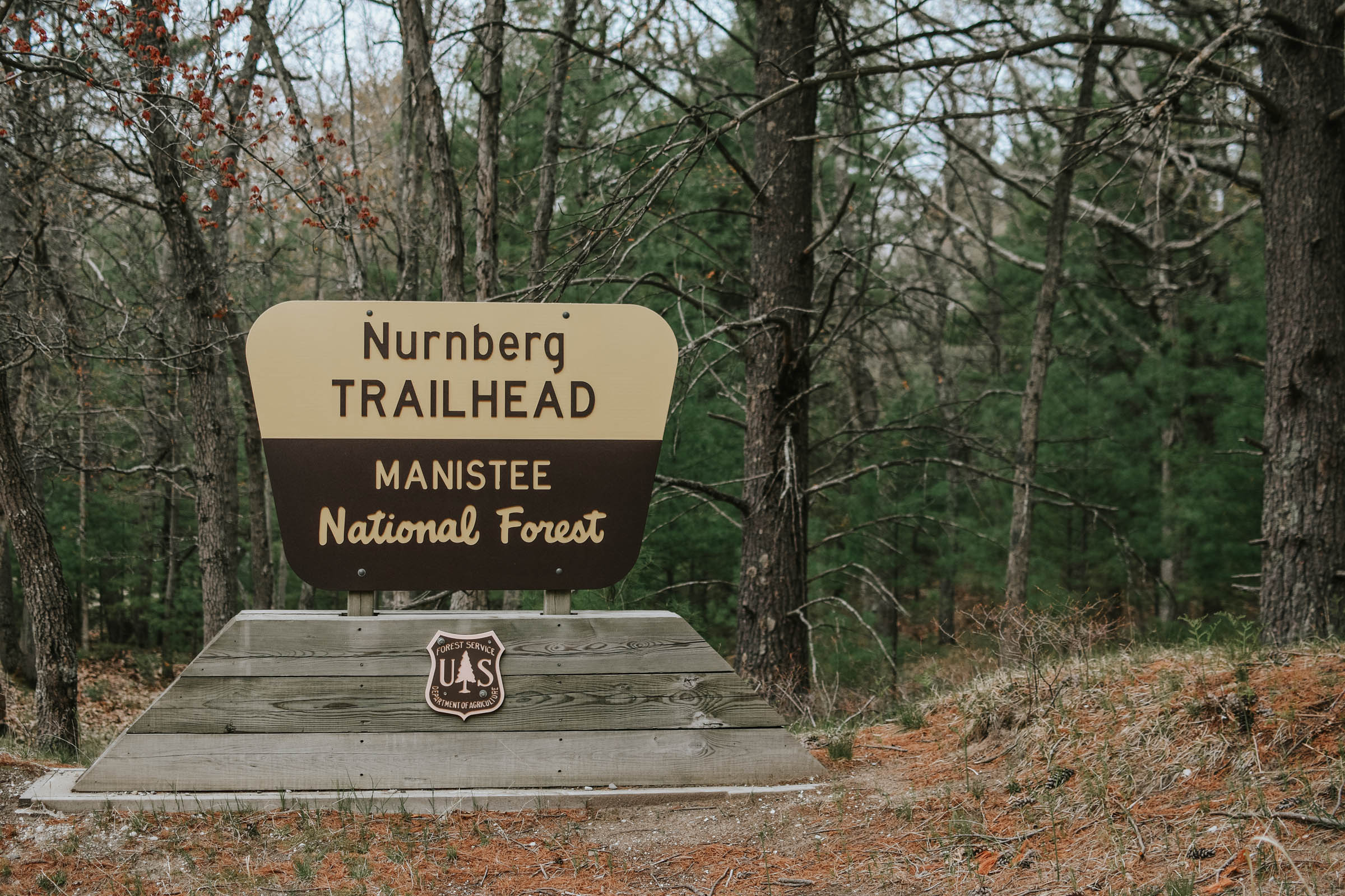
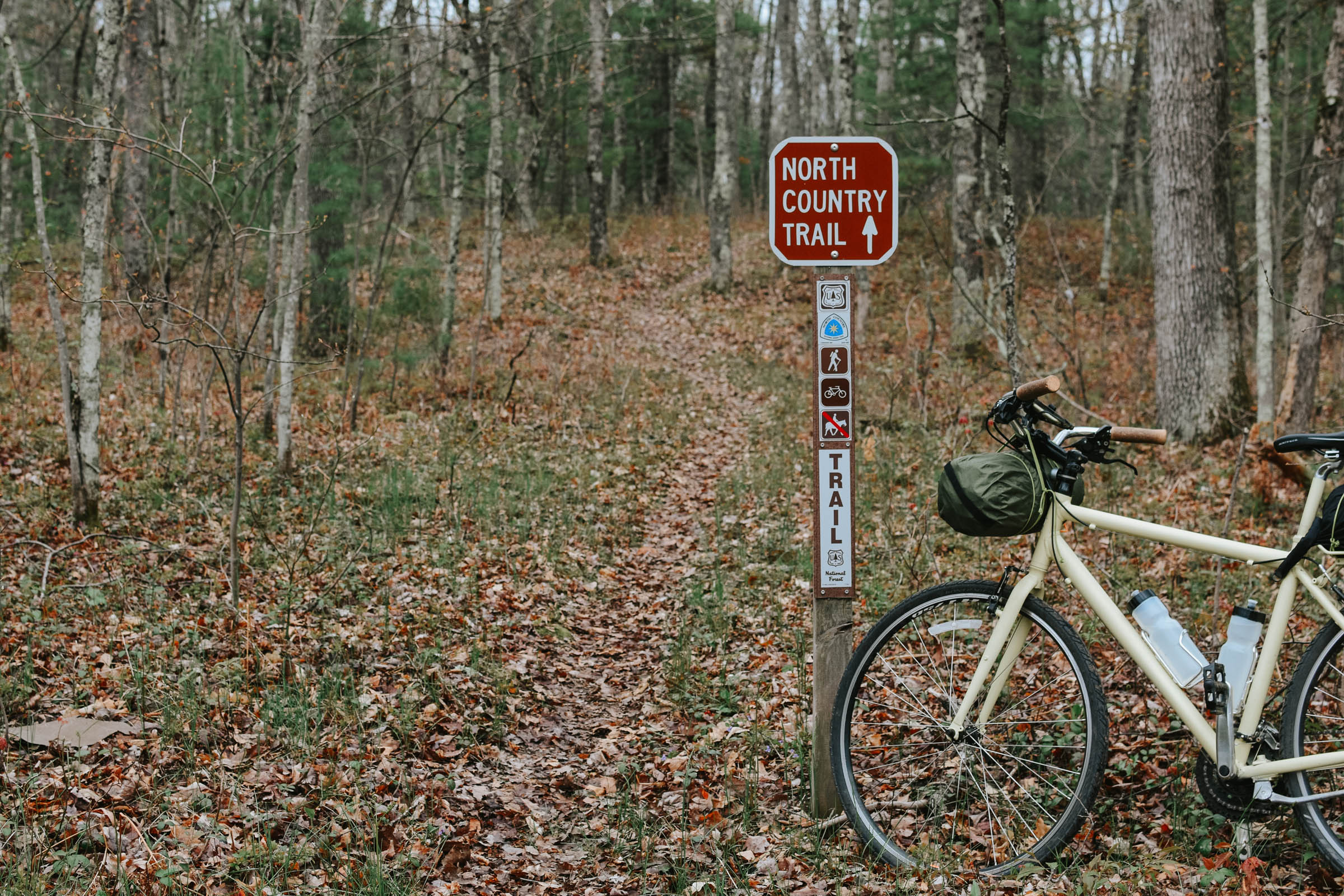
Most of the gravel portions of the route are on public service roads, with three miles on the NCT. This portion of the NCT is maintained by the Spirit of the Woods trail chapter. This route was organized by Justin Jaeger, an eight-year resident of Grand Rapids who visits this portion of the state more than any other.


Submit Route Alert
As the leading creator and publisher of bikepacking routes, BIKEPACKING.com endeavors to maintain, improve, and advocate for our growing network of bikepacking routes all over the world. As such, our editorial team, route creators, and Route Stewards serve as mediators for route improvements and opportunities for connectivity, conservation, and community growth around these routes. To facilitate these efforts, we rely on our Bikepacking Collective and the greater bikepacking community to call attention to critical issues and opportunities that are discovered while riding these routes. If you have a vital issue or opportunity regarding this route that pertains to one of the subjects below, please let us know:
Highlights
Must Know
Camping
Food/H2O
Trail Notes
Resources
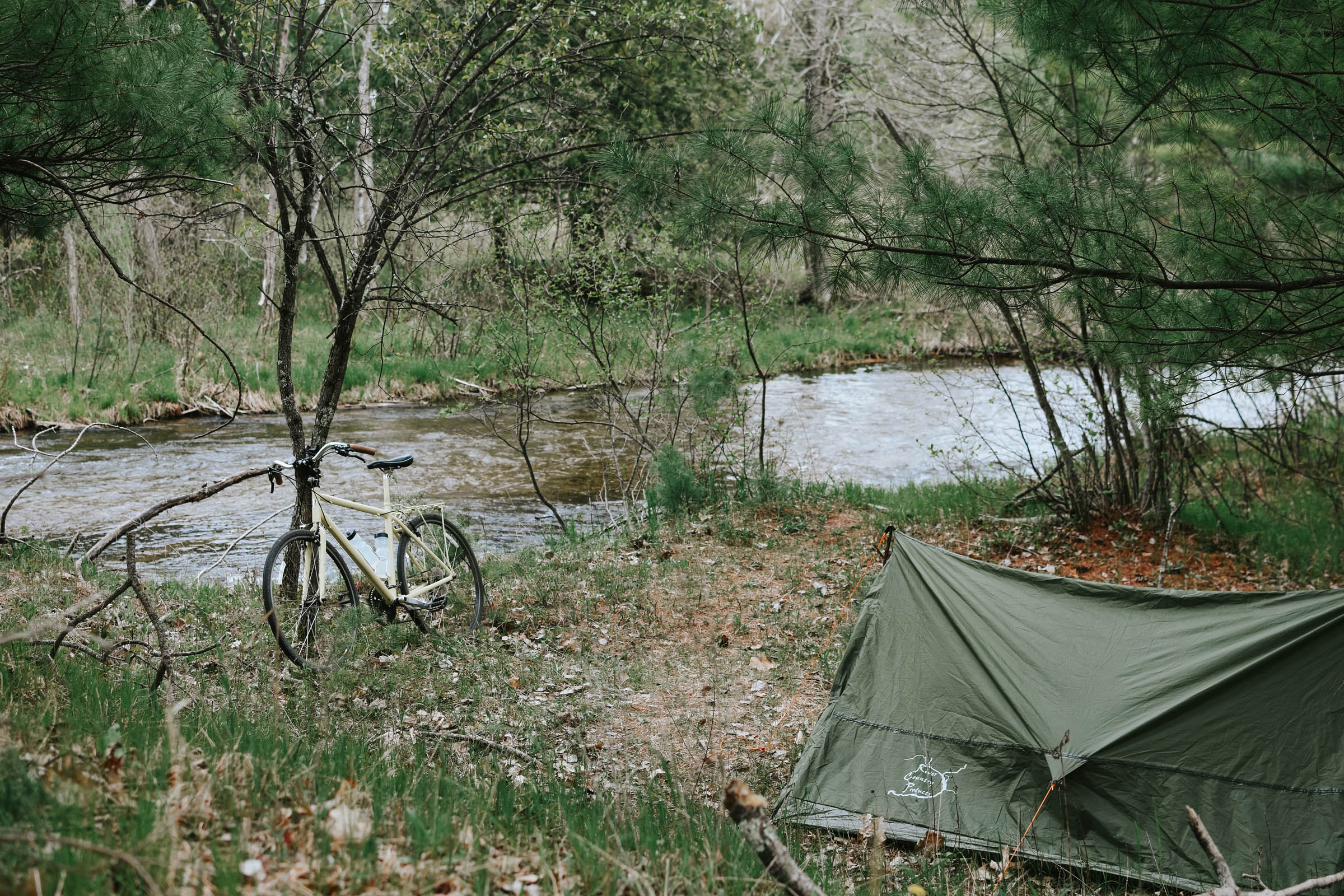
- Camping along the Little Manistee River, since nothing beats falling asleep to the sound of flowing water.
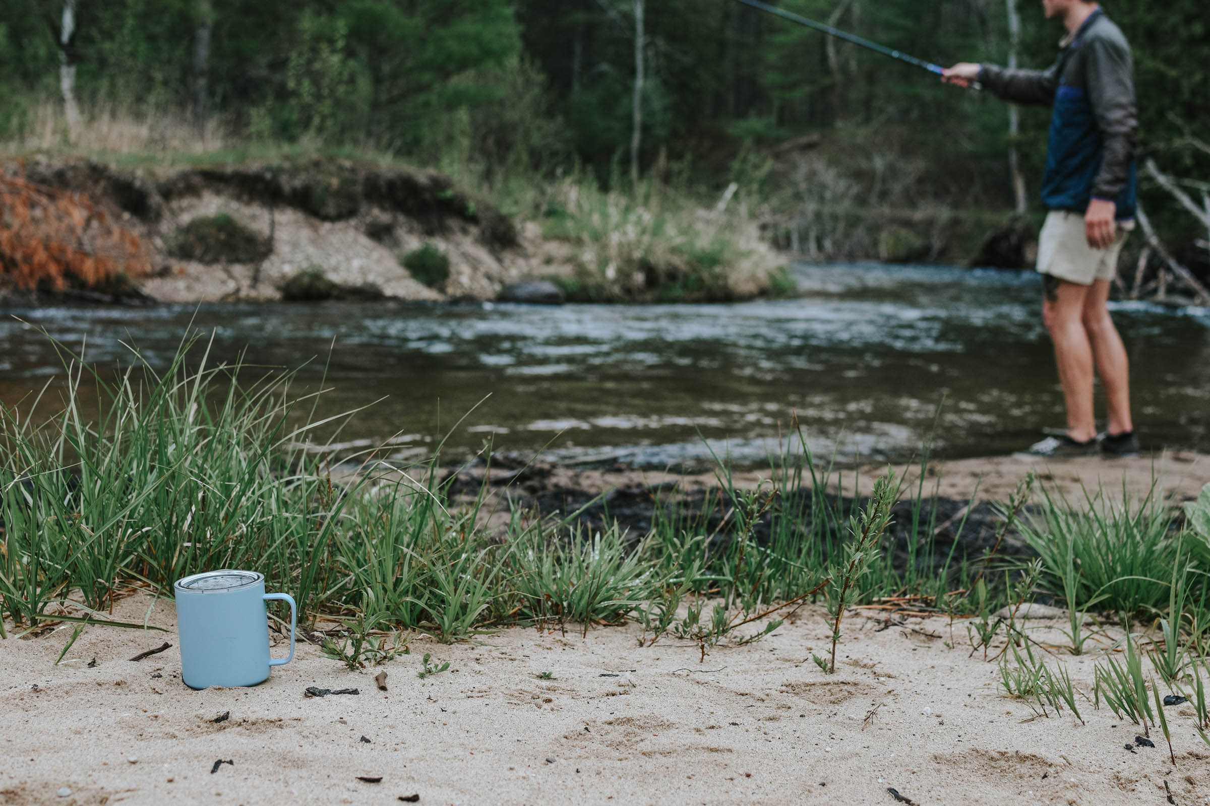
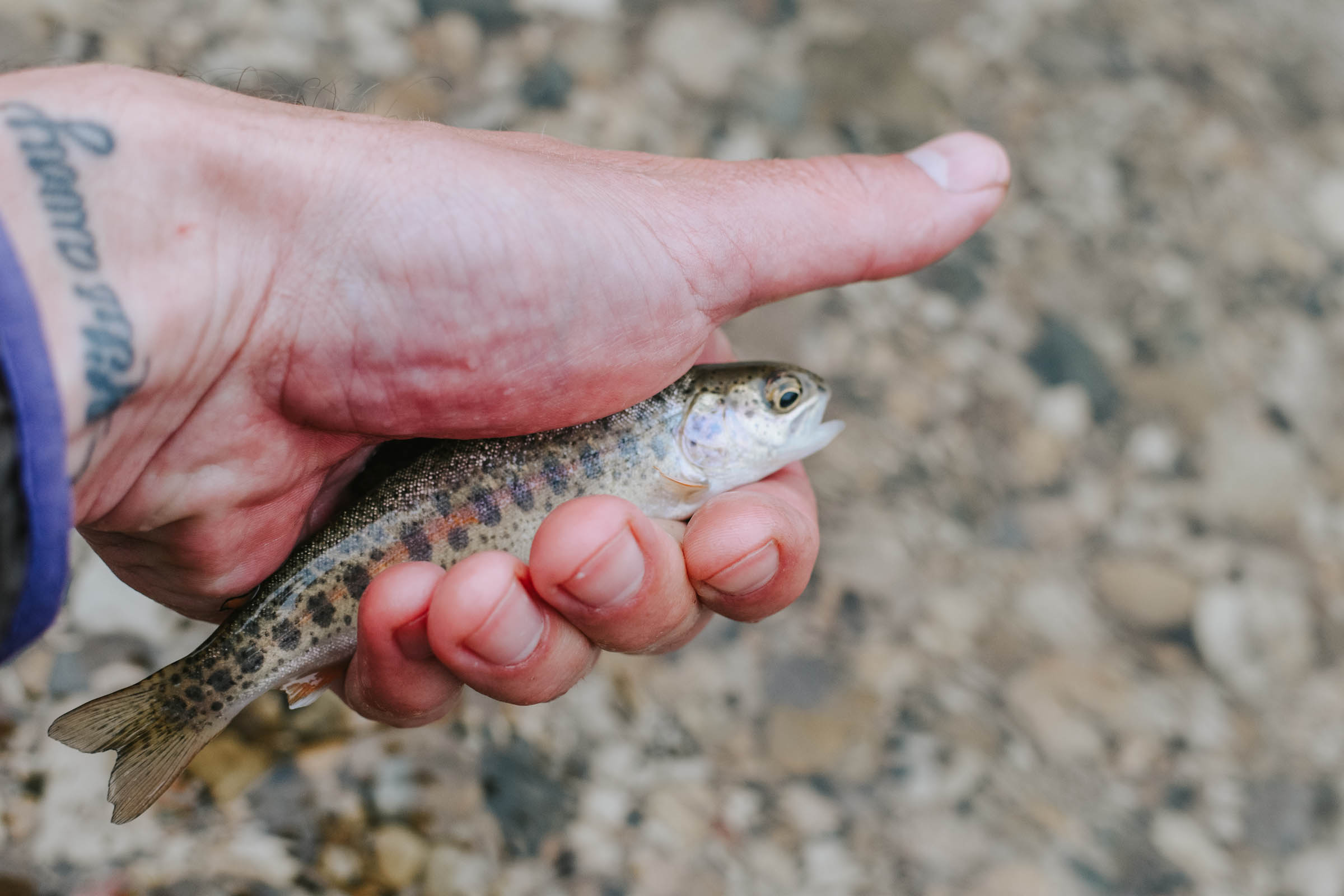
- Fishing for trout in the river after setting up camp at the Hopper Junction campsite (bring a tenkara rod).
- Cooling off with a swim in Lake Michigan or in the river.
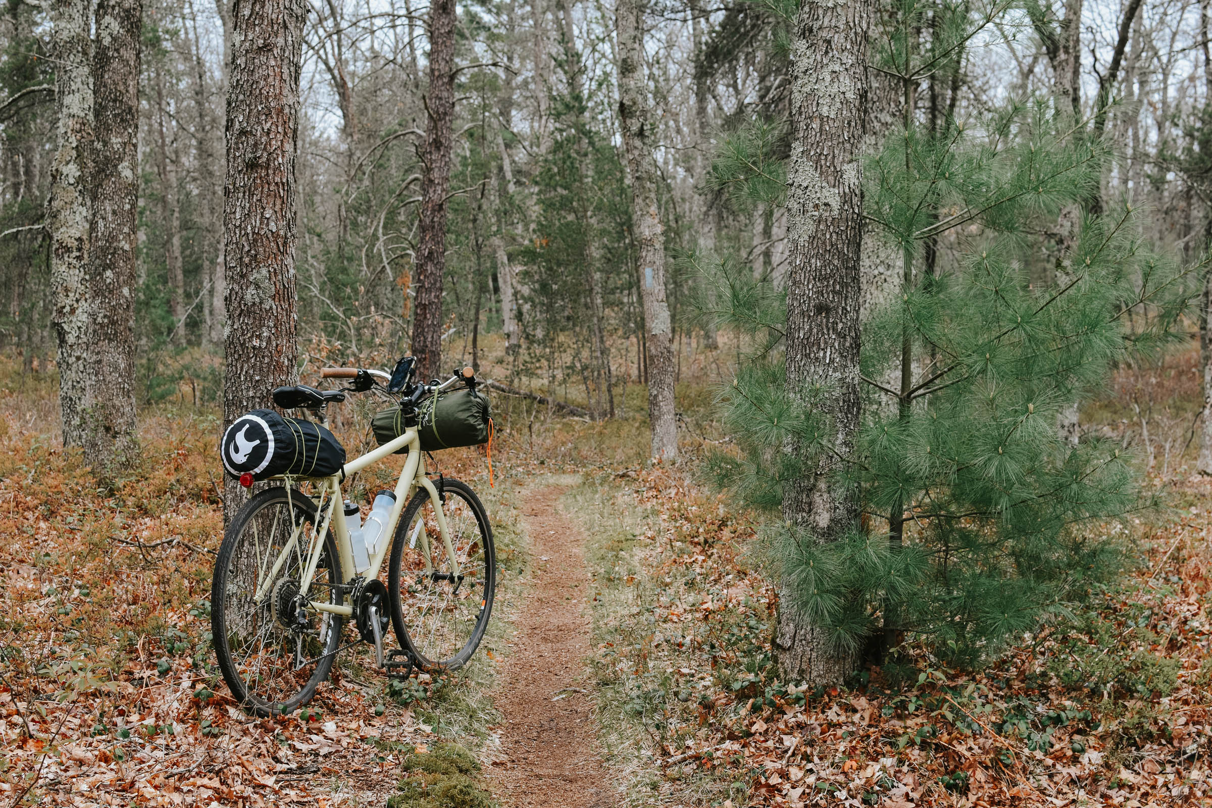
- Riding one of the only sections of the North Country National Scenic Trail (the country’s longest national scenic trail) that allows bikes.
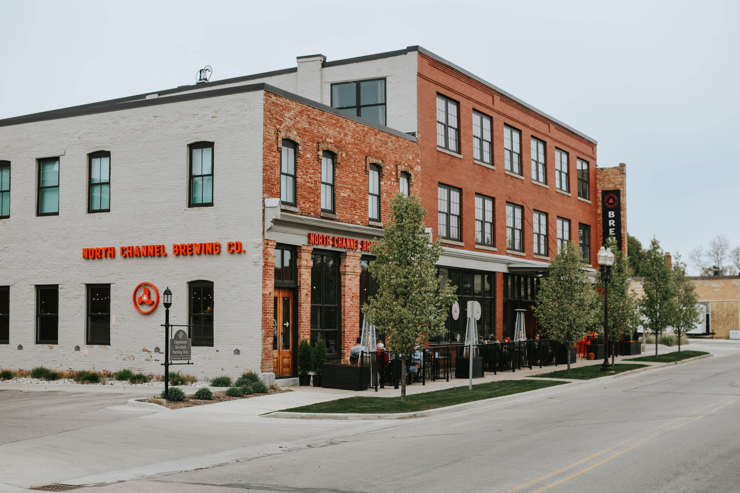
- Stopping in the coastal, photogenic town of Manistee, which is full of historic buildings, boutique shops, solid eateries and a brewery.
- Visiting First Street Beach to walk or ride on the pier into Lake Michigan.
- Taking an additional night to camp on the shoreline of Lake Michigan via Nordhouse Dunes (the start and end point for the route), sleeping amidst the sandy junipers, watching the sunset, and seeing tons of stars.
- Seeing deer, hearing turkeys gobble, and experiencing Michigan’s wildlife.
- If you have the legs for additional riding, the route passes by Big M Recreation Area, which has over 20 miles of singletrack trails.
- The weather will be best between late May and early October. Riding in April or early May is doable, but temps can drop significantly at night. Foliage won’t be in full swing until the beginning of June. Mosquitoes, flies, and ticks can be a nuisance in June and July.
- Ride in late September or early October for vibrant fall colors.
- The route starts and ends in the public parking area of Nordhouse Dunes Wilderness Area. It cost $5 per day to use the Wilderness Area, paid via self-serve, cash kiosk. Even though you aren’t using the wilderness area while on the route, it’s best to pay while parked there. Bring a pen to fill out the payment slip.
- The small, dirt parking lot is usually full. Overflow parking is available on Nuremberg road as you pull up to the parking lot (south side of the road only, as you’ll see on the signs).
- Vault toilets are available at the parking lot.
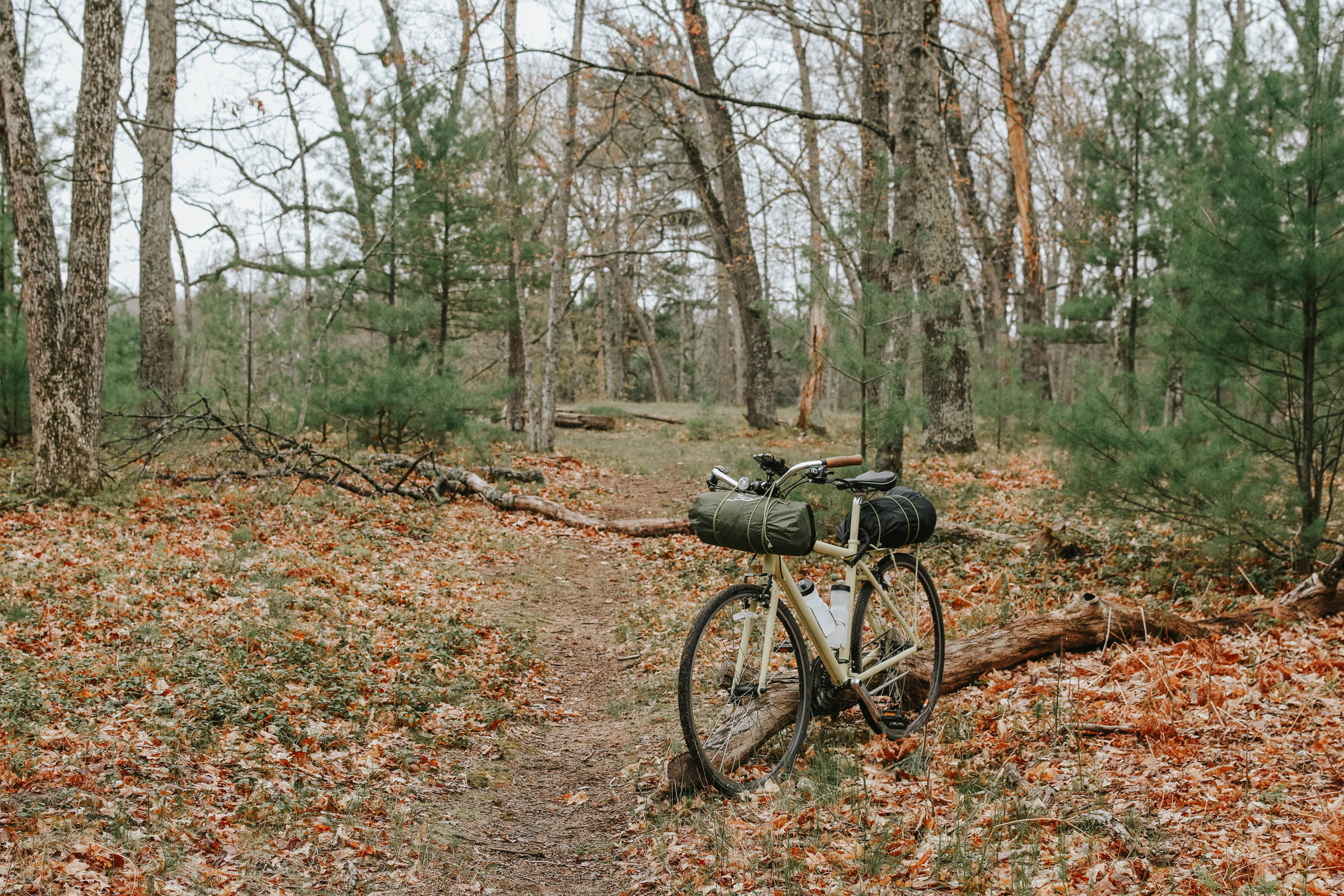
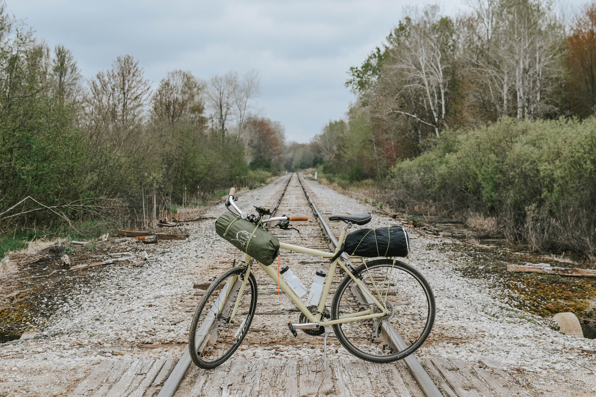
- I rode this route on a hybrid bike with 35mm tires. Larger tires aren’t necessary, as the gravel roads are relatively smooth and easygoing. Some sections can get sandy and may require a short walk.
- Hang a bear bag when camping, both on the route and at Nordhouse Dunes, as both bears and raccoons call the forest home.
- You can camp at Nordhouse Dunes (the starting point) either the night before or the night after your route, which is highly recommended. It’s a 1.6 mile hike from the parking lot to the primitive beach camping area, but you can’t bring your bike on the trail. If camping here, it’s best to bring a car that fits your bike inside, though the risk of theft out here is very low.
- At Nordhouse Dunes, you can camp anywhere, as long as you are 400 feet away from the water.
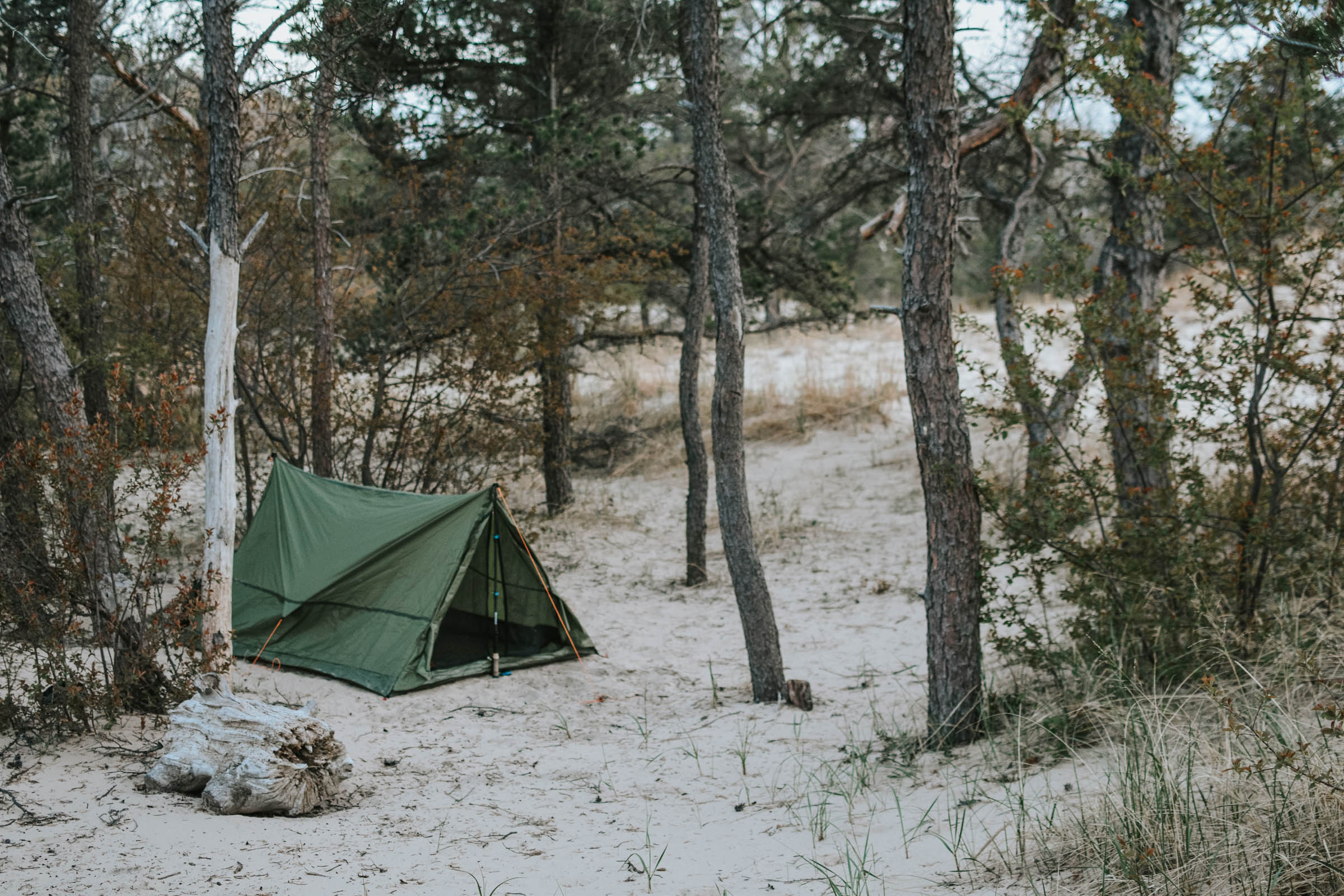
- Camping next to the Little Manistee River is only permitted in designated National Forest campsites. They are plentiful along the river, free, and first-come, first-serve. They are primitive, offering no amenities. Otherwise, you can camp anywhere in the National Forest, as long as you are at least 200 feet away from the river.
- Campsites are mostly located on a bluff overlooking the river. If you want to camp near the banks, check out the Hopper Junction Campsite, which is where the photos of my campsite were taken.
- Some campsites are located adjacent to private land, so be mindful when exploring.
- The gravel roads are sparsely traveled. However, always listen for vehicles. They often drive fast, since they don’t expect anyone else on the roads, either.
- Water is available in the town of Manistee, as well as various rural gas stations on or near the route. You can filter water from the Little Manistee River as well. I was comfortable carrying only 1.5 liters of water, but you may want more during the summer.
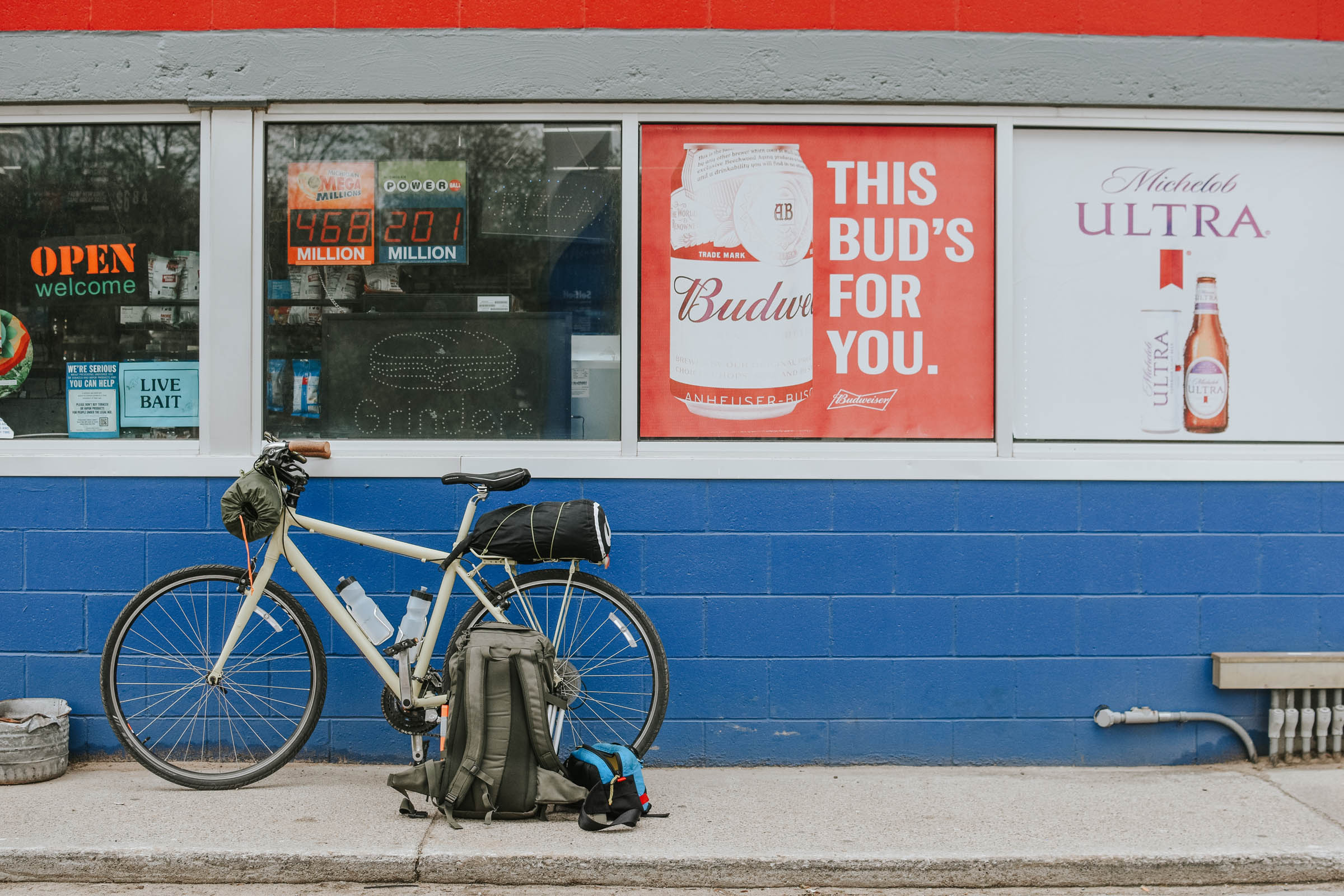
- Plan to stop for food in the town of Manistee. If you start the route heading north, you can grab brunch on your way to camp. The Filmore is excellent, offering sandwiches, burgers, and wood-fired pizza. Or try Cafe 1907 for classic breakfast fare. Grab a coffee to go at The Outpost.
- Don’t want to sit inside and eat? Order to go and ride down to Lake Michigan for a picnic with a view, only 1 mile from downtown Manistee.
- If you start the route headed east, you’ll hit Manistee on day two, where you can stop at North Channel Brewing Co for beer, craft cocktails, and dinner before finishing up the route. But be careful, you’ll still have about 17 miles to ride back to the car.
- Celebrate a successful ride with ice cream at Upper Hamlin Grocery, open seasonally from June thru September. Located on Nuremberg Rd, it’s six miles from the start/end point. You can also stock up on cold beer for your camp at Nordhouse Dunes.
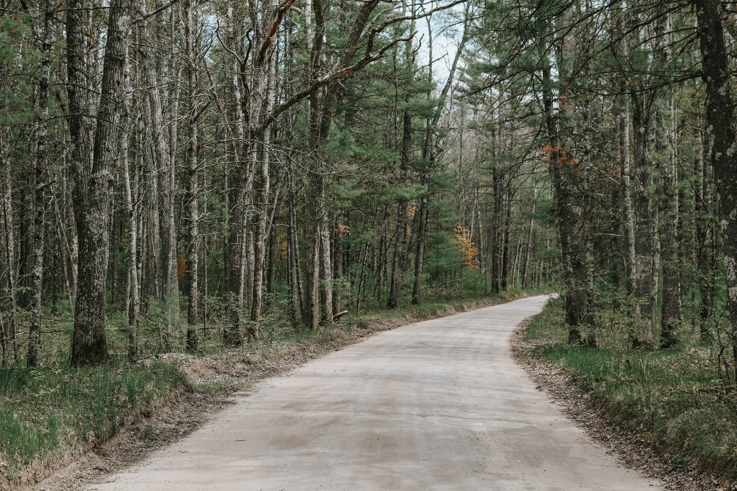
70% of the Manistee Overnighter traverses gravel roads, which are primarily used by the forest service. They are wide and easy to ride, with very little traffic.
If you start the route heading north to Manistee, you’ll ride for about 15 miles on gravel before reaching town. You’ll pass one creek on the way if you need to filter water. When in town, consider stopping at First Street Beach for a brisk swim.
After you’ve had your fill in town, you’ll ride through neighborhoods for a few miles until you reach the river corridor, which is the best part of the ride. Here you’ll enjoy miles and miles of forested gravel roads with the occasional glimpse of the river, before finally setting up camp.
The next day, you’ll start moving away from the river and will be treated to 3 short but very sweet singletrack miles on the North Country National Scenic Trail. Most of the gravel roads on the south section ride through farmland before finally returning to Nuremberg Rd, the final stretch back to your car.
Rideability – most of the gravel roads are rideable, though some sections get a bit sandy and require a short walk.
Additional Resources
- Little Manistee River Information –fs.usda.gov
- Nordhouse Dunes information – fs.usda.gov
- Big M Recreation Area information (optional singletrack) – visitmanisteecounty.com
- NCT Trail Chapter – northcountrytrail.org


Terms of Use: As with each bikepacking route guide published on BIKEPACKING.com, should you choose to cycle this route, do so at your own risk. Prior to setting out check current local weather, conditions, and land/road closures. While riding, obey all public and private land use restrictions and rules, carry proper safety and navigational equipment, and of course, follow the #leavenotrace guidelines. The information found herein is simply a planning resource to be used as a point of inspiration in conjunction with your own due-diligence. In spite of the fact that this route, associated GPS track (GPX and maps), and all route guidelines were prepared under diligent research by the specified contributor and/or contributors, the accuracy of such and judgement of the author is not guaranteed. BIKEPACKING.com LLC, its partners, associates, and contributors are in no way liable for personal injury, damage to personal property, or any other such situation that might happen to individual riders cycling or following this route.
Please keep the conversation civil, constructive, and inclusive, or your comment will be removed.