


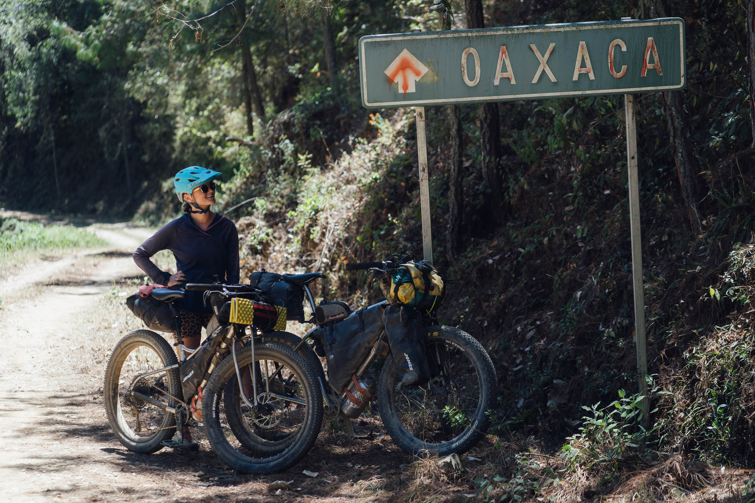
Micro Vuelta de la Sierra Norte, Mexico
Distance
70 Mi.
(113 KM)Days
2-3
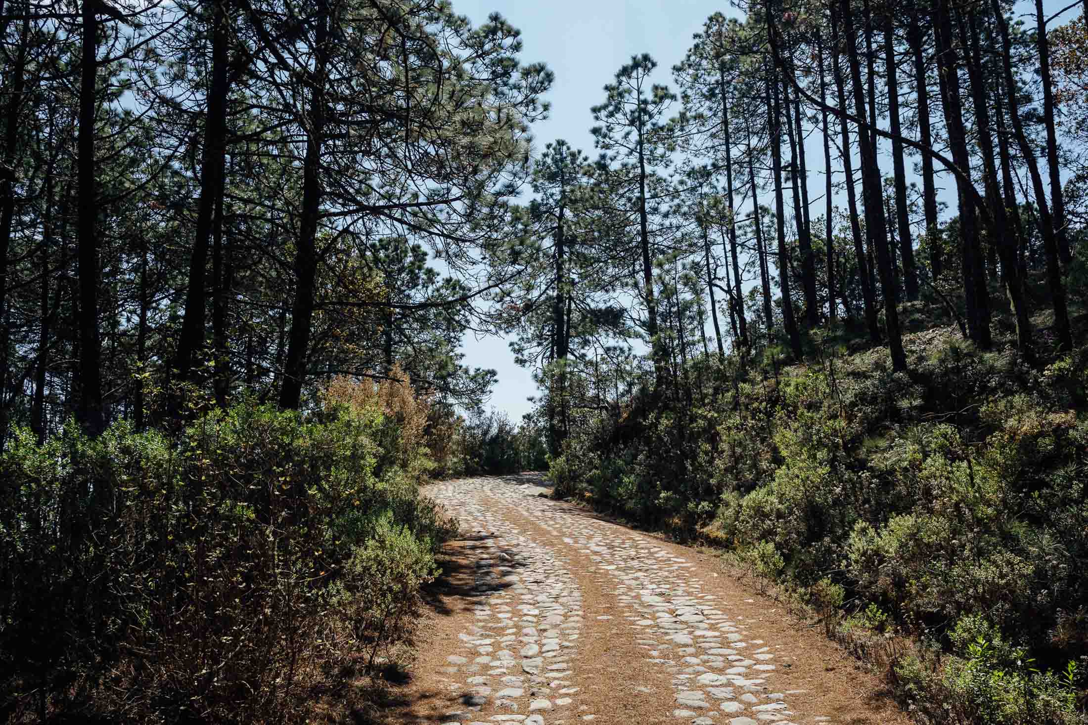
% Unpaved
89%
% Singletrack
3%
% Rideable (time)
99%
Total Ascent
11,500'
(3,505 M)High Point
10,660'
(3,249 M)Difficulty (1-10)
7.5?
- 10Climbing Scale Very Strenuous164 FT/MI (31 M/KM)
- -Technical Difficulty
- -Physical Demand
- -Resupply & Logistics
Contributed By

Cass Gilbert
Contributing Editor
Security update: Unfortunately, crime seems to be on the increase in Oaxaca, both in the city centre at night, and on some of the local trails that are popular with local riders, runners, and hikers. Take a taxi home if you’re out late at night and in terms of trails, be especially mindful in Cerro del Fortín and the Torre de Microondas if you’re hiking or riding there (go early and don’t carry any valuables). In the case of this route, it’s best not to linger at the wall at the very top of the Libramento Norte (approx km 9), before the road drops down in Viguera. If this is a concern for you, consider riding out of the city on Avenida Ferrocarril and connecting with the route in Viguera (approx km 14) to avoid this section.
For more details on Oaxaca and the Sierra Norte, as well as an alternative, more singletrack-laced route, see the Hebras de Ixtepeji route.
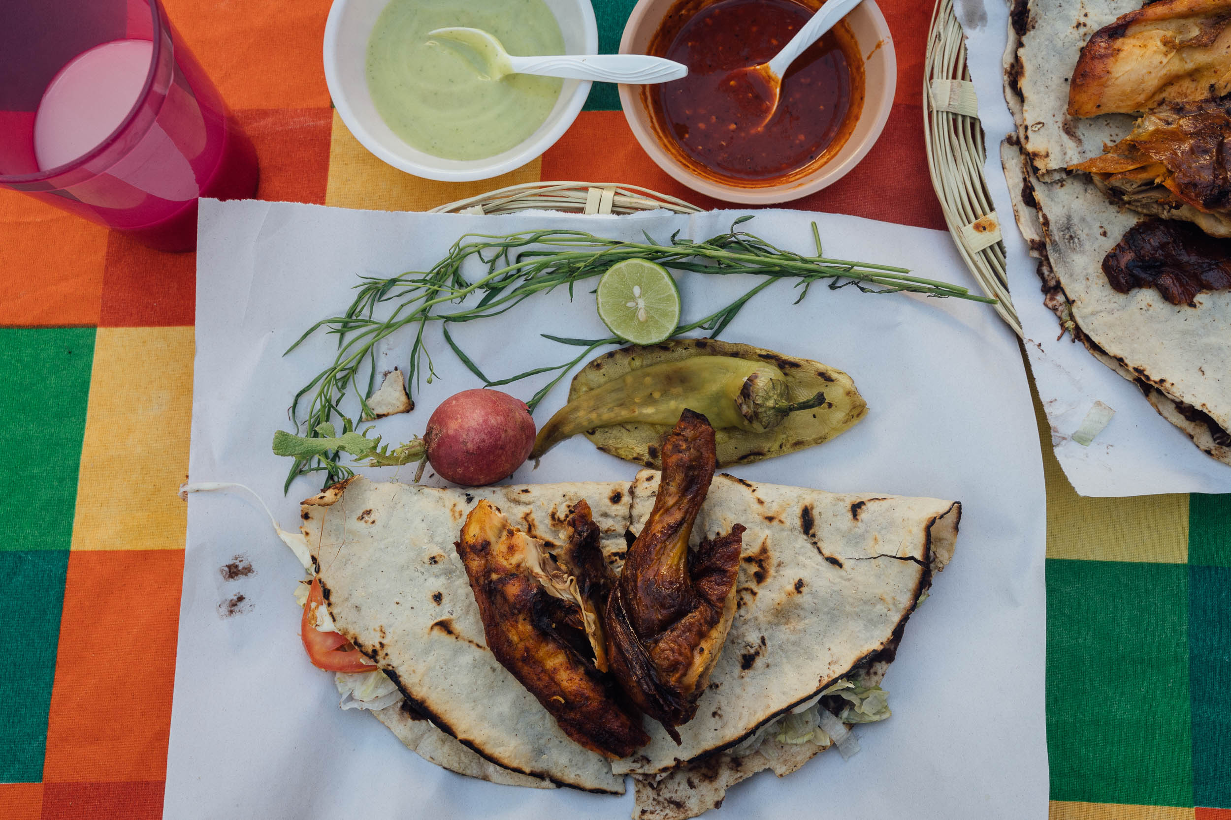
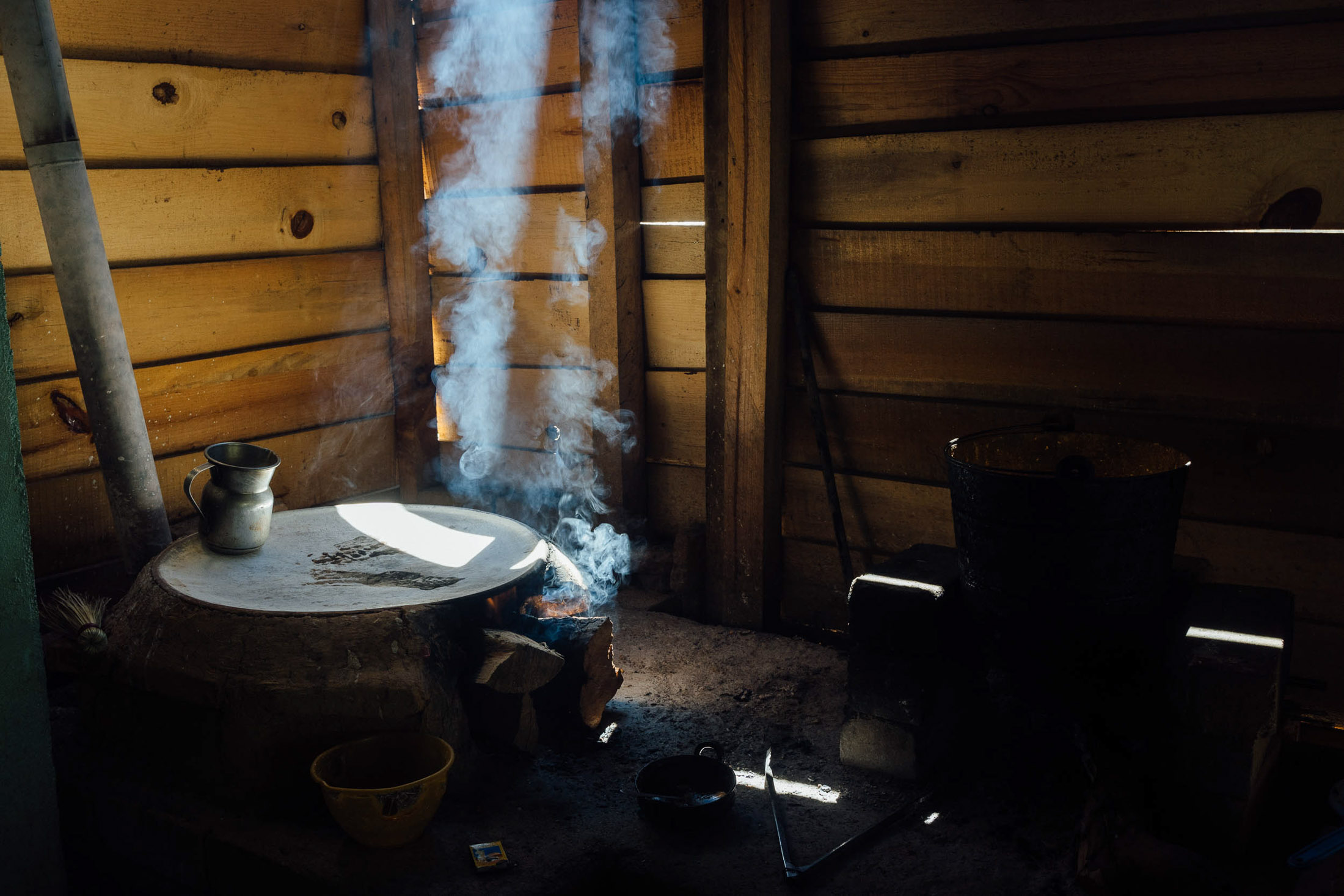
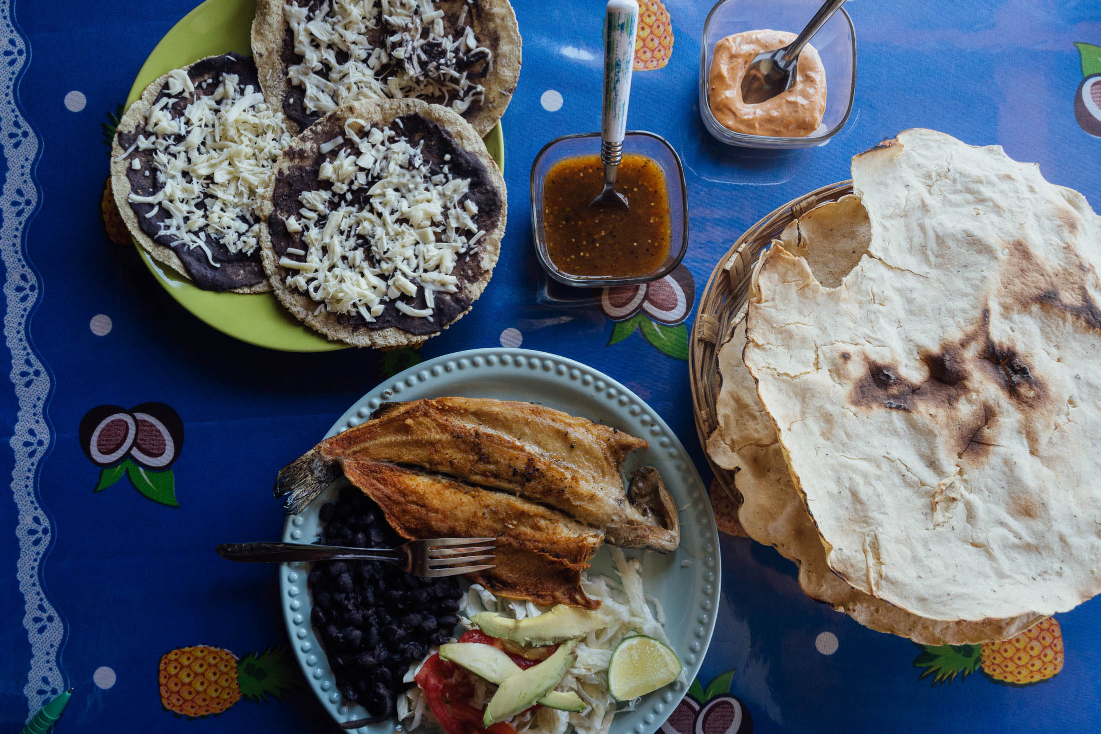
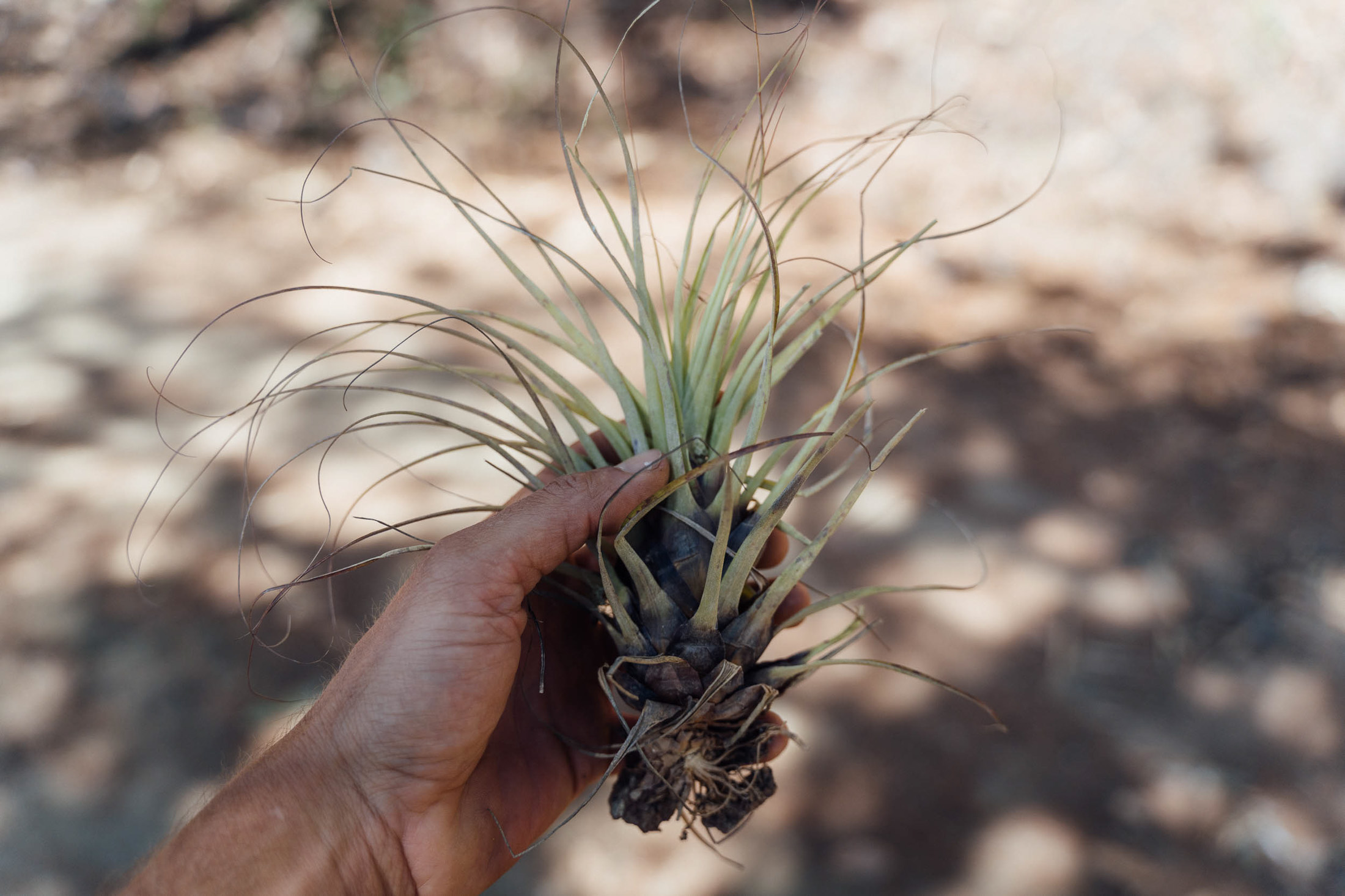
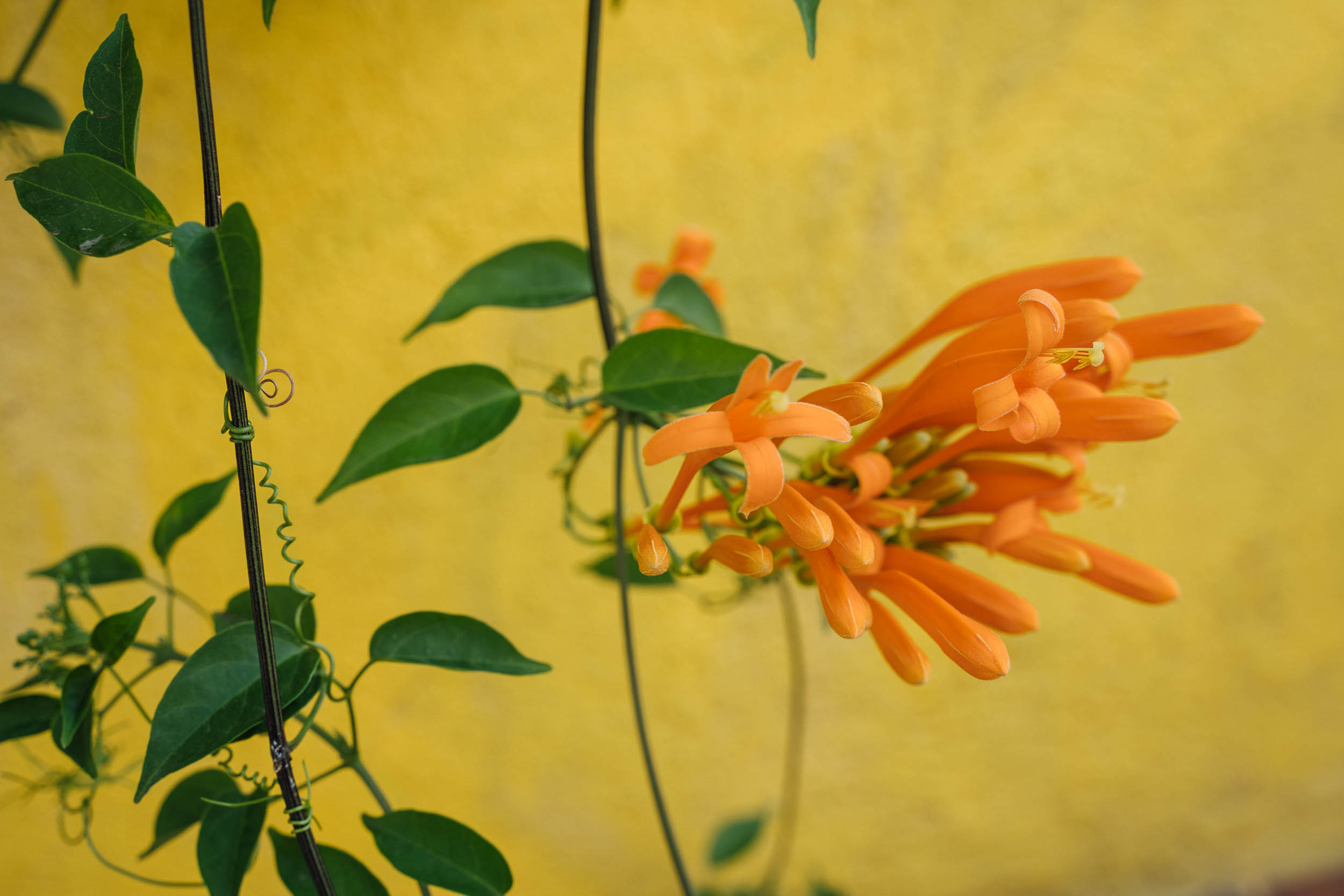
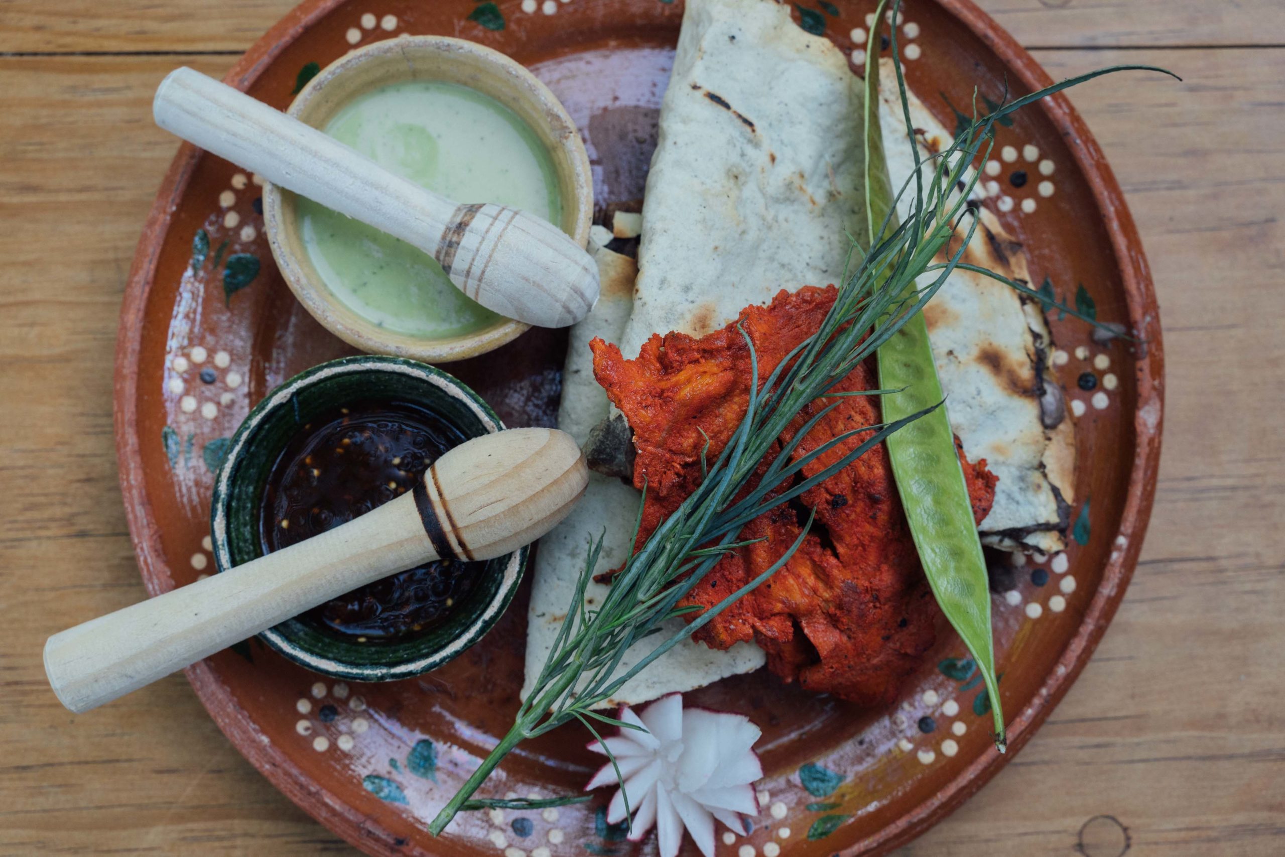
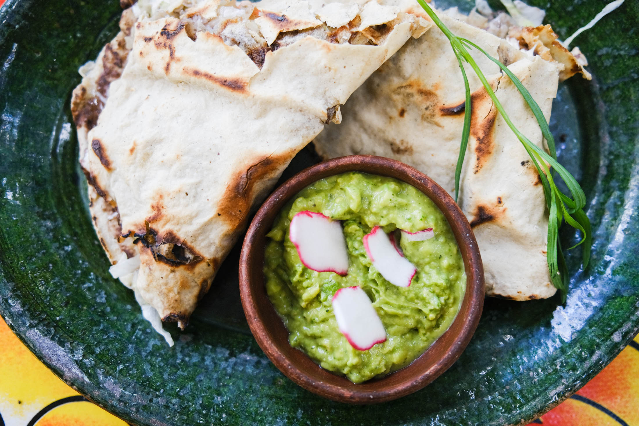
In some ways, Oaxaca feels like Mexico’s counterpoint to France’s Provence, in that food can play as important a role as cycling when appreciating the region. Not only do dirt roads extend in every which direction from the city, but even the smallest village can likely rustle up a delicious tlayuda. These large and crispy corn tortillas are baked on a clay skillet, then coated with a black bean puree and laced with Oaxacan quesillo, fresh vegetables, chorizo, or huitlacoche – a corn fungus. And whilst wine may not be on the menu in this part of Mexico, there’s no better way to wash down with a glass of fresh hibiscus juice instead.
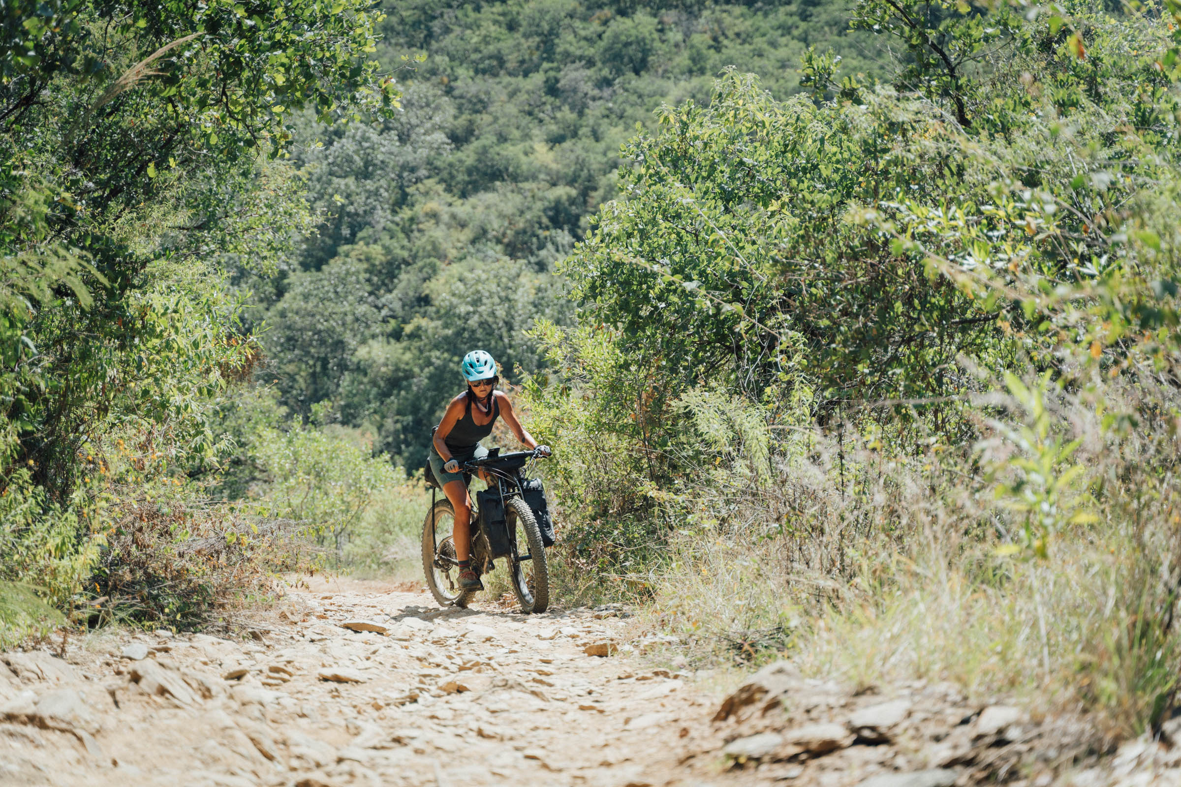
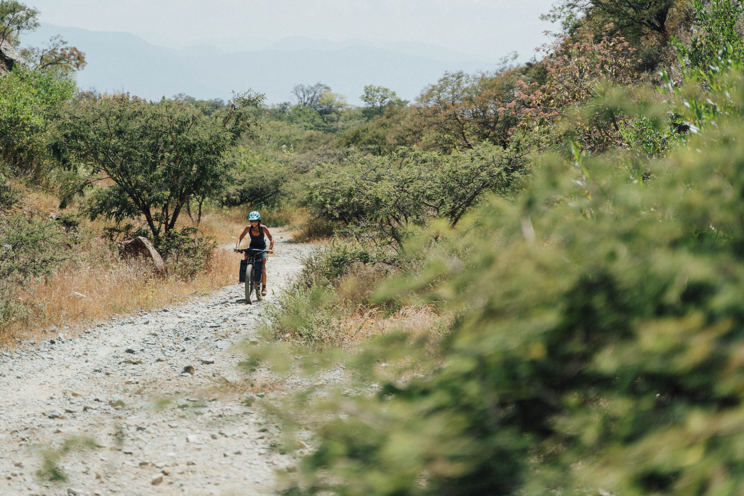
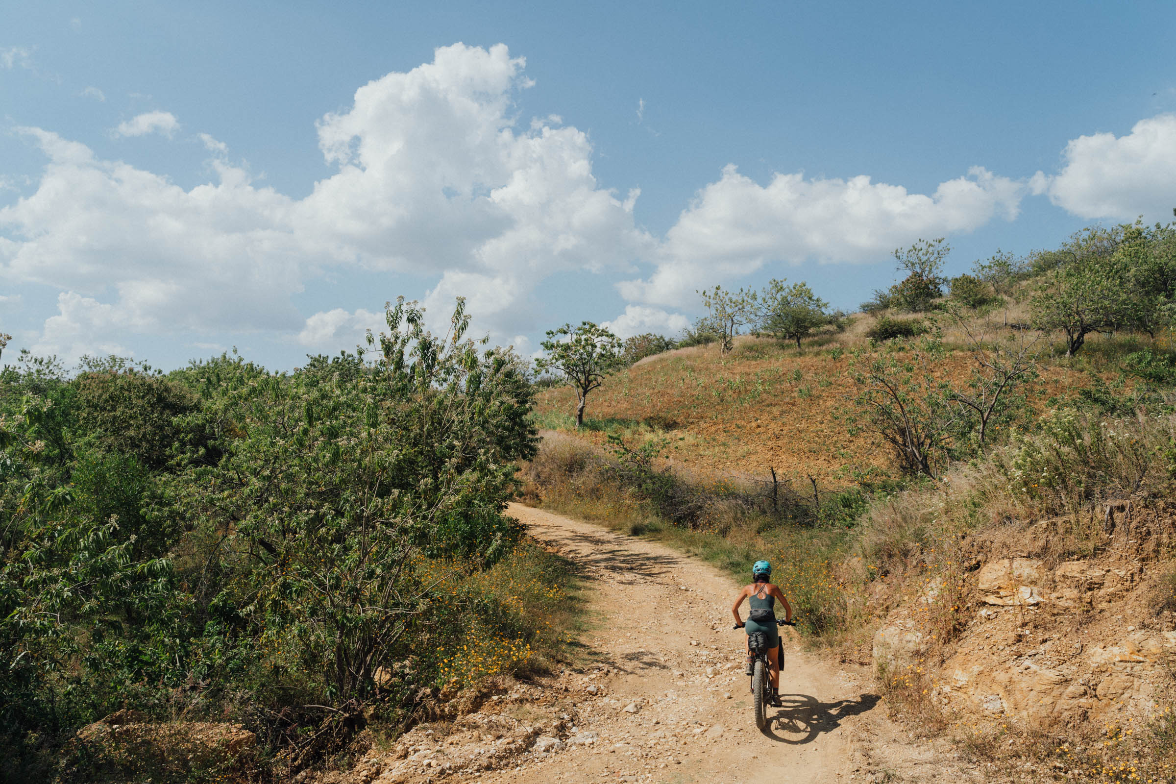
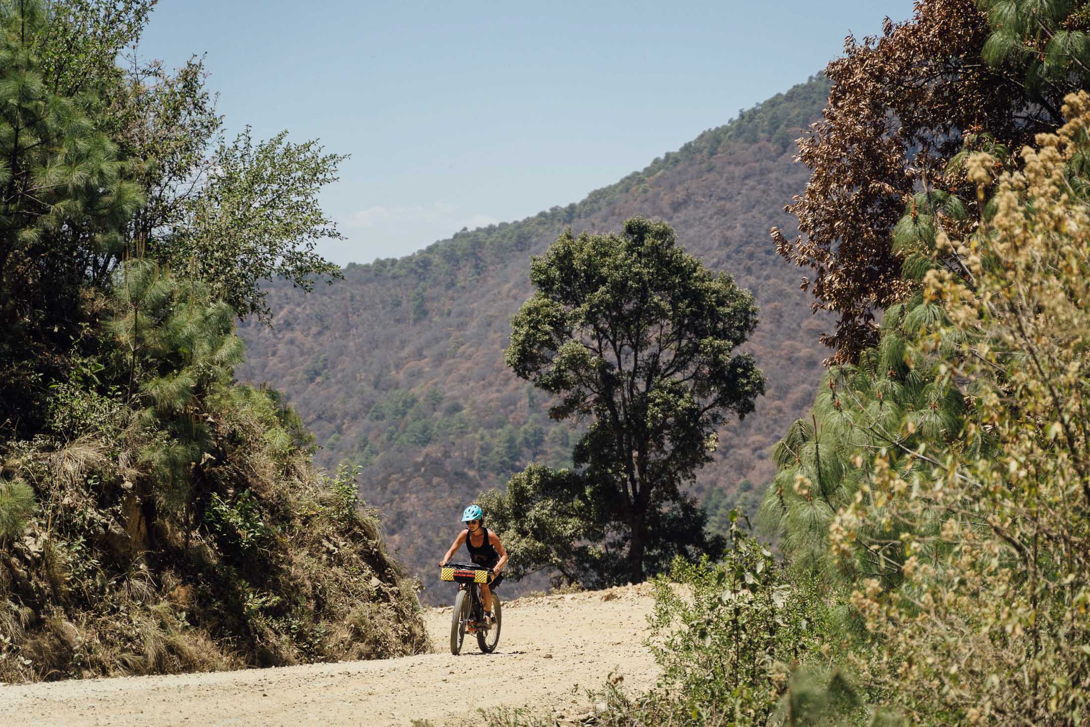
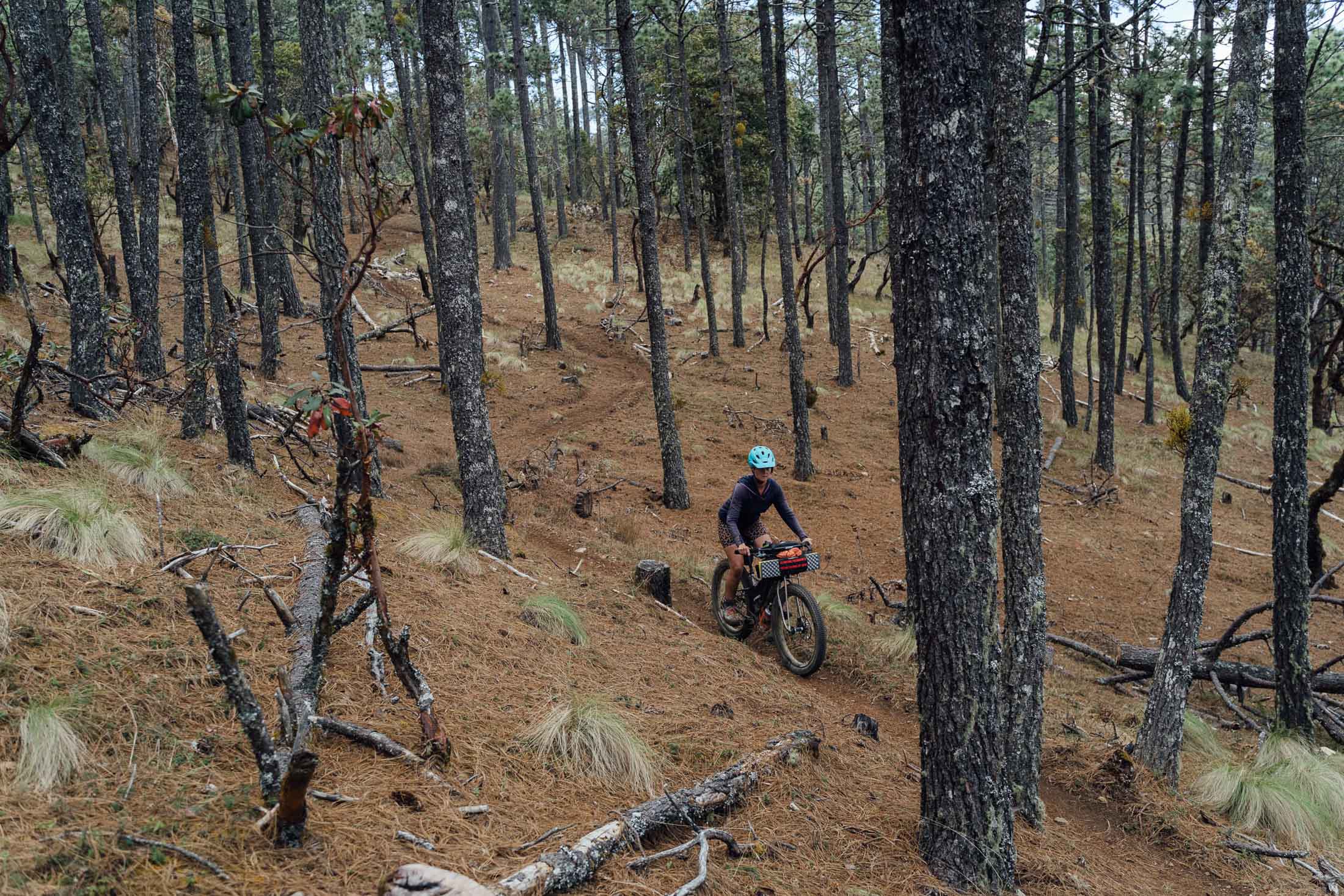
The Micro Vuelta leaves town with a testing climb through the trail network west of San Felipe del Agua (feel free to stay on the traffic-free Libramento Norte for a more mellow debut) before a rolling dirt road traverse to San Agustín Etla, home to the impressive Centro de las Artes de San Agustín, housed in a former textile factory.
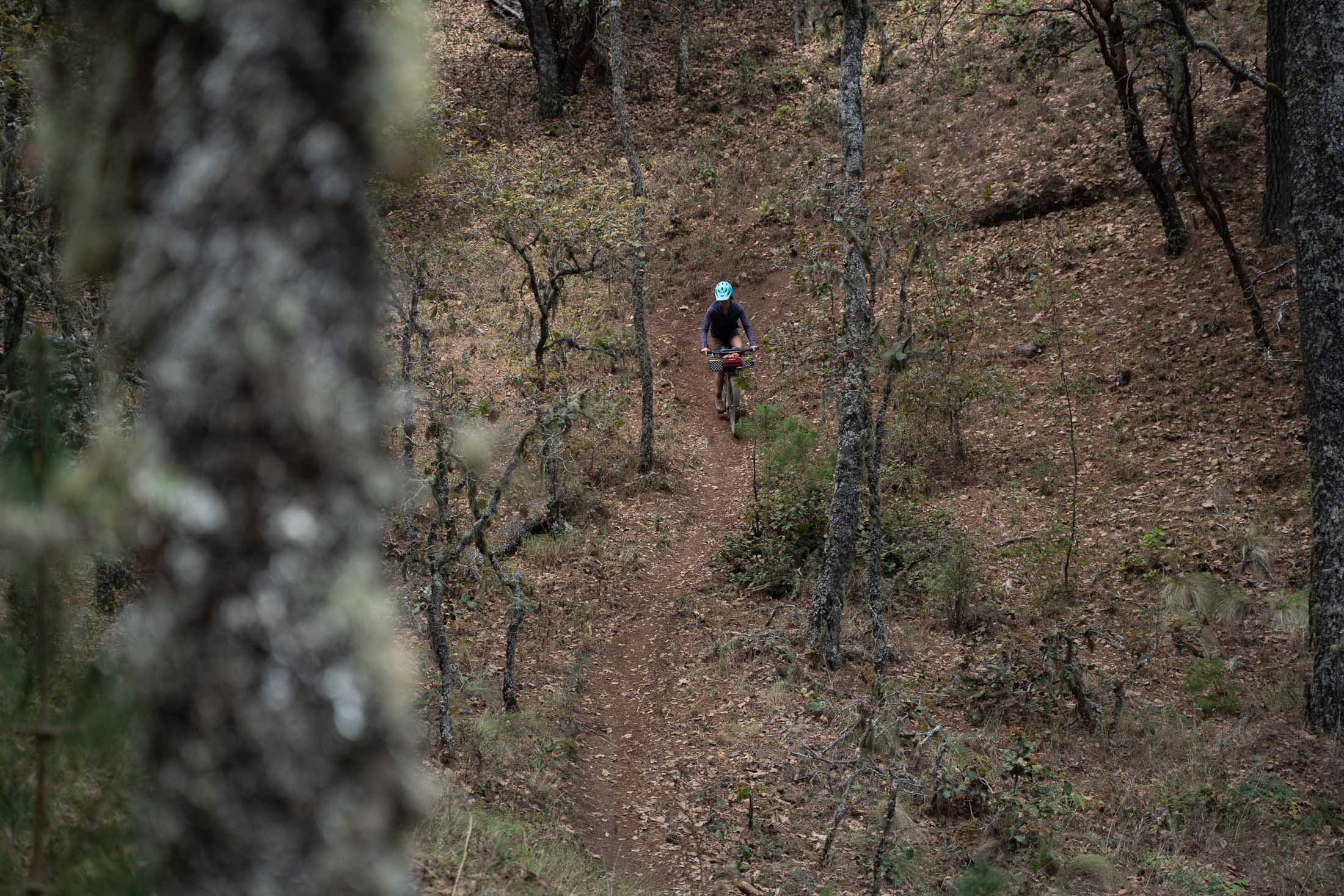
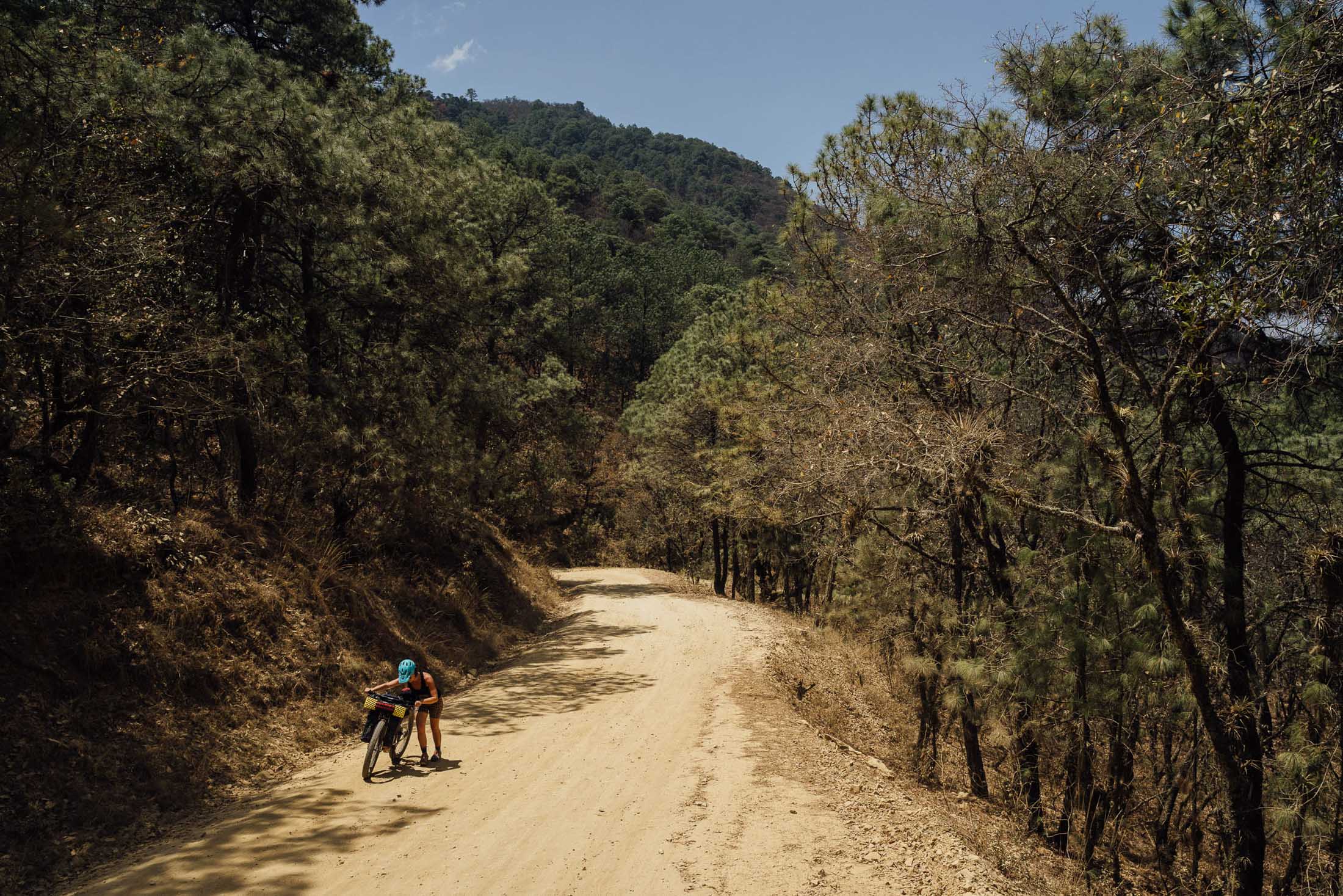
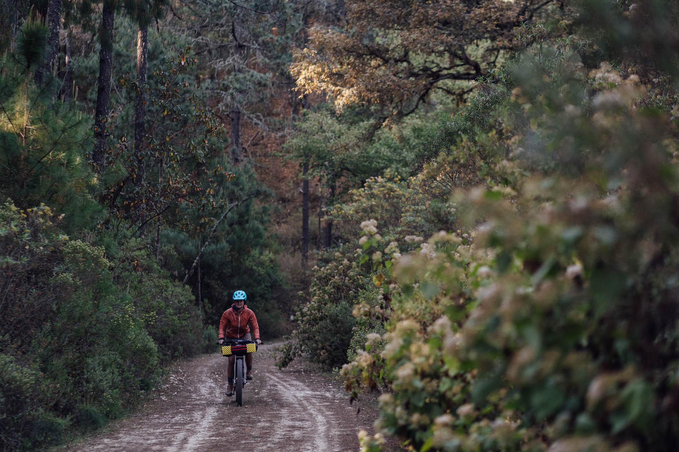
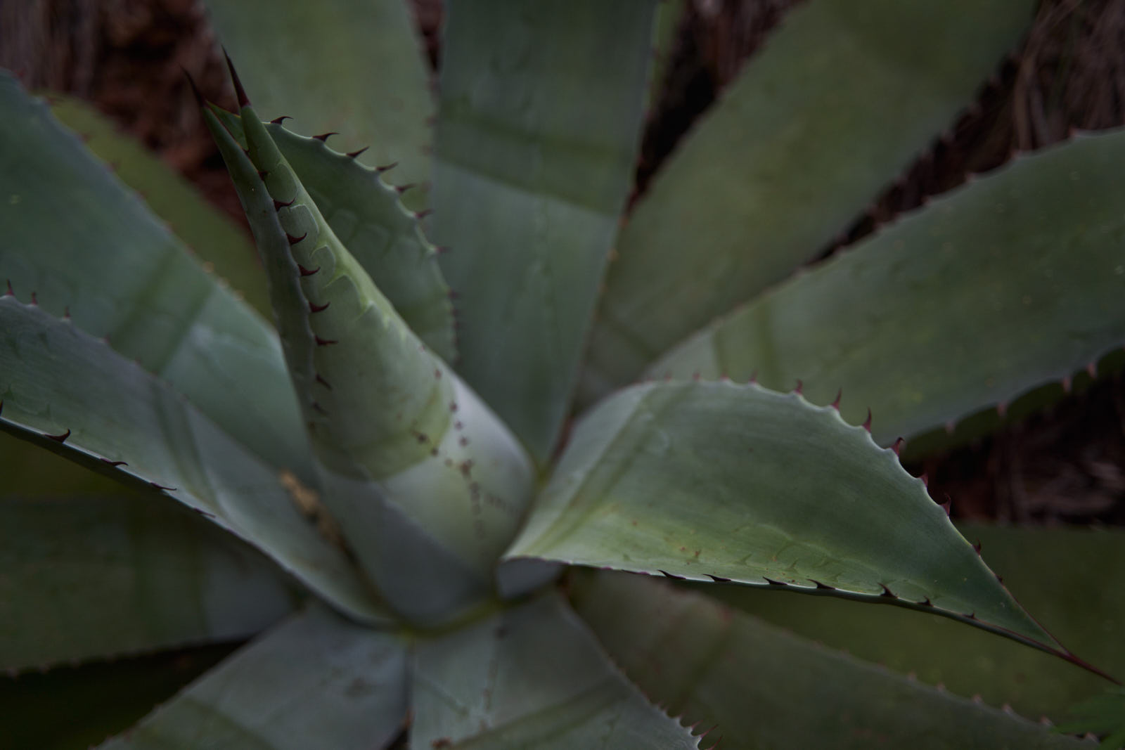
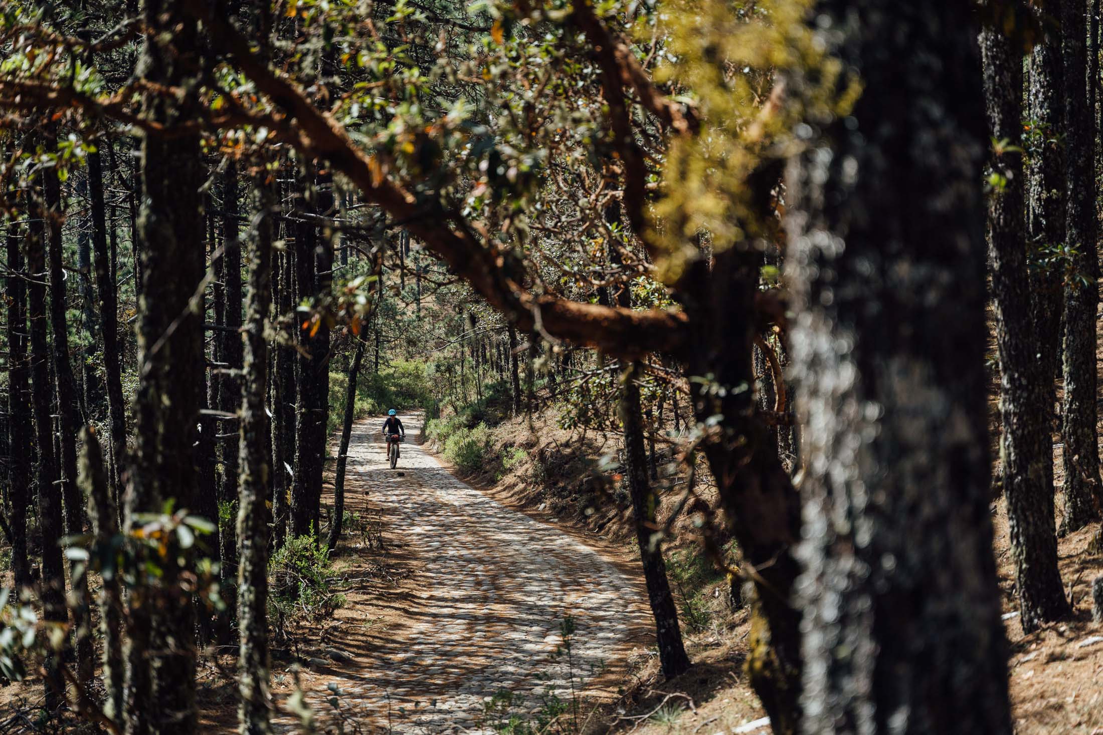
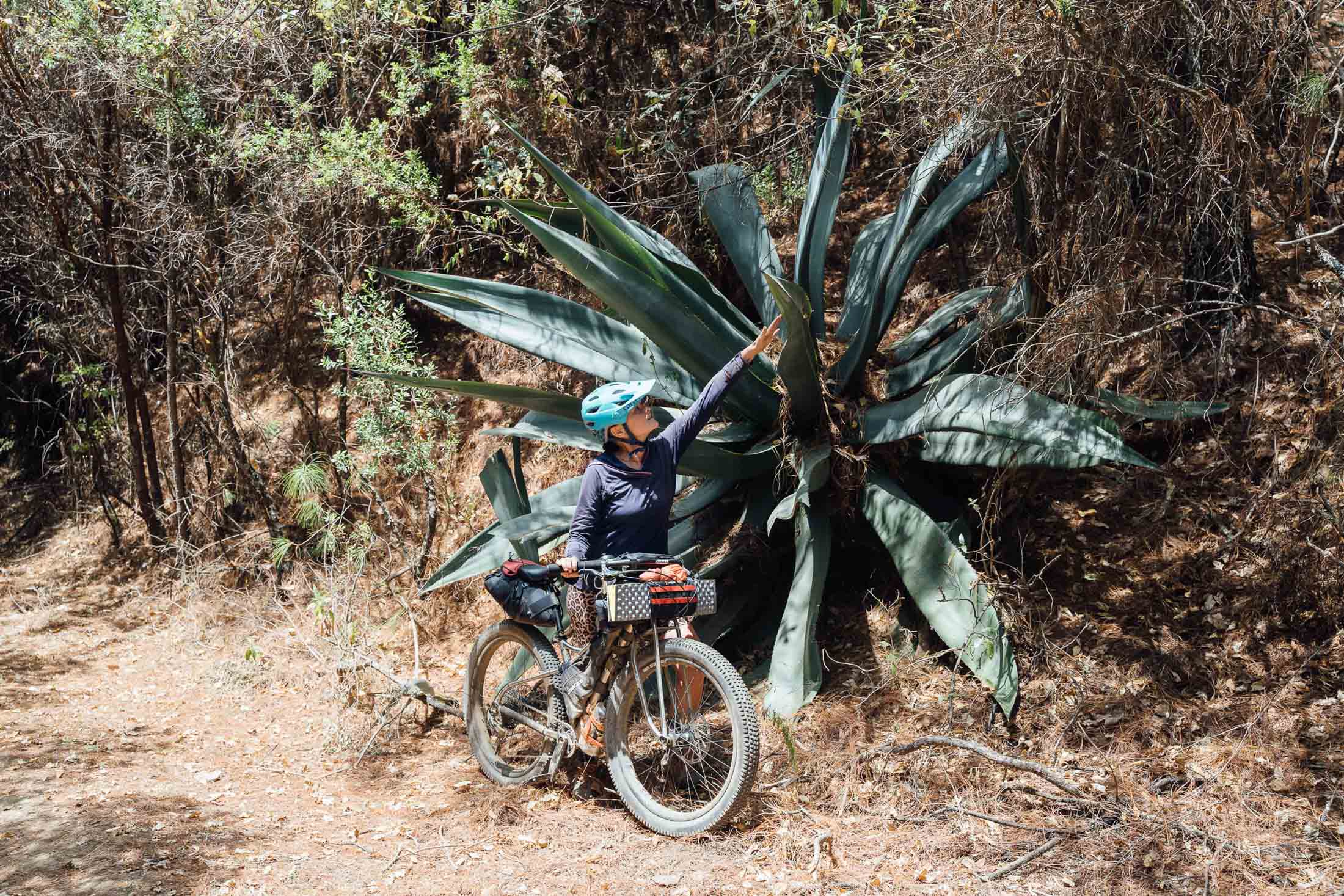
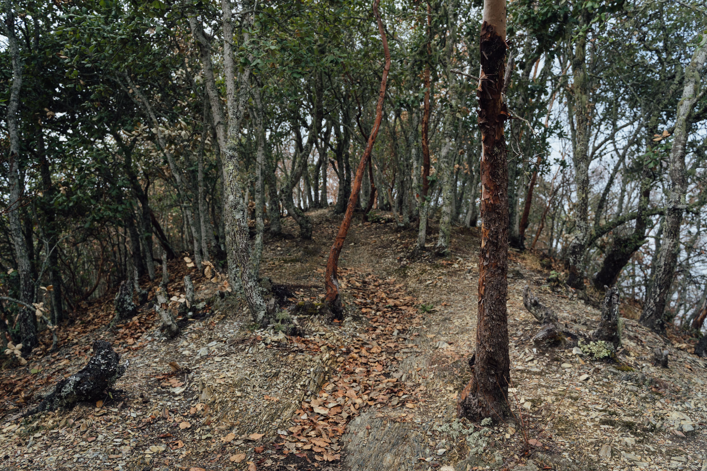
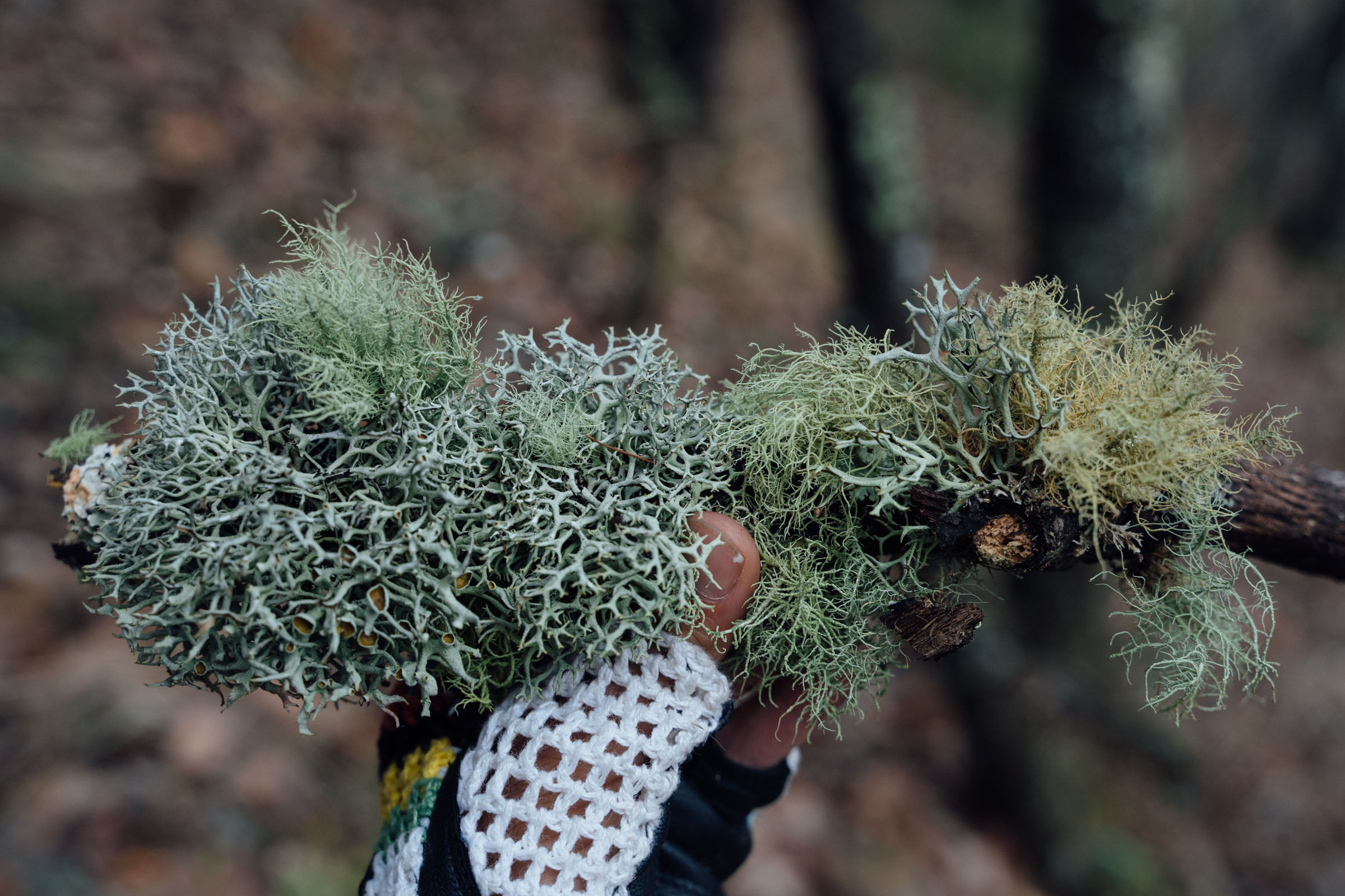
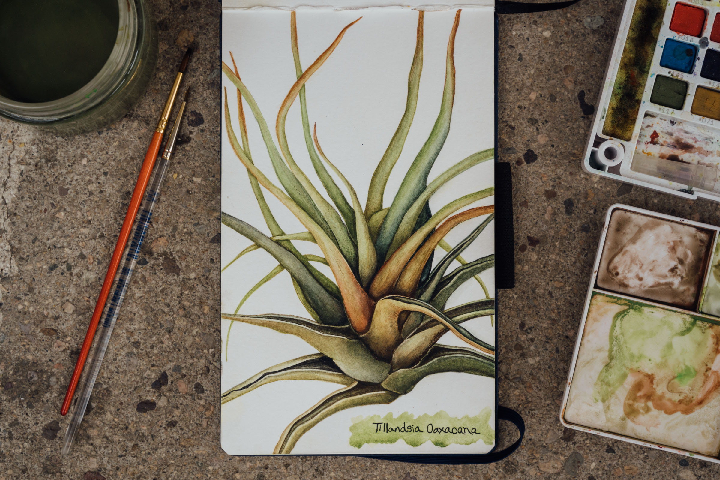
Then, it’s a long and protracted forest road climb into the high country, an ascent that winds its way from 1500m to a lofty 3000m and beyond. One of the highlights? The shift in plantlife with every metre accrued, first prickly pear, then bromeliads, and finally mighty pines. Then, a small and lesser travelled two-track – passing glades of mossy, old-growth forest that drip with lichen – connects to La Cumbre, culminating in a cobbled climb to Corral de Piedra, the highest point of the route at 3250m.
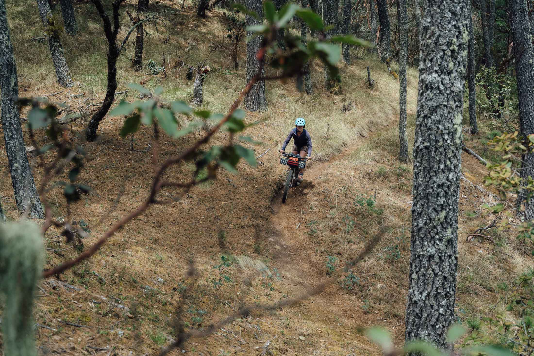
Work done, it’s down, down, down, via a dirt road that whirligigs dramatically into the fringes of the city from high above. But what’s the rush? Why not dally a bit, tapping into a network of trails that are a magnet for local mountain bikers every weekend – and the home of the Transierra Norte Enduro event. Many are blue and black in Trailforks language, so it makes sense to drop off your gear and take a ‘day off’ to really enjoy them. Black trails include exposed technical rock features. Stick to ‘blue’ trails and expect a mix of loam, roots, and jumps. Here’s a loop to keep you busy for half a day, which includes riding up to the Mirador for spectacular views at sunrise or sunset (see Trail Notes for more details). If that’s not enough, the route includes a detour for a final flourish into Huayapan, via the fast and sometimes challenging La Marimba trail, part flowy singletrack, part steep and rutted, white-knuckled descent (stay on the road if you want to avoid it!).
Short on distance but big on climbing, this vueltita is so named because it’s one of the smallest loops you can make into the highest of Oaxaca’s high county. Local cross country riders even trim back the exploratory nature of the beginning and end and tackle it in a momentous day. But why torture yourself like that? Trust me. It’s way better to pack light and enjoy the cool forest air for a couple of nights, especially for anyone who really wants to make the very most of this area’s remarkable biodiversity. And when you do extricate yourself from these magical highlands, enjoy the Oaxacan feast!
See notes on the map for adjusting the route to suit your skills/bike, in terms of the trails you choose to ride en route. And check out Trail Notes for a one-day route extension, as well as several day ride options. Planning to spend some time in Oaxaca? Check out the six-day San José del Pacífico Grand Dirt Tour too!
With thanks to outdoor educator and artist Emma Bucke for sharing her beautiful botanical illustration, used in the Micro Vuelta de la Sierra Norte route badge.
Route developed with Emma Buckle, who also researched and catalogued all the plants scene along the way, which can be referenced in this post. Thanks to Messcalex and Oaxaca MTB for local Oaxaca trail intel too, and for sharing the singletrack loop in La Cumbre.


Submit Route Alert
As the leading creator and publisher of bikepacking routes, BIKEPACKING.com endeavors to maintain, improve, and advocate for our growing network of bikepacking routes all over the world. As such, our editorial team, route creators, and Route Stewards serve as mediators for route improvements and opportunities for connectivity, conservation, and community growth around these routes. To facilitate these efforts, we rely on our Bikepacking Collective and the greater bikepacking community to call attention to critical issues and opportunities that are discovered while riding these routes. If you have a vital issue or opportunity regarding this route that pertains to one of the subjects below, please let us know:
Highlights
Must Know
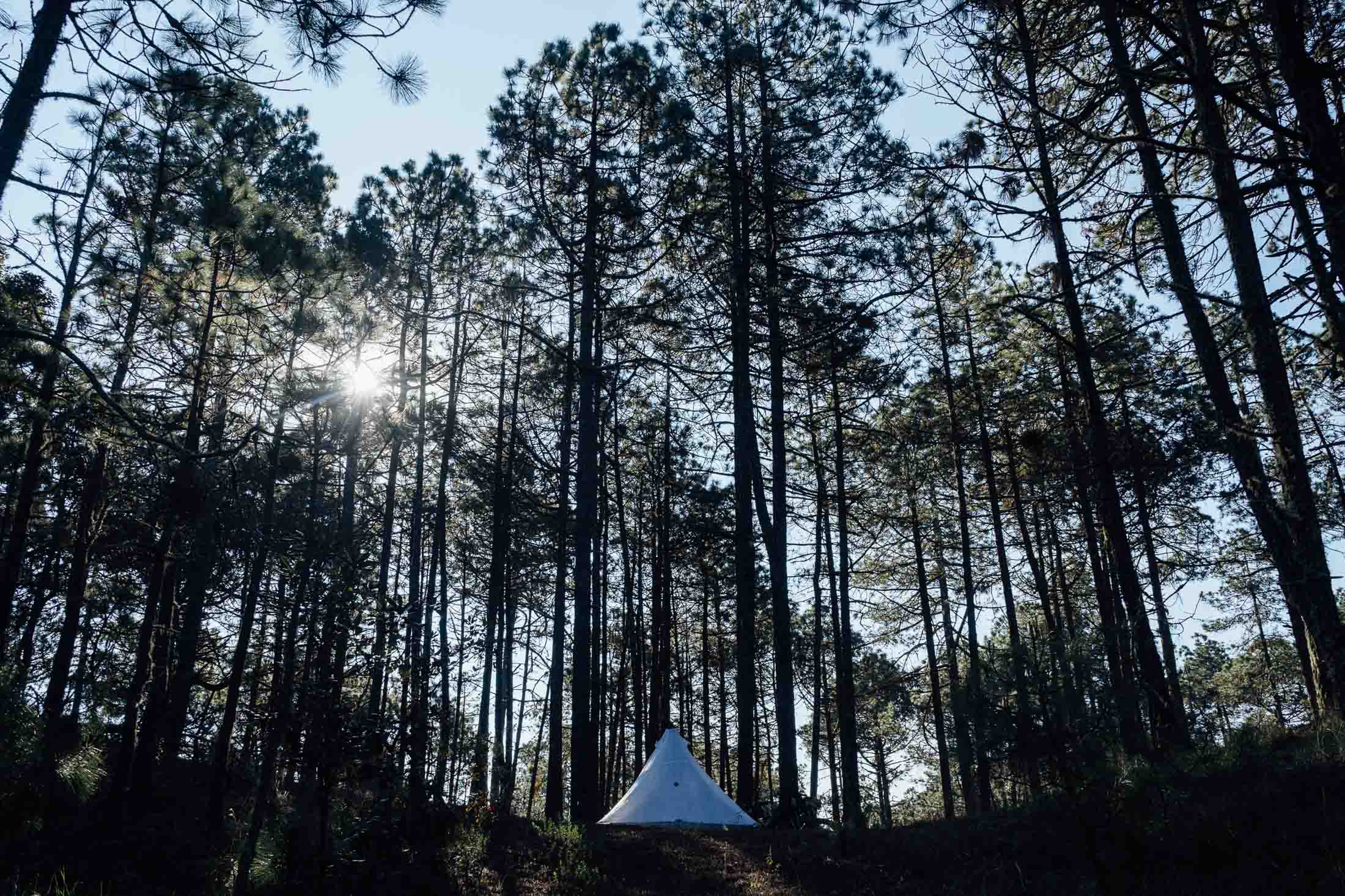
Camping
Food/H2O
Trail Notes
- Rolling out of Oaxaca after a coffee, almost straight onto dirt and trails.
- Great food along the way, plus fantastic cuisine in the city.
- Mix and matching trails to suit your interests, be it dirt roads or trails (see map for options).
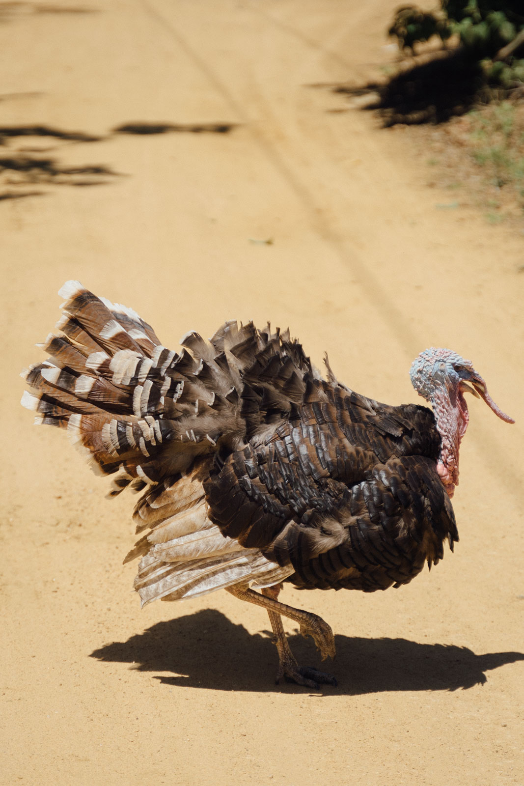
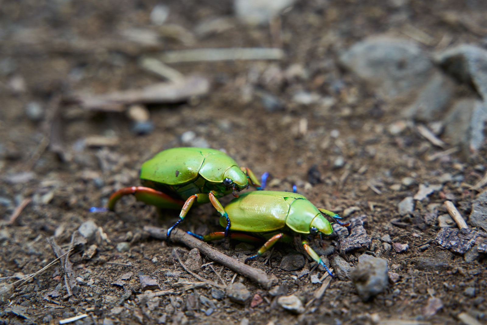
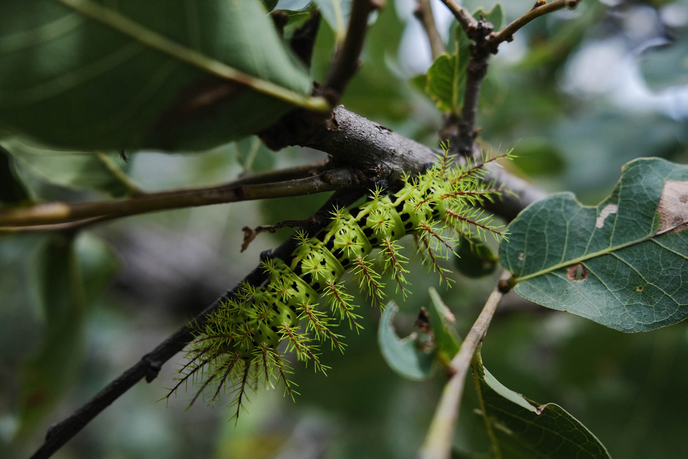
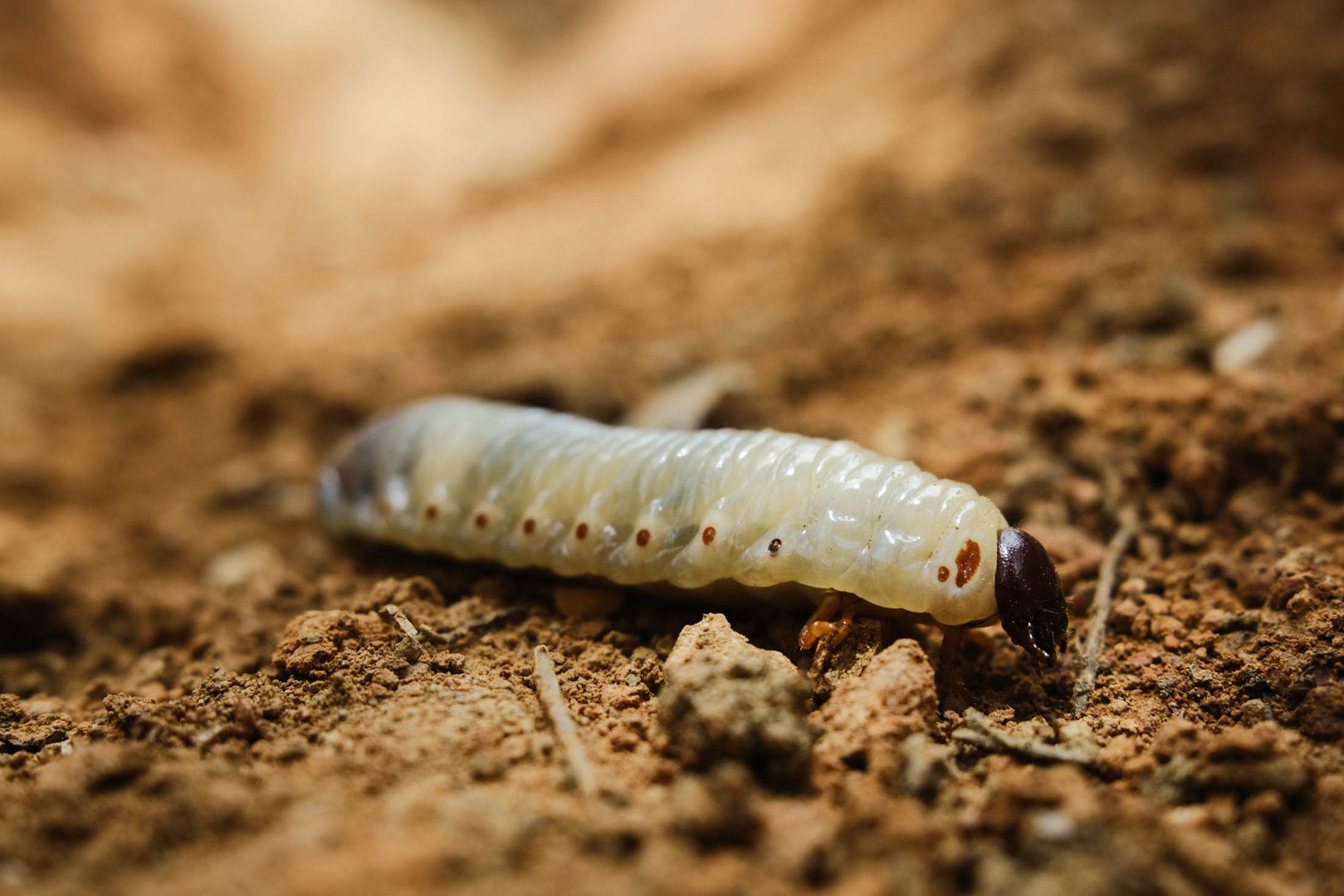
- Incredible biodiversity in both this loop and the region as a whole, thanks to elevations that flit between 1500 and 3250m.
- Best bike: A rigid ‘plus’ mountain bike or hardtail with a 2.2″ to 2.5″ tyre is the ideal choice for this route, due to the mixed terrain, long climbs, and often steep grades. If you ride a gravel bike, be sure you’re running comparable gearing. I’d recommend a 45mm+ tyre at the minimum and adjust the route to suit. Love tech? You’ll have a lot of fun with a hardtail with a dropper and 130mm of travel over in Ixtepeji, or just zone in on this routes singletrack counterpart, Hebras de Ixtepeji. Find more in the Bikes, Rides, and Gear section of our extensive Oaxaca Bikepacking Routes Network Guide.
- Best time of year: Oaxaca is a popular destination throughout the year, with November to February being the high season. Bear in mind that during the dry season (November to April/May), dirt roads become increasingly dusty, streams can run dry, and temperatures soar as the months go by – especially as you descend in elevation. By April, it’s sizzling hot and the landscape also becomes increasingly dull and brown. In contrast, the rainy season (mid-May to October) brings lush countryside and more bearable midday riding temperatures, but expect heavy later afternoon or nightly downpours. Thankfully, rain in the mountains of Oaxaca is rarely an all-day affair, unless there’s a storm system lingering on the Pacific coast or the Gulf of Mexico, in which case it can be rainy and overcast for a few days. Mid October through January are probably the best times to ride here, as the landscape is still green, the heaviest rains have passed, and the temperatures aren’t yet oppressive – within these months, November is perhaps the best. You could even tie in a trip with Día de Muertos, though book accommodation in advance as everywhere is especially busy.
- Pack light as there are big climbs in store.
- Direction: The route is best ridden in a clockwise direction, as the dirt road between San Andrés Huayapam and La Cumbre is extremely steep and would make an unforgiving way to begin a trip.
- Fees: There is a small ‘cuota’ to pay for accessing the forest road between Ixtepeji and Huayapam. The office is in Huayapam and you can find the location on the map – you can pay this fee after the descent. The office is often closed, but it’s worth trying nonetheless.
- Oaxaca is a six-hour bus ride away from Mexico City. ADO is a recommended bus company, generally with room for a bike or two. There’s an airport on the edge of the city too. See Aeromexico and Volaris for budget deals.
- The mountains of Oaxaca are generally a safe place to travel through, but it’s always worth getting up-to-date information.
- Time your trip with Oaxaca’s especially famous Dia de Muertos ceremony (early November), but book accommodation in advance as things get busy.
- A short ride from the centre of the city, San Felipe Del Agua is rife with fun cross-country singletrack – this route passes right by the network. See Trailforks for details; La Hojasaraca/High Flyer Ridge is especially recommended and is worth going back for.
- The route also crosses the trail network at La Cumbre, where you can stop to spend a day riding. Again, see Trailforks for details and blue/black graded trails. Most are best ridden without gear due to their challenging nature.
- MTB Oaxaca is an excellent resource that lists bike shops, trails, and day rides in and around Oaxaca. In terms of bike shops and repair, recommended options include Bicicletas Pedro Martizez (bike hire too) and Bicimundo and Zona Bici for a good stock of high-end bike parts. La Cleta y El Cafe offers bike repairs and guiding services too.
- Oaxaca Journal by Dr Oliver Sachs, is a recommended read for those interested in learning more about Oaxaca, from both a botanical and cultural standpoint.
- A visit to the Botanical Gardens, where the route begins, is also highly recommended.
- Dig into the carousel at the bottom of this post on another overnighter into the Sierra Norte for an insight into many of the plants you’ll likely see in this area, and their names.
- Safety: The Sierra Norte itself is a safe place to ride. However, as with any city, crime happens in Oaxaca de Juárez, both in the city center at night and on a few of the local trails during the day. If you’re out late, take a taxi home. In terms of riding, hiking, and running in areas close to the city, be especially mindful and see the safety information here for details.
- For general information about our extensive route network in Oaxaca, be sure to check out our Oaxaca Bikepacking Routes Network resource, with a Spanish translation coming soon. It includes details on getting there, bike shops, rentals, gear choices, food, arts and crafts, and worthwhile places to visit in the city and surrounding towns.
- There are two main eco-touristic centres along this route, where accommodation can be sought – see map for their locations. Parque Ecoturístico La Cumbre Ixtepeji has the largest number of trails, some of which are very technical which are best enjoyed on a hardtail, without gear.
- Discreet, wild camping can also be found in the Sierra Norte, but it can be tricky to divine flat spots. Be respectful to local communities and leave no trace.
- There’s a wide variety of accommodation available in Oaxaca, from budget hostels to fancier digs. If you plan on setting up a base camp to explore the area in more detail, Airbnb can be a good option.
- There are several spots to refill water bottles along the way, whether this is in restaurants or streams. See map for details. Bring a filter so you don’t need to buy bottled water. In the dry season, it’s a good idea to have capacity for 3+ litres of water on your bike.
- Food is usually available at the restaurant (9.30am – 5.30pm) in the Centro ecoturístico La Cumbre Ixtepeji but it’s sometimes closed during the week and there are no other options to resupply between Arroyo Guacamayas and Huayapam, so it’s best to bring what you need with you.
- For more about Oaxacan food and drink, and restaurant recommendations in the city, see our detailed Comida Oaxaqueño: Oaxacan Food Guide!
Riding trails?
Shed your gear at the Centro Ecoturistico El Cumbre and spend a few hours riding trails. This suggested loop is graded ‘blue’ in Trailforks speak. It’s mainly loamy and rooty, with a few rock chutes and optional jumps. It can all be ridden on a rigid plus mountain bike or hardtail, though the ability to drop your seat – manually or with a dropper – is advised.
Spending longer in Oaxaca?
Check out the San José del Pacífico Grand Dirt Tour, a loop out of Oaxaca. Or catch a bus over to Cuicatlán, and ride the three-four day Ojos de Cuitalan tour, in the Tehuacán-Cuicatlán Biosphere Reserve.
Looking for day rides in the area?
For more day rides, route suggestions, and gear info, see the Bikes, Rides and Gear section our detailed Oaxaca Bikepacking Routes Network guide!


Terms of Use: As with each bikepacking route guide published on BIKEPACKING.com, should you choose to cycle this route, do so at your own risk. Prior to setting out check current local weather, conditions, and land/road closures. While riding, obey all public and private land use restrictions and rules, carry proper safety and navigational equipment, and of course, follow the #leavenotrace guidelines. The information found herein is simply a planning resource to be used as a point of inspiration in conjunction with your own due-diligence. In spite of the fact that this route, associated GPS track (GPX and maps), and all route guidelines were prepared under diligent research by the specified contributor and/or contributors, the accuracy of such and judgement of the author is not guaranteed. BIKEPACKING.com LLC, its partners, associates, and contributors are in no way liable for personal injury, damage to personal property, or any other such situation that might happen to individual riders cycling or following this route.
Please keep the conversation civil, constructive, and inclusive, or your comment will be removed.