


Hebras de Ixtepeji, Oaxaca
Distance
58 Mi.
(93 KM)Days
2.5
% Unpaved
90%
% Singletrack
20%
% Rideable (time)
99%
Total Ascent
10,250'
(3,124 M)High Point
10,800'
(3,292 M)Difficulty (1-10)
8?
- 10Climbing Scale Very Strenuous177 FT/MI (33 M/KM)
- -Technical Difficulty
- -Physical Demand
- -Resupply & Logistics
Contributed By

Cass Gilbert
Contributing Editor
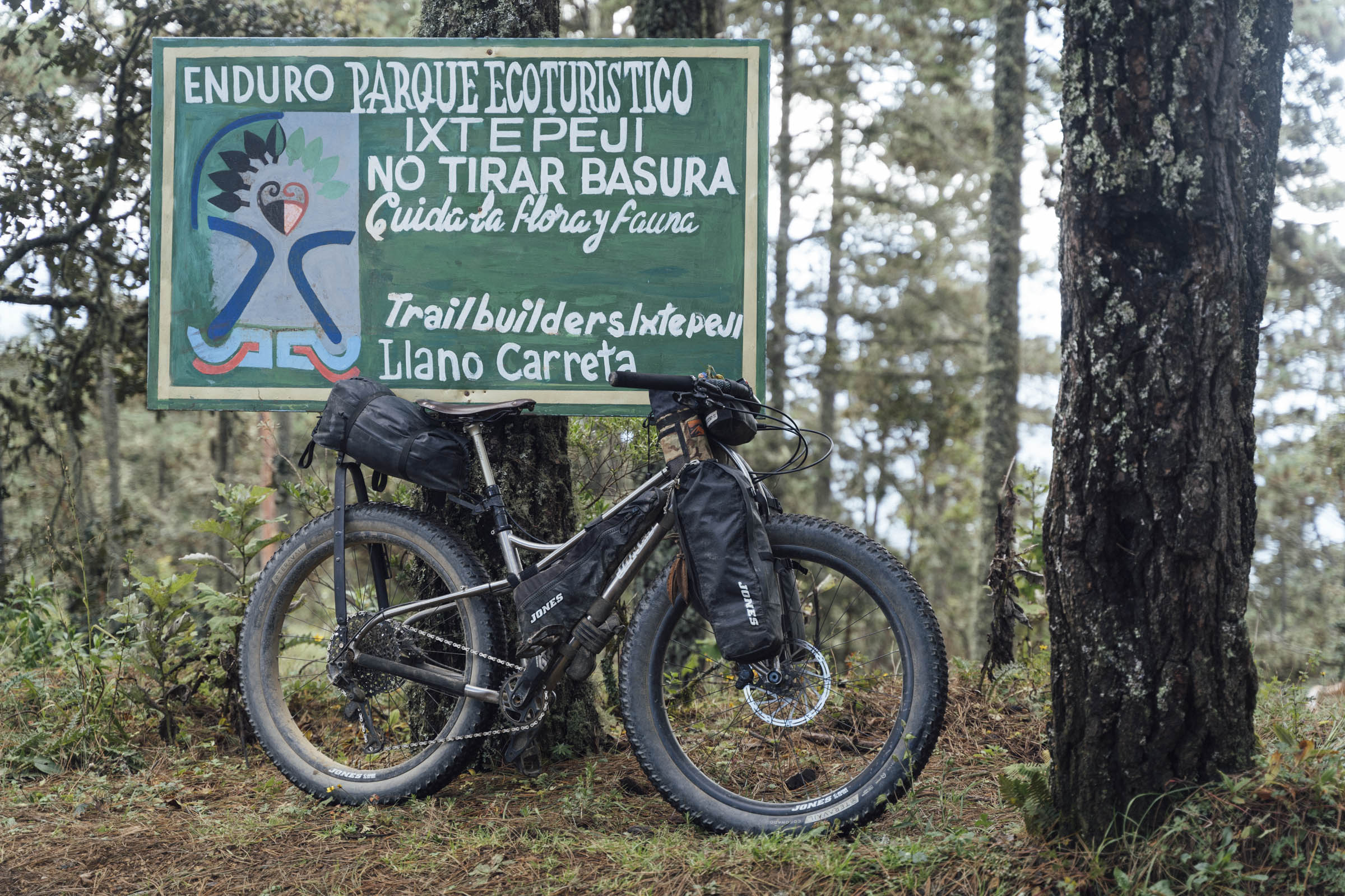
Update Fall 2024: The zone above the Reserva Ecológica La Mesita, owned and run by the San Pablo community, remains closed to cyclists, as do the surrounding trails. As this is core part of the route – providing entry and an exit to Ixtepeji – it unfortunately makes it unrideable in its current form. However, it’s quite possible you will be granted permission to cycle there if you get in touch with the community directly (sanpabloetlaeco@gmail.com/+52 951 236 5708), and specify a date you will be passing through.
Jan 2025: The Reserva Ecológica La Mesita is open again, as are the trails. Bear in mind that as the dry season approaches, it’s possible it will be closed again to reduce the risk of fires, so send them a WhatsApp message (+52 951 236 5708) to double check later in the season.
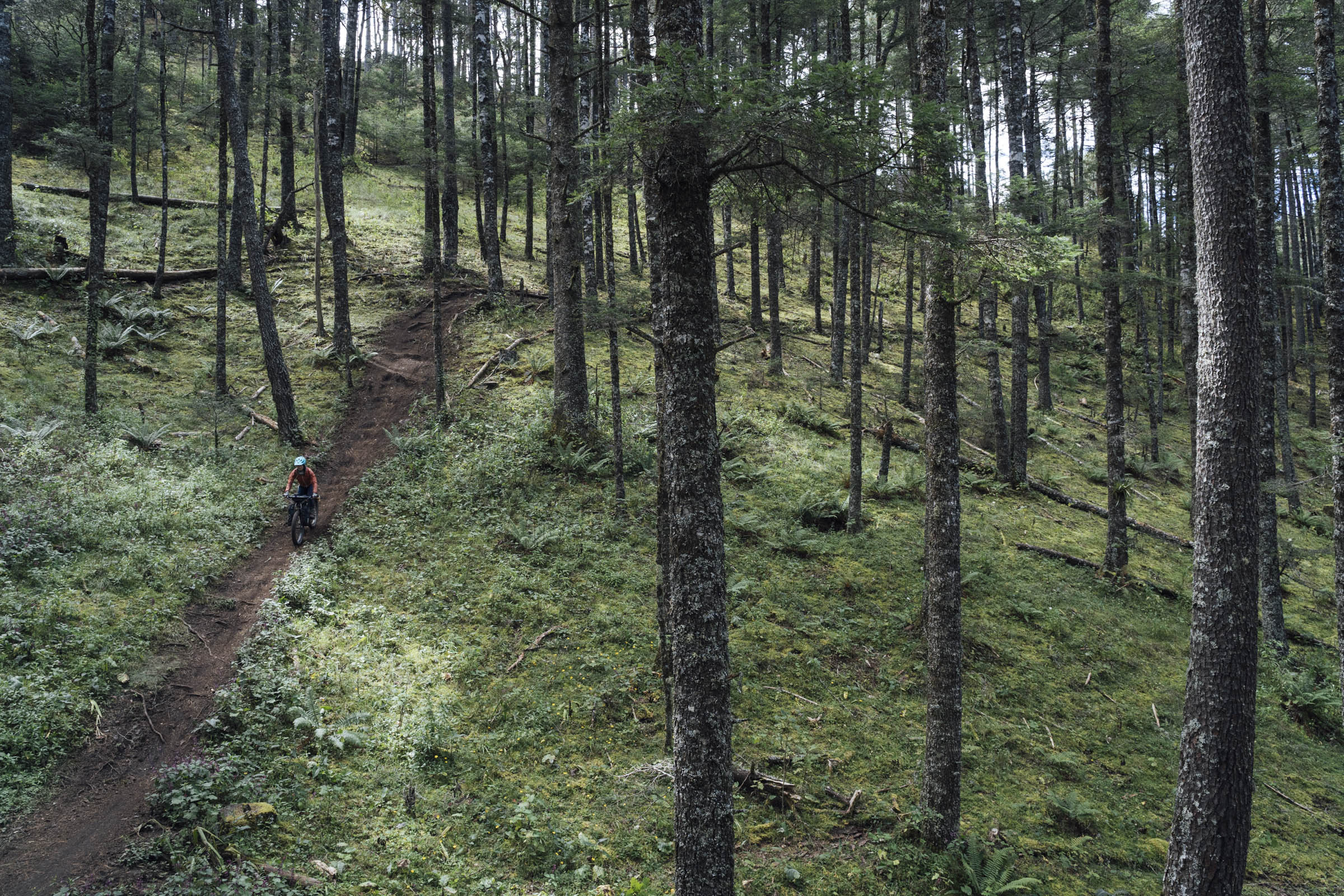
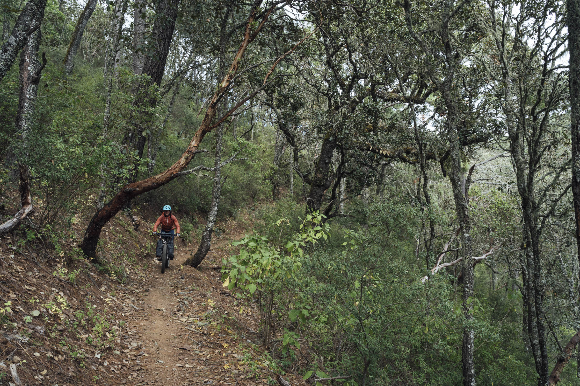
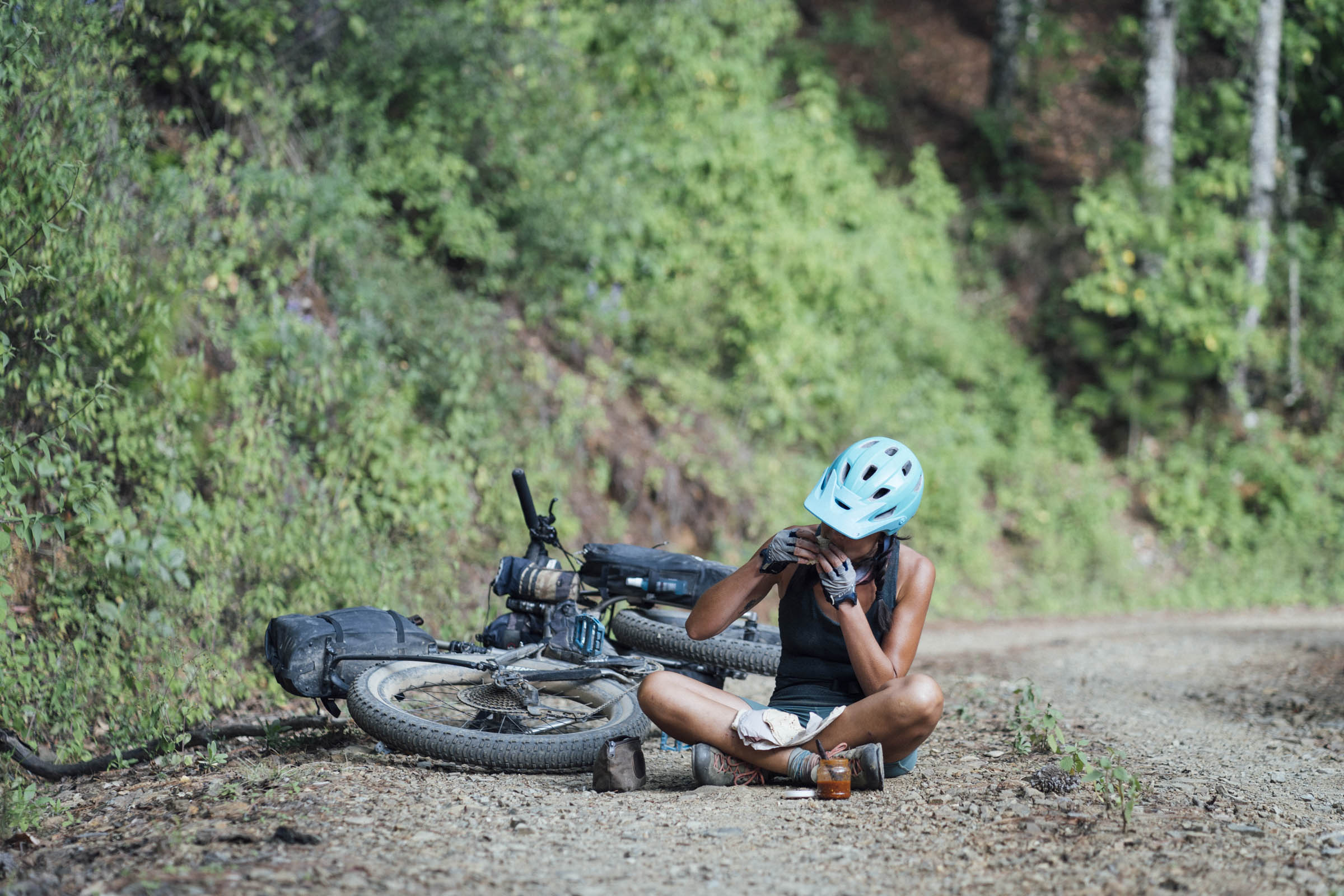
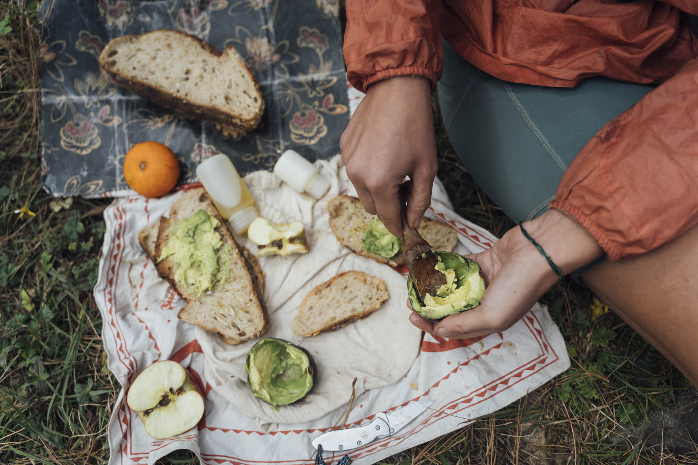
This compact loop is a wonderful way of spending a long weekend in the Oaxaca’s high country – and riding some of the Sierra Norte’s primo trails whilst you’re there. Yes, you can ride the route in two full days. But relax! Ixtepeji is such a beautiful spot that once you’ve made the effort to get there, why rush back down again? I recommend eeking it out into a two night adventure to make the most of your time in the forest. Bring a book (better still, read a few chapters of Dr Sach’s Oaxaca Journal). Enjoy the area’s remarkable biodiversity. Philosophise about life. Or just pack in some extra singletrack runs – bikepackers can also drop down into the Ecoturismo Comunal Santa Catarina Ixtepeji for the night, have a meal, and ride some bonus hours of unladen trail riding.
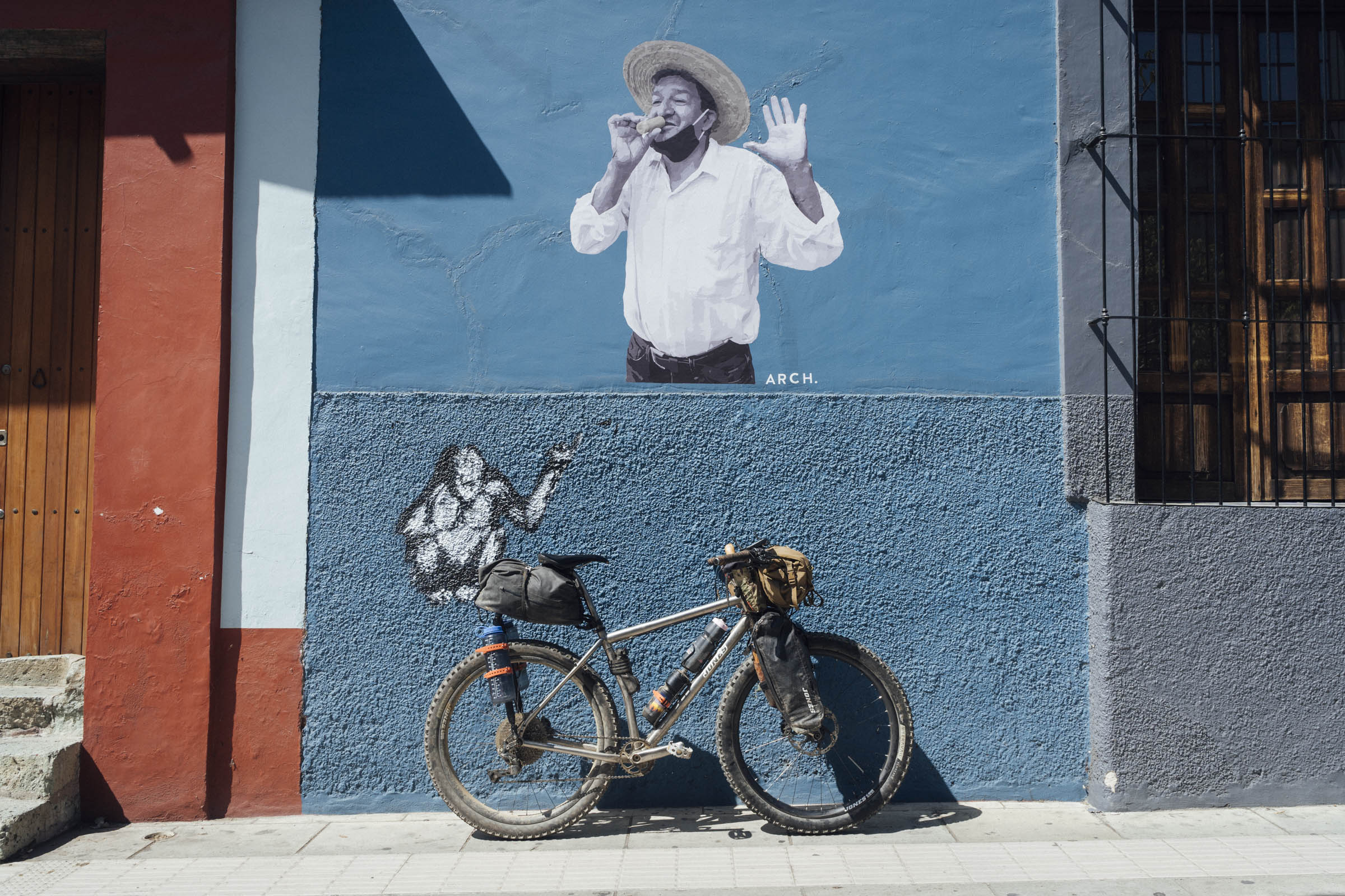
Like the Micro Vuelta de la Sierra Norte, this route begins and ends in the heart of Oaxaca City. Whilst the former offers a dirt road overview of the mountains that back the city, this singletrack sibling seeks to connect its most flowy trails, setting its sight on the lookout tower at Pelado Chico (3080m) as a midway goal. The route also includes the classic ascent through La Mesita, passing right by its well maintained Reserva Ecologica. Not only does La Mesita provide an unconventional backdoor into Ixtepeji, it also offers the chance to visit and support a community-run eco-centre along the way, complete with a butterfly farm and art installations, along with its own set of walking and mountain biking trails. It’s well worth some of your time.
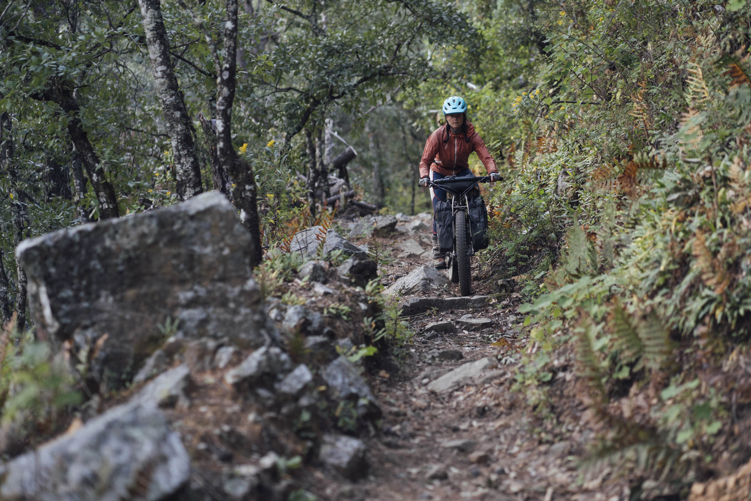
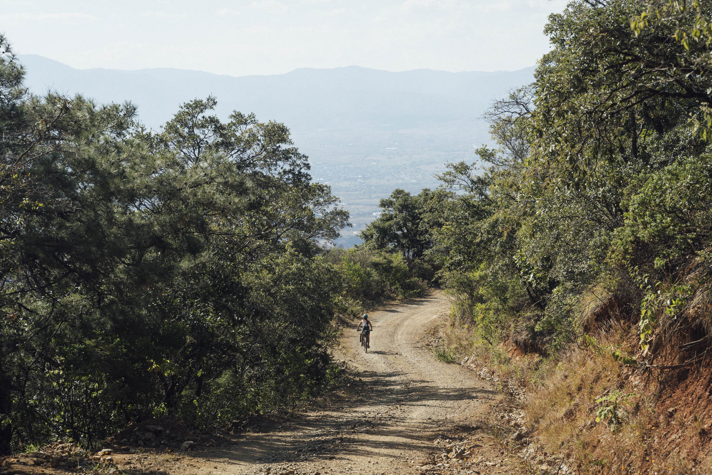
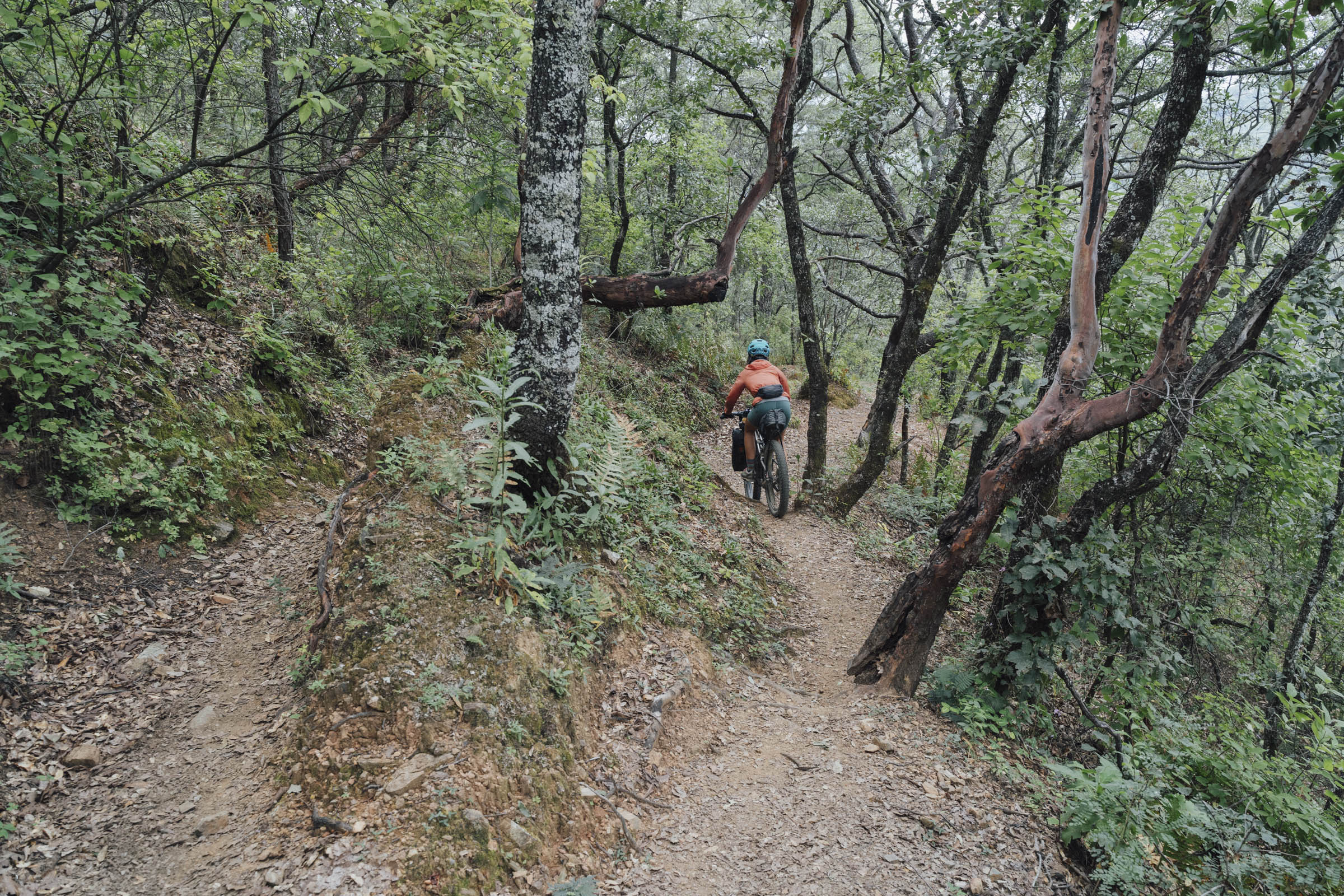
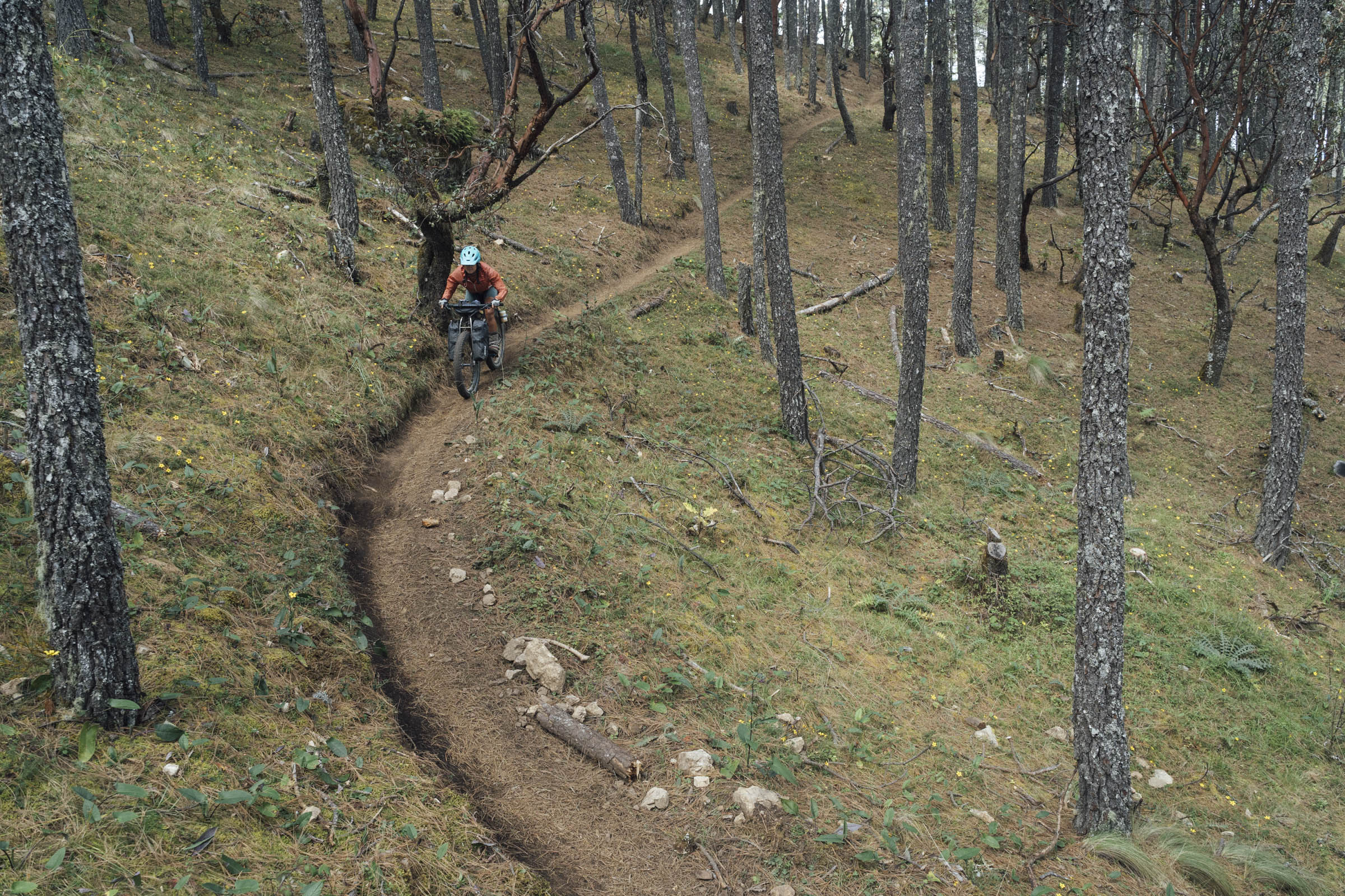
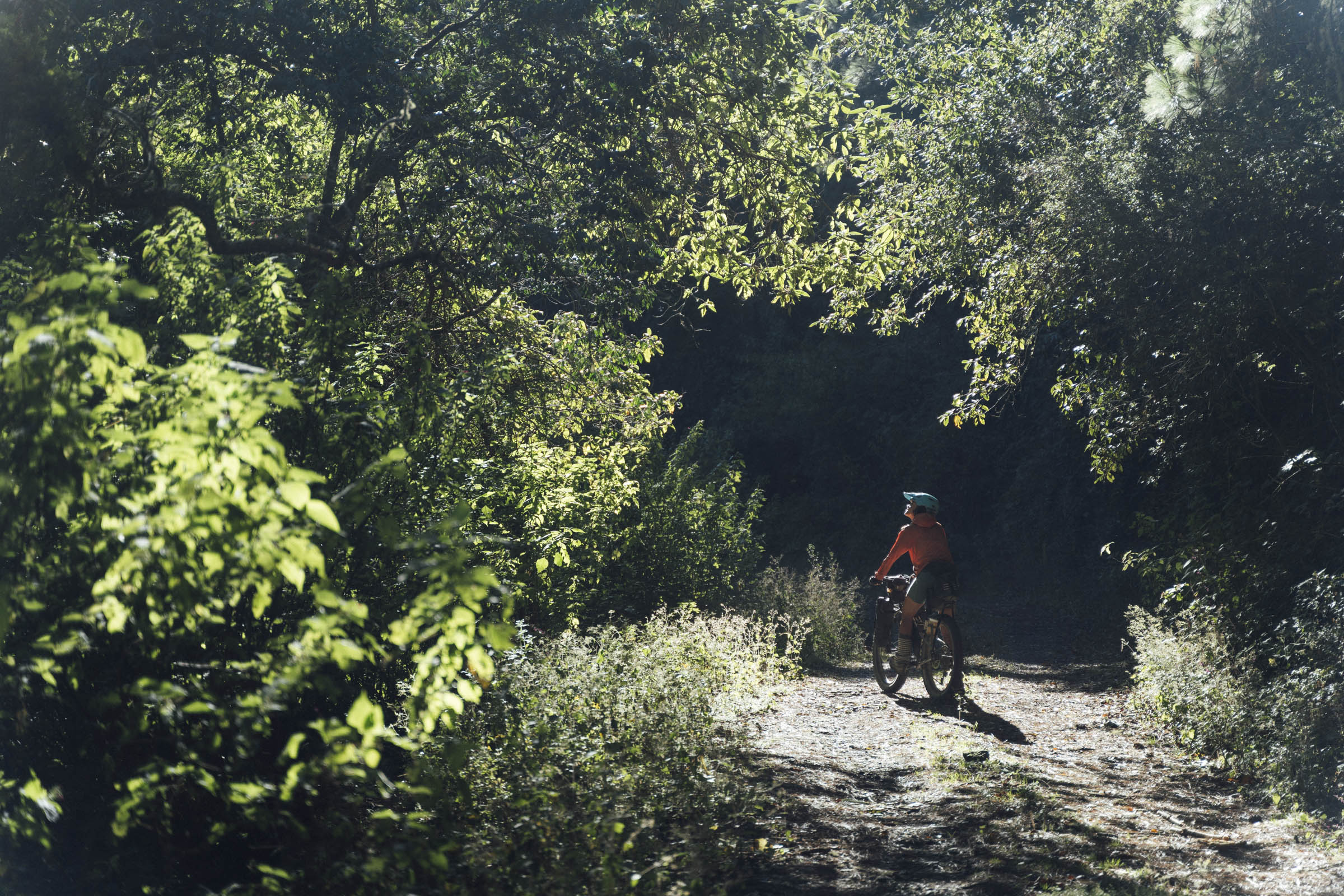
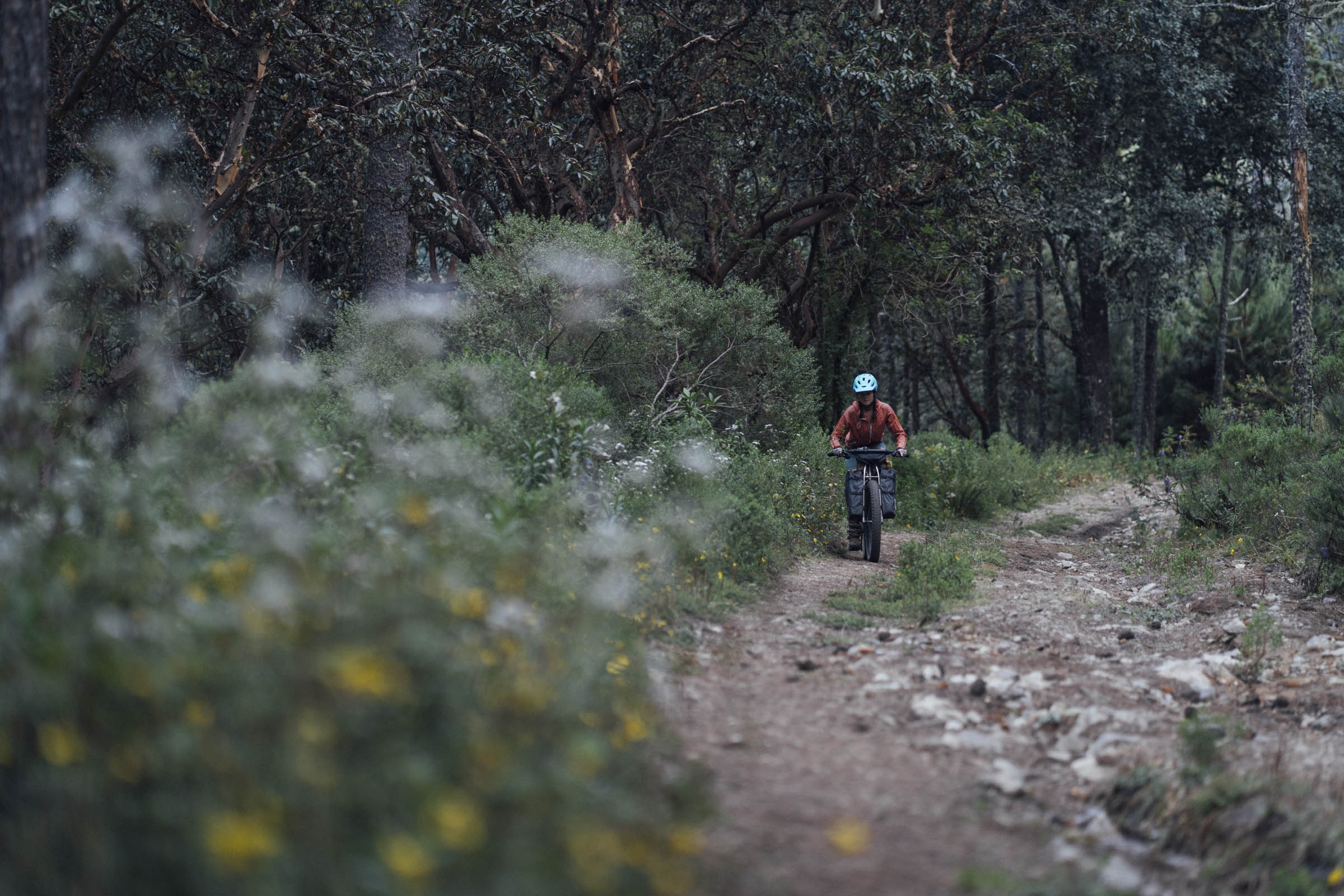
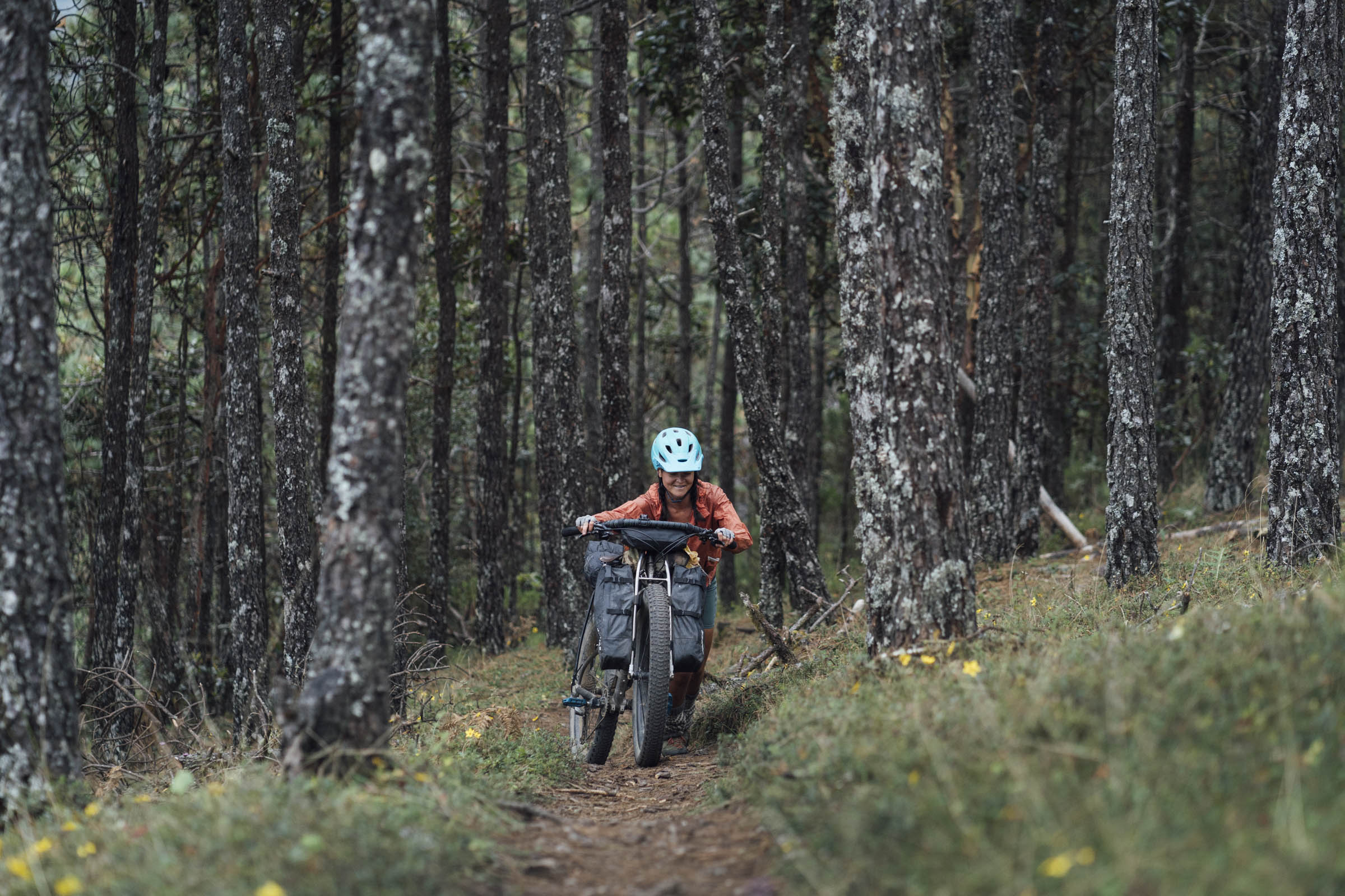
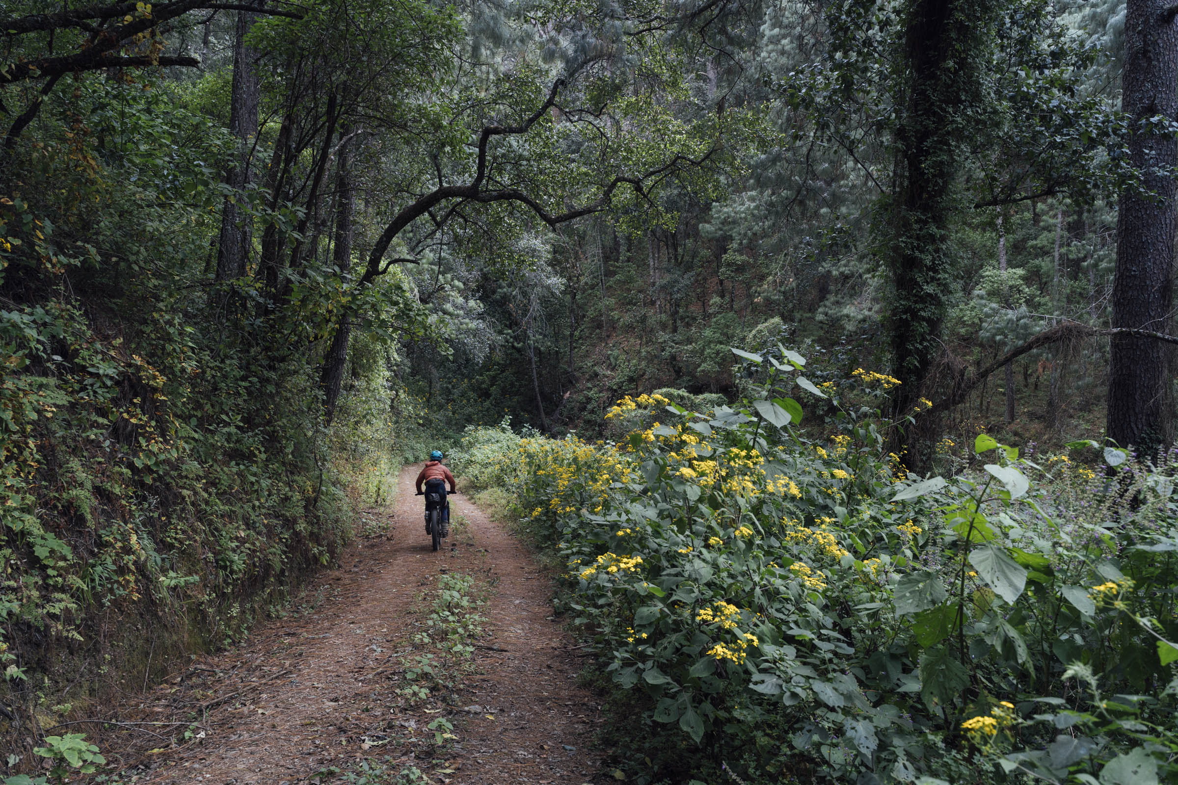
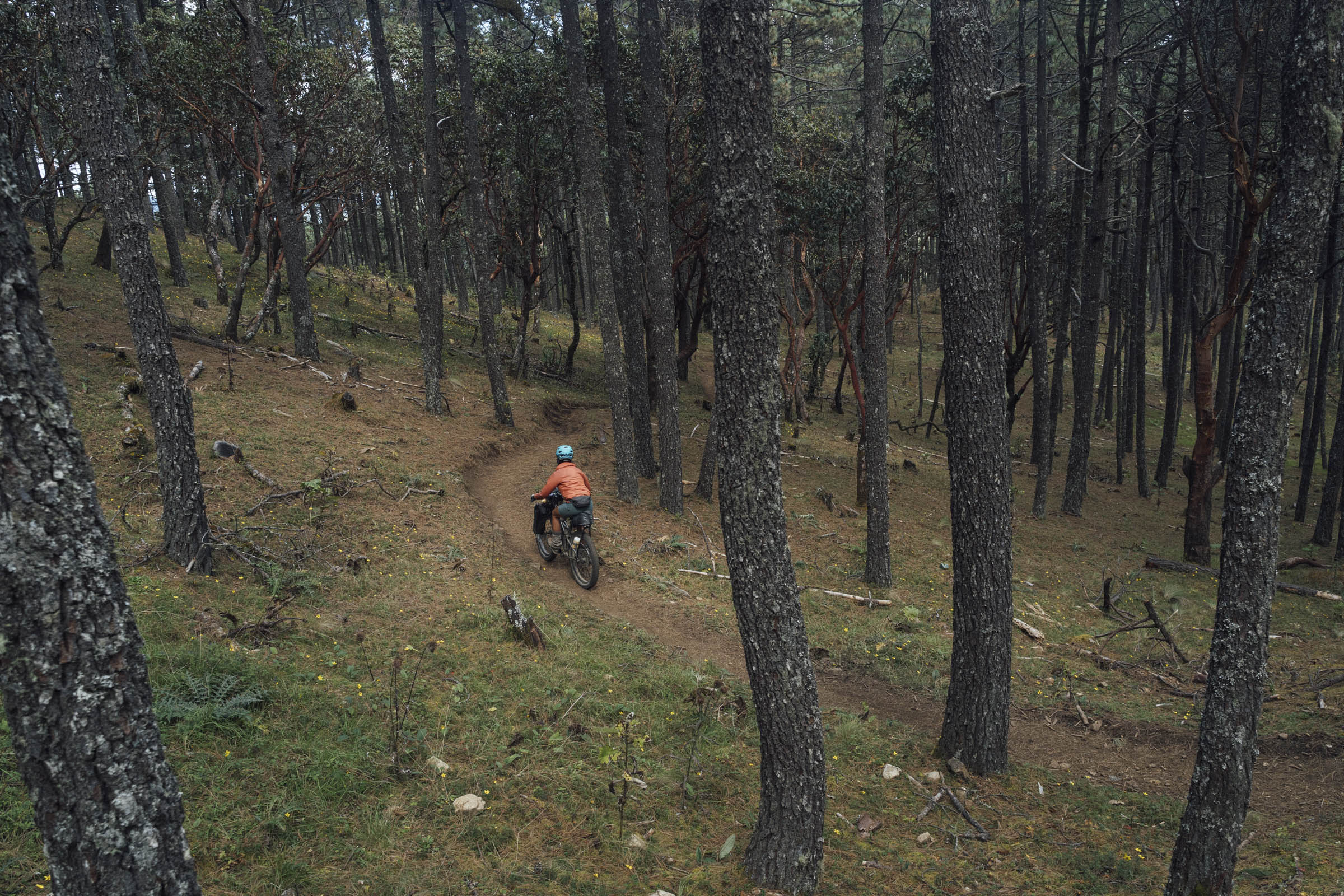
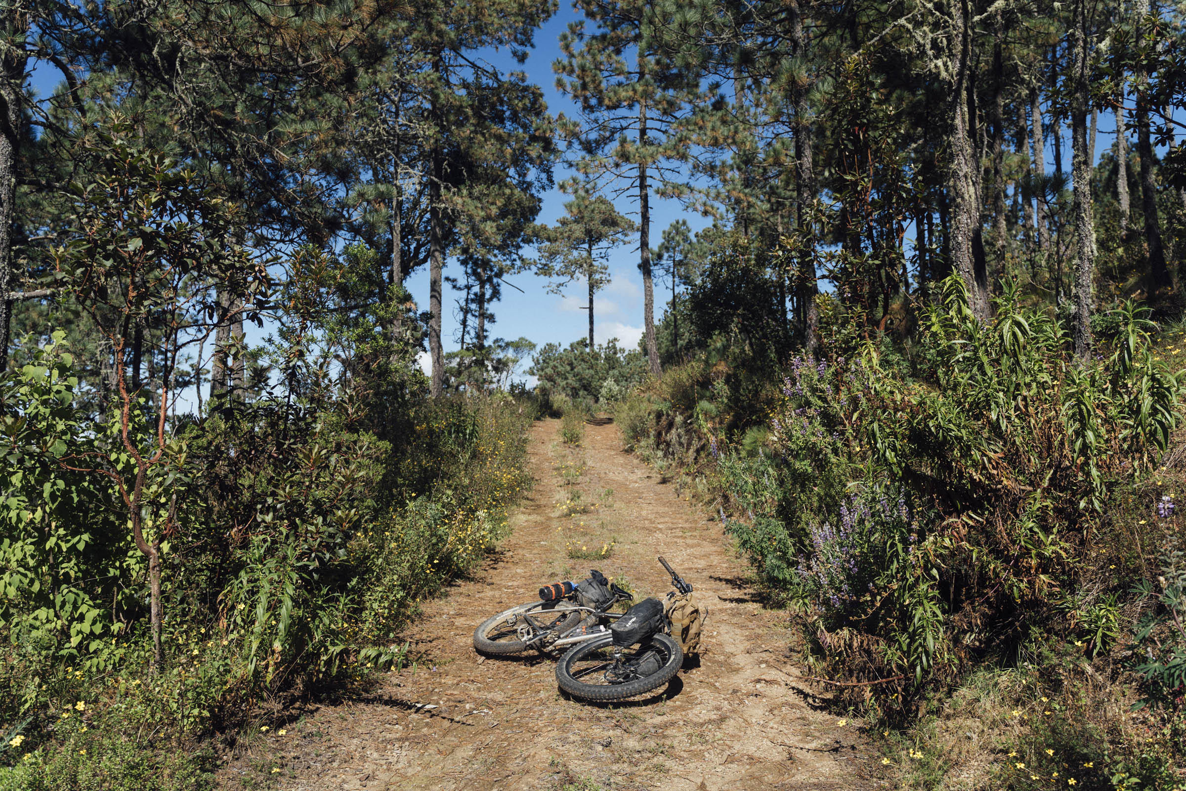
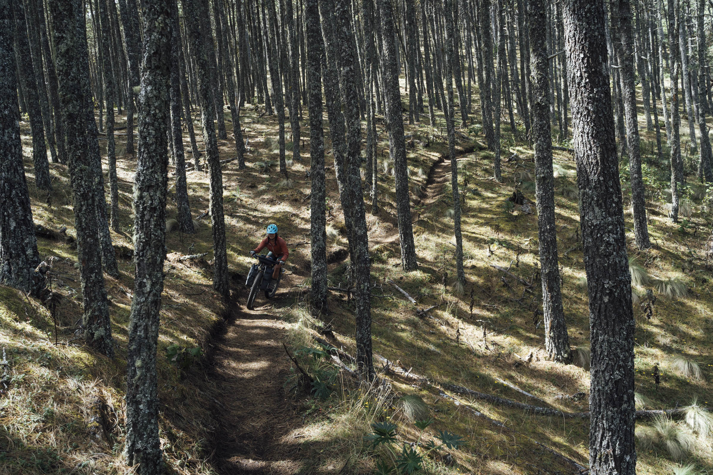
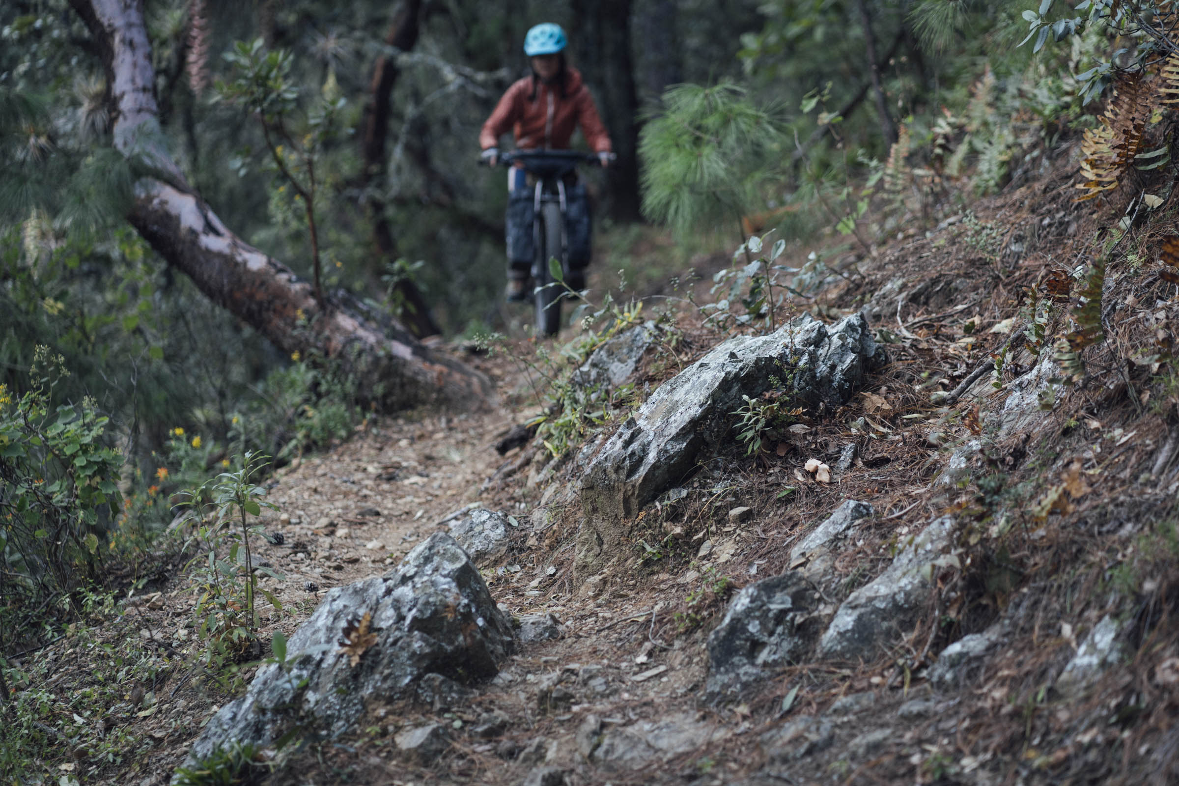
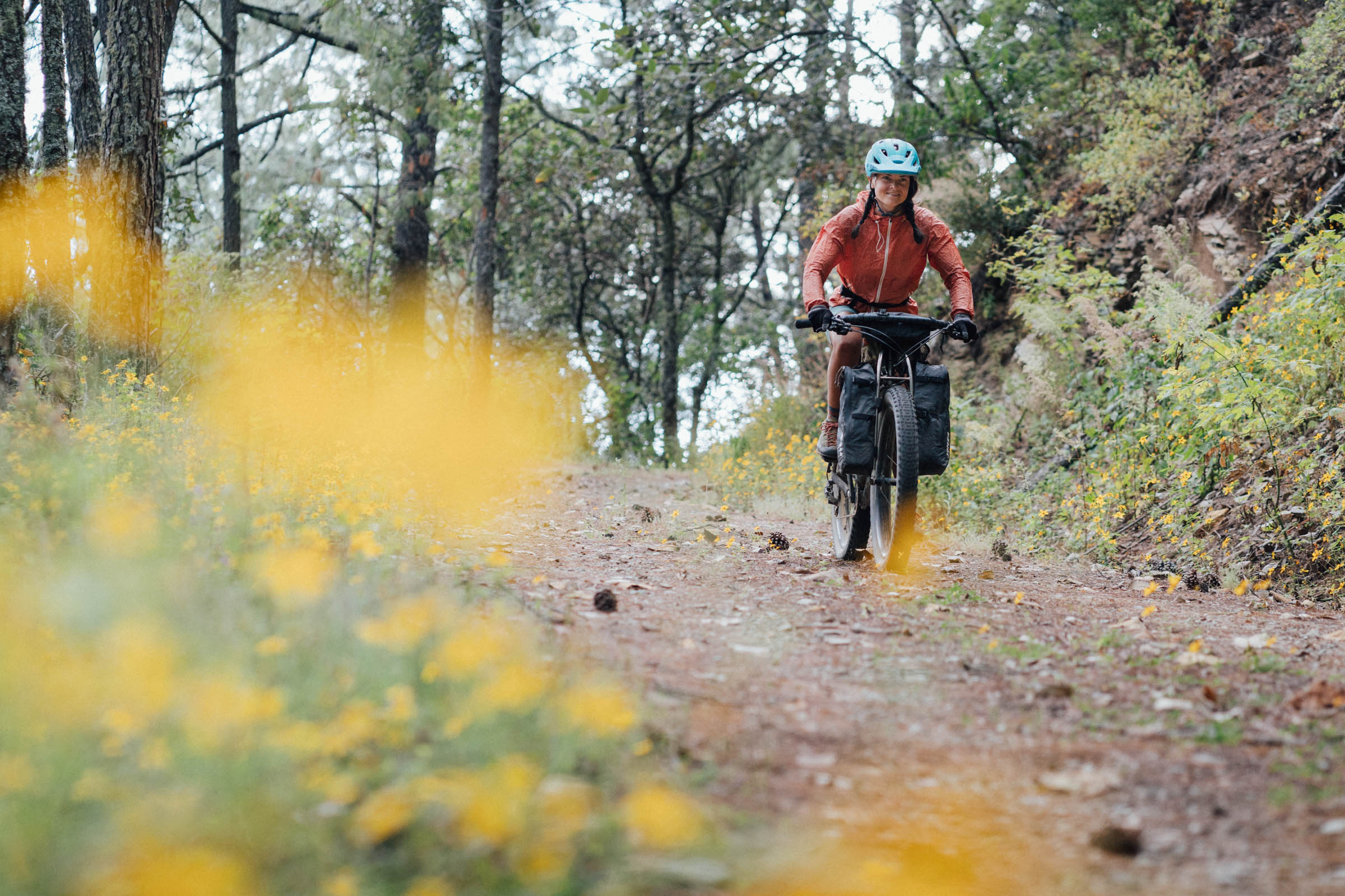
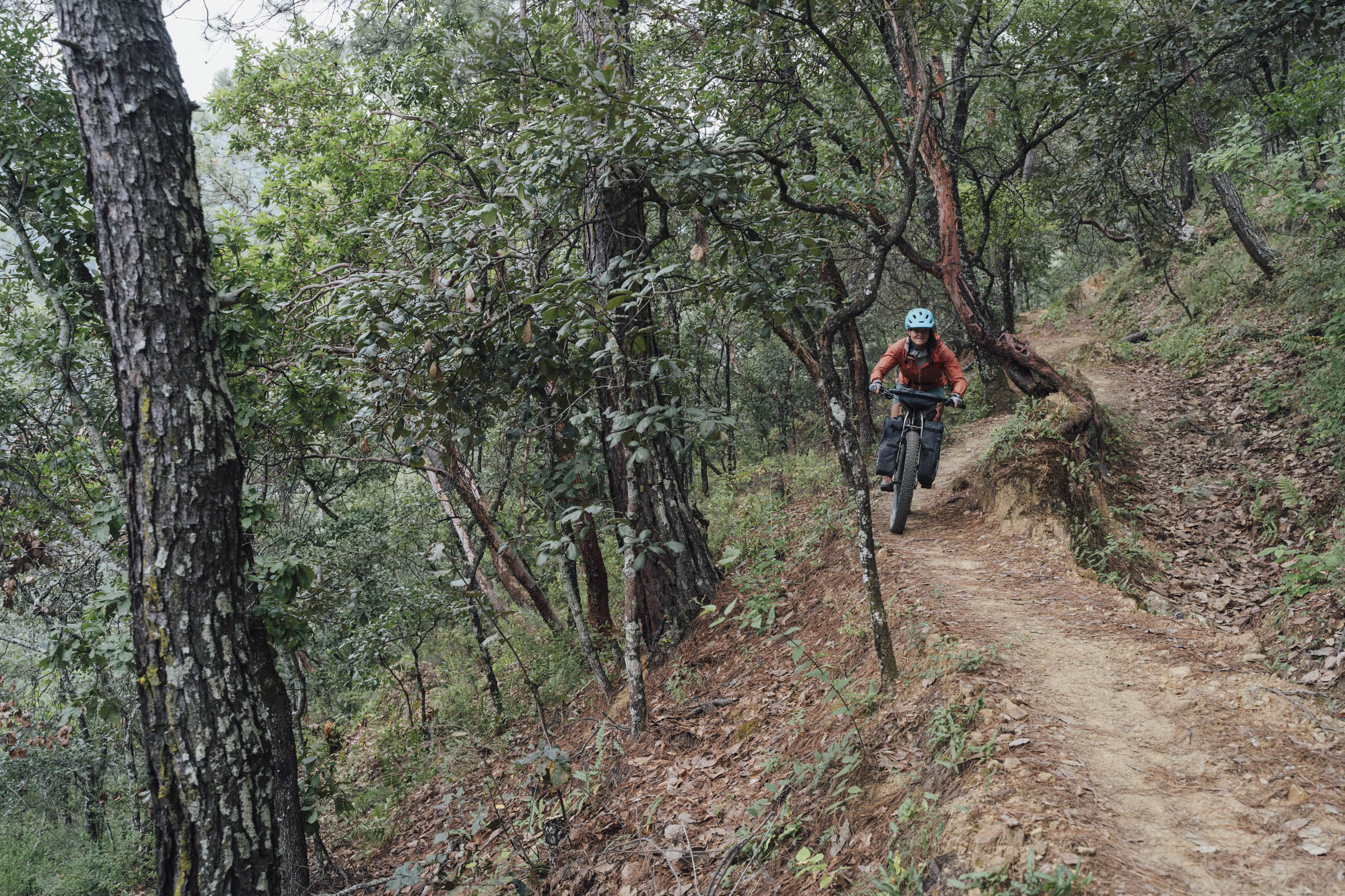
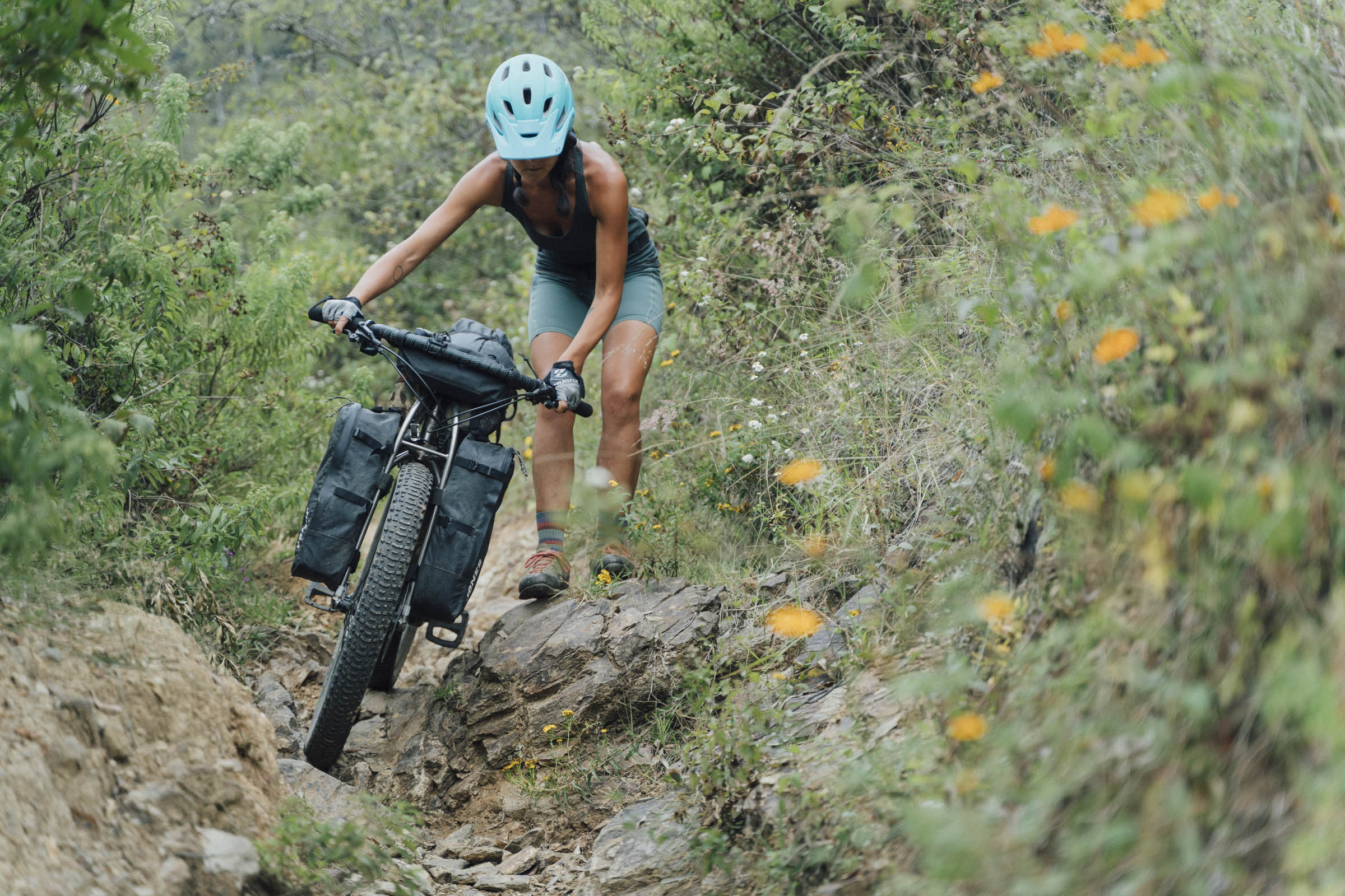
For those with a reasonably strong level of fitness and a love of singletrack, the route’s shape – for all its wiggles – is as simple as it is satisfying. After exiting town via the Libramento Norte, expect a big ascent, primarily on dirt and forest roads. Then, a short but highly recommended hiking interlude to Cruz de la Pena, offering some far-reaching views across the Mitla and the Etla Valleys. Later, once you’ve made it to Corral de Piedra, riders can feast upon an inner, wiggly loop of singletrack trails that offer a mix of mossy, rooty, and sometimes techy terrain and optional jumps. The return to the valley floor comes by way of a gratifyingly singletrack-laden descent, that’s on just the right side of techy for a lightly laden bikepacking rig. Finally, wind down with a mellow ride back into Oaxaca along the disused railway tracks that once ran between the city and Puebla. It’s peppered with a variety of refreshments, including the delightfully sweet coco de crema and tangy tepache, and is a popular place to cycle at weekends.
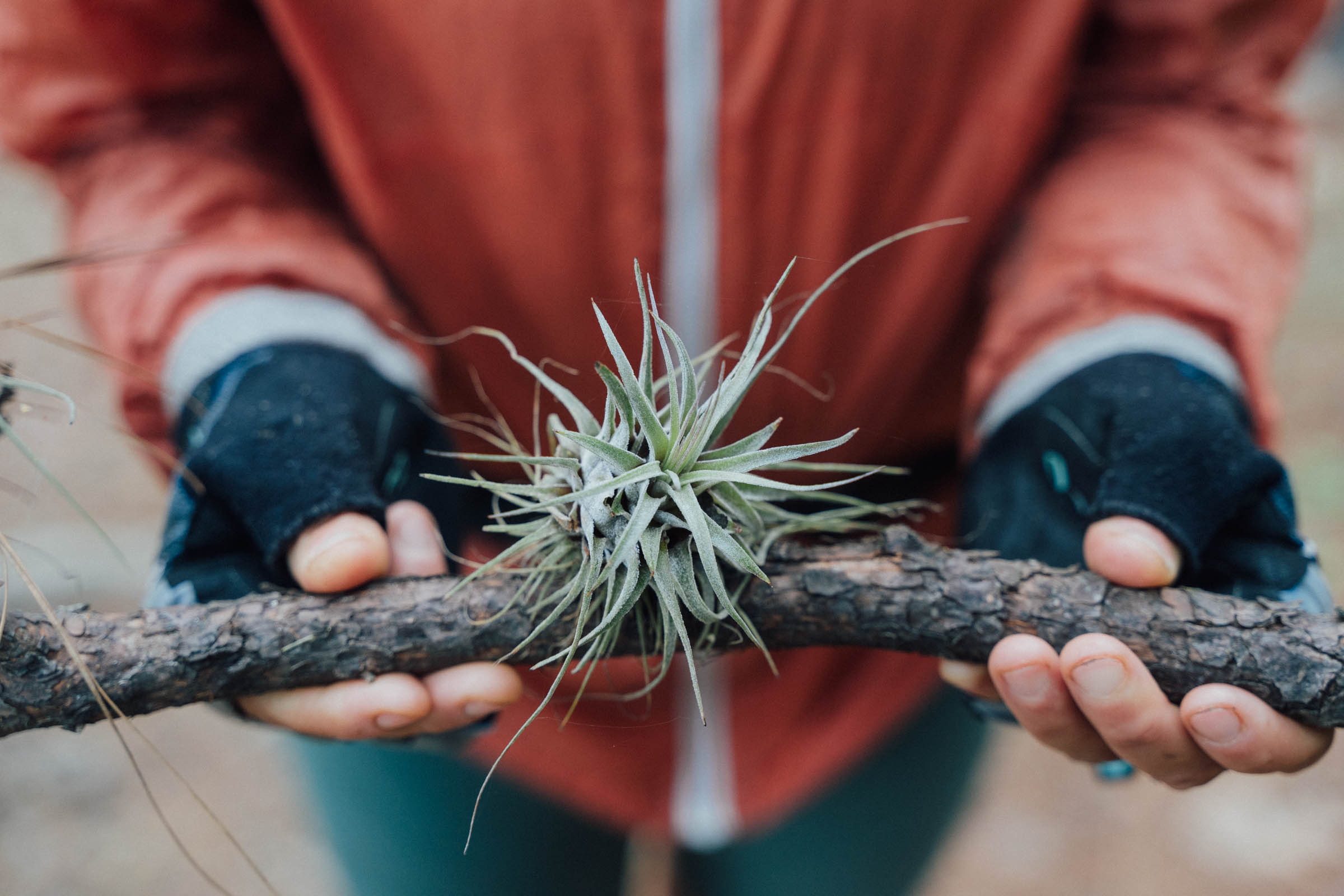
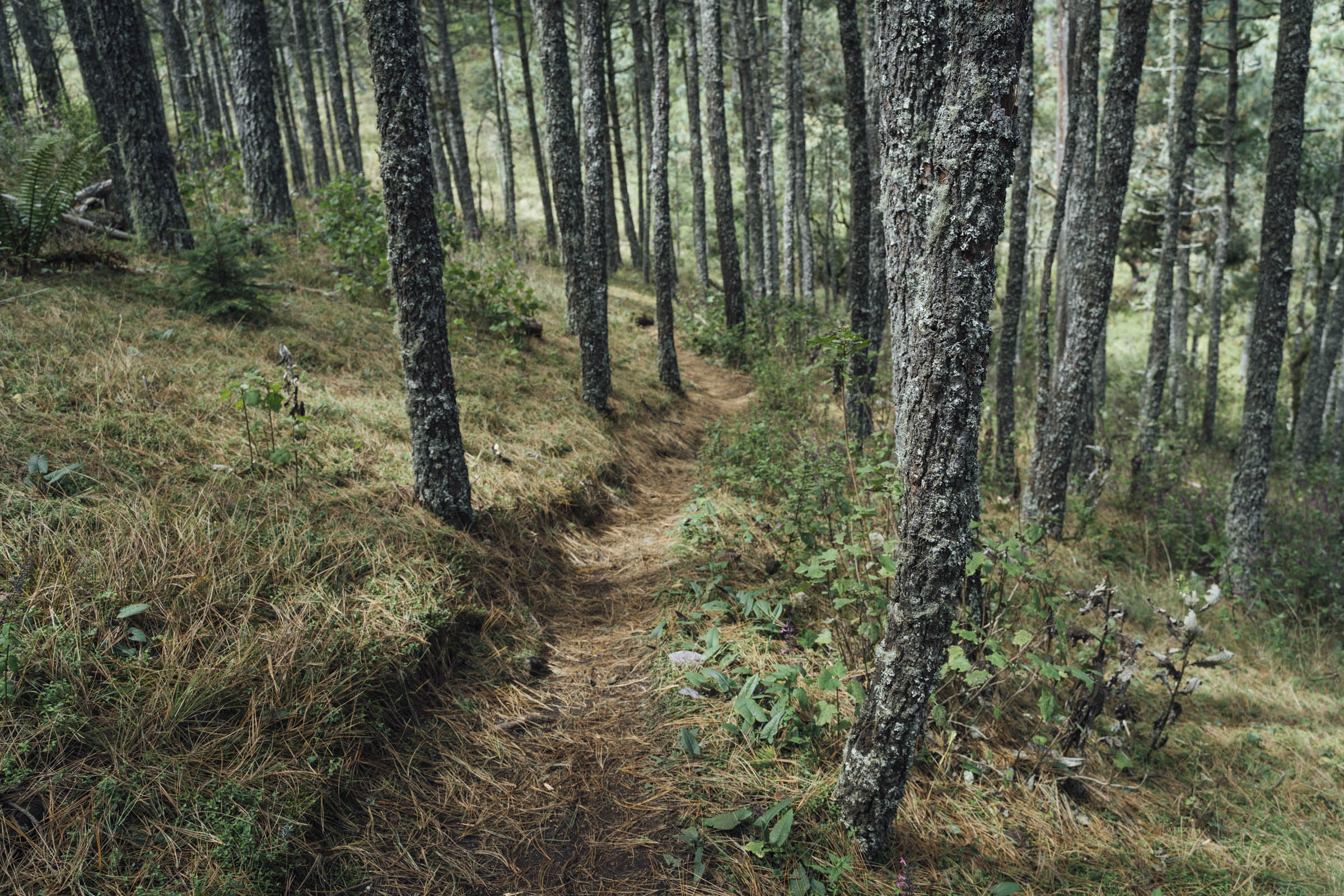
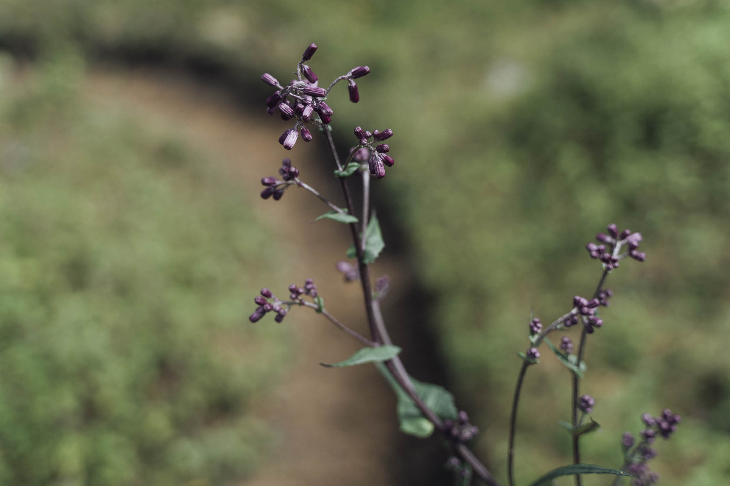
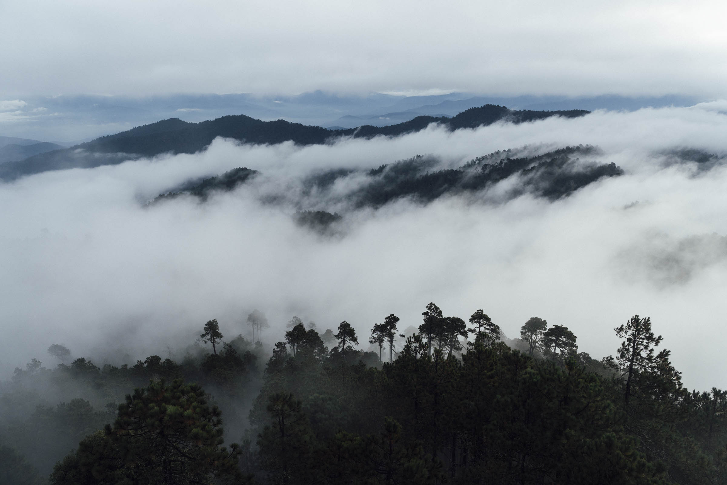
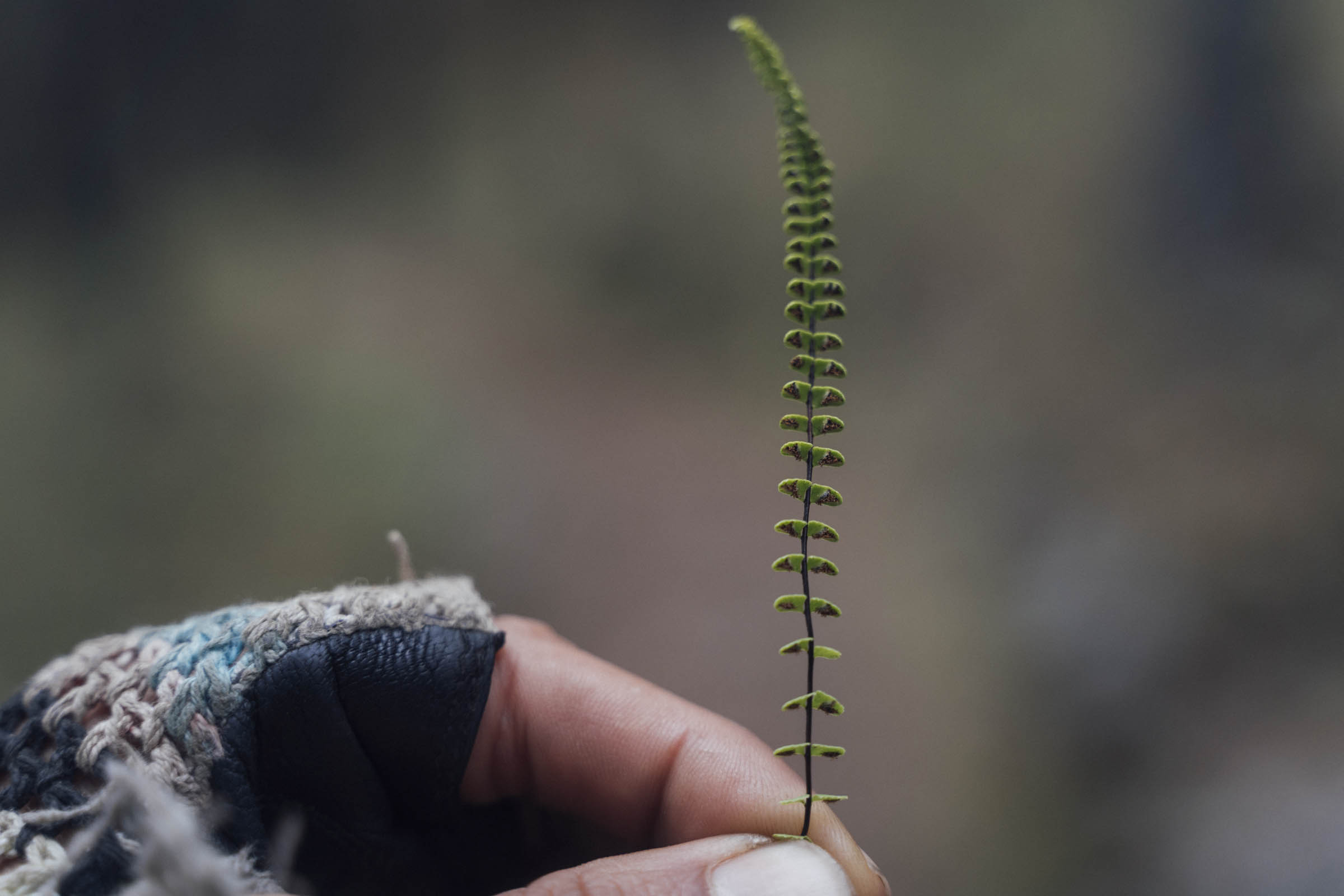
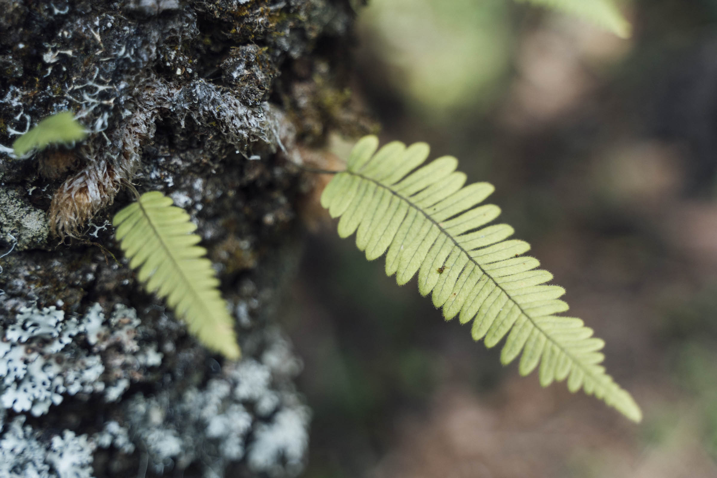
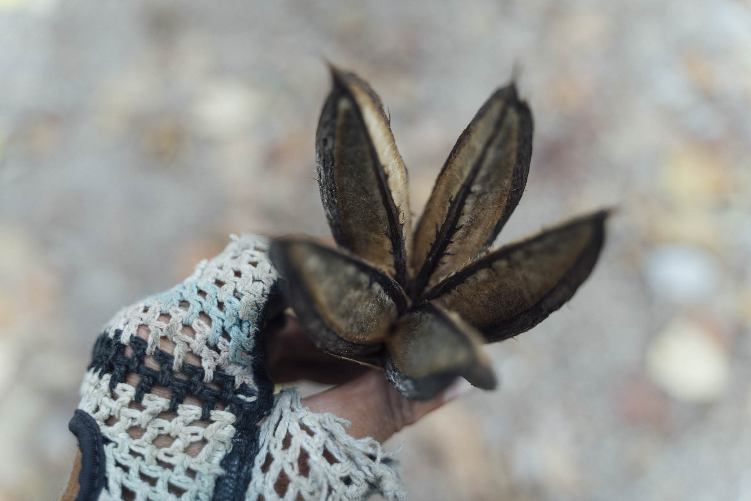
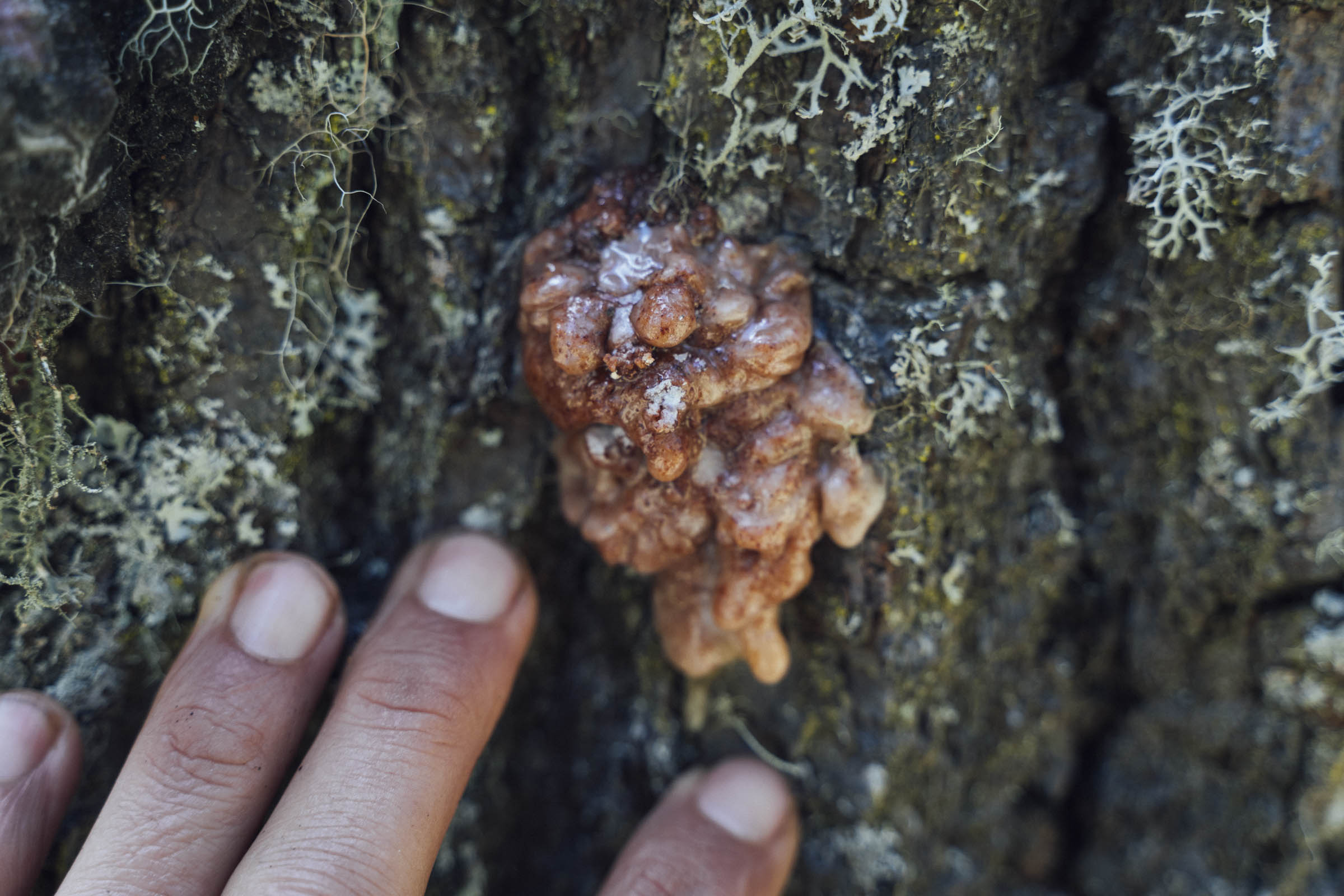
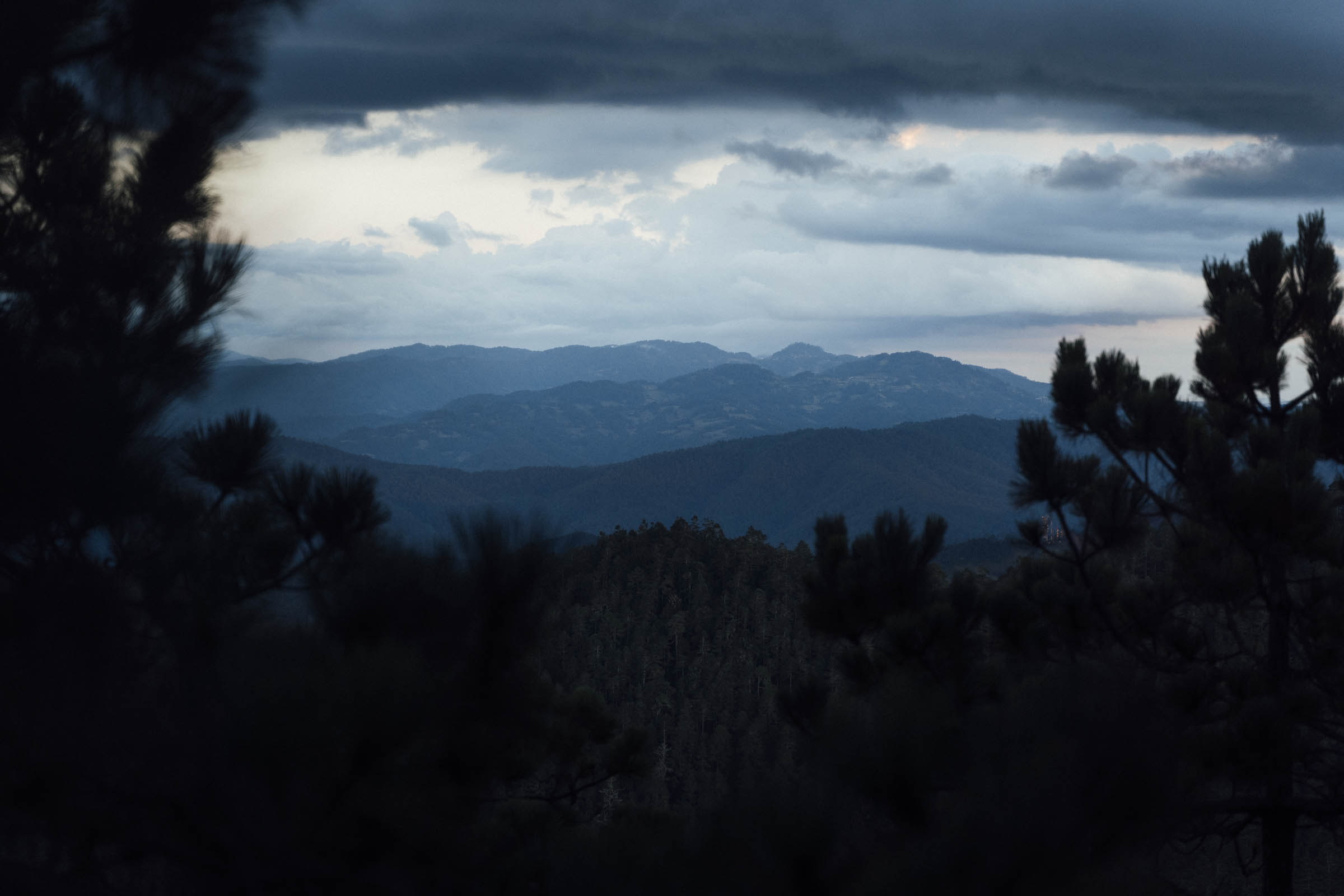
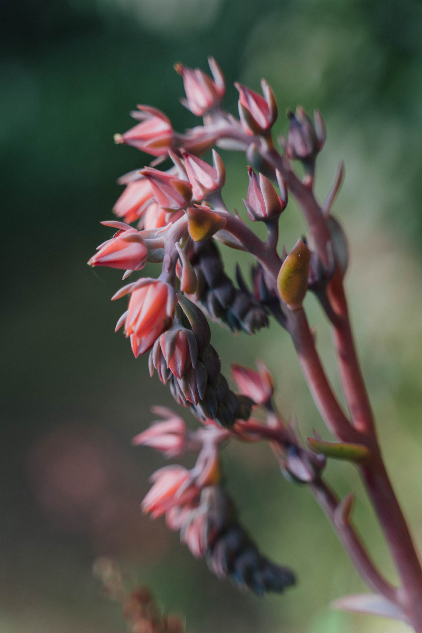
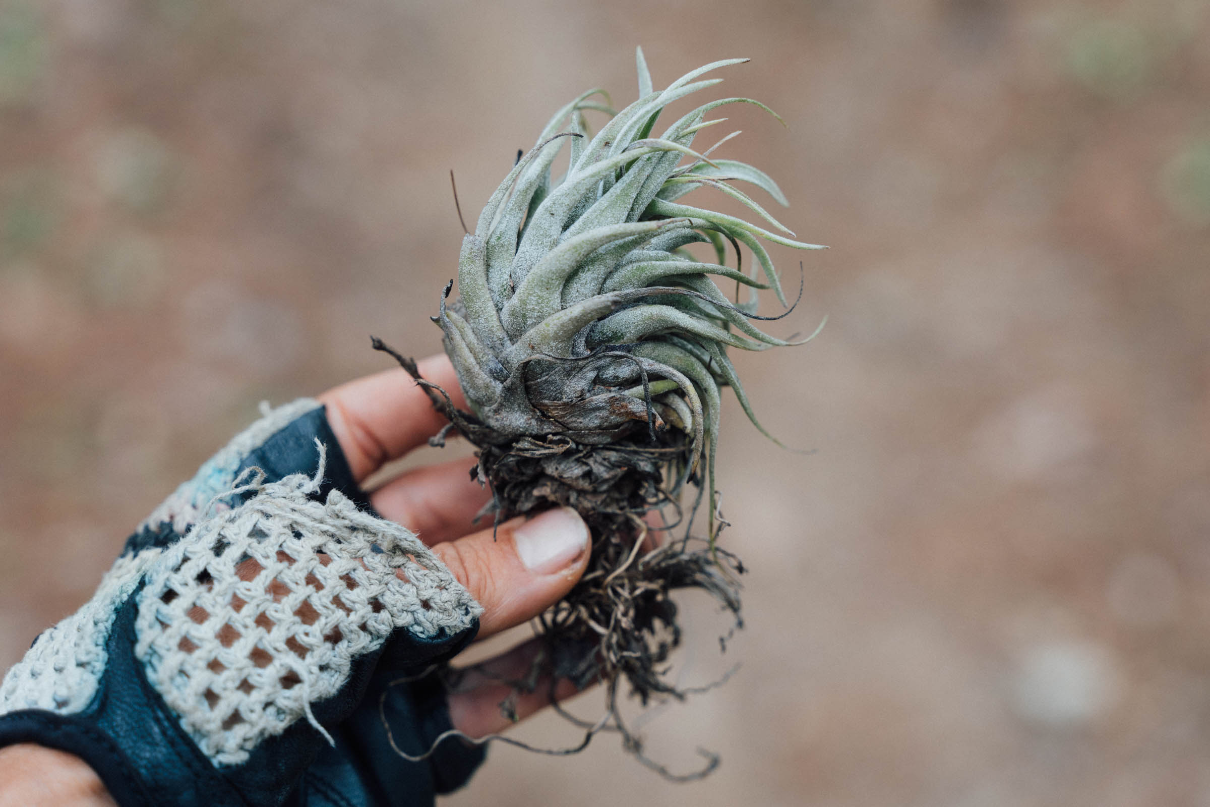
Weatherwise, Ixtepeji is cool throughout the year – brings extra layers for camping at elevation – offering an especially welcome sanctuary in the dry season. The area also drains well in the rainy season, a time of year that the mountain tops are often lost in a swirl of cloud cover, Aside from a dense forest of pines, expect to see madronas, old-growth oak, bromeliads, and orchids in this protected, community-run zone.

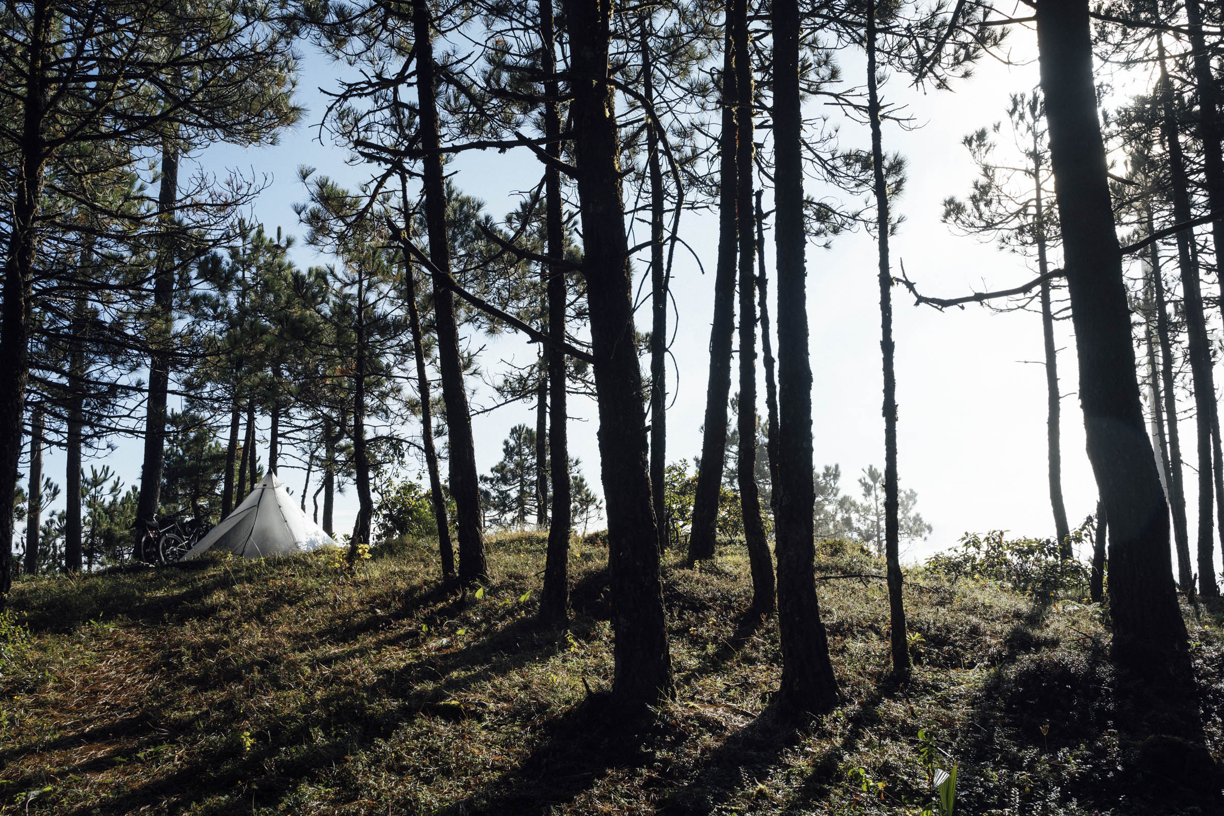
There are a number of quiet spots dotted around the route for formal and dispersed camping, a couple of which are marked on the map, run by both the San Pablo community and Centro ecoturístico La Cumbre Ixtepeji. Please remember that this is a community-owned forest so tread carefully and don’t make a fire.
For those who want to extend the loop that’s included in the route, download this file too, which includes bonus singletrack – or check out all the nearby trails on Trailforks. See the Trail Notes tab for other ideas. Either way, the Sierra de Juarez promises glorious riding in every direction and is a highlight of any time spent in Oaxaca.
Come the weekend, expect company on the trails. Many of the city’s skilled enduro riders shuttle up to La Cumbre, using services offered by one of the bike shops in town (see Need to Know tab), and the area is popular with riders from overseas too. The charm of this route is that it offers a way of reaching the area on your own steam and tackle a number of its trails. For those coming from afar, it makes a great singletrack-laden complement to the San José del Pacífico Grand Dirt Tour, especially if you’re a confident mountain biker with an appropriate setup. It’s also a zone that is easily lined with the Vuelta A Los Pueblos Mancomunados route.
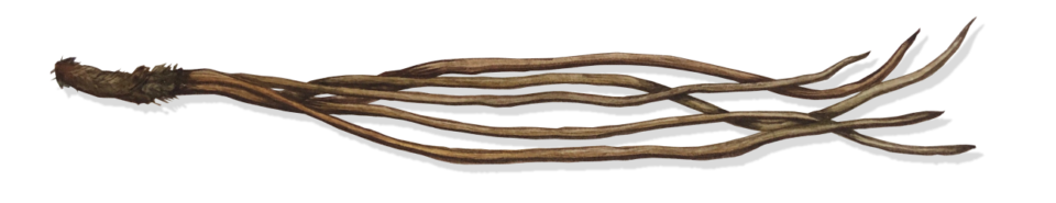
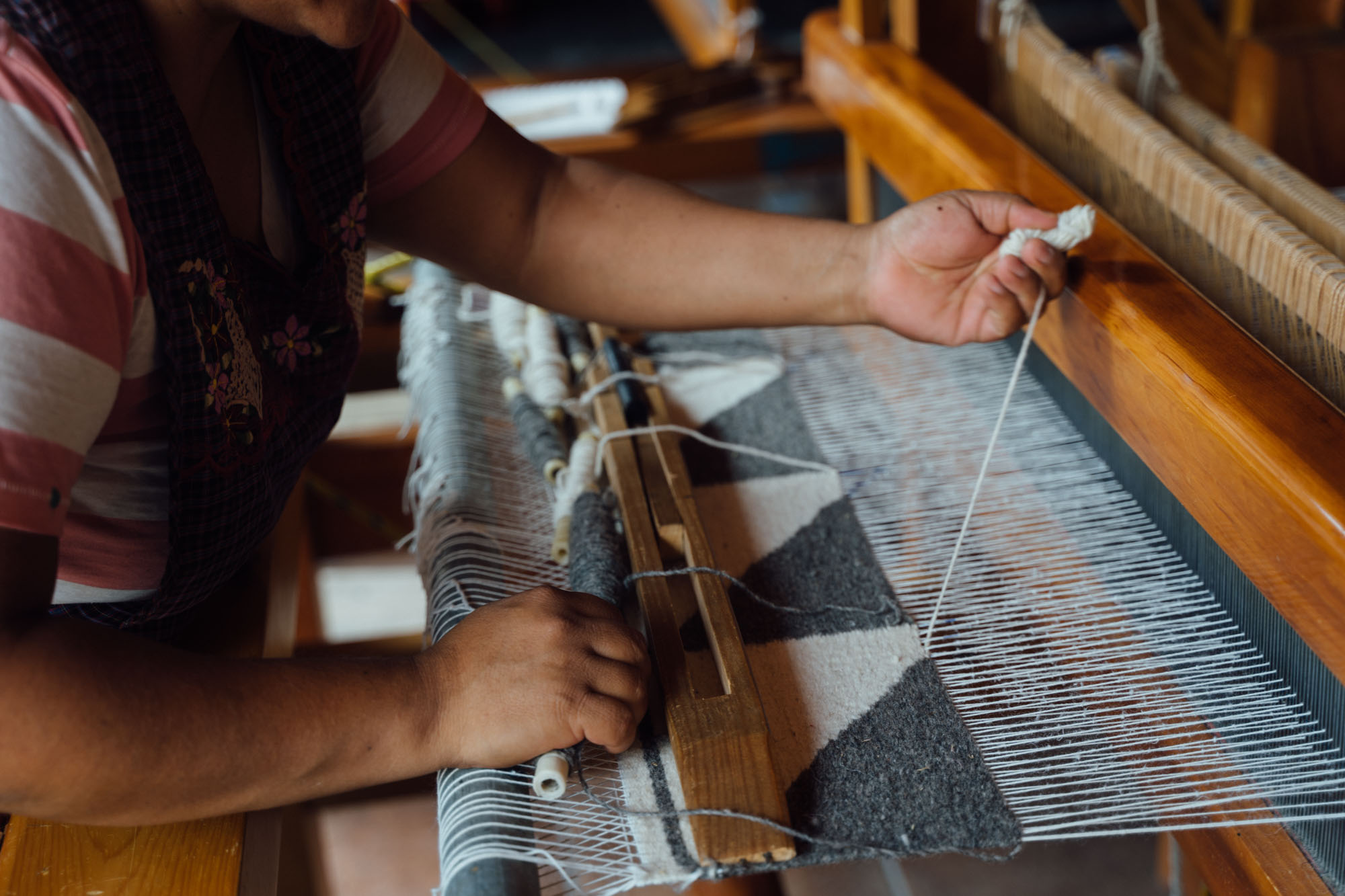
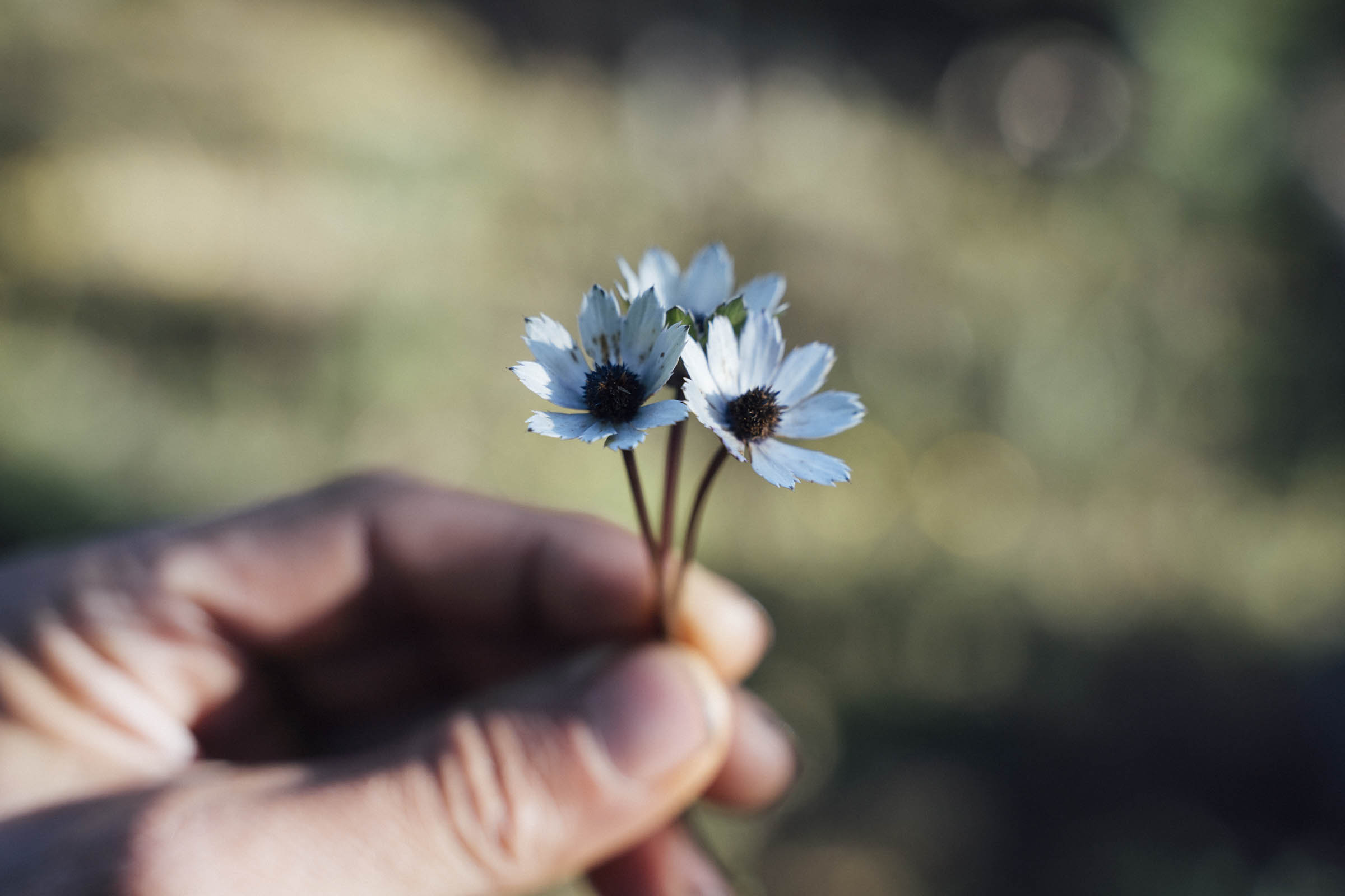
What’s in a name? Aside from its flowy singletrack, this area – and nearby Teotitlán del Valle, especially – is known throughout Mexico for its stunning textiles, hence the route’s name, Hebras de Ixtepeji. Often, three generations of a Zapotec family live under one roof, honing their craft on wooden looms, using natural dyes derived from plants, minerals, and insects. These are collected from the surrounding hillsides; for instance, the reddish hue seen in some carpets is achieved by grinding down and boiling up cochineal bugs, which feed on nopales, or prickly pears. With thanks to Emma Bucke for the use of her beautiful pine needle watercolour in the route badge.


Difficulty: We’ve awarded this route an 8, due mainly to the amount of climbing compacted within its short distance. Additionally, there are some technical trails where the odd dismount may be required, depending on your skill level. However, hike-a-bikes are very short – the longest is likely to be the stint to the lookout, which steepens towards the end. In terms of distance, the route can certainly be covered in two days. But given the extensive network of trails in the area, I recommend allotting yourself an extra half-day, enjoying the Ixtepeji Mini Wiggle and more, and savouring a second night camping in the high country.


Submit Route Alert
As the leading creator and publisher of bikepacking routes, BIKEPACKING.com endeavors to maintain, improve, and advocate for our growing network of bikepacking routes all over the world. As such, our editorial team, route creators, and Route Stewards serve as mediators for route improvements and opportunities for connectivity, conservation, and community growth around these routes. To facilitate these efforts, we rely on our Bikepacking Collective and the greater bikepacking community to call attention to critical issues and opportunities that are discovered while riding these routes. If you have a vital issue or opportunity regarding this route that pertains to one of the subjects below, please let us know:
Highlights
Must Know
Camping
Food/H2O
Trail Notes
Resources
- Enjoying some of Oaxaca’s superb trails and backcountry singletrack – from flow to enduro, there’s something for everyone!
- The sheer biodiversity of this part of the Sierra Norte – ascend fields of cacti to bromeliads to pine and old-growth oaks.
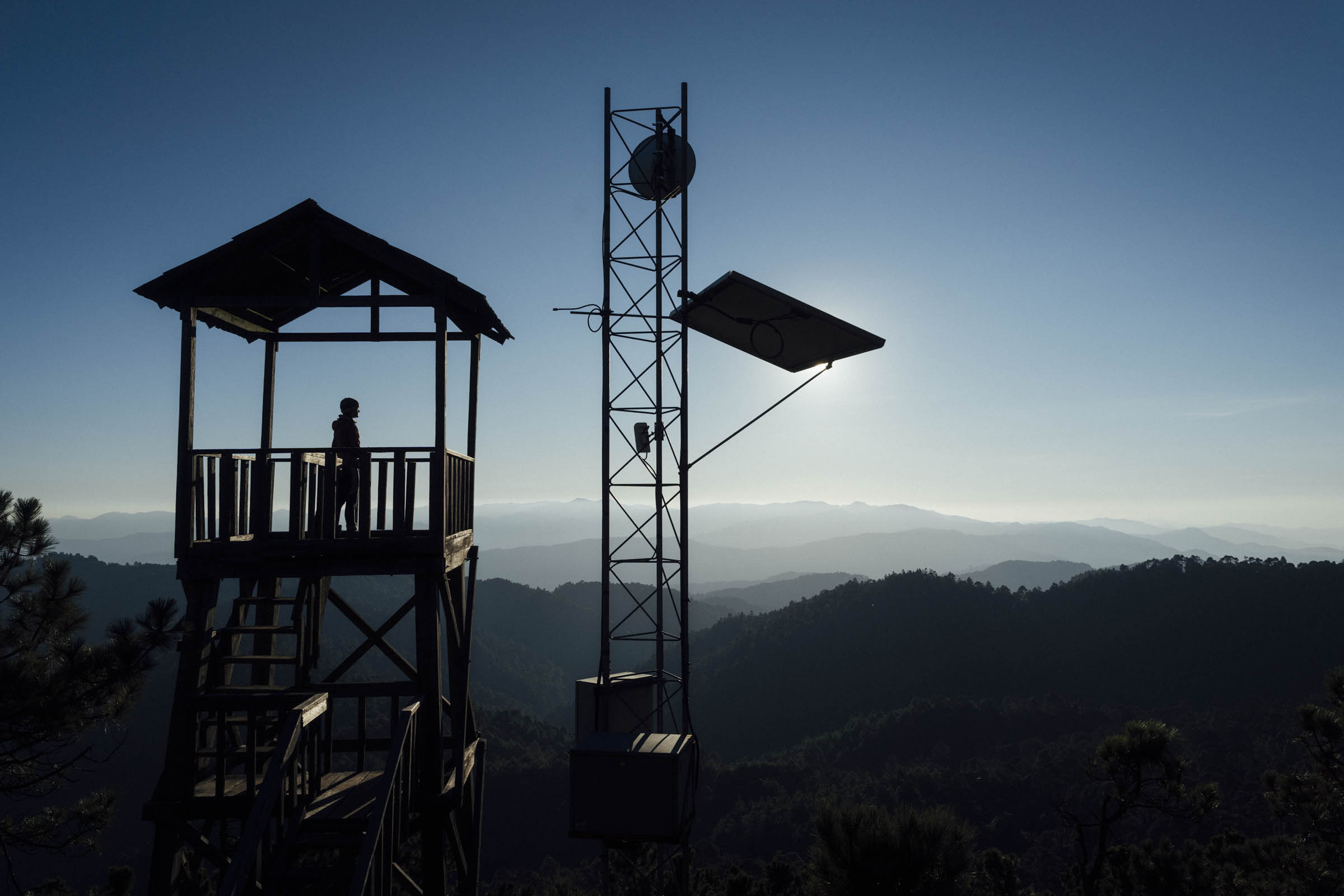
- Topping out at the Pelado Chiquito lookout for atmospheric views across the Sierra Norte, whatever the weather. It’s a great spot for a ‘Coffee Outside’!
- Dropping down some 1500m in elevation, predominantly on flowy singletrack.
- Rounding off your trip with a day ride to Teotitlán del Valle, to see some of the beautiful textiles in this region, after which this route is named.
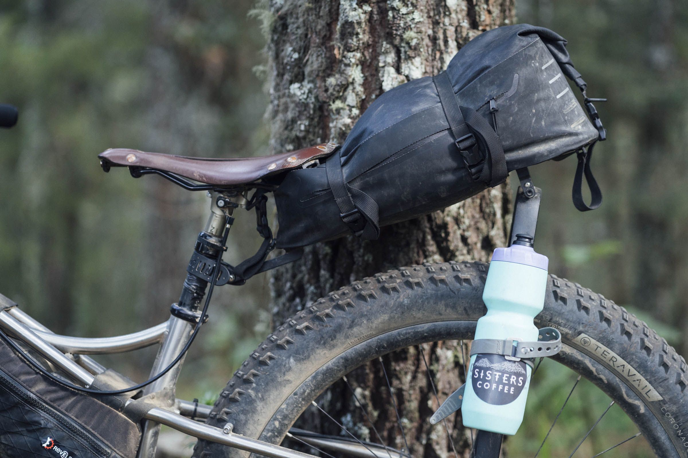
- Best bike: The trails in La Cumbre are challenging enough that a fully rigid plus bike or a front suspension hardtail are about the minimum you’ll want for this ride. A dropper seatpost is very much recommended, though an old-fashioned quick-release works too!
- Best time of year: Oaxaca is a great destination throughout the year. The dry season (October to April) is a good time to ride but be aware that in the later months, it’s sizzling hot in the valley, the roads can be very dusty, and streams run dry. Leave early and carry extra water. In contrast, the rainy season (May to October) brings lush countryside, tacky trails, but the risk of heavy nightly downpours. On the whole, the trails drain well. Mid October through December are probably the best times to ride here, as the landscape is still green, the heaviest rains have passed, and the temperatures aren’t yet oppressive.
- Security update: Unfortunately, crime has been on the increase in Oaxaca, both in the city centre at night, and on some of the city trails that are popular with local riders, runners, and hikers. Take a taxi home if you’re out late at night and in terms of trails, be especially mindful in Cerro del Fortín and the Torre de Microondas if you’re hiking or riding there (go early and don’t carry any valuables). In the case of this route, it’s best not to linger at the wall at the very top of the Libramento Norte (approx km 9), before the road drops down in Viguera. If this is a concern for you, consider riding out of the city on Avenida Ferrocarril and connecting with the route in Viguera (approx km 14) to avoid this section.
- Pack light! A light rig will make a big difference to your enjoyment of these trails. They’re often steep and technical.
- Almost all of this route is rideable, but expect to hop off your bike occasionally, depending on your skill level. Ride conservatively and carefully, as parts of this route are very remote and far removed from emergency services.
- If you want to extend the route beyond the bonus gpx file we’d included, it’s as simple as adding in more trails once you’re up in La Cumbre. Many are listed on Trailforks. For those with the skillset and the bike, there are a number of black-graded enduro trails too. They’re great trails but very intense in places.
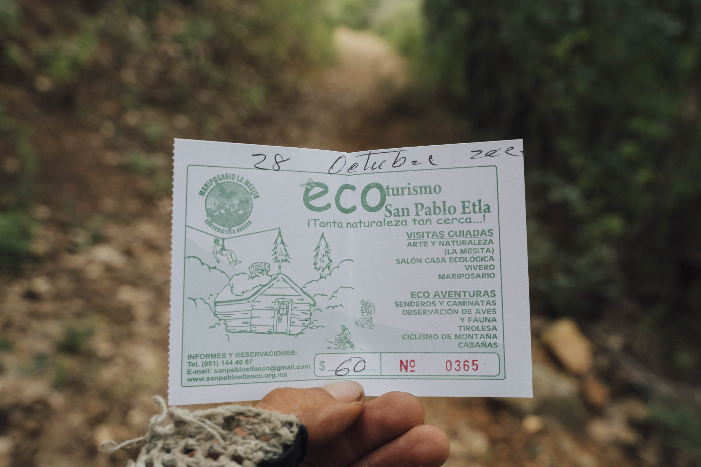
- There is a small fee (40 pesos) to pass through the Reserva Ecologica La Mesita, which includes access to eco-art installations, and a number of trails. There’s also a butterfly garden, for an additional 40 pesos. Allow time to explore! Camping is possible there too, if you get a late start or want to stop and ride trails – see the Camping tab.
- Technically, a riding fee is also required to access the trails in Ixtepeji. However, this route doesn’t pass by the ticket booth on the main road where this would normally be paid; if anyone asks for the fee, just request a receipt.
- If you pack light, riding these trails with minimal bikepacking gear is very do-able and you’ll still have a lot of fun. Otherwise, consider dropping down to the Centro Ecoturístico La Cumbre Ixtepeji and leaving your bags there. It’s a 30-40 minute climb to get back out again to the main trail hub.
- Generally speaking, the mountains of Oaxaca are a safe place to travel through, but it’s always worth seeking up-to-date information.
- Want to get into the botanical groove? Visit the renowned Jardín Etnobotánico
de Oaxaca for a plant primer before you set off. There are 2 hour, guided tours in English and Spanish. - Background reading: Oaxaca Journal by Dr Oliver Sachs, is a highly recommended read for those interested in learning more about the area, from both a botanical and cultural standpoint.
- Nearby trails: A short ride from the centre of Oaxaca, the trail network west of San Felipe Del Agua has a network of cross-country singletrack – see Trailforks for details. The Escalones trail, as an out and back, is especially recommended.
- Enduro scene and bike guides: A number of tour agencies can supply full suspension bikes and guided day rides, like Coyote Adventuras, Trans Sierra Norte, and Bicicletas Pedro Martinez. Coyote and Pedro Martinez offer more mellow tours around the valleys too.
- Bike shops: Bicimundo and Zona Bici are well stocked and both have shops in Reforma, which are recommended over their branches in the city centre. Expect to find sealant, modern drivetrain components, and a reasonable selection of mountain bike tyres, right up to 29 x 2.5/2.6.
- Bike rentals: Aside from the full suspension bikes provided by tour companies for their enduro tours, Bicicletas Pedro Martinez rents decent hardtails for 500 pesos/24 hours. Otherwise, pop by Bicibella Oaxaca, below Coyote tours. They may be able to set you up with something too.
- Resources: MTB Oaxaca is an excellent website that lists bike shops, trails, and day rides in and around Oaxaca. Thank you Larry!
- El Día de Muertos: Consider timing your trip with Oaxaca’s famous festival and ceremony (early November), but book accommodation in advance as things get especially busy at that time of year.
- Buses: Oaxaca is a six-hour bus ride away from Mexico City. ADO is a recommended bus company and generally has room for a bike or two. You may need to remove the front wheel and drop your seat post.
- Flights: Volaris, AeroMexico, and a number of other airlines fly to Oaxaca via Mexico City or Guadalajara. There are some direct flights to LA, too. Airlines invariably have different bike policies – cost/size/weight – so always check ahead. I like to travel with a compact bicycle bag – like the Tardis from Ground Effect – as it fits into smaller taxis and is easier to store in a hotel or hostel.
- Safety: The Sierra Norte itself is a safe place to ride. However, as with any city, crime happens in Oaxaca de Juárez, both in the city center at night and on a few of the local trails during the day. If you’re out late, take a taxi home. In terms of riding, hiking, and running in areas close to the city, be especially mindful and see the safety information here for details.
- For general information about our extensive route network in Oaxaca, be sure to check out our Oaxaca Bikepacking Routes Network resource, with a Spanish translation coming soon. It includes details on getting there, bike shops, rentals, gear choices, food, arts and crafts, and worthwhile places to visit in the city and surrounding towns.
- If you get a late start, you can camp at La Mesita Ecoturismo San Pablo Etla for 150 pesos per person, including your entrance to the area. It’s a lovely spot that overlooks the valley with water, power outlets, and a compost toilet. This gives you access to the local trail network and the outdoor art centre, and sets you up well to get to Ixtepeji the next day. Pay at the same office to camp further up in the forest too – there’s a possible spot marked on the map, beside some disused cabanas. Just make sure you carry the water you’ll need for the night.
- There are also functional cabanas run by the San Pablo Etla community in the forest. Note that there’s no restaurant, so you’ll need to bring food and/or a means to cook it. The number for La Mesita Ecoturismo San Pablo Etla is 52 951 236 5708, through which the cabanas can be booked.
- There is a large eco-touristic centre in Ixtepeji – see map for its location. Centro Ecoturístico La Cumbre Ixtepeji has food at the weekends, water, and lodging on offer. Private cabanas are available for approx 250 pesos per person (minimum 3), or there are 4 bed dorm rooms (with private bathrooms) for 200 pesos, and camping for 100 pesos per person. The centre can be reached via one of the one-way mtb trails (see map). To return from whence you came, it’s a half hour climb back on a forest road to the main ‘trail hub’. The phone number is 951 560 4039 if you want to book a cabana in advance, which is recommended at the weekends or during holiday periods.
- Dispersed camping can enjoyed throughout Ixtepeji once you’ve paid your camping fee. No fires are allowed.
- There are several spots to refill water bottles along the way, the most reliable are marked on the map. Bring a filter.
- En route up the climb, there is also a water spigot at Reserva Ecologica La Mesita.
- In the dry season, it’s a good idea to have the capacity for 4 litres of water on your bike; there is less water to be found on the south-east-facing La Cumbre side, so fill up whenever you see it. The last reliable spot is around 32km into the route.
- The Centro Ecoturístico La Cumbre Ixtepeji has clean water to fill up your bottles and good, economical food too (9.30am to 5.30pm), though hours during the week can be sporadic, so it’s best to pack extra reserves too.
- On your way out, the last place to find food is in La Viguera before the big climb into the high country.
- Various paleterias and spots to enjoy tepache and other local drinks are marked on the map, for the cruise back into Oaxaca.
- Alternatively, if you’re returning on a Saturday or Sunday, treat yourself to a fantastic meal at Agua Miel, in San Pablo Etla. You’ll need to book in advance. It’s a little further down the valley from San José el Mogote archeological site, which is also well worth checking out.
- For more about Oaxacan food and drink, and restaurant recommendations in the city, see our detailed Comida Oaxaqueño: Oaxacan Food Guide!
Want to ride a couple more flowy trails in La Cumbre Ixtepeji?
The Ixtepji Mini Wiggle offers an intro into some of the more flowy, mellower trails in the network.
Spending the night in the Centro ecoturístico La Cumbre Ixtepeji?
This Ixtepeji Sunrise Ride is short and sweet. It includes a great spot to enjoy the sunrise across the Sierra Juarez, and a small trail loop that’s best enjoyed unladen. It takes around 1.30hr riding time but you’ll want to linger at the lookout, for sure!
Spending longer in Oaxaca?
Check out the six-day San José del Pacífico Grand Dirt Tour, a loop out of Oaxaca. Or catch a bus over to Cuicatlán, and ride the three day Ojos de Cuitalan tour, in the Tehuacán-Cuicatlán Biosphere Reserve. If you want to visit the Pacific coast, check out the Oaxaca to Puerto Escondido route.
Looking for day rides to further explore the area?
The Monte Albán and Cuilapan Rural Ramble is a challenging rough stuff day ride that passes by the Zapotec ruins of Monte Albán en route to the Ex-Monastery of Cuilapan, set in Oaxaca’s Valle Grande and Ejutla area. You can trim it down a smaller loop, but I recommend the full figure of eight route, as the extension provides a wonderful showcase for Oaxaca’s traditional farming practises and inter-cropping – a combination of corn, squash, and beans to help fortify the soil and keep pests away.
If you’re interested in bringing back a textile from your trip and would like to buy it directly from the makers, the 75km Teotitlán, via Huilapam, Dainzú, and Tule is sure to add great memories to your purchase. It links up mellow trails, rural roads, and desert two-track. Find out more about traditional Oaxaca textiles and how they’re made here.
With thanks to Larry at www.oaxacamtb.com sharing his vast knowledge of the area and its dirt roads.
Additional Resources
- You can see more images from the same area in this post – the backdrop to our foraging guide.


Terms of Use: As with each bikepacking route guide published on BIKEPACKING.com, should you choose to cycle this route, do so at your own risk. Prior to setting out check current local weather, conditions, and land/road closures. While riding, obey all public and private land use restrictions and rules, carry proper safety and navigational equipment, and of course, follow the #leavenotrace guidelines. The information found herein is simply a planning resource to be used as a point of inspiration in conjunction with your own due-diligence. In spite of the fact that this route, associated GPS track (GPX and maps), and all route guidelines were prepared under diligent research by the specified contributor and/or contributors, the accuracy of such and judgement of the author is not guaranteed. BIKEPACKING.com LLC, its partners, associates, and contributors are in no way liable for personal injury, damage to personal property, or any other such situation that might happen to individual riders cycling or following this route.
Please keep the conversation civil, constructive, and inclusive, or your comment will be removed.