


Vuelta A Los Pueblos Mancomunados, Oaxaca
Distance
119 Mi.
(192 KM)Days
3-4
% Unpaved
75%
% Singletrack
0%
% Rideable (time)
99%
Total Ascent
11,400'
(3,475 M)High Point
10,400'
(3,170 M)Difficulty (1-10)
7?
- 6Climbing Scale Moderate96 FT/MI (18 M/KM)
- 4Technical Difficulty Fair
- 8Physical Demand Difficult
- 5Resupply & Logistics Moderate
Contributed By

Cass Gilbert
Contributing Editor
Update, Jan 2025. This year, the San Miguel del Valle community is charging a 100 peso fee per person to access the area and 100 pesos per person to camp, which makes logistics considerably easier for riding this loop. No guide is required. You can pay this fee at the centro ecoturístico in town. Keep to the route or to marked roads. If riding the loop clockwise, you’ll need to find a community member and pay them directly, and/or swing by the main office in San Miguel del Valle on your way out. Have exact change handy.
Update, Jan 2024. Going forwards, the San Miguel del Valle community require both an access fee and a local guide to travel through their land; details for these can be found in the Must Know tab.
Update, October 2023. Be sure to read the Must Know tab carefully, as there are community fees to access this area. Failure to do so can result in fines, and jeopardise access for independent bikepackers in the future.
Update, Dec 20222. Vuelta A Los Pueblos Mancomunados has been updated to include the recently opened Benito Juárez and the Lachatao Loop extension, turning this route into a 4-5 day ride. See box out below for more details and the Trail Notes tab for possible itineraries.
If you’ve considered tackling other Oaxacan routes we’ve posted – specifically, those that run through the broad Mitla Valley, like the leisurely and indirect Meandros en Mitla, or the more committing San José del Pacífico Grand Dirt Tour – you’ll have noticed there’s a variety of interesting ways to leave town.
La Vuelta a los Pueblos Mancomunados keeps life simple and direct by initially exiting the city via the bike path to Santa María del Tule, known for the gargantuan Arbol del Tule. It then connects with Tlacachuhuaya and Tlacolula on rural dirt roads – with a recommended short detour to the serene archeological site of Dainzu en route.
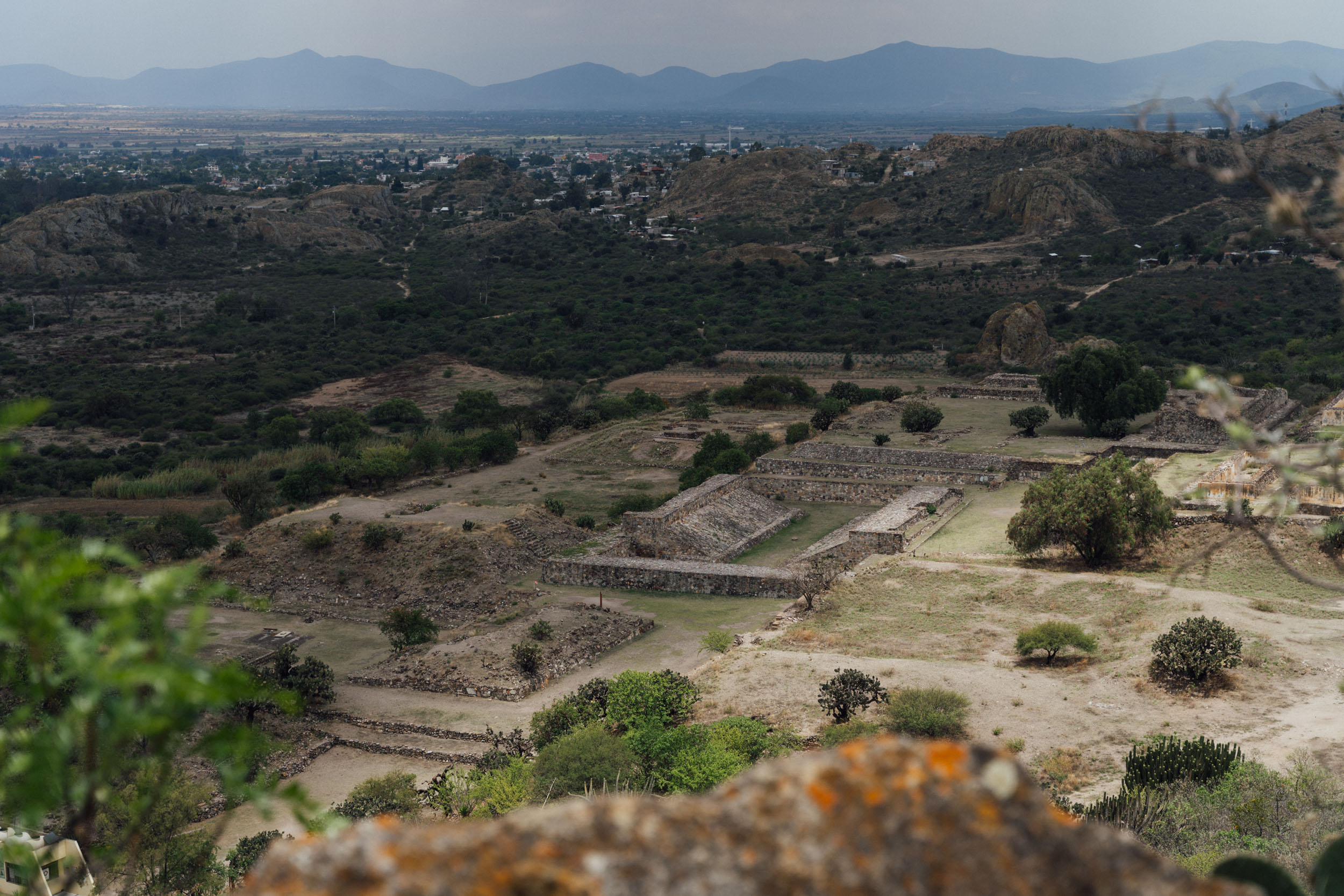
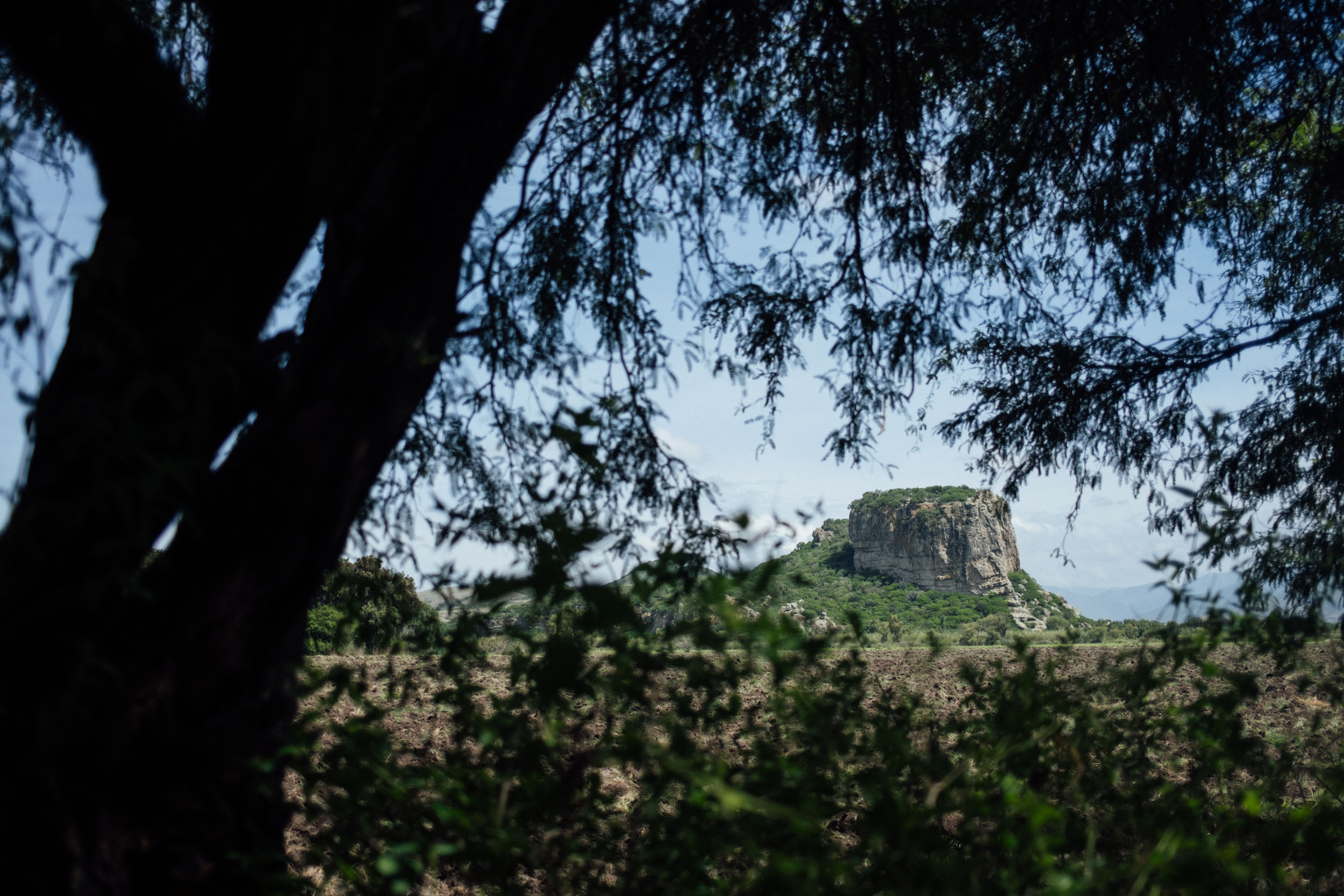
However, instead of continuing onwards to Mitla and Hierve el Agua or striking out towards San Marcos Tlapazola and its red pottery workshops – as per the aforementioned routes on this site – the vuelta turns north to Yagul. This impressive Zapotec archeological site is sprawling and especially well situated, surrounded as it is by agave fields and an amphitheater of rock structures, pocked with ancient caves where petroglyphs adorn the walls, and overlooked by a rocky bluff where evidence of a Zapotec fortress can be found. Few tourists visit Yagul and chances are you’ll have it completely to yourself, wandering around in abstract awe.

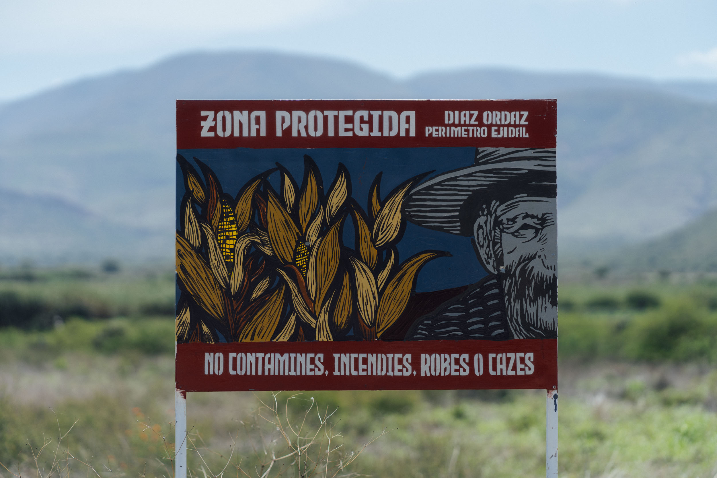
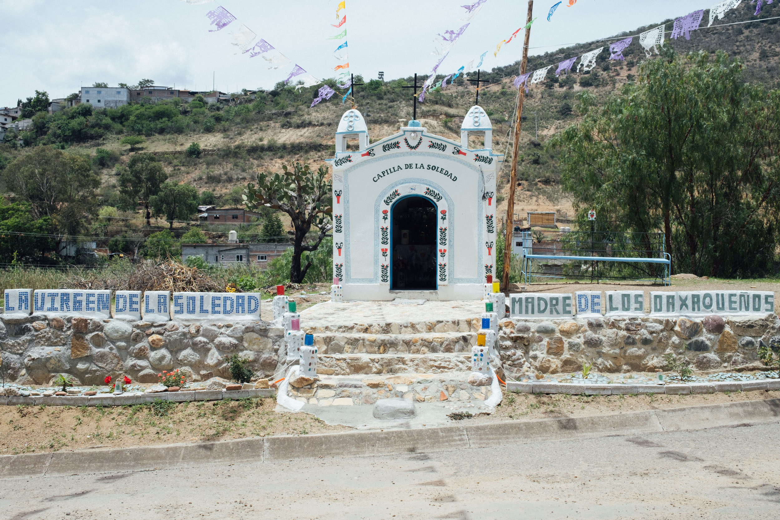
What’s more, Yagul is encircled by a protected zone that’s particularly appealing for cyclists, given the number of signposted trails and dirt roads to explore – which the route uses to its advantage as it continues towards Villa Díaz Ordaz. Then, it’s a short spin to the small community of San Miguel del Valle, noted for its traditional ways and Indigenous dress. There’s an access fee to pay on your way into town. a hu
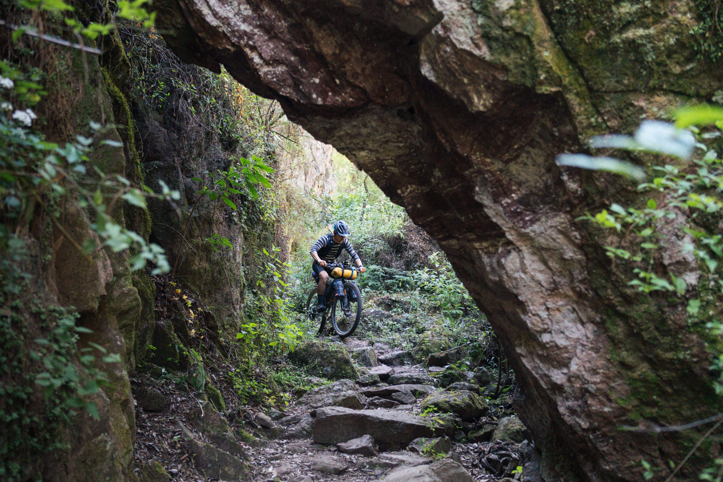
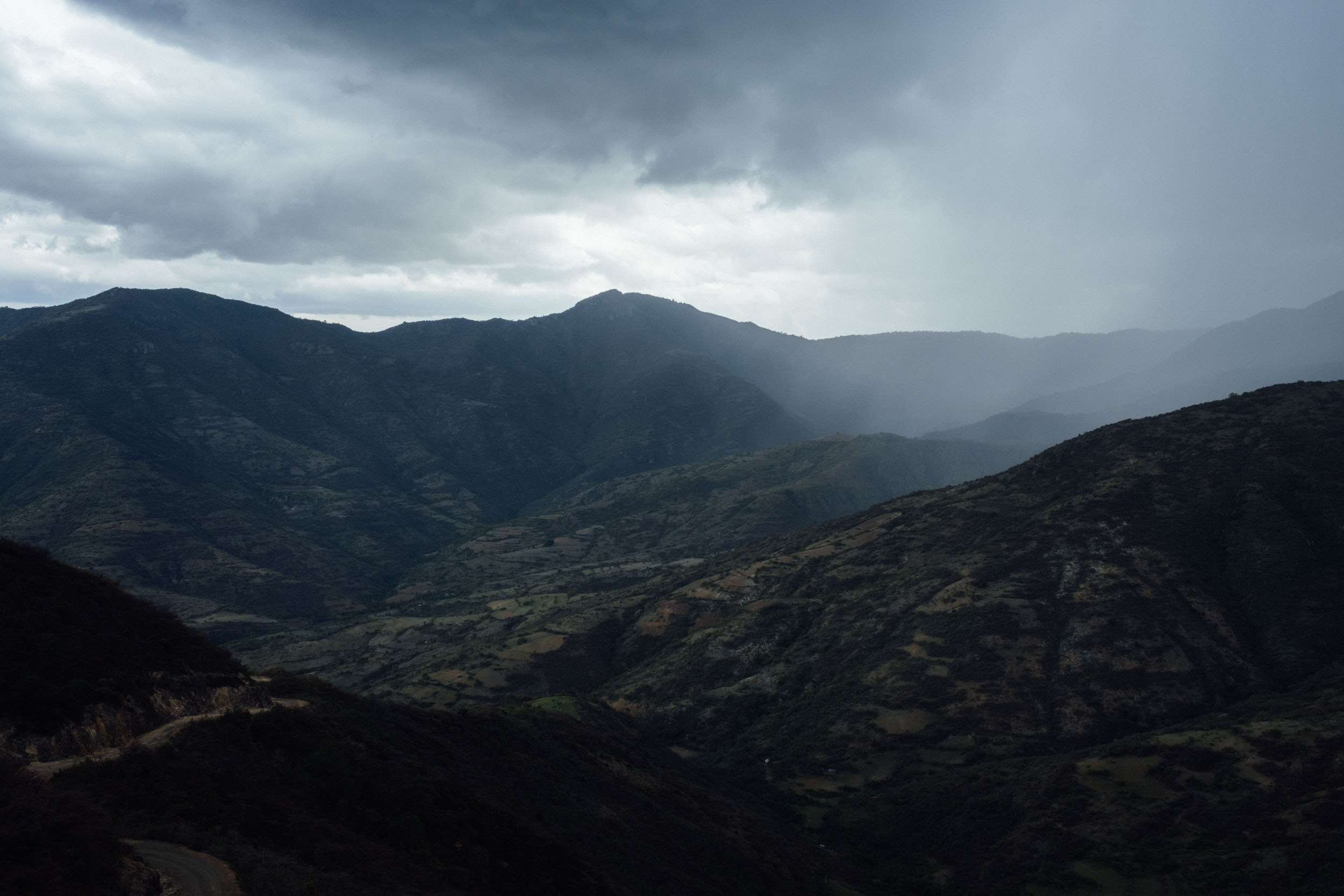
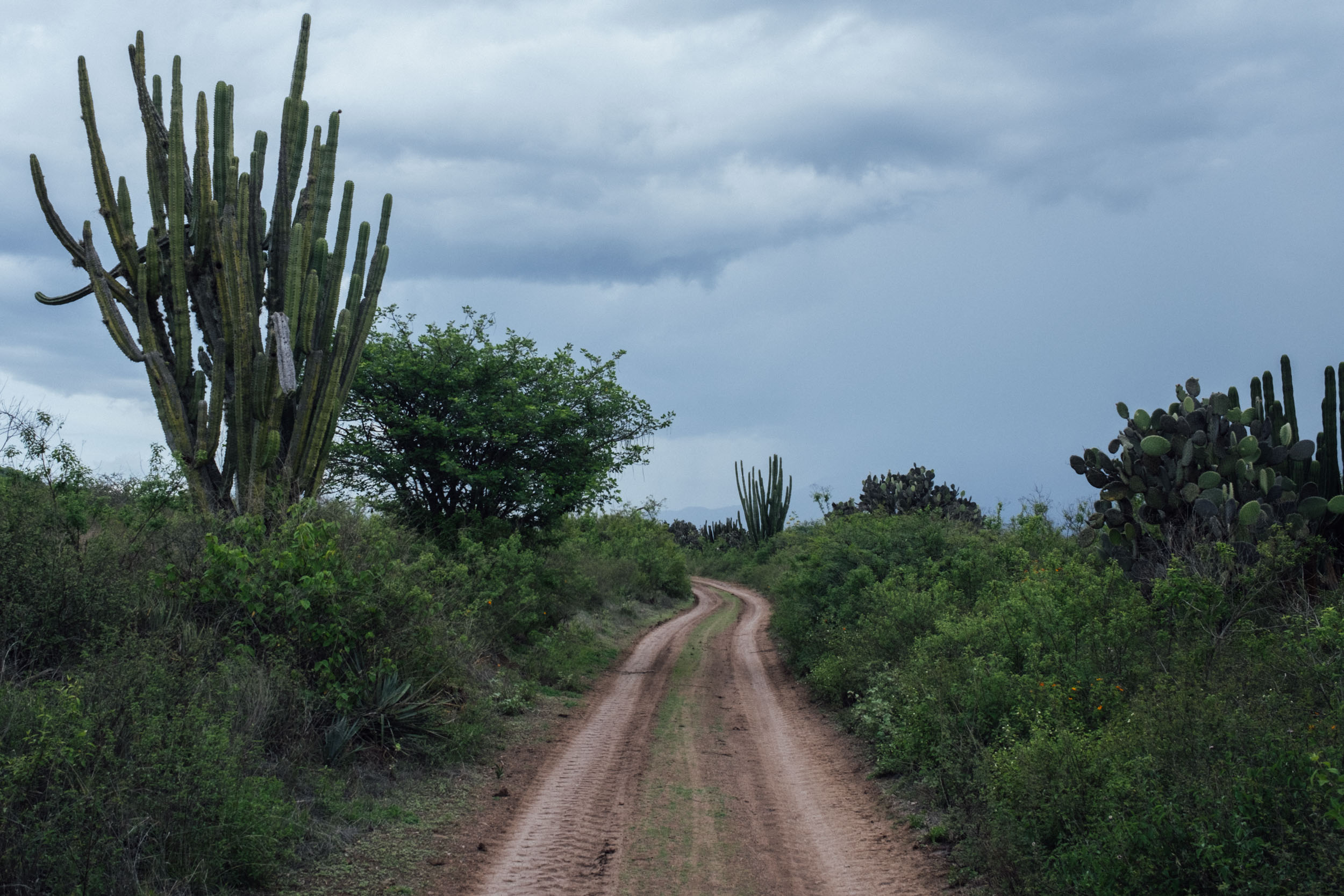
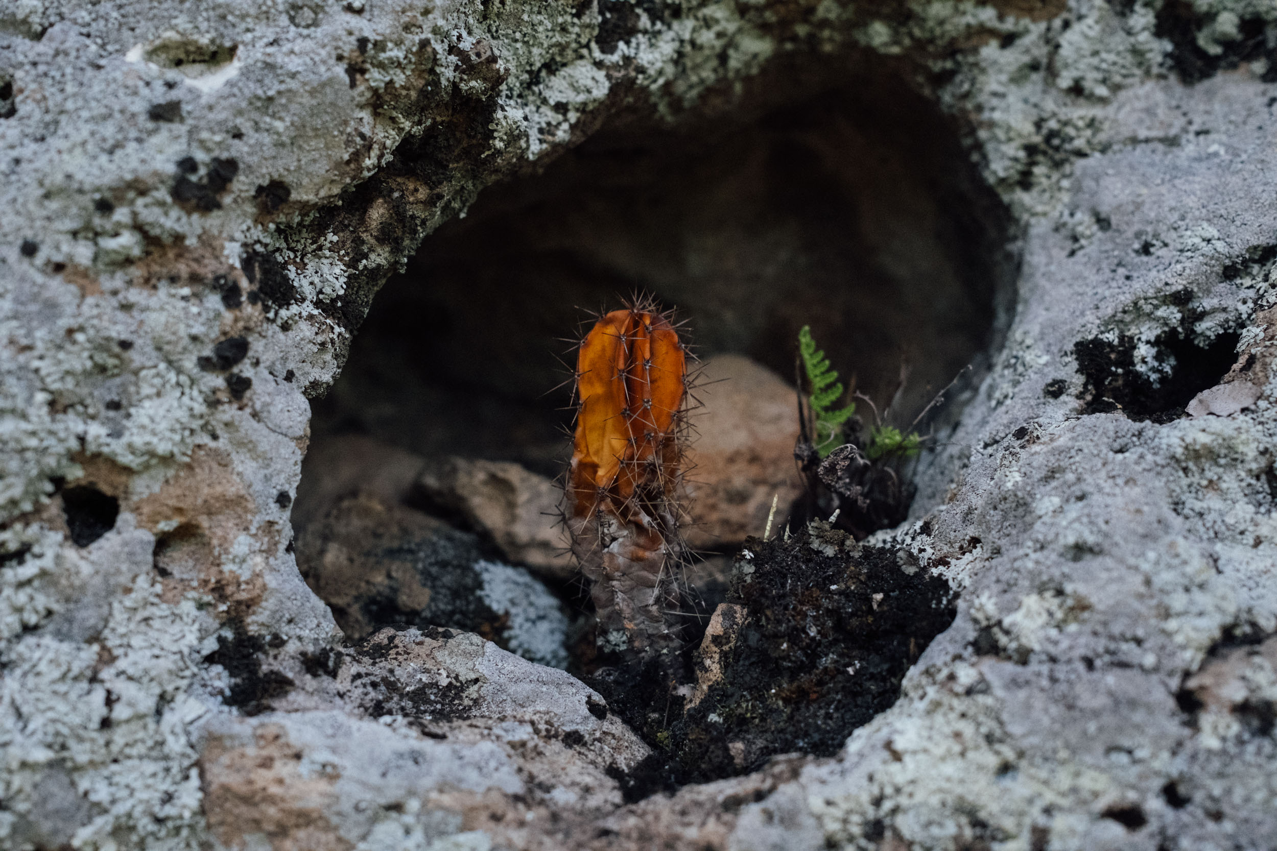
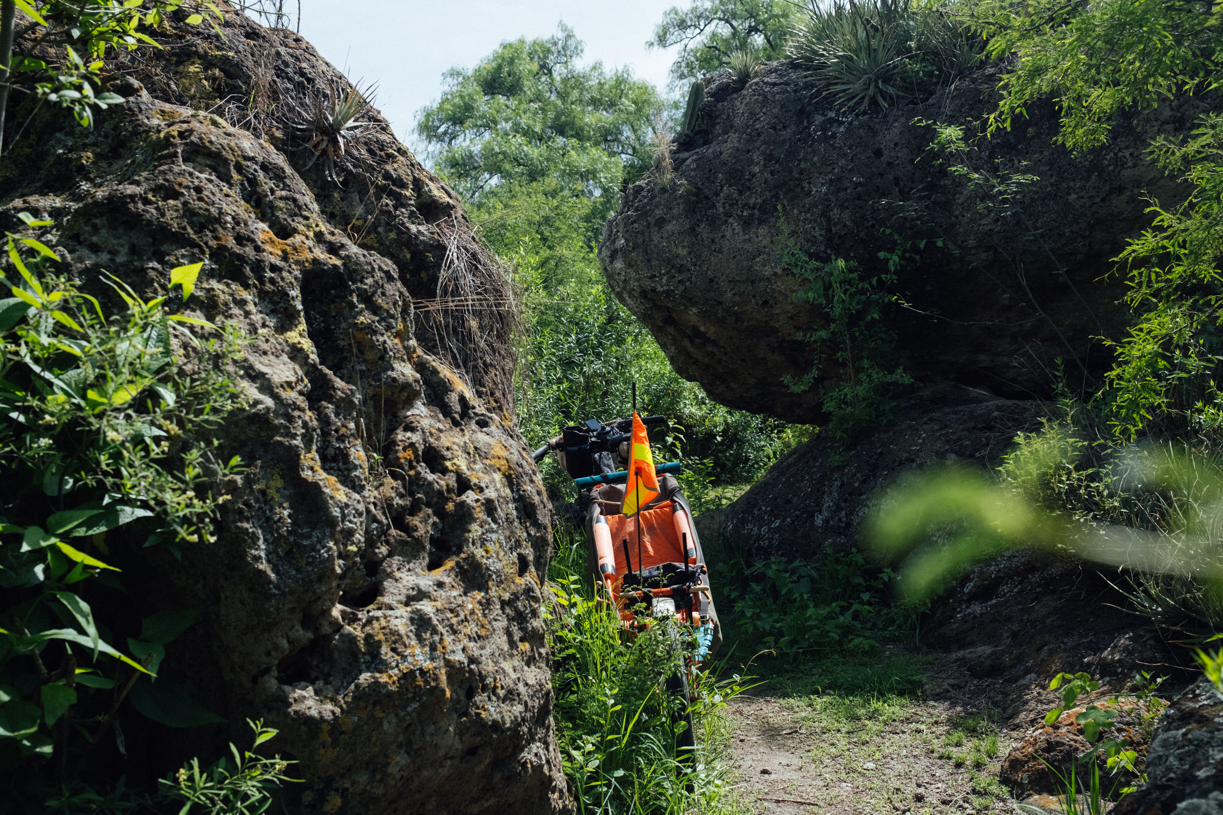
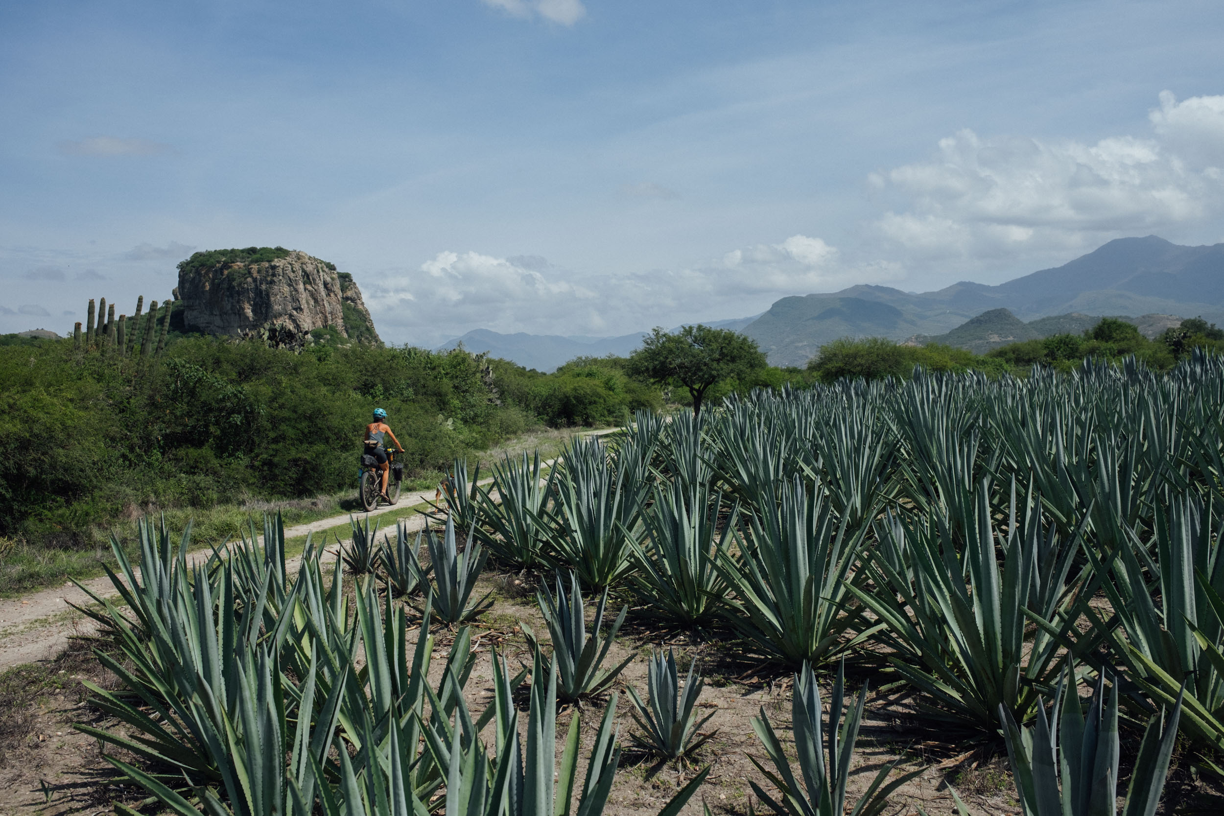
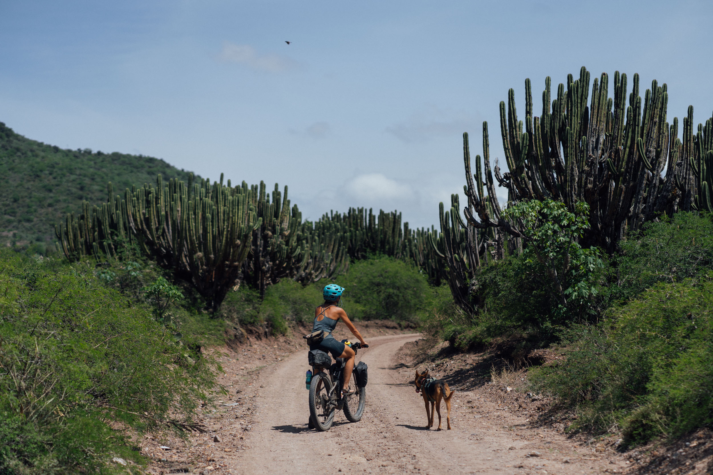
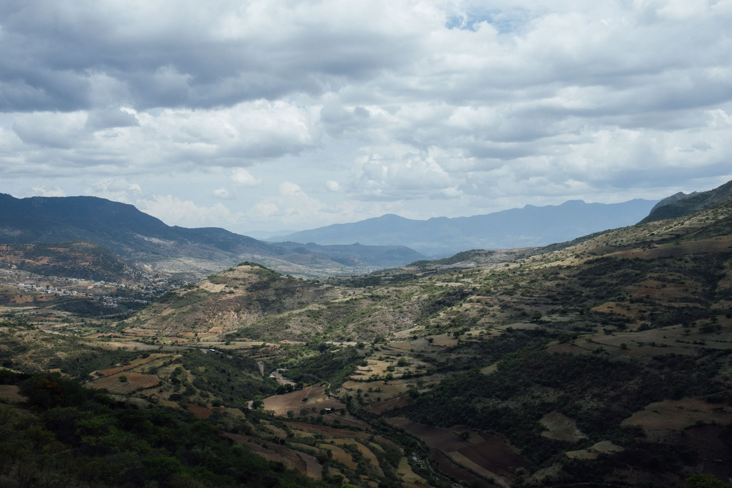
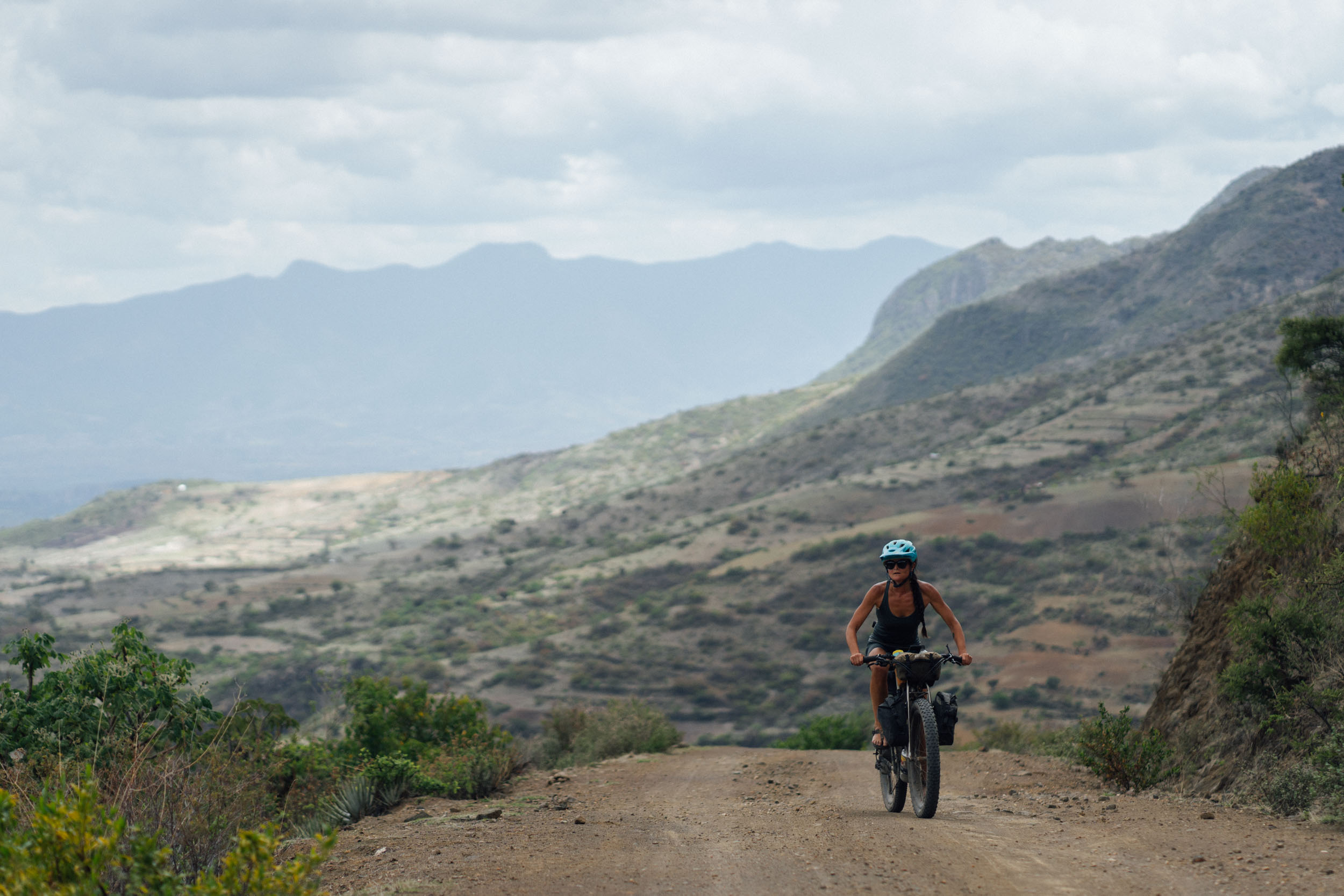
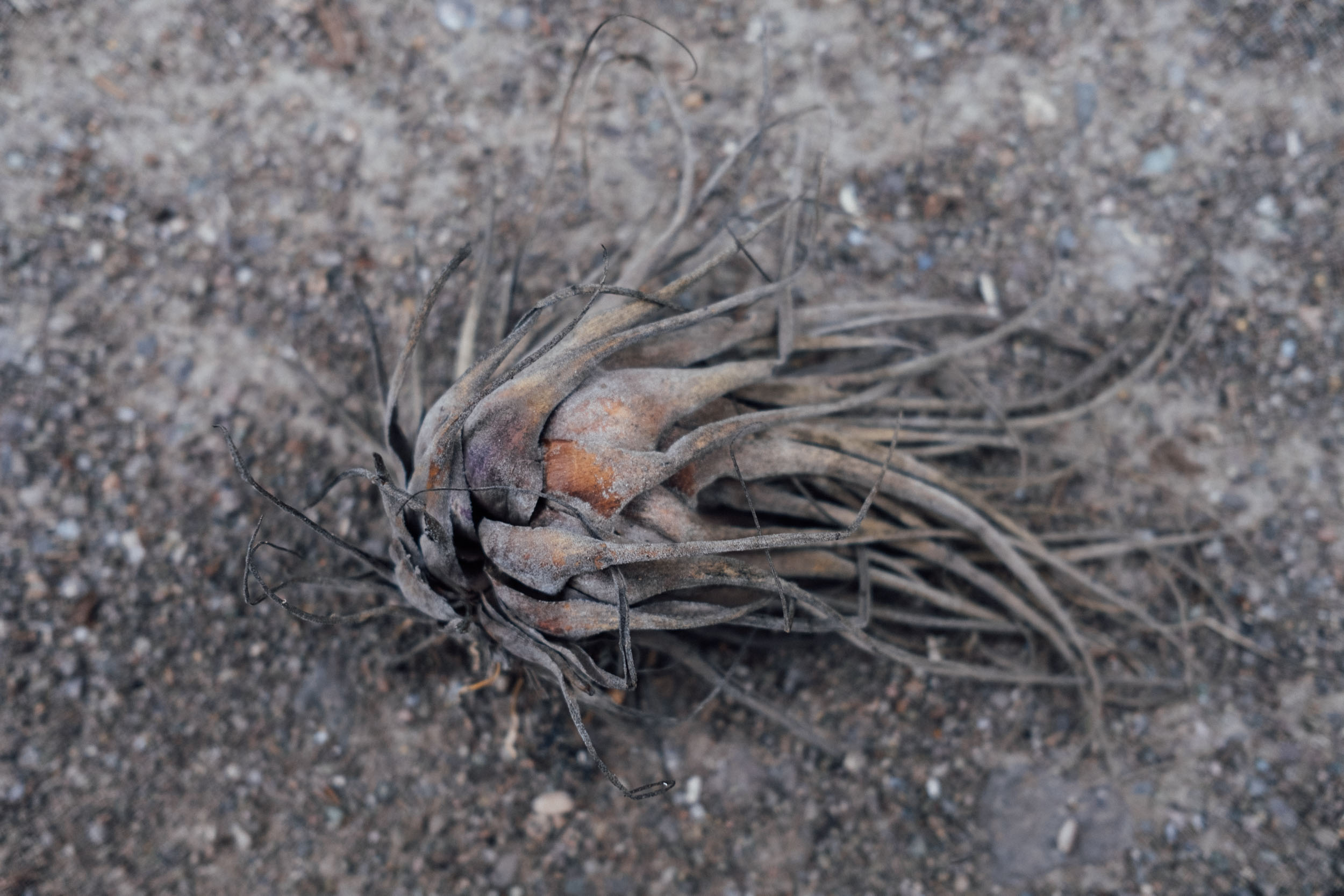
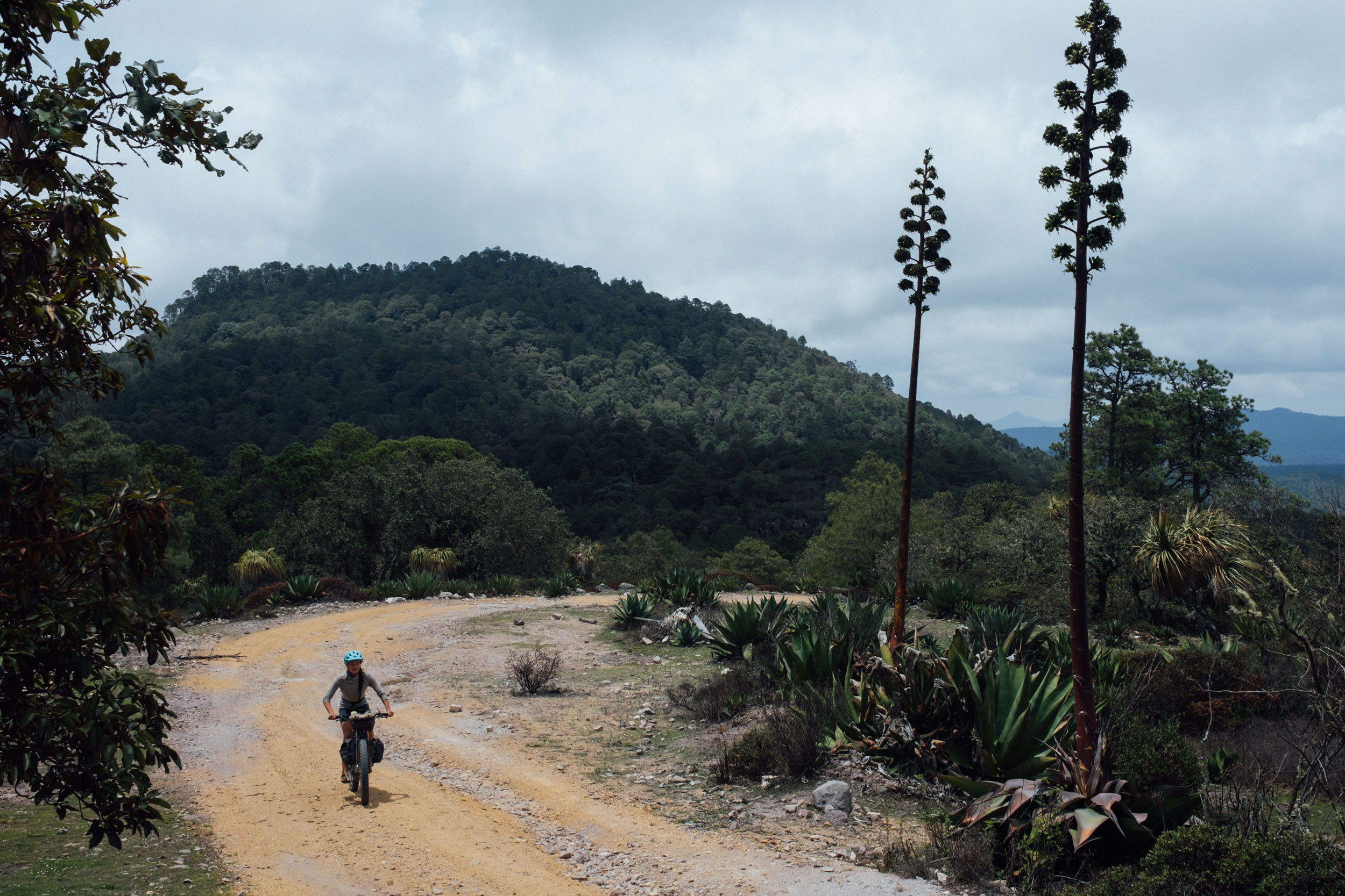
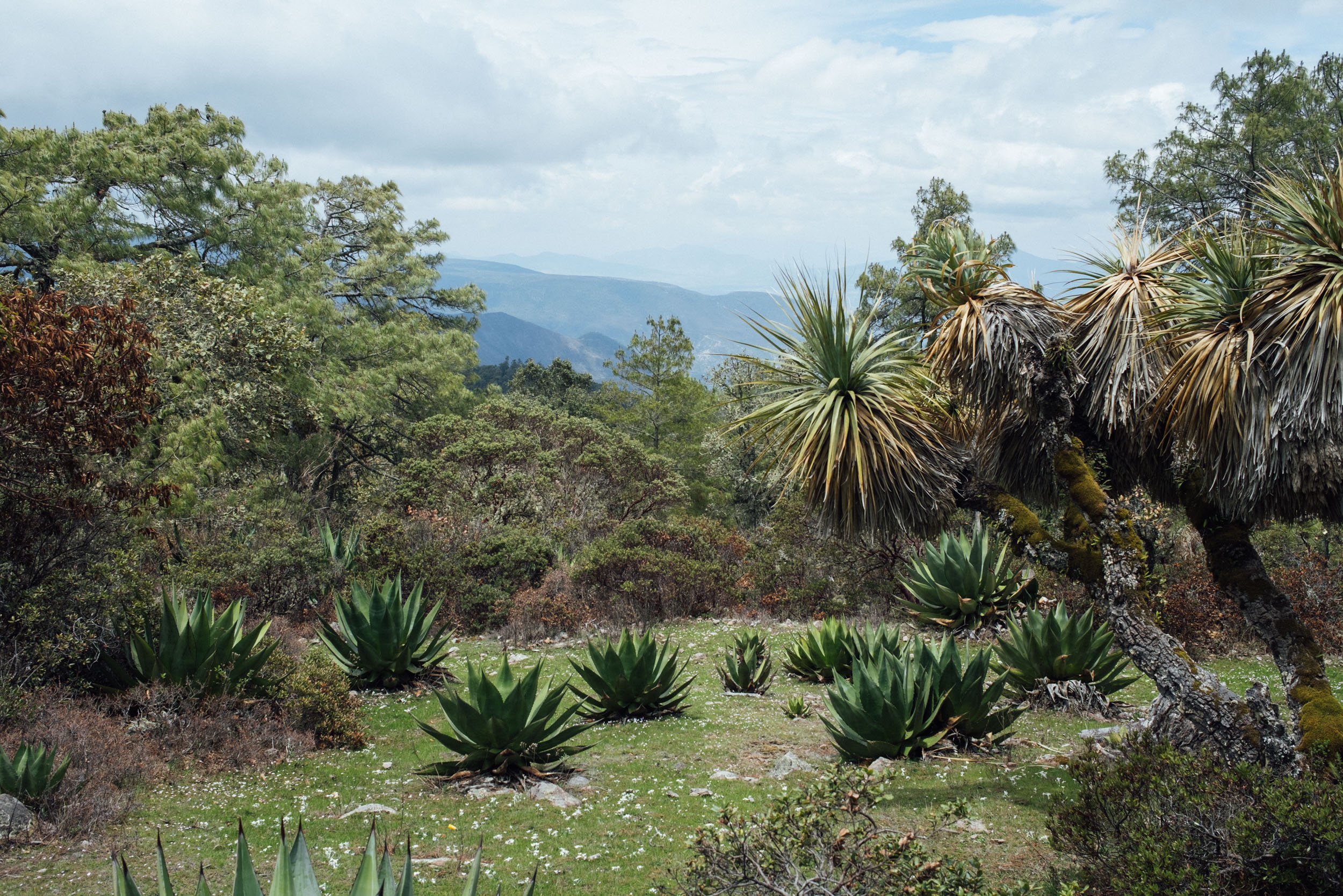
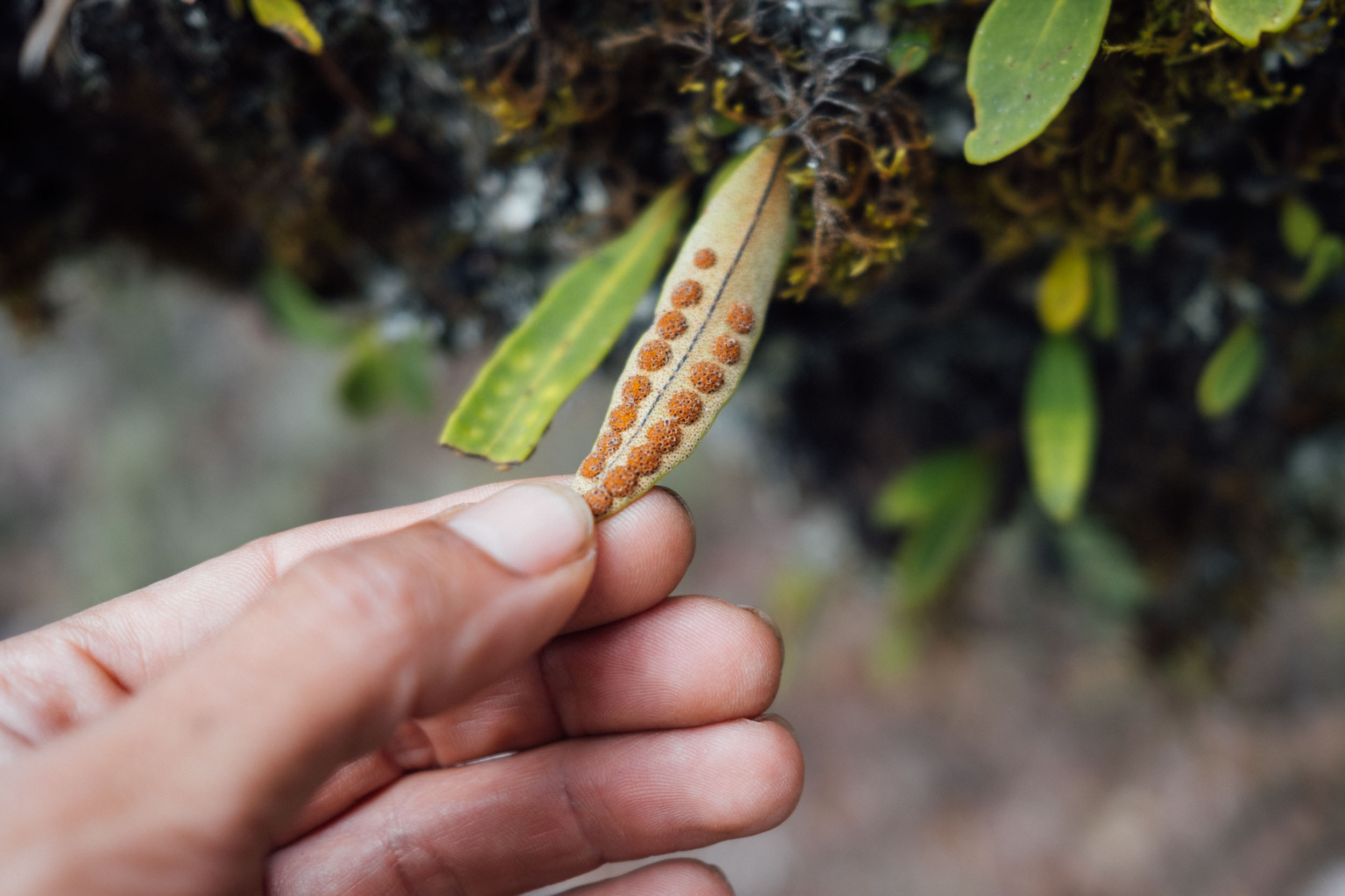
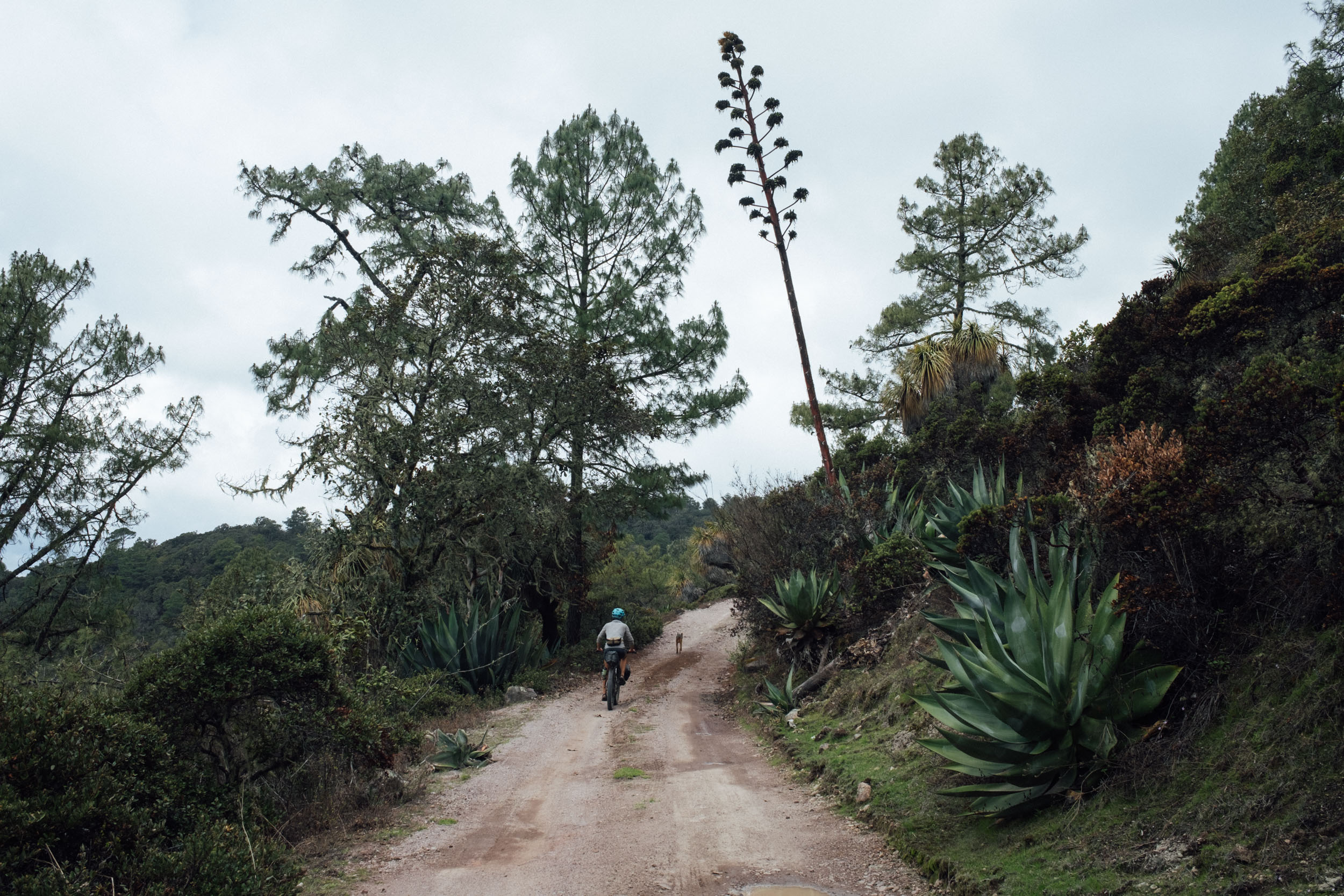
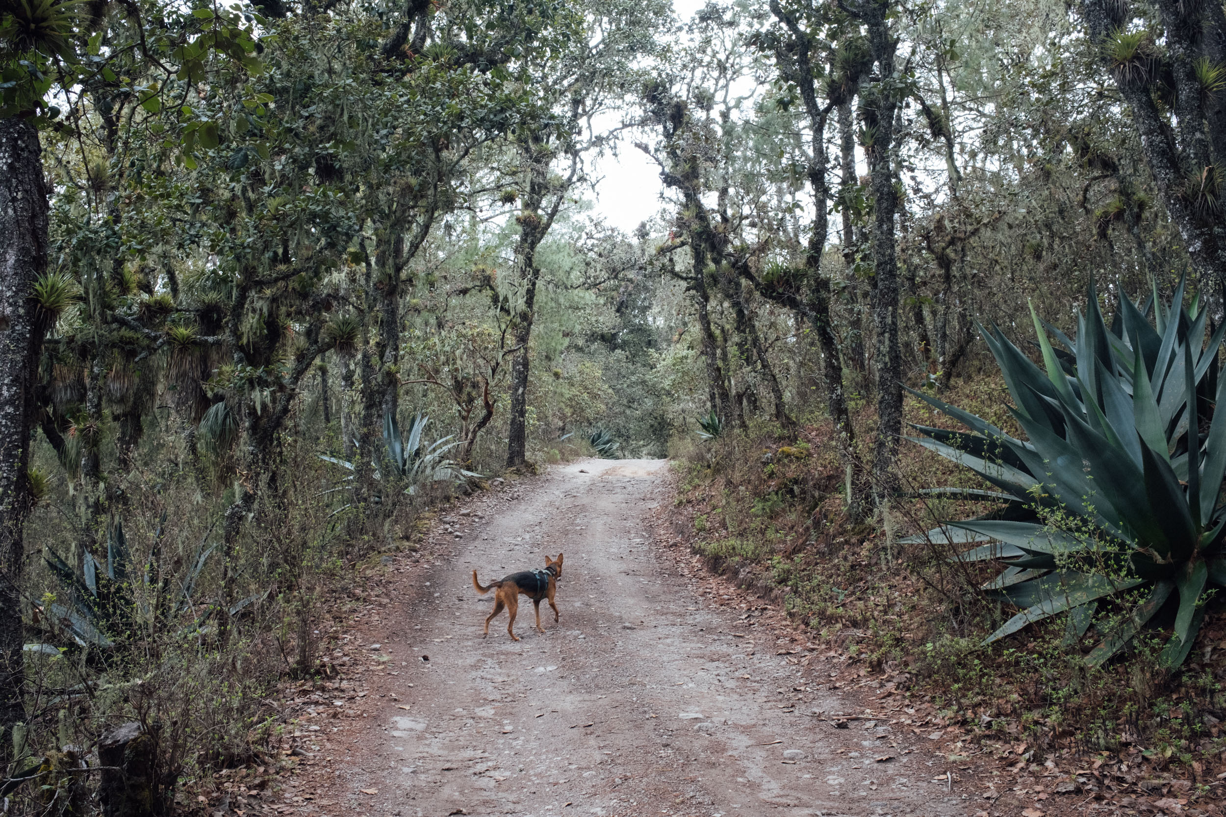
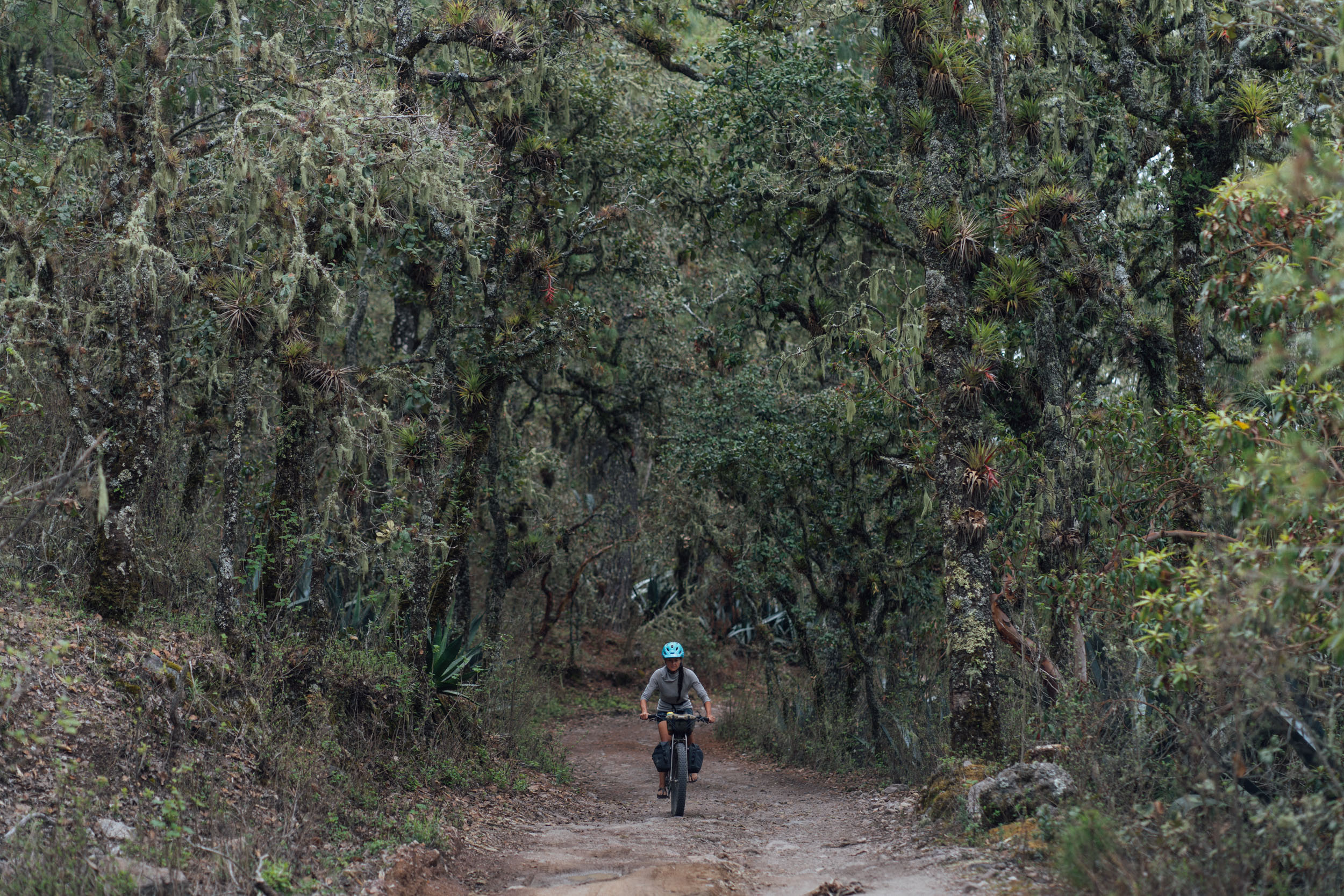
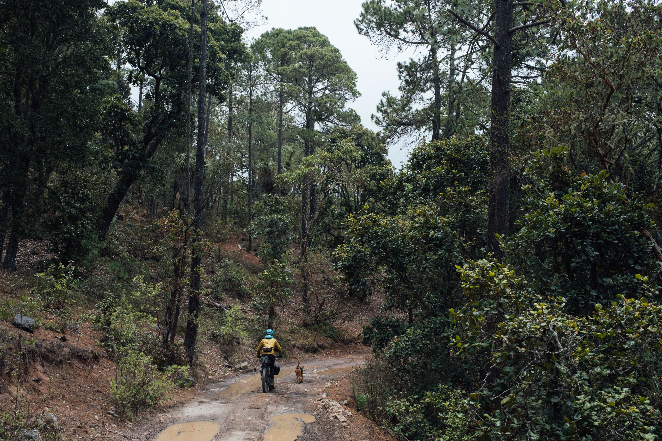
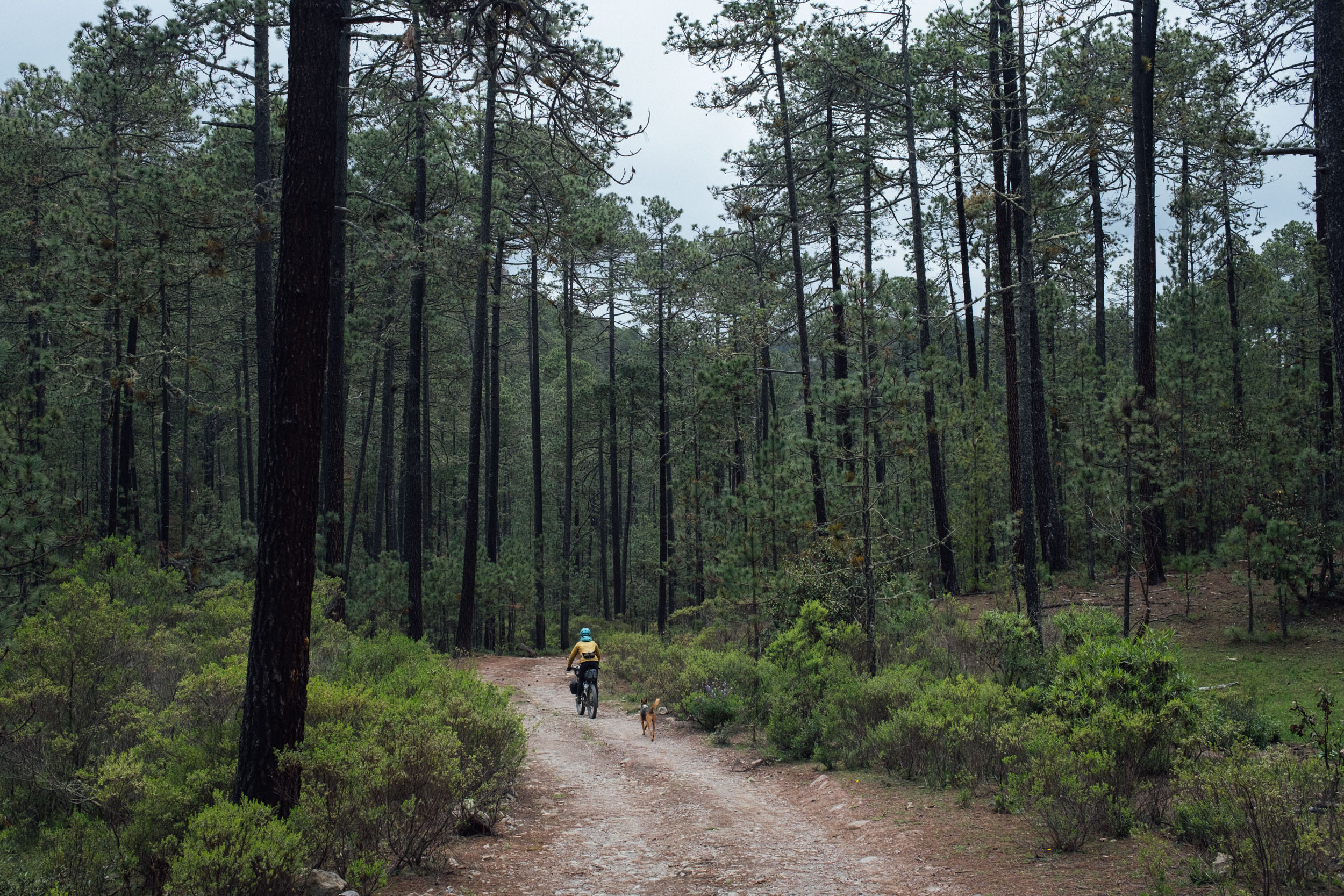
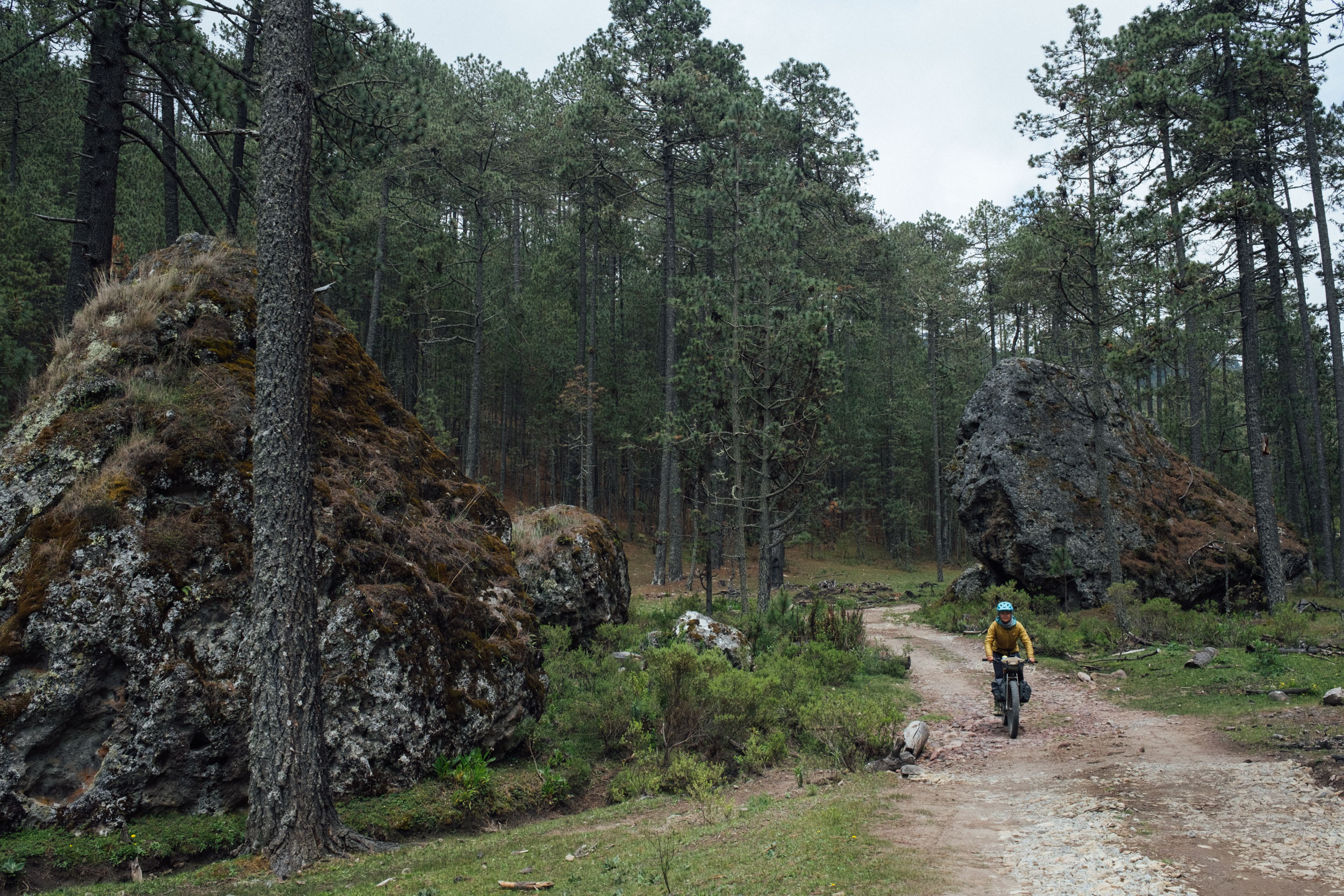
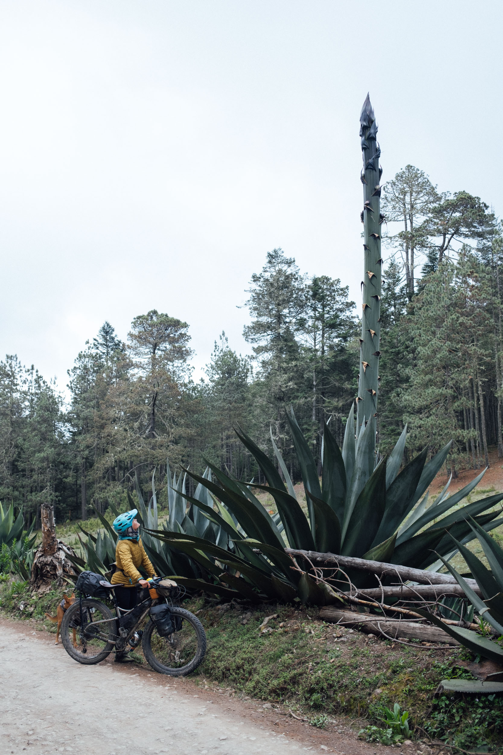
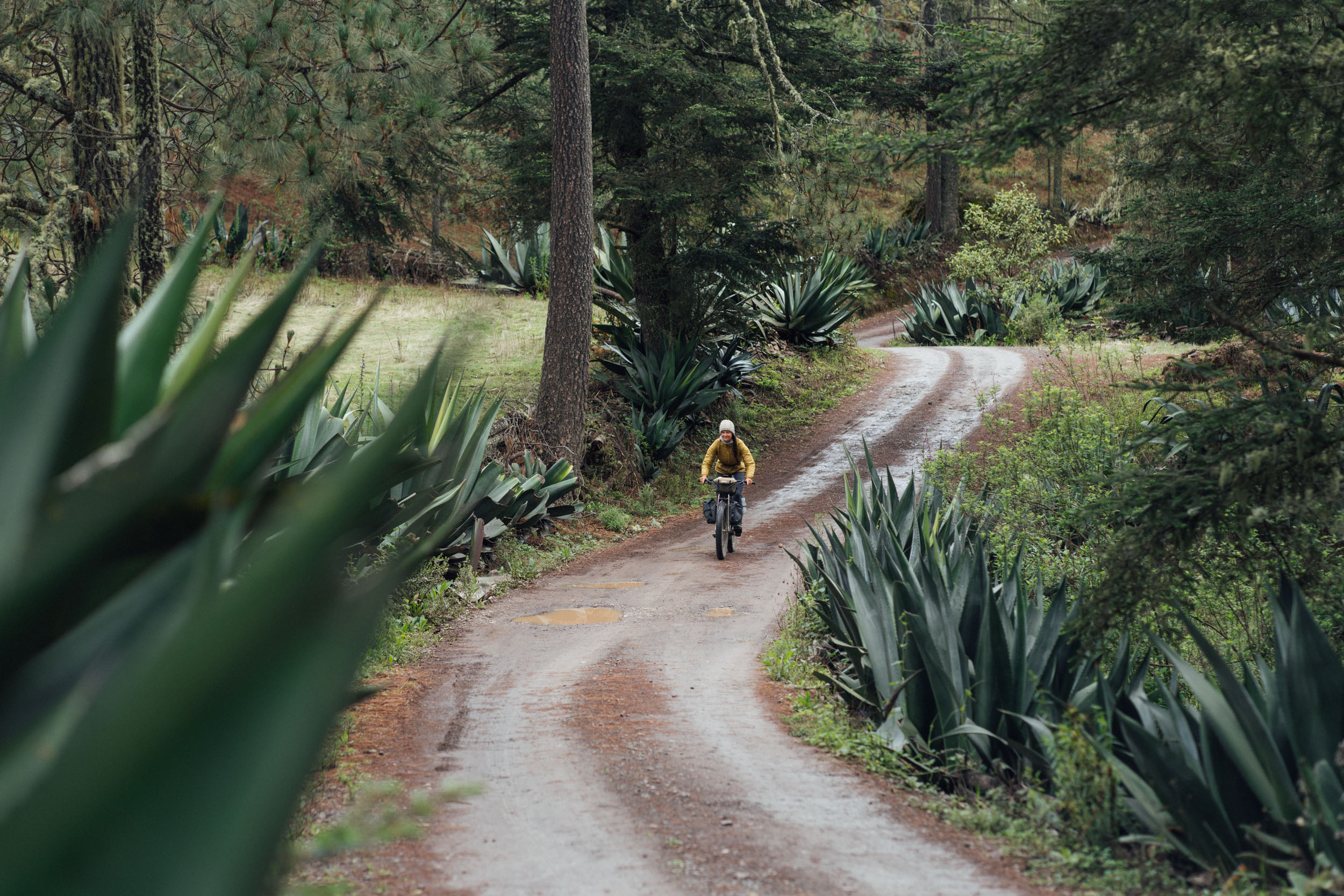
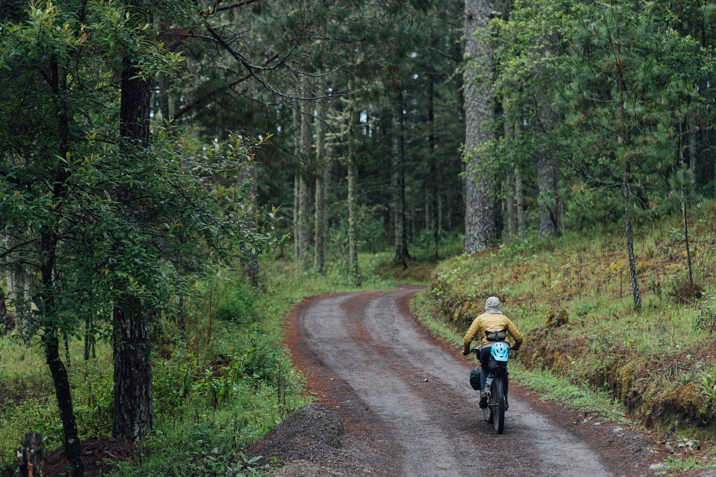
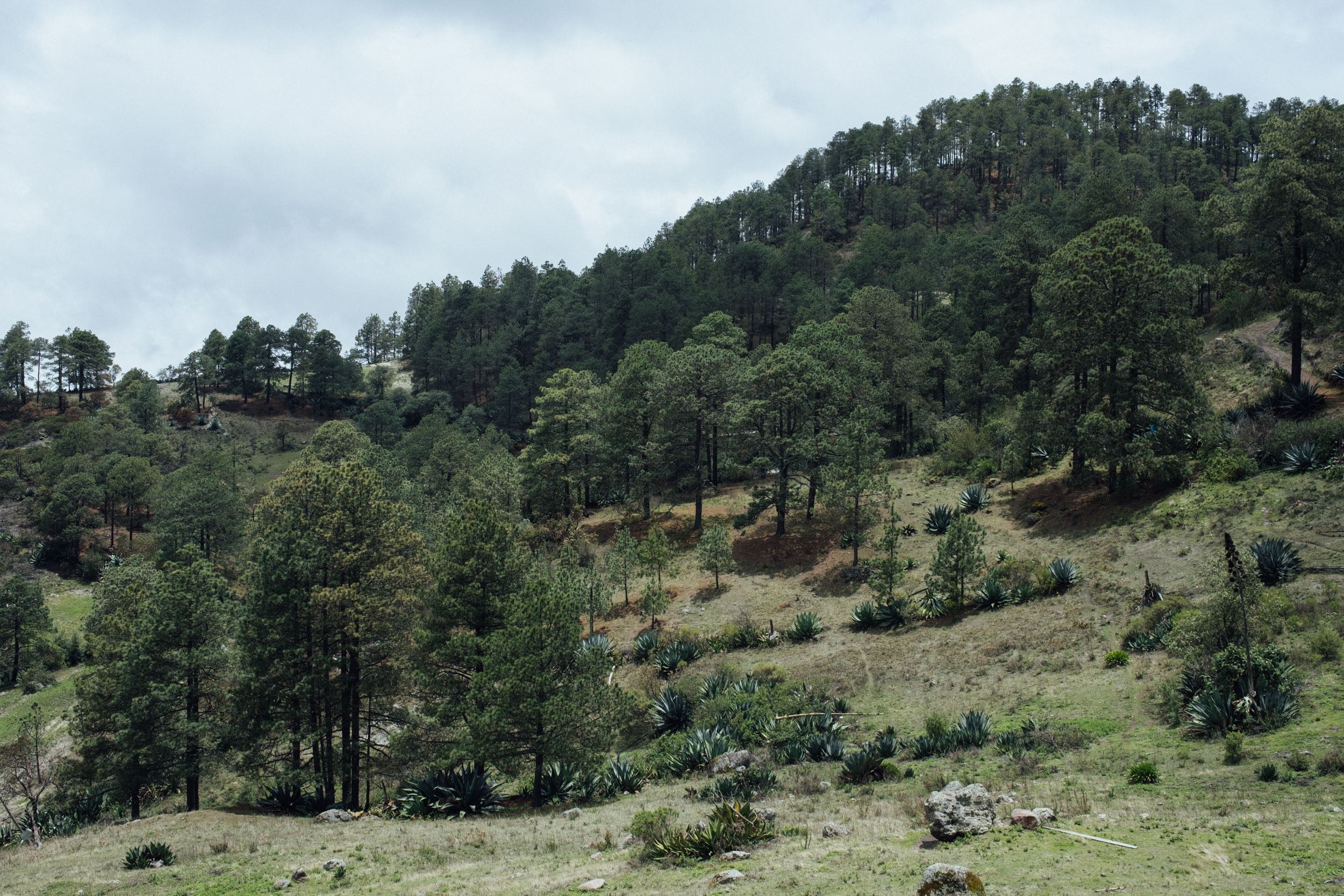
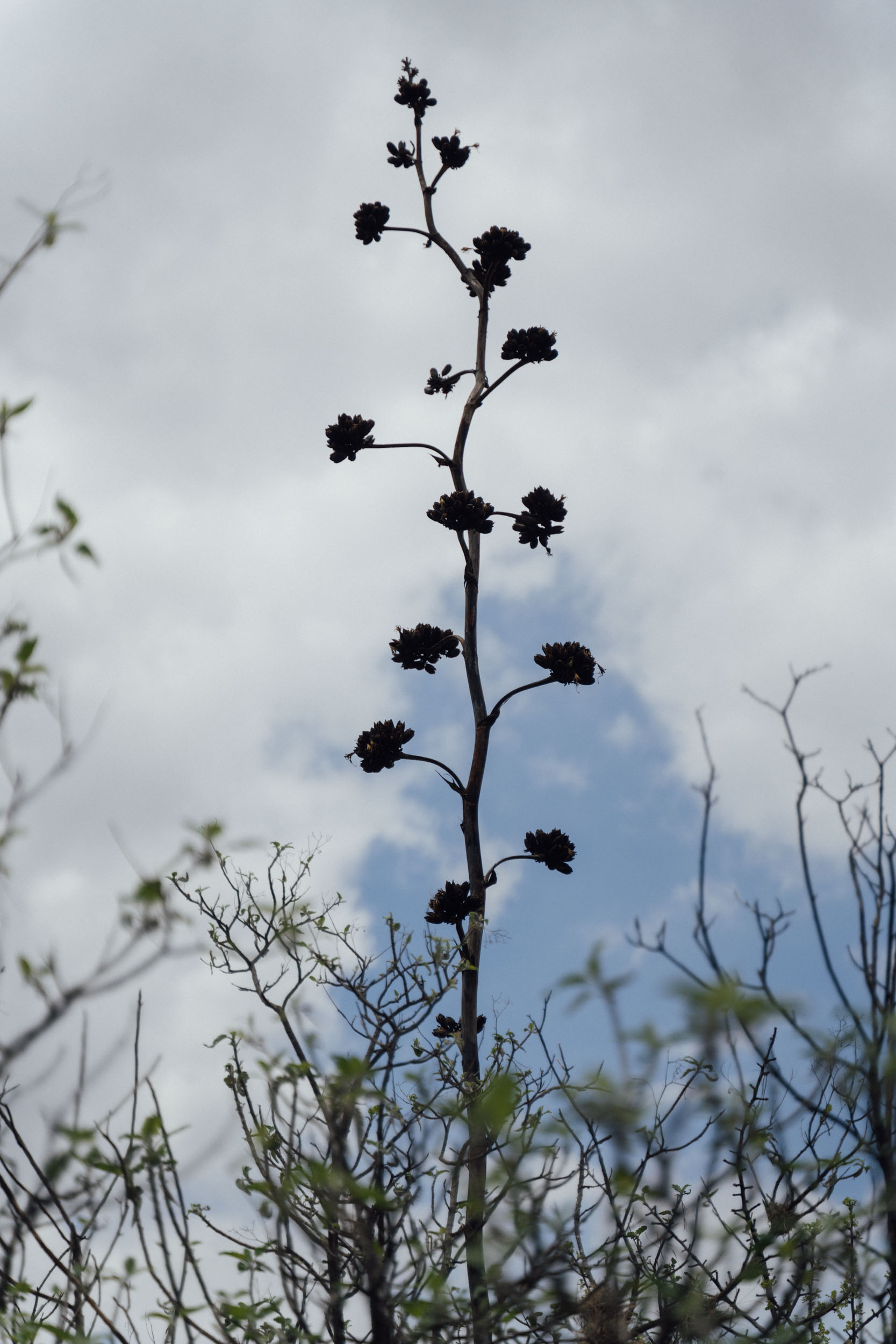
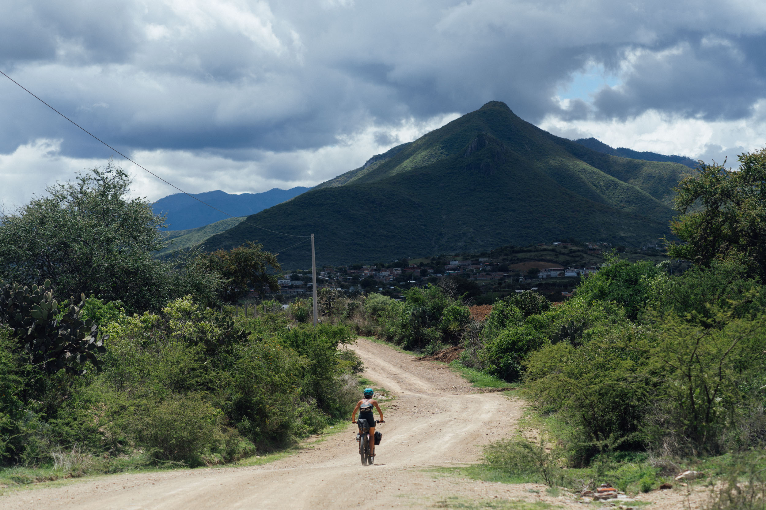
The dirt road climb that follows is one of the more challenging ascents into the higher climes of the Sierra Norte, not least because treeline isn’t reached until close to 2,700 metres – which means it’s exposed and especially unforgiving in the dry season. Still, this particular juice is definitely worth the squeeze, not least because it’s almost completely bereft of traffic. Once over the pass, an even lesser travelled road peels off to connect one high elevation pasture to the next, through corridors of giant agave and under magnificent canopies of bromeliads. This zone is a highlight of the Sierra Juárez, and it’s a wonderful area to slow down and soak it all in, with a number of possible detours to caves and rock structures along the way, many of which are signposted.
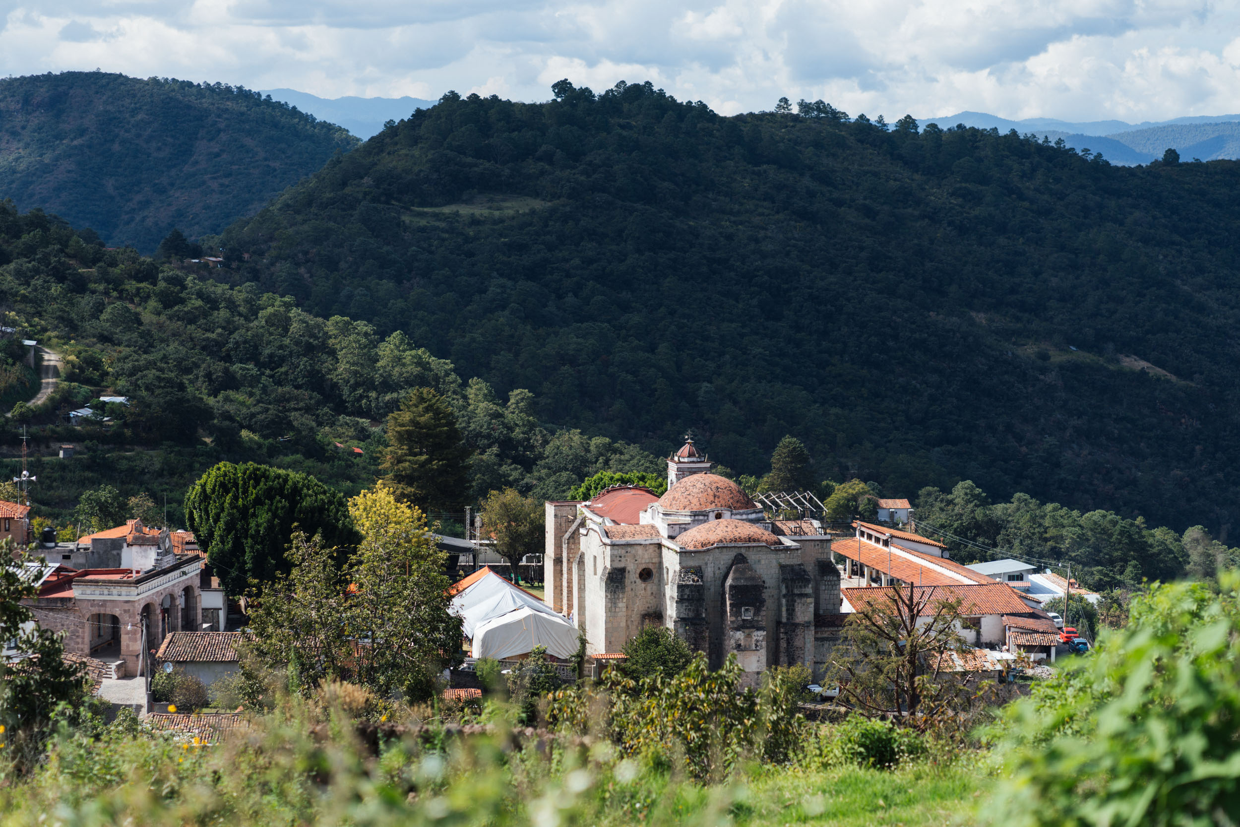
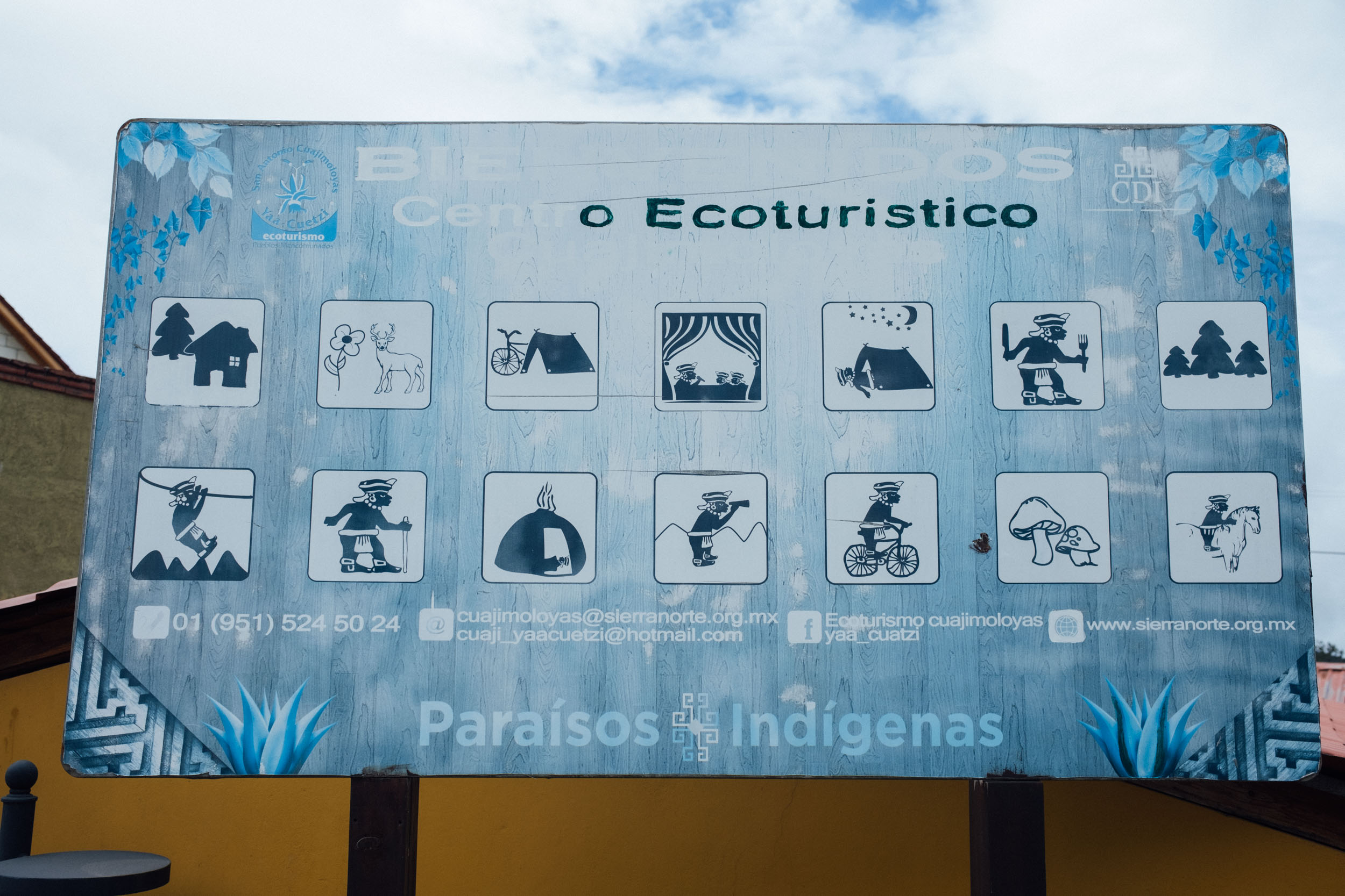
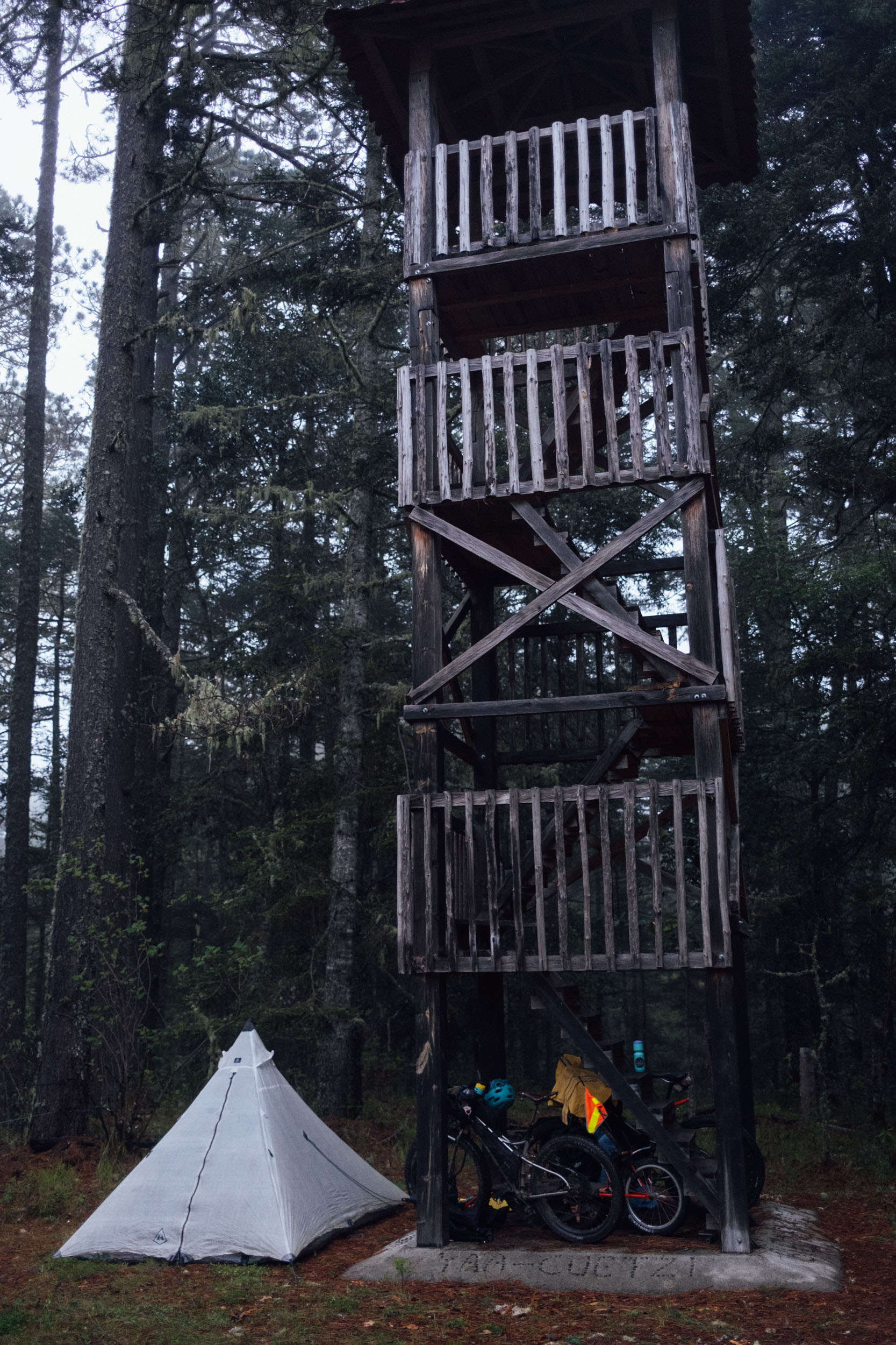
El Carrizal is the first of the Pueblos Mancomunados on the tour. Idyllically located, it’s known throughout the valley for the wheat it grows, along with its apple, pear, and plum orchards. This blink-and-you-miss-it, impeccably clean settlement also boasts unusually far-reaching views for this rugged mountain range, and an impressive Centro Ecoturístico with comfortable cabañas and a community store nearby.

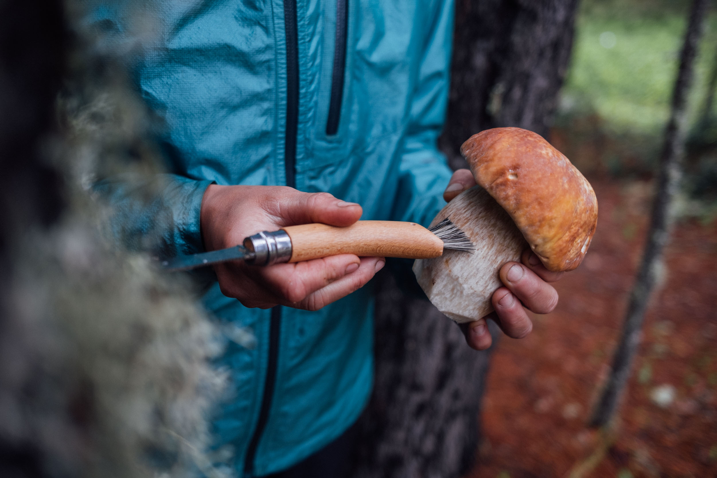
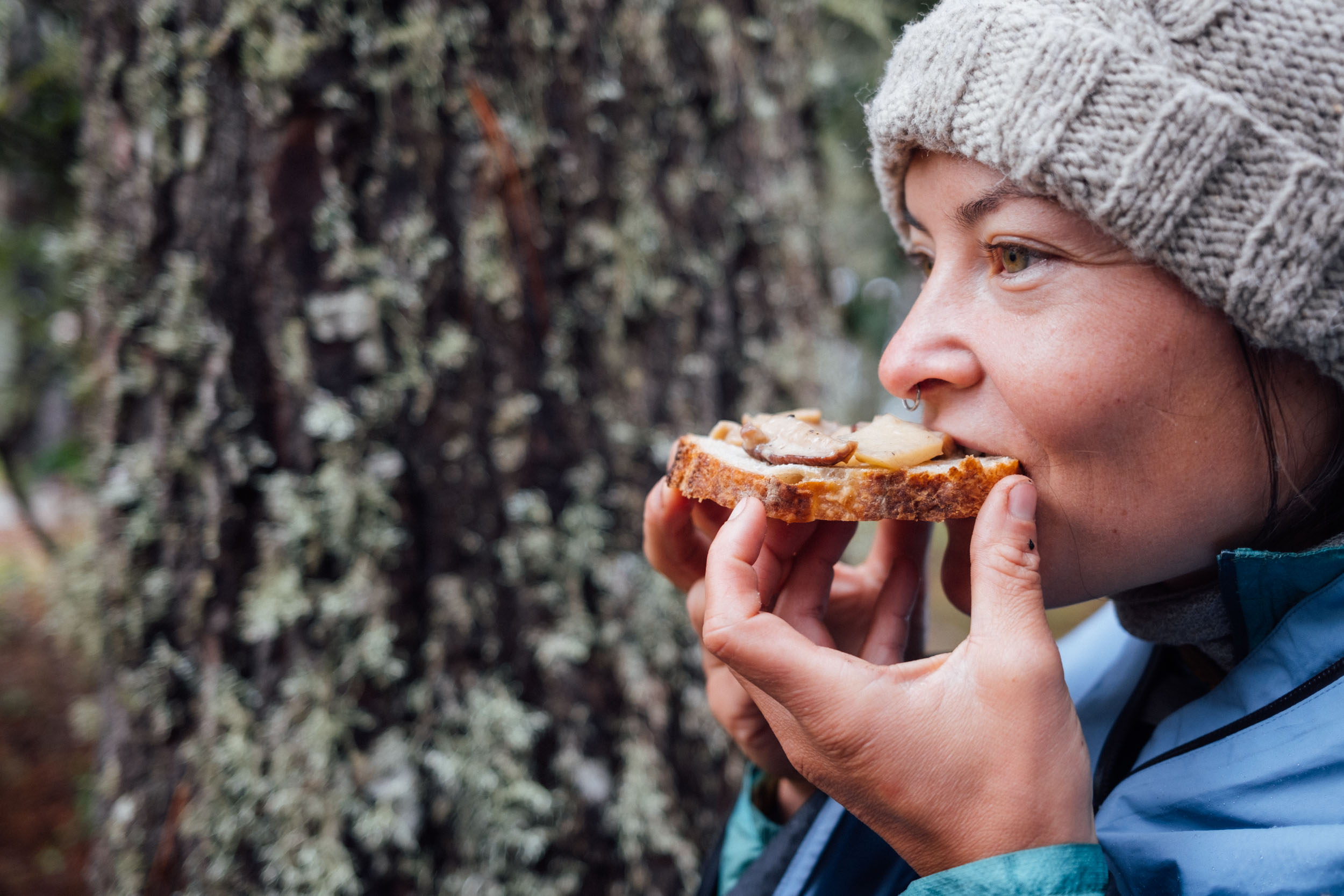
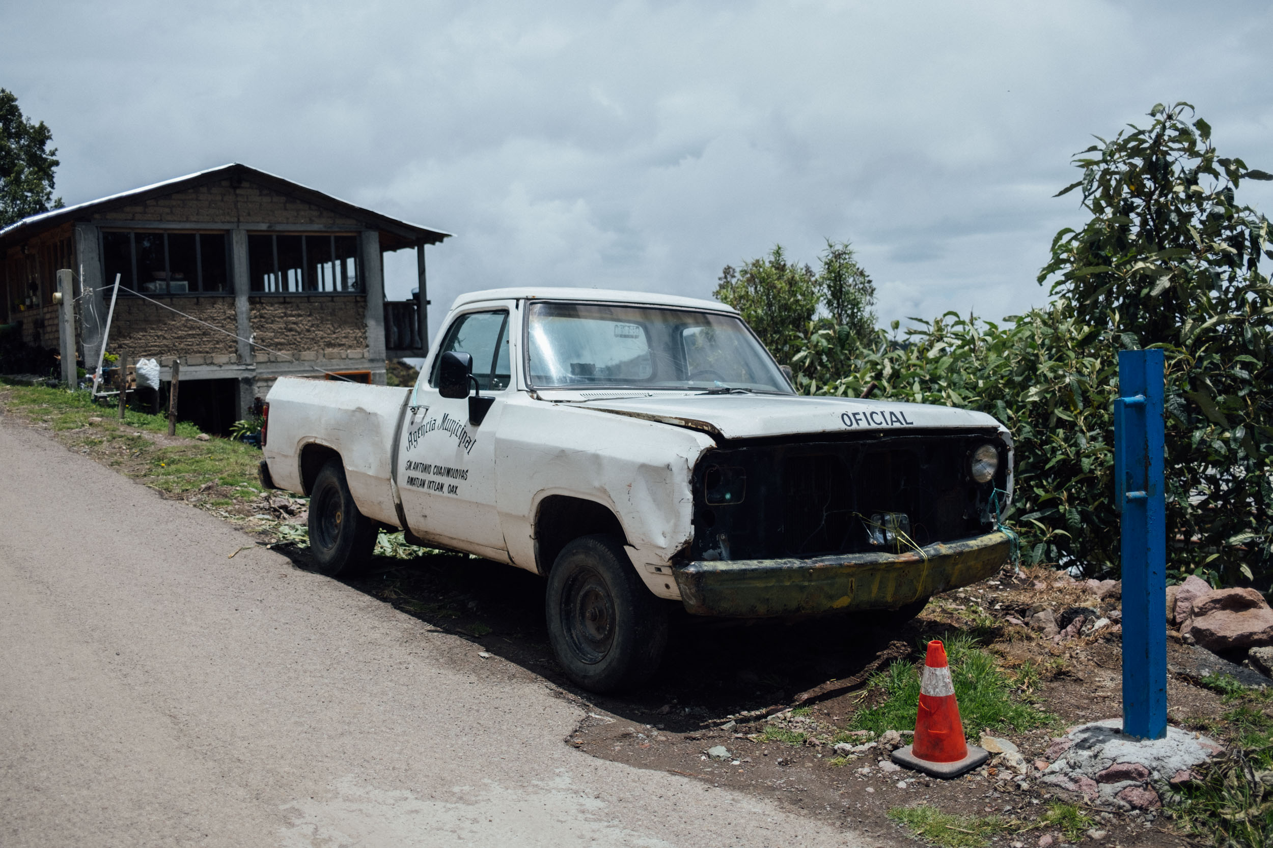
Continuing onwards, the climb eventually turns to broken pavement, at which point it’s a quick and easy detour to enjoy the views at Piedra Grande should you so wish, before doubling back through Llano Grande to San Antonio Cuajimoloyas. The latter is one of the jewels in the Pueblo Mancomunado crown, complete with a hotchpotch of colourful houses, lush gardens, assorted succulents for sale, and old vehicles rusting in the humid air. The community here requires a small day access fee to enjoy its protected trails, which is covered within the cost of camping, or a night in a cabaña. Depending on the time of year, it’s well worth lingering in this village and hiring the services of a local guide, be it to learn about flora on one of the half-dozen hikes, or to go mushroom foraging – the area is known for both Porcinis – aka King Boletes – and Amanita caesareas. Somewhat bizarrely, there’s even a kilometre-long zip-line – crane your head back to see the odd ant-size person buzzing past high, high in the clouds!
Lachatao Loop Extension
To extend this route by a day or two and spend more time in the Sierra Norte, the loop out to Lachatao – another of the eight Pueblo Mancomunados – is highly recommended. The ride from Benito Juárez to Lachatao takes 3.5 – 4 hours and includes a short section of fun, challenging, riverside trail, with some hike-a-bike. For this reason, it’s best ridden in a clockwise direction and on an appropriate bike and lightweight setup. The return leg to from Lachatoa to Cuajimaloyas involves a stout climb on a dirt road.
Note that if you’re considering riding the Lachatao Loop, it makes sense to follow the Vuelta clockwise, riding from Oaxaca to Benito Juárez on your first day, avoiding the need to double back to Benito Juárez, unless you have aspirations to descend out of the Sierra Norte on the Mil Rios trail.
If you’re not a confident mountain biker, consider heading out to Lachatao as an out and back on dirt roads (see POIs on map), as this idyllic village is well worth visiting if you have the time. Like the other Pueblos Mancomunados, there are cabañas and a camping zone, along with a restaurant and some small stores. For a RWGPS map, see here, and for more photos on this extension, see this blog post. The loop is 70km, with around 2000m of climbing.
With thanks to our guide Amador for showing us the way!
Strung across the length of a ridgetop – at almost 3,200 metres in elevation – the weather in Cuajimoloyas is often unsettled and moody, a welcome respite from the heat of the Mitla Valley, in the dry season especially. Since this route was first posted, the neighbouring Pueblo Mancomunado settlement of Benito Juárez has now finally opened, which means riders no longer need to take the paved descent down to the valley and can instead tack over on dirt, swooping directly down into Teotitlán del Valle below – a hub for woollen textiles, many of which are dyed using local plants.
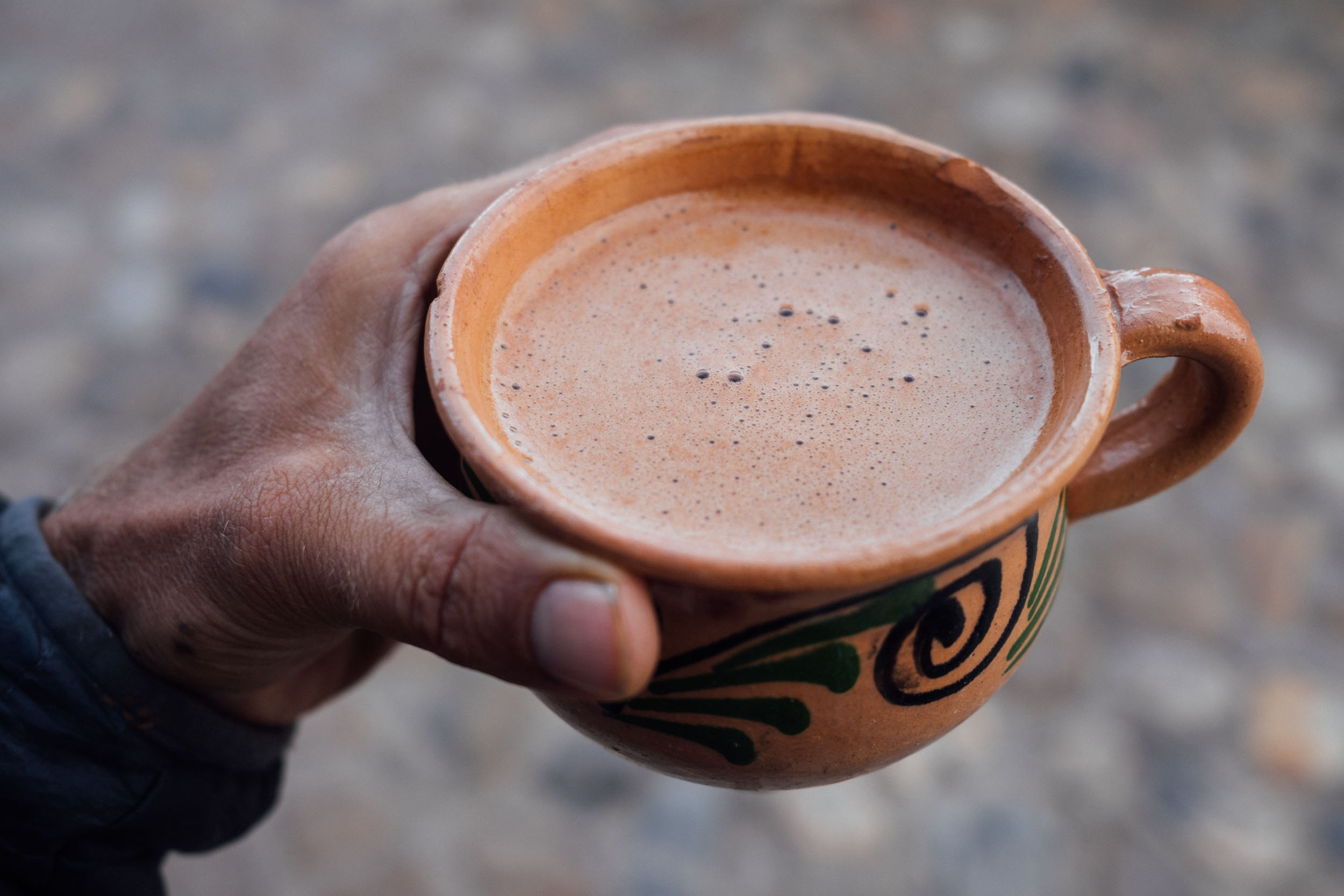
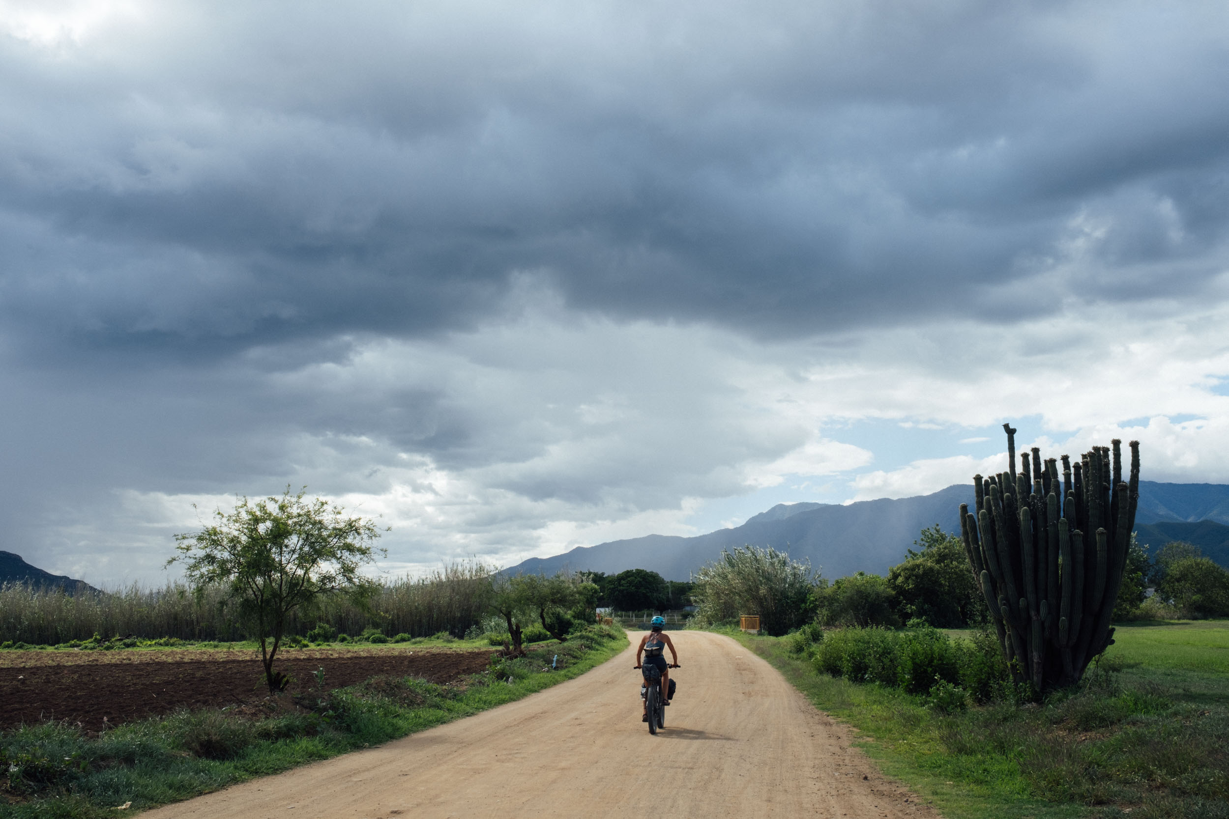
Finally, the route skirts unconventionally around a series of agave plantations, again all but devoid of traffic, bar ravenous goats, burros, and the occasional clapped-out pickup truck. From here, there’s the possibility of linking back up with the bike path between Tule and Oaxaca. But as the traffic in the city can be somewhat hectic in the afternoon, eek out your tour by following a quieter and more dirt-infused option instead. If you have the inclination, curiosity, and the thirst, riders can take one last swing out to San Andrés Huayapam, and enjoy a painted gourd of tejate, the pre-Columbian energy drink that will keep your spirits buoyant on the last few kilometres home.

Route Difficulty
This is a relatively straightforward route with plenty of access to food and water. Whilst the terrain is mixed – from dusty valley roads, to farm tracks, to rugged mountain passes – the core route is rarely rough enough to be considered technical, at least with an appropriate bike. From a physical perspective, however, the climb into the Sierra Norte is not to be underestimated, especially during the heat of the dry season when temperatures soar and shade is limited. In the rainy season, keep an eye out for storm activity and be prepared for mixed weather in the mountains at all times of the year. If you’re coming from sea level, bear in mind that the route reaches almost 3,200 metres in elevation, so allow some time in Oaxaca to catch your breath. Note that if you add in the Lachatao Loop, expect more challenging singletrack and a short hike-a-bike.
With thanks to Emma Bucke for her beautiful Boletus edulis illustration used in our route badge.


Highlights
Must Know
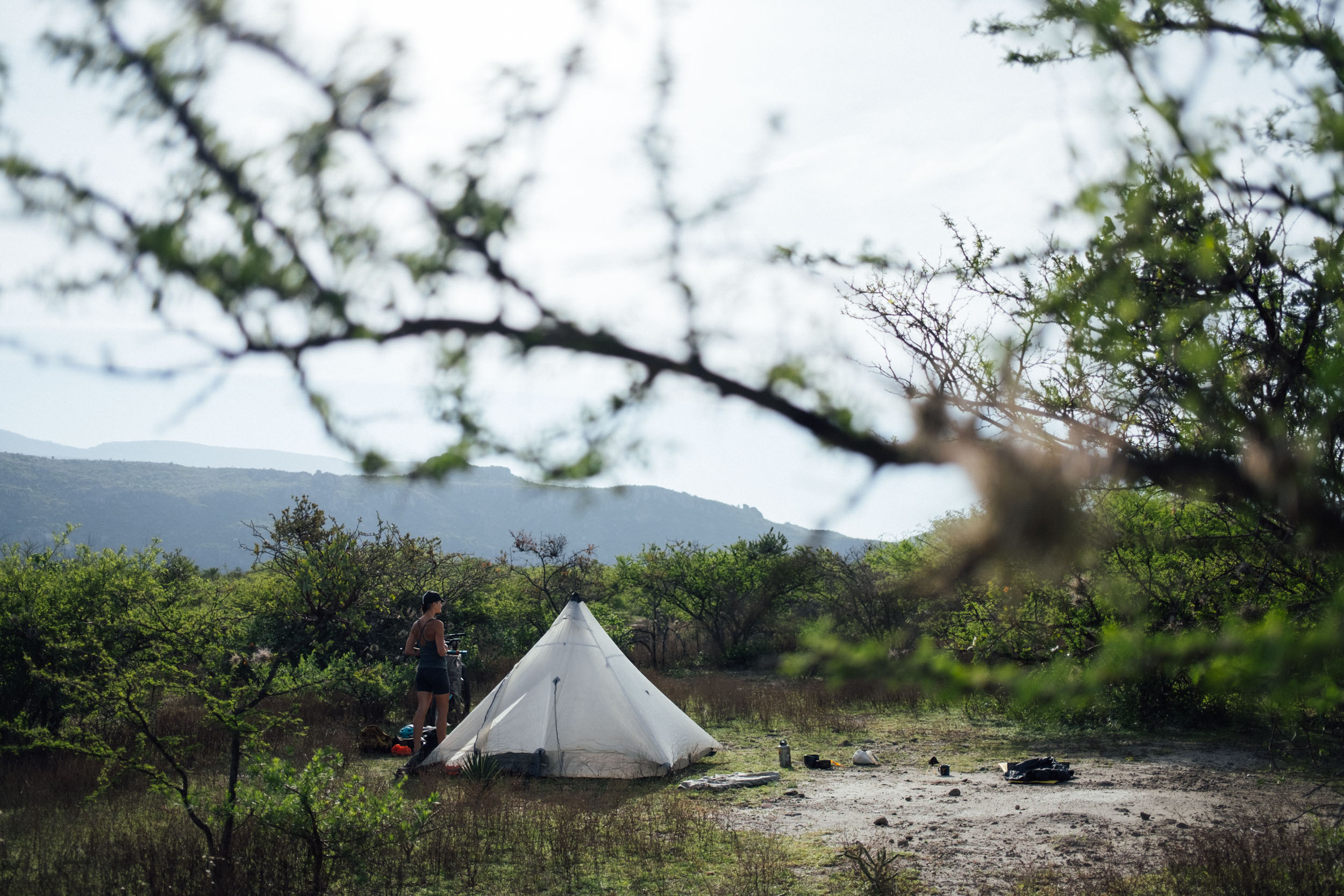
Camping
Food/H2O
Trail Notes
Resources
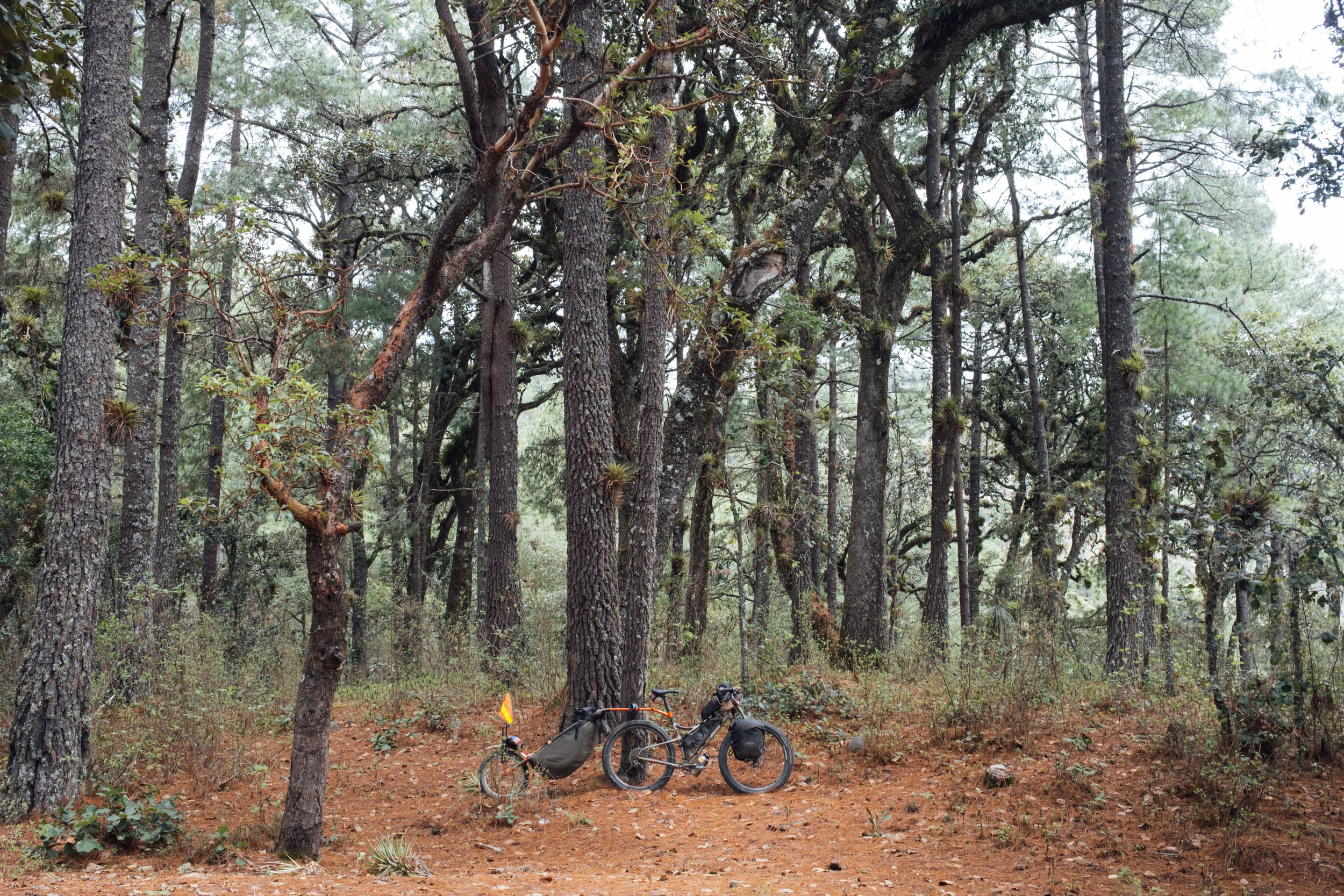
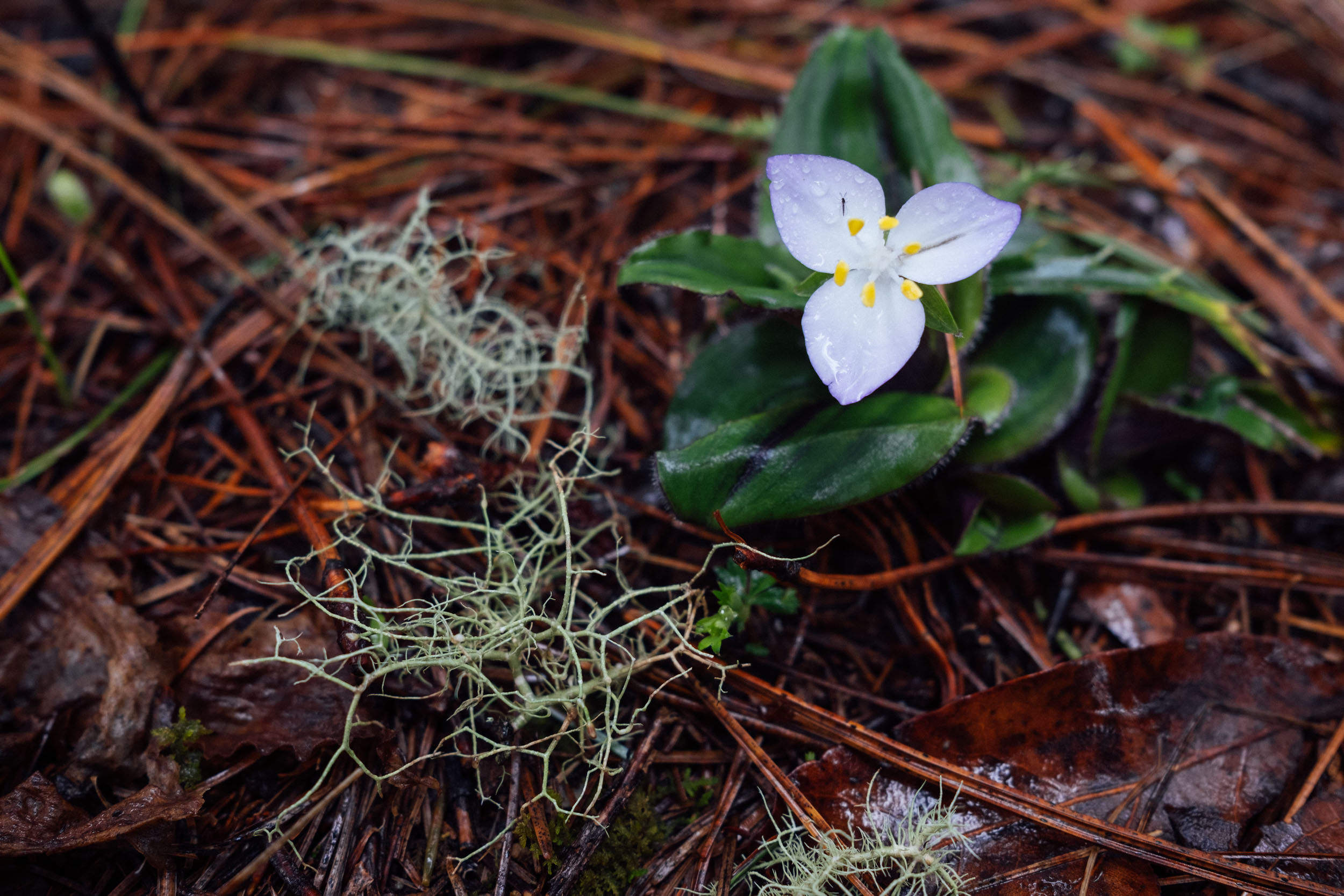
- Riding beautiful and traffic-free forest roads in the Sierra Norte, surrounded by pines, oaks, bromeliads, rare flowers, and orchids.
- The monster climb from the valley floor to El Carrizal – it’s sure to test the mettle of any bikepacker and wrapped by far reaching vistas at every turn.
- Balancing rugged mountain beauty with historical and cultural interest – there are two Zapotec archeological sites and a a prehistoric cave with petroglyphs.
- Enjoying a grassroots, well organised tourist network that supports the local economy and helps keep regional traditions alive.
- Classic Oaxacan fare, always a highlight of cycling in this state.
- Stopping by Teotitlán del Valle on the way home, and perhaps investing in one of the naturally dyed textiles for which the town is known.
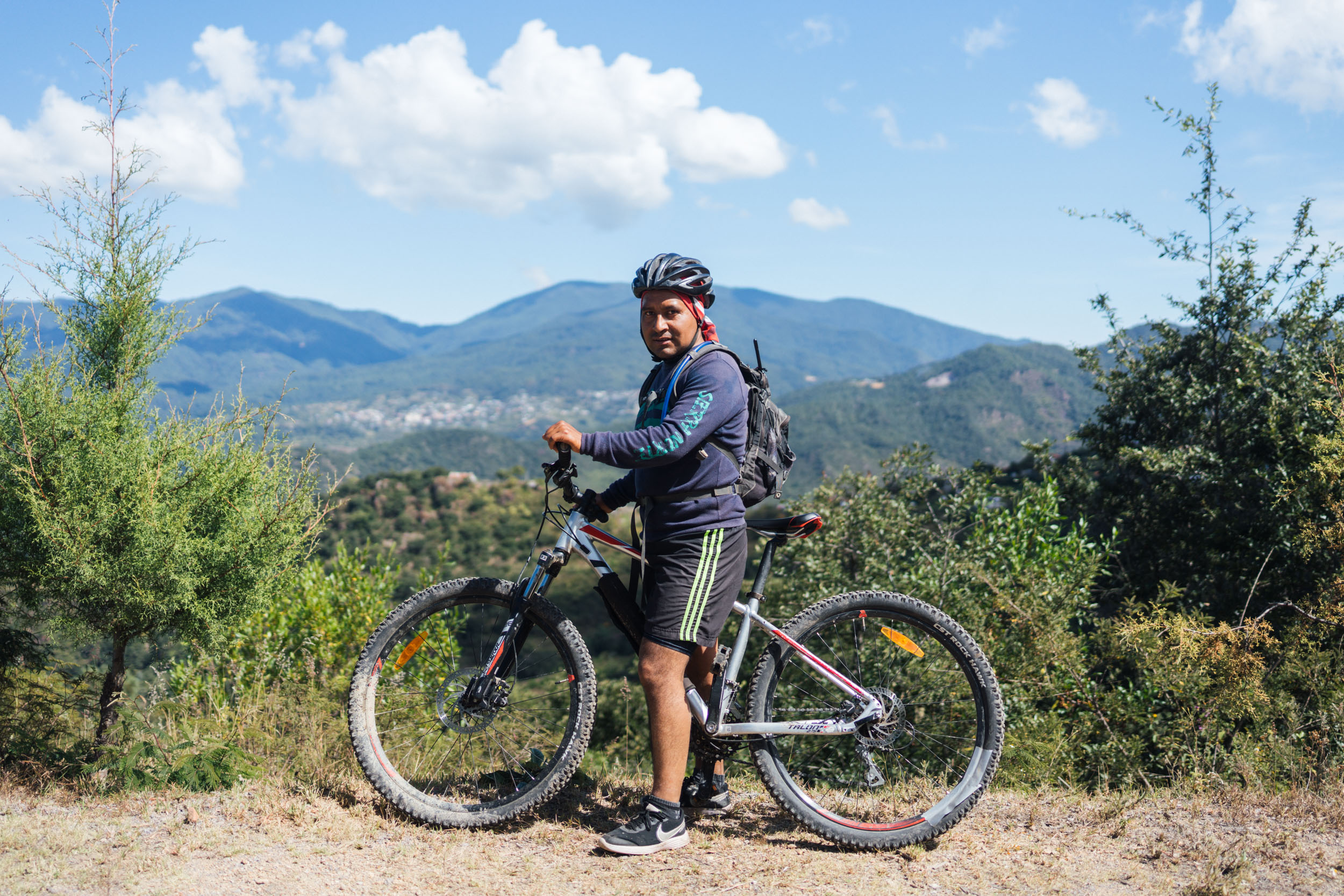
- Best bike: A rigid mountain bike or hardtail with 2.2″ to 2.6″ tyres is the best steed for this route, due to the mixed terrain, the extended climbs, and the often steep grades. Still, because there’s nothing technical along the way in terms of terrain, a traditional tourer works well too. If you’re aboard a gravel or drop-handlebar bike, be sure that your gearing is as low as that of a mountain bike, fit the widest tyres that you can, and expect to be jostled around at times. Whatever bike you choose, pack light, as there’s a lot of climbing to contend with.
- Best time of year: Oaxaca is a popular destination throughout the year, with November to February being the high season. Bear in mind that during the dry season (November to April/May), dirt roads become increasingly dusty and temperatures soar as the months go by – especially as you descend in elevation. By April, the landscape also becomes increasingly dull and brown. In contrast, the rainy season (May to October) brings lush countryside and more bearable midday riding temperatures, but expect heavy later afternoon or nightly downpours. Thankfully, rain in the mountains of Oaxaca is rarely an all-day affair, unless there’s a storm system impacting the Pacific coast or the Gulf of Mexico, in which case it can be rainy and overcast for a few days. Mid-October through January are probably the best times to ride here, as the landscape is still green, the heaviest rains have passed, and the temperatures aren’t yet oppressive – within this time, November is perhaps the very best time and will give you the chance to experience the Día de Muertos ceremonies at the beginning of the month, too.
- San Miguel del Valle camping and access fees: Be sure to pay your fees at the Centro Ecoturistico (951 520 9105 Whats App), which is up on the right, at the beginning of town. It’s often closed at lunchtime. Note that this area isn’t part of the Pueblos Mancomunados and there is a new series of fees for 2026: Access is 100 pesos per person for 24 hours and 100 pesos per person to camp. This is a close knit community, so please be respectful of the fact that we are being granted access to their forest, and keep to route or signposted roads.
- The Pueblos Mancomunados and fees: There are camping and access fees to pay in Cuajimaloyas and Benito Juarez. In Cuajimoloyas, the office is on the main road – see POI on the map. It’s currently a 100 pesos per person to camp, which includes access to the area. Benito Juarez has it’s own camping zone and cabañas. The office is at the top of town on the left – there, you can pay to camp close to town (100 pesos per person) and a separate access fee for the Benito Juarez Mirador/Puente colgante (100 pesos), which is definitely worth checking out. The views are fantastic! Both of these centres offer lodging in cabanas too, if you want to travel without camping gear. For the most part, you won’t need to book in advance but be mindful that they can get busy at the weekends and during festive periods. Although an independent visit to the area doesn’t require a trip to the headquarters of the Pueblos Mancomunados in Oaxaca beforehand, it can be worth popping in and making any bookings if you are going to rely on cabañas. See Expediciones Sierra Norte for details – the office is in the centre of town.
- Direction: This route can be ridden clockwise or anticlockwise. However, be aware of access and camping fees that need to be paid in San Miguel del Valle. This is easy to organise in anti-clockwise direction, as you’ll past the office. If riding clockwise, you’ll need to find a local community member as soon as you can and pay them directly – or pay your fee on the way out. You can also contact the office directing via Whats App 951 520 9105. Whilst both ascents into the Sierra Norte are long and challenging, the climb up to El Carrizal (anti clockwise) is more exposed and steeper in places than its Benito Juarez counterpart, which makes it more challenging in the dry season. Climbing via Benito Juarez offers more shade but as mentioned, complicates the logistics of paying fees. If you are riding the route clockwise, I’d suggest following the original file out of town until Tlacochuhuaya (approx km 19), and returning via Huayapam, as it’s a more relaxing way to enter the city, especially on a hot and busy afternoon.
- Want to end with a trail flourish? If you’re on a lightweight, mountain bike setup, it’s possible to drop down to the valley via the Mil Rios trail, and rejoin the route near Tlalixtac – rather than routing through Teotitlan del Valle on gravel roads. Parts of this ride are rocky and technical, though much of it is fast flowy too. There is a small fee to ride this trail, to be paid if anyone is manning the booth at its exit. See POI on the map for its start point.
- Dry season: As the dry season progresses, the exposed climb to El Carrizal will become increasingly challenging, so bring extra water as there’s nothing along the way. The valley floor will be dusty but the high mountains tend to stay cool – in fact, it can vary by as much as 30°C (equivalent to a 54°F change) on the descent from Cuajimoloyas to the valley floor.
- Rainy season: It can be worth bringing a light tarp to throw over your bike and keep the drivetrain and bags dry at night. Storm systems aside, rains mostly come in the late afternoon or at night, so don’t tend to get in the way of enjoying your days in the saddle. The rainy season has its own charms, including epic skies, storm-racing, and the chance to forage for mushrooms. Check the Dark Sky app for storm activity during hurricane season, which starts in June.
- Foraging: Typically, the mushroom season begins in mid-to-late June, depending on the onset of the rainy season. Guides can be hired at the Centro Ecoturístico in San Antonio Cuajimoloyas. A typical forage takes around five hours – it’s 300 pesos for a Spanish-speaking guide and 420 pesos for an English-speaking one.
- ATMs: The only place to find an ATM along the route is in Tlacolula, so best to bring all the cash you need with you. Try to break 500 peso notes beforehand at one of the banks in town, as small shops and restaurants will struggle to find change otherwise.
- Spanish language skills are very useful, as parts of this route see few foreign visitors.
- Plant primer: Visit the renowned Jardín Etnobotánico de Oaxaca before you set off. Oaxaca Journal by Dr. Oliver Sachs is a highly recommended read for those interested in learning more about the area, from both a botanical and cultural standpoint.
- For general information about our extensive route network in Oaxaca, be sure to check out our Oaxaca Bikepacking Routes Network resource. It includes details on getting there, bike shops, rentals, gear choices, food, arts and crafts, and worthwhile places to visit in the city and surrounding towns.
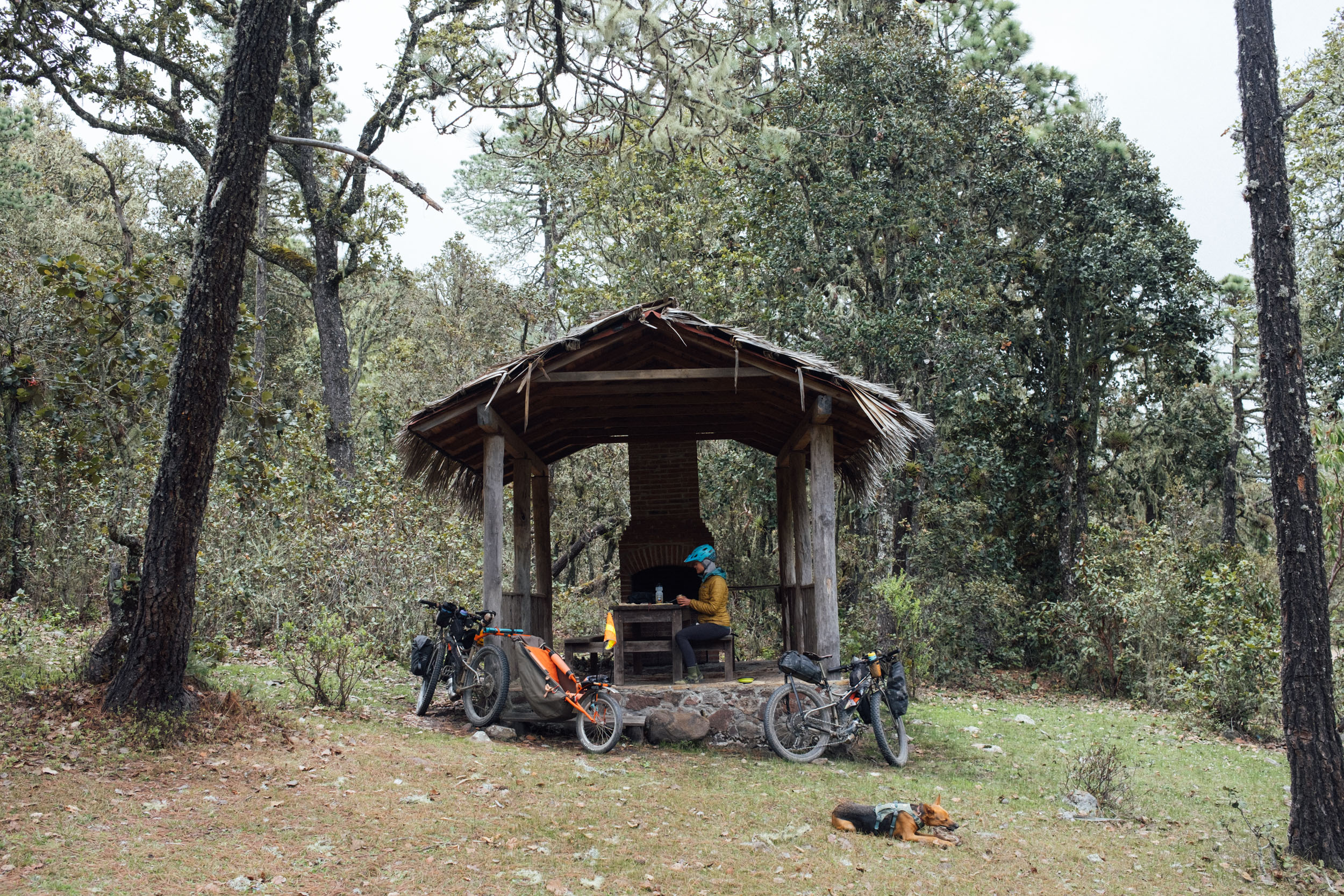
- El Carrizal, Cuajimoloyas, and Benito Juárez all offer camping and cabañas at their respective eco centres (see map for locations). Camping is typically 100 pesos person and cabañas are around 250-300 pesos per person (minimum 2 people). Note that in Cuajimaloyas, the camping fee covers the cost of access to the area whike in Benito Juarez, it’s a separate fee to go to the Mirador and swing bridge. If you see a Centro Ecoturisto, check in for any updates.
- Camping spots don’t need to be arranged in advance but you’re best off booking your cabana, especially at the weekend. You can email or pop by Expediciones Sierra Norte in the centre of Oaxaca to do this.
- In El Carrizal, you can either camp up at the Centro Ecoturístico by the basketball court in the village (talk to Jaime there, 951 312 6200, as he can take you to the local sights by bike or on foot), or at the trout farm/restaurant, which is also owned by the community and run by Caesar (see Food and Water for more details). Both are marked on the map and cost 100 pesos per person. I prefer to camp at the trout farm, as it’s set away from the village and there are less dogs and roosters! If you’re headed to Carrizal during the week, it’s worth ringing to make sure someone is around.
- Cuajimoloyas offers two camping zones and we’ve marked them on the map, as you can make fun loop connecting them. The camping zone immediately below the cabañas has access to picnic benches, a tap, and outlets to charge devices, but is likely to be busier/noisier at weekends. The lower campspot is larger and flatter, with a compost toilet and access to clean water. Both have small comedors operating at weekends, but don’t rely on them for food as they close up if there’s not enough business – ask at the Centro Ecoturístico if they’re open.
- The 200 peso access fee paid at San Miguel del Valle includes camping for the night, There are a number of spots – we’ve marked a good one near the top of the first big climb but there are plenty of other ‘zona de acampar’ throughout the area. Note that no fires are allowed.
- Comedor Campestre Mi Ranchito, in Villa Díaz Ordaz, offers camping behind the restaurant for 100 pesos per person. Note that it’s a popular spot for celebrations at the weekend… so bring your ear plugs!
- If you want to eek out your trip, check out Mongolian Yurt Adventure, where there’s room for one tent at a time. It’s close to Tlacachuhuaya and is a great spot to stay. The premises is off-grid and powered by solar panels. There’s a discounted cyclist’s rate of 100 pesos per tent – send a Facebook or WhatsApp message (9511309722) before turning up.
- If you preper to travel light or don’t have access to camping gear, this is a route that can be completed using cabanas in the Sierra Norte and hotels in the valley floor.
- There are plenty of options for hotels in Teotitlán del Valle and Tlacolula, if you need them – see Booking.com. In Teotitlán, B&B Teocalli is a good budget choice with room for bikes, and Las Granadas has also been recommended.
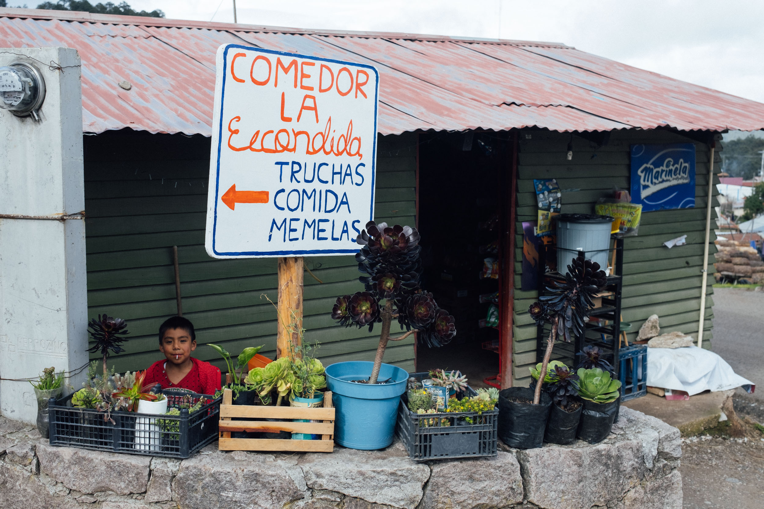
- Within the Mitla Valley, food and water are readily available. Up in the Sierra Norte, tiendas and restaurants have been marked on the map.
- Every small restaurant is likely to be able to rustle up delicious memelas and tlayudas. Wash these down with a jarra de agua fresca, depending on what’s in season.
- Water: the climb up to El Carrizal is bereft of water, but once up in the Sierra Norte, there are plenty of springs and creeks. Bring a filter.
- Villa Dia Ordaz: Mi Ranchito, on the way into the village, is a great spot for food. Service can be a little on the slow side, though, but it’s worth the wait.
- El Carrizal has a trout farm with a restaurant where you can camp too (see map). There is also a comedor at the Centro Ecoturístico but it has sporadic hours. There’s a community store close by but hours are also limited, so it’s worth having food with you. If it’s open, look for the locally-made cookies and empanadas
- Llano Grande as a couple of restaurants too, and there are other roadside eateries in the area.
- Cuajimoloyas is the best place to resupply and has plenty of restaurants (including a few favourites marked on the map), a number of small general stores, and one that specializes in local produce like jams and mezcal.
- Both the campsite and the cabanas in Cuajimoloyas have small comedors that operate at weekends – the lower campsite has a small trout farm and the one at the cabanas can even show you how to prepare your mushrooms, if you find any, and cook them for you! They tend to close up in the afternoon, so don’t rely on them for food.
- When you’re down in the valley, ask to fill your bottles and offer a few extra pesos to save buying unnecessary plastic.
- Within the villages of the Sierra Norte, the water is clean enough to drink. Bring a means to purify it if you’re concerned.
- For more about Oaxacan food and drink, and restaurant recommendations in the city, see our detailed Comida Oaxaqueño: Oaxacan Food Guide!
In terms of breaking this ride up, there are a number of possibilities. Here are some ideas:
- Day 1: Enjoy an exploratory first day, checking out the various sights en route, overnighting in Tlacolula.
- Day 2: Visit Yagul in the morning, then climb up into the Sierra Norte. This will be relatively short distance-wise, but it will be much more challenging, as the climb from San Miguel del Valle is a tough one. There are a number of places to camp in the area.
- Day 3: Ride to el Carrizal and onwards to Cuajimaloyas, taking time to explore and hike in the area by camping there for the night.
- Day 4: Continue onwards to Benito Juarez, head up to the Mirador, then finish of the route with a big descent to Oaxaca, with time to visit Huayapam and Presa La Mina on the way back into the city.
For those who enjoy riding technical trails, consider dropping down the Mil Rios singletrack extravaganza to Tlalixtac (see POI for details). This is a super fun but challenging trail, so is only recommended on a lightweight bikepacking setup, ideally with suspension and a dropper. Note that there is is a small fee to ride this trail, which can be paid in Tlalixtac.
The route was originally conceived in an anti-clockwise direction, due in part to some Pueblo Mancomunado villages remaining closed post-pandemic. Now that they are open, it also makes a great tour in a clockwise direction, with the added benefit that the climb to Benito Juarez is gentler in grade and more shaded in the dry season months. However, be sure to let the centro ecoturistico in San Miguel del Valle know you’ll be coming through – see Must Know tab for details.
Clockwise
- Day 1: Big day all the way up to Benito Juarez. Approx 5 hours of riding time and 1600m of elevation gain.
- Day 2: Head out to the Mirador for sunrise, then follow the route past Cuajimaloyas to camp in the high pastures.
- Day 3: Continue onwards, dropping down to Yagul to visit the archeological site, overnighting in Tlacolula, allowing time to visit the archeological site.
- Day 4: Ride back into Oaxaca, with plenty of time to visit Huayapam and Presa La Mina, and if it’s a Sunday, pop into the market in Tlacolula.
Route Extension to Lachatao
If you’d like to extend this route and head further into the Pueblos Mancomunados, be aware that at the time of writing, La Neveria and Latuvi remain closed. However, it’s possible to ride to Lachatao via both a trail (where a guide is required) or a dirt road. See the box out in the main text for details. A possible itinerary could be this:
- Day 1: Big day all the way up to Benito Juarez.
- Day 2: Ride dirt/trails to Lachatao, camping beyond Santa María Yavesía.
- Day 3: Ride to El Carrizal, via Cuajimaloyas.
- Day 4: Ride to Tlacolula and stay there, allowing time to visit Yagul.
- Day 5: Ride back into Oaxaca, with plenty of time to visit Huayapam and if it’s a Sunday, pop into the market in Tlacolula.
- Expediciones Sierra Norte is the organisation that overseas the tourism project in the Pueblos Mancomunados. They have an office in town if you want to make any bookings for guides/cabanas.
- This blog post is an account of riding the loop in May 2023.


Terms of Use: As with each bikepacking route guide published on BIKEPACKING.com, should you choose to cycle this route, do so at your own risk. Prior to setting out check current local weather, conditions, and land/road closures. While riding, obey all public and private land use restrictions and rules, carry proper safety and navigational equipment, and of course, follow the #leavenotrace guidelines. The information found herein is simply a planning resource to be used as a point of inspiration in conjunction with your own due-diligence. In spite of the fact that this route, associated GPS track (GPX and maps), and all route guidelines were prepared under diligent research by the specified contributor and/or contributors, the accuracy of such and judgement of the author is not guaranteed. BIKEPACKING.com LLC, its partners, associates, and contributors are in no way liable for personal injury, damage to personal property, or any other such situation that might happen to individual riders cycling or following this route.
Please keep the conversation civil, constructive, and inclusive, or your comment will be removed.