


Meandros En Mitla, Mexico
Distance
118 Mi.
(190 KM)Days
2-3
% Unpaved
75%
% Singletrack
1%
% Rideable (time)
99%
Total Ascent
8,400'
(2,560 M)High Point
7,500'
(2,286 M)Difficulty (1-10)
6.5?
- 5Climbing Scale Moderate71 FT/MI (13 M/KM)
- -Technical Difficulty
- -Physical Demand
- -Resupply & Logistics
Contributed By

Cass Gilbert
Contributing Editor
22.03.22 update: Unfortunately crime seems to be on the increase in Oaxaca de Juárez, both in the city centre at night and on a few of the local trails during the day. If you’re out late, take a taxi home. In terms of riding, hiking, and running in areas close to the city, be especially mindful in Cerro del Fortín, the cross at Torre de Microondas, and the very top of the Libramento Norte (before the road drops down in Viguera, as used by some of our bikepacking routes and day rides into the Etla Valley). Keep an eye out and don’t linger.
Meandros en Mitla is a valley ramble that pairs well with Excursiones en Etla, as well as making a great extention to the Sierra Norte Micro Vuelta.
Broadly speaking, it strikes a path from the centre of Oaxaca de Juárez to the head of the Mitla valley – in the Valles Centrales – though it does so in a circuitous and exploratory way. Initially, this comes by way of San Andrés Huayapam, which is reached on foothill trails, and shortly after, the magnificent Arbol de Tule, considered the stoutest tree in the world, and inspected by none other than the great naturalist Alexander von Humboldt. Huayapam offers excellent cuisine and the chance to taste tejate, a fermented drink for which this town is well known, exquisitely served in a painted gourd. Massive Montezuma Cypress aside, Santa María del Tule also promises excellent and refreshing nieves, so you won’t be going thirsty quite yet.
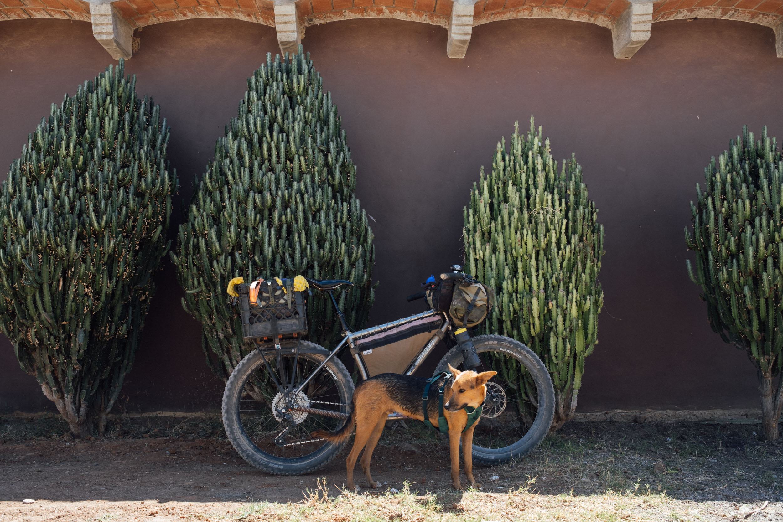
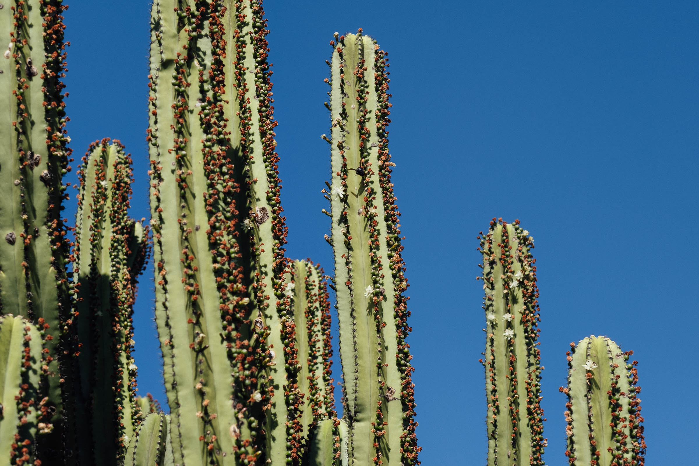
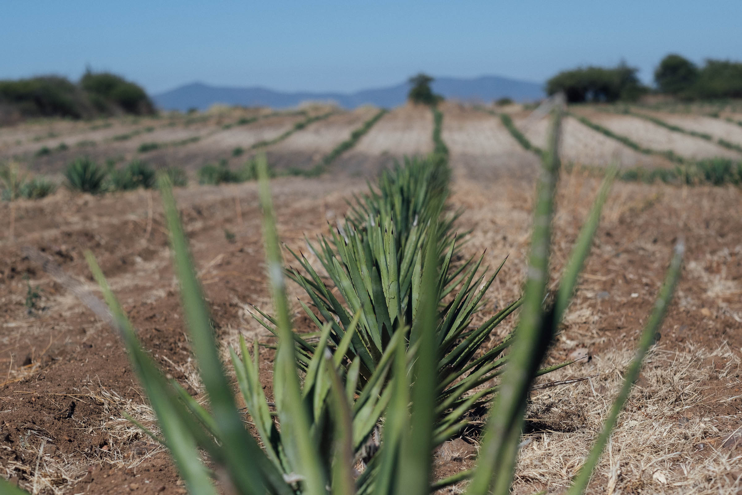
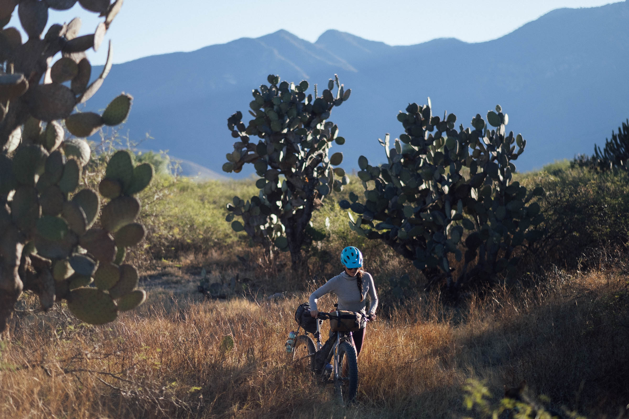
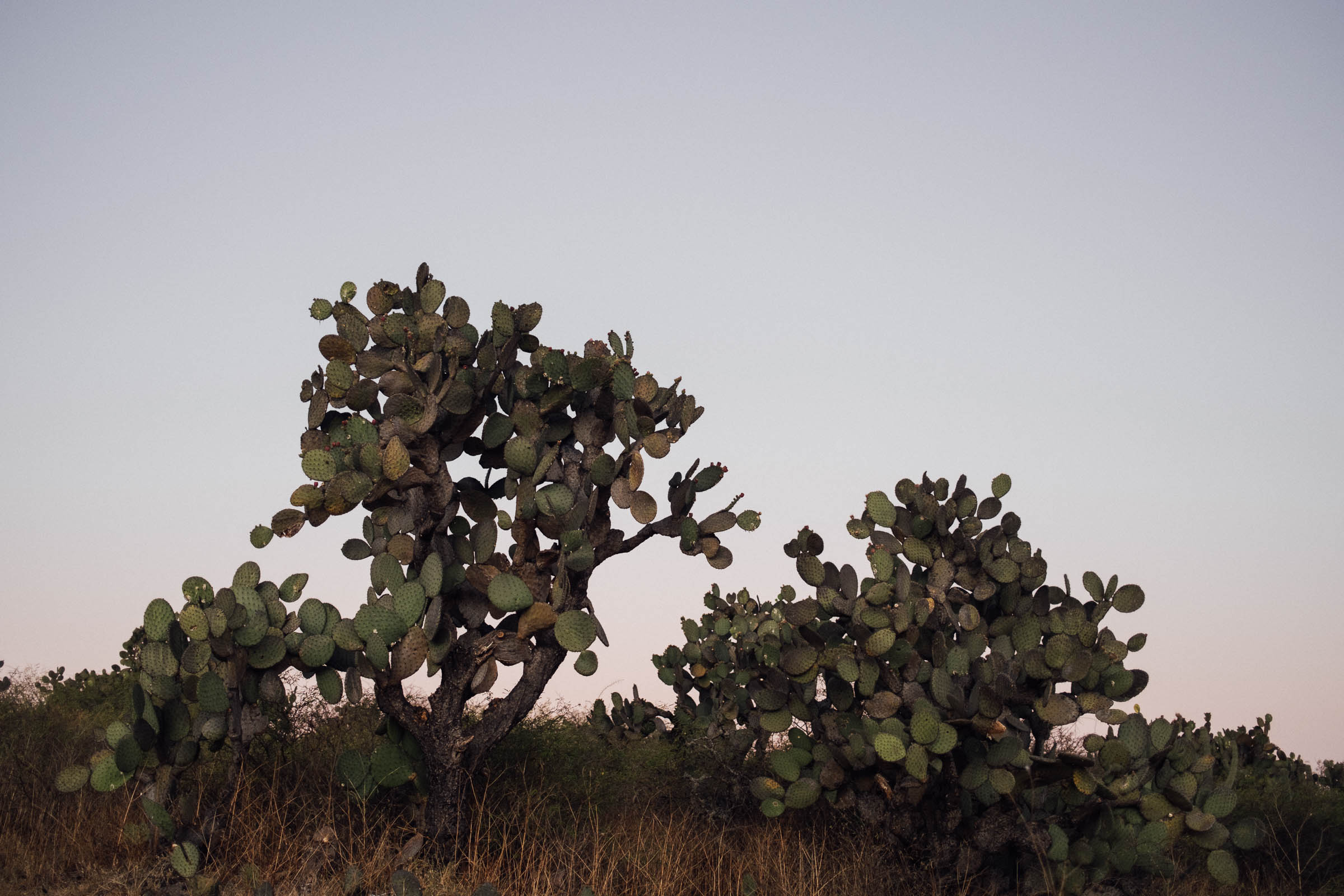
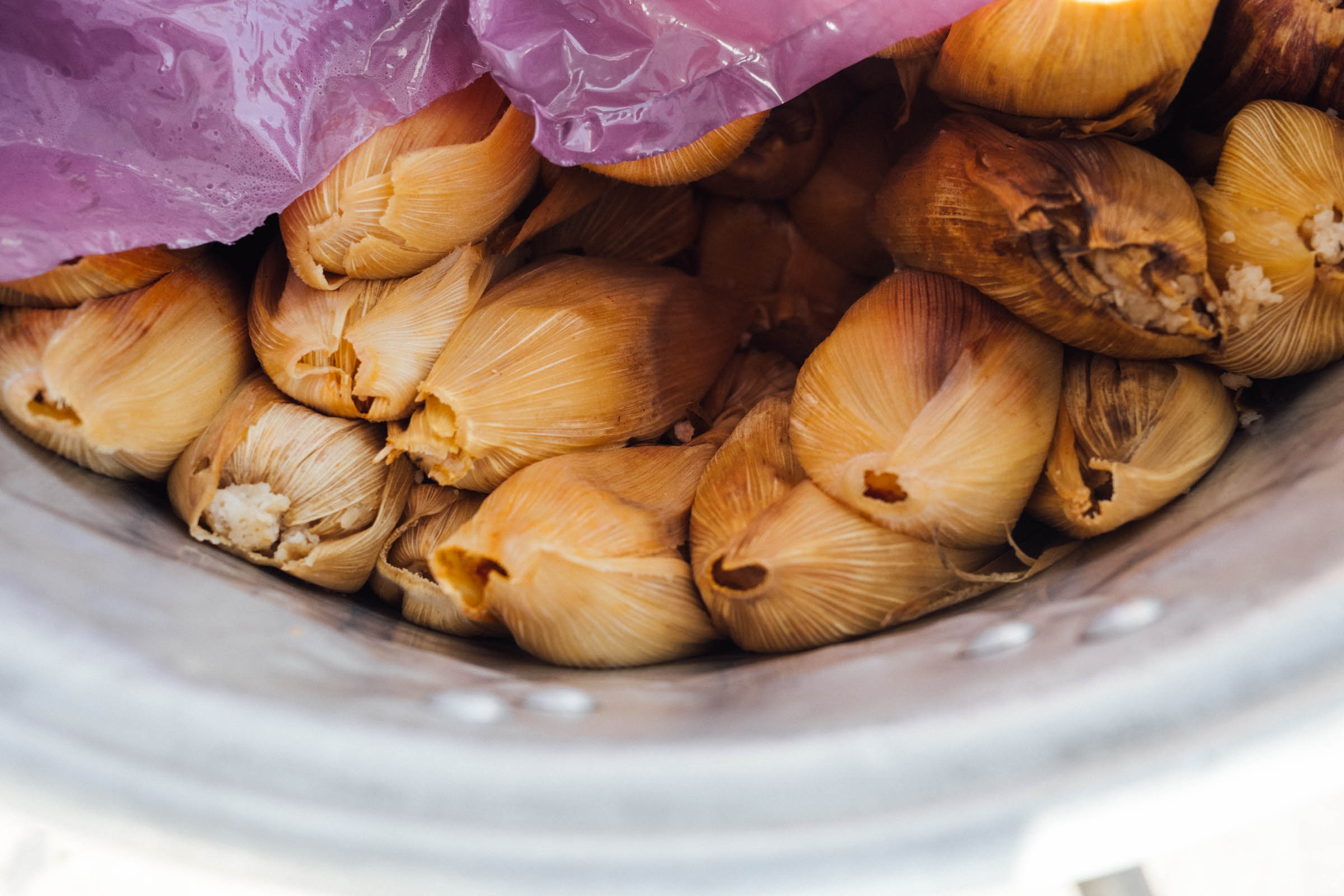
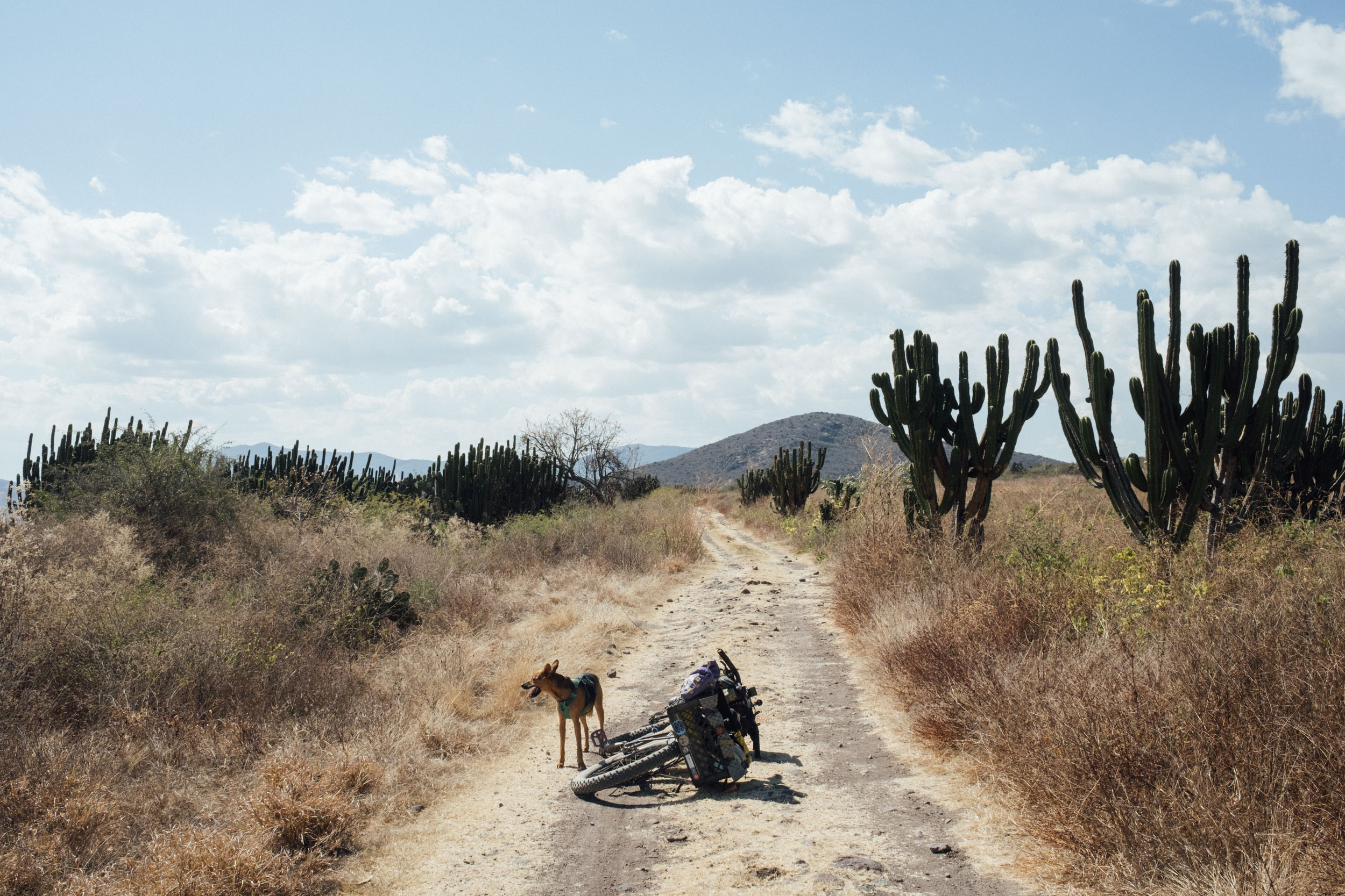
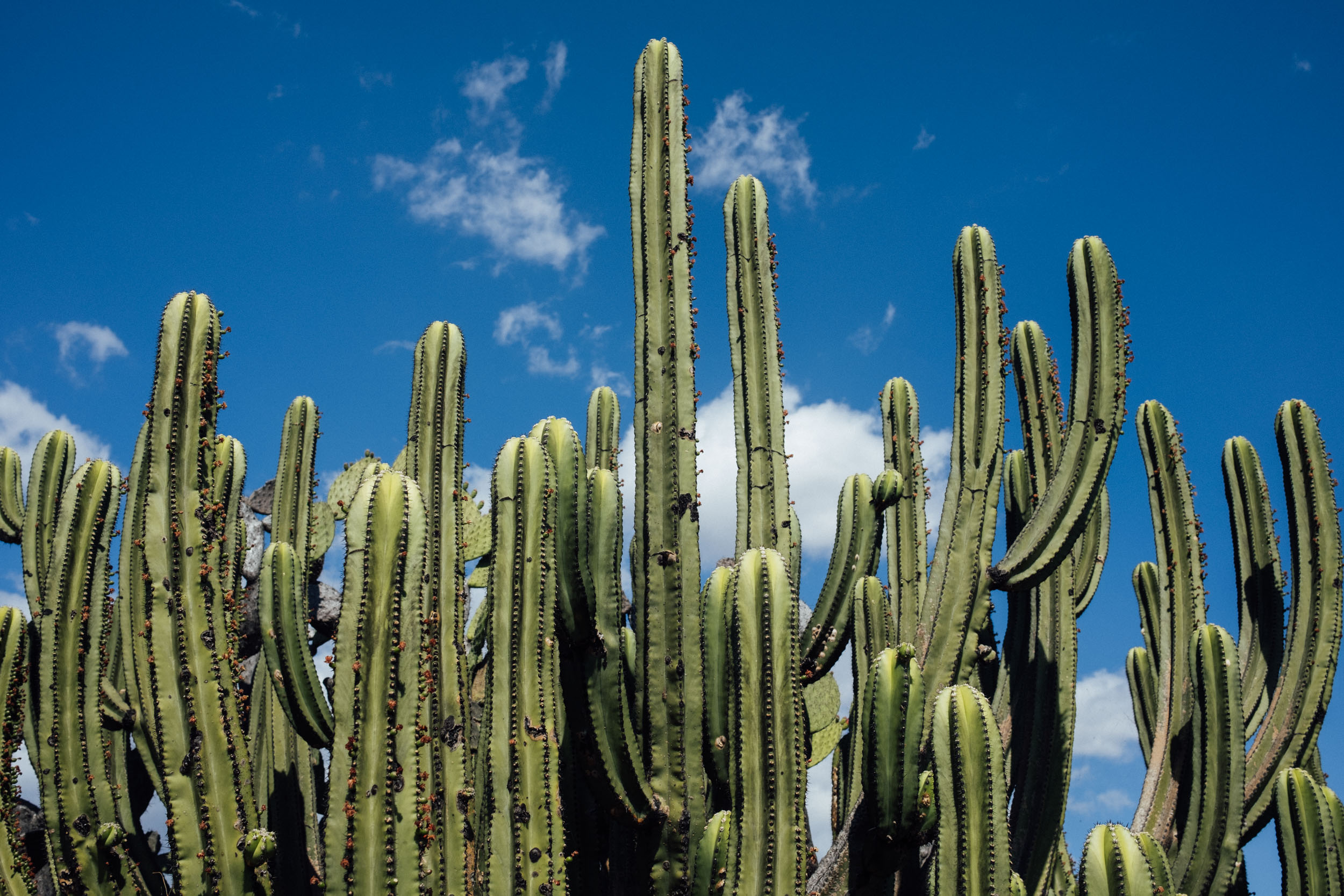
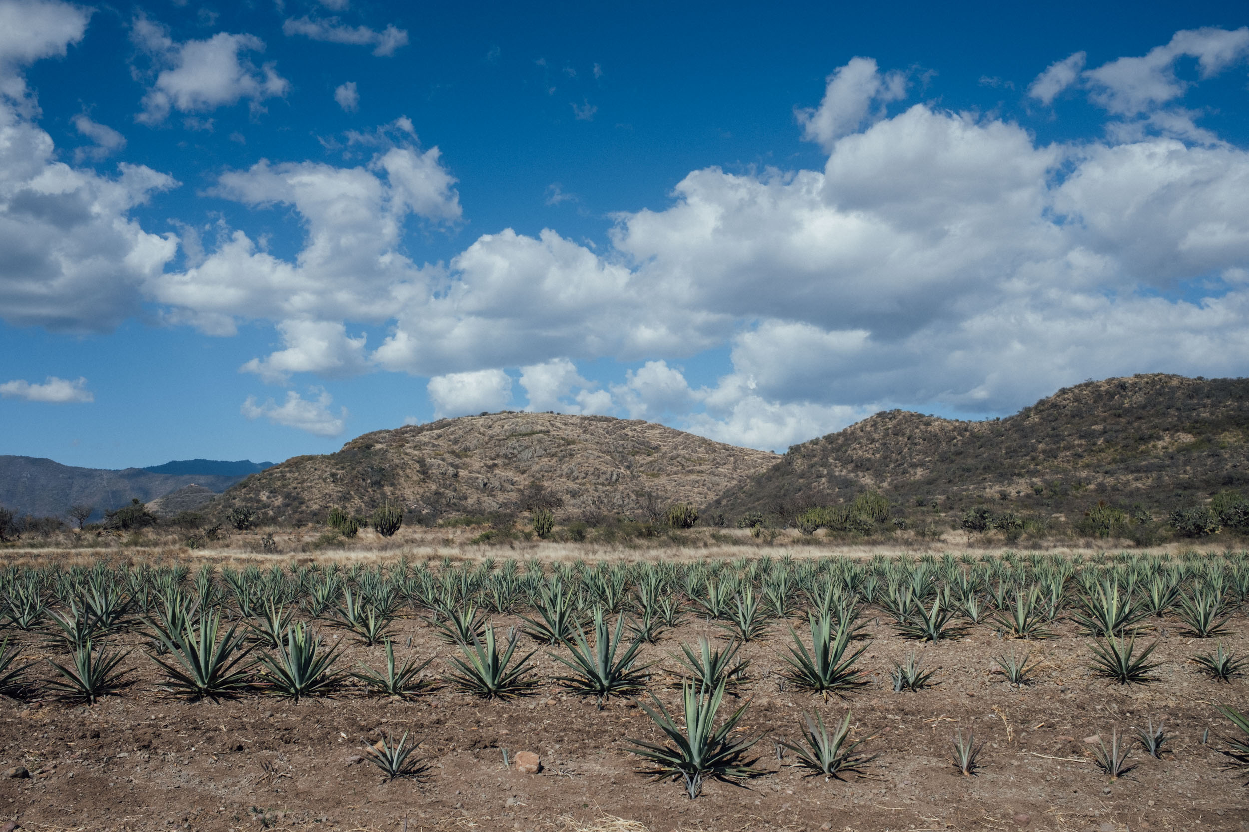
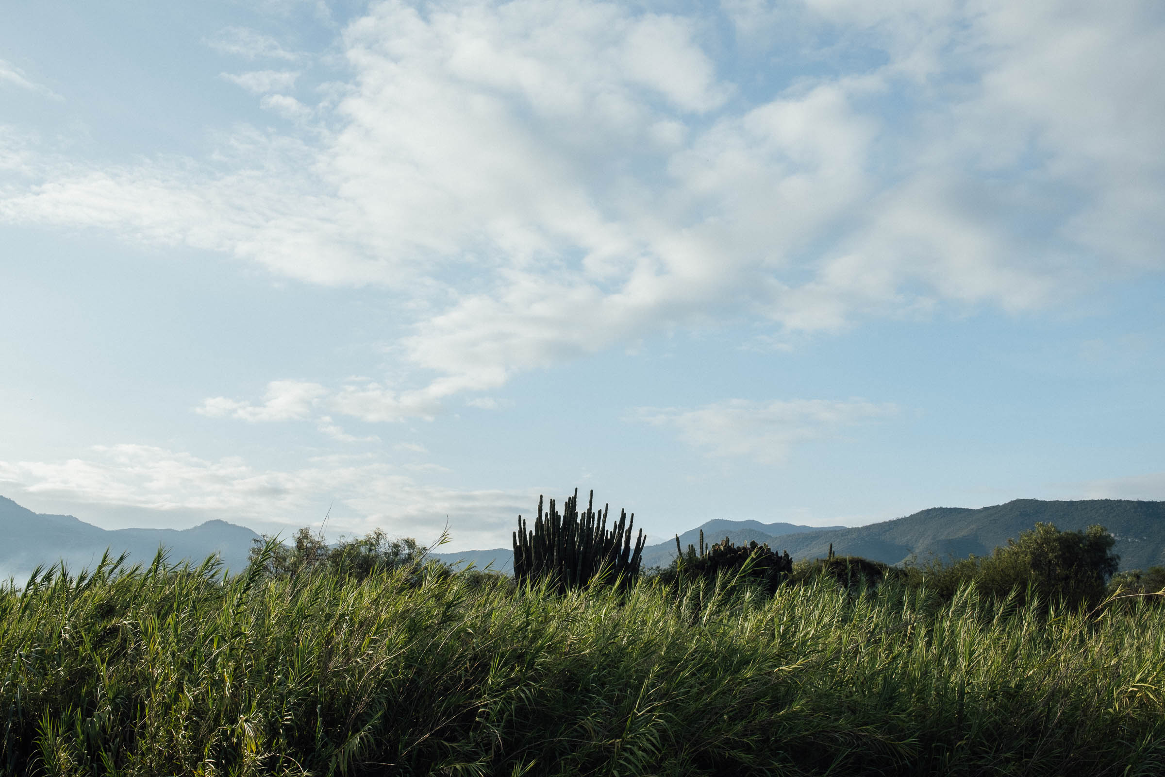
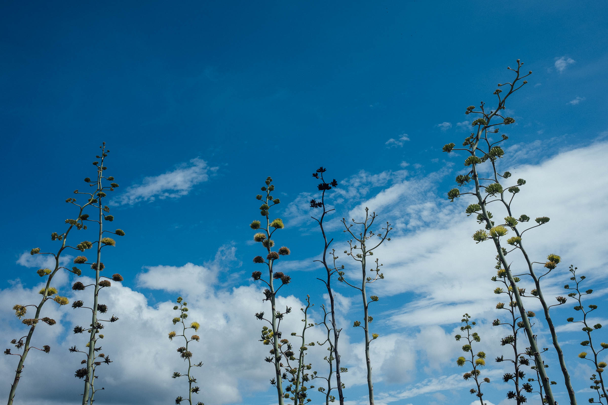
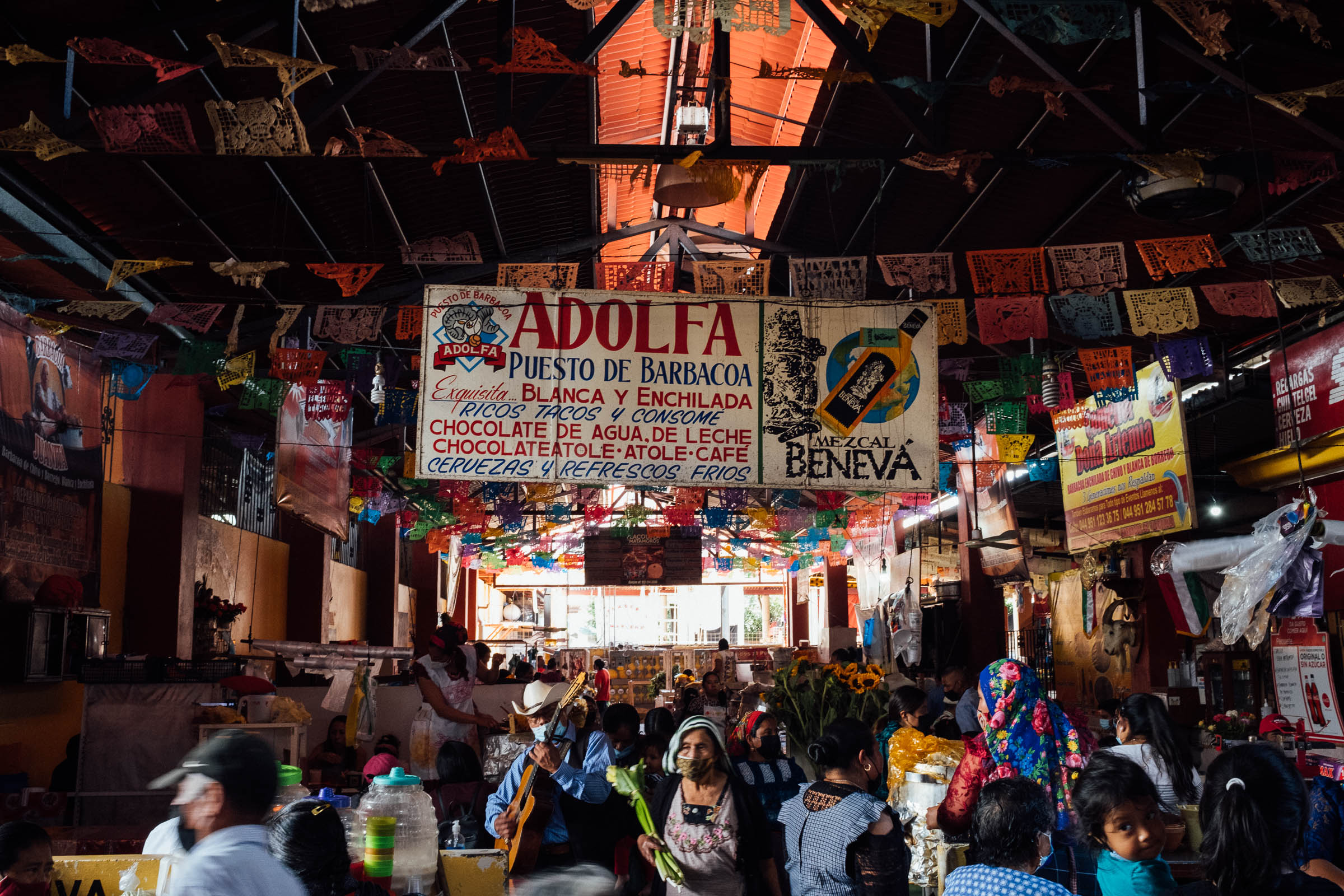
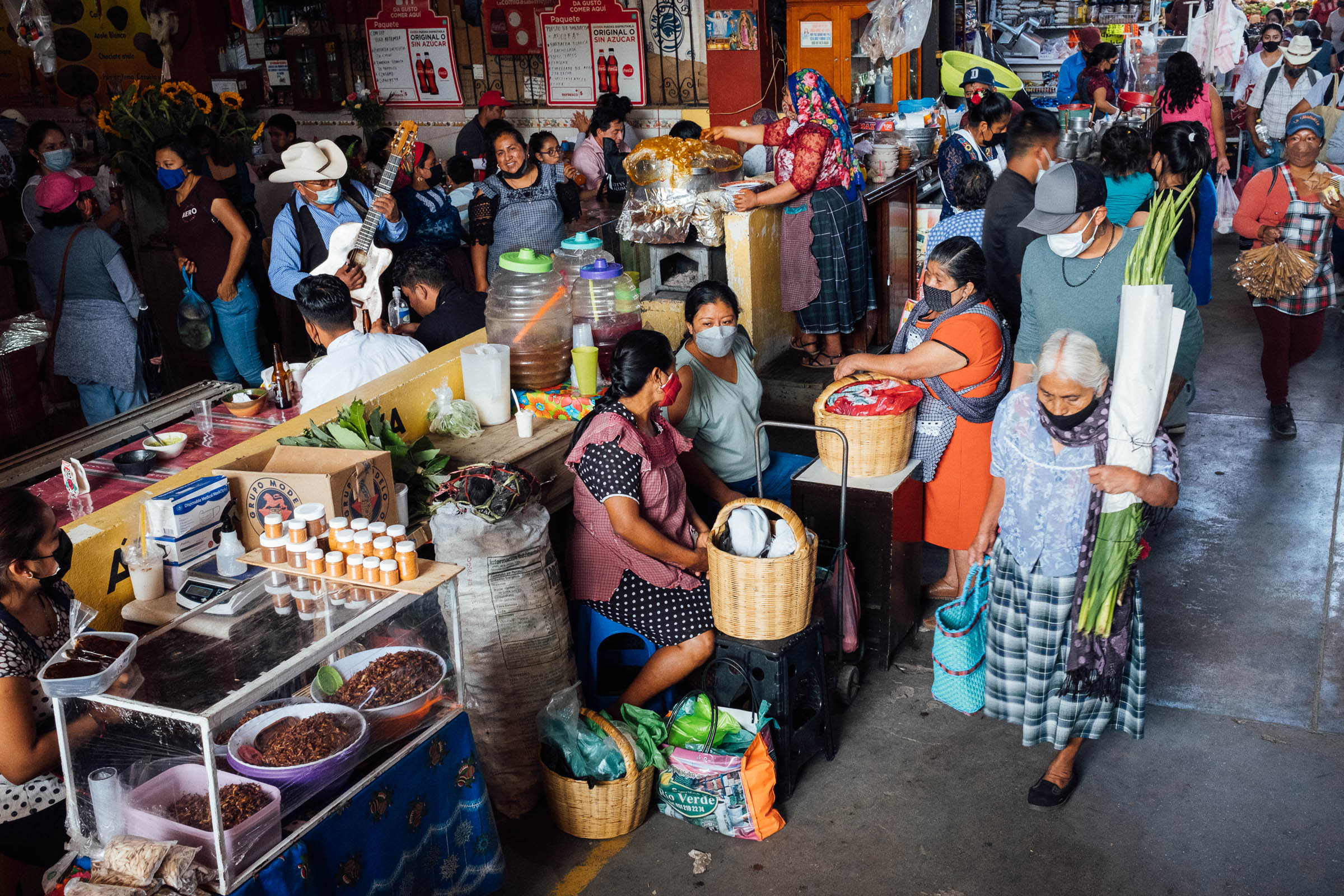
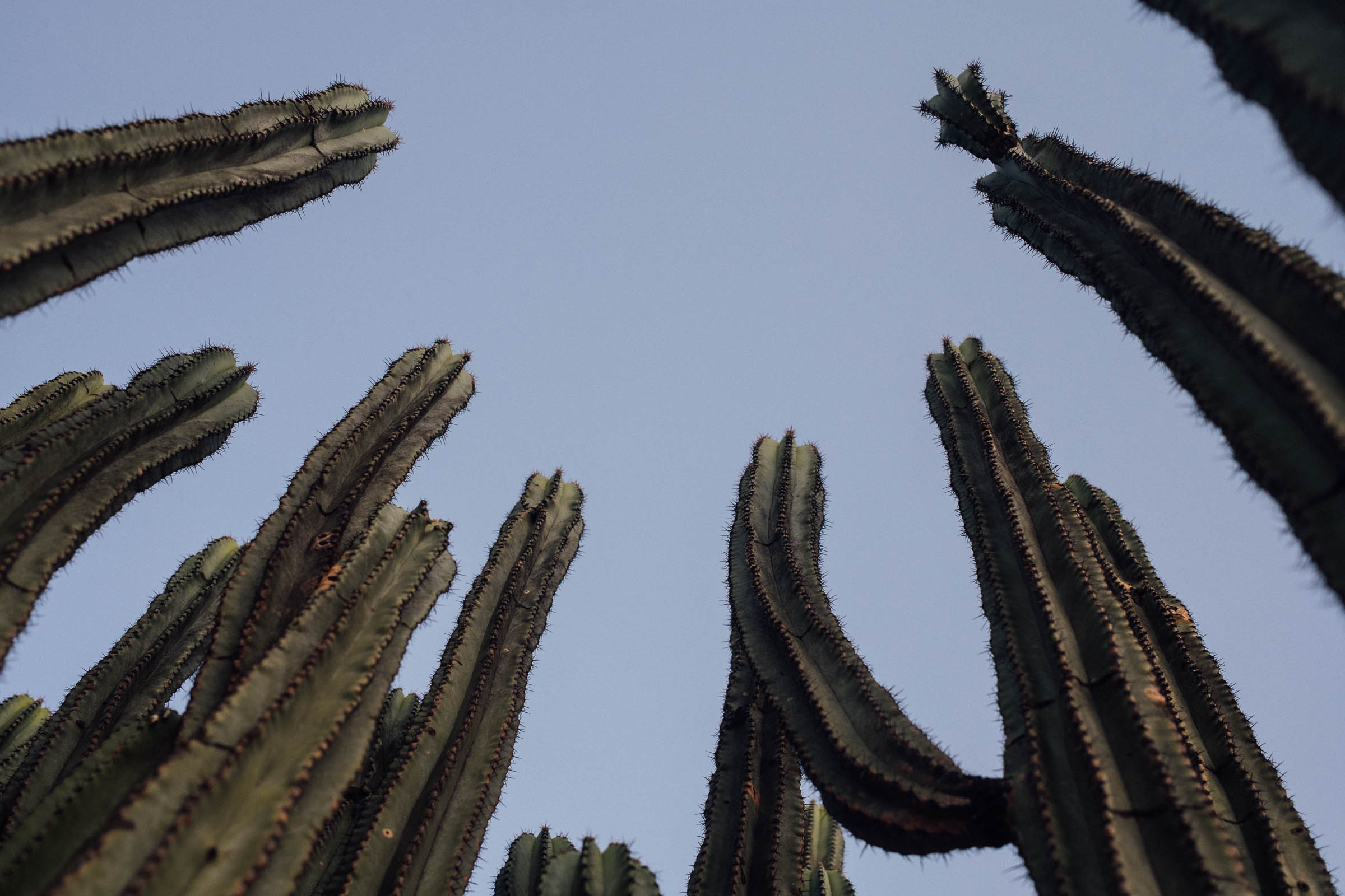
The route then passes acres of maguey (agave) fields, looping below the ceremonial El Picacho to reach Teotitlán del Valle, known throughout Mexico for the detail and quality of its naturally dyed textiles – so save some room in your framebag! Forging eastwards to Dainzú, it’s well worth lingering at this low-lying Zapotec archaeological site that dates back to 700 BC, and checking out its Jaguar tomb. Pushing onwards along a corridor of nopales and organ cacti, Meandros en Mitla traces the old Camino Real (thankfully out of earshot of the far more modern highway 190), to the bustling town of Tlacolula de Matamoros. Tongue-twisting Tlacolula draws locals and visitors from across the valley with its excellent market, which is especially lively on a Sunday and a great spot to try a regional delicacy: goat barbacoa.

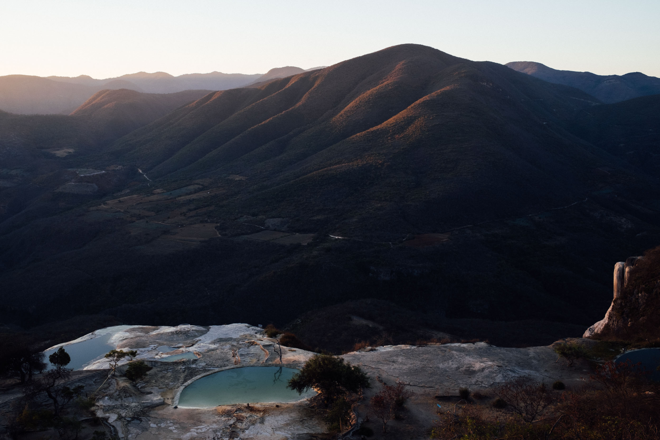
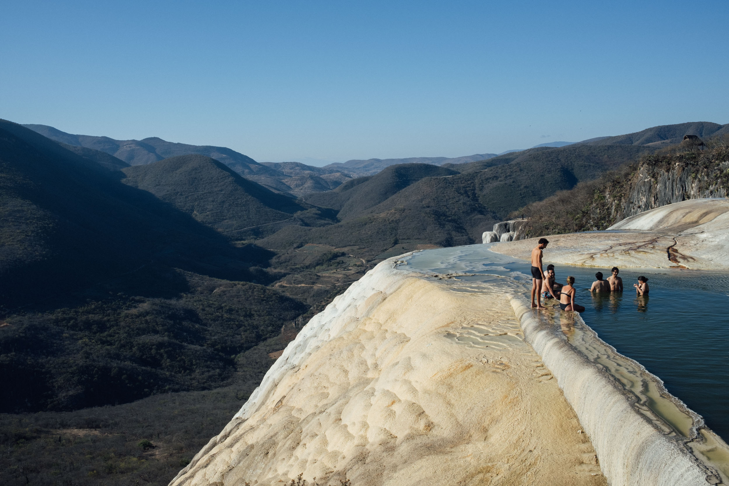
For the most part, the riding thus far has been easygoing, bar a few trails that may require the odd dismount, depending on both your bicycle choice and your skillset. The only real climb of note is the ascent up and over a pass to Hierve el Agua that comes shortly after the town of Mitla, which claims some 650 metres of altitude gain in one stint. Located in a set of natural travertine rock formations, Hierve el Agua resembles a cascade of water. Its set to a backdrop of rugged Sierra Norte folds, which are especially beguiling at sunset and sunrise. It’s highly recommended to spend the night there – you can camp within the grounds – to enjoy this popular site before the tourist shuttles arrive, especially if you’re there during the high season or on the weekend.
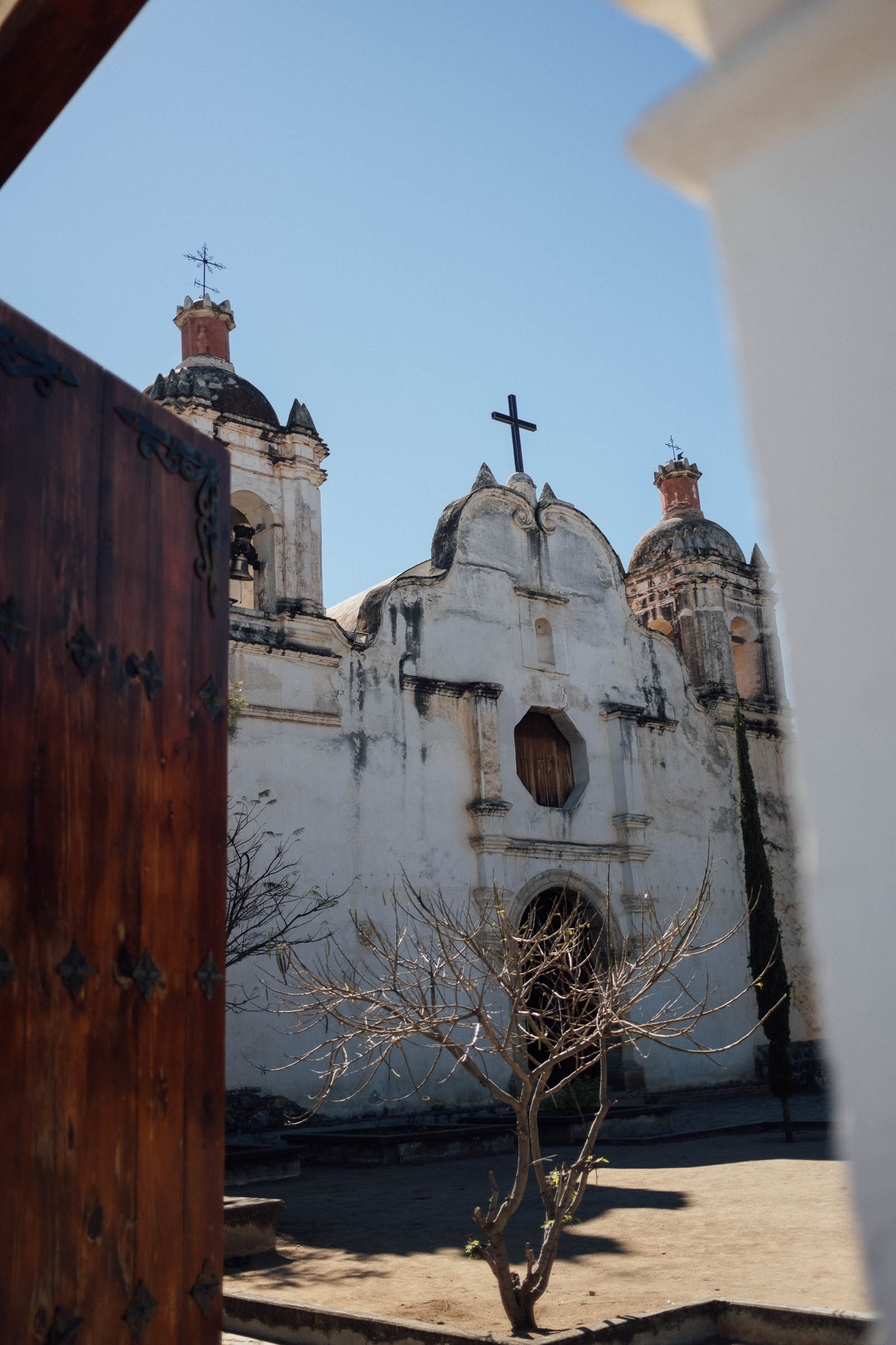
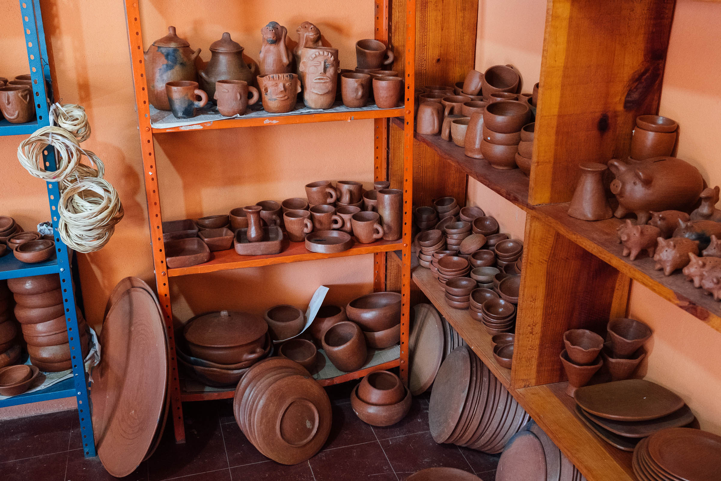
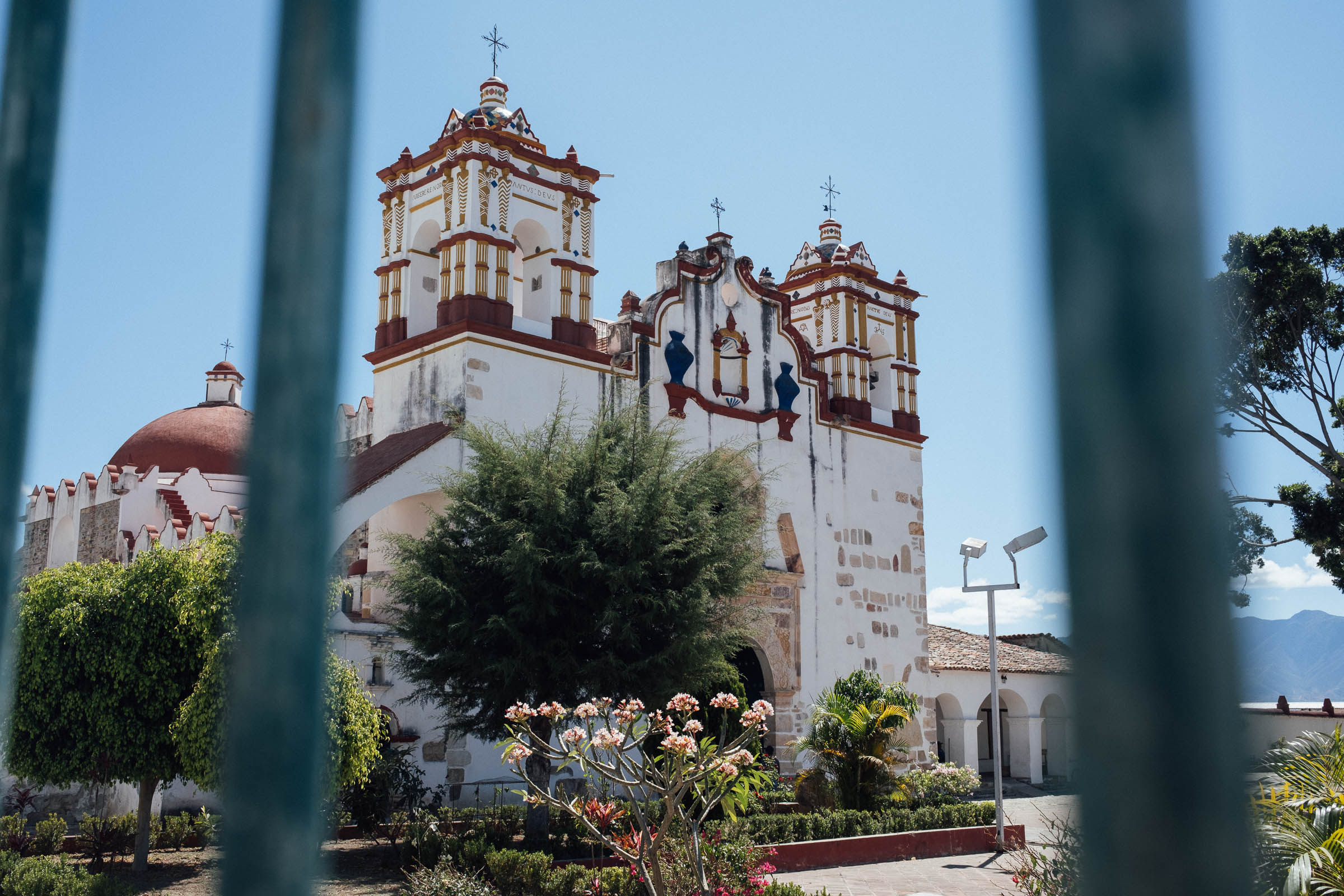
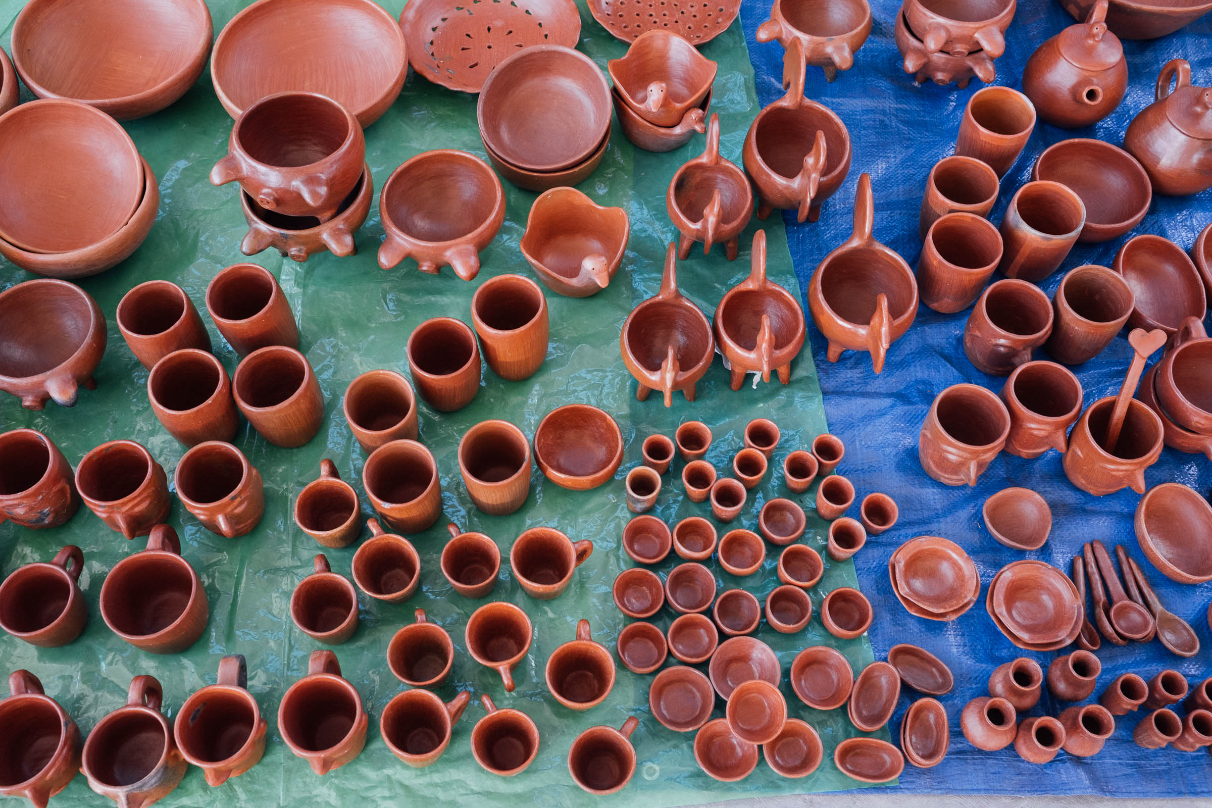
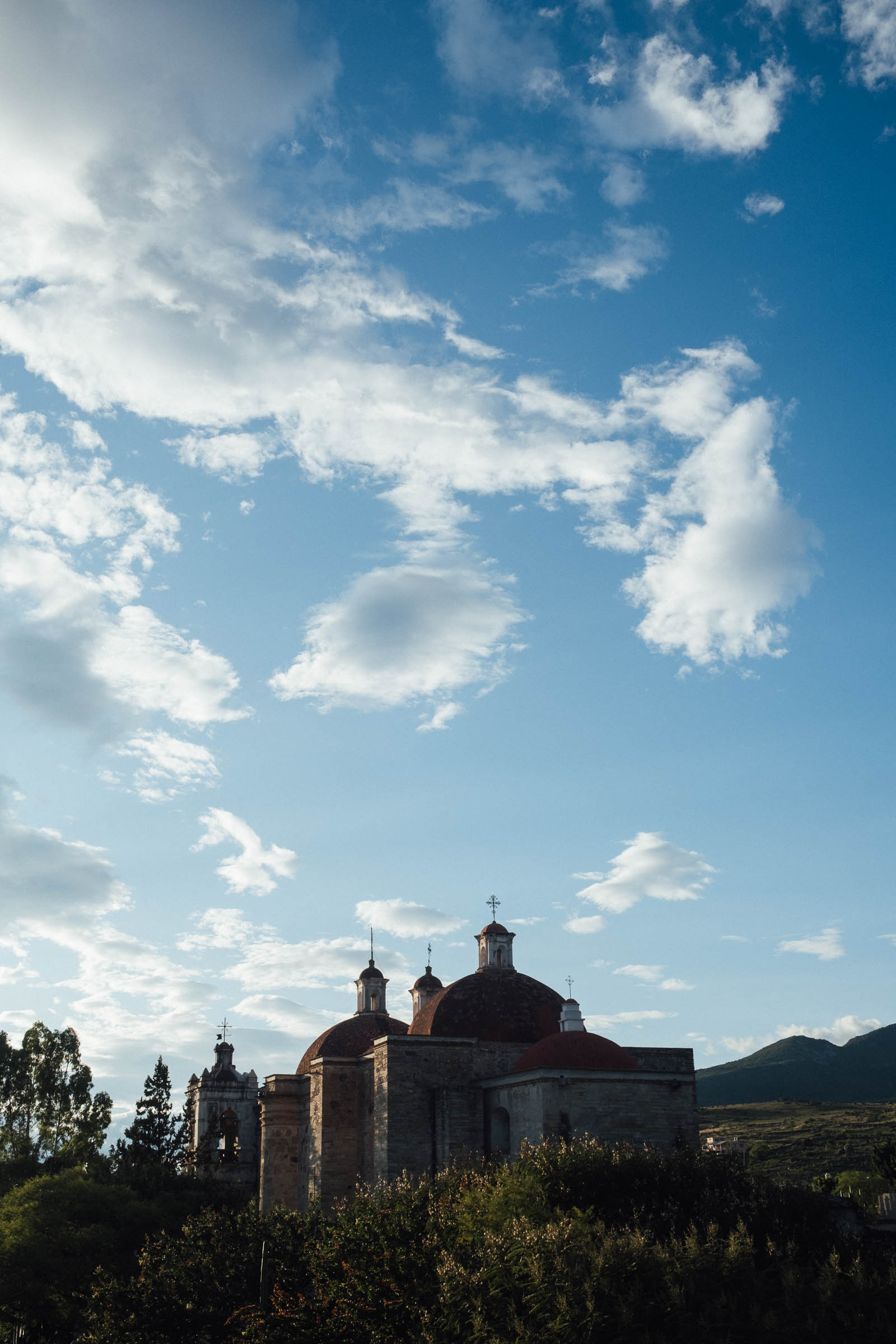
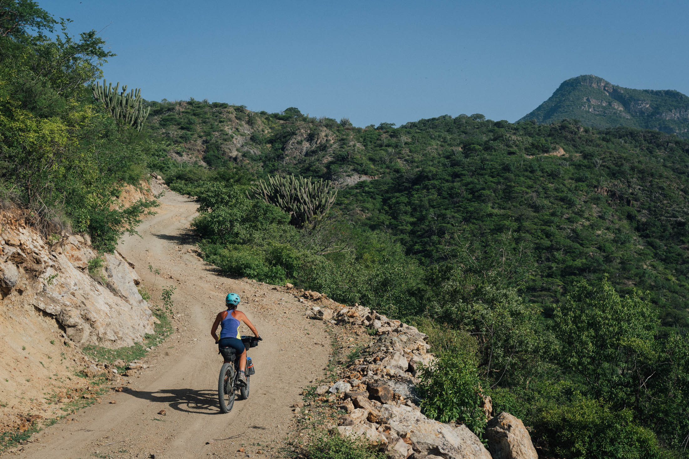
From San Lorenzo Albarradas, it’s back up and over from whence you came (consider hopping in a pickup truck if you want to save yourself some time), before returning westwards back to the city, albeit on the less-travelled southern side of the valley. A coarse dirt road, almost completely bereft of traffic, connects agave plantations and a string of small villages, each with its own well maintained church and square. It’s well worth pausing in San Marcos Tlapazola to visit the barro rojo pottery workshops for which the village is known – a number of them line the main street and are mostly run by women. From there, the route connects with what I affectionally call Vulture Road, a quiet, overgrown track that runs flush to the hills, eventually connecting riders with the Oaxaca-Tule bike path back into town, a popular route in itself with Oaxacan cyclists come the weekend.
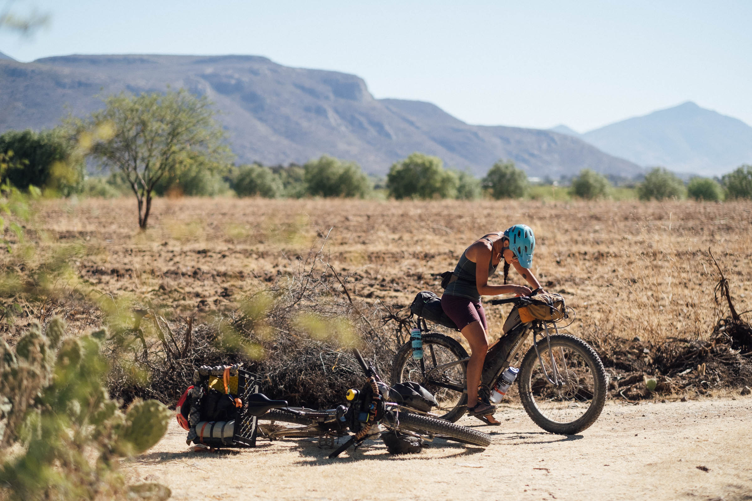
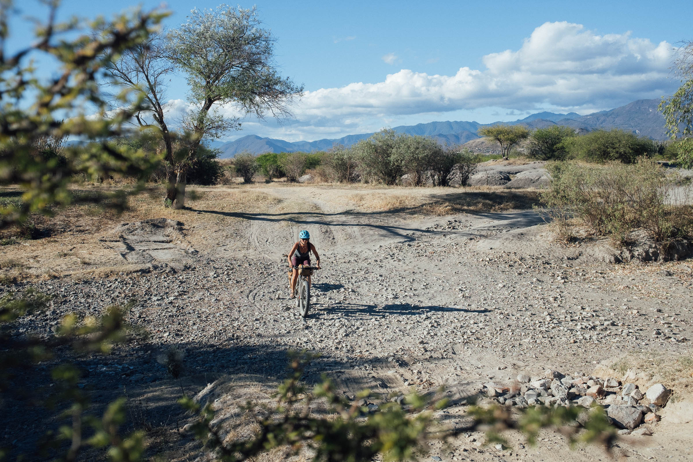
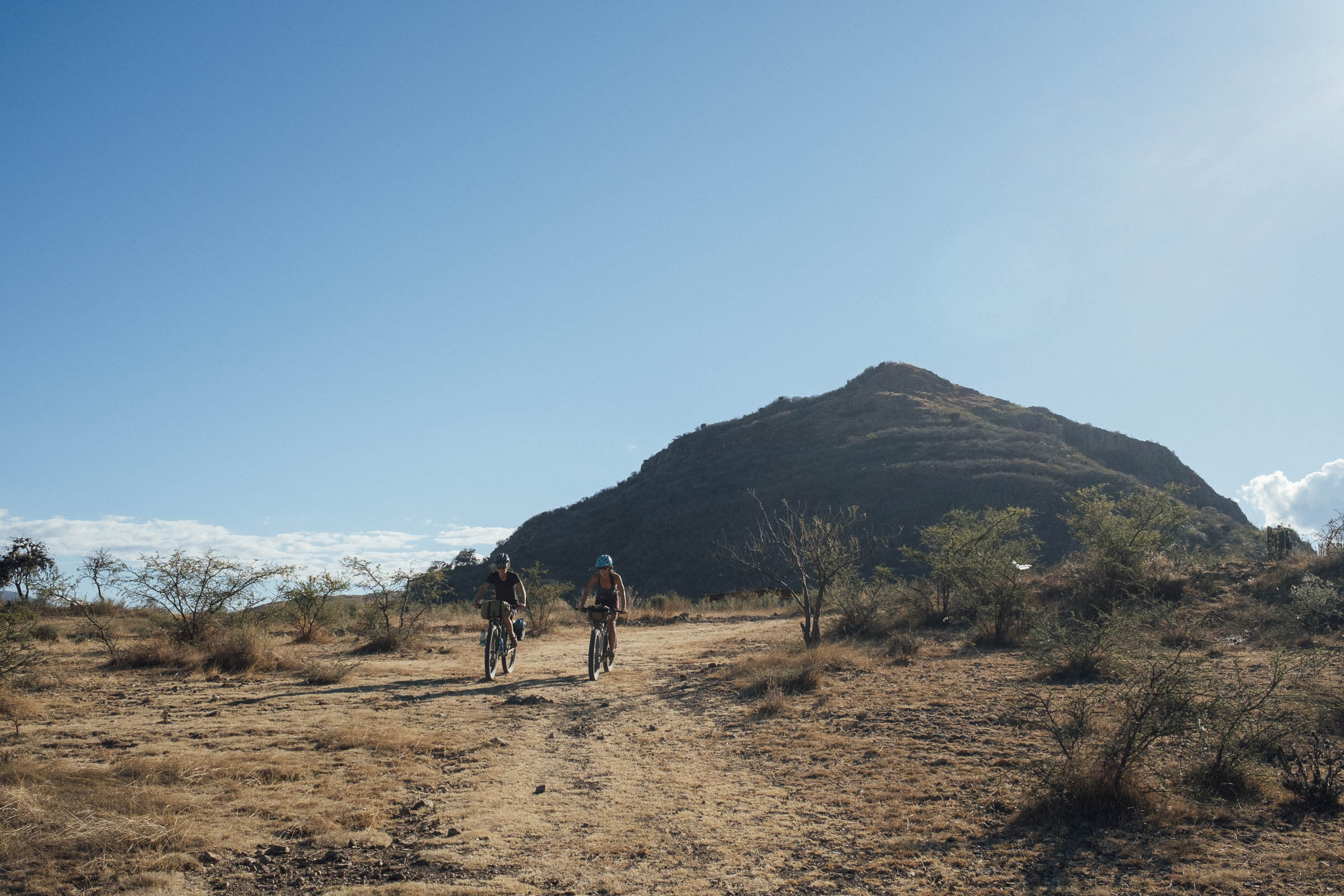
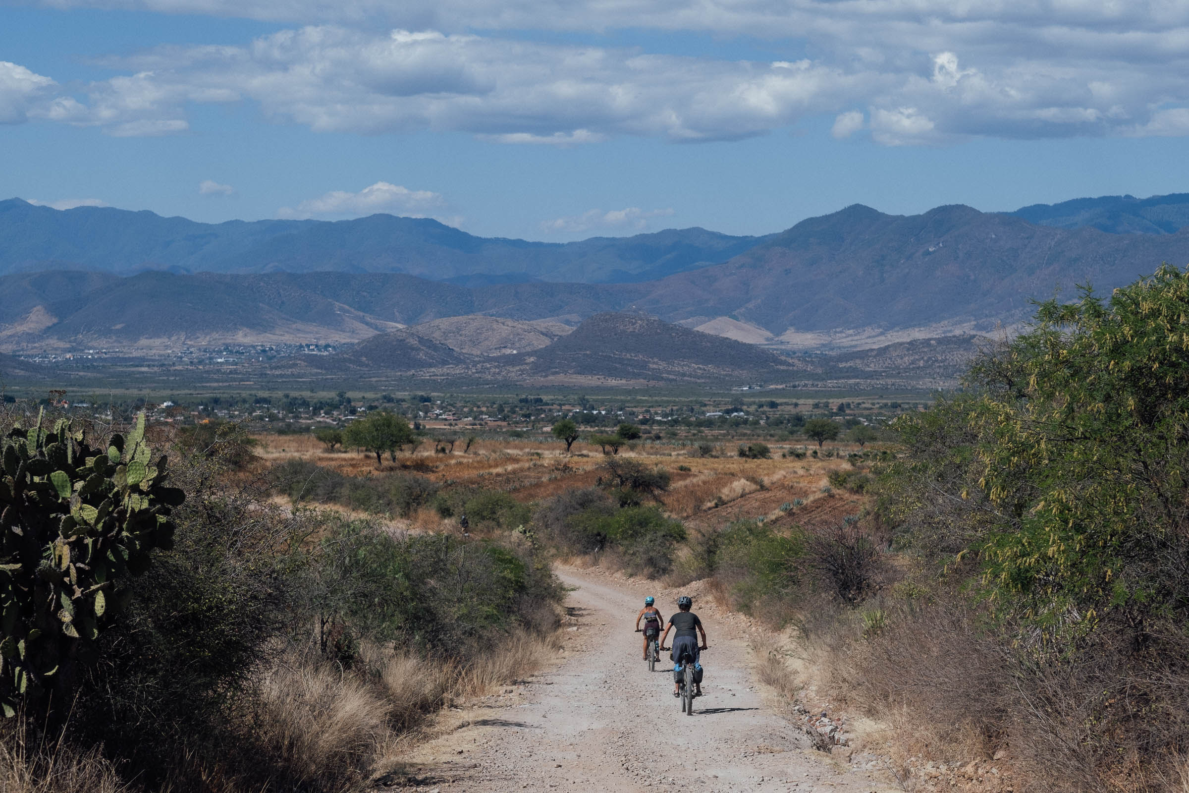
Difficulty: Generally speaking, this is a very straightforward ride. It has numerous spots to stop and eat – you’ll rarely go hungry or thirsty in Oaxaca – and aside from a few rocky sections along the trail to Huayapam (which are easy to walk if you need to), the vast majority of the route is made up of flat or gently rolling dirt roads. The climb up to Hierve el Agua is by far the biggest physical challenge of the route, though in the dry season, oppressive heat in the valley floor can sap energy levels too. Still, this is Oaxaca, so expect a mixture of conditions, and run appropriate tyres to maximize your comfort and enjoyment when riding its sublime dirt roads.


Submit Route Alert
As the leading creator and publisher of bikepacking routes, BIKEPACKING.com endeavors to maintain, improve, and advocate for our growing network of bikepacking routes all over the world. As such, our editorial team, route creators, and Route Stewards serve as mediators for route improvements and opportunities for connectivity, conservation, and community growth around these routes. To facilitate these efforts, we rely on our Bikepacking Collective and the greater bikepacking community to call attention to critical issues and opportunities that are discovered while riding these routes. If you have a vital issue or opportunity regarding this route that pertains to one of the subjects below, please let us know:
Highlights
Must Know
Camping
Food/H2O
Resources
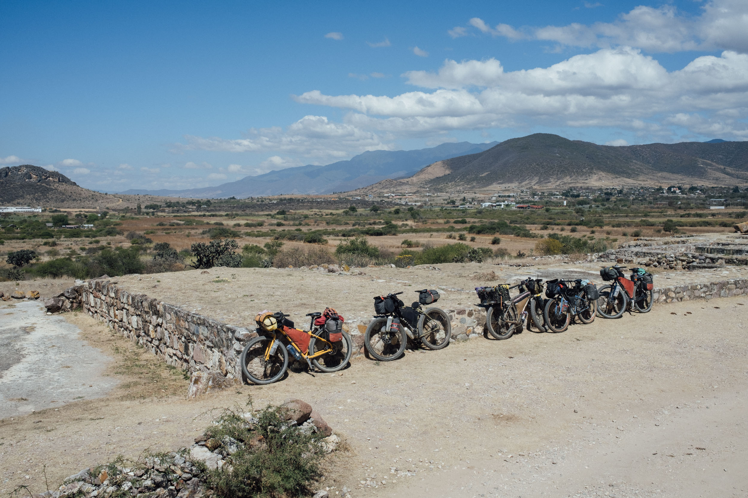
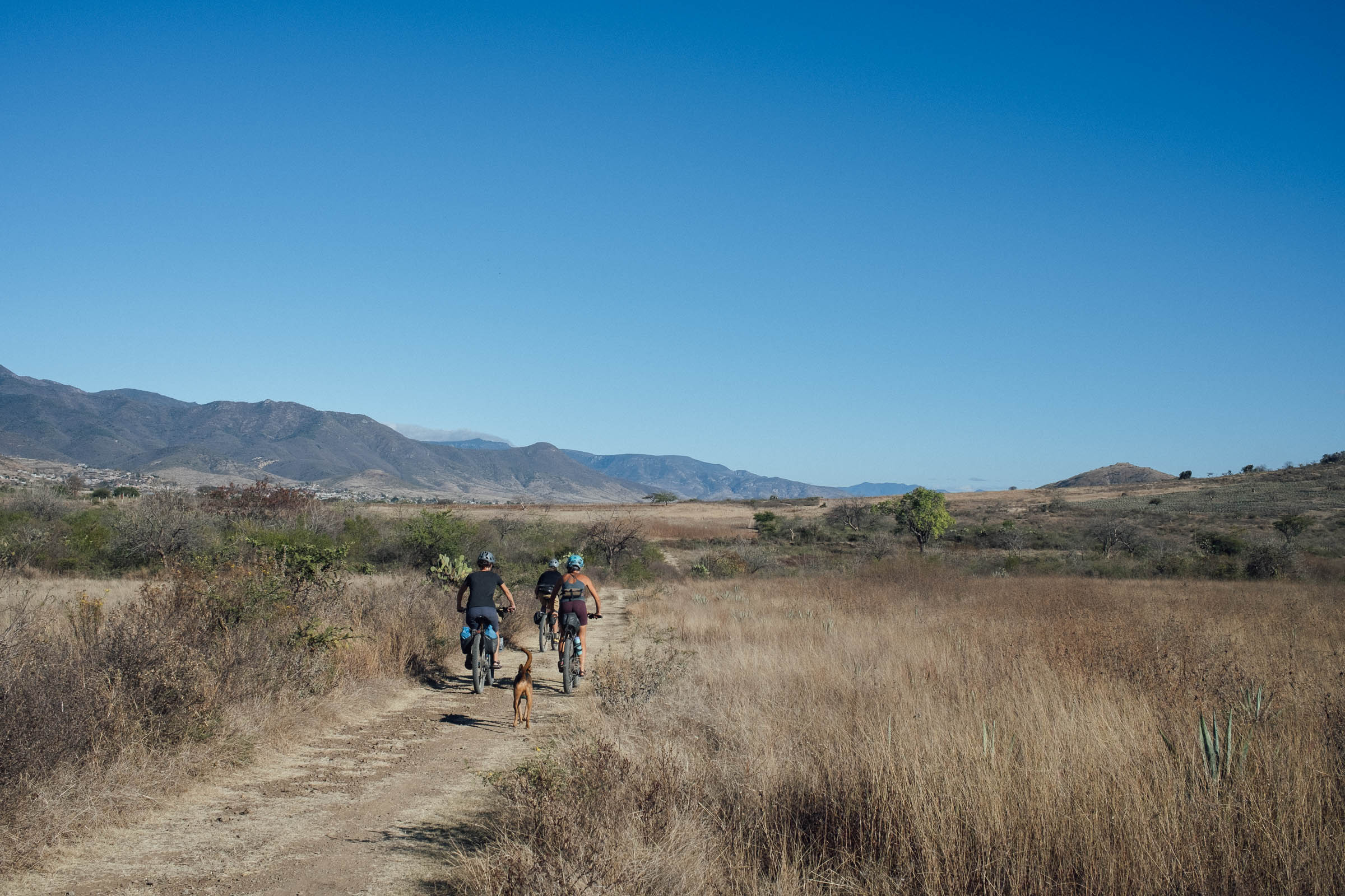
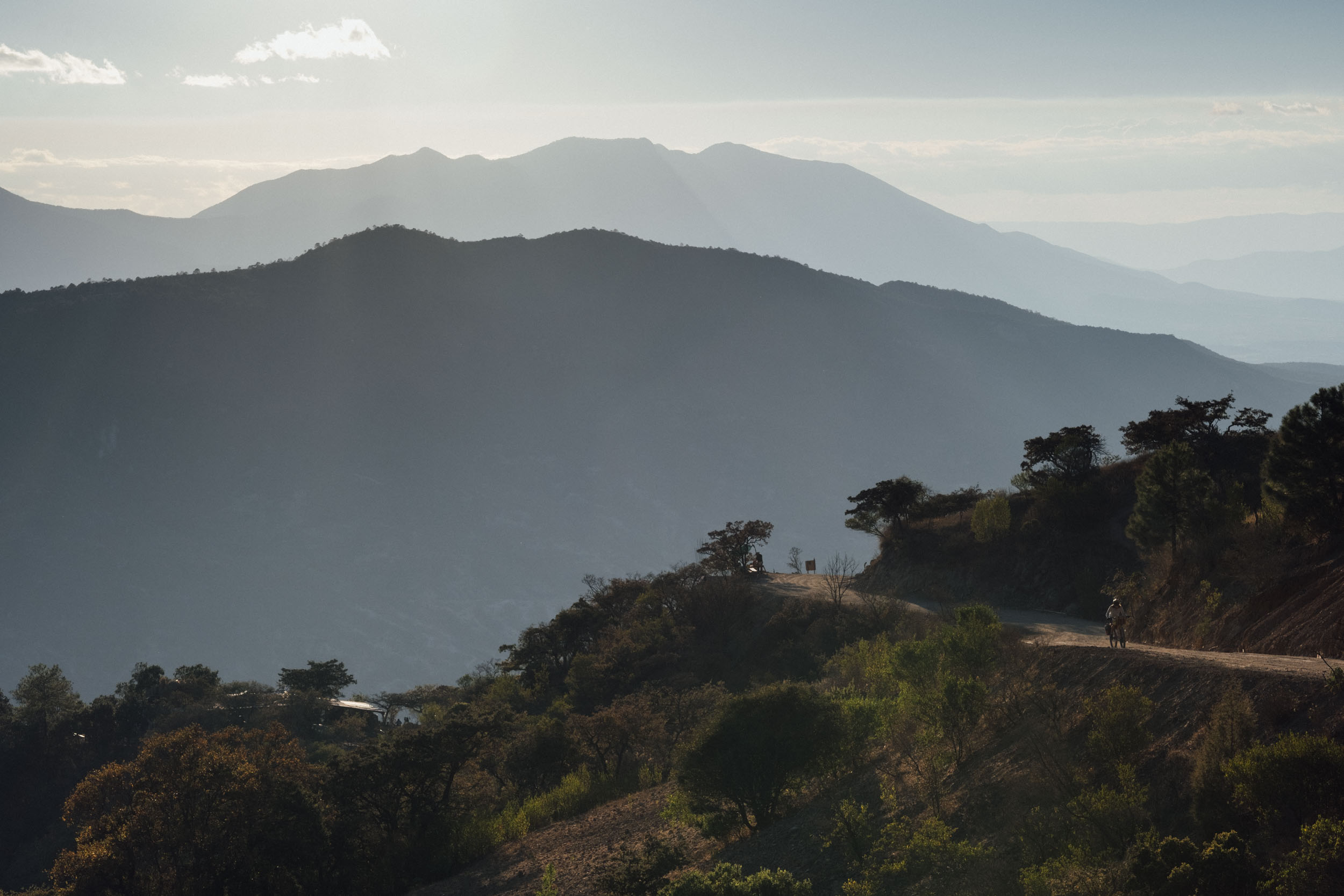
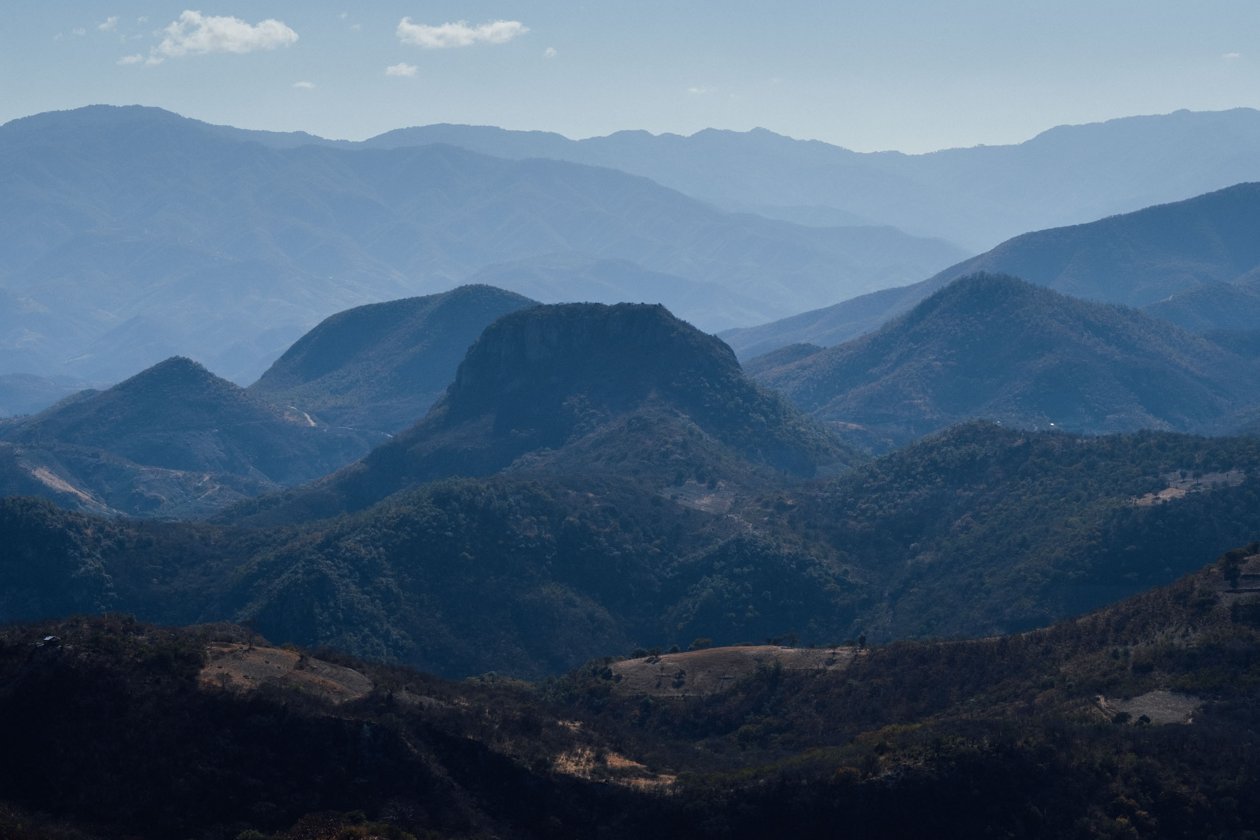
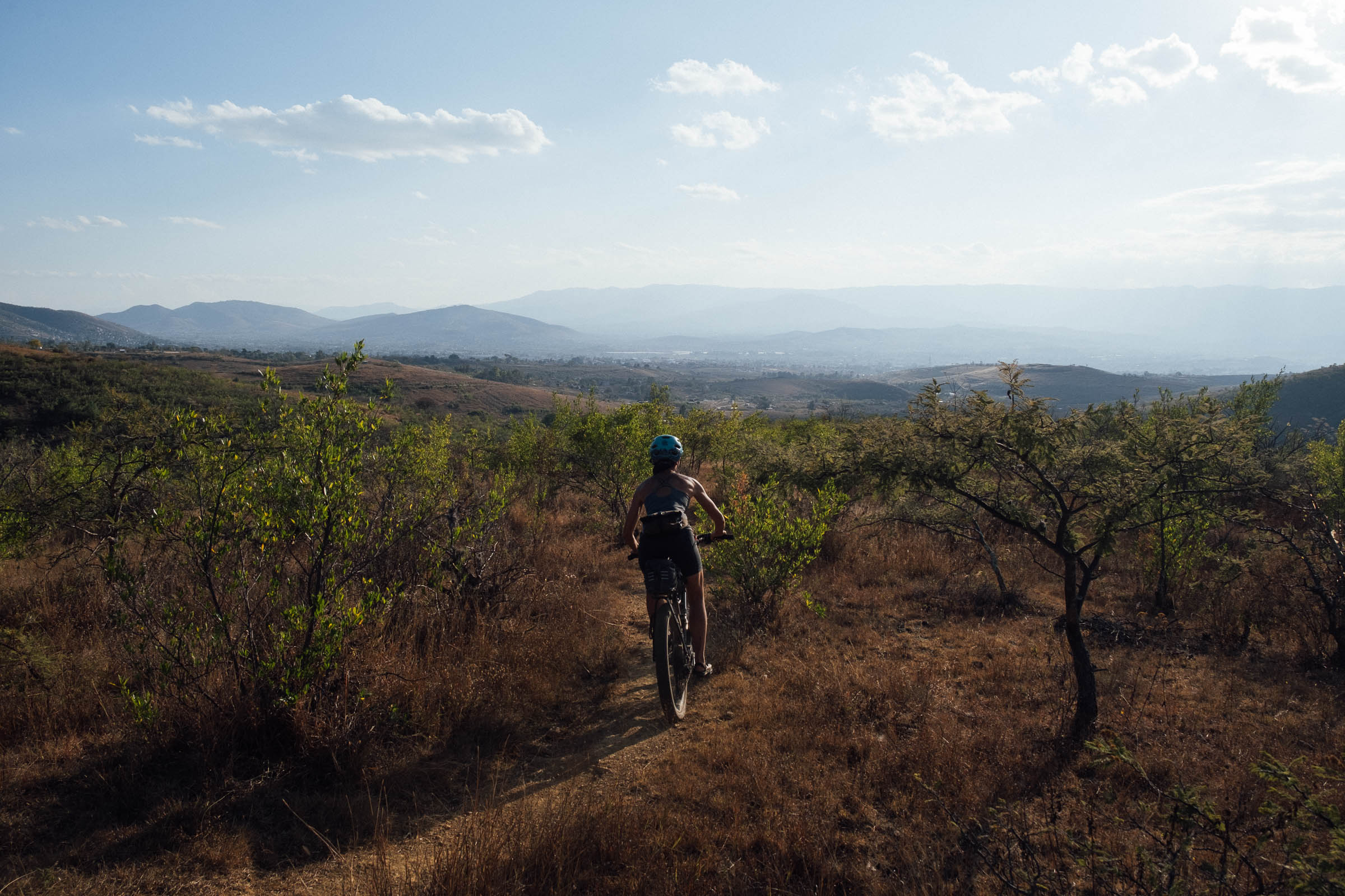
- Cruising along the sublime dirt roads of the Mitla valley, to a backdrop of big skies and the lush Sierra Norte.
- Soaking in the cool waters of Hierve el Agua, with its waterfall-like rock formations.
- Sipping tejate, a pre-Colombian energy drink.
- Wandering around low-key Dainzu, a Zapotec archeological site that’s well over 2,000 years old.
- Wrapping your head around the Arbol de Tule, the stoutest tree in the world… and also two millennia in age.
- Learning about the naturally dyed textiles and the red earth pottery of this culture-rich Zapotec valley.
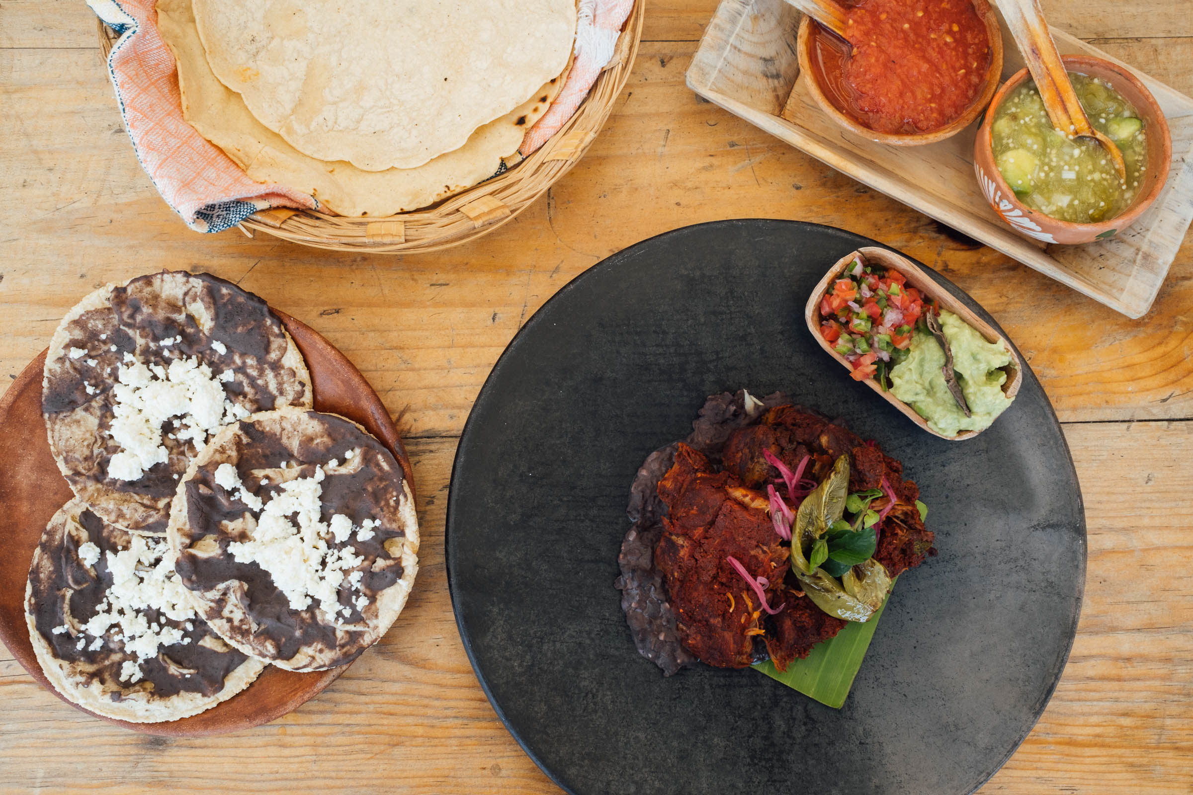
- Enjoying traditional Oaxacan cuisine and tempering the heat of the day with an agua fresca or nieve.
- For the full Need to Know details on the city of Oaxaca, be sure to visit the San José del Pacífico Grand Dirt Tour.
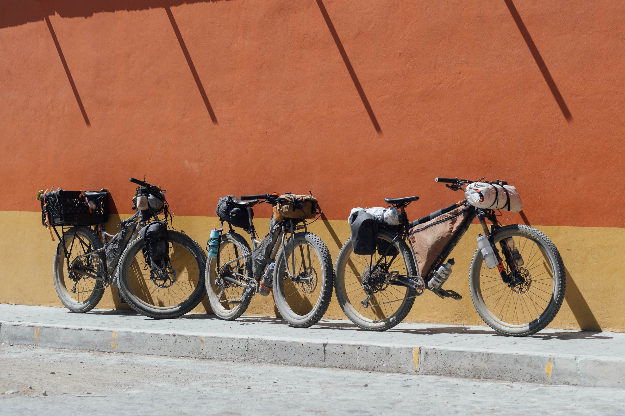
- Best bike: You can ride this weekend tour on any mountain bike, be it rigid or with front suspension. Whatever you choose, the route is almost completely rideable, bar the odd dismount and push. However, take note of the trail leading down Huayapam, which has a few technical moves. A gravel bike will be ok for most of the route, though a bike with larger volume tyres is definitely recommended, as is low gearing for the climb up to Hierve el Agua. Learn more about bike and gear selection for Oaxaca in the Bikes, Rides, and Gear section of our extensive Oaxaca Bikepacking Routes Network Guide.
- Best time of year: Oaxaca is a popular destination throughout the year, with November to February being the high season. Bear in mind that during the dry season (November to April/May), dirt roads become increasingly dusty and temperatures soar as the months go by – especially as you descend in elevation. By April, the landscape also becomes increasingly dull and brown. In contrast, the rainy season (May to October) brings lush countryside and more bearable midday riding temperatures, but expect heavy later afternoon or nightly downpours. Thankfully, rain in the mountains of Oaxaca is rarely an all-day affair, unless there’s a storm system lingering on the Pacific coast or the Gulf of Mexico, in which case it can be rainy and overcast for a few days. Mid October through January are probably the best times to ride here, as the landscape is still green, the heaviest rains have passed, and the temperatures aren’t yet oppressive – within these months, November is perhaps the best. You could even tie in a trip with Día de Muertos, though book accomodation in advance as everywhere is especially busy.
- Expect a headwind as you ride towards Hierve El Agua, especially at the turn of the dry season.
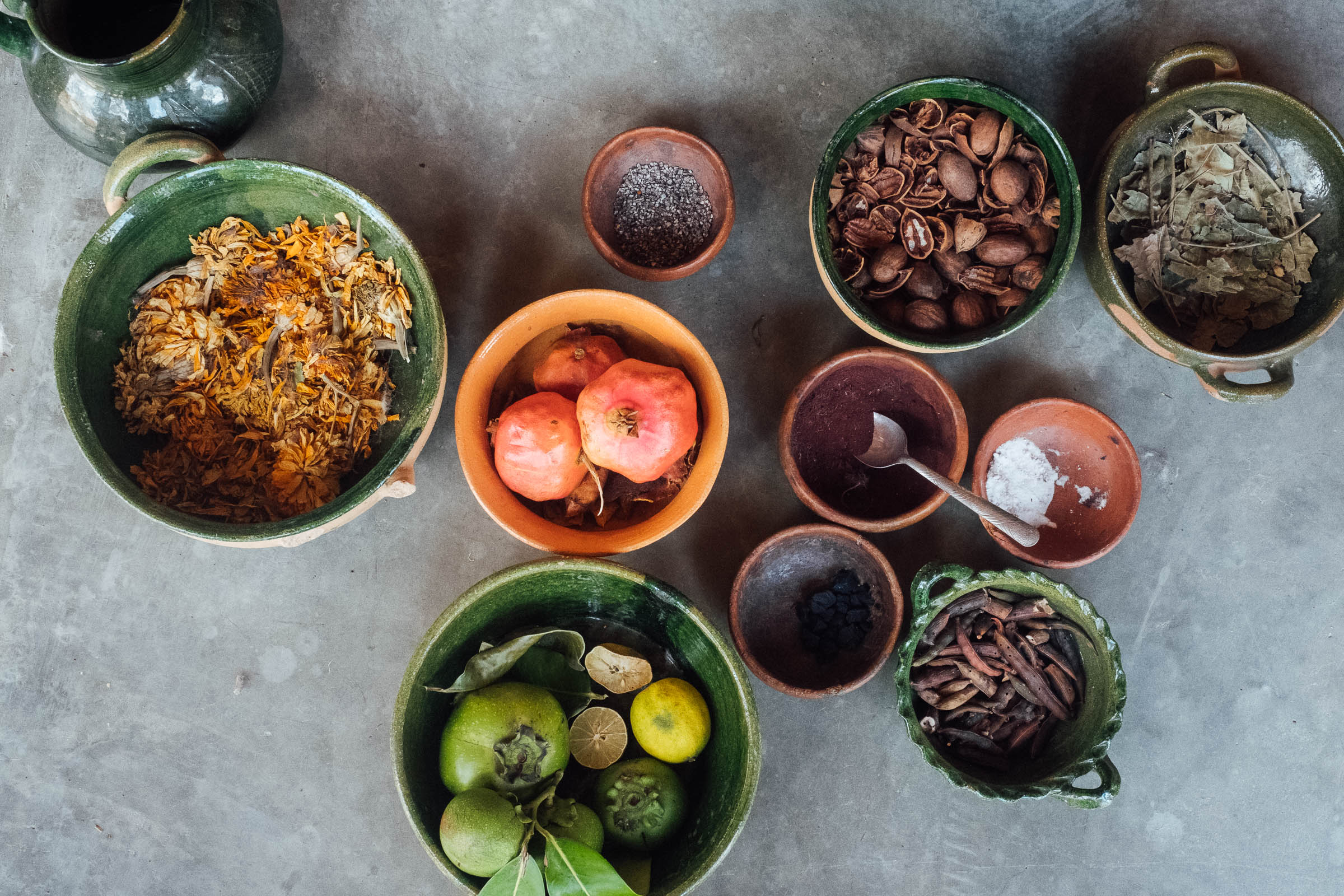
- When in Huayapam, be sure to sample tejate from a painted gourd, a prehispanic energy drink for which the town is well known. Principal ingredients include toasted maize, fermented cacao beans, toasted mamey pits, and flor de cacao. Making time to have a coffee, or some breakfast, at the fantastic Luz de Luna, is very much recommended too.
- The Dainzú archeological site is low-key but well worth stopping for. It’s often free but if the caretaker is around, expect to pay 65 pesos. He’ll unlock the gate for a closer inspection of its stone carvings and let you into the Jaguar tomb, too.
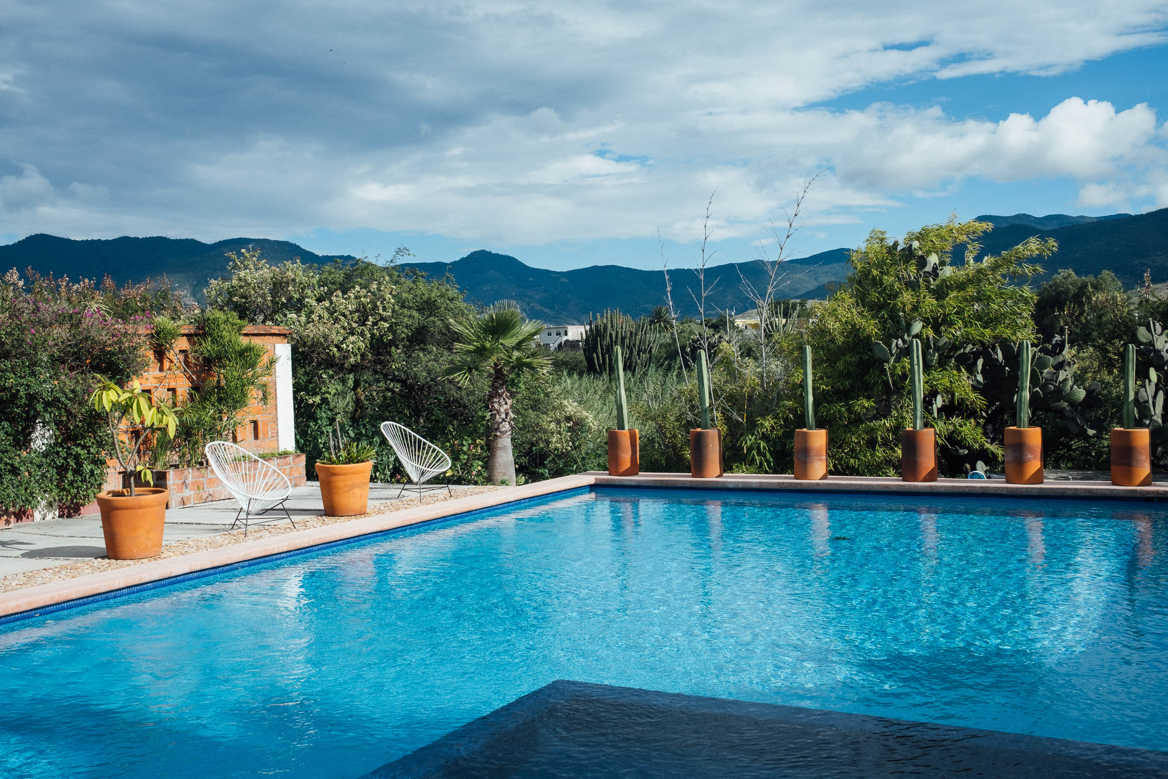
- Mitla offers the chance to treat yourself to a night in the wonderful Casa Lyobaa (($85, 10 per cent discount for bikepackers paying cash) – it comes complete with a beautiful cactus garden, a great breakfast, an excellent record collection, and a swimming pool – visit the nearby archeological site, and enjoy a meal at Origen de Maiz. The homemade coconut ice cream on Mitla’s plaza – sold in the small stands – is especially good.
- On a Sunday especially, Teotitlan’s market is well worth a visit. It’s famous for its barbacoa, though non-meat-eaters can also admire the array of crafts from across valley – including San Marcos’ red earth pottery and baskets made from palm and carrizo – along with coffee and cacao from over the mountains. It’s worth it for the hubub alone.
- Hierve el Agua, in San Lorenzo Albarradas, is a popular tourist attraction, so it’s best to spend the night there to enjoy having it to yourself in the early hours. It’s 50 pesos to enter (and 100 pesos per tent to camp). Food is available, though stalls tend to close up shop by dusk, if you arrive late.
- The town of Matatlan, has a number of its mezcal tastings. There are other opportunities throughout the route.
- San Marcos Tlapazola, on the homeward leg, is known for its unglazed barro rojo pottery; you’ll likely see the very same pottery being sold on the streets of Oaxaca de Juárez and in many of the restaurants. It’s made from local clay in outdoor ‘ovens’ made from everything from cycle wheels to old bedframes.
- There are many other sites to see in the city that pair well with this ride, including the Jardín Etnobotánico de Oaxaca and the Museo Textil de Oaxaca – the latter is run by the Alfredo Harp Helú Foundation.
- Bike shops: Bicimundo and Zona Bici are well stocked and both have shops in Reforma, which are recommended over their branches in the city centre. Expect to find sealant, modern drivetrain components, and a reasonable selection of mountain bike tyres, right up to 29 x 2.5/2.6″ sizes.
- Bike rentals: Aside from the full-suspension bikes provided by tour companies for their enduro tours, Bicicletas Pedro Martinez is probably the best place to rent a bike suitable for dirt road riding here. A decent Orbea hardtail costs 500 pesos ($24 USD) for 24 hours. Otherwise, pop by Bicibella Oaxaca, below Coyote tours. They may be able to set you up with something too. With a comfortable bike and accomodation, this is a tour you could do without bringing your own steed.
- Flights: Volaris, AeroMexico, and a number of other airlines fly to Oaxaca via Mexico City or Guadalajara. Airlines invariably have different bike policies – cost/size/weight – so always check ahead. I like to travel with a compact bicycle bag – like the Tardis from Ground Effect – as it fits into smaller taxis and is easier to store in a hotel or hostel.
- Airport taxis: Depending on the size of your bike boxes, it’s likely to cost between 350 and 500 pesos ($16 to $24 USD) for a taxi from the airport into town for 2 to 3 people with bikes. You can buy tickets for the official airport taxis when you arrive (just by the exit) and it’s all regulated. If you have a small bike bag, you can likely fit it into the colectivo. For your return, download the Didi App on your phone (pay the driver directly), or arrange a shuttle through your hotel.
- Covid-19 tests: Tests suitable for air travel to the US are available at Farmacias Ahorro, a national chain of pharmacies. You’ll need to book in advance (sometimes at least a day) but results are almost immediate. The cost is approximately 500 pesos ($24 USD). Find the closest to where you are staying, book online (laptops work better than phones), and don’t forget to bring your ID. There are other more immediate (but expensive) clinics in town too, that may well be better suited to larger groups. Your accommodation will also be able to advise.
- Safety: The Sierra Norte itself is a safe place to ride. However, as with any city, crime happens in Oaxaca de Juárez, both in the city center at night and on a few of the local trails during the day. If you’re out late, take a taxi home. In terms of riding, hiking, and running in areas close to the city, be especially mindful and see the safety information here for details.
- For general information about our extensive route network in Oaxaca, be sure to check out our Oaxaca Bikepacking Routes Network resource, with a Spanish translation coming soon. It includes details on getting there, bike shops, rentals, gear choices, food, arts and crafts, and worthwhile places to visit in the city and surrounding towns.
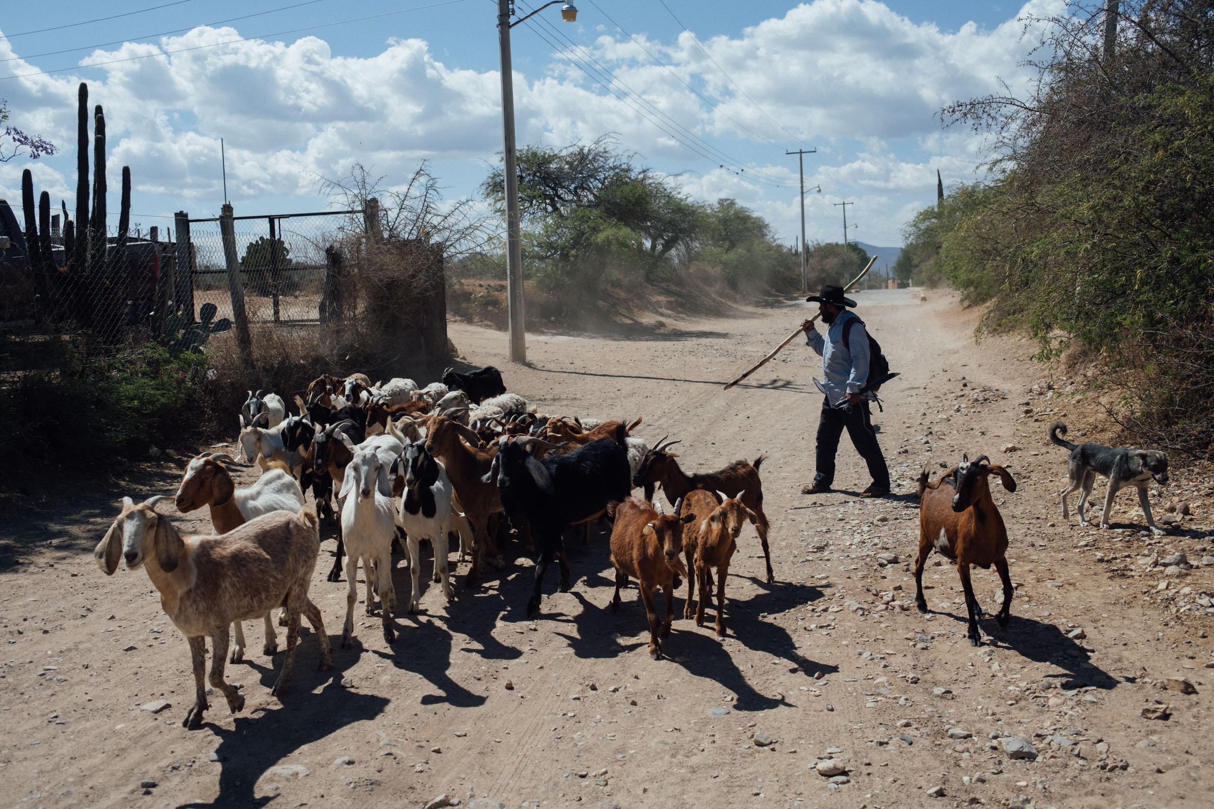
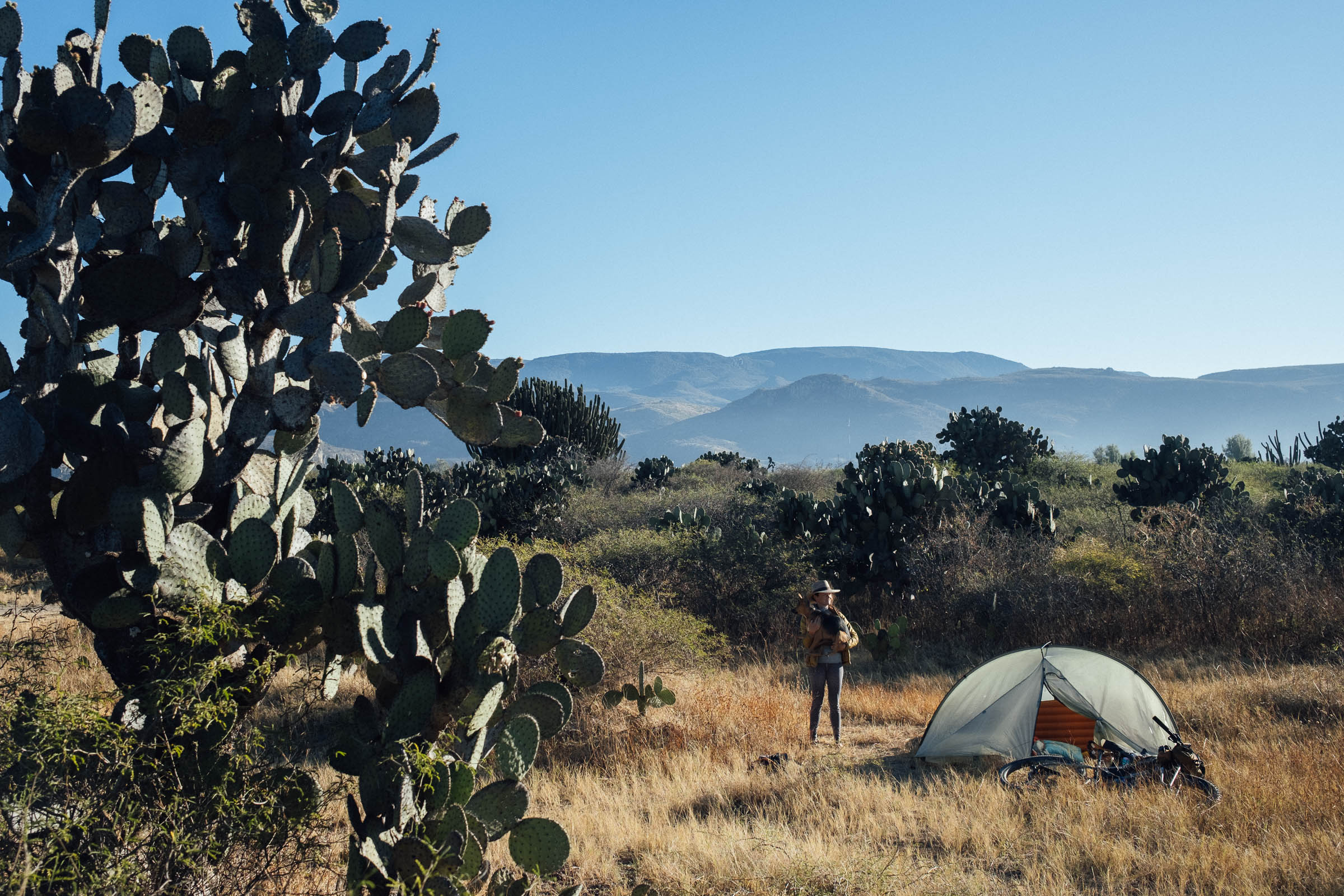
- Although the Mitla valley is populated, dispersed camping is possible in a number of spots, especially in the cactus groves dotted throughout the valley where only goats and cows tend to roam. Camp late in the day and leave early. If in doubt, ask locally for permission from anyone you see to camp on community/ejido land.
- We’ve also marked a couple of formal camping places on the map, too, including the fascinating Mongolian Yurt Adventure, where there’s room for one tent at a time for a taste of genuine off-grid living. There’s a discounted, cyclist’s rate of 100 pesos per tent – send FB or What’s App message (9511309722) before turning up.
- Camping at Hierve el Agua is 100 pesos per tent, in addition to the 50 peso entry fee. Visit the pools at sunrise and beat the crowds! Bring your ear plugs, as there are sometimes barking dogs…
- As a possible itinerary, consider camping before between Dainzu and Mitla on day 1, Hierve el Agua on day 2, and returning on day 3.
- If you prefer not to camp, there’s accommodation throughout the valley, including cabanas at Hierve el Agua. Check Booking.com and Airbnb. Pretty much every town has options. If you come across anywhere that’s especially good, let us know.
- Food and water are readily available through this route. However, due to the often high temperatures in the valley, it’s worth carrying a couple of litres on board.
- When you stop in restaurants, ask to fill your bottles and offer a few extra pesos, to save buying plastic bottles. Otherwise, you can refill all your bottles at the start of the day from a 20L, re-usable water jug (a garrafon, approx 30 pesos) found in many local stores. This works out especially well if you’re 2 or more riders – although they’re larger than you’ll need, they’re both an economical and eco-friendly way of filling up. Just explain that you’re going to fill your bottles, but not take the garrafon itself.
- We’ve marked some of our favourite eateries on the map, including Luz de Luna in Huayapam, and Origen Maiz in Mitla, for a wonderful selection of traditional cuisine.
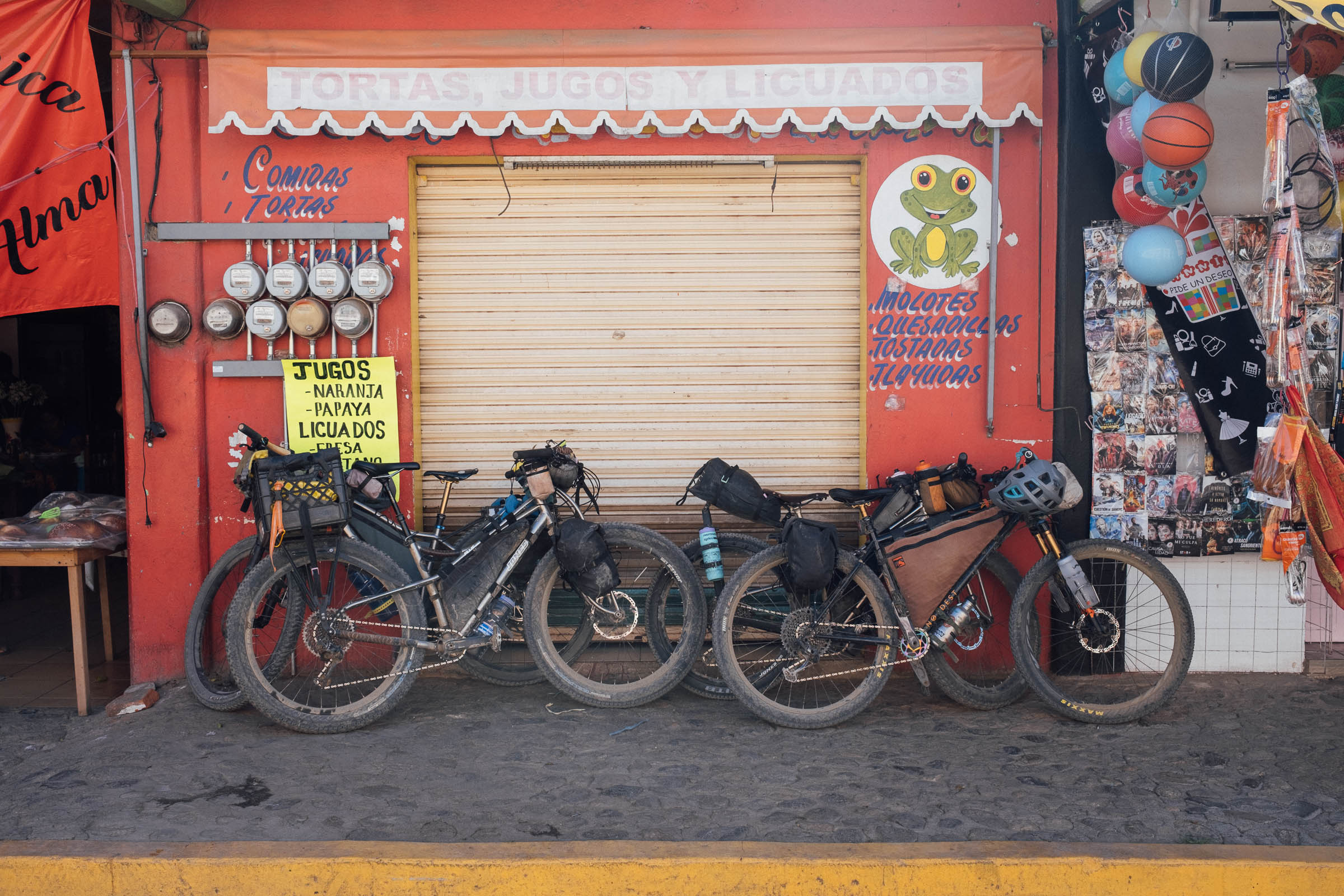
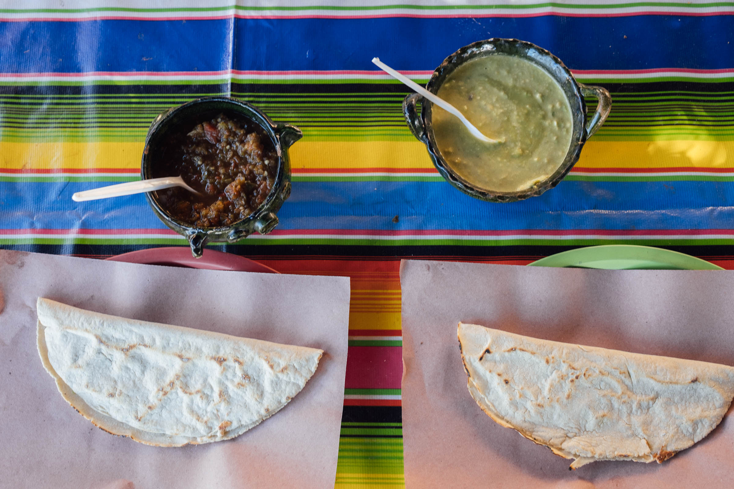
- Otherwise, every small restaurant is likely to be able to rustle up delicious memelas and tlayudas to keep hunger at bay. Wash these down with a jarra of agua fresca, depending on what’s in season.
- When in Huayapam, be sure to sample tejate from a painted gourd, a prehispanic energy drink for which the town is well known. Principal ingredients include toasted maize, fermented cacao beans, toasted mamey pits, and flor de cacao. Making time to have a coffee, or some breakfast, at the fantastic Luz de Luna, is very much recommended too.
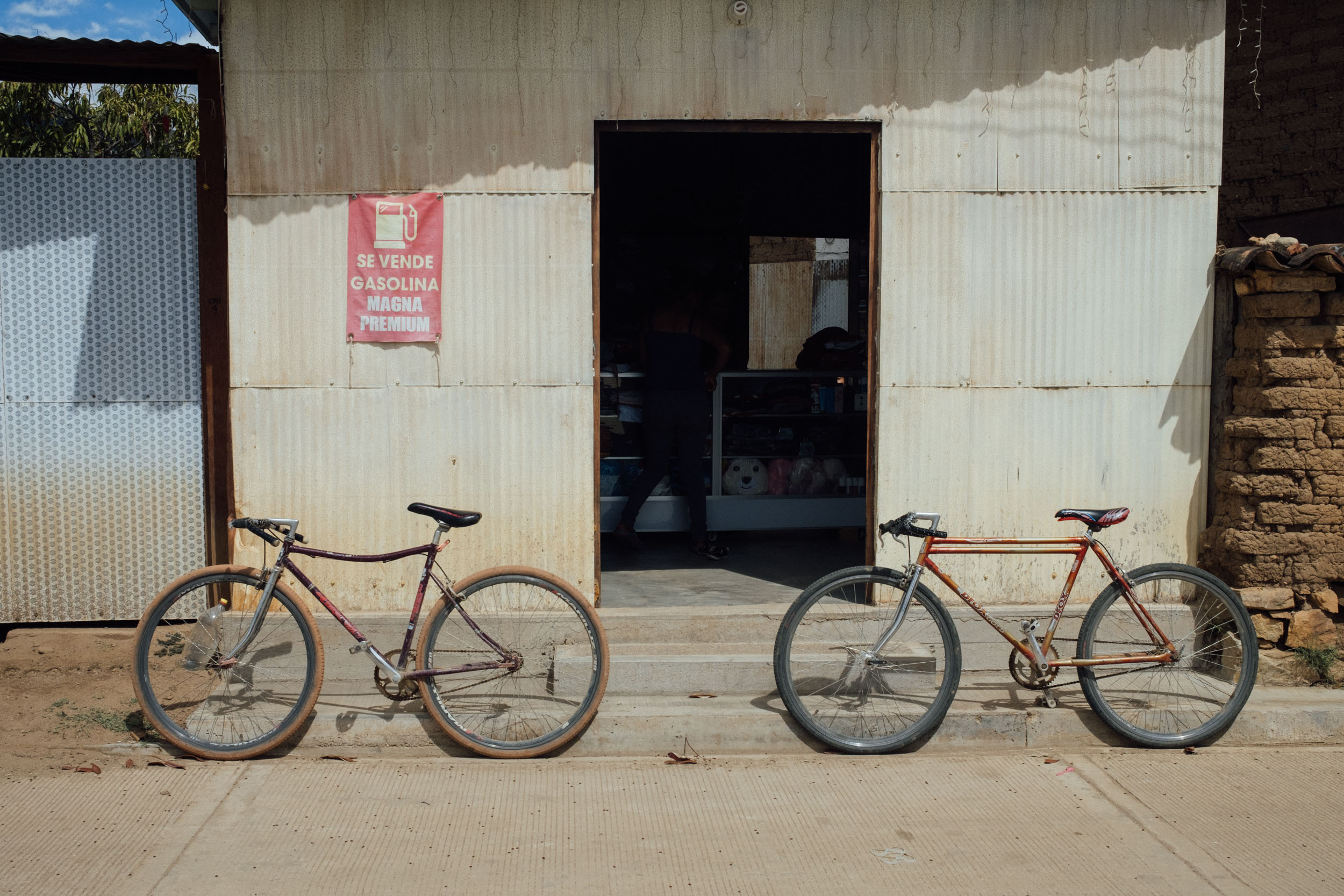
- There is no shortage of abarrotes – grocery stores – where you can find fresh fruit and vegetables.
Resources
- Resources: MTB Oaxaca is an excellent website that lists bike shops, trails, and day rides in and around Oaxaca. Thank you Larry for the company and sharing your knowledge of the area!


Terms of Use: As with each bikepacking route guide published on BIKEPACKING.com, should you choose to cycle this route, do so at your own risk. Prior to setting out check current local weather, conditions, and land/road closures. While riding, obey all public and private land use restrictions and rules, carry proper safety and navigational equipment, and of course, follow the #leavenotrace guidelines. The information found herein is simply a planning resource to be used as a point of inspiration in conjunction with your own due-diligence. In spite of the fact that this route, associated GPS track (GPX and maps), and all route guidelines were prepared under diligent research by the specified contributor and/or contributors, the accuracy of such and judgement of the author is not guaranteed. BIKEPACKING.com LLC, its partners, associates, and contributors are in no way liable for personal injury, damage to personal property, or any other such situation that might happen to individual riders cycling or following this route.
Further Riding and Reading
Here are some connected/nearby routes and related reports...

Please keep the conversation civil, constructive, and inclusive, or your comment will be removed.