


Ojos de Cuicatlan (TCBR, Sur)
Distance
118 Mi.
(190 KM)Days
3-4
% Unpaved
70%
% Singletrack
0%
% Rideable (time)
100%
Total Ascent
15,400'
(4,694 M)High Point
8,200'
(2,499 M)Difficulty (1-10)
7?
- 9Climbing Scale Very Strenuous131 FT/MI (25 M/KM)
- -Technical Difficulty
- -Physical Demand
- -Resupply & Logistics
Contributed By

Cass Gilbert
Contributing Editor
Originally published in March, 2020; updated January 2022
This route can now be reached via La Vuelta de Santiago Apoala, as an alternative to catching a bus out there.
Covering some 490,186 hectares, including protected core zones and more general buffer rings, the Tehuacán-Cuicatlán Biosphere Reserve is a vast but overlooked area that straddles both the southeastern portion of the state of Puebla and the northeast patch of Oaxaca – hence our two distinctive loops within this UNESCO heritage site.
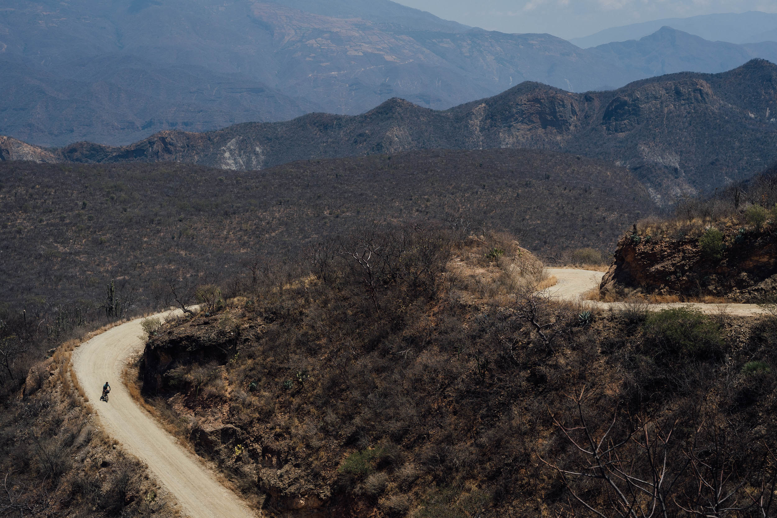
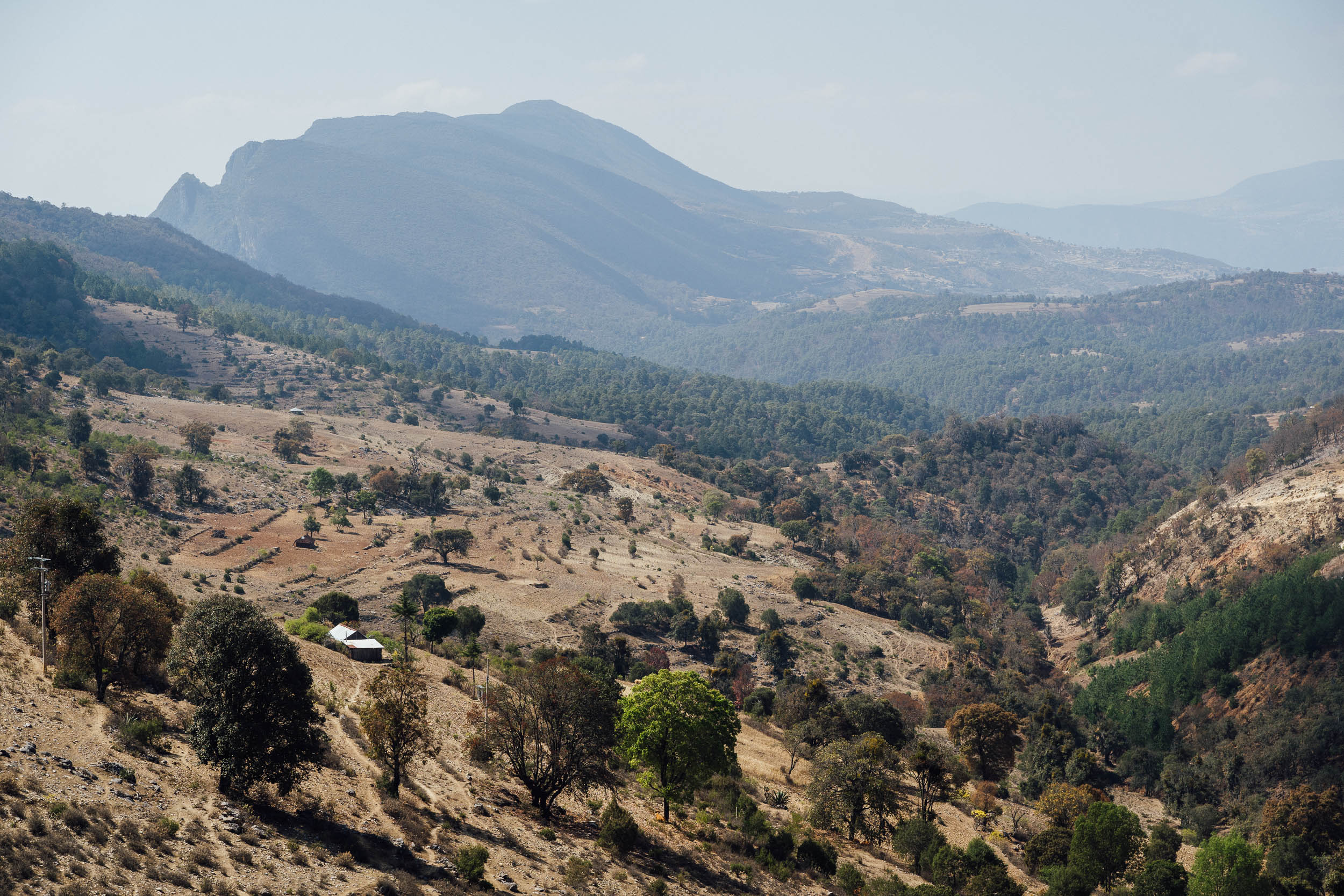
This is rugged mountain country, bound by the Sierra Zongolica, the Mazatec Sierra, the Sierra de Juarez. Cut by deep canyons and set across a range of elevations, the area is laced with dirt roads that vary between 500m and 2,500m in altitude. Expect tropical deciduous forests, pine forest, cloud forest, pine-oak, and remote desert, making this swathe of land remarkably biodiverse. Be sure to read the North Loop for a more thorough background on the reserve and its cultural heritage.
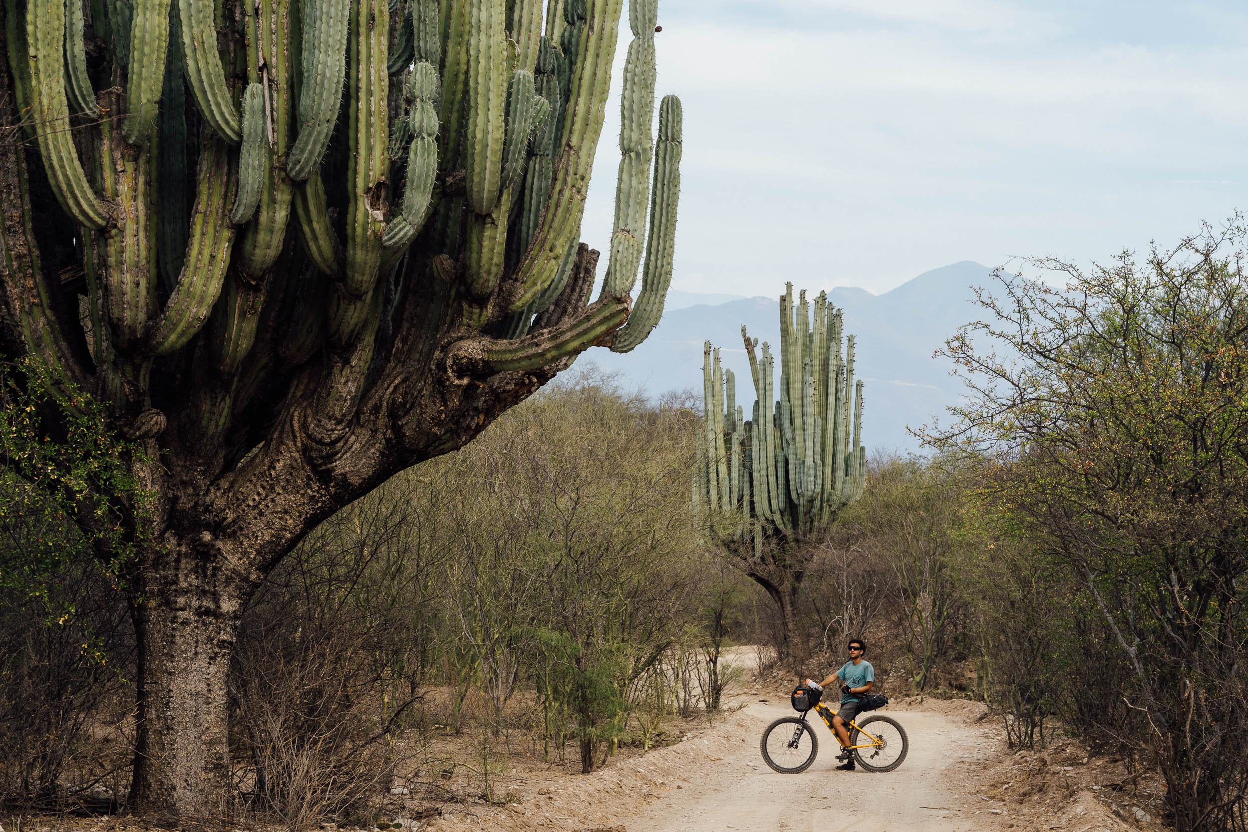
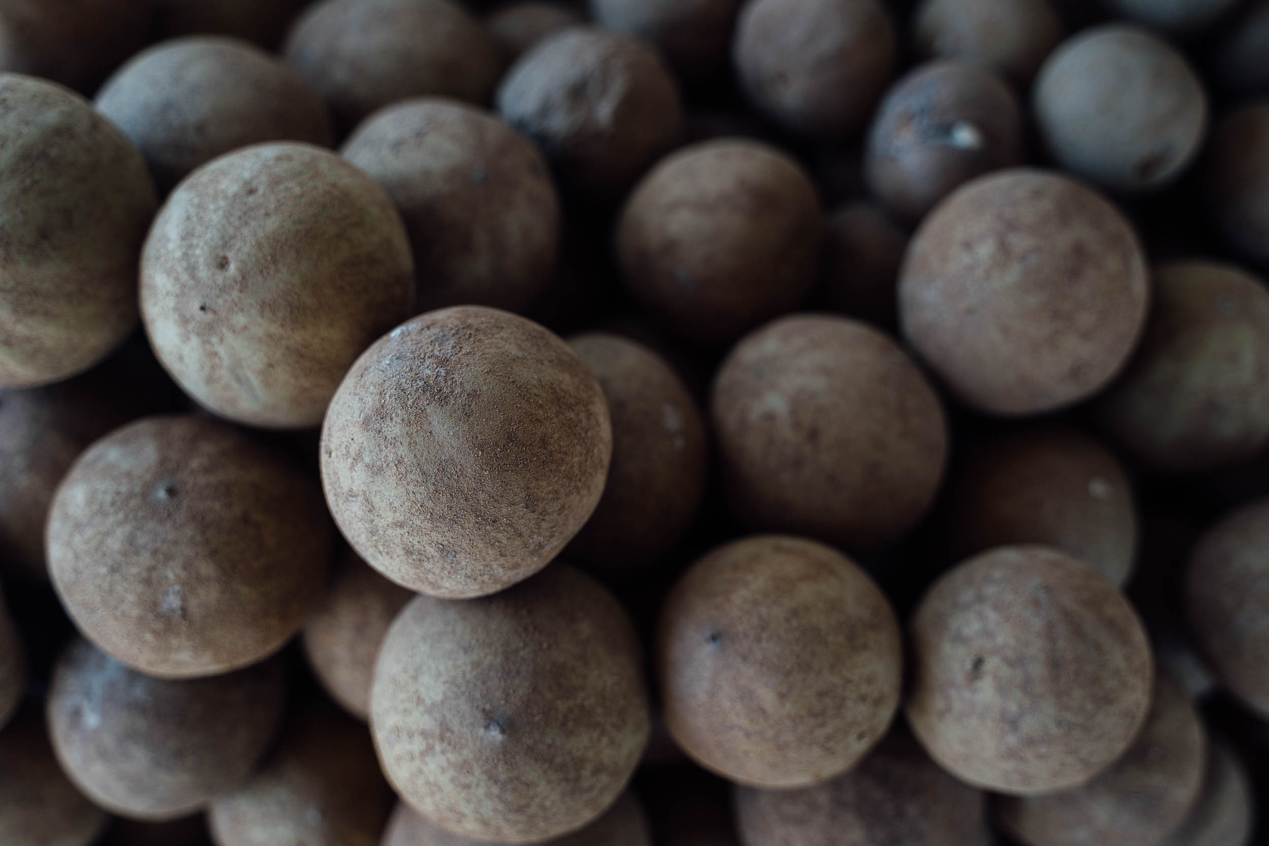
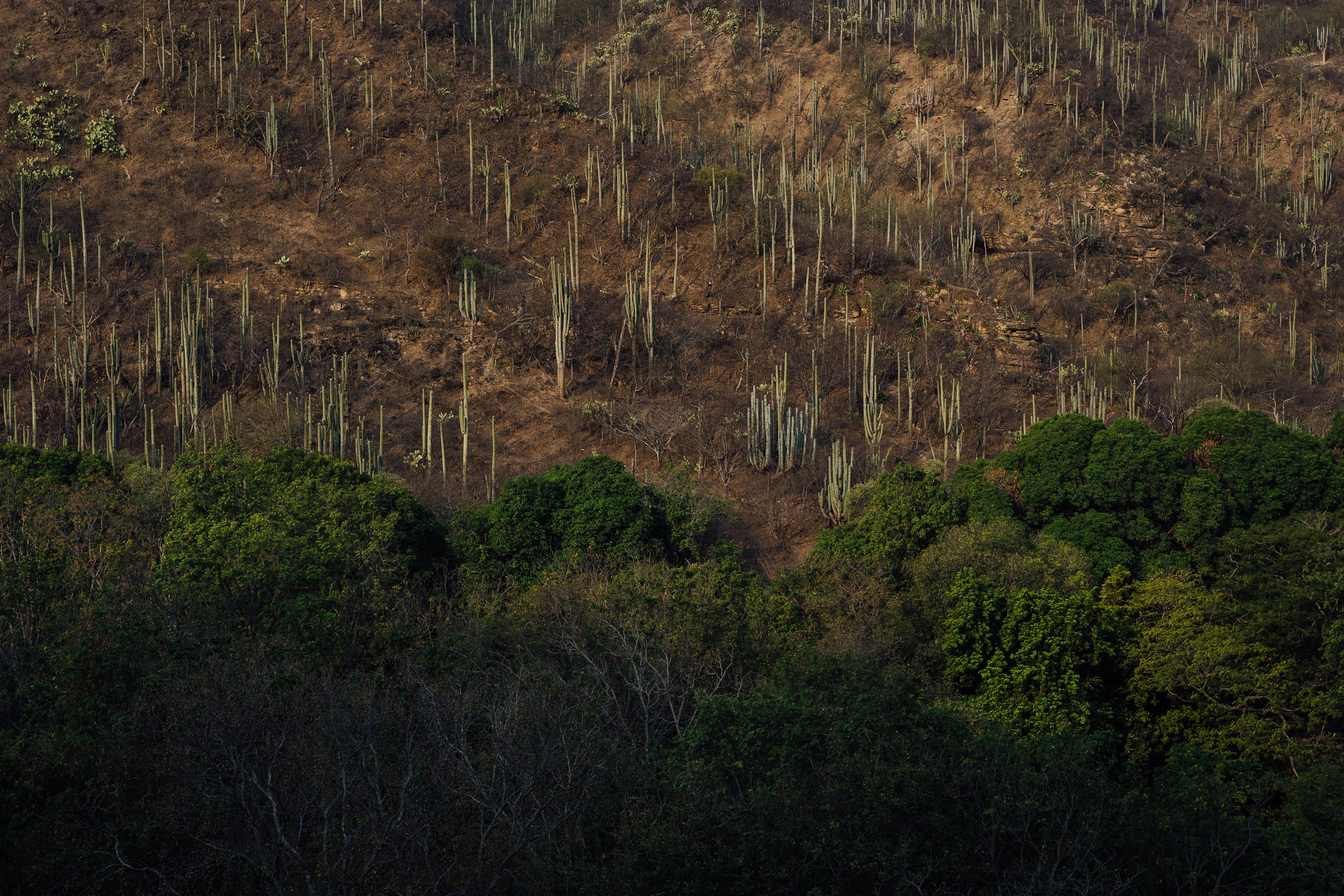
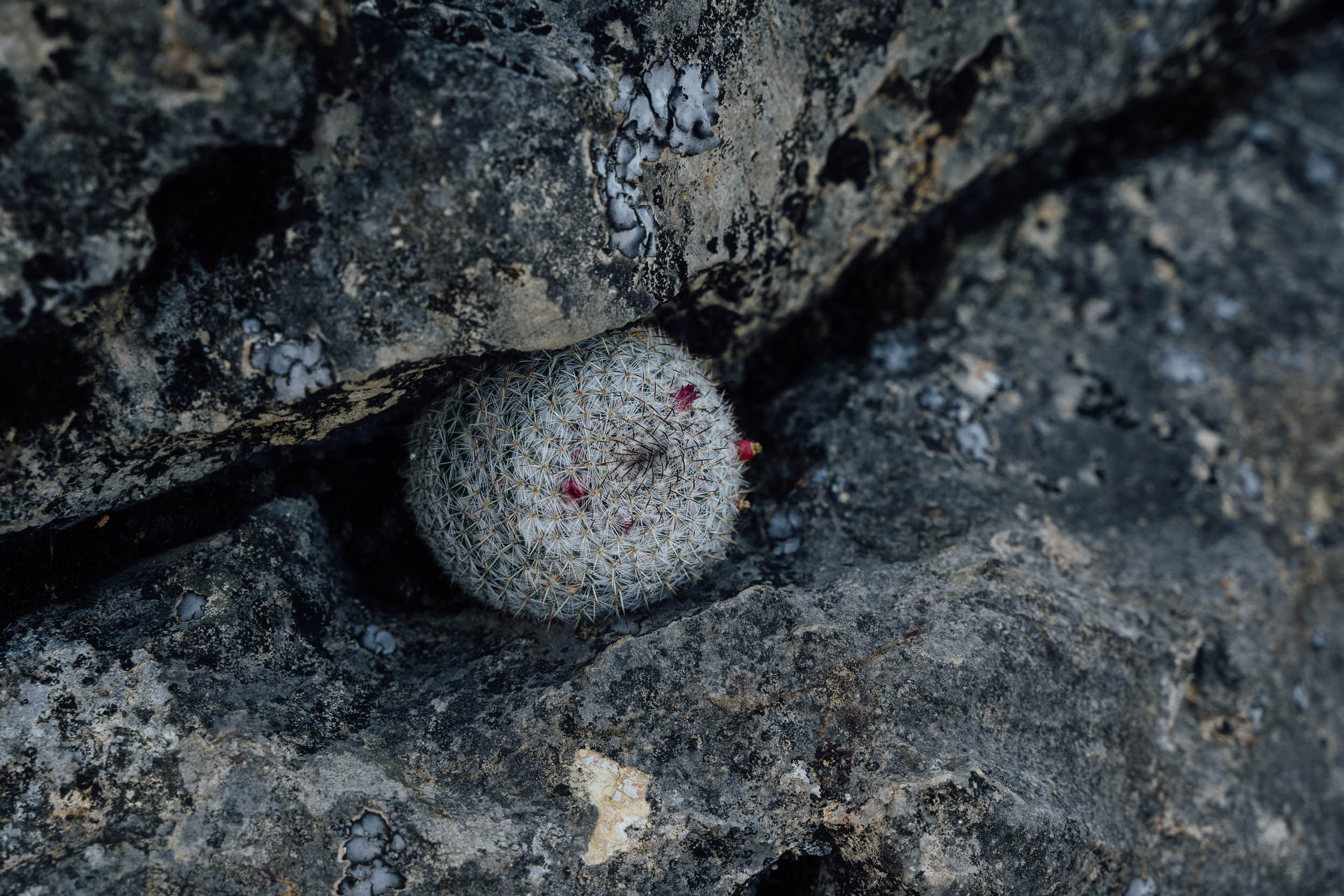
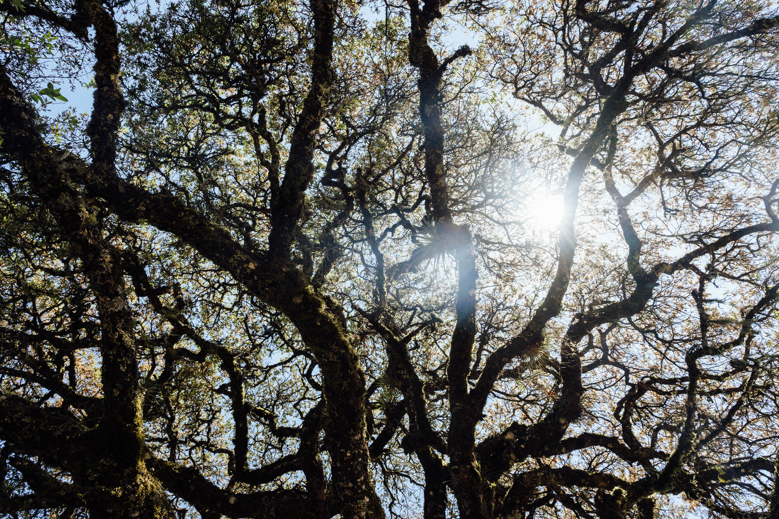
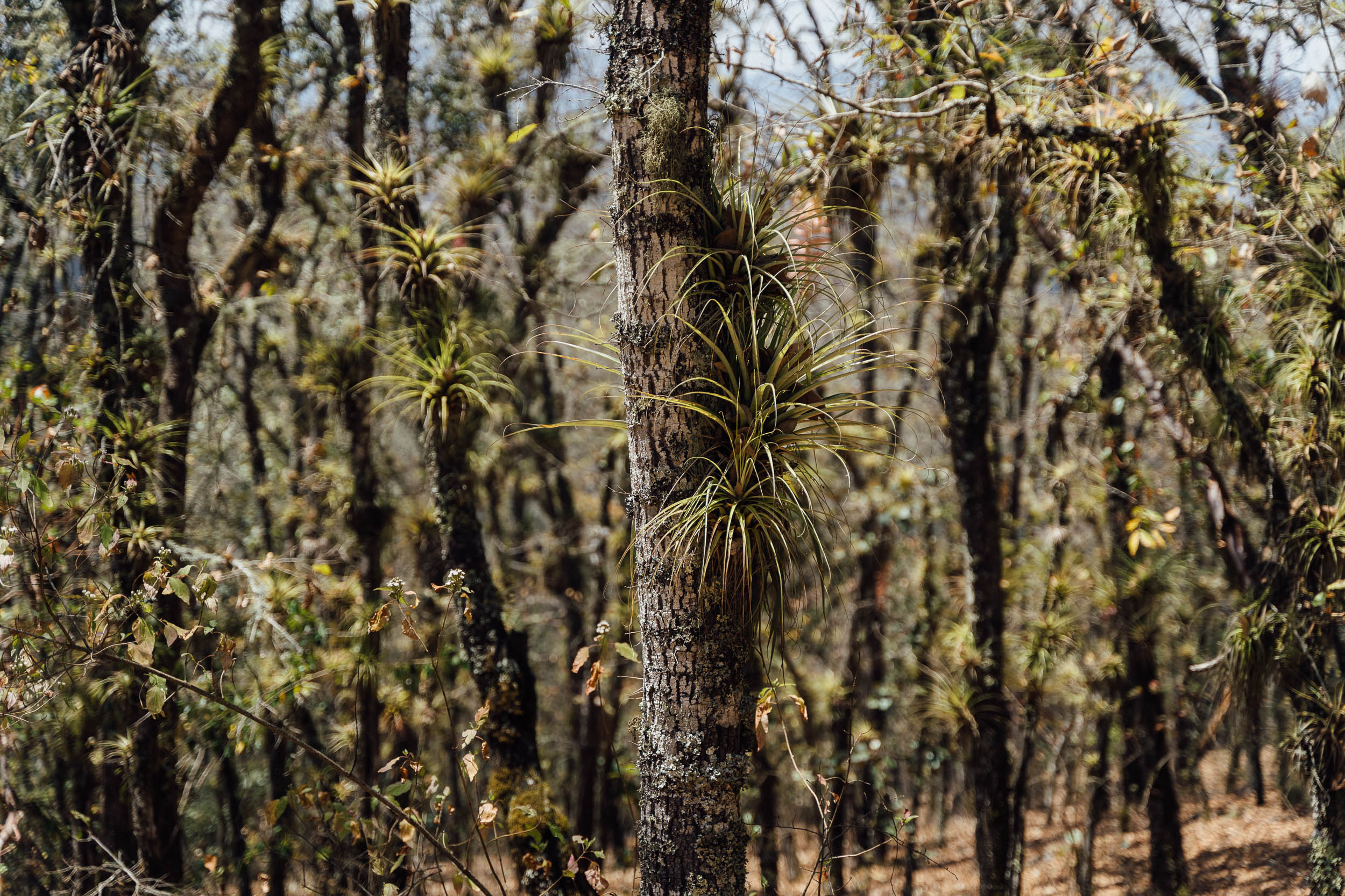
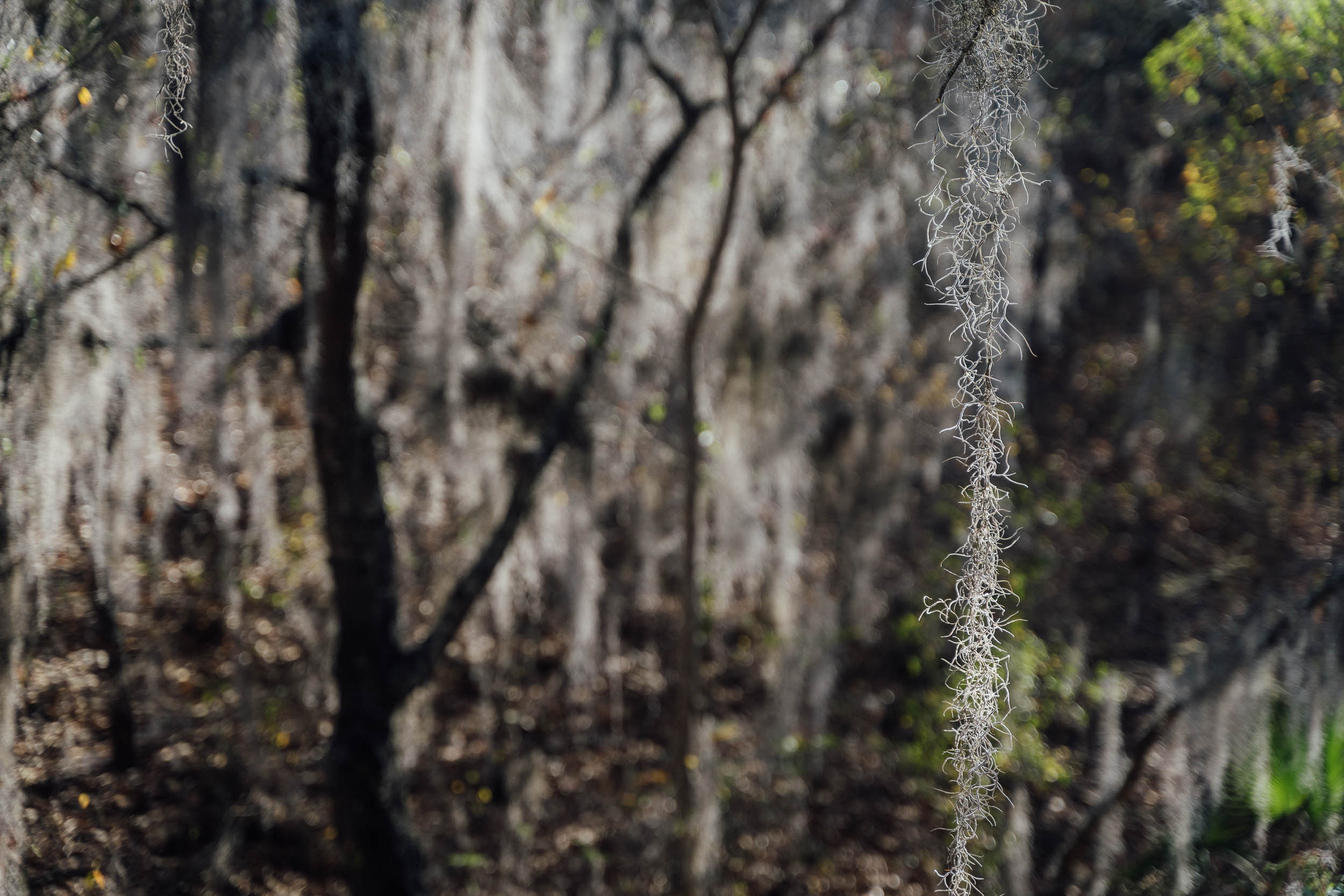
Given its fluctuations in altitude, the South Loop is especially biodiverse. It shares much of the desert flora that can be seen in the North Loop – including the reserve’s ionic columnar cacti, albeit in a less dense setting – as well as oak forests, whose crooked branches are heavy with bromeliads, providing perfect respite from the dry season sun. Bignonias and bougainvillaeas add splashes of colour along the way, even if they are invasive…
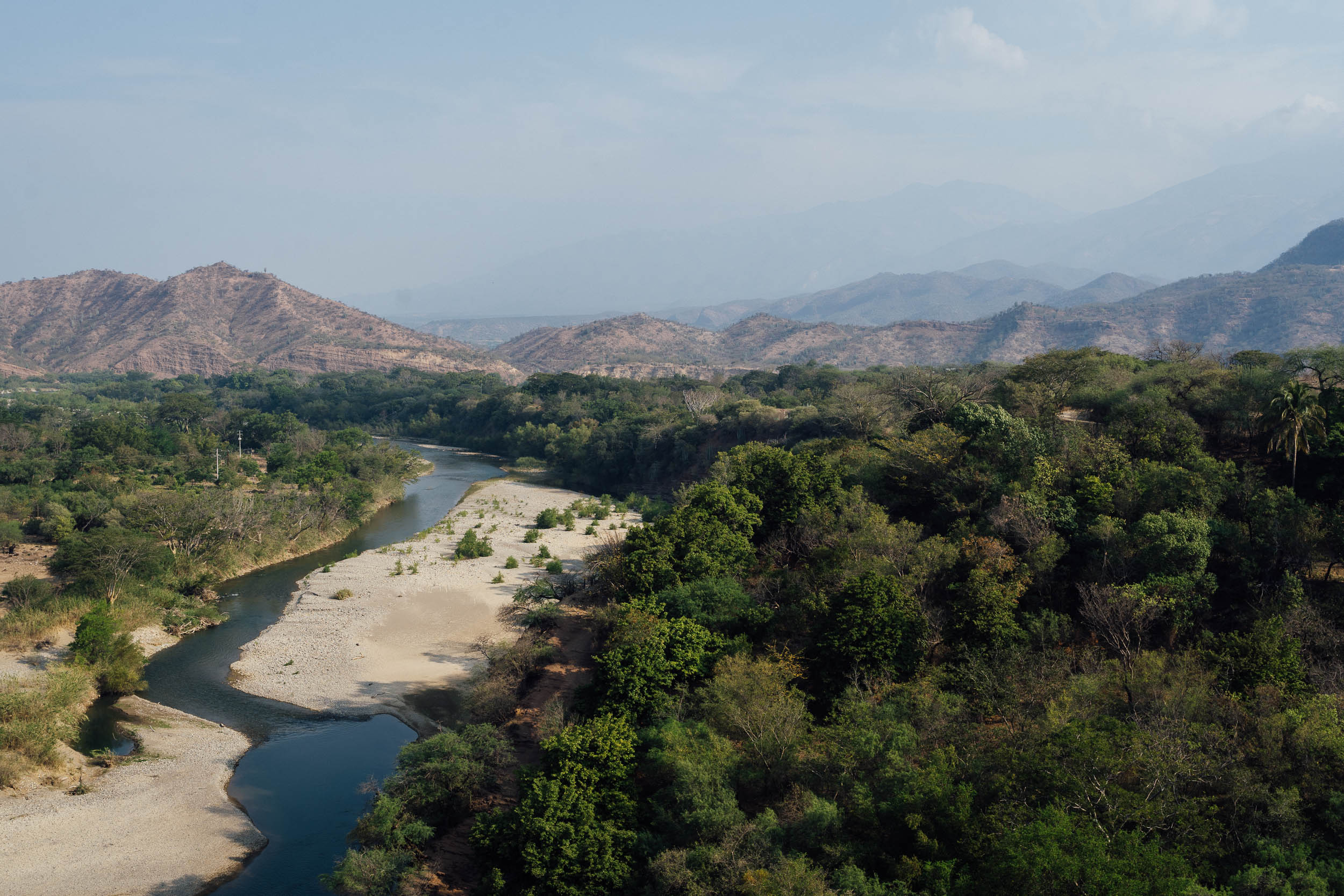
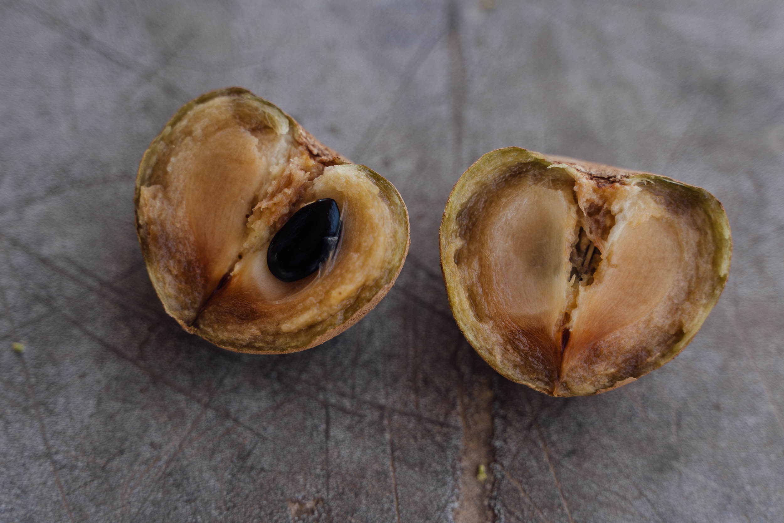
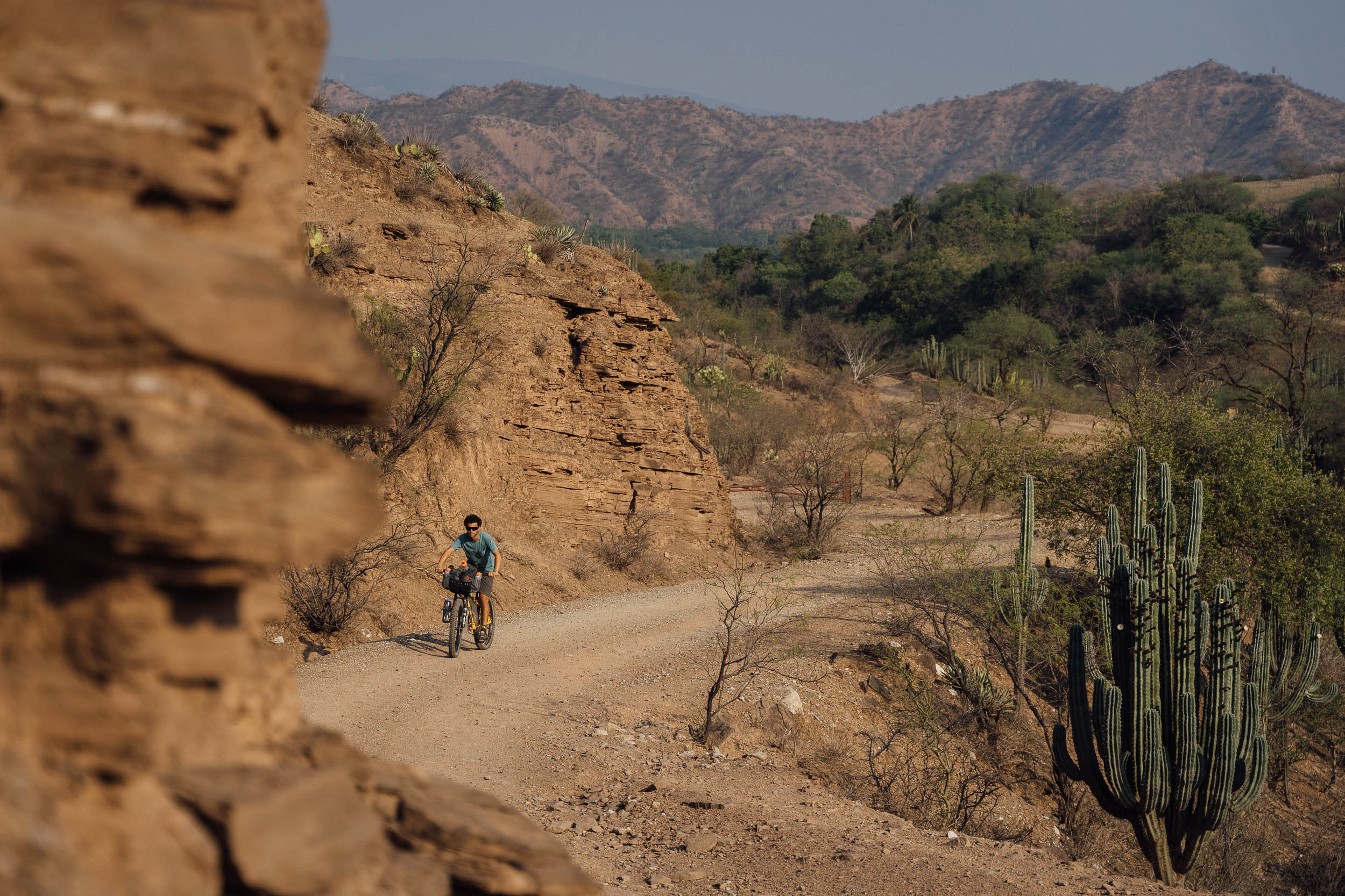
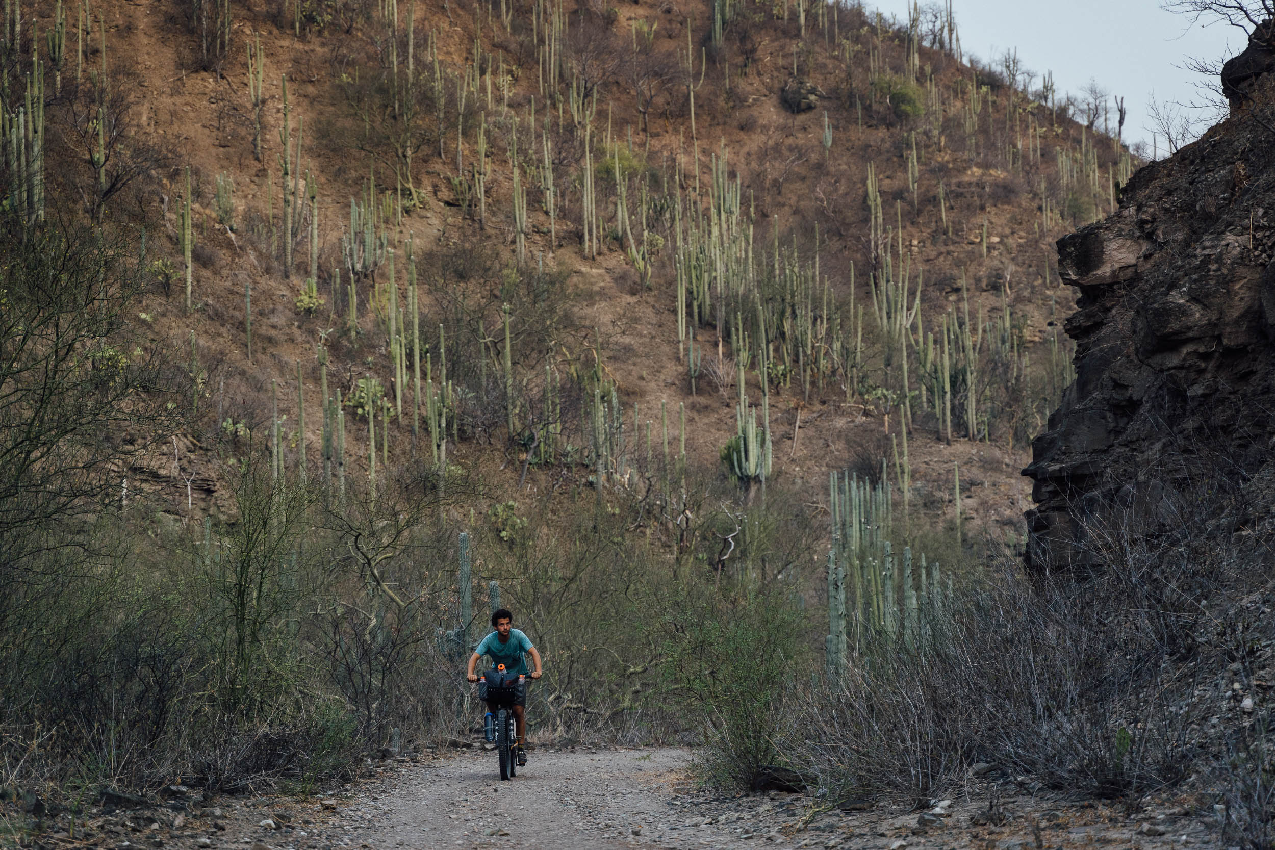
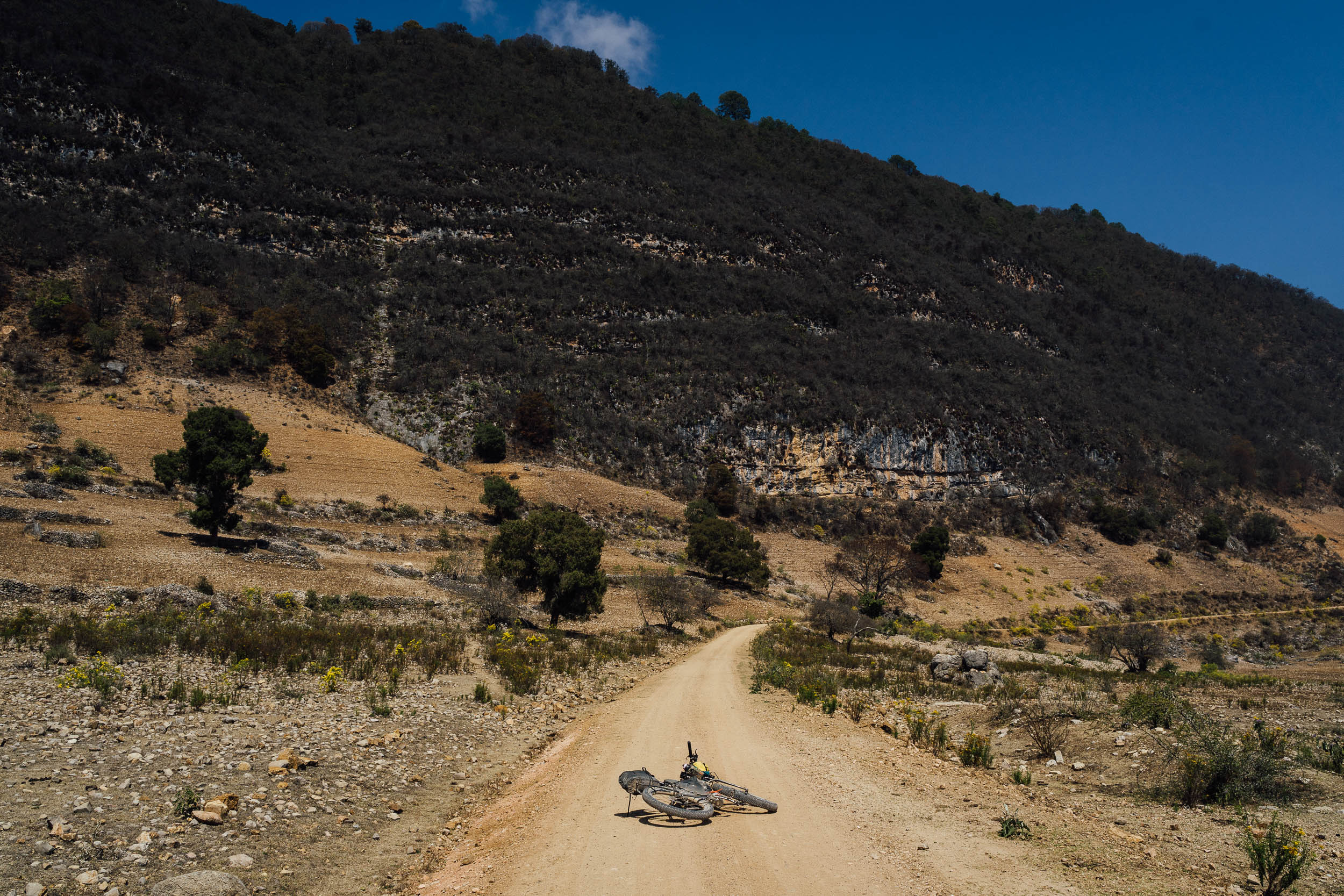
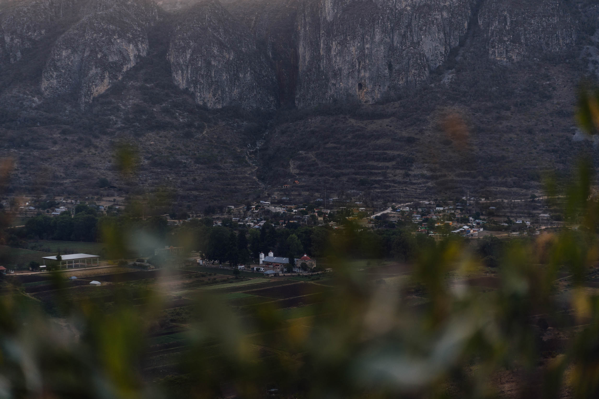
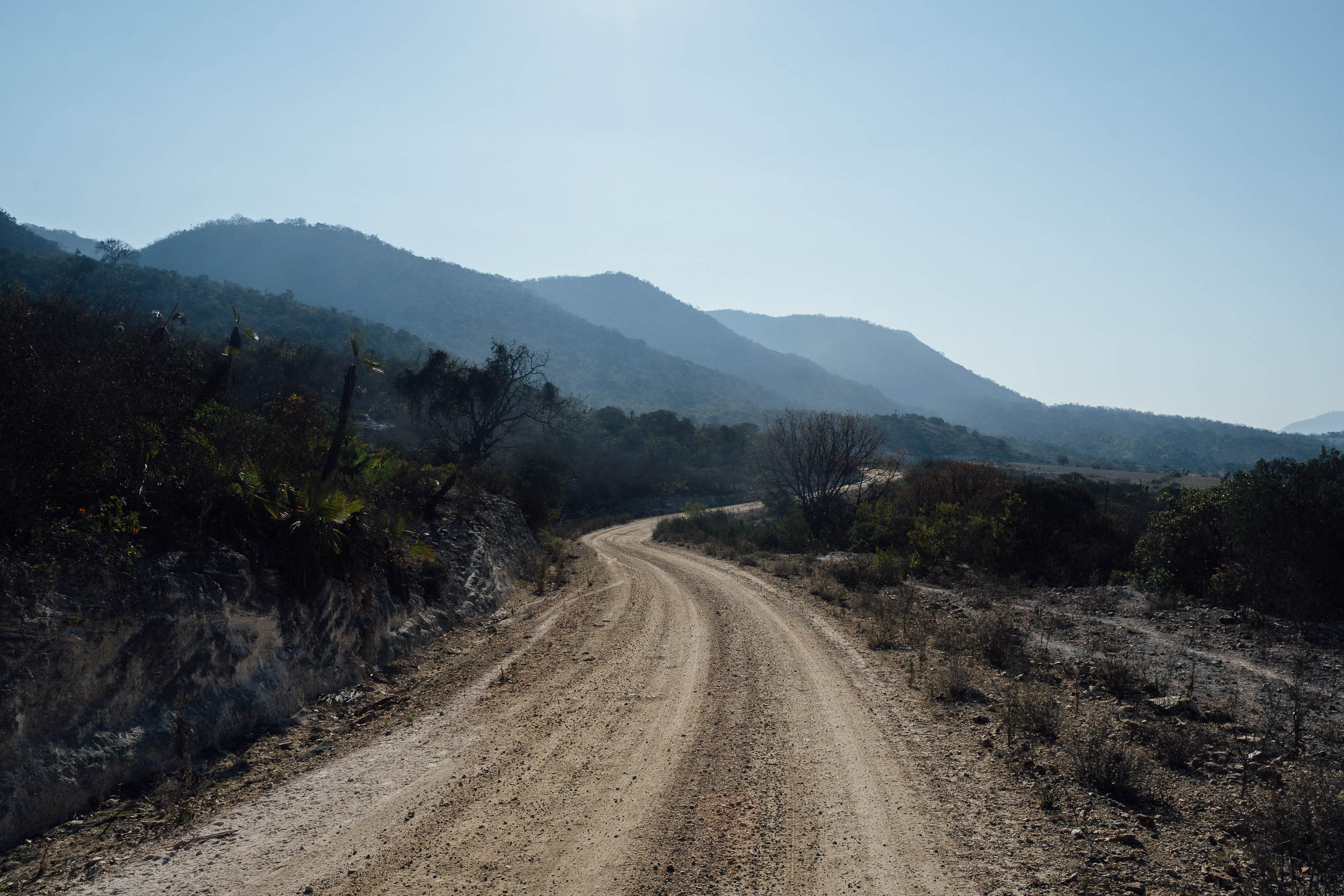
The ride starts with a stunning climb out of Santiago Apoala, impressively backed by rocky outcrops and set amongst caves and waterfalls. Then, a long descent sees riders drop substantially in altitude, spiralling down into the searing heat of the valley floor, a land of abundant limes, mangos, and chicozapotas – a sweet and malty fruit that’s particularly delicious. The route traces a disused railway line in places – built in 1892, it ran between Puebla and Oaxaca – using it as an unconventional shortcut into the busy settlement of San Juan Bautista Cuicatlán. There, food is plentiful – ask for a jara of seasonal fruit juice to help temper the low elevation heat.
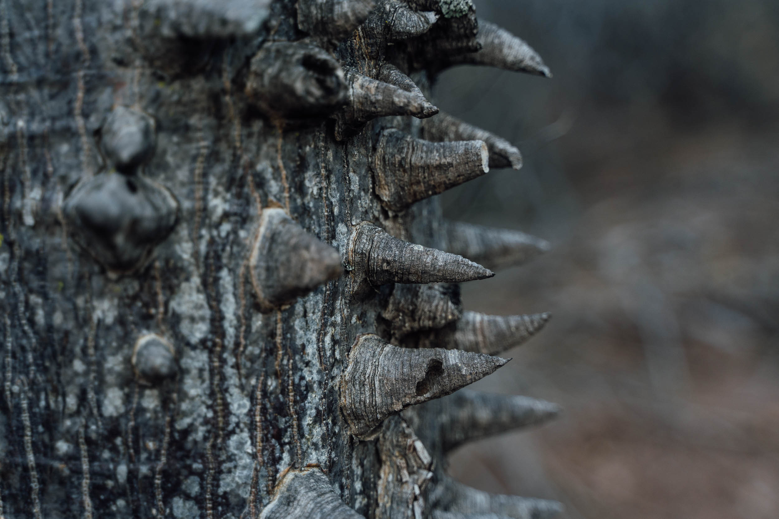
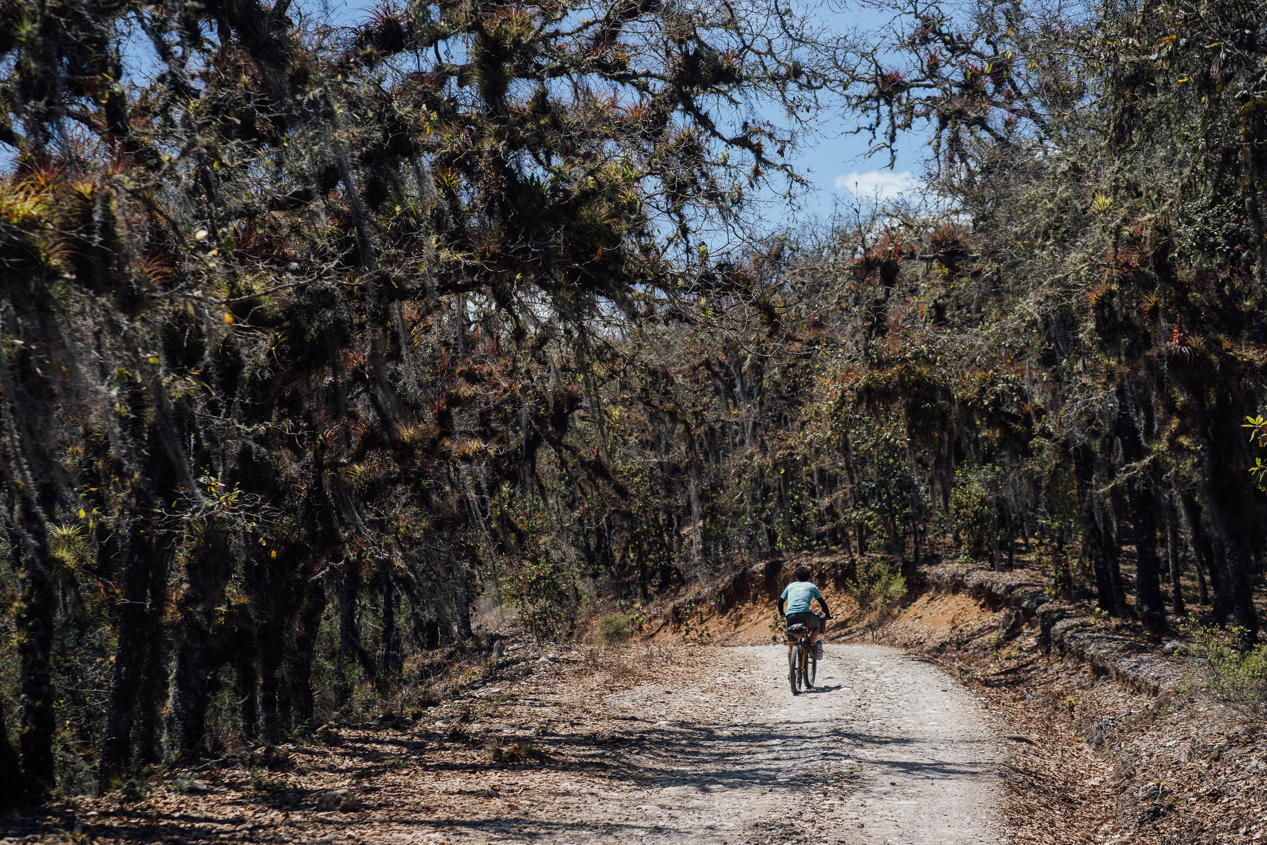
A handy connector, closed to vehicular traffic much of the time, showcases classic Sierra de Juarez topography and biodiversity. The multi-armed organ pipe cacti are especially impressive here – their flowers open at night to be pollinated by bats and moths – along with paddle-like nopales, plump pata de elefantes, and spiky-trunked silk cotton trees that fringe the dirt road as it traces the old railway line above the Rio Grande – itself lined by unexpectedly verdant forests where cantankerous green macaws gather during the daytime. If you time your visit right, you can visit the Sanctuario de las Guacamayas Verdes, where hundreds of these impressive birds – close to a metre in length – can be seen leaving their limestone rookeries come dawn, or returning in the evening. But even if you can’t, you’ll likely see a few dozen on your return to Santa María Ixcatlán.
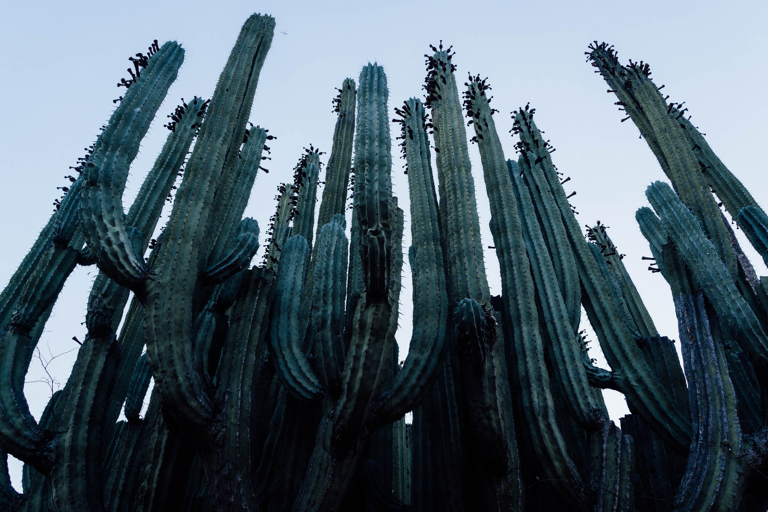
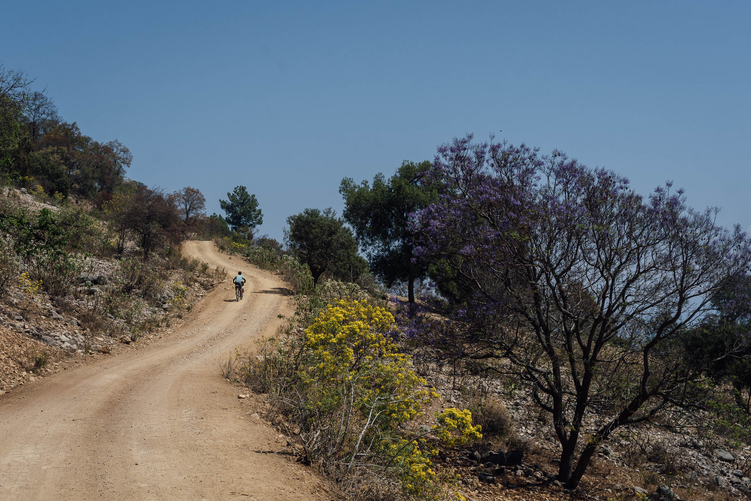
As the route climbs back from whence it began, the iconic and endemic viejitos – tall and skinny Torch Caci, a type of Cephalocereus Hoppenstedtii that sport white and fluffy tops – poke out from the earth in every which direction. The views become even more impressive with every metre of altitude gained, revealing rock walls that are green-tinged from volcanic ash, the same distinctive stone that can be seen so prominently in the centre of nearby Oaxaca city – check out the walls around Templo Santa Domingo for examples. Climb further still and arid desert flora gives way once more to crooked oak trees, their branches heavy with flowering bromeliads. The stint into Santa Maria Ixtaclan is especially enjoyable. Steeper, rockier switchbacks soften to mellower grades, with a sweeping descent into the village itself.
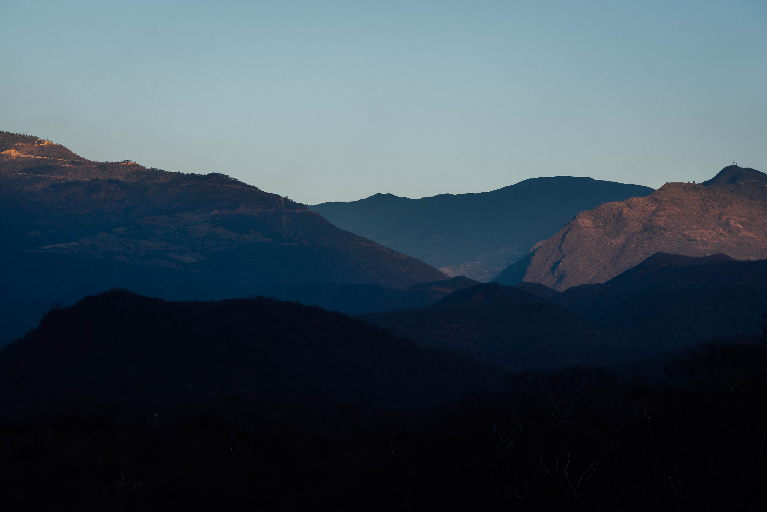
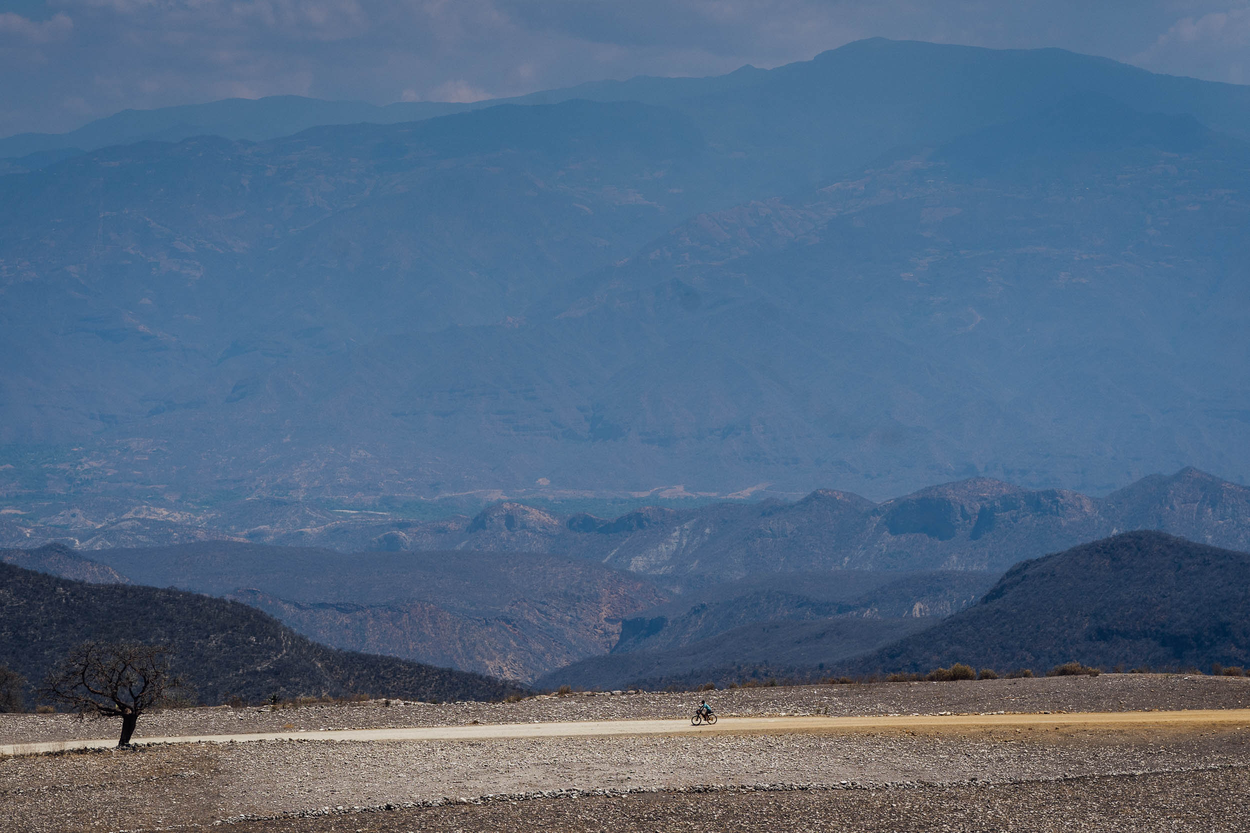
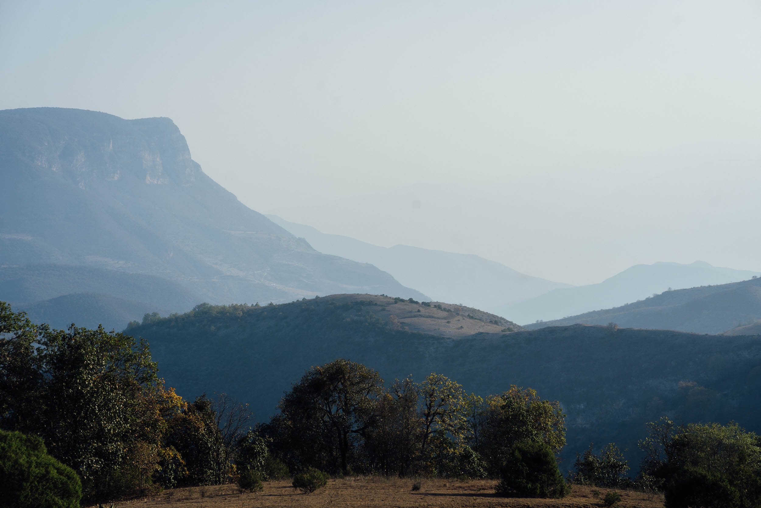
Returning to Santiago Apoala, a series of lofty ridge ride offers sweeping, often hazy views in the distant valleys below; climbing is mellow in grade and the temperatures up at 2000m feel very agreeable, even in the summer.
Unfortunately, a project to financially integrate local communities into the maintenance of the reserve – info panels can be seen throughout the area, under the acronym PSA, or Pago Por Servicios Ambientes – has met with mixed success. The reserve’s nuclei zones are fenced off and very well kept. Much of the South Loop is well-tended, the obvious blight being on the climb up to Santa María Ixcatlán, where there’s a surprising amount of roadside trash that blights the roadside. We’d love to see bikepackers help to fuel positive change in the biosphere Tehuacán-Cuicatlán, so as ever, be sure to leave no trace and shop mindfully.
Difficulty 7: Compared to the northern loop, this route has considerably more climbing and given the range of altitutes, high temperatures can be energy sapping. Surfaces are also rougher in places. Resupply options are still good, even if they’re not quite as prevalent as in the North Loop. A stout climb on the return leg, perhaps best split in two depending on the heat of the day, provides the ride’s main challenge. As a route, the southern loop offers a relatively challenging introduction to bikepacking for those living in Mexico City, Puebla, or Oaxaca, as well as visitors to Mexico from abroad who are basing themselves in Oaxaca de Juárez.
Route Development: With thanks to Nicolas Legoretta for the initial inspiration to visit this region. Together, we drew out and recced the route, based on local information and on-the-ground exploration.
Oaxaca Bikepacking Routes Network
Find our comprehensive Bikepacking Routes Network guide for Oaxaca, Mexico here, featuring an extensive routes map, detailed information about the arts, crafts, food, and daily life in this enchanting state, plus everything you need to know about experiencing this expansive network of dirt roads and trails by bike, linking mountain ranges, pueblos, and rolling landscapes from the old capital…


Submit Route Alert
As the leading creator and publisher of bikepacking routes, BIKEPACKING.com endeavors to maintain, improve, and advocate for our growing network of bikepacking routes all over the world. As such, our editorial team, route creators, and Route Stewards serve as mediators for route improvements and opportunities for connectivity, conservation, and community growth around these routes. To facilitate these efforts, we rely on our Bikepacking Collective and the greater bikepacking community to call attention to critical issues and opportunities that are discovered while riding these routes. If you have a vital issue or opportunity regarding this route that pertains to one of the subjects below, please let us know:
Highlights
Must Know
Camping
Food/H2O
Resources
- Ridge riding at a refreshing 2000m in elevation, whilst peering down into hot and hazy canyons in the valley floor below.
- Peeking views of Pico de Orizaba (5636m), Mexico’s highest mountain, along the way.
- Catching sight of a flock of Guacamayas Verdes and hearing their squawks resonate across their limestone rookeries.
- The sheer biodiversity of this part of the reserve; from bromeliad-covered oaks to towering, multi-armed cacti.
- Sweet mango and chicozapota heaven, sticky respite on a hot day.
- Tracing part of the now disused Mexican Southern Railroad, built in 1892, that once ran between Puebla and Oaxaca.
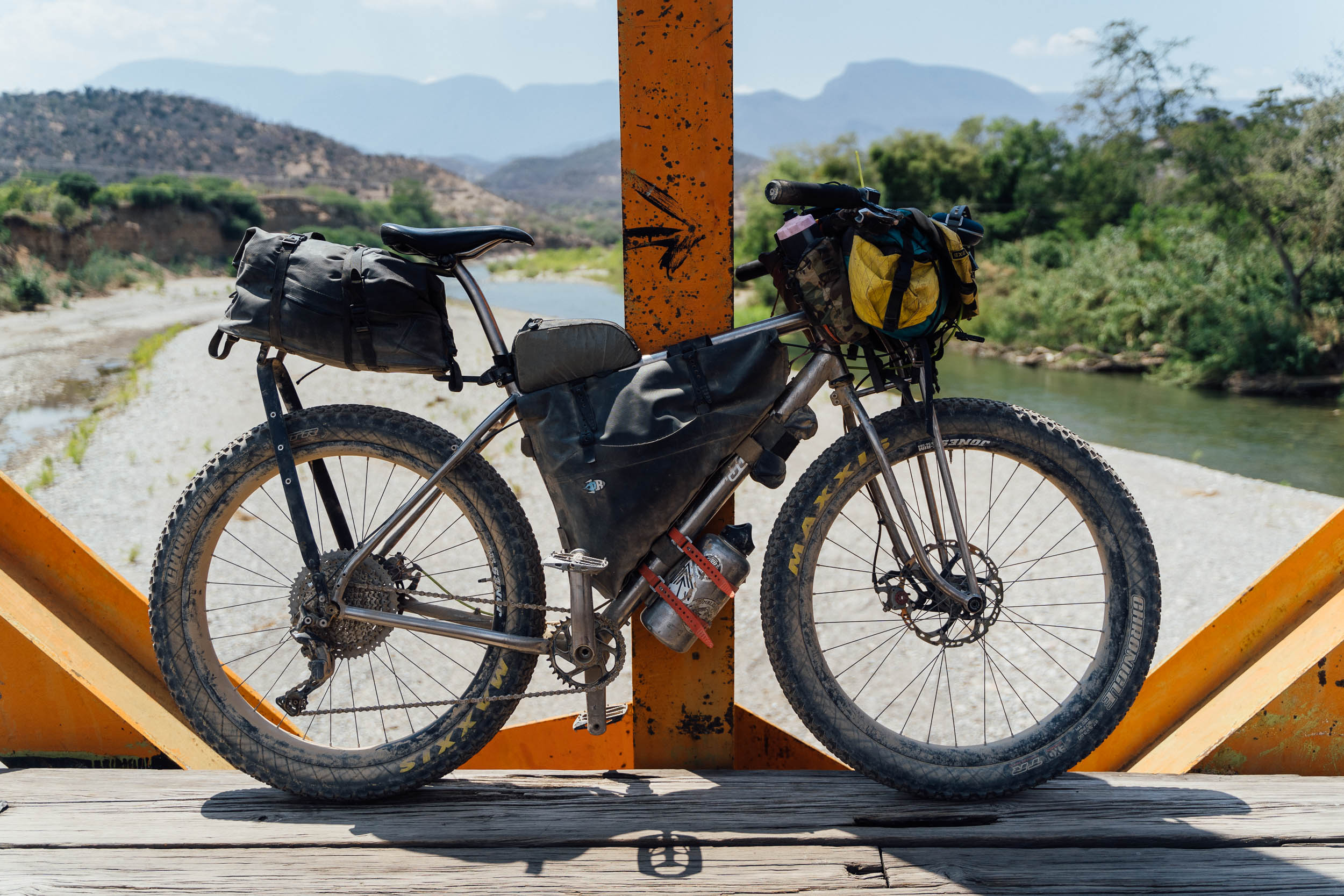
- Best Bike: Whilst this route can be ridden on a gravel bike, there are a number of rougher sections, making a mountain bike (2.3in+) the more appropriate and comfortable choice. Find more in the Bikes, Rides, and Gear section of our extensive Oaxaca Bikepacking Routes Network Guide.
- Best time of year: November to February is ideal. Beware April and May as the lower elevations become searingly hot. Locals say the dirt roads remain passable in the wet season.
- Bring insect repellent, as there can be sand flies on some sections of this route.
- Santiago Apoala, the start point, is the main touristy hub on the route, with bike rental and a variety of local tours, including trips to waterfalls and caves. See the tourist office on the map for more info.
- San Juan Bautista Cuicatlán is the largest town on the route and has cell service, as well as a number of stores, hotels, a market, and restaurants.
- A visit to the Guacamayas Verdes sanctuary in the Cañon Alas Verdes can either be set up in Santa Maria Tecomavaca, just off route, or more efficiently, in advance at the sanctuary’s Facebook page. The birds are best seen at dawn, when they leave their rookeries, or at sunset when they return. The trip involves a hike to the best viewing spot.
- Cash: there are no ATMs on the route. Carry cash, small bills if possible.
- Cell service: Note that aside from San Juan Bautista Cuicatlán, there’s very little cell service in the area, even in Santa María Ixcatlán. You may occasionally find a signal in the mountains but don’t rely on it. If you need to access the web or make a call, buy an hour’s internet access (5-10 pesos/hour) from convenience stores and use What’s App instead. This service can be found in every larger village along the route.
- Getting there: Being a loop, it can be started in a number of spots. If you’re driving here from Mexico City or Puebla, you can access the route from Santa María Ixcatlán, via San Juan Bautista Coixtlahuaca, just off the Puebla-Oaxaca toll highway. The connecting section is on an unpaved road and can be slow going in a car – better to find a place to park your vehicle in San Juan Bautista and ride (26km, 600m elevation gain).
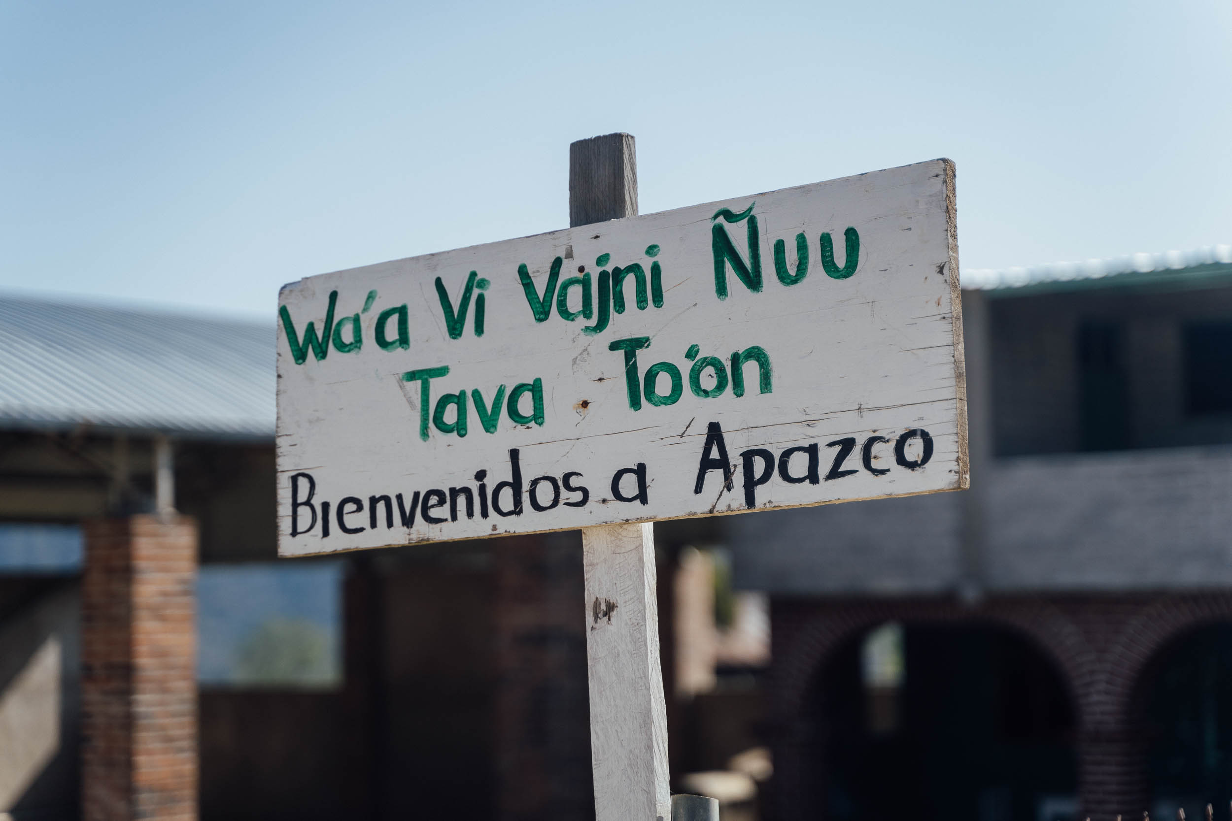
- If arriving by public transportation, take a bus to Asunción Nochixtlán on the Oaxaca-Puebla toll highway. In Oaxaca City, ADO (Niños Heroes de Chapultepec 1012) runs a regular service, with room for bikes – it’s around 200 pesos and takes 1-1.30 hours. From there, you can either hop in a local combi to Santiago Apuala, or ride unpaved roads and connect with the route at Santa Maria Apazco (33km, 850m elevation gain).
- For general information about our extensive route network in Oaxaca, be sure to check out our Oaxaca Bikepacking Routes Network resource, with a Spanish translation coming soon. It includes details on getting there, bike shops, rentals, food, arts and crafts, and other worthwhile places to visit in the city.
- We’ve marked the location of a simple hotel in Santa María Ixcatlán on the map. Otherwise, there are options in the main tourist hub settlement of Santiago Apoala and later in San Juan Bautista Cuicatlán, down in the lowlands.
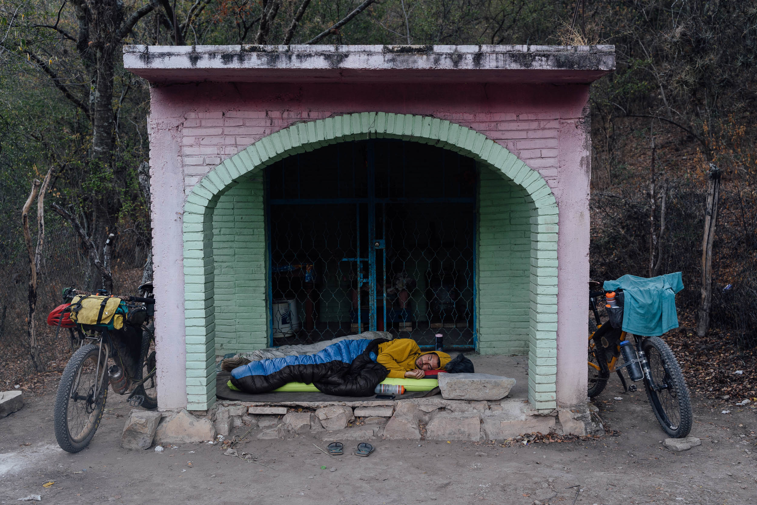
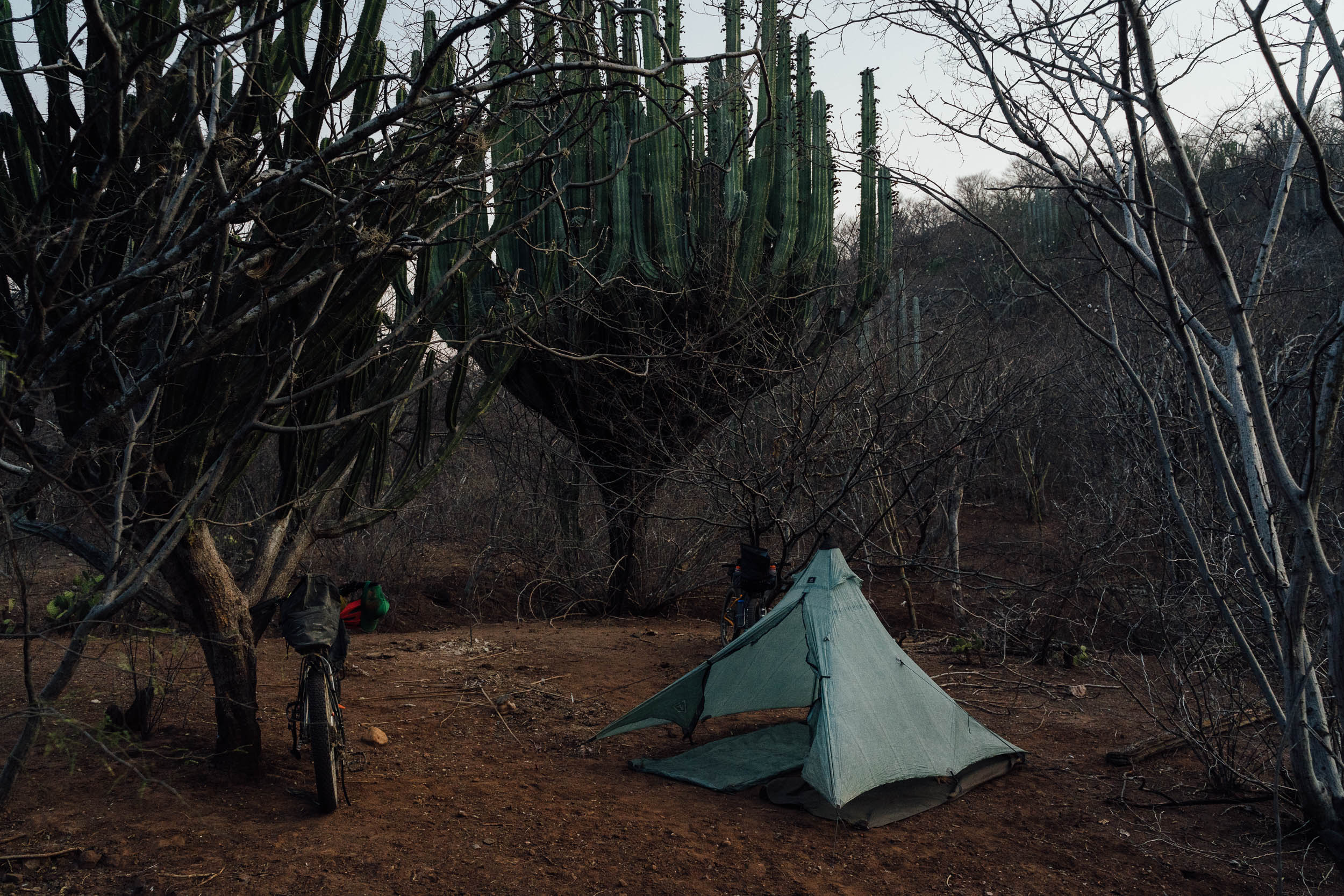
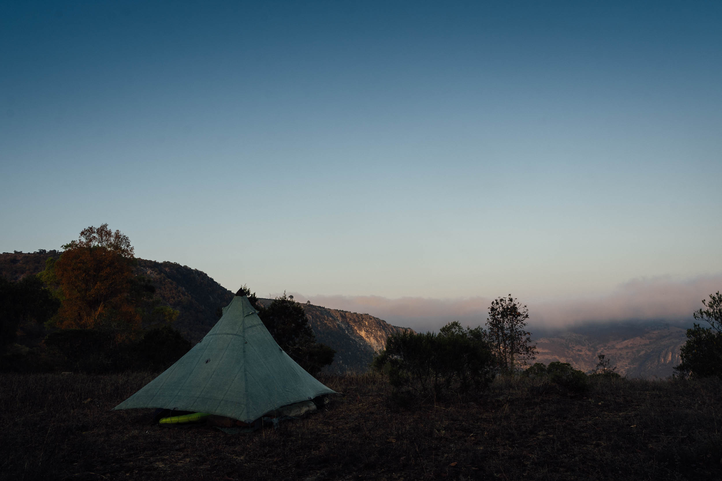
- Wild camping is permissible outside the nuclei zones of the reserve; leave no trace and ask local ejidos for permission when you can.
- We’ve included a few potential camping options to break the big climb back to Santa María Ixcatlán in two, which you may want to do, especially in the middle of the dry season.
- Due to mosquitos and sand flies, a fully enclosed tent is recommended.
- Bear in mind the area has a number of critters, including poisonous spiders and scorpions, so check your shoes!
- A lightweight, summer-rated sleeping bag is ideal, as it can be cooler at night at elevation.
- We carried between 3 and 5 litres of water, depending on the elevation/temperatures of the route – be sure to load up for the big climb to Santa María Ixcatlán.
- Offer some pesos to fill your water bottles when you stop and eat in restaurants; it won’t always be accepted but the gesture is appreciated, as water can be scarce.
- Small settlements are spread throughout the ride, so picking up supplies/eating out is never an issue and can be done on a daily basis – there’s no need to carry much. The final climb back to Santa María Ixcatlán is the only extended stretch without resupply options.
Additional Resources
- Although published some time ago, this link provides an in-depth evaluation of the flora and fauna to be found in the reserve, its history, and the challenges it faces.
- For more information on the reserve’s flora, see this Spanish-language pdf on the Vegetation of the Valley of Tehuacan-Cuitaclan.


Terms of Use: As with each bikepacking route guide published on BIKEPACKING.com, should you choose to cycle this route, do so at your own risk. Prior to setting out check current local weather, conditions, and land/road closures. While riding, obey all public and private land use restrictions and rules, carry proper safety and navigational equipment, and of course, follow the #leavenotrace guidelines. The information found herein is simply a planning resource to be used as a point of inspiration in conjunction with your own due-diligence. In spite of the fact that this route, associated GPS track (GPX and maps), and all route guidelines were prepared under diligent research by the specified contributor and/or contributors, the accuracy of such and judgement of the author is not guaranteed. BIKEPACKING.com LLC, its partners, associates, and contributors are in no way liable for personal injury, damage to personal property, or any other such situation that might happen to individual riders cycling or following this route.
Please keep the conversation civil, constructive, and inclusive, or your comment will be removed.