


La Vuelta de Santiago Apoala
Distance
190 Mi.
(306 KM)Days
6
% Unpaved
70%
% Singletrack
1%
% Rideable (time)
99%
Total Ascent
22,000'
(6,706 M)High Point
8,600'
(2,621 M)Difficulty (1-10)
7?
- 8Climbing Scale Strenuous116 FT/MI (22 M/KM)
- 6Technical Difficulty Moderate
- 7Physical Demand Difficult
- 7Resupply & Logistics Strenuous
Contributed By

Cass Gilbert
Contributing Editor
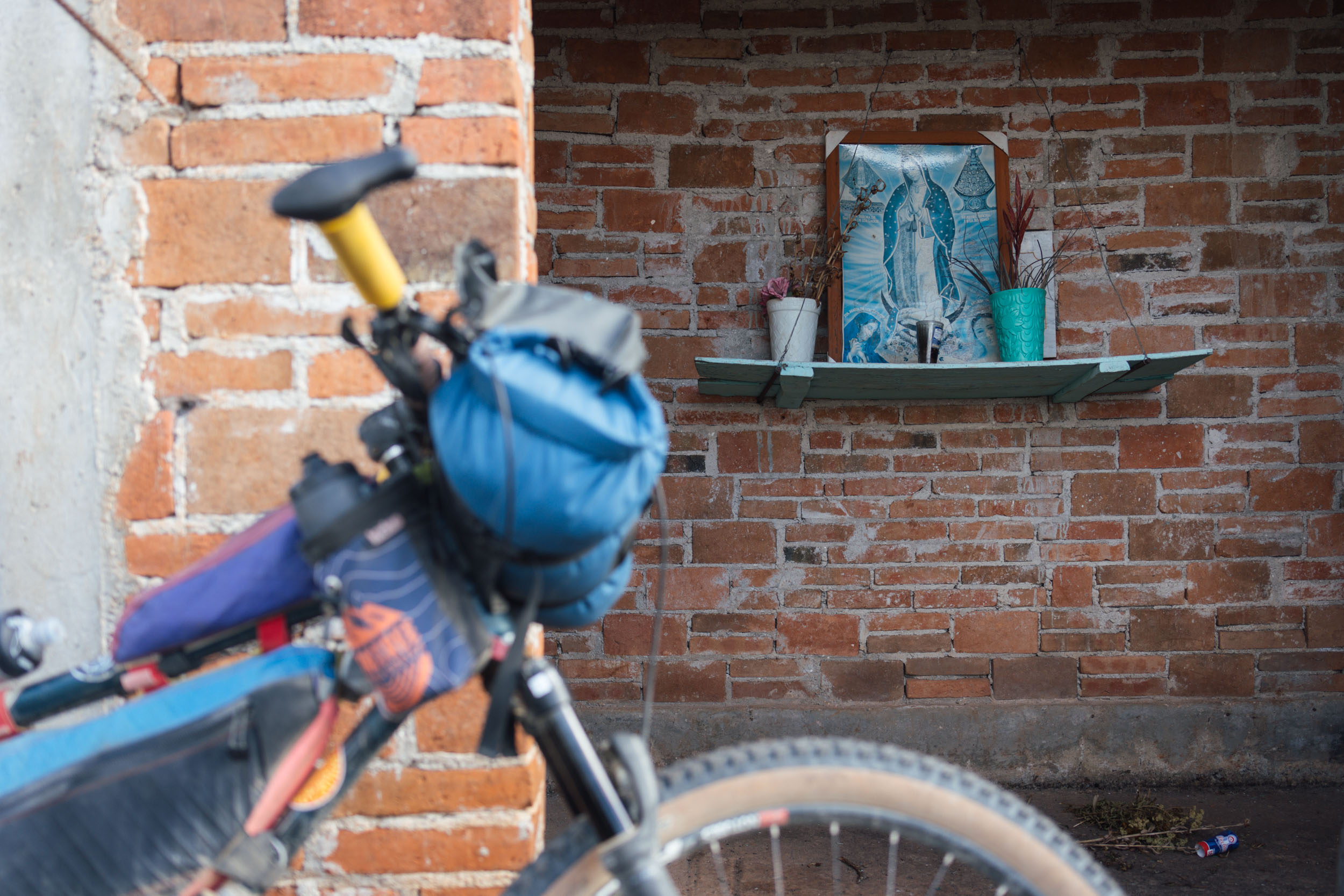
With thanks to Emma Bucke for her beautiful botanical illustration of Spanish Moss (Tillandsia usneoides) used in this route badge.
The Vuelta de Santiago Apoala is intended to serve a number of purposes. Aside from being an extremely scenic and unusually varied weeklong loop in and out of Oaxaca de Juárez, it also serves as a 3-4 day ride to a magnificent waterfall (with a short bus back to the city from Asunción Nochixtlán) and as a connector to the Ojos de Cuicatlan route in the Reserva de la Biósfera Tehuacán-Cuicatlán. With enough time, it could even be teamed to the latter as part of a figure-of-eight ride – which would extend it into a 9 to 10-day trip.
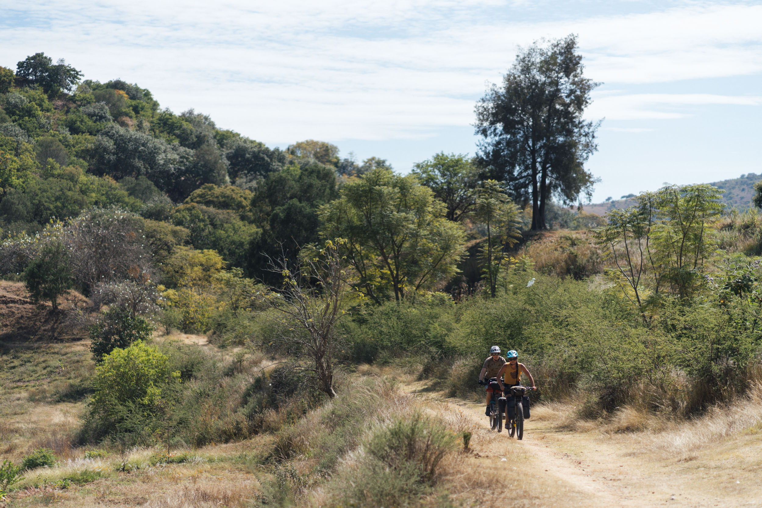
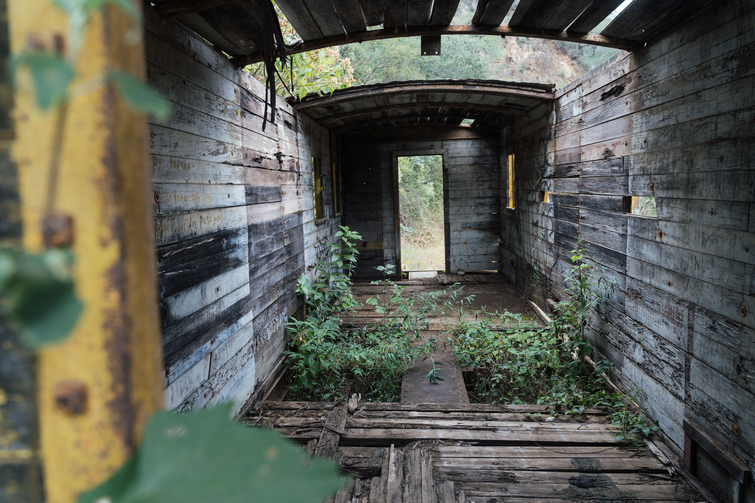
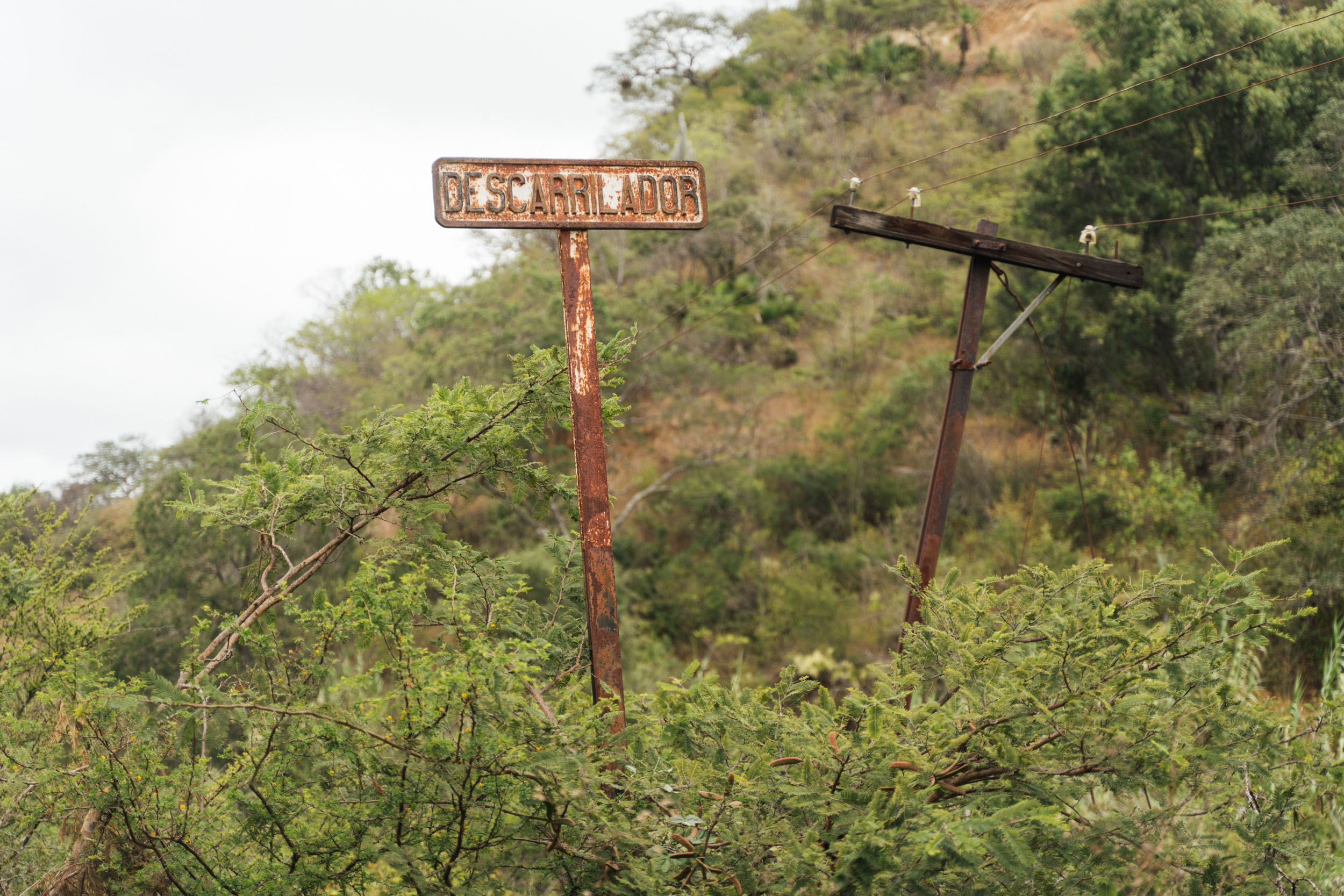
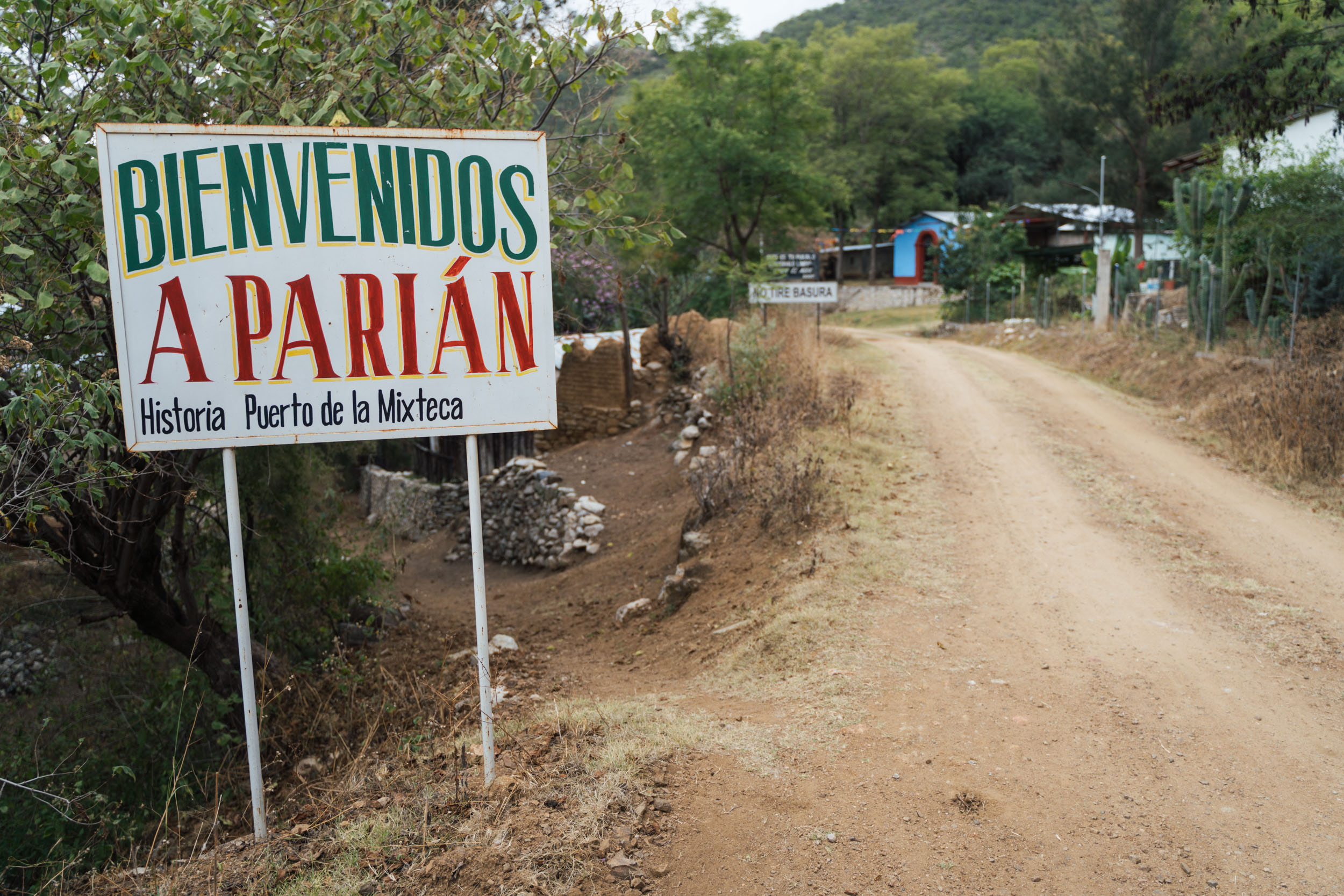
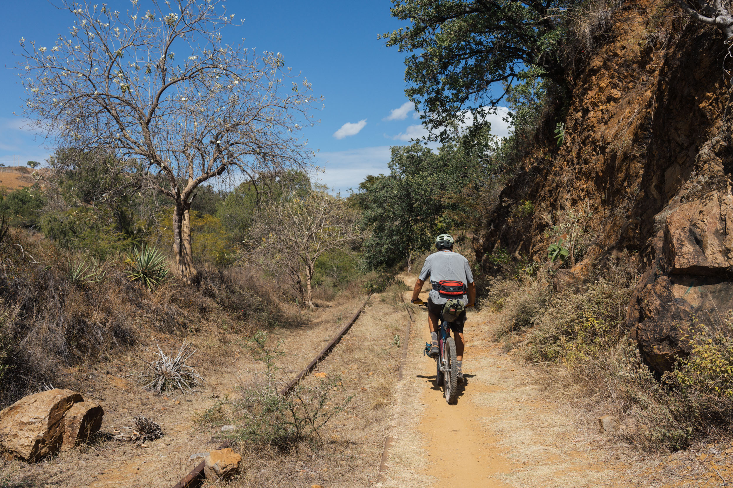
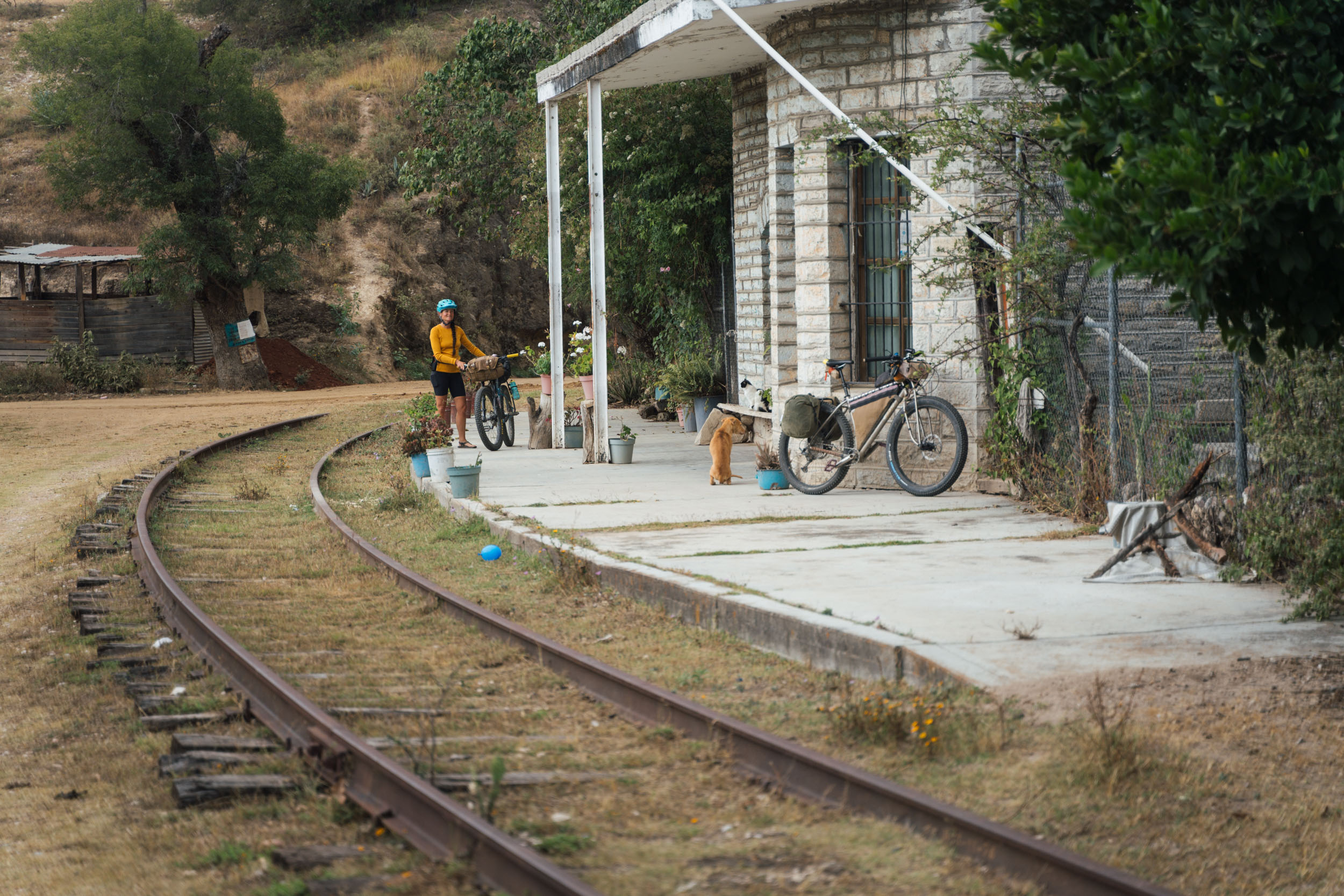
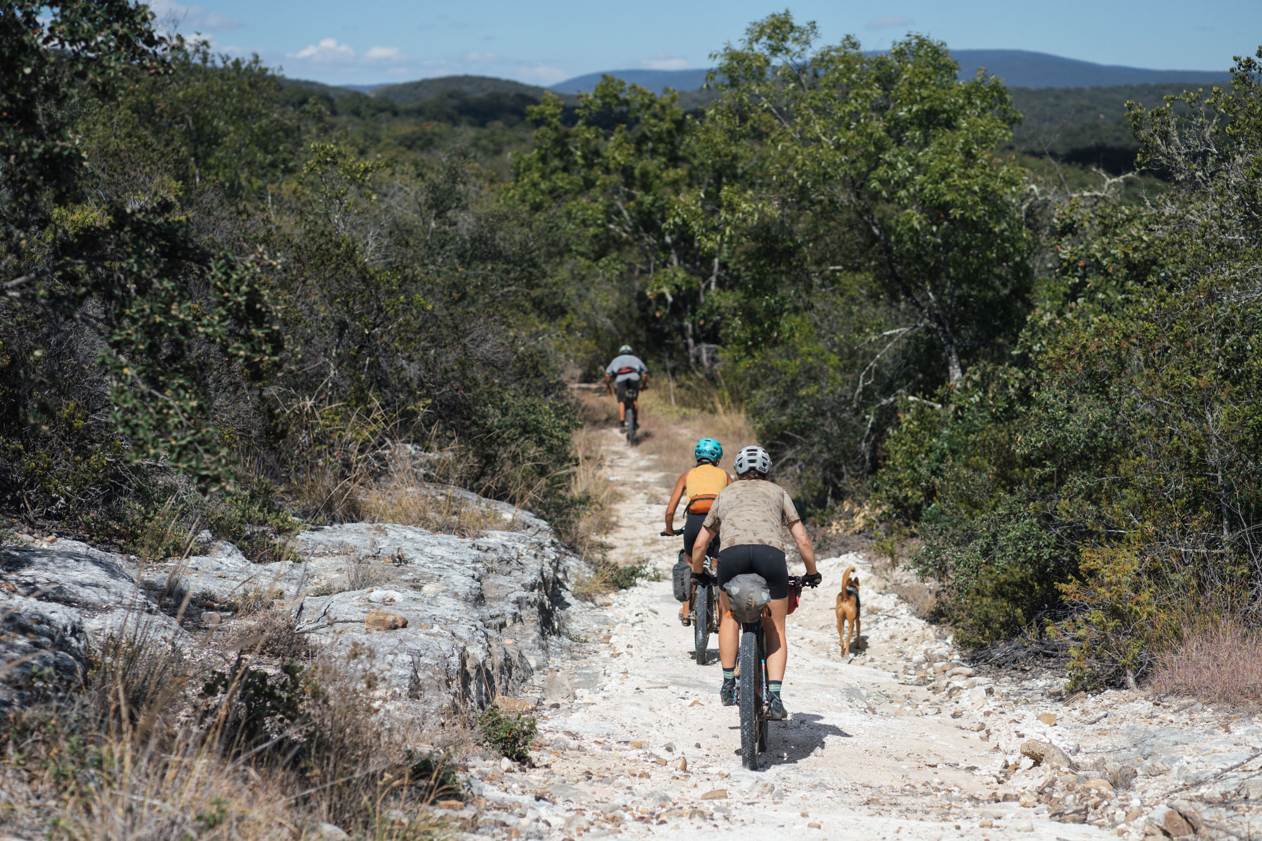
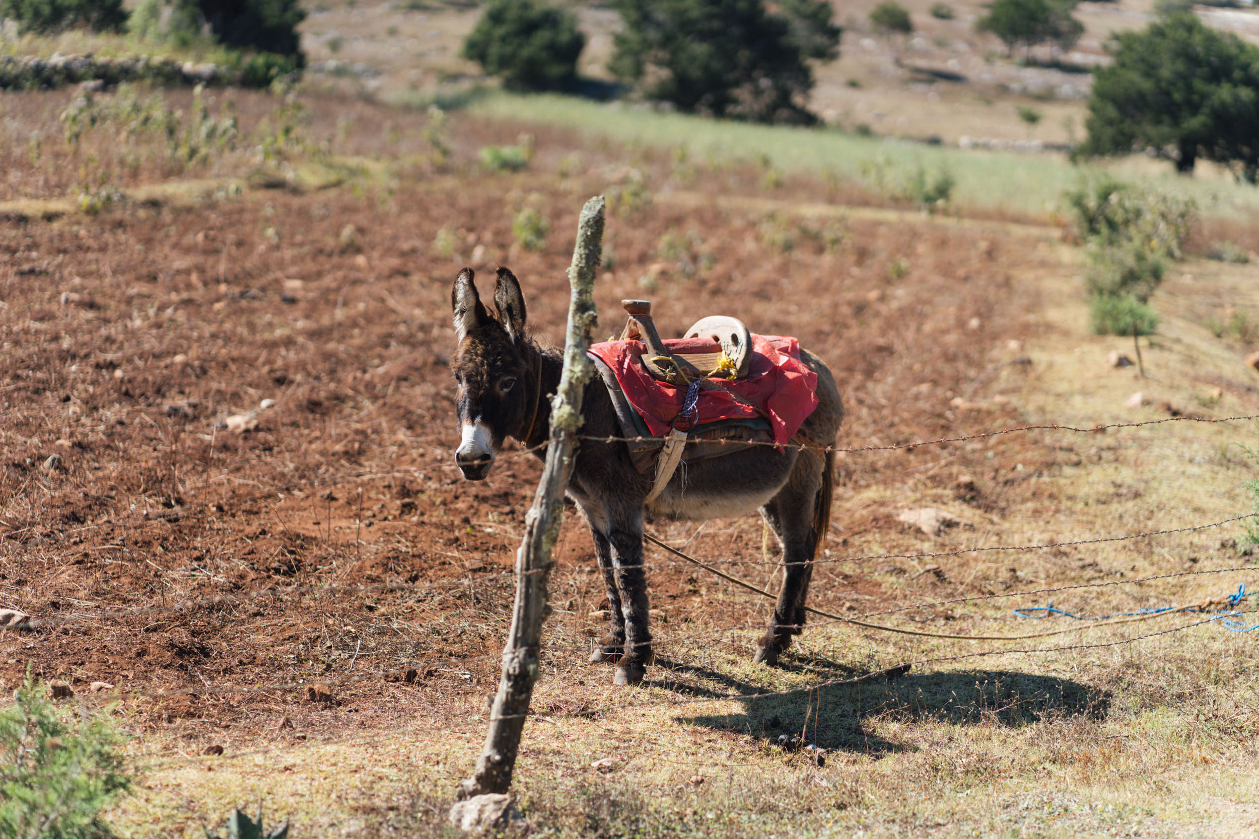
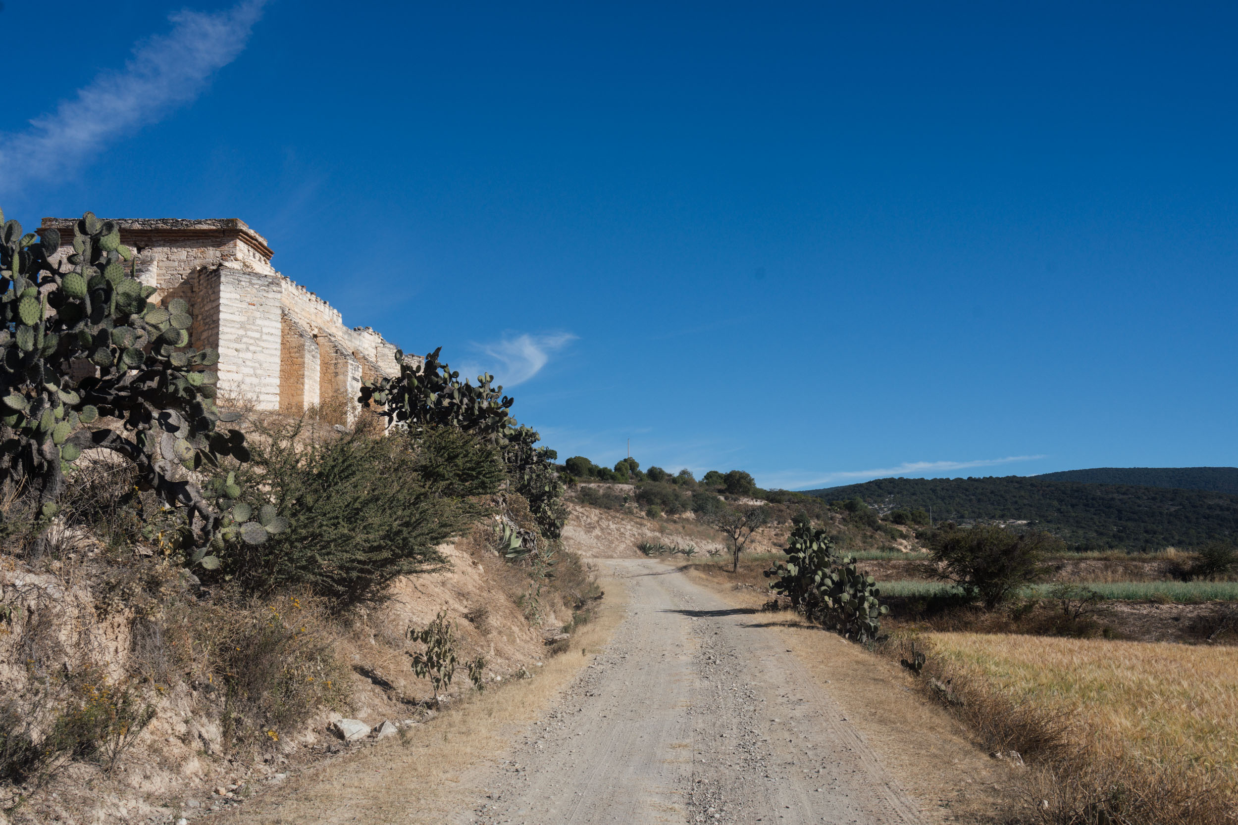
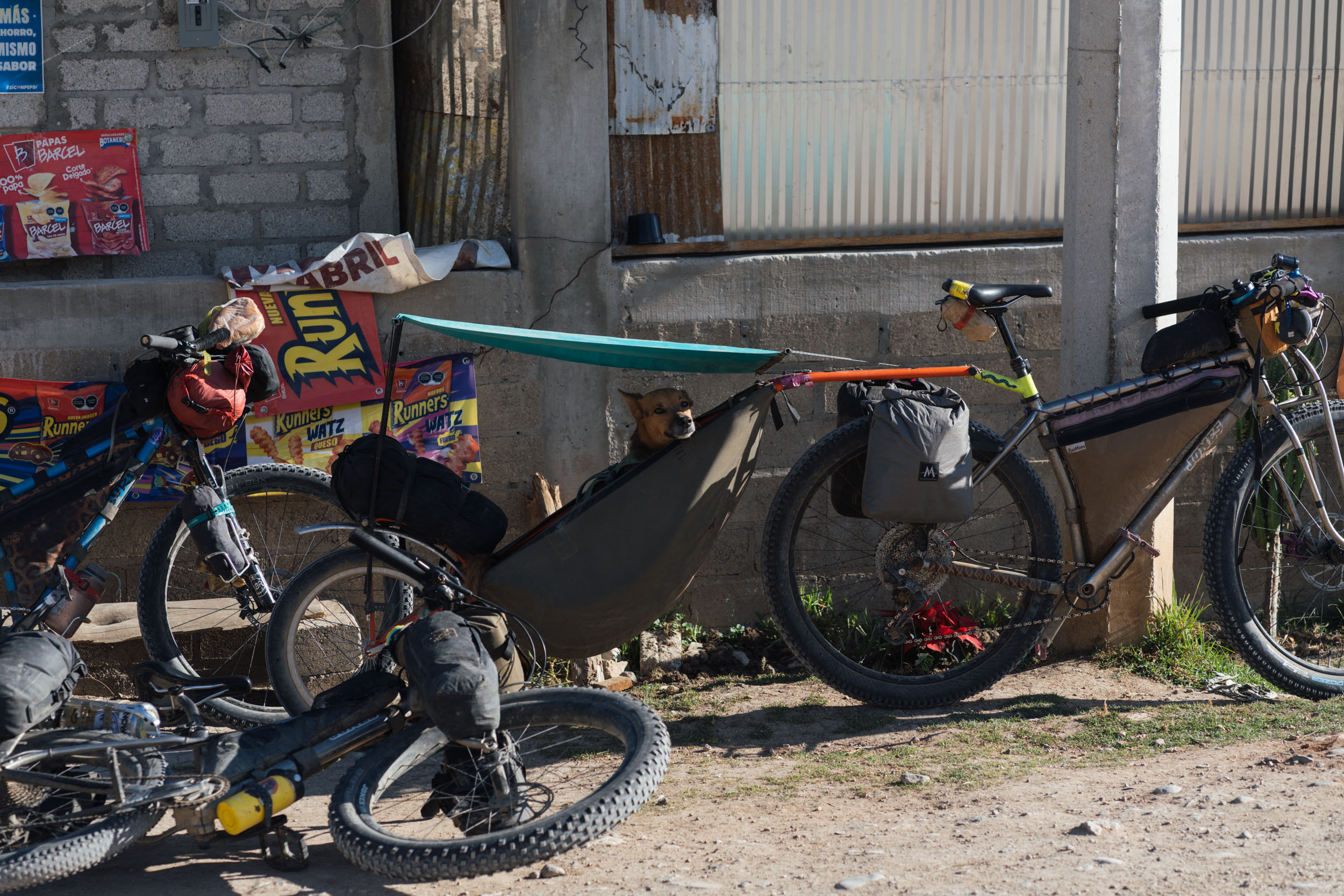
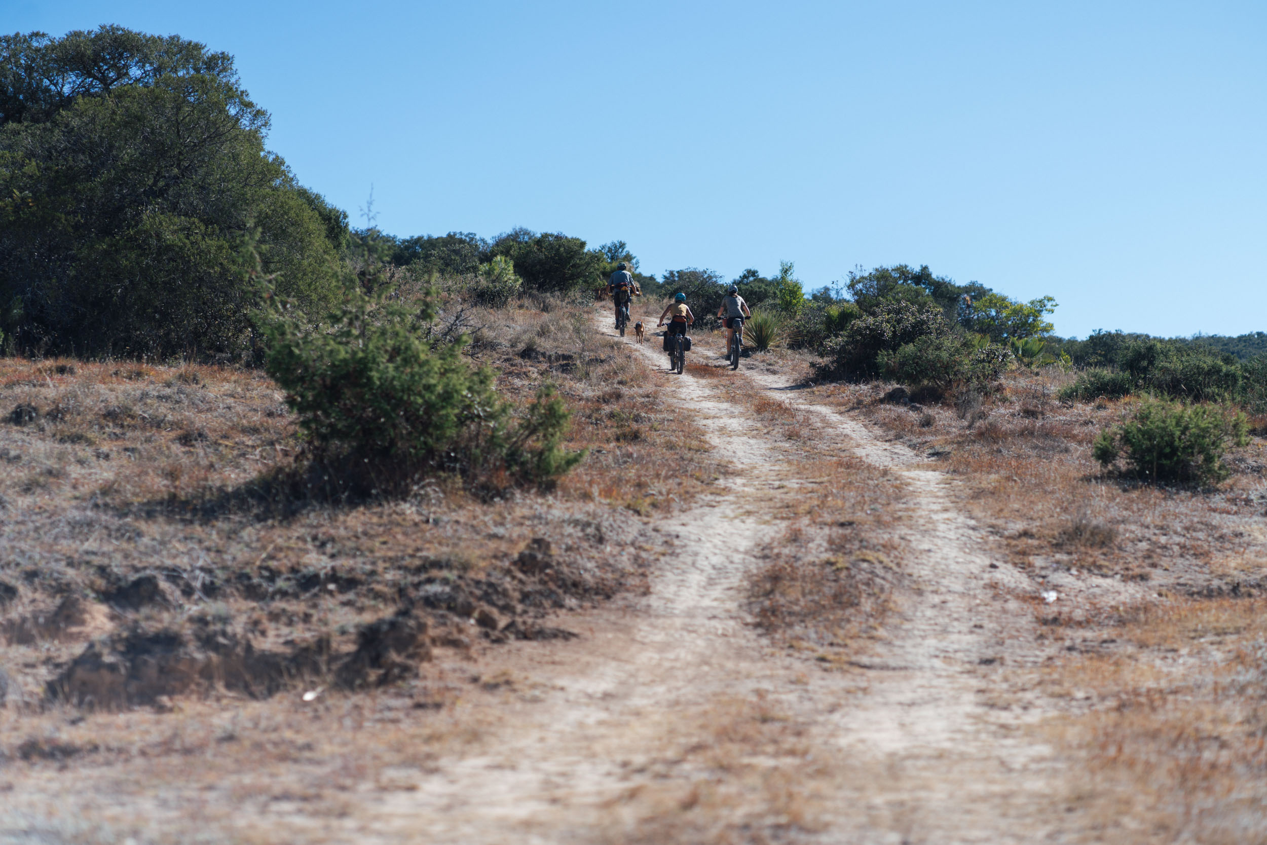
The route begins by crossing the city to the western side of the Etla Valley – tracing a favourite dirt road day ride to San Felipe Tejalapam – before hopscotching over to the railroad that once ran between Oaxaca and Techuacan. In places, the Ferrocarril Mexicano del Sur – completed in 1892 and finally closed in 2002 – is celebrated and preserved, popular for weekend strolls and bike rides with the communities that line it. In others, it’s barely evident – all that remains are a few tracks submerged into the earth, or signal stations poking out of the undergrowth. Much of the enjoyment from this segment of the route is derived from investigating the various remnants of a bygone time that can be unearthed along the way. For instance, the railway station at San Sebastián Sedas is well worth pausing to inspect, as is the stop in Parian, which was once a busy hub for traders bringing salt from the coast by mule. For a portion of the time, the route flanks the railway tracks between villages and occasionally even wends its way on overgrown singletrack alongside it.


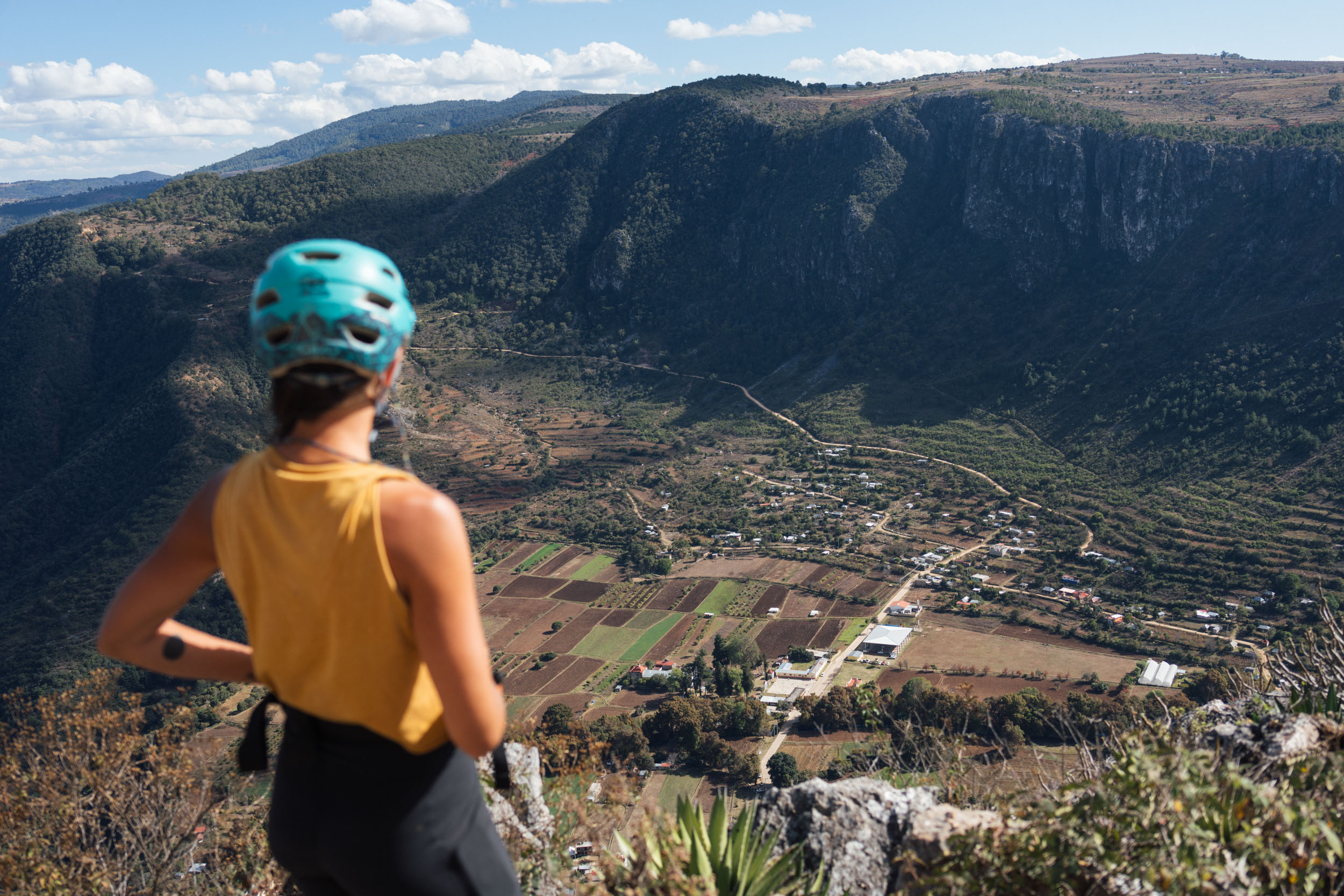
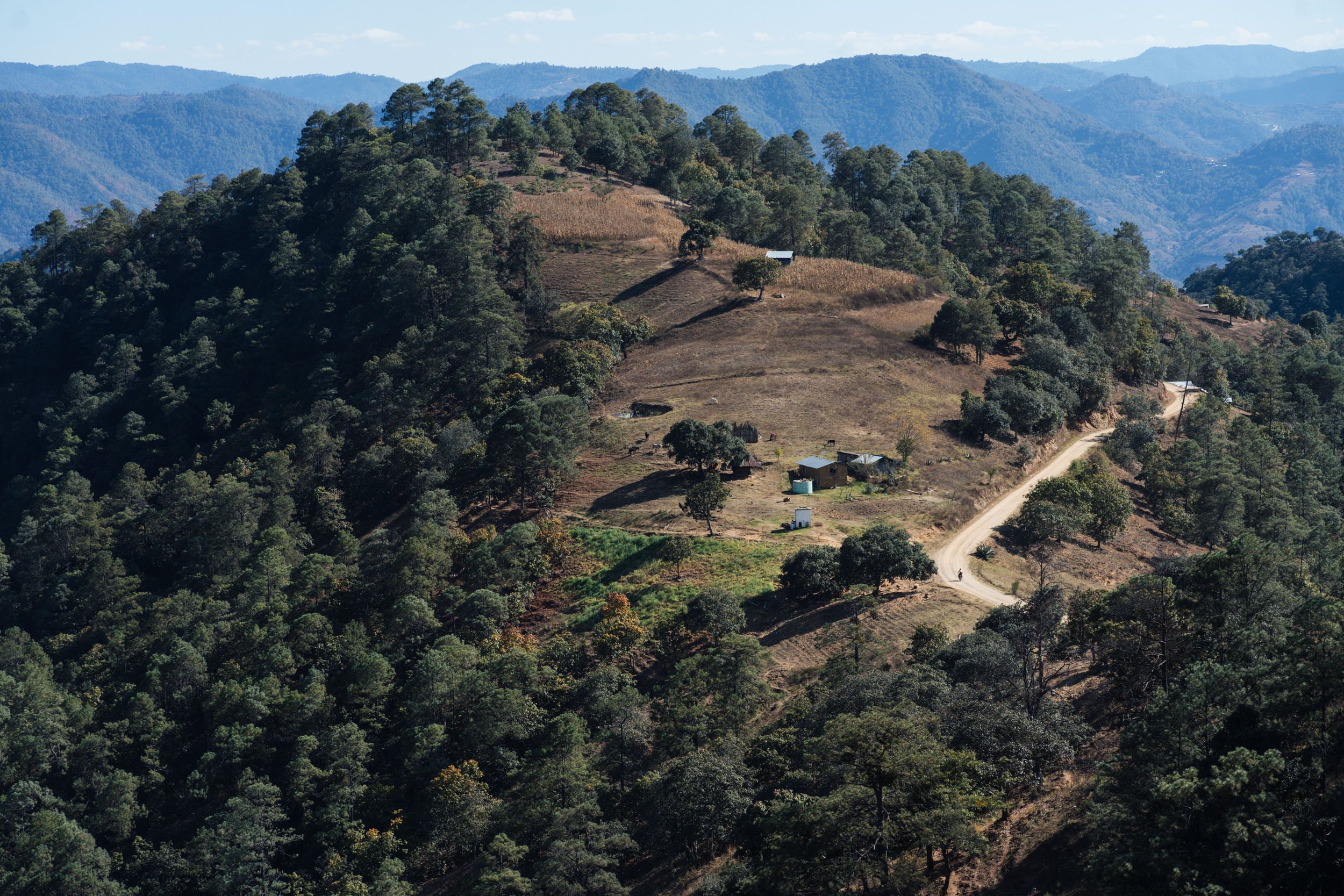
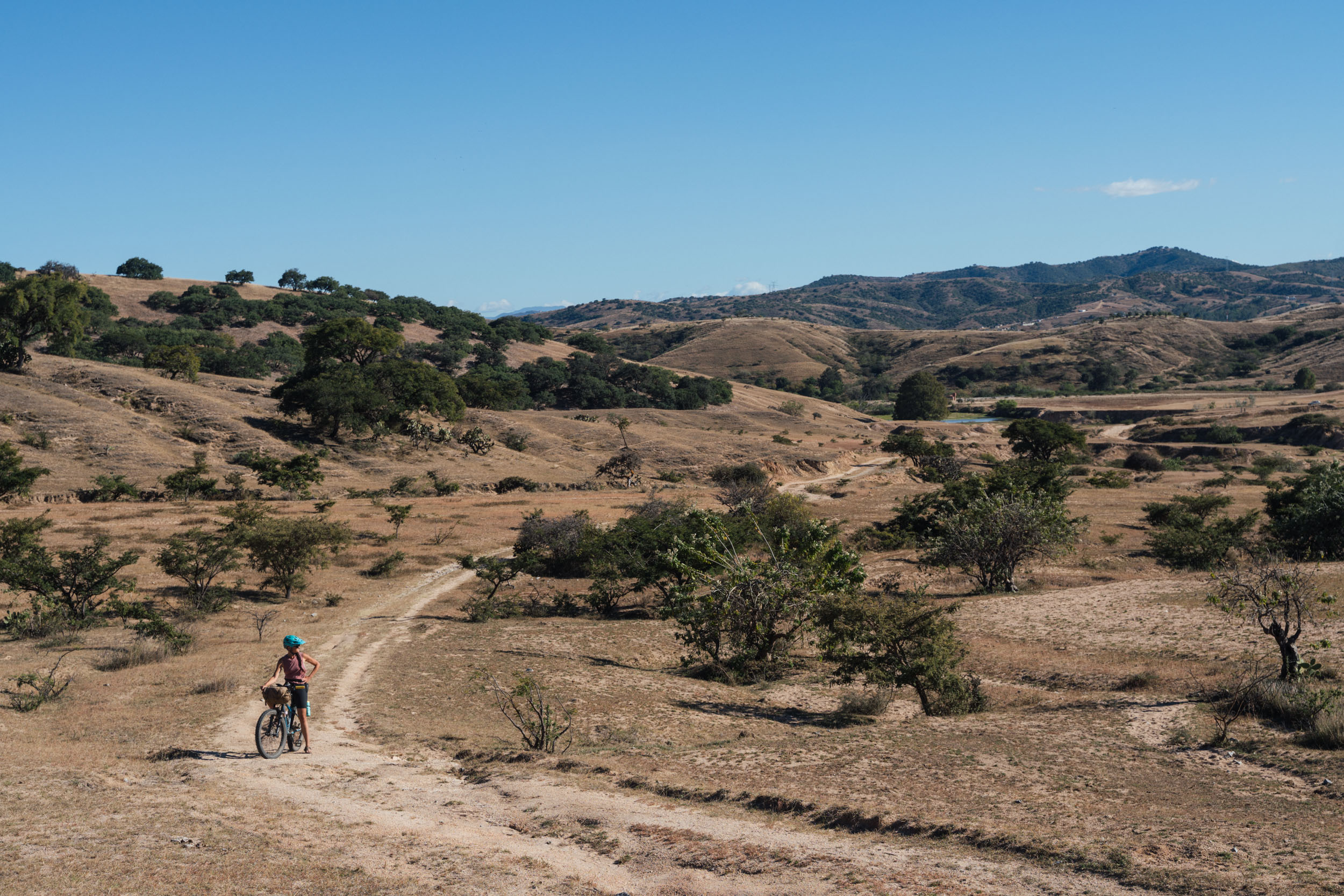
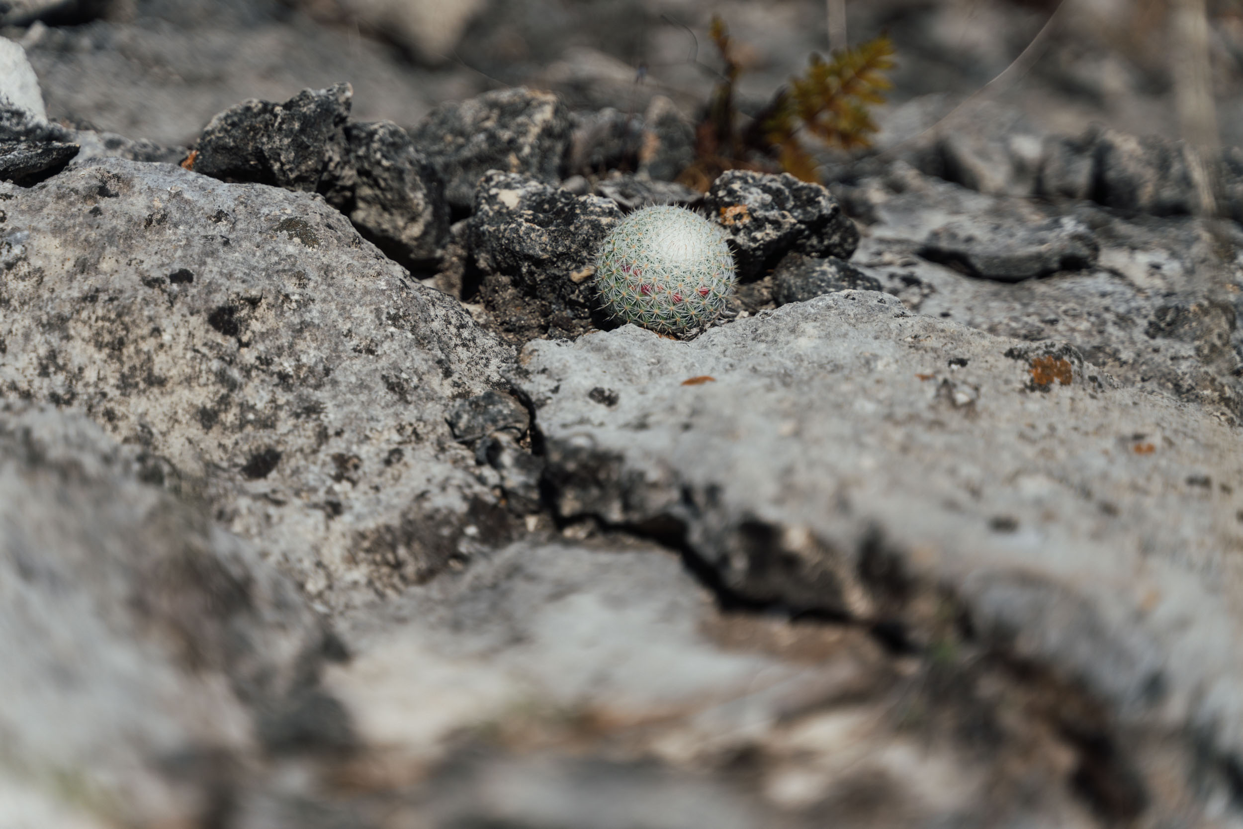
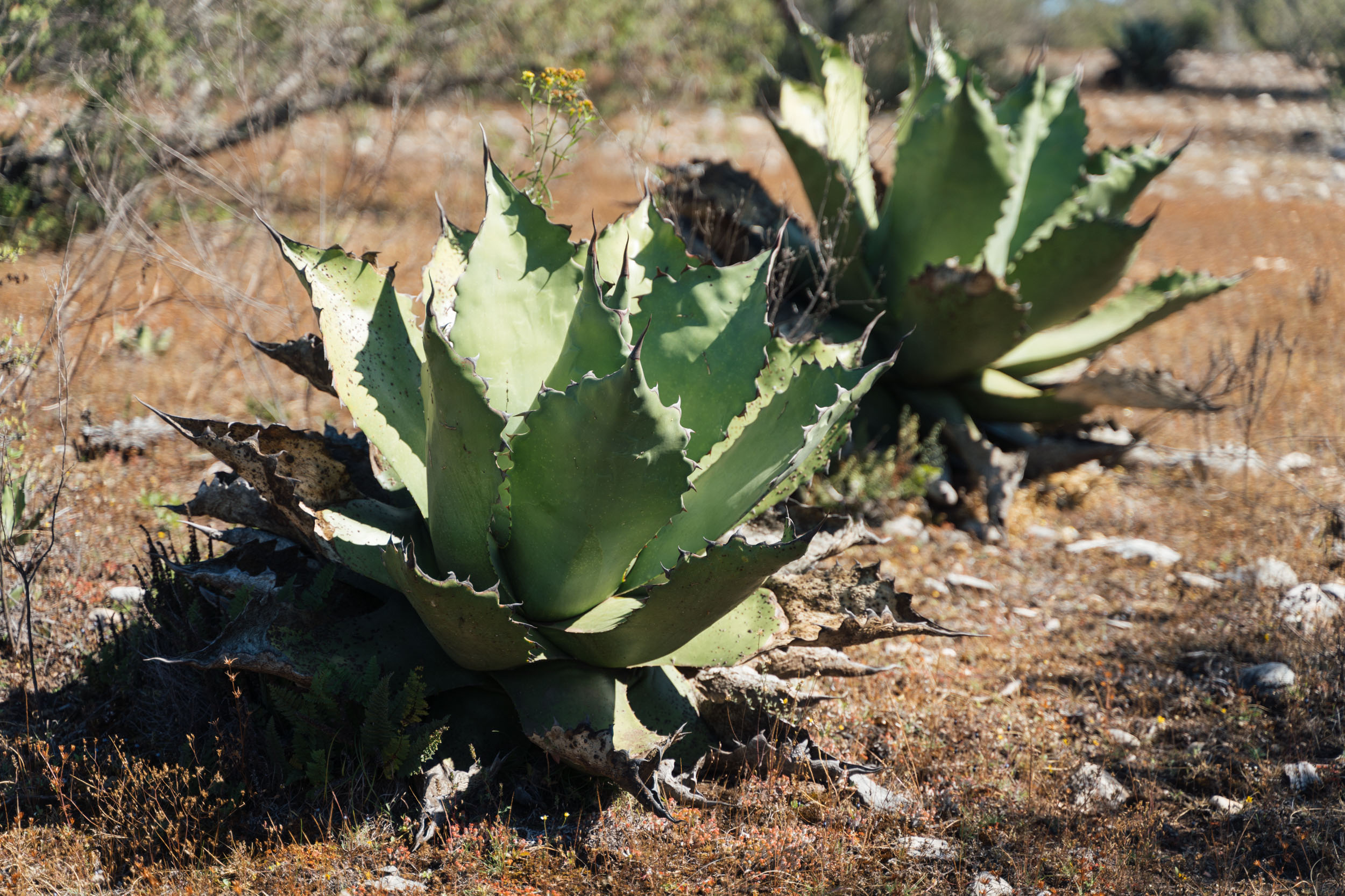
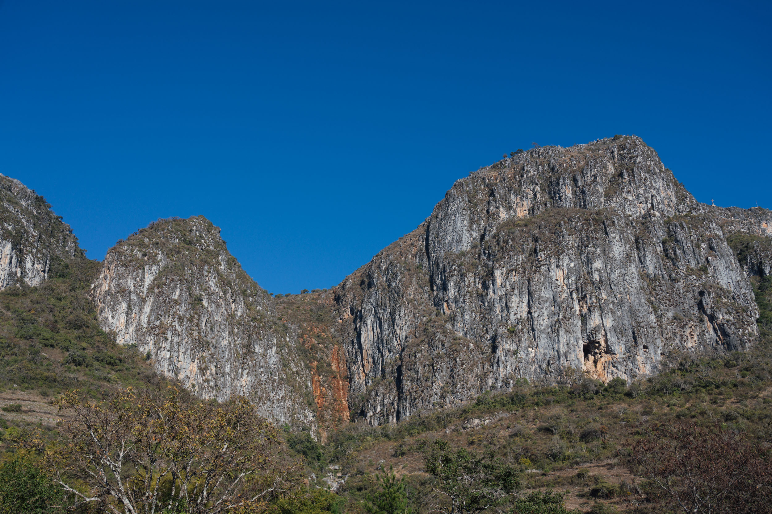
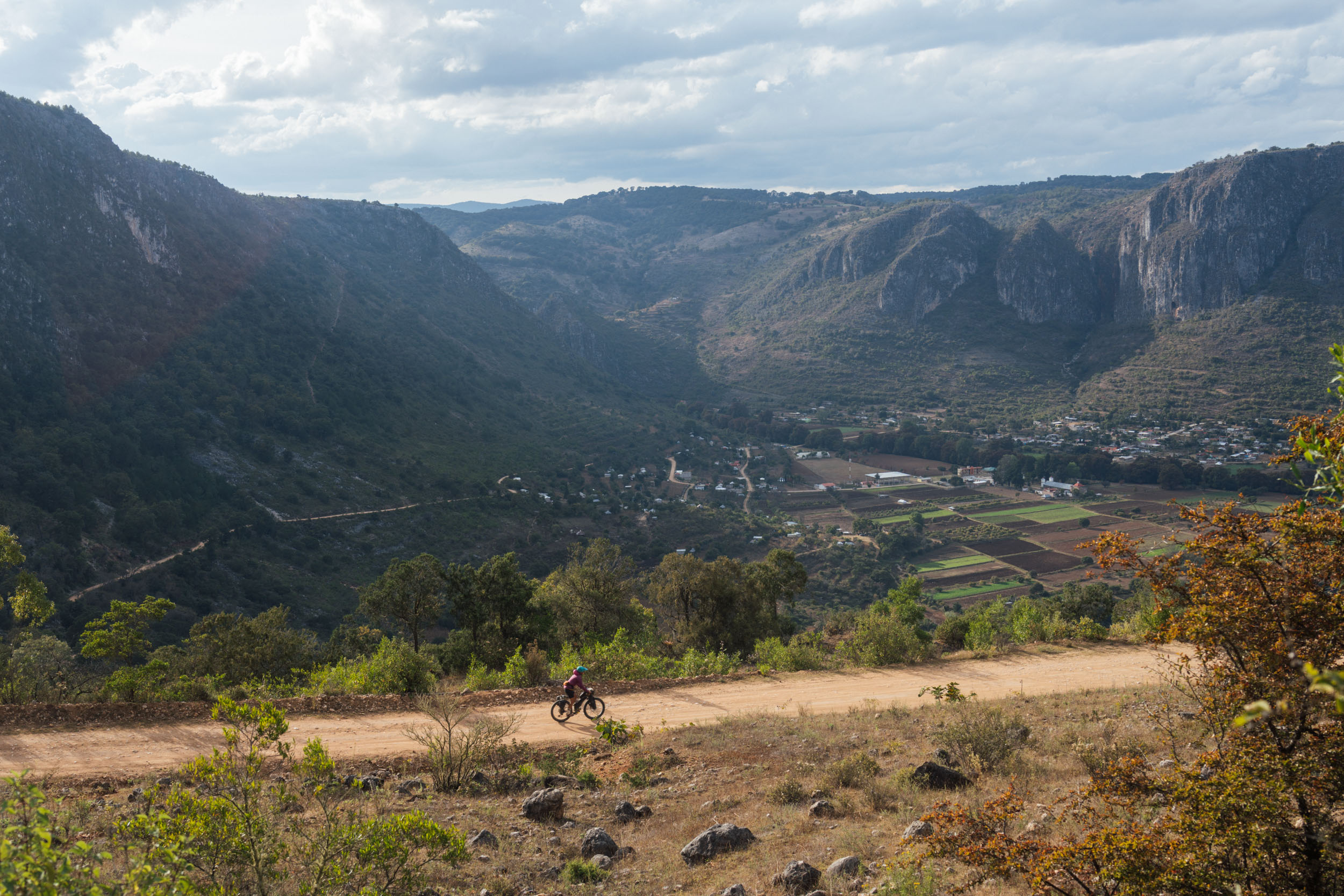
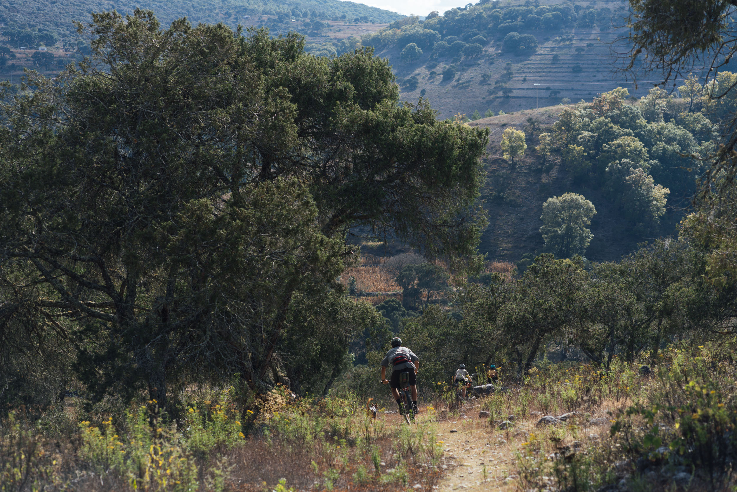
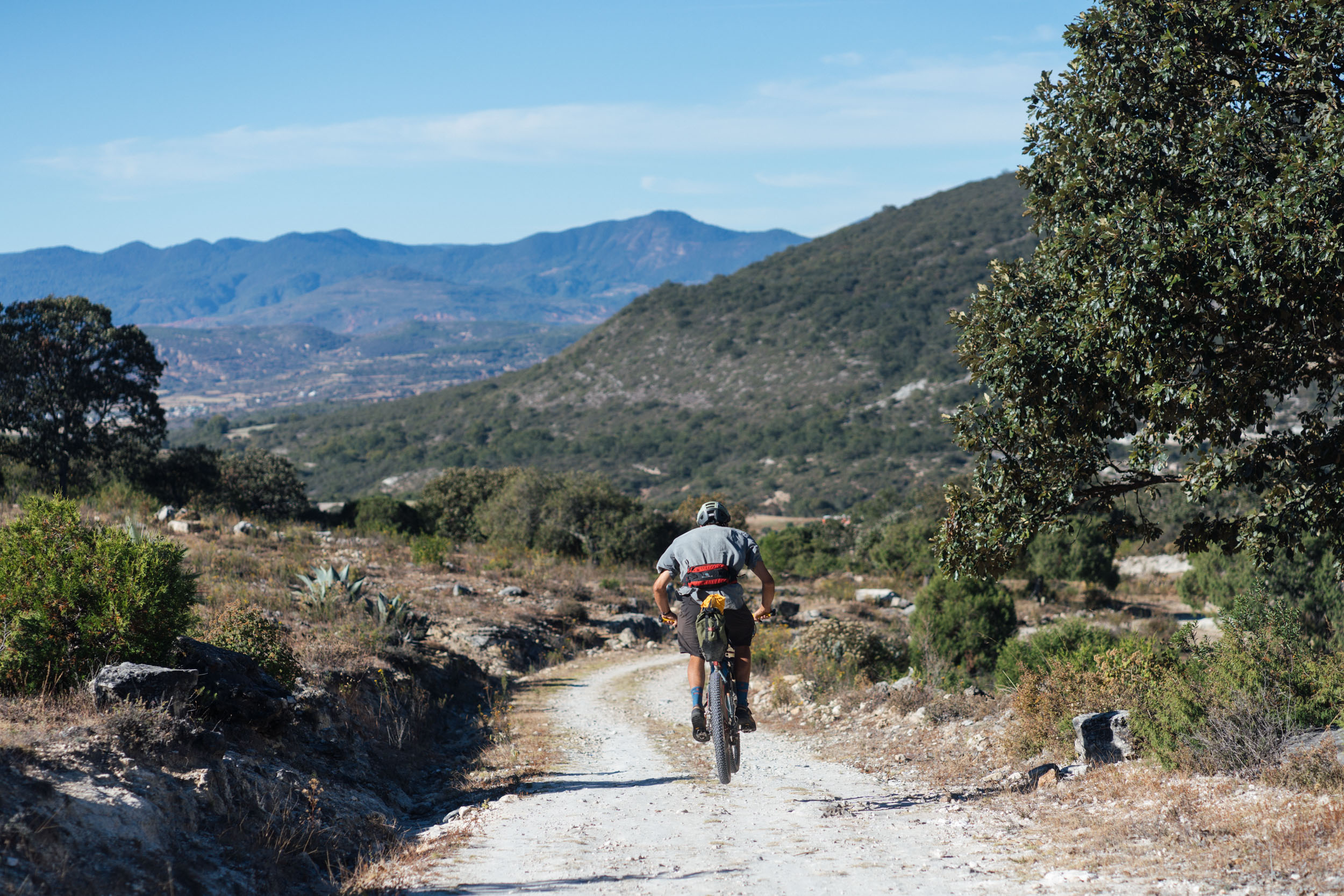
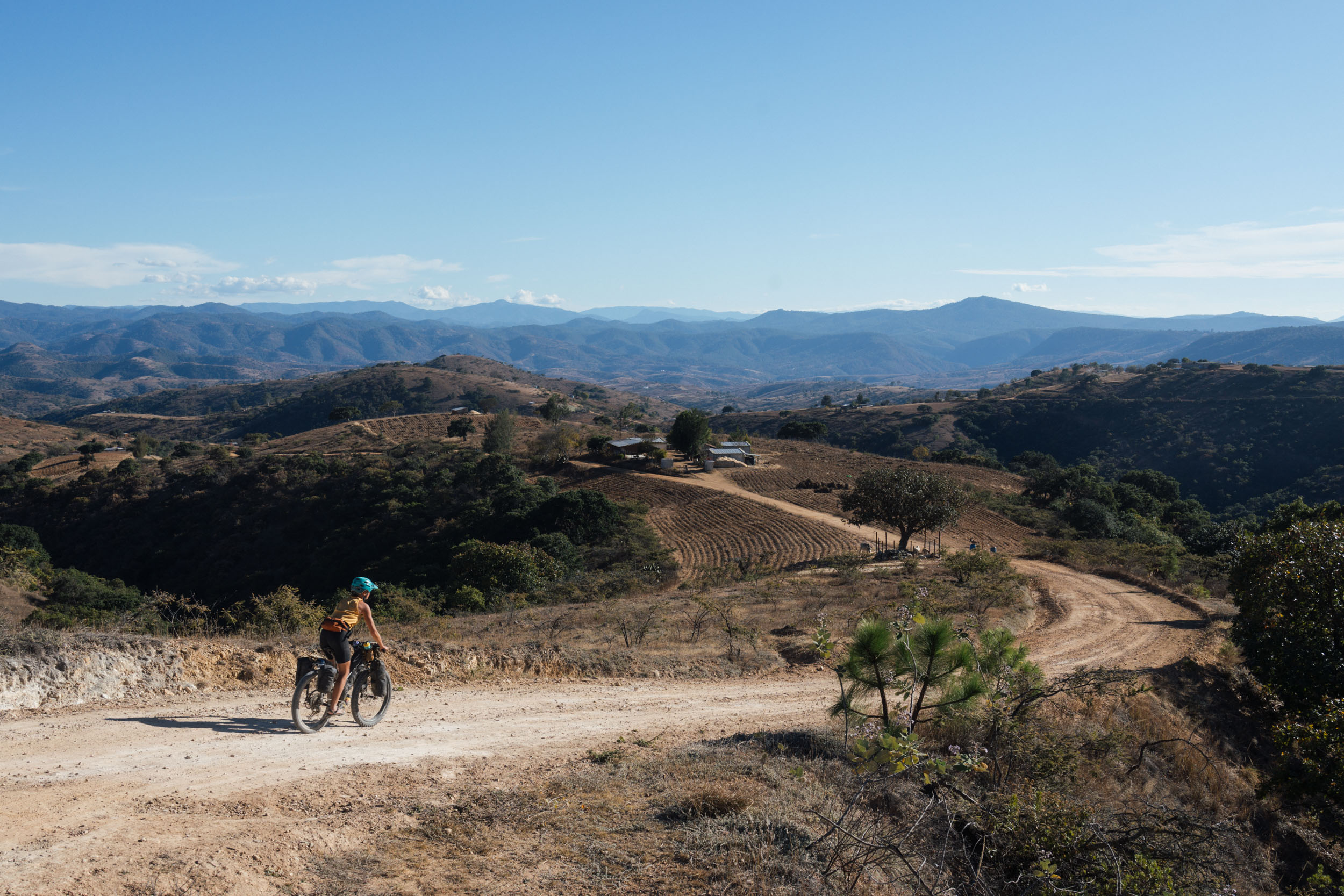
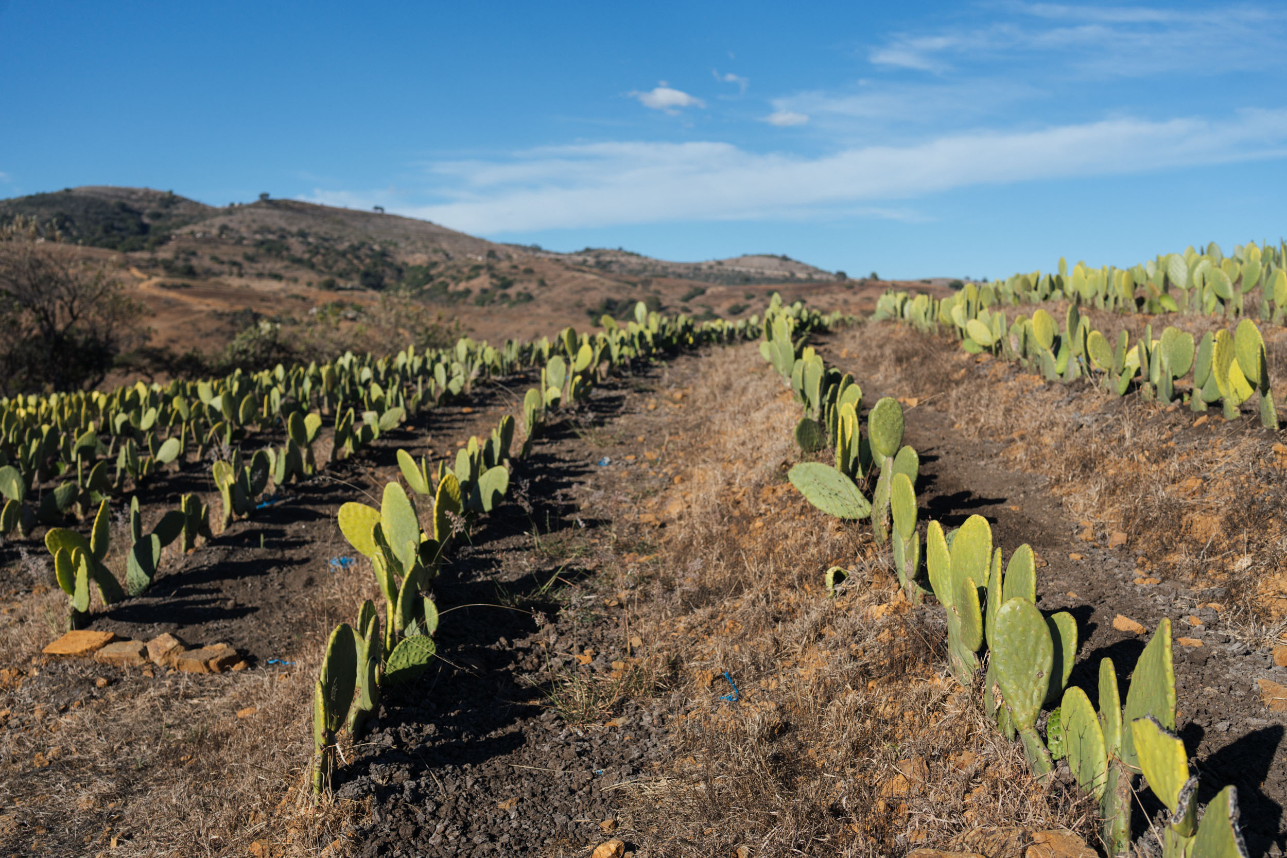
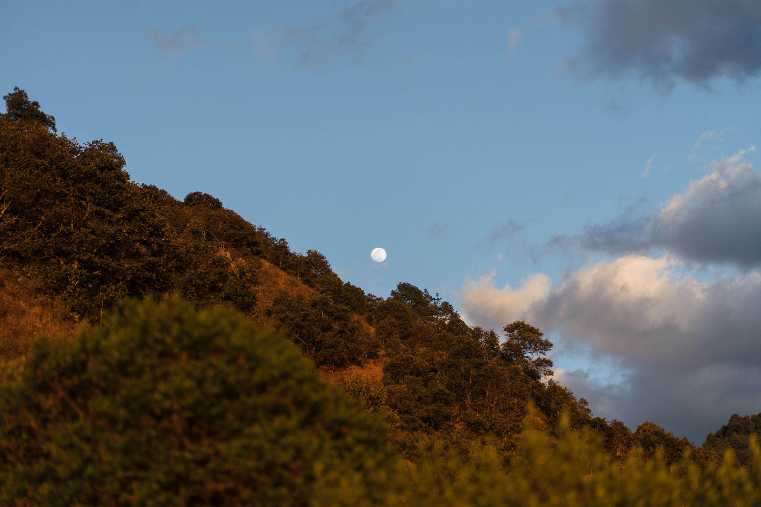
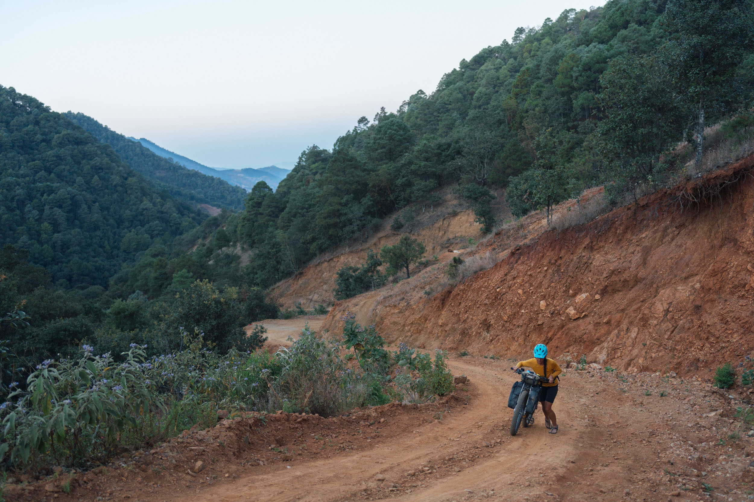
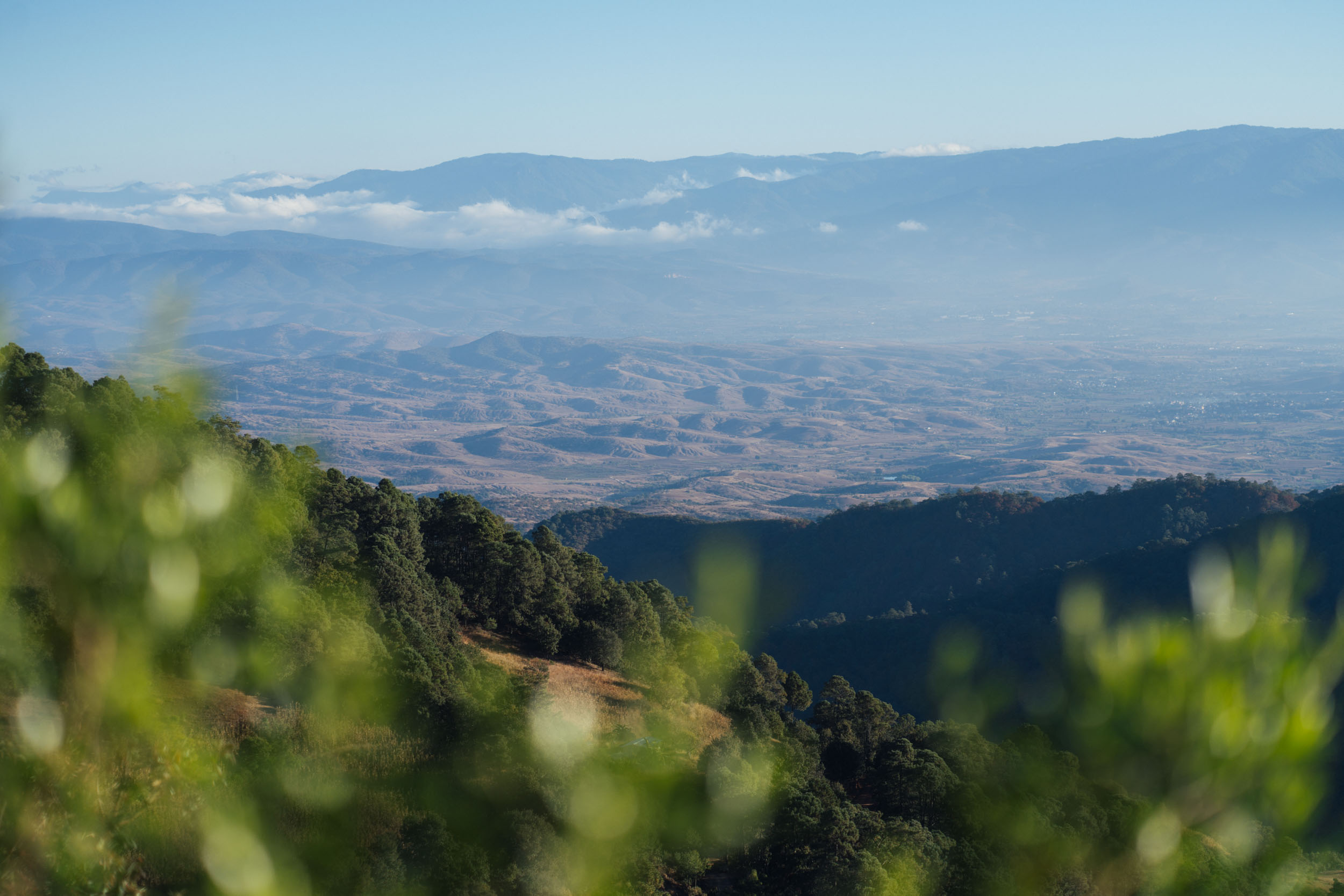
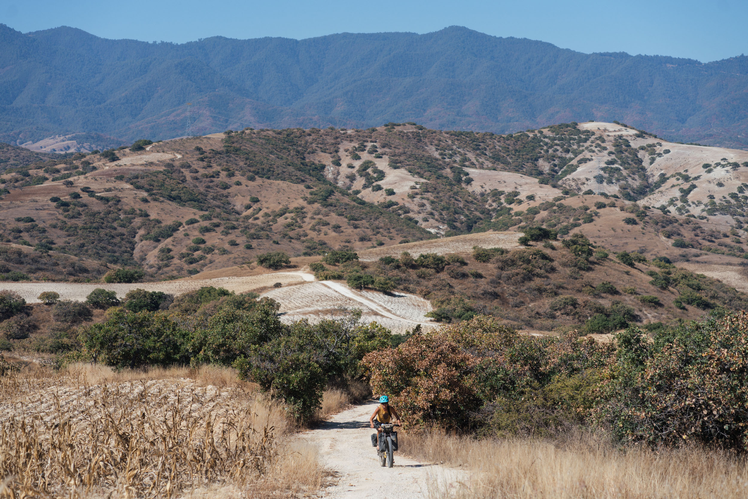
Beyond Parian, the route climbs away from the old ferrocarril, striking upwards to Tierra Colorado – a red dirt zone in the Mixteca region that’s dotted with juniper trees and wild agaves. This, in turn, connects to Santiago Apoala, a beautiful settlement in the Reserva de la Biósfera Tehuacán-Cuicatlán and the most northerly point of the ride. Surrounded by sheer limestone cliffs, the village is reached via a whirligig, brake-scorching descent that’s one of the highlights of the route.
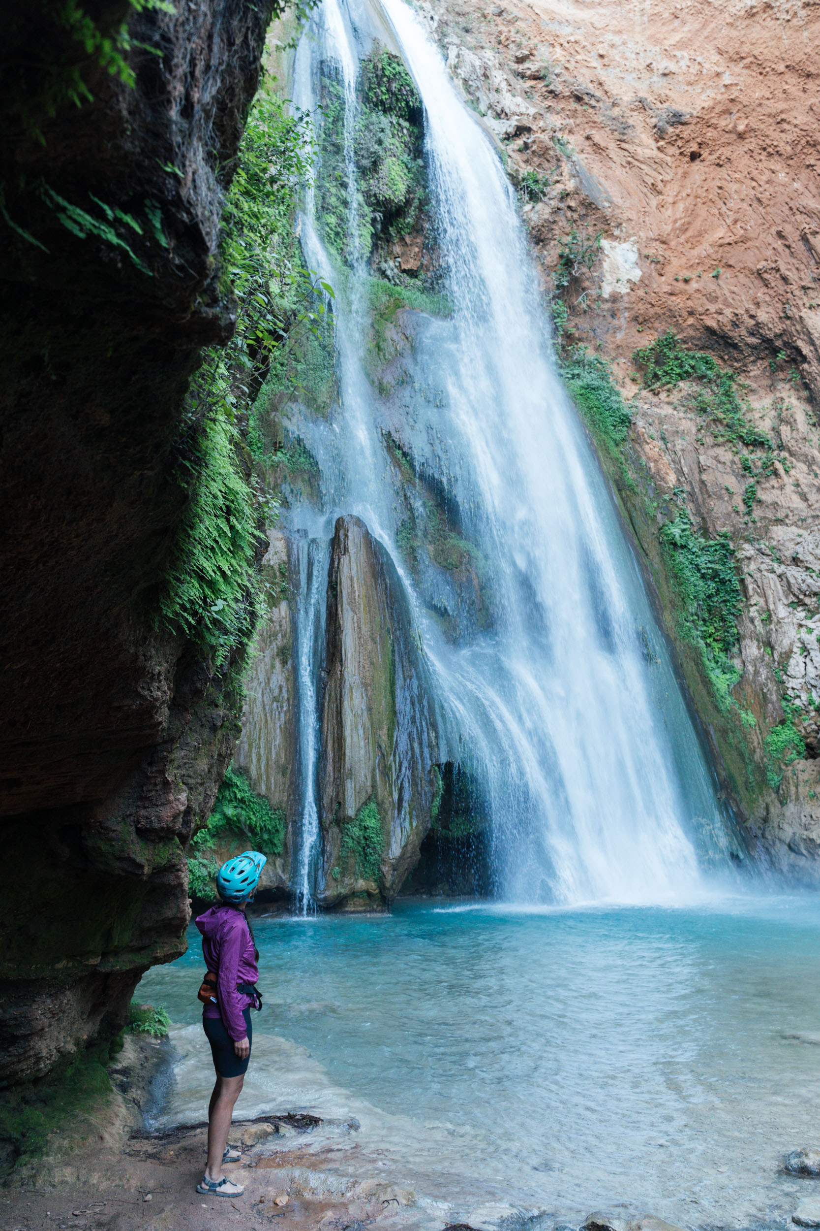
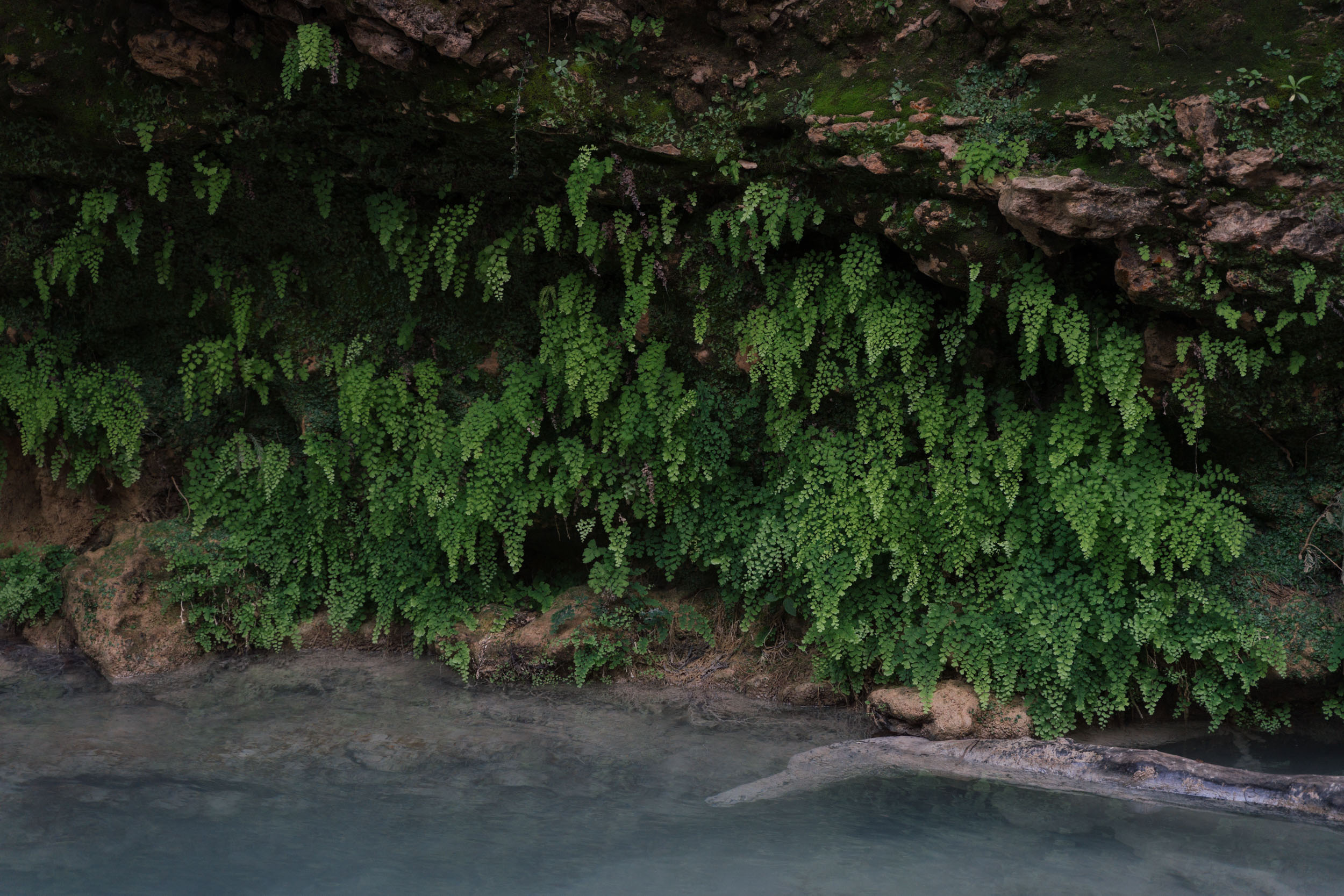
Another highlight is surely the waterfall for which Santiago Apoala is known. In fact, the name Apoala derives from Nahuatl, meaning “water that destroys,” and it refers to the impressive 65-metre fall that’s become a popular local attraction at weekends, and one whose icy pools are especially enticing for cooling off on a hot and sunny day. There, the centro ecoturístico also grants access to a number of hikes to nearby caves, as well as offering various camping and cabaña options, making it a great spot to base yourself for an extra day, for those wishing to learn about the area more deeply.

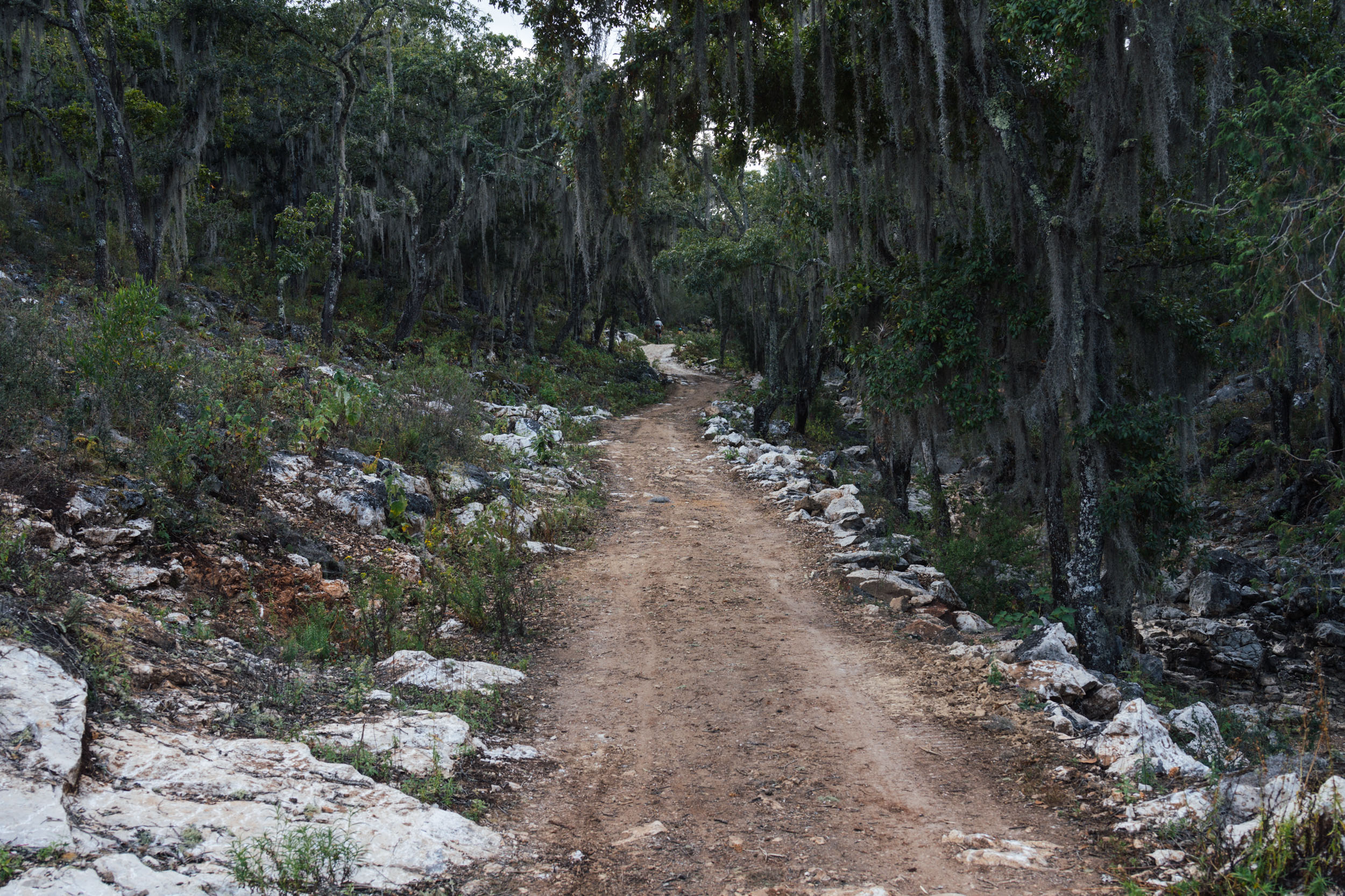
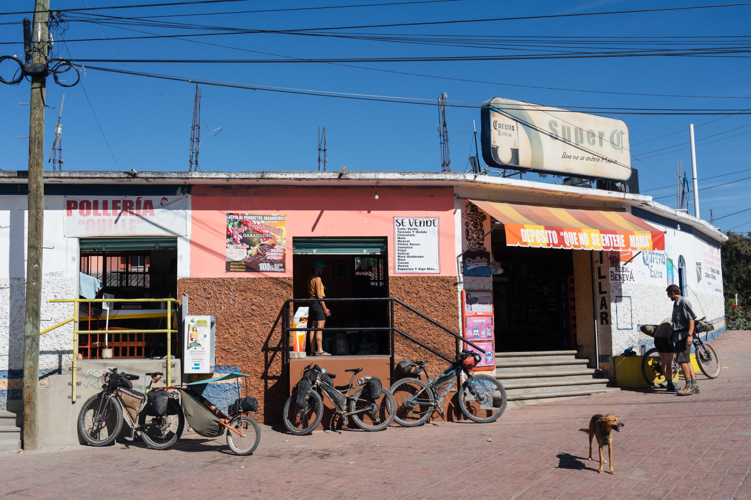
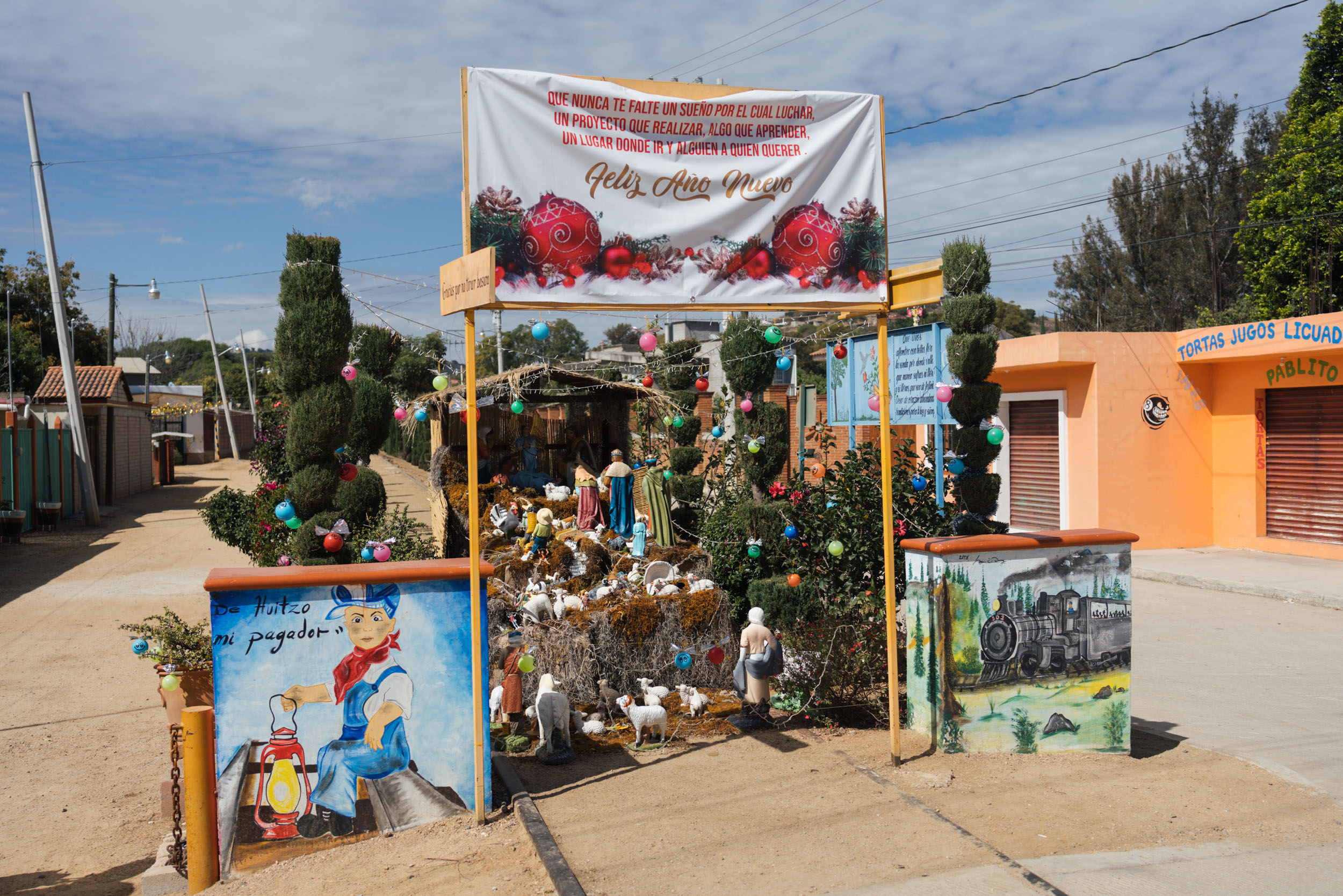
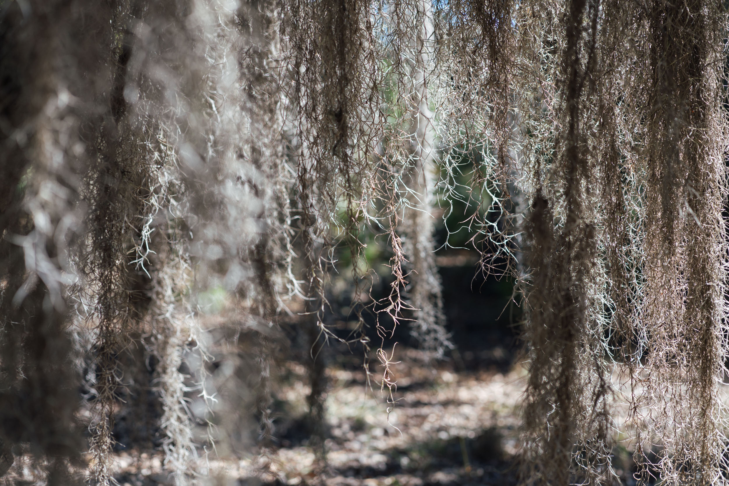
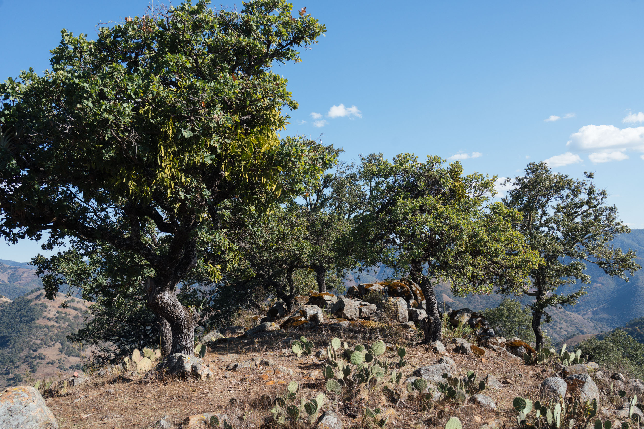
Onwards, the ride beyond Santiago Apoala is noted for its otherwordly woodlands, where thick strands of intricate Spanish Moss hanging like decorations from groves of oak trees. As it happens, this epiphyte is used in Oaxaca for just that – at Christmas, its collected and used to garnish streets and festive displays. This section of the route also marks a change in surfaces, as red dirt gives way to a dense network of white dusty roads that feed into the somewhat chaotic transportation hub of Asunción Nochixtlán, once an important trading post for the sale of cochineal bugs, used for centuries as a dye for textiles and cosmetics.
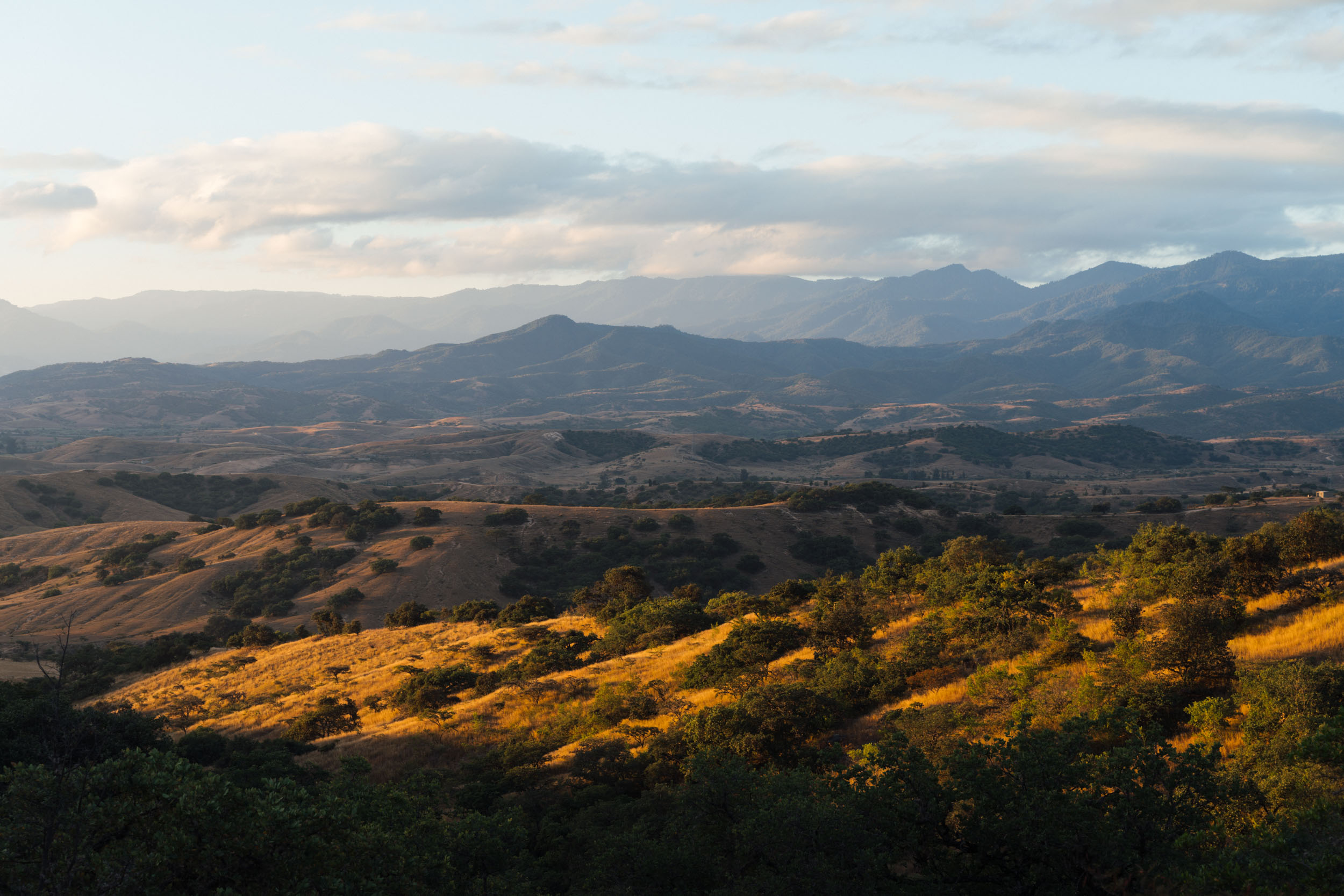
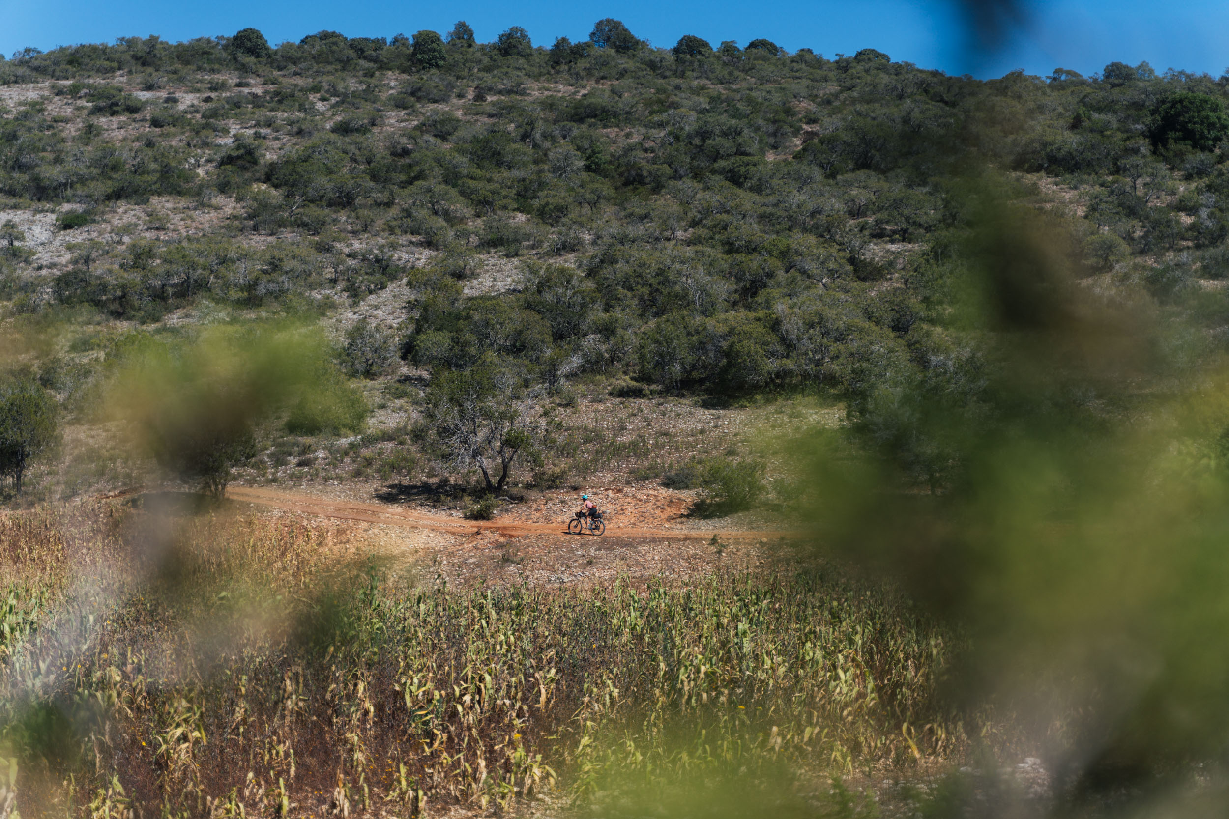
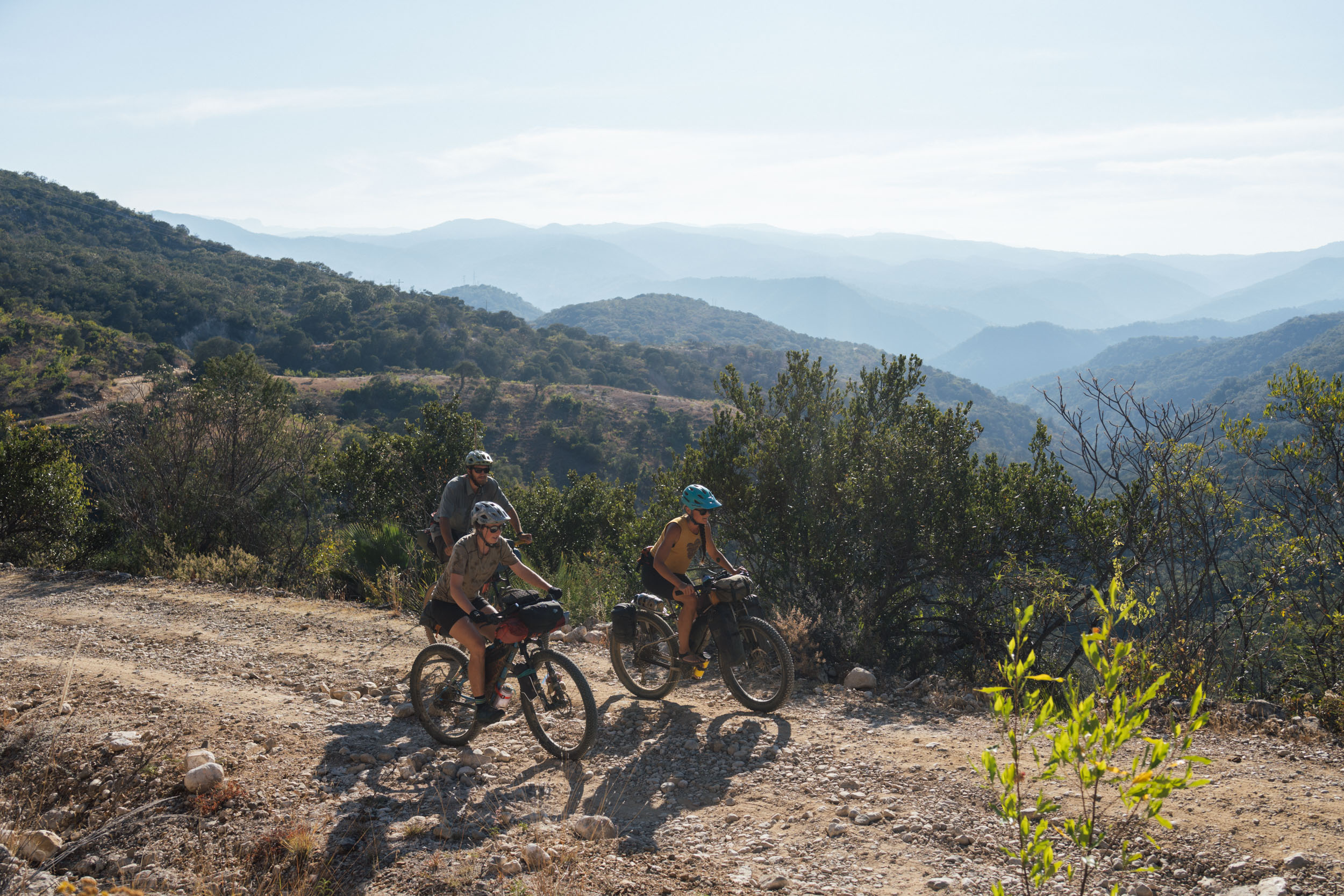
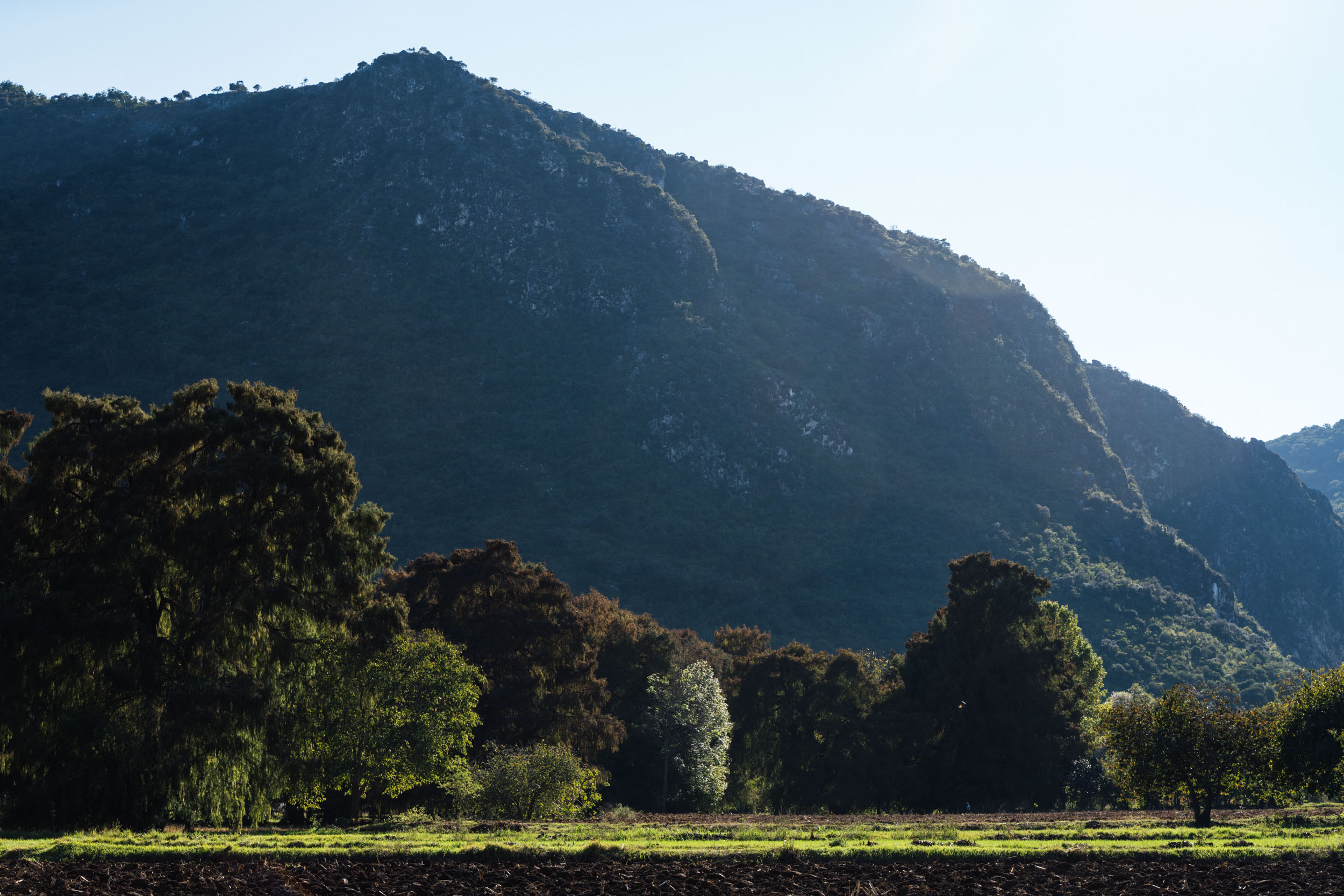
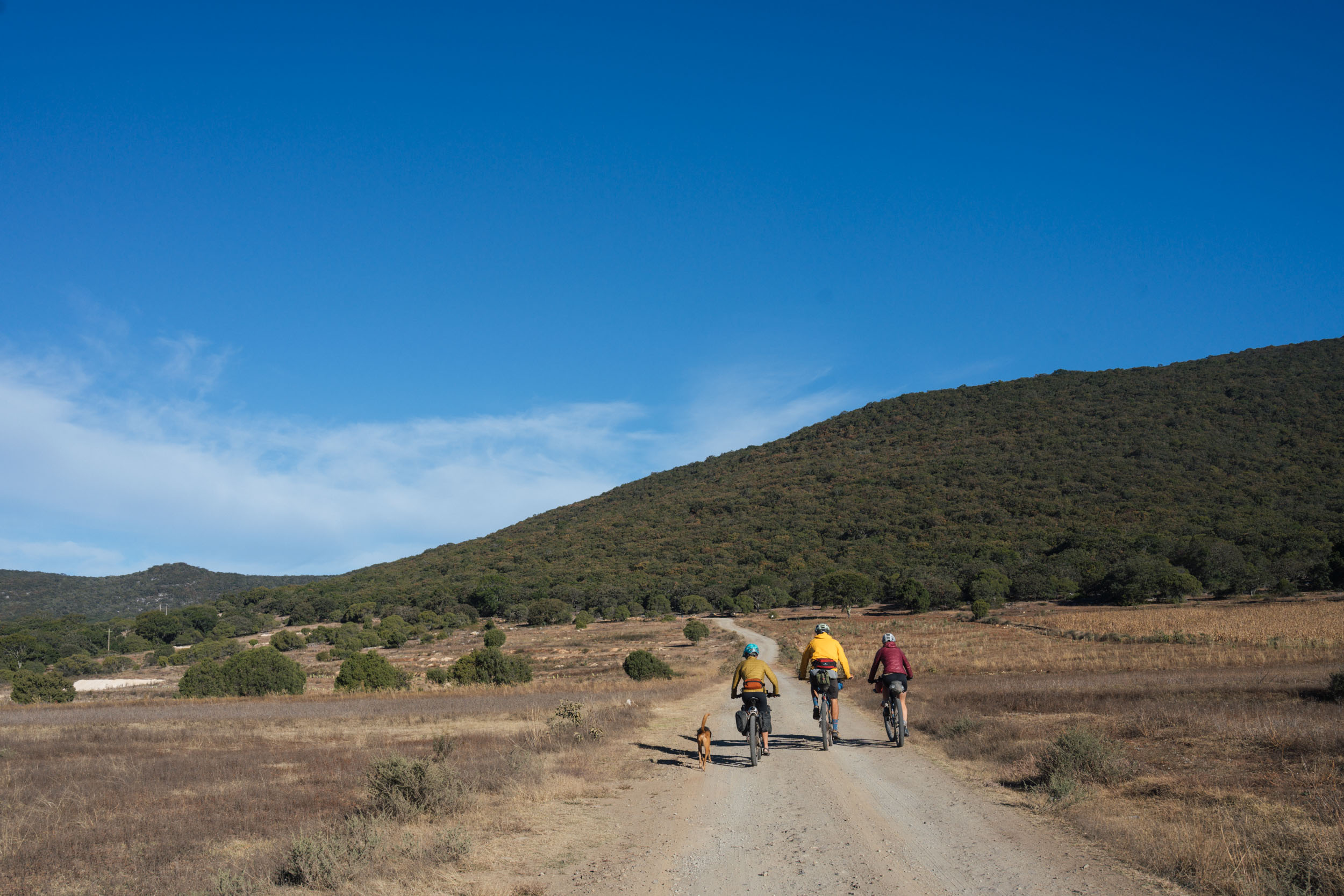
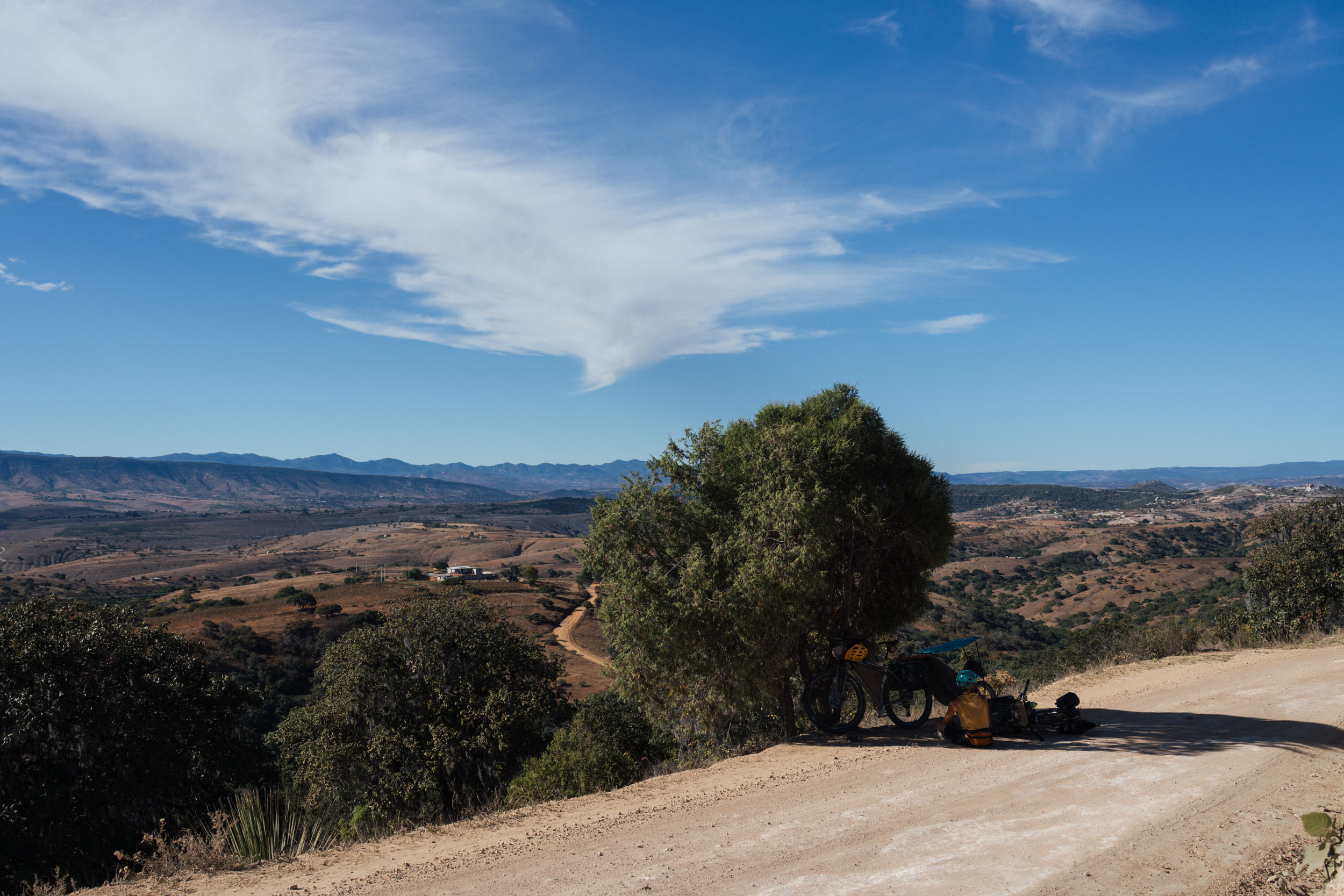
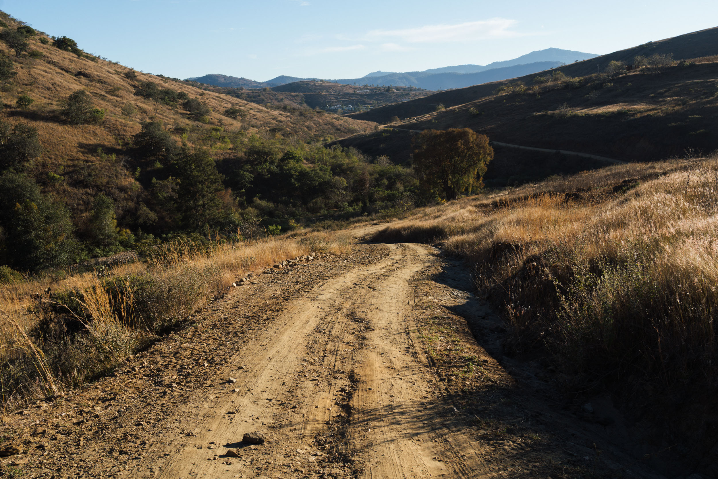
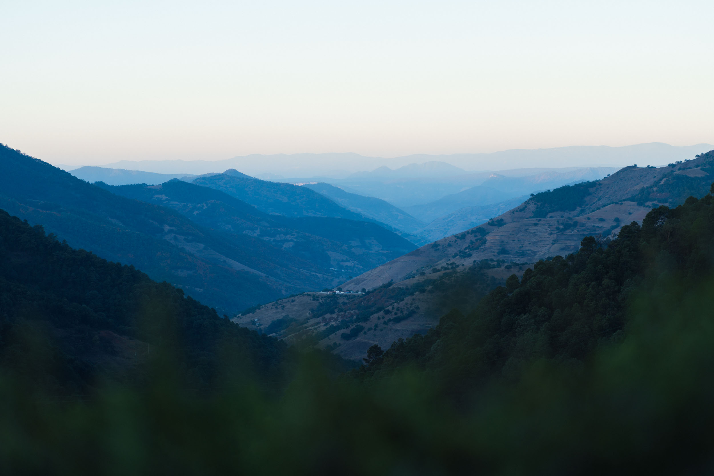
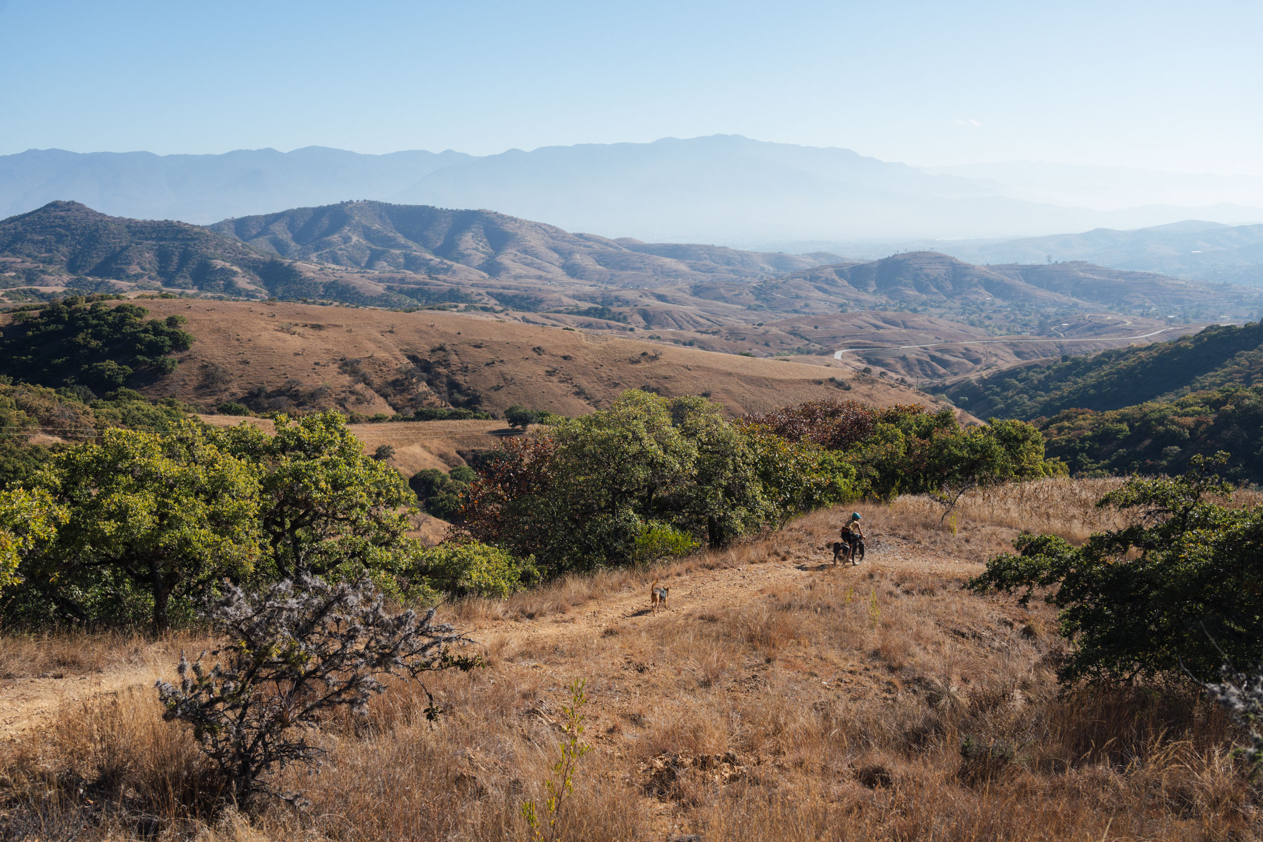
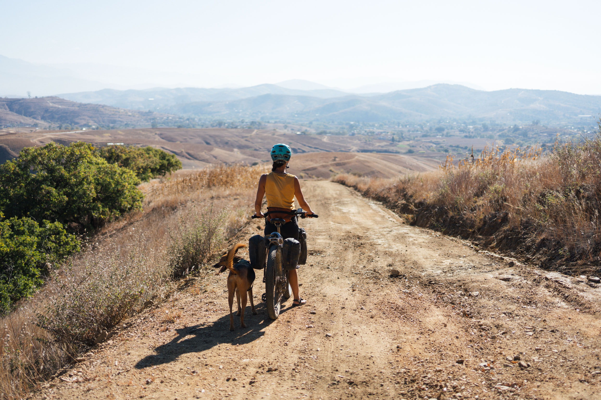
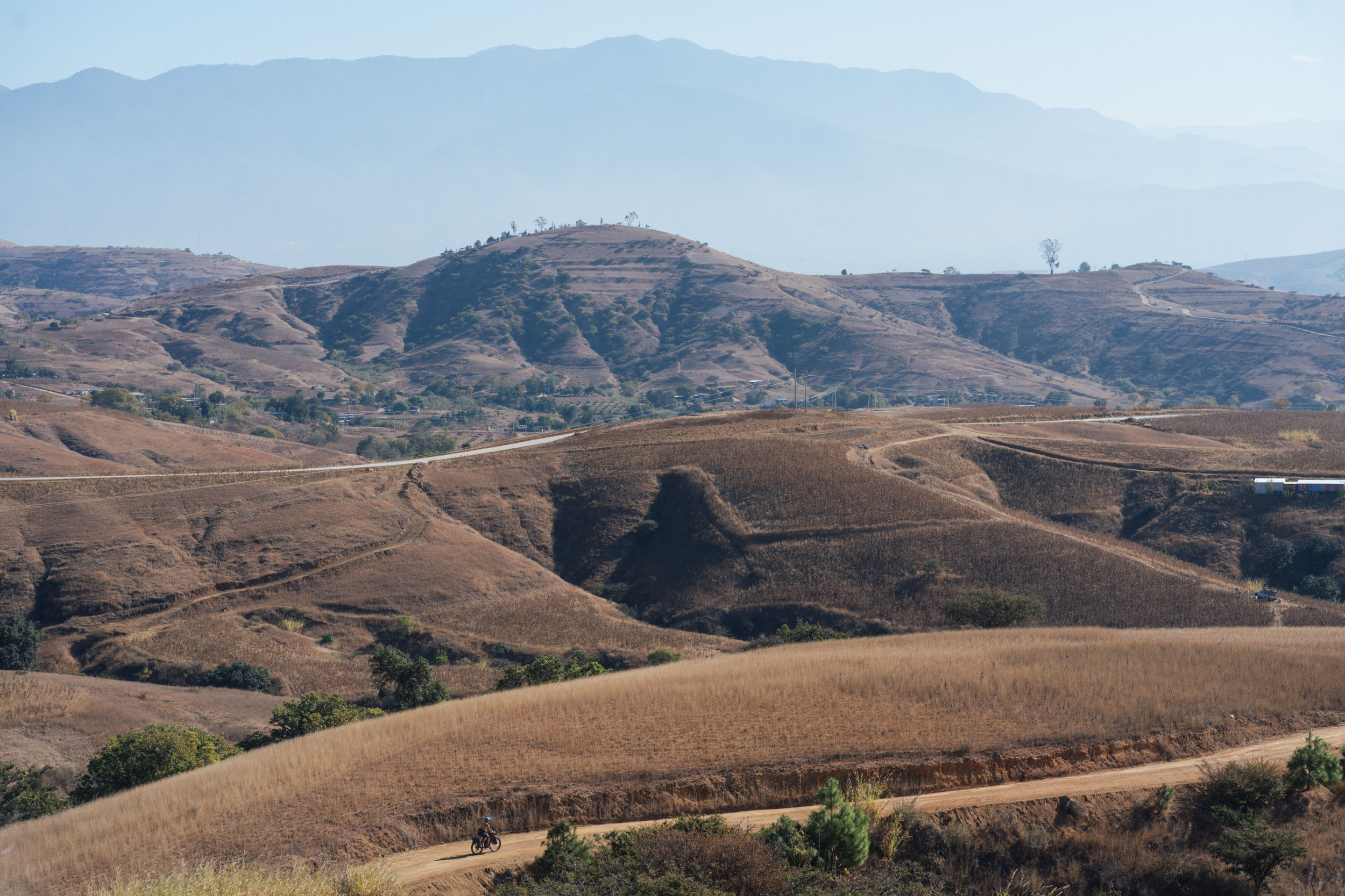
The return leg from Asunción Nochixtlán back towards Oaxaca, wiggling through the mountains on the western side of the autopista that runs between Oaxaca and Puebla, is classic Sierra Mixteca terrain. Think hearty climbs, quiet dirt roads, and a string of small, backcountry settlements that offer basic stores and the occasional comedor. It’s a more physical complement to the outward journey and serves to give this ride a very varied nature in terms of topography and terrain.
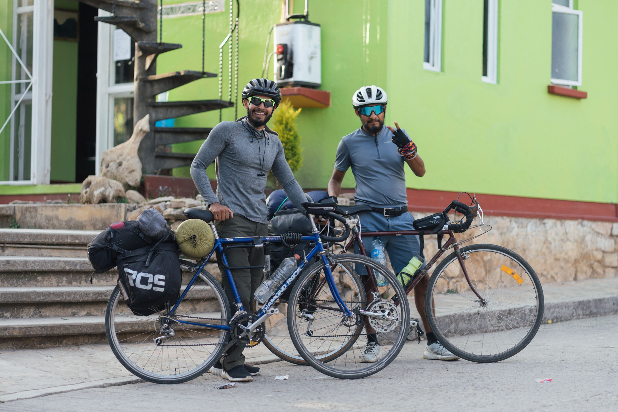
Finally, this Vuelta drops back down into the Etla Valley and hooks into where it began in San Felipe Tejalapam, before finishing up – appropriately – at Oaxaca’s atmospheric old railway station, the terminus of Ferrocarril Mexicano del Sur. This is a fun area to potter around, and of course, perfect for celebratory bike portraits. From there, it’s an easy ride through the city to the Zocalo, and the Templo de Santo Domingo de Guzmán.

Route Difficulty
The route was assigned an overall difficulty of 7 out of 10. For the most part, it’s a straightforward ride with regular opportunities to resupply, especially on the outward leg. By Oaxacan standards, the terrain is relatively mellow. However, expect a number of challenging climbs, as well as mixed terrain throughout. Surfaces are mostly good, but be prepared for a handful of rougher stints, as well as railway trails and options for more rugged singletrack.


Submit Route Alert
As the leading creator and publisher of bikepacking routes, BIKEPACKING.com endeavors to maintain, improve, and advocate for our growing network of bikepacking routes all over the world. As such, our editorial team, route creators, and Route Stewards serve as mediators for route improvements and opportunities for connectivity, conservation, and community growth around these routes. To facilitate these efforts, we rely on our Bikepacking Collective and the greater bikepacking community to call attention to critical issues and opportunities that are discovered while riding these routes. If you have a vital issue or opportunity regarding this route that pertains to one of the subjects below, please let us know:
Highlights
Must Know
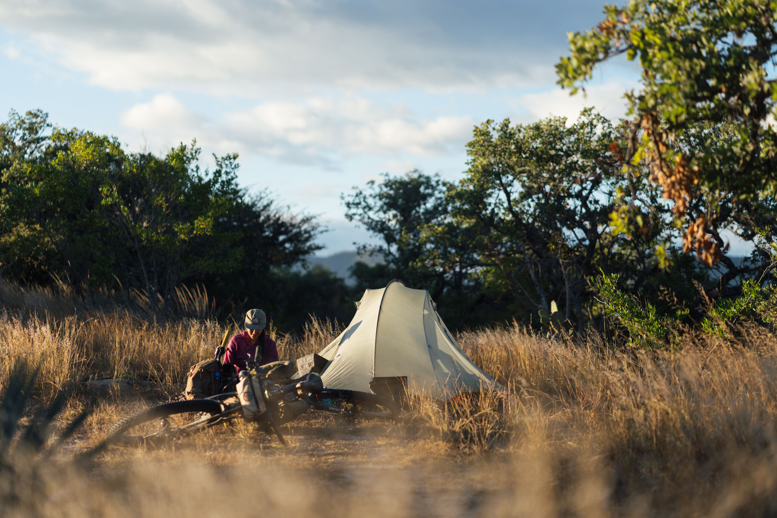
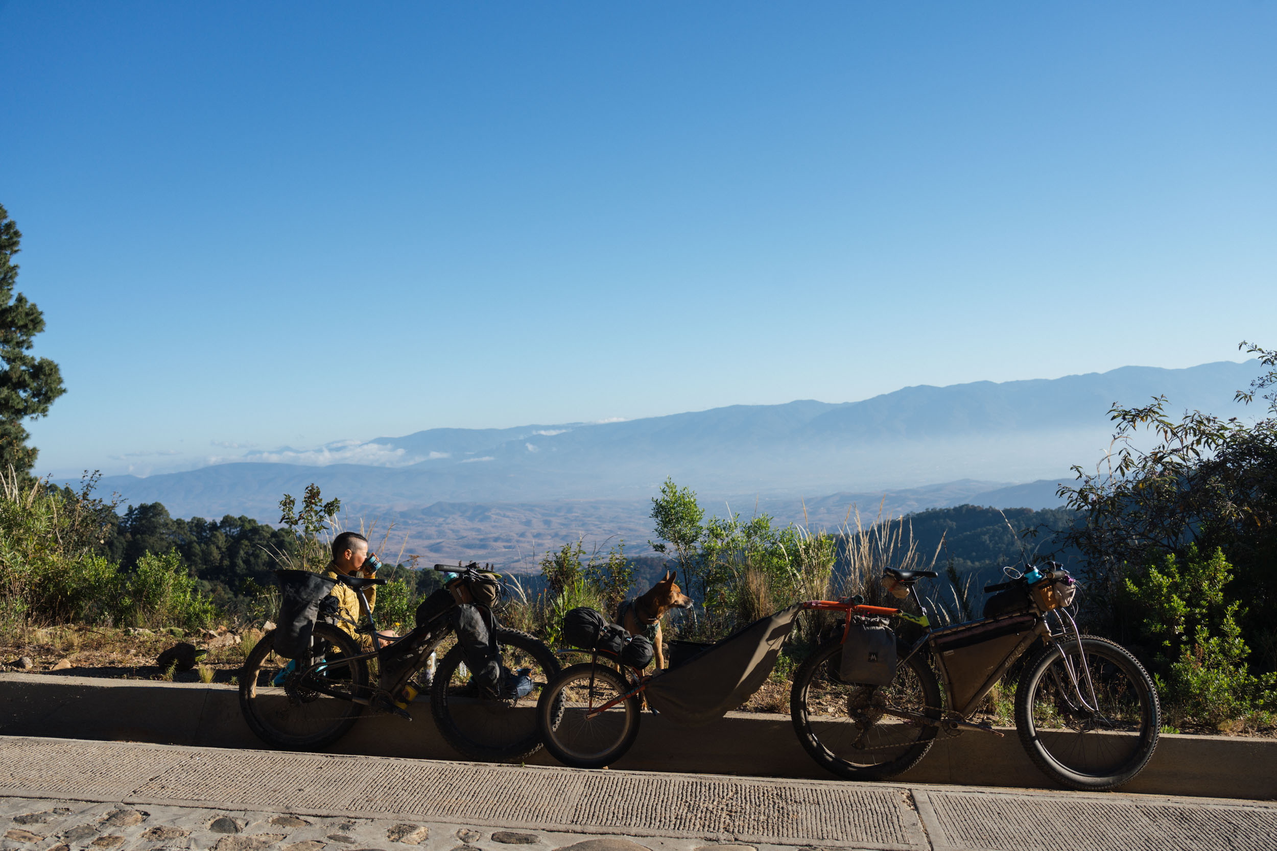
Camping
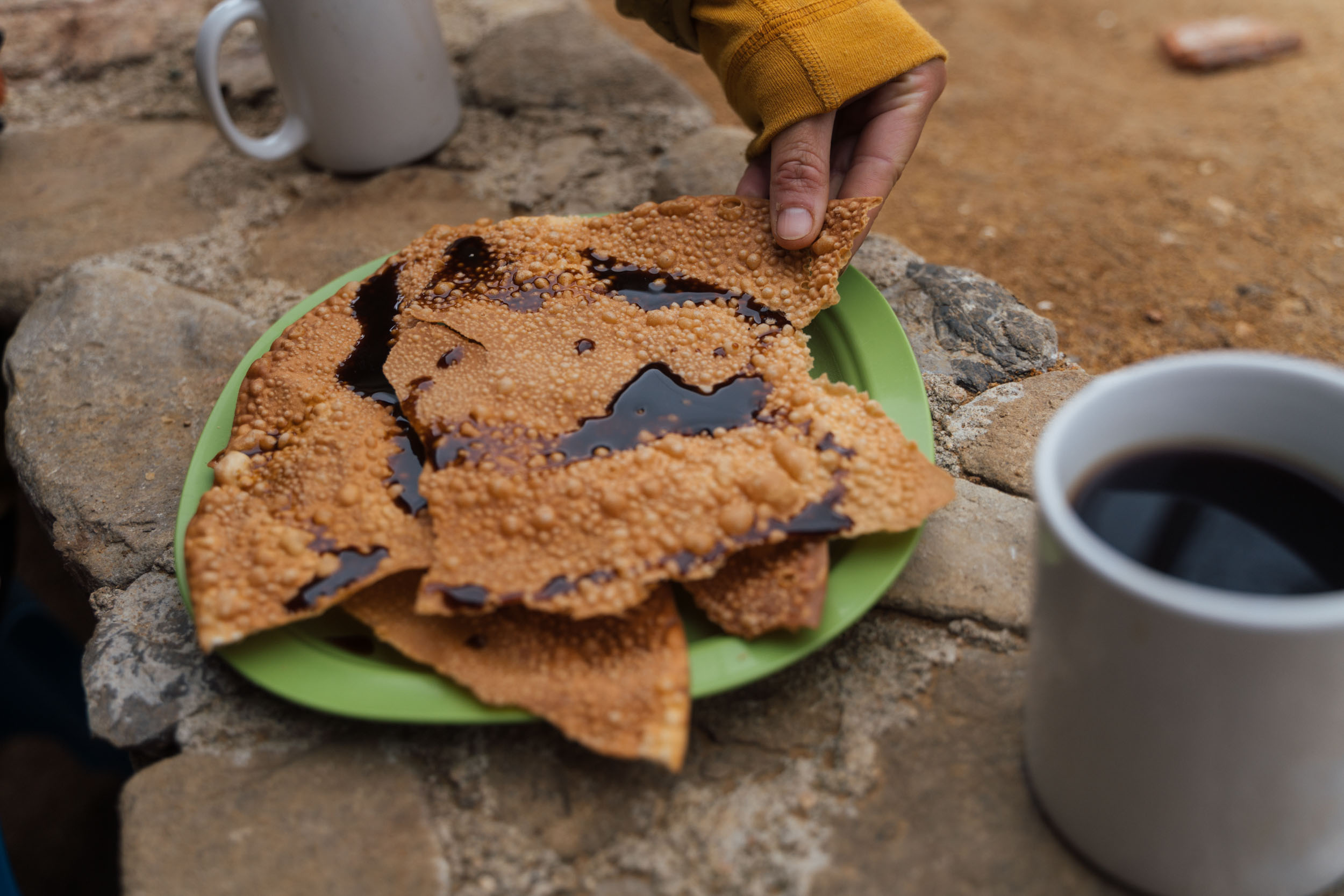
Food/H2O
Trail Notes
Resources
- Following the remnants of a disused train line that once connected Tehuacan and Oaxaca, and is dotted with fascinating railway relics from the late 19th Century.
- Riding the high elevation, red dirt roads around Tierra Colorada up at 2500m.
- The whirligig descent, set to dramatic limestone outcrops, into Santiago Apoala.
- Jumping into an icy cold waterfall once you’re there…
- Classic Sierra Mixteca scenery en route back to Oaxaca, which always promise a workout.
- Tapestries of Spanish Moss that hang like Christmas decorations from groves of oak trees, as depicted in the route badge botanical illustration.
- The tall, grass-lined white gravel roads around San Felipe Tejalapam.
- Best bike: Given the range of road conditions and a number of steep inclines, a mountain bike with broad gearing and a 2″ tyre or more is the best tool for the job. Gravel bikes and traditional touring bikes with similar gearing will be fine, just expect to be jostled around on rougher stretches. Find more about bike selection in the Bikes, Rides, and Gear section of our extensive Oaxaca Bikepacking Routes Network Guide.
- Best time of year: November to February is the ideal time to ride this route and visit the Oaxacan valleys and sierras, before temperatures soar in the dry season, and roads become considerably more dusty. Although riding it in the rainy season is possible, sections around Tierra Colorado are likely to become very muddy, so it might be best to hop on pavement in places.
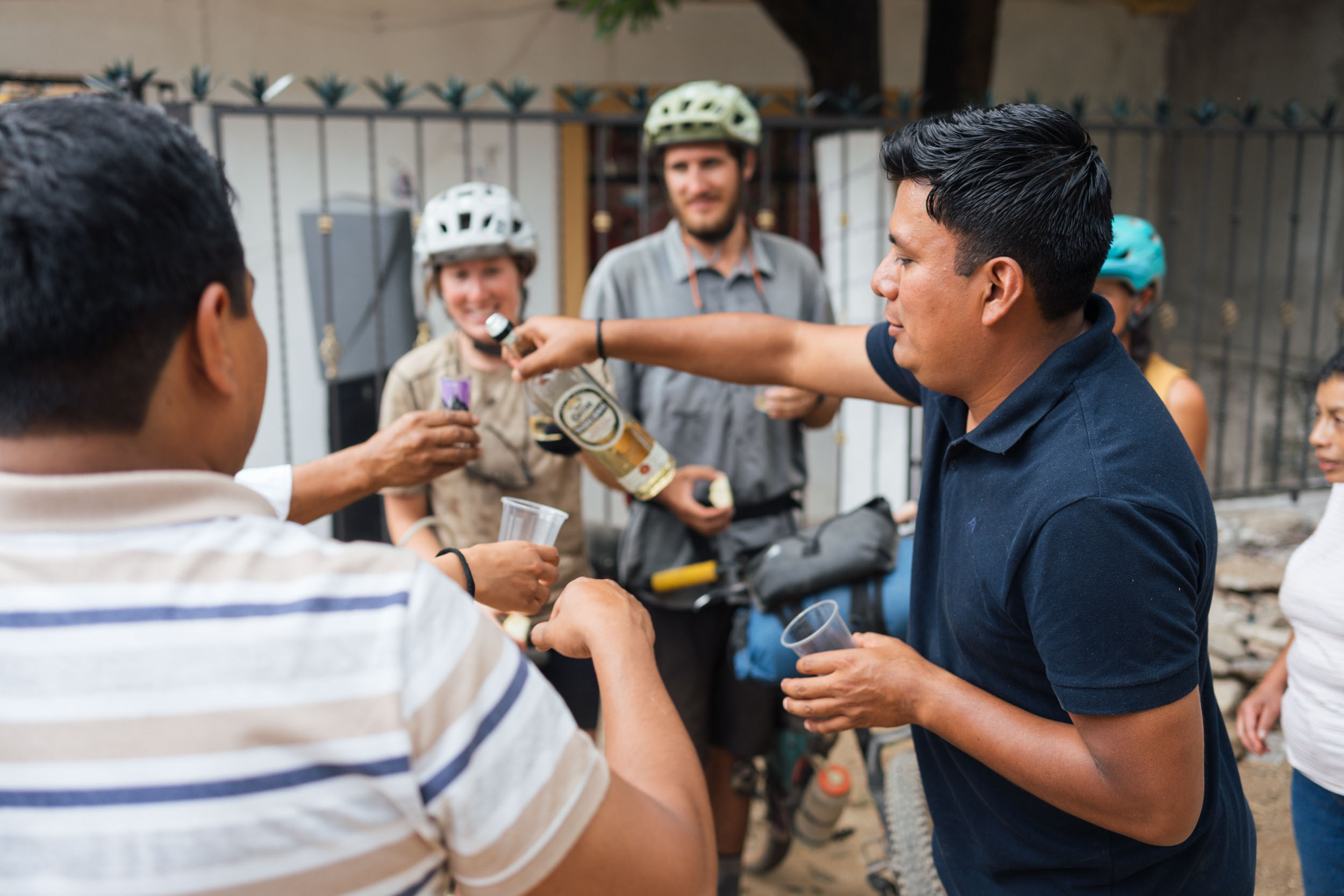
- Fees: There is a 50 peso fee to pay at the centro ecoturistico in Santiago Apoala to access the community’s waterfall and caves. The centro has a bathroom, a water tap, and paid wifi. Note that there’s no cell phone service in the village.
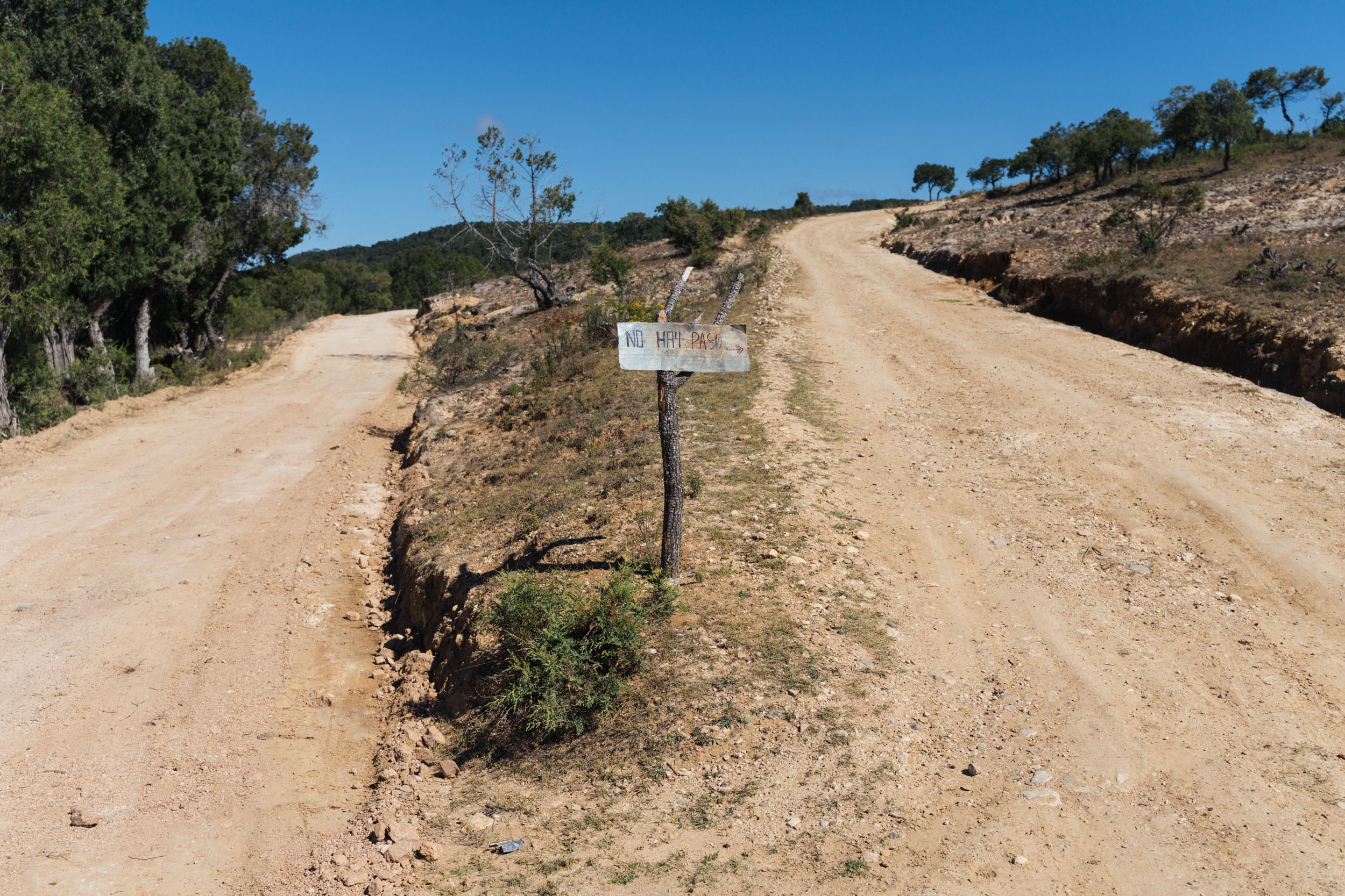
- Terrain: Most of this route uses quiet dirt roads, railway trails, and countryside lanes. However, there is one longer stint (around 15 kilometres) along the MEX190 out of Asunción Nochixtlán. Thankfully, the highway at this point is mostly quiet and has a shoulder. Most of the traffic plies the autopista.
- Cell service: This is limited in the region, on the return leg especially. Some villages sell wifi tokens, and I’ve marked a couple of places where we picked up some cell service.
- Money: Carry cash, small bills if possible. There are ATMs in Asunción Nochixtlán, but that’s it.
- Temperatures: Although it’s rarely cold in this area, it can be chilly in Santiago Apoala and in the Sierra Mixteca, so a few extra layers are recommended for the mornings and evenings, and a sleeping bag that’s rated to 5°C.
- ADO buses Asunción Nochixtlán: If you’re riding out to Santiago Apoala and busing back from Asunción Nochixtlán, the ADO bus will drop you off a few blocks south of the Zocalo at the ADO Terminal Periférico. There are buses throughout the day, use the ADO App to check for timetables. They take around an hour.
- Minibuses from Asunción Nochixtlán: There are also minibuses back from Asunción Nochixtlán, departing from the same road as the ADO bus. Some of these have roof racks and can accommodate a bike or two. They ply the road more frequently, but you’ll have to make sure your bike is safely and securely fitted. Journey time is less than an hour.
- Safety: The Sierra Norte itself is a safe place to ride. However, as with any city, crime happens in Oaxaca de Juárez, both in the city center at night and on a few of the local trails during the day. If you’re out late, take a taxi home. In terms of riding, hiking, and running in areas close to the city, be especially mindful and see the safety information here for details.
- For general information about our extensive route network in Oaxaca, be sure to check out our Oaxaca Bikepacking Routes Network resource, with a Spanish translation coming soon. It includes details on getting there, bike shops, rentals, gear choices, food, arts and crafts, and worthwhile places to visit in the city and surrounding towns.
- A number of potential dispersed camping areas are marked on the map. These are unofficial spots, so be discreet, leave no trace, and ask for permission from local communities if in any doubt.
- Various hotels are also marked on the map, though there is no issue with camping every night if you so wish.
- In particular, the busy hub of Asunción Nochixtlán has a number of accommodation options.
- Santiago Apoala is the best place to rest up along the route, with a camping area, cabanas, and a hotel. It’s worth spending at least a half day here, to visit the waterfalls and hike to one of the caves.
- Due to the more limited resources on the homeward leg, it’s worth carrying a small stove.
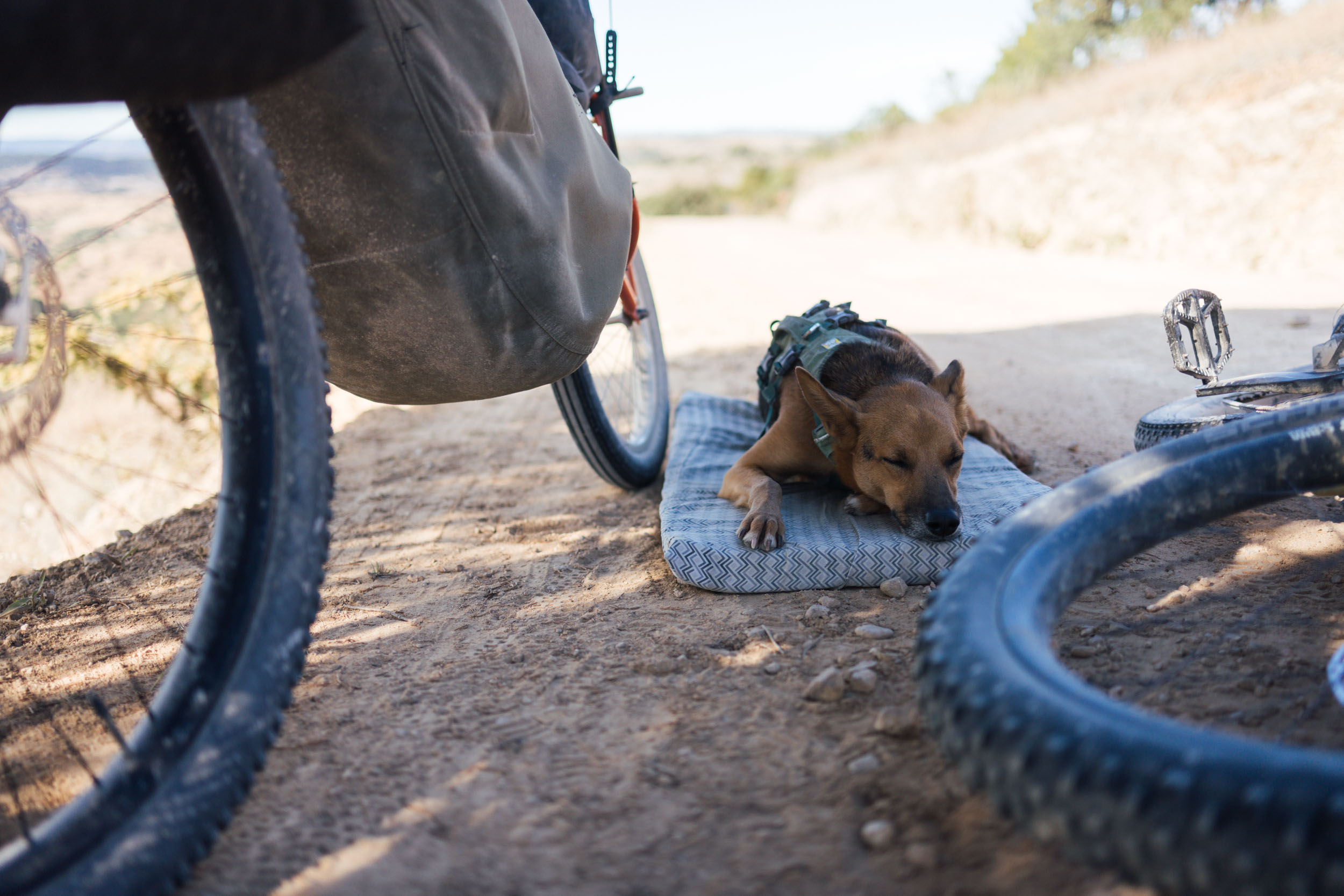
- Critters: Due to mosquitos and sand flies, a fully enclosed tent is recommended. Bear in mind the area has poisonous spiders and scorpions, so always check your shoes for unwanted tenants!
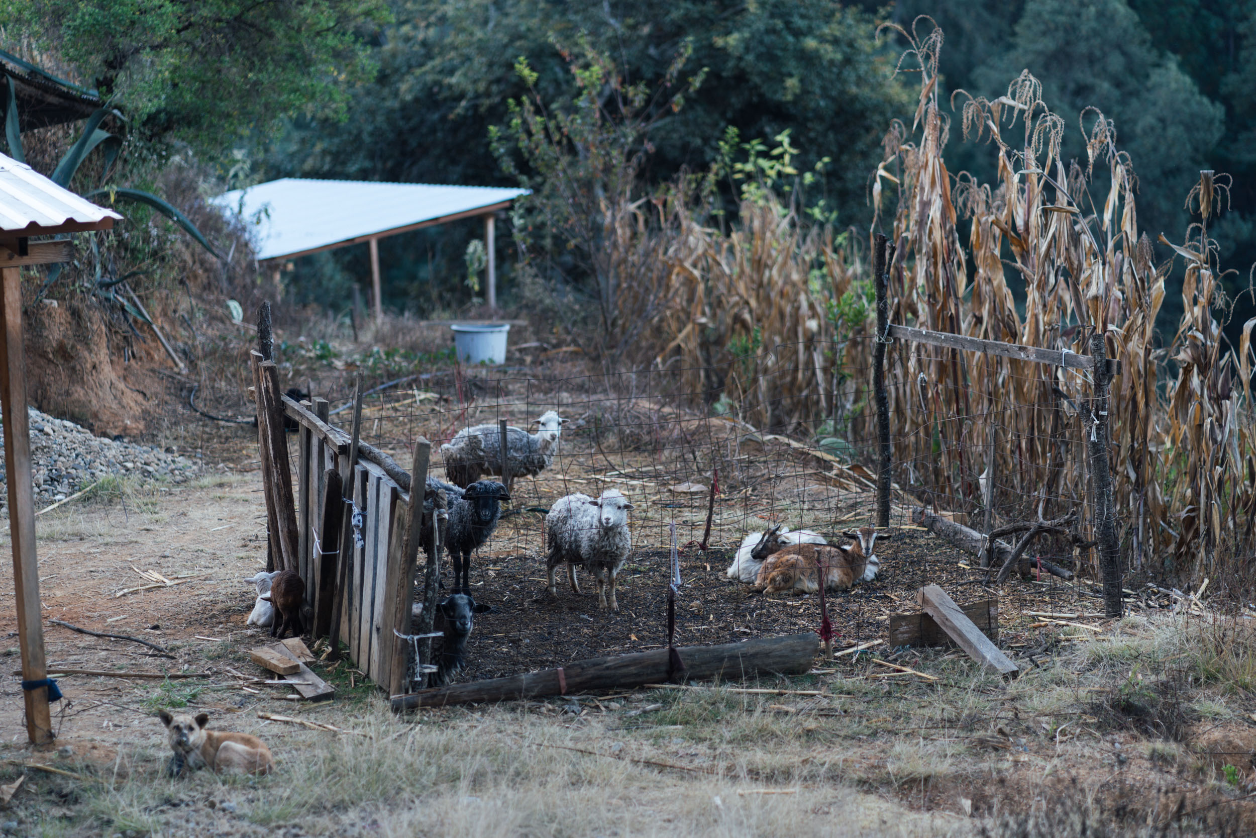
- Stores of various sizes are available throughout the outward section route, so there’s never a need to carry too much food with you. A number are marked on the map, but bear in mind that smaller tiendas can have sporadic opening hours.
- Options are more sparse on the return leg; it’s worth carrying some emergency supplies in case any are closed.
- The same goes with restaurants, which are more widely available en route to Asunción Nochixtlán, but more sparse after that.
- A capacity of 4L of water is recommended. For the most part, it’s easiest to buy a reusable garafon (20-30 pesos for 20L), which is both more economical and eco-friendly than single use plastics. See the gear area here for hydration recommendations; and to learn more about diminishing the use of single-use plastics when bikepacking in Oaxaca, find our guide here.
- For more about Oaxacan food and drink, and restaurant recommendations in the city, see our detailed Comida Oaxaqueño: Oaxacan Food Guide!
There are many ways of splitting up this route, and various camping areas and hotels are listed on the map, to suit bikepackers riding at various paces and to keep camping dispersed.
In terms of broad itineraries, it’s a three- to four-day ride to Santiago Apoala, where it’s worth spending half a day to swim in the water there and hike to the caves. From Santiago Apoala, it’s a further ride day to Asunción Nochixtlán. There, accommodation is available, or there’s the option of camping beyond the town. From Asunción Nochixtlán, it’s around two and a half days back to Oaxaca, with slower-going, more challenging terrain to contend with.
In all, it took us seven days to complete the route. This included two half days, some leisurely starts to the day, and time set aside to visit points of interest and take photos. More distance-focused riders could certainly get around it quicker, though there’s enough to see along the way that 6-7 days is likely to feel like a comfortable pace.
Route Variations
As mentioned in the intro to this route post, the Vuelta de Santiago Apoala is intended to serve a number of purposes. It can be a 6-7 day loop in itself, or if time is limited or you’re looking for an easier ride, you can use it as a 3-4 day trip to a magnificent waterfall, with a short bus back to the city from Asunción Nochixtlán.
It also serves as a connector to the Ojos de Cuicatlan route in the Reserva de la Biósfera Tehuacán-Cuicatlán. With enough time, it could even be combined with the Ojos de Cuicatlan route and used as part of a full figure-of-eight ride, which would extend it into a fabulous, 9 to 10-day trip.
Additional Resources
- For a couple of blog posts from researching this ride, including how we broke up the days on each occasion, see here and here.
- Check out Virginia’s Goodnight 2022 write up and Logan’s images, where we followed this route for the first day.


Terms of Use: As with each bikepacking route guide published on BIKEPACKING.com, should you choose to cycle this route, do so at your own risk. Prior to setting out check current local weather, conditions, and land/road closures. While riding, obey all public and private land use restrictions and rules, carry proper safety and navigational equipment, and of course, follow the #leavenotrace guidelines. The information found herein is simply a planning resource to be used as a point of inspiration in conjunction with your own due-diligence. In spite of the fact that this route, associated GPS track (GPX and maps), and all route guidelines were prepared under diligent research by the specified contributor and/or contributors, the accuracy of such and judgement of the author is not guaranteed. BIKEPACKING.com LLC, its partners, associates, and contributors are in no way liable for personal injury, damage to personal property, or any other such situation that might happen to individual riders cycling or following this route.
Please keep the conversation civil, constructive, and inclusive, or your comment will be removed.