


Norwich Overnighter: Nature, History and Trains
Distance
68 Mi.
(109 KM)Days
2
% Unpaved
53%
% Singletrack
30%
% Rideable (time)
100%
Total Ascent
1,438'
(438 M)High Point
175'
(53 M)Difficulty (1-10)
3?
- 2Climbing Scale Easy21 FT/MI (4 M/KM)
- -Technical Difficulty
- -Physical Demand
- -Resupply & Logistics
Contributed By

Chris Coles
Guest Contributor
Chris grew up in Norwich and has lived in Scotland, East Africa and Italy, working as a conservation biologist and, more recently, in tourism and agricultural development. He’s passionate about bikes as a force for sustainable development and is based in Norfolk and Umbria. His photo blog on cycling, food and nature is at The Slow Lens.
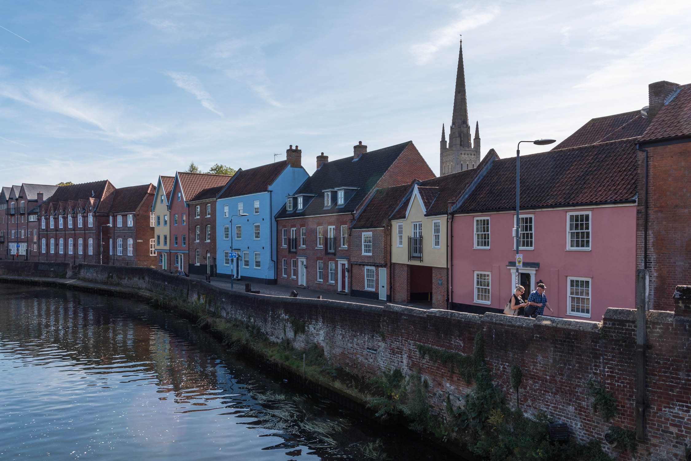
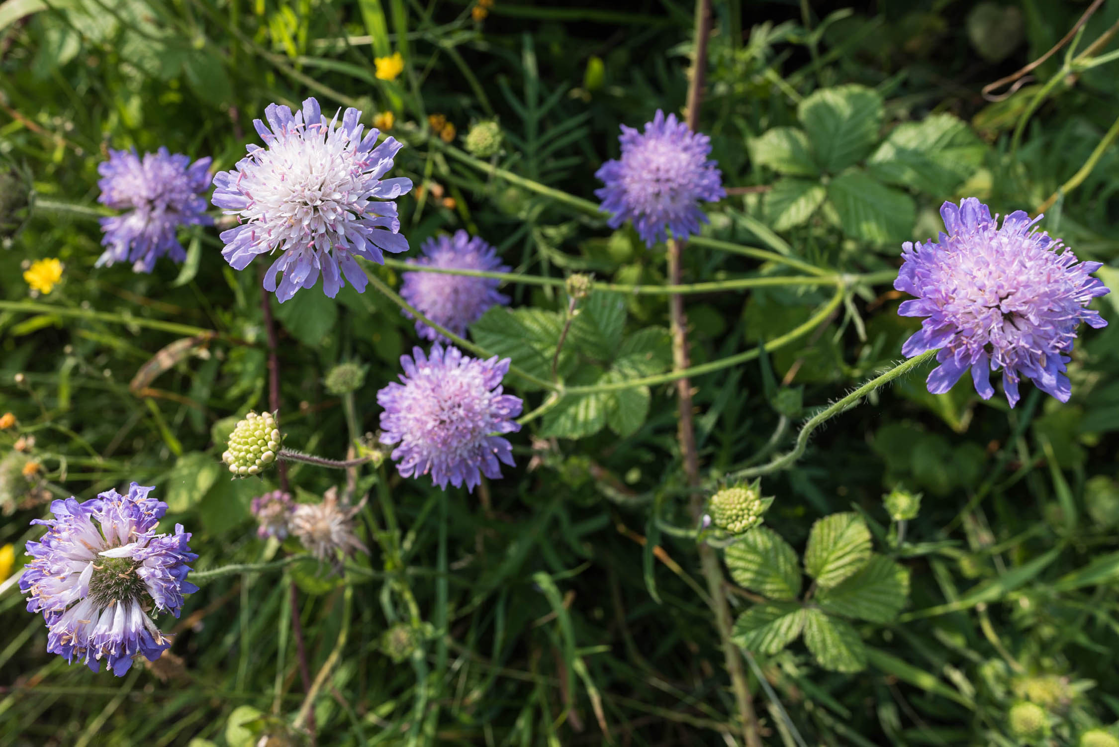
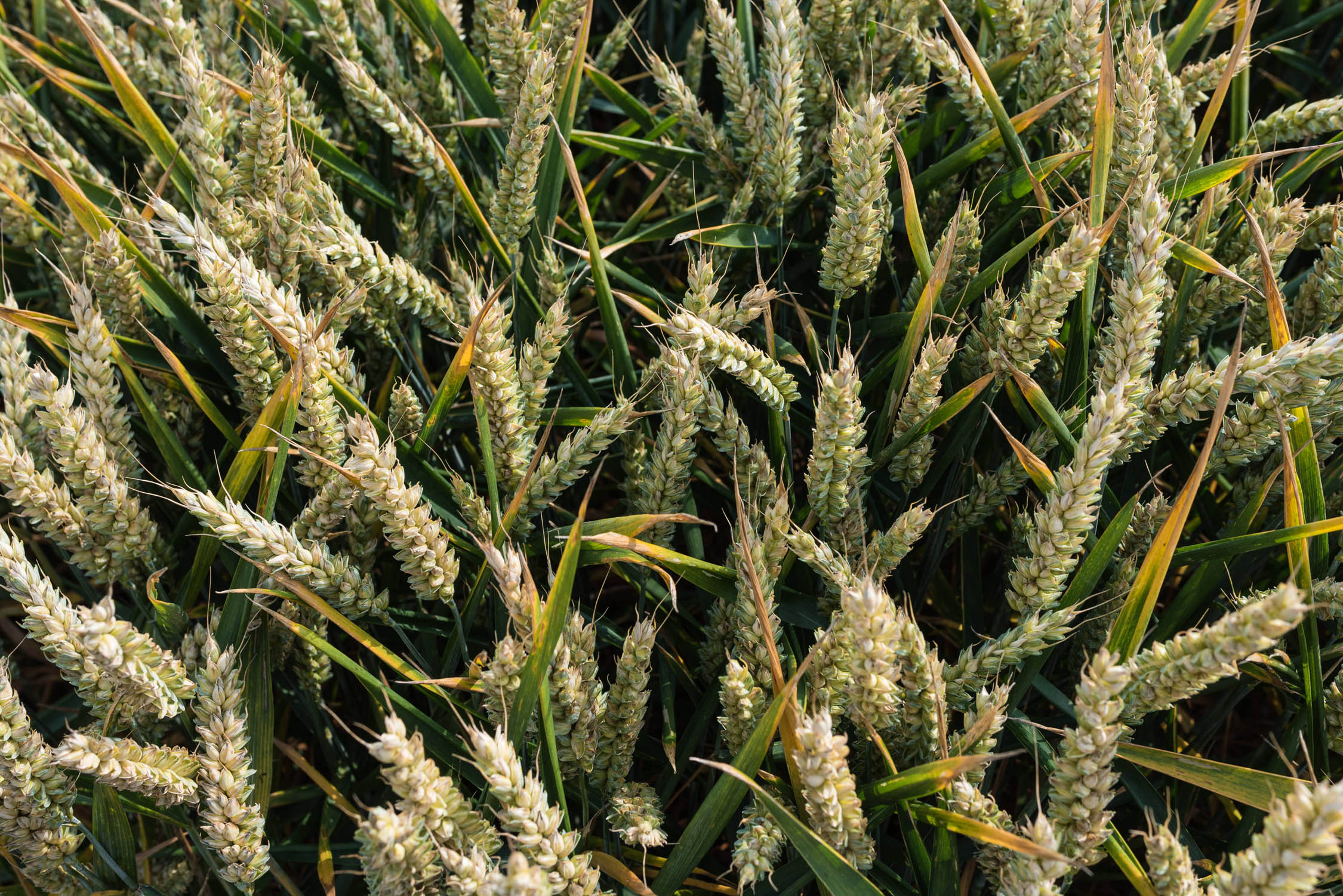
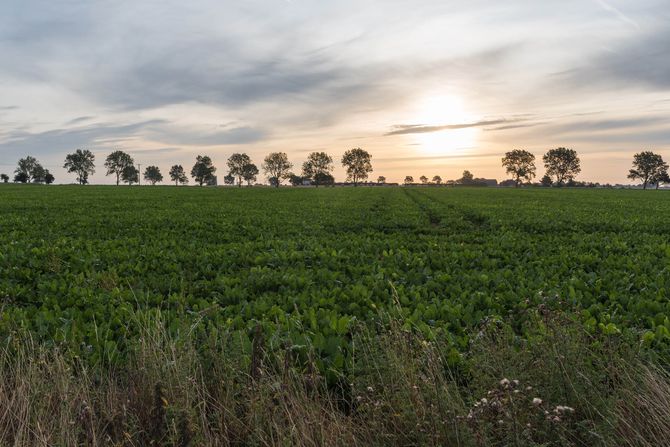
This mixed overnight route of easy, fast lowland singletrack, greenways (Marriott’s Way and Weavers Way), bridleways and on-road cycleways begins in Norwich’s historical centre and takes in some of Norfolk’s most beautiful landscapes. It offers abundant nature — including internationally important populations of rare species — dramatic ‘big skies’, great local food and drink, and among the finest assemblages of Medieval architecture and art in Europe. In summer, you can stop off to take boat trips on the Broads, see swallowtail butterflies and hear the territorial ‘booming’ of breeding bitterns. In autumn and winter, skies fill with wildfowl and beaches become enormous seal crèches. It’s very accessible to novices, with minimal climbing and no technical terrain, but rewarding and fun for experienced riders.
Route Difficulty
The route is rated 3 out of 10. It’s lowland and non-technical with minimal climbing. Some sections can become muddy after rain, and other short stretches are sandy, but it is never impassable. Even novices can comfortably complete the route in two days. The usual caution around road traffic is required on the paved sections. The start and end points are both served by frequent trains and food and water are readily available along most of the route.
Route development: I pieced together as much unpaved trail as I could find, linking it up with paved National and Regional Cycle Routes and quiet country lanes to create what I christened the ‘Norfolk Forest to Sea (F2C)’ 137-mile route from Thetford to Great Yarmouth as a contribution to promoting cycle tourism locally. ‘Nature, History and Trains’ is one of several alternate spin-offs, the only one composed of more than 50% unsealed surfaces.


Submit Route Alert
As the leading creator and publisher of bikepacking routes, BIKEPACKING.com endeavors to maintain, improve, and advocate for our growing network of bikepacking routes all over the world. As such, our editorial team, route creators, and Route Stewards serve as mediators for route improvements and opportunities for connectivity, conservation, and community growth around these routes. To facilitate these efforts, we rely on our Bikepacking Collective and the greater bikepacking community to call attention to critical issues and opportunities that are discovered while riding these routes. If you have a vital issue or opportunity regarding this route that pertains to one of the subjects below, please let us know:
Highlights
Must Know
Camping
Food/H2O
Trail Notes
Resources
- Bittersweet poignant ghosts of a demolished Victorian railway network that has morphed into beautiful, leafy countryside trails.
- Some of Britain’s rarest and most charismatic wildlife – Broadland specialties like bitterns, marsh harriers, cranes, bearded tits, swallowtail butterflies, Norfolk hawker dragonflies and otters; coastal colonies of grey seals and shorebirds.
- Norfolk landscapes – big skies, lush riverbanks, whispering reedbeds, sandy beaches, ancient woodlands.
- Norwich’s historic centre, with its indy shopping and eating scene, vegan hub and characterful old pubs. Drink in the Adam and Eve, the hangout of the Norman stonemasons who built the nearby cathedral.
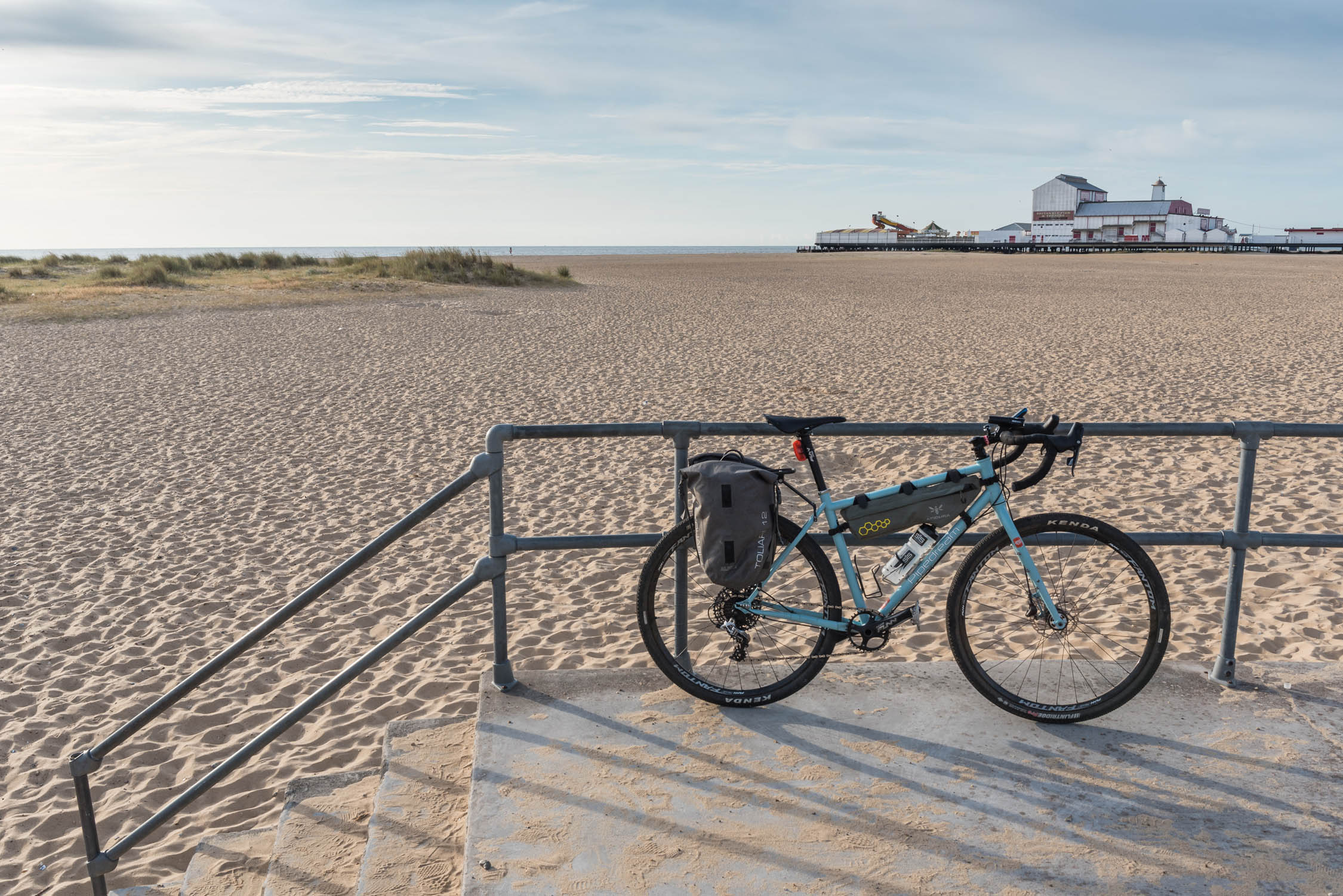
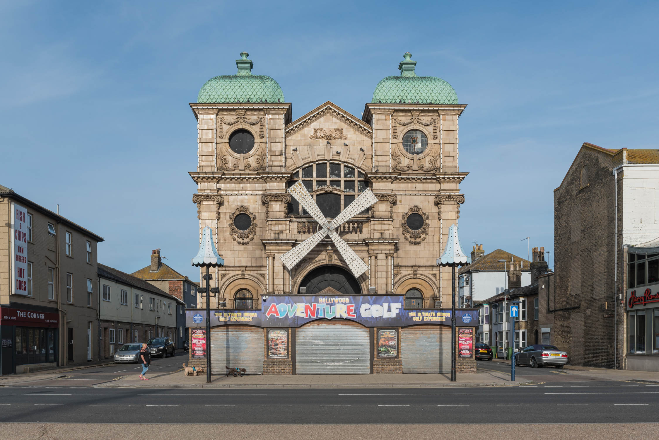
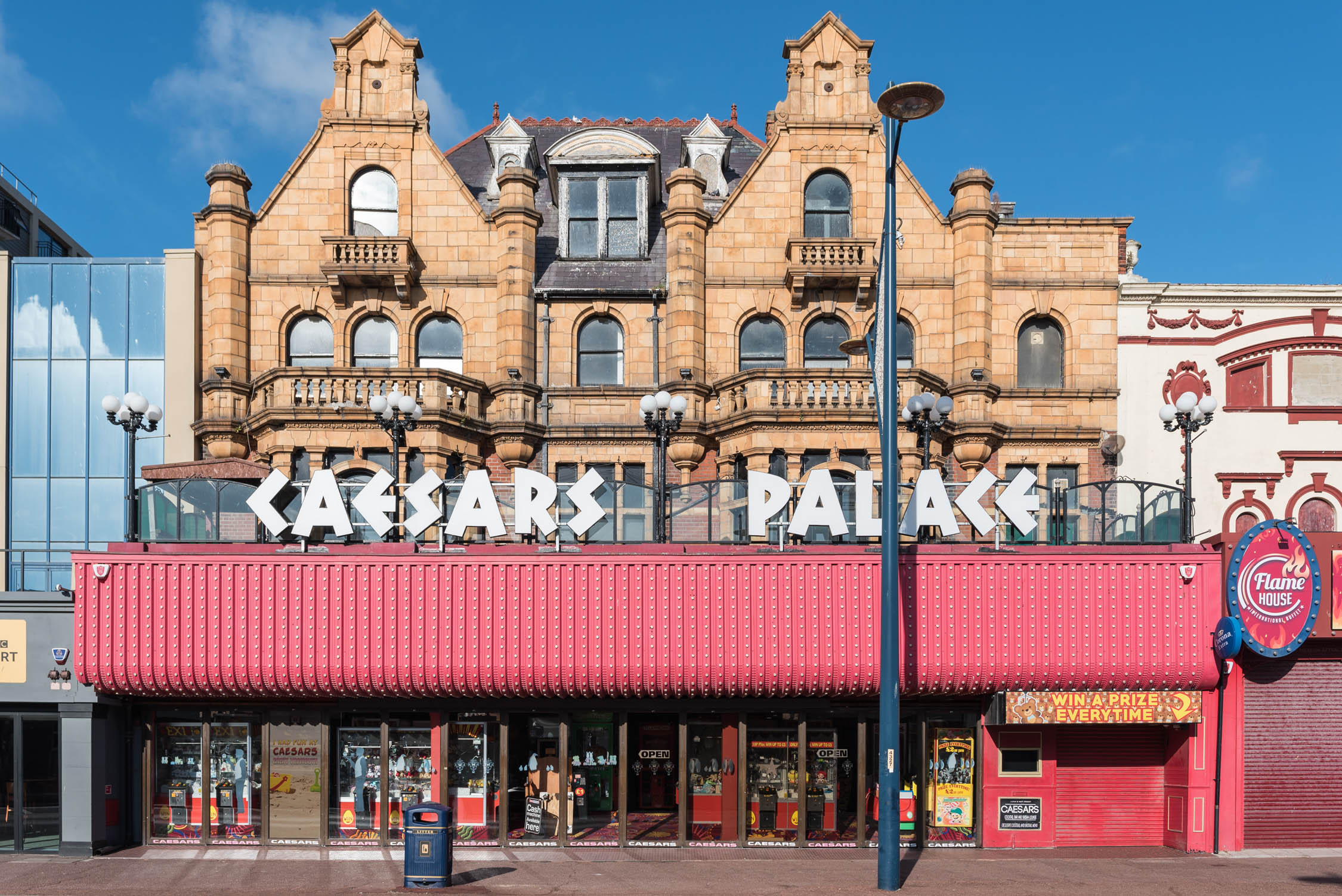
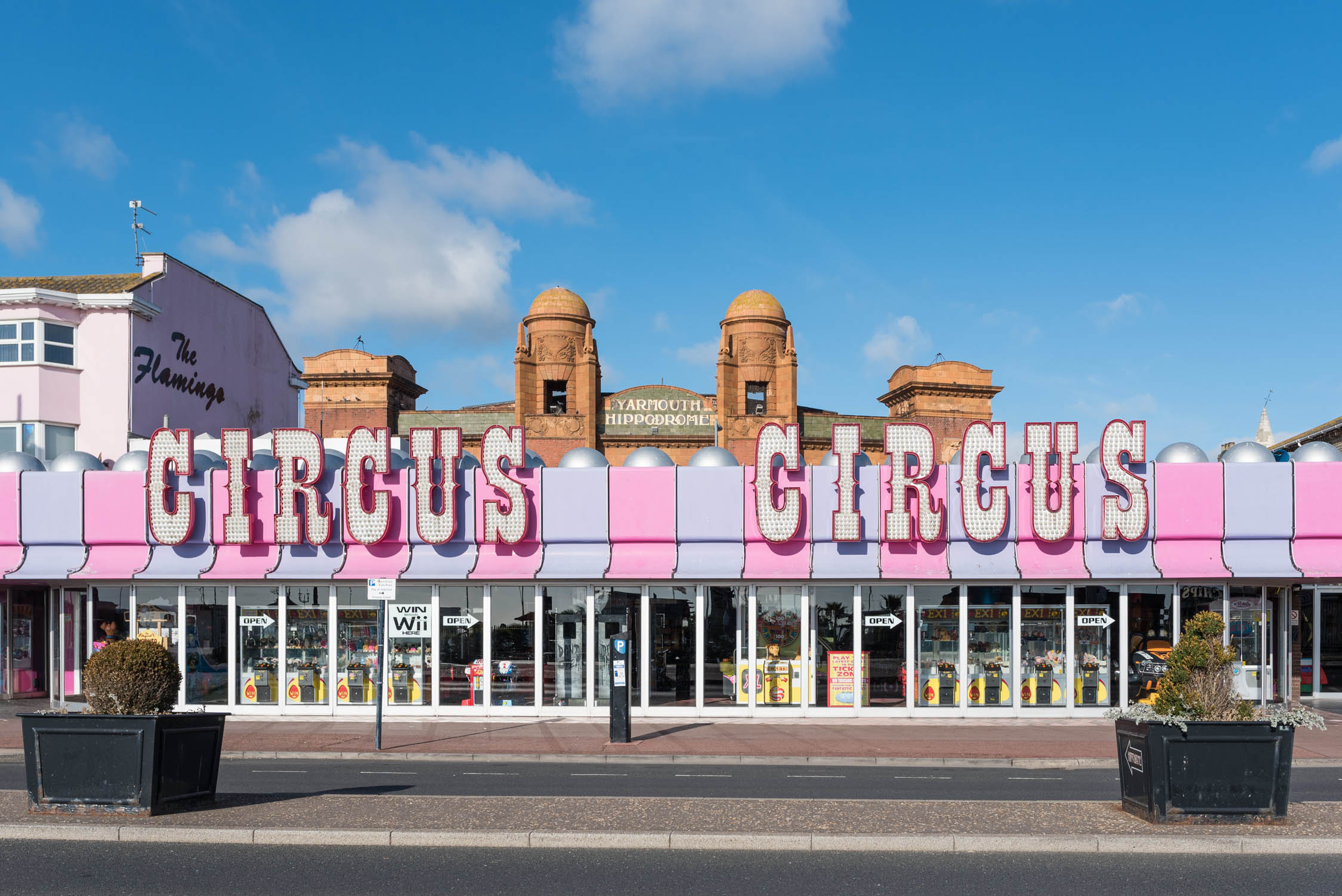
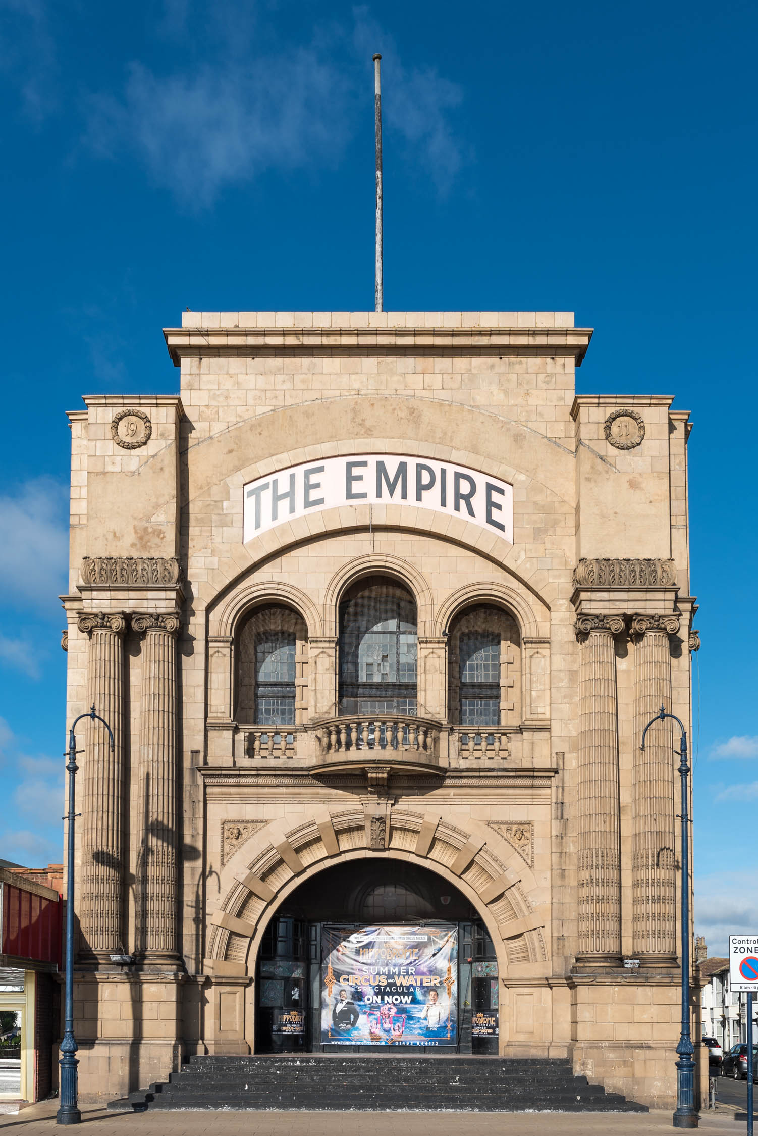
- Great Yarmouth’s seaside nostalgia and maritime heritage; amusement arcades, two piers, a beautiful beach, museums and frequent nods to its most famous visitor, Lord Nelson.
- Visit some of the Medieval churches comprising the densest collection north of the Alps, most containing art treasures.
- Sections of fun, easy lowland singletrack.
- Chill out with local beer in town and country pubs. Sample the county’s agricultural and marine produce in cafés, restaurants and markets.
- Rideable year-round with quantities of mud varying according to rainfall. Shoulder season and winter riders will find quieter trails, roads and campsites. Late summer/early autumn is food festival season. Britain’s only swallowtail butterflies are on the wing in the Broads from late May to mid-July (and mid-August through September if there’s a second brood), and the spectacle of England’s largest grey seal pupping event occurs in October/November.
- Dangers and annoyances. Much of the land surrounding the route is in agricultural use or composed of sensitive wildlife habitats. Be particularly careful to leave no trace. Please share the greenways and bridleways courteously with other users. Near to Norwich, pedestrians (and dogs) can emerge suddenly onto the trail from adjoining footpaths. While the on-road sections follow low-traffic, designated cycle routes, the main risk to riders on the route remains that from motorists. Take particular care where the trails cross main roads (marked on the gps track).
- Direct rail links from Norwich to London, Cambridge, Liverpool, Nottingham, Stansted Airport and the finishing point in Great Yarmouth (meaning that the route can easily be ridden in reverse if desired).
- Wild camping is officially illegal in this part of England and opportunities are, in any case, very limited, certainly for tents. Natural habitats are sensitive to damage. Seasonal deer stalking and pheasant shooting mean that it’s sensible to avoid private woodland.
- Details of small, chilled out paid campsites are provided in the gpx file. The ‘certificated’ kind are exclusive to members of the Camping and Caravanning Club but you can join on-site. Campsites get very busy in high season and may become full during bank holidays and summer weekends and early booking is highly recommended. Several of those recommended are open year-round.
- Alternative lodgings are readily available all along the route in the form of B&Bs, boutique hotels, holiday rentals, pub accommodation etc.
- Water sources are ubiquitous. There are public dispensers in The Forum and at the rail station in Norwich. It is readily available all along the route from pubs, restaurants and cafés (and UK establishments selling alcohol are legally obliged to supply free tap water). All public water supplies, including toilets (bathrooms), are regulated for quality. Buying bottled water should be unnecessary and you won’t require a filter.
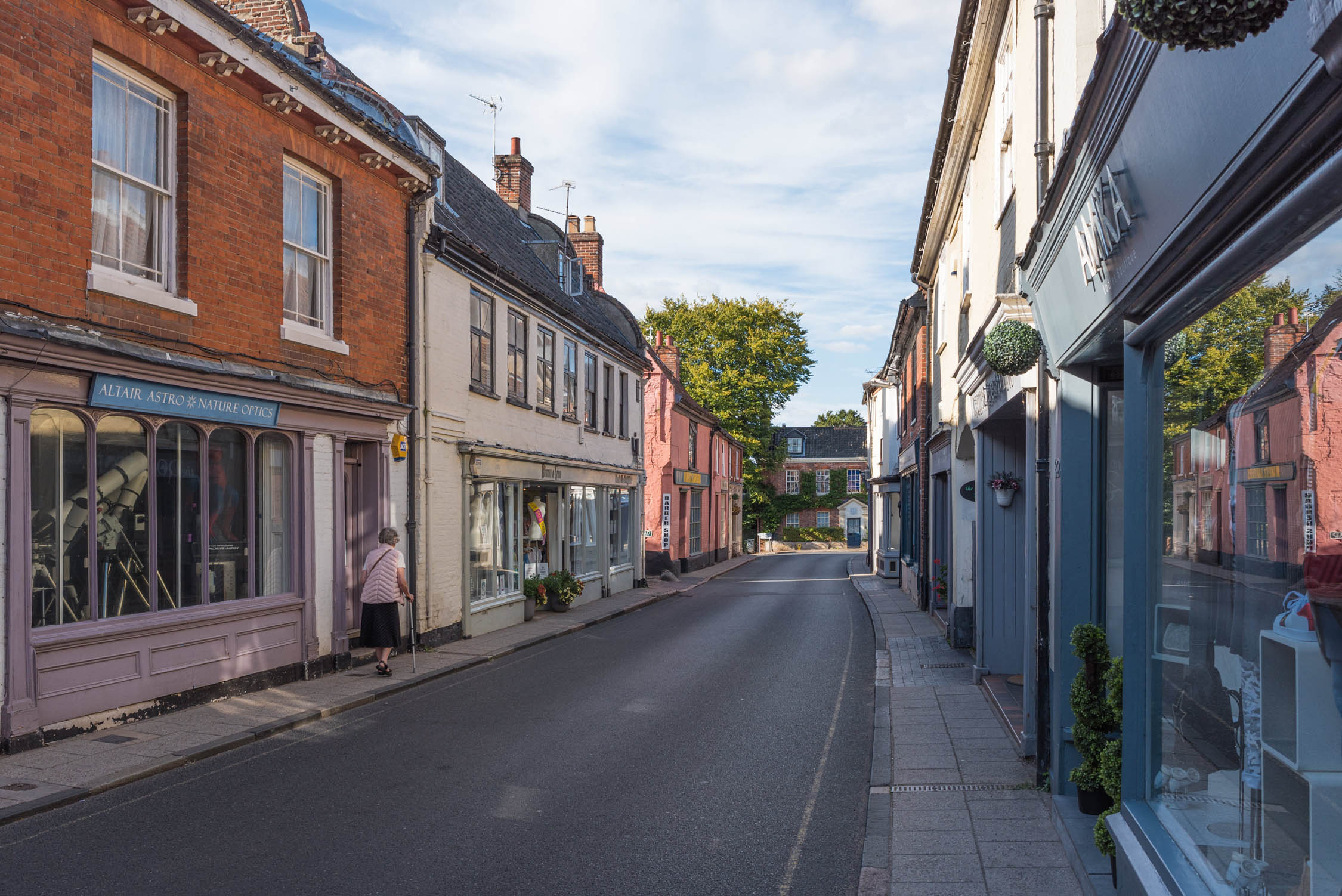
- Bread Source ‘artisan’ bakery sells great breads, pastries and coffee from shops in Norwich and Aylsham and on Norwich’s market, which has operated since the Norman conquest. Here, you’ll also find international street, fast and vegan foods and provisions for your picnic. Smaller towns also have weekly markets.
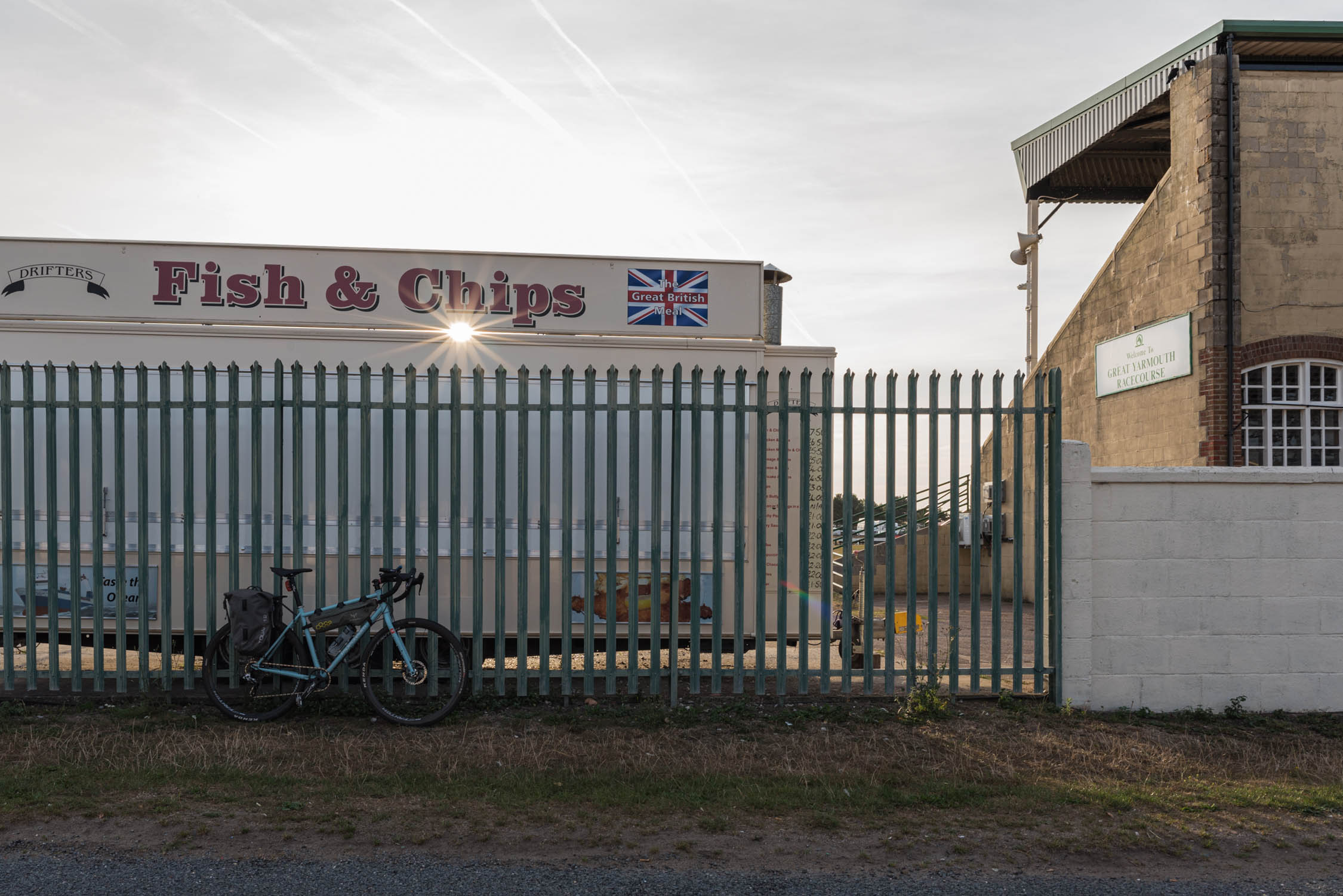
- Norwich is an indy and vegan food hub and brewpub Mecca. Frank’s Bar is a local institution and was featured in the New York Times! The route is dotted with old country pubs and cafés. In Great Yarmouth, the old-school cafés with all-day breakfasts (‘full English’ and vegetarian), and the sea front with fish and chips, candy floss and doughnuts, present ample opportunities to replace lost calories. Stoves are very much optional.
This overnighter, though short, gives a diverse taste of Norfolk’s landscapes. The route is entirely rideable year-round. In winter, and after prolonged heavy rain, muddy sections become slippery for narrower, slicker tyres but the trail is always passable. My partner rides Marriott’s Way on a road bike in summer. That wouldn’t be my choice, but it’s a very accessible route in fine weather. If temporary diversions are in place, for example when bridge repairs are made, they are signposted at the point of closure.
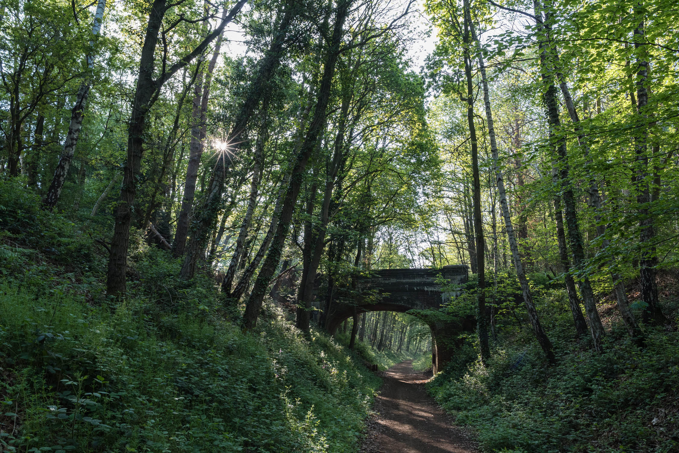
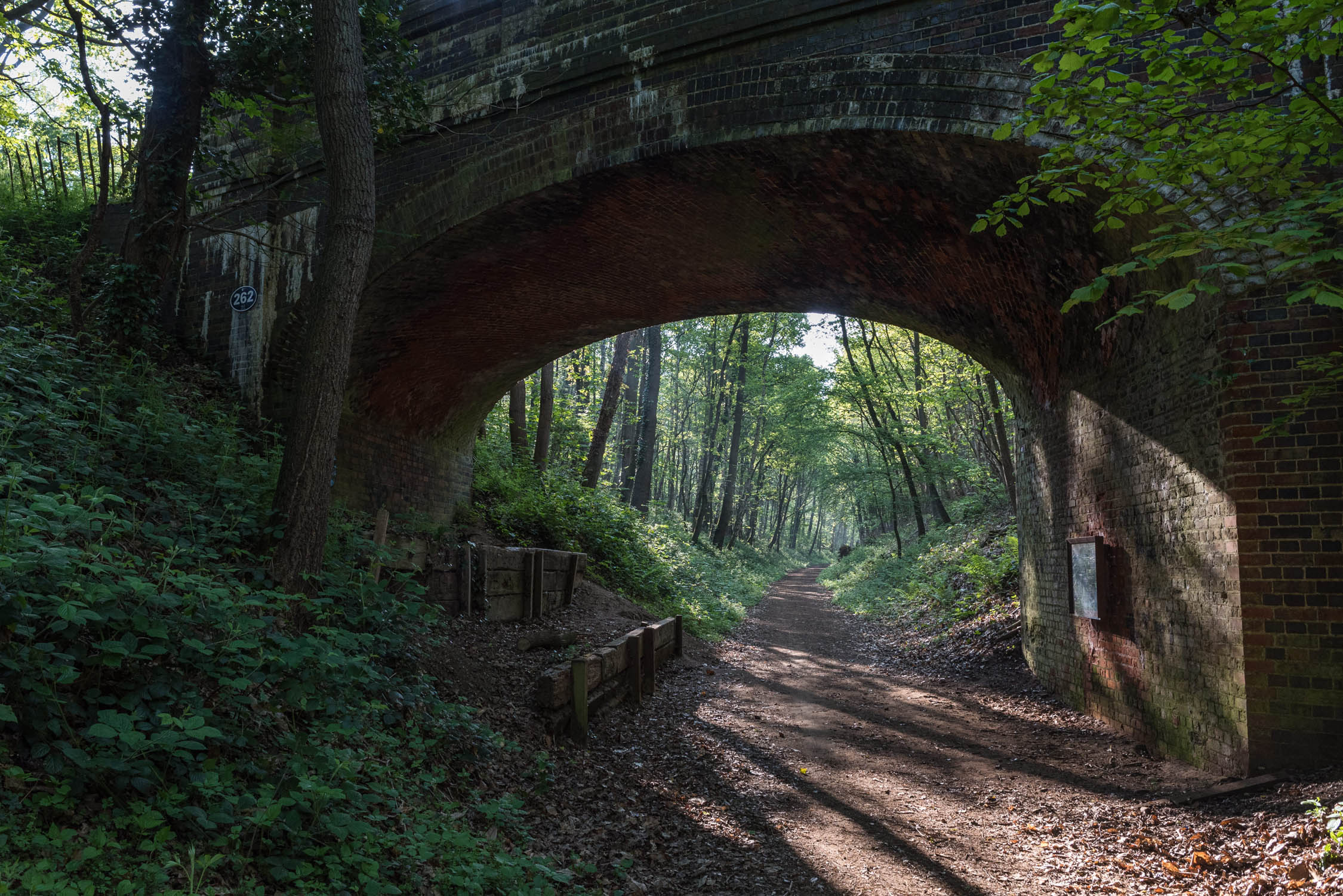
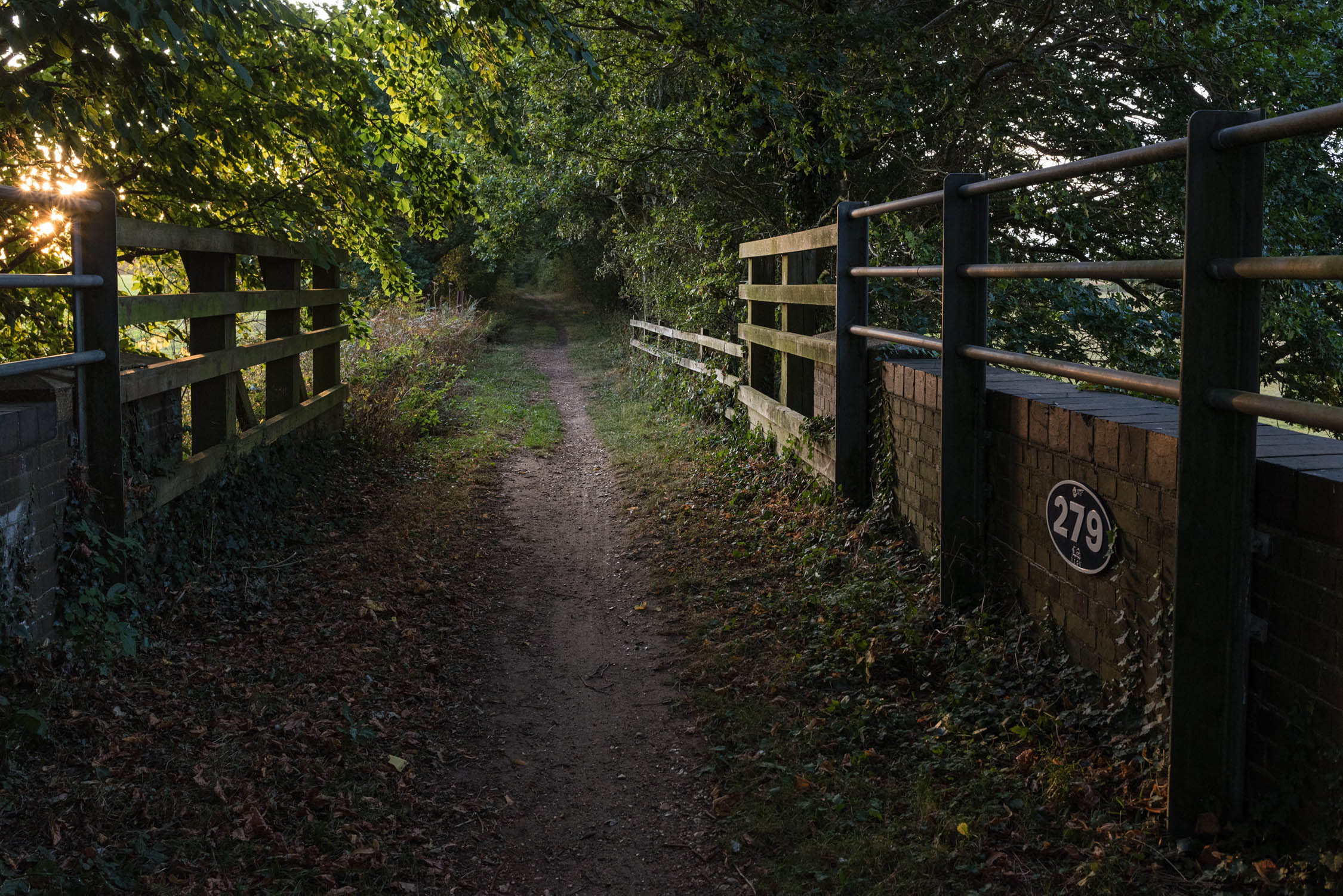
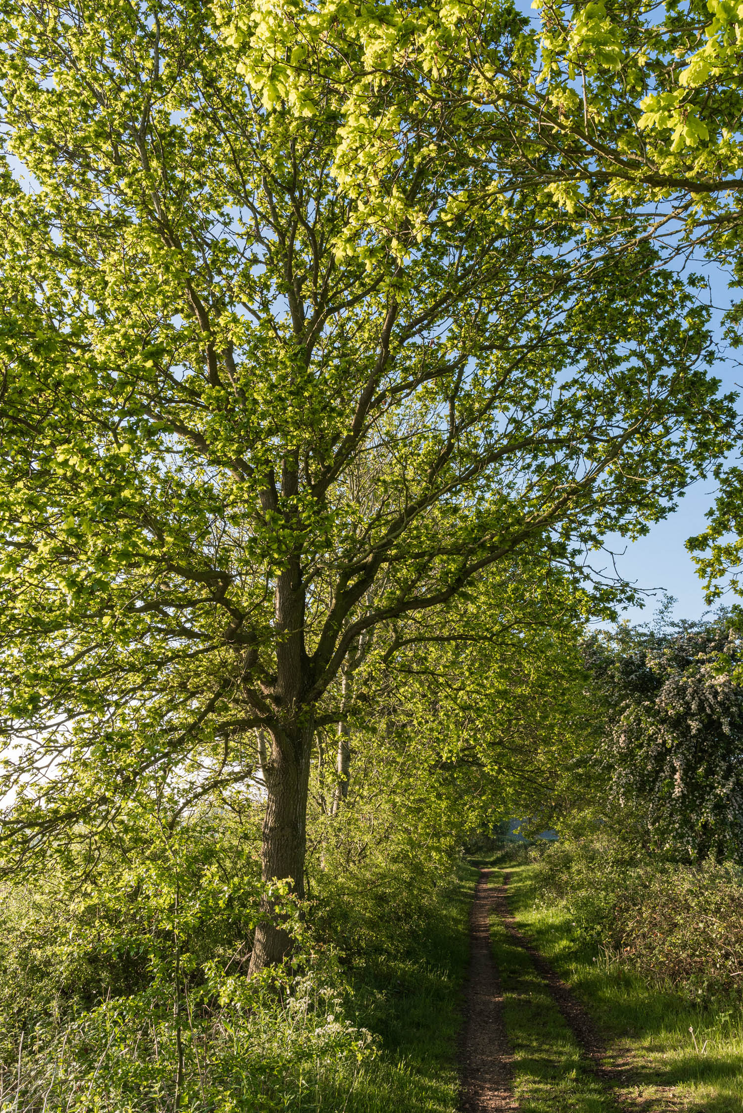
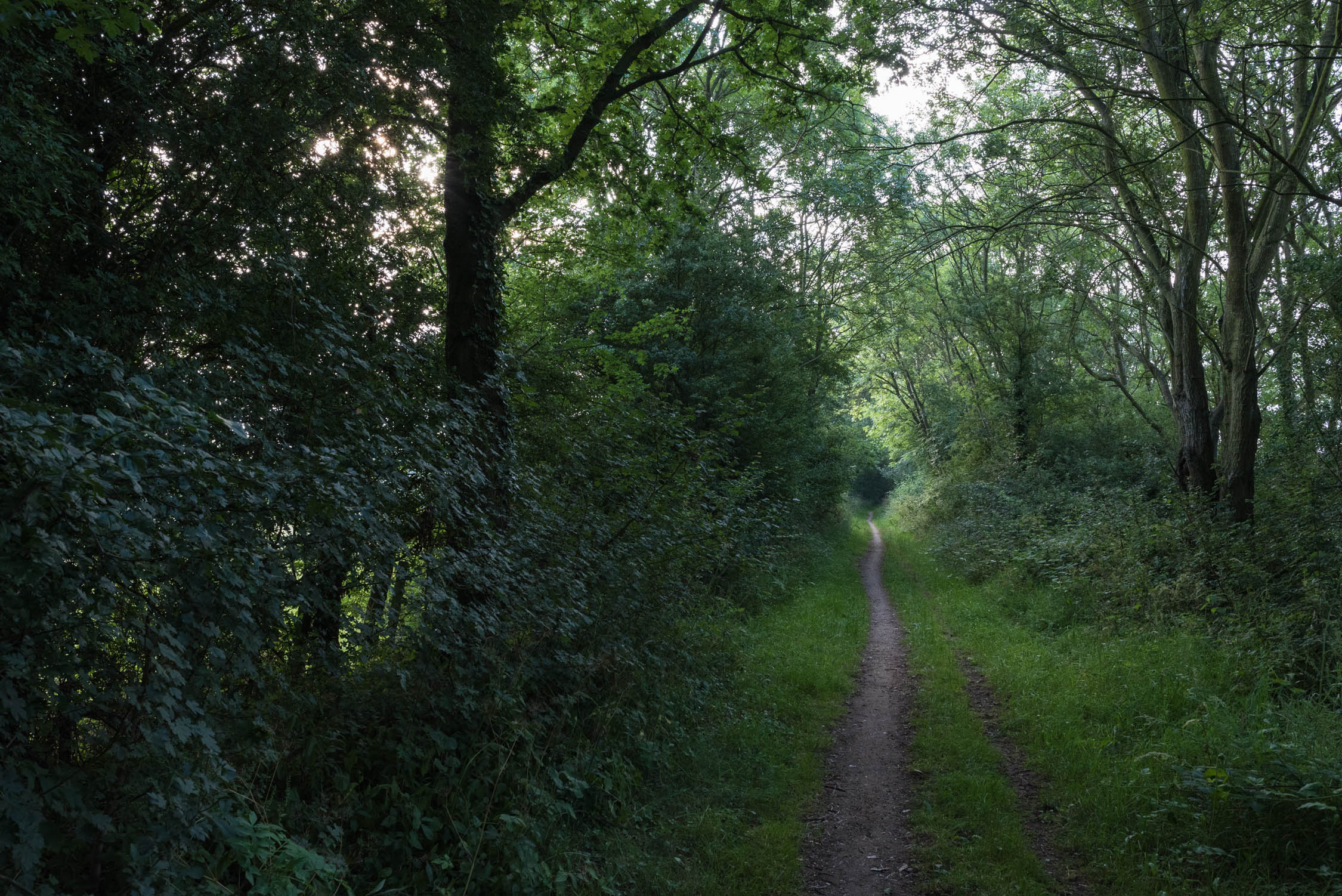
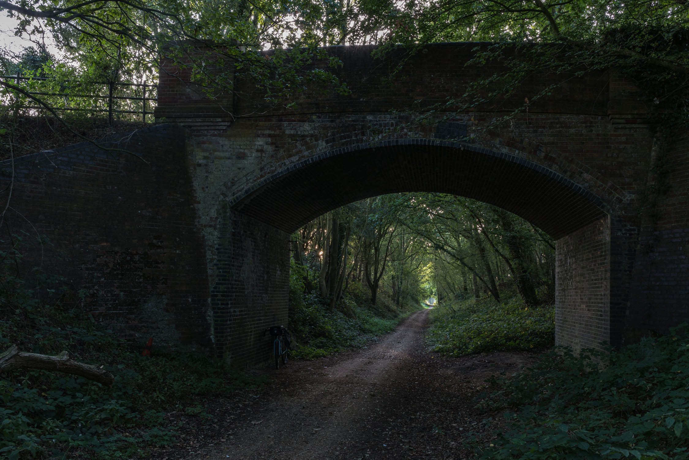
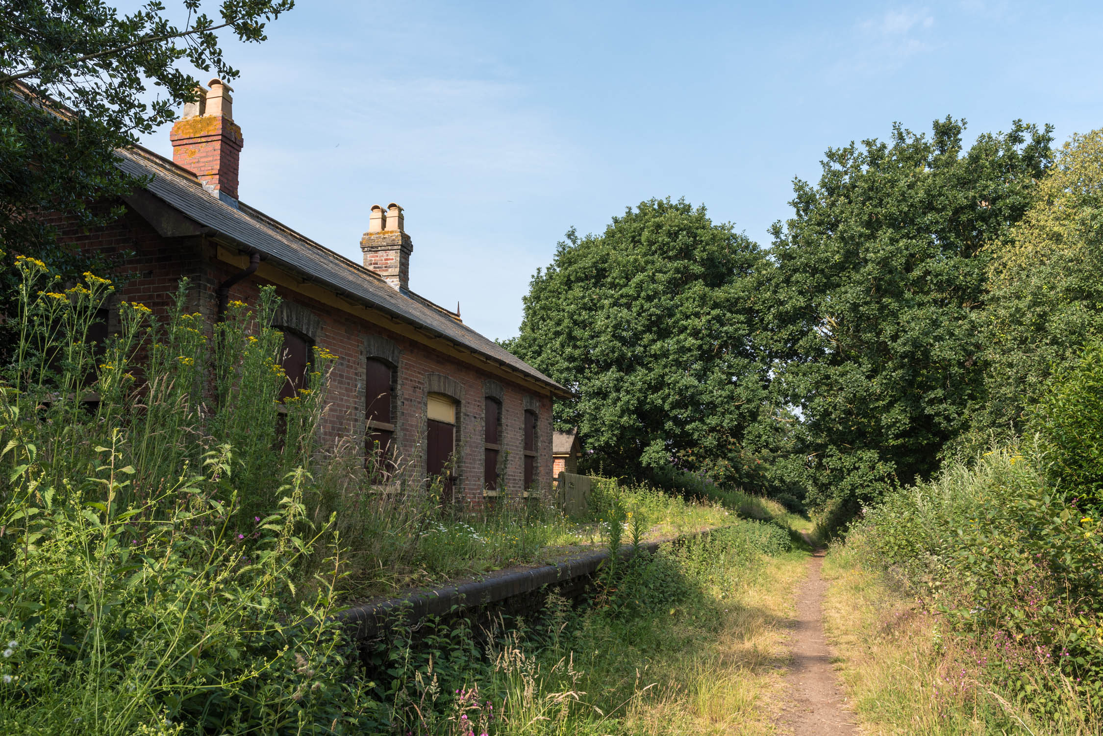
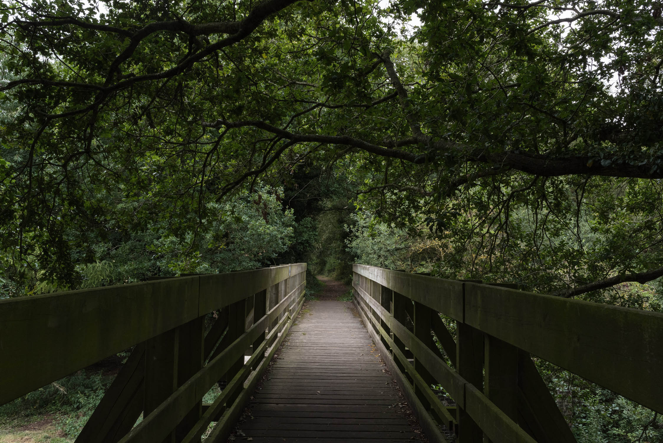
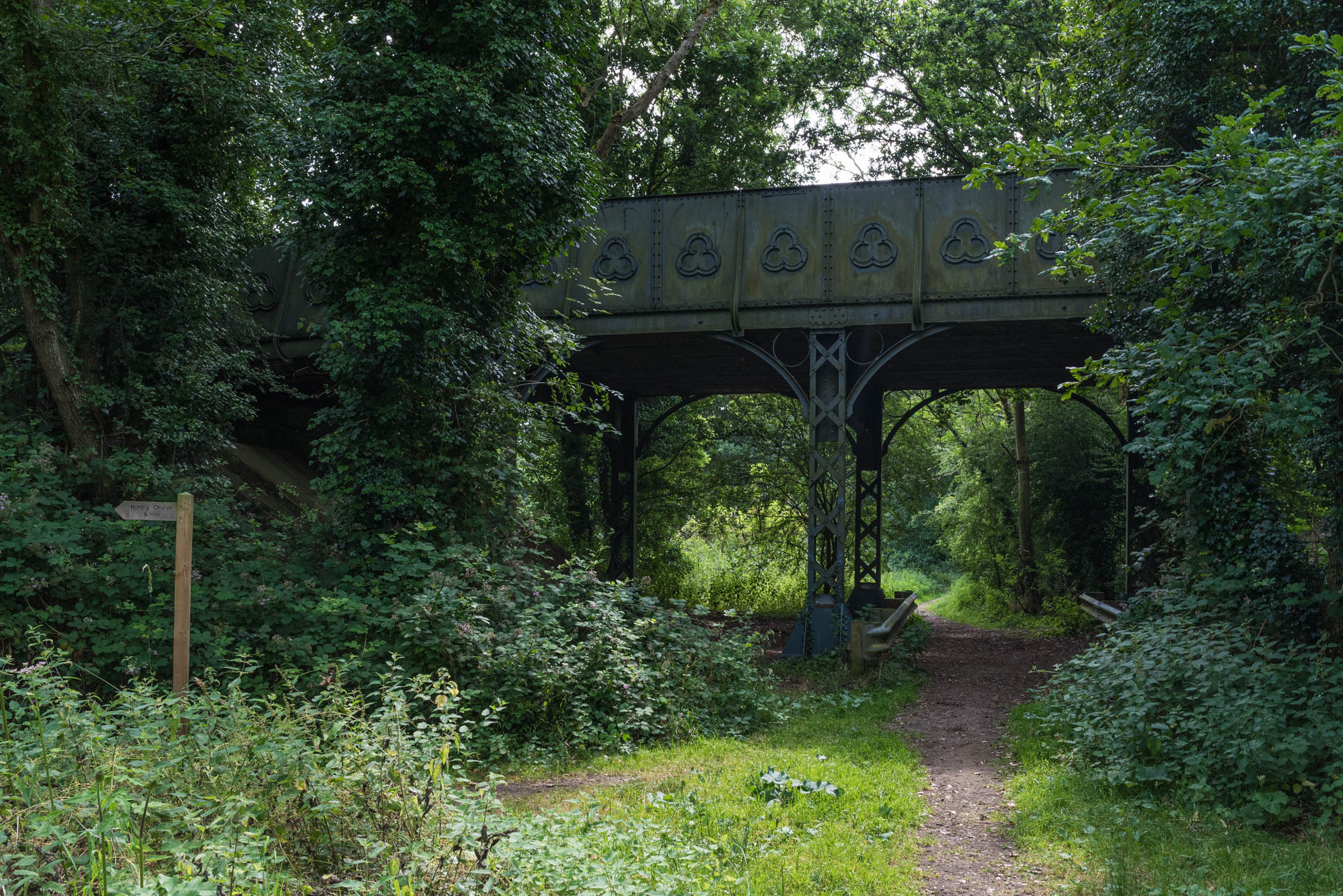
You’ll head out of Norwich, like an inappropriately laden commuter, following the River Wensum on the Marriott’s Way along the bed of the former Midland and Great Northern Joint Railway track, which used to run to the county’s now defunct rail hub at Melton Constable. The suburbs soon yield to open countryside. Trees that have, in places, stretched to embrace one another and close the canopy above the trail in the long-term absence of smoke, steam, cinders and locomotives, provide shelter from the worst extremes of foul weather. The surface varies between hard-packed dirt and gravel and looser, flinty singletrack.
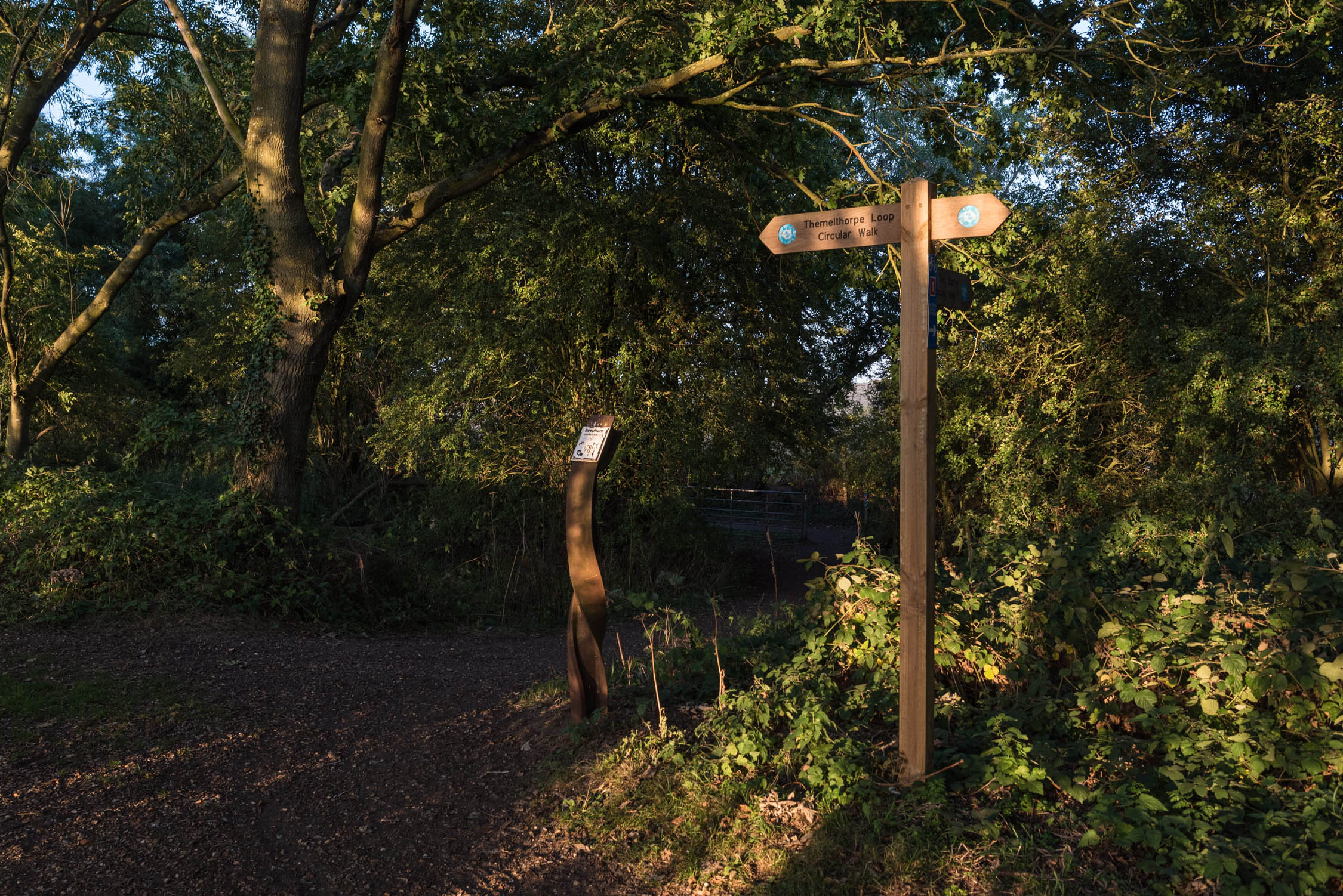
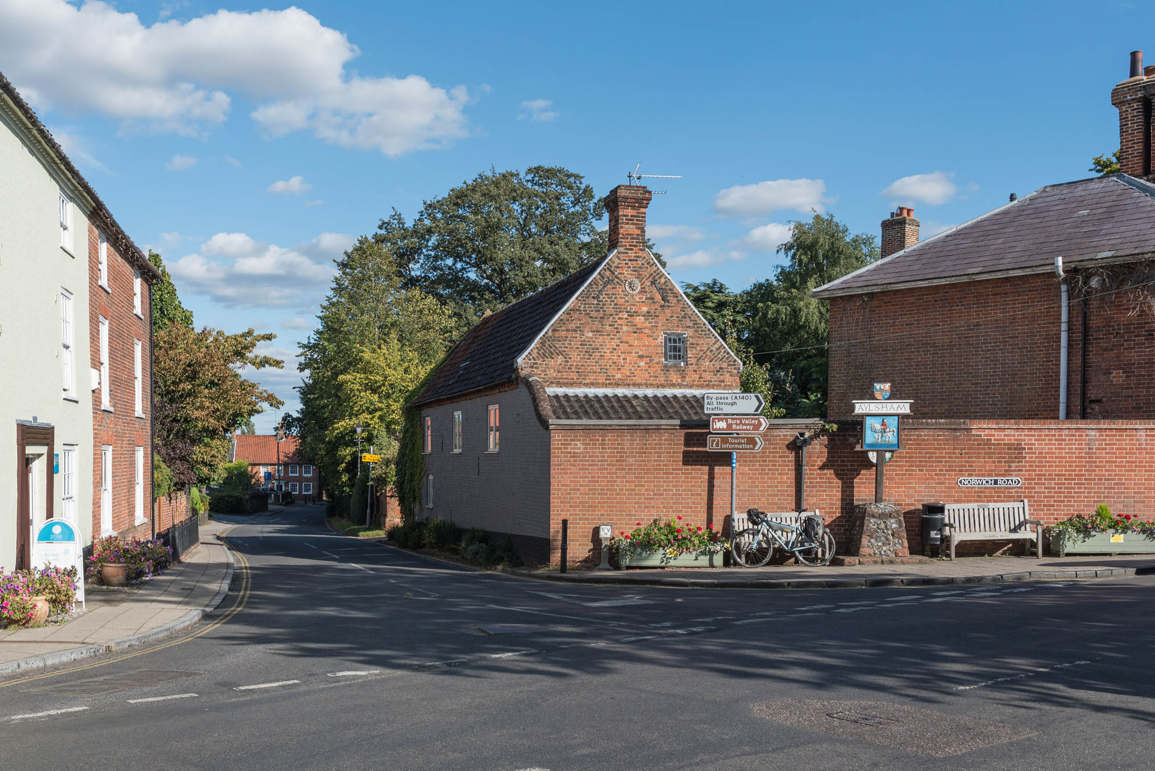
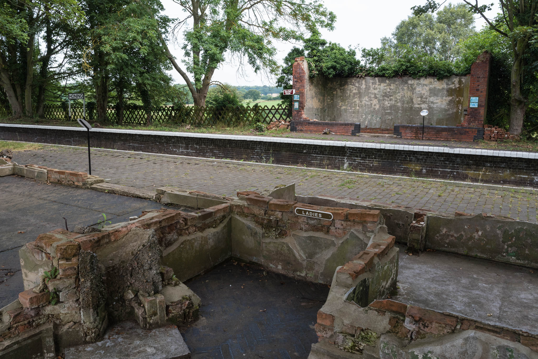
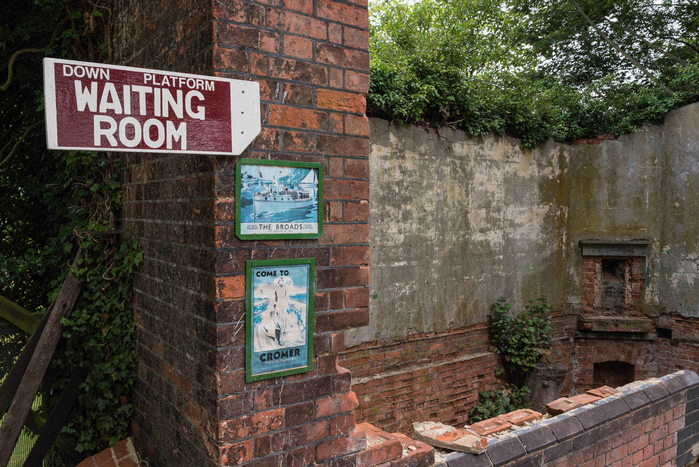
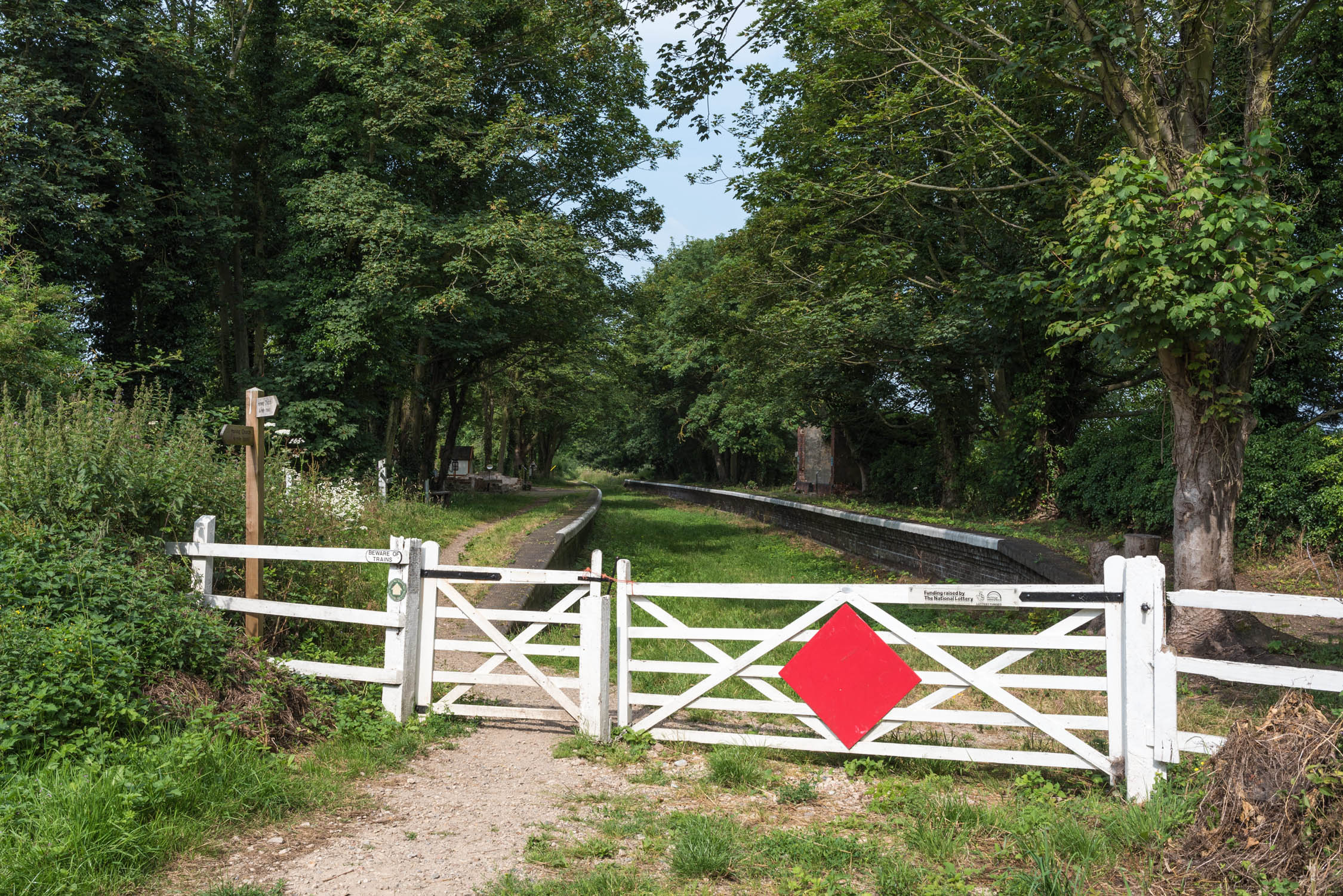
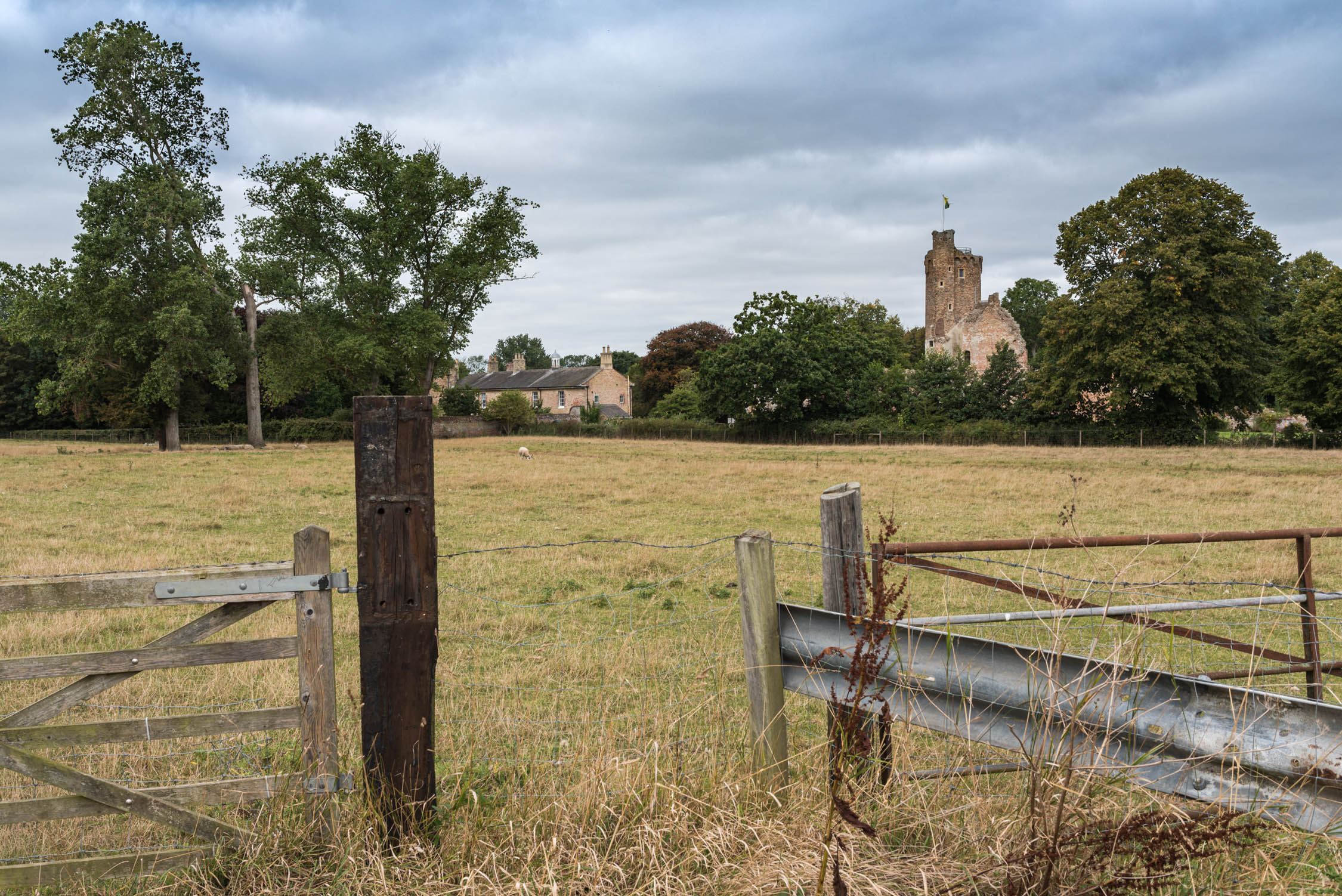
Look out for the remnants of old stations at Hellesdon, Attlebridge, Lenwade, Honing, Whitwell and Reepham and Reepham. Not a typo, the Themelthorpe curve, or loop, passes on both sides of the pretty town, which had stations on the two different lines that were joined in the final years of their use to form the UK’s sharpest (ex-) rail bend. At Themelthorpe itself, a tiny village at the apex of the loop, you can opt to join the alternate main ‘Forest to Sea (F2C)’ route to the north coast and Thetford Forest (see Resources).
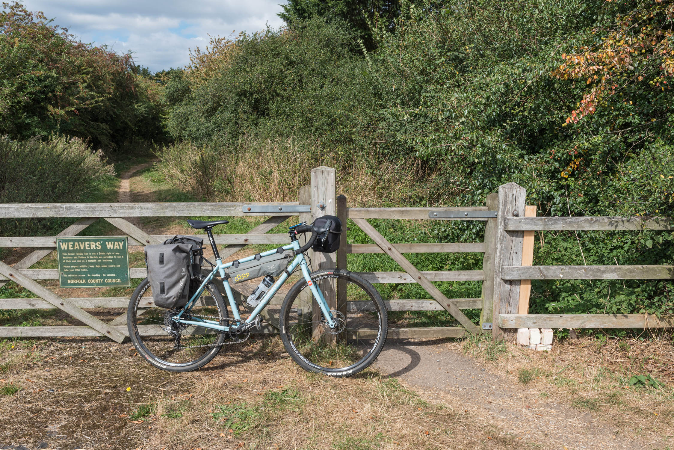
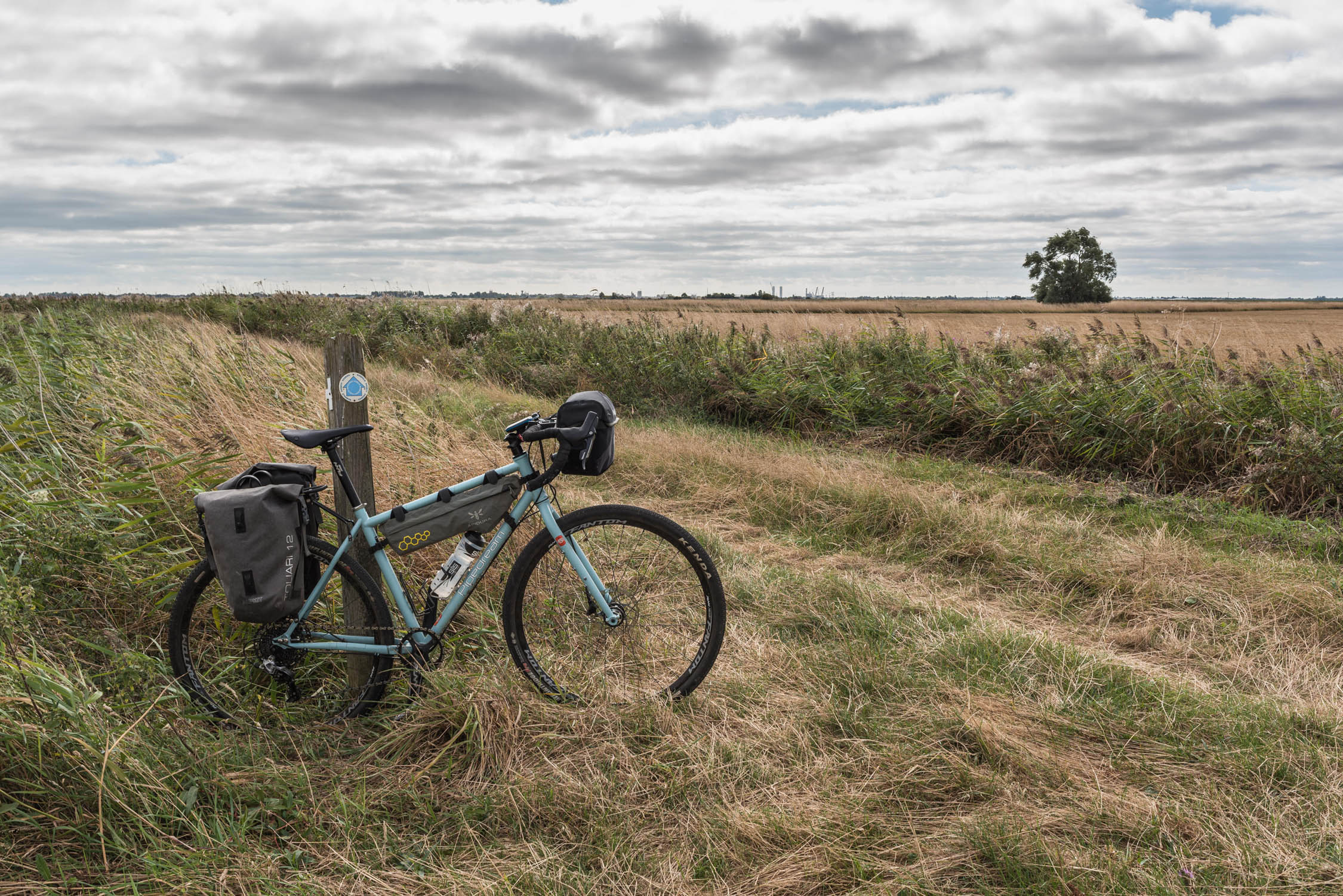
Owls, buzzards, badgers and sparrowhawks have colonised what used to be the realm of train drivers, firemen, station masters, and ticket clerks. Like the former locomotives, riders can take advantage of refuelling opportunities in the old centres of Aylsham, North Walsham and Stalham. The disproportionately large and elaborate churches of the region, and the artworks within them, were produced using Medieval wealth gained from wool and textiles industries, exported across Europe from the port of Great Yarmouth. This is where the Weavers Way, beginning outside Aylsham, gets its name. After Stalham, where the dominance of woodland and arable land shifts to wetland, reedbed and grazing marsh, it continues as a footpath and weaves along Broadland rivers.
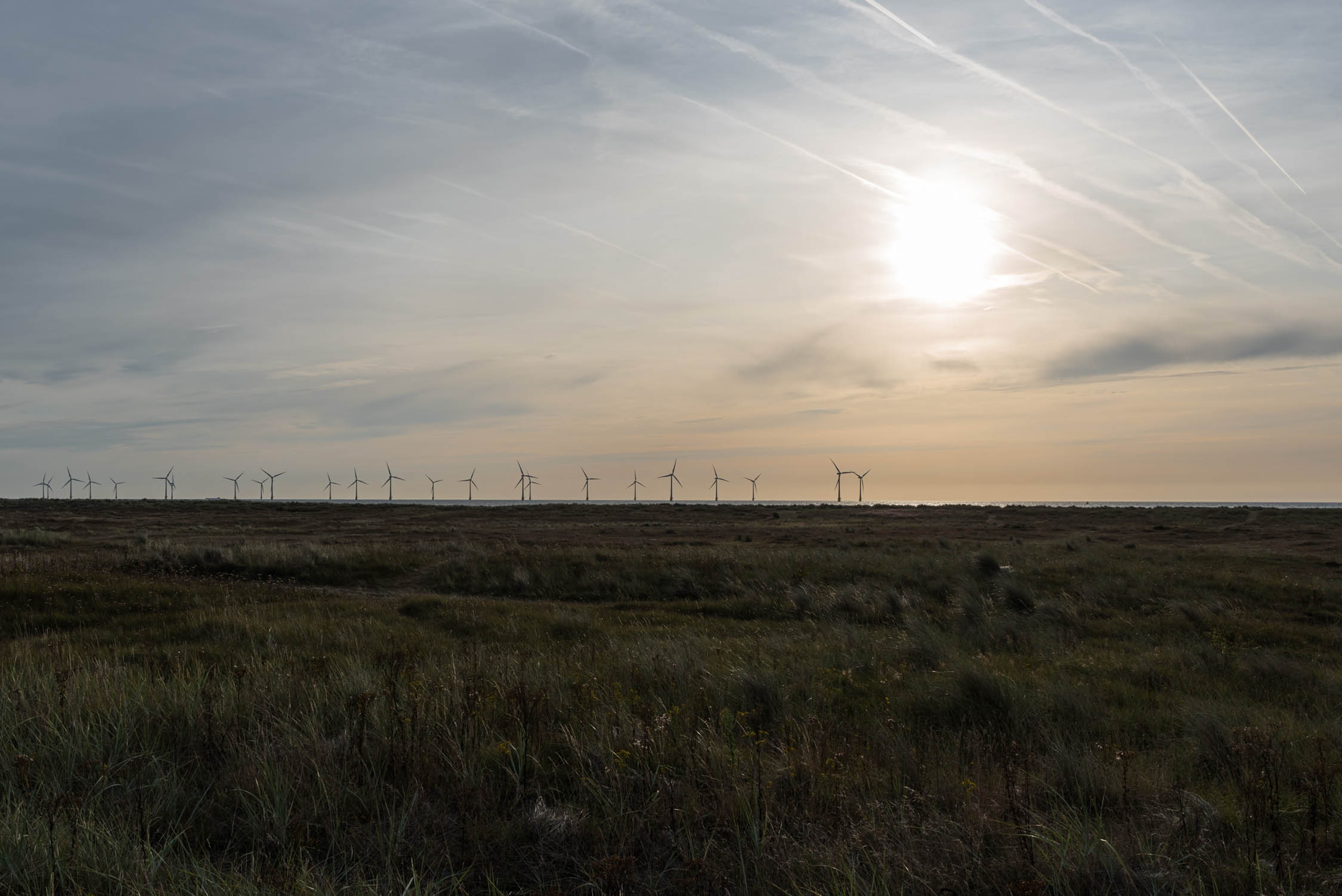
The Broads are shallow lakes, created by two hundred years of hand-dug peat extraction from the 9th or 10th centuries for use as fuel when timber became scarcer following woodland clearance. These flooded hollows have given rise to over 125 miles of navigable waterways, some of which can be explored by boat trips from Hickling Broad nature reserve and Horsey Staithe. Horsey wind pump is one of many constructed to control water levels. Riding the long, open straight between Horsey and Somerton (where you can access Martham Broad reserve), you might get an idea of how effective wind power could be here, with little to stop it if it howls in from the North Sea. In late autumn/winter, when pups are born, there are grey seal watchpoints on Horsey and Winterton beaches and individuals can usually be seen there year-round.
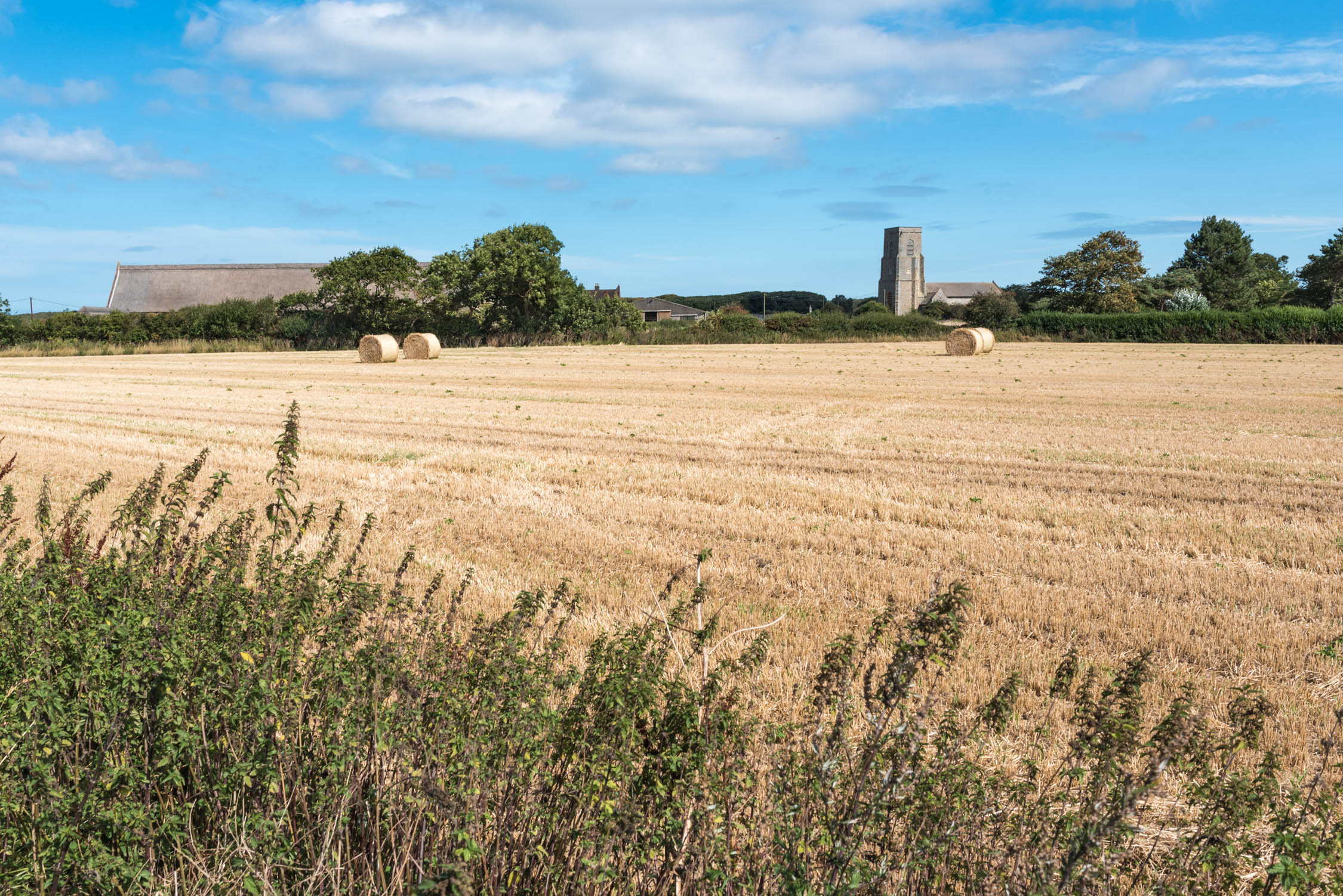
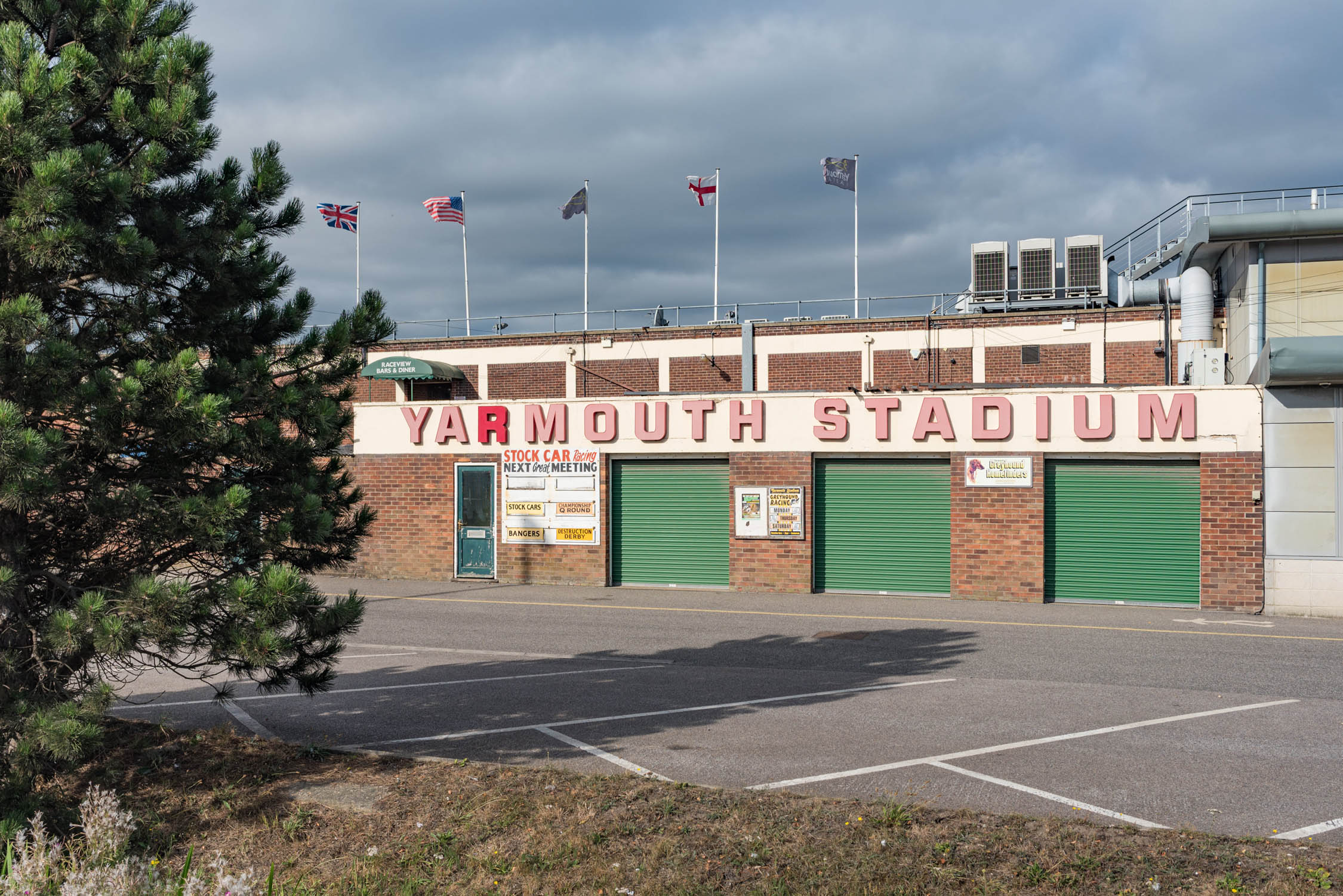
Great Yarmouth, featured in Dickens’ David Copperfield and described by him as “the finest place in the universe”, was a high-class Victorian and Edwardian spa and seaside resort. Neighbouring Caister gained Britain’s first holiday camp in 1906, created to offer East London’s working class an affordable holiday. At the end of the ride you can enjoy the classic English seaside experience before heading to the remaining rail station (two others are long-gone) via its museums and old quayside.
Additional Resources
This one of several alternate routes (others have a slightly lower ratio of dirt to tarmac) of the Norfolk Forest to Sea (F2C) project. The F2C homepage has an extensive visitor guide with information on food, travel, accommodation and visitor highlights, along with photo blogs, interactive mapping and a short video.


Terms of Use: As with each bikepacking route guide published on BIKEPACKING.com, should you choose to cycle this route, do so at your own risk. Prior to setting out check current local weather, conditions, and land/road closures. While riding, obey all public and private land use restrictions and rules, carry proper safety and navigational equipment, and of course, follow the #leavenotrace guidelines. The information found herein is simply a planning resource to be used as a point of inspiration in conjunction with your own due-diligence. In spite of the fact that this route, associated GPS track (GPX and maps), and all route guidelines were prepared under diligent research by the specified contributor and/or contributors, the accuracy of such and judgement of the author is not guaranteed. BIKEPACKING.com LLC, its partners, associates, and contributors are in no way liable for personal injury, damage to personal property, or any other such situation that might happen to individual riders cycling or following this route.
Please keep the conversation civil, constructive, and inclusive, or your comment will be removed.