


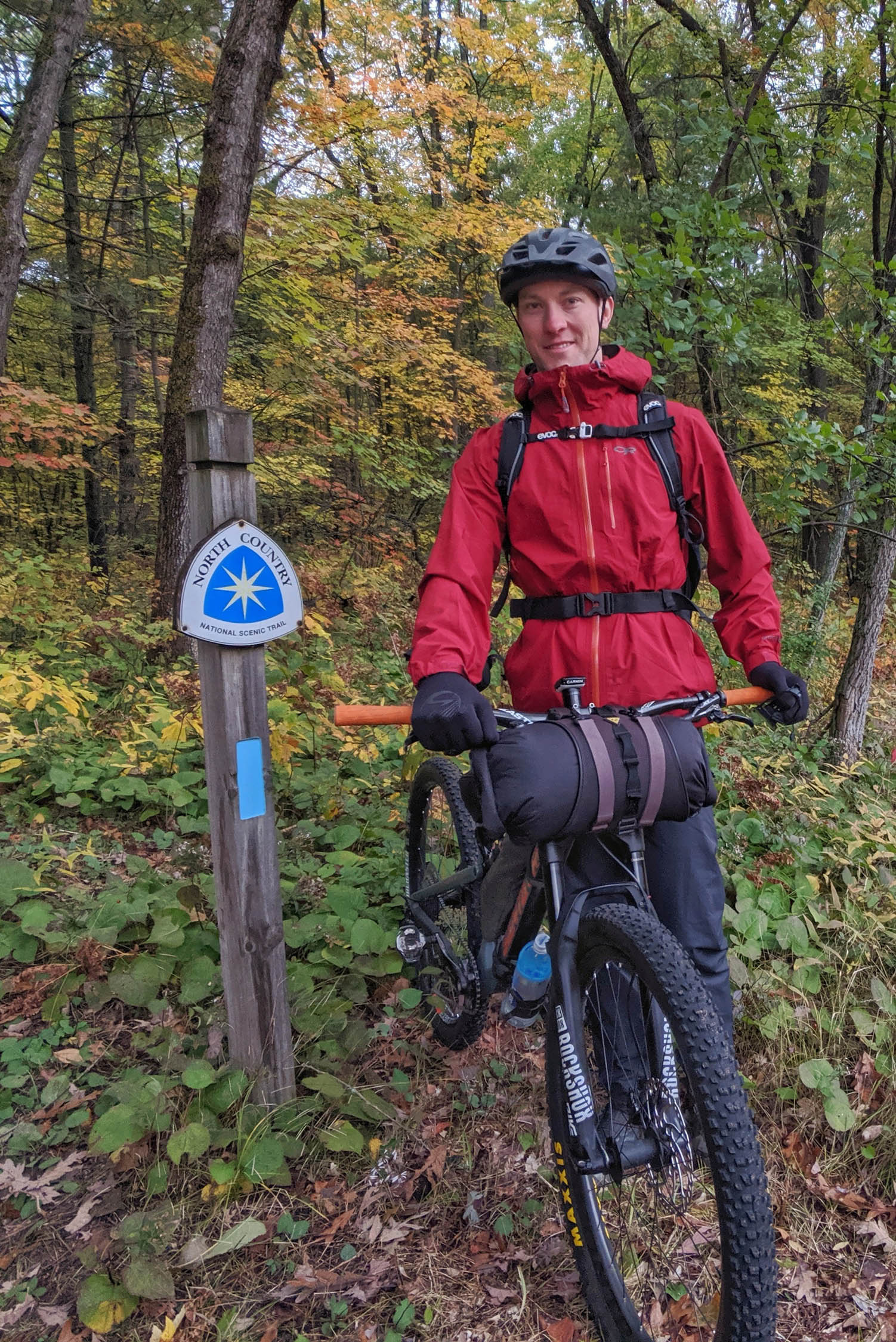
Michigan’s North Country Traverse
Distance
173 Mi.
(278 KM)Days
4-6
% Unpaved
86%
% Singletrack
66%
% Rideable (time)
99%
Total Ascent
8,323'
(2,537 M)High Point
1,175'
(358 M)Difficulty (1-10)
5?
- 3Climbing Scale Fair48 FT/MI (9 M/KM)
- -Technical Difficulty
- -Physical Demand
- -Resupply & Logistics
Contributed By

Tom Lilly
Guest Contributor
Tom grew up in the Great Lakes and cut his teeth on the trails of Northern Michigan. He now resides in the western US and calls the mountains home. His passion for trail riding, exploring, and geography led him to the adventure of bikepacking. When not on trails, he works in America’s public land management system. You can follow his adventures on instagram @tom.lilly
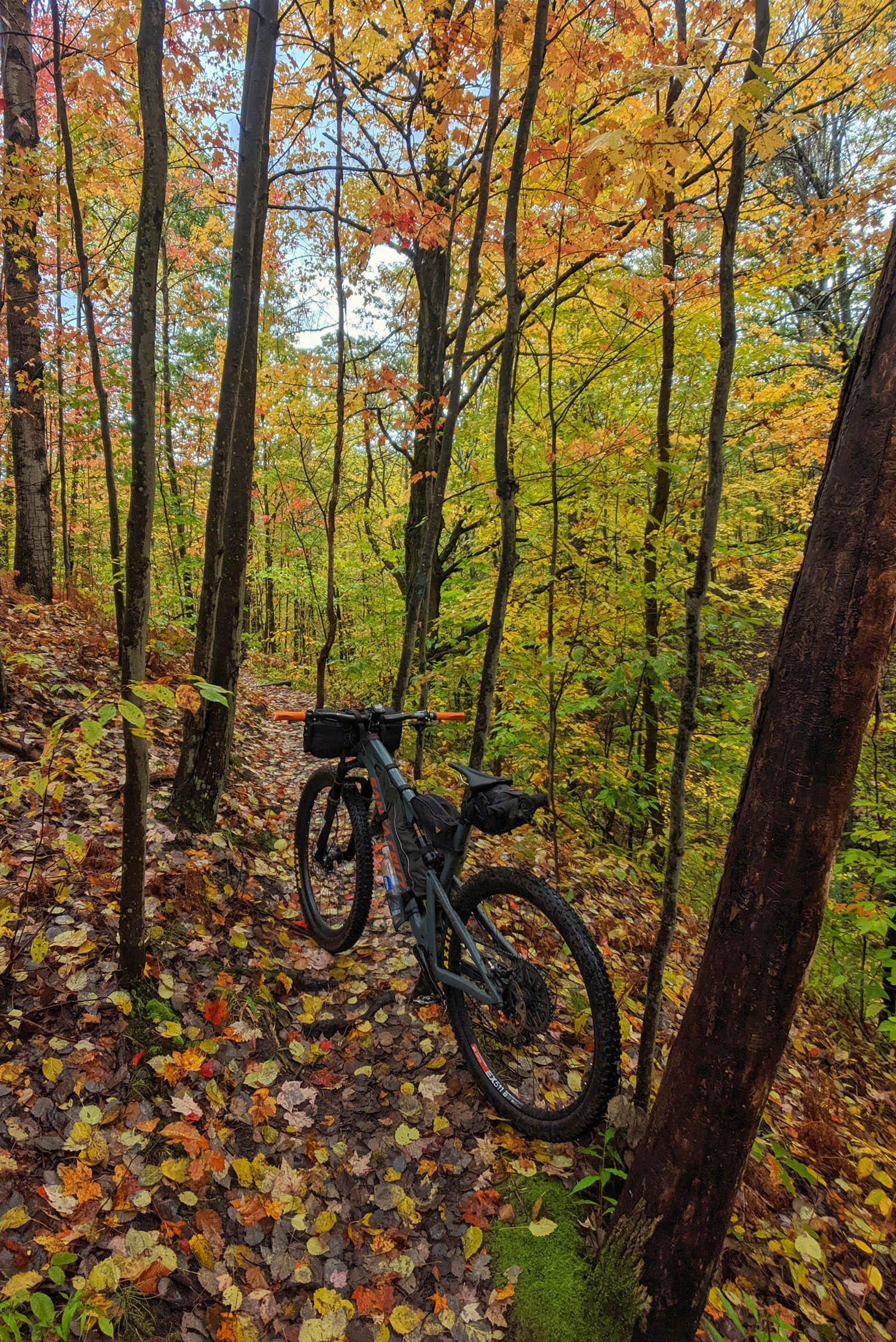
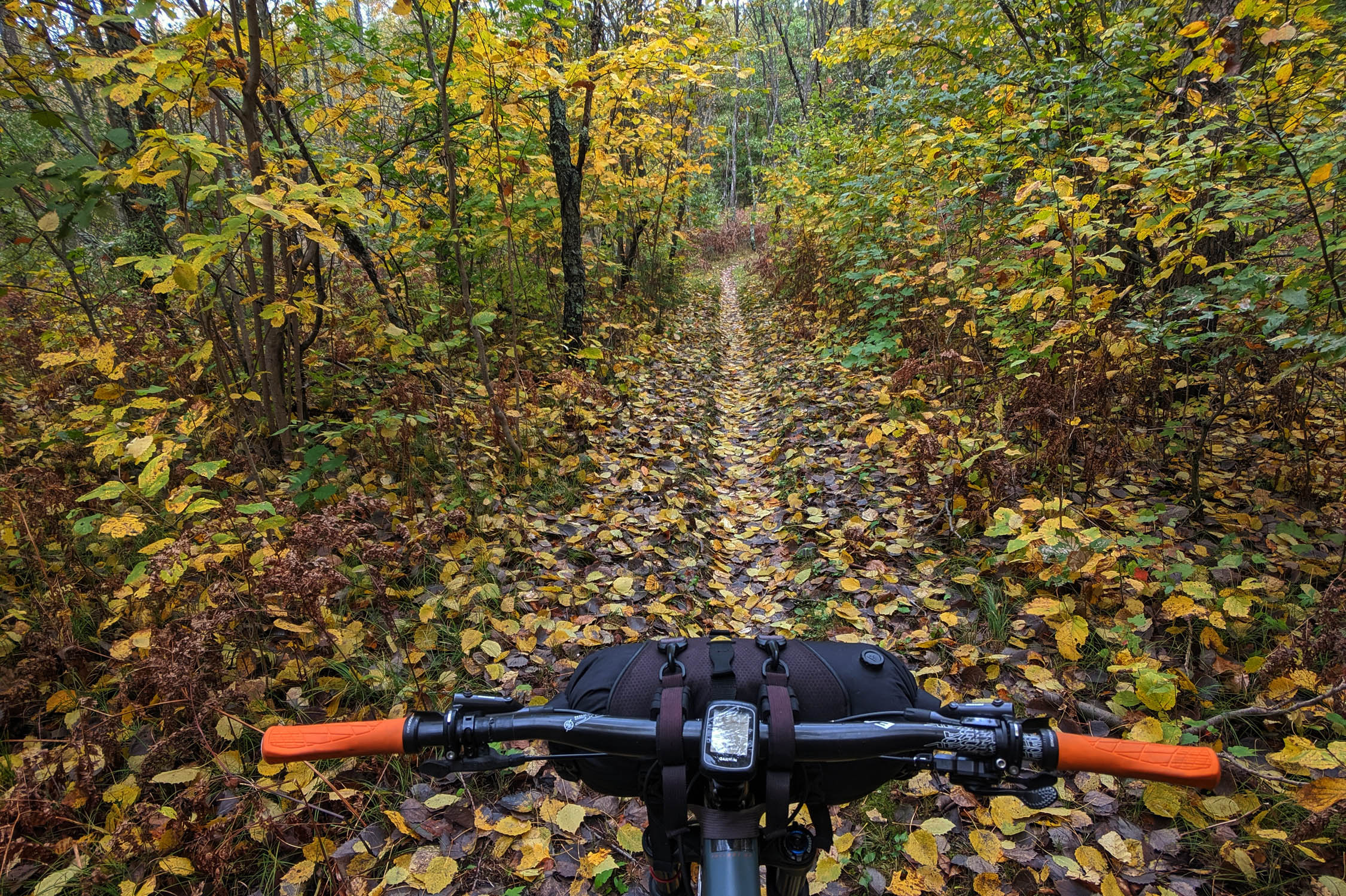
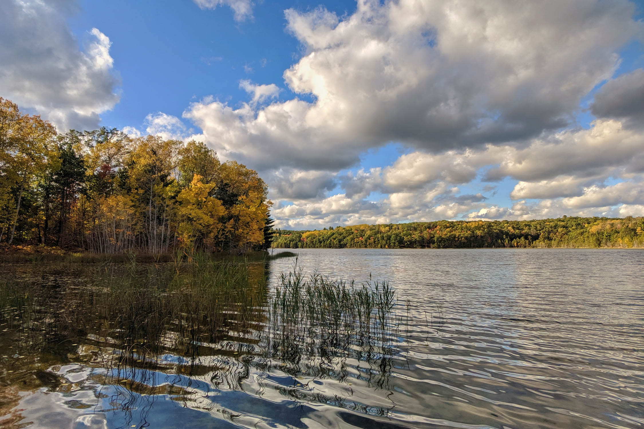
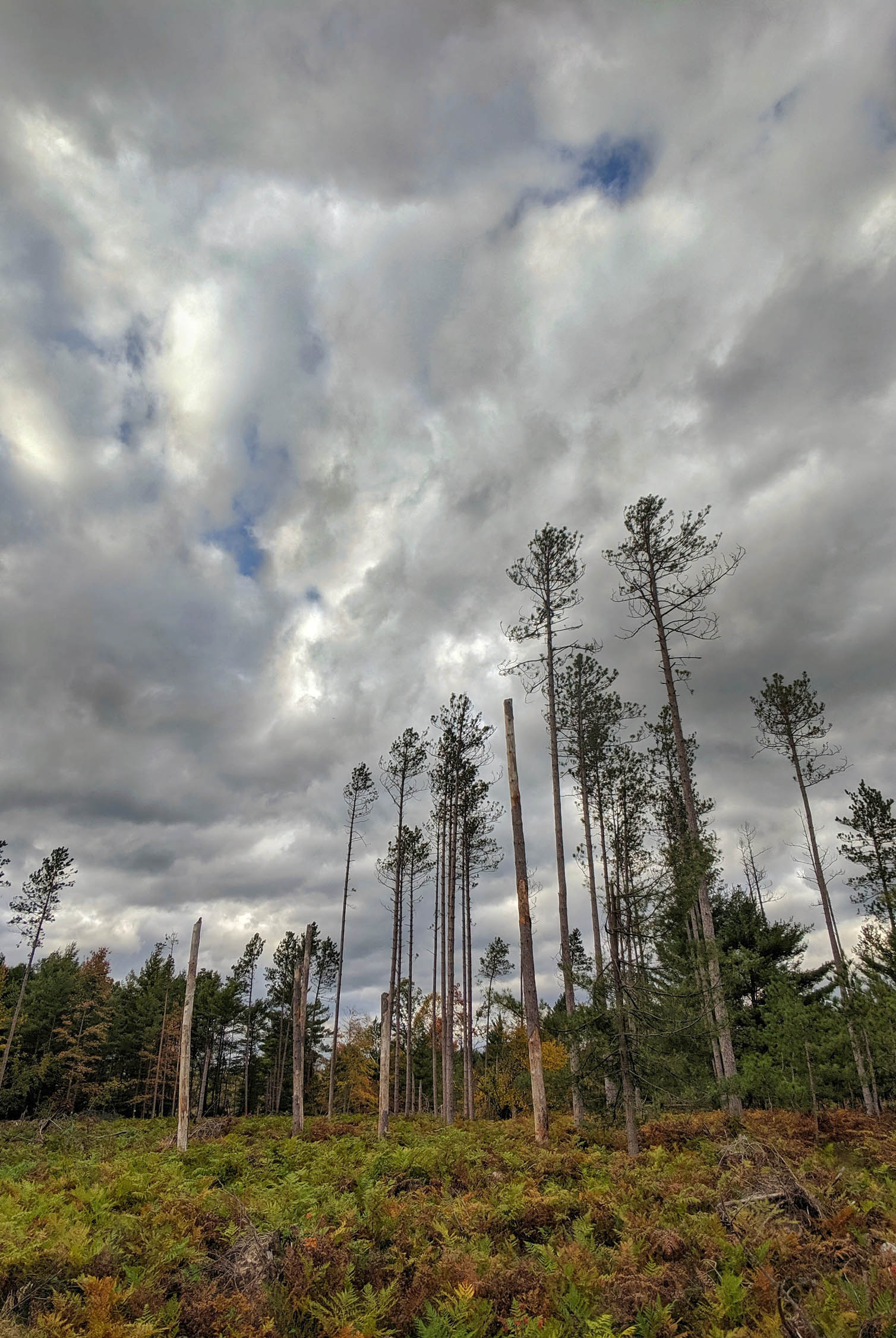
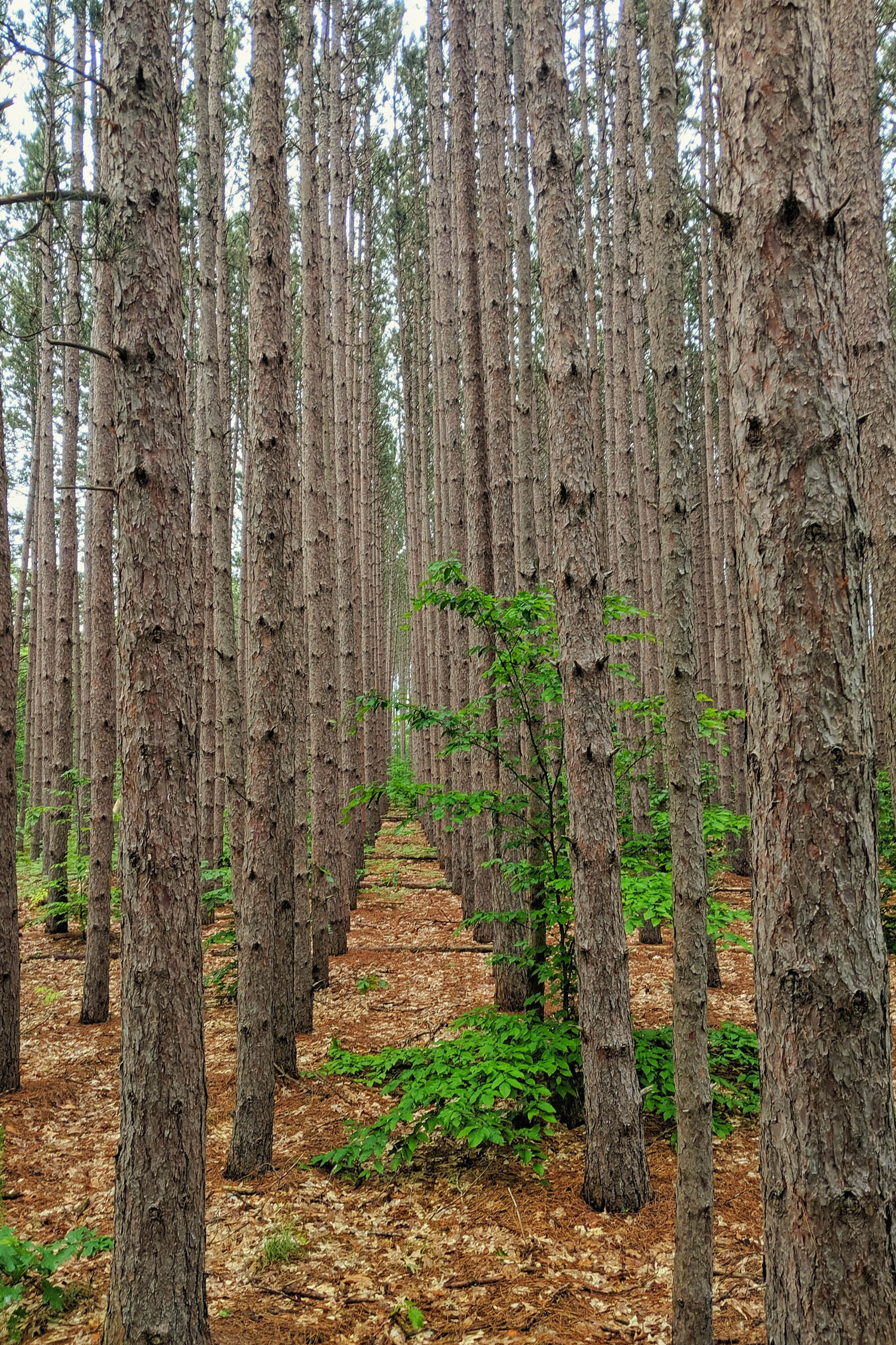
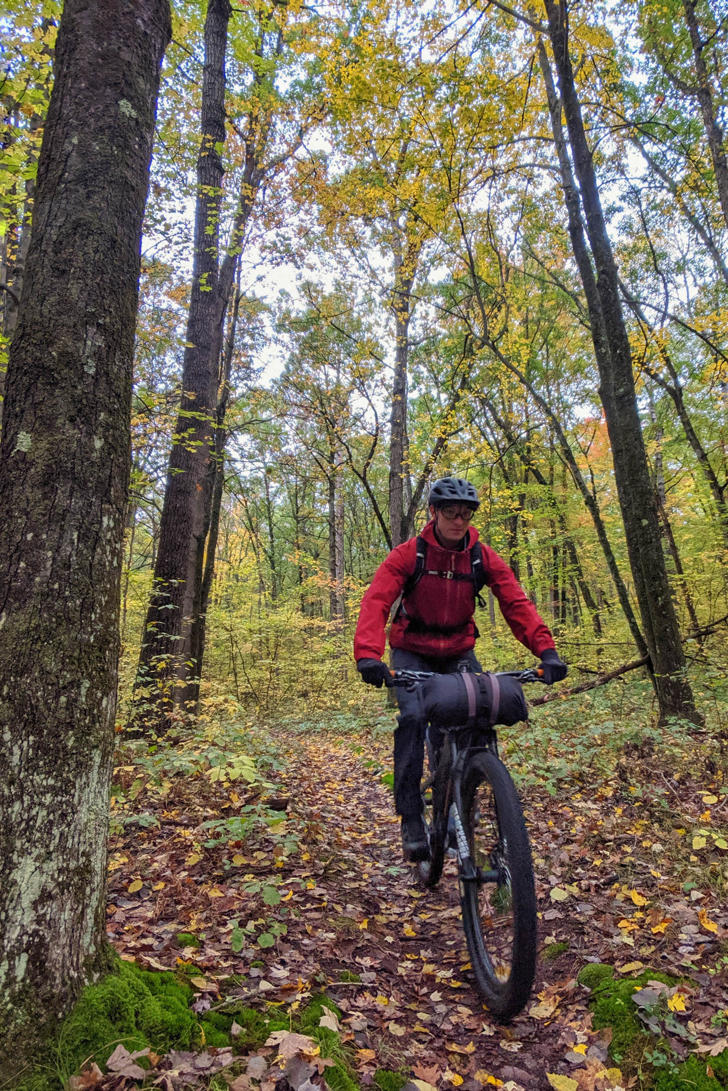
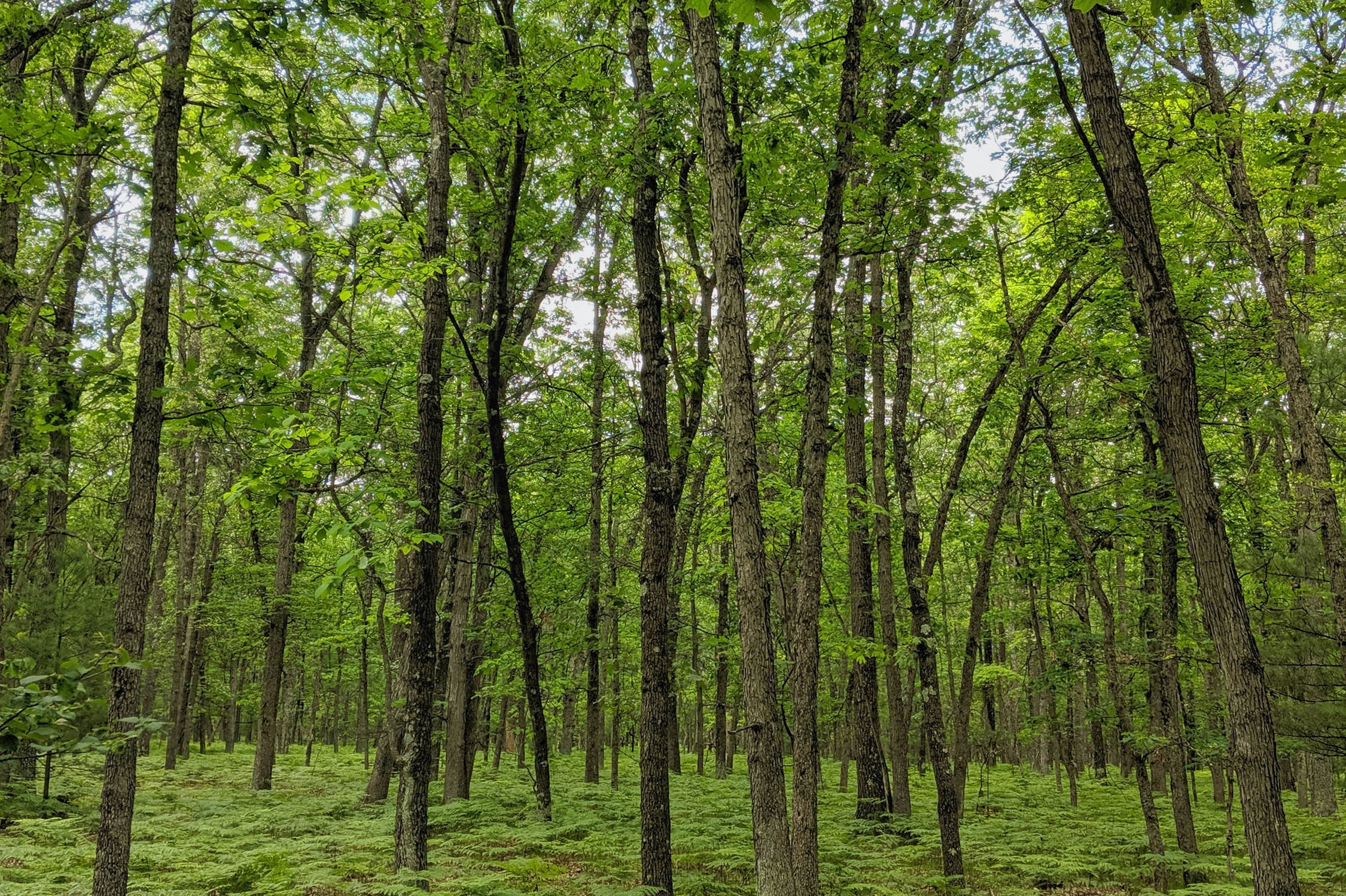
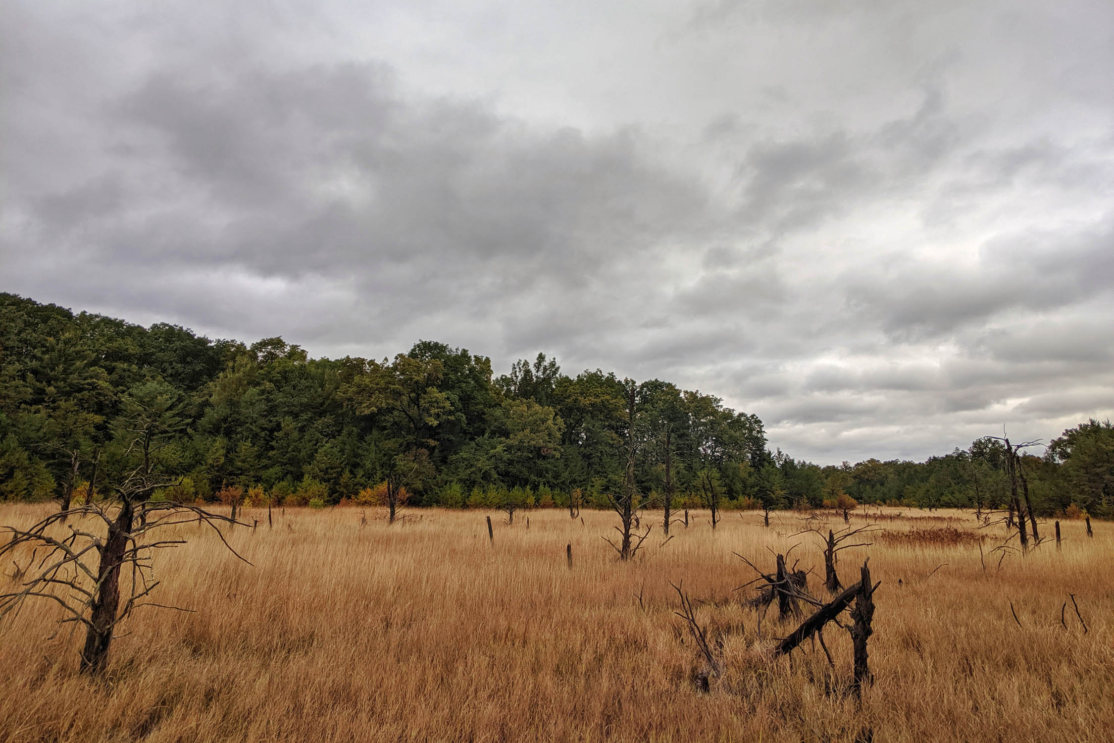
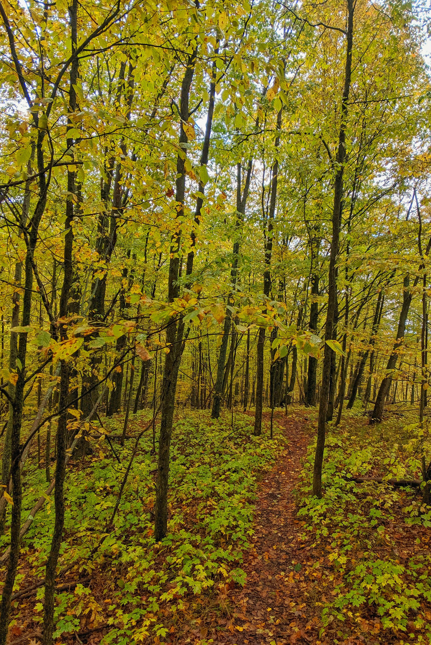
The North Country Trail (NCT), an often overlooked National Scenic Trail, is a long-distance trekking route through the Mitten State. The segments of the trail that allow bikes total an astounding 115 miles of singletrack along this route. While traversing the NCT, you’ll pass through a variety of Northern Michigan landscapes. These include impressive hardwood stands, pine flats, old growth forest, pastoral landscapes, backcountry lakes, lush river corridors, and more.

The full route can be completed comfortably in four to six days with ample time to enjoy the surroundings. Due to the trail’s gradual grade, this route is accessible to bikers of most abilities, even those who are new to handling a loaded bike. Riders will enjoy the intimate singletrack and welcoming country roads of the north woods. A day-by-day account of this northbound adventure is posted in the Trip Notes below.
Route Difficulty
Difficulty (5/10): The route connects some fabulous, accessible sections of singletrack. While pieces of the route could be completed by beginner bikepackers, the route as a whole presents some challenges. Remote singletrack, varying conditions, and limited water and resupply options provide the challenge necessary for adventure.
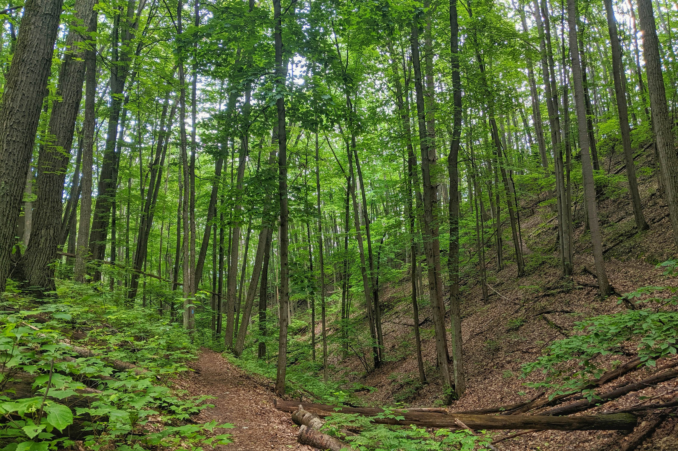
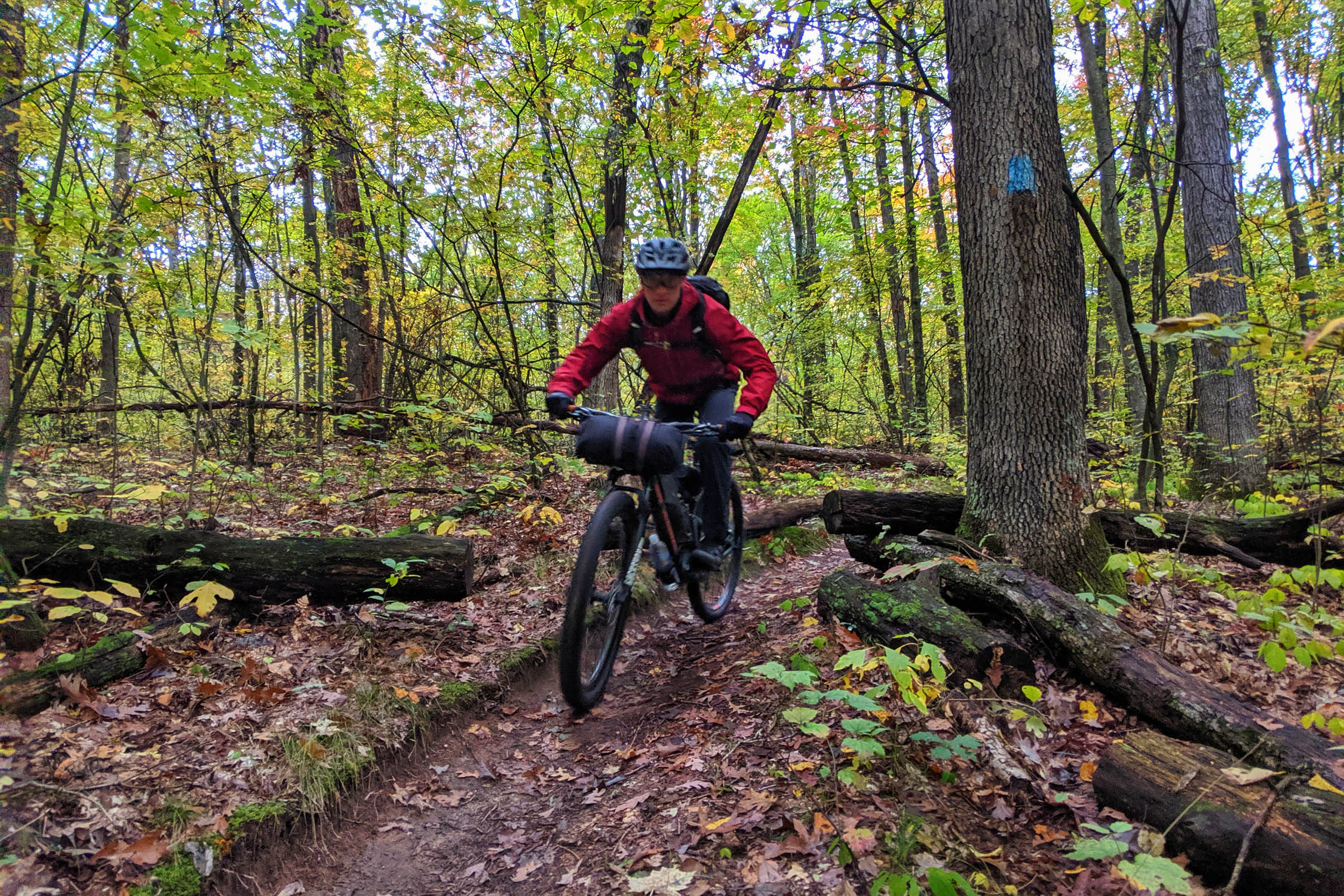
Technical (5/10): Although this route lacks notable elevation gain and has almost nothing in the way of rocks, its nuances make things interesting. Dense roots dominate several sections of trail and require careful riding, especially when wet. Other challenges include very tight trees as well as wooden bridges that turn quite slippery when damp. The dirt roads are usually in great shape.
Physical (6/10): Small stresses along this route can add up. Soft soils and sand can slow progress. Constant maneuvering efforts on the trail can fatigue riders over the course of a long day. Weather can deteriorate quickly and should be prepared for. Mosquitoes may be bothersome in warmer months, especially in low-lying areas.
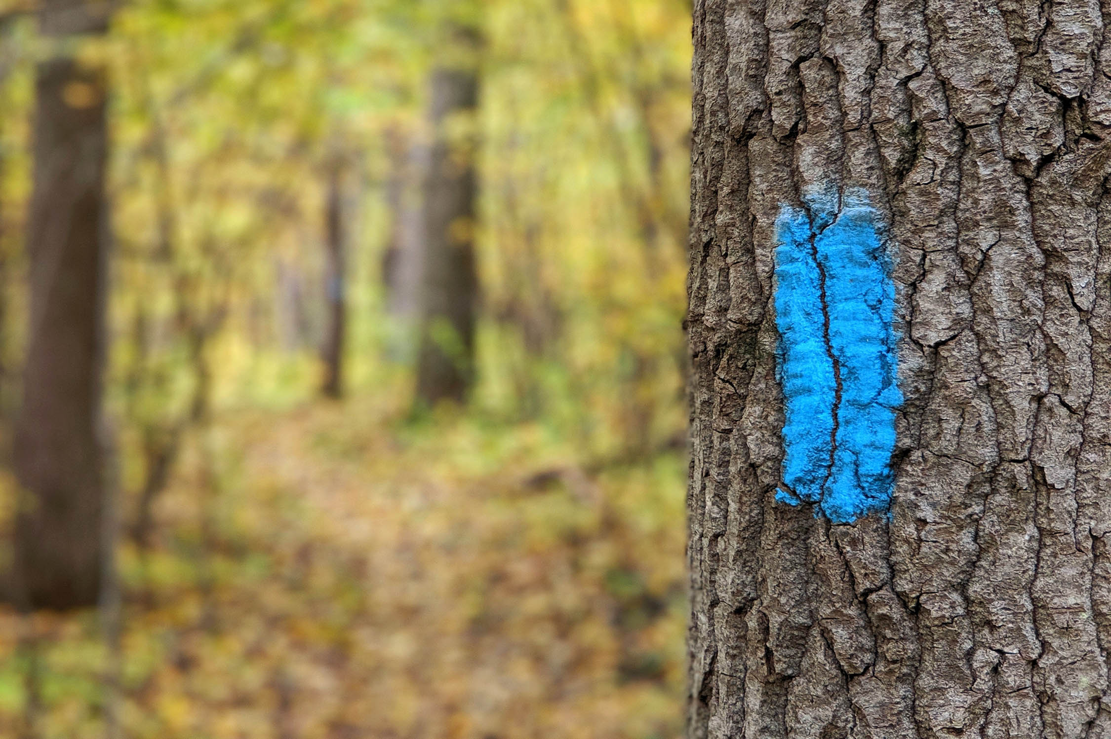
Logistics (5/10): The NCT is heavily managed along this route, and thus, is well marked. The blue blazes will guide you! In areas, a labyrinth of forest roads or trails will cross and can test your navigation skills. Know your route map and how to use your GPS. For a region with so much water, there are sections that are high and dry. I suggest making note of where water is marked on the map and carrying enough to make it to the next source. Resupply options are only occasionally available, so plan accordingly.
Route Development: I grew up a few miles from the NCT headquarters and explored the trail often. When I began bikepacking, I quickly started dreaming of connecting the best segments of trail. I know the region well, but specifically scouted the bikepacking route in fall 2018 and summer 2019 before refining the route to its current form. The NCT is maintained by the North Country Trail Association, US Forest Service, and other local volunteers.


Submit Route Alert
As the leading creator and publisher of bikepacking routes, BIKEPACKING.com endeavors to maintain, improve, and advocate for our growing network of bikepacking routes all over the world. As such, our editorial team, route creators, and Route Stewards serve as mediators for route improvements and opportunities for connectivity, conservation, and community growth around these routes. To facilitate these efforts, we rely on our Bikepacking Collective and the greater bikepacking community to call attention to critical issues and opportunities that are discovered while riding these routes. If you have a vital issue or opportunity regarding this route that pertains to one of the subjects below, please let us know:
Highlights
Must Know
Camping
Food/H2O
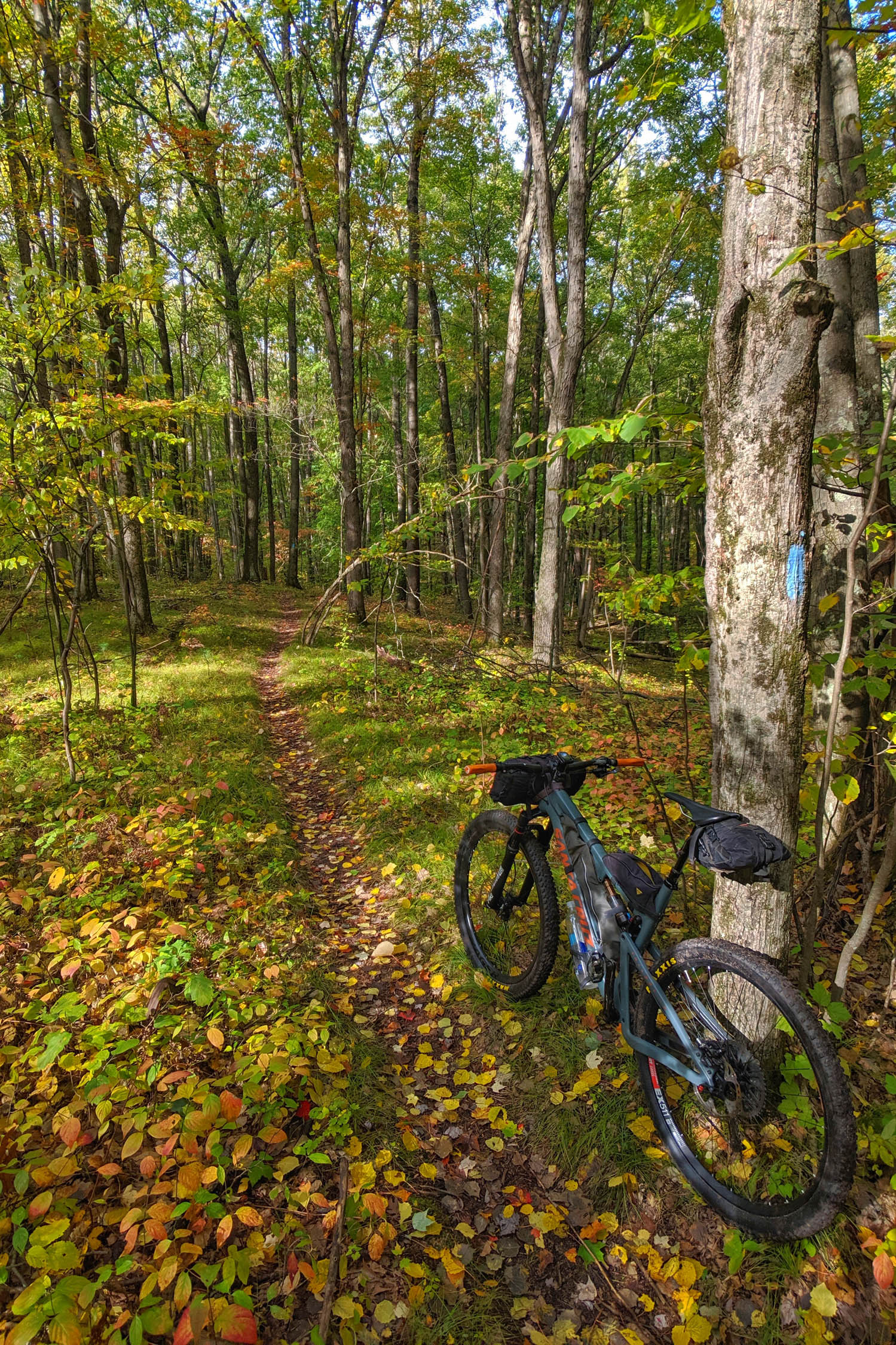
Trail Notes
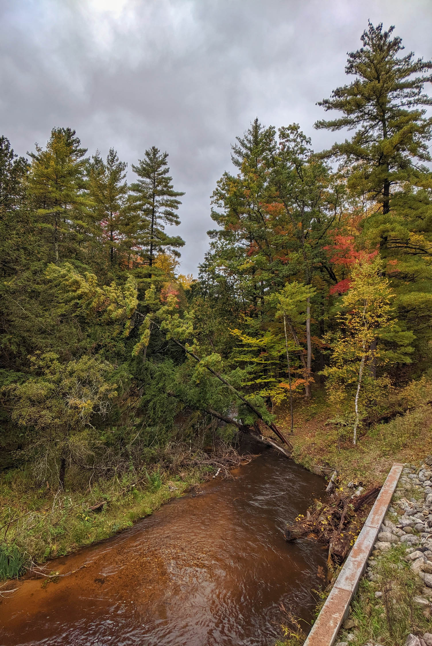
- The North Country Trail’s Manistee River segment provides some of the best riding in Michigan’s lower peninsula.
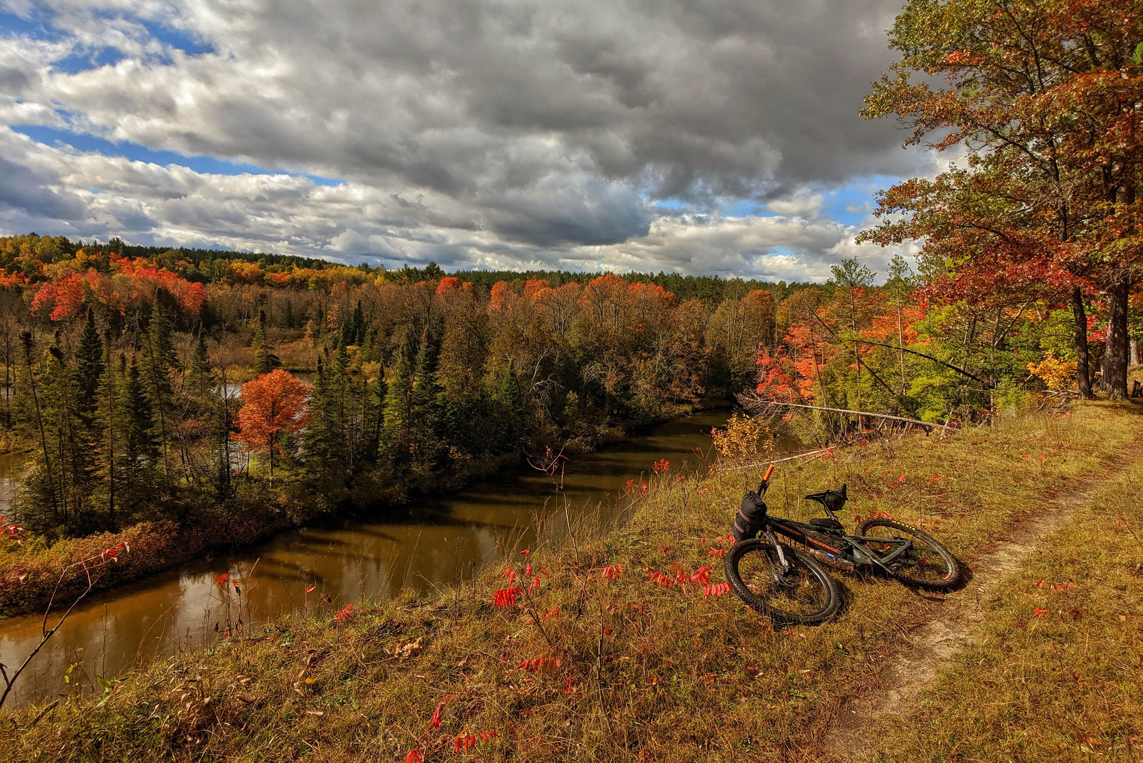
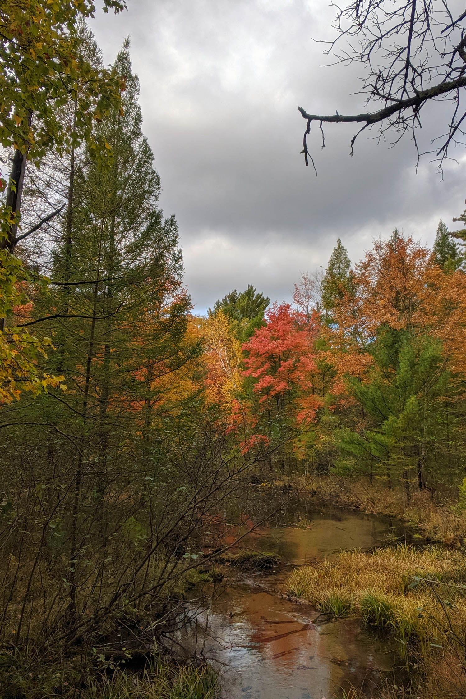
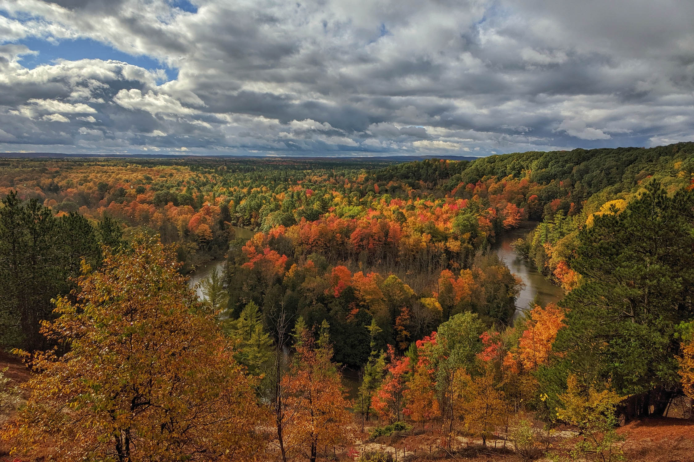
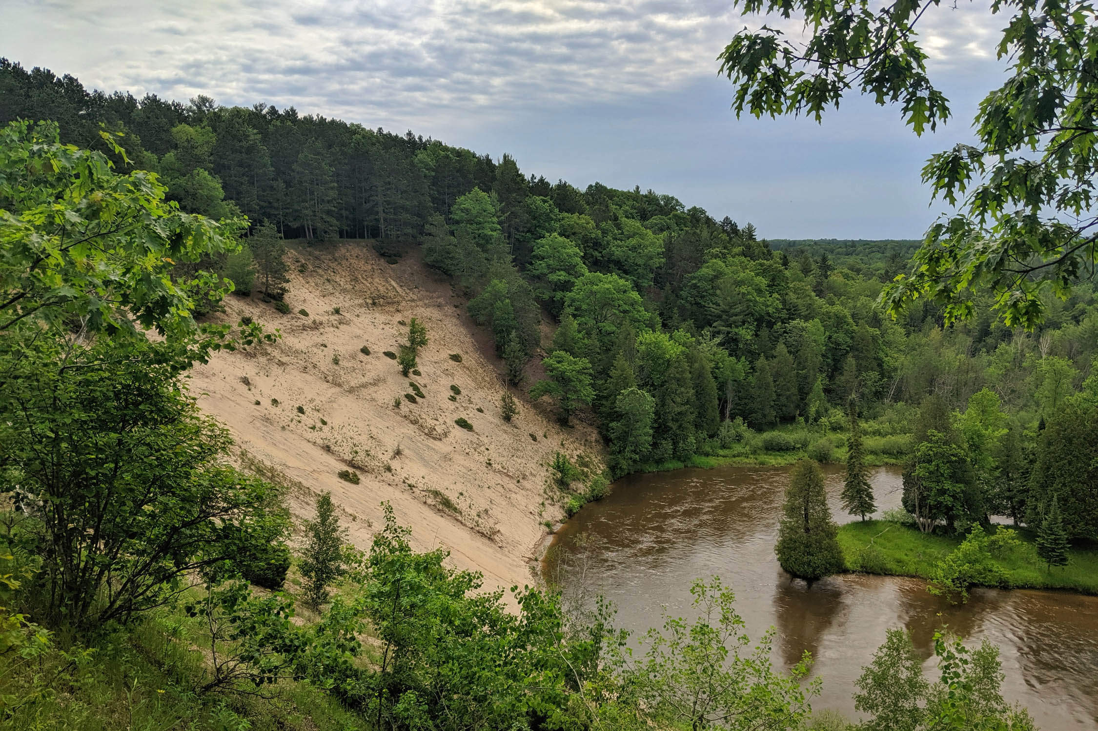
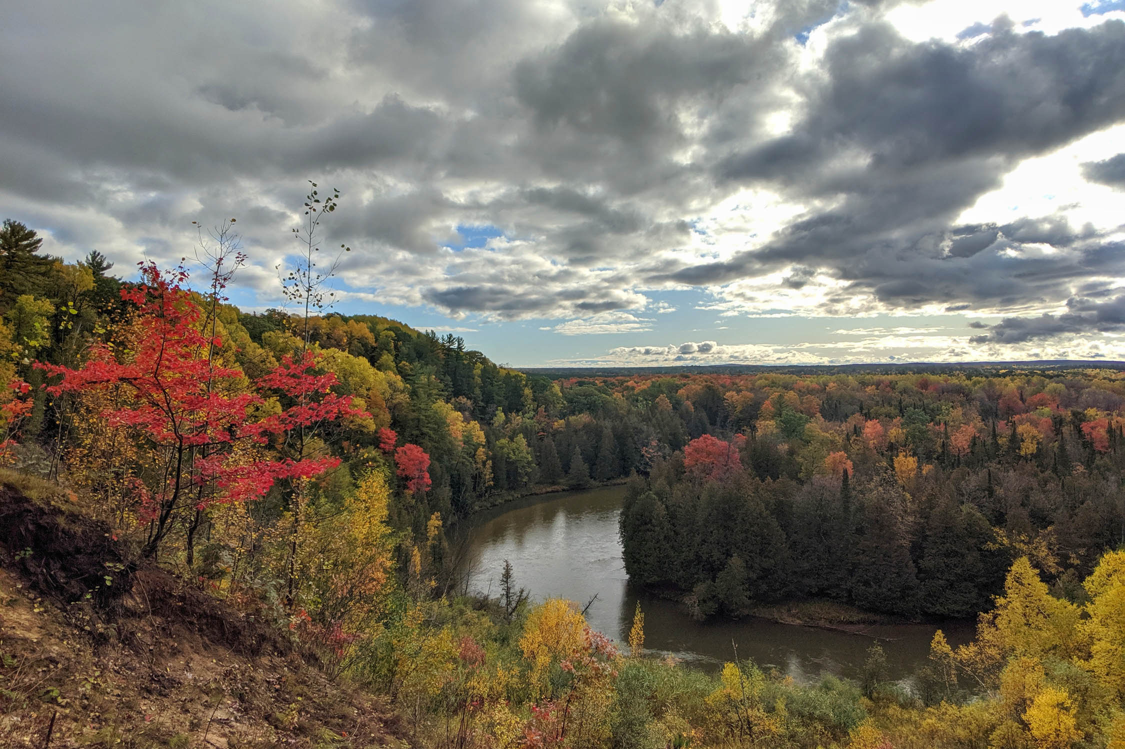
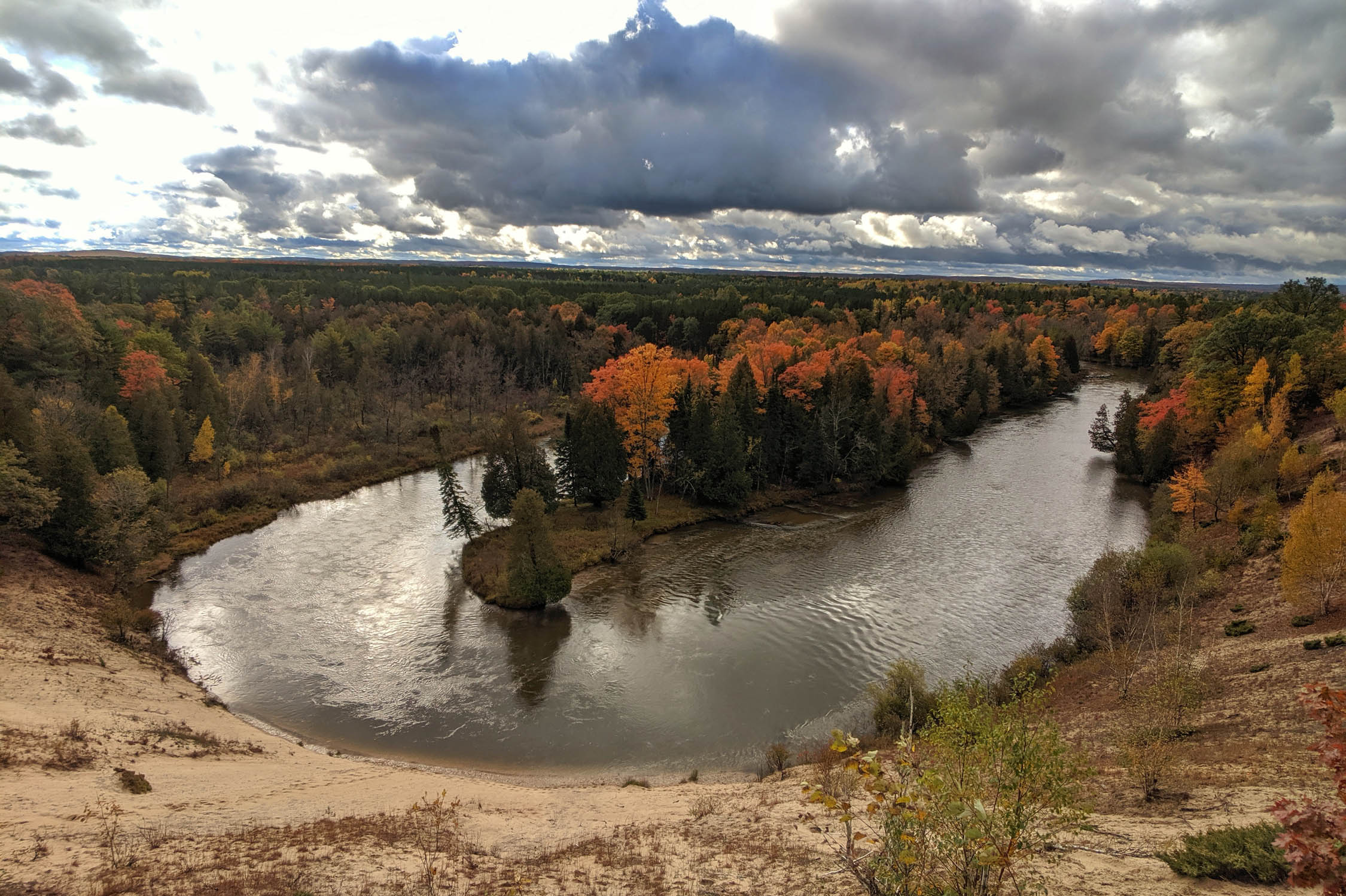
- Manistee High Rollway vista offers breathtaking scenery of the valley below. It’s a famous location for fall colors.
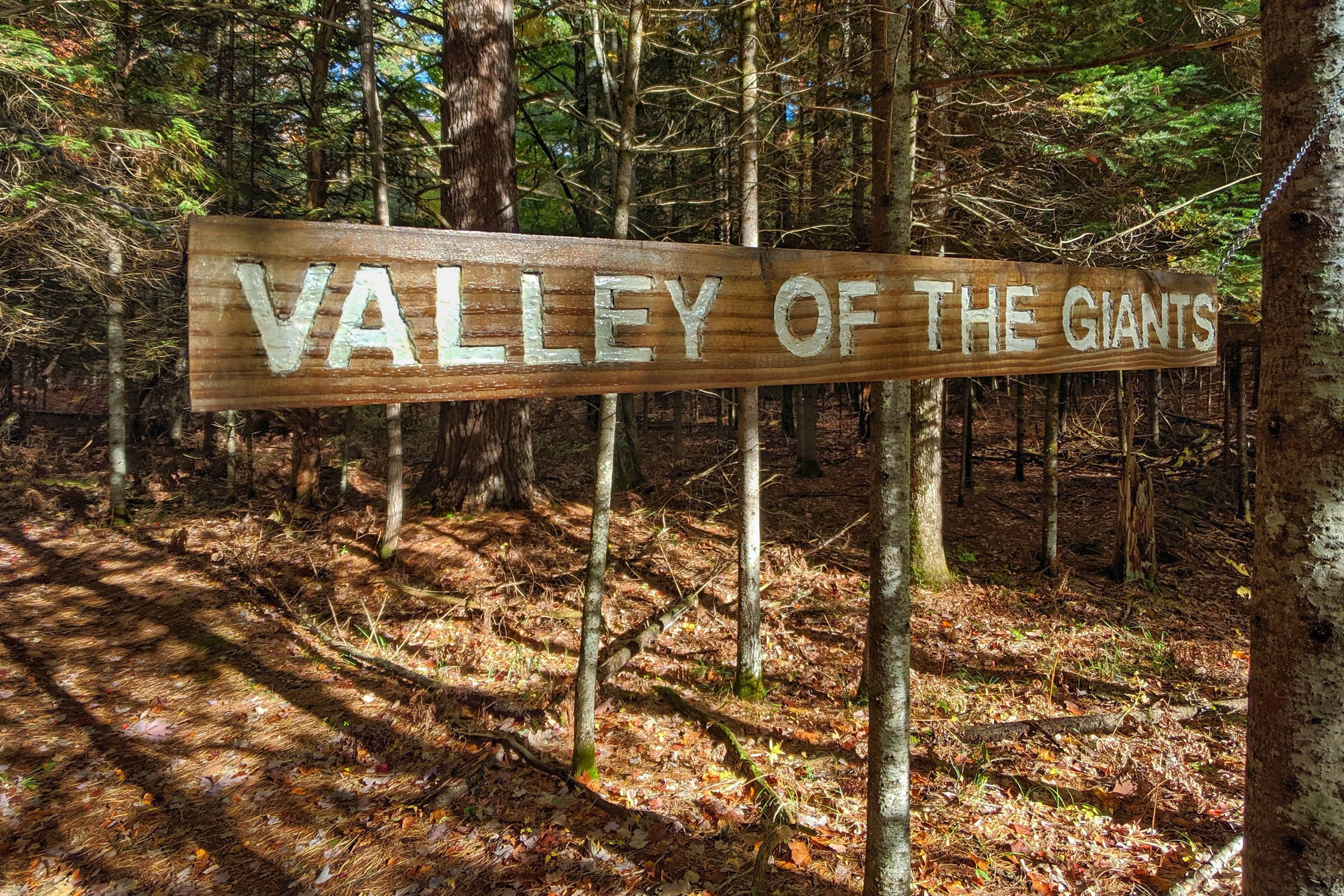
- Lush forests and old growth hemlock stands such as the “Valley of the Giants.”
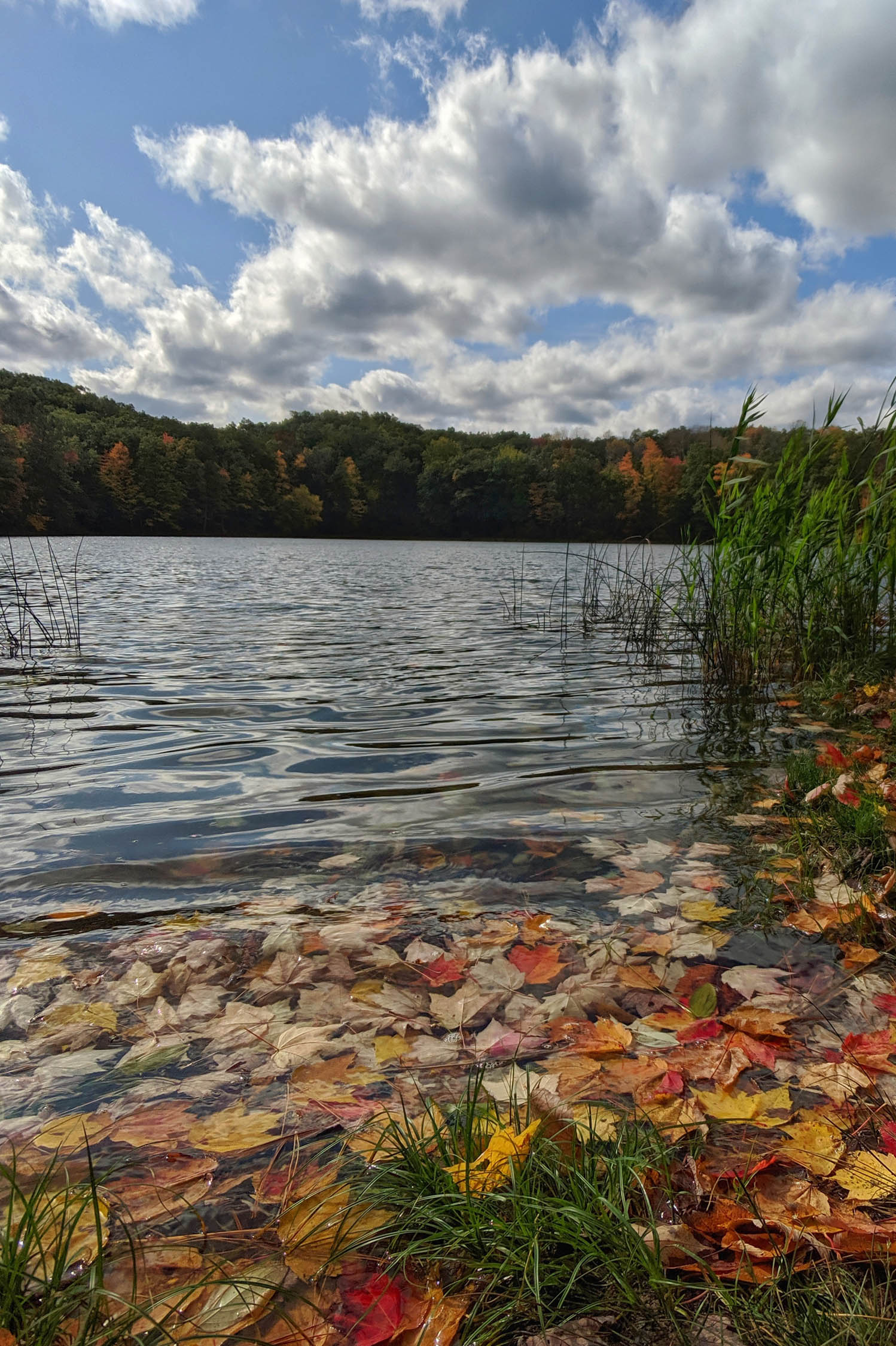
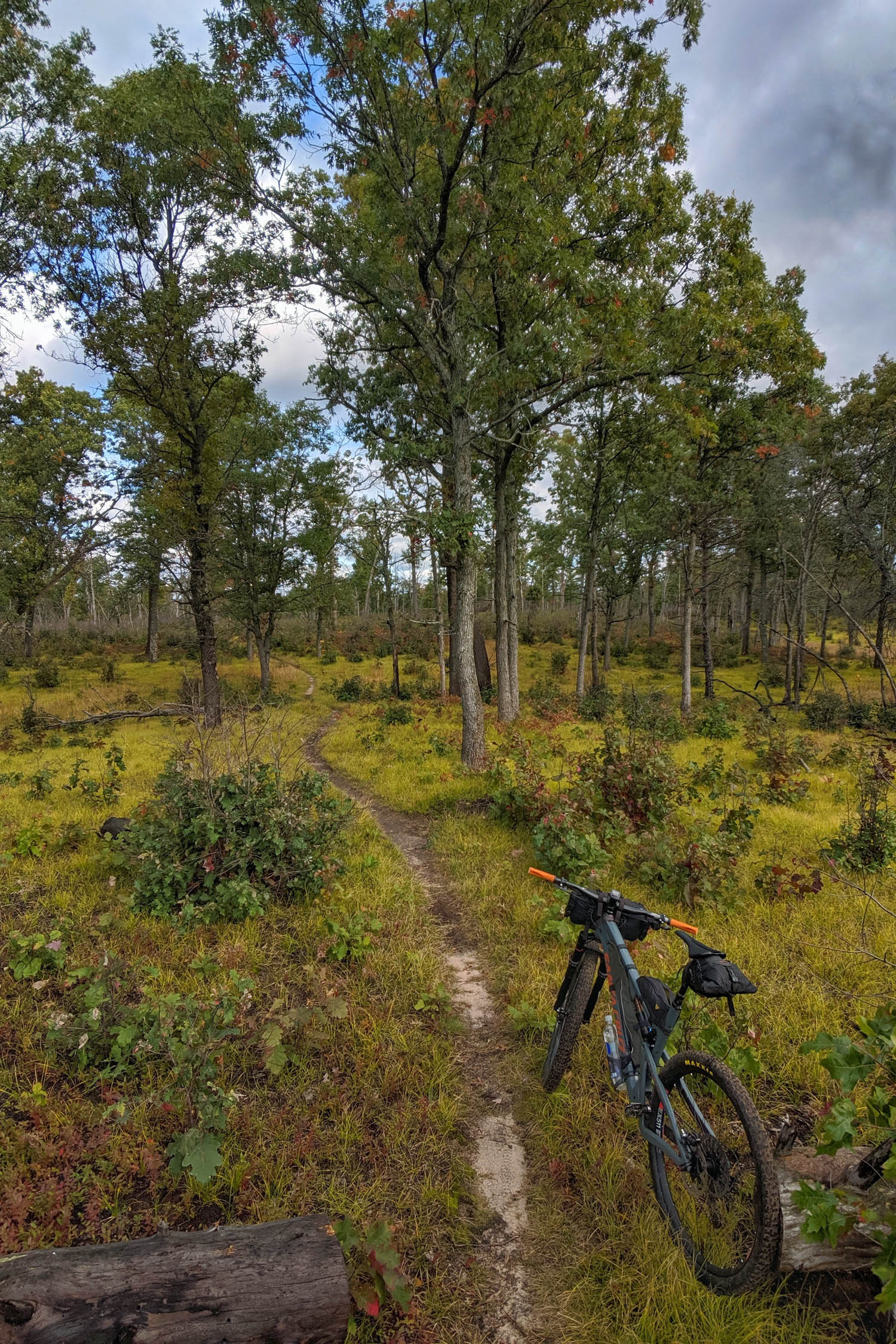
- Bowman Lake Area is characterized by rolling hills, glacial depressions, and leatherleaf bogs.
- McCarthy Lake is a beautiful, backcountry lake tucked deep within the Ward Hills.
- VASA Trail offers purpose-built singletrack that races along sweeping corners through the woods.
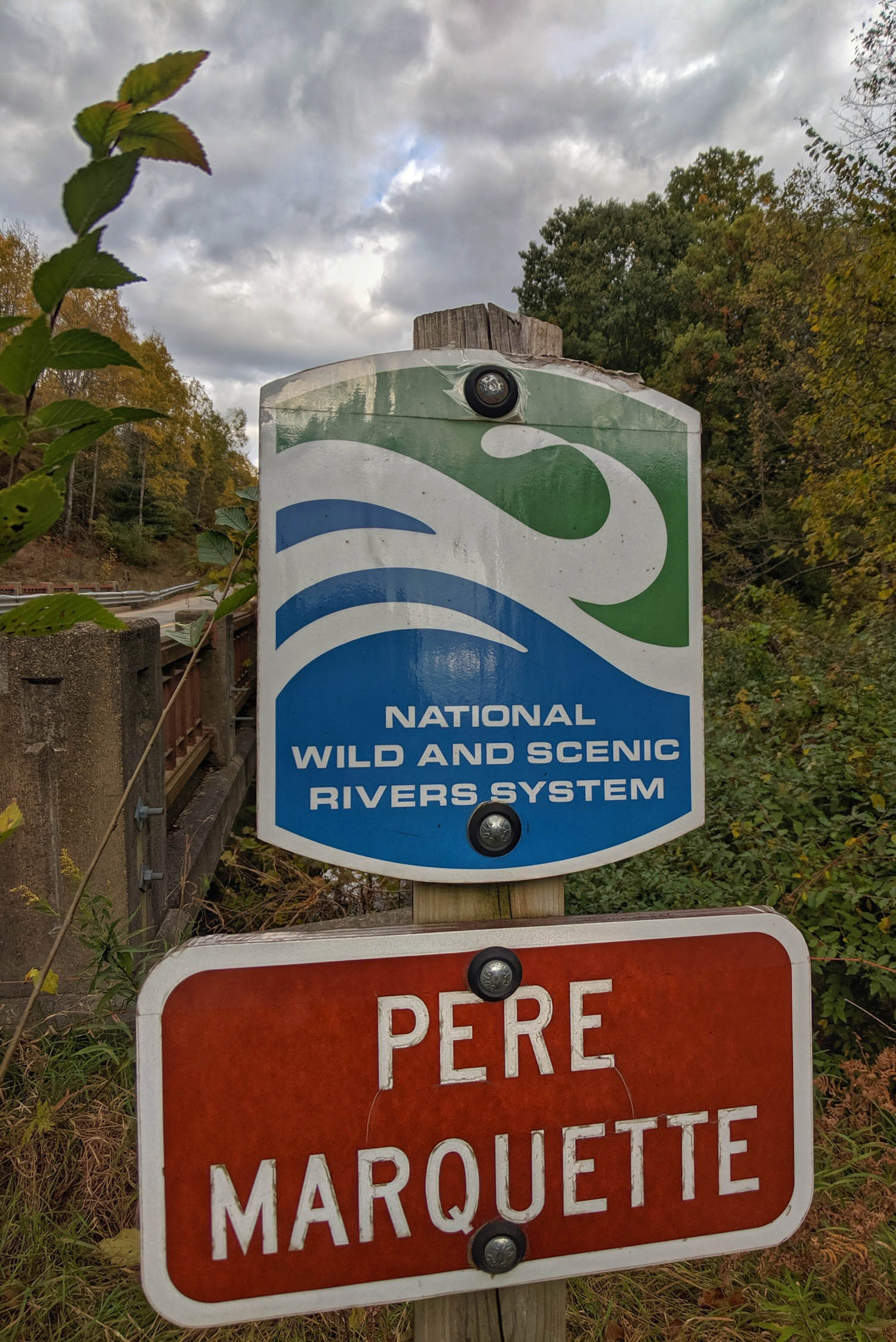
- The Pere Marquette National Wild and Scenic River has claim to being the first river in North America to receive stocked brown trout.
- Glacial geology (think end moraines and kettle lakes) as well as historic dune geography cover the entirety of the landscape.
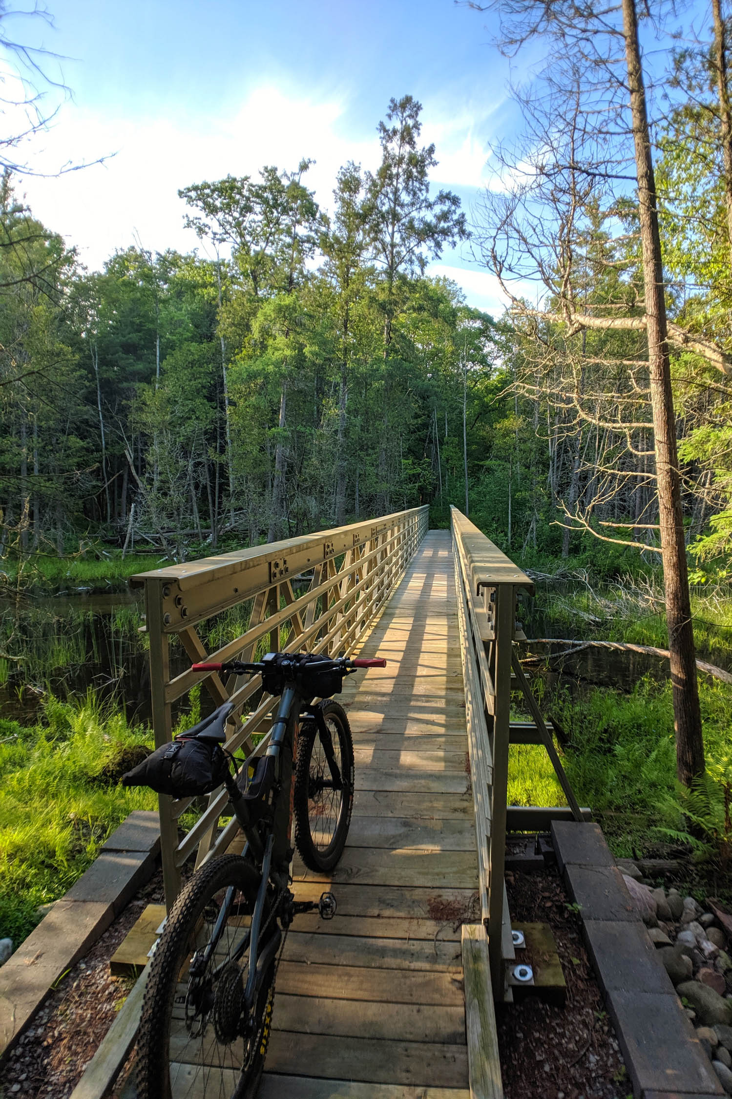
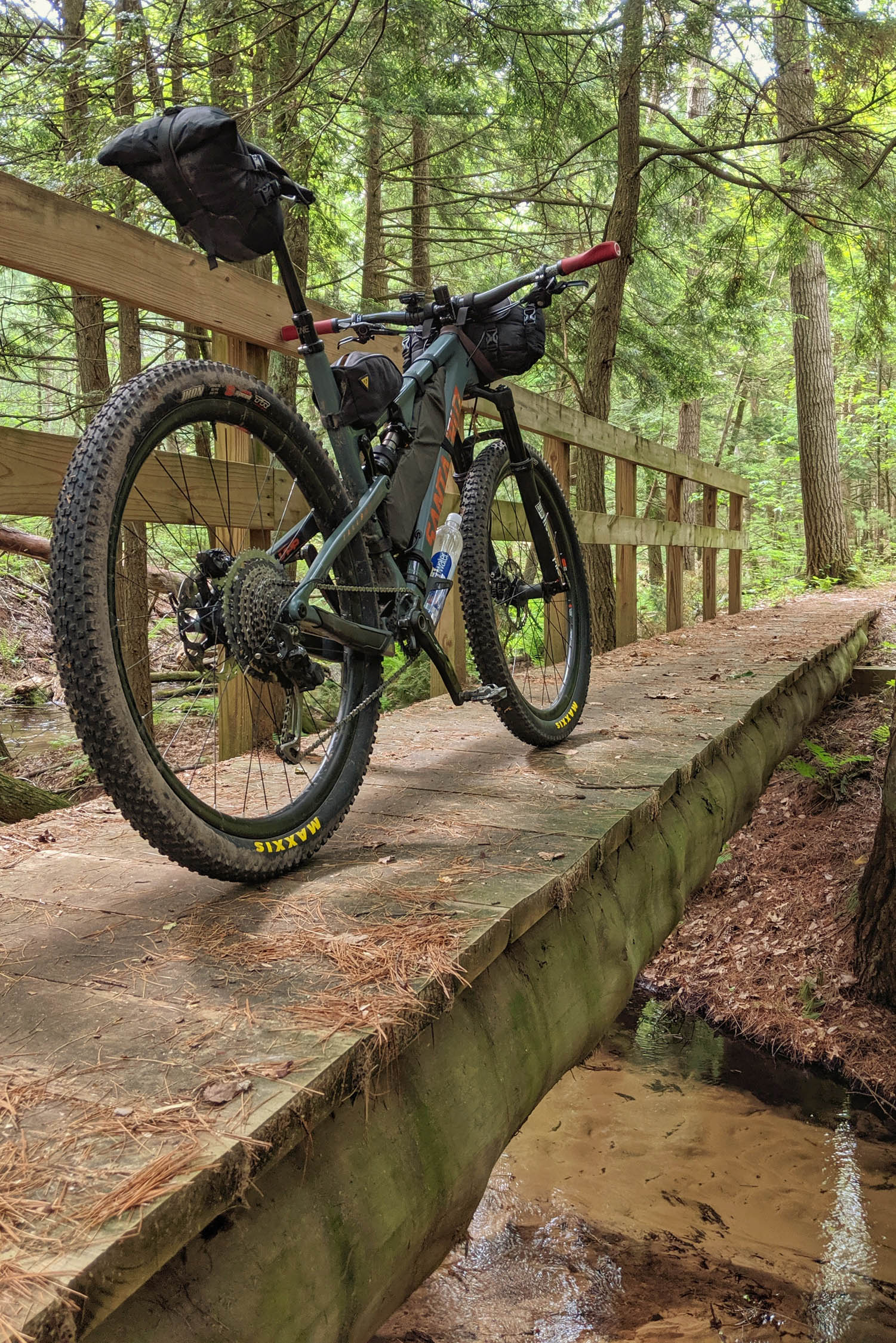
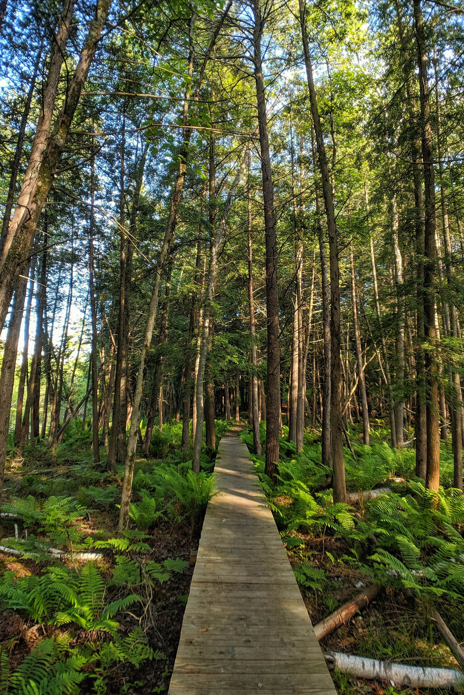
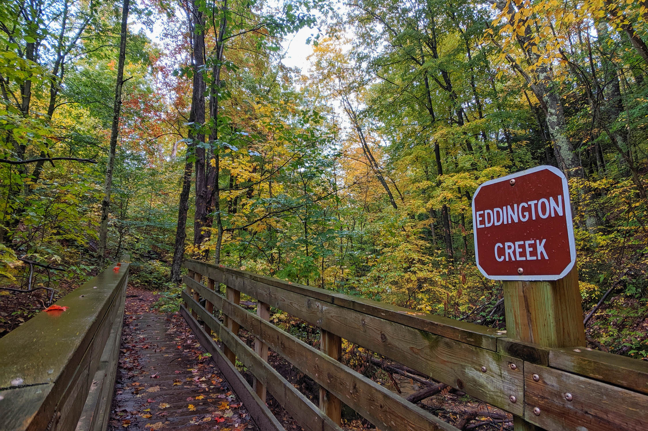
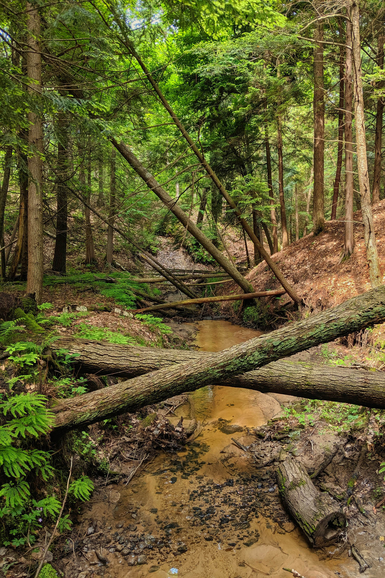
- Spring-fed brooks are crossed often and offer peaceful, pristine rest stops. For the most part, your feet should stay dry!
When to go
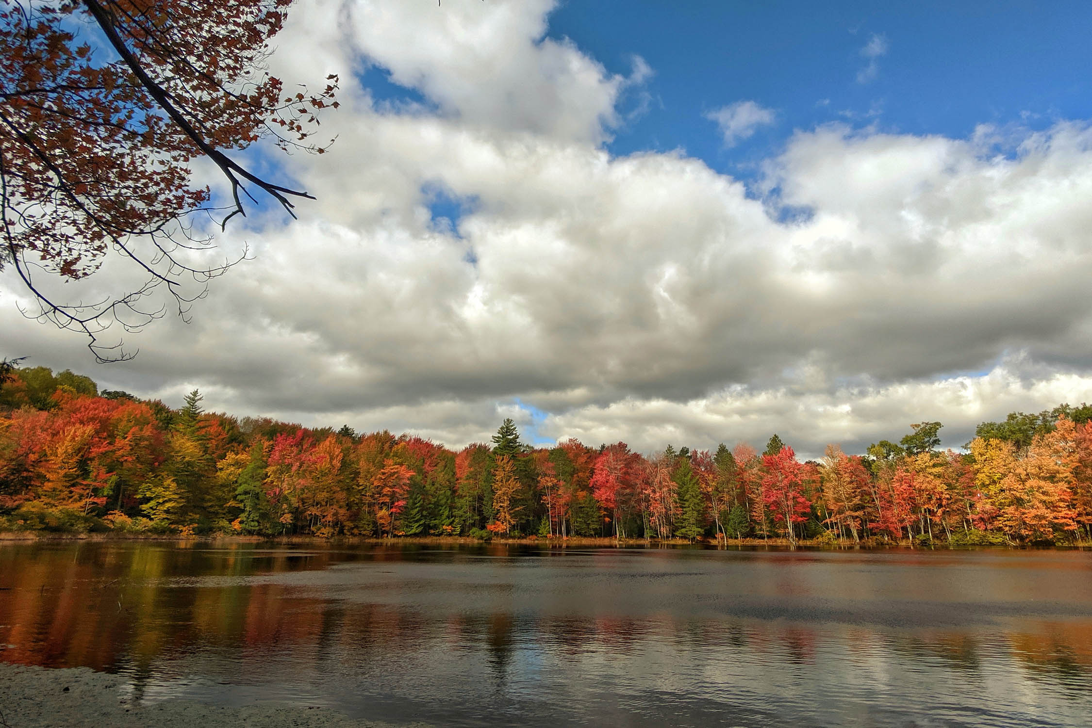
- Fall provides an amazing show of changing leaves across the region. Cooler temperatures, low humidity, and absence of mosquitoes make this the ideal time to go.
- Summer offers long days, warm temperatures, and great swimming.
- The route begins to clear of snow in April and is rideable until snow flies (usually in November).
Logistics
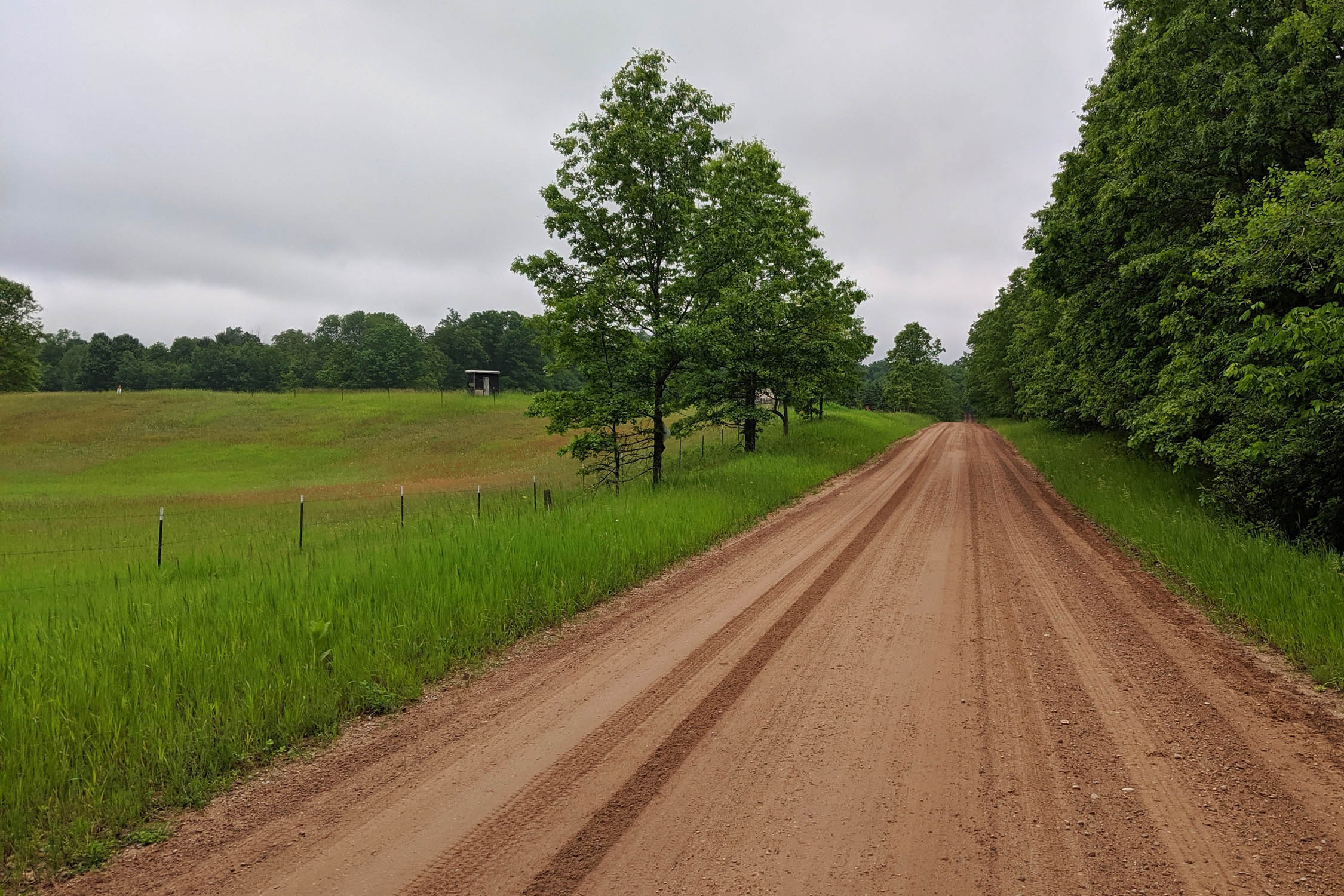
- There are no permits required along the NCT. Given this route is a point to point, return travel to the start can be difficult. The drive time between the start and end trailheads is a little under two hours. The route is also bookended by the metro areas of Grand Rapids and Traverse City.
- Airports in Grand Rapids and Traverse City provide quick access to each end of the route.
- Management of the trail is completed by the North Country Trail Association, which offers great resources, including maps: northcountrytrail.org
Dangers and Annoyances
- Even though there are more bike legal segments of the NCT than those featured here, they have been scouted and deemed less than desirable for bike travel. These sections often fall into wet or sandy areas and require a significant amount of hike-a-biking. Other sections have become overgrown to the point where anything beyond hiking would be unadvised.
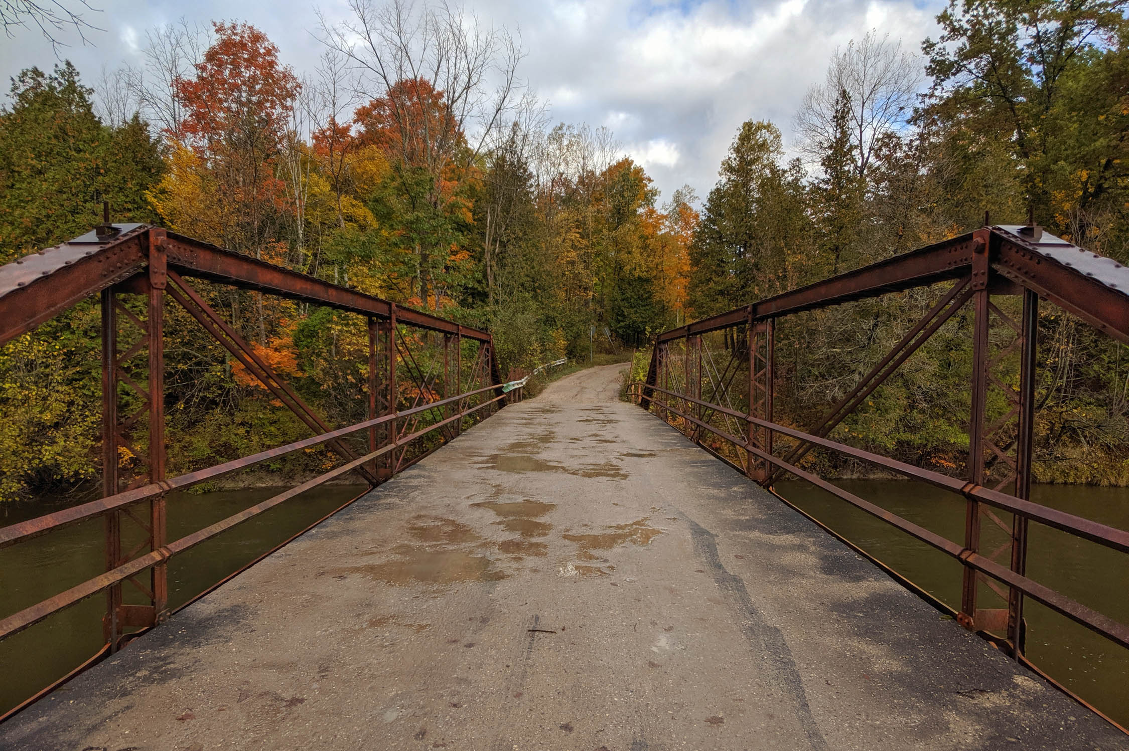
- The suspension bridge over the Manistee River is an enticing connection for many on bikes. However, in speaking with the NCT Association and Manistee National Forest, this bridge, as well as the trails connecting to it, are closed to bike travel. Therefore, the route follows bike legal trail to a paved byway connecting to the next trail segment.
- At times, mosquitos can be bad in sections of the route. This is to be expected in the north woods. They aren’t too noticeable when moving, but be mindful of them when you choose a camp location.
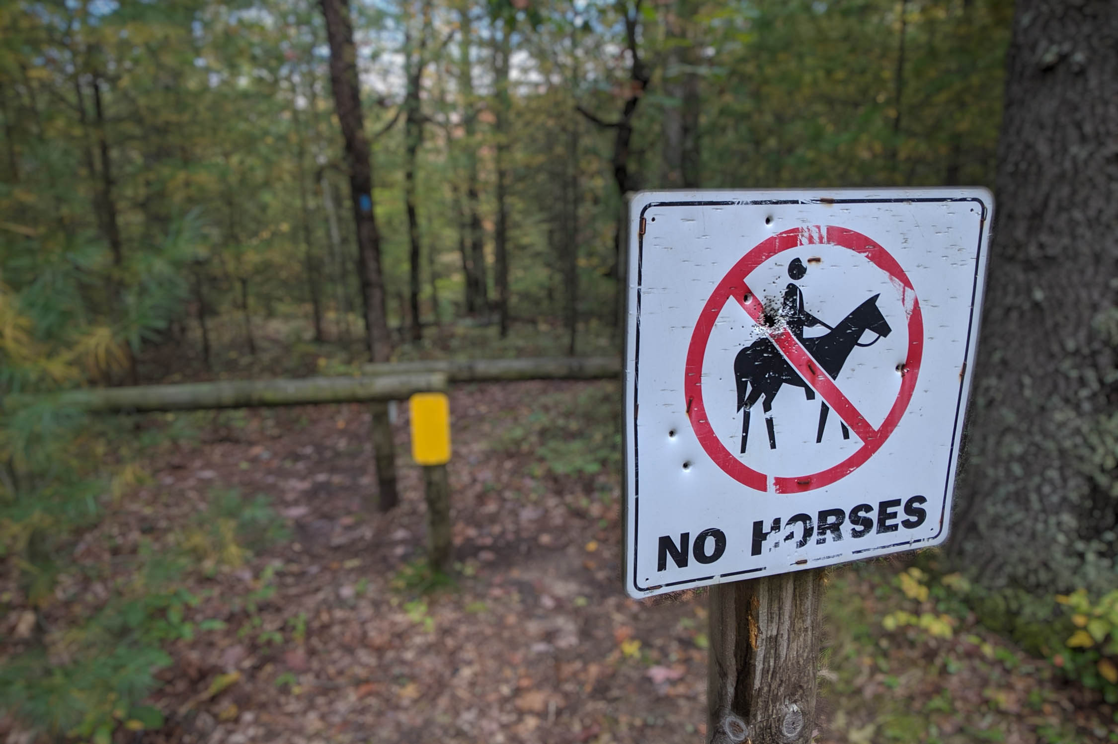
- Occasional deep sand, mud, and rooty sections make this route difficult on gravel bikes. It is a true mountain bike route requiring tires 2.0” or larger.
- Much of the route offers fantastic dispersed camping options on both national and state forest land. Make sure you are at least 200 feet from water sources and follow Leave No Trace principles.
- Mesick offers several campgrounds, as well as lodging. Northern Exposure has cabin rentals overlooking Hodenpyl Dam Pond.
- A number of designated campgrounds exist around Fife Lake including Old US 131, Spring Lake, Sheck’s Place, and Baxter Bridge State Forest Campgrounds.
- Filterable water or wells exist all along the route. Consult the map and make sure to carry enough water across dry stretches.
- Mesick is the best resupply option for food, offering groceries and eateries.
- There are a number of convenience stores along the route, which are noted on the map.
- Blossom’s Restaurant in Sauble offers a fantastic breakfast.
- North Peak Brewing Company in Traverse City is a favorite place for post-ride beer and food.
Northbound Summary
White Cloud to Ward Hills
The route begins on bike-legal trail near the sleepy town of White Cloud and traverses 15 miles of singletrack before entering a section of the NCT that is closed to bikes. To avoid this closure, utilize Forest Road and navigate a region filled with “kettle” lakes toward Big Star Lake. Reconnect to the NCT’s singletrack at the Bowman Lake Area and enjoy some of the best trail riding on the route. The trail falls into hemlock stands nearing the Pere Marquette River. Cross the river and rejoin singletrack entering the Ward Hills. These Hills offer substantial (for this region) climbs and descents. Camping can be found at McCarthy Lake.
Ward Hills to Hodenpyl Dam
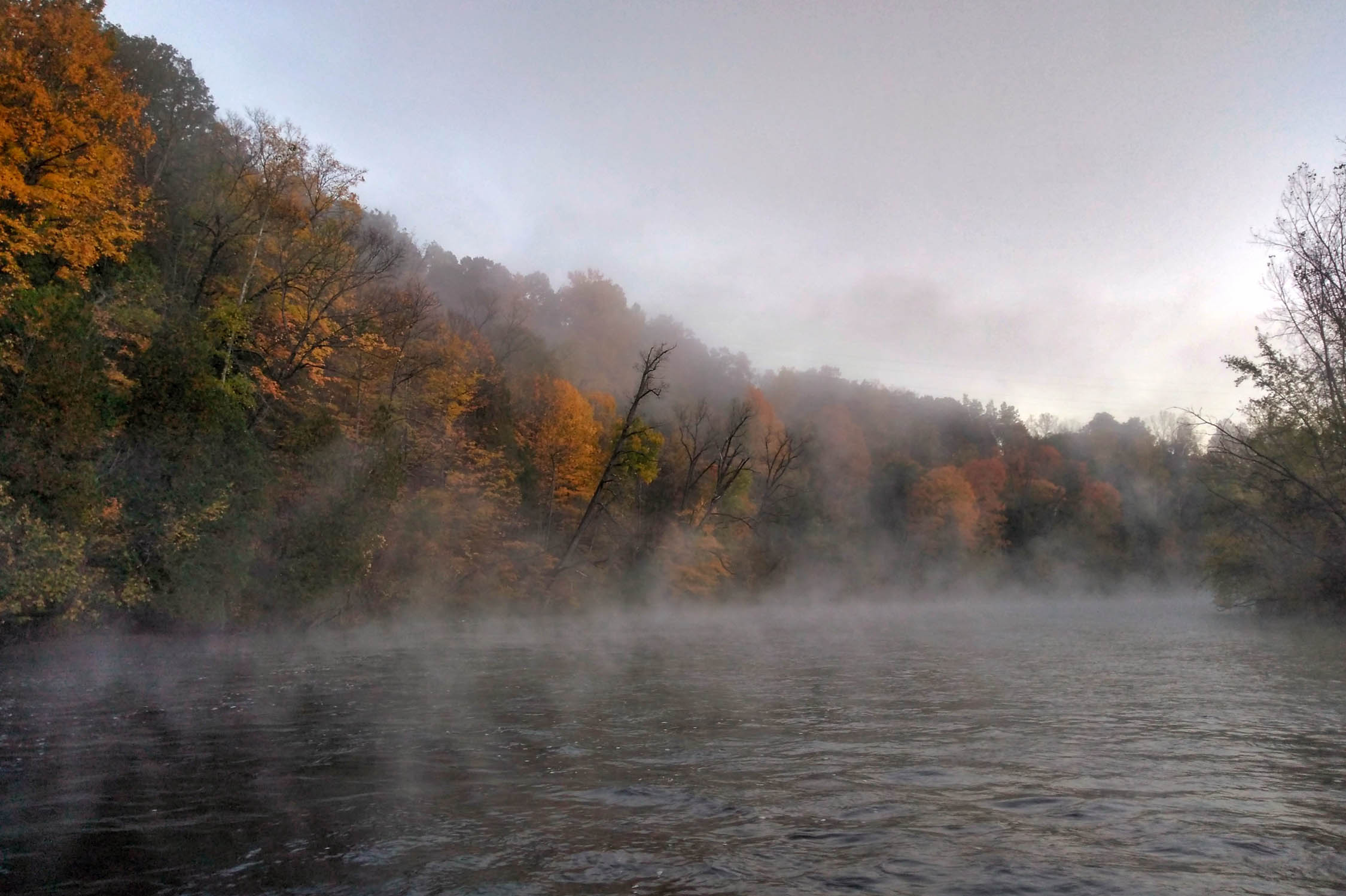
The route passes through the community of Sauble before rejoining a long stretch of singletrack weaving through pine flats and wetlands. Extended boardwalks provide a unique trail experience. Climb into the Udell Hills, a local trail center that hides a decommissioned fire lookout. Make sure to not turn onto one of the trails intersecting the NCT. Continue to cross Pine Creek where, in the fall, populations of spawning salmon can be seen. Follow gravel roads to connect with the Manistee River and enter the best singletrack of the route. Here, the NCT is designed extremely well and provides the best climbs, descents, and vistas of the Lower Peninsula. A plethora of quality dispersed campsites exist throughout this stretch.
Hodenpyl Dam to Fife Lake
Although it requires a few miles of pavement, routing through Mesick offers a fantastic midpoint or resupply point. Groceries, restaurants, and a multitude of campgrounds and cabins lie along your path. Follow gravel roads out of Mesick before connecting to another section of singletrack overlooking the Manistee River valley. This segment includes the Manistee High Rollway, a famous overlook. Using forest roads, the route navigates around a poor section of trail before rejoining for the Fife Lake Outlet singletrack. There are multiple designated and dispersed campsites, as well as lodging near Fife Lake.
Fife Lake to Traverse City
The final section of the route begins with singletrack weaving in and out of old growth forest aptly named the “Valley of the Giants.” Cross the Boardman River to connect to the Muncie Lakes Pathway. Beyond Muncie Lakes, the NCT begins to get sandy and maintenance devolves. Because of this, I chose to end the route by diverging onto the VASA trail network. The VASA has many intersecting trails, so make sure to consult your map and head in the direction of the Supply Road Trailhead. The route ends on the outskirts of Traverse City.


Terms of Use: As with each bikepacking route guide published on BIKEPACKING.com, should you choose to cycle this route, do so at your own risk. Prior to setting out check current local weather, conditions, and land/road closures. While riding, obey all public and private land use restrictions and rules, carry proper safety and navigational equipment, and of course, follow the #leavenotrace guidelines. The information found herein is simply a planning resource to be used as a point of inspiration in conjunction with your own due-diligence. In spite of the fact that this route, associated GPS track (GPX and maps), and all route guidelines were prepared under diligent research by the specified contributor and/or contributors, the accuracy of such and judgement of the author is not guaranteed. BIKEPACKING.com LLC, its partners, associates, and contributors are in no way liable for personal injury, damage to personal property, or any other such situation that might happen to individual riders cycling or following this route.
Please keep the conversation civil, constructive, and inclusive, or your comment will be removed.