


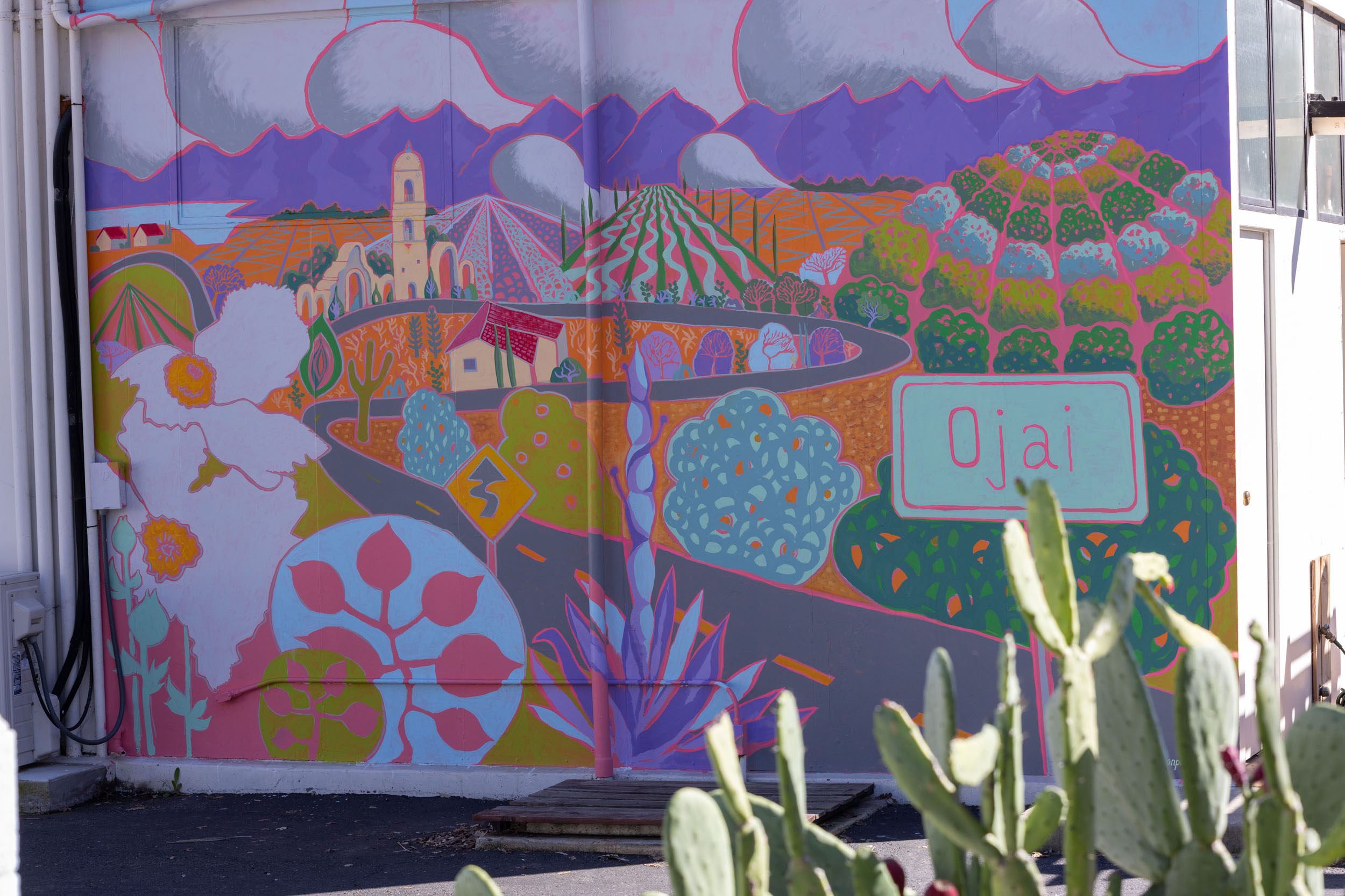
Ojai Rim Loop
Distance
67 Mi.
(108 KM)Days
2
% Unpaved
78%
% Singletrack
17%
% Rideable (time)
100%
Total Ascent
10,277'
(3,132 M)High Point
6,700'
(2,042 M)Difficulty (1-10)
6?
- 10Climbing Scale Very Strenuous153 FT/MI (29 M/KM)
- 4Technical Difficulty Fair
- 8Physical Demand Difficult
- 3Resupply & Logistics Fair
Contributed By
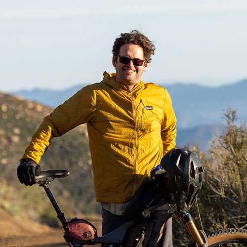
Erin Carroll
Guest Contributor
Erin Carroll is originally from Ventura, CA, and now resides in Santa Barbara, CA. Erin is an avid mountain biker and backpacker who got into bikepacking to blend the best of both worlds. A landscape architect by profession, Erin’s other passions include being a father, surfing, botany, trail work, dogs, studying maps, exploring new trails, and just getting outside.
Additional insight and photos by Miles Arbour
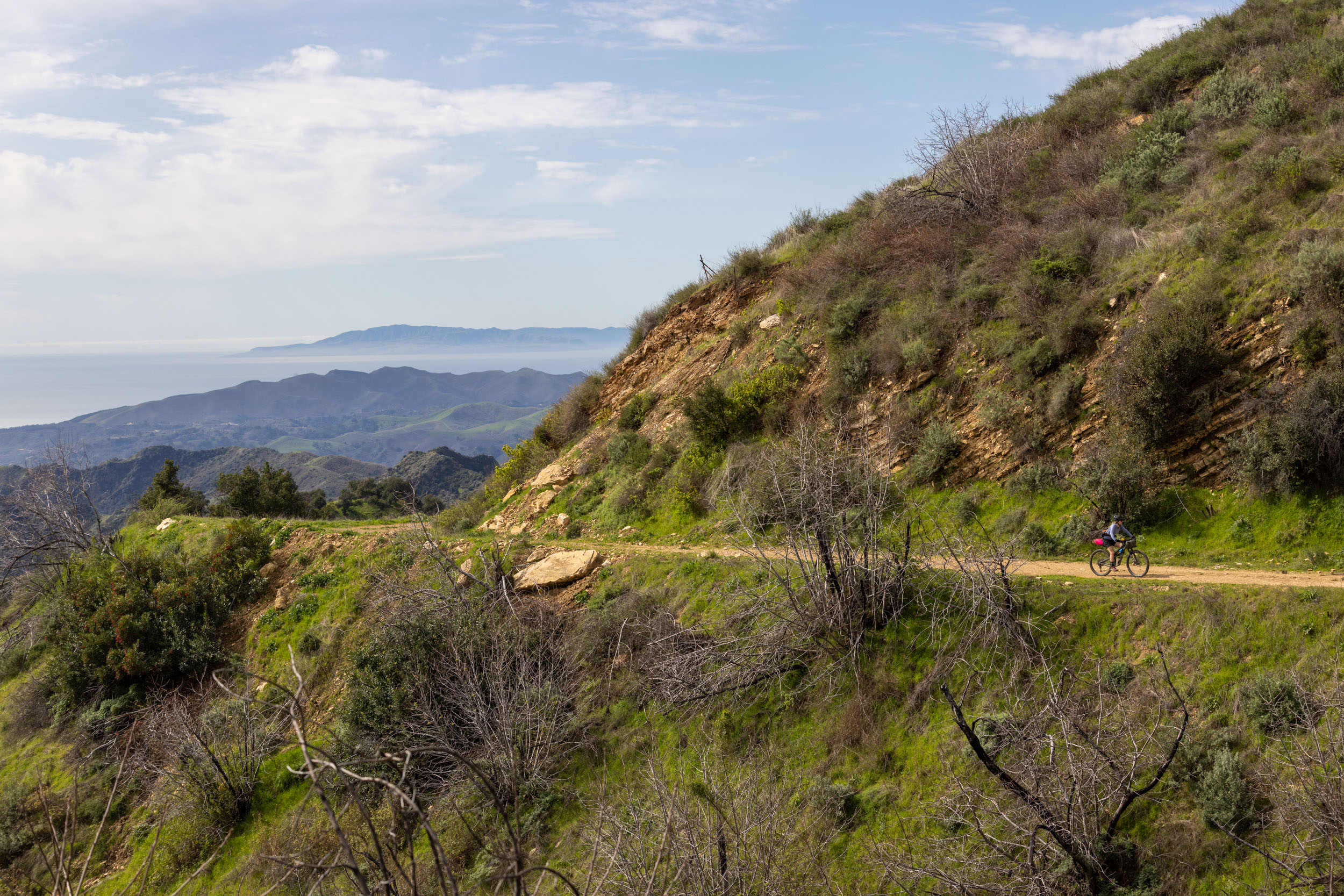
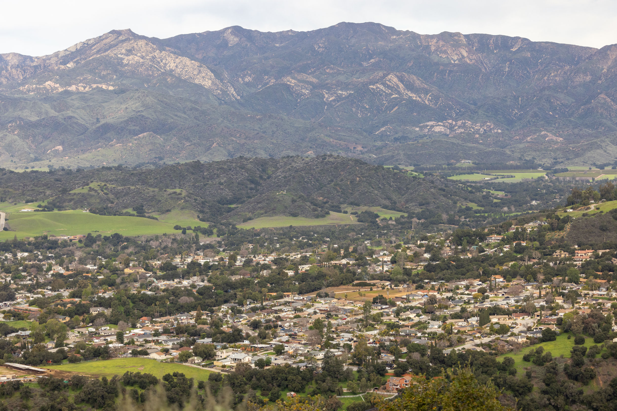
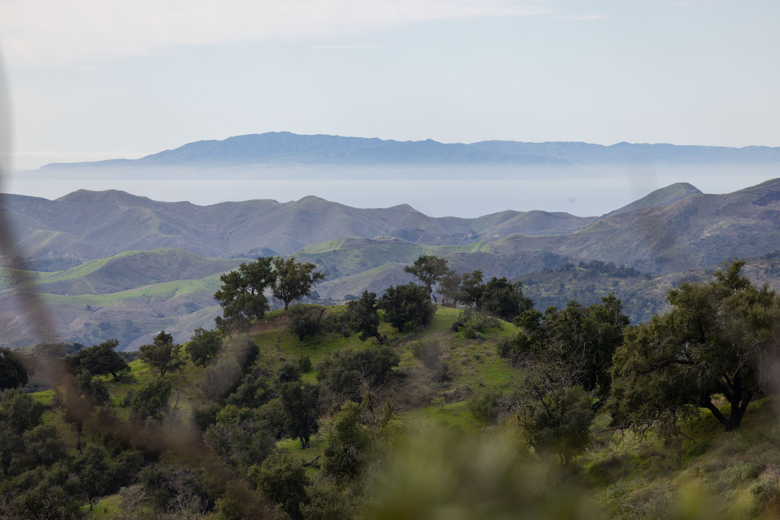
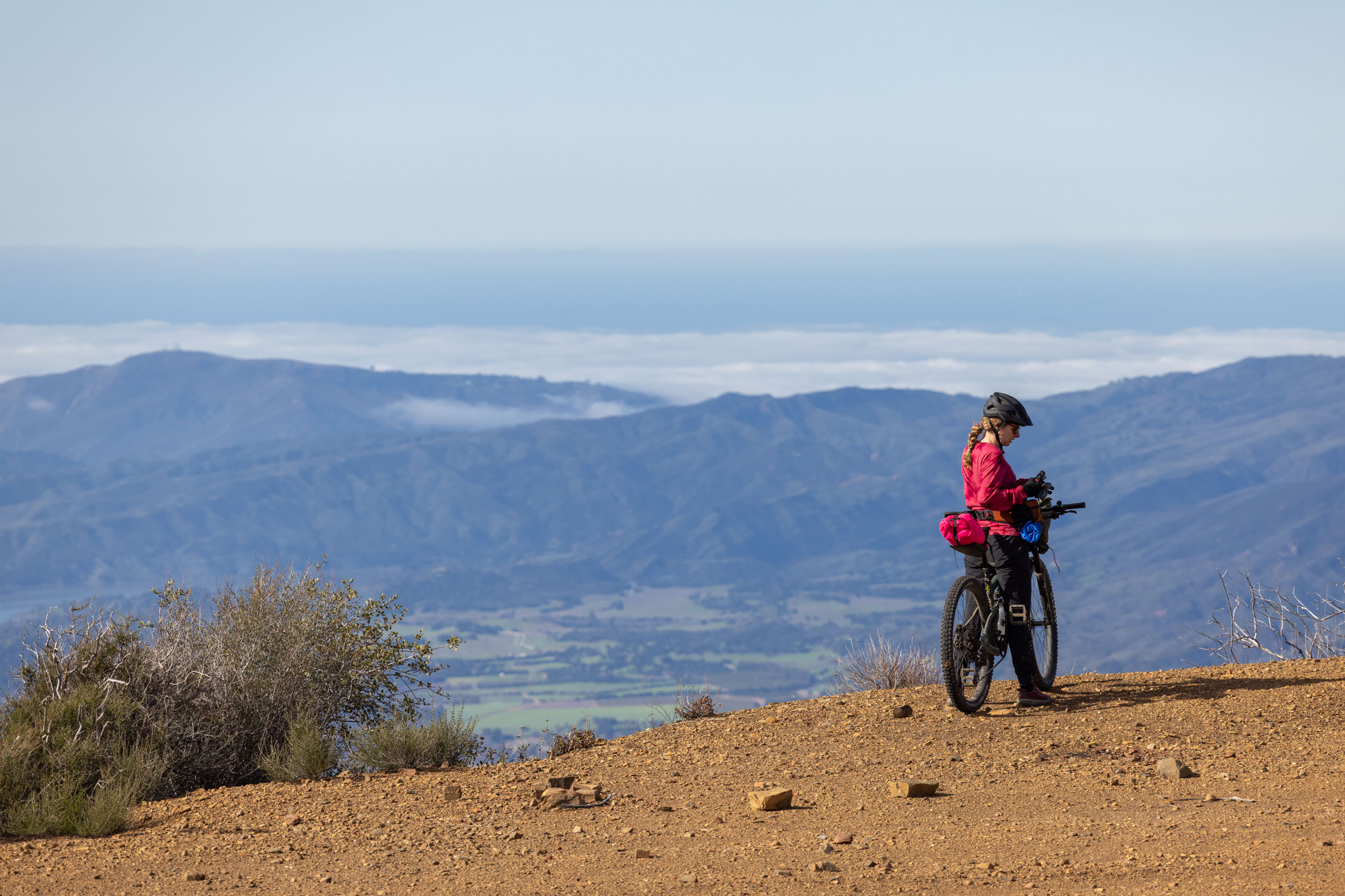
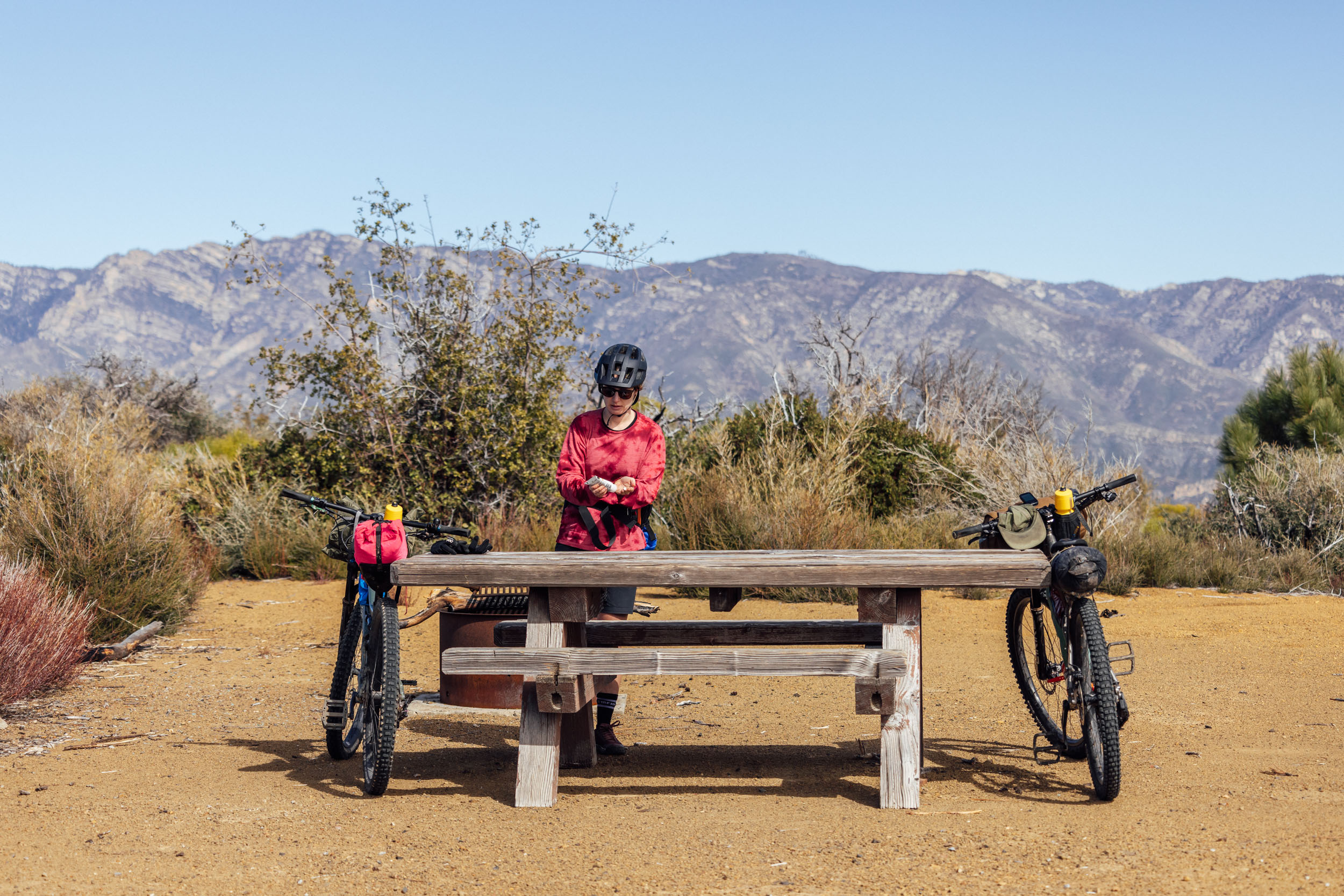
Located just outside the hustle of Los Angeles to the south, Ventura County serves as a quick escape from the city and provides the perfect backdrop for fantastic bikepacking opportunities. The more popular coastal regions are met with access to Los Padres National Forest, Sierra Madre Mountains, and TopaTopa Mountains—including many car-free gravel and dirt roads.
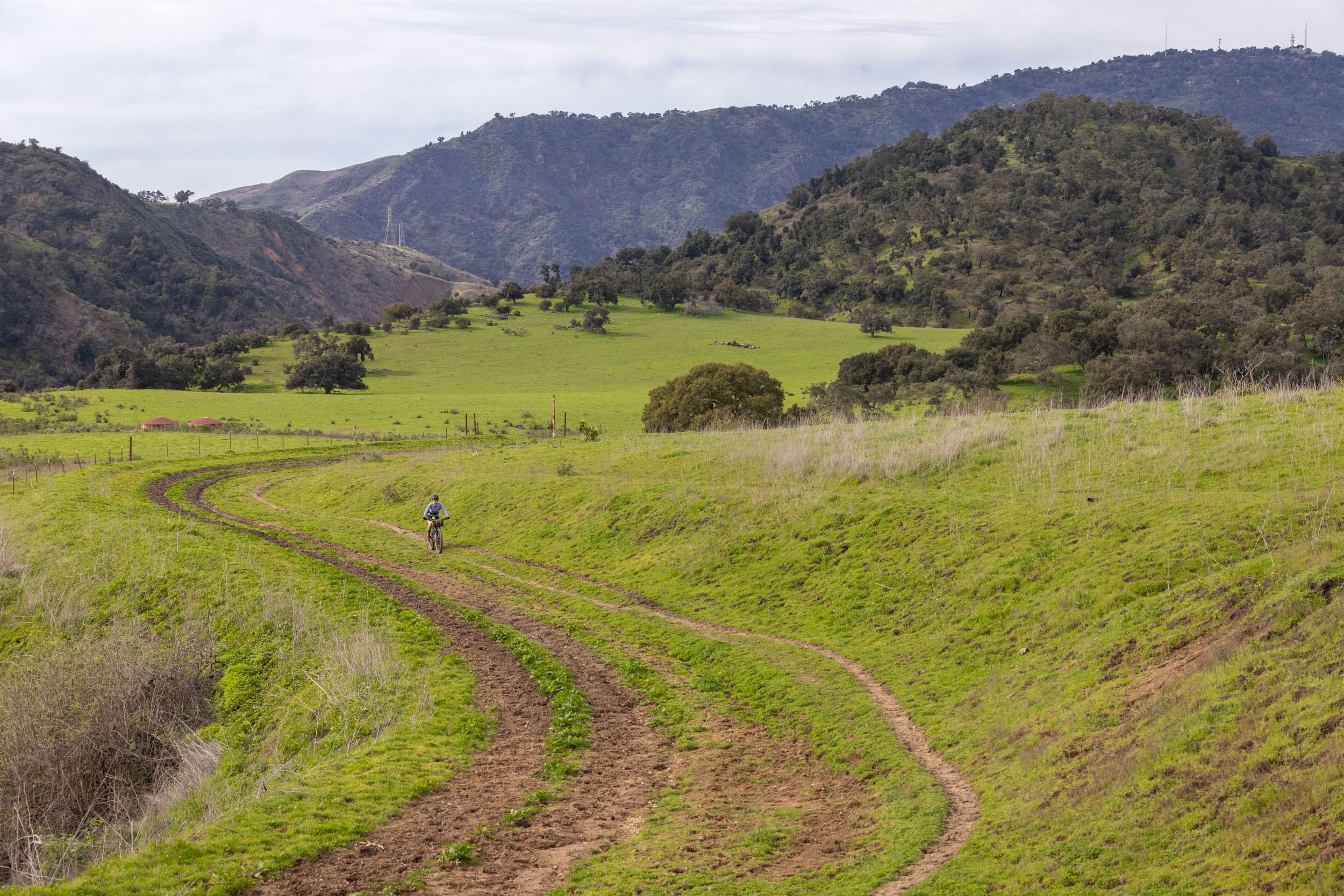
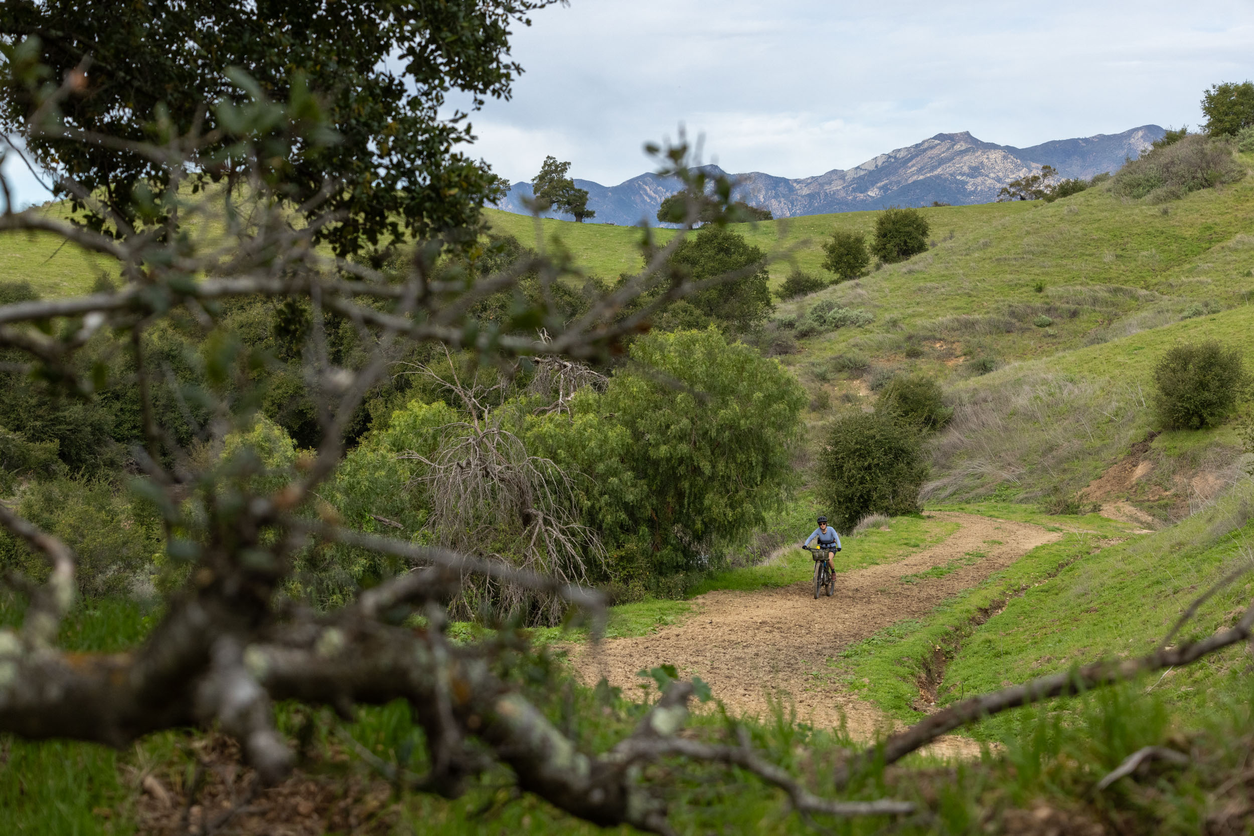
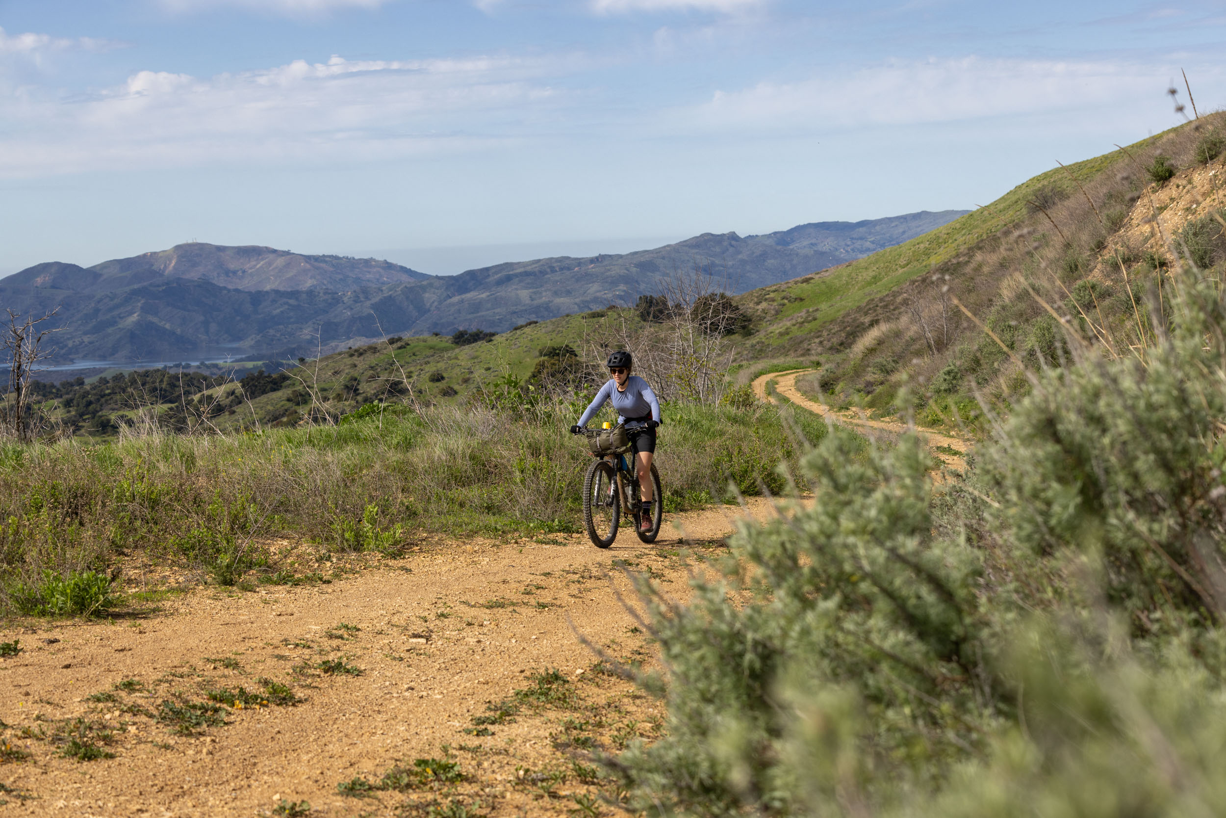
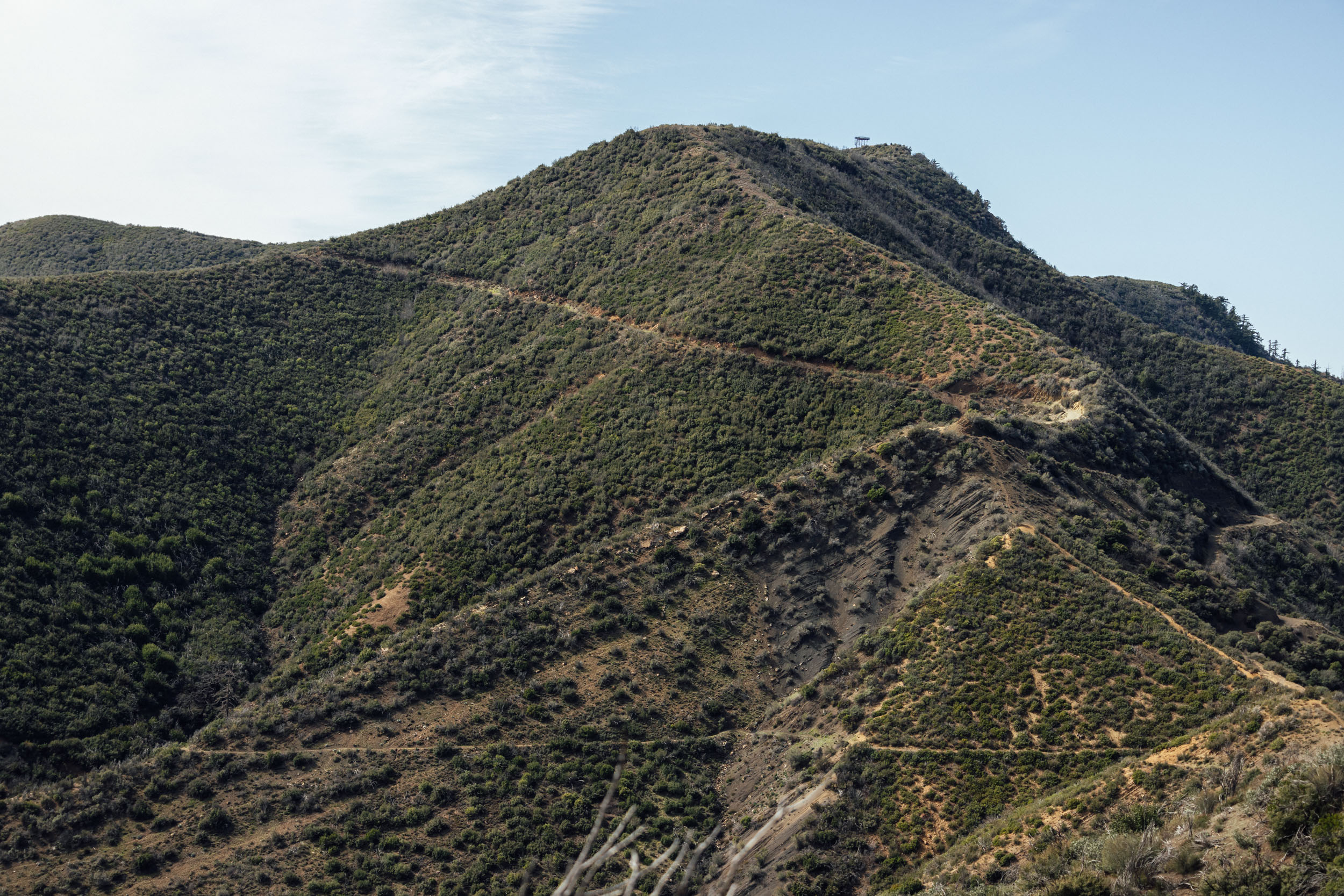
The Ojai Rim Loop forms a delightfully scenic loop around the Ojai Valley north of Ventura. The route starts and ends between Oak View and Casitas Springs, heading up and over Sulphur Mountain before climbing further into the mountains and toward one of several ocean-view camping areas. The route includes an optional but highly recommended out-and-back to the top of Hines Peak at 6,700 feet. Remember that this is a protected Wilderness Area, and you’ll have to leave the bikes behind and hike three miles (one way) on foot.
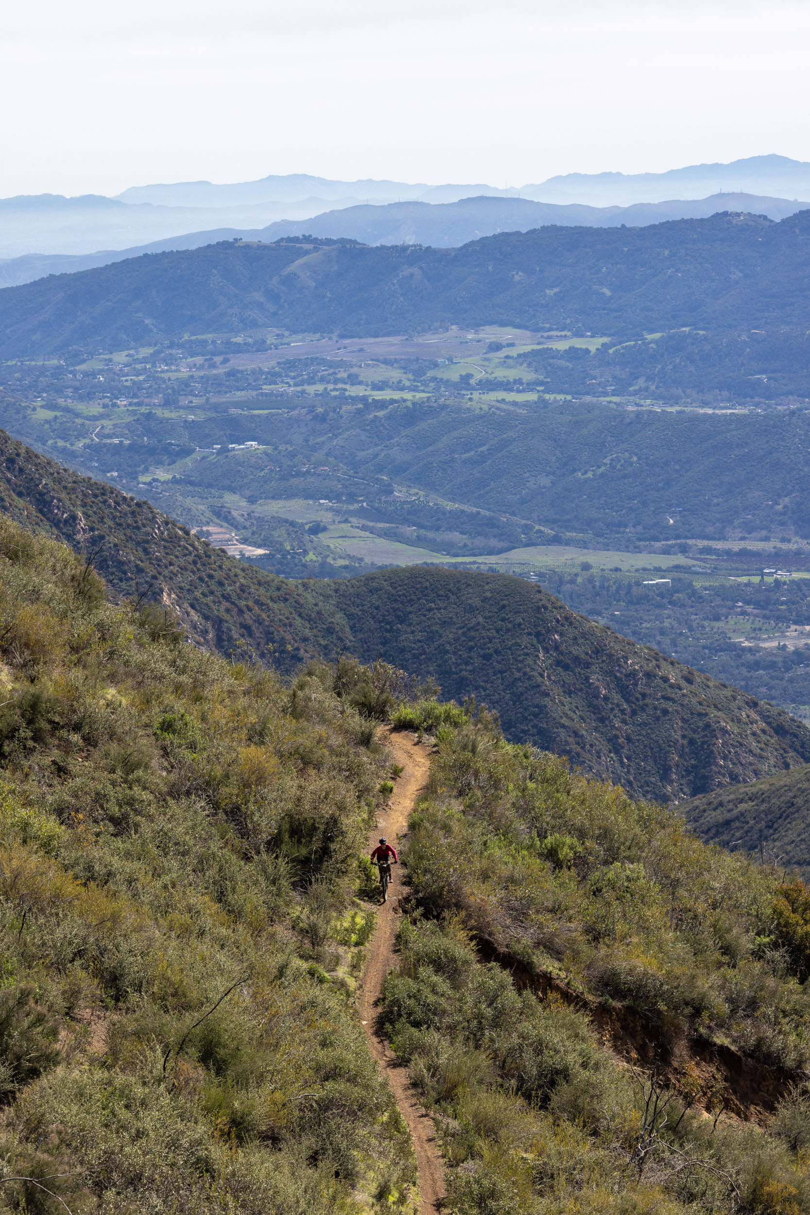
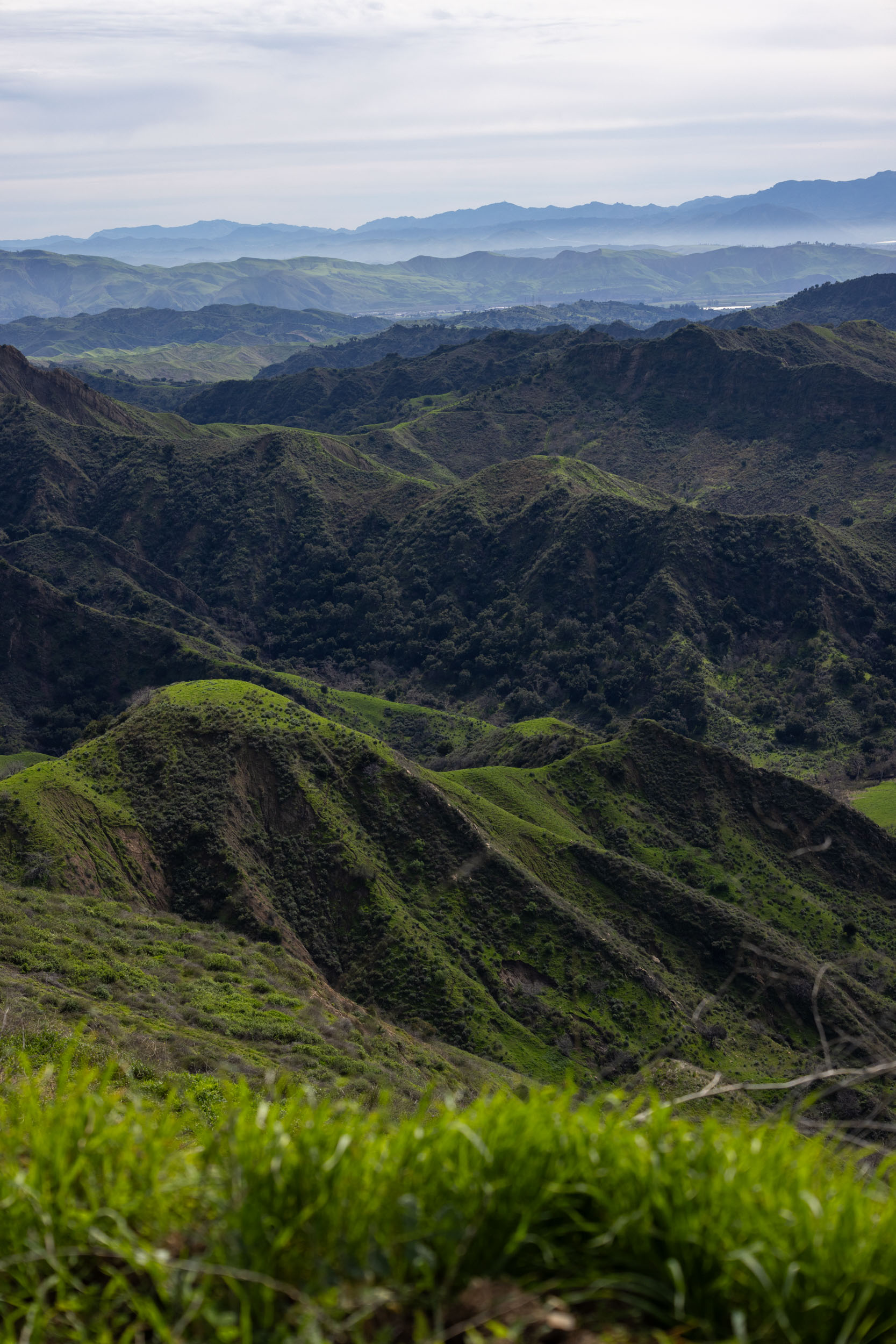
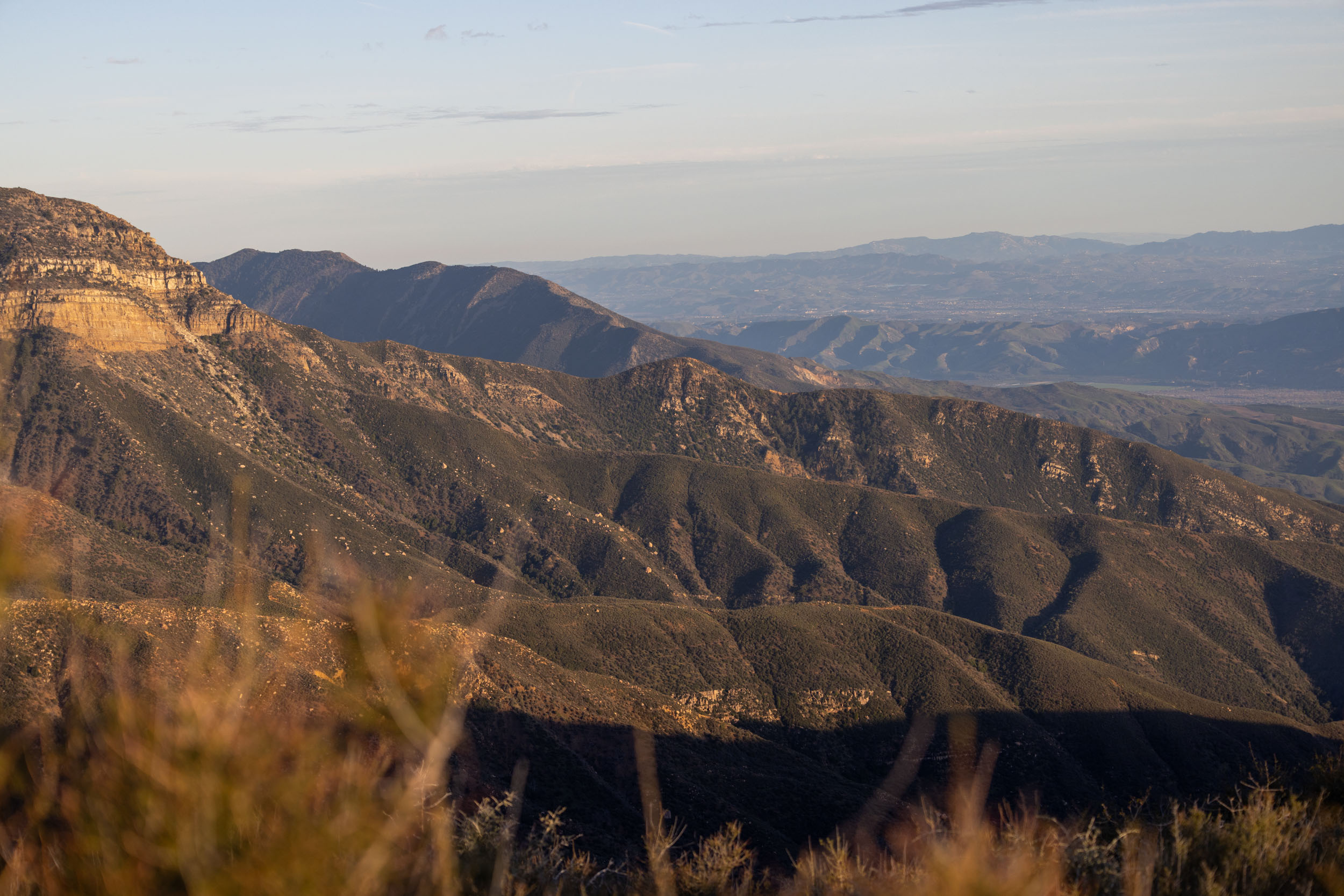
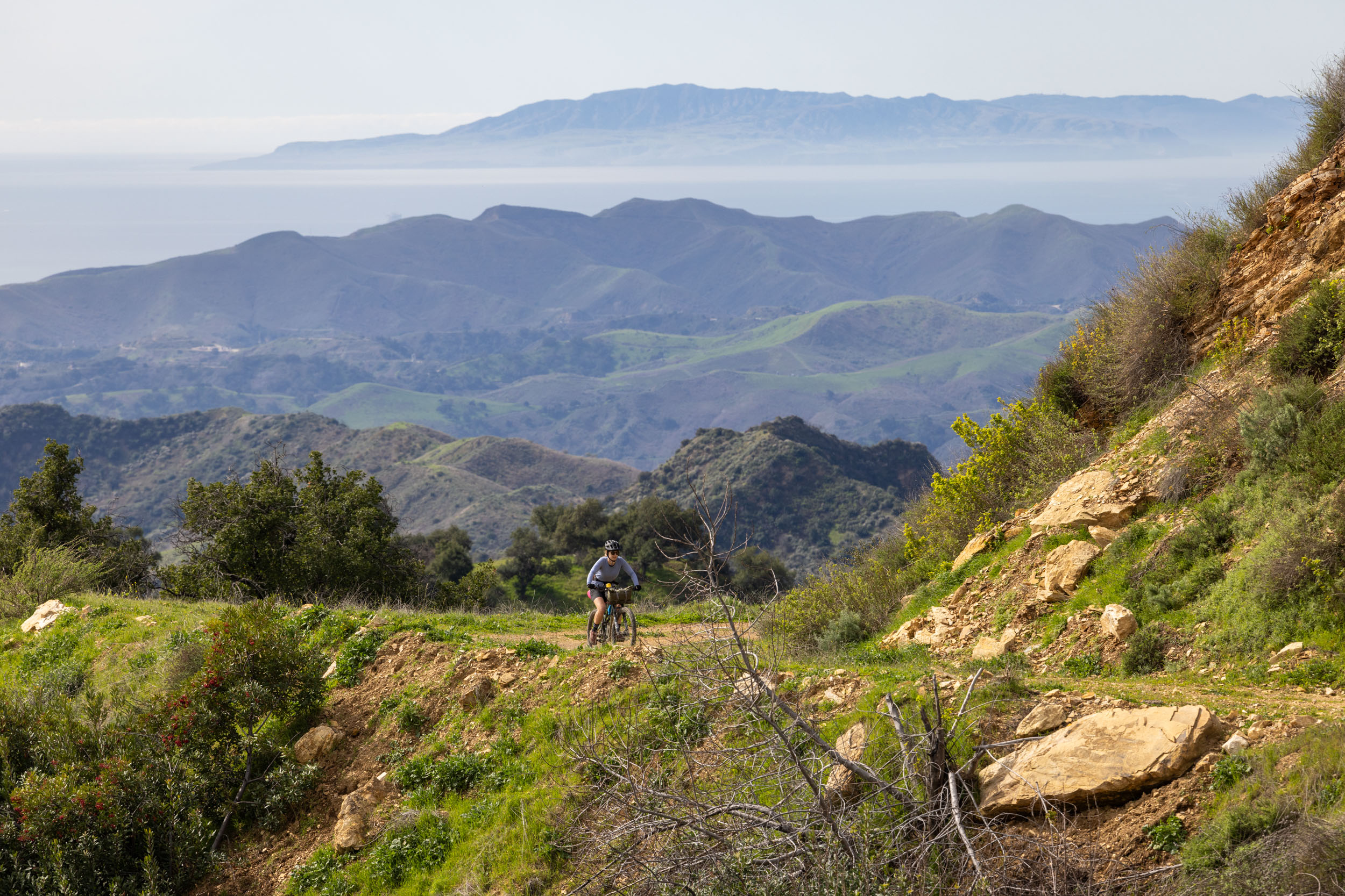
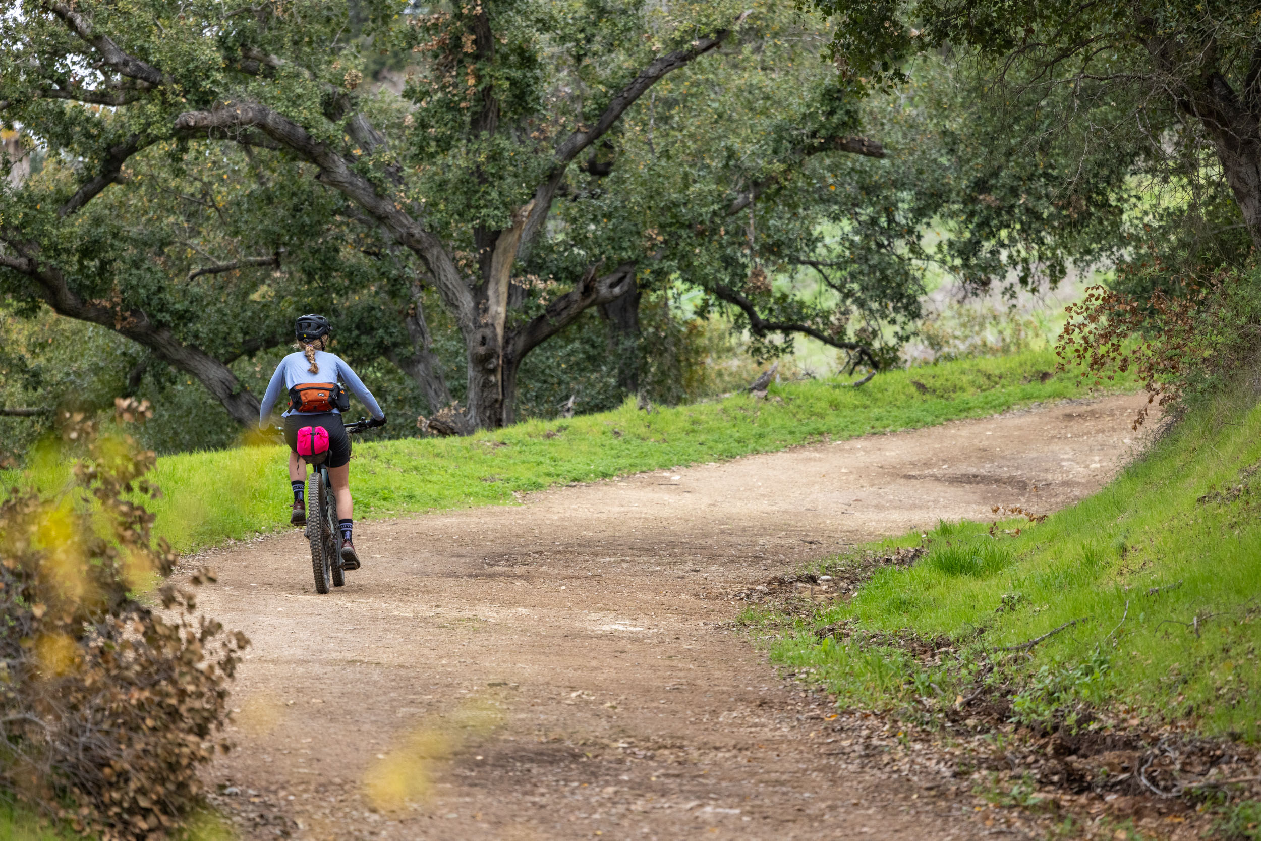
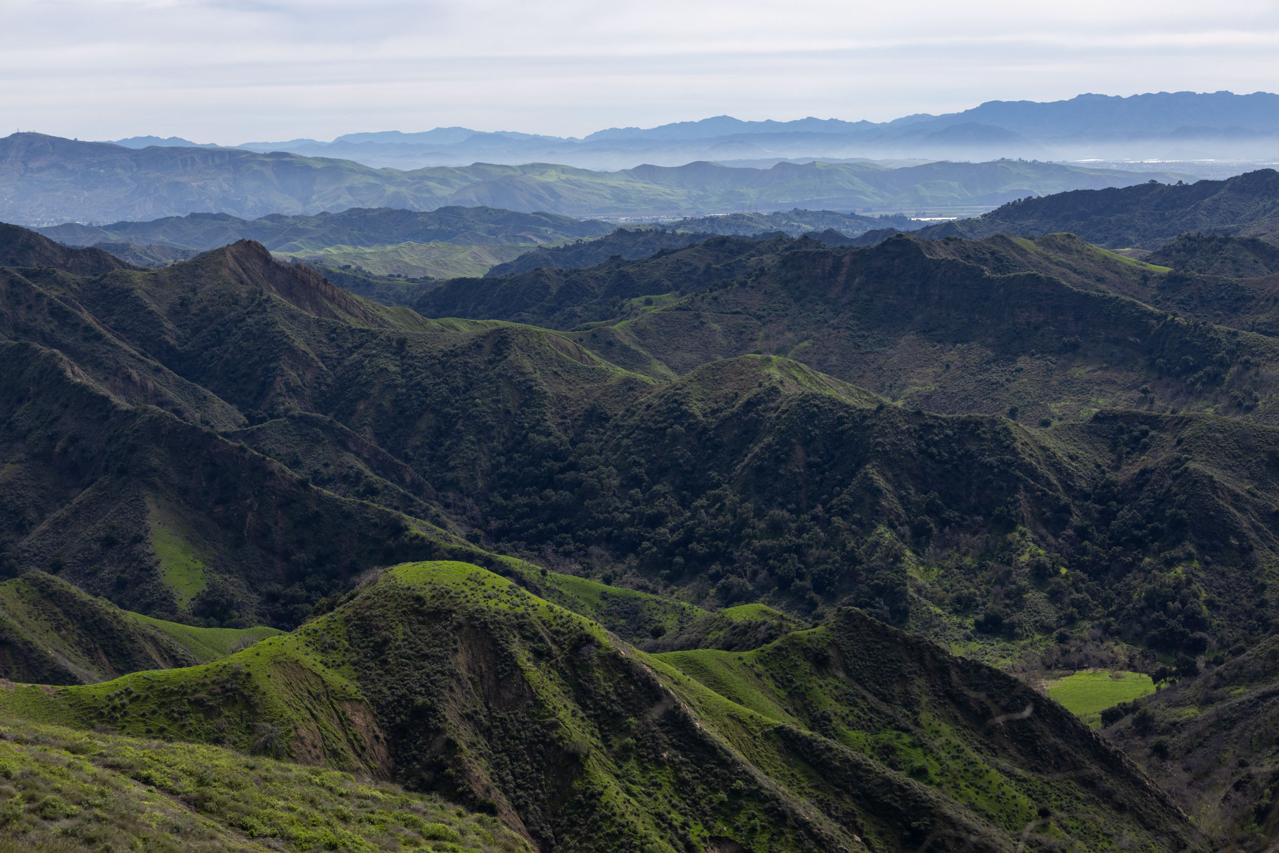
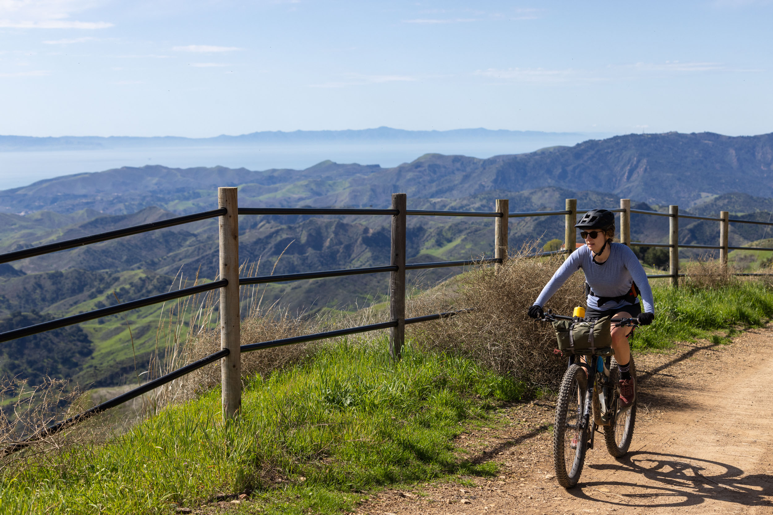
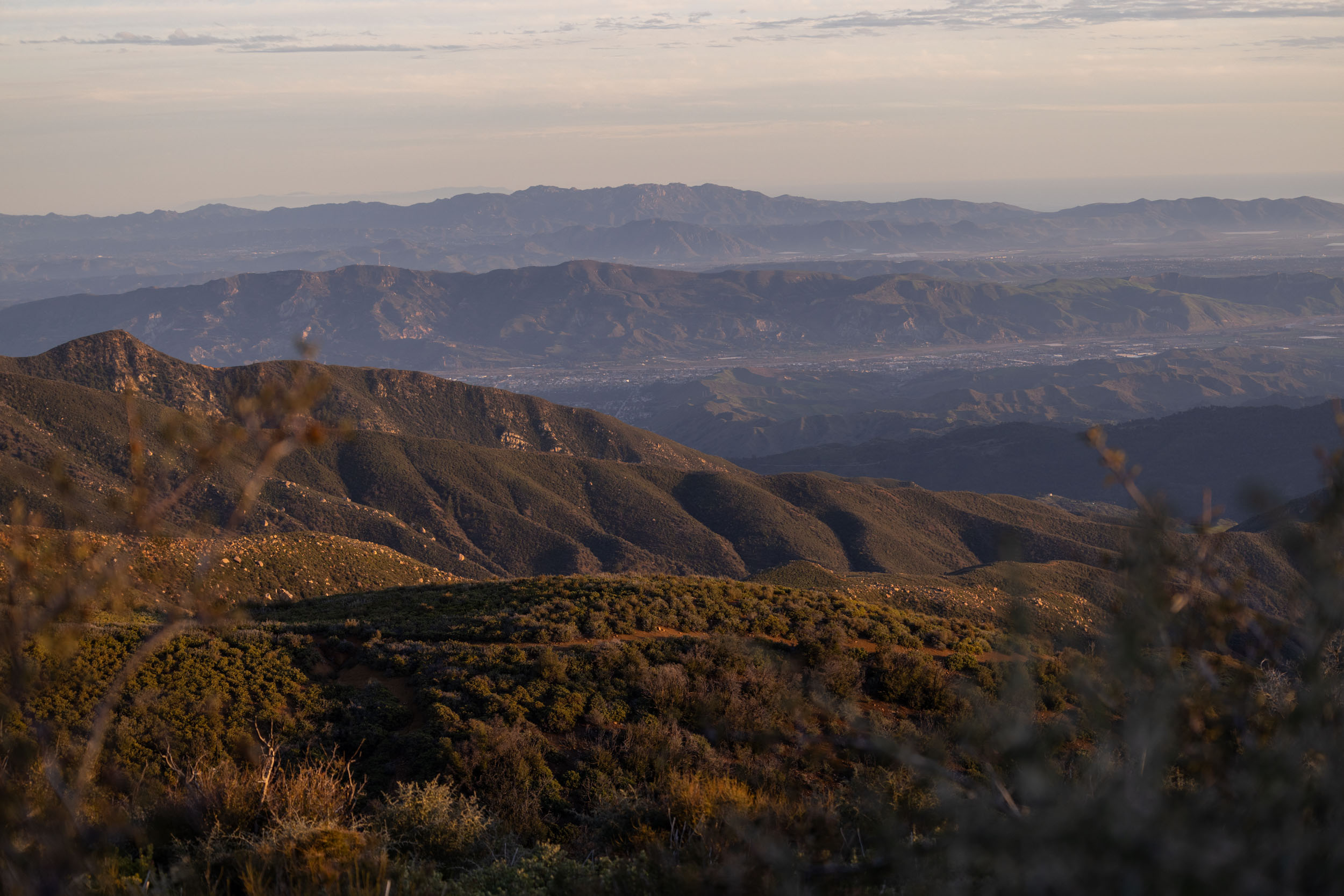
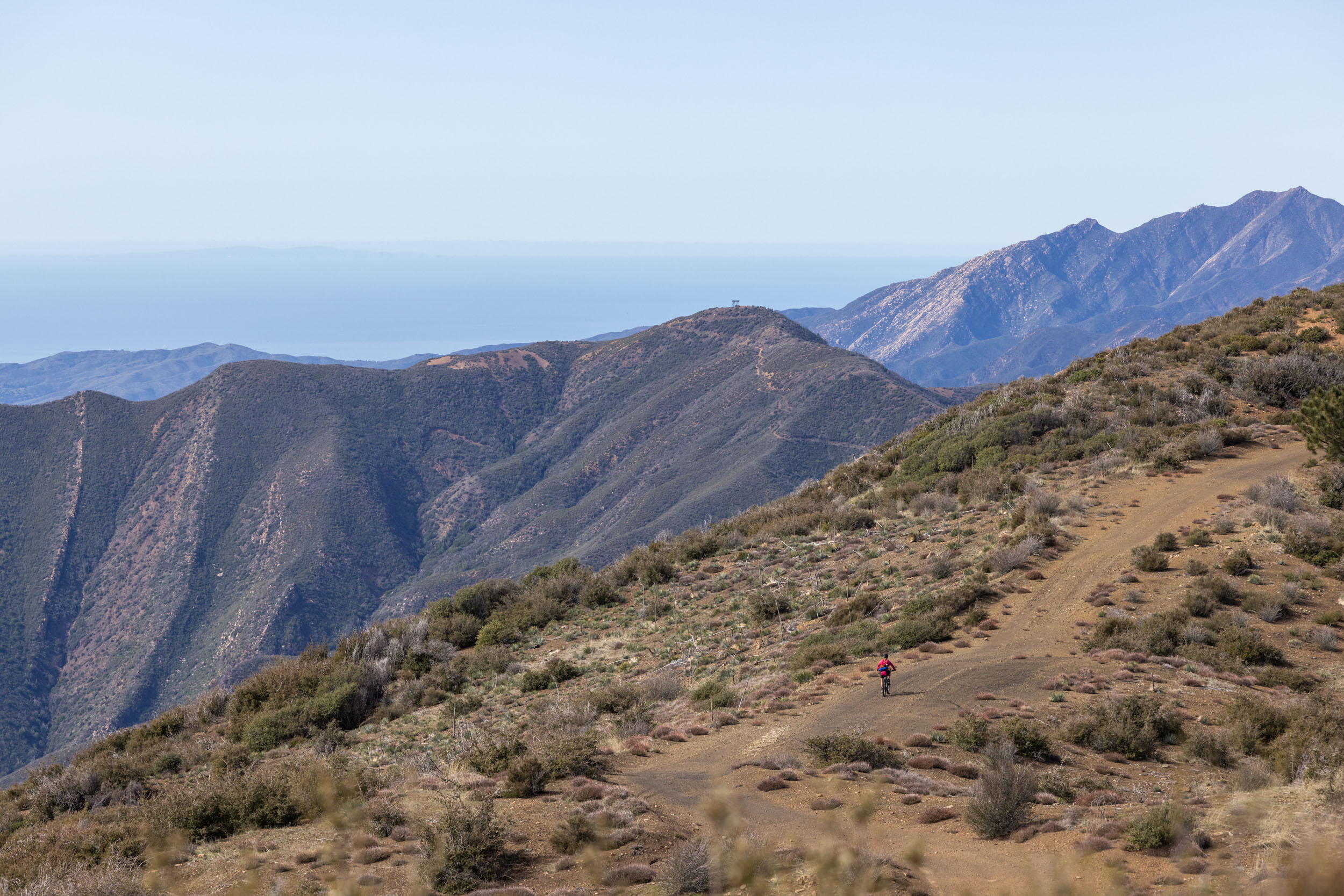
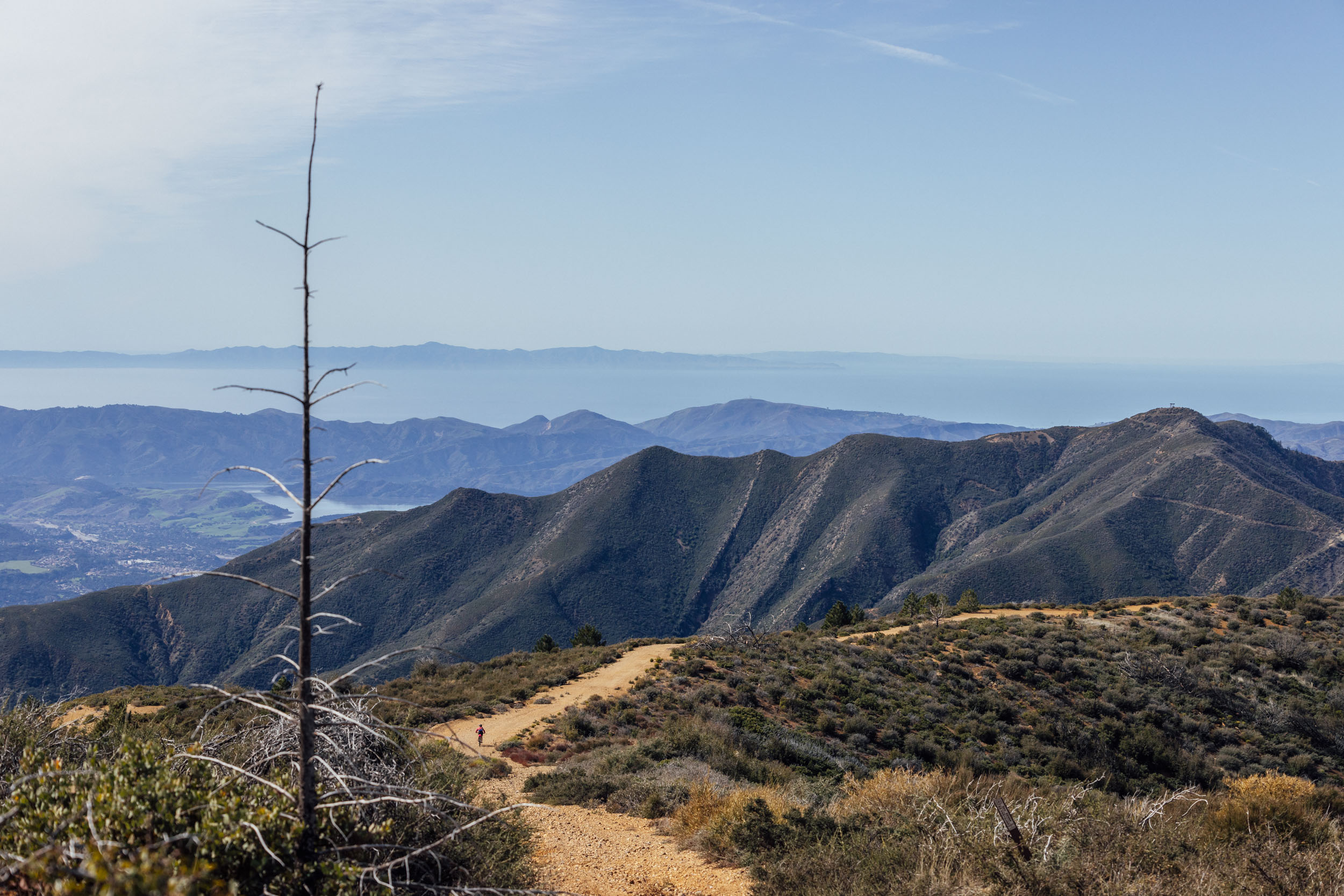
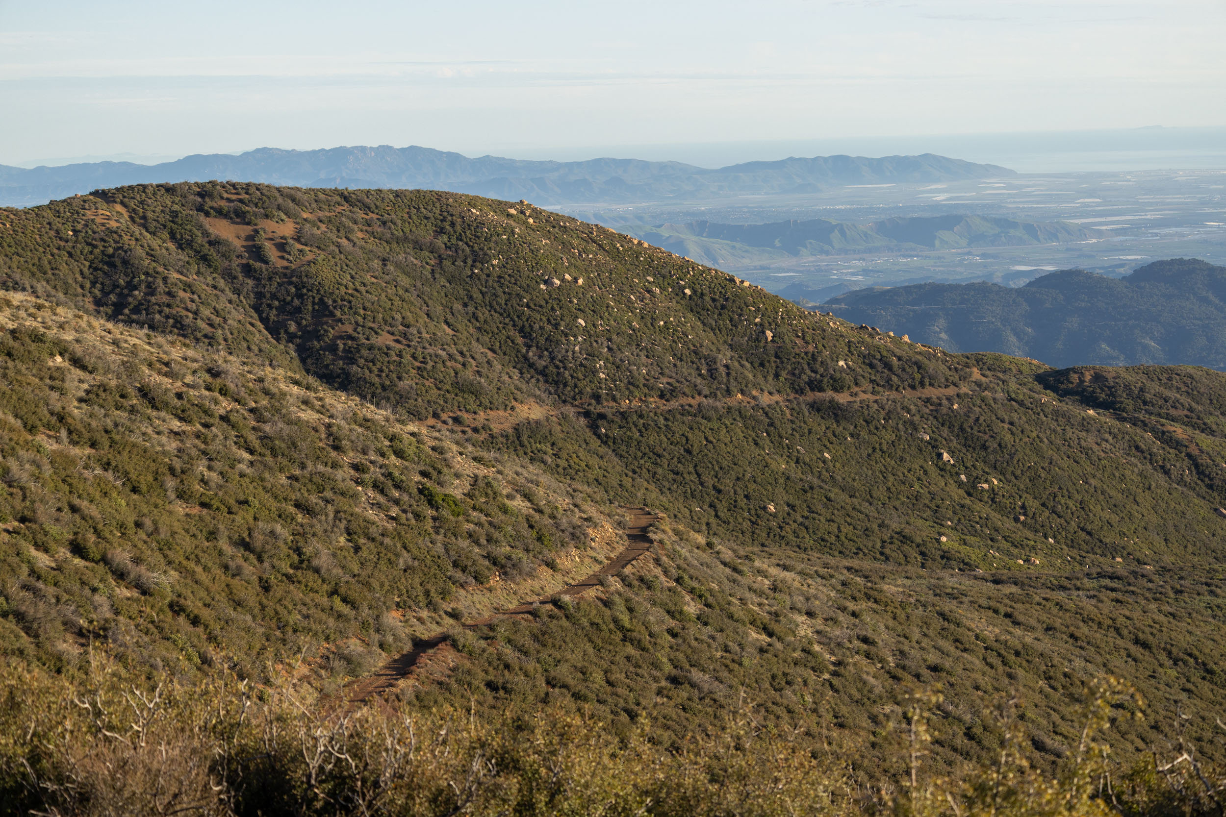
The route traverses west along a stunning gravel ridge, skirting below several other peaks with optional hikes. Then an epic singletrack descent on Gridley Trail leads back toward civilization, dropping 2,500 feet. A mix of singletrack and multi-use paths connect with the popular Ojai-Ventura Bike Path, which returns riders to the start of the route. Expect fantastic views of the Pacific Ocean and Topatopa Mountains for most of the ride, breathtaking descents, and opportunities to extend the trip over a long weekend for those hoping to soak it up.
Difficulty
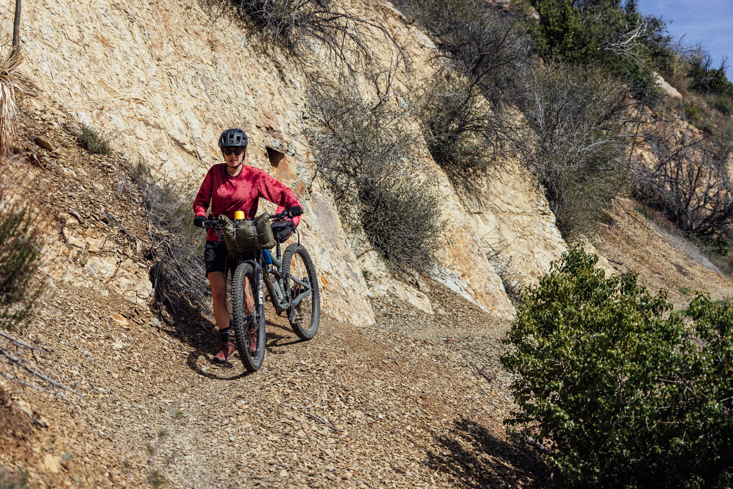
Most of the Ojai Rim Loop follows dirt tracks and gravel roads, with about 11 miles of singletrack on the way back to town. However, there is a substantial amount of climbing and exposed riding that is difficult in the heat, especially for those trying to ride the entire route in just two days. For some folks, especially those making the hike up to Hines Peak, spreading the route out over three days is a realistic option, but carrying the necessary amount of water will be challenging. Logistically, the route is straightforward as long as riders plan ahead and have enough water for the long, dry climbs and the mountainous zones at the north end of the loop.
Route Development: The Ojai Rim Loop was designed in 2014 by Ventura County local Erin Carroll, creator of the Tour De Los Padres. The Ojai Rim Loop overlaps the beginning and end of the 2024 Tour De Los Padres proper route and provides a glimpse of the full 280-mile route. The goal was to create a primarily off-road loop around the Ojai Valley, avoid vehicles, and prioritize stunning rideable terrain. Miles and Emily scouted and photographed the route as an overnighter in February 2024.

Submit Route Alert
As the leading creator and publisher of bikepacking routes, BIKEPACKING.com endeavors to maintain, improve, and advocate for our growing network of bikepacking routes all over the world. As such, our editorial team, route creators, and Route Stewards serve as mediators for route improvements and opportunities for connectivity, conservation, and community growth around these routes. To facilitate these efforts, we rely on our Bikepacking Collective and the greater bikepacking community to call attention to critical issues and opportunities that are discovered while riding these routes. If you have a vital issue or opportunity regarding this route that pertains to one of the subjects below, please let us know:
Highlights
Must Know
Camping
Food/H2O
Trail Notes
Resources
- The car-free climb up and over Sulphur Mountain Road.
- Beautiful views of the Ojai Valley, Pacific Ocean, Transverse Ranges, and Topatopa Mountains.
- An optional hike to Hines Peak for even bigger views.
- Descending Gridley Trail back to town after a night under the stars.
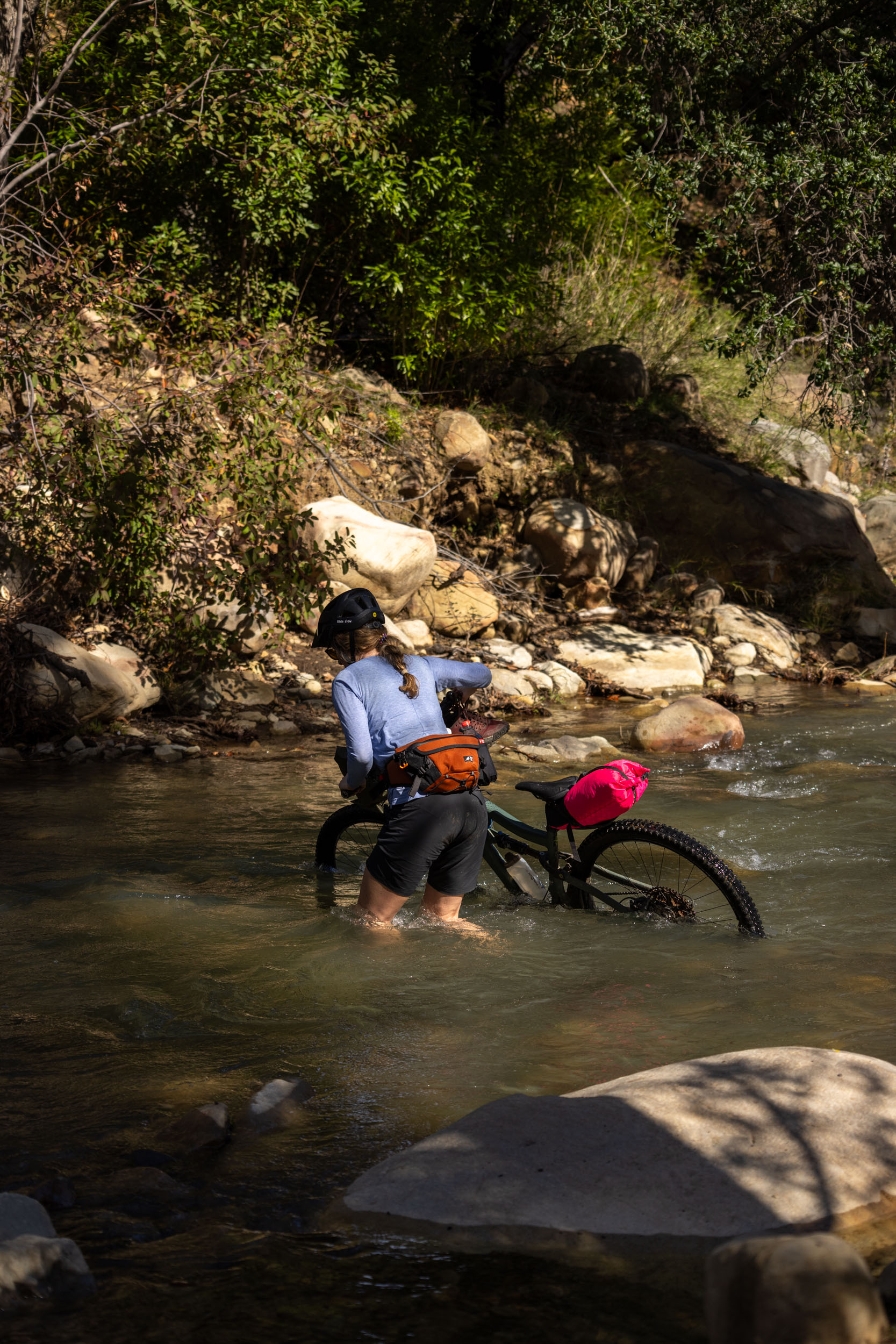
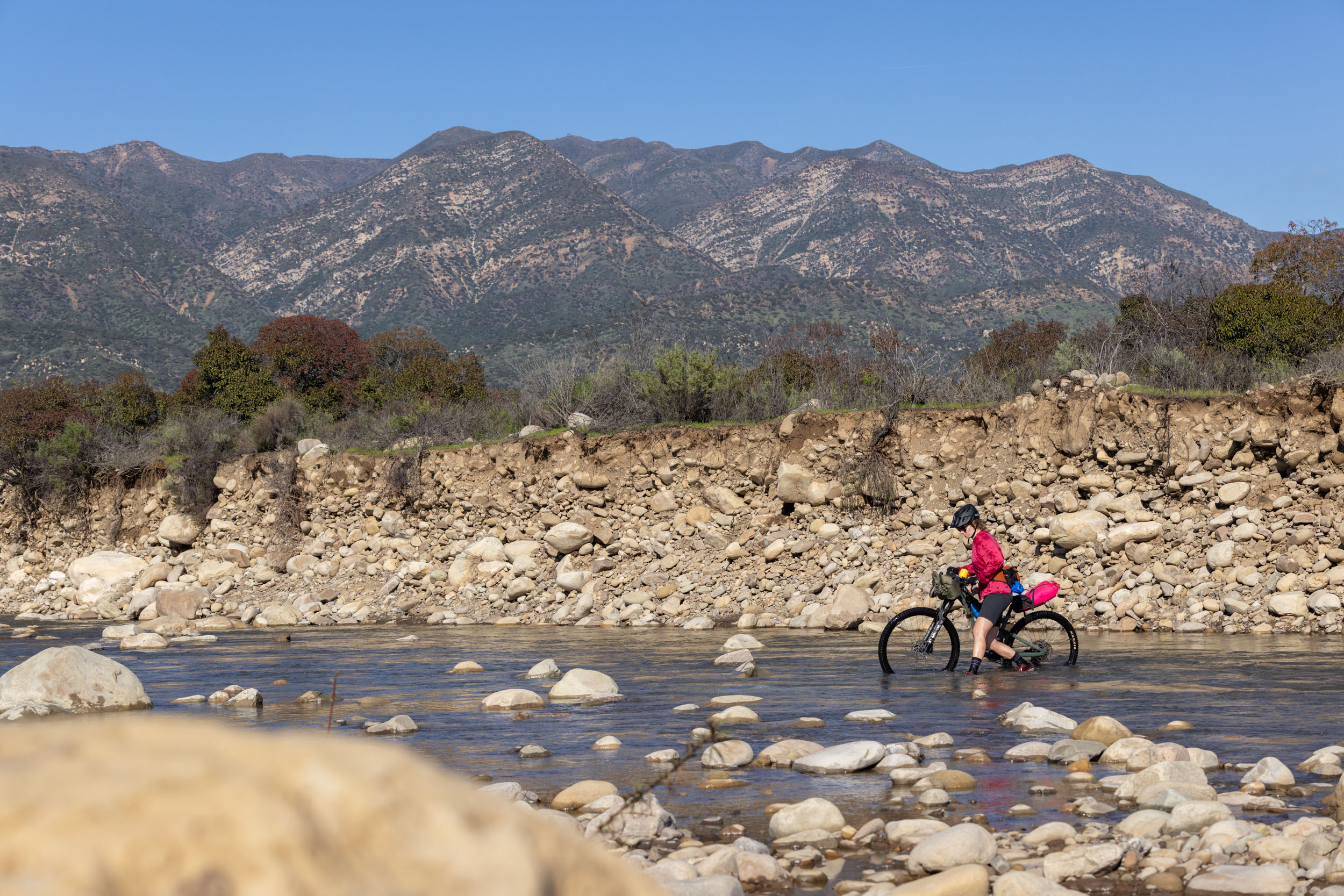
- Cool off in the swimming holes along the Ventura River.
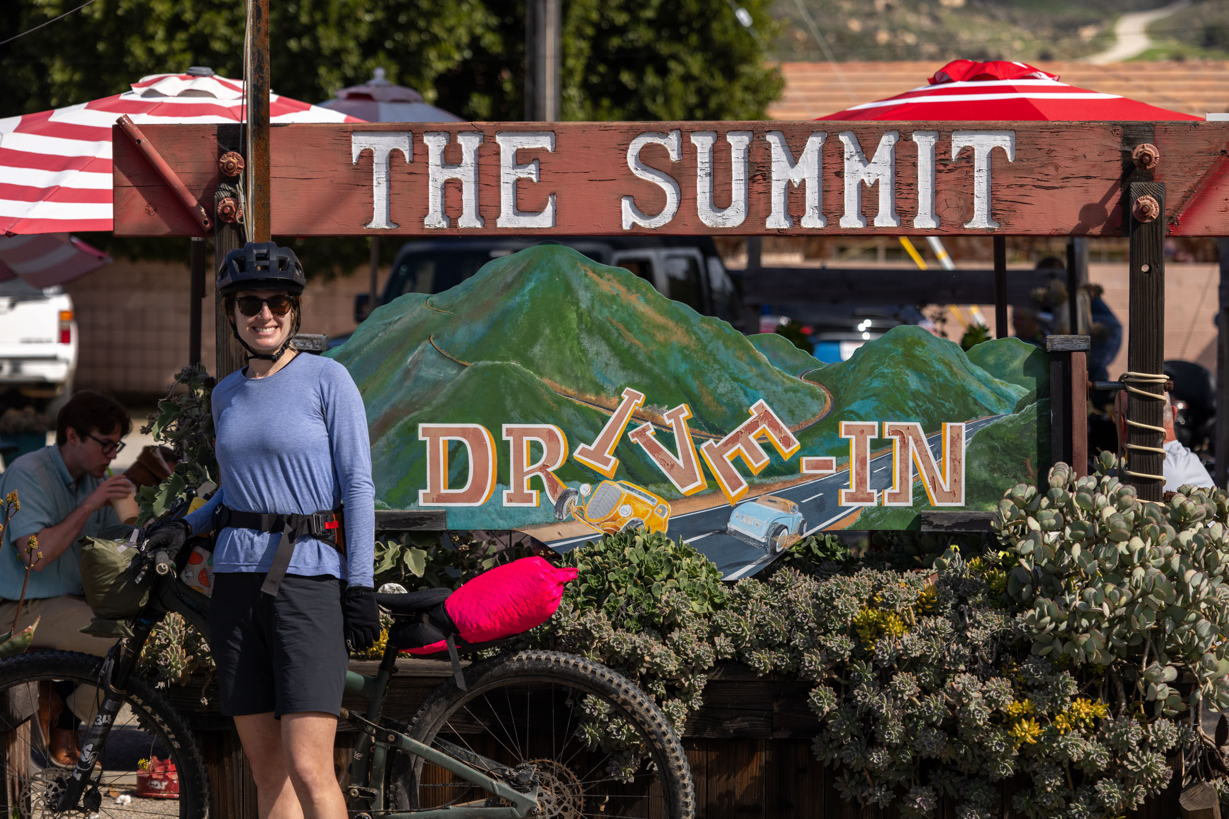
- Lunch at Summit Drive-In before tackling the climb up into the mountains.
- When to ride: The route is rideable from November through May, but February and March are probably the ideal months with cooler daytime highs and more natural water sources.
- Route Direction: The route, as presented, is designed to be ridden counter-clockwise, but it could be reversed with some small tweaks. See Trailforks for singletrack trail info.
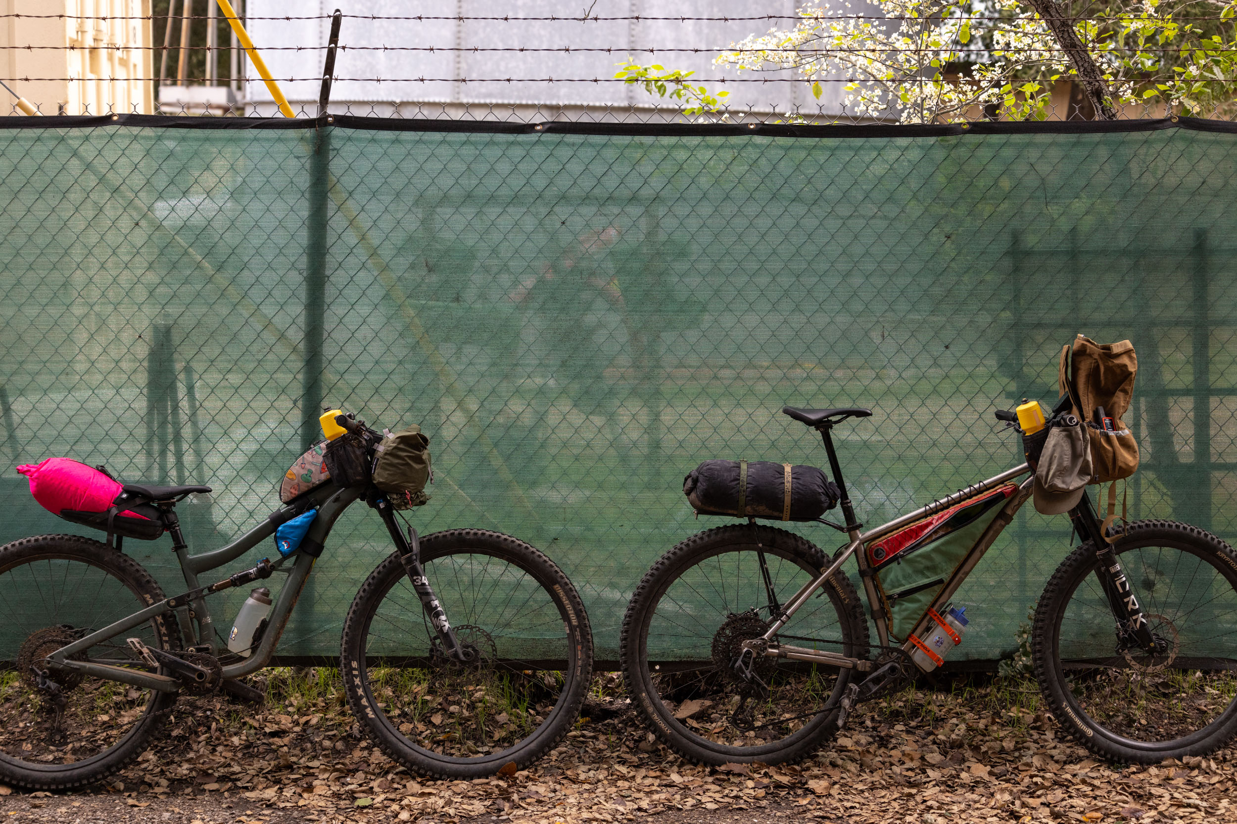
- Ideal Bike: The route is best ridden on a hardtail mountain bike or monster-cross gravel bike with at least 2.2” tires, as it follows primarily dirt roads with the exception of some mellow singletrack on day two.
- Getting Here: The start of the route is about an hour’s drive from LA or just 10 minutes from Ventura. Buses connect the city to Ventura for those without a vehicle. You can either start the route as mapped out or ride from Ventura on the Ojai-Ventura Bike Path, which is nine miles from the start of the route. There are also regional buses that travel between Ventura County and Ojai that could be helpful for some.
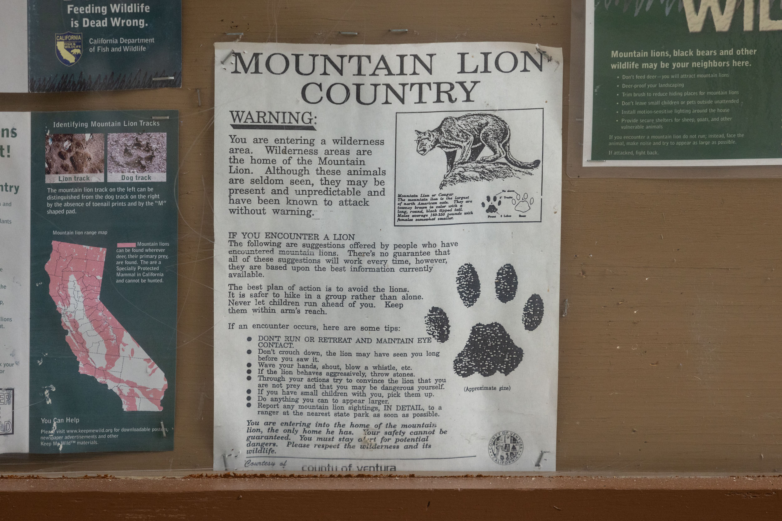
- Wildlife: This region is home to mountain lions, black bears, rattlesnakes, rabbits, squirrels, and other critters. Practice Leave No Trace principles: don’t disturb wildlife, and leave the environment better than how you found it.
- Camping is not legal on Sulfur Mountain Road.
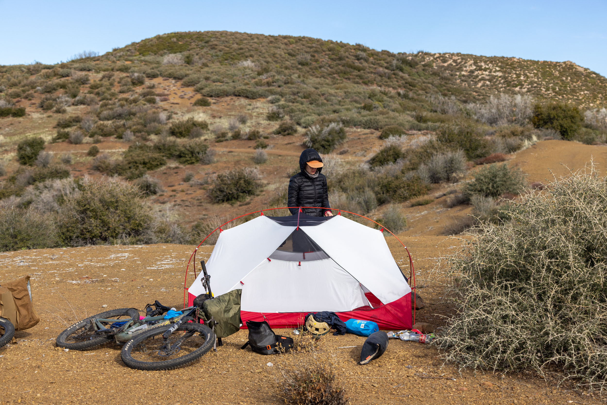
- Dispersed camping is legal on National Forest lands. Please choose a campsite where someone else has camped before and avoid creating new campsites.
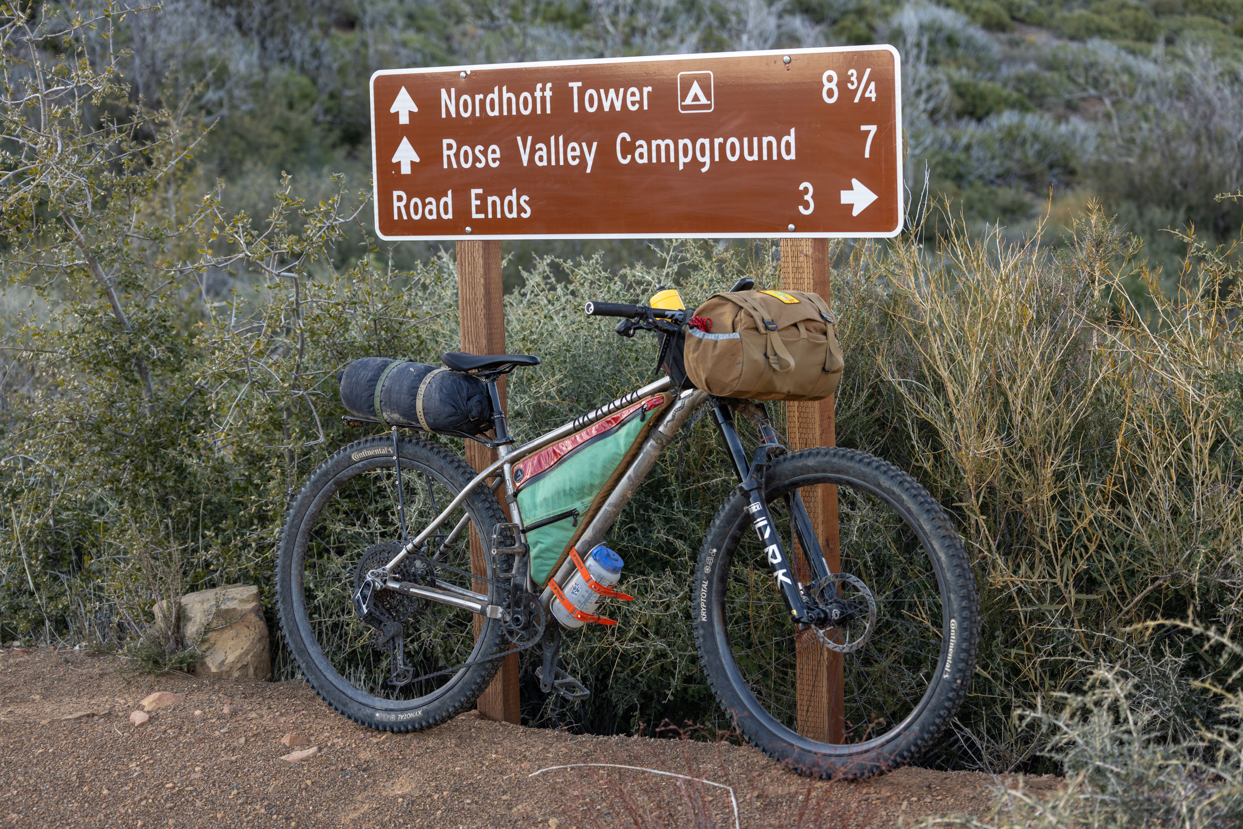
- There are developed campsites with fire rings and picnic tables on Nordhoff Ridge Road (see route POIs). Fires are only allowed in fire rings at these campsites. Check the Los Padres National Forest website for current fire restrictions.
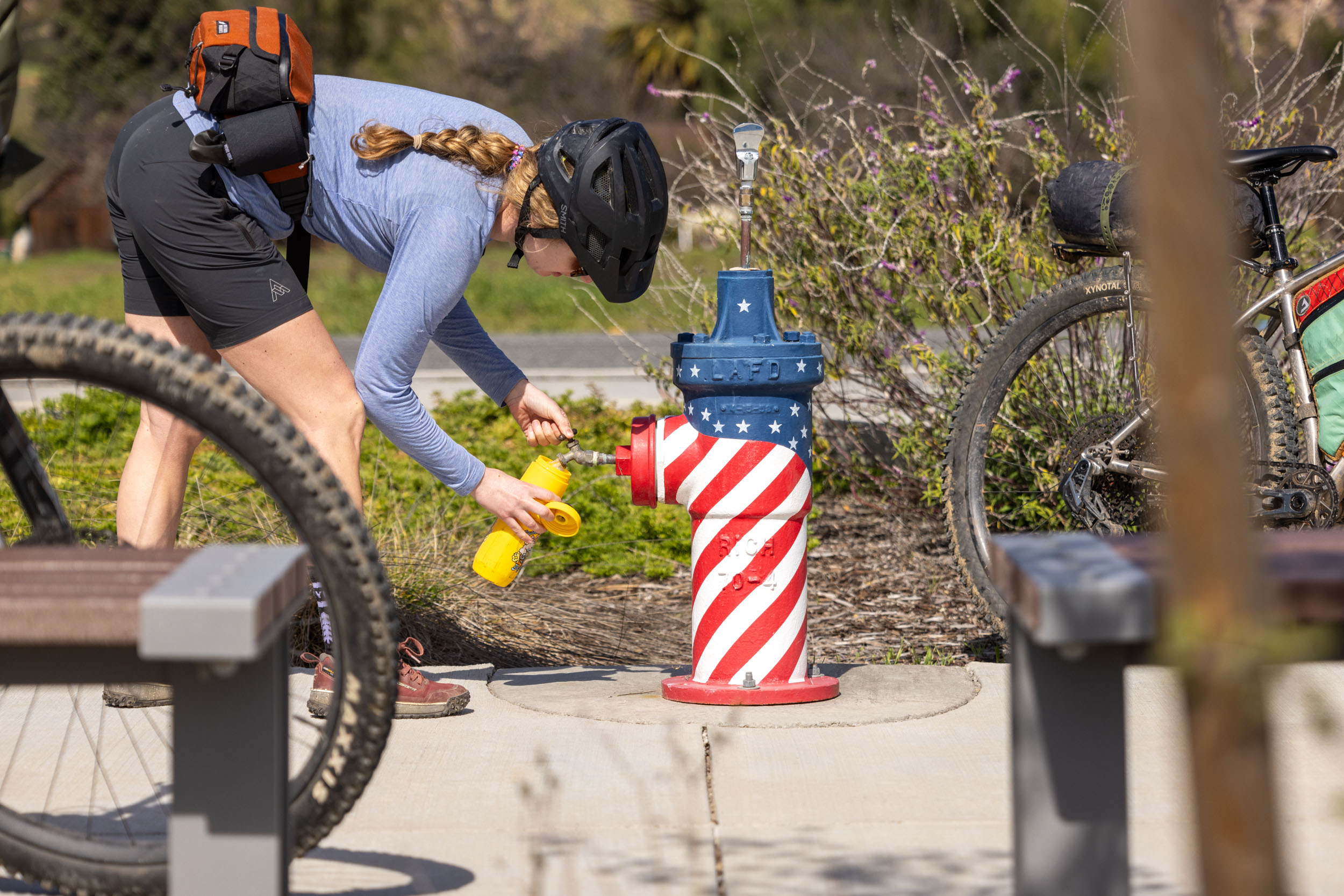
- The first resupply point on the route is off Highway 150, west of Ojai. There is a well-stocked general store and a burger/milkshake joint called Summit Drive-In.
- There is a water spigot and clean washroom just west of Summit Drive-In at the Ventura County Fire Station.
- Sisar Creek typically flows all year long at the bottom of the Sisar Road climb.
- There are some natural water sources along the north end of the loop, but they aren’t guaranteed. Unless the area has received rain recently, or you can confirm with locals, you’ll want to fill up at the Stagecoach Store/Fire Station before climbing up to higher elevations. Expect to carry between four and six liters of water during dry periods.
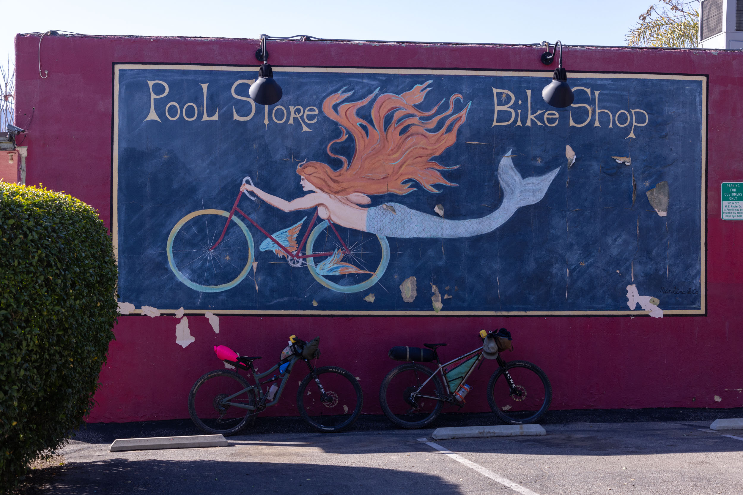
- The second resupply point is in Meiners Oak, west of Ojai. Farmer and the Cook has delicious meals and coffee!
- There are more food options in Mira Monte where the route joins up with the Ojai-Ventura Bike Path.
Two Day Itinerary
Below, you will find a recommended two-day counter-clockwise itinerary, which includes the optional but highly recommended hike up to Hines Peak. Remove the hike, and the route can be completed slightly quicker for relatively fit and experienced riders. Spreading the route out over three days is suggested for those looking to soak up the views from the mountains. Don’t underestimate the amount of climbing on the first half of the route.
location Casitas Springs to Topatopa Bluff/Hines Peak
Day 1 (28 miles, 6,676 feet) + 6 mile, 1,452 feet hike
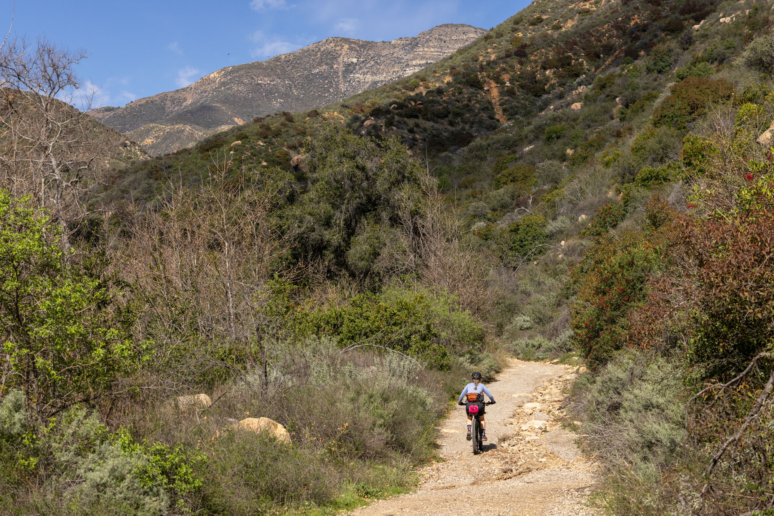
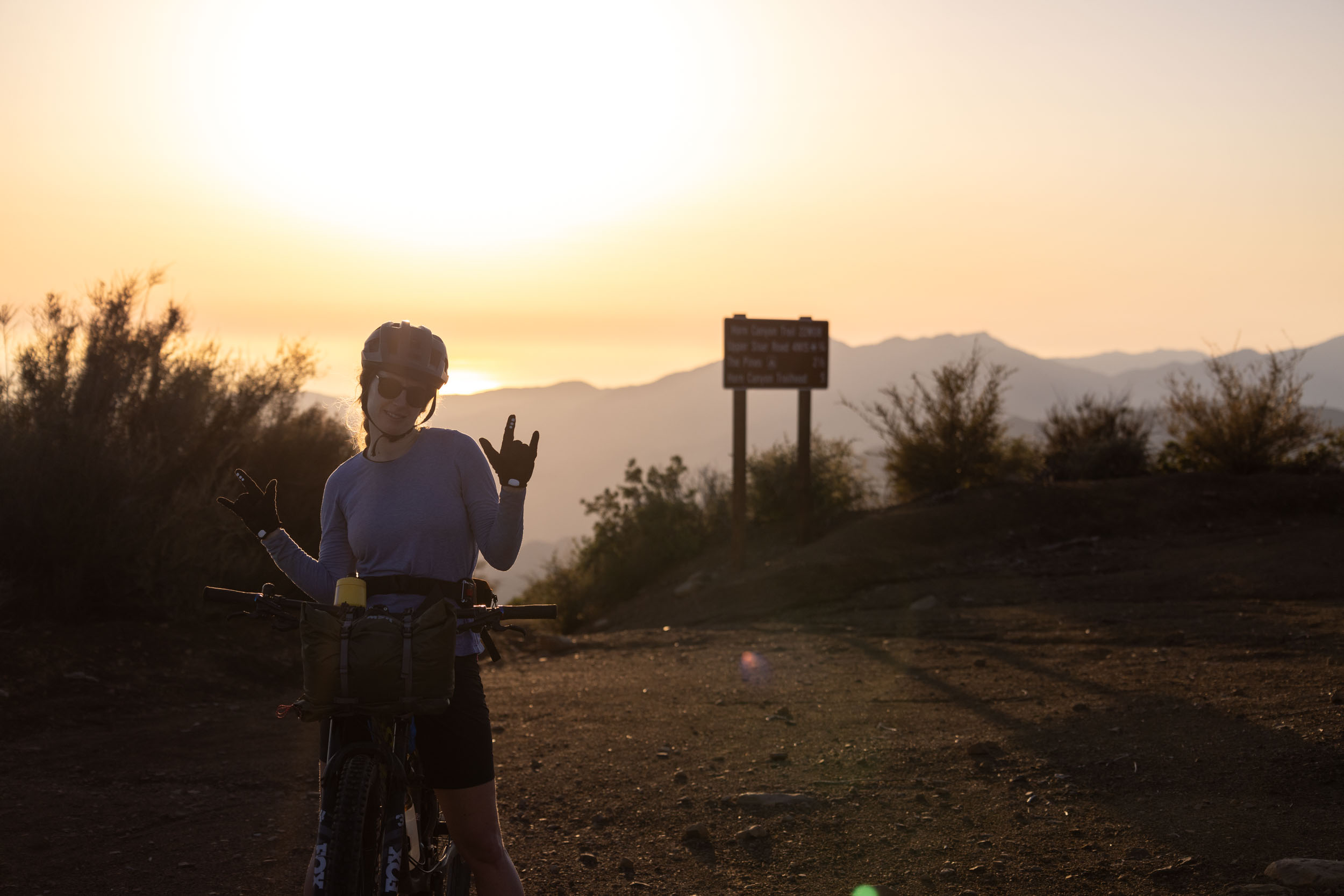
The Ojai Rim Loop starts at the popular Sulphur Mountain Trailhead between Casitas Springs and Oak View, California. You can leave your vehicle at the trailhead overnight without issue or ask a local business in one of the towns for permission. The climb up meanders its way up Sulphur Mountain, dishing up stunning views of Ojai Valley, the ocean, and the mountains to the north. Aside from a few private residents, the climb is car-free and eventually drops down towards the valley and the first resupply point on the route: the Stagecoach Store and the Summit Drive-In. After lunch, the route follows Sisar Canyon Road along Sisar Creek, providing ample opportunities to cool off when the day is heating up. It’s a solid 11-mile climb with nearly 4,000 feet of elevation gain before the first potential camp spots, but the views make it all worthwhile. Once at camp, you can leave your bike at the wilderness boundary, hike the 3-mile (one-way) trail to Hines Peak, or set up camp and relax.
location Topatopa Bluff to Casitas Springs
Day 2 (32 miles, 1,868 feet)
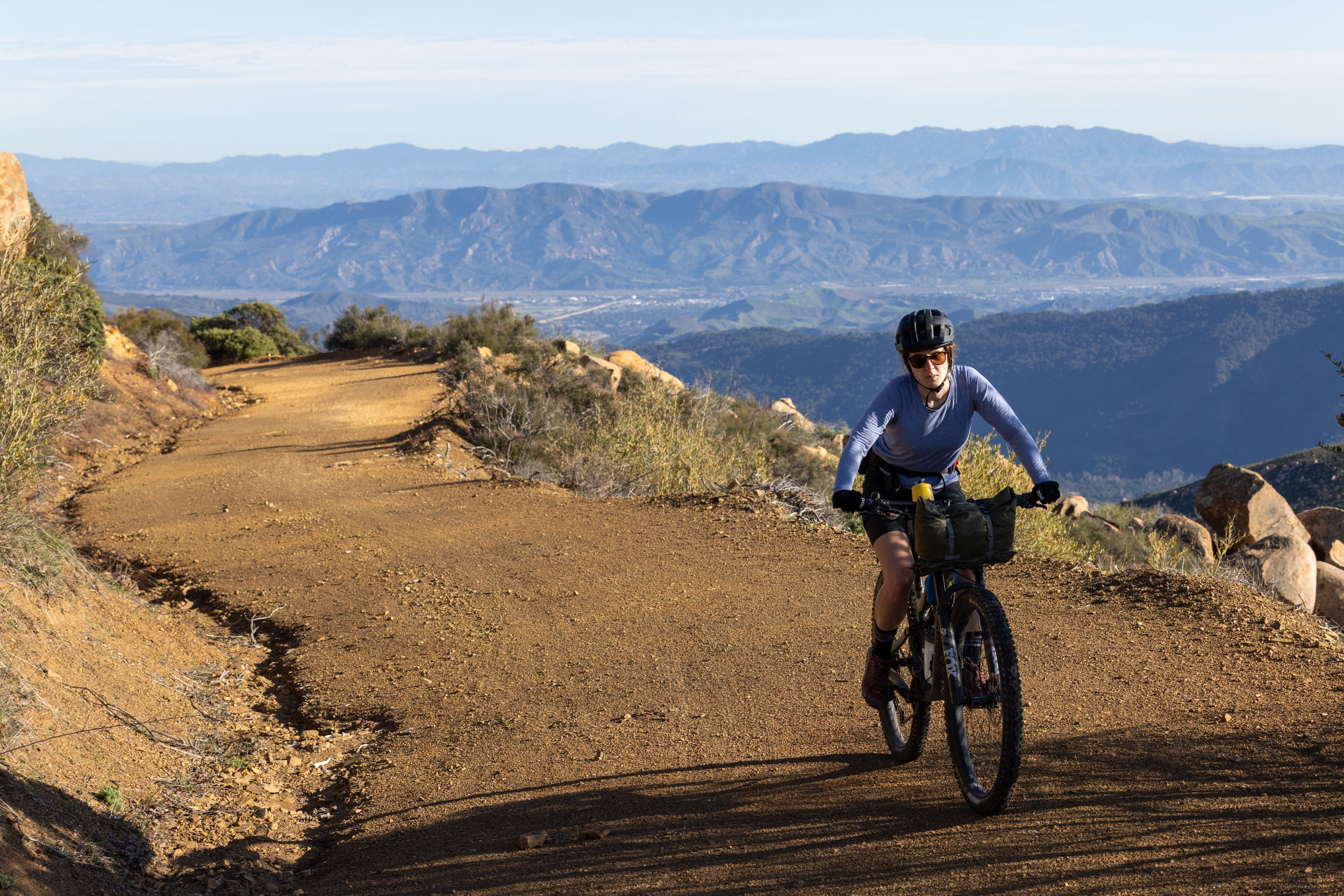
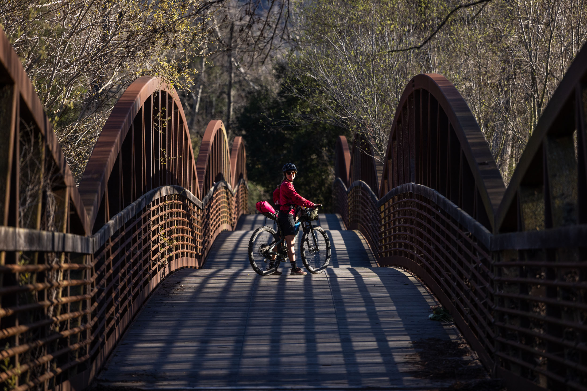
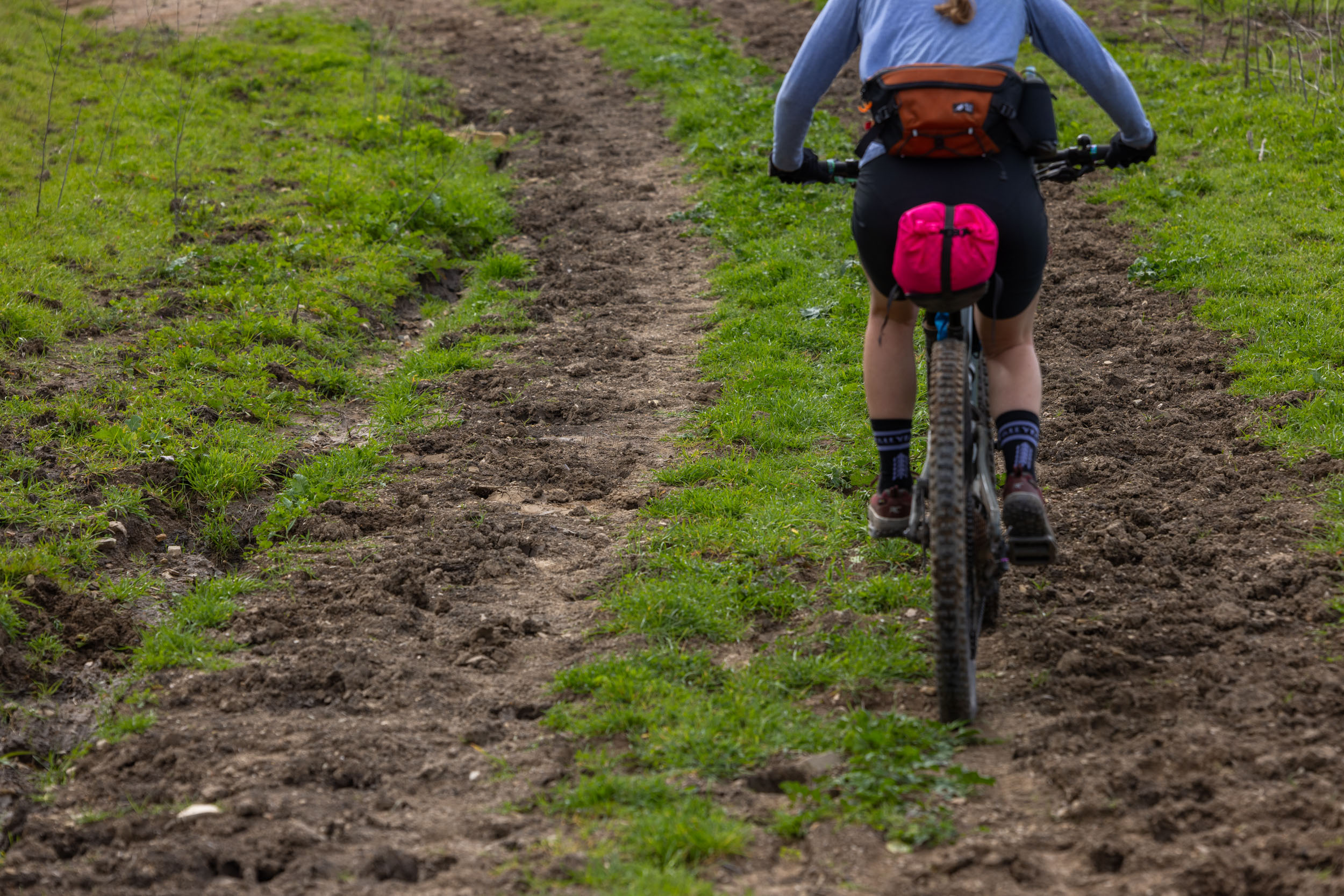
The second day of the route has much less climbing than the first. The morning is spent traversing Nordhoff Ridge, looking south into the Ojai Valley. The road is wide, fast rolling, and beautiful. After about 10-miles, the route meets the Gridley Trail decent, which is a wonderfully flowy multi-use singletrack trail that drops over 2,000 feet back into the valley. For a more technical option, push further west and take Pratt Trail down. From here, the route traverses across the top of Ojai, following popular biking/hiking trails to the Cozy Dell Trailhead, followed by a short ride down the highway before arriving at the Ventura River Preserve Trails just west of Meiners Oak. If you’re hungry (you probably are), this is your best chance to grab a bite to eat for continuing south on the Ojai-Ventura Bike Path back to where you began.
Additional Resources


Terms of Use: As with each bikepacking route guide published on BIKEPACKING.com, should you choose to cycle this route, do so at your own risk. Prior to setting out check current local weather, conditions, and land/road closures. While riding, obey all public and private land use restrictions and rules, carry proper safety and navigational equipment, and of course, follow the #leavenotrace guidelines. The information found herein is simply a planning resource to be used as a point of inspiration in conjunction with your own due-diligence. In spite of the fact that this route, associated GPS track (GPX and maps), and all route guidelines were prepared under diligent research by the specified contributor and/or contributors, the accuracy of such and judgement of the author is not guaranteed. BIKEPACKING.com LLC, its partners, associates, and contributors are in no way liable for personal injury, damage to personal property, or any other such situation that might happen to individual riders cycling or following this route.
Please keep the conversation civil, constructive, and inclusive, or your comment will be removed.