

 Mountain Bike (MTB)
 Gravel Bike
 All-Terrain Bike (ATB)
 Fat Bike


Olney Overnighter
Distance
68 Mi.
(109 KM)Days
2
% Unpaved
67%
% Singletrack
3%
% Rideable (time)
97%
Total Ascent
5,048'
(1,539 M)High Point
1,656'
(505 M)Difficulty (1-10)
4?
- 5Climbing Scale Moderate74 FT/MI (14 M/KM)
- 3Technical Difficulty Fair
- 5Physical Demand Moderate
- 3Resupply & Logistics Fair
Contributed By
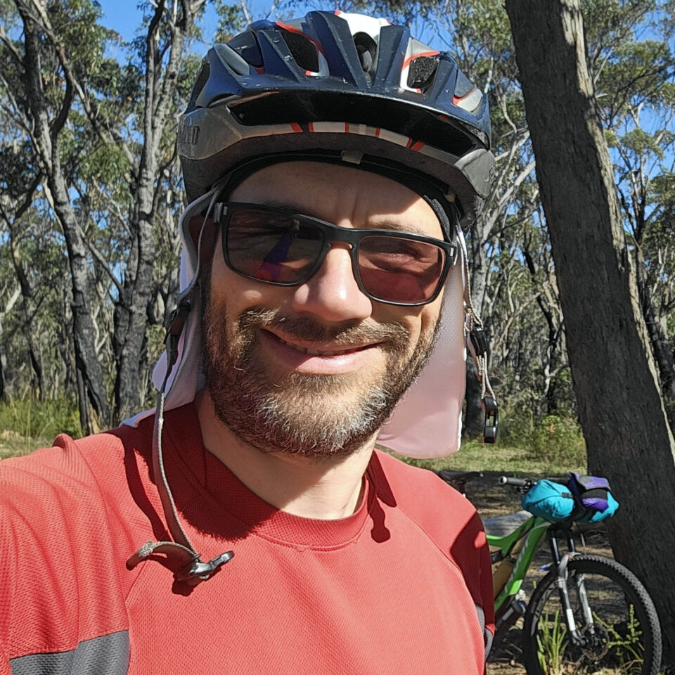
Tim Giles
Guest Contributor
Tim is a regular 9-5 job kinda guy who lives in Sydney, Australia. He’s always had a passion for being outdoors, whether it be canyoning, orienteering, rogaining, canyoning, or mountain biking. COVID reignited his teenage passion for “getting out there” by bike, and some short bikepacking trips led to him completing the Hunt 1000 in 2025.
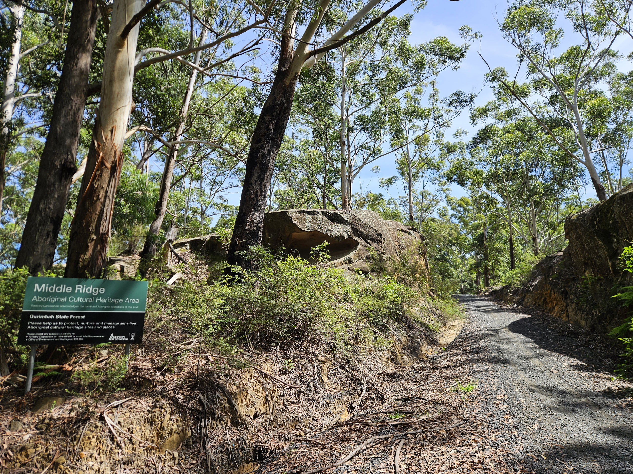
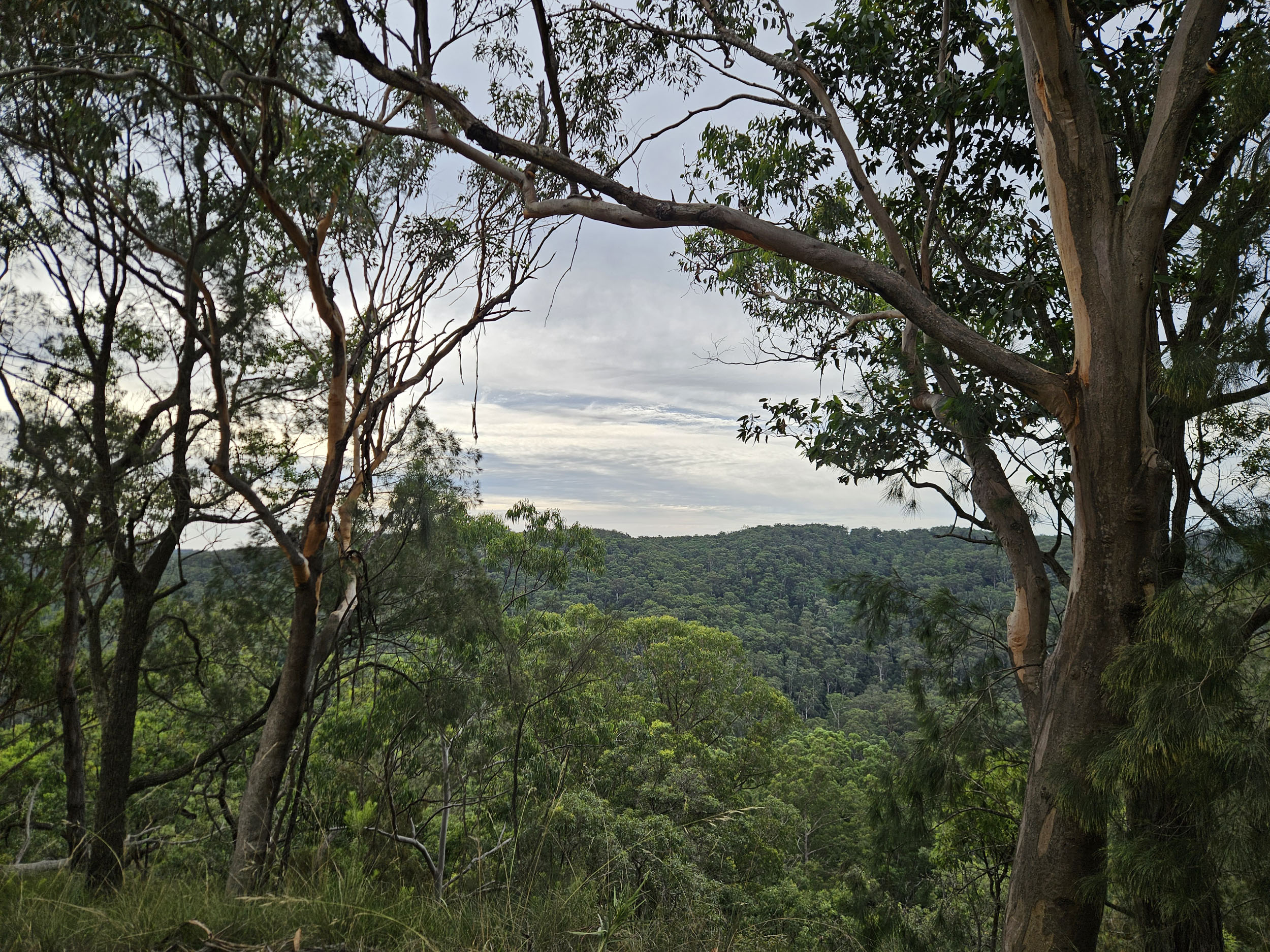
You’ve got the gear and done a shakedown trip. Now, you’re ready for a proper test of your legs and bikepacking setup. Enter the Olney Overnighter! You’ll pass through Ourimbah, Olney, and Awaba State Forests; Watagans National Park; Jiliby State Conservation Area; and the Middle Ridge Aboriginal Cultural Heritage Area. This area contains rock art, grinding grooves, and other cultural sites of high significance to the Darkinjung and Wannangini/GuriNgai Aboriginal communities (though specific locations are not made public).
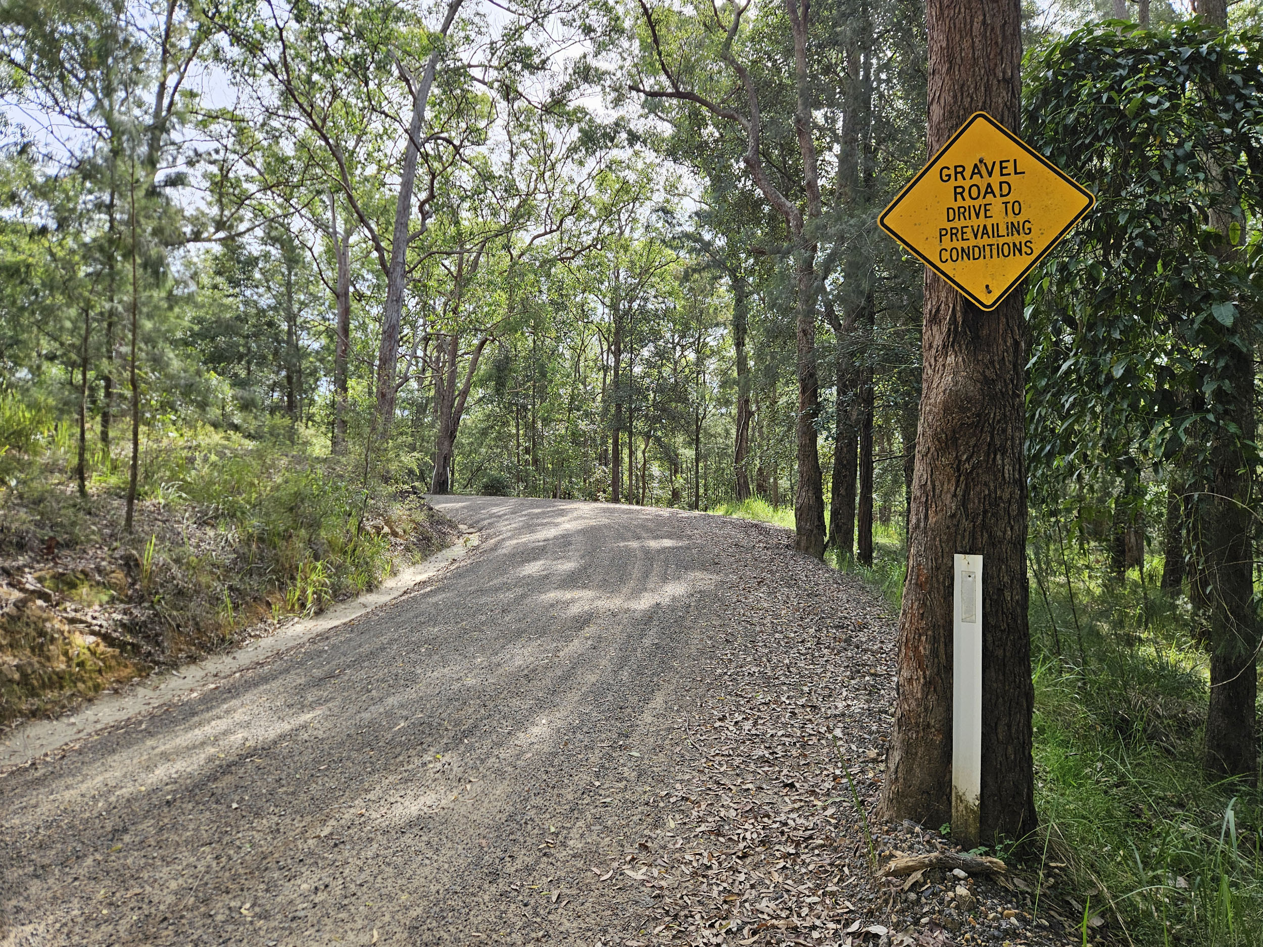
The route has been designed to get you into the hills and away from traffic. Most of it is on fire trails, except for the blacktop in and out of the towns. There is a short uphill hike-a-bike (and possibly a downhill section, too, depending on your bike-handling skills). Logistics are reasonably simple; however, this trip is not for beginner cyclists. You will need some hill climbing fitness.
Route Difficulty
Technically, the route is a 3 out of 10. You’ll mainly be riding good fire trail, with some beginner singletrack. Physically, the route is more challenging, rated 5 out of 10. There’s a reasonable amount of climbing and undulations on day one. Day two is much easier. Resupply and logistics are straightforward. This ride starts and ends at train stations on the Central Coast line, allowing easy access and a shuttle return. You can buy lunch each day and stock up on water, but otherwise, you’ll need to be self-sufficient. And if you forget or break anything, there are bike shops within the start and finish towns.
Route Development
The Olney Overnighter was created in response to the limited number of published bikepacking routes near Sydney, despite the huge quantity of trails waiting to be explored. The route had a dual purpose: firstly, to serve as an early shakedown ride for the Hunt 1000, and secondly, to introduce Sydney mountain bikers to the world of bikepacking. With simple logistics and just enough challenge to leave riders with a genuine sense of achievement, it was designed to be both accessible and rewarding.
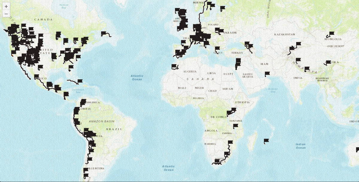
 This route is part of the Local Overnighter Project, which was created to expand our growing list of worldwide bikepacking routes—the first and largest of its kind—and create an independent map and catalog of great bikepacking overnighters, curated by you, from your own backyard. Our goal is to have accessible routes from every town and city in the world. Learn More














Submit Route Alert
As the leading creator and publisher of bikepacking routes, BIKEPACKING.com endeavors to maintain, improve, and advocate for our growing network of bikepacking routes all over the world. As such, our editorial team, route creators, and Route Stewards serve as mediators for route improvements and opportunities for connectivity, conservation, and community growth around these routes. To facilitate these efforts, we rely on our Bikepacking Collective and the greater bikepacking community to call attention to critical issues and opportunities that are discovered while riding these routes. If you have a vital issue or opportunity regarding this route that pertains to one of the subjects below, please let us know:
Highlights
Must Know
Camping
Food/H2O
Trail Notes
Resources
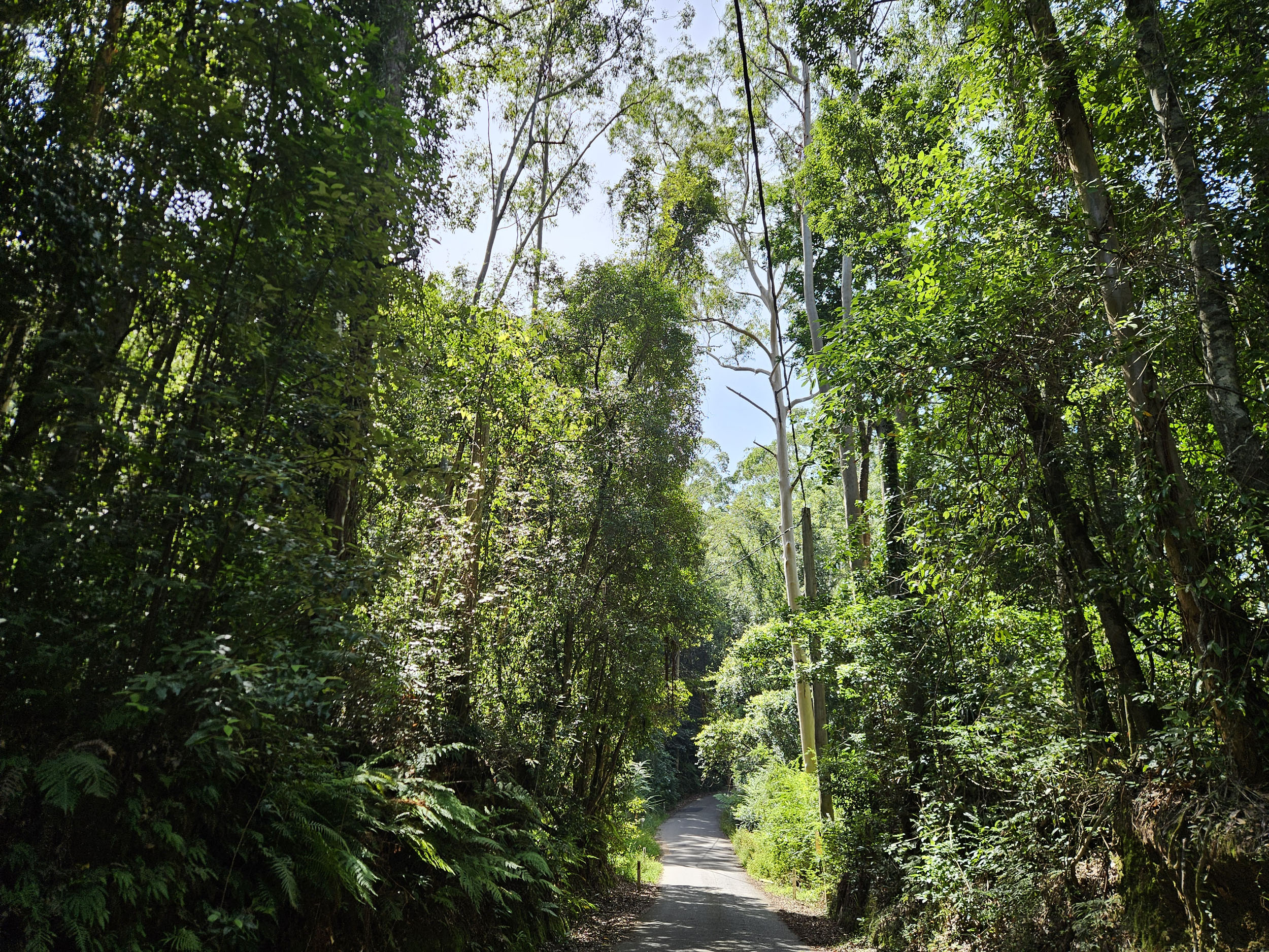
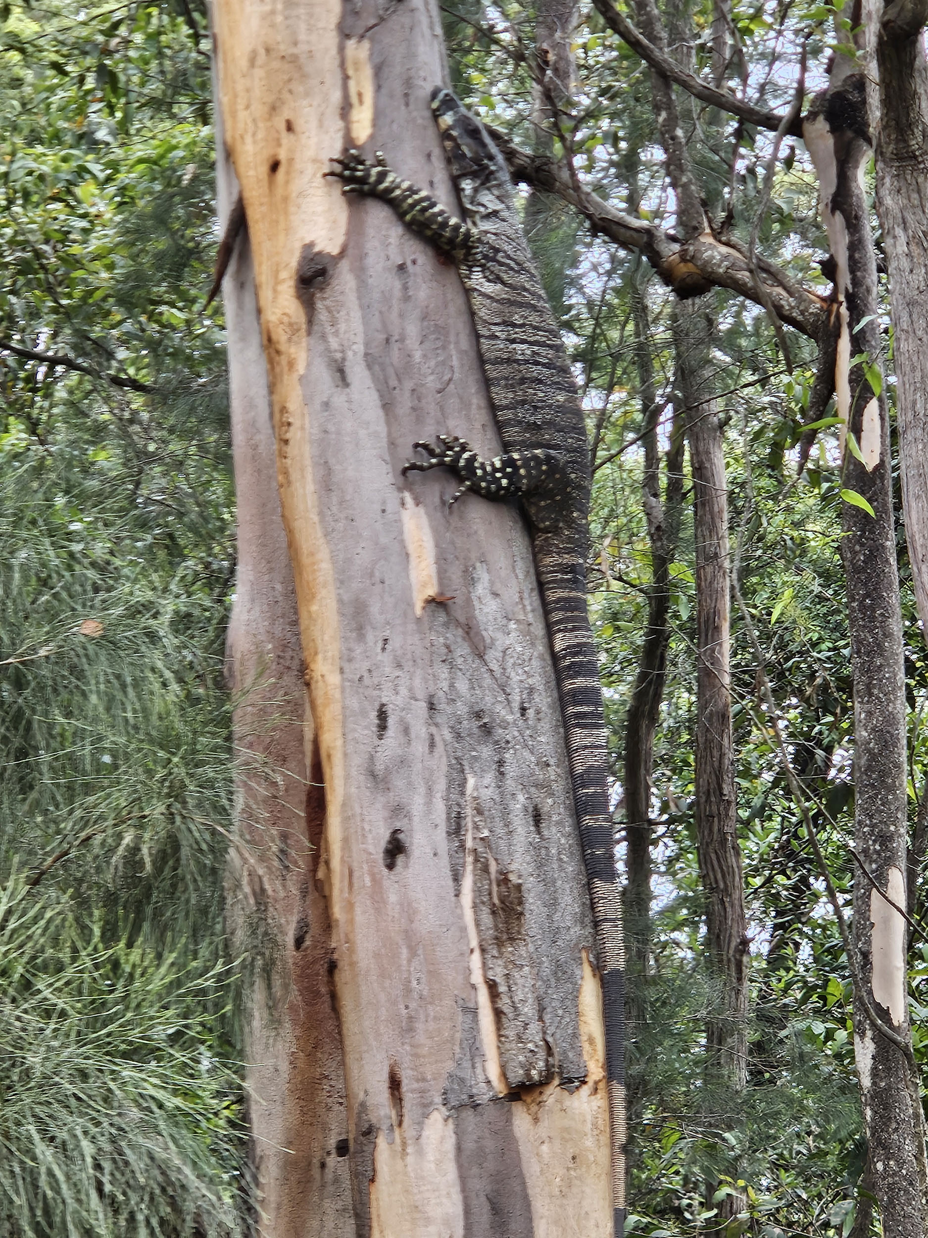
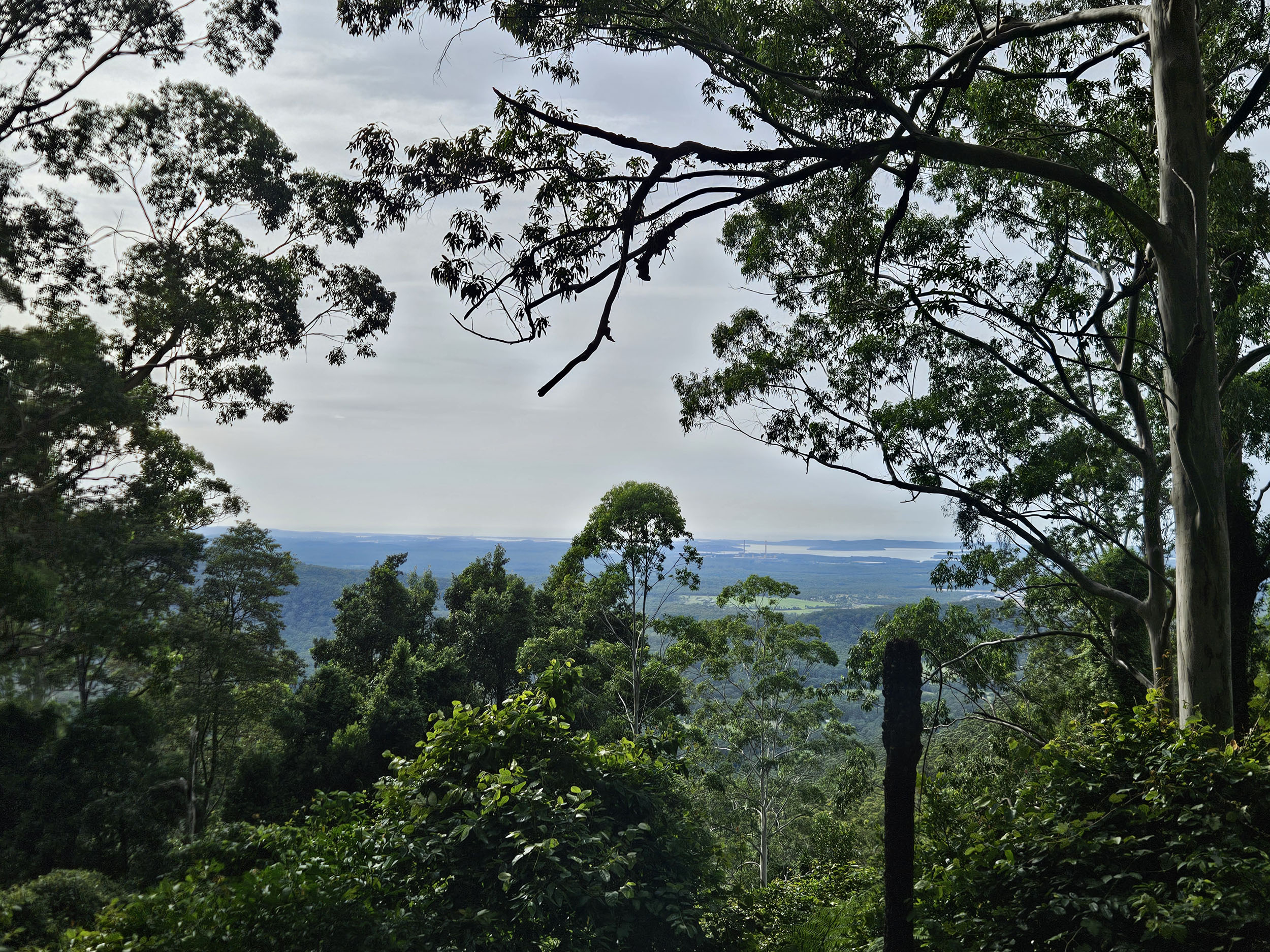
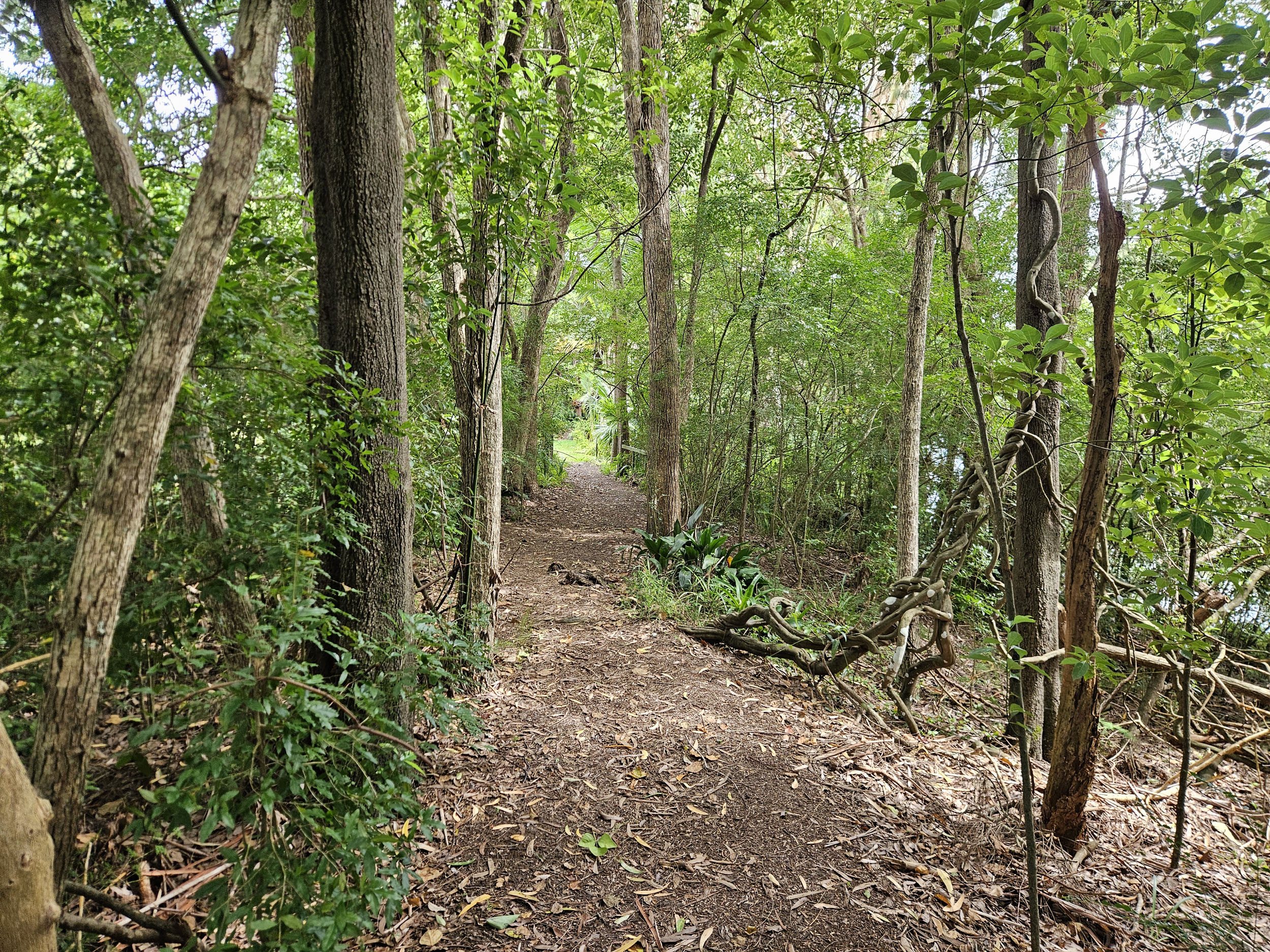
- Rainforest sections with ferns and the sounds of bell and whip birds
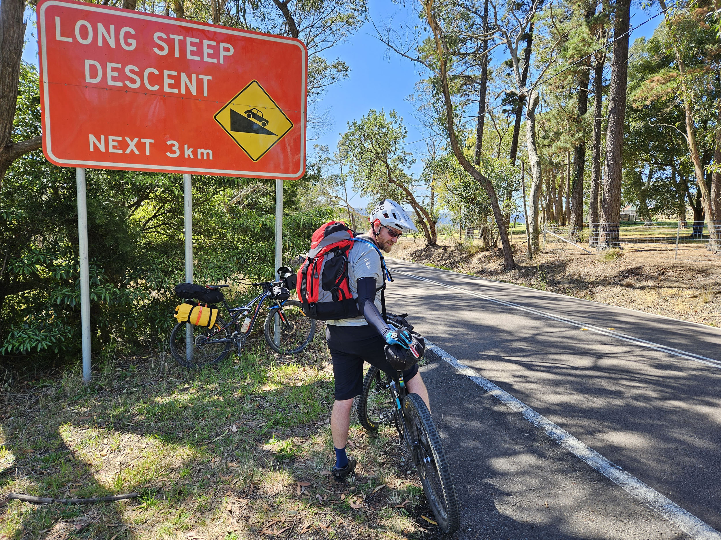
- A fast tar descent into the only town on-route
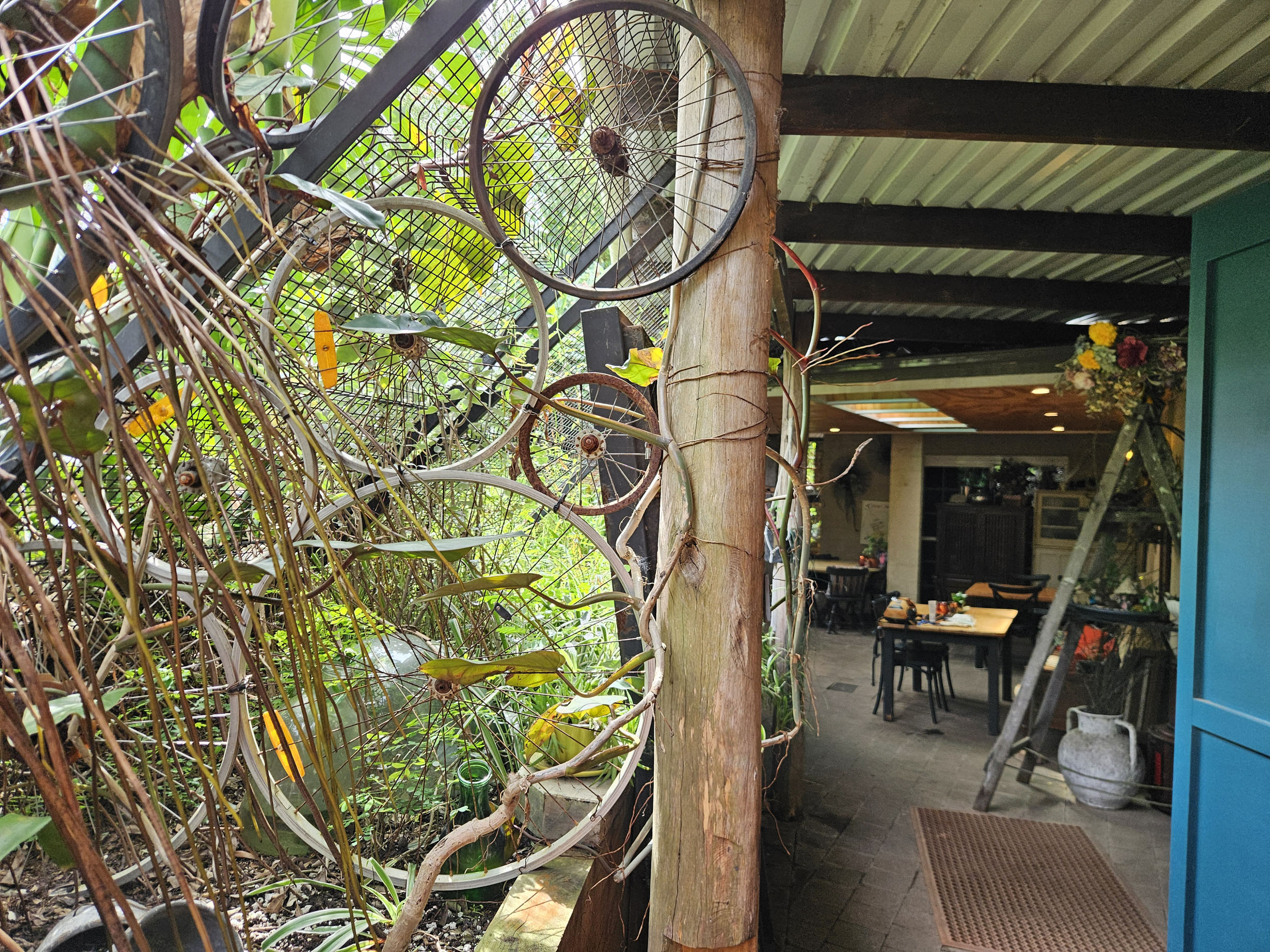
- Yarramalong Cafe, with its vine-covered pergola, good food, and friendly service
- Rolling through green farmland
- The long and steady gravel climb up Cedar Brush Road
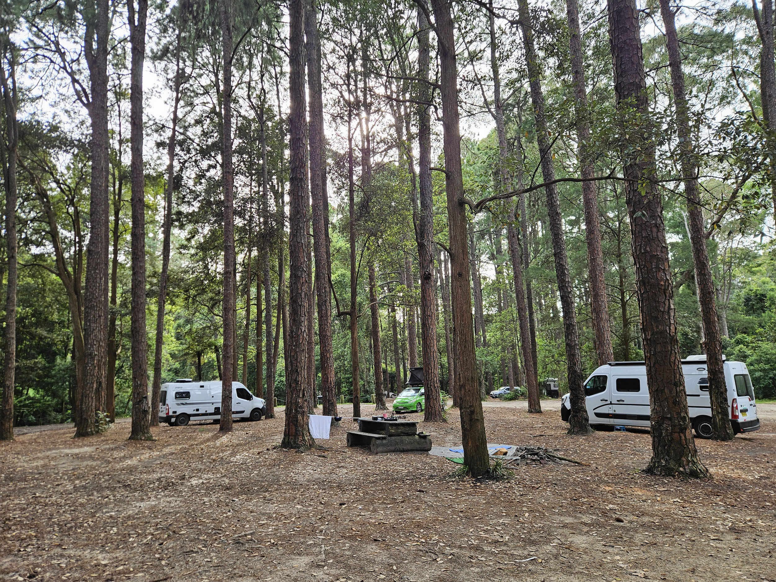
- Camping amongst the pine trees
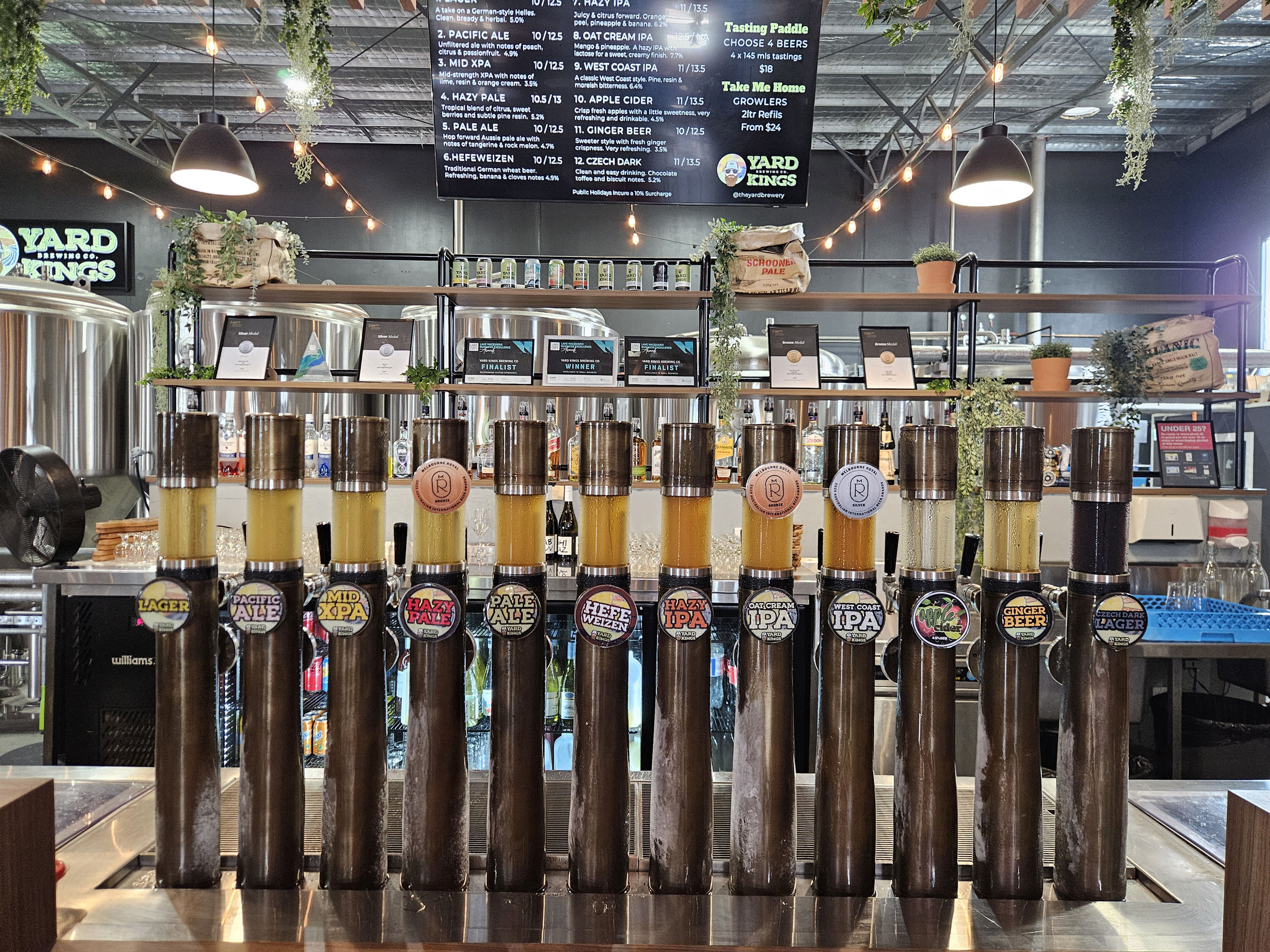
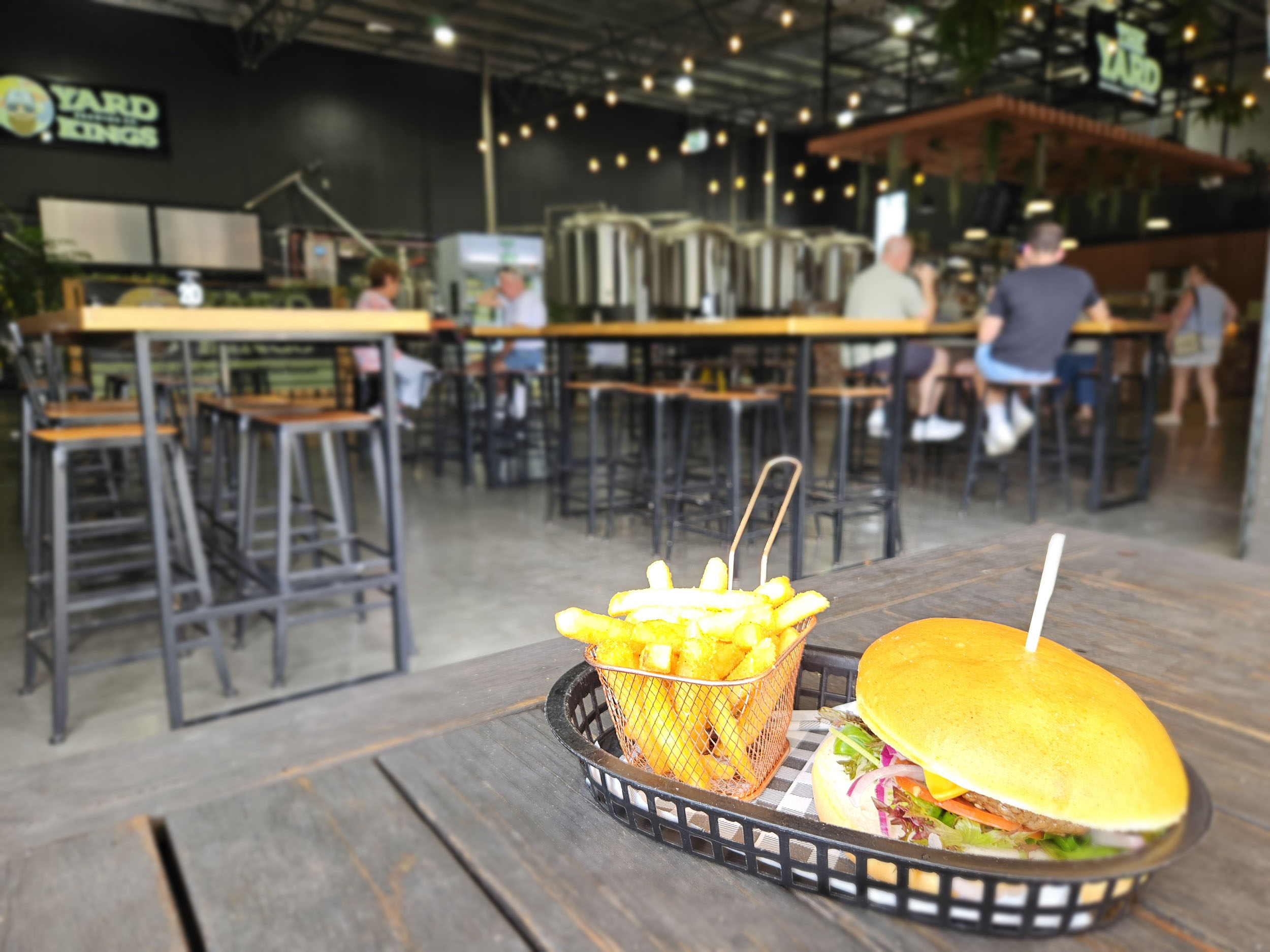
- Finishing with a burger and beer at a local brewery
When to go
- This ride can be done year-round, noting that in the cooler months it reaches near freezing at night, but still hits 15°C (59°F) during a sunny day. In summer, nights will be above 2°0C (68°F), but the days will be 30°C (86°F) to 45°C (113°F), and the forest is humid, so check the forecast before you leave.
Dangers & Annoyances
- Loose gravel surfaces (ride with care)
- Snakes (carry a snake bandage)
- Limited mobile coverage (carry a PLB)
- Heat exhaustion (avoid peak summer and plan your water)
- Campsite noise (take earplugs)
What Bike
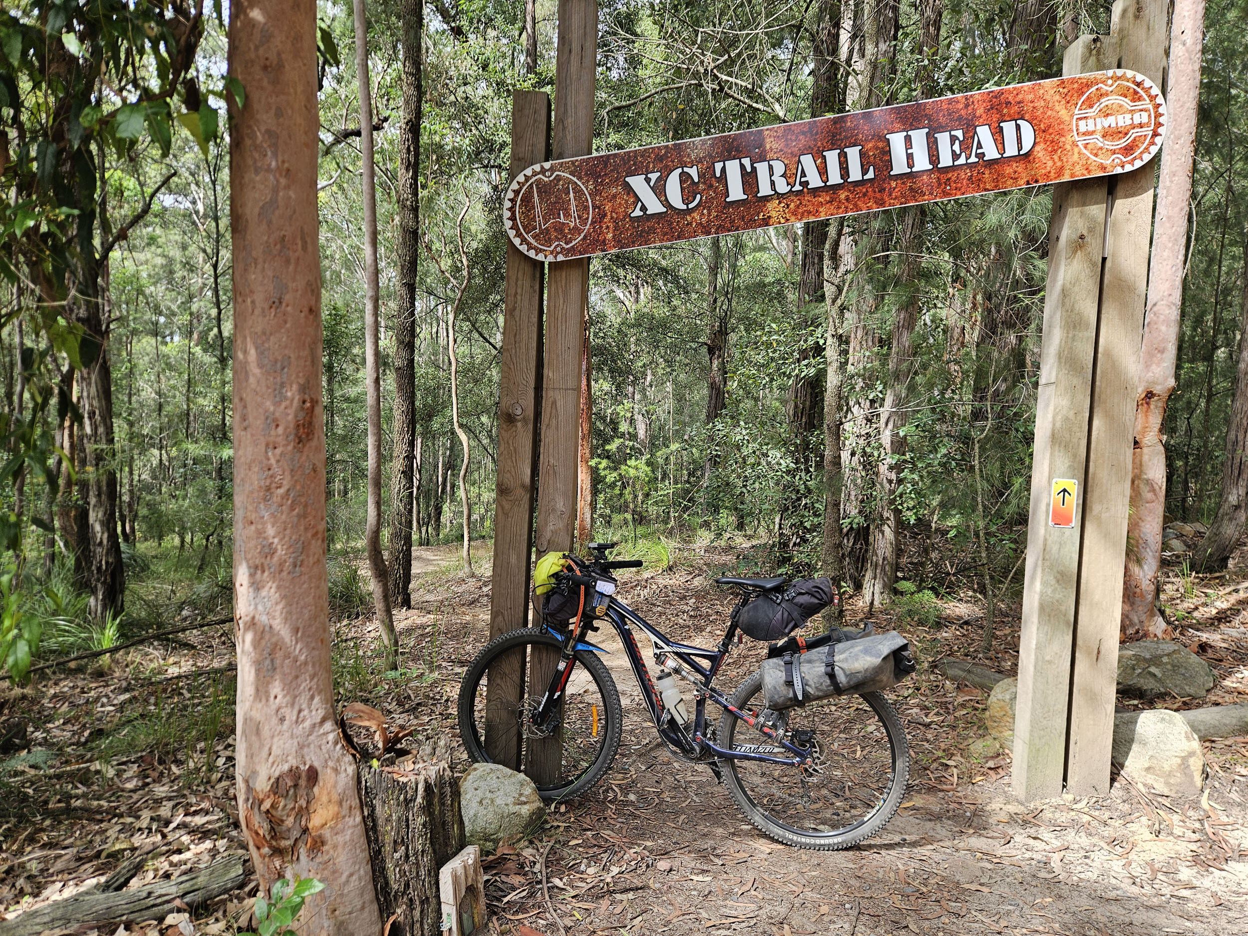
- A bike with suspension like a hardtail is ideal, but a rigid mountain bike or gravel bike with low gearing and bigger tires will work.
- Tires should be at least 45mm wide.
Logistics
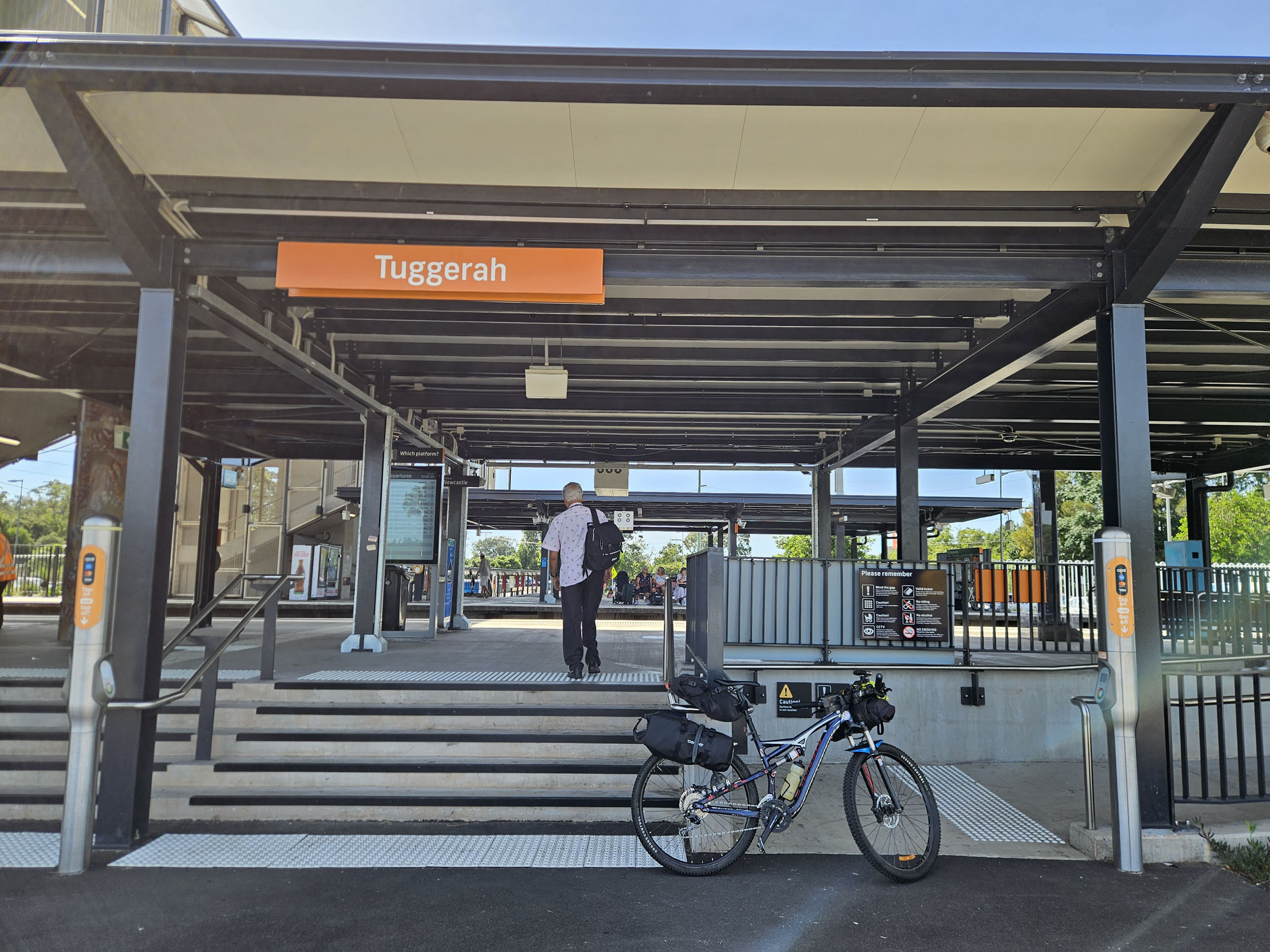
- The route starts at Tuggerah train station, and finishes at Morisset train station. You can catch the train from Sydney, or leave your car in the station car park. There are trains at least hourly between stations, and you can roll your bike straight on.
- There are several free campsites next to each other in Olney State Forest. The easiest one to reach is Olney Headquarters, with a pit toilet, tank water, and a picnic shelter.
- You don’t need to book to camp under the trees here, but you will almost certainly be sharing it with others, as it is reachable by dirt road.
- Fresh water is available at the train station and public toilets in Tuggerah.
- As you are generally riding up on the ridge, you won’t find many drinkable creeks.
- On the trail, you can filter water from the cafe bathroom in Yarramalong (or purchase bottles from their store).
- There is tank water at the main Olney Headquarters campsite.
- The Yarralong cafe makes a great lunch stop on day one (it is open most days of the year), and heading to one of the breweries in Morisset for a feed provides the perfect reward at the end of your trip.
Suggested itinerary
-
Day 1: 66km, 1200m. Tuggerah Station to Olney HQ. Allow 6 to 8 hours total time.
Day 2: 44km, 400m. Olney HQ to Morisset Station. Allow 3 to 5 hours total time.
Route Description
locationTuggerah station to Palmdale
Section 1 (8km, +25m)
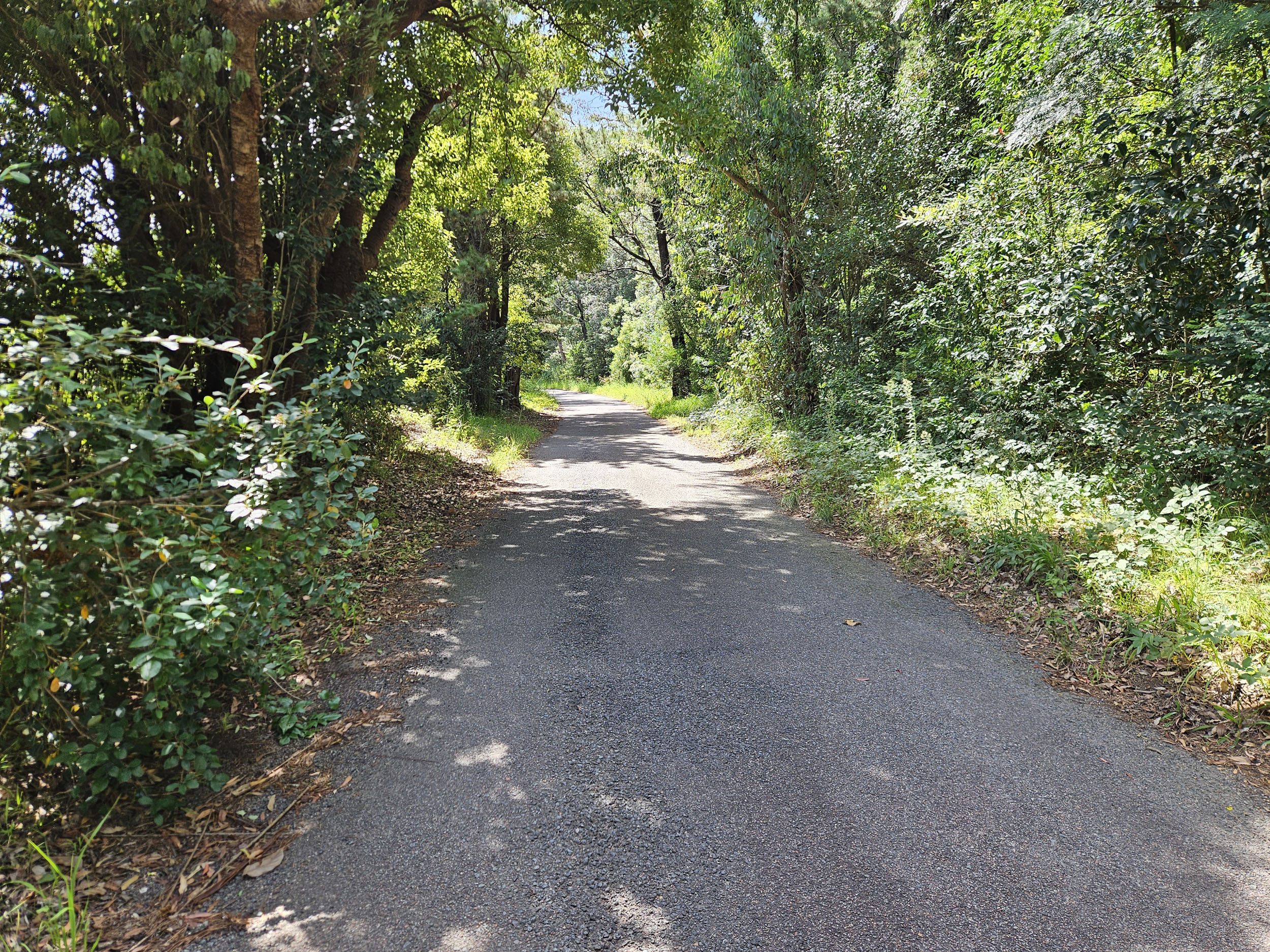
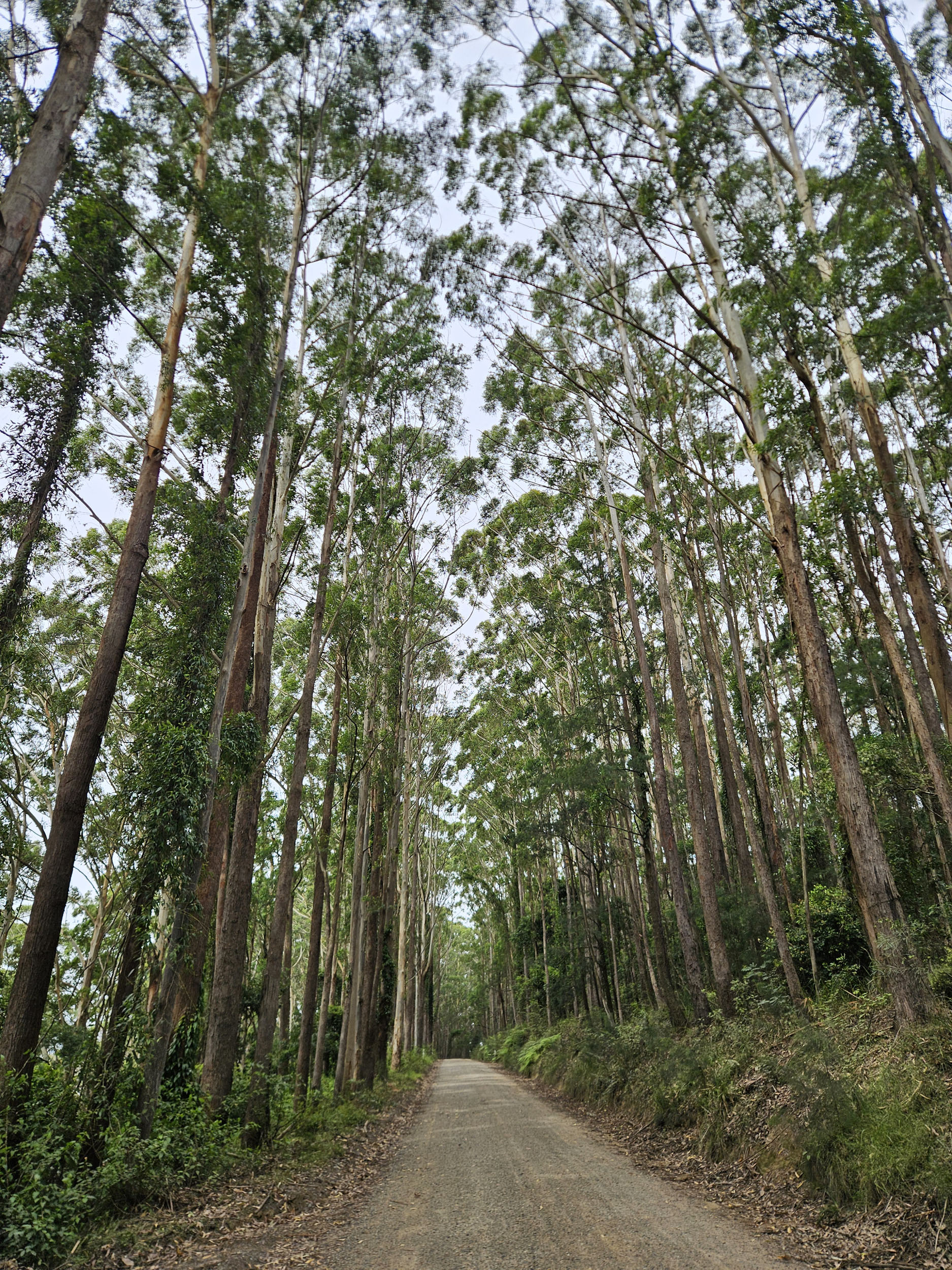
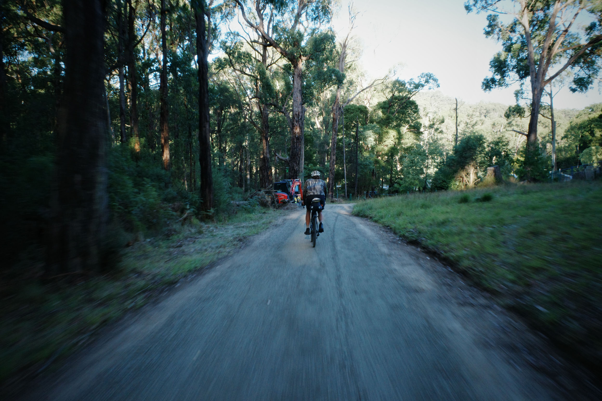
The route starts at Tuggerah train station, where there are toilets and water. If you didn’t catch the train, you can park your car in the station car park or nearby streets. Forgotten some camping gear? No problem, there are Anaconda and Bunnings stores within walking (er, riding) distance. Take your time getting your bags sorted, then cross the station bridge using lifts to the official start of the route. You’ll start on the bike path and take the road underpass before heading out along the old highway. There are a few kilometres here with limited road shoulder and moderate traffic, but once you’ve turned off onto Palmdate Road and gone past the lawn cemetery, you can start to relax and enjoy this pretty country lane. You’ll see farmhouses and tall pine trees, which give way to giant eucalyptus.
locationPalmdale to Yarramalong
Section 2 (20km, +369m)
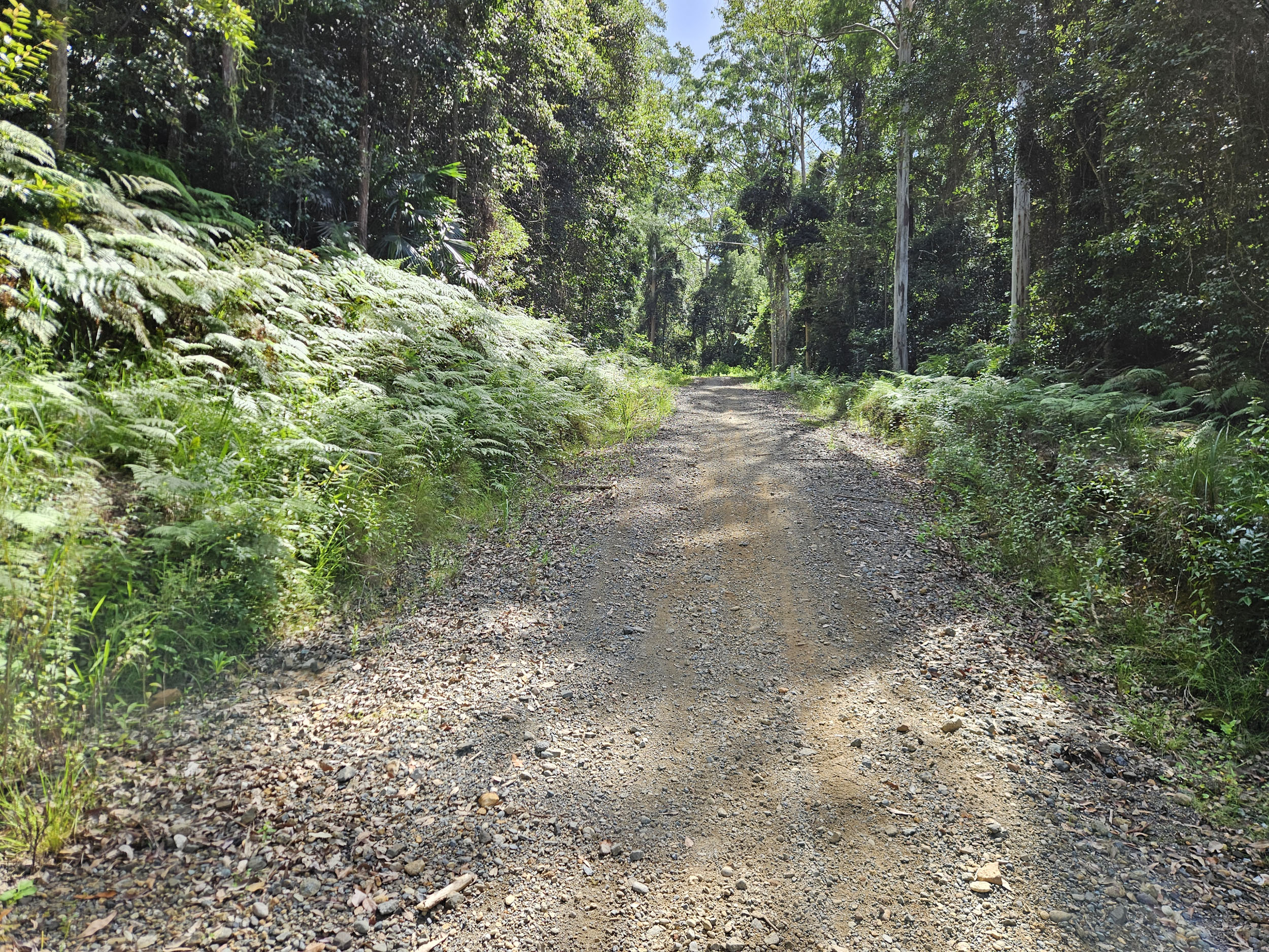
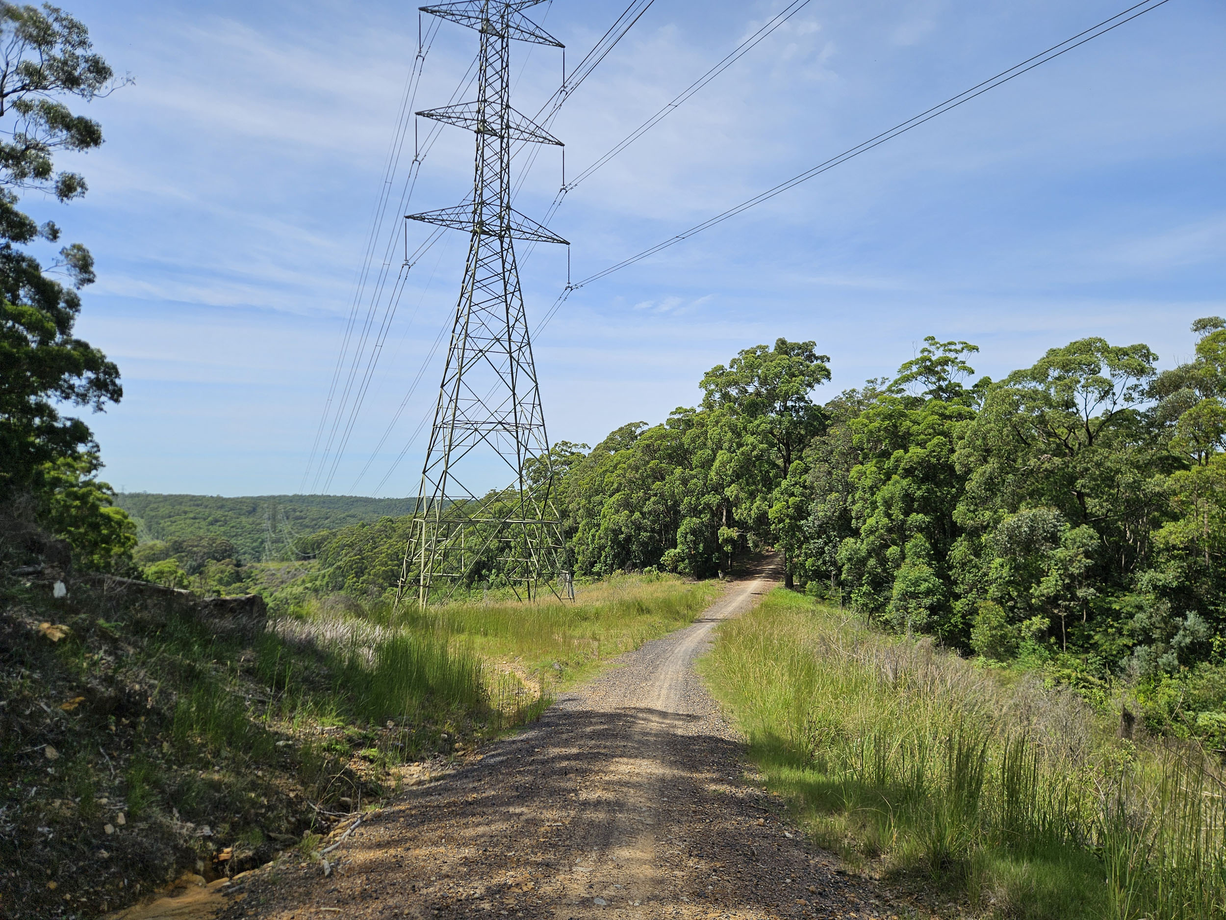
Once you get to the seriously solid fire trail gate, get ready for some hike-a-bike! Open your senses and enjoy the sounds of bell and whip birds. Before you know it, you’ll be back on your bike and pedalling along classic state forest fire trail. Coming back out onto bitumen, you’ll enjoy a fast-paced descent into the village of Yarramalong. The café here is open every day 7:30 a.m. to 6 p.m., where you can sit in the green courtyard for a relaxed lunch. You can buy bottled water or filter some from the bathroom tap (the village is on rainwater).
locationYarramalong to Walkers Ridge Rd
Section 3 (17km, +376m)
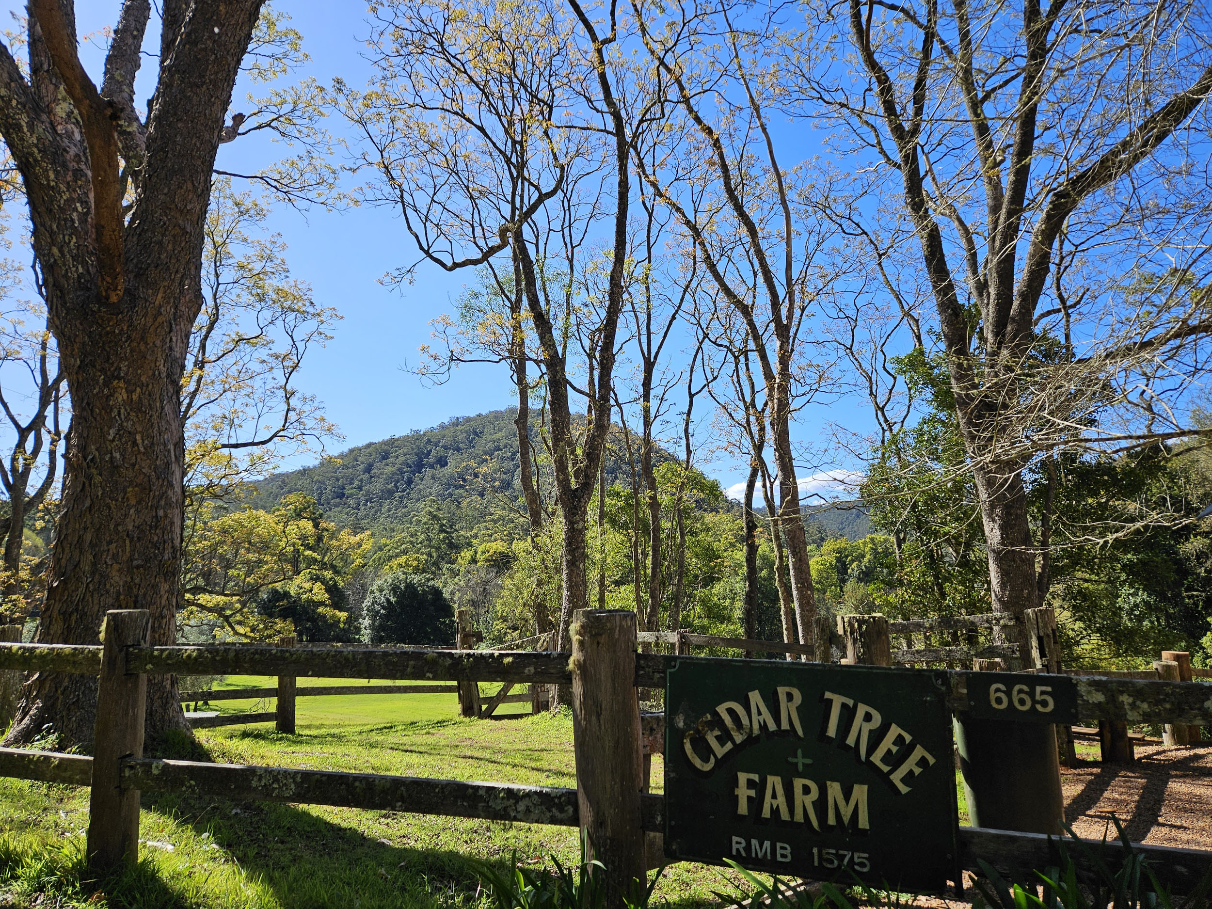
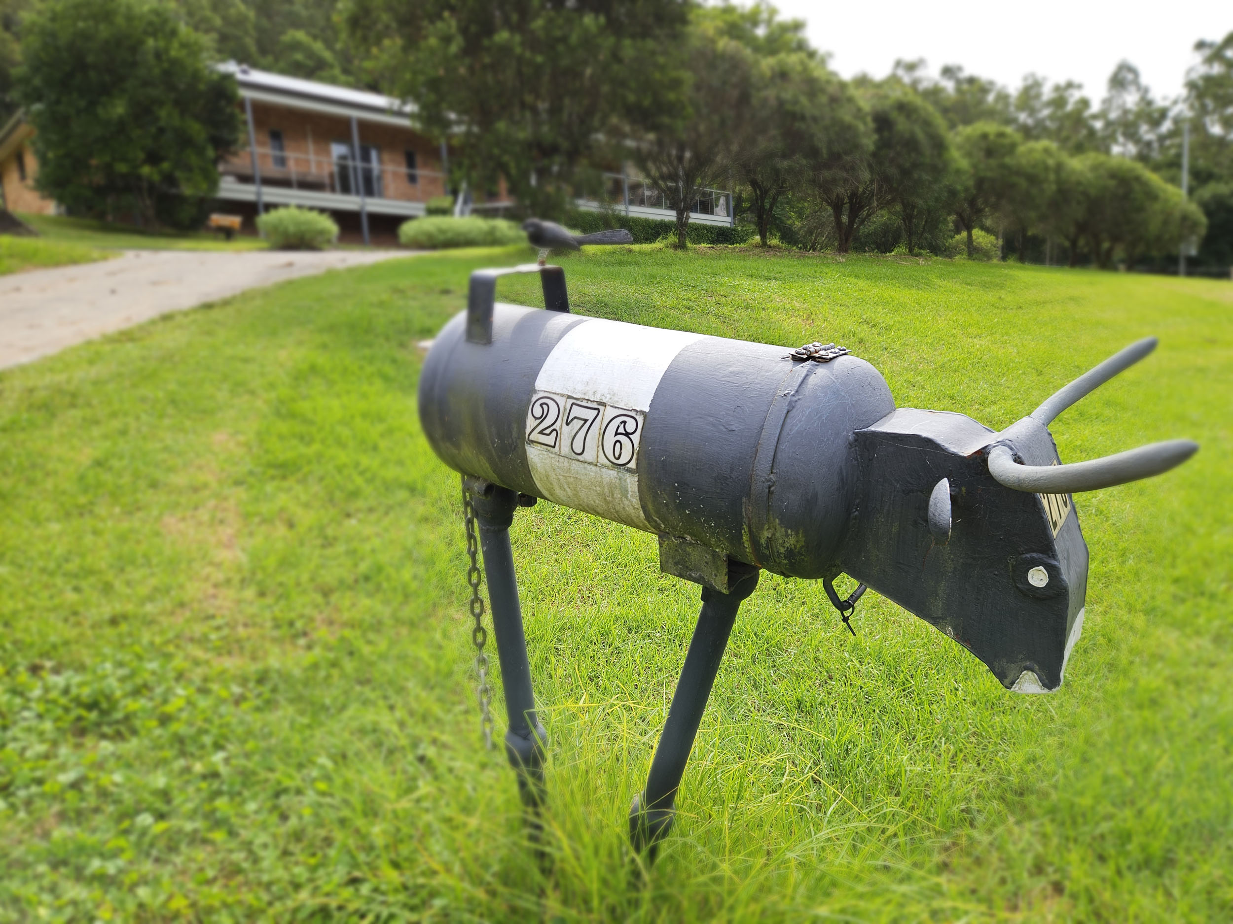
This section starts on bitumen, gradually heading upwards through the farmland of the Cedar Brush locality. Look out for the creative and often humorous sculptures, designed for the Yarramalong Valley Scarecrow Competition. At the end of the valley, the road surface changes to gravel, in preparation for the biggest climb of the trip. Although it qualifies (just) as a Cat 2 climb, the 6km has a fairly consistent grade of 5-8%, allowing you to settle in and grind your way up.
locationWalkers Ridge Rd to Olney HQ
Section 4 (20km, +285m)
Beginners might think this long undulating fire road section seems to go on forever. If your legs are fading, keep the sugars up and think of the dinner you’ve packed to cook at camp (and maybe a wee dram of whiskey).
At the top of the ridge you have four camp areas to choose from. Being on the main trail, the easiest to reach is Olney HQ. It has tank water, a pit toilet, and a picnic shelter. Being free to camp, it can get busy here on weekends. There are also The Pines, Casuarina, and Turpentine sites within a kilometre along the road. Bring earplugs just in case. Also, your non-riding mates can drive up here if you need some extra company.
locationOlney HQ to Cooranbong
Section 5 (33km, +300m)
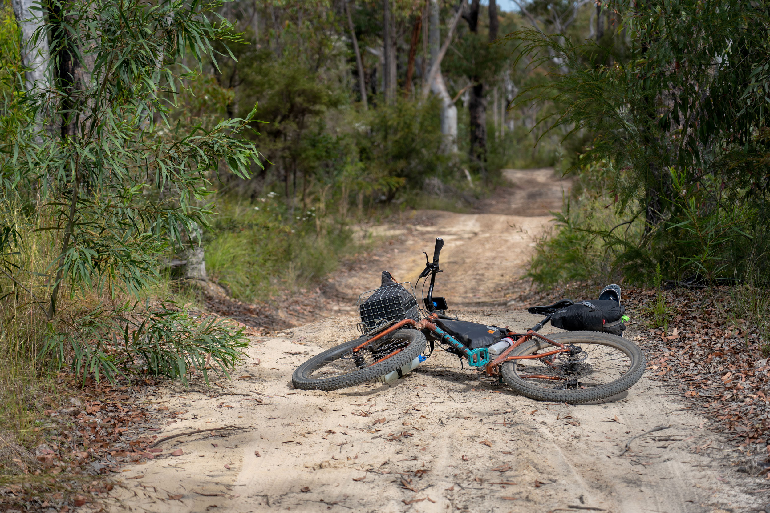
Hopefully you remembered to stretch last night so you don’t wake up with sore legs. Today is an easier run, and there’s a shortcut if your body really can’t take it (it’s 21 kilometres downhill to Morisset station via Watagan Forest Rd/Martinsville Rd/Freemans Dr). Even with the full route, we’ll have you done by lunchtime! The gravel road can be loose, and your bike will likely be a bit top-heavy, so descend carefully. Gravel rash is nasty (and you remembered your first aid kit, right?). Ignore the handmade No Through Road signs, as long as you follow the route you’ll make it out of the forest. Keep an eye out for 4WDs and motorbikes. At about kilometre 89, you’ll turn left onto a rutted descent, which you may wish to walk. Shortly after that, there is a fence to negotiate, but if you traverse left for 20 metres, you can wheel around it—this will keep you in the national park. There’s a nice bit of singletrack before you exit the bush (you can avoid it by using the parallel fire trail if you desire).
locationCooranbong to Morisset Station
Section 6 (11km, +68km)
This is a relatively flat warm-down section. There’s a coffee shop in Cooranbong if you need a second morning shot of caffeine. The shared path into town passes the Sanitarium factory and Avondale University, before meandering along the singletrack next to Dora Creek. When you get to the industrial area, you’re almost done! In fitting bikepacking style, the route passes two breweries, Yard Kings (Mon-Sun) and Lac Mac (Wed-Sun), where you can try some local brews and enjoy a burger. After lunch, you’re just two kilometres from the train station and a short train ride back to your starting point (you can roll straight on, no boxing required).



Terms of Use: As with each bikepacking route guide published on BIKEPACKING.com, should you choose to cycle this route, do so at your own risk. Prior to setting out check current local weather, conditions, and land/road closures. While riding, obey all public and private land use restrictions and rules, carry proper safety and navigational equipment, and of course, follow the #leavenotrace guidelines. The information found herein is simply a planning resource to be used as a point of inspiration in conjunction with your own due-diligence. In spite of the fact that this route, associated GPS track (GPX and maps), and all route guidelines were prepared under diligent research by the specified contributor and/or contributors, the accuracy of such and judgement of the author is not guaranteed. BIKEPACKING.com LLC, its partners, associates, and contributors are in no way liable for personal injury, damage to personal property, or any other such situation that might happen to individual riders cycling or following this route.
Further Riding and Reading
Here are some connected/nearby routes and related reports...

Please keep the conversation civil, constructive, and inclusive, or your comment will be removed.