


The Otway Rip
Distance
163 Mi.
(262 KM)Days
3
% Unpaved
65%
% Singletrack
0%
% Rideable (time)
100%
Total Ascent
12,920'
(3,938 M)High Point
2,075'
(632 M)Difficulty (1-10)
4?
- 5Climbing Scale Moderate79 FT/MI (15 M/KM)
- 3Technical Difficulty Fair
- 5Physical Demand Moderate
- 4Resupply & Logistics Fair
Contributed By

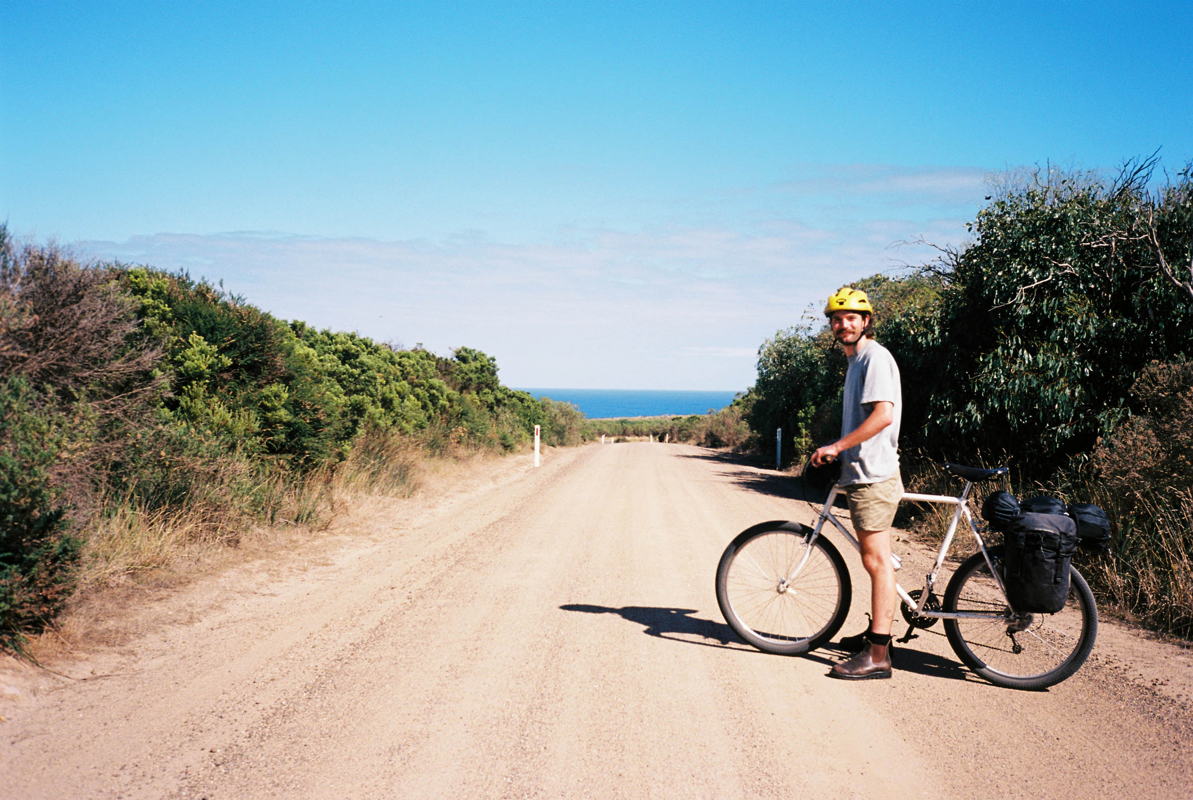
Ben Kampschöer
Guest Contributor
Ben grew up on a family farm on Girai Wurrung country in the south west of Victoria, Australia. He fell in love with bike travel while touring the United States in 2014 and it has been a huge part of his life ever since. Check out more of where Ben’s been riding on Instagram @bushtrucker.
Originally created in 2020, The Otway Rip was refreshed in July 2025. The latest version avoids a few more busy roads , adds more dirt, and finishes in Colac to make train travel from the eastern end even easier.
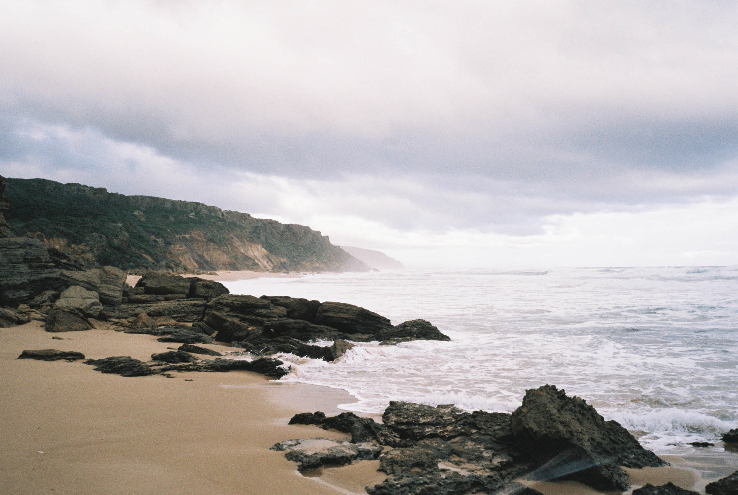
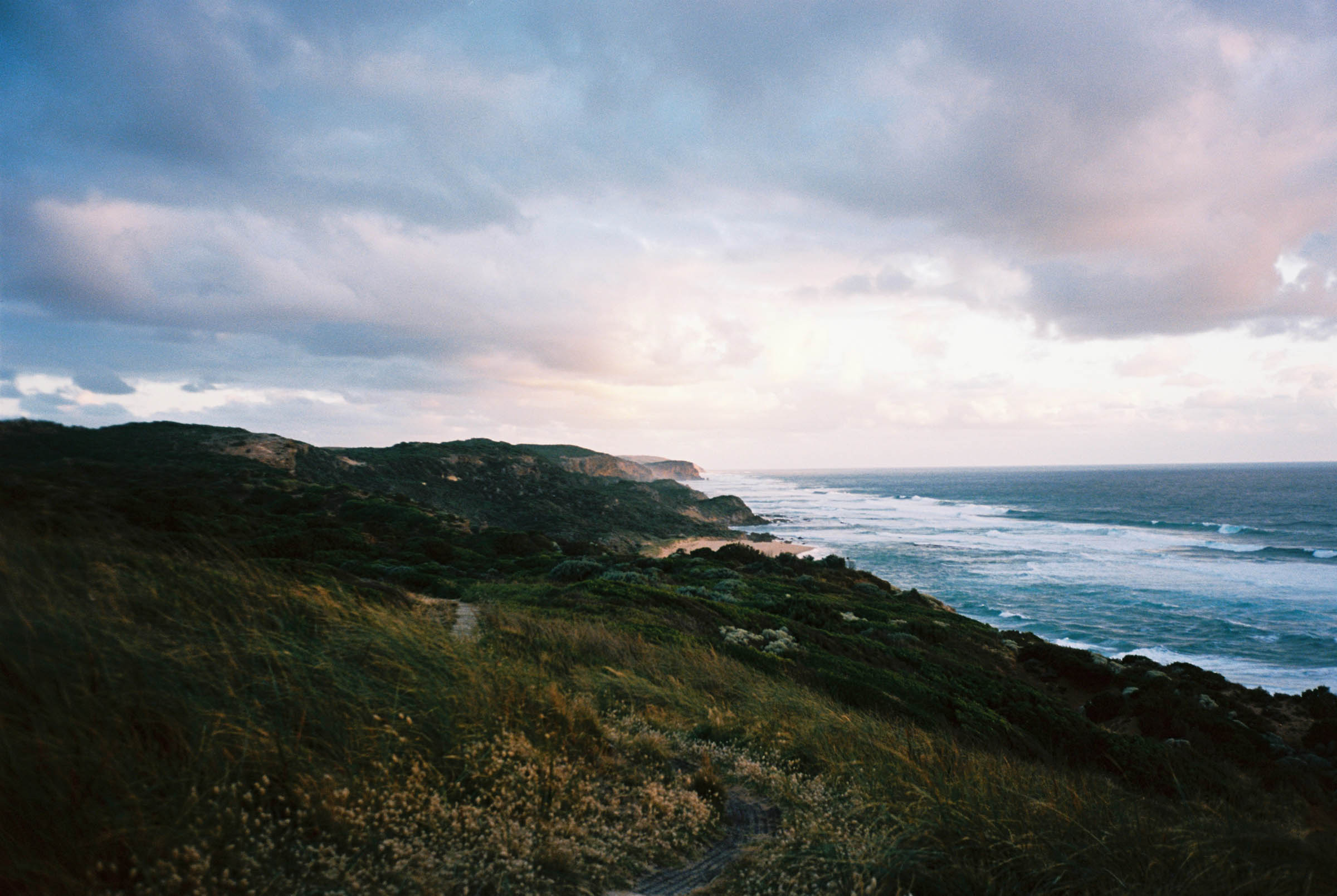
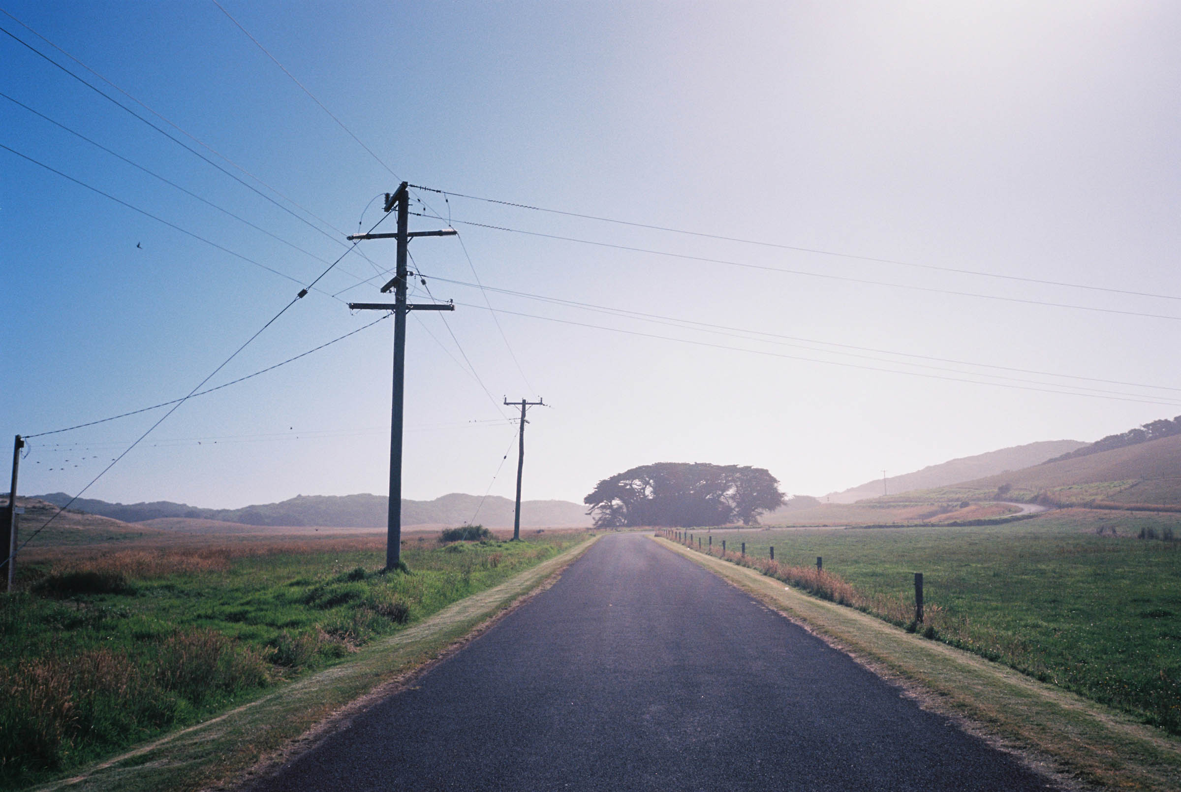
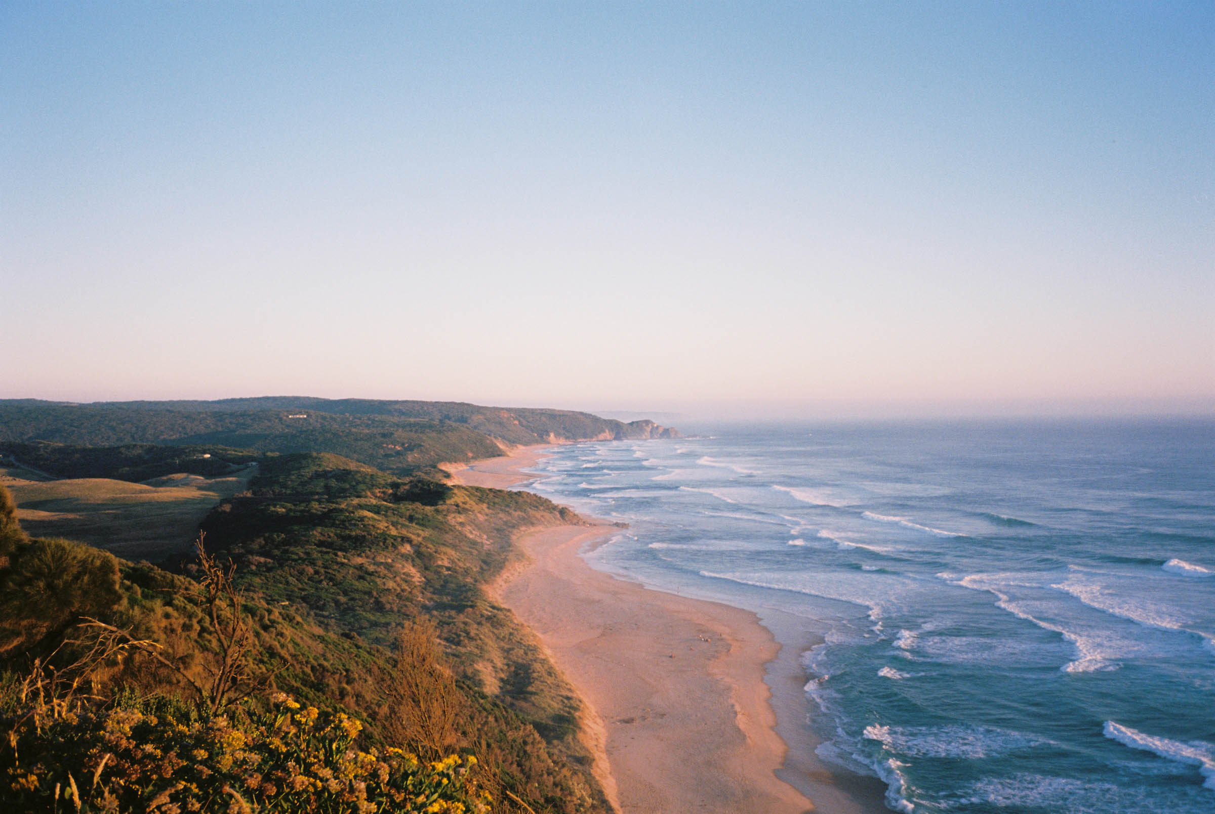
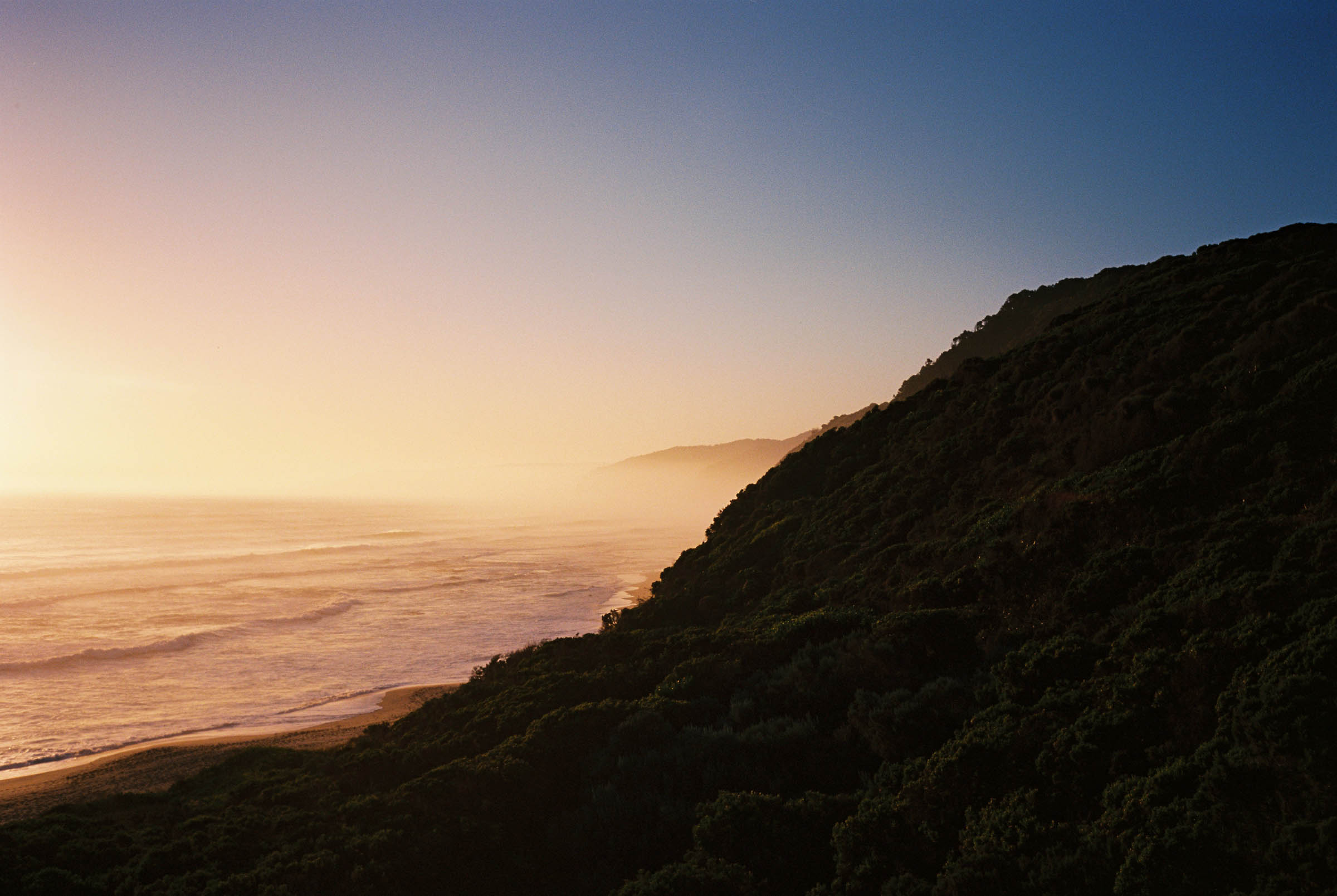
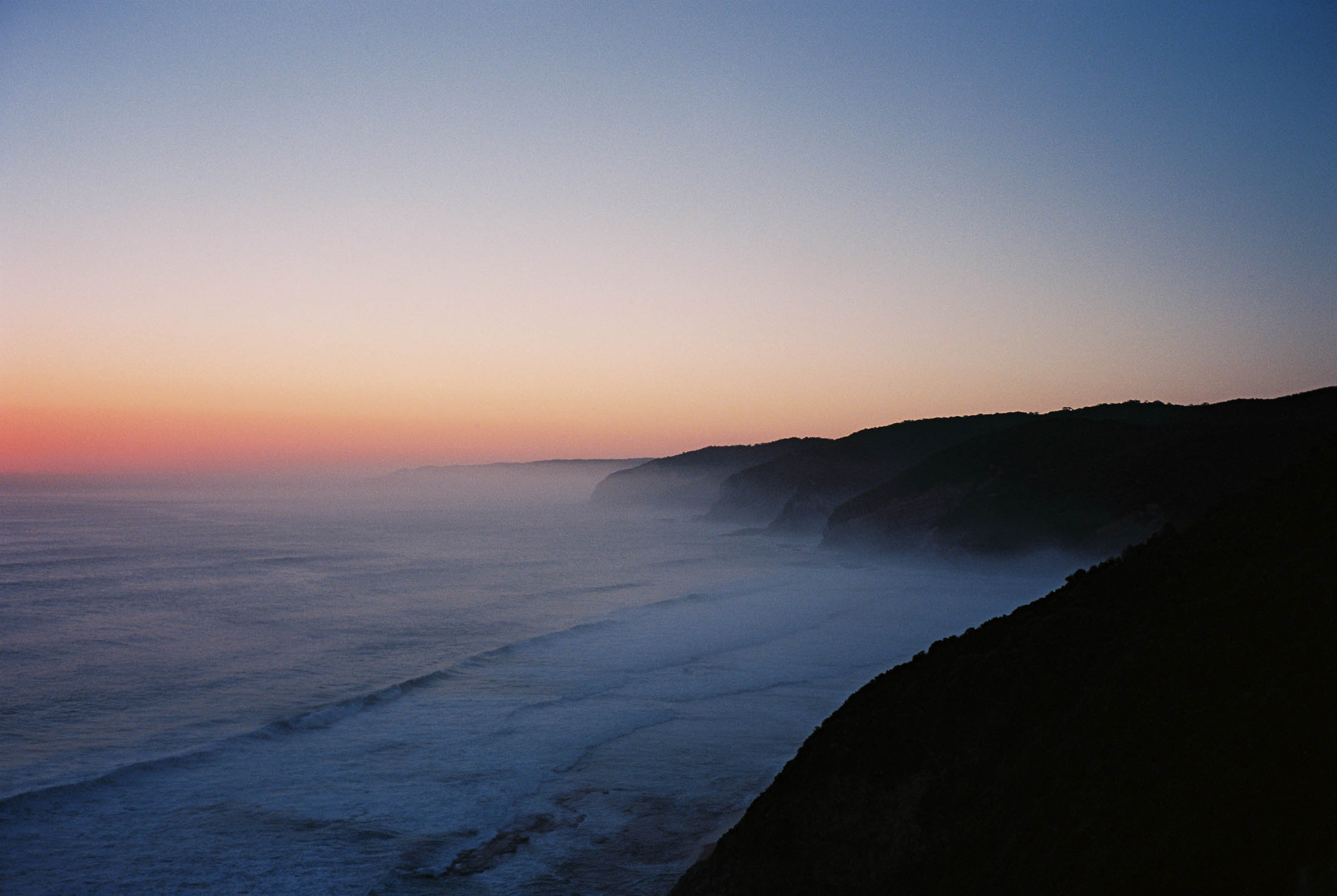
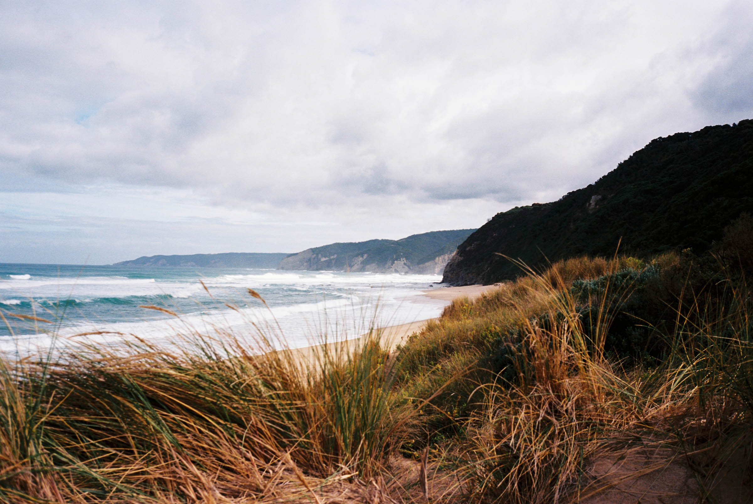
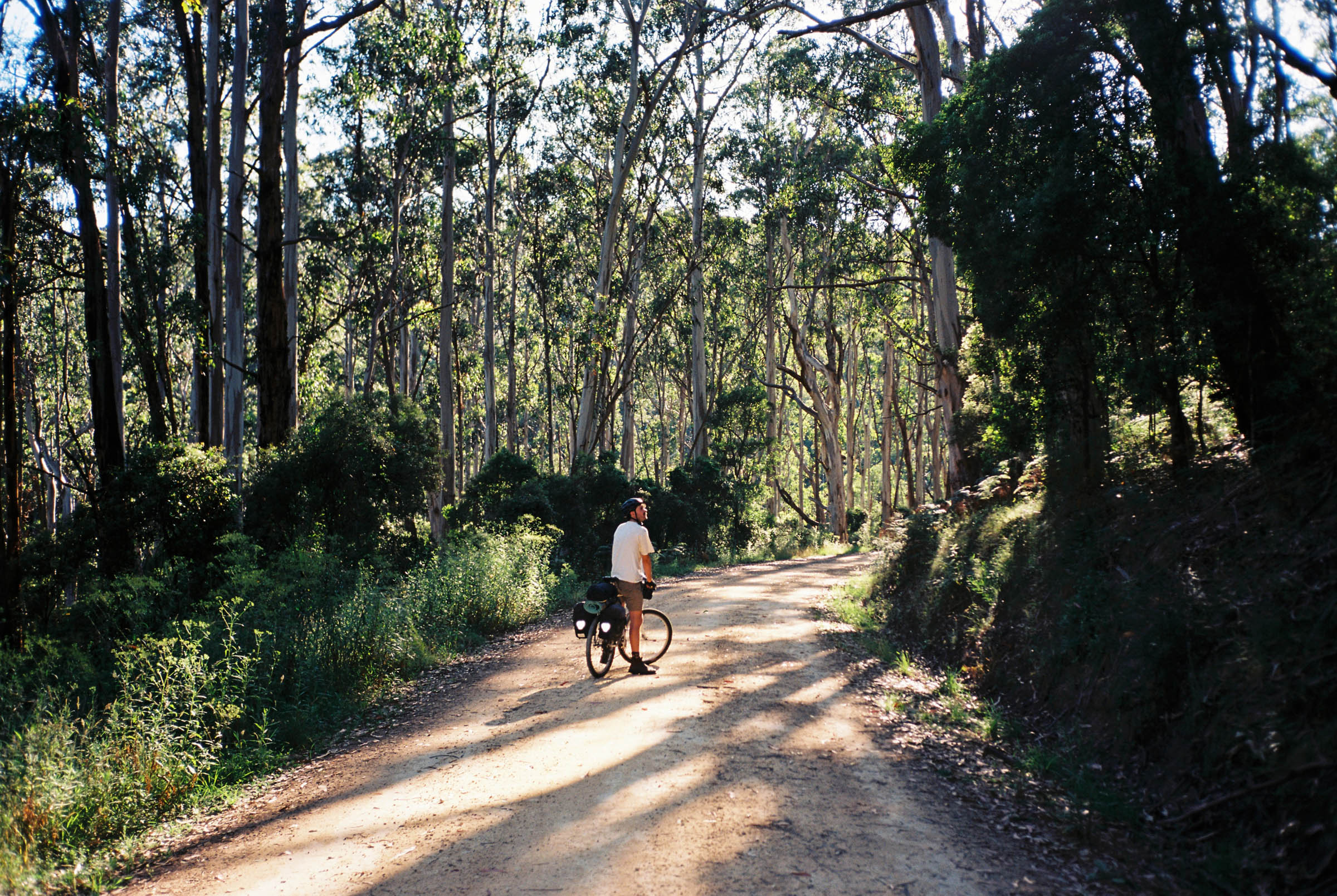
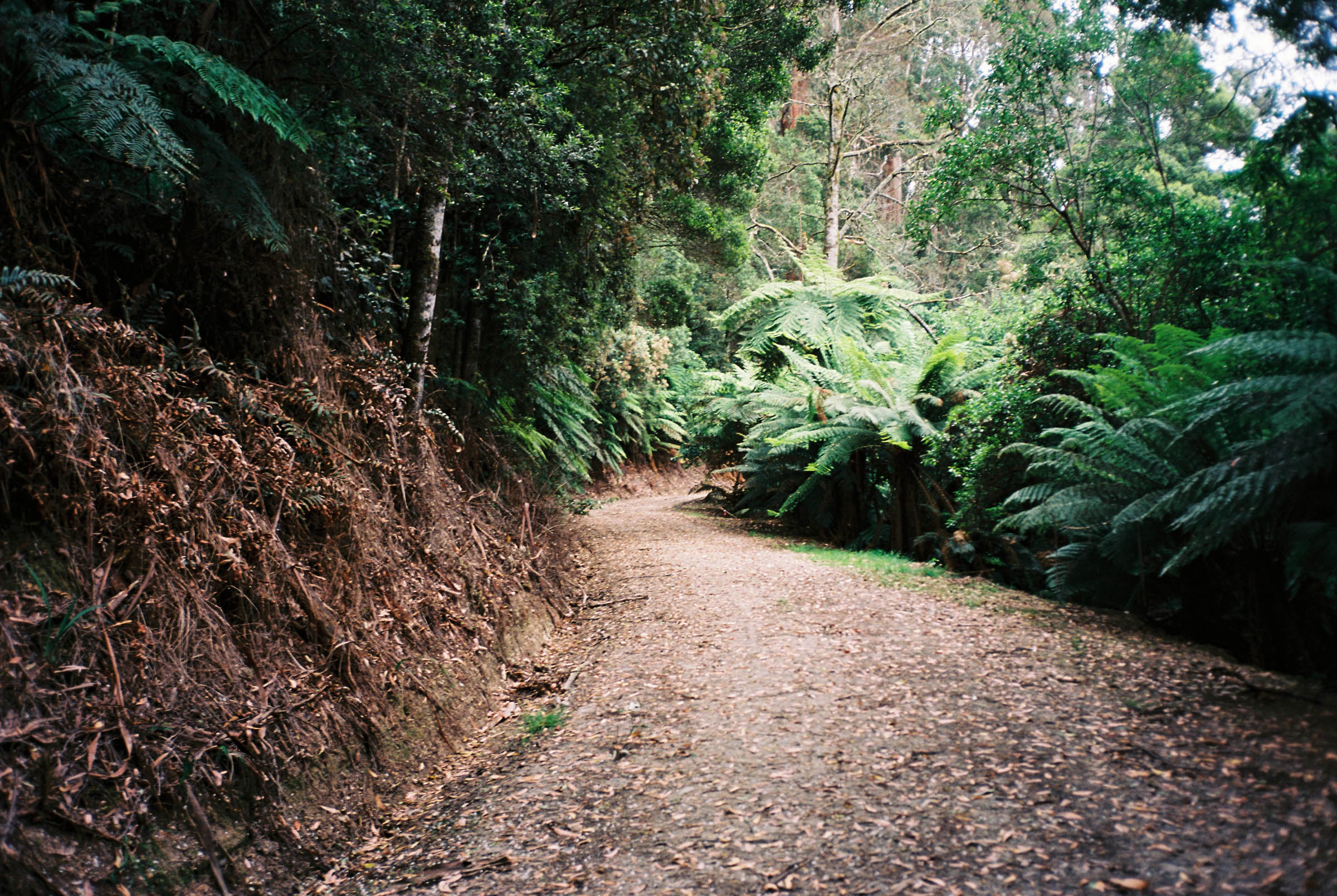
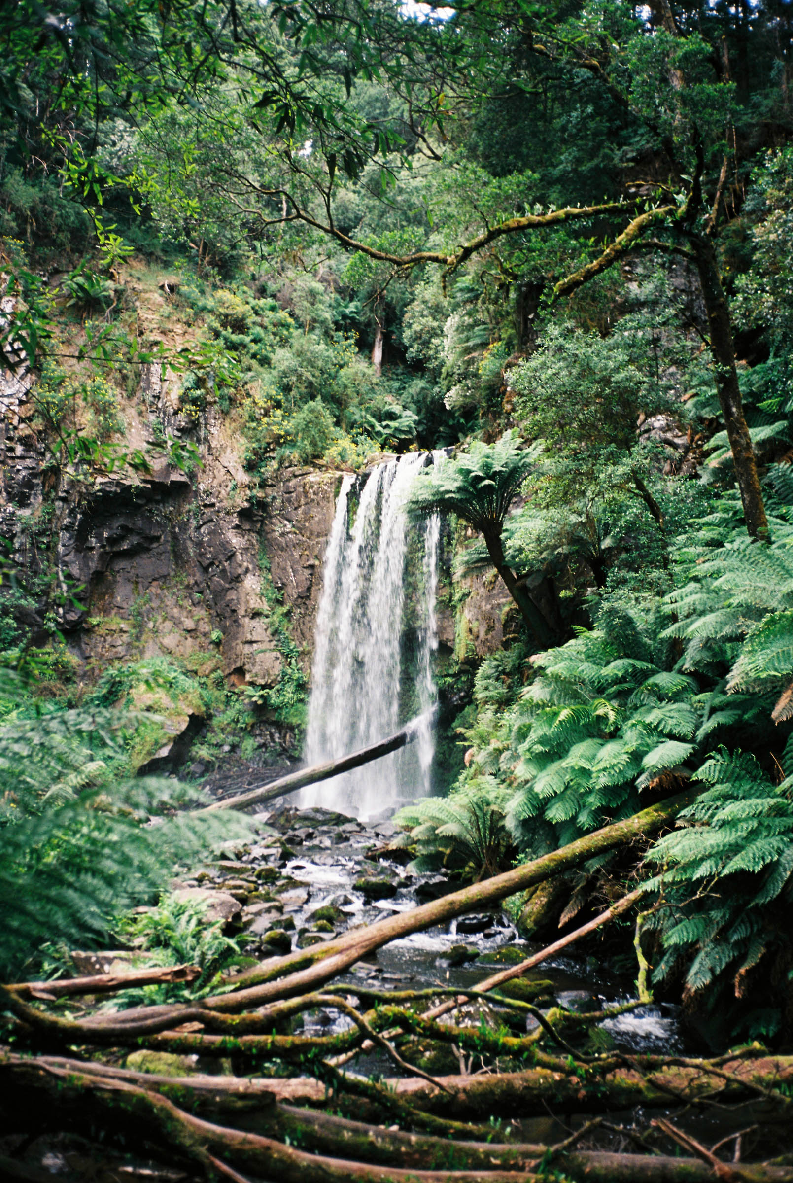
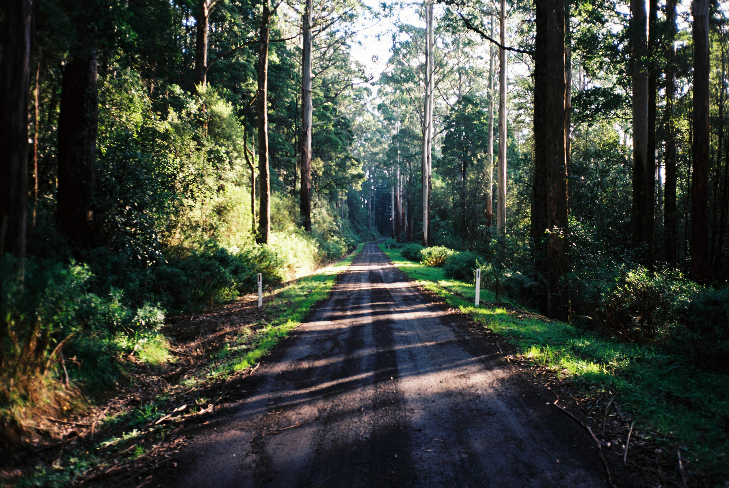
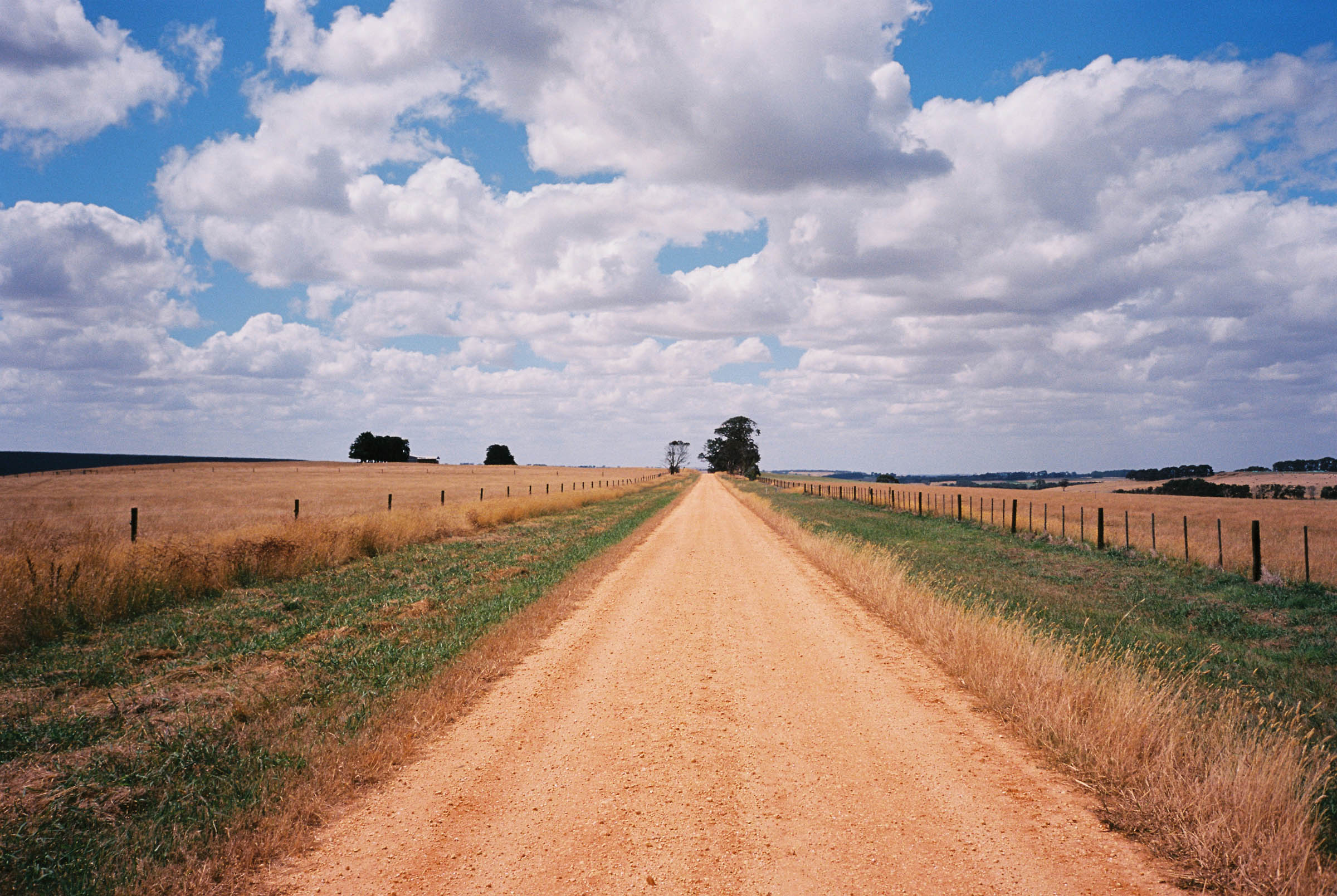
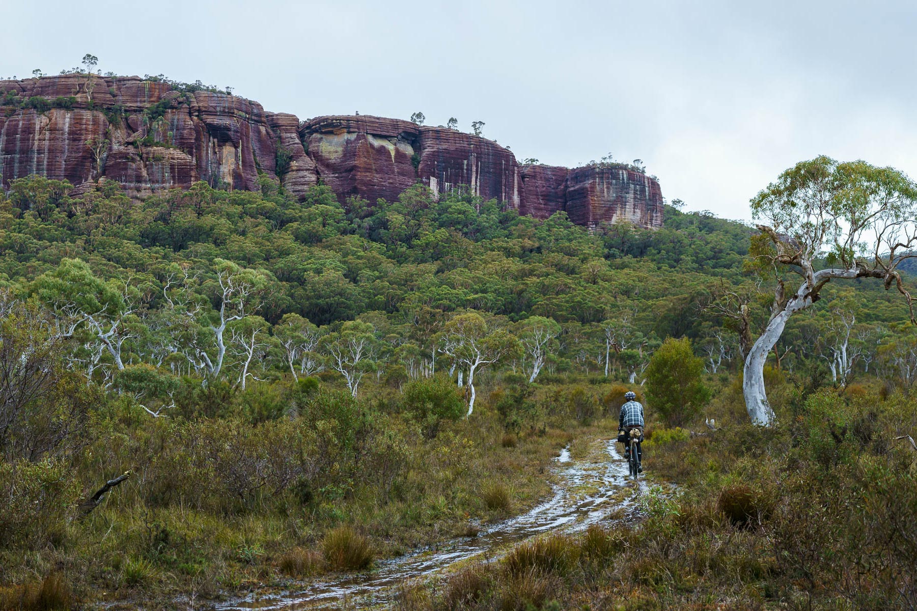
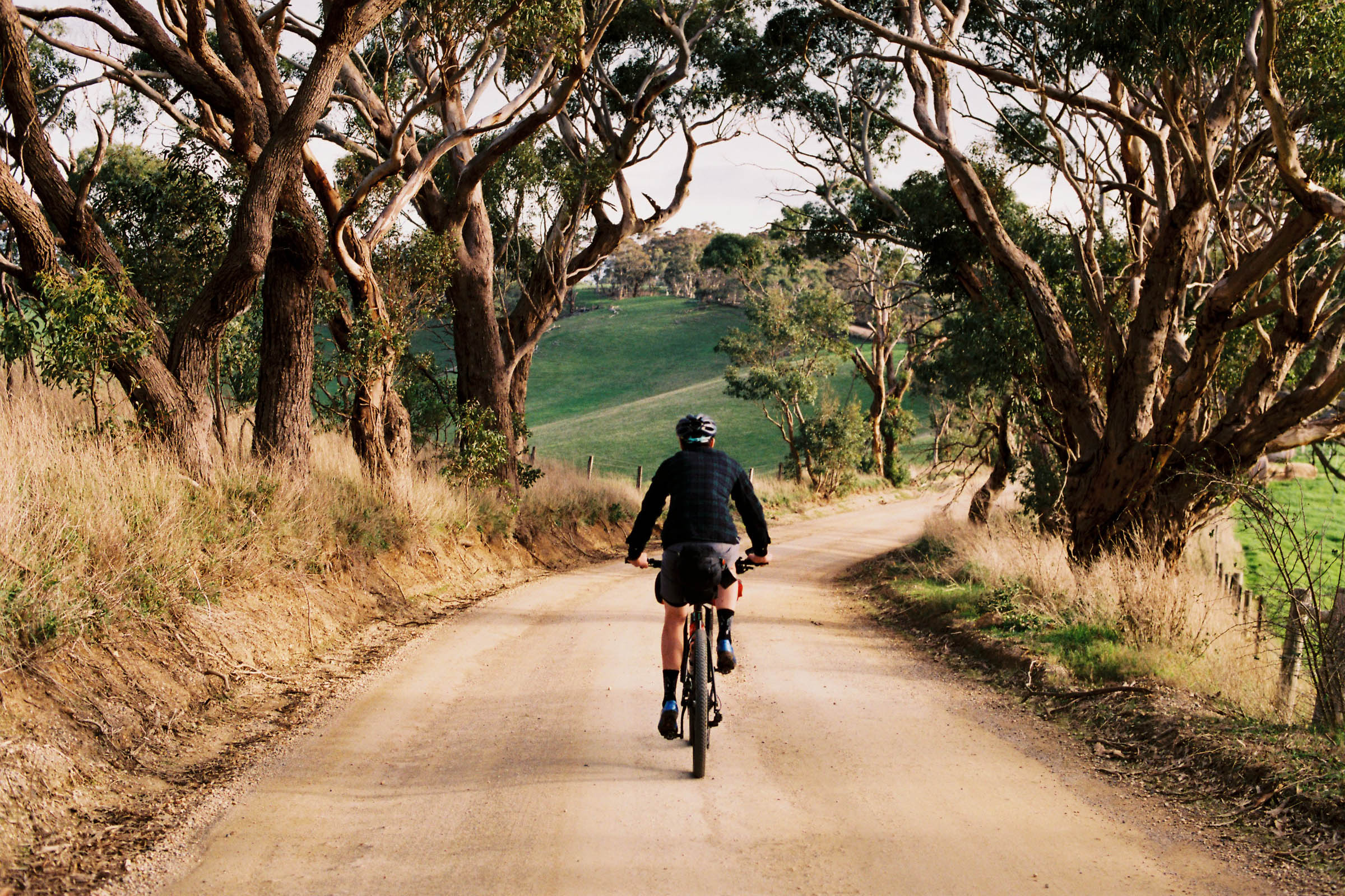
Bikepacking doesn’t have to be a slog. Sometimes it’s just as nice to jump on a train and roll down to the beach for a swim. But that doesn’t mean you need to take the main road. The Otway Rip is a route designed to get you out and about, away from the crowds. With rolling hills, limestone cliffs, cascading waterfalls, amazing beaches, and endless bush, there’s something for everyone. You’ll also find a few towns along the way offering up freshly brewed beer and hot chips to keep ya stoked!
Route Difficulty
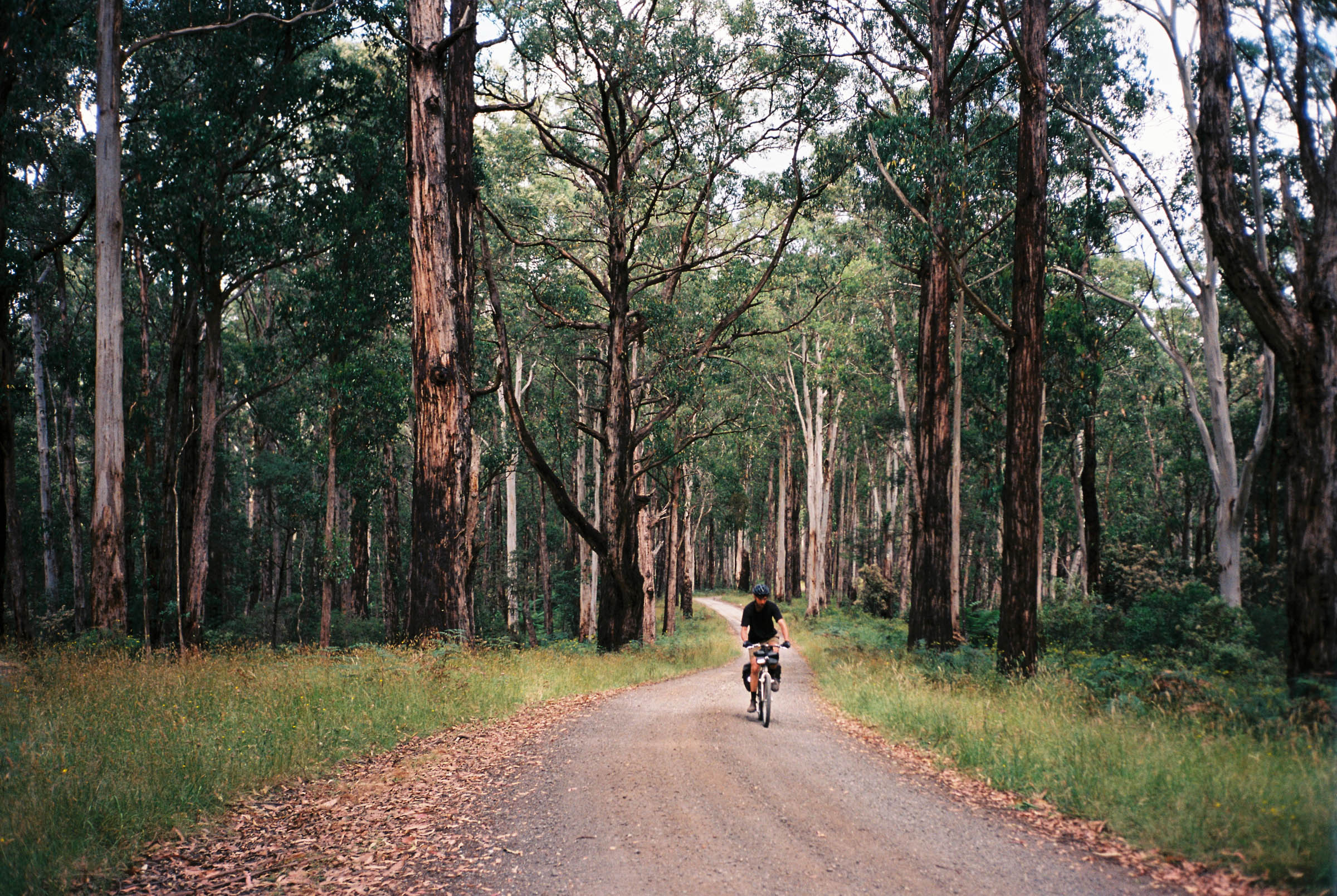
In terms of difficulty this route is a pretty easy 4 out of 10. Services are aplenty, and although there are a few sections of loose gravel you won’t have to navigate any technical singletrack. There is about 3,500 metres of climbing but it’s mostly gradual with not a single section of hike-a-bike to be found. All of this means the Otway Rip makes a great route for those looking to get out on their first multi-day trip. And for those looking to have a red hot crack, you just might be able to knock it over in under 48 hours.
Route Development: This route was created to capture the best parts of the Shipwreck Coast and Otway Region, an area of South West Victoria that attracts millions visitors a year. To access and experience this area by bike is bloody amazing. And to get there by train allows you to relax and enjoy the simple pleasure of bike travel without the hassle of a car.
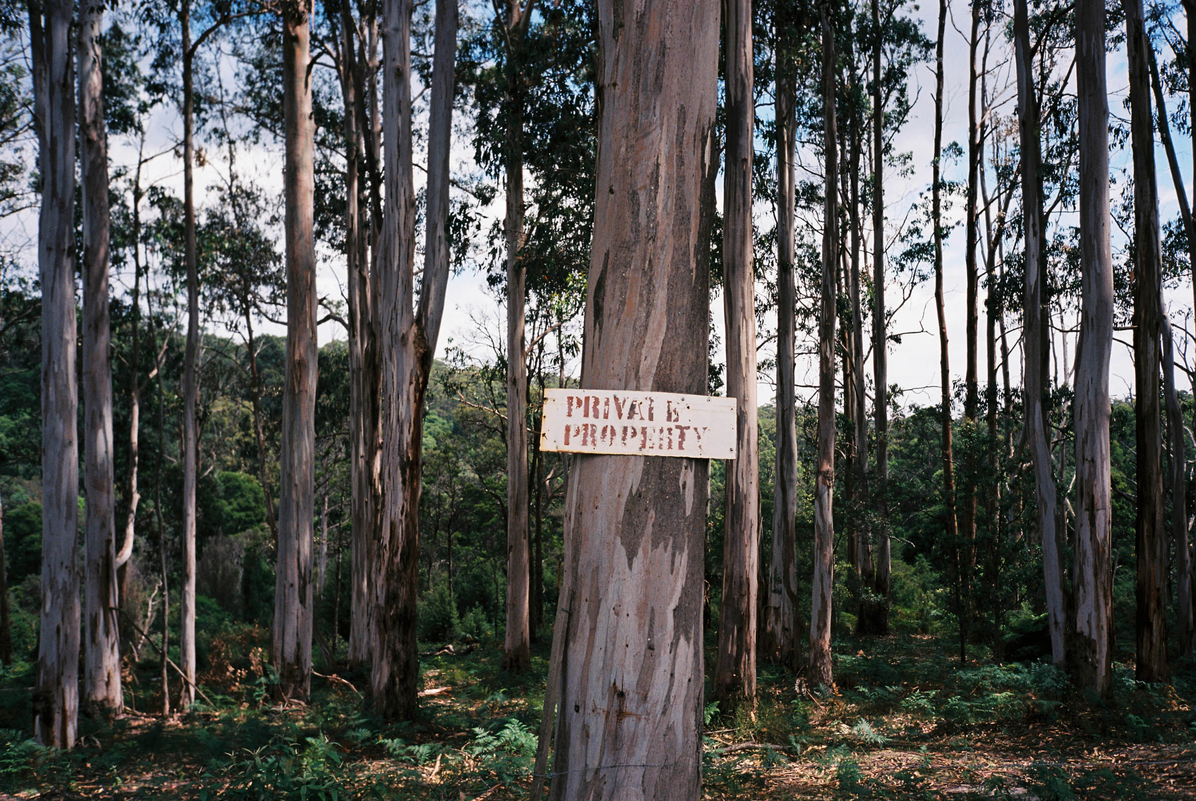
It’s important to know that the route passes through the unceded lands of the Djargurd Wurrung, Girai Wurrung, Gadubanud, and Gulidjan people. We respectfully acknowledge them as the Traditional Owners of the land and pay respect to their elders, past, present and future. A donation to the land justice group Antar Victoria was made in honor of the route’s publication. If you find this resource useful and would like to contribute to the fight for the sovereignty of Australia’s First People, please consider giving to Antar Victoria.


Submit Route Alert
As the leading creator and publisher of bikepacking routes, BIKEPACKING.com endeavors to maintain, improve, and advocate for our growing network of bikepacking routes all over the world. As such, our editorial team, route creators, and Route Stewards serve as mediators for route improvements and opportunities for connectivity, conservation, and community growth around these routes. To facilitate these efforts, we rely on our Bikepacking Collective and the greater bikepacking community to call attention to critical issues and opportunities that are discovered while riding these routes. If you have a vital issue or opportunity regarding this route that pertains to one of the subjects below, please let us know:
Highlights
Must Know
Camping
Food/H2O
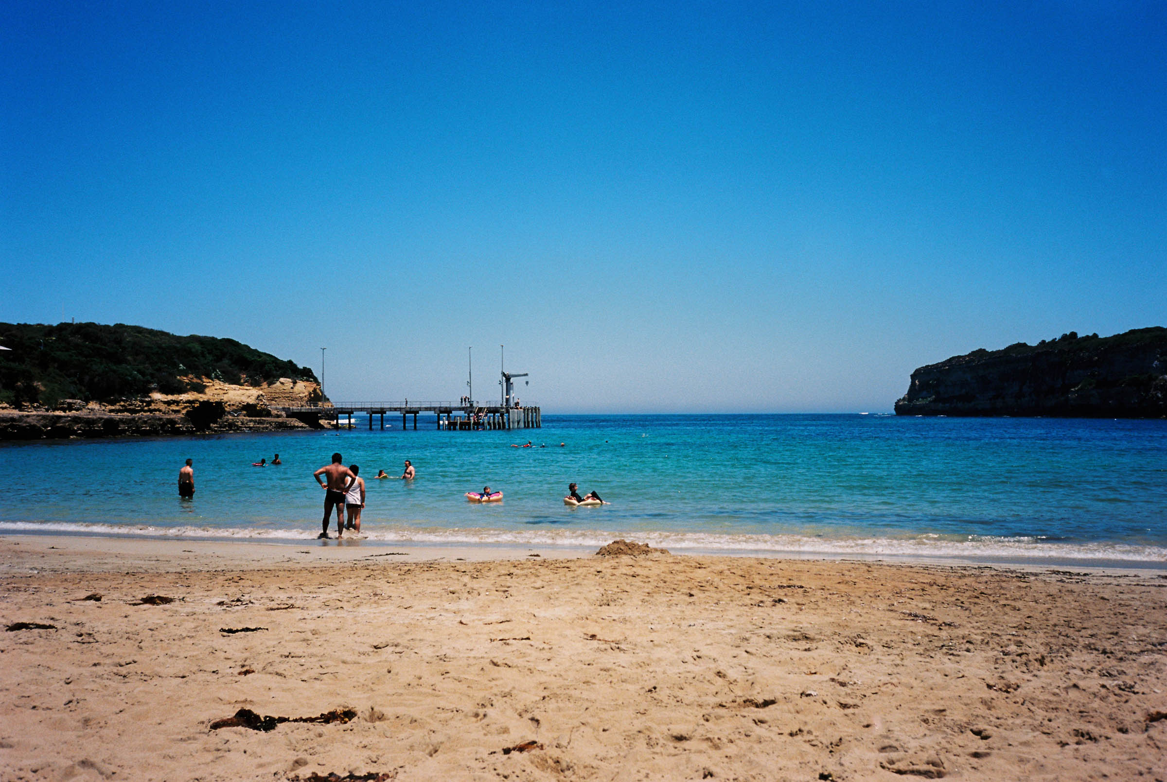
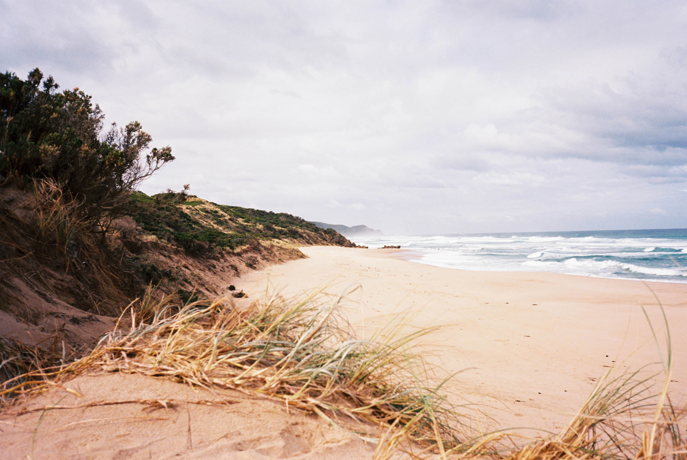
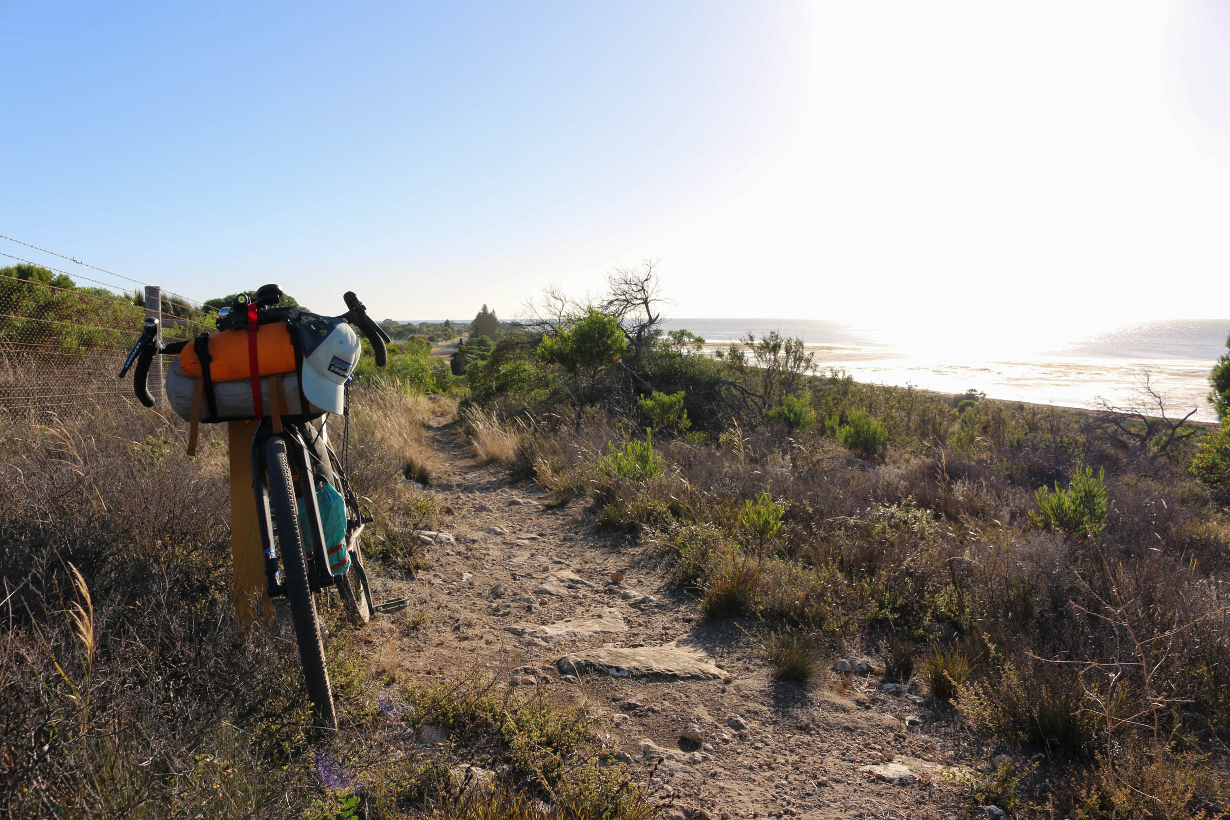
- Swimming at the protected Port Campbell Bay
- Iconic views of limestone stacks as you cruise along Great Ocean Road
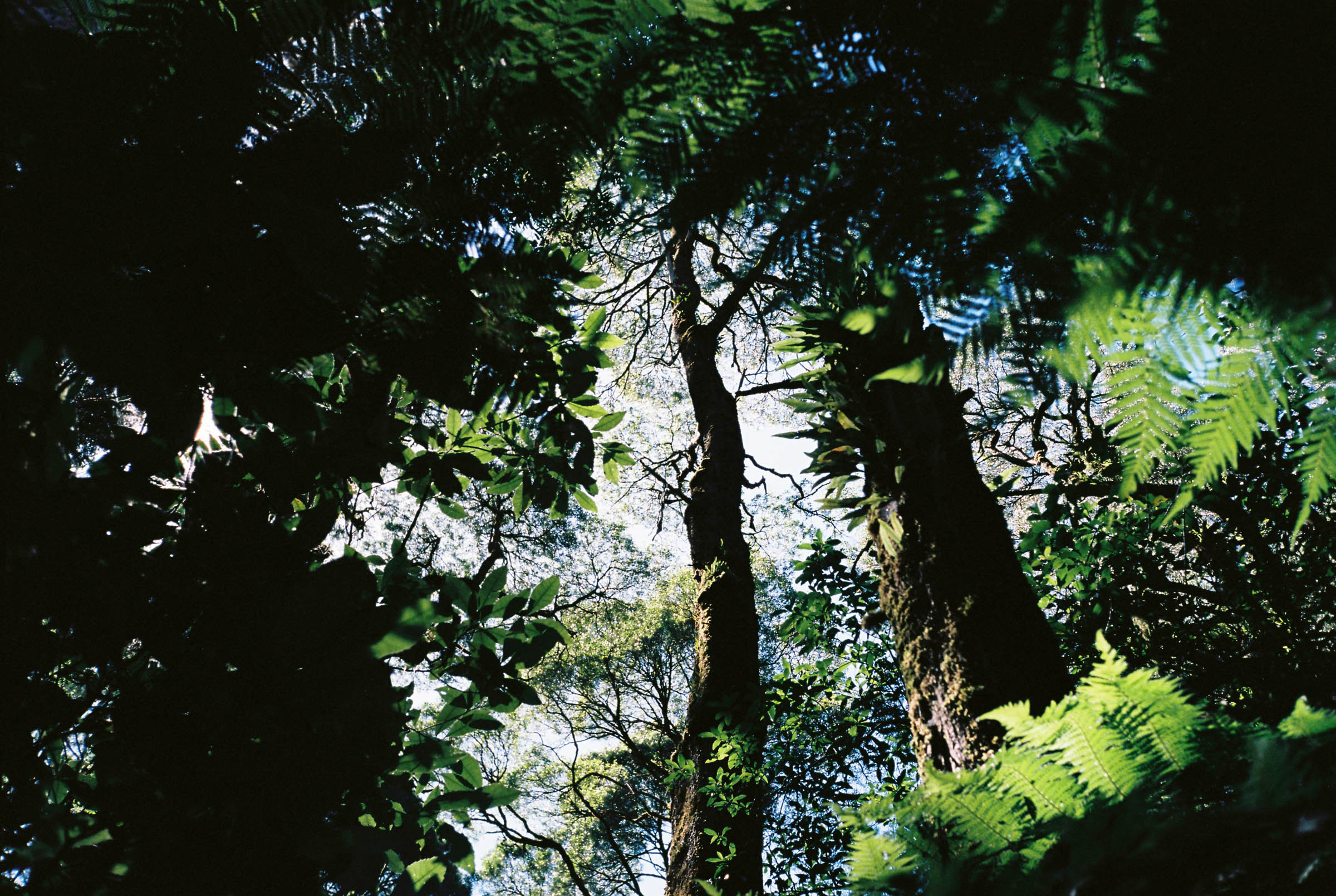
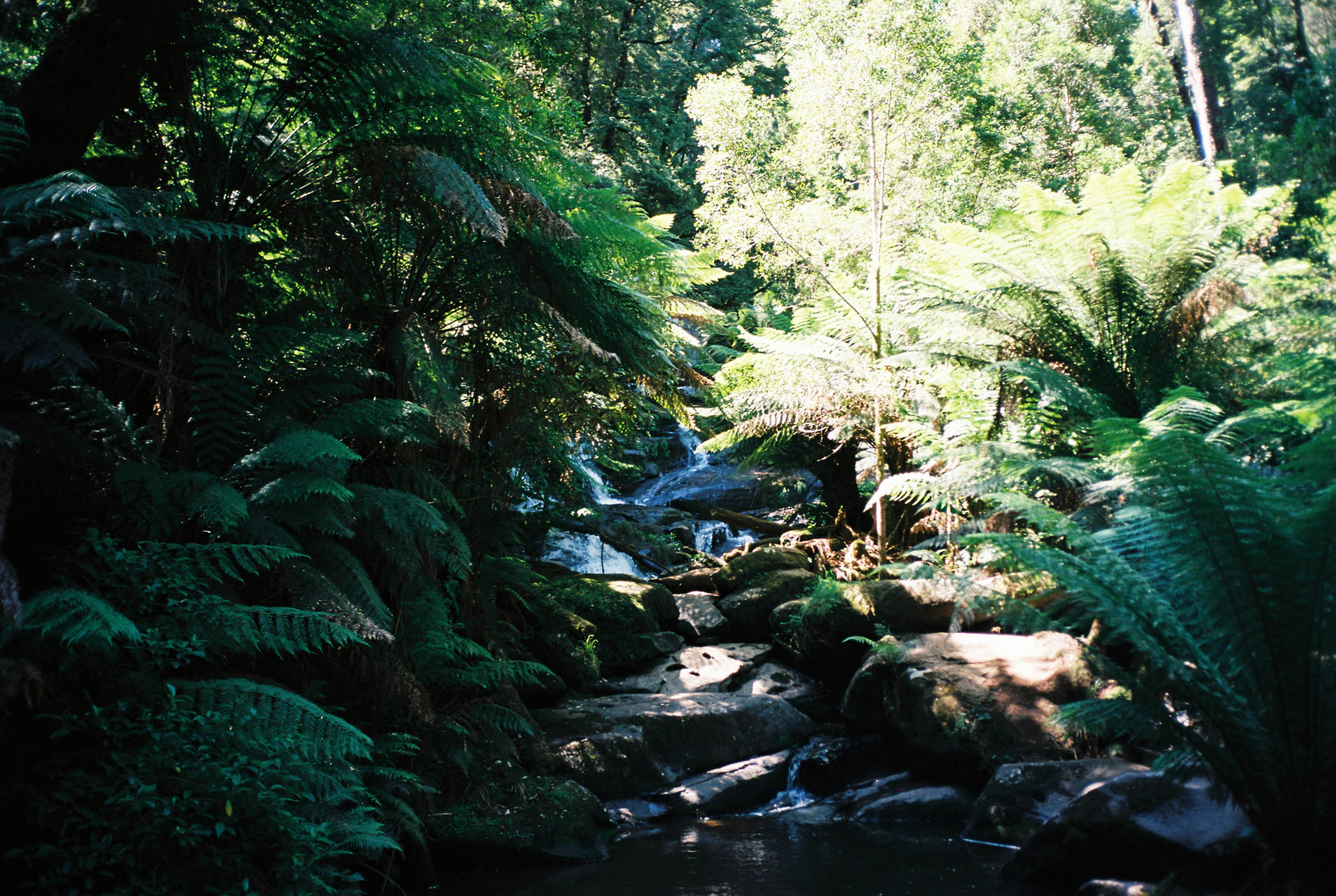
- Rolling through dense Otway rainforest on quiet gravel roads
- A wild descent down Blue Johanna Road to Johanna Beach campground
- Cooling off at Triplet and Hopetoun Falls
- Dropping down from the Otway Ranges via Lake Elizabeth
- The route can be ridden in either direction but it’s recommended you start in Camperdown to avoid busy westbound traffic on the Great Ocean Road.
- The route is accessible year round but the warmer months from November through March will provide the best weather.
- Be careful of travelling during the summer school holiday period in January as the campgrounds fill up very quickly.
- There is great swimming along the route but only the sheltered Port Campbell Bay is patrolled. Swimming at other locations is not advisable unless you are an experienced ocean swimmer.
- There is an 18km section of fairly busy tarmac along the infamous Great Ocean Road between Port Campbell and Princetown. Although this road can be a hassle with tourist traffic, it’s worth it for the views.
- Watch for snakes around camp and sunning themselves near the roadside during the warmer months.
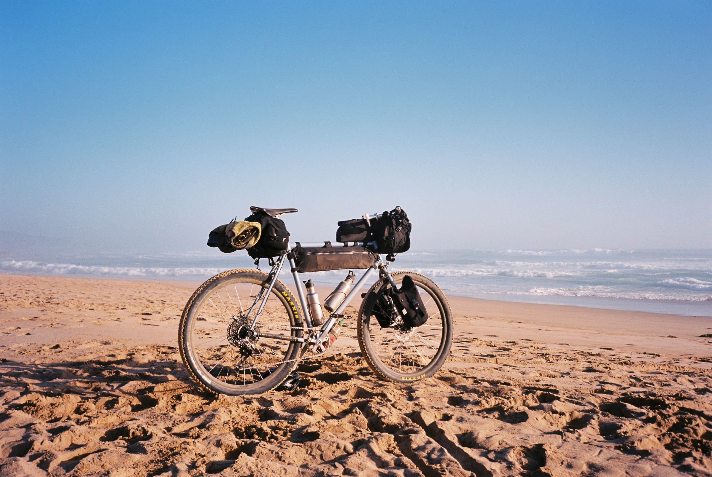
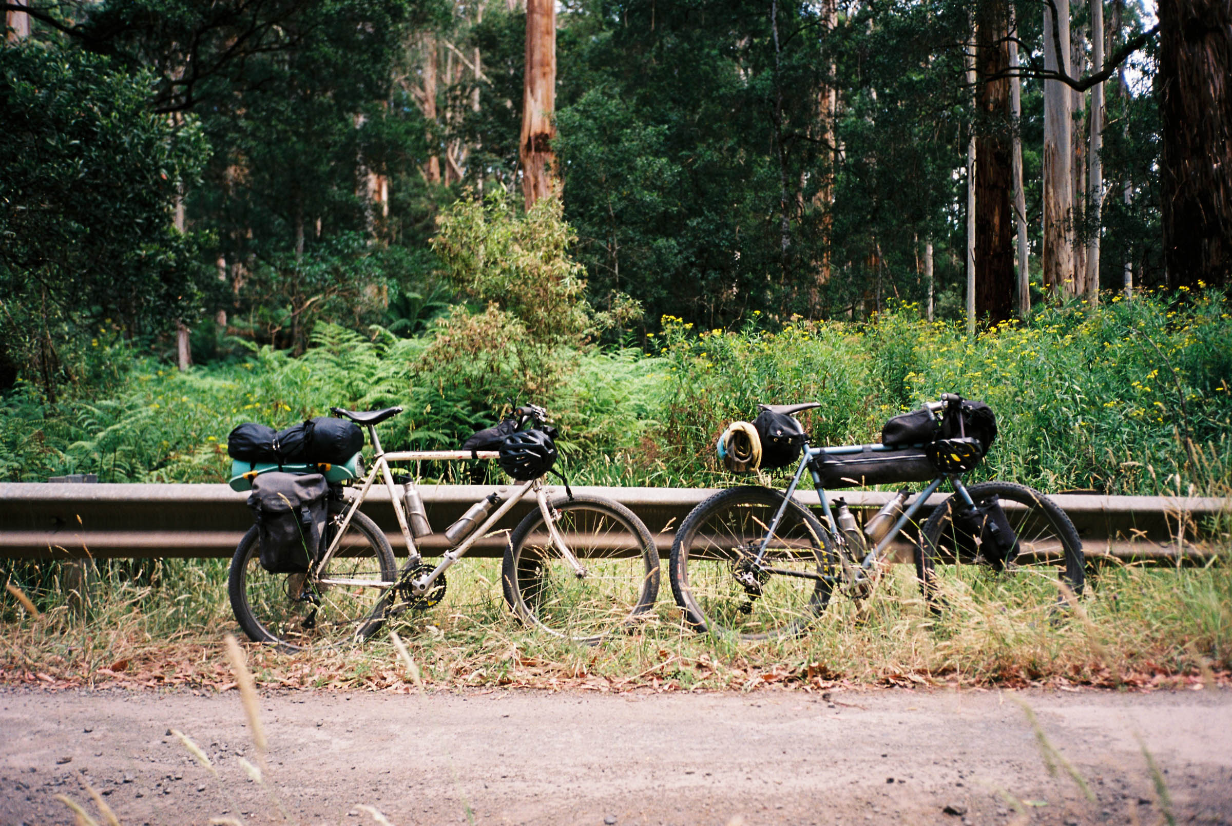
- This route is rideable on any bike with 40mm tyres and up. Unless you’re keen on riding the trails in Forrest, a full-blown MTB would be overkill.
- As this ride takes you through a large amounts of forested area, it is advisable to be up to date with emergency warnings during bushfire season (emergency.vic.gov.au/respond/)
- A train timetable for the Melbourne-Warrnambool train, which stops at both Camperdown and Colac, is available through V/Line (vline.com.au). Please check for timetable updates and service disruptions prior to your departure. There is no requirement to box your bike but space is often limited. It is recommended you travel in small groups (less than four) to ensure everyone can fit.
- There are multiple options for paid camping in Port Campbell, nothing fancy but will get the job done.
- There’s a quieter spot to camp just down the road at Princetown Recreation Reserve.
- The Parks Victoria operated campground at Johanna Beach is the pick of the spots along the route. You’ll need to book ahead and make sure you arrive early for a relaxing swim and cracker sunset.
- Parks camping is also available at Lake Elizabeth. Again, make sure to book ahead during peak travel season.
- Please note that while dispersed camping along the route is possible it is generally not advisable due to a lack of facilities.
- Plenty of grocery options in Camperdown, Timboon, and Port Campbell
- Smaller general stores and takeaway options in Princetown, Lavers Hill, and Forrest
- Water at all towns and campgrounds, recommended carrying 2-3L per day during warmer months
- Freshly brewed beer at local breweries in Port Campbell and Forrest


Terms of Use: As with each bikepacking route guide published on BIKEPACKING.com, should you choose to cycle this route, do so at your own risk. Prior to setting out check current local weather, conditions, and land/road closures. While riding, obey all public and private land use restrictions and rules, carry proper safety and navigational equipment, and of course, follow the #leavenotrace guidelines. The information found herein is simply a planning resource to be used as a point of inspiration in conjunction with your own due-diligence. In spite of the fact that this route, associated GPS track (GPX and maps), and all route guidelines were prepared under diligent research by the specified contributor and/or contributors, the accuracy of such and judgement of the author is not guaranteed. BIKEPACKING.com LLC, its partners, associates, and contributors are in no way liable for personal injury, damage to personal property, or any other such situation that might happen to individual riders cycling or following this route.
Further Riding and Reading
Here are some connected/nearby routes and related reports...

Please keep the conversation civil, constructive, and inclusive, or your comment will be removed.