


Red Meadow Pass Loop, Montana
Distance
105 Mi.
(169 KM)Days
3
% Unpaved
80%
% Singletrack
0%
% Rideable (time)
100%
Total Ascent
6,595'
(2,010 M)High Point
5,630'
(1,716 M)Difficulty (1-10)
4?
- 4Climbing Scale Fair63 FT/MI (12 M/KM)
- -Technical Difficulty
- -Physical Demand
- -Resupply & Logistics
Contributed By
Zach Miller
Guest Contributor
Zachary thought he’d give up bicycling for running, until a 45-day mosey along the GDMR helped refocus his passion for adventure. Follow along at Zach’s blog.
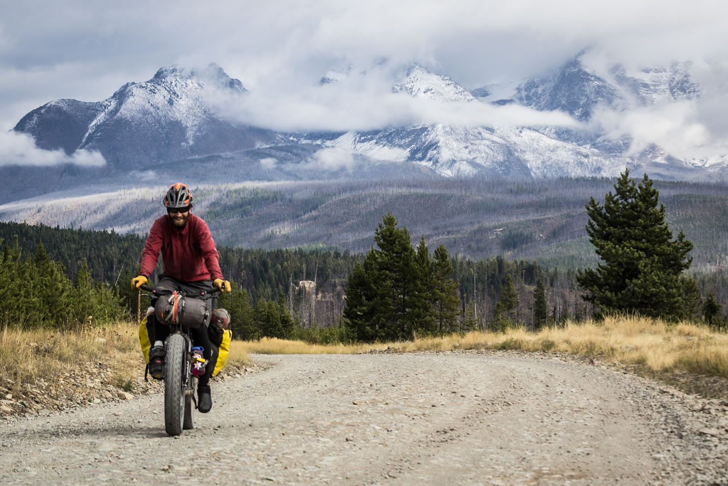
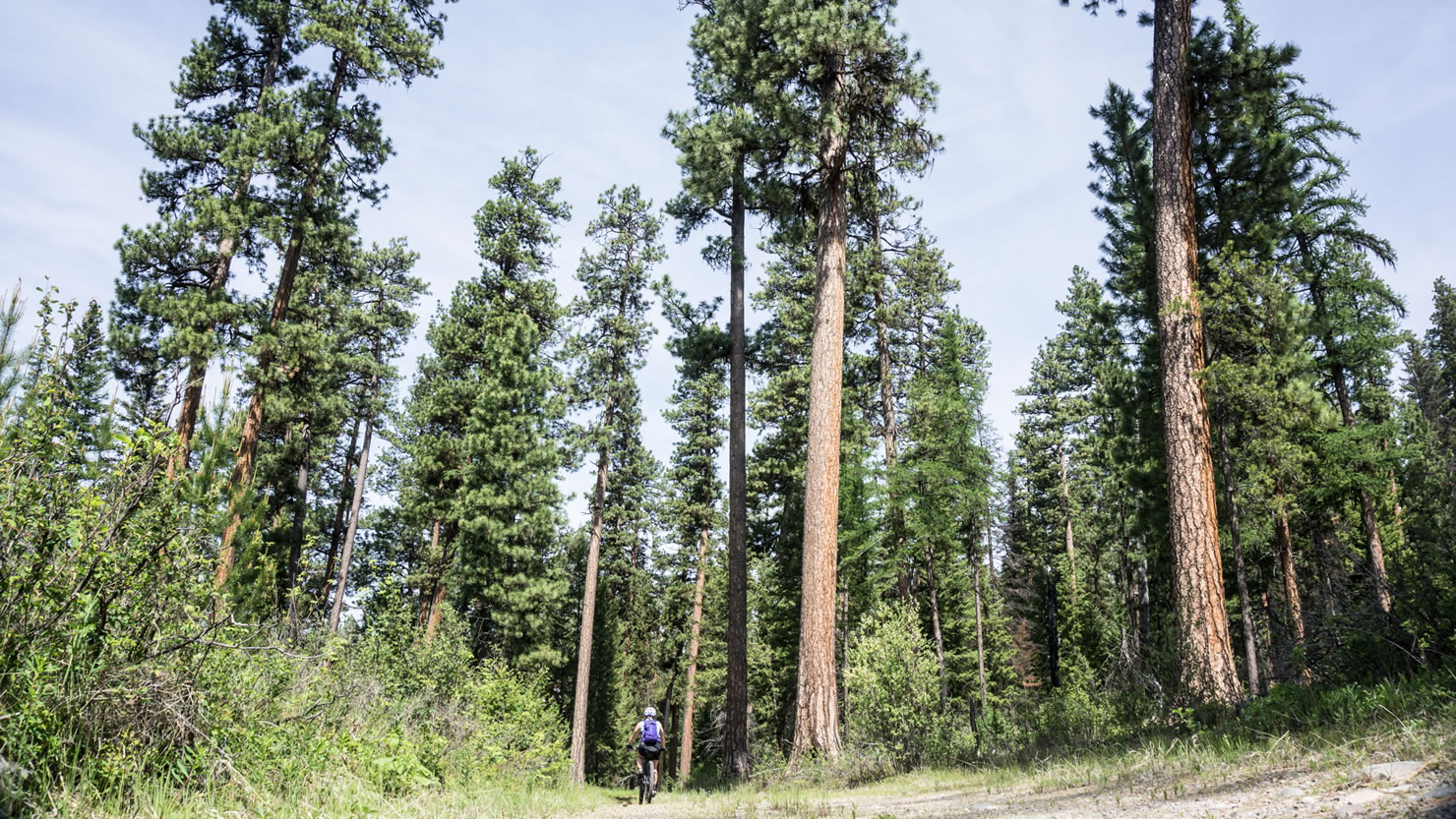
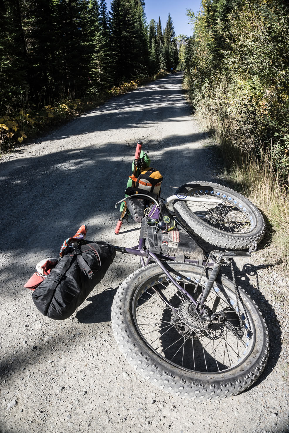
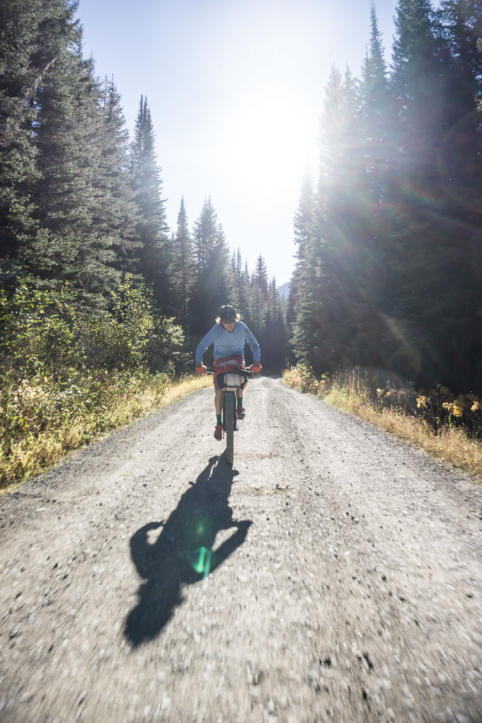
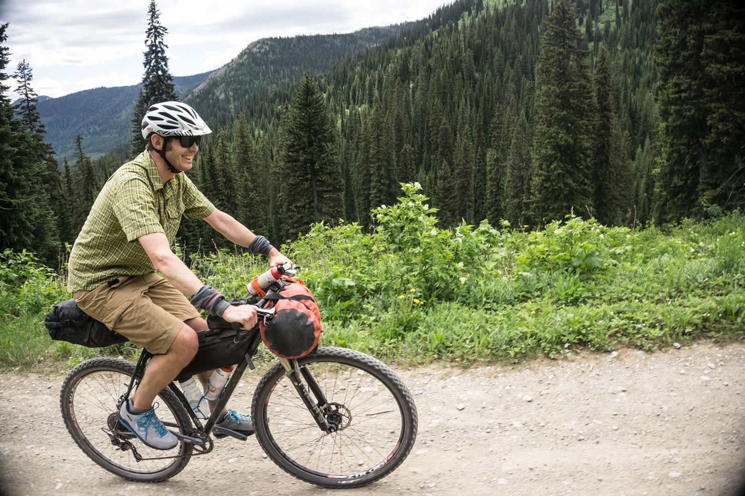
Whitefish, Montana is a town that has emerged from its big timber and railroad history into a hub of adventure. Much of the land surrounding the Flathead Valley is National Forest land and due to its past, the mountainous Flathead National Forest is laced with left-over logging roads and trails in all sorts of conditions.
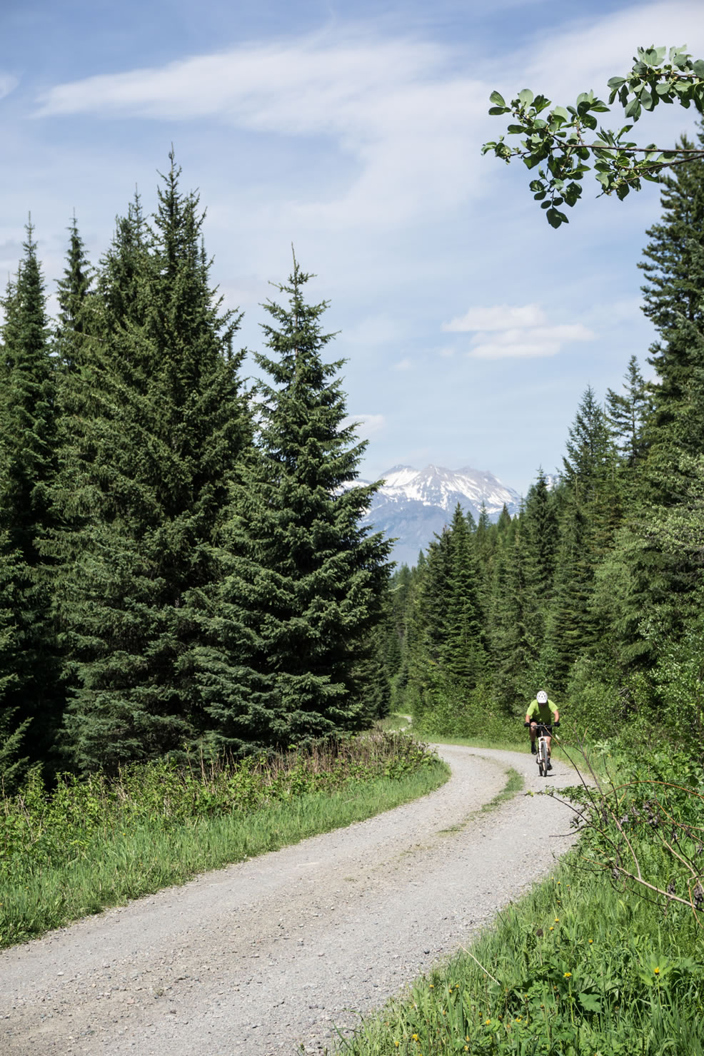
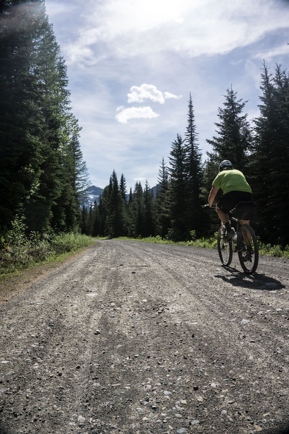
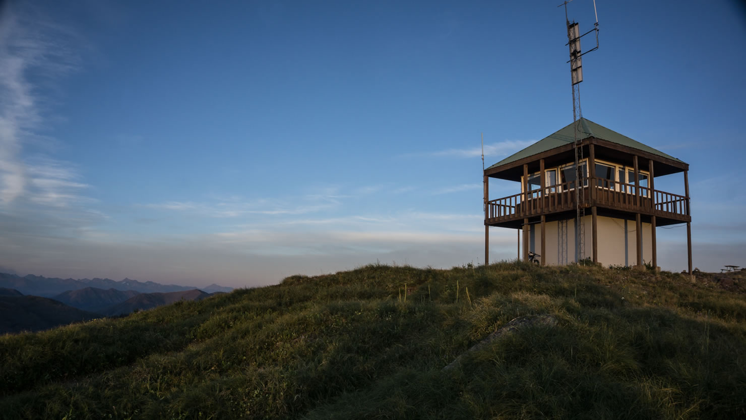
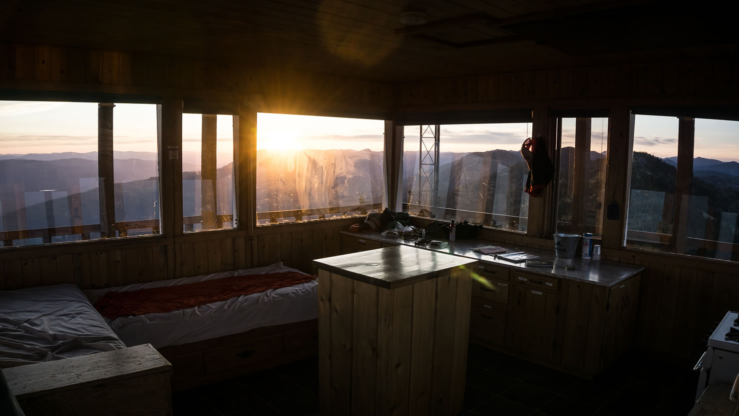
The ride leaves town and wanders along mostly dirt roads through the Whitefish Range. The opening portion follows the classic Great Divide Mountain Bike Route and offers a high chance of seeing other inspiring riders headed southbound from Banff! Along the way, there are options to pedal up to Werner Peak Lookout for a night of 360 views as well as a few singletrack trails paralleling the road.
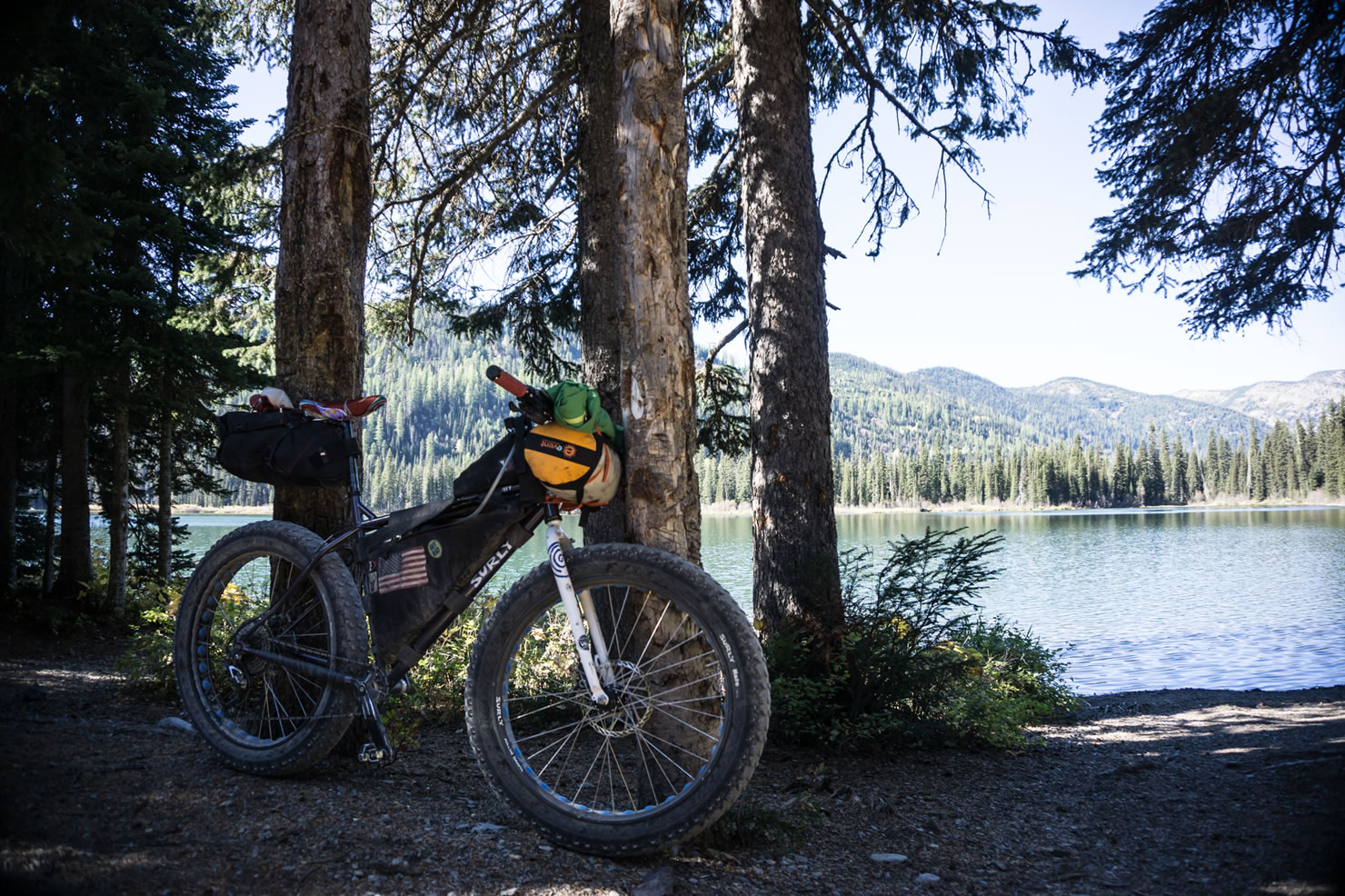
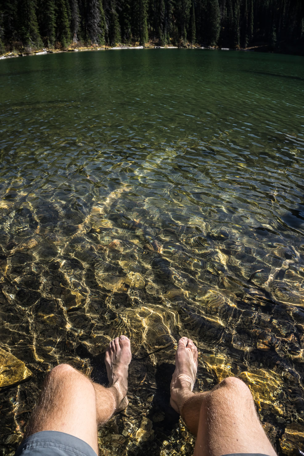
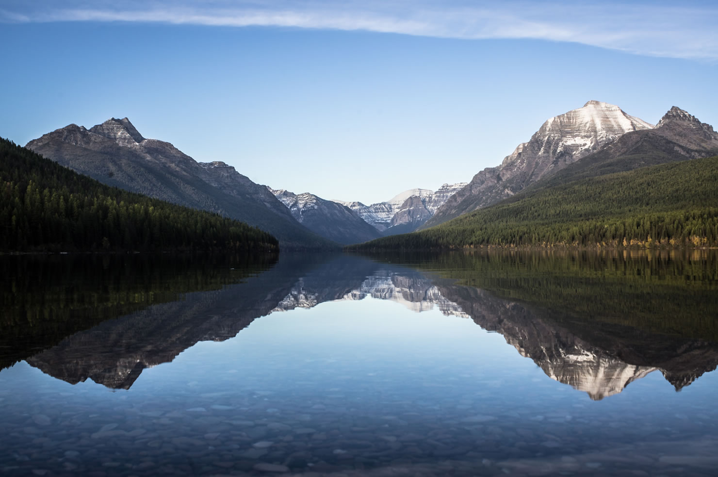
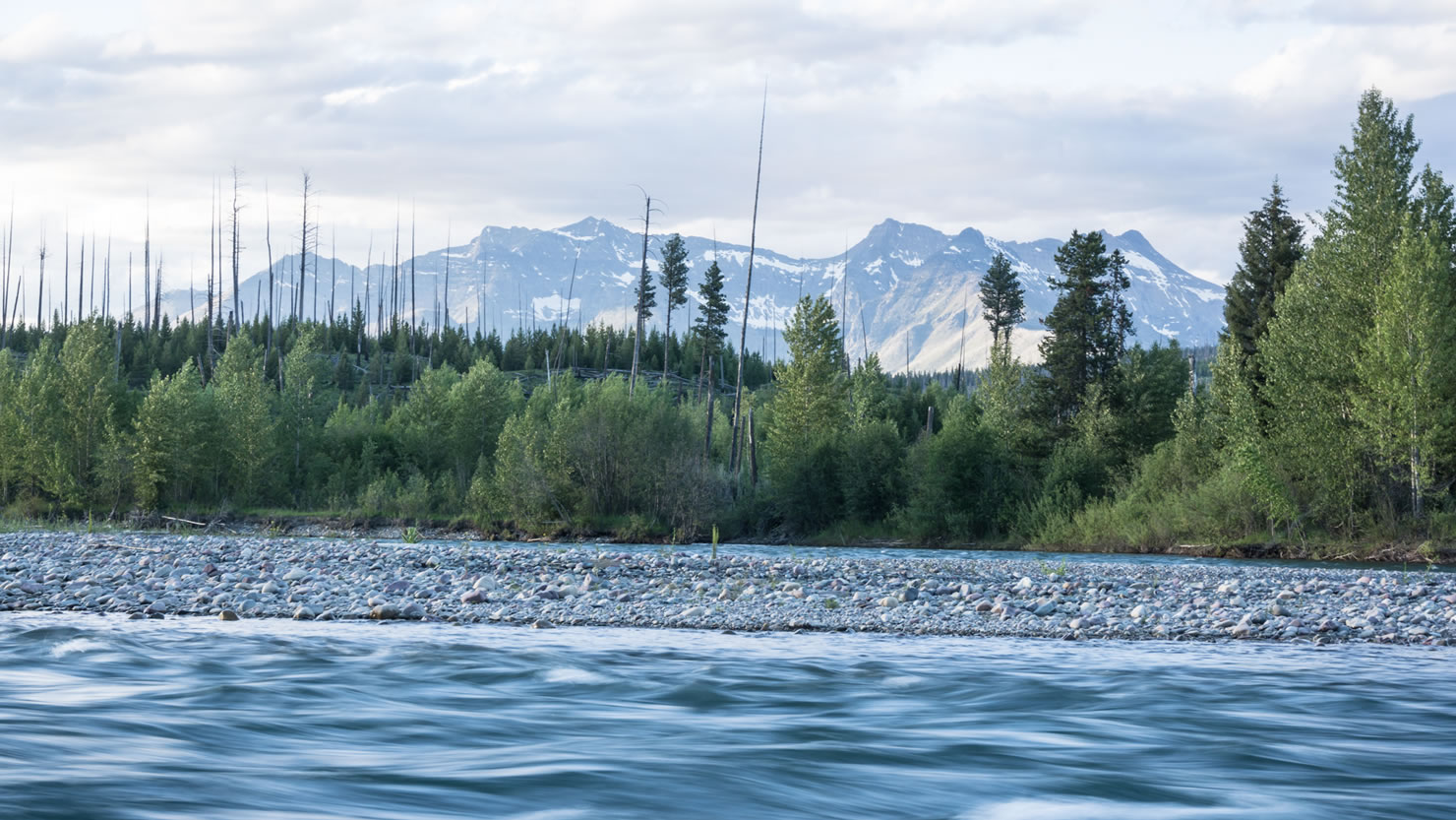
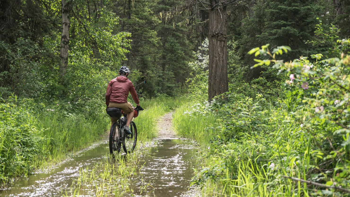
This corner of Montana is particularly damp, where the most eastern growths of Western Red Cedar forests occur, and large ferns, bear-grass, and alder fill the understory with vibrant greens and reds. The first half of the ride will pass by a few lakes, including the beautiful Red Meadow Lake atop the pass, where swimming in the refreshing and crystalline waters will reinvigorate any rider.
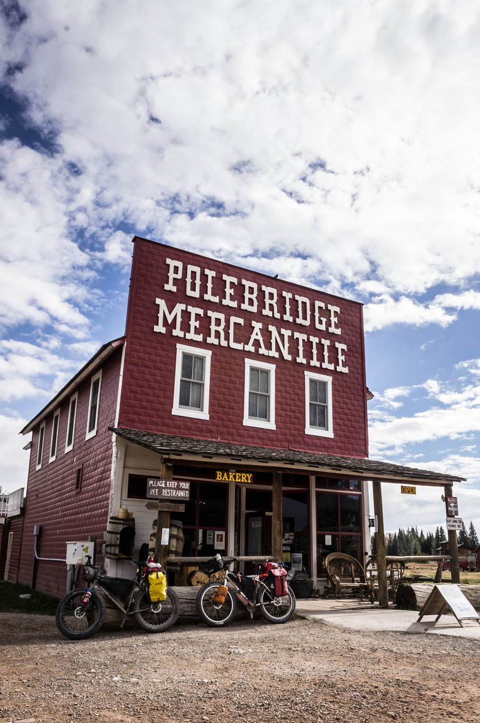
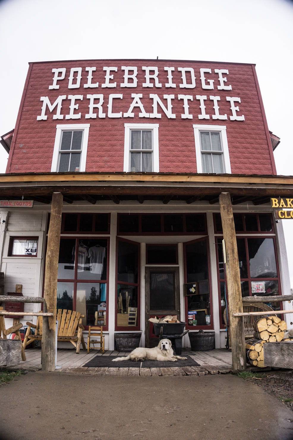
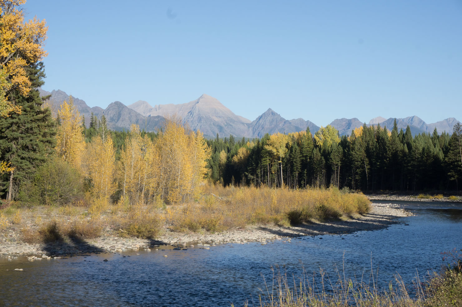
After cresting the pass, the route cuts down into the North Fork Valley with gorgeous mountain views peaking through all the way to Polebridge. This classic Montana “town” sits right on the North Fork of the Flathead River and the border of Glacier National Park.
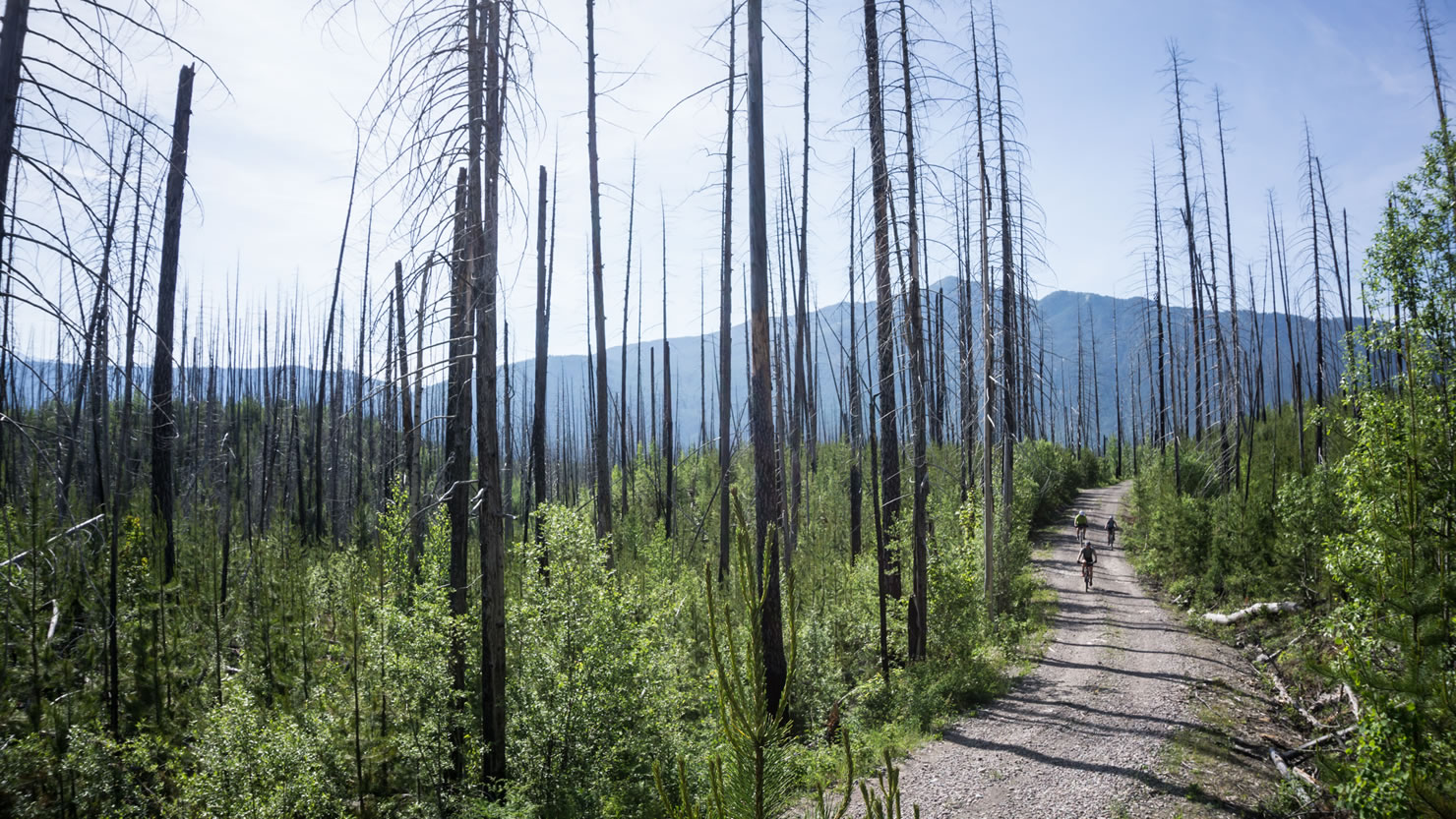
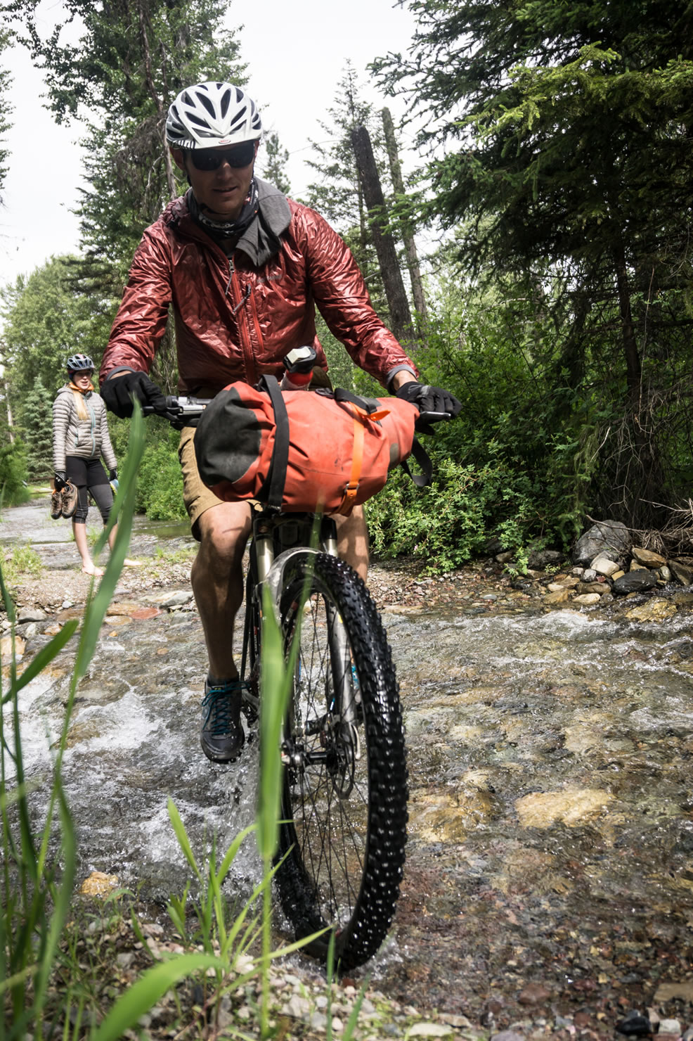
The next portion of ride cruises through the Inside North Fork Road of Glacier National Park. A few years ago, flooding washed out the road and closed it to vehicles, leaving a 20-mile section of dirt road bliss. The road wanders along the foothills of the massive peaks the Livingston Range, through old-growth forests, regrowing burns, and glacial-fed creeks tinted slightly turquoise and grey with rock-flower.
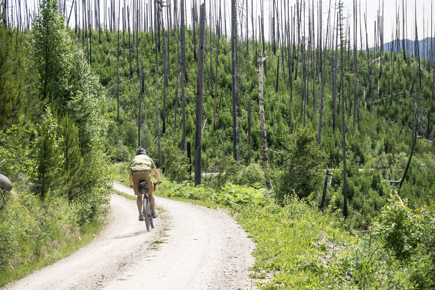
Connecting from Glacier National Park with brief periods of pavement, the dirt continues in a final push through logging roads above Columbia Falls. Broad views of the Flathead Valley and fast dirt make for a fun finish as the route returns to Whitefish, where fresh beer, ice cream, and greasy food wait to reward satisfied riders.


Submit Route Alert
As the leading creator and publisher of bikepacking routes, BIKEPACKING.com endeavors to maintain, improve, and advocate for our growing network of bikepacking routes all over the world. As such, our editorial team, route creators, and Route Stewards serve as mediators for route improvements and opportunities for connectivity, conservation, and community growth around these routes. To facilitate these efforts, we rely on our Bikepacking Collective and the greater bikepacking community to call attention to critical issues and opportunities that are discovered while riding these routes. If you have a vital issue or opportunity regarding this route that pertains to one of the subjects below, please let us know:
Highlights
Must Know
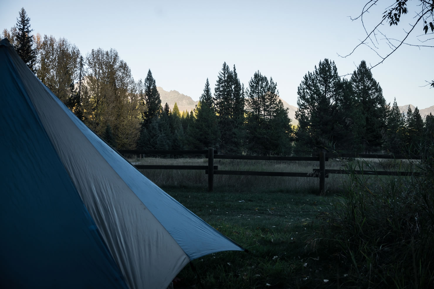
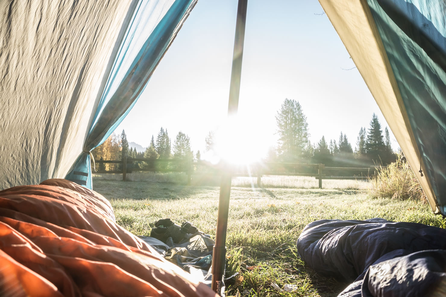
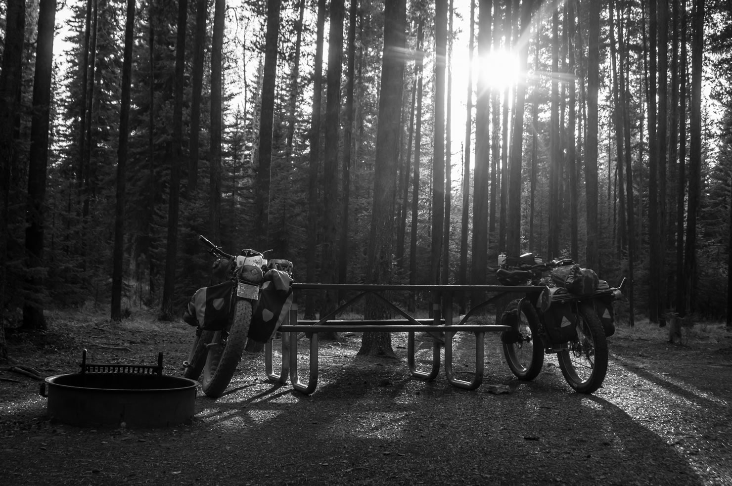
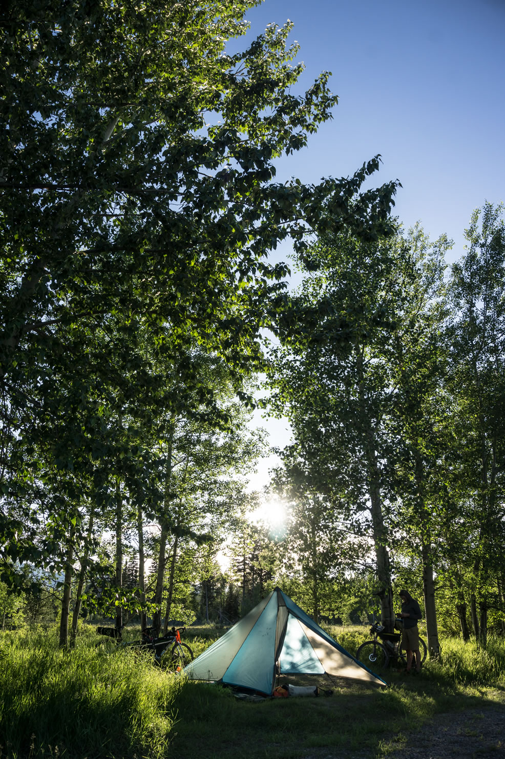
Camping
Food/H2O
Trail Notes
Resources
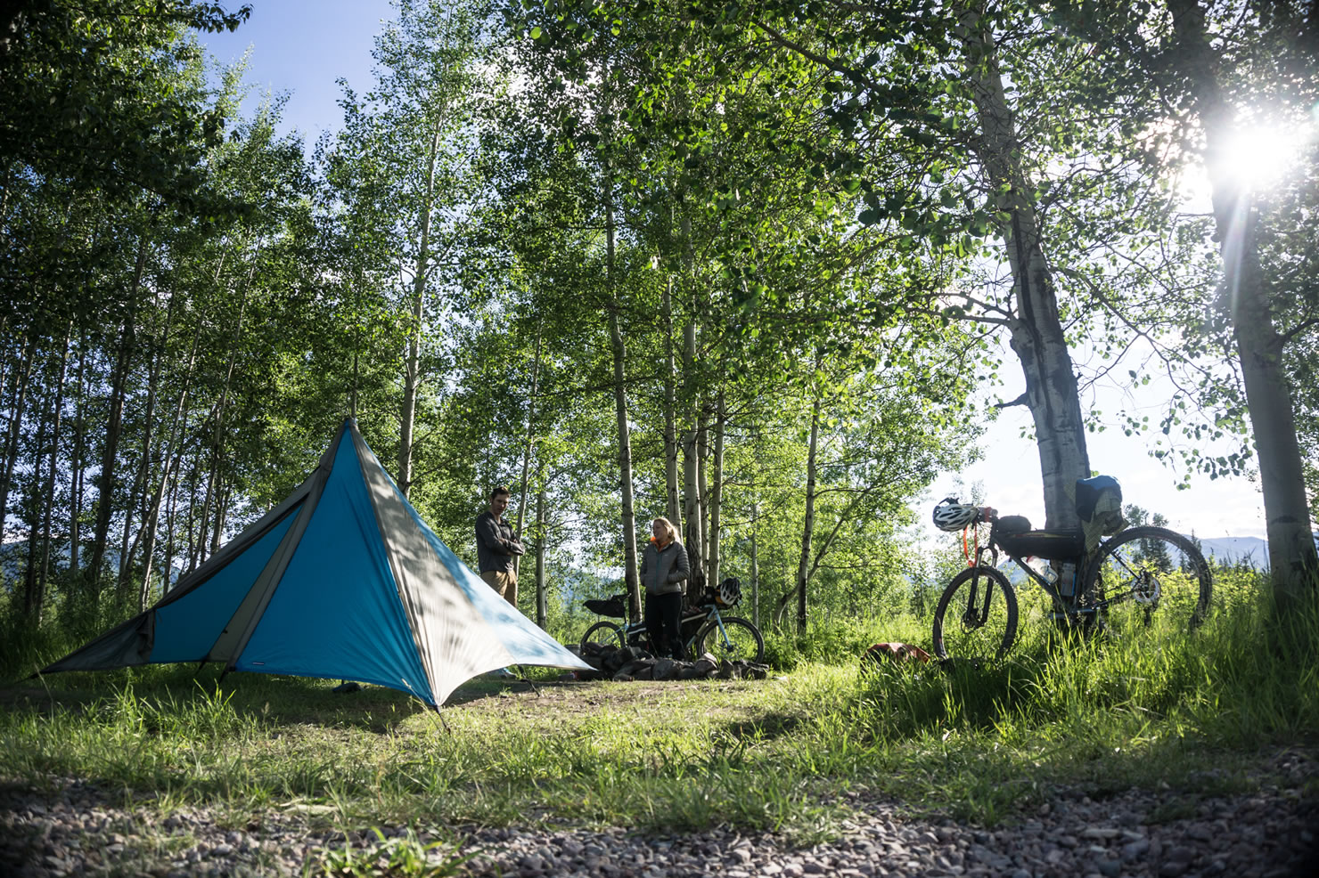
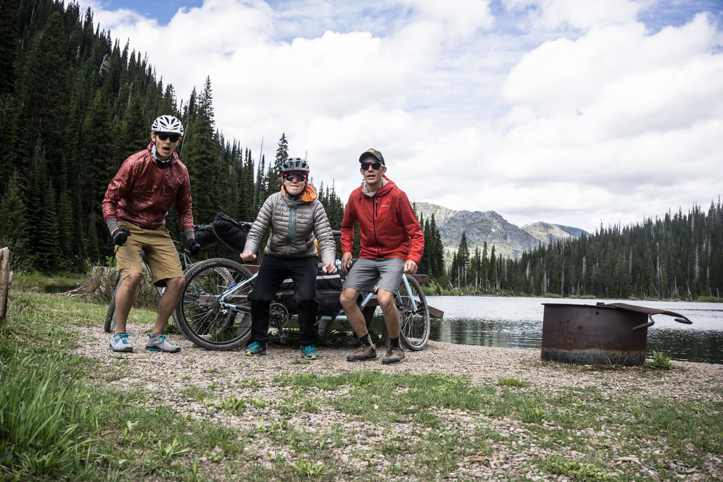
- Upper Whitefish Lake is a beautiful forest-encircled spot that is great for camping, swimming, yoga, and snacking.
- Red Meadow Lake is also a classic break or overnighting location and is the high point of the route – so enjoy the views.
- An Old Growth Ponderosa Stand (mile 62) along the Inside North Fork Road is well worth stopping for and taking in these fire-seasoned forest elders.
- The View of the Flathead Valley along the Shale Road is perfect for pausing to let the ride soak in before returning to civilization.
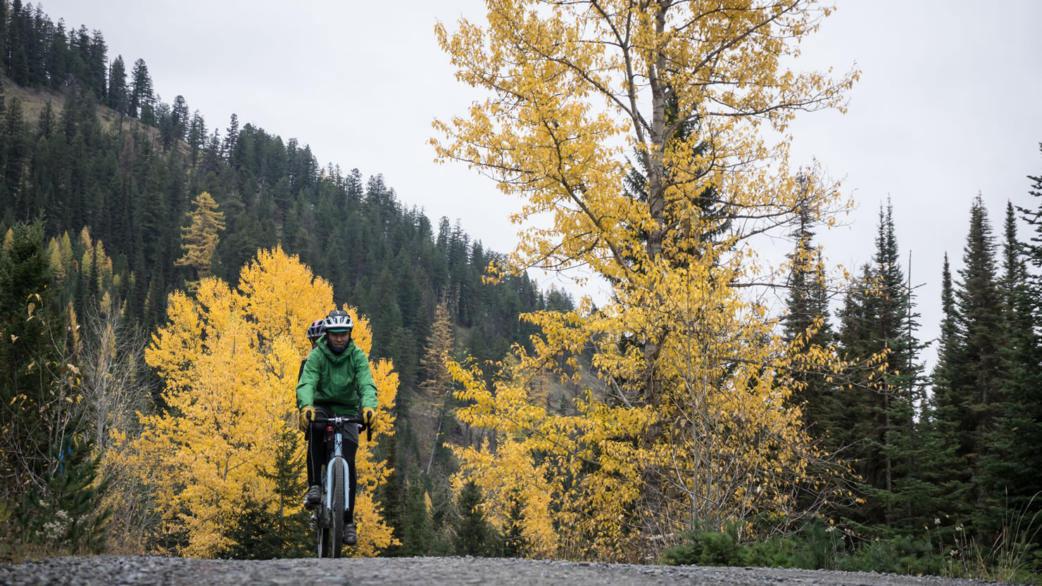
- Red Meadow Pass is often not clear of snow until mid-June and sees winter again in mid-October, so plan to ride this one during the summer or early autumn.
- Weather is quite varied in NW Montana during the summer/fall, so be sure to bring rain gear.
- Parking is plentiful near the train depot in downtown Whitefish.
- Bears are prevalent throughout the Whitefish Range and Glacier National Park, so carry bear spray and make some noise around blind corners.
- Camping at National Forest Sites can be found at Upper Whitefish Lake and Red Meadow Pass, with many other opportunities just off trail while in Flathead National Forest.
- Mt. Werner Lookout must be booked well ahead of time through the Montana DNRC website and is roughly 5 miles off-route (with lots of climbing) but has incredible views.
- Polebridge has free camping at the North Fork River access north of town and a hostel as well, if sleeping outside isn’t your thing.
- Glacier National Park has beautiful developed camping at Bowman Lake (6 miles off-route) as well as campgrounds at Quartz Creek, Logging Creek, Fish Creek, and Apgar.
- Countless creeks are passed along the route, so bring a couple liters of water and a filter and call it good.
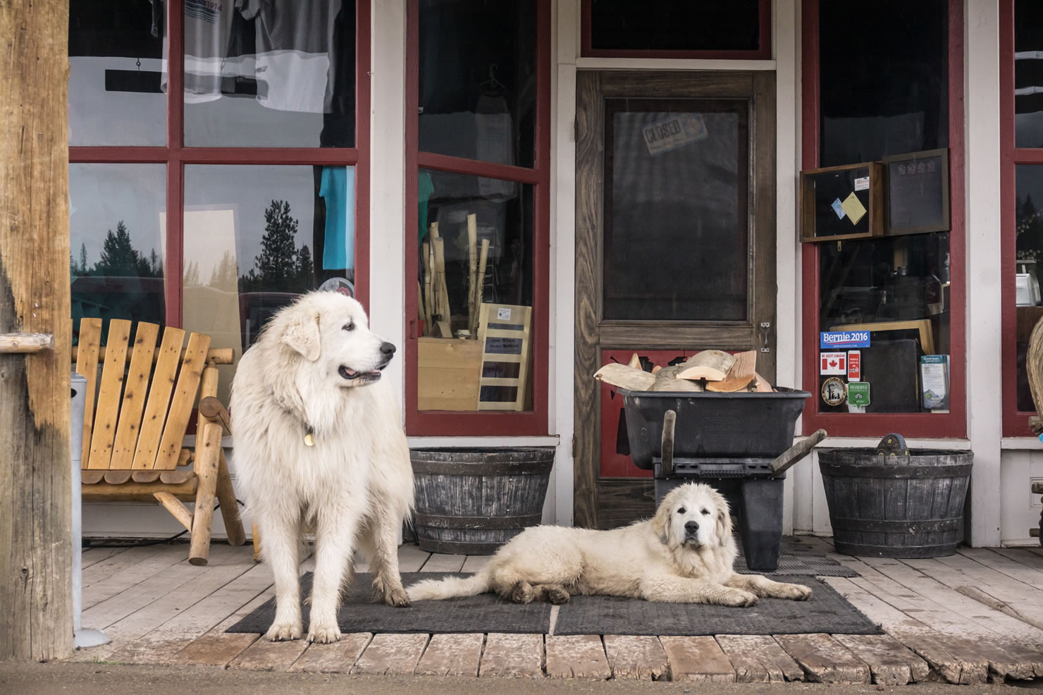
- Polebridge Mercantile has legendary bear claws and a solid selection of beer, as well as general camp-food supplies.
- Apgar Village and West Glacier are tourist hotspots in Glacier National Park, and therefore have a few quick restaurants and ice-cream offerings.
- Celebratory Libations are best found at Bonsai Brewing, a brewery build in a converted house in Whitefish.
- First-time bikepackers and seasoned vets can enjoy the route.
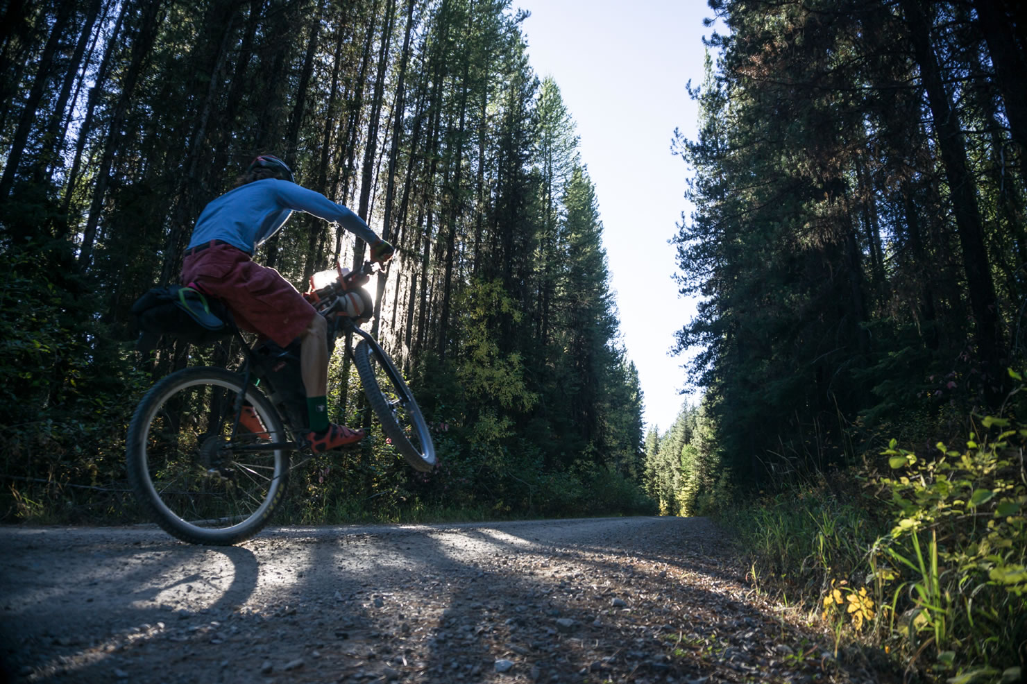
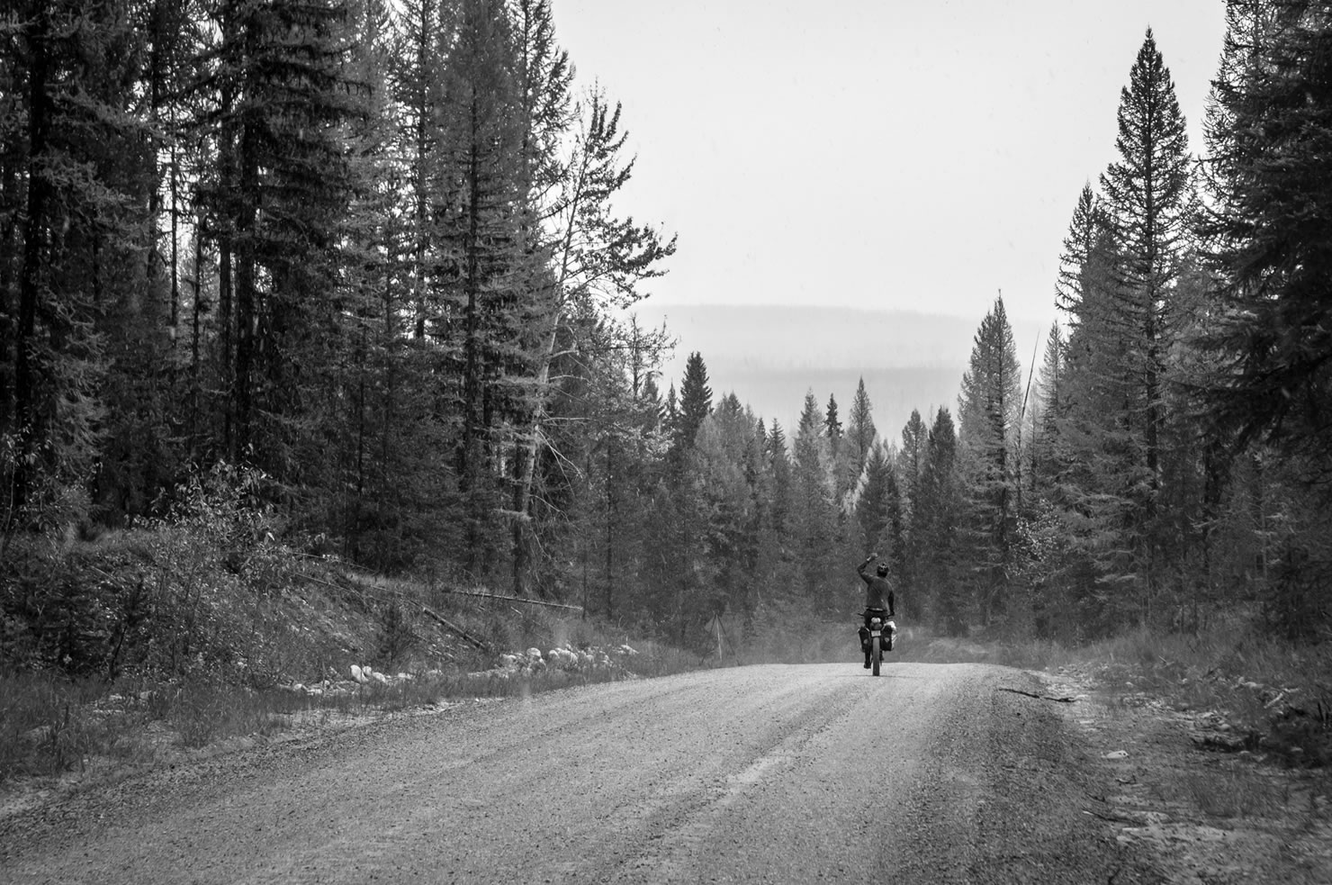
- Dirt roads in NW Montana are of the highest adventure quality, where smooth high-speed sections seamlessly flow into washboarded, pot-holed climbs and descents with forested views worth stopping for sprinkled throughout.
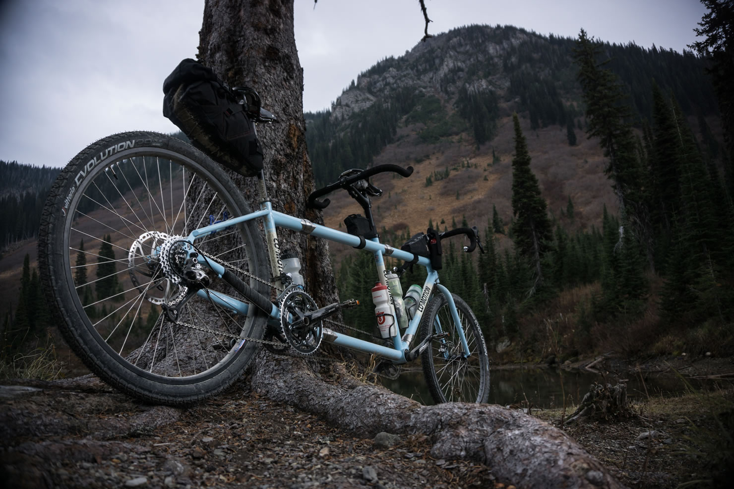
- Variety in the road conditions offer the opportunity to enjoy any bicycle for the ride, whether a light-duty cross bike, a backwoods-ready mountain bike, or even a long-and strong tandem.
- Singletrack additions, from smooth and flowy developed trail to full-on backcountry bikeschwacking, are aplenty along the route.
Additional Resources
- Glacier Cyclery is the hub of adventure bicycling in Whitefish and a must-stop shop for more route info, current conditions, local singletrack beta, bike parts, and a good time.
- A USFS Flathead National Forest Map will serve you best for the route and for further exploration of the Whitefish Range.
- Glacier National Park requires park fees (~$12/individual) or a national parks pass.


Terms of Use: As with each bikepacking route guide published on BIKEPACKING.com, should you choose to cycle this route, do so at your own risk. Prior to setting out check current local weather, conditions, and land/road closures. While riding, obey all public and private land use restrictions and rules, carry proper safety and navigational equipment, and of course, follow the #leavenotrace guidelines. The information found herein is simply a planning resource to be used as a point of inspiration in conjunction with your own due-diligence. In spite of the fact that this route, associated GPS track (GPX and maps), and all route guidelines were prepared under diligent research by the specified contributor and/or contributors, the accuracy of such and judgement of the author is not guaranteed. BIKEPACKING.com LLC, its partners, associates, and contributors are in no way liable for personal injury, damage to personal property, or any other such situation that might happen to individual riders cycling or following this route.
Please keep the conversation civil, constructive, and inclusive, or your comment will be removed.