


Redington-Lemmon Loop
Distance
110 Mi.
(177 KM)Days
1-3
% Unpaved
51%
% Singletrack
0%
% Rideable (time)
100%
Total Ascent
11,365'
(3,464 M)High Point
8,187'
(2,495 M)Difficulty (1-10)
7?
- 7Climbing Scale Strenuous103 FT/MI (20 M/KM)
- -Technical Difficulty
- -Physical Demand
- -Resupply & Logistics
Contributed By
Lael Wilcox
Photos by Rugile Kaladyte
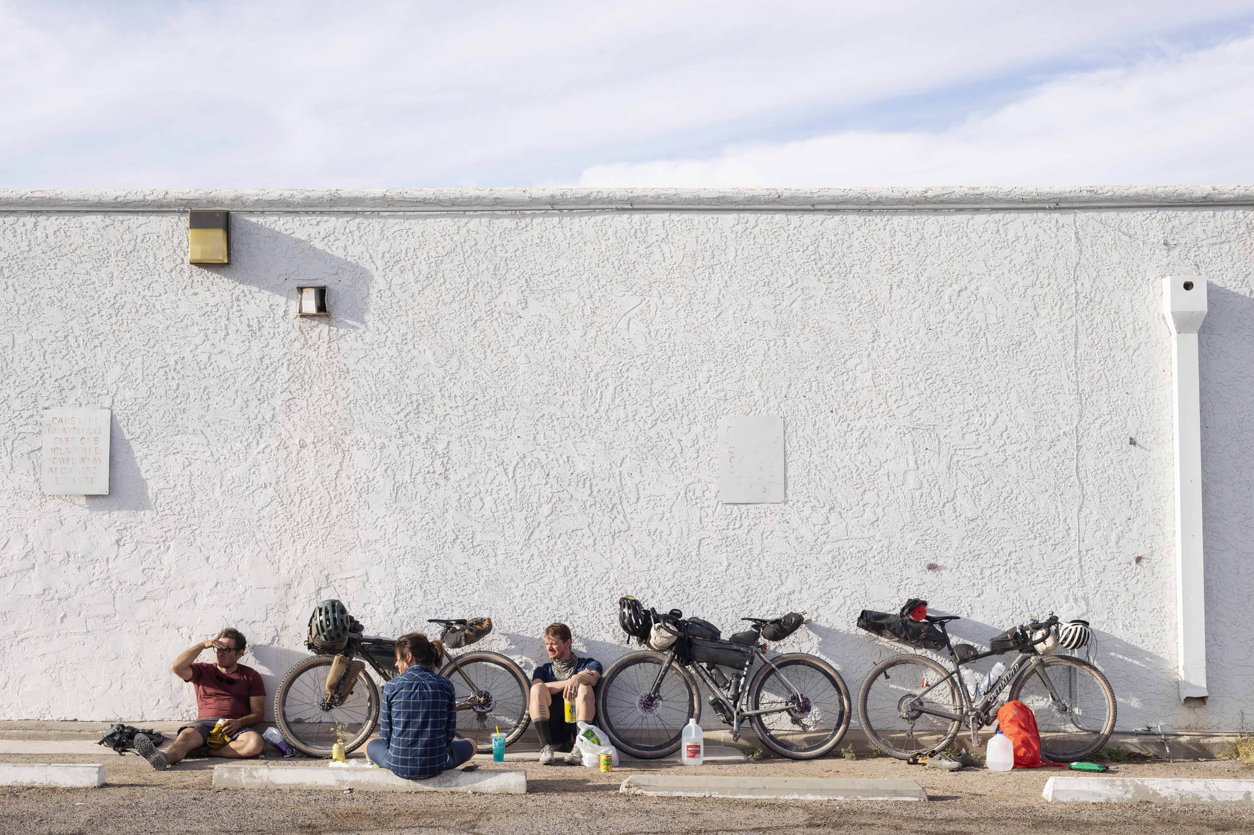
Begin and complete the route at the Le Buzz/Safeway Parking Lot. This is the easiest access from Tucson and a great place to meet up with friends, buy food, and enjoy a hot meal.
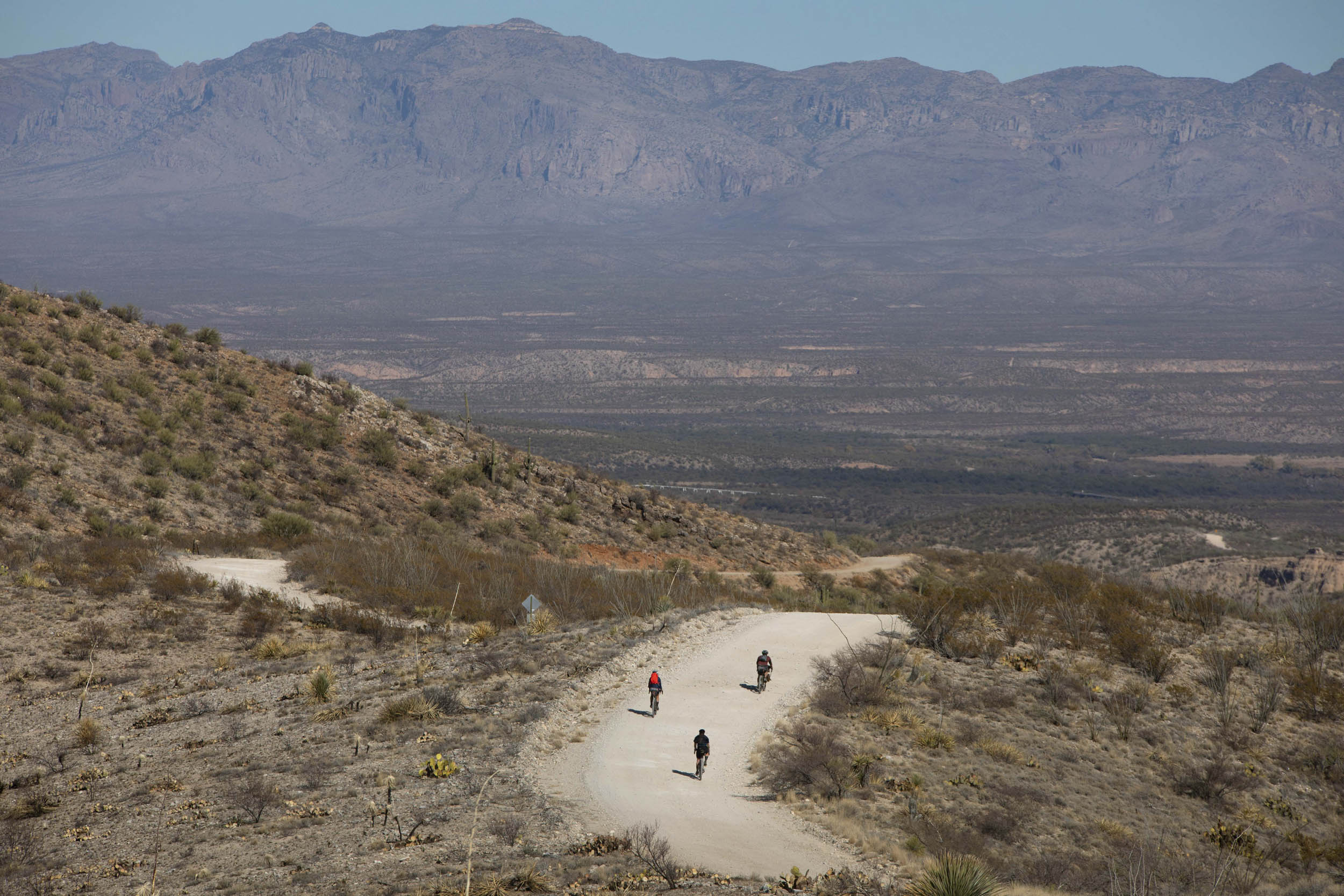
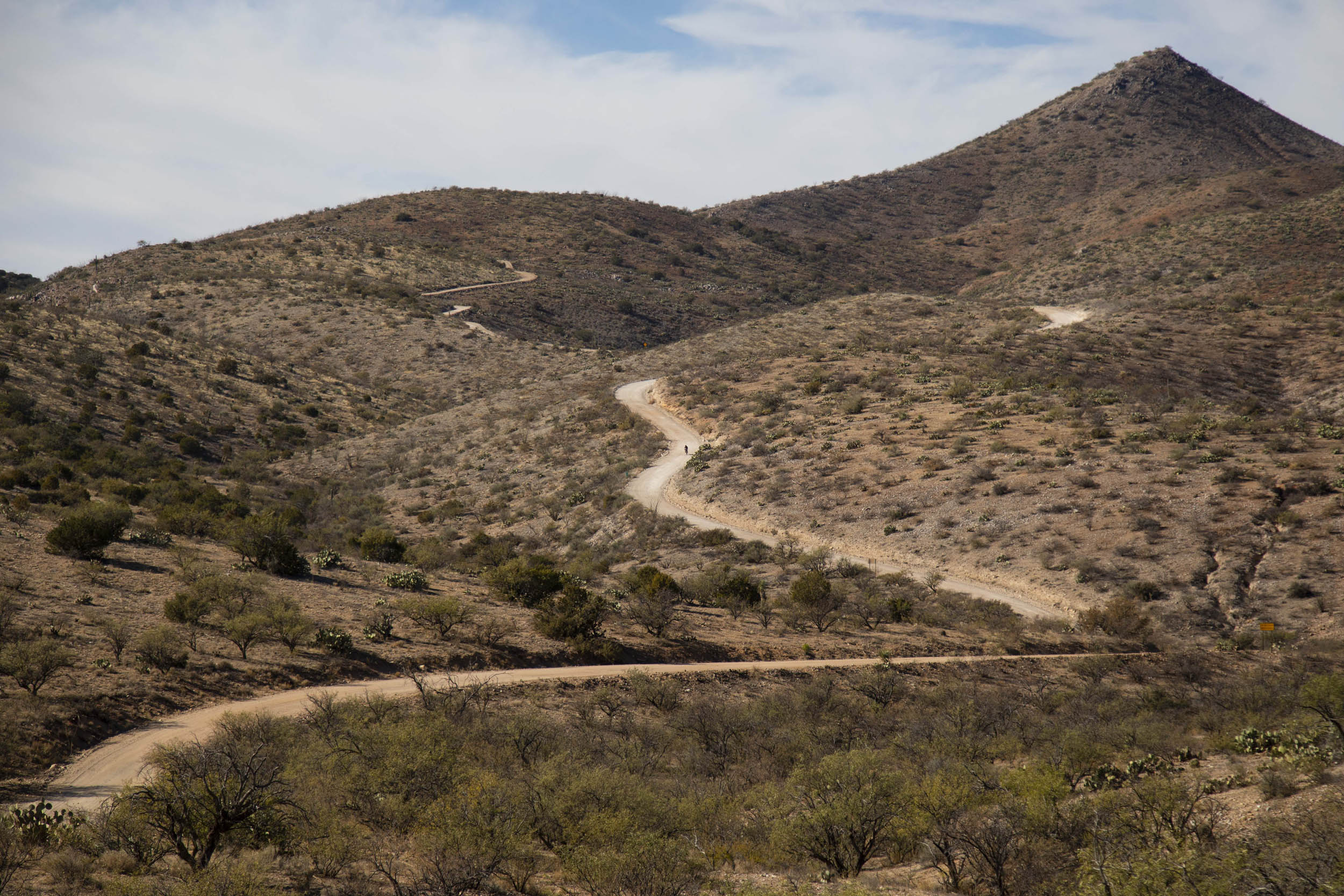
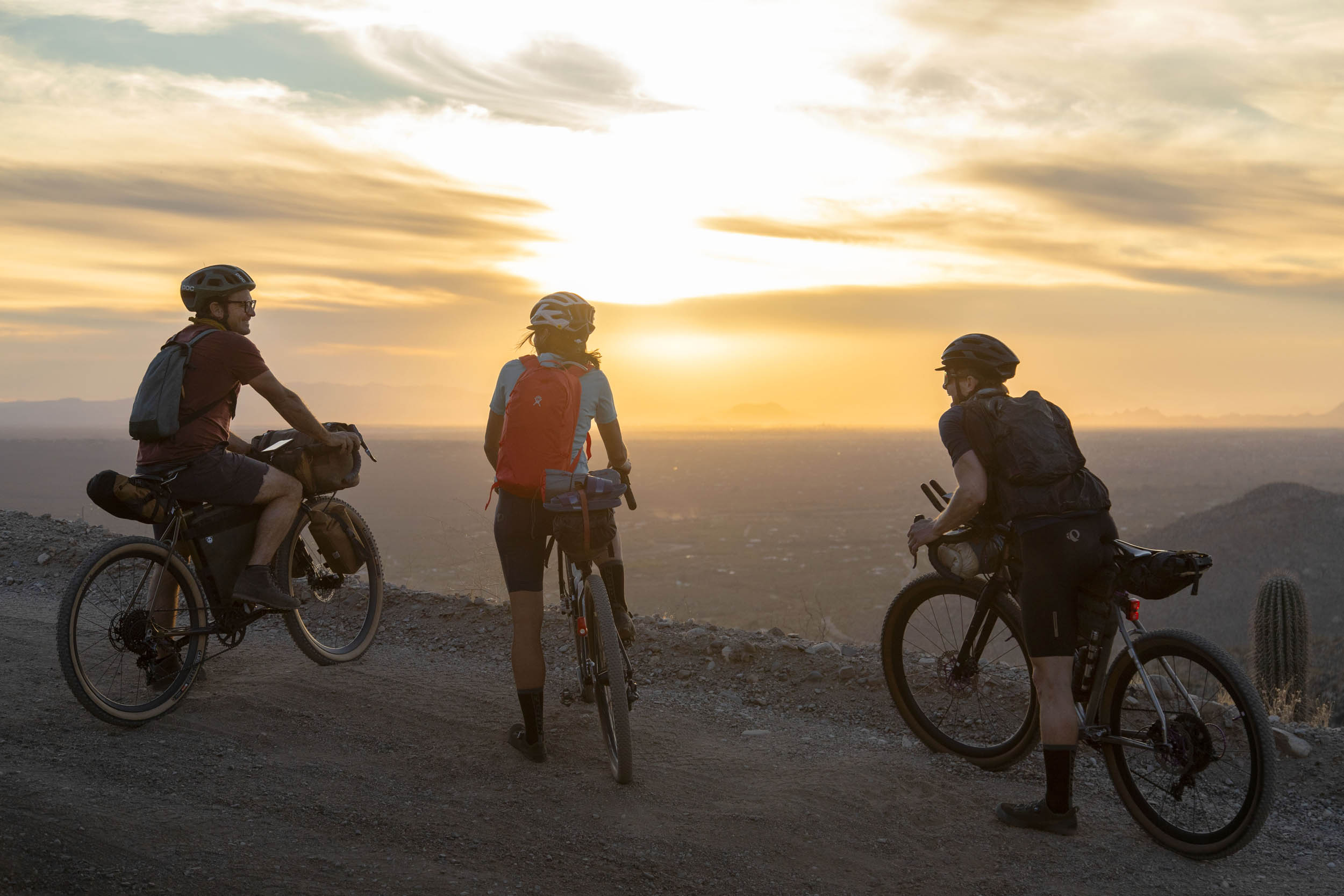
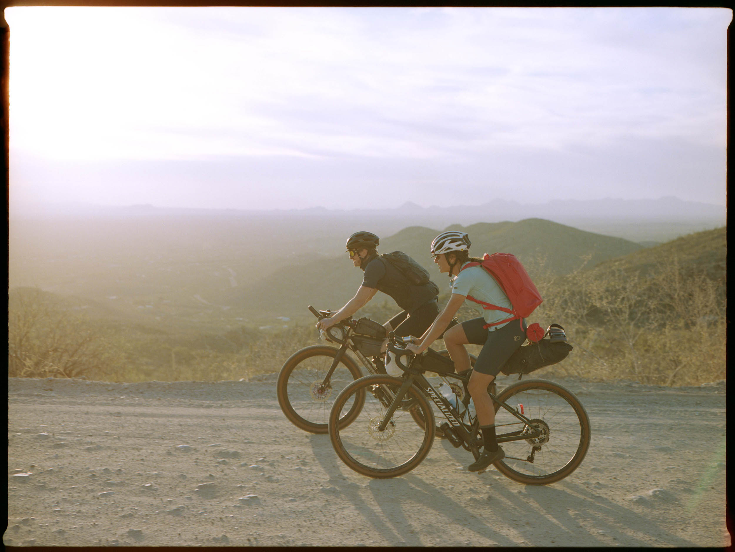
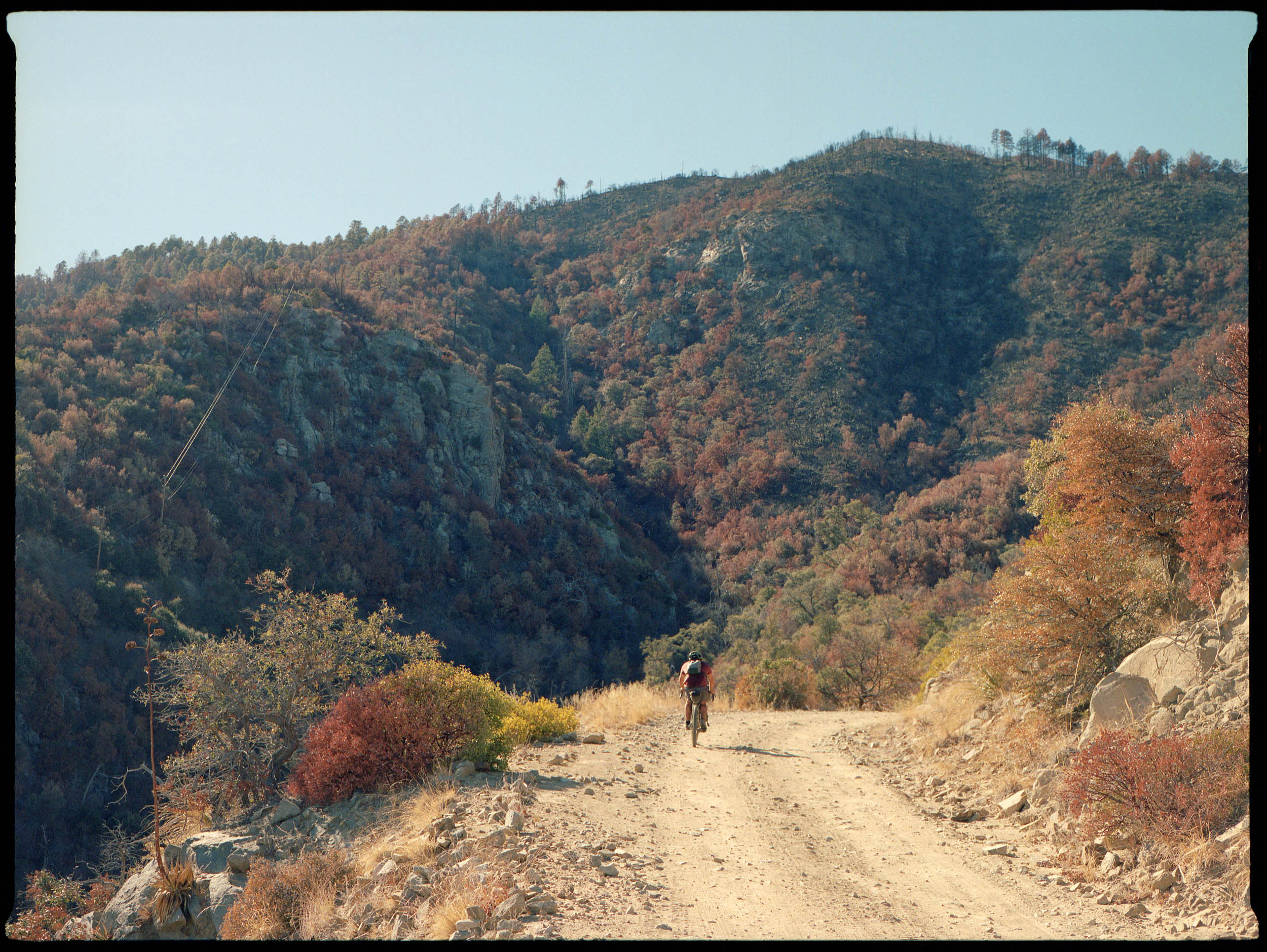
The route starts out on paved Tanque Verde road with a bike lane that becomes Redington Road and turns into dirt at route mile 8. It’s a switchback climb and stays rolling and high for another 10 miles. At the top, you get a view of the Galiuro Mountains to the north. There are plenty of opportunities to camp on public land. The road is busier with off-roading vehicles on the weekends.
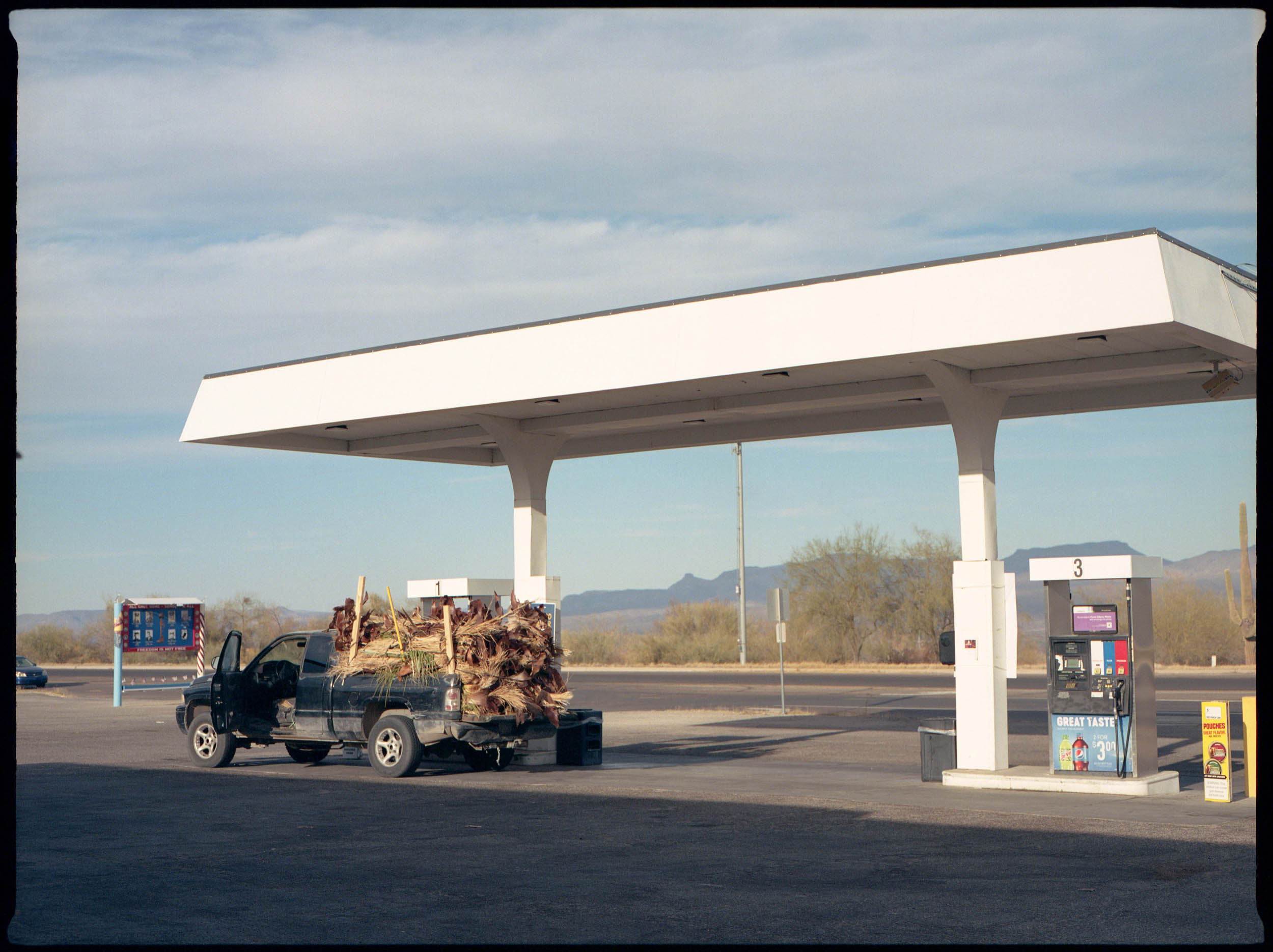
A long descent takes you to the road paralleling a wash. Depending on the season, this can get pretty washboarded. It doesn’t last too long. At the junction with South River Road, the road turns to pavement and the route heads west and then north to San Manuel, an old mining town with a Dollar General and a gas station for resupply, the first opportunity for reliable water.

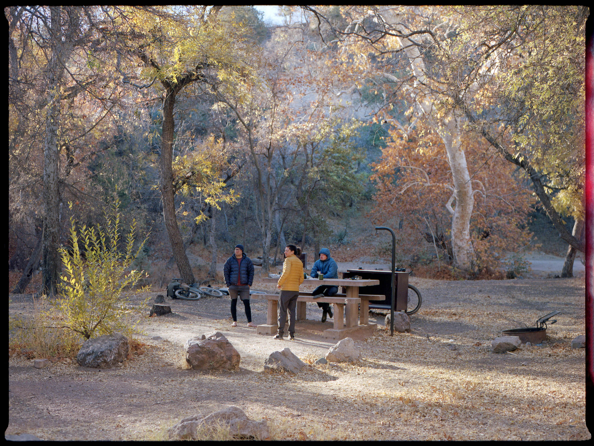
The paved ride out of San Manuel begins to climb. A detour will take you to Oracle for resupply or lodging opportunities. The route turns back to dirt just before Peppersauce Campground, with water spigots, pit toilets, and nice shady campsites for $15 per site. Wild camping in the area is plentiful.
Then, the real climb begins up the backside of Mount Lemmon. There’s a bit of a rolling prologue before the route climbs in earnest, 3,000 feet over nine miles on pretty loose dirt.
The Control Road pops out near Summerhaven at the Oracle Ridge Trailhead and the Lemmon Fire Station. A quarter-mile detour will take you to town with a couple of restaurants and a general store.
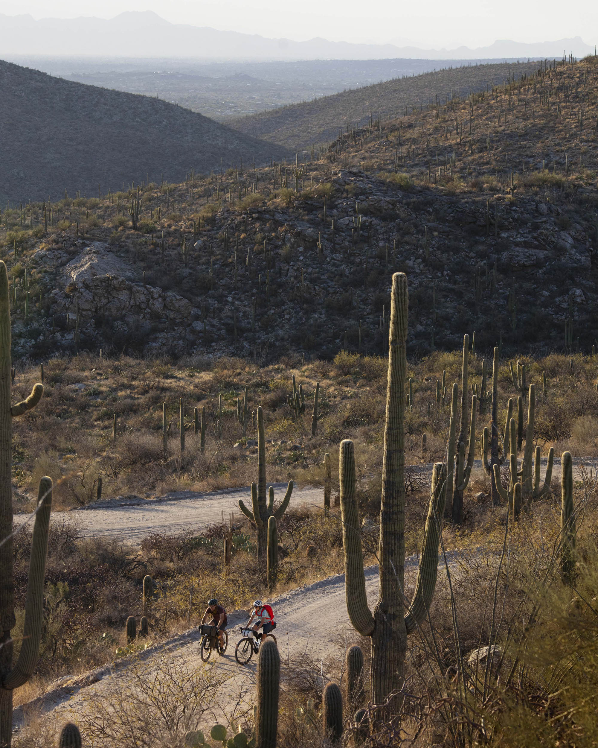
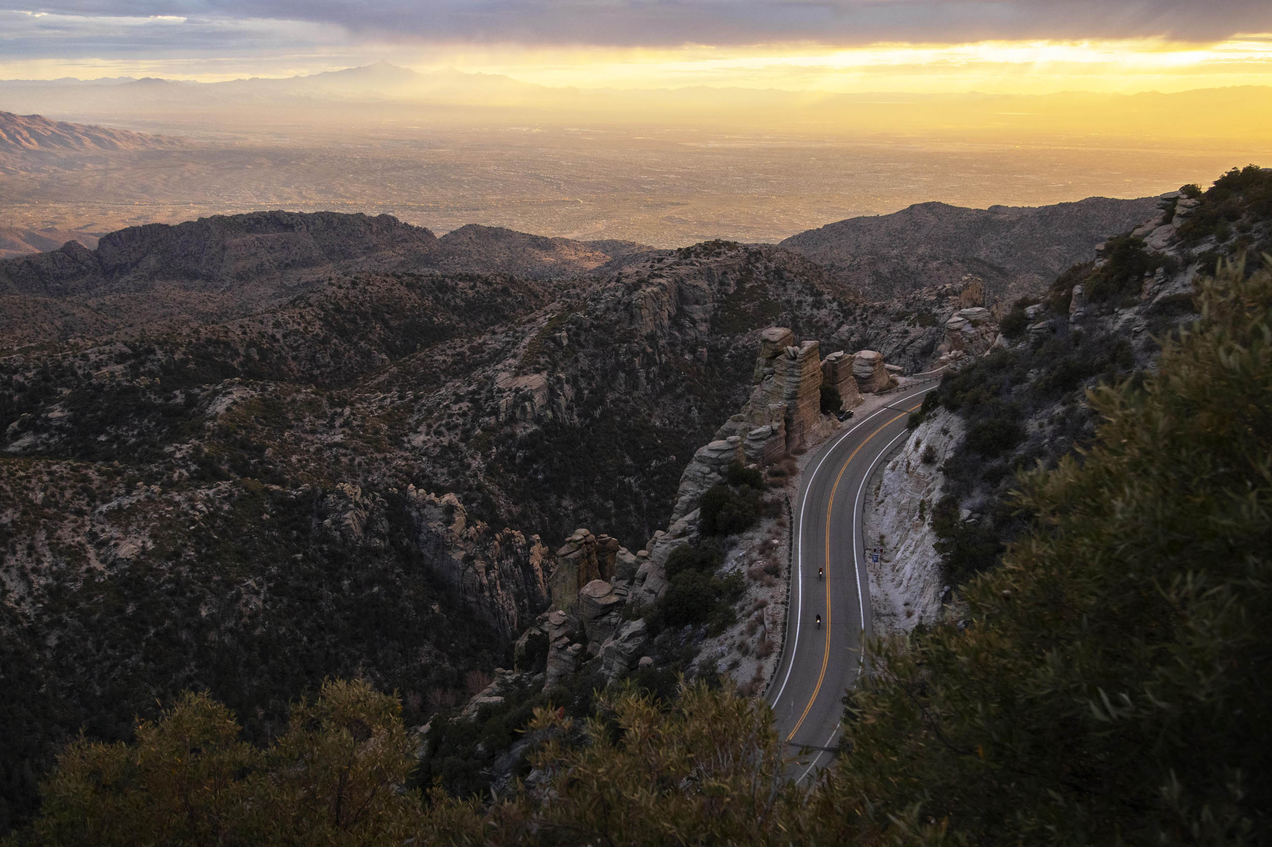
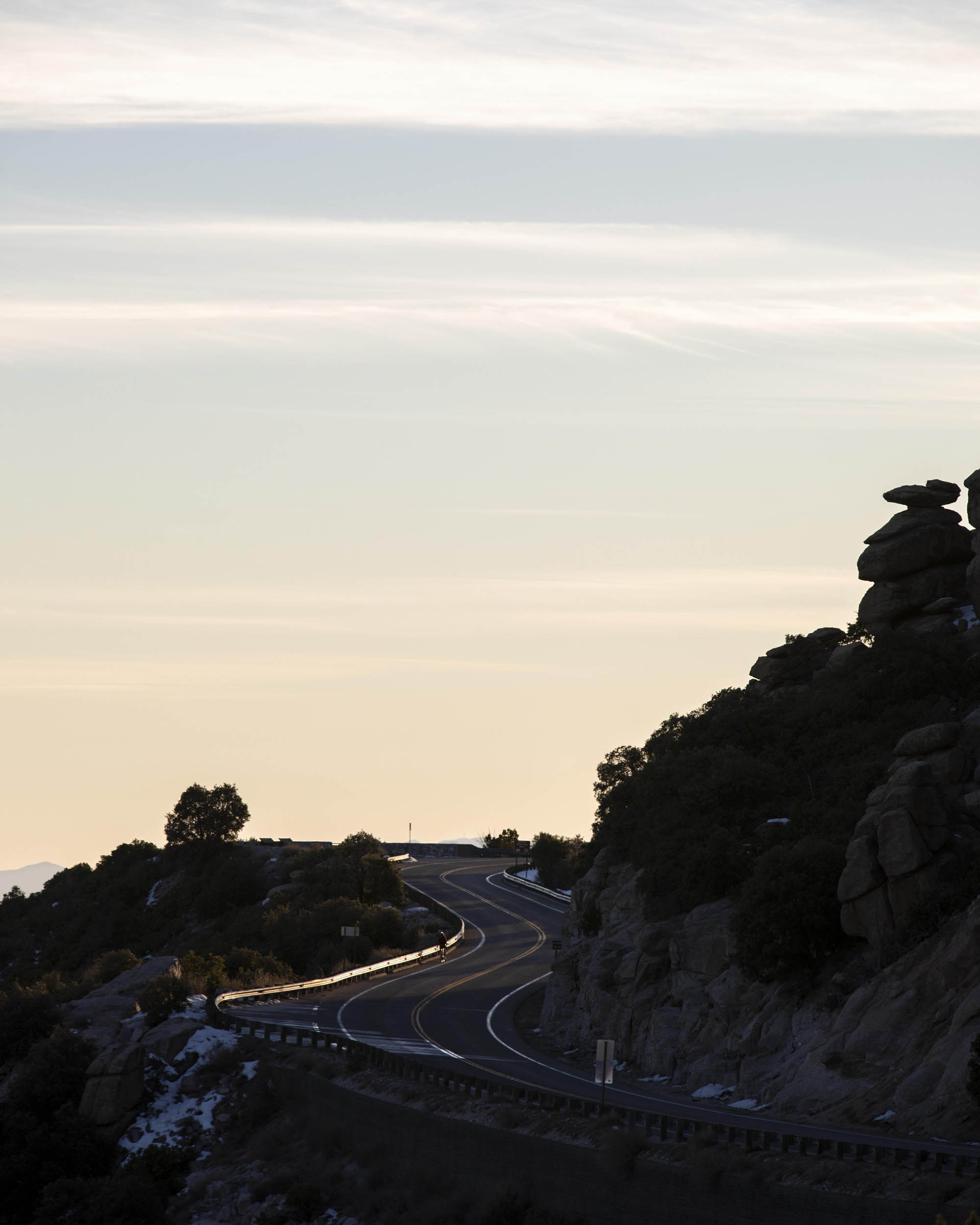
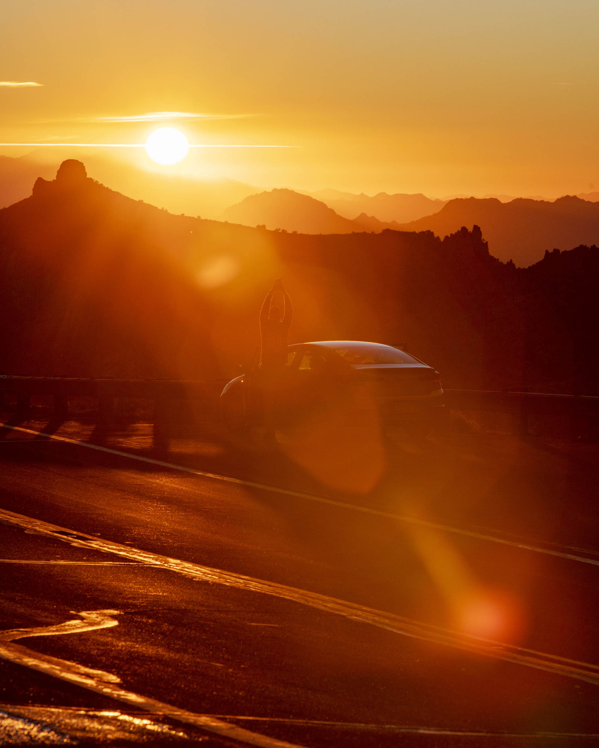
Five miles rolling on pavement gets you to the highpoint, and it’s all downhill from there: 20 miles, descending 5,500 feet past pine trees and rock formations, through oak woodlands and chaparral, past grasslands, and to the Sonoran Desert.
An easy four-mile spin on pavement with a bike lane gets you back to the Le Buzz parking lot.
Route Difficulty
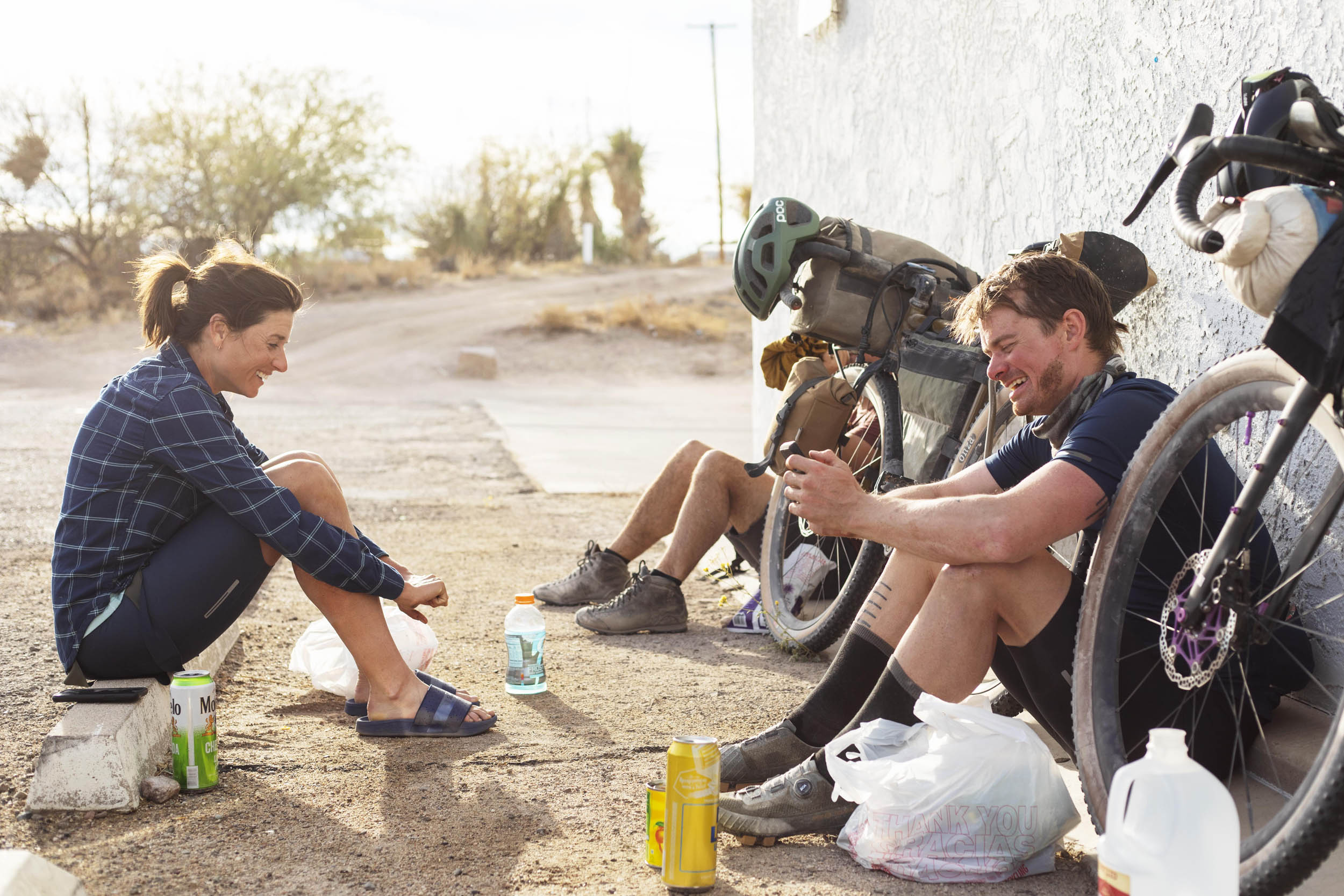
This route requires a decent level of fitness as there is quite a bit of climbing. It is not very technical, but the road surface can be rough. I’ve ridden this route at least a dozen times: in one day, two days, and three. It’s an ass-kicker any way you approach it, but always a great, beautiful adventure. The ride is unique for the desert as finding food and particularly water is fairly easy.
Route Development: I first heard about this route from Benedict (Ronnie) in 2018. He rode it several times in preparation for Unbound 200. It’s a locals’ favorite and has also been part of the Bell Breaker, typically a 180-mile challenge organized on different years by Deejay Birch and Nate Woiwode in January to be ridden in a day. Kait Boyle also pointed out to me that it’s an alternate for the Bikepacking Roots Western Wildlands route. Tucson folks know about this ride, but it’s worth traveling for to catch some sun in the winter. The route is quite straightforward and all on public roads.


Submit Route Alert
As the leading creator and publisher of bikepacking routes, BIKEPACKING.com endeavors to maintain, improve, and advocate for our growing network of bikepacking routes all over the world. As such, our editorial team, route creators, and Route Stewards serve as mediators for route improvements and opportunities for connectivity, conservation, and community growth around these routes. To facilitate these efforts, we rely on our Bikepacking Collective and the greater bikepacking community to call attention to critical issues and opportunities that are discovered while riding these routes. If you have a vital issue or opportunity regarding this route that pertains to one of the subjects below, please let us know:
Highlights
Must Know
Camping
Food/H2O
Trail Notes
- Redington Road: a rugged, dirt roller coaster
- The Control Road up the backside of Mount Lemmon: light traffic and a unique approach into the Santa Catalinas
- Descending the front side of Mount Lemmon: a well-graded, pretty smooth, and winding road that takes you past rock formations with stunning views
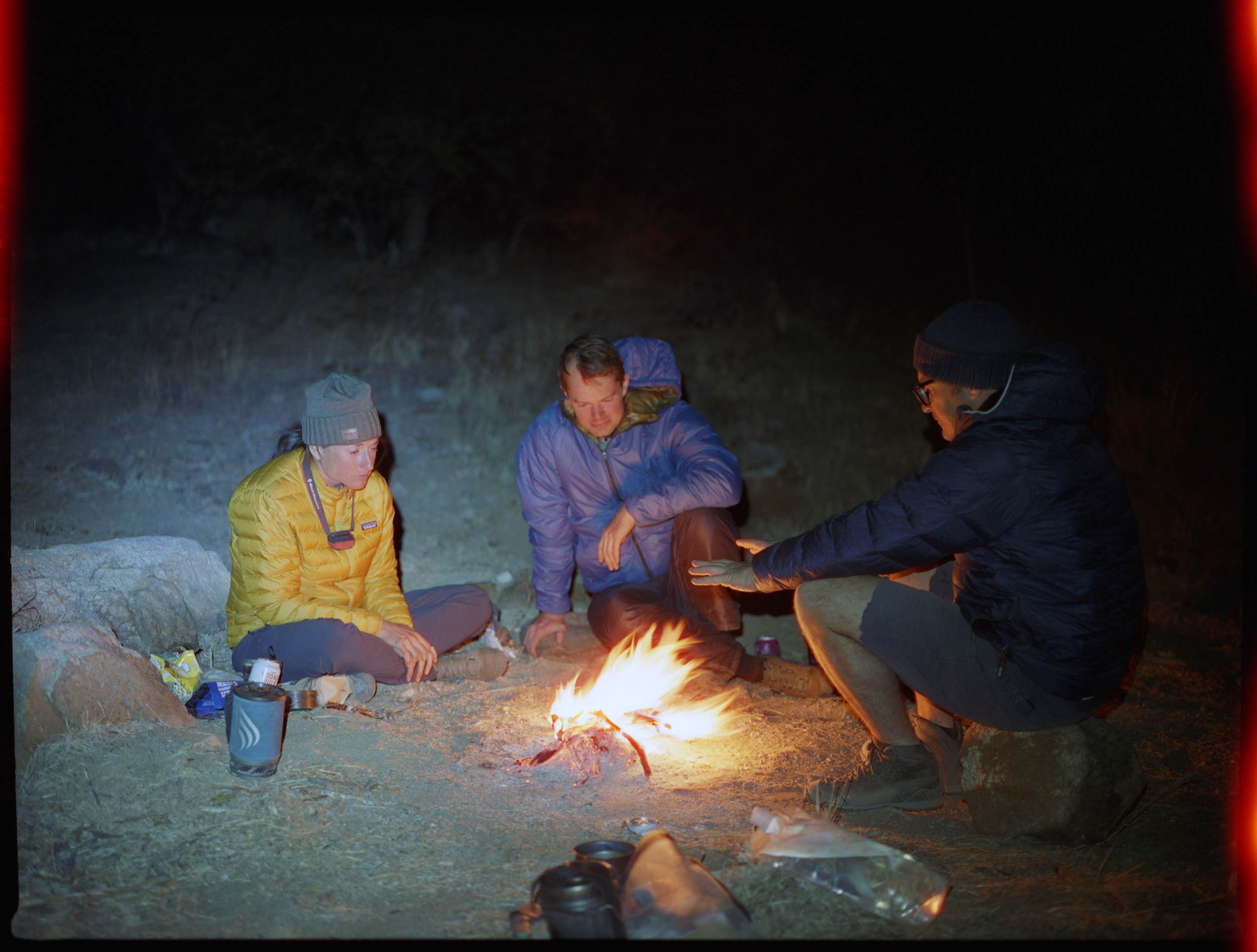
- Camping on public land: plenty of opportunities on Redington Road and the backside of Mount Lemmon
- Easy resupply in San Manuel, Peppersauce Campground, Summerhaven, and Le Buzz
- The diversity of terrain and ecology in a 110-mile loop
- Sunny winter weather: generally, the days are in the 70s and the nights are in the 40s. The weather can be 20 or 30 degrees colder on the top of Mount Lemmon—bring layers!
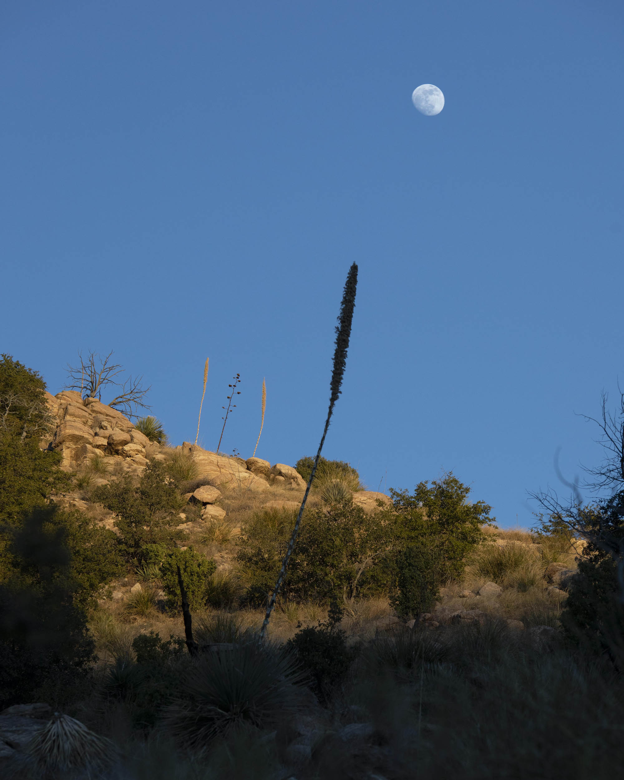
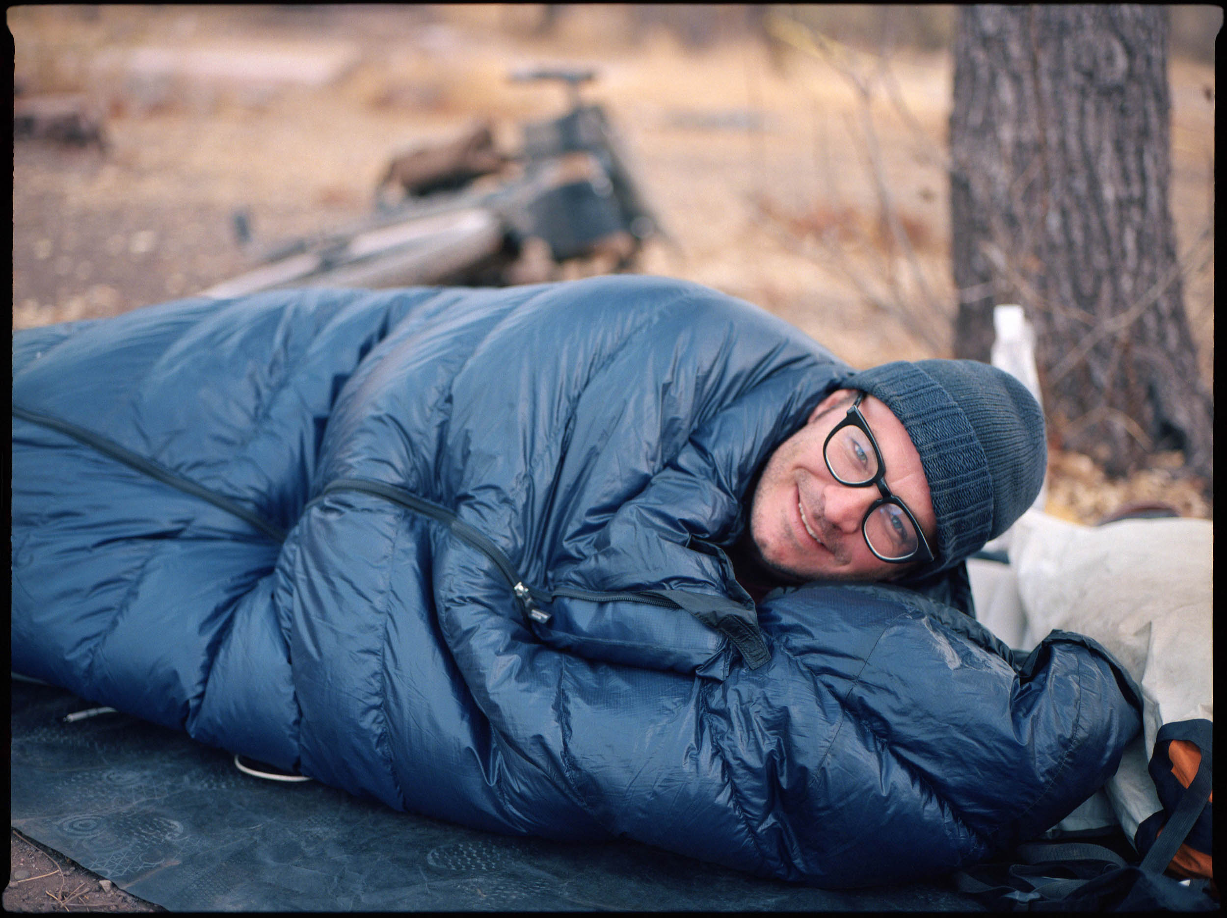
- If the forecast is clear, it’s a great opportunity to sleep under the stars without a tent. In most seasons, insects are not an issue in Arizona, and there’s very little dew or humidity. Avoid sleeping in washes.
- If you’re thinking of traveling to ride Sarah Swallow’s Sky Island Loop, this is a great additional ride while you’re in the area and very different, albeit more challenging.
- When to go: Shoulder seasons (fall and spring) and winter are ideal times for this route. The only possible challenge is that it can actually snow on Mount Lemmon (there’s a ski resort up there). With that in mind, the route is best to ride in November or February-April. If it’s a low snow year, the route can be ridden all winter. Summer in the desert is extremely hot.
- Avoid Redington Road after rain/snow. There is clay in the soil that makes impassable mud.
- Logistics: Tucson has an international airport. The route begins on the east side of town. There is a huge parking lot at the start of the loop.
- I recommend riding the route counterclockwise. This way, you complete challenging Redington Road first, climb up the backside of Lemmon and descend the pavement. The dirt tends to be pretty rough and easier on the body to climb than descend. I’d recommend at least 38mm tires. It’s definitely more fun and comfortable on 48mm or larger.
- Dangers and Annoyances: Arizona is a pro firearm state. You may hear shooting on Redington Road. I’ve never had any problems. Weekends are busy with off-road traffic.
- Camping on public land is easy on Redington Road and the backside of Mount Lemmon.
- Peppersauce Campground is an ideal place to camp as there are water spigots and pit toilets at the campground. Campsites are shady with Arizona sycamores and walnut trees and sites cost $15 a piece.
- There are plenty of hotels in Tucson.
- Oracle is a quick detour from the halfway point. My favorite place to stay there is the Chalet Village Motel. It’s inexpensive and the manager, Marney, is an Arizona Trail angel. The rooms are individual A-Frame cabins.
- Surface water is unreliable. It’s best to plan on filling up from spigots and stores.
- Le Buzz is a great place for coffee and baked goods at the start.
- The easiest resupply in San Manuel is the gas station, although I’ve had some fried food in town there too.
- Oracle, a little off route, has a couple of good restaurants. The Patio Cafe is my favorite for breakfast and lunch, De Marco’s has spaghetti and meatballs.
- Peppersauce Campground is a great place to fill up before the backside of Lemmon climb.
- The Cookie Cabin in Summerhaven serves pizza and giant cookies.
- The Mount Lemmon General store has an impressive stock of food for its size, including cold beer.
One or Two-Day Ride
For a one-day ride, I’d recommend starting early to get to the top of Mount Lemmon before dark. The temperature in the desert drops really quickly and it’s no fun to descend in the cold. For two days on the trail, camping anywhere between Redington and Peppersauce works well—it really depends how early you start.
Three-Day Ride (recommended)
For a three-day ride, I’d recommend camping the first night along Redington Road and the second at Peppersauce Campground.
Additional Rides
Check out the Western Wildlands Route and the Arizona Trail for different options to extend this route or make it more technical. Southern Arizona has a wealth of diverse riding. This one to three-day trip gives you a little taste of it.


Terms of Use: As with each bikepacking route guide published on BIKEPACKING.com, should you choose to cycle this route, do so at your own risk. Prior to setting out check current local weather, conditions, and land/road closures. While riding, obey all public and private land use restrictions and rules, carry proper safety and navigational equipment, and of course, follow the #leavenotrace guidelines. The information found herein is simply a planning resource to be used as a point of inspiration in conjunction with your own due-diligence. In spite of the fact that this route, associated GPS track (GPX and maps), and all route guidelines were prepared under diligent research by the specified contributor and/or contributors, the accuracy of such and judgement of the author is not guaranteed. BIKEPACKING.com LLC, its partners, associates, and contributors are in no way liable for personal injury, damage to personal property, or any other such situation that might happen to individual riders cycling or following this route.
Please keep the conversation civil, constructive, and inclusive, or your comment will be removed.