


Reichraming Ramble
Distance
59 Mi.
(95 KM)Days
2-3
% Unpaved
64%
% Singletrack
5%
% Rideable (time)
99%
Total Ascent
8,596'
(2,620 M)High Point
4,099'
(1,249 M)Difficulty (1-10)
5?
- 9Climbing Scale Very Strenuous146 FT/MI (28 M/KM)
- 4Technical Difficulty Fair
- 6Physical Demand Moderate
- 3Resupply & Logistics Fair
Contributed By
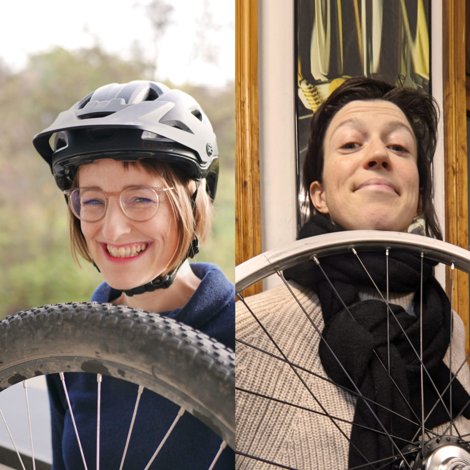
Sophie and Anna
Guest Contributor
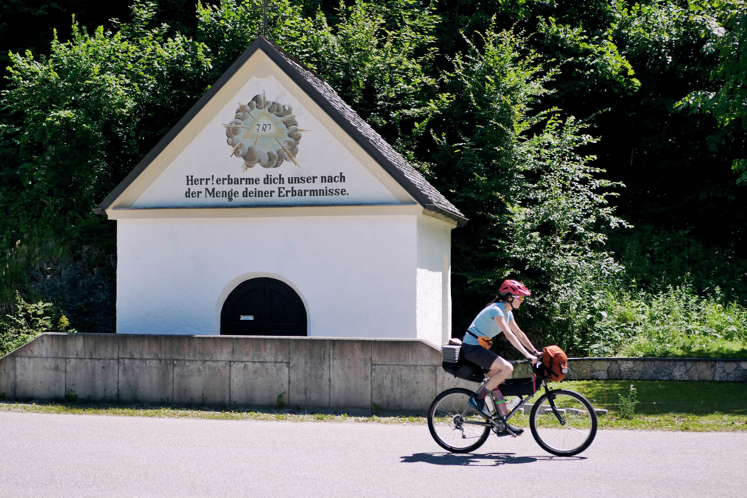
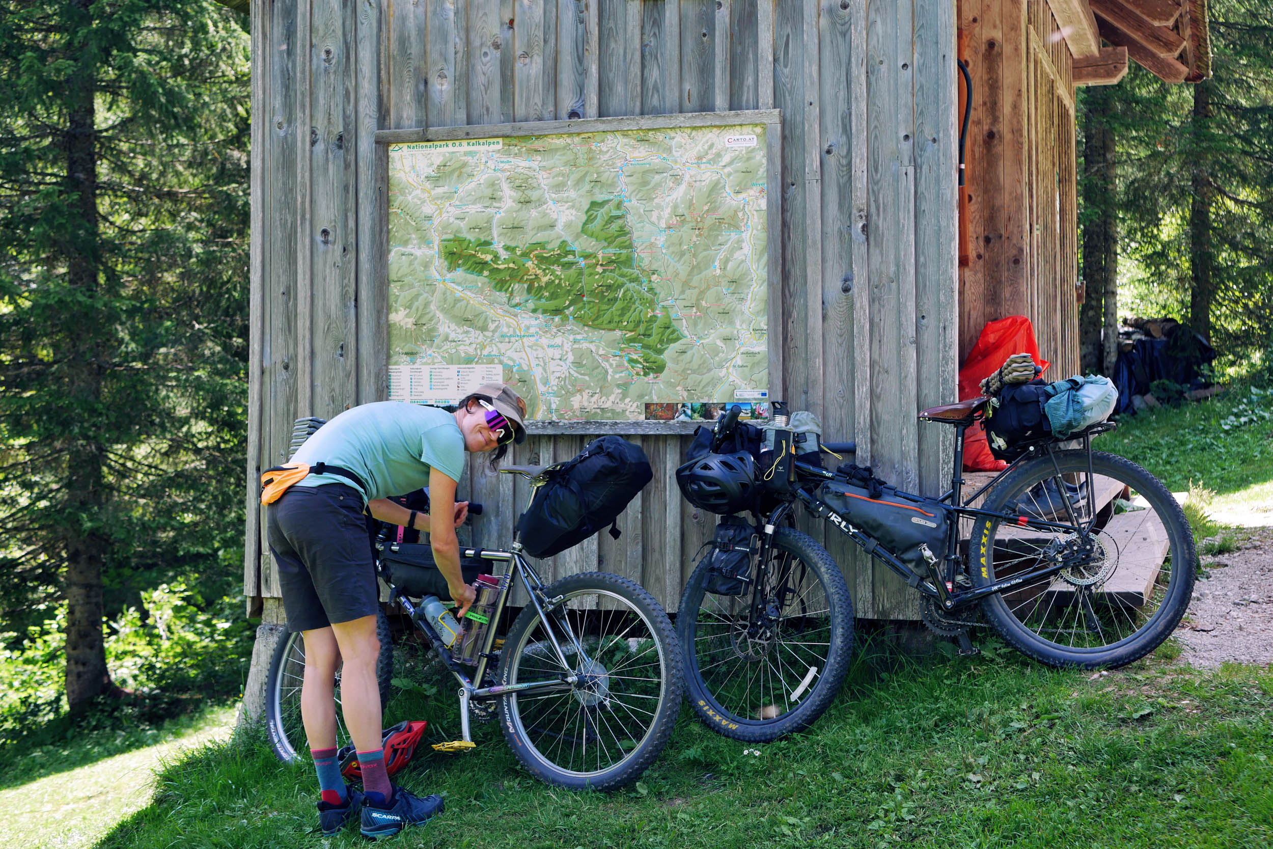
Sophie (@petitepedaller) and Anna (@anna.wchslbrn) each discovered bikepacking while living abroad. Back home in Vienna, they bonded over their common passion one cold and rainy March evening. Sophie was determined to put Austria on the bikepacking map and Anna was eager to support the endeavour. They both love science, bikes, and the science of packing stuff on their bikes.
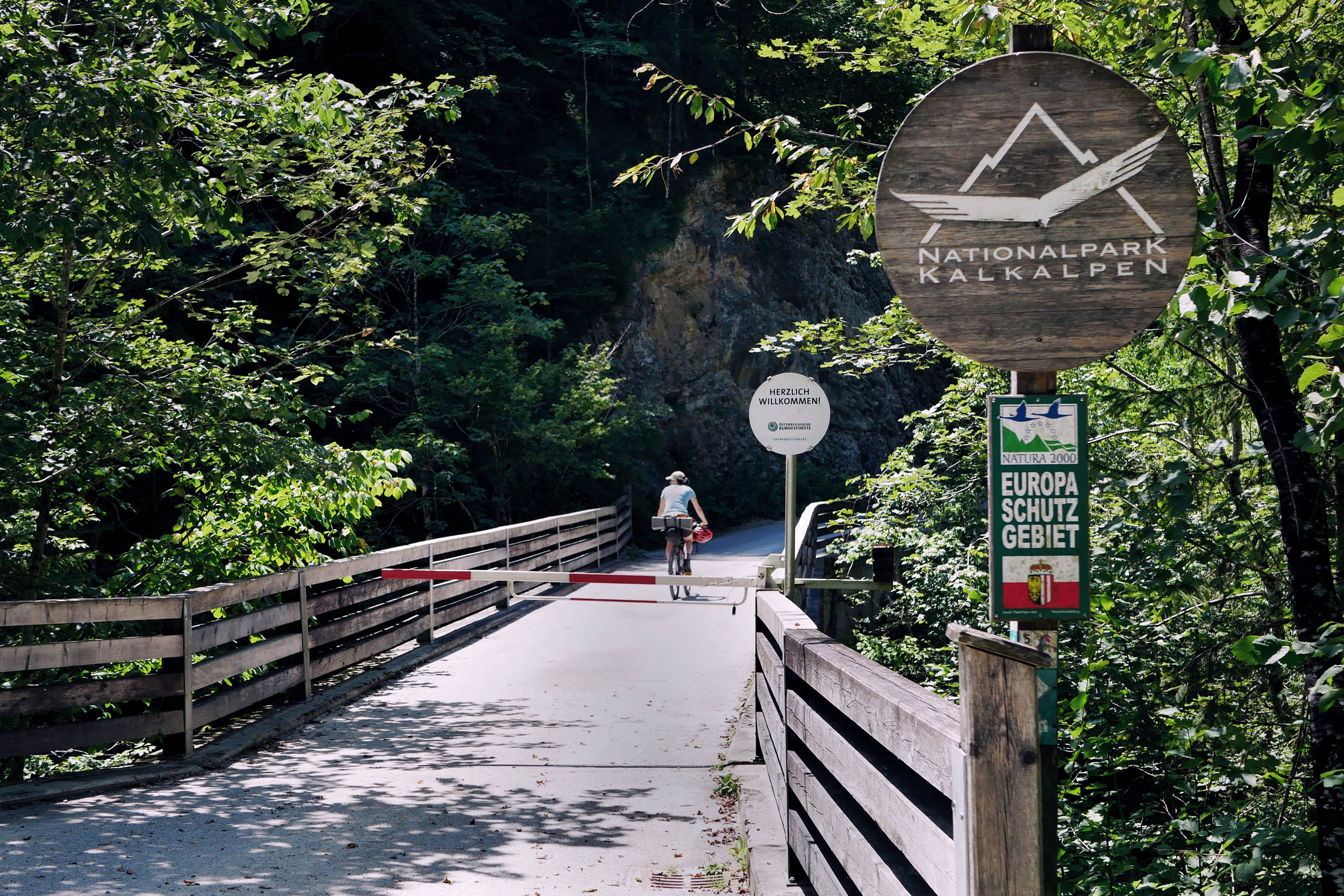
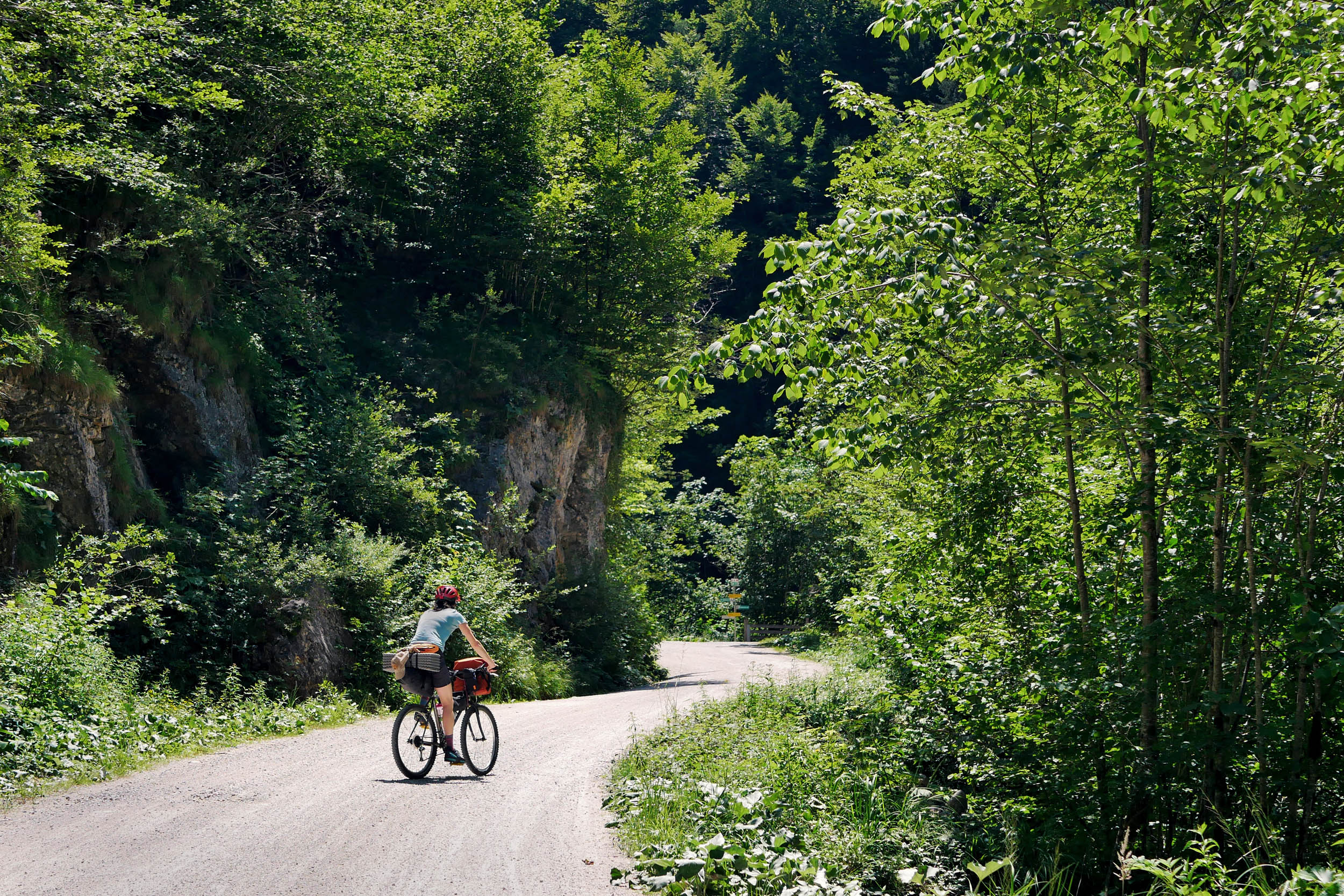
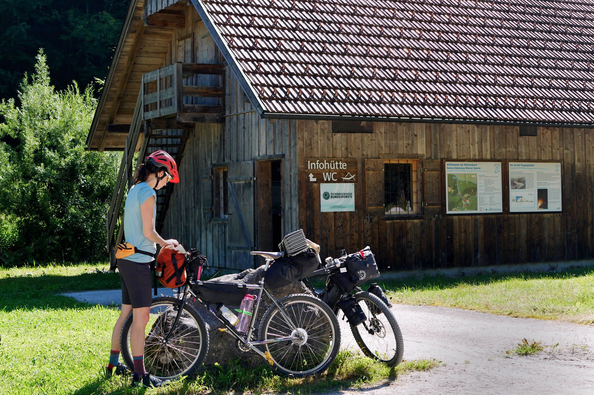
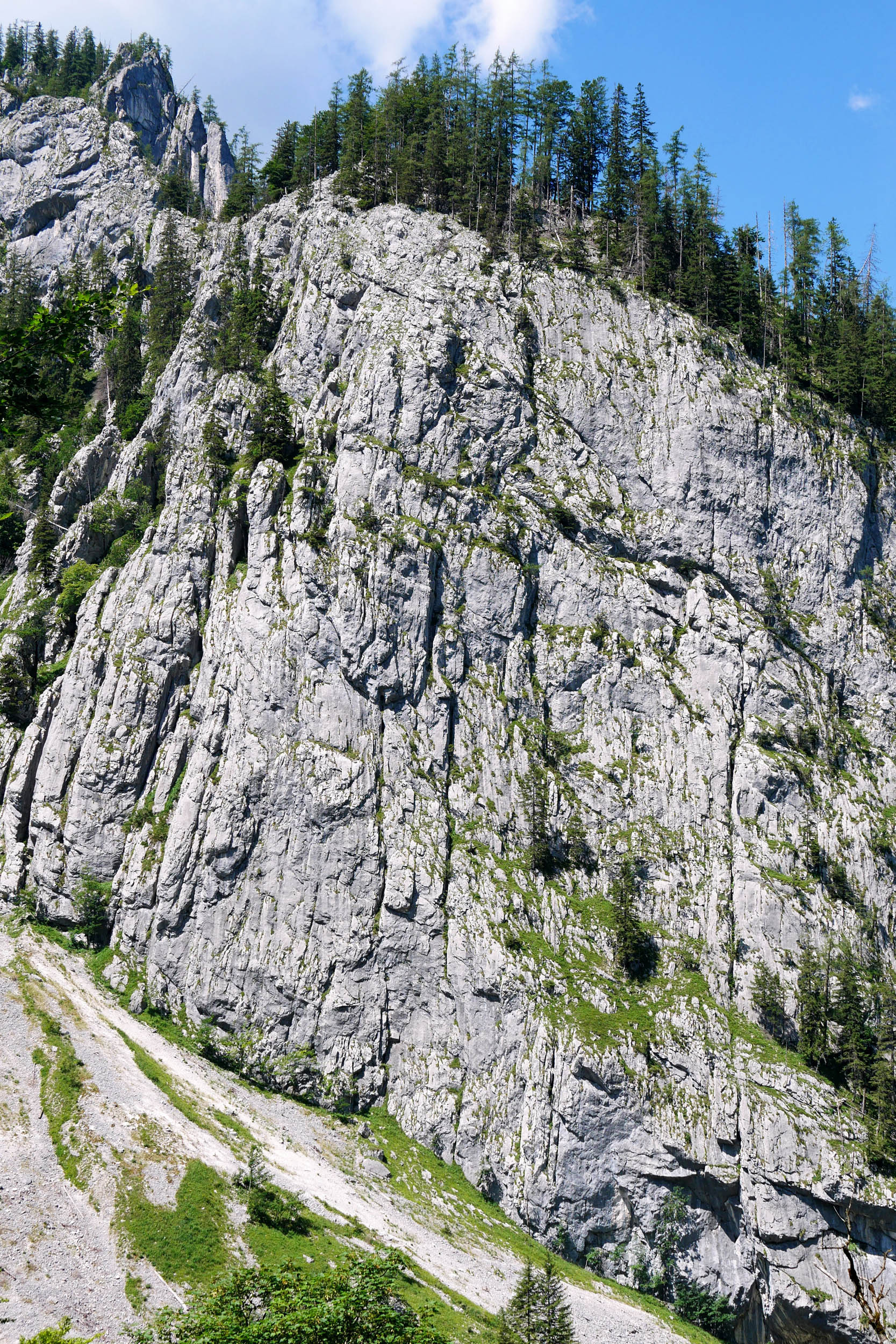
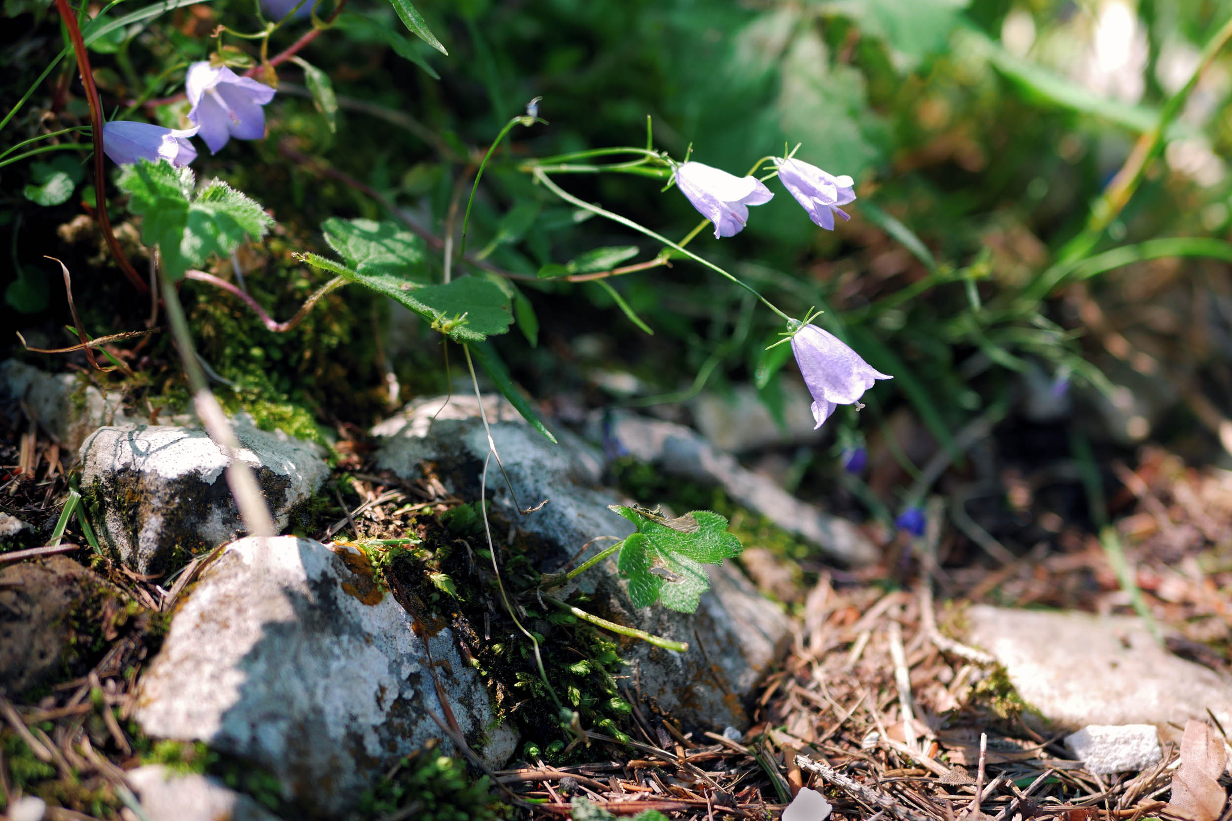
Kalkalpen National Park protects the largest forest wilderness in the Austrian Alps and is home to one of the longest intact stream systems of the Eastern Alps. Its vast beech forests have been designated a UNESCO World Natural Heritage site. The park offers a habitat for many rare forest species, including the secretive white-backed woodpecker, a large variety of wild orchids, and hundreds of butterfly species. While the oldest beech tree in the park has been around since 1473, animals like wild lynx and black storks have only recently reclaimed the territory.


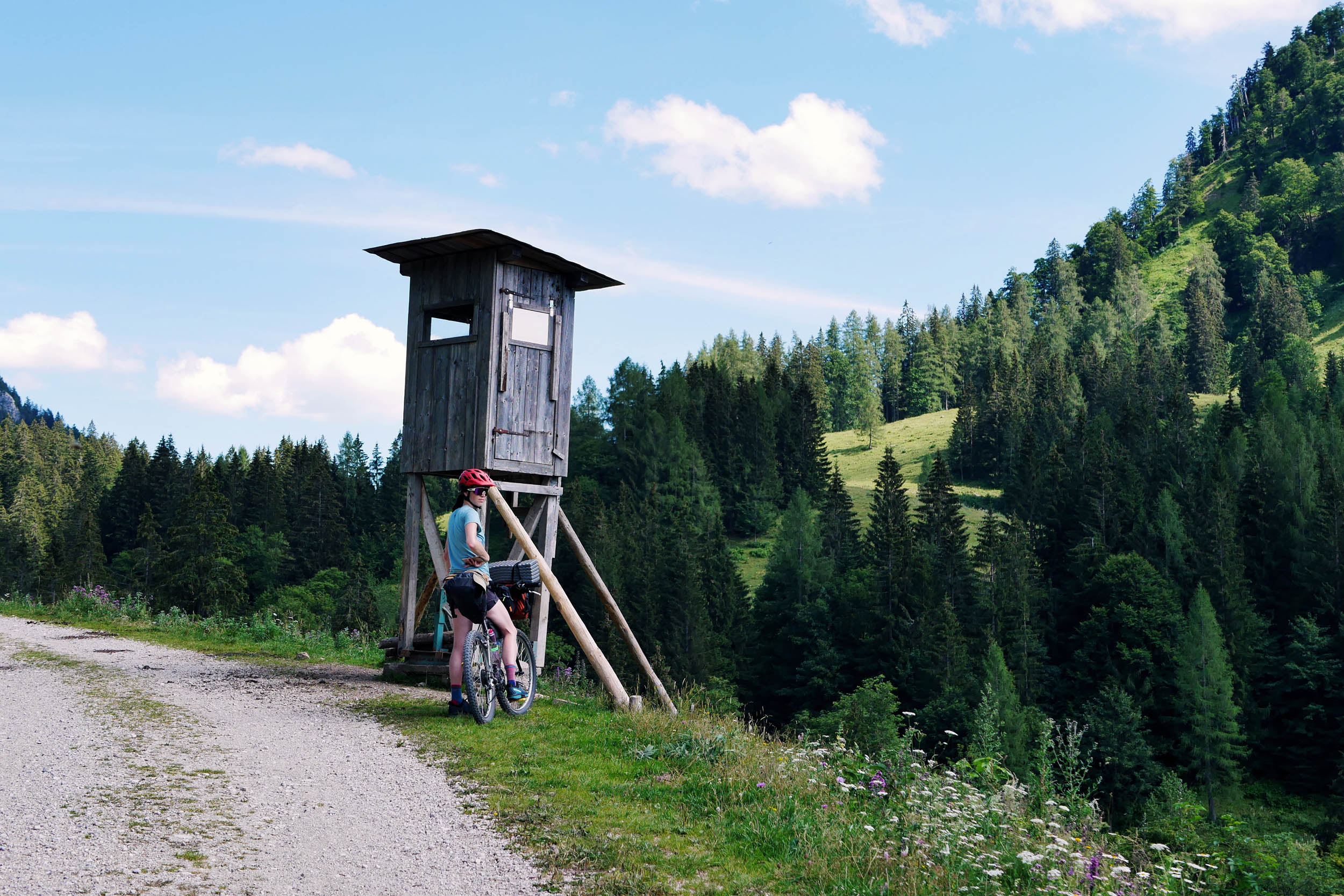
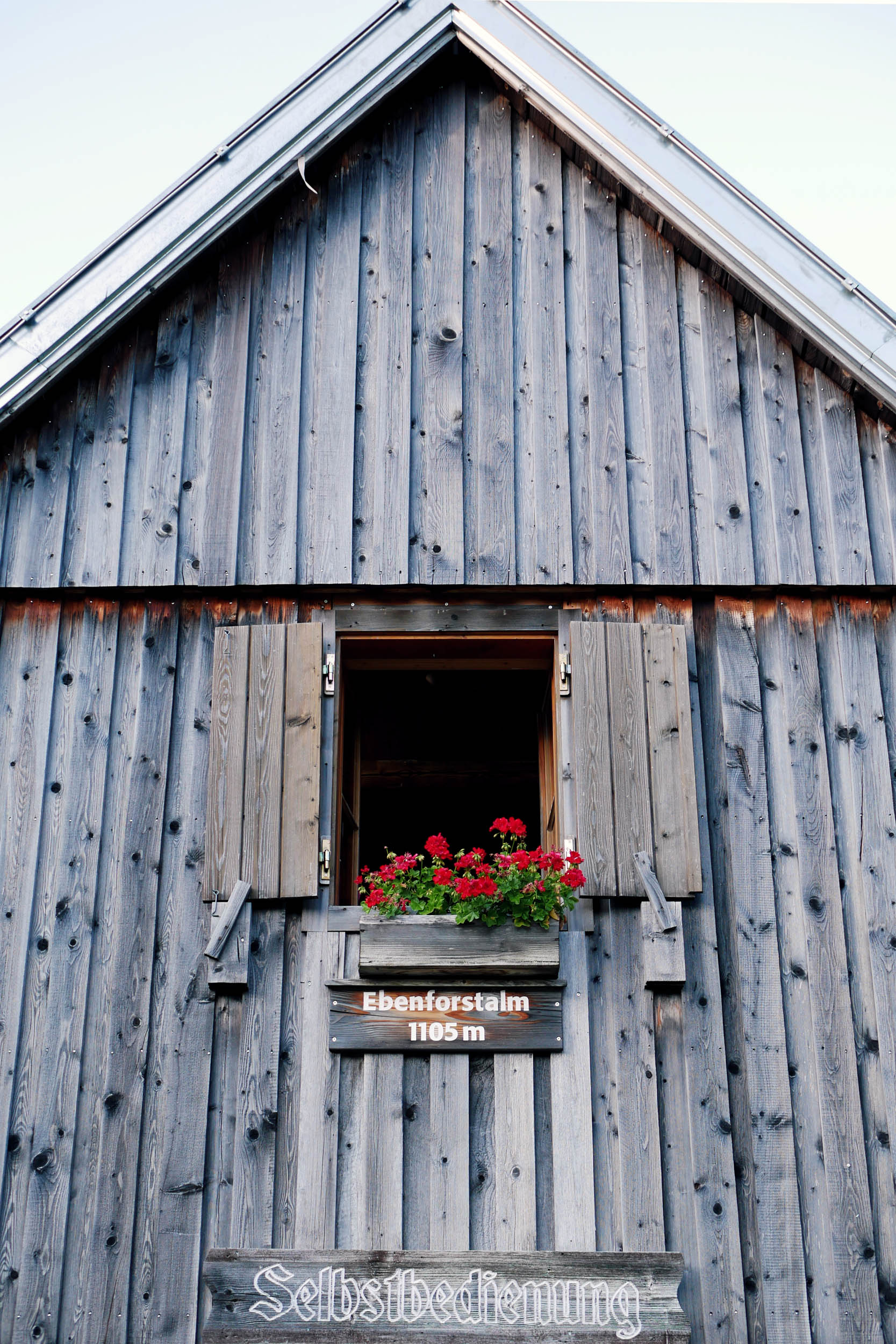
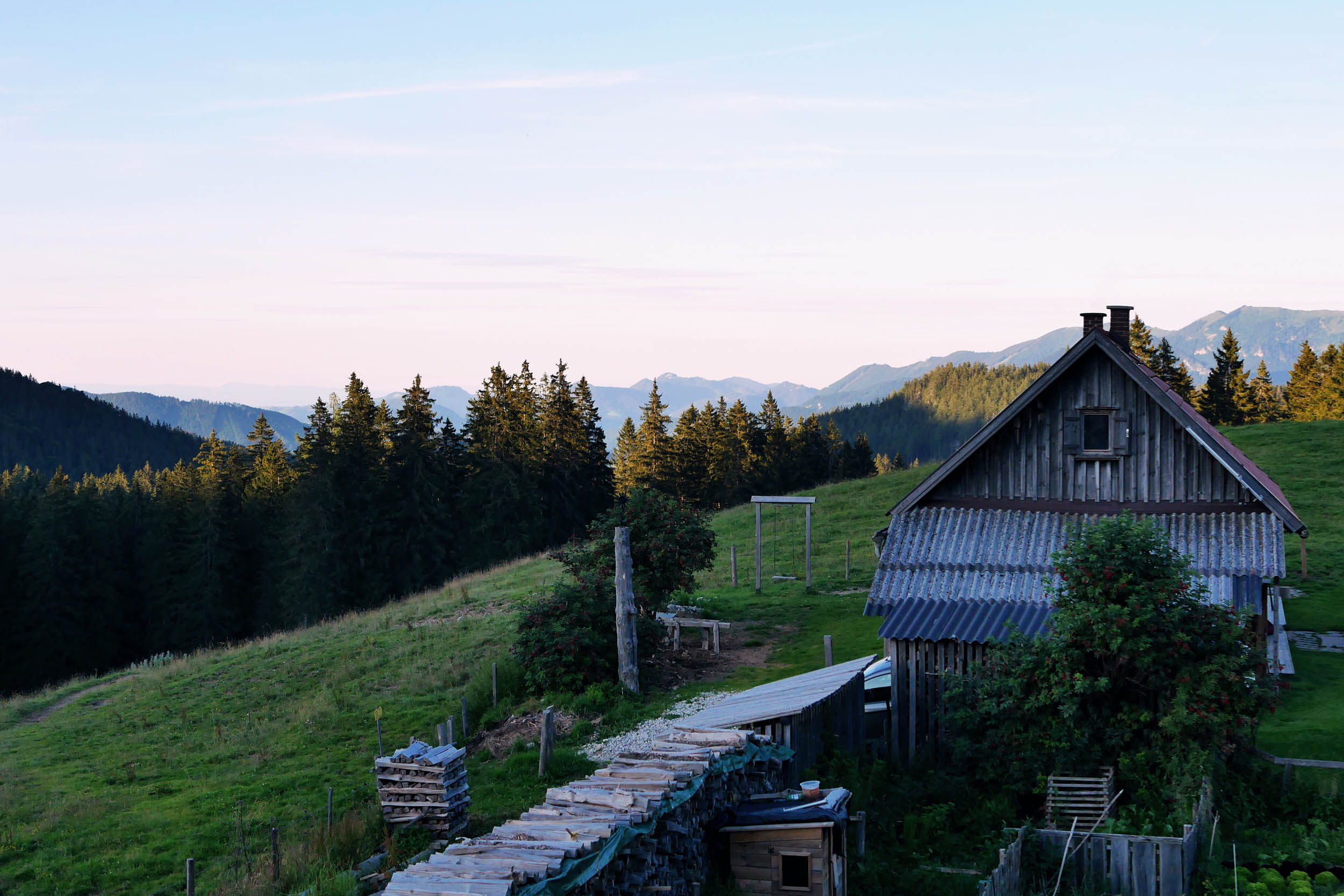
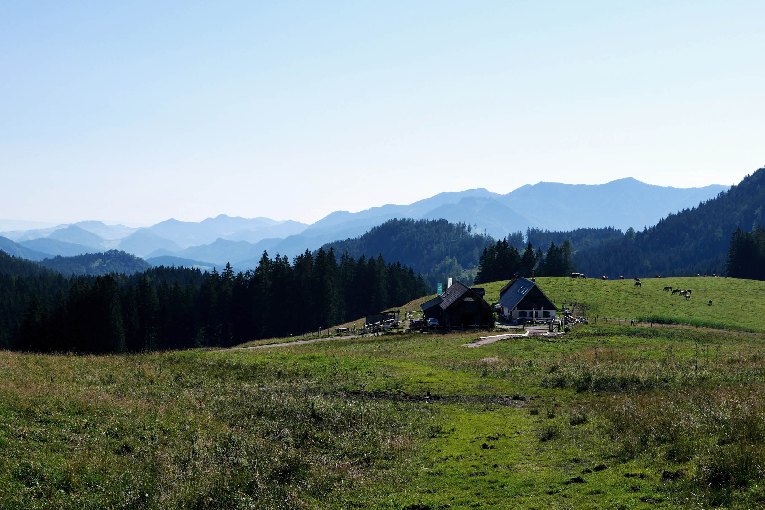
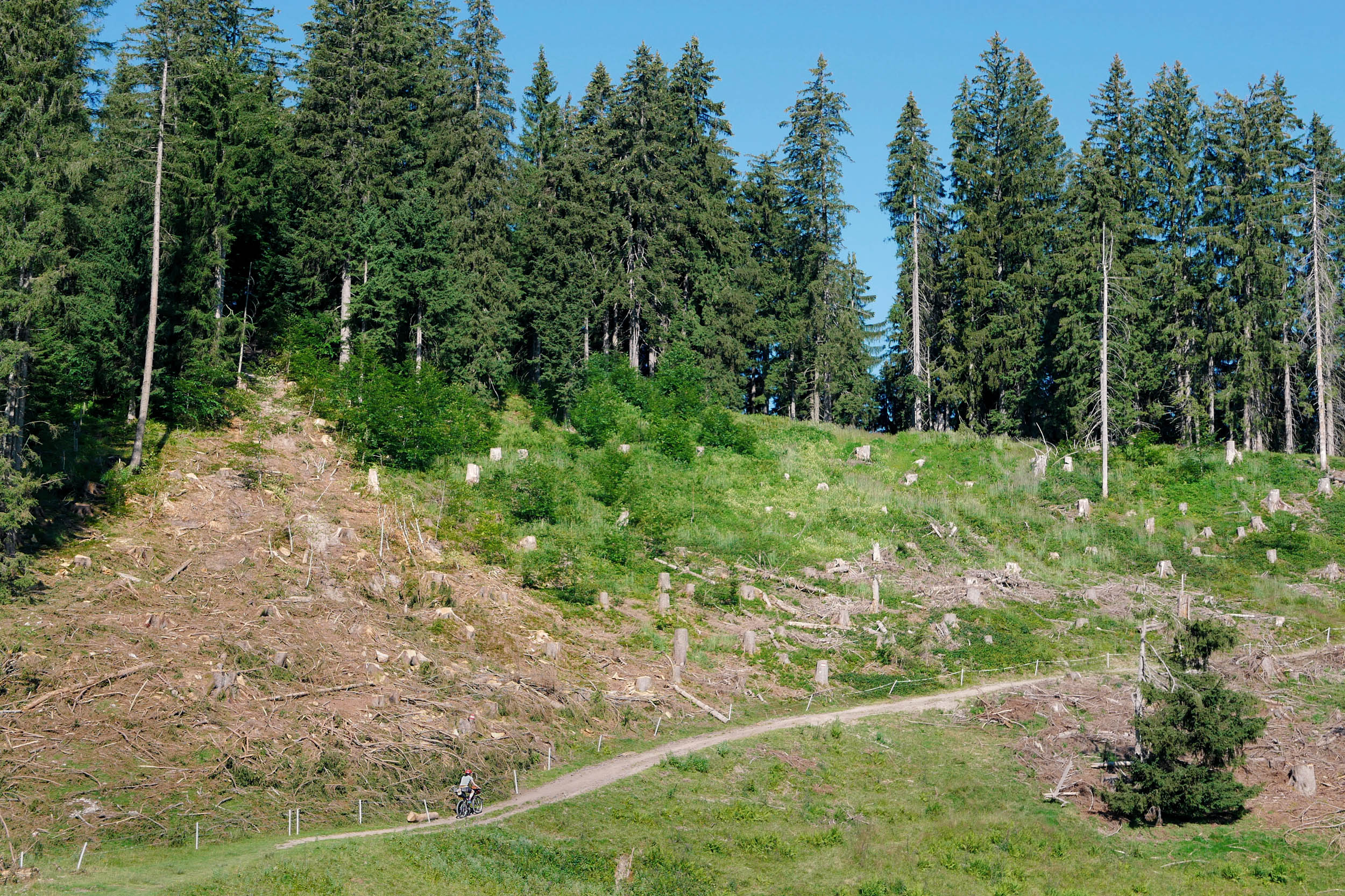
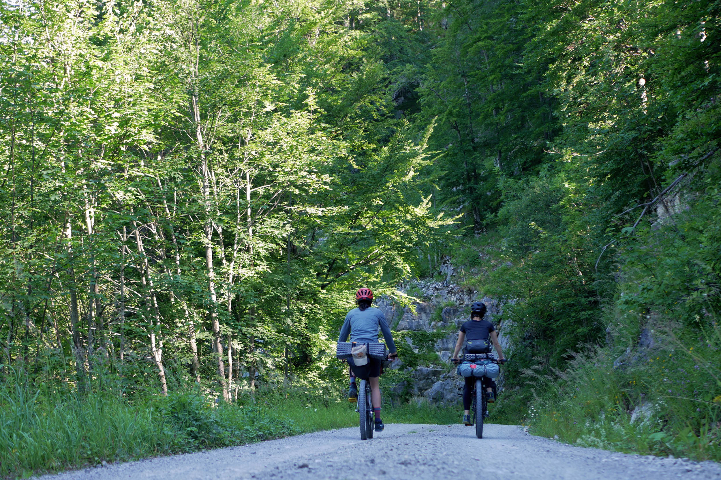
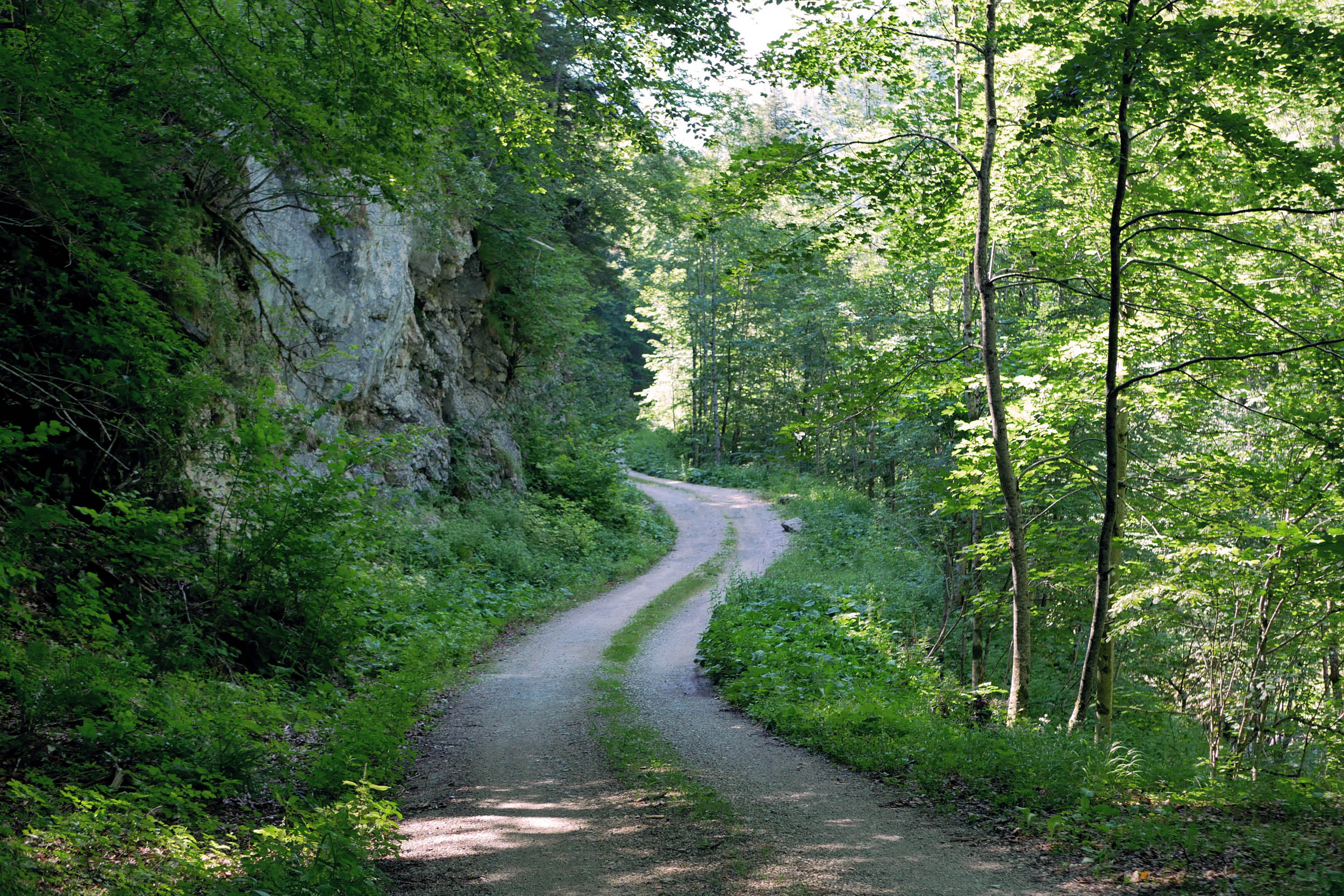
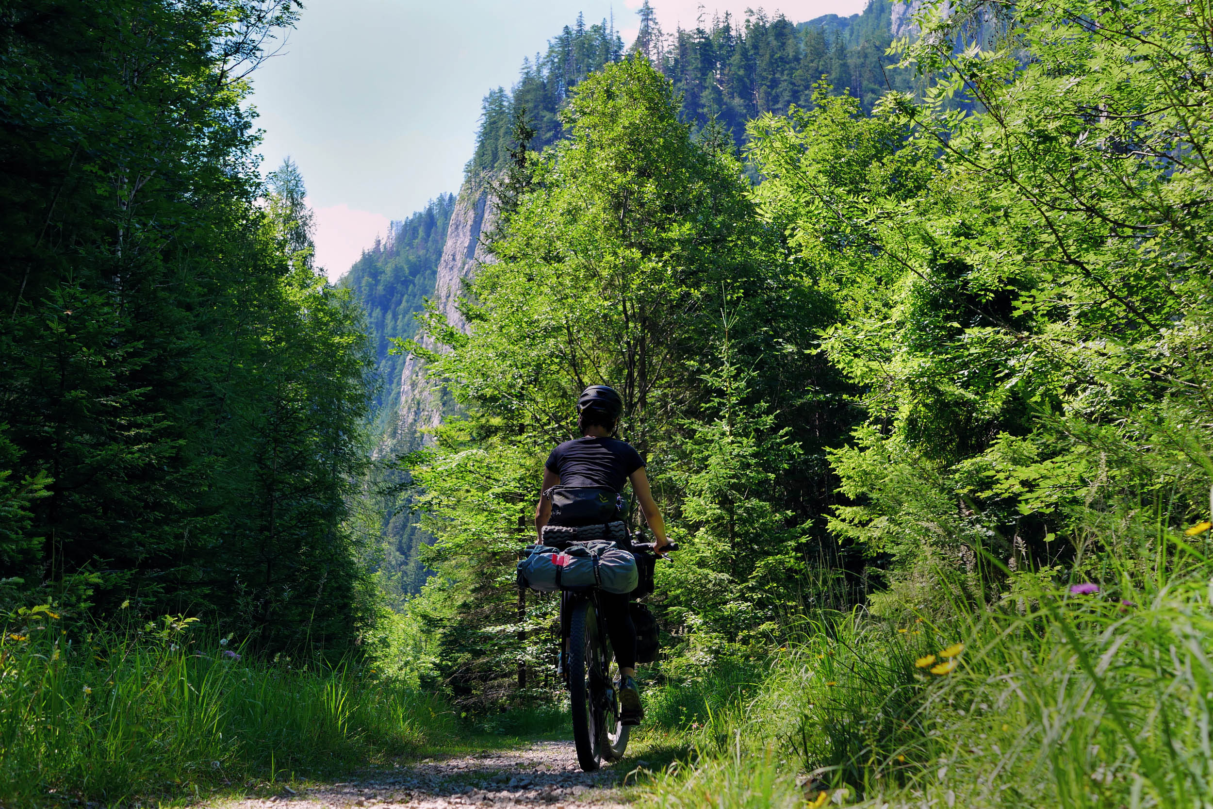
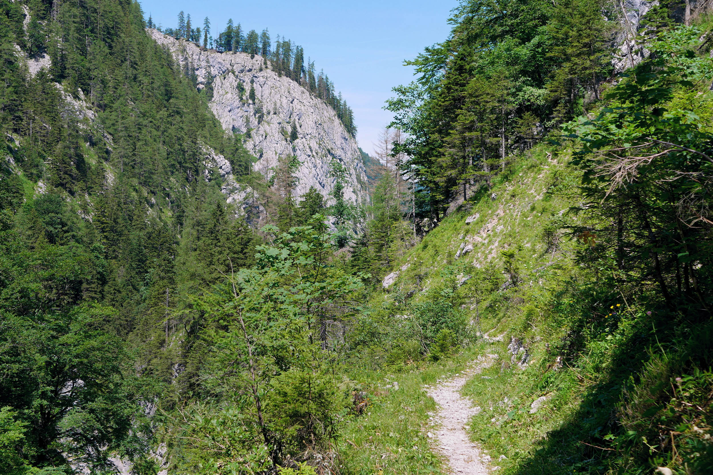
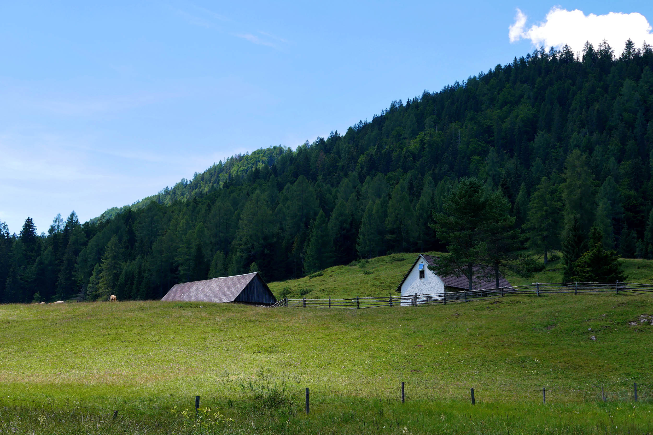
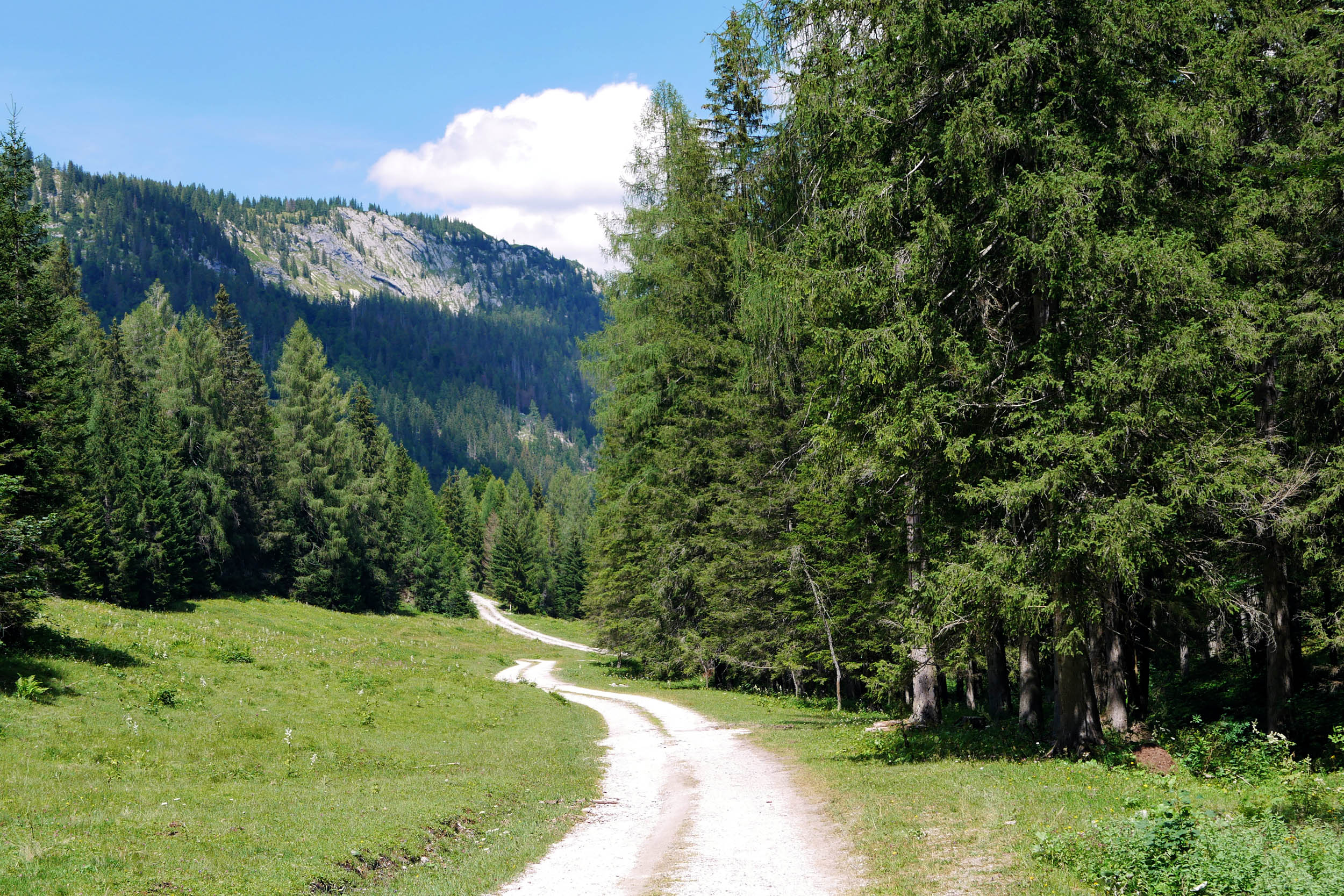
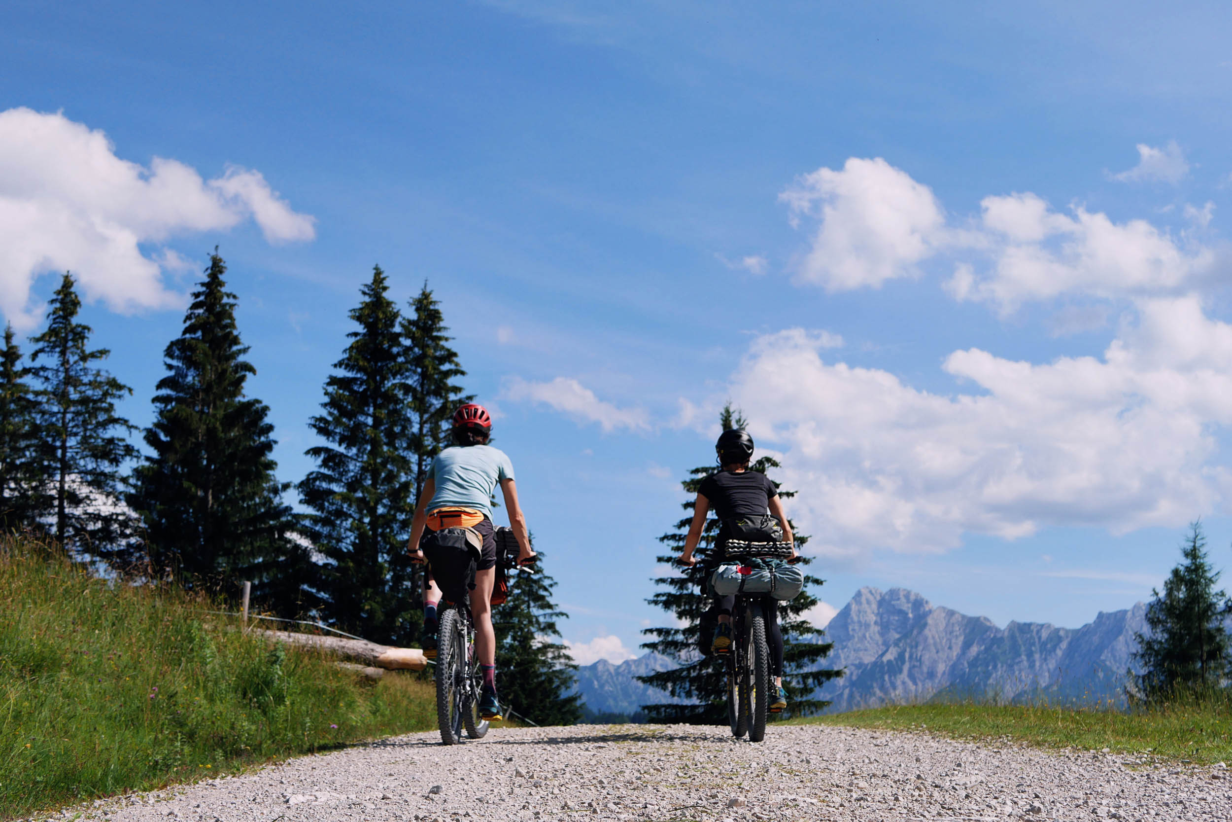
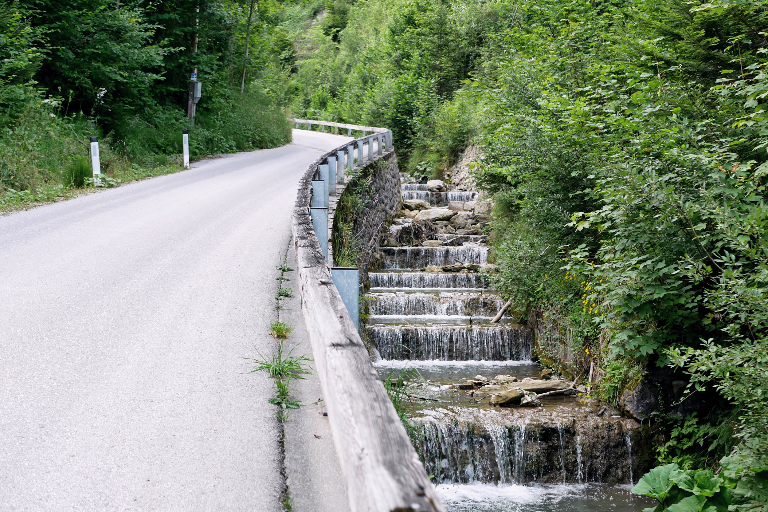
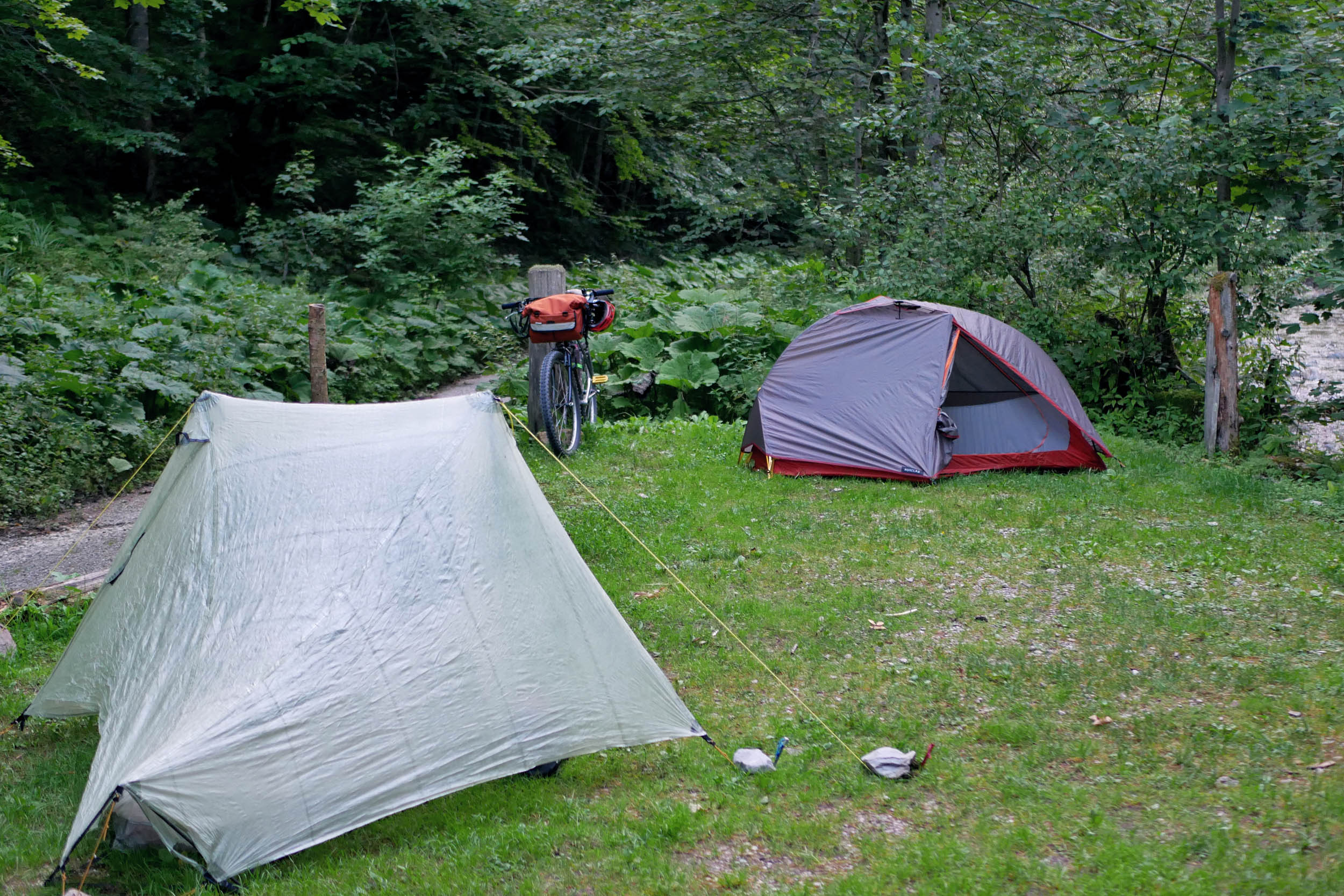
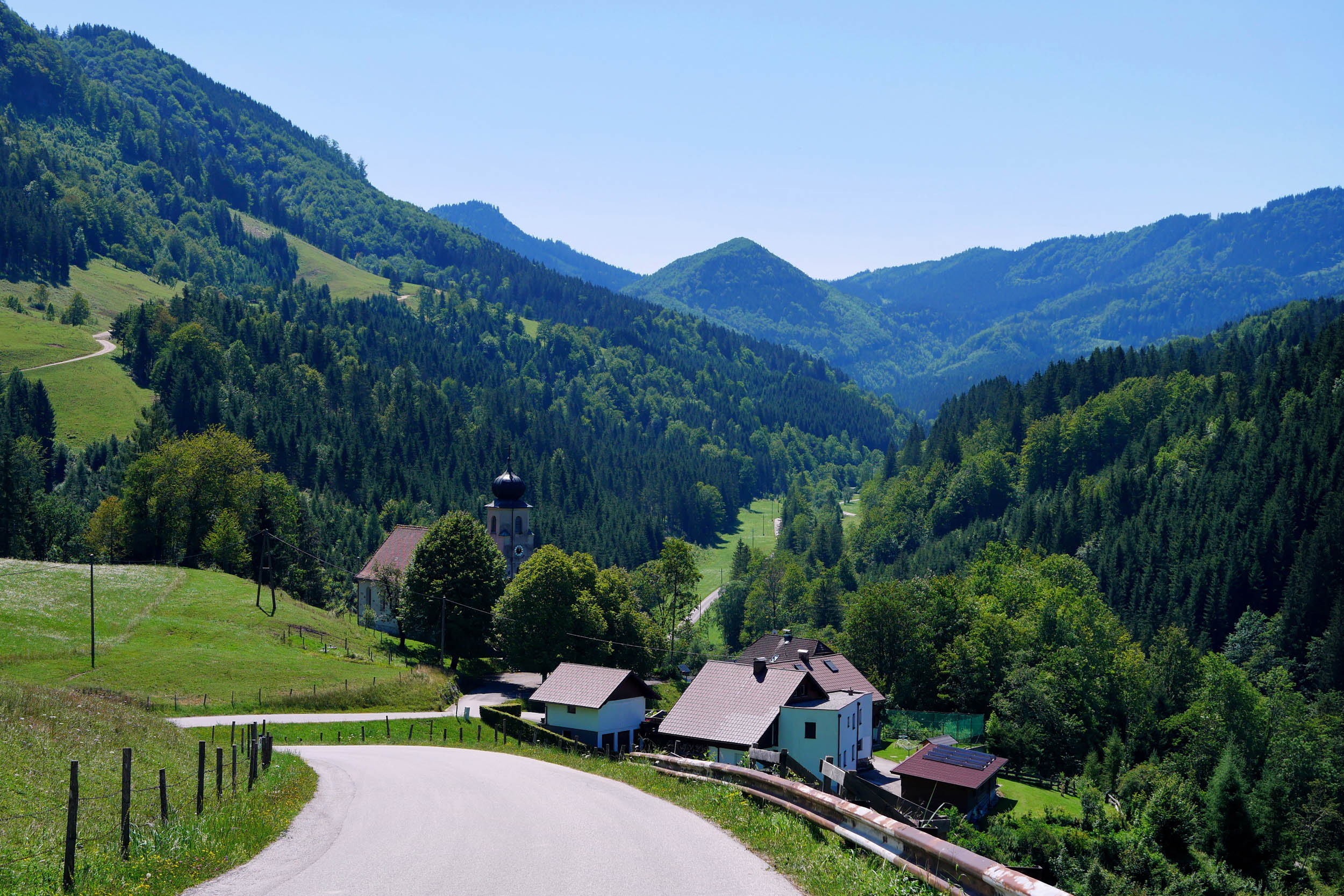
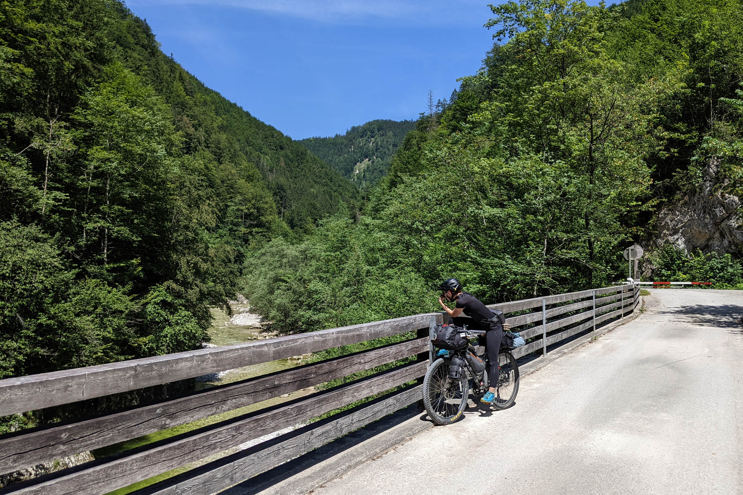
In a country notoriously restrictive towards off-road cycling, the Reichraming Ramble route traverses the Reichraminger Hintergebirge mountains mostly on gravel roads, some singletrack, and a few stretches of asphalt. Never far from a mountain stream, the trail starts in the small town of Reichraming and snakes along the Reichraming River for the first few kilometres. On a hot day, don’t miss the opportunity for a cold dip in the water before you turn off into the forest and start the climb up to Ebenforstalm. After a hearty meal, you can enjoy a relaxing night at the hut or keep following the trail through alpine pastures and wild gorges to the Steyrsteg campsite.
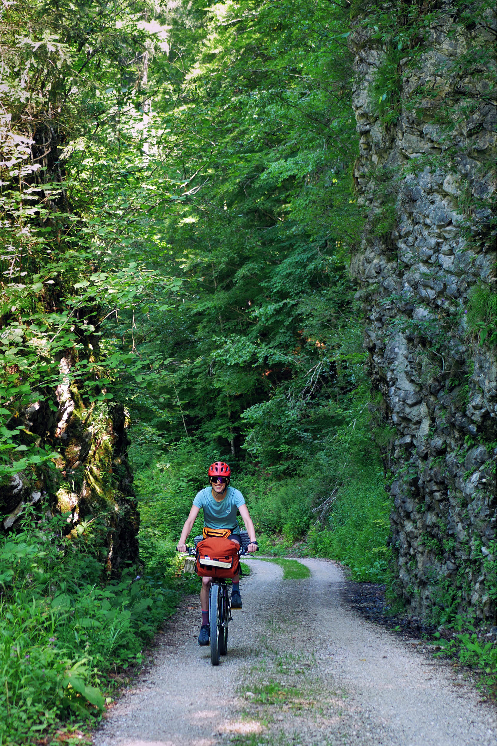
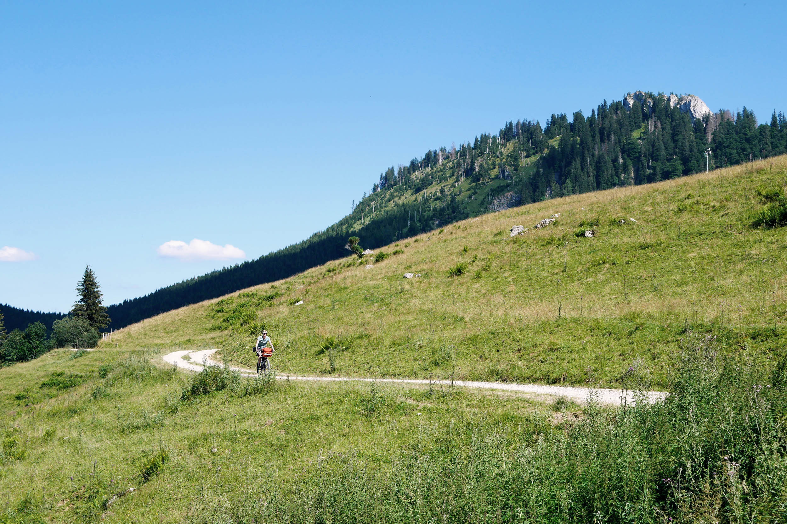
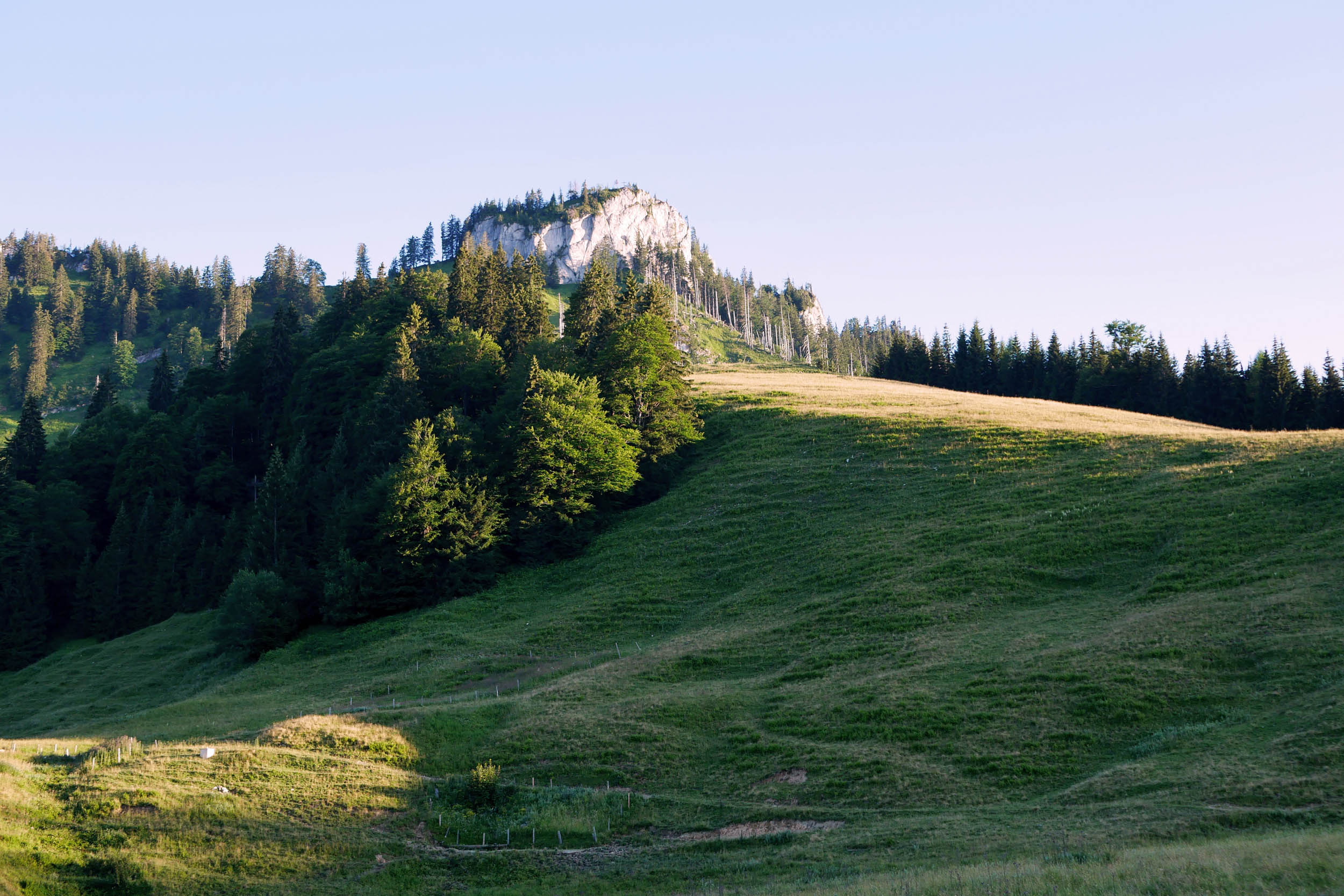
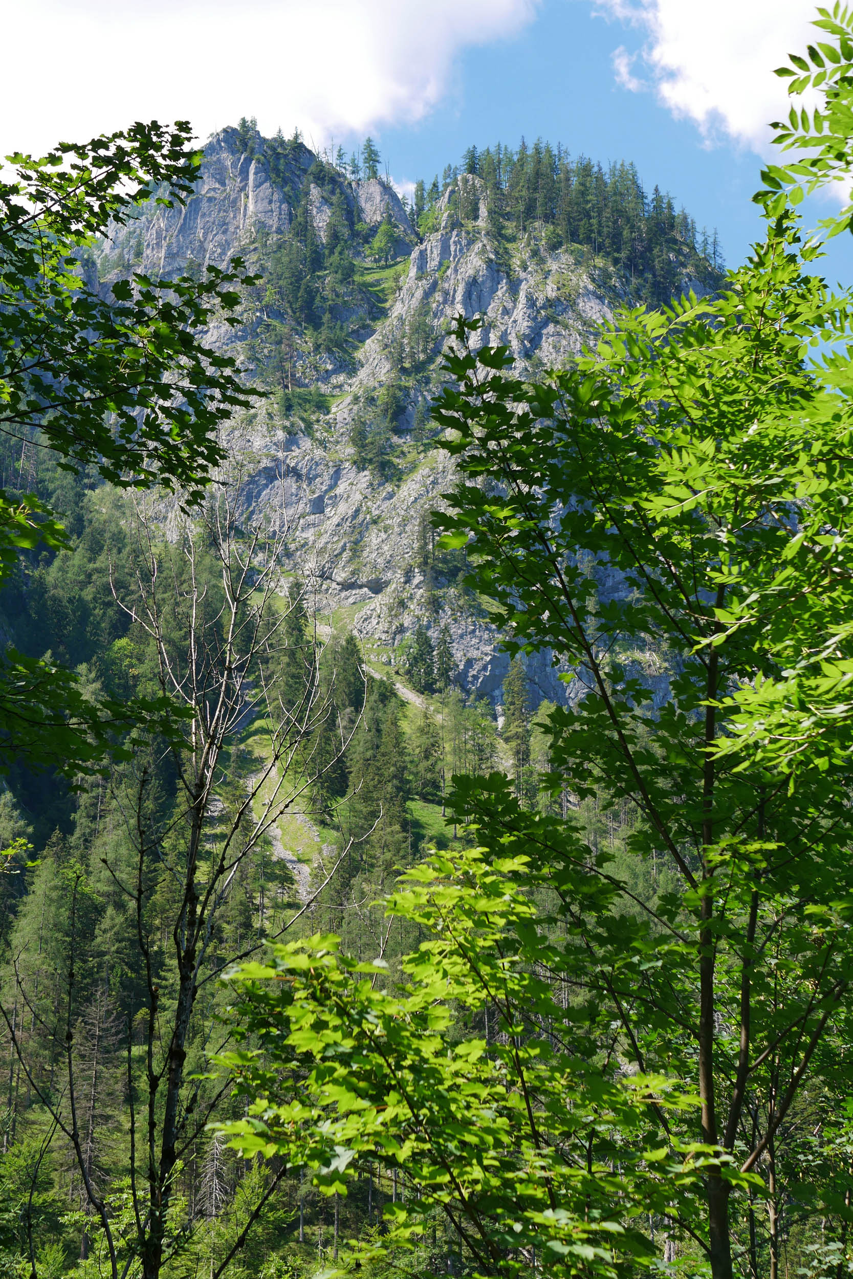
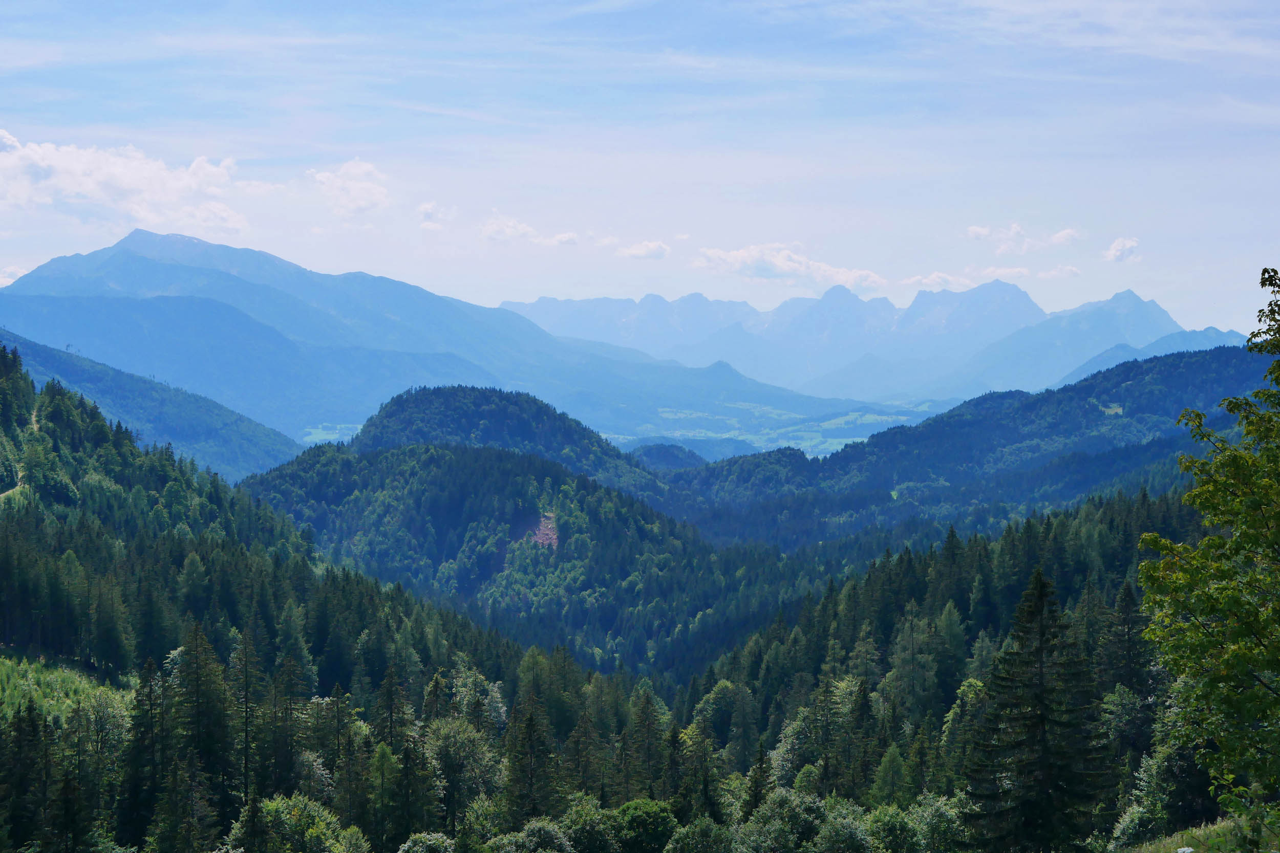
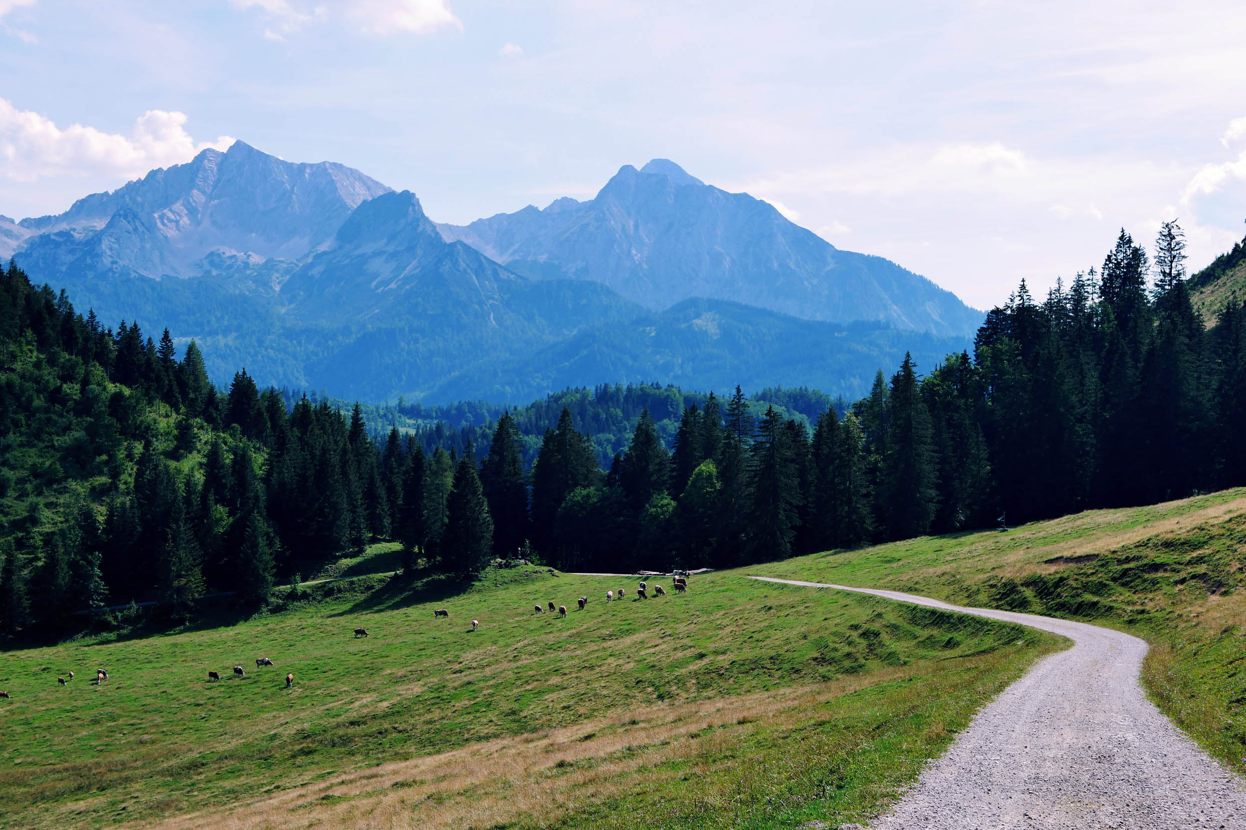
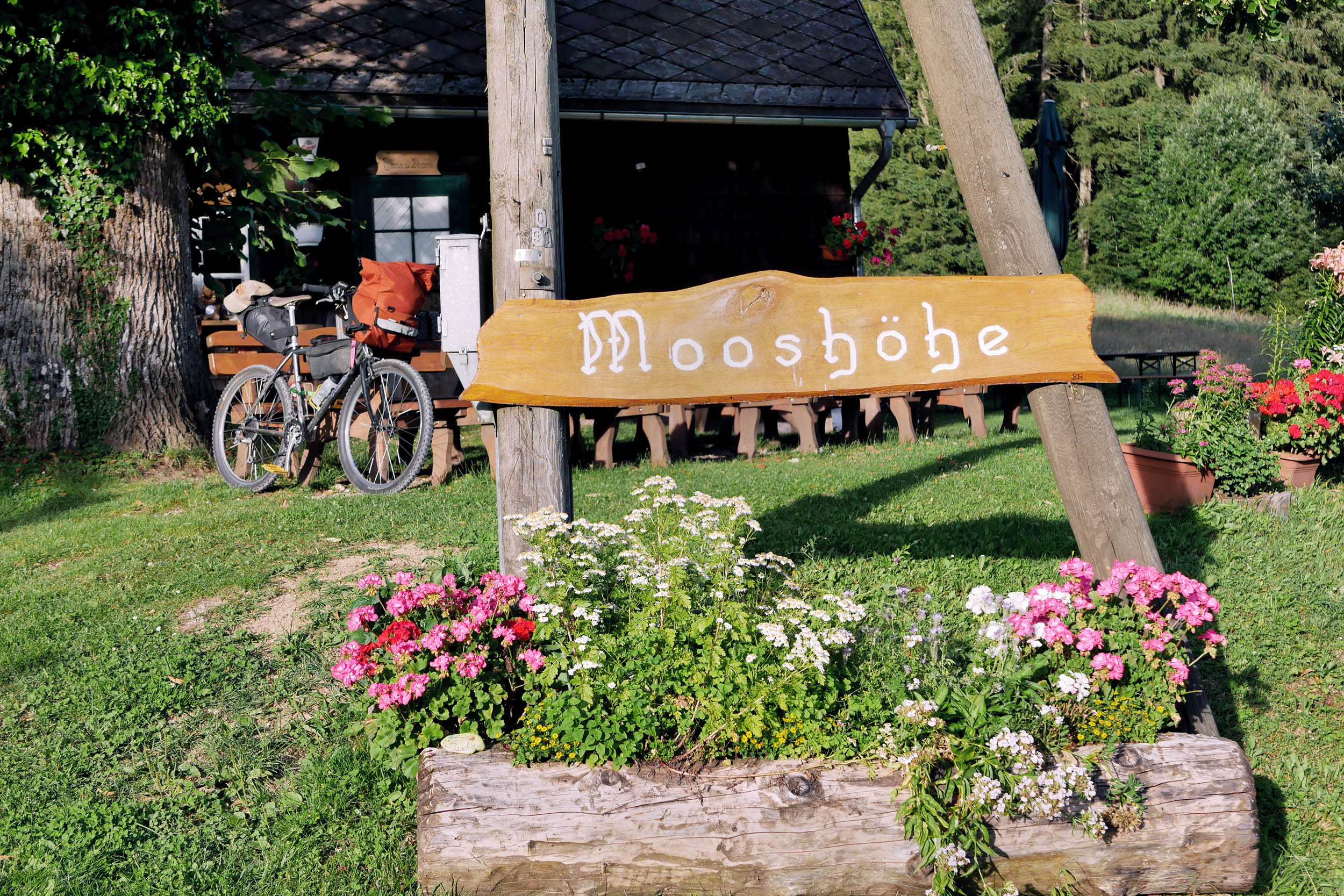
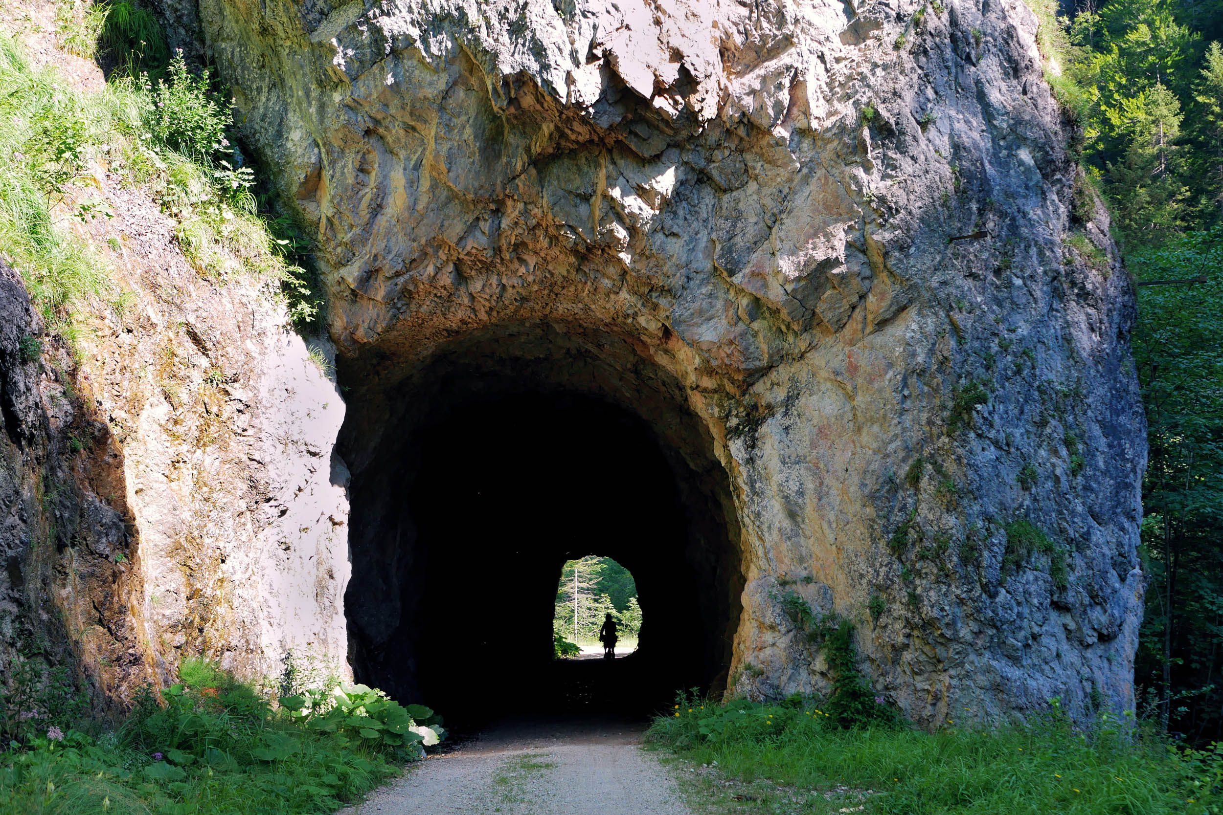
There are a few more kilometres of climbing through tranquil forests before the route opens up to fantastic views of the Sengsengebirge Mountains. Your legs are rewarded with a zippy downhill ride on the smoothly winding Hengstpass Road (aka Österreichische Eisenstraße). The third climb on steep but quiet tarmac takes you up to Mooshöhe, where you can charge your devices and stock up on cold drinks before heading down a gravel road to the Weißwasser campsite. From there, the route continues on a rail trail through the numerous old tunnels of the Hintergebirgswaldbahn logging railway. After one last climb, the route passes a lovely spot for wild swimming in the Enns River and finishes at Großraming train station.
The Reichraming Ramble can be completed as an overnighter, but you won’t regret stretching it into a three-day outing to enjoy the food, serenity, and scenery at party pace.
Route Difficulty: The route mostly follows gravel paths and non-technical singletrack, but it does include short sections that may require some hike-a-bike, depending on your bike and skills. With about 2,600 metres of elevation gain over 95 kilometres, there’s a fair amount of climbing, but it’s never entirely relentless. Although much of the trail is outside mobile phone coverage, water and food are easily available if you plan ahead.


Submit Route Alert
As the leading creator and publisher of bikepacking routes, BIKEPACKING.com endeavors to maintain, improve, and advocate for our growing network of bikepacking routes all over the world. As such, our editorial team, route creators, and Route Stewards serve as mediators for route improvements and opportunities for connectivity, conservation, and community growth around these routes. To facilitate these efforts, we rely on our Bikepacking Collective and the greater bikepacking community to call attention to critical issues and opportunities that are discovered while riding these routes. If you have a vital issue or opportunity regarding this route that pertains to one of the subjects below, please let us know:
Highlights
Must Know
Camping
Food/H2O
Resources
- Legally ride your bike and camp in a UNESCO World Natural Heritage site.
- Enjoy riding (and/or hike-a-biking) the peaceful singletrack trail through the Schneetal Valley before camping at the Steyrsteg bivouac site.
- Go for a swim in the Reichraming and Enns rivers.
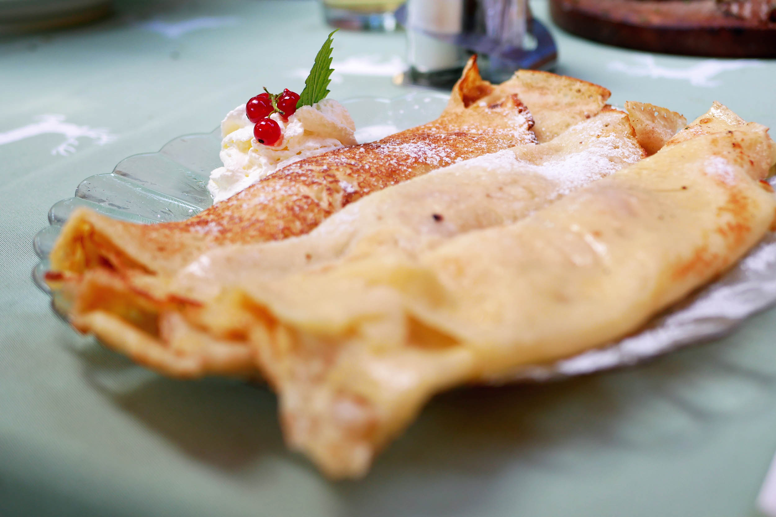
- Tuck into hearty food at serviced mountain huts like Ebenforstalm or Karlhütte.
- Coast down the gently winding Hengstpass Road (aka Österreichische Eisenstraße) with great views into the Haller Mauern Mountains.
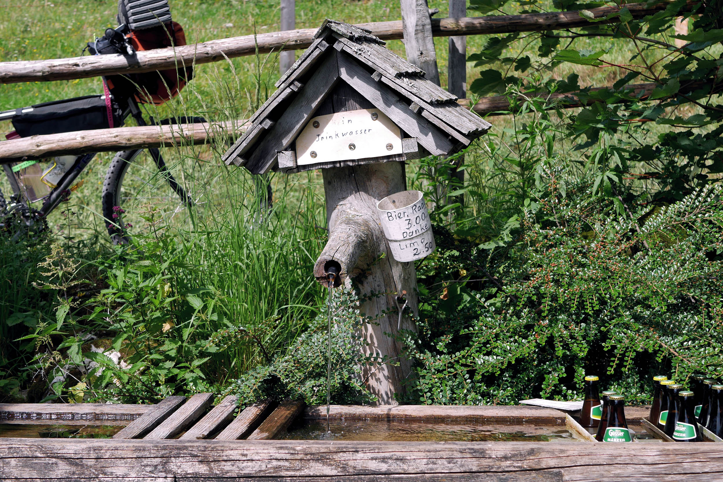
- Stock up on cold “Radler” at Mooshöhe (honesty box) before stopping at the Weißwasser bivouac site.
- On clear nights, savour starry night skies with little light pollution.
- Take a break from climbing on a gently graded rail trail through the tunnels of the old logging railway (if you get bored, try to pronounce “Hintergebirgswaldbahn”).
- Mid-May to mid-October is the best time to go. Earlier or later, riders may encounter snow and serviced huts are likely closed. If in doubt, enquire with National Park Center Molln (phone +43 7584 3951).
- The start (Reichraming) and end point (Großraming) of the route are accessible by train or car and can be connected via train or bike paths along the Enns River.
- The route is suitable for most bikes with wide, grippy tires. Depending on your bike and technical skills, short sections may require a little hike-a-bike.
- Cell service is limited, at best. Don’t rely on it.
- Temperatures on the route may vary greatly, depending on the weather. Nights can be cold, even in the summer.
- Bring a light for riding through the old railway tunnels.
- The route is designed to be ridden anti-clockwise.
- Don’t attempt to pet roaming cows. Yes, they’re cute, but they will trample you to protect their calves.
- Please be respectful of the national park by packing out all your trash and adhering to LNT principles.
- Wild camping in the national park is strictly prohibited, however, the route includes two rare, official bivouac sites for camping below the tree line. Water is available from nearby streams at both Biwakplatz Steyrsteg and Biwakplatz Weißwasser (treatment recommended). Both sites have a drop toilet and a fireplace. Firewood is available. Payment on-site (bring cash and a pen). Pre-registration by phone at National Park Center Molln (+43 7584 3951, for additional information, see here and here).
- Ebenforstalm: Serviced hut offering traditional Austrian cuisine and beds with a shared bathroom. Vegetarians may get lucky. Vegans beware. Booking ahead is recommended in the summer. Details here.
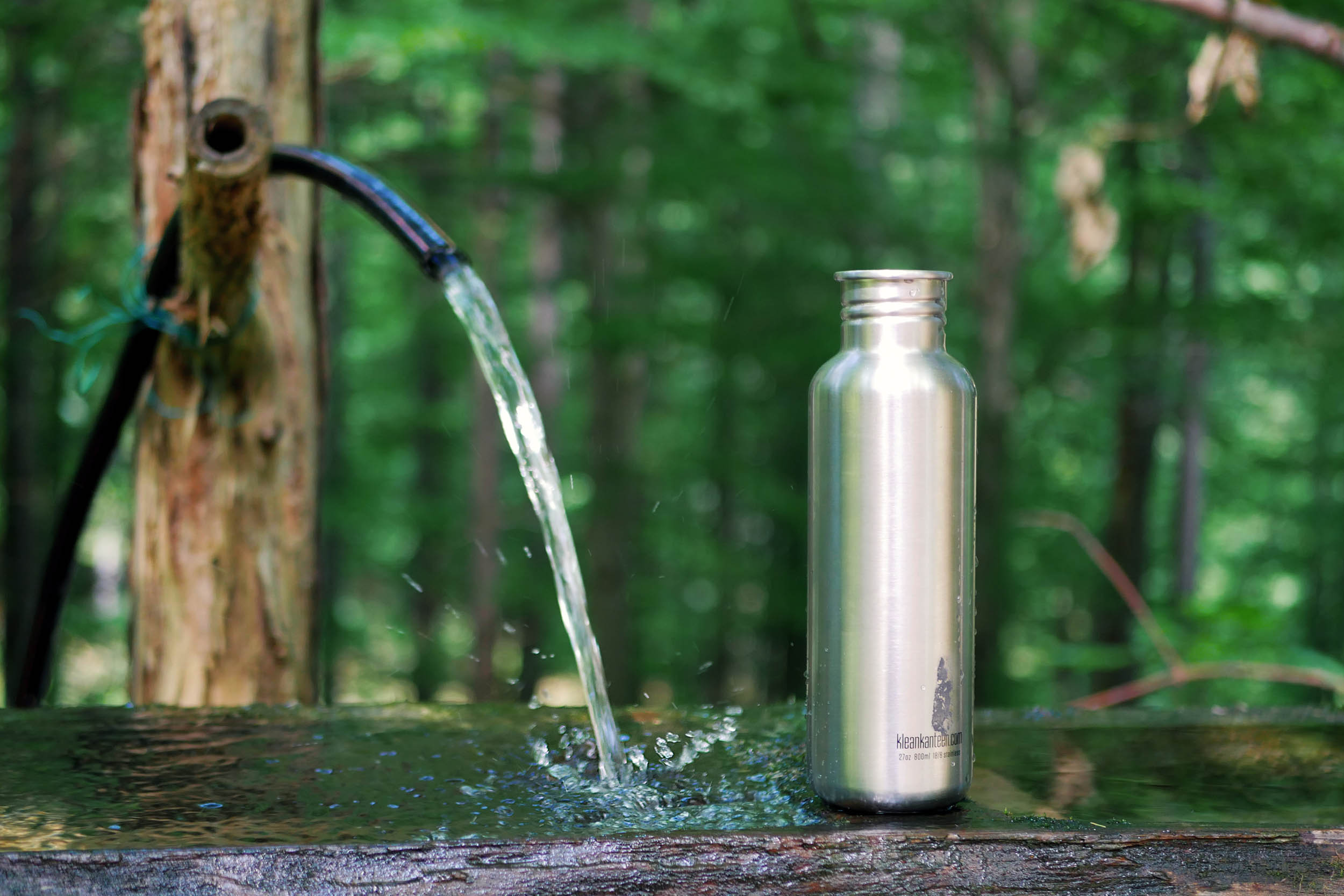
- Water is available from streams or wells at several points (see map). Filtering water may be advisable, as some streams cross cow pastures.
- If you’re lucky, you’ll find cold sodas and beers waiting for you at honesty boxes along the way (see POIs on the map).
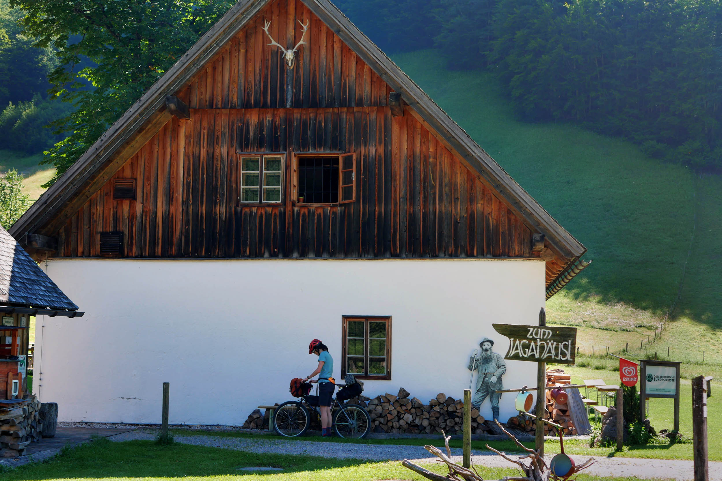
- During the summer, cooked meals are usually available at serviced huts: Ebenforstalm, Jagahäusl, Karlhütte, Moosbachhöhe, Brunnbachstadl, and Große Klaushütte (marked on the map). Online opening hours are not always accurate. If you plan to rely on huts for food, it’s highly advisable to call ahead before your ride.
- Supermarkets and self-service farmer’s markets in Reichraming and Großraming are marked on the map.
Additional Resources
- Kalkalpen National Park website: kalkalpen.at
- Car parking information for Reichraming (start of the route): kalkalpen.at
- Train timetables: oebb.at
- Paper map (1:35,000) & guide including phone numbers of huts: shop.kompass.de
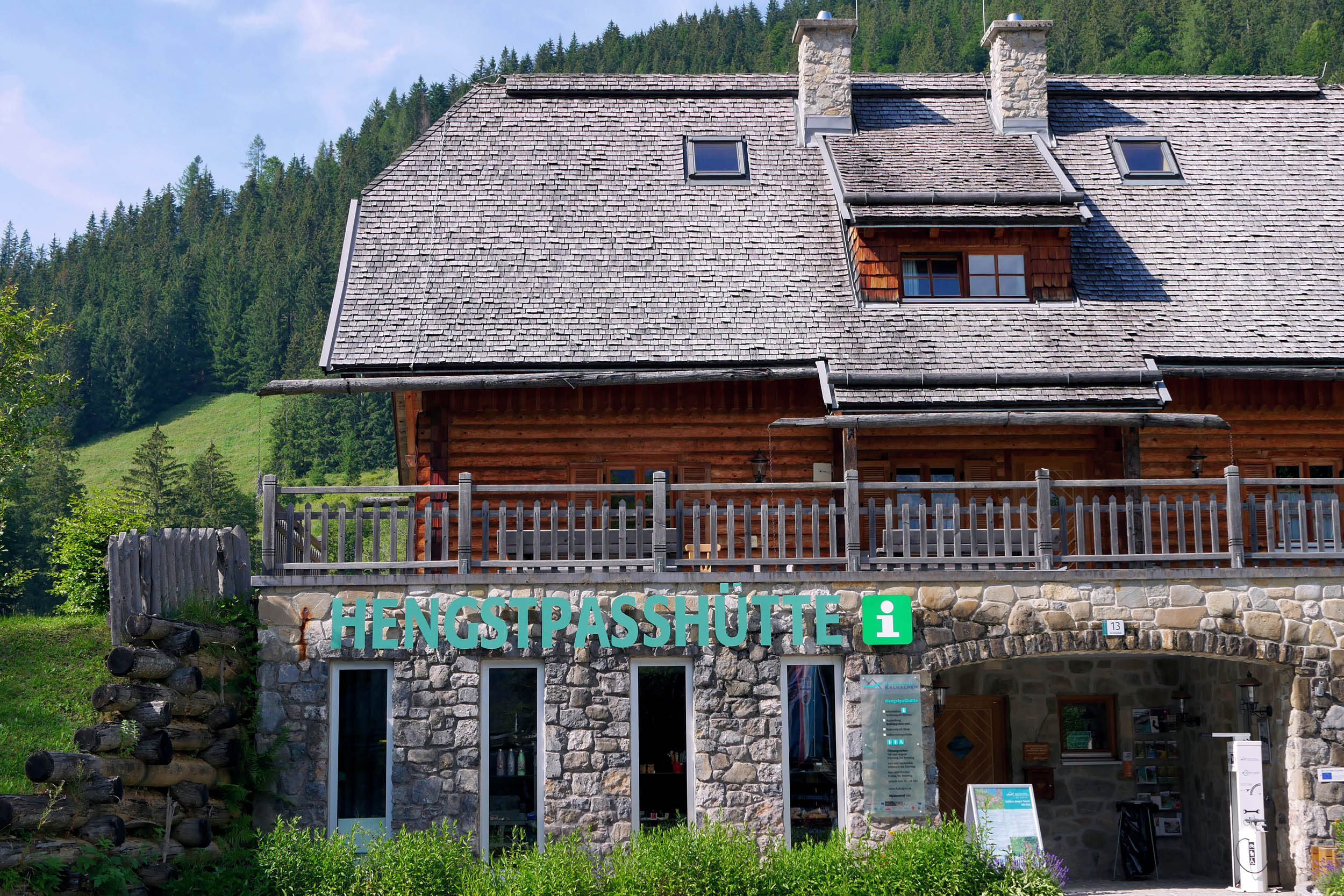
- The route directly passes by the Hengstpasshütte Visitor Centre: kalkalpen.at


Terms of Use: As with each bikepacking route guide published on BIKEPACKING.com, should you choose to cycle this route, do so at your own risk. Prior to setting out check current local weather, conditions, and land/road closures. While riding, obey all public and private land use restrictions and rules, carry proper safety and navigational equipment, and of course, follow the #leavenotrace guidelines. The information found herein is simply a planning resource to be used as a point of inspiration in conjunction with your own due-diligence. In spite of the fact that this route, associated GPS track (GPX and maps), and all route guidelines were prepared under diligent research by the specified contributor and/or contributors, the accuracy of such and judgement of the author is not guaranteed. BIKEPACKING.com LLC, its partners, associates, and contributors are in no way liable for personal injury, damage to personal property, or any other such situation that might happen to individual riders cycling or following this route.
Please keep the conversation civil, constructive, and inclusive, or your comment will be removed.