


Ridout-Bigwind Rugged Ramble
Distance
46 Mi.
(74 KM)Days
2
% Unpaved
96%
% Singletrack
0%
% Rideable (time)
99%
Total Ascent
2,849'
(868 M)High Point
1,260'
(384 M)Difficulty (1-10)
6?
- 4Climbing Scale Fair62 FT/MI (12 M/KM)
- -Technical Difficulty
- -Physical Demand
- -Resupply & Logistics
Contributed By
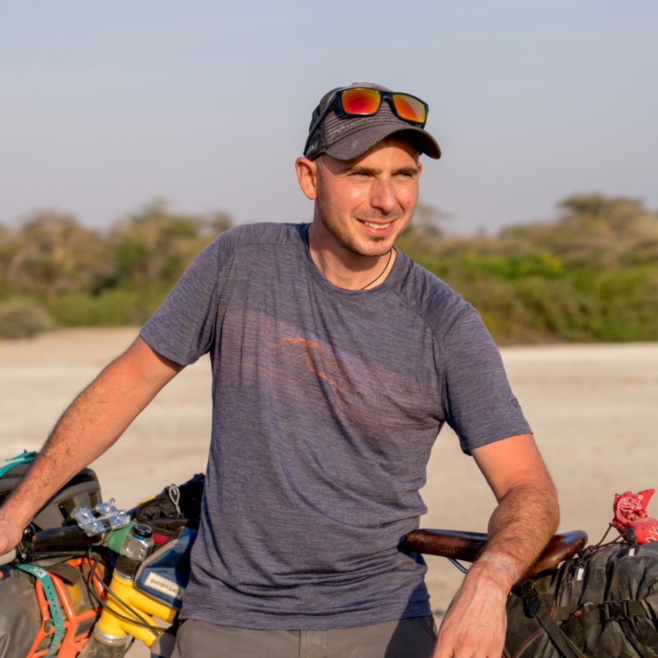
Paulo LaBerge
Guest Contributor
A lifelong mountain biker, Paulo got into bikepacking in 2017 and realized his two favorite places: in the saddle and behind the lens. His bikepacking adventures fulfill lifelong dreams of seeing the world by bike, experiencing diverse cultures, and forging friendships in unexpected places. From meticulous route planning to the highs and lows of seeing new places on two wheels, Paulo savors every moment. His photography tells the stories of his adventures in a universal language. Follow along at @crankngrind
Driving north from Toronto, you leave the city behind, then the suburbs, then rolling hills and farmland. Just as you begin to drift into a state of weekend-getaway highway hypnosis, something catches your eye. Is that a huge slab of granite jutting out beside the road? Yes, yes it is.
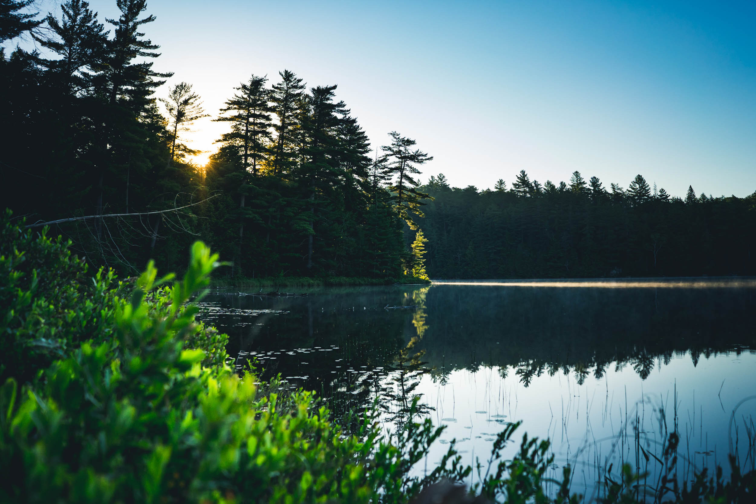
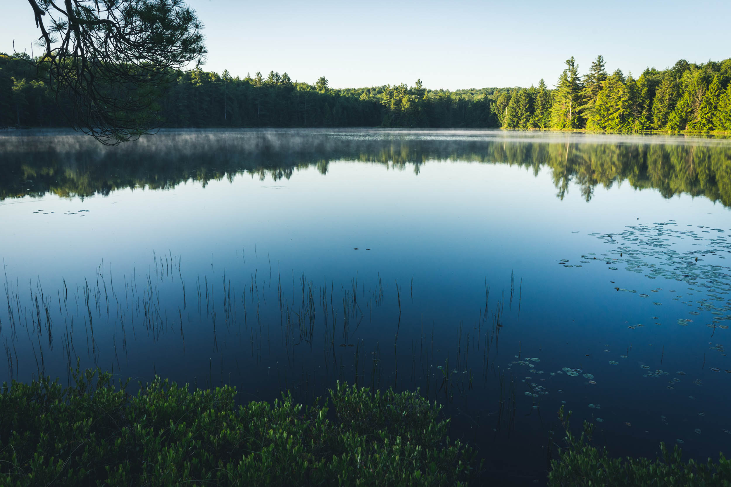
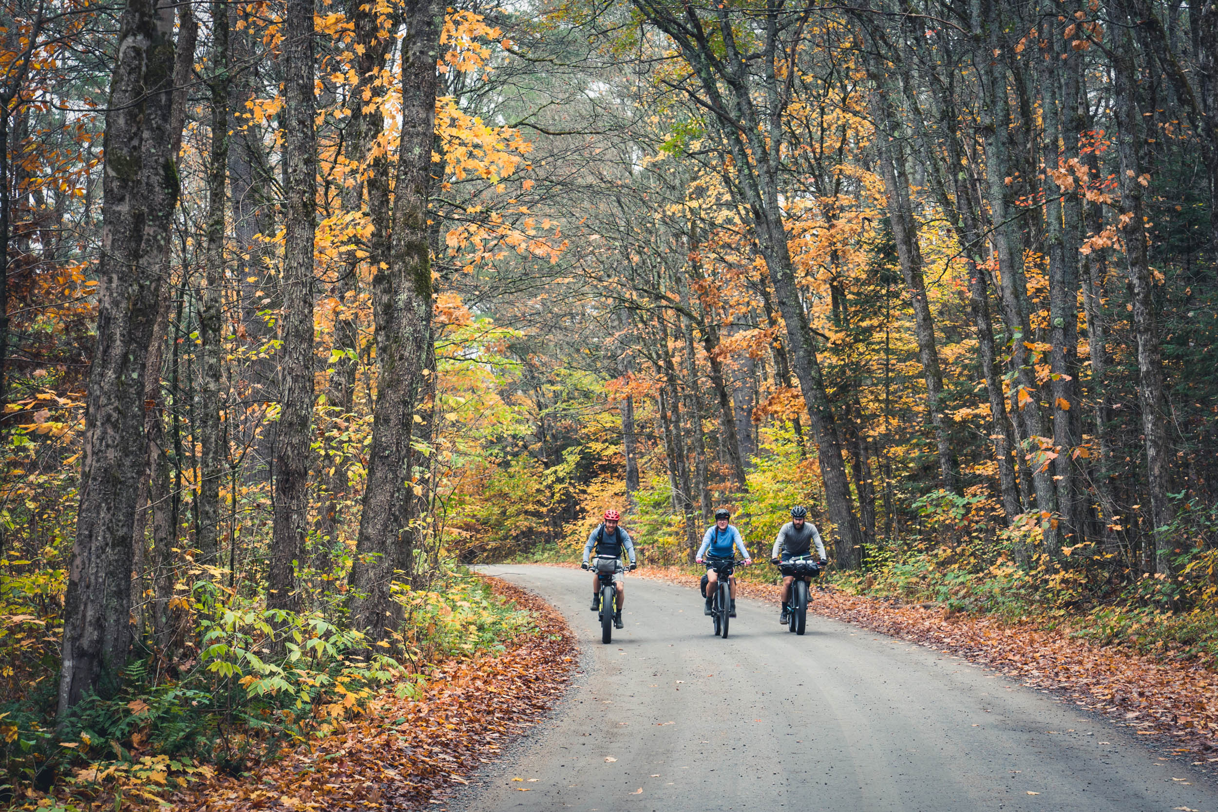
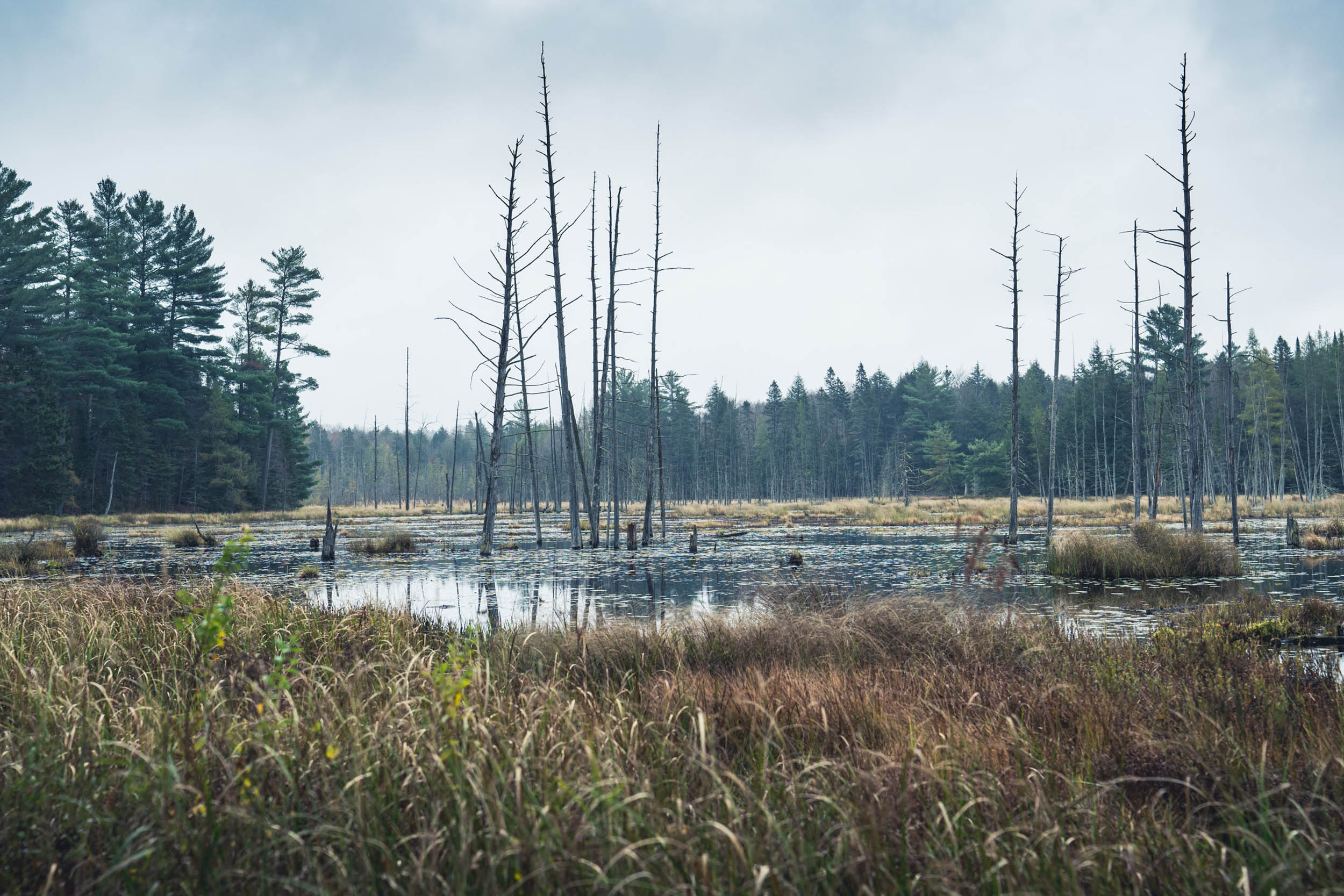
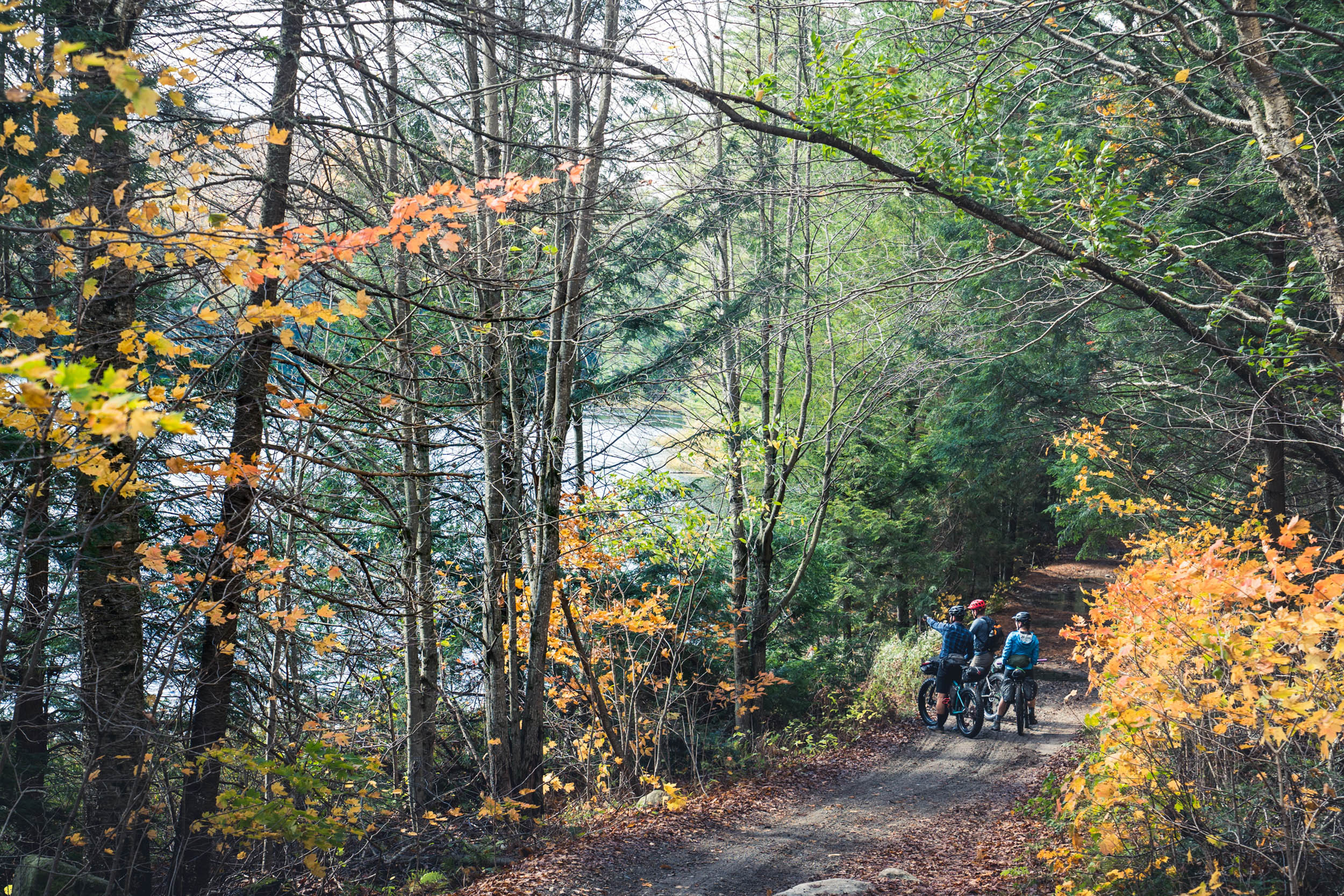
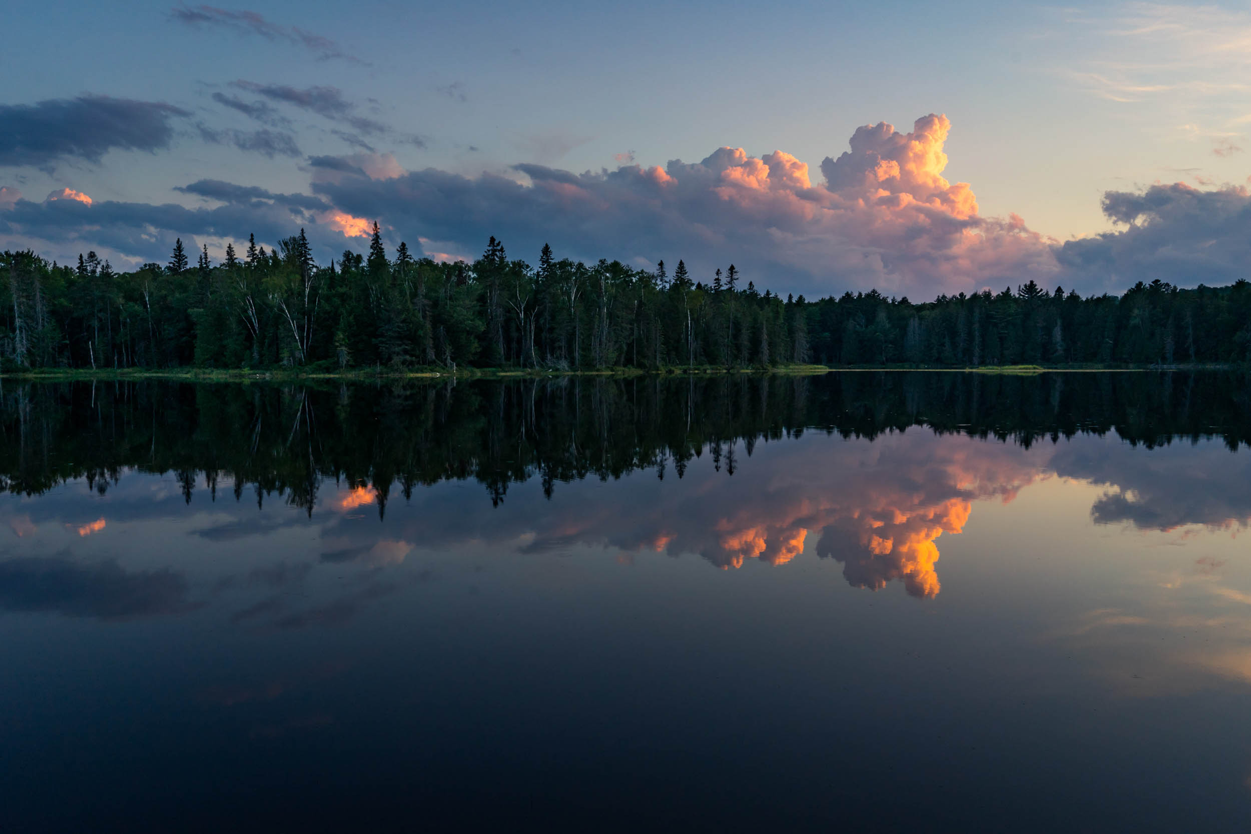
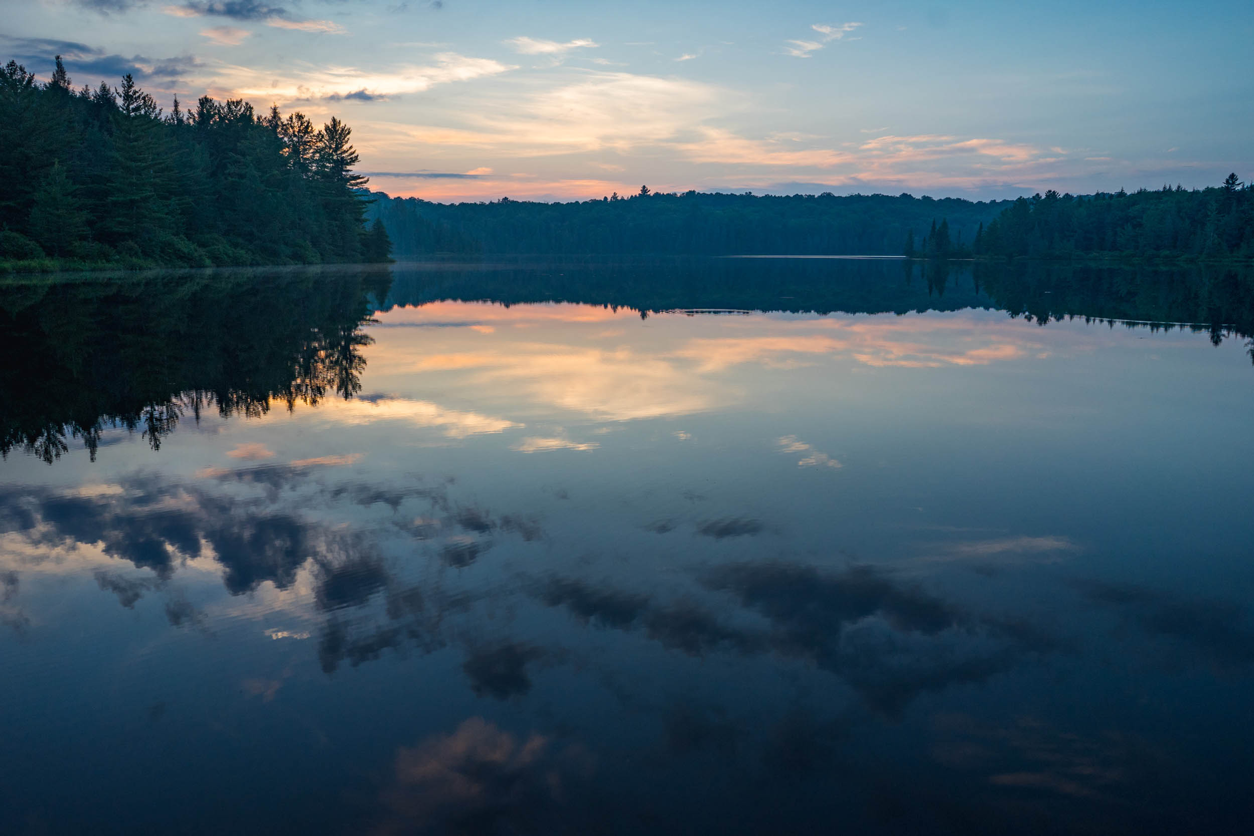
Shrubbery and farmlands make way for towering old-age white pines, and before you know it, you’ve entered the distinctive Canadian shield landscape. The Muskoka region is Southern Ontario’s prime cottage country destination. Picturesque lakes are surrounded by a mix of modest cottages and not-so-modest lakeside mansions. Speed boats and jetskis abound on the larger lakes and some might argue their din detracts from the natural beauty of the scenery.

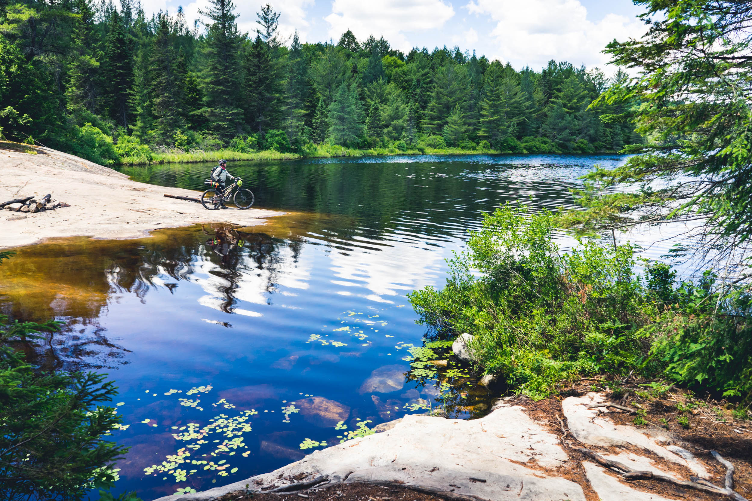
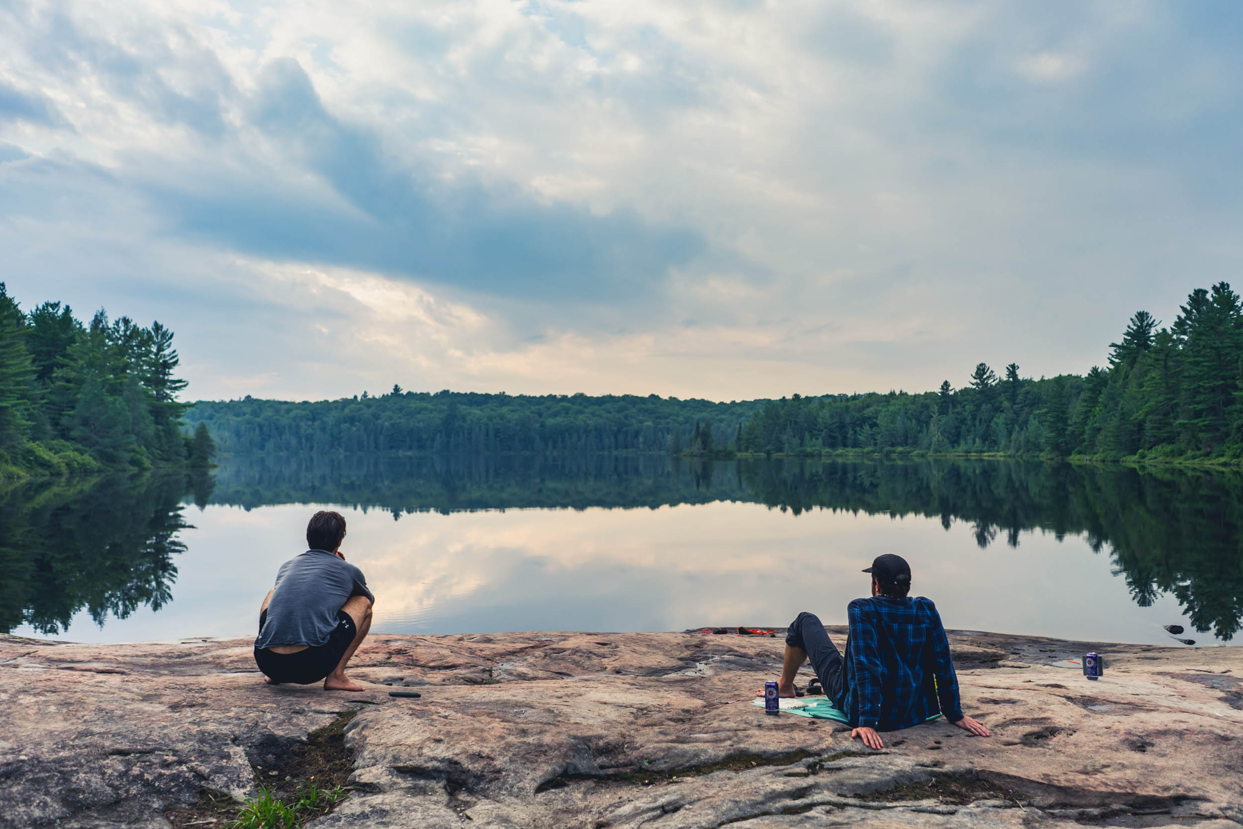
But the magic of Muskoka is that they aren’t all big, popular lakes. In fact, the region is home to 1,600 lakes, and most of them are pristine hidden gems so blissfully remote you can hear the sound of your canoe paddle dipping into the water or the crunch of dry needles under your hiking boots and the haunting cries of the loons at dawn and the wolves at night.
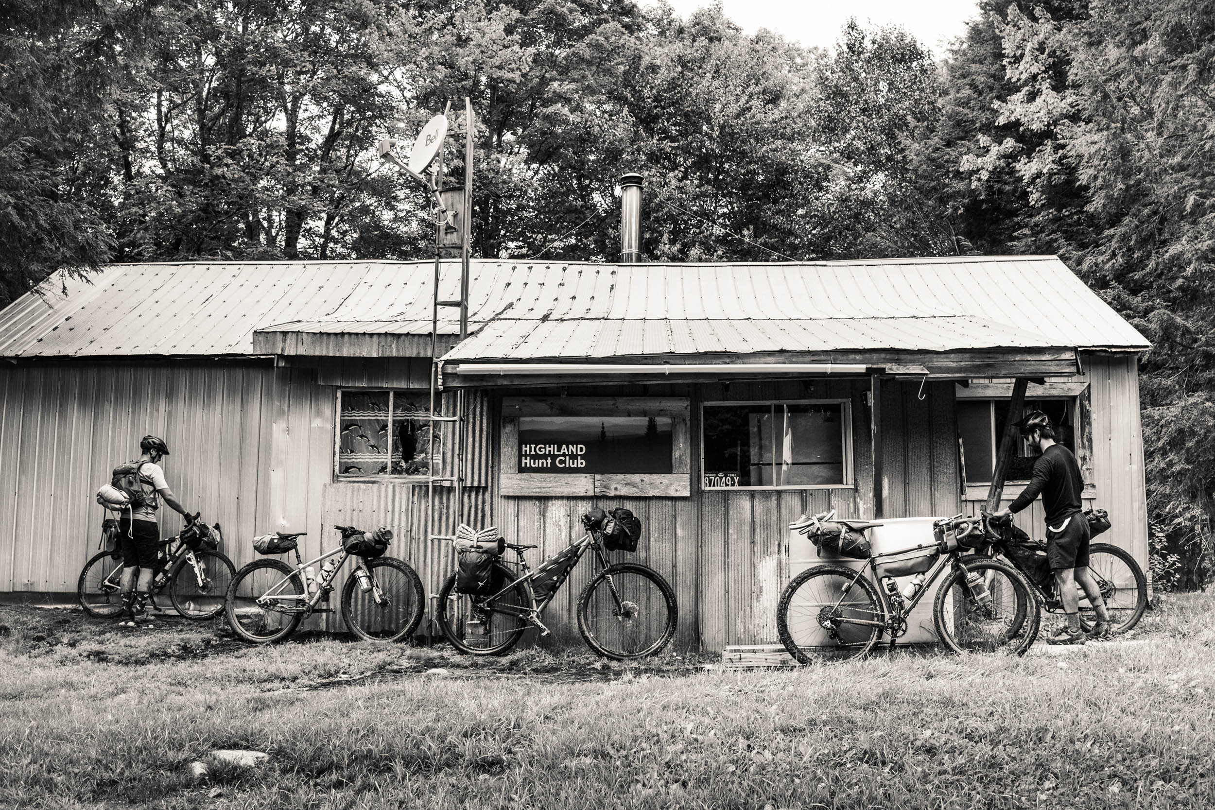
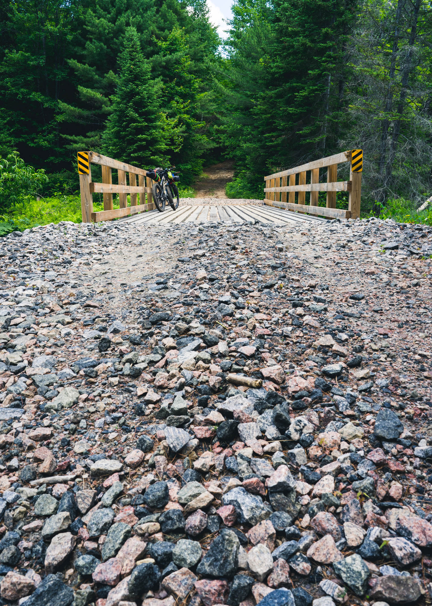
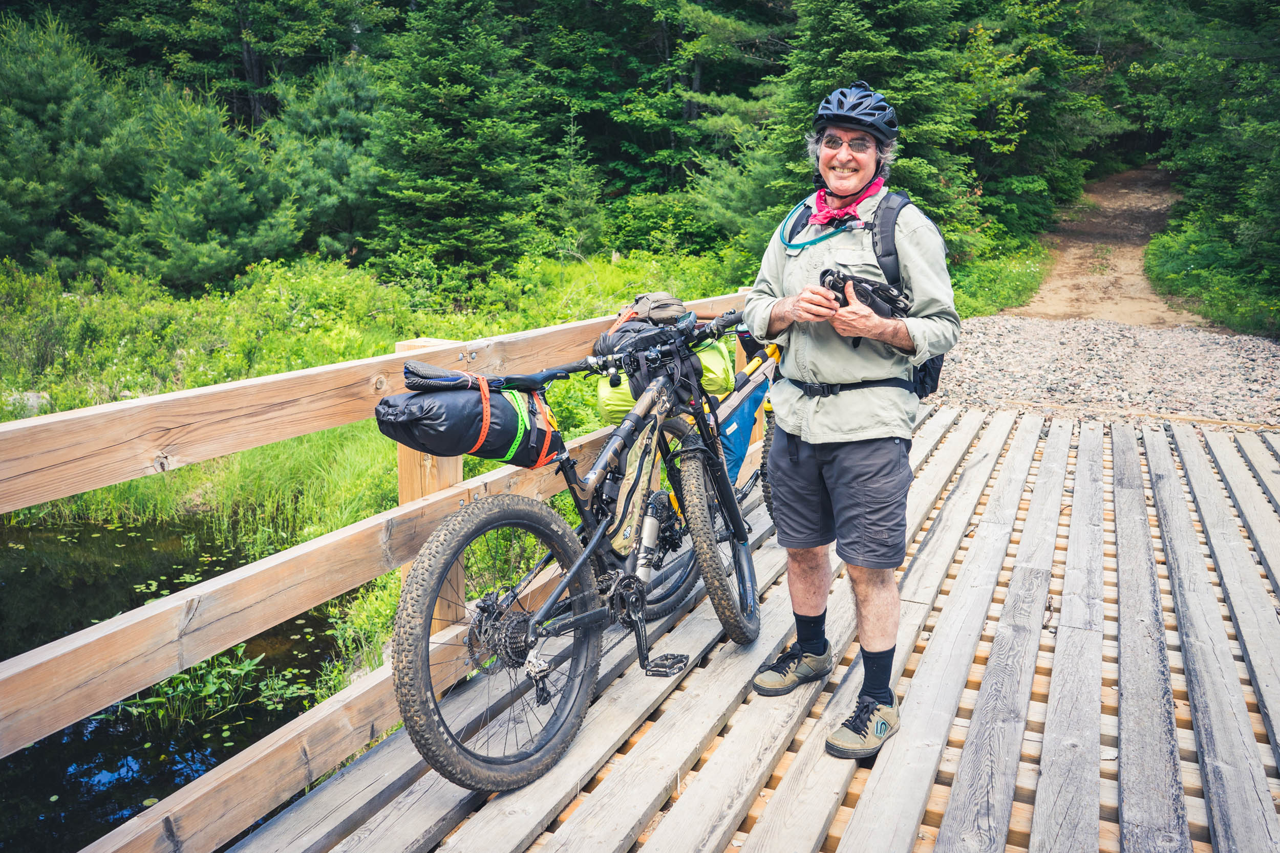
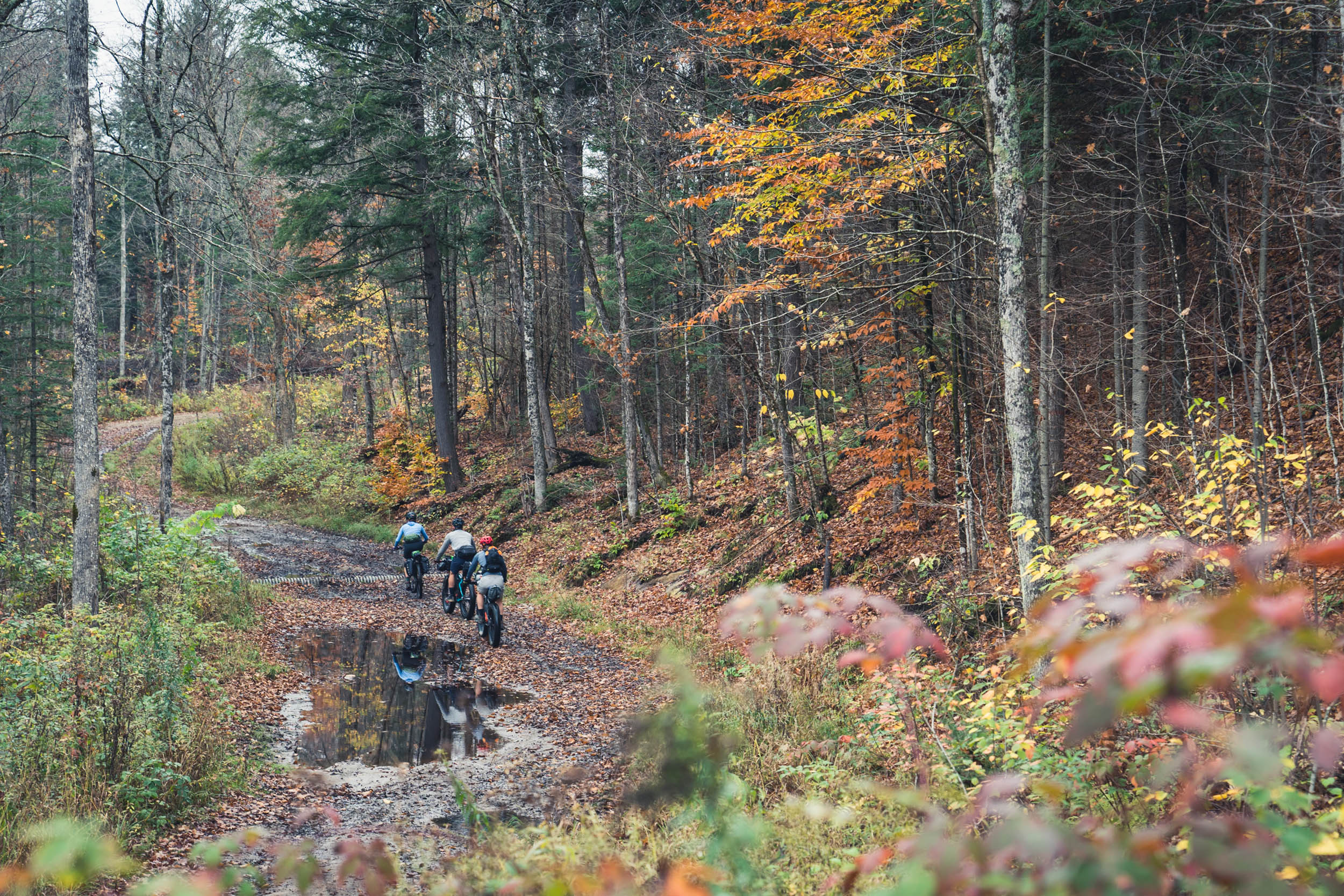
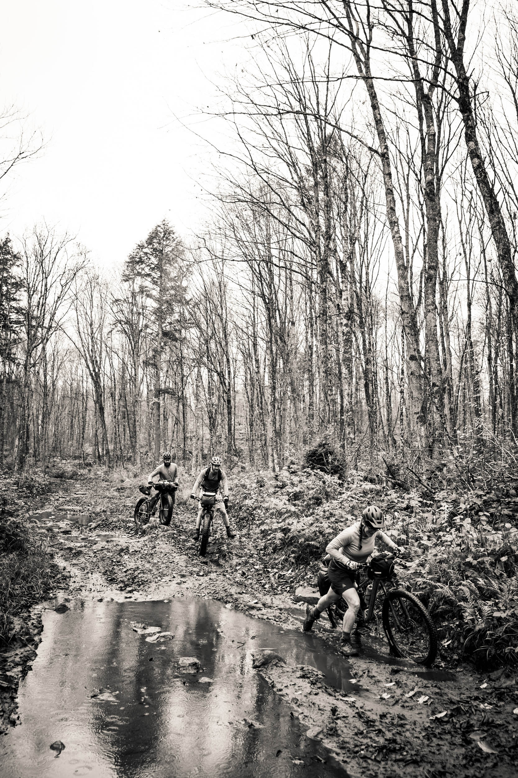
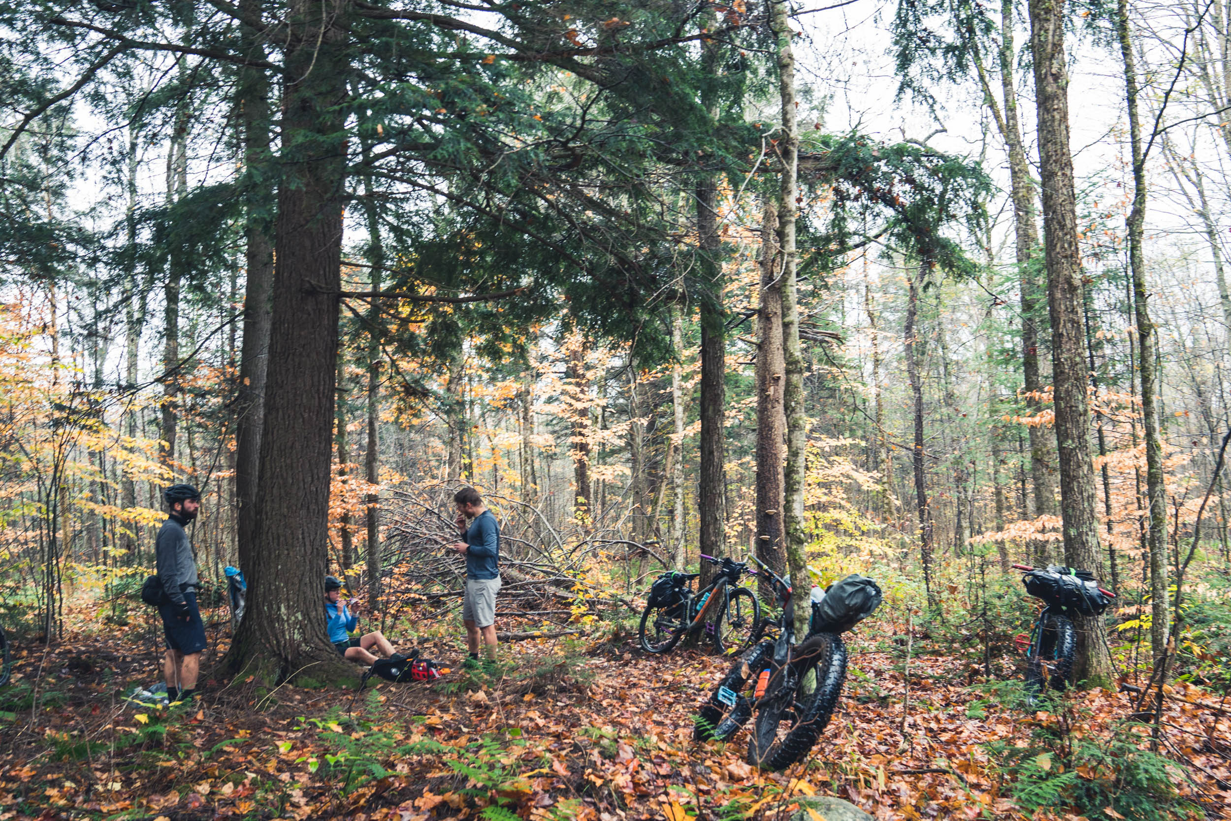
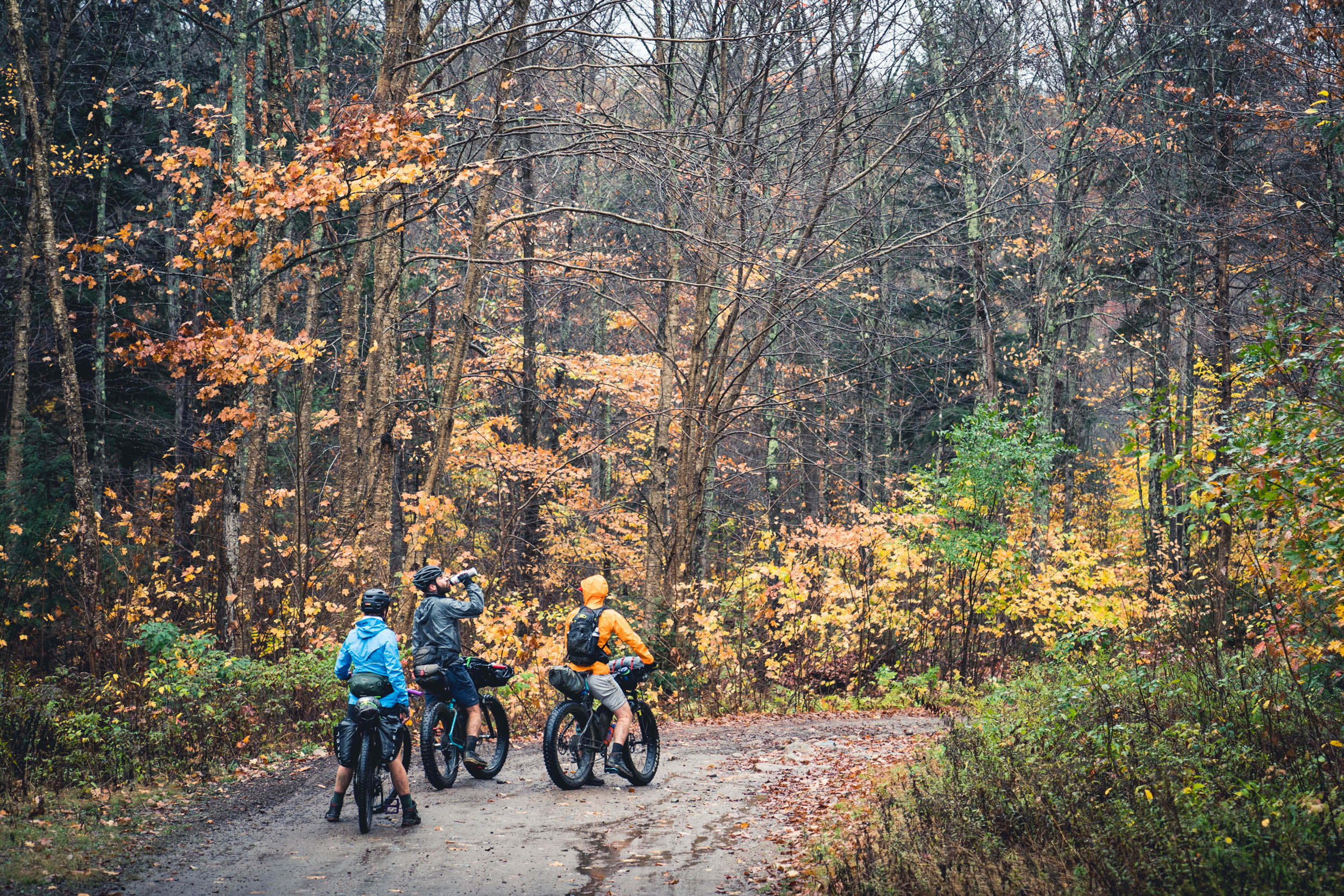
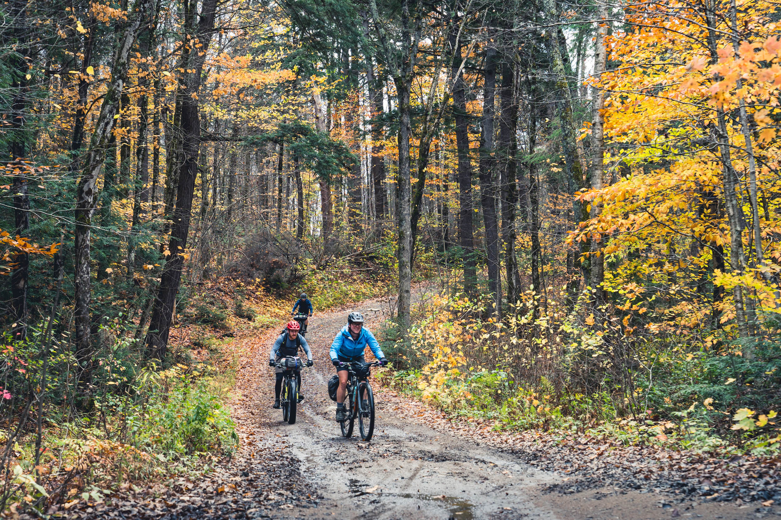
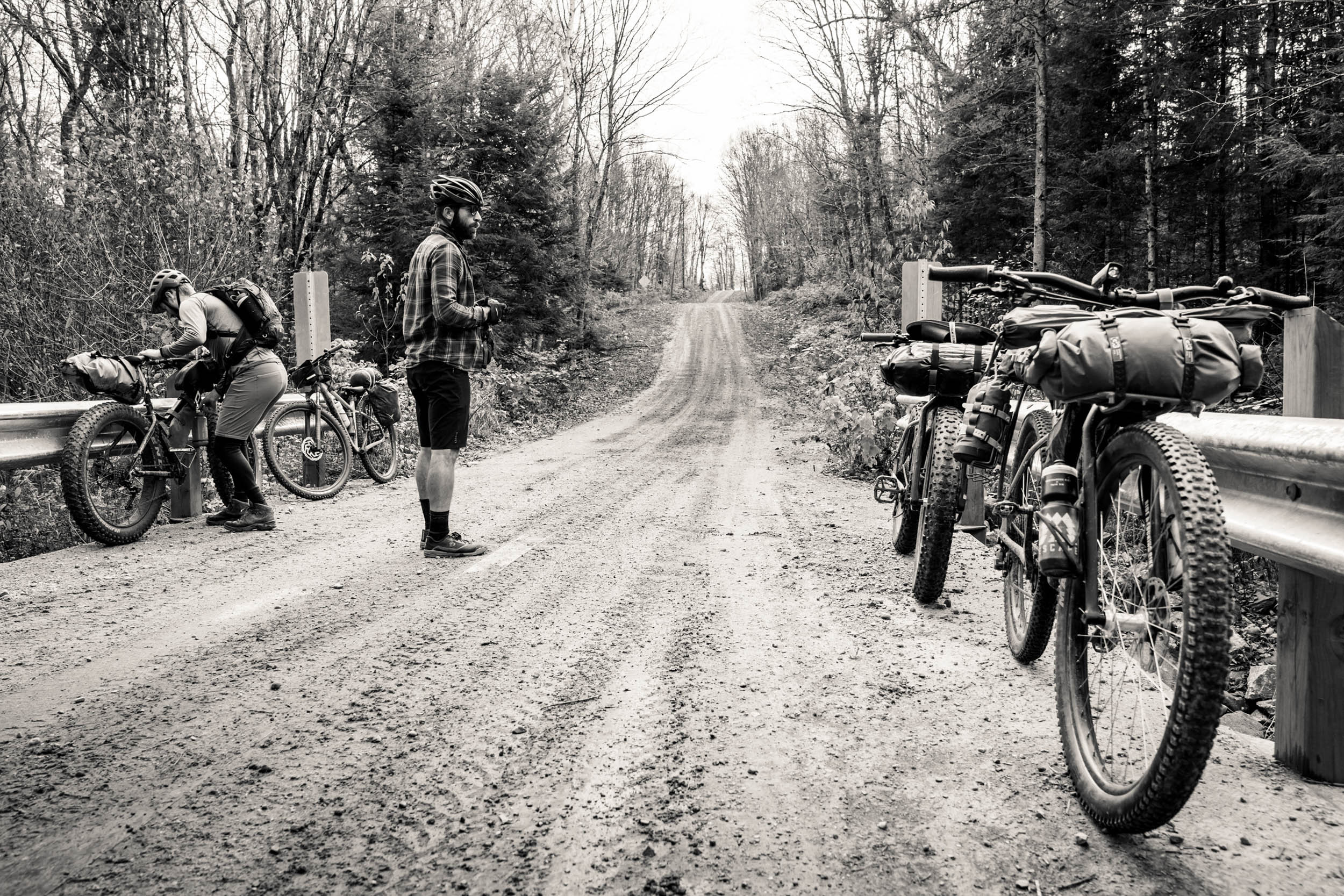
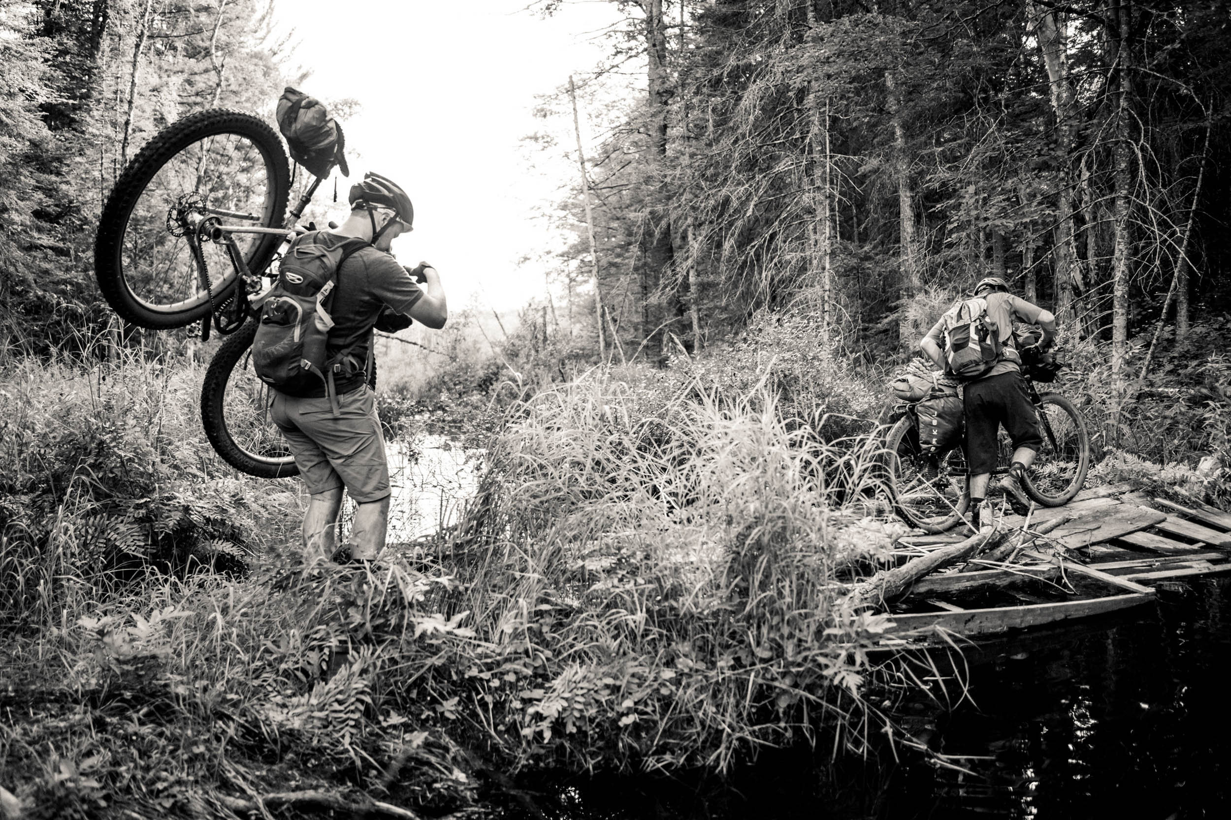
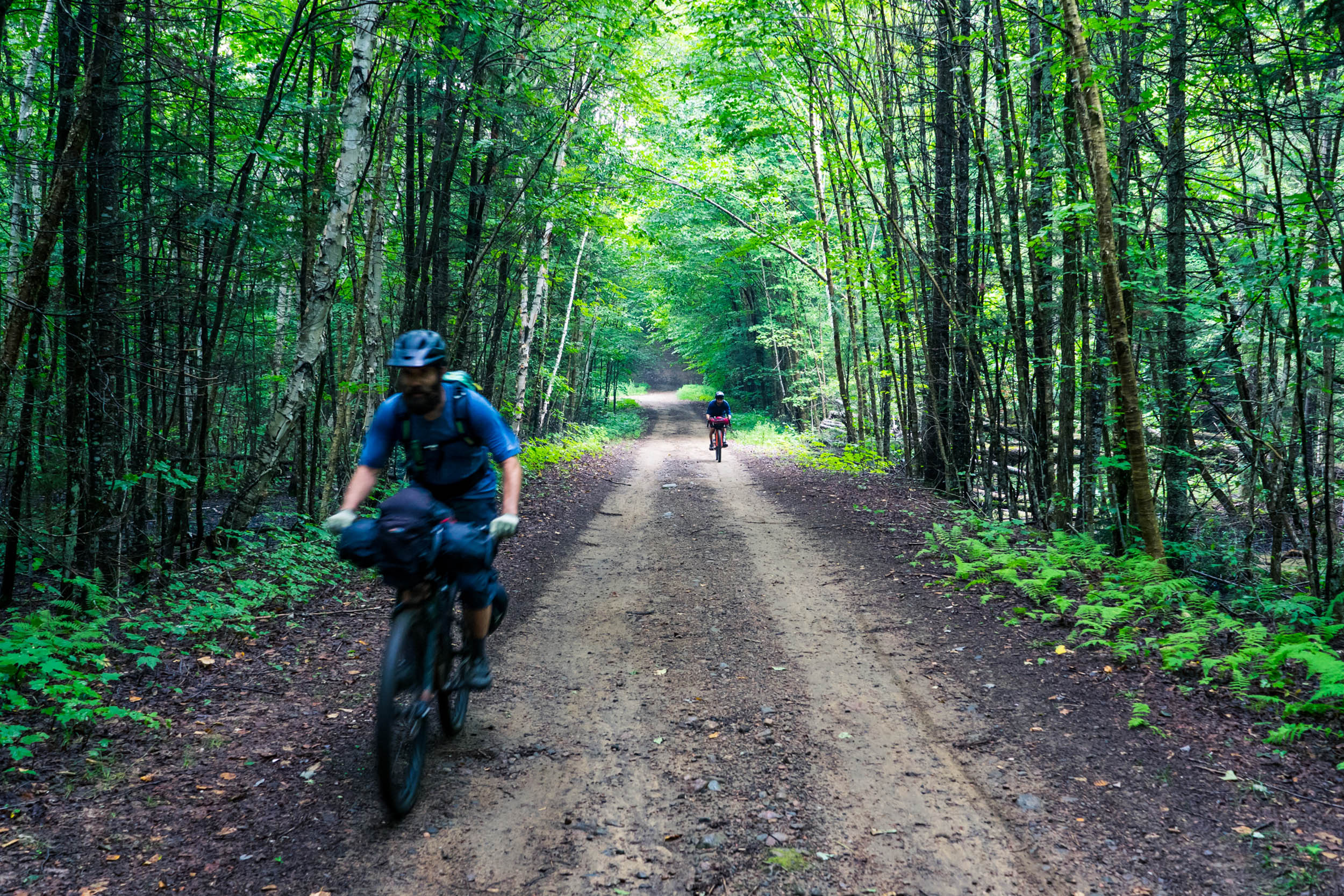
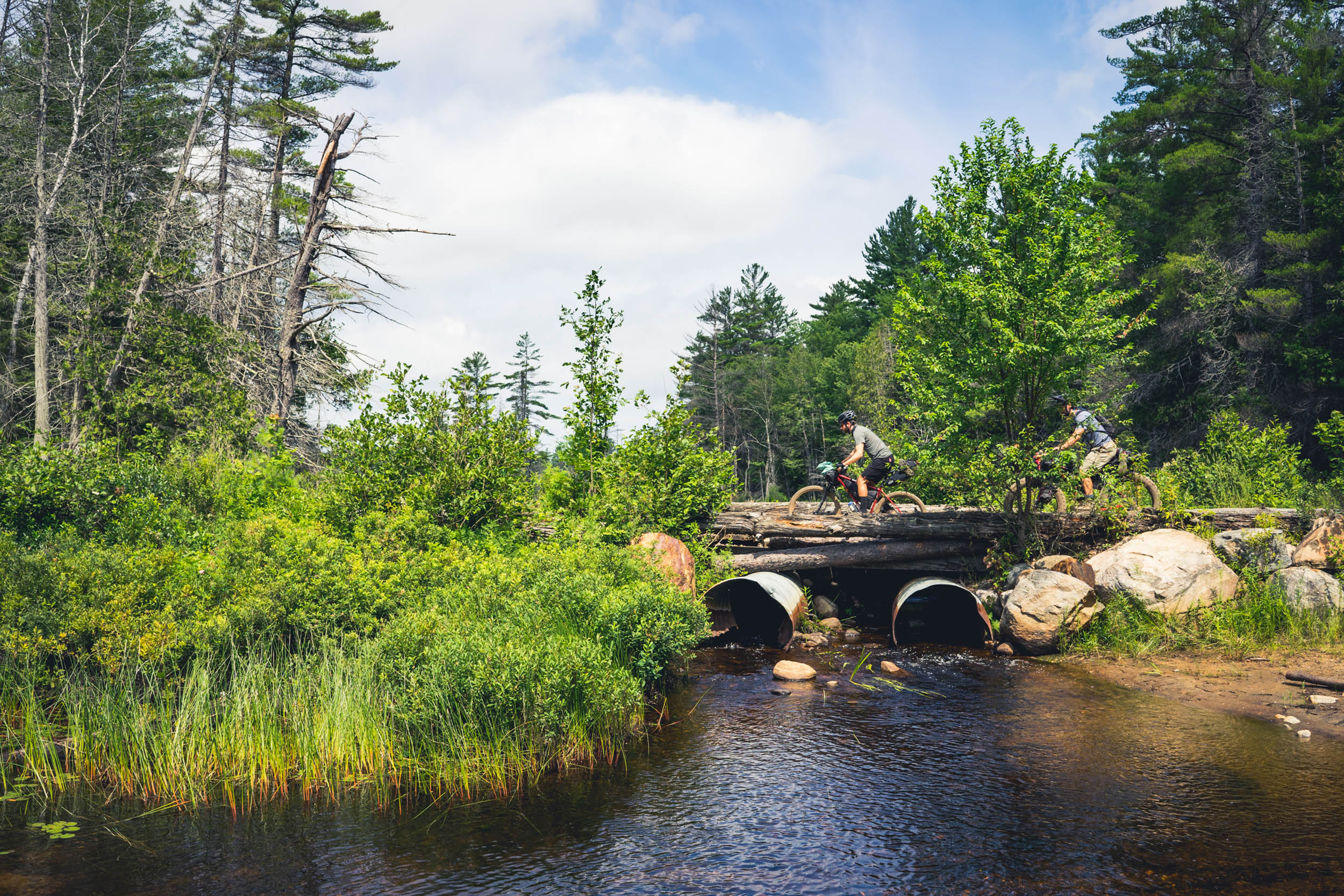
Weekend bike adventurers with a preference for mostly unspoiled backcountry and a willingness to get their feet a little wet will delight in the Ridout-Bigwind Rugged Ramble. Named for two regions the route passes through, this overnighter takes riders through the Muskoka wilderness via a network of gravel roads, logging roads, and technical ATV paths.
Route Difficulty
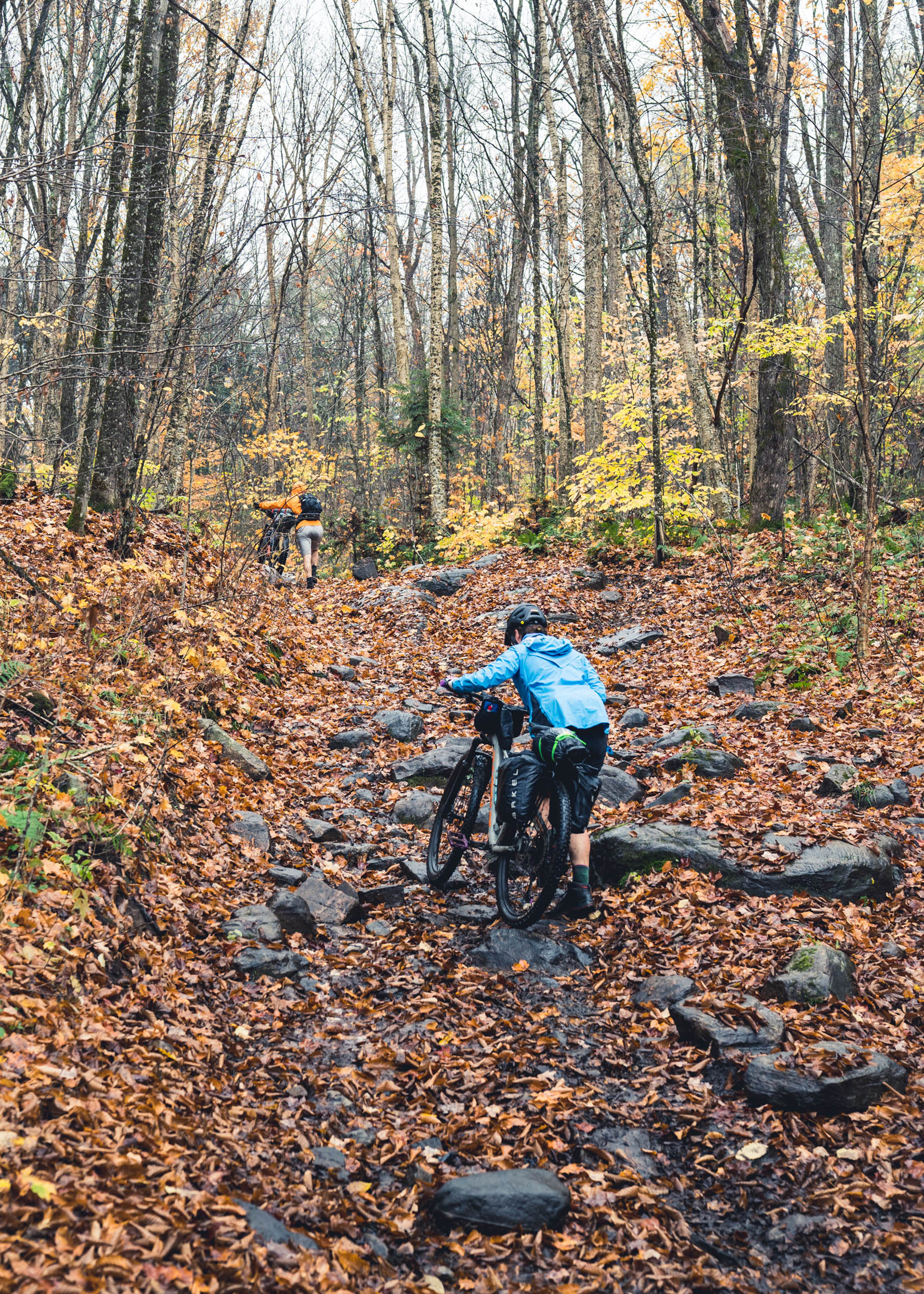
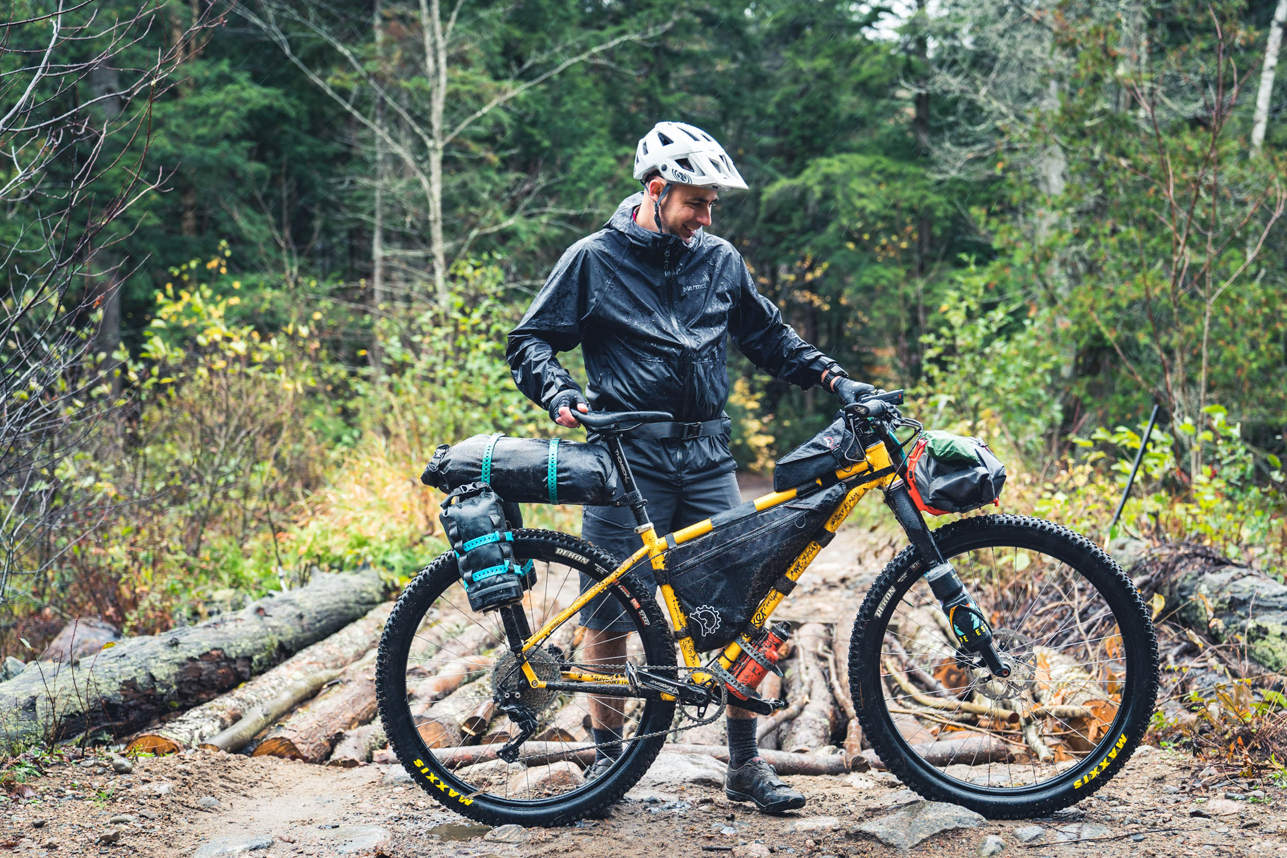
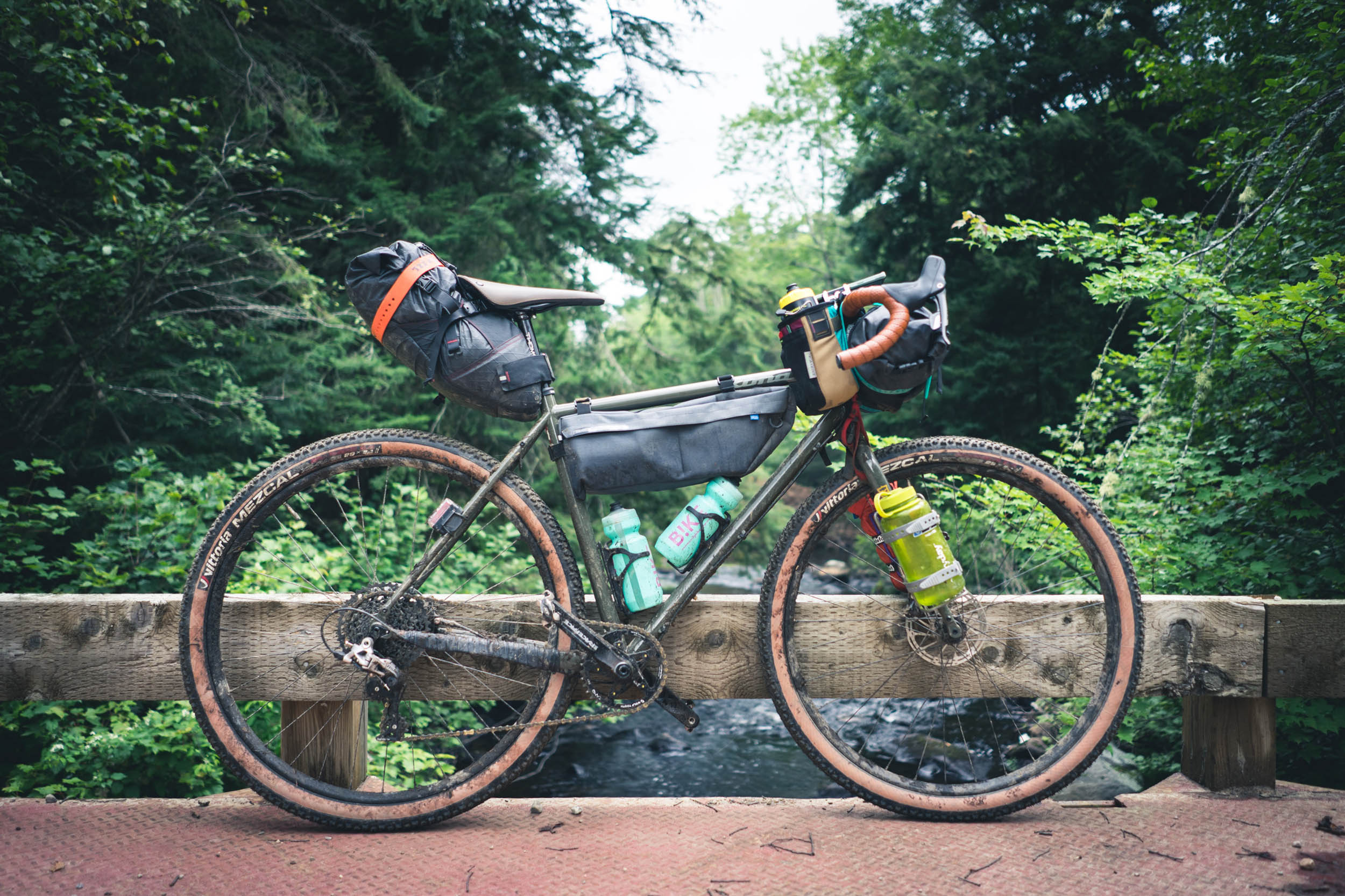
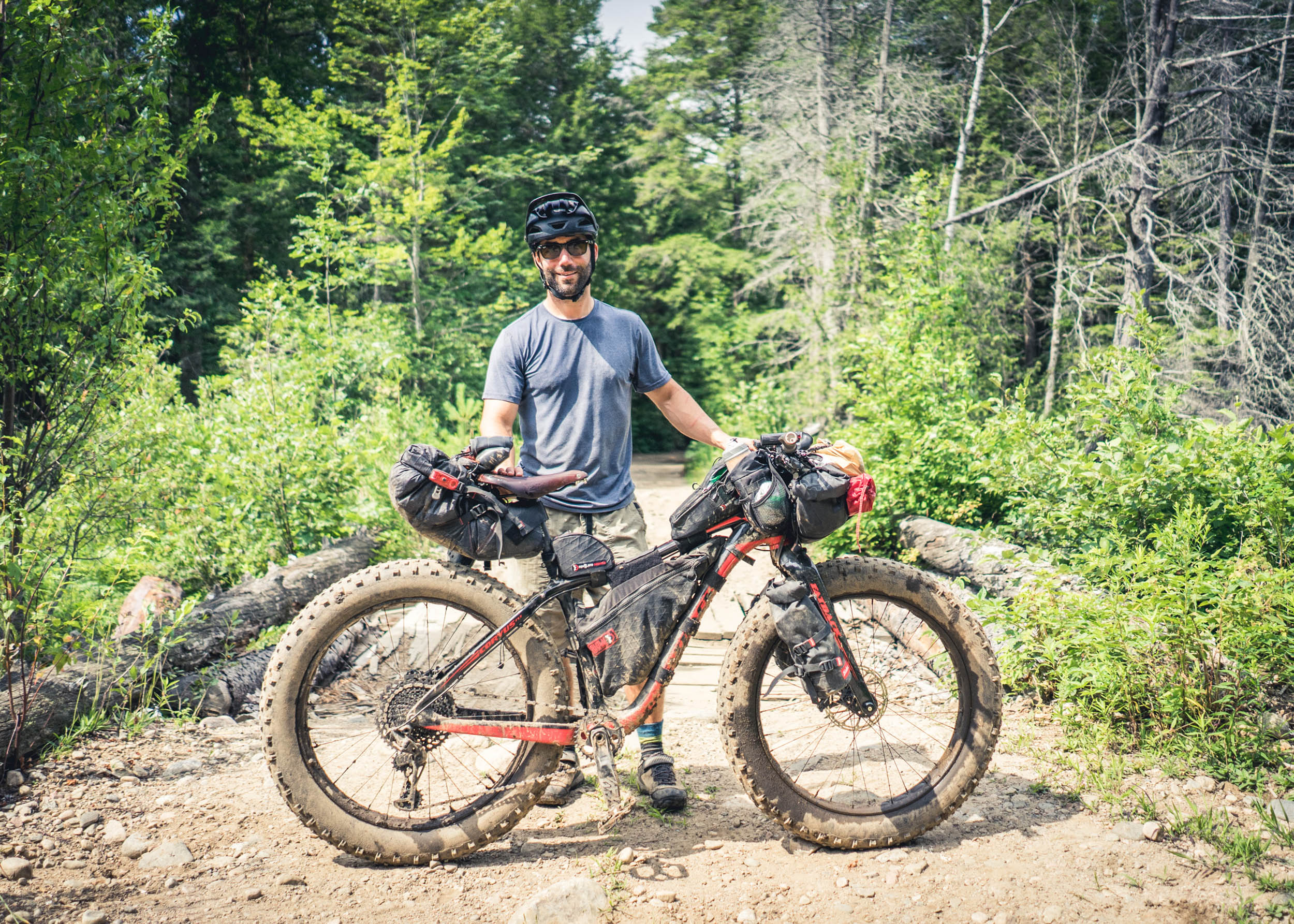
The Ridout-Bigwind Rugged Ramble is rated 6 out of 10 for difficulty. Although most of the route is manageable with a modern gravel bike on 47mm tires, there are few rugged sections that will appeal more to riders who aren’t afraid to get their feet wet or dirty or hike-a-bike some gnarly terrain. Because of this, the route is best enjoyed on a mountain bike, fat bike or drop bar bike with wide bars and 50mm tires at a minimum. Overall, the route isn’t overly physically demanding and navigation is relatively straightforward. There are no resupply opportunities directly on the route and water must be collected and filtered from lakes or streams along the way.
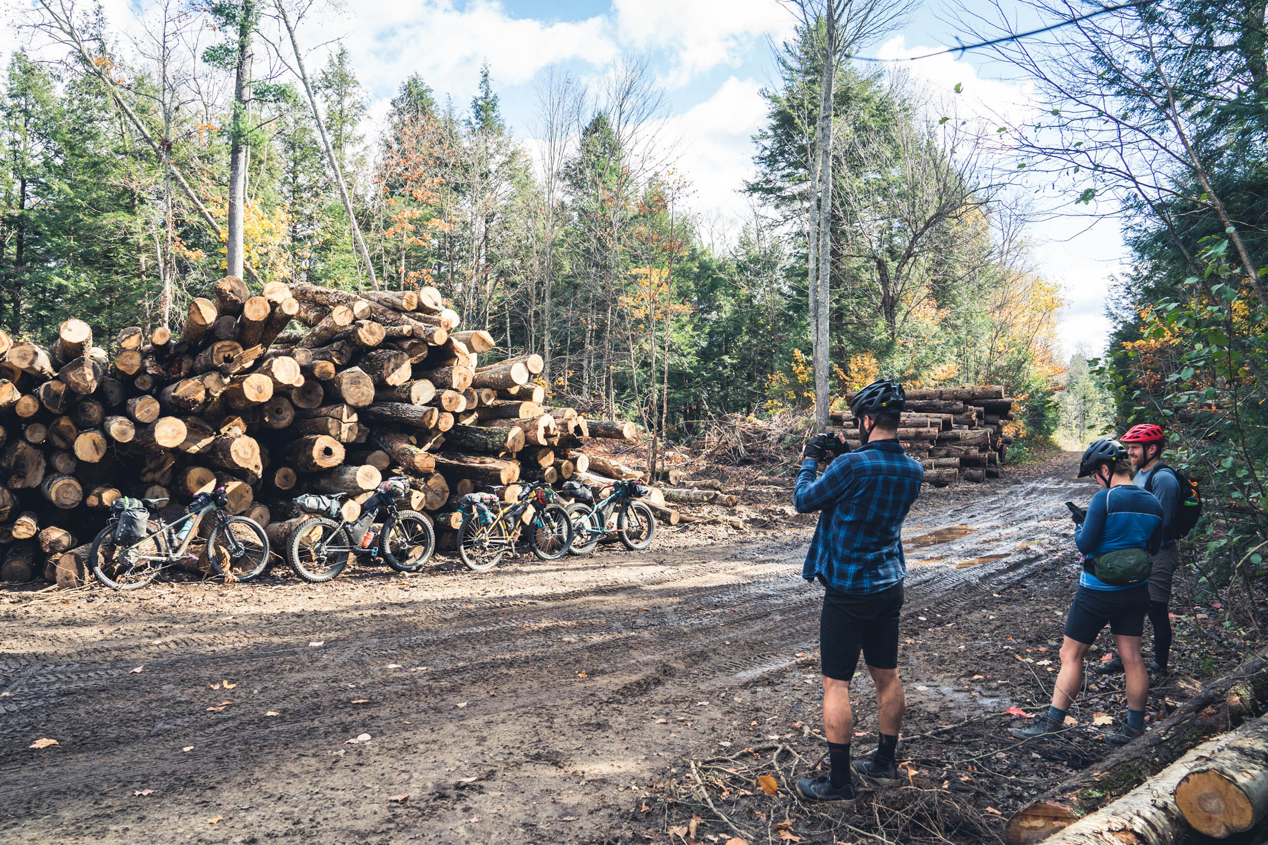
Route Development: The original conception of the route was by Bert Schuh, who is local to the Muskoka region. After exploring many of the ATV trails and logging roads in the area—which came with a fair share of “interesting” experiences—the current form of the route was conceived. The ATV trails that the route includes are managed by the Haliburton ATV Association and are located on a mix of Crown land and private land.


Submit Route Alert
As the leading creator and publisher of bikepacking routes, BIKEPACKING.com endeavors to maintain, improve, and advocate for our growing network of bikepacking routes all over the world. As such, our editorial team, route creators, and Route Stewards serve as mediators for route improvements and opportunities for connectivity, conservation, and community growth around these routes. To facilitate these efforts, we rely on our Bikepacking Collective and the greater bikepacking community to call attention to critical issues and opportunities that are discovered while riding these routes. If you have a vital issue or opportunity regarding this route that pertains to one of the subjects below, please let us know:
Highlights
Must Know
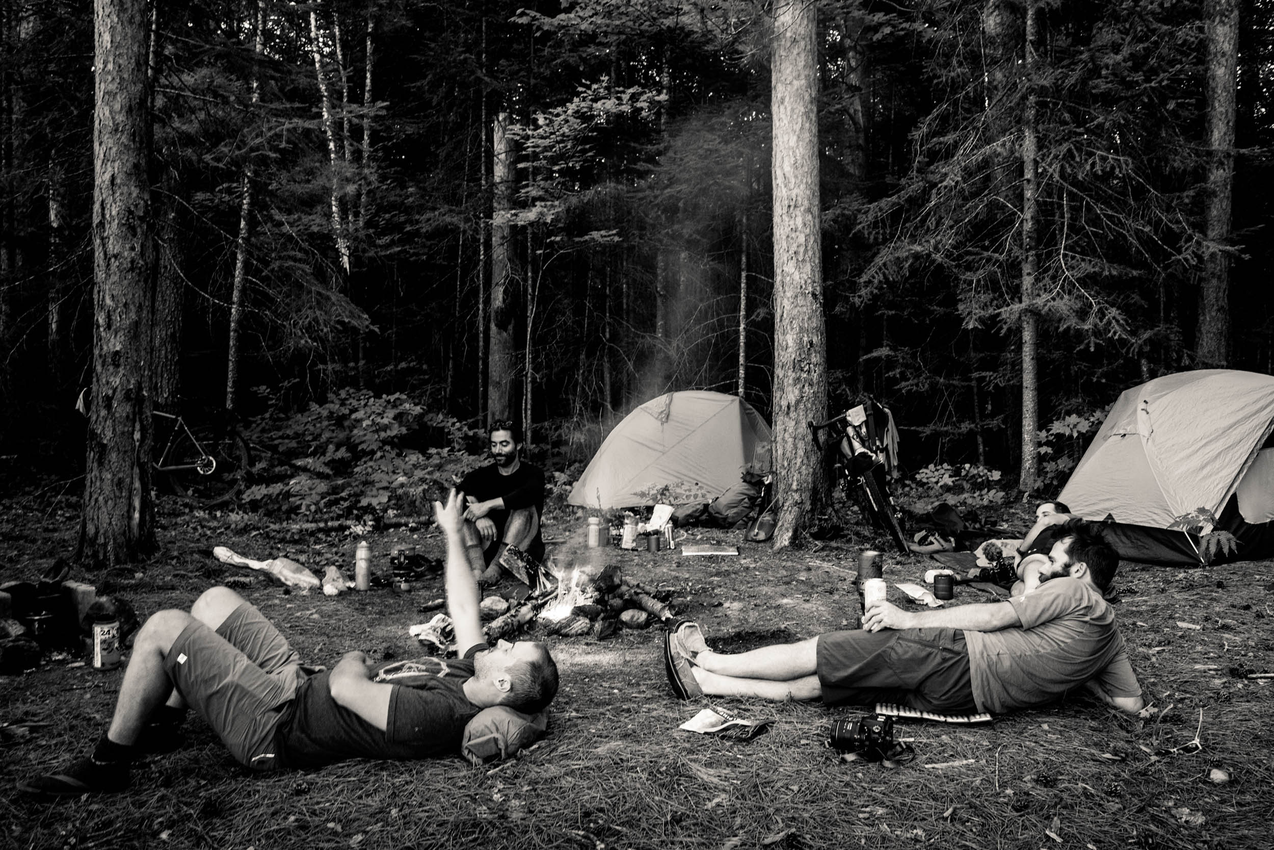
Camping
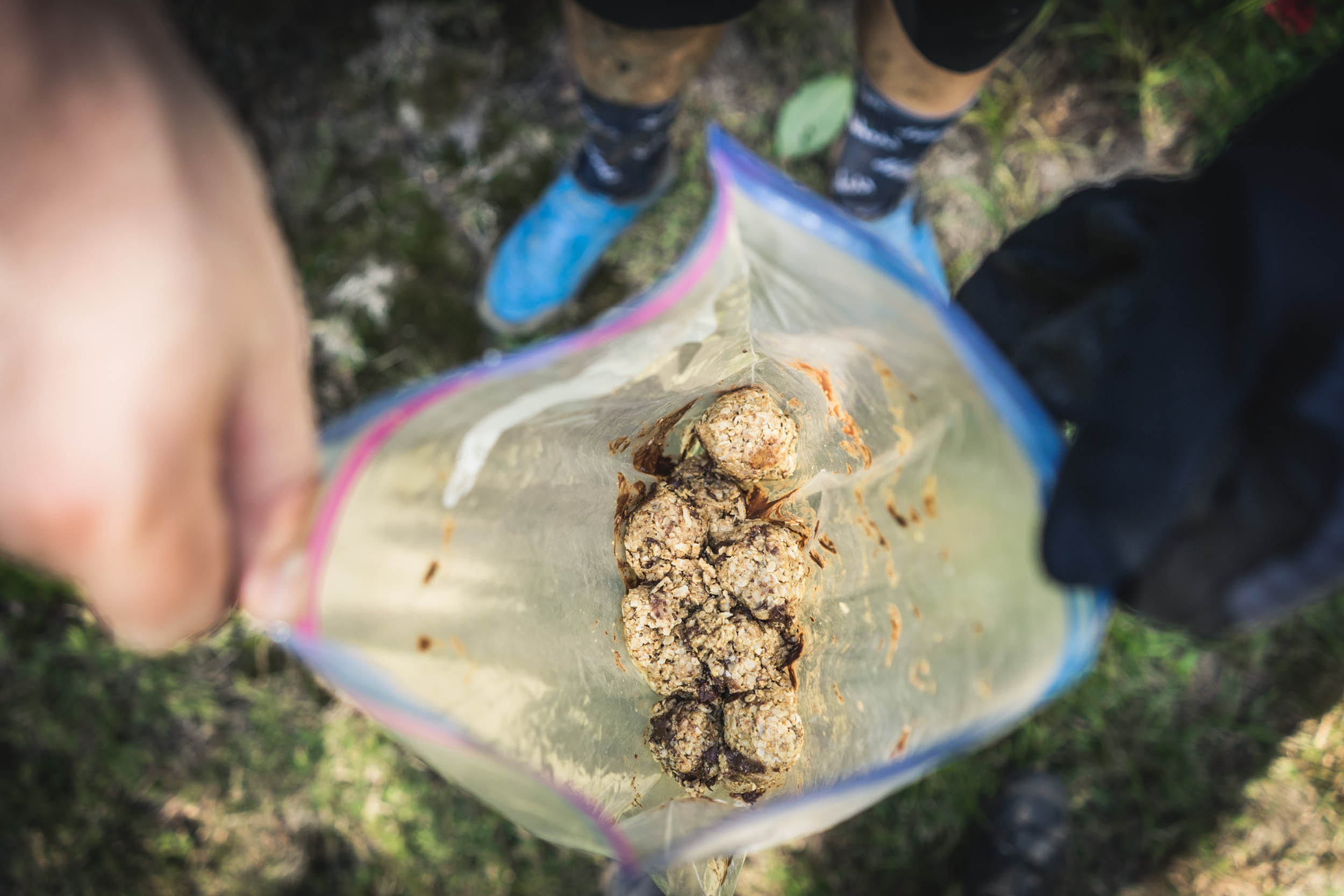
Food/H2O
Trail Notes
Resources
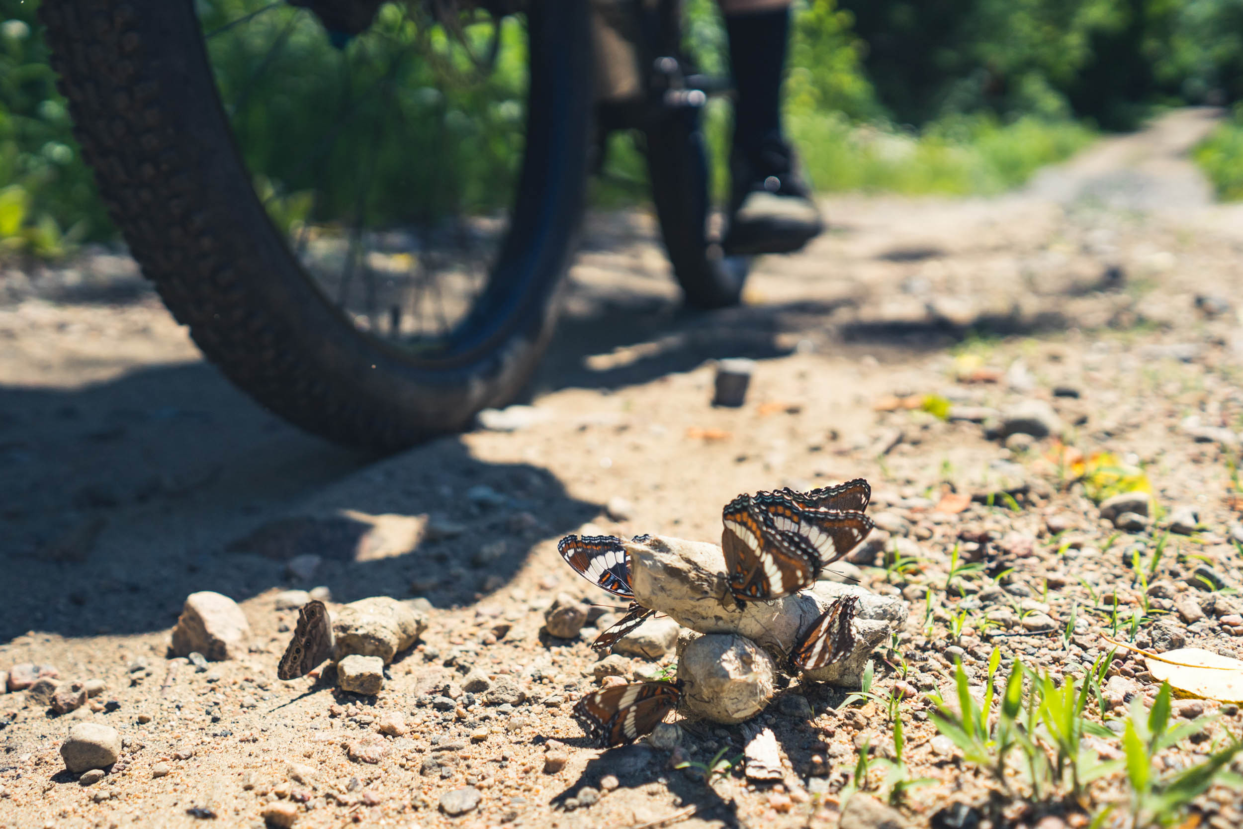
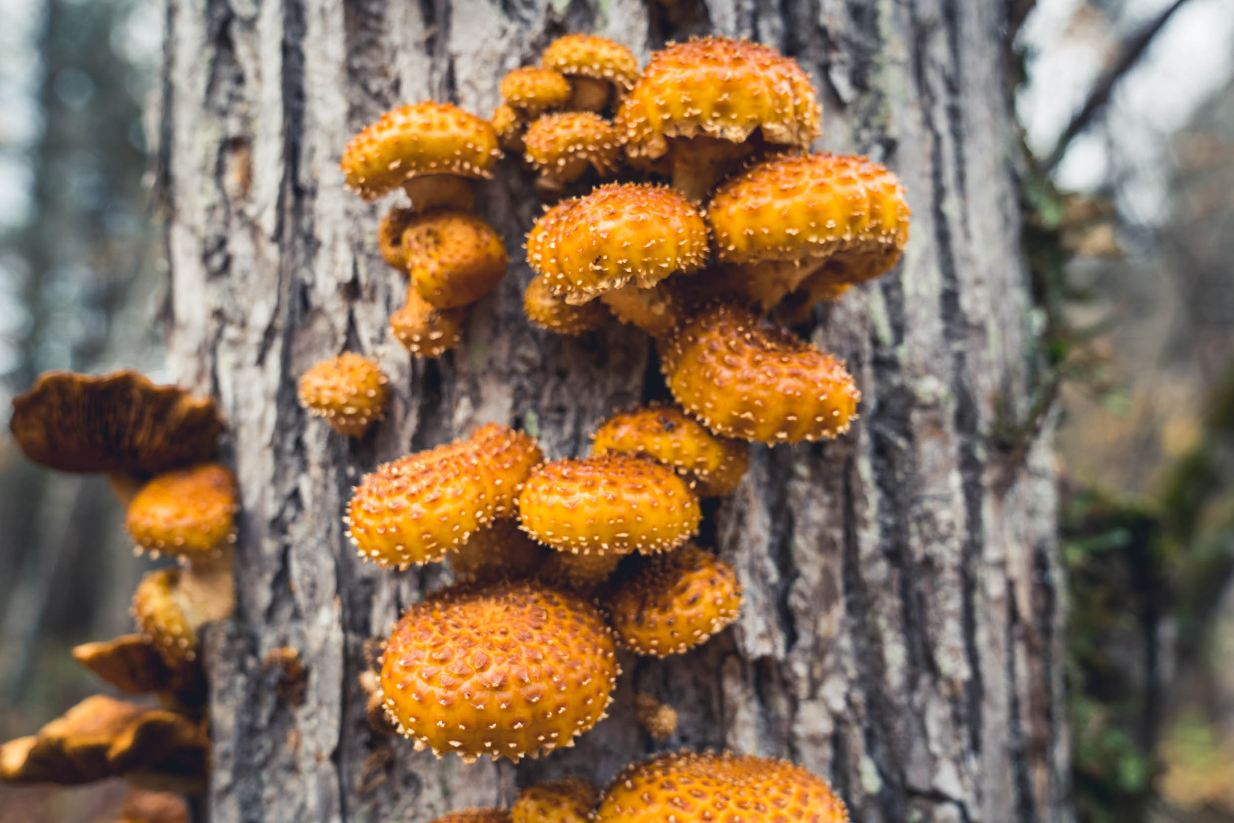
- The beautiful Canadian shield landscape, rife with towering pines and granite outcrops, is also home to lots of wildlife. Lucky adventurers might spot moose, red foxes, or pine martens, and hear the haunting sound of wolves howling in the night.
- Stargazers will enjoy the utter darkness after sunset, offering dazzling views of the constellations.
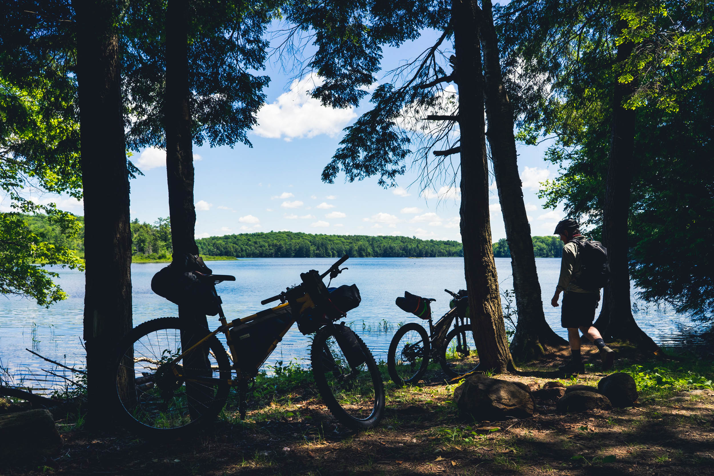
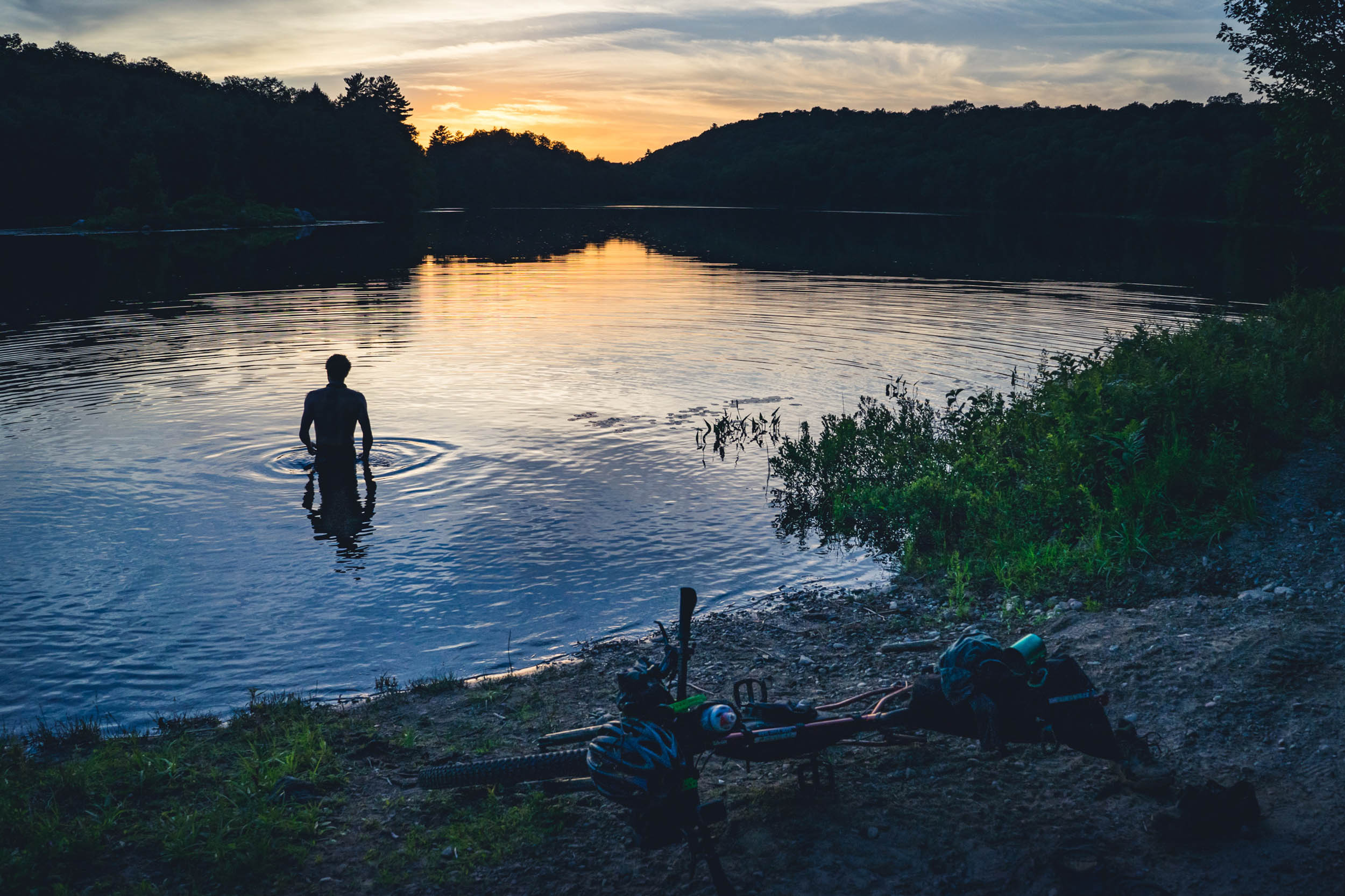
- Among the countless small, picturesque lakes on the route, some are ideal for a refreshing swim after a long day in the saddle.
- From fast-rolling gravel roads to technical ATV trails, there’s a challenge for any rider, regardless of skill level.
- When to go: Ideally between spring and late fall, but be aware of the core bug seasons. Black flies (gnats) in late spring and deer flies in early summer can be a nuisance.
- Some sections may be quite muddy in early spring or after multiple days of rain.
- Although most of the route is manageable with a modern gravel bike on 47s, there’s a really rugged section that will appeal to riders who are not afraid to get dirty or hike-a-bike some gnarly terrain. Because of this, the route is best suited to a mountain bike, fat bike, or drop-bar bike with wide bars and 50mm tires at a minimum.
- Free parking is available at an area formerly used for staging logging equipment at the suggested starting point. An alternative parking location can be found at the community center in Baysville, but starting there changes the dynamic of the route.
- This route traverses backcountry, so beware of bears and moose. Attacks are rare, but riders should be aware of their surroundings and prepared with knowledge of how to avoid or deescalate wildlife confrontations.
- Be aware that all the trails and dirt roads are designated ATV routes and see a lot of ATV traffic throughout the summer months. Be sure to give ATVers adequate space to pass you (it’s worth mentioning that most ATVers are quite friendly and willing to provide help if needed).
- There is cellular service throughout most of the route, but it can be patchy in the northwest section.
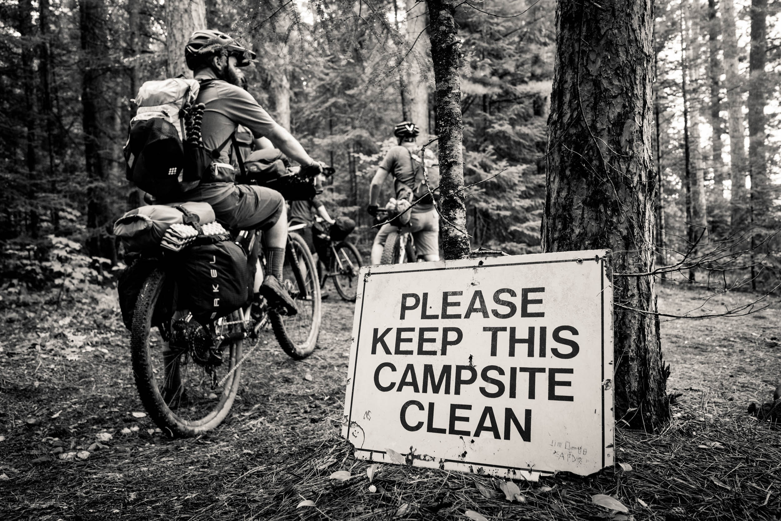
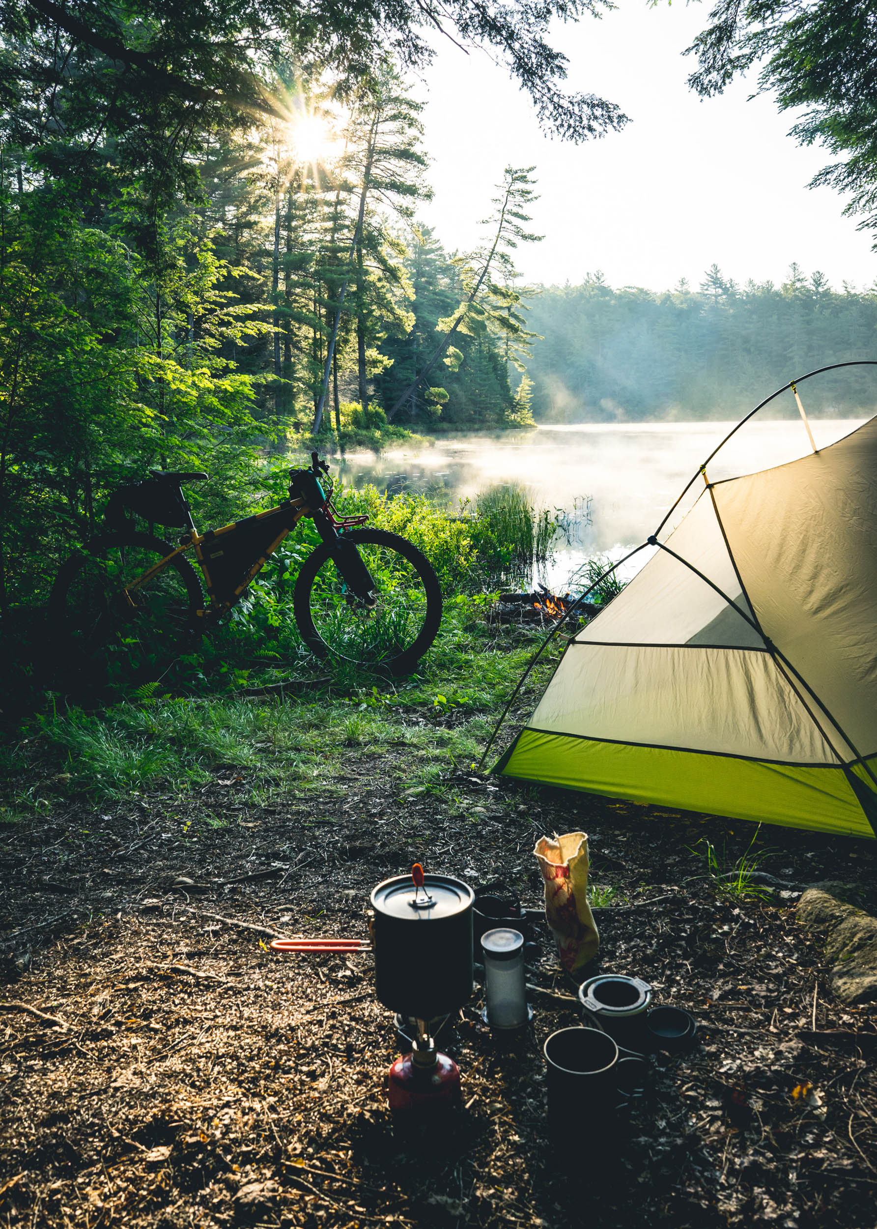
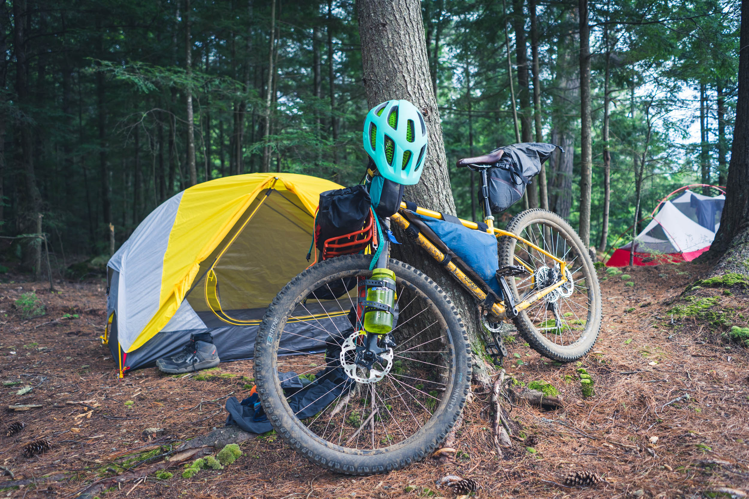
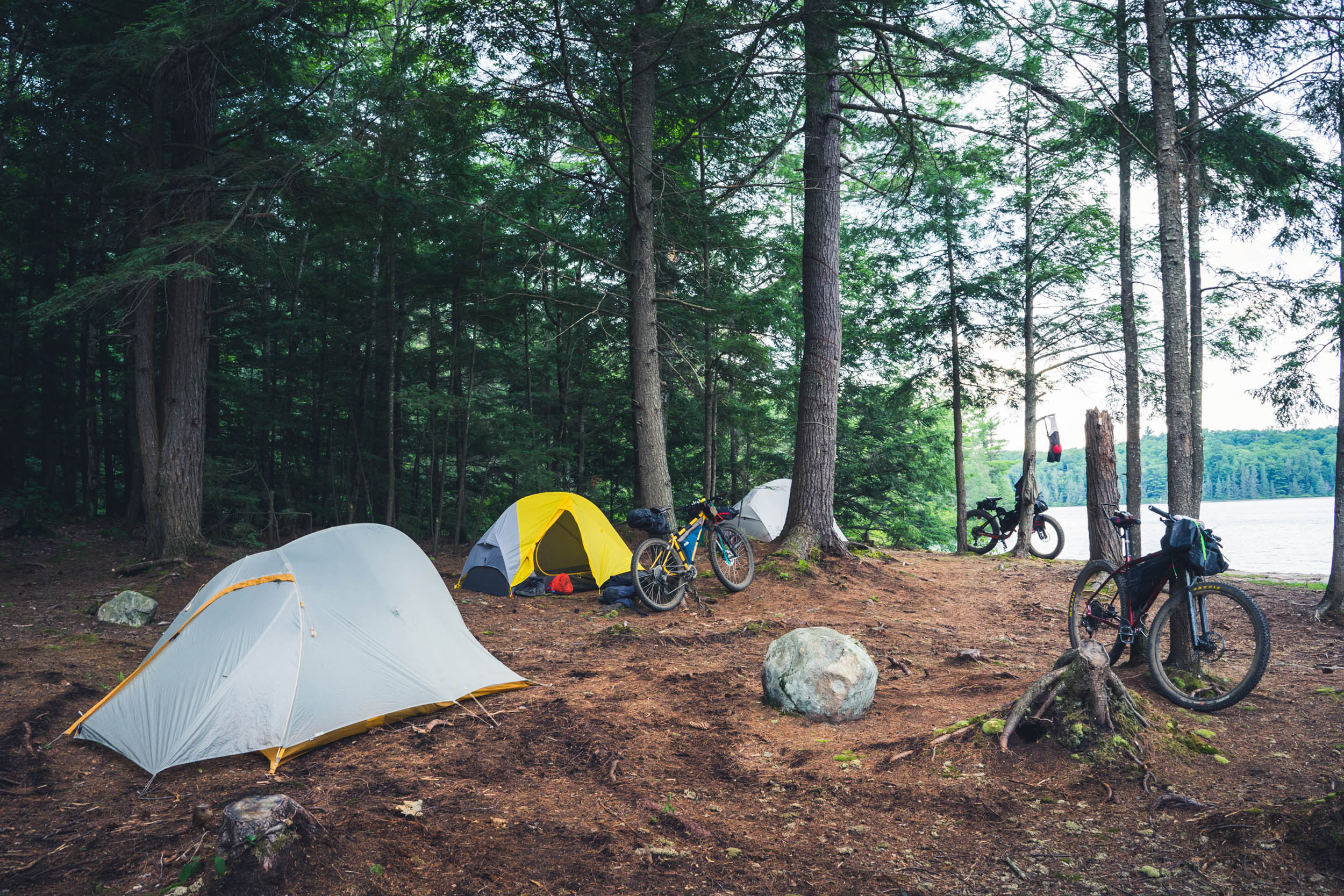
- Campsites are located on Crown land and are free to use with no reservation required. Keep in mind that sites accessible to motor vehicles are usually occupied just before the start of the weekend, so it’s best to aim for sites that are not right off a road, especially during July and August.
- Most campsites have a small fire pit left behind from previous campers. Before building a fire, ensure there is not a fire ban in place by checking the Lake of Bays Fire department website.
- The campsites along the “water trails” are the cleanest and least used, and it’s worth riding the rugged trails to access them.
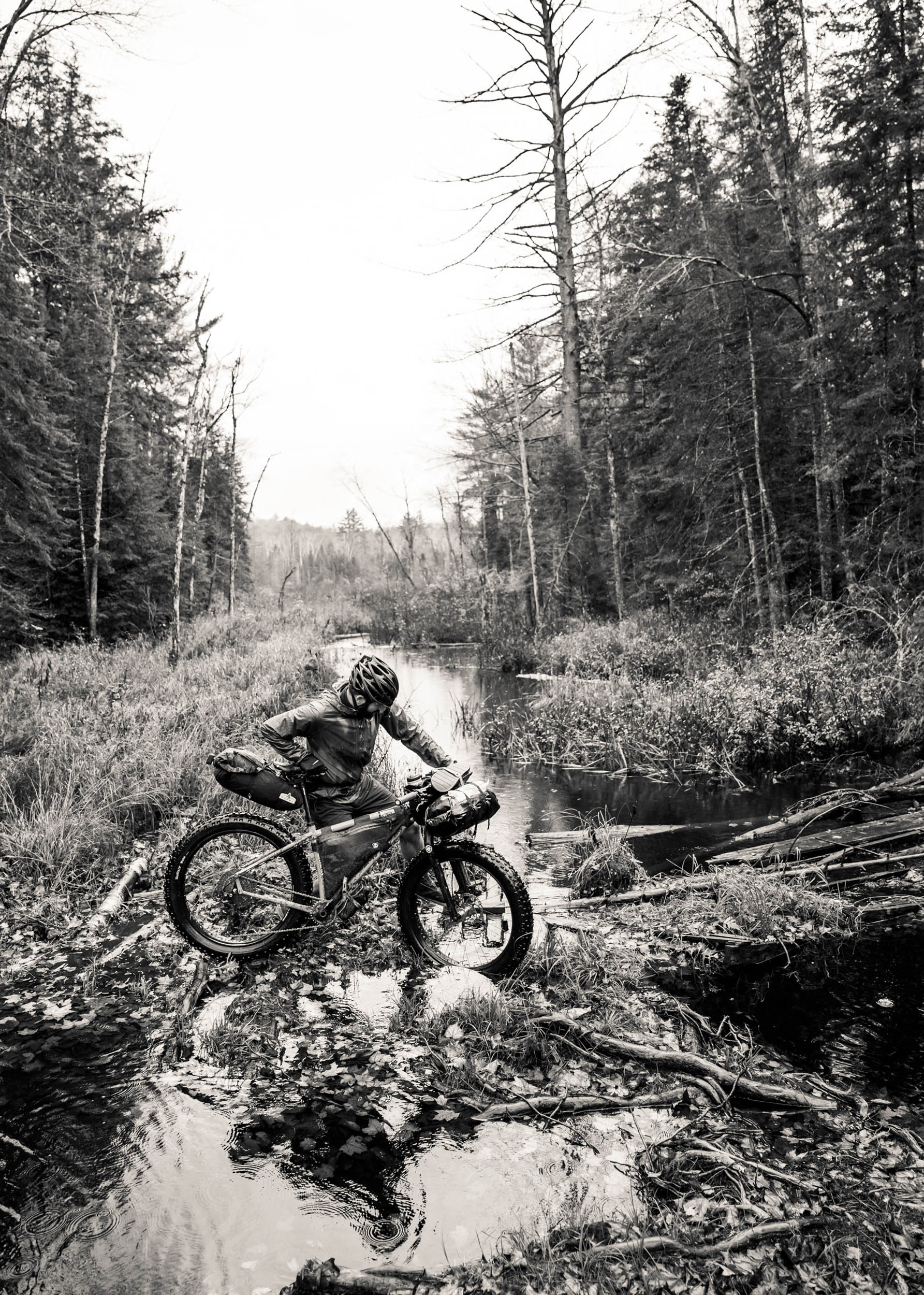
- There are plenty of freshwater lakes and streams along the way to restock water. Beware, however, that water filtration is necessary to prevent illness from waterborne bacteria.
- Not far from the route is Baysville and the Lake-of-Bays craft brewery. Just a 10-kilometer out-and-back, riders can enjoy a cold pint (or two) on their spacious outdoor patio or grab canned brews to go.
- Also in Baysville are food trucks serving typical greasy goodness with a few healthier options on the menu.
- There are no stores or food vendors along the route, so bring enough food and snacks to keep you energized.
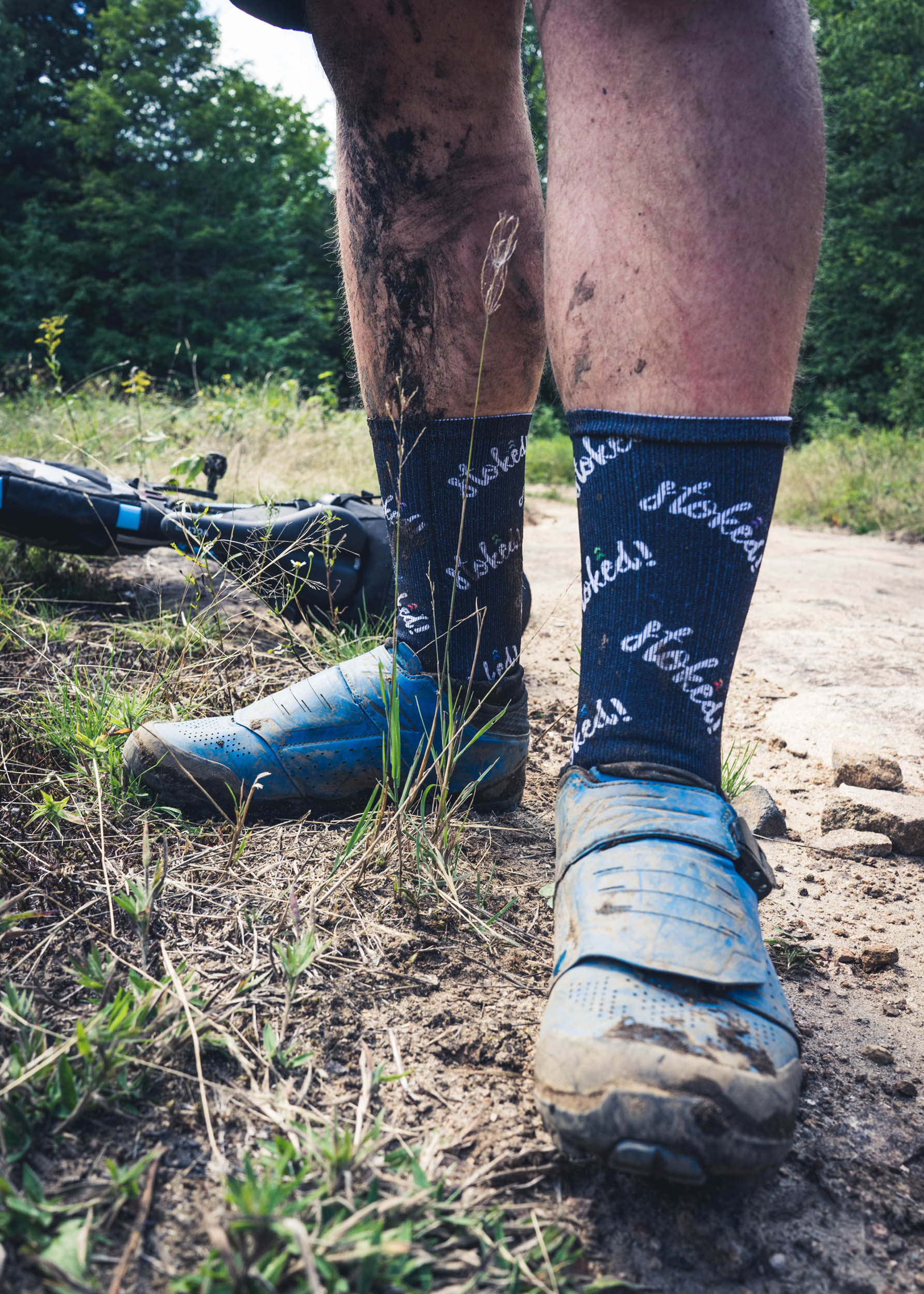
- If following the route as provided, some may find the first half quite challenging—hence the “Rugged” in the name. Logging roads can get water-logged after heavy rainfall, and the ATV trails are rocky in sections. This section can be bypassed, but the alternative shortens the route significantly.
- The second half will be very manageable for riders accustomed to riding rough gravel roads, although there are a few spicy sections to be aware of.
- If you’re planning to camp at Pairo Lake or Carcass Lake, prepare for a knee-deep stream crossing. It’s well worth it for a nice, secluded camp spot.
- During particularly dry periods, the Hindon Forest Access Road (north of Black River Road) can get quite dusty from passing vehicles. A Buff, bandana, or cloth mask would be useful to limit the inhalation of road dust if needed.
Additional Resources
- The nearest bike shops are located in Bracebridge, including LivOutside, Neilson Bicycles, and Ecclestone Cycle.
- Lake of Bays Brewery hours: lakeofbaysbrewing.ca
- Bigwind Provincial Park: ontarioparks.com
- To check for fire bans: lakeofbays.on.ca
- Watch the video documenting the trip here


Terms of Use: As with each bikepacking route guide published on BIKEPACKING.com, should you choose to cycle this route, do so at your own risk. Prior to setting out check current local weather, conditions, and land/road closures. While riding, obey all public and private land use restrictions and rules, carry proper safety and navigational equipment, and of course, follow the #leavenotrace guidelines. The information found herein is simply a planning resource to be used as a point of inspiration in conjunction with your own due-diligence. In spite of the fact that this route, associated GPS track (GPX and maps), and all route guidelines were prepared under diligent research by the specified contributor and/or contributors, the accuracy of such and judgement of the author is not guaranteed. BIKEPACKING.com LLC, its partners, associates, and contributors are in no way liable for personal injury, damage to personal property, or any other such situation that might happen to individual riders cycling or following this route.
Please keep the conversation civil, constructive, and inclusive, or your comment will be removed.