


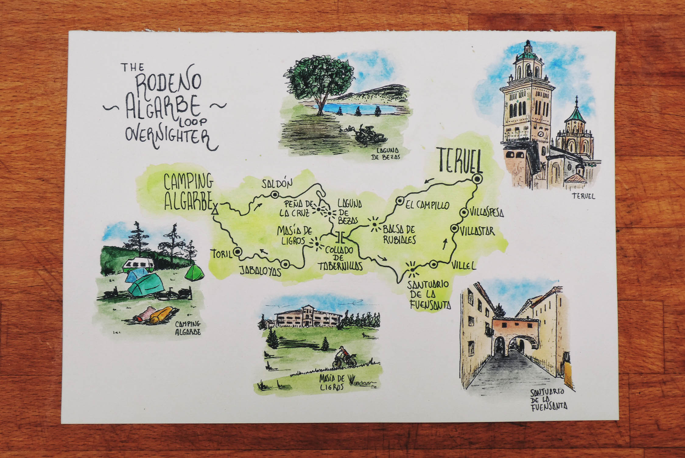
Rodeno-Algarbe Loop Overnighter
Distance
87 Mi.
(140 KM)Days
2
% Unpaved
85%
% Singletrack
2%
% Rideable (time)
99%
Total Ascent
7,785'
(2,373 M)High Point
5,527'
(1,685 M)Difficulty (1-10)
6?
- 6Climbing Scale Moderate89 FT/MI (17 M/KM)
- -Technical Difficulty
- -Physical Demand
- -Resupply & Logistics
Contributed By

Ernesto Pastor
Guest Contributor
Ernesto pastor created and maintains the Montanas Vacias bikepacking route. Follow the route and Ernesto on Instagram @montanasvacias.
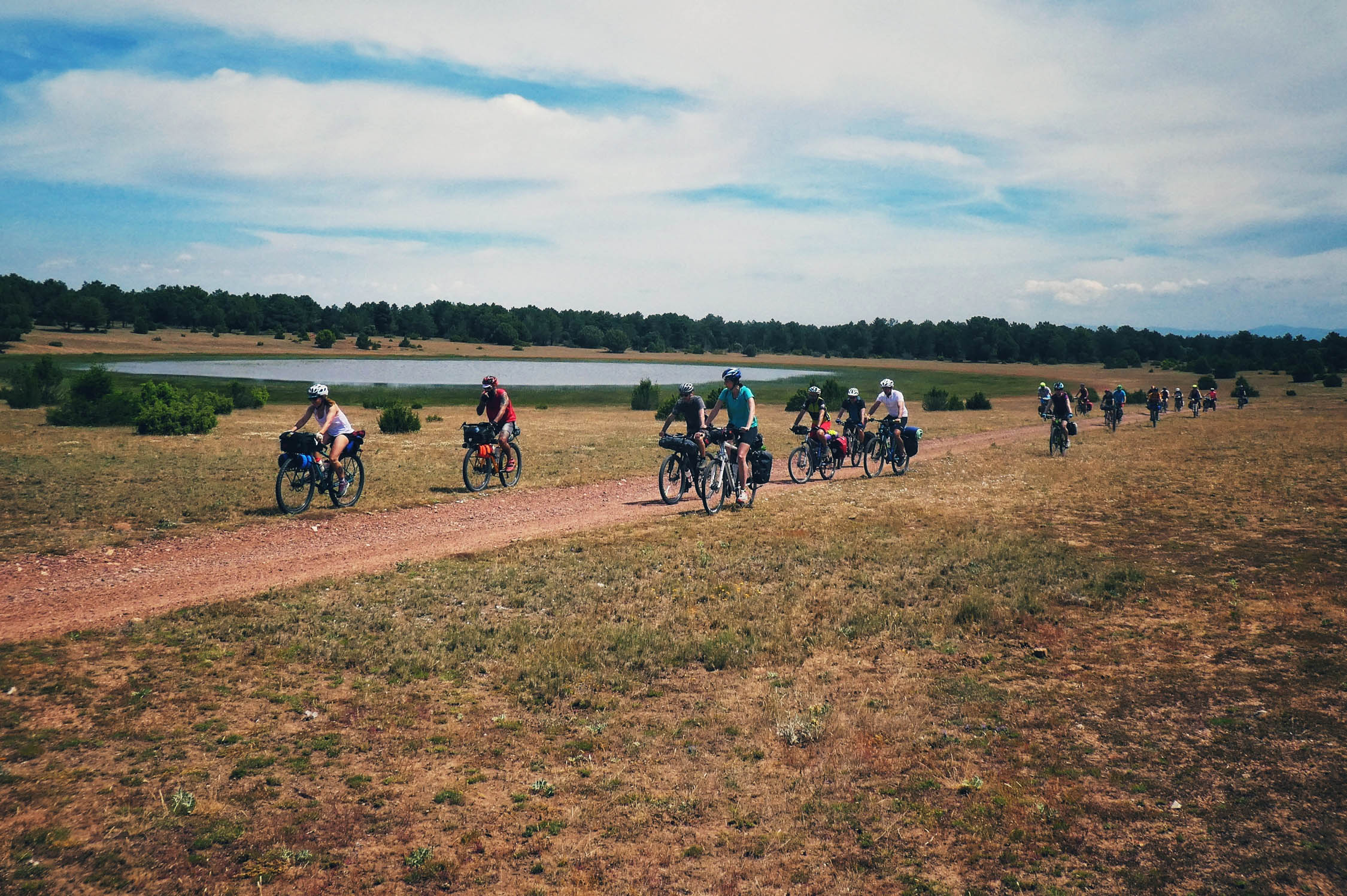
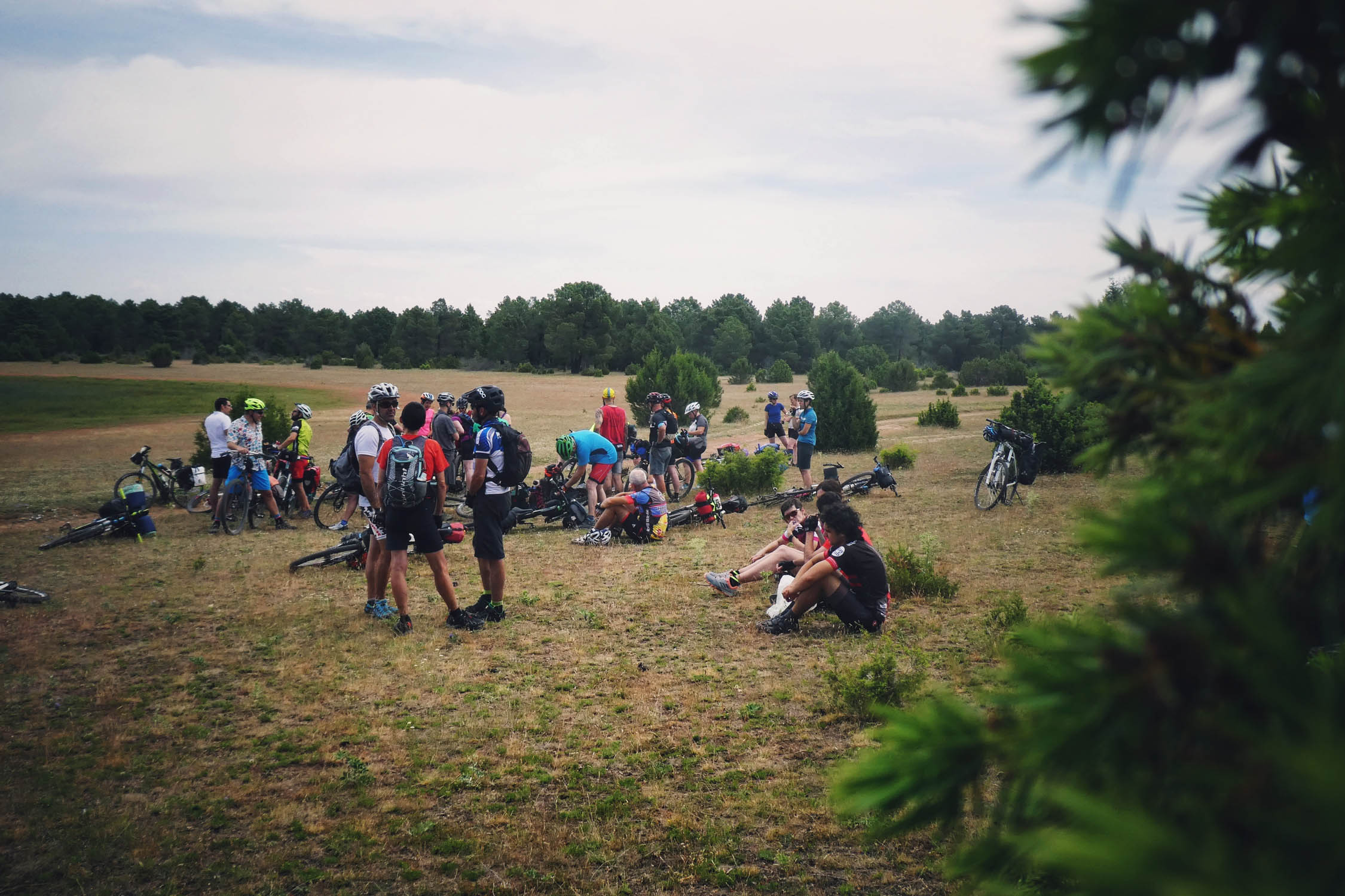
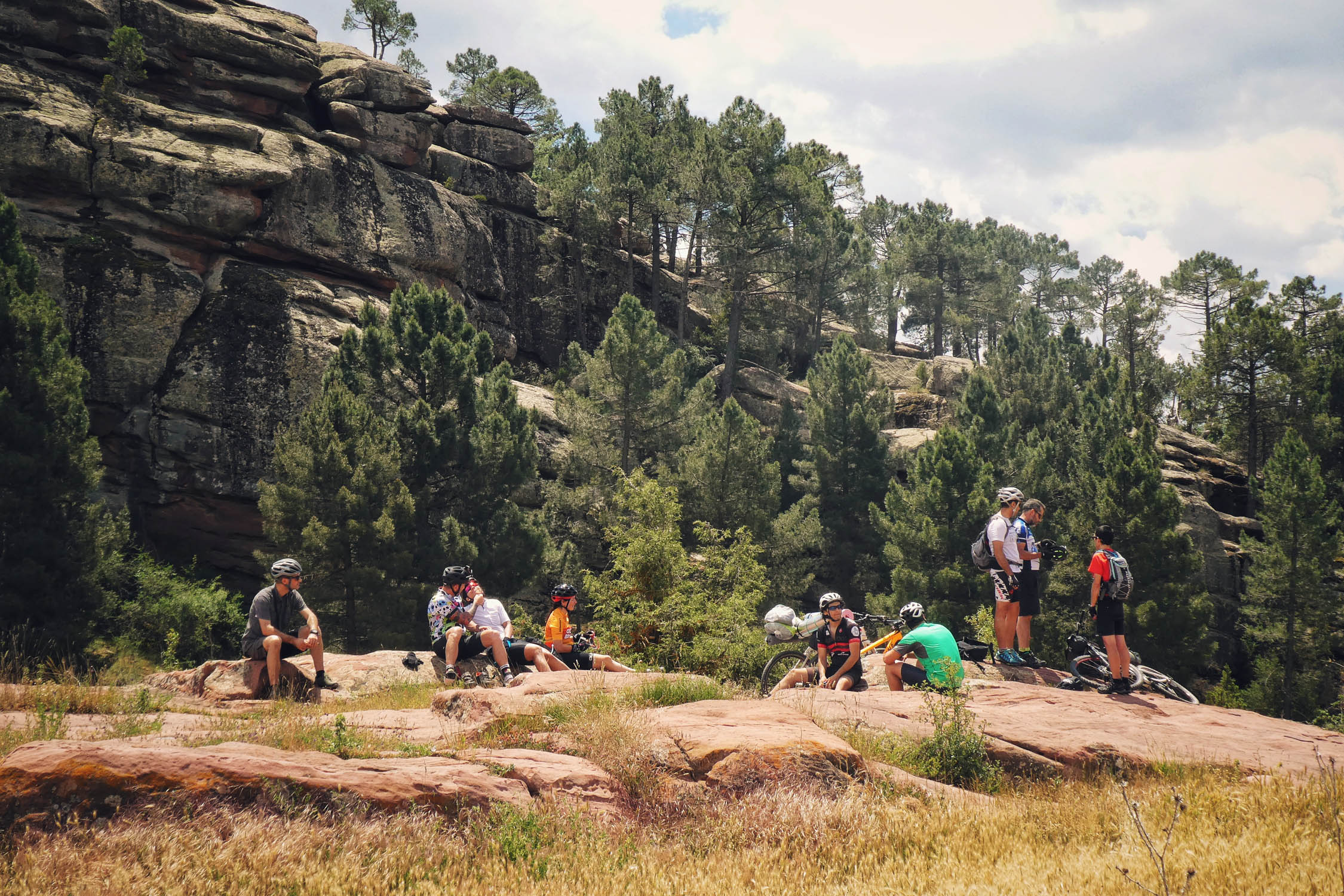
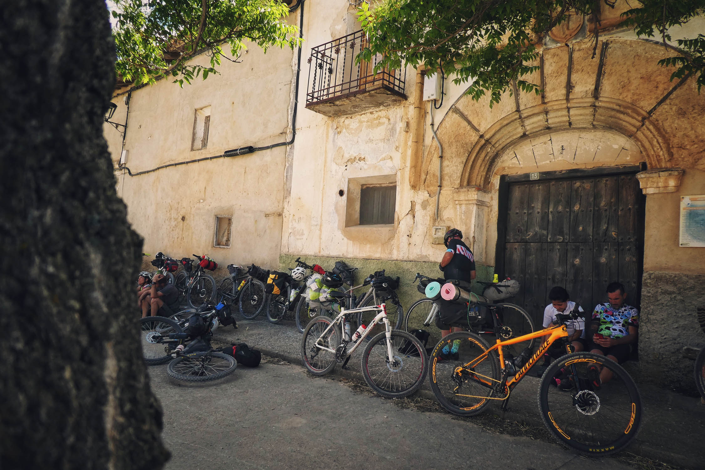
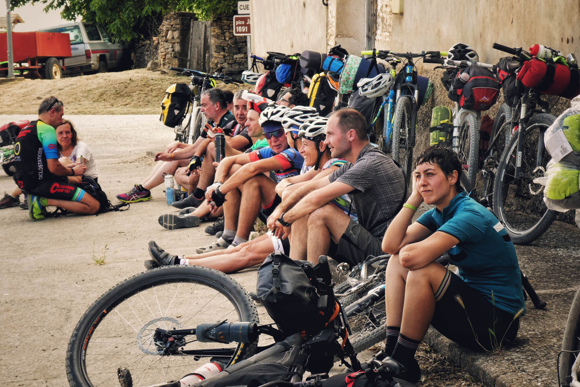
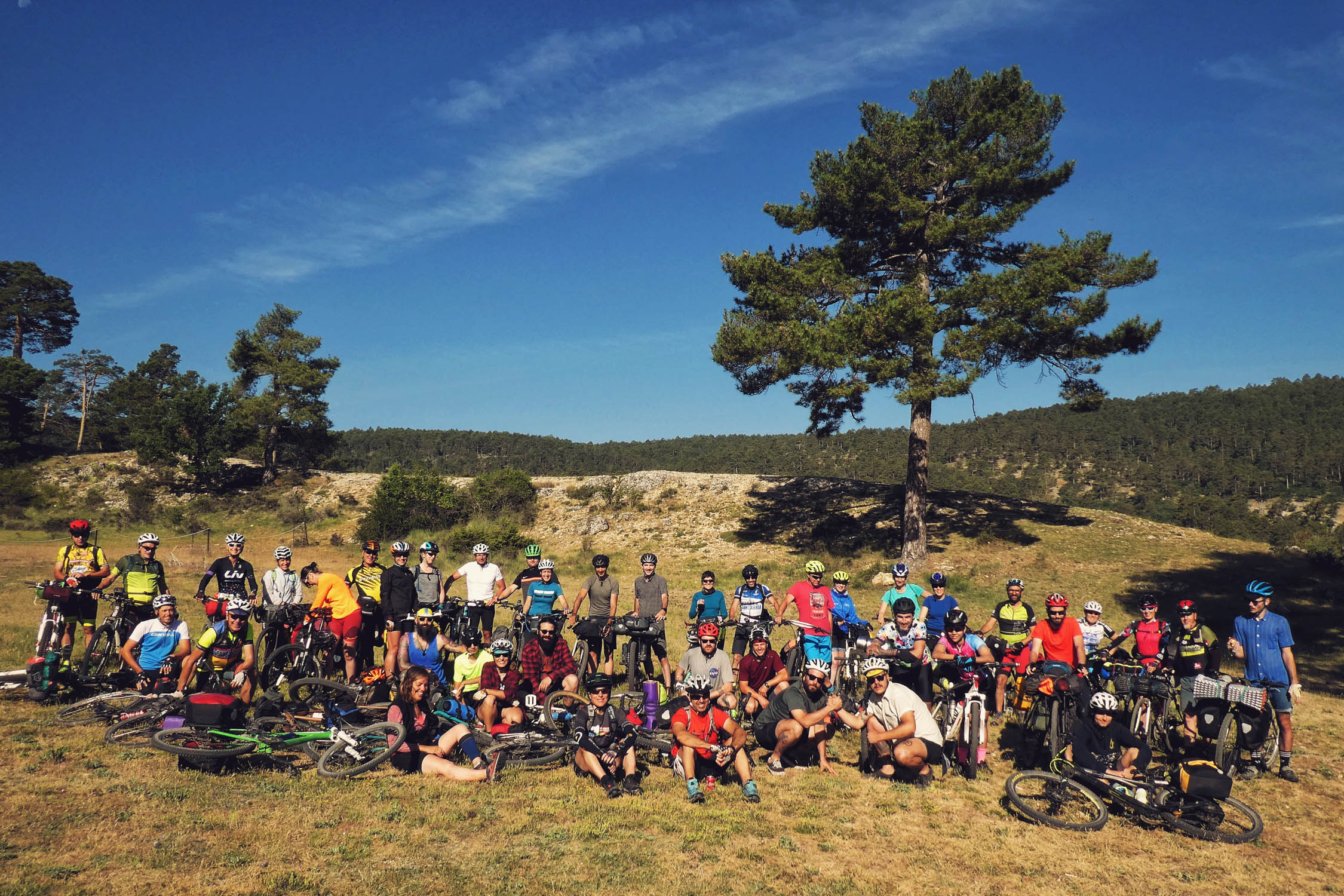
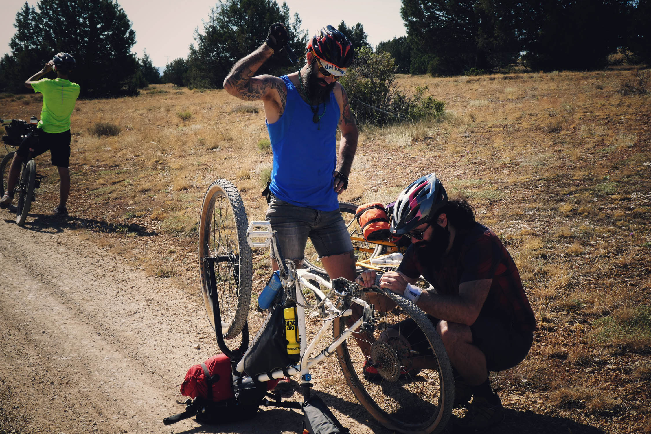
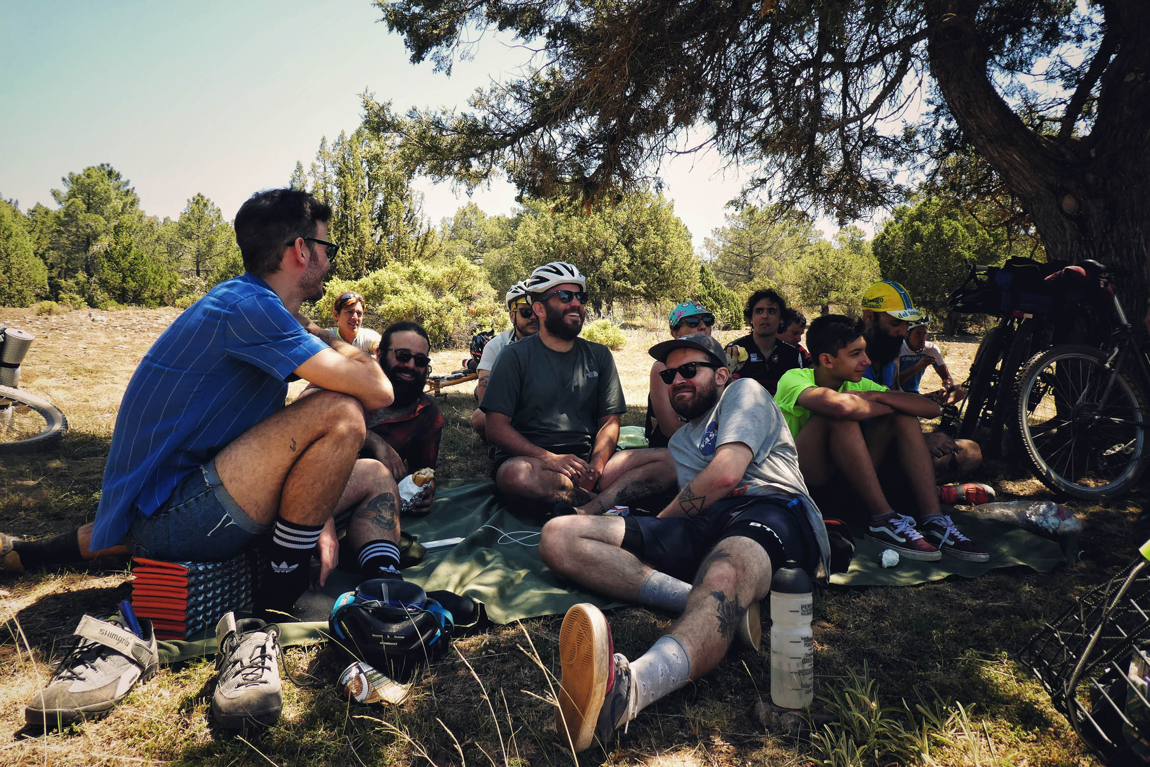
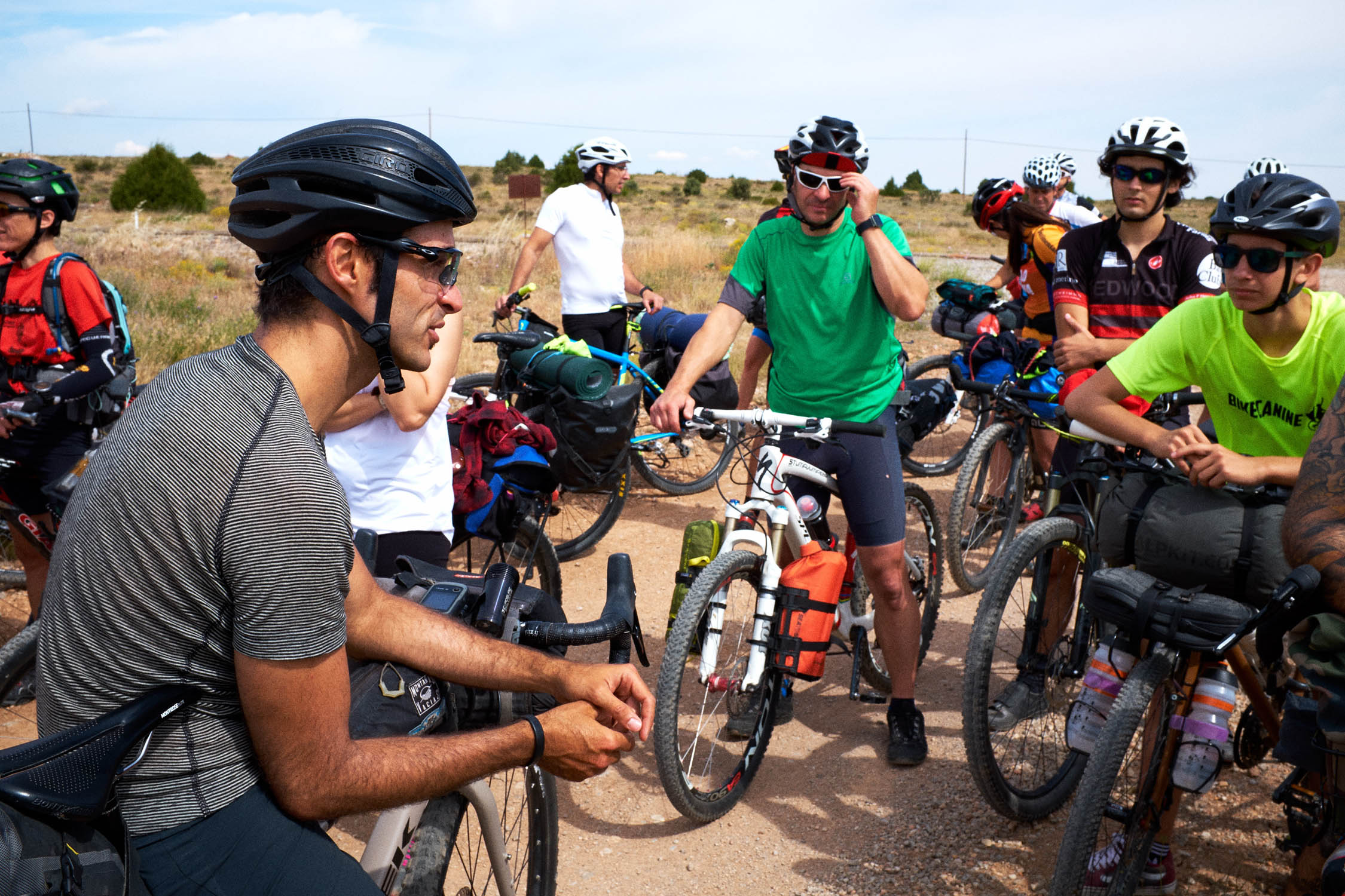
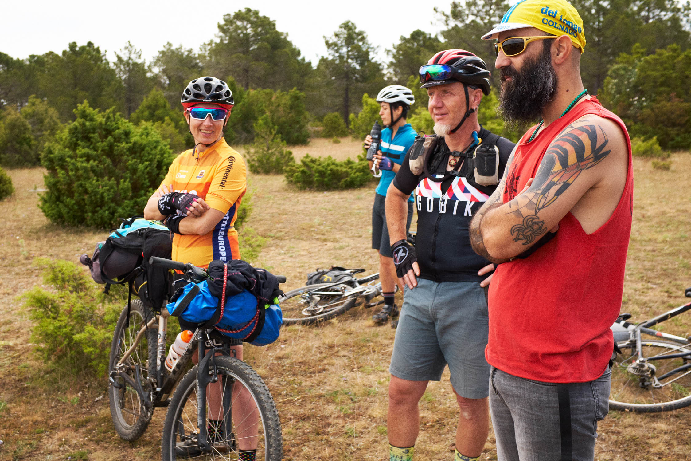
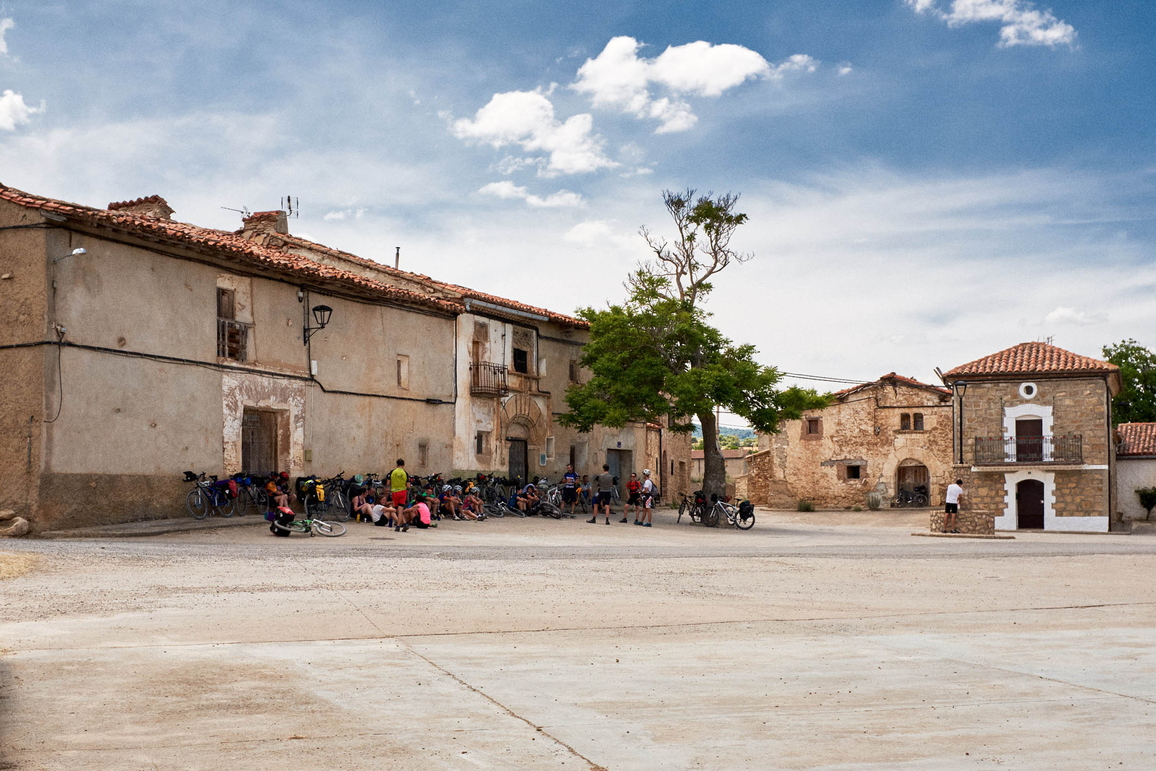
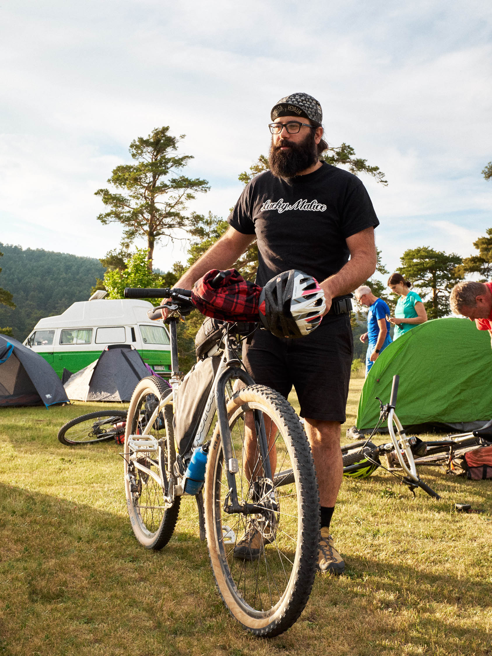
When I started planning this route, I thought that here in Teruel we would attract maybe 6 to 8 people. Who could imagine that we would have more than 40 participants with 17 of them being women! Above all, I couldn’t predict the good vibes from everyone involved, all the new friendships, and the snowball effect that it would have on other meet ups, organised by other riders.
Since reading Cass Gilbert’s article Building a bikepacking Community, I dreamed about how fantastic it would be to create a similar community here. But I also knew how difficult it would be living in the most depopulated and ageing area in Europe. Fortunately, more and more people share this philosophy, this way of biking, and all it took was a little for people to appear from everywhere. They came from very different places in Spain and I felt it could be the perfect trigger to start something here.
All of us who attended the group ride shared the same values about conservation, sustainability, and a growing awareness of the demographic situation of this area. Since the beginning of this madness, my idea was to attract these types of people, distributing visitors throughout the year and not only in specific dates. It was about attracting people, yes, but not at any cost. I consider this land as a hidden gem, and that’s the way it should stay. In addition, I also consider this as a real need at a time of exponential growth in the Spain cycling scene. Many are buying their first bike, but much of the growth is on the racing side, with the gap between these two worlds getting bigger and bigger. Spanish Lapland is an important resource, a rough diamond that could produce (and is producing) a significant tourist impact, with a very specific profile of people who are sympathetic to the reality of the area. Additionally, it can decentralize destinations and distribute tourists throughout the territory. It is interesting to hear from many riders how conventional tourist honey-pots were not their favorite places along the route.
Difficulty
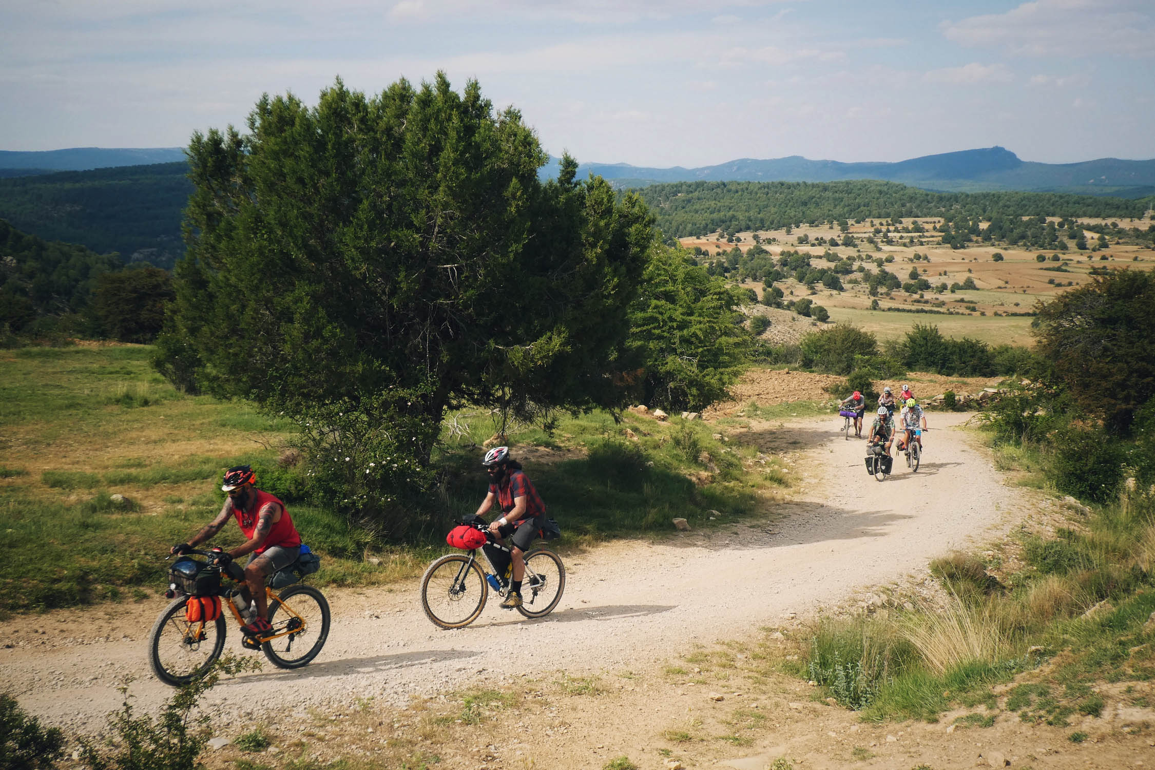
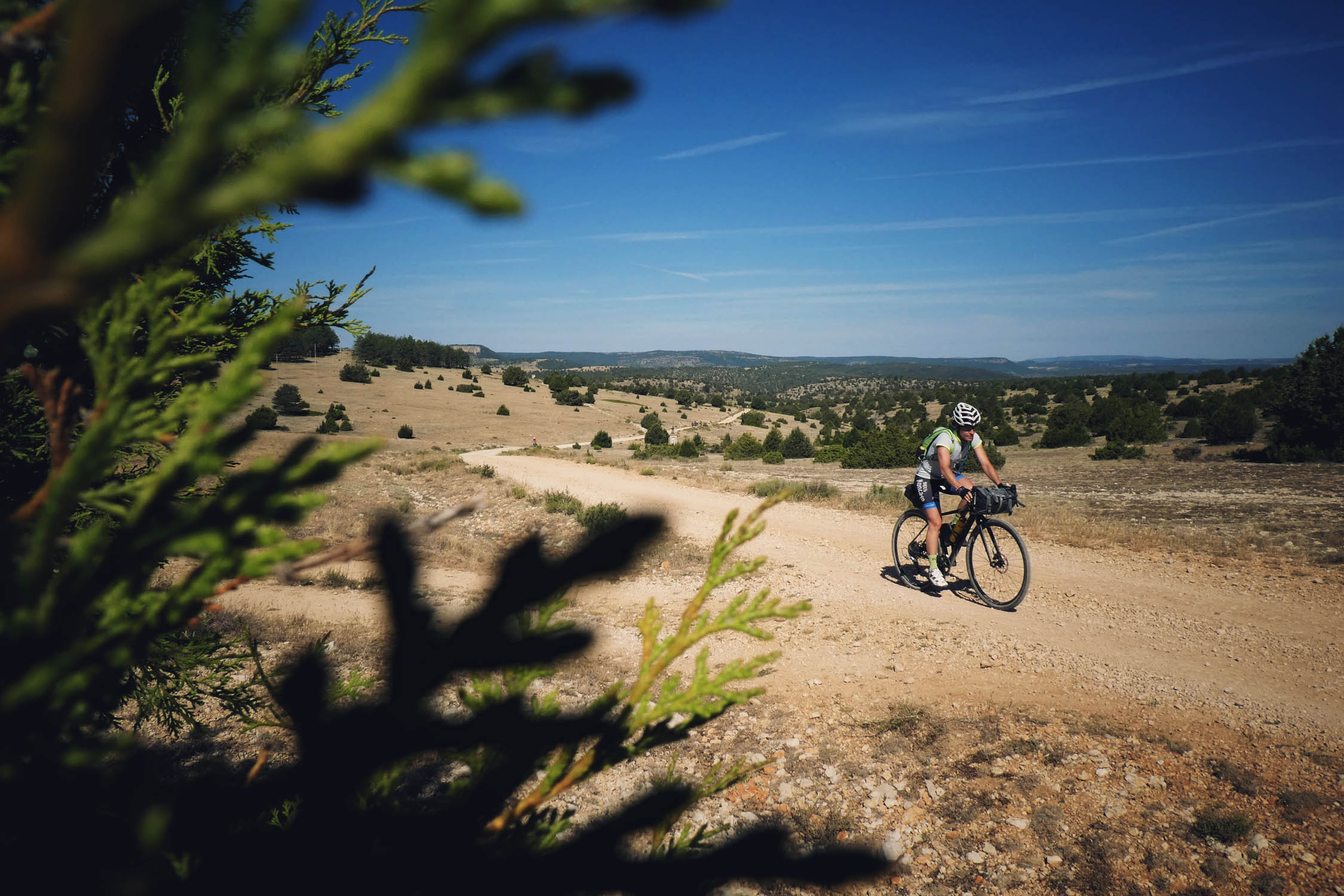
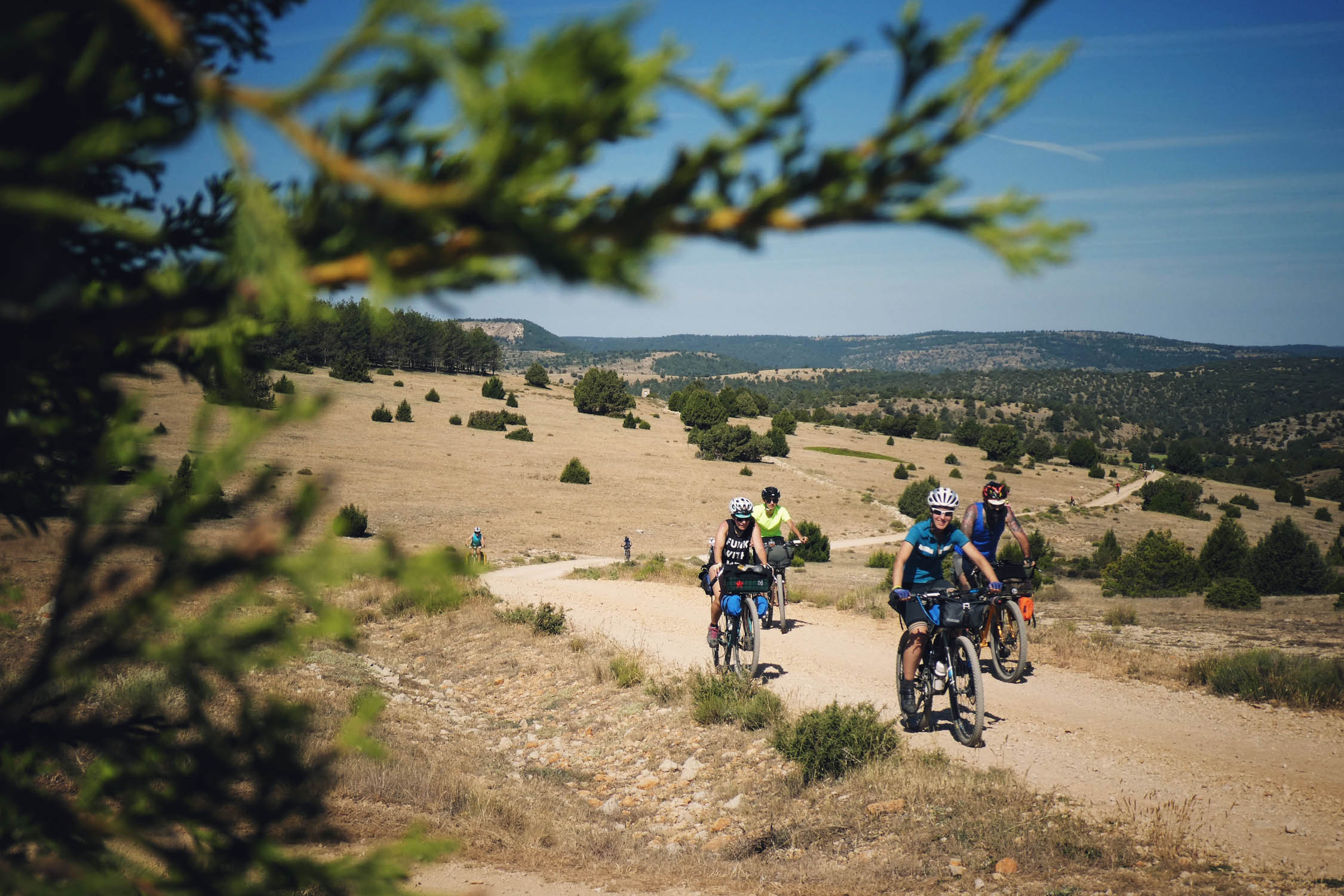
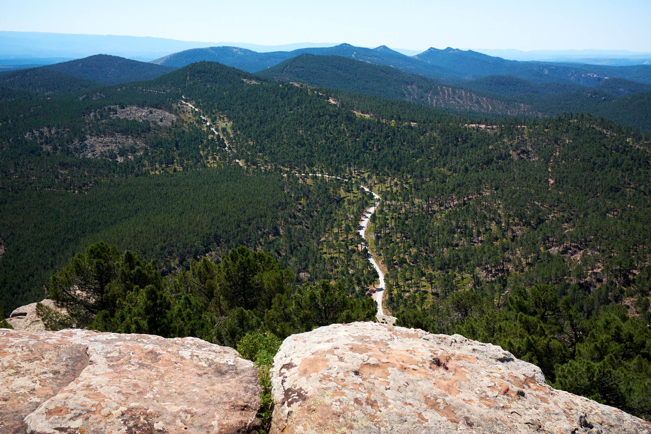
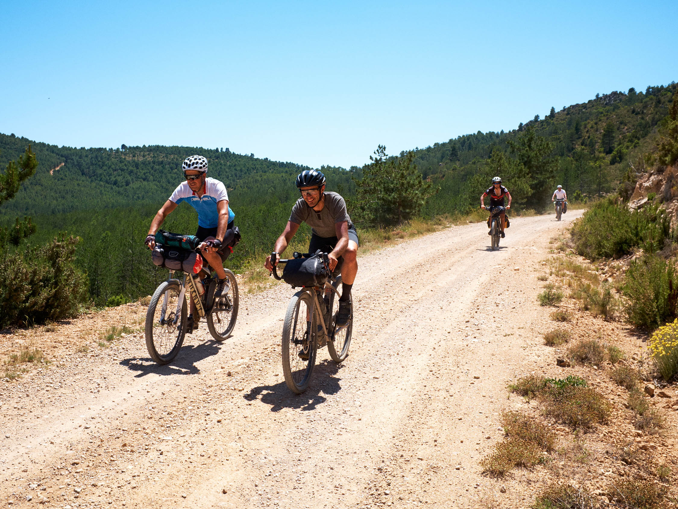
The route follows doubletracks and gravel forest roads mostly in good condition. It’s rated as a 6 out of 10 for overall difficulty due to scarcity of resupply points, logistics along the route, or extreme climate conditions in summer or winter. After all, you are in one of the most depopulated areas in Europe, so consider it to plan the amount of snacks and water you will carry with you. The breakdown for difficulty is as follows: Overall difficulty: 6 / Technical difficulty: 6 / Physical demand: 6 / Resupply and Logistics: 7
Route Development: The Montañas Vacías route was created with the objective of raising awareness about the demographic situation in one of the most depopulated territories in Europe, the Spanish Lapland. However, another goal is to promote alternative travel, and another philosophy of cycling. With this, we conceived the idea of this group overnighter to be a great opportunity to spread this philosophy in the area.


Submit Route Alert
As the leading creator and publisher of bikepacking routes, BIKEPACKING.com endeavors to maintain, improve, and advocate for our growing network of bikepacking routes all over the world. As such, our editorial team, route creators, and Route Stewards serve as mediators for route improvements and opportunities for connectivity, conservation, and community growth around these routes. To facilitate these efforts, we rely on our Bikepacking Collective and the greater bikepacking community to call attention to critical issues and opportunities that are discovered while riding these routes. If you have a vital issue or opportunity regarding this route that pertains to one of the subjects below, please let us know:
Highlights
Must Know
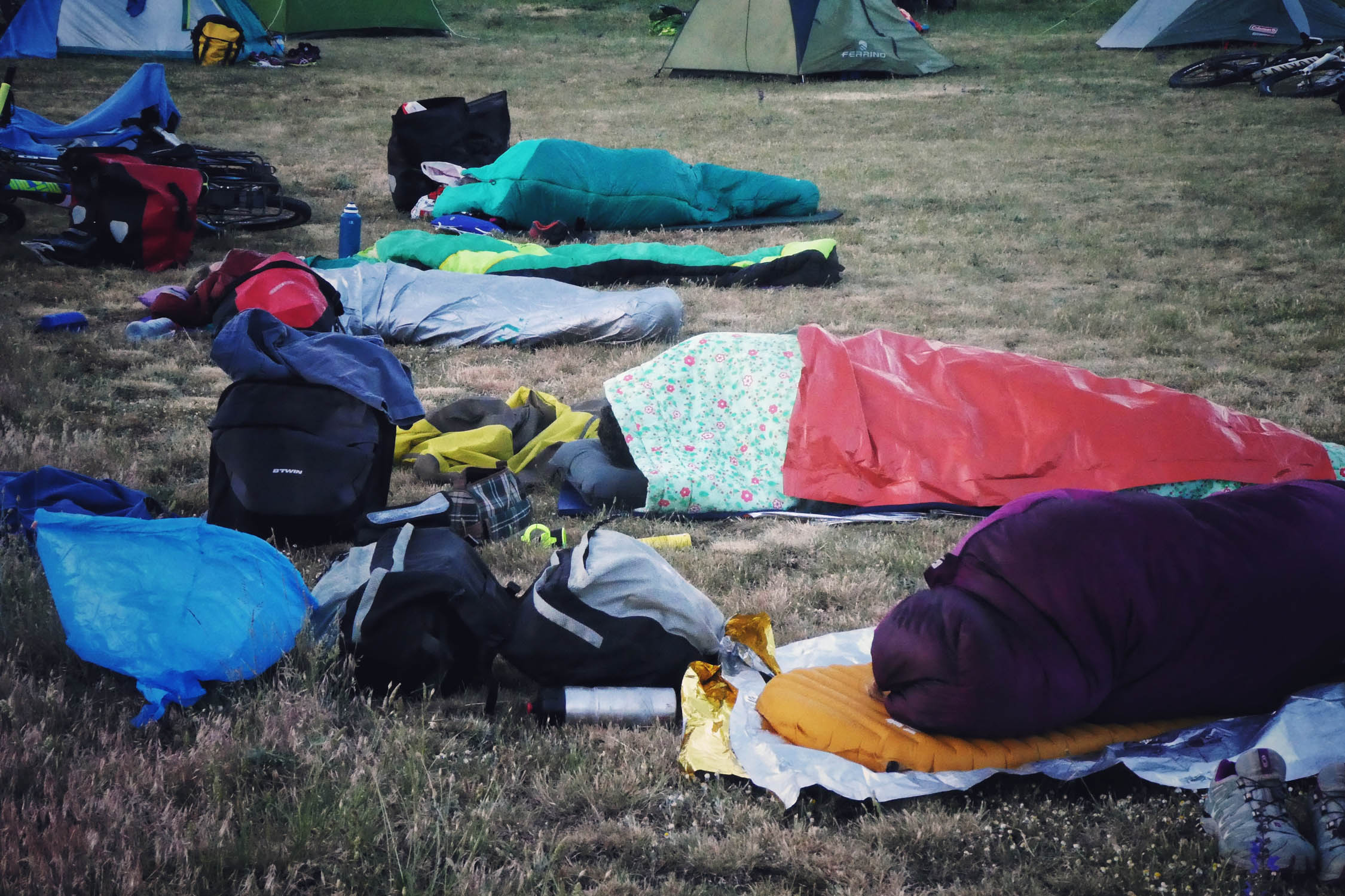
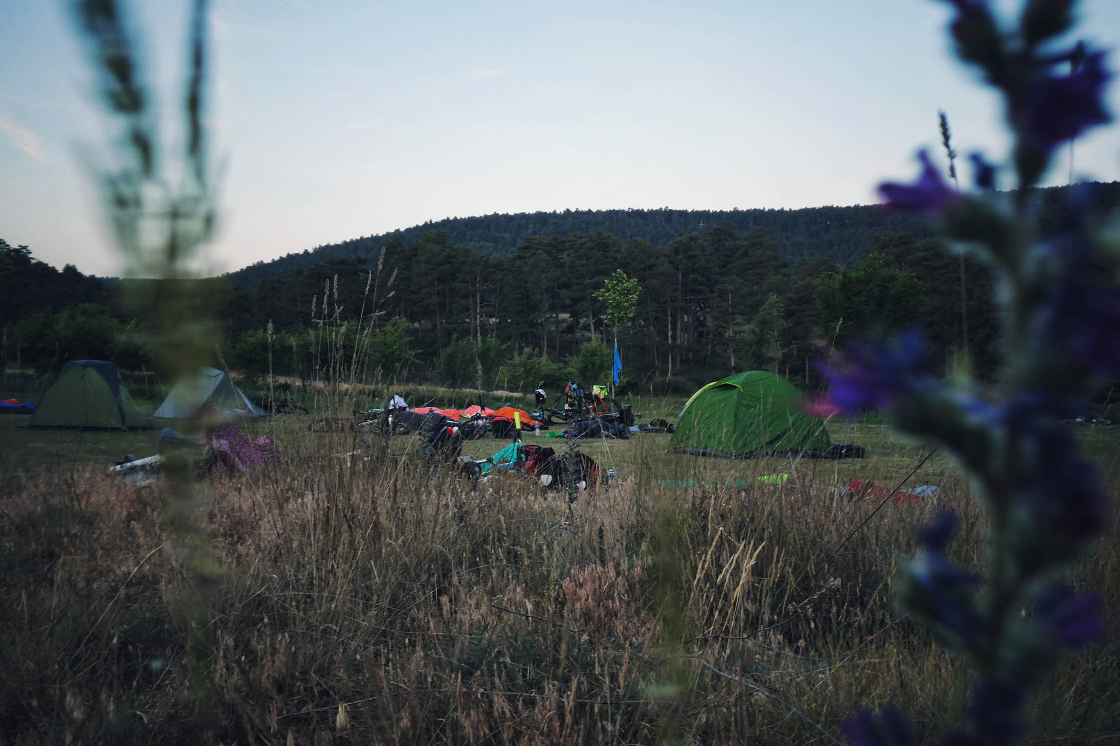
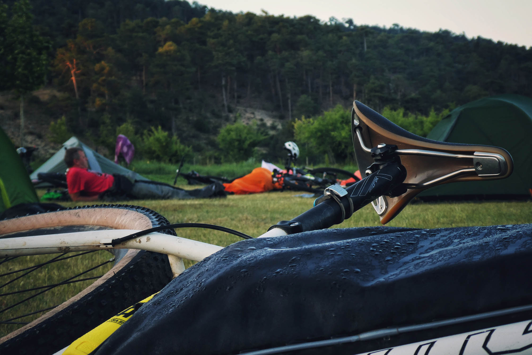
Camping
Food/H2O
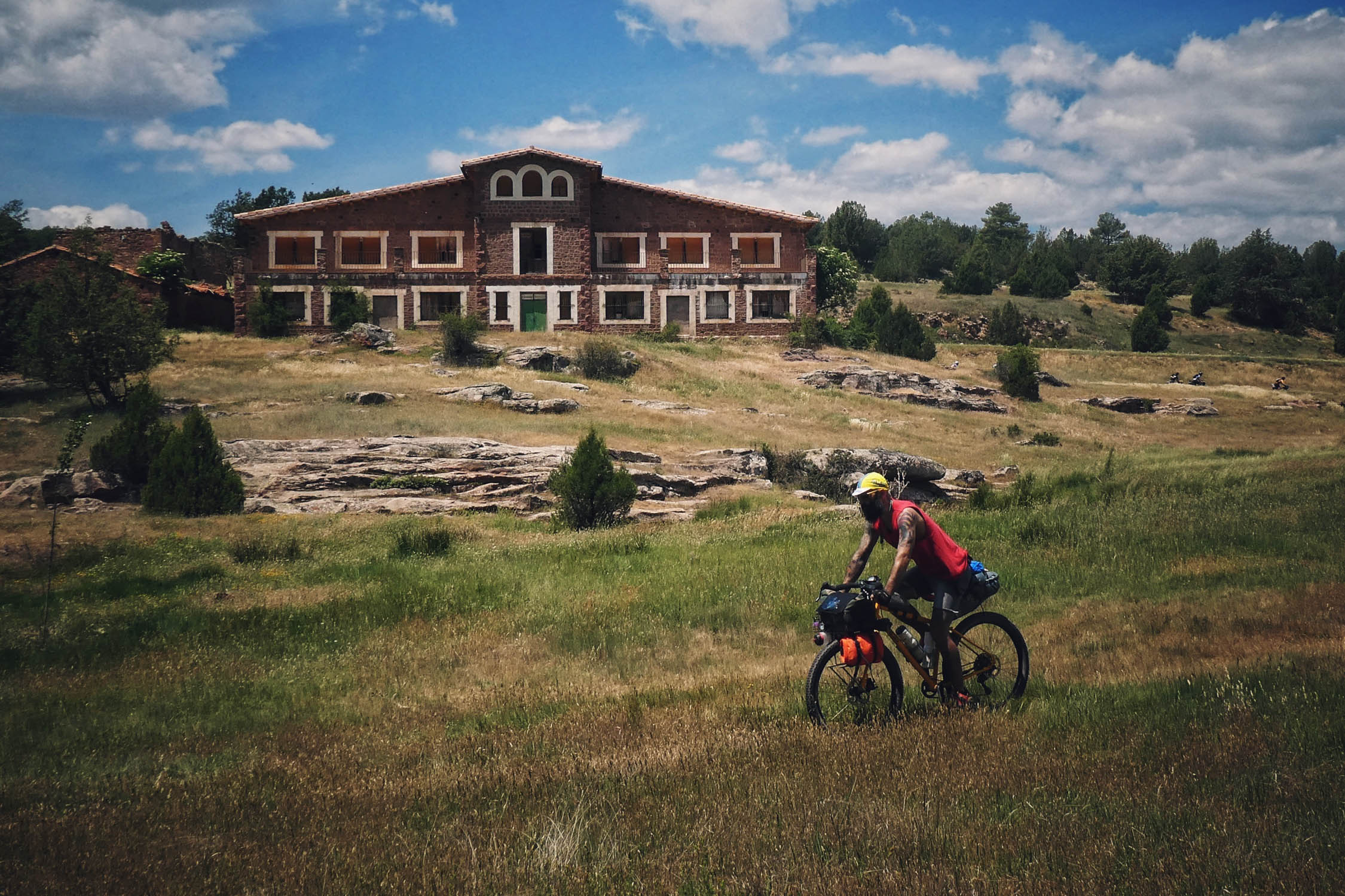
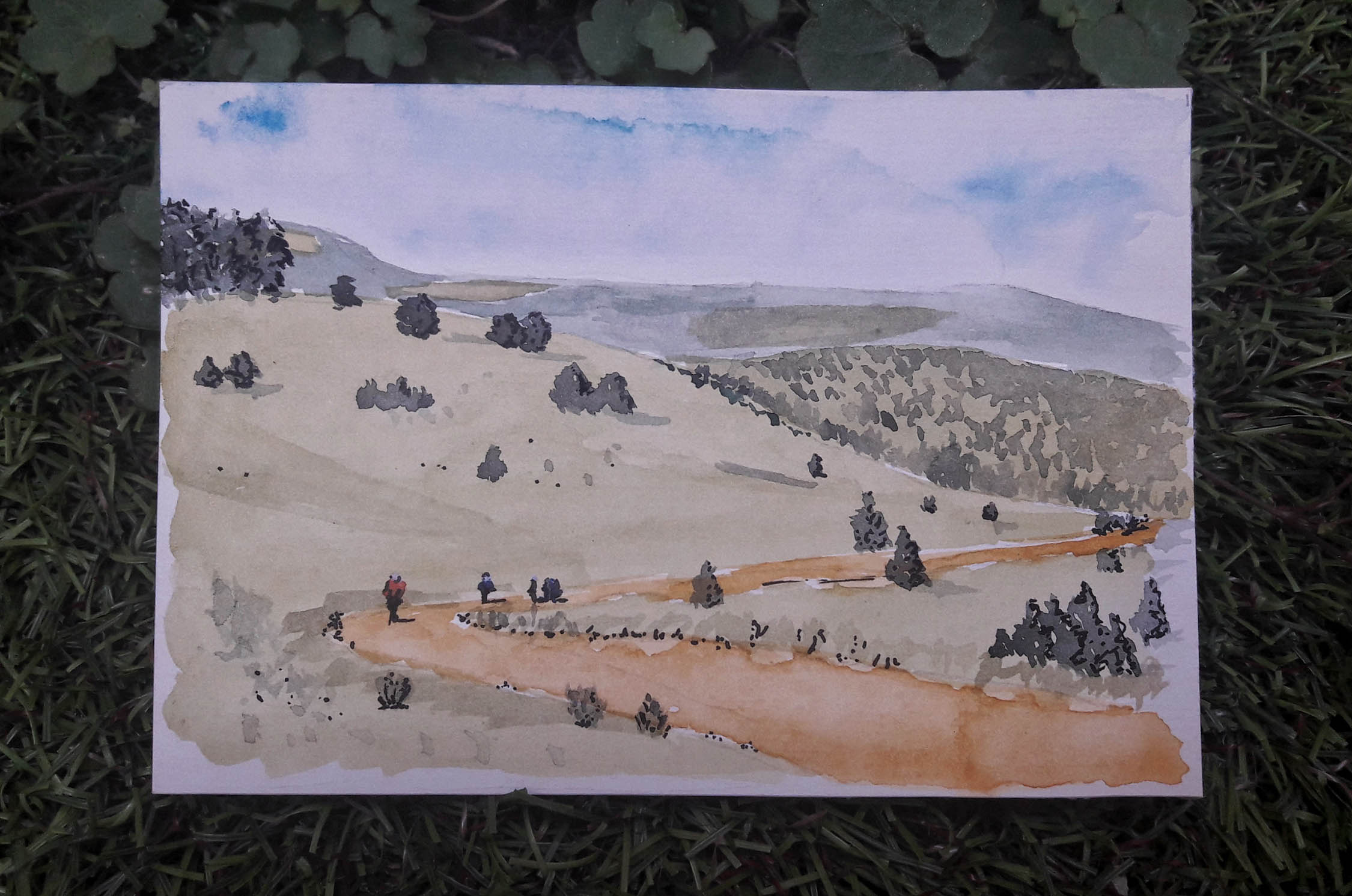
- The fairy-tale Ligros Valley with its imposing “Masía de Ligros”, an abandoned Forest House in the middle of it.
- The nearby ruins of the Maqui camp/hideout surrounded by huge stone walls. Maquis were resistance fighters that refused to accept defeat after the Civil War and hid in the forests for years.
- The lovely Dornaque Interpretation Center and rest area with information about Pinares del Rodeno Protected Landscape. Perfect if you travel with kids.
- Peña de la Cruz. In my opinion the most beautiful viewpoint in this area.
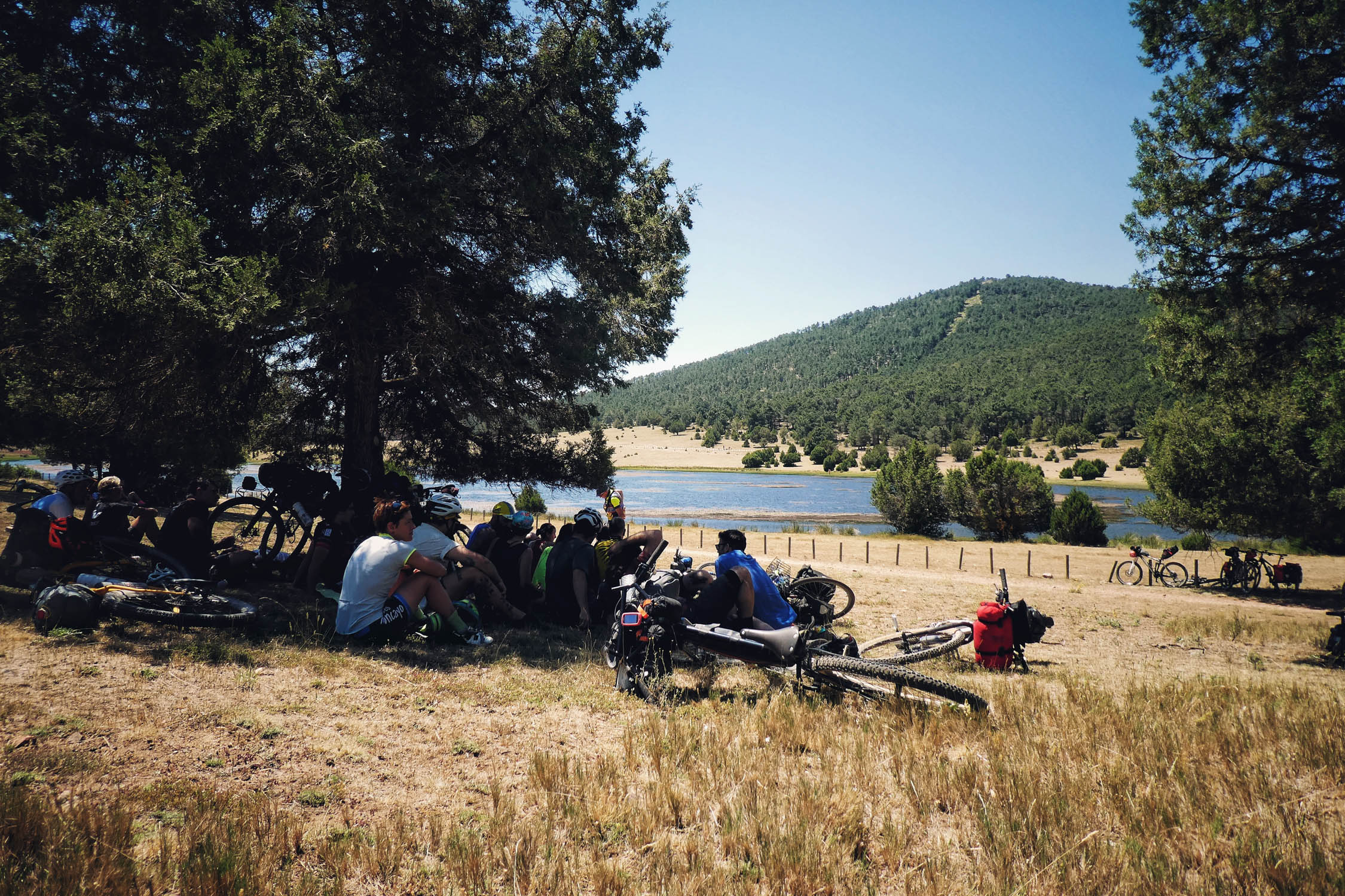
- Laguna de Bezas. Pine trees and junipers surround this beautiful lagoon. It is the perfect place for the after lunch “siesta”.
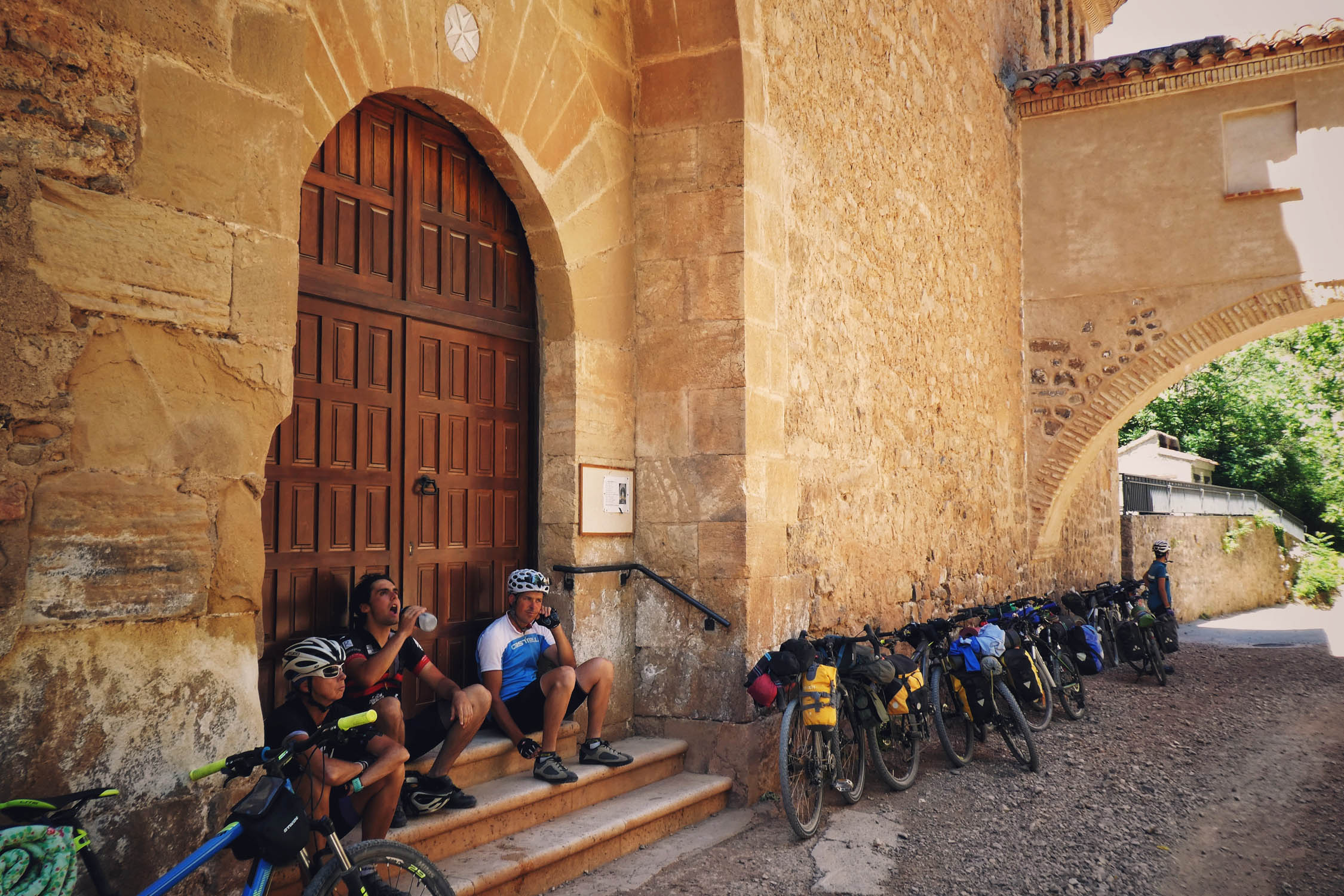
- Santuario de la Fuensanta. An impressive sanctuary tucked deep in a valley. It also offers a free shelter and rest area.
- Feel and experience the depopulation, less than one person per each square kilometer (0,98 inhabit/km²) lives in all the area covered by the route.
- The most reliable seasons for the ride are spring and autumn, and in those seasons, especially May-June, and September-October.
- You can take several shortcuts on asphalt along the route, or even make a shorter loop returning from Collado de Tabernillas.
- Be aware of foxes here. They are so crafty. Leave the food and waste out of the tent, inside your closed seat bag and hang it on a tree or attach it to your bike.
- Don’t light fires or cook outside of campsite facilities, as the entire route is in an area with a high fire risk
- For getting Teruel, the best option is taking a train from Valencia or Zaragoza. You can carry your bike in those trains. Plan in advance, there are not many every day.
- This overnighter links easily with the Montañas Vacías network, so you can design a bigger loop to spend more days in the area, from weekend rides to 10 days holiday trips.
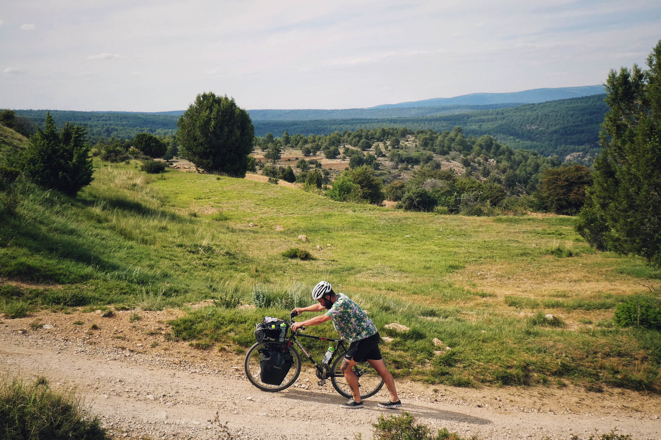
- Almost all of the route is rideable. There is only a short steep slope after Jabaloyas that could be loose in dry seasons, not more than 200m, and a 4-steps ford with a narrow wooden bridge arriving Teruel.
- See montanasvacias.com for extra info about the area, and more route alternatives.
- The only campsite in this area is the iconic Camping Algarbe, quiet and completely integrated in nature. The staff is so professional and cute.
- Inside the Pinares del Rodeno Protected Landscape it’s not allowed bivouac and all types of camping out of the campsites.
- You will only find water in the small villages you will see along the route, as well as at the campsite. That means that both days you can have 30-40km with no resupply points at all.
- During the peak season there is a restaurant next to the campsite, but its not easy to find it open. We highly recommend the lovely restaurant El Horno in Moscardón, 7km from there (see map).
- No shops along the route. Carry all your food with you.


Terms of Use: As with each bikepacking route guide published on BIKEPACKING.com, should you choose to cycle this route, do so at your own risk. Prior to setting out check current local weather, conditions, and land/road closures. While riding, obey all public and private land use restrictions and rules, carry proper safety and navigational equipment, and of course, follow the #leavenotrace guidelines. The information found herein is simply a planning resource to be used as a point of inspiration in conjunction with your own due-diligence. In spite of the fact that this route, associated GPS track (GPX and maps), and all route guidelines were prepared under diligent research by the specified contributor and/or contributors, the accuracy of such and judgement of the author is not guaranteed. BIKEPACKING.com LLC, its partners, associates, and contributors are in no way liable for personal injury, damage to personal property, or any other such situation that might happen to individual riders cycling or following this route.
Please keep the conversation civil, constructive, and inclusive, or your comment will be removed.