


San Juan Space Jam, New Mexico
Distance
95 Mi.
(153 KM)Days
2-3
% Unpaved
90%
% Singletrack
60%
% Rideable (time)
98%
Total Ascent
6,299'
(1,920 M)High Point
6,883'
(2,098 M)Difficulty (1-10)
7?
- 4Climbing Scale Fair66 FT/MI (13 M/KM)
- -Technical Difficulty
- -Physical Demand
- -Resupply & Logistics
Contributed By

Miles Arbour
Associate Editor & Events Manager
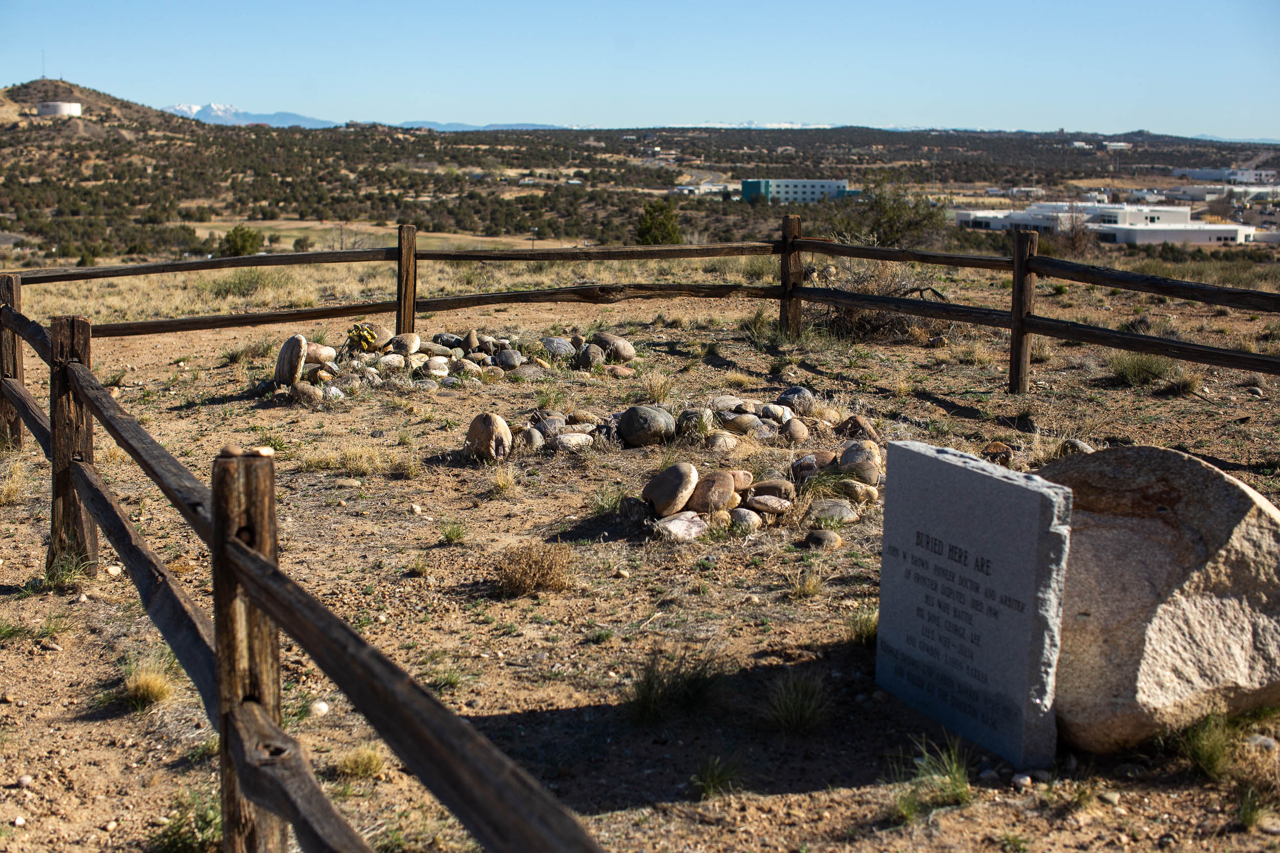
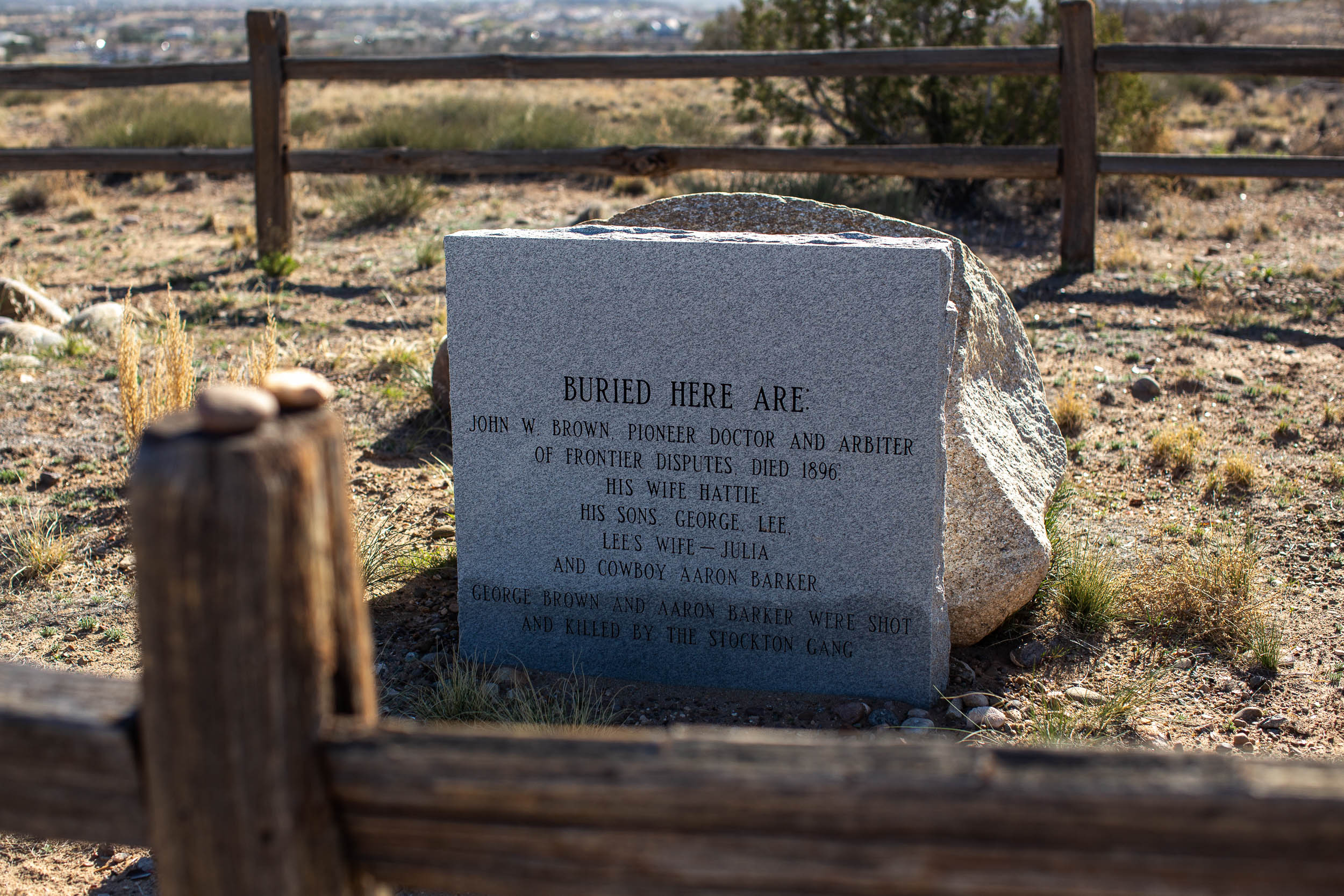
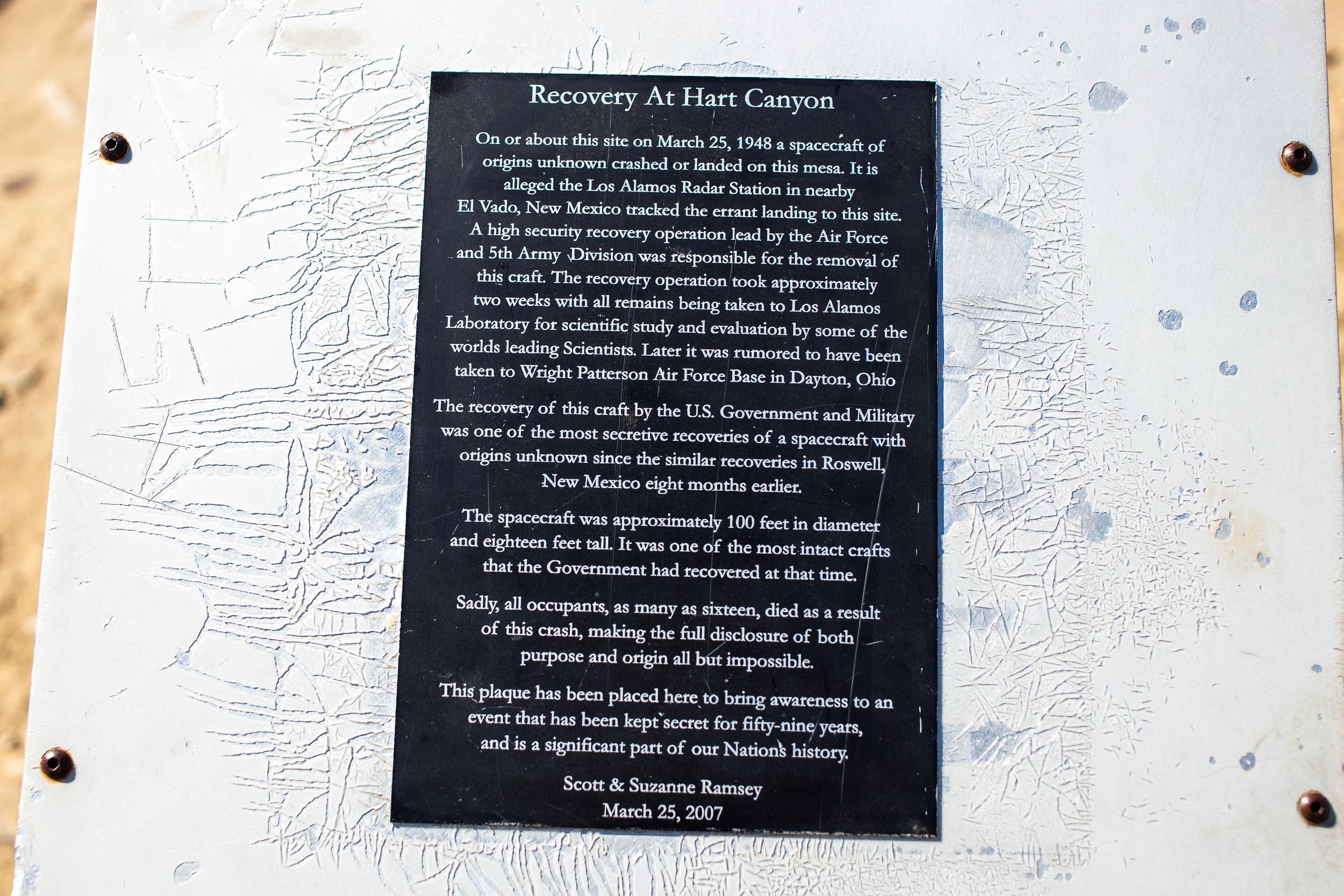
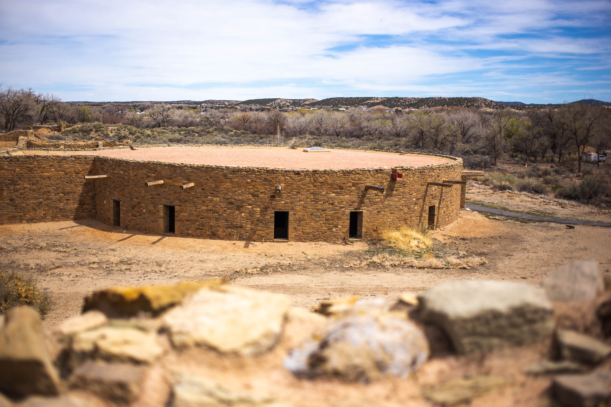
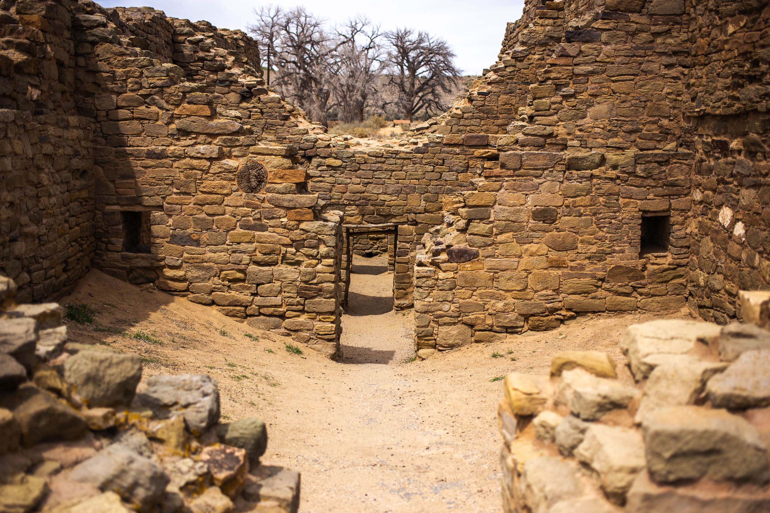
San Juan County is the northwesternmost county in the state of New Mexico, situated on the Colorado Plateau and part of the Four Corners region. The area is characterized by vast swaths of bare rock, huge canyons, hoodoos, and natural arches. The county also serves as the backdrop for several historical events, including the original settling of the Pueblo peoples in the 7th Century, the railroad that once connected Farmington to Durango, and a government coverup of a UFO crash landing, to name just a few. The San Juan Space Jam showcases the region’s history throughout its 95-mile loop.
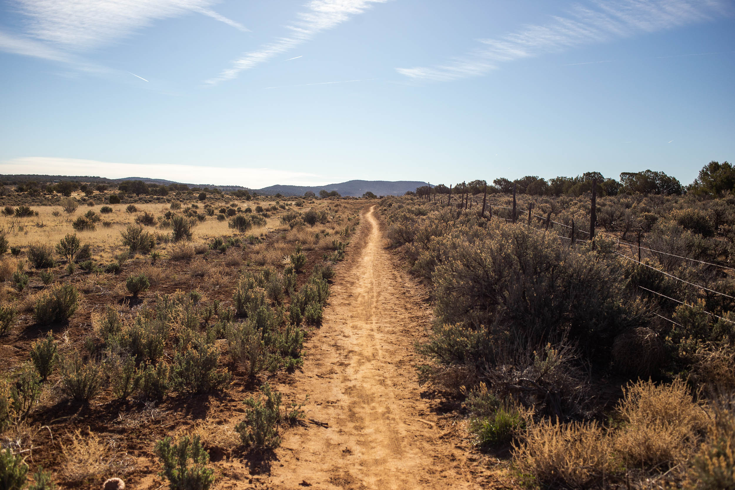
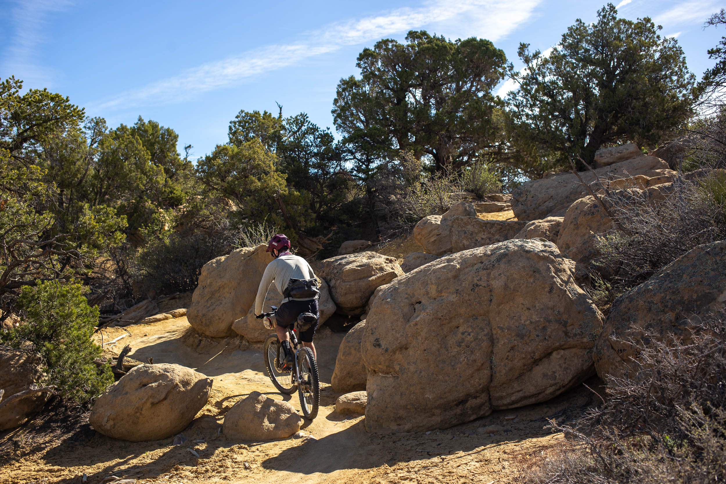
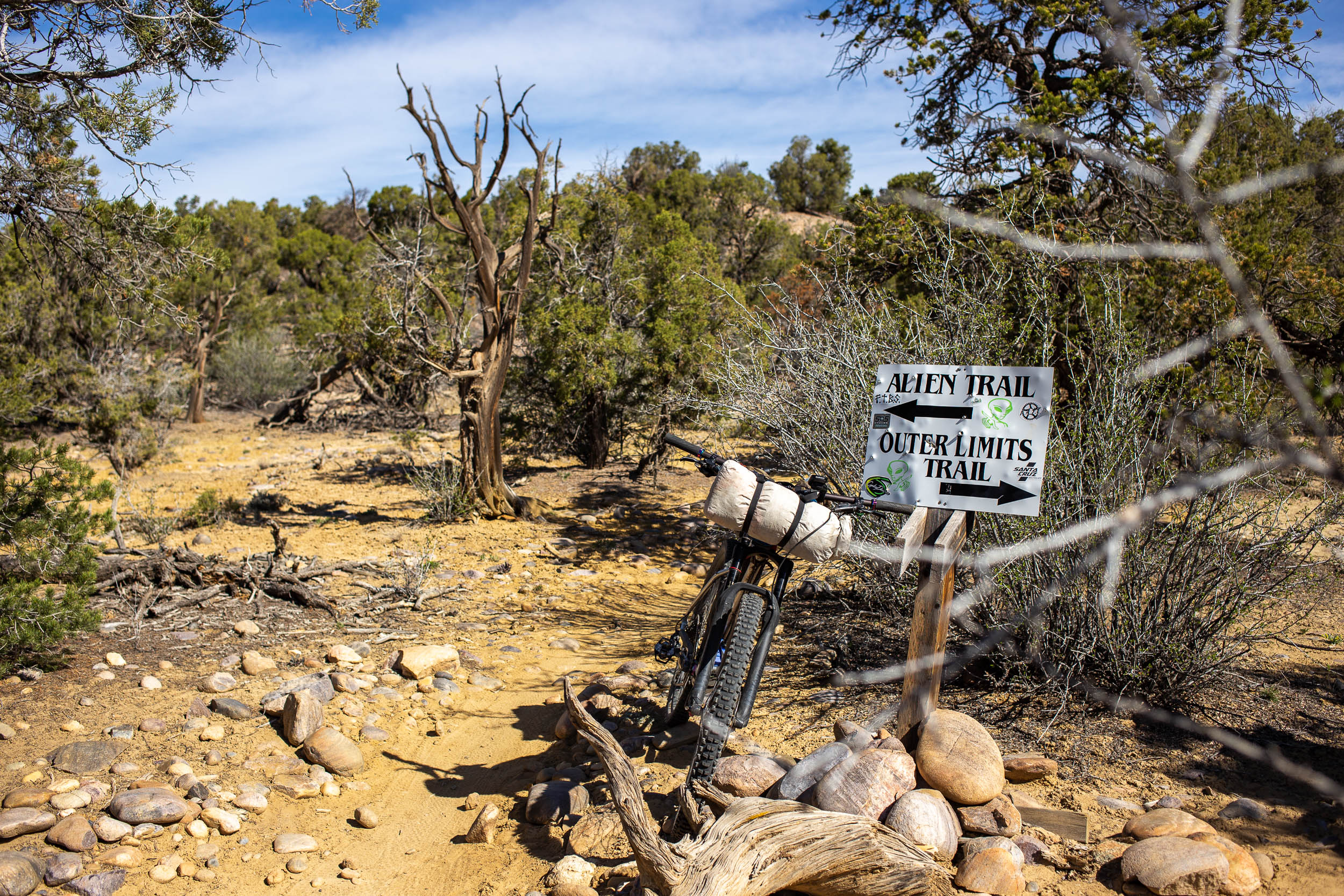
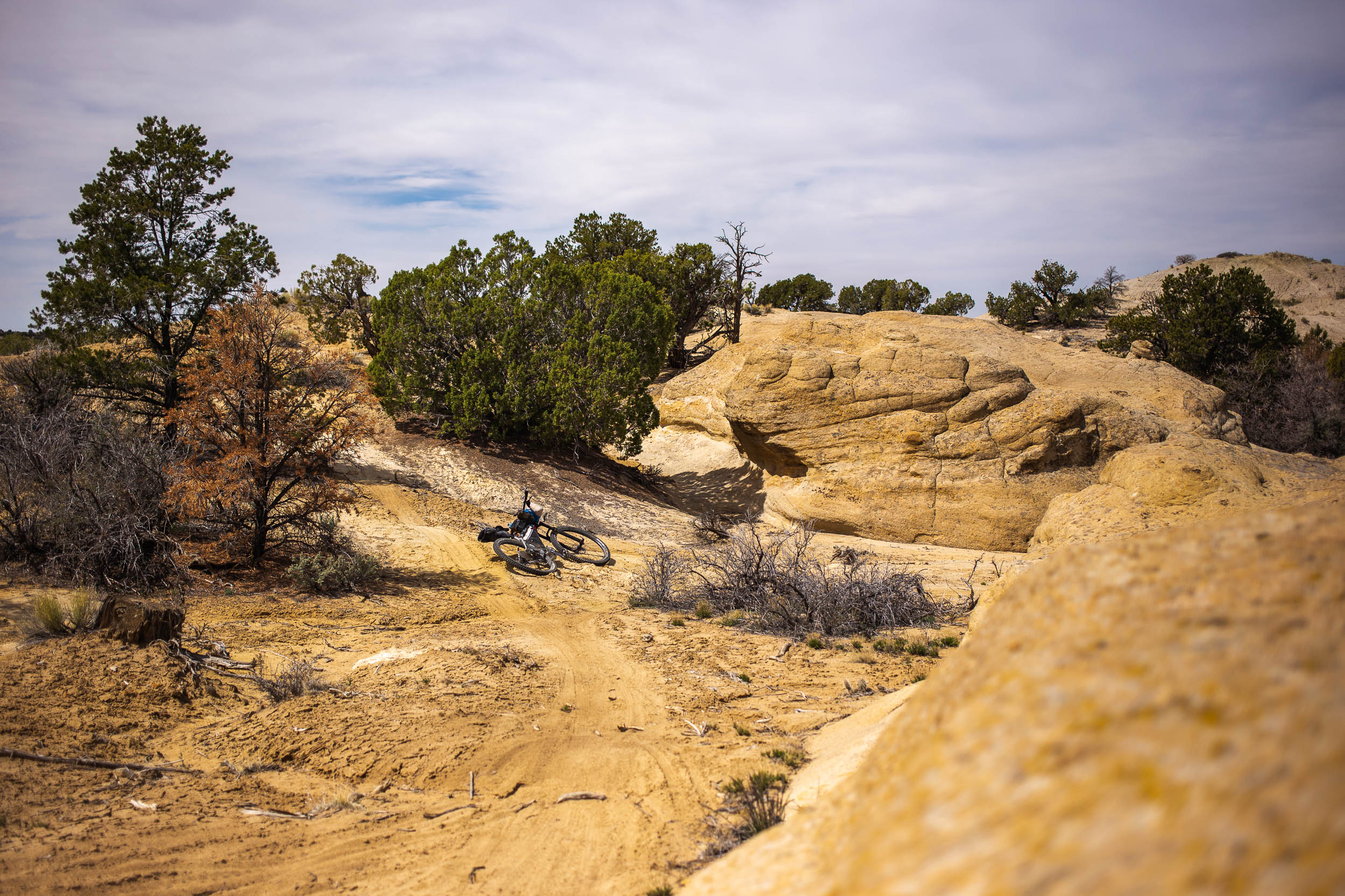
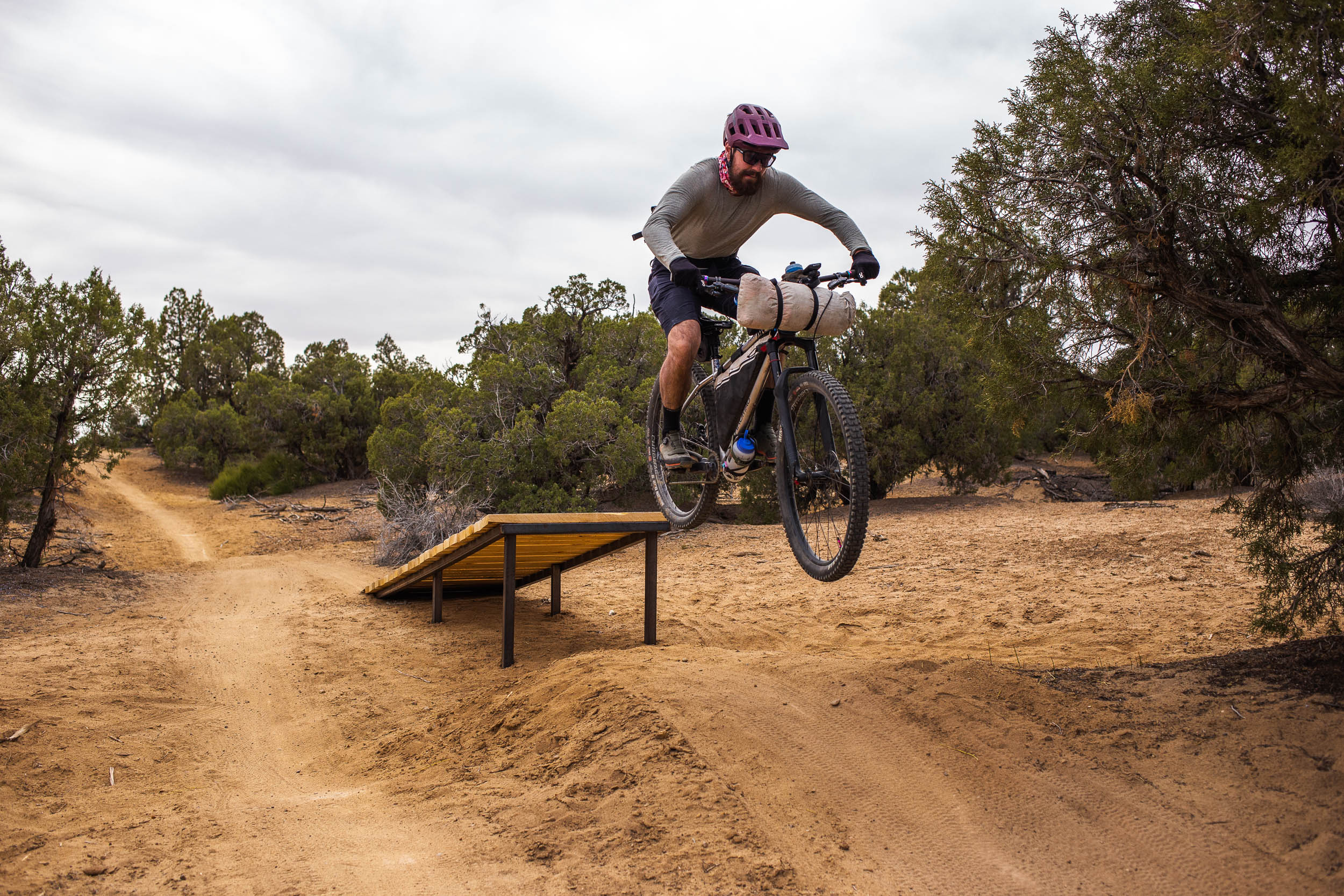
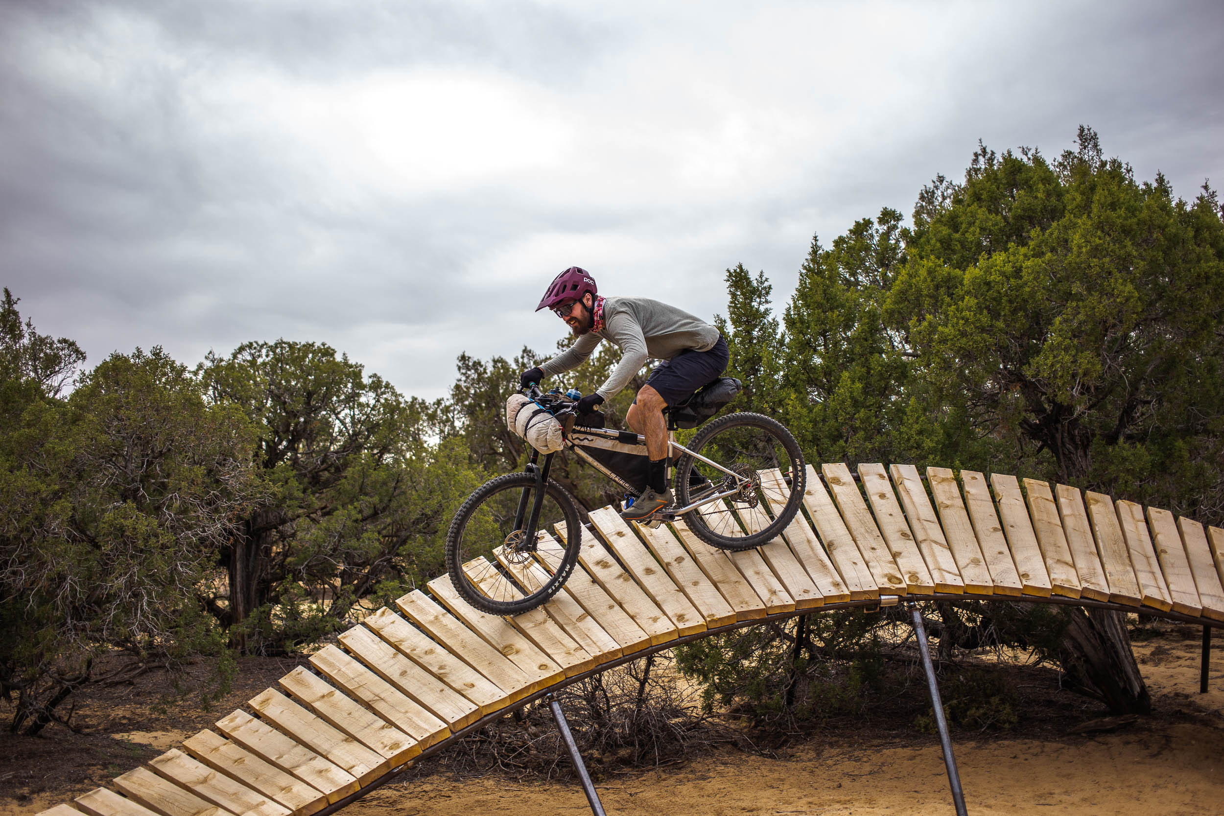
Farmington has all the fixings for a world-class mountain bike destination, and it’s an incredible area to experience by bike. Coincidentally, the city is also in the process of reinventing its local economy from being powered by fossil fuels to a destination for outdoor recreation. The San Juan Space Jam starts and finishes in Farmington, linking together several trail systems, including a section of the United States’ longest continuously run mountain bike race along canyon rims northwest of the Animas River. The fun continues on some of the flowiest singletrack in the state, tying in the popular Alien Run trails to Aztec’s singletrack and back again.
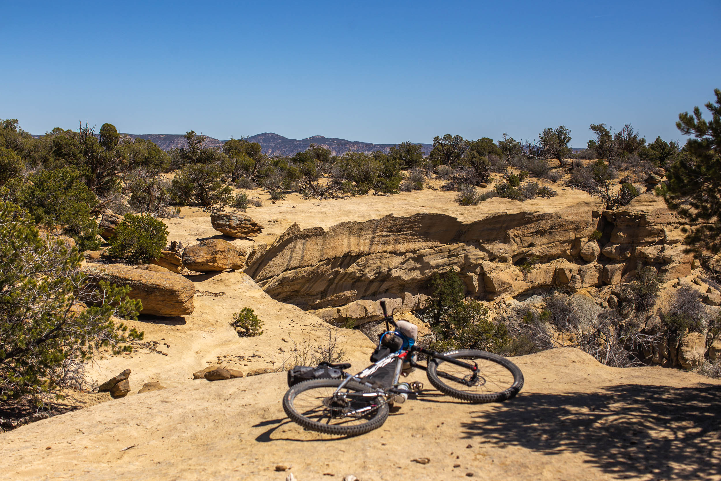
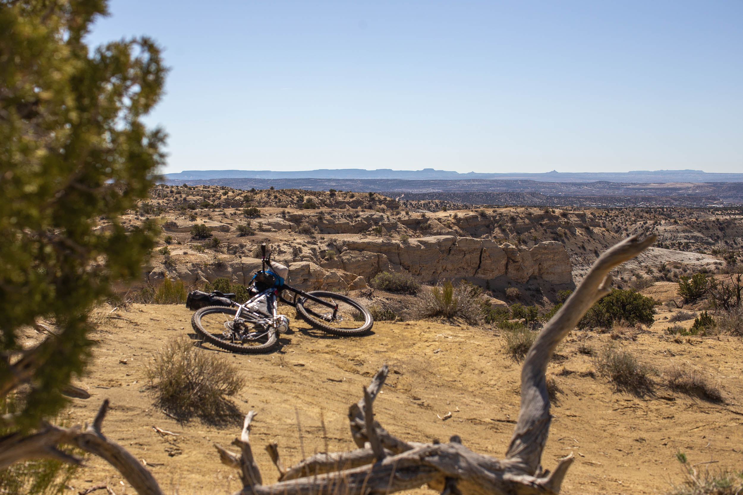
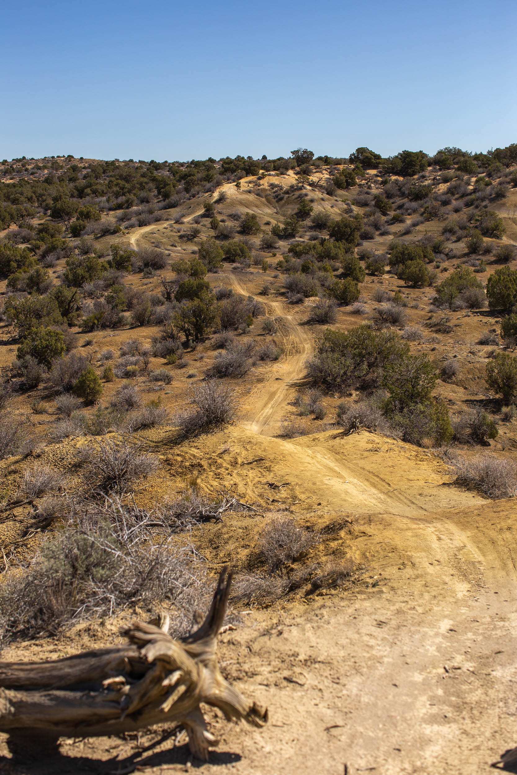
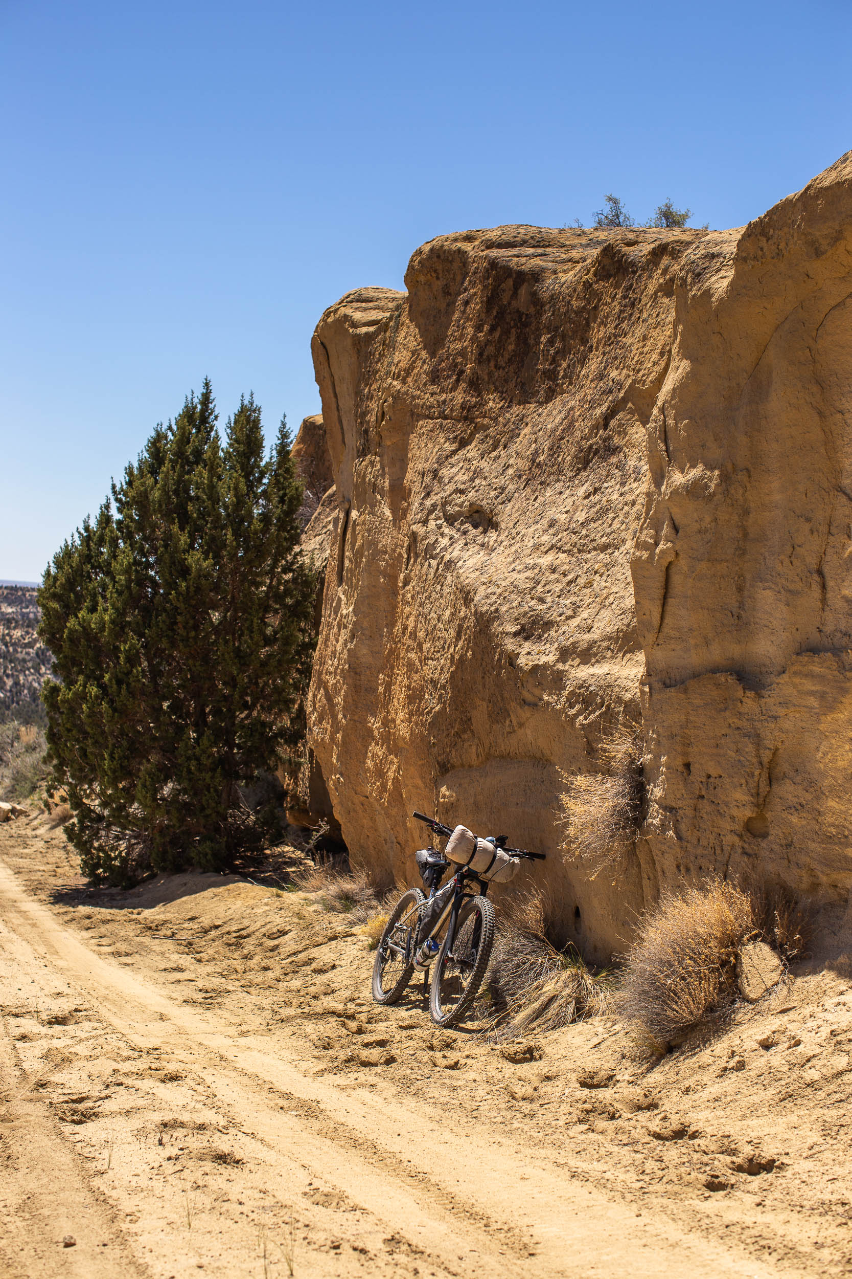
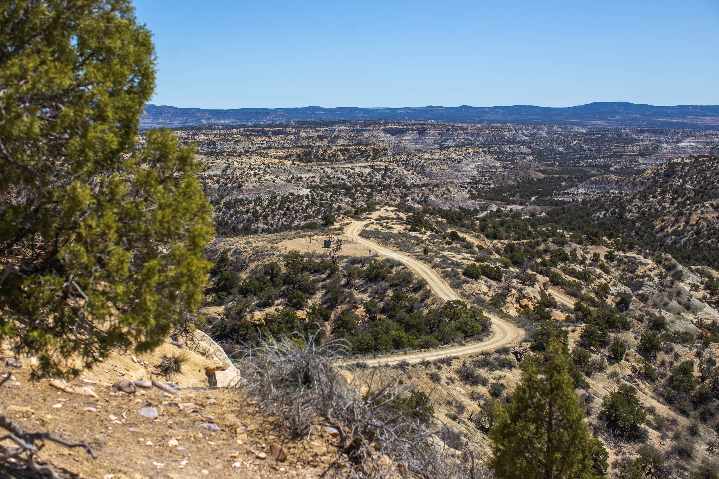
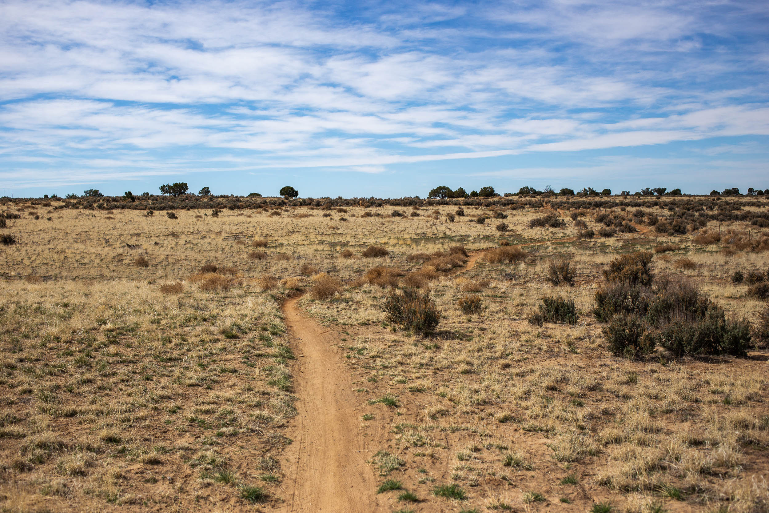
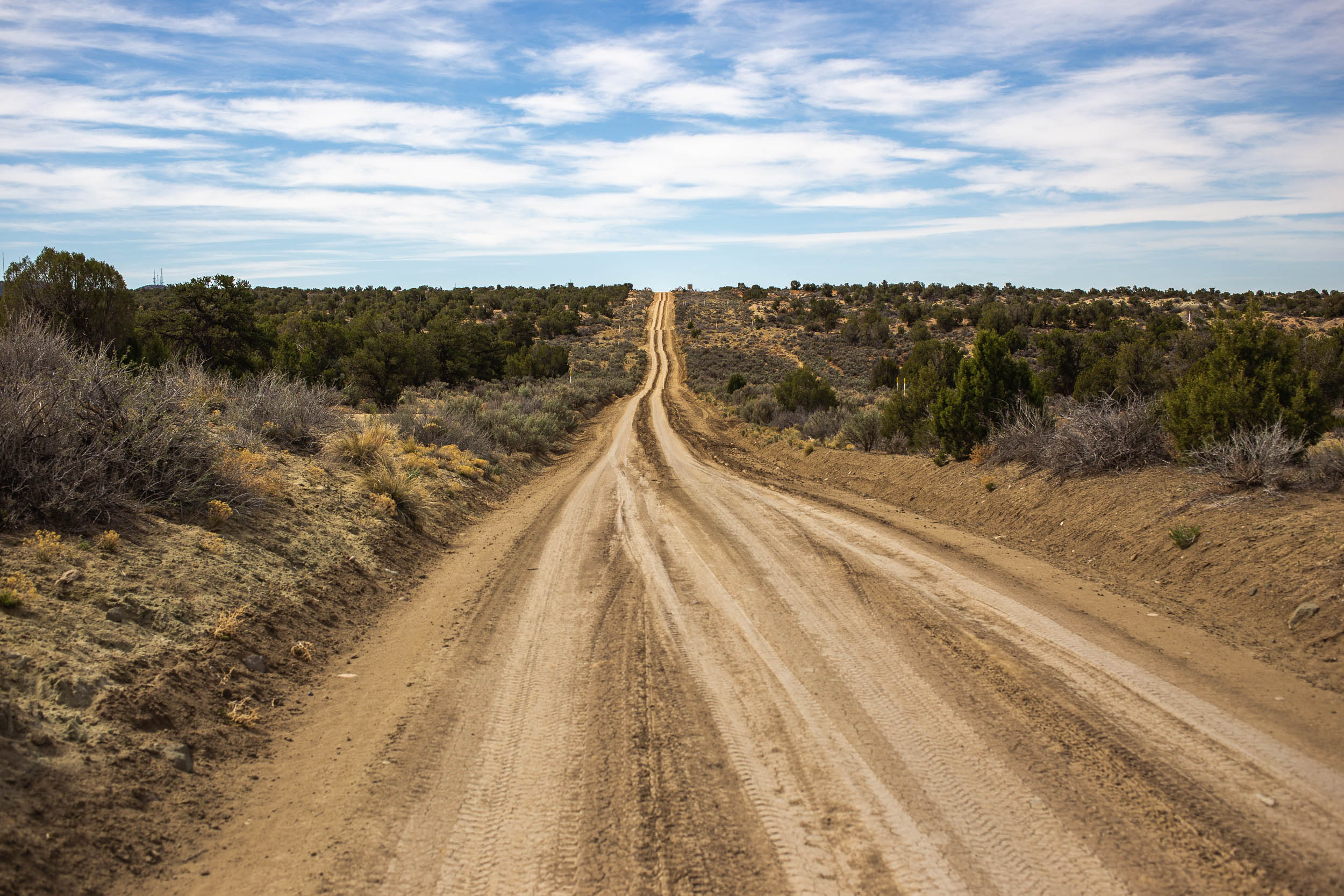
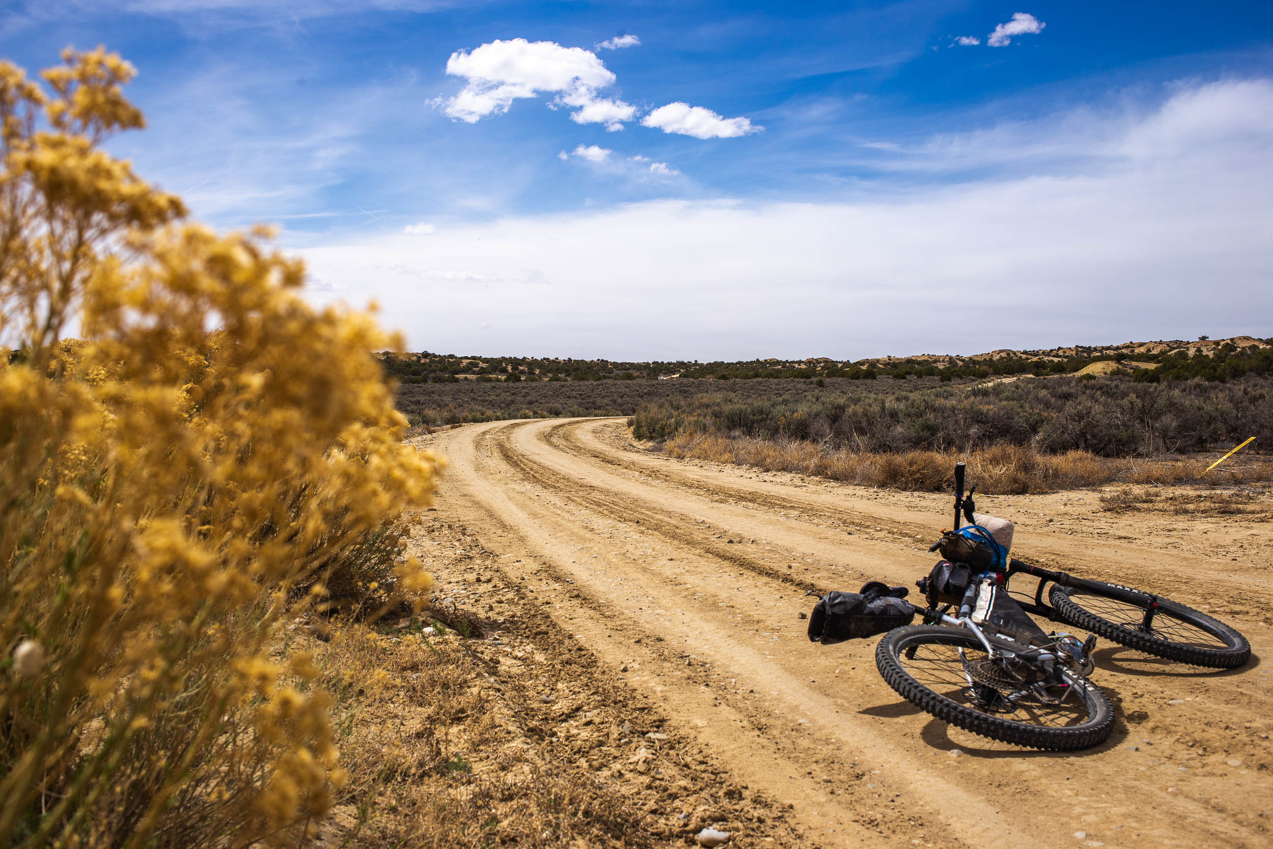
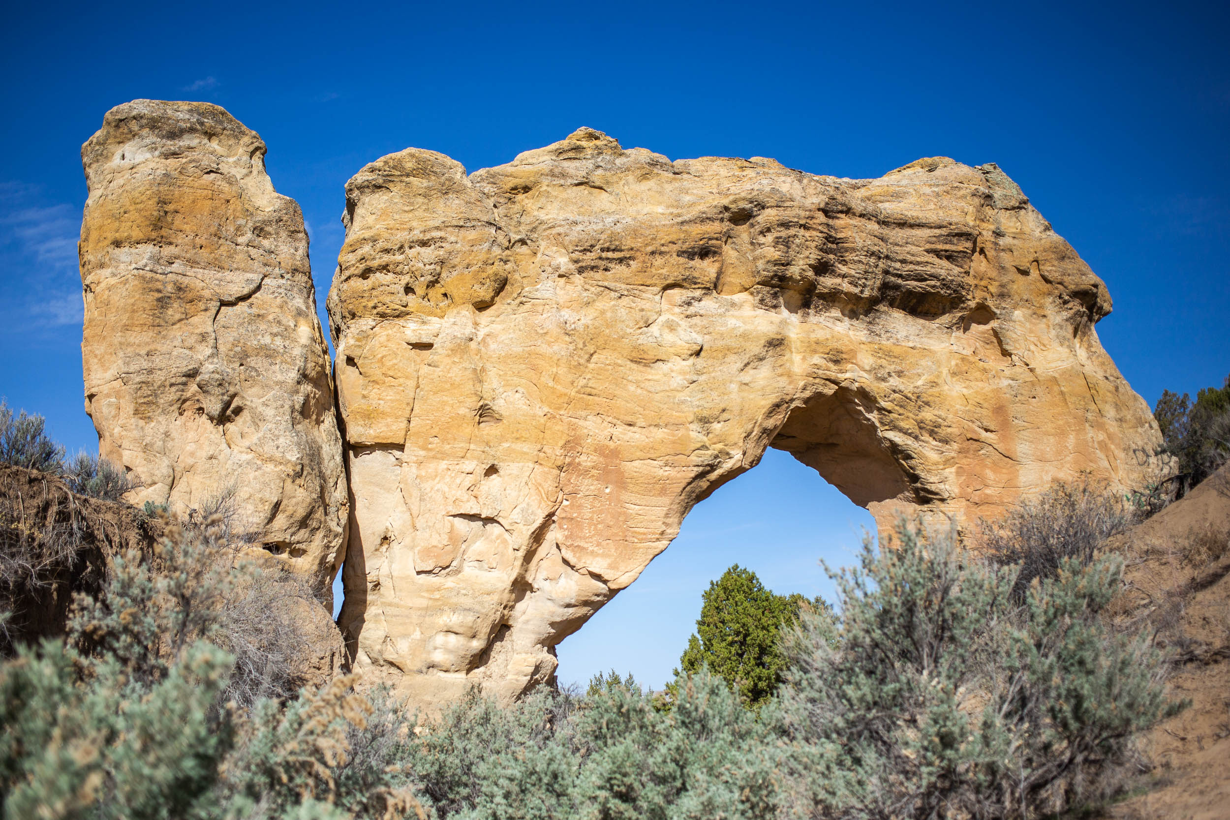
In addition to its miles and miles of glorious singletrack, the route skirts along the top of deep canyons, slick rock, and natural spines. Along the northern stretch of the loop, the route follows Kiffen Canyon Rim and South Slick Rock Trail for a connection to Cedar Hill. Although challenging and not lacking hike-a-bikes, this segment gets riders up close with impressive rock formations and steep canyons that are well worth the effort. Those looking for something less demanding can check out the Trail Notes below for an alternative. For those looking to expand the route, there are endless gravel roads worth scoping out in the area, and there’s always the option to hop in a packraft in Cedar Hill to get some padding in too.
Route Development: Farmington local Ryan Bozzell graciously helped design the The San Juan Space Jam. Ryan was the first, and only, person to respond to my inquiries about bikepacking potential in the area. The goal was to plan a loop from Farmington, linking together all of the major nearby trail systems. Additional insight came from the folks at Aztec Adventures, Sandstone Cycles, and helpful cyclists I met during my ride. I scouted the full route during the first week of April 2022.


Highlights
Must Know
Camping
Food/H2O
Trail Notes
Resources
- Over 60% of the route follows singletrack, the majority of which is flowy purpose-built mountain bike trail.
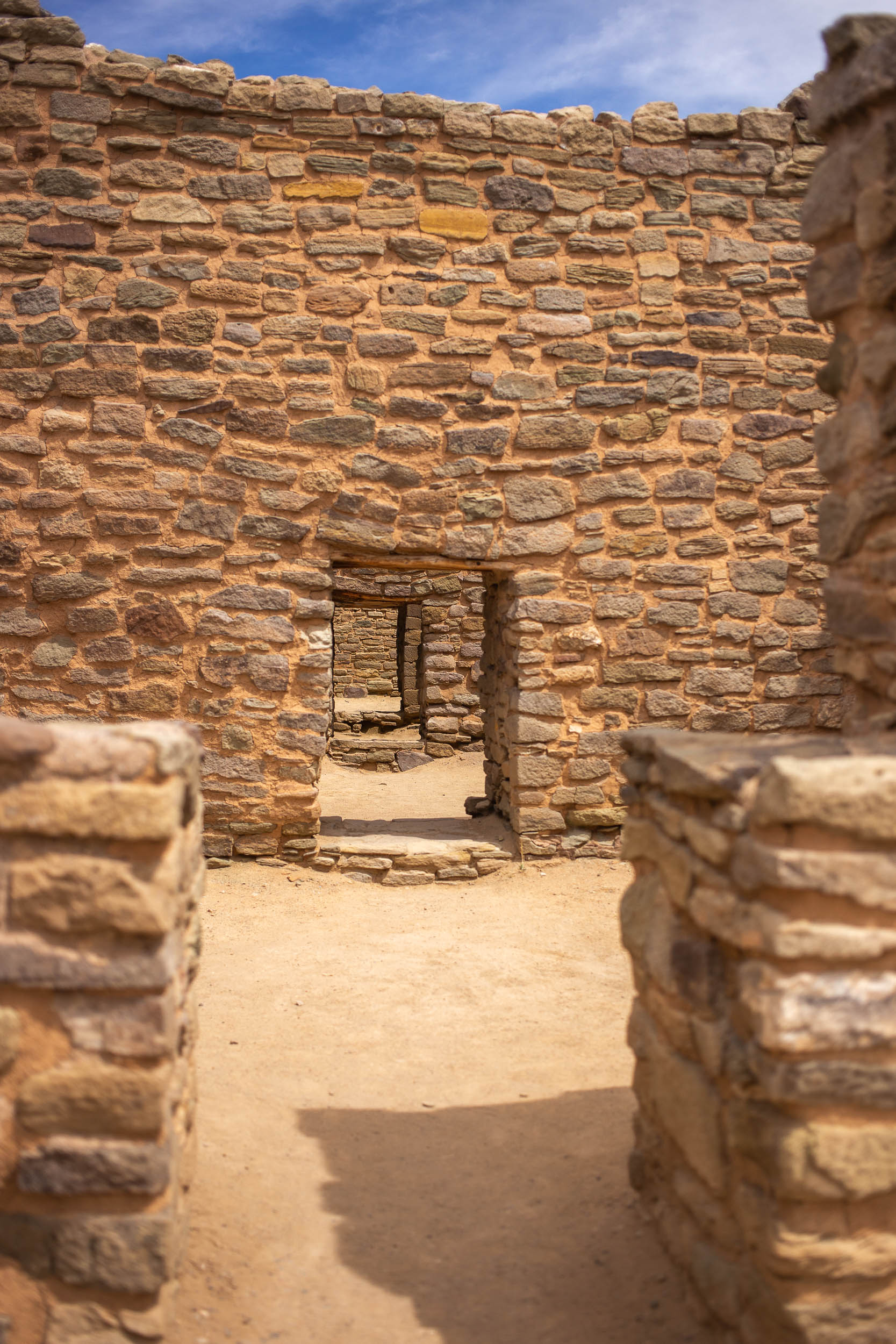
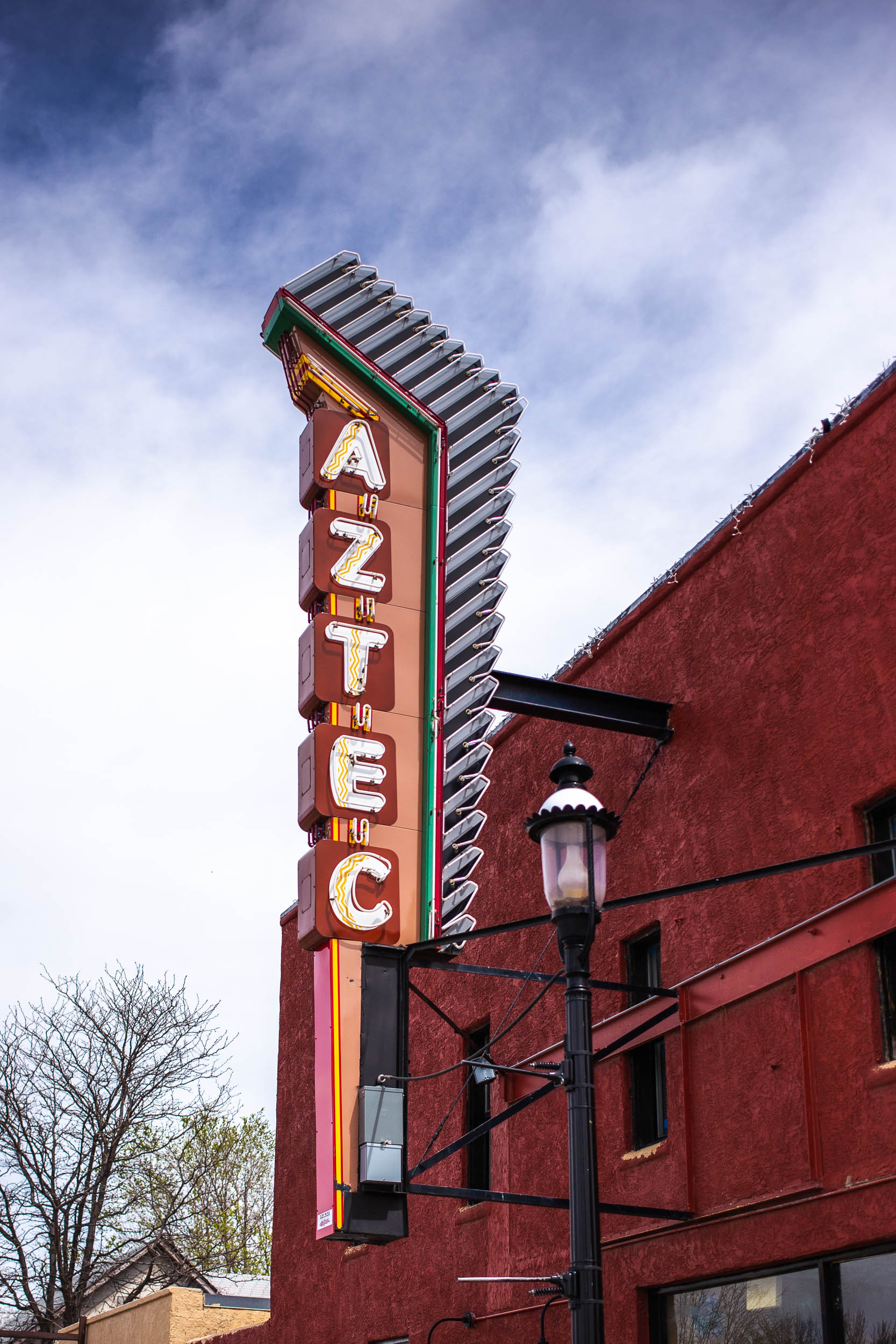
- Learn about the Pueblo peoples and their original settlements at the Aztec Ruins National Monument.
- Kinsey Trail and the Road Apply Rally will have you hooting and hollering in both directions.
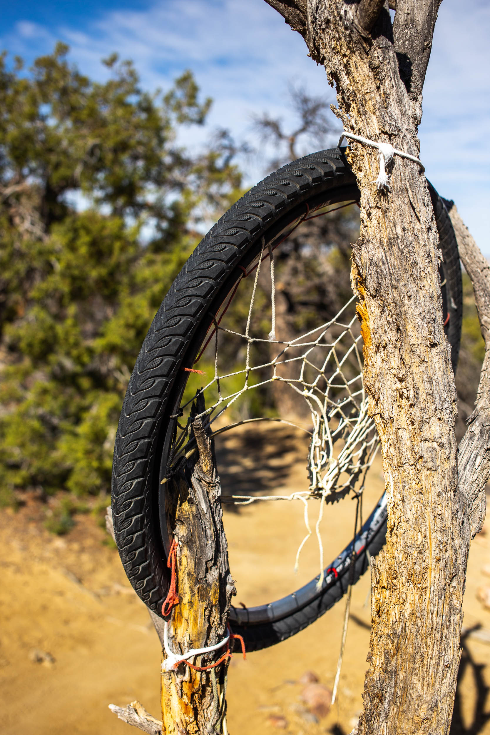
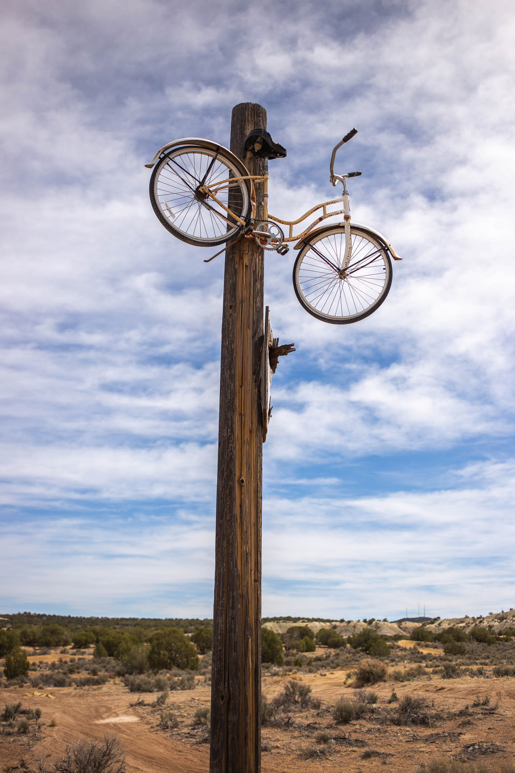
- UFO crash landing site. Is it a hoax? Find your own truth at the Alien Trails northwest of Aztec.
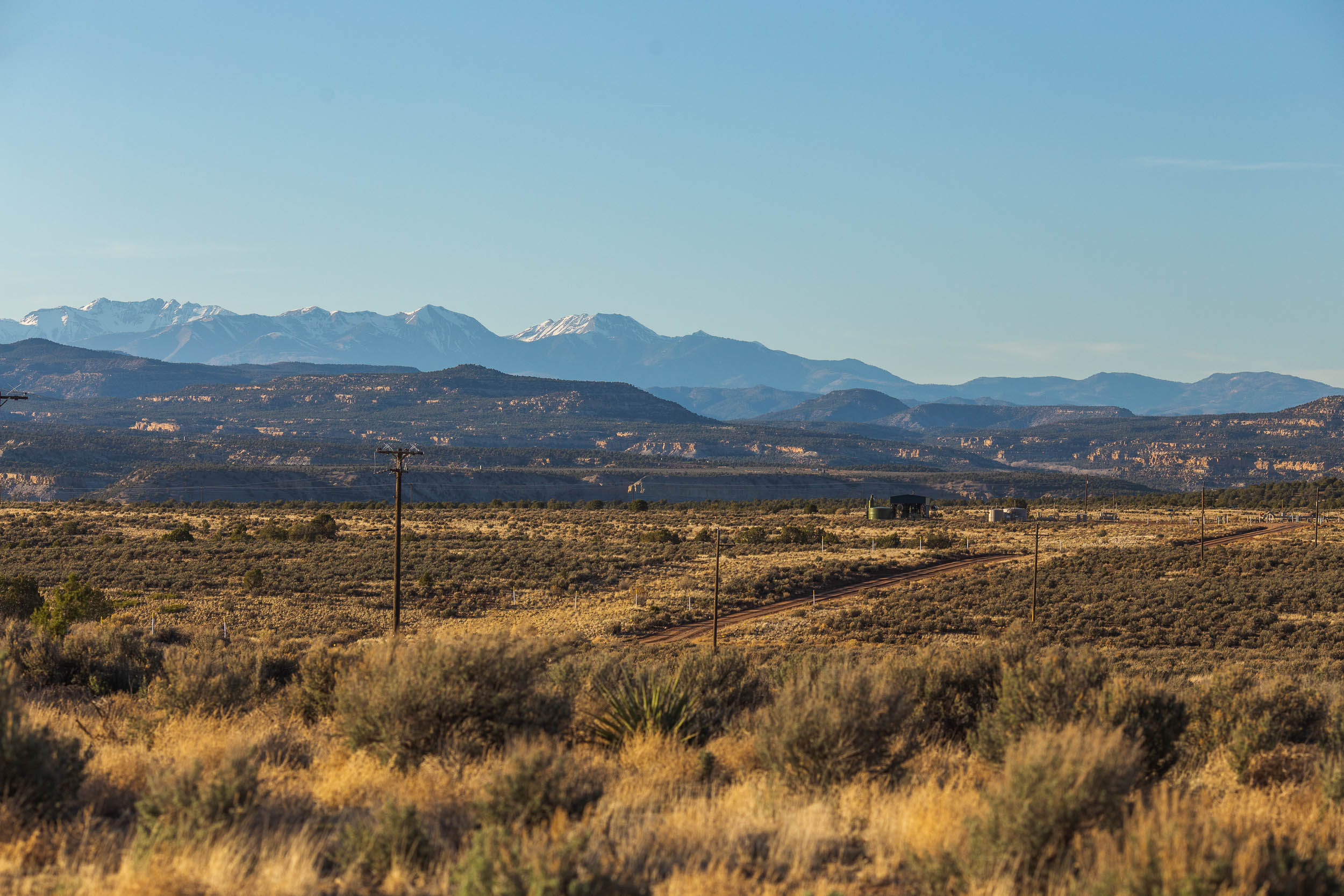
- Massive slabs of slick rock, huge canyon rims, natural rock arches, and big views of Colorado’s mountains.
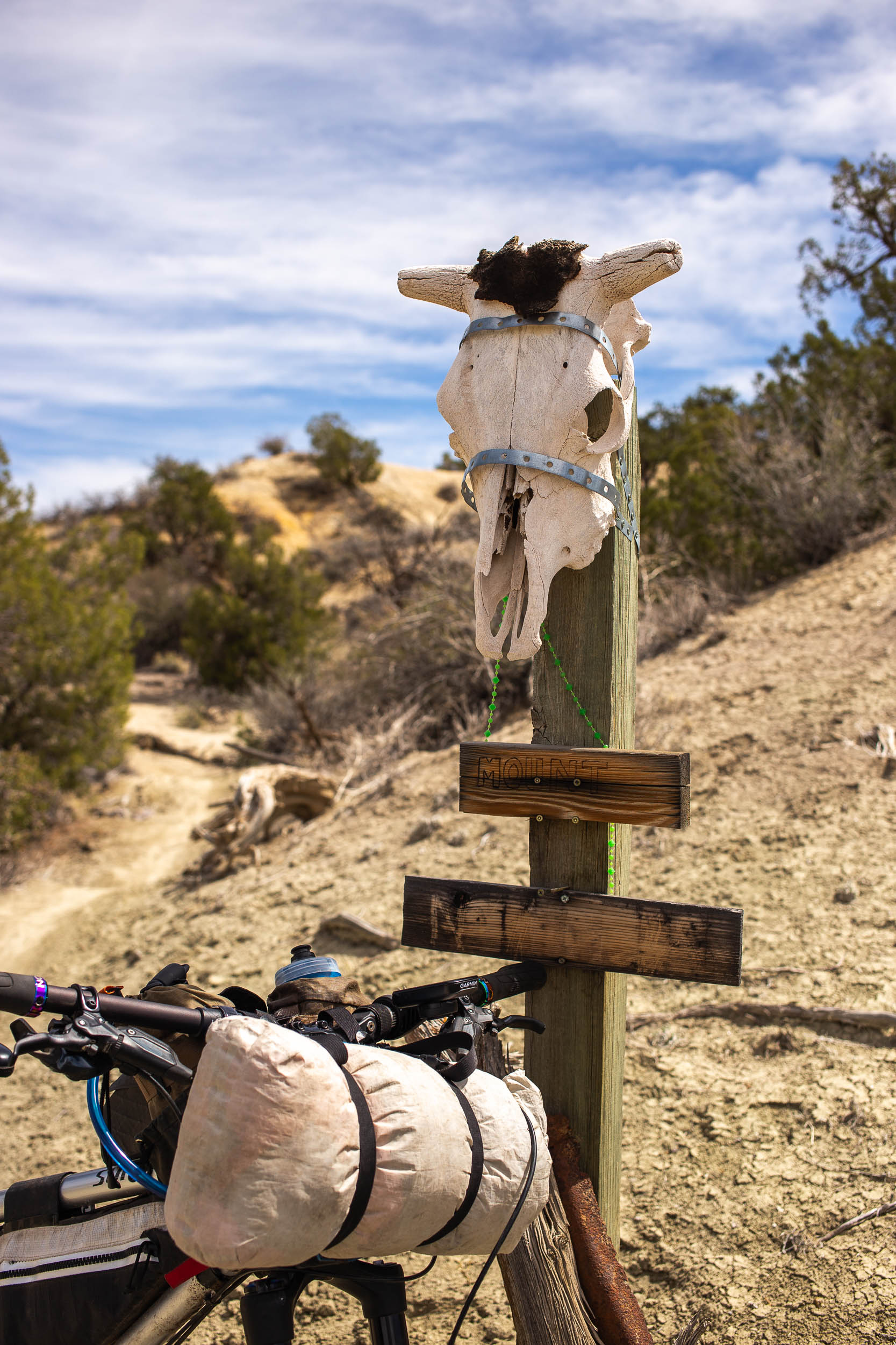
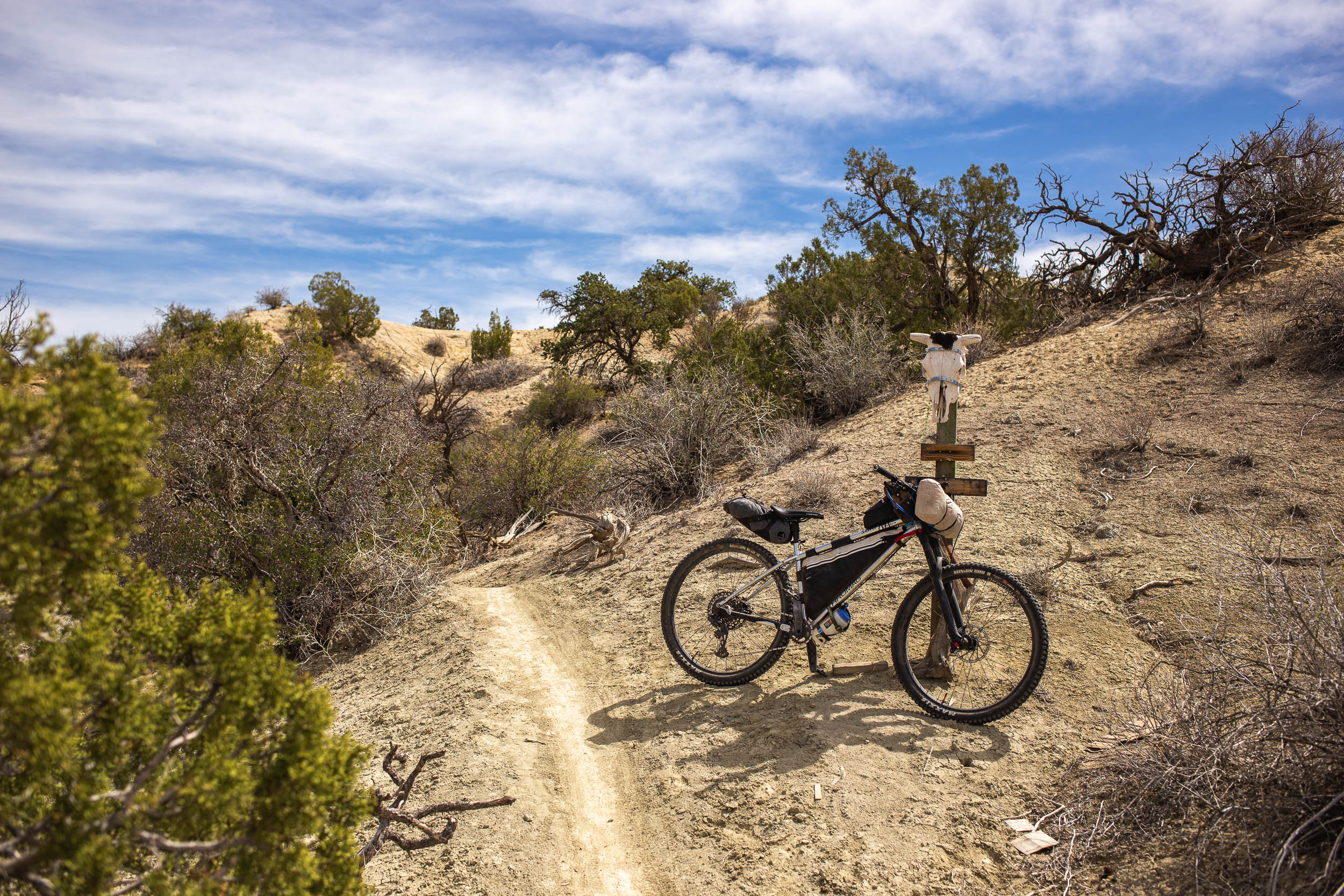
- Exploring the lesser-known trails above Kiffen Canyon.
- Ending on the Anasazi Flow Trail, complete with jumps, wooden berms, and more.
- Bring a packraft and paddle south on the Animas River.
- Ideal Bike: This route is best ridden on a hardtail or full-suspension mountain bike with at least 2.4” wide tires, but anything up to a 3.0” tire could be useful due to the amount of sand and soft trails.
- When to ride: Spring and fall are the best times to ride this route but late winter isn’t out of the question if the conditions are right. Expect freezing temperatures in the evening and hot daytime highs. The route should not be attempted after/during rain or snowfall, as the roads and trails will become impassable and damaged by bike tires. Springtime in New Mexico can get windy, causing sand storms and tent-destroying gusts. Be flexible and pay attention to the weather before heading out.
- Altitude: The elevation of Farmington isn’t staggering compared to other routes in the state, but those coming from sea level will likely feel the effects of elevation. Take time to acclimatize and adjust your daily mileage as needed.
- Route Direction: As presented, the route is designed to be ridden as a clockwise loop. There are a number of one-way trails that should not be ridden backward, so some major planning and alterations will be required for those thinking of riding counter-clockwise. However, it is totally possible.
- Getting Here: Farmington is located in northwestern New Mexico, just south of the Colorado border. It’s an hour’s drive by car from Durango, and about a three-hour drive from Albuquerque. The closest international airports are located in Albuquerque and Denver, with several smaller regional airports within a few hours’ drive from Farmington as well, including Durango.
- ABQ Express is a shuttle company based out of Albuquerque and has vans for shuttling people with bikes throughout the state.
- Parking: Overnight parking is permitted at the Farmington Recreation Centre and Sandstone Cycles. It’s always a good idea to introduce yourself and let the business know what you’re doing.
- Wildlife: New Mexico is home to black bears, coyotes, mountain lions, and bobcats. Practice safe leave no trace principles, don’t litter or leave food scraps behind, and keep your distance.
- Navigation: A bar-mounted GPS device with turn-by-turn navigation is strongly recommended. The route follows lots of singletrack trails that often overlap and can be difficult to follow at times. The northern stretch, along Kiffen Canyon, is especially tricky to follow. These trails are unmarked and lightly used. Trailforks has the most accurate trail info, so having a smartphone with the Trailforks app ready is crucial. Anyone thinking of tackling this route should be comfortable with route finding and prepared to make changes on the fly.
- Cellular Coverage: Most of the route has cellular coverage, but things get remote at times. Bring tools to repair torn tire sidewalls, flats, and other mechanicals. Plan ahead and have a backup plan before heading out.
- This area is big on oil/gas extraction, and because of this most of the gravel roads on the route are used by their trucks. Be vigilant while crossing roads and give the workers plenty of room. Bicycle travel is not fully recognized or accepted in many of these areas.
- Likewise, OHV use is also popular on the route. Most of the trails are for non-motorized use only, but there are sections that aren’t. Expect to hear the drone of off-road vehicles, gas wells, and processing plants throughout the entire route. If you’re looking for the purest version of solitude, this might not be the route for you.
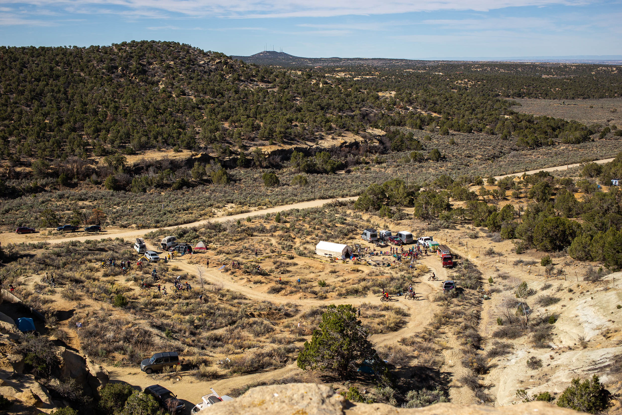
- Lots of the route travels through BLM land where dispersed camping is permitted. No passes or permits are required.
- The arid landscapes of the region are sensitive. Avoid disturbing untouched areas.
- There is a paid campground just outside of Aztec, backing onto the Mountain View trail area.
- There are paid and unpaid camping/lodging options in Farmington for before or after the ride.
- There are very limited natural water sources on the route, especially during the first half. Plan to carry at least 5-6L per person if riding in two days. More may be needed for three days.
- Arranging a water drop ahead of time is a great way to lighten your bike and enjoy the flowy singletrack. A few potential locations are added on the map as POIs.
- Farmington has multiple grocery stores, restaurants, bike shops, and outdoor stores for last-minute preparations.
- There is no major resupply on the route until Aztec.
- Stop by 550 Brewing in Aztec!
For those not interested in following the more remote and challenging trails above Kiffen Canyon, there’s an alternative gravel road detour available. The route, embedded below, drops below the singletrack and provides a unique view of the canyons and rock formations and is just as rewarding. The route rejoins at Highway 550 just north of Cedar Hill. Following this detour reduces the overall difficulty of the route from a 7 to a 5.


Terms of Use: As with each bikepacking route guide published on BIKEPACKING.com, should you choose to cycle this route, do so at your own risk. Prior to setting out check current local weather, conditions, and land/road closures. While riding, obey all public and private land use restrictions and rules, carry proper safety and navigational equipment, and of course, follow the #leavenotrace guidelines. The information found herein is simply a planning resource to be used as a point of inspiration in conjunction with your own due-diligence. In spite of the fact that this route, associated GPS track (GPX and maps), and all route guidelines were prepared under diligent research by the specified contributor and/or contributors, the accuracy of such and judgement of the author is not guaranteed. BIKEPACKING.com LLC, its partners, associates, and contributors are in no way liable for personal injury, damage to personal property, or any other such situation that might happen to individual riders cycling or following this route.
Please keep the conversation civil, constructive, and inclusive, or your comment will be removed.