


Snowden or Dust, Vancouver Island
Distance
45 Mi.
(72 KM)Days
2
% Unpaved
99%
% Singletrack
41%
% Rideable (time)
99%
Total Ascent
3,320'
(1,012 M)High Point
1,017'
(310 M)Difficulty (1-10)
5?
- 5Climbing Scale Moderate74 FT/MI (14 M/KM)
- -Technical Difficulty
- -Physical Demand
- -Resupply & Logistics
Contributed By
Miles Arbour
Associate Editor & Events Manager
Campbell River is quickly becoming a top destination for mountain bikers looking to escape the crowds on Vancouver Island. And the region also has all the fixings for some of the best bikepacking on the island. With immediate access to trails right from the city, all the amenities you could ever need, and a never-ending maze of singletrack mountain bike trails and gravel roads to keep everyone entertained, it’s a bikepacker’s dream come true!
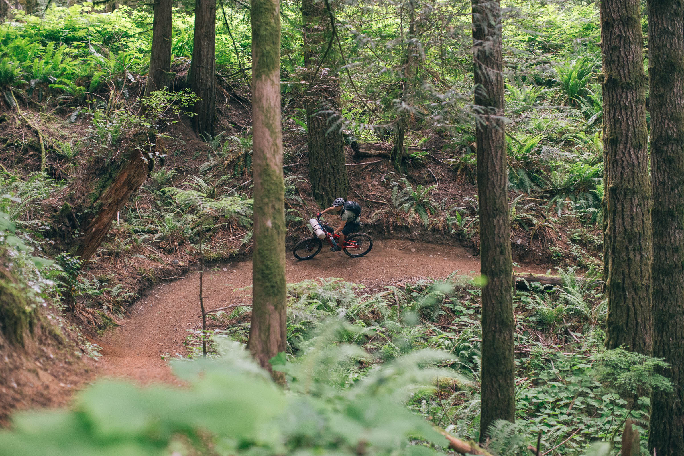
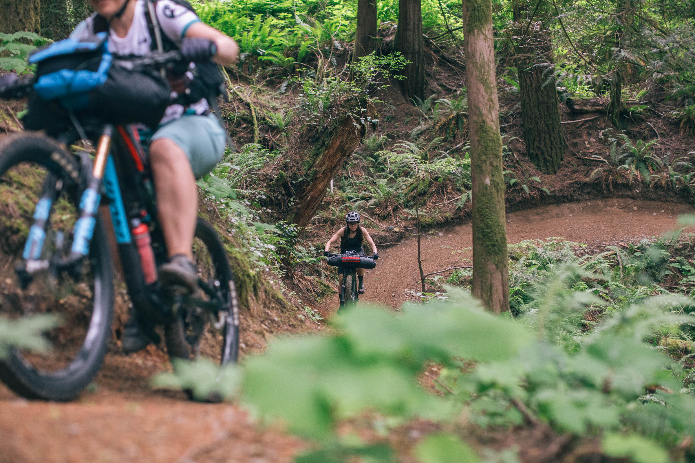
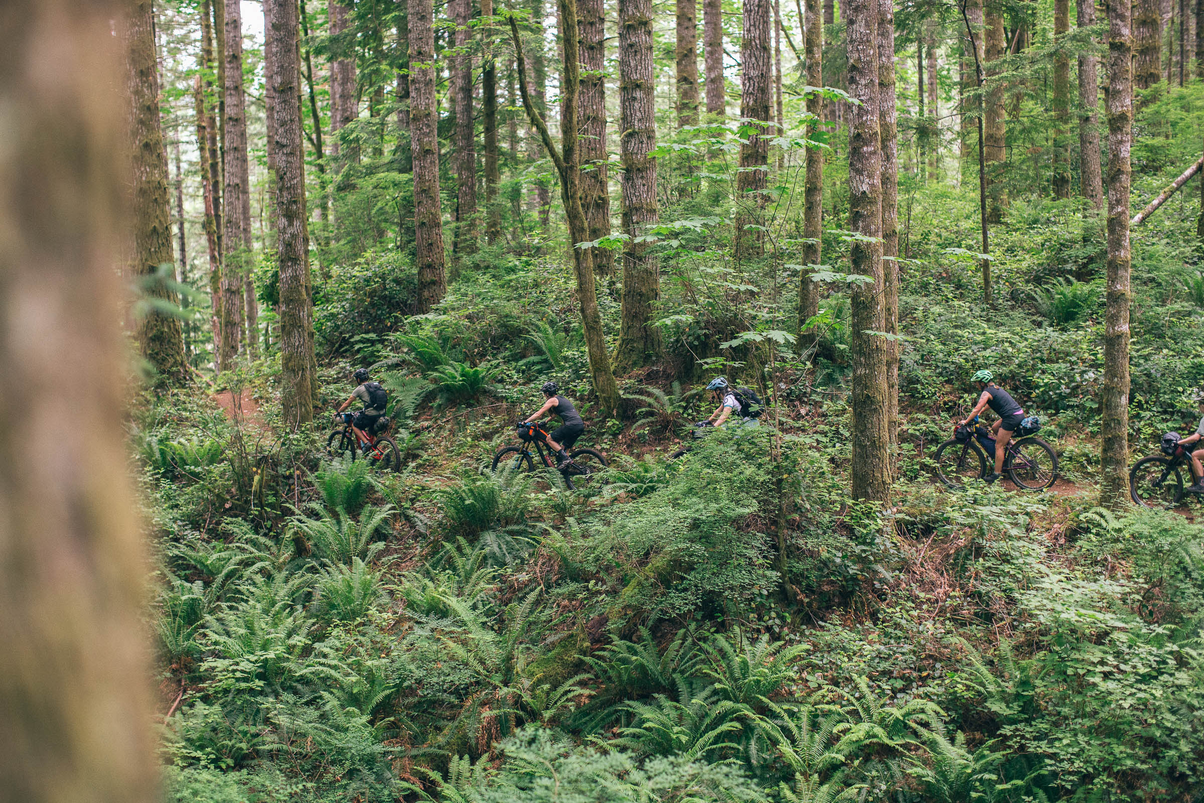
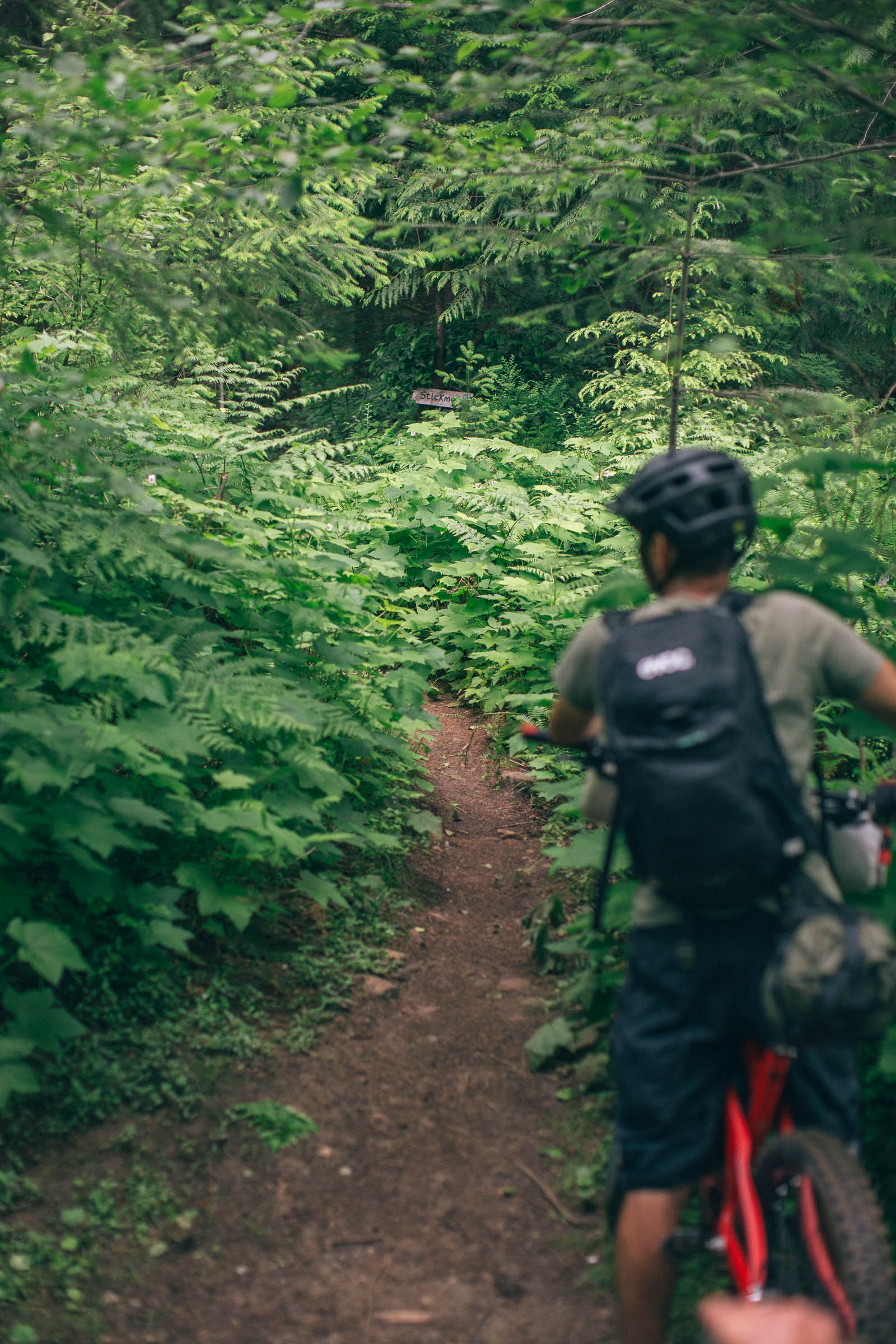
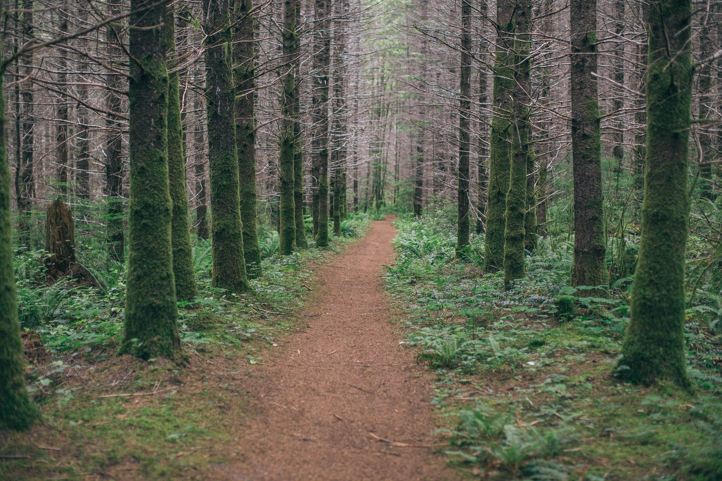
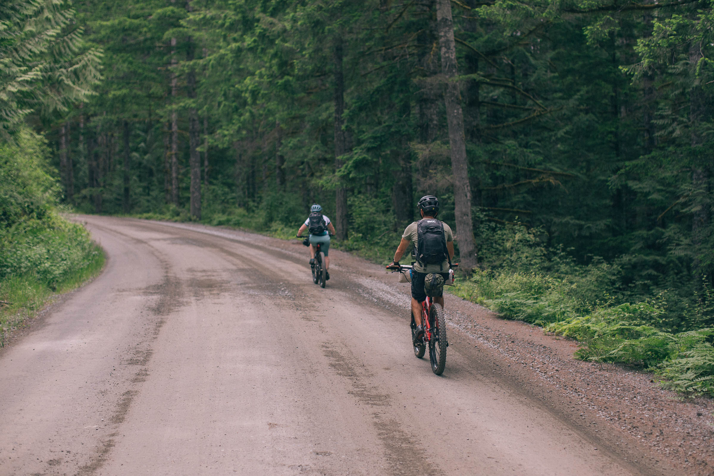
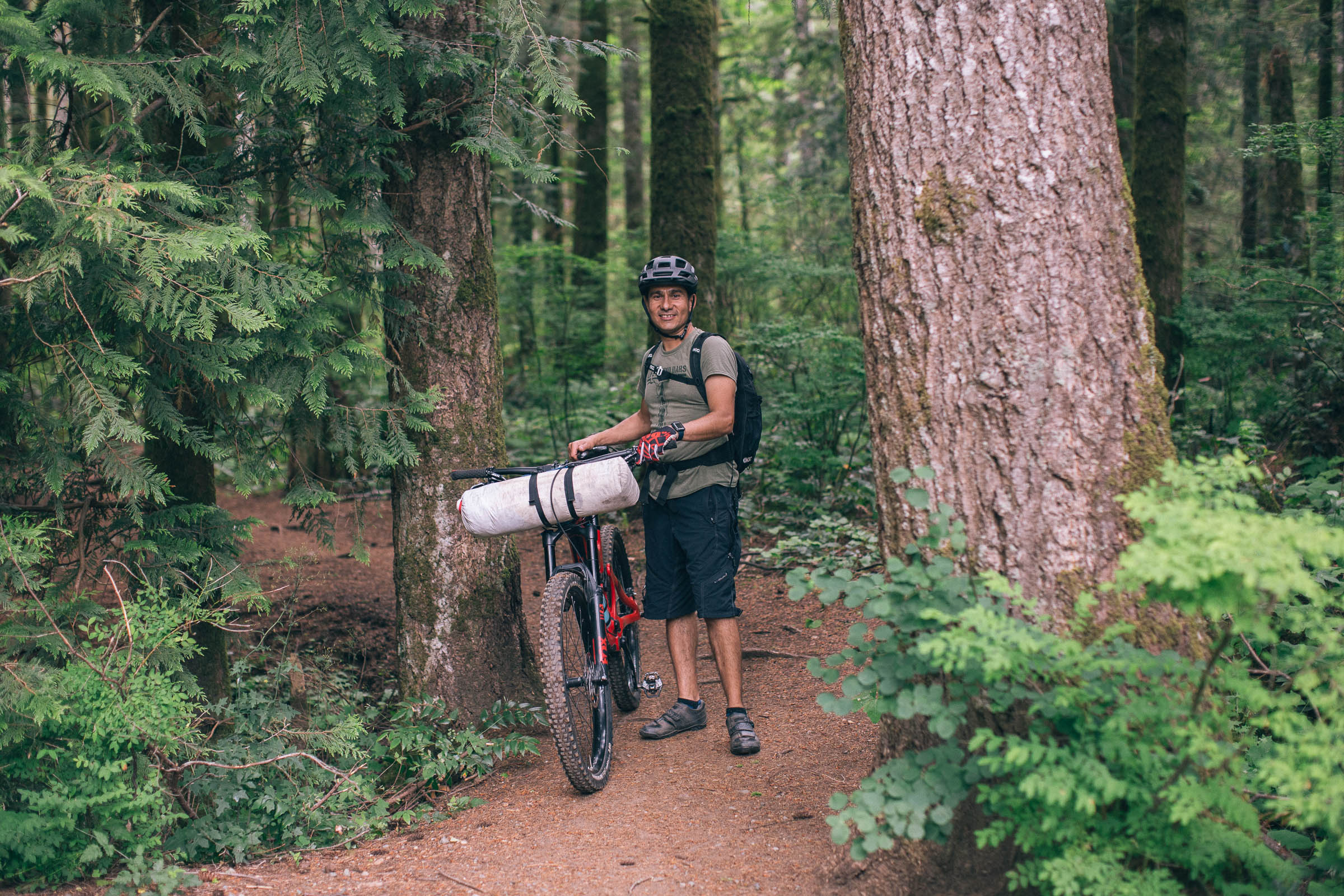
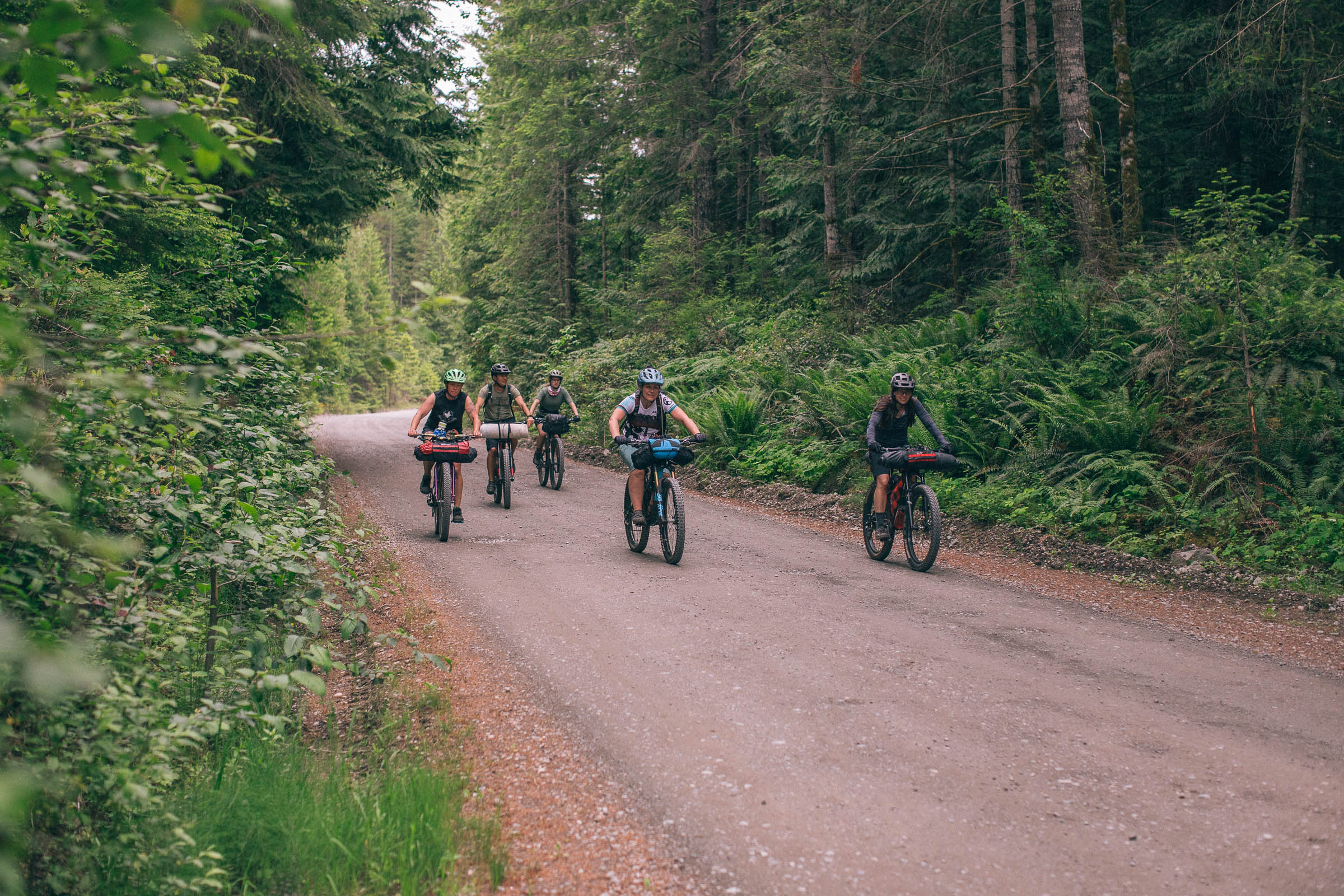
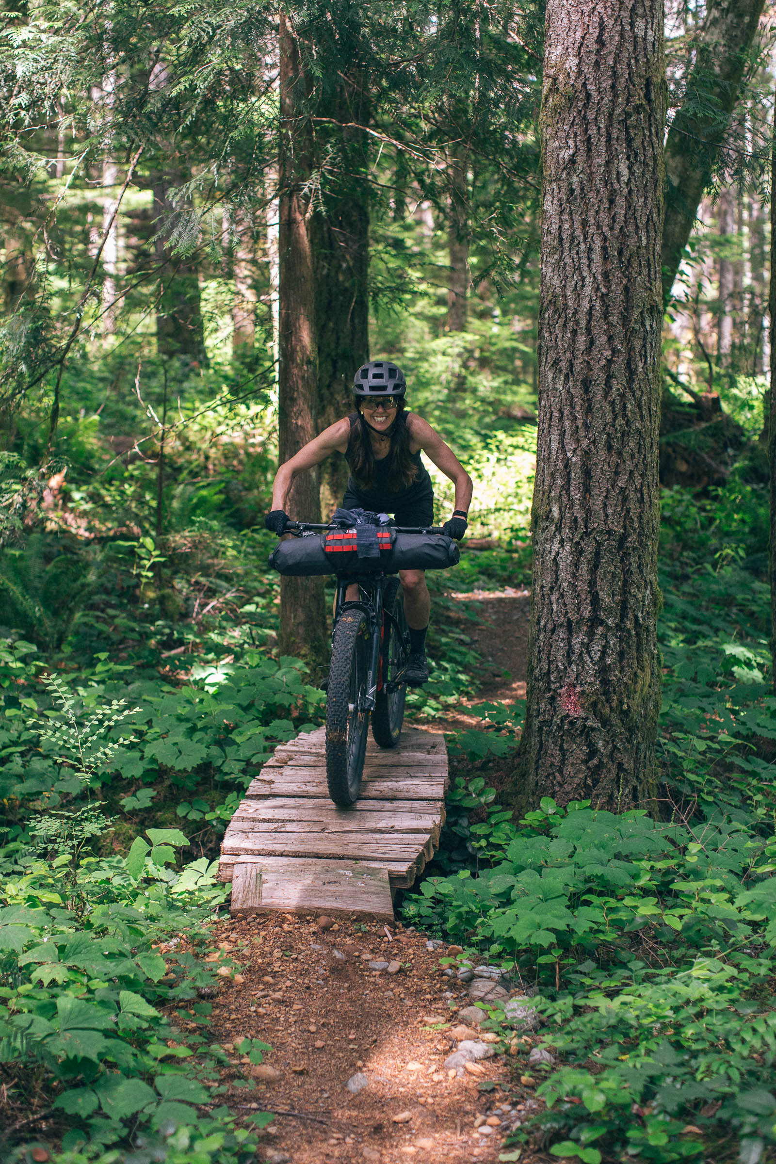
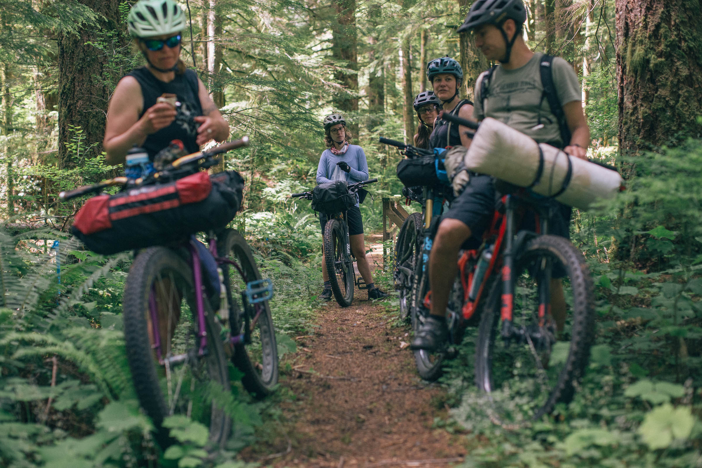
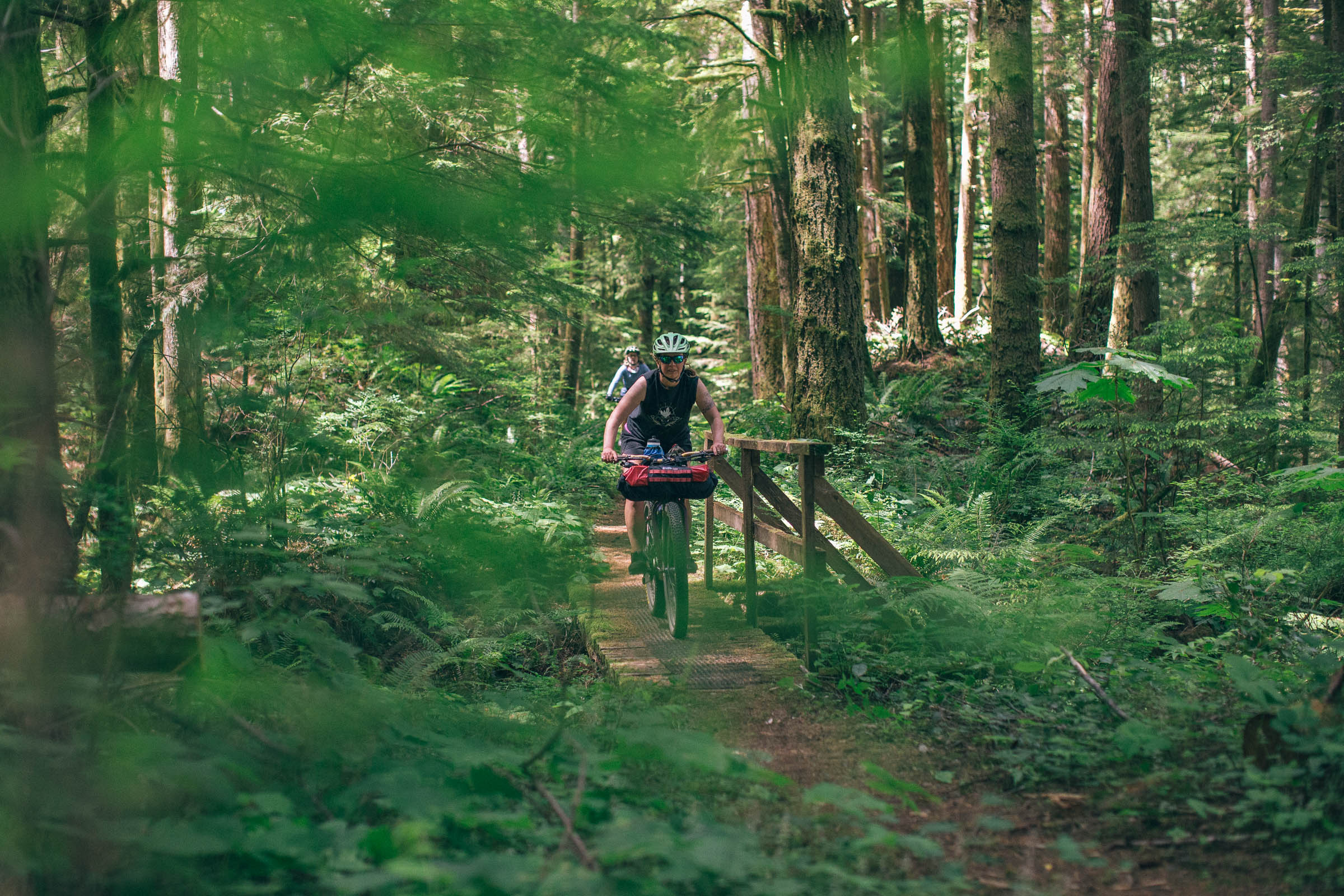
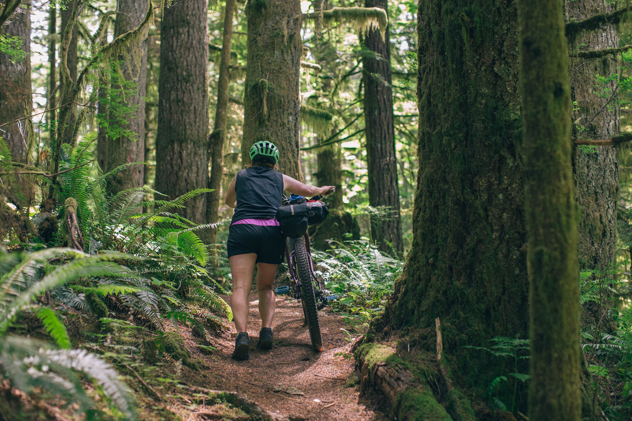
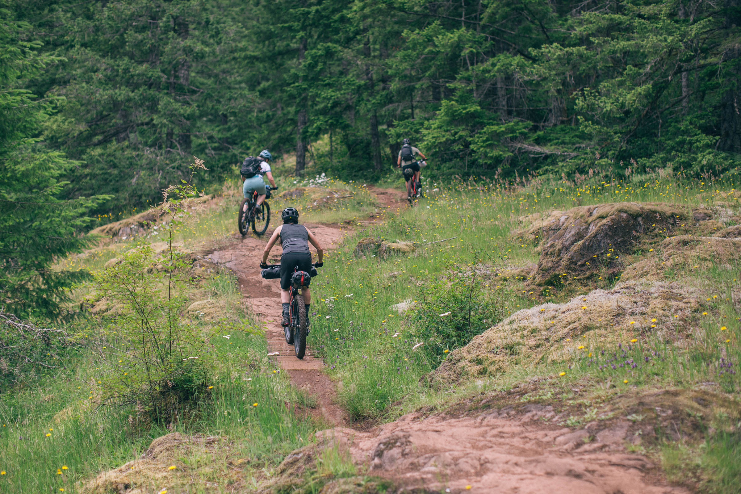
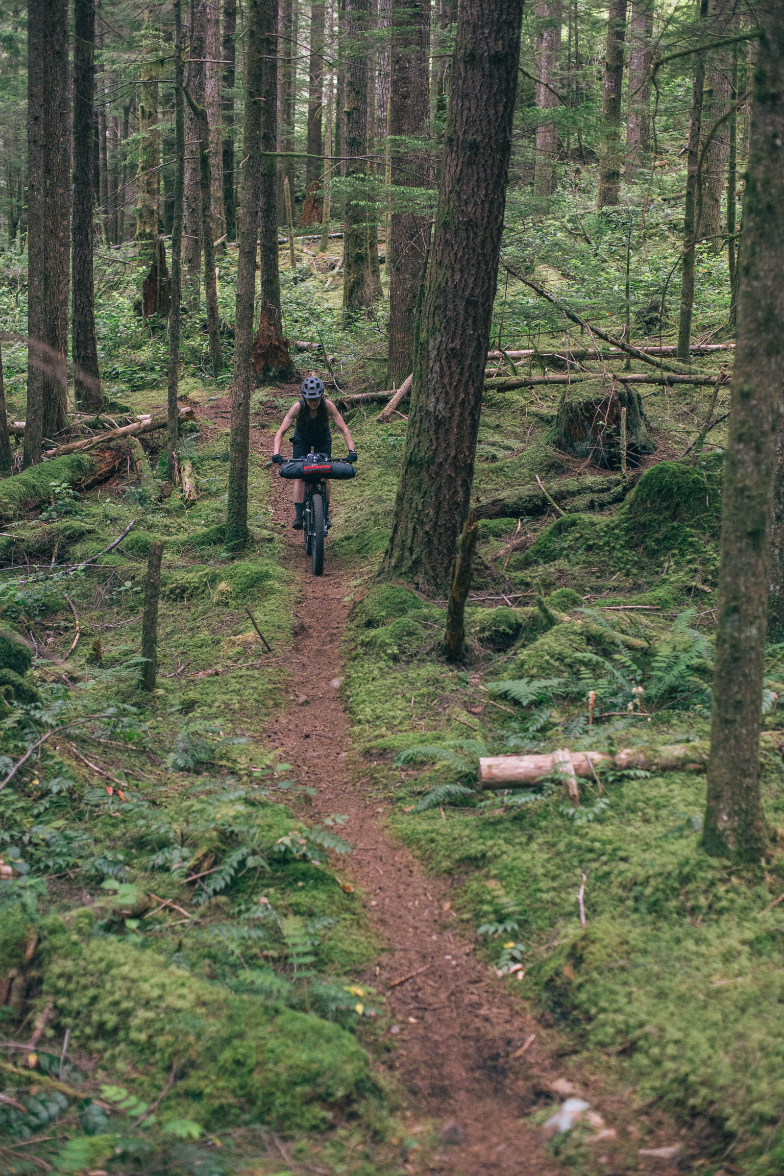
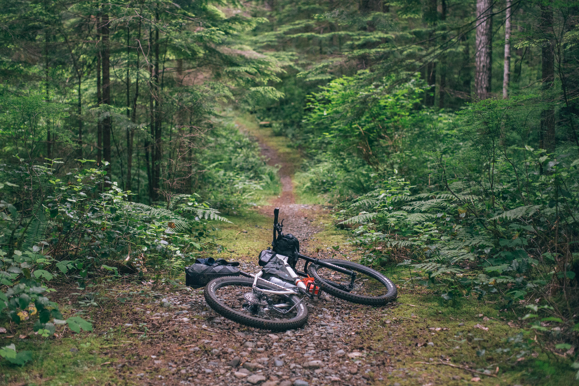
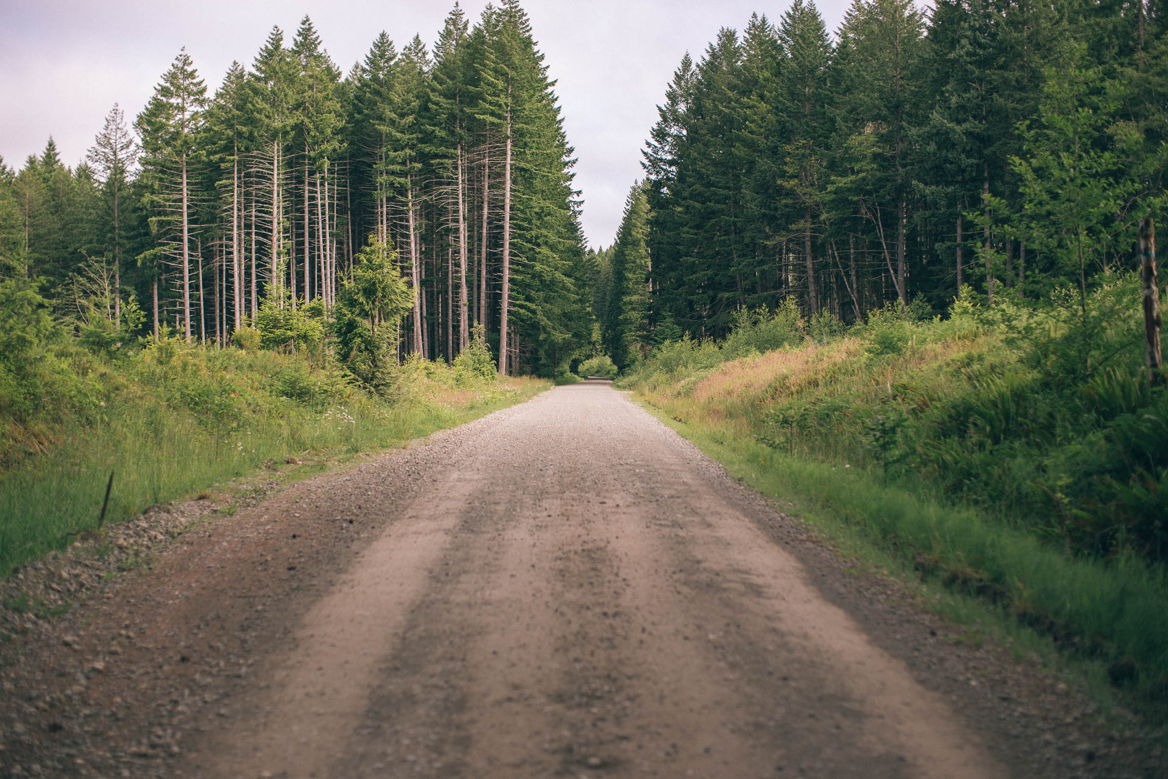
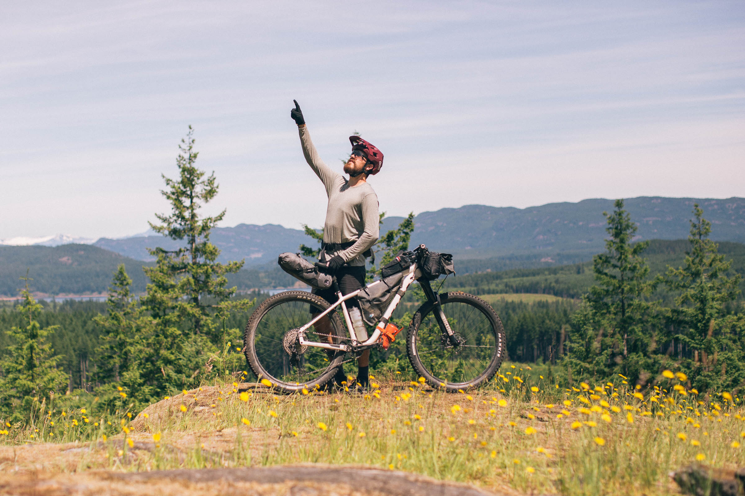
Snowden or Dust was designed with three things in mind: singletrack, lakes, and gravel. The route starts and ends in the city of Campbell River, prioritizes flowy (and sometimes challenging) singletrack within the Snowden Demonstration Forest, and links on an outer loop of rolling gravel roads with access to a number of lakeside campsites. While the full loop can easily be ridden as an overnighter or during a weekend, over 40% of the route is on singletrack. Around every corner is another section of singletrack, granite slabs, or narrow trail entangled with ferns.
Difficulty
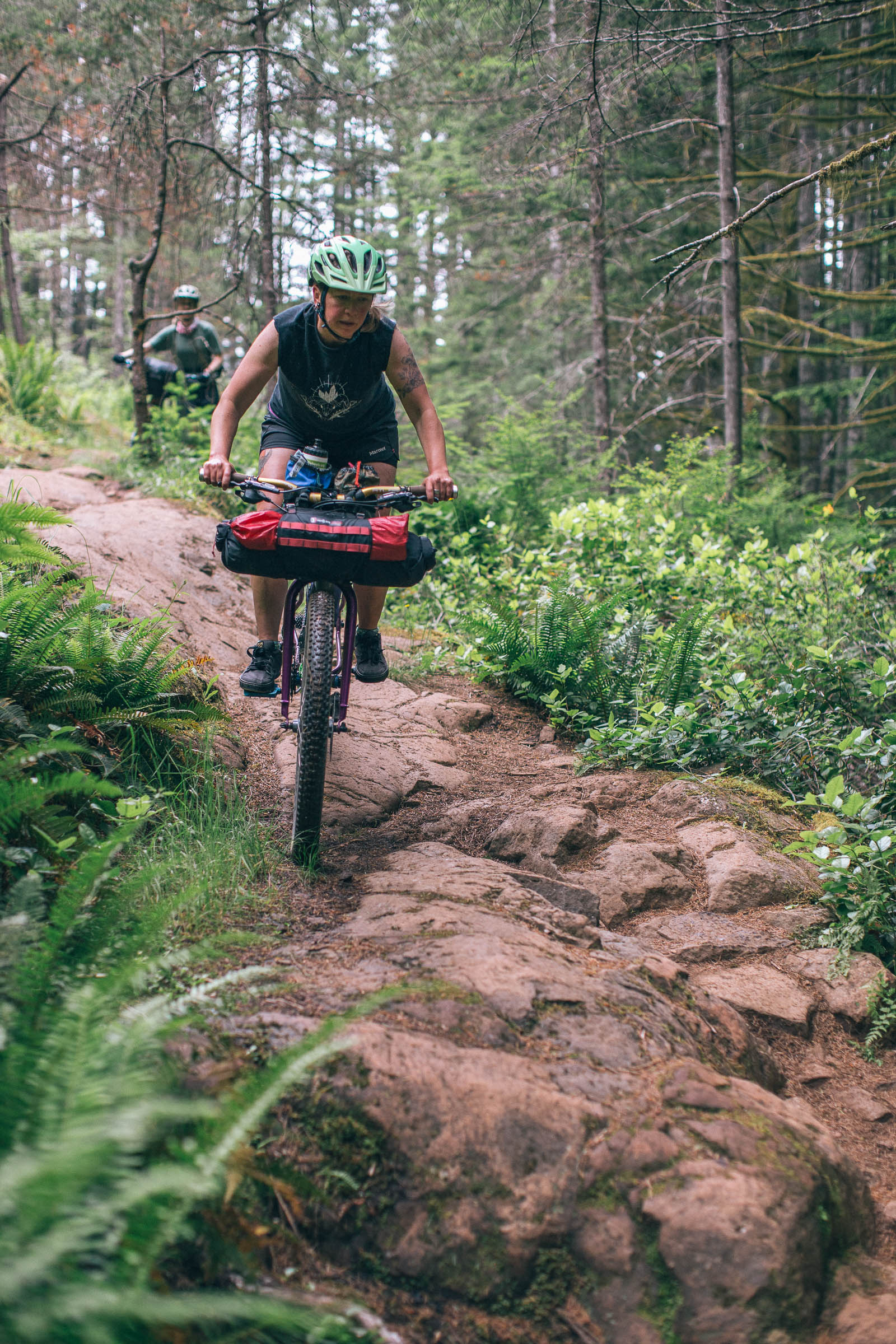
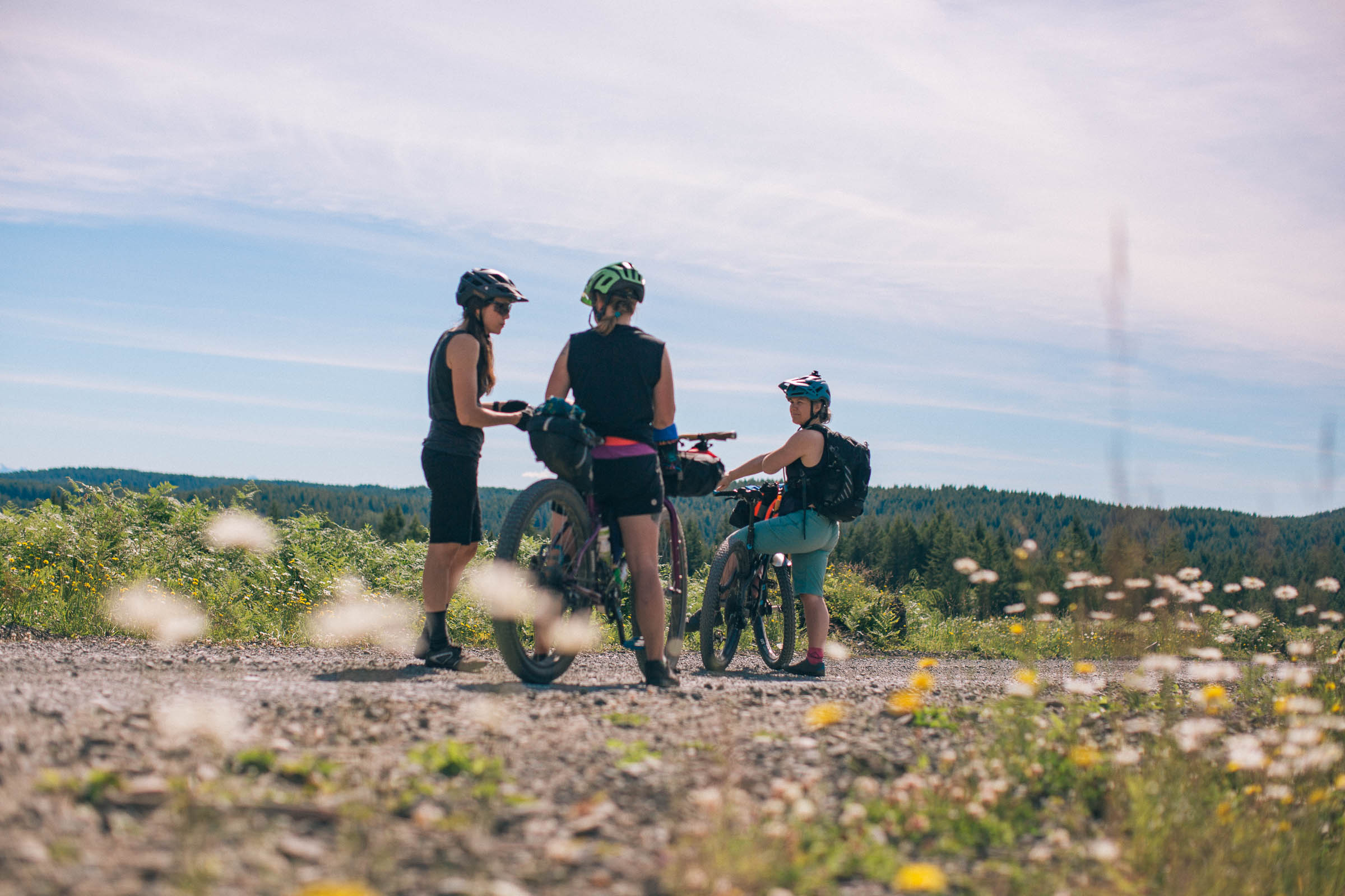
Due to the percentage of back-to-back blue-rated singletrack, which is sometimes tight, rocky, and full of roots, the Snowden or Dust route has been rated with a 5 out of 10 difficulty rating. For the route to be truly appreciated and enjoyed, some decent mountain bike skills are recommended. After some rain or during the winter months, the trails will be more challenging, but otherwise the route is logistically straightforward and serves as a perfect introduction to bikepacking for mountain bikers. The Snowden trails and logging road network are quite extensive and the route has many turns to follow. Confident navigation skills and on-the-fly navigation are strongly recommended.
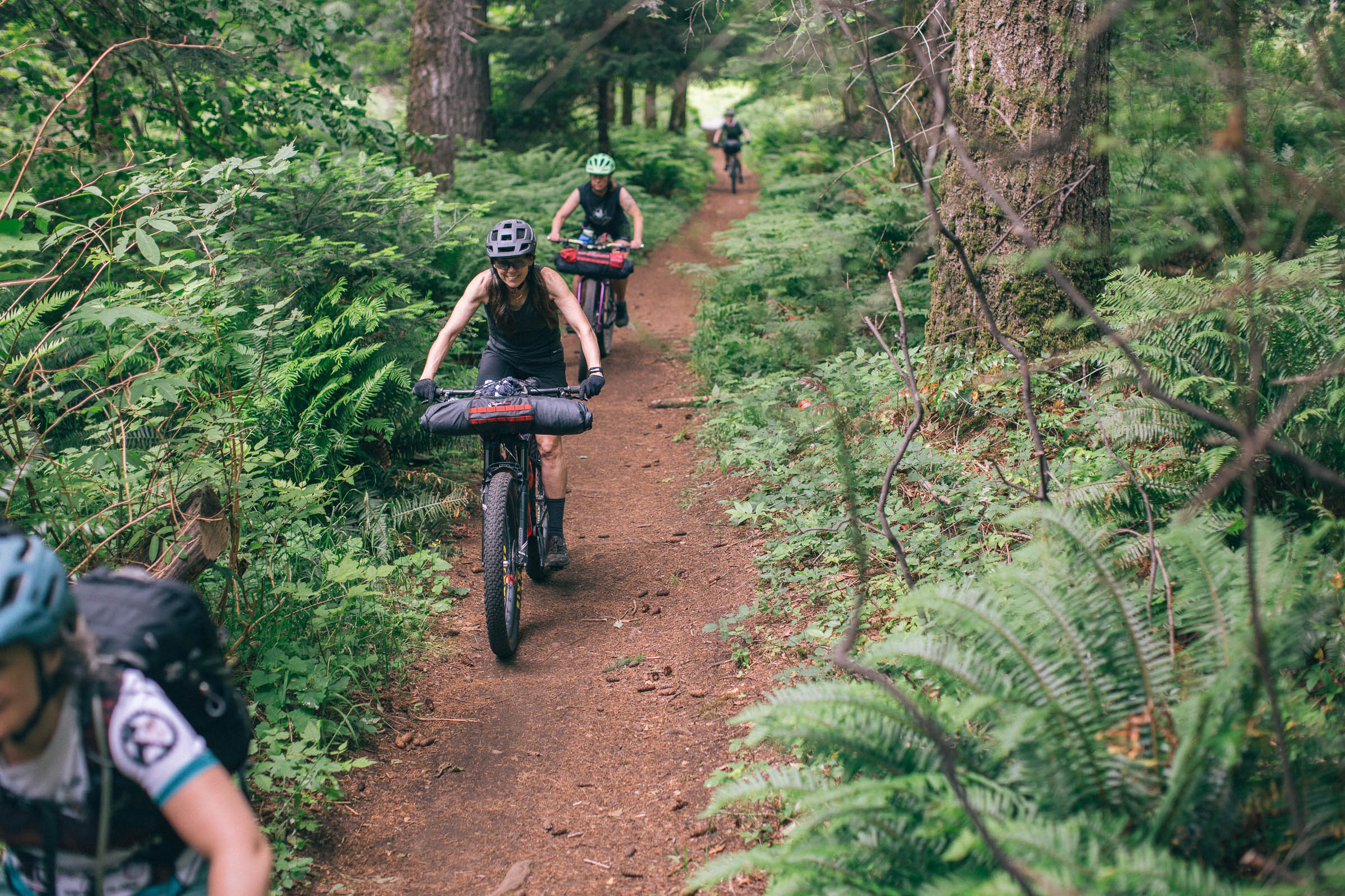
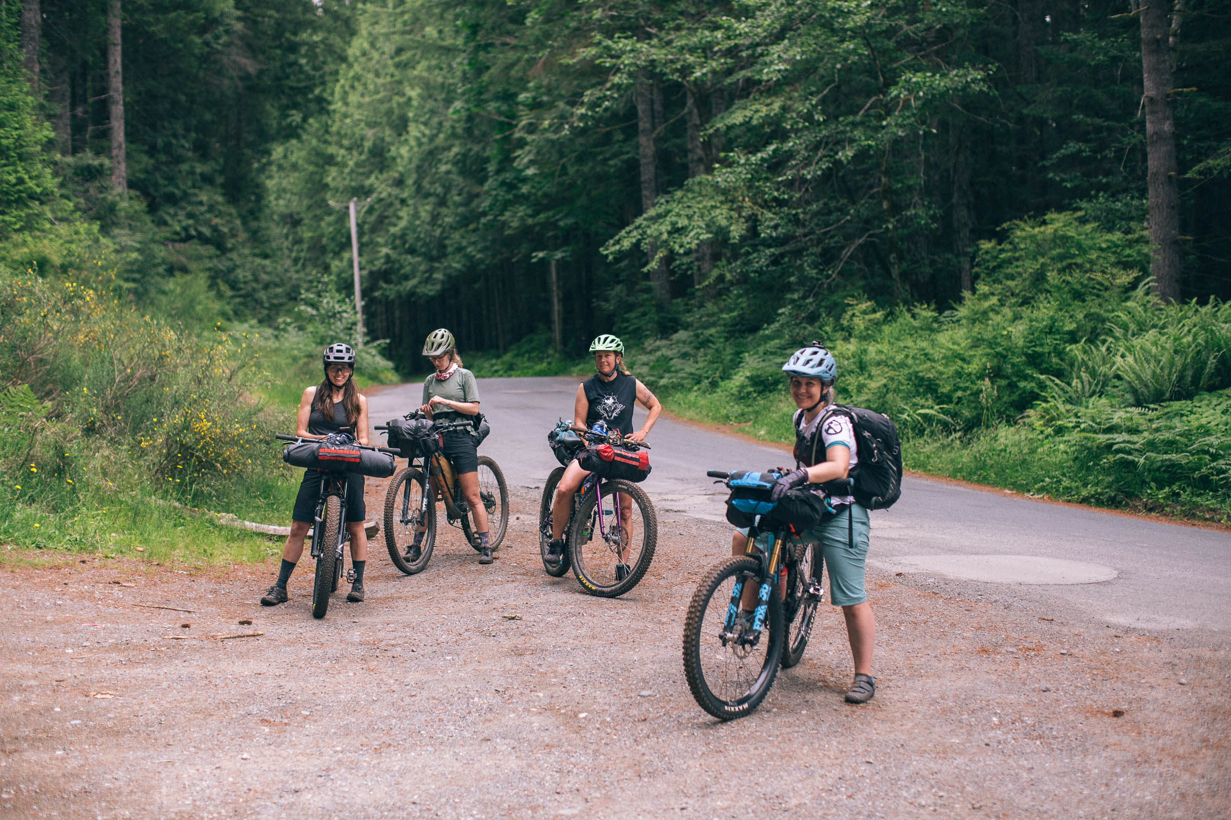
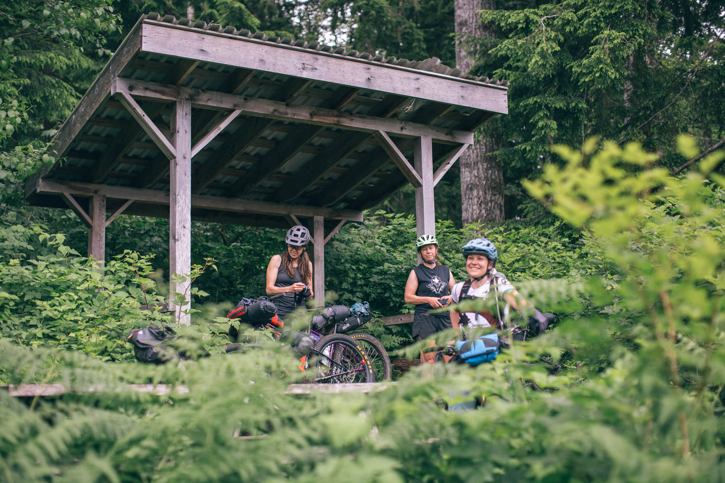
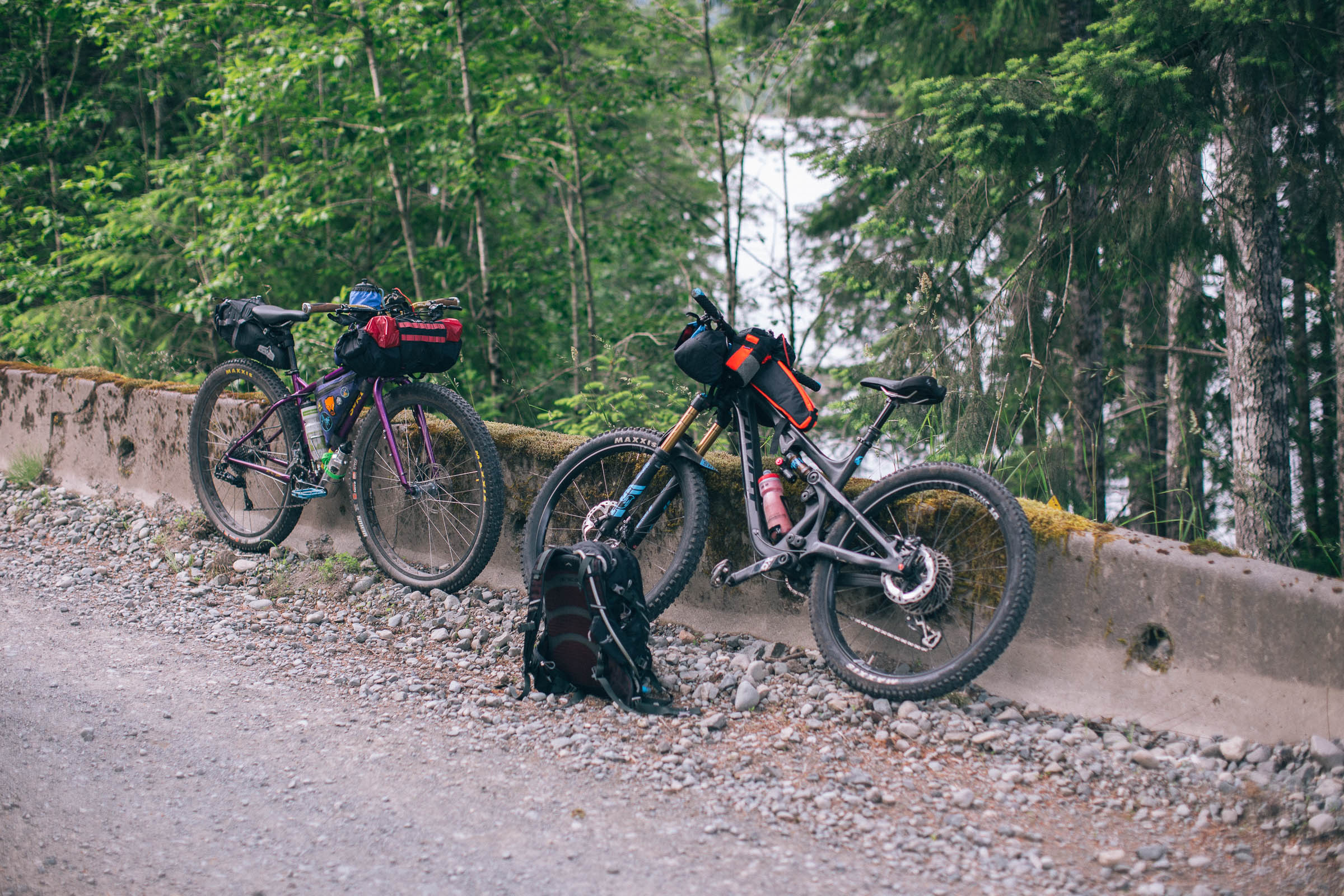
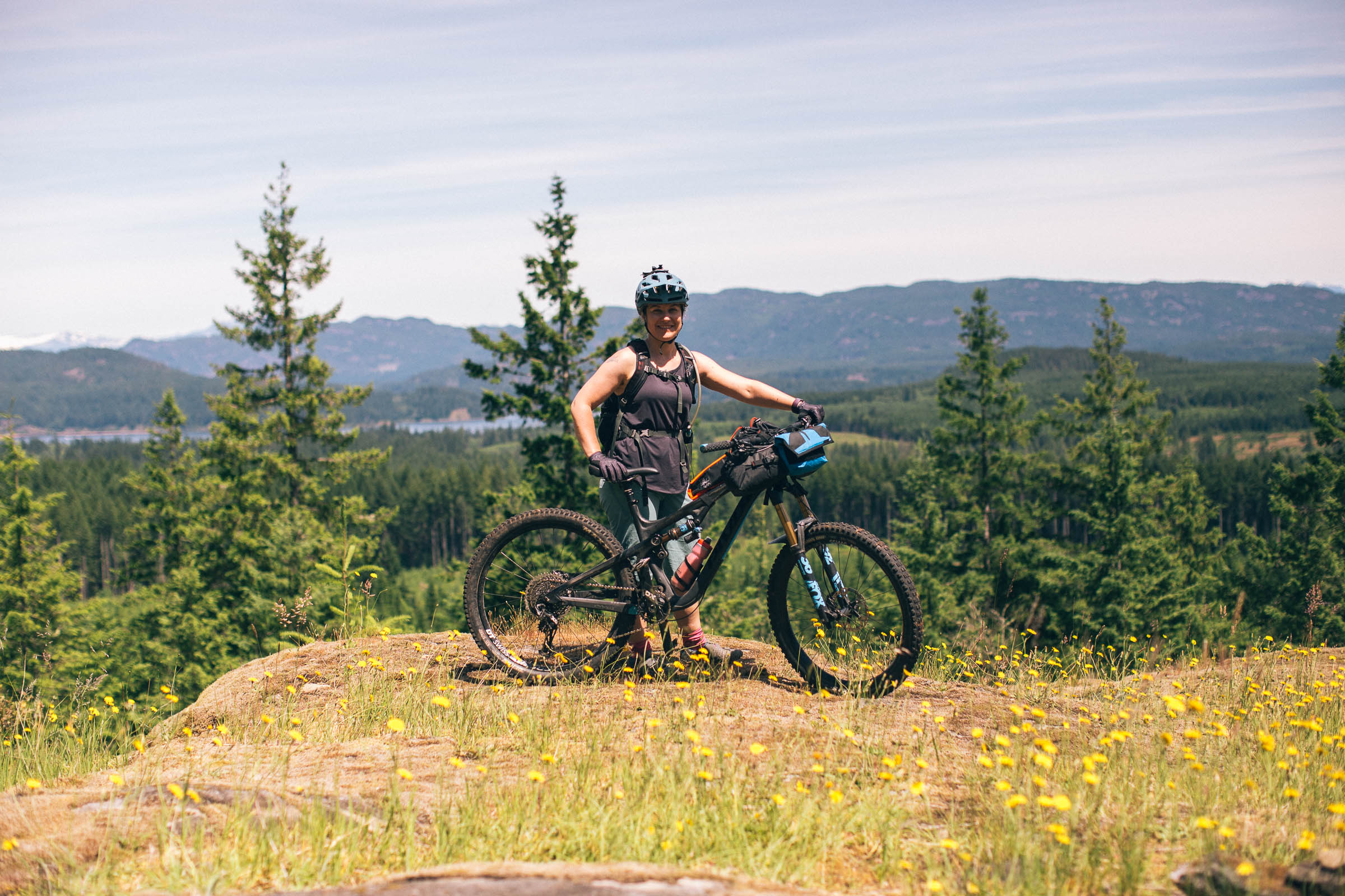
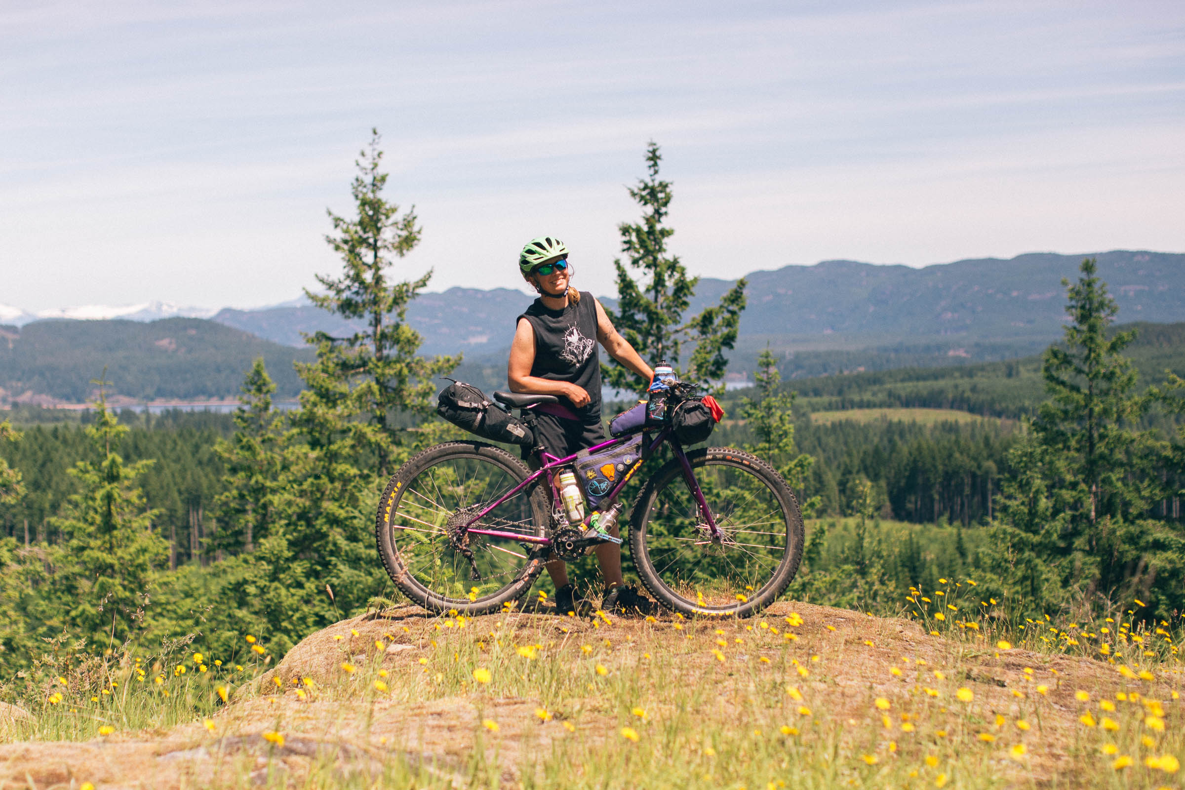
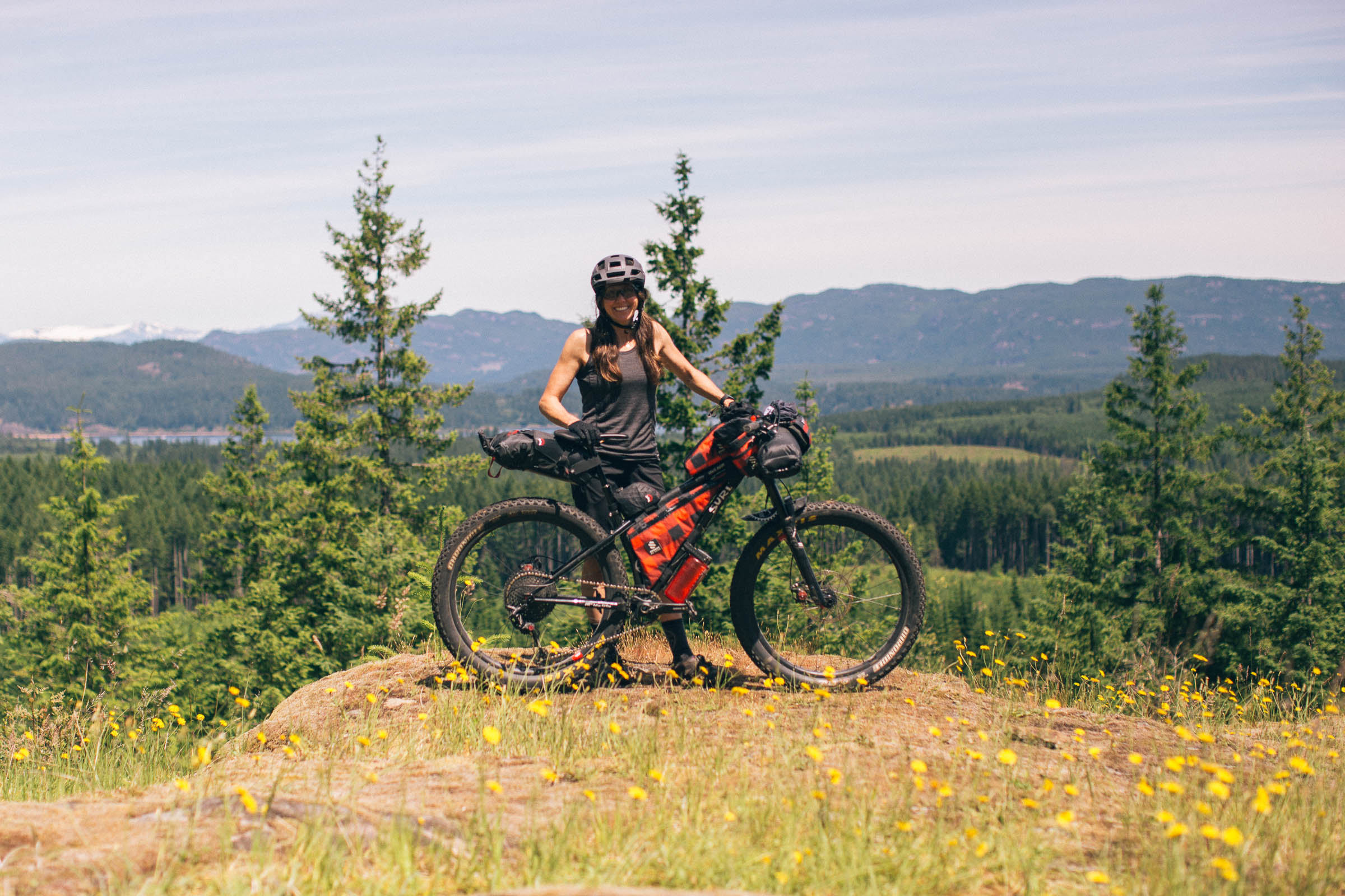
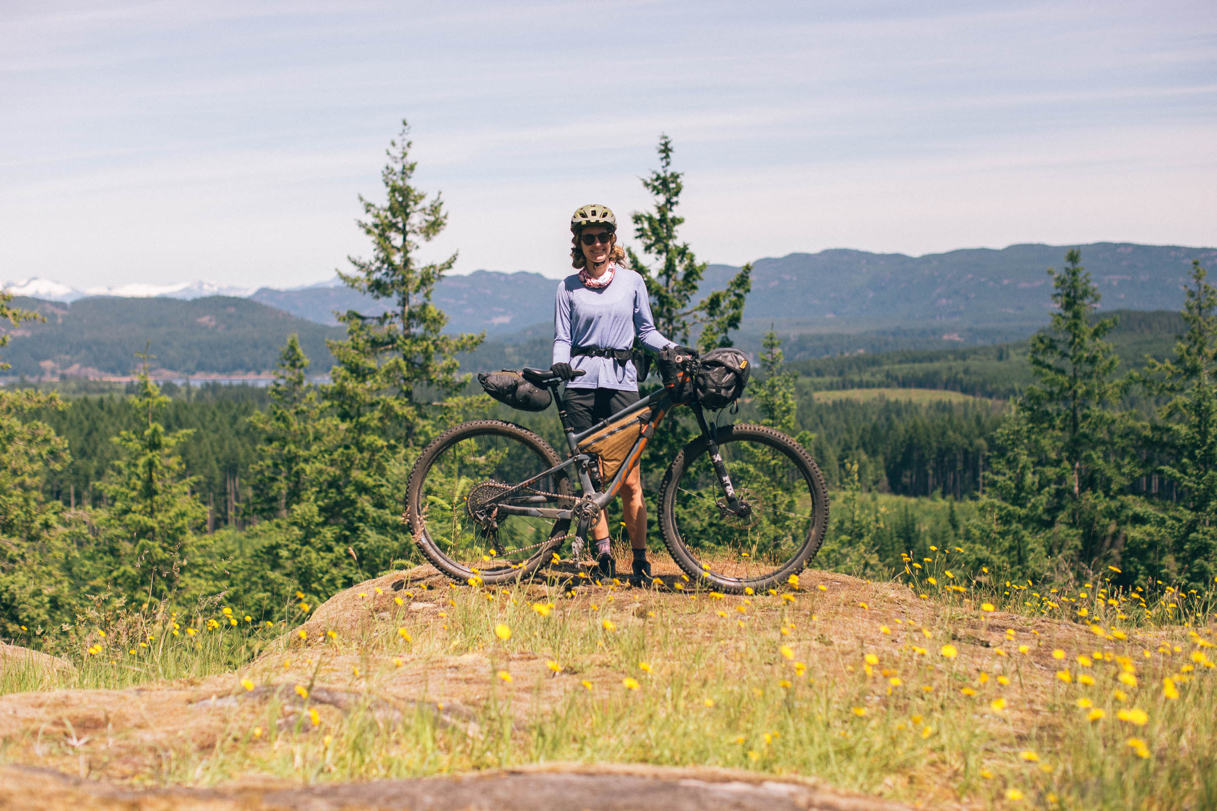
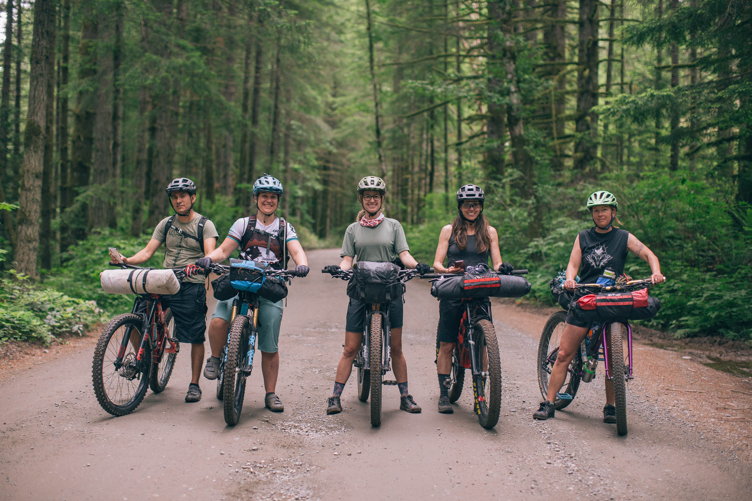
Route Development: Snowden or Dust is designed as a mountain biker’s introduction to bikepacking, with the opportunity to extend the route by incorporating more singletrack within Snowden for those who want it. There are several options to add in more challenging trails, so keep your phone close by and the Trailforks app open. We scouted the route as a group of six, including two experienced mountain bikers (but first-time bikepackers), and the route was designed to offer a little bit of everything. Big thanks go to the River City Cycling Club for trail beta, and to Jackie, Armando, Clare, Natalie, and Emily for joining in on the ride.


Highlights
Must Know
Camping
Food/H2O
Trail Notes
Resources
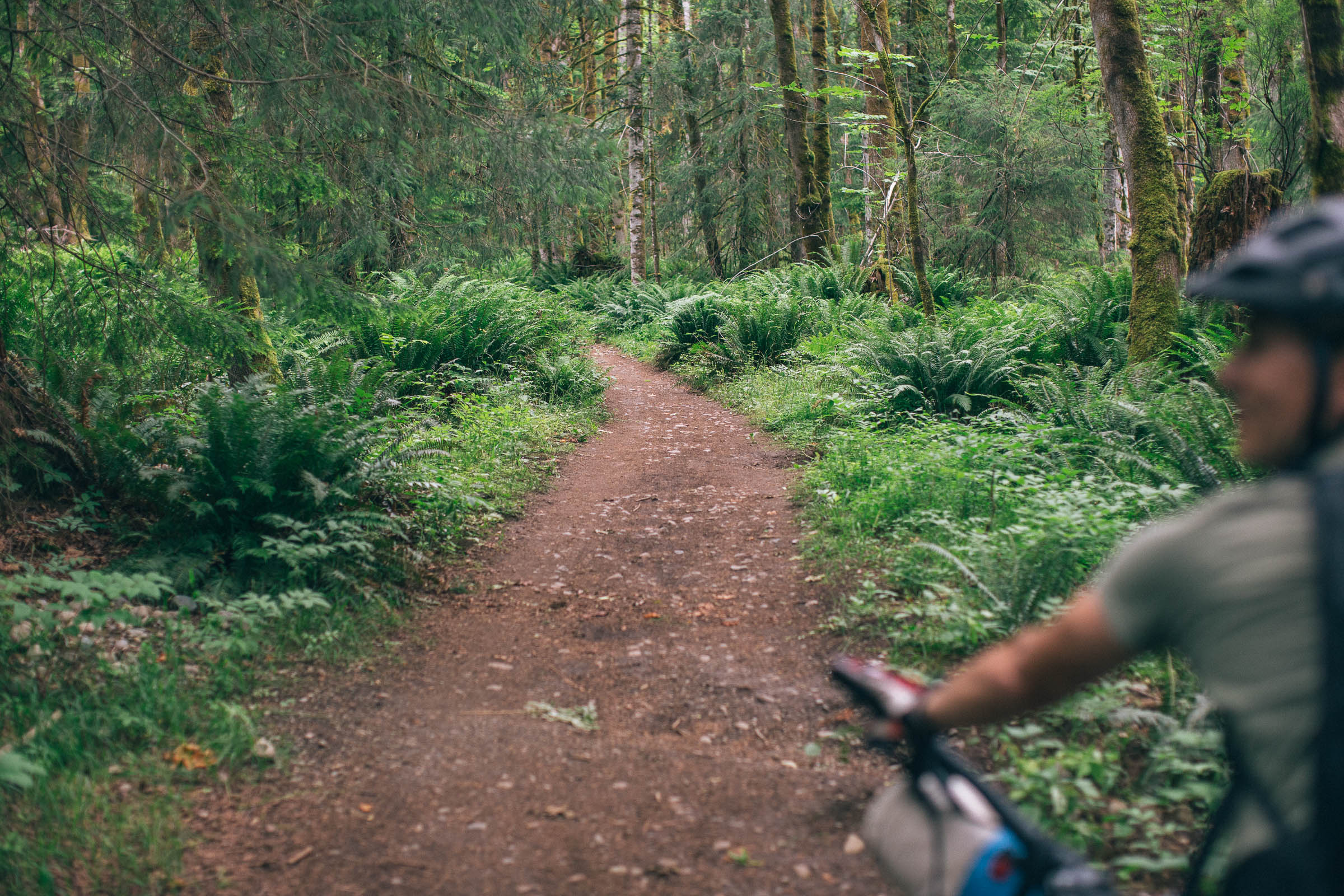
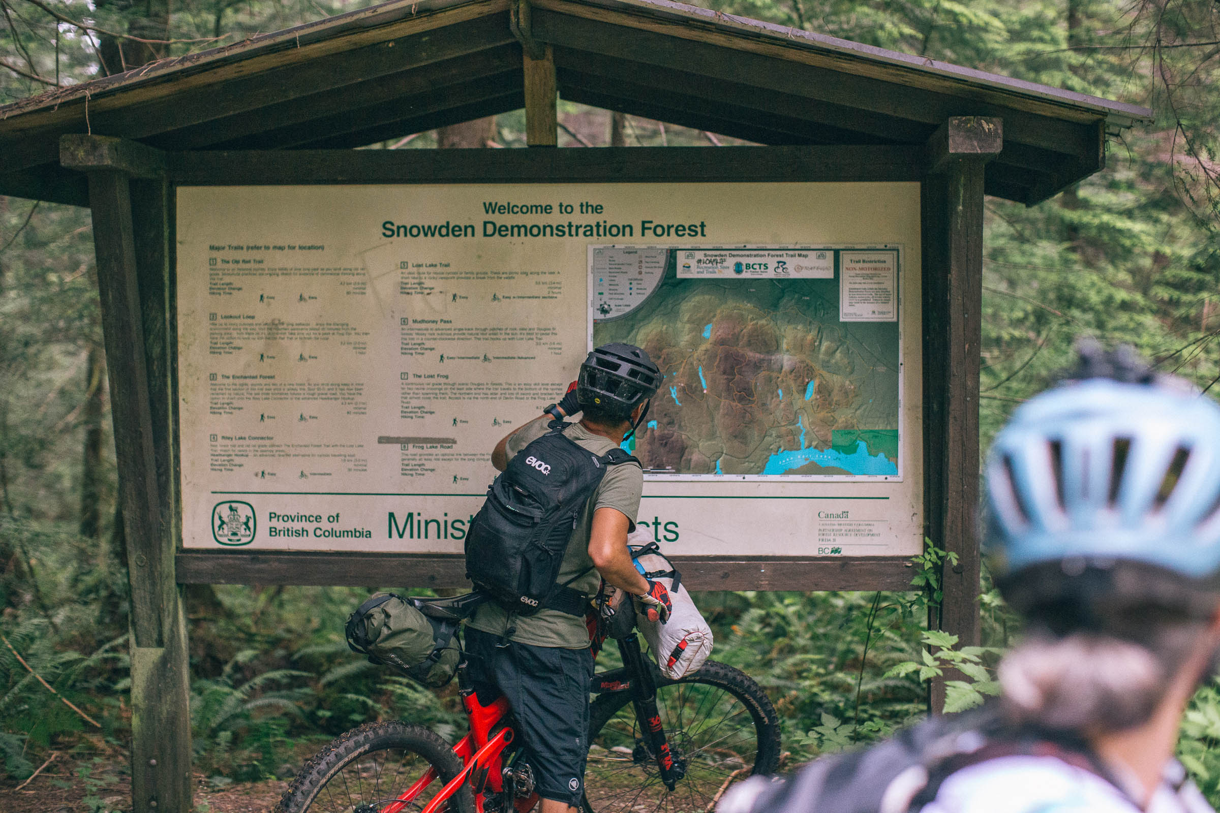
- The Snowden Demonstration Forest features over 100 kilometers of trails. From smooth, flowy singletrack to technical, rocky slabs and rolls.
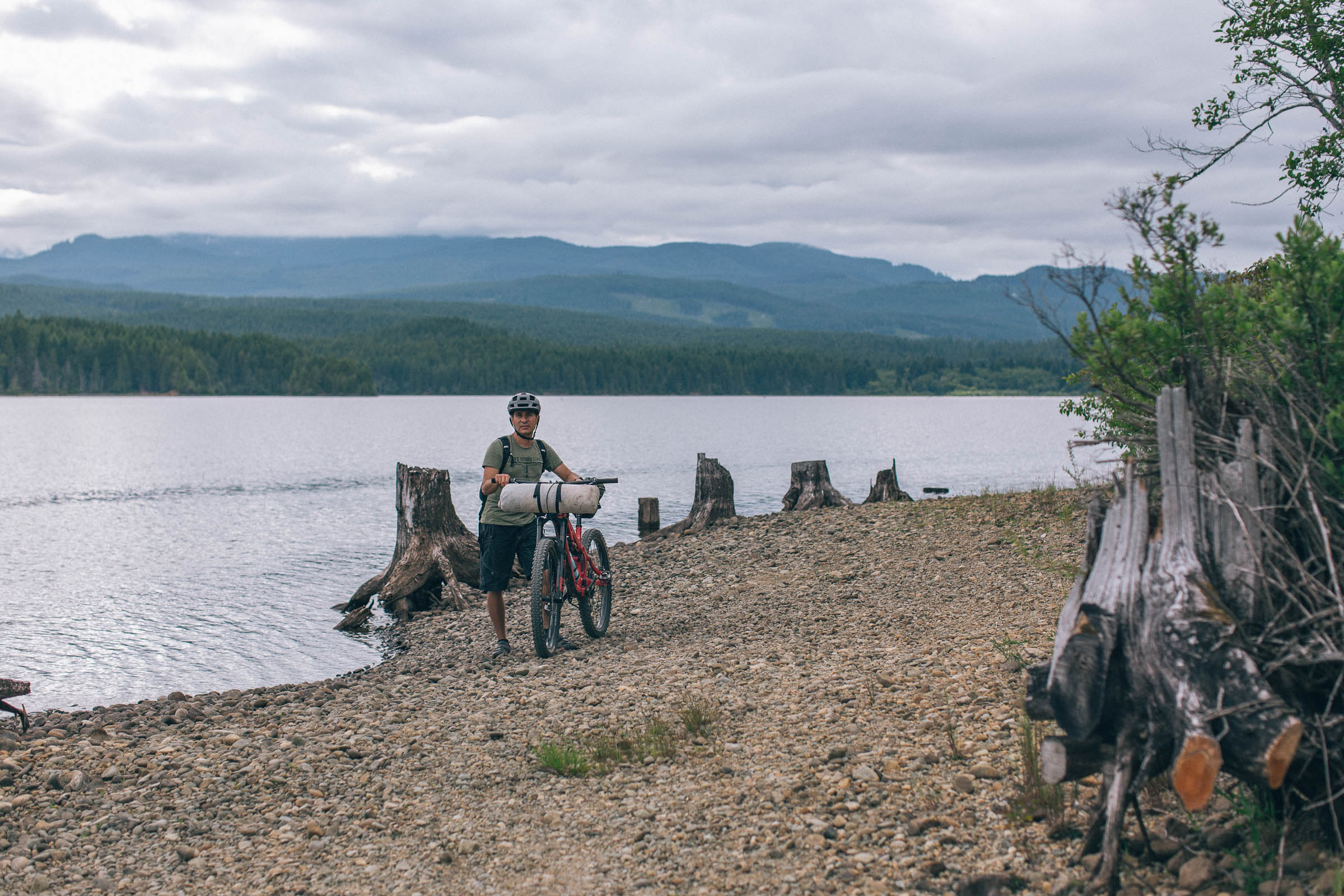
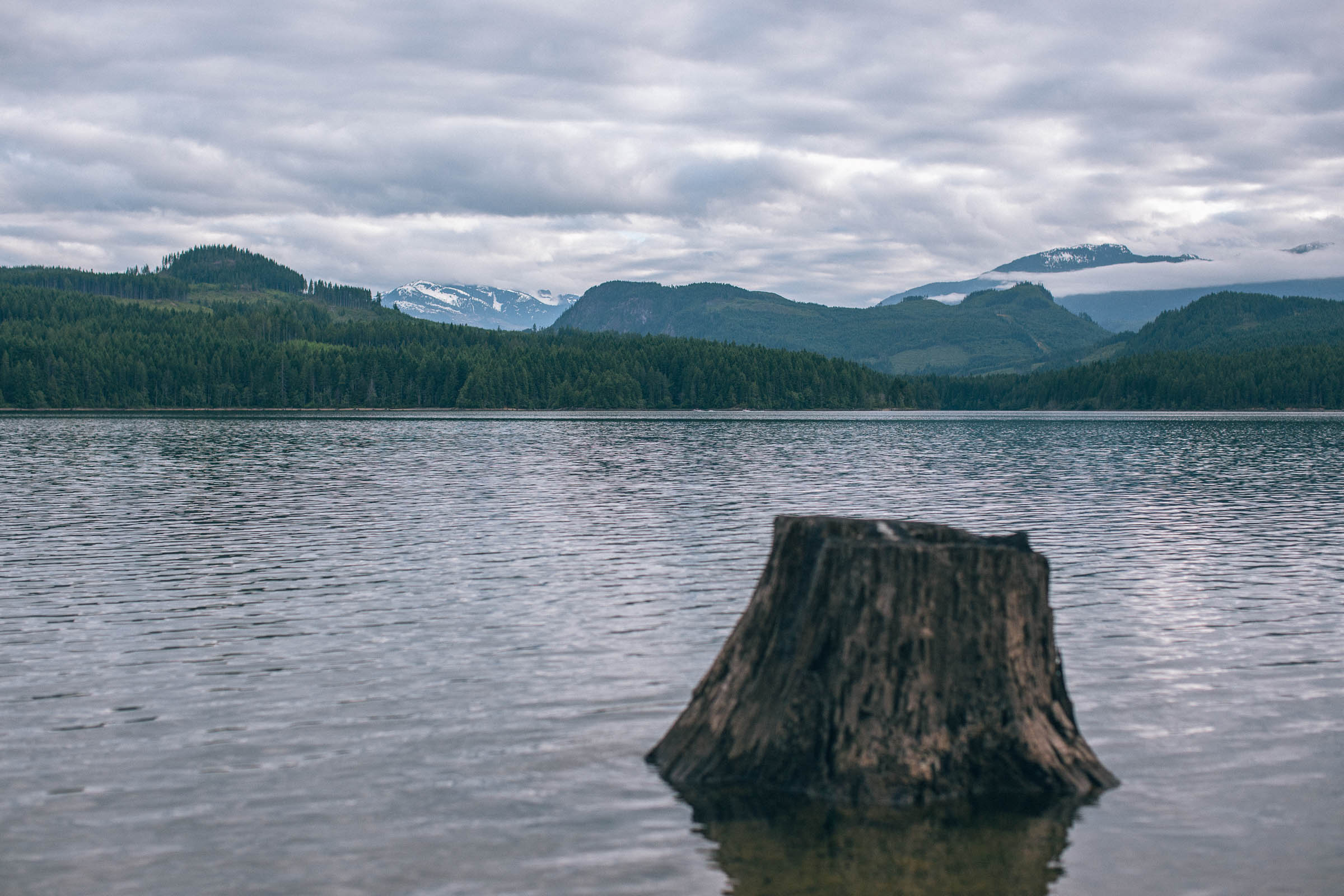
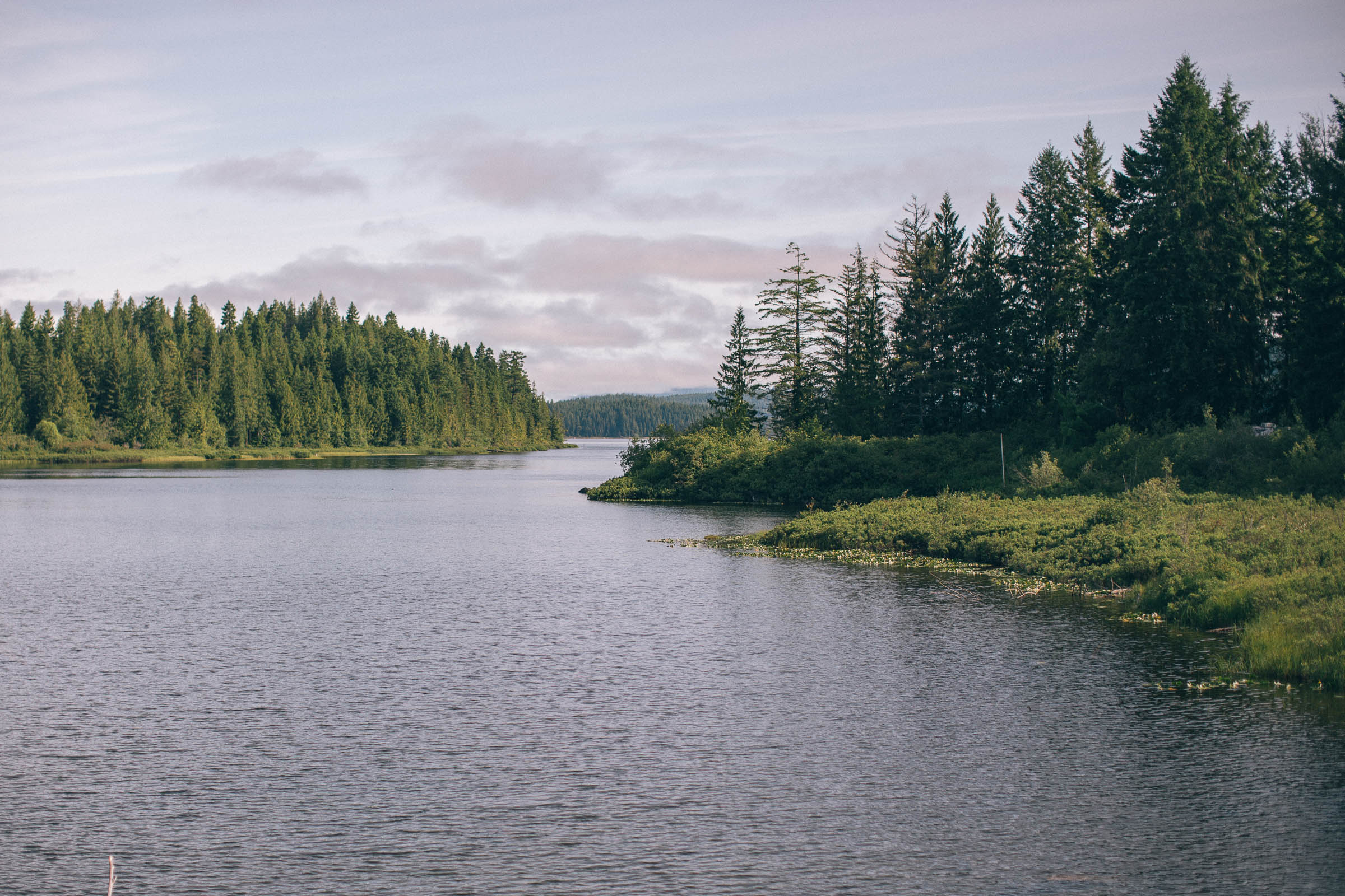
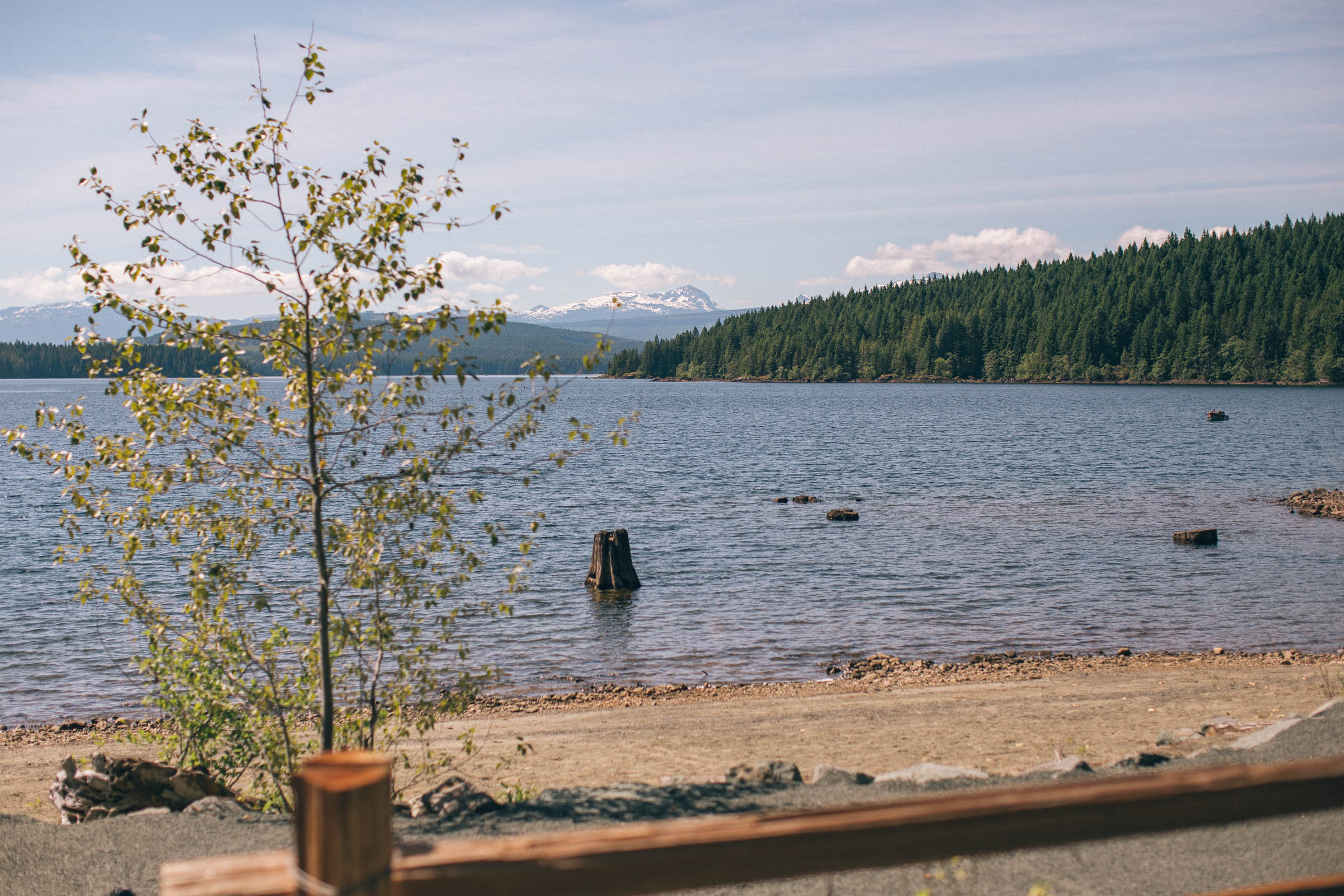
- Campbell Lake and Loveland Bay Provincial Park make for a great natural pause along the route.
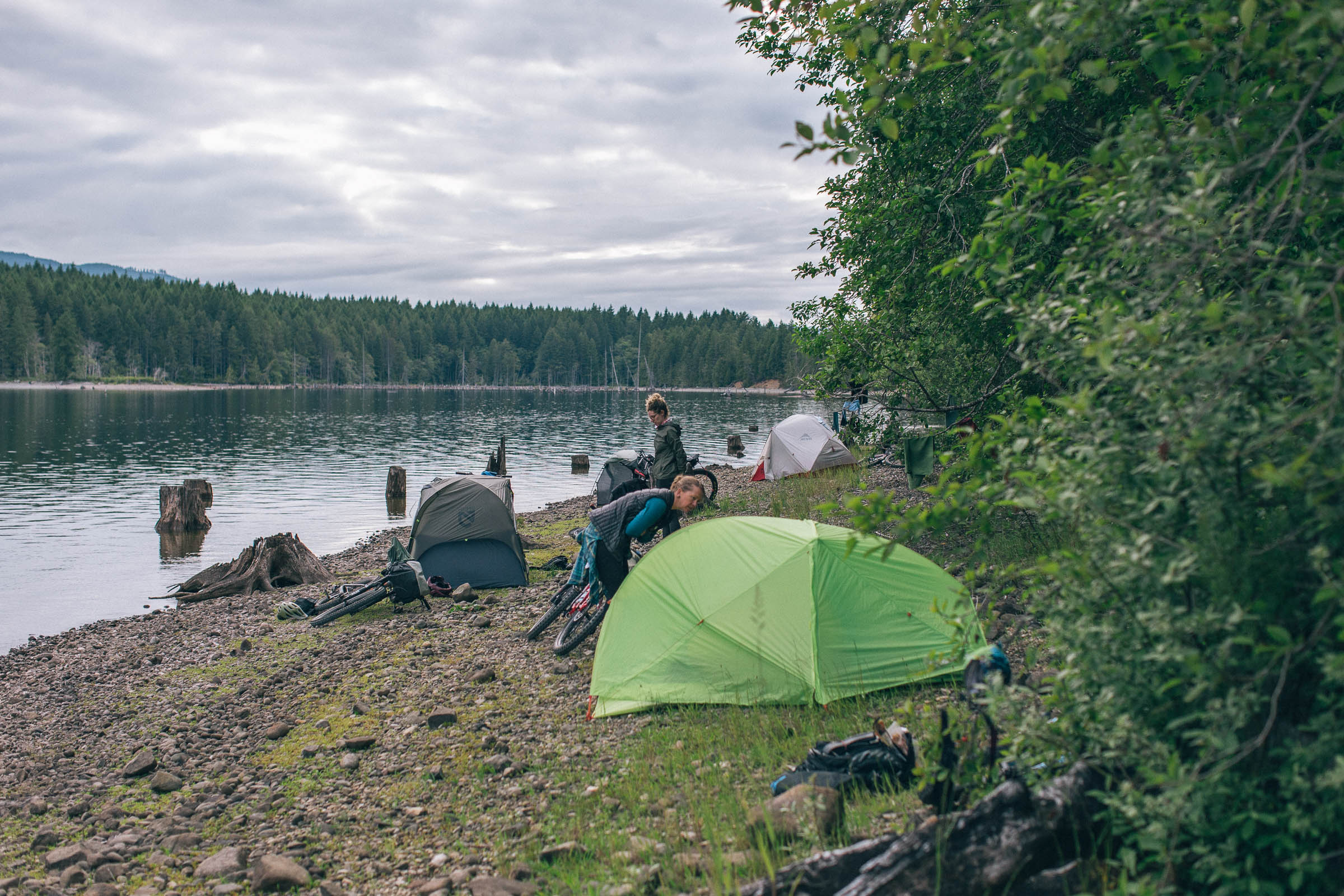
- A nearly limitless supply of lakeside BC Recreation Campsites to choose from.
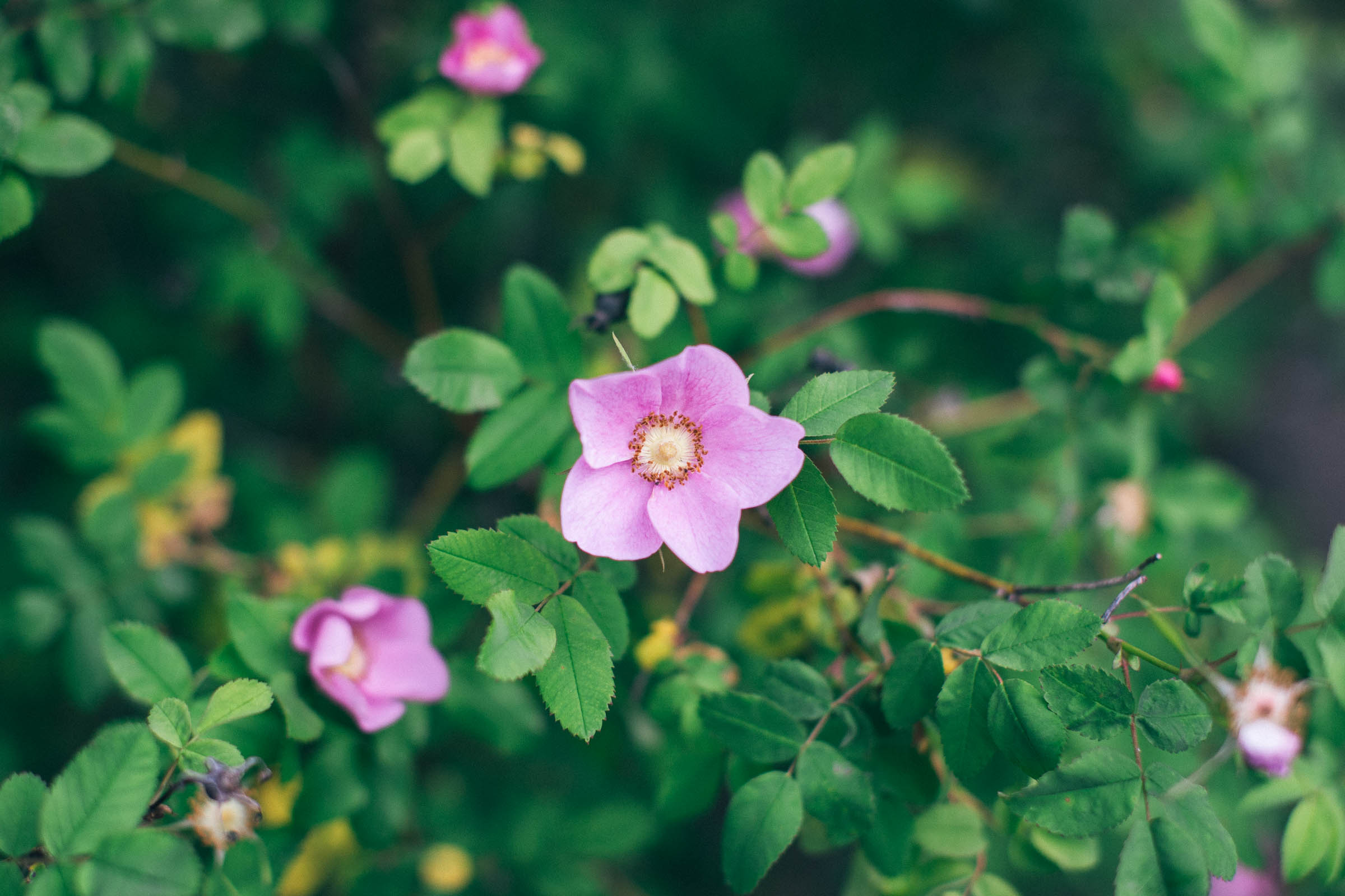
- Lush coastal rainforest, huge ferns, and moss-covered trees.
- Fishing in Campbell Lake for Rainbow Trout (with the proper permit).
- Ideal Bike: A hardtail mountain bike with front suspension and a dropper post is the best tool for the job, although a full-suspension or rigid mountain bike could also work great. This is not a route for gravel bikes.
- When to ride: The route can be ridden almost all year long, besides any winter days with heavy snowfall. We reccomend the summer months to enjoy the beautiful lakes and swimming along the way.
- Getting here: Campbell River is a three-hour drive from Victoria. It can be accessed via the Comox ferry if coming from the Sunshine Coast, and from the mainland using the Horseshoe Bay to Departure Bay ferry. See the Resources tab for the City of Campbell River parking map, which provides some options for overnight parking.
- Route Direction: The route is designed to be ridden as a clockwise loop, due to one-way mountain bike trails and better flow. A handlebar-mounted GPS device or cell phone is reccomended for navigation, as there are lots of small turns and trails that can get confusing.
- Land Acknowledgment: The Snowden or Dust route travels on the unceded traditional territory of the We Wai Kai, Wei Wai Kum, Kwakiutl, K’ómoks, and Coast Salish Nations. Take some time to learn about and respect their people. Head over to the British Columbia Assembly of First Nations website to learn more.
- There are bears and cougars on this route. Make noise and carry bear spray to avoid startling any wildlife. Hang your food at night.
- The route follows mostly blue-rated mountain bike trails, and some decent bike handling skills are required to enjoy the ride. When wet, the roots and rocks along the route will become slick and make for an extra challenging ride.
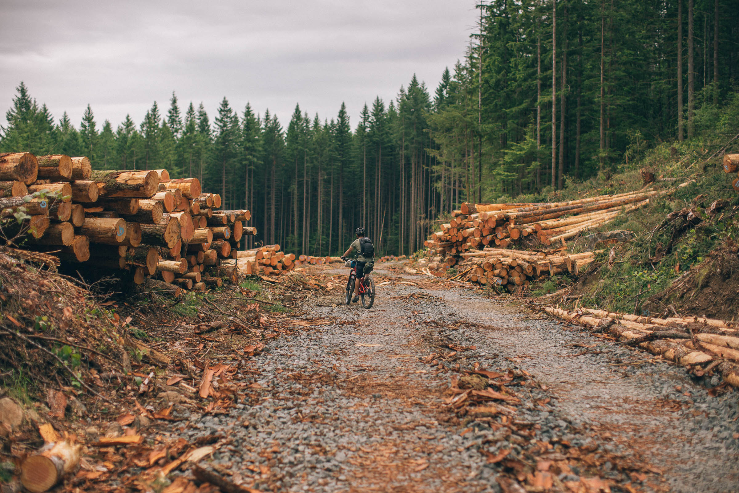
- There is active logging in the area and on some of the roads on the loop. For this reason, riding the route on the weekend is preferred. Some of the haul roads are closed during the weeekdays if crews are working on them. Be prepared to make route adjustments on the fly.
- We strongly reccomend making a donation to the River City Cycling Club, who are the trail stewards for the Snowden Demonstration Forest trails. You can easily do so using Paypal on Trailforks.com.
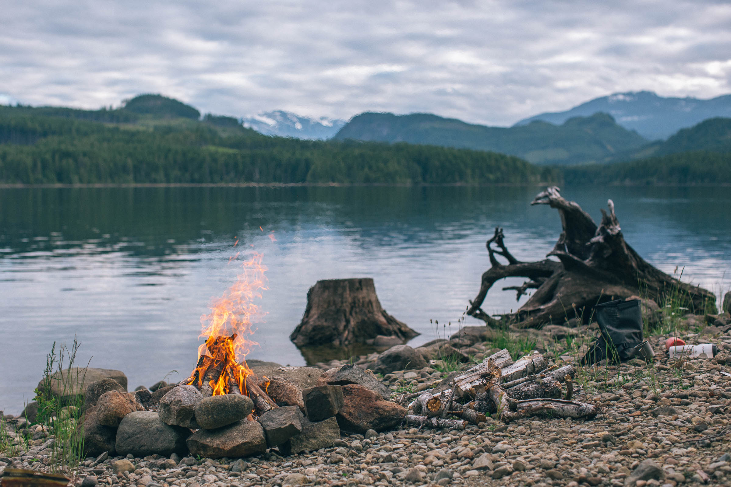
- There are numerous BC Recreation Campsites along the route, the majority of which are cash-only and cost $15 per night. Not all options are listed on the route map, see them all at SitesandTrailsBC.ca.
- Wild camping on BC crown land is permitted in many locations on the west loop of the route, including the north shores of Campbell Lake. Make sure you leave the area how you found it, and remember to leave no trace.
- The Campbell Lake area can get busy on weekends with car campers and RVs, so don’t plan on getting the campsite you want if you’re riding the route in the summer. Be flexible and consider booking a site at Loveland Bay Provincial Park if you’d rather not be searching for campsites.
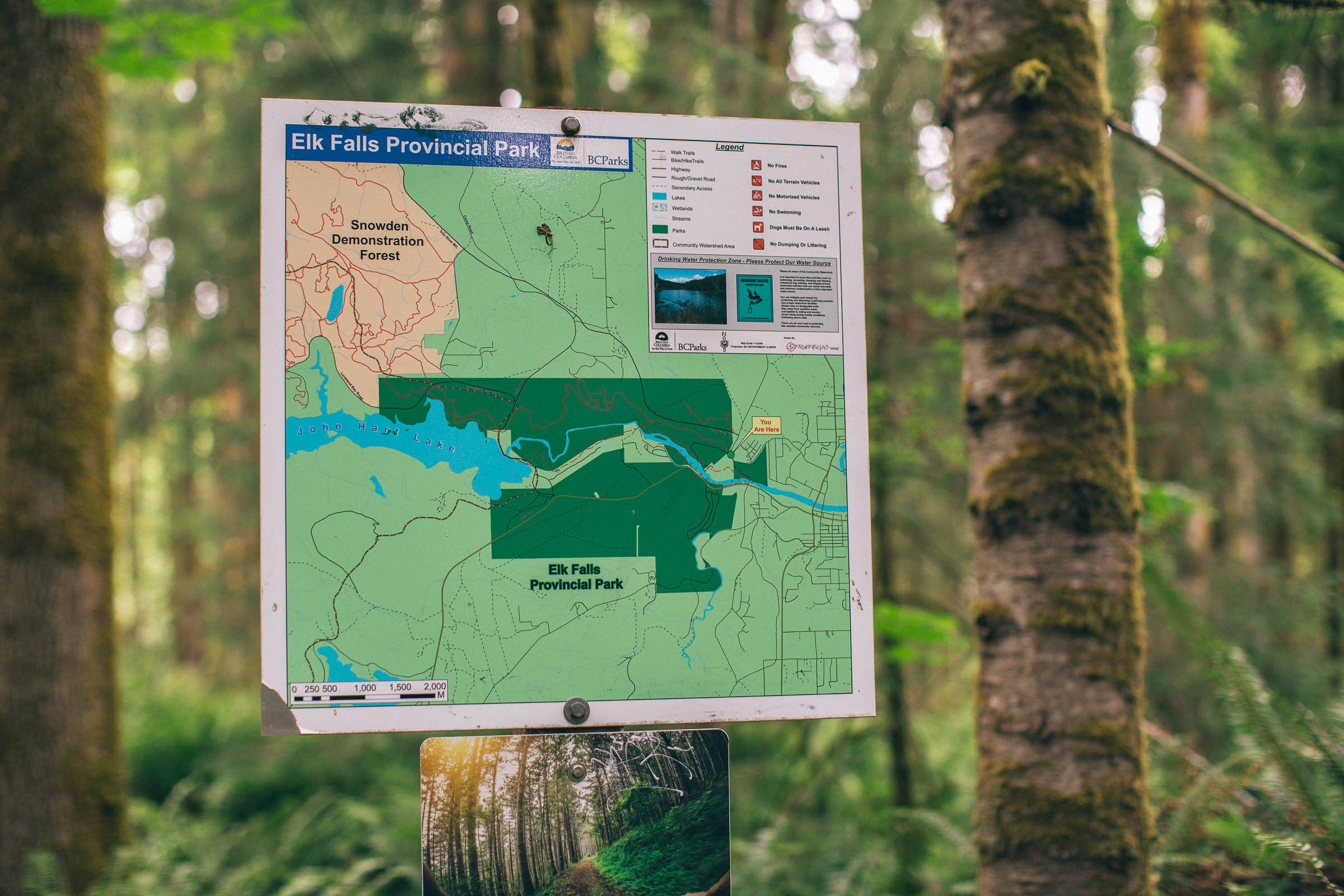
- Elk Falls Provincial Park is also nice, and very popular, and would be an easy spot to stay before or after the ride.
- There is no resupply on the route. Buy and carry the food you need for the entire trip in town.
- Although there are lots of places to filter freshwater on the west loop of the route and at camp, there isn’t much water in the singletrack and Snowden areas. Be prepared to carry 2-3L per person, depending on the time of year and how much water you drink.
- Pack a water filter, purification tablets, or camp stove to purify any water.
- There is a potable water pump by the beach at Loveland Bay Provincial Park.
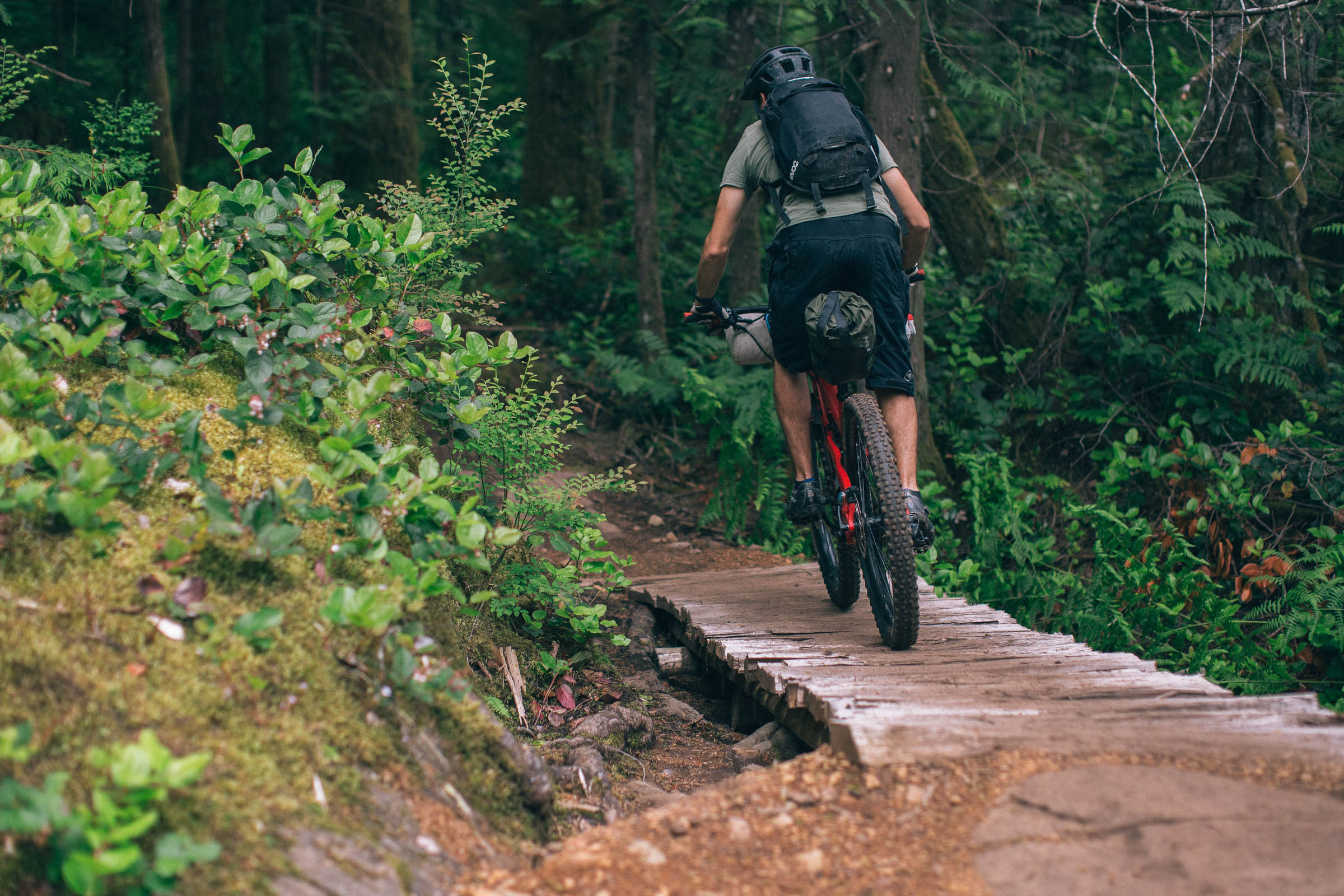
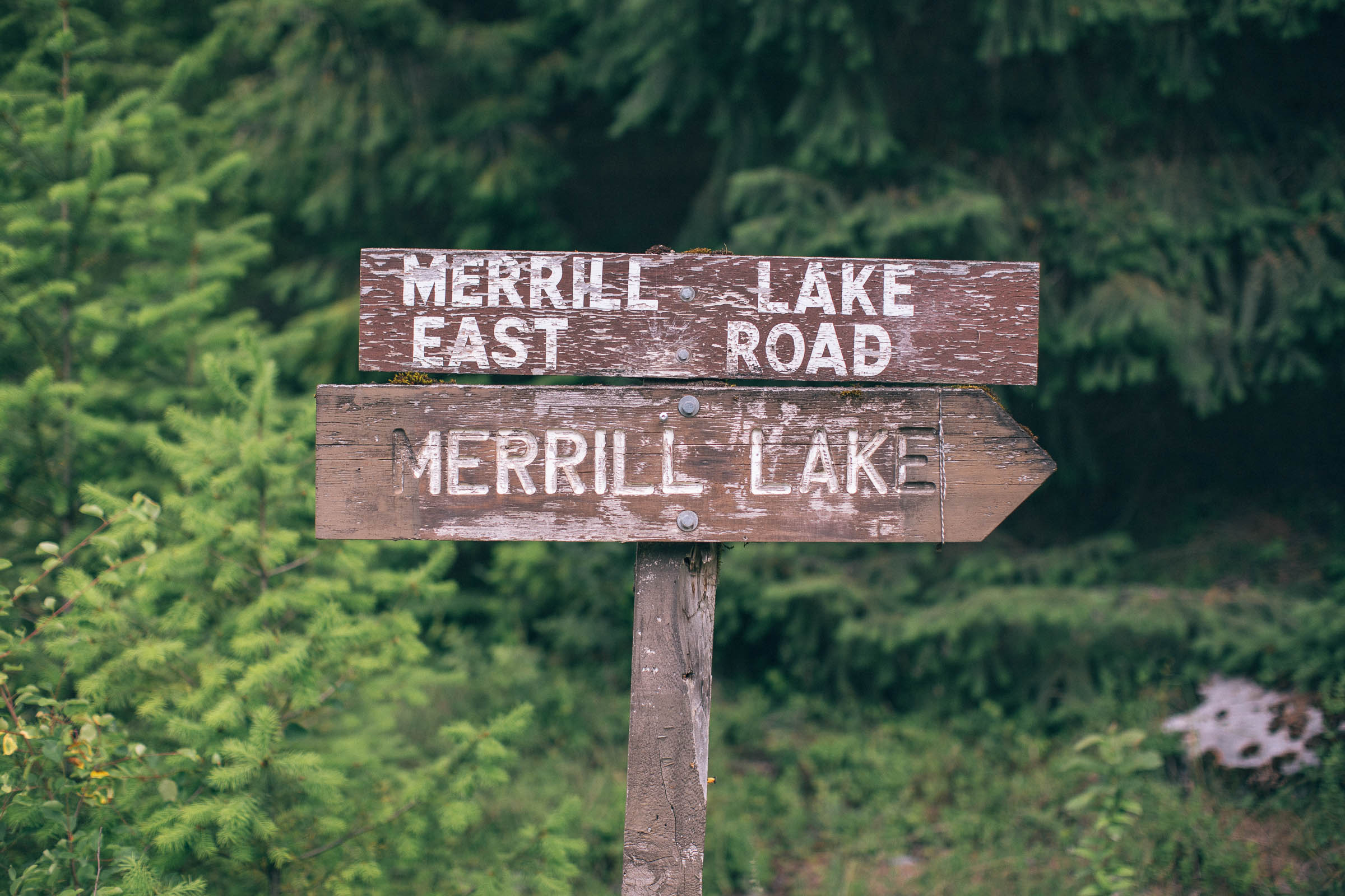
Starting in the northwest corner of Campbell River, the route leaves paved roads behind within the first mile in exchange for the Water Tower Trail and a smooth climb up toward the Ridge Trail and Dean Martin. The trails get progressively more challenging the further you travel into the Snowden Demonstration Forest, which includes a section of Aligator Rock and Lower Deliverance and several others to connect to Lost Lake—a great spot for a quick snack. From there, the singletrack continues along the Riley Lake trail to Gun Barrel (the high point for day one), before a fantastic descent down to Brewster Lake Road and access to Loveland Bay Provincial Park.
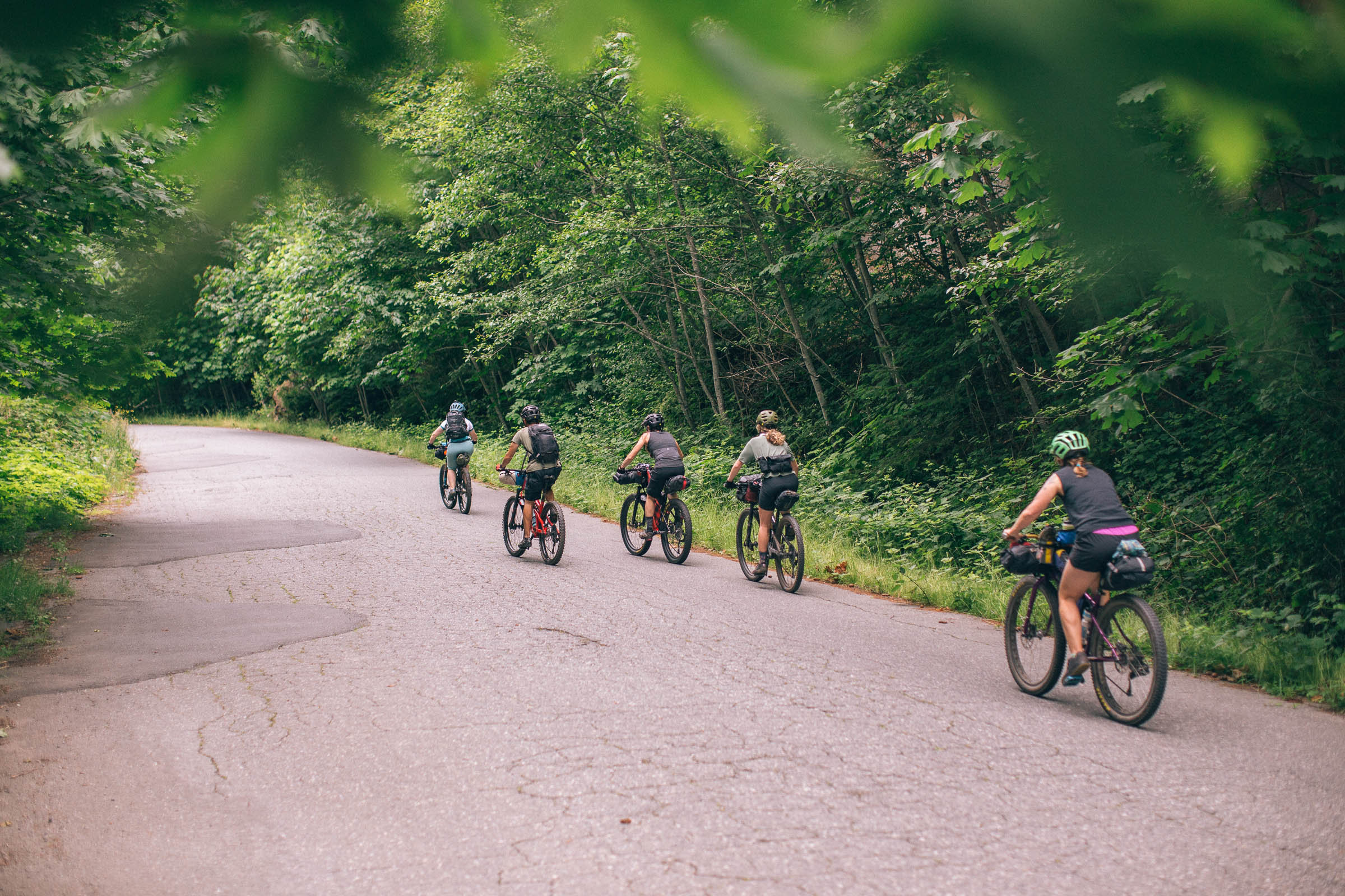
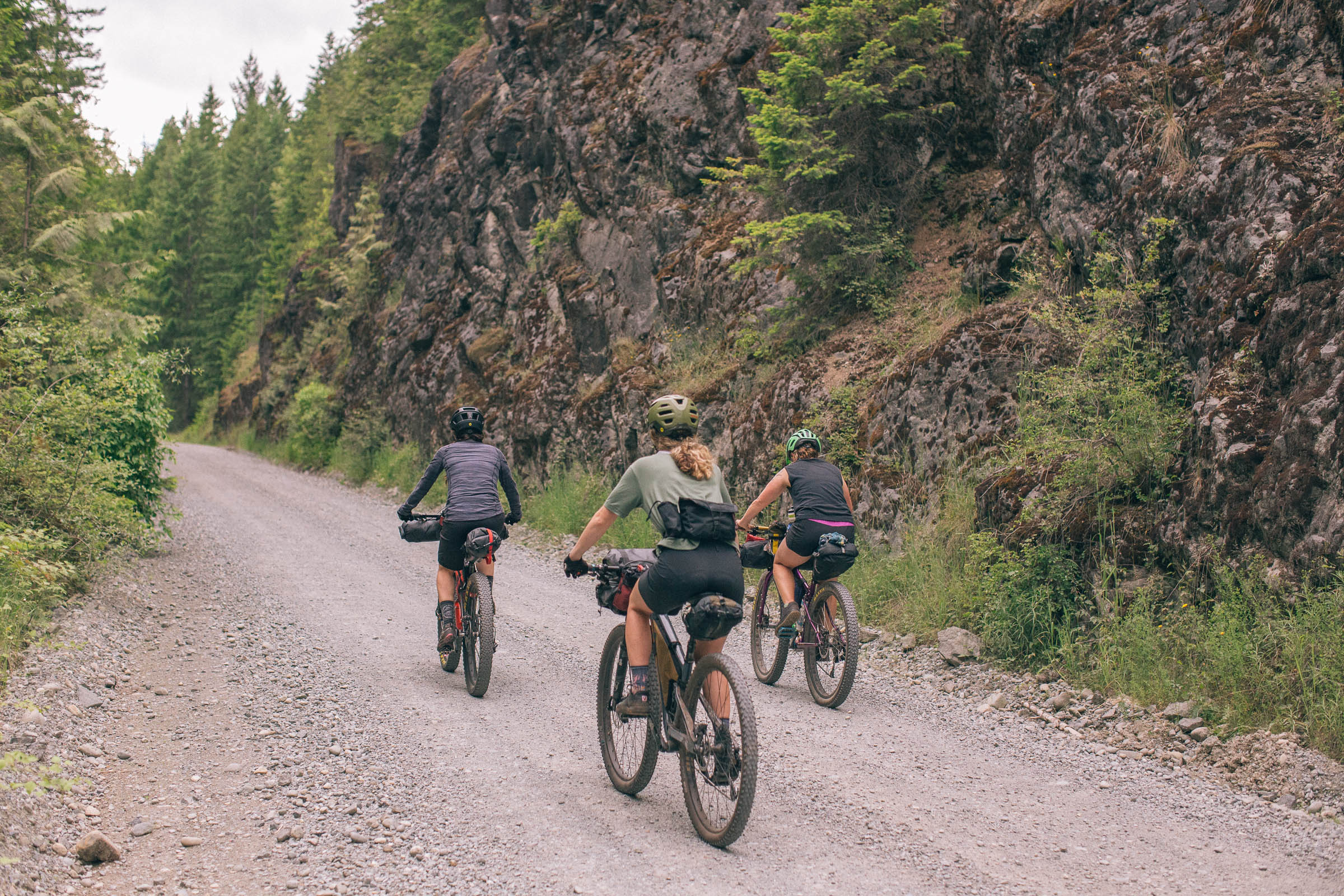
Some may choose to camp at the park for a shorter first day or to extend the route into a two-night trip, but either way, it will be hard to leave the beautiful beach and the views of snowcapped mountains to the south. The next 32 kilometers follow rolling gravel roads that loop clockwise around back to Loveland Bay. The majority of campsites are along this stretch, including a number of BC Recreation Sites along Campbell Lake, on several other smaller lakes, and many that are just a short detour off the main route. Most provide freshwater access, pit toilets, picnic tables, and cost $15 per night (cash only!).
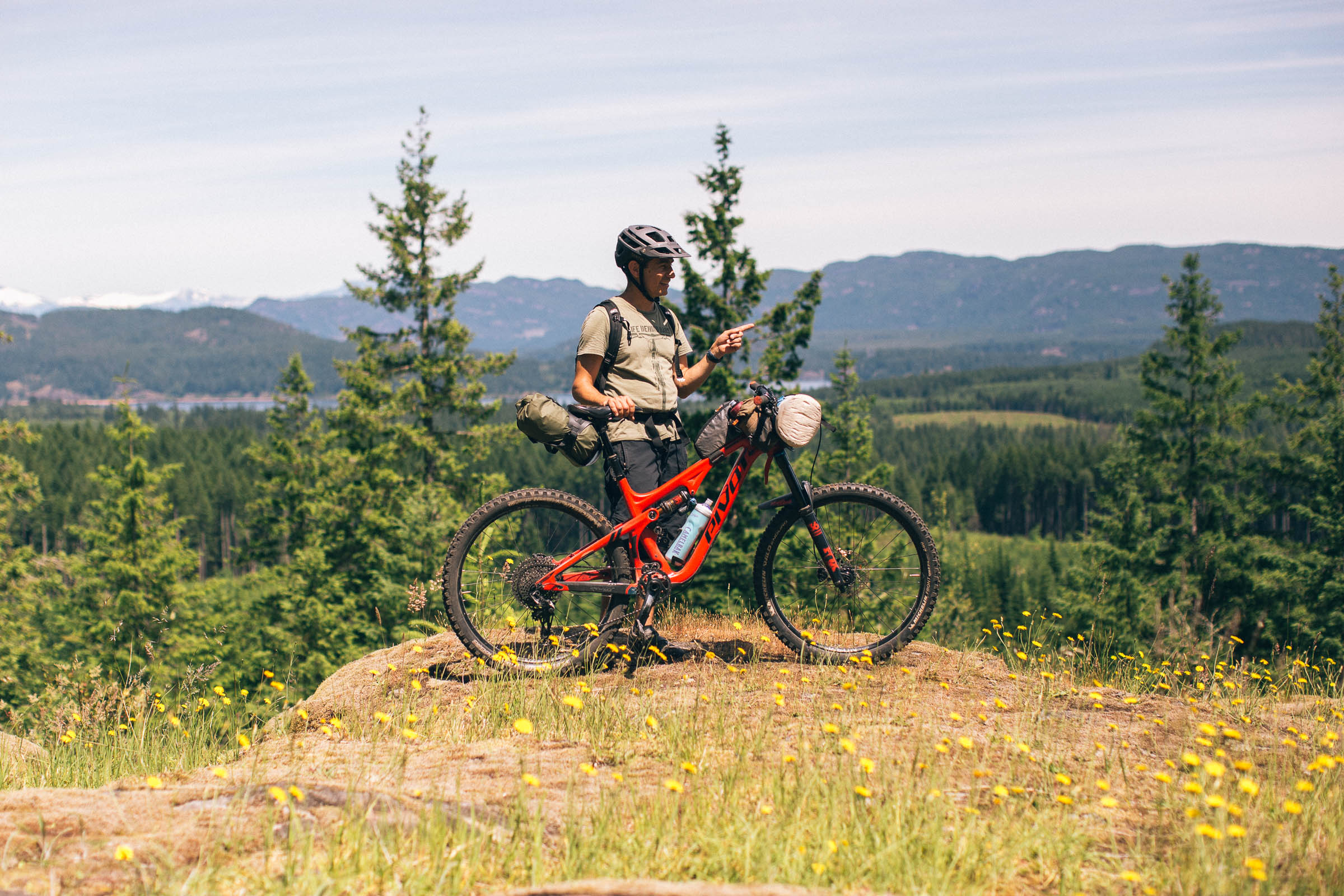
After leaving Loveland Bay for the second time, the route immediately links back up with a great singletrack climb up the Loveland Bay Connector, with access to 10 Licks, 11th Lick, Frog Legs, and Escargot. Compared to the first day, these trails are more rocky and rooty and generally slower going, but they also have some of the best views of the coast and Quadra Island, and follow some unique rocky sections with a few optional rolls for those looking for a challenge. From there, the trail follows the incredibly flowy and scenic Lost Frog trail to a short section of service road that links back up with the beginning of the route. The ride ends with a final descent on the Water Tower Trail that will have you grinning from ear to ear.


Terms of Use: As with each bikepacking route guide published on BIKEPACKING.com, should you choose to cycle this route, do so at your own risk. Prior to setting out check current local weather, conditions, and land/road closures. While riding, obey all public and private land use restrictions and rules, carry proper safety and navigational equipment, and of course, follow the #leavenotrace guidelines. The information found herein is simply a planning resource to be used as a point of inspiration in conjunction with your own due-diligence. In spite of the fact that this route, associated GPS track (GPX and maps), and all route guidelines were prepared under diligent research by the specified contributor and/or contributors, the accuracy of such and judgement of the author is not guaranteed. BIKEPACKING.com LLC, its partners, associates, and contributors are in no way liable for personal injury, damage to personal property, or any other such situation that might happen to individual riders cycling or following this route.
Please keep the conversation civil, constructive, and inclusive, or your comment will be removed.