The Sormland Project
Distance
352 Mi.
(566 KM)Days
6
% Unpaved
65%
% Singletrack
5%
% Rideable (time)
99%
Total Ascent
13,228'
(4,032 M)High Point
385'
(117 M)Difficulty (1-10)
3?
- 2Climbing Scale Easy38 FT/MI (7 M/KM)
- 3Technical Difficulty Fair
- 3Physical Demand Fair
- 3Resupply & Logistics Fair
Contributed By
Michael O'Dwyer
Bikepacking Sweden
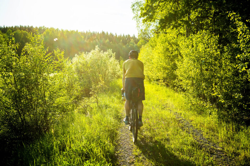
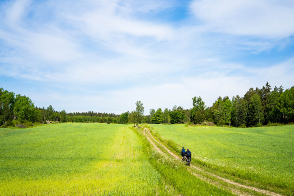
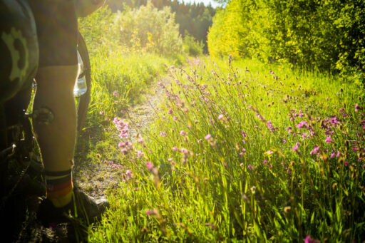
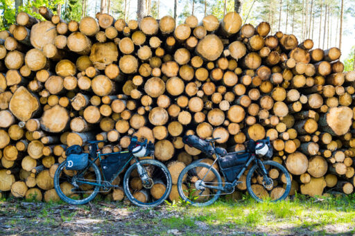
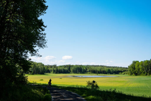
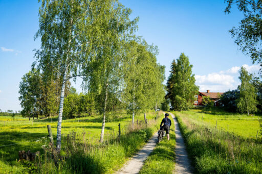
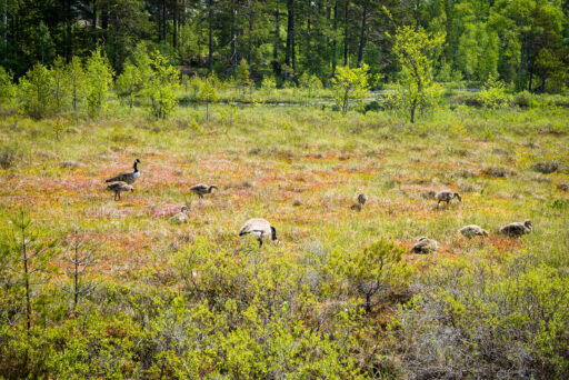
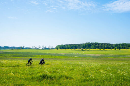
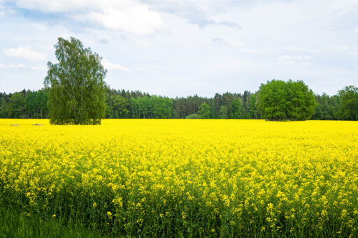
You think you know a place until you jump on your bike and cycle through it. Maps can tell you a lot, but not everything. They won’t show you the vibrant colours of the fields, the rich blueness of the water, or where you’ll see your next bit of wildlife. Södermanland, also known as Sörmland, is one such place that you have to ride to fully understand its beauty. Digital representations just don’t do it justice.
The Sörmland Project is designed to be ridden in a single push in around six days. But for those short on time, the route is also crafted to pass through several train stations along the way, so you can jump on and off the trail as you please. The stations also break the trail into a handful of natural stages. Stage one could be a super short weekend break. Stage two is great for those who want to expand their bikepacking skills. Stage three is for those wanting to put in longer miles. And stage four has a great cultural draw with some of the more advanced riding on the route. See the breakdown of the stages under Trail Notes below.
Route Difficulty
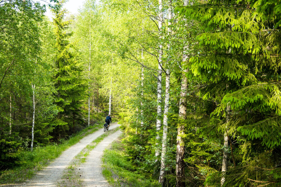
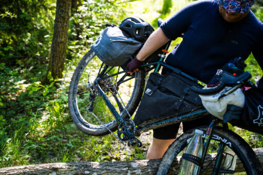
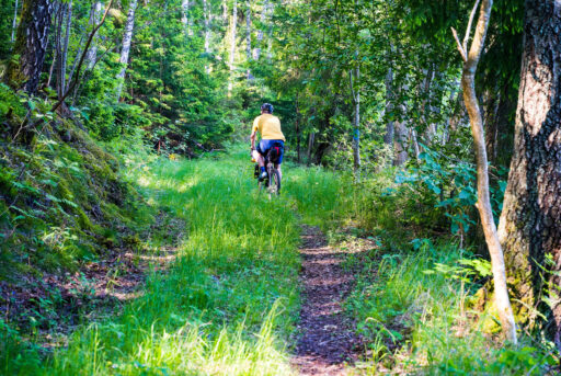
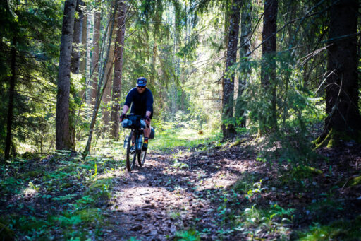
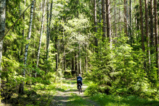
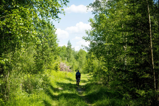
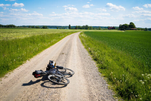
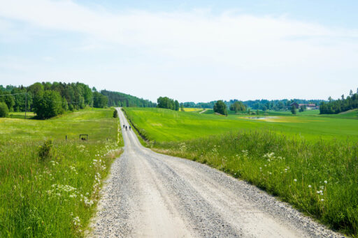
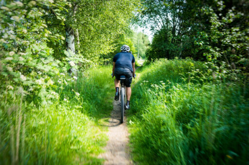
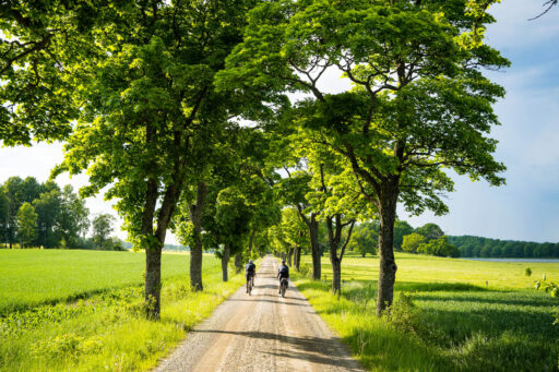
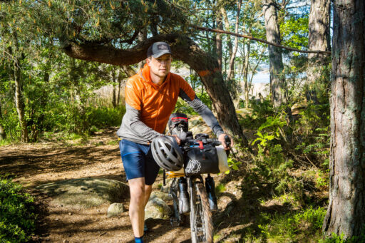
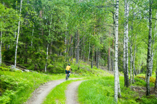
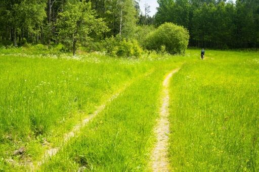
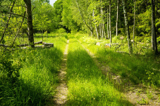
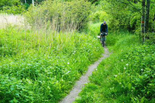
This route is about enjoying the countryside and the culture of the region. It hasn’t been designed to take the most difficult paths. Instead, it takes the most interesting ones. The majority of the riding is on gravel tracks, and there are sections of easy singletrack to mix things up. The gravel riding generally follows roads with gentle grades, but there are sections that are slightly rougher. Expect some rarely used doubletrack farmers’ lanes and some easy singletrack. Although Sörmland is a low-lying county in Sweden and there are no mountains to speak of, there are short steep hills to climb throughout the route. To complete the route in six days, you should be able to comfortably ride 100 kilometres a day.
There are many resupply points, and with the Malärtåget train line regularly criss-crossing the route, a fast route back to the city is never too far away. Apart from the length of the loop, it’s about as easy as it could get for a bikepacking tour.
Route development
COVID-19 was quickly followed by the cost of living crisis, which made international travel difficult for many. For this reason, I decided to explore my own adopted region even further than I already had. Once I began filling in the gaps of the parts of Södermanland where I’d never been, the tour began to design itself.
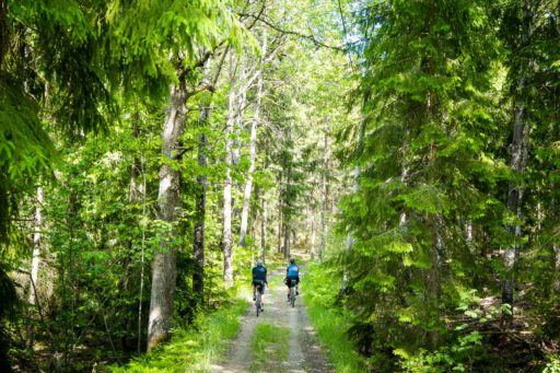
Riding in the wilderness can be awe-inspiring and exhilarating, but hours of travelling through the same forest (more than possible in this part of Sweden) can get a little monotonous. So, when designing this route, the idea of combining more remote forested parts of eastern Sweden with coastal stretches and small urban areas with interesting histories took form. The route follows the forest line around the county, much like the famous Sörmlandsleden hiking trail, and only takes you through the more open farmland via asphalt roads when there is no alternative. One of these parts is when the tour heads towards the village of Trosa, similar to the Swedish Safari 300, which was previously published here on BIKEPACKING.com.
Submit Route Alert
As the leading creator and publisher of bikepacking routes, BIKEPACKING.com endeavors to maintain, improve, and advocate for our growing network of bikepacking routes all over the world. As such, our editorial team, route creators, and Route Stewards serve as mediators for route improvements and opportunities for connectivity, conservation, and community growth around these routes. To facilitate these efforts, we rely on our Bikepacking Collective and the greater bikepacking community to call attention to critical issues and opportunities that are discovered while riding these routes. If you have a vital issue or opportunity regarding this route that pertains to one of the subjects below, please let us know:
Highlights
Must Know
Camping
Food/H2O
Trail Notes
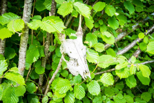
- Looking for signs of wolves in the remote forest of north Sörmland.
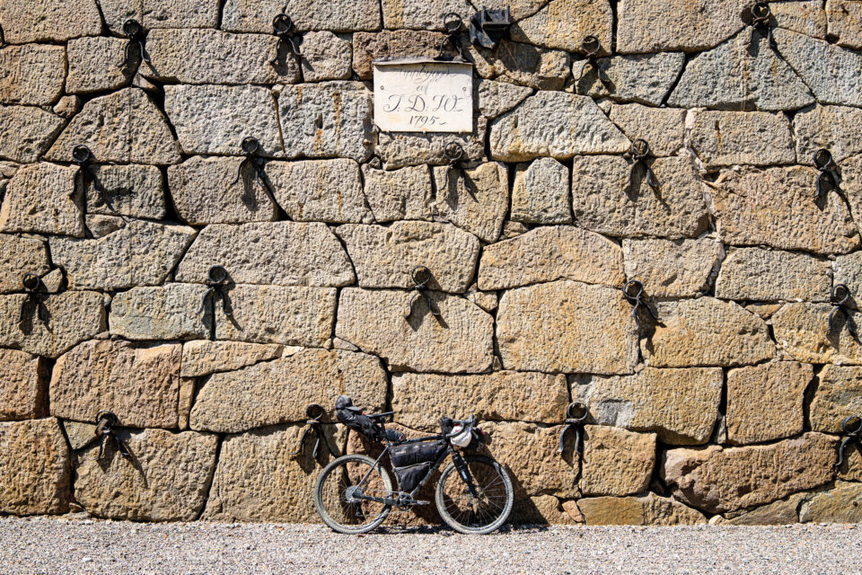
- Explore Forsbloms vintage bike shop in Åkers styckebruk. More here.
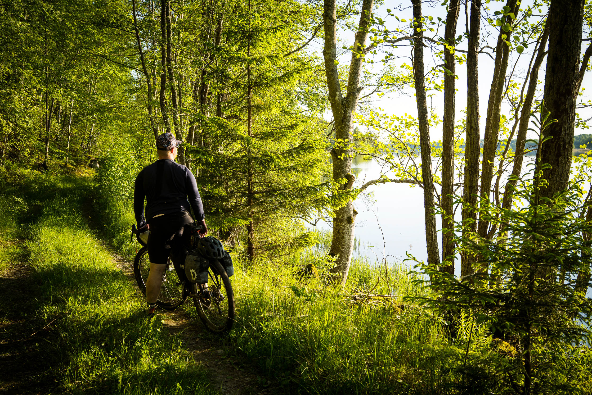
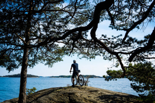
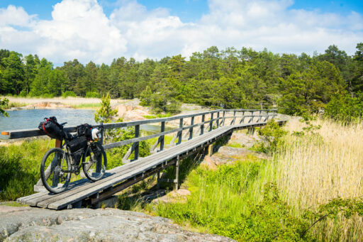
- Riding the singletrack along the water at Hedlandet.
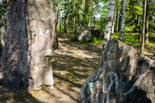
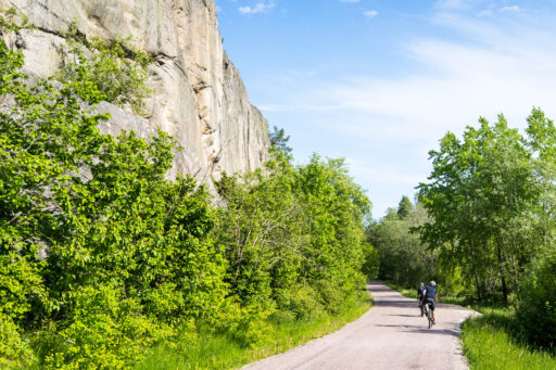
- Enjoying the art and views at Forsby-Köping quarry.
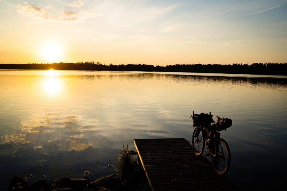
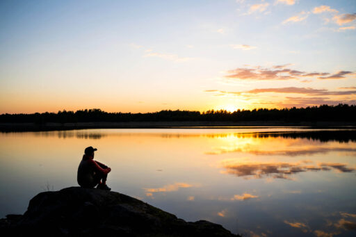
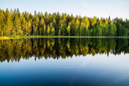
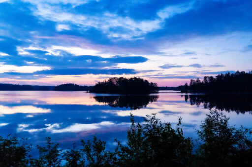
- Swimming in the perfect Swedish lakes, especially Myr-Grytan between Katrineholm and Malmköping.
- Visiting the picturesque villages of Malmköping and Trosa.
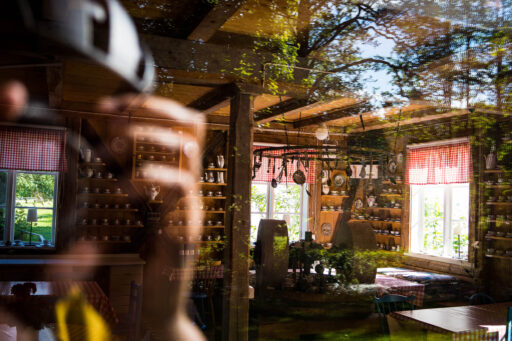
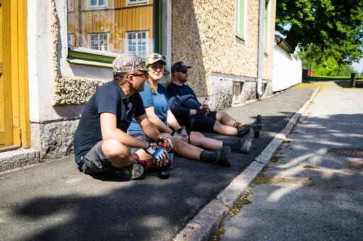
- Having fika in a typical Swedish cafe such as Sigurdlunds and Skottsvang gruva.
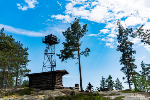
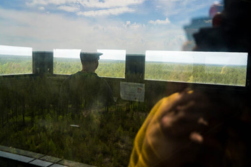
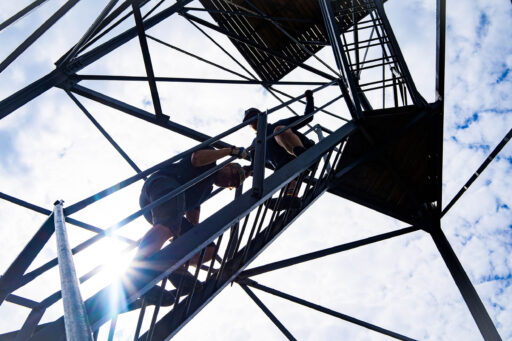
- Climbing the iron St Bengtsberget fire watch tower.
- Visiting the small island of Skäret outside of Nävekvarn.
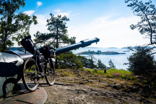
- Exploring the abandoned guns at Femörefortet, Oxelösund.
- Visiting the old fishing village and suspension bridges at Stendörren nature reserve.
- Admiring the beautifully preserved Nynäs castle.
- The best time to ride this route is from late May (after the spring snow has melted) until late October (when winter can return at any given time).
- From June until August, expect varying levels of mosquitos.
- The hunting season starts at the end of August, so wear bright colours if you are riding after that.
- English is widely spoken in Sweden.
- It’s easier to pay with bank cards in stores and cafes as opposed to cash.
- The Sörmland Project passes by eight train stations along the way, so the route can be nearly considered a hop-on, hop-off tour.
- Although the trains are not always on the same lines, all trains allow you to roll on your bike and pass through Stockholm city.
- The tour also passes very close to Skavsta International Airport, so it may be possible to find a connection if traveling from afar.
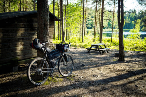
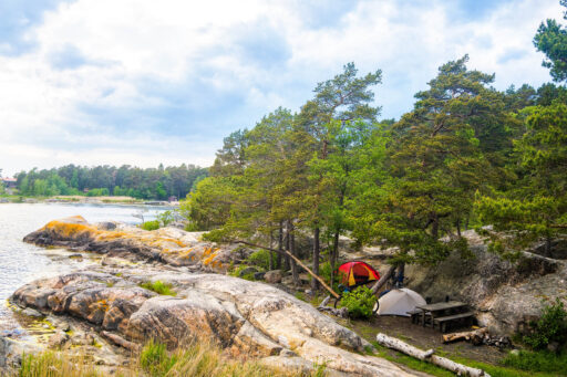
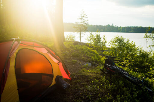
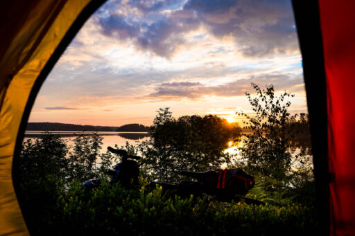
- Wild camping in the forest is about as Swedish as it gets. This is helped by the Allemansrätt law, actually a collection of by-laws, that gives you the right to roam throughout the countryside and camp almost wherever you like for one night.
- Some rules apply, and camping in Stendörren and Prins Alexanders Nature Reserves is forbidden. Learn more here.
- For those who don’t want to camp, it would be possible to stay in accommodation every night of the tour. Gnesta, Eskilstuna, Vingåker, Katrineholm, Malmöping, Nyköping, and Trosa all have lodging options.
- There are also multiple small guesthouses to be found along the way.
- The trail passes through multiple towns and villages, so resupplying is straightforward and possible on every day of the tour.
- Water can be bought in supermarkets, but I prefer to filter from the lakes and rivers.
- If you are going to filter, don’t forget to bring the correct kit in order to backwash your filter, as there can be lots of algae in the water during the summer months.
- The art of having fika (coffee and cakes) is a treasured part of Swedish culture. Days out in the forest and long bicycle rides are often designed around where you can fika.
- Some of the favourite cafes on this tour are Sigridslunds Café after Malmköping, Fröken Larssons’ Café in Hälleforsnäs, Skottvångs gruva just before Åkers styckebruk, and Skärgårdsvåfflan on the Femörefortet Peninsula. All are well worth a stop.
location Stage 1: 81 Kilometers / + 747 meters
Gnesta to Eskilstuna
Train transport: Pendeltåg and Mälartåget in Gnesta. Mälartåg in Eskilstuna.
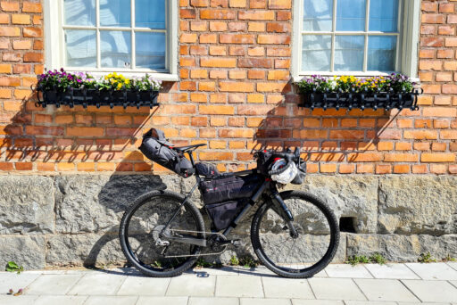
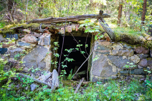
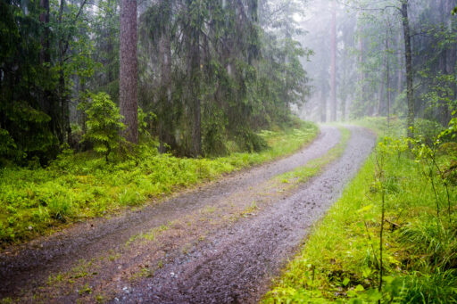
Starting in Gnesta, the gateway to wild Sörmland, great gravel riding through rolling hills and deep forest await you. The route begins with long forest sections before you pass by the old mining centre of Skottvångs gruva, with its small museum and summer restaurant. Then it’s on to Åkers styckebruk, where there are more mining monuments and buildings. It is also the location of the rather excellent steel frame bicycle store. Forsbloms Hunting and Cycling store can be found on the west side of the river halfway up the short hill. From here, more excellent gravel riding leads you over to the long asphalt cycle lane to Eskilstuna. This converted old railway line ensures you have an easy finish to the first stage of the Sörmland Project. For those wanting to shorten the day, there is a great but often busy camping area just after Skottvångs gruva down at the Marvikarnas waterway in the nature reserve.
location Stage 2: 112 Kilometers / + 978 meters
Eskilstuna to Katrineholm
Train transport: Mälartåg stops in both Eskilstuna and Katrineholm. ( two different lines )
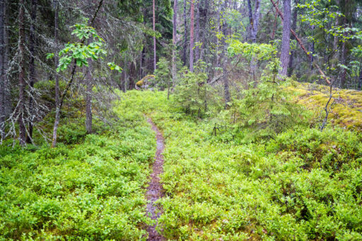
From Eskilstuna, you’ll enjoy easy singletrack forest sections in Vilsta forest before 10 kilometres of road leading you to Hedlandet. Once you turn off the road, the adventure begins, with excellent gravel and easy singletrack riding all the way to Fiskeboda.
For those planning to ride the route over six days, the camping marked on the map, 20 kilometres after Eskilstuna, is an ideal place to pitch your tent. It’s 100 kilometres from Gnesta to this small camping spot along the Närsjöfjärden shoreline.
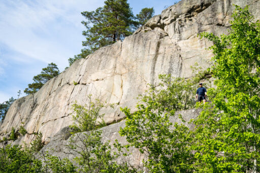
Fiskeboda is the halfway point of this section, so it could be an ideal place to camp (paying campsite) for those wanting to ride an (excellent) overnight tour from Eskilstuna to Katrineholm. Shortly after Fiskeboda, you can take a slight detour to a viewpoint over the huge Forsby-Köping quarry. It’s worth the climb on easy gravel to check it out. The resting area at the top of the hill has some interesting art to check out and panoramic views. From the quarry, the track is mostly car-grade gravel through a mix of forest and open farmland. You’ll pass through Vingåker before arriving at Katrineholm.
location Stage 3: 220 Kilometers / + 1811 meters
Katrineholm to Oxelösund
Train transport: Mälartåg stops in both Katrineholm and Nyköping (two different lines)
This is a long stage divided into three distinct sections. The first section is from Katrineholm to Malmköping, which consists mostly of remote forest gravel riding. This 72-kilometre section is another highlight of the tour and is worth the train ride to Katrineholm on its own.
For those planning on riding the route in six days, there’s a perfect camping spot at Myr-Gyrten Lake, halfway along this stage. From Närsjöfjärden to Myr-Gyrten is 114 kilometres.
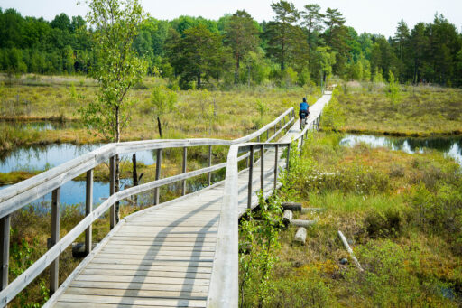
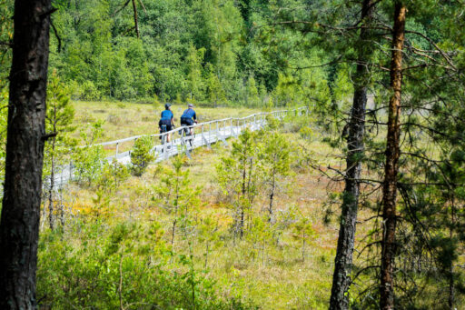
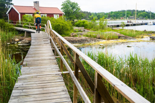
The riding around Hälleforsnäs is particularly memorable, with the trail taking you on wooden walkways across Bruksdammen Lake and a chance to enjoy excellent pizza at Femhundragrader restaurant.
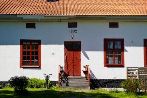
The second section is Malmköping to Jönåkers, which is mostly asphalt road (78 kilometres). The large lakes of Sörmland funnel us into using the only roads heading north to south, so we don’t really have an option here. But the roads are a quiet, scenic, and relaxing way to take us to the next section. Next is the beautiful Sigridslunds Café. Not only is it worth stopping for fika here, but it’s also worth exploring the former school building to see how the Swedish schools looked during bygone days.
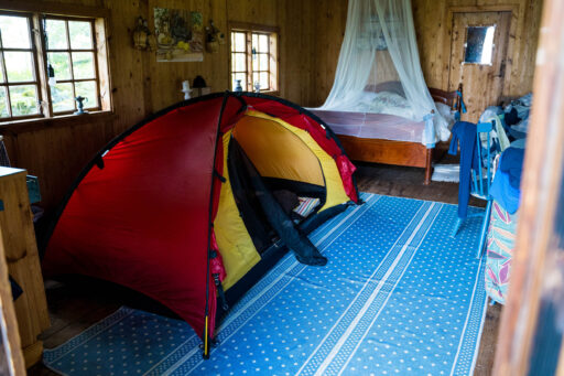
Ninety-five kilometres from Myr-Gyrten is the Herrgård of Rosenhanska, where we paid to spend a night in one of their cabins. Another option could be Baggetorps Hostel on the southern shoreline of Båven Lake.
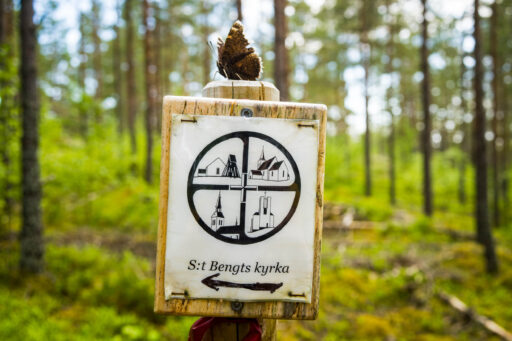
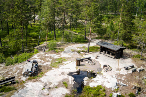
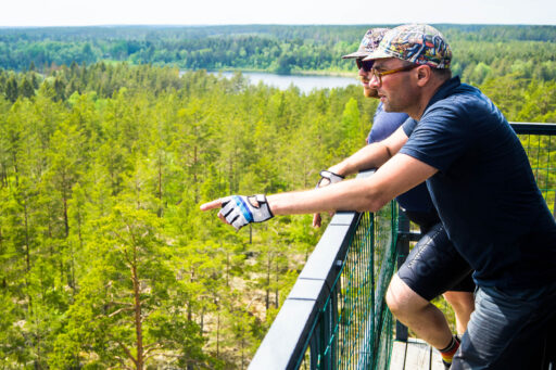
The third section of this section is Jönåkers to Oxelösund. On this stretch, you’re transported back into the deep forest for more excellent riding. The highlight of this section, apart from the great gravel, is the St Bengtsberget fire watch tower. Although watch towers are quite common in Sörmland, this one is made from steel with an enclosed room on the top and is unique to the region. Its location is superb, with commanding views over the local countryside. It’s a climb you shouldn’t miss.
Next up is a stop in Nävekvarn. Visiting the shelter on Skäret island offers a welcome break before some of the best gravel riding of the tour takes you over to Oxelösund and the end of the third stage. Don’t forget to visit Skärgårdsvåfflan for some of the best waffles in Sweden.
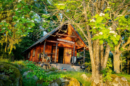
Wild camping can be found on the larger part of the Femöre peninsula, before the lighthouse and military installations. It’s 95 kilometres from Rosenhanska to Femöre.
location Stage 4: 140 Kilometers / + 1100 meters
Oxelösund to Gnesta
Train transport: Mälartåg in Nyköping and either the Mälartåget or Pendeltåg in Gnesta.
Exploring the Femöre lighthouse and military installations is a good way to start the final stage of the tour. After taking in all the sights, head down to Oxelösund and fill up in one of the local cafes of this port town. We chose the American-themed Camilla & Puttes Breakfast & Diner. A long segregated cycle road will bring you to Nyköping, where the Mälartåget can be accessed again. By heading northeast out of the town, you get to ride perfect gravel most of the way to Stendörren Nature Reserve. Although it’s a return trip to the end of the road, it’s definitely not to be missed. Make sure to detour to cross some of the suspension bridges that make this nature reserve one of the most popular in Sörmland. Nynäs Slott (castle) is the next point of interest along the tour. Pass through the grounds and head over to Prins Alexanders Nature Reserve and enjoy the beautiful views over the tranquil lake.
The fifth night of camping should be taken in this area. Note, it’s forbidden to camp in the reserve, but if you follow the bumpy trail along the shoreline, you can find great camping spots past the white nature reserve markers. We found a great spot on the small headlands close to the islands. It’s 85 kilometres from Femöre to Prins Alexanders Nature Reserve.
Folks who have ridden the Swedish Safari tour will recognise parts of the next section. The Sörmland Project and Swedish Safari tour criss-cross each other and share some of their trails until after the village of Trosa. Trosa is a delight to cycle through, and as you head west out of the village, the tour diverges with this route heading towards Vaghärad instead of Tullgarn Castle. The final part of the trail is a little more adventurous than previous parts. The best is saved for last as the tracks become smaller, and, for a time, turn into singletrack as you make your way through the forest at Malmsjöstugan and finish off the tour by riding the Gnestaleden back into town and the starting point of the tour.
Terms of Use: As with each bikepacking route guide published on BIKEPACKING.com, should you choose to cycle this route, do so at your own risk. Prior to setting out check current local weather, conditions, and land/road closures. While riding, obey all public and private land use restrictions and rules, carry proper safety and navigational equipment, and of course, follow the #leavenotrace guidelines. The information found herein is simply a planning resource to be used as a point of inspiration in conjunction with your own due-diligence. In spite of the fact that this route, associated GPS track (GPX and maps), and all route guidelines were prepared under diligent research by the specified contributor and/or contributors, the accuracy of such and judgement of the author is not guaranteed. BIKEPACKING.com LLC, its partners, associates, and contributors are in no way liable for personal injury, damage to personal property, or any other such situation that might happen to individual riders cycling or following this route.
Please keep the conversation civil, constructive, and inclusive, or your comment will be removed.


