


Sun Valley High Country Loop
Distance
153 Mi.
(246 KM)Days
5
% Unpaved
88%
% Singletrack
50%
% Rideable (time)
90%
Total Ascent
18,008'
(5,489 M)High Point
9,507'
(2,898 M)Difficulty (1-10)
8?
- 8Climbing Scale Strenuous118 FT/MI (22 M/KM)
- 7Technical Difficulty Difficult
- 9Physical Demand Very Difficult
- 5Resupply & Logistics Moderate
Contributed By
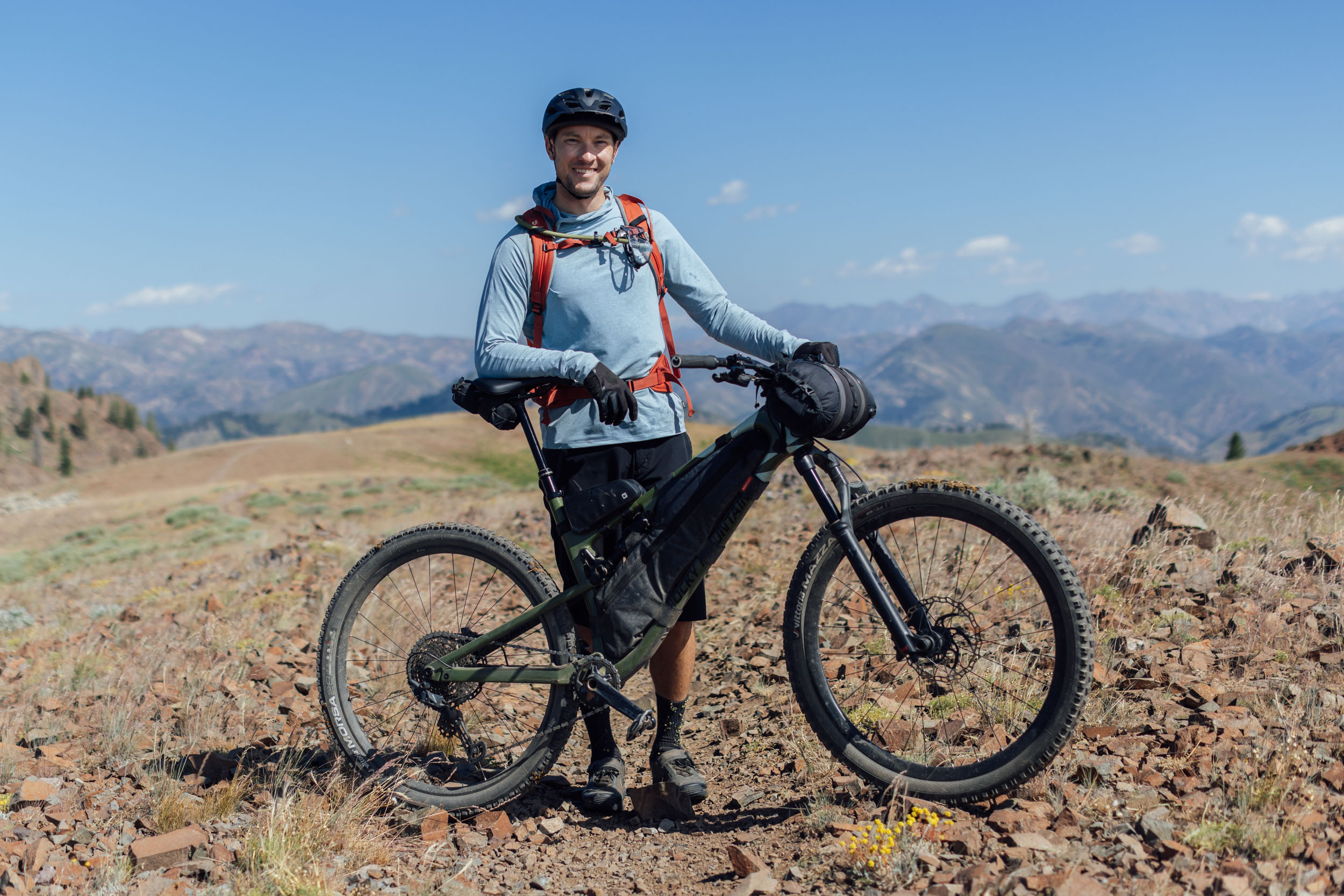
Tom Lilly
Guest Contributor
Tom grew up in the Great Lakes and cut his teeth on the trails of Northern Michigan. He now resides in the Western US and calls the mountains home. His passion for trail riding, exploring, and geography led him to bikepacking. When not on trails, he works in America’s public land management system. You can follow his adventures on instagram @tom.lilly.
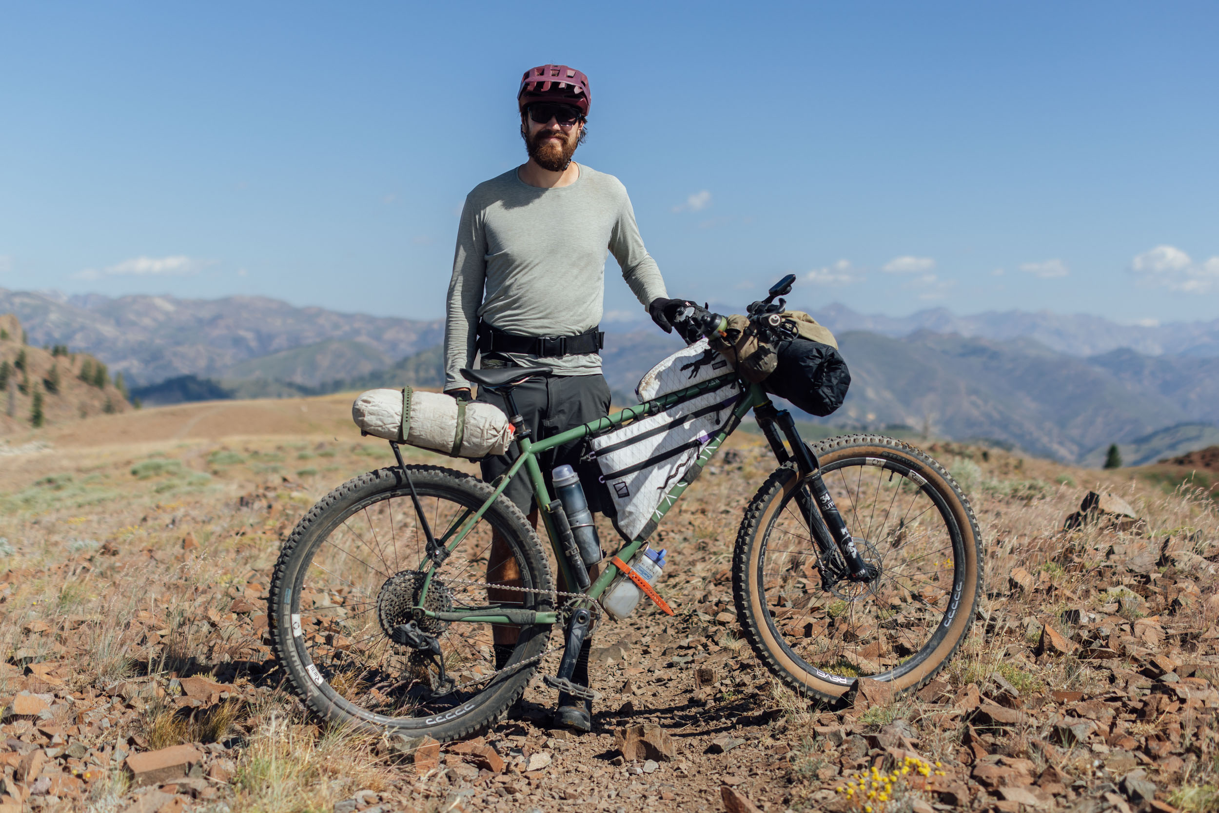
Photos and additional insight by Miles Arbour
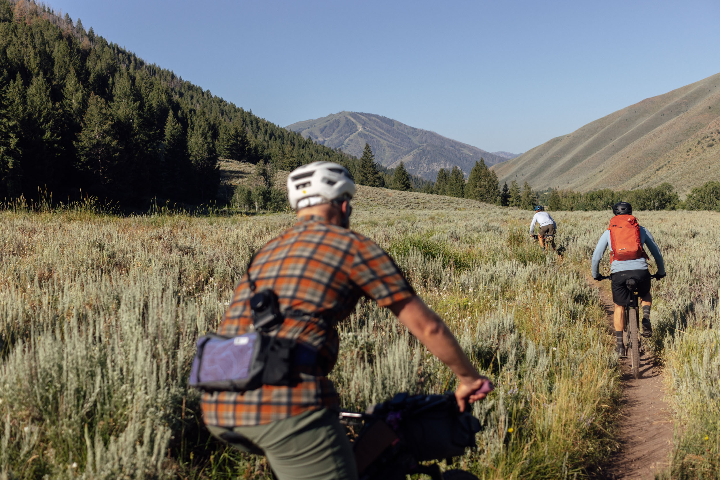
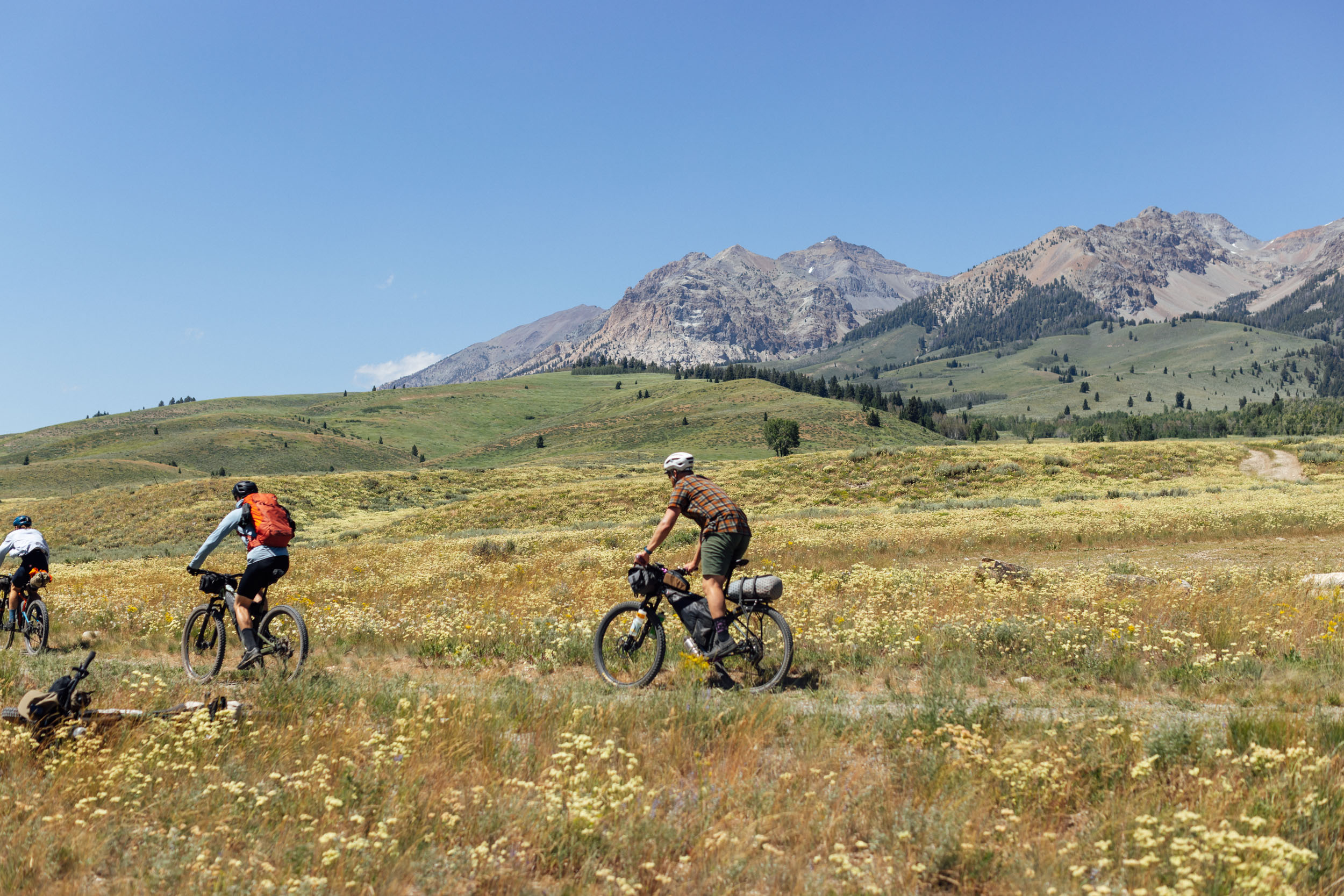
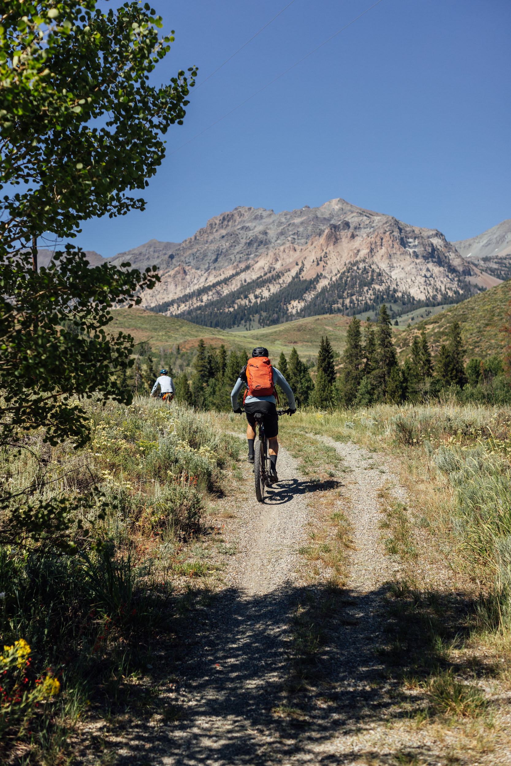
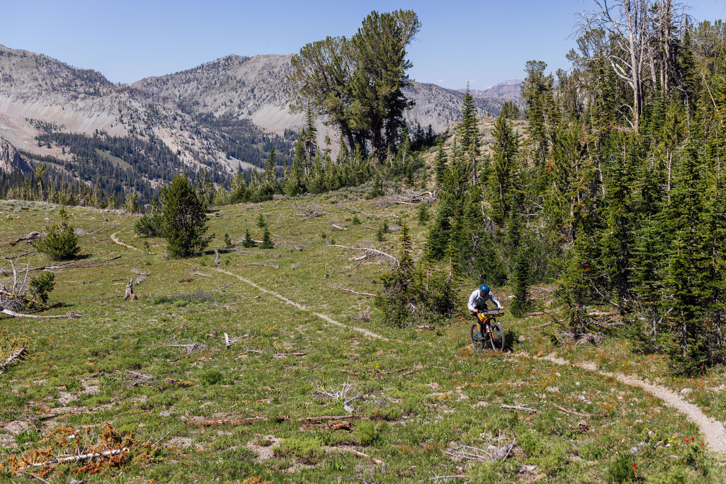
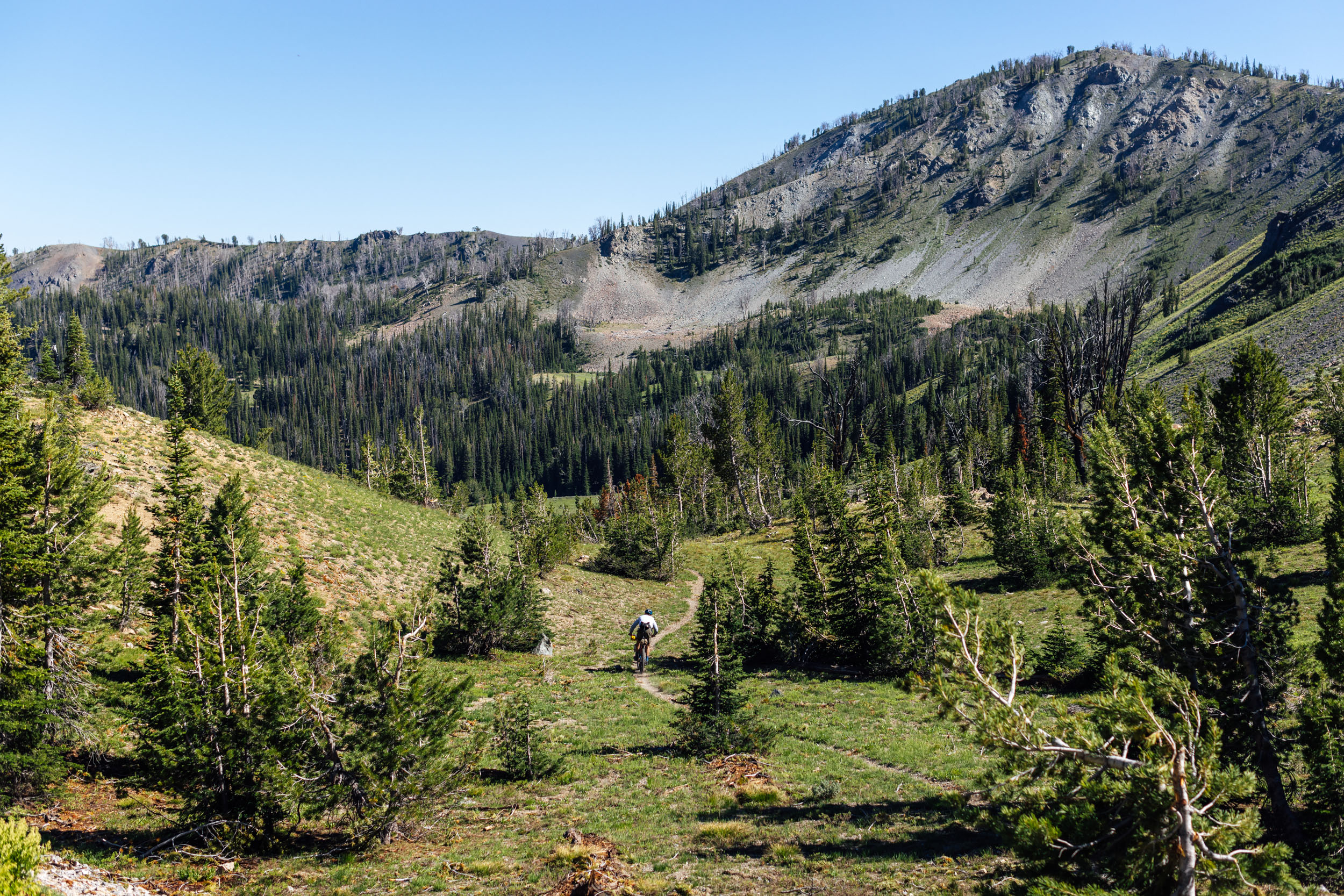
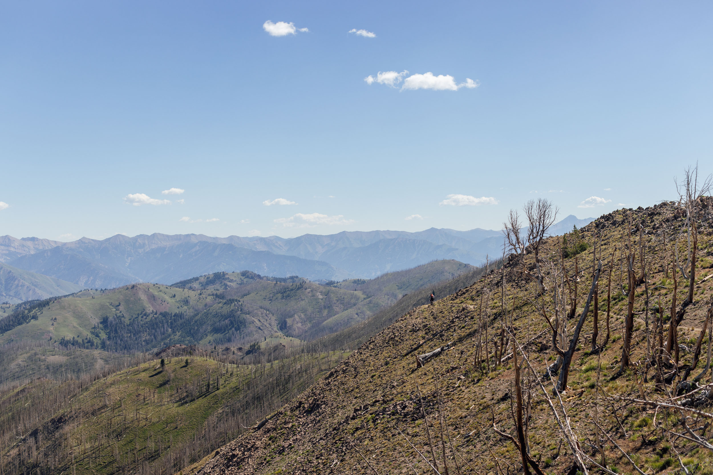
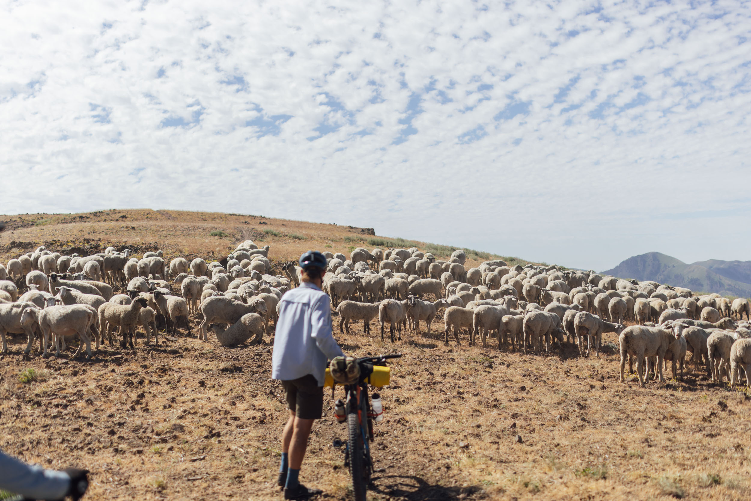
The Wood River Valley, commonly referred to as Sun Valley to those visiting, is a region in south-central Idaho known for its outdoor recreation, vacation opportunities, towering peaks, and access to the Sawtooth National Forest and Recreation Area. People flock from all over the United States to enjoy the area’s stunning terrain year round, but the valley is best known for its multi-use backcountry trails, massive singletrack descents, ice-cold rivers, and muscle-soothing natural hot springs.
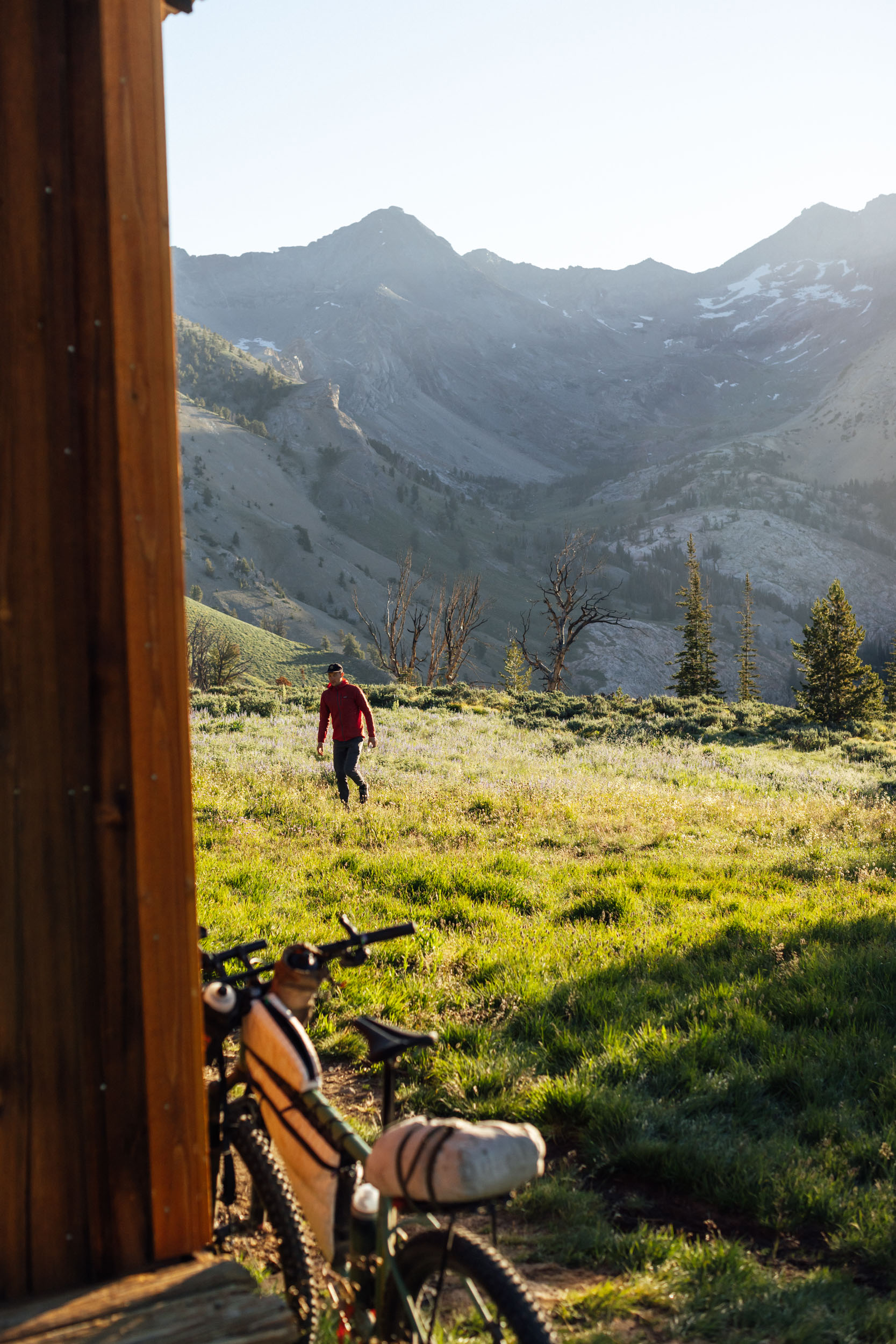
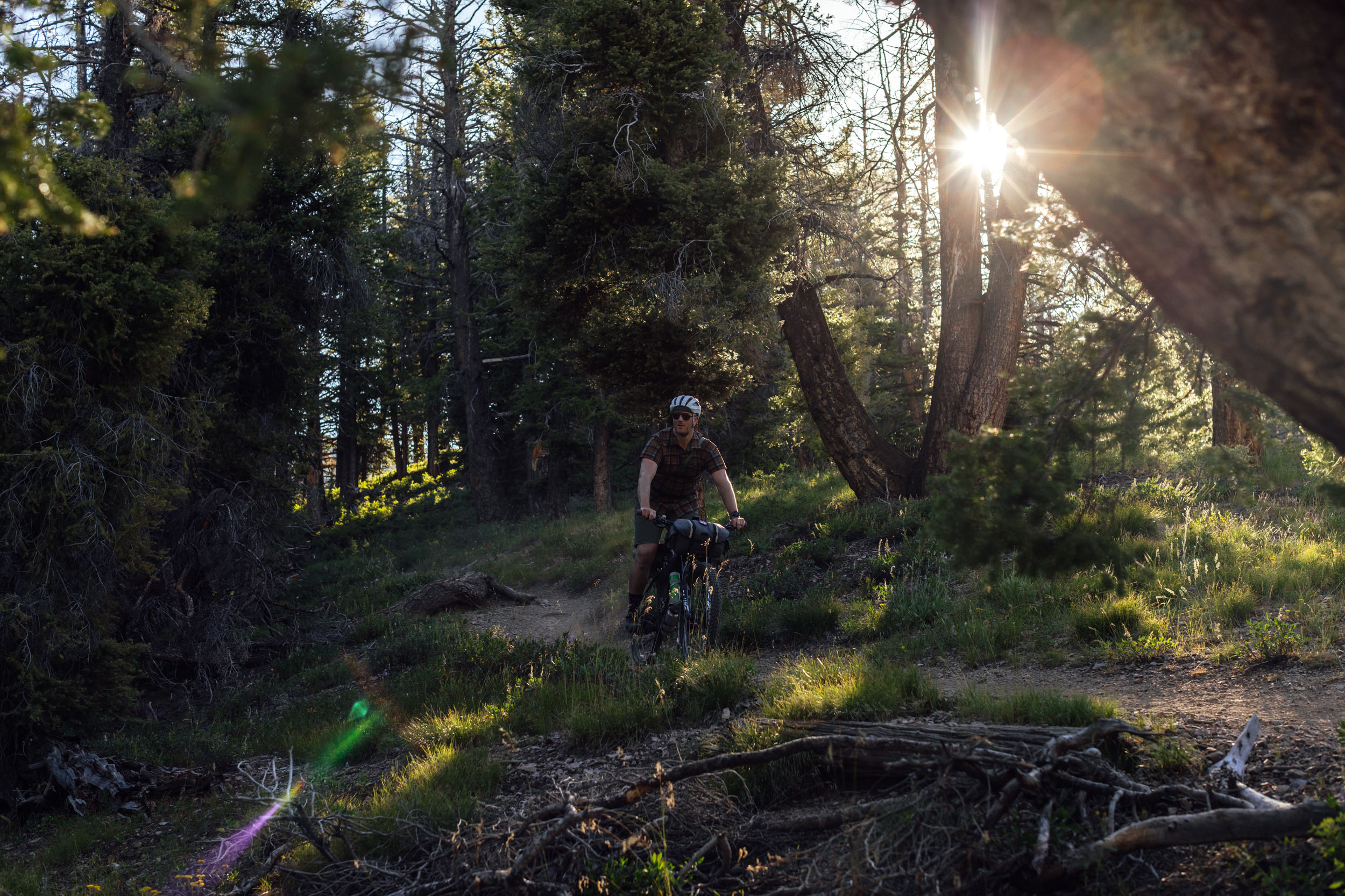
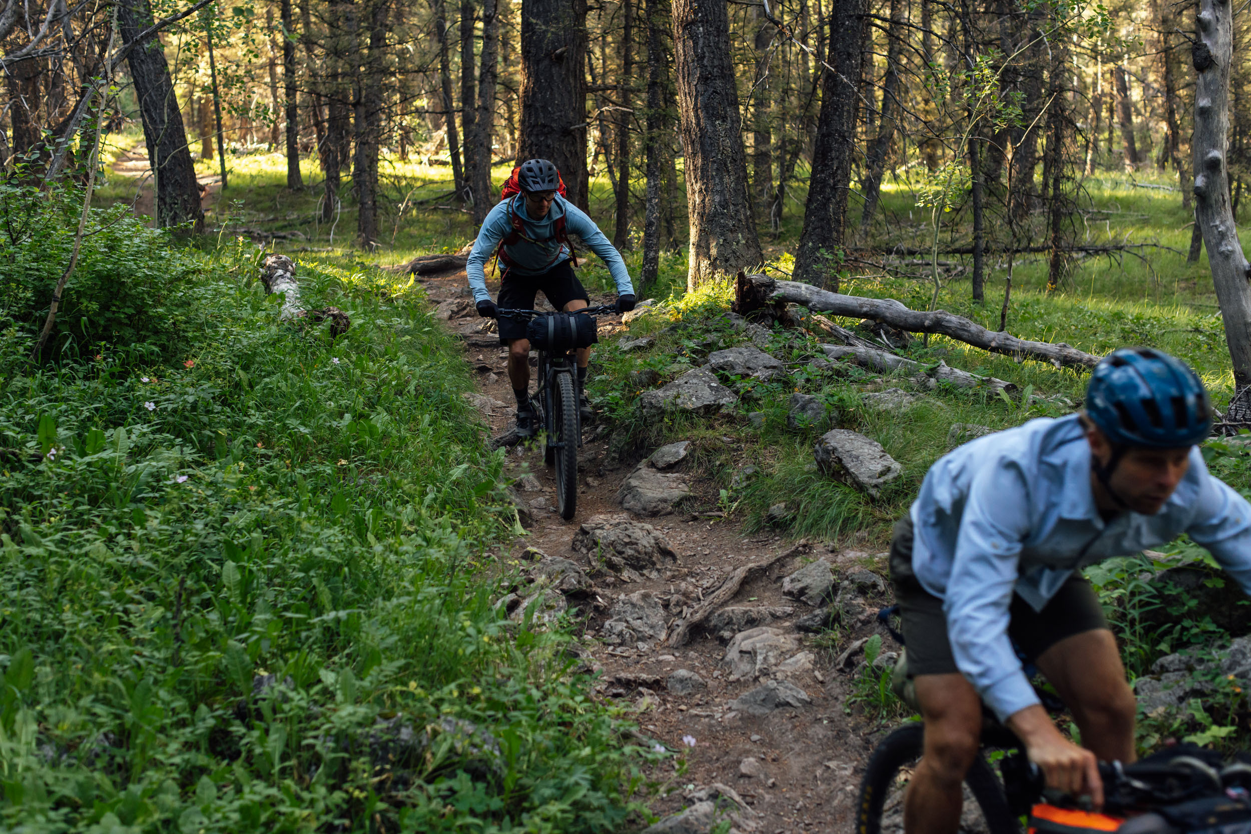
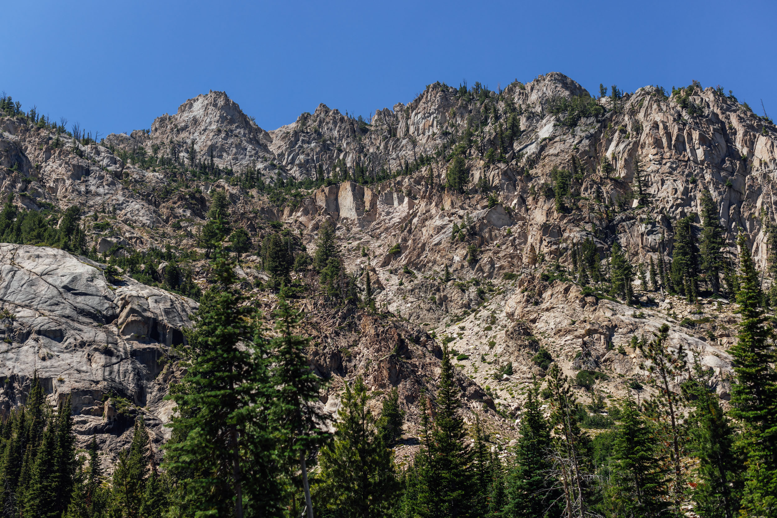
The Sun Valley High Country Loop links the hubs of Hailey, Ketchum, and the Galena Lodge together with some of the most breathtaking high-elevation singletrack in the valley. The result is a fantastic backcountry loop that promises massive views, alpine meadows, endless ribbons of remote trail, and fantastic camping. The route serves up great rewards that are worth the challenging climbs, technical descents, and unavoidable hike-a-bike. While the full loop is no walk in the park, it’s an incredible four- to six-day adventure for bikepackers looking to explore the Sun Valley’s impressive terrain.
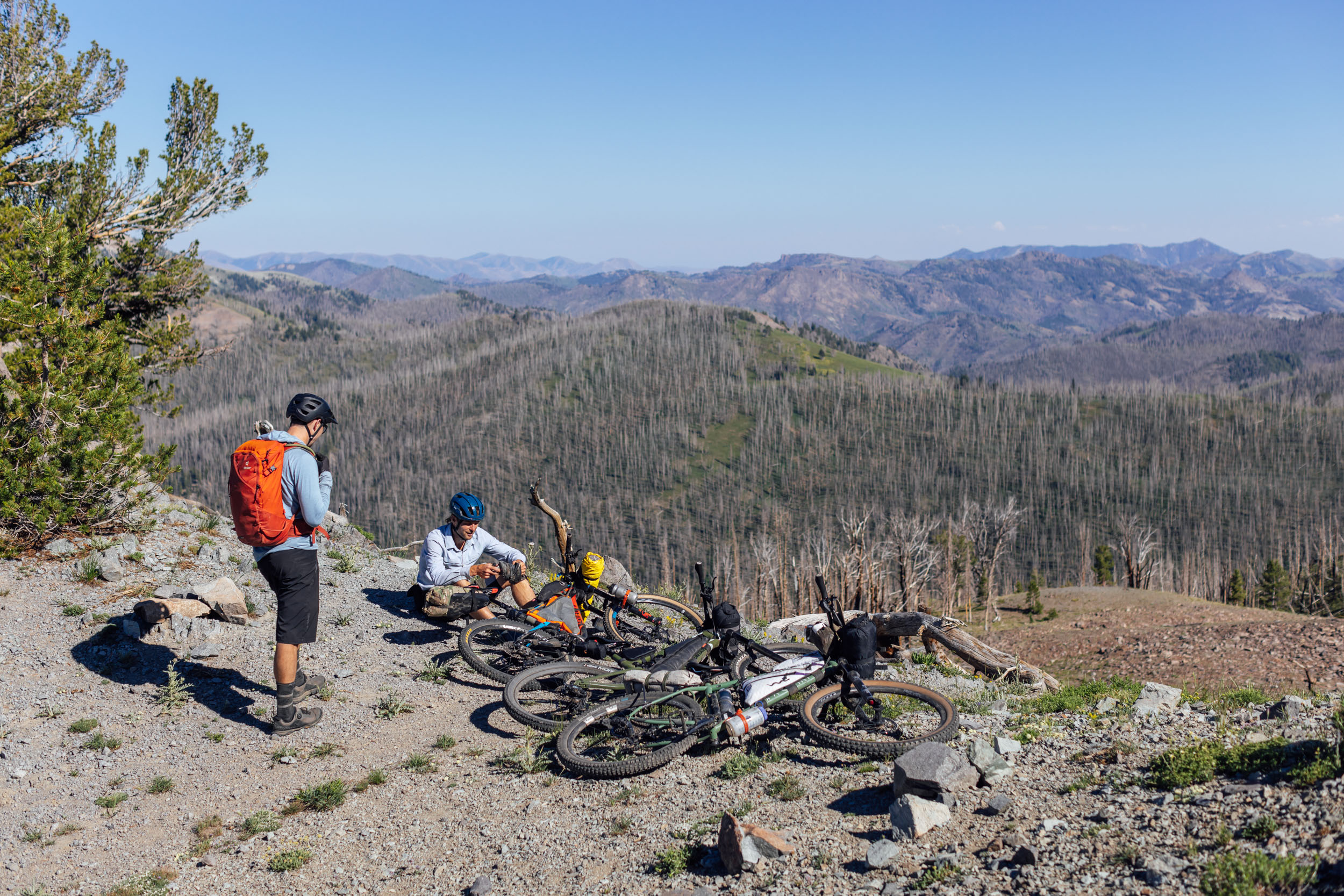
Aside from big backcountry miles, the loop includes a stop a the popular Pioneer Cabin at over 9,500 feet, delicious eateries in Ketchum, the Harriman Trail, Galena Lodge and optional yurts to spend a night or two, Prairie Lakes and Baker Lake, Osberg Ridge Trail, several hot springs, and the Greenhorn Trail. Regular resupply points and a figure-eight loop help offset the challenge of steep hike-a-bike, a few rocky descents, and sometimes slow-going terrain. The Sun Valley High Country Loop is stunning and well worth the effort needed to complete it.

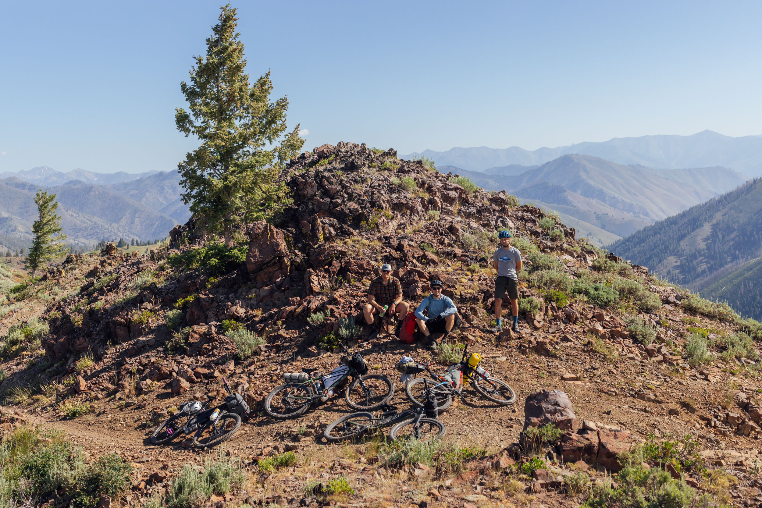
Route Development: Tom Lilly has been visiting the Sun Valley/Wood River Valley area for some time now, and after he started exploring the area by bike, he knew there would be potential for a great multi-day singletrack bikepacking route. He has ridden parts of the route on multiple occasions and reached out to us here at BIKEPACKING.com to see if anyone would be interested in joining a scouting/photography mission. Miles took the bait. Tom, Miles, and their friends Phil and Adam scouted the full route in July of 2023. Additional insight was provided by Tyler at Galena Lodge (a must-visit POI on the route) as well as the folks at Elephant’s Perch bike shop.

Submit Route Alert
As the leading creator and publisher of bikepacking routes, BIKEPACKING.com endeavors to maintain, improve, and advocate for our growing network of bikepacking routes all over the world. As such, our editorial team, route creators, and Route Stewards serve as mediators for route improvements and opportunities for connectivity, conservation, and community growth around these routes. To facilitate these efforts, we rely on our Bikepacking Collective and the greater bikepacking community to call attention to critical issues and opportunities that are discovered while riding these routes. If you have a vital issue or opportunity regarding this route that pertains to one of the subjects below, please let us know:
Highlights
Must Know
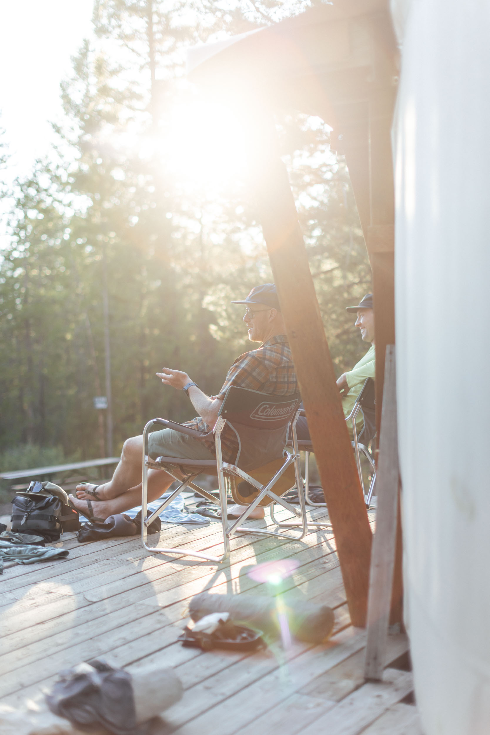
Camping
Food/H2O
Trail Notes
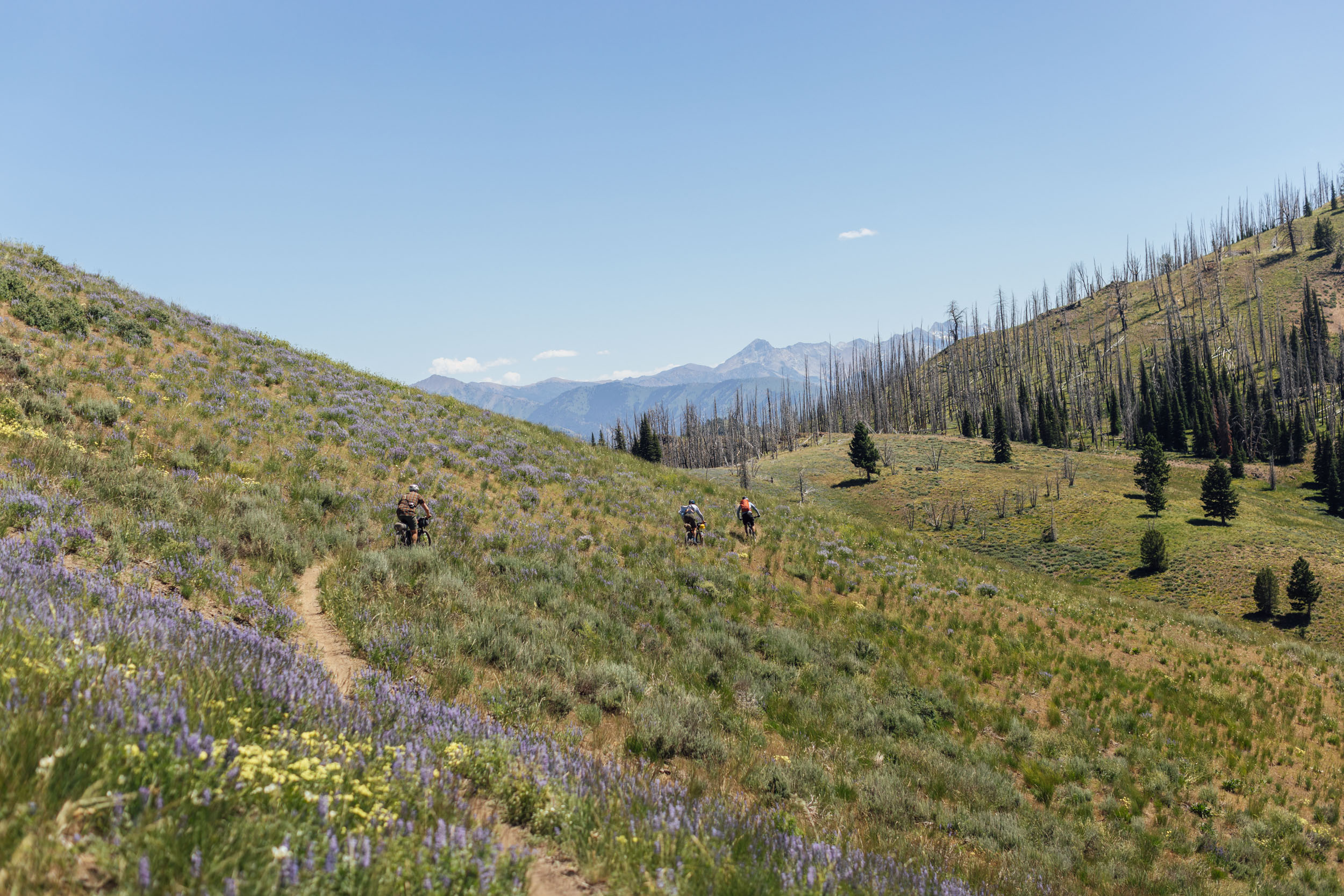
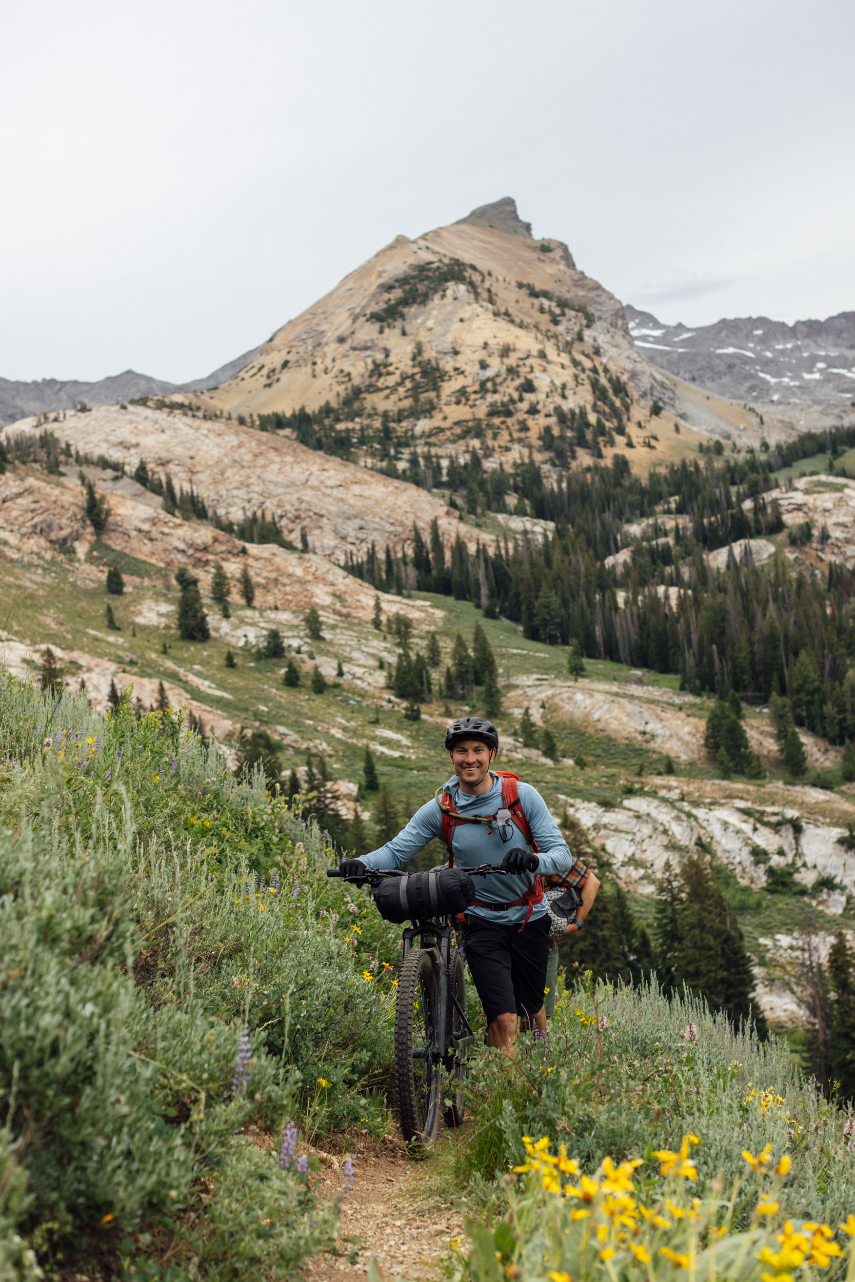
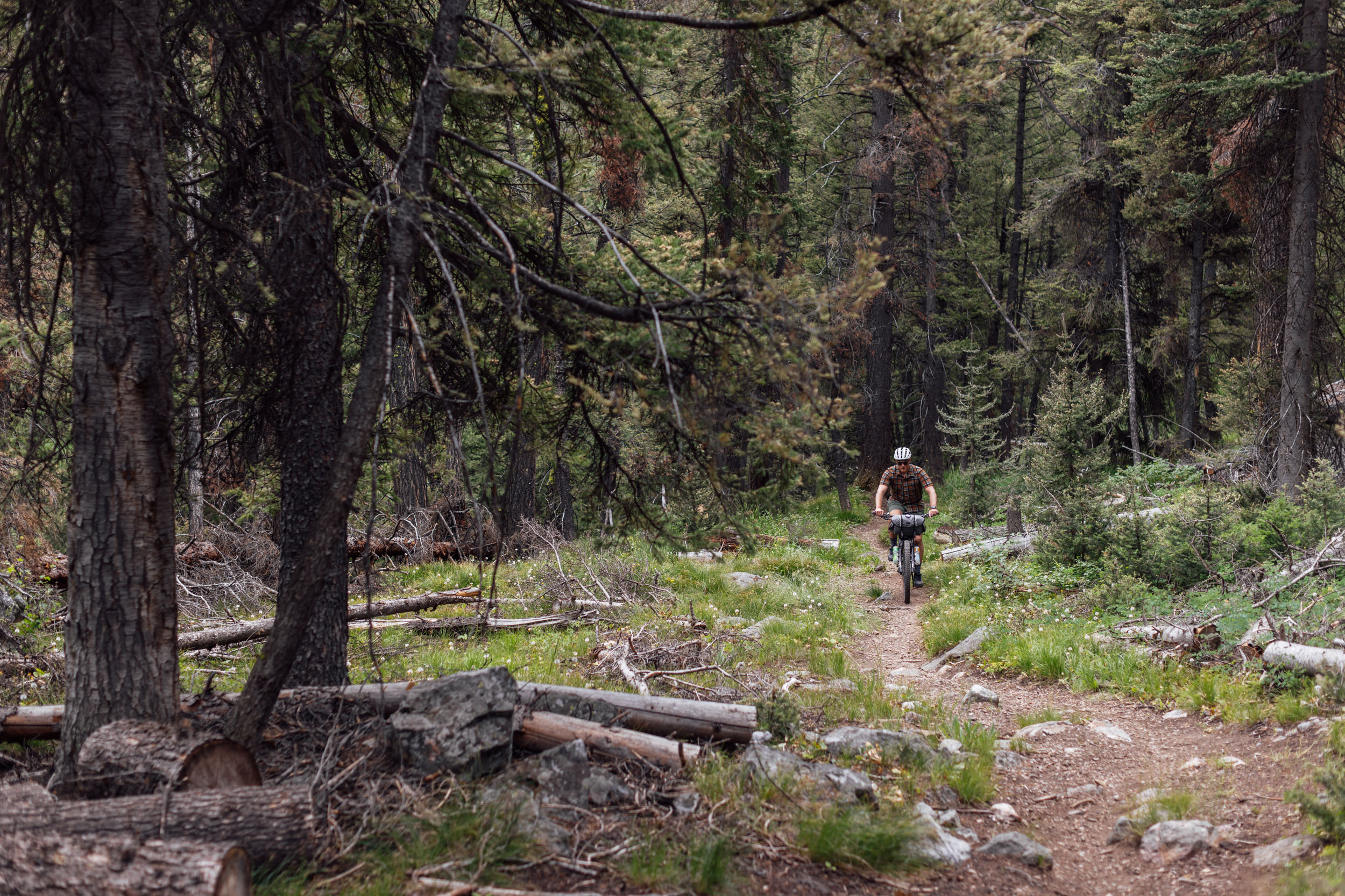
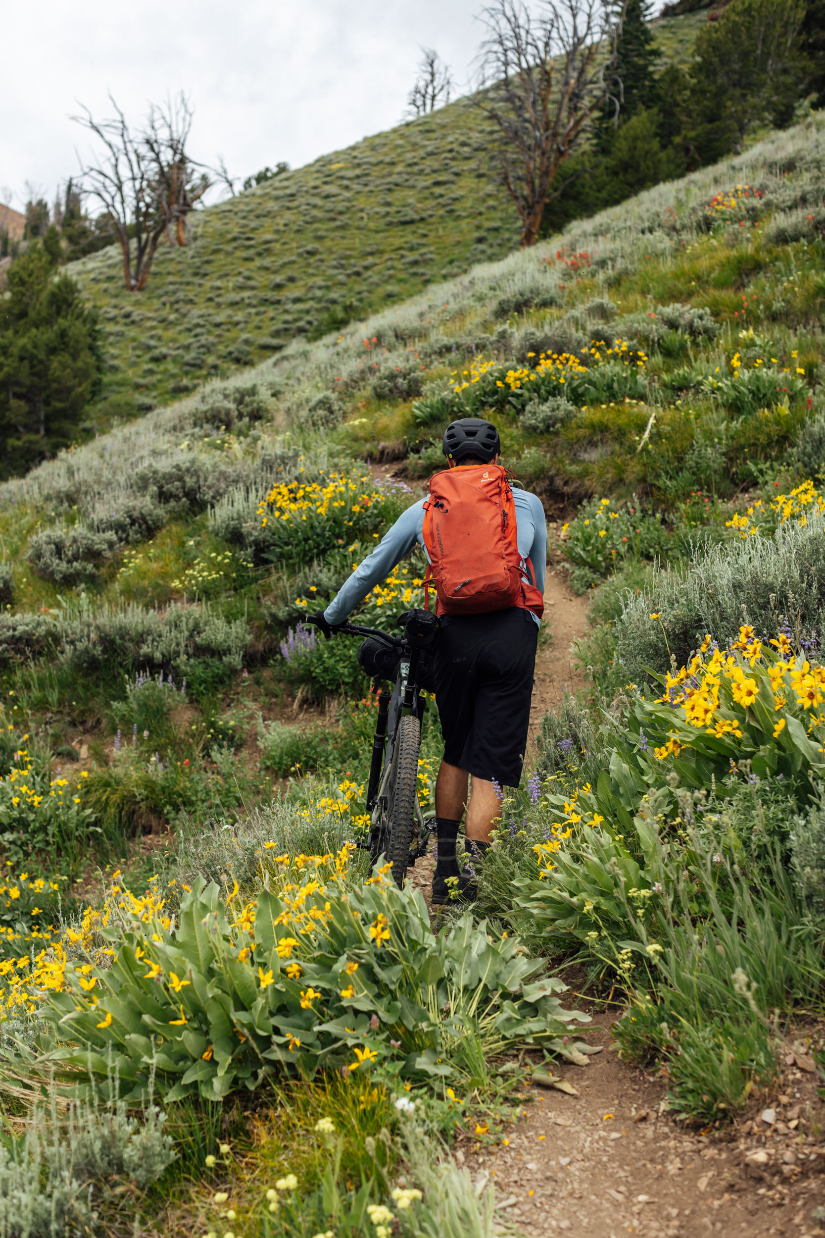
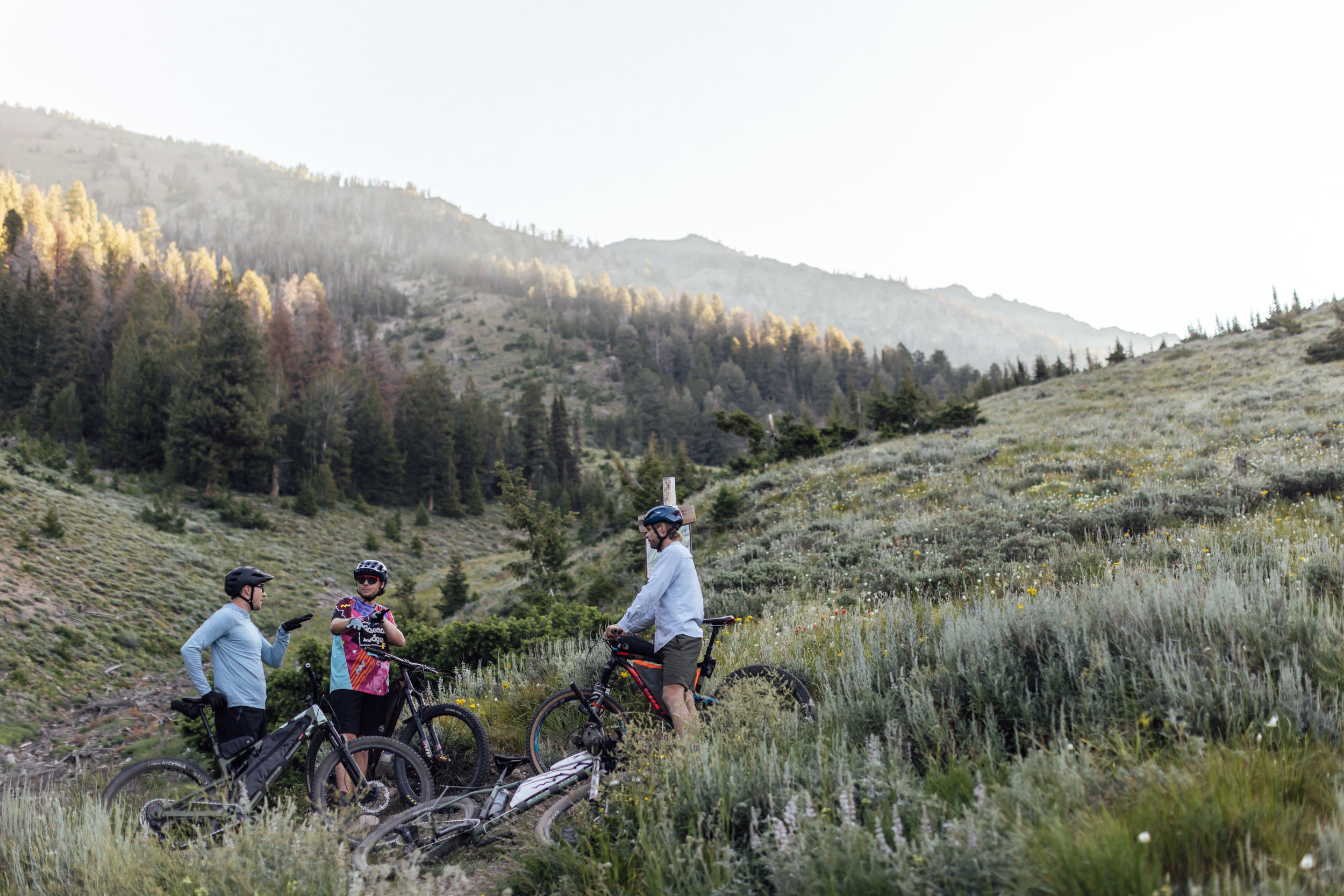
- Stunning alpine singletrack through meadows, along ridges, high above valleys, and littered with epic views.
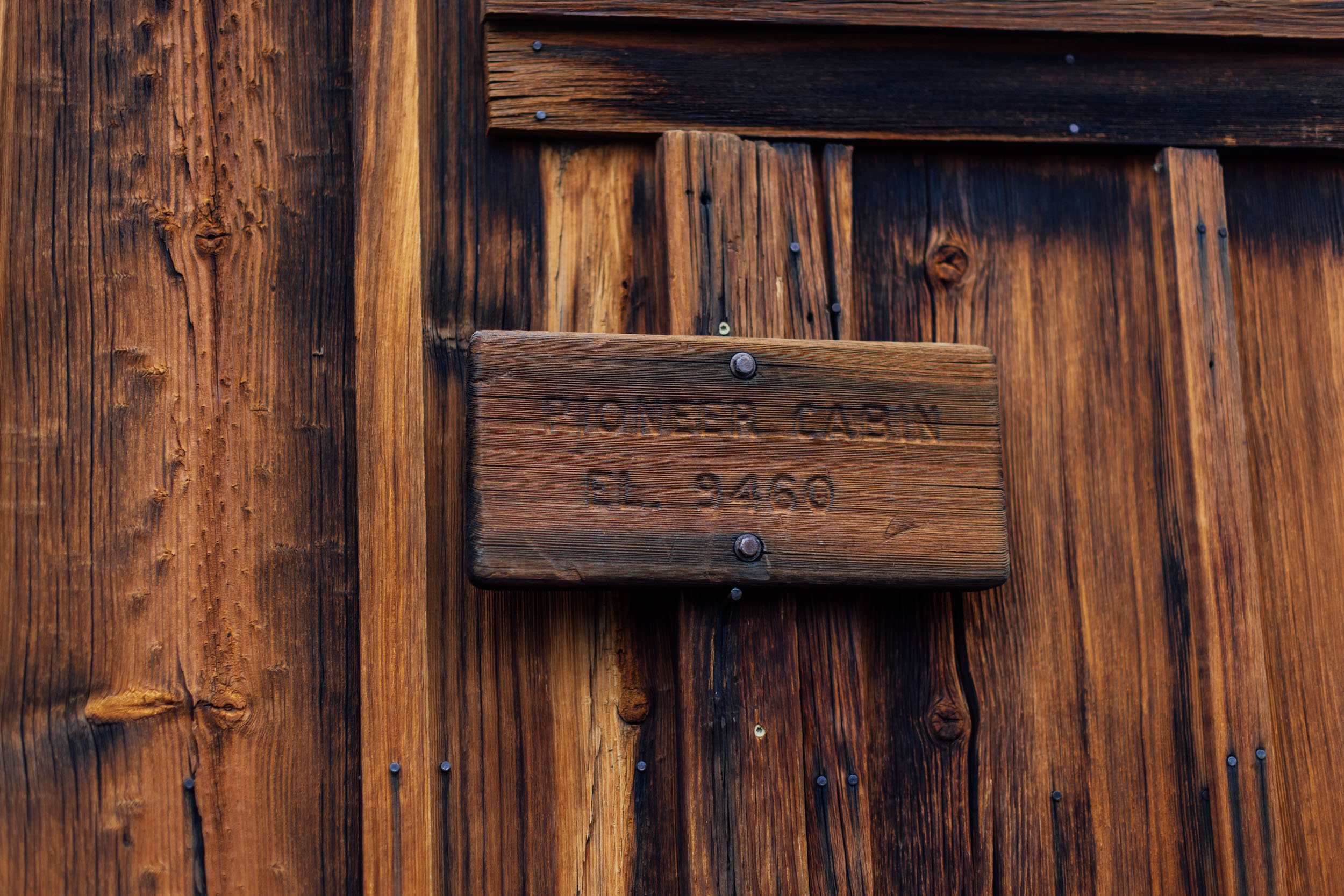
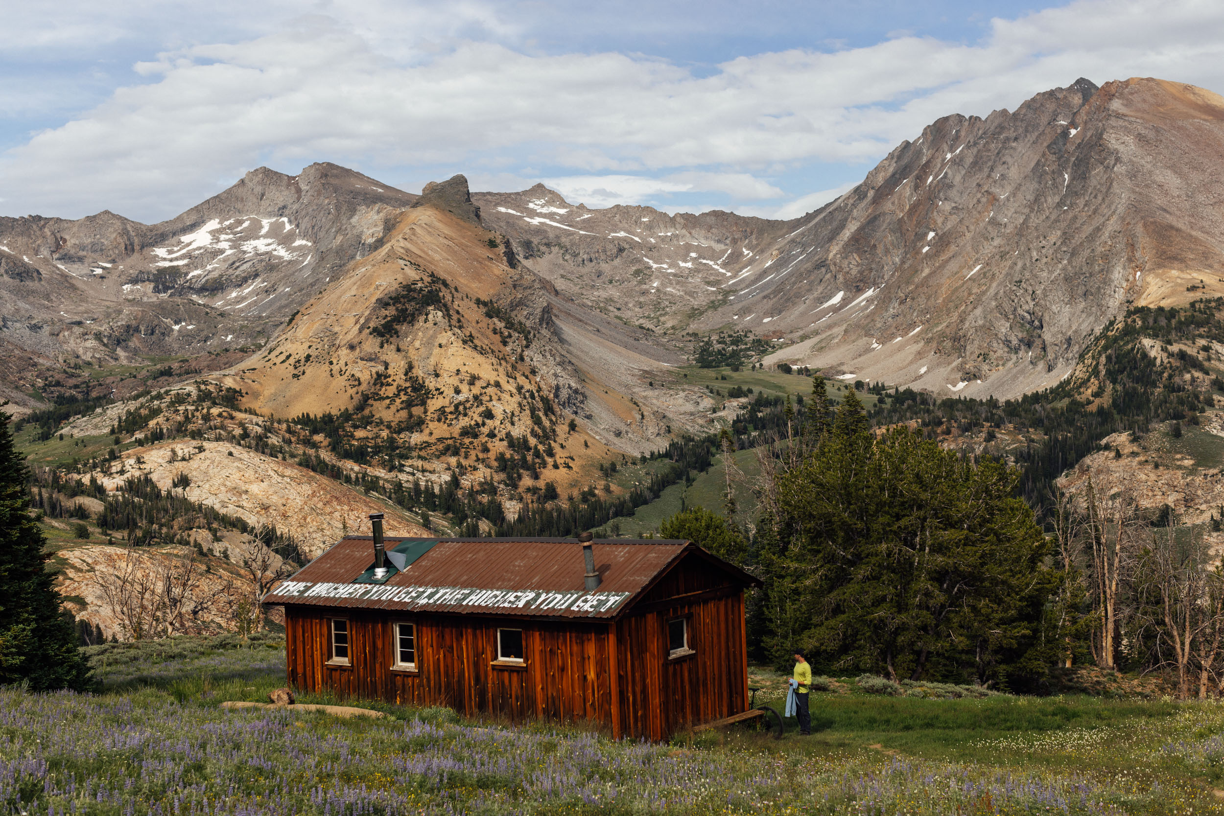
- Pioneer Cabin as a first camp spot is a challenging spot to reach but well worth the effort. Plus, the Pioneer Cabin trail and Corral Creek trails provide a fantastic ride back into Ketchum.
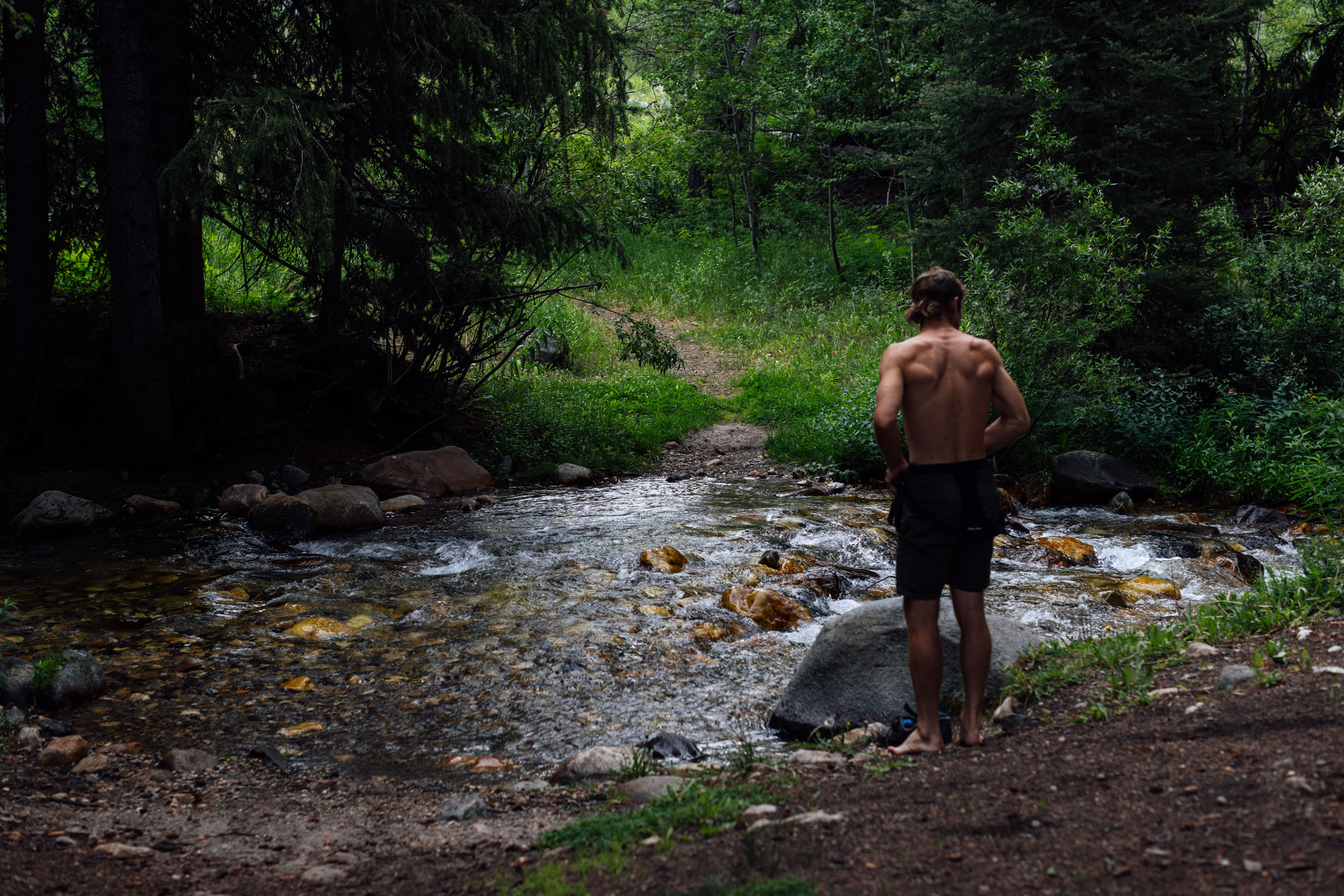
- Great swimming spots along the entire route, from alpine lakes to ice-cold creeks and rivers.
- Natural hot springs and established pools.
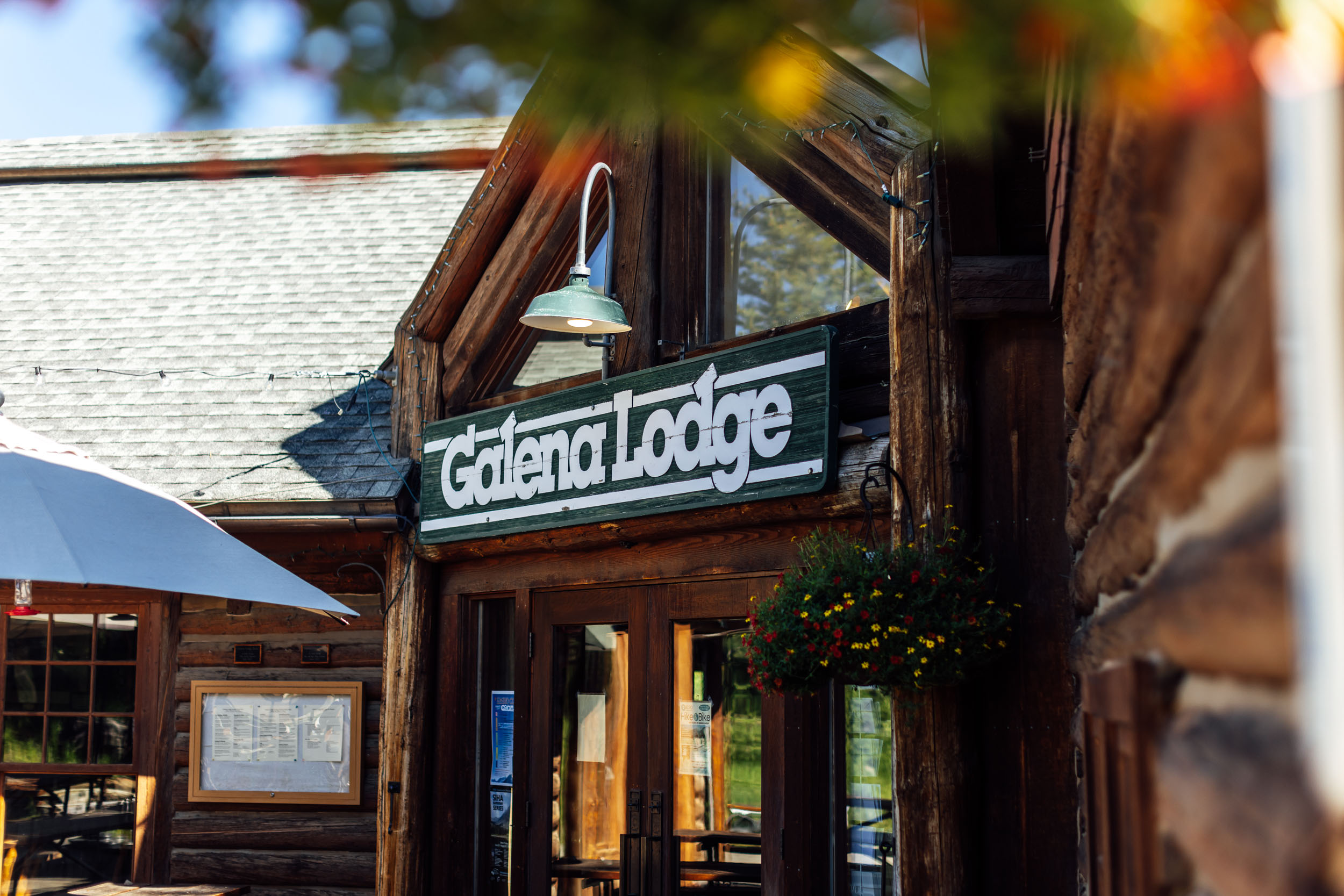
- Galena Lodge and its purpose-built mountain bike trails. Set some time aside to enjoy their flowy, hard-packed trails, grab an ice cream and a burger, and take a dip in a nearby creek.
- Camping at Baker Lake sitting at 8,800 feet.
- Osberg’s Ridge Trail is both a demanding climb and massive descent back down toward Ketchum.
- When to ride: The route is best ridden in the late spring, summer, and fall. High-elevation snowpack can be an issue in the spring, daytime temperatures can get unbearably hot in the summer, and the fall is cooler at night and possibly best suited for hot spring dips. Late June and July are fantastic times to ride the route. August is also good, but daytime temperatures can get incredibly hot. September, when the fall colors are going off, is an amazing time to ride the route, but it can get chilly at night and may even get a dusting of snow up high. Although each year is different, it’s safe to assume the route is impassable by mid October due to snowfall up high. Early October can often still be great, depending on weather.
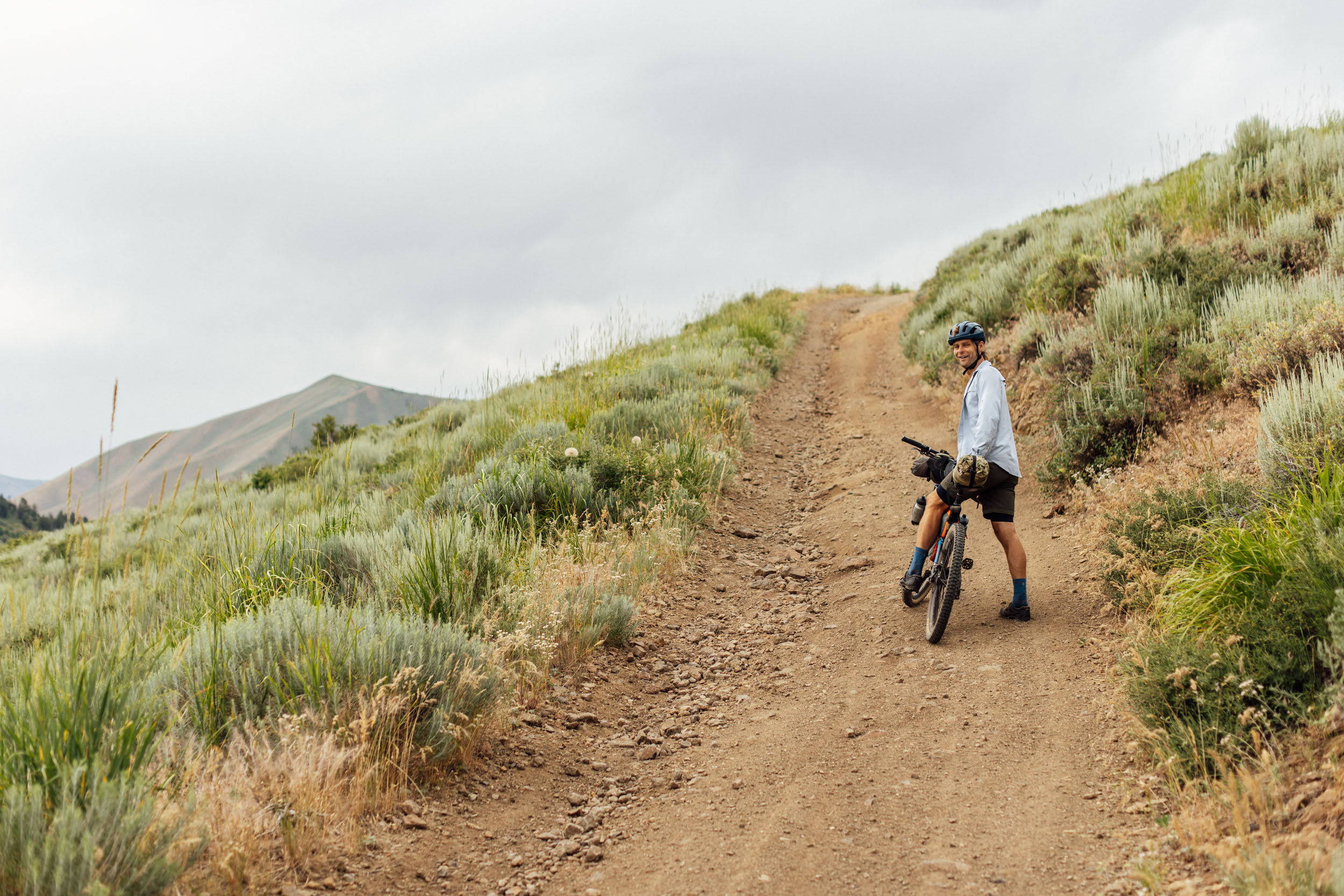
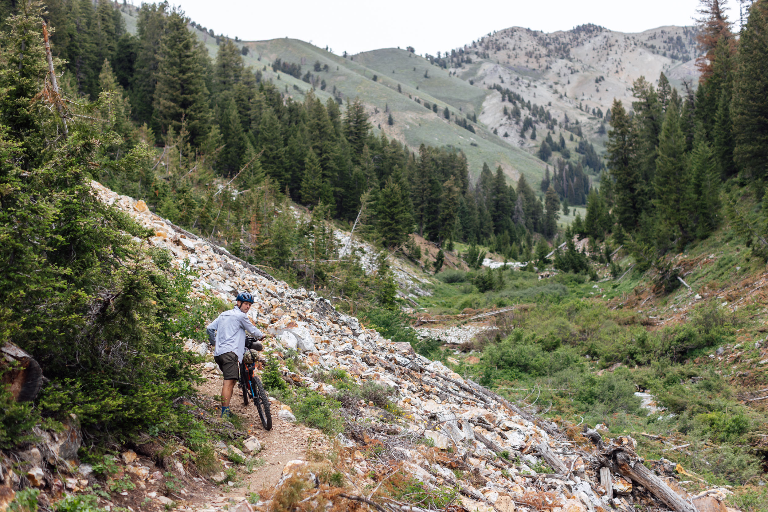
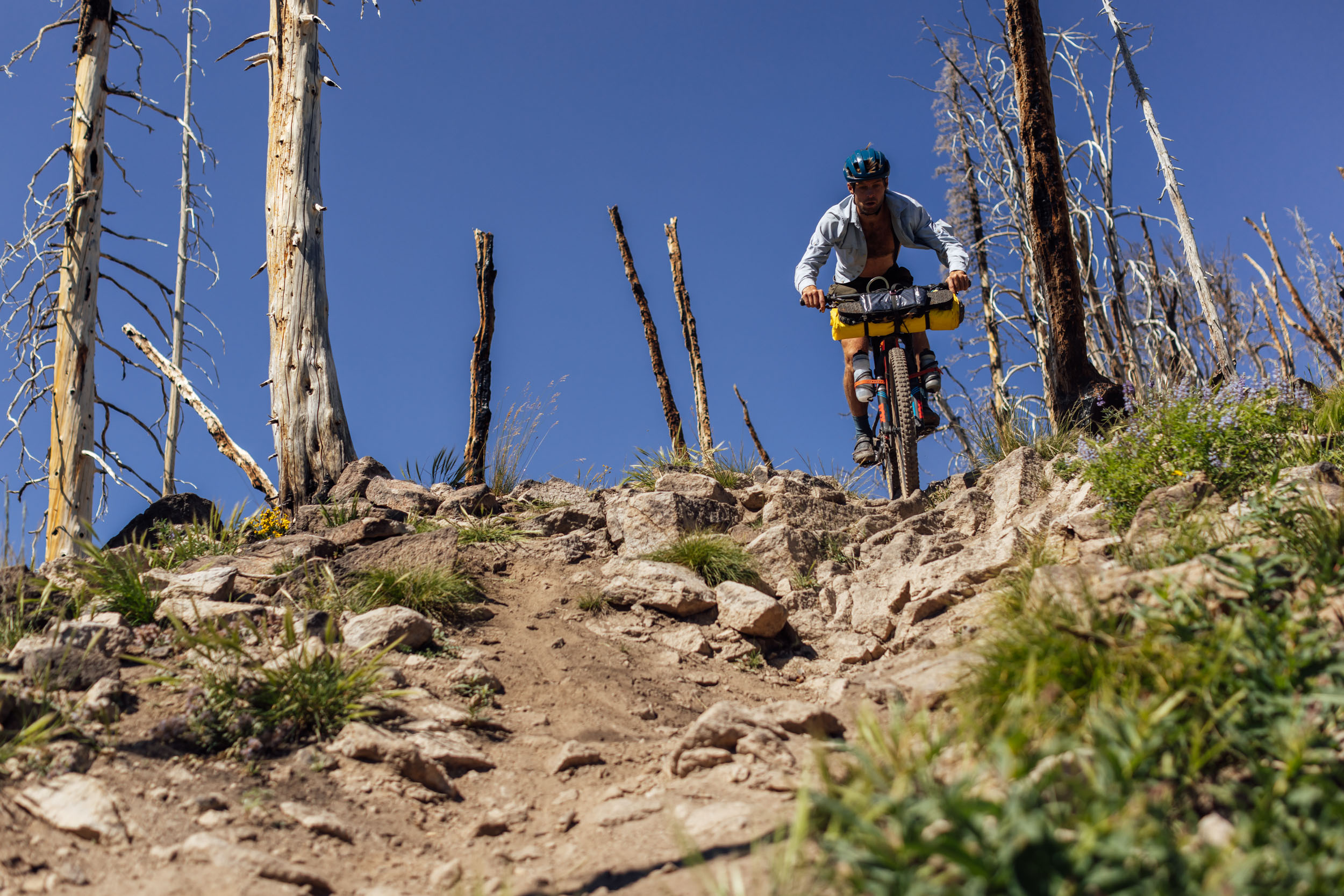
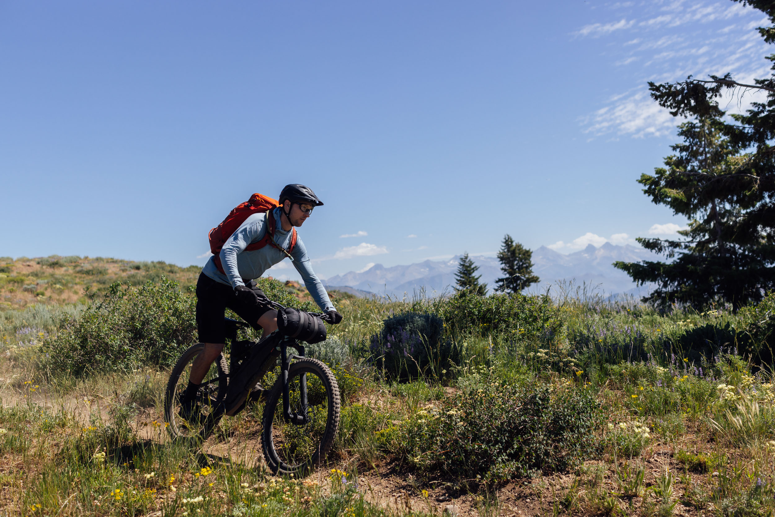
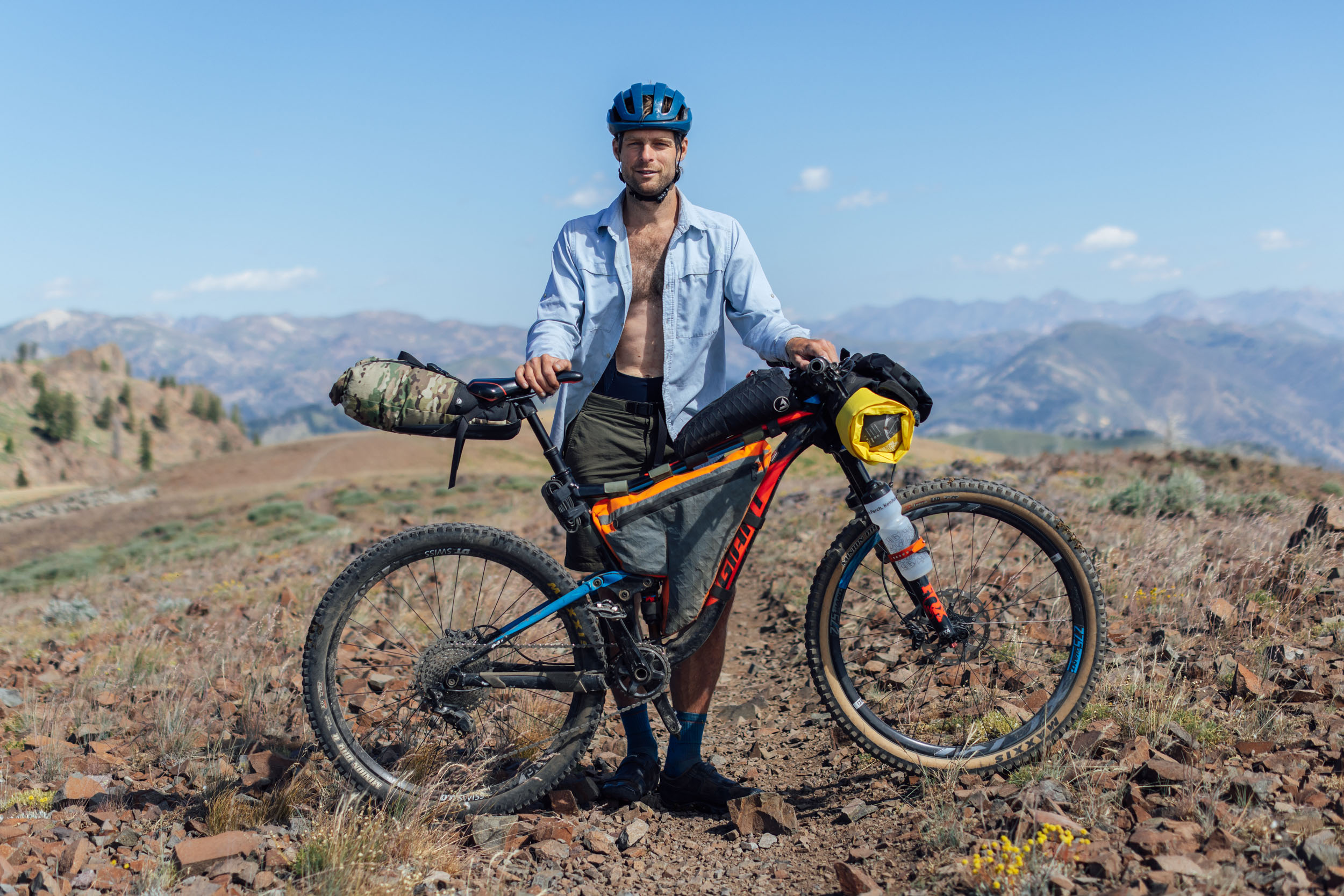
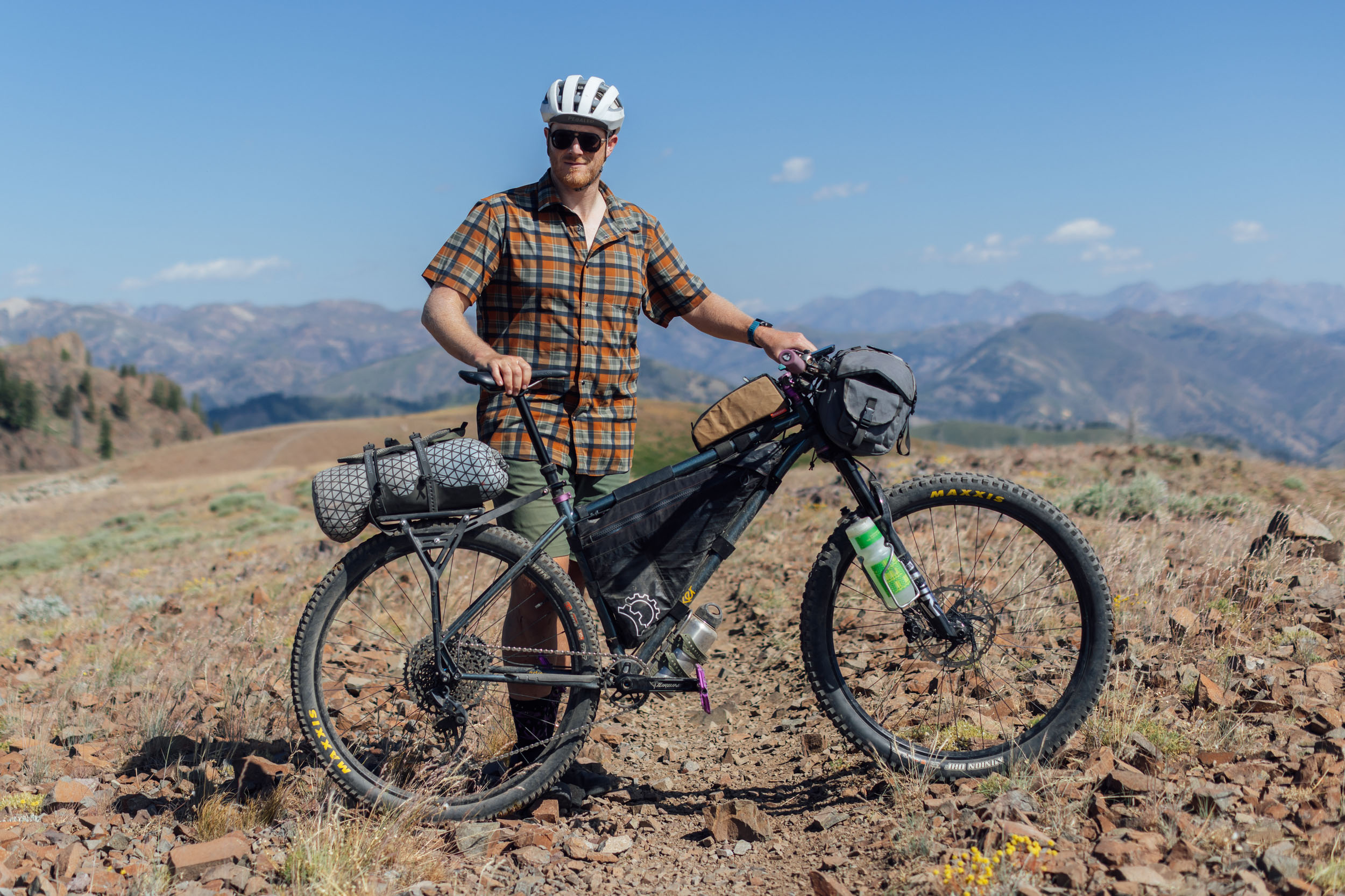
- Ideal bike: Due to the amount of chunky and technical trails, a hardtail mountain bike or full-suspension mountain bike is best. Front suspension, a dropper post, and ~2.6” tires will be appreciated on some of the longer descents, and a lightweight setup will make the hike-a-bikes more manageable.
- Route direction: The route is best ridden in a counter-clockwise loop, as presented on the RWGPS map. This prioritizes awesome singletrack descents. It is possible to ride the route the opposite direction, but some modifications would be required.
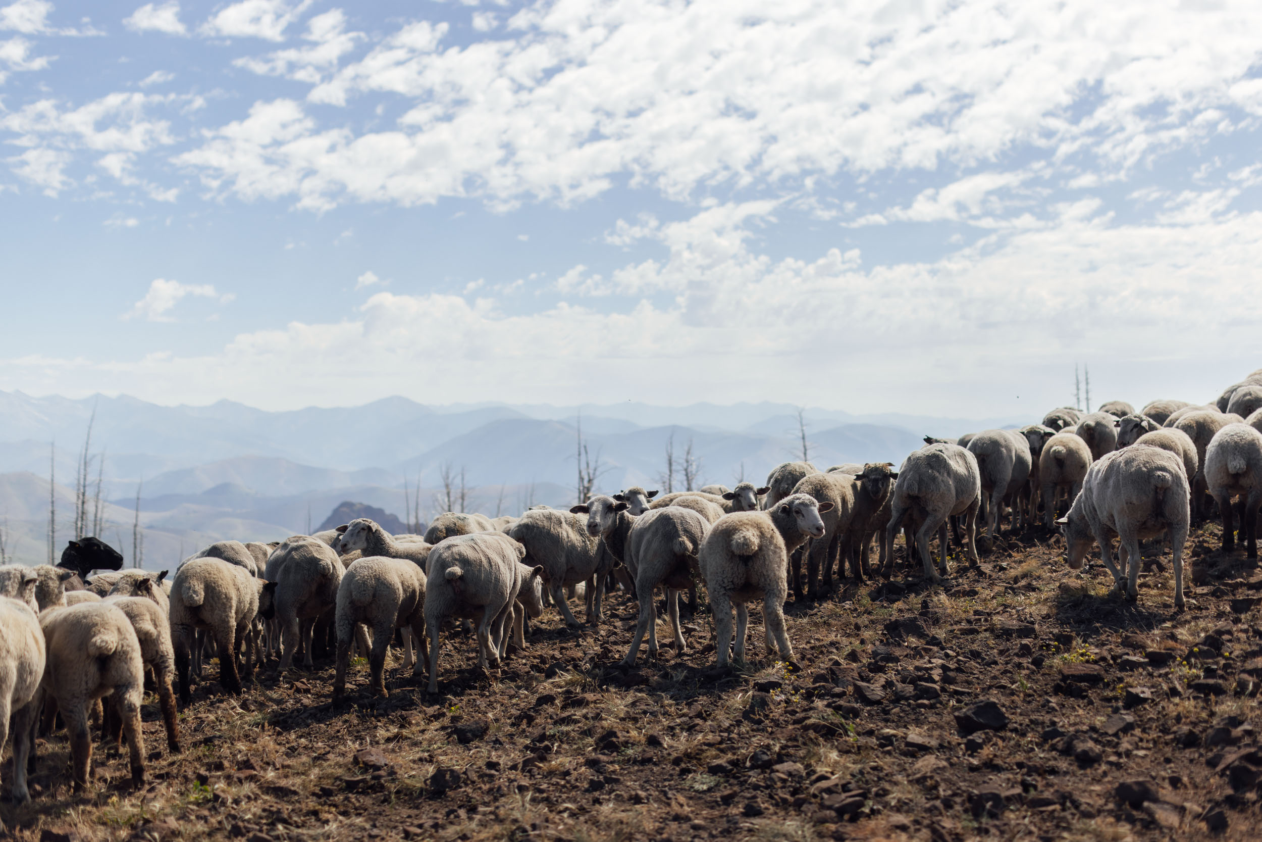
- Wildlife: The Sun Valley/Wood River Valley is home to black bears, bobcats, coyotes, elk, mountain lions, and moose. Make noise while riding, hang your food at night, and follow the #LeaveNoTrace principles. The biggest nuisance during our scouting trip were the chipmunks around some of the more popular alpine lakes. Don’t leave food unattended!
- Getting here: The start of the route in Hailey, Idaho, is a two hour drive from Boise, a nine-hour drive from Portland, Oregon, and a four-hour drive from Salt Lake City, Utah. There is an airport in Hailey with flights arriving from Los Angeles, Salt Lake City, Denver, San Francisco, and Seattle.
- Parking: The Friedman Memorial Airport offers long-term parking for $15 for 24 hours. We left our cars in the gravel lot across from Sawtooth Brewery (River St. & Bullion St. at the Park & Ride) and had no problems.
- There are four main passes that reach over 8,200 feet, and the majority of the route sits higher than 6,200 feet. Those coming from sea level might find the hike-a-bikes and high-elevation camping challenging.
- Be prepared for sudden weather changes as you’re traveling at elevation in the mountains. The spring and fall can bring rain, high winds, and even snow at a moment’s notice.
- There are a multitude of user groups and land management agencies that support this region’s trails. Consider donating time, money, or advocacy in support of these trails and bike access and becoming a member or donating to the Wood River Trails Coalition.
- There are many established campgrounds and unserviced dispersed campsites on the route. Our favorites are noted on the route map, but there are others.
- The route travels through BLM land and national forests where wild camping is permitted as long as proper Leave No Trace practices are followed. Leave any wild camping spots exactly how you found them.
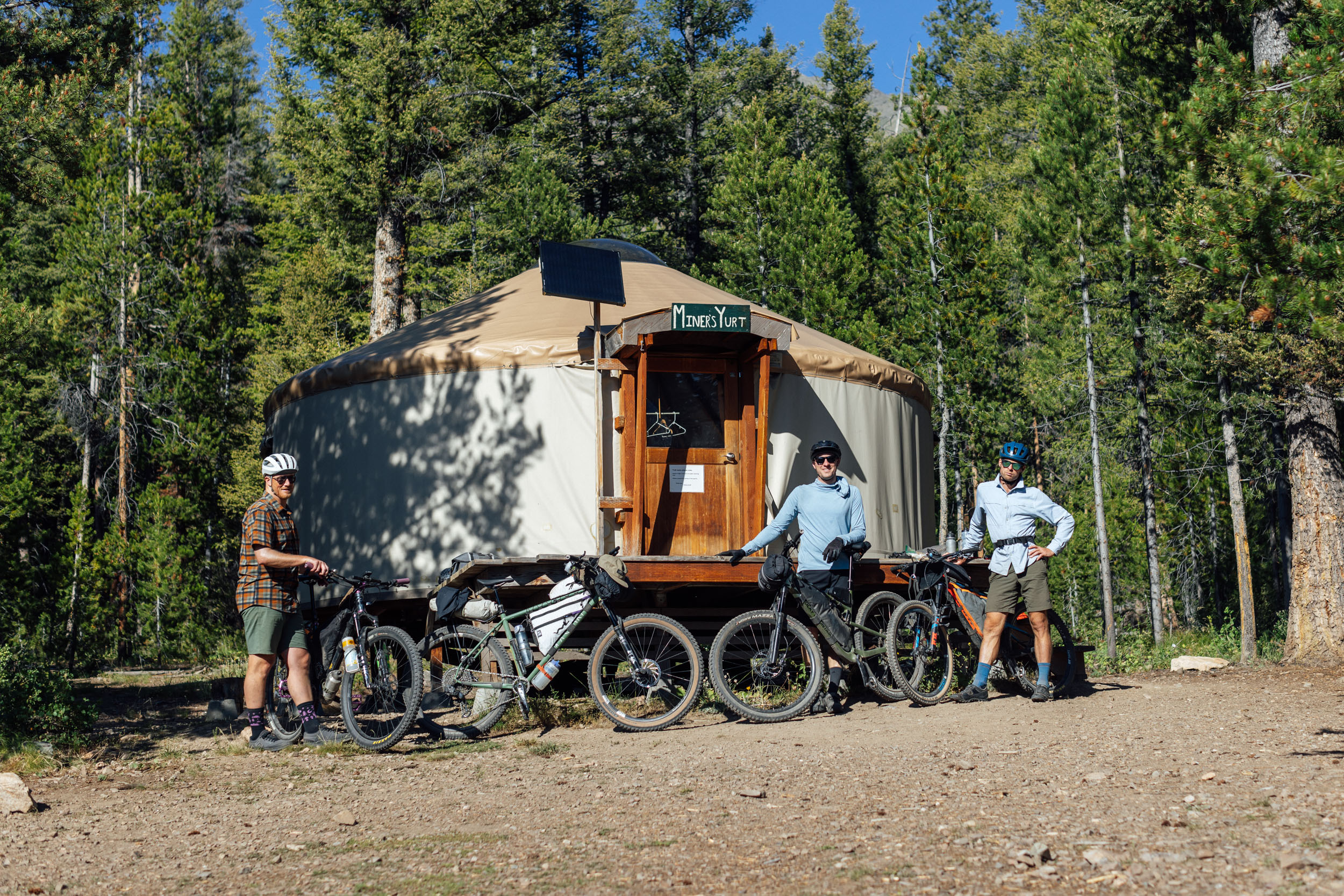
- Galena Lodge at the north end of the route has yurts available for rent, complete with wood-burning fireplaces, solar charging setups for devices, bunks with mattresses, stoves, and more. Those looking to extend the trip might consider taking a day around the lodge to ride their awesome purpose-built mountain bike trails unloaded.
- There are also free dispersed campsites close to the lodge within the Sawtooth National Forest.
- The city of Hailey has everything you could need to start your trip and several delicious food spots for the finish.
- Ketchum is the next resupply point and is also well-established with lots of restaurants, bakeries, coffee shops, and a few bike shops.
- There is a small general store at the Easley Hot Springs, but it’s limited to mostly candy, pop, and ice cream.
- Galena Lodge serves lunch daily and has breakfast sandwiches, drinks, and other pastries. We pre-ordered our food as we weren’t going to make the 3:30 p.m. cutoff time for the restaurant.
- There are many creeks, streams, and rivers on the route to filter water from, but the route can become quite dry on some of the higher-elevation trails. Plan ahead and don’t run out of water. We carried around 4-5L per person and filled up often.
- Some important water fill-up spots are noted on the map, but use common sense and fill up earlier if streams and creeks are drying out.
Suggested Itinerary
We think the route is best ridden in five days with an optional rest/unloaded day at Galena Lodge, but it could easily be extended to slow the pace down or shortened for those using the route as a training ride for something like the Colorado Trail Race. Find a brief summary of each day below. Since the loop forms two ‘lobes’, you could also split the ride up into two 2-night loops if you’re strapped for time.
location Hailey to Pioneer Cabin
Day 1 (26 miles, 5,350 feet)
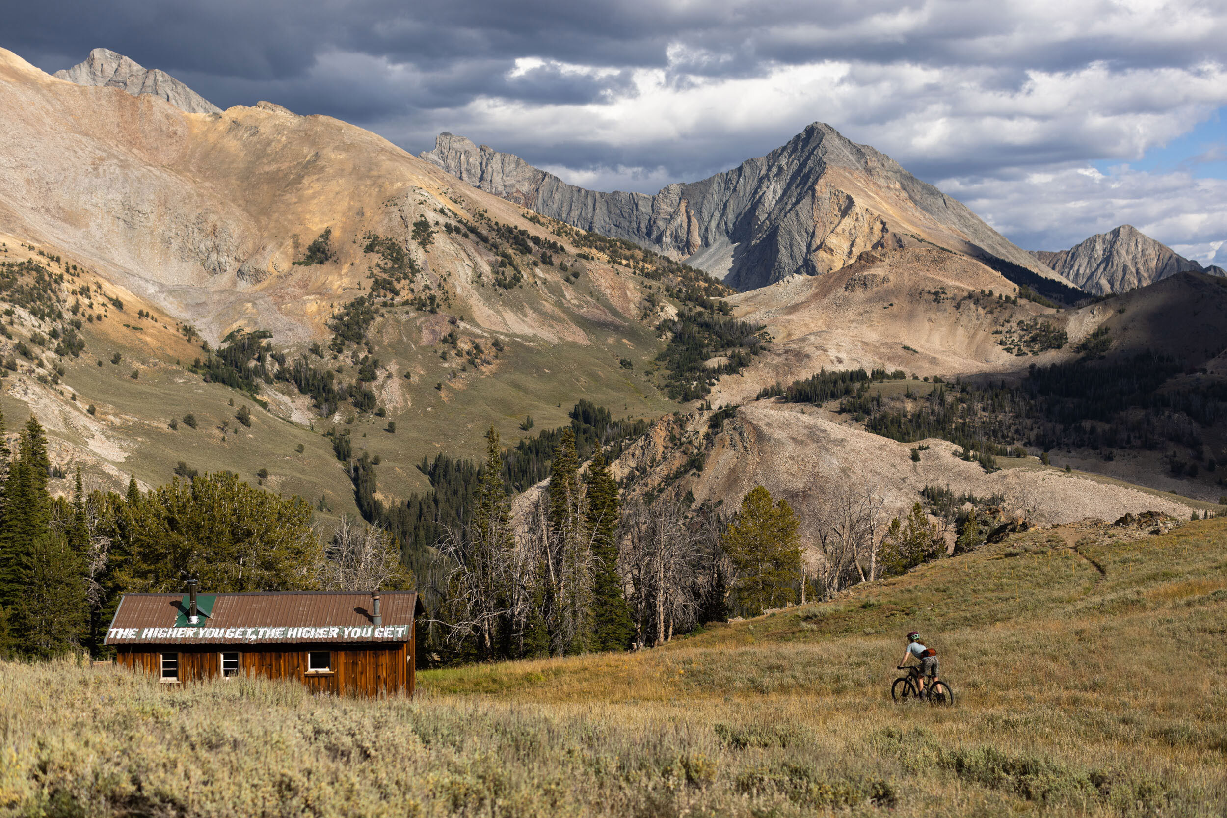
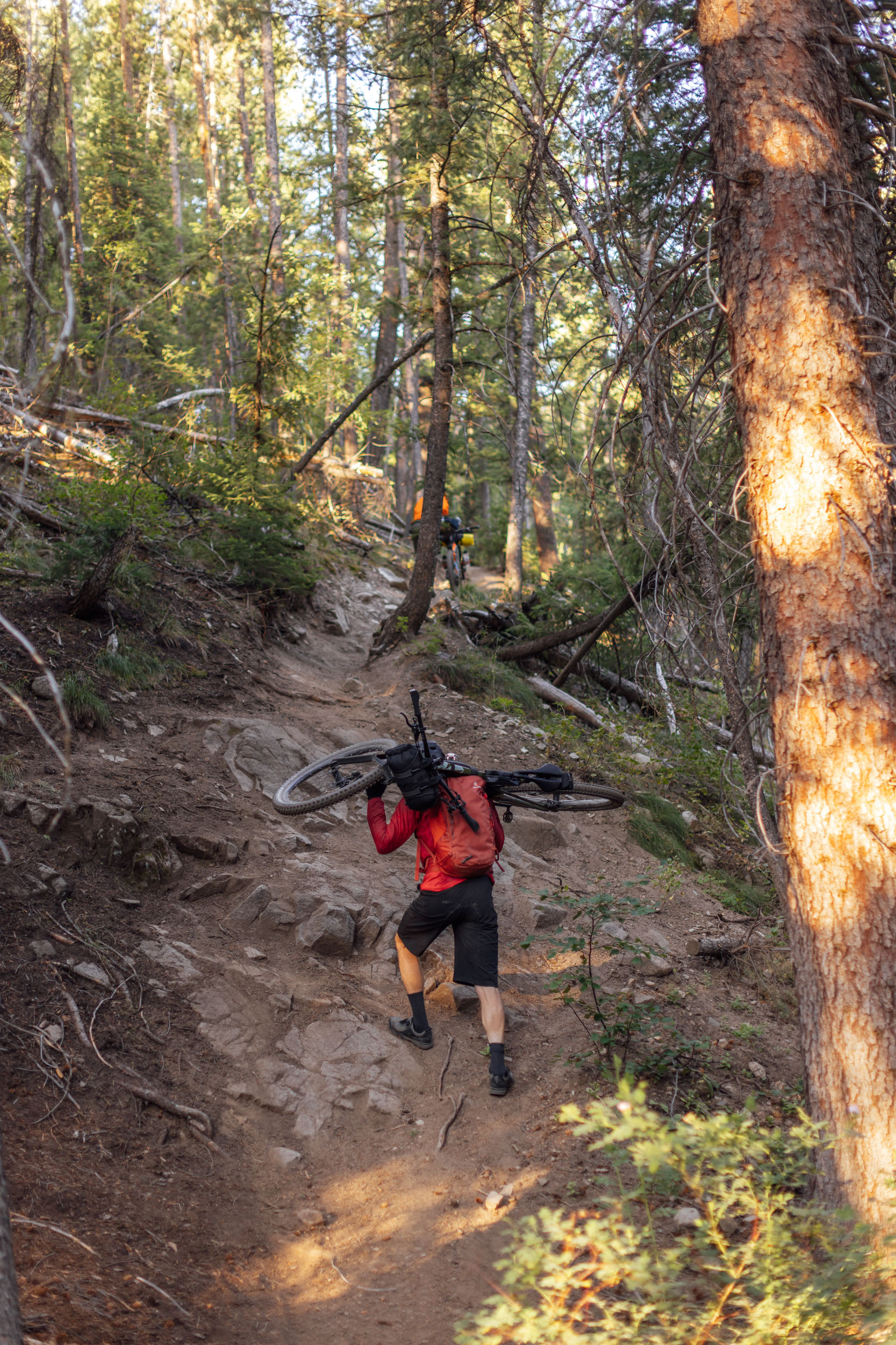
The route begins in Hailey, Idaho, and immediately heads east on gravel roads alongside Quigley Creek, eventually transitioning to rougher and steeper doubletrack. After a short descent, the route continues away from town along Hyndman Creek and the Hyndman North-Fork Trail. What starts out as a rideable trail slowly turns into a steep hike-a-bike to get up to the infamous Pioneer Cabin. It’s a steep push, but the views are worth it. Remember, the higher you get, the higher you get.
location Pioneer Cabin to Galena Lodge
Day 2 (45 miles, 3,160 feet)
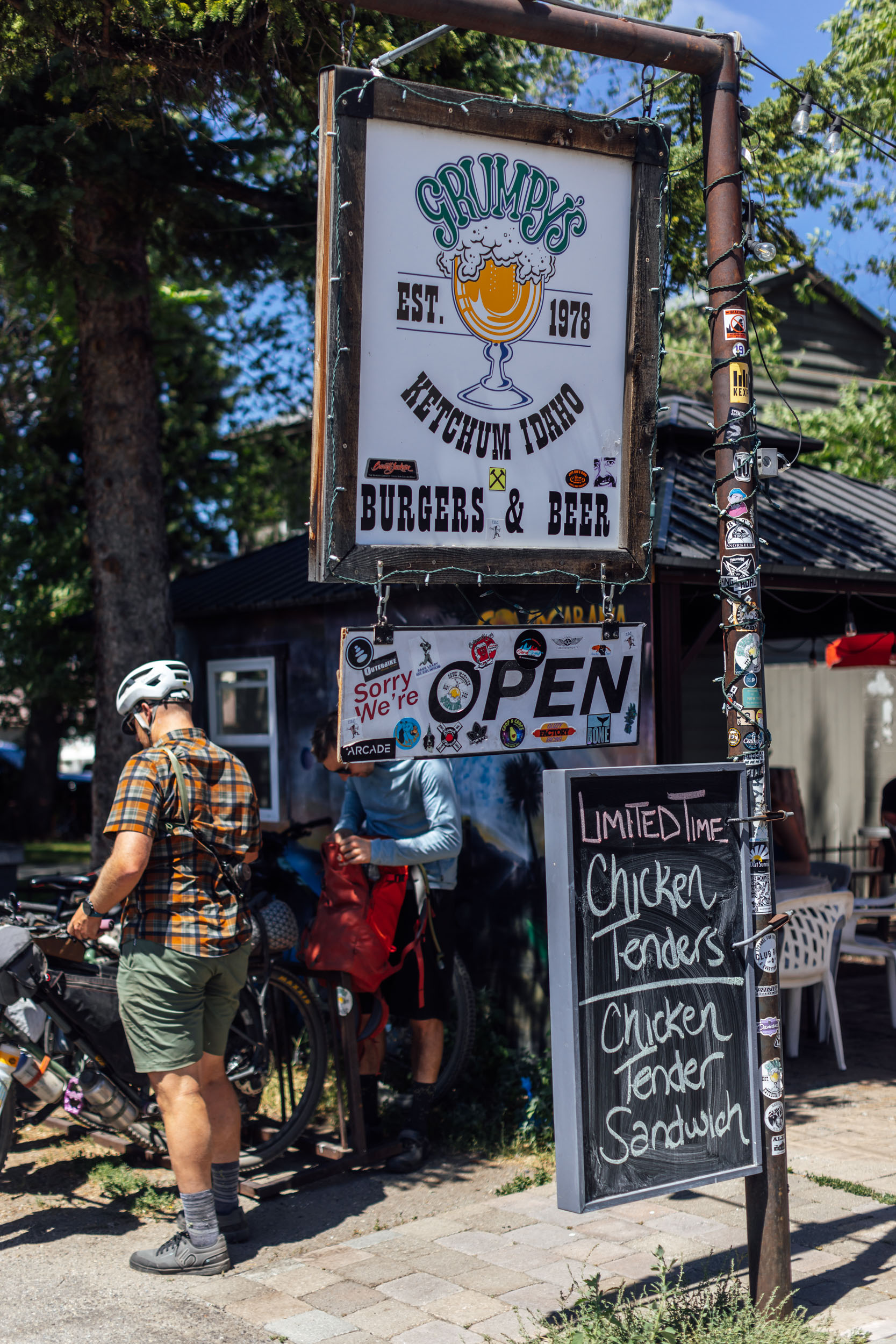
After a night at Pioneer Cabin, everyone will be ready for the descent on Pioneer Cabin Trail. Although it looks great on the map, there are several tight, loose-over-hard switchbacks that are tricky on a loaded bike but a blast to ride down. Hit the trail early to avoid having to pull over for hikers on their way up, and get ready to fly down the Corral Creek Trail toward Ketchum. This is your first chance for resupply. Grab some groceries, stop by Grumpy’s for a burger, and don’t forget to grab some pastries from Bigwood Bakery on the way out.
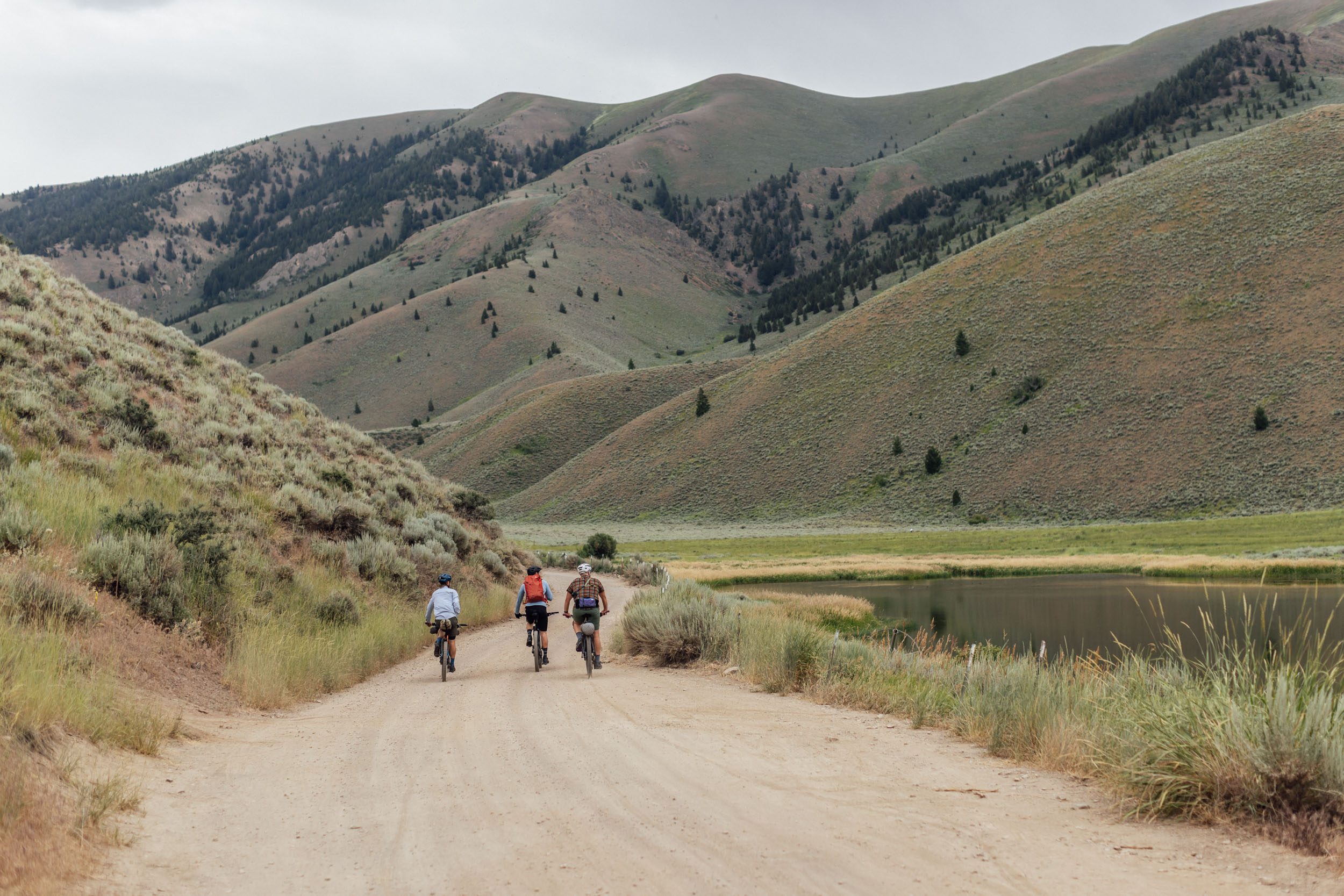
The route leaves town along a paved bike path, linking together the Fox Creek, Chocolate Gulch, and Saddle Trail to the popular Harriman Trail that connects Ketchum with the Galena Lodge. Even though this section runs close to the highway, it’s incredibly stunning and boasts majestic views of the Boulder Mountain Range.
location Galena to Baker Lake (or optional rest/ride day)
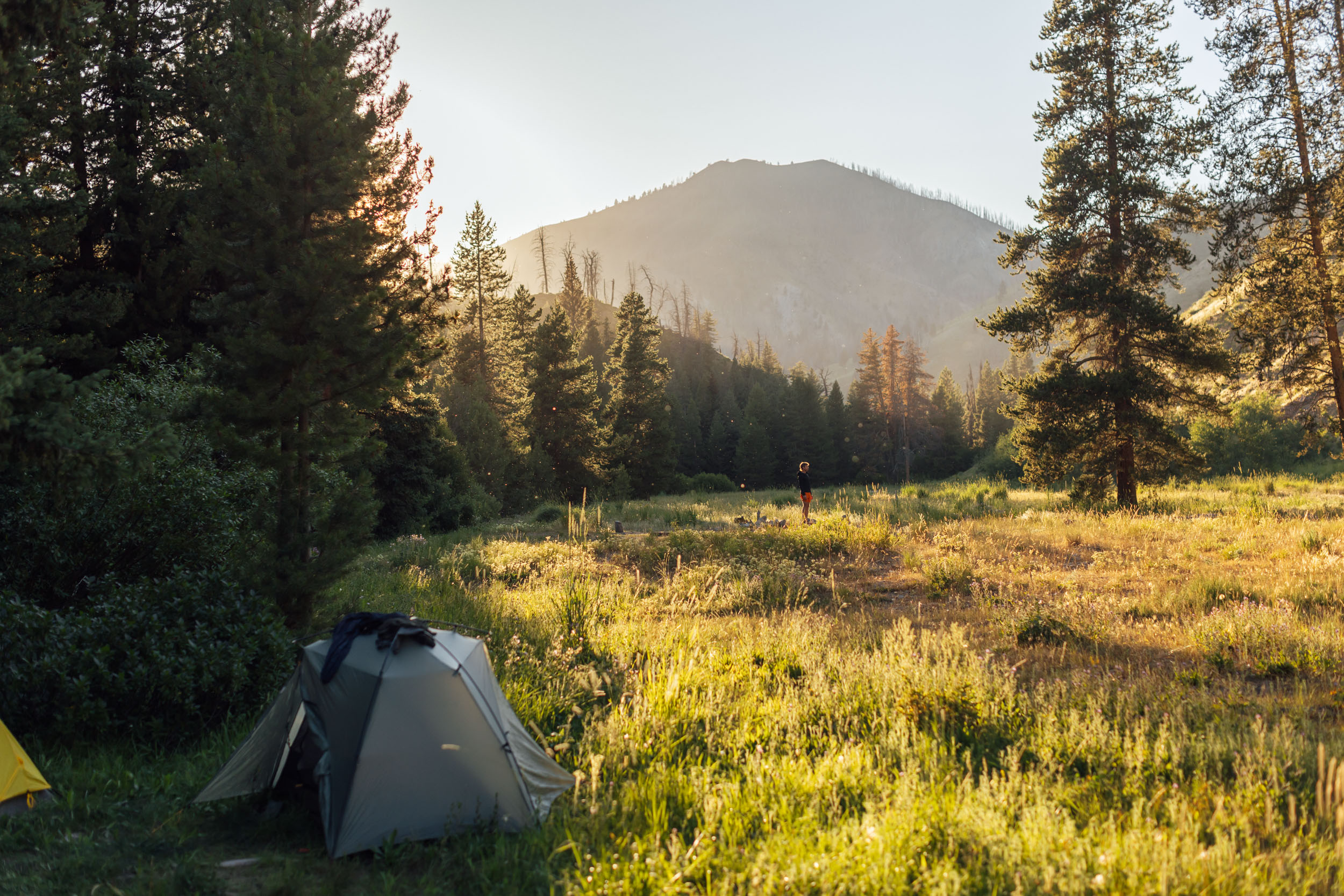
Day 3 (20 miles, 3,670 feet)
After a day off or a quick morning lap at Galena Lodge, the route heads down Spring Creek Trail and briefly links back up with the Harriman Trail before taking the Prairie Creek Trail climb up to Prairie Lake and Baker Lake. These alpine lakes are perfect for cooling off on a hot day, and Baker Lake has plenty of dispersed camping options nearby. Watch out for pesky chipmunks; they’ll snatch your food so quickly you won’t know what hit you.
location Baker Lake to Frenchman Hot Springs
Day 4 (39 miles, 3,560 feet)
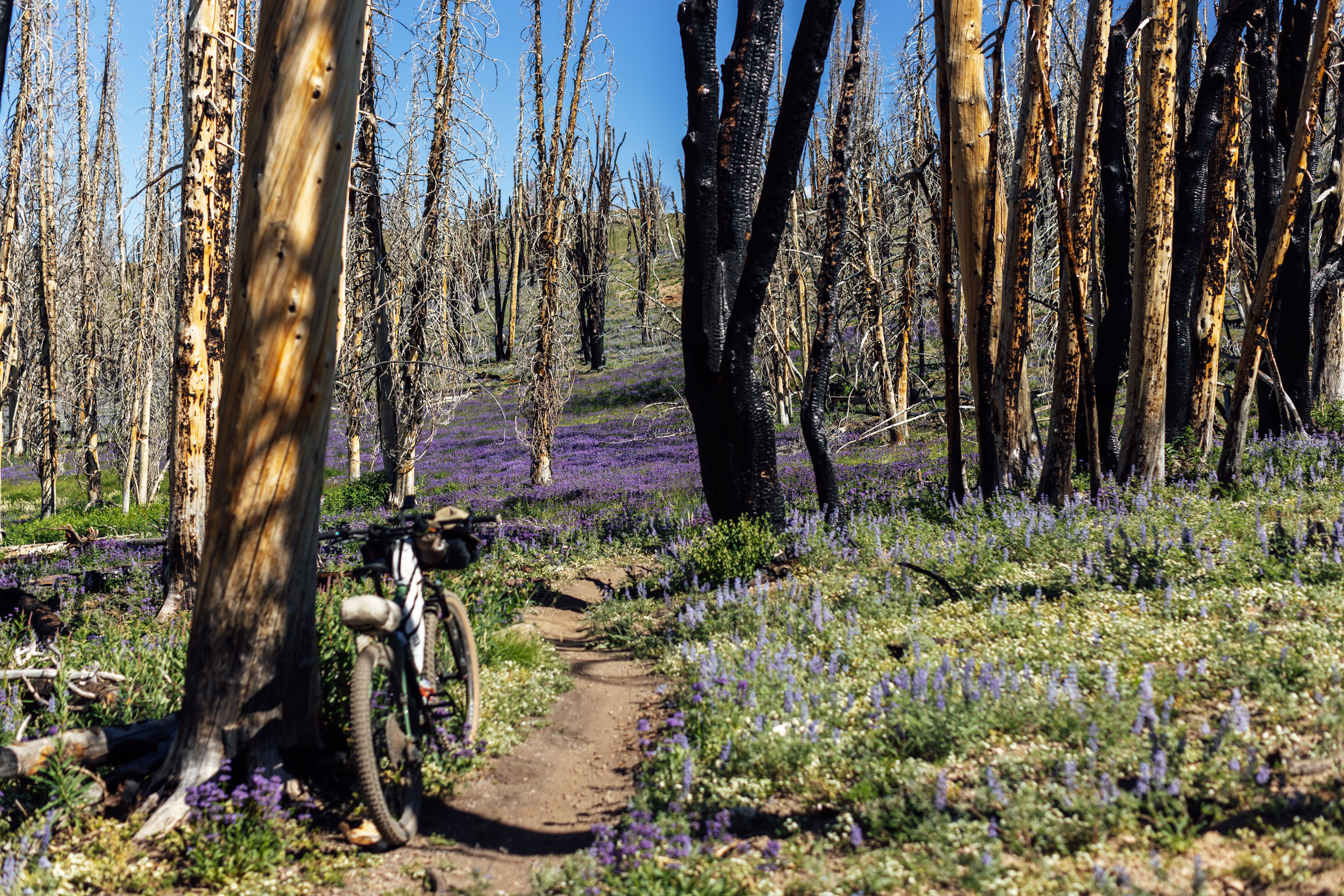
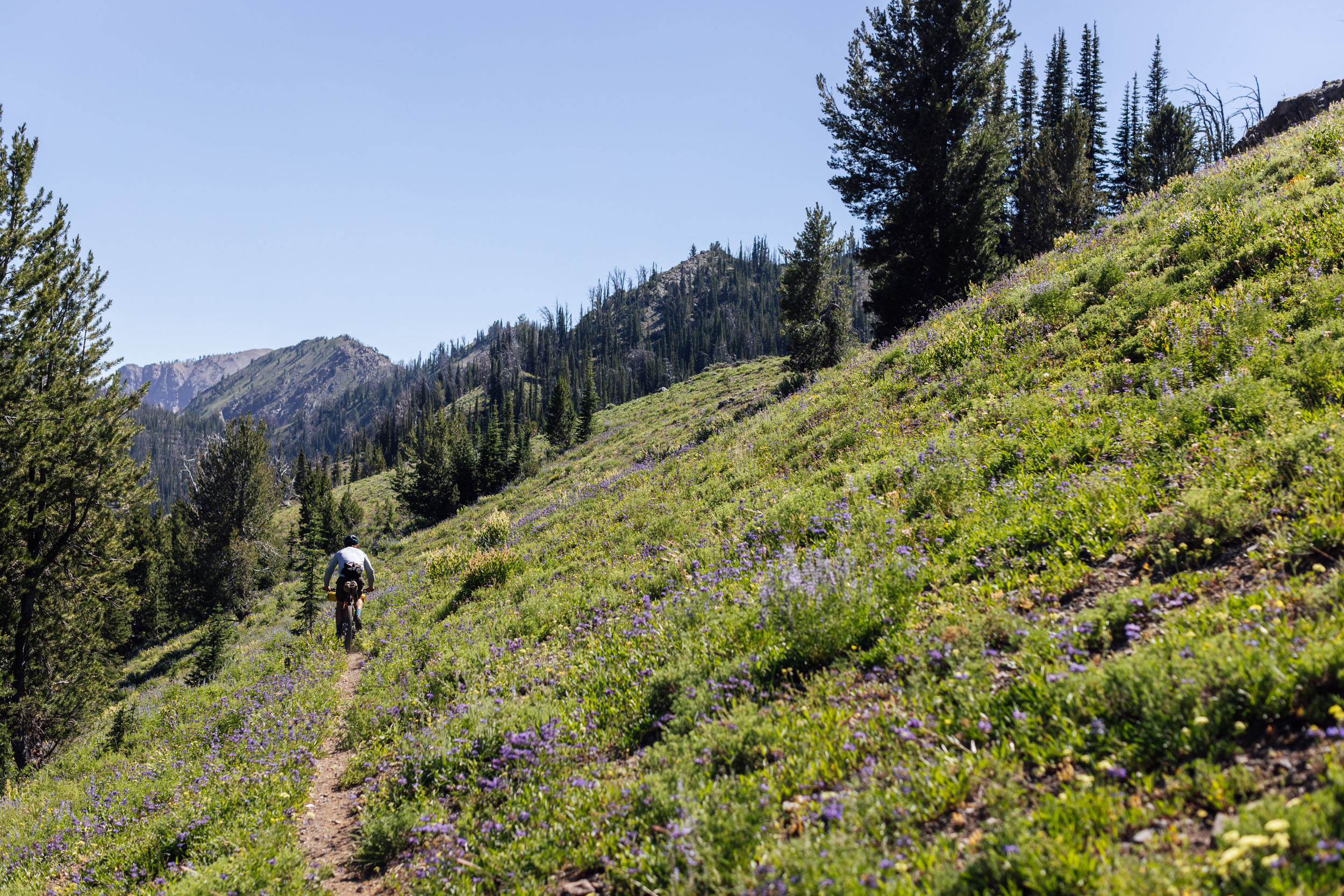
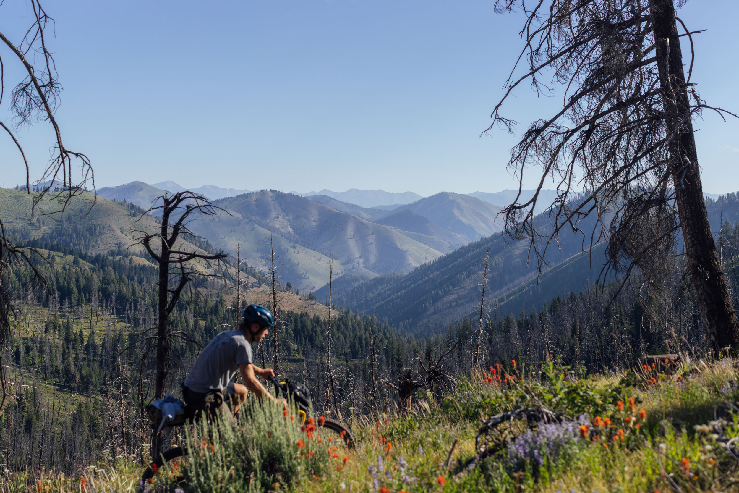
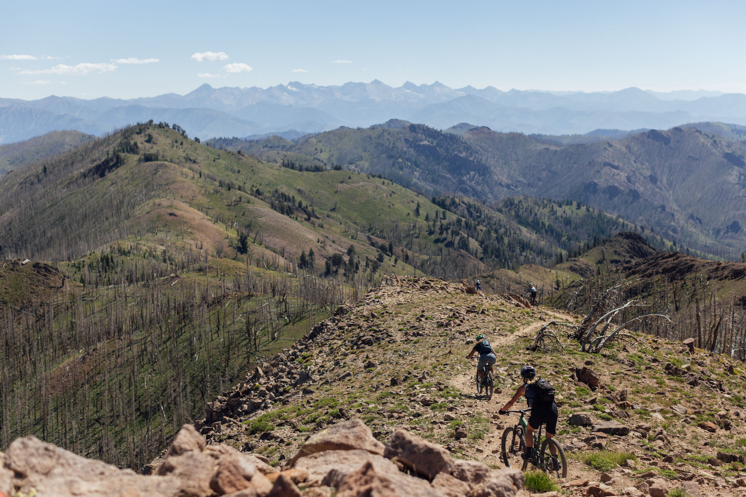
After a fast descent from Baker Lake, the route connects with the Osberg Ridge Trail, a highlight of the entire loop. This extraordinary 13-mile trail summits at just under 9,800 feet, following a perfect ribbon of alpine singletrack through meadows, ridges, burned forest, and massive rock faces. Adam’s Gulch and the Griffin Butte Connector send the route back into Ketchum for the second time. This is your last chance to resupply before ending in Hailey.
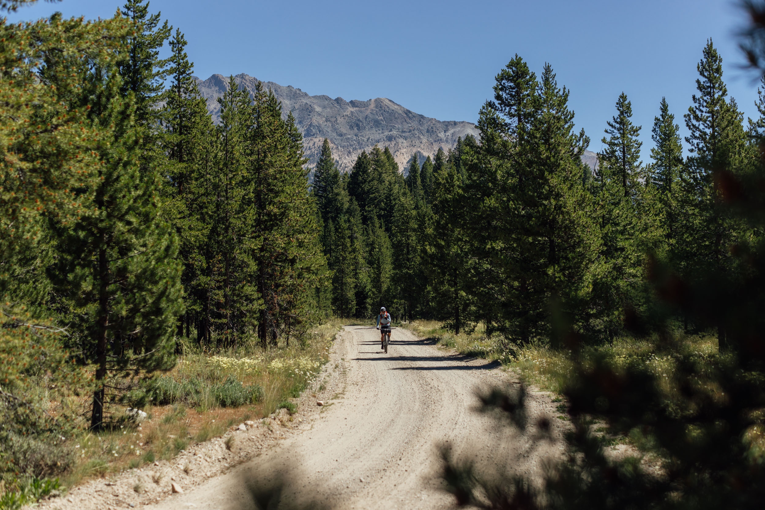
From town, the route heads back west along West Warm Springs Road toward Frenchman’s Hot Springs. There are natural hot springs accessed on the side of the road on Warm Spring Creek, as well as several dispersed camping sites further along the gravel road.
location Frenchman Hot Springs to Hailey
Day 5 (24 miles, 2,375 feet)
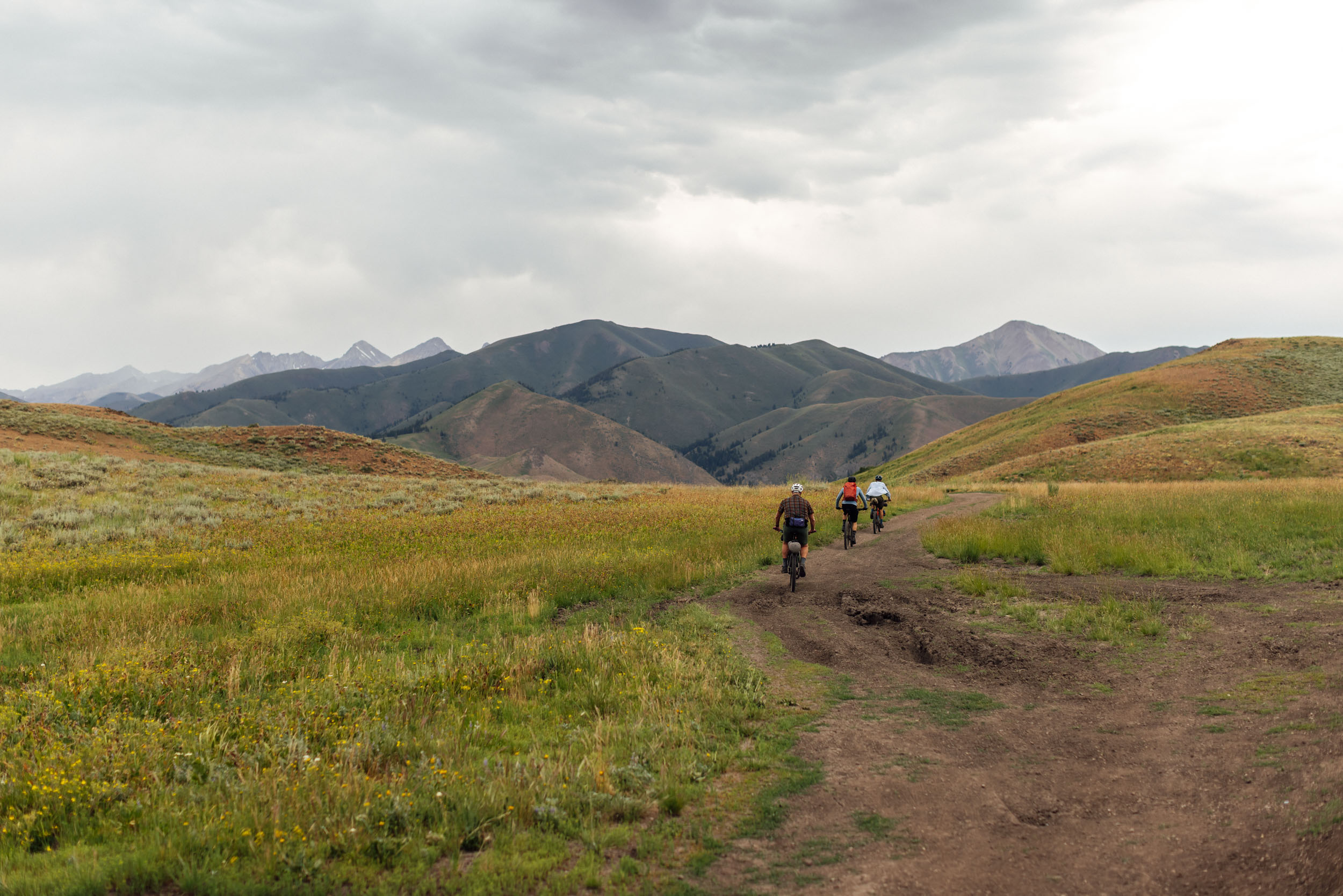
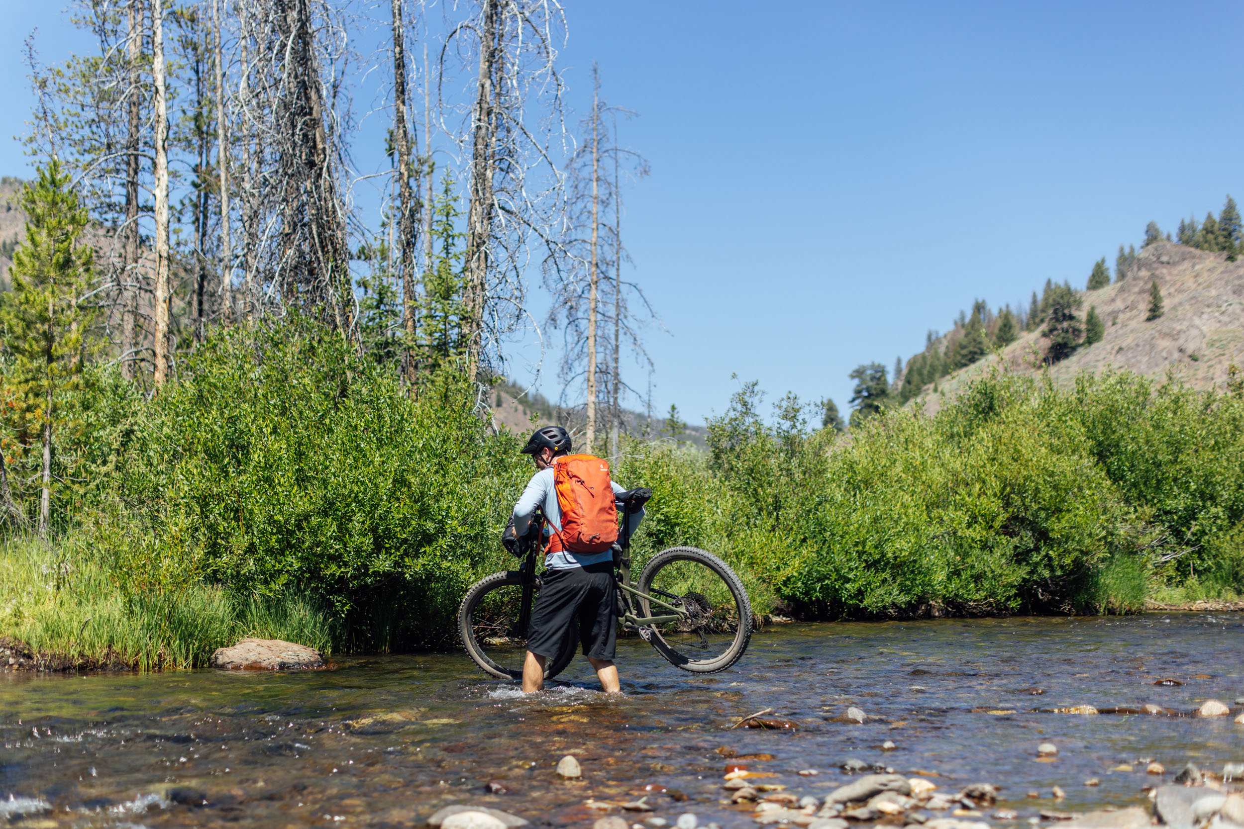
Your day begins with the challenge of a creek crossing. As shown on the map, please take extreme caution in crossing this stream, and do not attempt during high water. This is one reason why we don’t suggest early-season riding on this route. Once across the stream, you’ll enjoy a cool canyon climb that slowly gets steeper but is never unpleasant. At the top, you’ll reach Mars Ridge. Enjoy the big views and keep an eye out for wildlife in this high-altitude landscape. After traversing the ridge, you get to enjoy the last big downhill of the trip, Greenhorn Gulch. This is a long, classic Idaho gulch descent. Savor the endless turns and aspen leaves as you blur past.
Your trip will end with a descent to the Wood River Trail bike path, where you’ll cruise back into Hailey. Make sure to grab some celebratory food, drinks, or ice cream. You’ve earned it!


Terms of Use: As with each bikepacking route guide published on BIKEPACKING.com, should you choose to cycle this route, do so at your own risk. Prior to setting out check current local weather, conditions, and land/road closures. While riding, obey all public and private land use restrictions and rules, carry proper safety and navigational equipment, and of course, follow the #leavenotrace guidelines. The information found herein is simply a planning resource to be used as a point of inspiration in conjunction with your own due-diligence. In spite of the fact that this route, associated GPS track (GPX and maps), and all route guidelines were prepared under diligent research by the specified contributor and/or contributors, the accuracy of such and judgement of the author is not guaranteed. BIKEPACKING.com LLC, its partners, associates, and contributors are in no way liable for personal injury, damage to personal property, or any other such situation that might happen to individual riders cycling or following this route.
Please keep the conversation civil, constructive, and inclusive, or your comment will be removed.