


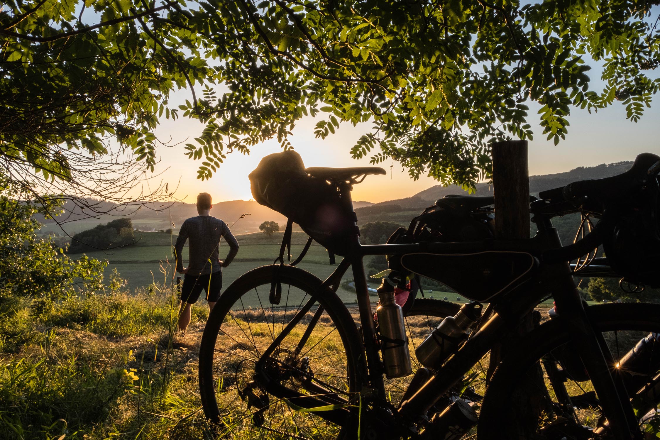
Sweet and Sauerland
Distance
142 Mi.
(229 KM)Days
3
% Unpaved
75%
% Singletrack
4%
% Rideable (time)
99%
Total Ascent
18,534'
(5,649 M)High Point
2,776'
(846 M)Difficulty (1-10)
5?
- 9Climbing Scale Very Strenuous131 FT/MI (25 M/KM)
- -Technical Difficulty
- -Physical Demand
- -Resupply & Logistics
Contributed By
Lothar Linse
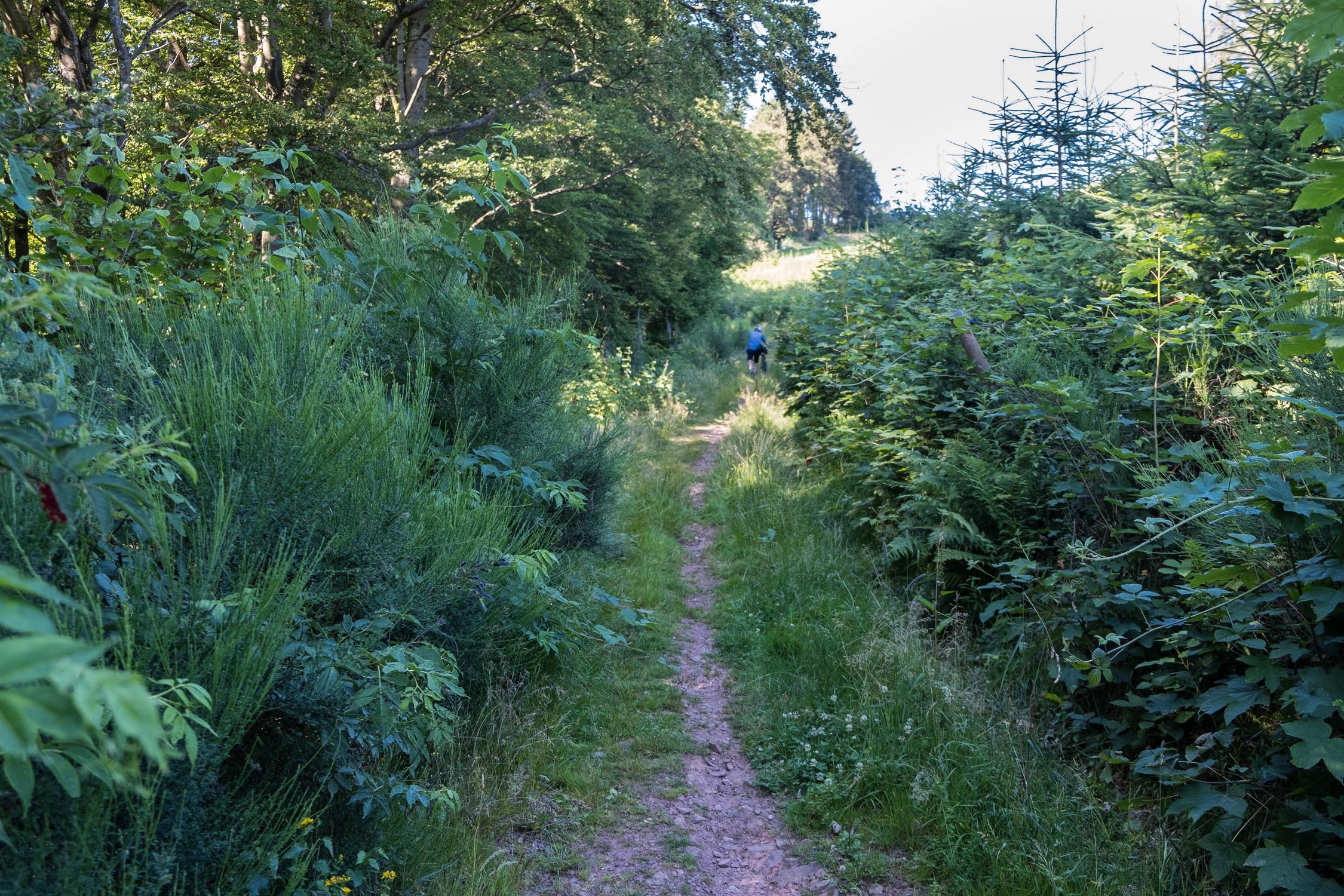
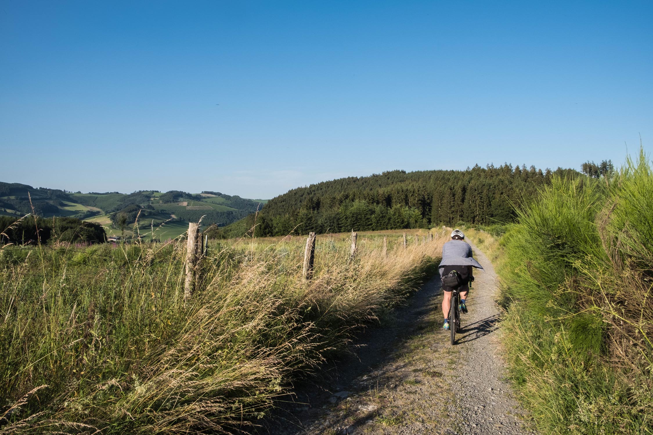
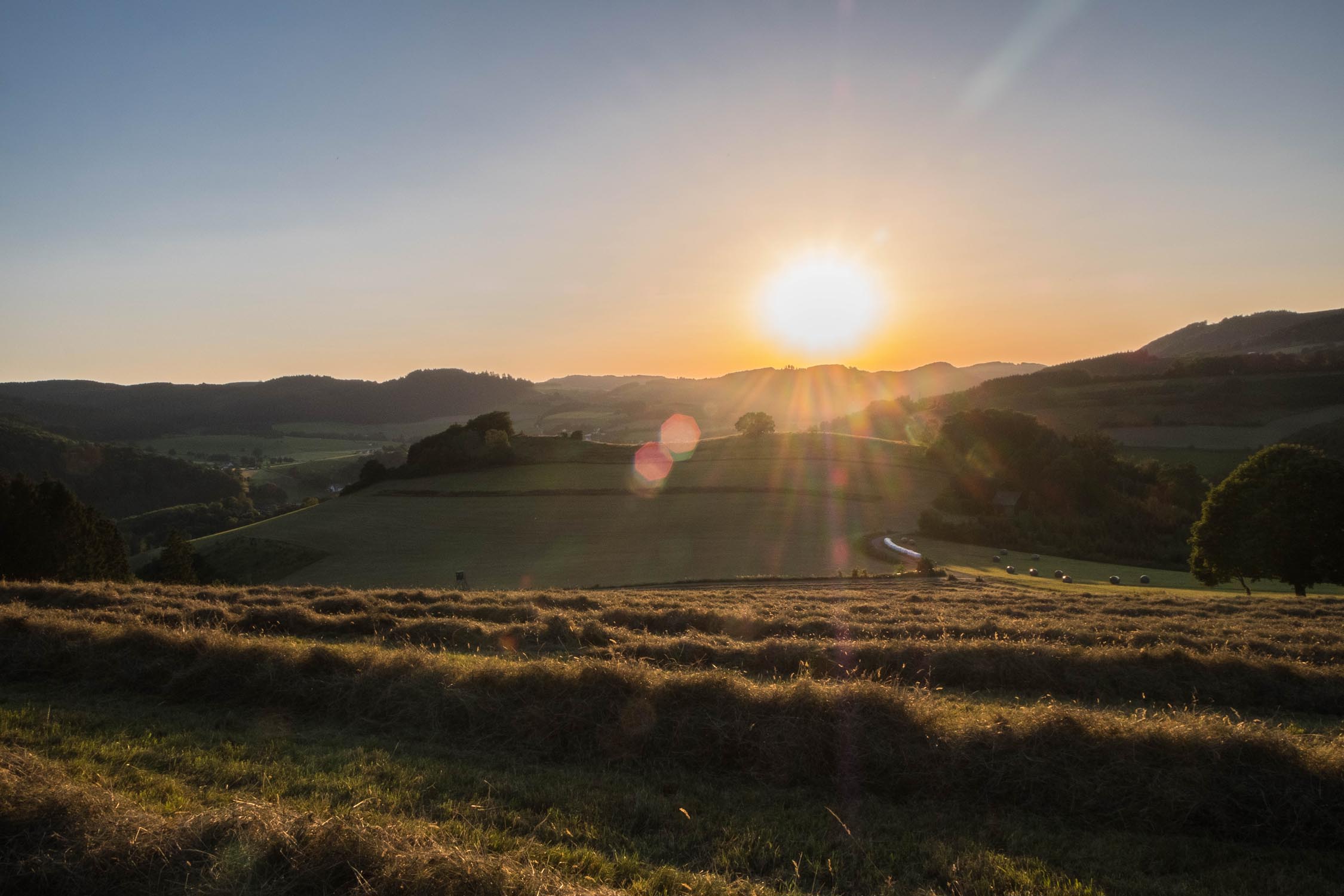
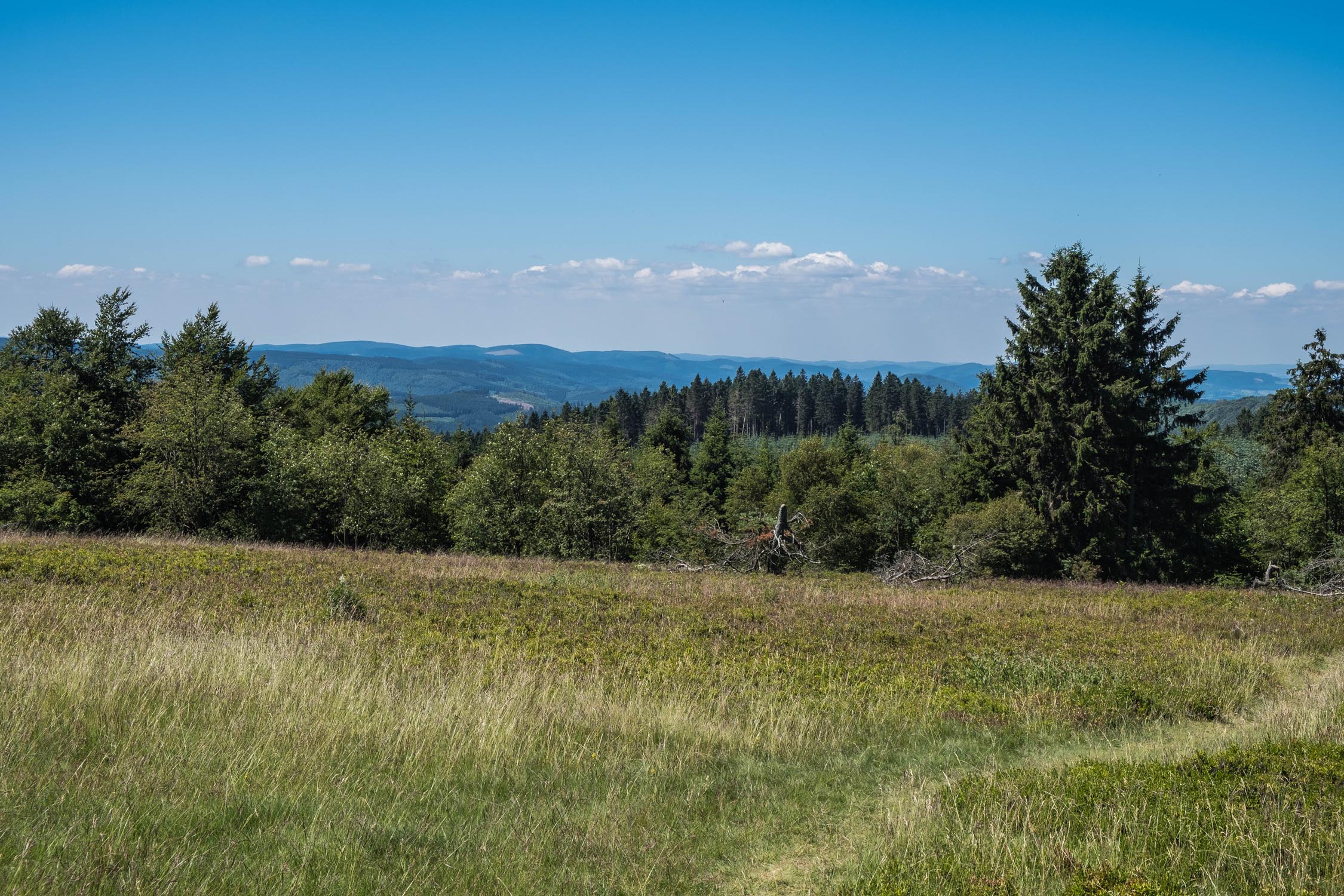
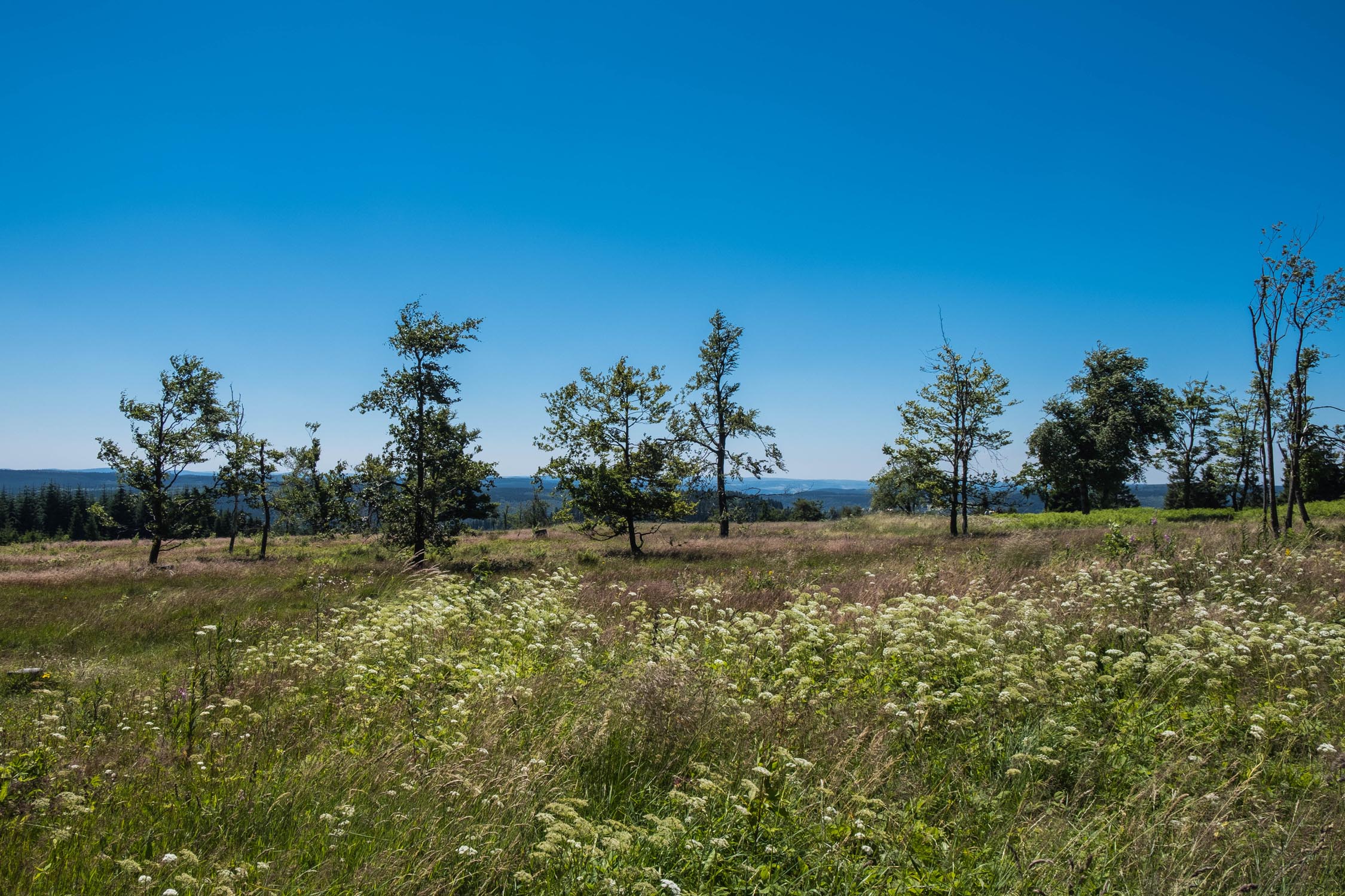
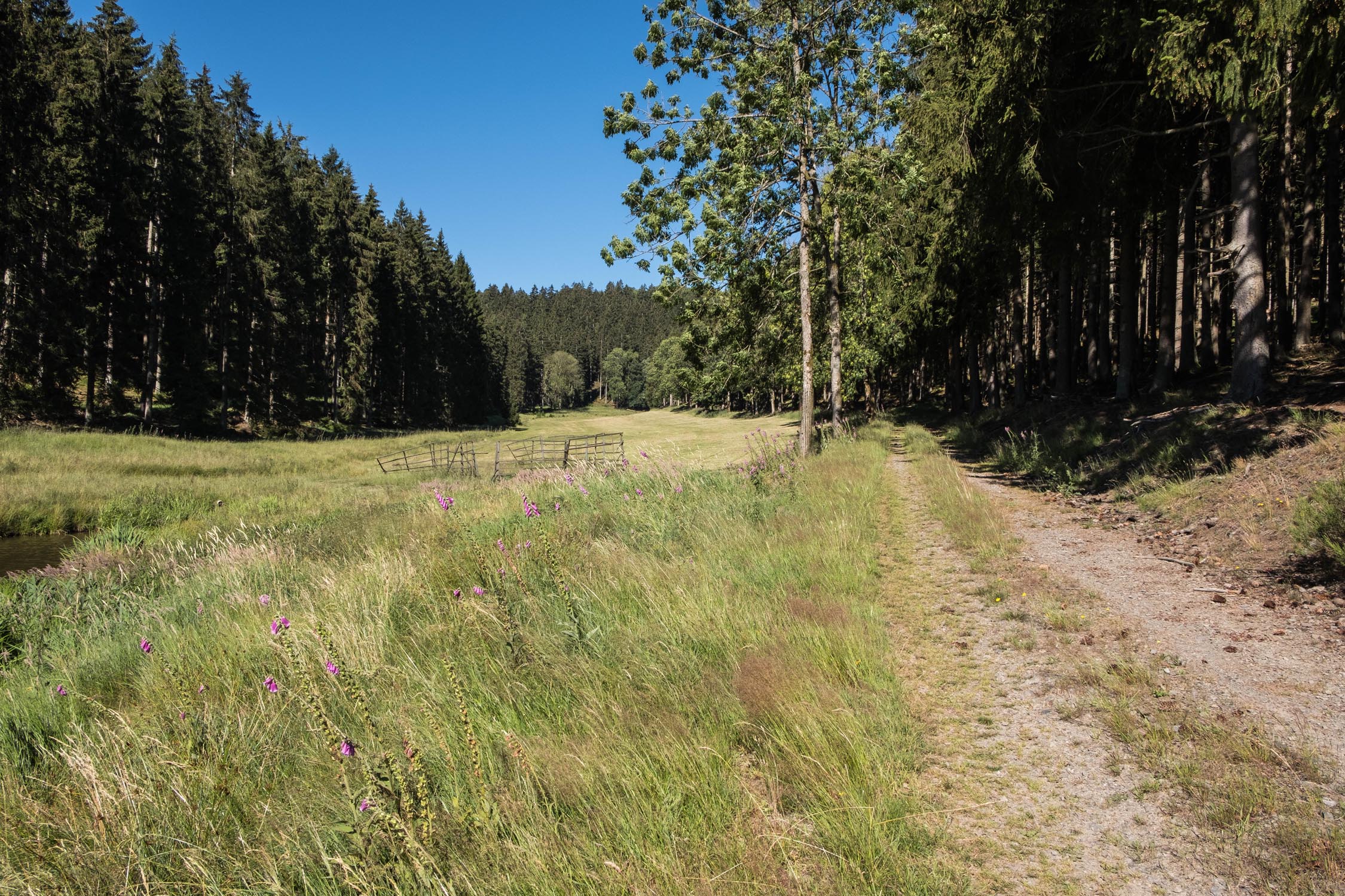
Starting and ending near Cologne, the Sweet and Sauerland is designed as a weekend escape out of big city life and into nature. The region consists of many expansive forests, small villages, and beautiful landscapes. In winter, it is one of just a handful of areas in midwestern Germany that offers skiing. Along the route, you’ll pass by a few small ski areas with ski lifts.
The region is very hilly, and its highest point is Kahler Asten, a popular 842-meter peak. In ancient times, the region was called Suderland, only later becoming known as Sauerland. “Sauer” in German translates to “sour” in English, and we thought the name was fitting for the route, given its sweet and sour mix of steep climbs, scenic vistas, and fast descents.
The route is rated 5 of 10 in terms of difficulty. There are no significant logistical problems and civilization is almost always nearby. All you’ll need is some physical fitness.


Submit Route Alert
As the leading creator and publisher of bikepacking routes, BIKEPACKING.com endeavors to maintain, improve, and advocate for our growing network of bikepacking routes all over the world. As such, our editorial team, route creators, and Route Stewards serve as mediators for route improvements and opportunities for connectivity, conservation, and community growth around these routes. To facilitate these efforts, we rely on our Bikepacking Collective and the greater bikepacking community to call attention to critical issues and opportunities that are discovered while riding these routes. If you have a vital issue or opportunity regarding this route that pertains to one of the subjects below, please let us know:
Highlights
Must Know
Camping
Food/H2O
Trail Notes
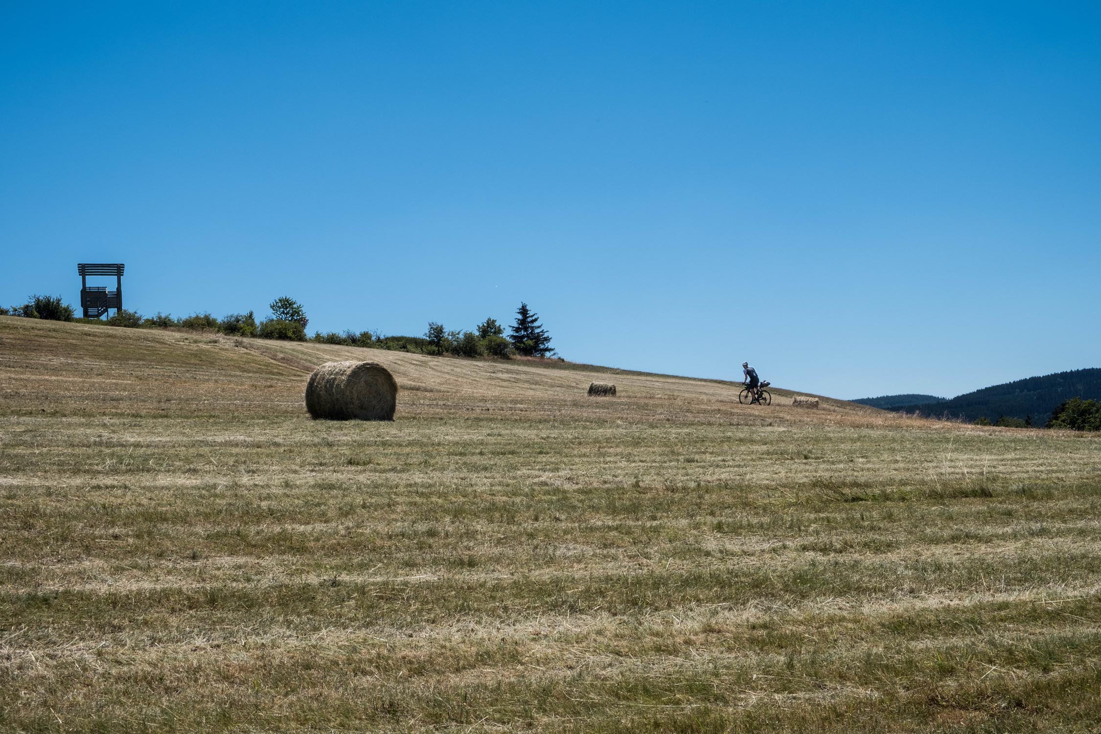
- Countless scenic viewpoints
- The 360° panoramic view from the Kahler Asten
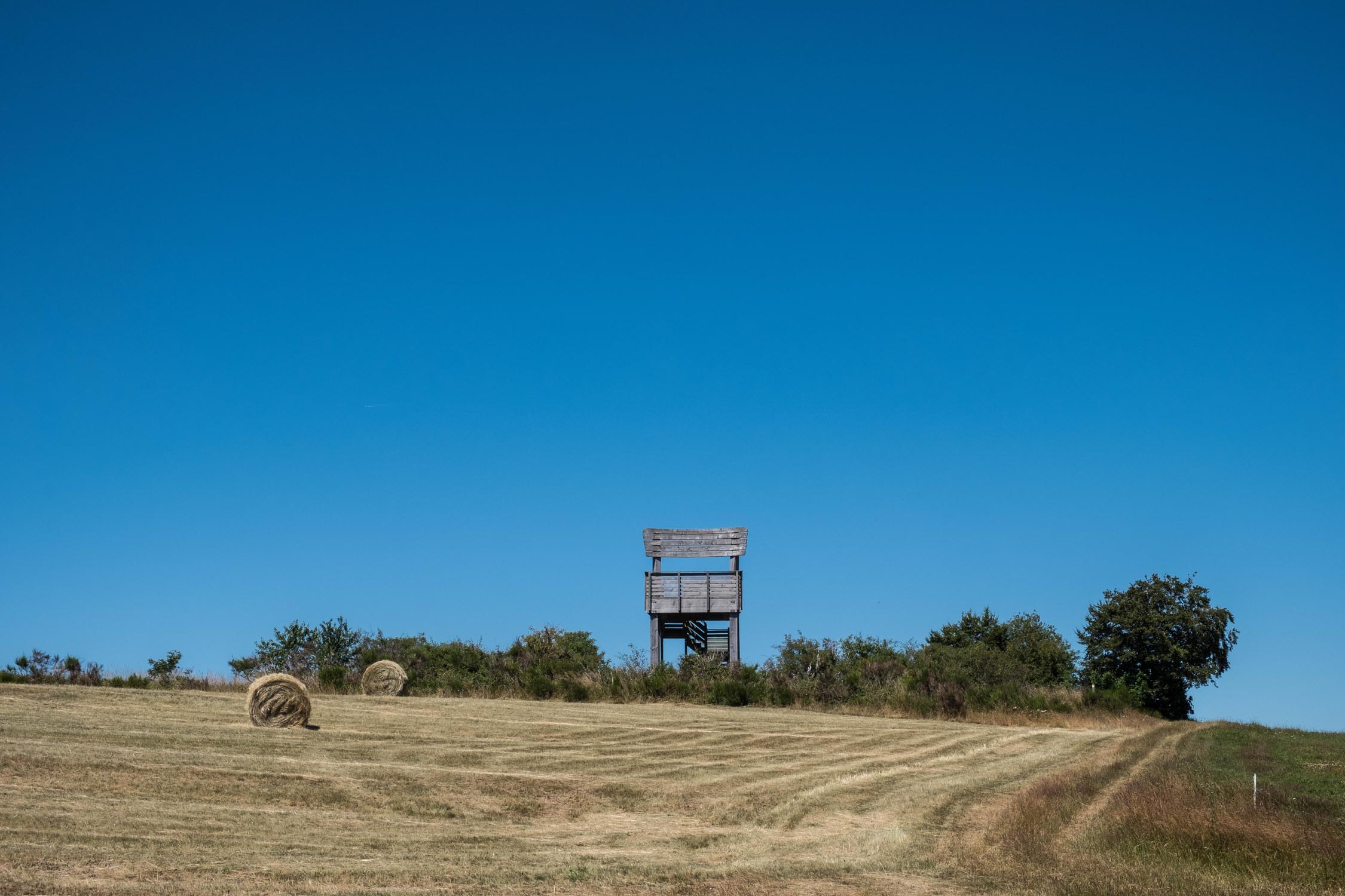
- One of the biggest wooden chairs in the world
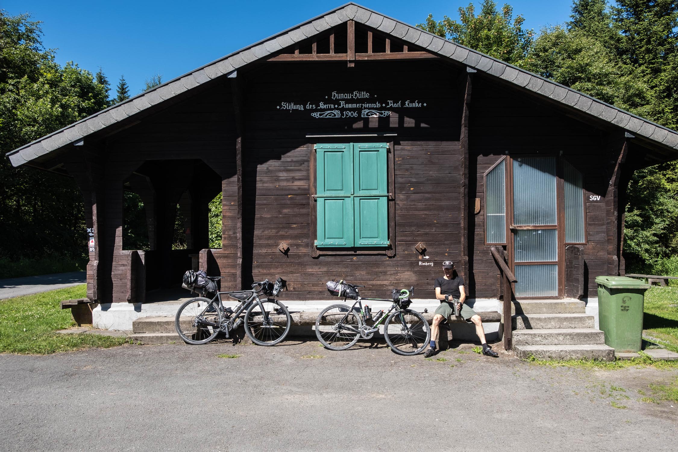
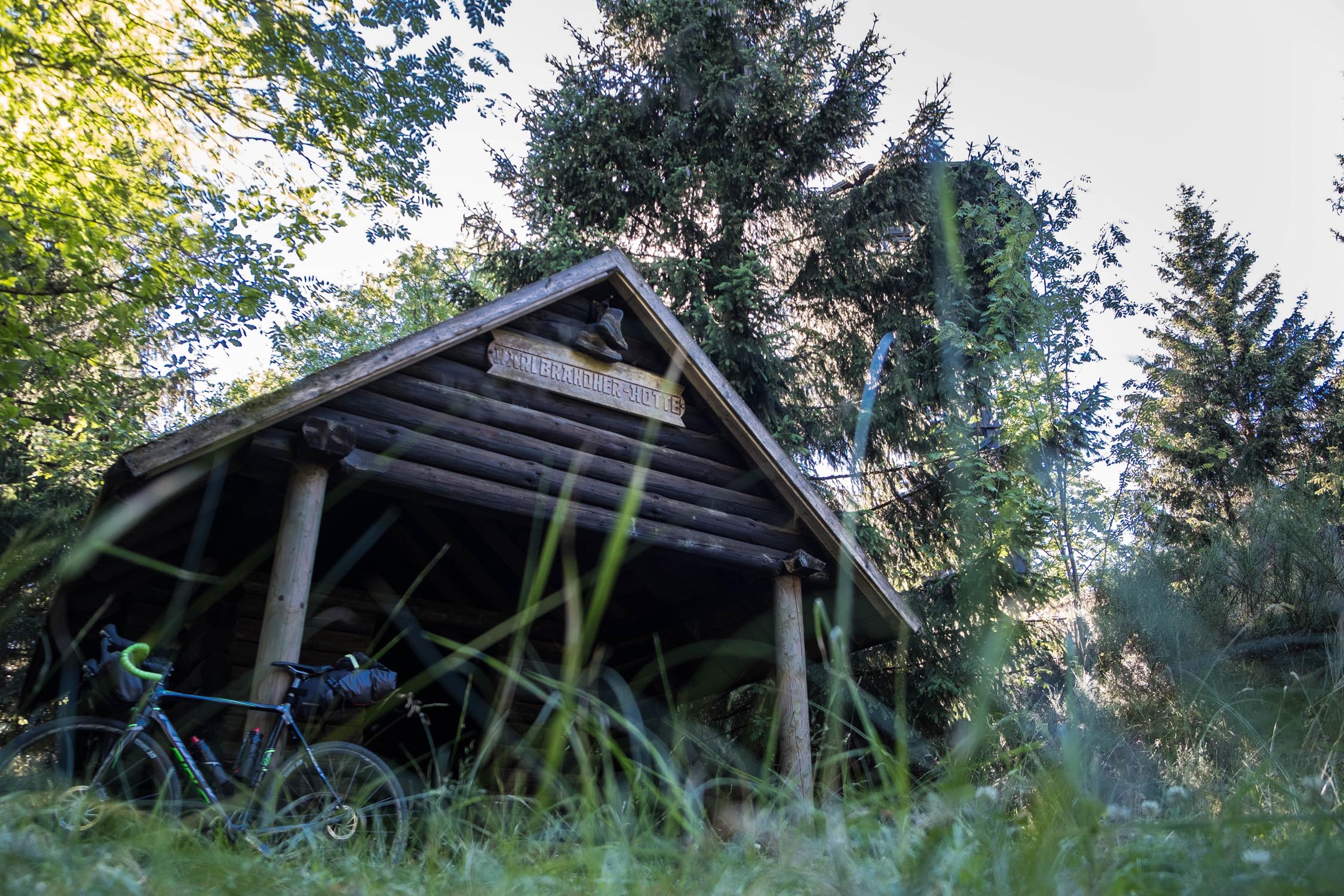
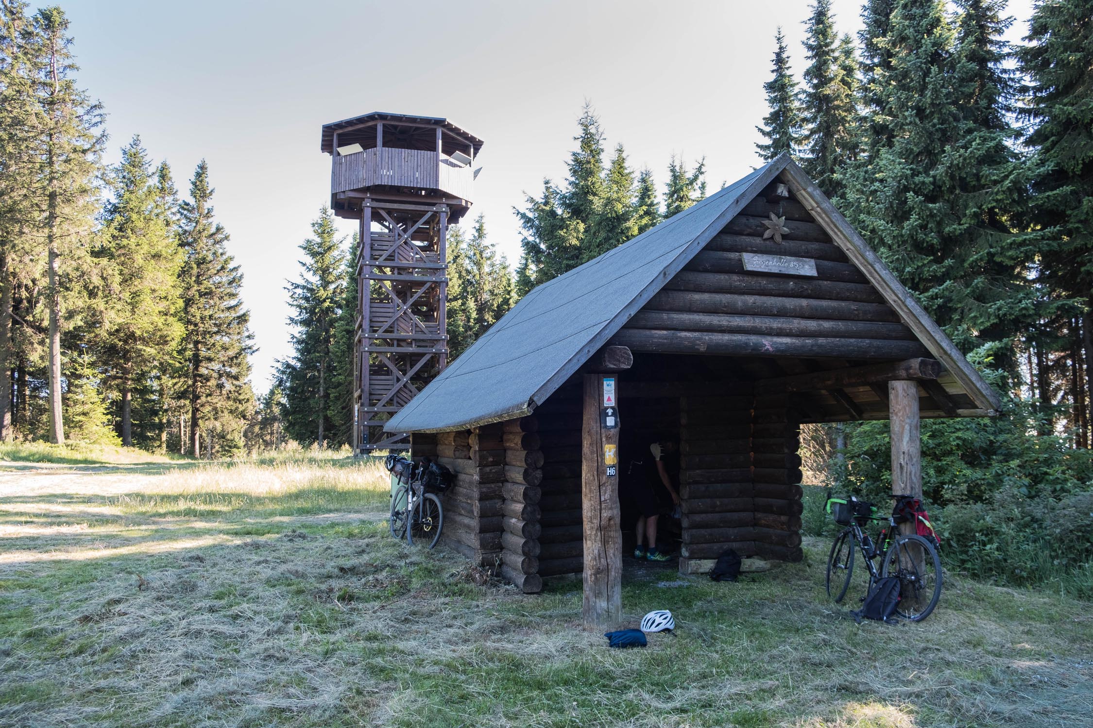
- Ziegenhelle and Heidekopf Towers, each with good shelters
- The historic town of Bad Berleburg, with its famous Castle Berleburg, built in 1258
- Passing through an impressive ski jump area
- The best time to ride this route is between May and September.
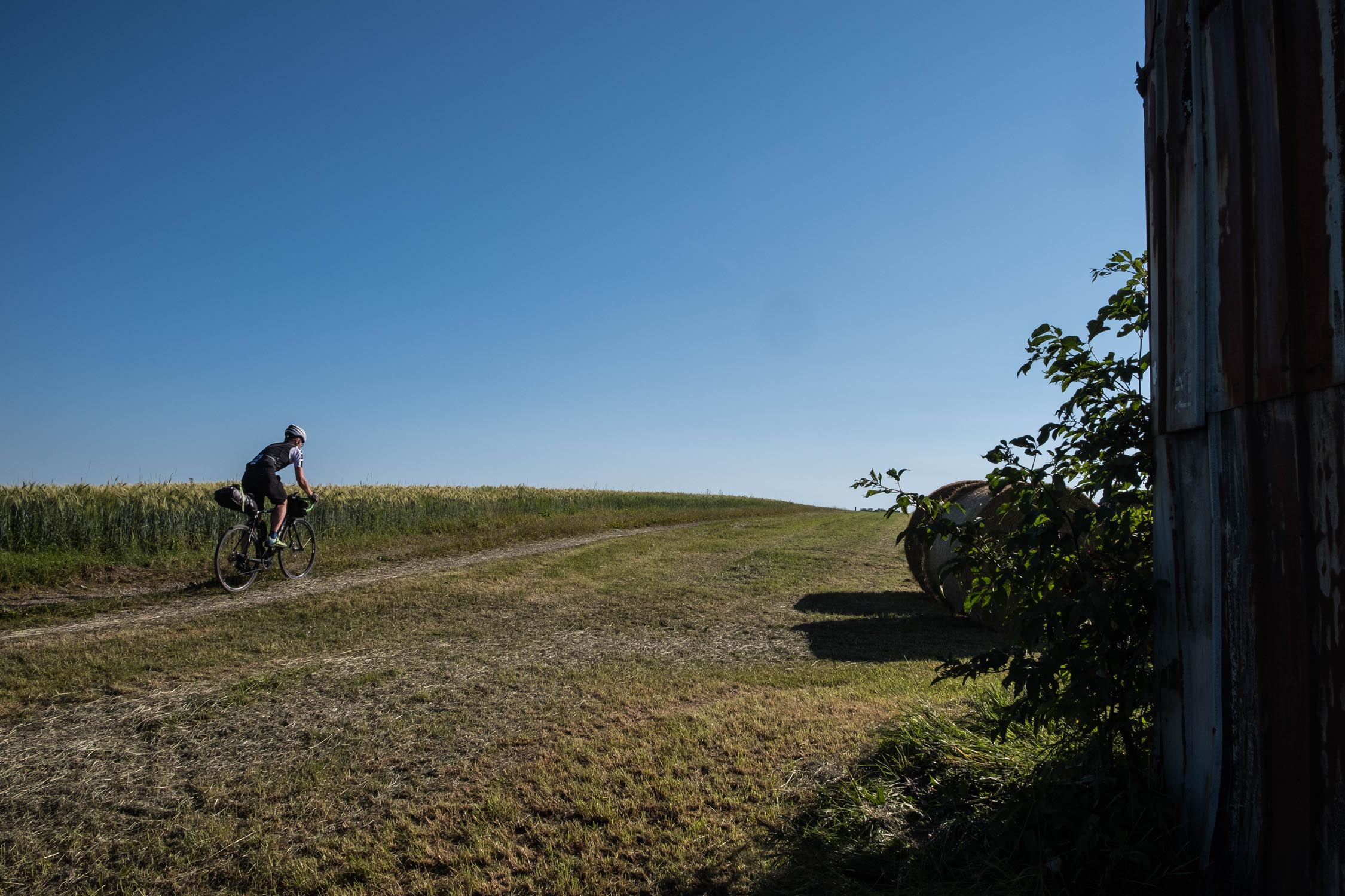
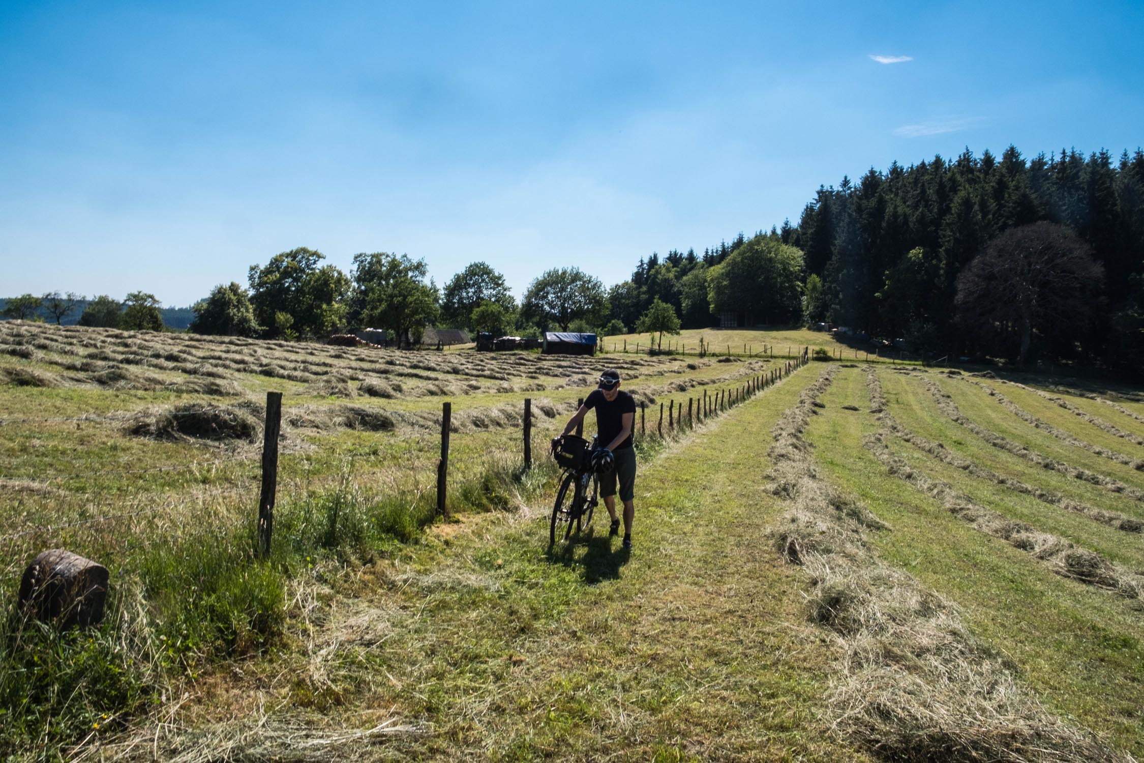
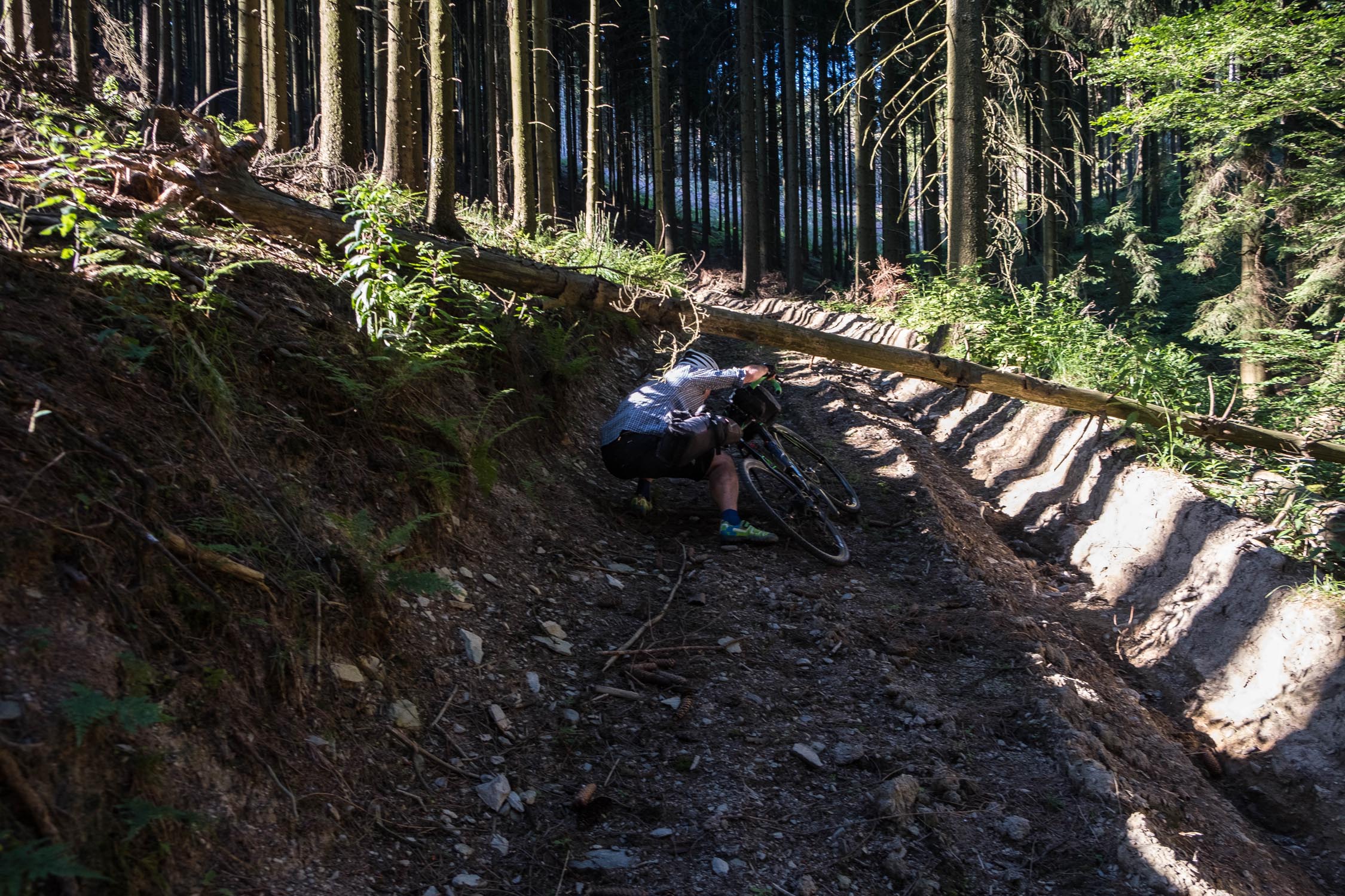
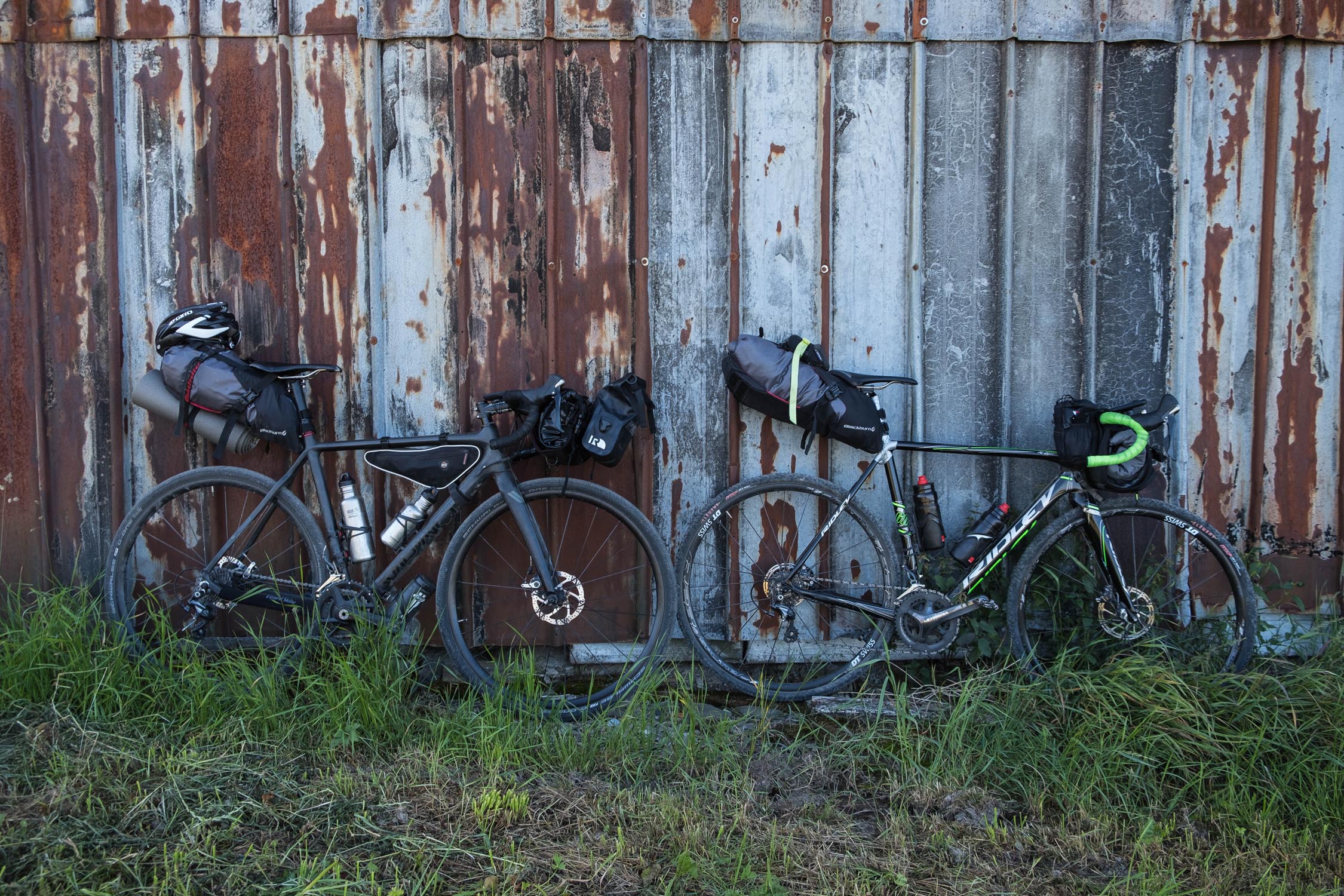
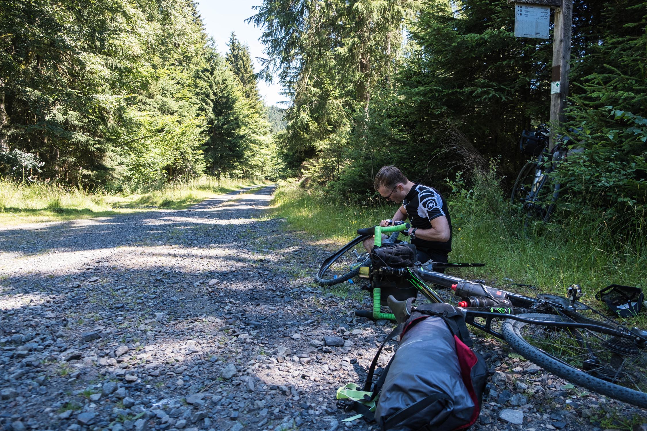
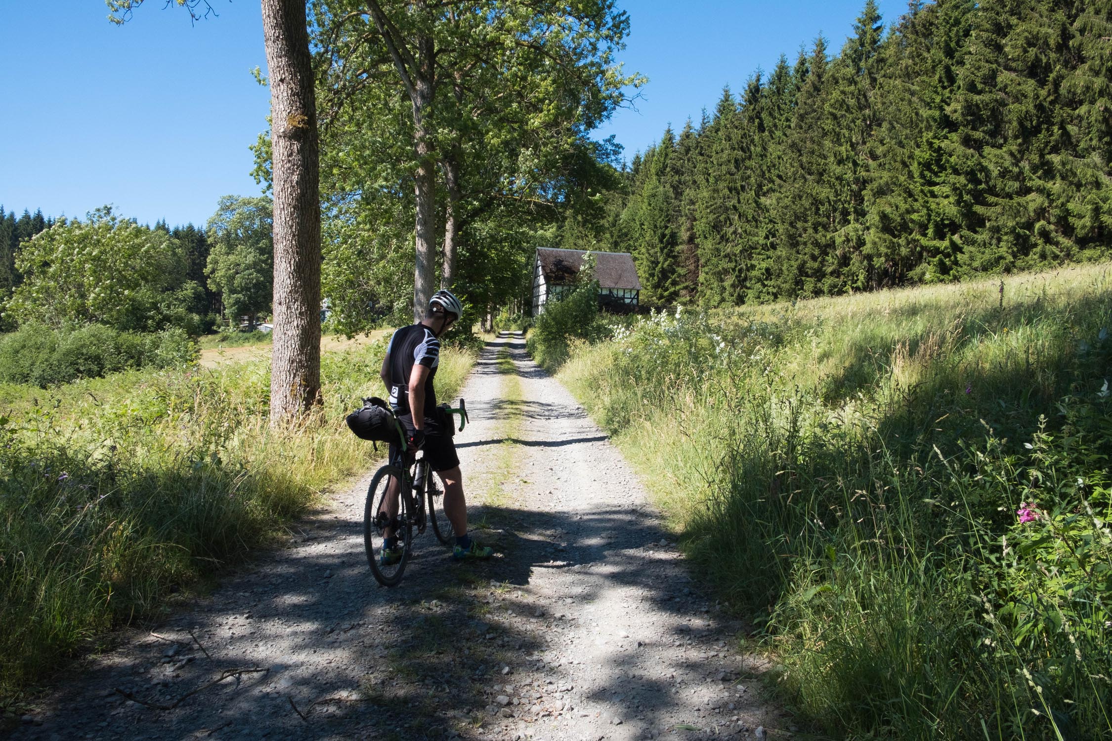
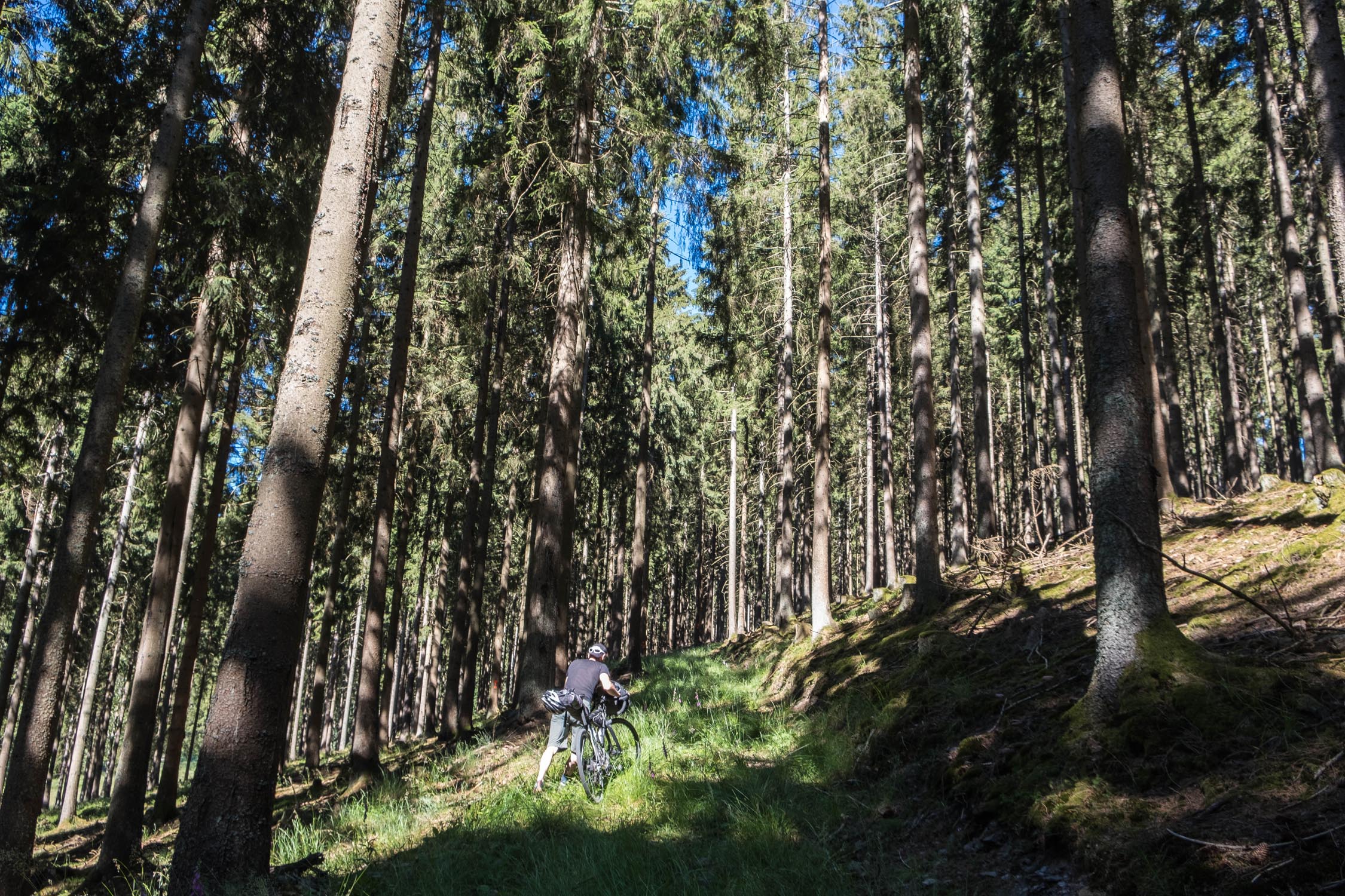
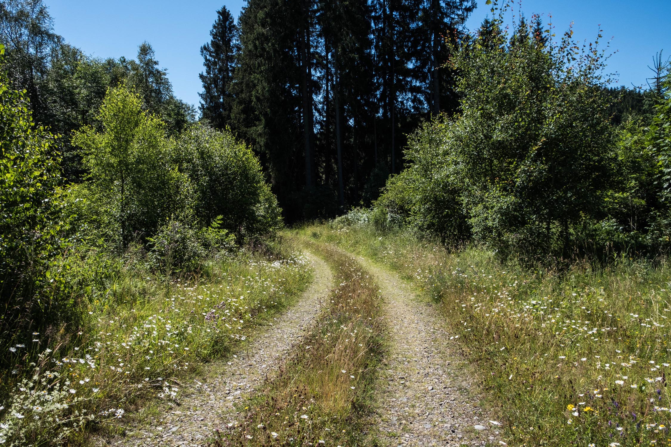
- The route consists mostly of unpaved wide forest roads and the descents are quite steep. A gravel bike with at least 40mm tyres or a hardtail mountain bike is recommended.
- The route starts and ends at a parking lot in in Meinerzhagen.
- Summer temperatures can be hot during the day and chilly at night up high, so pack accordingly.
- There are a few camping places at Biggetalsperre, a reservoir near Meinerzhagen, but no other established campsites directly on the route.
- You’ll find many accommodation options in Meinerzhagen, Eslohe, Wenholthausen, Oberhenneborn, Hallenberg, and Bad Berleburg.
- The region around Kahler Asten is very popular amongst hikers and bikers on nice weekends, so please be courteous.
- When following the route clockwise, the first day has many steep downhills. Make sure your brakes are in good shape!
- Except at the the Biggetalsperre Reservoir, there are no camping grounds directly on the route.
- You’ll find lodging in the villages of Wenholthausen, Reiste, Obersorpe, Altastenberg, Hallenberg, Bad Berleburg.
- You pass plenty villages with options for food and water.
- Small creeks and rivers abound. Filtering this water is strongly recommended because of nearby cattle grazing.
- There are supermarkets in Meinerzhagen, Eslohe, Hallenberg, and Bad Berleburg.
The route starts and ends in the town of Meinerzhagen. It lies in the west of Sauerland and can easily be reached by train or by car. The tour begins and ends at a public parking place which is especially designed for hikers who are walking the Sauerlandhöhenflug.
Riding clockwise, we spent the first night somewhere between Wenholthausen and Kirchlipe. The first day is mostly on gravel. There are several hotels and restaurants in the villages of Wenholthausen and Oberhenneborn, as well as several supermarkets in Eslohe, though reaching them requires a small detour off the route.
On the second day, you pass the highest point Kahler Asten. On nice weekends, this scenic viewpoint can be crowded with hikers, motorcyclists, and other tourists. This was the only area where we encountered lots of people, the rest of the route felt quite remote, with almost no people.
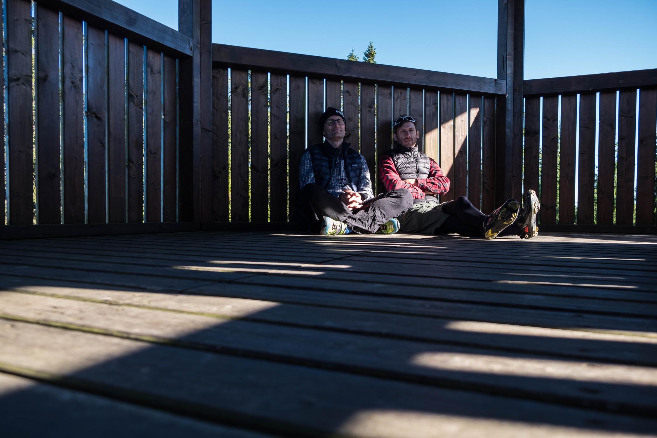
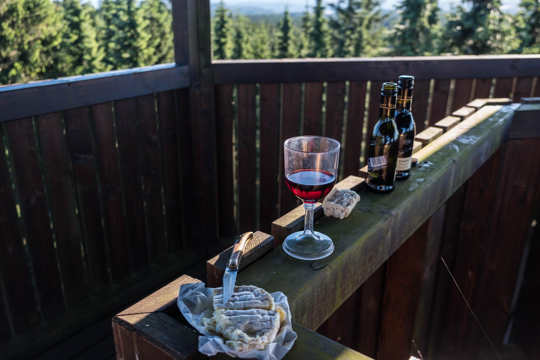
The two panoramic towers you pass after Hallenberg (a town with supermarkets, hotels, and restaurants) offer a good places to shelter for the second night. There is also an open hut in between them. Beware of the very steep climb after Hallenberg up to the first tower—don’t buy too much beer for the night!
The third day has less gravel, but still plenty of climbing. The town of Bad Berleburg offers supermarkets, hotels, and restaurants, and is a good place to stop for breakfast.
When you pass the ski jump (you can’t miss it) at the end of the third day, you know you’ve successfully made it to the end of the Sweet and Sauerland.


Terms of Use: As with each bikepacking route guide published on BIKEPACKING.com, should you choose to cycle this route, do so at your own risk. Prior to setting out check current local weather, conditions, and land/road closures. While riding, obey all public and private land use restrictions and rules, carry proper safety and navigational equipment, and of course, follow the #leavenotrace guidelines. The information found herein is simply a planning resource to be used as a point of inspiration in conjunction with your own due-diligence. In spite of the fact that this route, associated GPS track (GPX and maps), and all route guidelines were prepared under diligent research by the specified contributor and/or contributors, the accuracy of such and judgement of the author is not guaranteed. BIKEPACKING.com LLC, its partners, associates, and contributors are in no way liable for personal injury, damage to personal property, or any other such situation that might happen to individual riders cycling or following this route.
Please keep the conversation civil, constructive, and inclusive, or your comment will be removed.