


The Real Pisgah
Distance
99 Mi.
(159 KM)Days
3
% Unpaved
93%
% Singletrack
58%
% Rideable (time)
85%
Total Ascent
14,000'
(4,267 M)High Point
4,885'
(1,489 M)Difficulty (1-10)
8?
- 9Climbing Scale Very Strenuous141 FT/MI (27 M/KM)
- 8Technical Difficulty Difficult
- 9Physical Demand Very Difficult
- 6Resupply & Logistics Moderate
Contributed By

Logan Watts
Founding Editor
Updated 2024: The Real Pisgah was originally published in July, 2021, and was updated in 2024 to incorporate the new Searcy Creek and Butter Gap singletrack reroutes. This also enables the route to exist as a non-overlapping, continuous loop, but it now requires a hearty but short hike-a-bike up the Farlow Gap trail. Note that we have an alternate if you’d prefer to descend Farlow using a figure-8 (see Trail Notes tab).
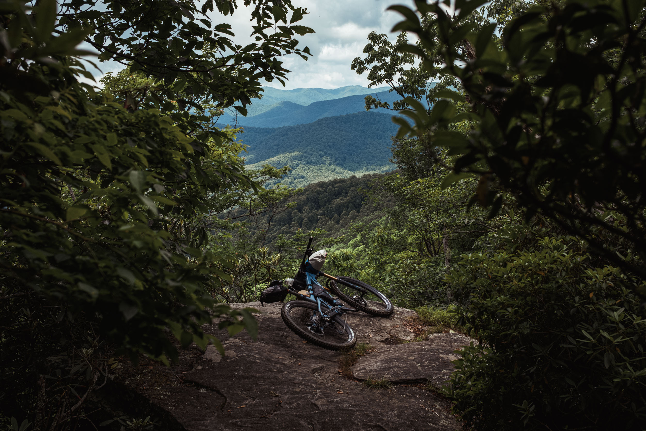
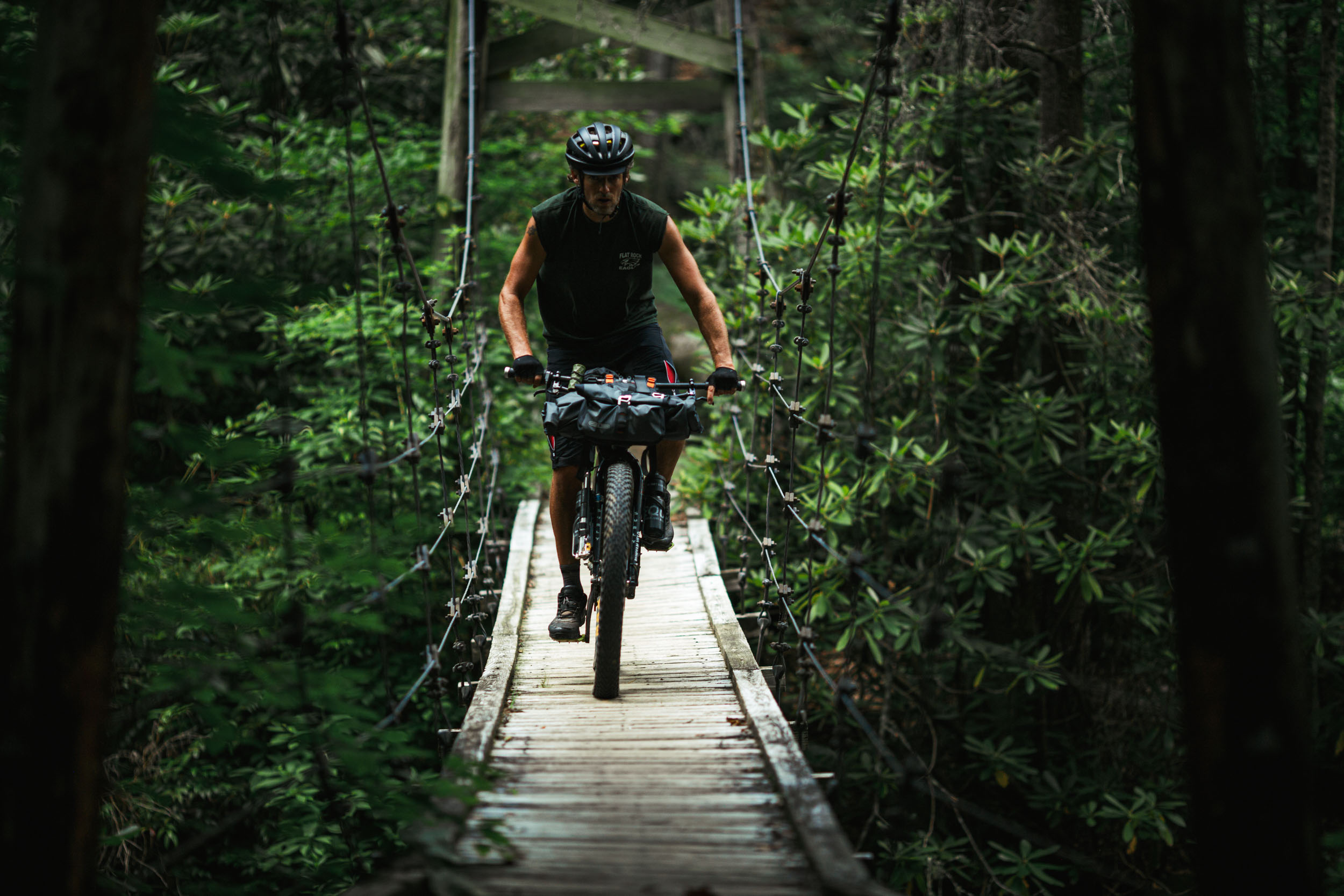
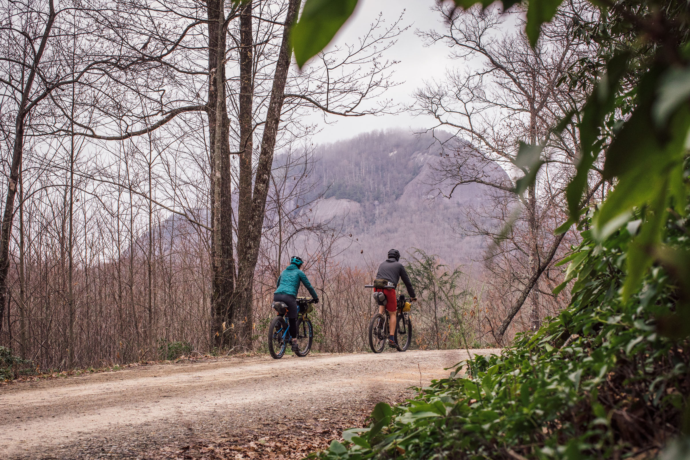
Back in 2008, when my mountain biking addiction was really taking hold, I made a two-hour pilgrimage to the Pisgah Ranger District in Brevard, North Carolina, for a day ride. I had no idea where I was going around here at that point and went into the Hub bike shop near the entrance to the National Forest to ask for some trail recommendations—this was pre TrailForks, of course. I bought a paper map and asked the mechanic for guidance. “Have you ridden in Pisgah before?” he inquired. “Yeah, I’ve ridden the trails in Bent Creek,” I replied. He retorted, “Well, that’s not really Pisgah… this is the real Pisgah.”
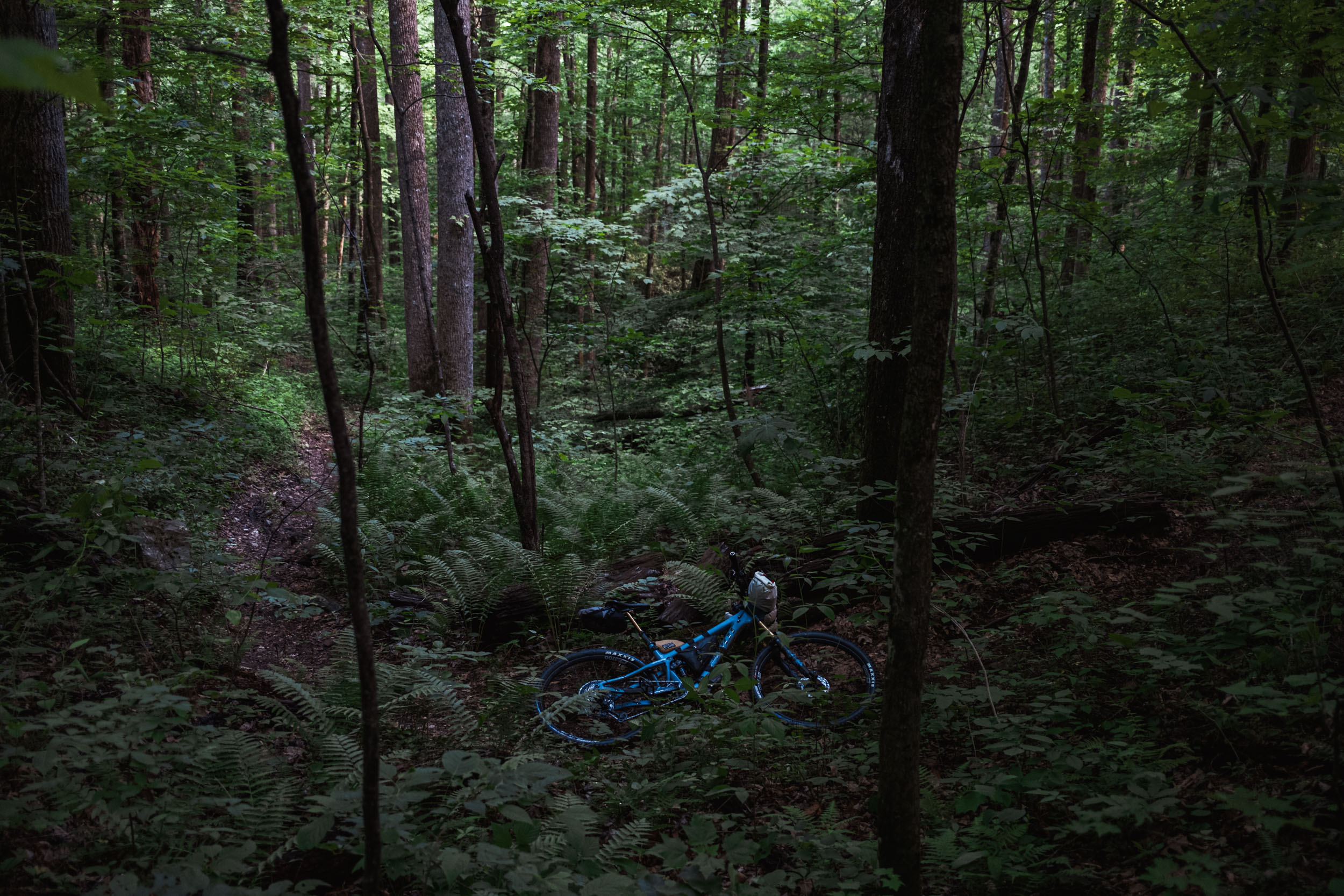
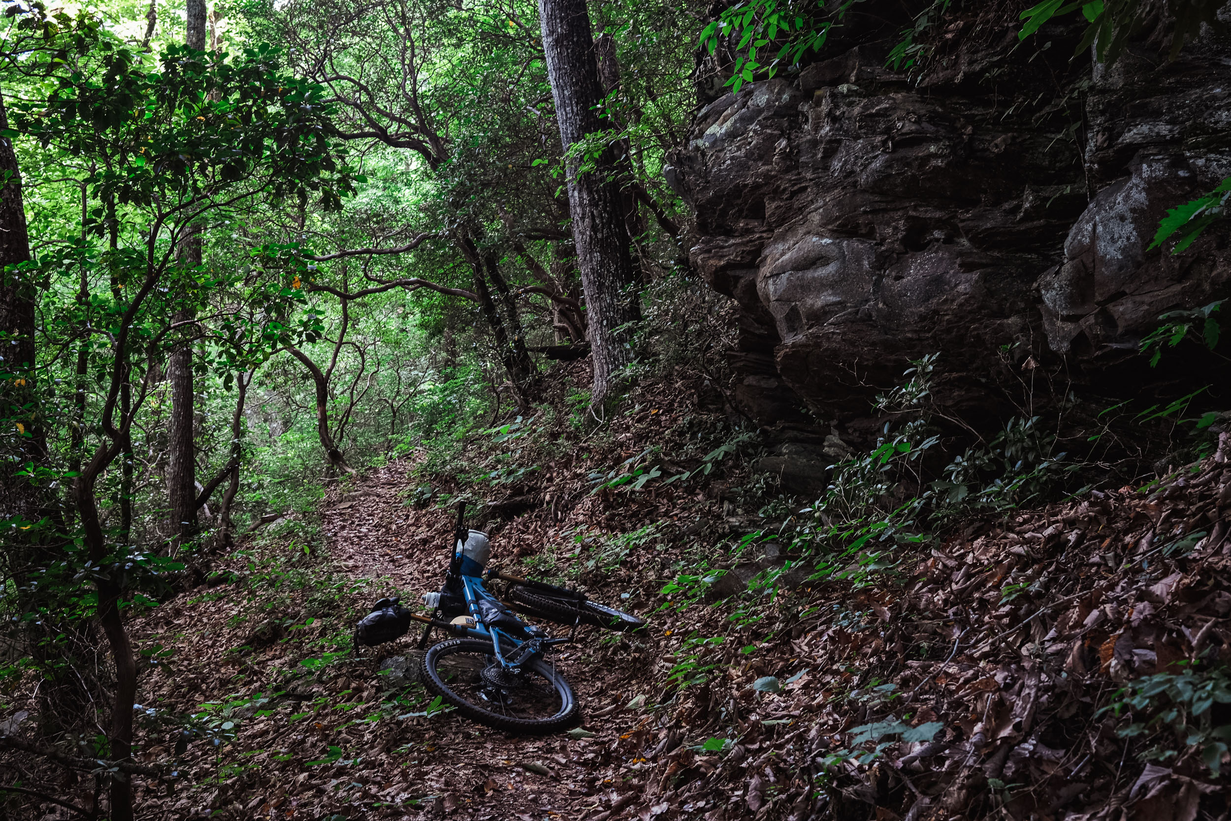
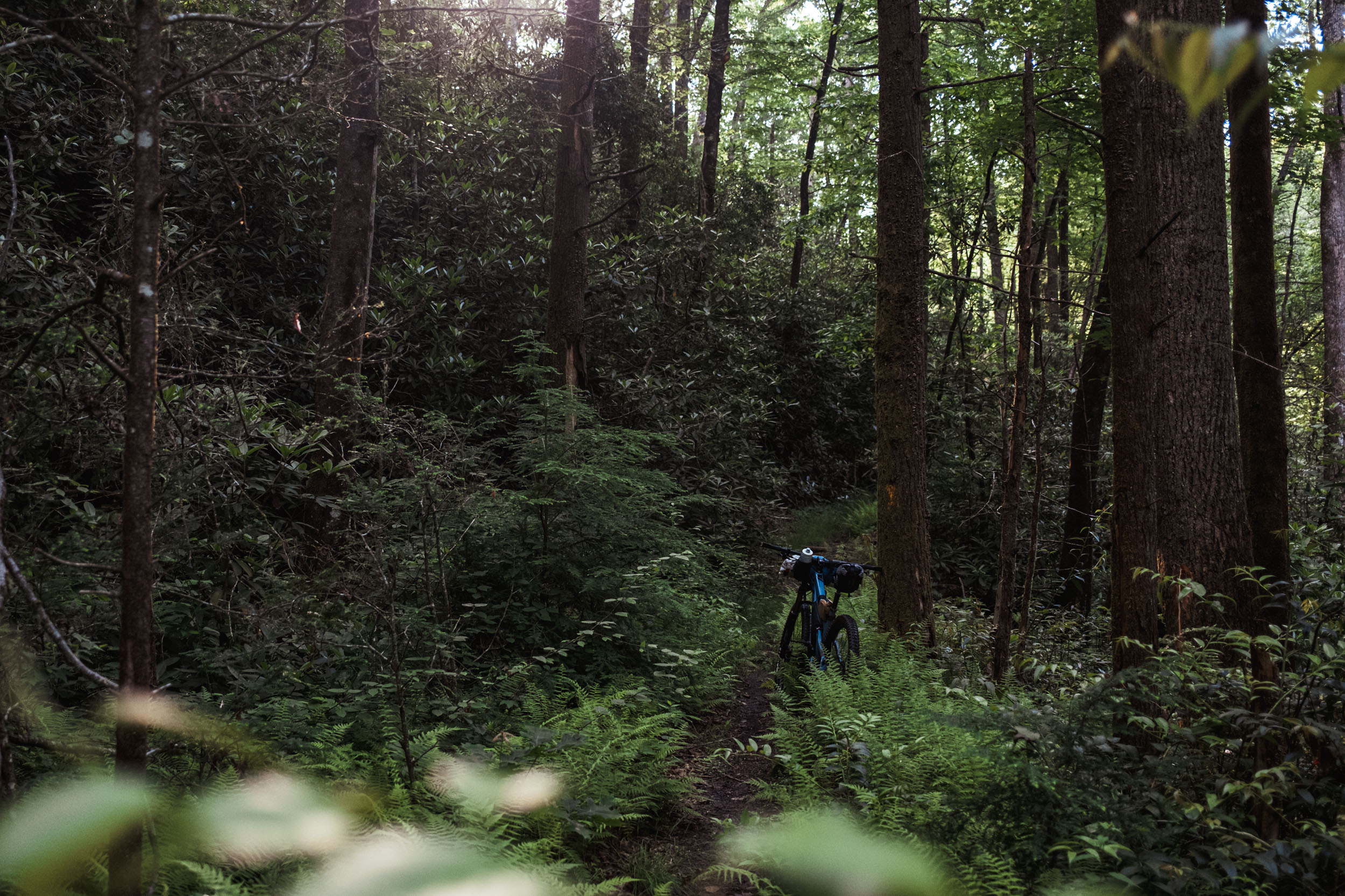
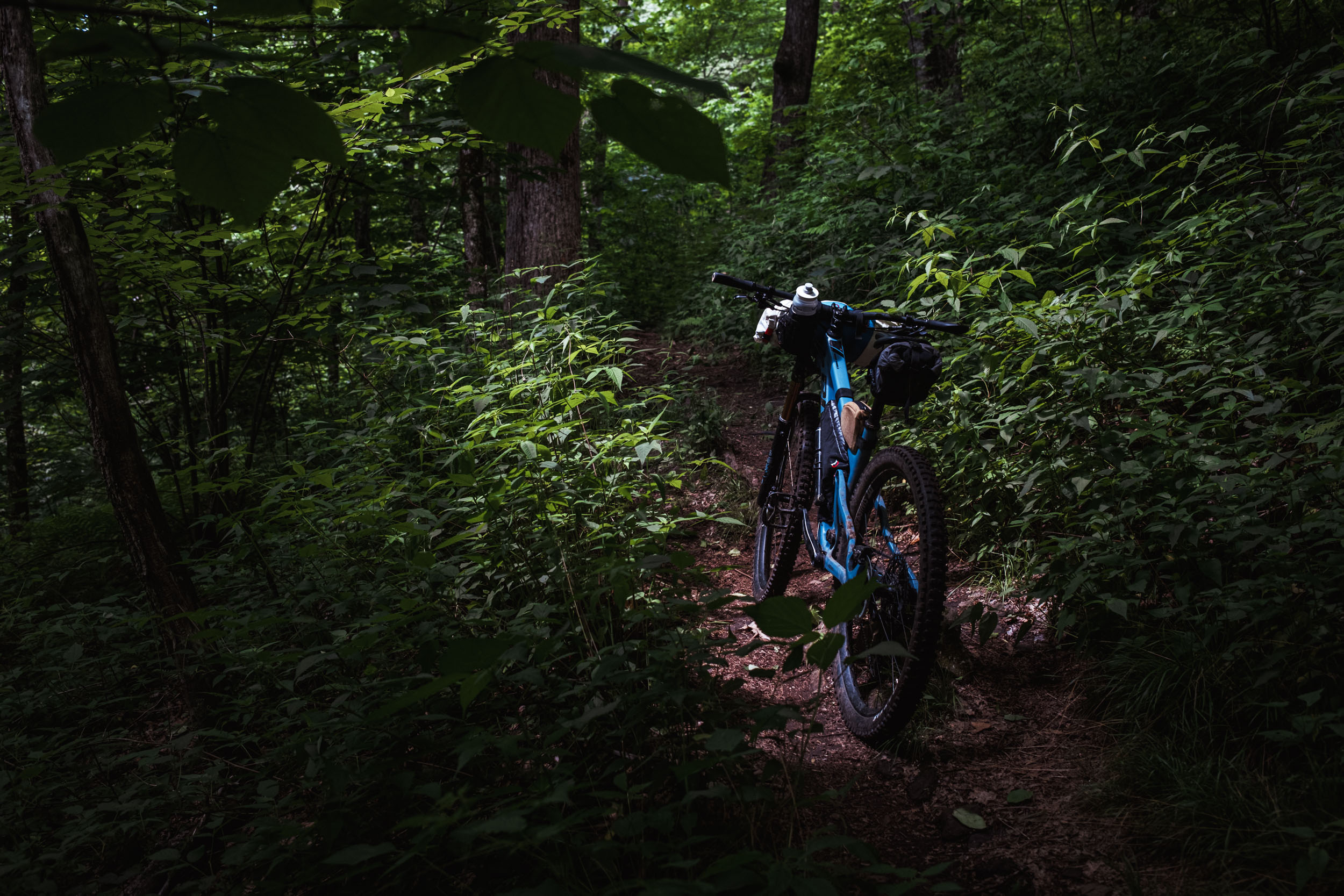
After a few more questions, he pointed out a 12-mile loop on the map and I went on my merry way. It wasn’t long before I realized what he was talking about. The Pisgah Ranger District was raw, rugged, and at the time, felt very backcountry. It harbored hundreds of miles of remote singletrack to explore and I was smitten. Since then, the Pisgah Ranger District has become a popular mountain bike destination, and many of its trails have been discovered and well worn, taking away much of that mystery. However, there’s still a big backcountry experience to be had.
I’ve been exploring the area by bike for the better part of a decade now, having visited frequently and then moved here five years ago. During that time, I’ve ridden all of these trails forward and backward in many different circuits. I’ve had my sights set on a perfect long bikepacking route in this district that takes the best singletrack and more lesser-known trails, and forms a continuous loop. That’s a tall order given the directional preference of many of these trails, but The Real Pisgah does just that by stitching together some of the finer trails into a continuous 80-mile loop. And to spice things up, it includes an additional 20-mile loop to make the perfect 100-mile figure-eight.
The ultimate goal of this route is to provide a scenic and challenging backcountry singletrack experience for those looking to get lost in Pisgah for a few days, and to provide a demanding course that we hope will become a quintessential FKT (Fastest Known Time) route in the endurance mountain biking scene.
Route Difficulty
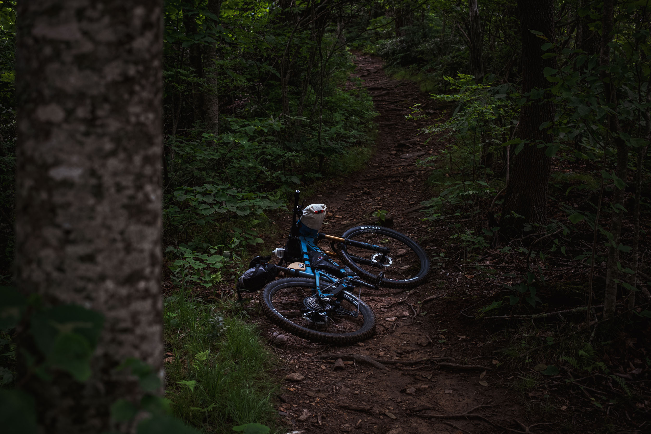
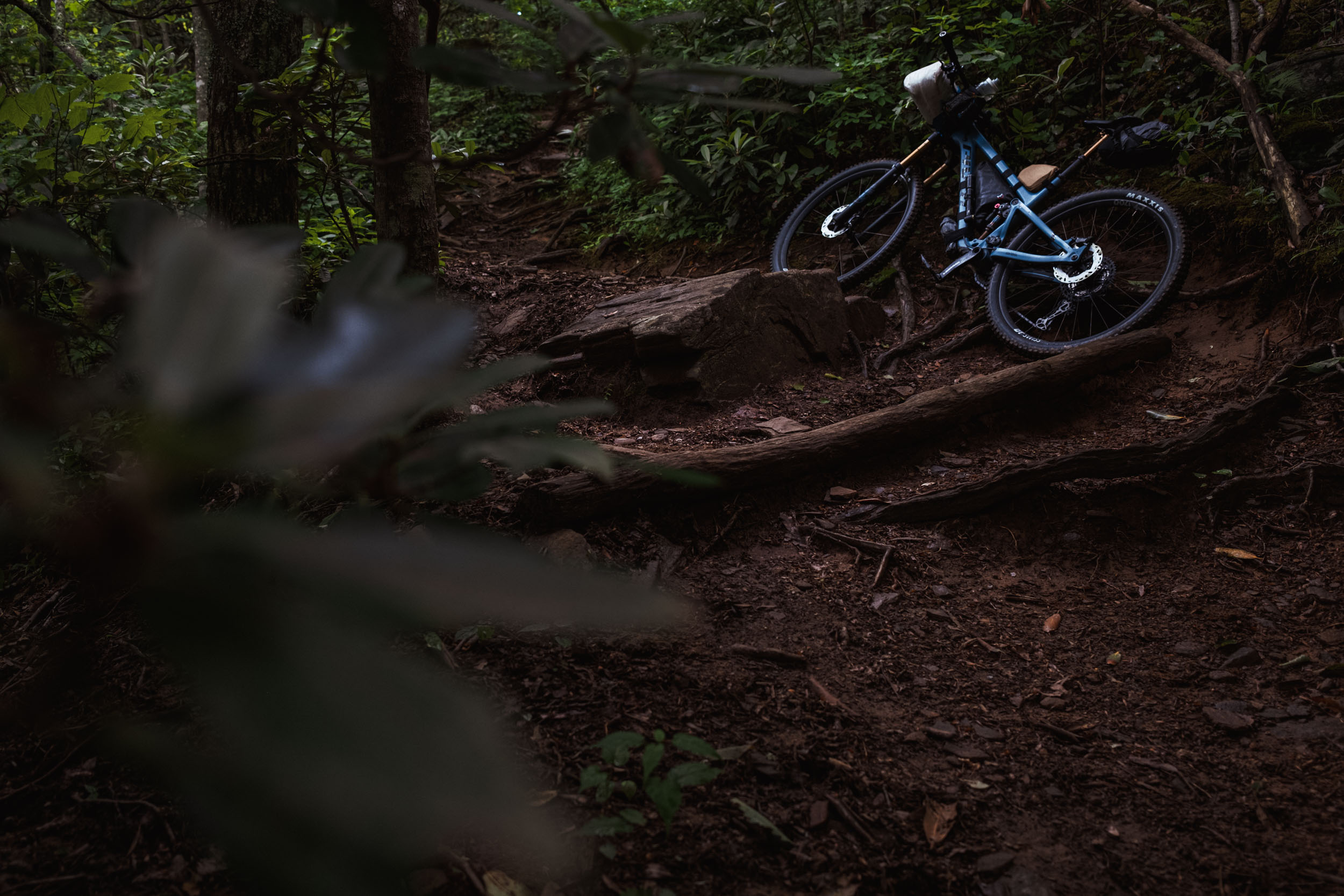
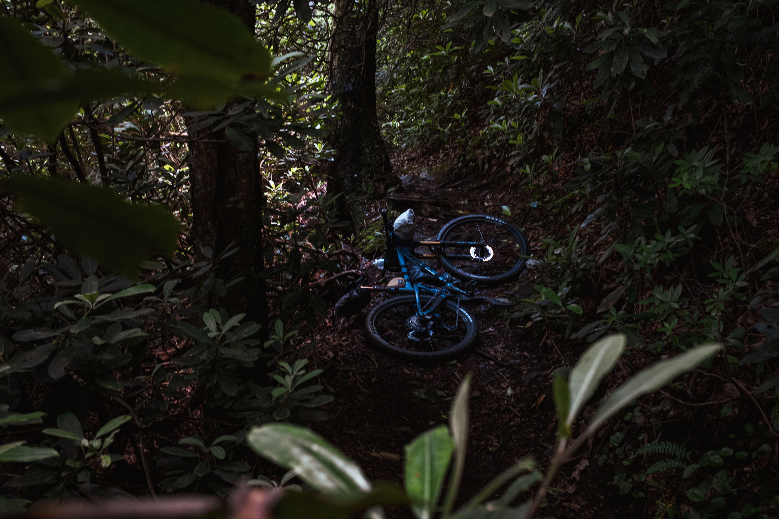
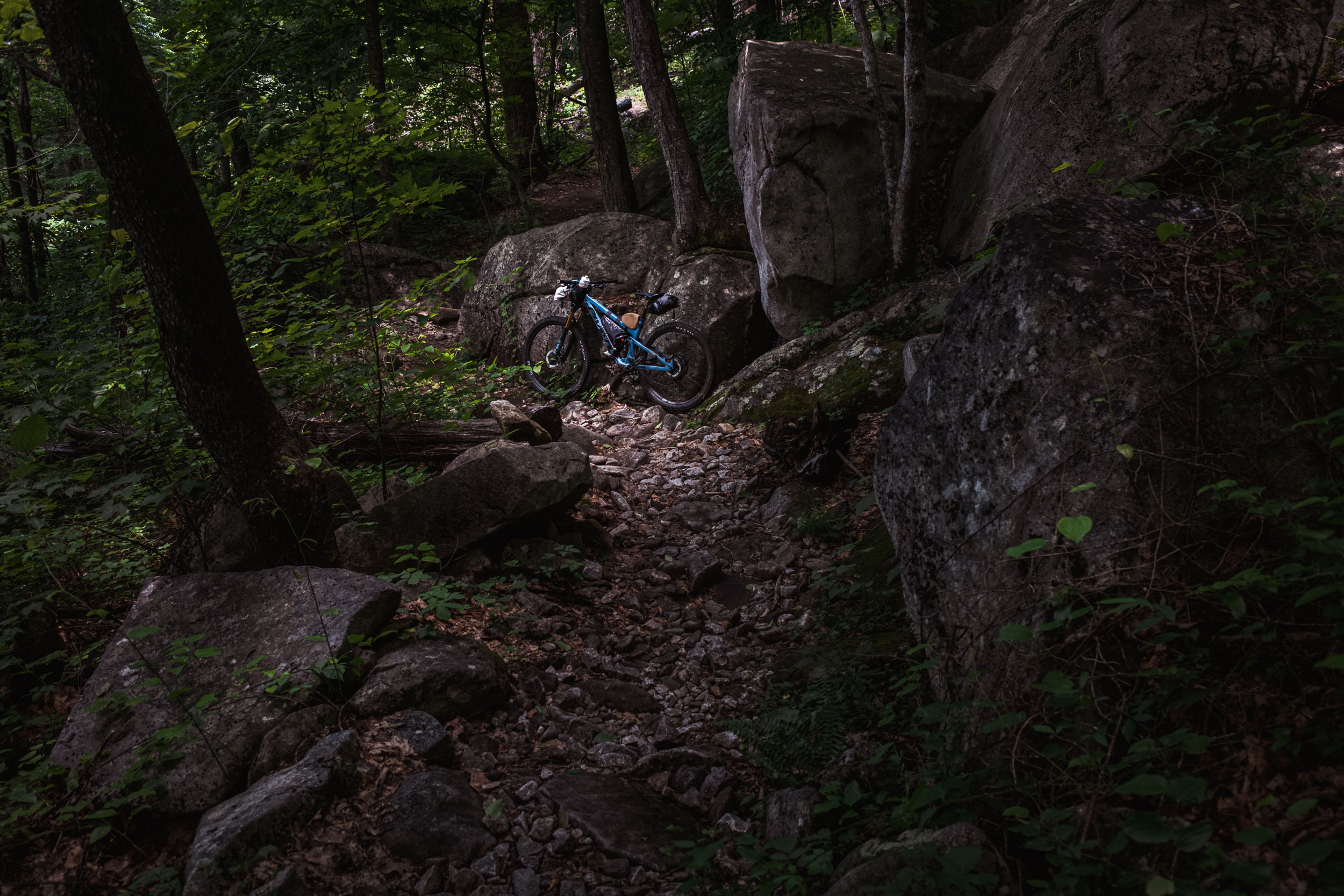
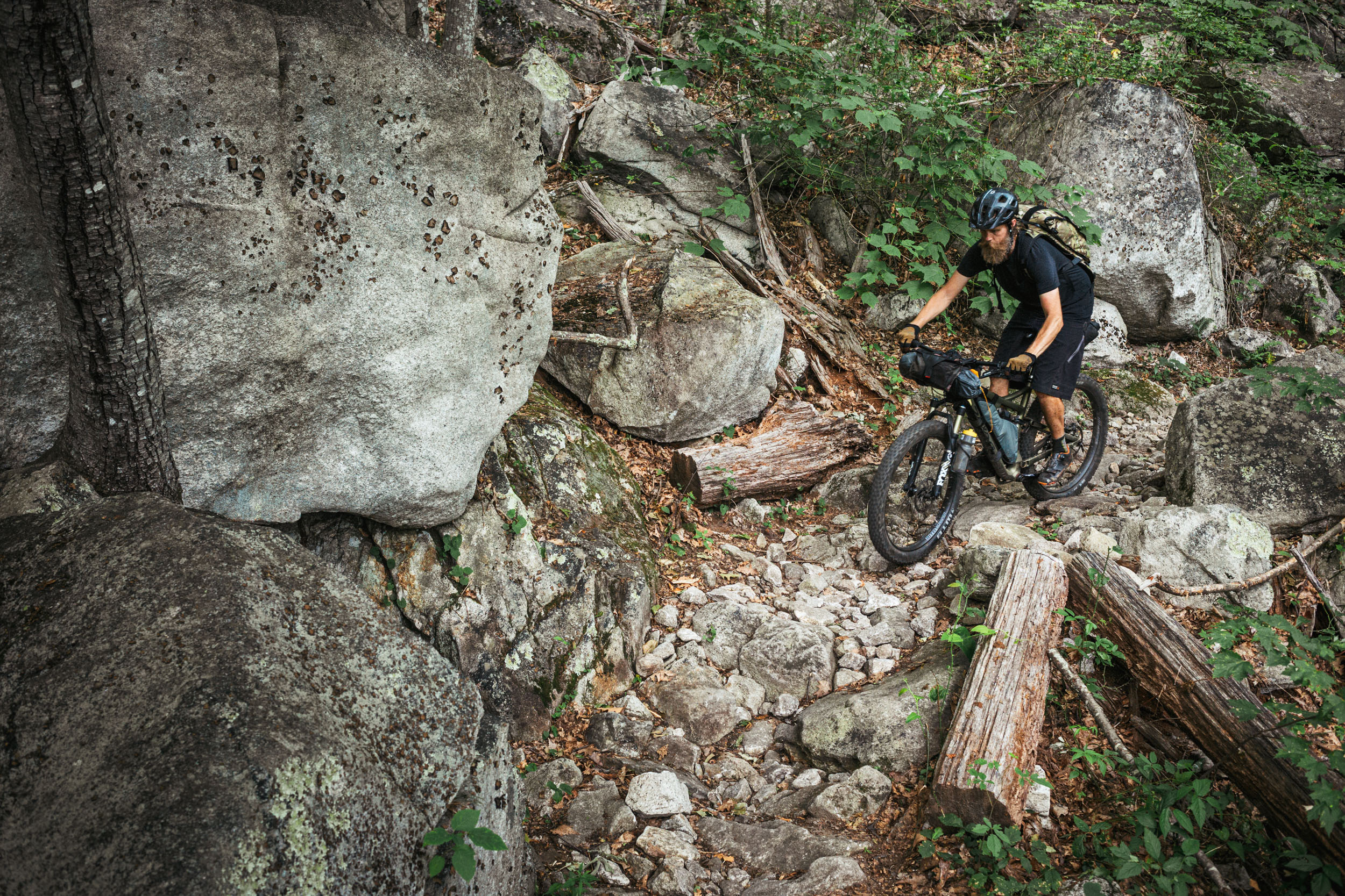
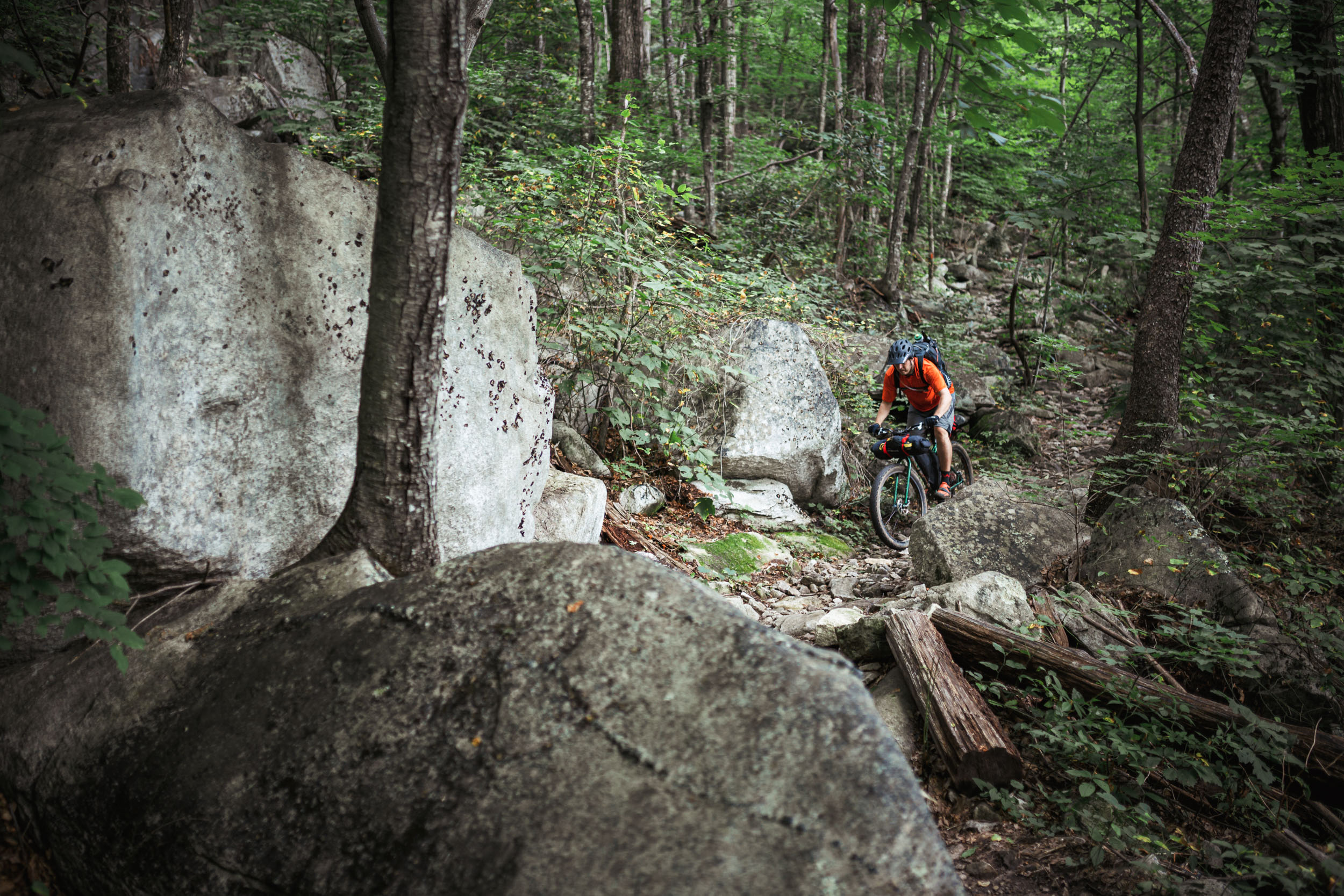
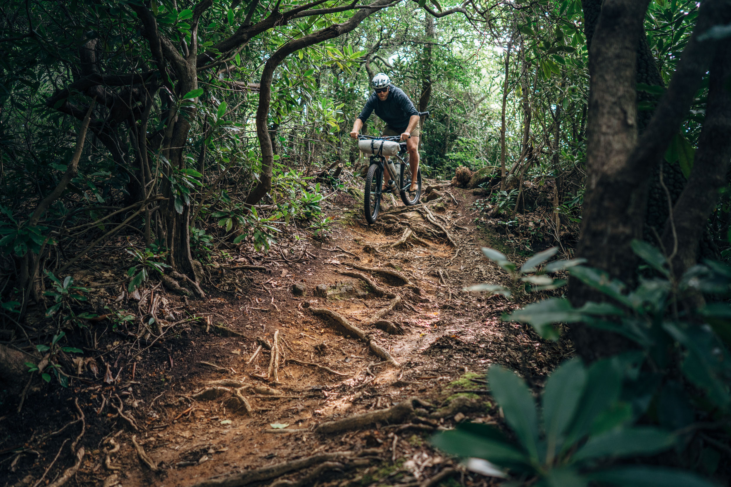
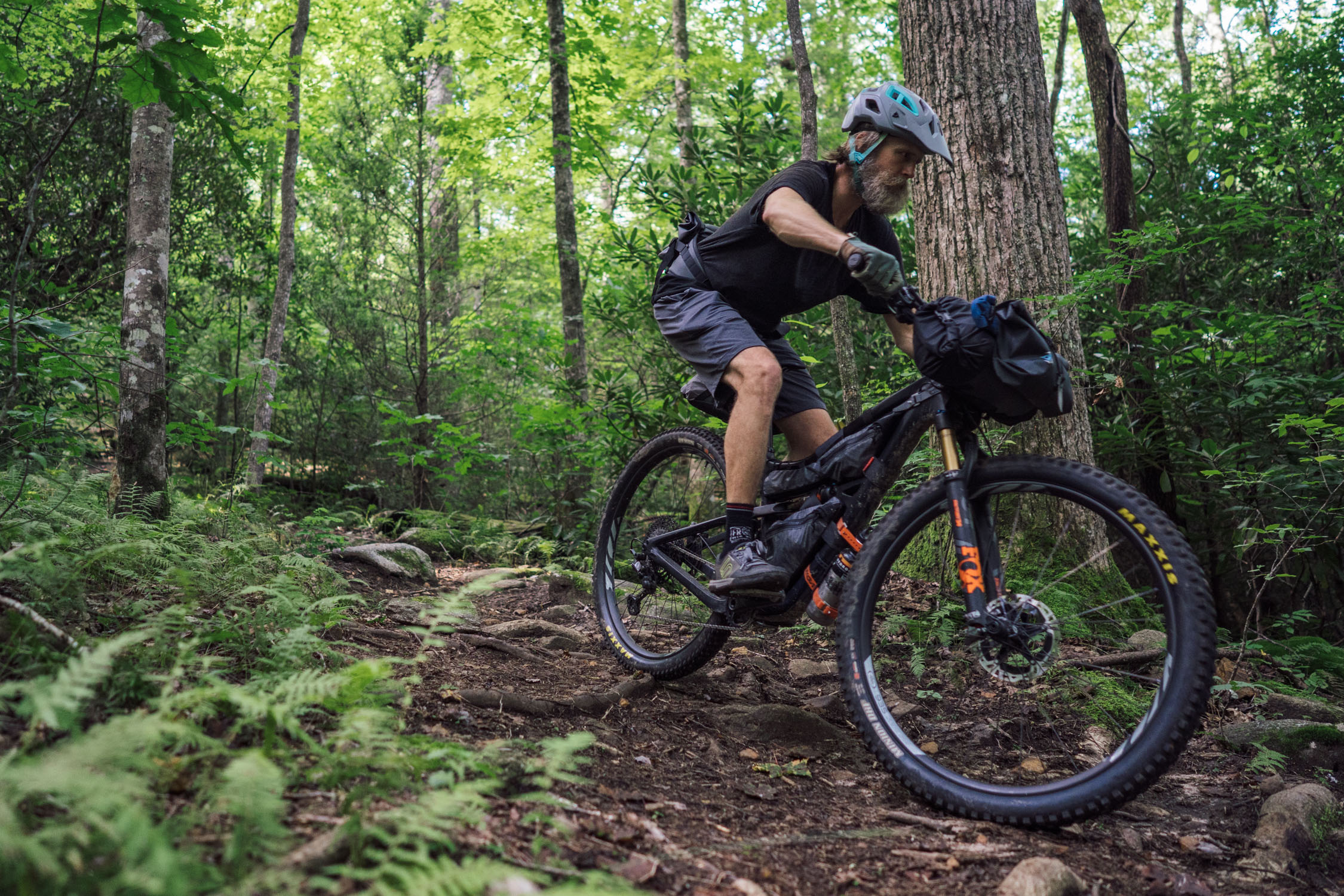
Logistically speaking, The Real Pisgah is pretty straightforward. There’s plenty of filterable water, a couple of bail-out points, and cell service at two or three of the high points, dependent on your carrier. However, this route is technically and physically demanding, which is why I chose to give it a difficulty of 8. In short, the technical nature of the trails and the amount of climbing involved are no joke. As depicted in the total ascent, there are nearly 15,000 feet of climbing over 100 miles (that number was based on statistics from my Garmin when I rode the course prior to publication, not the stats generated by RWGPS). Additionally, The Real Pisgah should be tackled only by riders with technical mountain biking skills. There are a few very rowdy and dangerous downhills, including Pilot Rock. And, last but not least, there are multiple significant steep segments that generally must be hiked unless you have very strong legs and trials skills. There is no resupply on route, so you have to carry all of your food.


Submit Route Alert
As the leading creator and publisher of bikepacking routes, BIKEPACKING.com endeavors to maintain, improve, and advocate for our growing network of bikepacking routes all over the world. As such, our editorial team, route creators, and Route Stewards serve as mediators for route improvements and opportunities for connectivity, conservation, and community growth around these routes. To facilitate these efforts, we rely on our Bikepacking Collective and the greater bikepacking community to call attention to critical issues and opportunities that are discovered while riding these routes. If you have a vital issue or opportunity regarding this route that pertains to one of the subjects below, please let us know:
Highlights
Must Know
Camping
Food/H2O
Trail Notes
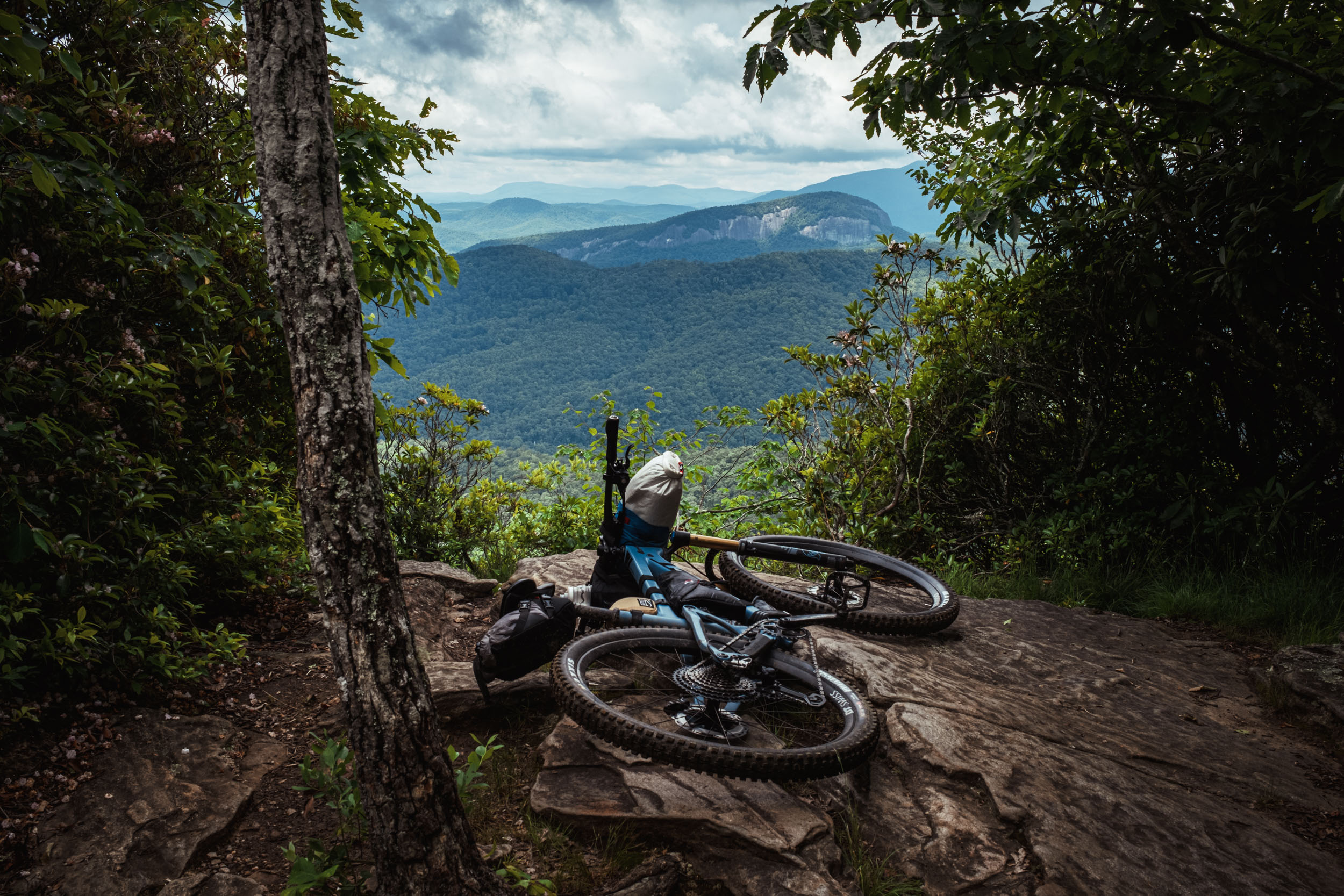
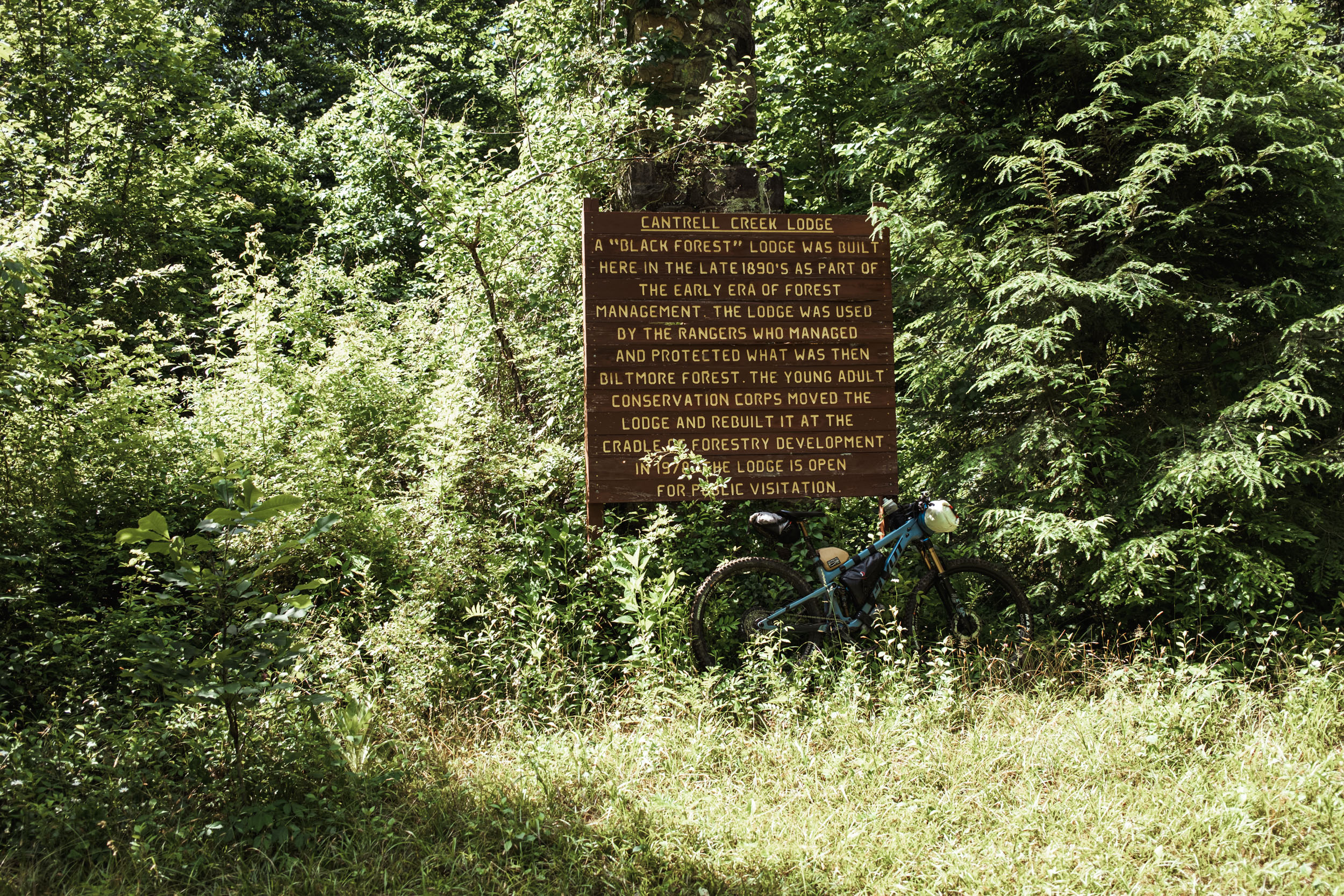
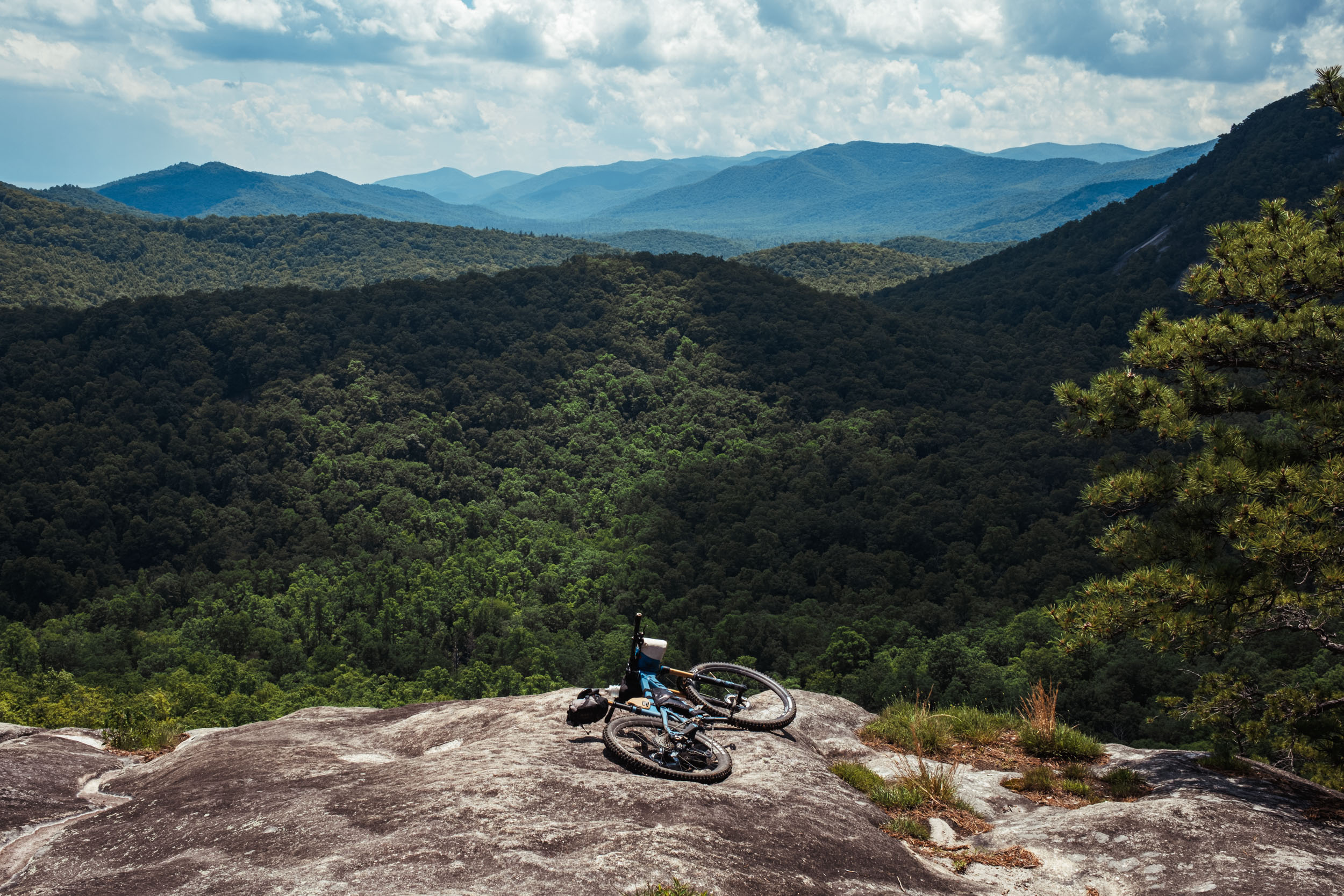
- Several spectacular scenic viewpoints, such as the Middle Black Mountain Trail overlook on Clawhammer Mountain, views from Pilot Rock, and the beautiful Slate Rock
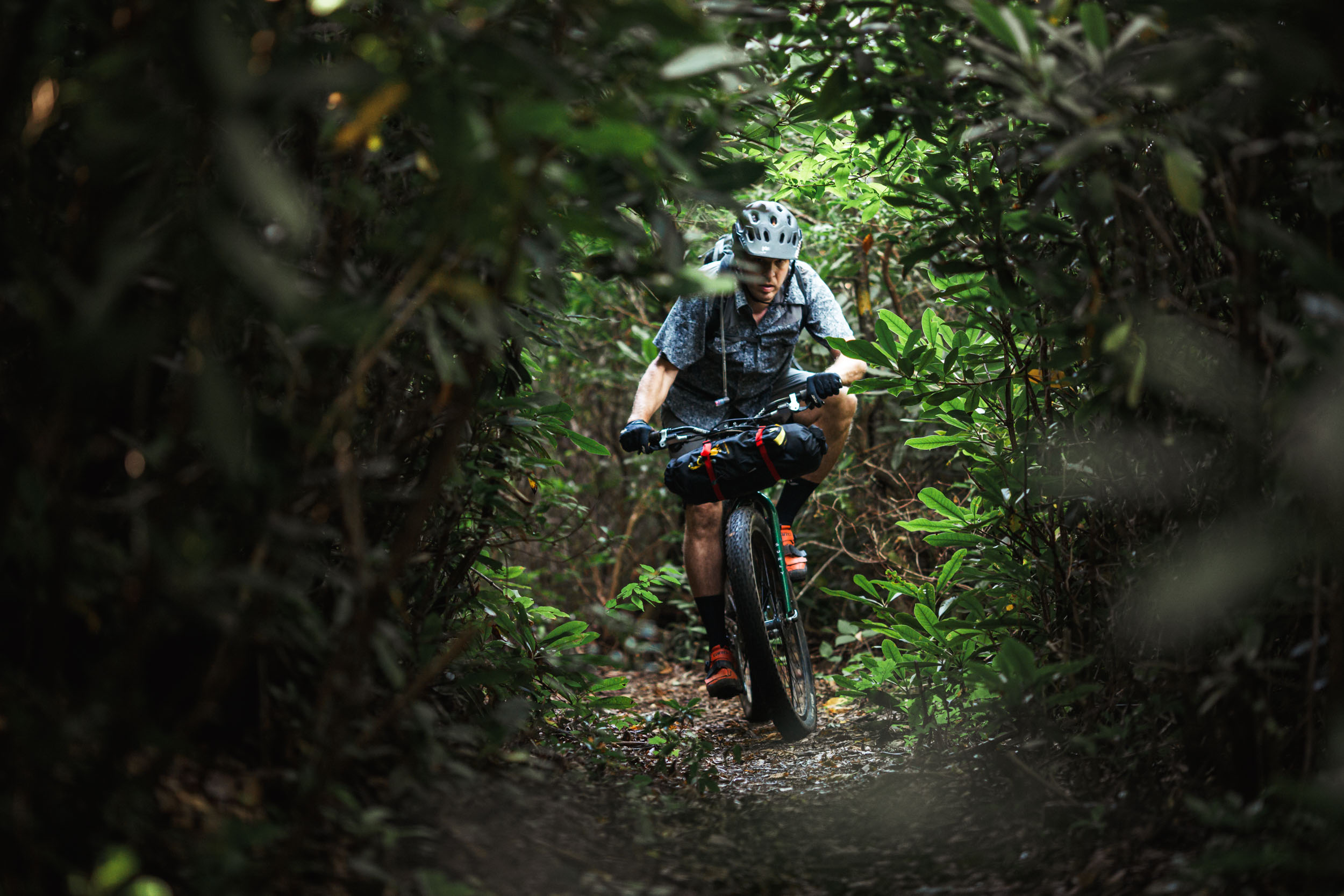
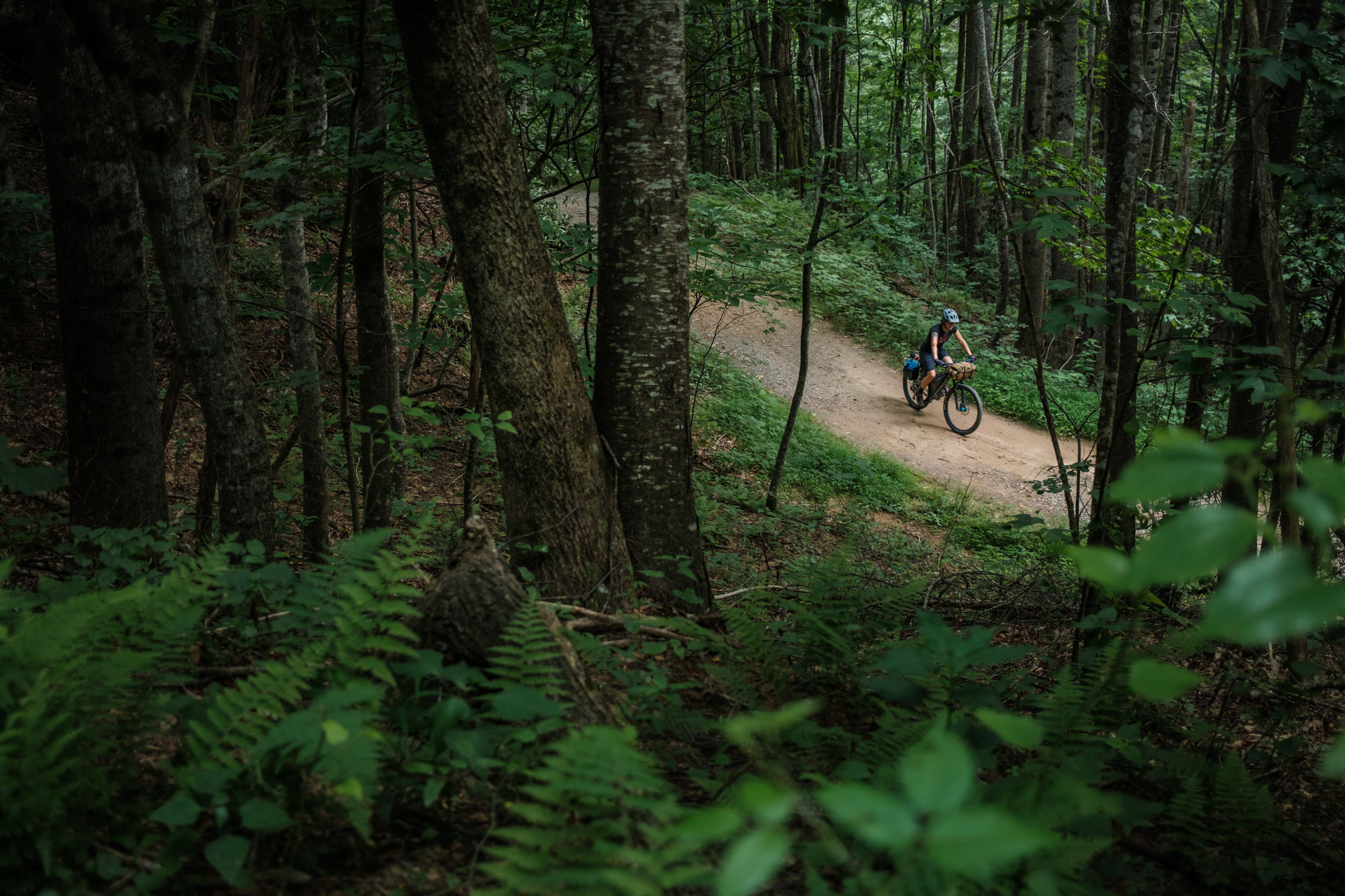
- Taking in some of the Southeast’s finest legendary singletrack
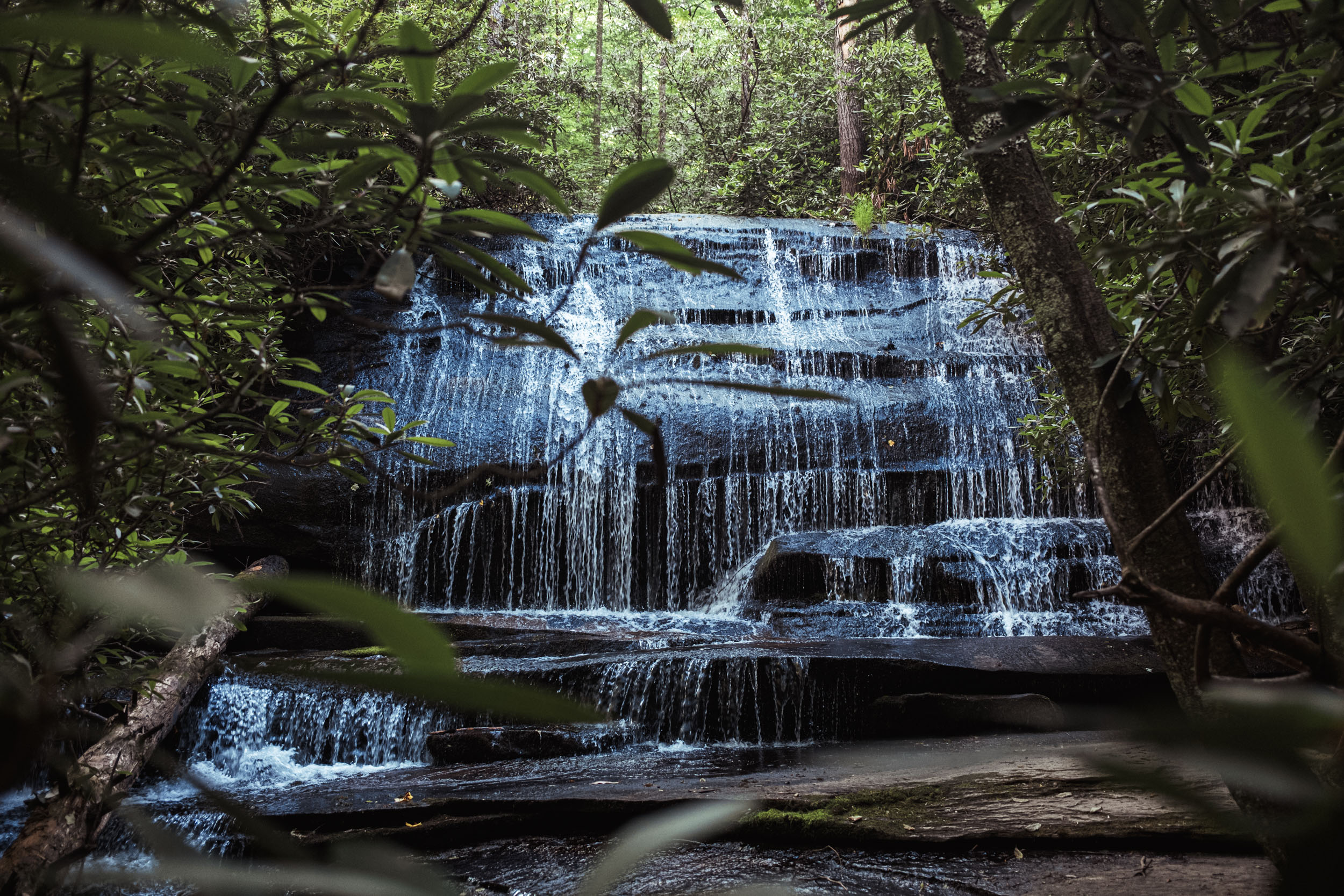
- Bristling mountain streams, rivers, and waterfalls
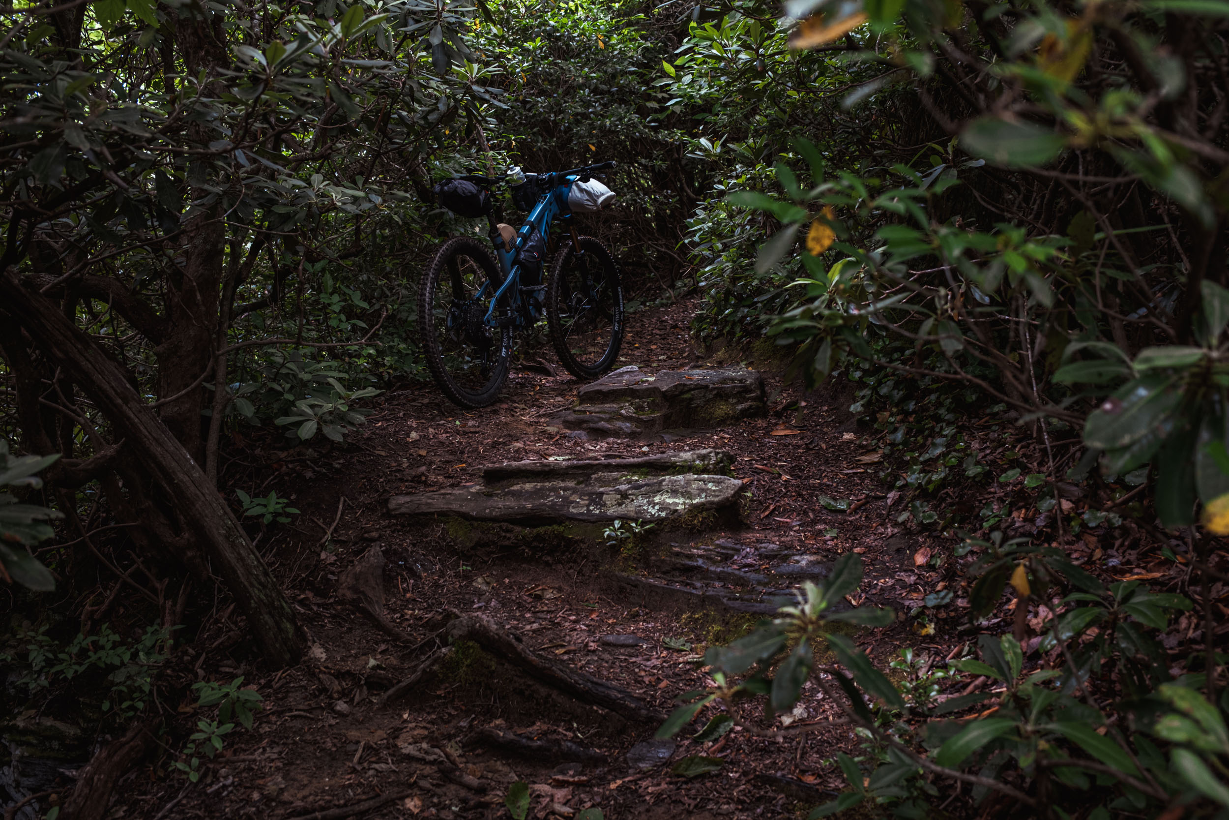
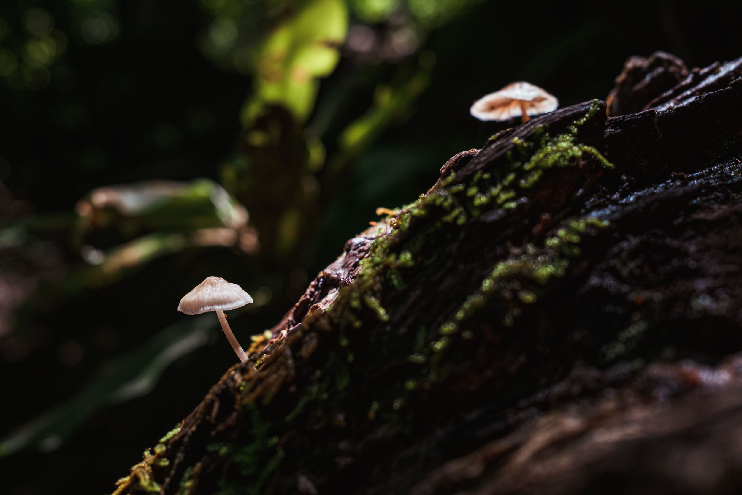
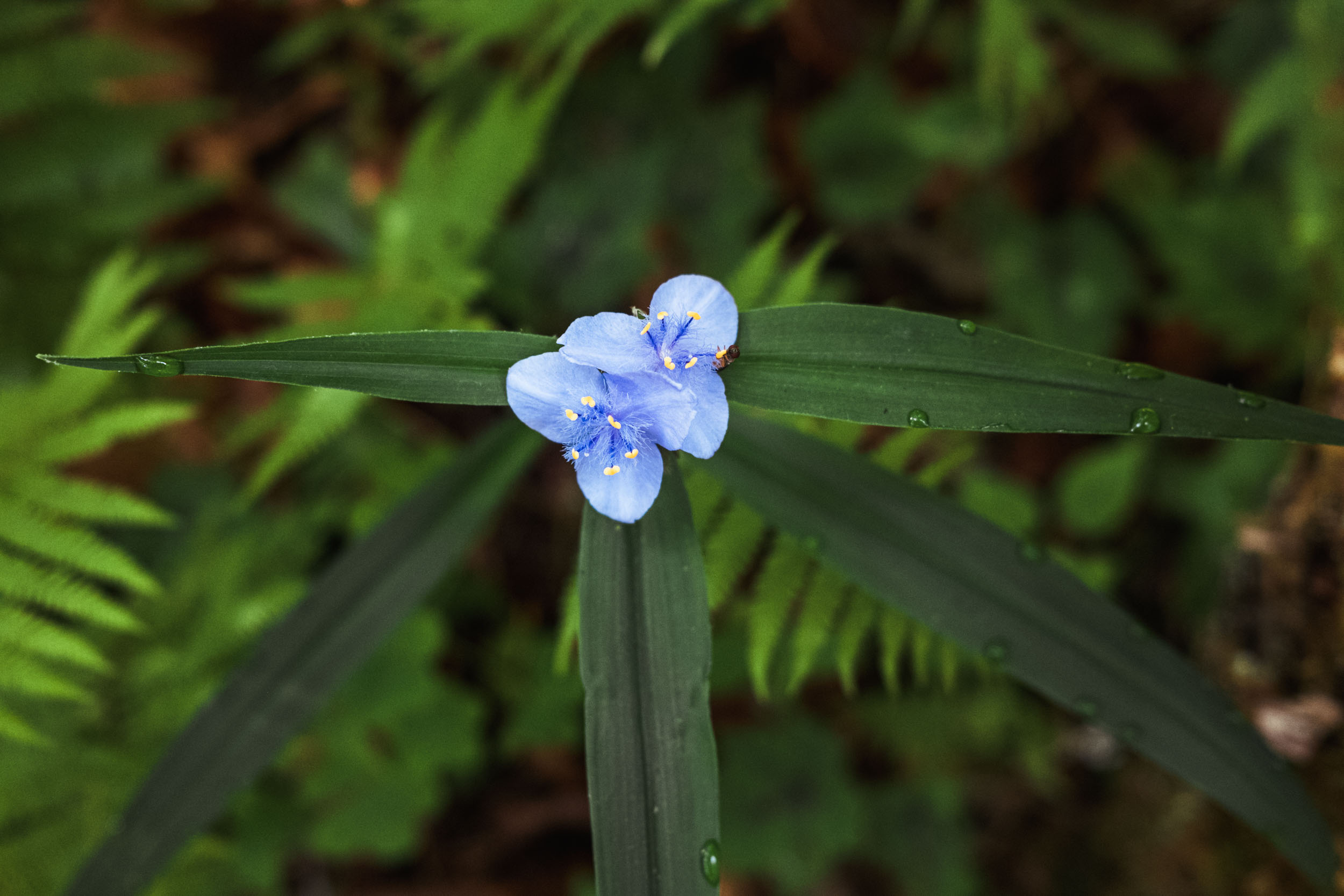
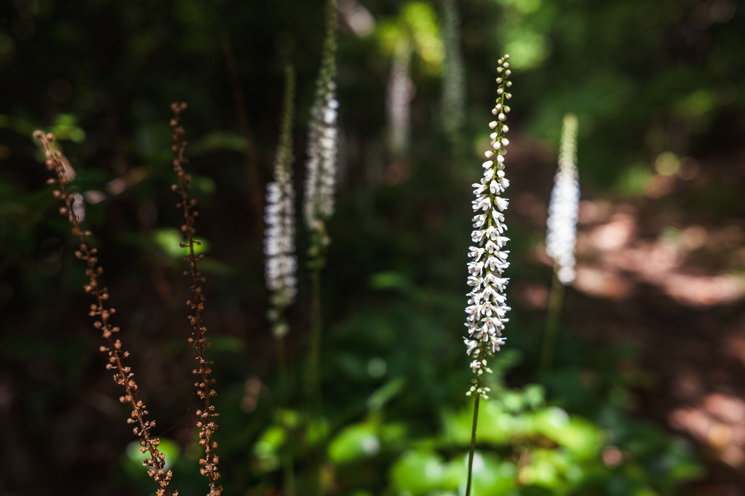
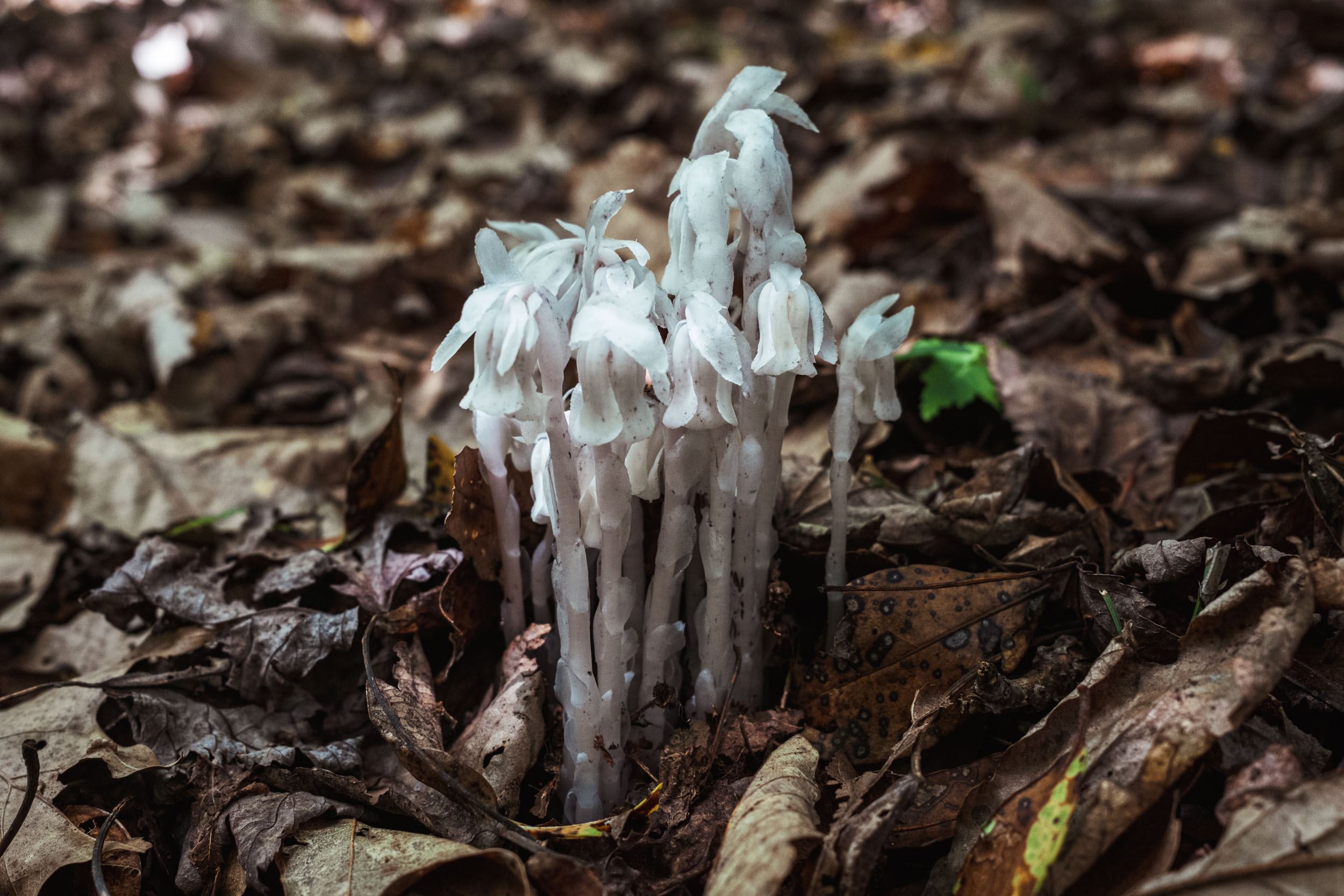
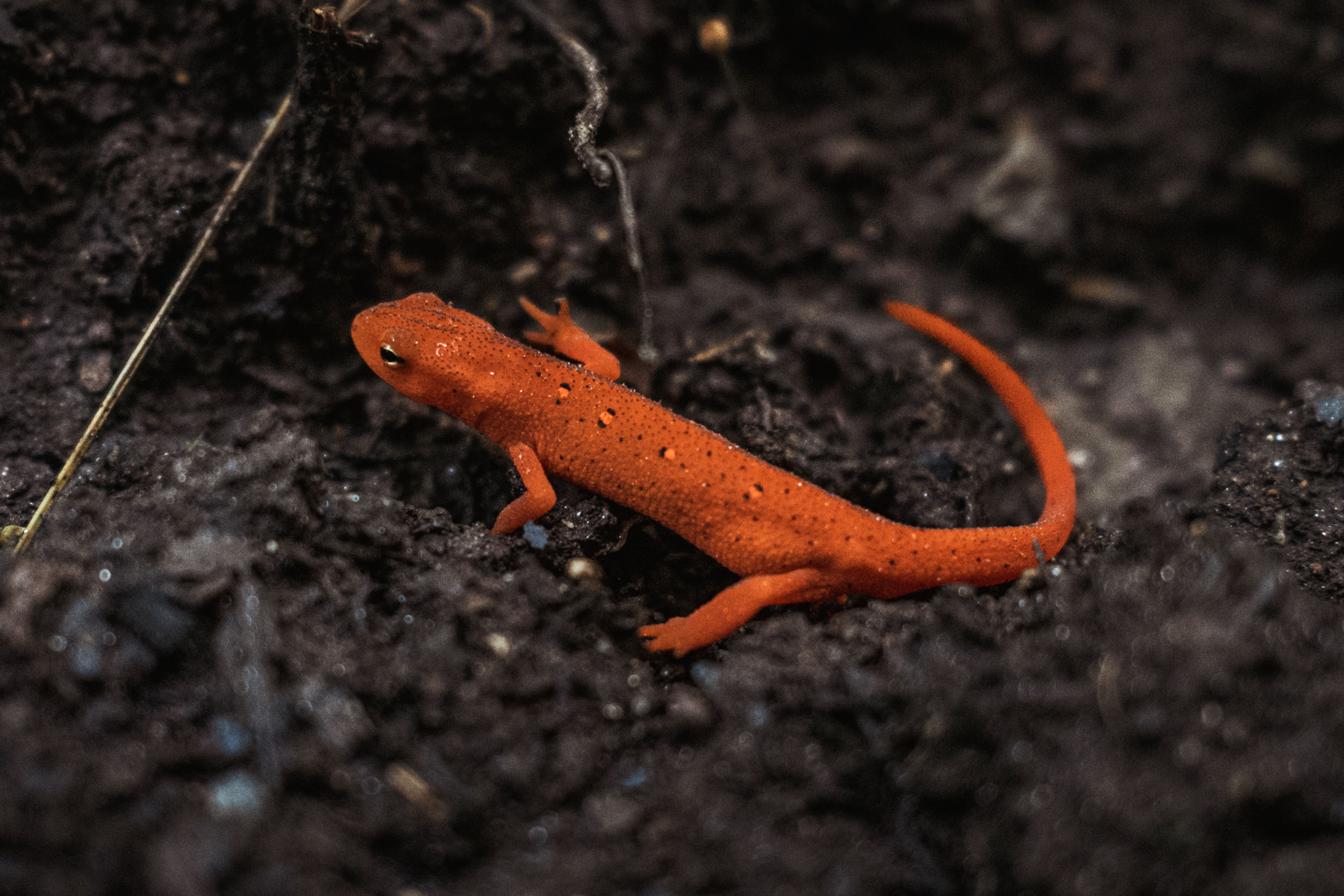
- The forest ecosystem, which is chock full of salamanders, mushrooms, flowers, and plants
- Spotting black bear, wild turkey, Timber Rattlesnakes, and other forest-dwelling wildlife
- Stopping at many different swimming holes to cool off along the way
- If you time your ride right, you can catch many of our different seasonal spectacles, such as the Blue Ghost fireflies in early summer and a spectacular leaf season in mid-to-late October
- Stopping for a post-ride beer or snack at Oskar Blues at the end of the route
- This route is technically rideable most of the year, although mid-January through March you’re at risk for slippery freeze-thaw mud and potentially snow. Check the weather forecast in advance.
- Summers can get quite hot and muggy. Drink lots of water.
- Bring rain gear. This area is classified as a rainforest and there’s always a chance for some weather.
- There are black bears in the forest, so it’s always advisable to hang your food properly while camping, particularly in areas that see other campers regularly.
- The proper bike for this ride is a full-suspension trail bike, hardtail, or a rigid 29+, although it can get pretty rough with the latter. It’s definitely not doable on a gravel bike.
- There is minimal cell phone service along this route, except in a couple of high spots, such as Clawhammer Mountain, Slate Rock, and Pilot Rock. If you are riding by yourself, or even with others, it’s advisable to bring a SPOT or emergency beacon.
- There are plenty of campsites along the route. I noted several key backcountry sites, but there are many more not shown on the map.
- Hammock camping is 100% possible along this route as there are plenty of trees.
- Brevard has several different hotel options if you wish to stage your trip beforehand. Out of town visitors might also be interested in Asheville, which is about 30 minutes away and has a lots of lodging and entertainment options, as well as an airport.
- You can likely park and leave your car for a couple of days at the Hub bike shop, noted on the route. Inquire there before doing so. The Black Mountain Trailhead is another option for parking.
- There is plenty of filterable spring water along the route. Bring a reliable filter.
- There are only a couple of places where you’ll need to consider bringing water if you wish to camp up high. They are noted on the map.
- No resupply exists on route until you get back to Brevard. There are several restaurants uptown.
- You can also eat at a food truck. There is usually one parked at the Hub or Ecusta Brewing. And Oskar Blues has its own semi-permanent “Chub Wagon.”
Figure-8 Option
Note that the official Real Pisgah route follows a non-overlapping, continuous loop, but it now requires a hearty but short hike-a-bike up the Farlow Gap trail. If you’d prefer to descend Farlow, you can use this alternate route. Official FKT times will be based on the official route, however.
Three-day Itinerary
Even though it’s only 100 miles long, even a three-day itinerary can be challenging. If you don’t have adequate fitness, consider doing this route in four or even five days. Here’s the three-day version I planned:
Day 1 (27 Miles / 5,000′ climbing)
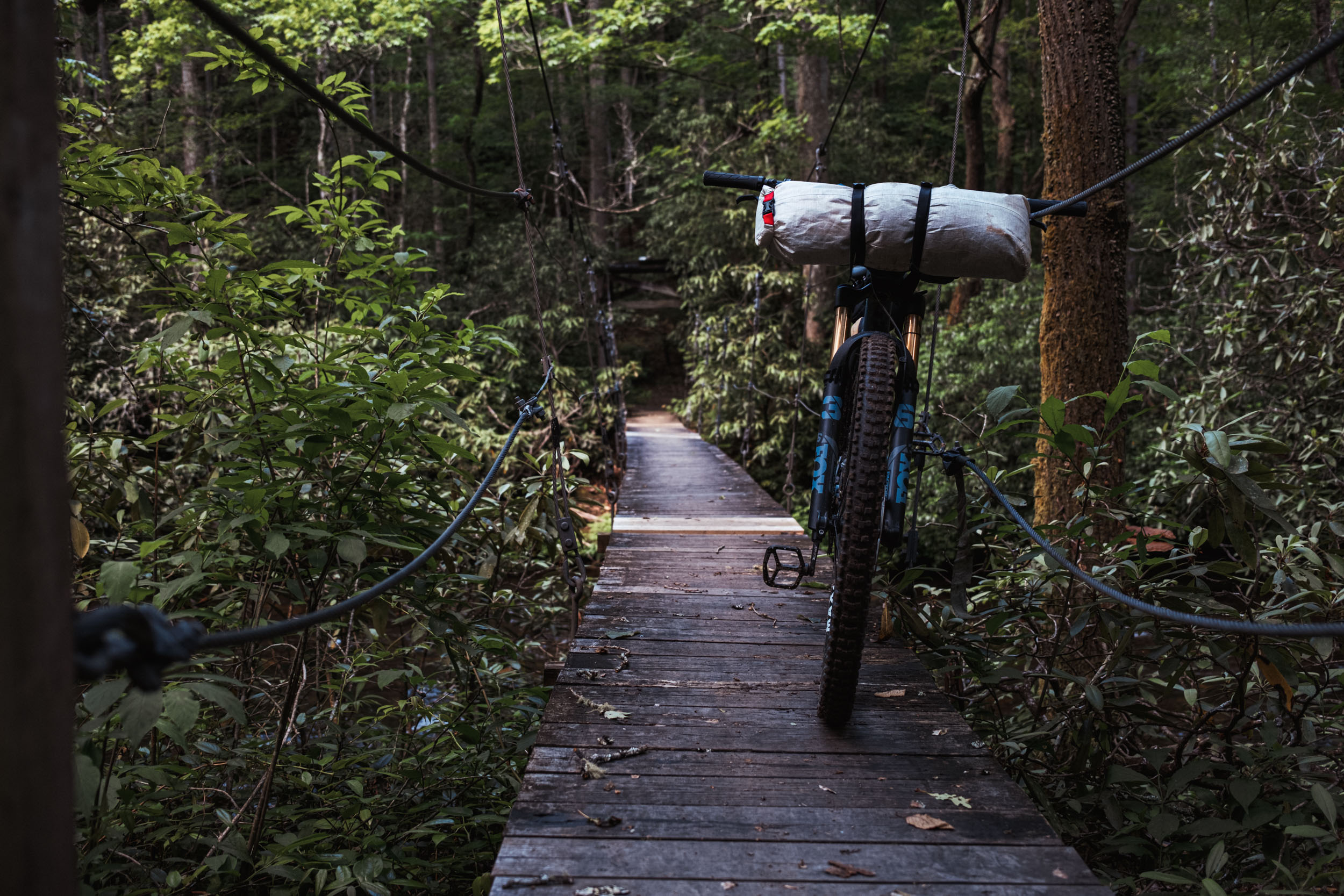
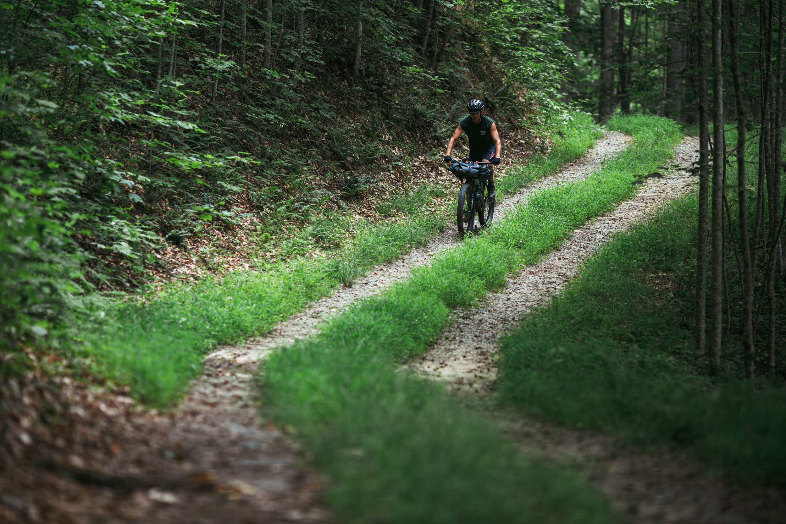
After pedaling down the Ecusta Trail and skipping over to Avery Creek Road, you’ll tackle the long gravel climb on Clawhammer Road before a grueling medley of spinning and hiking up Clawhammer Mountain on the Black Mountain Trail. Take a little while to enjoy the view at the top before finishing the hike on the spine and dropping down to Turkey Pen Gap, a long backcountry singletrack trail with a couple of requisite hike-a-bikes. Once you make it to the Turkey Pen parking area, you’ll descend South Mills and cross a few hanging bridges before riding some of my favorite singletrack in the area—a tough climb up Horse Cove into Squirrel Gap. Once you drop off of Squirrel on the Laurel Creek Trail, there’s a super nice campsite before you get to Bradley Creek, a great place to forest bathe on night one.
Day 2 (37 Miles / 5,000′ climbing)
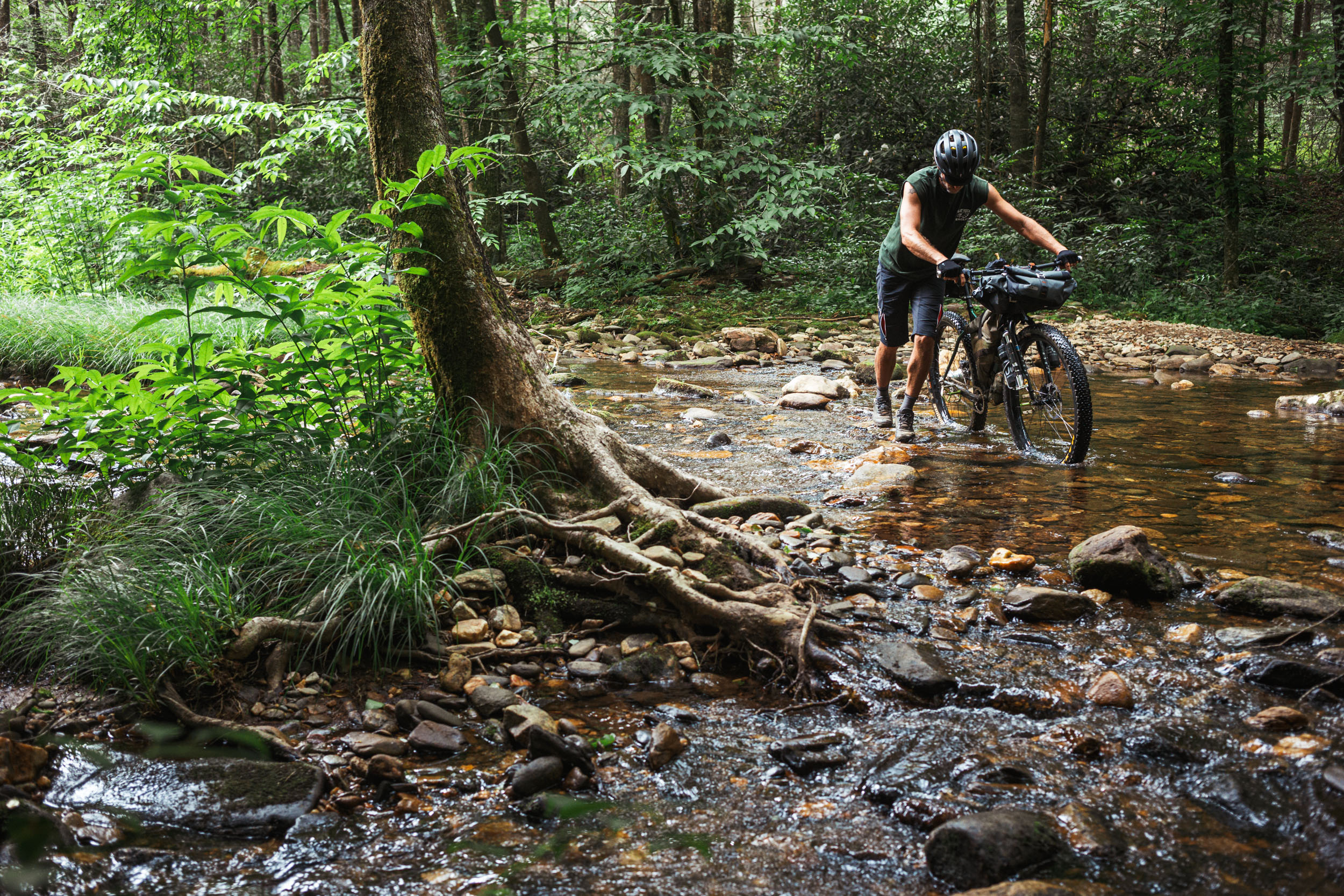
Day two starts off with some brushy singletrack down Laurel Creek before the route’s only significant water crossing. It can be knee-high at times, but it’s mostly low with the ability to scramble across on rocks. After climbing one of the more remote two-tracks in the forest, Bradley Creek Road, you’ll begin the long climb up the beautiful Laurel Mountain Trail. A tough hike-a-bike at the end leads you up to Pilot Rock were you’ll begin one of the burly descents in Pisgah. Take precaution on its many rock gardens. You’ll split off at the bottom and traverse over toward Slate Cove before a short and stout hike-a-bike onto the Pilot Cove loop that will lead you to one of the best views in the forest, the massive Slate Rock overlook. Another heart-thumping descent from Slate Rock brings you to a long stretch of gravel on FSR 1206 before you jump on pavement for a couple miles and then back on gravel via FSR 475B and 225. From there, you’ll descend the well-worn Cove Creek Trail before the short but stout hike-a-bike up Farlow Gap. There are a few campsite options on Cove Creek that make a good spot for the night with plenty of water access.
Day 3 (36 Miles / 4,500′ climbing)
Finishing the climb up Farlow on the morning of day three will bring you a chunky backcountry traverse around Pilot Mountain over to Gloucester Gap, where you’ll drop down a little bit of gravel to connect with the Long Branch trail and begin the rollercoaster ride on the newly revamped and rerouted Searcy Creek and Butter Gap trails. There’s a lot of fast descents and punchy climbs in this section, but the seven or eight miles of new singletrack makes it well worth it. At the bottom you’ll jump onto Horse Cove Road at the Fish Hatchery. From there, you’ll climb for a long while before descending Bracken Mountain Trail right into downtown Brevard. Have a beer or dinner somewhere to celebrate and then limp back to your car via the Brevard Bike Path.


Terms of Use: As with each bikepacking route guide published on BIKEPACKING.com, should you choose to cycle this route, do so at your own risk. Prior to setting out check current local weather, conditions, and land/road closures. While riding, obey all public and private land use restrictions and rules, carry proper safety and navigational equipment, and of course, follow the #leavenotrace guidelines. The information found herein is simply a planning resource to be used as a point of inspiration in conjunction with your own due-diligence. In spite of the fact that this route, associated GPS track (GPX and maps), and all route guidelines were prepared under diligent research by the specified contributor and/or contributors, the accuracy of such and judgement of the author is not guaranteed. BIKEPACKING.com LLC, its partners, associates, and contributors are in no way liable for personal injury, damage to personal property, or any other such situation that might happen to individual riders cycling or following this route.
Further Riding and Reading
Here are some connected/nearby routes and related reports...

Please keep the conversation civil, constructive, and inclusive, or your comment will be removed.