


The Royal Ramble
Distance
43 Mi.
(69 KM)Days
2
% Unpaved
63%
% Singletrack
1%
% Rideable (time)
100%
Total Ascent
3,468'
(1,057 M)High Point
928'
(283 M)Difficulty (1-10)
3?
- 5Climbing Scale Moderate81 FT/MI (15 M/KM)
- 4Technical Difficulty Fair
- 3Physical Demand Fair
- 1Resupply & Logistics Easy
Contributed By
Matthew Crompton
Guest Contributor
Matthew Crompton is an award-winning writer and photographer preoccupied with bikes, hikes, and the mystical solitude of the way-out. His work has been published in Lonely Planet, Sidetracked and many others worldwide. He is the author of Roads Toward a Supreme Fiction, a story about a solo bikepacking journey across Tibet, China, and Central Asia. Follow him at MatthewCrompton.com or on Instagram.
It can be tough to find a good bikepacking route around Sydney, especially if you’re a beginner. Many routes require a car to access, or else a long, busy ride on pavement to get to the good stuff. Some excellent train-accessible routes exist, but they’re often further out, and can be quite a lot – physically and logistically – for someone new to the sport.
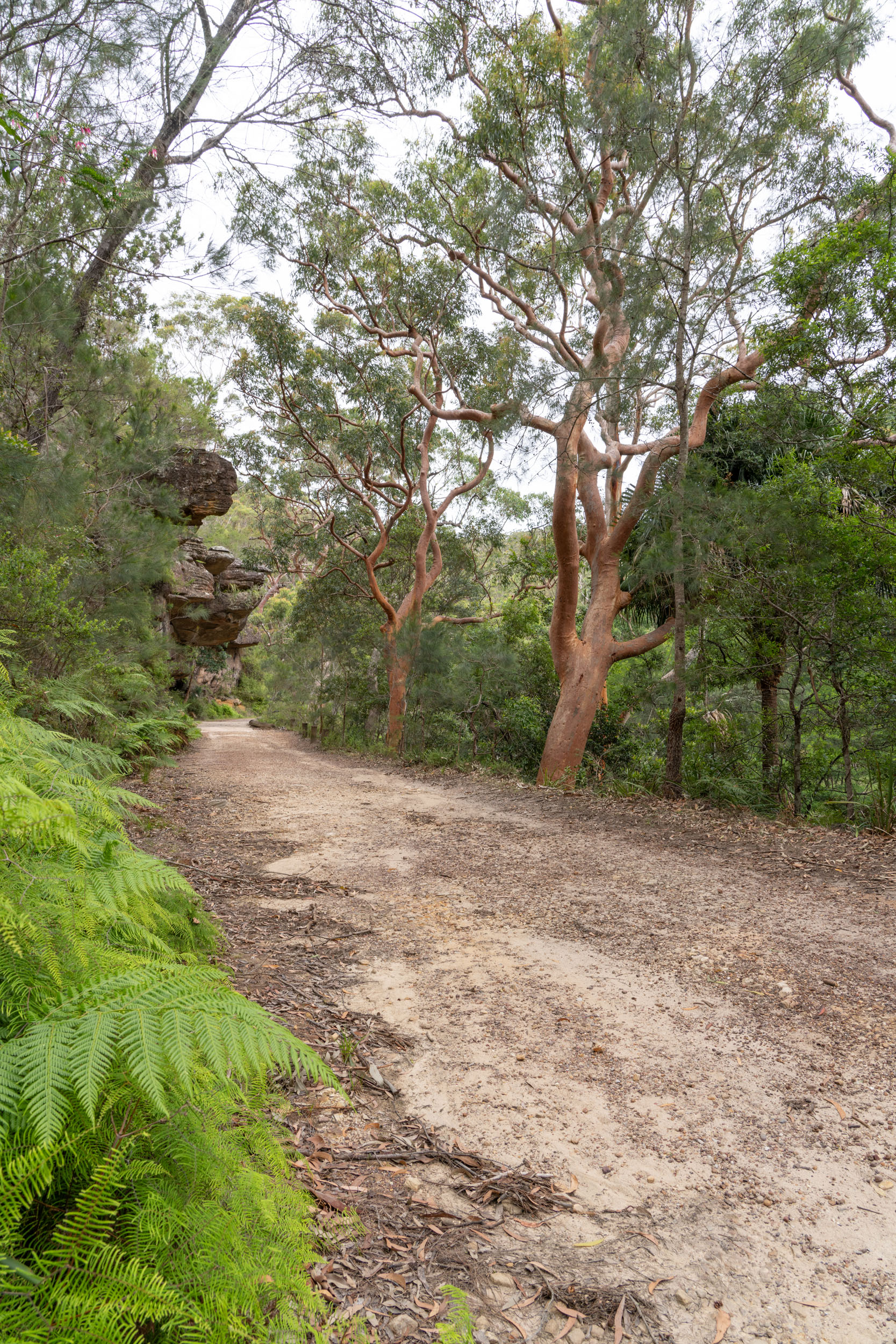
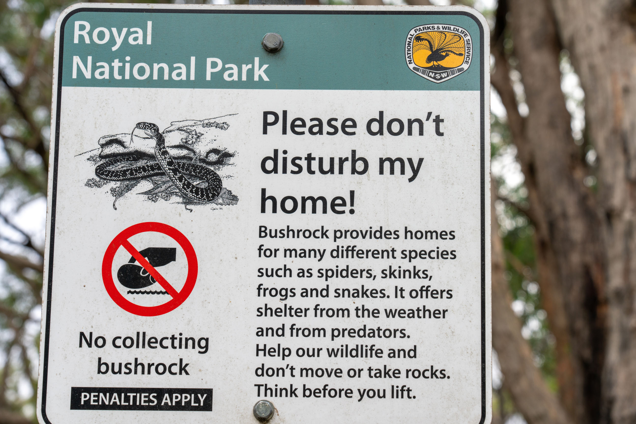
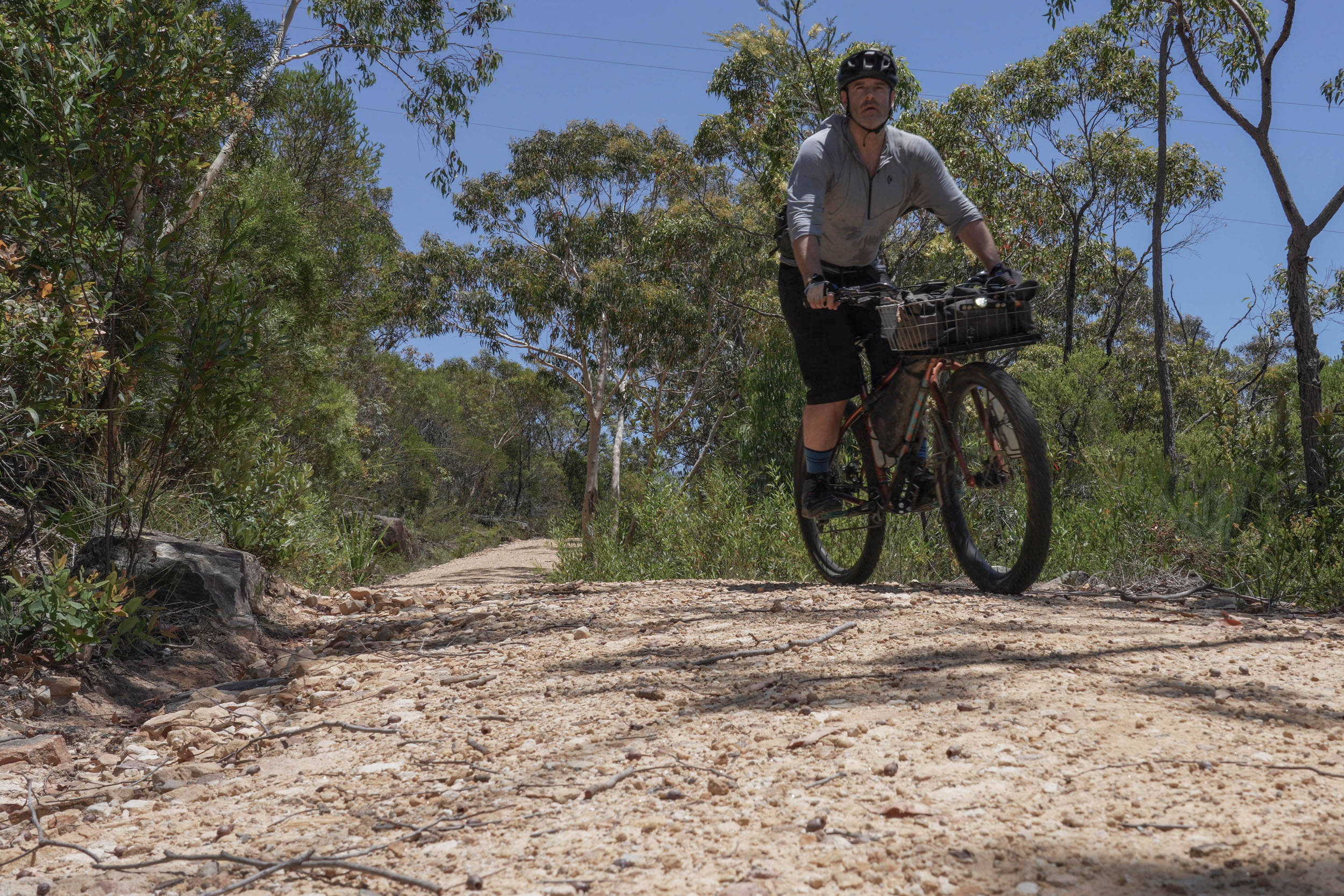
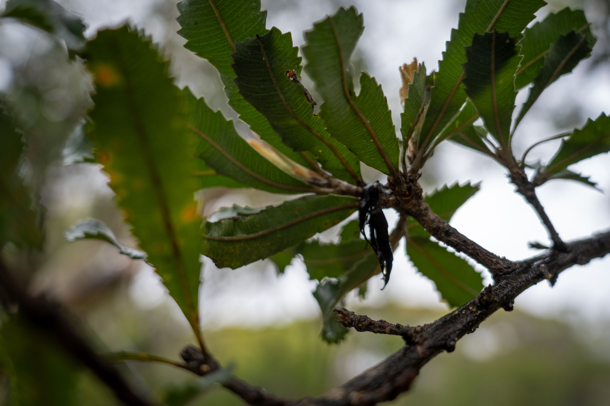
Enter the Royal Ramble. Meandering through beautiful Dharawal Country, this route takes in some of the loveliest landscapes of Royal and Heathcote National Parks. A mix of cruisey rainforest riding, chunky forest firetrails, waterfalls, and swimming holes, it’s adventurous without being overwhelming. It’s also an excellent way to experience the living landscapes of the Sydney Basin: you run a good chance of spotting goannas, parrots, and echidnas on any given ride.
Route Difficulty
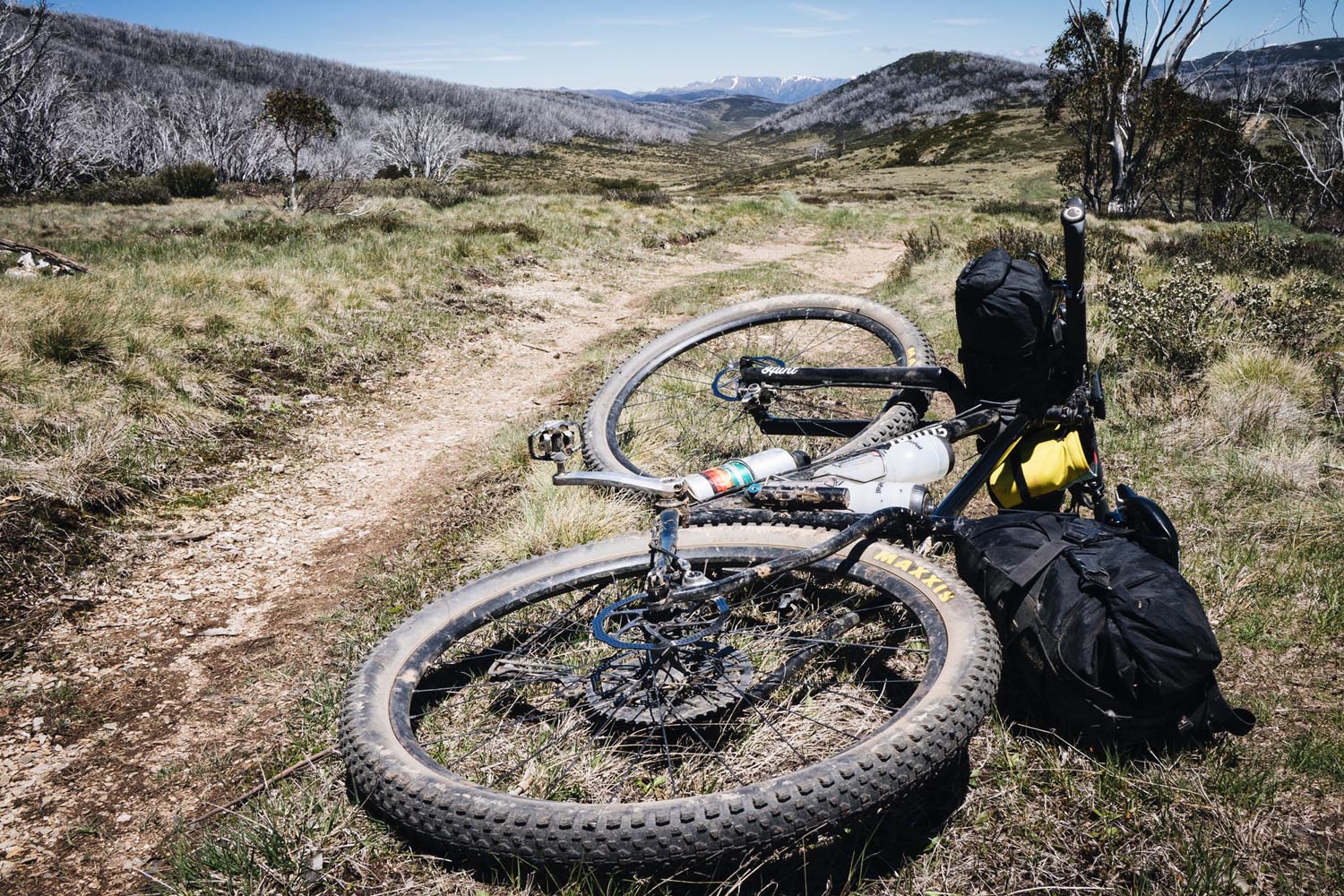
With easy train access, abundant water and resupply options, and a reasonable amount of vertical spread over two days, overall route difficulty is a 3 out of 10. There are some chunky sections of trail that you’ll be happier the wider your tyres are, but these can be walked if necessary.
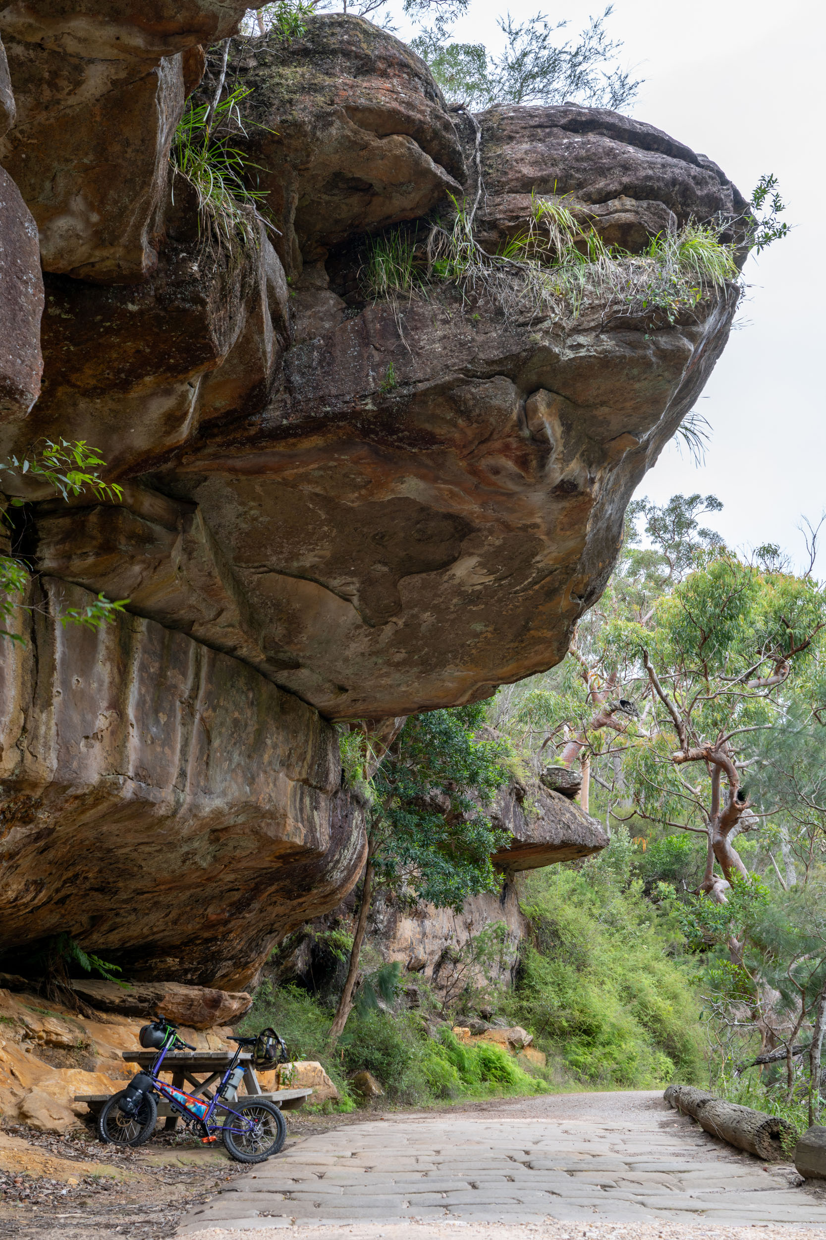
Route Development: This route links together classic Sydney trails. My first introduction to the Pipeline Track was via champion track cyclist, bikepacking legend, and overall great human Lizanne Fox.


Submit Route Alert
As the leading creator and publisher of bikepacking routes, BIKEPACKING.com endeavors to maintain, improve, and advocate for our growing network of bikepacking routes all over the world. As such, our editorial team, route creators, and Route Stewards serve as mediators for route improvements and opportunities for connectivity, conservation, and community growth around these routes. To facilitate these efforts, we rely on our Bikepacking Collective and the greater bikepacking community to call attention to critical issues and opportunities that are discovered while riding these routes. If you have a vital issue or opportunity regarding this route that pertains to one of the subjects below, please let us know:
Highlights
Must Know
Camping
Food/H2O
Trail Notes
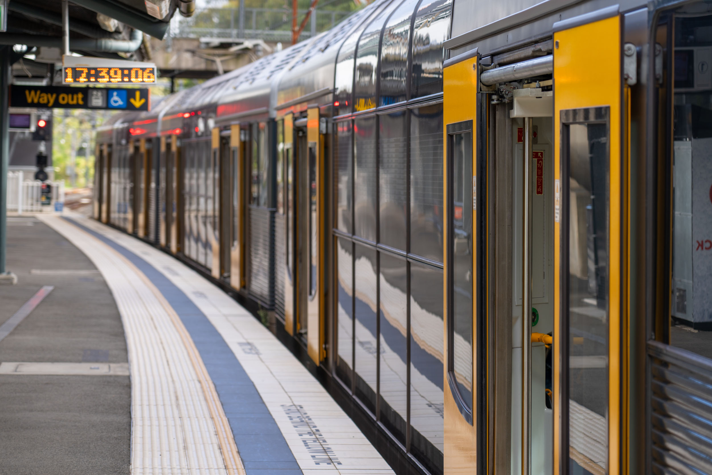
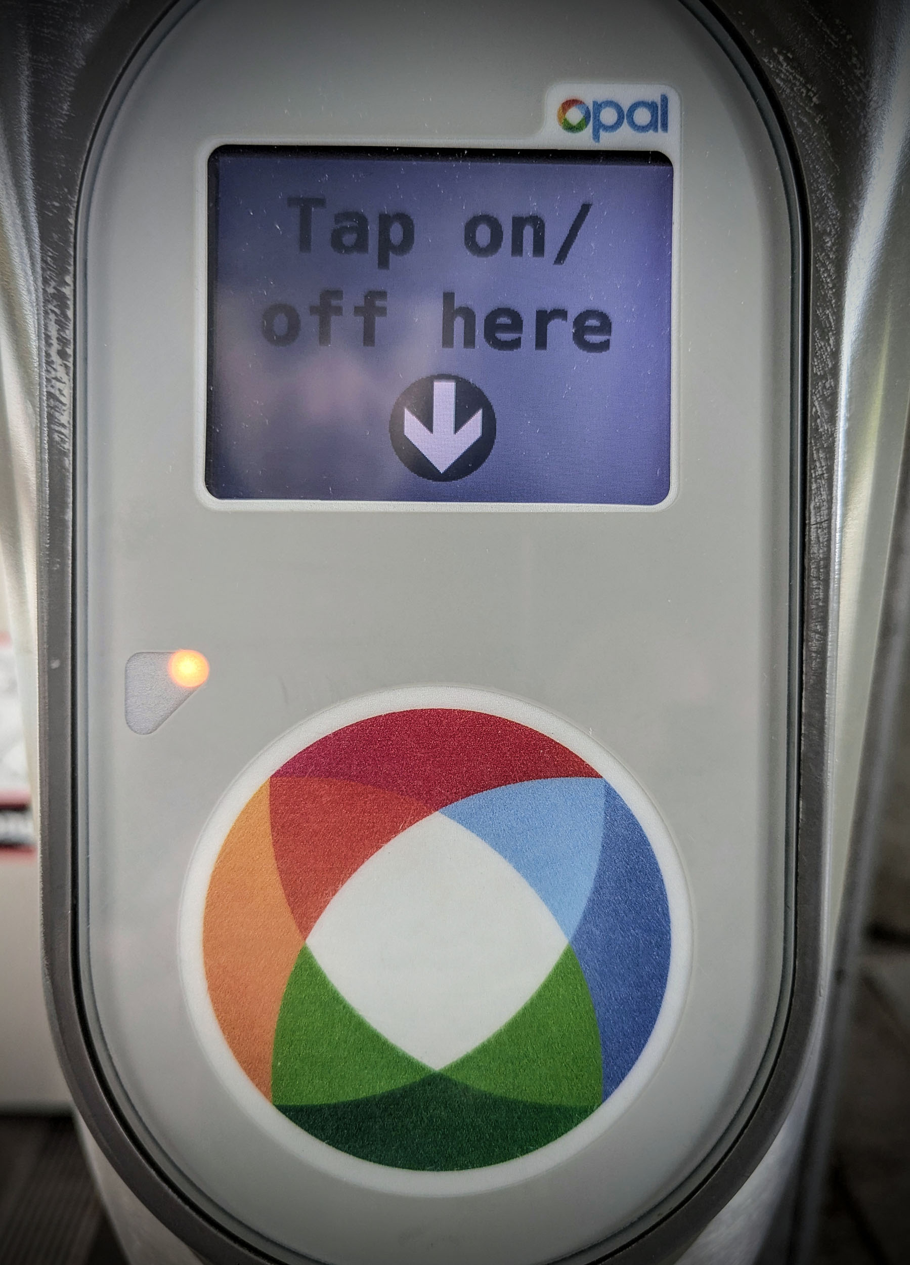
- A fully public transit-accessible overnighter less than an hour from Sydney – win!
- Lady Carrington Drive through the Royal National Park rainforest is scenic, lush, and lovely with some cool history along the way.
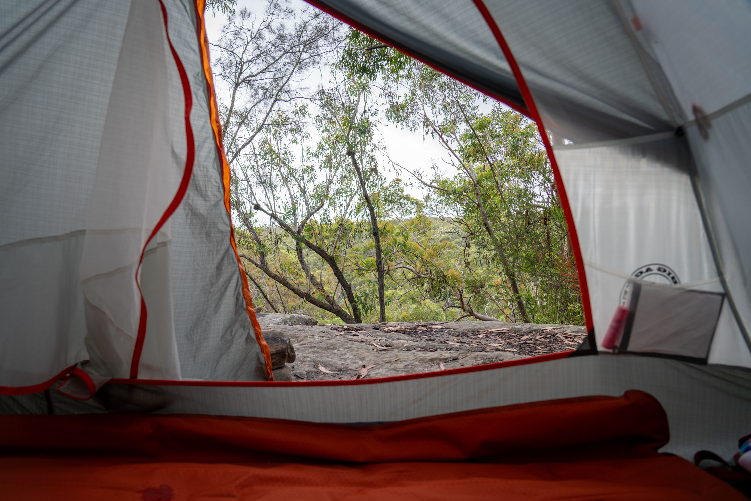
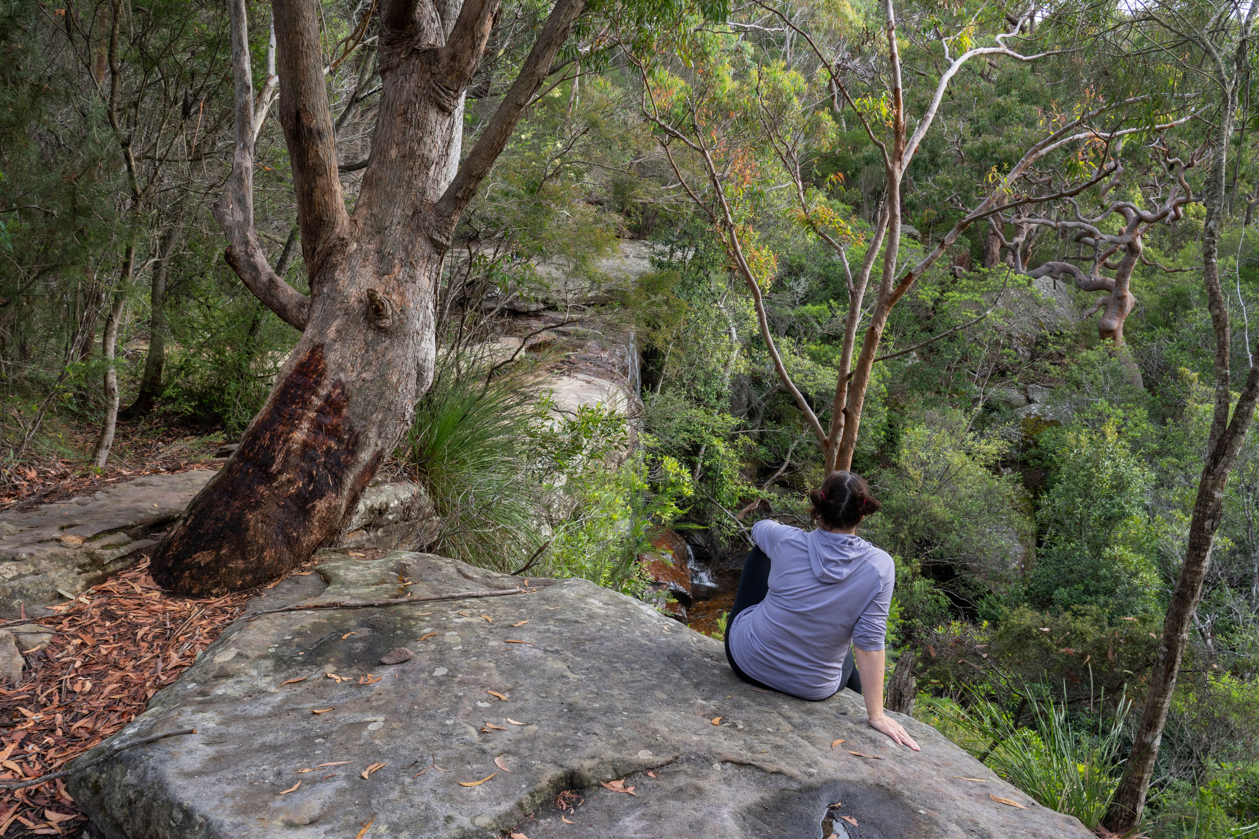
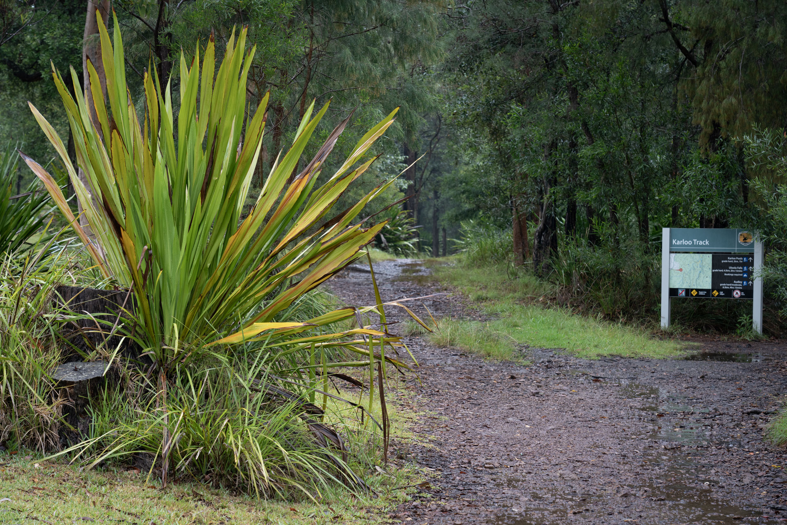
- The streamside campground at Uloola Falls is a local favourite for a reason. Only 6 kilometres down a firetrail from the train, it still manages to feel a world away.
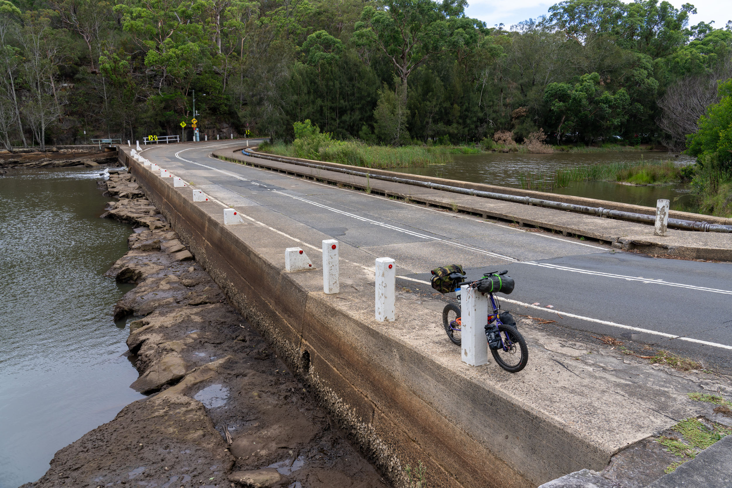
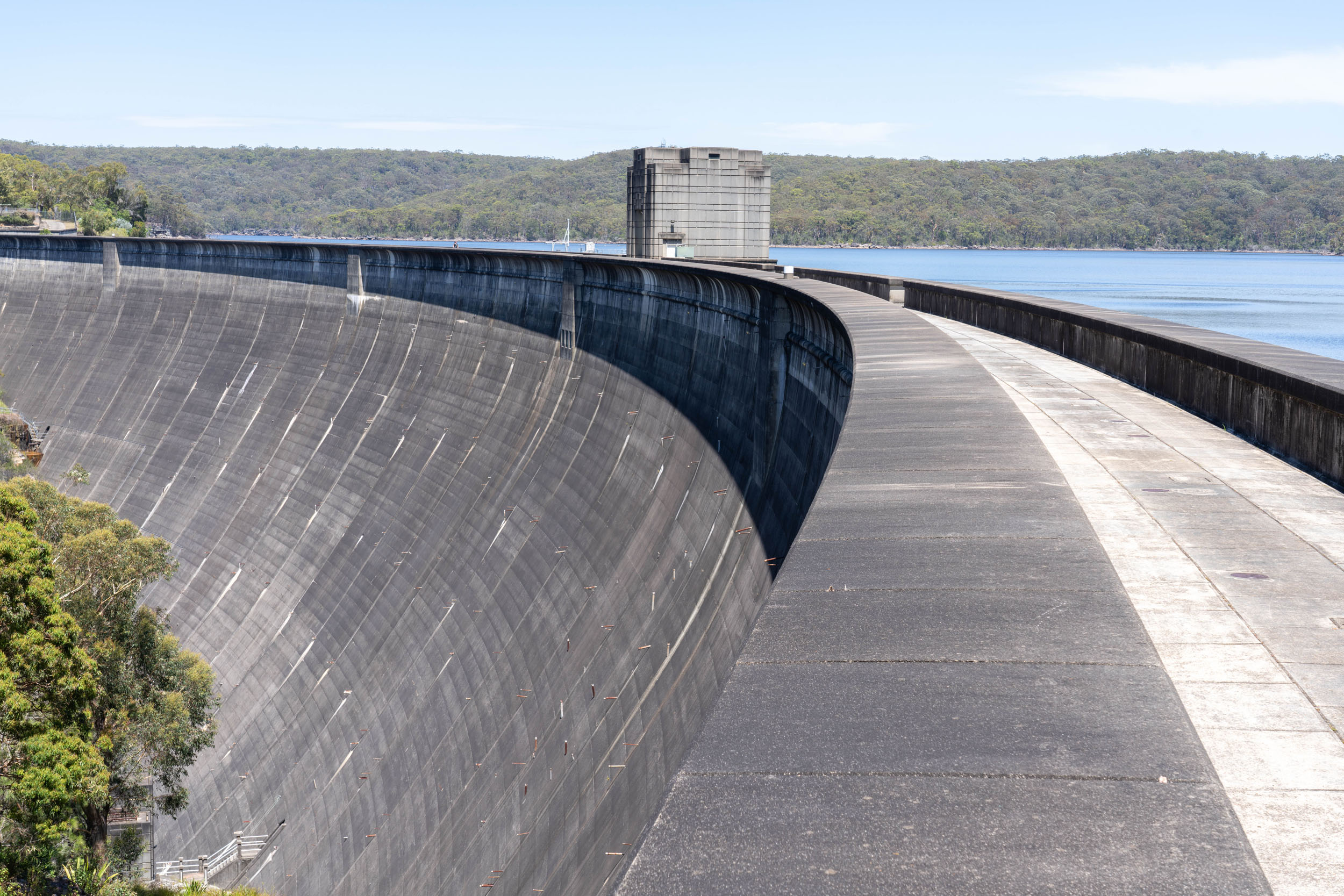
- Riding your bike along the top of the 66-metre-high Woronora Dam is just fun, no matter how many times you do it.
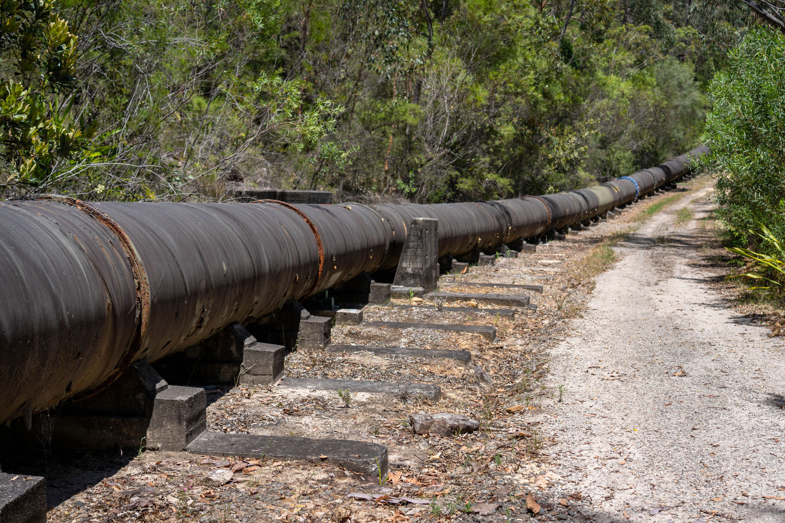
- Fun, fast riding along the Pipeline Track, but exercise caution if you’re on skinny rubber!
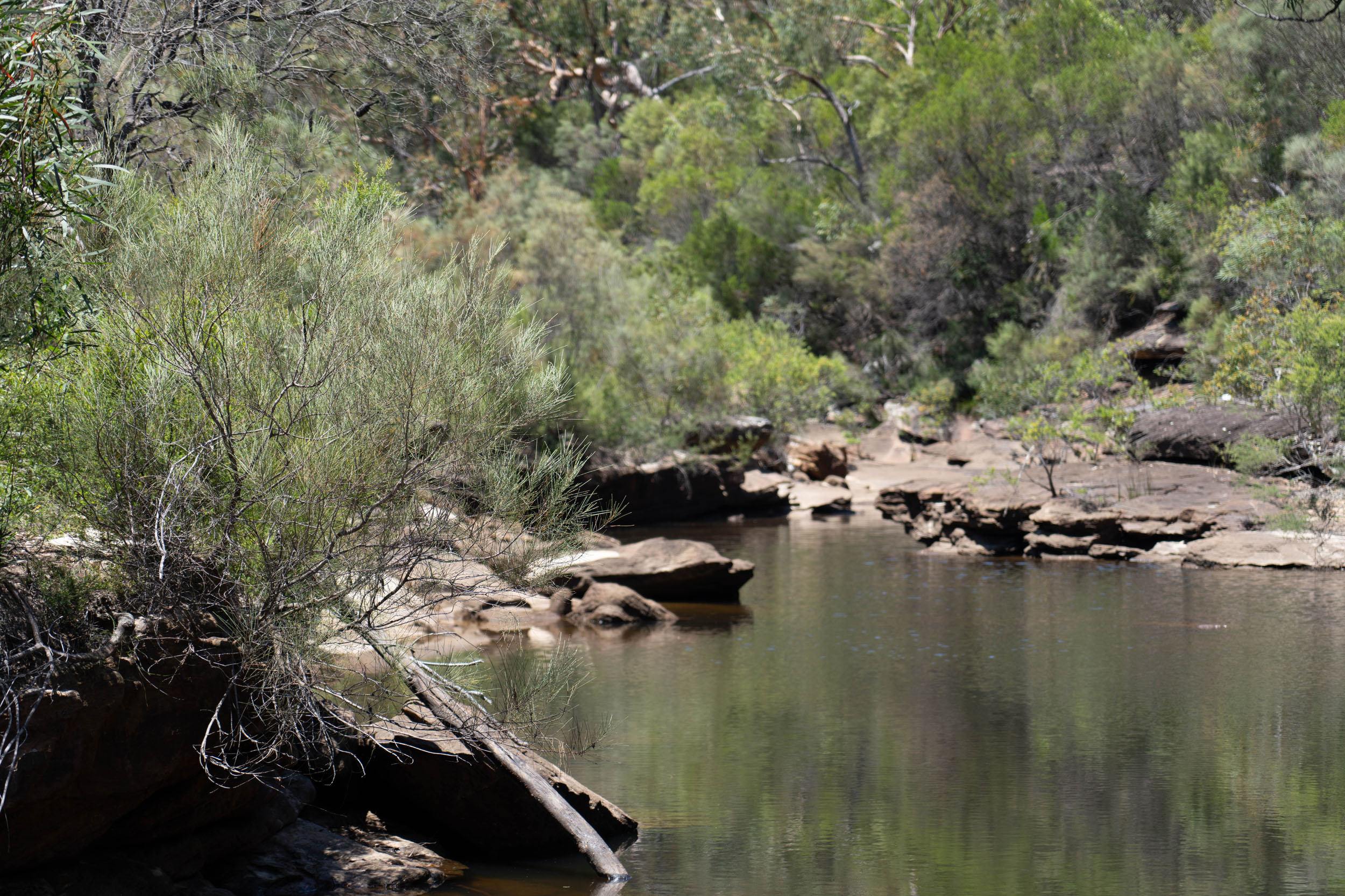
- The swimming hole at Mirang Pool, just off the route, is a great place to cool off when the Sydney weather is sweltering.
- Experiencing a mix of typical Sydney Basin biomes, from forests of towering eucalypts to groves of banksia scrub to lush and bushy stands of cabbage tree palms.
- When to go: This route can be cycled at any time of the year, but – like anywhere in Australia – can get uncomfortably hot in the peak of summer.
- Logistics: Easy access from Sydney Central station; resupply is possible if necessary from shops and restaurants around Heathcote in the middle of the route.
- Dangers and Annoyances: Sydney trains are fond of shutting down lines out of the city on weekends – check alerts ahead of time to make sure your return trip won’t be on a dreaded “train replacement bus.”
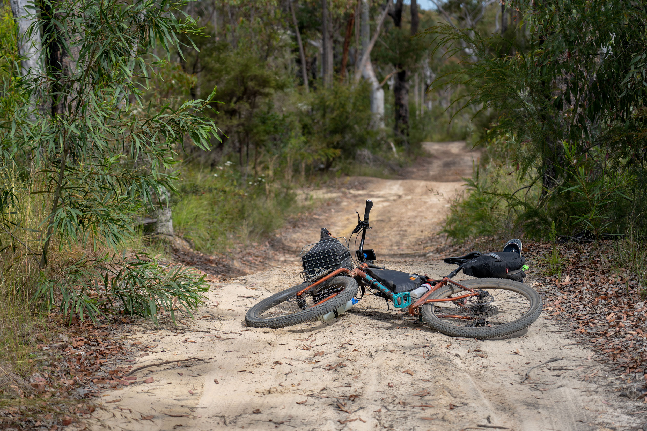
- Rideability: Sections of the Pipeline Trail are intermittently paved, but often so badly degraded that it’s much worse than a gravel road – be aware that the quality of the road surface can change very rapidly. The ride is mostly non-technical, but you may have to walk some of the steep chunky climb of the Mirang Vehicle Trail.
- The National Park campsite at Uloola Falls must be booked ahead of time online, and it gets booked out on weekends. Check availability well ahead of time.
- There are a number of cleared sites on the top of the falls at Uloola Falls, located on both sides of the stream. It’s first-in-best-dressed, so look around to see what’s free when you get there. The trees at the campsite are not hammock-friendly. Drop toilets are at the end of the fire trail above the campsite.
- There are heaps of options for provisioning around Sydney Central Station.
- You’re never too far from resupply along the route, which regularly passes through and near the towns of the Sutherland Shire, where there are shops and restaurants.
- Clean water is available from taps at train stations, including Loftus (the start/end) and Waterfall (near the mid-point), as well as the toilets at Woronora Dam.
- Outside of drought conditions, clear water (filter or disinfect before drinking) will be readily available from the stream at the campsite at Uloola Falls and along the Pipeline Track.
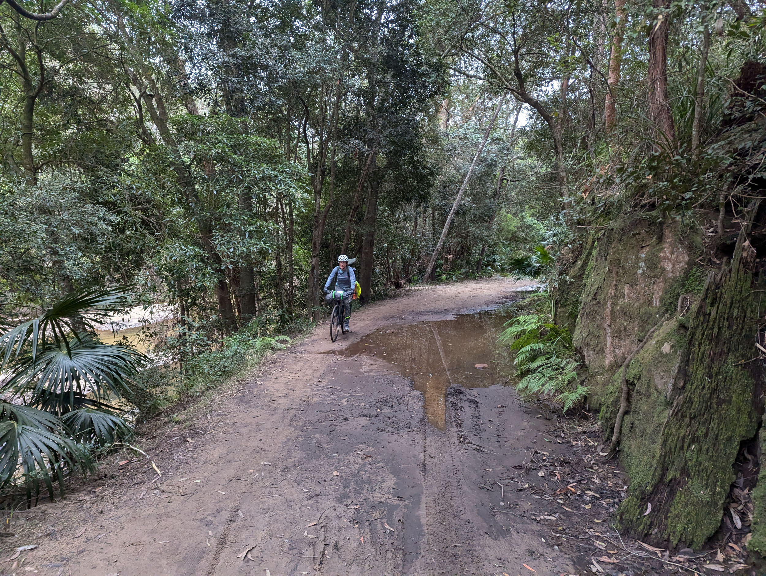
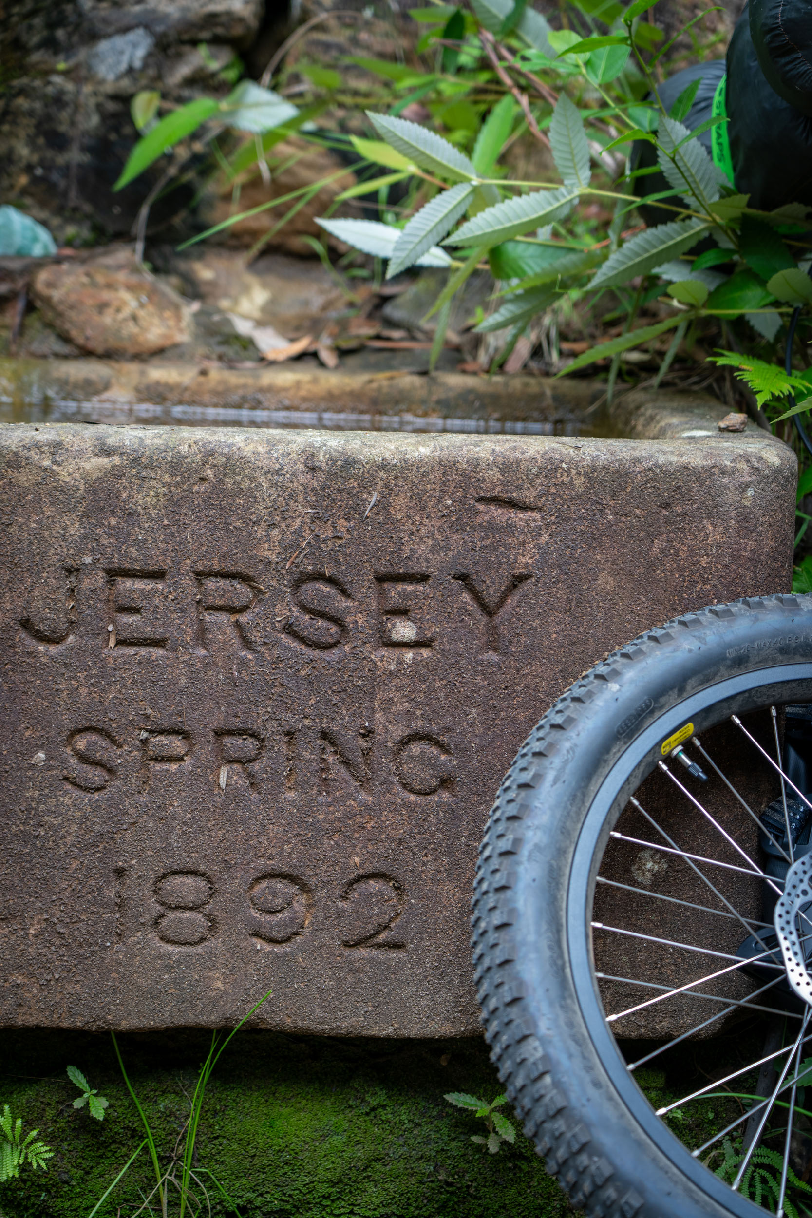
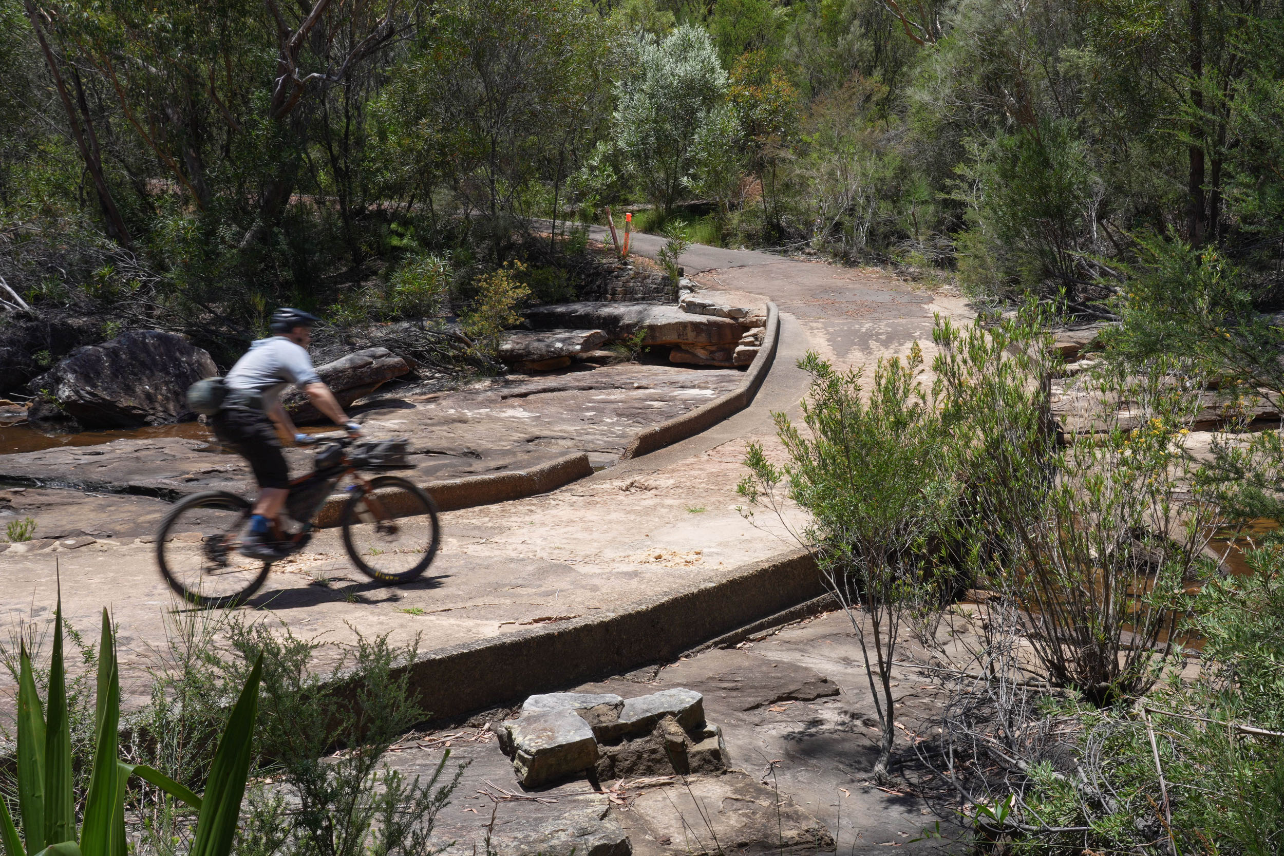
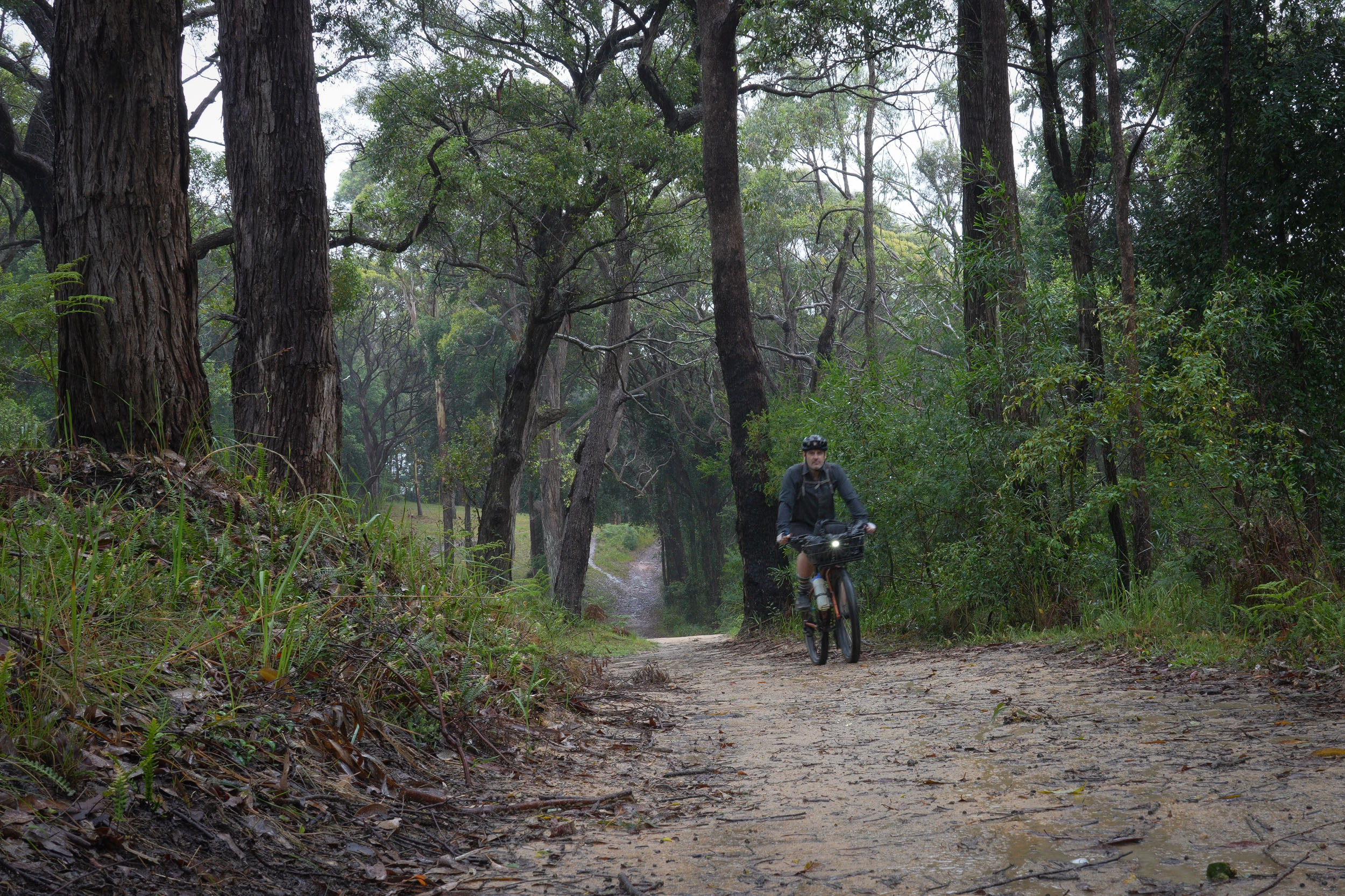
Day one starts at Loftus train station and quickly enters Royal National Park. After a fast, twisty pavement descent, you cross the causeway at Audley and are soon onto the vehicle-free forest trail of Lady Carrington Drive. This is the route of a historic carriageway, and there are some interesting historical artefacts like the sandstone fountain of Jersey Spring along the way. The trail follows the Hacking River for approximately 10 kilometres through some of the loveliest temperate rainforest in the Sydney area. Cabbage tree palms – one of the tallest and most majestic native Australian plants and the namesake of the Dharawal people – are everywhere.
Awaiting you at the end of Lady Carrington Drive is a long, draining pavement climb back up to the top of the escarpment. When you finally top out, however, it’s an easy 6-kilometre ride on a well-graded firetrail to Uloola Falls and the wonderful campground there. You’ll need to carry your bike approximately 250 metres down a series of rough rock steps to reach the campsite. Find the track on the other side of the stream to walk down to the bottom of the falls.
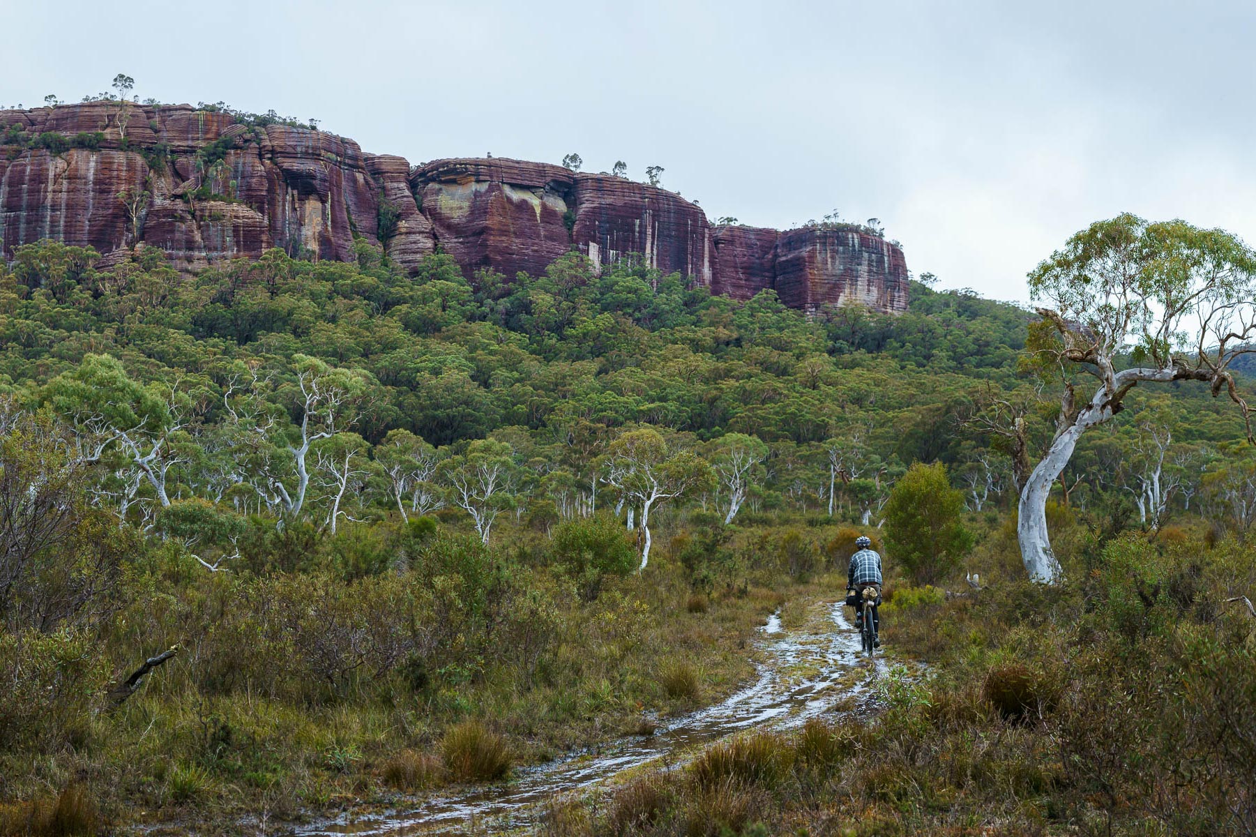
In the morning, you retrace your steps, carrying your bike back up to the firetrail and then back to the train line at Waterfall Station (which is a bailout point if you need one). On the other side of the train line, the route crosses into Heathcote National Park, following the 108 firetrail to the turnoff to Woronora Dam. The dam is heritage-listed and lies about 8 kilometres down a quiet paved road. Behind it is a massive water catchment that supplies much of the potable water to the area south of Sydney. You can have a ride along the top of the wall and marvel at the giant channel gouged in the nearby bedrock to construct the spillway.
Backtracking a short distance brings you to the Pipeline Track, where the water pipe that transports water from the dam to surrounding communities passes. A maintenance trail, it was paved at one point but is now much-eroded and broken down. If you attempted to drive a rental car on it, you would 100% void your warranty, so exercise caution, as the surface changes frequently.
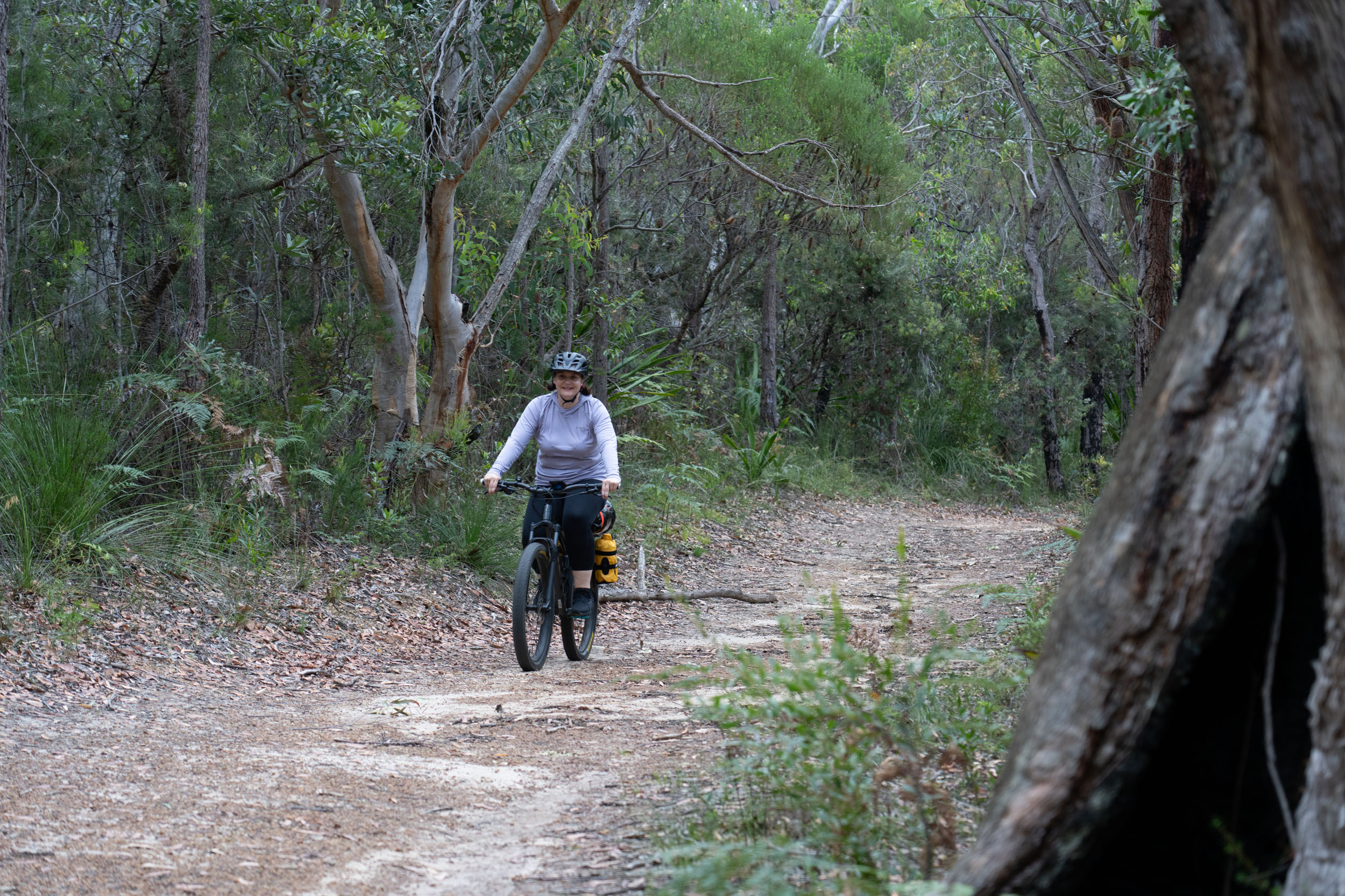
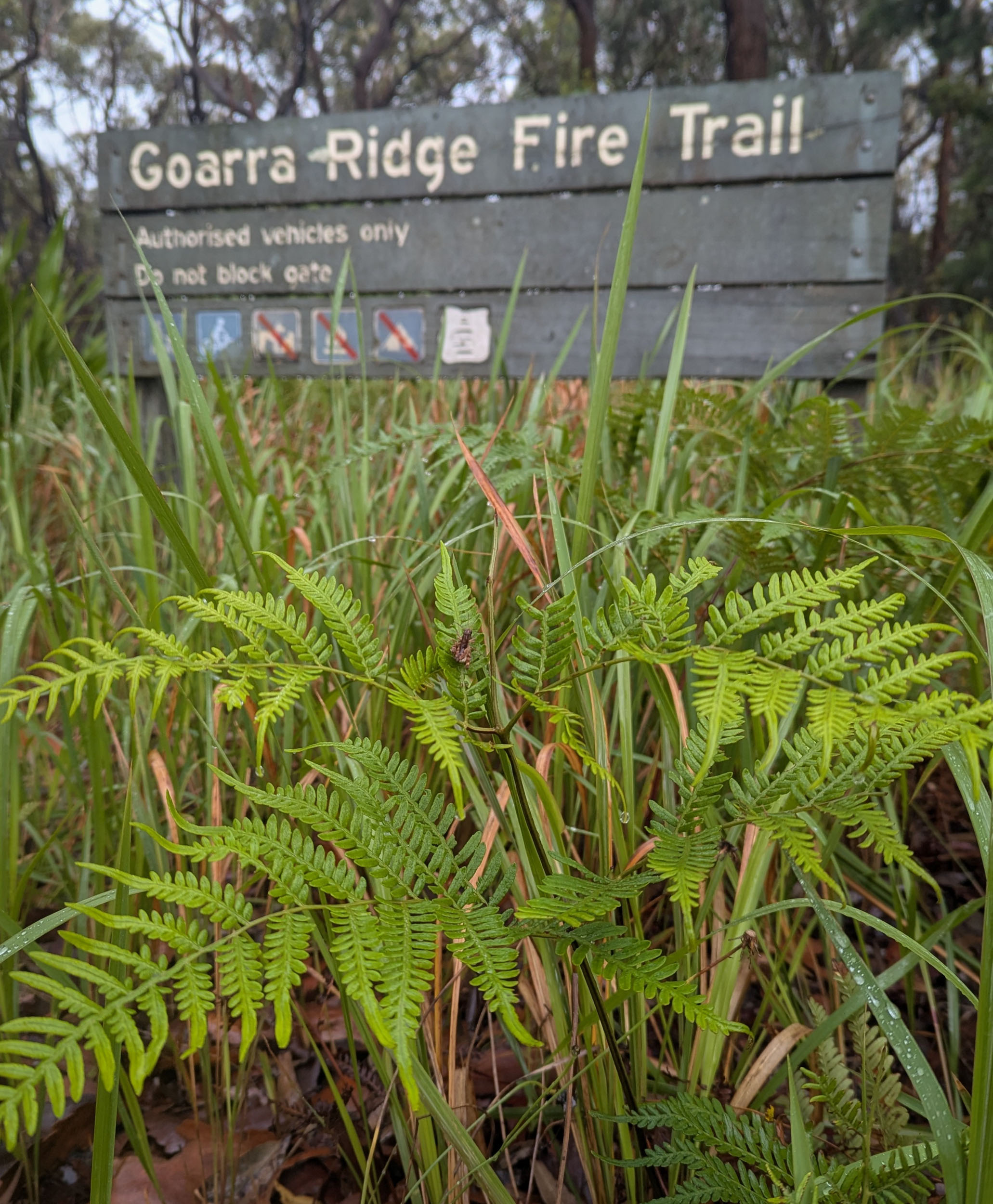
The Pipeline Track descends, meandering past some pretty rock pools until reaching the turnoff to the much rougher Mirang Vehicle trail, where it climbs once again. If desired, detour a short distance past the turnoff to the swimming hole of Mirang Pool, which is delicious on a hot day. A tiring, chunky climb of the Mirang Vehicle Trail brings you to quiet suburban streets; cross the highway at Heathcote Station, and you’re onto quiet paths once again. Skirt the houses of suburbia and head north on Goarra Ridge firetrail. From here, it’s 5 kilometres of cruisy gravel riding almost all the way back to Loftus station – you made it!


Terms of Use: As with each bikepacking route guide published on BIKEPACKING.com, should you choose to cycle this route, do so at your own risk. Prior to setting out check current local weather, conditions, and land/road closures. While riding, obey all public and private land use restrictions and rules, carry proper safety and navigational equipment, and of course, follow the #leavenotrace guidelines. The information found herein is simply a planning resource to be used as a point of inspiration in conjunction with your own due-diligence. In spite of the fact that this route, associated GPS track (GPX and maps), and all route guidelines were prepared under diligent research by the specified contributor and/or contributors, the accuracy of such and judgement of the author is not guaranteed. BIKEPACKING.com LLC, its partners, associates, and contributors are in no way liable for personal injury, damage to personal property, or any other such situation that might happen to individual riders cycling or following this route.
Further Riding and Reading
Here are some connected/nearby routes and related reports...
Please keep the conversation civil, constructive, and inclusive, or your comment will be removed.