Tour de Zielona
Distance
58 Mi.
(93 KM)Days
2
% Unpaved
74%
% Singletrack
0%
% Rideable (time)
90%
Total Ascent
2,250'
(686 M)High Point
427'
(130 M)Difficulty (1-10)
4?
- 2Climbing Scale Easy39 FT/MI (7 M/KM)
- -Technical Difficulty
- -Physical Demand
- -Resupply & Logistics
Contributed By
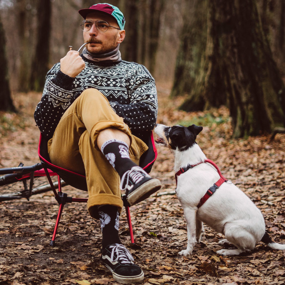
Wojtek Waloch
Guest Contributor
Wojtek Waloch lives and work in Zielona Góra, Poland, and runs a photo blog about cycling, bikepacking, and making coffee outside. You can find Wojtek and friends at coffeeteatrip.blogspot.com and instagram @coffeeteatrip.
The Tour de Zielona is a nearly 100-kilometer circuit, starting and ending in Zielona Góra, Poland. It takes riders through beautiful natural areas and small towns with local character. More experienced cyclists can tackle this route in a single day, stopping halfway for a refreshing swim. However, it’s also perfect for a two-day trip at a more relaxed pace with a campsite right in the middle.
Situated near the Polish-German border in western Poland, Zielona Góra is a city of around 140,000 people that’s surrounded by charming countryside featuring nearly endless tree-covered hills. Zielona Góra translates to “Green Mountain” in English, and the town is apty named. The route offers an authentic experience of the local flora, fauna, and culture that give this corner of the country its distinct character. Riders can enjoy a relaxed pace of life and quiet road and trails as they navigate the loop, with options to stop and take a dip, appreciate scenic vistas from several marked lookout points, or enjoy a local beer and some food in a village. Depending on the conditions, there are also opportunities to take a couple of short ferry rides.
Route Difficulty
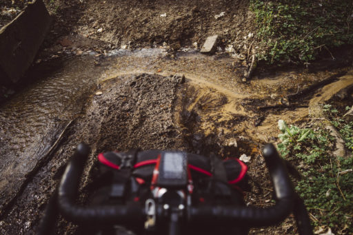
As for the difficulty, the Tour de Zielona is a 4 out of 10. This is mainly due to the presence of several sandy sections. In summer, when it is very dry, it may be necessary to hike a bike in certain spots. And, in times of heavy rain, it’s possible to encounter quite a lot of slippery mud, which can make it extra challenging. Given the route’s short length, it’s recommended to purchase all of the specific food and supplies you want for the trip while in Zielona Góra, but you can purchase things to eat and other essentials in most of the villages along the way.
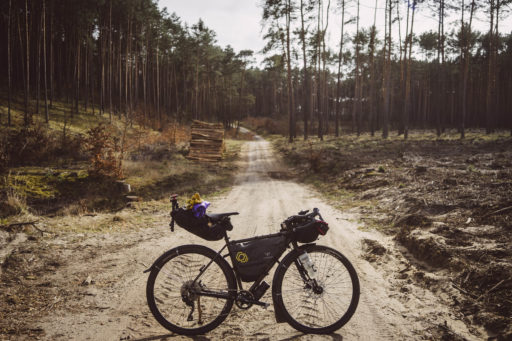
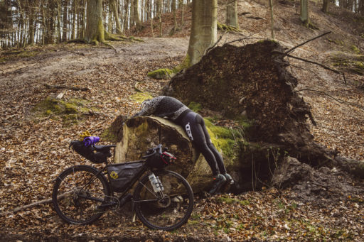
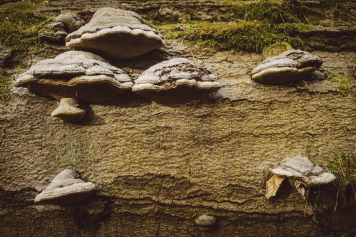
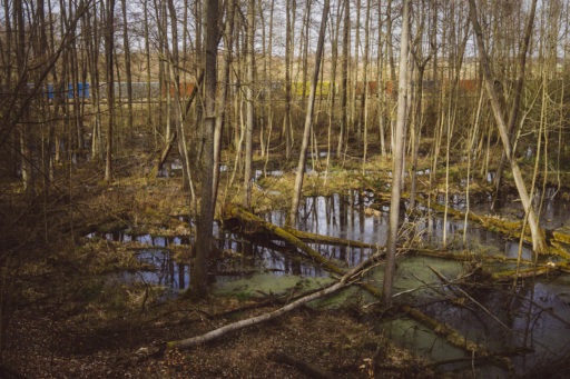
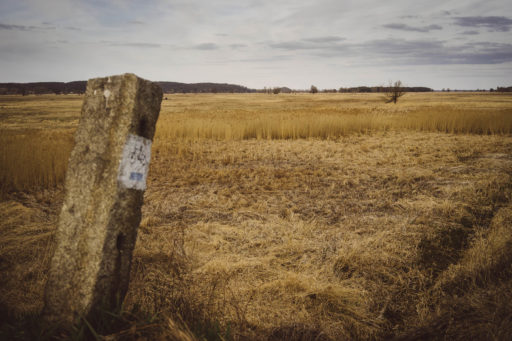
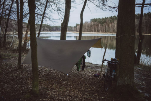
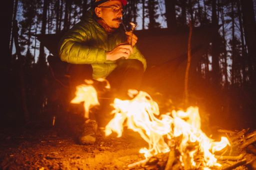
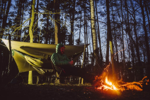
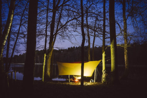
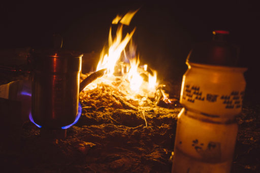
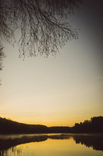
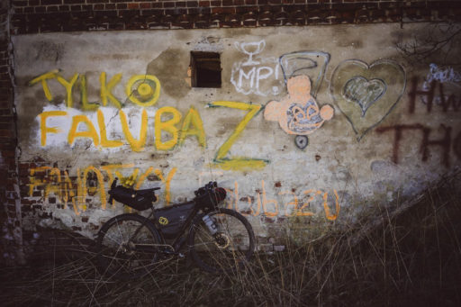
Route development: The photos here are from the first ride on the route, which was mapped out in the spring. It is worth taking this trip in the summer, when the trees are bursting with greenery and you can cool off with a swim at the designated spot. We did this with a larger crew for the 2022 Swift Campout, and it was a great idea and a completely different visual experience. You can see it on our blog here.
 This route is part of the Local Overnighter Project, which was created to expand our growing list of worldwide bikepacking routes—the first and largest of its kind—and create an independent map and catalog of great bikepacking overnighters, curated by you, from your own backyard. Our goal is to have accessible routes from every town and city in the world. Learn More
Submit Route Alert
As the leading creator and publisher of bikepacking routes, BIKEPACKING.com endeavors to maintain, improve, and advocate for our growing network of bikepacking routes all over the world. As such, our editorial team, route creators, and Route Stewards serve as mediators for route improvements and opportunities for connectivity, conservation, and community growth around these routes. To facilitate these efforts, we rely on our Bikepacking Collective and the greater bikepacking community to call attention to critical issues and opportunities that are discovered while riding these routes. If you have a vital issue or opportunity regarding this route that pertains to one of the subjects below, please let us know:
Highlights
Must Know
Camping
Food/H2O
Trail Notes
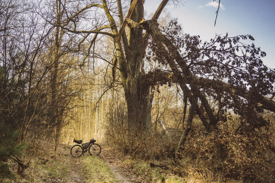
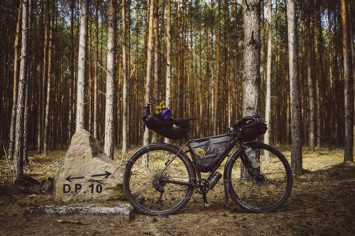
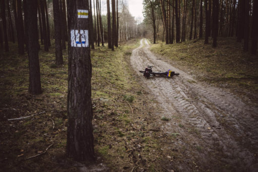
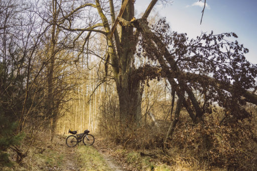
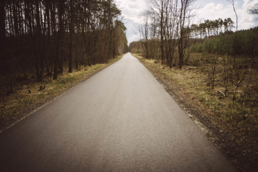
- Beautiful beech and pine forest-lined gravel and dirt roads.
- Scenic tracks along the ravines and hills beyond the Laski village.
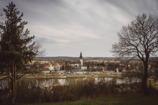
- Panorama of the Odra Valley in Krosno Odrzańskie.
- Lakes for swimming.
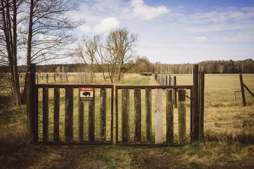
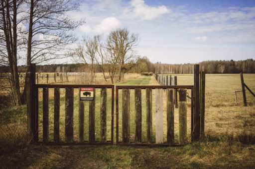
- The bison farm in Sycowice.
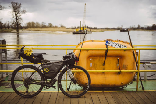
- Taking the ferry across the Odra River.
- We recommend this route for summer or autumn when the trees are ablaze with colors.
- It is worth bringing mosquito spray and a mosquito net, as they can make camping unpleasant, depending on the season.
- Ferries are free, but they do not work when the water level in the Odra River is too low; you can check it before your trip at zdw.zgora.pl.
- Near the villages, you have to watch out for dogs that sometimes run into the road. Usually, they’re harmless, but they can be startling.
- The areas around Kamieńskie and Cieche lakes are designated by the state forests as part of the “sleep in the forest” program, where you can legally camp.
- The program regulations and a detailed map of places can be found at lasy.gov.pl.
- There is no problem with food and drink during the tour. Almost every village on the way has a shop where you can pay by card.
- The only section that poses a lack of options is between Krosno Odrzańskie and Sycowice, which is without a shop, and you have to remember to do shopping in Krosno for dinner and breakfast while camping.
Day 1
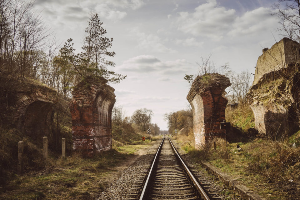
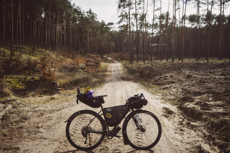
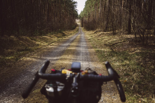
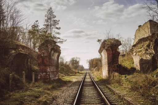
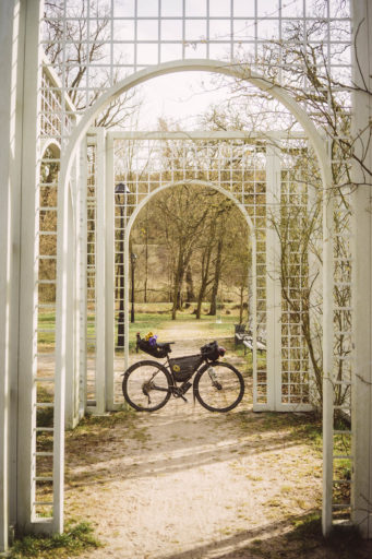
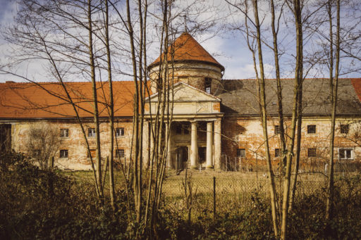
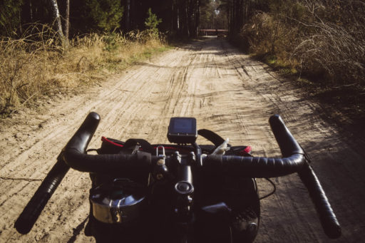
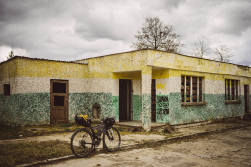
You’l start your adventure at the railway station in Zielona Góra. It is worth refilling water bottles in the shop at the station, because the next opportunity to do so will be in about 20 kilometers. Leave the city safely on a smooth bicycle path. After a few kilometers, when the path turns into a gravel highway, you’ll have to go left at a small green metropolis. Gravel winds through beautifully fragrant pine forests, which, although quite dense, do not protect well against the sun’s rays. On a sunny day, it is worth taking a hat or cap. You’ll pass the small Sudoł village and follow the road signs along the unpaved, slightly bumpy road to Leśniów Wielki. Passing this village, you enter the yellow trail, which leads to the village of Laski. There, you can visit the ruins of the railway viaduct and the restored Manor Park or just sit on a bench under the pear tree behind the shop. There’s a bottle opener attached, so relax and have a bite to eat and drink. You can also replenish your water supplies here. The road to Krosno Odrzańskie is still the yellow trail, which connects to the slightly better-marked blue trail.
From there, go through Ciemnice and Połupin, then pedal along beautiful gravel and unpaved roads between forest hills and ravines, from which small streams flow down in the spring after the thaw. There are also, especially in the summer, local sandpits, but nothing stands in the way of continuing our journey by bike or a little hike-a-bike. Pine forests are mixed with splendid beech stands.
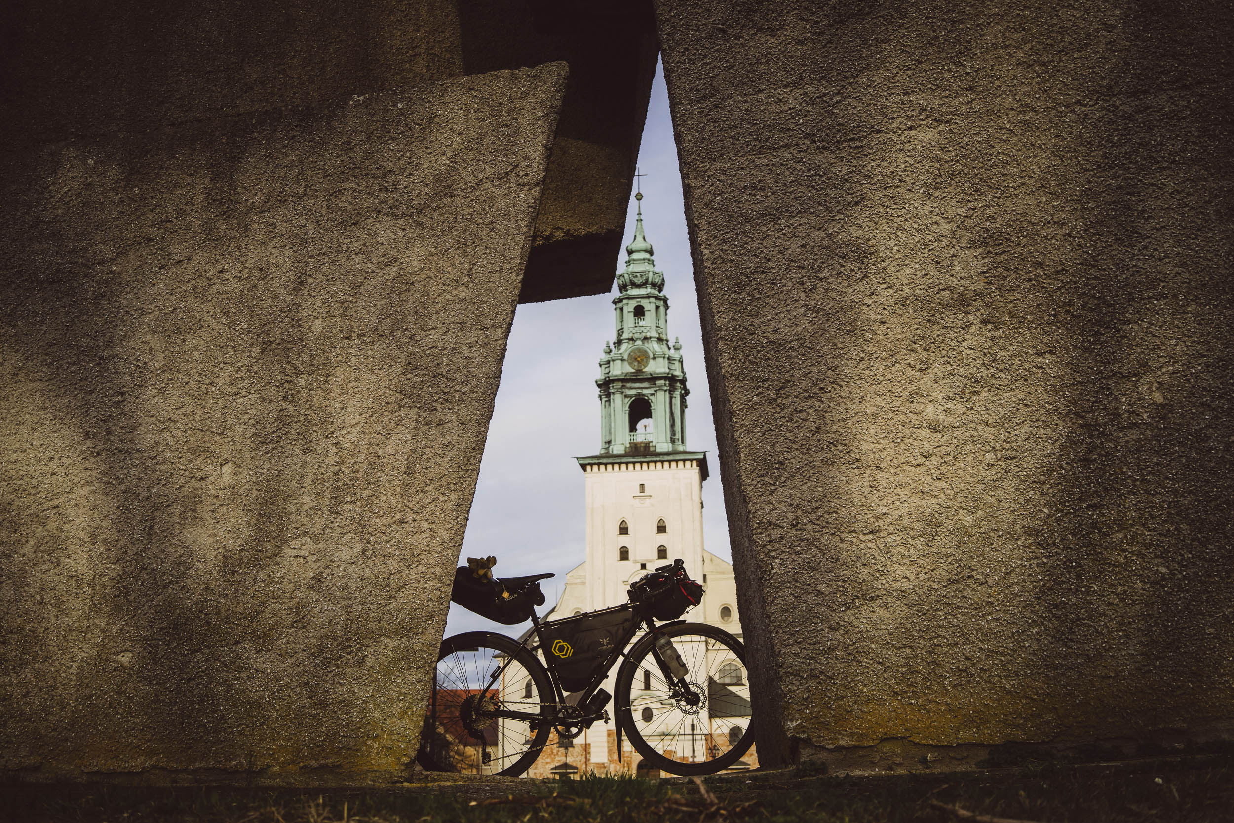
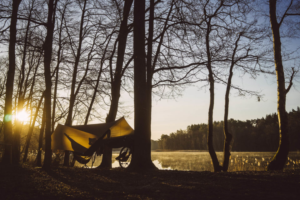
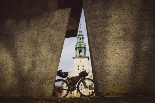
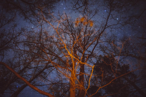
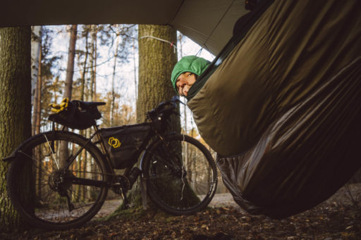
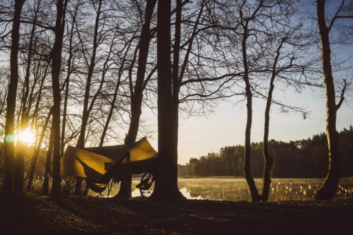
When you get to Krosno Odrzańskie, you’ll cross the Oder River by a bridge and see a nice church, monuments, and after entering the Millennium Park, a beautiful panorama of the Oder Valley. Krosno Odrzańskie is also the last option for shopping before camping. Leave Krosno along the bicycle path and, near the bathing beach, turn into a forest road leading to Lake Kamieńskie. This is where you can look for a place to camp. The areas around Kamieńskie and Cieche lakes are designated by the state forests as part of the “sleep in the forest” program, so you can legally camp. If you want to spend some nice time admiring the stars through the tree branches, you can pitch a tent or hang a hammock by Lake Kamieńskie. If you want to swim, Lake Ciche with a small beach will be a good choice.
Day 2
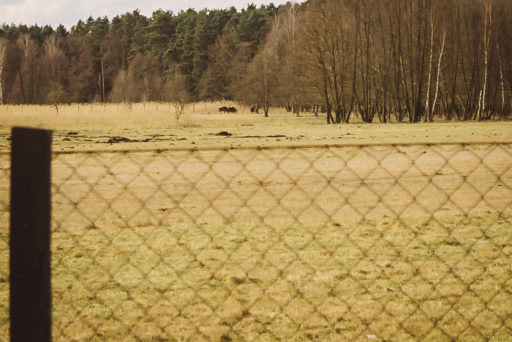
On the second day, after a successful campout, you return to Zielona Góra. Forest and gravel roads await again. Before Sycowice you’ll pass a bison farm. With any luck, they will graze by the fence near our road. The rest of the road through Nietkowice and Bródki is smooth asphalt. You reach the village of Brody, where a ferry across the Oder awaits. If you’re hungry at this stage, you can pedal straight towards Pomorsko, where there’s a small pizzeria. You can eat it on site or take it to go and have a feast near the lake in Brzezie. After the meal, return to Pomorsko and cross the river in this village, also by ferry (ferries are free, but in dry summer you need to check if they run). Just a small driveway behind the village of Wysokie, and after a few kilometers, you’ll end your adventure back in Zielona Góra.
Terms of Use: As with each bikepacking route guide published on BIKEPACKING.com, should you choose to cycle this route, do so at your own risk. Prior to setting out check current local weather, conditions, and land/road closures. While riding, obey all public and private land use restrictions and rules, carry proper safety and navigational equipment, and of course, follow the #leavenotrace guidelines. The information found herein is simply a planning resource to be used as a point of inspiration in conjunction with your own due-diligence. In spite of the fact that this route, associated GPS track (GPX and maps), and all route guidelines were prepared under diligent research by the specified contributor and/or contributors, the accuracy of such and judgement of the author is not guaranteed. BIKEPACKING.com LLC, its partners, associates, and contributors are in no way liable for personal injury, damage to personal property, or any other such situation that might happen to individual riders cycling or following this route.
Please keep the conversation civil, constructive, and inclusive, or your comment will be removed.


