


Trans Karavanks, Slovenia
Distance
92 Mi.
(148 KM)Days
3-4
% Unpaved
80%
% Singletrack
30%
% Rideable (time)
90%
Total Ascent
16,983'
(5,176 M)High Point
5,100'
(1,554 M)Difficulty (1-10)
7?
- 10Climbing Scale Very Strenuous185 FT/MI (35 M/KM)
- -Technical Difficulty
- -Physical Demand
- -Resupply & Logistics
Contributed By
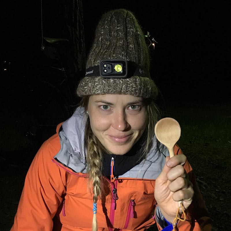
Neža Peterca
What Happened
There are three mountain ranges in Slovenia: the Julian Alps, known for their striking rocky peaks; the Kamnik-Savinja Alps, which paint the famous background of Slovenia’s capital, Ljubljana; and the Karavanks, which form much of the Slovenian/Austrian border. With endless tourist offerings and typically higher peaks, the first two ranges are swathed in adventure-hungry folks from Slovenia and abroad. However, the Karavanks often seem to be forgotten, making them perfect for a bikepacking adventure!
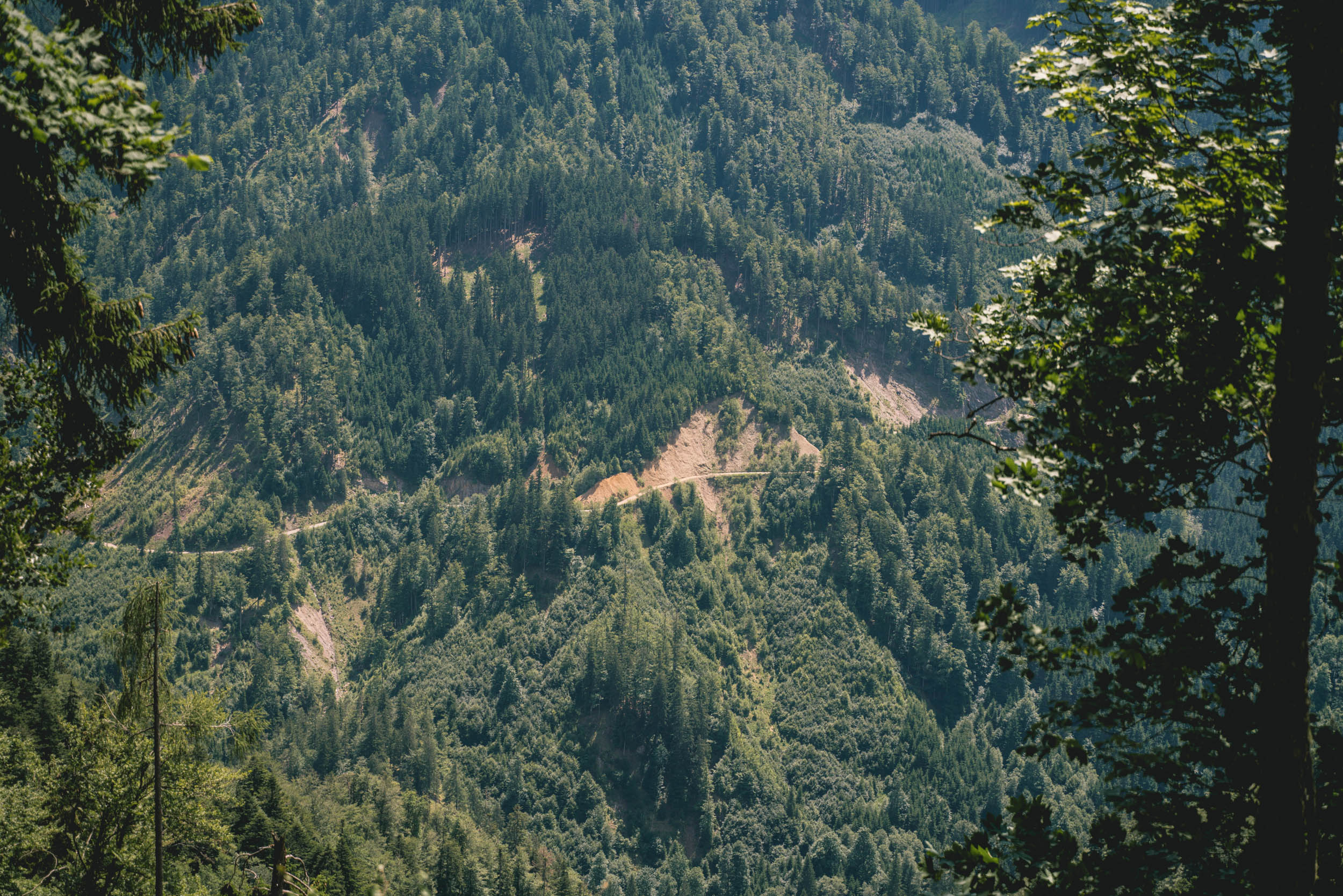
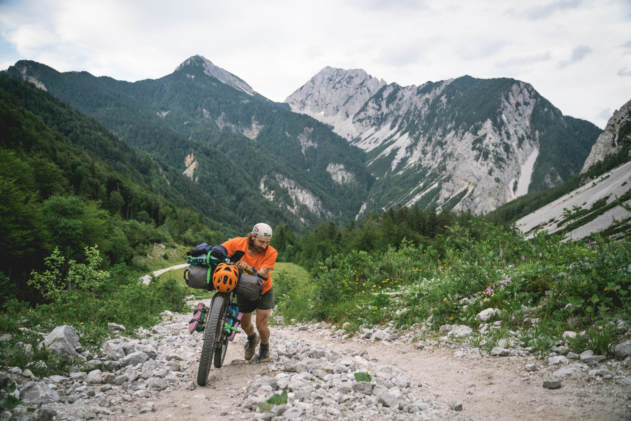
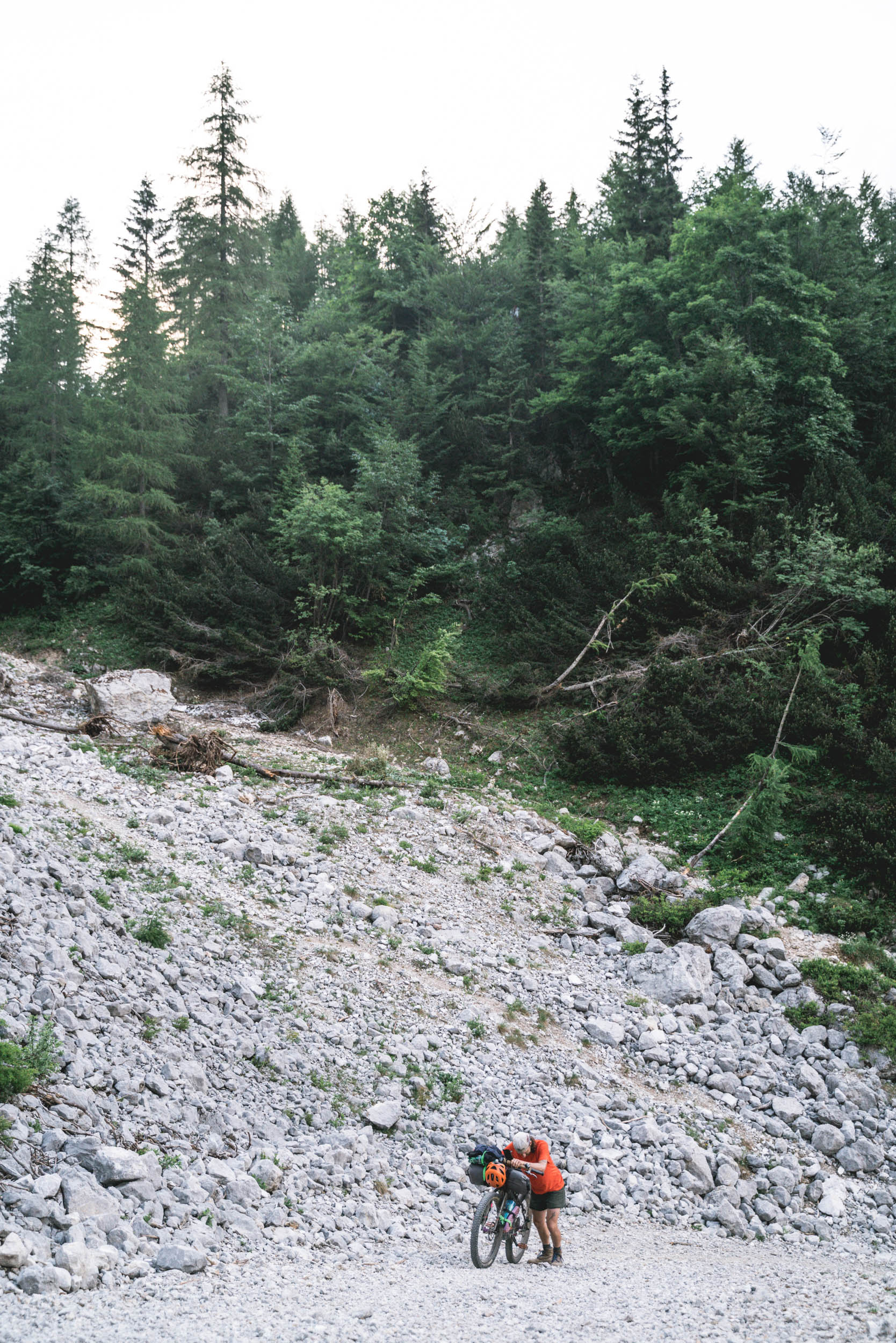
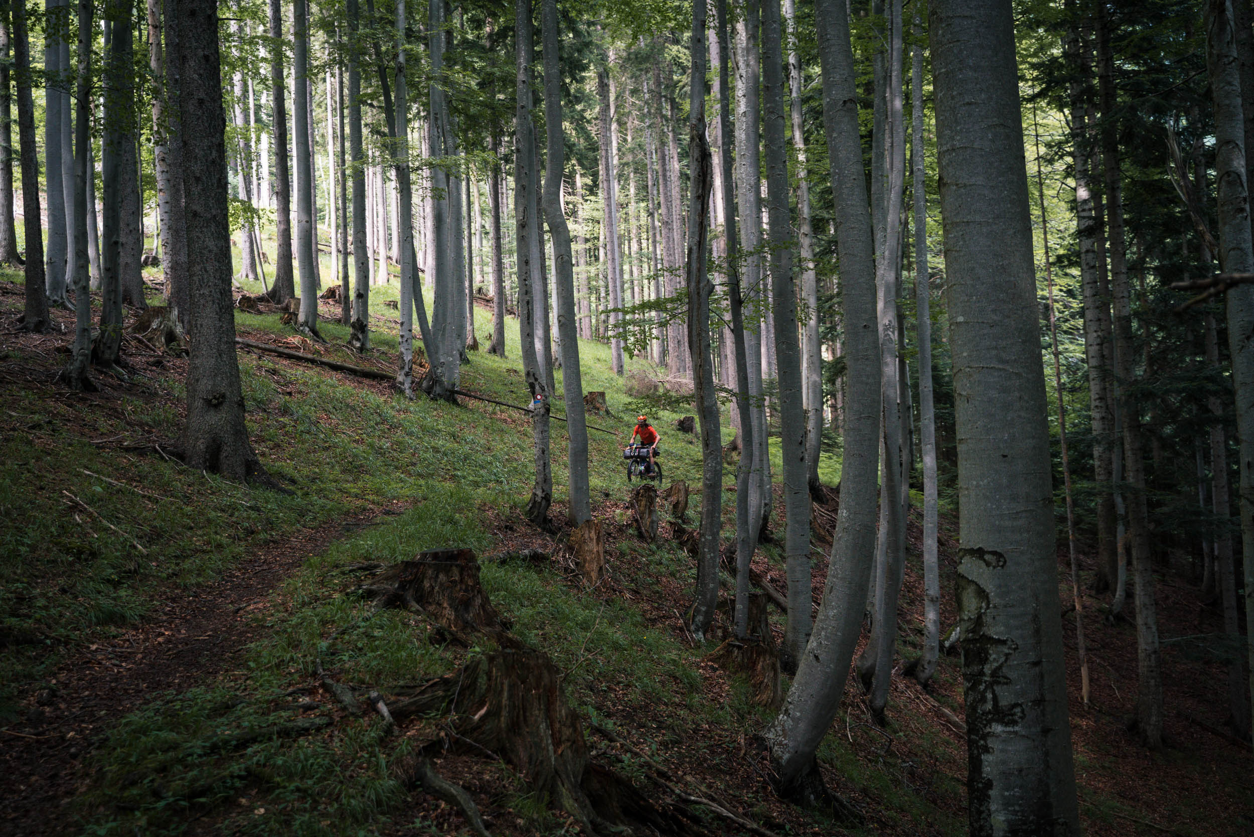
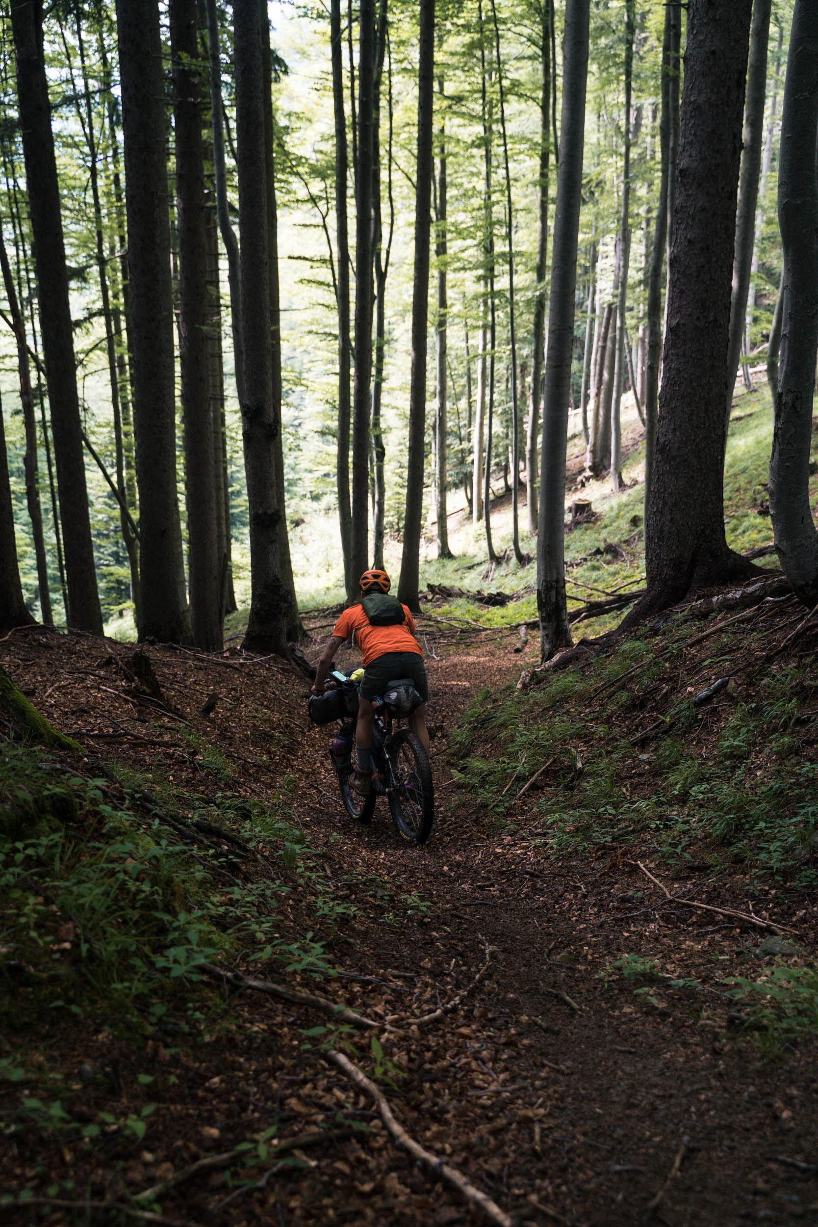
One may think traversing a mountain range would be easier than a direct crossing, as there may be less elevation loss and gain. But, as it turns out, there are not many roads connecting adjacent valleys on the higher altitudes of Karavanks, and we often found ourselves pushing our bikes up steep mountainsides to immediately drop over the other side and descend to the same altitude that we started at just a few hours earlier.
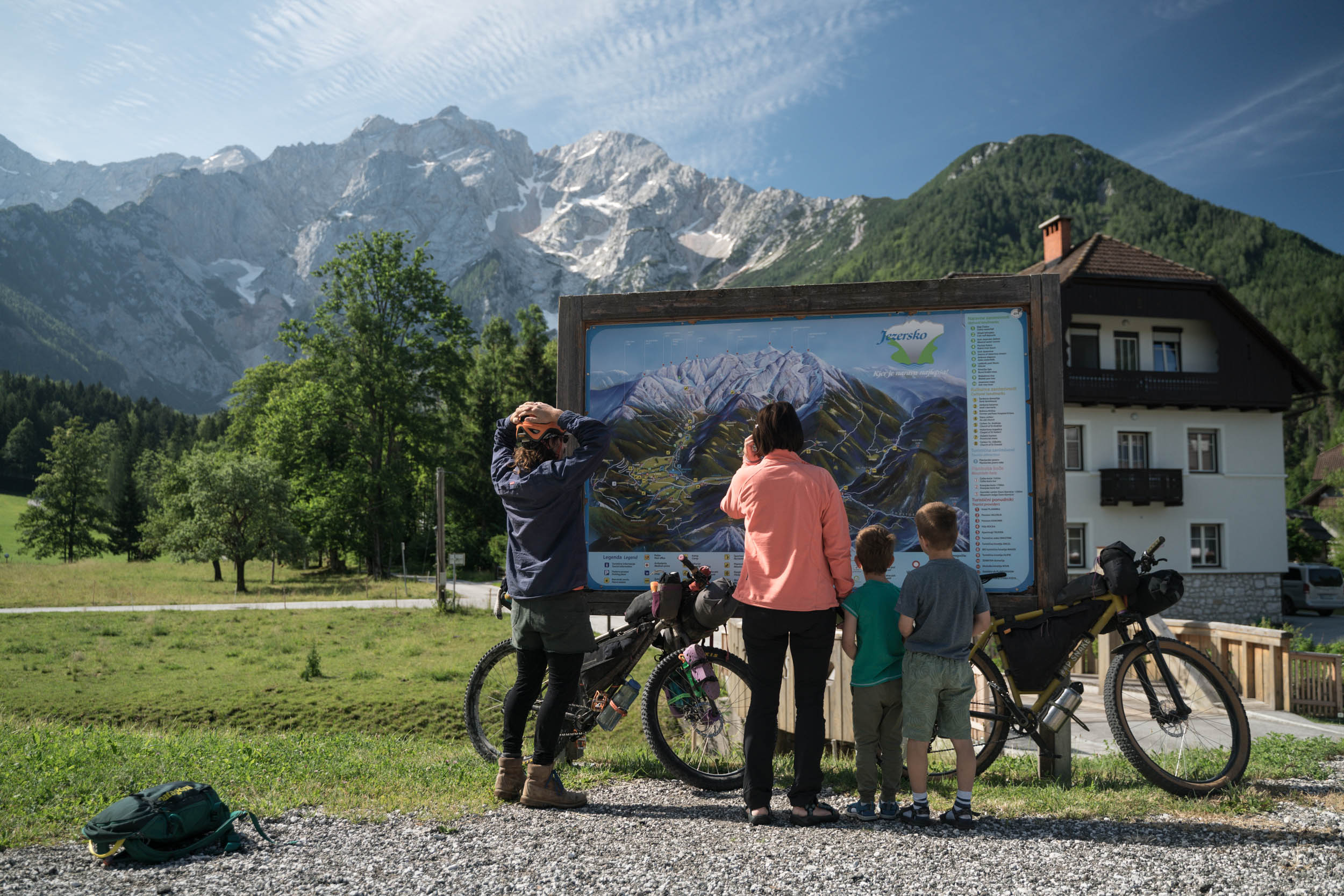
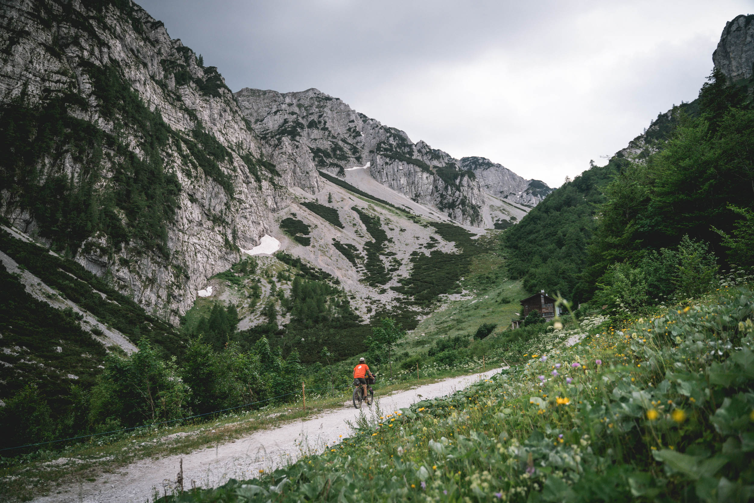
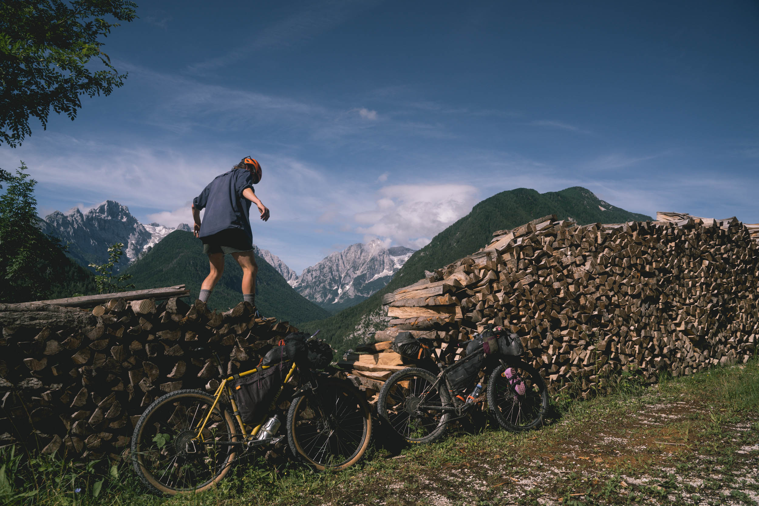
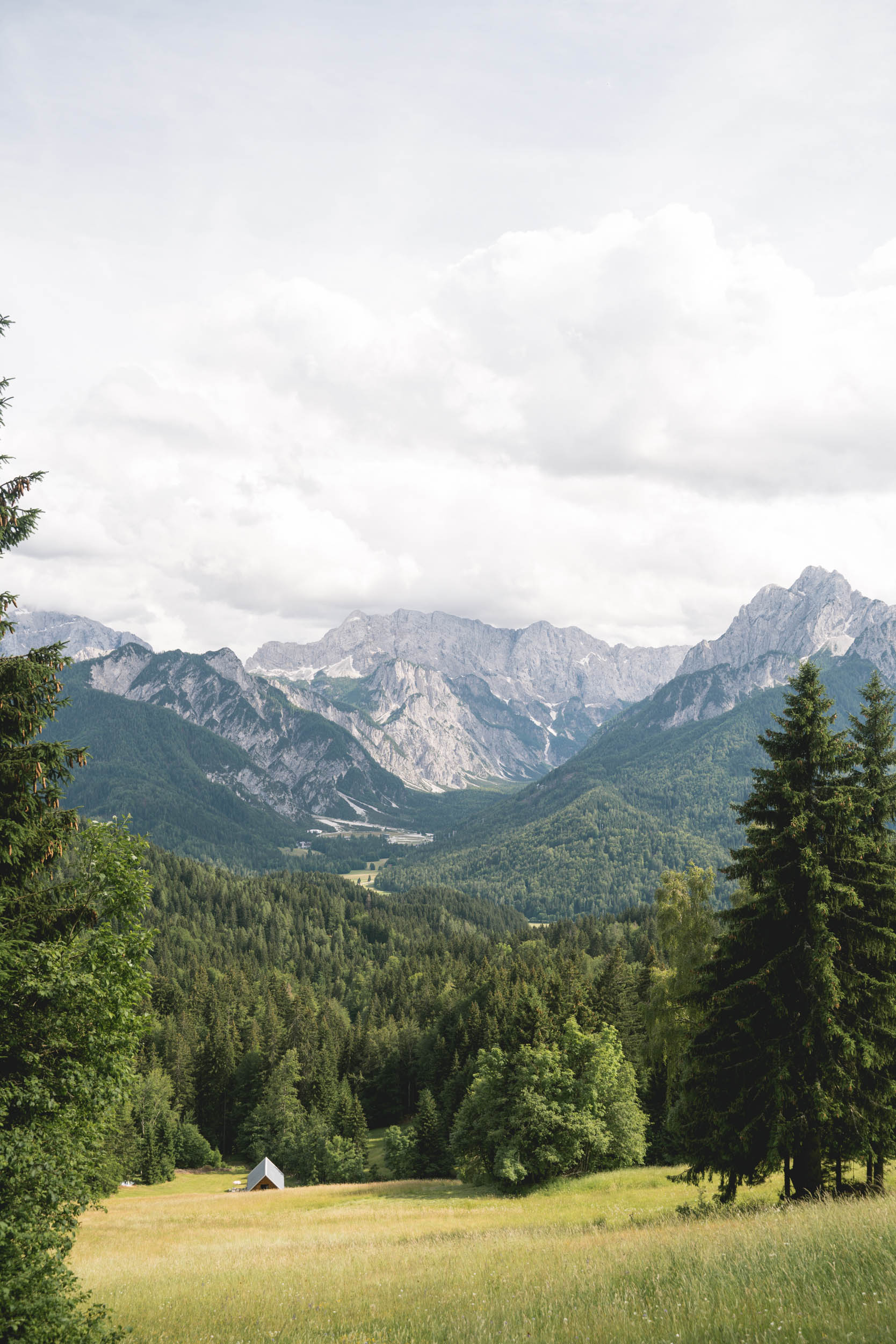
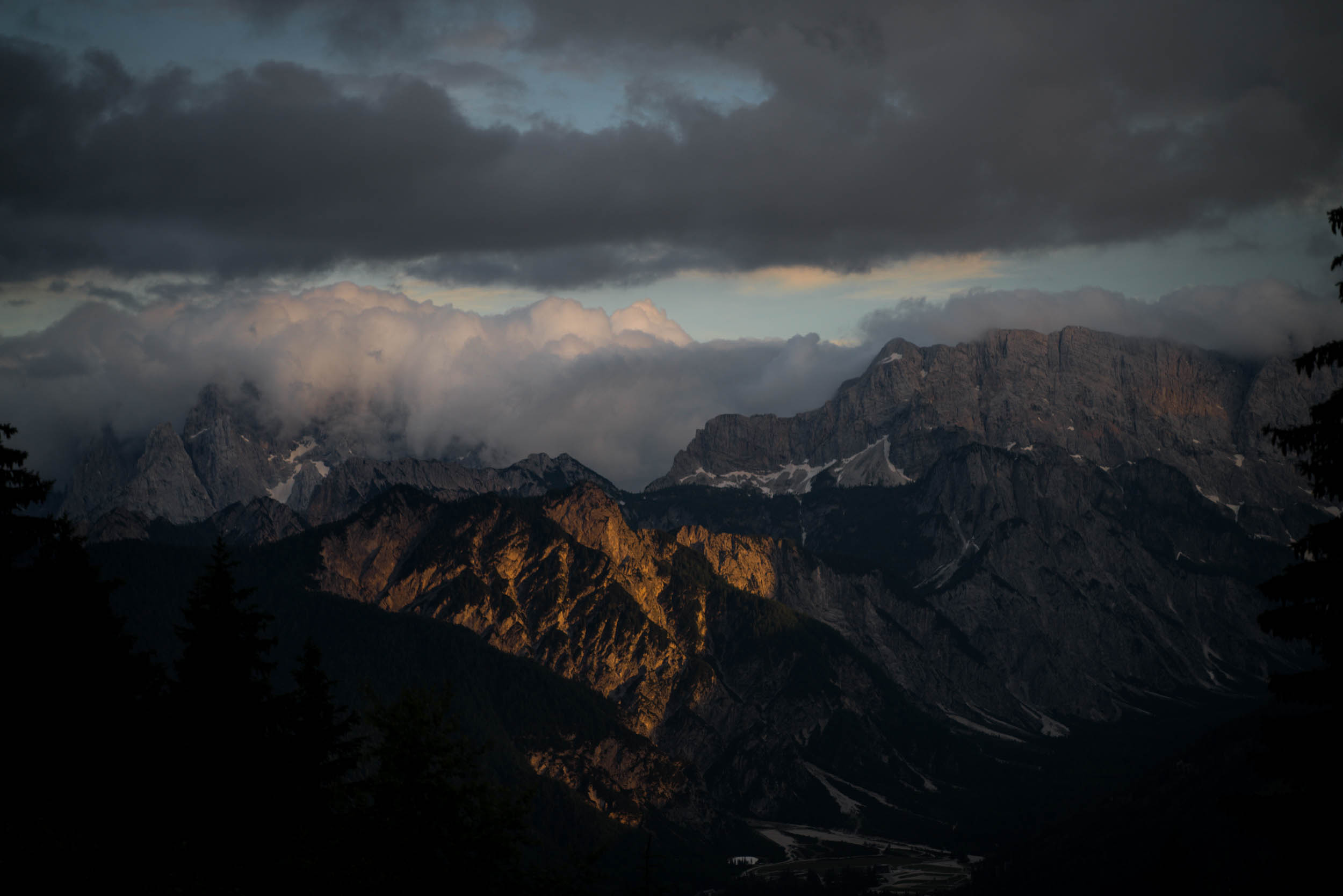
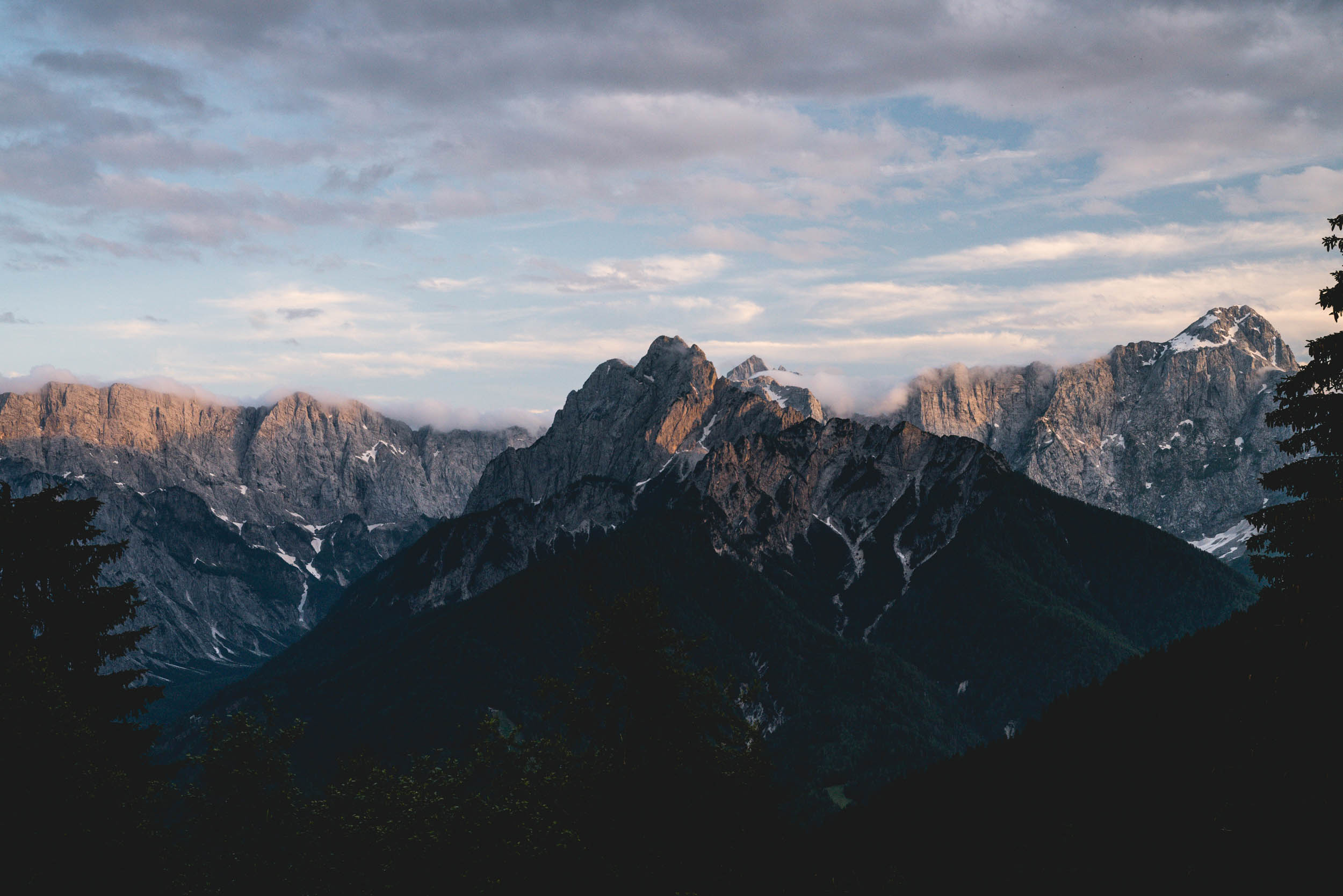
The Trans Karavanks officially starts in Jezersko, just under the north face of the Kamnik-Savinja Alps, adjacent to the prominent Grintovec. The route could also be ridden in reverse from Podkoren, as there seemed to be a balanced difficulty in ascents and descents in both directions. The route traverses the southern side (or what we like to call the sunny side) of the Karavanks, along the western end of the Slovenian/Austrian border. It’s one of the longest mountain ranges in Europe, with around 1,130 peaks, the highest of which is Stol with at 2,236 meters (7,336 feet) above sea level.
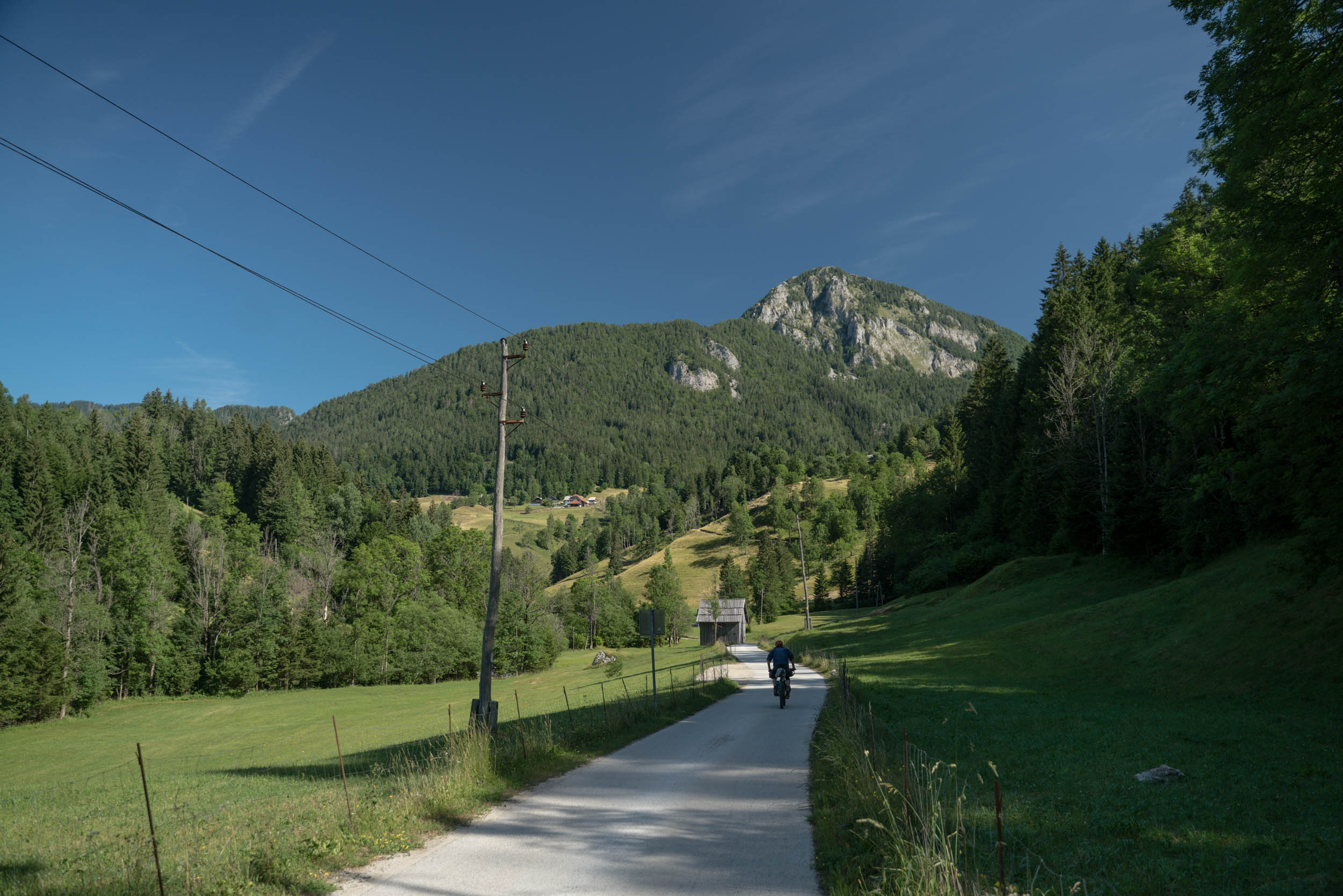
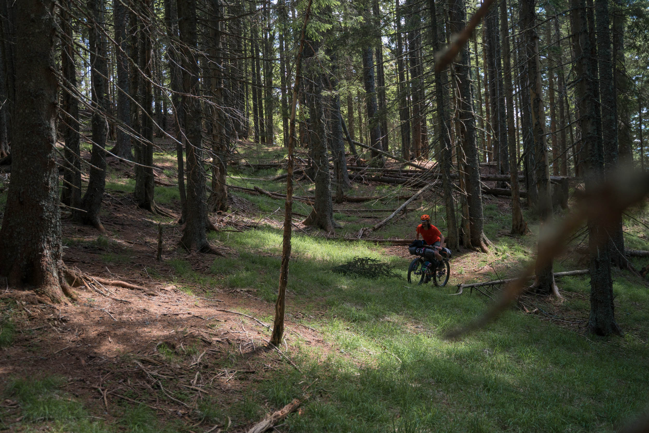
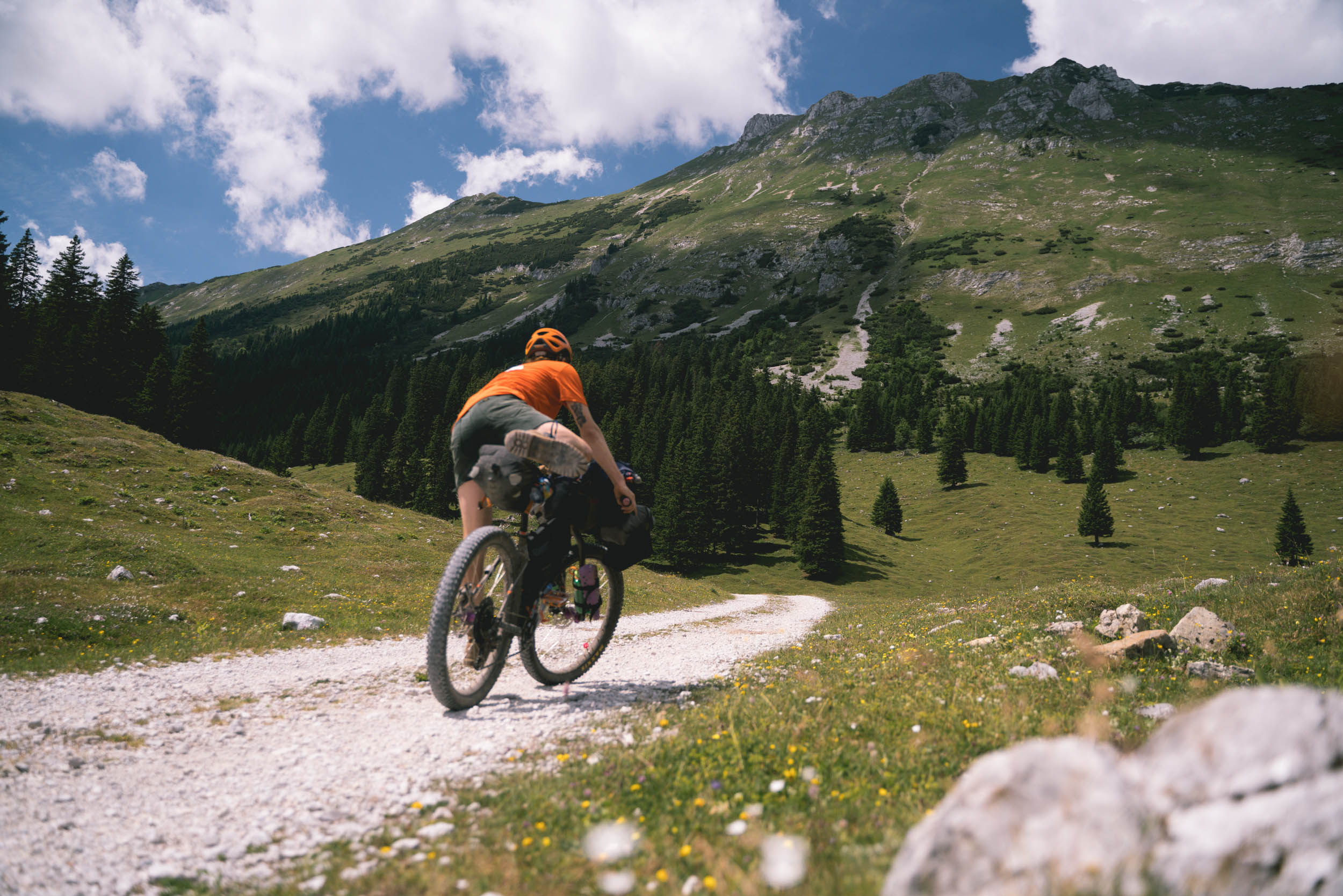
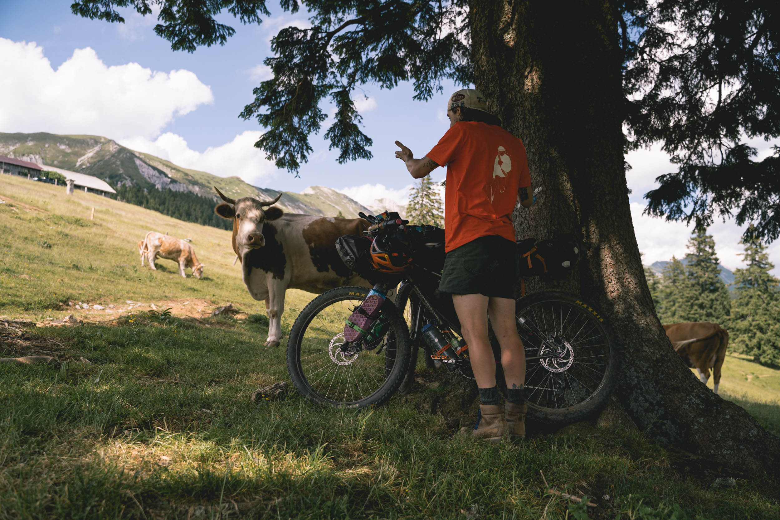
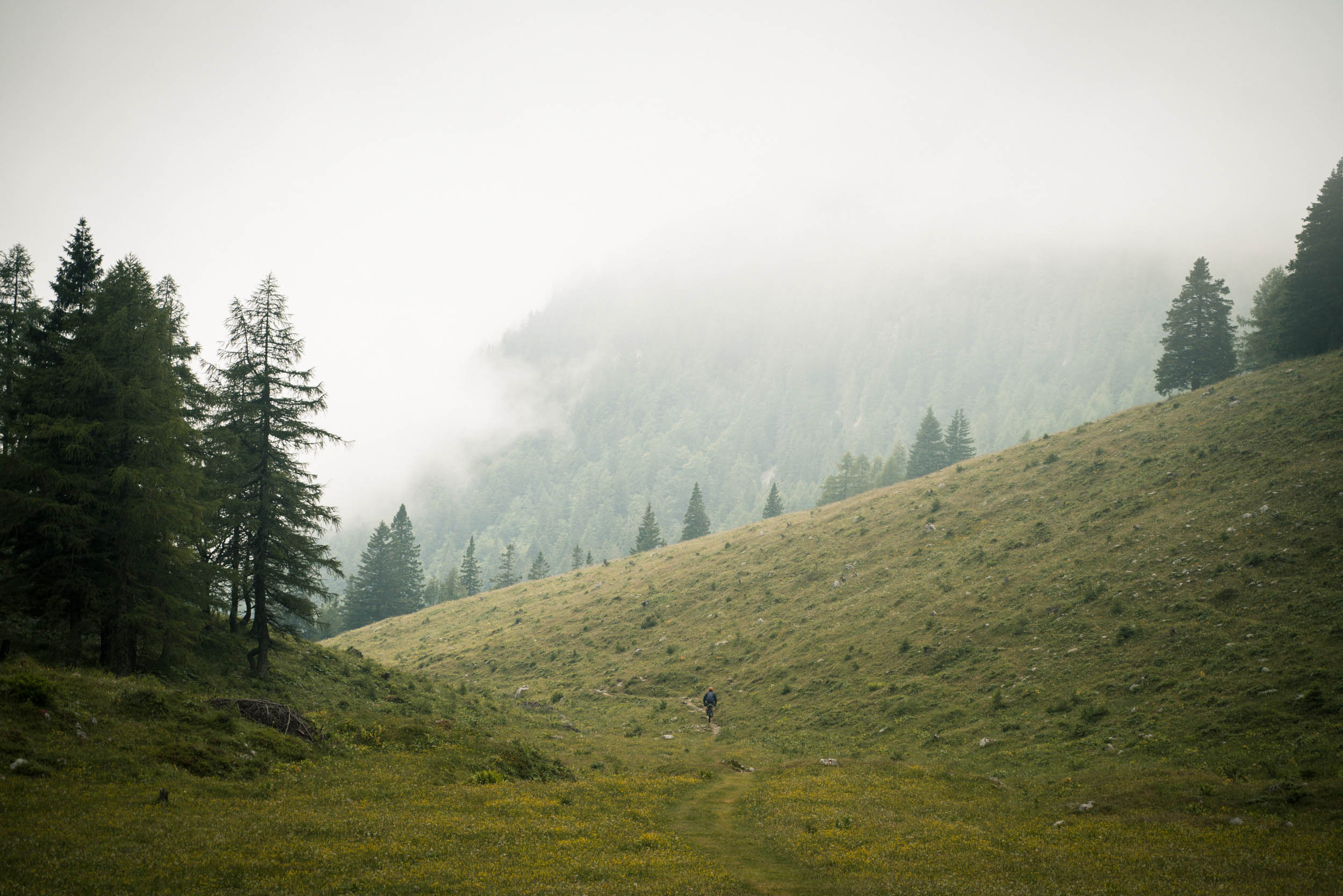
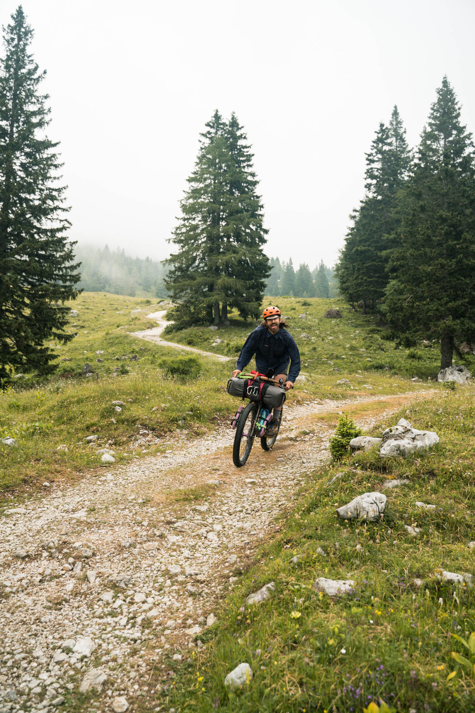
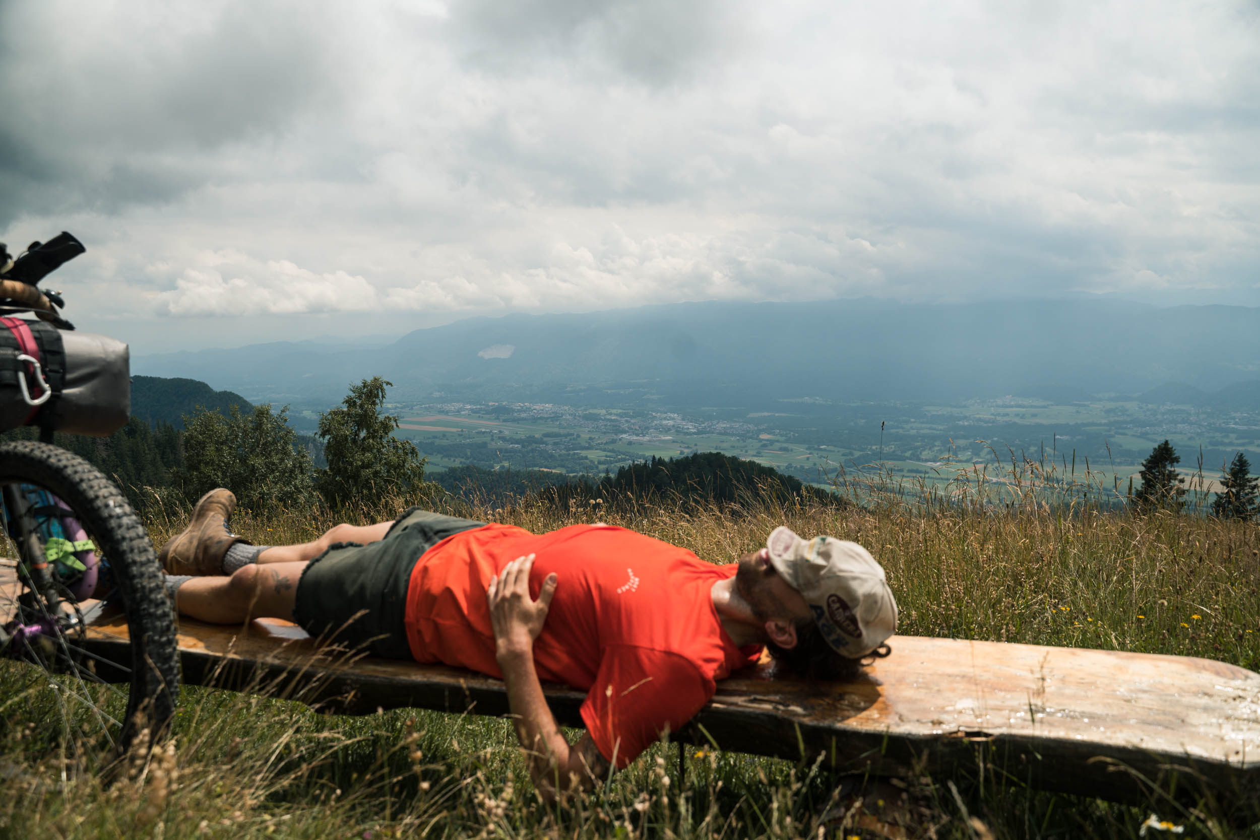
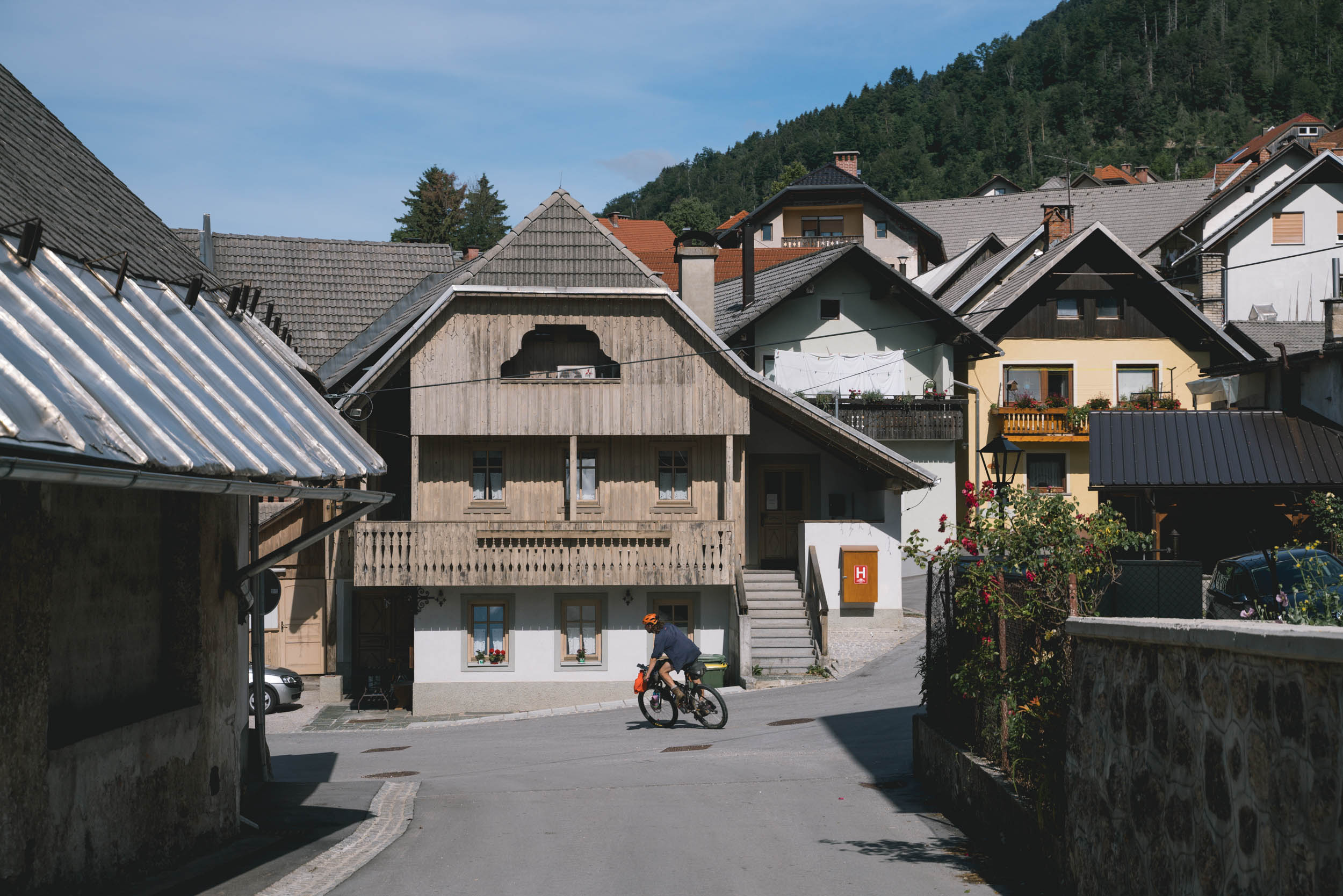
Most of the riding is done in the shade of lush forests on compact gravel roads with very little traffic. Once you hit the treeline, you’re rewarded with a magnificent view of the Julian Alps and their surroundings. Except for few hikers, farmers, and goats, the most typical creatures you will run into are cows—and lots of them. And where there are cows, there are cow cakes. So, make sure you grin with your mouth closed!
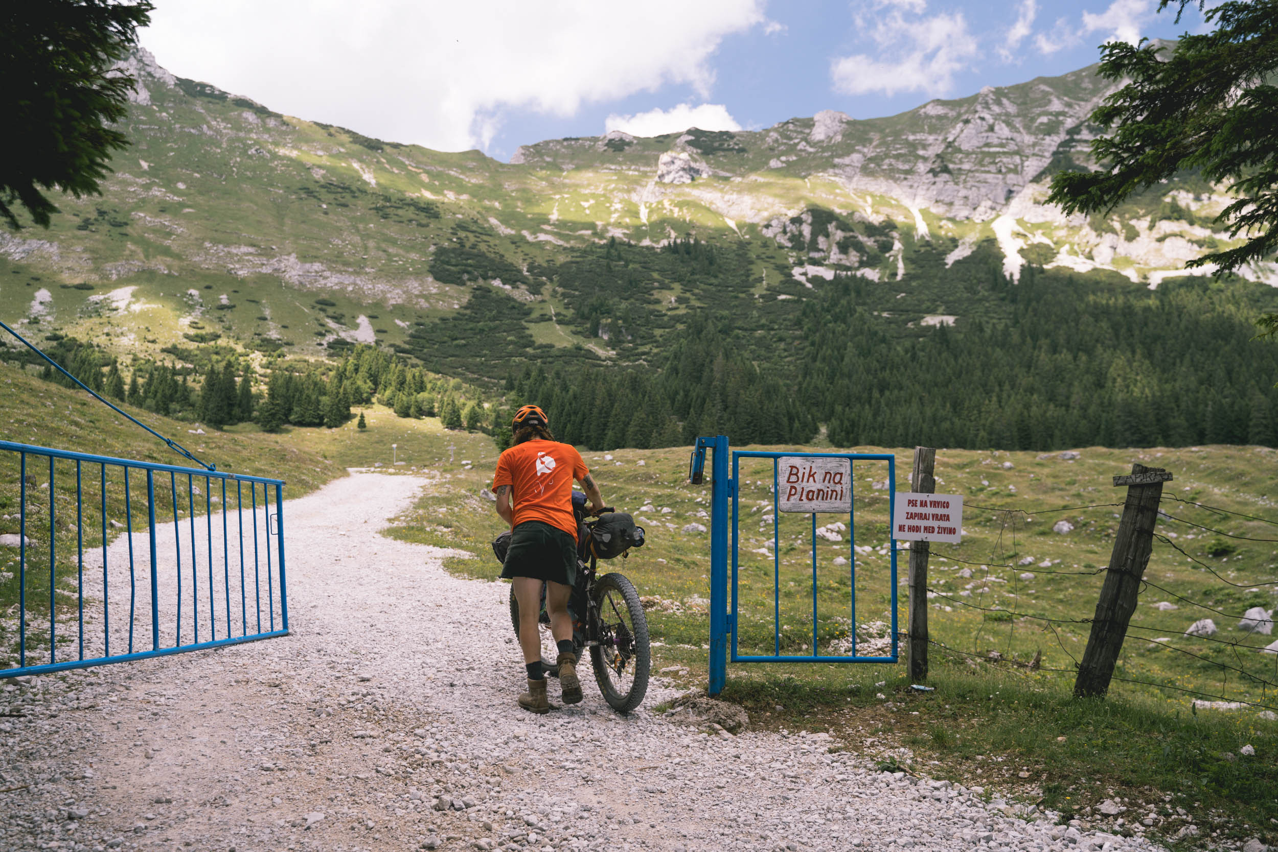
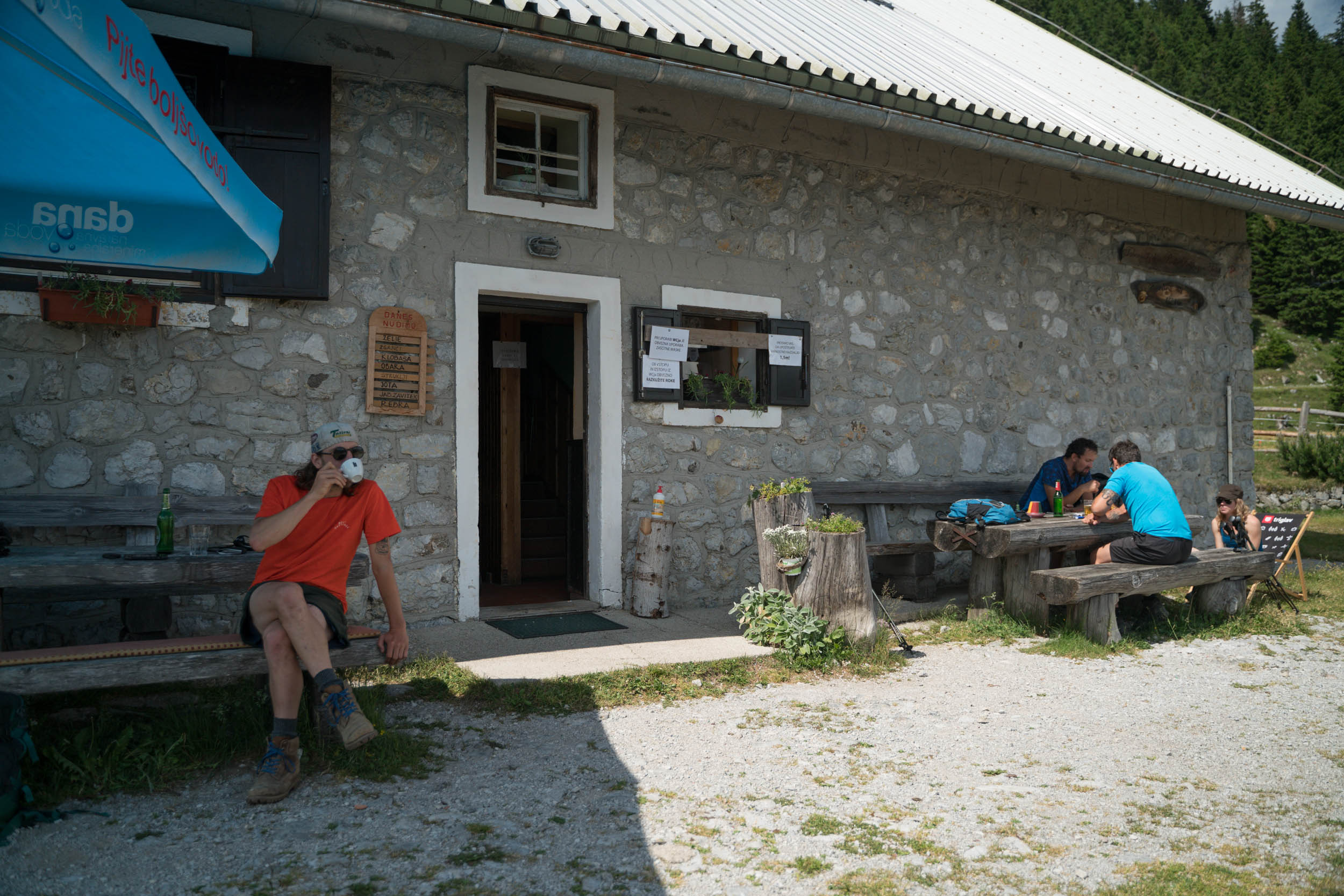
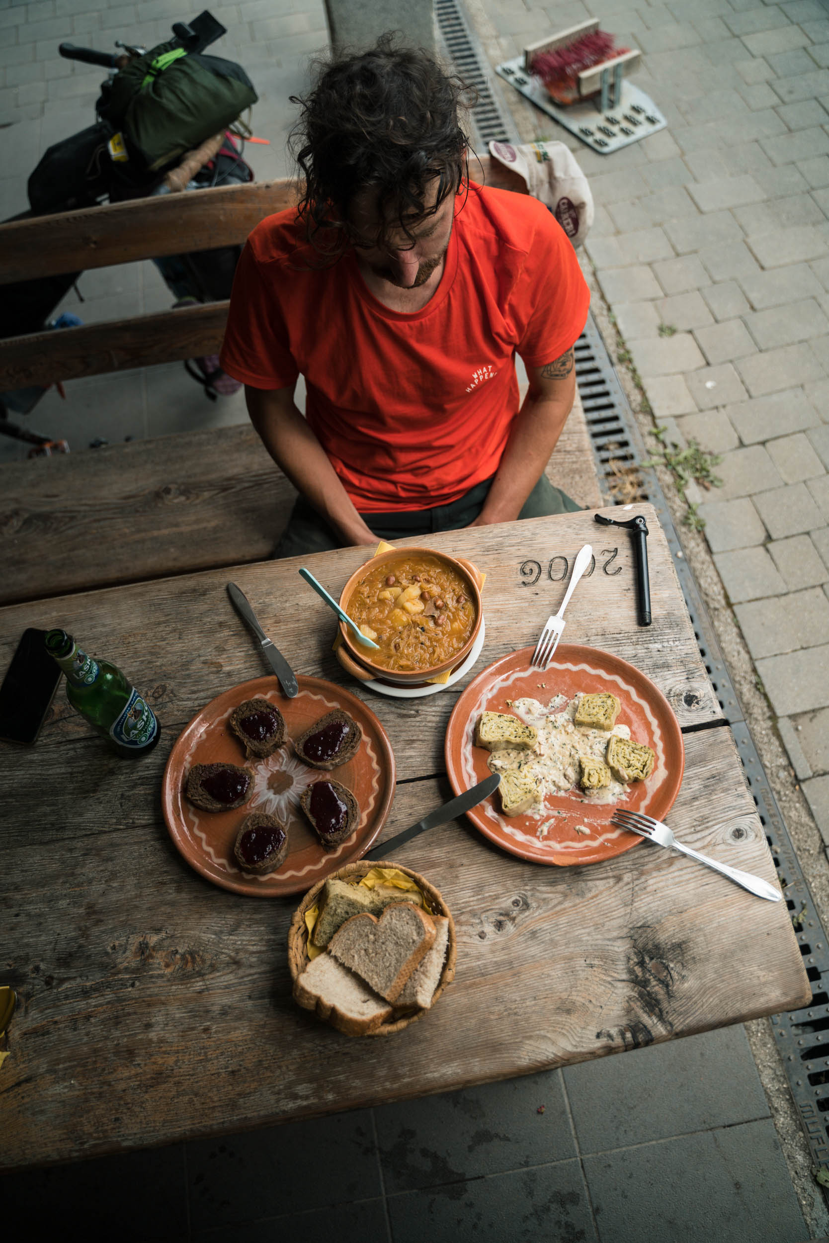
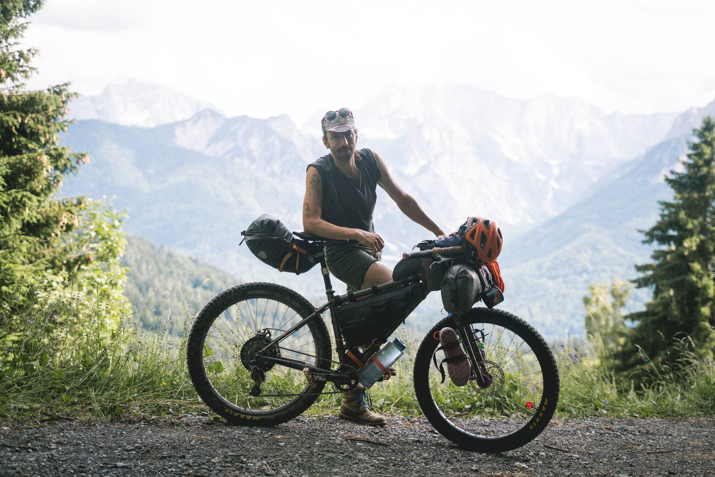
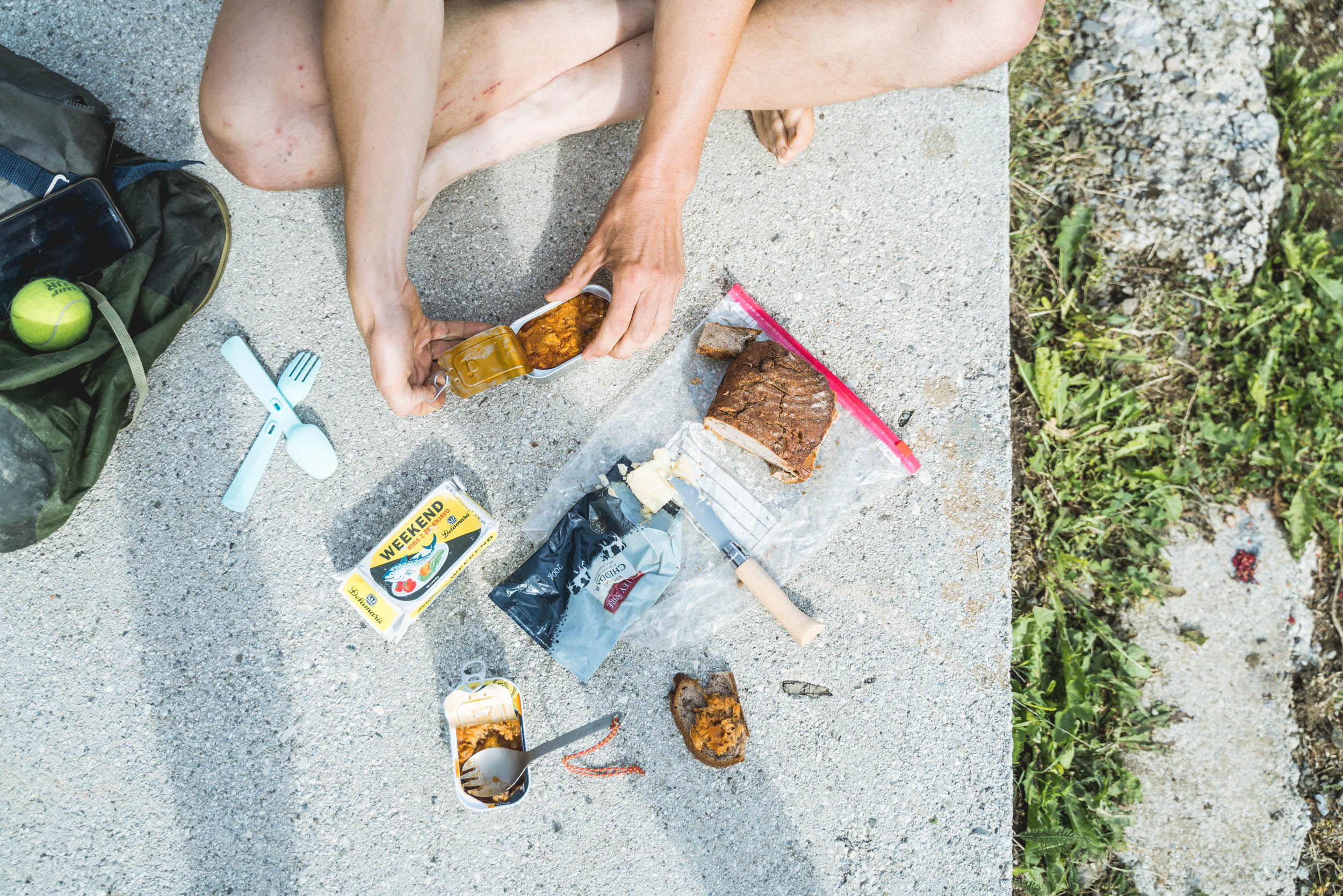
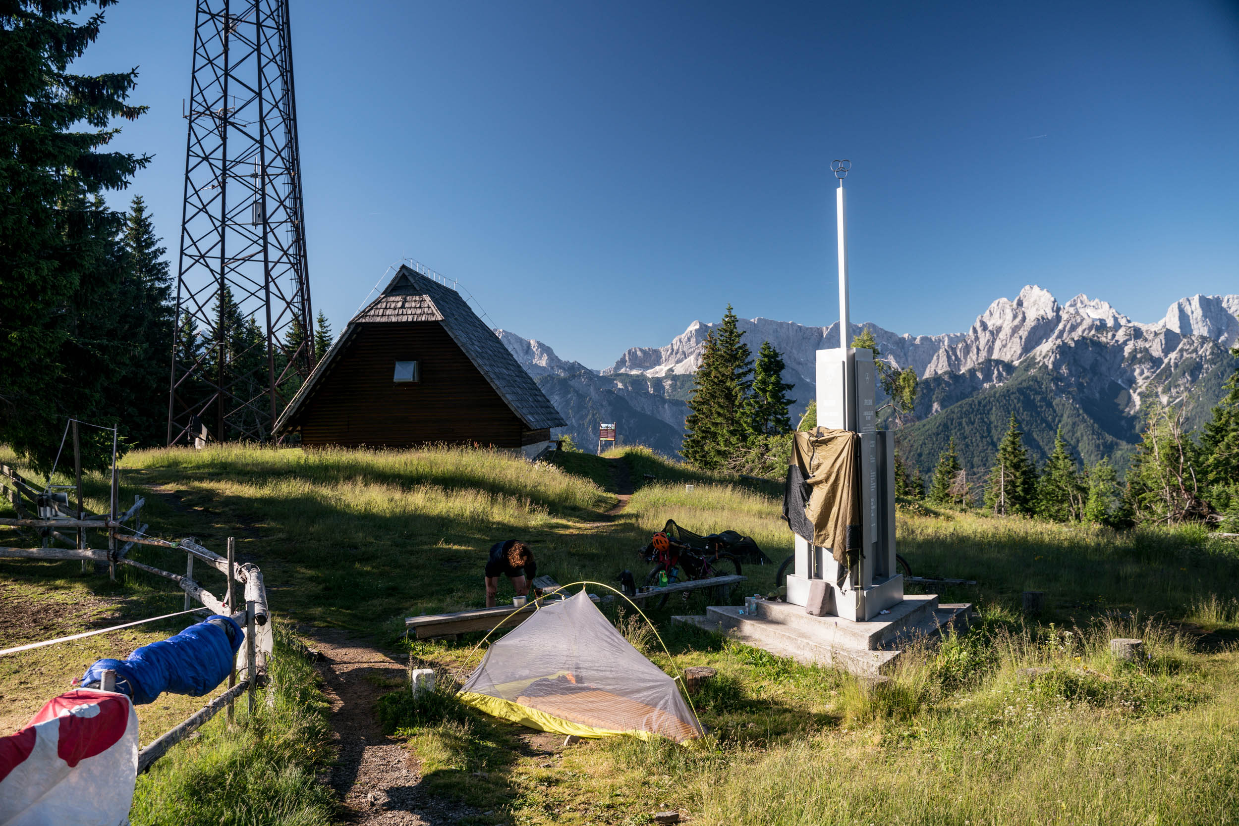
Route Difficulty: This ride is surprisingly challenging for an officially created and maintained route. This is due to the amount of climbing that’s covered in a rather short distance, but also because of the very technical descents, which require a confident mountain biking skill set. The climbs are very steep and a small chunk of the ride requires you to jump off your bike and push your way up (both on singletrack and doubletrack). However, resupply points are relatively plentiful. You’ll pass at least one mountain hut a day, either to seek shelter from unexpected mountain weather or for a hearty meal.
ROUTE DEVELOPMENT
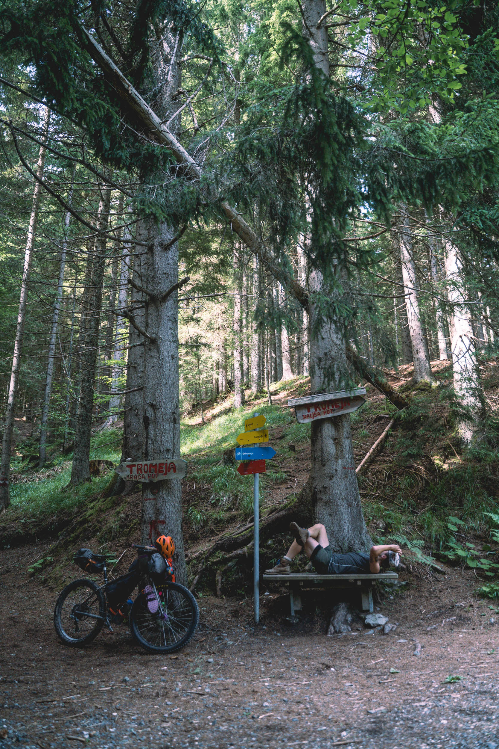
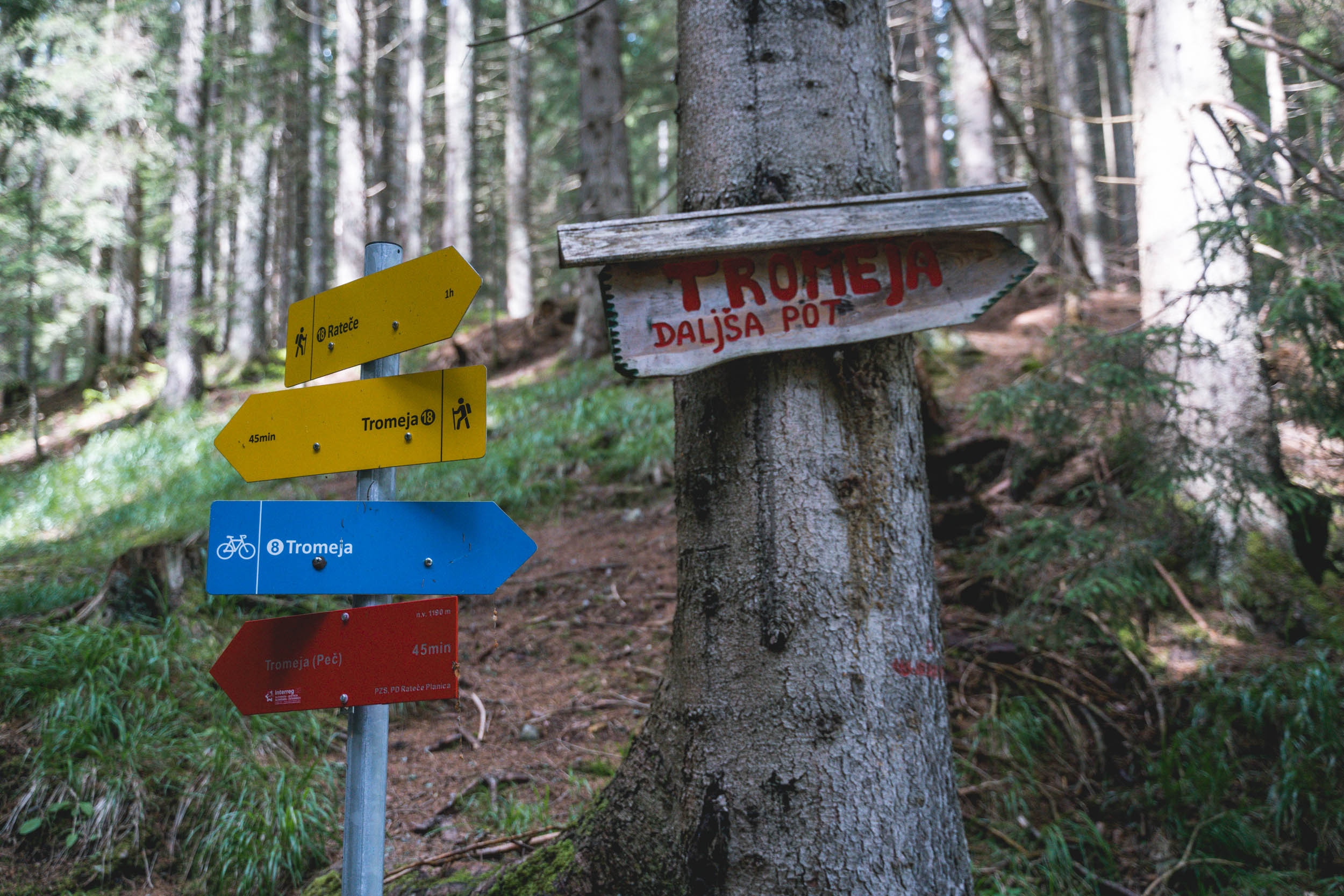
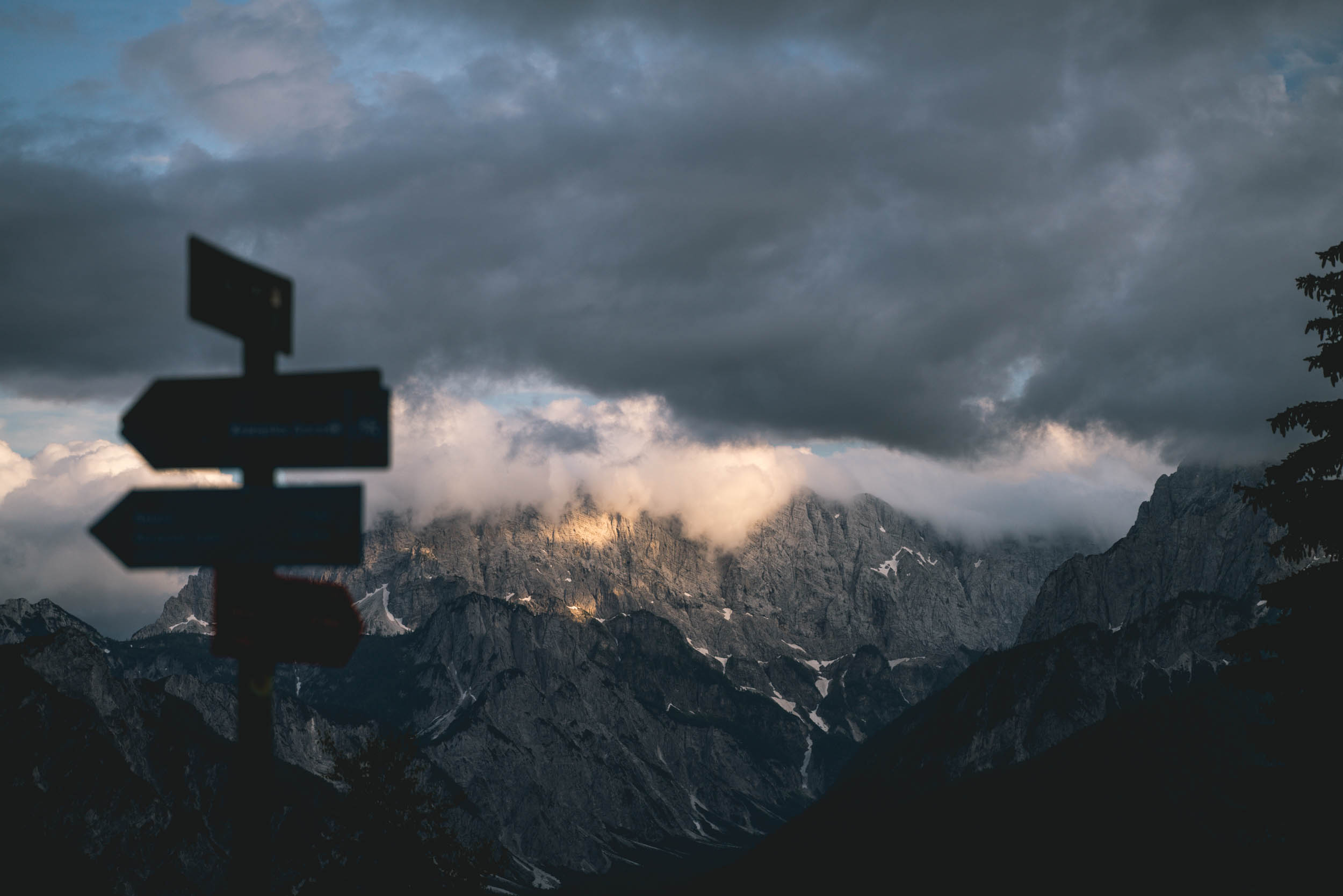
The route was originally developed by the Slovenian Alpine Association with an idea to bring cycling tourism to the Karavanks cross-border area. The route is thoroughly marked with signs, so there is no real need for navigation. It was created only three years ago, so it’s still fairly unknown, and meeting other cyclists will be a rare encounter.
The ride is divided into 4-5 stages in a hut-to-hut style, covering from 25-35 kilometers per day. We completed it in three days in a self-supported manner, meaning our bikes were not the easiest to push up the climbs. If a lightweight setup is more your style, the route could be completed in a much shorter timeframe.


Submit Route Alert
As the leading creator and publisher of bikepacking routes, BIKEPACKING.com endeavors to maintain, improve, and advocate for our growing network of bikepacking routes all over the world. As such, our editorial team, route creators, and Route Stewards serve as mediators for route improvements and opportunities for connectivity, conservation, and community growth around these routes. To facilitate these efforts, we rely on our Bikepacking Collective and the greater bikepacking community to call attention to critical issues and opportunities that are discovered while riding these routes. If you have a vital issue or opportunity regarding this route that pertains to one of the subjects below, please let us know:
Highlights
Must Know
Camping
Food/H2O
Resources
- Traditional Slovenian Mountain food – the food prepared in the mountain huts is still prepared according to the old recipes. Make sure to try Štruklji (rolled dumplings) with fresh cheese or walnuts, and žganci (buckwheat mush) goes great with sour cabbage or jota, stew from turnips, potatoes, and beans.
- Trans Karavanks diary – there are 13 checkpoints along the way, each equipped with a stamp (name of the place and elevation). You can get a diary at most of those checkpoints for 3 Euros. It’s more for your memory than anything else. I would also recommend bringing your own stamp pad since those available on the spot have long dried out.
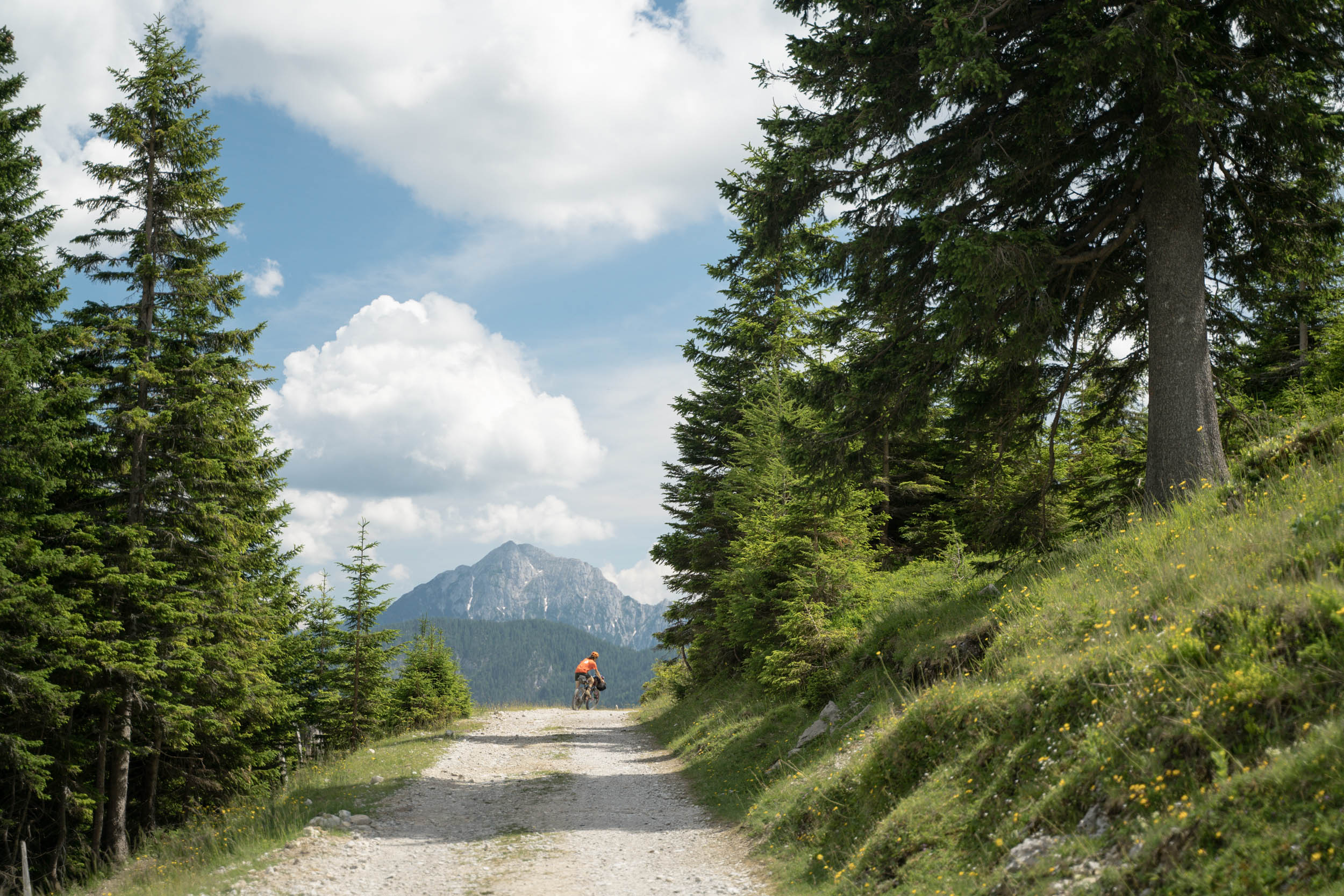
- Views – once you ascend above the treeline you are rewarded with spectacular views of the Julian and Kamnik-Savinja Alps and “everything in between.” Slovenia is so small that sometimes it feels you can actually see the entire country from up there.
- Slovenian Alpine Museum – if you are interested in the history of Slovenian alpinism, make sure to visit the museum, where you can also learn about mountain flora and fauna.
- Dovzan gorge – natural monument due to fossil remains from the paleozoic era.
- Košuta plateau – the most scenic part of the ride. If you still have some energy, it’s worth taking a sunset hike to the summit at 2,088 meters.
- Lake Jezersko – a good place to start your tour. Even though swimming is forbidden, it’s still worth a visit for the views.
- Three borders – the most northwestern part of Slovenia, which borders Italy and Austria. The Julian Alps to your left, Klagenfurt Valley to your right, and the views of the Dolomites in front of you!
When to Go
- The ideal time to go would be between late May to the end of October.
- The shoulder seasons depend on the snowfall since most of the route travels in high altitudes that receive a large amount of snow during the winter months.
- July and August are prone to thunderstorms and they can be pretty brutal above treeline—make sure to follow the rules of how to be safe in thunderstorms.
Logistics
- Approach to and off the route is not an easy task, since none of the public transport options is willing to take travelers with bikes.
- The closest town to start the ride is from Kranj (accessible with the train) and take a 30km ride up to Jezersko.
- To come off the route you will have to descend either to Kranjska gora and ride to Jesenice to catch a train or down to Villach on Austrian side of the Karavanks.
Dangers and Annoyances
- You will see sign warning about bear areas, but it’s been a rather rare encounter in the past few decades to run into one.
- Your biggest enemy will be mice, which spread the Hantavirus disease, so make sure to pack away your food during the night.
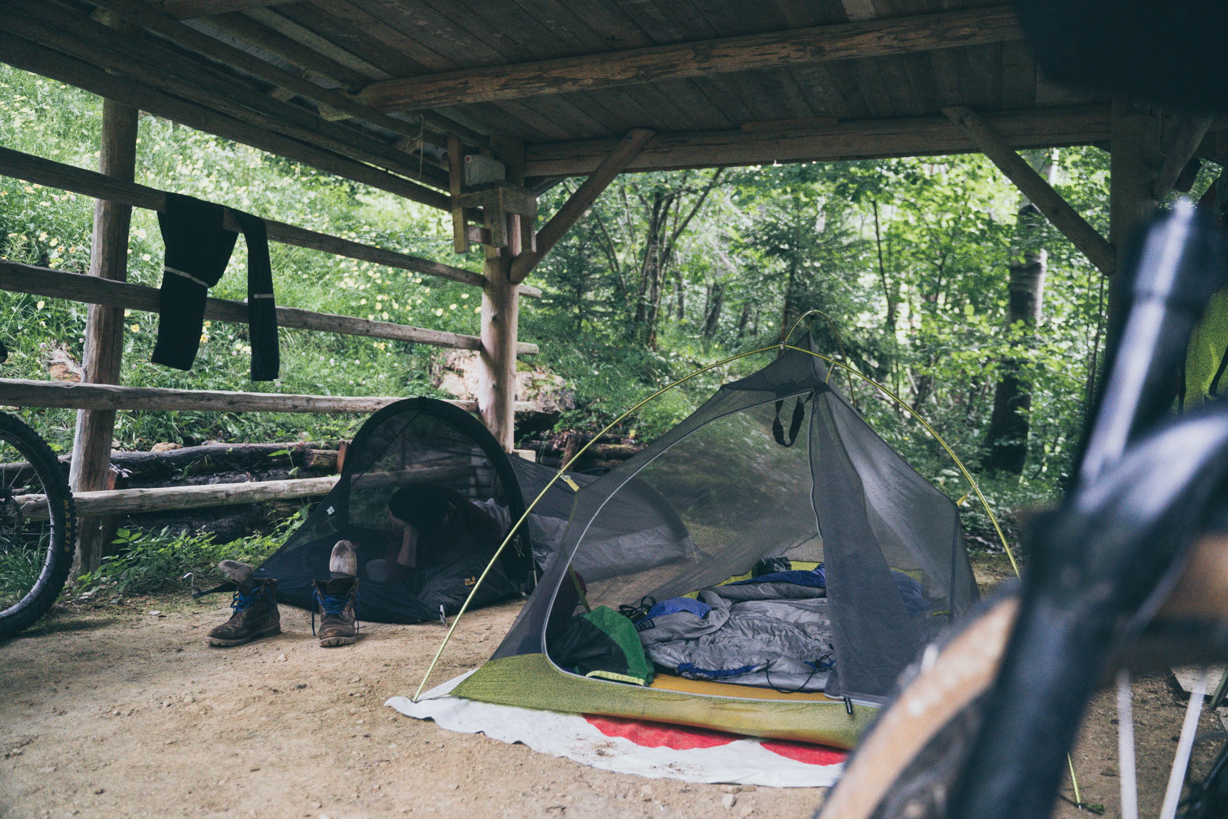
- Wild camping is strictly forbidden in Slovenia and if caught you might get fined by the park rangers.
- Emergency shelters are allowed only if there is no possibility for official accommodation. If you need to bivy out, do so discreetly and respectfully #leavenotrace.
- This route is designed in a hut-to-hut manner, so it is easy to plan your accommodation ahead. Huts are popular among hikers and alpinists, so make sure to book your accommodation in advance. If you get a membership at the Alpine Association, one night at the hut will cost you around 10 Euros.
- Huts require you to bring your own sleeping bag and liner.
- Note: the huts are only open from June to September, so if traveling off-season, you will have to find accommodation in the valleys.
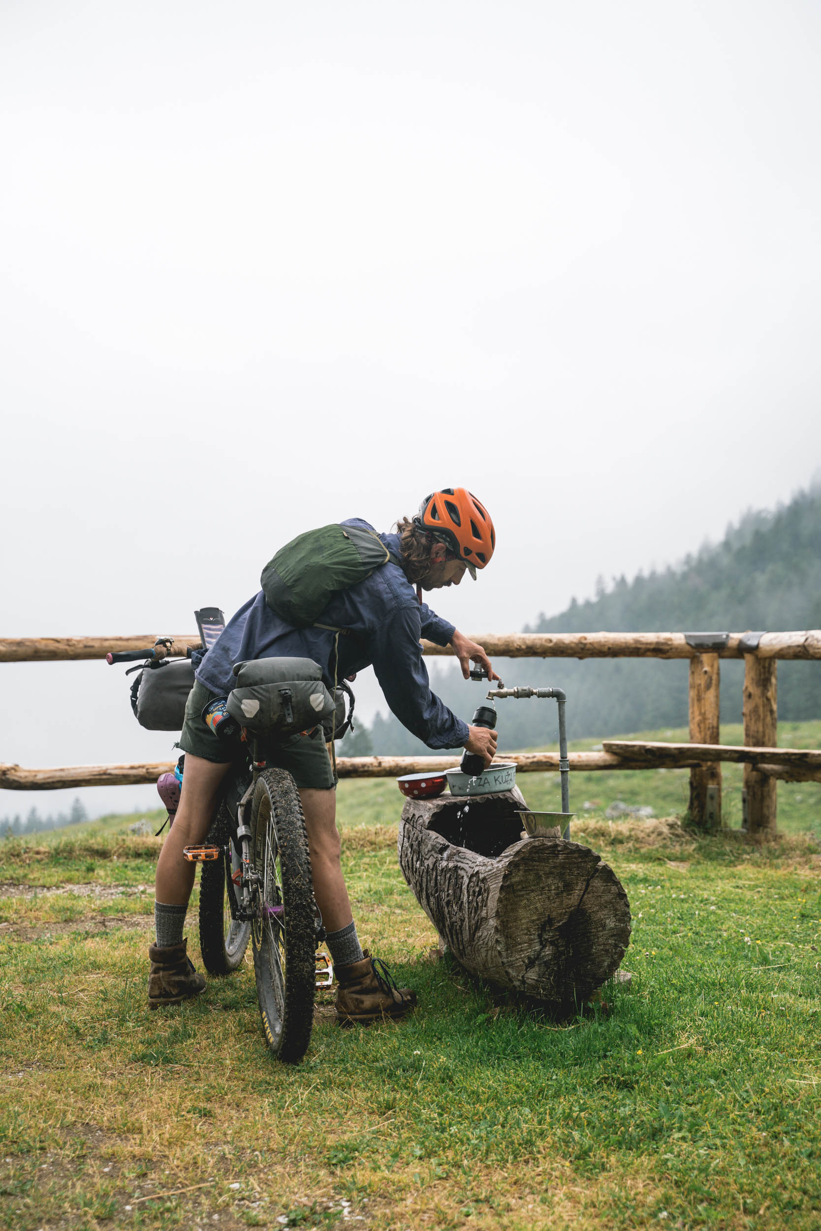
- There is no shortage of water on the route, and you will always find water at the huts. You’ll rarely need to carry more than two bottles.
- To be on the safe side, bring a filter since there are always a large number of cattle grazing. Search for the sign “pitna voda,” which means drinking water.
- You can get food at most of the huts at a very affordable price. Usually, you can also buy some snacks to take away.
- On the other hand, there aren’t many options for grocery shopping, except in Tržič and Kranjska Gora. Note: all shops are closed on Sundays.
Additional Resources


Terms of Use: As with each bikepacking route guide published on BIKEPACKING.com, should you choose to cycle this route, do so at your own risk. Prior to setting out check current local weather, conditions, and land/road closures. While riding, obey all public and private land use restrictions and rules, carry proper safety and navigational equipment, and of course, follow the #leavenotrace guidelines. The information found herein is simply a planning resource to be used as a point of inspiration in conjunction with your own due-diligence. In spite of the fact that this route, associated GPS track (GPX and maps), and all route guidelines were prepared under diligent research by the specified contributor and/or contributors, the accuracy of such and judgement of the author is not guaranteed. BIKEPACKING.com LLC, its partners, associates, and contributors are in no way liable for personal injury, damage to personal property, or any other such situation that might happen to individual riders cycling or following this route.
Please keep the conversation civil, constructive, and inclusive, or your comment will be removed.