Trans-Wisconsin Bicycle Route
Distance
690 Mi.
(1,110 KM)Days
14
% Unpaved
65%
% Singletrack
13%
% Rideable (time)
99%
Total Ascent
31,806'
(9,694 M)High Point
1,734'
(529 M)Difficulty (1-10)
5?
- 3Climbing Scale Fair46 FT/MI (9 M/KM)
- 7Technical Difficulty Difficult
- 4Physical Demand Fair
- 3Resupply & Logistics Fair
Contributed By

Scott Haraldson
Starting at the “Point of Beginning” on the Wisconsin-Illinois border, just south of Hazel Green, history and adventure converge. Established in 1831 by surveyor Lucius Lyon, this modest marker marks the origin point from which every boundary in Wisconsin—counties, cities, villages, and townships—was carefully mapped. Starting your journey here feels symbolic, making it the perfect spot to embark on a trek across the state.
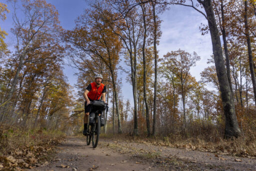
The route comes in two variations to suit different preferences. The longer option stretches nearly 700 miles, incorporating the Hirsch Farm, Sidie Hollow, Kickapoo Valley, Levis-Trow, Chequamegon, and Mt. Ashwabay trail systems. This adds 80 miles of singletrack for those hankering for an extra challenge. The shorter version, at 600 miles, follows much of the same route but skips the singletrack and rougher terrain, making it ideal for gravel bikes. You can stick with one of these options or, as I suggest, mix and match sections to craft your own adventure.
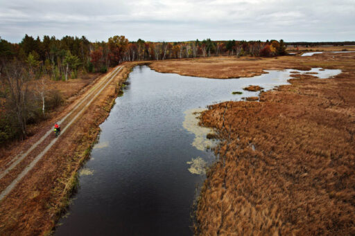
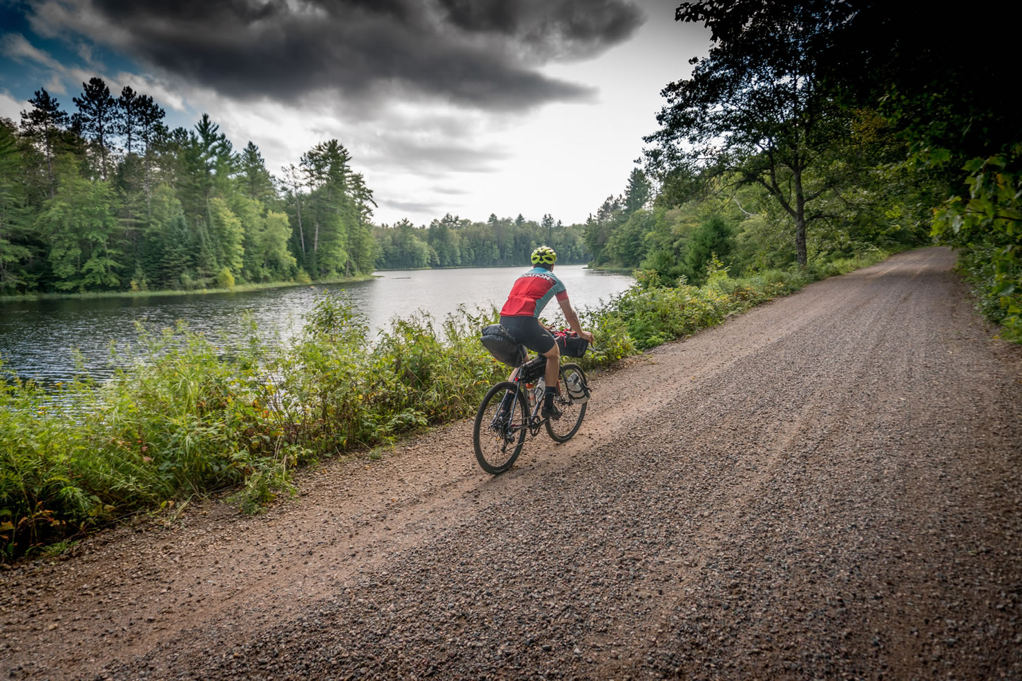
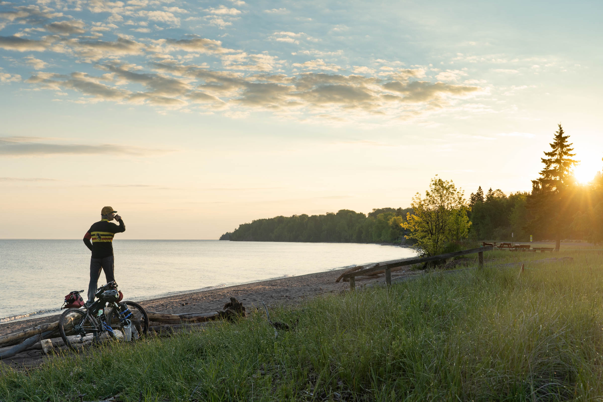
The route offers an opportunity to explore hidden backroads and trails that traverse the entire state, showcasing Wisconsin’s stunning geography, charming towns, and welcoming communities. The route captures a long, narrow slice of the state’s magic, and I wholeheartedly encourage anyone with the interest and means to embark on this unforgettable experience. The journey concludes at Point Detour Campground, the northernmost point of central Wisconsin, overlooking Lake Superior. For the truly adventurous, there’s an opportunity to navigate the steep descent and dip your tire in the lake’s waters to commemorate your achievement.
Route Development
The route’s origins date back to 2007, when Chad Berger had the “crazy idea to map out a route from the Illinois and Wisconsin border to Lake Superior using gravel roads, ATV trails, forest roads, and as little pavement as possible.” This ambitious vision resulted in the creation of the Trans-Wisconsin Adventure Trail, a dual-sport motorcycle route. In 2010, Joe Meiser took the existing route and adapted it specifically for bicycles, creating and organizing the Trans-Wisconsin Mountain Bike Race, which linked in multiple MTB trail networks located within the path of the route.
Most recently, Frank Hassler Jr. took the reins to push it to completion as a dedicated bikepacking route. Frank first dreamed of creating an official bikepacking route after riding a large part of the existing routes in 2011. “Ever since that trip, I wanted to share the route with other like-minded cyclists,” he said. “It was an amazing route. But I knew it could be better!”
This desire to share what he’d experienced percolated for almost a decade. In 2021, with the support of a passionate Facebook community of like-minded adventurers who helped scout and refine new sections, the vision took shape. The result was the creation of two distinct routes: a mountain-bike-specific route featuring nearly 80 miles of singletrack and a gravel route tailored for those who prefer a smoother, more accessible ride.
In the spirit of true adventure, what Hassler created is not for folks wanting to get from point A to point B as quickly as possible. “I wanted to find even more remote backroads and unused trails to add to the route, more doubletrack, more ATV trails, even some cross-country ski trails to get riders into the woods and away from roads,” Hassler said.
Route Difficulty
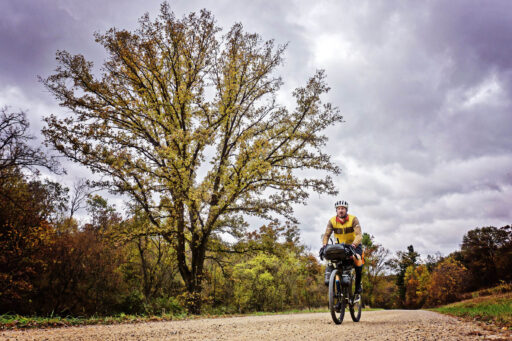
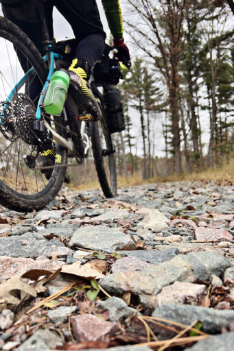
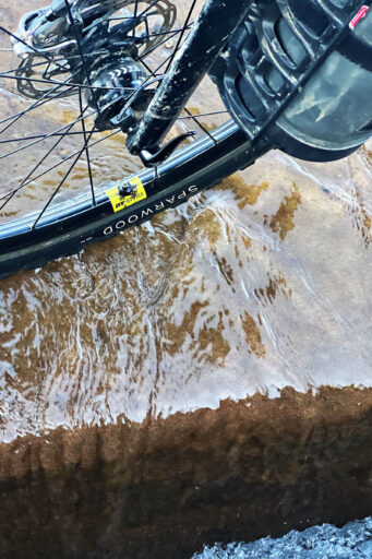
I would rate the route a 5 out of 10 due to the mountain bike sections slowing progress with rooty and rocky terrain. There are also some rather sandy sections and plenty of steep hills. The terrain along this route ranges from smooth pavement to crumbling asphalt, gravel, rough singletrack, and stretches of deep, soft sand. I chose to ride my Salsa Cutthroat equipped with Teravail Sparwood 29 x 2.25″ tires. The Cutthroat’s mountain bike geometry combined with drop bars proved ideal for tackling the wide variety of riding surfaces. However, when faced with deep sand, unless you’re on a fat-tire bike, you’ll likely need to dismount and push through.
Of course, fitness levels vary, and if you opt to remove the mountain bike segments (see Must Know tab), the route could be completed in fewer days and given a rating of 4/10. Find my complete itinerary under Trail Notes below.
Submit Route Alert
As the leading creator and publisher of bikepacking routes, BIKEPACKING.com endeavors to maintain, improve, and advocate for our growing network of bikepacking routes all over the world. As such, our editorial team, route creators, and Route Stewards serve as mediators for route improvements and opportunities for connectivity, conservation, and community growth around these routes. To facilitate these efforts, we rely on our Bikepacking Collective and the greater bikepacking community to call attention to critical issues and opportunities that are discovered while riding these routes. If you have a vital issue or opportunity regarding this route that pertains to one of the subjects below, please let us know:
Highlights
Must Know
Camping
Food/H2O
Trail Notes
- The Driftless Region, also known as the land of many hills, encompasses a large part of the beginning of the route. An area left untouched by the most recent passage of glaciers resulted in a landscape that looks radically different from the surrounding areas. Its winding roads lead you up to the top of bluffs and then swoop back down into the valleys below.
- Mississippi and Wisconsin Rivers. Perched high on the bluffs, Wyalusing State Park offers sweeping panoramas where both rivers converge, with rolling valleys and wooded ridges. Dewey Nelson State Park, located just upstream, provides similarly striking views of the Mississippi’s vastness, framed by rugged cliffs.
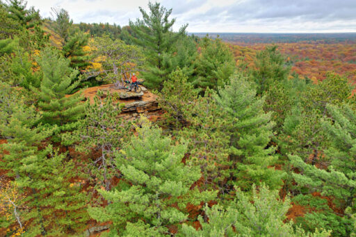
- Levis Trow. Whether you route around the mounds or pedalto the top, you’re in for some of the best riding in the state. The mounds, known as “nunataks” by geologists, consist of a harder rock than the surrounding sandstone and rise more than 300 feet above the surrounding forests.
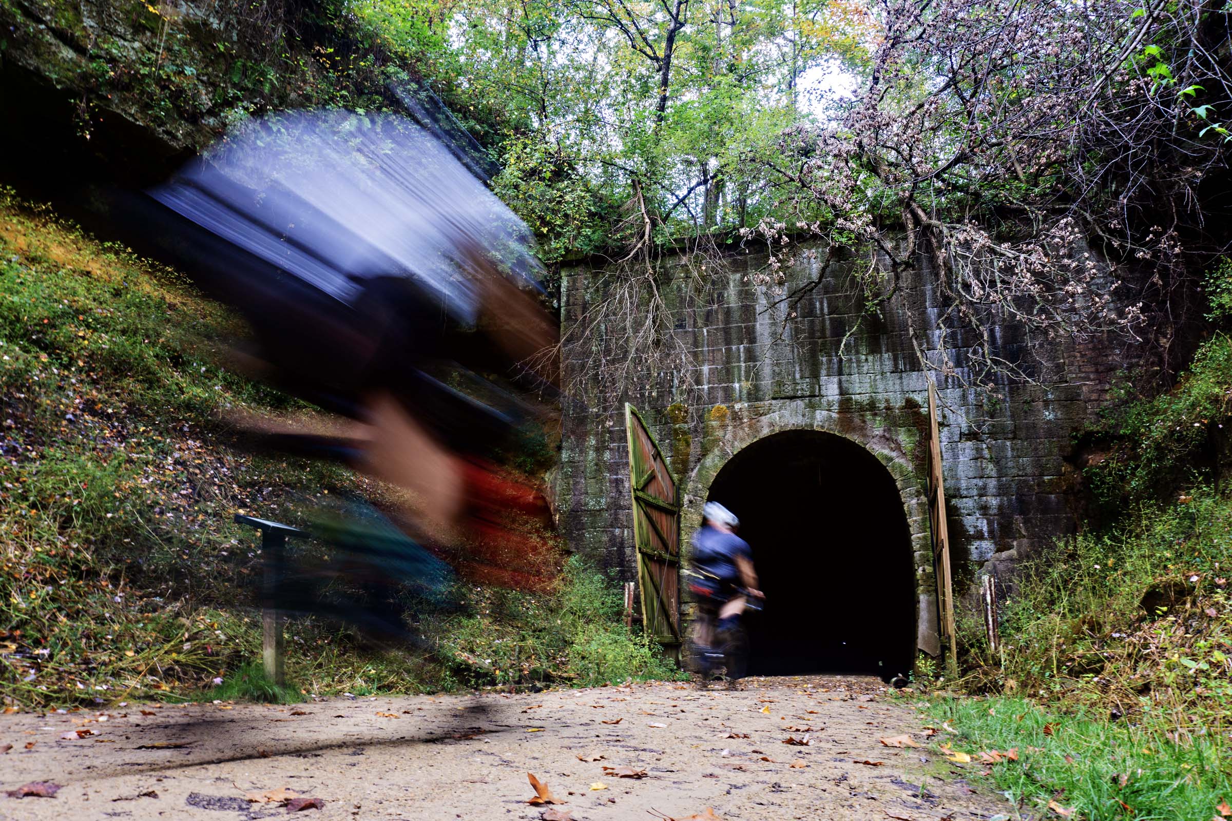
- Tunnel No. 3 on the Elroy-Sparta Trail is a marvel of 1873 engineering. Before reaching the nearly three-quarter-mile-long tunnel, you’ll encounter a stone flume that channels rain runoff from the valley walls. As you approach, the temperature drops, and the large doors guarding the tunnel come into view. Inside, darkness quickly engulfs you, with only a distant dot of light marking the exit. Turn on your headlamp to navigate the path flanked by water channels and dripping ceilings.
- Chequamegon National Forest is a mountain biker’s paradise, offering a mix of rugged singletrack and flowing segments. Trails like Eskar, Rock Lake, and Flowmama can be a challenge on a gravel bike, but jumping on and off for short stretches is an option as gravel road snake their way through the forest as well.
- Lake Superior. Whether you’ve seen Gichigami before or not, riding a bicycle in search of this great lake for 14 days offers new meaning to that first glimpse of the greatest lake when you’re still 15 miles from the finish. There it is, almost unreal looking, in the distance as you stare down a long, straight gravel road dropping away in front of you, almost teasing you how close it seems. To fully complete the route involves some very rugged hike-a-bike to take your bike down to the water to touch the tire signaling your finish.
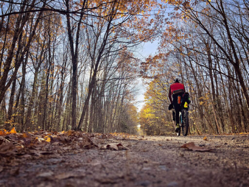
- Best time to go: Late September and early October, when the fall colors are in full effect, the days are cool(er), and the bugs have diminished for the season. If you want to cool off in one of the many lakes, shoot for July-August, but be prepared for heavy black flies and mosquitoes. Carry DEET or treat your gear with permethrin. Late October temps range from 20 degrees and snowing to 80 degrees. Come prepared!
- Getting to the start and finish: As with any multi-day point-to-point route, getting to the start and getting picked up at the finish will involve planning. Best option is to have someone drop you off and pick you up. Galena is a 15-minute drive from the start, and Bayfield is a 20-minute drive from the finish.
- A state trail pass is required for all people age 16 or older biking on the Sparta-Elroy Trail. Passes can be purchased at self-registration kiosks or from numerous participating local businesses along the trail.
- Cell coverage: Depending on your carrier, cell service is available for most of the bottom half of the route. Further north, you’ll find more dead zones. Make sure to download offline Google Maps for any time you may need to reroute yourself.
- ATV trails, depending on the season, can be very well-traveled and sandy. If traveling through a busy section during the weekend, I suggest routing around them.
- Find a suggested itinerary with most highlights and food stops under the Trail Notes tab.
- For a redacted Gravel version of the route, with all the mountain bike singletrack removed, find the map here.
- Campgrounds readily available along the route. Most popular camp spots can be reserved online between May 1 and September 30. You can’t make reservations after September, but the sites typically don’t fill up in October or November.
- Wyalusing State Park is one of Wisconsin’s oldest state parks, where you can camp 500 feet above the confluence of the Wisconsin and Mississippi Rivers. Camping in the Wisconsin Ridge campground, sites 125 to 155 offer views of the river valley. Showers, firewood, and places to recharge devices are available.
- P-Town Saloon offers both camping, a cabin, and an apartment for rent, as well as a bathhouse, convenience store, and full bar and grill.
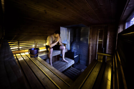
- ROAM Adventure Basecamp is a modern trailside camping area located outside Seeley. Nestled in the heart of the CAMBA trail system, you can ride singletrack or gravel right to the entrance. Plan ahead and book one of four cabins, or grab a camp spot and connect to the Starlink wifi. Most importantly, start or finish your day by booking an hour in their wood-fired Finnish sauna.
- My only reservation was at Wyalusing State Park, but I was riding later in the season. If you arrive at a full campground, many will offer you a spot in a group campsite or find a place for your tent.
- Dispersed camping is allowed in both county and national forests, but with proper planning, you should be able to find designated campsites so you won’t need to camp outside of official areas.
- There are enough taverns, convenience stores, and small groceries along the route that you wouldn’t need to pack any food, but I typically carry a couple of dehydrated meals, instant oatmeal, and coffee with me. Ensure that you’ve packed away enough food for your last push past Drummond, as there will not be any options, and you will be fully self-supported.
- The longest stretch without resupply is the last section north of Delta/Drummond where it’s 70 miles to Point Detour, with no food, water or even streams to filter from on the route (though water can be found a short distance off of the route); then from Point Detour its 30 miles back to civilization in Bayfield.
- Another big push is the nearly 140 miles through the Central Sands from Sparta to Thorp. The only supply is the small town of Hatfield with a couple restaurants, bars, and a single convenience store in the middle.
- There are also sections in the Driftless Region that are a hard half-day of riding between services.
- Potosi Brewery. Potosi Brewery, located in Potosi, is a historic brewery with roots dating back to 1852. Known for its craft beer and rich history, the brewery also houses the National Brewery Museum, making it a destination for beer enthusiasts and history buffs.
- Beer Shop Sparta. As self-proclaimed craft beer connoisseur, I found the Beer Shop in the town of Sparta to be an oasis. This 1930s converted gas station and auto garage has been lovingly transformed into a place for the community to gather. With 22 beers on tap and dozens more available in cans, it’s the perfect place to stop for beers, ciders, sodas, and more, all produced in the Midwest.
- The Farmstead Creamery and Cafe, east of Hayward, is worth the extra mile out and back off course to indulge in a latte and a scone or splurge for affogato made with their own artisan sheep’s milk gelato.
- Supper clubs represent the spirit of the state of Wisconsin—unpretentious, welcoming, and rooted in tradition. They capture the essence of small-town warmth and provide a nostalgic dining experience that has stood the test of time. Stone’s Throw Supper Club in Merrillan offers all the above; plan your route to make sure you stop in to have the prime rib.
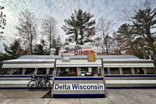
- Delta Diner is a throwback to the 1940s East Coast diner but with its own Wisconsin Northwoods flare. The diner is a former rail car transported from upstate New York. Patrons sit elbow to elbow at the counter or in one of the few booths. Try the Norwegian pancakes (jalapenos are an option) or the stuffed French toast with homemade mascarpone filling and order an extra breakfast sandwich to eat later.
- There is water to be had, but always be filling up bottles. Carrying three bottles should provide you with enough water to travel between refills. A water filter came in handy as some water fills may have higher levels of minerals or not be tested to be potable.
These are my personal trail notes from my solo 14-day navigation of the route. Think of them as inspiration for planning your own journey. While you can tackle the route in fewer days, I embraced a slower pace,savoring lazy mornings, countless pit stops, and a ridiculous number of bike-riding selfies. Designed to wander, the official route favors rustic roads and secluded trails over direct paths. You don’t need to 100% follow the route—make it your own! Shortcut where you need, detour where you dare, and let your curiosity lead the way.
location Point of Beginning to Grant River
Day 1 (48 mi, +2,775 ft)
On a Monday morning, my wife and I hit the road at 4:30 a.m., making the five-hour drive from Saint Paul to the start of the route just south of Hazel Green, near the Wisconsin-Illinois border.
After snapping a few photos at the “Point of Beginning,” sharing a big hug, and exchanging a kiss, I was off on my own, with nearly 700 miles of riding ahead to reach the northernmost point of Wisconsin. Clipping in, I turned the pedals for the first of many thousands of revolutions to come.
With 48 miles ahead of me, I opted not to make the detour into The Hirsch Farm Trail system. It is a challenging 10-mile loop that features multiple shallow creek crossings, several large descents, and multiple difficult climbs. Be forewarned, it is not the easiest of trails with some pretty rocky singletrack.
My first stop was a shake-down in Platteville. I grabbed a quick lunch at Kwik Trip and took a moment to check my gear. Later, I made my way to the Potosi Brewery, a historic brewery dating back to 1852. Not only does the brewery feature a full menu, but it also boasts a museum that showcases the fascinating history of the operation. The brewery’s rich past adds a unique touch to the experience, blending local heritage with craft brewing. I decided on the bacon cheeseburger (no. 1) and picked up a crowler of their Snake Hollow IPA to enjoy later at camp. The welcoming atmosphere and rich history made it a memorable stop on my journey.
I spent my first night at Grant River Recreation Area, located right on the Mississippi River. While mainly filled with RVs, the tent-only sites are right on the river andmlocated at the end of the grounds, offering a bit more quiet from the rest of the campground. Earplugs are a must with the freight trains running and horns blaring throughout the night. It was a great start to what promised to be an unforgettable journey.
location Grant River to Wyalusing State Park
Day 2 (49 mi, +2,500 ft)
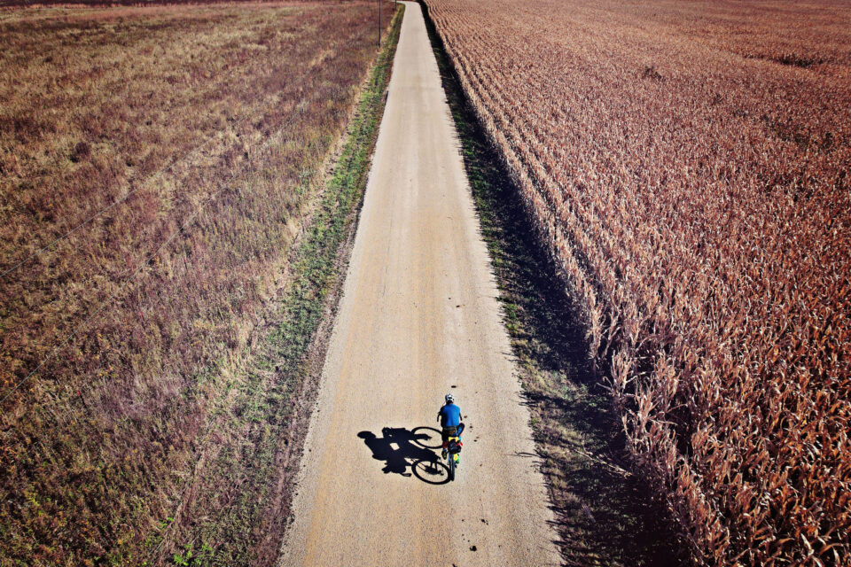
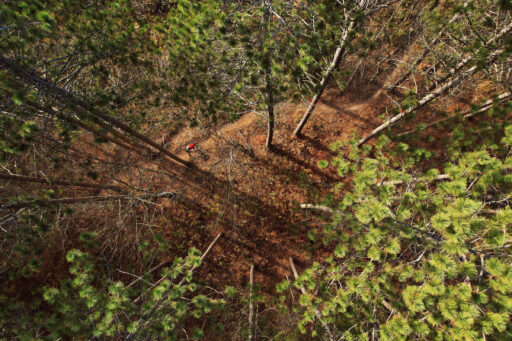
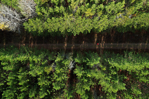
I woke to a stunning sunrise and enjoyed coffee and oatmeal in my tent. Eager to start the day, I couldn’t resist the call of the beautiful morning sky, so I launched my drone while the rest of the campground was still tucked in their RVs.
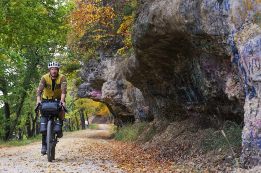
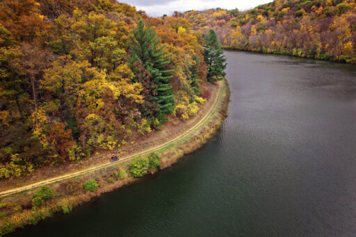
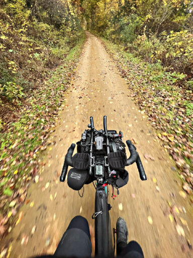
The day’s route from Grant River to Wyalusing State Park covered 49 miles and included more climbing than the previous day. The scenery was nothing short of breathtaking, with highlights including a gravel climb at mile 25 that led to the top of the bluff. As I ascended, the fall leaves gently fell around me, adding a serene, almost cinematic touch to the effort. Another standout was Dugway Road, a stretch of gravel road carved directly into the sandstone bluffs that hugged the river. I couldn’t resist stopping to set up my tripod and camera, looping the road several times to capture the perfect shots with my remote shutter.
I arrived in Cassville earlier than anticipated, so I stopped at the Okey Market for a few small supplies and then waited for the Silver Spigot Saloon to open at 10:30 for lunch. Timing doesn’t always line up for a traditional noon meal when you’re on the bike, so 10:30 it was. It felt great to sit on a bar stool, chat with a few regulars sipping their morning coffee, and dive into a bacon cheeseburger (no. 2) with a Spotted Cow—a Wisconsin-exclusive beer—to wash it down.
When I arrived at Wyalusing State Park, I was glad I’d reserved my campsite in advance. Even on a weekday, the side of the campground with views of the river valley was full. After settling in, I enjoyed a dinner made from the groceries I’d picked up in town, then took advantage of the free showers for a refreshing rinse.
Later, I hiked to a scenic overlook to take in the breathtaking view where the Wisconsin and Mississippi rivers merge—a perfect way to end the day. Back at camp, I began my usual routine of charging all my electronics: cycling computer, radar tail light, iPhone, bone induction headphones, and camera battery. Before I knew it, I was asleep, ready for whatever the next day would bring.
location Wyalusing State Park to Gays Mills
Day 3 (50 mi, +3,150 ft)
I checked the weather the night before, and with showers forecast for the morning, I made a plan: wake early and partially break down camp by moving everything to the covered pavilion to do my final packing to avoid getting wet. By the time I’d packed the bike, made breakfast, sipped coffee, and fully charged my battery bank, the rain still hadn’t started. Deciding I couldn’t wait any longer, I hit the road, and 10 minutes later, the skies opened up.
I pulled on my raincoat and relied on my waterproof socks and trusty trick of latex gloves under riding gloves to stay warm and dry.
At mile seven, I pulled into a gas station, drawn by the promise of hot coffee and a Hostess apple pie. While there, I picked up some beef sticks and a candy bar to stash away for a midday snack. Inside, I found myself in conversation with the store clerk and a local delivery driver, also taking shelter from the heavy rain. They reviewed my full route on their oversized state map, getting insights about the road ahead. The discussion soon meandered to the challenges of distracted drivers and lamenting how fewer Americans spend time outdoors these days—a theme that felt especially poignant given the weather and the journey I was on.
With no real signs that the rain was going to slow, I got back in the saddle and climbed out of the valley in steady rain. After an hour, I could spot clear skies ahead; that glimmer of sun lifted my spirits. Lunch was my trail staple: a banana, honey, and peanut butter, all wrapped in a large tortilla—simple, satisfying fuel.
The rain withstanding today’s route was solid riding consisting of plenty of busted-up paved roads that seem to crisscross southern Wisconsin. Dinner for the night was at Dante’s in Gays Mills (bacon cheeseburger no. 3).
I chose to camp in Robb Park, a city campground on the edge of town. It’s situated near an old, now vacated, power-generating dam on a bend of the Kickapoo River. The campground was empty, so I tucked my tent out of sight of the main road and enjoyed a peaceful sleep.
location Gays Mills to La Farge
Day 4 (55 mi, +3,750 ft)
The day brought its fair share of challenging climbs, the toughest being the gravel ascent at mile 22. With a nearly 13 percent grade and loose gravel, it was a battle to keep my front wheel down and the bike steady. Any lapse in focus meant spinning out and being forced to walk. At the top, I rewarded myself with my beef and cheese sticks and a packet of Nutter Butters, which I firmly believe are the best cookie ever invented.
Around mile 27, the route led into Sidie Hollow, an area known for its singletrack options. Pressed for time and seeing that the trails were mostly an added loop, I skipped them, opting instead to stay close to the lake. If I’d had more time, Sidie Hollow would’ve been an excellent spot to camp and enjoy the trails after removing some of the heavier gear from my bike.
There’s a decent climb out of Sidie Hollow, but by then, Viroqua wasn’t far. As I approached the town, I opted to jump onto a bit of singletrack that was still aiming me toward town—just the right amount of trail to put a smile on my face. It was getting later in the day, and the weather grew colder and the skies darkened. Despite the chill, I made time for a couple of tacos and a margarita at Pacifico Mexican Grill.
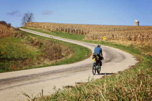
From there, the ride turned into a grind against the wind and weather. Keeping my head down, I pressed forward, observing the contrast in lifestyles along the way. I was passed first by a Tesla and then, in the same headwind, by a horse and buggy. Amish homes dotted the route, with families working fields and cutting firewood as I rode by.
After traversing miles of farmland, I reached La Farge for the night. The city campground offered electricity at all sites and paid showers, but I prioritized setting up camp and heading into town. Unfortunately, the only restaurant had closed early. My fallback? The gas station, which, to its credit, had fried chicken and to-go beers. I grabbed what I could and returned to camp, enjoying dinner by my tent before settling in for the night.
location La Farge to Sparta
Day 5 (42 mi, +2,660 ft)
When planning a bikepacking trip, I dive deep into studying the route. But despite all my preparation, I fooled myself into thinking today would be easier, based solely on the 42 miles planned for the day.
Waking up in the city campground, I discovered a few other campers, likely bow hunters, had arrived and set up during the night. I started the day by riding into town for breakfast at Phil and Deb’s Town Tap. Wearing a bike helmet inside is a fantastic conversation starter, as I quickly engaged the folks sitting at the bar with me. I shared my adventure while enjoying a hearty meal of eggs, sausage, hash browns, and black coffee—fuel for the day ahead.
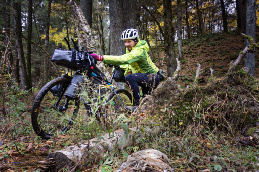
The first 16 miles of the day are rugged singletrack—manageable on my Cutthroat but far more challenging with the 70 pounds of gear. Following the GPX track, I managed to get lost twice before finding my way out of the woods and into Rockton Bar. The bar and grill caters mostly to horseback riders, with plenty of space to unwind. Although I had originally thought it would be too early to eat lunch here, the challenging singletrack changed things, but to keep it a shorter stop, I opted out of my usual meal and went for grilled cheese and tater tots.
Running behind schedule, I debated skipping the next section of singletrack in favor of the paved highway, but it really wasn’t much of a decision. I opted for the singletrack and am glad I did—the trails were fun despite a few hike-a-bike sections and a muddy creek crossing. Five days in, and I’d yet to see another cyclist, but on this day, I encountered 15 horseback riders, all heading to Rockton. Many of the horses were skittish around my bikepacking setup, so I made sure to step well off the trail to let them pass.
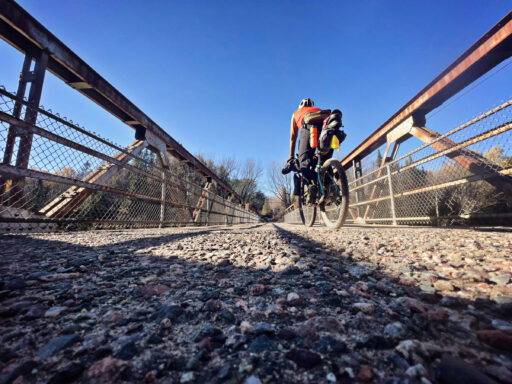
After a couple of tough climbs and long, windy stretches of paved roads, I reached the Elroy-Sparta Trail. By then, my legs were hurting. I had fallen behind on my nutrition, so I devoured a sleeve of energy blocks and a bottle of water. Sluggishly, I approached Tunnel No. 3. I took a moment to enjoy the highlight of the day but, after the fact, wished I’d spent more time there. At nearly 4,000 feet long, the tunnel felt otherworldly—water dripping into puddles along the edges and only the faintest dot of light at the far end. Pushing my bike alone, illuminated only by my headlamp, it was eerie, even at midday.
Emerging from the tunnel, the energy blocks had fully kicked in. My energy surged, and I found myself hollering “Yeehaw!” to nobody but the squirrels as I picked up speed on a relatively flat but ever-so-slight downhill section of crushed limestone rail trail.
Though I enjoy bike camping, I’m still a city kid at heart. With the option to grab a cheap motel for the night, dry out my clothes, and recharge my gear, I jumped on it. After settling into room, I treated myself to a burrito from Taco Paisa and a couple of craft beers at the Beer Shop. Sipping on a barrel-aged Henna: Double Rainbow from More Brewing Company, clocking in at 15 percent, was outstanding and made falling asleep a breeze.
location Sparta to Levis Trow
Day 6 (62 mi, +2,160 ft)
Guess what made a comeback? The sun! The day’s ride took me from Sparta to Levis Trow, covering 63 miles—my longest day of the trip so far.
Riding solo for this entire journey and being surrounded by nature gave me plenty of time to reflect. While I enjoy solitude and can go quite a while without interaction, I realized then how much I love experiencing life with others. There were moments on the day’s ride, like the hike-a-bike to the top of a mound at mile 20, where the views were so stunning that they brought a huge smile to my face. Standing there, with the sun warming the landscape, I found myself wishing I had someone to share it with.
I had plans to photograph a cranberry bog, with their large patches of red berries standing out against the landscape when viewed from above, but plans were quickly scrapped when I arrived at the location and found it adjacent to a military base with large signs forbidding the flying of personal aircraft. I figured the military wouldn’t be too receptive to me flying so close by, so I kept my drone packed away.
Later in the day, I faced another decision—one that involved valuing my safety over strictly following the planned route. Jackson County’s ATV/UTV trail season was coming to a close, and the trails were buzzing with activity. At the intersection where I stopped for lunch, it seemed like every UTV, motorcycle, and four-wheeler in the area was out, revving engines and racing full tilt. I decided to give the trail a shot, but with eight-inch-deep sand and UTVs barreling around blind corners, I only pushed in a quarter of a mile before opting to backtrack for a safer alternative: a reroute onto a road, even without a shoulder to ride on, it was the safe move.
The detour led me to a gas station in Millston, where I refilled my bottles, grabbed some snacks, and regrouped. I avoided the UTV trails but also rode some incredibly beautiful sections, including flowages that the trail would split right down the middle. As I came near the end of the day’s route, I treated myself to dinner at one of my favorite Wisconsin supper clubs, The Stone’s Throw. It was Saturday night, which meant one thing: prime rib. I polished off the biggest cut they had before pushing on to arrive at Levis Trow before nightfall.
When I arrived at camp, I had a delightful surprise waiting for me. A friend, Dustin Marsh who has also ridden the route, had hidden a can of beer and a coffee energy drink as a treat. To locate them, he texted me a series of photo clues to guide me to their hiding spot at the base of a large tree. Hunting them down was the perfect way to end the day.
location Levis Trow to Rock Dam
Day 7 (44 mi, +1,400 ft)
I first discovered the Levis Trow trail system around the year 2000. At the time, I was attending Winona State University in nearby Winona, Minnesota, and a friend and I decided to take a road trip to the area to try out the trails. Ever since that first visit, I’ve made it a point to return at least once a year. The trails are a blast to ride, and their remote location keeps them rugged and natural—quite different from the polished trails you often find near metro areas.
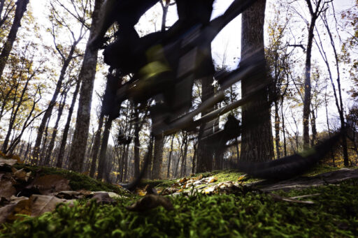
This time, I started the day with 10 miles of singletrack through the trail system, weaving through Snodgrass, Switchback, Toad’s Road, Clarence, North Face, Upper Glen, Lower Glen, Lower Hermosa, Wolf Run, Upper Hermosa, Sidewinder, and Goat Dance. The official bikepacking route doesn’t include Sidewinder, but I couldn’t resist adding a loop. I seemingly had the trail network to myself and made plenty of stops along the way, setting up my camera at Plumber’s Crack and flying the drone at the top of the mound to capture the stunning fall colors.
After bushwacking my way out of the singletrack, I hit more rough UTV trails. The churned-up sand made for tough going, and I found myself wishing I’d had my fat bike. After some hike-a-bike sections, I finally reached solid gravel and stopped for lunch at Wildcat Mound.
At mile 24, I encountered signs warning that the trail was closed due to a tornado that had passed through. I made the judgment call that the closure applied to ATVs and UTVs and decided to take my chances. It was worth the risk; the trail along Wedges Creek was scenic and peaceful, a highlight of the route.
As the day wore on, wet snow began to fall, and the cold seeped in. Nearing my destination, I grew anxious. The tiny town I was heading for didn’t have much to offer, and I was banking on its lone bar/restaurant being open. To my relief, AKA Lakeside welcomed me with hot food (bacon cheeseburger no. 4), Sunday Night Football, and a warm atmosphere. I struck up a conversation with the owner and some regulars, sharing stories about why I was out riding in the snow. A few Spotted Cows later, I reluctantly left the comfort of the bar to head to the nearby campground.
The wind had really picked up, and with the campground completely deserted, I set up my tent right behind the shower building to give it some protection. It wasn’t the most picturesque spot, but after a long day of riding, it was exactly what I needed.
location Rock Dam to Medford
Day 8 (51 mi, +2,500 ft)
There’s an old saying: “A bad day on a bike always beats a good day in the office.” I found myself questioning that as I leaned into what felt like gale-force winds, ice pellets stinging my face, my feet feeling like blocks of ice.
To start the day, I crawled out of my warm sleeping bag and into the cold, biting air. I packed up most of my gear and headed into the shower house, intent on making breakfast inside while using the hand dryer to warm up. As I spread out my gear across the counter, a local wandered in to use a shower before presumably heading off to work. We didn’t exchange words, but he gave me a look of “What exactly are you doing”?
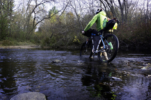
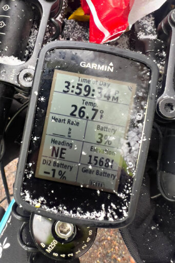
The adventure truly began at mile three when I rode around a few large boulders on a road marked “closed.” Soon, I understood why: a river with no bridge in sight. Somehow, I’d missed that little detail when scouting the route. This, I learned, was Kohler Ford, so I packed up the bike, peeled off my shoes and socks, and waded across. The air temperature was 26 degrees, and the water didn’t feel any warmer. After crossing, I put my puffy jacket around my to try to warm them up, but knowing my circulation issues, I accepted that I’d be battling frozen toes until I found a proper place to get warm.
From there, things didn’t improve much. The ride was a grind, testing my patience and resilience. Between miles 16 and 22, I pushed straight into a headwind that made it feel like I was pedaling in place. Watching my speed on the cycling computer became so demoralizing that I took it off my handlebars entirely. To make matters worse, a mix of sleet and snow hammered down, pushing the limits of my rain gear.
When I finally reached Thorp, I headed straight to the farm store for chemical hand warmers to stuff into makeshift pogies I’d fashioned from my waterproof food bags. Thankfully, I found a brief reprieve at Café DUTCHess, part of Marieke Gouda. The moment I walked in, the warmth of a wood-burning fire welcomed me, and the table closest to the hearth was open. I laid out my wet gear to dry, warmed my frozen limbs, and enjoyed a steaming bowl of soup and the best bacon cheeseburger of the trip (no. 5, for those keeping track). That stop alone might have salvaged the day.
But the wind wasn’t finished with me yet. From miles 25 to 40, I faced open cornfields with no windbreaks in sight. As I rounded a corner, I noticed dozens of bicycle tracks in the gravel road, puzzling over their origin until I came upon an Amish school with more than 40 bicycles parked in the yard. I waved, and two dozen curious kids waved back, clearly intrigued by the sight of a fully packed, weather-beaten cyclist. The wind continued to howl, leaving me scanning desperately for shelter. Finally, around mile 33, I found a small furniture shop near the road and stopped briefly to escape the relentless gusts before pressing on.
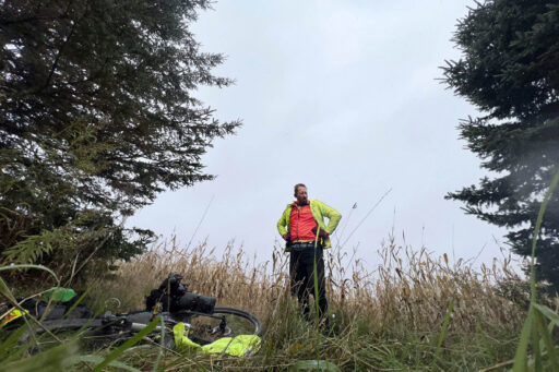
At mile 40, I reached my breaking point and ducked behind a cluster of large pine trees to regroup. I was exhausted and soaking wet and kicking myself for not being as tough as I’d like. I regrouped and continued on, knowing the P-Town Saloon would be closed on a Monday, but I figured I would camp there and wake up early for a hot breakfast and a shower when they opened at 6 a.m.
As luck would have it, Brandon, the saloon’s owner, was meeting his propane delivery driver in the parking lot when I arrived. Seeing my sorry state, he offered me a stay in the apartment he rents out. Seventy-five dollars never felt so well spent.
Looking back, once my belly was full from a backpacker’s pad Thai meal and my feet were almost warm, I realized it wasn’t a bad day after all. This trip was testing my limits in ways I hadn’t fully anticipated. Limping into Thorp against headwinds and freezing cold was brutal, but it’s those challenges that make the journey worthwhile. I wouldn’t trade it for anything.
location Medford to Slough Gundy
Day 9 (45 mi, +1,050 ft)
I started the day in a warm bed, had a hot shower, and all my gear was freshly washed and dried—what more could I ask for? Despite the comfort, I rose early and headed over to the P-Town Saloon’s general store, where Brandon and two locals were enjoying their morning coffee. They were all watching the news on TV, but it didn’t take long for the conversation to shift to my route—how it had gone so far and where it was taking me next.
After a few cups of coffee and stocking up on some essentials from the store, I returned to the apartment to grab my bike. I dropped the key off at the store, clipped in, and began the day’s ride. The weather was pleasant, but there weren’t many notable stops along the route, so I didn’t take many photos. Instead, I focused on pedaling, occasionally stopping to warm my feet. Around mile 15, the route entered the Price County Forest, a beautiful stretch of gradual climbs through dense woods.
Before long, I reached the small town of Hawkins, slightly off the route. I’d scoped out a restaurant on Google and was looking forward to a hamburger, but it turned out to be closed permanently, and the other dining option wouldn’t open until much later. With limited choices, I wandered into the general store, which turned out to be more of a deli. They had a crockpot of cheesy pasta with chicken, so I grabbed a bowl and settled at their single table. I also picked up a cold sandwich, a bag of chips, and a 24-ounce beer to round out my provisions for dinner.
Back on the bike, I pedaled the last 10 miles to Slough Gundy, where I stopped to admire the rapids and Little Falls. It was windy and cold, but the sun was out, so I decided to have dinner on the rocks while watching the sunset. The light slipping closer to the horizon painted a peaceful ending to the day’s ride.
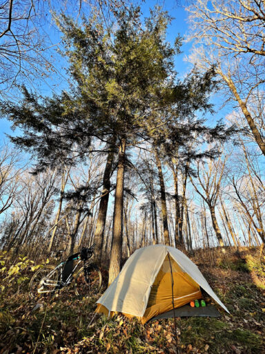
As darkness approached and with the understanding that no campgrounds would be nearby, I began searching for a wild camping spot. When stealth camping, I like to test the visibility of my setup by placing my bright jacket on a stick and walking back to the nearest road or trail to ensure it’s out of sight. I’ve found that setting up camp on higher ground is usually best for staying out of sight. On state forest land, no-impact camping is typically allowed, knowing I would leave the area in the morning looking like nothing more than a deer had bedded down there for the night.
location Slough Gundy to Black Lake
Day 10 (54 mi, +1,600 ft)
I woke to ice in my water bottles and a thick frost coating my tent. There was no rush to start the day—an early departure only meant more time riding in the cold. Instead, I lingered, waiting for the sun to rise a bit higher before rousing myself to hit the trail.
The route today was a classic Northwoods experience. After crossing the Flambeau River, I turned onto a quiet side road that wasn’t much more than a seldomly used two-track, but not long after, I encountered a slow-moving truck. The passenger door opened, and a man unexpectedly jumped out, waving his arms at me to stop. My senses heightened, uncertain of his intentions, but he soon shouted out he was a cyclist too. Sure enough, he is a fellow long-distance cyclist and randonneur. He was in the woods grouse hunting, so I stopped to chat. It was a brief but refreshing reminder of how small the world can feel.
By mile 18, I already had one thing on my mind: hot food. To my relief, the Flambeau Inn was open, its fire roaring. I indulged in a hearty meal (bacon cheeseburger no. 6) and a Wisconsin favorite, a bloody mary with a beer chaser before stepping back into the now-warmed afternoon. The sun on my back felt like an invitation to keep moving.
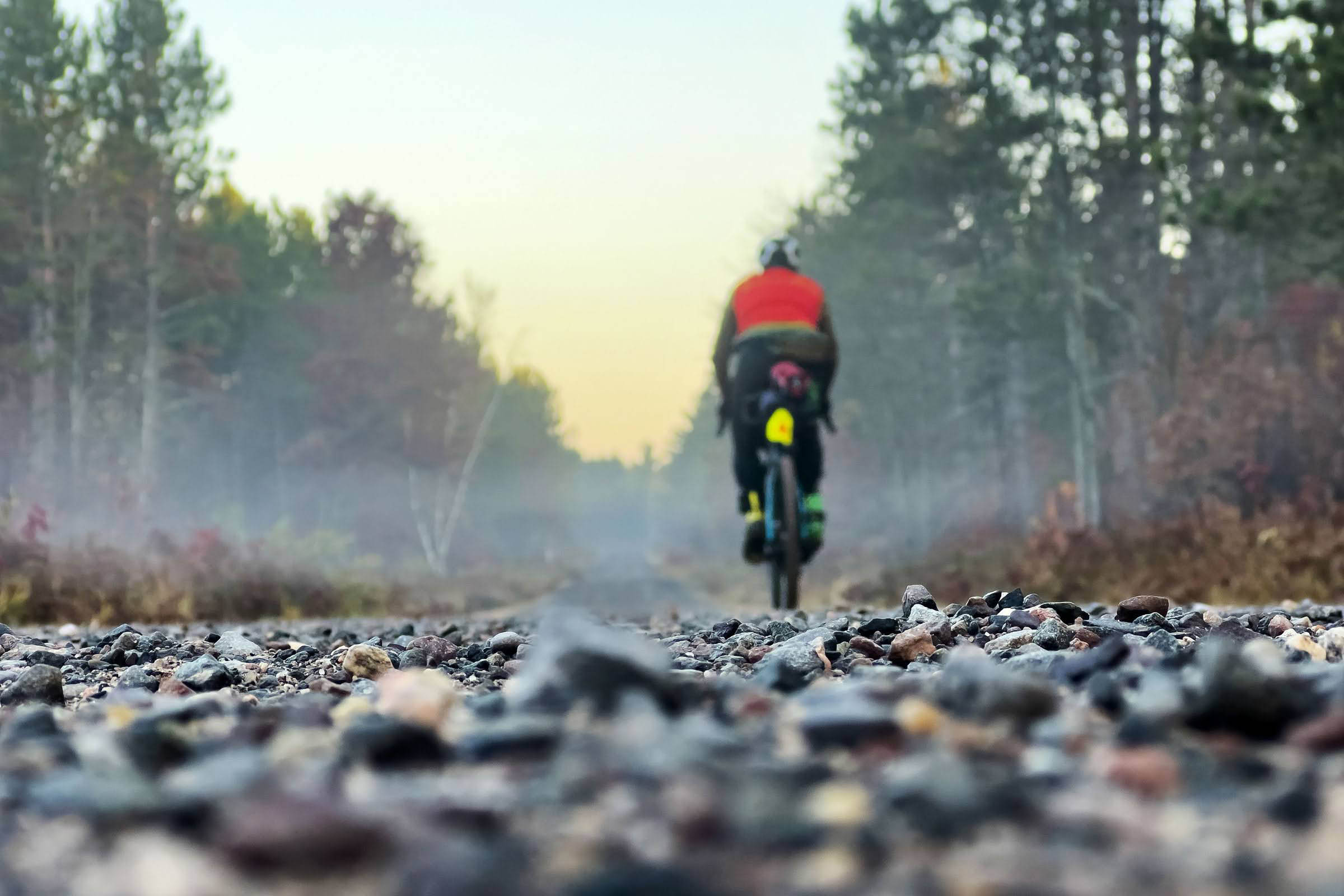
The next stretch took me over rugged forest roads and UTV trails, a sharp contrast to the sandy bogs I’d slogged through earlier in the trip. These trails were rocky and challenging—the kind that rattles your brain in the best way. I dodged puddles, basking in the sun’s warmth as it sank behind the tall pines.
Had it been another day, I would have stopped at the Oxbo Resort, but it was closed. Instead, I pressed on, arriving at Black Lake Campground just as the sun dipped below the horizon. The calm water mirrored the last light of day, creating a serene scene. With only a few other campers nearby, I set up at the end of the loop and tried to start a fire with wet wood—a futile effort. Resigned, I climbed into my sleeping bag, ready to let the day’s chill fade into the warmth of sleep.
location Black Lake to ROAM Basecamp
Day 11 (47 mi, +2,400 ft)
The trip fully swung back into the 100 percent fun category. Sunshine truly transformed a day on the bike, and the morning was no exception. I woke up to a stunning view of Black Lake, starting my day with coffee and oatmeal right on the shore, soaking in the peaceful scenery before hitting the trail.
Backtracking half a mile, I continued eastward before heading north for the day’s ride. The ATV trails and fire roads were a joy to ride—rugged, scenic, and thrilling.
A brief detour led me to Farmstead Creamery, where I indulged in a salted caramel gelato latte and a raspberry muffin. The curbside setup made for an easy stop, and I enjoyed a sunny chat with one of the owners before pedaling on.
Later, I stopped at Powell’s on Round Lake for—you guessed it—bacon cheeseburger no. 7, a side of chili, and a couple of local beers. The bar’s warm atmosphere and conversations with locals, including a historian sharing tidbits about the area, made it a memorable break.
The stretch along County Road B was the busiest I’d encountered, with more cars than I’d seen the entire trip—but even here, the route was manageable, with a modest shoulder to ride on.
Turning north, I grabbed supplies at a Dollar General before veering onto the Seeley Path mountain bike trails. These flowy trails led me straight to ROAM Adventure Basecamp, my stop for the night.
Without a reservation, I approached a group of campers for advice. Seeing my loaded bike, they asked, “You must want a beer,” and I happily accepted.
ROAM strikes a perfect balance between rustic and modern camping, with water stations, pay-as-you-go showers, and the highlight—a sauna available to check out. The day ended with good company and a warm place to recharge, making it another adventure to remember.
location ROAM Basecamp to Perch Lake
Day 12 (47 mi, +2,500 ft)
Another radiant day unfolded in the Northwoods, a perfect blend of tranquility and adventure. The morning began in the lingering warmth of ROAM’s sauna, where the embers from the previous night still offered enough heat to chase away the chill in my bones. Wrapped in the soothing quiet, I lingered just long enough to feel revived before swinging a leg over my trusty Cutthroat, ready for the day’s ride toward Perch Lake Campground north of Drummond.
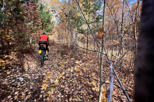
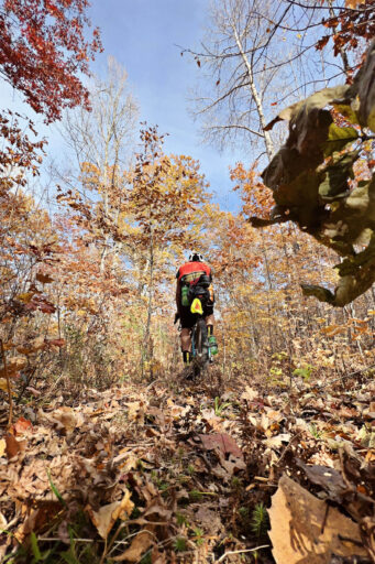
Singletrack dominated the menu for the day, a nostalgic feast for someone who’s been pedaling the trails of Chequamegon National Forest since the 1990s. It’s amazing how the trail network has grown—an intricate maze of paths weaving through the towering pines and golden birches. My modified route alternated between flowing gravel stretches and the leafy, hidden singletrack gems like Rock Lake. The fallen leaves blanketing the trails in shades of copper and gold added an element of mystery, their rustle beneath my tires blending with the rhythmic crunch of my ride. With a fully loaded bike, navigating the classics proved to be equal parts challenge and delight.
Emerging from the woods, I ventured onto County Road D, a stretch I had worried might be nerve-wracking due to its narrow shoulders and potential traffic. To my relief, the road was quiet, save for the occasional car and a cyclist gliding by on their tri bike. My destination: Loon Saloon, a rustic lakeside stop where I savored bacon cheeseburger no. 8, paired with some much-needed battery recharging after a couple of electricity-free days.
The afternoon carried me along familiar gravel roads from BIKEPACKING.com’s Tour de Chequamegon route, a tapestry of pine-lined vistas and rolling hills. These trails, familiar yet always enchanting, stirred a sense of homecoming in the heart of the forest.
Dinner plans in Drummond gave way to simplicity. As daylight began to wane, I ducked into a gas station, stocking up on gummy bears, crackers, meat, cheese curds, and a 24-ounce Budweiser—fuel for a quiet night ahead.
Five more miles brought me to Perch Lake Campground. Split into two sections, the southern loop hugged the road, while the northern loop lay tucked further in, shrouded in solitude. Naturally, I chose the northern loop and discovered I had the entire campground to myself.
As the sun dipped below the horizon, its golden light dancing on the lake’s surface, I settled into my quiet corner of the forest. The air was still, the only sound the gentle rustling of leaves—a perfect conclusion to a truly glorious day in the Northwoods.
location Perch Lake to Birch Grove
Day 13 (47 mi, +2,750 ft)
Today was a day to trust the line on my Garmin and lean into the unknown. The “trail” often seemed questionable—more of a suggestion than a path—but that only added to the adventure. Some of the most rugged stretches were my own doing, thanks to rerouting efforts to reach my campground. But don’t get me wrong—I loved every bump and twist of it.
The early morning was alive with the hum of hunters. Bow hunters and grouse hunters had already staked their spots, their trucks parked in clusters at the roadside. Beyond those fleeting signs of human presence, it was a day spent mostly alone, with solitude as my steady companion.
One break from the solitude, and the undeniable highlight was the Delta Diner, a stop I’d eagerly marked during my route planning. Nestled in its remote setting, the diner stands out with its retro charm and elevated take on comfort food. I rolled in with perfect timing—just ahead of their early closing for a celebration honoring a longtime employee’s final shift. The special of the day, steak and eggs with a hearty serving of crispy hashbrowns, hit the spot. Knowing I’d appreciate it later, I also snagged a BLT wrapped in foil for dinner.
From the diner onward, I saw no one. Just miles of solo riding through gravel roads, forgotten trails, and logging paths. The sky was a flawless blue, an endless dome stretching over the whispering pines and shimmering birch. By late afternoon, the trails turned to deep sand, forcing me to push my bike in stretches—a humbling but familiar part of off-road cycling.
At mile 42, I made the call to jump off the planned route following ATV trails. Low on water and ready for camp, I opted for faster gravel roads. It wasn’t a bad trade, and straightforward miles brought me to Perch Lake Campground just as daylight began to fade.
I chose a secluded spot at the back of the campground, flanked by a camper to my left and an older couple to my right. Gunshots echoed in the distance, likely from private land or a nearby range. As I set up my tent, the elderly couple packed up and left, leaving the neighboring campers as my only company.
It wasn’t long before they returned, and it became clear they were here to party. Despite the loud music and laughter, I wasn’t too bothered. After they’d settled into their celebration, I wandered over—not to complain, but to see if they’d share a couple of beers. They obliged with a laugh, and I returned to my tent, popped in some headphones, and let the hum of their festivities fade into the background. Before long, I drifted off, the night’s sounds blending into the rhythm of the woods.
location Birch Grove to Point Detour
Day 14 (34 mi, +2,500 ft)
At exactly noon, my tires kissed the waters of Lake Superior, marking the official end of an unforgettable journey. Standing on the edge of that vast, shimmering expanse, I felt a swell of triumph and gratitude—a moment I’ll carry with me for a long time.
I’d intentionally kept this final day short, cutting out the Mt. Ashwabay MTB trail system, knowing my wife and kids were picking me up and that we had an even longer trip to get back home. The ride itself was smooth, save for a few sandy stretches that slowed my pace. Around mile 20, I caught my first glimpse of the lake—glistening like a beacon down a long, straight road. It looked so close, almost within reach, but there were still 14 miles to pedal.
The route ends at Point Detour Campground, perched at one of Wisconsin’s northernmost points. I arrived before my family so I had time to reflect on the trip. In my mind’s eye, I’d imagined rolling my bike right to the lake’s edge for a triumphant final photo. The reality was a bit different—a steep drop stood between me and the shoreline. But someone had tied a rope to aid the descent. With the mindset not to be denied and adrenaline coursing through me, I took the risk, carefully lowering myself and my bike down the cliffside.
By the time I’d climbed back to the top and began unpacking my bike, a mix of emotions hit me. I felt a tinge of melancholy, knowing the journey was over, but also immense relief and pride. Fourteen consecutive days of bikepacking was no small feat for me. It was my longest trip and, more impactful, the longest time spent apart from my family.
Terms of Use: As with each bikepacking route guide published on BIKEPACKING.com, should you choose to cycle this route, do so at your own risk. Prior to setting out check current local weather, conditions, and land/road closures. While riding, obey all public and private land use restrictions and rules, carry proper safety and navigational equipment, and of course, follow the #leavenotrace guidelines. The information found herein is simply a planning resource to be used as a point of inspiration in conjunction with your own due-diligence. In spite of the fact that this route, associated GPS track (GPX and maps), and all route guidelines were prepared under diligent research by the specified contributor and/or contributors, the accuracy of such and judgement of the author is not guaranteed. BIKEPACKING.com LLC, its partners, associates, and contributors are in no way liable for personal injury, damage to personal property, or any other such situation that might happen to individual riders cycling or following this route.
Further Riding and Reading
Here are some connected/nearby routes and related reports...
Please keep the conversation civil, constructive, and inclusive, or your comment will be removed.


