Trans-WNC (Western North Carolina)
Distance
314 Mi.
(505 KM)Days
5
% Unpaved
65%
% Singletrack
17%
% Rideable (time)
98%
Total Ascent
35,458'
(10,808 M)High Point
5,685'
(1,733 M)Difficulty (1-10)
7?
- 7Climbing Scale Strenuous113 FT/MI (21 M/KM)
- -Technical Difficulty
- -Physical Demand
- -Resupply & Logistics
Contributed By
Ryan Sigsbey
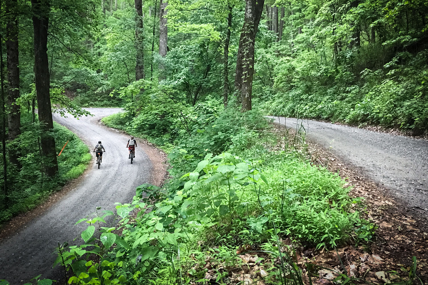
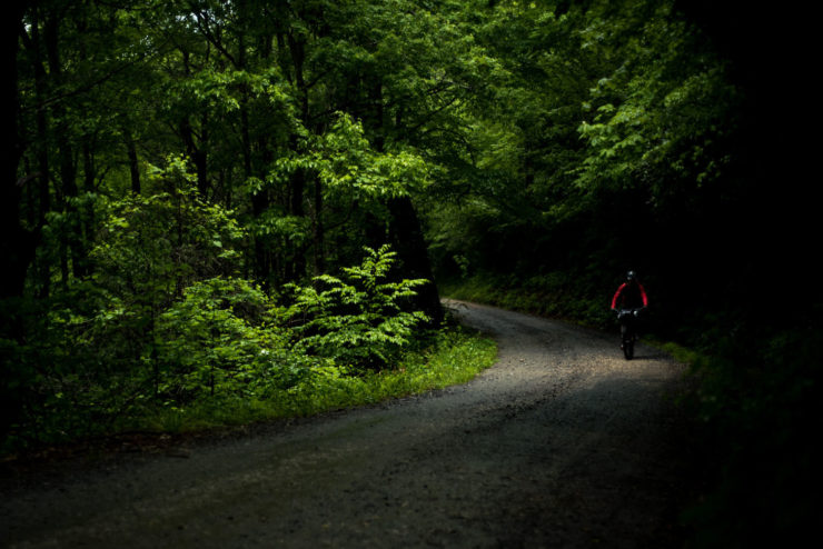
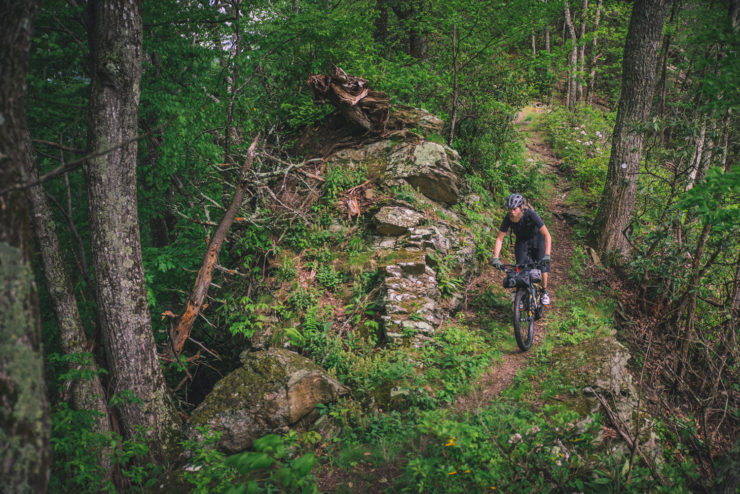
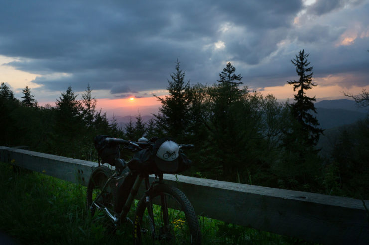
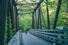
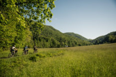
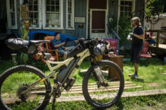
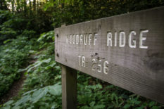
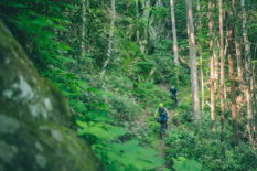
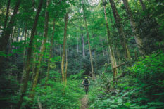
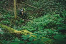
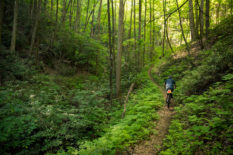
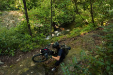
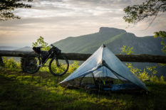
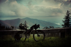
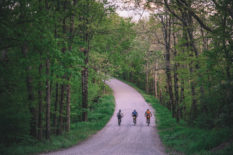
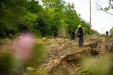
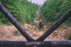
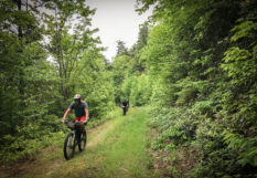
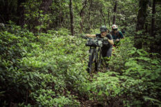
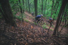
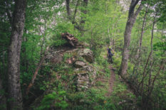
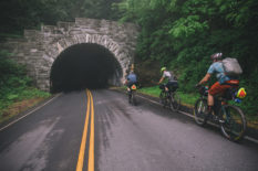
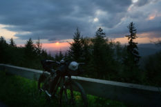
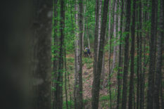
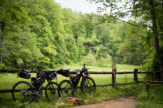
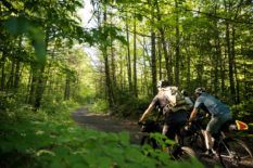
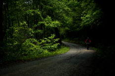
The Trans-WNC route is made up of a variety of terrain and scenery as it meanders its way through western North Carolina and finishes at the Georgia/South Carolina state line, just north of Mountain Rest, SC. The route passes through both the Grandfather and Ranger districts of Pisgah National Forest, an area known for its abundance of technical singletrack and ripping descents such as Wilson Ridge, Greentown, Spencer Gap, Pilot Rock and Black Mountain, just to name a few. The majority of the route connects these epic trails with scenic gravel roads and doubletrack winding their way through the lush green forests that cover the Appalachian Mountains. Don’t fret the long stretch of pavement that leads you into Asheville. This stretch of the Blue Ridge Parkway, one of the most iconic roads on the east coast, offers dramatic views of the Black Mountains and Mount Mitchell, the highest peak east of the Mississippi River.
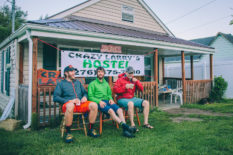
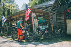
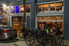
The route travels through many rural areas encompassing timeless old Appalachia passing places like Betsy’s Ol’ Country Store where you can crack open an ice cold Cheerwine, snack on a Moon-Pie and listen to stories of a once booming Mortimer logging town. But don’t get too used to the old time vibe because next thing you know you’ll be passing through the hip, upbeat towns of Boone or Asheville. While there is plenty of southern charm to be found in both of these towns there are also plenty of tasty food options and a plethora of breweries. Asheville alone houses more than 30 breweries; you can’t go wrong!
Route Difficulty: While much of the Trans WNC is on gravel and doubletrack roads, it was designed to take in many of the legendary singletrack trails that Pisgah National Forest is known for. For this reason there are plenty of sections of the route that are quite technically challenging. We rated the route a 7 out of 10 as a whole, but due to several advanced trails would assign it an 8 for technical difficulty, 6 for physical difficulty, and an easy 4 for logistics. Also note, much of the technical singletrack can be avoided by gravel roads. If you decide to go that route, make sure you bring the proper navigation tools to get you where you need to go.
 The Trans-WNC is stage two of four in the Southern Highlands Traverse, the first long distance bikepacking route on the east coast starting in Front Royal, Virginia and finishing at Flagg Mountain, Alabama, at the southern terminus of the Pinhoti Trail. The route traverses a mix of over 1,200 miles of gravel roads, forest doubletrack and plenty of the South’s most challenging singletrack. The Southern Highlands Traverse will also serve as a challenging single track alternate in the forthcoming Eastern Divide Trail. Learn more here.
Submit Route Alert
As the leading creator and publisher of bikepacking routes, BIKEPACKING.com endeavors to maintain, improve, and advocate for our growing network of bikepacking routes all over the world. As such, our editorial team, route creators, and Route Stewards serve as mediators for route improvements and opportunities for connectivity, conservation, and community growth around these routes. To facilitate these efforts, we rely on our Bikepacking Collective and the greater bikepacking community to call attention to critical issues and opportunities that are discovered while riding these routes. If you have a vital issue or opportunity regarding this route that pertains to one of the subjects below, please let us know:
Highlights
Must Know
Camping
Food/H2O
Trail Notes
Resources
- Some of the best singletrack riding on the east coast with classic descents such as Pilot Rock, Wilson Ridge and Black Mountain.
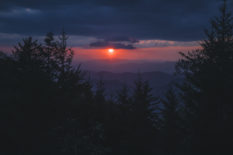
- Breathtaking scenery along the highest mountains east of the Mississippi River.
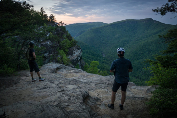
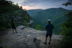
- Amazing views of the Linville Gorge Wilderness Area, the Grand Canyon of the East.
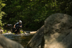
- Crossing through a beautiful slice of the Appalachian Mountain wilderness plenty of rhododendron tunnels and waterfalls.
- Beautiful camping options throughout Pisgah National Forest with swimming holes, lush forests and epic views.
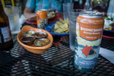
- Tasty breweries found throughout the small towns dotting the route. Check out Appalachian Mountain Brewery in Boone, Ecusta Brewery in Pisgah Forest, and a wealth of options in Asheville.
When to go
- April-October: Spring and fall are the best times to plan a trip down the Trans WNC but summer temperatures on much of the route are also moderate enough to provide an enjoyable experience. Do expect some hot days in the middle of summer at lower elevations. And also plan on keeping an eye out for afternoon thunderstorms during this time of year.
- The route is potentially rideable in the dead of winter. But weather in the southern Appalachian mountains can be fickle and unpredictable. Expect the potential for ice and snow, or 60°F and sunshine!
Logistics
- There are no permits required along the Trans-WNC. Being that this route is a point to point, route return travel to the start can be difficult. Damascus is a small town with some amenities however there are no services at the end of the route.
- The best solution is to organize a ride at the end of the route, or drop a car there. There is a pull out parking spot at the bridge; park there at your own risk. The small town of Mountain Rest may have options including a Post Office.
Dangers and Annoyances
- Western North Carolina is home to a lot of black bears but you would generally be lucky to see one. Do keep your distance and watch out for mom and cubs. There are also a few types of poisonous snakes such as the Copperhead, Eastern Diamondback Rattlesnake and the Timber Rattlesnake. Encounters with these are also pretty uncommon but keep your distance and educate yourself on proper care if you do by chance get bitten.
- Thunderstorms are most common in the late afternoon and can include severe lightning and large hail. Keep an eye around you and avoid open areas and high ridges if possible.
- There are a few requisite road sections along this route, so be sure to wear bright clothes and bring safety lights.
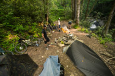
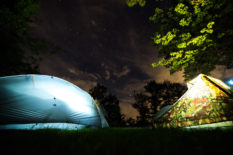
- Camping can be found in abundance in the Pisgah National Forest and is mostly free unless otherwise posted. Make sure to leave a clean campsite and put your fires out.
- Campgrounds open to the public are listed on the map as well as a few other accommodation options.
- There are a few longer sections where public camping options can be difficult to find so be sure to plan accordingly.
- There are many convenience stores found along the route and some great restaurant options as well in all the major towns along the way.
- Generally speaking, filterable fresh water is in abundance. But there have been periods of drought where many springs have all but dried up.
- Note that along the Linville Gorge Rim (Kistler Memorial Hwy) there is no water until you drop back down to Woodlawn and cross Highway 221. This is likely the longest section with no water options.
- Great Breweries can be found in most of the major towns you will be traveling through including Appalachian Mountain Brewery in Boone, Ecusta Brewery and Oskar Blues in Brevard and more than there is room here to list in Asheville.
The Trans-WNC bikepacking route is designed to connect with the Virginia Mountain Bike Trail (VMBT) and the Trans North Georgia (TNGA). However, the highest quality riding is found between Boone and Brevard. If you decide to shorten the route Boone to Brevard would still hit all the highlights and may also provide for easier logistics getting to a from the route.
Additional Resources
- If you’re into breweries, check out the Appalachian Beer Trail
Terms of Use: As with each bikepacking route guide published on BIKEPACKING.com, should you choose to cycle this route, do so at your own risk. Prior to setting out check current local weather, conditions, and land/road closures. While riding, obey all public and private land use restrictions and rules, carry proper safety and navigational equipment, and of course, follow the #leavenotrace guidelines. The information found herein is simply a planning resource to be used as a point of inspiration in conjunction with your own due-diligence. In spite of the fact that this route, associated GPS track (GPX and maps), and all route guidelines were prepared under diligent research by the specified contributor and/or contributors, the accuracy of such and judgement of the author is not guaranteed. BIKEPACKING.com LLC, its partners, associates, and contributors are in no way liable for personal injury, damage to personal property, or any other such situation that might happen to individual riders cycling or following this route.
Please keep the conversation civil, constructive, and inclusive, or your comment will be removed.


