


Upper Valley Trail Mix
Distance
71 Mi.
(114 KM)Days
2-3
% Unpaved
85%
% Singletrack
30%
% Rideable (time)
95%
Total Ascent
8,164'
(2,488 M)High Point
2,322'
(708 M)Difficulty (1-10)
7?
- 8Climbing Scale Strenuous115 FT/MI (22 M/KM)
- 7.5Technical Difficulty Difficult
- 7Physical Demand Difficult
- 3.5Resupply & Logistics Fair
Contributed By

Alex Belensz
Guest Contributor
Alex resides in White River Junction, Vermont, at the confluence of the mighty Connecticut River and the agreeable White River. His bicycle adventures have brought him to Europe and the desert southwest, but he has a particular affinity for the endless riding around his home in the Upper Valley region of Vermont and New Hampshire. His favorite days on a bicycle involve friends, his partner Becca, and, every so often, towing along the dog.
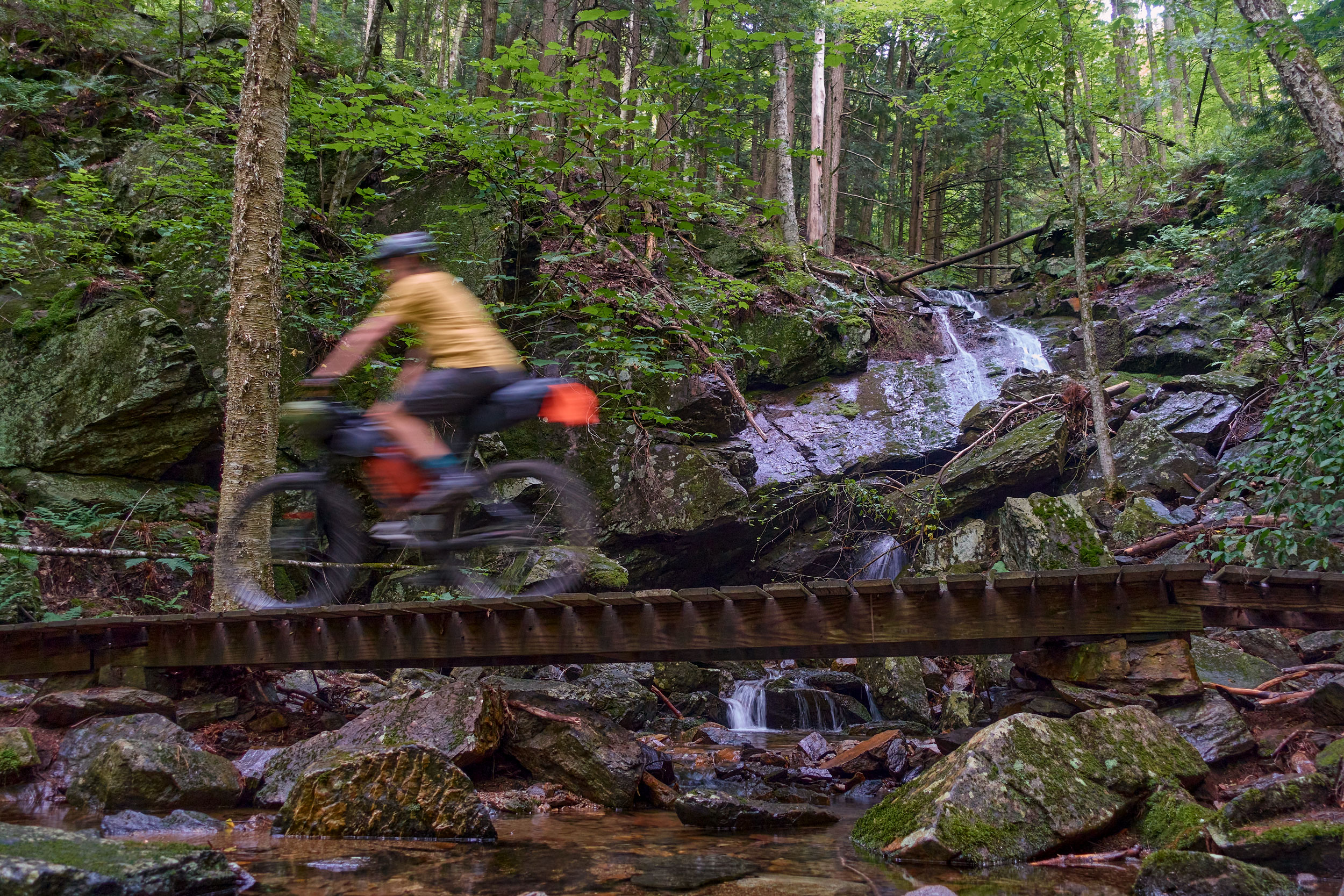
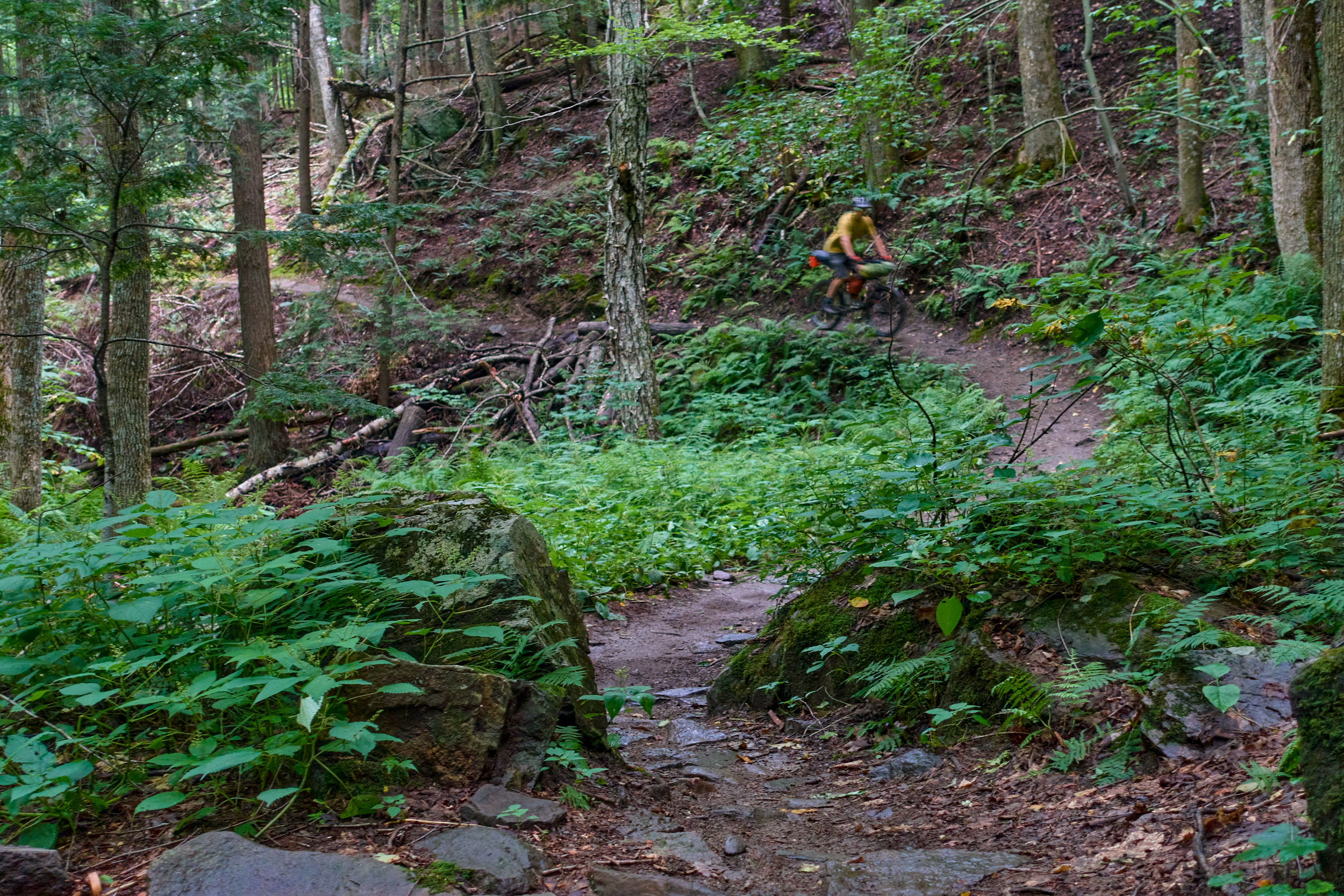
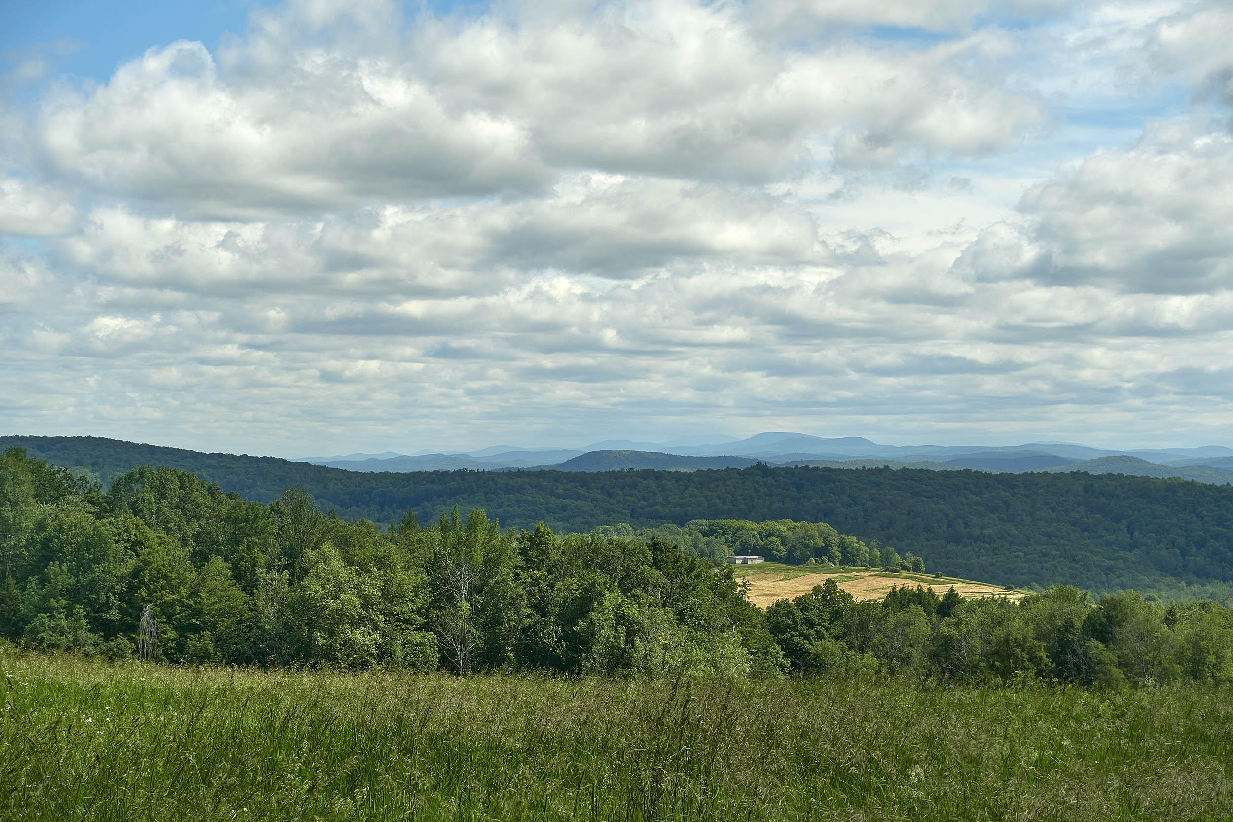
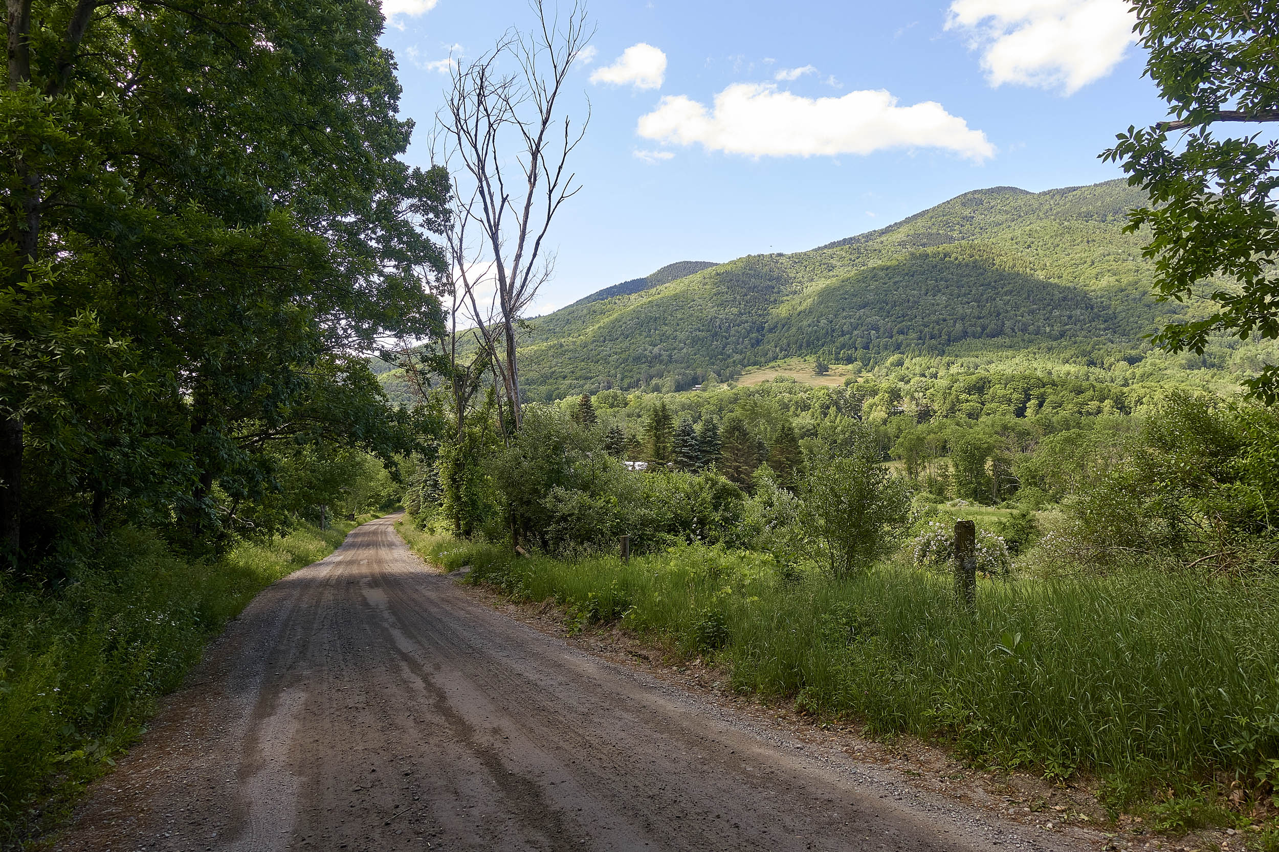
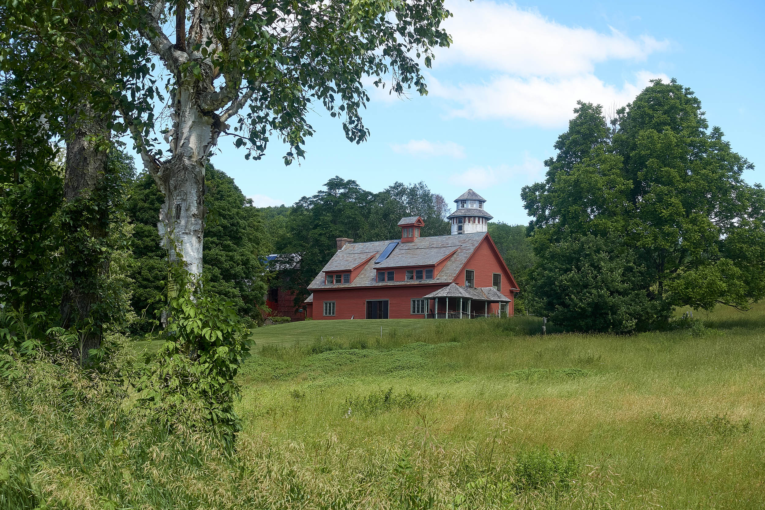
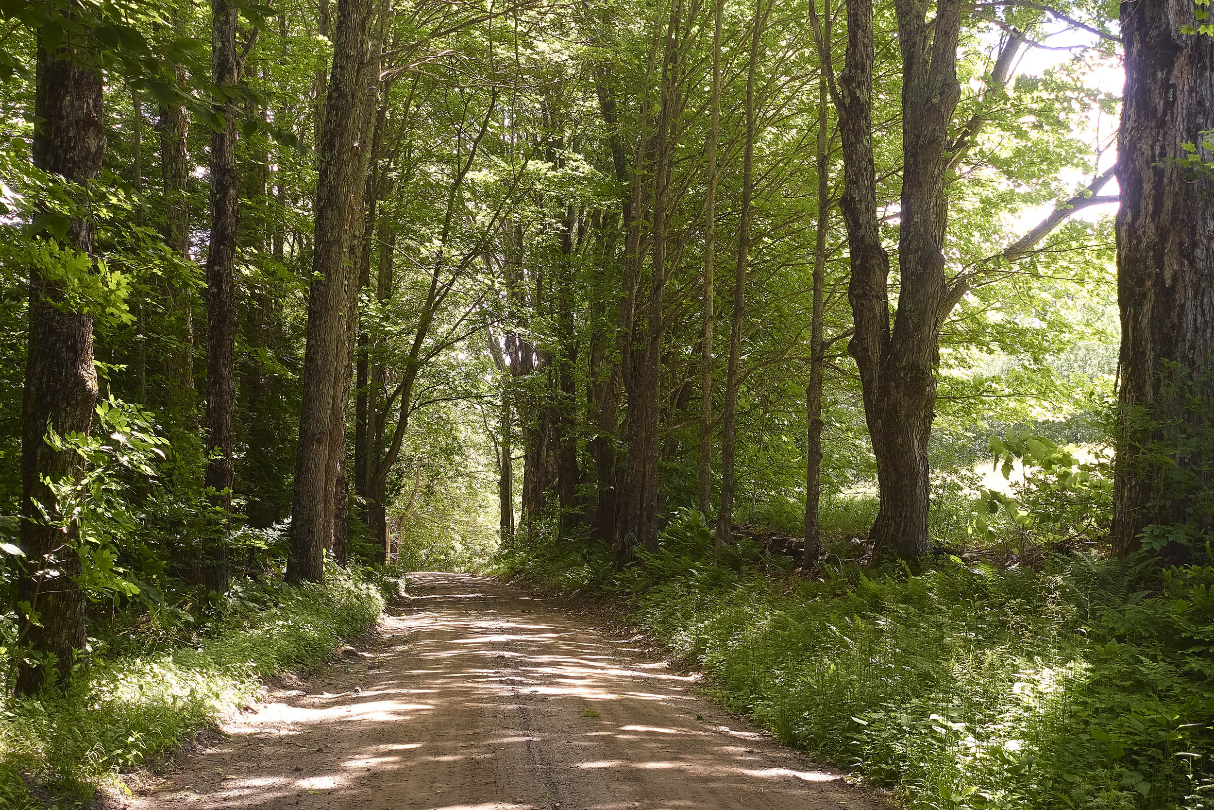
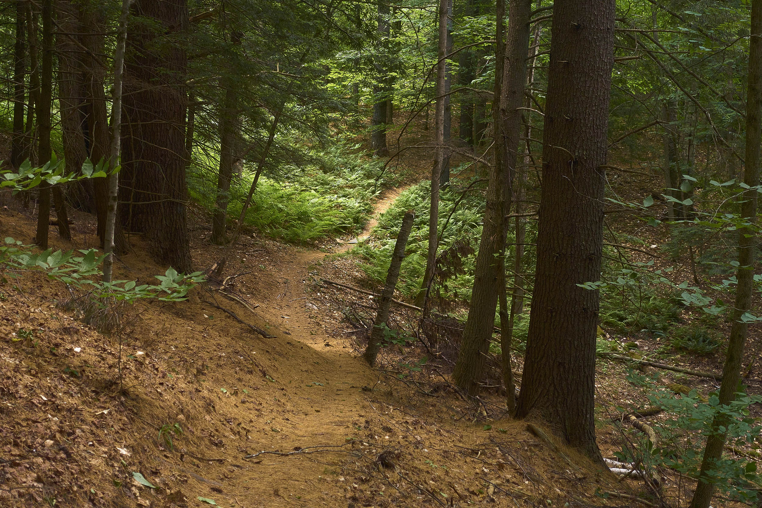
In Vermont’s Upper Valley region, the foothills of the Green Mountains tumble quietly into the Connecticut River basin. Pedaling the region’s snaking network of trails and gravel roads reveals steep hills and valleys, quaint villages, bubbling streams, and hillside farms with beautiful views. One of the most striking features of this region is Mount Ascutney, a prominent monadnock that has a habit of peaking out between ridgelines and valleys. Starting and ending in historic Woodstock, this route takes you south to the mountain and up and across its broad flank before heading back north. In between, you’ll ramble along twisting tree-lined backroads and trails through quintessential Vermont landscapes, with vistas and swooping descents serving as rewards for the persistent climbs.
Home of the Vermont Overland and Vermont 50 MTB races, the Upper Valley hosts some of the state’s best mountain biking and gravel riding. This route connects healthy portions of the region’s singletrack and doubletrack trails, Vermont’s infamous unmaintained Class IV roads, and smoother gravel roads. You’ll sample sections of four excellent mountain bike trail networks, topping out at Saskadena Six (one of America’s oldest ski areas), winding through a working timber forest at the Aqueduct Trails, traversing the expansive handbuilt trails on the rugged slopes of Mount Ascutney, and finishing with a trail-to-town experience at Mount Peg.
Camping options range from reservable stays at campgrounds to primitive state forest camping. The preferred camping option is Mount Ascutney State Park campground, which is accessed directly along the route from a singletrack trail. A few miles prior, a short detour takes you to Brownsville Butcher & Pantry, a modern take on the classic Vermont general store with excellent comfort food made-to-order (arrive before 4 PM!), local beers on tap, and a well-stocked market.
This route will generally ride well from late spring to mid-fall. Early fall brings autumnal beauty and mild temperatures but also busloads of leaf peepers to Woodstock. Once out on the route, things tend to be pretty quiet, regardless of the season. The Upper Valley is a fairly temperate region; some summer days can certainly get hot, but you’ll be well-shaded most of the time, and the evenings generally cool down nicely. There are a few opportunities to swim on those warmer days as well.
Route Difficulty
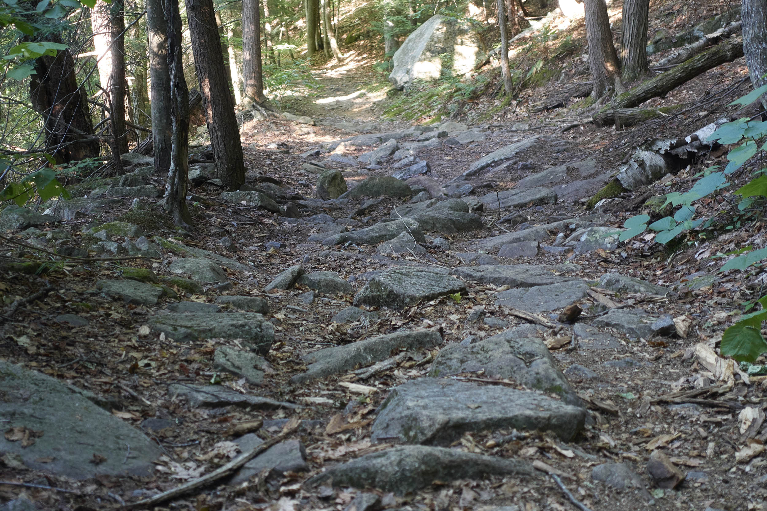
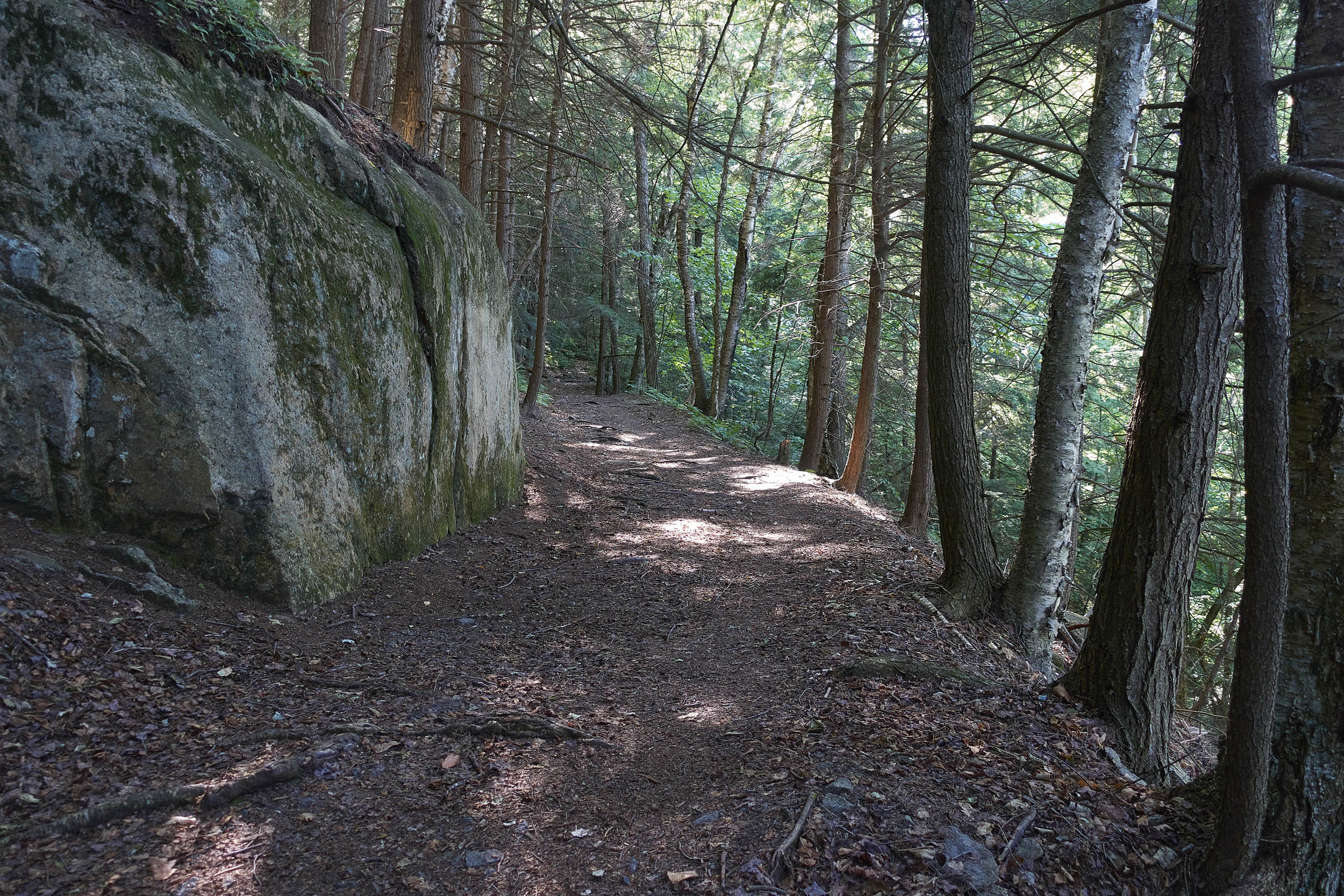
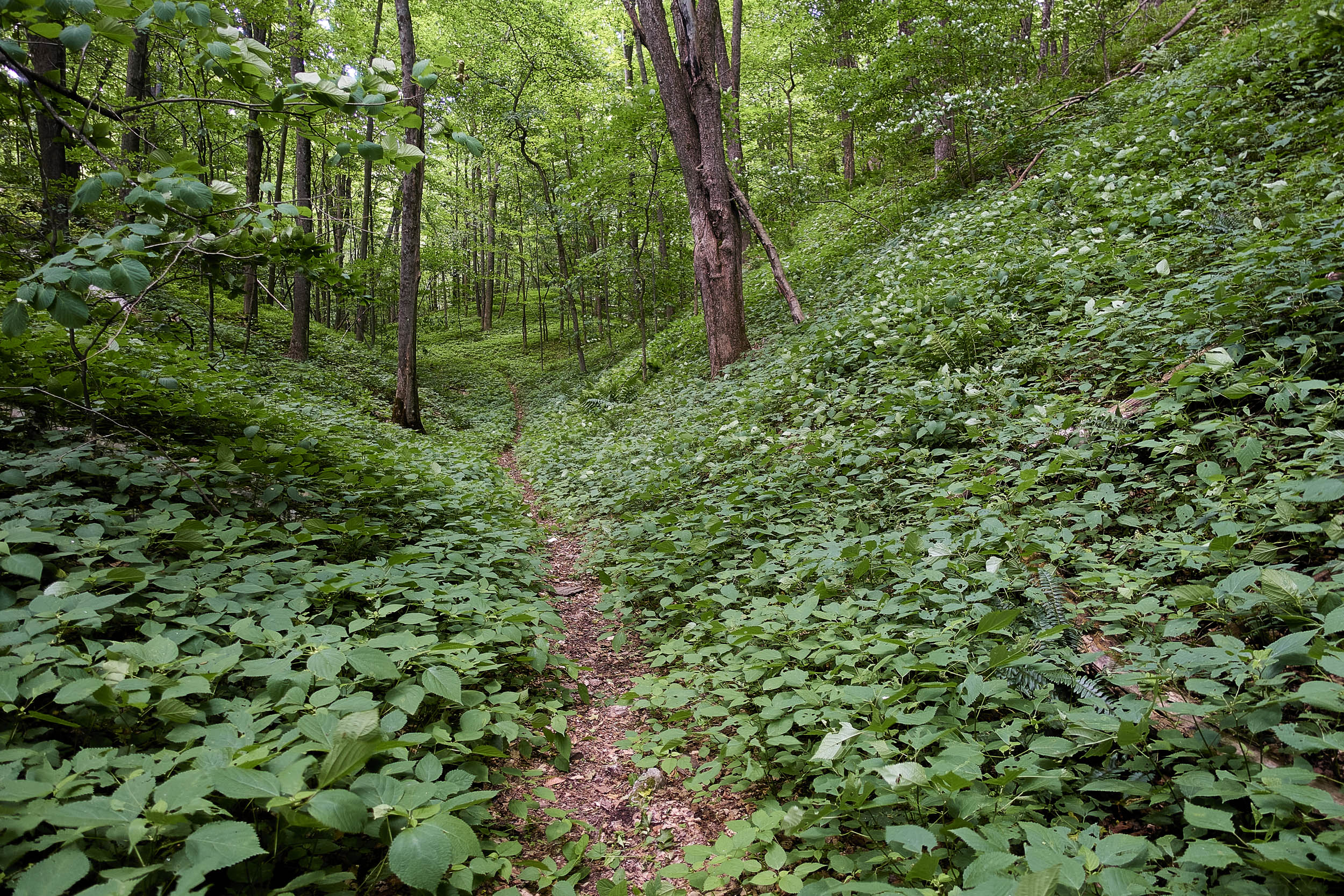
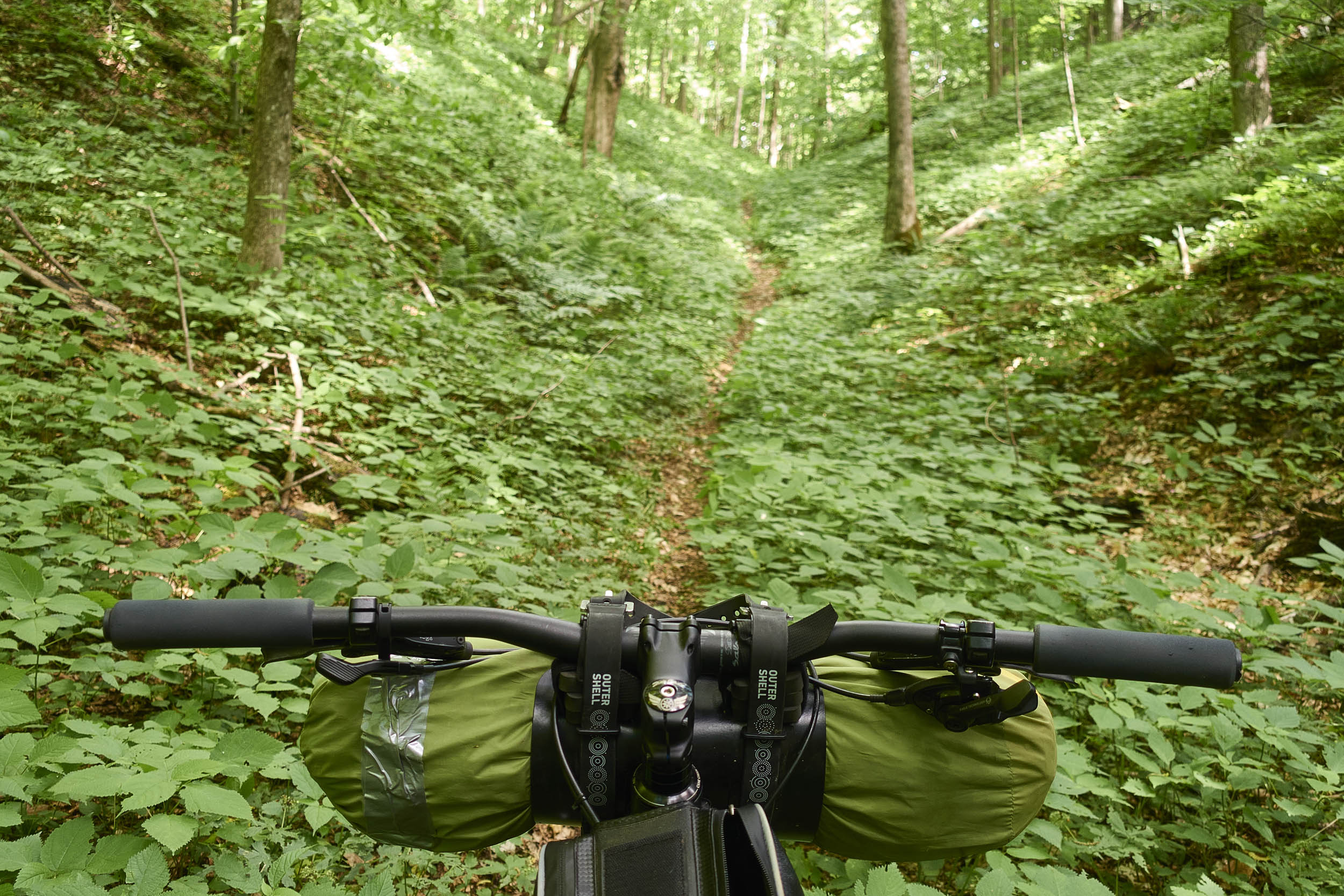
Physically, this is a pretty challenging overnight tour, with the main source of difficulty being the significant and consistent climbing. There are some notable sustained climbs and some short, punchy pitches that may require periodic hike-a-bike for some. There are very few flat sections. Additionally, about half of the route is on trails or minimally maintained roads with varying technical challenges. Off-road terrain ranges from smooth, gentle trails and doubletrack to moderate roots and rocks with occasional steep sections and some tight switchbacks. Main gravel roads are smooth and provide a nice reprieve from off-road terrain. Extending the tour to three days will drop the difficulty down a bit.
Logistically, the route is relatively simple, being a loop that starts and ends in Woodstock. Natural water sources are plentiful, and there is a great mid-route resupply and meal option at Brownsville Butcher & Pantry. Navigation can be tricky through some of the trail networks as some trails are not signed, and some areas have frequent intersections. A handlebar-mounted GPS or smartphone will be helpful. Cell coverage can be intermittent. See the Must Know section for information on overnight parking in Woodstock at the start and end of the ride.
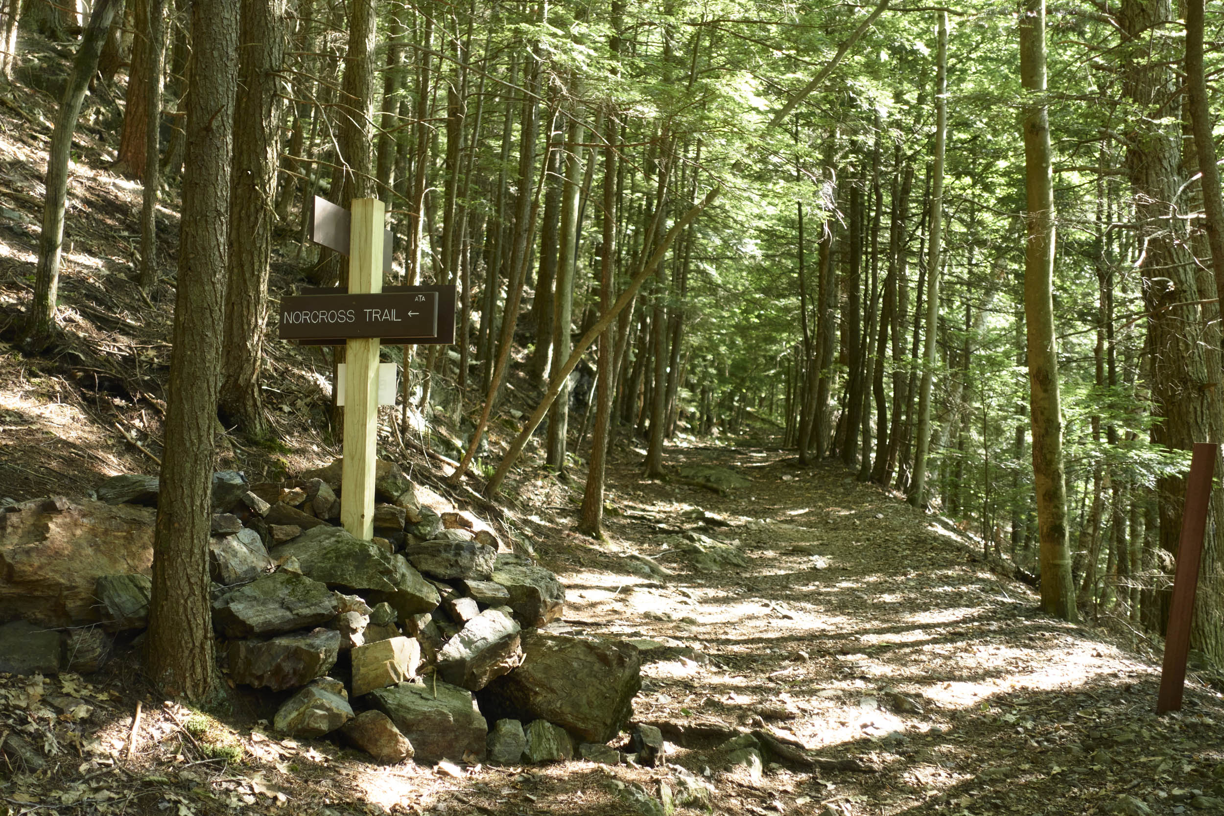
Route Development: As a resident of the Upper Valley, I wanted to stitch together a route that showcased its humble beauty and variety of riding experiences. The overnighter vision clicked into place with the opening of the Norcross Trail on Mount Ascutney in 2022, which provides a direct singletrack connection to Mount Ascutney State Park campground (the preferred camping option for the route and previously only accessible via state highway).
The route uses trails developed and maintained by the Ascutney Trails Association (ATA) and Woodstock Area Mountain Bike Association (WAMBA). Please consider throwing them a donation or becoming a member if you enjoyed their trails. The route also traverses various public lands: Mount Ascutney State Park, West Windsor Town Forest, Hartland Town Forest, Coolidge State Forest, Windsor Grasslands Wildlife Management Area, and Knapp Brook Wildlife Management Area.
Wôbanaki/Abenaki Lands
Tsinnijinnie Russell provides a regional overview of the Wôbanaki for the Lupine section of the Eastern Divide Trail.

Submit Route Alert
As the leading creator and publisher of bikepacking routes, BIKEPACKING.com endeavors to maintain, improve, and advocate for our growing network of bikepacking routes all over the world. As such, our editorial team, route creators, and Route Stewards serve as mediators for route improvements and opportunities for connectivity, conservation, and community growth around these routes. To facilitate these efforts, we rely on our Bikepacking Collective and the greater bikepacking community to call attention to critical issues and opportunities that are discovered while riding these routes. If you have a vital issue or opportunity regarding this route that pertains to one of the subjects below, please let us know:
Highlights
Must Know
Camping
Food/H2O
Trail Notes
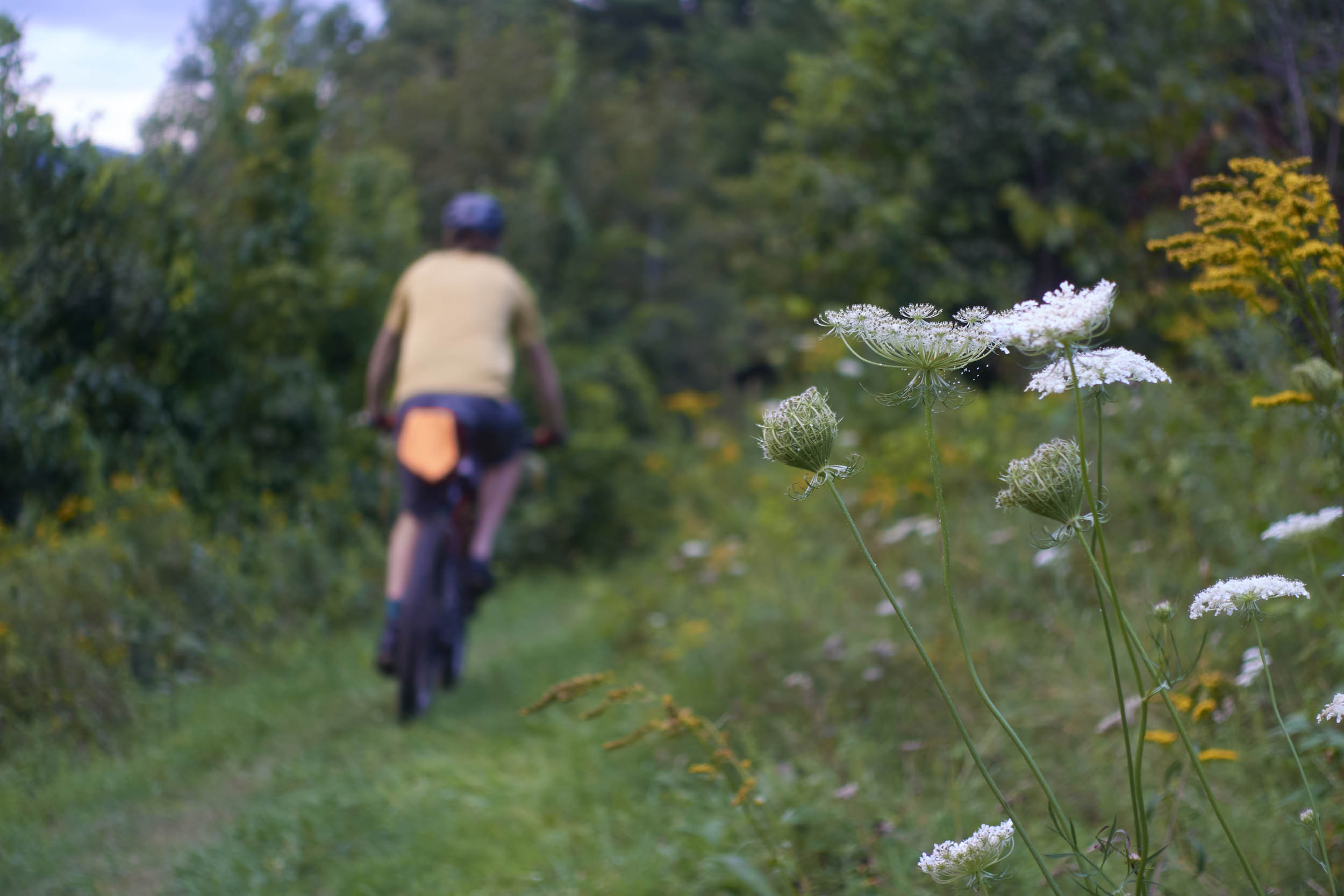
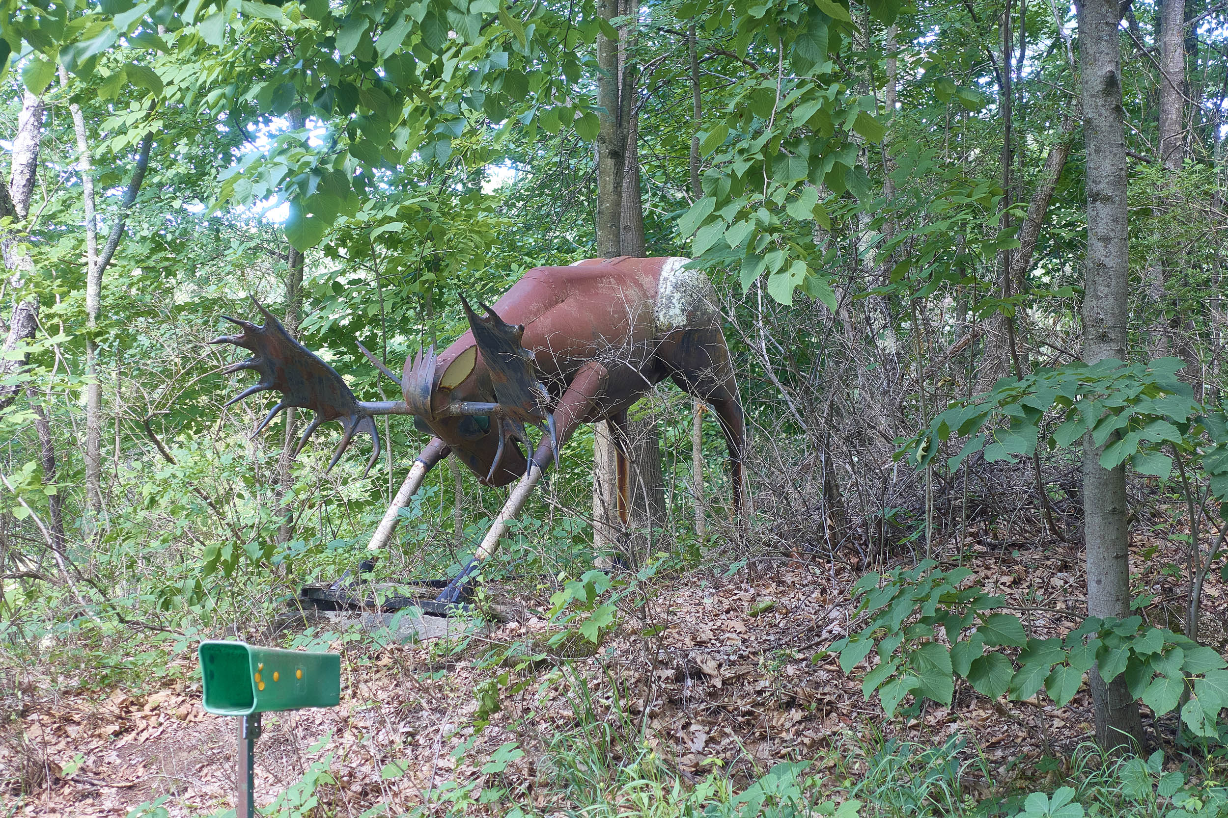
- Experiencing quintessential Vermont landscapes – forests, valleys, villages, mountains, and farms.
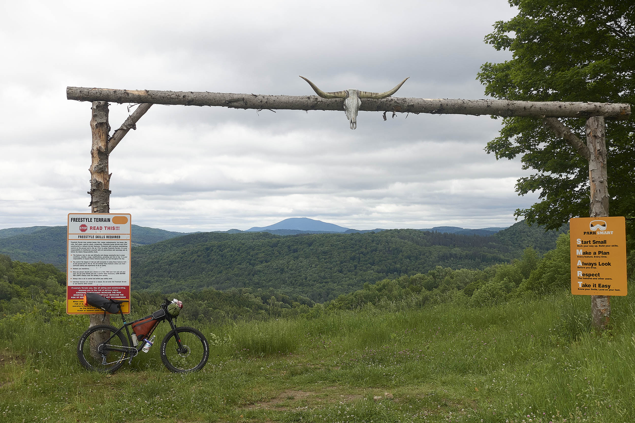
- Ascending Saskadena Six – home of America’s first ski lift.
- Descending the swooping Slash Ridge Trail at the Aqueduct Trails in Woodstock.
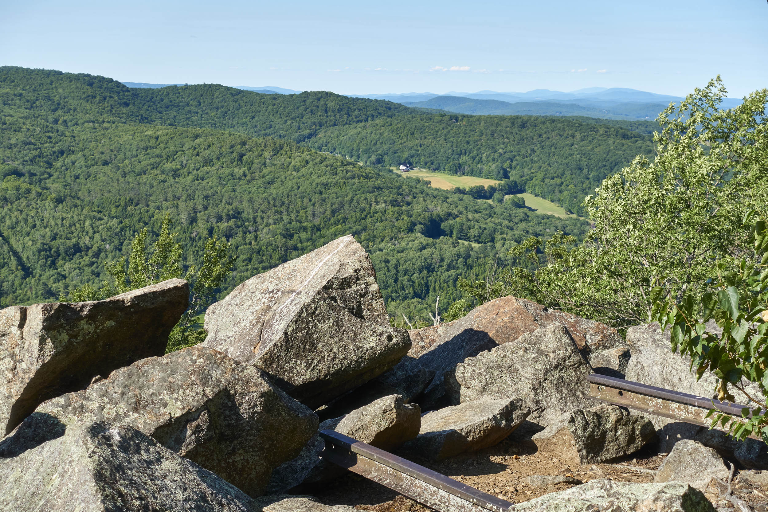
- The view of the Green Mountains at the top of a long climb in Coolidge State Forest.
- The 10-mile singletrack traverse across the northern flank of Mount Ascutney.
- Climbing the gentle doubletrack trail along Cady Brook in Hartland.
- Sneaking in one last singletrack climb, scenic overlook, and descent at Mount Peg just before the end of the route.
- Quiet gravel roads.
- The uniquely Vermont experience of losing yourself in the landscape while never being too far from civilization.
- Bike Selection: A hardtail mountain bike is recommended. A rigid mountain bike or all-terrain bike would be a more intrepid choice, but certainly doable.
- Ride it counter-clockwise. The route flows better in this direction, and uses at least two downhill-primary singletrack trails that would need to be bypassed if riding clockwise.
- Recommended time of year is after mud season (June is usually a good bet) and before snow accumulates (mid-November or so). Make sure trails are open before you go.
- Good trail etiquette is absolutely essential on this route. Most of the purpose-built mountain bike trails are on private land. This means no camping along trails. Respect all trail system rules and closures, be friendly and respectful to other trail users, and avoid riding on closed trails. Do not climb onto lift chairs or equipment when riding through the Saskadena Six ski area (yes, this does need to be said!).
- Having a handlebar-mounted GPS unit or phone is helpful for navigating the singletrack networks without repeated stops.
- Follow the GPS closely when exiting the Saskedena Six trails to avoid crossing private property (see Trail Notes for more details).
- Consider wearing some blaze orange if riding during hunting season.
- Lyme disease is present in Vermont. A tick check at the start and end of each day is a good practice.
- Free overnight parking is limited in downtown Woodstock. Your best bet is to park on a side street in downtown where there is free parking. The map includes several POIs for streets where free overnight parking is permitted. Alternatively, you could park in a paid spot and pay for a full day of parking ($6) via the Park Mobile App on each day you are parked (free on Sundays).
- Mount Ascutney State Park is located right on the Norcross Trail and is the recommended camping option. Reservations are required. To request a one-night stay at Ascutney, you’ll need to call the VT State Parks reservation office (online registration requires a two-night minimum stay). The campground typically closes for the season in mid-October each year (you can check the VT State Parks annual operating schedule here).
- Caton’s Place Campground is a short distance off the route and is a decent option if the distance to the Mount Ascutney campground feels daunting. There are also a handful of HipCamp options.
- If you want a more wild camping experience, primitive camping is permitted in Lord State Forest (no designated sites; must be 1,000 feet from roads and 200 feet from water).
- You might have luck asking for permission to camp in someone’s yard or field. Wild camping is not permitted along any of the trails on this route. Please respect private landowners and public lands policies and avoid camping trailside.
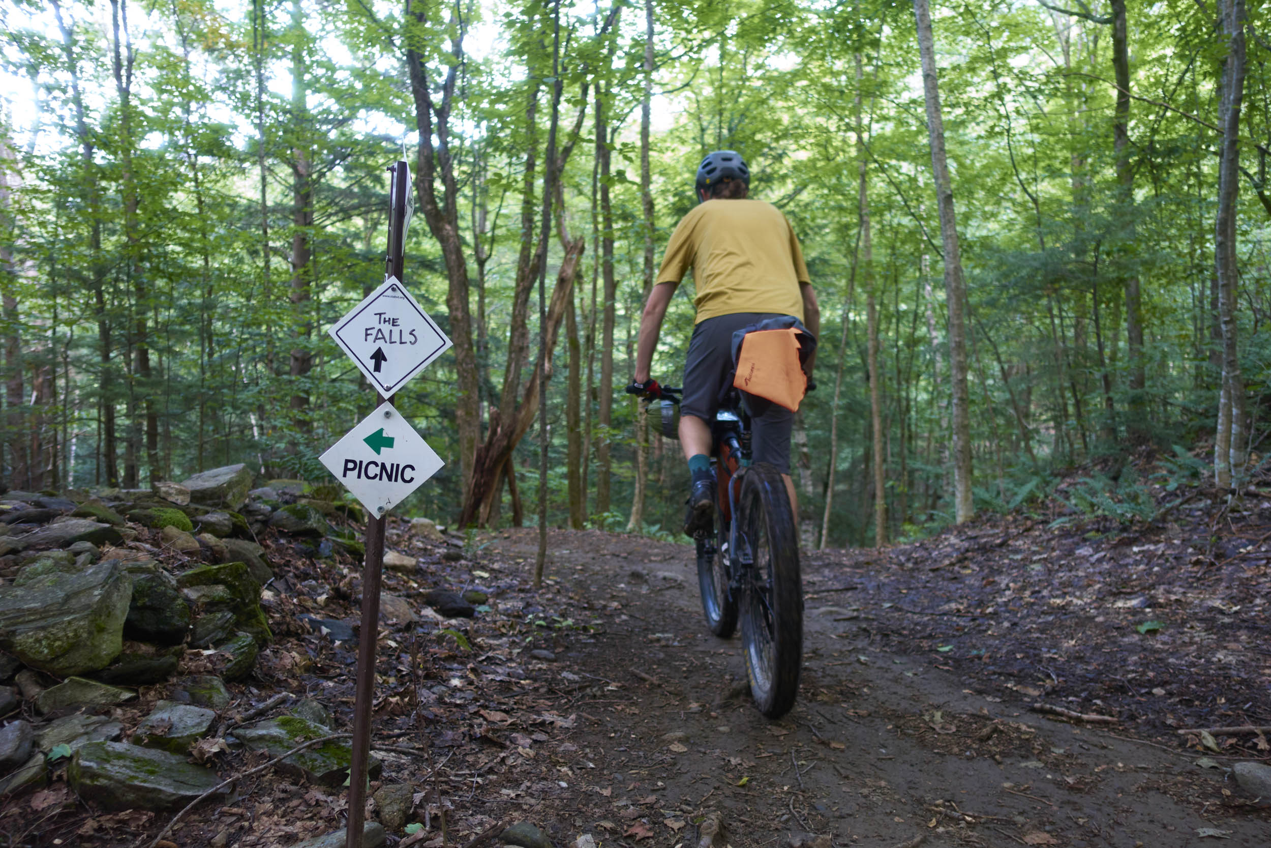
- Brownsville Butcher & Pantry is your mid-route pit stop for excellent food, beer on tap, and resupply market. To access from Ascutney Trails, descend the Last Mile trail at mile 43.4 down to the Ascutney Outdoors Center, then take Home Again to Trail to Town (note that this is a total descent of about 350 vertical feet). Cafe closes at 4 PM, market closes at 7 PM. End your ride at Mon Vert Cafe or Worthy Kitchen in Woodstock.
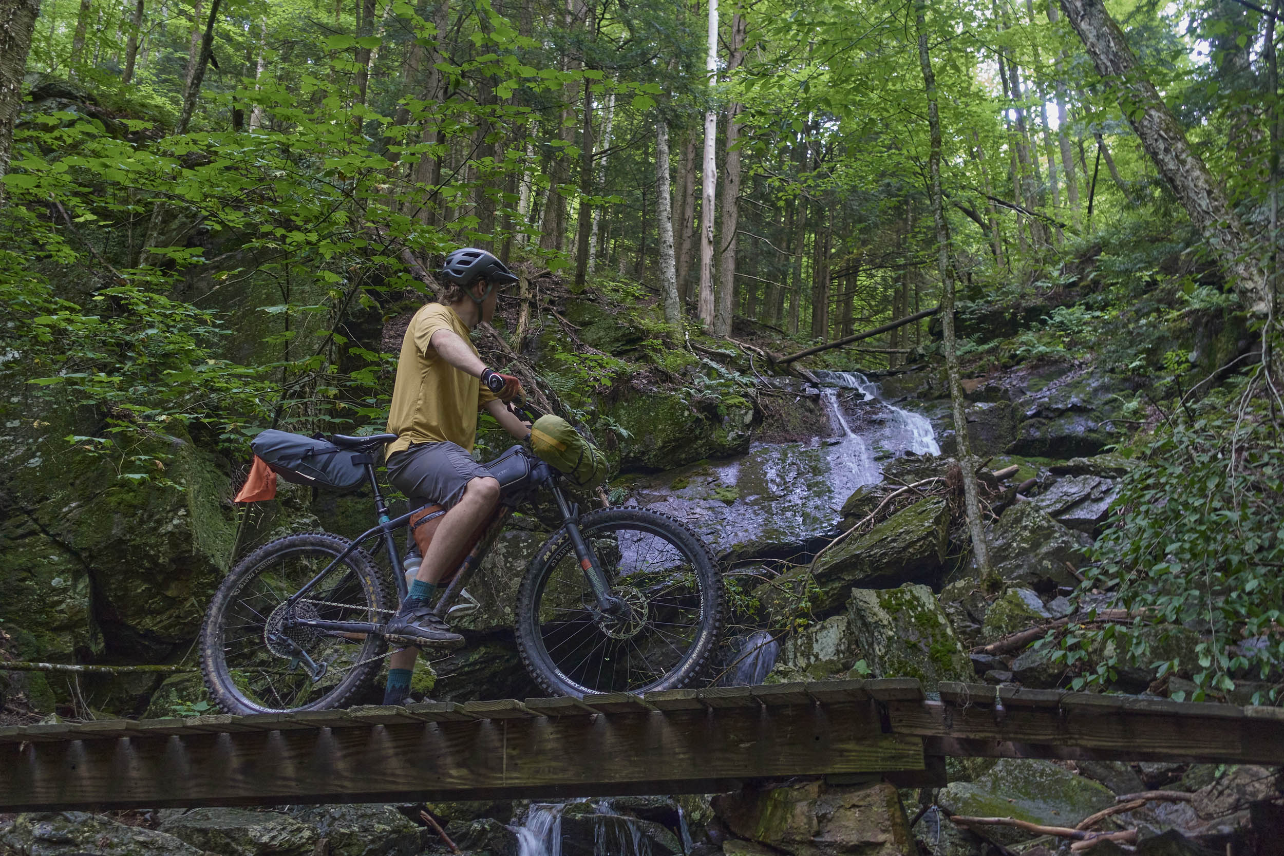
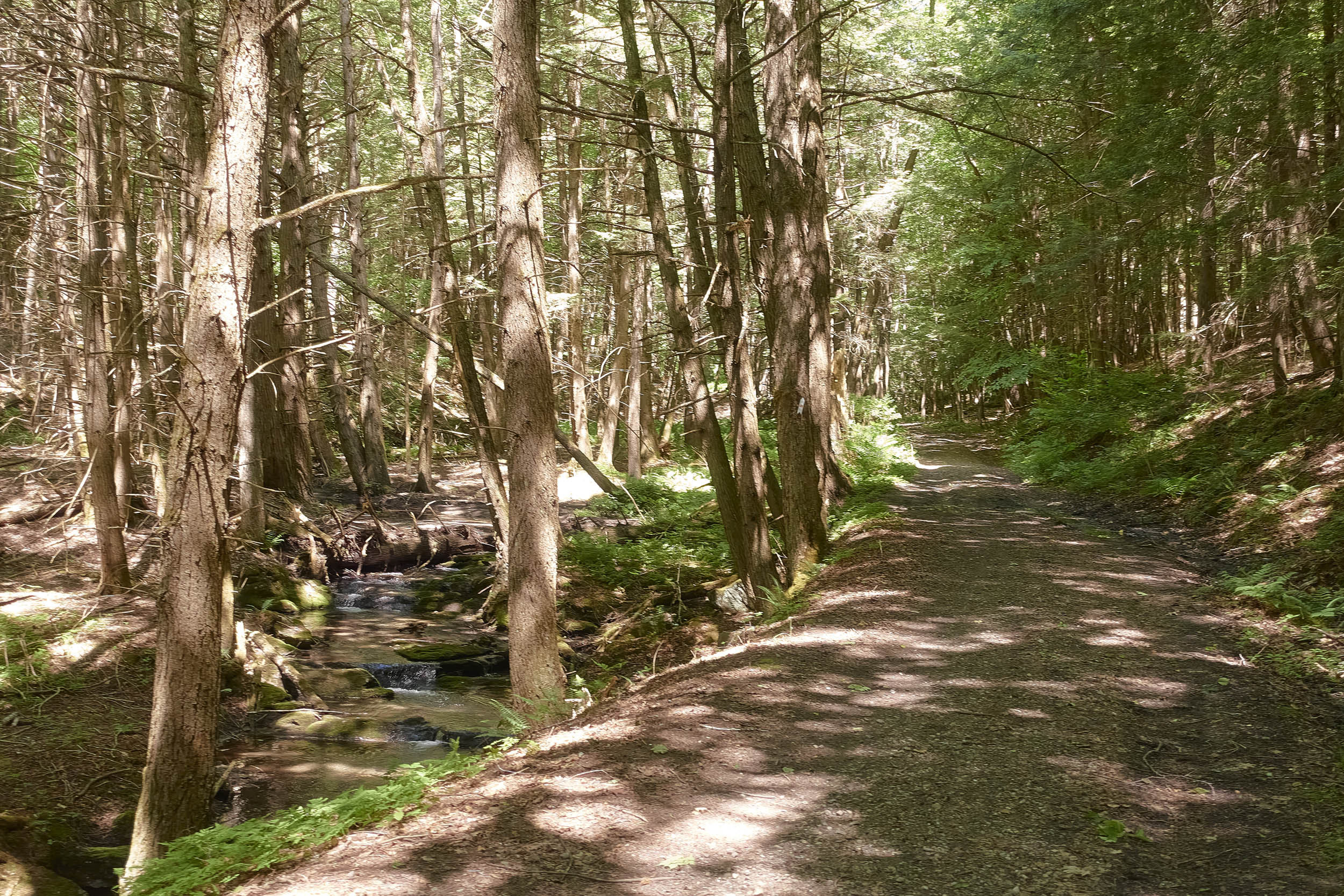
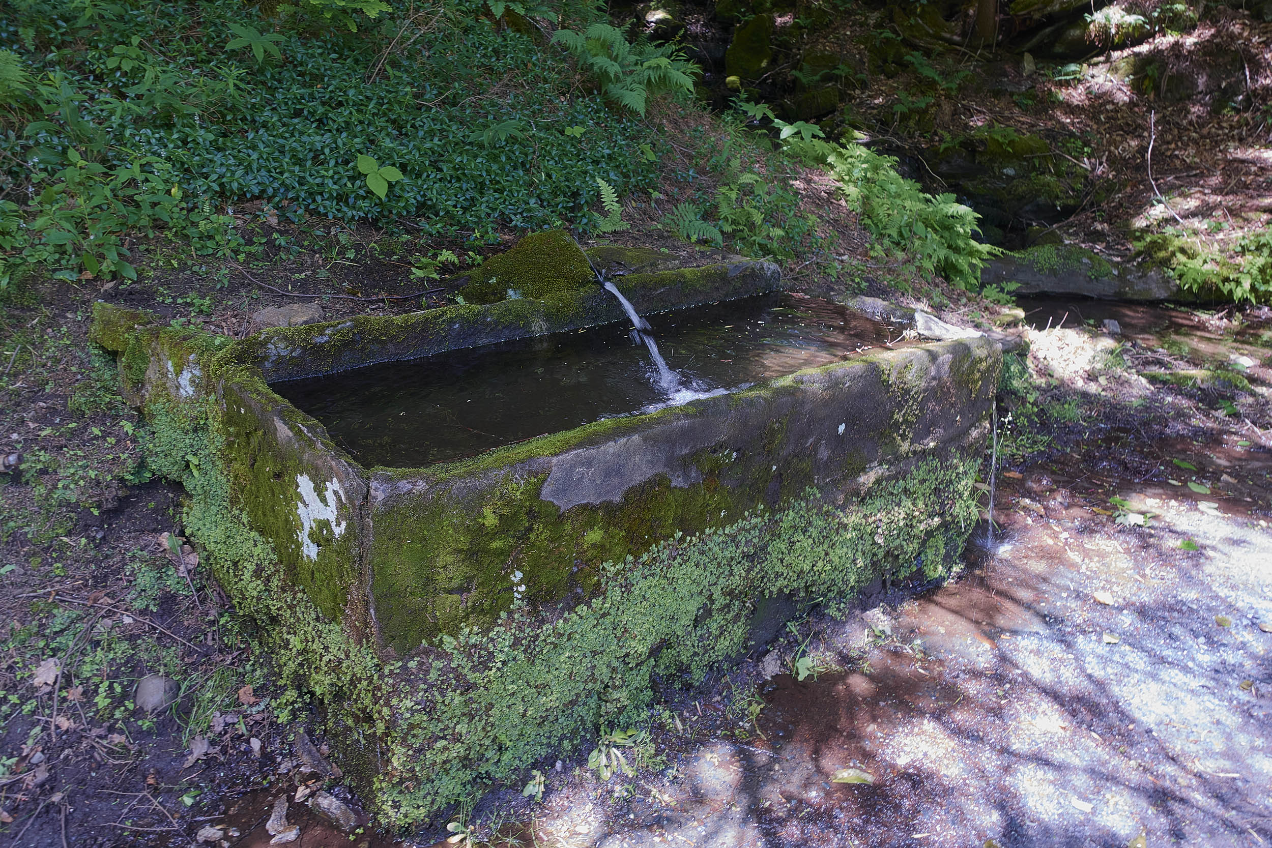
- Periodic stream crossings provide opportunities for water refills. All stream water should be properly filtered or treated. There are also two timely potable water springs that are marked with waypoints on the map.
Downtown Woodstock to Saskadena Six
The route starts with a few miles of relatively flat paved pedaling to warm you up. Head north on Elm St. from downtown Woodstock and then bear right on Stage Rd. When you reach the Saskadena Six ski area, head across the parking lot toward the gate on the right side of the base lodge. Start climbing up the access road, taking on a few short and punchy climbs before bearing right on the First Drop trail. From here, it is a long and steady climb to the top of the mountain (keep an eye out for blackberries). Near the top, the trail will fork. Follow the green sign to stay on the climbing trail. At the summit, take in the south-facing view of Mount Ascutney, your destination. Once you are ready to descend, bear left onto Avery’s Interstate. After a brief, flowy descent (berms and jumps if ya want ‘em!), turn left back on to First Drop. Follow the GPS closely here. You will exit the trail on your left to an ill-defined skid road (you’ll probably need to step off your bike). It’s important to exit here to avoid trespassing. After a few hundred feet, you’ll pick up a gravel road that turns into Austin Rd.
Saskadena Six to Aqueduct Trails
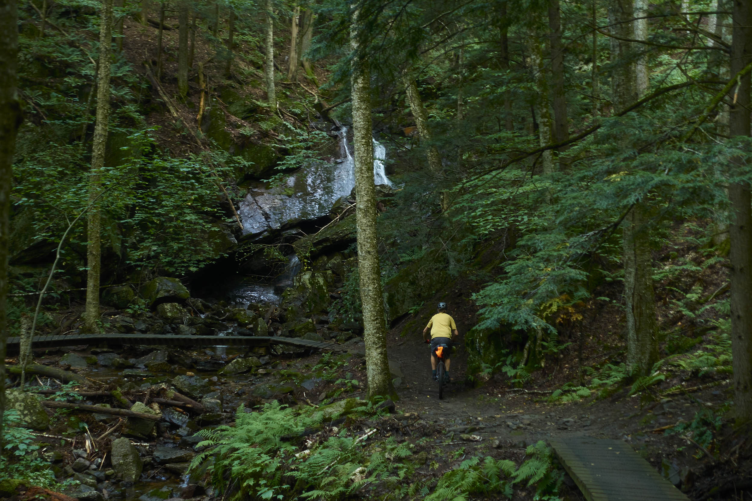
Descend Austin Rd down to VT Route 12. After a brief stretch on VT Route 12, you’ll be back on gravel, taking Prosper Rd to Grassy Lane. After a climb, Grassy Lane turns into an unmaintained Class IV road. Here, you will enter the Aqueduct Trail network. Take a right on Coaster, a winding, steady climb that will take you to Fiddler and then Buffer Zone. From Buffer Zone, you’ll have a mellow descent on Upper Rum Street before taking a right on Spawn Connector to Upper Spawn of Vaughan. After a brief descent, you’ll have a longer, steady climb up Contagious before connecting to Slash Ridge, bringing you to the top of a narrow ridgeline in a beautiful open forest. From here, you’ll enjoy a long, swooping descent on Slash Ridge – mind your speed on the loaded bike. Exit onto Grassy Lane via Lower Rum Street, then take a left on TNT, a mellow winding track that will bring you out to the trailhead.
Aqueduct Trails to Coolidge State Forest
From the Aqueduct trailhead, turn right on the gravel Cox District Rd, then turn left onto Gabert Rd. A swift descent will take you down to US Route 4 in West Woodstock. After a brief moment on Route 4, take a right on Westerdale Cut-Off for a half-mile gravel bypass before merging back on Route 4. For the next few miles, let your legs relax as you pedal flat, smooth pavement along the Ottauquechee River. There is a decent shoulder here, but be mindful of moderate traffic. Once in Bridgewater Village, take a left on Mill Rd, then another left to cross the river on Curtis Hollow Rd. From here, you’ll start the most daunting climb on the route: 1,500 vertical feet of moderate-to-steep grade starting on gravel and transitioning to a logging road. After climbing Curtis Hollow Rd past Macawee Rd, take a left on an unmarked doubletrack to enter Coolidge State Forest. The next two miles get progressively steeper with some short pitches that may require hike-a-bike. Near the top, be sure to look over your right shoulder for a great view of the Green Mountains.
Coolidge State Forest to Ascutney Notch
Once at the top of the logging road, briefly descend a rough doubletrack to Brown Schoolhouse Rd. After a lengthy descent, take a left on the Rich Trail (another doubletrack trail). After a brief climb, enjoy a long descent with some areas of rock slab (and mud if it’s been raining). Exit onto N Puckerbrush Rd, then take Bartley Rd into South Reading Village. Fill up water at the natural spring at the end of Bartley Rd, then take the paved Town Highway 1 to Town Farm Rd. Town Farm Rd soon becomes a rougher Class IV road with several steep, punchy climbs. Eventually, you’ll reach the ominously named Chaos Turnpike. Turn left and descend to Knapp Brook Ponds. Take a swim here before continuing a long gravel descent down Knapp Pond Rd, Tarbell Hill Rd, and Greenbush Rd. Crossing VT Route 106, continue your gravel road tour on Little Ascutney Rd, traversing scenic farm fields at the base of Little Ascutney Mountain before beginning the long climb up to Ascutney Notch. At the top of Little Ascutney Rd, briefly merge onto VT Route 131 before going left on Henry Gould Rd and left again on Ascutney Notch Rd. Ascutney Notch Rd quickly turns into a steep and rough Class IV road as it climbs between Mount Ascutney and Little Ascutney Mountain. This may be a hike-a-bike, especially if conditions are wet. At the top of the notch, the road smooths out, and you will descend briefly before taking Gravel Pit Rd (a doubletrack trail) on the right. You’ve now entered the Ascutney Trails network.
Ascutney Notch to Mount Ascutney State Park Campground
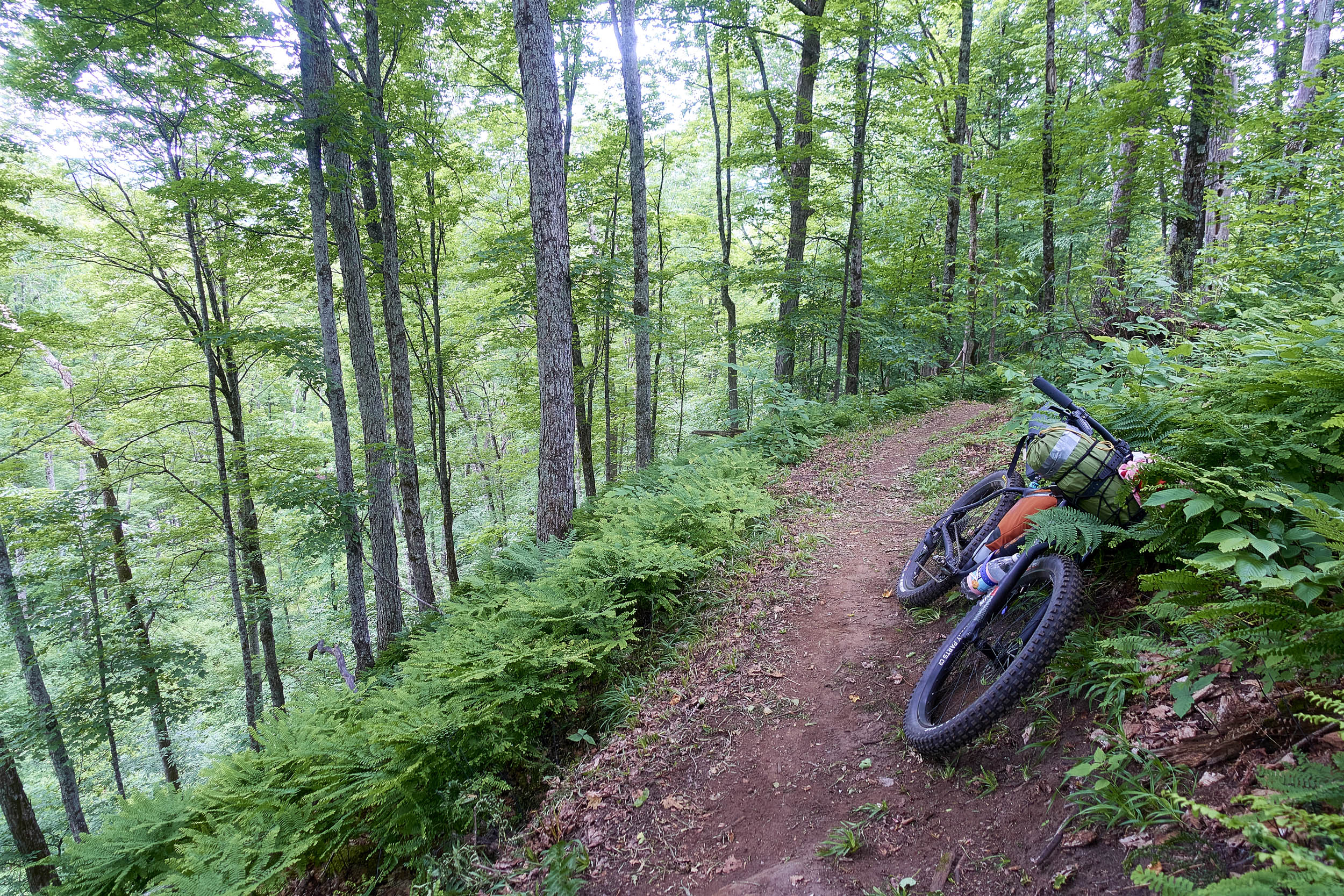
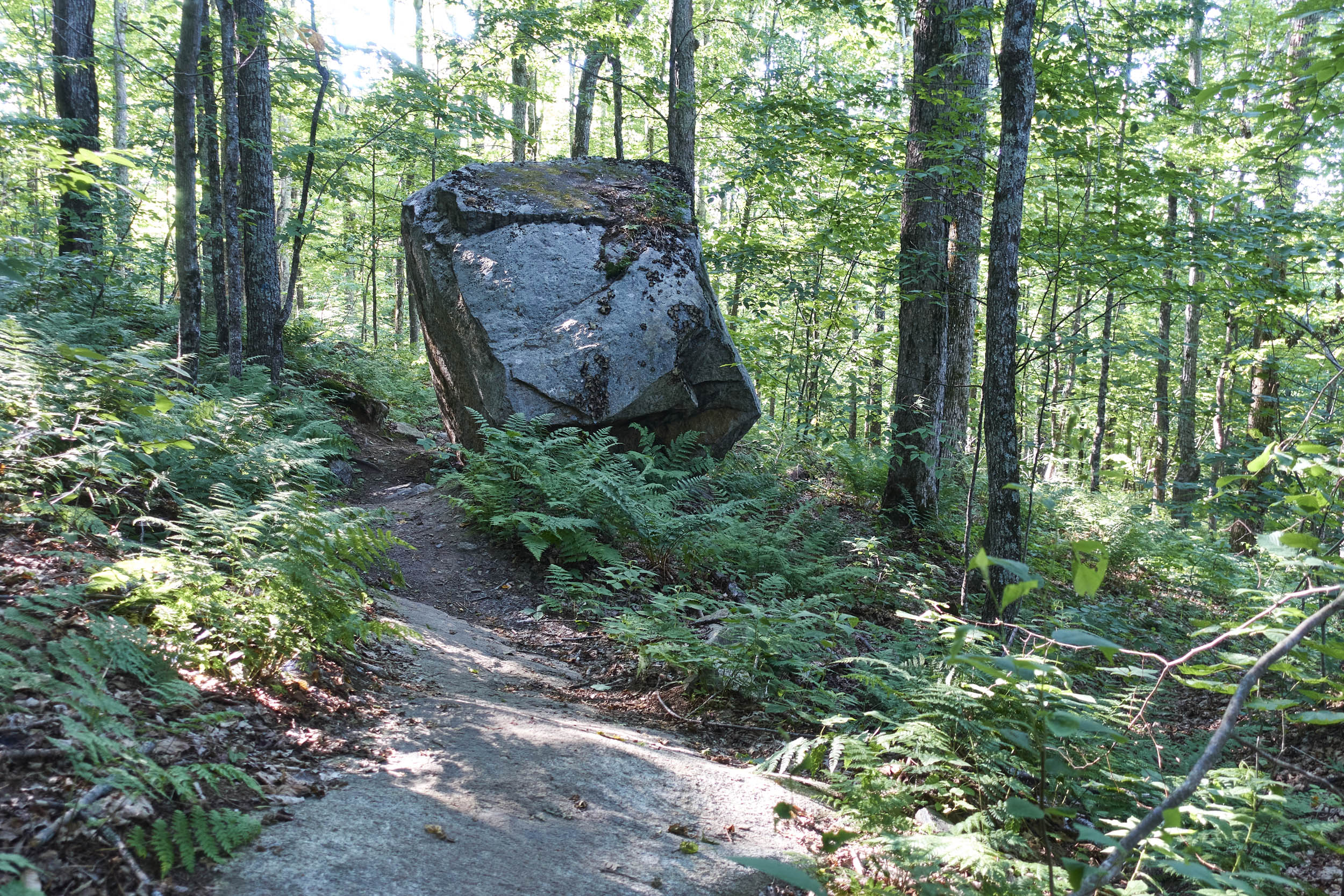
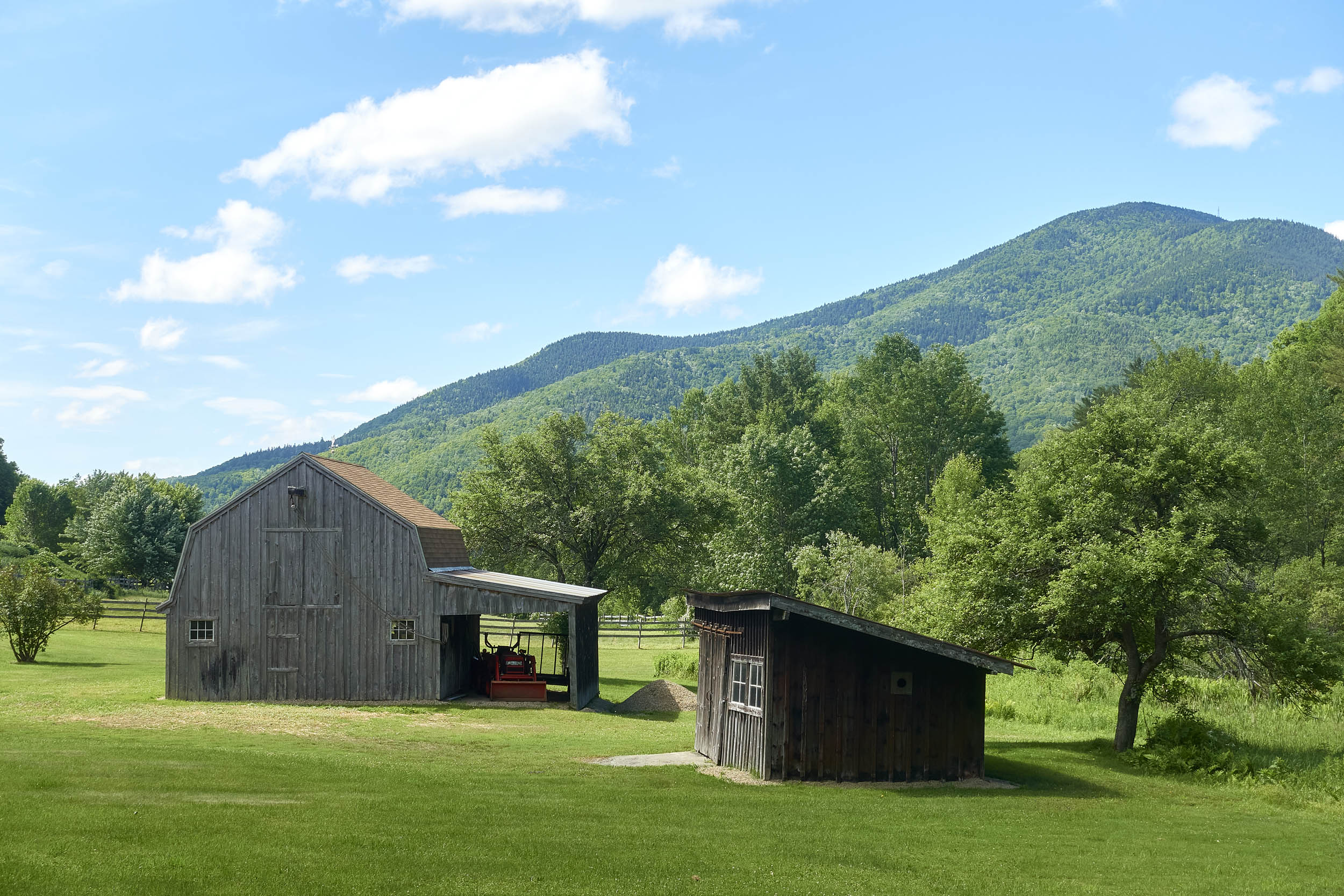
From Gravel Pit Rd, there will be ups and downs along a series of singletrack trails as you climb and descend the flank of Mount Ascutney over the next 10 miles. Having a GPS or phone mounted on your handlebars will help you navigate frequent trail intersections. You’ll initially take Road to Paradise > Cloud Climber > Nimbus > Falls Trail > Last Mile. You’ll be on Last Mile for a while, cutting across former downhill ski trails, affording views of the surrounding pastoral landscape. When you hit the 42nd Street trail, you’ll have a decision – either descend Last Mile down to Brownsville Butcher & Pantry for delicious food/resupply out-and-back or continue across the mountain on 42nd Street. After a series of switchback climbs and traverses on 42nd Street, you’ll hit the Norcross Trail. The next five miles of riding on the Norcross Trail will be remote and moderately technical. Pause to admire the large glacial erratics, and be sure to take the brief detour to the Quarry Overlook. After several miles of traversing and climbing the Norcross Trail, enjoy a long descent to the Mount Ascutney State Park campground.
Mount Ascutney State Park Campground to Windsor Grasslands WMA
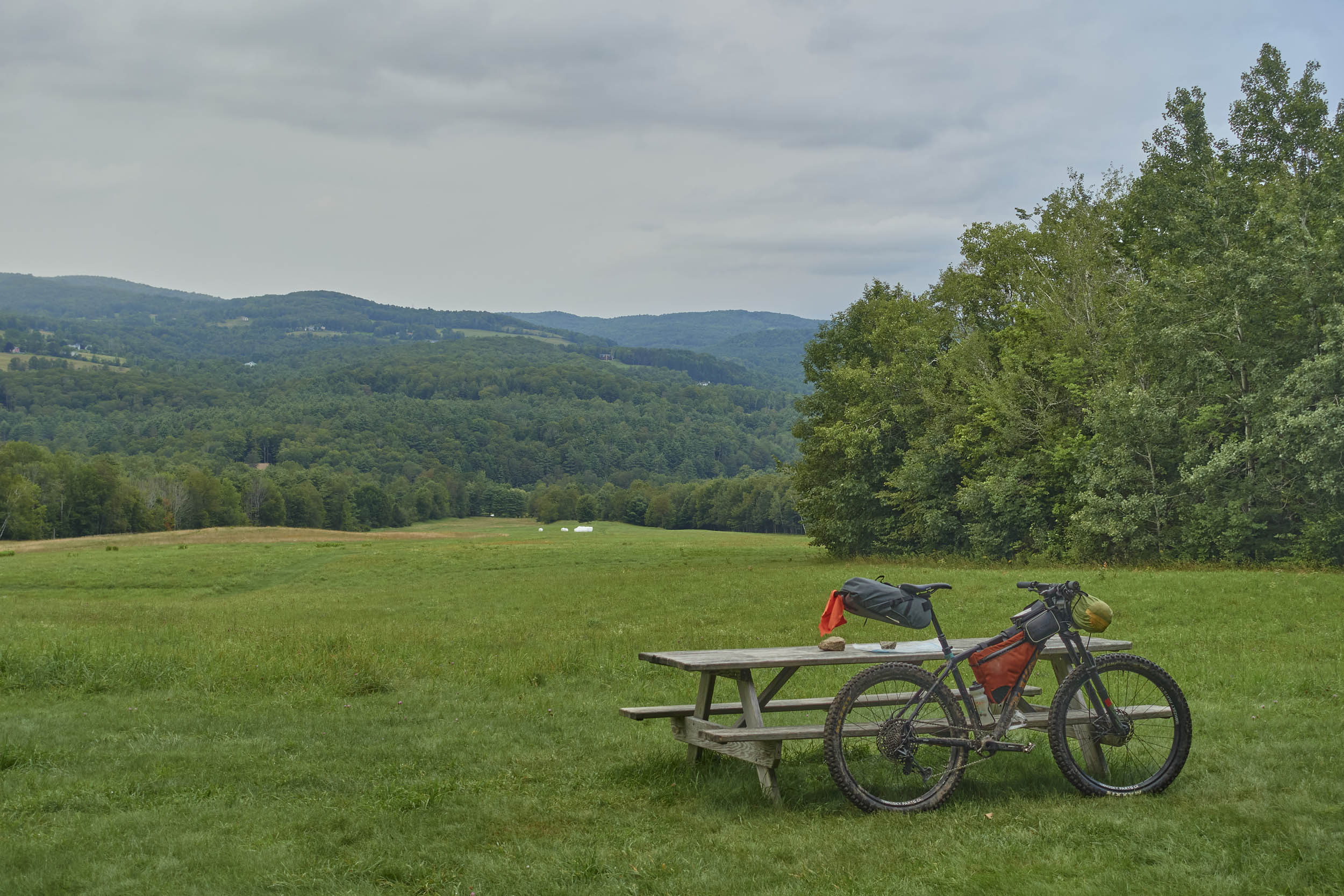
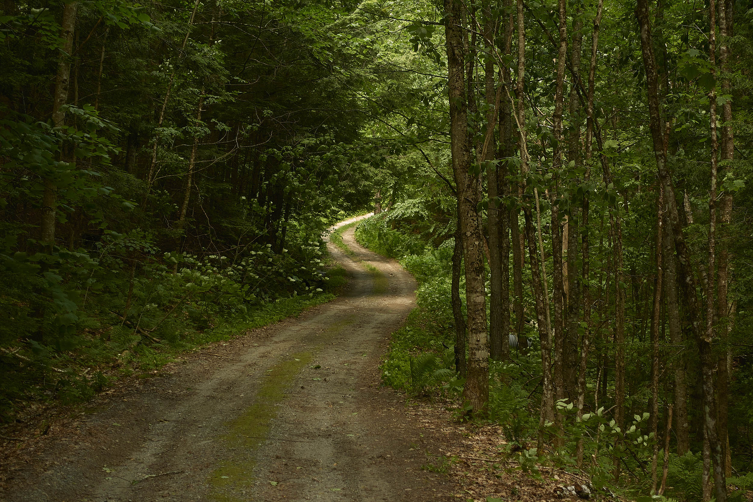
Across the road from the campground, access the mellow Swoops and Loops Trail and eventually dump out onto Back Mountain Rd. Use these casual paved miles to shake out your legs. Briefly merge onto VT Route 44 before bearing right onto Estey Lane and descending sharply down to Brook Rd. Take Hewett Rd across the bridge and settle into a long, steady gravel climb. Make sure to look back periodically for impressive views of Mount Ascutney. Once you reach Hunt Rd, you’ll immediately turn right onto a trail into Windsor Grasslands WMA, which can be a little difficult to spot (look for the green WMA sign). This trail starts out as a steep doubletrack that may necessitate some hike-a-bike before narrowing into a pleasant singletrack. You may encounter some stinging nettle along this stretch (I did – learn to identify jewelweed as a natural antidote). After passing by a series of fields, take a right on a doubletrack road and then a sharp left on another road. The road peters out next to a pond; look for a faint trail through tall grass along the pond’s edge. Reentering the woods, follow a pleasant doubletrack trail before exiting left on Weeden Hill Rd.
Windsor Grasslands WMA to Mount Peg
From here, you’ll be on a stretch of pleasant gravel roads with less climbing than the rest of the route. Take the next right on Hammond Hill Rd, then a left on Brownsville-Hartland Rd. You’ll immediately turn right on Morrison Rd, then take a left on Moeller Rd. Next is a left on Best Rd, followed by a right on Jenneville Rd. After a nice descent, you’ll take a right on a Class IV road (marked as “LT 2” on some maps). This road quickly turns into a lovely doubletrack trail that gently climbs next to Cady Brook. The grade slowly increases until you exit onto Town Highway 64, where there is a developed spring that I have never hesitated to drink from. 2023 detour: After a left on Best Rd, turn right on Jenneville Rd, then bear right on Reeves Rd. After a half-mile, turn right on Town Highway 64, where you’ll have a stout climb on Class IV terrain. TH 64 eventually smooths out into a pleasant gravel descent down to VT Route 106. After a few miles of gentle paved descent on 106, you’ll reach the trailhead for the Mount Peg trails on your right – the final section of trail on the route.
Mount Peg to Downtown Woodstock
Mount Peg is less of a mountain and more of a long, steep ridgeline. The route traverses across the western slope, steadily climbing before descending the northern flank of the ridge. From the Mount Peg parking area, take a steep access road down and cross the stream. Bear right on a grassy track along the stream, then turn left on Red Line. Steadily ascend on Red Line to the end of the trail, then go left and briefly take Trail of the Fallen Woman (doubletrack) before turning left onto Express Lane. Express Lane traverses across a side hill before hitting Rolling Rock. Follow this moderate descent, then turn right onto Easy Grade doubletrack. This will take you to Pegway, a rolling singletrack. From the end of Pegway, begin a long, steady climb up Up Shot and continue climbing up Ravine. This will take you to Kent’s Connector, where you have a winding, mellow descent before a sharp left on Nick’s Neighborhood. Next, you will take a right on the Mount Peg doubletrack and follow it into a wide grassy shelf with sweeping views of the surrounding valleys. Backtracking slightly, take the Village Trail and enjoy a smooth, winding, descent to the valley floor, emerging into Woodstock Village. Pedal back to your car and get food and local craft beer at Worthy Kitchen.


Terms of Use: As with each bikepacking route guide published on BIKEPACKING.com, should you choose to cycle this route, do so at your own risk. Prior to setting out check current local weather, conditions, and land/road closures. While riding, obey all public and private land use restrictions and rules, carry proper safety and navigational equipment, and of course, follow the #leavenotrace guidelines. The information found herein is simply a planning resource to be used as a point of inspiration in conjunction with your own due-diligence. In spite of the fact that this route, associated GPS track (GPX and maps), and all route guidelines were prepared under diligent research by the specified contributor and/or contributors, the accuracy of such and judgement of the author is not guaranteed. BIKEPACKING.com LLC, its partners, associates, and contributors are in no way liable for personal injury, damage to personal property, or any other such situation that might happen to individual riders cycling or following this route.
Please keep the conversation civil, constructive, and inclusive, or your comment will be removed.