


VTXL
Distance
302 Mi.
(486 KM)Days
4-6
% Unpaved
90%
% Singletrack
0%
% Rideable (time)
99%
Total Ascent
30,600'
(9,327 M)High Point
2,761'
(842 M)Difficulty (1-10)
6?
- 7Climbing Scale Strenuous101 FT/MI (19 M/KM)
- -Technical Difficulty
- -Physical Demand
- -Resupply & Logistics
Contributed By
Joe Cruz
Contributing Editor
Photos by Donalrey Nieva and Joe Cruz
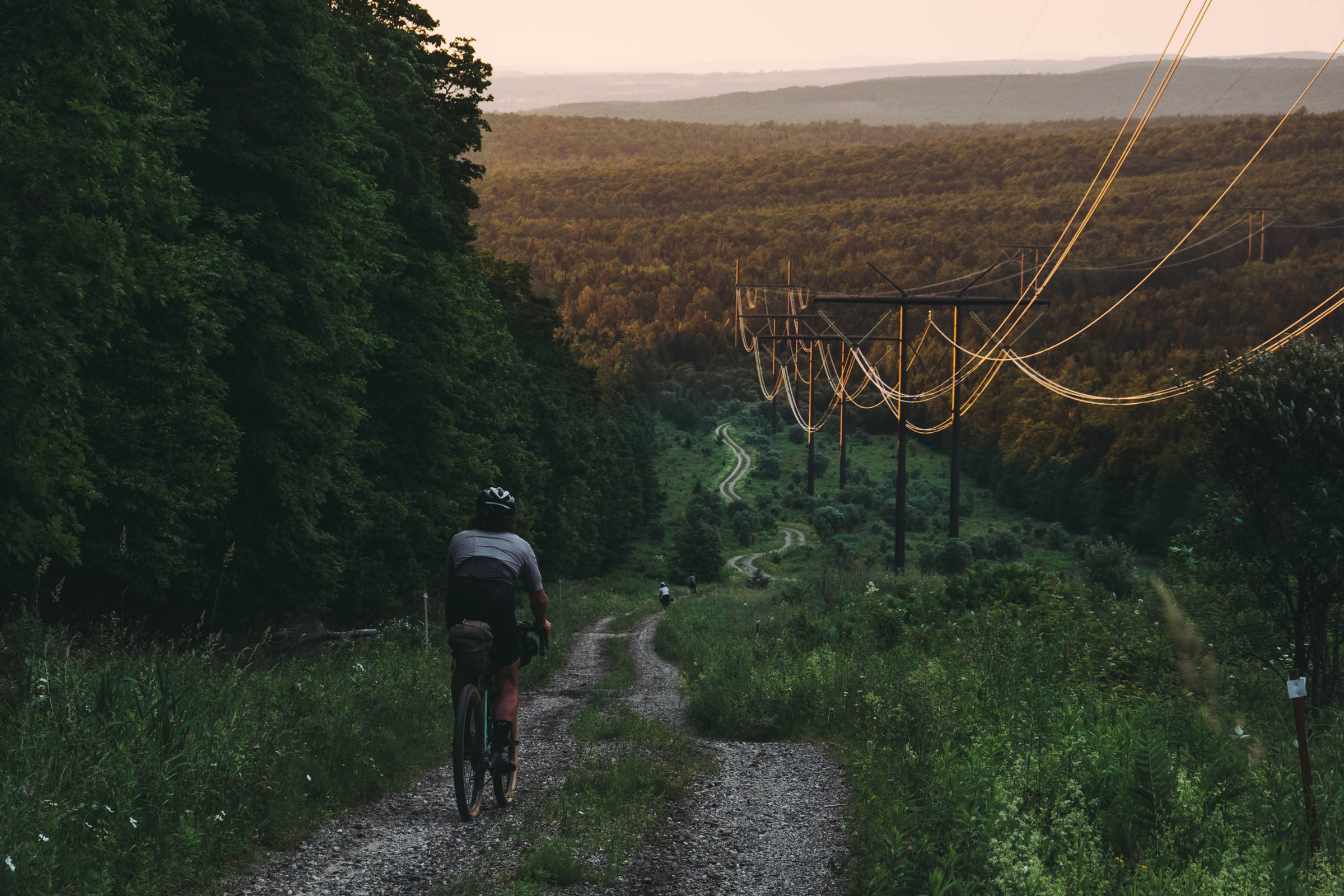
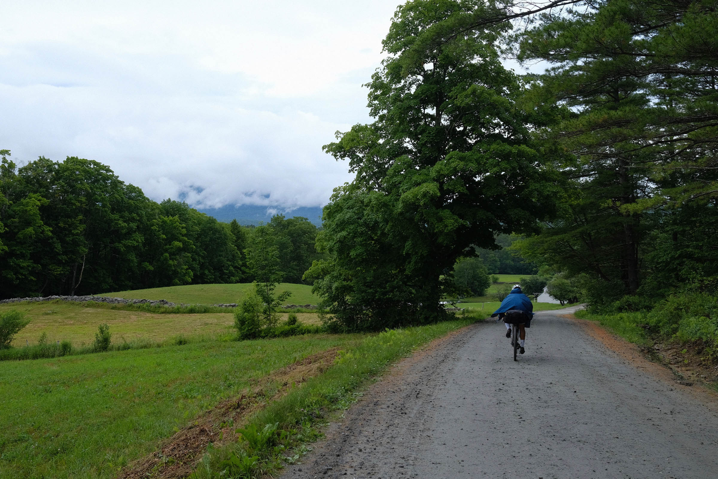
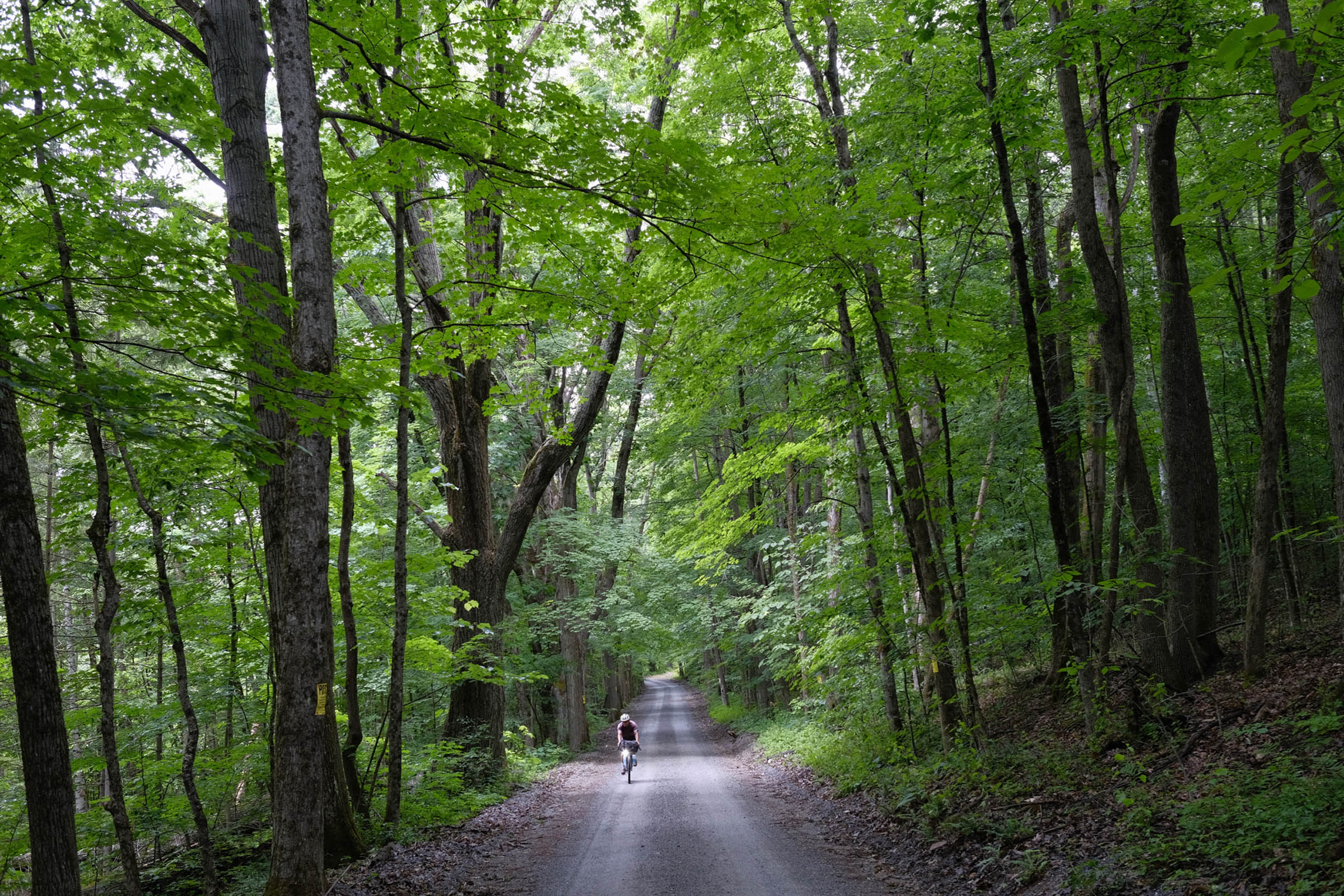
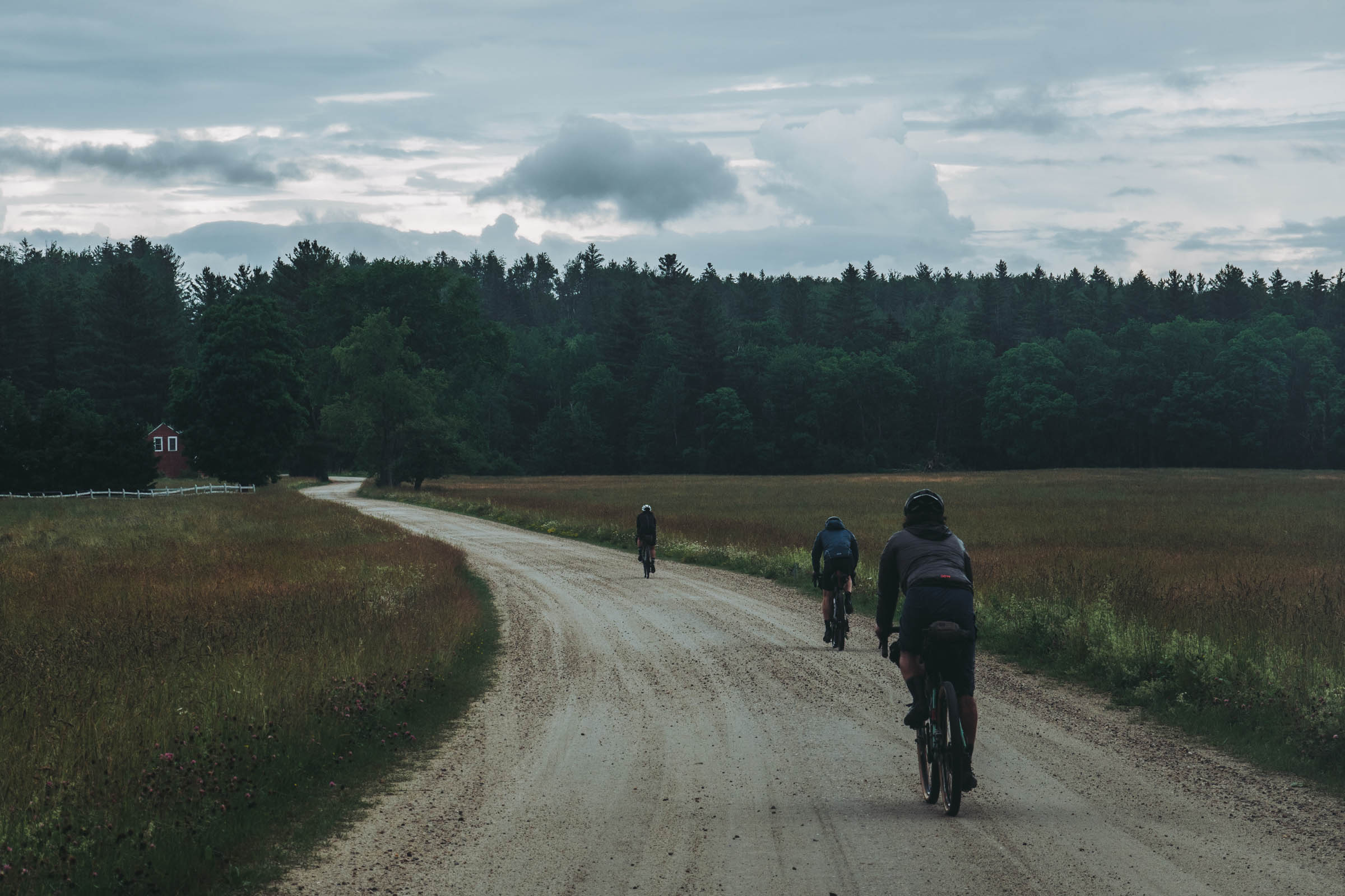
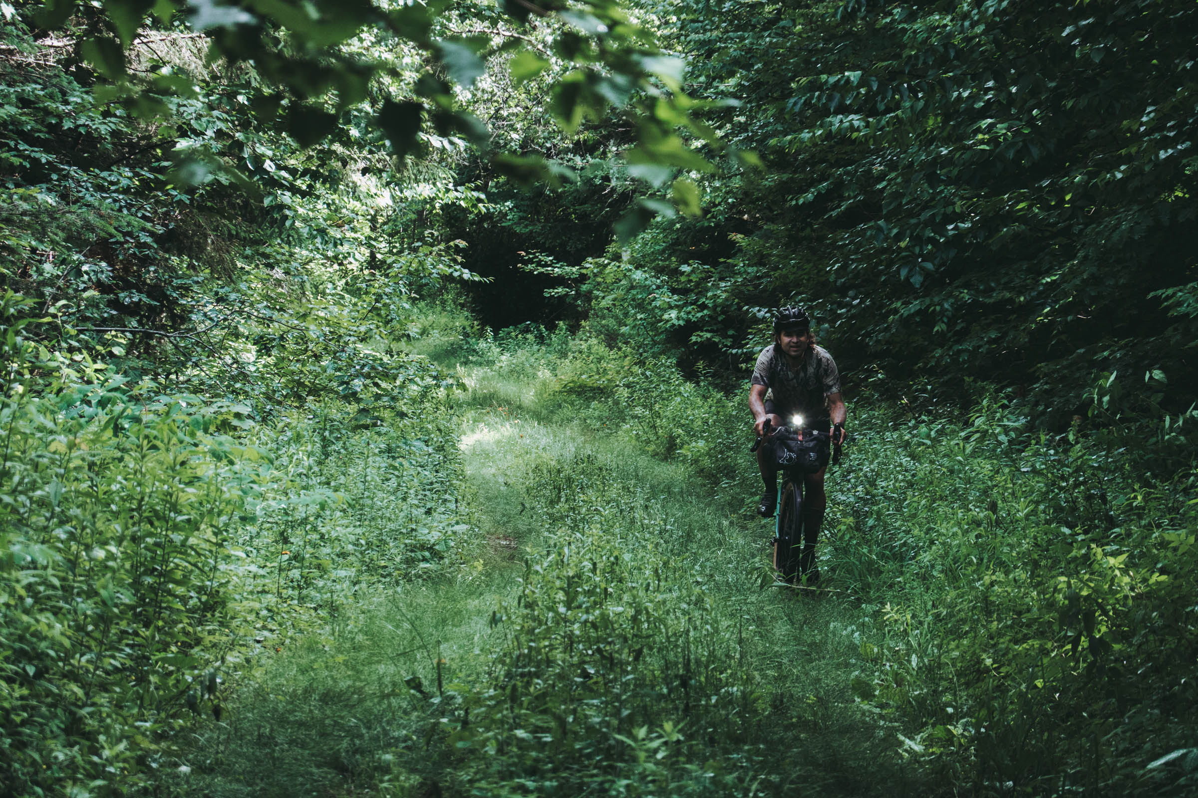
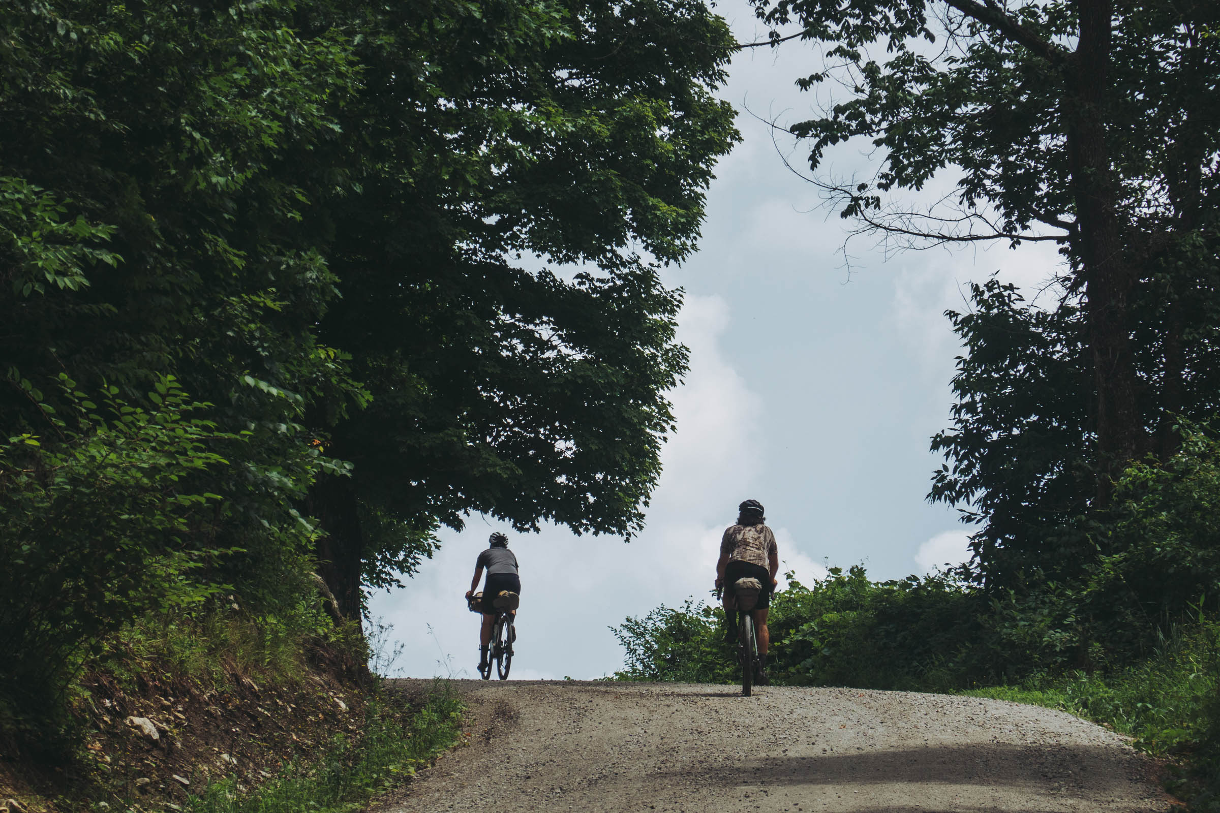
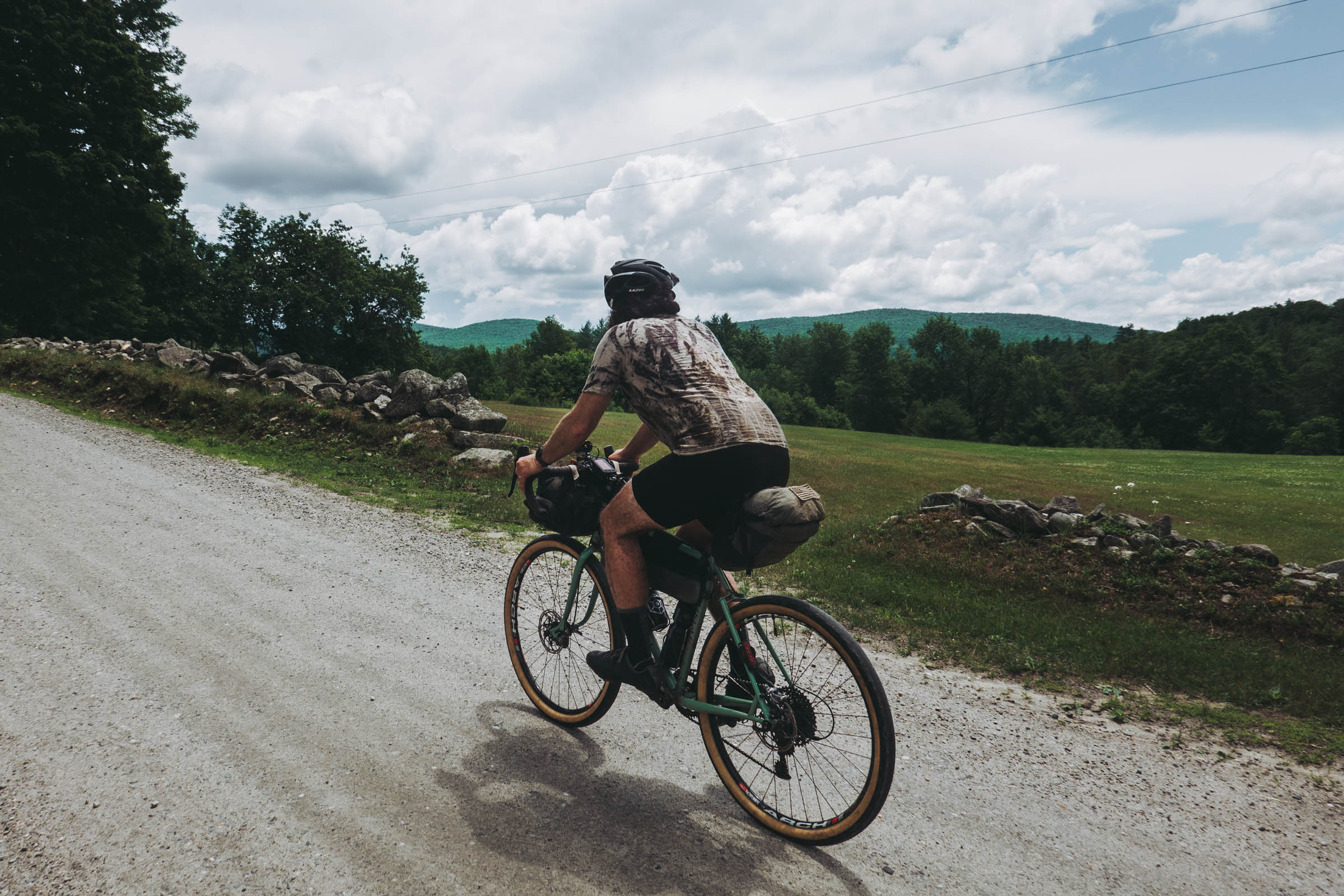
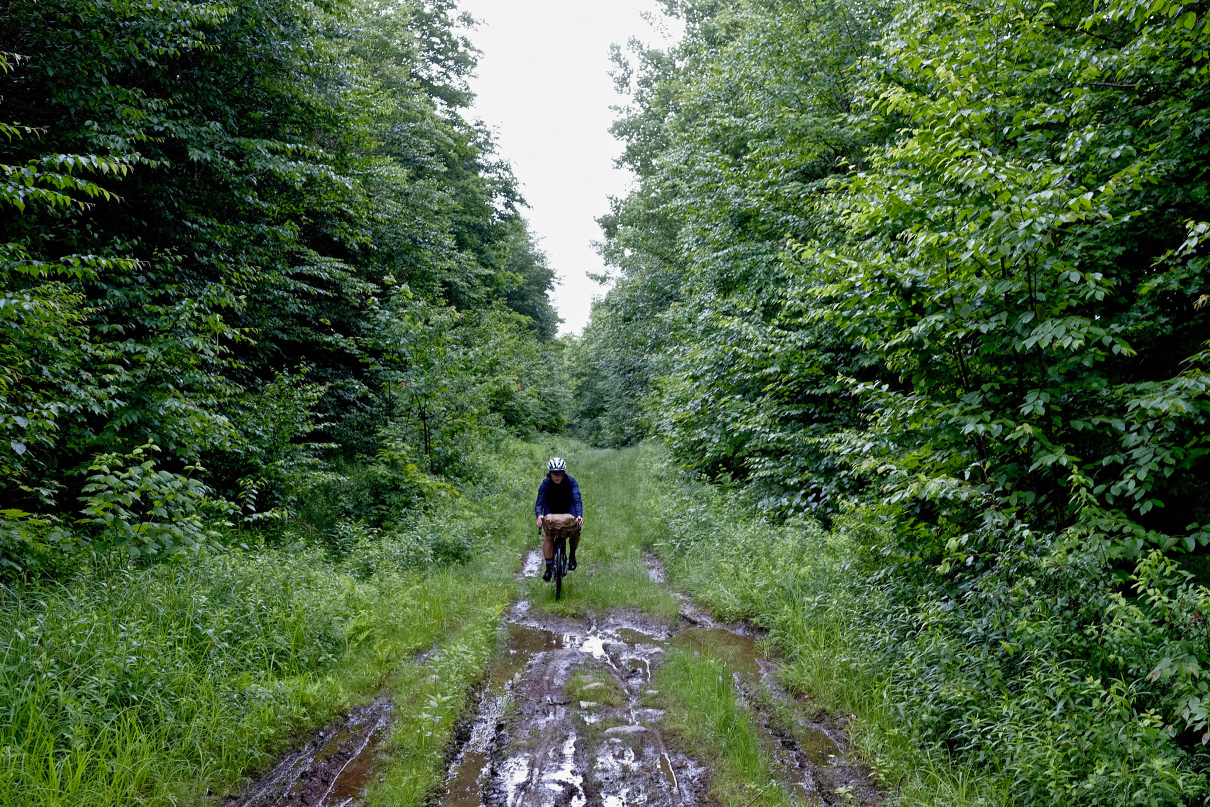
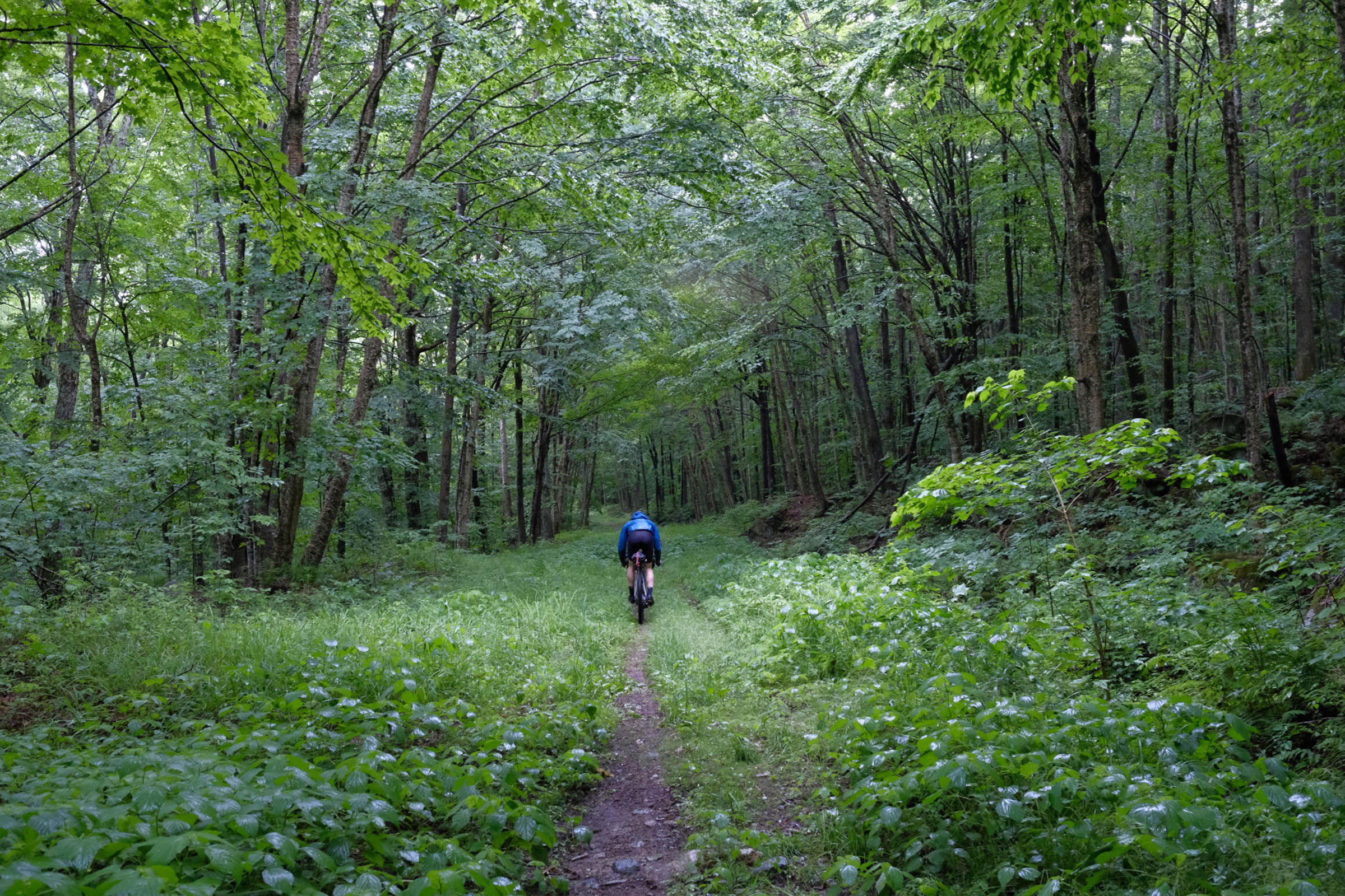
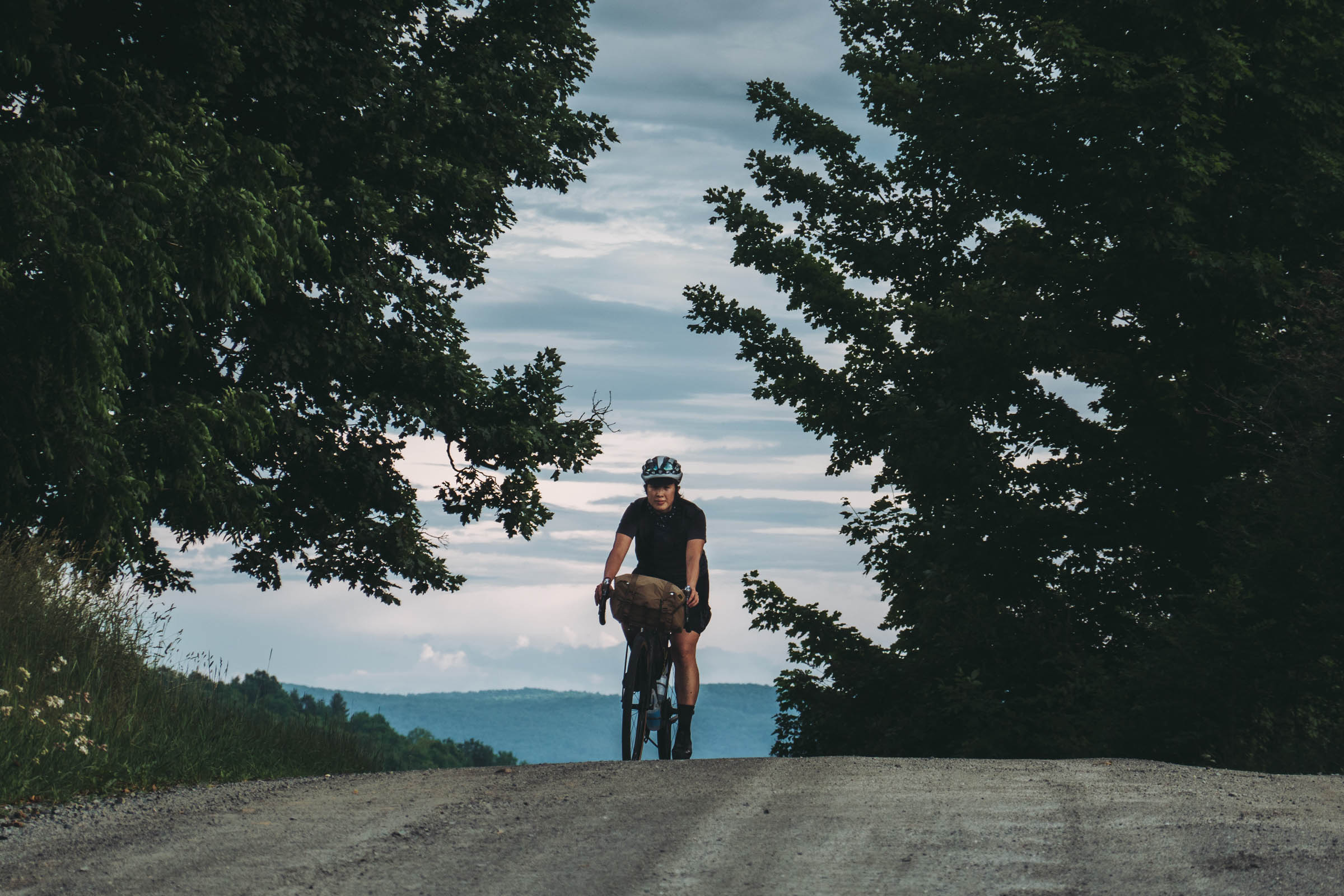
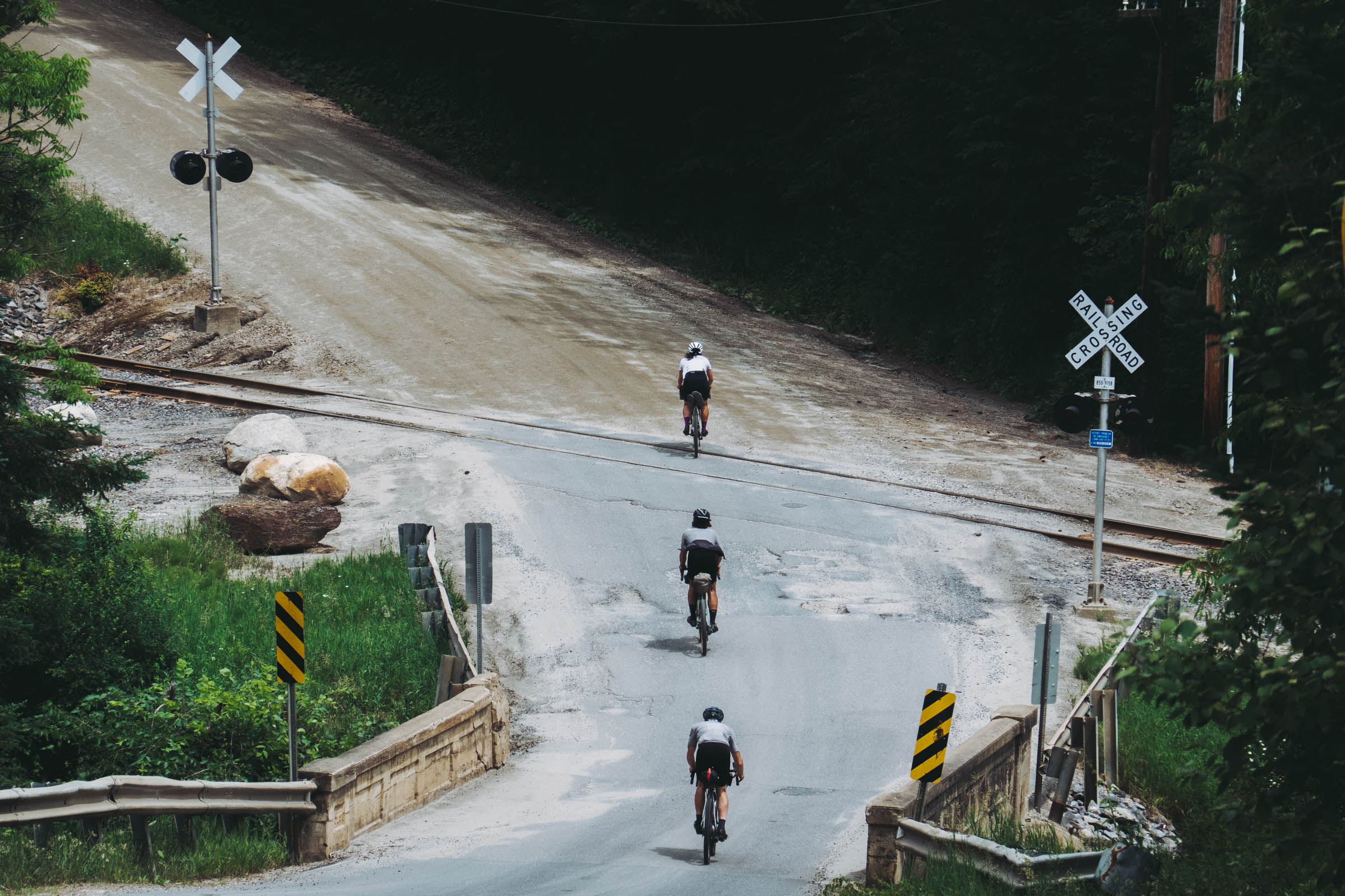
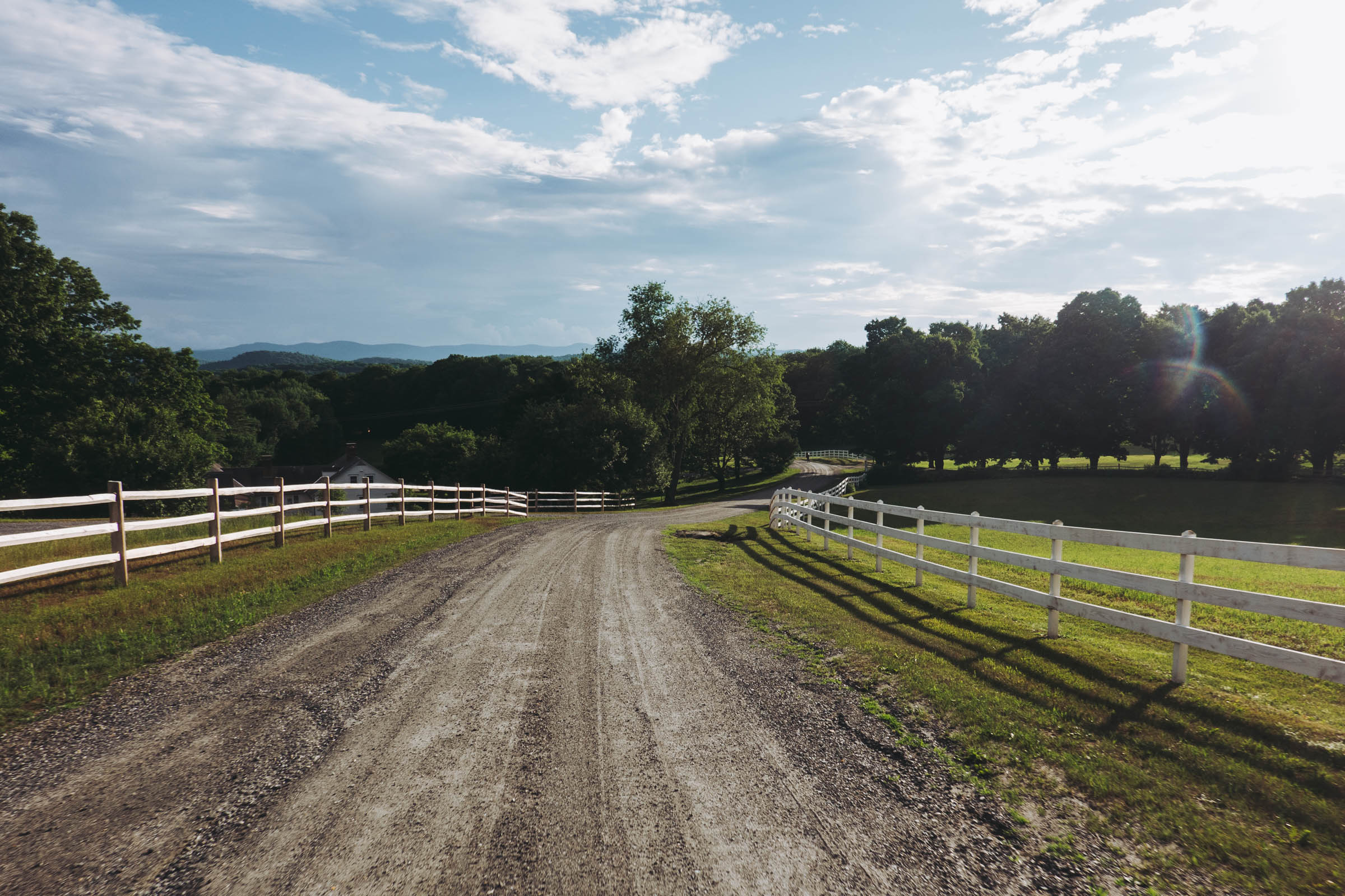
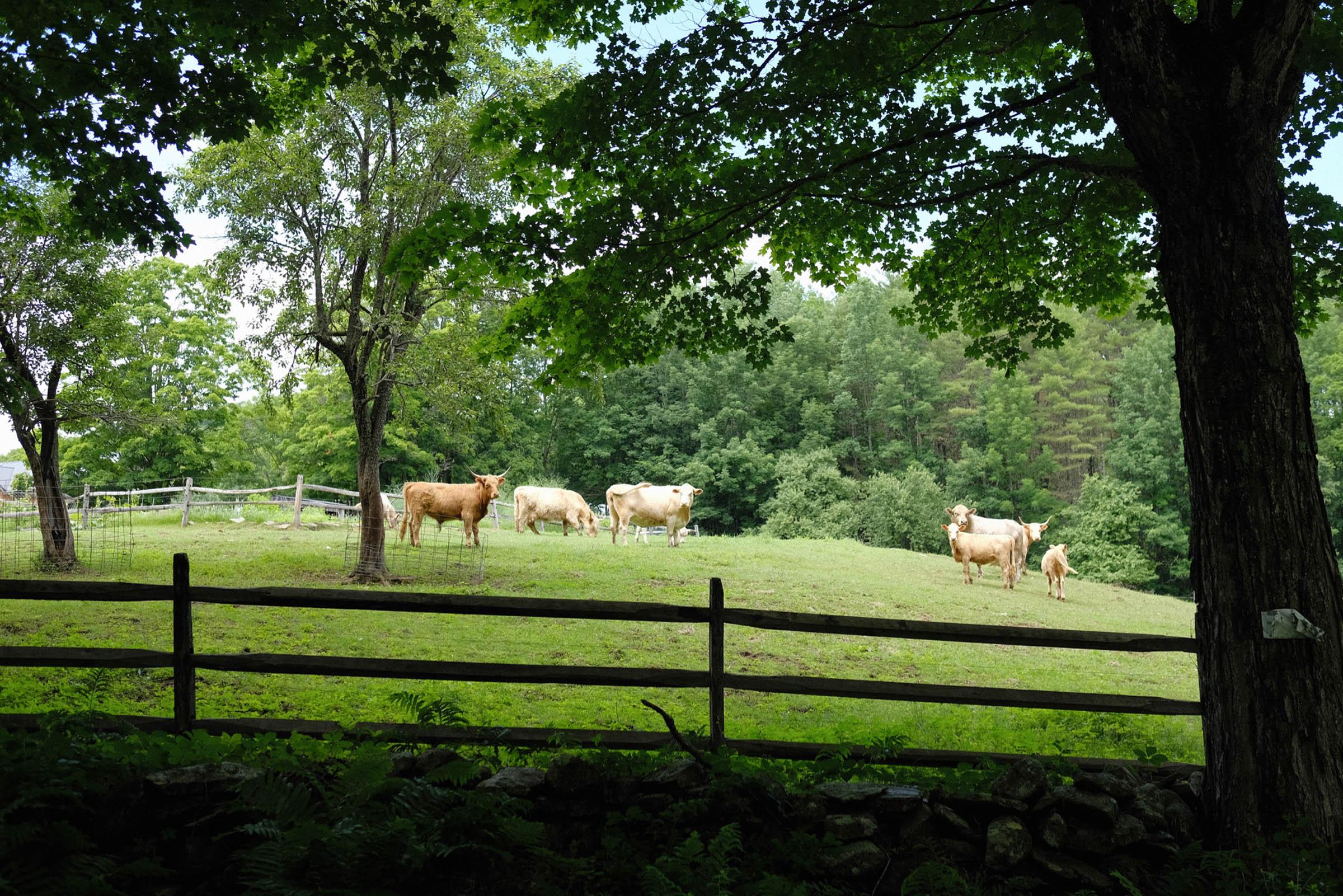
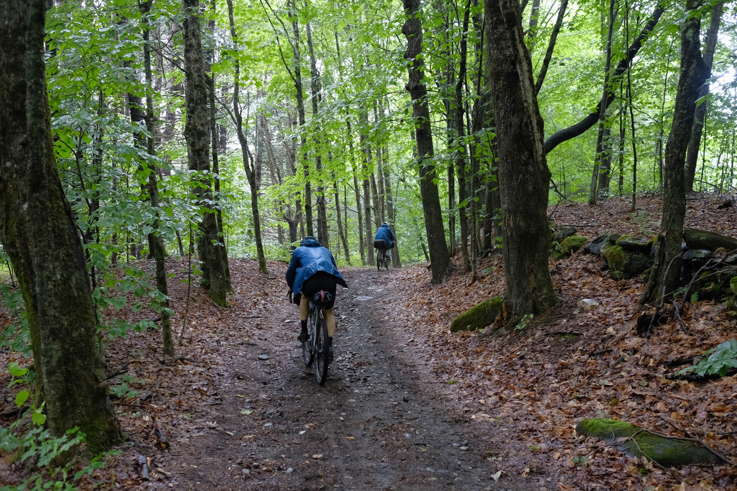
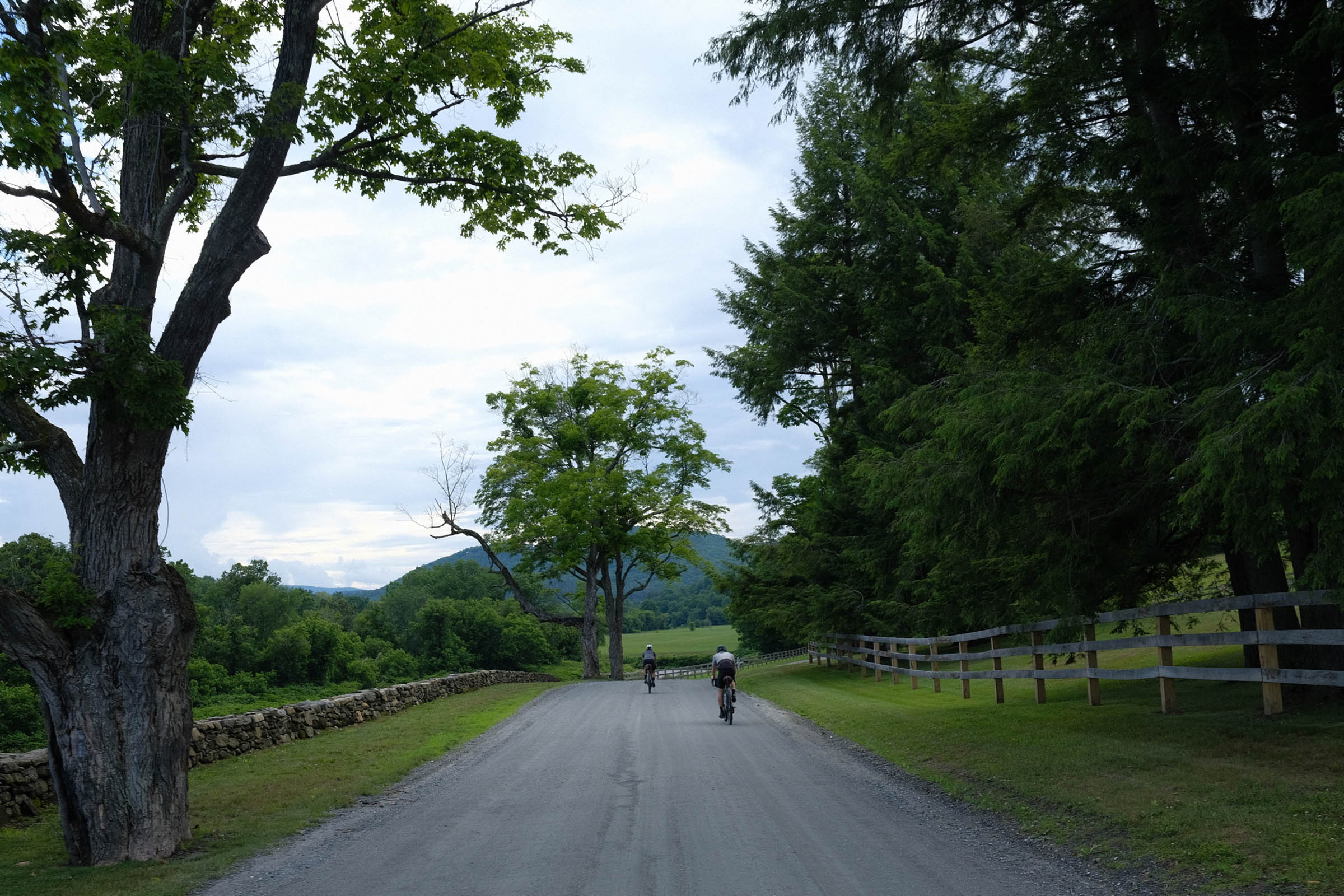
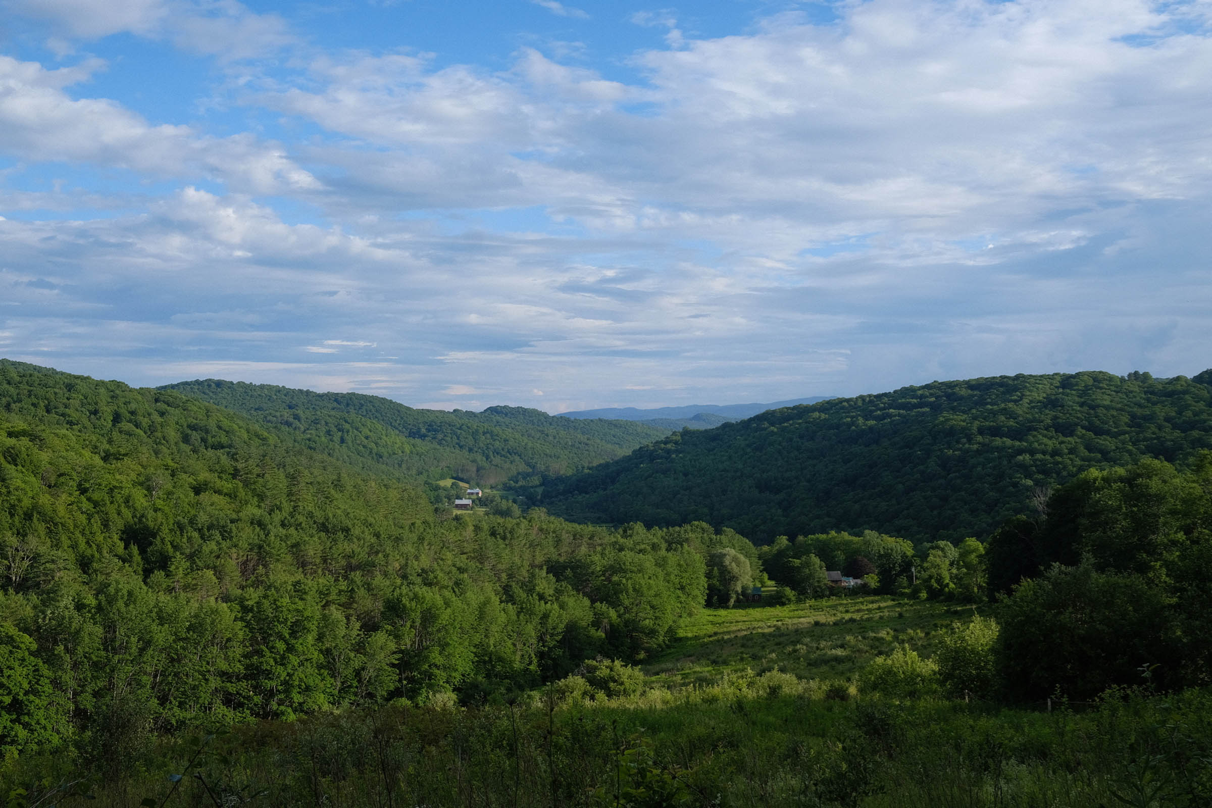
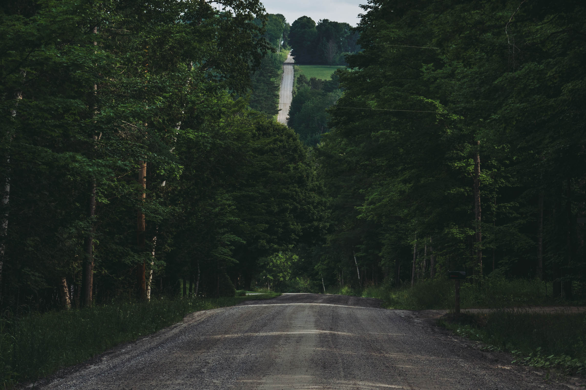
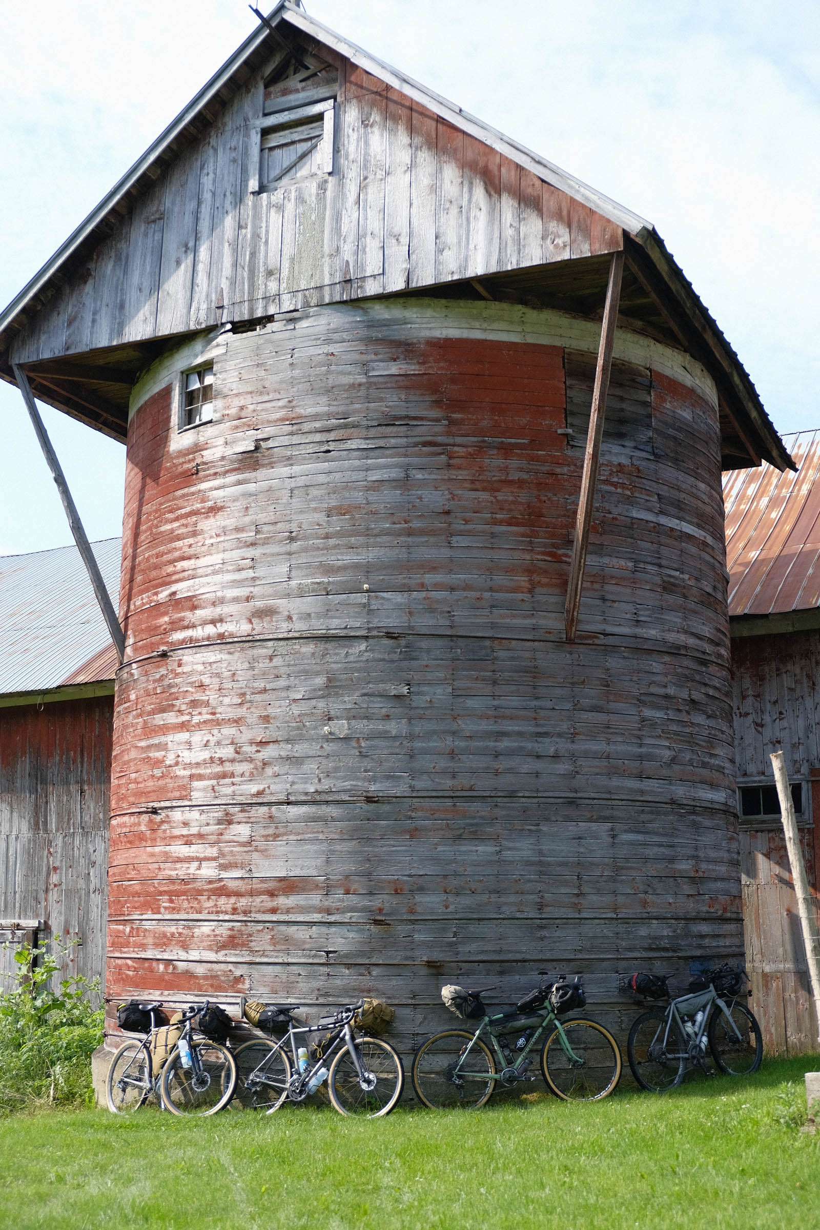
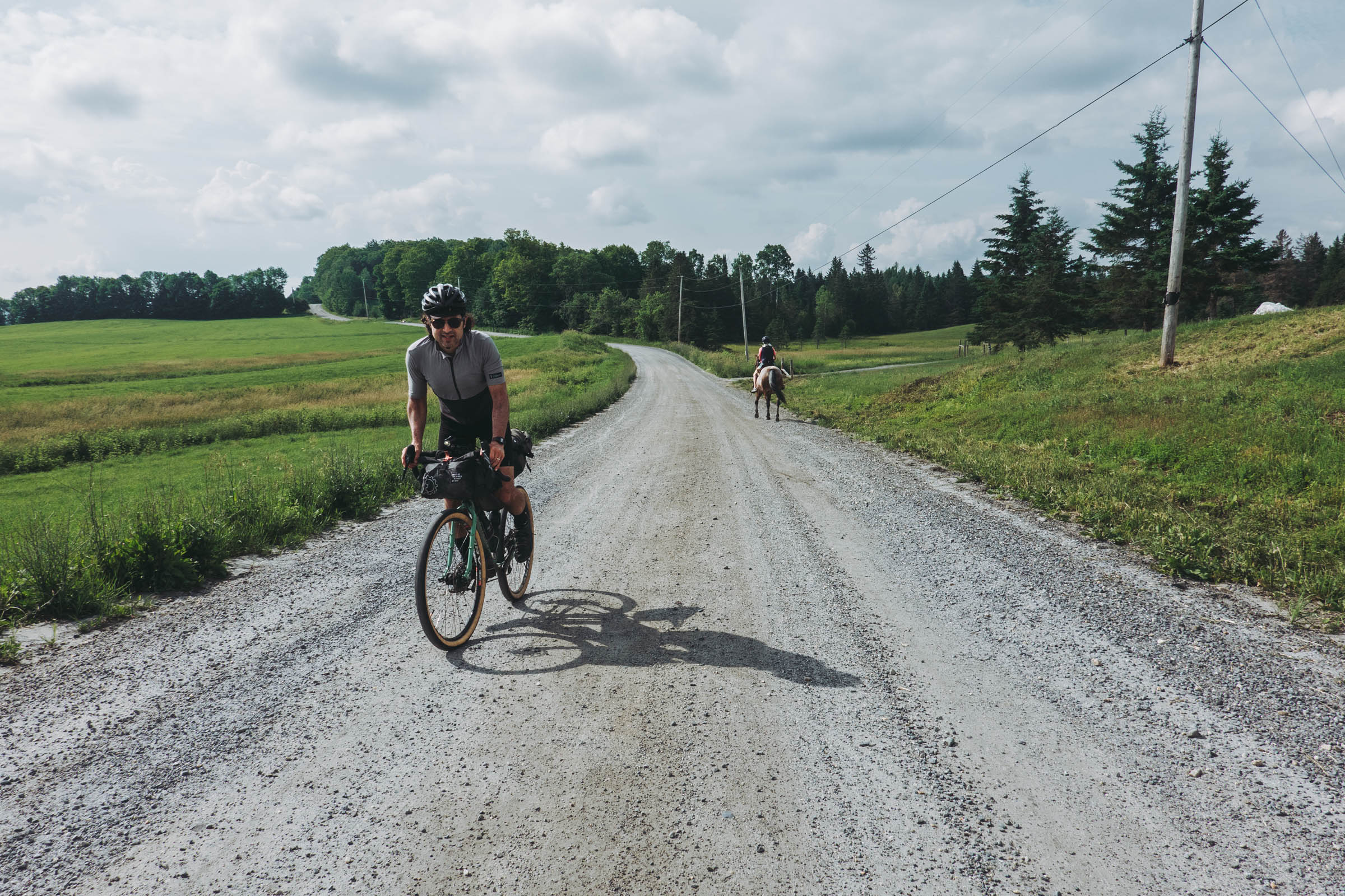
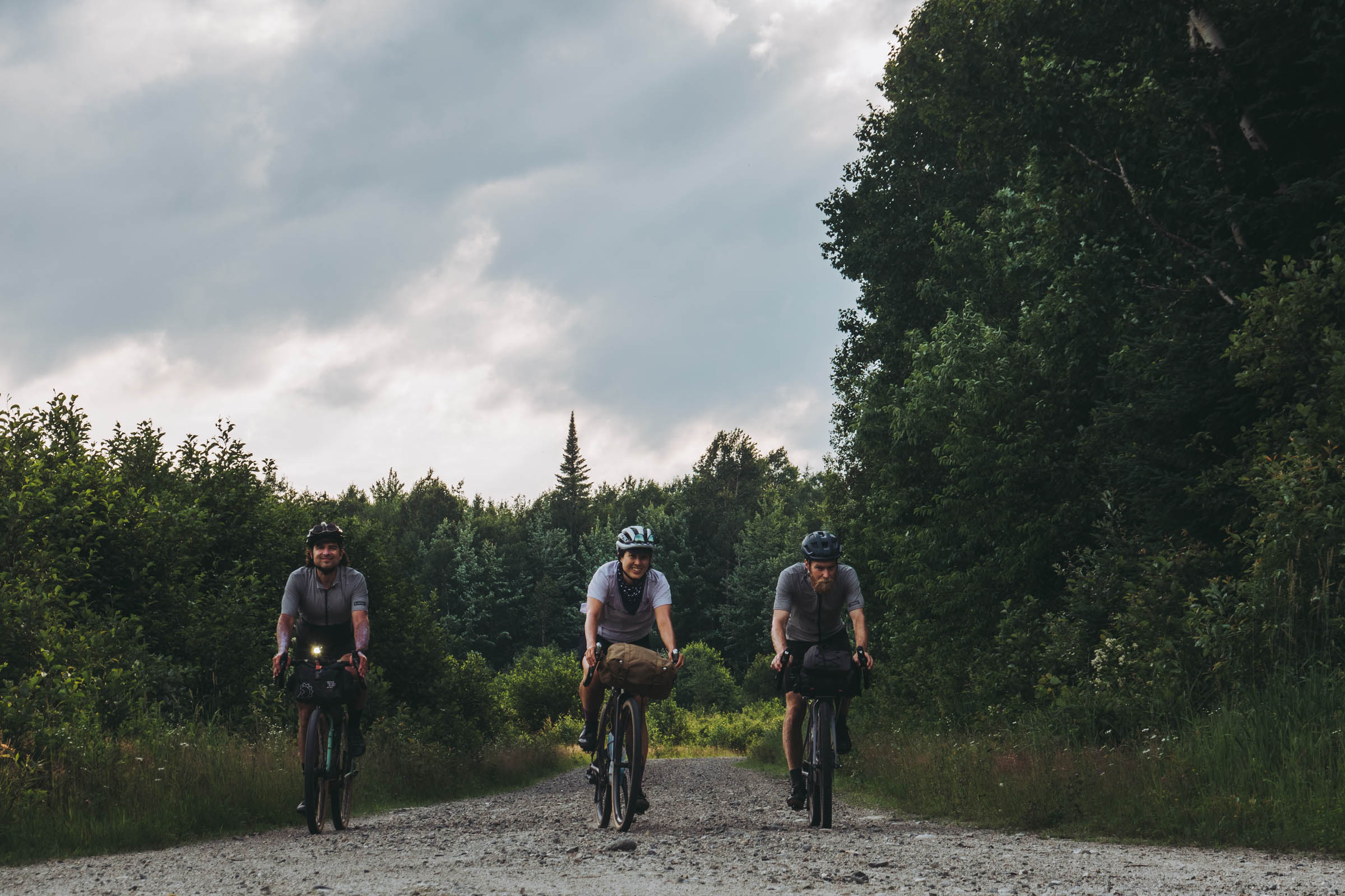
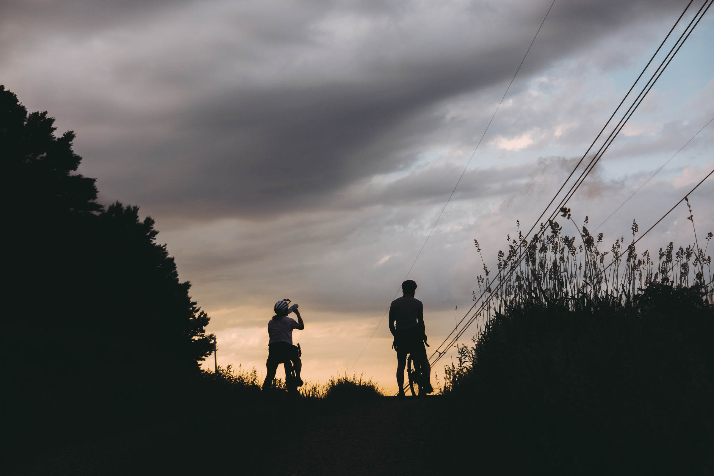
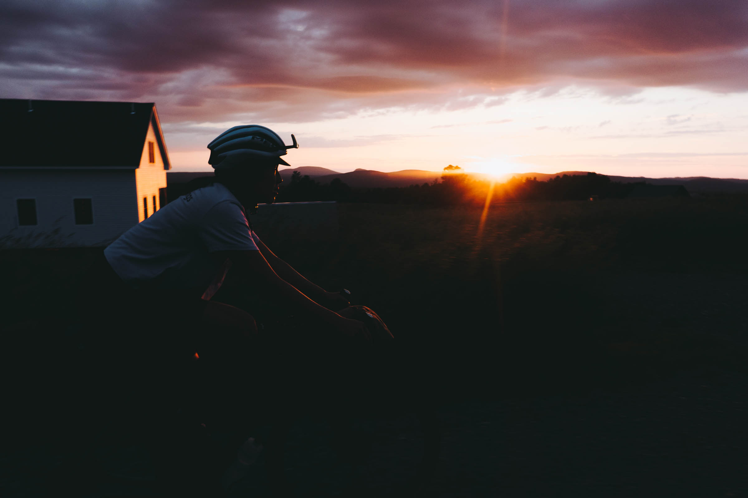
Vermont is rolling green hills in late spring and summer, and these lead into a superlative burst of color in autumn. It is valleys of open farmland with red silo monuments and grazing holstein cows, friendly quaint general stores, cold swimming holes, and hundred and fifty year old stone walls along the roadside. It is startlingly steep pitches of historical byways with little love for switchbacks and instead laconic direct ascents and quick drops parallel to streams. All of this—along with its enviable highest proportion of unpaved roads of any state in the USA—earns Vermont its reputation for incredible gravel riding.
The VTXL’s genesis is a text message I received from retired ProTour rider Ted King early in 2020. It was a simple question, namely whether I knew of a mostly dirt gravel route from the Canada border to the Massachusetts border. I confessed that I didn’t and we both signed off with shrugs and a lament, but it got me thinking enough to spend several days working on a very rough draft. I thought it would be fun if the route was a diagonal, the longest span to cover. We kept in touch as we tapped local contacts in various parts of the state for advice, and the project eventually blossomed into Ted’s ambition to ride the whole thing in one continuous effort to honor the fact that he’d had to cancel his scheduled travel to national gravel events. We knew this ride would be an apt substitute right in our home state. He rode it in under 23 hours through uneven weather but also showered with cheers from Vermonters on the roadside celebrating his pedaling.
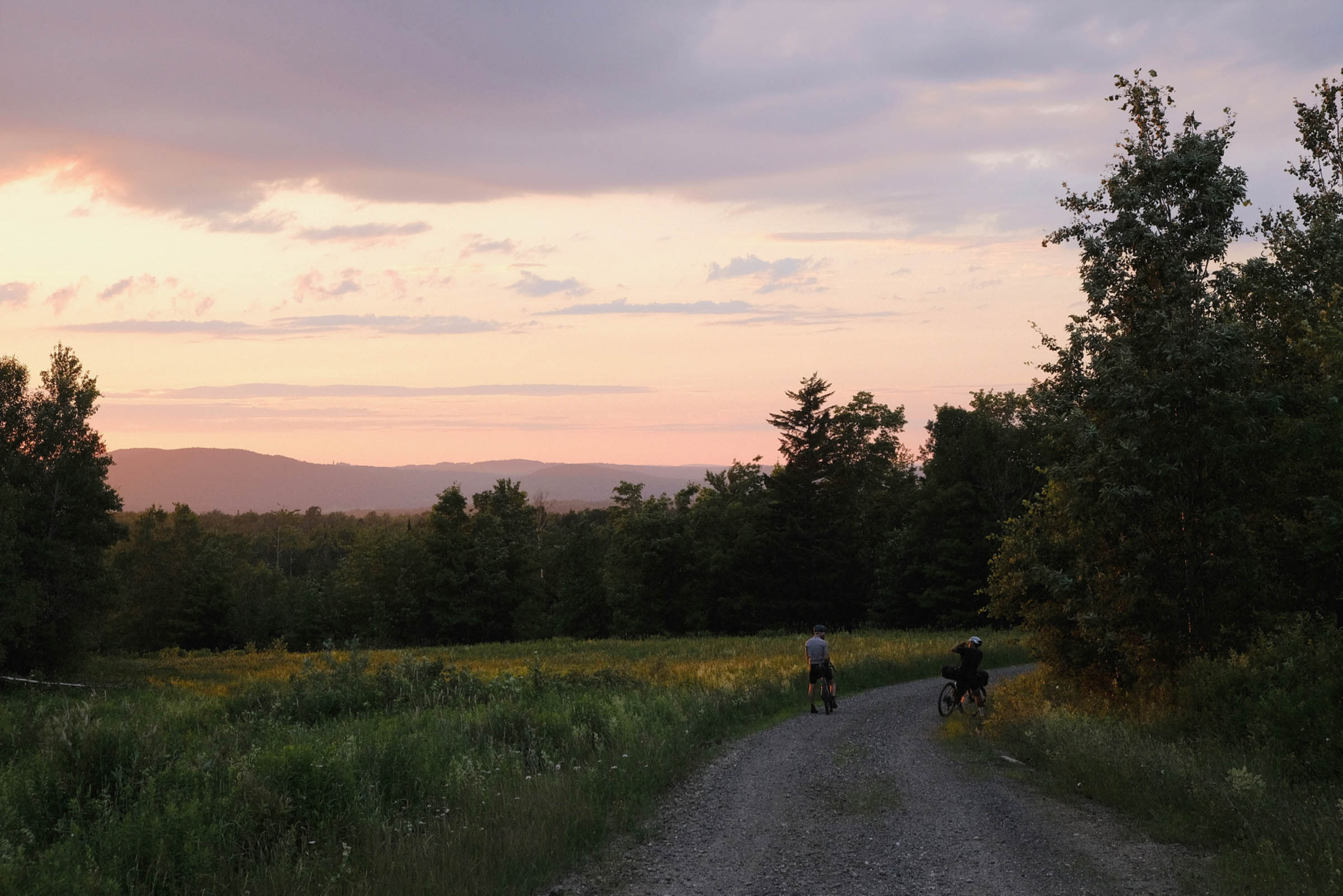
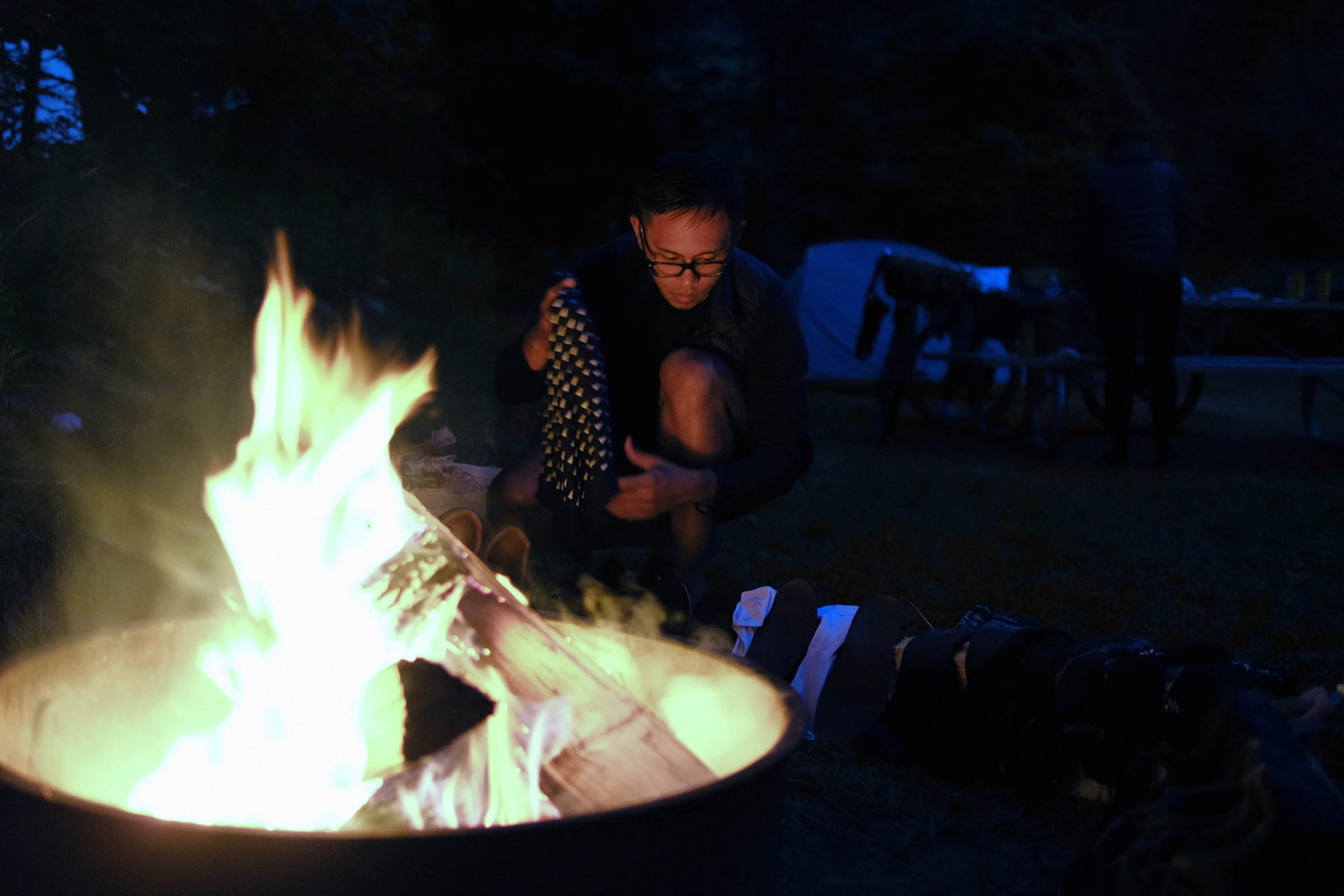
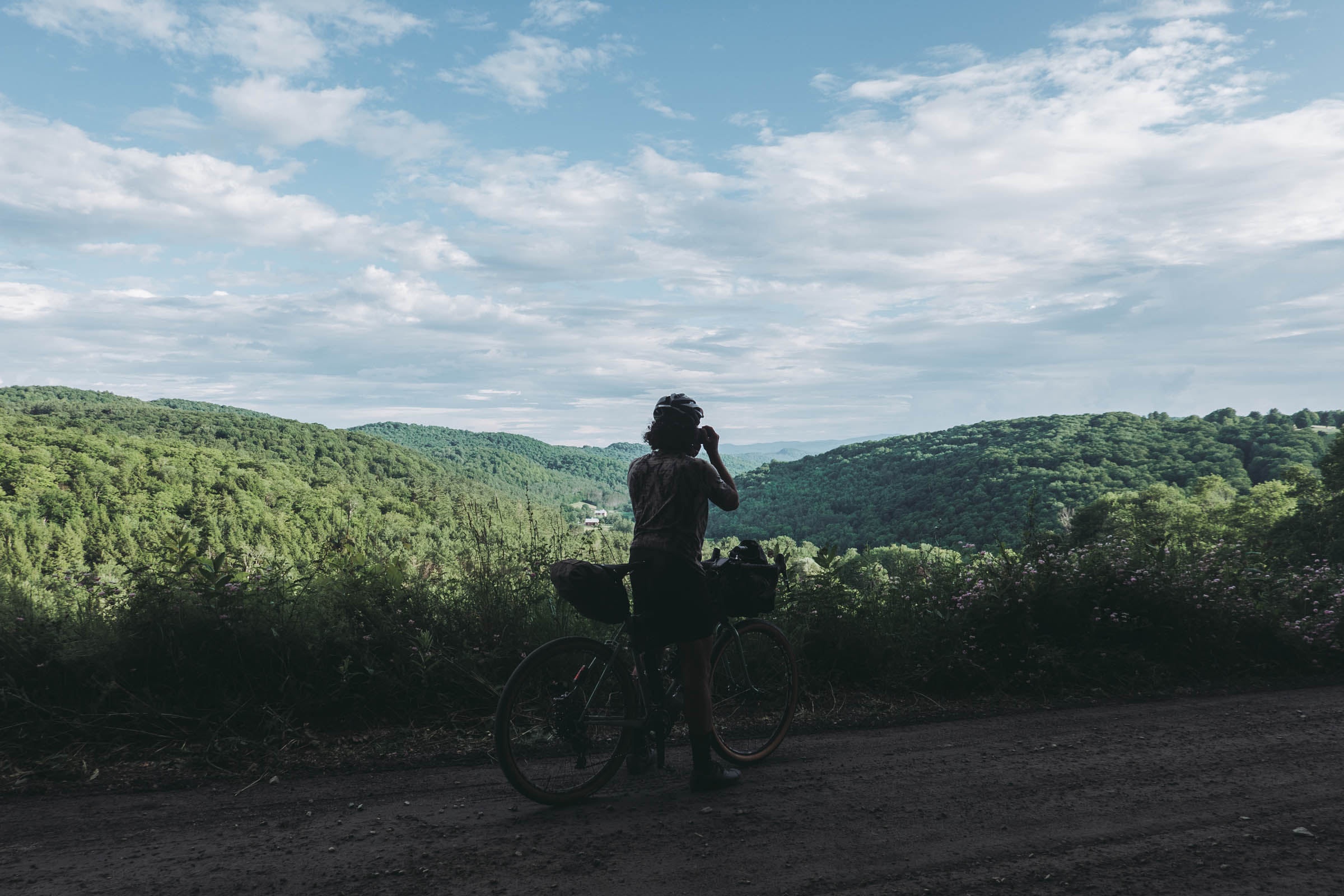
The feel is of moving through an embracing Acadian tunnel with interludes of one-intersection towns, indelibly the textures of the Green Mountain State. The woodsy southern part presents the biggest continuous climbs over the Green Mountain range, while the north shows more open sky and hints of granite faces and ridges. Expect abundant climbing with frequent steep pitches and then quick descents to face another rise. It’s a ride that can be tackled as a personal challenge to complete without sleep, or one to be savored as a four- or five-day trip with camping, maple creamees, and frequent swimming breaks. This isn’t a tour of Vermont’s vaunted breweries—check out the Green Mountain Gravel Growler for that—but it’s easy enough to relax at camp with a top craft beer picked up at a small market.
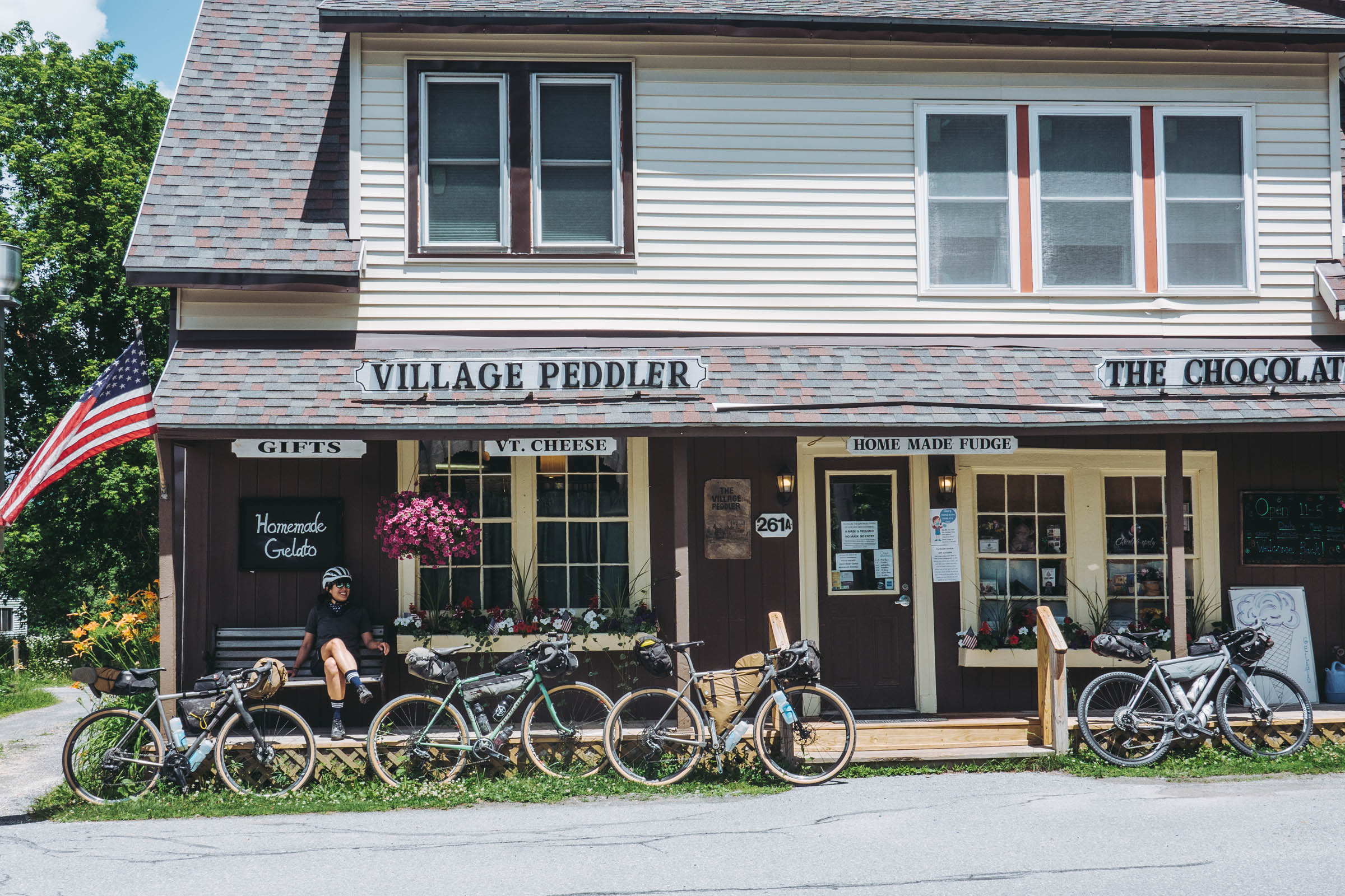
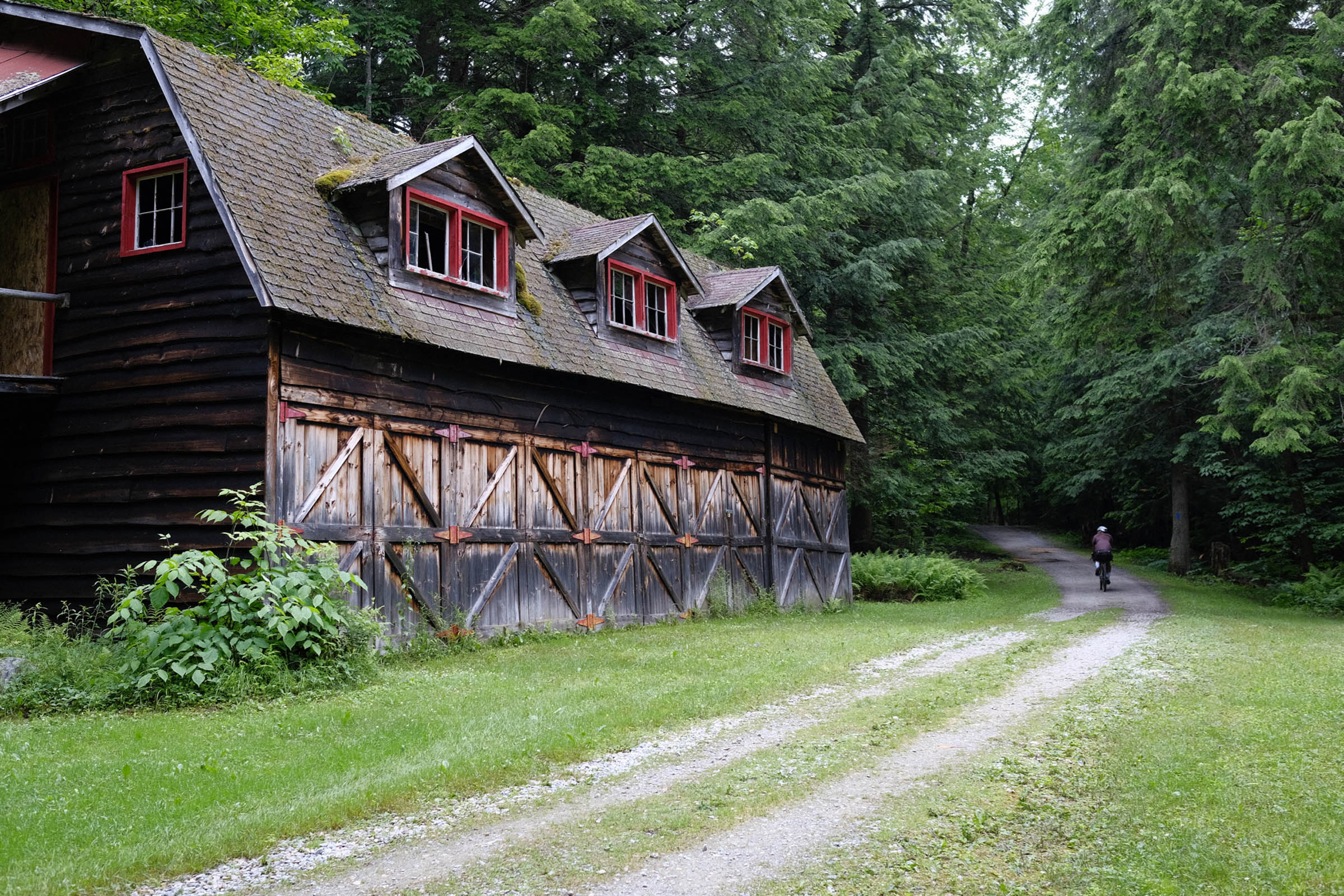
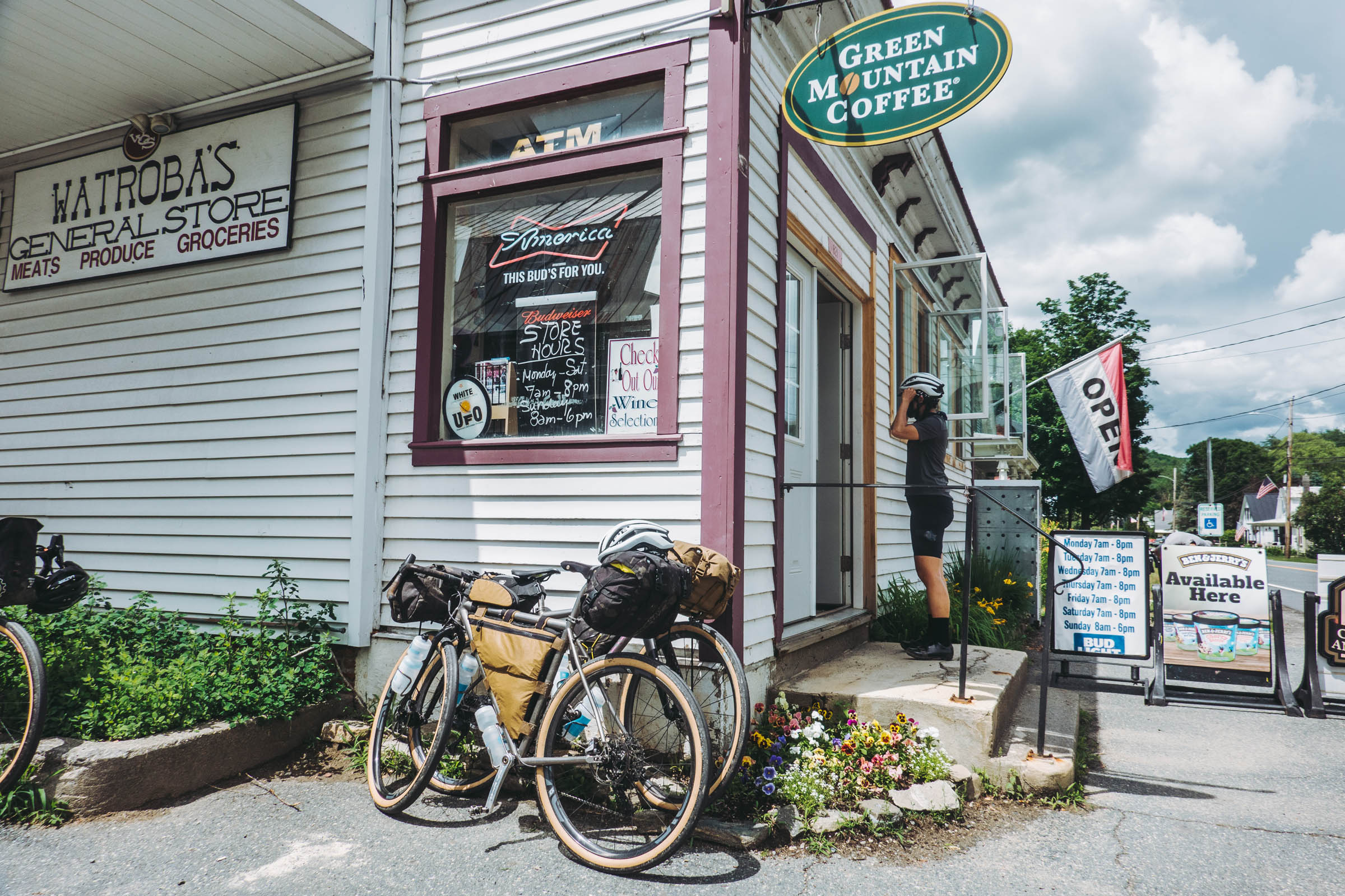
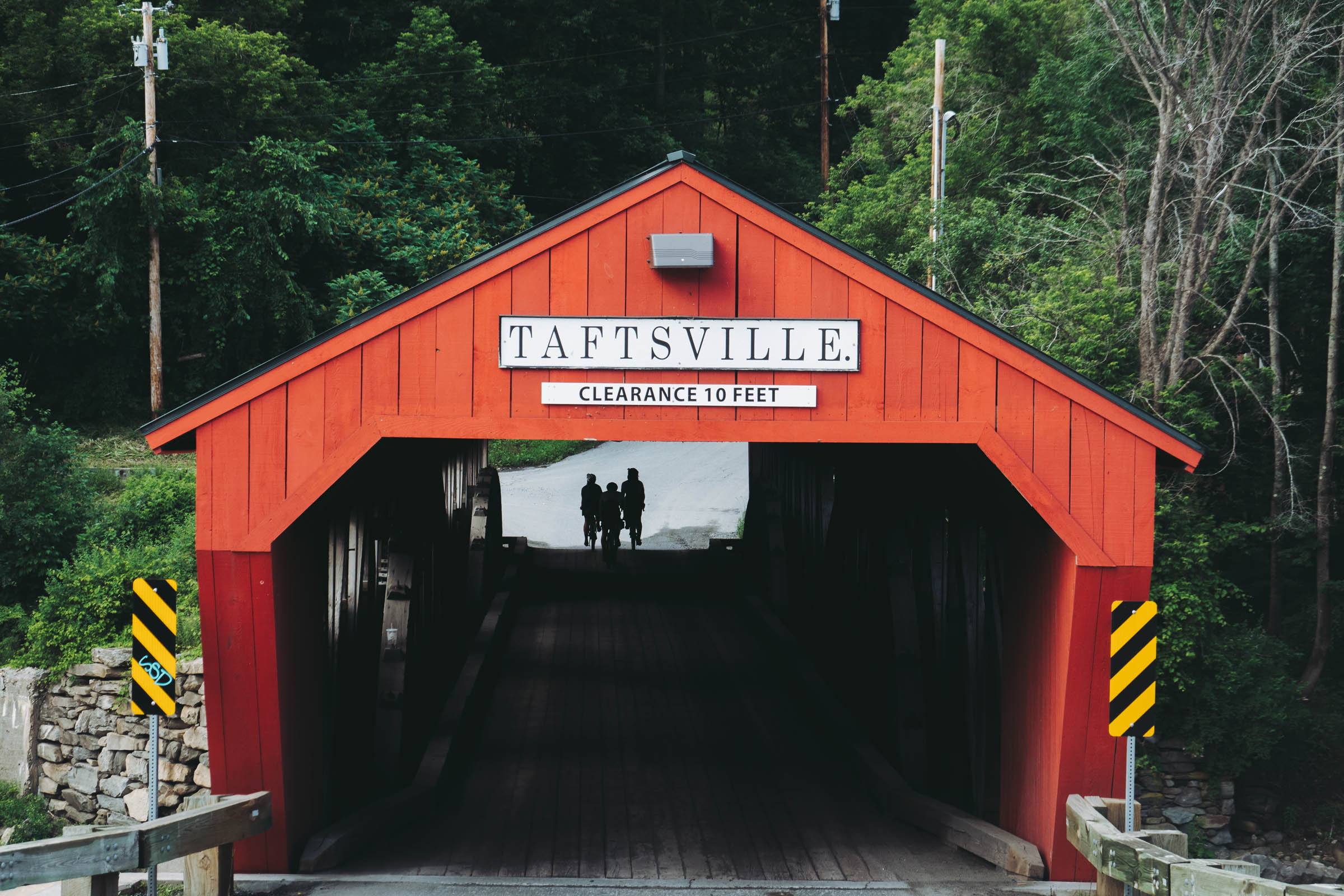
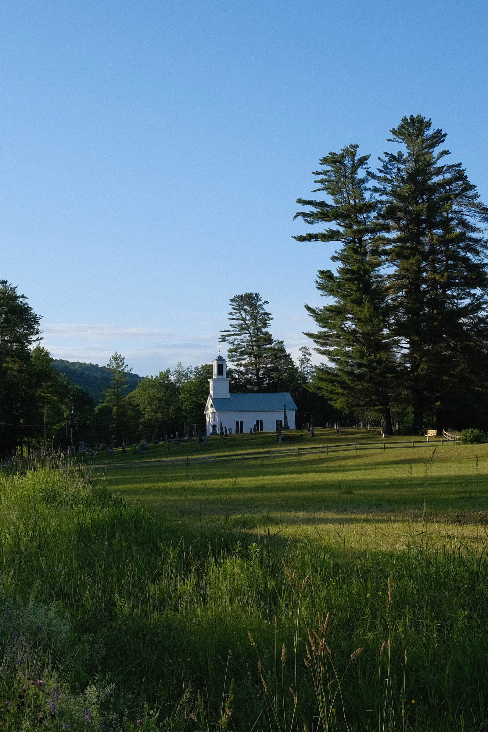
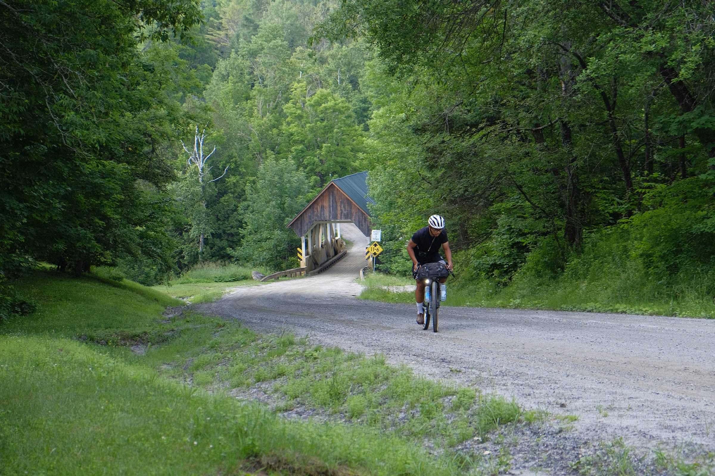
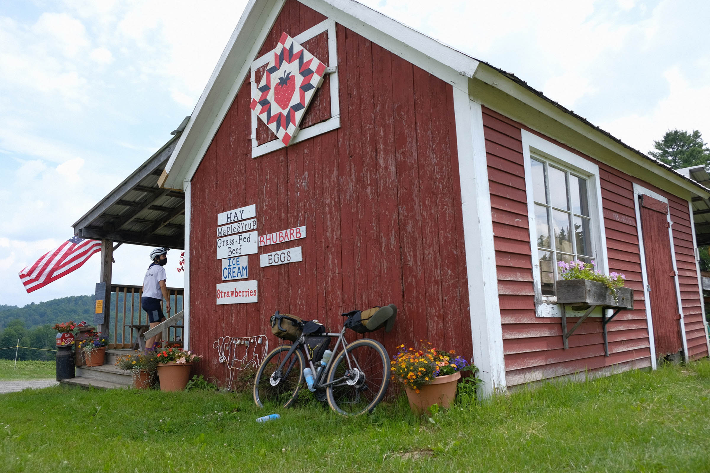
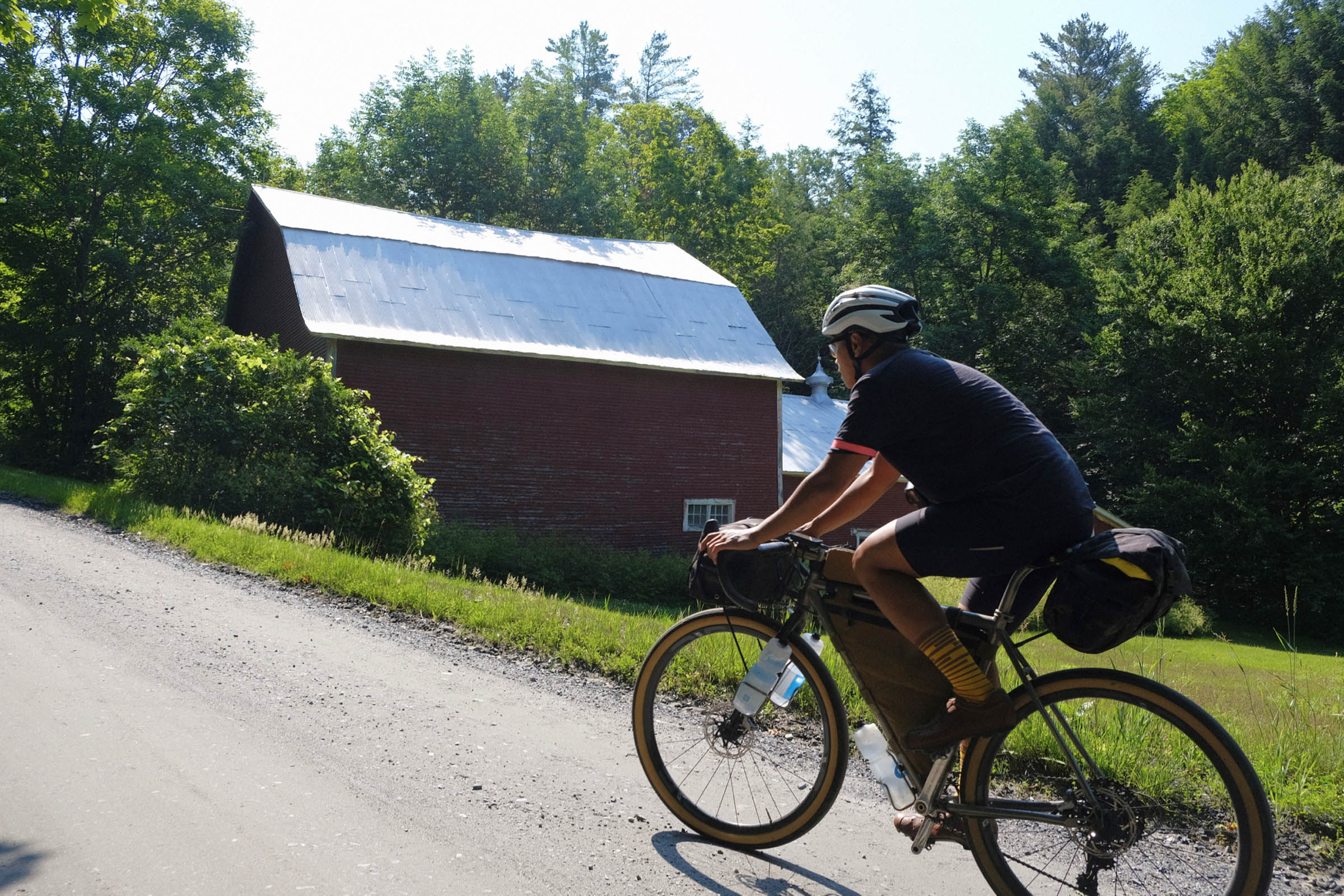
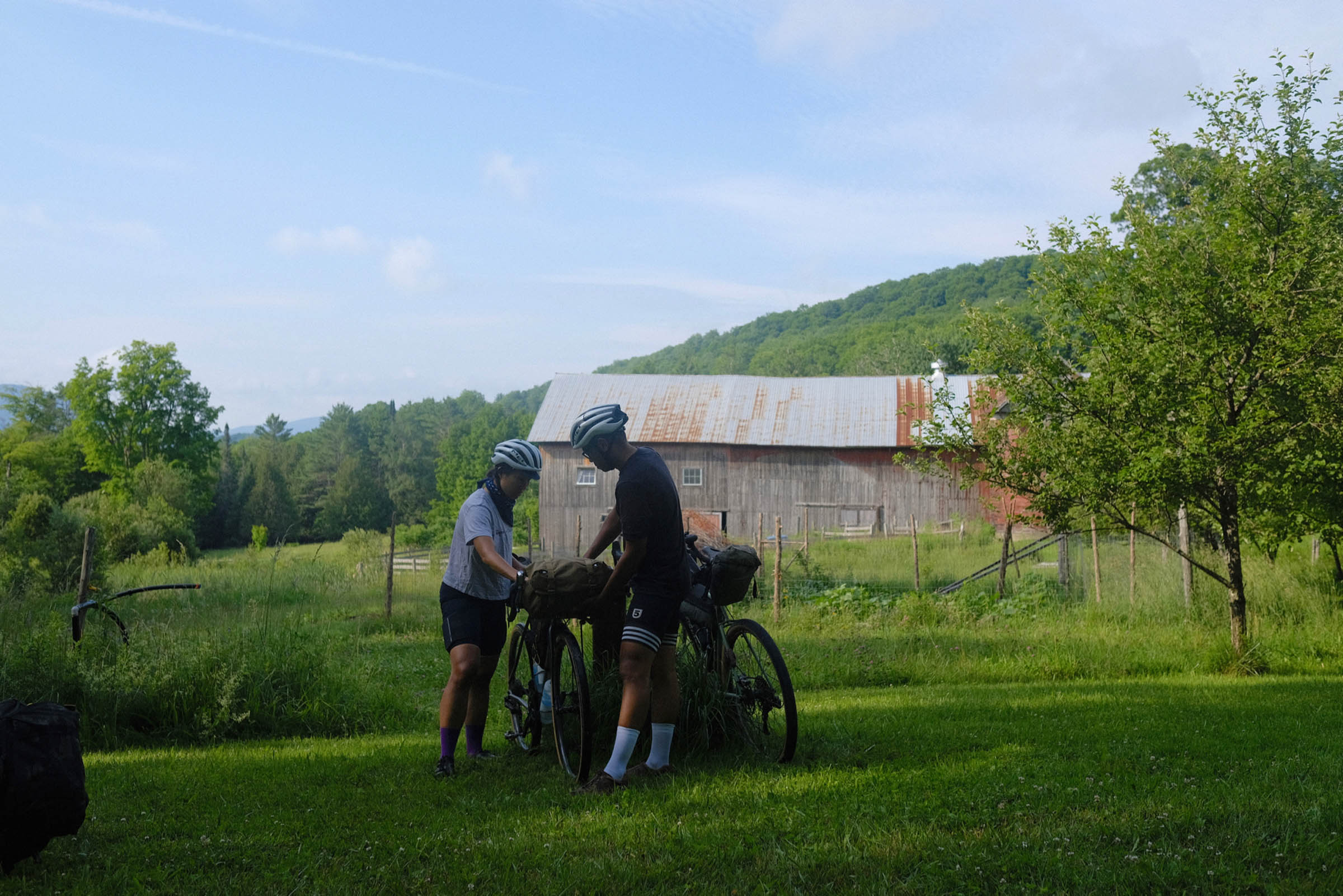
Vermont has the highest ratio of cows to people of any US state, is the country’s leading producer of maple syrup and marble, and is the second least populous state. You’ll be waved at by farmers atop their tractors, you’ll smell the loam after a rain shower, and you might snack on baked goods from a family goodies stand. The mountain ridges will feel remote, while in the valleys you’ll see historic barns and working town firehouses. Of course there are covered bridges.
This ride shows why VT is nowadays one of the most beloved places to ride gravel bikes in the USA, with country roads a perfect match for the aesthetic and the intention. It’s XL owing both to the fact that it is an extra-long dirt road ride in a beautiful place, and that it can be an extra-large helping of a trip.
Special thanks to Jonathon Dodge at Spoke ‘n’ Word in Colebrook, New Hampshire, Tom Seymour in Burke, and Matt Frost in Tunbridge for useful suggestions. And shout out to Carl Ring for the route name.
Explanation of Difficulty
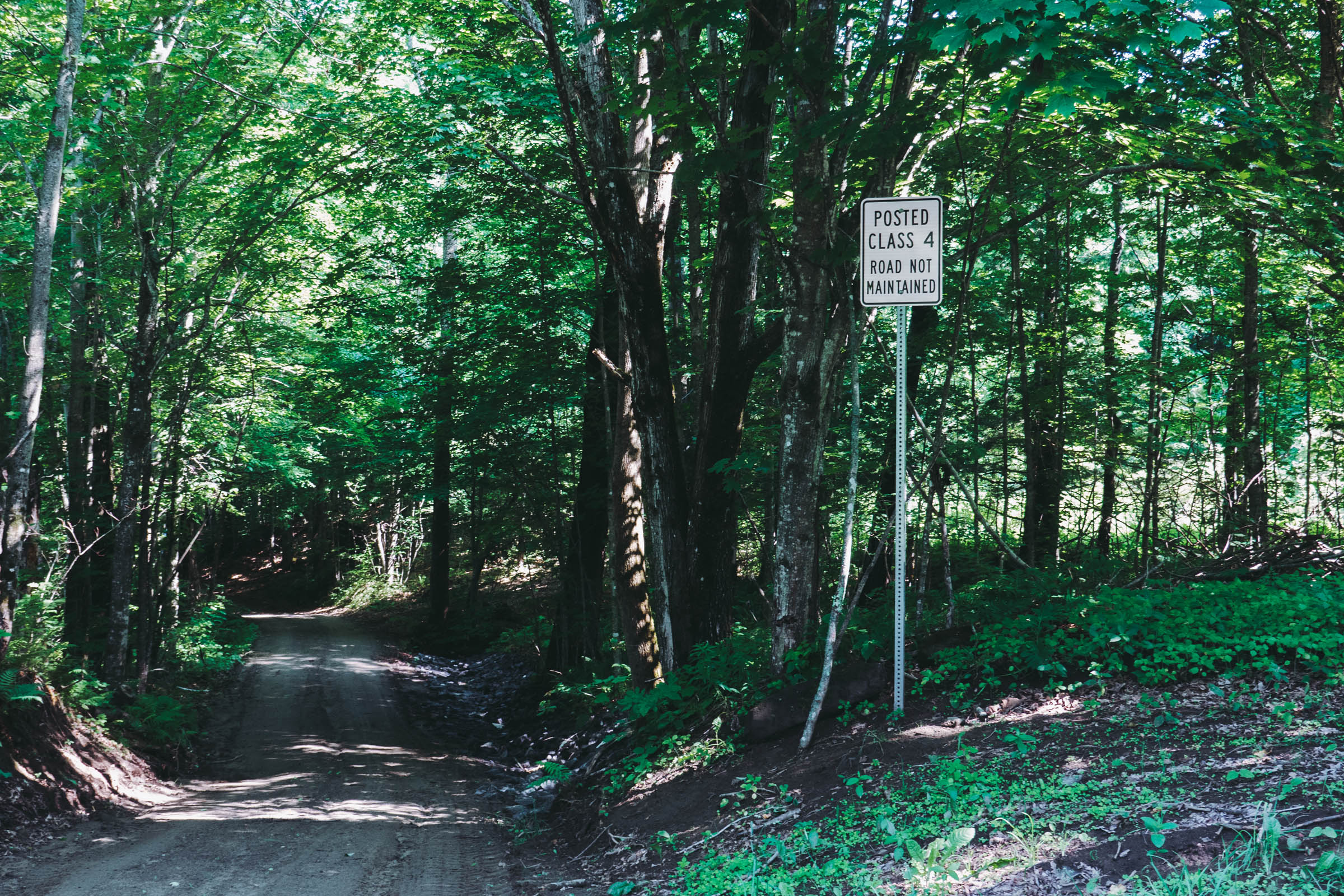
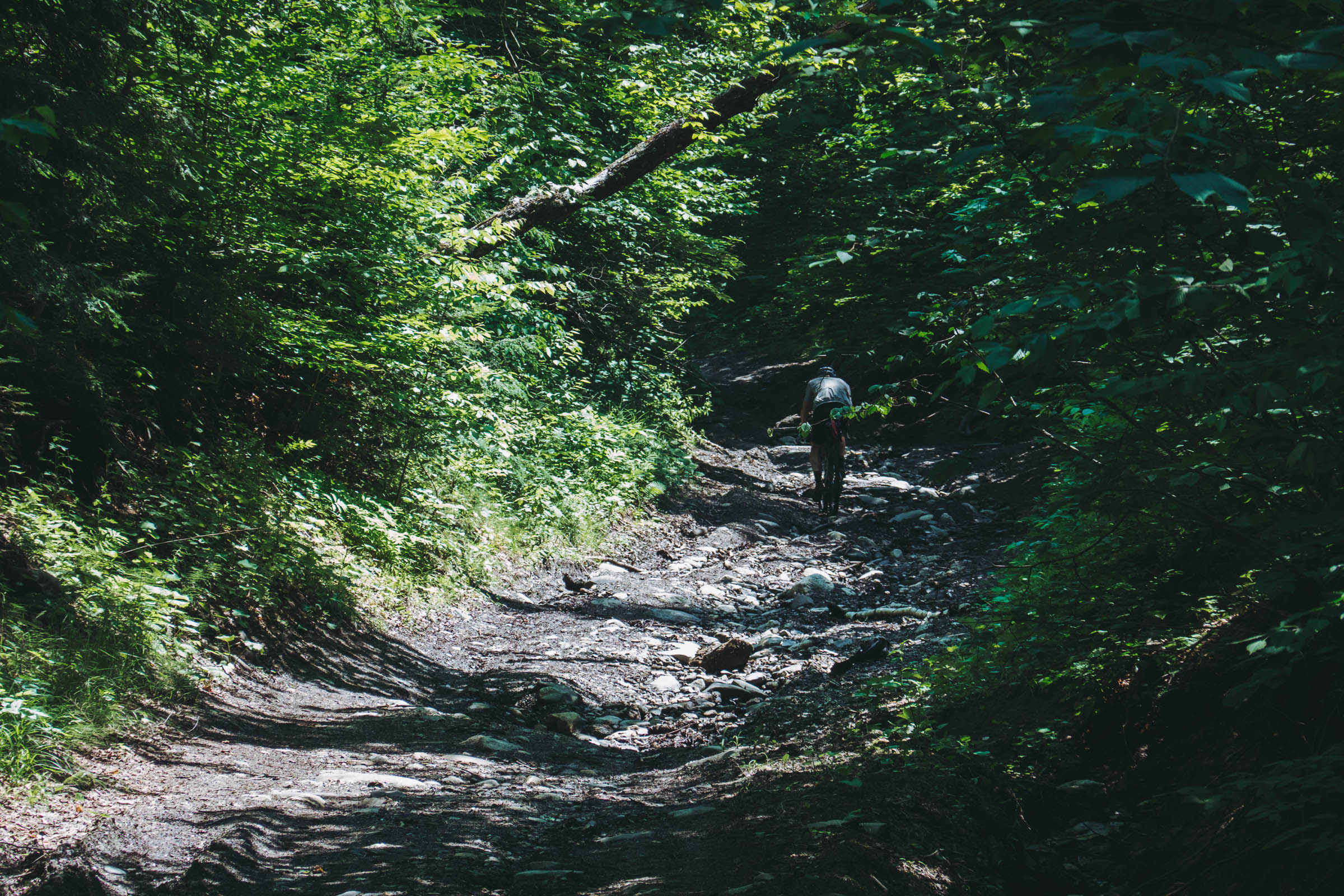
The majority of the VTXL is on smooth and well-maintained dirt roads and it often passes close to resupply towns, so provisioning is not difficult. There are, however, perhaps a dozen rugged and rocky Class IV sections. (“Class IV” is a Vermont road designation that indicates a public right of way but where there is no town maintenance.) These sections vary in length but are usually under 2 miles/4 kilometers. They require some off-road skill to ride and might involve a few minutes of hike-a-bike. The main challenge of the route is the substantial climbing. In light of the occasional Class IV roads and climbing we have assigned a difficulty rating of 6 on the assumption of five days of riding. A reasonable heuristic would be to add one to the difficulty rating for every day less than five, or subtract one from the difficulty for every day beyond five.


Submit Route Alert
As the leading creator and publisher of bikepacking routes, BIKEPACKING.com endeavors to maintain, improve, and advocate for our growing network of bikepacking routes all over the world. As such, our editorial team, route creators, and Route Stewards serve as mediators for route improvements and opportunities for connectivity, conservation, and community growth around these routes. To facilitate these efforts, we rely on our Bikepacking Collective and the greater bikepacking community to call attention to critical issues and opportunities that are discovered while riding these routes. If you have a vital issue or opportunity regarding this route that pertains to one of the subjects below, please let us know:
Highlights
Must Know
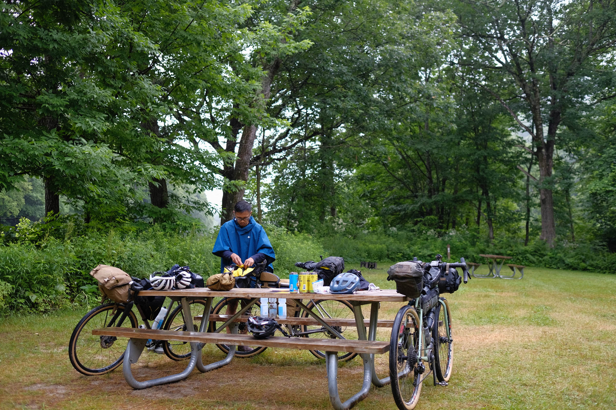
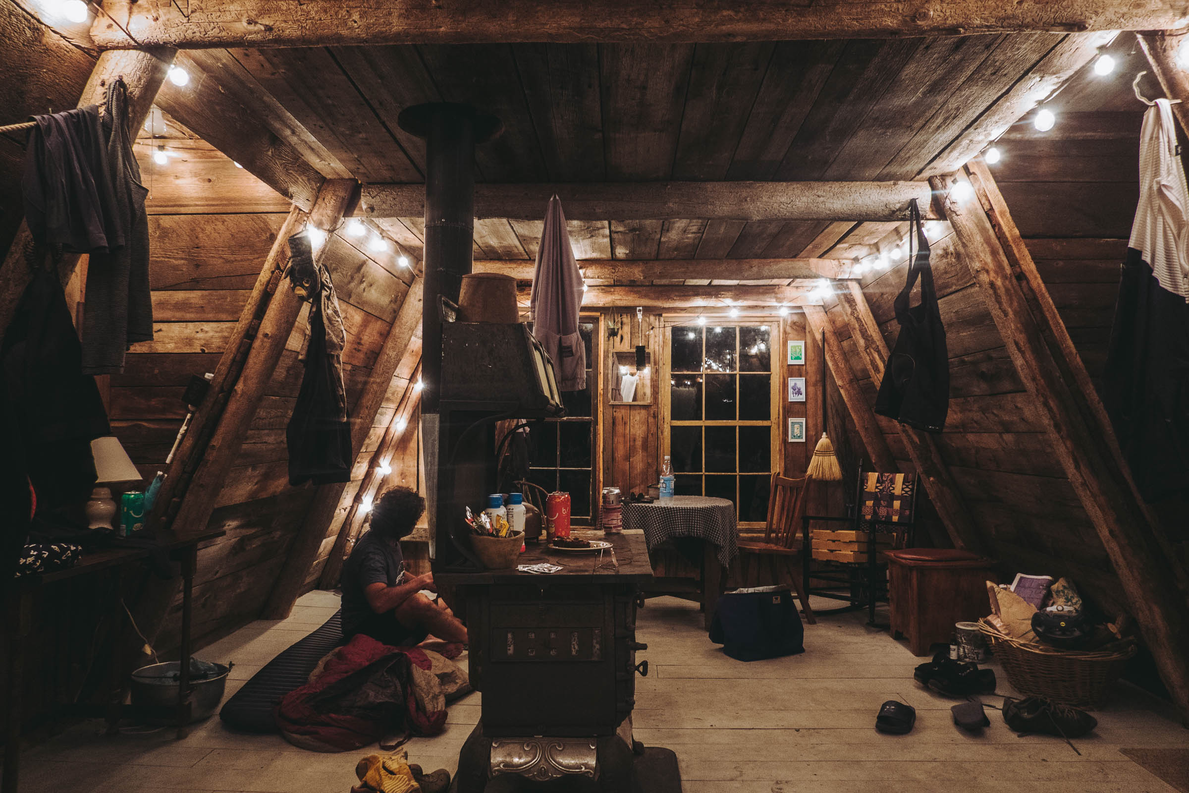
Camping
Food/H2O
Trail Notes
- Dirt roads across bucolic and pastoral landscapes.
- A complete sample of the gorgeous Green Mountain state, one of the most rural of the eastern USA.
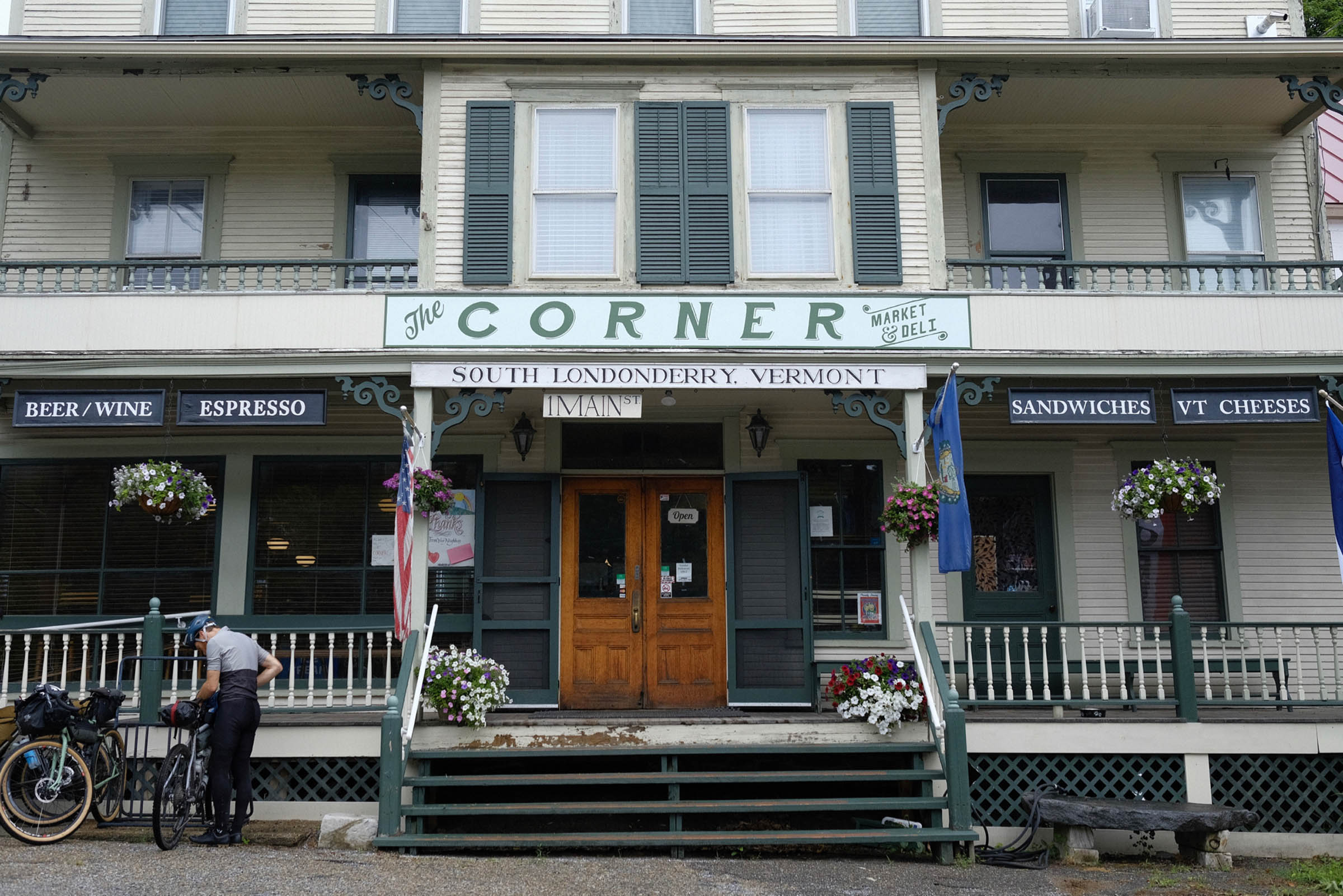
- A dozen Vermont general stores, each with its own character, history, and essential place in the community.
- In summer, plentiful streams and swimming holes for cooling off.
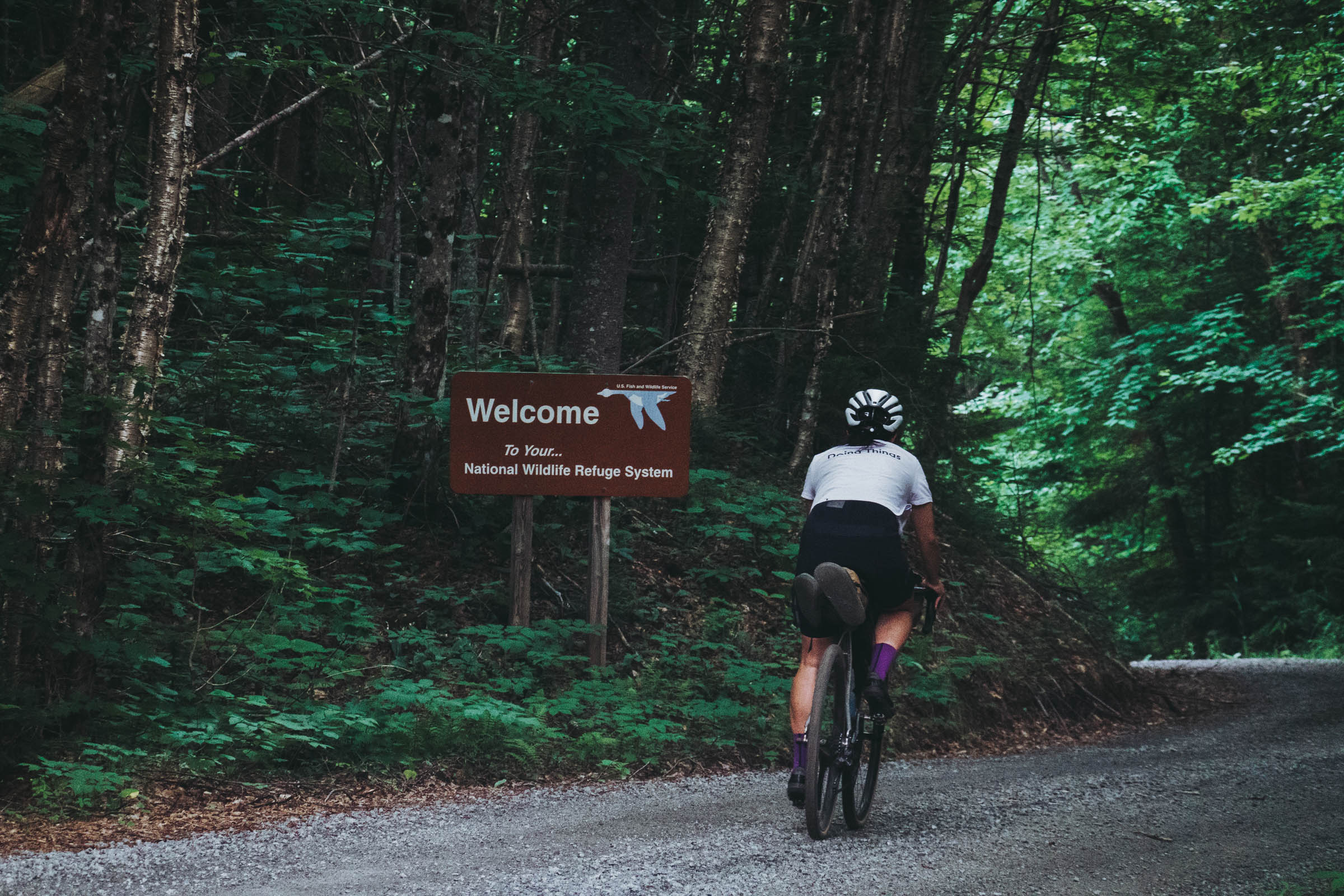
- A section of the Revolutionary War Era Bailey Hazen Military Road.
- The quiet Northeast Kingdom.
- Proximity to the famous Kingdom Trails of East Burke. Consider spending an extra day along the trip to ride there. Bicycle rentals are available but there are fun trails for gravel bikes, too.
- Great Vermont Corn Maze, the largest corn maze in New England. Stop in for laughs and getting lost.
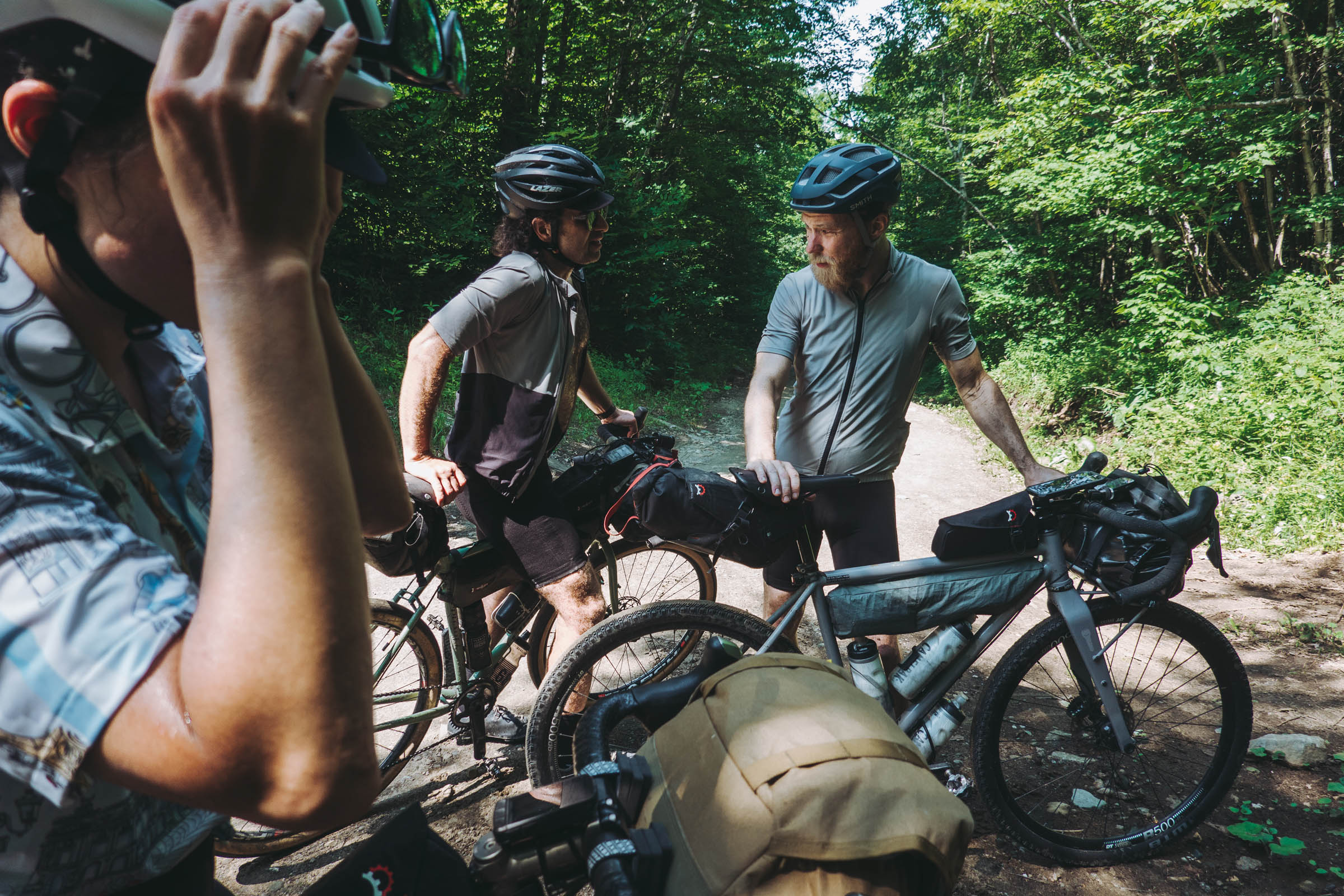
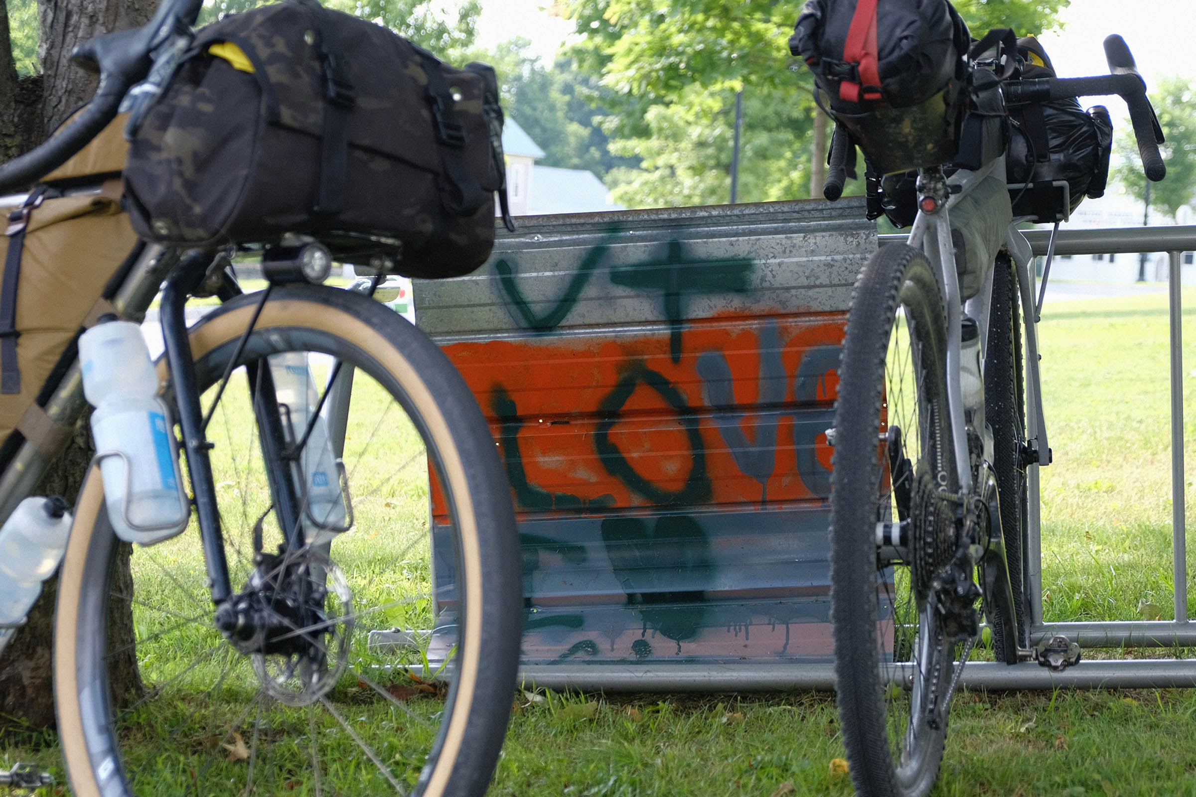
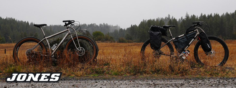
- The VTXL was designed as a gravel bike trip, so the recommended format is a drop bar bike with 700c x 42mm or 650b x 47mm tires and traditional soft bikepacking bags. Tires narrower than 35mm or so would probably make the ride less fun. A rigid or hardtail MTB would be perfectly suitable, of course.
- Light and fast rolling tires are adequate. Three out of four of us on the scouting team used treadless Rene Herse tires (as did Ted King when he rode it), though having a very modest tread is probably useful for the occasional mud.
- Ted King rode this route north to south and the author rode it south to north. The route can be ridden enjoyably in either direction, though it is somewhat harder from north to south. Keep in mind that there are significantly fewer resources at the northern terminus than at the southern terminus (see Trail Notes for details).
- The recommended time of year for this ride is after Vermont’s mud season and before snow accumulation on the higher elevations. Therefore, June 1st through November 15th or so.
- Be friendly and respectful to hunters, who are a traditional user group on many of the roads of the route in the late autumn. It is responsible to wear a blaze orange vest during hunting season.
- For potential shuttle service to or from the start, contact David Ackerson in Williamstown. Ph: 413 652 9573 or email daveackerson@yahoo.com
- Find numerous campgrounds marked on the map.
- Check Airbnb, Hipcamp, and Warm Showers.
- Staying in lodging every night on this trip is certainly feasible. A reasonable five day/four night itinerary would have overnights in the areas of (i) Burke/Lyndon (ii) Chelsea (iii) Woodstock and (iv) Londonderry.
- In the southern section of the route, dispersed camping is legal in the Green Mountain National Forest.
- If wild camping, respect no trespassing signs and leave no trace.
- Ticks are very much present in Vermont. Check over your body at the end of the day and practice tick-aware camping.
- Numerous resupply options are marked on the map, though they sometimes require a short detour off the course. Be sure to confirm business hours as Vermont general stores close early.
- Plan to carry snacks that can see you through a meal if needed.
- Water is typically not an issue with frequent stream and river crossing access in addition to H2O taps at stores and churches. Bring water treatment for all sources that are not municipal water supplies, as Vermont is an agriculture state.
- The northern terminus of the route in Canaan, VT, is very rural with few services. Plan on being very self-sufficient for the northern beginning or end.
- You may leave a vehicle at the Park and Ride in Canaan, marked on the map.
- The southern terminus of the route in Pownal, VT, is on a rural road with a few nearby residences. Don’t expect to reach the southern Vermont border and hang out and socialize there. Indeed, please don’t do that for the sake of the peace and quiet of the locals. Keep riding 4 miles/7 kilometers (it’s mostly downhill!) to Williamstown, MA. Williamstown has numerous restaurants, services, and hotels, and will be a useful place to decompress and regroup at the end of a N-S ride.
- The no overnight parking rule in Williamstown is aggressively enforced on the town streets. Park instead for free in the commercial parking lot where The Spoke bicycle shop is located. Leave your car in one of the less commonly needed spots near the main road and let the folks at The Spoke know so they can keep an eye out for your car and vouch for it if it parked there for many days.


Terms of Use: As with each bikepacking route guide published on BIKEPACKING.com, should you choose to cycle this route, do so at your own risk. Prior to setting out check current local weather, conditions, and land/road closures. While riding, obey all public and private land use restrictions and rules, carry proper safety and navigational equipment, and of course, follow the #leavenotrace guidelines. The information found herein is simply a planning resource to be used as a point of inspiration in conjunction with your own due-diligence. In spite of the fact that this route, associated GPS track (GPX and maps), and all route guidelines were prepared under diligent research by the specified contributor and/or contributors, the accuracy of such and judgement of the author is not guaranteed. BIKEPACKING.com LLC, its partners, associates, and contributors are in no way liable for personal injury, damage to personal property, or any other such situation that might happen to individual riders cycling or following this route.
Please keep the conversation civil, constructive, and inclusive, or your comment will be removed.