


Whitefish Tamarack Forest Loop
Distance
134 Mi.
(216 KM)Days
2-3
% Unpaved
87%
% Singletrack
2%
% Rideable (time)
99%
Total Ascent
7,820'
(2,384 M)High Point
5,610'
(1,710 M)Difficulty (1-10)
4?
- 4Climbing Scale Fair58 FT/MI (11 M/KM)
- -Technical Difficulty
- -Physical Demand
- -Resupply & Logistics
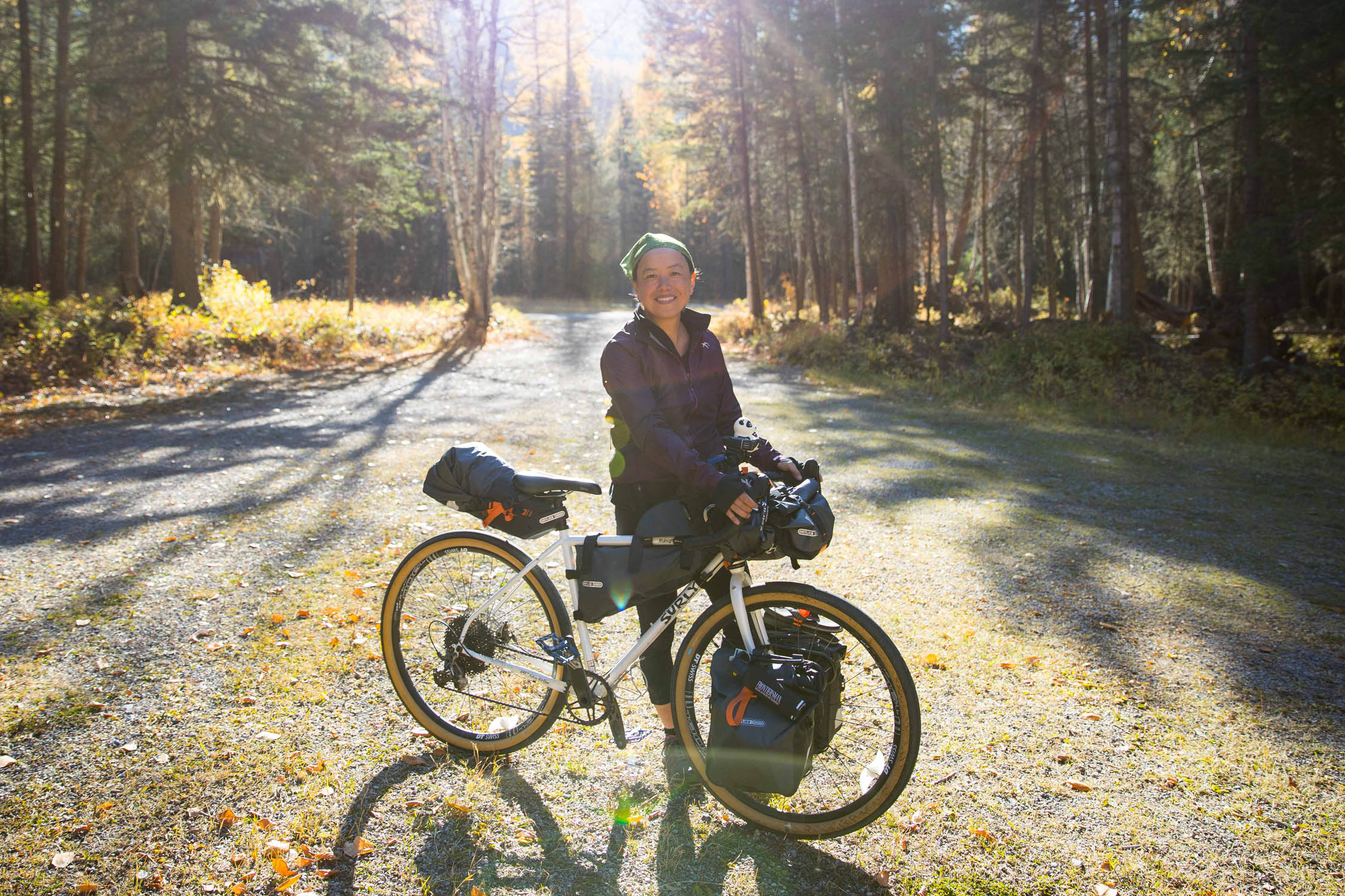
Contributed By
Machiko Threlkeld
Guest Contributor
Machiko fell in love with the seeing the world from two wheels the first time she joined a local group ride. After several years of road cycling, she found a true sense of adventure in bikepacking and gravel riding. Now she rides with her friends and son in Washington whenever the time allows and always daydreams about future explorations. Follow her on Instragram @jarikozo
With photos by Aly Nicklas (@alynicklas)
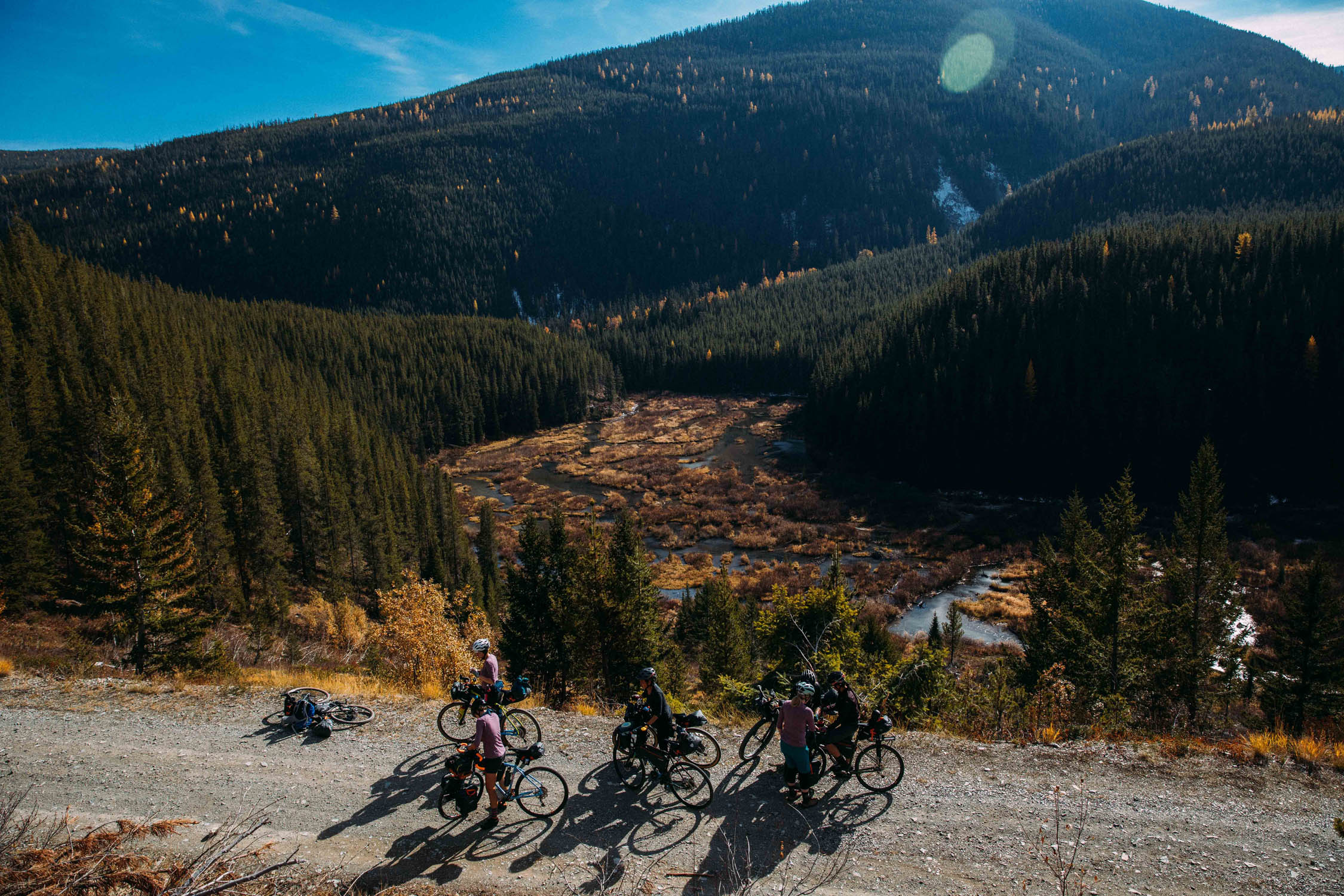
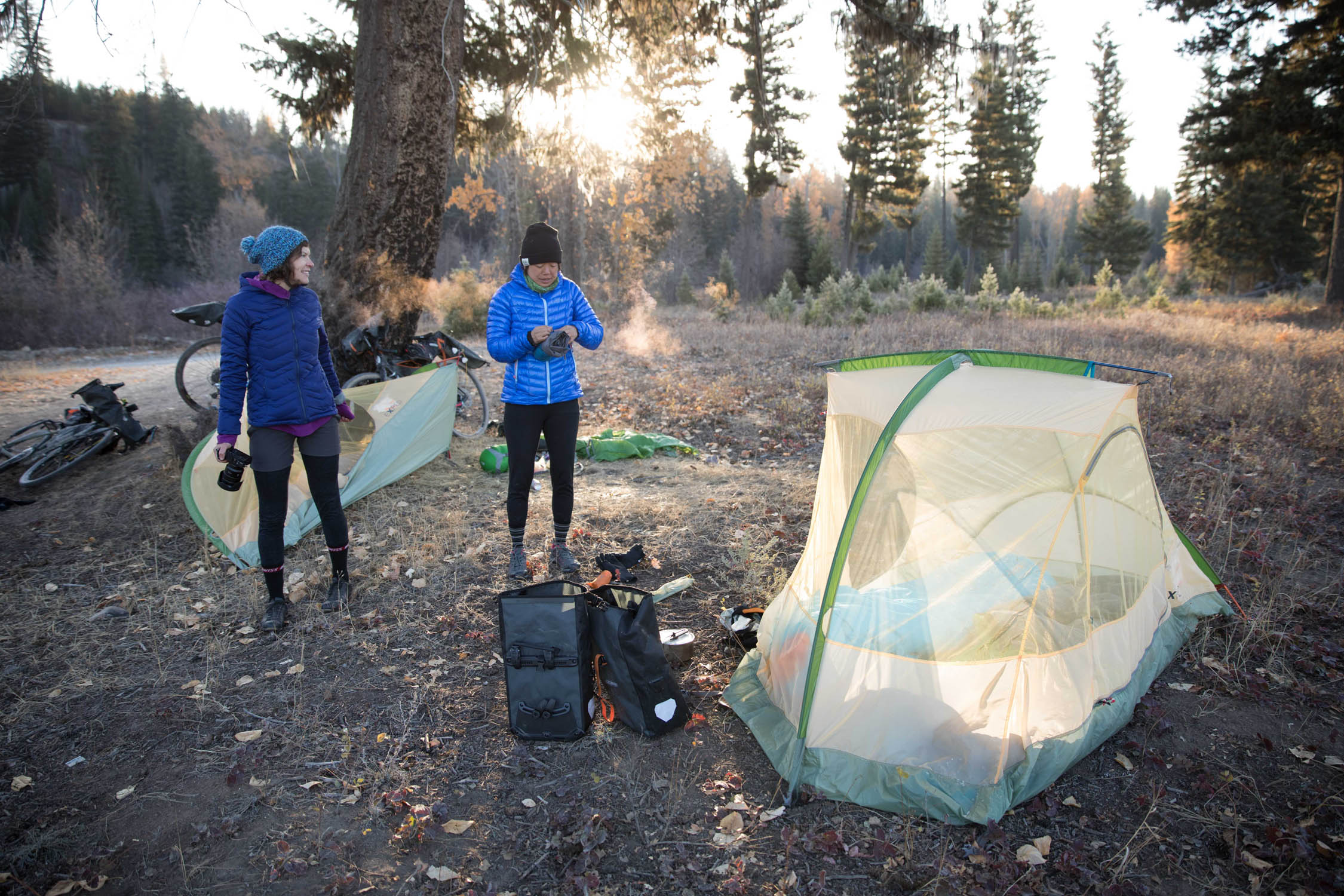
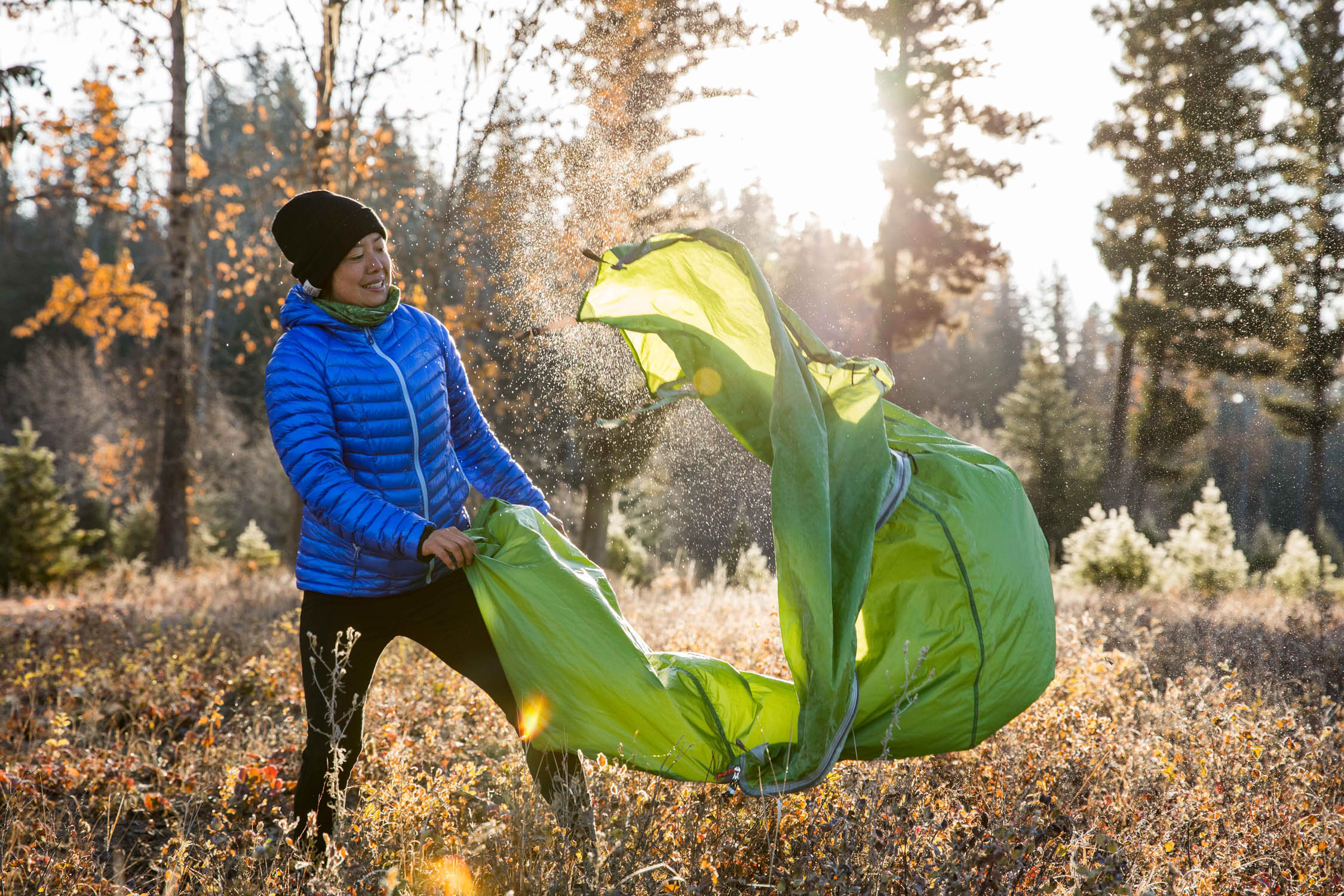
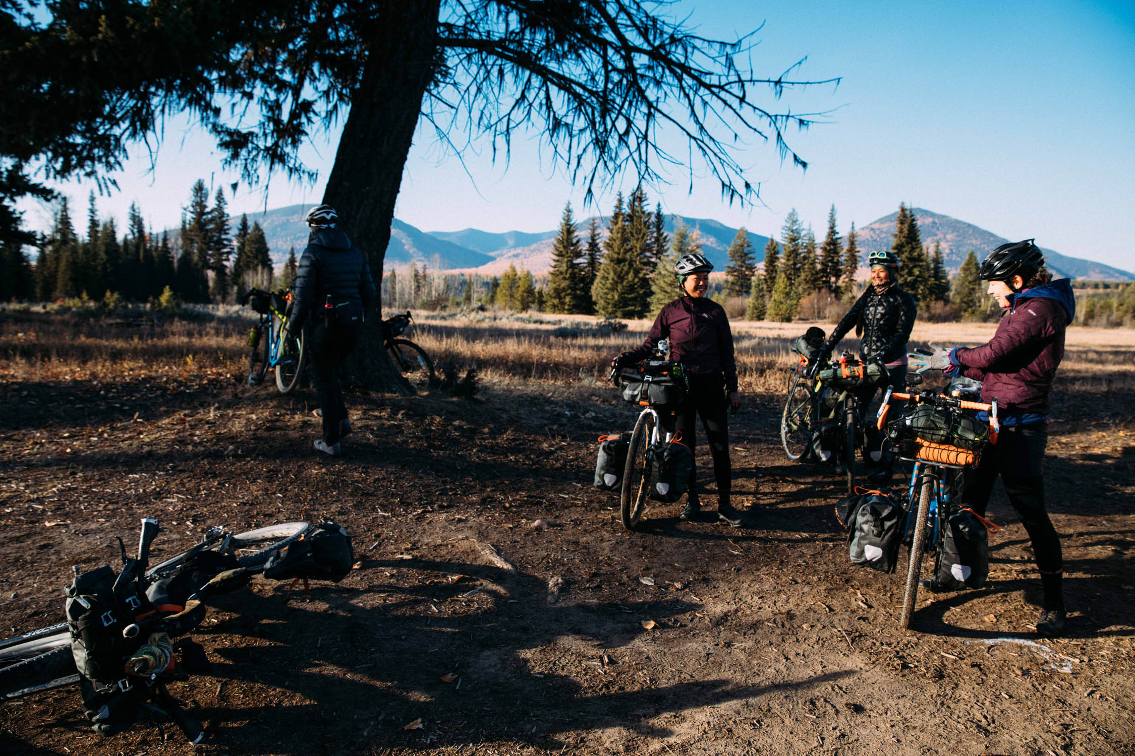
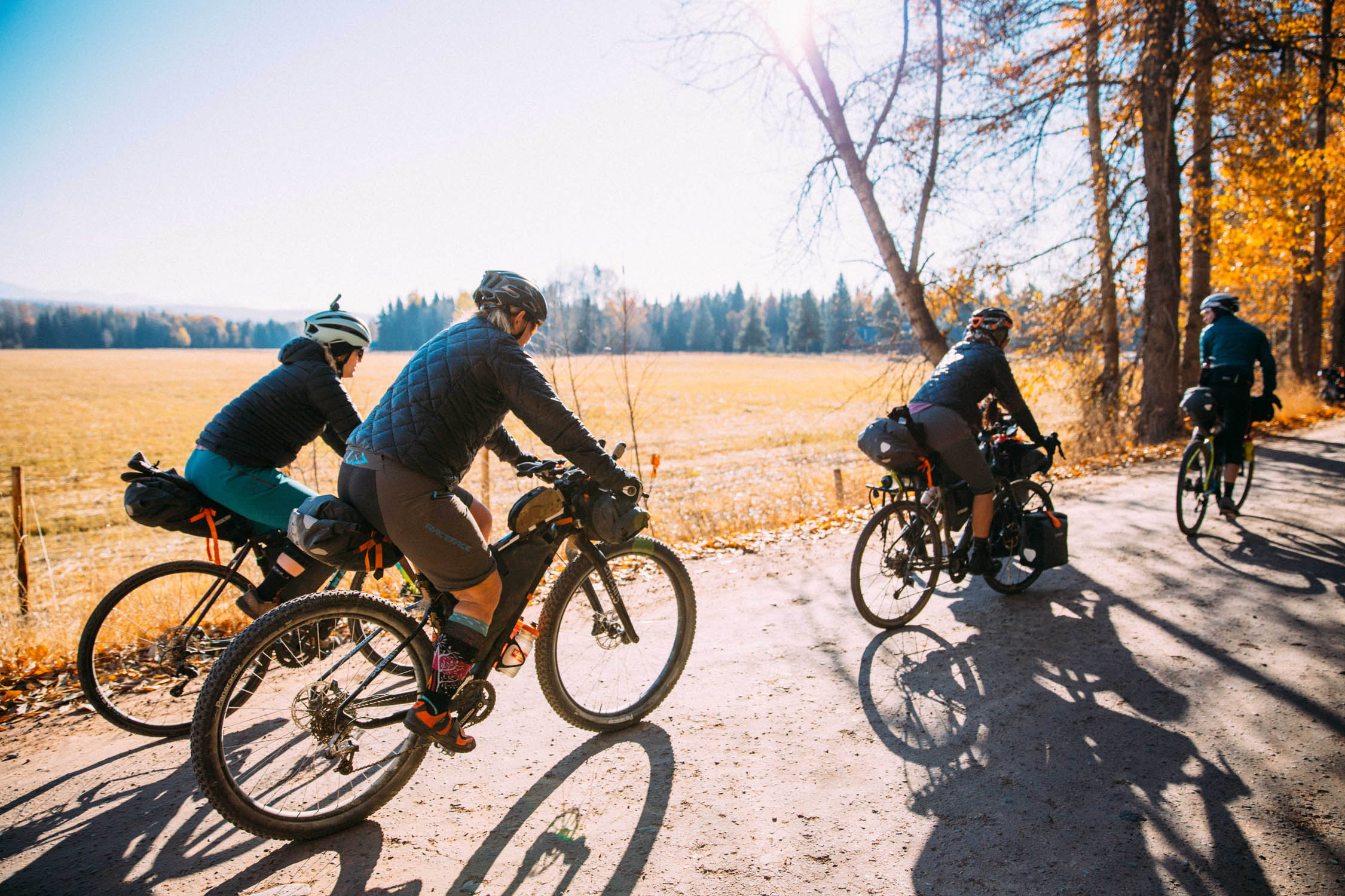
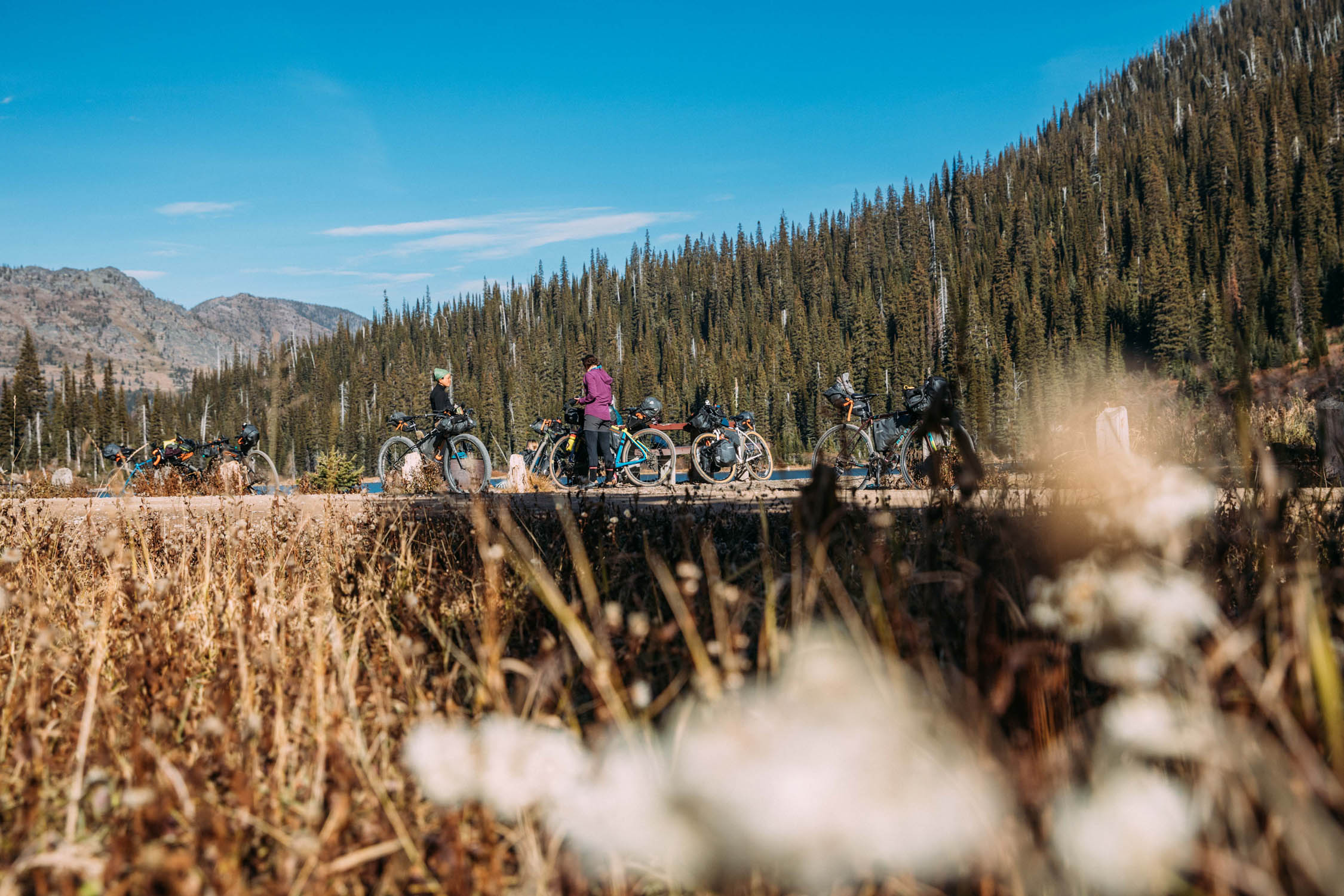
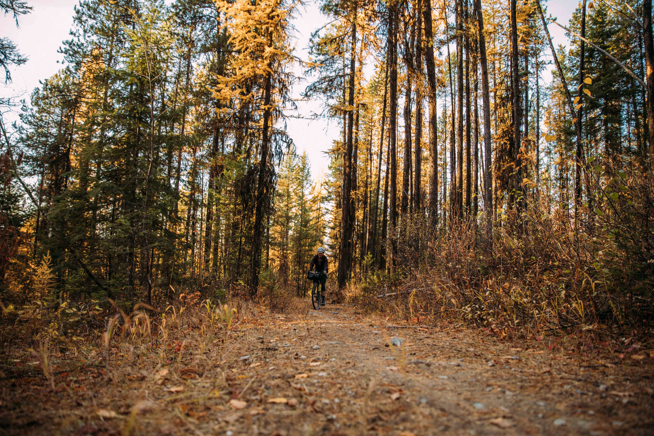
The Whitefish Tamarack Forest Loop is a weekend bikepacking route that starts and finishes at Whitefish Bike Retreat. The route begins by heading north along Highway 93 through the small towns of Olney and Fortine, and runs clockwise into the Rockies. It includes a few shops and restaurants for refueling along the way.
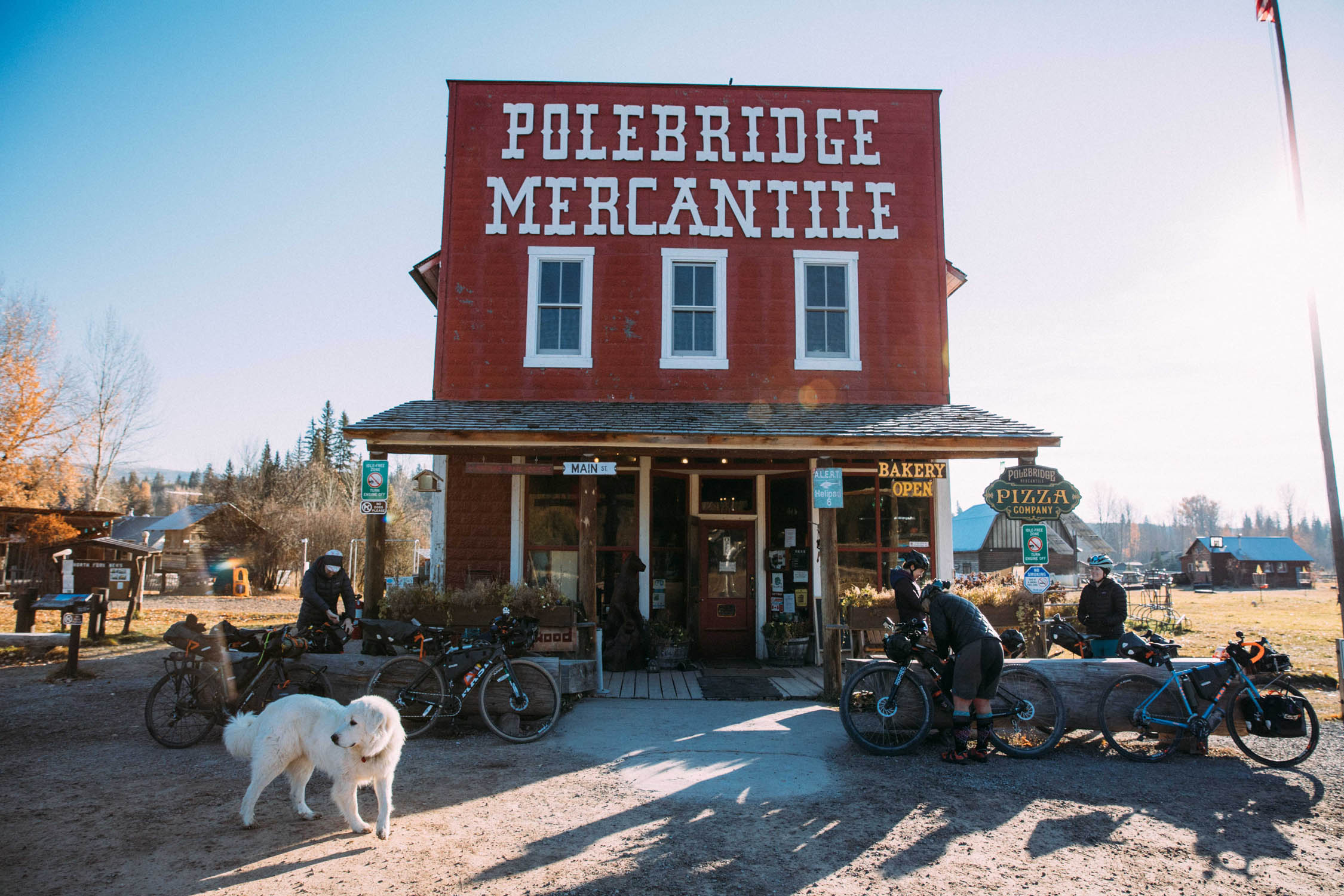
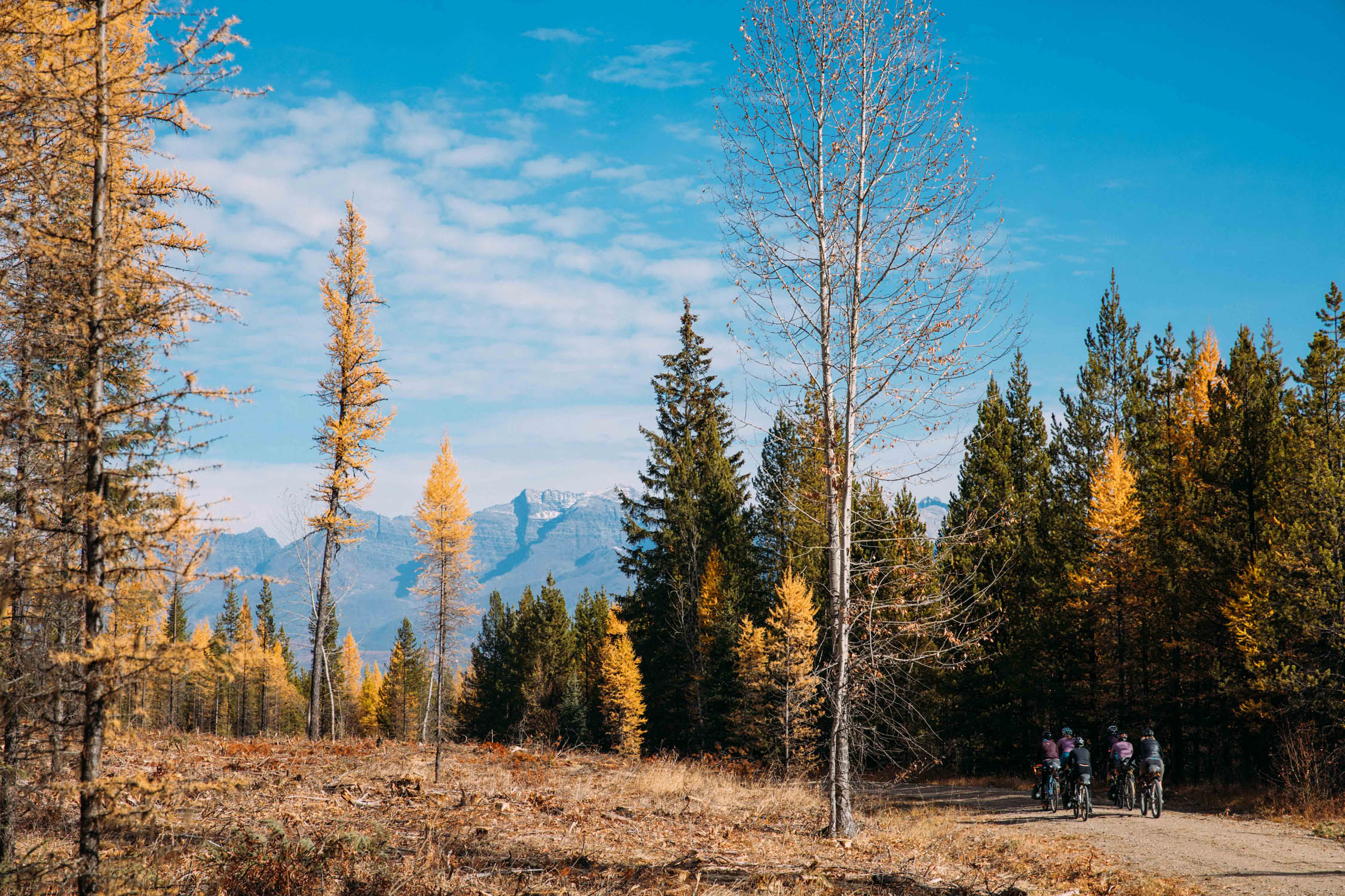
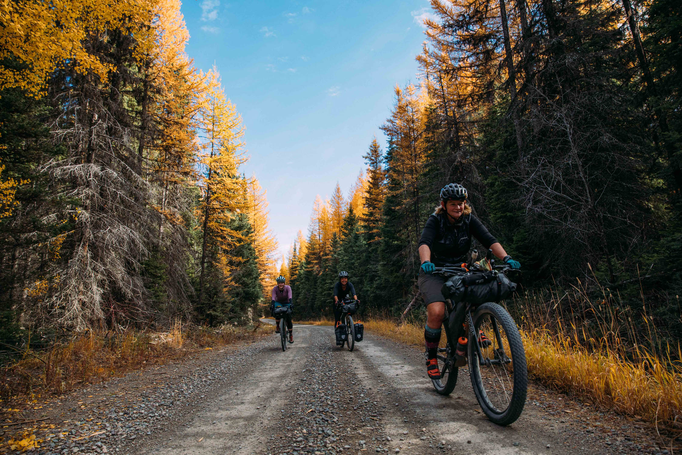
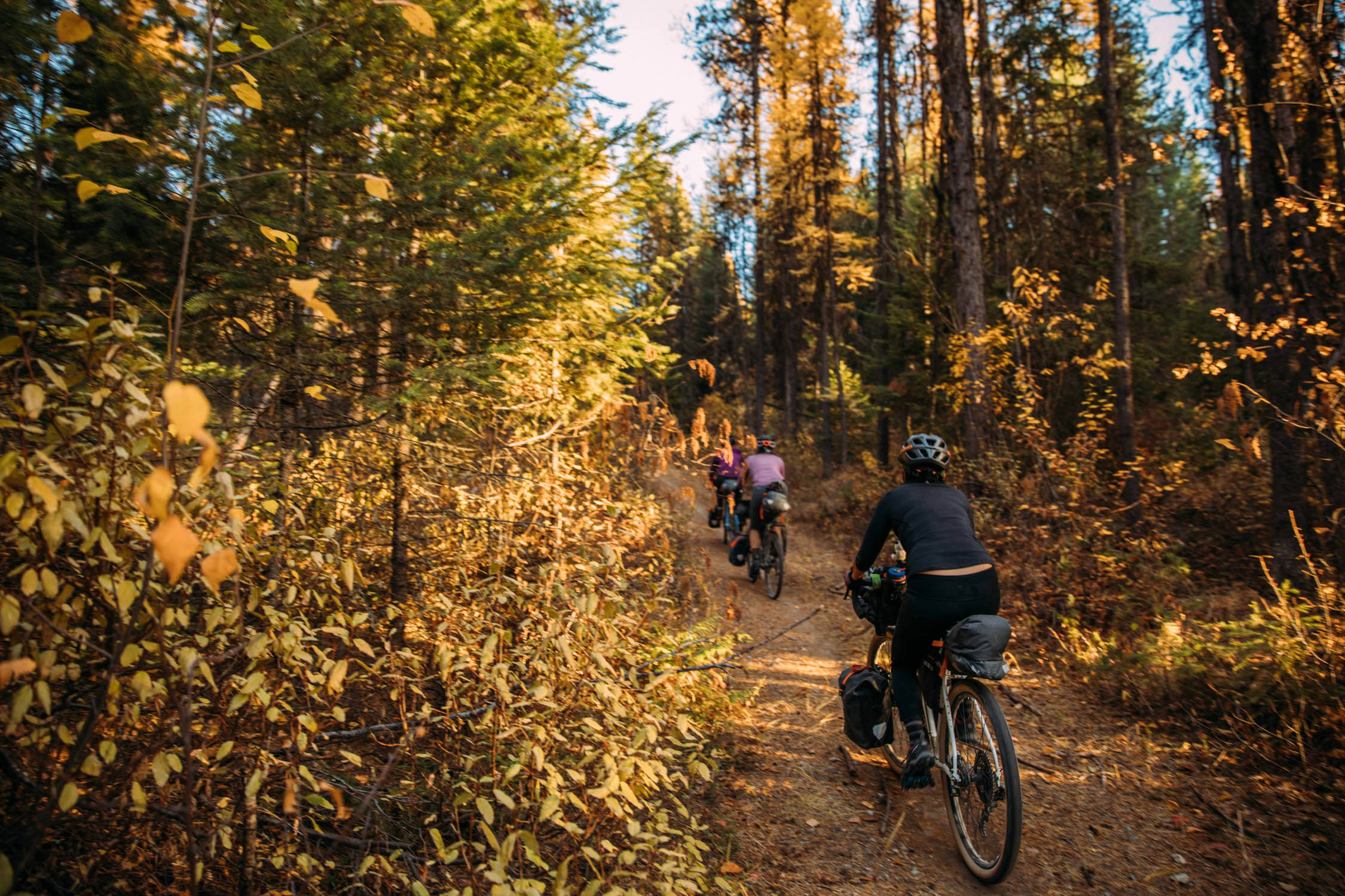
You can enjoy a dip in the surrounding lakes on hot summer days or stimulate your eyes with the specks of bright tamarack yellow against the dark forest and golden filtered sunlight in the fall. You can also shave off a few miles by moving the start to MP30 to make it a true overnighter (see Trail Notes for the alternate map). However, please don’t cut out the stop for bearclaws and pizza rolls at the historic Polebridge Mercantile! Also, be sure to check out the neighboring Red Meadow Pass loop if you want to extend this ride.
Route Development
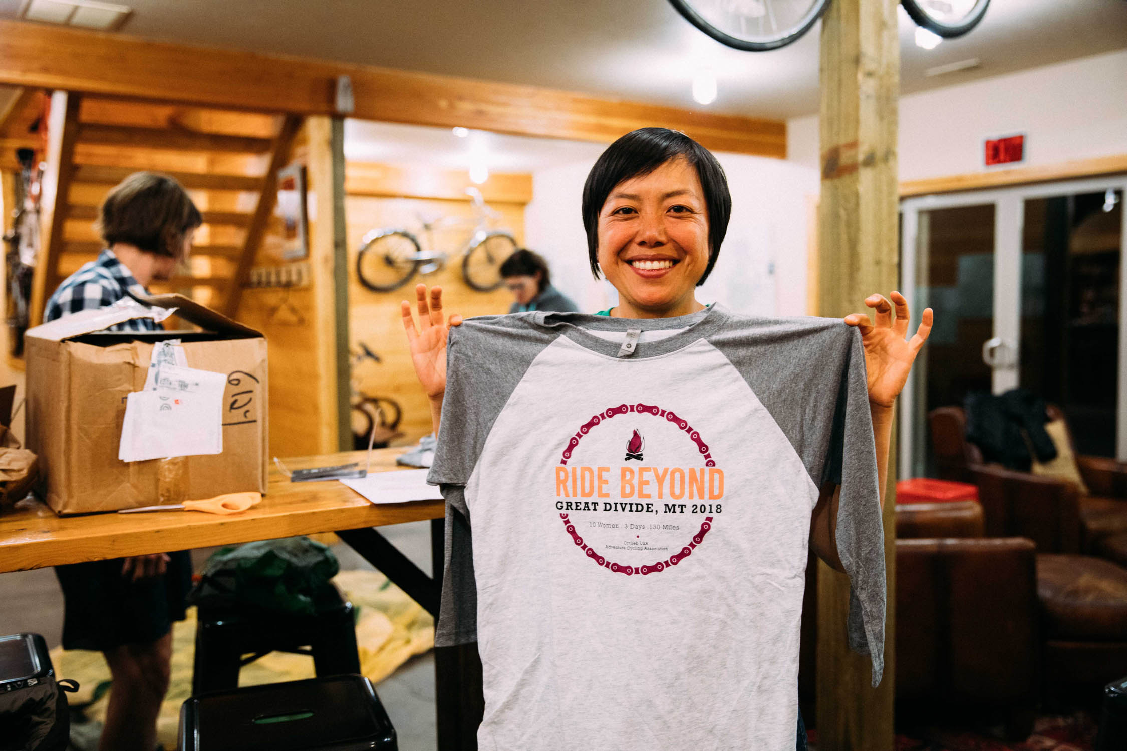
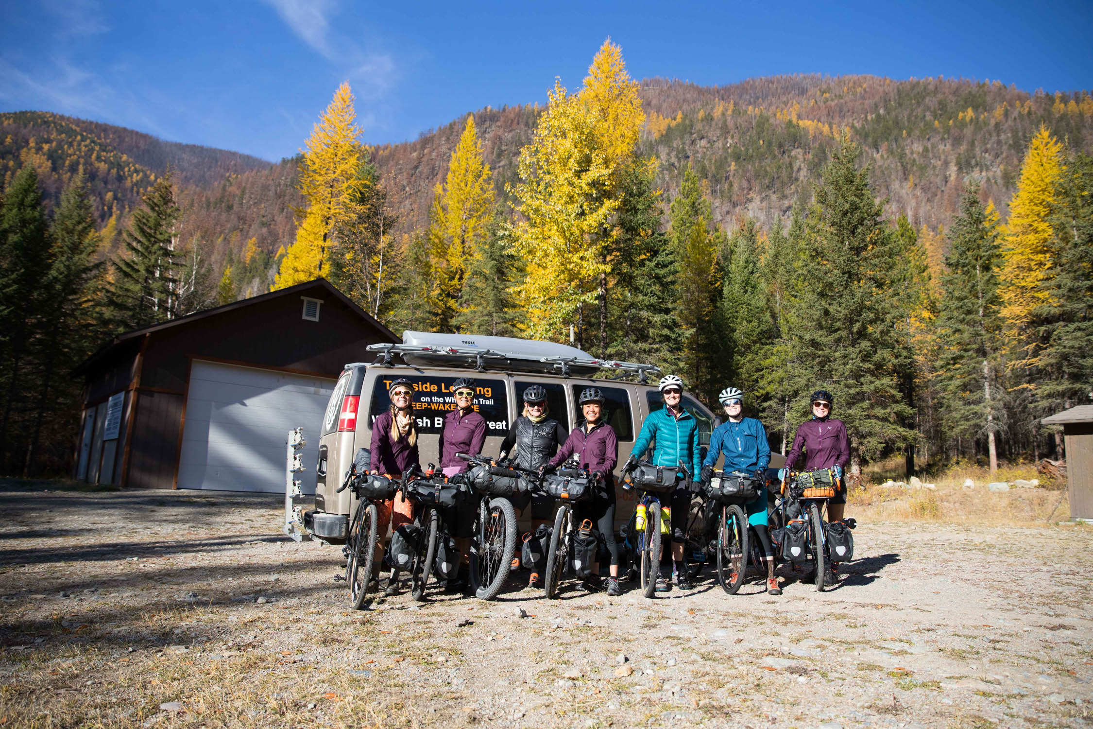
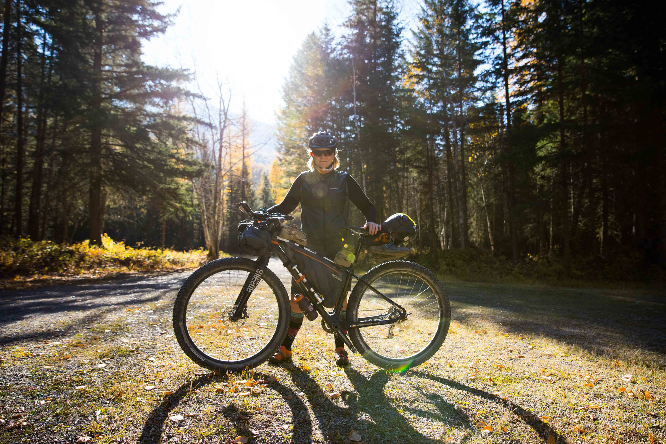
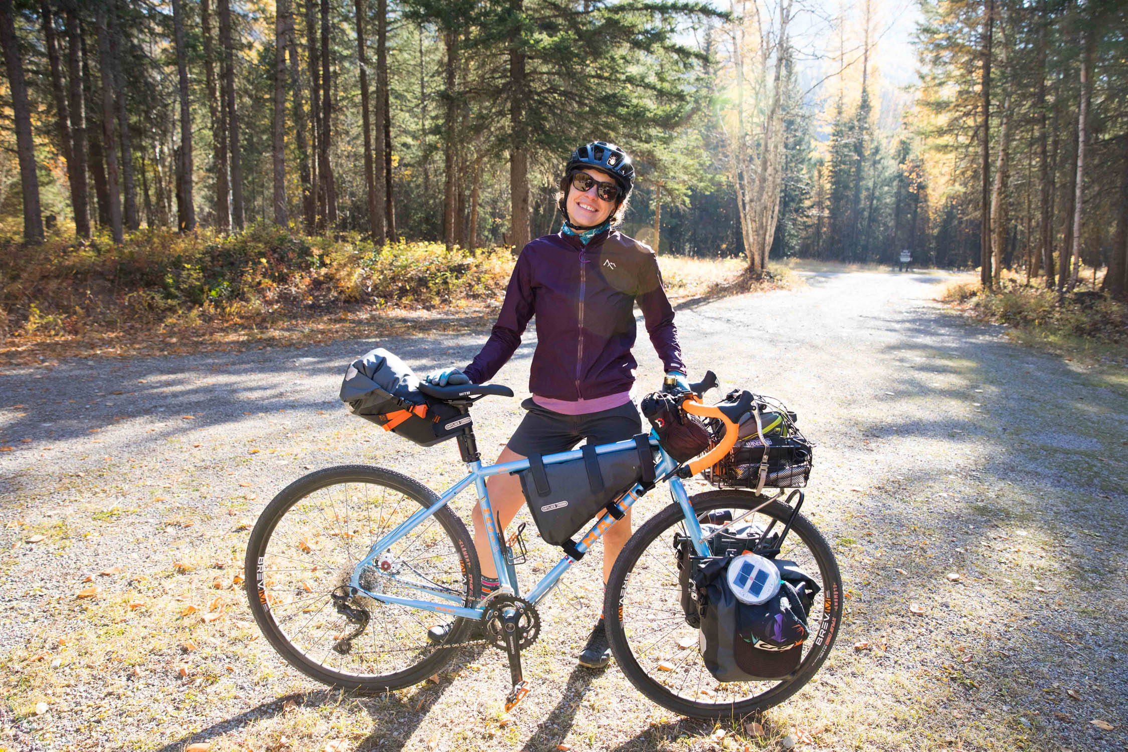
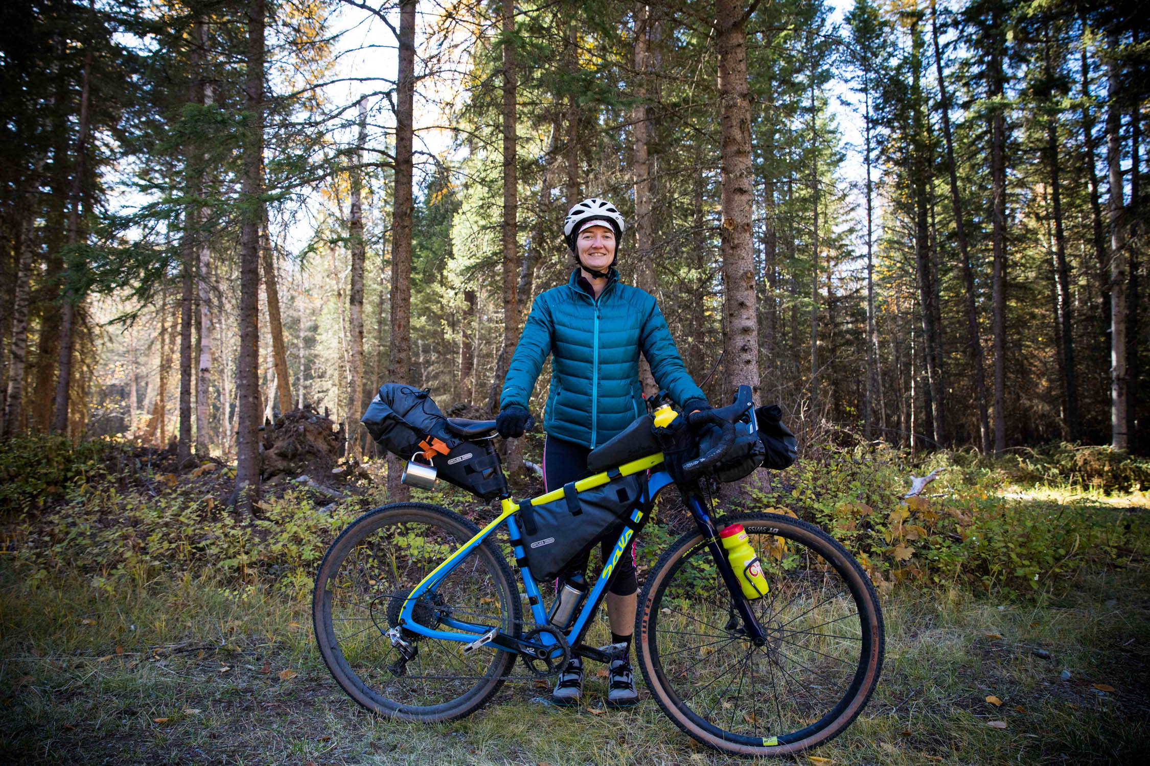
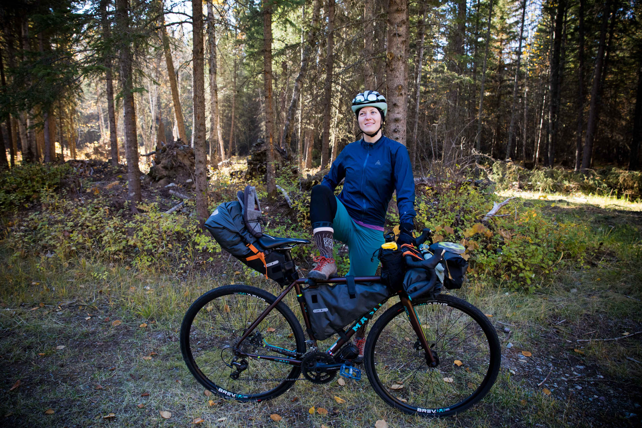
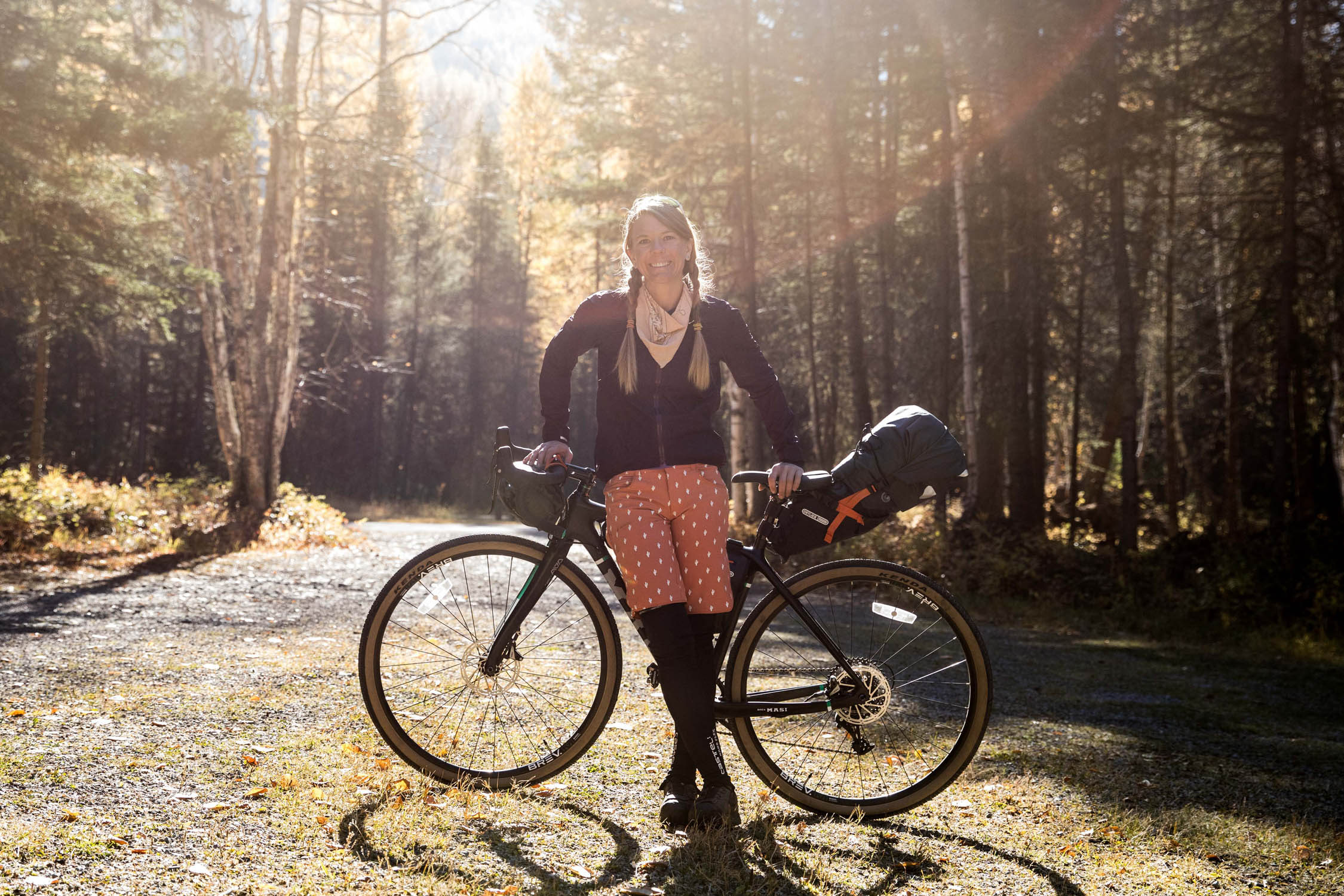
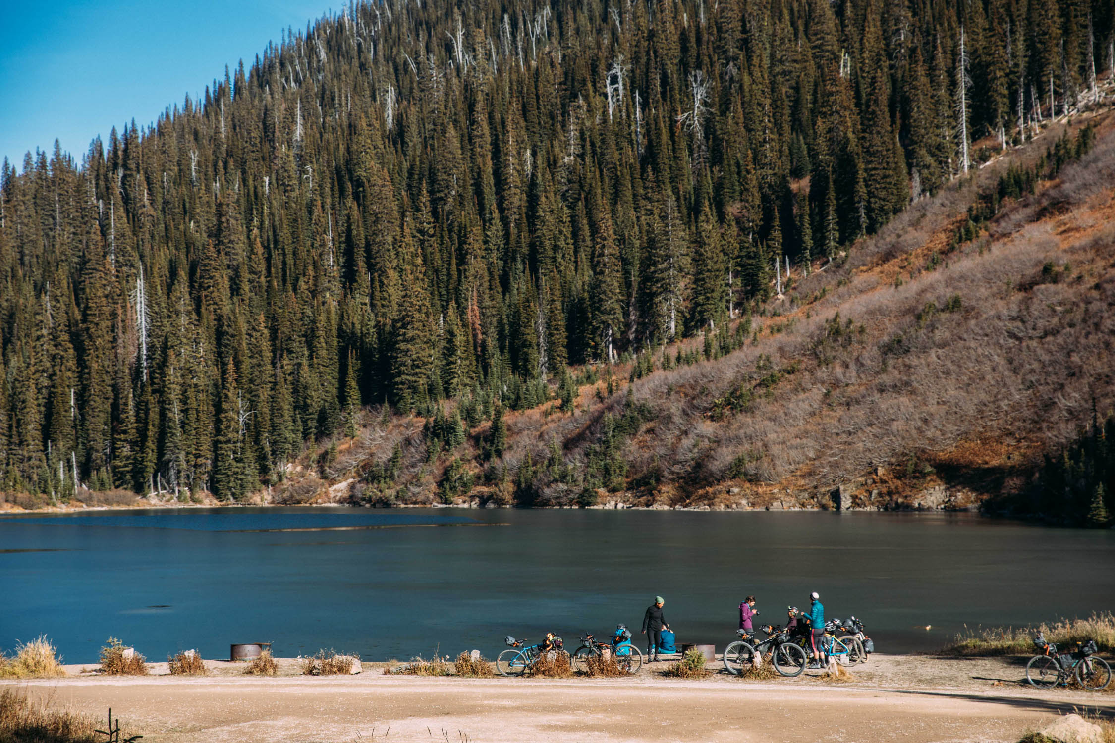
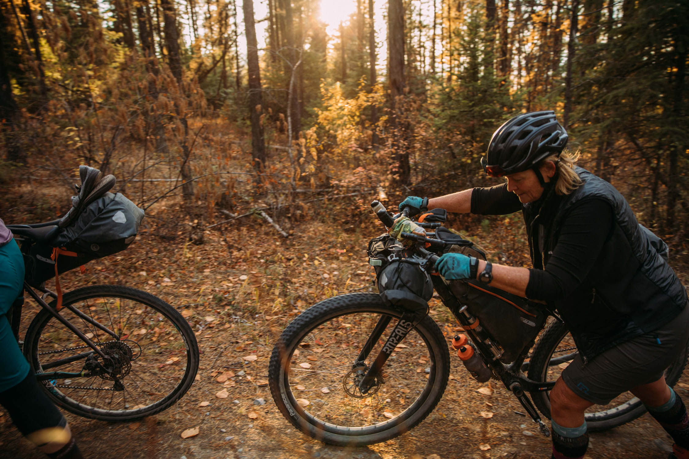
This route follows nearly 140 miles of Adventure Cycling Association’s Northern Tier and Great Divide Mountain Bike Routes in one of the most breathtaking areas in Montana. It was modified for Ride Beyond US, an event planned and organized by Ortlieb to encourage more women to delve into bikepacking. The event gathered seven strangers, all women, from Montana, Oregon, and Washington to ride a loop using the Great Divide Mountain Bike Route. After spending several days together, Cricket Butler, Laura Crawford, Aly Nicklas, LeeAnn O’Neill, Katie Sox, Machiko Threlkeld, and Hillary Washburn forged a special friendship only cyclists can develop.
Route Difficulty: We rated this route 4 out of 10 because of the two significant climbs. However, the availability of food, water, and lodging are good. And +1 for Cricket’s choice of singletrack on the way back to the retreat…


Submit Route Alert
As the leading creator and publisher of bikepacking routes, BIKEPACKING.com endeavors to maintain, improve, and advocate for our growing network of bikepacking routes all over the world. As such, our editorial team, route creators, and Route Stewards serve as mediators for route improvements and opportunities for connectivity, conservation, and community growth around these routes. To facilitate these efforts, we rely on our Bikepacking Collective and the greater bikepacking community to call attention to critical issues and opportunities that are discovered while riding these routes. If you have a vital issue or opportunity regarding this route that pertains to one of the subjects below, please let us know:
Highlights
Must Know
Camping
Food/H2O
Trail Notes
Resources
- H.A. Brewing (habrewing.com): This brewery offers a cozy space to enjoy their craft beers and amazing pizza! Ending your first day at the Grave Creek Campground makes this place a great spot for dinner.
- Whitefish Pass (elv. 5,300’): A sweeping view of glacier-capped mountains in Glacier National Park.
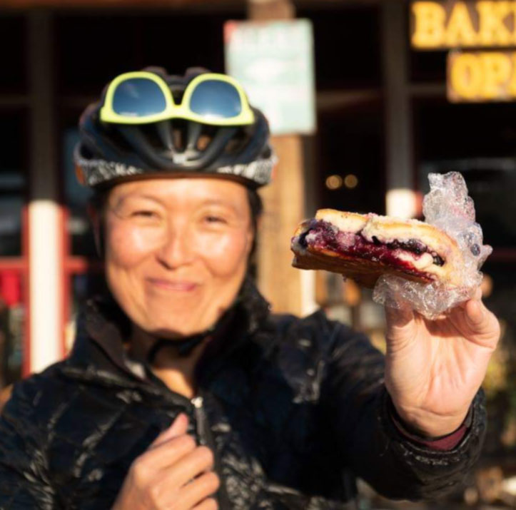
- Polebridge Mercantile (polebridgemerc.com): Please, try the huckleberry bearclaws and pizza rolls! This is a good resupply spot for dinner and breakfast. Showers are available.
- Red Meadow Lake Picnic Area (elv. 5,500’): You can cool off by this pristine clear lake.
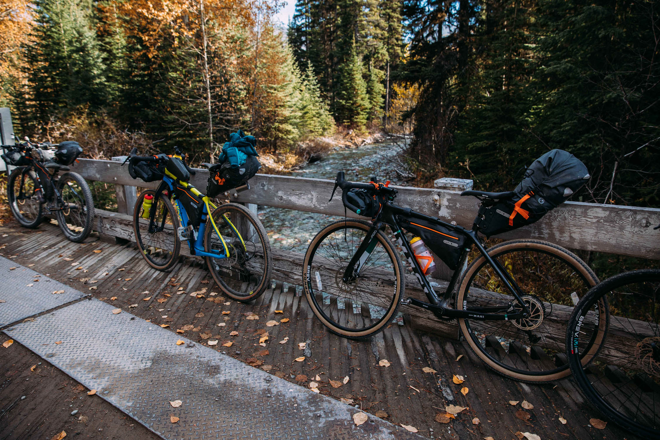
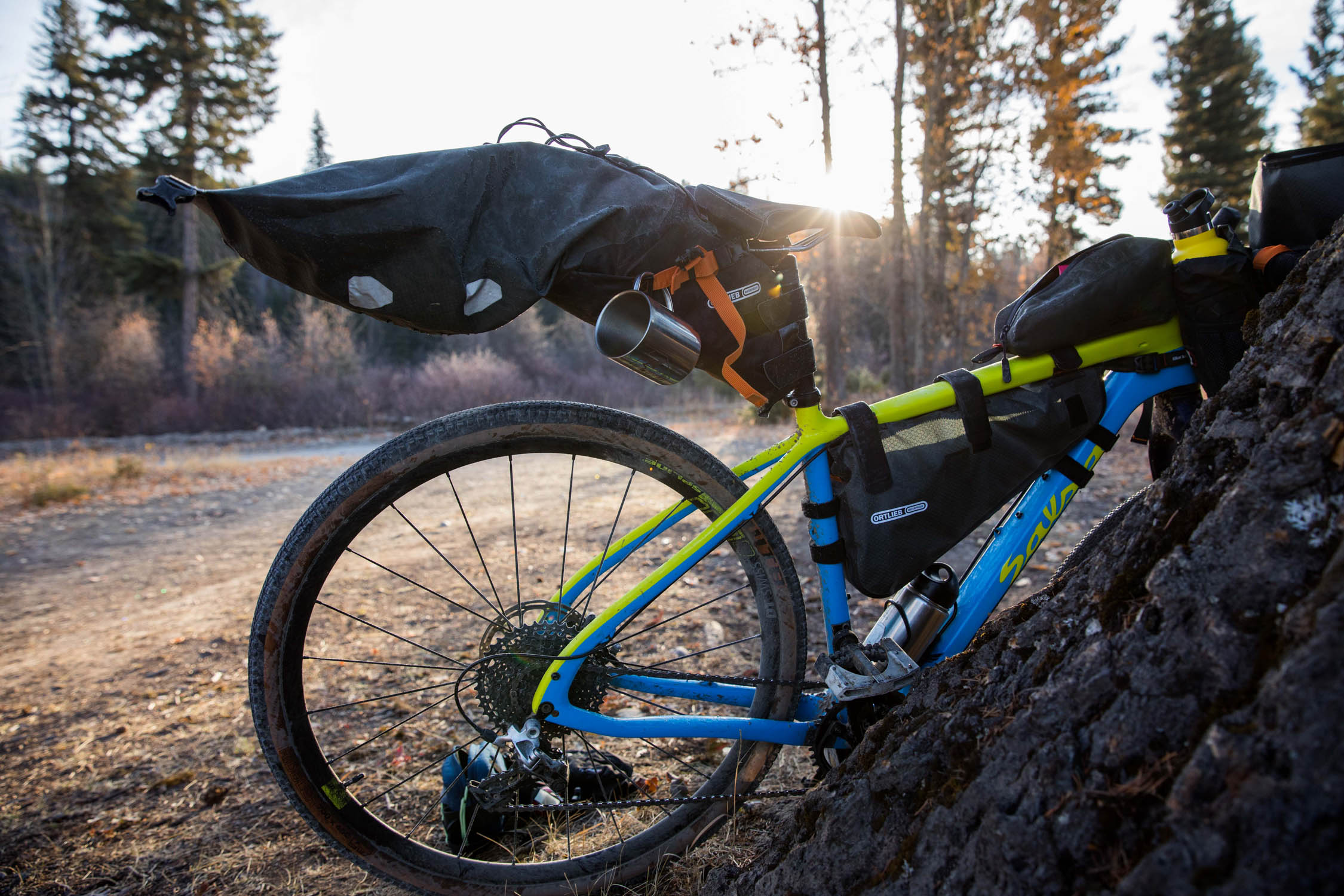
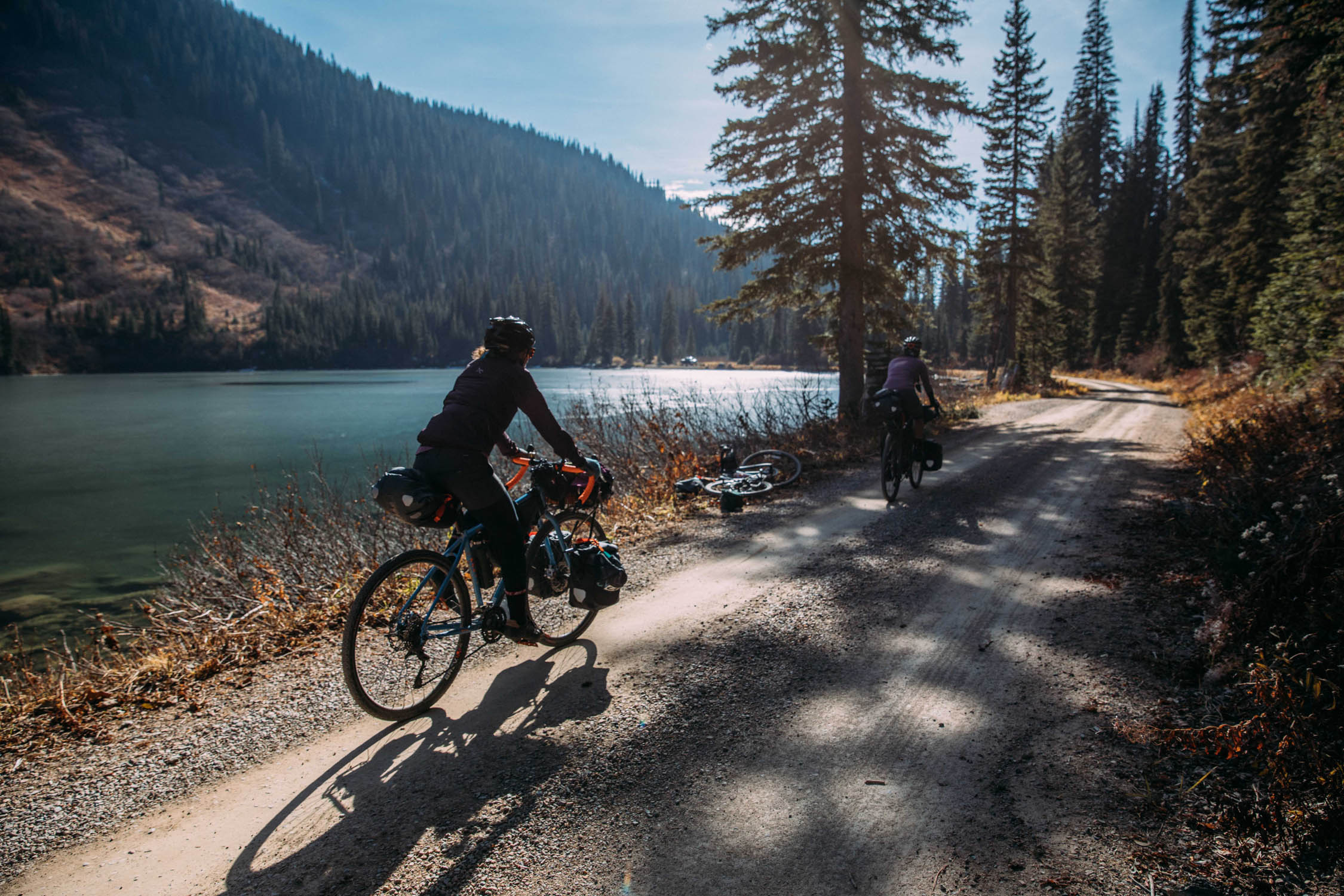
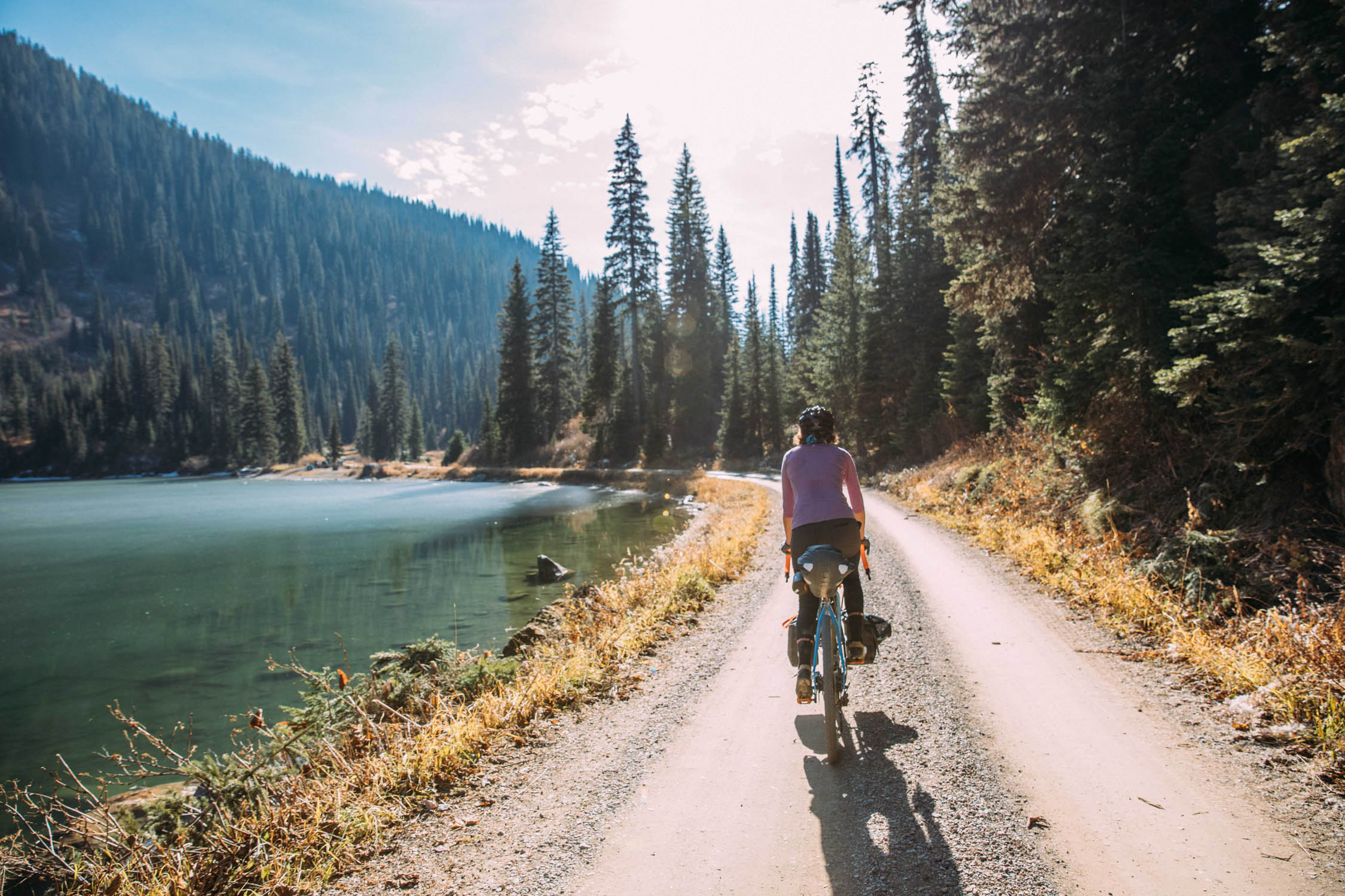
- Plentiful river crossings: Carry a portable water filter… we loved the Katadyn BeFree water filtration system.
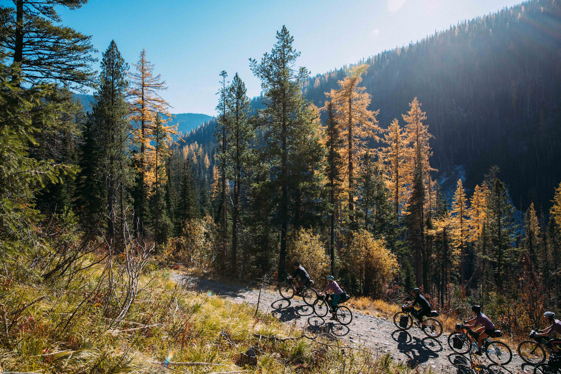
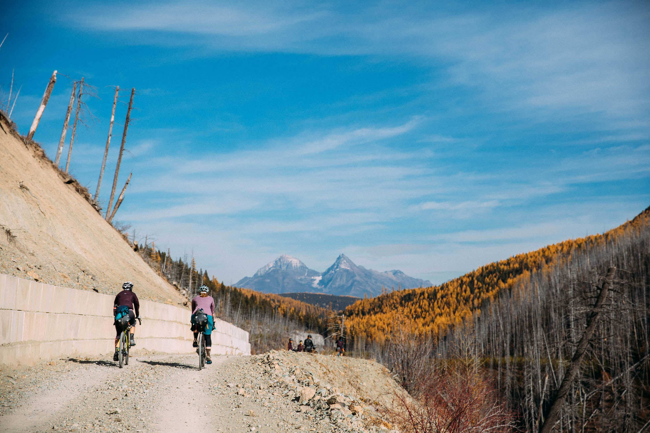
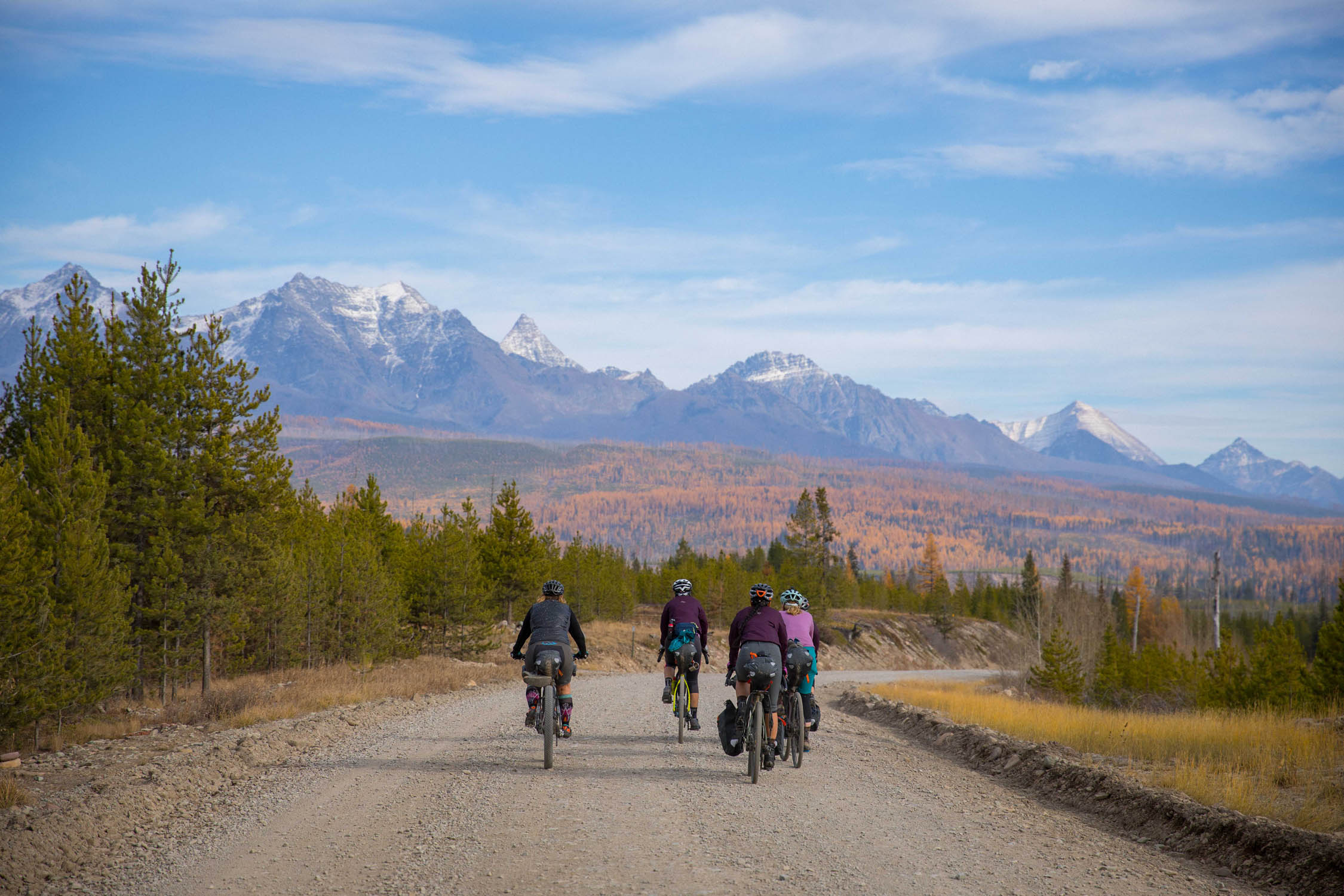
- The larches: After each climb you get an amazing vista of Montana mountains and larches. Don’t miss the fall colors.
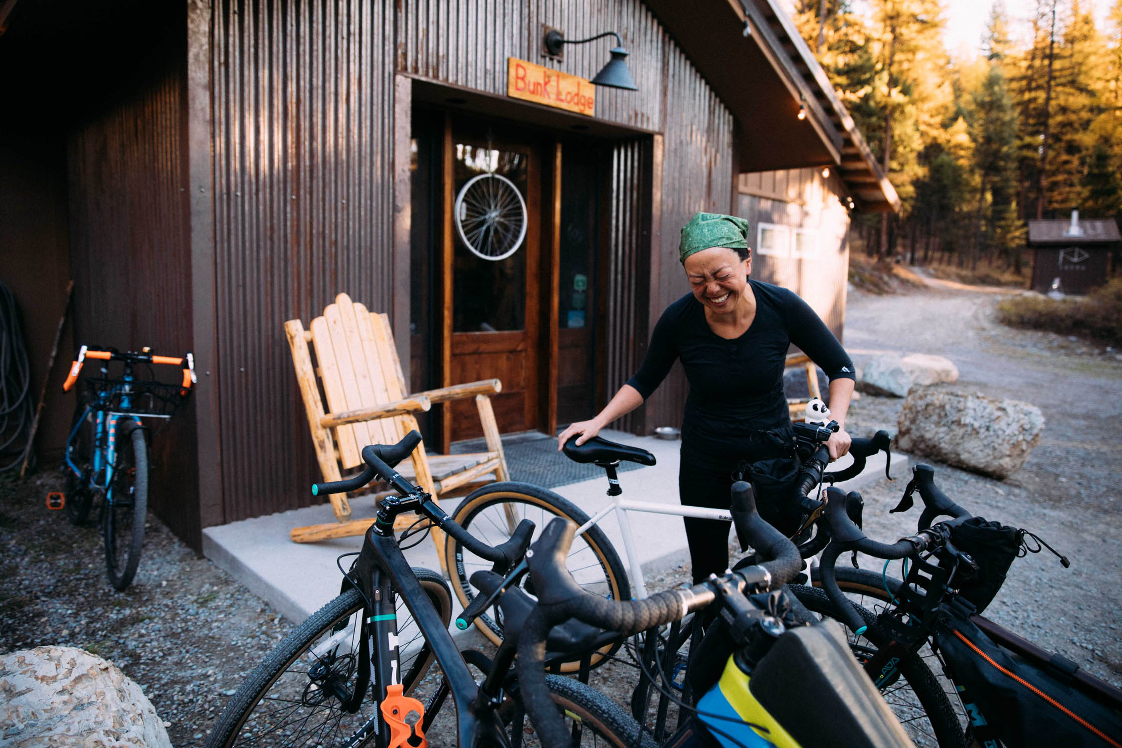
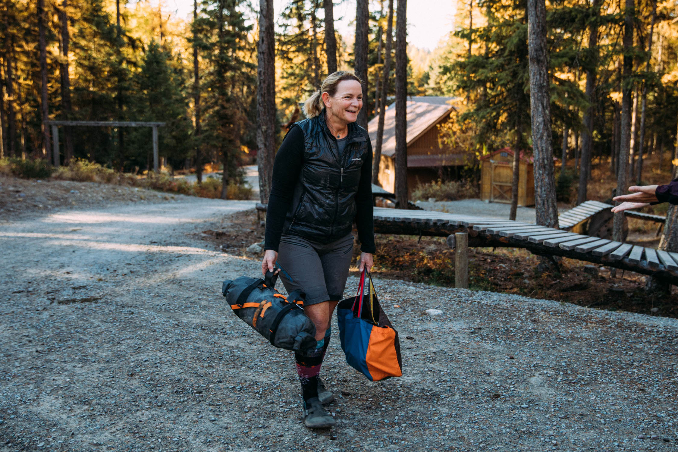
- The Whitefish Bike Retreat: If you’re doing this route (or any part of the Divide and go through Whitefish), you must visit the Whitefish Bike Retreat. Cricket is an amazing host with so much knowledge. You can have a hot shower, clean up and fix your bike, and have a nice bed to sleep on. Plus, there’s a full kitchen for cooking.
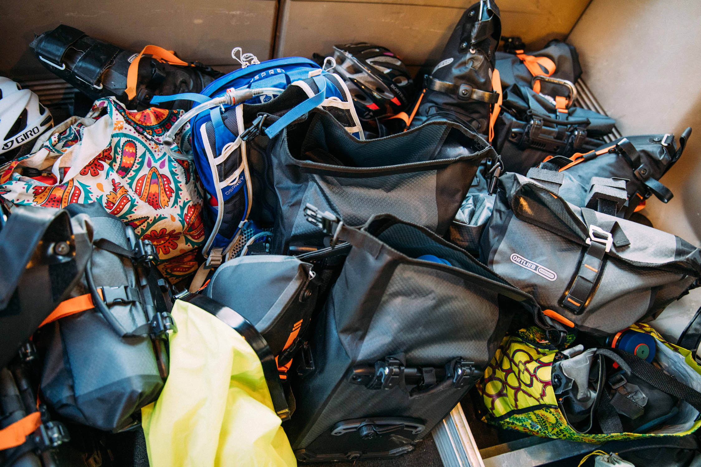
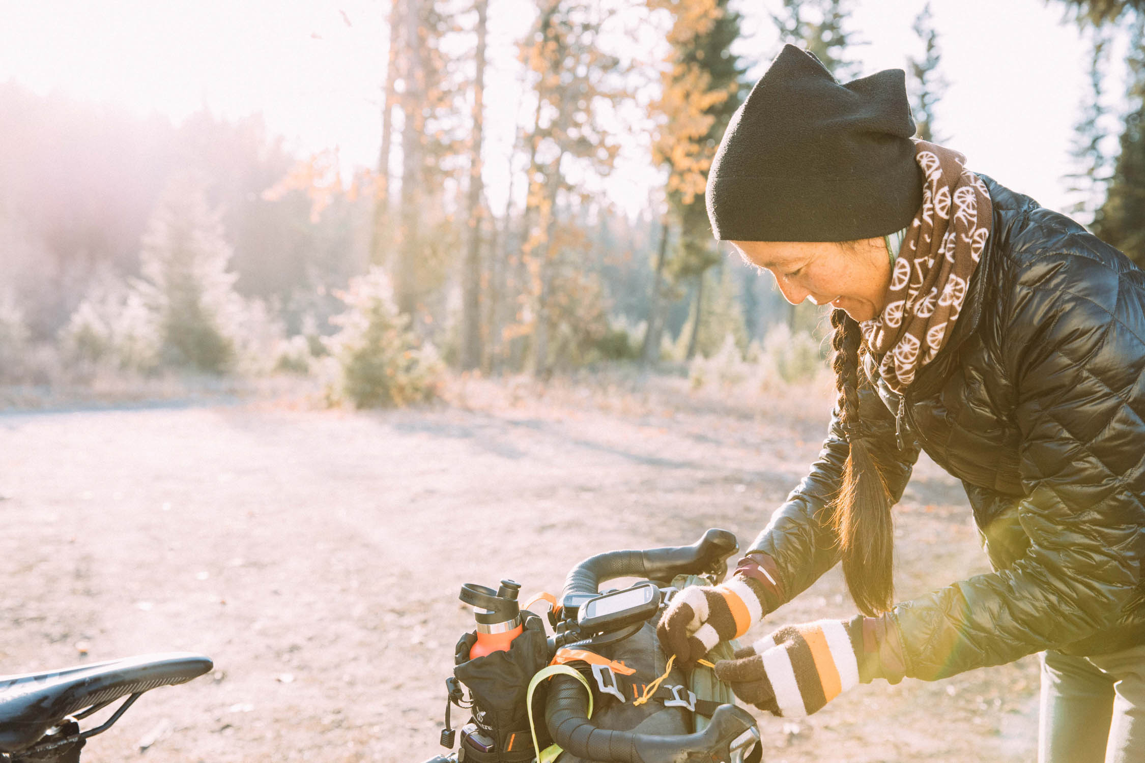
- Pack wisely: You’ll be riding and camping in high mountain country. Temperatures will fluctuate widely, so pack lightweight layers (e.g, hat, buff, puffy, and rain jacket).
- Bear spray: This is bear country. Carry bear spray and know how to use it. We also had bear bells and had a raucous sing-a-long after a local warned us there was a juvenile bear just around the corner.
- Bear can: Carry a paracord and hang one of your packs as a bear bag.
- Wildfire: Gather the up-to-date wildfire information and take it seriously.
- Riding along Hwy 93: You will be riding on Hwy 93, which has minimal shoulder. The traffic is fast. Please be visible to drivers and careful!
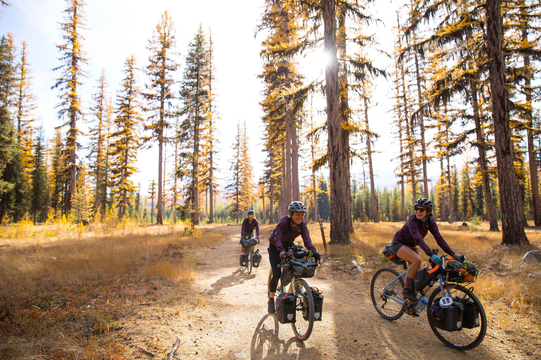
- Ideal bike: Chubby tires make this ride a breeze. We rode this route on everything from carbon fiber gravel bikes to fat tire steel steeds. You will want to make sure you have plenty of climbing gears and enough cushion in the tires to sail over gravel roads and rocky descents. No suspension is necessary!
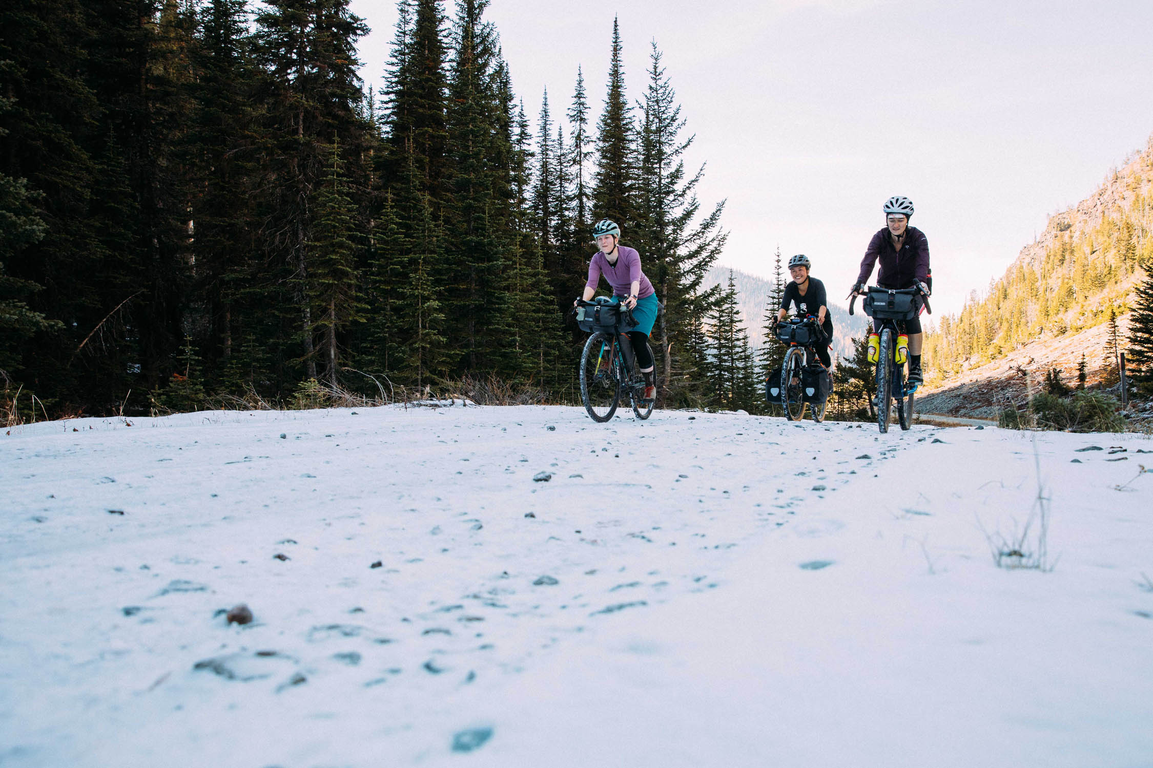
- When to go: While many ride this route in the spring and summer, fall offers solitude, but check out the snow conditions before heading out. The campgrounds and businesses change operating hours during the off-season, so call ahead if you are relying on a local shop or restaurant for resupply in the shoulder season.
- Business hours of stores: If you go outside of in-season (Memorial – Labor Day weekend), make sure to check the business hours and get there in time you’re depending on their food.
- South Dickey Lake Campground recreation.gov/camping/campgrounds/234464
- North Dickey Lake Campground fs.usda.gov/recarea/kootenai/recreation/recarea/?recid=70944&actid=29
- Grave Creek Campground fs.usda.gov/recarea/kootenai/recarea/?recid=70947
- North Fork Hostel nfhostel.com
- Upper Whitefish Campground
- Whitefish Bike Retreat whitefishbikeretreat.com
- Water filtering available throughout the route: please check the Ride with GPS map.
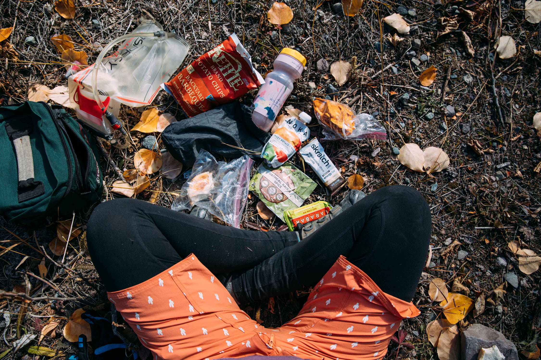
- Food resupply: Olney Store in Olney, Fortine Mercantile in Fortine, and Polebridge Mercantile for food resupply. On the Fly Cafe and H.A. Brewing for bites to eat.
Day 1 – Whitefish Bike Retreat to Grave Creek Campground
43 miles / 1,503ft of climbing
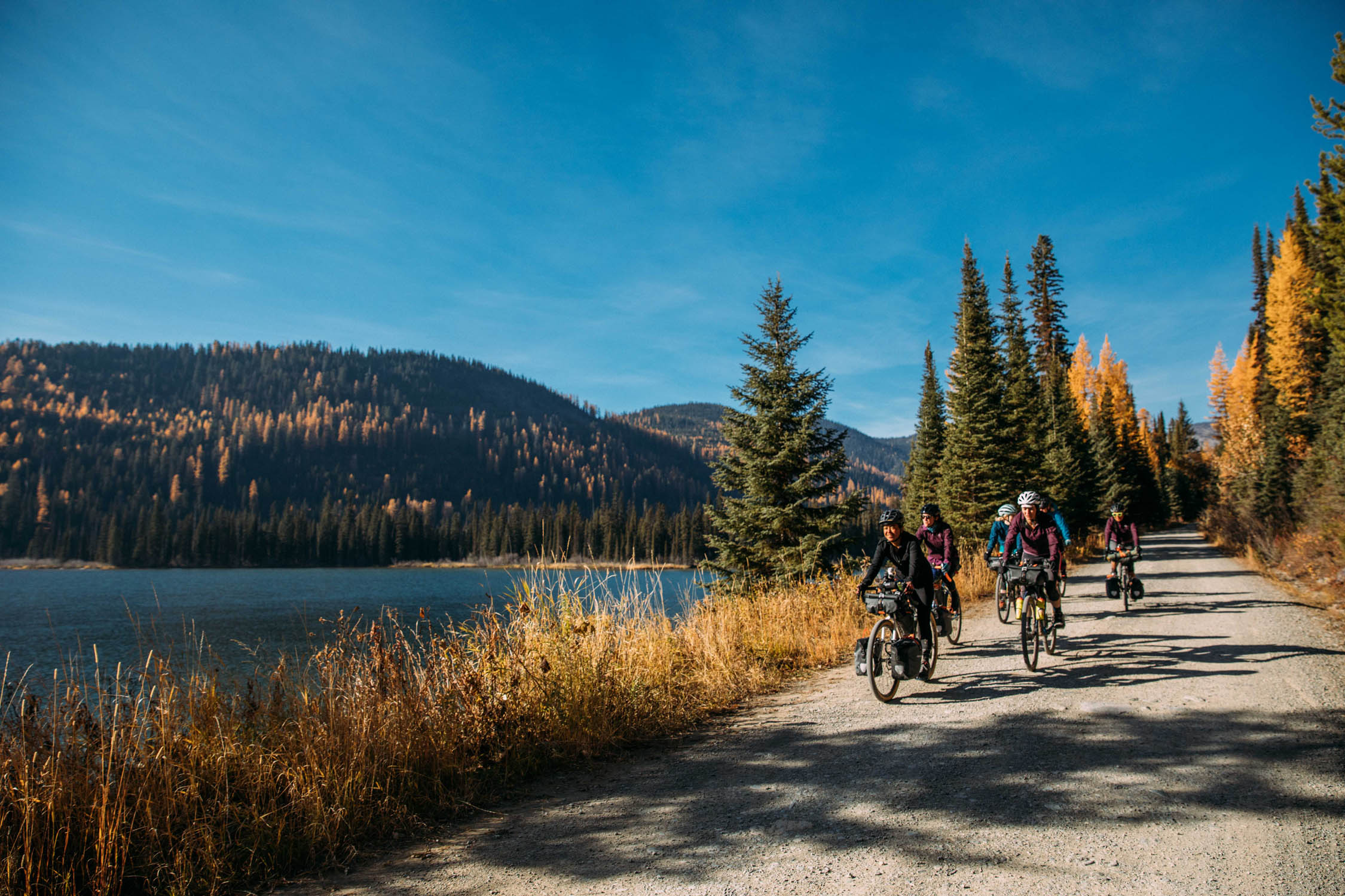
Ease into the ride on this mellow stretch between the Whitefish Bike Retreat and the destination for the day, Grave Creek Campground. We followed US Route 93 on and off, but opted for dirt side roads when possible to get away from traffic.
Dickey Lake Picnic Area is around mile 29, a perfect spot for a rest and lunch, maybe even a refreshing dip in the lake if it’s hot. Later, we hit the Fortine Mercantile to resupply and get food and snacks for the next day’s stretch without services.
Just past mile 39, we turned right to connect with the Great Divide Mountain Bike Route, which we were on for most of the remainder of the trip. We spent the night at Grave Creek Campground, tucked away in the trees of the Kootenai National Forest and just a mile and a half past H.A. Brewing Company, which serves up craft beers and wood fired pizza.
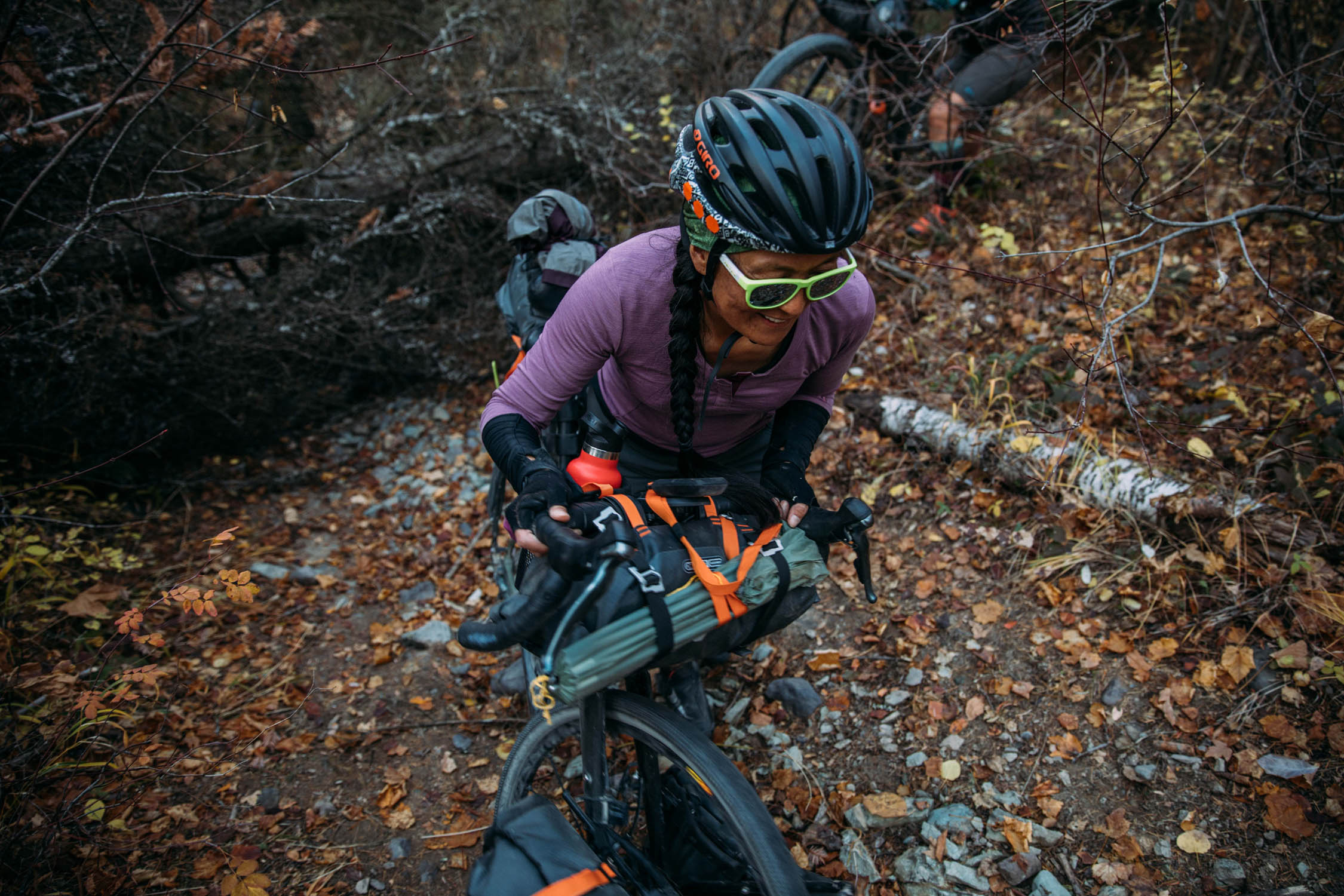
Day 2 – Grave Creek to Polebridge
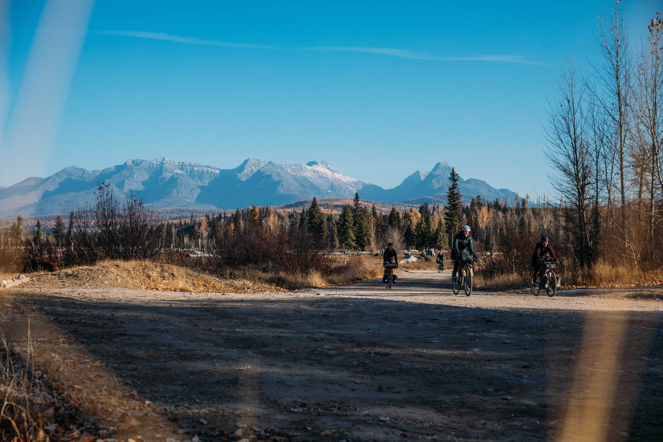
44 miles / 3,061’ of climbing
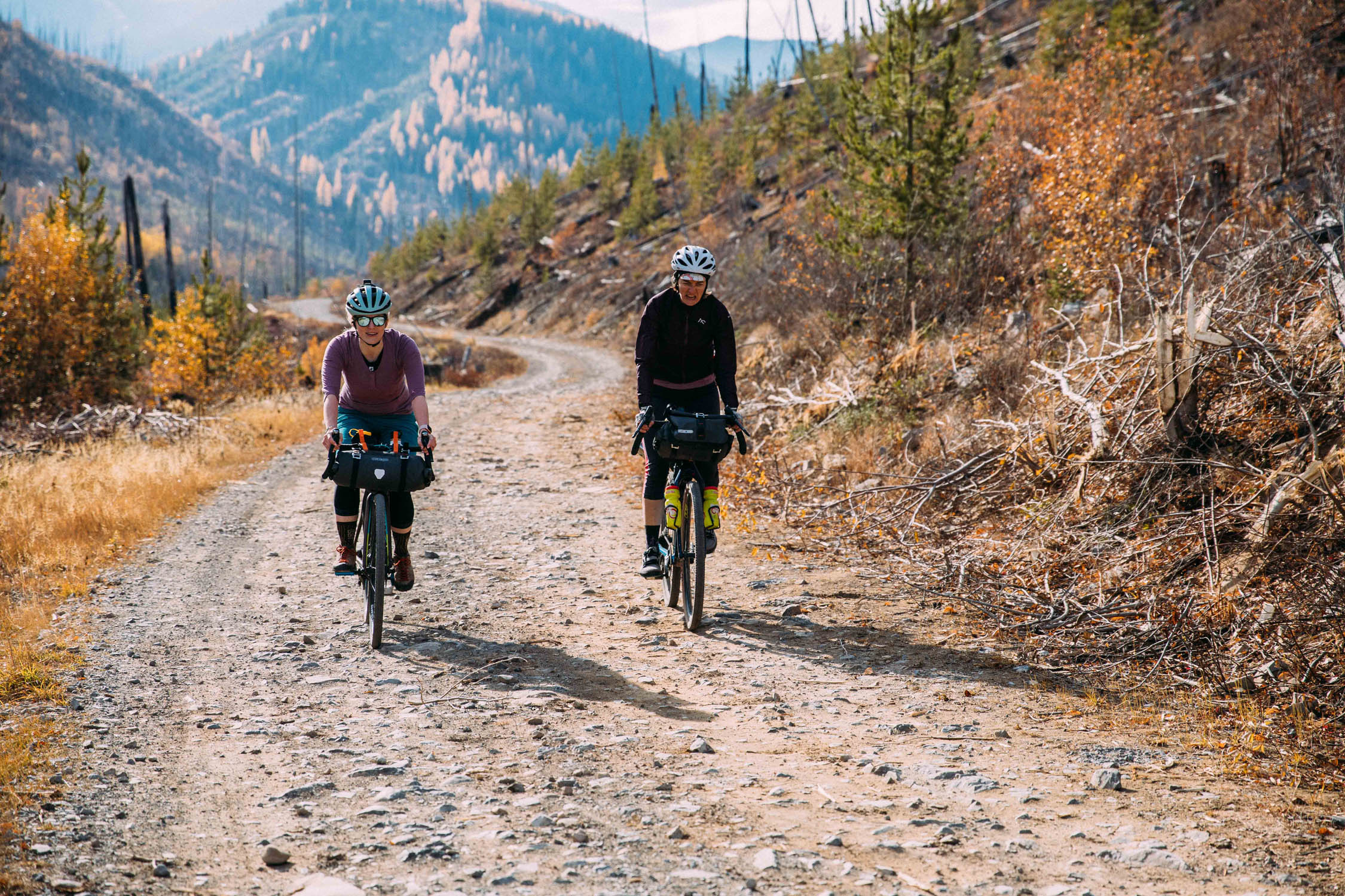
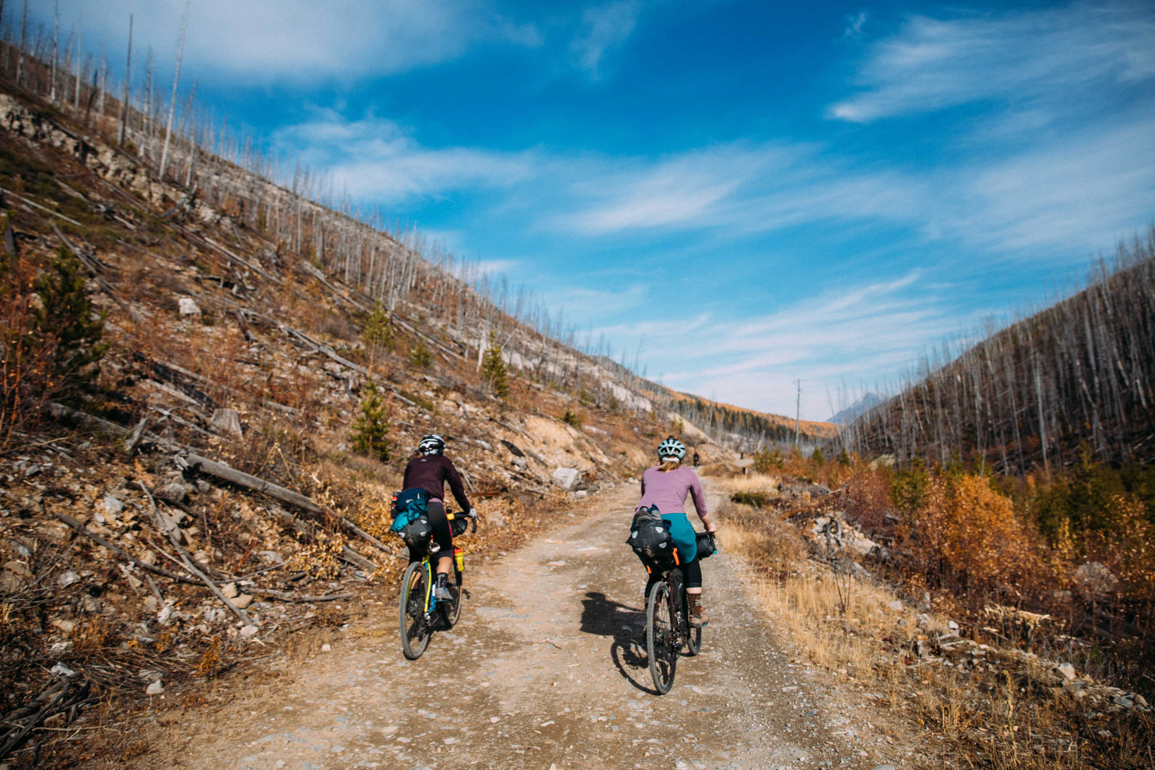
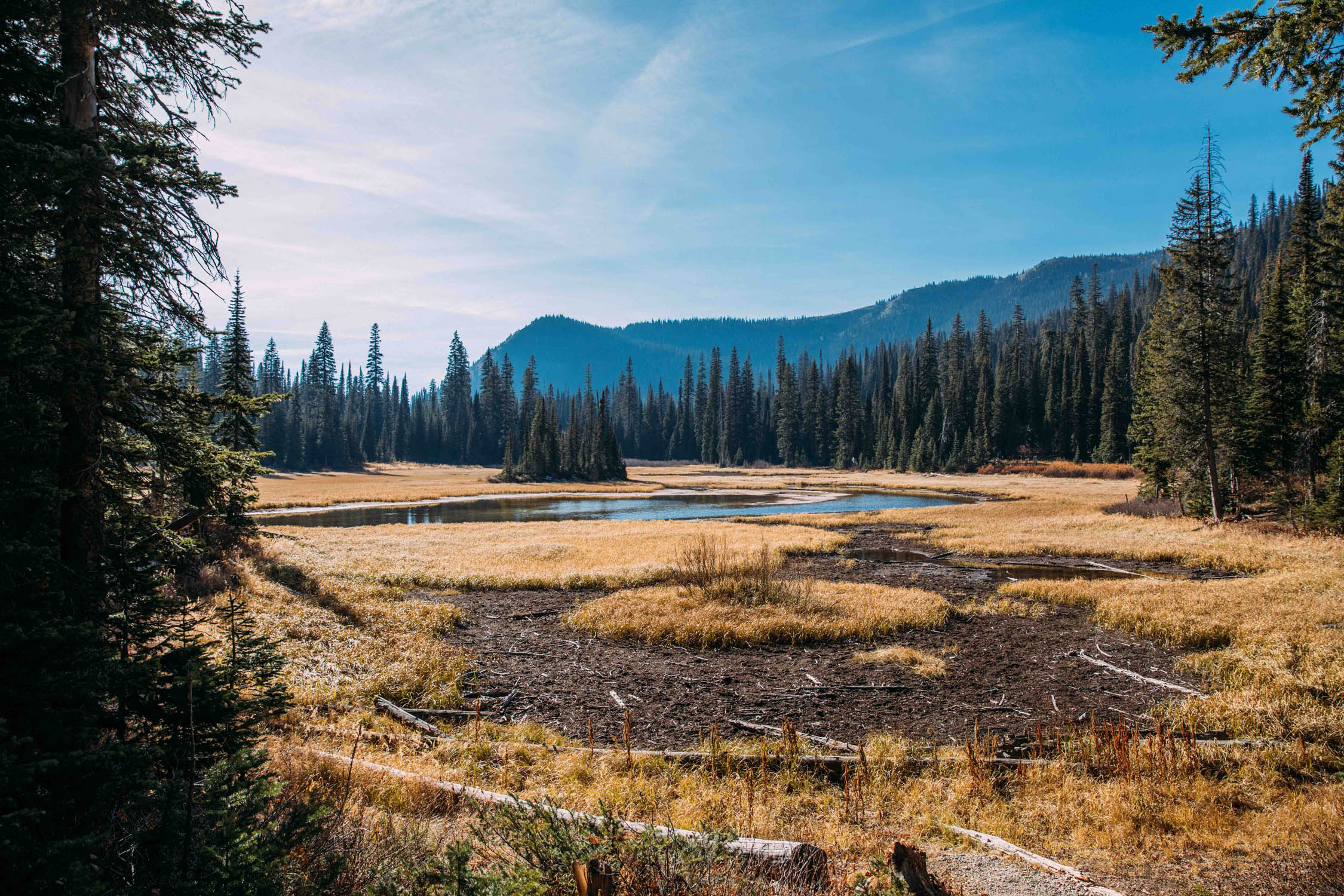
We started the morning with a gradual 14-mile climb up and over the Whitefish Divide, after which we were rewarded with stunning views of nearby Glacier National Park and a beautiful descent into the valley of the North Fork of the Flathead River. We camped just outside the eclectic town of Polebridge, located near the western border of Glacier National Park. We nabbed a wild camping spot along the creek, but there are amenities at the quaint North Fork Hostel & Square Peg Ranch.
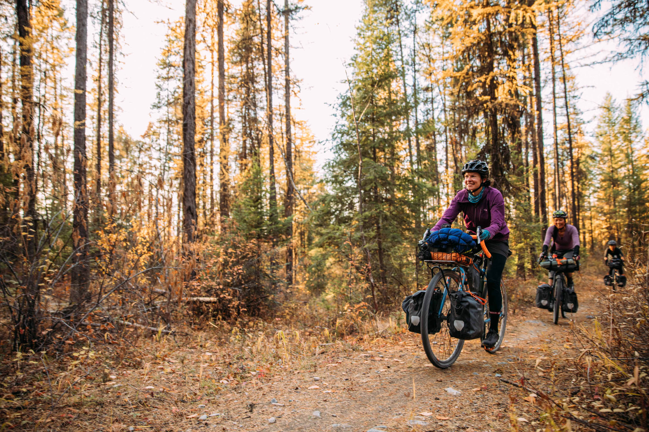
Day 3 – Polebridge to Whitefish Bike Retreat
46.5 miles / 3,200’ of climbing
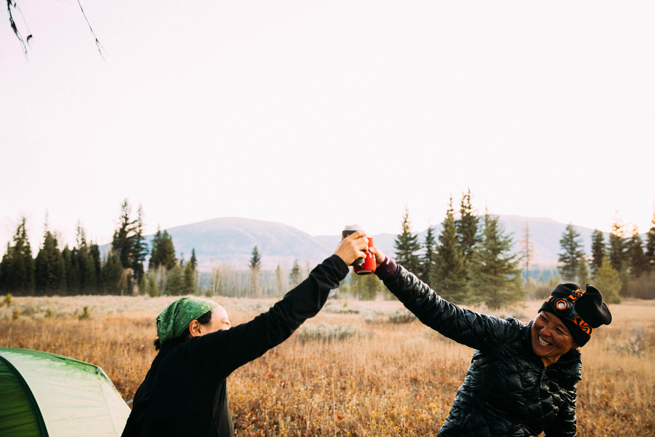
We grabbed a huckleberry bear claw at the historic Polebridge Mercantile before getting back on the road. We started our last day’s ride with a long but gentle 17-mile climb back into the Whitefish Range and over Red Meadow Pass. The top of the pass is a perfect spot to have lunch and take in the view of the alpine Red Meadow Lake, the highest point of the trip at 5,500’. Then we relished our ultimate reward: a big descent down to Whitefish Lake and into town itself (or back to the bike retreat). Celebrations were in order after three days of amazing adventure!
Whitefish Tamarack Forest Overnighter Alternate
You can also make this a true overnighter by moving the start to MP30:
Additional Resources
- Ortlieb USA ortliebusa.com: (Instagram @ortlieb_waterproof)
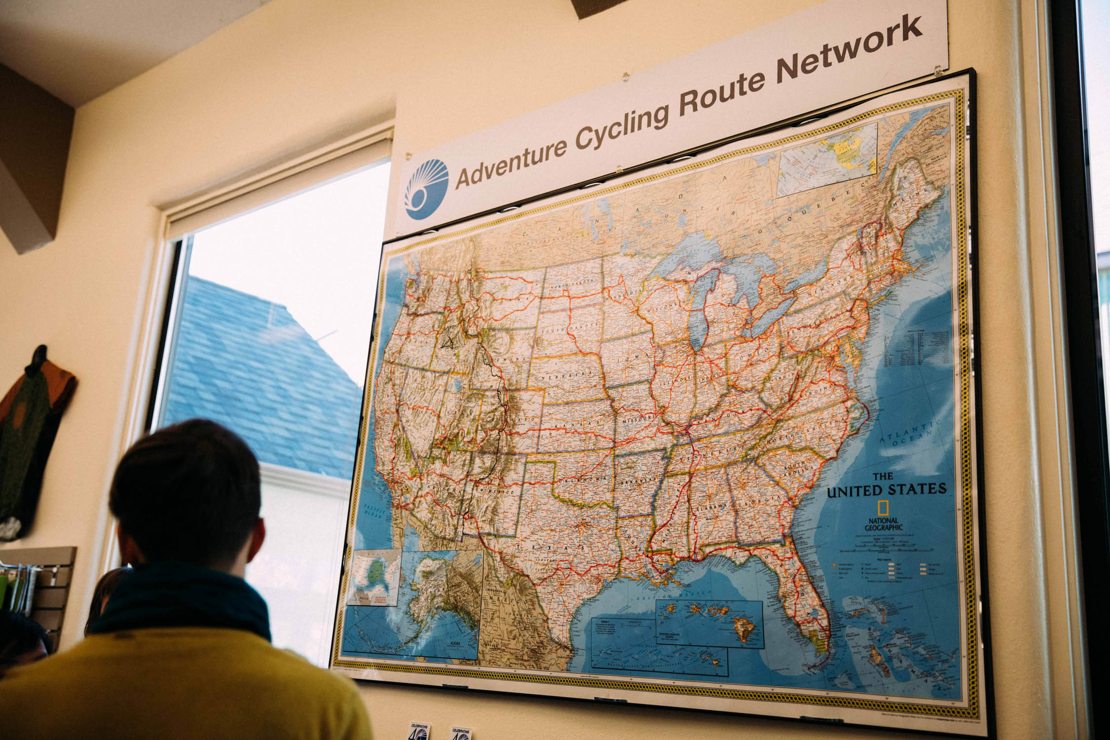
- Adventure Cycling Association adventurecycling.org (Instagram @adventurecycling): Become a member and you have access to the maps.
- Whitefish Bike Retreat whitefishbikeretreat.com (Instagram @whitefishbikeretreat): They offer bikepacking bag rental and workshops on how to pack and what to carry. It’s about a 10-mile ride there from Whitefish Depot (pick-up can also be arranged).
- Montana Wildfire Information mtpr.org/topic/wildfire-news: It’s essential to check for wildfires before heading out.


Terms of Use: As with each bikepacking route guide published on BIKEPACKING.com, should you choose to cycle this route, do so at your own risk. Prior to setting out check current local weather, conditions, and land/road closures. While riding, obey all public and private land use restrictions and rules, carry proper safety and navigational equipment, and of course, follow the #leavenotrace guidelines. The information found herein is simply a planning resource to be used as a point of inspiration in conjunction with your own due-diligence. In spite of the fact that this route, associated GPS track (GPX and maps), and all route guidelines were prepared under diligent research by the specified contributor and/or contributors, the accuracy of such and judgement of the author is not guaranteed. BIKEPACKING.com LLC, its partners, associates, and contributors are in no way liable for personal injury, damage to personal property, or any other such situation that might happen to individual riders cycling or following this route.
Please keep the conversation civil, constructive, and inclusive, or your comment will be removed.