


The Zillertal Trail
Distance
110 Mi.
(177 KM)Days
3-4
% Unpaved
51%
% Singletrack
11%
% Rideable (time)
93%
Total Ascent
16,007'
(4,879 M)High Point
8,275'
(2,522 M)Difficulty (1-10)
7?
- 9Climbing Scale Very Strenuous146 FT/MI (28 M/KM)
- 7Technical Difficulty Difficult
- 8Physical Demand Difficult
- 4Resupply & Logistics Fair
Contributed By
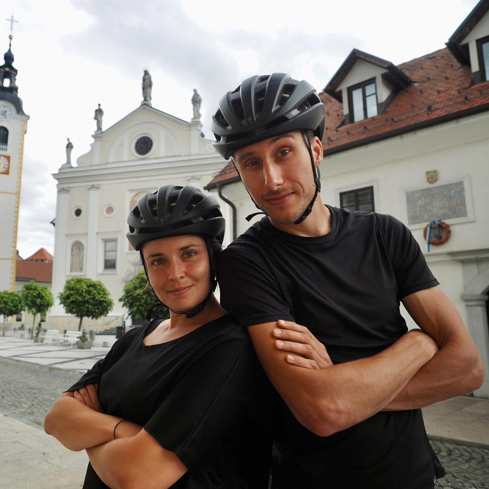
Belen Castello and Tristan Bogaard
Guest Contributor
Belén Castelló and Tristan Bogaard are an adventure cyclist couple with a taste for mountainous riding, wild camping, and ridable trails. Originally from Spain, Belén is the data-driven guide behind all of their rides, while Tristan, originally from the Netherlands, has become a bikepacking photographer through nearly ten years of bike travel. They’re the co-authors of Bike Life and 50 Ways to Cycle the World, and you can find their online work on @belletoscan and @tristanbogaard.
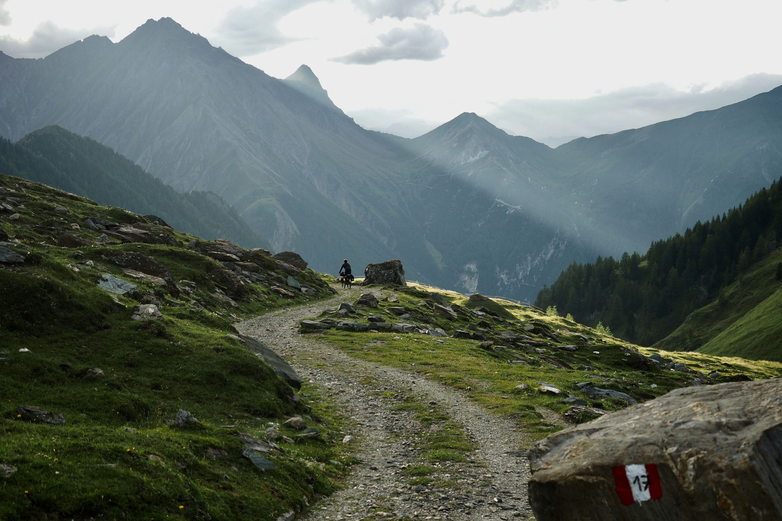
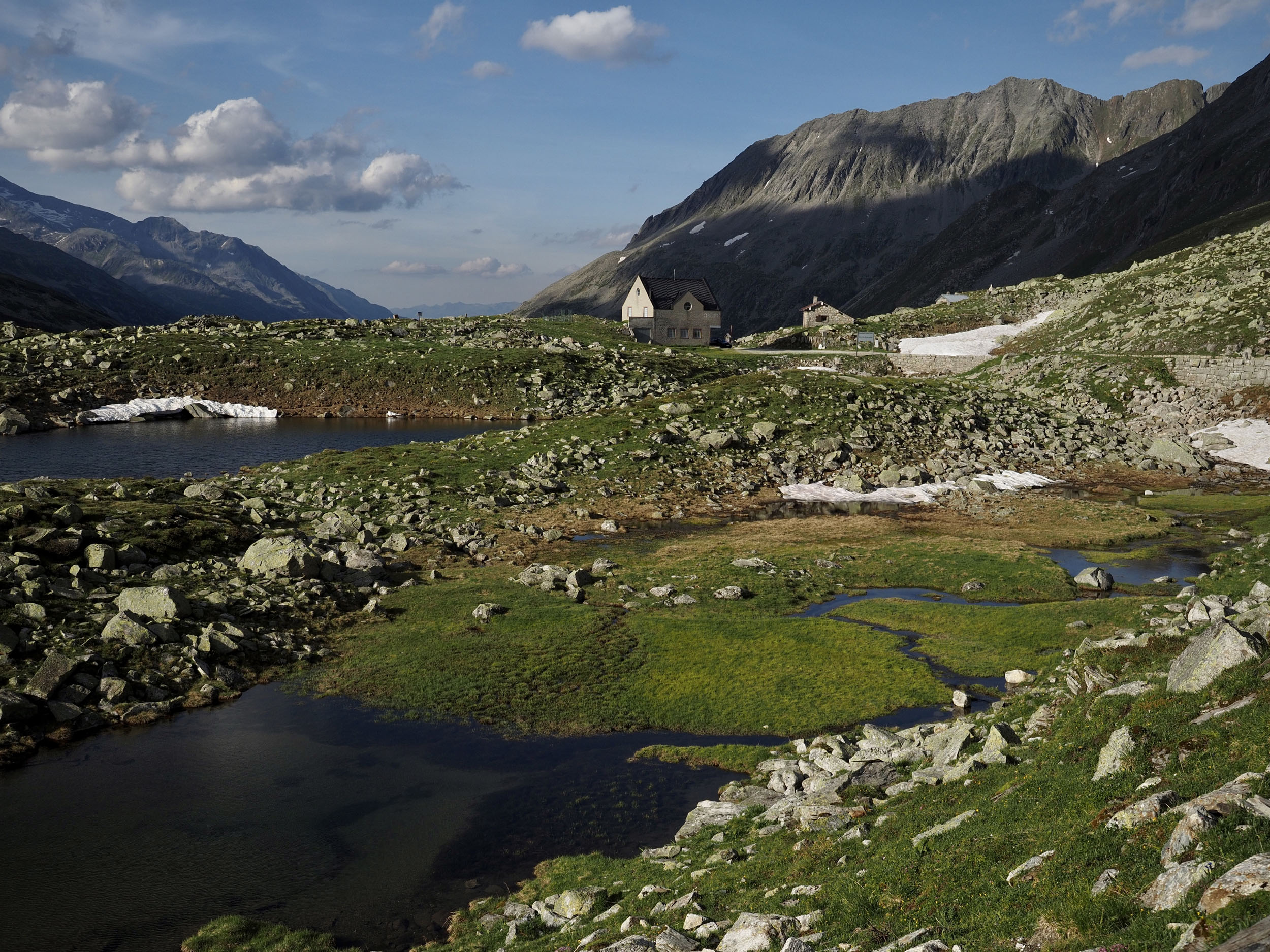
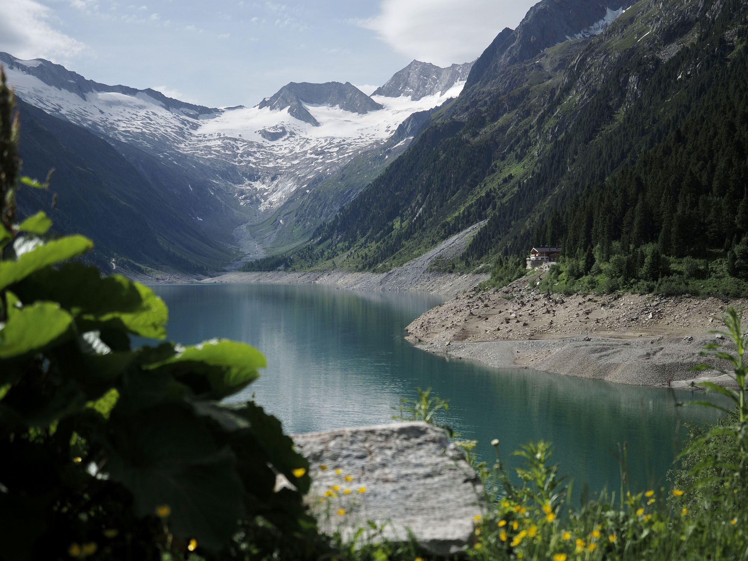
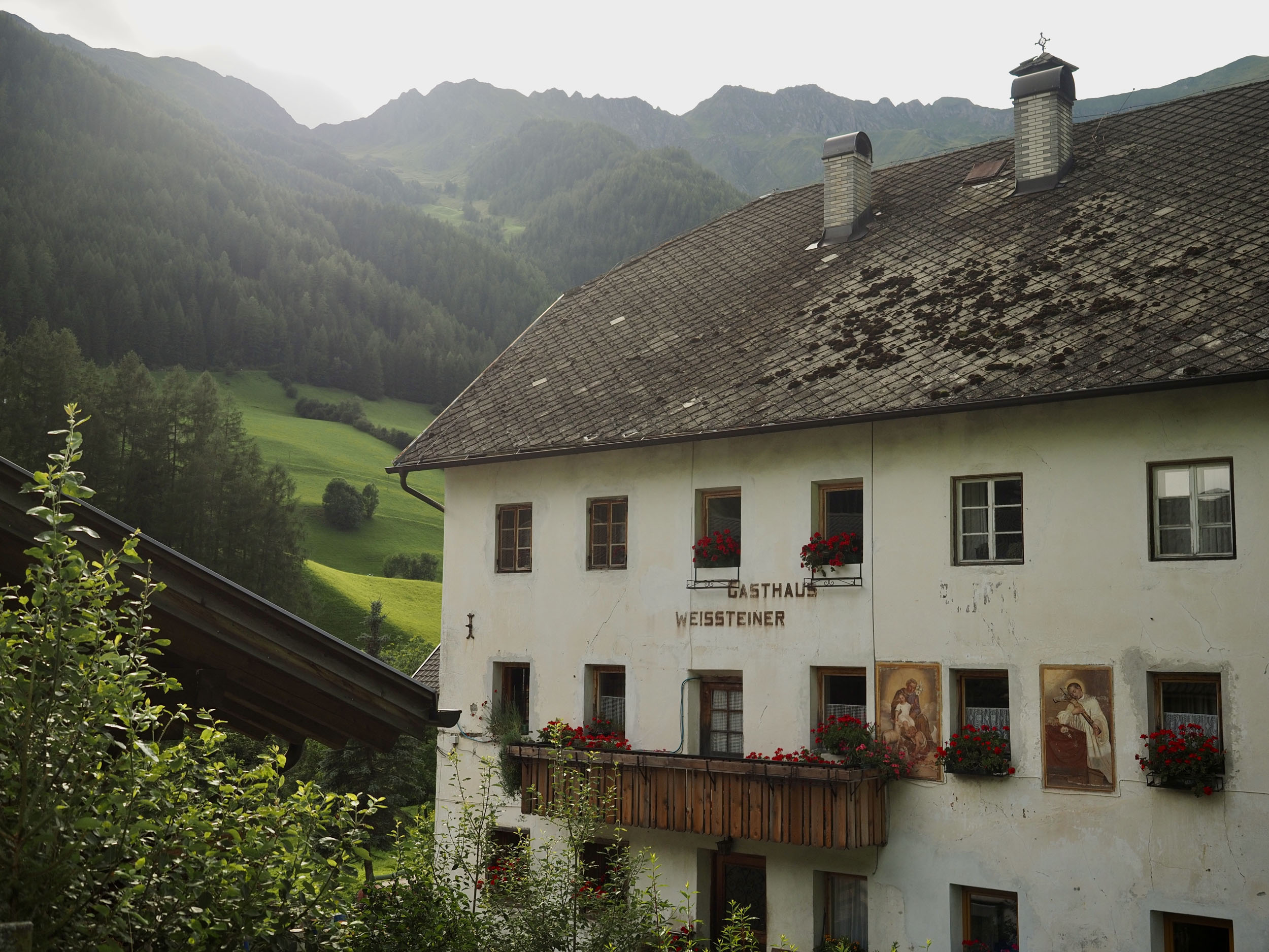
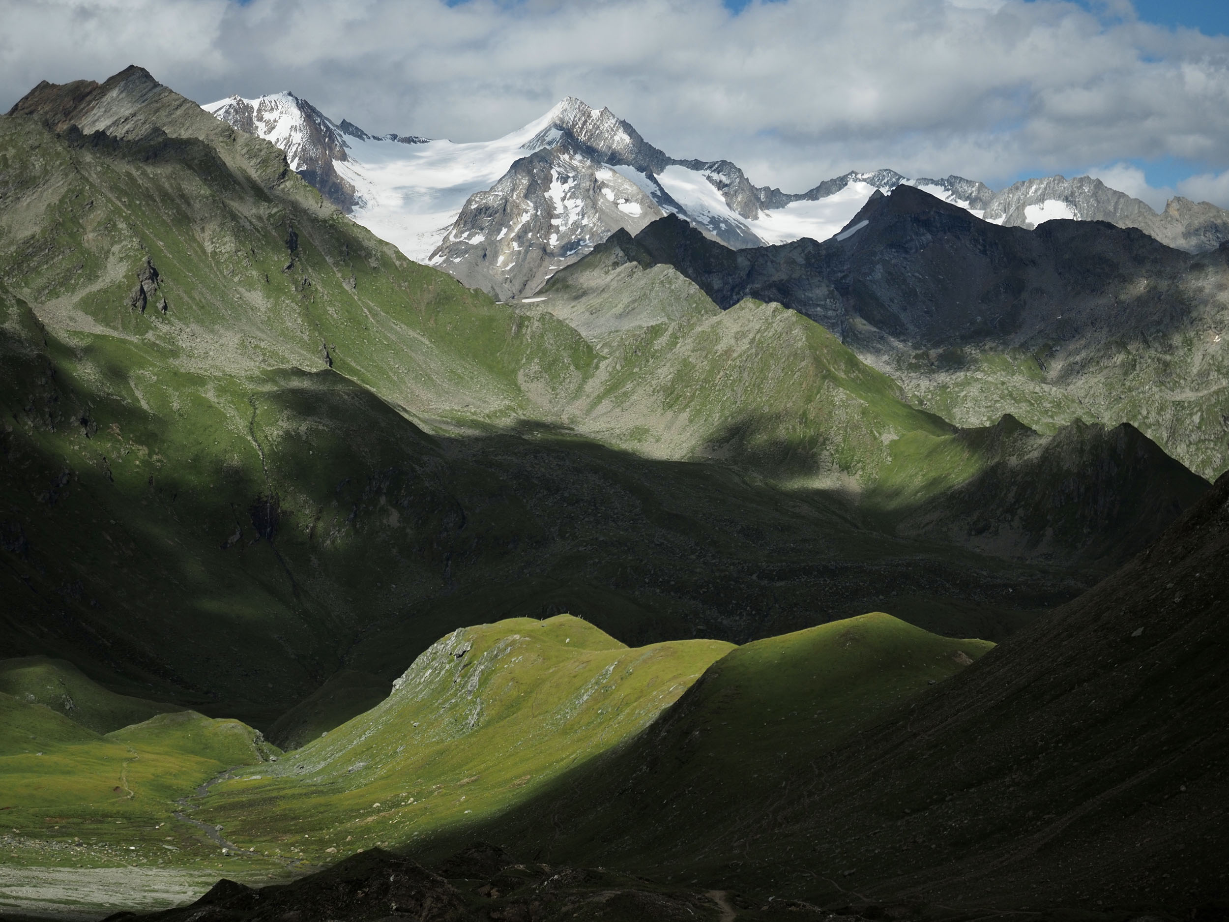
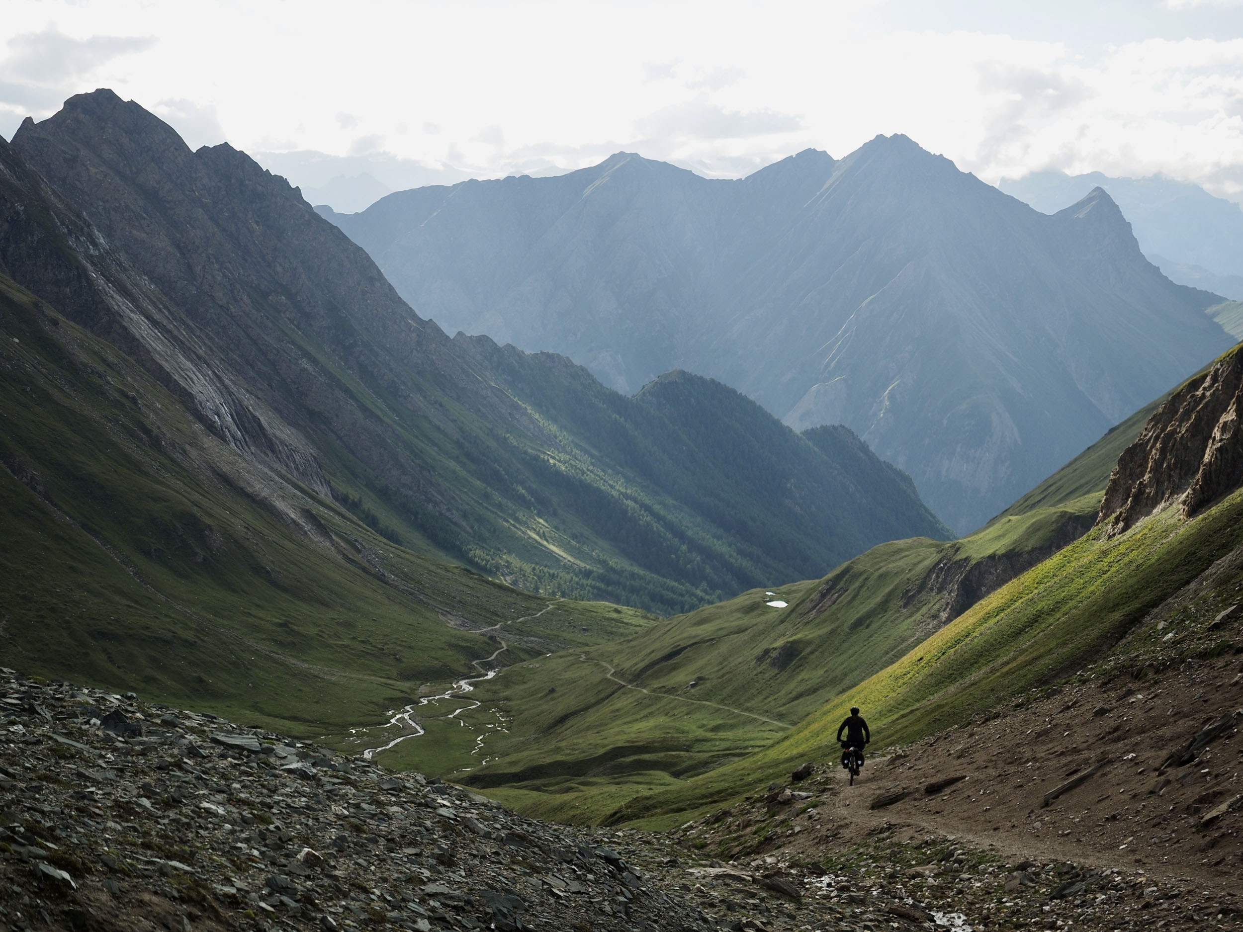
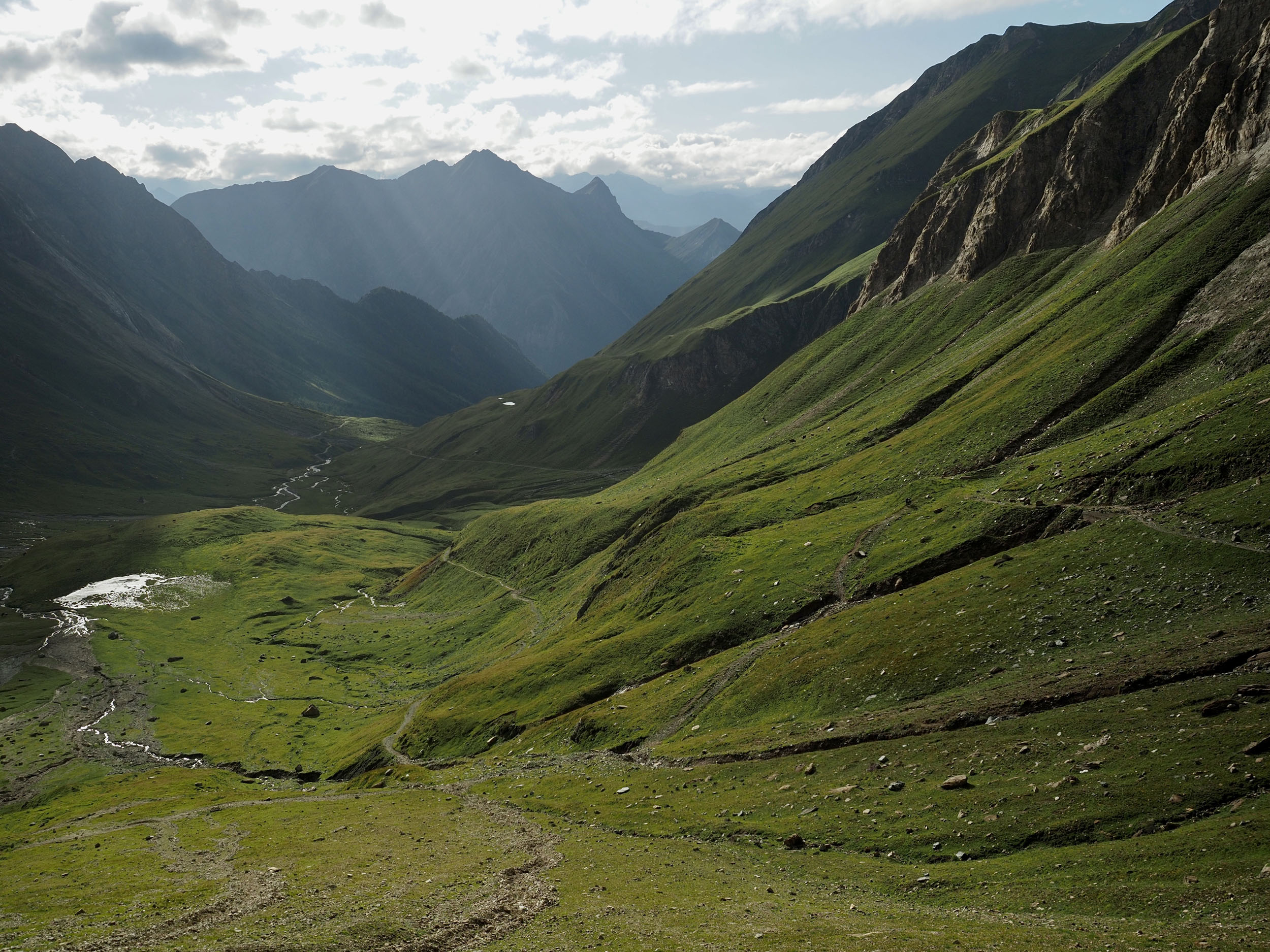
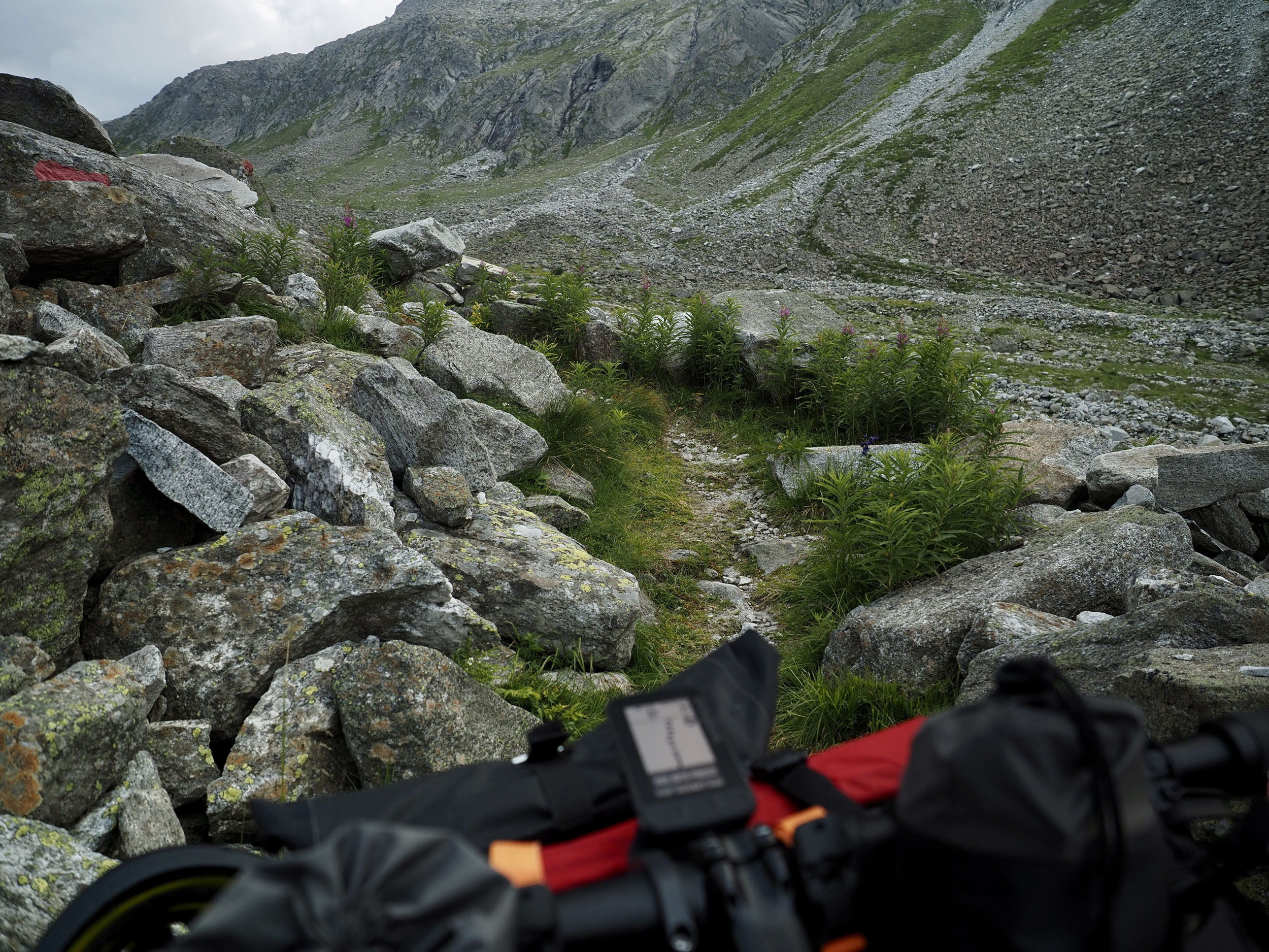
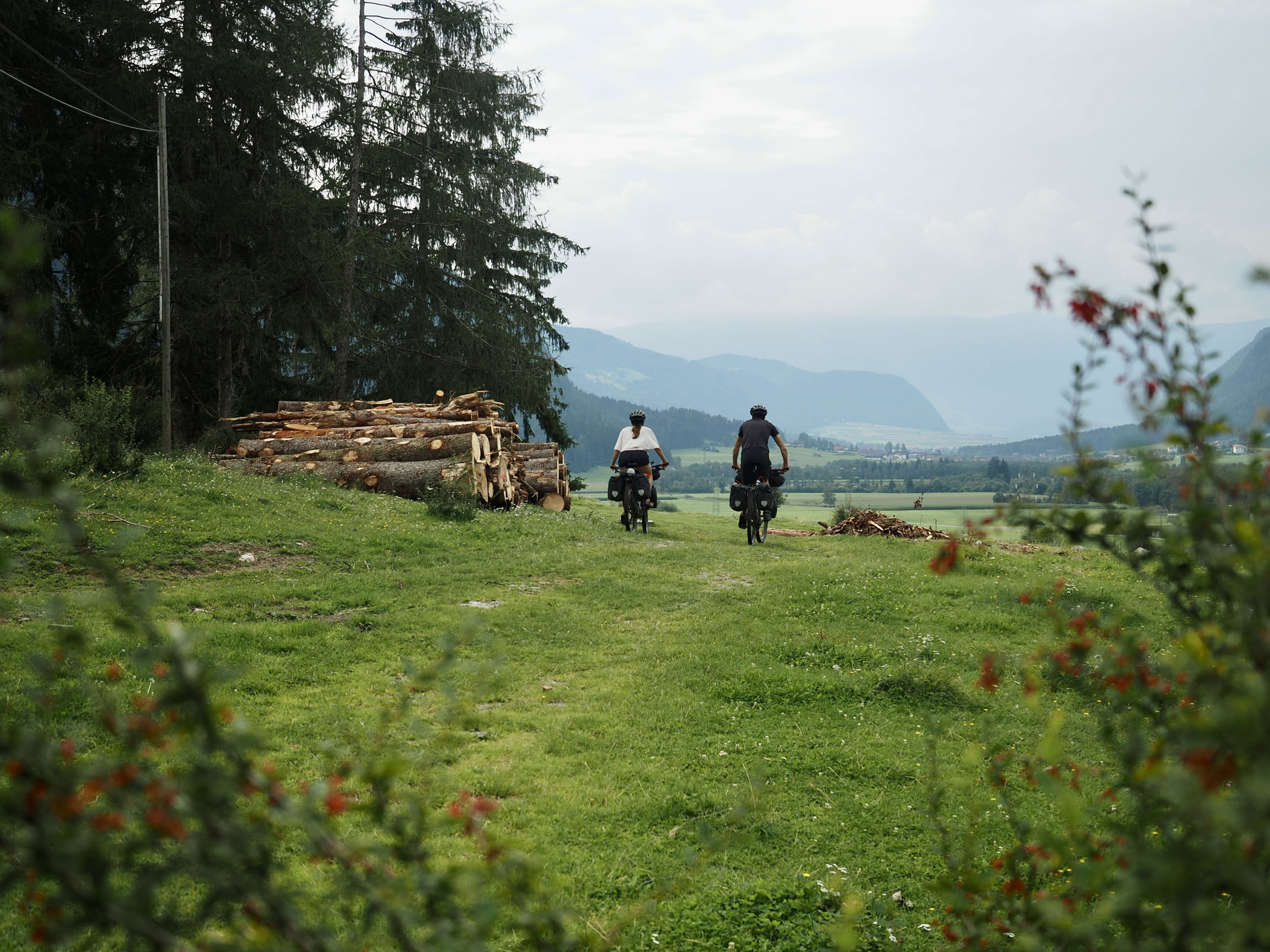
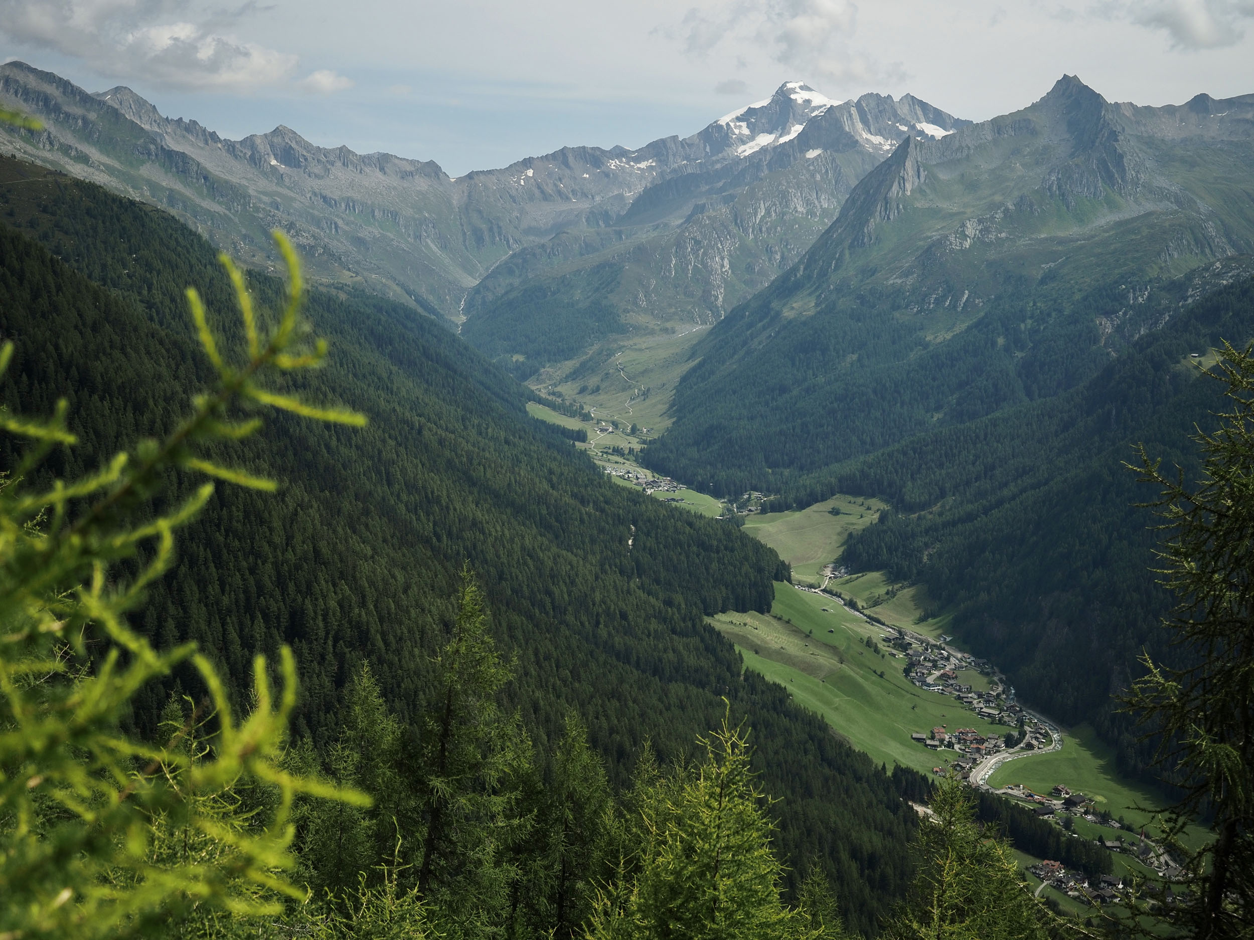
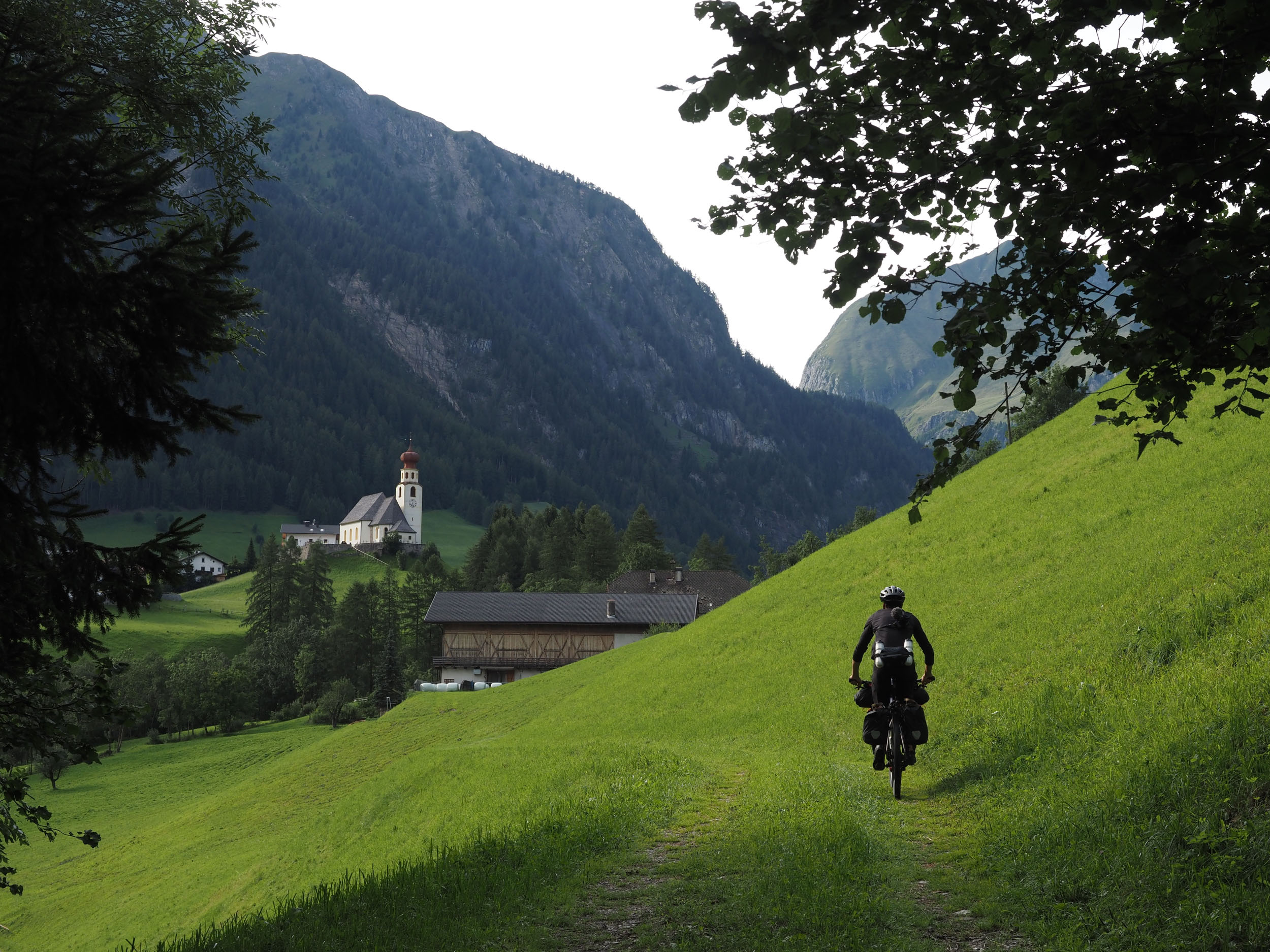
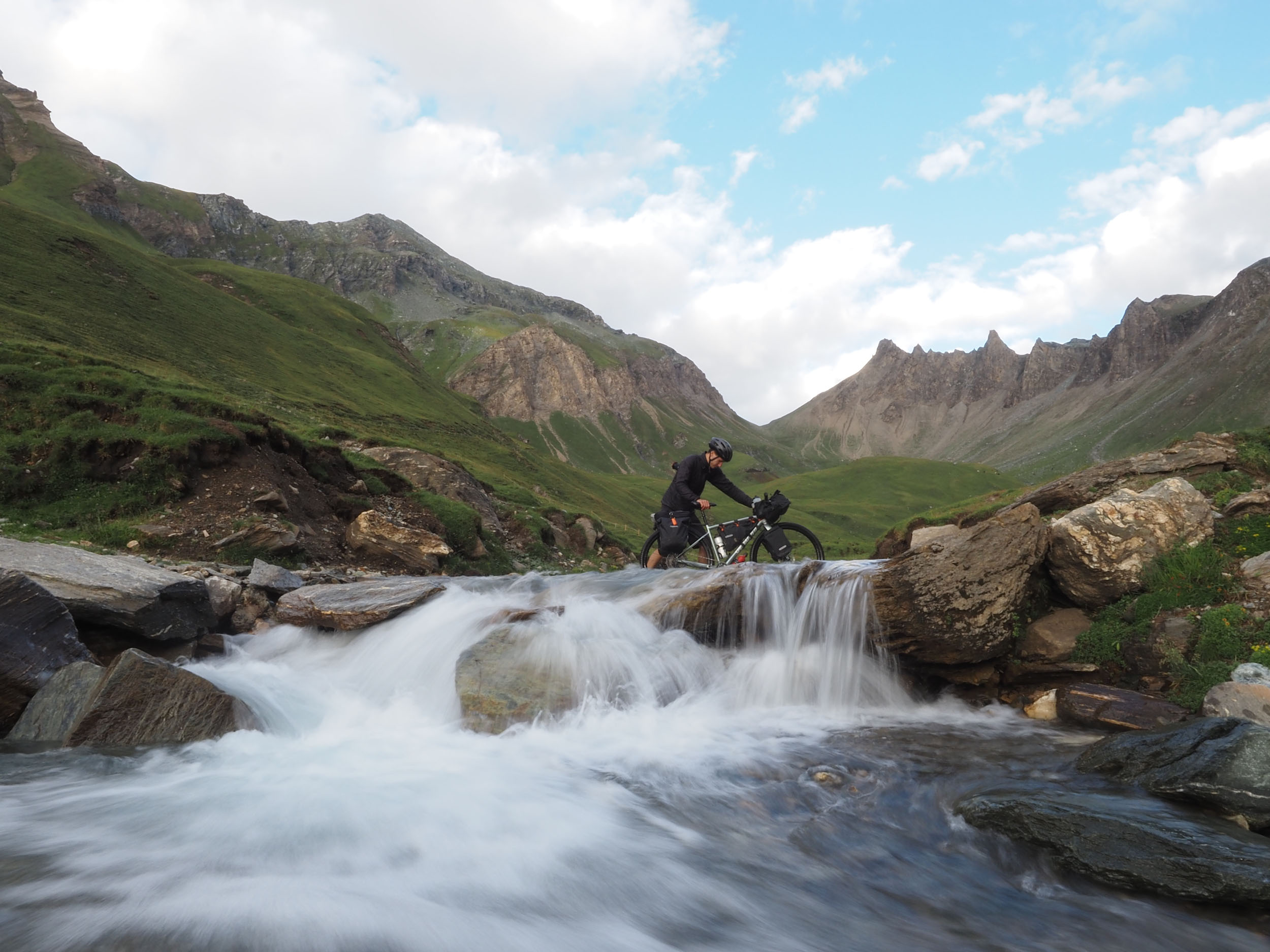
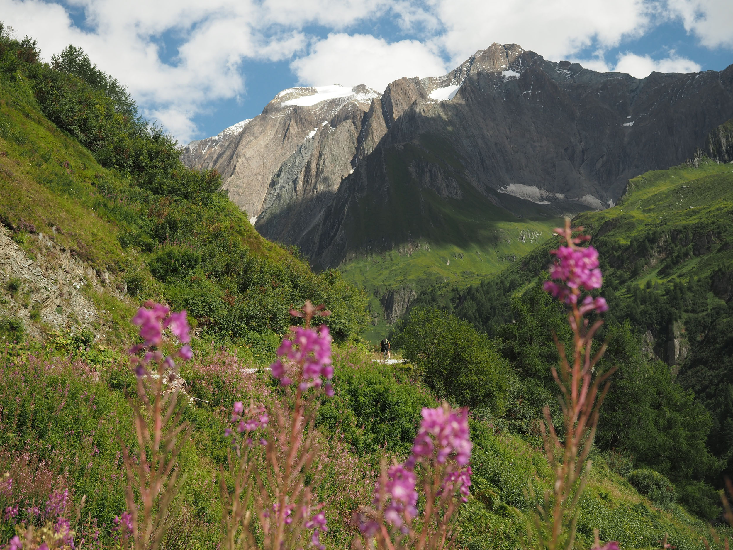
The Zillertal Trail is a 177-kilometer bikepacking loop through the Italian and Austrian Alps. This route guides those brave enough to ride over three spectacular passes in the Central Eastern Alps. It’s a loop that starts and finishes in Brunico, right by the train station to allow for an easy connection. You’ll find that it stitches a lot of popular and lesser-known cycling sections together into a single route that can usually be completed in three to five days. The natural environment along this track is alpine at higher elevations, with colorful flowers, glacial lakes, and perhaps even snow-capped peaks. The valleys are lush and green, with good infrastructure available to offer accommodation or a taste of local cuisine.
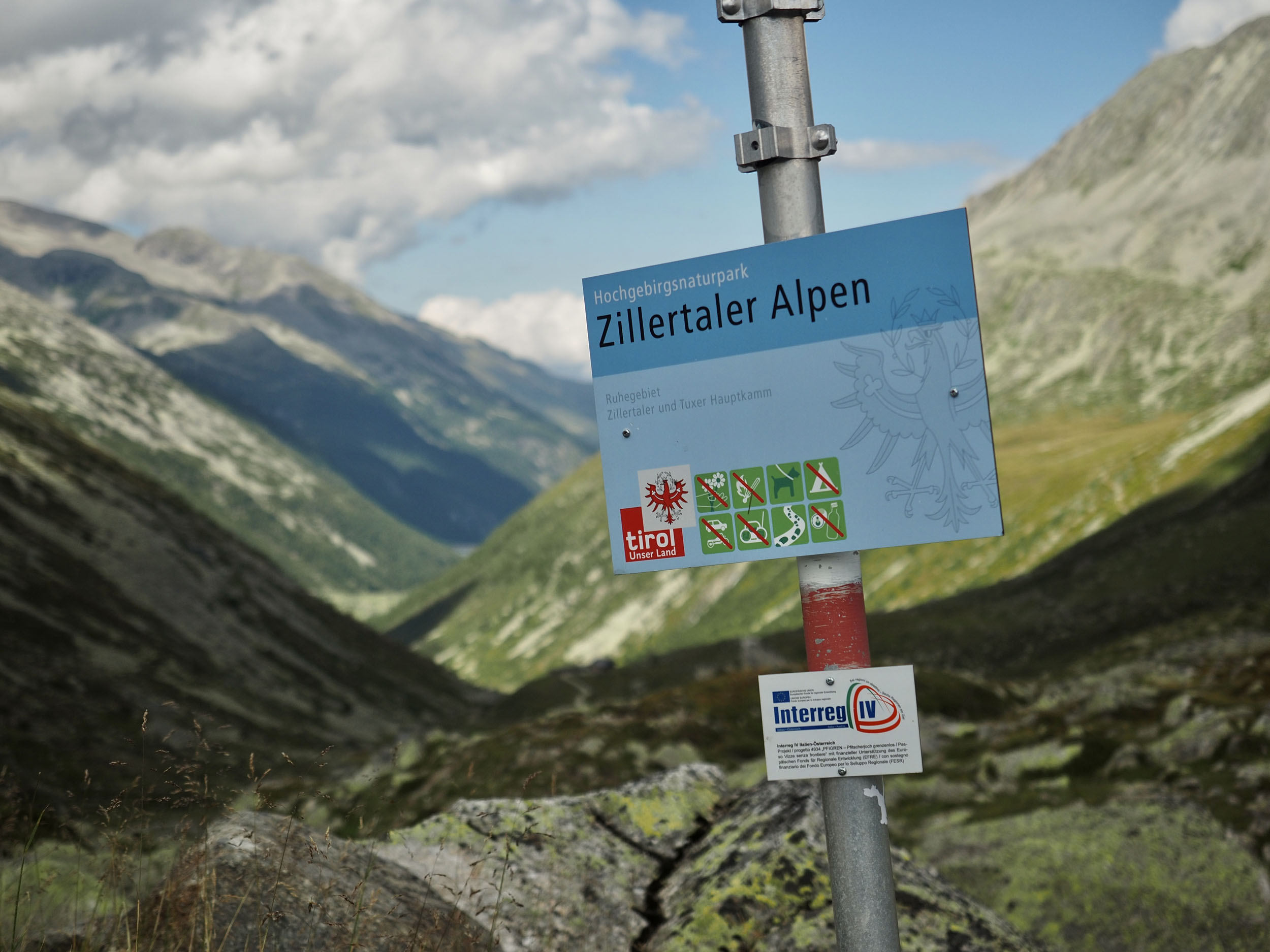
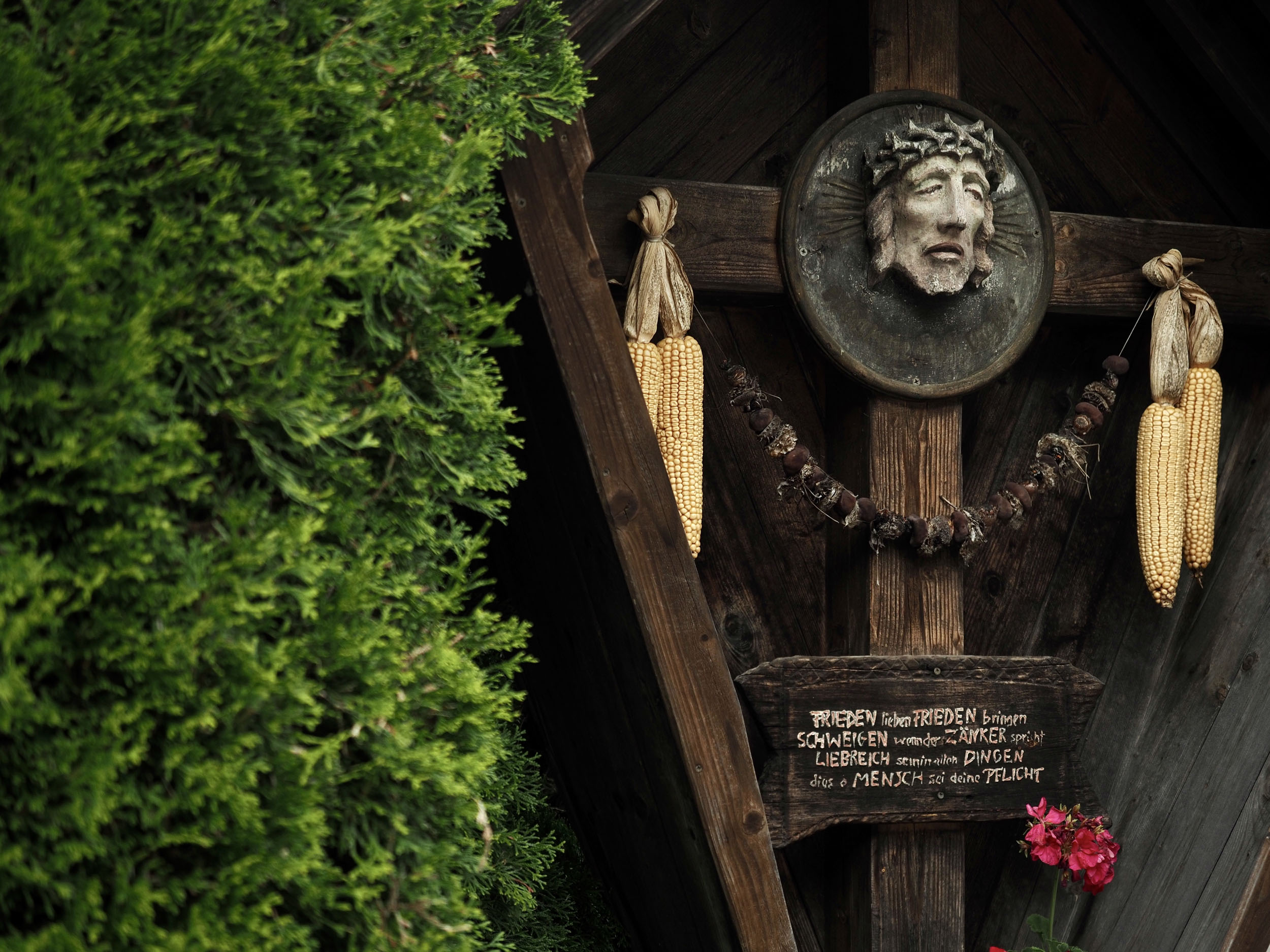
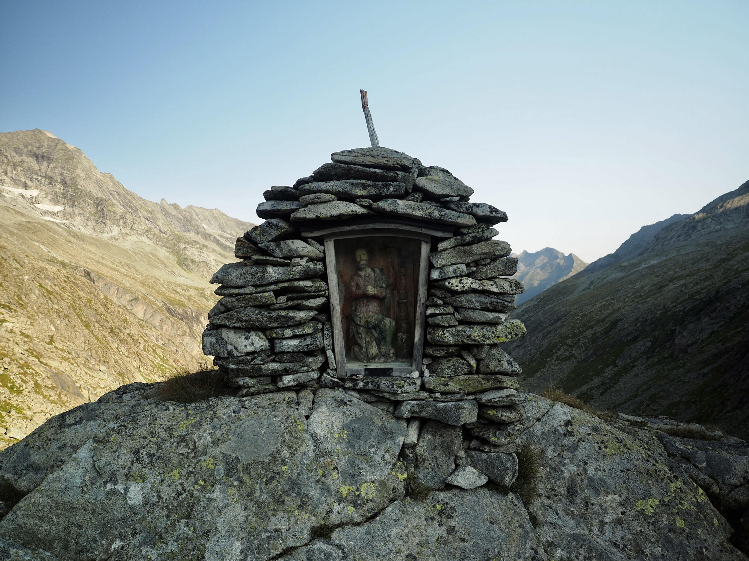
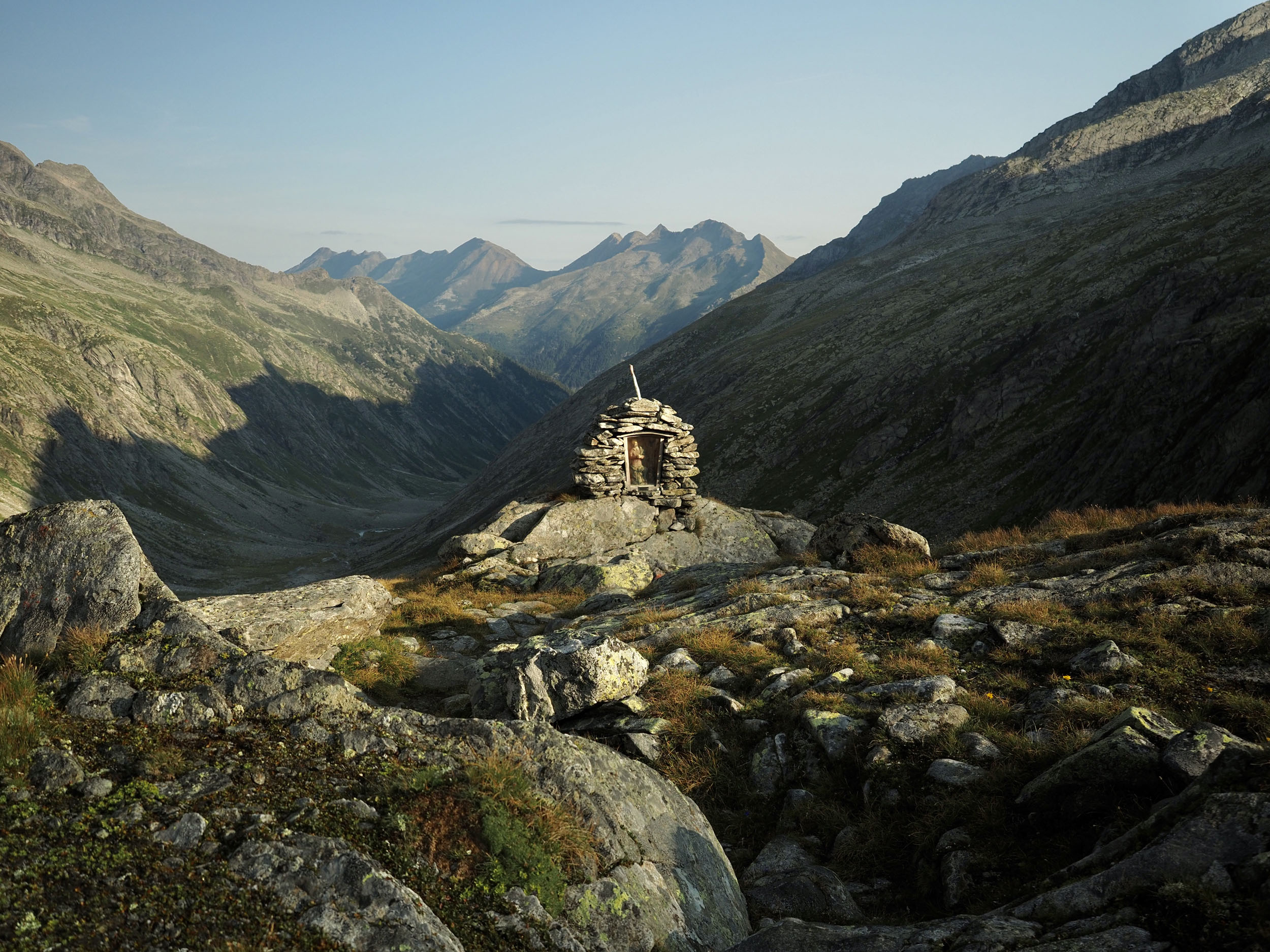
The Zillertal Trail provides a looped adventure over passes that can only be crossed by bicycle or on foot, just north of the well-known Dolomites of Italy. It contains traces of old border posts with Austria, impeccable vistas from each pass, and resource-rich valleys to help you on your way before every climb. The region it crosses in Italy is called Südtirol, an area that was once part of the Austro-Hungarian Empire but was annexed to Italy in 1919 at the end of World War I. This fusion of cultures provides an interesting historic background, as well as a mixture of food that’s very nicely catered to bikepackers’ wishes: rich Austrian bakery treats but also pizza, pasta, and gelato.
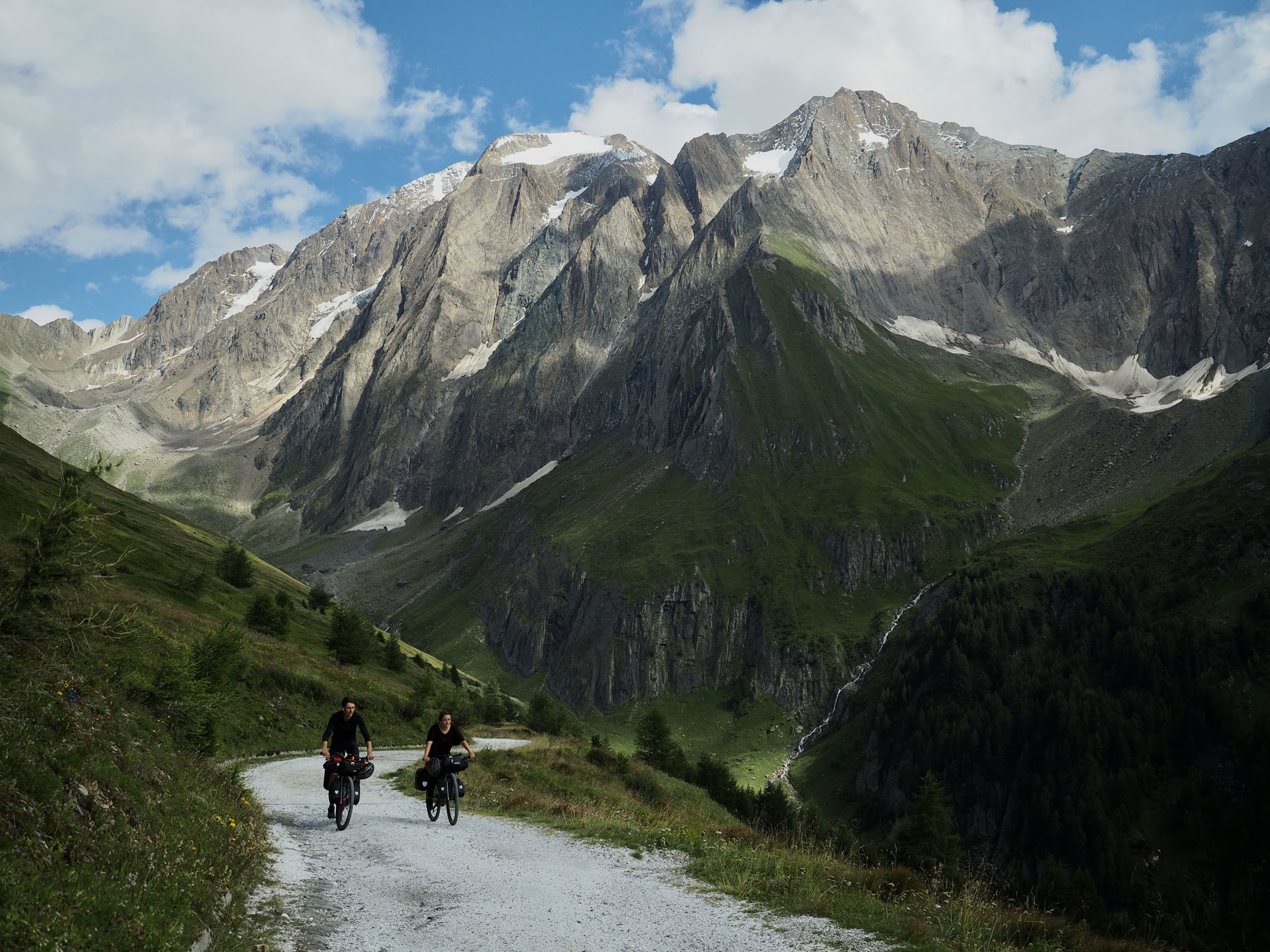
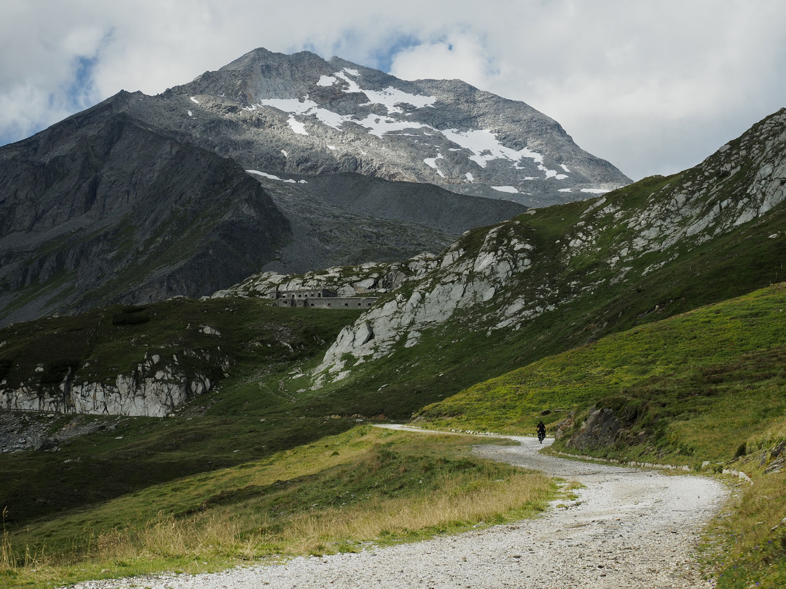
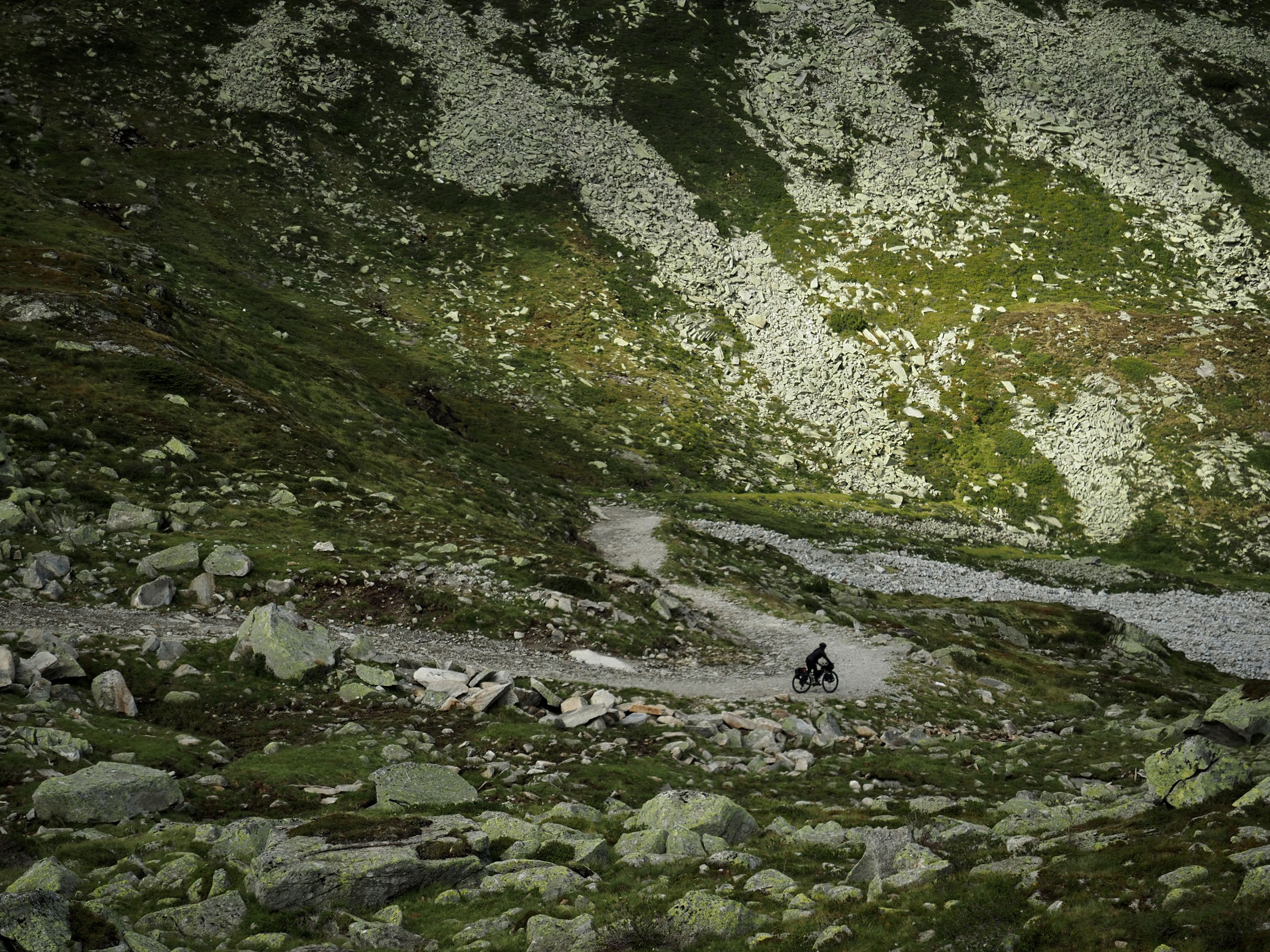
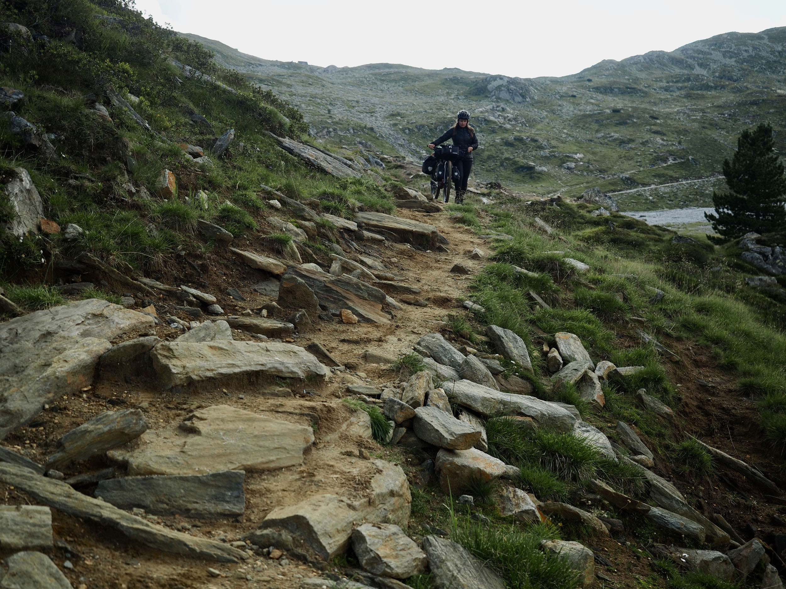
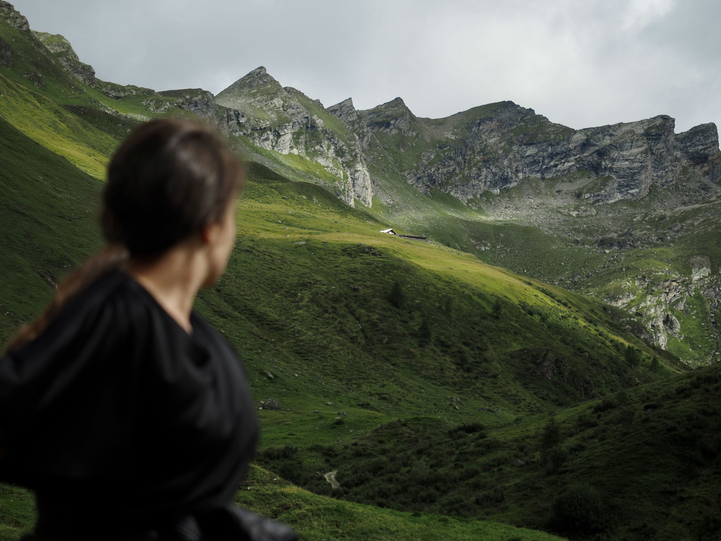
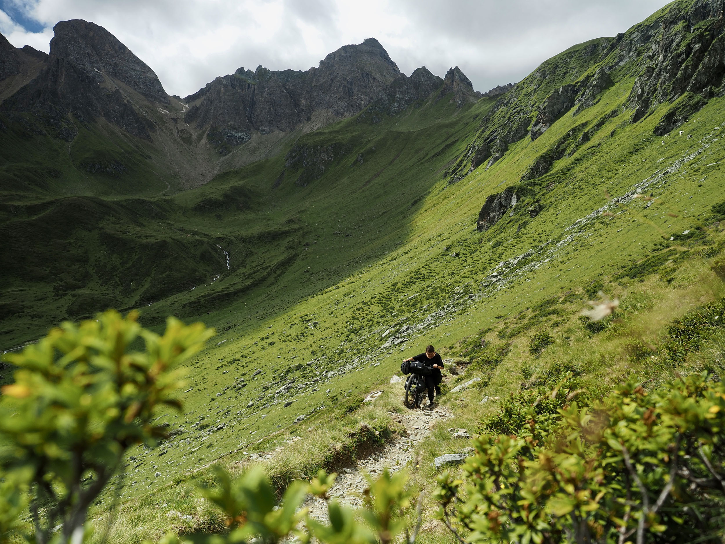
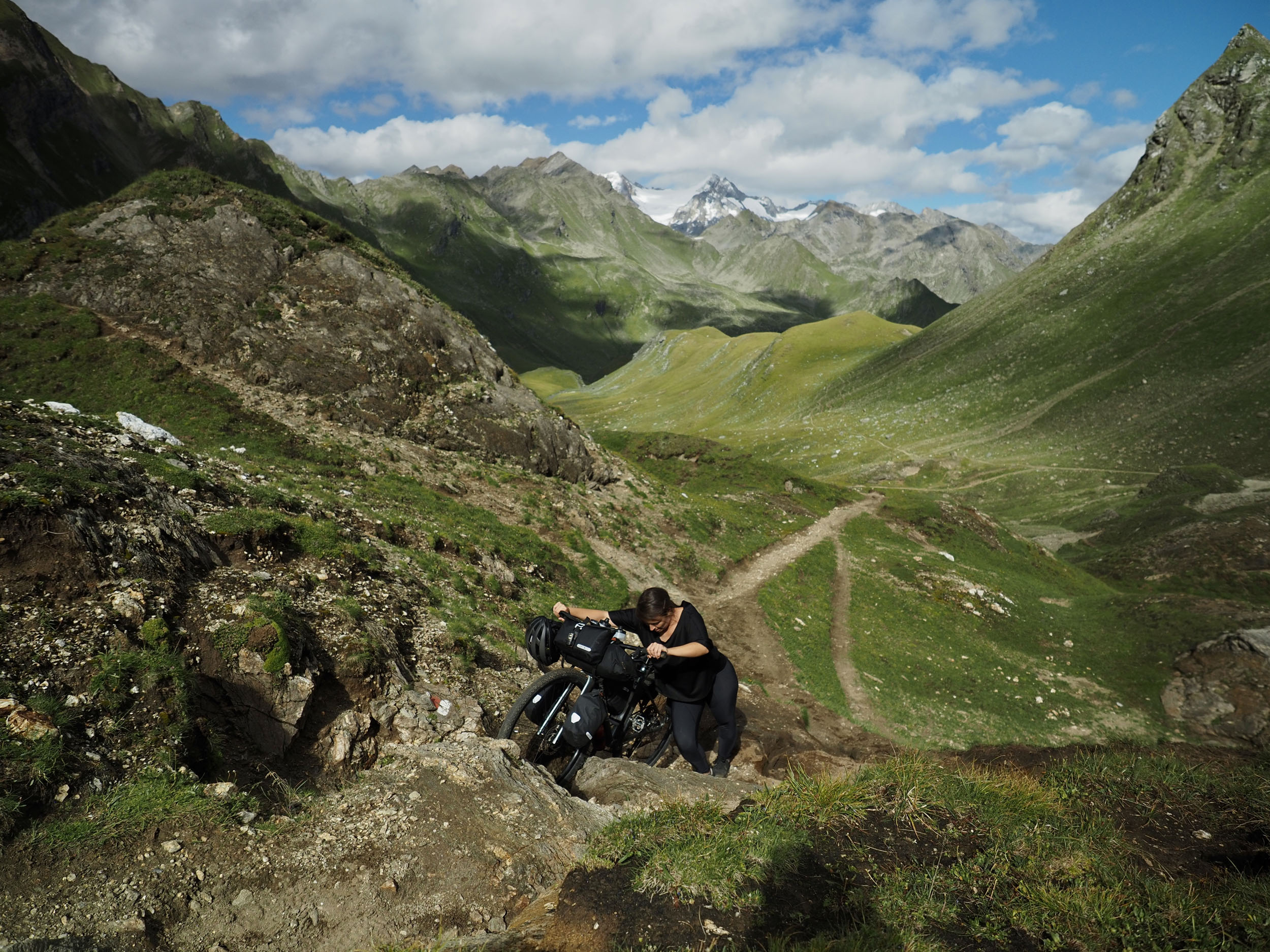
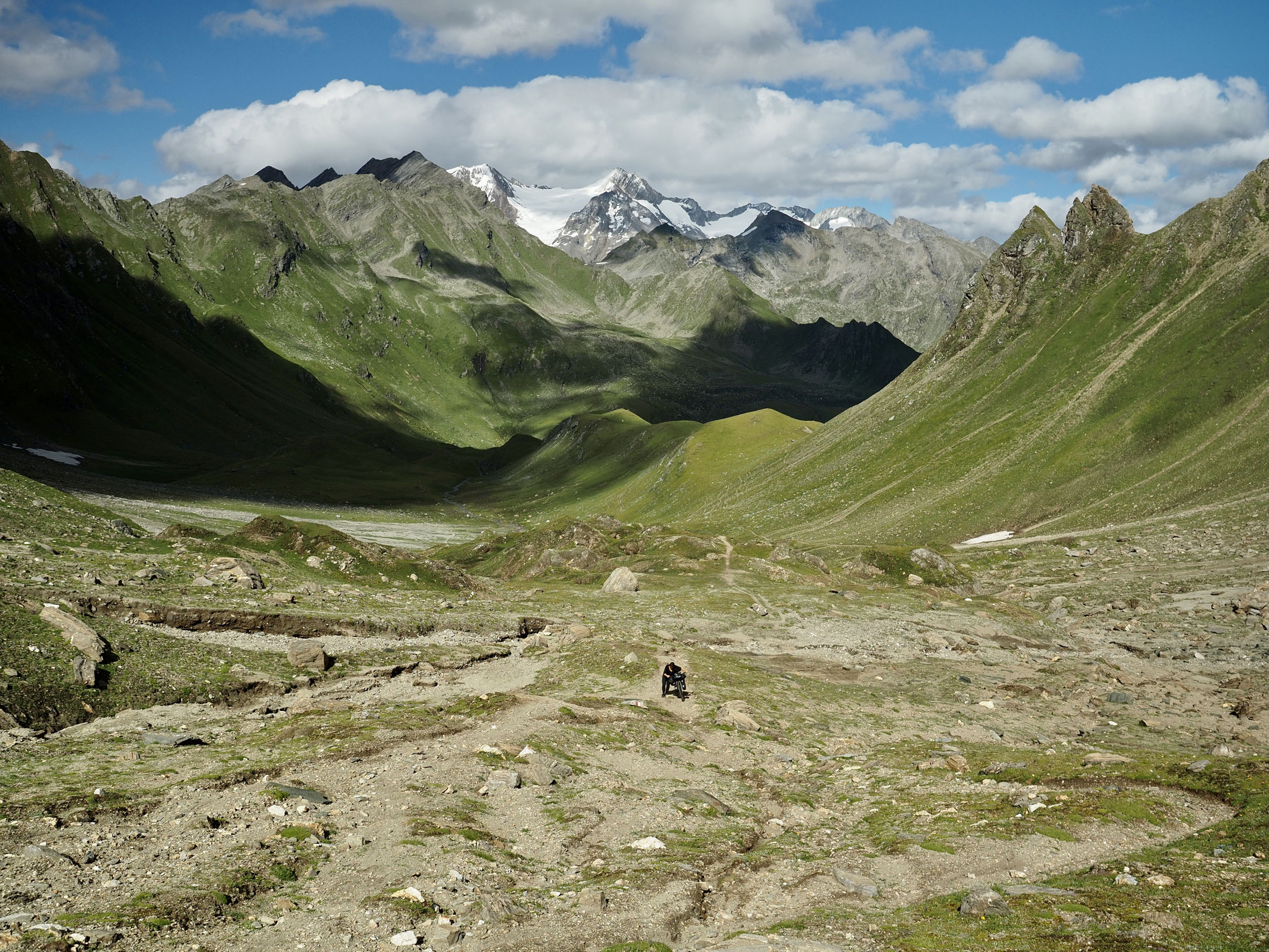
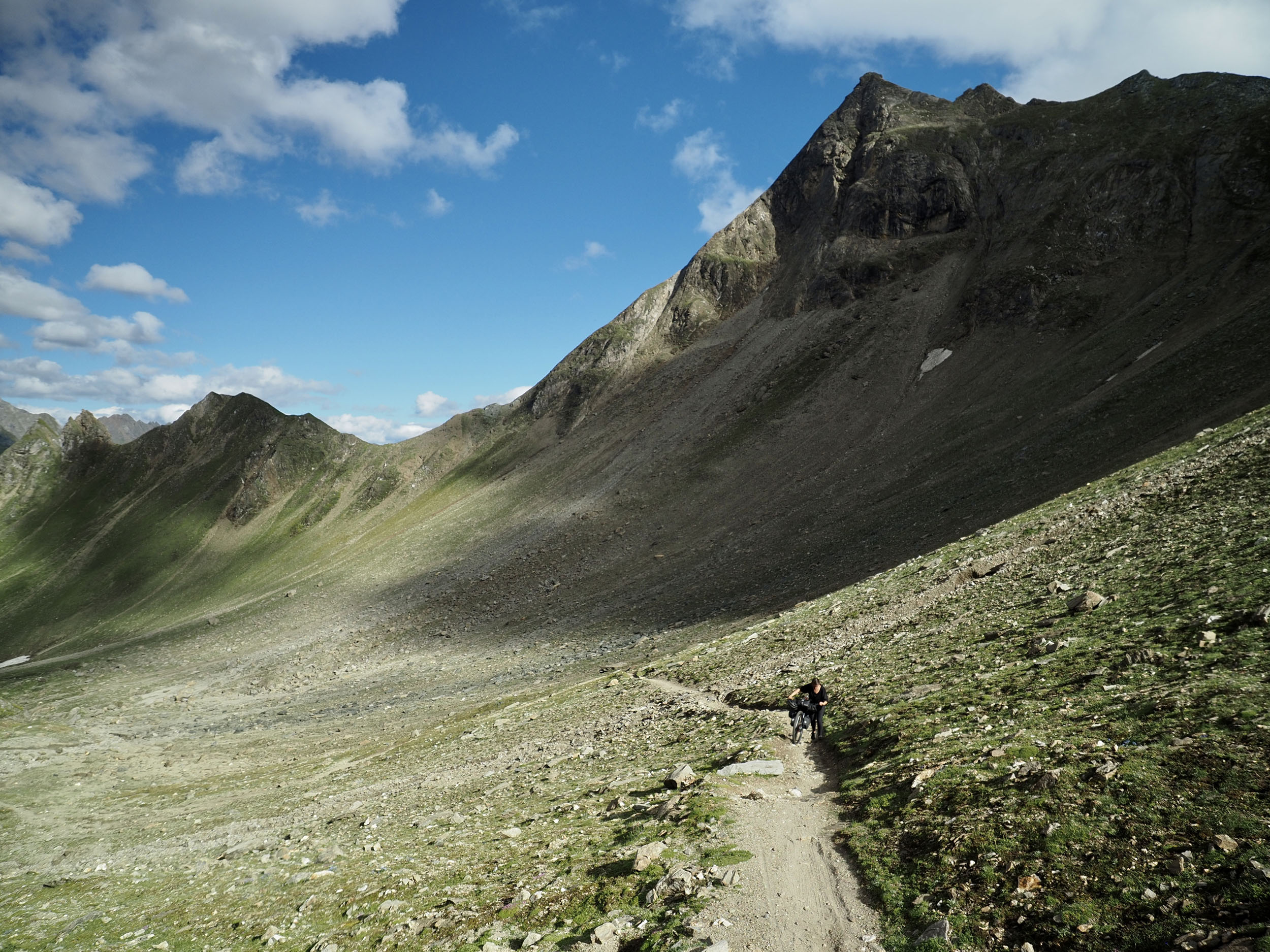
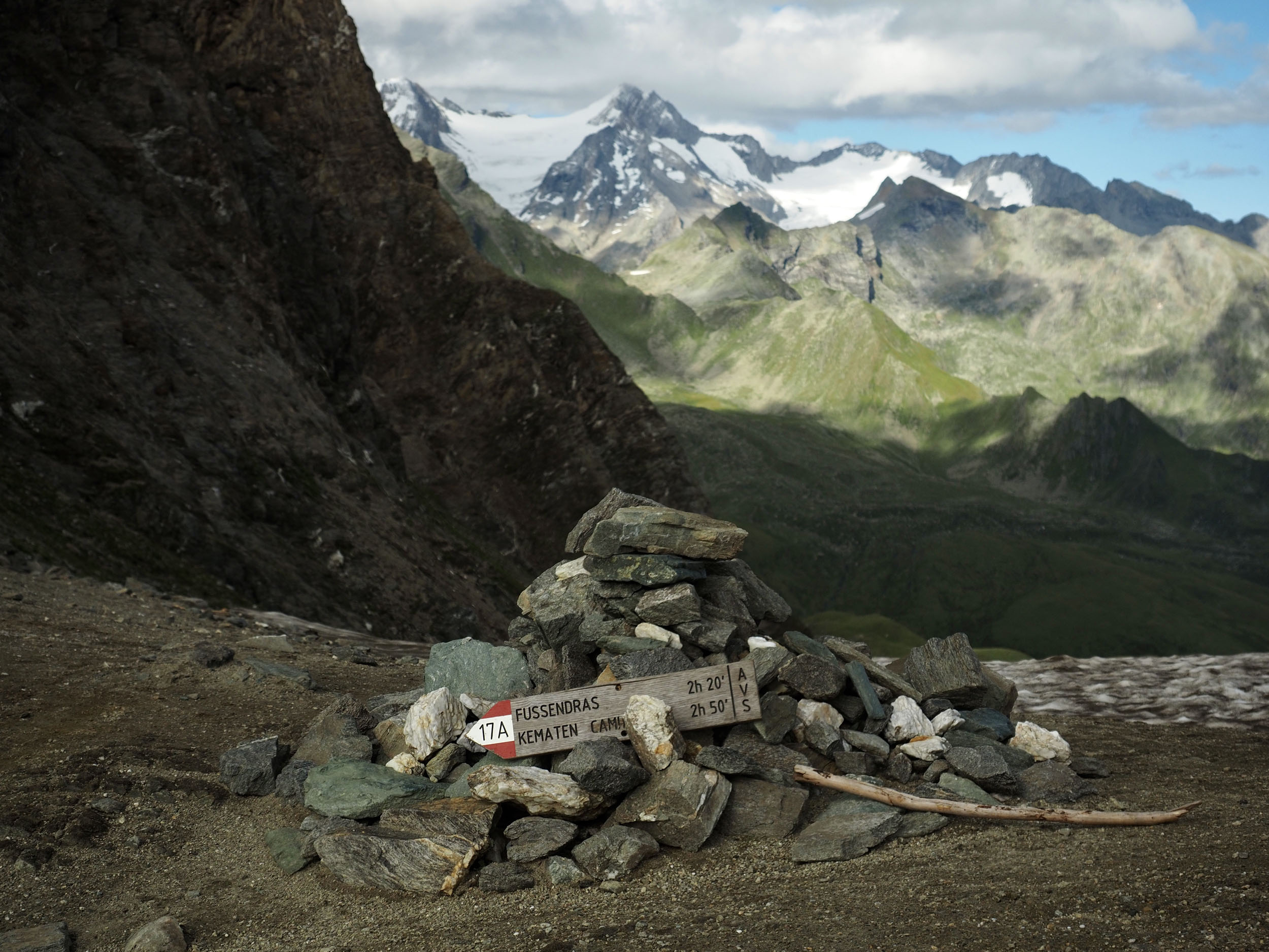
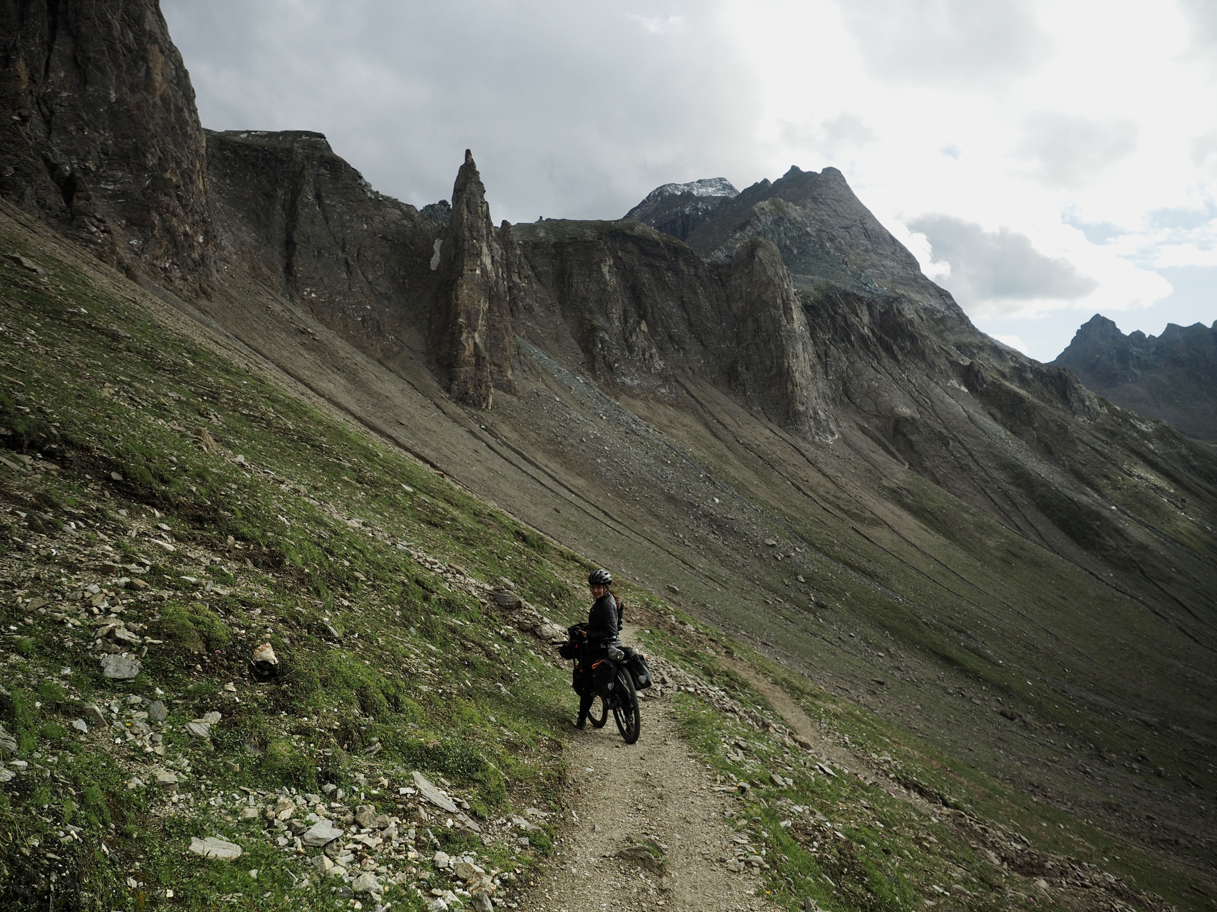
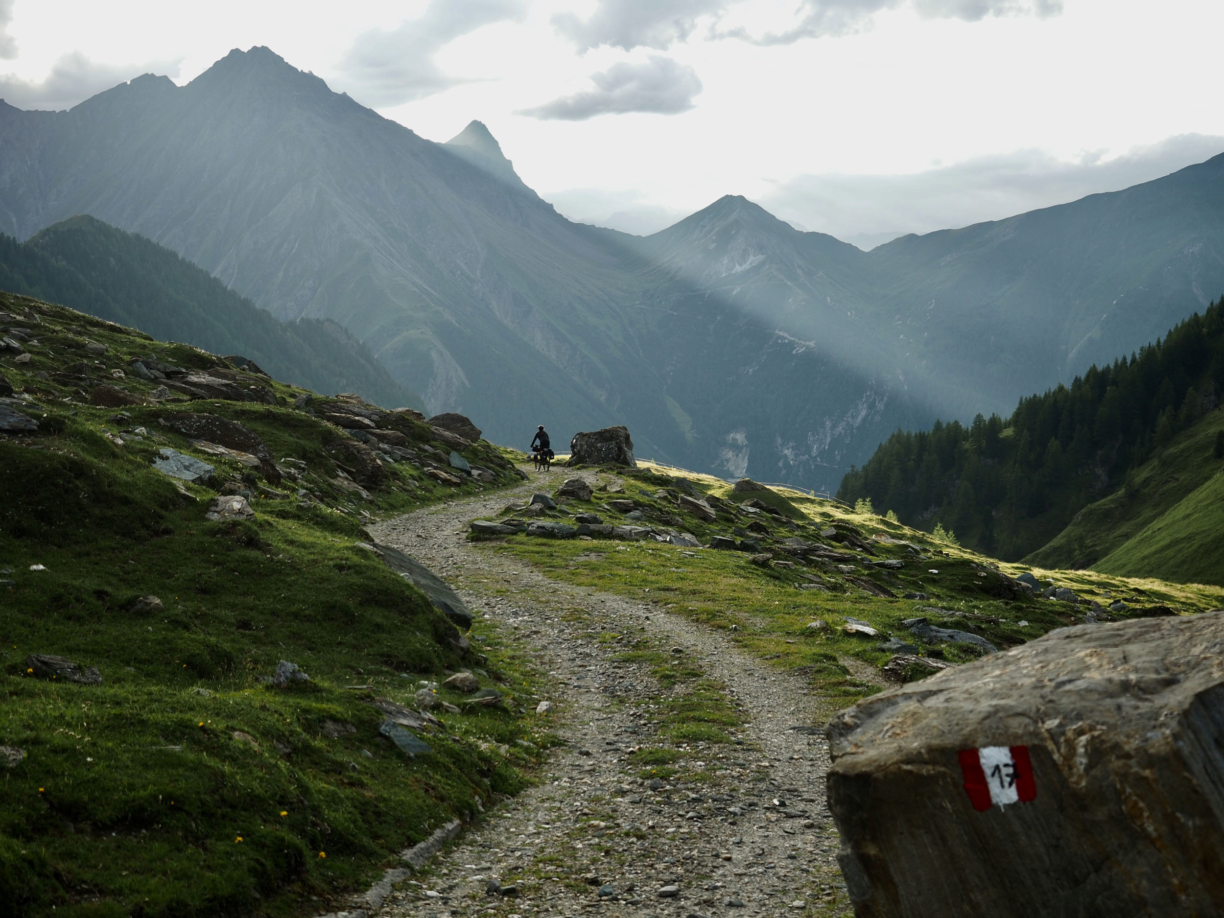
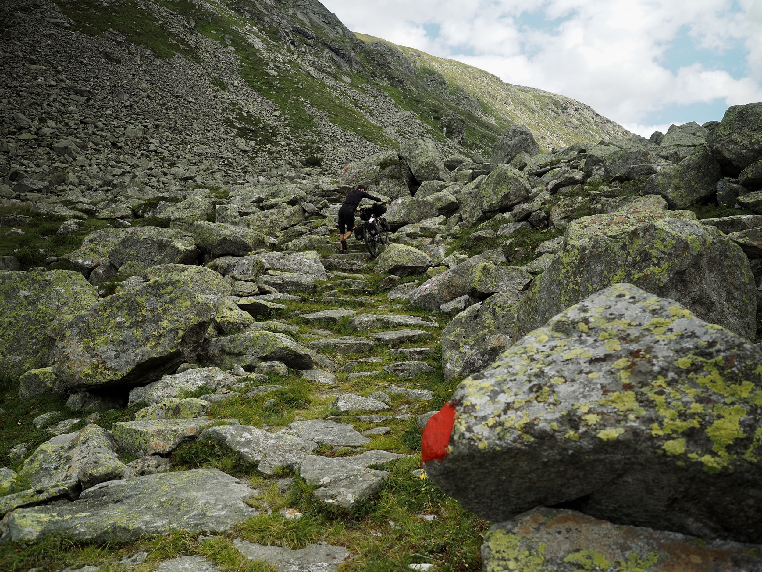
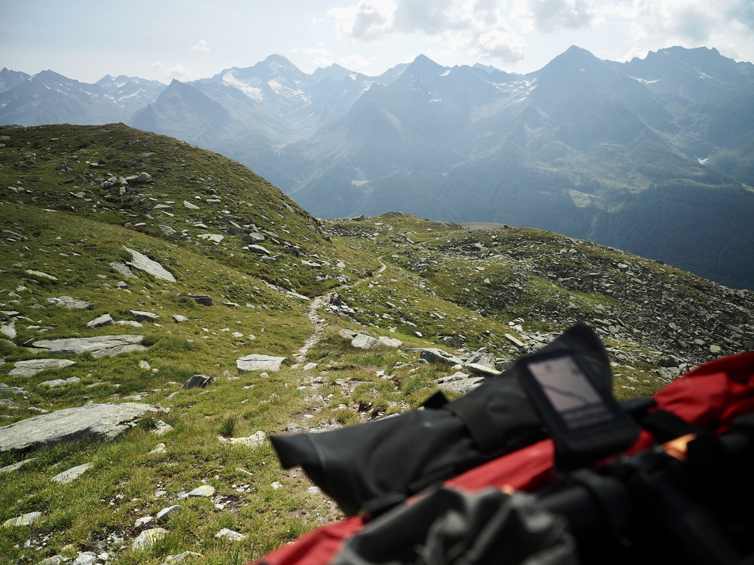
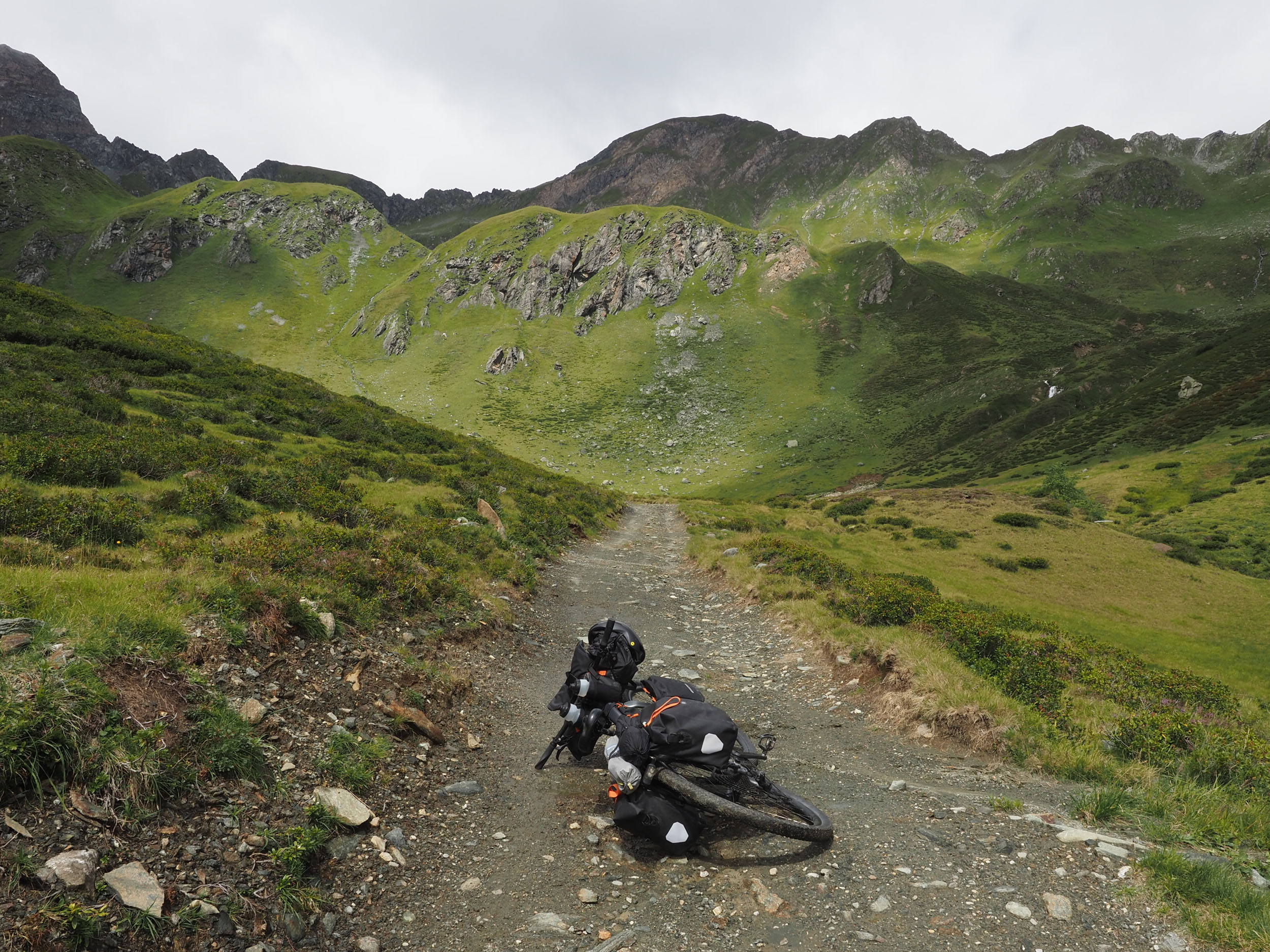
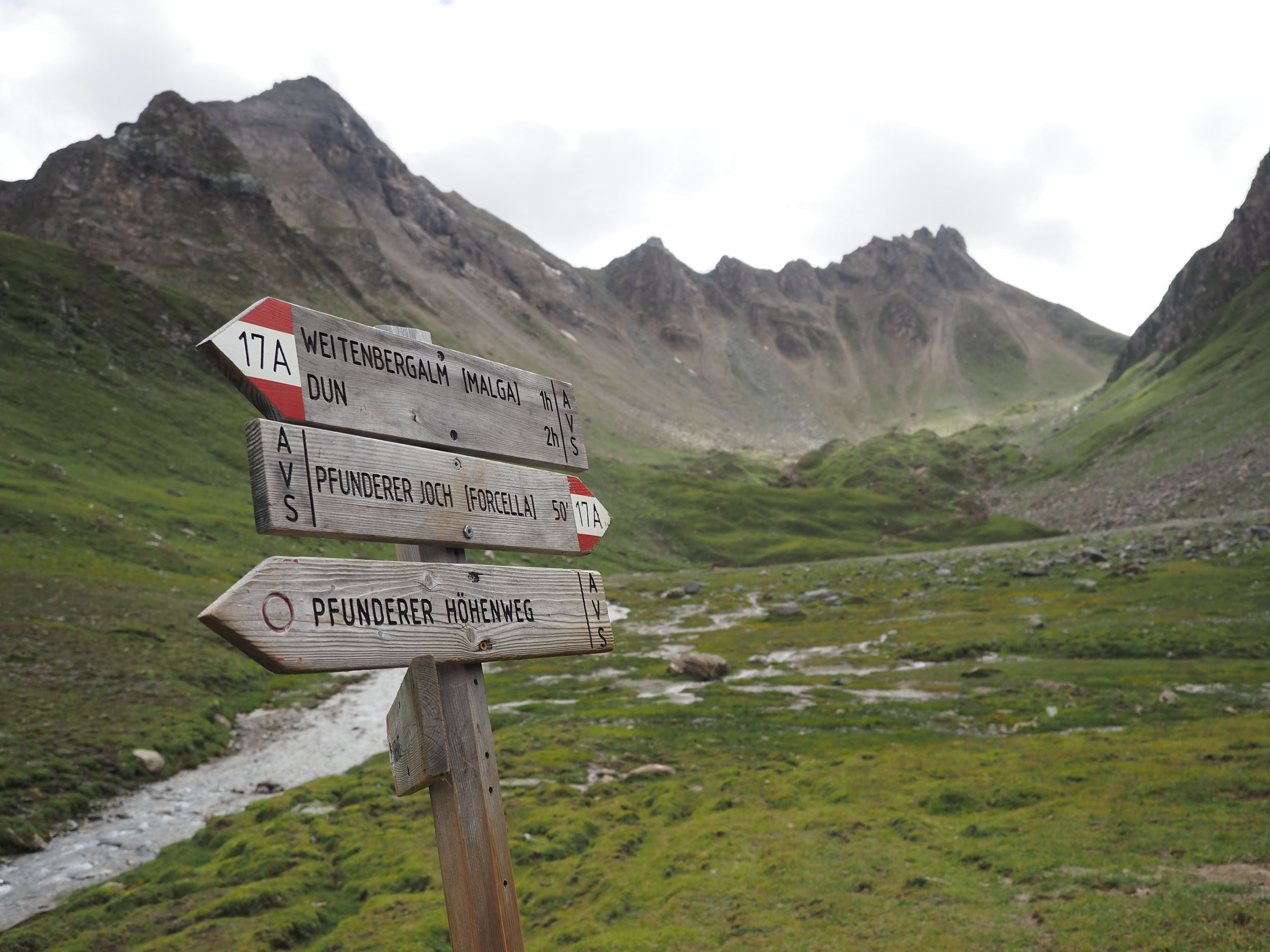
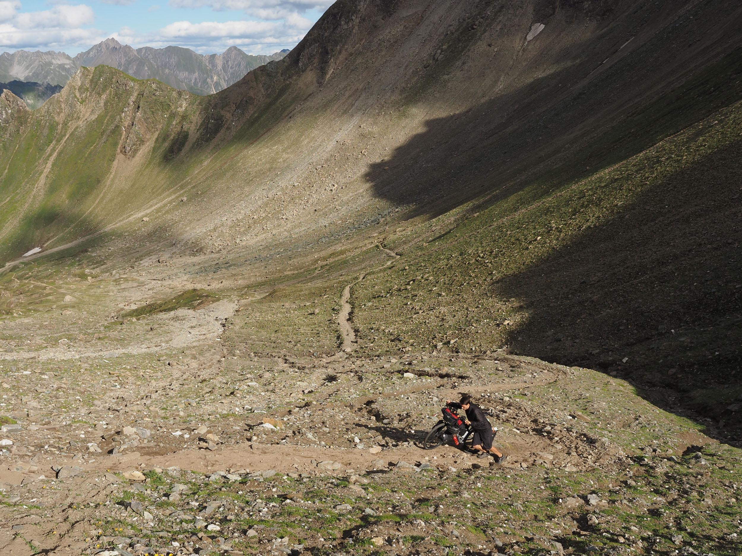
The loop starts and ends in Brunico and follows a clockwise direction, summiting three distinct passes, each with unique challenges. Pfunderer Joch requires a hike-a-bike up to its crest, on which you’ll see glaciers behind you, hear the marmots that reside in the higher basin, and find a spectacular remoteness waiting for you at the top. Pfitscher Joch is easily ascendable from the west, but as soon as you cross into Austria, a gnarly yet maintained rock trail makes for a bumpy descent. Lastly, the Hundskehljoch (Dog’s Throat Pass) requires a tremendous physical performance in hike-a-biking several kilometers up to and down from its summit, but it rewards those who cross it with a successful return back to Brunico, closing the loop.
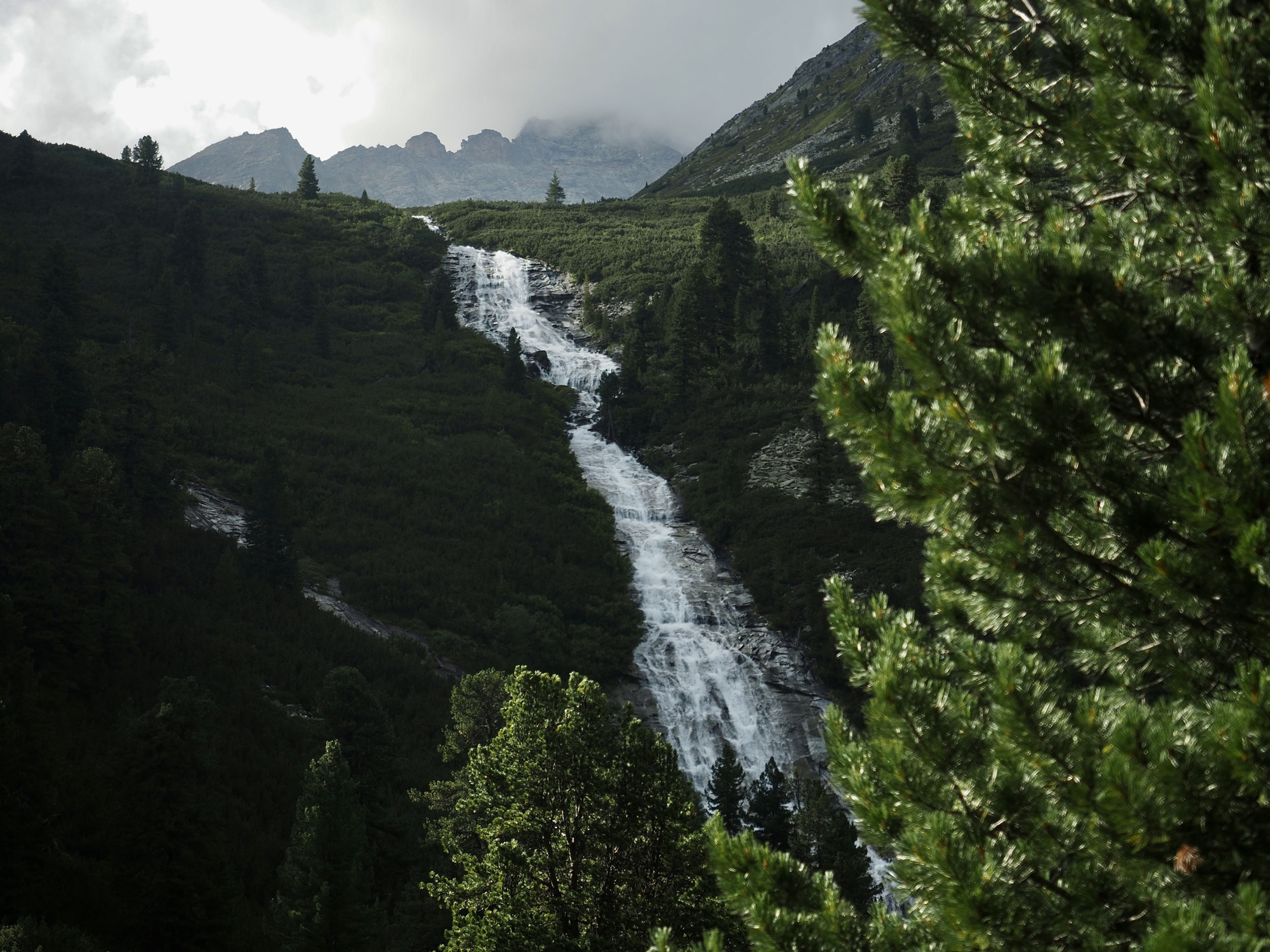
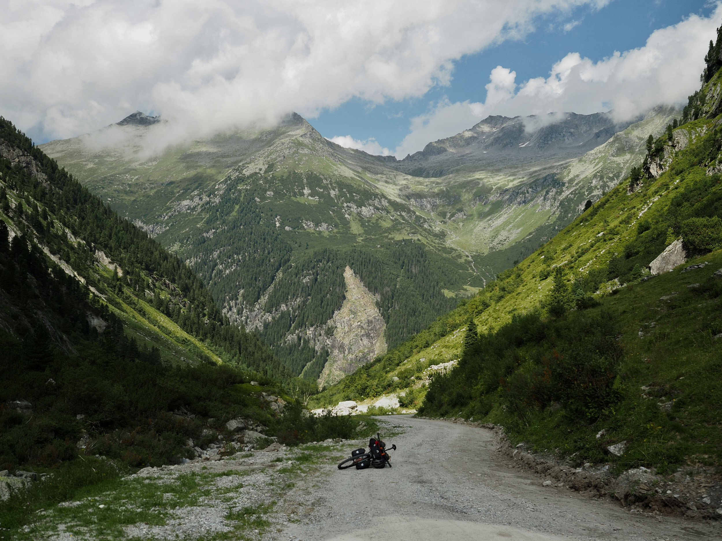
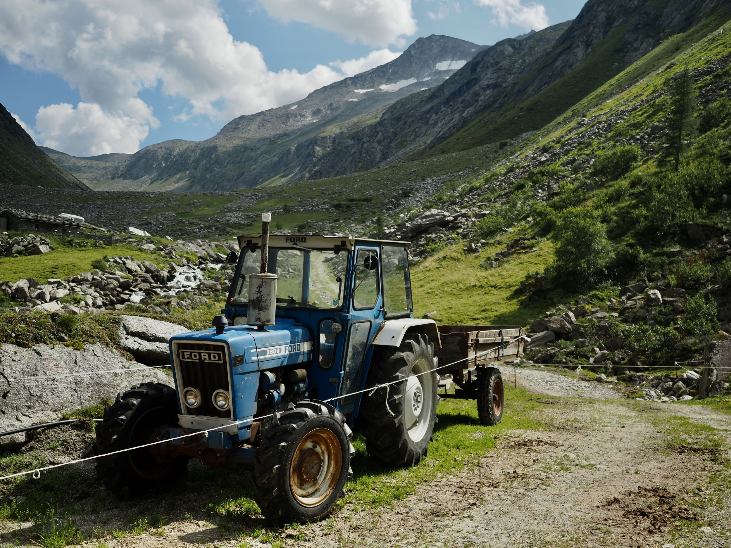
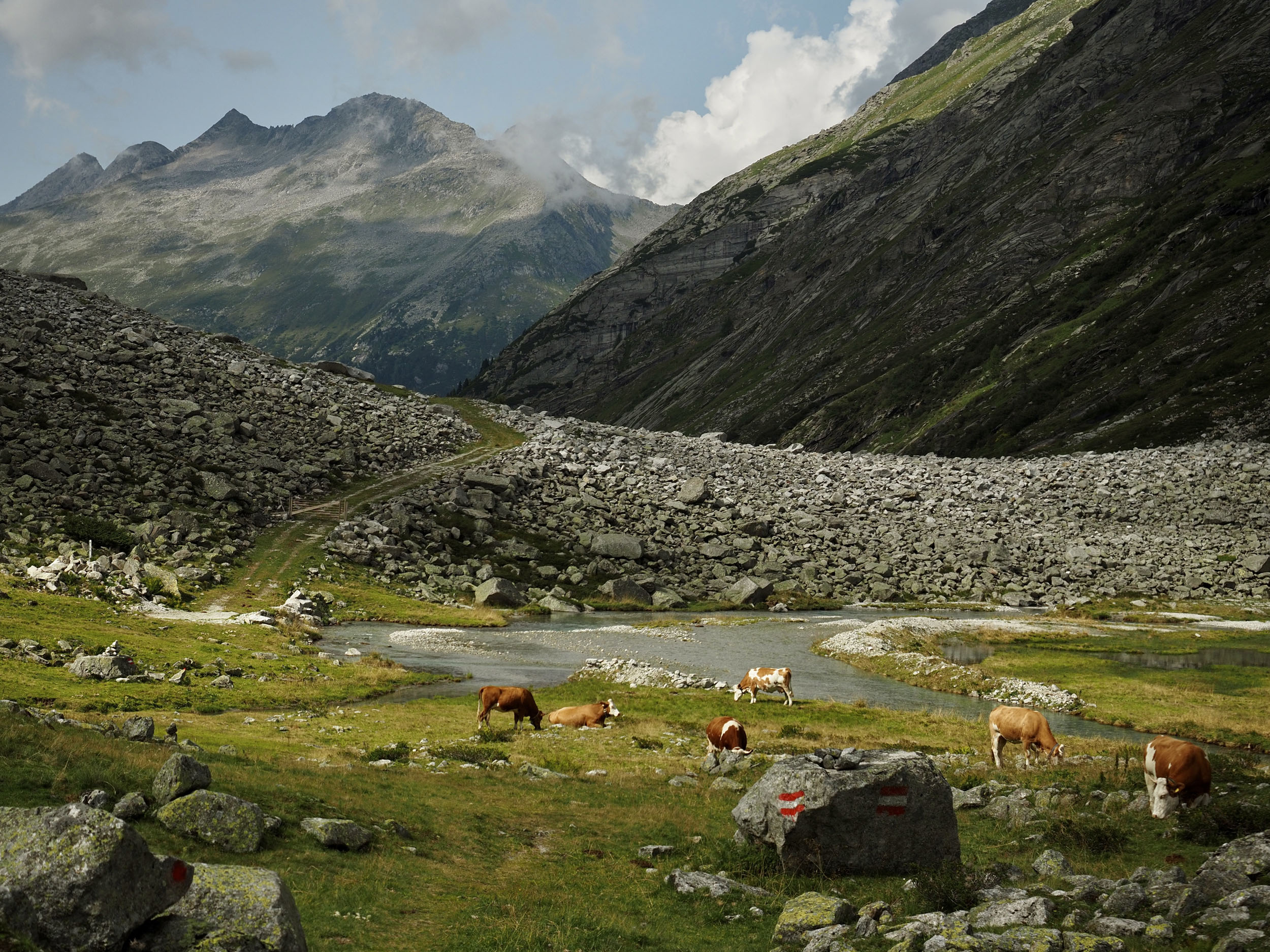
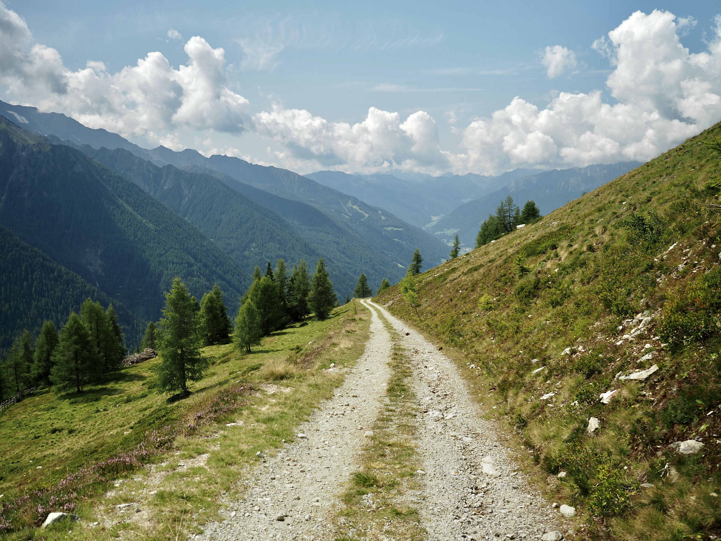
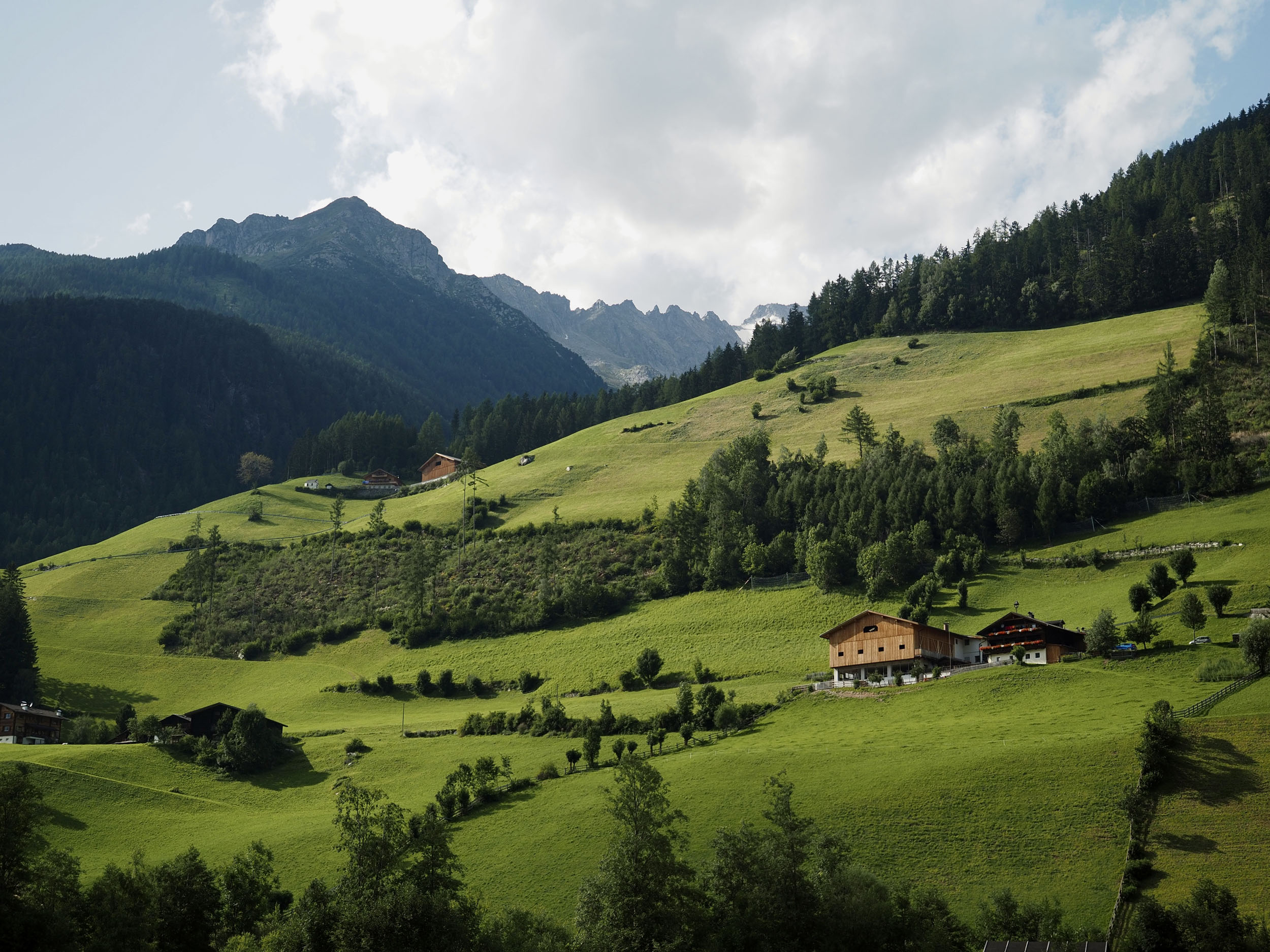
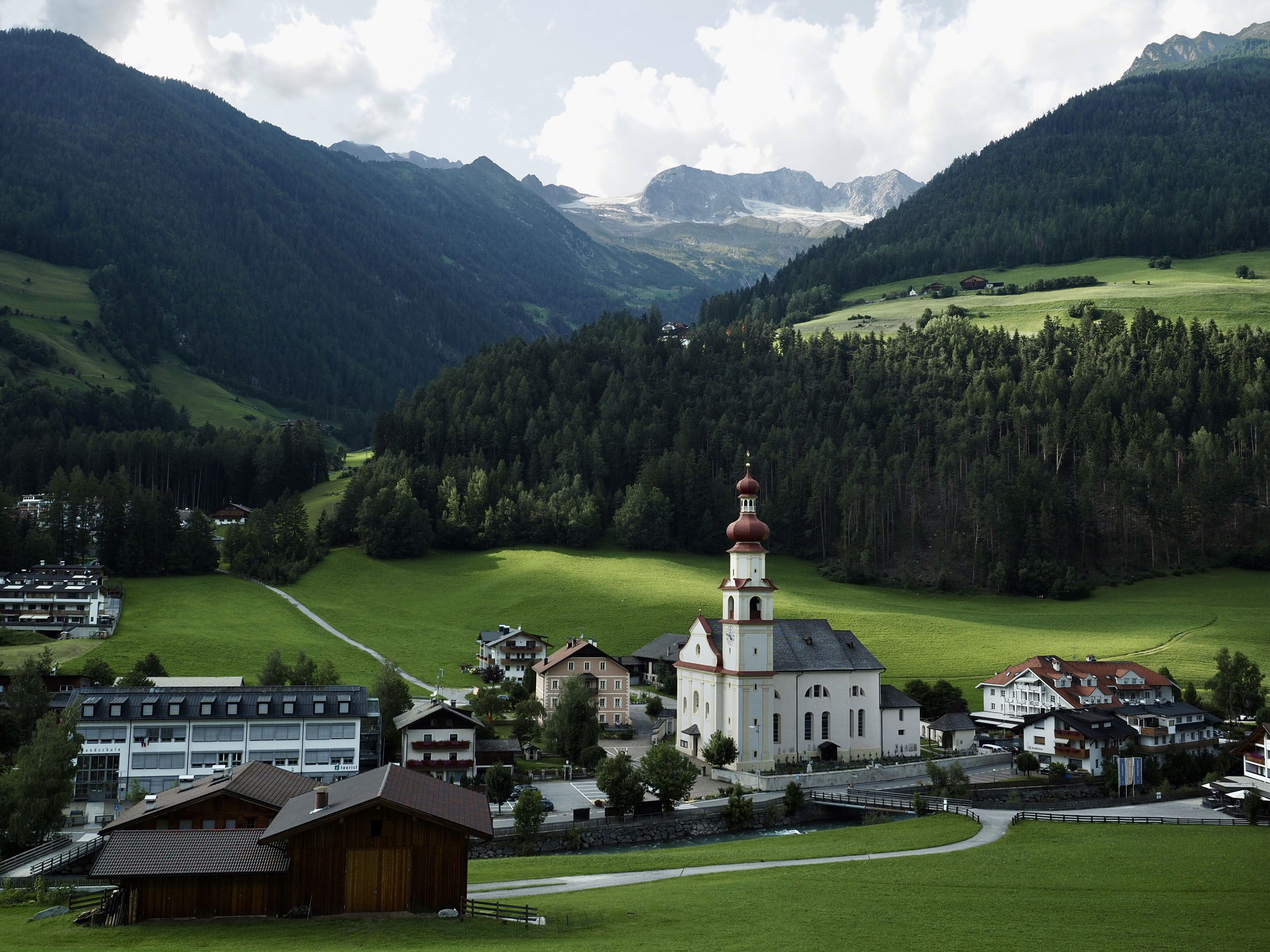
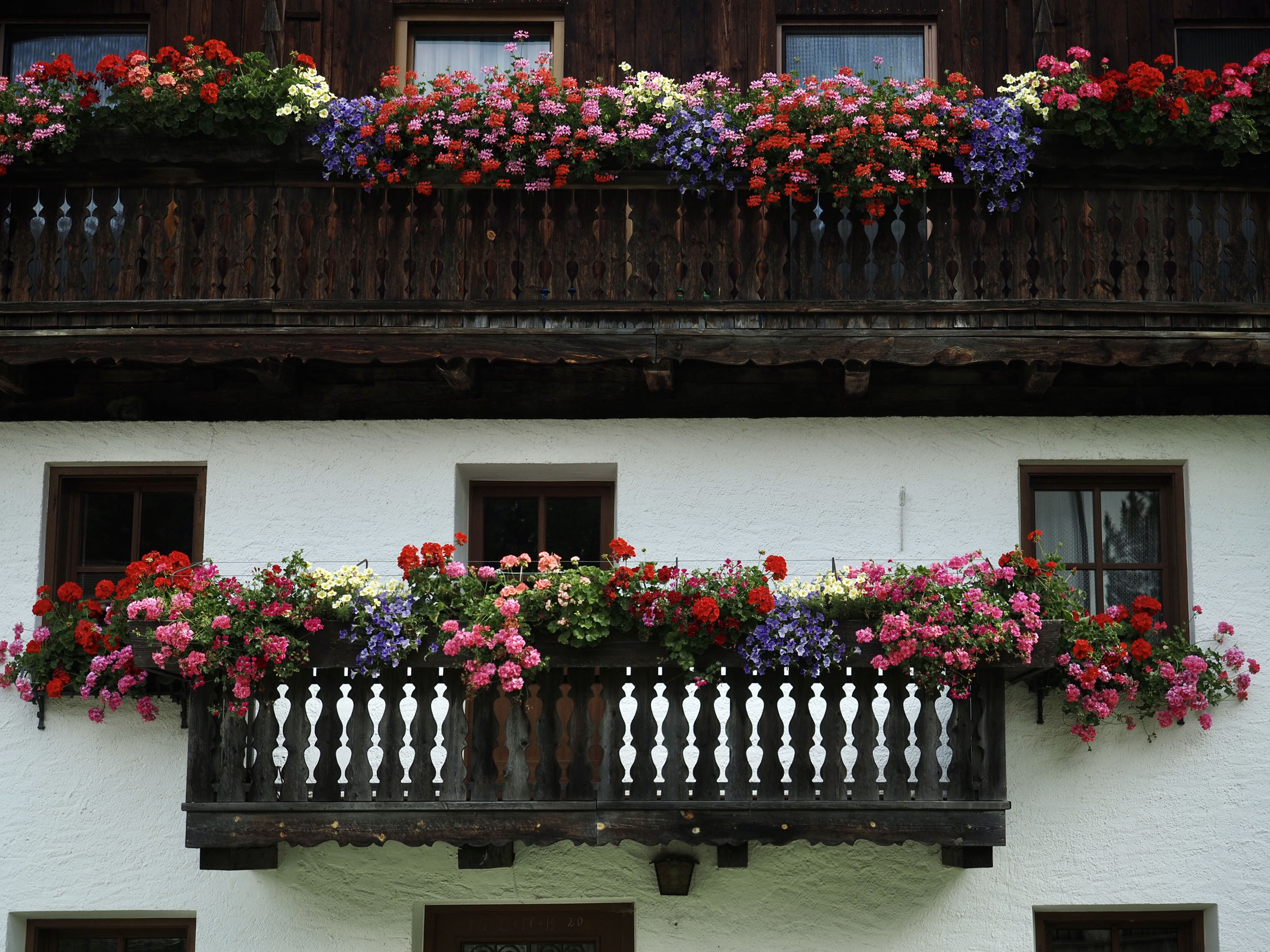
The natural scenery is alpine, with lush vegetation and bulking, snow-fed rivers in the valleys and treeless, rocky terrain at higher elevation. And whereas other parts of the Alps are famous worldwide, the Zillertal Alps enjoy a fairly localized popularity, resulting in far higher chances of having the passes completely to yourself. What we love most about the ride, though, is that after each formidable climb, a long descent awaits. Each valley provides a safe haven from the mountains in towns adorned in old Austro-Hungarian architecture, with bike lanes, shops, restaurants, and lodging always available somewhere. If you want to experience typical Südtirol mountain culture, this is the place to do it!
Route Difficulty
While the route profile might look relatively easy (despite its three big passes), don’t be deceived: the riding surfaces and short seasonal window make this route a particularly challenging one. You should be able to cross every pass between June and September, and you should probably pack lightly on a hardtail mountain bike. The paths and tracks range from perfect asphalt to steep dirt trenches and stairs made out of thick rocks slabs, with everything else in between. Weather could significantly impact the quality of the ride, so you should keep an eye out for the report and count in an extra day should things turn against your planning.
Seeing that this route takes you through the populated and infrastructure-rich Alps, the overall difficulty of this route lies not in the logistics or resupply points, but more in physically dealing with each of the three passes. When riding this route in the recommended clockwise direction, pass one and three require you to hike your bike at multiple points in the climb. Also, microclimates in these mountains could present inclement weather, possibly worsening the trail quality. When in Austria, you’ll also need to follow strict rules regarding trail use and wild camping (always stick to the route) since they’re not shy in handing out fines to riders. Nevertheless, there’s plenty of smooth riding in between passes, with nearly always a way out in case your plans change and a lot more flexible regulations on the Italian side.
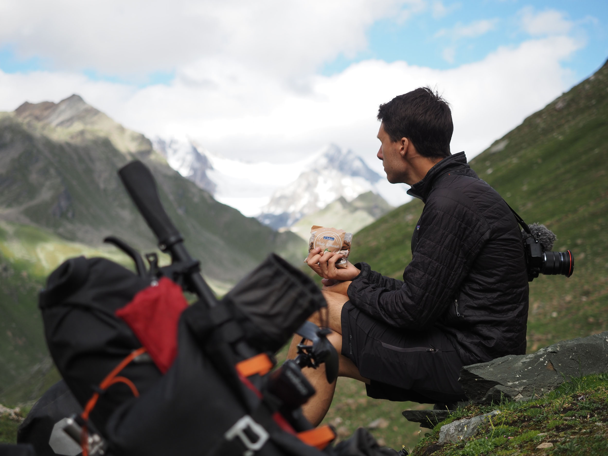
Route Development: When planning to ride the Dolomites in the summer of 2021, Belén and I realized we’d probably be overwhelmed by the masses that visit those famous peaks in the summer season. So, we scouted the map, looked north, and identified three valleys that pulled our interest, located around the Zillertal Alps. On the map, it seemed possible to connect them over three high passes, and so the idea to create the Zillertal Trail was born. During our initial scouting trip, met David Niederkofler, a local mountain biker who grew up in the Brunico valley and was very enthusiastic about our route and told us what we could more or less expect on each pass. We then successfully scouted the route and established the loop. In 2022, we were able to check up on the route in an organized launch event, this time riding the route in a record two-and-a-half days. Our aim in making this route is to offer both locals and visitors an unusual and adventurous way of experiencing the Zillertal Alps.

Submit Route Alert
As the leading creator and publisher of bikepacking routes, BIKEPACKING.com endeavors to maintain, improve, and advocate for our growing network of bikepacking routes all over the world. As such, our editorial team, route creators, and Route Stewards serve as mediators for route improvements and opportunities for connectivity, conservation, and community growth around these routes. To facilitate these efforts, we rely on our Bikepacking Collective and the greater bikepacking community to call attention to critical issues and opportunities that are discovered while riding these routes. If you have a vital issue or opportunity regarding this route that pertains to one of the subjects below, please let us know:
Highlights
Must Know
Camping
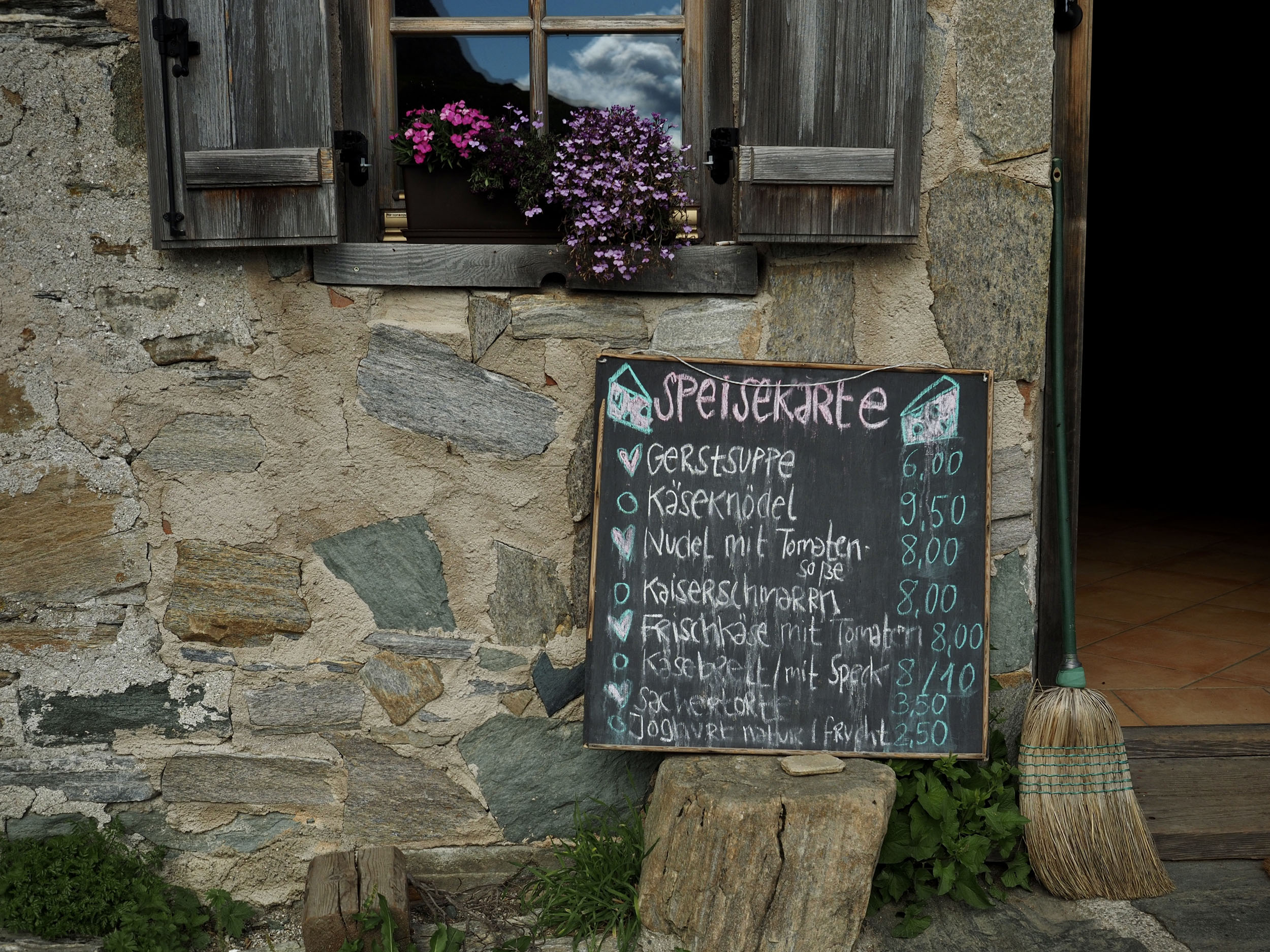
Food/H2O
Trail Notes
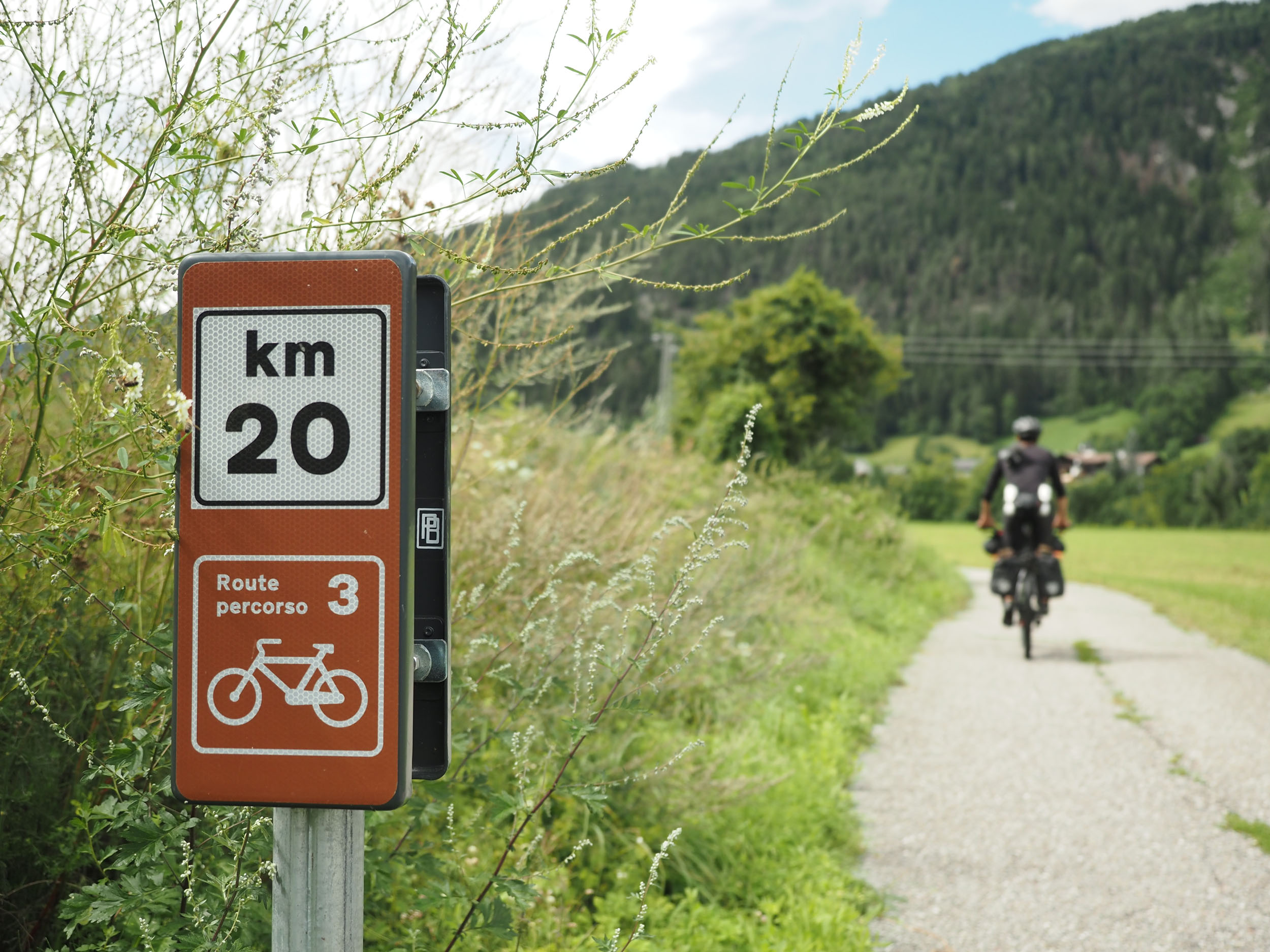
- Following the flowing bike lanes between Brunico and Vintl for an easy start
- Trying out mountain delicacies at the Weiterbergalm along your way up Pfunderer Joch
- Witnessing the glaciers on Hoher Weißzint peak appear behind you as you ascend Pfunderer Joch and the impressive rock formations embellishing the descent
- Staying at Pfitscher Joch Haus, a classic mountain hut providing beds, drinks, and solid portions of typical mountain dishes
- Passing the old border marker between Italy and Austria on Pfitscher Joch without having to show your passport
- Witnessing the lush and highly protected natural environment throughout the Austrian stretch of the route, waterfall and glacial lake views included
- Hike-a-biking the intense but extremely rewarding Hundskehljoch Valley up to the pass
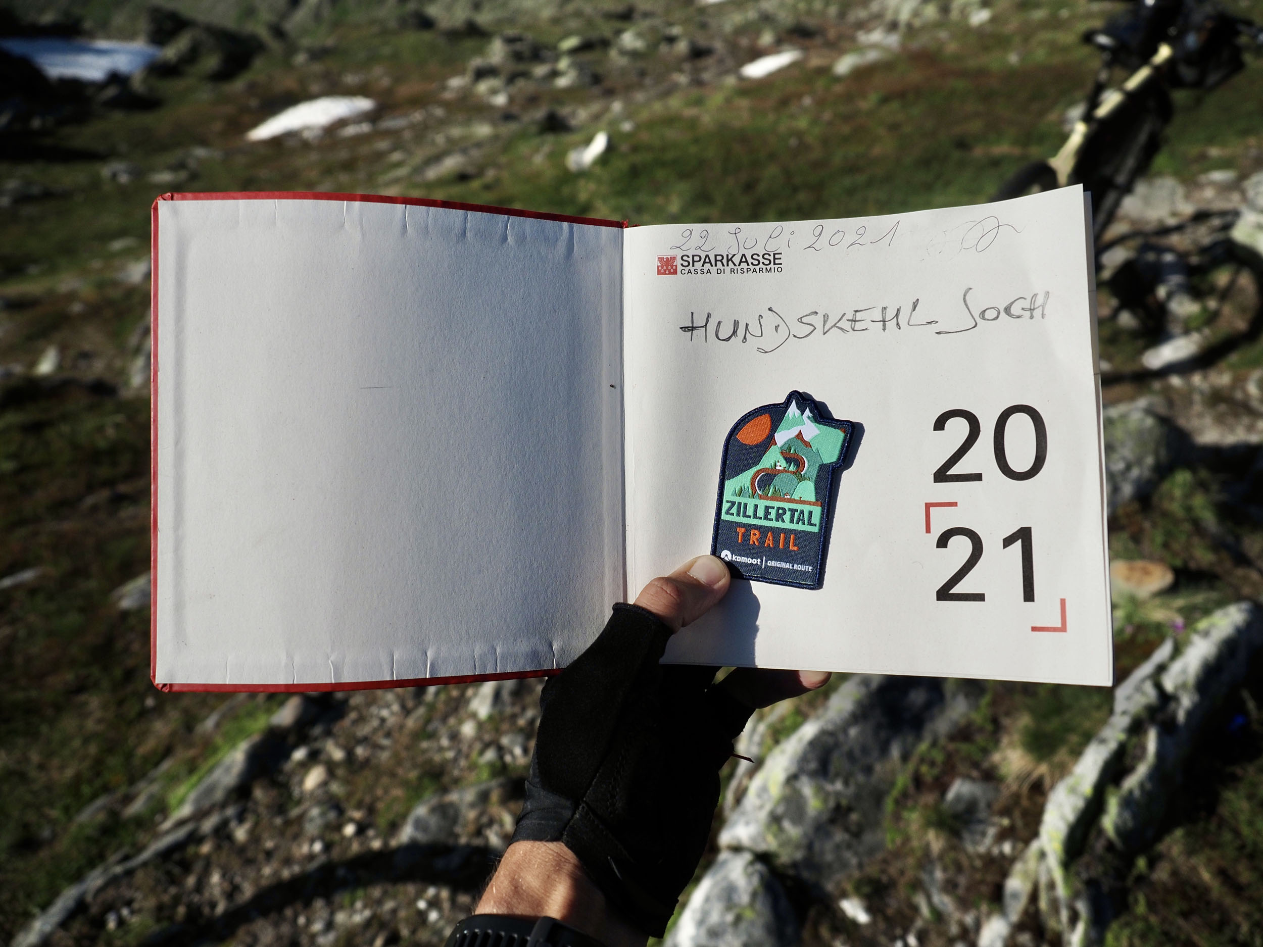
- Carving your name into the trail book tucked into a postbox on top of Hundskehljoch is a big dopamine rush… you made it!
- Riding by the many old villages of the Brunico Valley, each with their own characteristic church
- Eating pizza, pasta, and gelato upon your return to Brunico
- Late spring and summer season (June to September) are ideal for this route. July and August will be more crowded but guarantee more lodging options, while June and September are quieter but can also be a bit colder depending on the weather.
- We’d recommend a light, full-suspension MTB as the ideal bike here, but the loop can also be done on a hardtail, rigid travel bike, or gravel bike as long as you’re okay with the downsides being more bumps, less comfort and, depending on your bike and luggage, more weight to carry on the hike-a-bike sections.
- Traveling in Italy and Austria is easy, and if your nationality gives you access to the EU, you can travel between the two countries seamlessly. Always have some cash at hand in Italy as card payments aren’t universally accepted.
- Getting to the start can be done in several ways. You can ride your bike, take a train, or drive to Brunico. If you’d like to start at another point instead, you can do so in Sterzing and Vintl on the Italian side and Mayrhofen on the Austrian side. All three of these towns have train stations and parking space.
- We recommend getting to the start by train, as you can do so on regional trains from Milan, Bologna, or Venice.
- However, going by train might cause a disturbance in your travel plans, as Trenitalia staff is known to sometimes flat-out deny bikes on regional trains in Verona due to summer tourism causing overloaded bike storage on trains there. Trenitalia will always sell you a day ticket for your bike, but there is no reservation system, leaving you susceptible to the decision of a potentially moody conductor.
- When in Austria, laws regarding trail use are incredibly strict, so it’s not recommended to veer off our recommended route on the Austrian side.
- Weather conditions can vary heavily depending on the many microclimates, but in general, these mountains have an average Alps climate: sunny during the day and cold during the night, with a high dew point and therefor lots of moisture. However, summer thunderstorms aren’t uncommon, so keep an eye on the forecast when moving to higher territory.
- You’ll have two hike-a-bike sections to manage on this ride: one up Pfunderer Joch in the west and the other up and down Hundskehljoch in the east. Both are a considerable challenge, so a lighter bike and setup will help.
- When in Austria, bear in mind that you’ll be much better off lodging at official accommodation or camp sites instead of wild camping, as the latter is explicitly forbidden in the region the route passes through. You’ve been warned…
- When in Italy, rules are generally more flexible, but as this is the Südtirol region, there’s still a high level of enforcement. If you do choose to camp, be considerate and camp as remotely as possible while following LNT principles.
- Lodging at the Pfitscher Joch Haus is your only accommodation choice in the broader area of the Pfitscher Joch Pass, but it will give you a very good night sleep and gorgeous sunset and sunrise views all around the property.
- Campingplatz Kaseler, down the Pfitscher Joch Pass, may be open and provide a good alternative to indoor lodging.
- Each valley on the Italian side of the route has multiple lodging options available. It’s best to check these online once you create your own route planning.
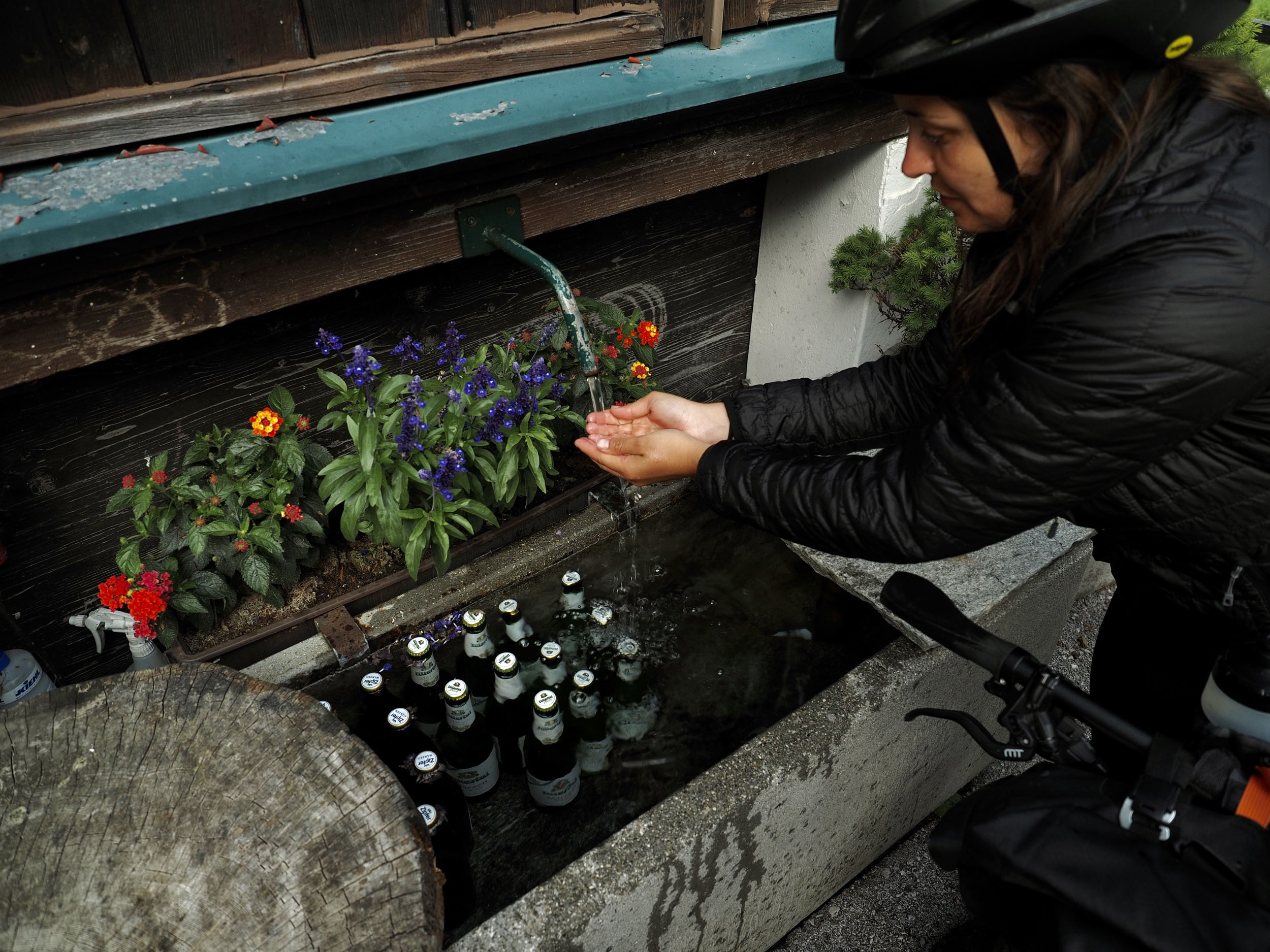
- Thanks to an abundance of clean water sources along the route, you’ll be well off with two liters of capacity. A filter would be optional for the streams up high.
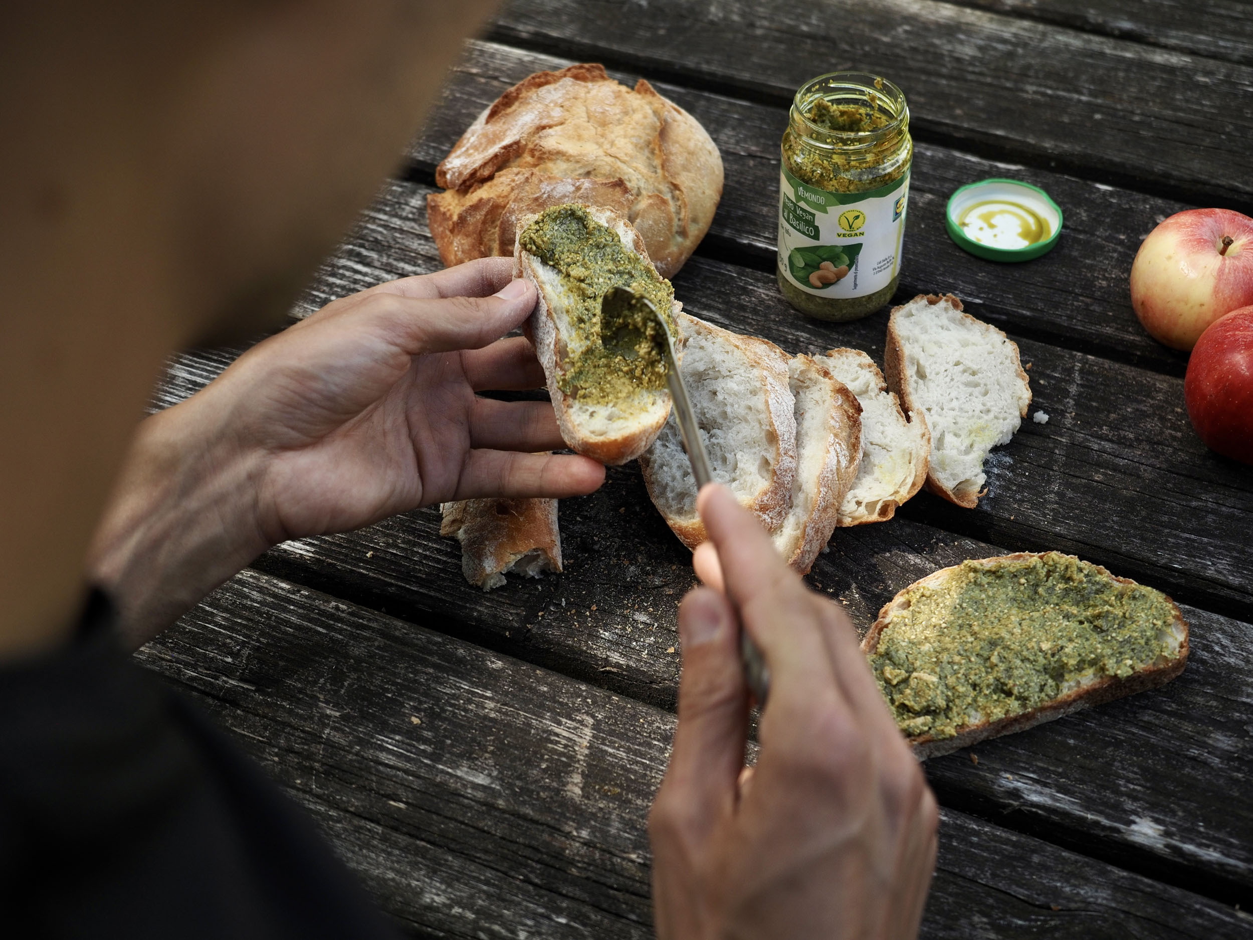
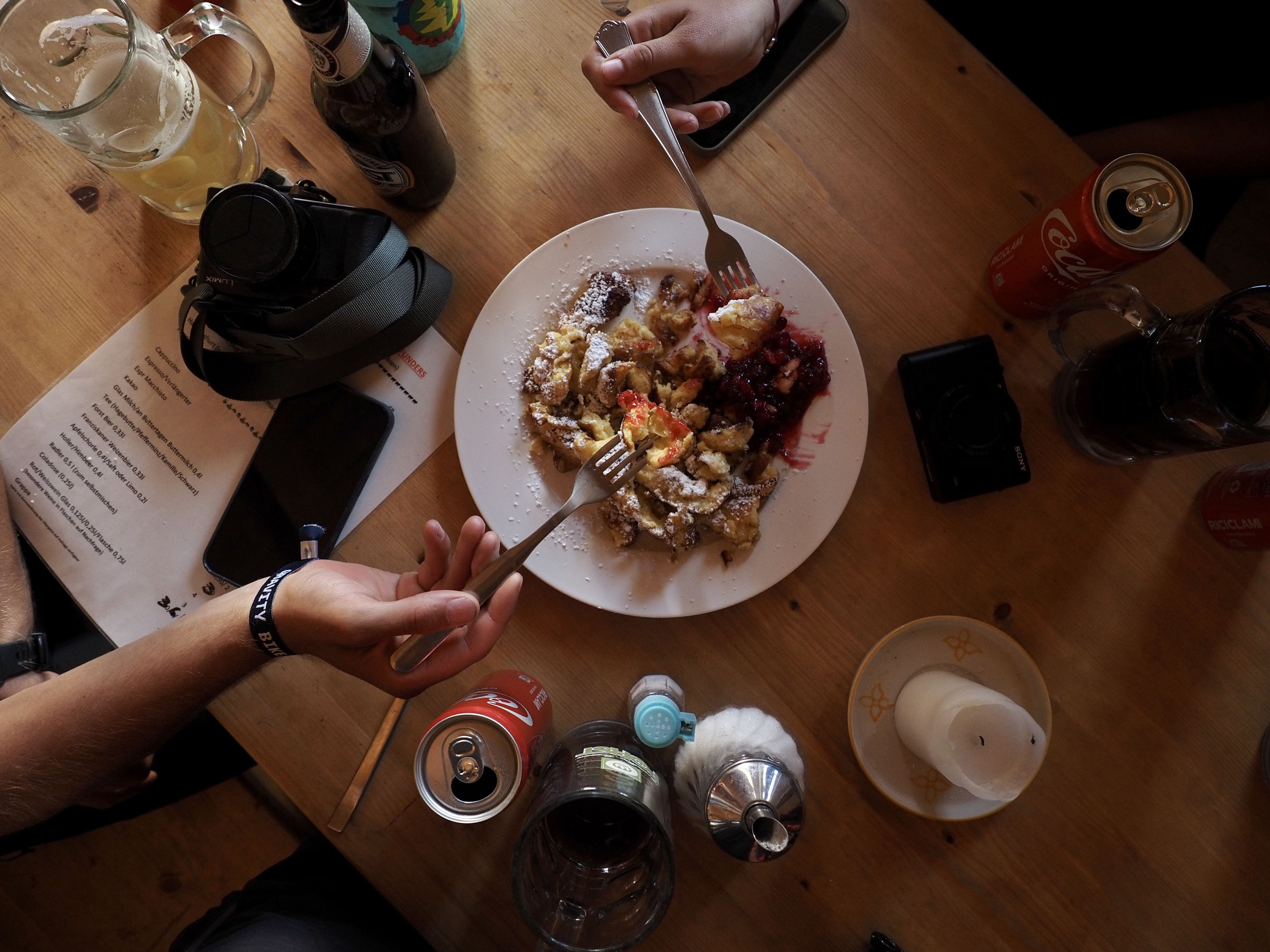
- There are ample bars, cafes, and restaurants to be found in each valley throughout the route. Indulge by ordering apfelstrüdel, kaiserschmarrn, or a weizenbier…
- The bigger supermarkets are located in Brunico and Mayrhofen at the beginning and halfway point of the route.
- You can find smaller shops in towns such as Vintl, St. Jakob, and Luttach, as marked in the GPX file.
You can find the daily segments of our scouting trip (far slower than you’ll ride it), including photos and detailed storytelling with route highlights on this page. And you can watch a video we made during a trip here:


Terms of Use: As with each bikepacking route guide published on BIKEPACKING.com, should you choose to cycle this route, do so at your own risk. Prior to setting out check current local weather, conditions, and land/road closures. While riding, obey all public and private land use restrictions and rules, carry proper safety and navigational equipment, and of course, follow the #leavenotrace guidelines. The information found herein is simply a planning resource to be used as a point of inspiration in conjunction with your own due-diligence. In spite of the fact that this route, associated GPS track (GPX and maps), and all route guidelines were prepared under diligent research by the specified contributor and/or contributors, the accuracy of such and judgement of the author is not guaranteed. BIKEPACKING.com LLC, its partners, associates, and contributors are in no way liable for personal injury, damage to personal property, or any other such situation that might happen to individual riders cycling or following this route.
Please keep the conversation civil, constructive, and inclusive, or your comment will be removed.