


Route Report: Stone House Lands Loop, Utah


Eszter Horanyi reports in with her impressions and advice after bikepacking most of the spectacular 200-mile Stone House Lands Loop in Utah with her partner Scott Morris last month. Find Eszter’s route report and a beautiful gallery of images from this colorful and culturally rich region here…
PUBLISHED Jun 2, 2021
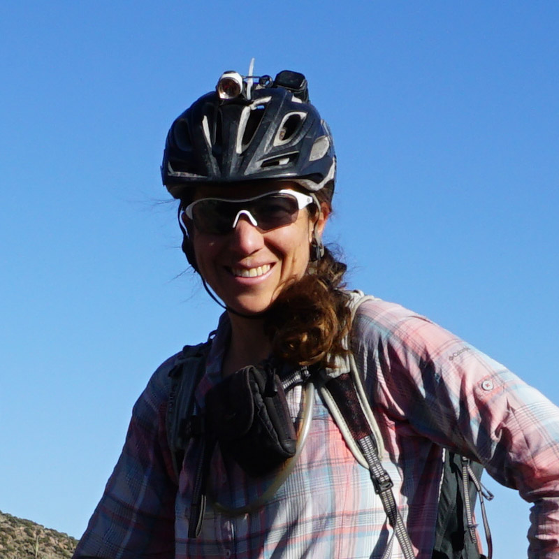
Words and photos by Eszter Horanyi (@ez_gone_coddiwompling)
It was mid-May, that time of year in the low desert of southern Utah when the furnace of summer can turn on at any moment. For much of the spring, the weather pattern had gravitated toward several days of heat followed by 48 hours of relative cool as a front moved through the area. But the hots were getting hotter now, and the cool days were only marginally cool. For most people, the increased heat is a cue to transition their activities out of sandstone country and into the mountains, but Scott and I weren’t quite ready to give up on springtime in the desert yet. It’s a short season, and we wanted to make the most of it.
When two cool days followed by a scorcher appeared in the weather forecast, we quickly went looking for adventure ideas. A search here on BIKEPACKING.COM brought up the Stone House Lands Loop, and we decided that we could squeeze it into our weather window with only a few modifications by cutting out sections that we’d already seen.
I’ve spent a lot of time wandering around the sandstone country of southeastern Utah, but I had very little idea of what the actual route would present. It would connect many of the places where I’d been: Sinbad Country, Eagle Canyon, Capitol Reef National Park, Factory Butte, and the San Rafael Swell, and hopefully give a deep dive into what was in between these iconic locations.
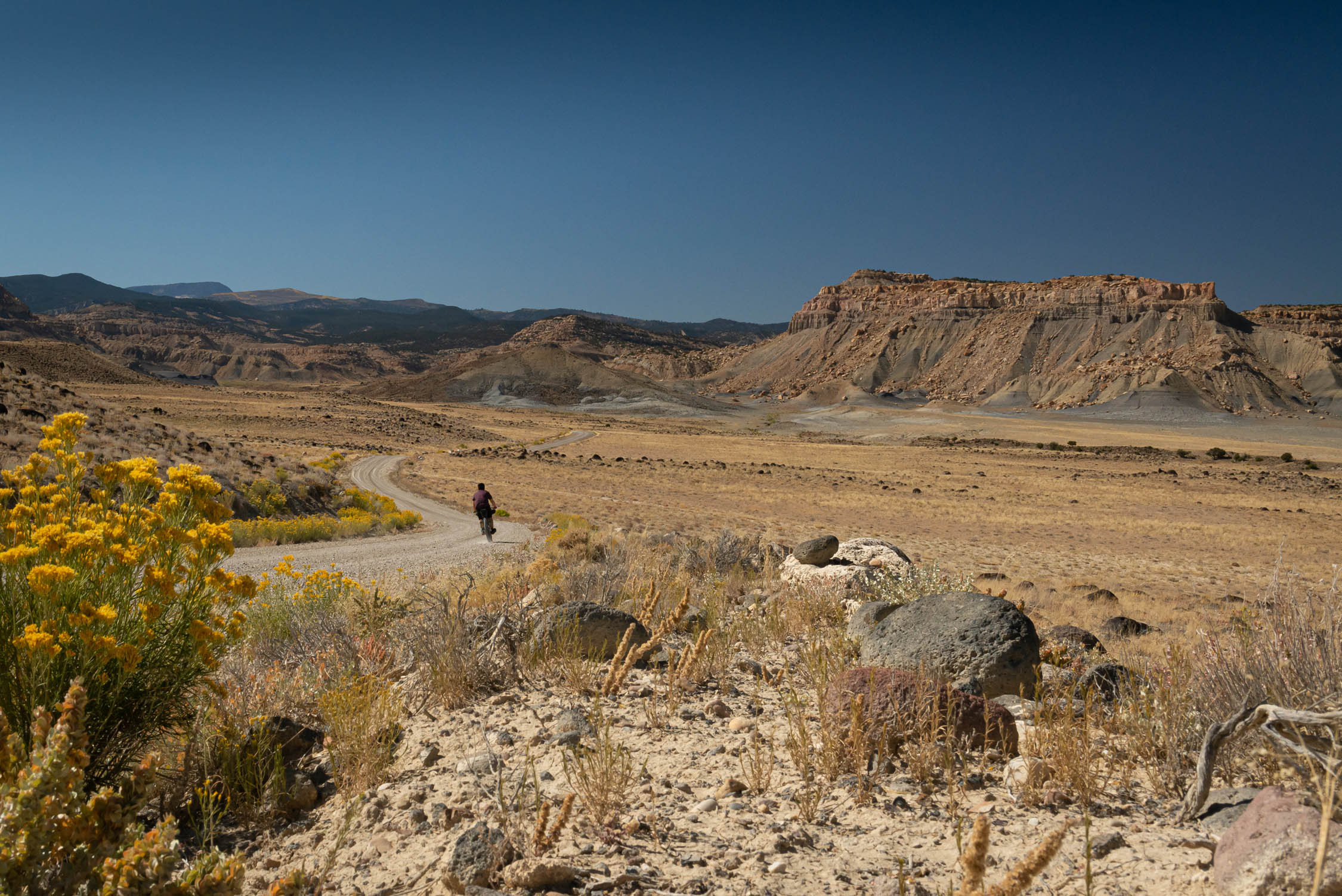
We opted to start the loop in Sinbad Country, off of the Temple Mountain exit of I-70. There’s copious amounts of camping in the area, and we needed a relatively quiet and safe place to leave our trailer for the two nights we’d be gone. We also wanted to avoid having to cache water on various parts of the route, and a start there optimized the spacing between water sources.
After a morning of rigging and a crack-of-noon start, we were well positioned to ride the first 38 miles to the first crossing of Muddy Creek at Lone Tree, our first water source.
Notes on Water
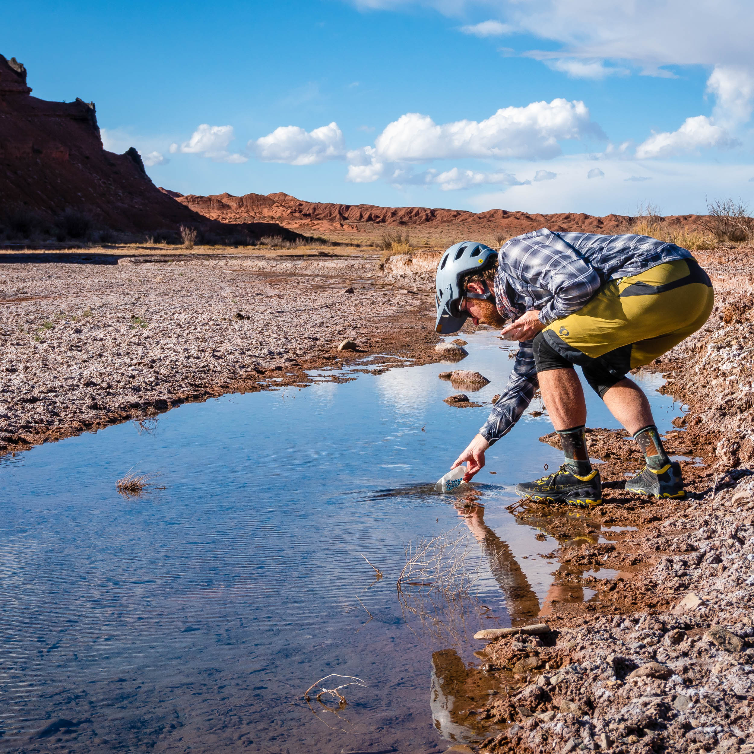
Central Utah is thirsty country, but there’s enough reliable water on this route to avoid caching if you don’t want to drive around dropping water. Muddy Creek is a perennial stream that the BIKEPACKING.COM route crosses or passes by four times. During spring run-off season (generally late May into early June), it can swell to 200+ cfs and can live up to its name. Pre-filtering it during these conditions is a must, but we found that at a low 20cfs, it was clear enough to run straight through a filter. River levels can be checked at the USGS.
The route description mentions potential water at Mulligan Wash/Salt Wash. While the water here is clear and enticing, it’s too salty to drink and will clog a filter immediately.

There is a spring shooting straight out of the rock at Rock Springs. While getting to the actual source could be difficult, it comes down the canyon near the road. You’ll have to share it with cows, but it seems like a reliable source.
There are cow tanks all along the western part of the route that generally had decent water. Treat everything, and don’t think too hard about where it came from.
When Muddy Creek comes out of the Swell, 70 miles after the first crossing at Lone Tree, it has picked up water from several salty tributaries. It’s drinkable, but not great. If you can make it the next miles to Goblin Valley State Park, there’s culinary water to be had there. They have a spigot at the entrance of the park, so you don’t have to worry about paying an entrance fee. There’s also a visitors center and bathrooms here.
Sinbad Country
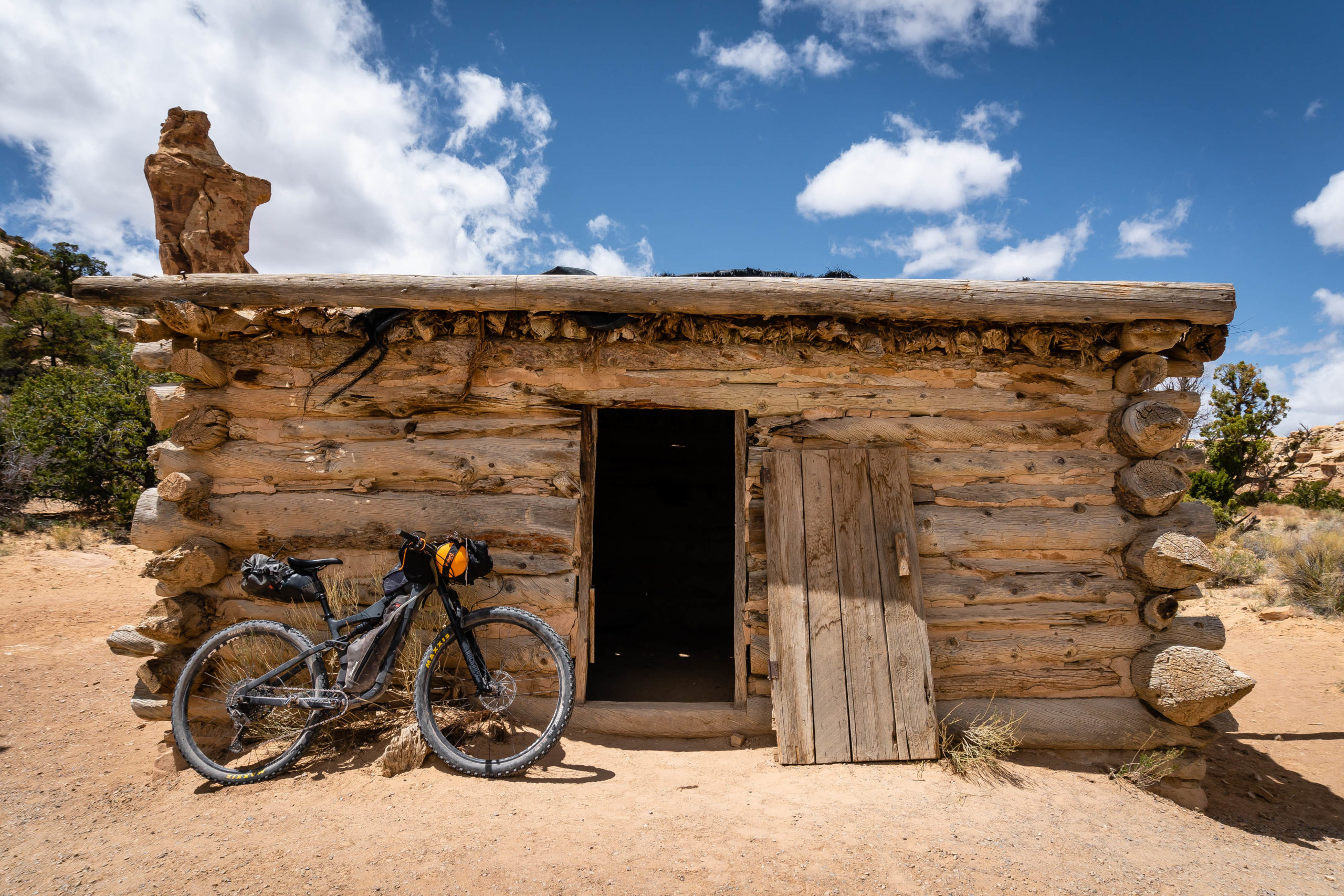
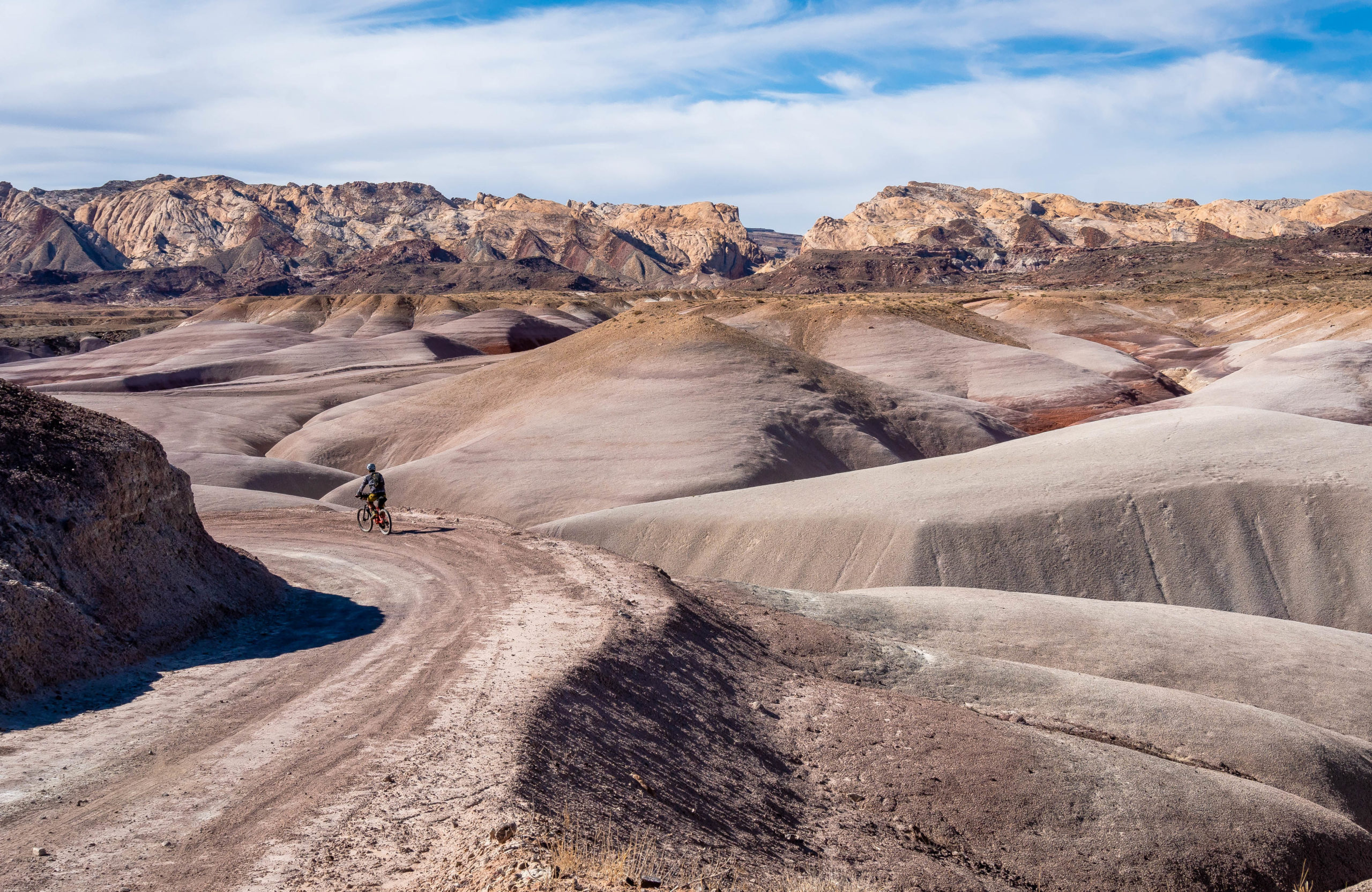
The northern part of this route is by far the most rugged. While we had smooth cruising on our 2.3-inch mountain bike tires for the first few miles, we hit the infamous sand of sandstone country just after Swazey’s Cabin as the route dropped into Eagle Canyon. While this was an entirely unsurprising development, especially since I’d spent a day slogging around the sand in the Wilderness part of the canyon a few years prior, it slowed progress enough that I had a moment of worry about our lazy start. But the scenery of riding through the deep canyon soon shoved any thoughts of worry to the back of my brain.
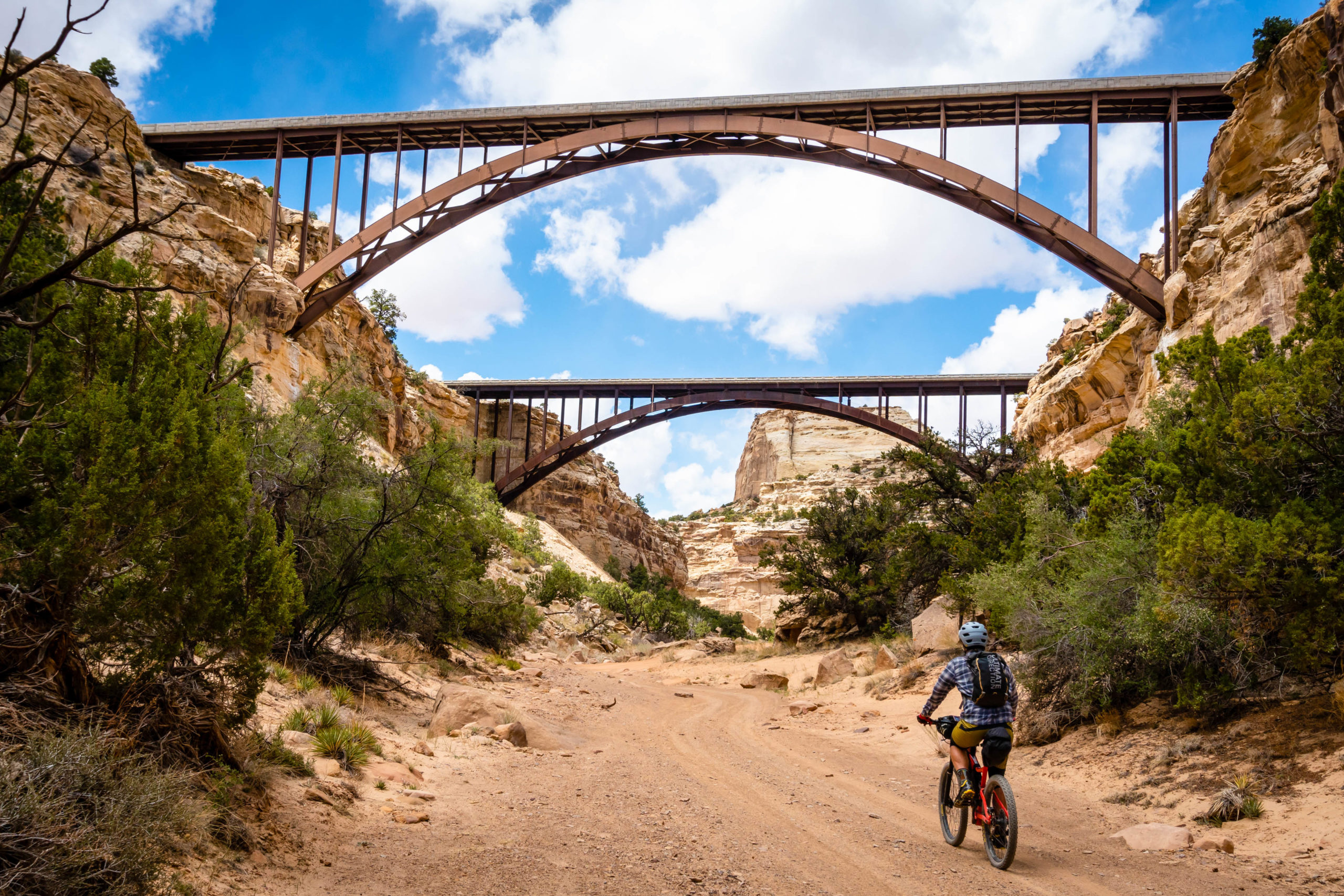
The few ATVs we encountered as we passed first under the towering bridges of I-70 going north and then a nondescript underpass going back south were all friendly and polite, seeming to enjoy the country as much as we were. It takes commitment to get back into these parts, and there seemed to be a mutual respect for anyone willing to make the trek.


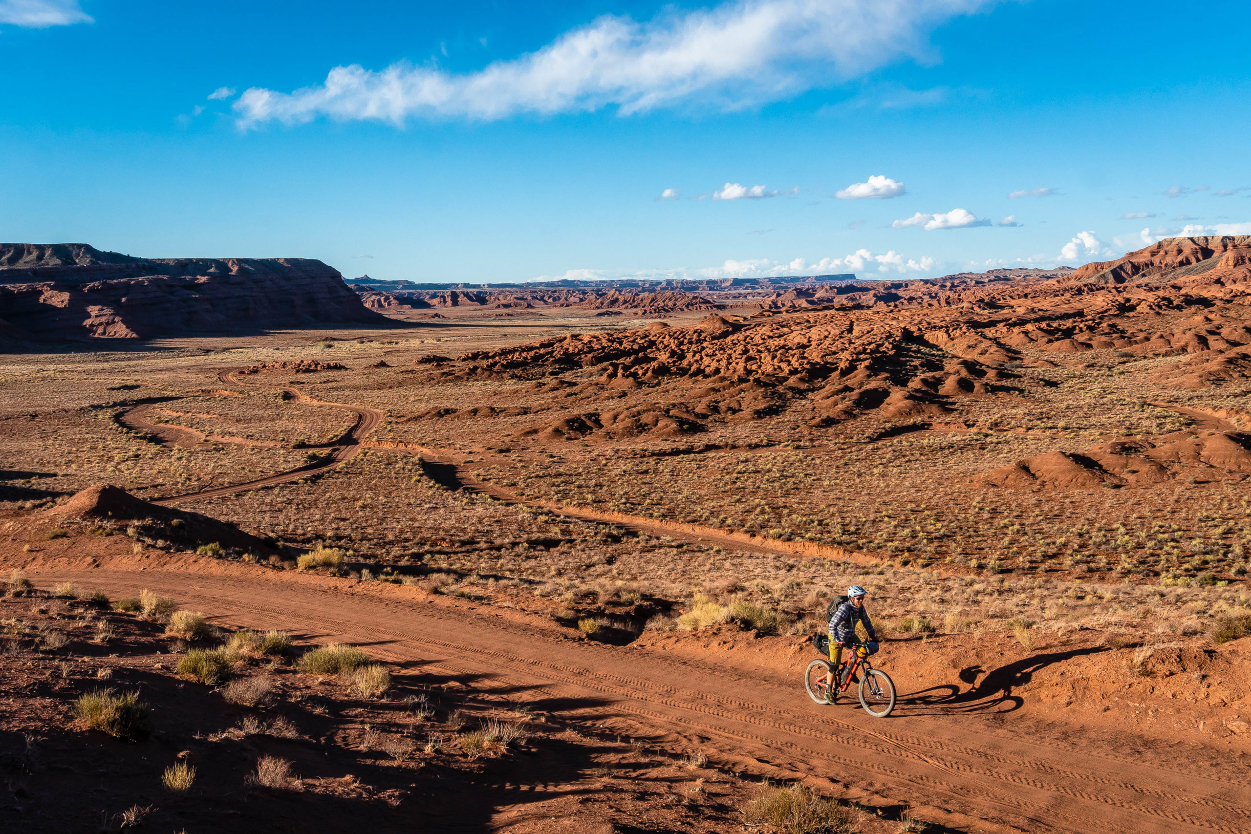
Back south of I-70, the terrain sweeps downward past the Copper Globe Mine into country where we saw more wild horses than people. The sand was sloggy, but only a few sections required extended walking. Cat Canyon provides prime canyon riding with narrow walls and endless twists and turns. For us, it also offered up jarring washboards, ever-present sand, and a headwind. I tried to negotiate with the Universe: Give me two of three, but this is hard work! The Universe didn’t listen, but it was still a beautiful section of road.
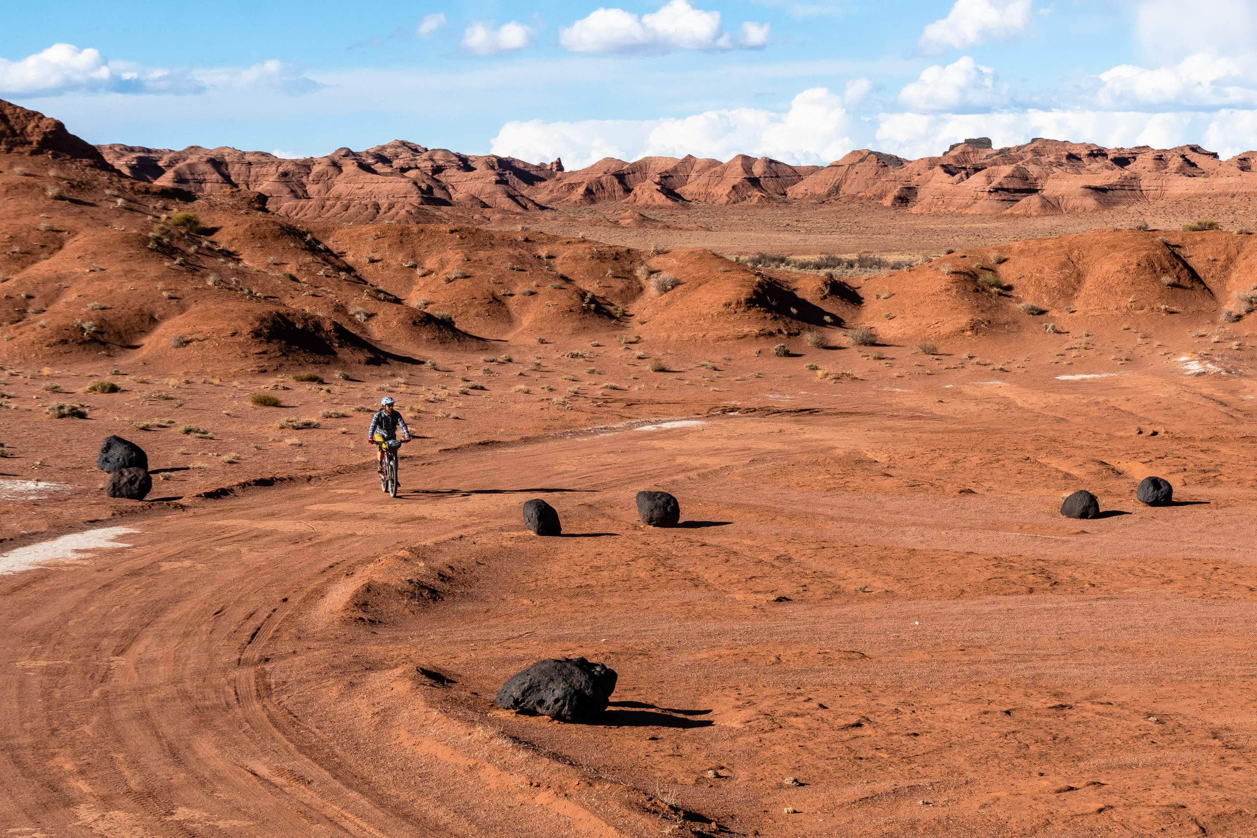
Once down on the plains, the terrain opened up, the road surface hardened, and we hoped that the slowest miles were behind us. Beautiful dark basalt boulders dotted the otherwise rich brown landscape, otherworldly terrain to ride through before reaching Muddy Creek.

The clarity of Muddy Creek was a pleasant surprise. We’d boated the creek farther downstream a few years back during peak spring run-off, and I remember thinking that trying to drink from it would be a nightmare. We’d brought along coffee filters to try to remove the sediment from the water before filtering but ended up not having to use them. We were easily able to filter 5L each to get us through the night and the following 70 miles to the next crossing of the Muddy on the east side of the Swell. While most people would have stopped to camp by water, we couldn’t resist the opportunity to ride a few more miles during the always stunning golden hour of the desert.
Playing Tourist in Cathedral Valley
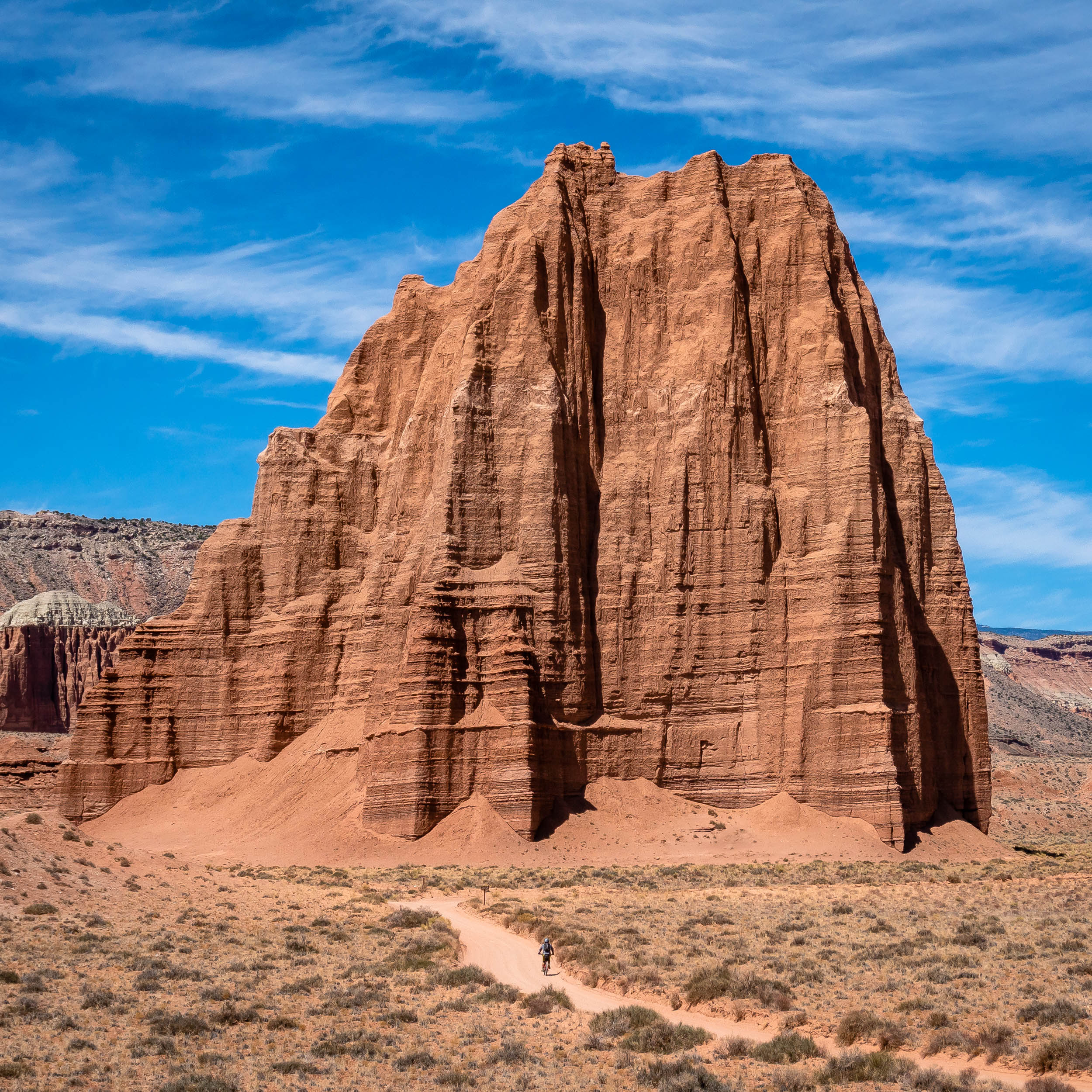
The fact that this route found its way down to Cathedral Valley was one of the main selling points for doing it. I’d been seeing so many beautiful pictures of the Temple of the Sun and Moon on various social media channels that I was convinced that I wanted to go ride the Cathedral Valley Loop and see them for myself. I hadn’t made the trip happen yet, and this was a great way to see the highlights of that loop.
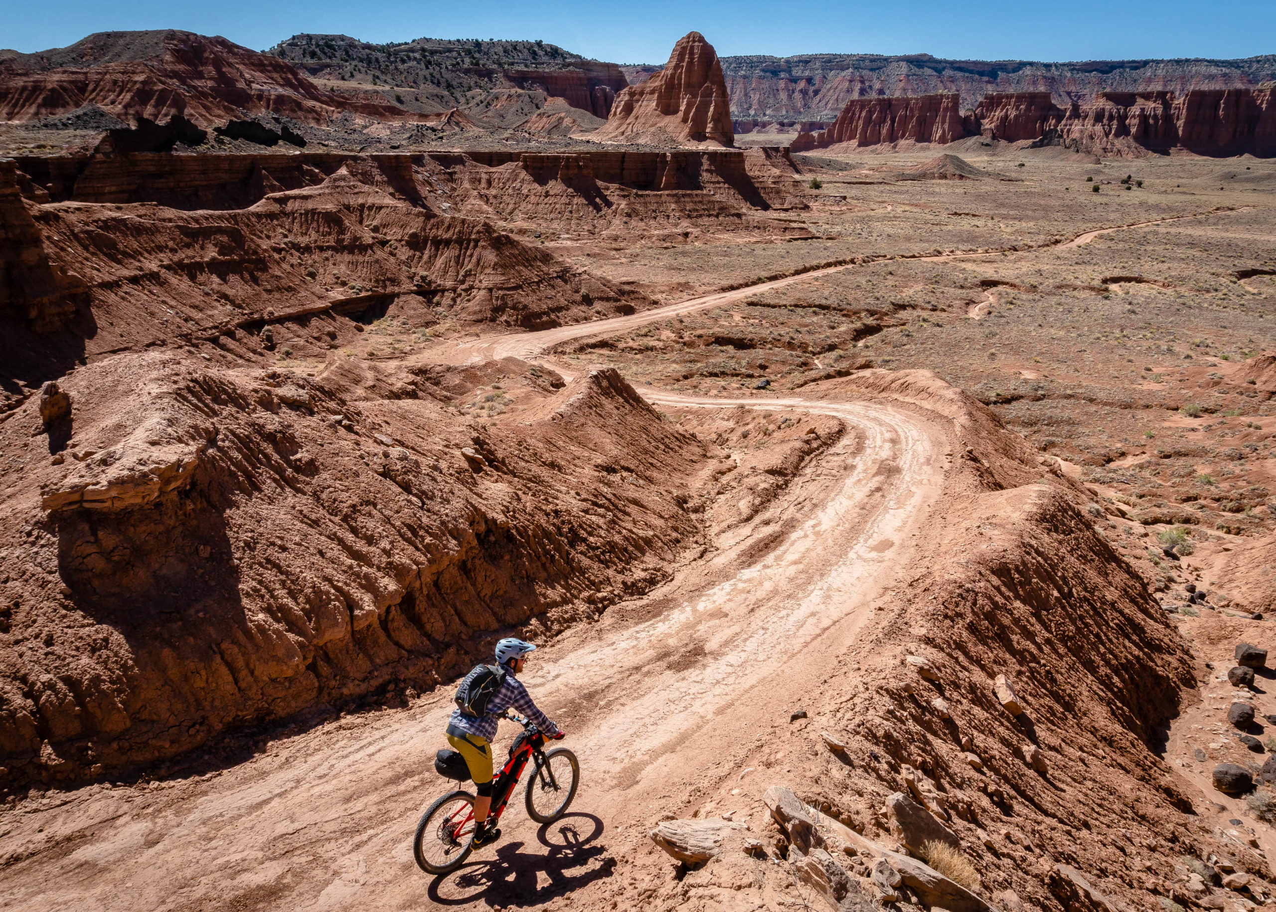
The gigantic Entrada sandstone monoliths of Cathedral Valley are one of a kind. There’s a reason that this section of country is part of Capitol Reef National Park. While I expected a fair bit of traffic as we wandered between Solomon’s Temple, the Gypsum Sinkhole, Glass Mountain, and finally the Temple of the Sun and Moon, there were surprisingly few vehicles.
The gentle downhill trend of the route through here made the sand on the road a non-issue as we turned southeast along Caineville Wash. As promised, the daytime temperatures were staying in the mid-70s, and we avoided roasting our brains in the heat that would soon arrive in the area.

Thoughts on Desert Weather
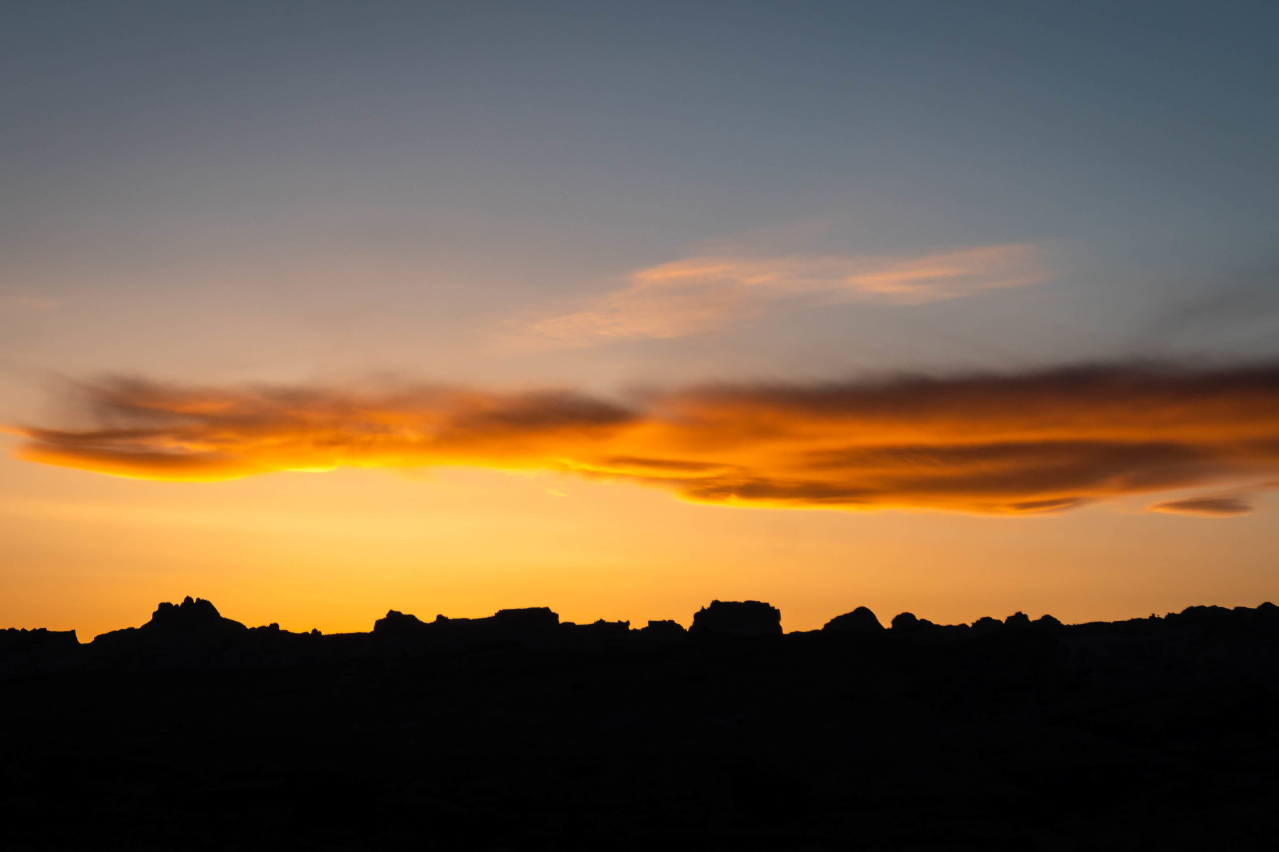
The desert can be a harsh environment with hot days and cold nights. There is fairly minimal shade anywhere on the route, and all of the riding is exposed. Don’t underestimate the power of the sun, especially later in the spring. At the same time, nighttime temperatures in the Swell can get cold. Even in May, our first night’s low was just a hair above freezing. Our half-full fuel canister got cold enough that it lacked the pressure to heat water in the morning. I wisened up the second night and slept with the canister in my sleeping bag so we could avoid the insult of cold oatmeal.
April tends to be the best month of the year for desert adventures in the area with long days and nice temperatures. October also has nice temperatures, but the days start to get short.
There will most likely be wind. If you get lucky, you’ll only have headwinds in one direction instead of all of them.

The Best is the Unexpected
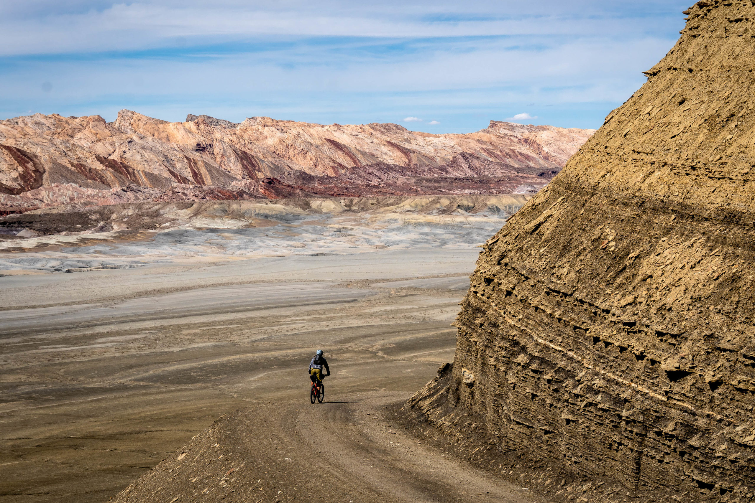
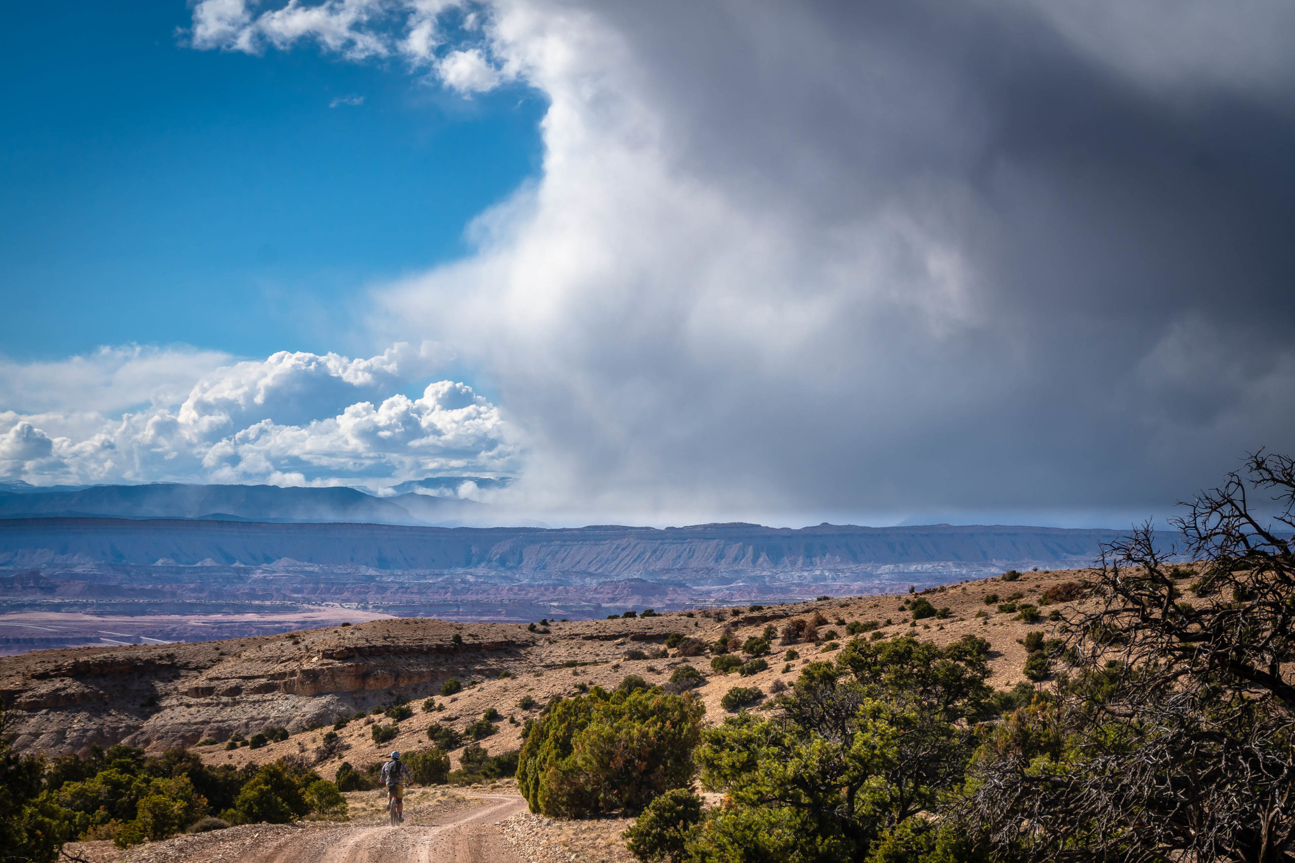
As we left the national park, I mentally prepared myself for an afternoon slog up the North Caineville Reef. We’d seen all the sights of the national park and ridden smoothly graded dirt roads all day; surely it was time to pay the piper. But what a surprise! Painted desert provided surprises around each corner, towering hills layered with all colors of red, pink, brown, and white. The road stayed solid, North Caineville Mesa made for a stunning backdrop, and the towering Factory Butte was even more impressive from the backside. The surrounding moonscape switched from milky white in sections to brilliantly colored in others as we worked our way north.
Muddy Creek was a welcome stop on what was turning into a long day in the saddle. We admired the clear water, stopping first just to wash faces and legs, and then eventually stripped down for a full immersion. A small rail, a secretive shorebird, squawked at our presence before scurrying into the brush. A common yellowthroat warbler flittered past on its migration north.
When we finally reached the San Rafael Reef at the entrance to Ding and Dang Canyons, we knew we were back into known terrain. I could only shake my head in amazement at the last 20 miles. While I’d poked around many of the canyons heading up into the reef over the years, I would have never guessed at the treasures that exist just south of where most people stop driving.


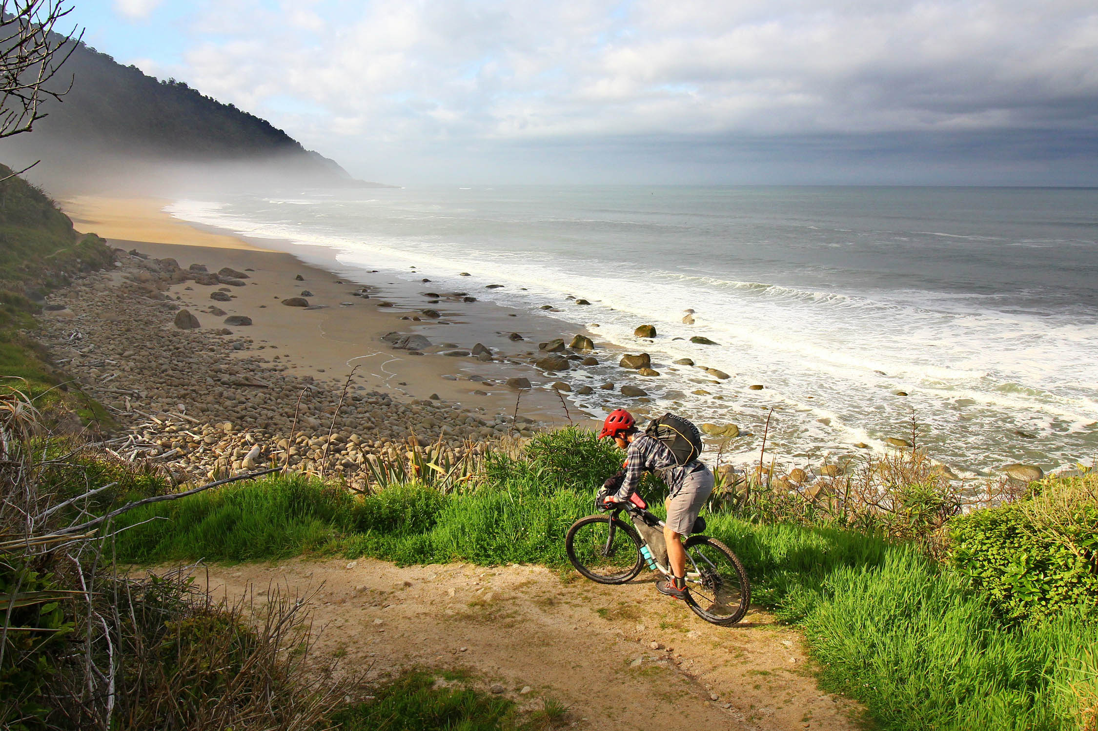
Tires touched pavement for the first time just after the trailhead for Little Wild Horse Canyon, a popular hike up a gorgeous slot canyon. If you have the time/water/food, it’s worth stashing bikes and wandering a ways up. It’s a classic Utah sandstone slot and not to be missed, especially by those who haven’t had the chance to spend much time in the region.
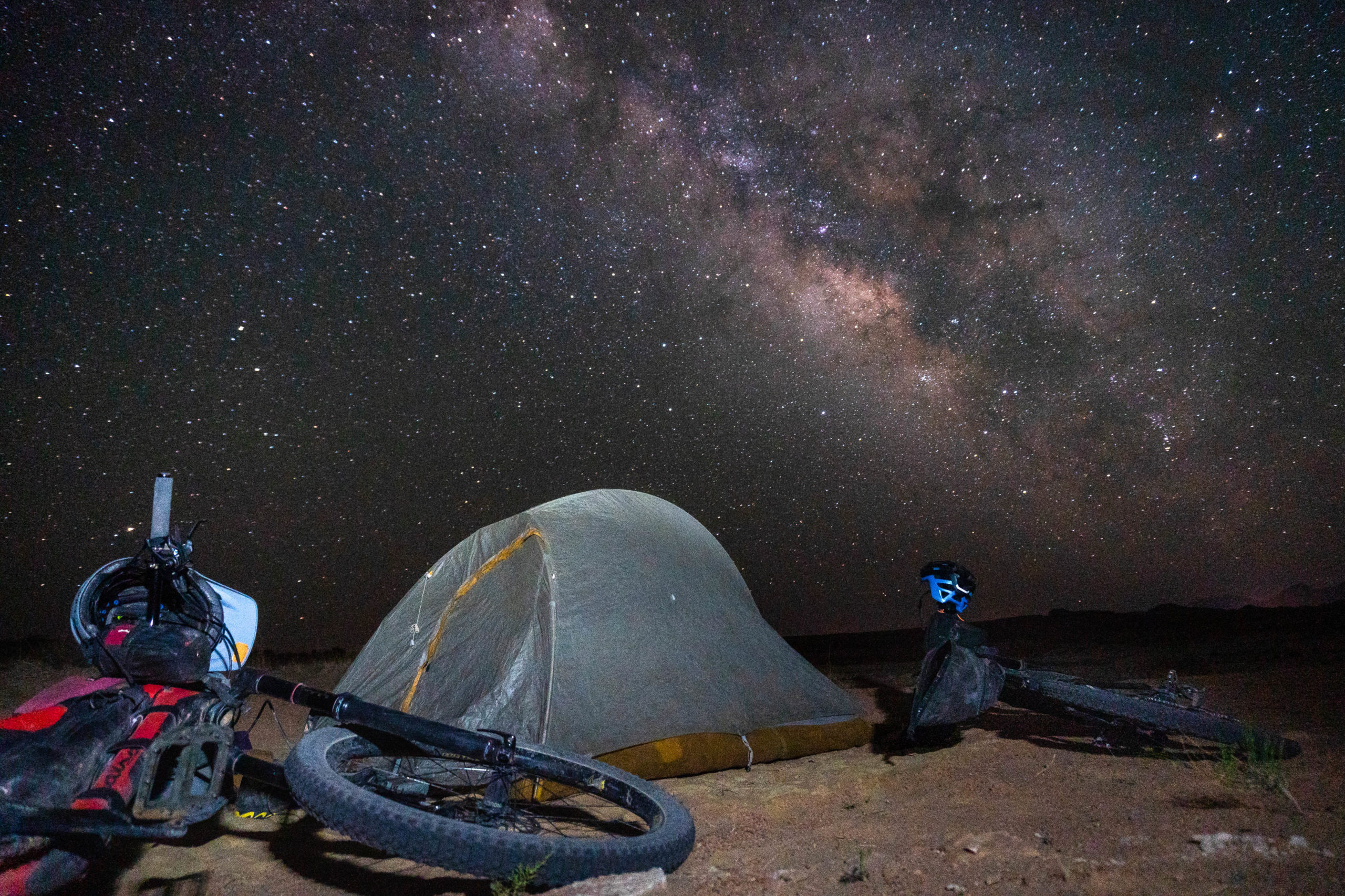
We filled up on water at the Goblin Valley State Park entrance station and headed a few miles north on pavement to find camp off of a nondescript side road. As you get closer to the lower end of the Temple Mountain Road, you’ll enter a popular camping area for those with RVs. If you’re going to camp around this region, I recommend stopping before this area, or riding a ways past it for peace and quiet.
A Final Morning
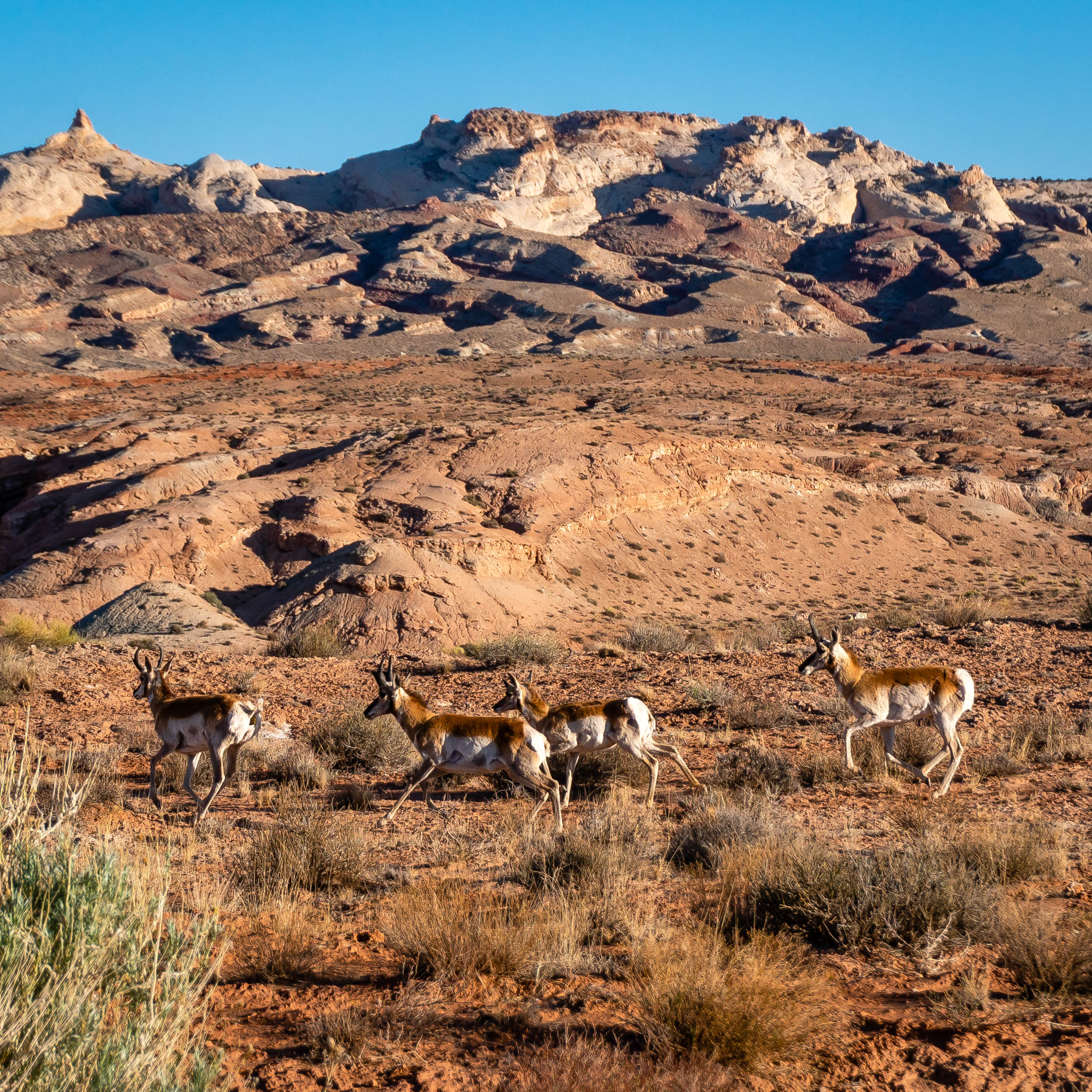
Our weather forecast called for increasing temperatures on our final day. Knowing this, we were out of our tent before the sun. We felt the impending heat of the day as we pedaled along the pavement toward Temple Mountain Road. Summer was here, and we had no intention of being caught out low when the sun climbed higher in the sky. We paused only to admire a herd of pronghorn antelope and the Temple Mountain Pictographs at the entrance to the Swell. They’ve been fenced off after years of vandalism, but even from a distance, they are striking.
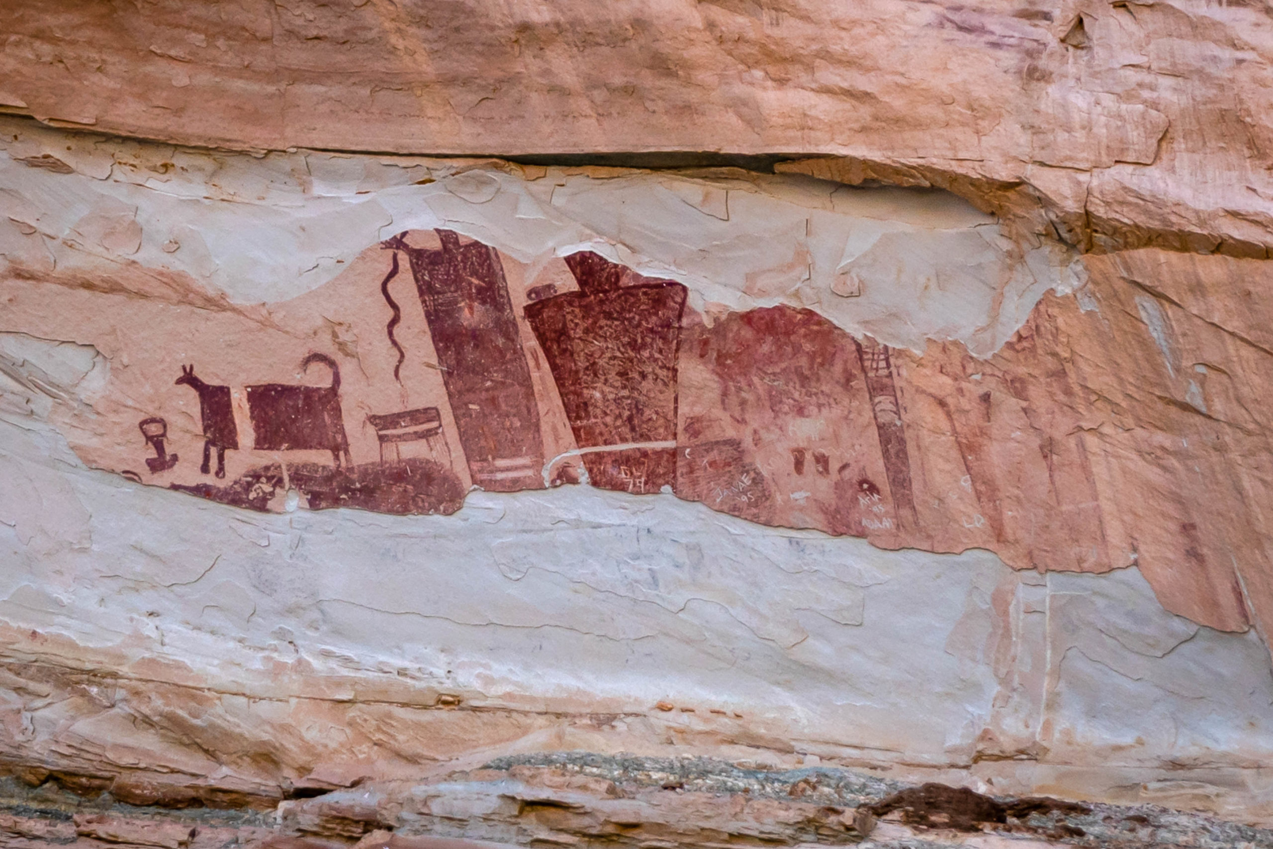
Petroglyphs and Pictographs
There are two prominent sets of rock art on this route. The first is on the north wall of Cat Canyon. It’s heavily defaced, but there are still several nice figures to be seen. The second set is at the entrance to the Swell on Temple Mountain Road. These are Barrier Canyon Style pictographs, the same style as is seen at the famous Horseshoe Canyon. It’s thought that these drawings are from 1,500 to 4,000 years ago. There’s a nice informational panel at the base of this site.

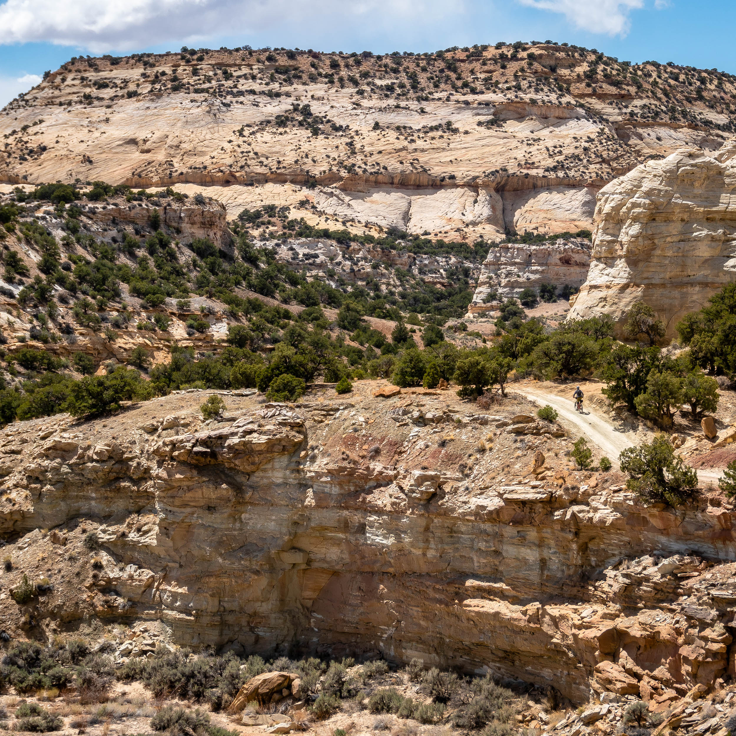
Because of the heat and because Scott and I had ridden fairly extensively in the Behind the Swell area, we opted to skip the last bit of the route and stay on Temple Mountain Road all the way back to our trailer. The wide, well-graded road made for easy miles and provided an outstanding view of the entire central Utah area. We could see north toward Sinbad Country, west to the Thousand Lake and Henry Mountains, south toward Factory Butte, and back east to the San Rafael Reef that we were rapidly climbing away from. We were back at the trailer by noon, ready to hide from the heat of the sun. It was May in Utah, and we felt lucky that we’d been able to squeeze in one more cool-weather romp on this stunner of a route. And now I knew what was in between all of my favorite places in Utah, a varied and visually amazing landscape well worth another visit in the future.
About Eszter Horanyi
Eszter Horanyi has been undertaking dubious ride missions since deciding to tour the Colorado Trail in 2004. After a few years of participating in bikepacking races, she traded speed for a camera and retired to the Saunter Speed Life. She currently travels around the western US in a trailer with her partner Scott, chasing good weather and beautiful country. When not riding, she can be found running, scrambling around mountains and canyons, and floating down rivers.
Related Content
Make sure to dig into these related articles for more info...
Please keep the conversation civil, constructive, and inclusive, or your comment will be removed.