


Buena Vista to Salida (Aspen Ridge Overnighter)
Distance
50 Mi.
(80 KM)Days
2
% Unpaved
94%
% Singletrack
0%
% Rideable (time)
100%
Total Ascent
4,925'
(1,501 M)High Point
10,300'
(3,139 M)Difficulty (1-10)
5?
- 6Climbing Scale Moderate99 FT/MI (19 M/KM)
- 4Technical Difficulty Fair
- 5Physical Demand Moderate
- 3Resupply & Logistics Fair
Contributed By
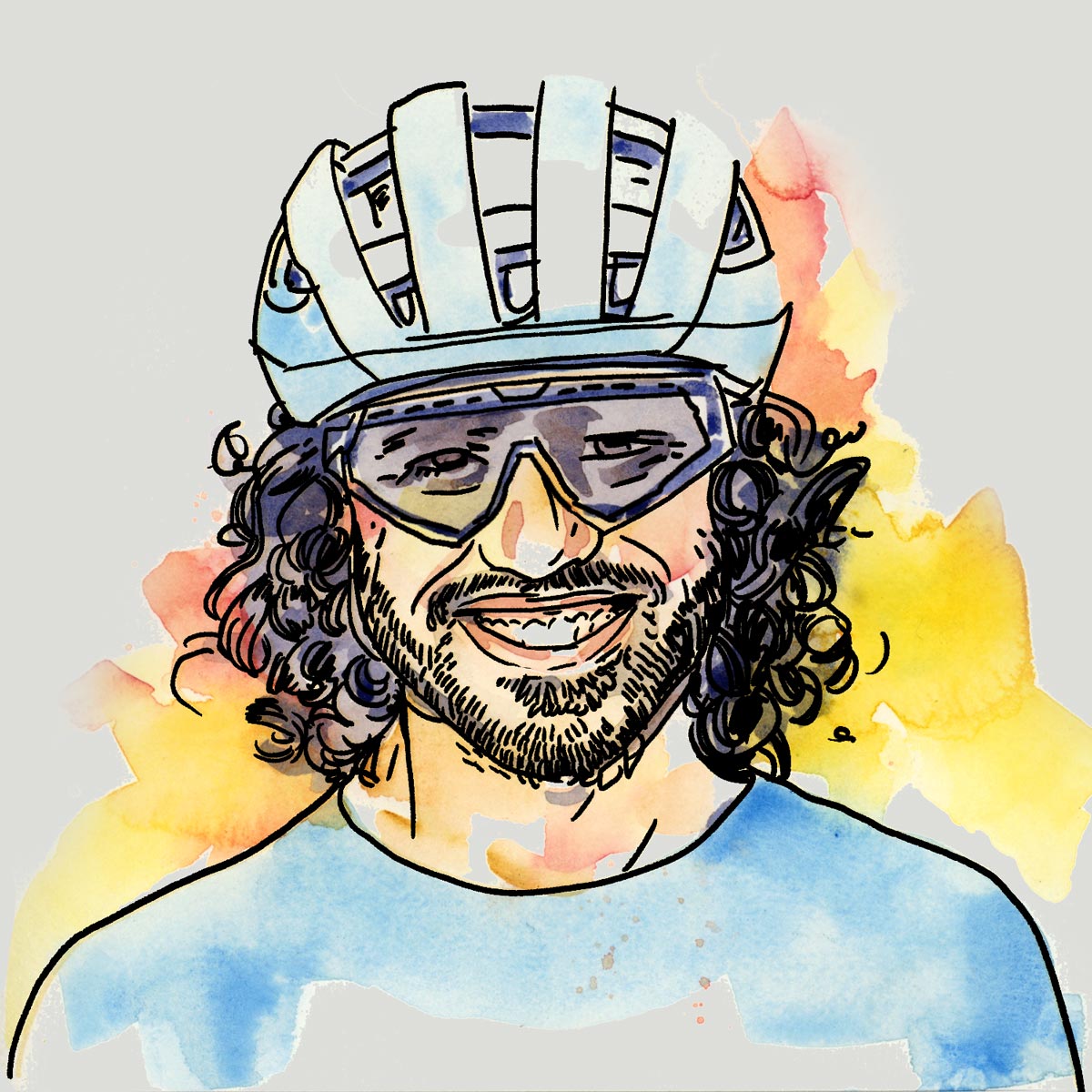
Neil Beltchenko
Associate Editor & YouTube Host
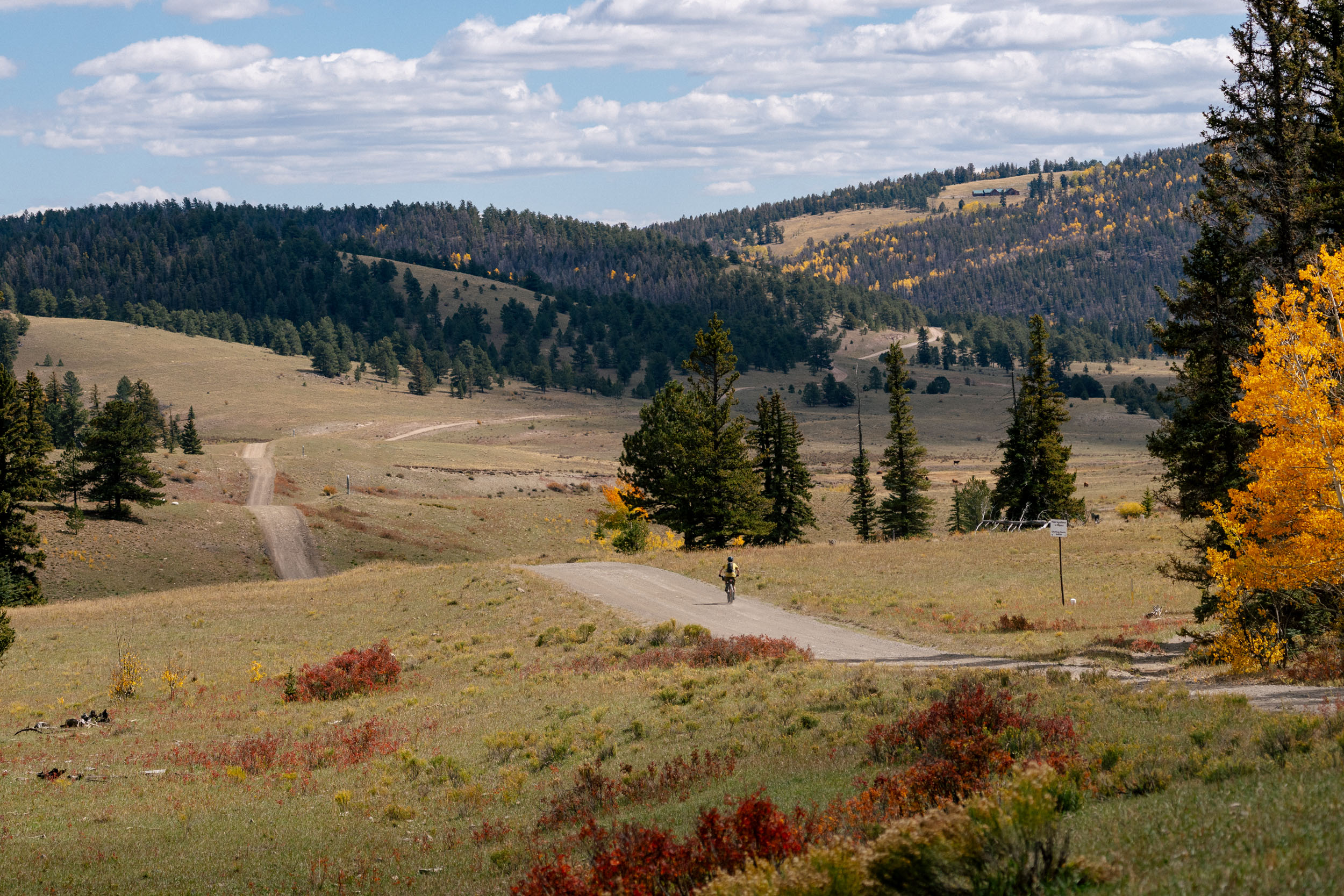
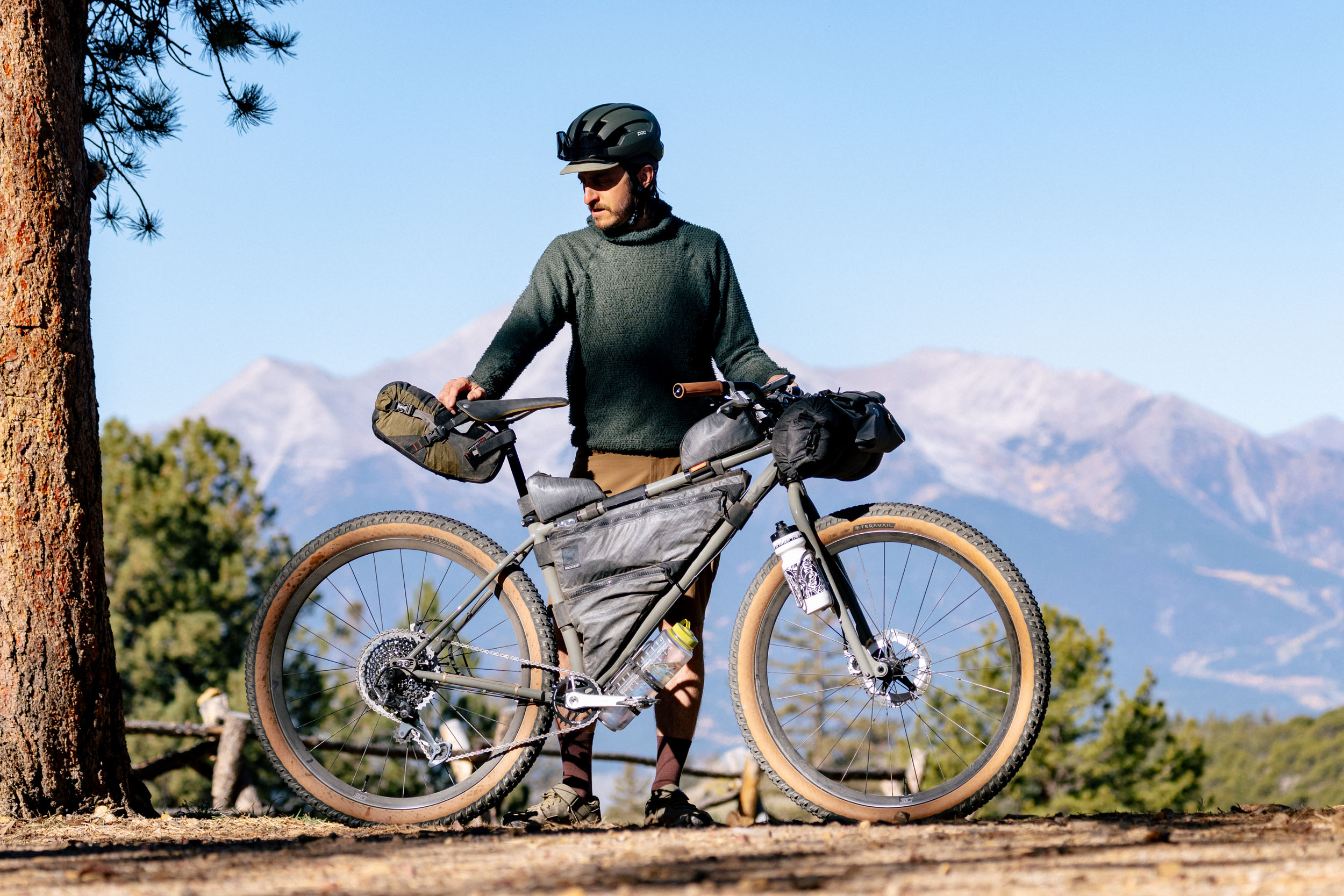
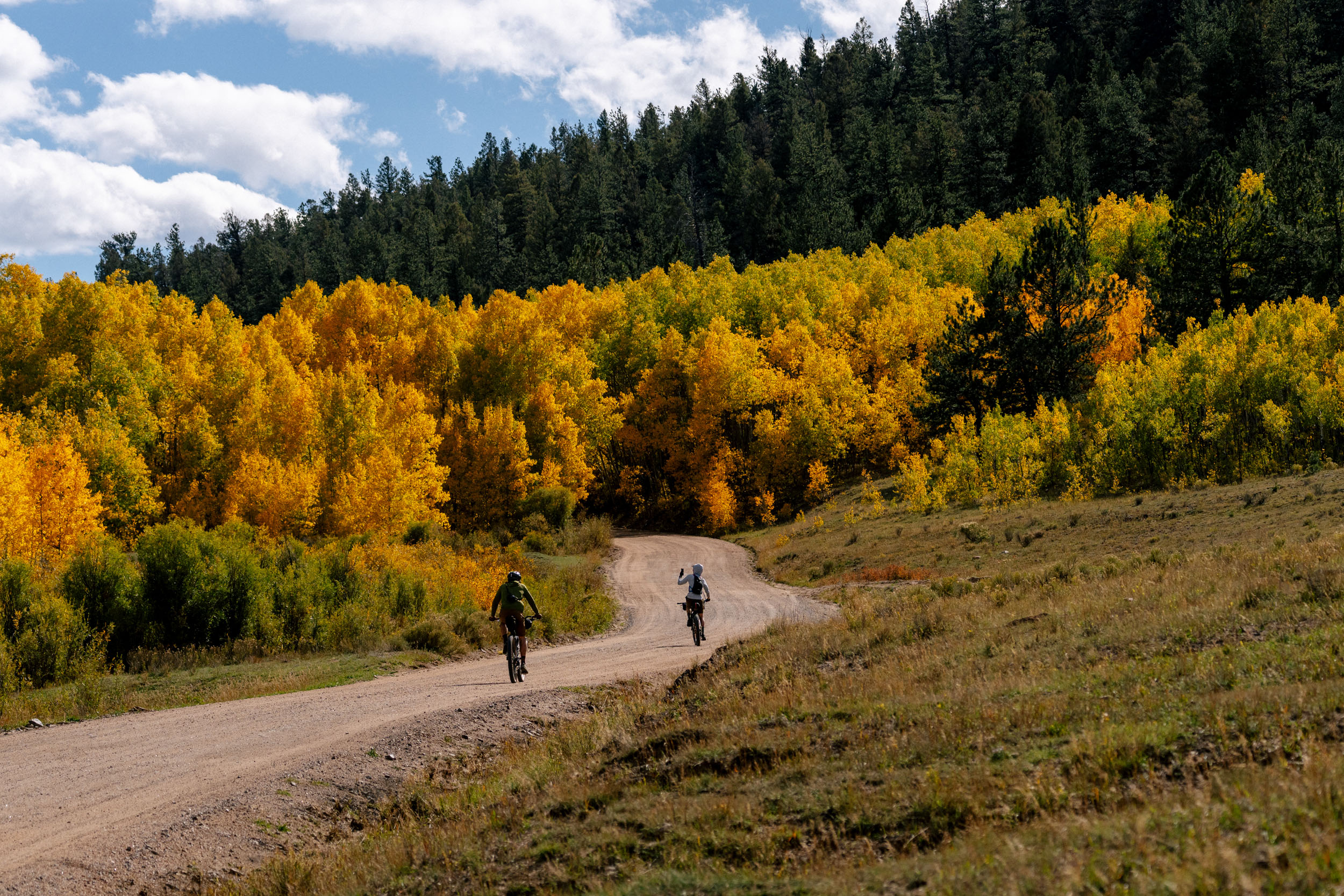
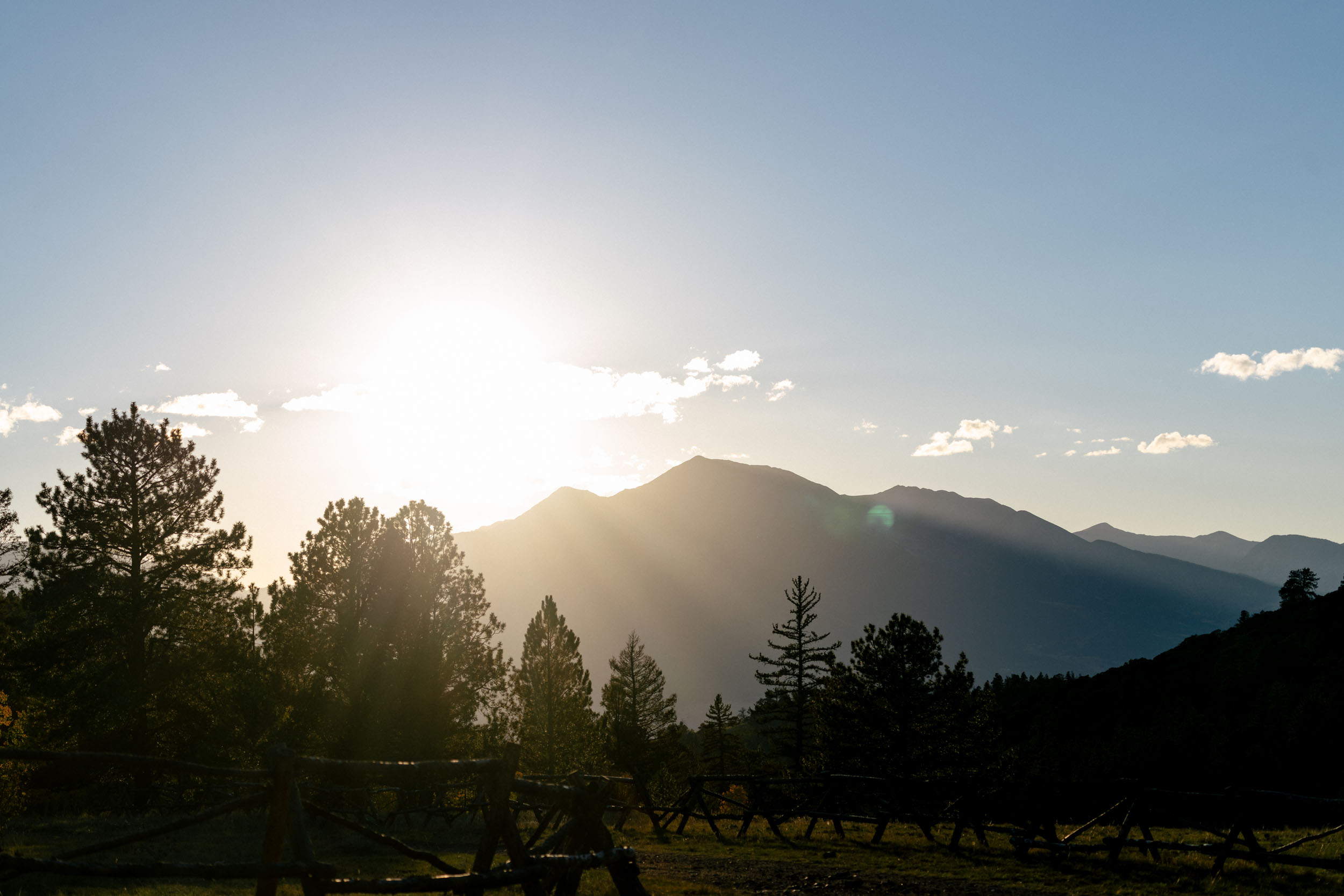
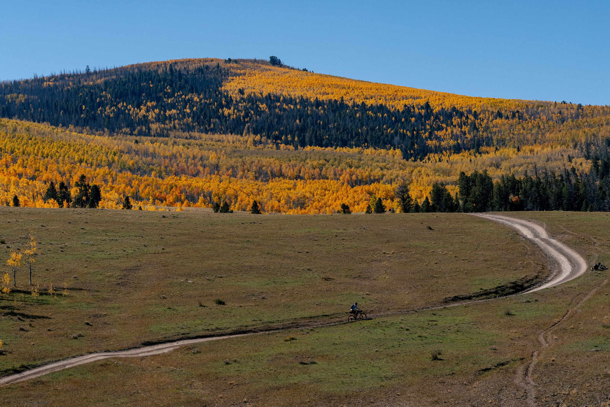
Chaffee County is home to a lot of great riding, from the Colorado Trail to sections of the Great Divide Mountain Bike Route, and plenty in between. Part of what makes this area special is its ability to deliver less grand routes like this one. Make no mistake, though; it still offers a little bit of everything. The ride weaves past juniper and ponderosa pine, through aspen groves and oak brush, and across wide-open range with expansive views of Mount Princeton, Mount Yale, and Mount Antero. Gravel roads meander along hillsides and ridgetops before dropping back down, never becoming overly technical. That said, with most of the route sitting above 8,000 feet and topping out over 10,000 feet on Aspen Ridge, it can feel far more demanding than it looks, especially for riders coming from lower elevations.
Aspen Ridge alone is reason enough to ride this route, particularly in the fall, when the changing leaves put on an incredible display. Beyond the views, the route is rounded out by plentiful camping options, a reliable water source at Trout Creek, frequent wildlife sightings, and a deep sense of quiet. Add in the fact that it starts and finishes in two excellent towns, and it all comes together into a memorable overnighter.


For those looking to extend the adventure, this route also pairs well with the Colorado Trail, creating the option for a longer, more challenging loop.
Route Difficulty
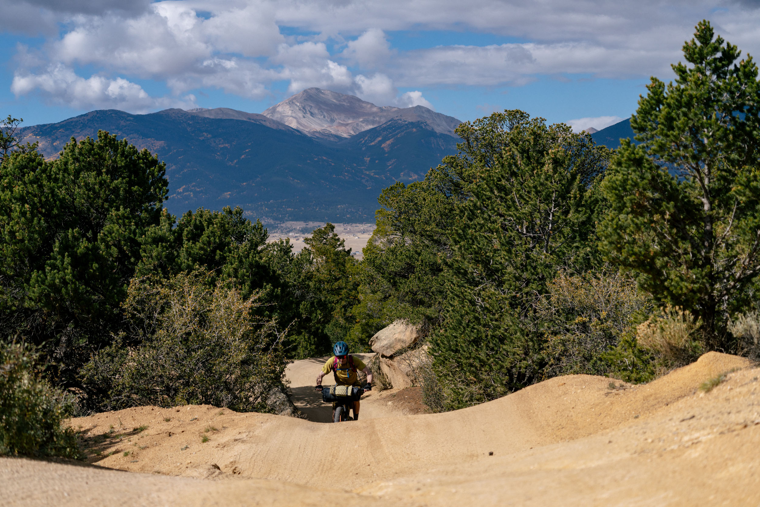
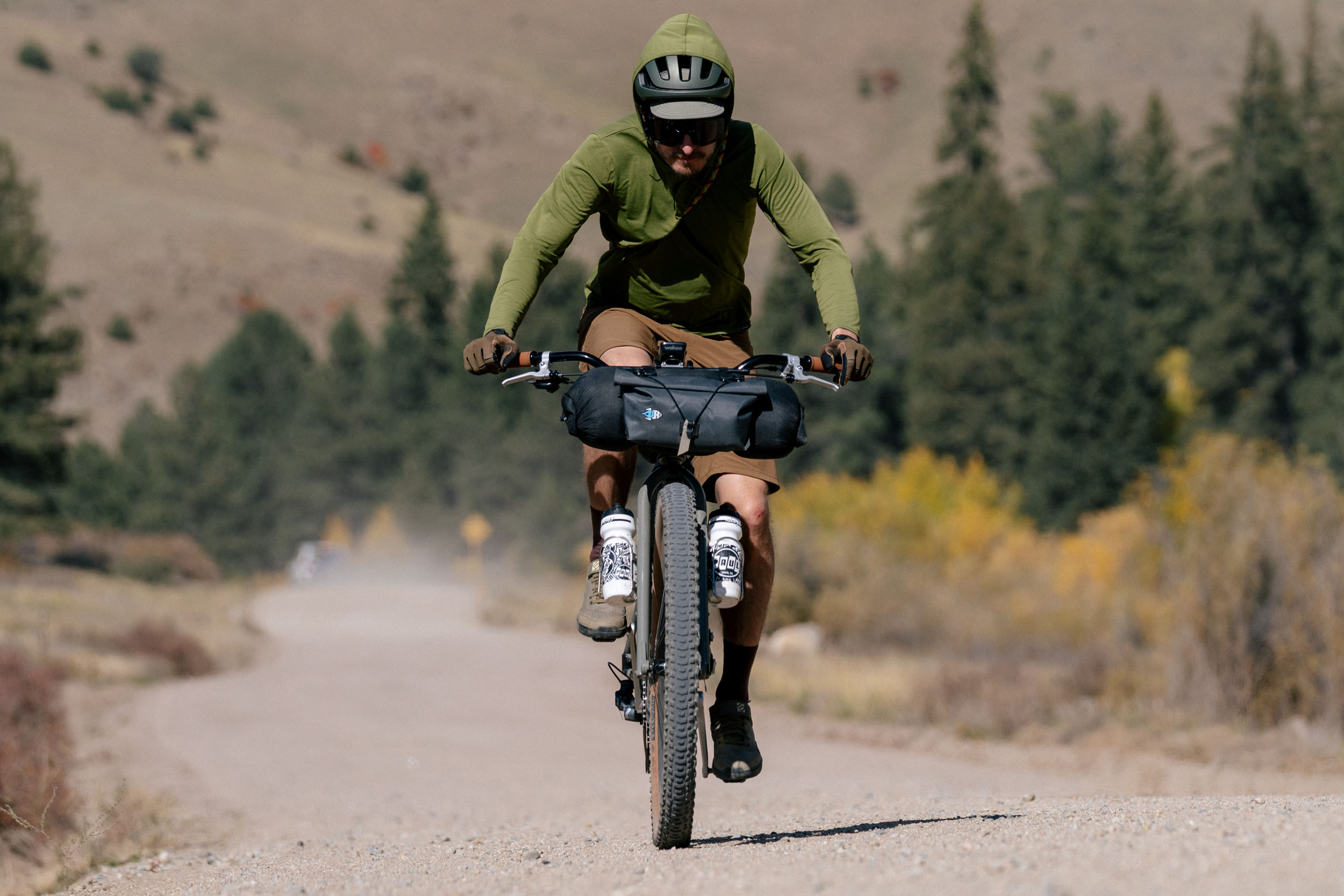
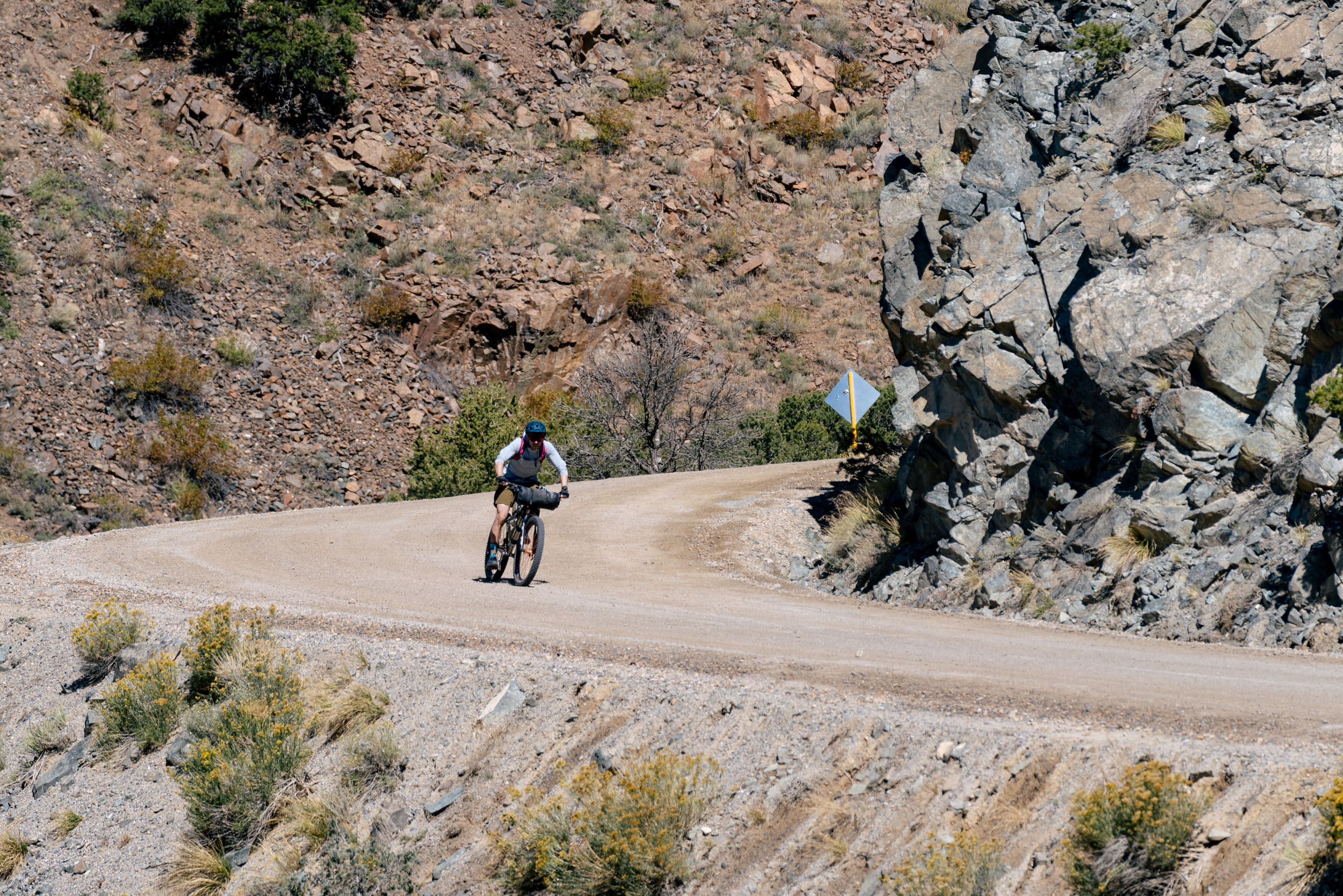
As mentioned, this route is almost entirely gravel. Of the roughly 50 miles, only the exit from Buena Vista and the final return into town are paved, leaving about 95% of the route on dirt. Most of the gravel is well-maintained. The roughest sections tend to be near the start of the route and on Aspen Ridge, though these are generally short-lived. The descent into Salida is a fast one and easily the chunkiest section of the route. If you plan on climbing it instead, it’s worth keeping that in mind.
Logistically, point-to-point rides can be a bit more challenging, but there’s a convenient solution. Two buses run northbound and southbound each day—one in the morning and one in the afternoon—allowing you to load your bike and take a free shuttle in either direction.
Water can be another consideration. In springtime, sources are more plentiful, but by fall, when this route really shines, many of the smaller creeks have dried up. Trout Creek, however, is reliable year-round and sits at mile 22.1, making it an ideal spot to refill before heading up to camp. As an overnighter, there’s no real need for resupply, though that means carrying all your food for the duration of the route.


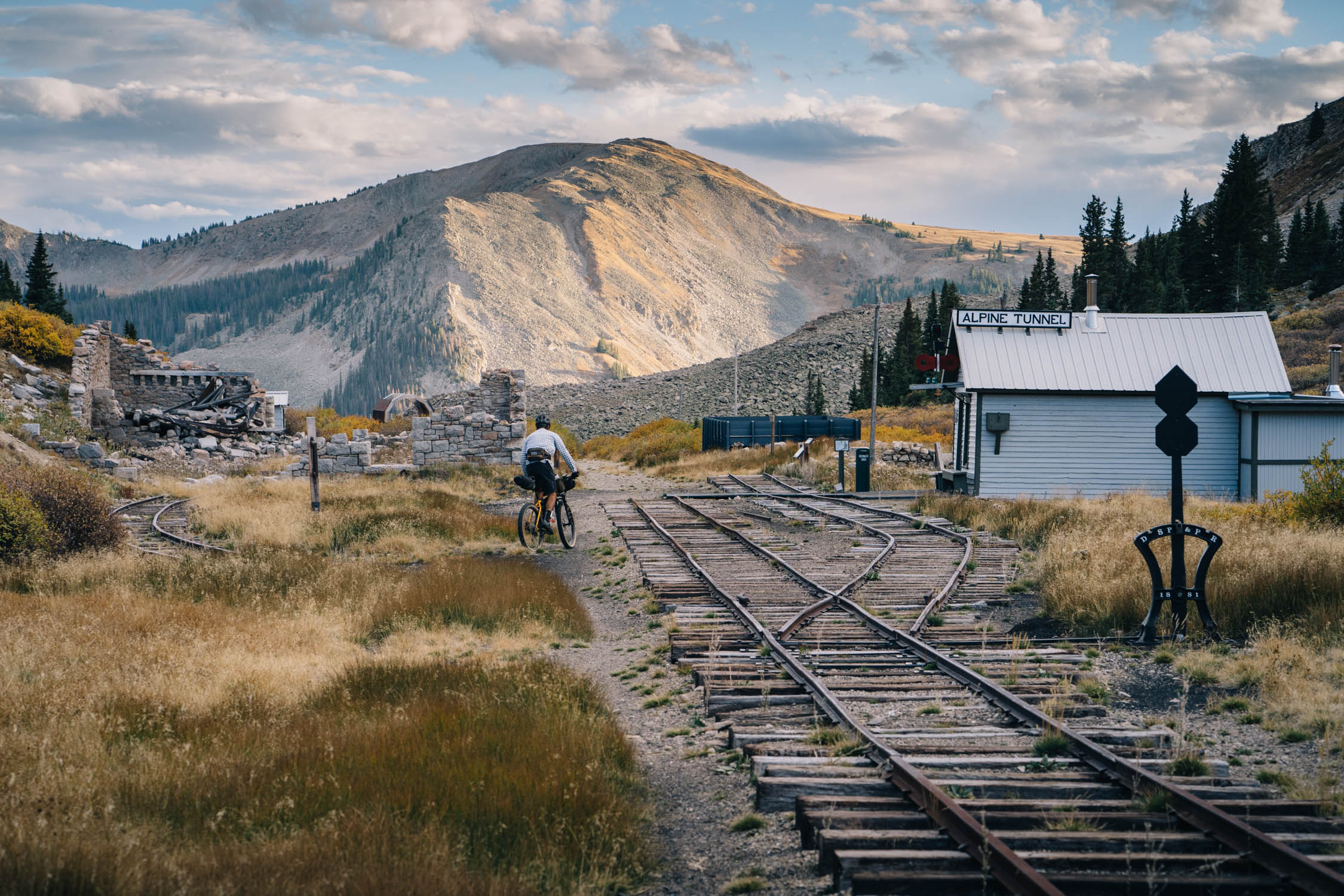
Route Development: This route isn’t anything new. Many folks ride it as a day loop or piece together sections of it from town. That said, I’ve ridden some version of this route four times over the past decade. The first time I pedaled it was with Greg Heil, an editor at Singletracks, and this route closely follows that original trip. I also proposed to my partner on a variation of this route, riding from Salida to Buena Vista and back. Despite this being an overnight trip, it remains a standout.
All told, this route is well-maintained, but there are plenty of opportunities to tweak it by adding singletrack like the Cottonwood Trail into Salida, shortening it, or stretching it into something bigger, depending on how much time and energy you have. You can also ride it in either direction, although the climb up to Aspen Ridge is much more relaxing and drawn out from the Buena Vista side, and it feels like less work from north to south.


Submit Route Alert
As the leading creator and publisher of bikepacking routes, BIKEPACKING.com endeavors to maintain, improve, and advocate for our growing network of bikepacking routes all over the world. As such, our editorial team, route creators, and Route Stewards serve as mediators for route improvements and opportunities for connectivity, conservation, and community growth around these routes. To facilitate these efforts, we rely on our Bikepacking Collective and the greater bikepacking community to call attention to critical issues and opportunities that are discovered while riding these routes. If you have a vital issue or opportunity regarding this route that pertains to one of the subjects below, please let us know:
Highlights
Must Know
Camping
Food/H2O
Trail Notes
- Stunning views of the Collegiate Peaks while climbing Seven Mile Creek.
- Expansive views near Trout Creek Pass, including Marmot Peak.
- A fast, fun descent down Mushroom Gulch to the shaded refuge of Trout Creek for rehydration.
- An abundance of camping options, many with excellent views.
- Scenic, quiet roads that make the miles feel easy.
- Aspen Ridge delivers a rewarding climb and sweeping views, even outside of peak fall color.
- A fun, fast descent into Salida.
- Great food and good vibes in both Buena Vista and Salida.
- This route is generally rideable from spring through fall, but it’s always important to keep an eye on the weather. Spring can still bring cool, sunny conditions, summer temperatures can get very hot, and fall foliage varies from year to year, so it’s worth checking current foliage forecasts before heading out.
- Getting there is easy: take the bus from Denver to Buena Vista and go ride. Bustang is a fantastic service and makes this route especially accessible.
- Once in Buena Vista or Salida, using the bus to shuttle between the two towns is the easiest option, though parking a car is also fairly straightforward given how close they are. If you plan to leave a vehicle overnight, be sure to double-check that overnight parking is allowed in the area.
- Use extra caution when crossing Highway 285 at Trout Creek Pass. It’s a busy stretch of highway, traffic moves quickly, and sightlines can be limited.
- Bike shops are plentiful in Salida, and in Buena Vista, Black Burro Bikes is the go-to stop.
- As for bikes, it’s safe to say it’s a run-what-you-brung kind of route, with minimal chunky sections but a few places that will keep you honest. Use what you feel most comfortable on.
- Camping along the route is entirely primitive and generally easy to find. That said, it’s worth keeping busier weekends and peak travel weeks in mind, when you can expect more people recreating on nearby public lands.
- Within the Browns Canyon National Monument, there are a few sections where camping is limited to designated sites, so be sure to plan accordingly.
- One option I’ve used a few times is turning west up Little Cottonwood Creek Road at mile 29 and pedaling about an extra mile to a fantastic campsite. The only downside is that it’s the only spot in that immediate area, so if it’s already taken, you’ll need to backtrack and continue climbing toward Aspen Ridge.
- Beyond mile 29, you’ll find a variety of solid camping options scattered along the route.
- For those looking for something a bit more comfortable, pre- and post-ride lodging is readily available in both Buena Vista and Salida, and there are also plenty of established campgrounds in the surrounding areas outside of both towns.
- Food resupply is easy in both Salida and Buena Vista, with options ranging from larger grocery stores to natural and whole-food markets. Salida has a slightly broader selection, but Buena Vista still offers plenty of solid choices.
- Water is more limited. Trout Creek is the only consistently reliable year-round water source along the route. In spring, there may be additional snowmelt runoff, but this depends on the year. Overall, this is a very dry region of Colorado, so plan accordingly.
- Bassam Spring, located at mile 29.4 on the map, has historically had water and appears to be solar-powered for cattle grazing in the area. If needed, it can be used as a water source, but be sure to filter or treat it. Access requires stepping over a fence, and the spring is located on San Isabel National Forest land.
From Buena Vista, the route starts downtown and meanders over to the Midland Tunnels before turning off and entering the Fourmile Travel Management Area, where most of the route stays until you get closer to Salida. The section out of BV packs a bit more punch than the rest of the route, which shows on the elevation profile, with plenty of short climbs and descents and some steep, loose, kitty-litter gravel. This zone can be a little tricky to navigate, with many intersecting roads and trails, so having a GPS or watch with the route loaded is extremely helpful.
As you make your way up through juniper and eventually ponderosa pines, the landscape opens up quickly. The views extend to massive 14,000-foot peaks that feel close enough to touch yet are still miles away across the Arkansas River Valley. After a few more ups and downs, you reach the top of Seven Mile Creek Road, sitting at around 9,800 feet. You’ll feel the elevation, but you’ll also notice the transition into a different zone, with more evergreens and aspens.
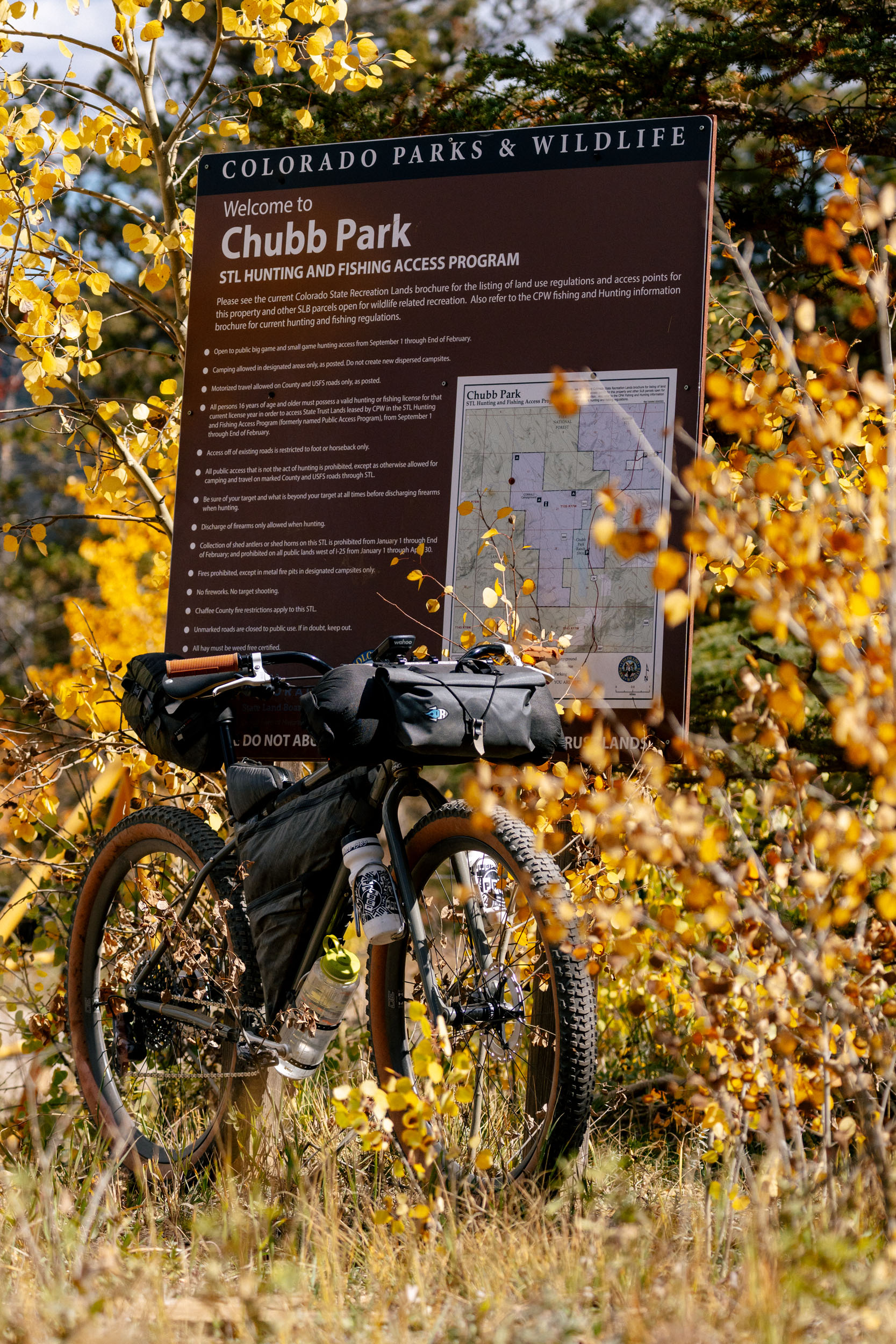
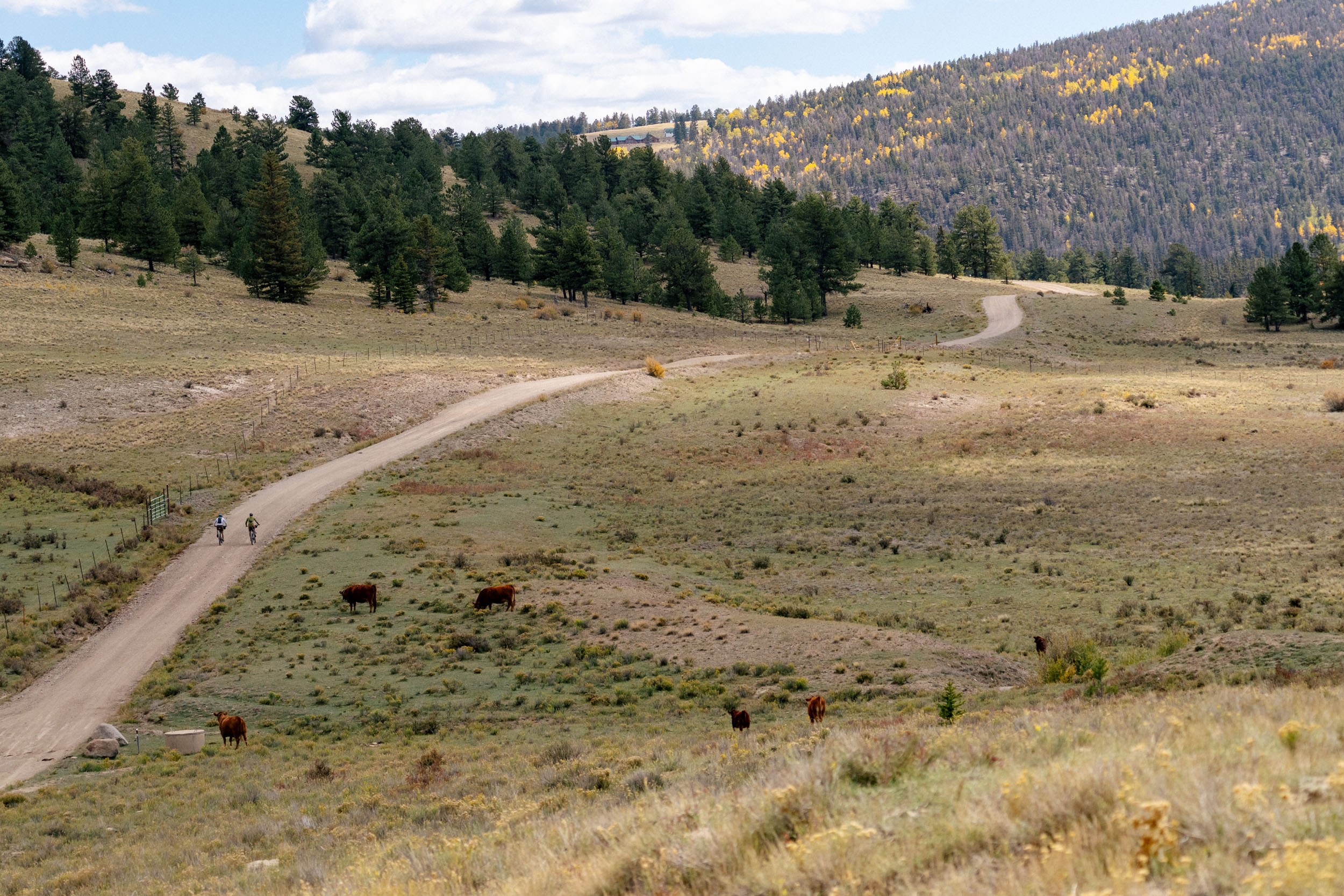
From here, a fast and winding descent drops you into a wide-open area known as Chubb Park, which is often filled with livestock. You’ll pedal alongside an aqueduct for a few miles, and it is an easy, scenic stretch with unique views. As you begin climbing again toward Trout Creek Pass, you’ll slowly start to hear traffic from Highway 285, a major corridor between Denver and this region. After crossing the highway, you’ll roll into what feels like a strange neighborhood, because it is exactly that.
Eventually, the road funnels you out of the neighborhood and into an open field before dropping into Mushroom Gulch. This three-mile descent is fast and fun, leading you down to Trout Creek, a reliable water source with shade and a great place for a break. This is where we stopped to filter water.
After the break, the route continues descending briefly before turning south onto County Road 187. The climb here is gentle at first, bringing you into Castle Park, where the views are expansive, then narrows as aspens and a shallow canyon close in. At the Harring Park and Aspen Ridge intersection, you’ll turn right and continue south, descending into Bassam Park, where you get your first real look at Aspen Ridge. Although there are a few camping options before this point, I’d start actively looking for a spot here.
I really like a campsite about a mile off the route, west on County Road 185D. It offers a great overlook of Mount Princeton. If you’d rather stay on route and continue up County Road 187, there are plenty of camping options shown on the route map. You may need to climb a bit to reach them, but the views make it worthwhile.
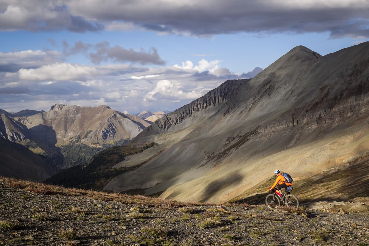
As you roll through Bassam Park, you might notice a small spring on the right. This is likely your last water source. I checked it out, but didn’t collect water, so use it at your own discretion. Eventually, you’ll begin a long, sustained climb out of the park and up to Aspen Ridge. It’s scenic and colorful in the fall, with a few steeper, rockier sections that are the roughest of the entire route, though they’re relatively short.
You’ll eventually reach the high point of the route at just over 10,300 feet, tucked into the trees with great views to the south and southeast. Not all routes finish with a bang, and that’s fine, but this one emphatically does. The final 14 miles are incredibly fun, fast descending, with enough speed that you’ll want to brake-check corners and blind spots. There’s a small amount of climbing mixed in, roughly 400 feet, but overall, you’ll lose about 3,600 feet of elevation from the top of Aspen Ridge down to pavement near Salida. It’s a blast.
Once you hit pavement, take a sharp left onto Spiral Drive and head toward Tenderfoot Mountain, a popular day-ride zone outside of Salida. And that’s it. A solid two-day ride from Buena Vista to Salida, packed with big views, varied vegetation, wildlife, and some really enjoyable dirt roads.


Terms of Use: As with each bikepacking route guide published on BIKEPACKING.com, should you choose to cycle this route, do so at your own risk. Prior to setting out check current local weather, conditions, and land/road closures. While riding, obey all public and private land use restrictions and rules, carry proper safety and navigational equipment, and of course, follow the #leavenotrace guidelines. The information found herein is simply a planning resource to be used as a point of inspiration in conjunction with your own due-diligence. In spite of the fact that this route, associated GPS track (GPX and maps), and all route guidelines were prepared under diligent research by the specified contributor and/or contributors, the accuracy of such and judgement of the author is not guaranteed. BIKEPACKING.com LLC, its partners, associates, and contributors are in no way liable for personal injury, damage to personal property, or any other such situation that might happen to individual riders cycling or following this route.
Further Riding and Reading
Here are some connected/nearby routes and related reports...
Please keep the conversation civil, constructive, and inclusive, or your comment will be removed.