


Bear Bones Border Bash
Distance
114 Mi.
(183 KM)Days
2-3
% Unpaved
60%
% Singletrack
3%
% Rideable (time)
98%
Total Ascent
13,300'
(4,054 M)High Point
1,715'
(523 M)Difficulty (1-10)
7?
- 8Climbing Scale Strenuous117 FT/MI (22 M/KM)
- 7Technical Difficulty Difficult
- 7.5Physical Demand Difficult
- 4Resupply & Logistics Fair
Contributed By

Cass Gilbert
Contributing Editor
Within British bikepacking circles, the Bear Bones 200 series claims a certain notoriety. Each year, organiser Stuart Wight knits together a challenging 200-kilometre route that pits a collection of riders against the vagaries of Mid Wales and its weather. Riders hurry around as fast as they can, earning a fabled black badge (and the promise of bacon butties and a mug of tea) if they can finish in less than 24 hours.
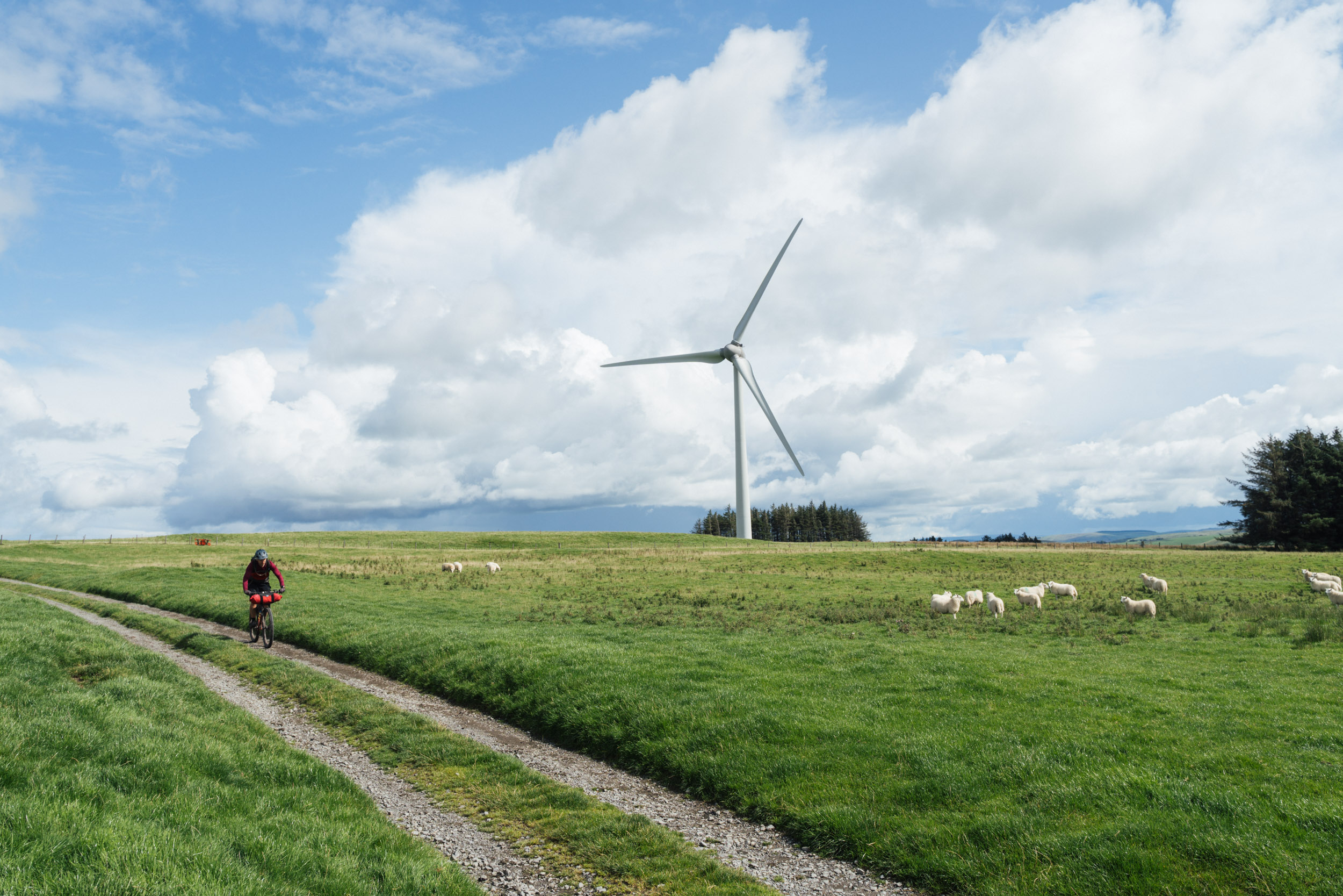
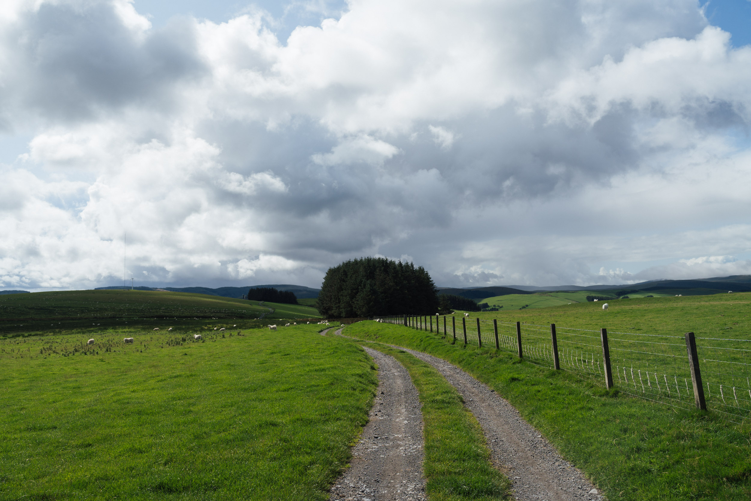
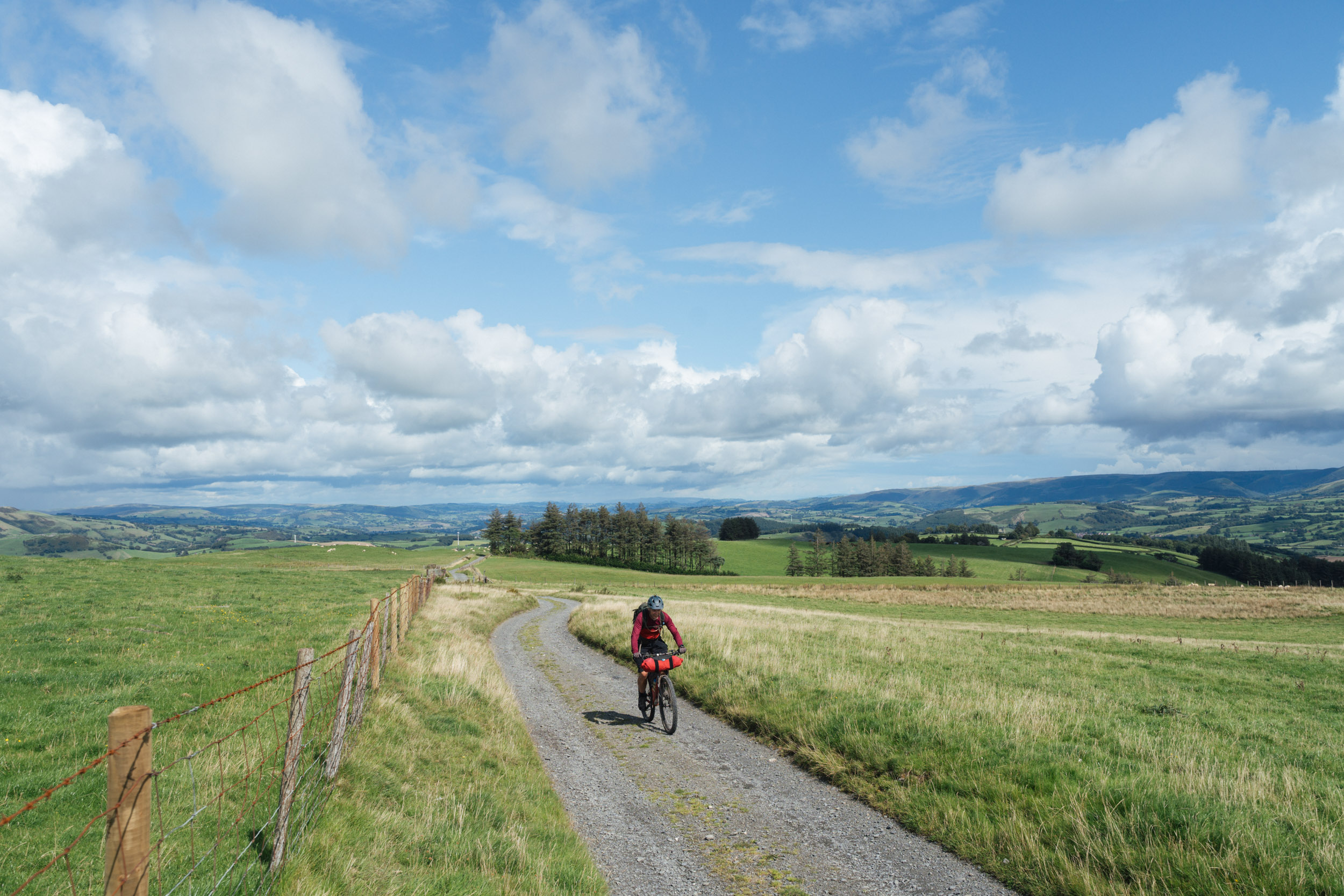
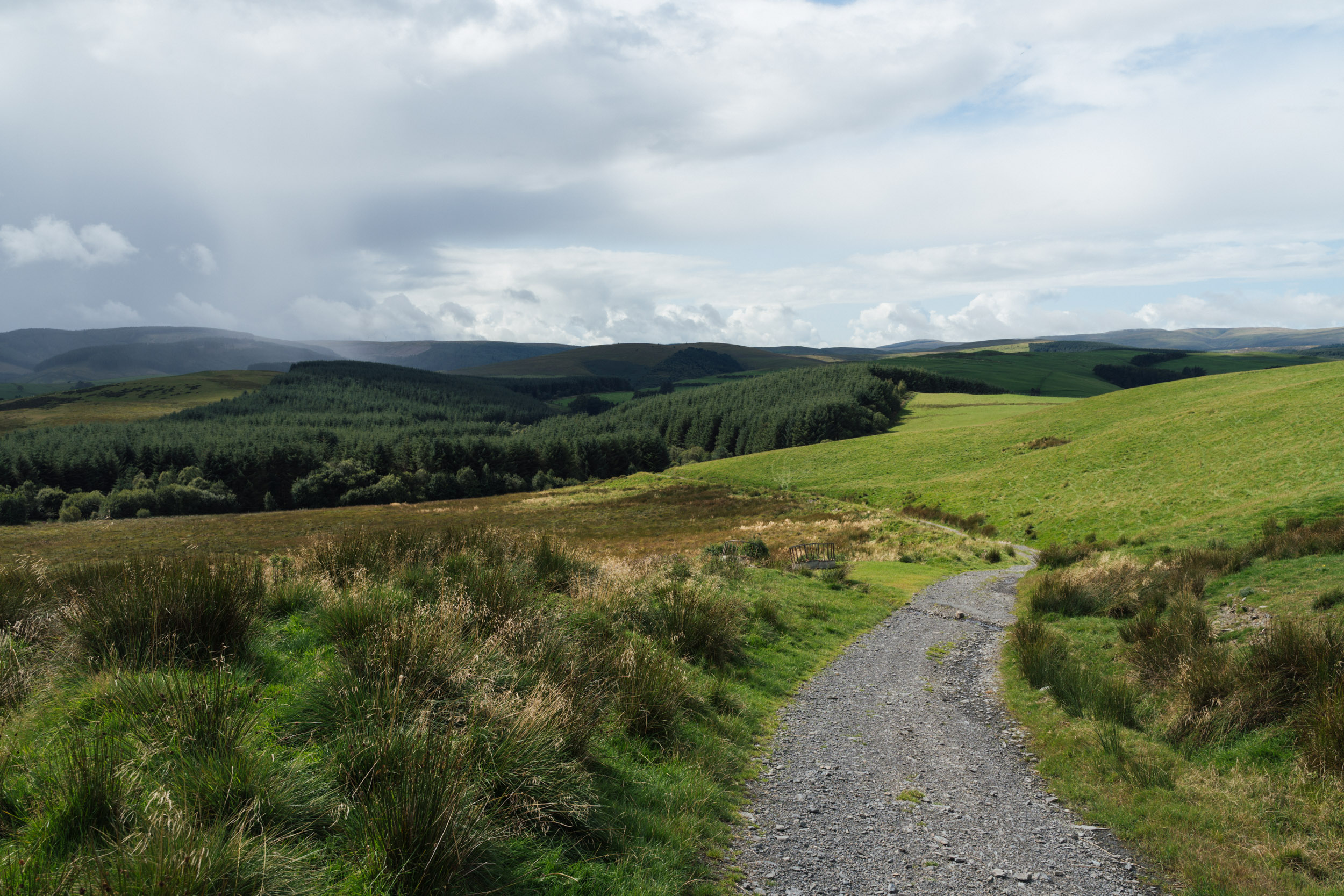
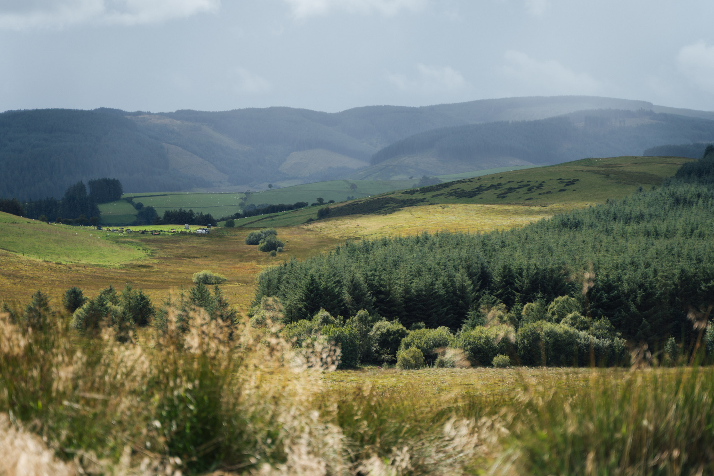
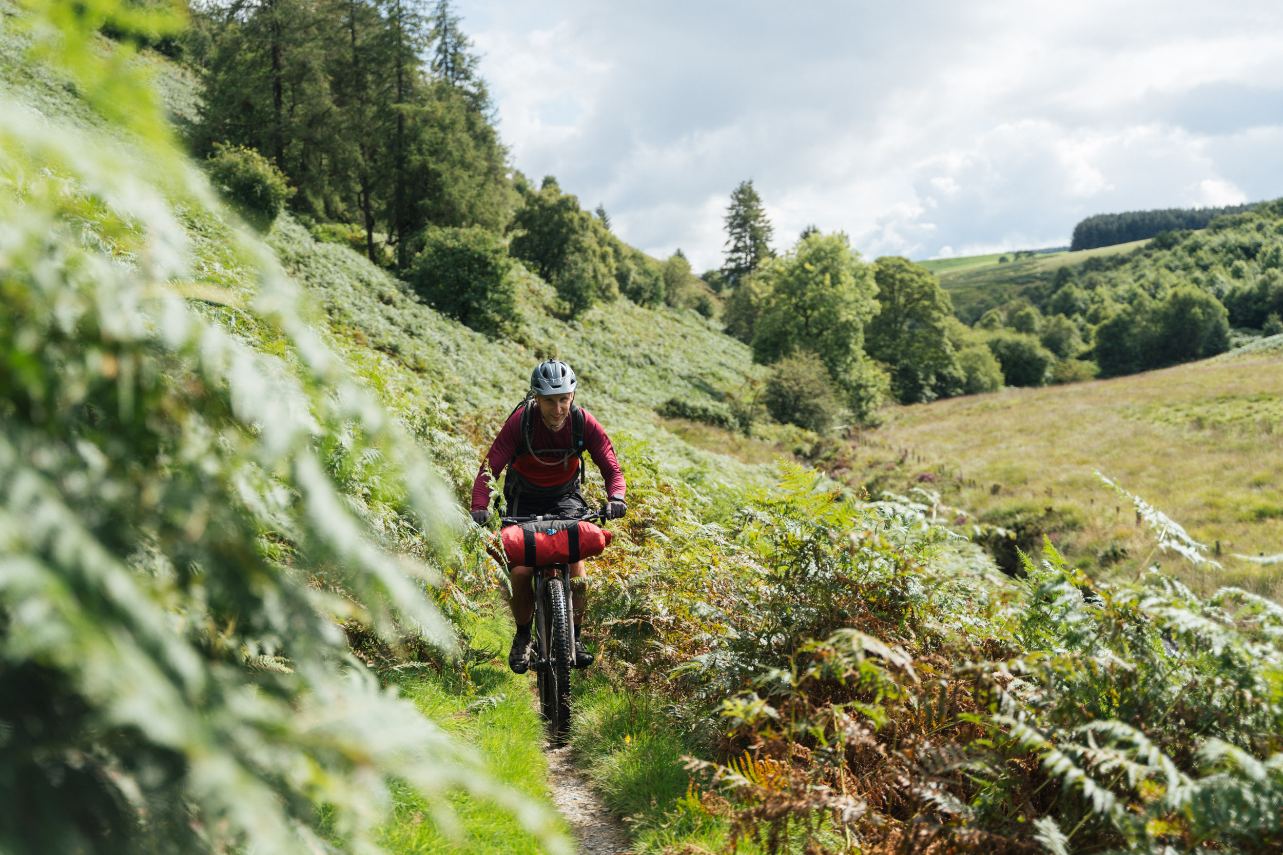
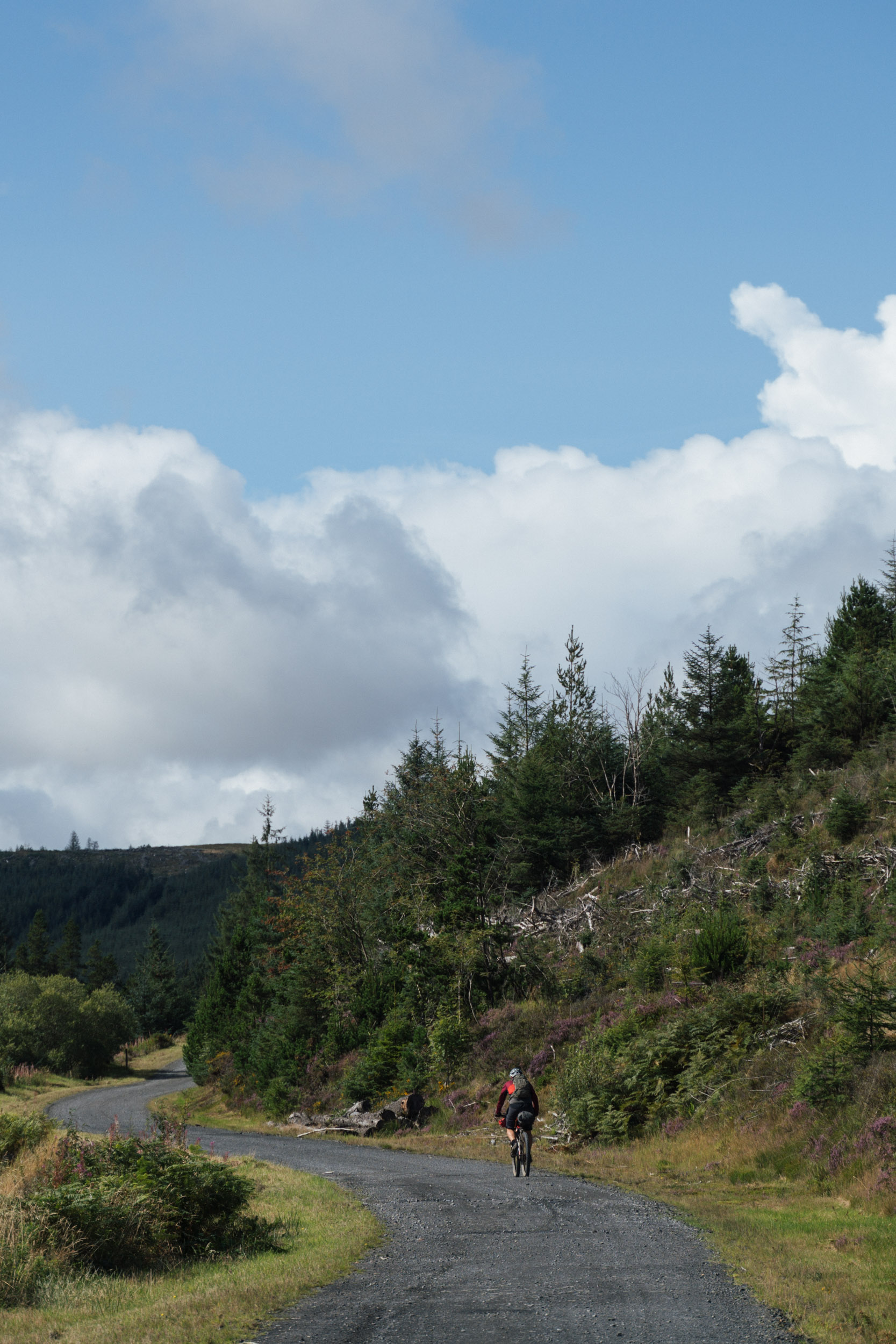
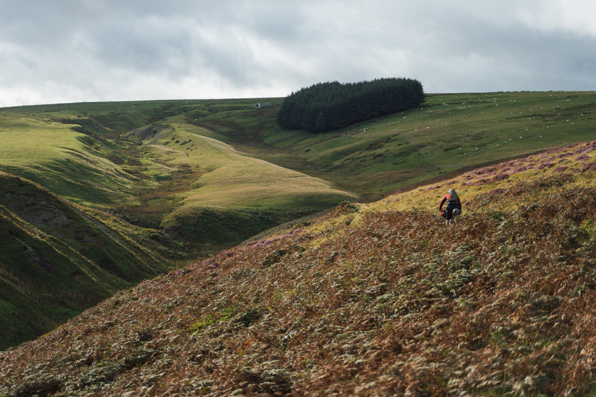
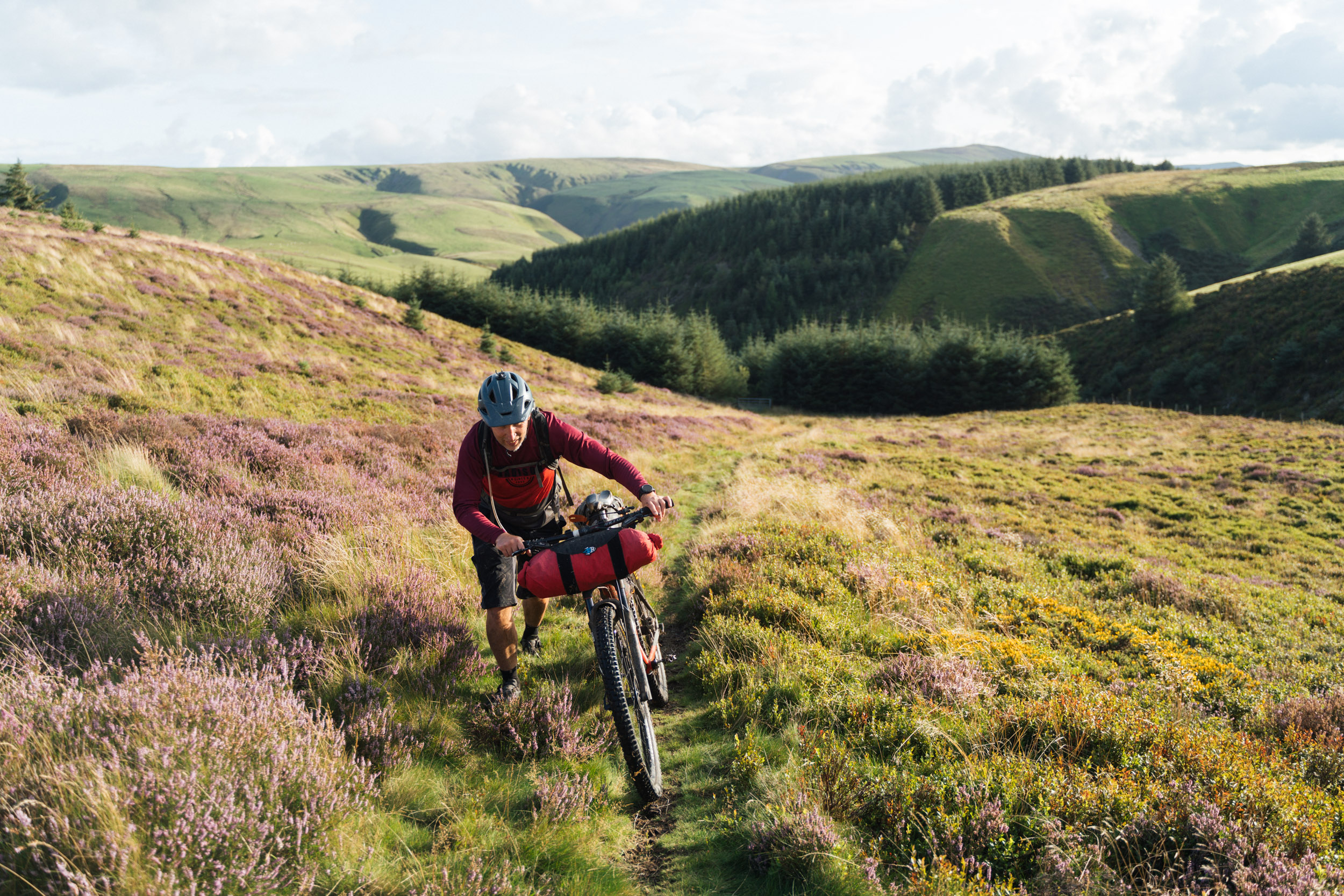
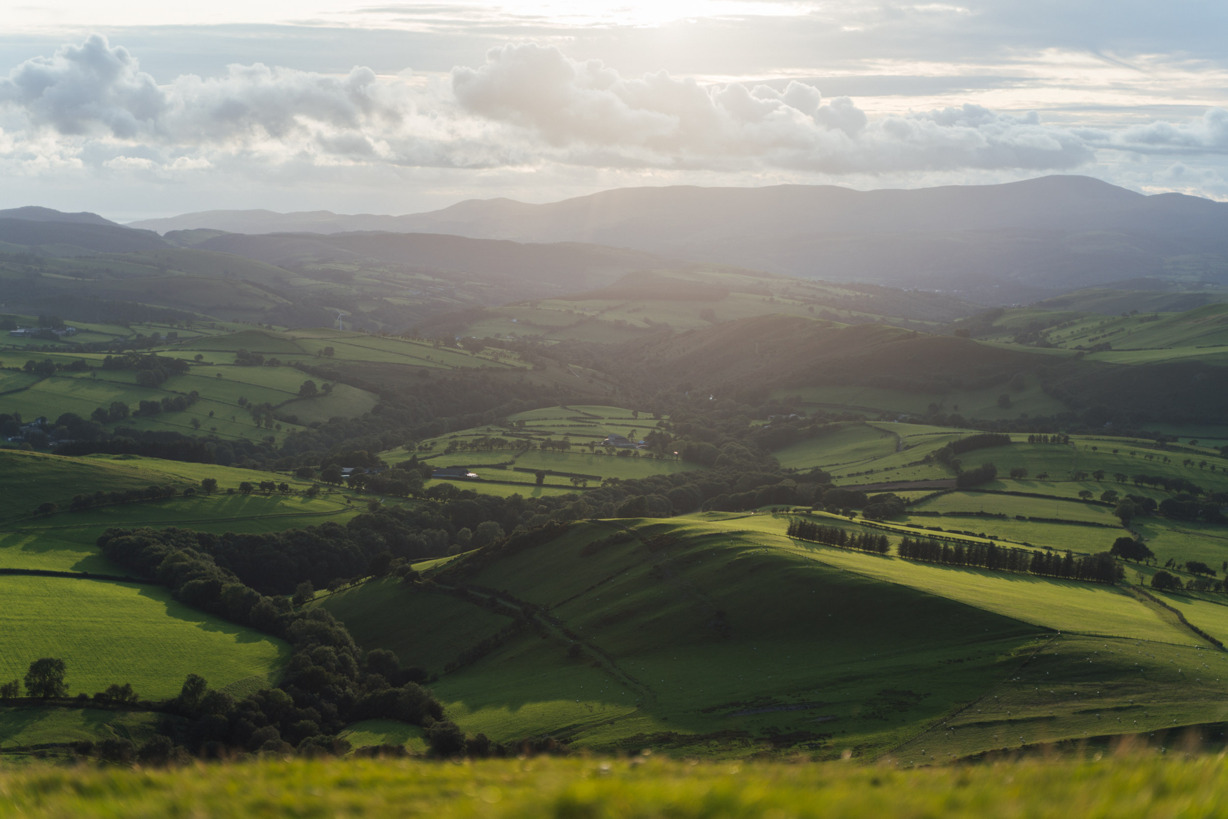
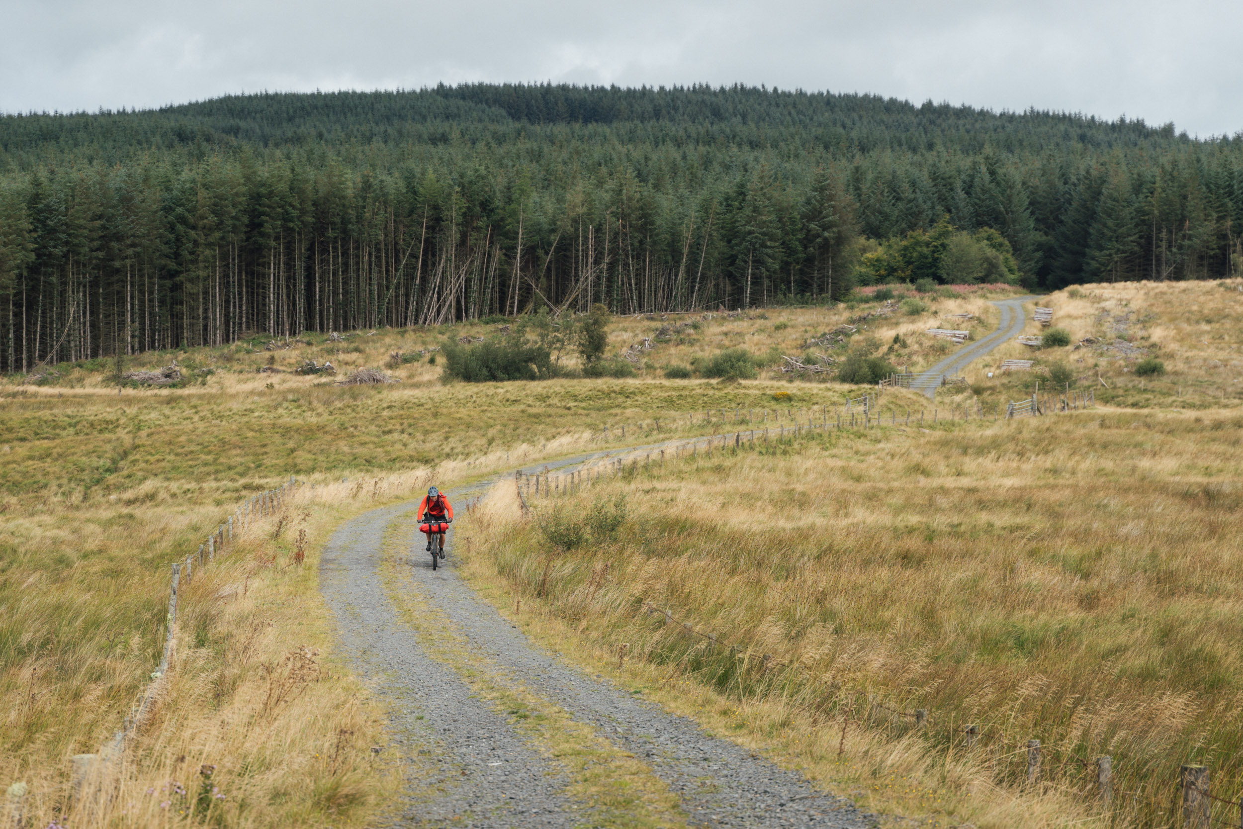
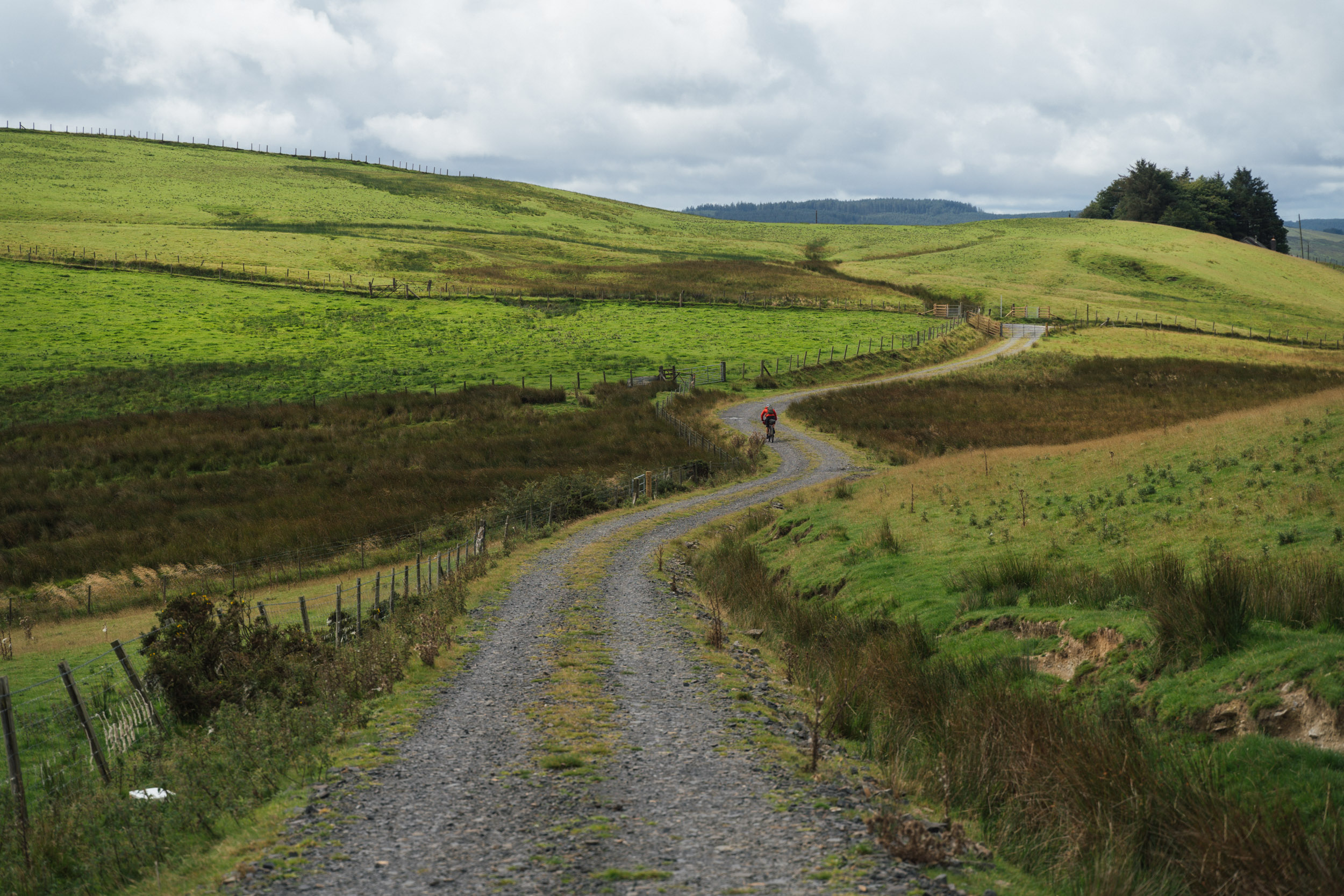
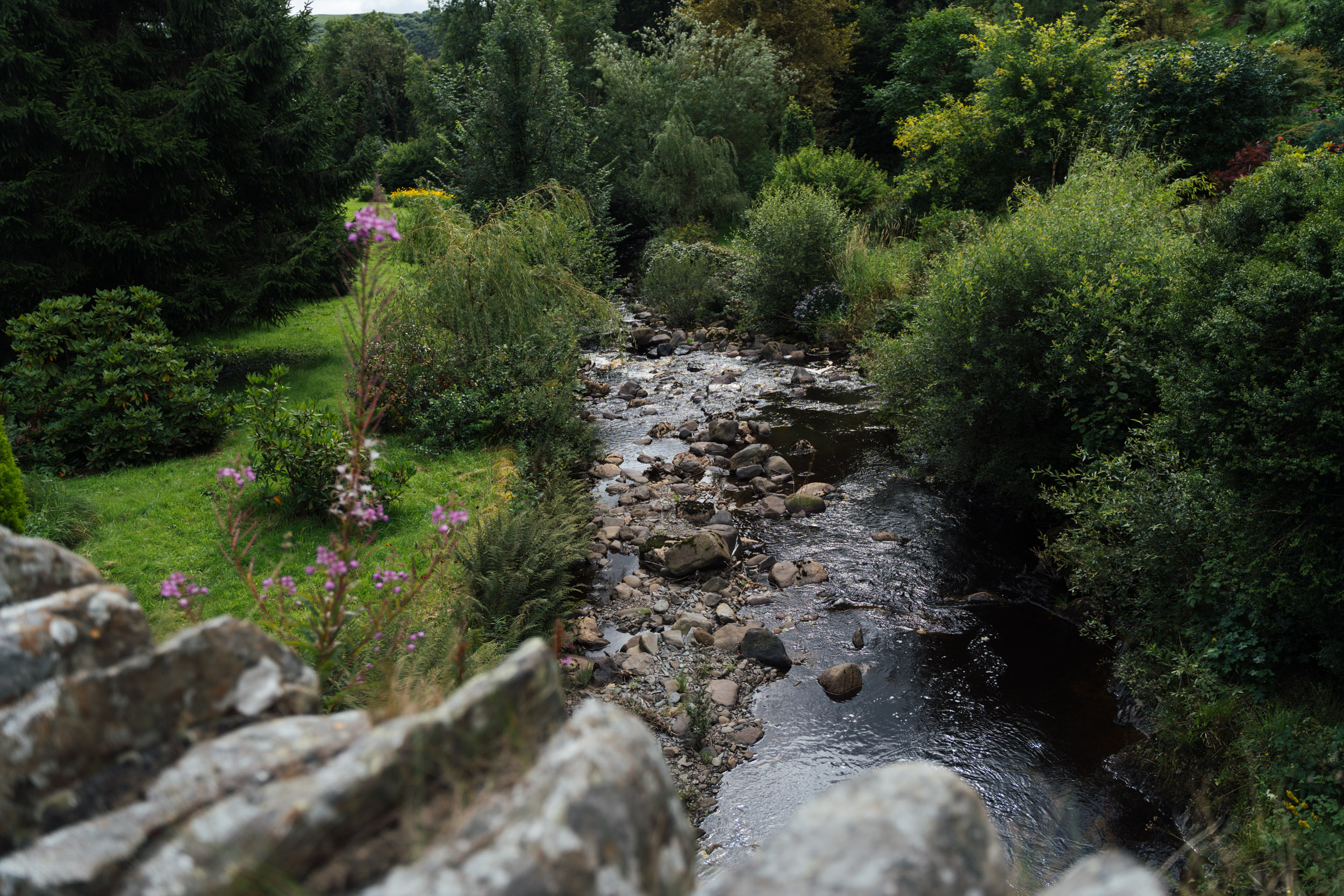
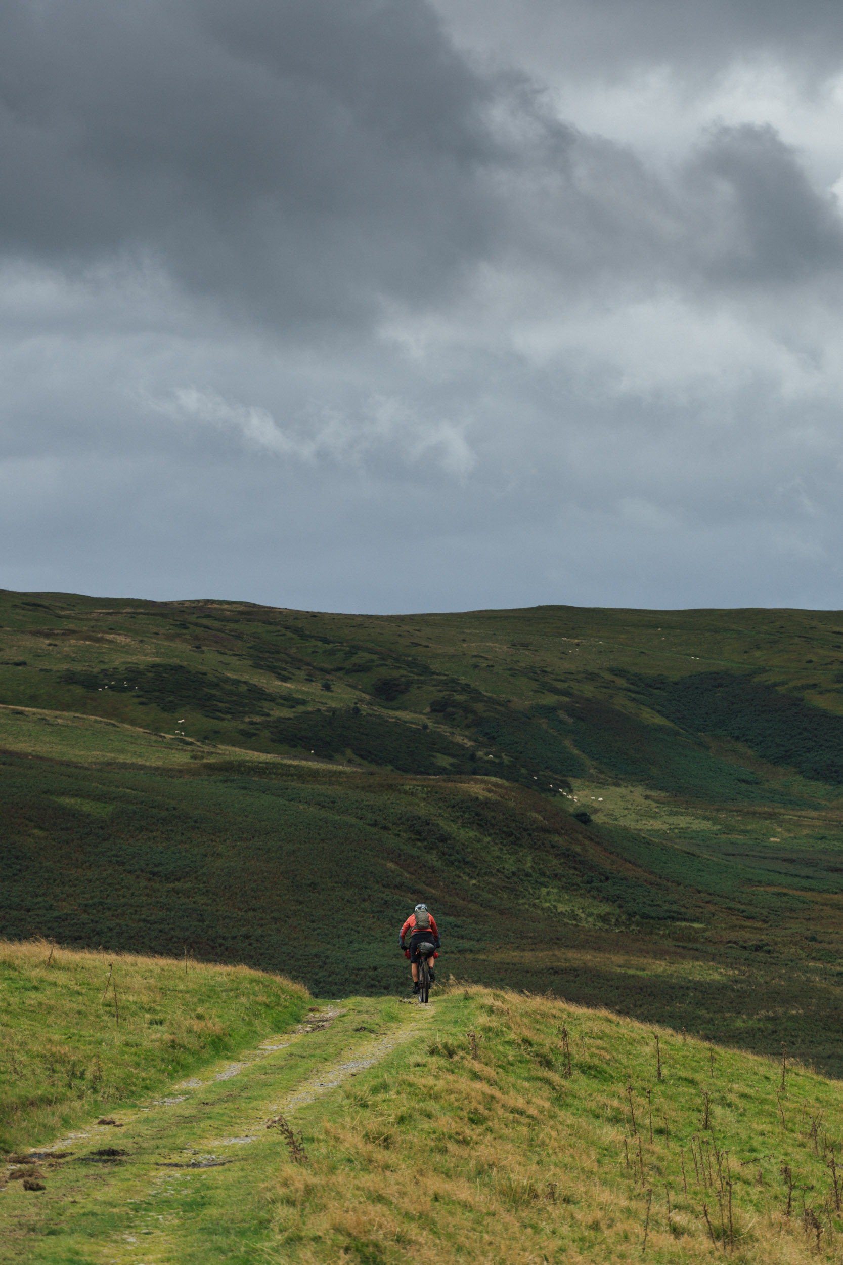
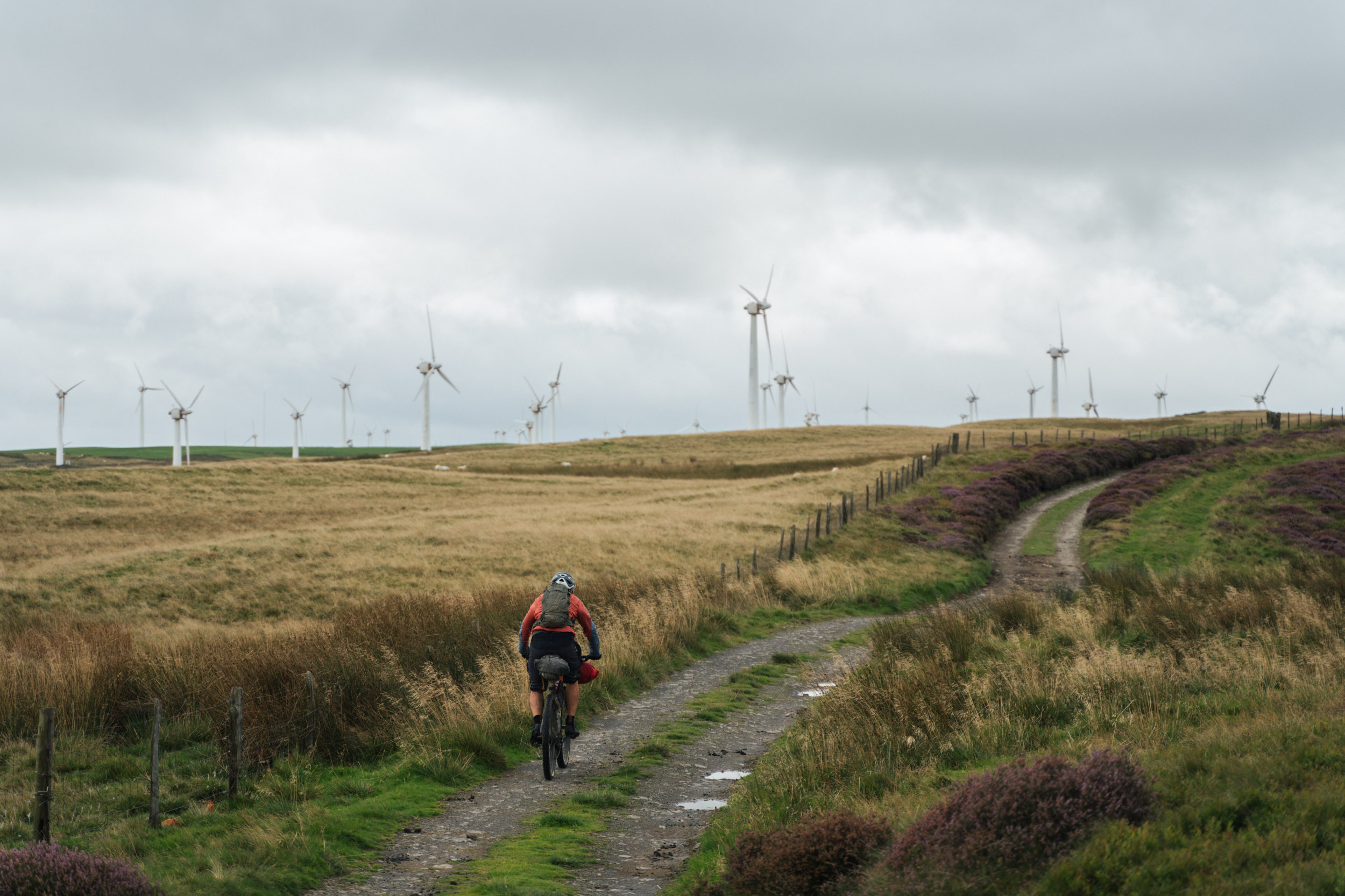
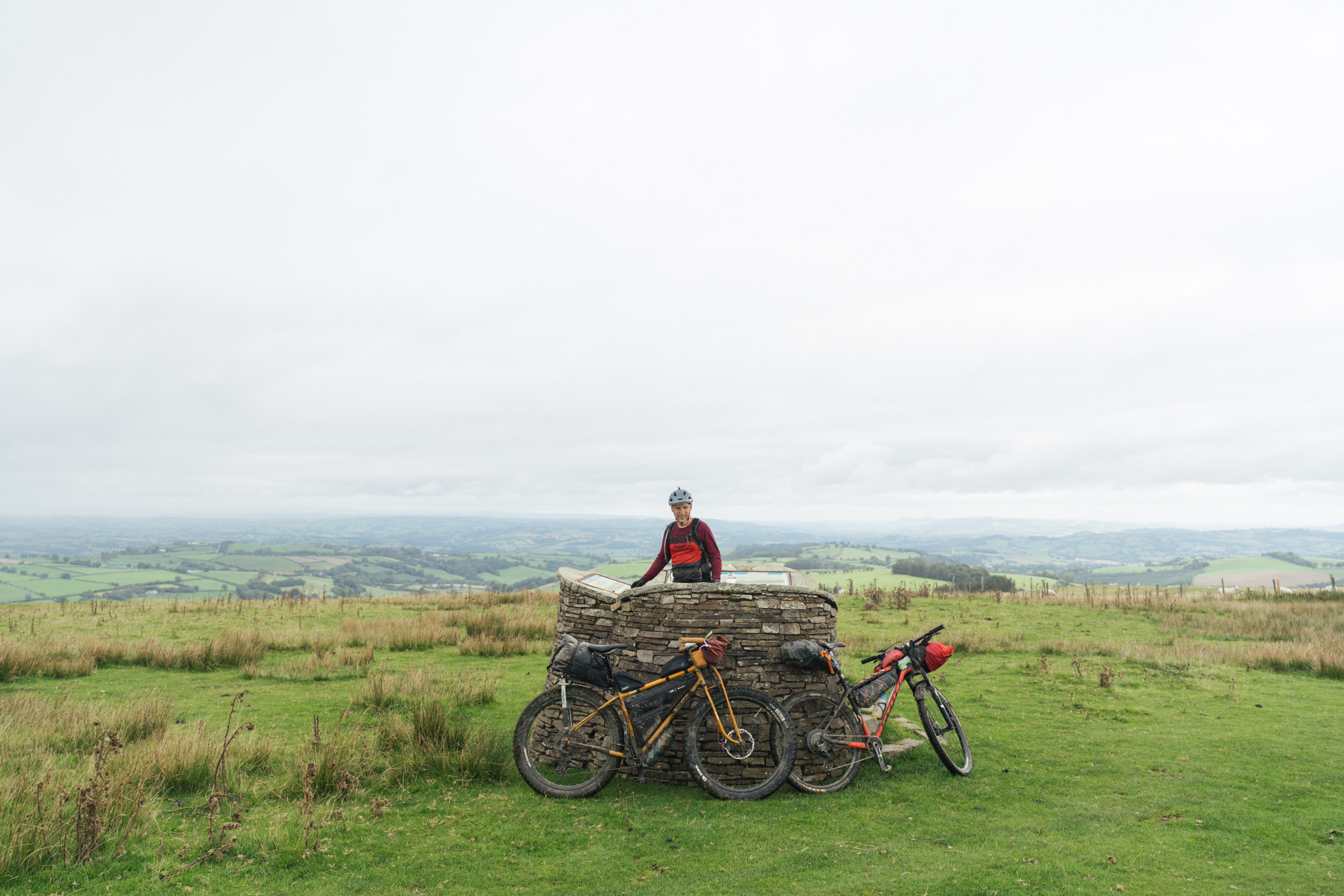
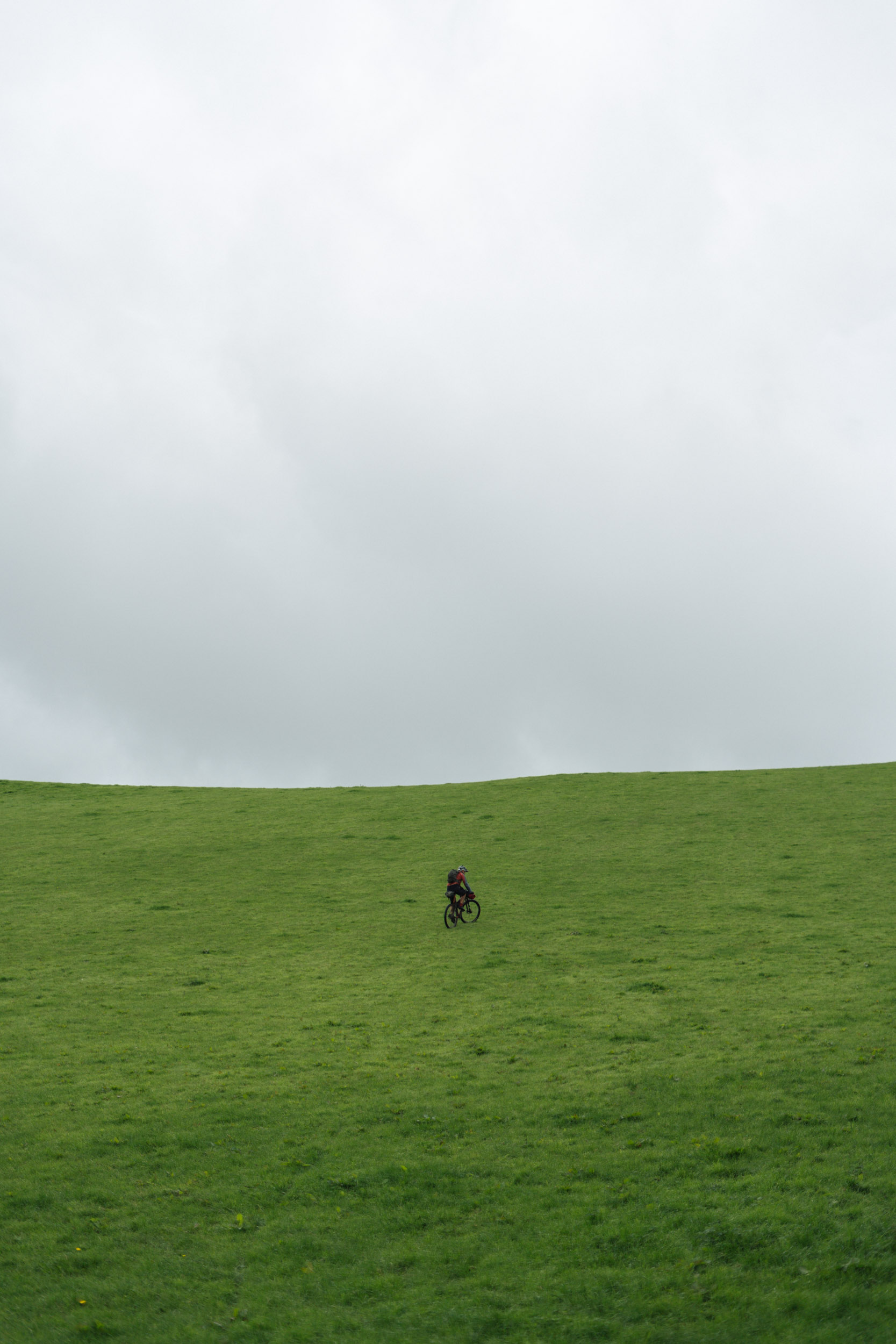
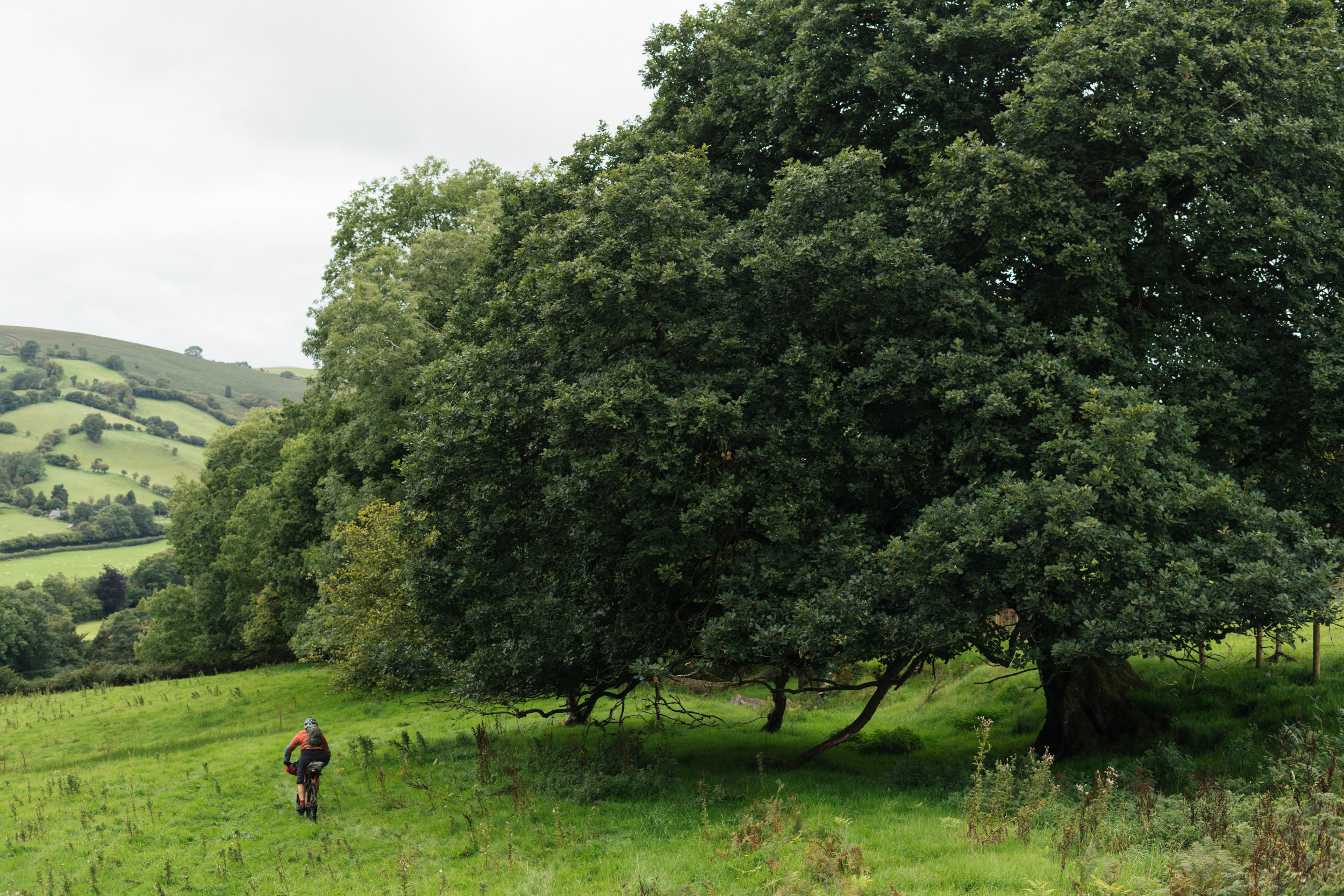
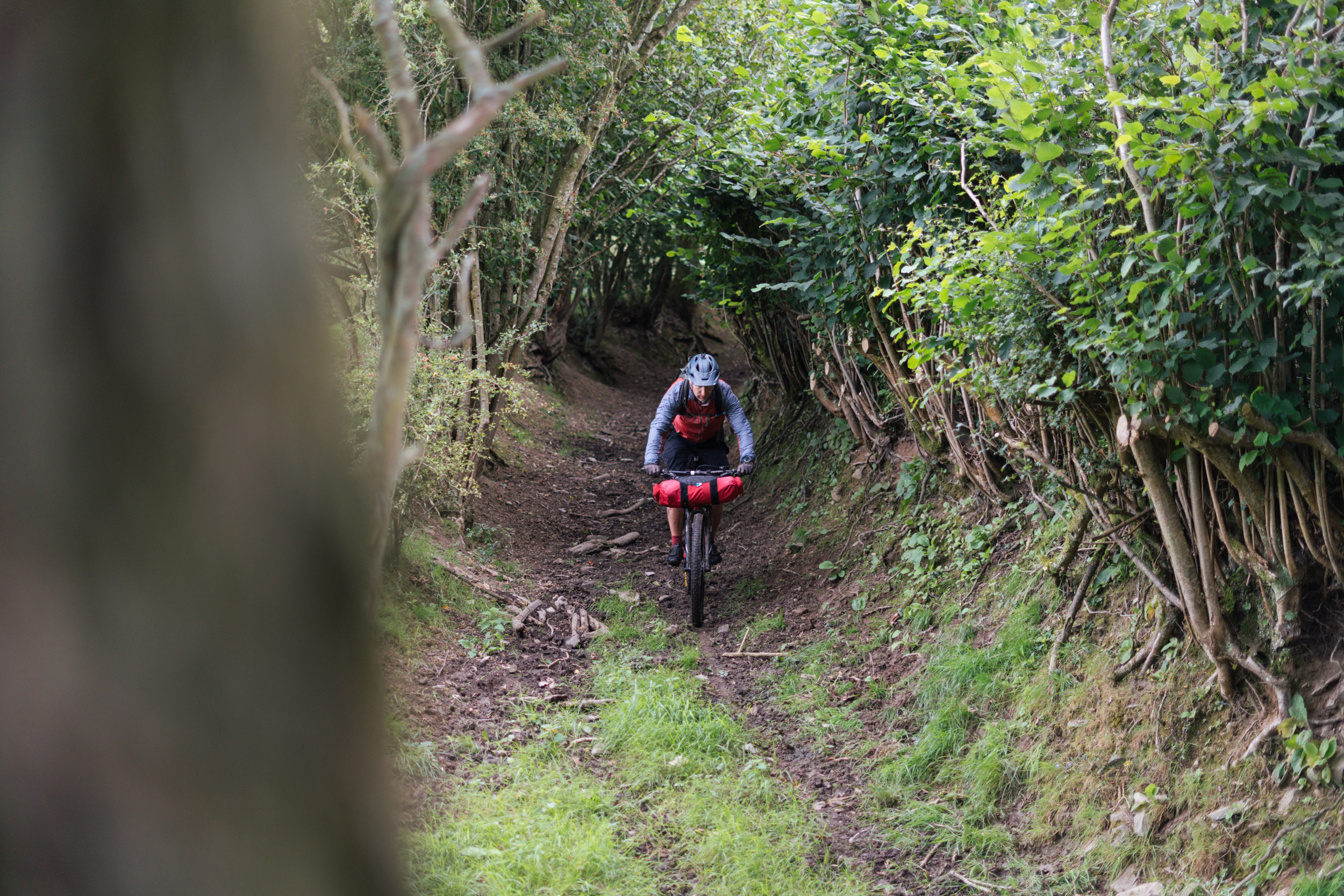
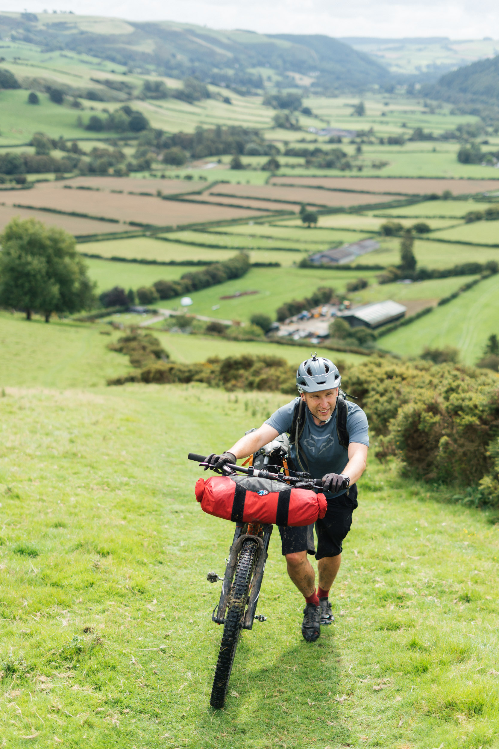
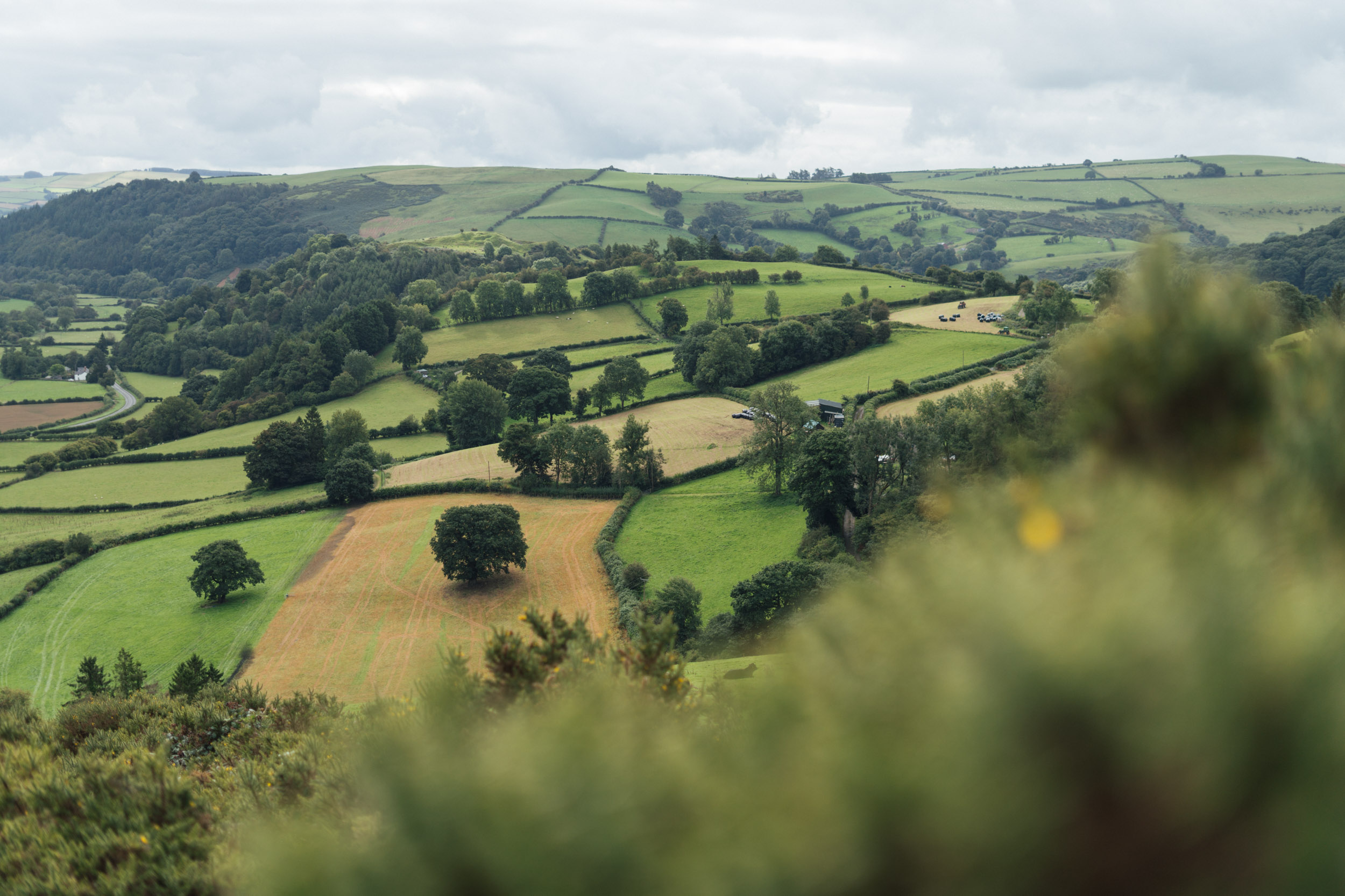
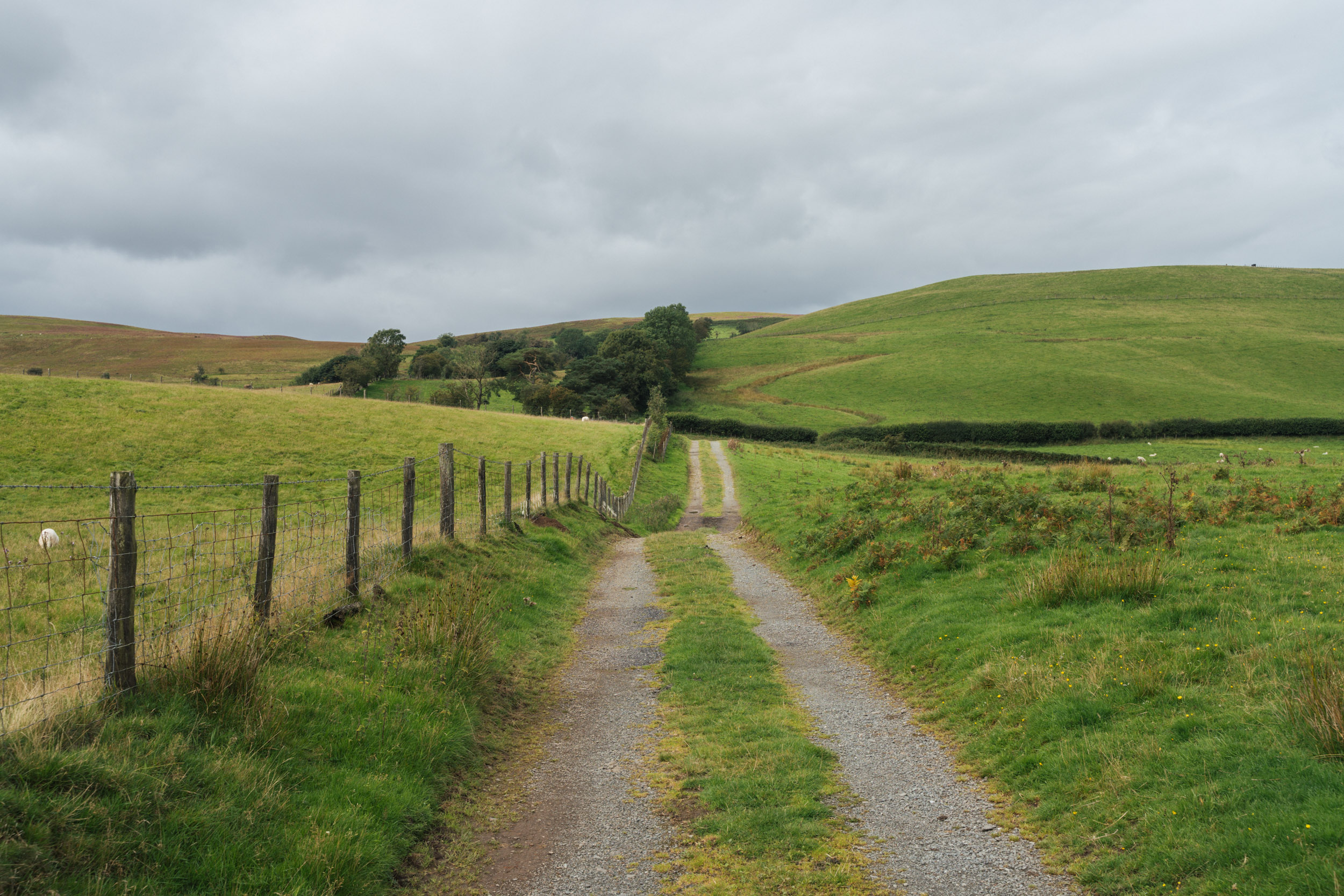
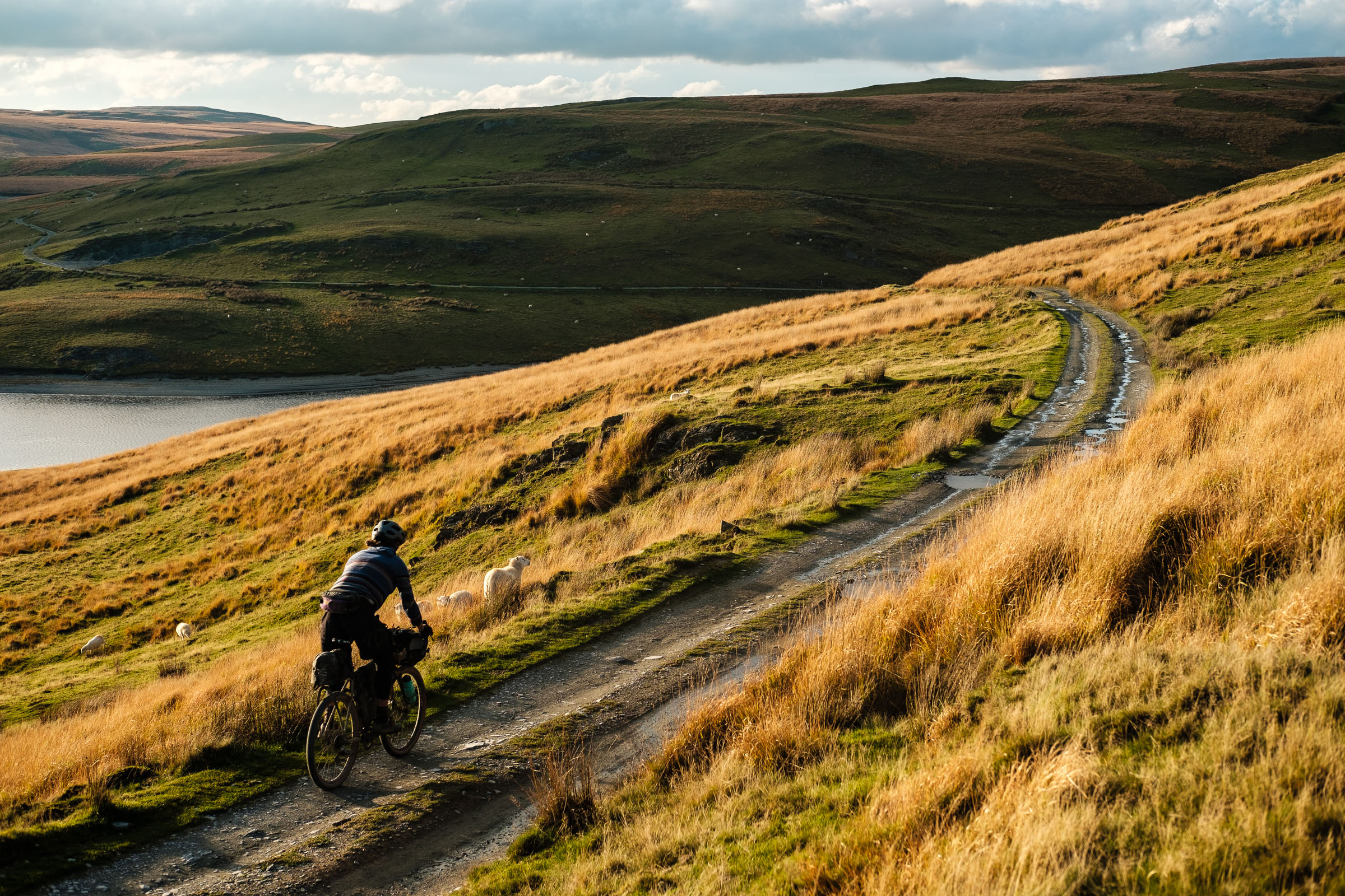
Based on the 2016 edition of Stuart Wright’s Bear Bones 200 race series, albeit it stretched out over two to three days, the Border Bash offers a classic mix of rugged Mid Wales riding – lofty ridgeline traverses, grassy singletrack, forest roads, moorland yomps, quietly rolling country side lanes, along with a little bit of bike-pushing, bog trotting, and gorse-wacking, as per the Bear Bones formula. It’s considered the mellowest option of the series (“It would certainly be my pick if I were looking to introduce someone to the joys of riding bikes and sleeping in a ditch”), but take that with a pinch of salt, as there are still some challenges to contend with, especially in mixed weather.
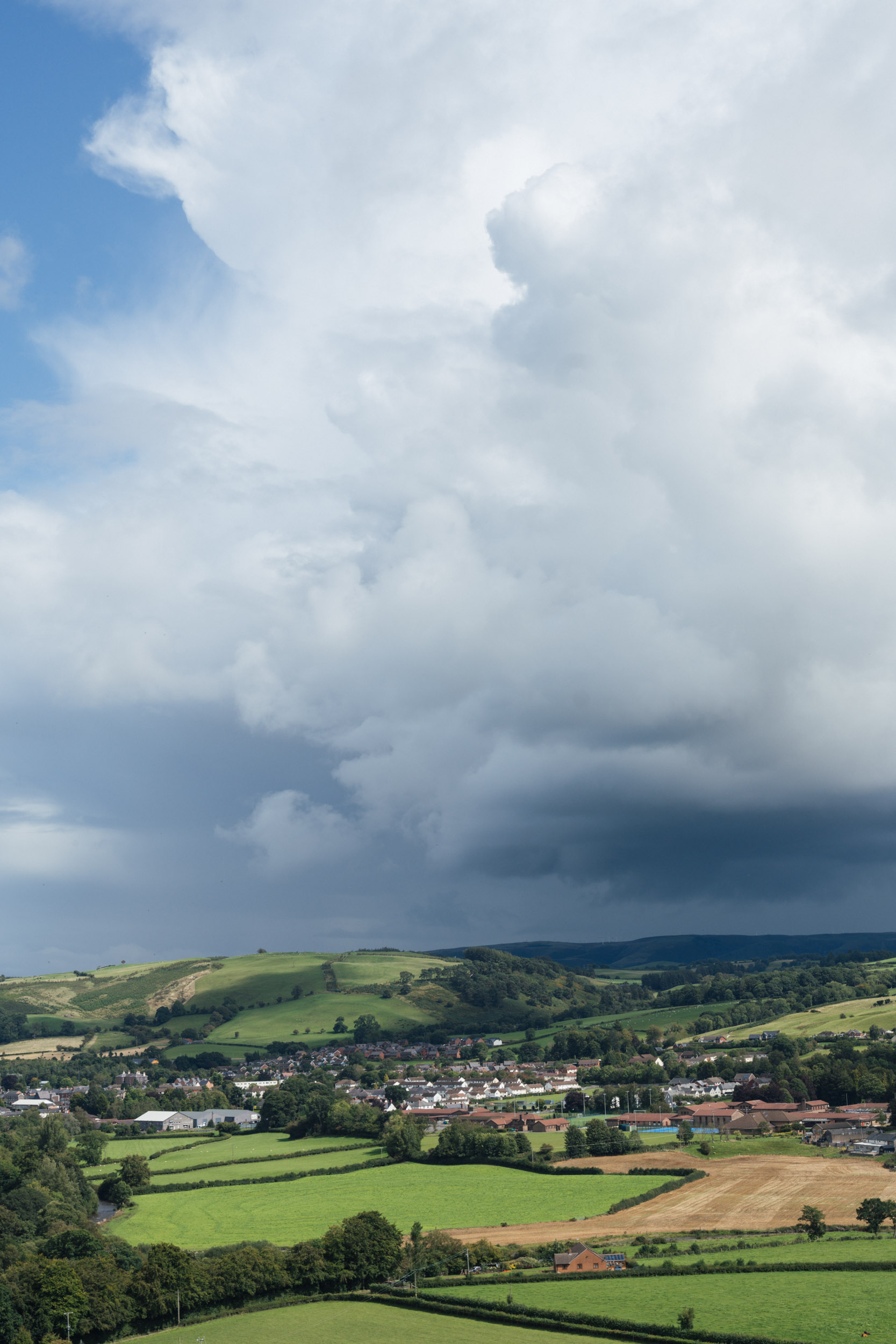
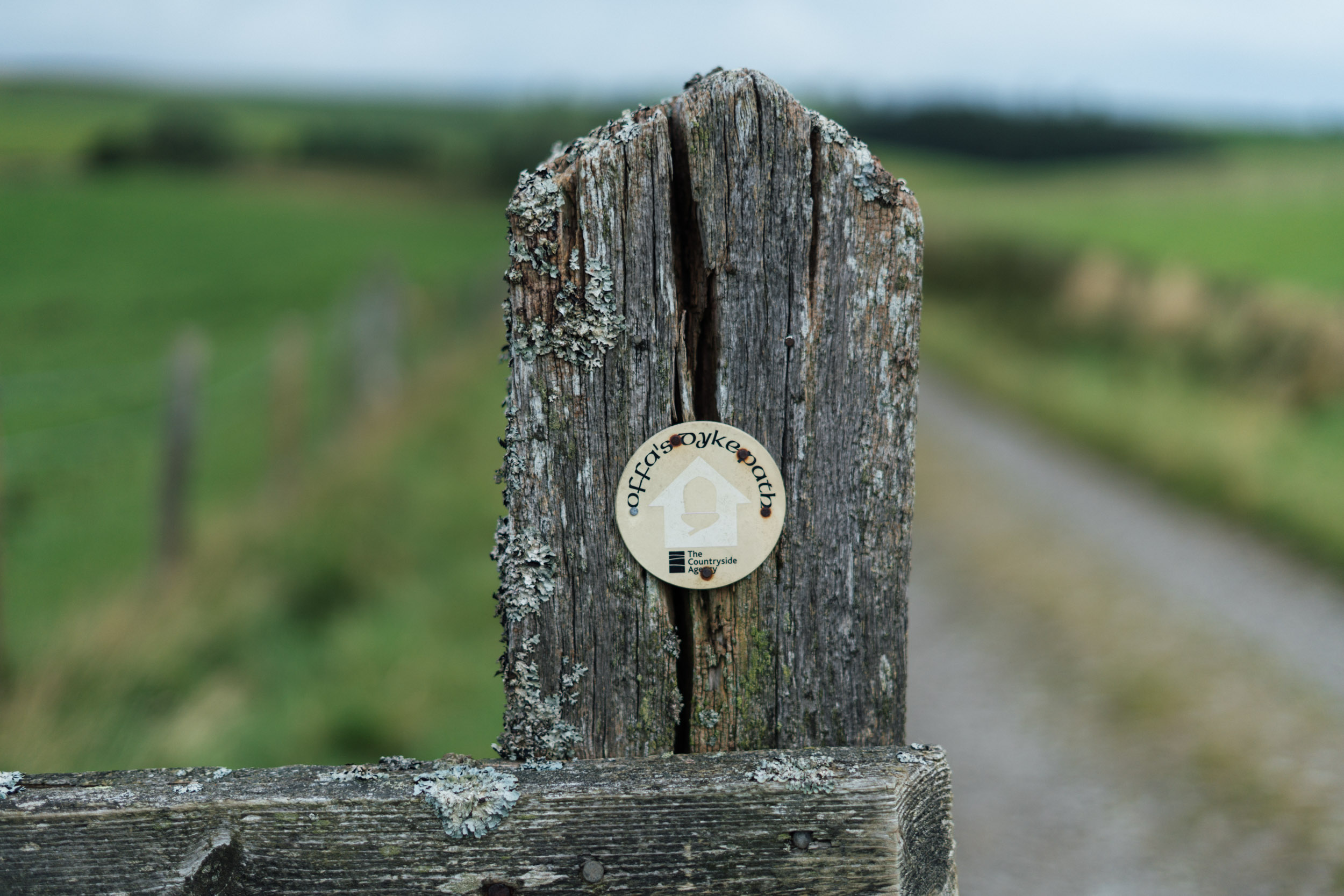
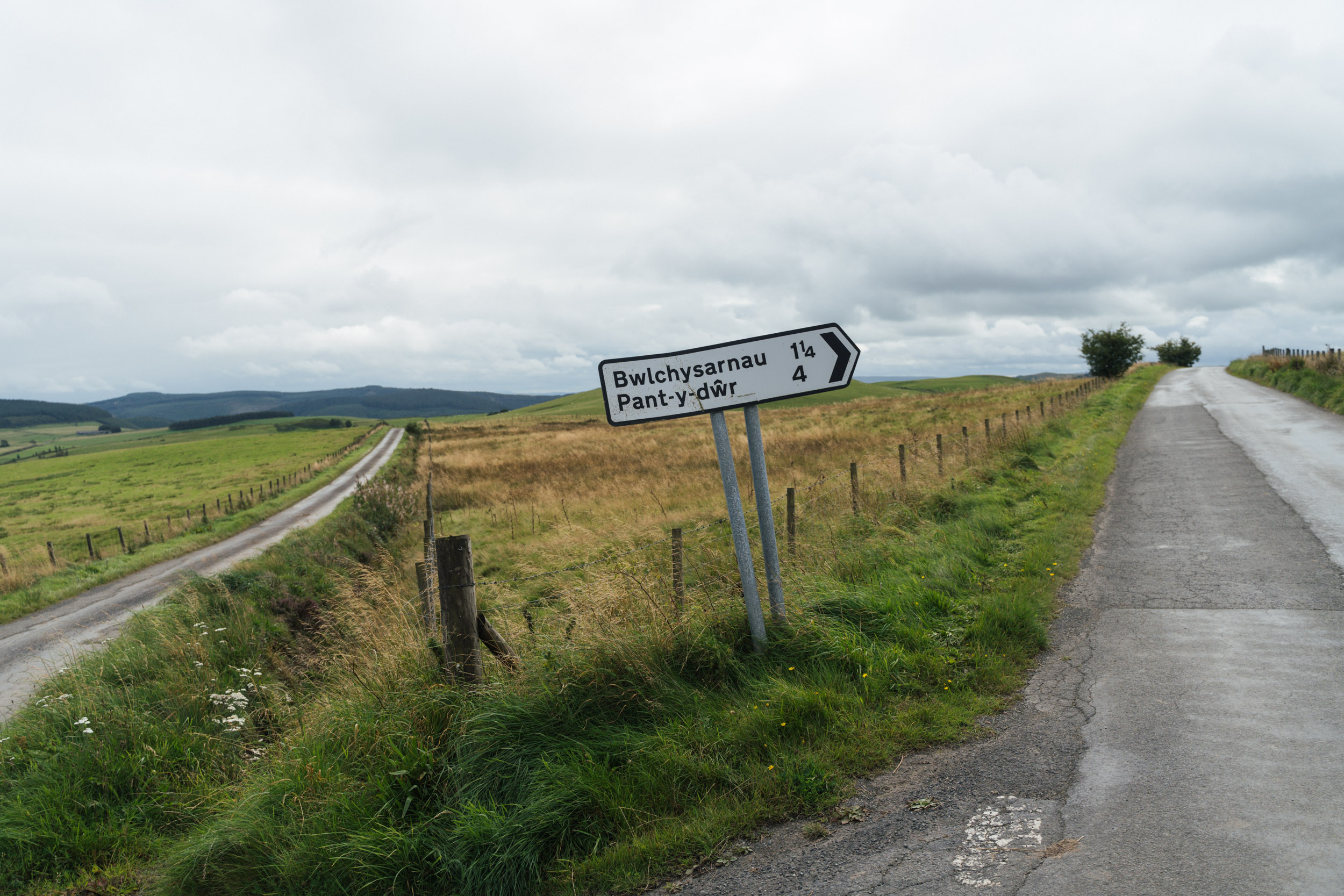
Unlike its sibling to the west – the longer Bear Bones Bash – the Bear Bones Border Bash strikes east towards the English border to Offa’s Dyke – the earthwork created by King Offa in the eighth century, dividing the Kingdom of Mercia from rival kingdoms in what is now Wales. It even crosses briefly into England for all of 11 miles. Although it misses out on the Elan Valley’s impressive dams and reservoirs in doing so, it makes up for it with its off-the-beaten-track vibes. We didn’t bump into any other mountain bikers at all and enjoyed having the countryside to ourselves.
As a race, the BB200 is notoriously hard, especially as it’s held in mid-October, when the days are shorter and navigation into the night is to be expected. But spread over three more leisurely days, the ride becomes a an easier affair, at least in good weather and with an appropriate setup. We’ve also modified this route from the original to take in extra resupply points and trim it down just a little. You can find the full, original route, which runs all the way to Knighton, here.
Route Development
This route is based on the 2016 edition of the Bear Bones 200, as devised by Stuart Wright, with a few tweaks to allow for added resupplies, and a bonus Gywdyr Way heathland crossing for more off road riding. It’s also a bit shorter, as it doesn’t continue all the way in and out of Knighton. Speedsters should sign up to attend the actual event, which is held in the second week of October. Visit the main site to access a forum and details of other social rides, including one held in mid-winter and the popular Welsh Ride Thing gathering.
Room for improvement? Let us know if there are any local businesses – particularly food or bike-related – that would be good to include.
Submit Route Alert
As the leading creator and publisher of bikepacking routes, BIKEPACKING.com endeavors to maintain, improve, and advocate for our growing network of bikepacking routes all over the world. As such, our editorial team, route creators, and Route Stewards serve as mediators for route improvements and opportunities for connectivity, conservation, and community growth around these routes. To facilitate these efforts, we rely on our Bikepacking Collective and the greater bikepacking community to call attention to critical issues and opportunities that are discovered while riding these routes. If you have a vital issue or opportunity regarding this route that pertains to one of the subjects below, please let us know:
Highlights
Must Know
Camping
Food/H2O
Trail Notes
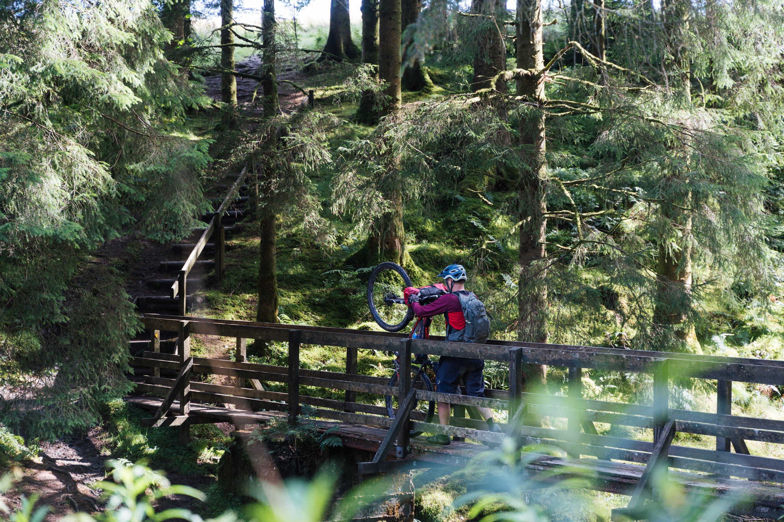
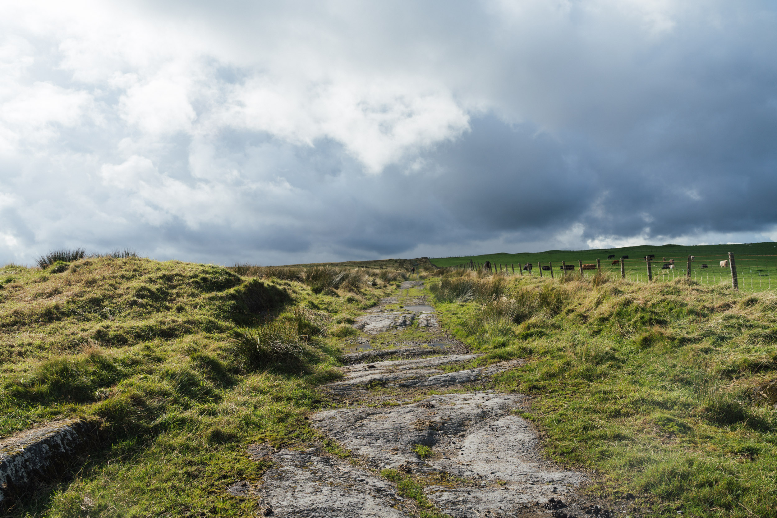
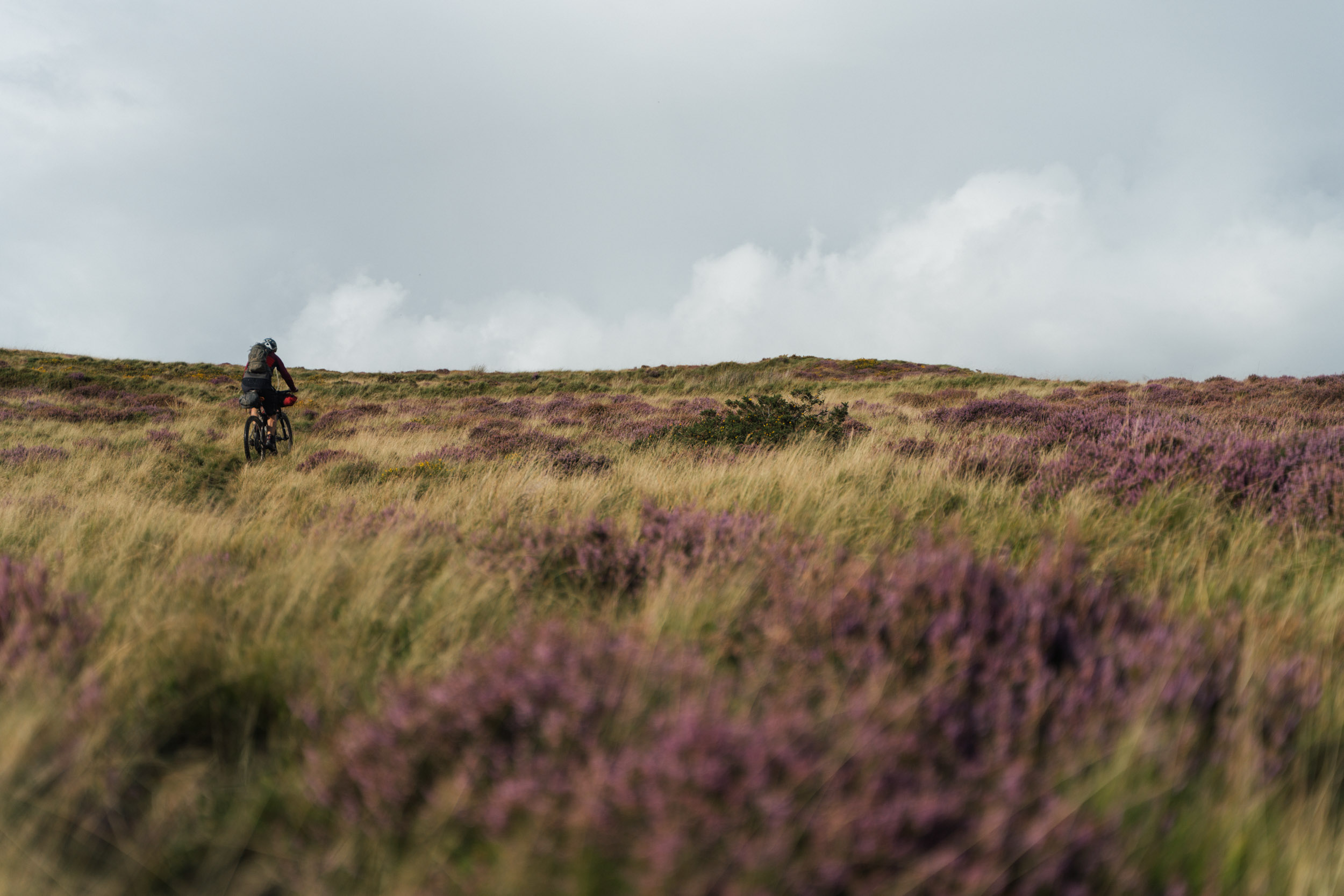
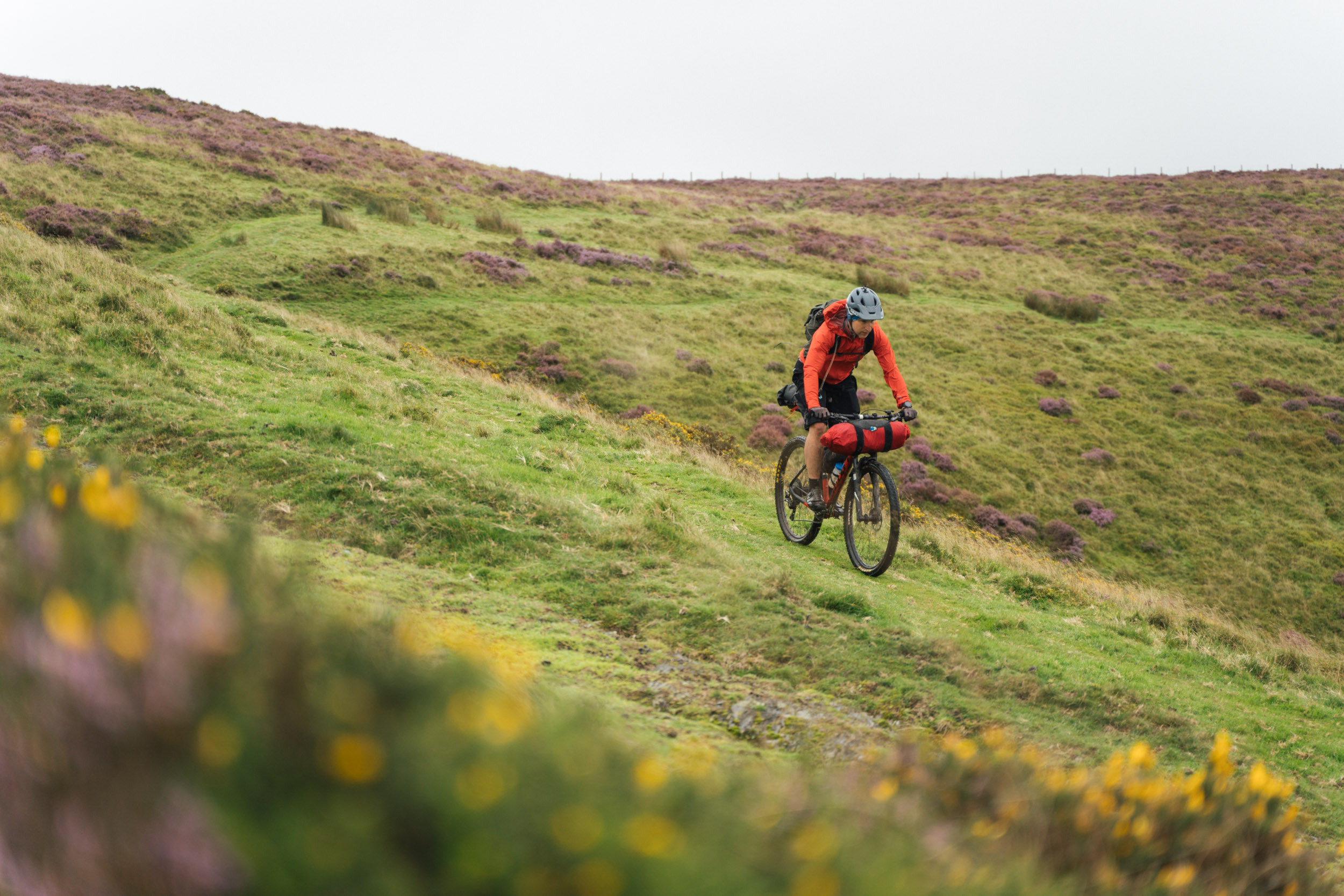
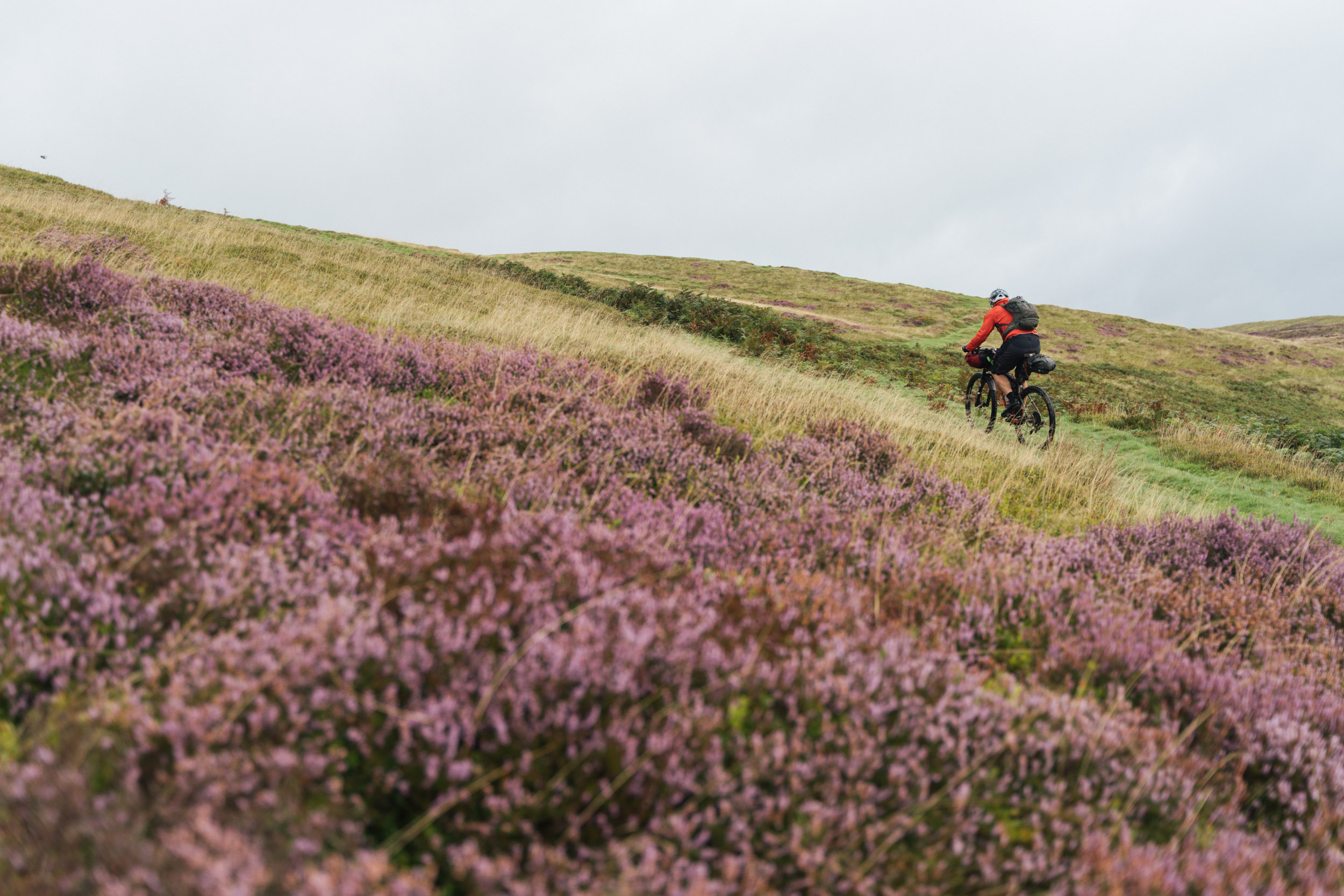
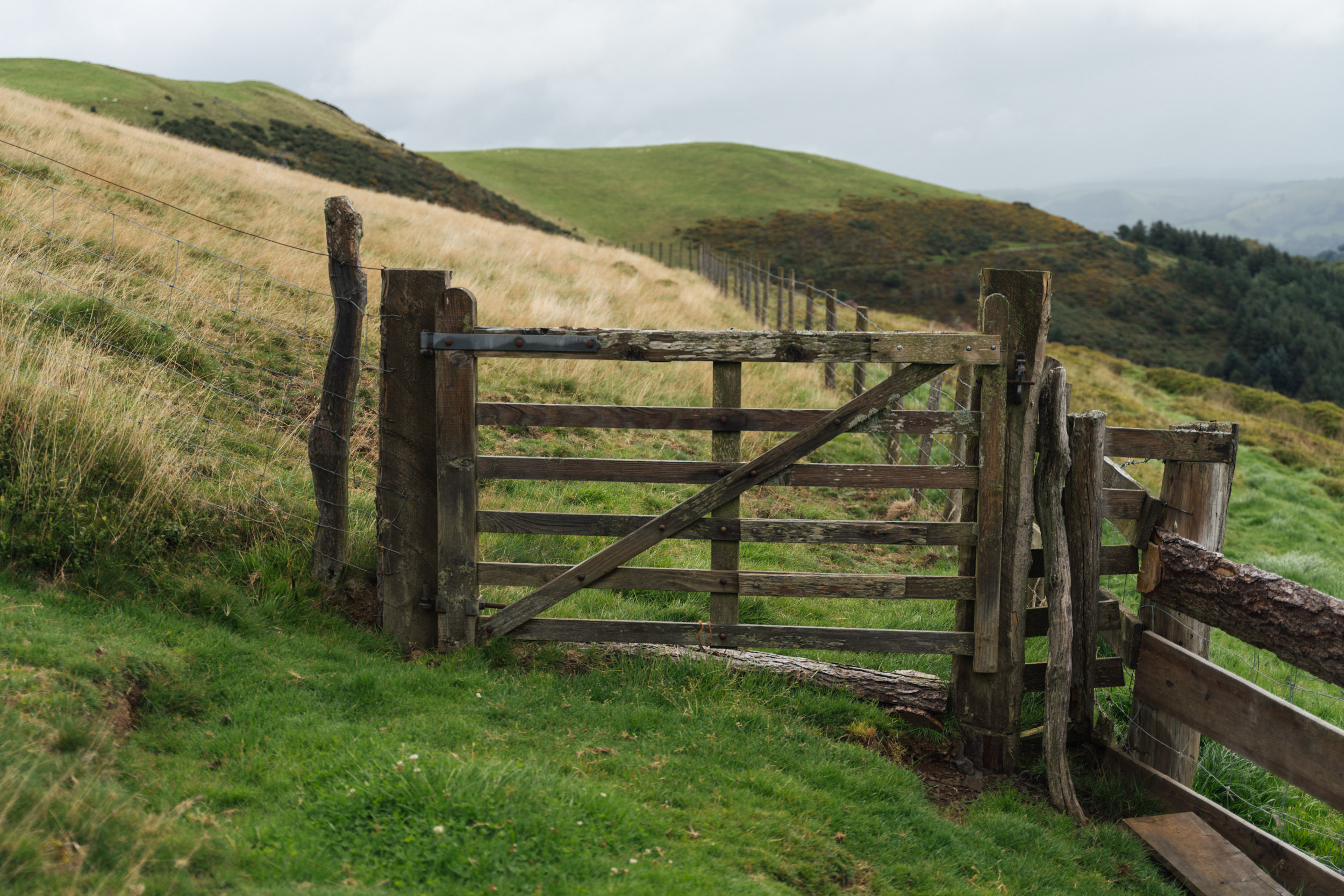
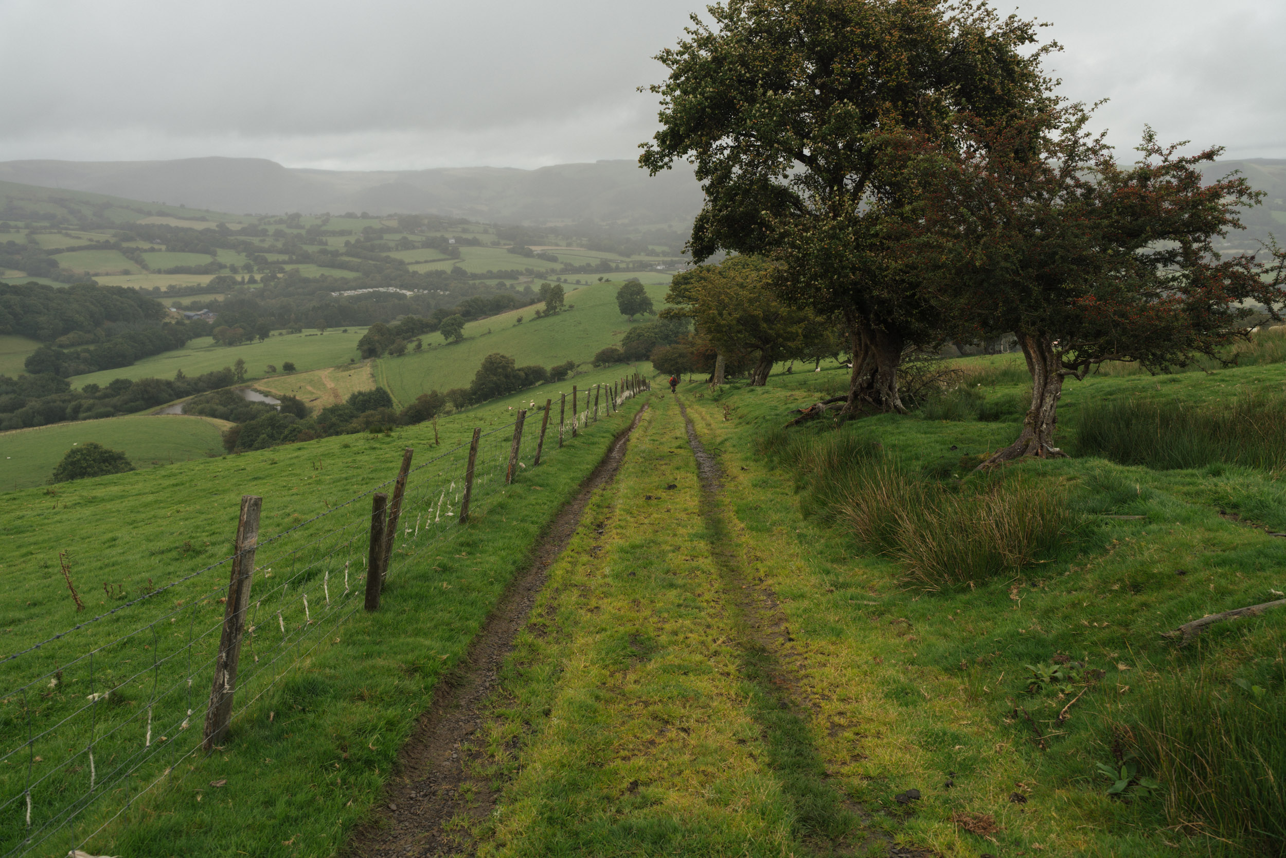
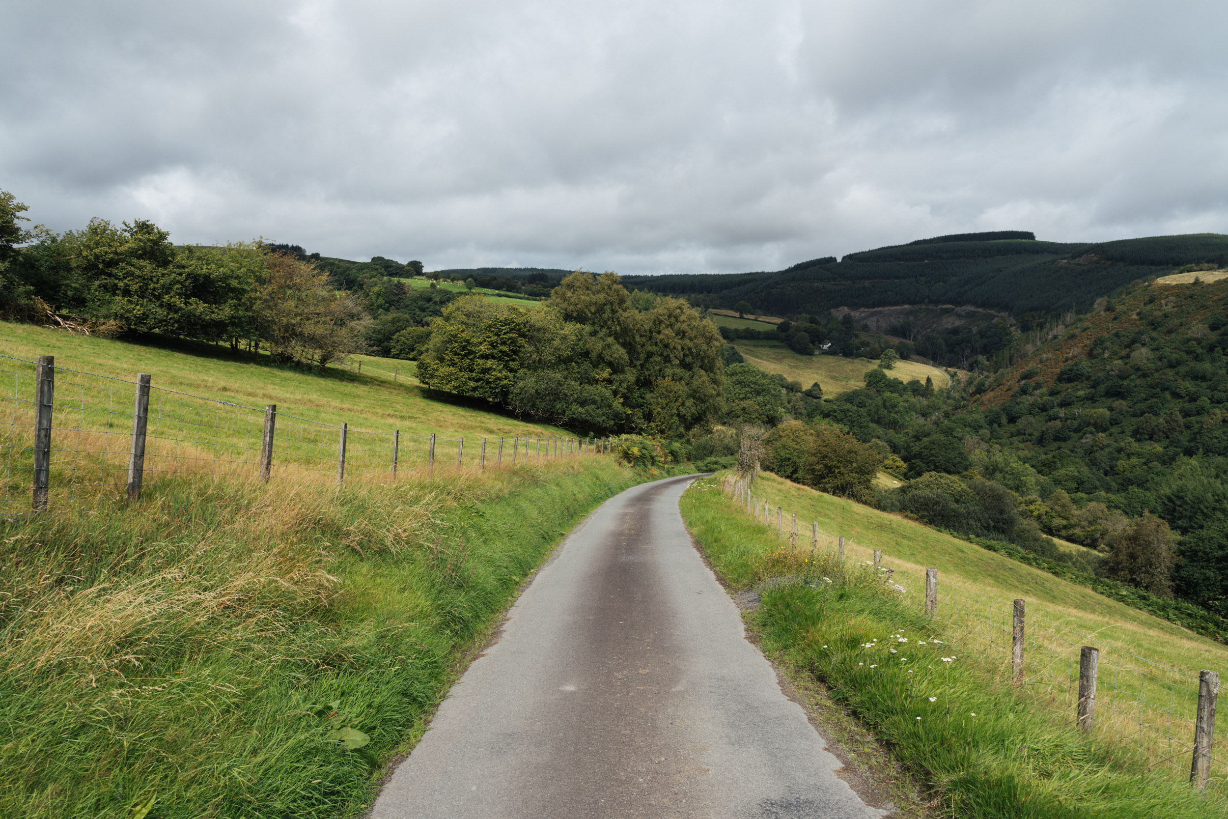
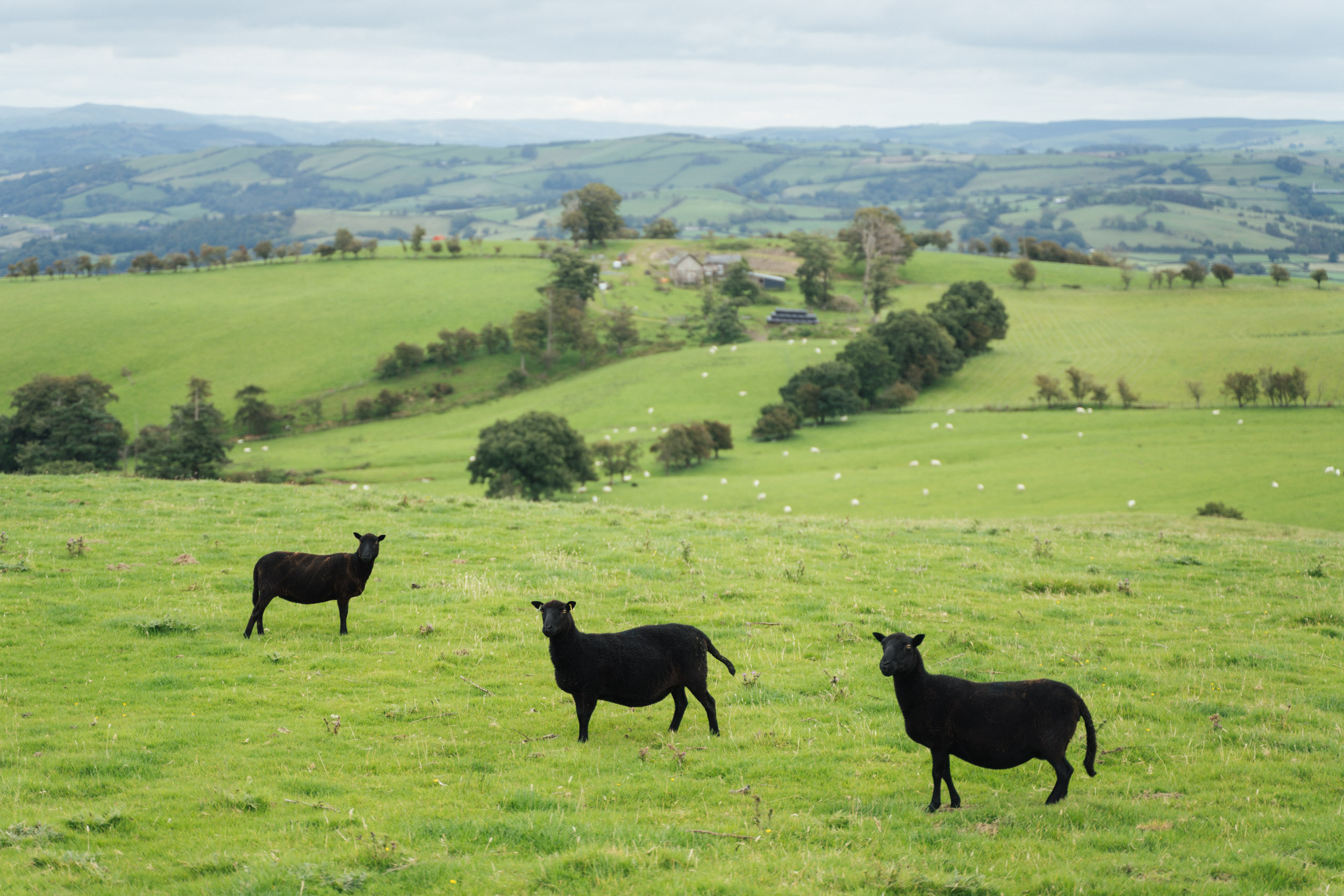
- A classic mix of Mid Wales’ rugged terrain.
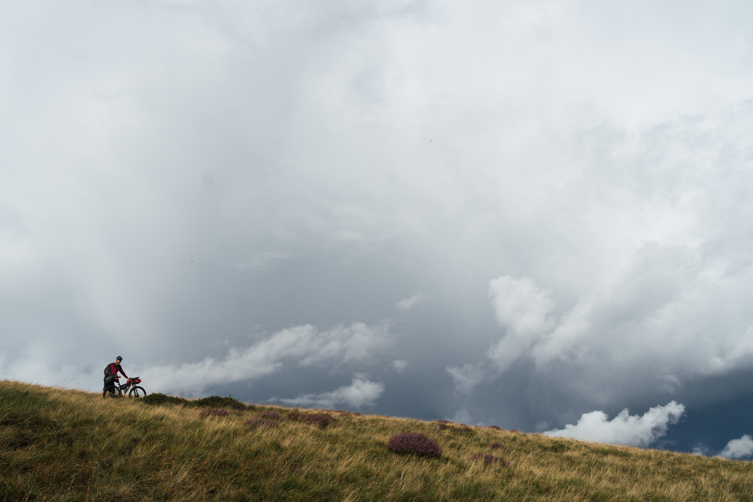
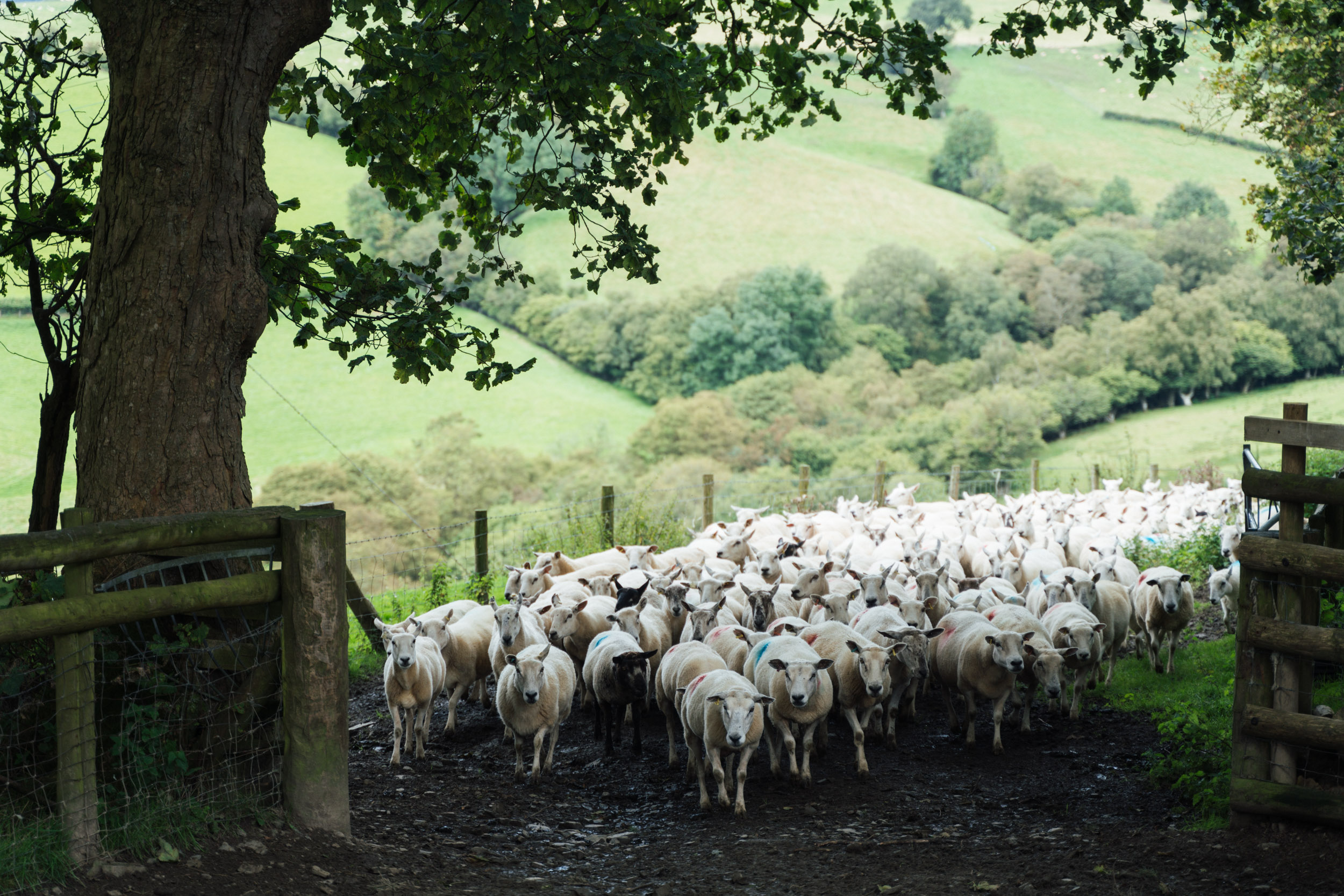
- Quiet and remote in feel – you’ll have much of the riding to yourself.
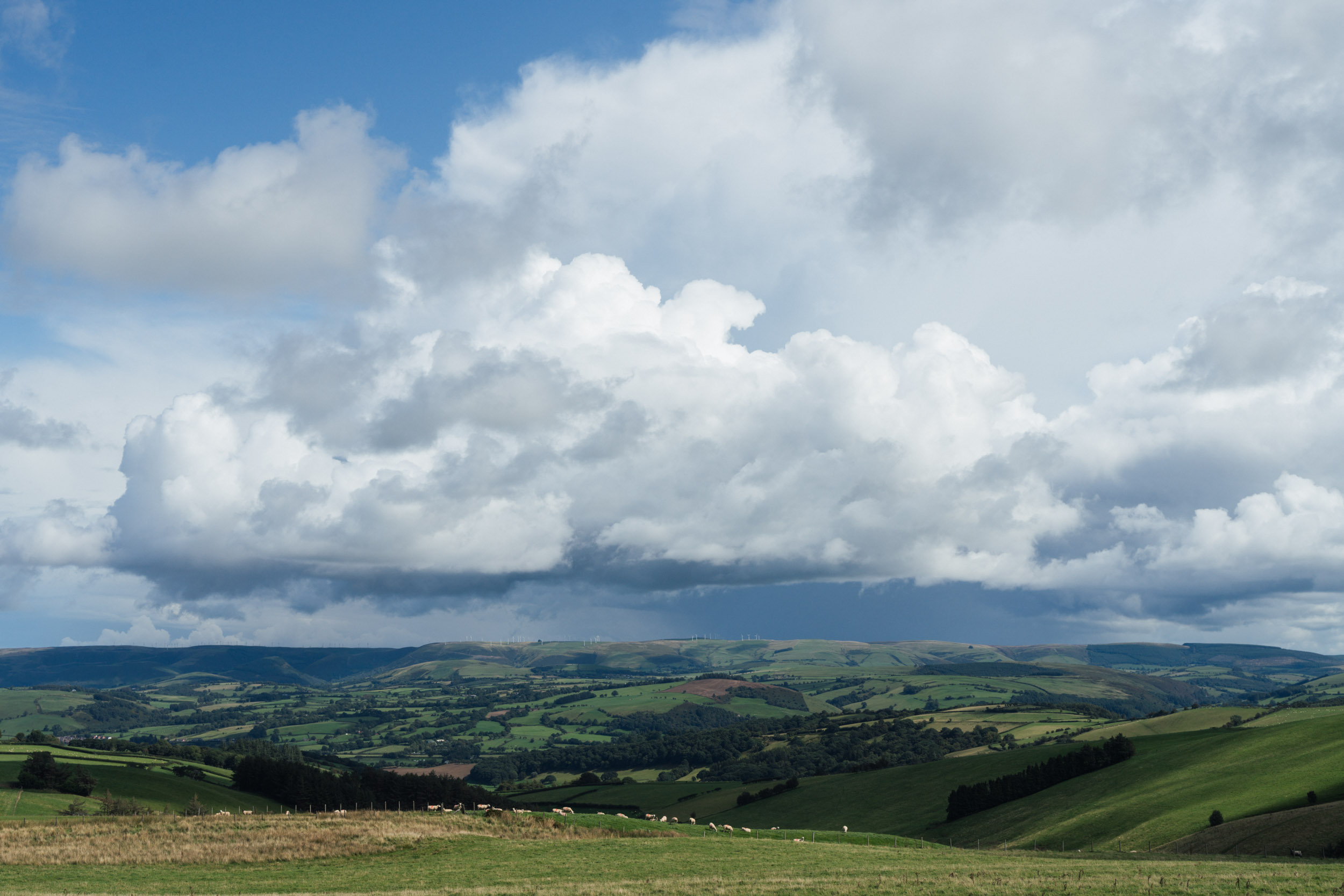
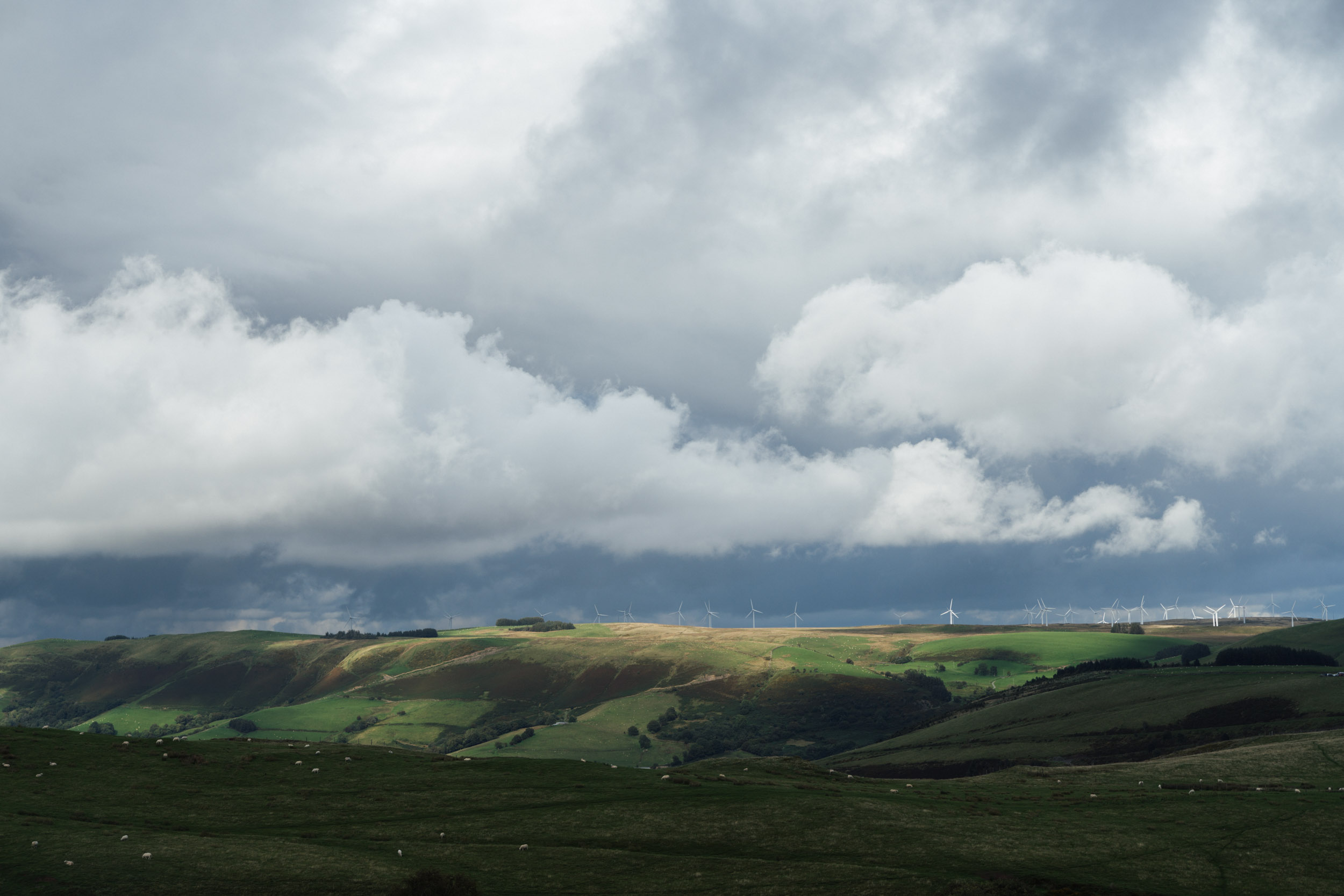
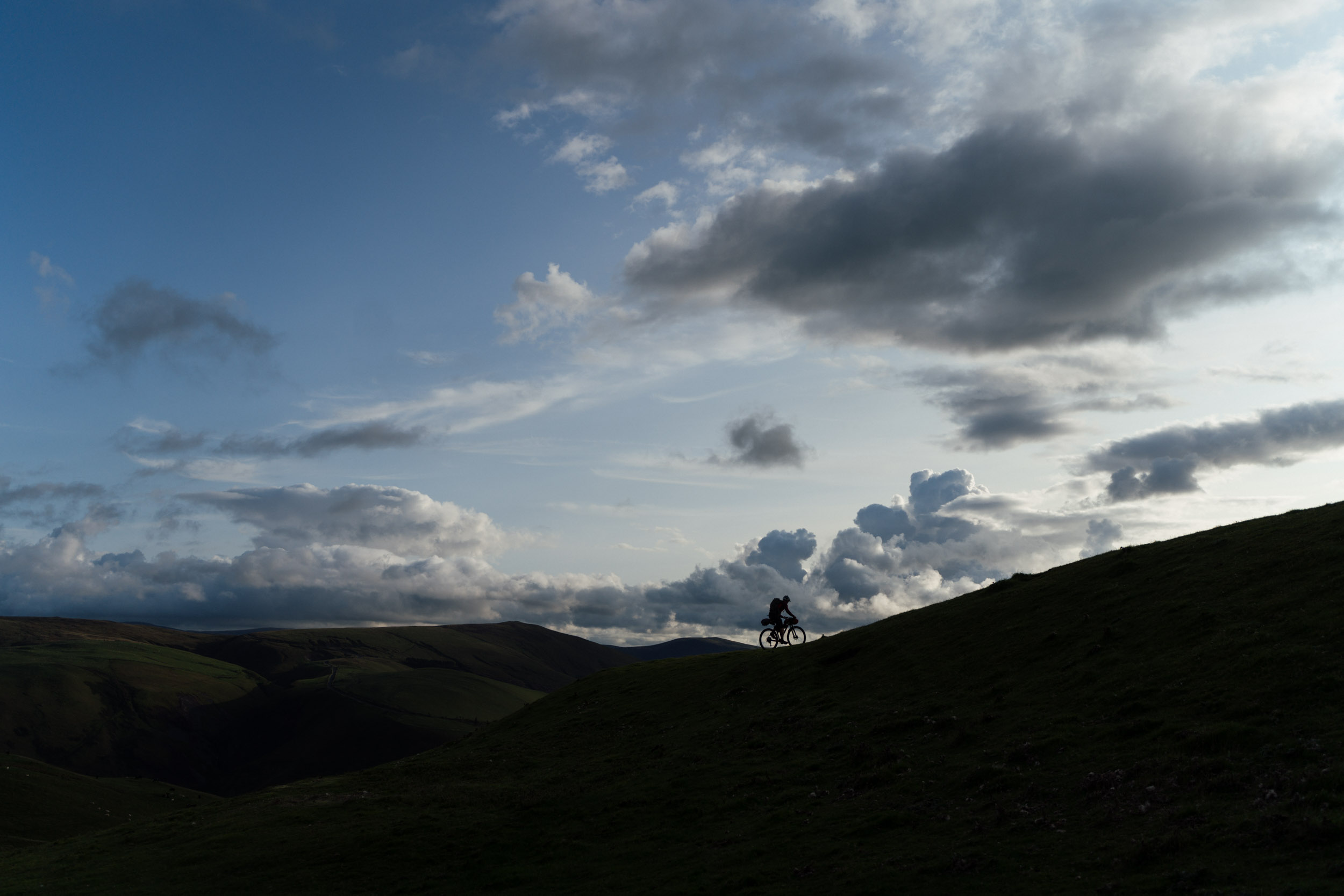
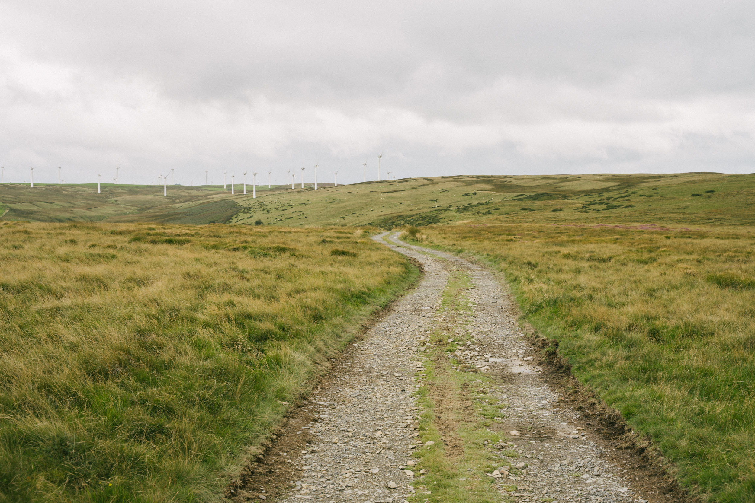
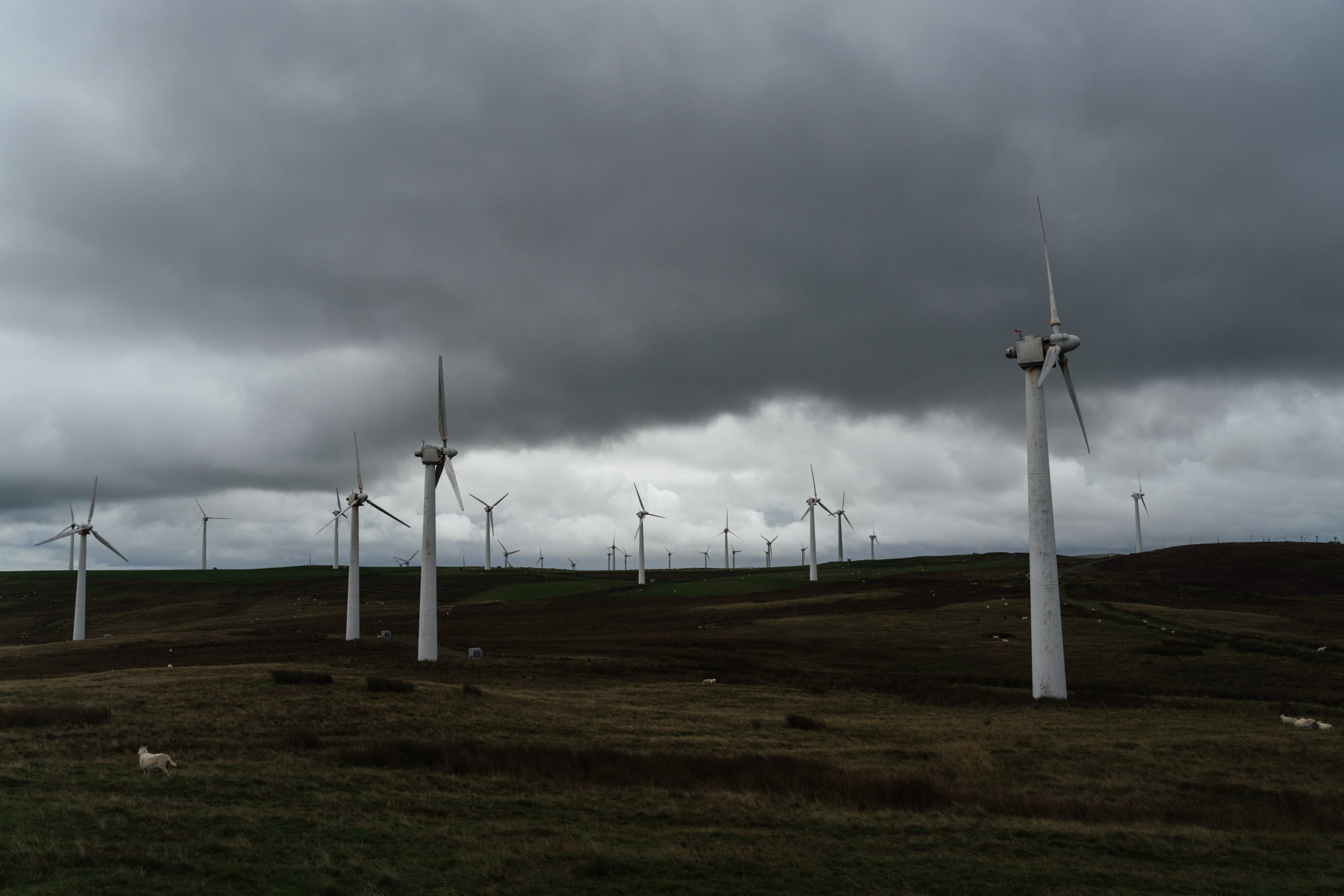
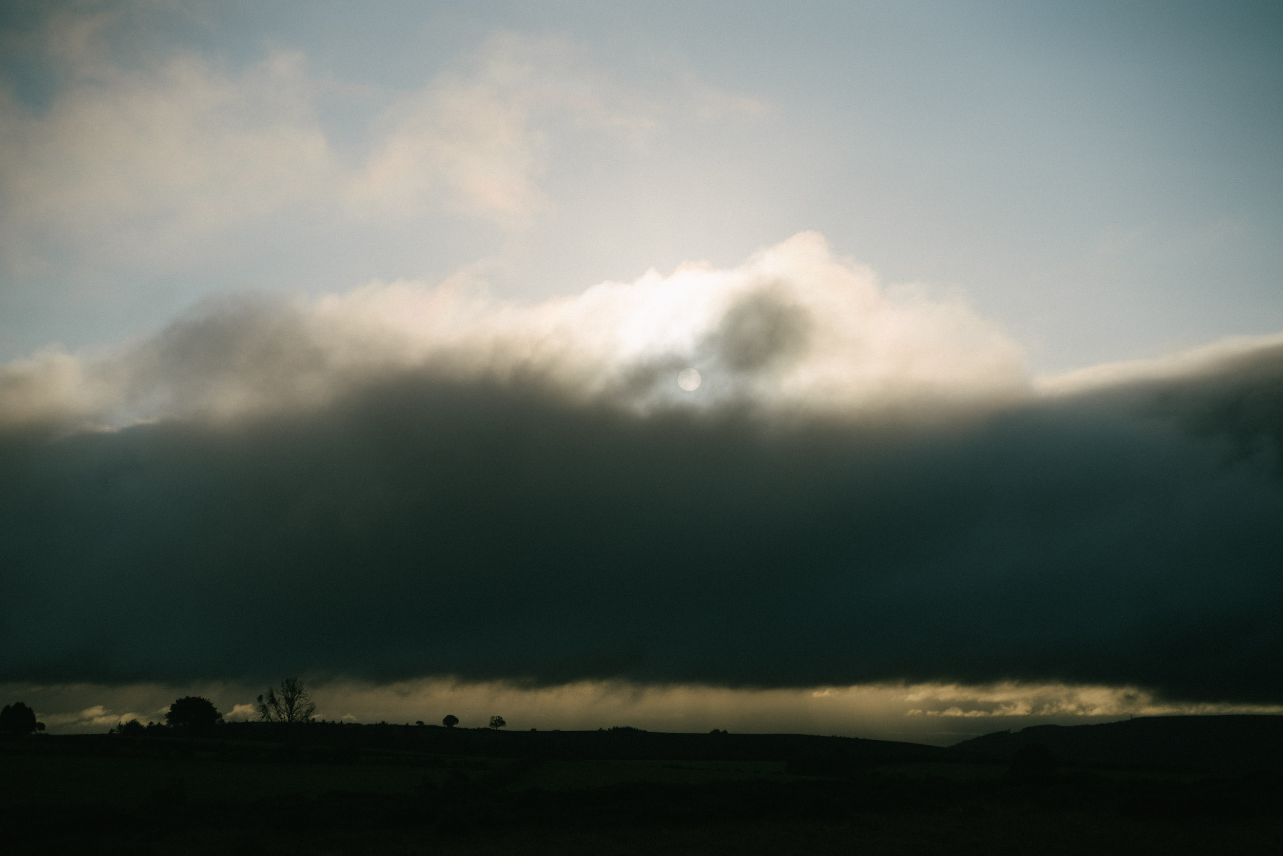
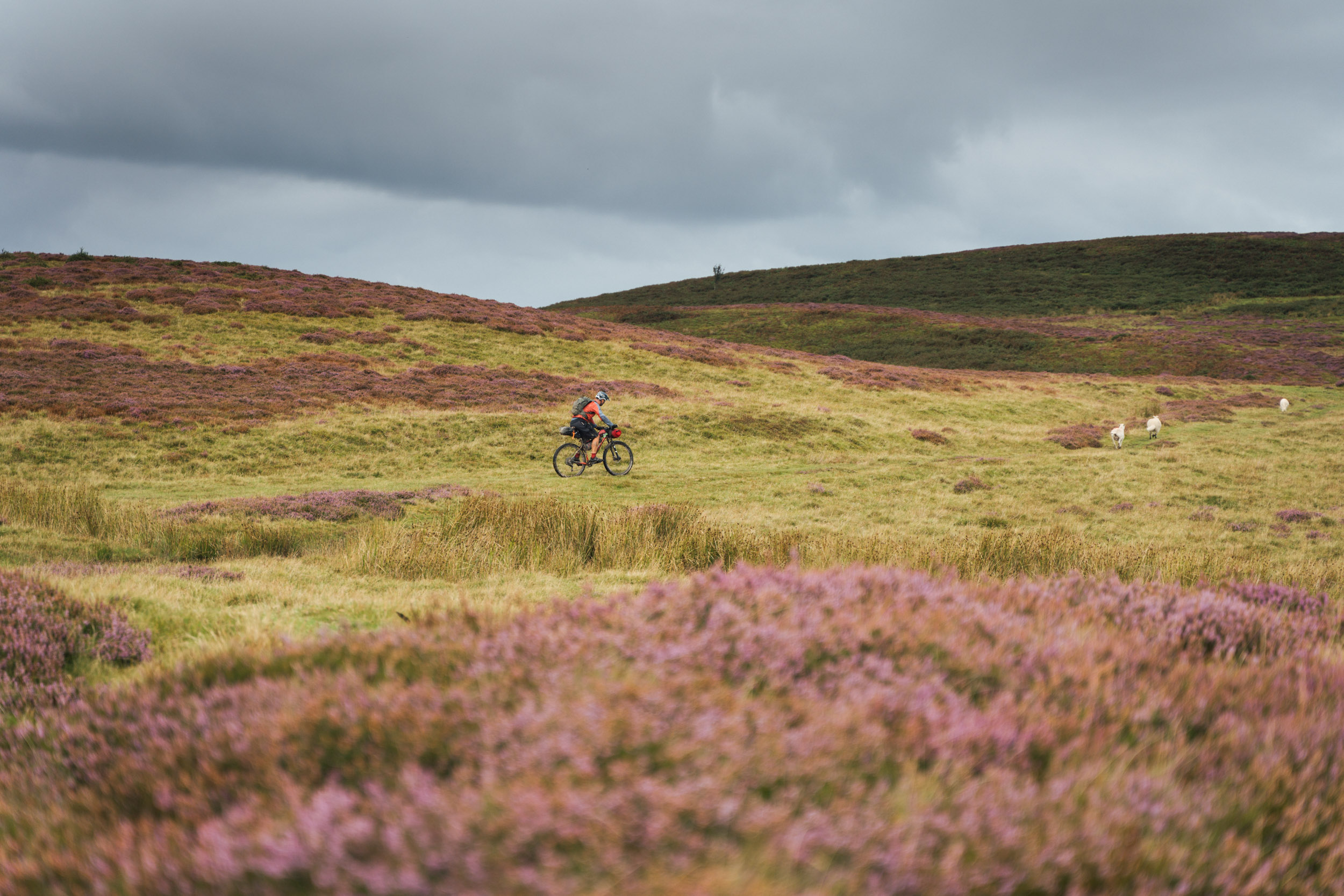
- Sweeping and often blustery views (there’s a reason for all the wind farms).
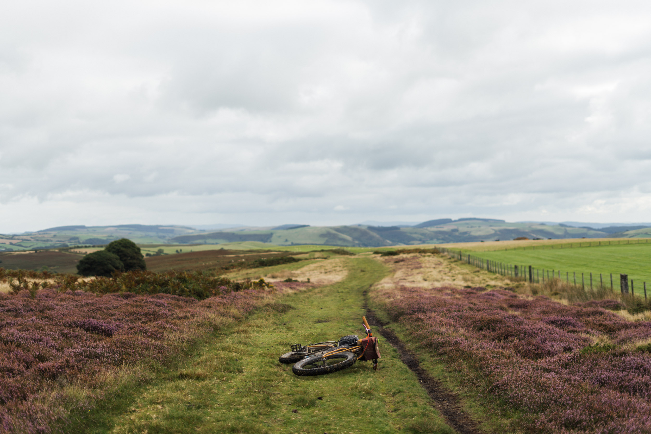
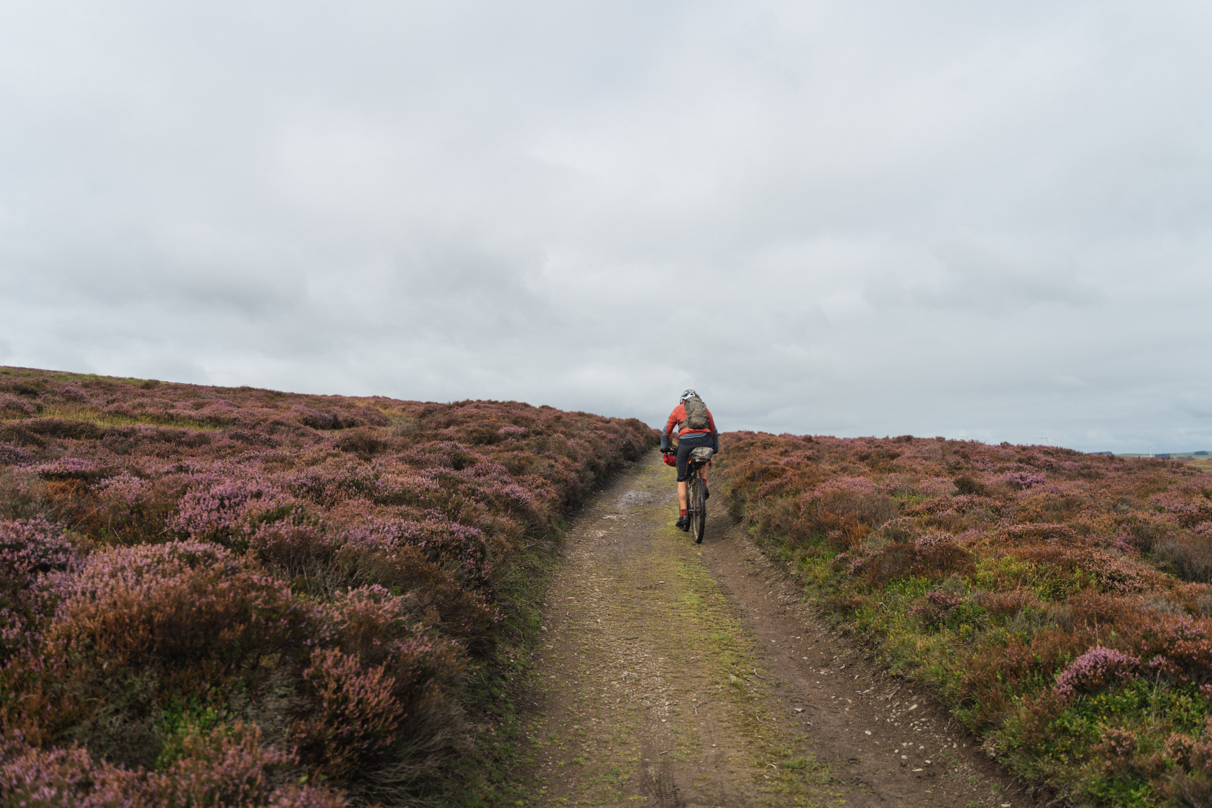
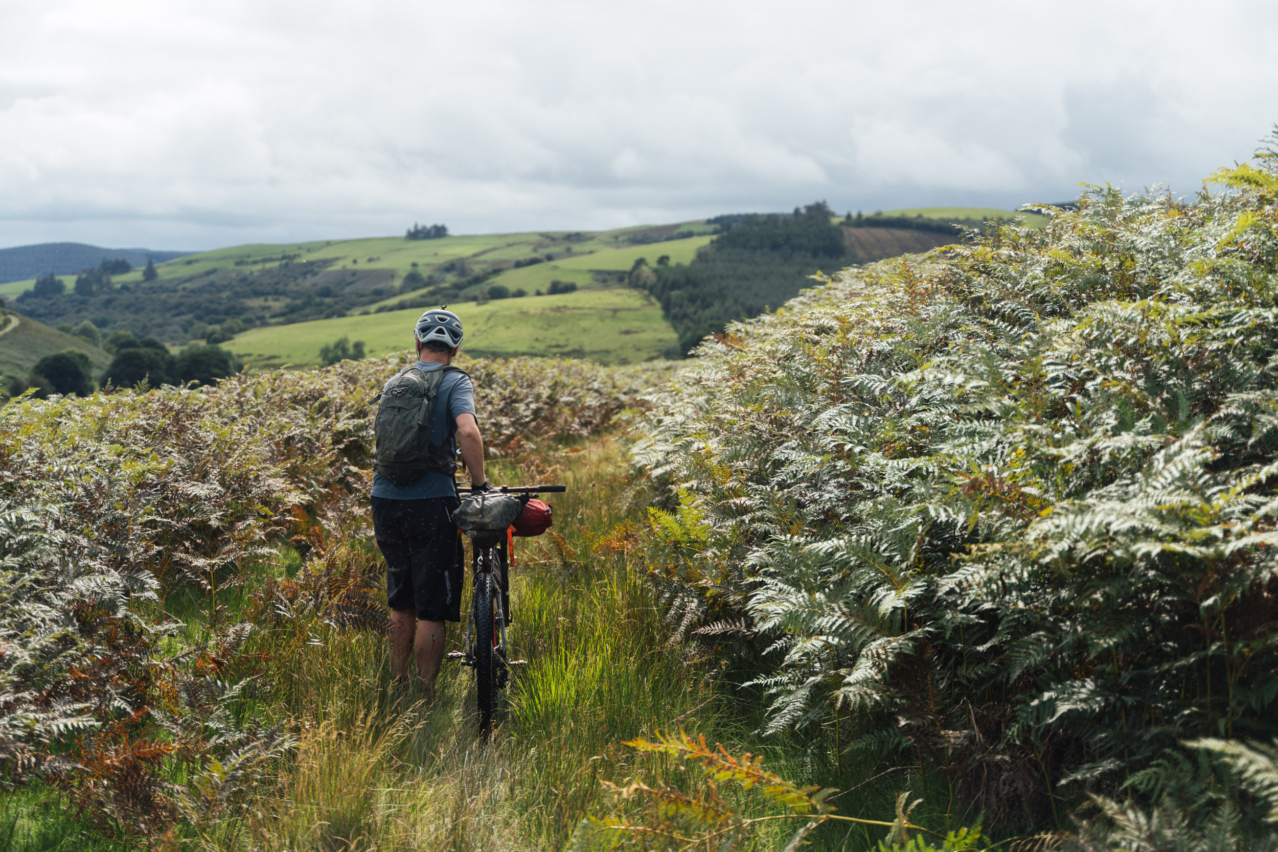
- Beautiful ridgeline traverses through moorland and heathland.
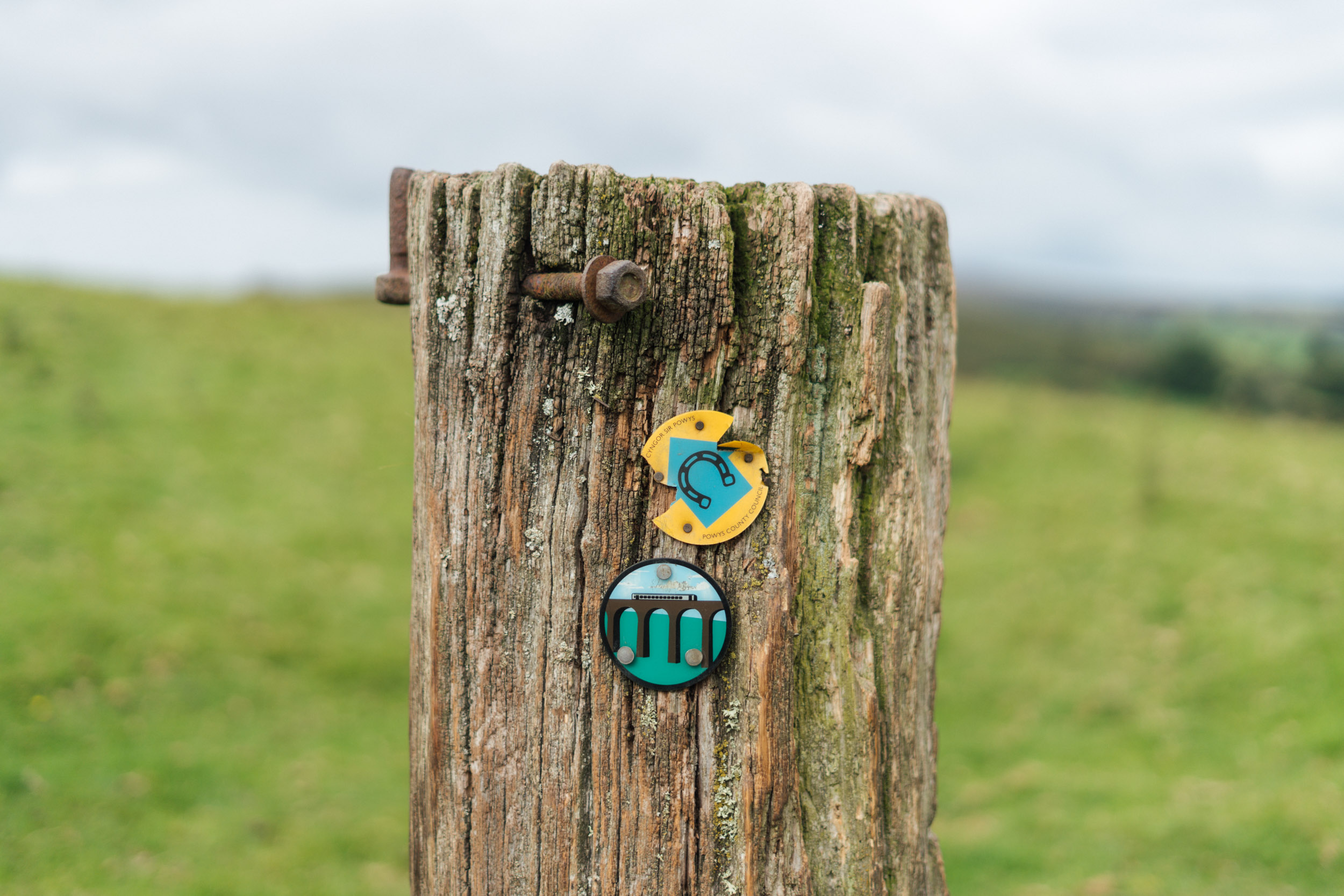
- Following the historic Offa’s Dyke.
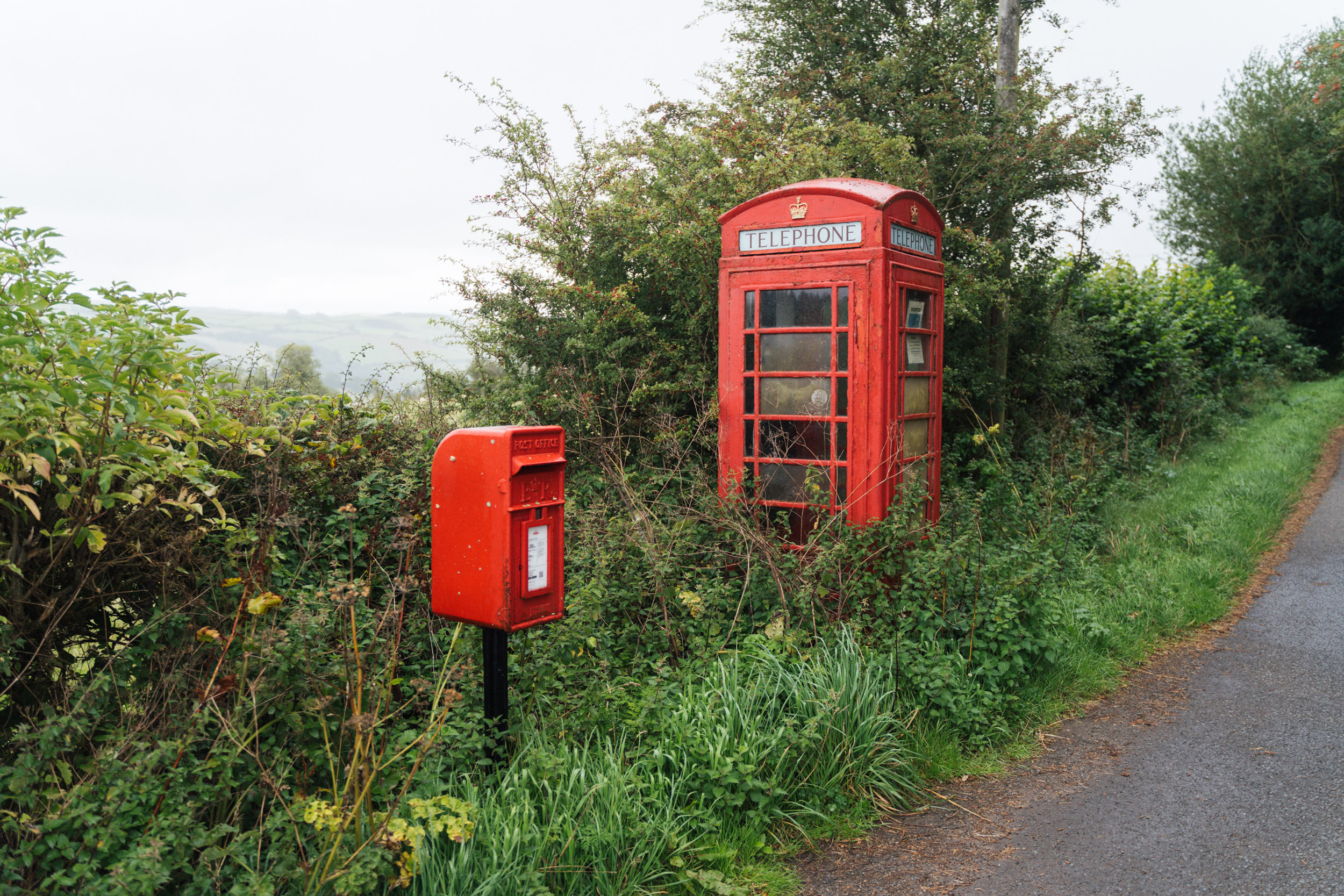
- Market towns with mellow vibes and great bakeries. Try the Welsh cakes!
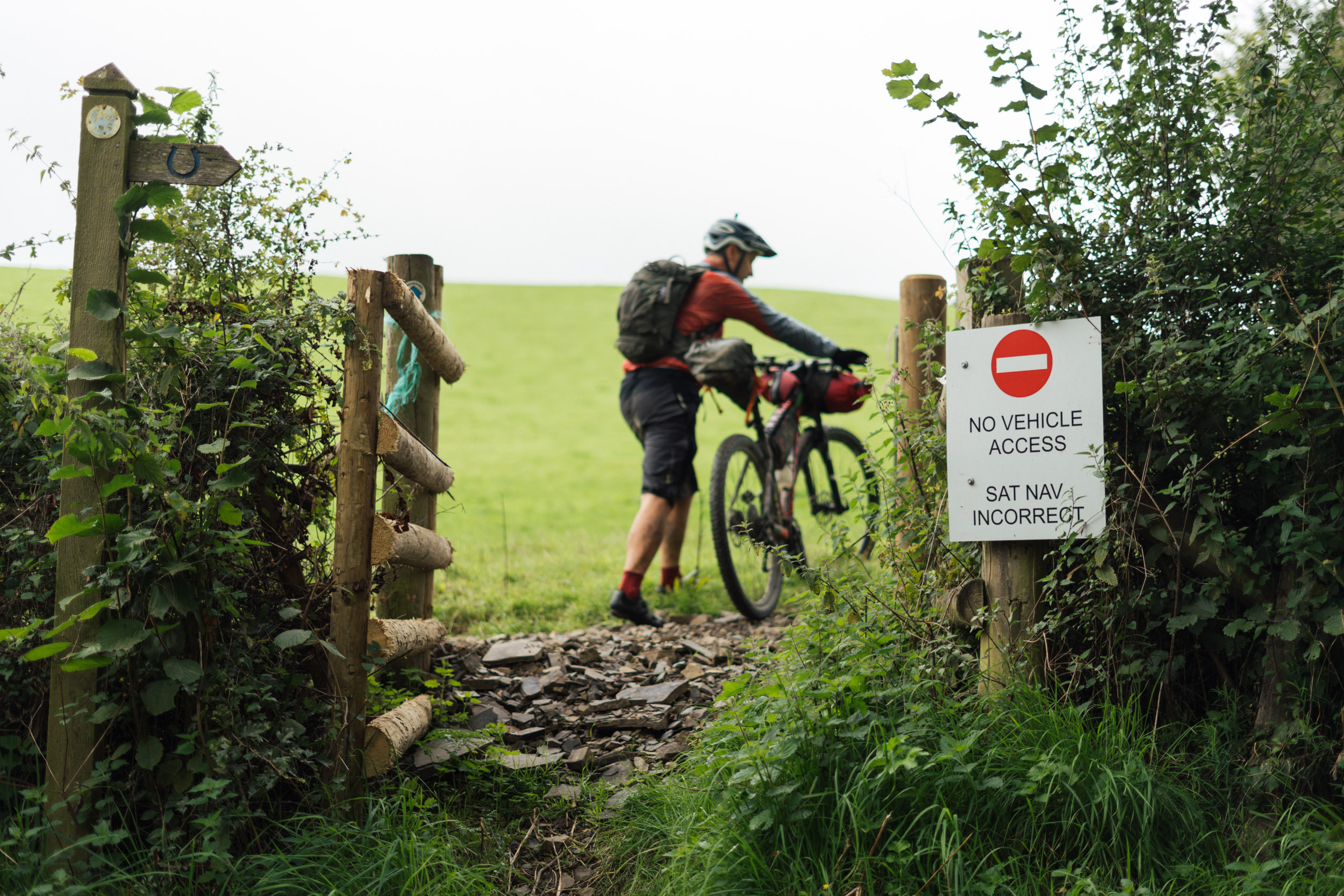
- Best bike: Perhaps it’s best think about best gearing rather than best bike: a low gearing is a must for this route, unless you want to push your bike up many of the climbs. Think wide range 1x or double. A conventional hardtail or rigid plus bike is likely the most rideable option, though gravel bikes with appropriate gearing and shod with wide tyres will be okay, as long as you don’t mind being jostled around in places. If you’re running wide, flat pedals and a low bottom bracket, expect a fight with the tussocks!
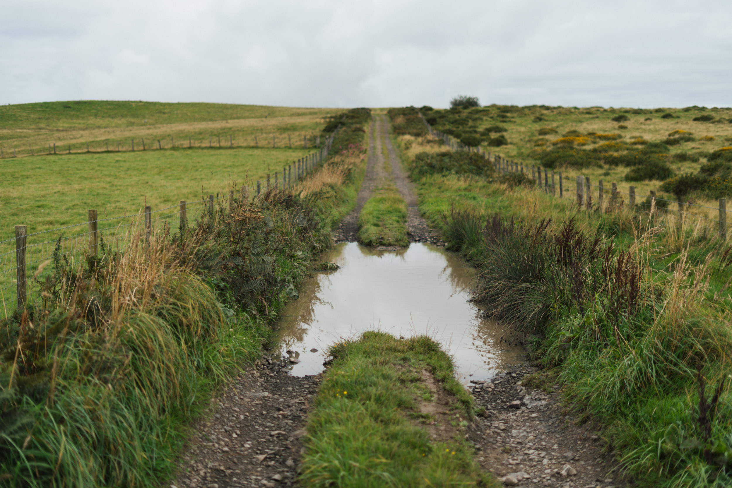
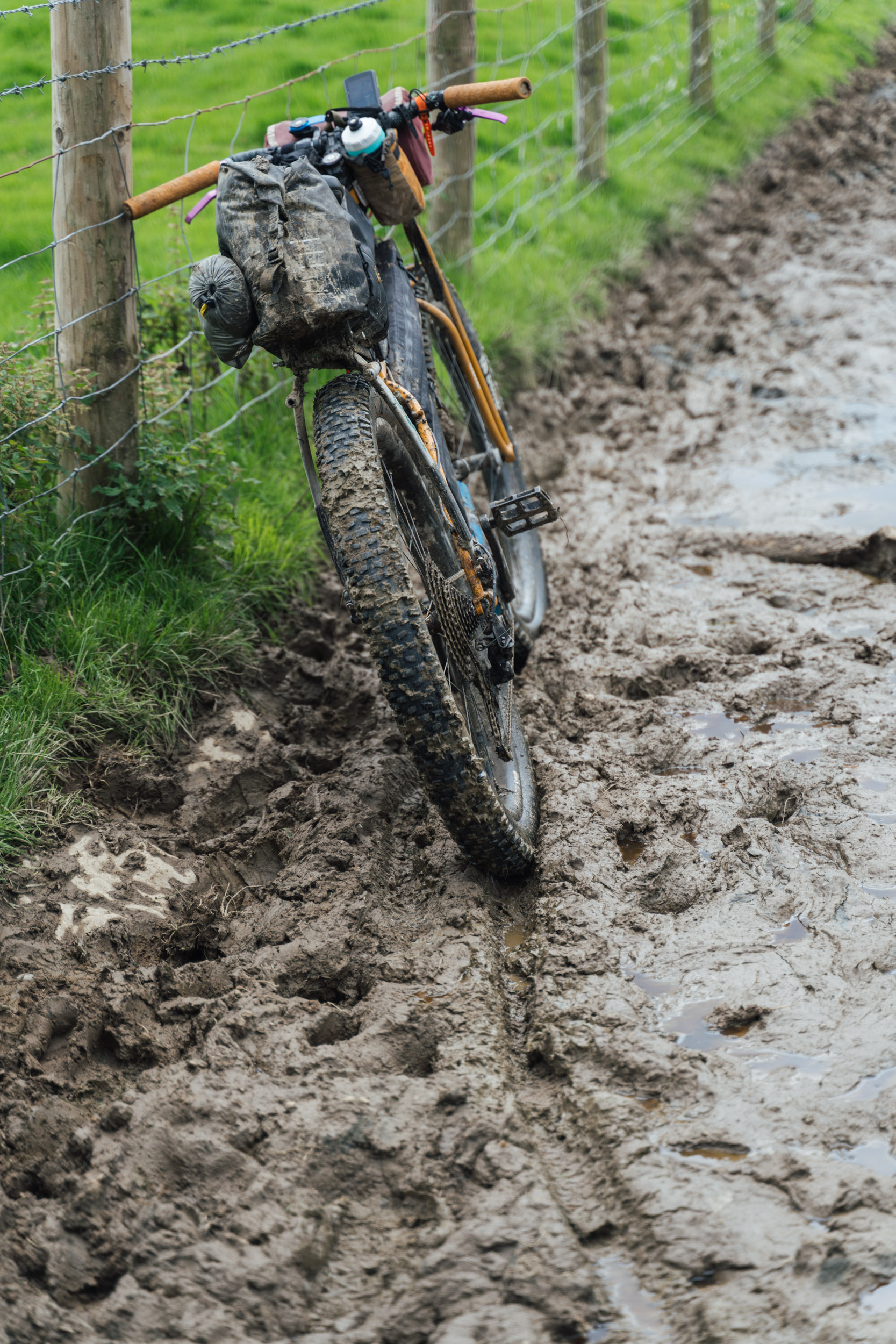
- Best time of year: Long summer days are ideal, though there’s nothing to stop you riding it in the shoulder seasons – after all, the Bear Bones 200 race series traditionally runs in October! That said, expect lots of mud if there’s been recent rain. In fact, expect mud at most times of the year.
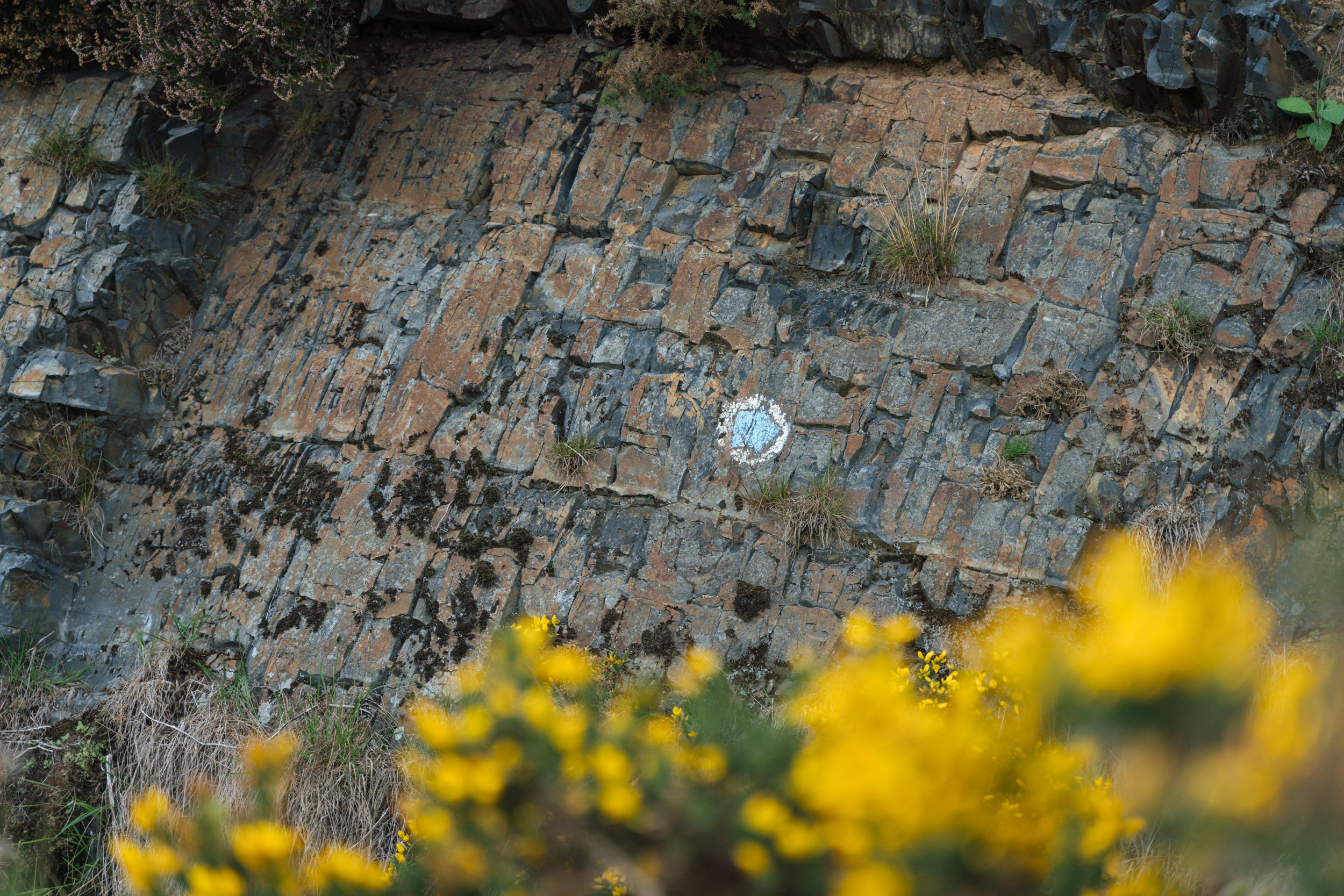
- This GPX track is accurate, though you’ll see there aren’t always trails on the ground to follow. Loading the OS Mapping App can be useful, as it will help you discern which side of a fenceline you should a ride along, and is also useful for more open, tussocky crossings. If you plan to bikepack regularly in the UK, it’s a must-have app, and only £29 for the year.
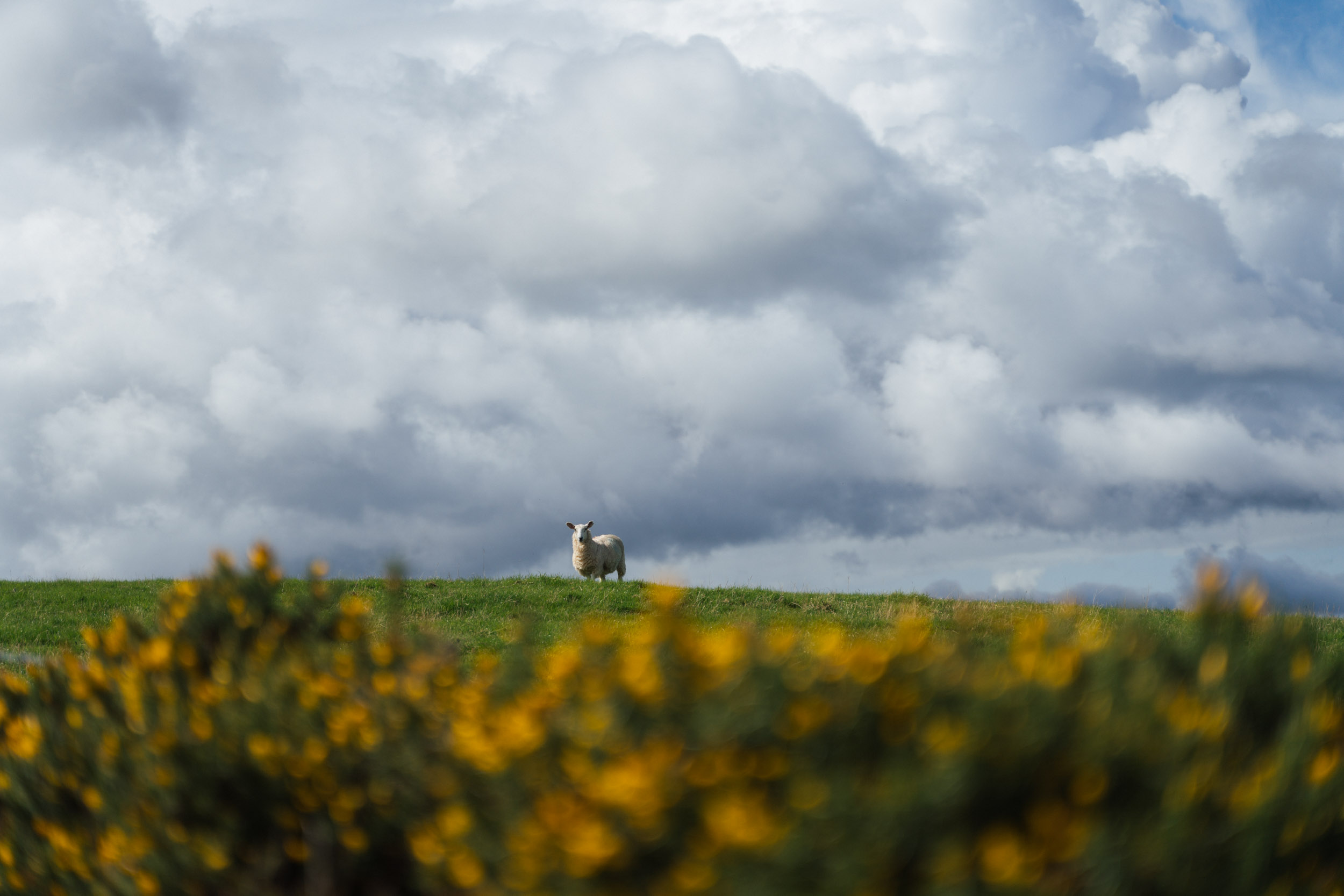
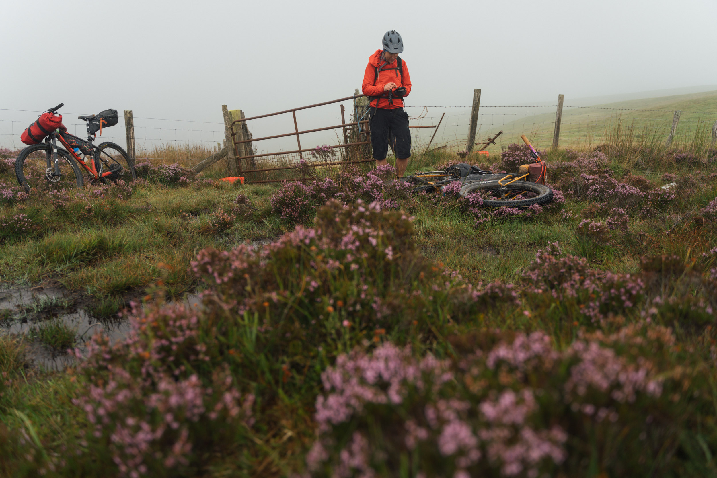
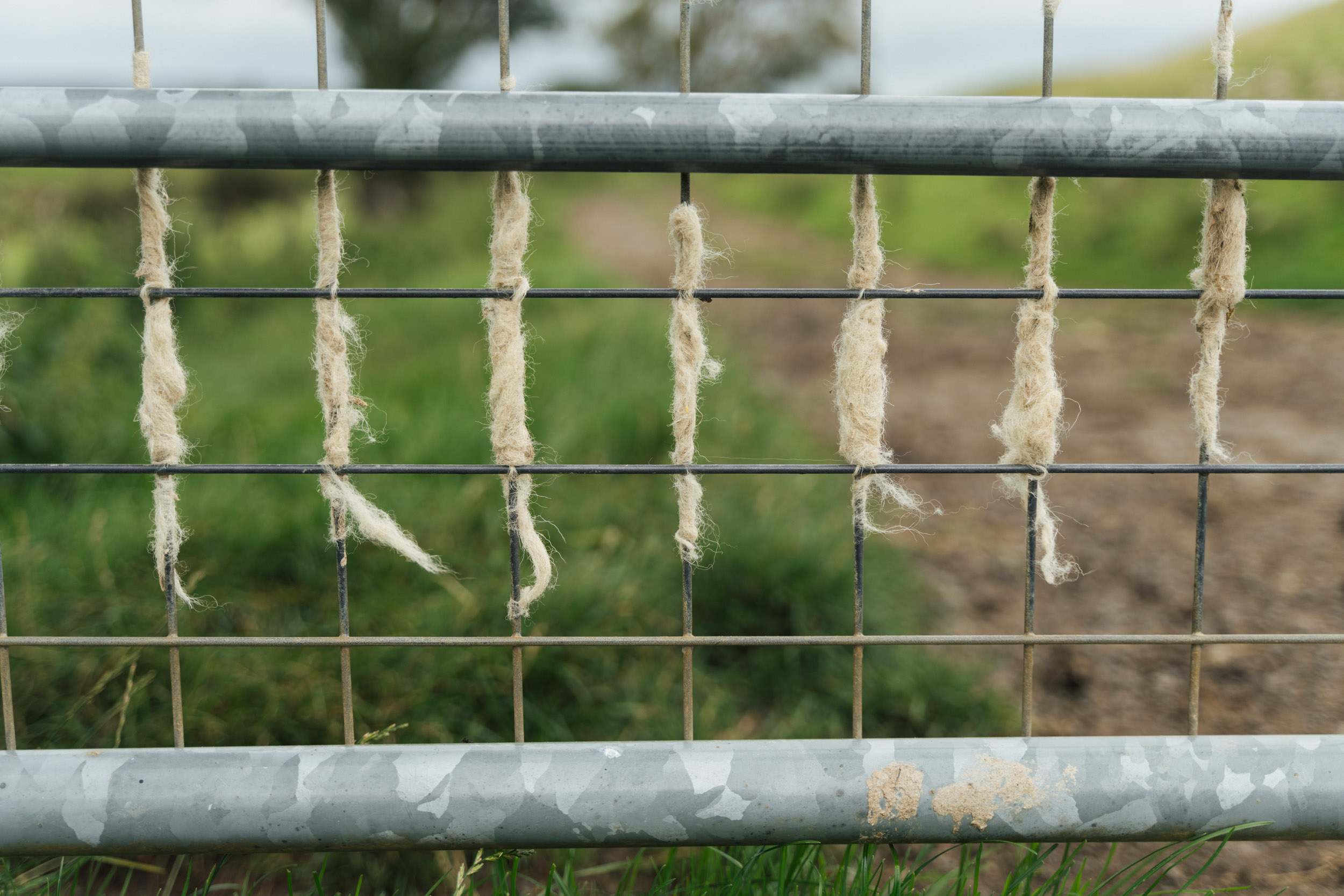
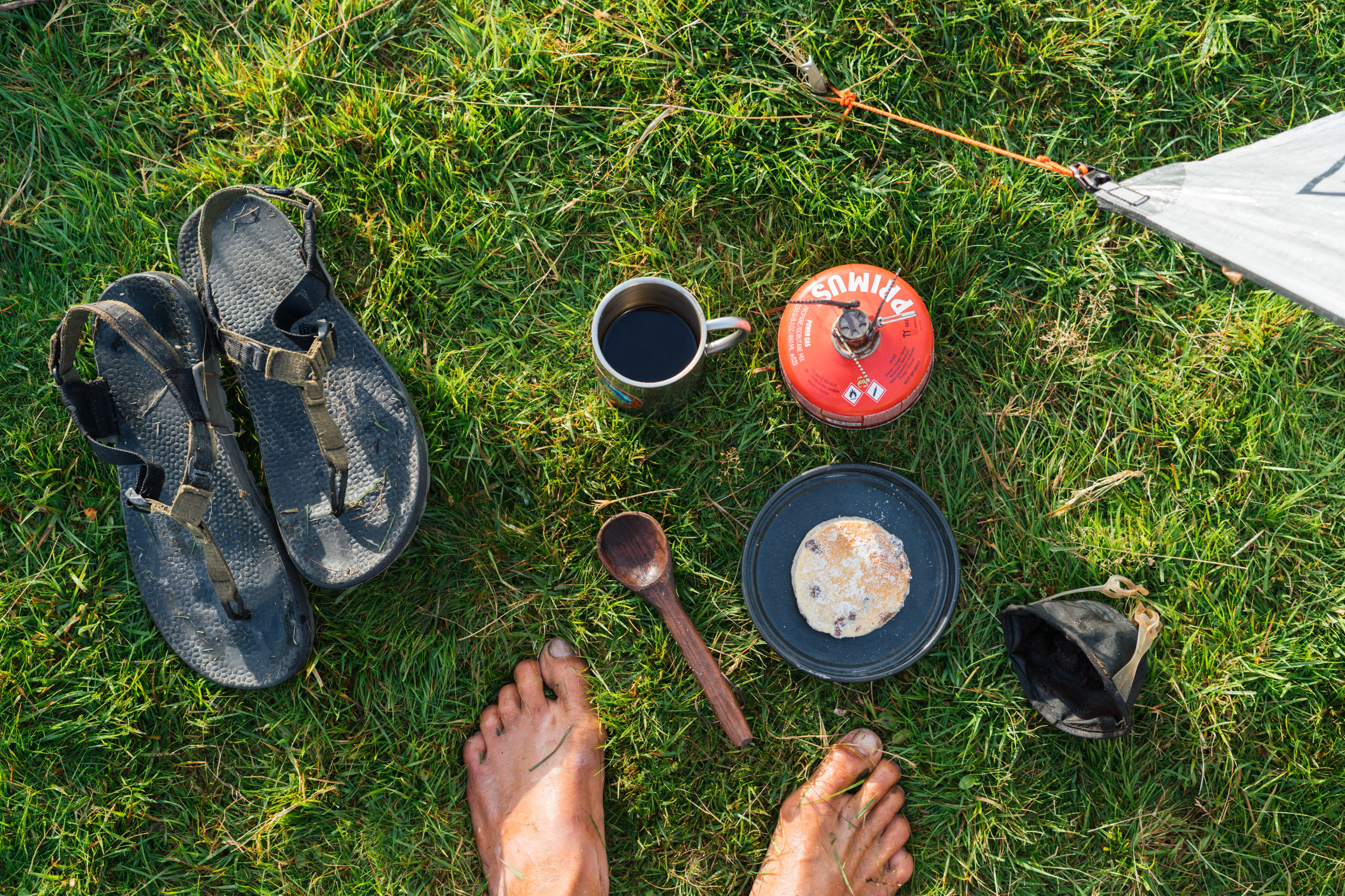
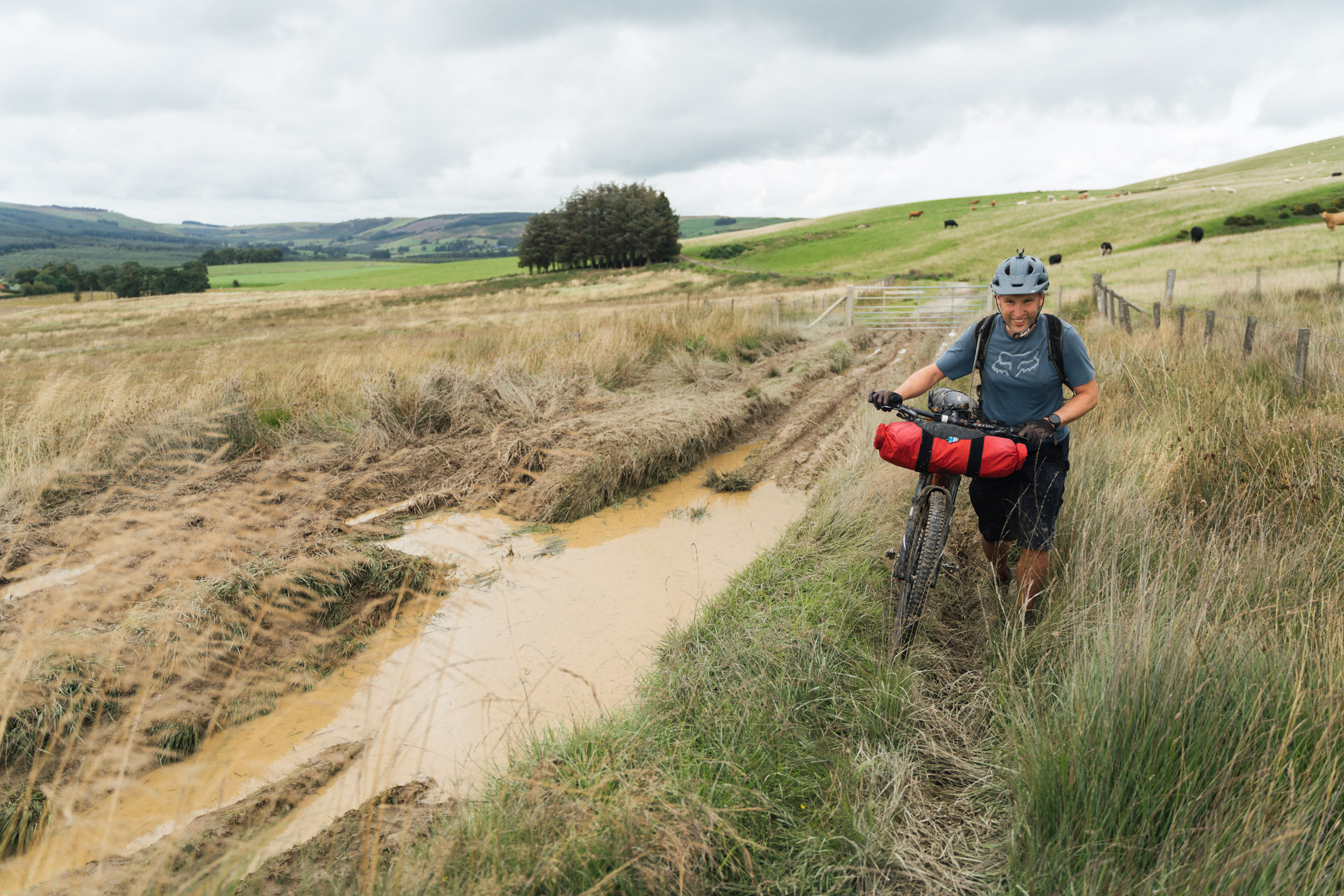
- Waterproofs: It’s worth noting that there are a number of bog trots and stream crossings, so you may want to pack your waterproof socks. I rode in sandals, which was great… but for all the sheep shit!
- Be prepared for a little pushing through gorse. Decent gloves are recommended..
- We drove from Bristol – it’s about 2 hours and parking shouldn’t be too much of a problem (see map for a spot)..
- Public transport: You can also begin this loop in Caersws, which has a train station (routing via Birmingham), and is a good spot to load up the trip ahead.
- Bike shop: Although it’s slightly off route, there’s a good bike shop in Rhayader called Clive Powell MTB.
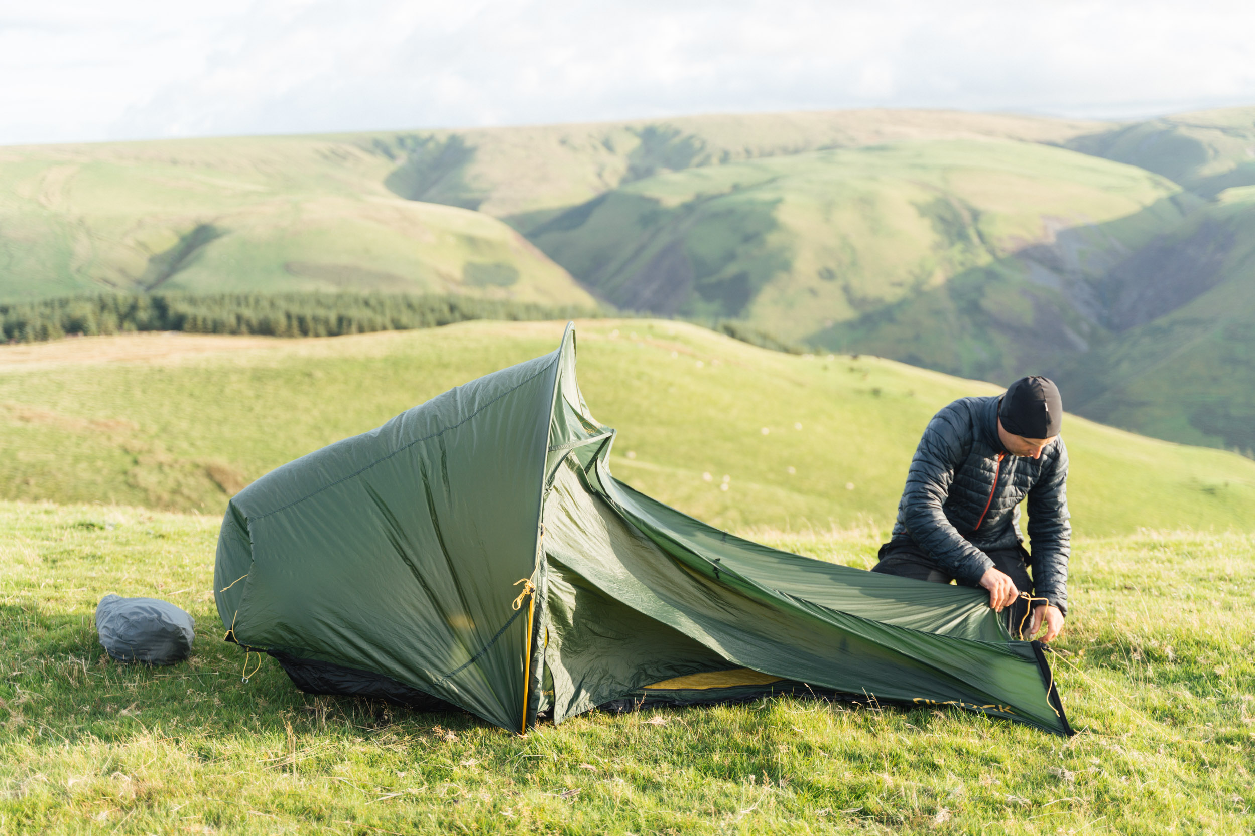
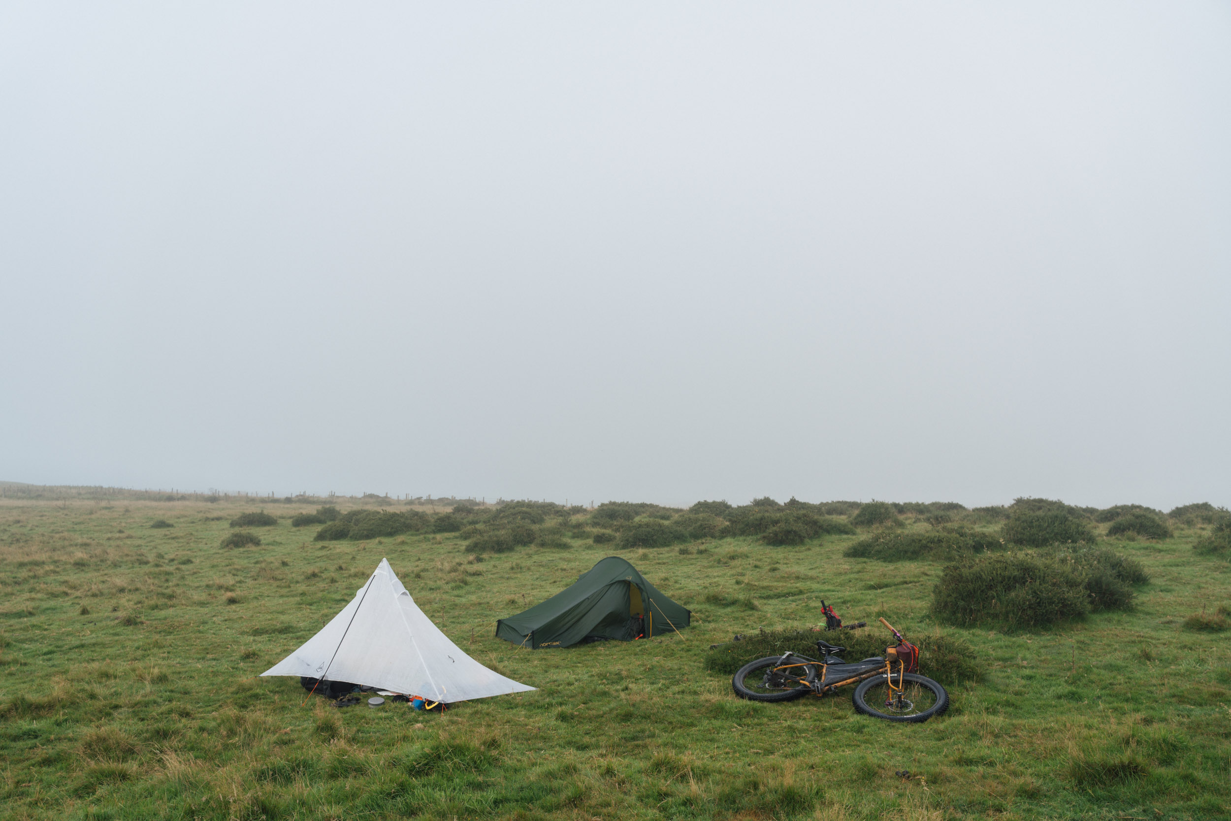
- Wild camping isn’t legal in Wales, but if you’re discreet and respectful, it’s tolerated on commonland. We’ve marked the spots we used.
- Otherwise, there are a number of smaller camping sites, a few of which we’ve marked on the map. If it’s especially muddy, you may appreciate a shower at the end of the day!
- The Hafren Forest Hideaway offers accommodation for £50pp, inc breakfast and refreshments, and can rustle you up dinner (£20) as well.
- There’s no shortage of places to resupply along the route, most of which we’ve marked on the map.
- We’ve paid special attention to bakeries en route… try the Welsh cakes!
- Water is available throughout – bring a filter if you plan to rely on streams and springs. Otherwise, there are pubs and bathrooms to refill. 2L-3L should be plenty of water capacity for a night’s camping and a morning’s ride.
Suggested Itinerary
While the Bear Bones Border Bash could be ridden in two days, the three-day suggested itinerary below includes time for transporation at the beginning and the end – see this blog post for our experiences riding the route for this guide.
location St Harman/Camping before Llanbrynmair
Day 1 (30 miles/3,540 feet)
This is a shorter day to allow time for transportation. Expect a mixture of riding – most of it fast – with the pleasant Llanidloes market town providing a perfect spot for lunch. Progress is likely to become slower going towards the end of the day, with a few hike-a-bikes to contend with. It took us around 3 hours and 45 minutes of riding time.
location Camping/Llanbrynmair to Offa’s Dyke
Day 2 (50 miles/6,117 feet)
A longer day but generally fairly mellow in terms of conditions and terrain, with a couple of longer stretches of back lanes that help make up time. Note that there’s a bathroom in Llanbrynmair, and options for coffee and breakfast. Caersws is well placed as your lunch spot – make sure you have enough water for camping, as clean sources are harder to come by in the afternoon. It took us 5 hours and 30 minutes of riding time.
location Offa’s Dyke/St Harman
Day 3 (29 miles/3,540 feet)
Although the distance is shorter for the last day, there’s a big bike push and a variety of trail conditions to contend with. It’s worth conserving water from the night prior, to ride you through the morning. The first reliable spot for food, water, and a bathroom is the Glyndwr Way community cafe – from there, it’s not far until the end of the route. It took us around 3 hours and 40 minutes of riding time.
More Options and Related Routes
The Bear Bones Bash is a longer 230-kilometre loop through remote and sparsely populated Mid Wales. It promises a true gamut of riding conditions – from steep and winding back lanes, old drovers’ tracks, and graded forest tracks, to tufty singletrack, hike-a-bikes, and extended bog trots – across the crumpled folds of the beautiful Cambrian Mountains. The route also includes the potential of a night in a candle-lit bothy and a resupply in quirky Machynlleth, home to the world-renowned Centre of Alternative Technology. Find the full route guide here.


Terms of Use: As with each bikepacking route guide published on BIKEPACKING.com, should you choose to cycle this route, do so at your own risk. Prior to setting out check current local weather, conditions, and land/road closures. While riding, obey all public and private land use restrictions and rules, carry proper safety and navigational equipment, and of course, follow the #leavenotrace guidelines. The information found herein is simply a planning resource to be used as a point of inspiration in conjunction with your own due-diligence. In spite of the fact that this route, associated GPS track (GPX and maps), and all route guidelines were prepared under diligent research by the specified contributor and/or contributors, the accuracy of such and judgement of the author is not guaranteed. BIKEPACKING.com LLC, its partners, associates, and contributors are in no way liable for personal injury, damage to personal property, or any other such situation that might happen to individual riders cycling or following this route.
Please keep the conversation civil, constructive, and inclusive, or your comment will be removed.